Wild Horse Peak - June 2 2024
A small sub-peak on Wild Horse Ridge, which is the way up to Mount Kerr, the top of the Marble Range near Lillooet, BC. A nice tack-on peak to the day for the ardent peakbagger

Marble Range, Jesmond, British Columbia
2167m
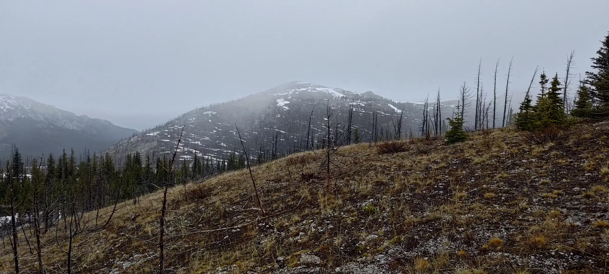
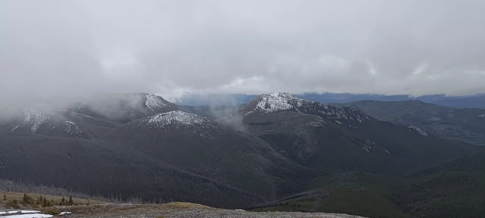
This trip report picks up at the Wild Horse - Kerr col, on the way down from Mount Kerr. After agreeing that Tanveer would wait for me at the col while I tagged this "bonus peak", I left my pack with him and started my way up.
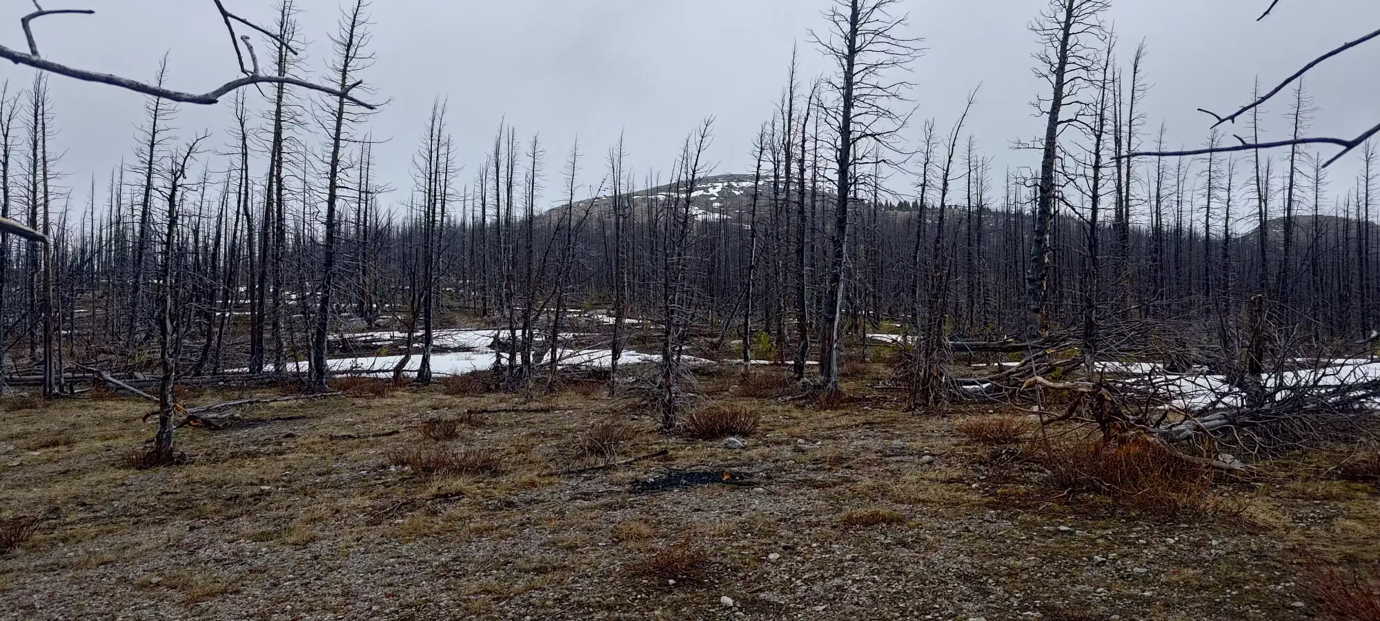
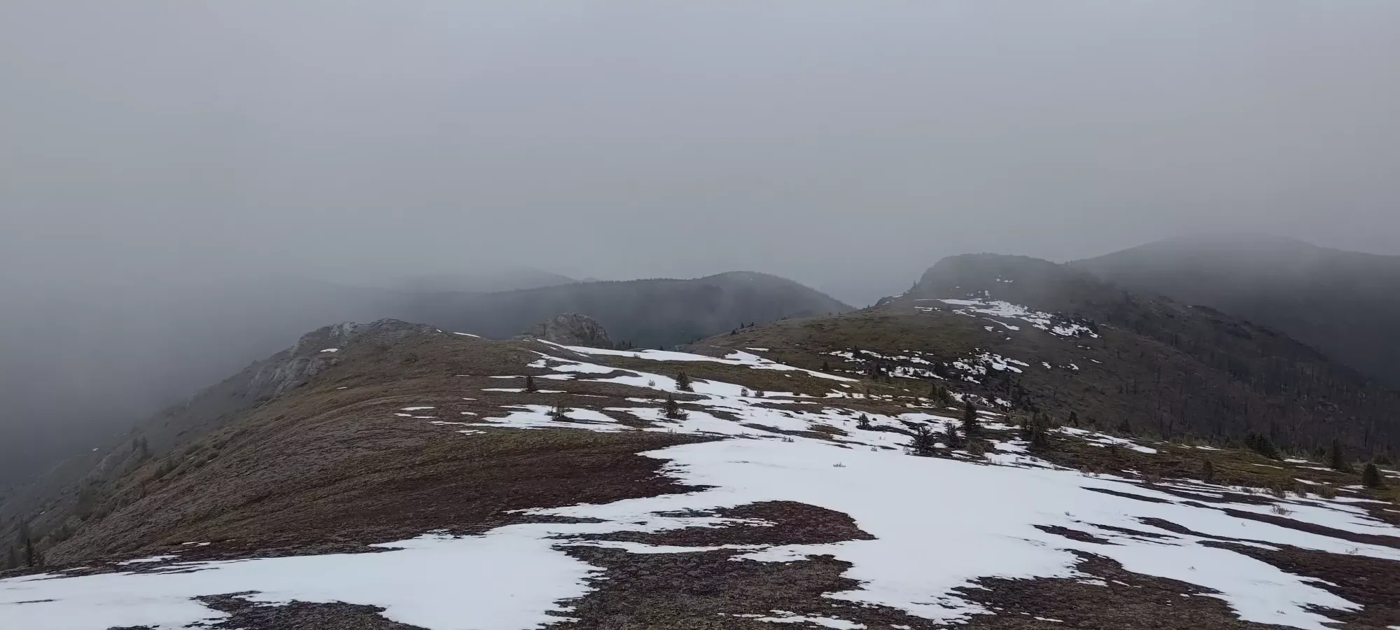
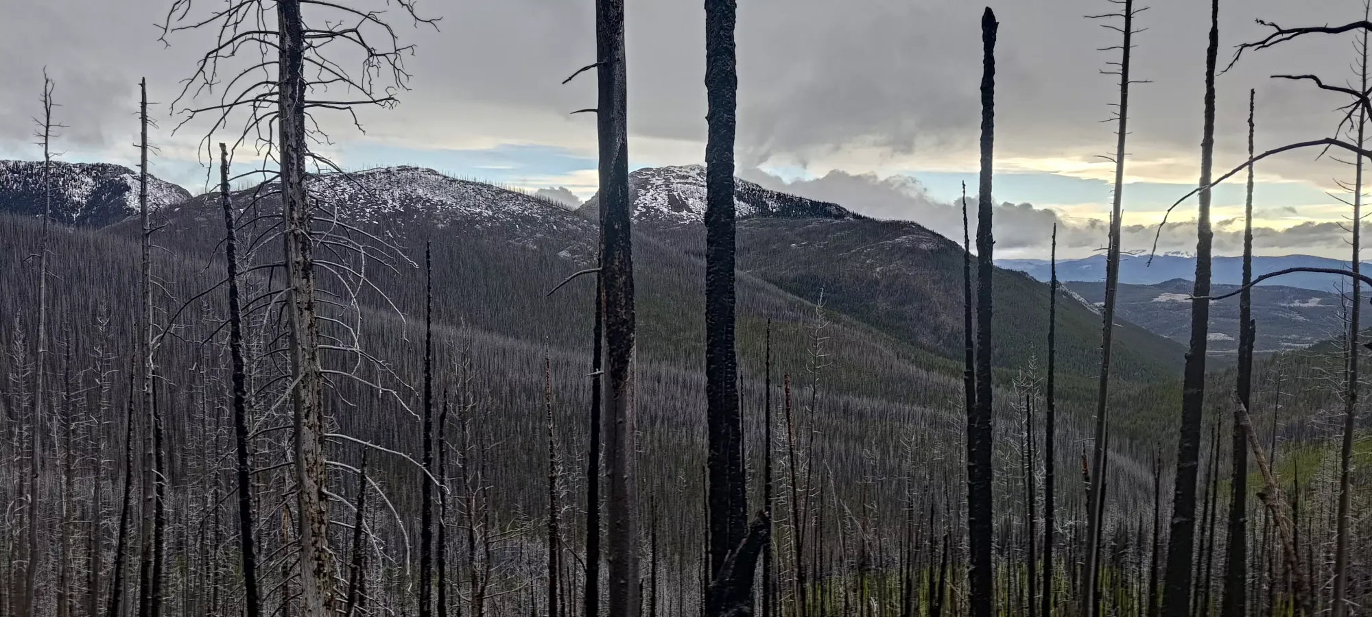
Despite the lack of trail and fairly thick-looking forest from afar, I actually had quite a good time getting through the forest. Though I was feeling a bit cool on my head, as my earphones (I dug 'em out for the solo hiking, since one cannot go 10 minutes without music when alone, after all 😅) were going crazy with the touch controls hitting my shell's hood 🙃. I compensated by walking with a bit more haste, since our regulated pace had kept me feeling pretty fresh thus far, and I didn't want to keep Tanveer waiting long.
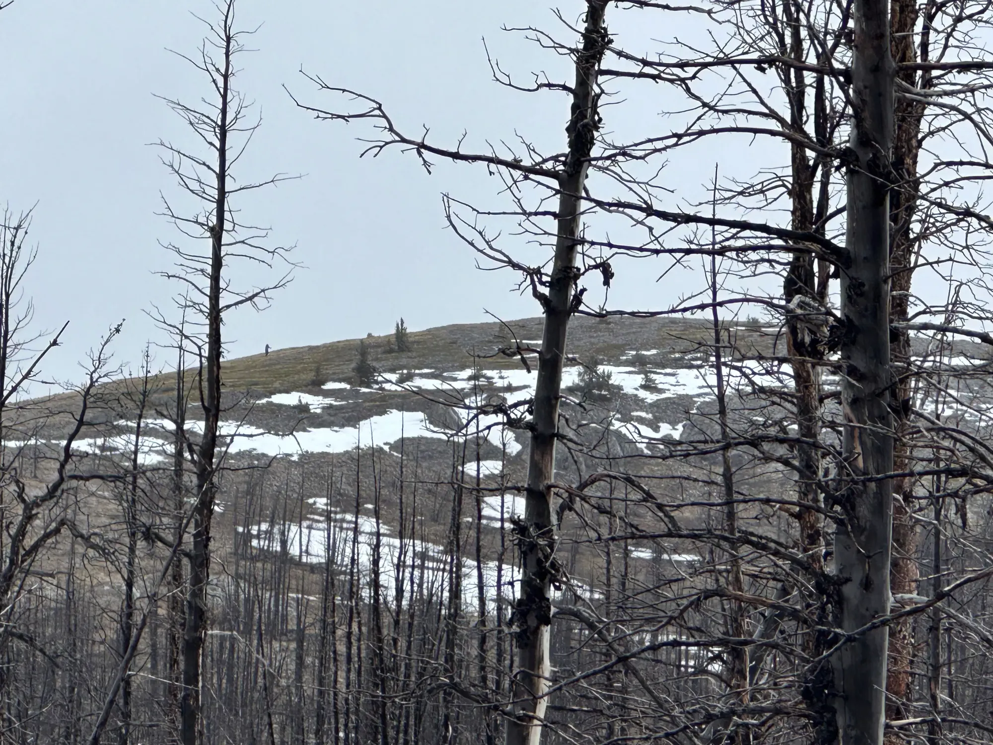
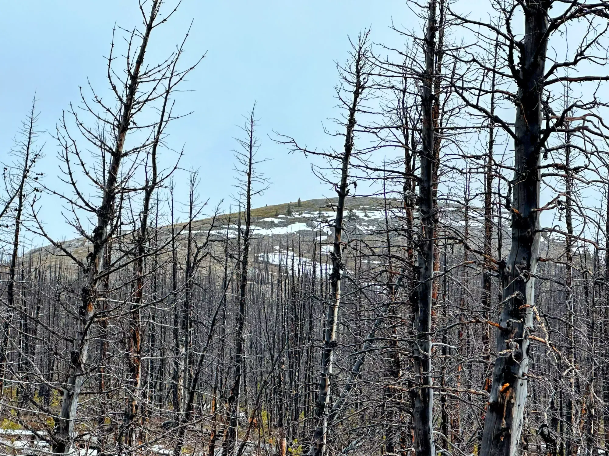
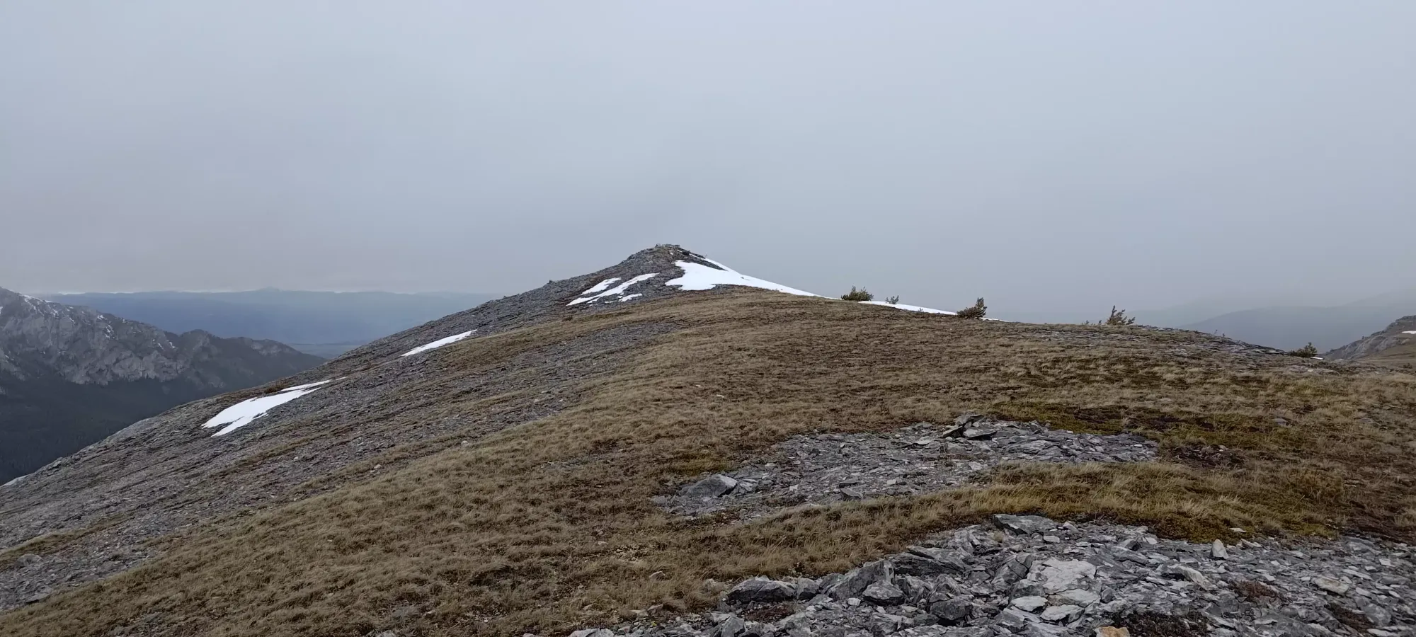
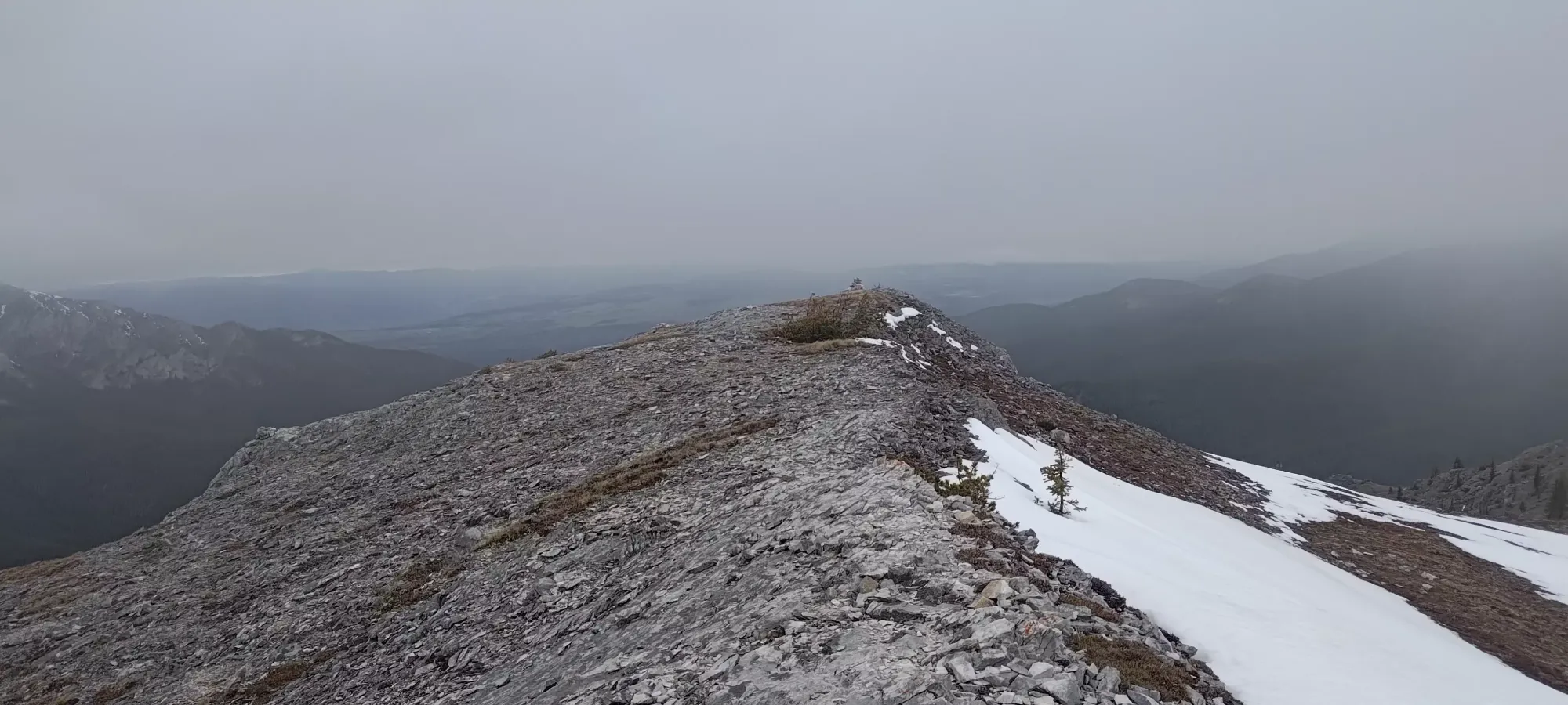
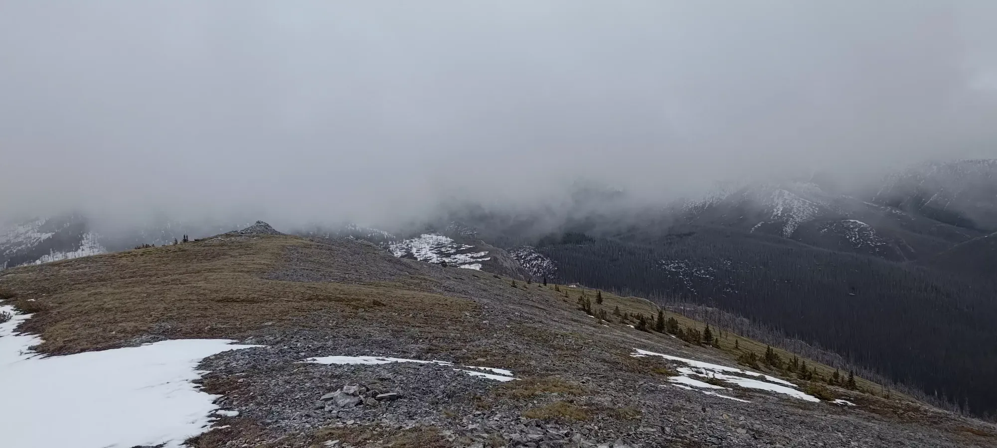
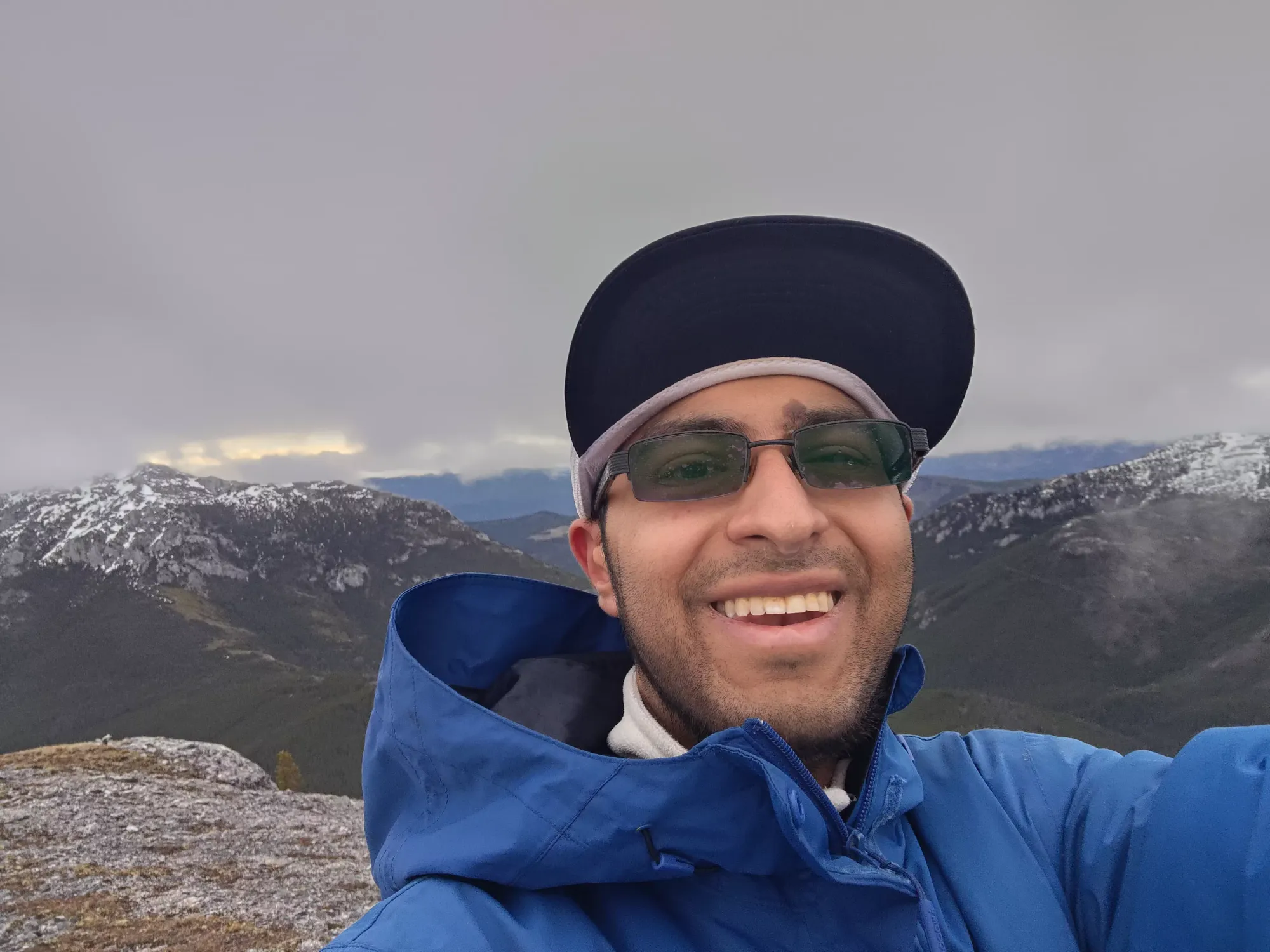
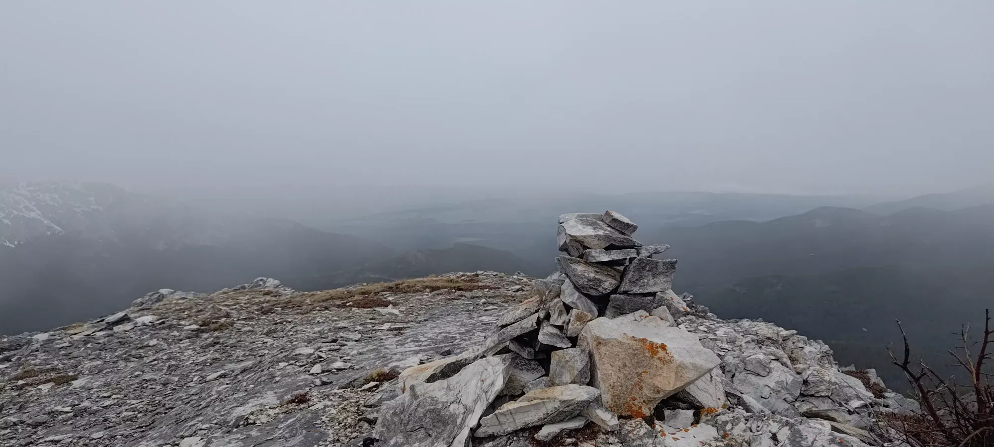
The navigation was quite smooth, as each time I picked a way to turn, it seemed to just "work out", avoiding deadfall-hopping and snow patches quite effectively. I topped out just under 20 minutes after I'd left, snapped a few pics, walked to the pointless cairn at the end of the ridge that was definitely not the high point, then started back with haste.
I got back down in about 15 minutes, so about 35 round-trip for the extra peak, with about 170m gain (and loss) in the process. Not bad for "after already getting the main summit of the day", I'd say. I didn't make my optimistic 30-minute goal, but I did at least beat Tanveer's 40-minute estimate, so I'll take it.
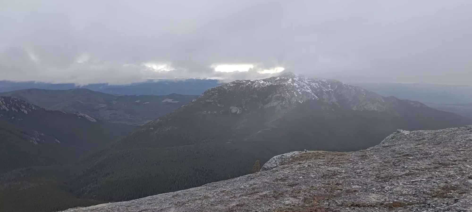
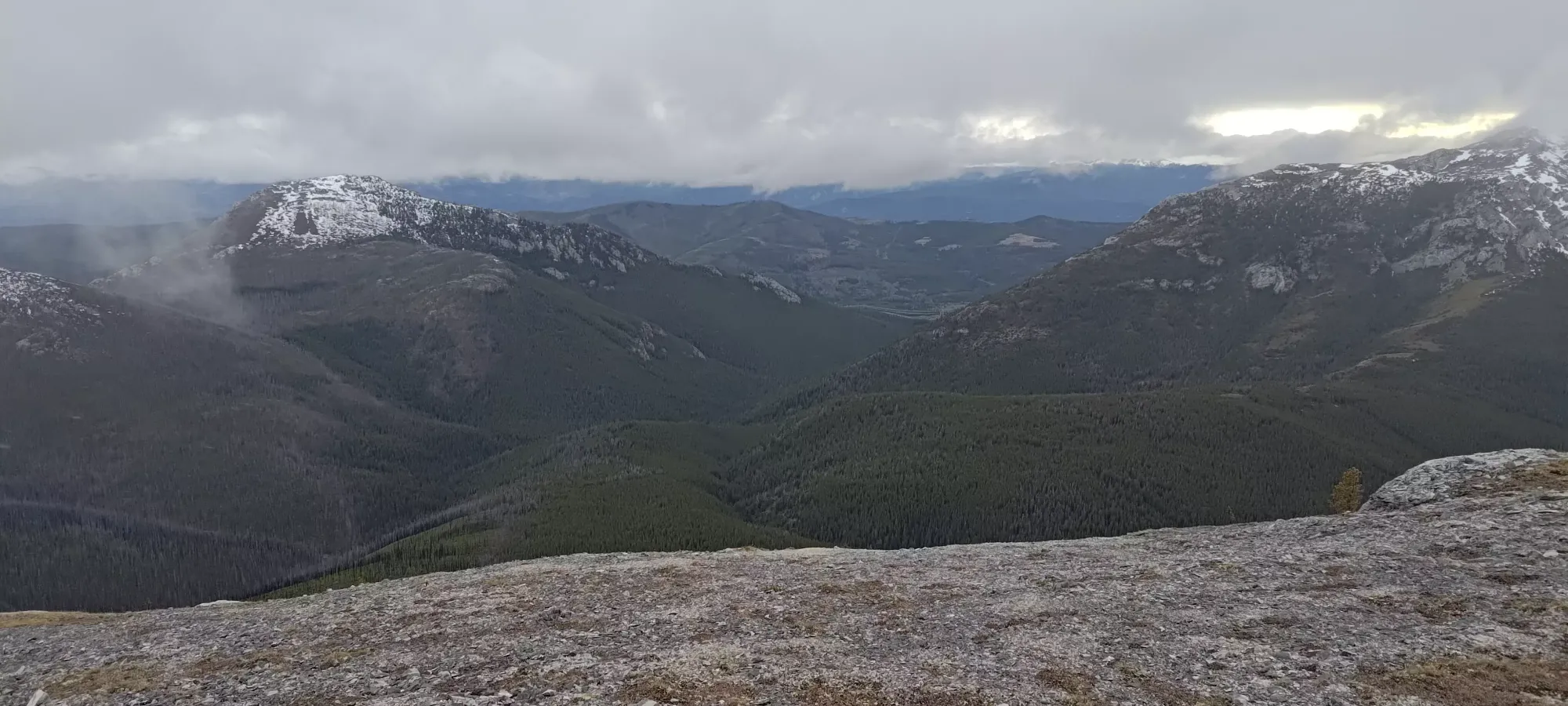
After getting my pack back on and re-gearing, we started the walk back down the southern slopes of the mountain towards. We took a few photos along the way, as the sun started poking out just a bit. The weather also let up below the ridge, and we could take our hoods off, open our zippers, and enjoy the lack of wind and blowing snow, which was quite an upgrade.
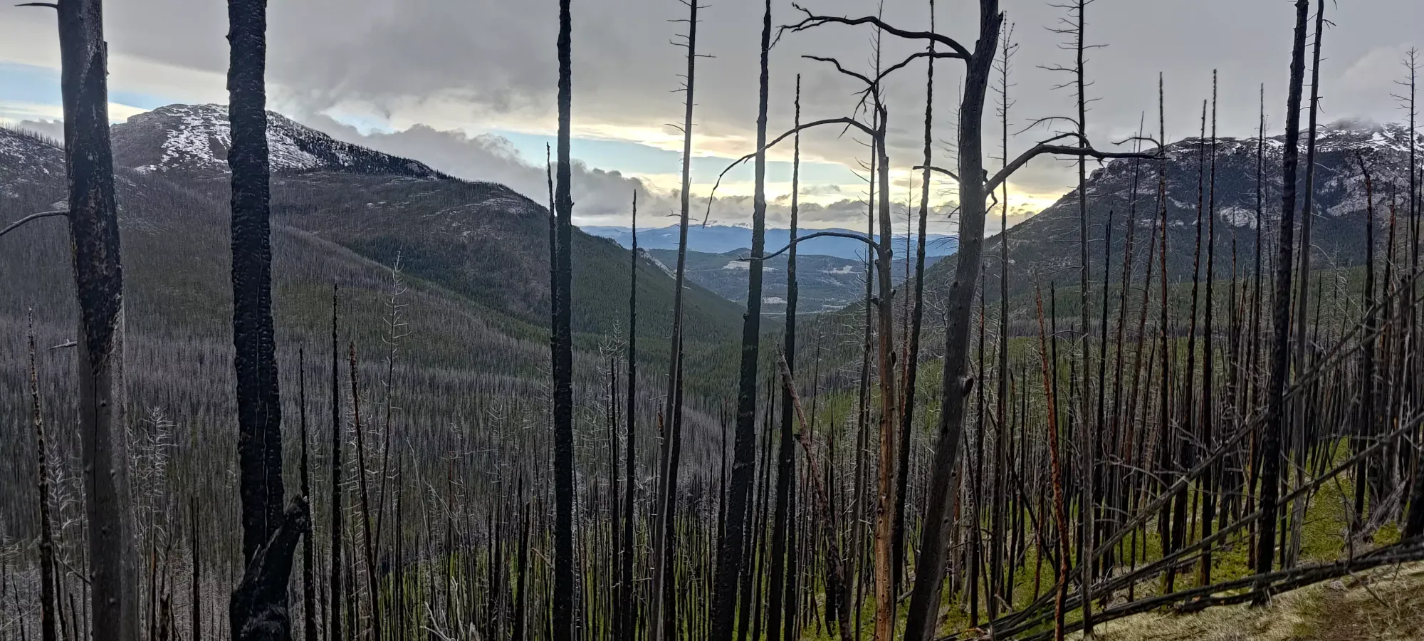
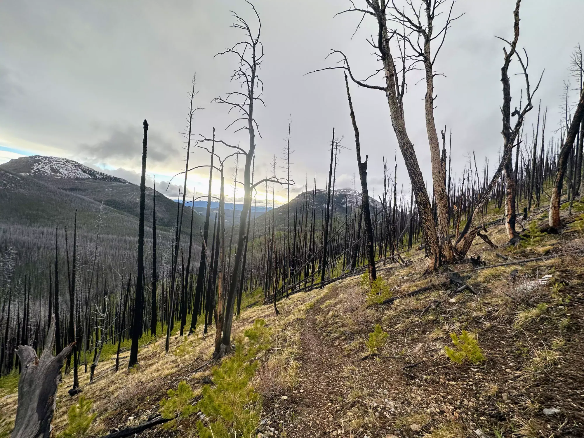
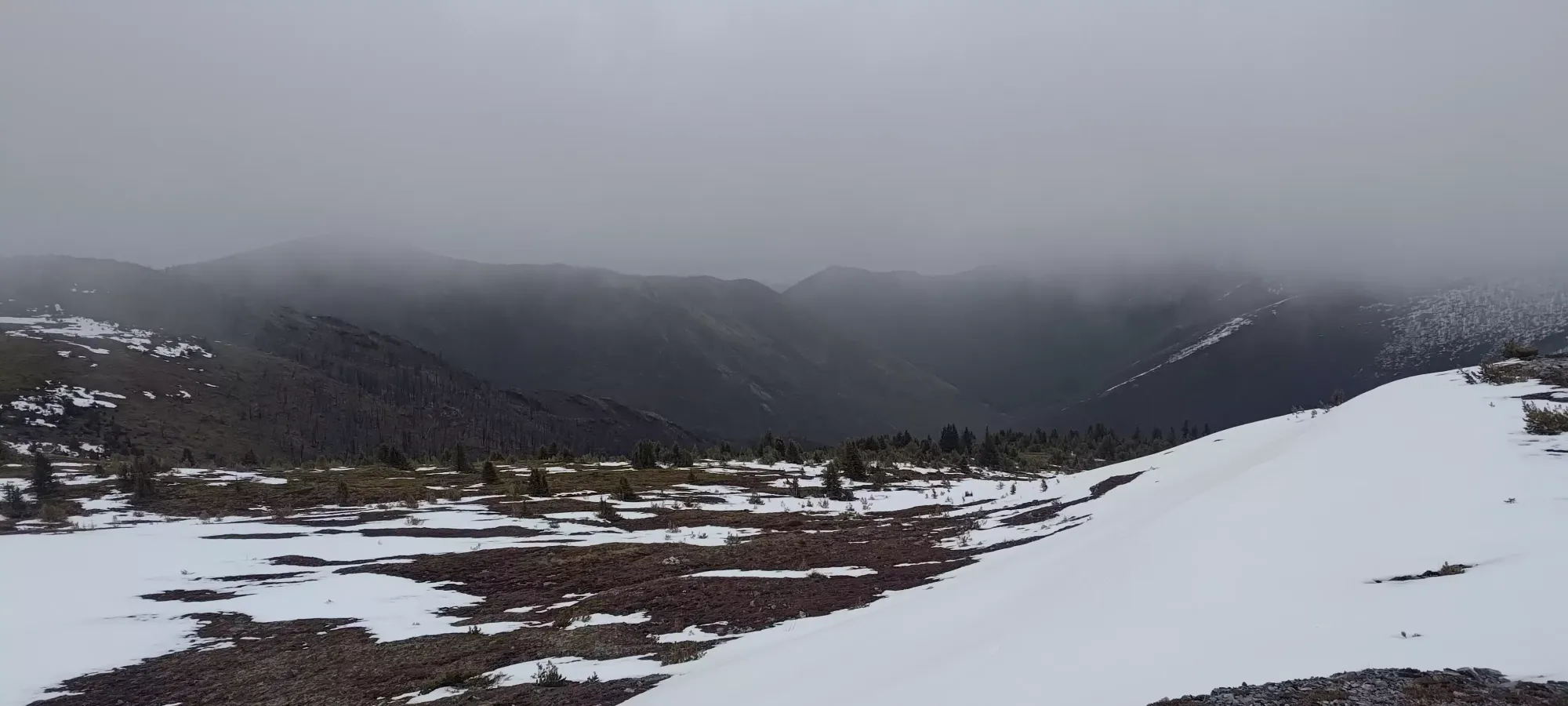
We descended steadily, if a bit slowly (Tanveer doesn't like to speed up much on the way down, he actually cares about his knee health or something), until we got below the burn, and it was officially warm enough that we took our layers off and went back to breathability for the final walk to the car.
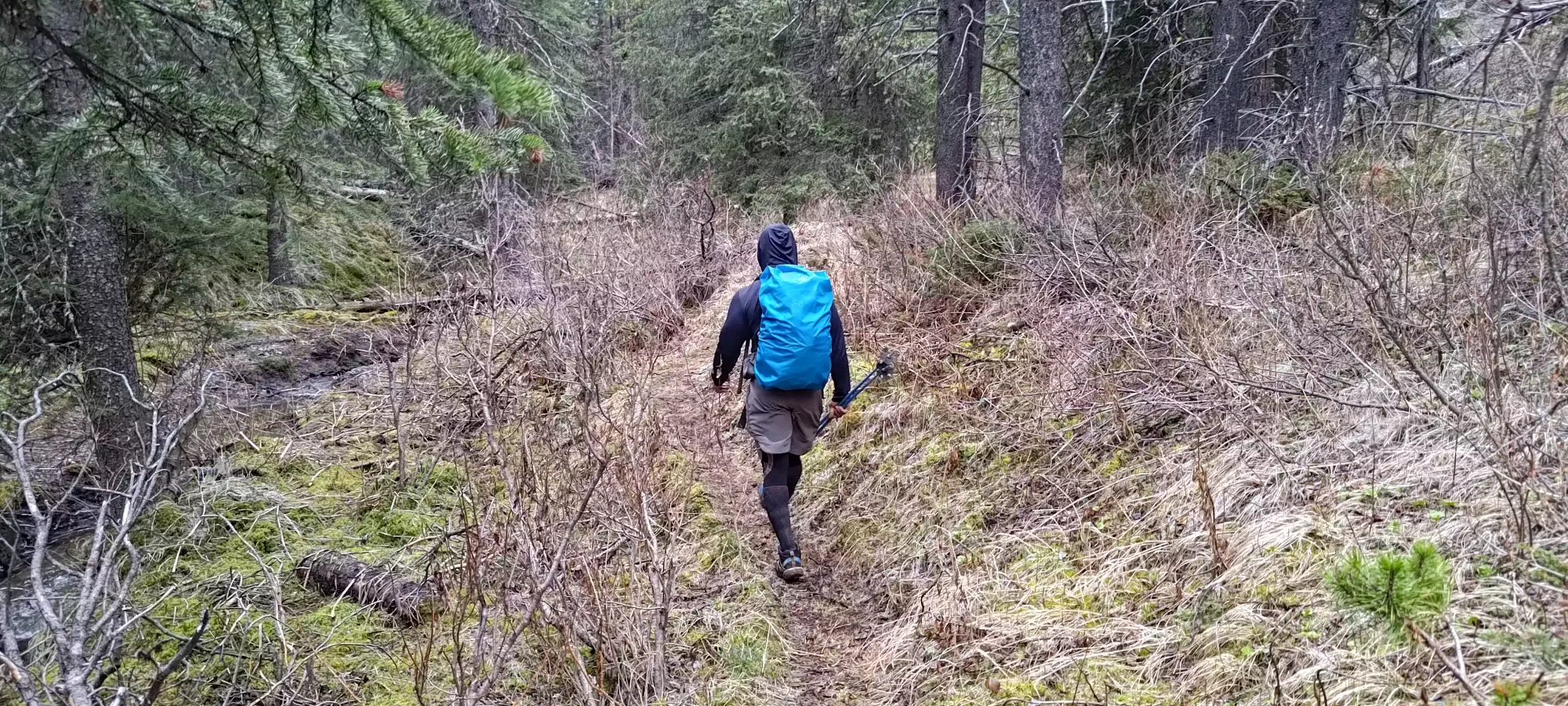
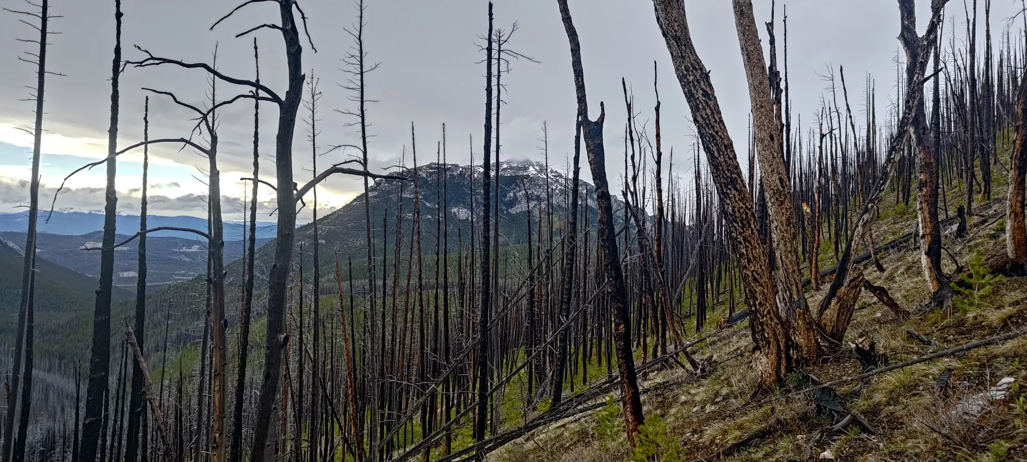
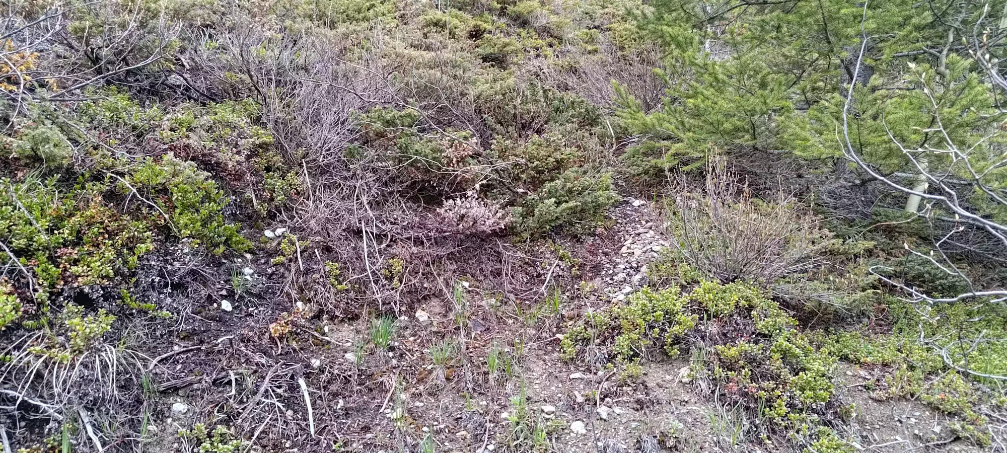
We took one more break at the fork for Mount Bowman, where we did a little work to move some dead trees around to make it a bit more obvious, as neither of us even noticed it was there on the way up! See how long it takes for you to spot the trail in the photo below 😄.
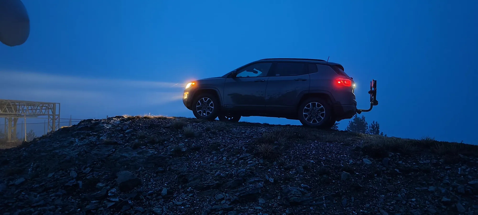
After that, we just cruised back to the car. The total descent from the col took just under 2 hours. After that, we took an alternate set of roads back to the main Jesmond Road, heading north of the trailhead's latitude instead of south, which avoided the creek crossing, since we only barely made it across on the way in. After that, we drove back, with a quick detour to drive up to Pavilion Mountain, which under a 20km round-trip detour on the way back, and is itself a p1000 peak! Since it's just a drive up, though, I don't think it needs a whole trip report, so I'll just share a picture of my Jeep at the top.
From there, Google estimates a 4-hour drive back, so I'm proud to report I laughed in its face, and got us back in under 3 🤣. The forest road is in good shape, so you can make a lot of time up when everyone is at home and there's no need to worry about kicking up dust. It was still past midnight when we rolled into Squamish, though, so definitely a long day with all the driving. Worth it for 2 p1000s and a bonus p100 (which got us some better views thanks to clouds parting, if nothing else). 10/10 would recommend this trip on a day that the coast is a bit too wet.
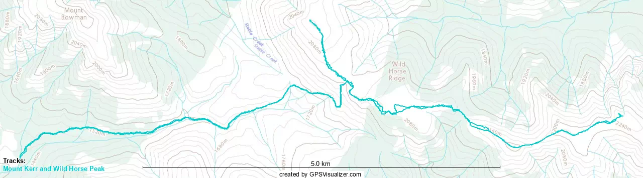
GPX Track + Map