West Lion - September 3 2022
The fourth stop on my attempt of a modified HSCT

North Vancouver Area, Lion's Bay, BC
1654m
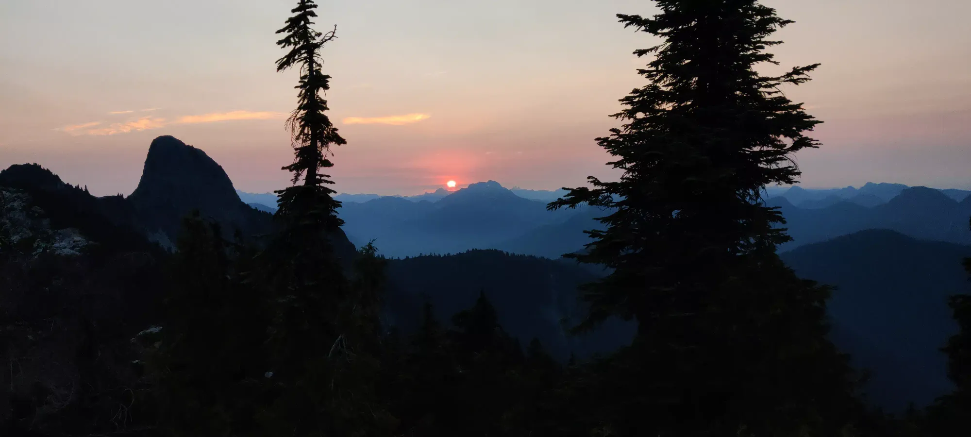
This is the fourth summit of my modified Howe Sound Crest Trail (HSCT) attempt, and this report picks up after Unnecessary Mountain. After departing the peak at about 6:30am, I started the short descent to the bottom of the connecting col, and made my way to the hiker's summit in about half an hour. The only real event of note was that I set an alarm for 6:55, and took a short break to hop on my phone (which to this point had signal more often than not) and book a day use pass for Monday. Once I got to the hiker's summit, I took a half hour breakfast break, and then decided to tackle the scramble. I'd done this once before the previous year, but I didn't record things at that time, so I wanted to get this on GPX.
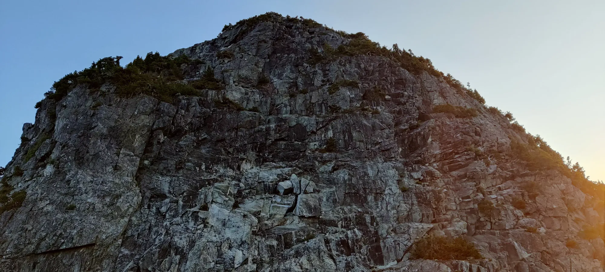
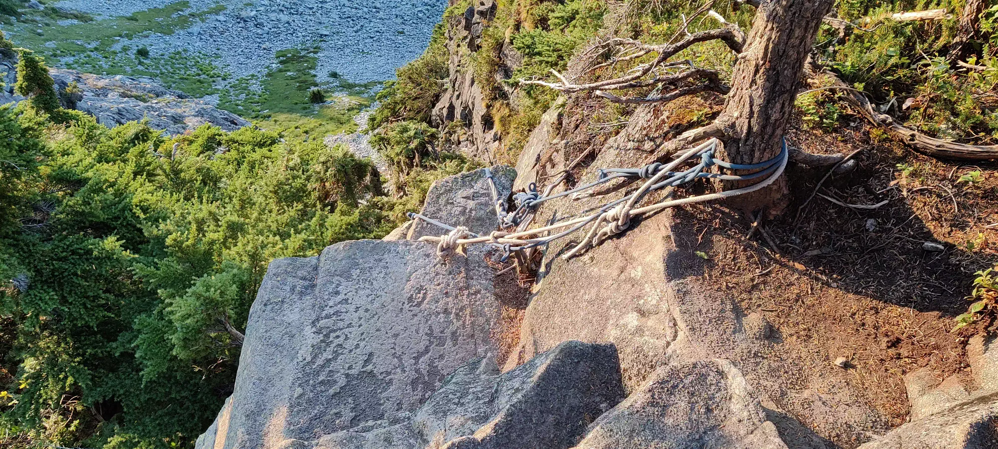
Once at the hiker's summit, you have to descend a few steps to a fork where the HSCT continues, or to skier's left, there's a turnoff to get to West Lion. Take a few steps down that, and you get to the roped downclimb below. Naturally, I refused this free protection and downclimbed myself, because masochism.
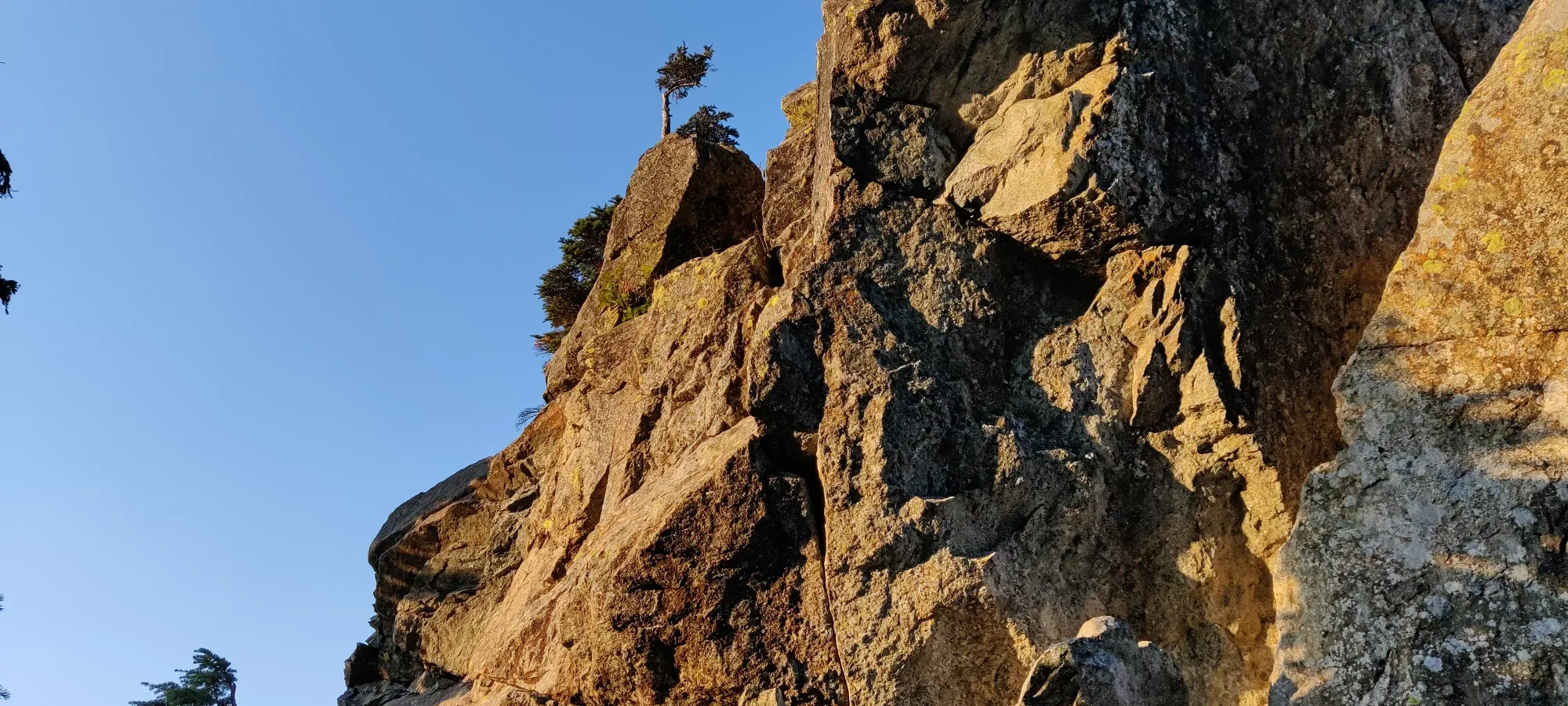
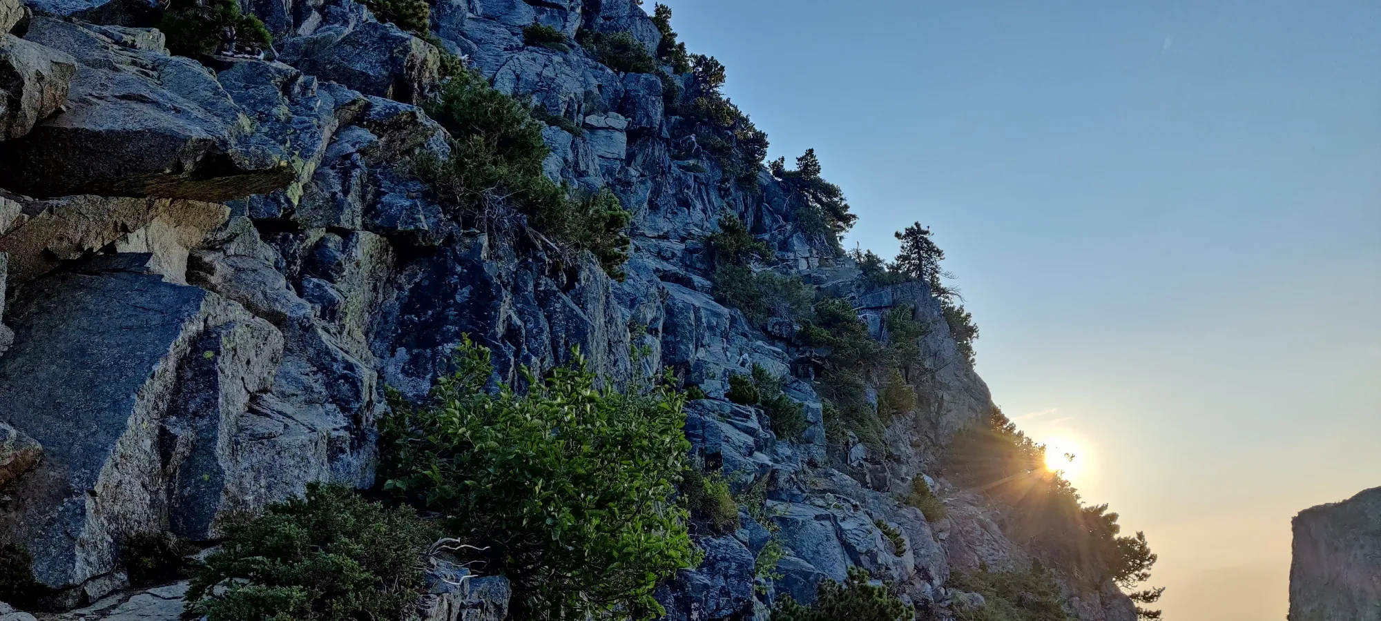
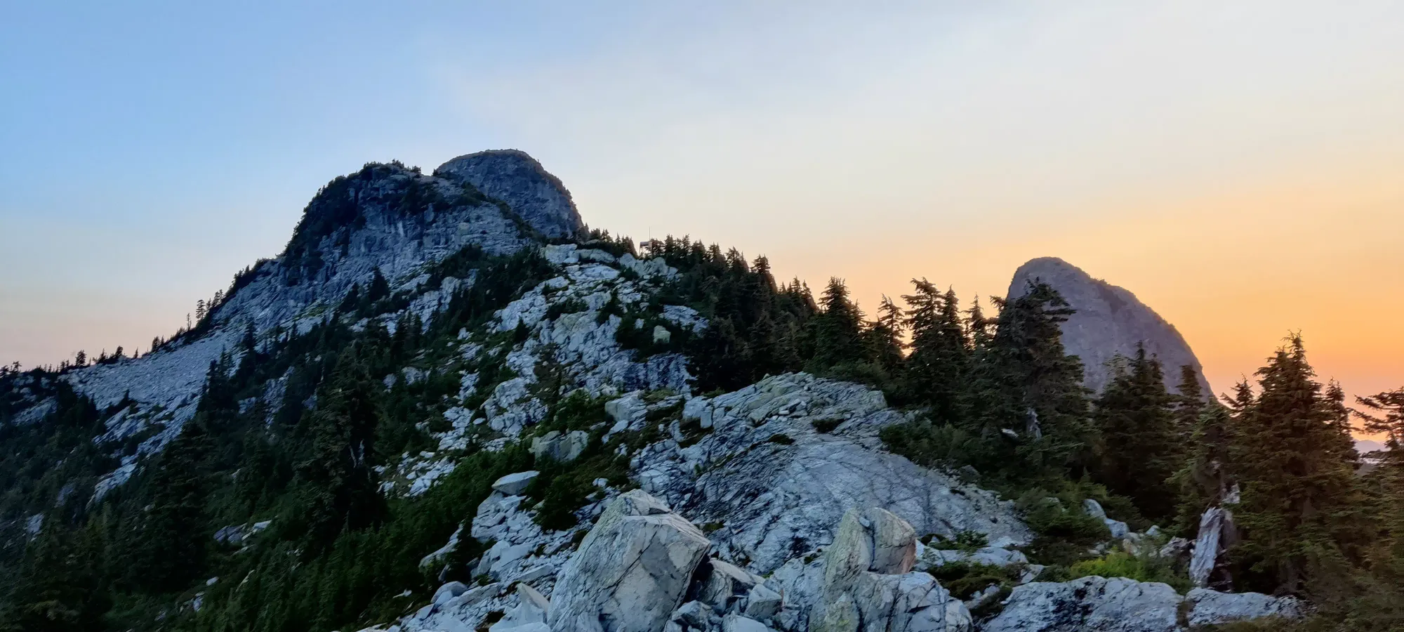
Once down, you walk across a small bridge over to the summit block, and start the scramble. The first bit is the traverse above. There are some routes to go straight up, and I've half-done one, the first time I was here. But these are climbing routes, and the scrambler's path is across the face to the right. It is decently flagged, and while it looks daunting, it's actually mostly walking, just with a long drop to climber's right. A few minutes of that brings you up to the far "edge" of this face where you turn left and up/around the mountain.
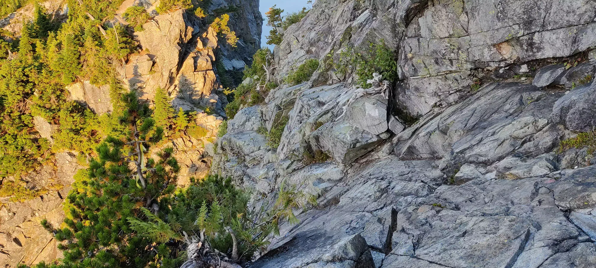
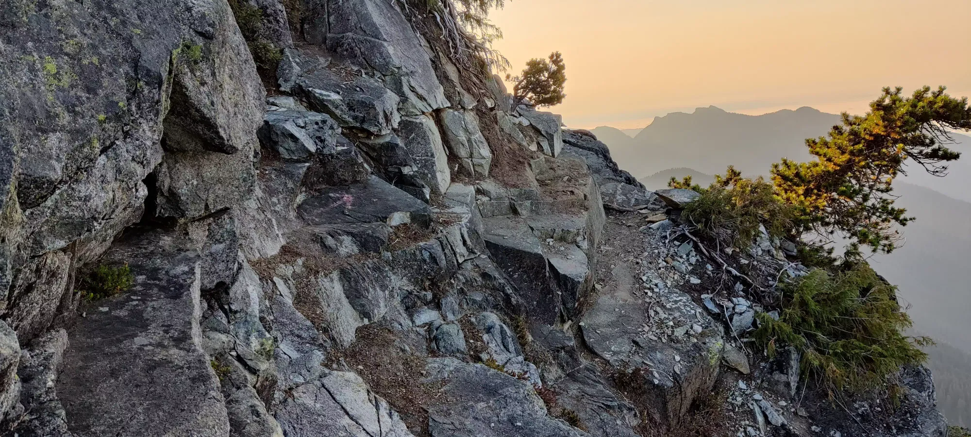
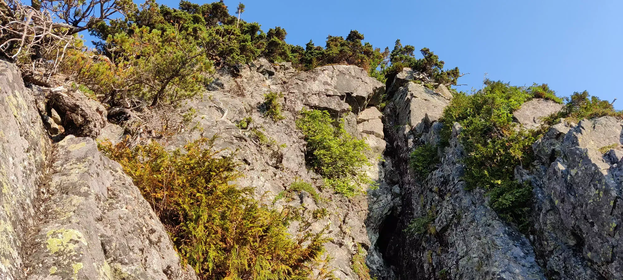
Since I was trying to be a "good boy" and not go to the climber's areas like last time, I was paying a lot of attention to flags/paint. I ended up doing this a bit too much, as I found a yellow flag too far along this ledge, and went too far around the mountain. I ended up at a cliff before a large crack. Sadly, there was no easy way to the crack, or I'd have maybe tried scrambling in that because that seems fun. I could've turned back, but I saw a fun class 3/4 way up and to climber's left that would bring me back toward the official path. It involved a little bushwhacking, which was annoying with poles sticking out of my bag, but it wasn't that bad.
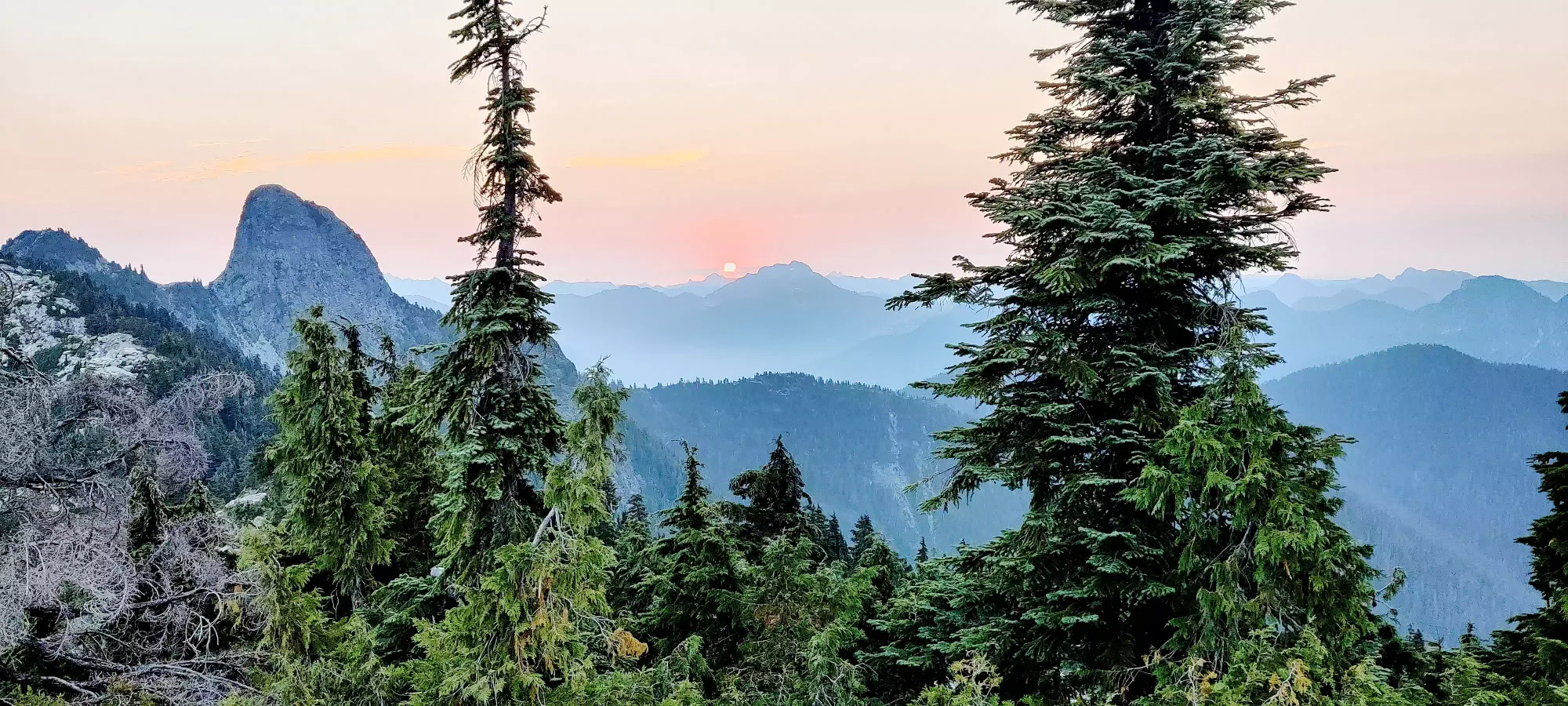
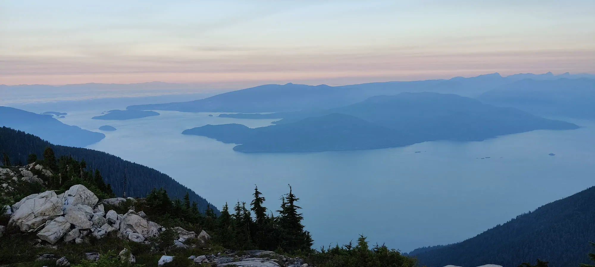
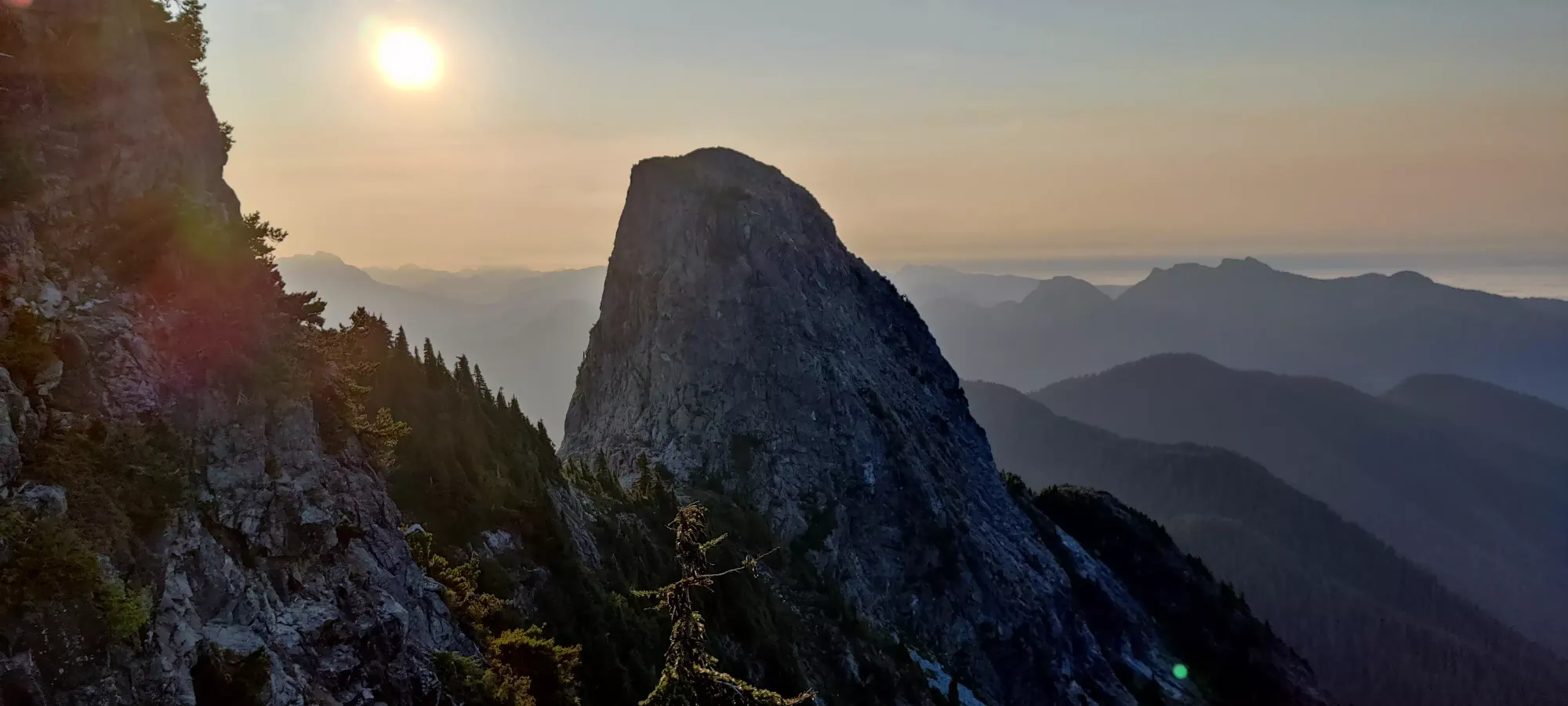
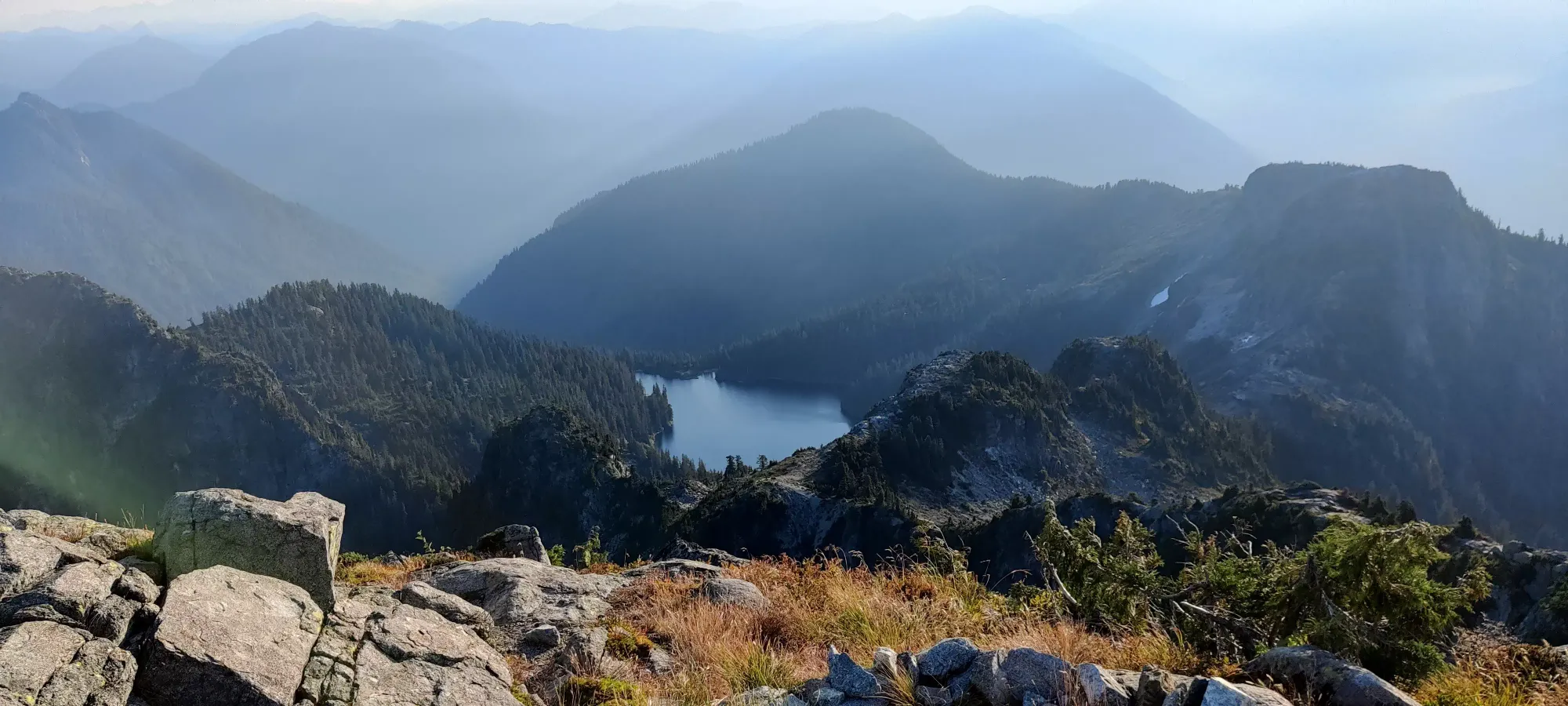
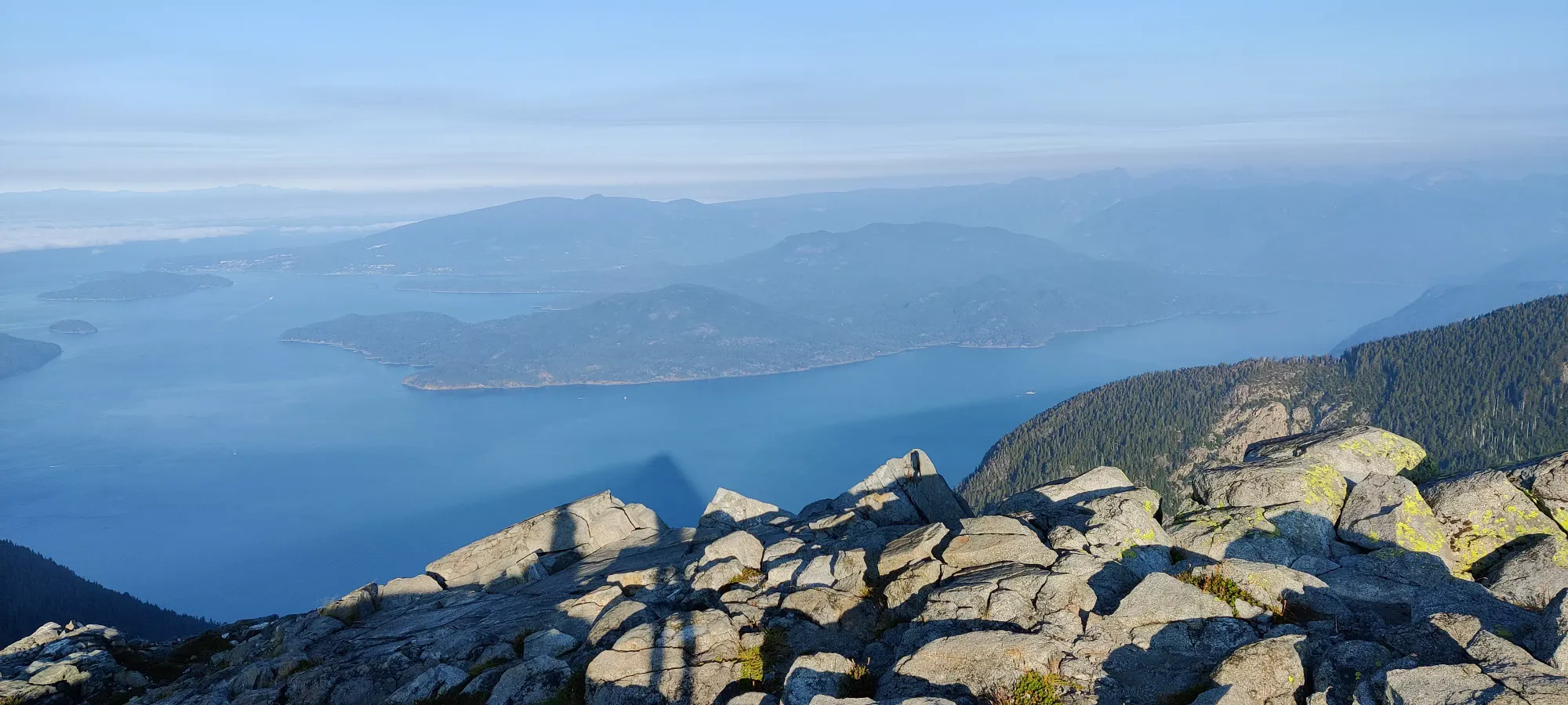
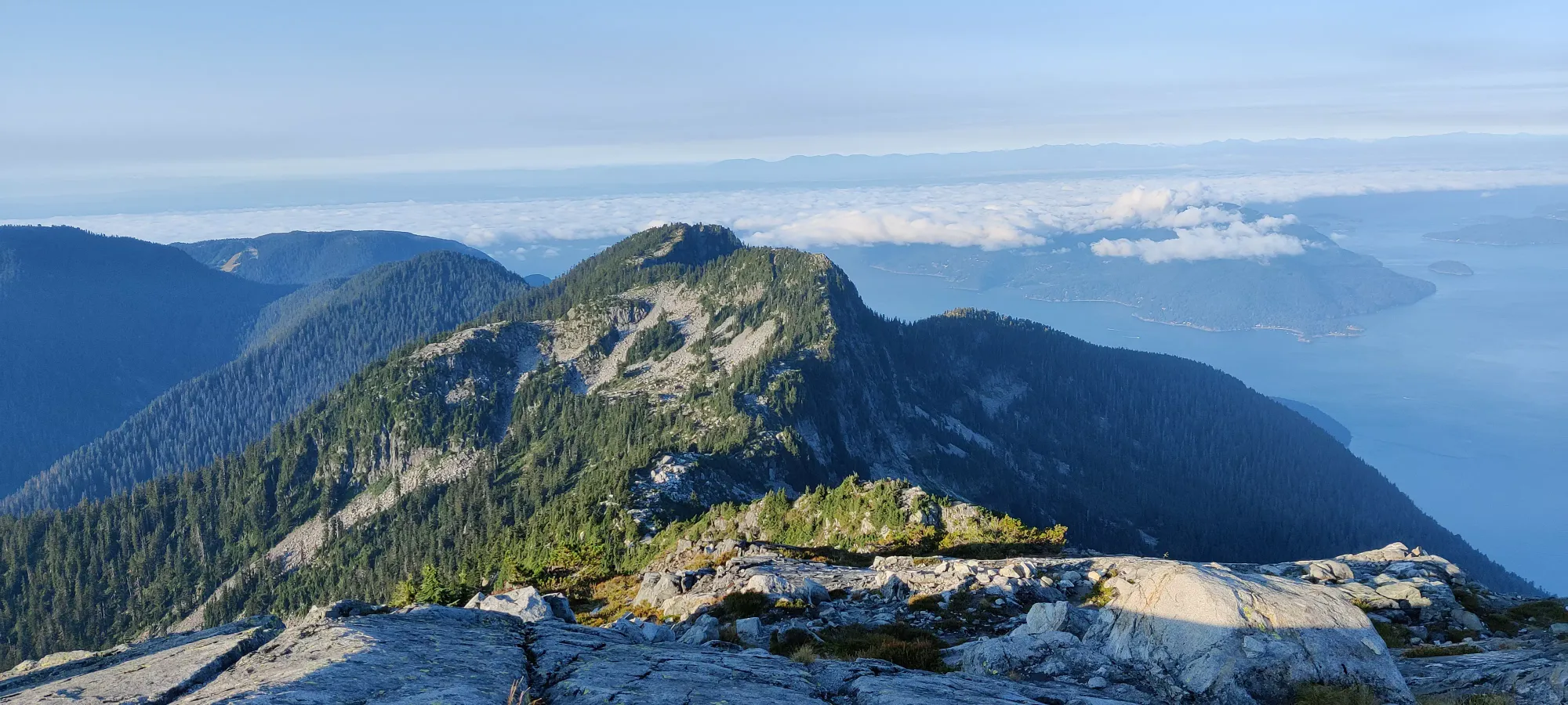
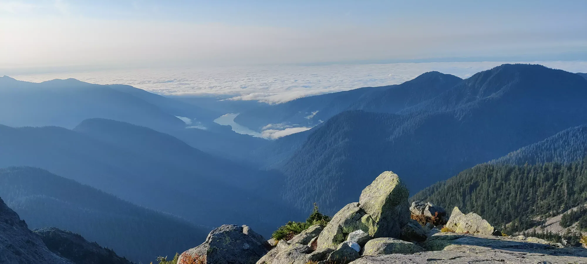
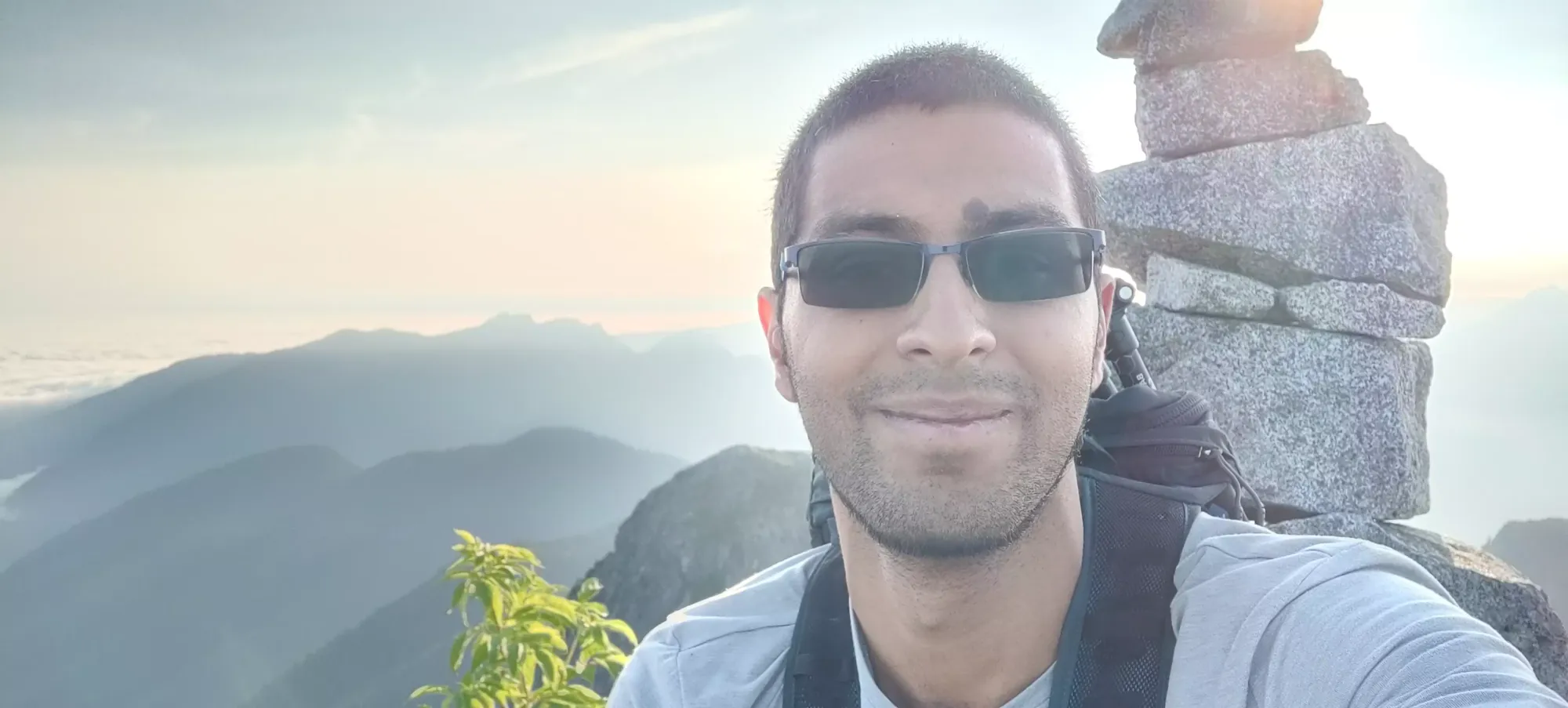
After about 5 minutes, I got back on the path, and another 5 from there, and I was on top! The sun had fully risen at this point (basically 8am), so the views were quite nice. I snapped some photos, and relaxed for a bit. I actually ended up meeting a fellow peakbagger who followed me up. We talked for a bit, and it turned out he was heading to East Lion, and offered me some beta and a partner. While it wasn't part of my original plan, since I'd mostly seen routes involving rappelling, which I didn't have the gear for, with a partner and beta on scrambling-only, I was glad to accept the offer to bag an interesting peak, and avoid having to return to this section of the trail. So, we continued on toward [Thomas Peak] (link here), which is en-route to East Lion together!
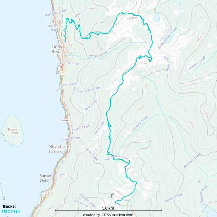
GPX Track + Map