West Knob - June 20 2023
A small bump on the west side of Black Mountain, but my first hike since getting hurt I think merits exiting "trashbagging" territory
North Vancouver Area, West Vancouver, BC
780m
Since last weekend wasn't quite as productive as I'd had preferred, I was hoping to find some time during the week to fill that void. Then, earlier on this same day, I got a message from Charles saying he was gonna be nearby on his way from the Island to the Rockies. I hadn't seen him since that fateful day on Wedge, so I had my reason to skip out on the afternoon of work already. We met in the afternoon, caught up, had some food, and I gave him my park pass I acquired last summer which I have no use for, but he could get some utility out of. Once he headed out for his lengthy cross-province drive, I found myself with some hours to hill before sundown, and I wasn't about to do the job I'm paid for, so instead I turned my sights on West Knob.
This is a pretty insignificant peak, basically just an outcropping on the slopes of Black Mountain in Cypress Park, but it's on Peakbagger, in the bagger challenge (though I'm not formally part of that), and most notably for me, it was close to me, and would be "another evolution of my post-injury hiking". My previous biggest day elevation-wise was about 600m, split between 2 hikes with a lunch break in-between. This promised to be over 700m gain and all in one hike, so I wanted to see how that would go for me.
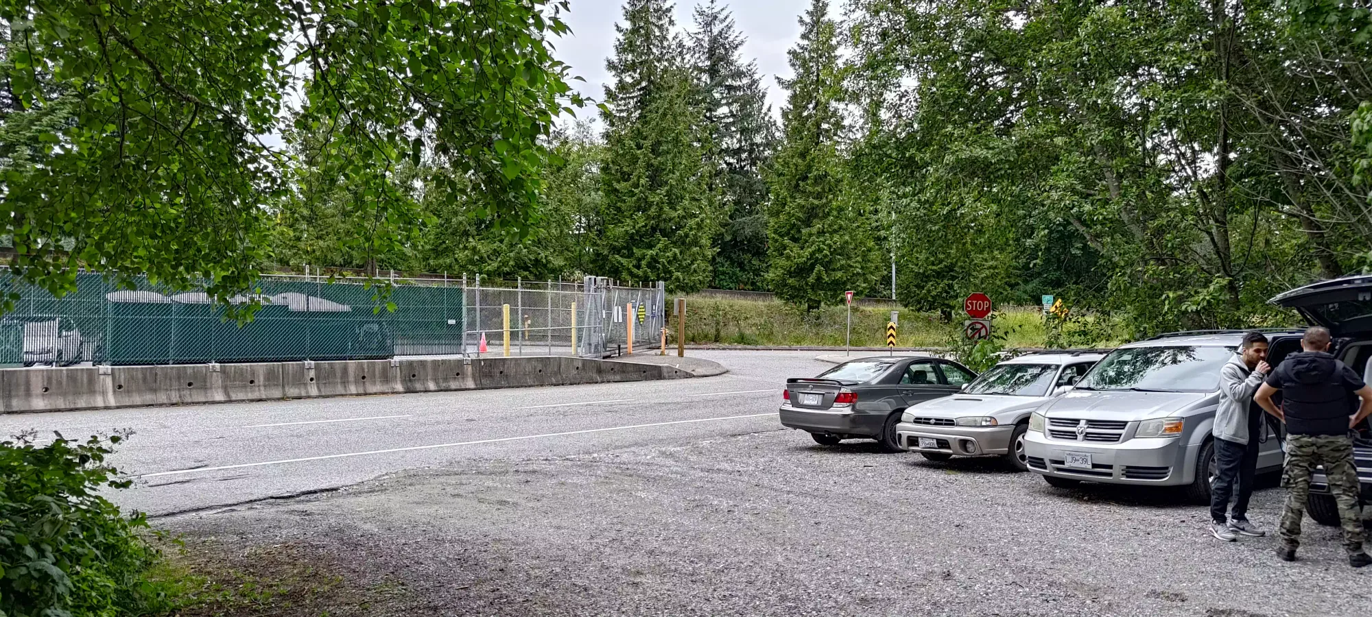
The parking was right off the road once you pass the gates for the Ferry (stay right), and there were ample spots available on a grey, damp weekday evening. I got geared up and started at about 4:50pm.
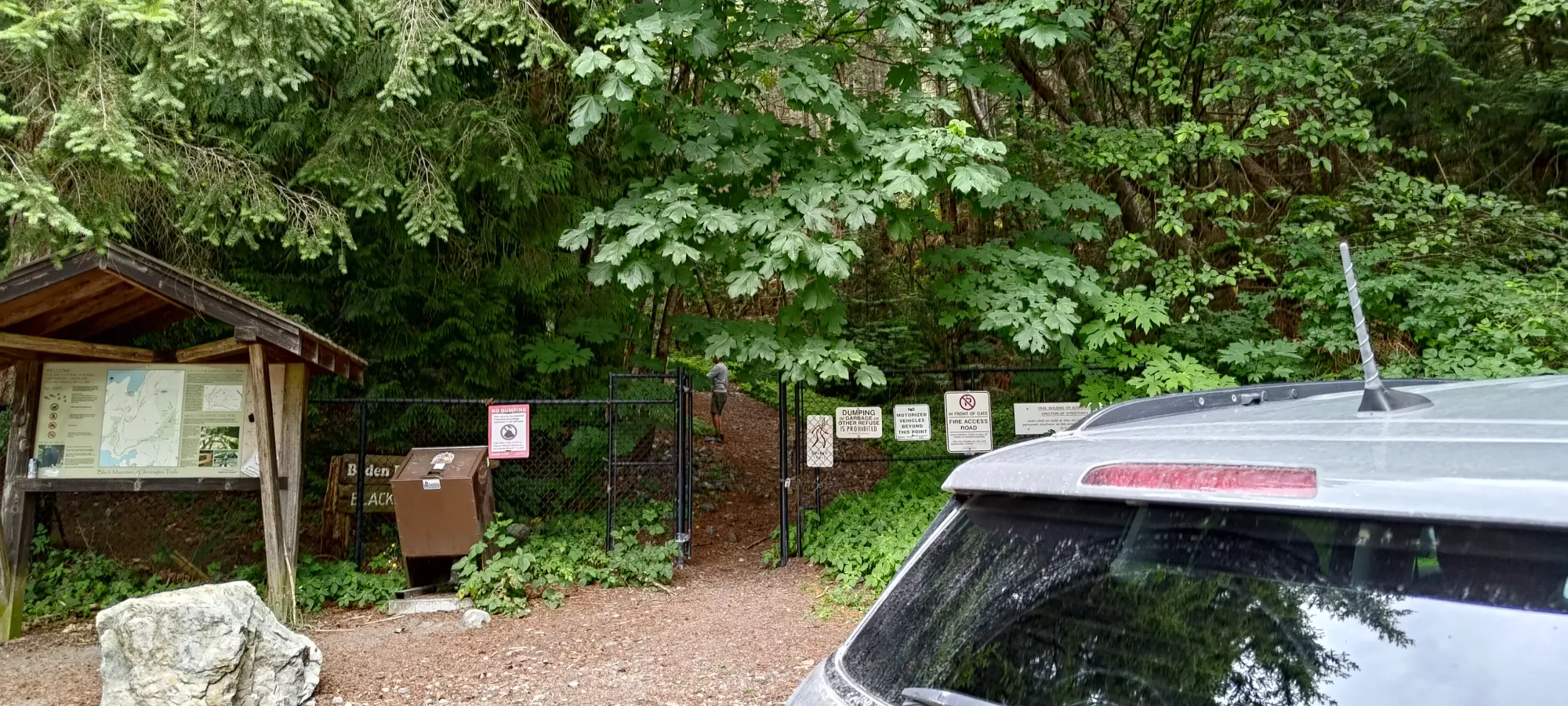
The trail starts with a 65m (elevation) grind up to the highway, on what's essentially a well-maintained FSR, except it's a "Fire Access Road" and seemingly seldom driven on. You'll walk along the highway for a minute, beside the retaining wall holding it up (quite porous-looking, though that wasn't a surprise to me courtesy of a civil-engineering binge I did on YouTube some time back), under the highway, and off on the other side. Once you get to the highway, the trail narrows more to bike-width, but also "cleans up" a bit, and has less protruding rocks and especially less loose rocks on the trail itself.
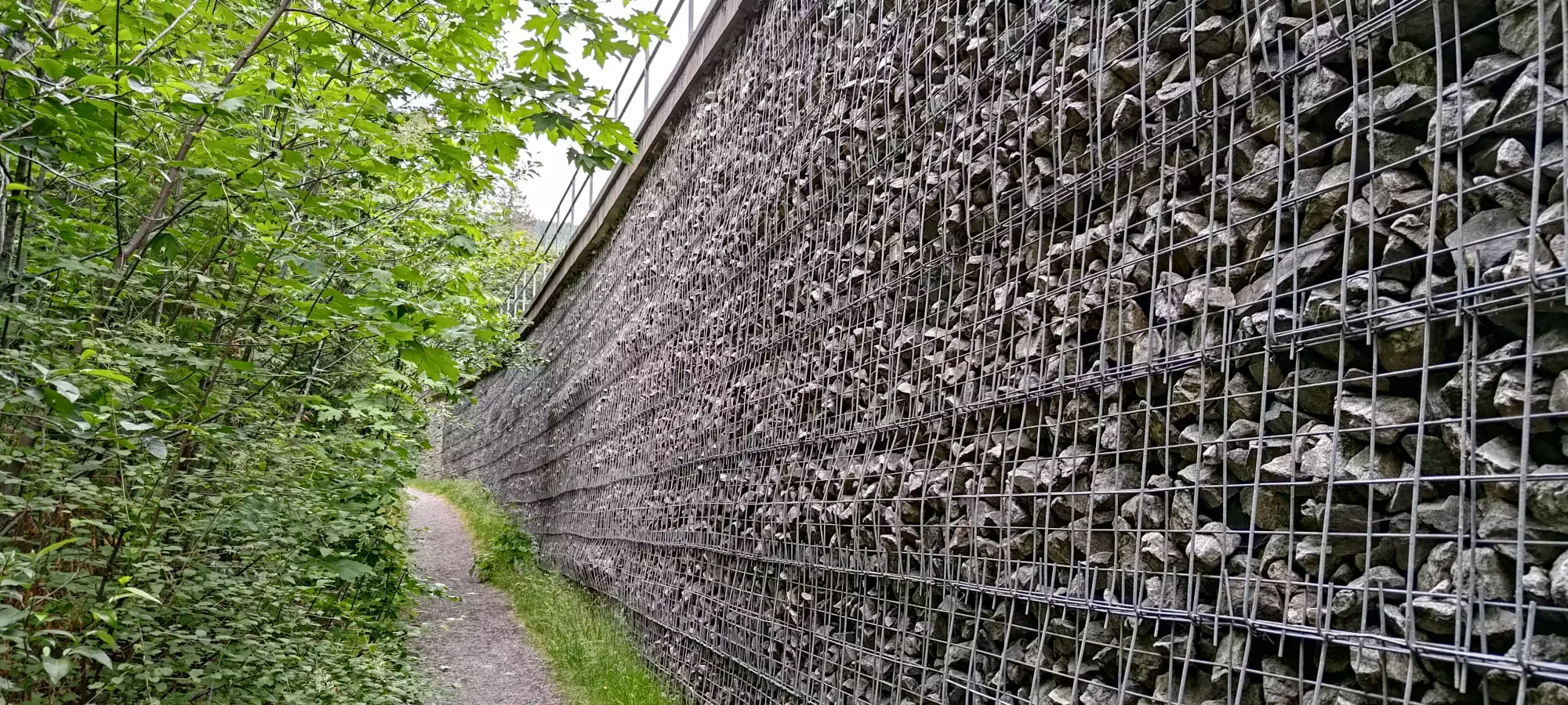
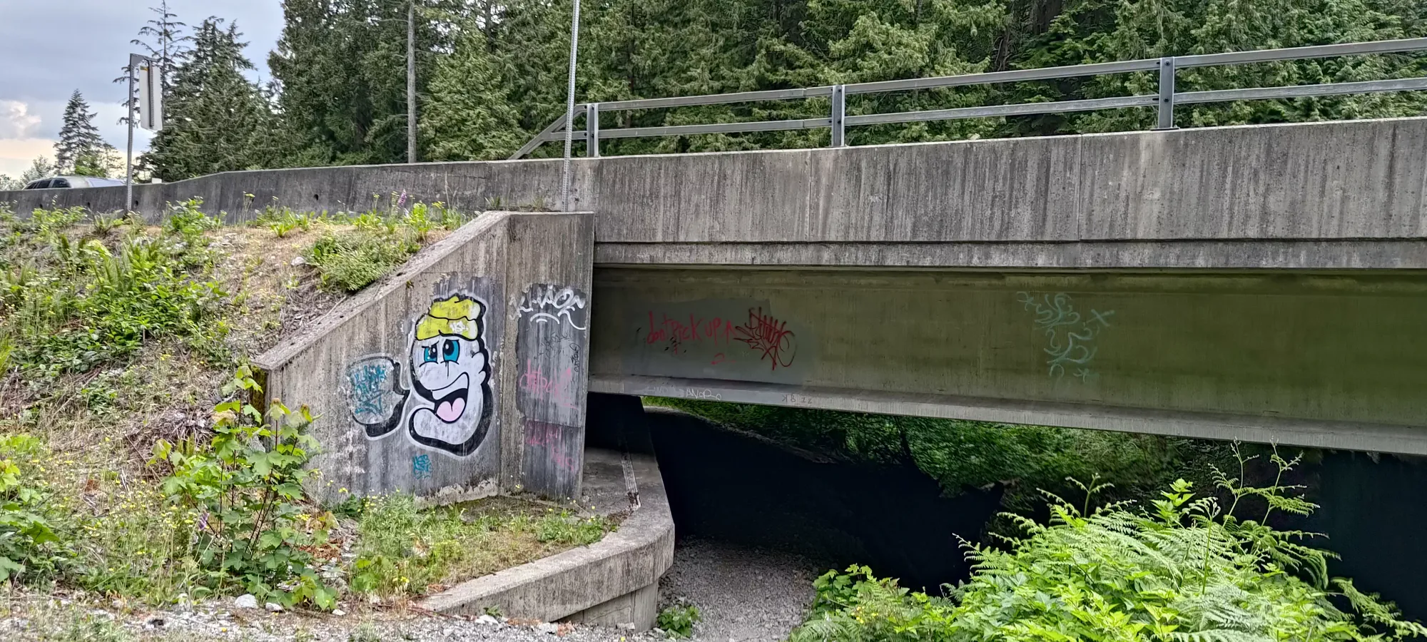
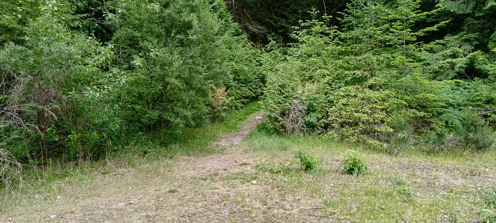
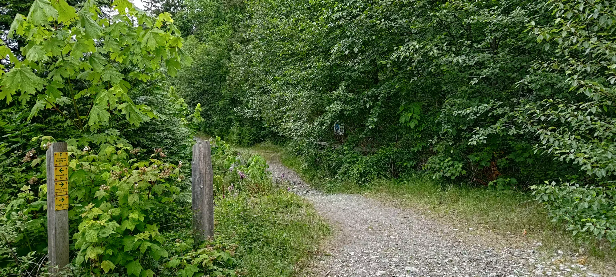
Once on this trail, it continues as a narrow bike path along the highway (not confirming one is allowed to bike here, it's just that kind of trail, and I did see a set of tire tracks), until it turns climber's right away from the road, and widens to more of a road width again, and gets a bit of a small gravel/loose rock coating. This terrain lasts until about 225m or so, where it stays wide, but the dirt goes a darker red/brown, and the quantity of rocks decreases once more.
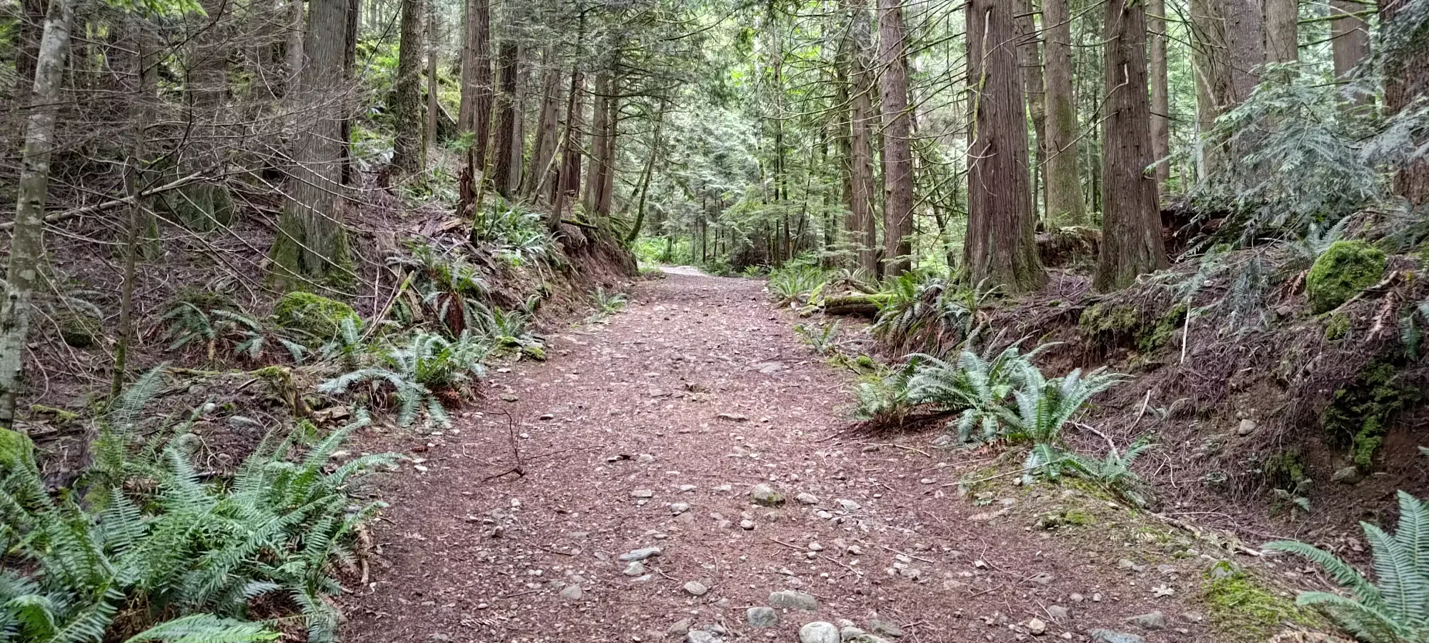
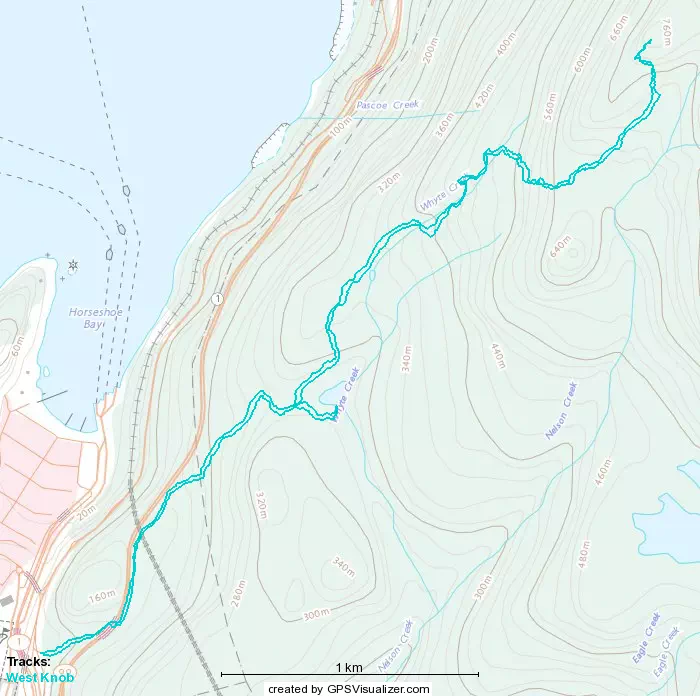
This trail (the Baden Powell Trail) continues as described until the fork for Whyte Lake. One can take the Baden Powell trail here, as you have to merge back onto it anyway, but it looked annoyingly rocky for my ankle, and someone submitted Whyte Lake to peakbagger, so I figured I'd go check it out. This fork is pretty short, and has another steep grindy section, but like the first, it is also short, and in just under 25 minutes I hit a fork to either go right to the lake, or walk along the "shores" to the west. The peakbagger dot is closer to the lake itself, so I decided to go that way.
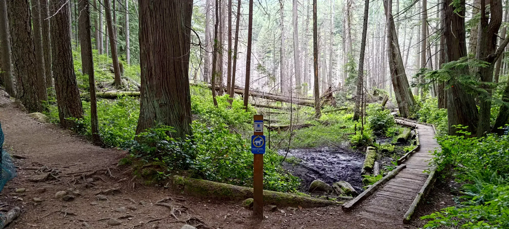
As you can see above, the lake looked more like a marsh, and on my watch's maps, it was even marked as such, instead of with the blue of "water". But, after going along walkways for a minute or two, I found a trail that went up a few metres to a sign+bench, which I suspect are the motivation for the peakbagger submission; as this is a "high point", and just off of that high point is the actual water, both of which I took brief detours to take a look at before turning tail and heading back to the junction to bypass around the lake.
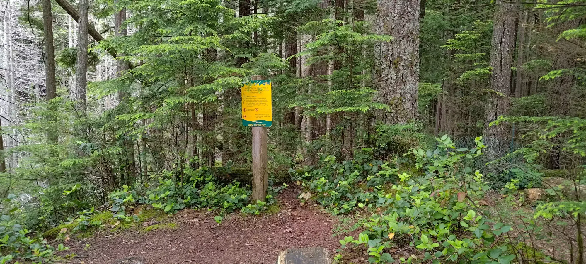
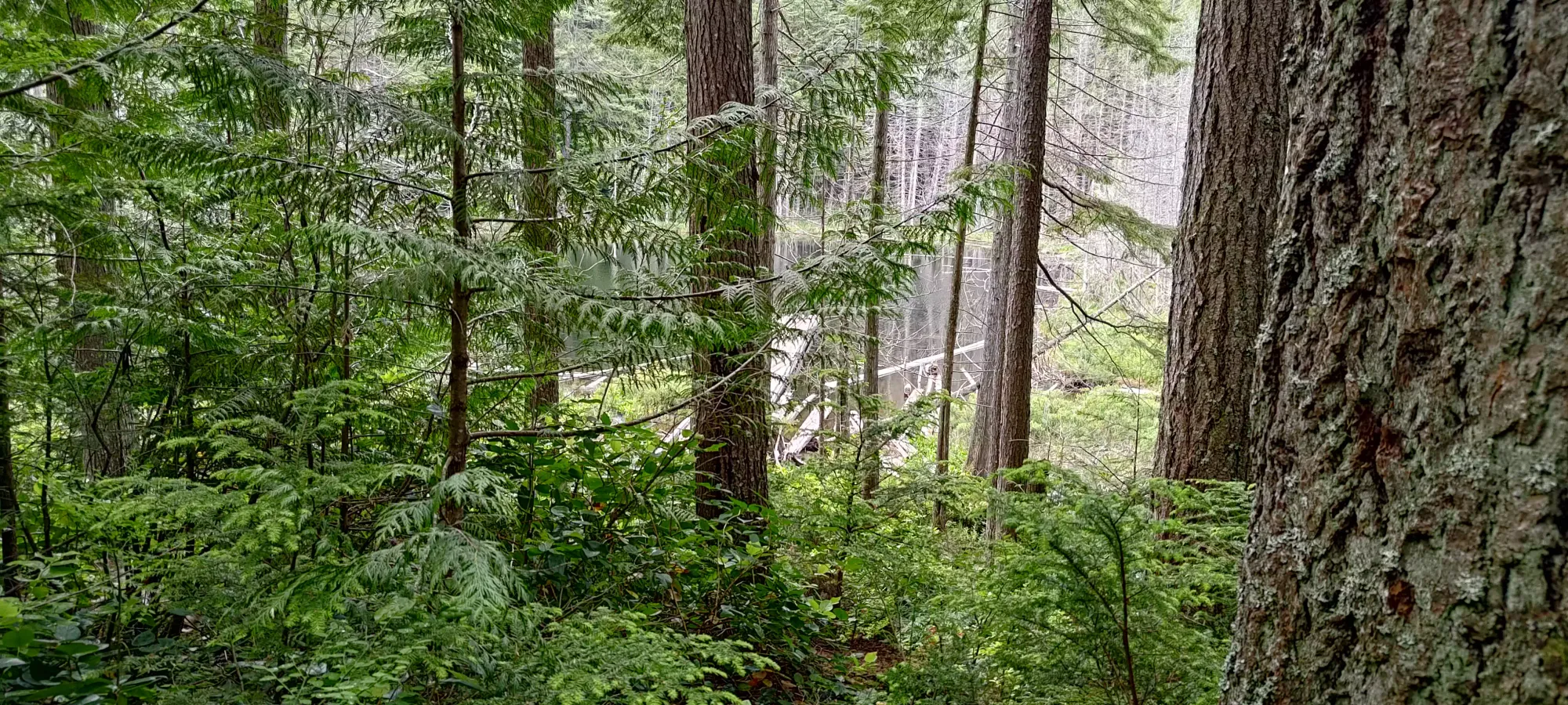
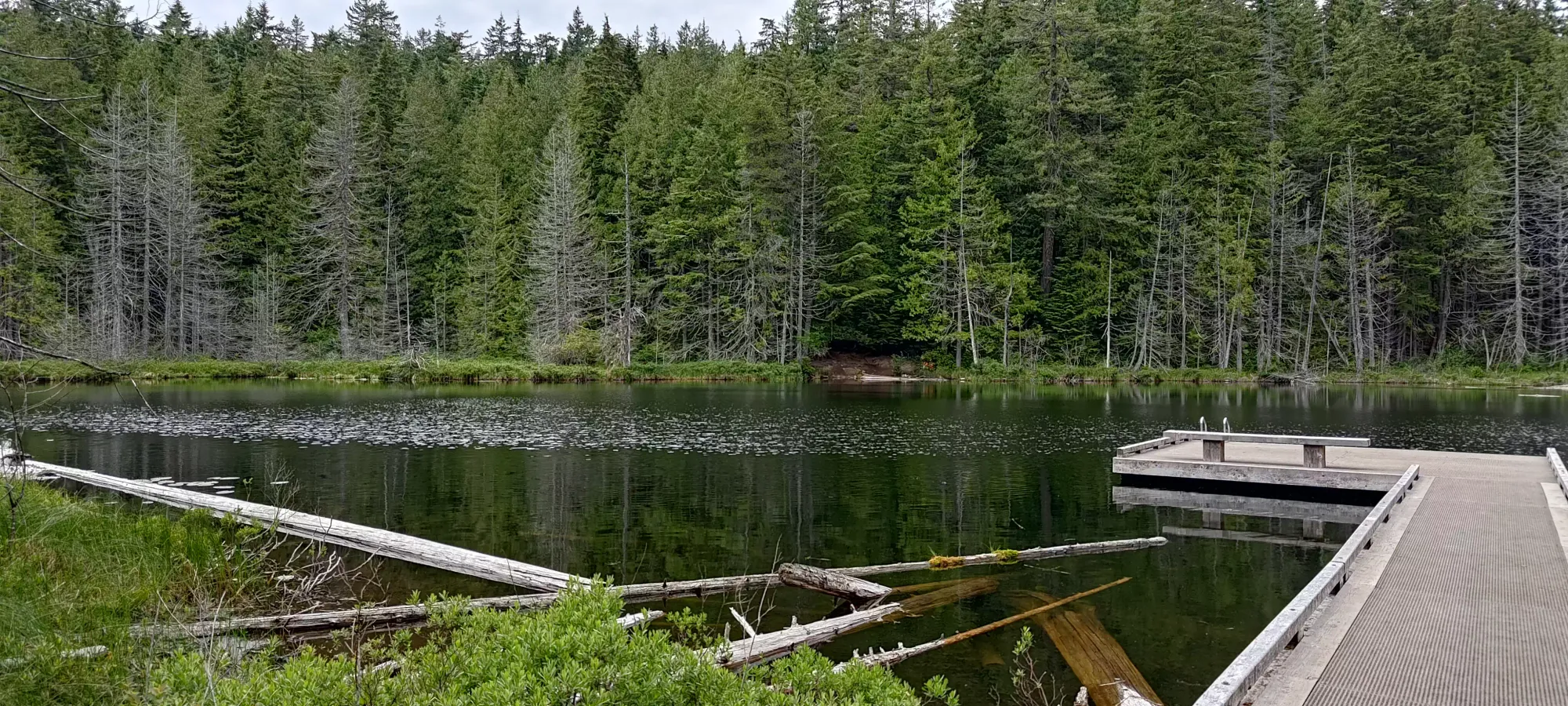
Once I finished getting my "free ascent" and checking the lake out, I took the trail east of Baden Powell that stays closer to the lake, and meets back up with it at 345m. I did this because I saw a trail review that noted that section of Baden Powell as "a bit sketchy", and while I doubt that's true, I also had no intention or need to find out, so I just went the alternative way that was less distance anyway. There was a short section of slightly steeper dirt, but otherwise, it was perfectly fine, even with my ankle restrictions. 10/10 would recommend. Unless it's really wet, I guess, as there's minor foliage-slapping in the tighter sections.
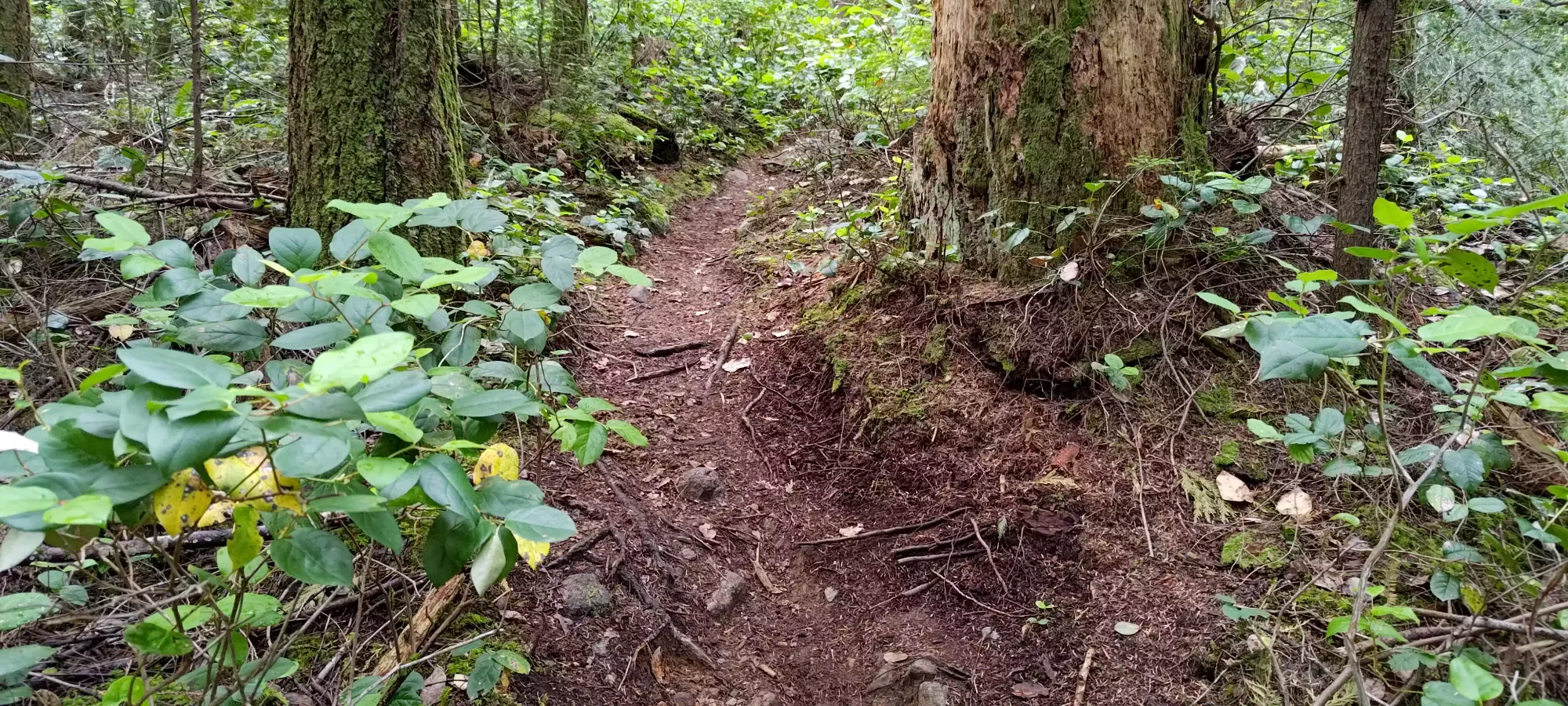
I hit the Baden Powell junction 43 minutes in, where I finally both remembered and was willing to stop to put my sweatband on, so I did that before I set out again on the Baden Powell, which once again widened to FSR-like widths.
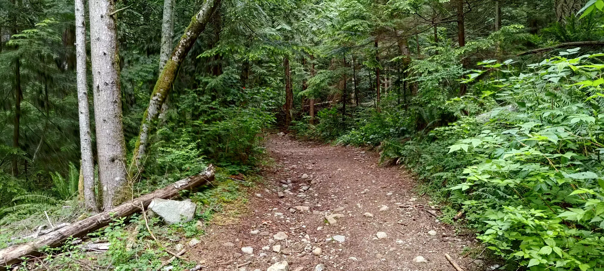
Sadly, the easy trail didn't last too long, and probably around 400m or so, the trail turned into my worst enemy, a wet creekbed full of loose rocks perfect for rolling ankles. While when healthy I'm not too bothered by these, many of my friends aren't big fans (and to be fair, they're not my favourite by any means). However, with my ankle being comprised largely of screws and scar tissue, I was not pleased to see this. I started picking my way through, much slower than any previous section, and within a few minutes, I already had a bit of a scare: one of my poles broke! Thankfully it was down by the tip, so it didn't shorten much, and I kept my balance. It was quite a shock, though, and another nail in the coffin of the Camp poles which had already broken on me on previous hikes. I liked their features, but breaking on me multiple times is a bit of a deal-breaker. Oh well.
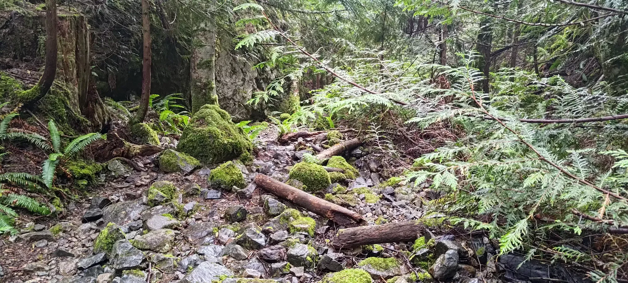
After adjusting the pole to compensate for the missing tip, I set forth once more, resuming my tedious progress through the slippery rocks. At around 540m, or about 1:10 into the hike, I finally exited the hell of slippery rocks and entered some quite steep rooty terrain. Some parts were steep enough, and required large enough steps that I had to use roots as assists to pull myself up, but I managed without too much hassle. I figured they might be annoying on the descent, but nothing so far had been a showstopper, they just might slow things down, which I was prepared for already.
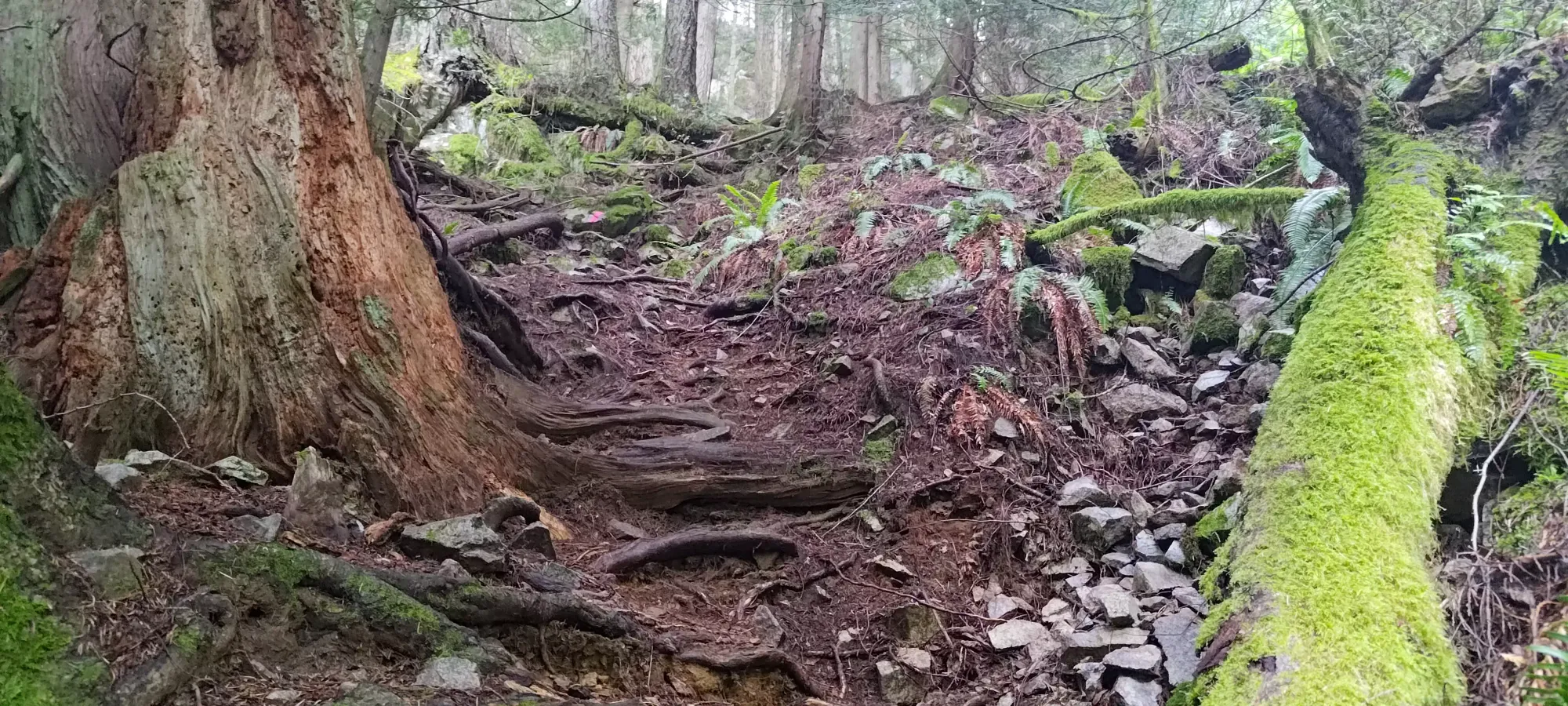
The steepest part of the trail requiring quasi-scrambling techniques was fairly short, though, and soon turned into a typical old-growth trail, with interspersed sections of being moderately steep or fairly shallow. About 10 minutes brought me to the fork where you have to split off the Baden Powell to the "Donut Rock" trail, and another 10 brought me to the fork off of that for West Knob. Once I got to that point, I knew I was close, and was fairly excited, getting glorious plans of maybe adding Black Mountain into my head.
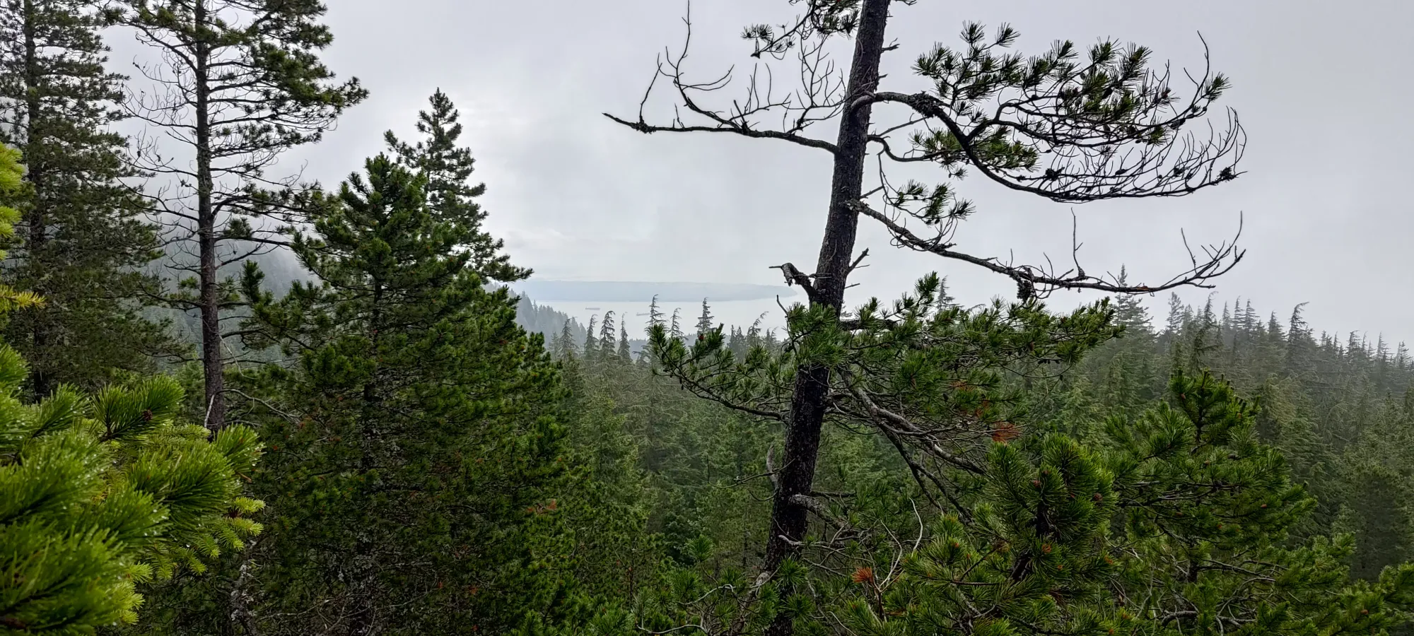
Here, the trail steepened notably, and also became more narrow with fewer roots making little "steps" into the trail, which had me a bit worried about the way down. Nothing seemed impossible though, so I pushed on, and 5-ish minutes later I arrived at the viewpoint. As per usual on my hikes, the views weren't really in, but I still managed to see a sliver of Howe Sound, so hey, I'll take it. After a short photo-break, I turned back to tackle the final 40 or so metres to the top.
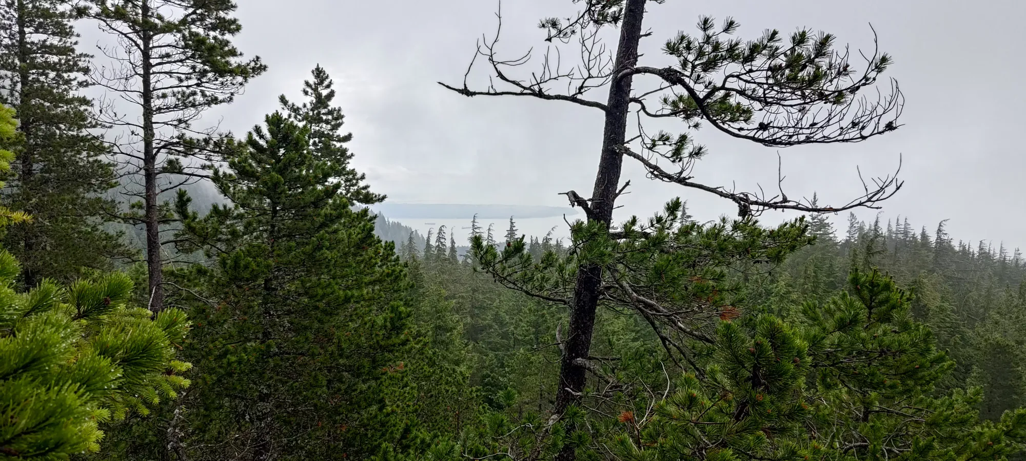
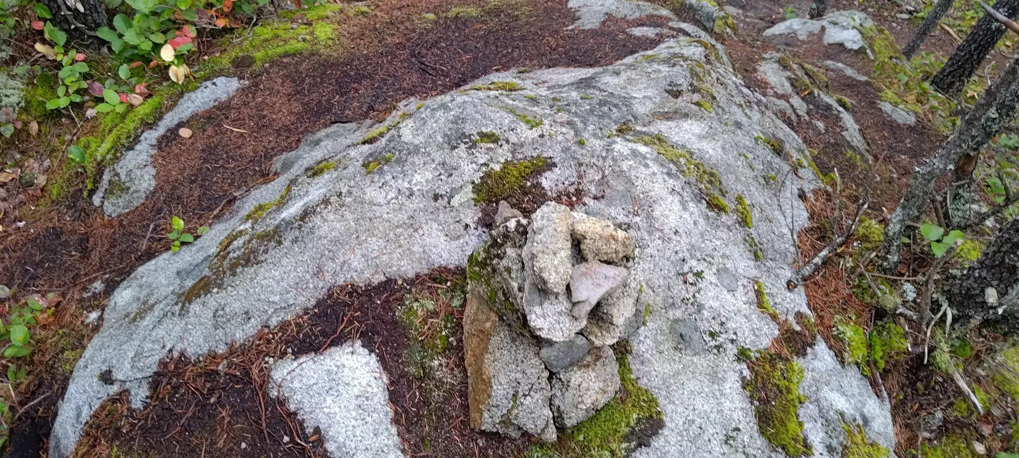
The next 6 minutes were spent getting up some fairly steep dirt once again, just slightly more so than the last section, but going up wasn't too bad, and soon I arrived at the summit cairn, just under 1:45 into the day. Not bad for about 700m gain, given my condition and the Whyte Lake detour, I'd say. I took a few pictures, and even decided to be responsible and have a sip of water (blasphemy, I know) before starting the descent.
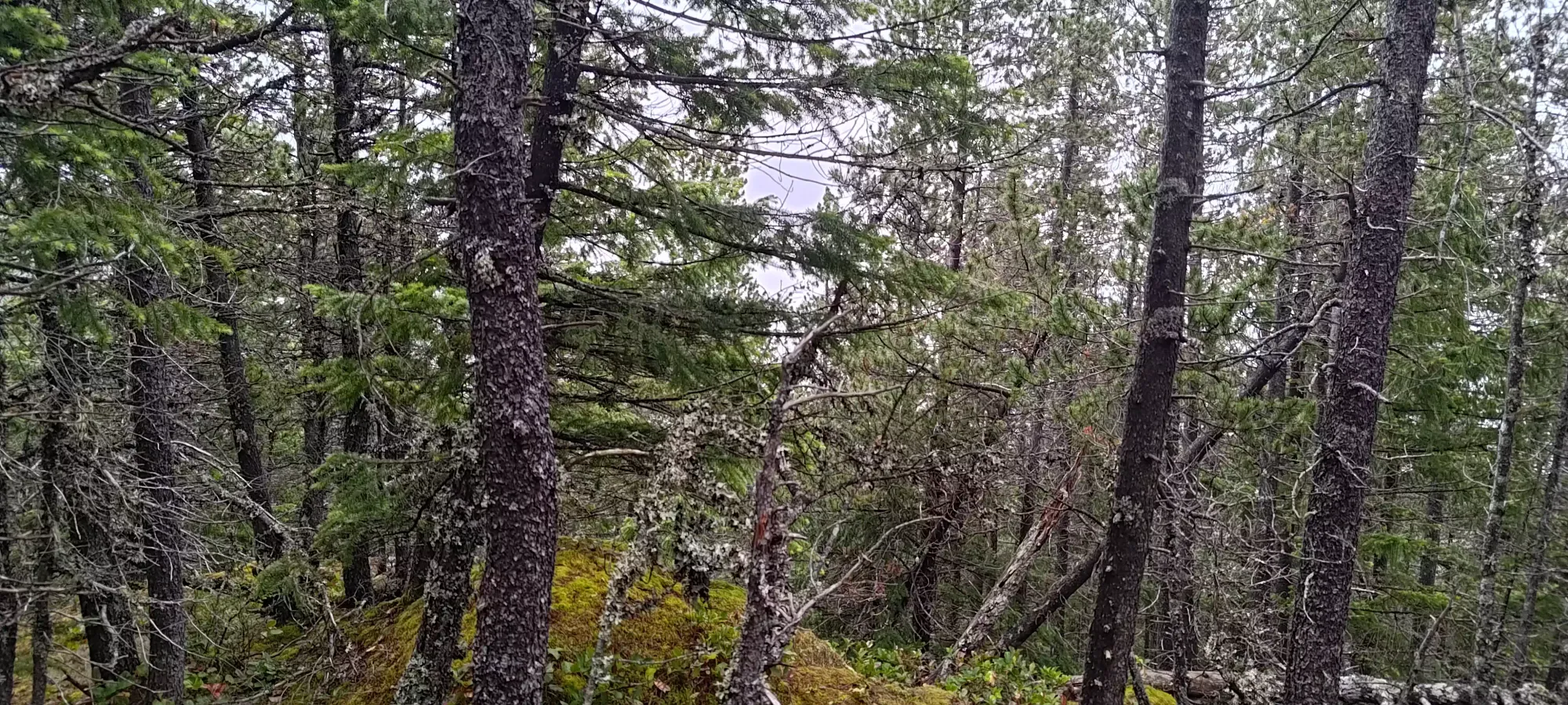
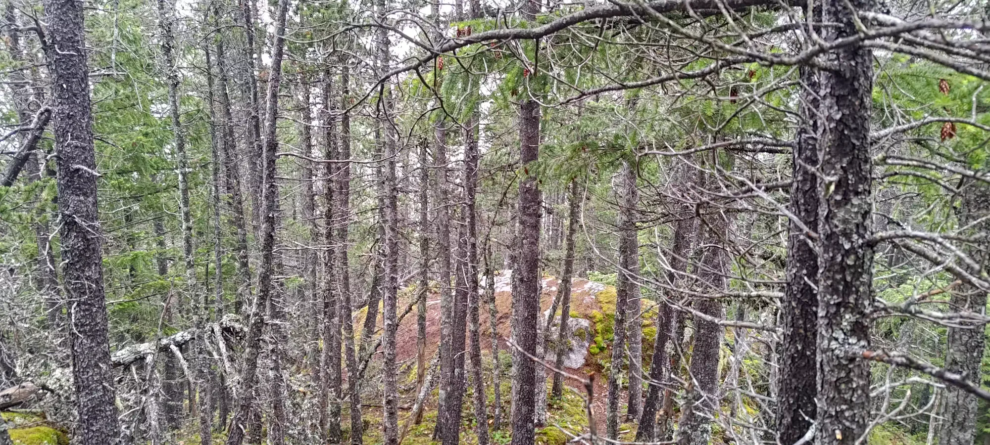
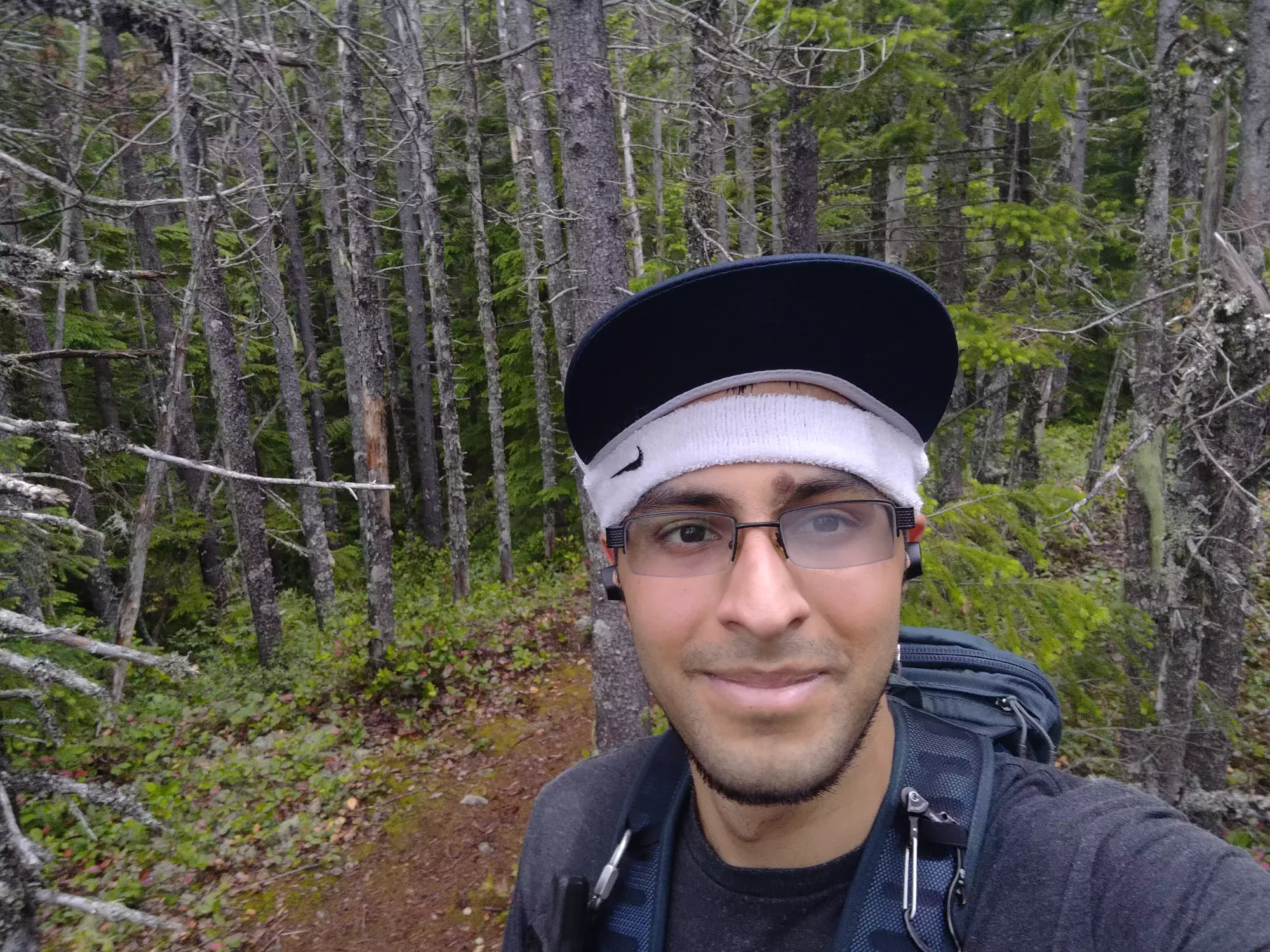
The descent from the top of the knob to the fork for the Donut Rock trail was probably the hardest part of the day, just because there was a lot of steep dirt with not many places to allow normal forces to stop you, so I had to rely on my poles, my ankle, and my knee, none of which were in perfect condition to halt my momentum, but thankfully with careful placement and a measured pace, I made it down without issue.
Descending to, and even through the steepest part of the dirt trail wasn't a problem at all, really. I took a photo just above where the rocky parts began, at a trail that seemingly leads to another viewpoint, though I had no interest in confirming this.
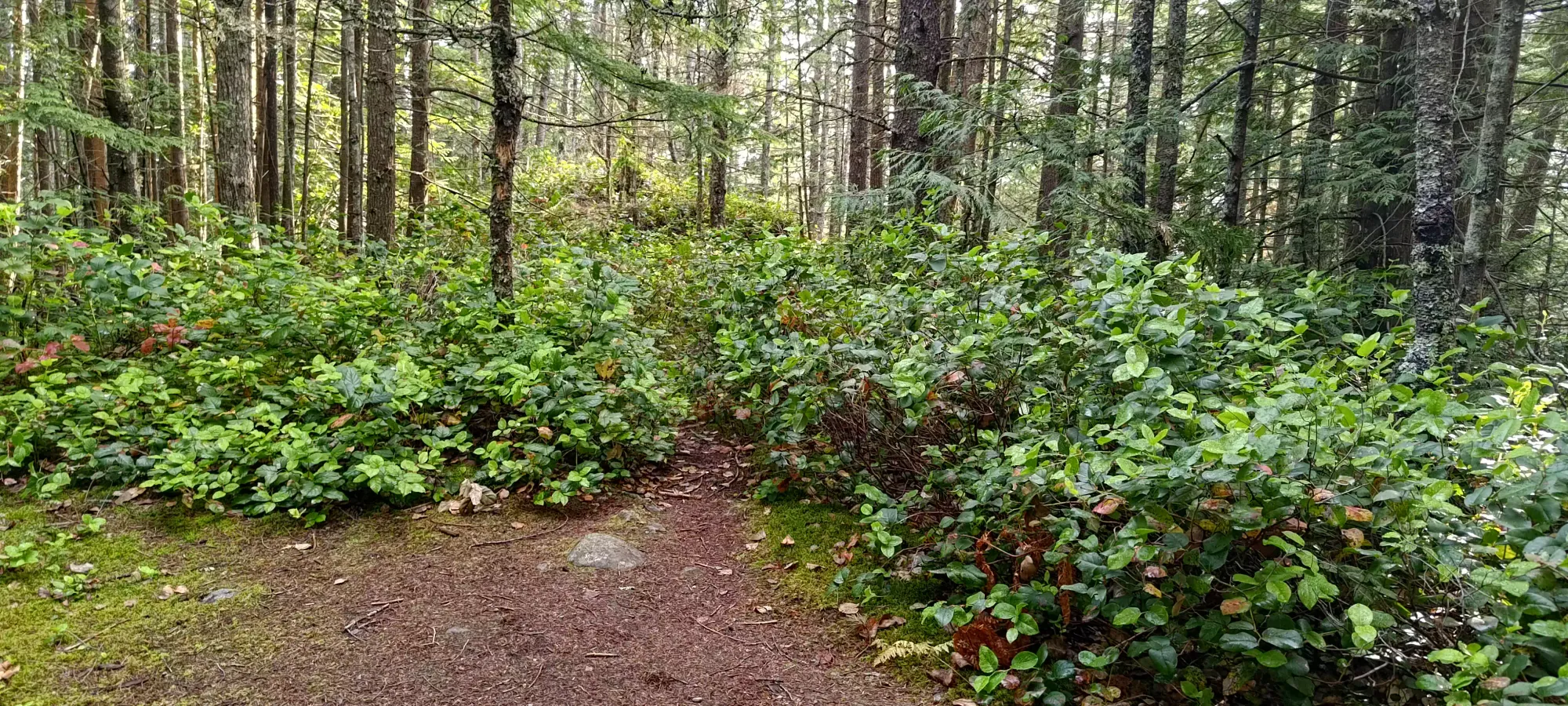
The fifteen-ish minutes it took to get through the rocky part felt a lot longer than it was, but I managed to navigate that without trouble as well, just needed to be slow and careful. I was quite happy to exit on the other side, where there's a large "emergency water supply" for fighting fires.
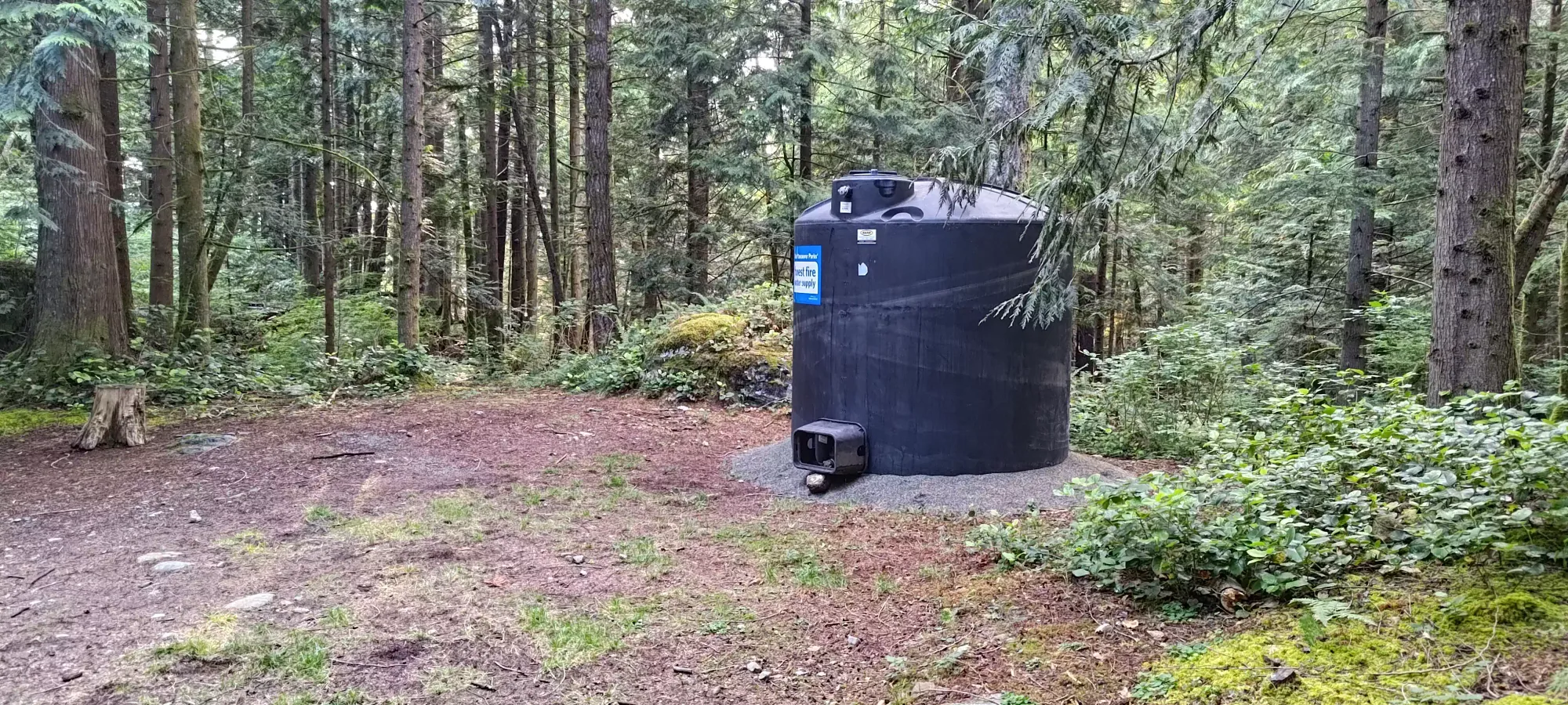
From there, it was a simple half-hour walk down to the car, as the terrain was all pretty simple from that point onward. Some of the steeper parts where it was also a bit looser were somewhat annoying, but nothing I'd consider difficult. I did consider taking the Baden Powell down instead of going closer to Whyte Lake, since it is more direct. However, when I got close, it looked quite rocky again, so with that beta plus those previous reviews in mind, I decided that was a risk I did not need to take. I arrived at the car without event, though my legs were surprisingly shot. That's not a feeling I've felt for a while, and it persisted for a couple of hours, which is definitely on the longer side for me. Though I guess I can't be that surprised, I am still only a couple of months off of being bedridden.
So I can definitely say this was an effective outing, as I got to test my legs with about 730m of elevation gain, and I tackled it in a reasonable time. I can't say I'd really recommend this hike unless you're a peakbagger just checking off dots, though. The views are meh, the trail isn't very "fun" with a lot of tedious sections (namely the creekbed), and the "peak" is laughably small. But for me, it was just what I needed.
GPX Track + Map
