Wedge Mountain - March 16-17 2023
A great ultra with a great friend, and a less than great ending :(

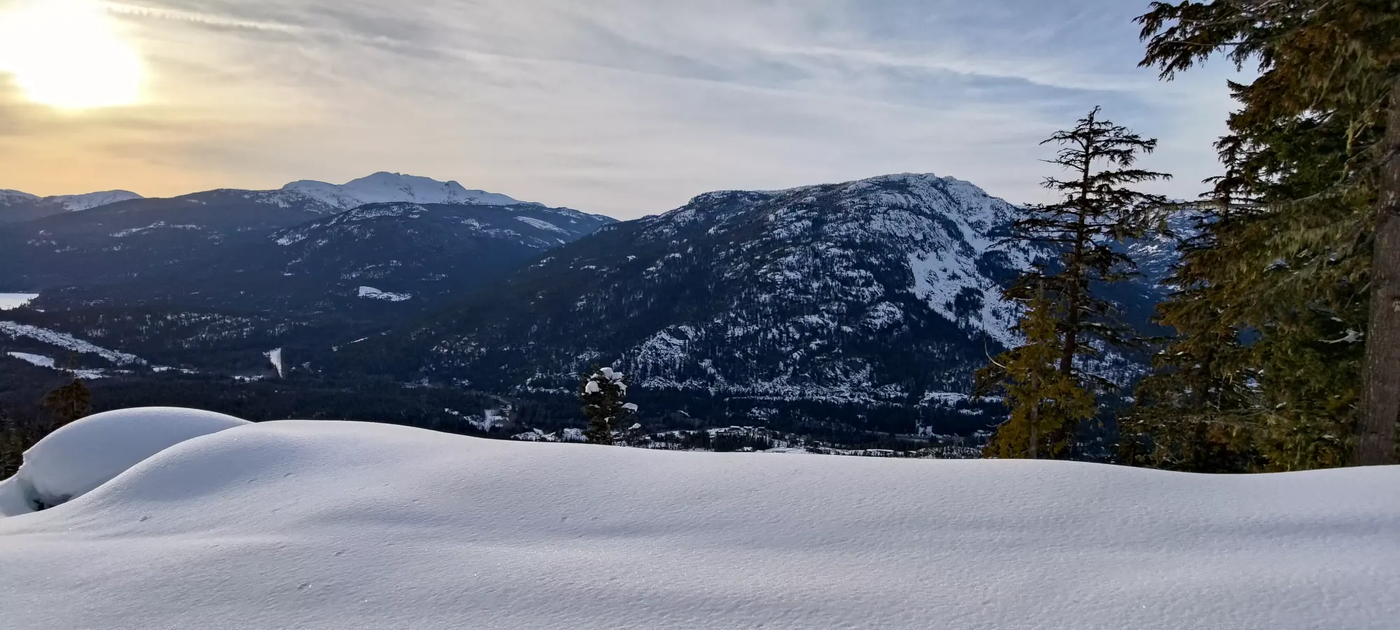
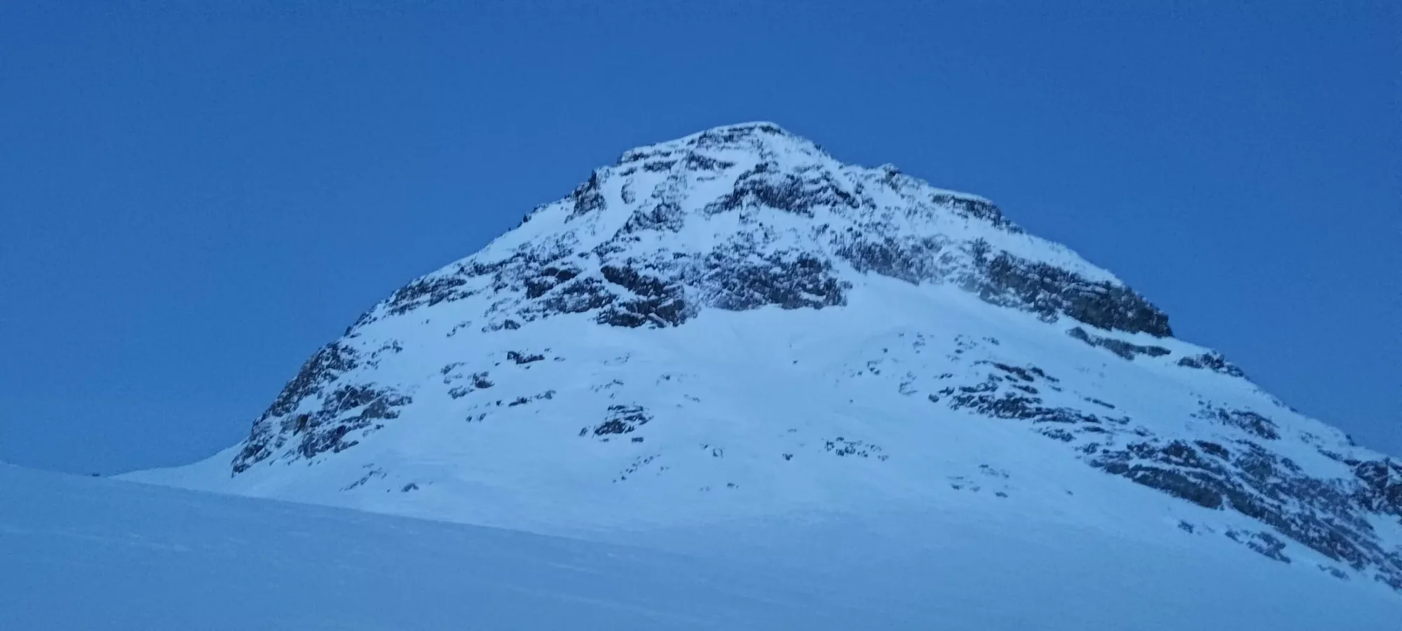
Wedge Group, Whistler, British Columbia
2892m
After a productive weekend, I was pretty content to wait for the next to get bagging again. However, as the week developed, avy conditions were pretty good, and a nice high pressure system seemed to be coming in before a stormier weekend. As this was revealed, Charles (from Mt Matier) shot me a message saying he thought this was a great time to try and snag Wedge. I agreed, and managed to finagle my schedule to leave after work Thursday and take the Friday to make it work. And so, the trip was born.
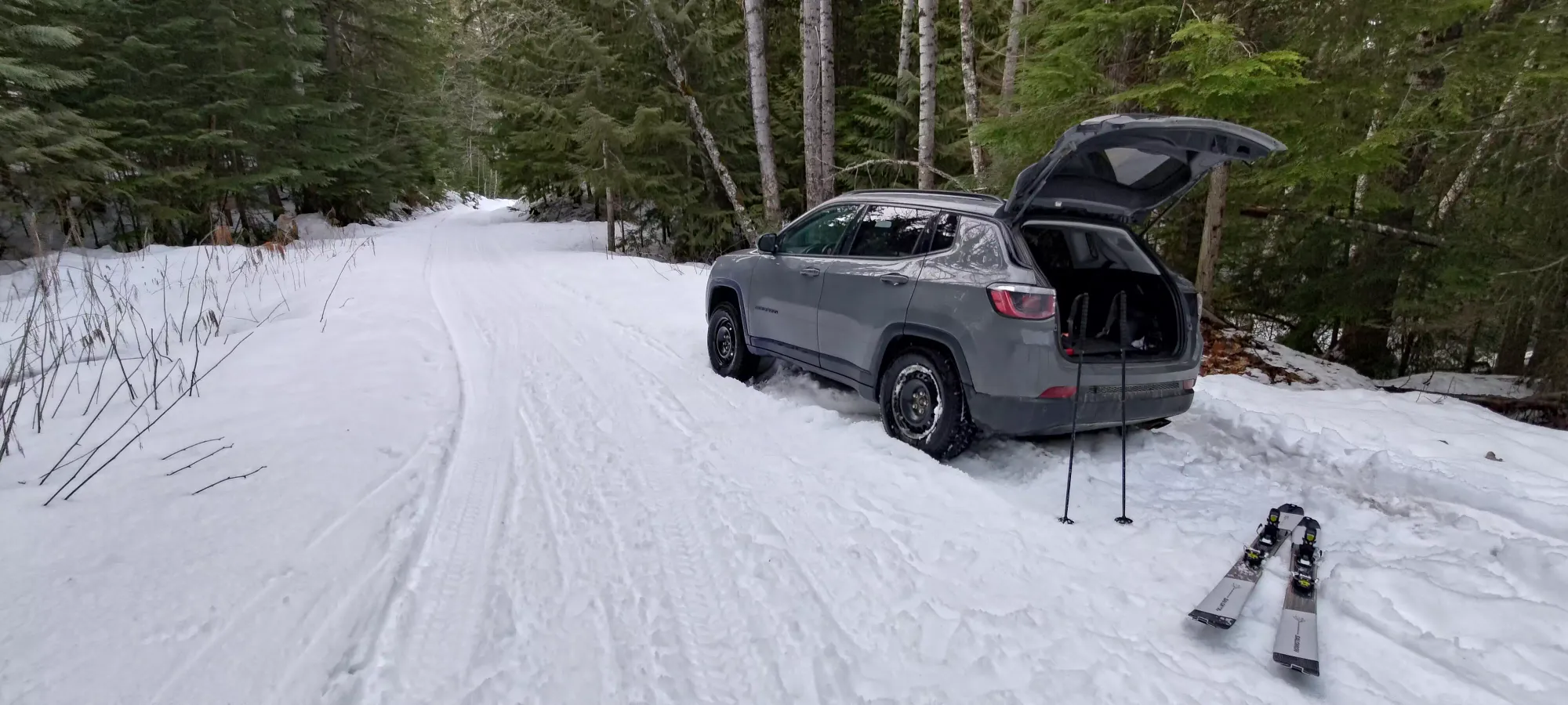
It started out a little rough, as I was packing the car I had my water bottle explode (I got too greedy putting 90+ degree water into my insulated bottle to be warm for the next day, and filled it too high), though thankfully I had minimal spillage. But we brushed that off with some good old-fashioned fervent cursing, then set out happy again to the trailhead. Shoutout to Eric Carter of Zenith Guides for the beta on the best ski approach (not the same as summer), it was very helpful. There was snow right from the turnoff on the highway. Some parked here, but it wasn't hard to cross the bridge to where it seemed most others parked. We went a little further on the road broken by snowmobilers toward the bike trails and IPP project, and forked right before I decided to stop not knowing if I'd find a good spot to park or turn around, and not wanting to get stuck given we had only 1 vehicle. Sled owners or people with winter tires and deflated tires could probably drive most or all of the road. We parked at the fork for two branches on the "shoulder", and set out just after 5pm.
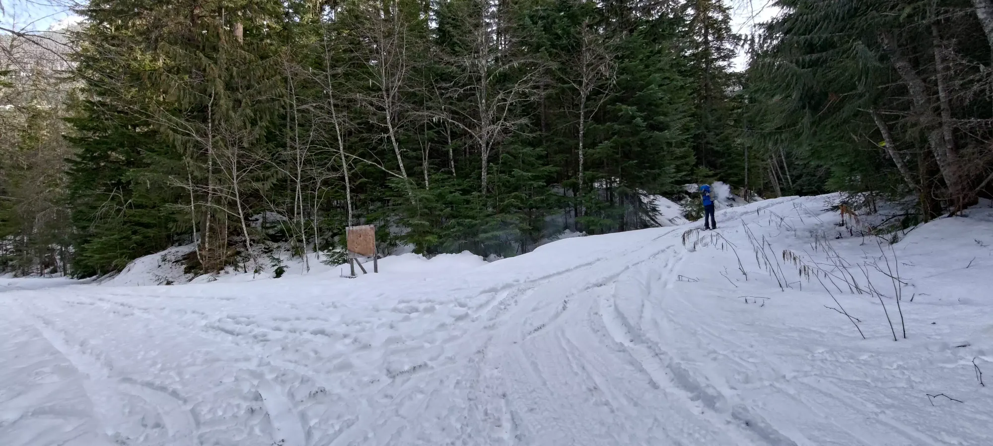
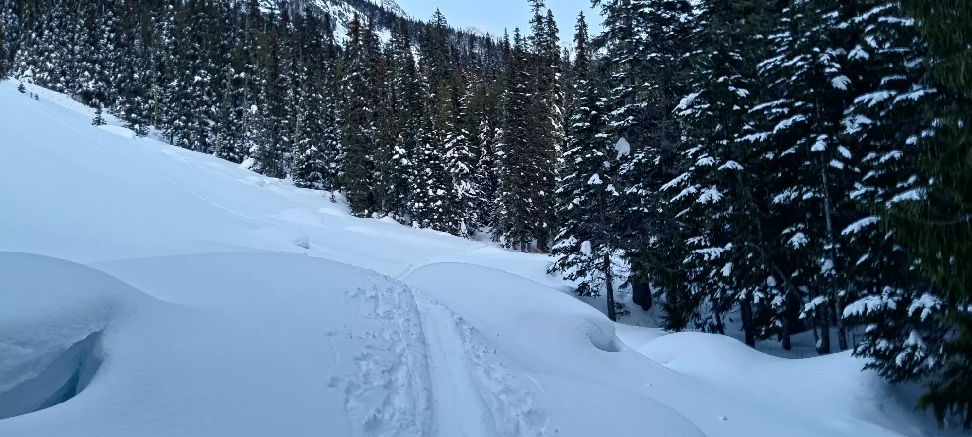
The plod up the road isn't of much interest. Skinning up FSRs is efficient if boring. We wore minimal layers, basically didn't stop, and just kept on plodding til we got to the end. Of random note were the many points where the snow got super sticky for no apparent reason, and we had to ski over each other's skis to clean our skins, which was thankfully an effective tip I'd recently picked up. We got up the road in an hour and a half. Sadly I did pause my watch by accident so the GPX up is a bit iffy in one spot, but thankfully pictures are very useful as timestamps. Took us about 1.5 hours to get up the road on skins, though.
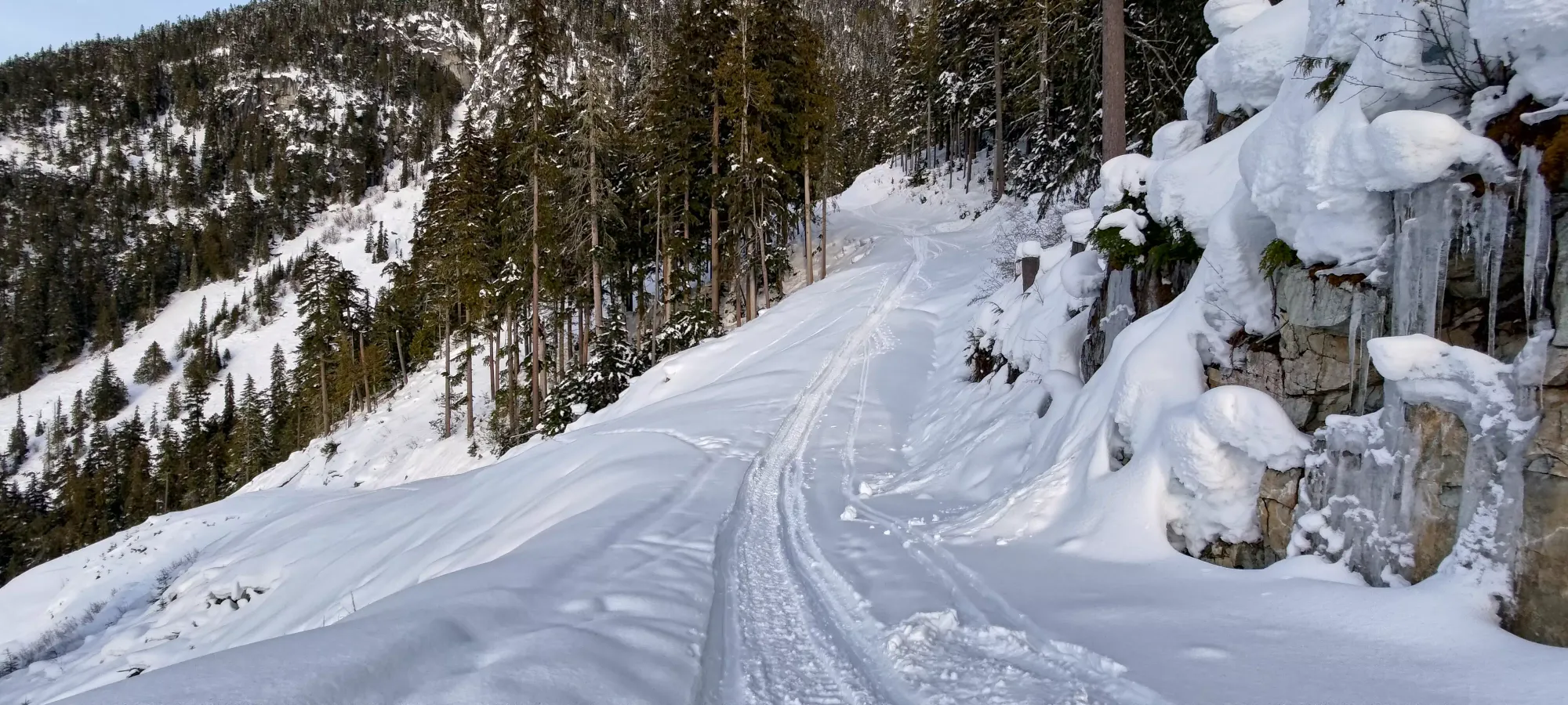
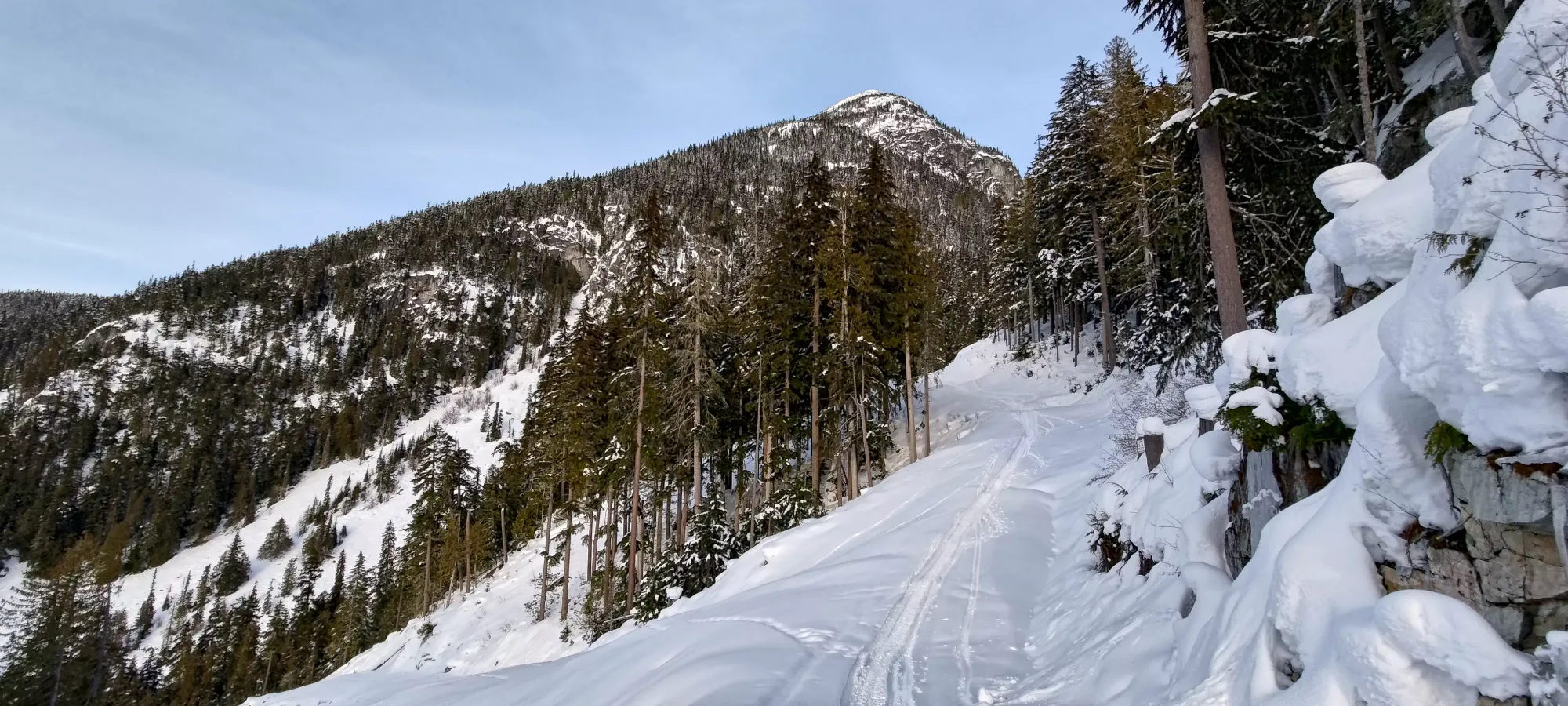
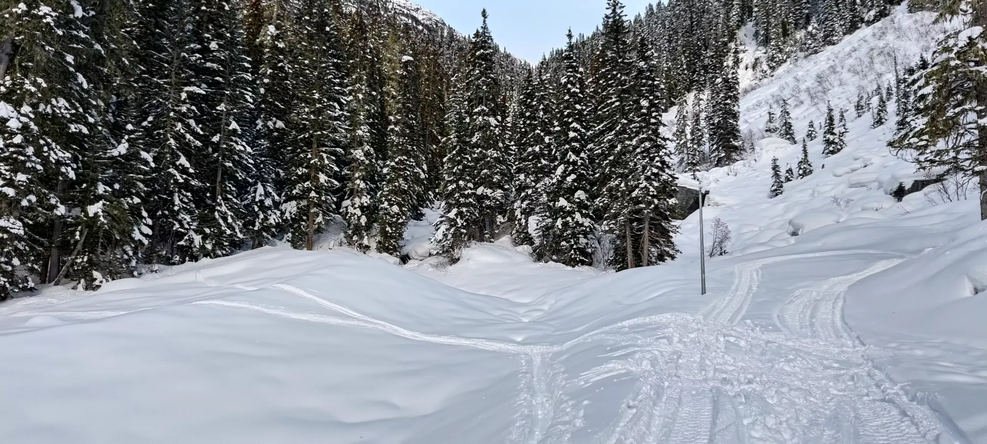
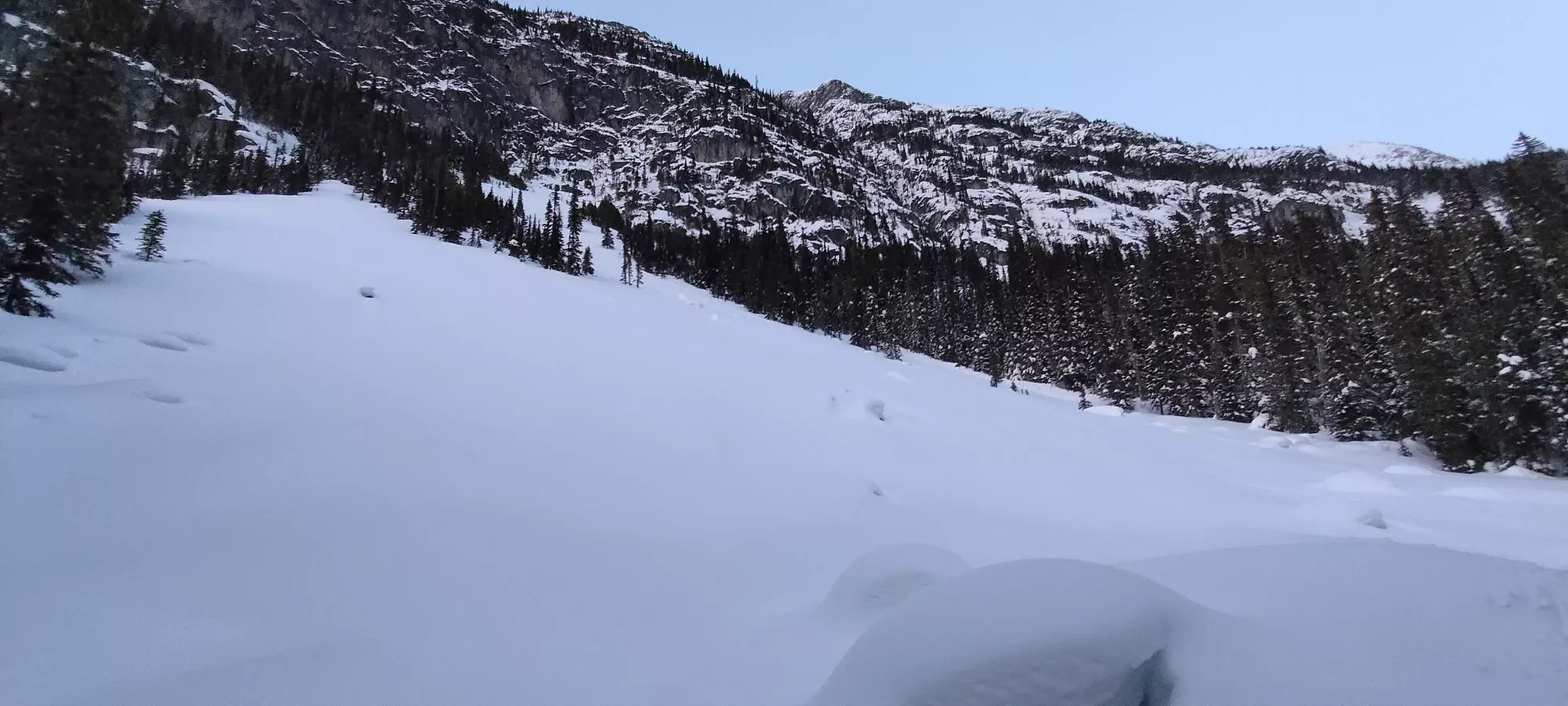
As we crossed over, we had to choose one of a couple skin tracks to follow, and this continued in the forest. Thankfully the options seemed to converge pretty fast, and we got into an open area within the trees that would be a fun bit of skiing between survival skiing in the trees (at least until you're more familiar with the terrain, which I am not off-the-trail in the Wedge area) and before the fast but not super fun road down.
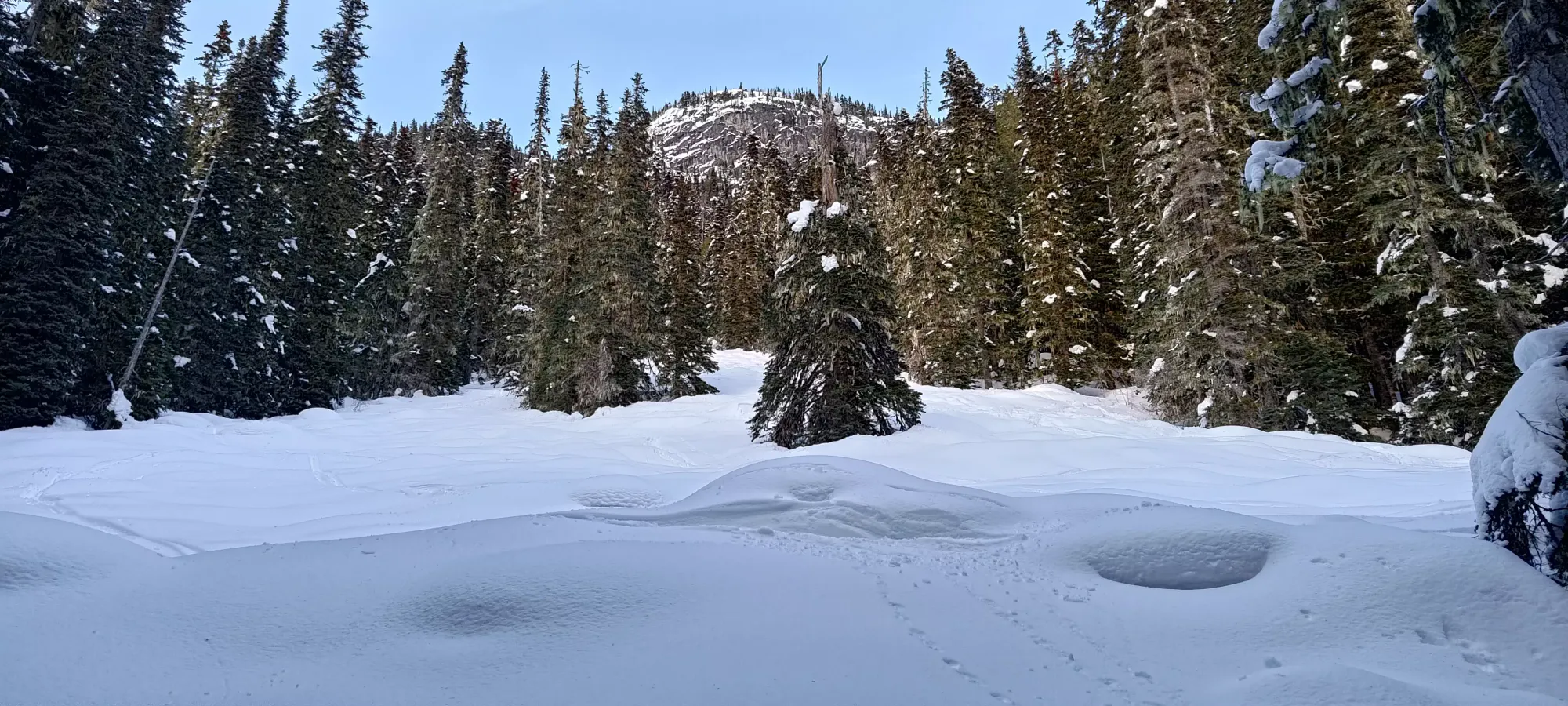
After about 20 minutes, we exited this open area and rejoined the trail proper. From this point, the skin track just basically followed the trail until the lake. Interestingly, we saw no evidence of anyone but skiers, no boot or snowshoe prints.
Once we got on the trail we largely had no navigational issues until nightfall, and simply just kept on trekking up without any notable events. As night fell, it became harder to distinguish the uptrack from downtracks. This was exacerbated as there seemed to be more areas where downhill skiers totally wiped the trail out, making it harder to find the next set of "pole holes" to discern the skin track (not so defined it was clearly different snow otherwise). However, we were pretty good about checking often, and we never got super far from the real skin track, so it probably only cost us a few minutes.
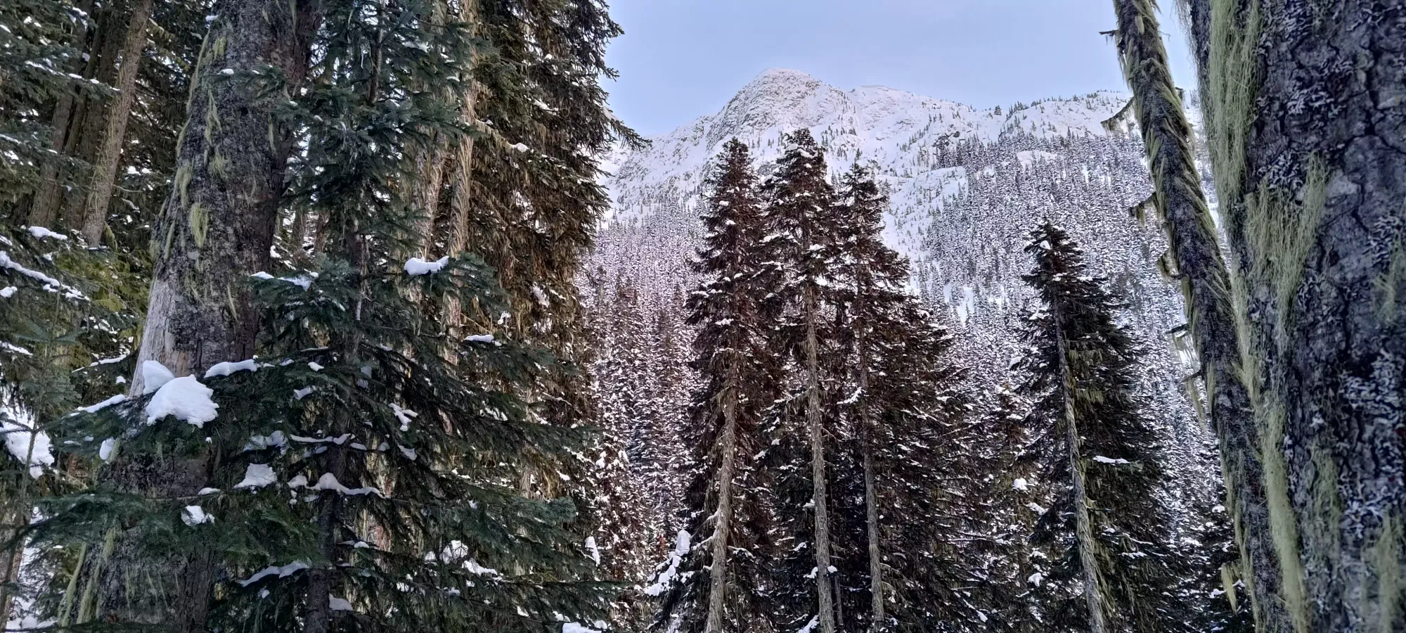
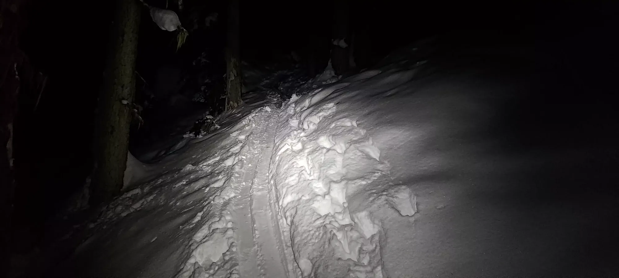
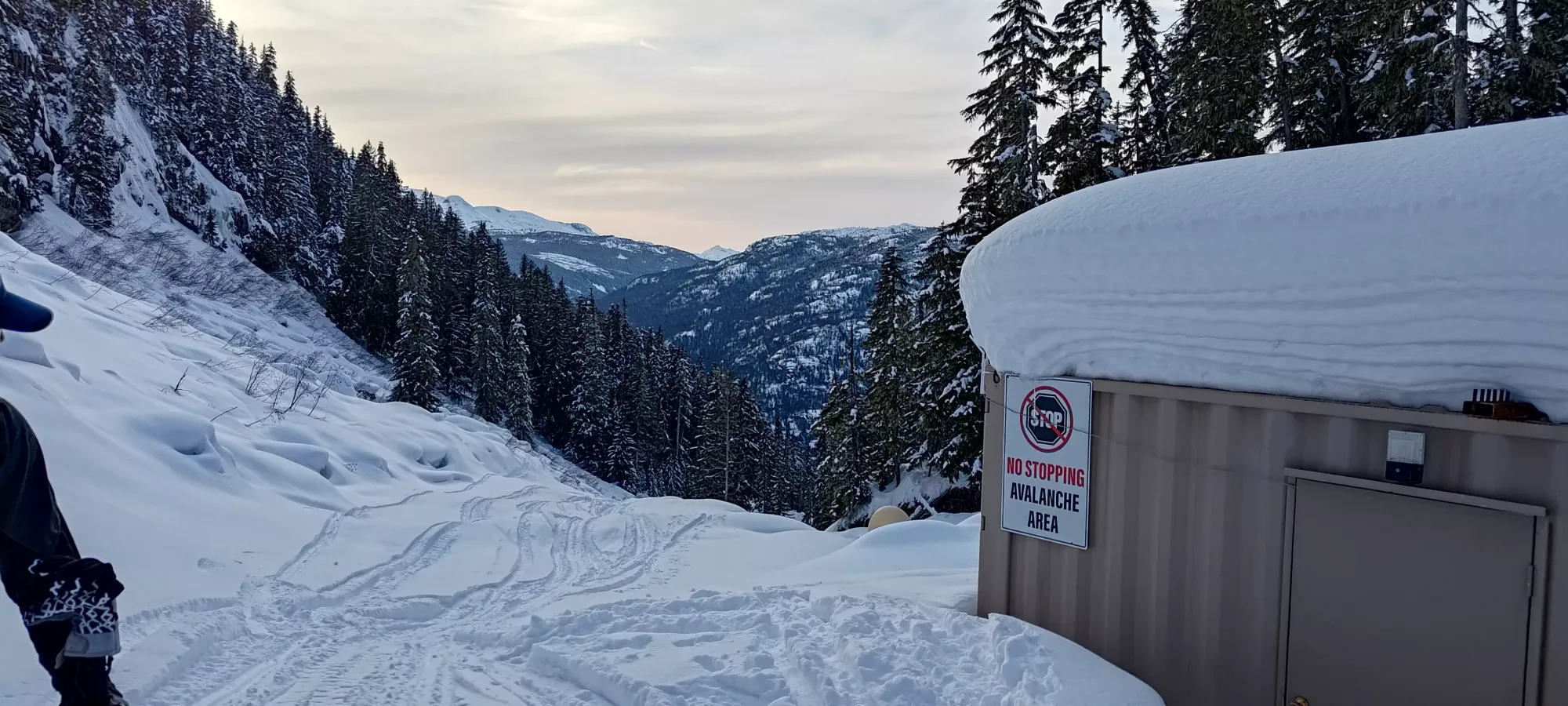
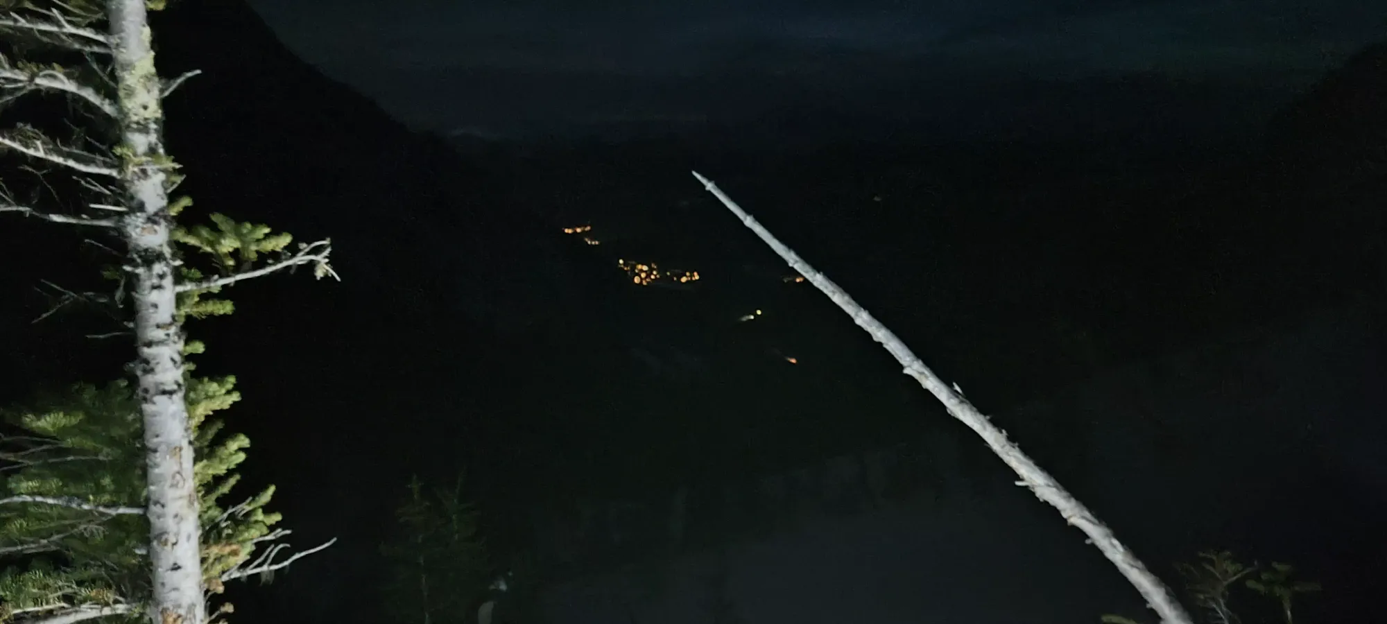
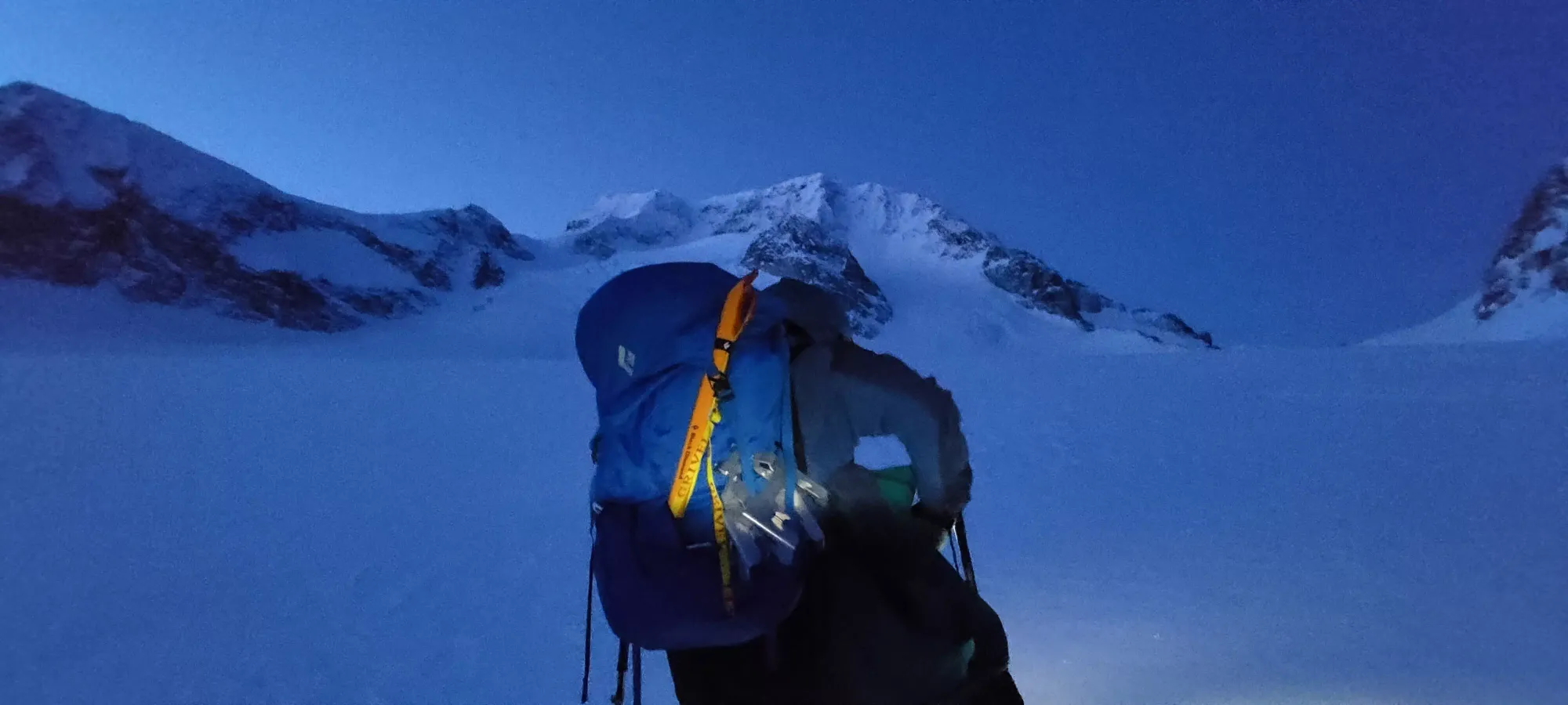
After donning our headlamps at 8:00, we got to the base of the final rocky gully before the lake at around 8:30. Here, we could see the skin track and not much else, so we were glad avy conditions were good and we had faith in the snow, as there definitely are steep slopes in this area. We also got a nice little nighttime view of the lights down towards Whistler from this area.

It took about half an hour to get through here; we did take a couple short breather breaks as we were starting to feel the elevation gain a bit, but still kept decent time I think. Once we crested the ridge, it was a short downhill on skins and a small walk over to the hut, which we got to just around 9pm, allowing us to claim an under 4 hours time to the hut, which I was happy with given our winter conditions and overnight packs.
Since I never really addressed it before, we decided to overnight because (despite my usual hesitance for digestively-related reasons) this allowed us to get an earlier start on Friday to help mitigate the meaningful warming hazard, of course it allowed us to split the effort over 2 days, and because the emergency hut, while in Summer quite off-limits for recreational sleeping, is generally accepted for such use in winter, making things more comfortable.
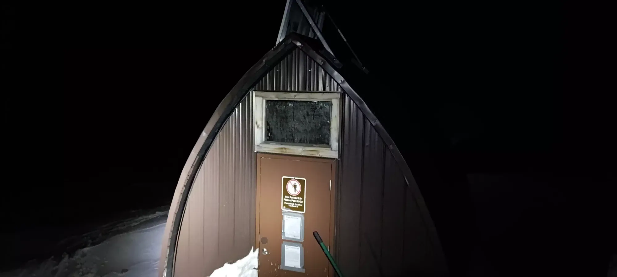
Thankfully, when we arrived at the hut, it was empty, so no concerns about crowding or waking anyone up (we packed a tent in case, but were very much hoping not to use it). I was also glad to see the door dug out, so no need to unbury it either. We got in and unloaded our packs, and started to prep for the night. The upstairs bunk area can sleep 2 quite comfortably, and probably 4-8 if you get familiar. The downstairs has a lot of locked containers for an emergency shelter (to be fair, I guess they don't advertise emergency supplies, just shelter). But lots of space for a couple of people to unpack, have dinner, and prep for the night.
I, of course, had my signature stack of peanut butter sandwiches to keep me going, of which I ate one of the three for dinner, while Charles was a normal human being who brought real food and a stove to have some warmth and meaningful sustenance. After eating, getting our beds set up, and just hanging out for a while, we eventually went to bed close to 11pm or so, planning to wake up around 4-5am.
After the usual quasi-sleep I get when camping (think I might need to bite a bullet and get myself a thicker+heavier sleeping pad, side sleeping is not great on thin stuff), we got up, had some breakfast, and geared ourselves up. We had a bit of a scare when my transceiver, upon being turned on, didn't just go into track mode, but instead made a horrible beeping and just flashed the LEDs constantly. We fumbled with that for a while until I had the idea to just swap the batteries (thankfully I carry extras for my headlamp, which is also AAA), and that resolved it. The battery wasn't low (think it was about 70-something when we started), but that happened anyway. Good lesson, always have extras in case some weird thing goes down, that isn't how you want your trip to end.
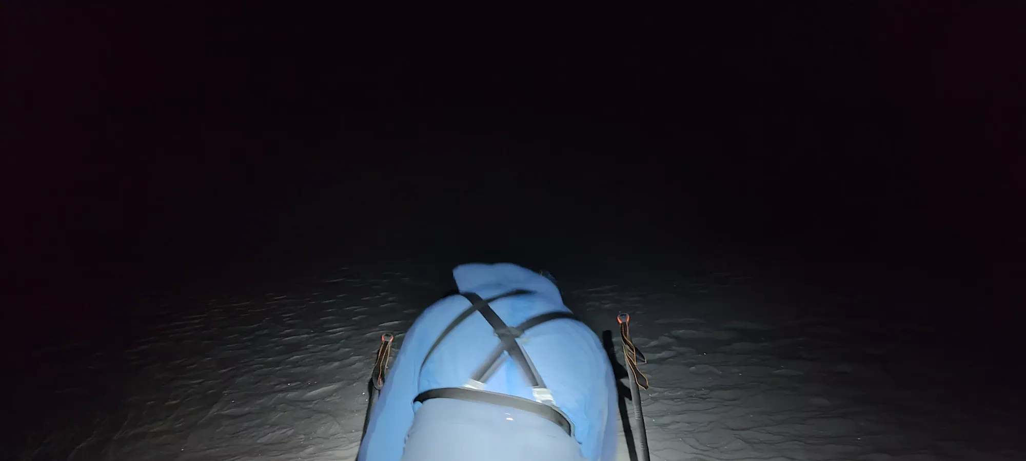
We actually set out some time between 5:30 and 5:45, and "skied" down to the lake for the crossing. Wedgemount Lake is actually quite small, so it only took 20 minutes to reach the other side, including in-the-dark navigation to ensure we were going the right way, as we no longer had a skin track to follow.
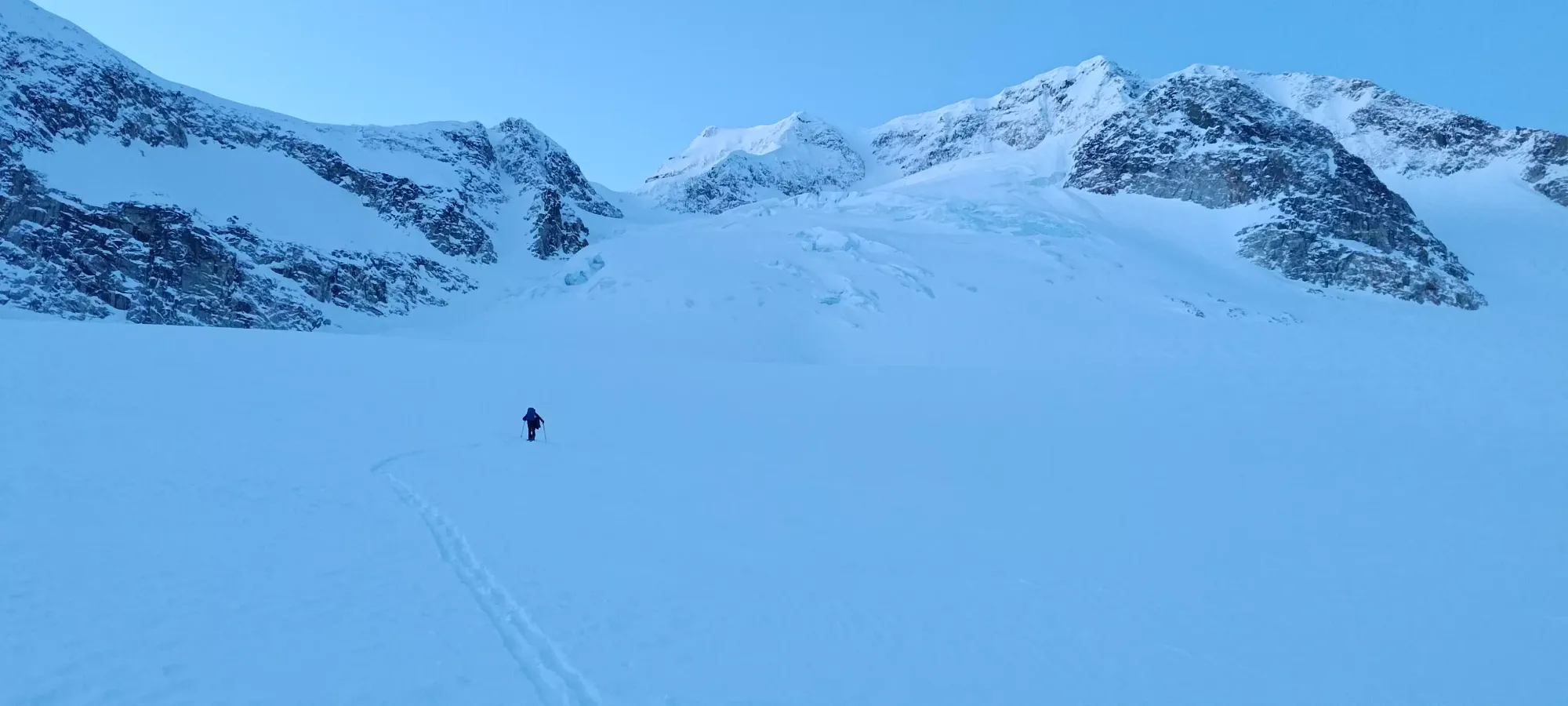
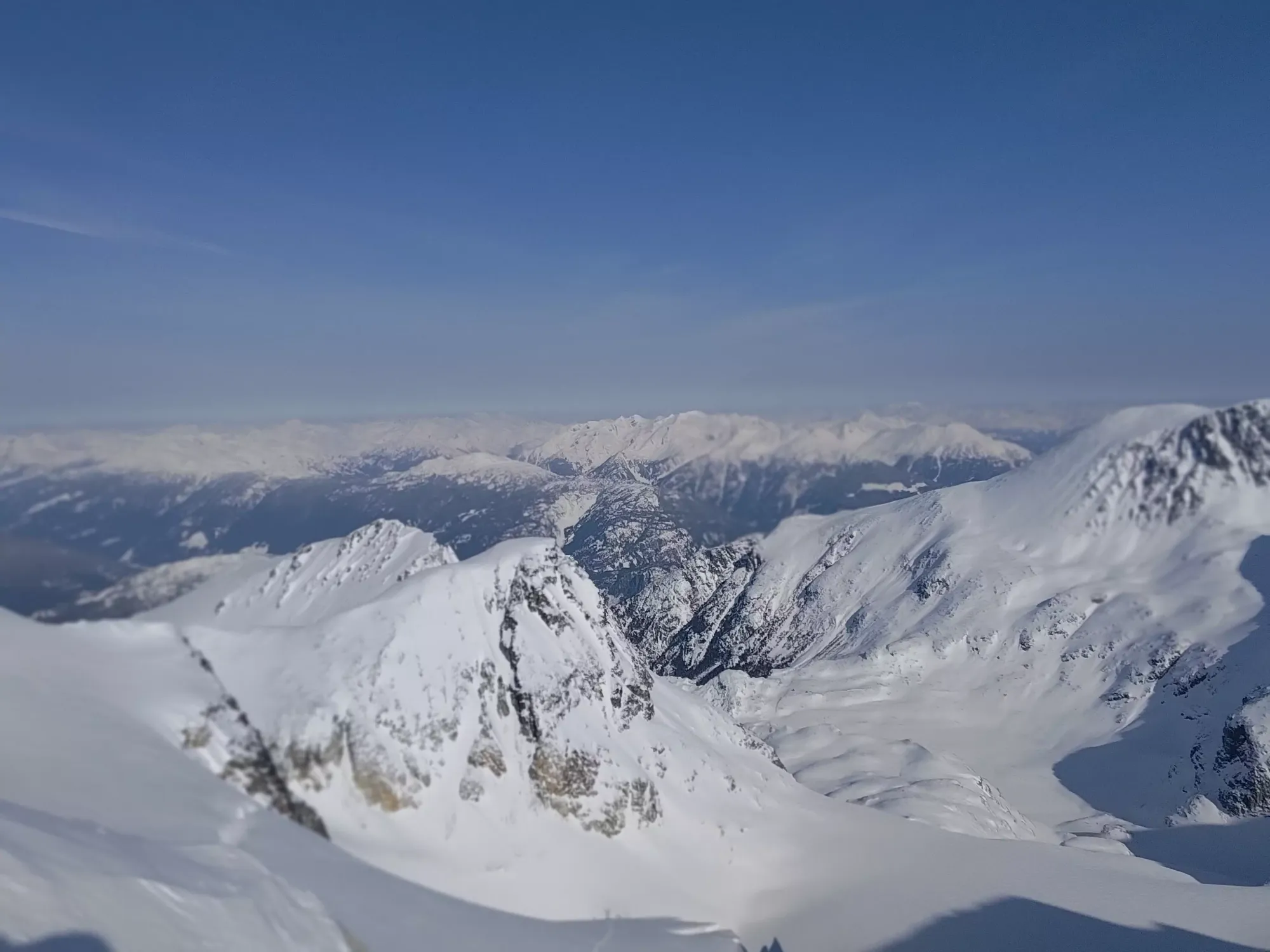
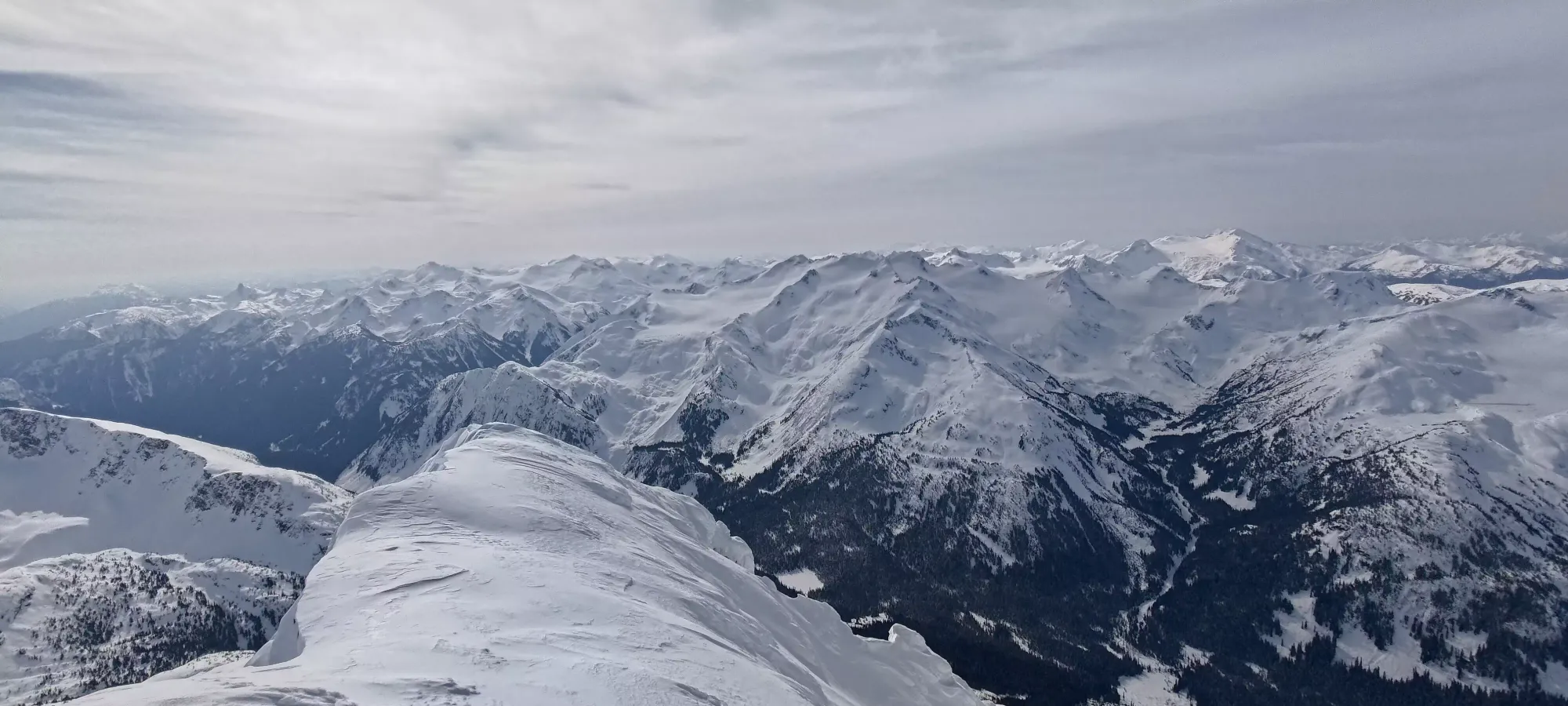
After we got across, we started picking our way up the glacier. We had a GPX we made beforehand to roughly follow, but glacier navigation, especially at nighttime, is rarely as direct as the lines draw on the map, so we didn't follow the typical route exactly. We did, however, have pretty good snow conditions with fairly minimal ski penetration, and kept a good grade for efficient travel.
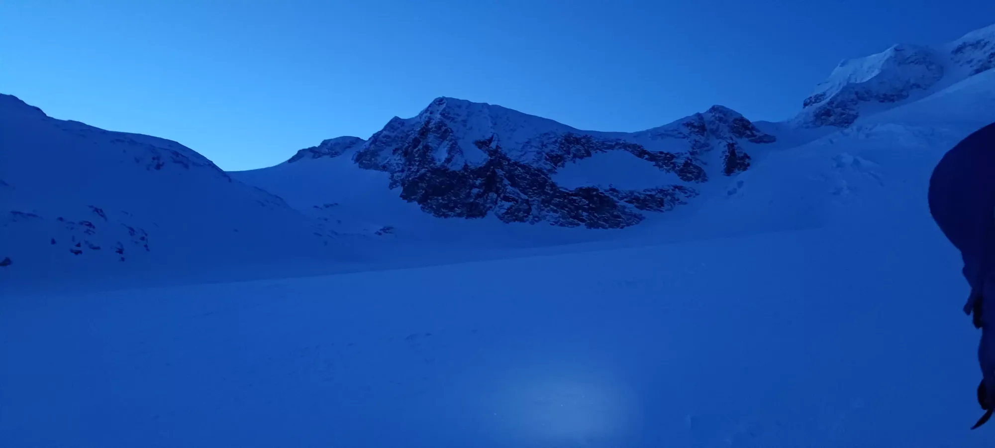
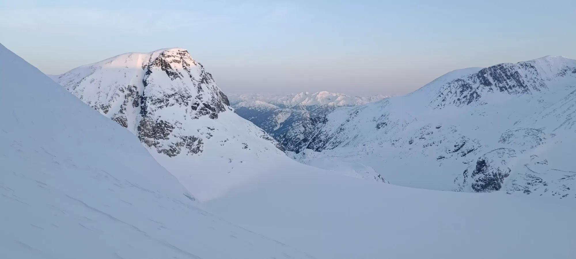
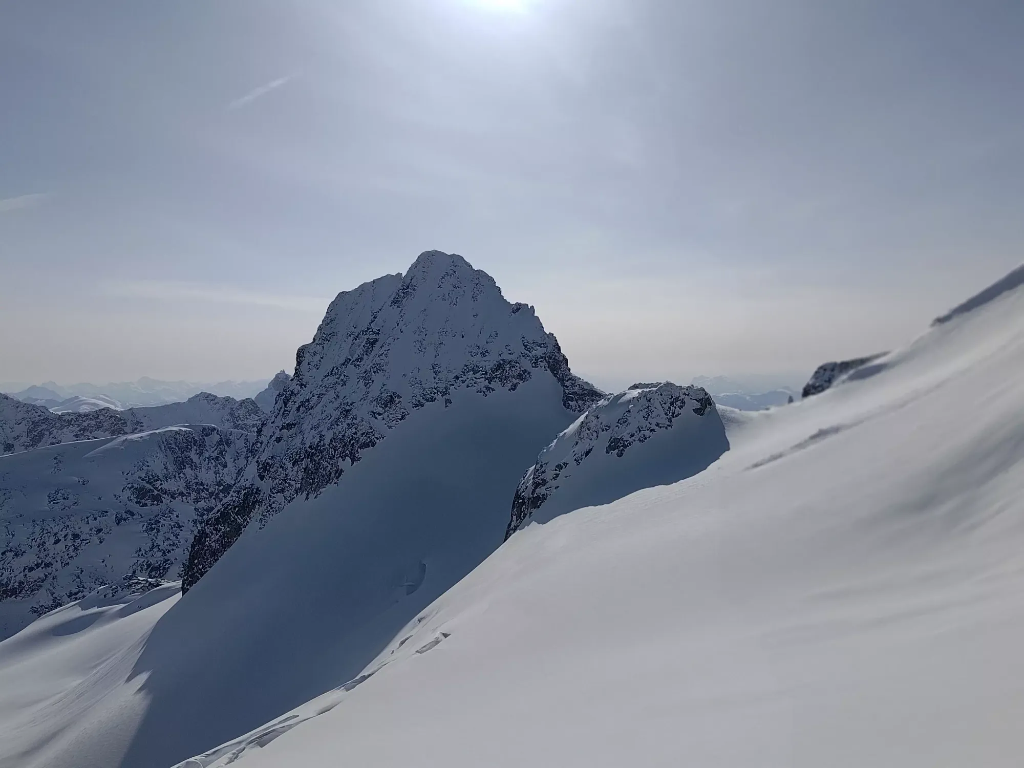
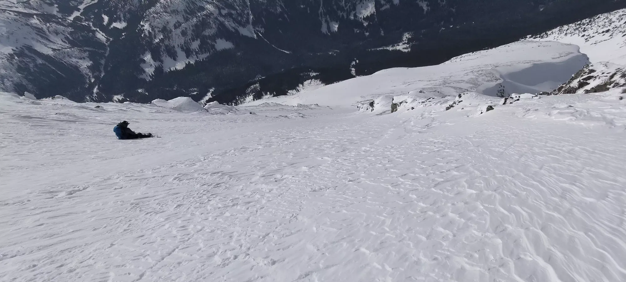
The sun started coming up at about 6:30 or so, and at 6:45 we stopped to stash our headlamps and snap a couple pictures before heading up into the "meat" of the glacier, where we had to make a decision about our route.
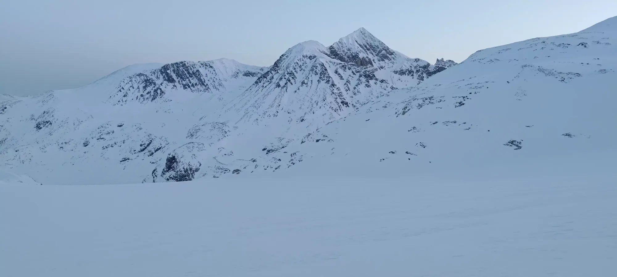
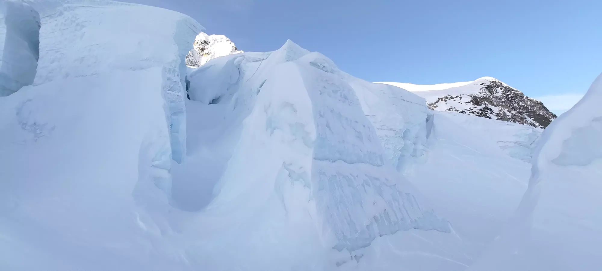
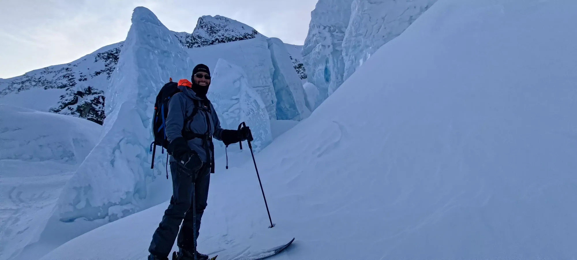
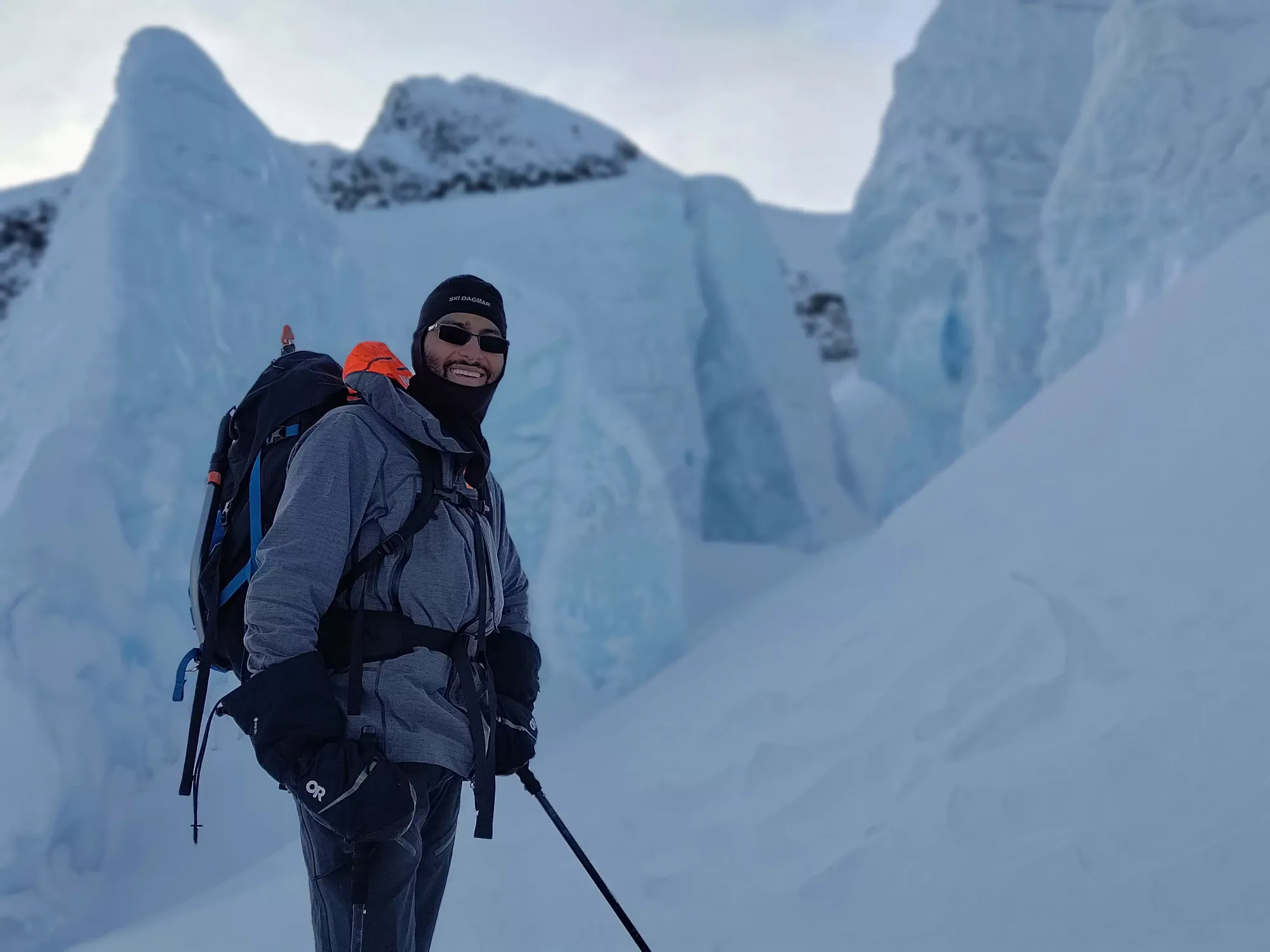
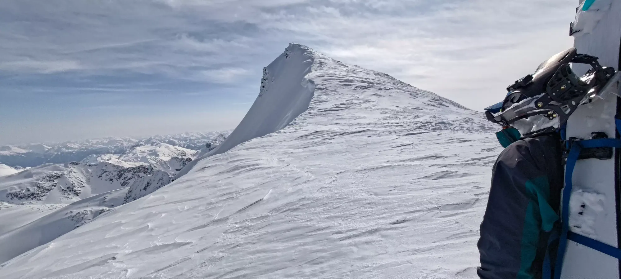
At that point, we had to decide to try the West Ridge or one of the arêtes (we didn't have interest in trying to climb the couloir for this one, overhead hazard was too high for us), and we decided to stick with the original plan of "probably half arête", as there appeared to be plenty of good options to get up. Another half hour or so of plodding up and we got to our decision point, where we had to bail far left to the full arête, go far right around the icefall to the "real" half arête, go left around it and meet up with the half route, or go straight through it. We decided to go through as the grade was nice, the seracs weren't overhanging (where we went specifically), it was still cold with low-intensity morning sun, and "it was cool". I also didn't bring ski crampons and wanted to avoid some areas we saw with lower snow coverage (something to consider adding to your kit for this ascent).

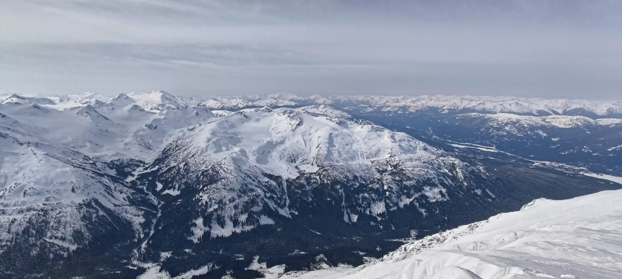
Charles had been breaking trail thus far from the hut (though it wasn't really notably harder work with the snow quality we had thanks to the morning hour), but we swapped once we started getting into the icefall, as he was happier following here than leading. The first part went pretty fast getting into it, but we did "waste" about an hour within, though I would say the "cool factor" made up for the lost time.
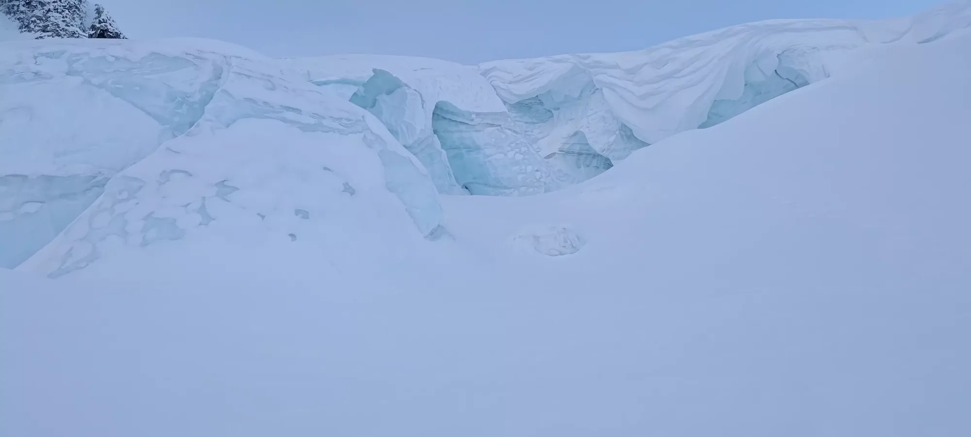
The first half of the "meat" of the icefall was pretty simple navigation, just winding through between massive chunks of ice, probing for cracks underneath and picking routes that look like they didn't just end in a large crevasse or against a wall. We found a nice spot in there to take some pictures, and even had a cool spot where we had to crawl under a "bridge" to get across, which was just purely fun. You don't typically think of army-crawling as a mountaineering skill, but we definitely put it to use.
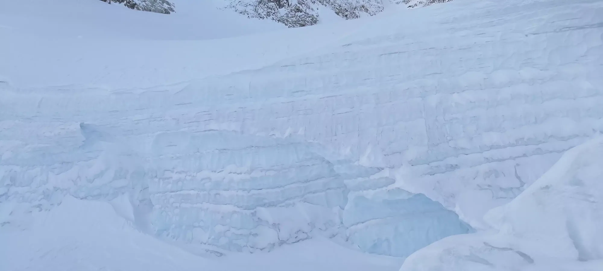
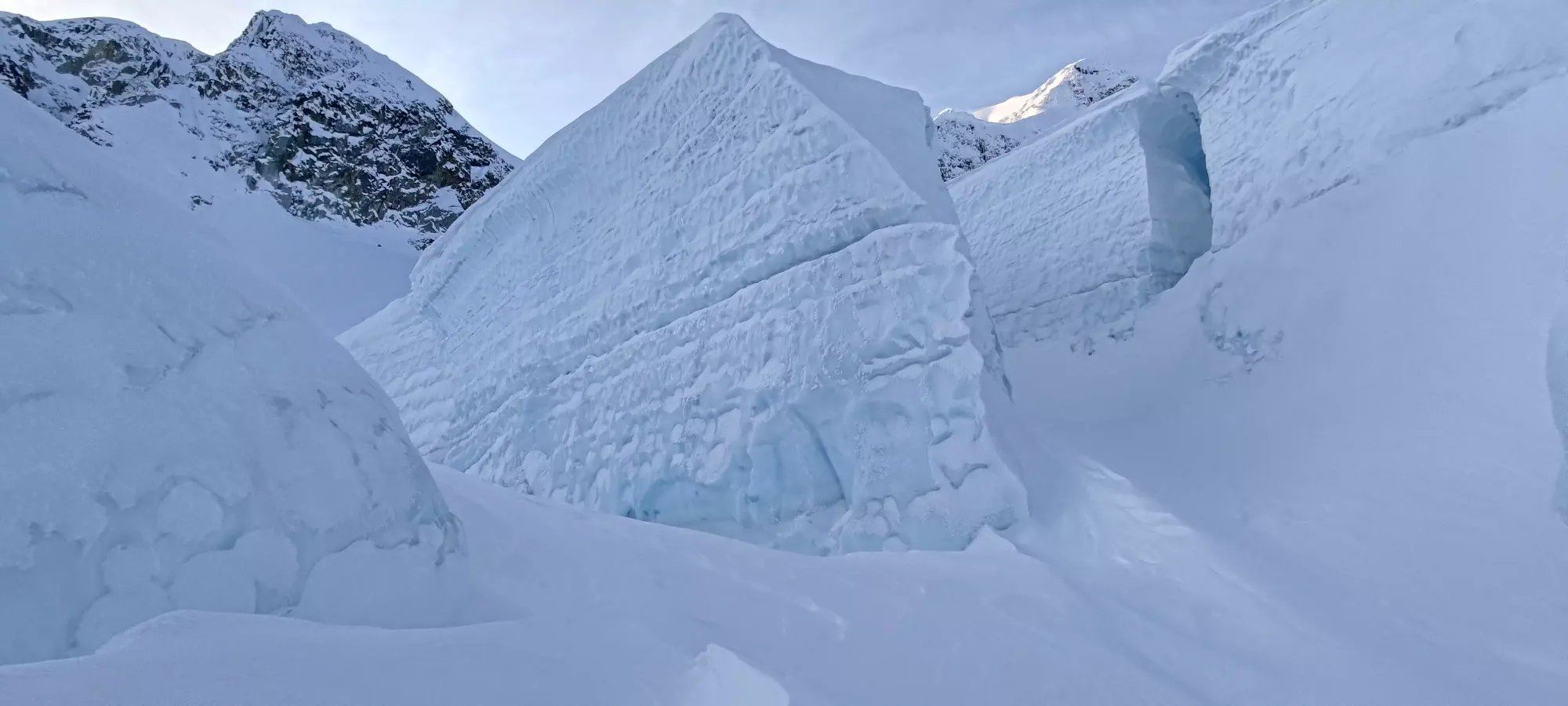
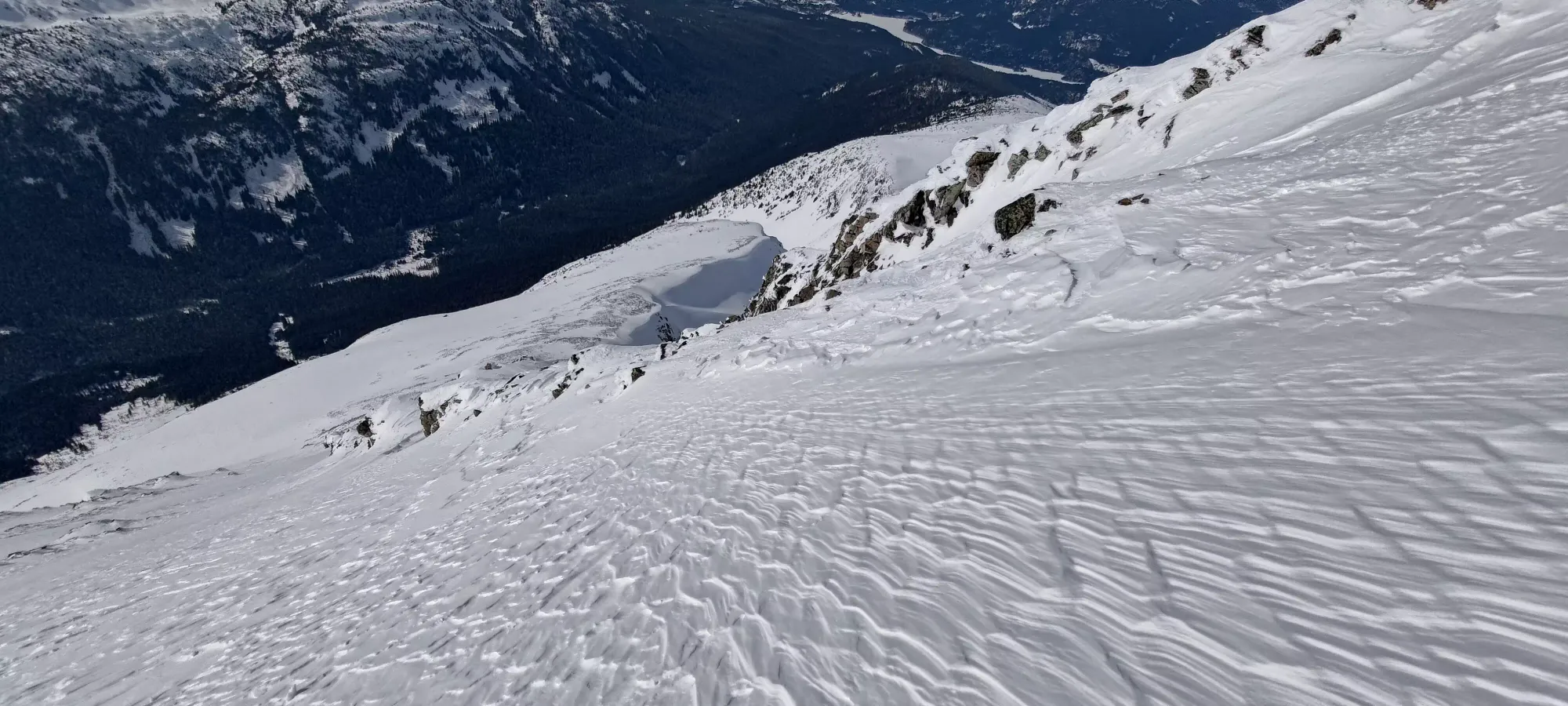
As we got closer to exiting the icefall, we had a few interesting areas to contend with. Namely, a couple of thin snow ridges/fins with potential crevasse exposure on the sides that required some careful stepping, and one particular steep and sidehilly lip that we had to crest to get out and back onto the half arête route. I in particular had a bear of a time getting myself up, and eventually ended up just going down in the lip quite a bit to find myself a line up. Those were what made up most of our time penalty, as they involved a few transitions and just a lot of careful work and fighting the snow to get through.
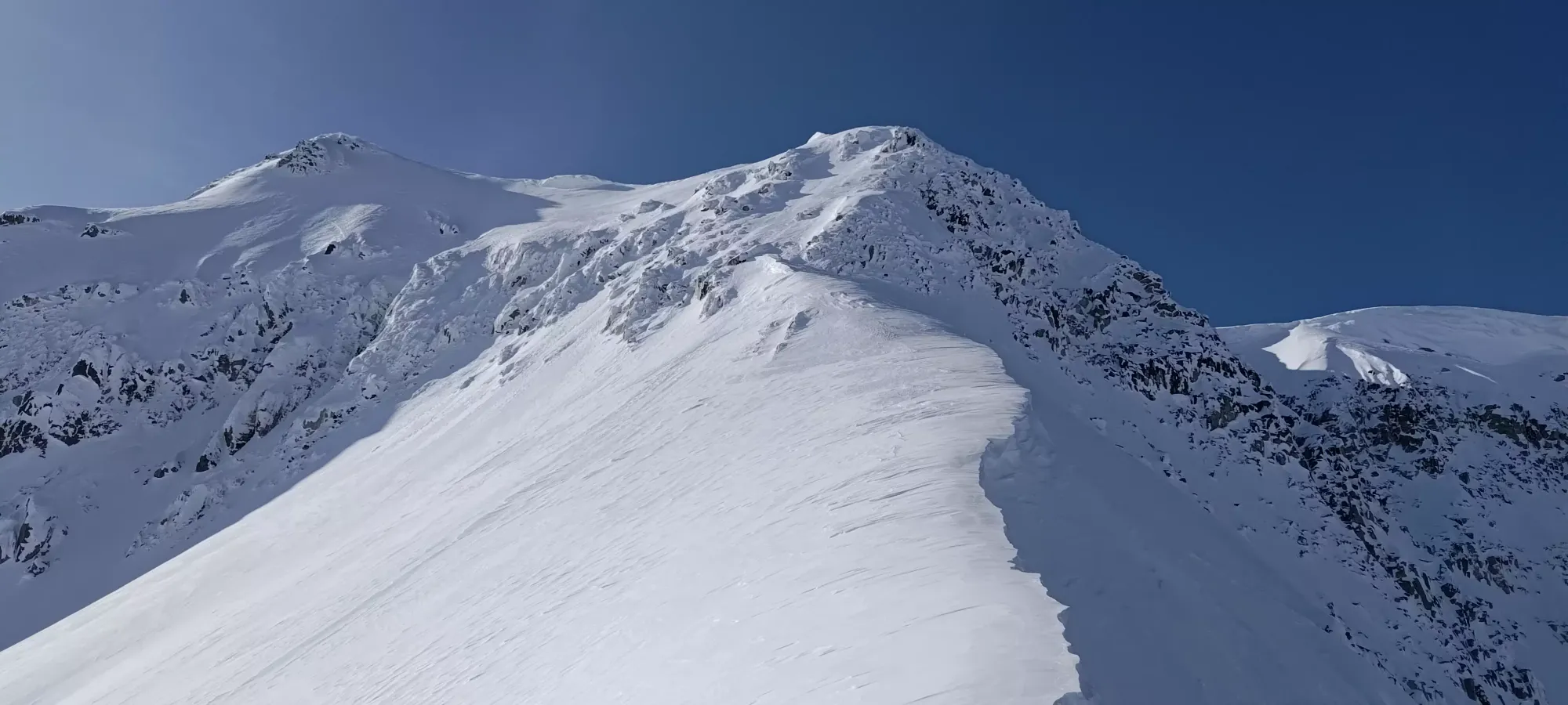
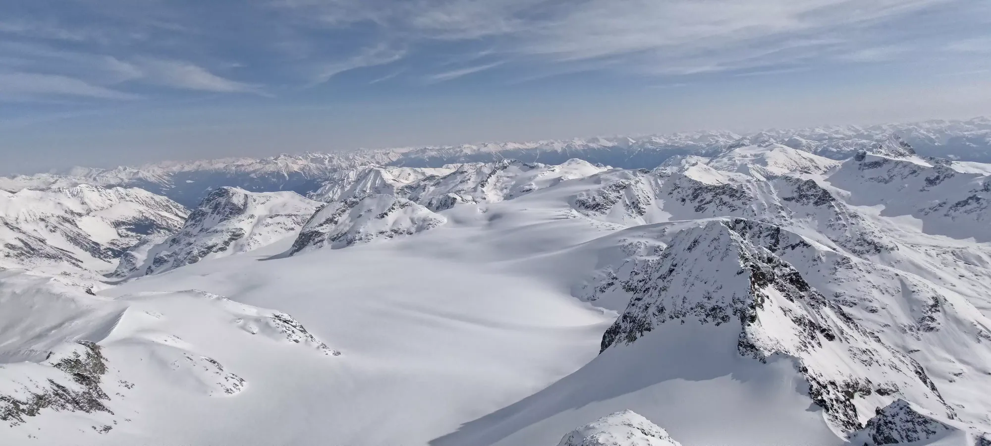
Once we did get back on the official route, though, it was a simple (if steep by the end) skin up to the ridge, taking us about 40 minutes to gain about 170m up to where the half and full arête routes meet (this was about 10am).
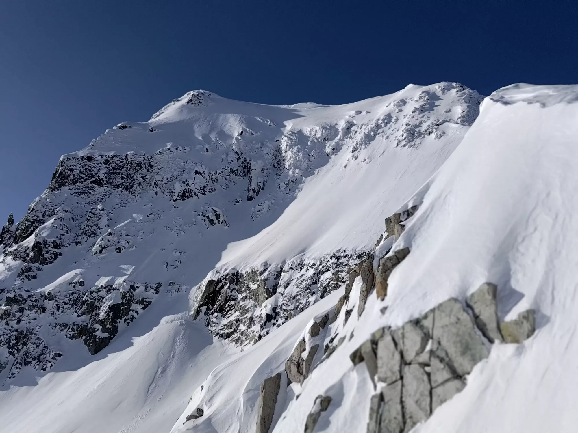
Once on the ridge, we did some pretty tight skinning up to the point where we had to start the climb/bootpack. The ridge is pretty narrow and climber's right was corniced, so we had to make a lot of turns to keep making progress on skis. It took about 40 minutes again for us to go from 2630 to 2730m (give or take), where we slapped our skis on our backs once again, got the crampons+axes out (I even brought an ice tool for style points), and started climbing.
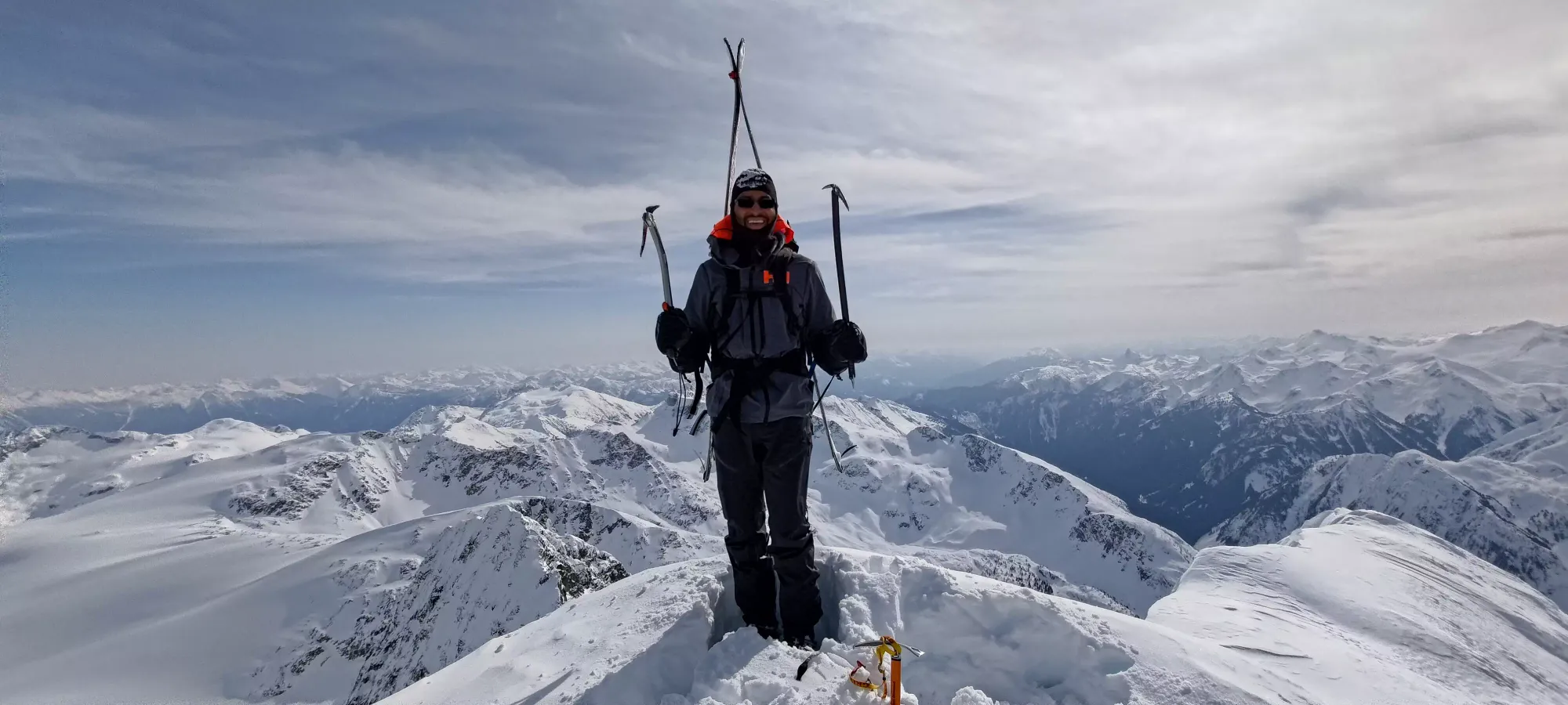
The bootpack wasn't very technical, honestly you COULD get by without an axe even (though I highly recommend one). The ice tool was overkill, but it was steep enough it was still helpful, at least until we crested the ridge. Once you crest the ridge, you're 90% of the way there, and it's just a short ridgewalk to the top, although if you're like us and too lazy to put your skis back on, a bit tedious 😅. We took about 40 minutes for this stretch, and summited at about quarter after 11.
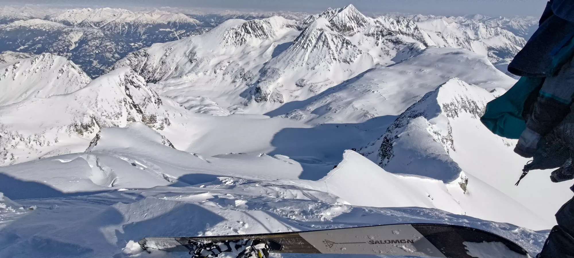
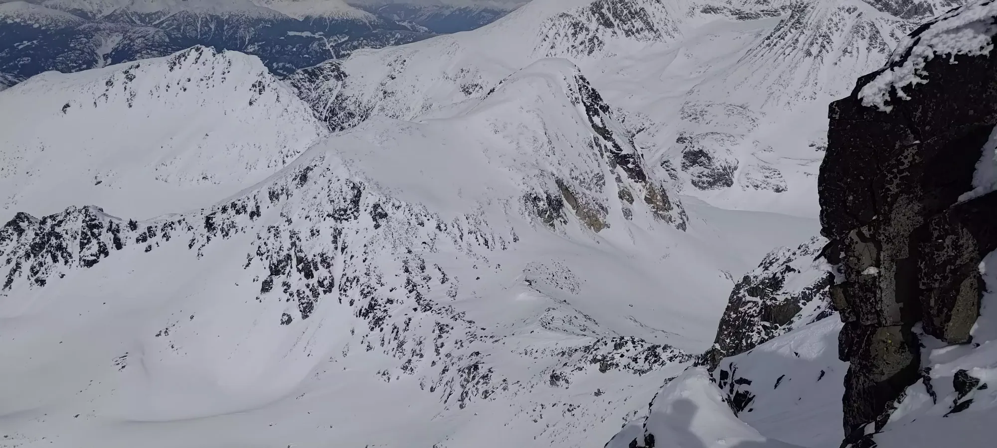
After our summit photos, we decided not to have summit lunch because it was a bit windy, and we wanted to get out of the larger avalanche terrain before the sun warmed stuff up too much. We walked down a bit past our bootpack track along the West Ridge, then once we got somewhere flatter that we were confident would be "no more uphill", we transitioned.
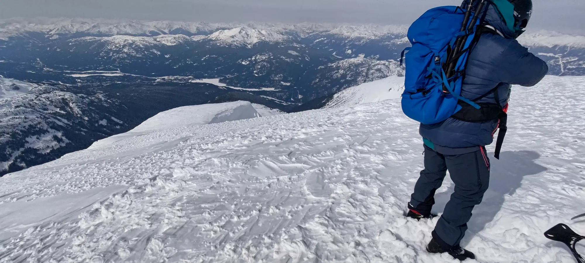
The transition was a bit frustrating, as one of my poles wouldn't extend from the top section to lock into place at length. I tried heating it up with my breath, but not dice, it wouldn't come out. I heated it up in my jacket, and thankfully got it out by the end of the transition, but that experience was enough to motivate me to avoid that mechanism in the cold. I also just had a bear of a time folding up my skins, as the wind picked up something serious up there. Mostly because I wanted to practice my skis-on transitions and ripped my first skin in a way that's fast but not "neat" so folding it was a lot of work. The second I just took off and was able to fold as I removed it, which was much less annoying 😀. Once we got moving, we just slowly picked our way down toward the large cornice seen above on the left.
After that, we dropped to skier's left to stay on the ridge, and skied some fairly thin snow (lots of sharks and surprises, especially to skier's right). At this point, my watch was buried under layers and my phone was no longer getting my location (some random bug), so I was relying on Charles to lead us to the couloir since his phone was still working. I could've cross-referenced my accurate watch location with my maps, but I decided not to. I probably should have, since we ended up a bit too low on the ridge before we cut over to the edge and looked over to the "entrance" to the glacier.
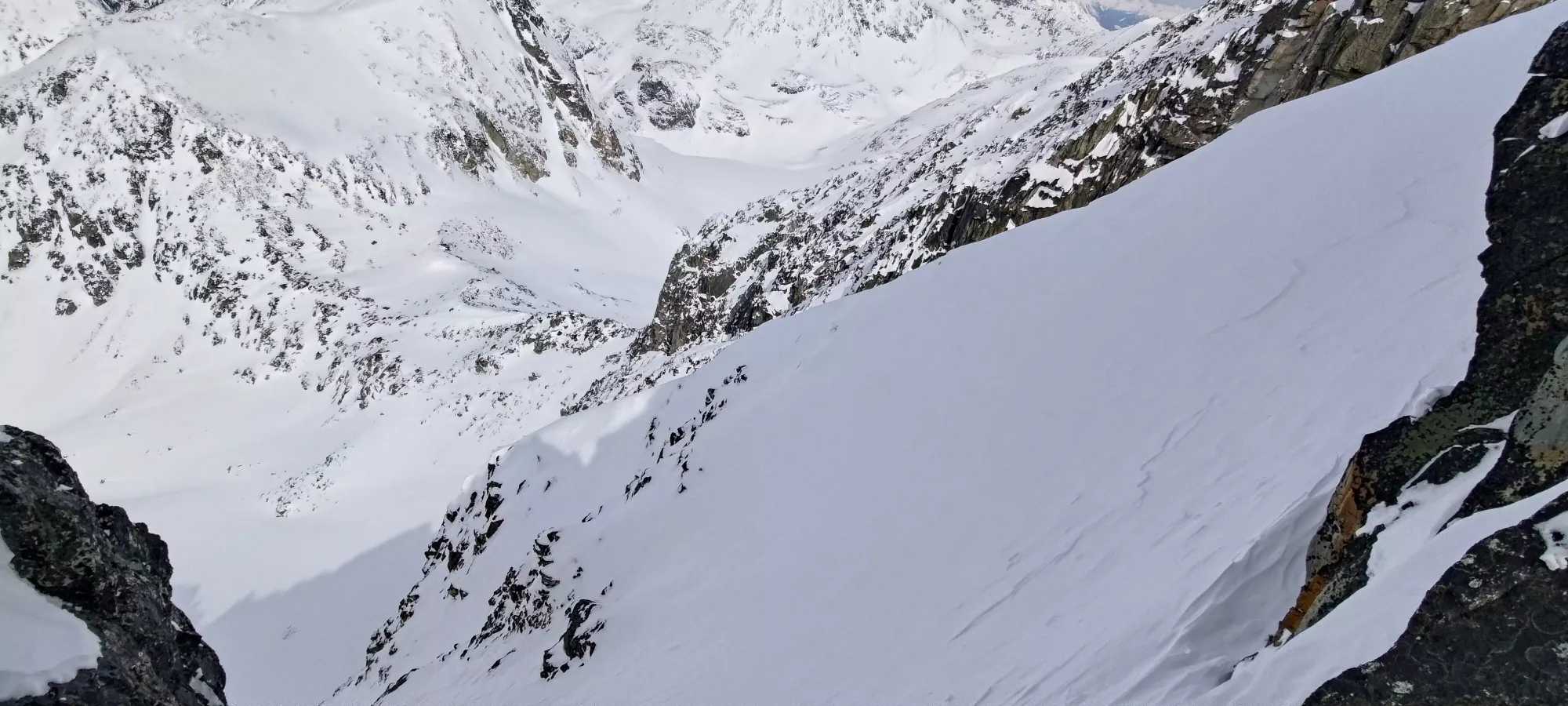
The entrance from that spot was impossible, so we decided we had to bootpack up and try to get to a better entrance, ideally the normal couloir entrance. We were feeling tired again (probably due to lack of lunch), and after a few minutes of booting up, we found another potential entrance, and stopped there. Checking our maps, we made a small fraction of the way up to the official entrance, so we were tempted to drop if it looked doable to save the longer bootpack. To get over and look properly, I had to vault over a little rock after dropping my skis, and sit down in a natural "seat". From there, I saw the below:
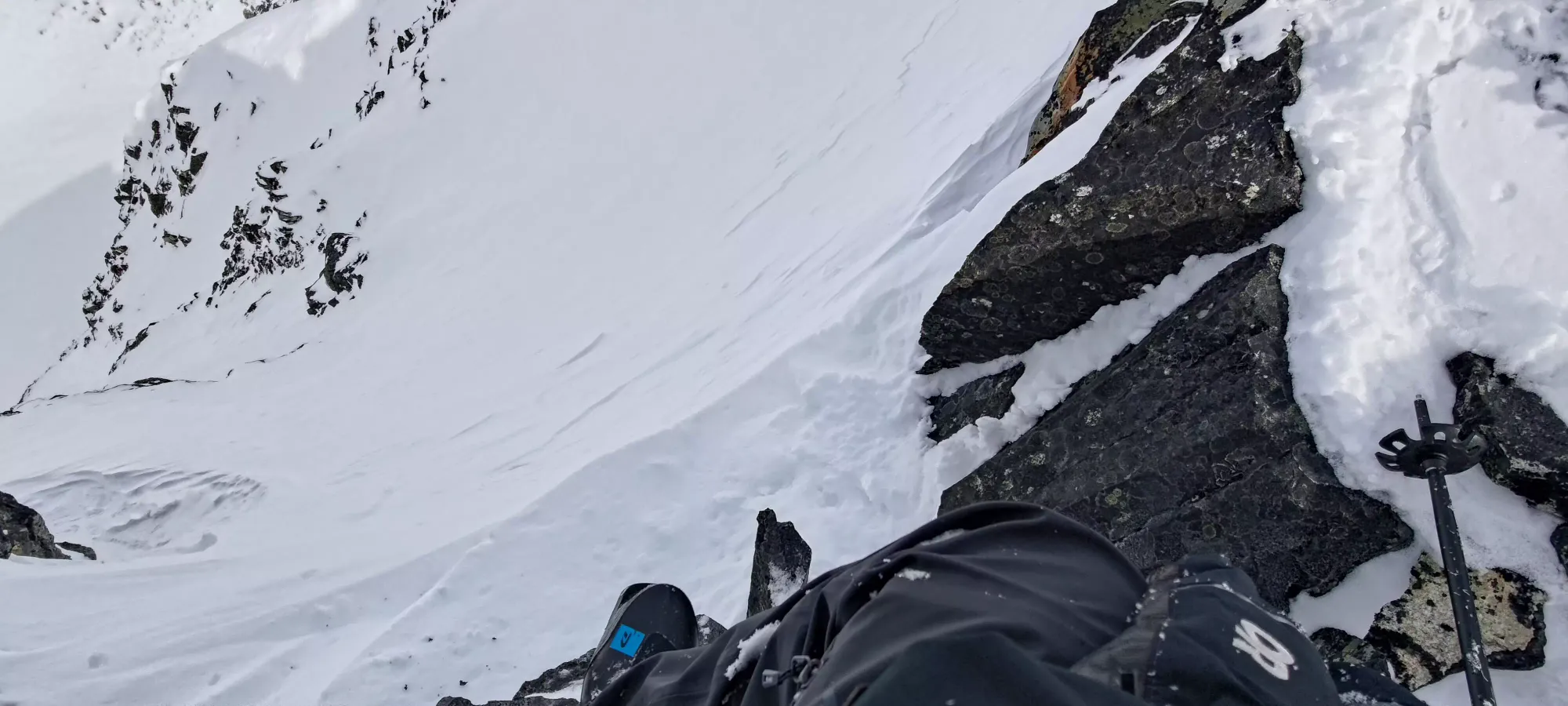
It was a pretty sketchy spot to get your skis on, but it looked like you could traverse over pretty easily, and then there were just 2 small ridges to cut across to enter the couloir based on our maps. We figured this would let us cut off some elevation regain and time, so we decided to see if I could get my skis on. It was a bit difficult, I had Charles hand me my skis one-by-one, and aligning my toes was pretty rough, but I got it done. With our plan in place, I dropped in.
That's where things got rough. Dropped usually means "entered the line". In this case, it just means dropped. The snow was totally unsupportive and I failed to get the slightest hint of an edge. So instead of just going sideways and waiting for Charles on the top of the ridge to the right, I just tumbled. I tumbled while grasping for a rock to grab or some snow to dig into and arrest myself, but instead I just tumbled, turning over a handful of times. That wasn't great, but was not terrible yet.
Until I stopped tumbling and started flying off the cliff below us, which was why we didn't take the line to the left instead. At that point, I thought I was dead. I spent multiple seconds in the air, and reached nearly 80km/h according to my watch (at least before it stopped recording). By some miracle, as I got closer to the ground, I saw a patch of snow in between the rocks I was hurtling toward, and hoped my luck was stupid enough to let me land there. I did, where the tumbling then resumed, and I tumbled for a few seconds longer until I managed to claw my way to a standstill on the steep but now snowy slope at the end of the couloir, before the Parkhurst Col. In total, I fell about 150m according to my GPX, most of it free-fall.
My skis thankfully did the right thing and ejected before I went off the cliff, so I managed to land with the only injury I could confirm at the time being a broken leg, though I did not know to what extent, other than "skiing out wouldn't have worked, even if I had my skis". My leg was twisted in such a way that my foot was facing the wrong direction. Somehow my helmet was an absolute boss and managed to keep my head intact and me conscious (much to the disbelief of the doctors who asked me that many times to confirm, I'll definitely have to rebuy that exact model). In the worst case, could I have found a way to splint it to a pole or something and glissade down, maybe use poles as crutches to slowly walk down? Maybe, maybe not. I'd need some extensive first-aid/medical experience to have a decent shot at that. So instead, I decided to rely on everyone's favourite "I done goofed" phone line, SAR.
I knew I only had a short time before the adrenaline wore off and I tensed up, so I quickly ripped my pack off, got my axe out (the slope was steep enough that it was worth having as any movement could've sent me tumbling again), and dug out the inreach and hit SOS. I provided a couple of details once the acknowledged (typing on an inreach is PAIN, though). After a couple minutes, I heard Charles' voice, and that was a huge relief. He took another route to skier's left down, which was absolutely nuts and more of a "skid down with your snowboard sideways, scratch the crap out of it, and have an axe above you at all times to cut speed further", but managed to get to me intact. I yelled at him that I had a broken leg, and when he came down, he confirmed it was pretty damn messed up, and apparently a bleeding, open fracture (I couldn't tell as it was in my snowpants, and I was too high above the leg).
With the amount of adrenaline I had going, I didn't even really notice the pain much in my leg. I was just focused on getting SAR there (Charles largely took over once he showed up), then getting my hands warm (one of my mittens got ejected during the fall, so Charles had to lend me a spare glove. My other one was on my hand, but not as dry as I'd have liked). Then, since I couldn't move, it was just "hyperventilate to stay warm, and wait it out til SAR could get there".
The wait was unfortunately very long, 3-4 hours. It was probably a busy day, and we were also not in an easy-to-access place, with the slope being as steep as it was, there was no way you could land even near us. In that time, we saw a couple helicopters that weren't SAR give us false hope and fly away, and had SAR fly in maybe 30 minutes before they came to pick us up (had to assess the situation and come up with a game plan). Partway through, I asked Charles to dig out the snow under my broken leg a bit as it was still holding a bit too much of my weight, and needed some relief. It would also give him the ability to access my phone (in my lower leg pocket on that side), which had better reception and more battery than his did. Below is the video of that, which is not for the faint of heart with respect to viewing injuries or hearing cursing.
Most of our time on the mountain was spent with my trying to communicate to Charles and/or whoever was on the other end of the phone(s) between hyperventilating breaths as I stayed as warm as I could in my still position. I was honestly feeling my cold hands more than my leg, and was thinking about frostbite more than it (which thankfully I avoided). Close to 5pm, when I saw Joel and team coming down for real above us, I was probably the happiest I've ever been. They rigged me up and hoisted me up, flew to a flat landing spot, got my set onto a stretcher, and flew me into the Whistler clinic. Massive shoutout to the Whistler SAR (and all SAR teams, really). They are volunteers entering dangerous situations to bail out people who make some really bad decisions, and they do it with full dedication, compassion, and empathy. I didn't expect to have to exercise my "donate 1k to SAR for every call" rule so fast, but they certainly deserve that, and more.
Once I got to the clinic they got to work hurtling all kinds of words that'd give the average person some pause like "ketamine" and "fentanyl". I'm not much of a drug user, but I was glad to hear those. They also stripped me of everything I was wearing and got me warm as fast as possible, though I remained hyperventilating for probably an hour+ after I was brought inside. I was airlifted to VGH after a couple hours, where I got stabilized and put to rest for the night (sometime near midnight). The next morning I had an 8 hour surgery, and another a couple days later to follow it up. The total damage was a broken tibia (the one that ended up poking out from me, and apparently I left some behind on the mountain too), a broken pelvis, my ankle joint surface getting pulverised, and a couple broken ribs along with all the bruises and the skin damage from the bone poking through it.
With a combination of awesome surgical work, a rod, a couple plates, and lots of screws, they've patched me up into a functional human being again (this is being written a couple weeks late, as my left wrist has some nerve damage that just needs time to heal that made typing hard initially). Sadly, I won't be peakbagging again for quite some time, we're looking at over a month to "use my legs at all" and months to "actually walk", but rest assured, the goal is to get back into full peakbagging form, or at least as close as I can get. Thanks to everyone on the team here at VGH, who have been amazing as well (though hopefully I'll be leaving them imminently to go home and impose on my family's hospitality even further while I'm unable to bear weight with my legs and rather unhelpful to even myself).
Since this will be an important topic in the various groups where such trips are discussed, and a random reader may be curious about "what went wrong", I do have some basic thoughts after some reflection:
- I should have bothered to cross-reference and speak up earlier about our route down. I thought we were going too far, and we were. We could've avoided missing the couloir at all
- We should have just put our skins on and skinned back up to the couloir. We weren't even thinking about skinning, just booting, and that would've helped with the speed and mental resistance to going up. Talking to some more experienced people, a common mistake is not considering going uphill when you're going down, and that would've allowed us to get to a safe entrance
- I should've probed the snow in the entrance I took. The snow I felt putting my skis on was loose and unsupportive. I justified this as "just the top layer near the rocks at the edge". This was a poor assumption to make. If I probed the snow and felt how loose it was, I would've been dissuaded from entering and avoided the fall
- I have thought about "maybe a whippet would've helped me arrest", but I think that's more of a niche gear excuse that's technically possible but unlikely to have helped
- I became aware of some things like inflatable splints that you can have in your first aid kit to help with more serious injuries. If I had more of that stuff than basic first aid stuff in my medkit, and more training on wilderness first aid, getting myself out entirely or at least descending to a flat spot would've been possible.
I'm sure there are more things, and people will be more than happy to point those out. I've also had discussions with some more experienced mentors after the fact which speak to larger mindset stuff and overarching decisions at a scale larger than single trips or lines, but that's kinda out of the scope of what I would want to include in, what is primarily still a trip report.
A final shoutout and thanks to Charles for sticking it out with me, it's possible I could've survived without you, but I damn well preferred surviving with you. Sticking it out with me on that slope for hours, having to spell "couloir" multiple times on the phone, and even just keeping my spirits up as we waited was awesome, and I'm glad to have a friend like that. Hopefully I can piece myself back together and we can hit up some mountains again in "some months".
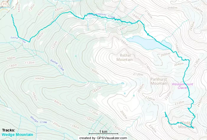
GPX Track + Map