Volcán Miravalles - December 14 2022
A vacation can't stop me from bagging peaks. In this case, it actually meant bagging an ultra instead!
Guanacaste Cordillera, Guayabal, Costa Rica
2028m
With my family (or at least me, my dad, and sister) on vacation for the week in Costa Rica, one might assume I'd be slacking and breaking the "peak streak" this week. One would be incorrect, however. Out of the options presented to us, I 100% lobbied for a location with accessible mountains, and after some back-and-forth we decided on the Brasilito resort area in Costa Rica. While I was unable to wrangle my way to the high point of the country, I was able to find my way to today's summit of choice, Miravalles.
The access is a bit gnarly, not just for this peak, but many of the big peaks in Costa Rica. They seem to be fairly heavily invested into preservation, so many are strictly off-limits (at least the summit regions). Some are volcanoes active enough to be dangerous, some are for research only... In this case, the trail is partially on private property, and partially in the park. The latter half is no problem, but the former is a bit of a challenge. If you check peakbagger.com, there's some reports of a guy name Freddy who owns the farm where the trail starts (and maintains it, not just the part on his property either). I tried messaging via Facebook, but got nothing. However, Logan came in clutch by both being able to speak Spanish, and having Whatsapp installed (something one should do before leaving home if going to a Latin American country, it turns out). He reached out to the number posted on peakbagger, and got a response quickly. He was able to arrange for me to come at 8am and go up with Julian, seemingly another person who works there. I'd have been able to be more thorough with planning if my trip was about peakbagging, but on a family resort vacation I didn't have access to SIM cards, and even getting a rental car was a "barely made it" sort of endeavour.
** edit ** Turns out these guys are somewhat affiliated with the hot springs just below; the viewpoint sign has a company name which, when googled, brings you here. This may also be an effective means of communication.
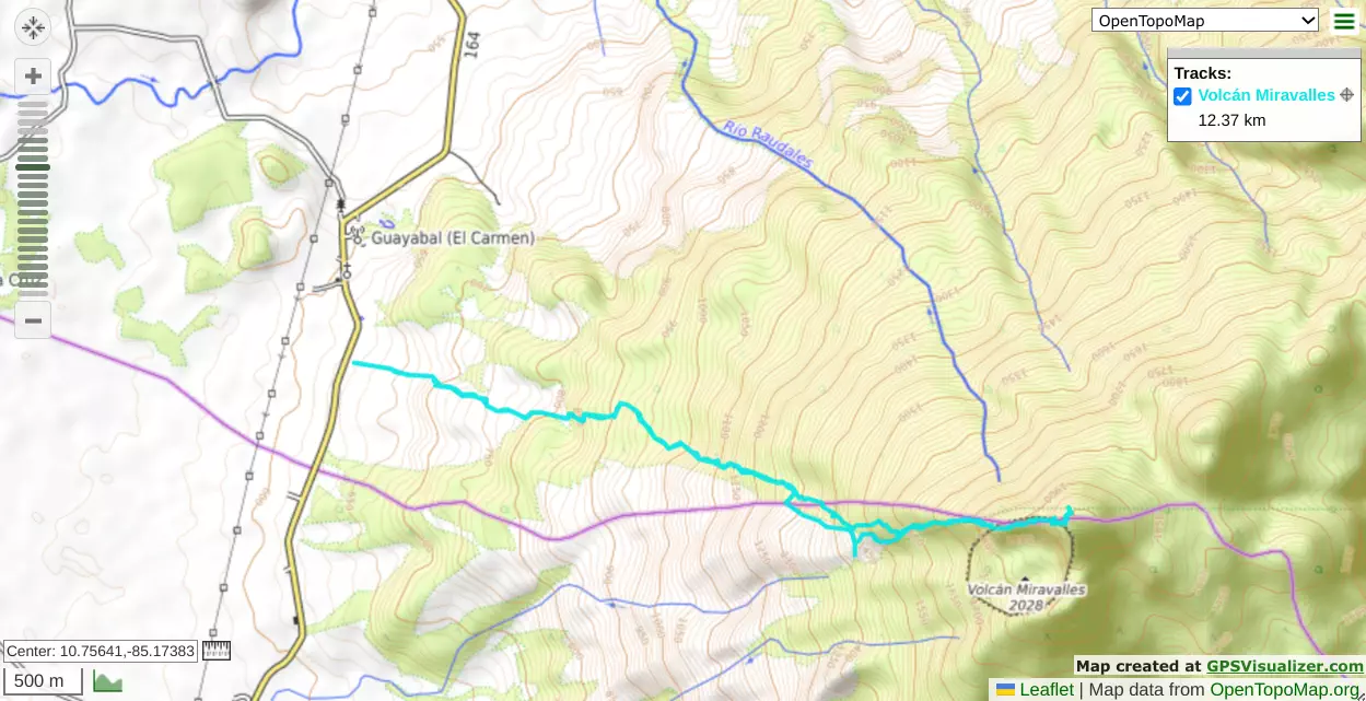
After a somewhat pitiful breakfast (the room service might be 24 hours where I am staying, but they don't serve a whole lot of breakfast options before 7am, so some fruit, a yoghurt cup, and croissant were my calories for the morning), I got in the car at 6am and headed out. The drive was pleasantly smooth, all maintained/paved roads, and little traffic. I quickly learned that double yellow lines mean nothing here, but otherwise it wasn't super different from anywhere else. Most notably, since the roads were all in good shape, you could take any vehicle and make it, no AWD/4WD/clearance required. If you want to confirm where to turn off the highway, hopefully the below pictures help, along with "where my GPX starts", as that's basically the "driveway".
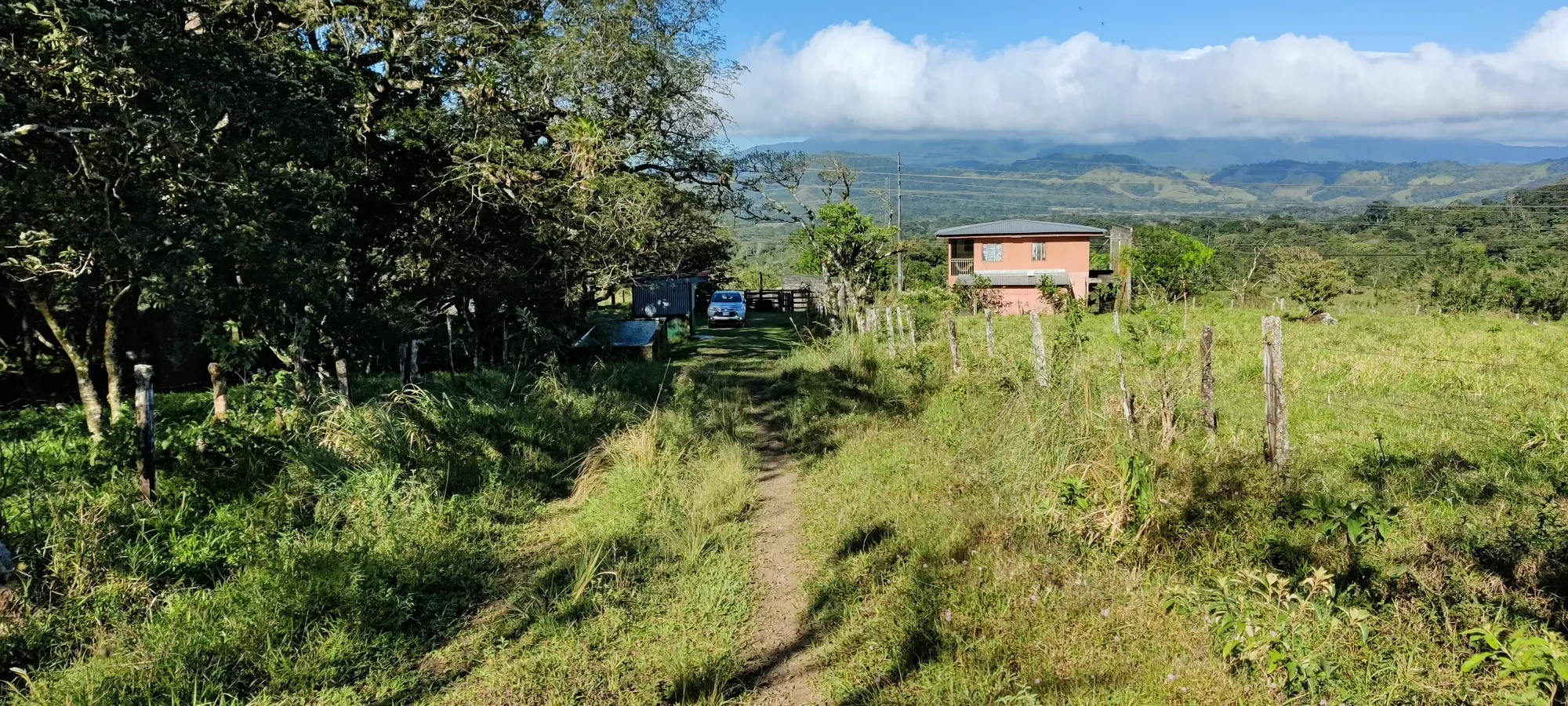
As I turned off the highway, Julian was there to confirm I was in the right place. After some stunted conversation (turns out despite downloading Spanish offline in Google Translate, it refused to work w/o a network), I geared up, used the bathroom quickly, and we set out at 8:06. The gearing up was minimal as I was travelling carry-on only, and consisted of "put on hiking shoes, take out my one broken pole (no tip so it would be allowed in the cabin), and turn my inreach on". Oh yeah he also had 2 dogs with him (sorry dog people, no idea what kind). They were exceptionally well-behaved, and only came up to me when we had lunch at the top, and once or twice during breaks on the way down (and when they did, it was all very friendly licks+sniffs).
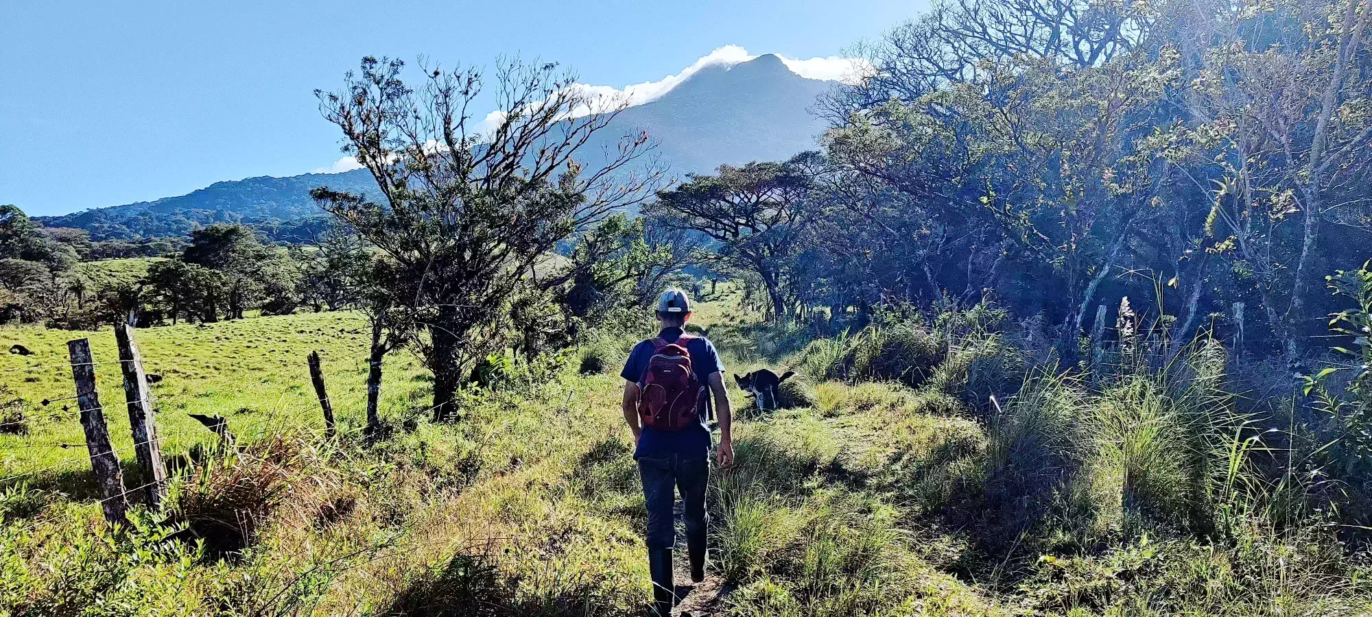
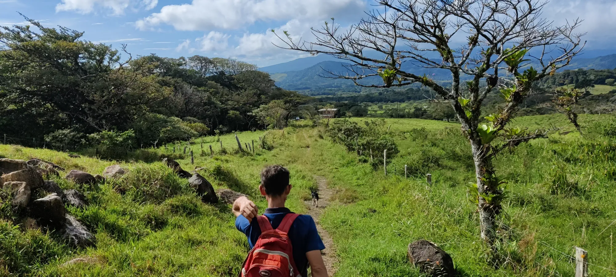
The first 1-and-a-bit kilometres of the trail are pretty much just packed dirt paths through grassy fields. It seems like there's some minor tourist photo areas and maybe activities scattered about, and we stopped for some pictures at a couple. While the slope is fairly low other than a small section of steep hill after crossing a little creek on-property, this is one of the harder sections (IMO) due to the full sun exposure. The first couple kilometres, actually, are fully in-the-sun, so be prepared for that. I've hiked in hotter weather than we had, but the humidity on top of it definitely makes things sweaty, fast.
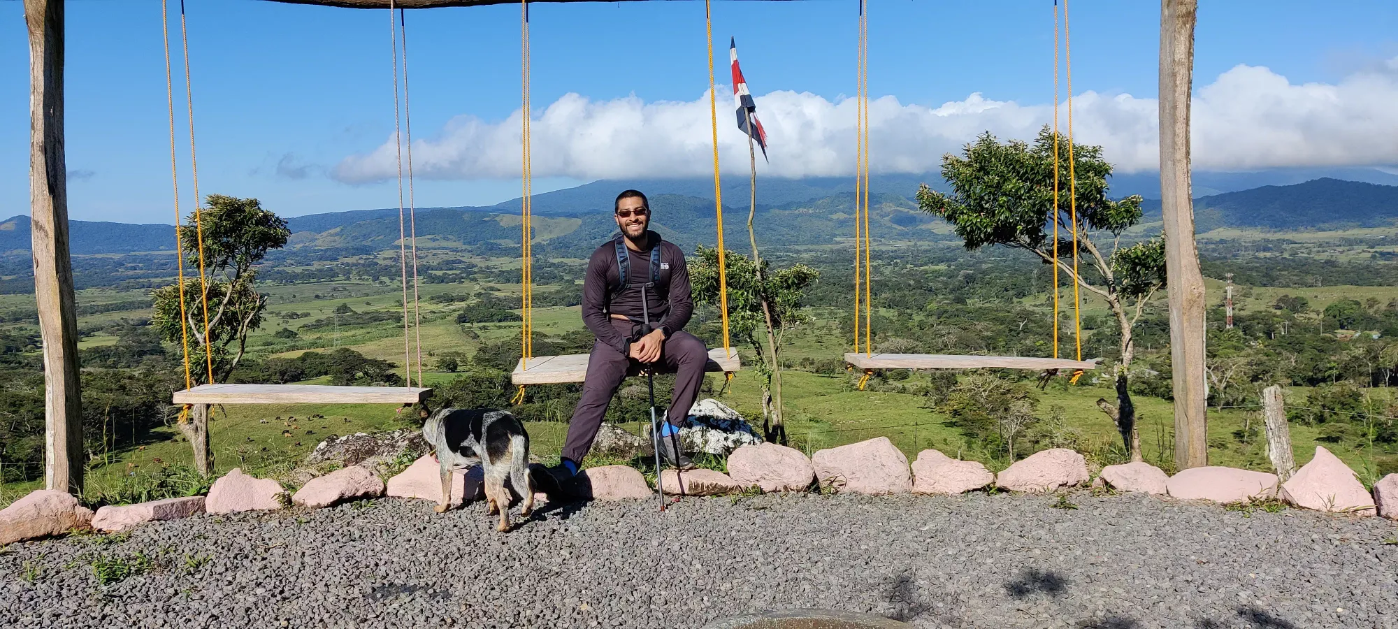
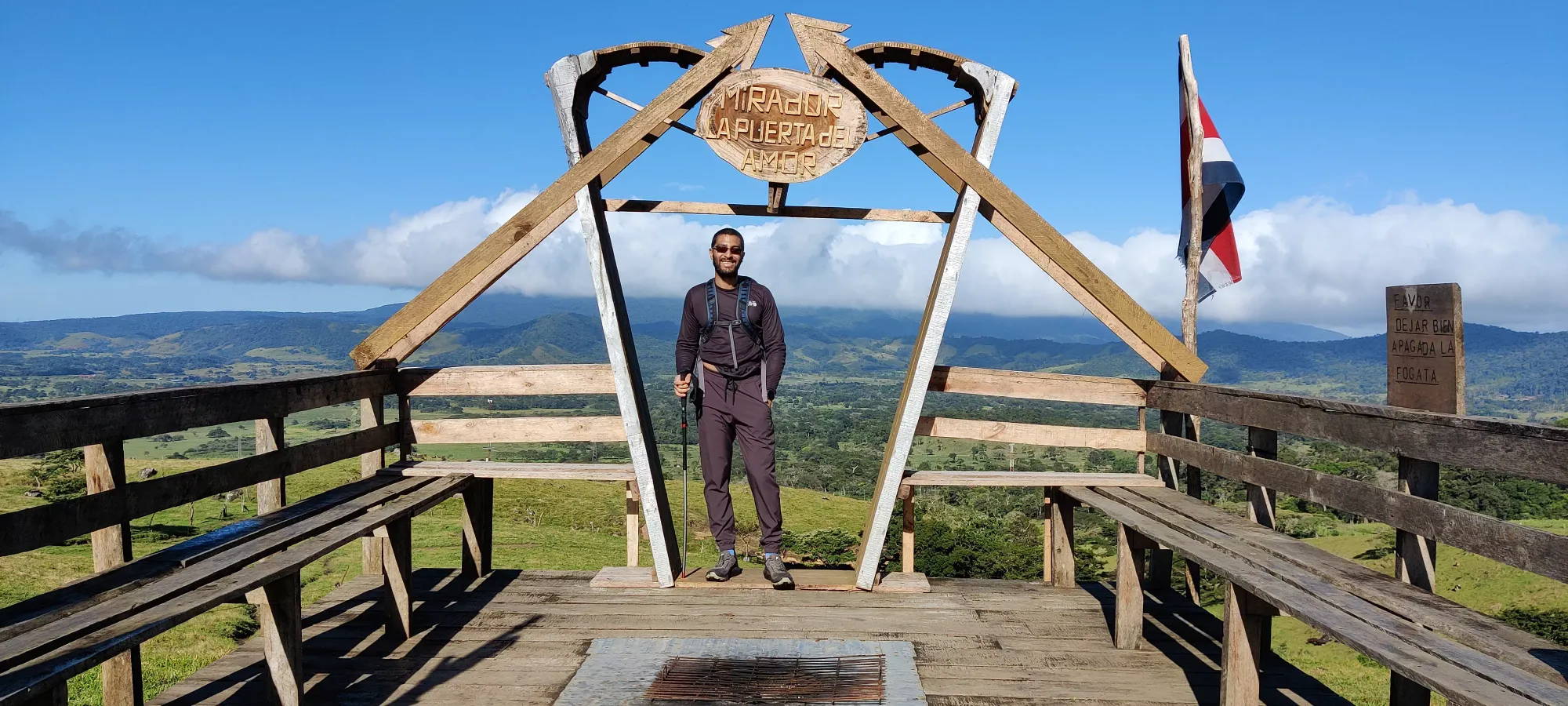
After the second viewpoint, we had to duck/weave/unhook some fencing to get through various fields, and we also passed through a cow pasture with a couple dozen cattle. Thankfully, the dogs were excellent herders, and ensured that the cows didn't get too close. After that, it's a couple seconds of brief sun relief, and one more stretch into the forest, where the park boundary is, at about 1.6km in (took us about 20 minutes).
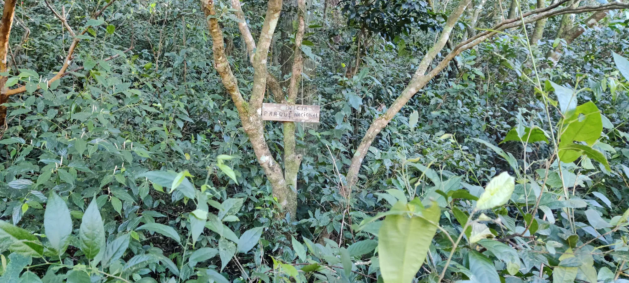
After we got into the forest, despite being cooler from the shade (a relieving feature to discover), the trail also got steeper, so there wasn't really any actual decrease in sweat or body temperature. It did mean I didn't have to slow down as much as I otherwise might have relative to the previous section though. Julian was clearly used to the heat and quite fit, so he didn't care at all. I was happy to be keeping his pace, even if I was paying a higher price for it.
At just over 50 minutes in, we took our first break at what was apparently a water refill station, though I can't make any claims about its quality. I packed about 3L of water to be safe, so I didn't have any need to try it. This was the 1070m mark, so about 450m above the 620m highway pull-off. Also almost exactly 3km in.
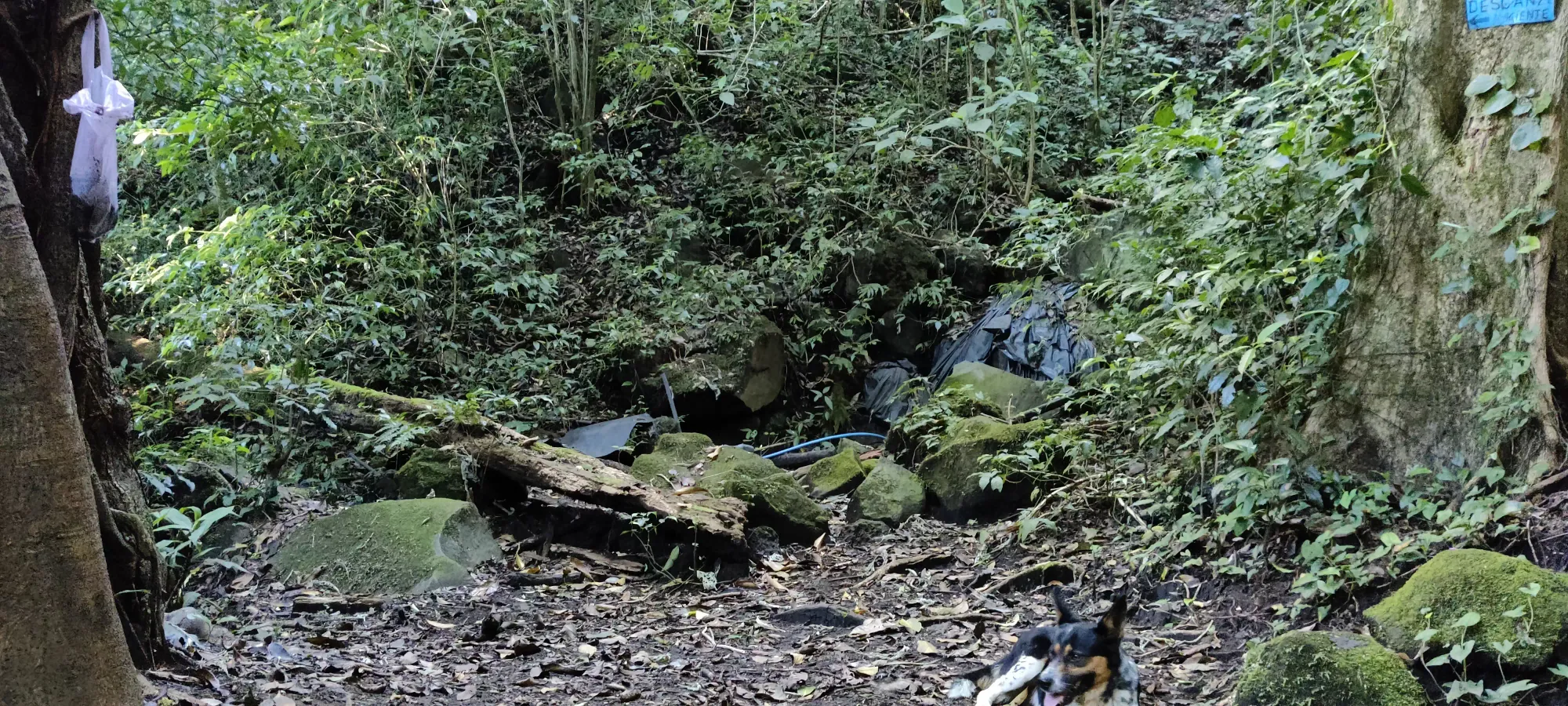
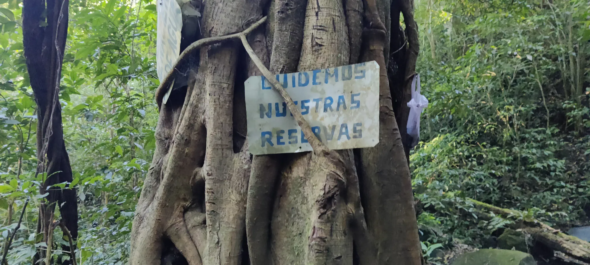
To this point, the trail had basically just been a regular forest trail not unlike one you might find in BC/Canada, though there were a few sections where the trail narrowed significantly, as if carved through by a stream, but those just slowed you a bit, they weren't "difficult". After this point, it got a bit steeper, and rootier as well. This being a stratovolcano, the same pattern continued basically the entire way up, at least until we hit the caldera. About 20 minutes after the rest point, we hit another "point of interest", this time a neatly twisted tree which Julian enthusiastically climbed up, and naturally I followed. We had a short photo-op, then continued on our way.
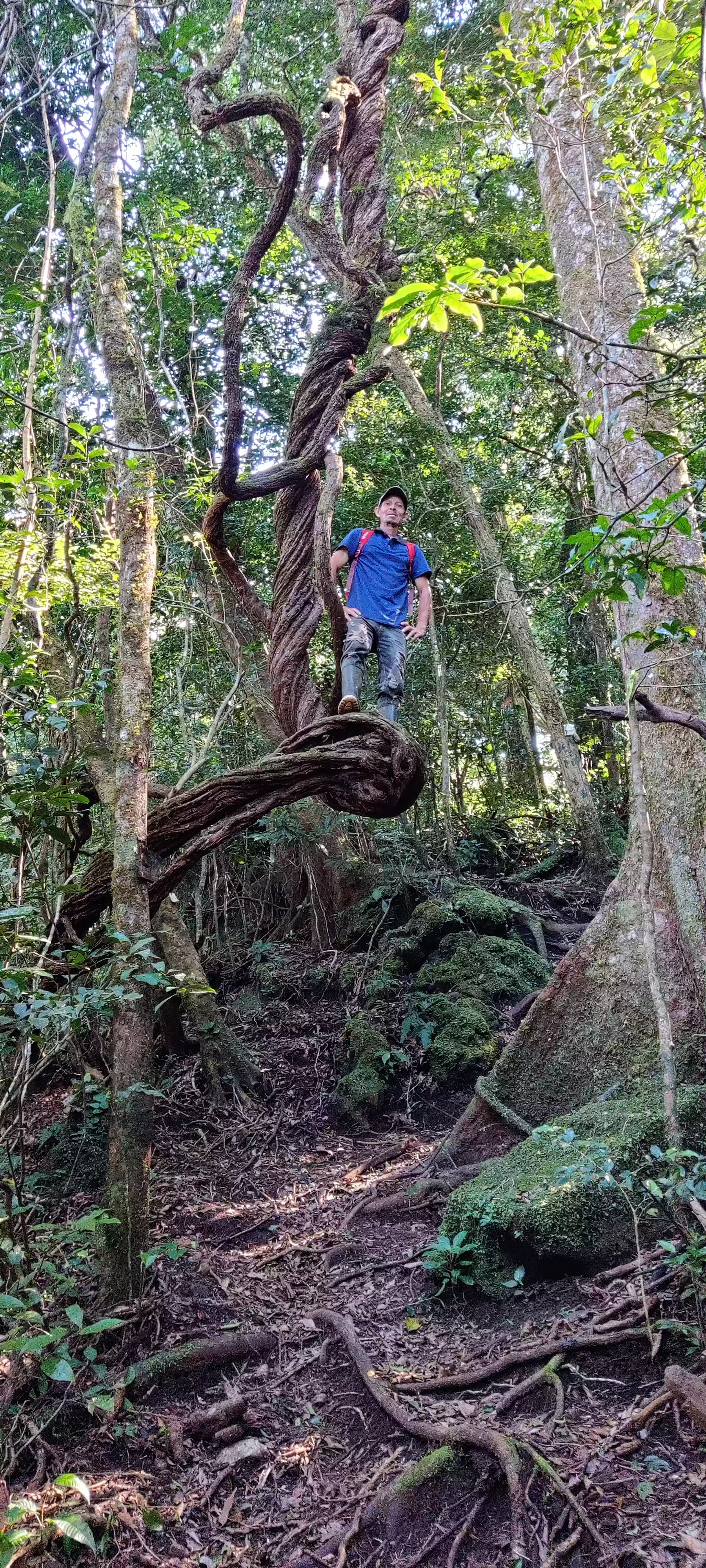
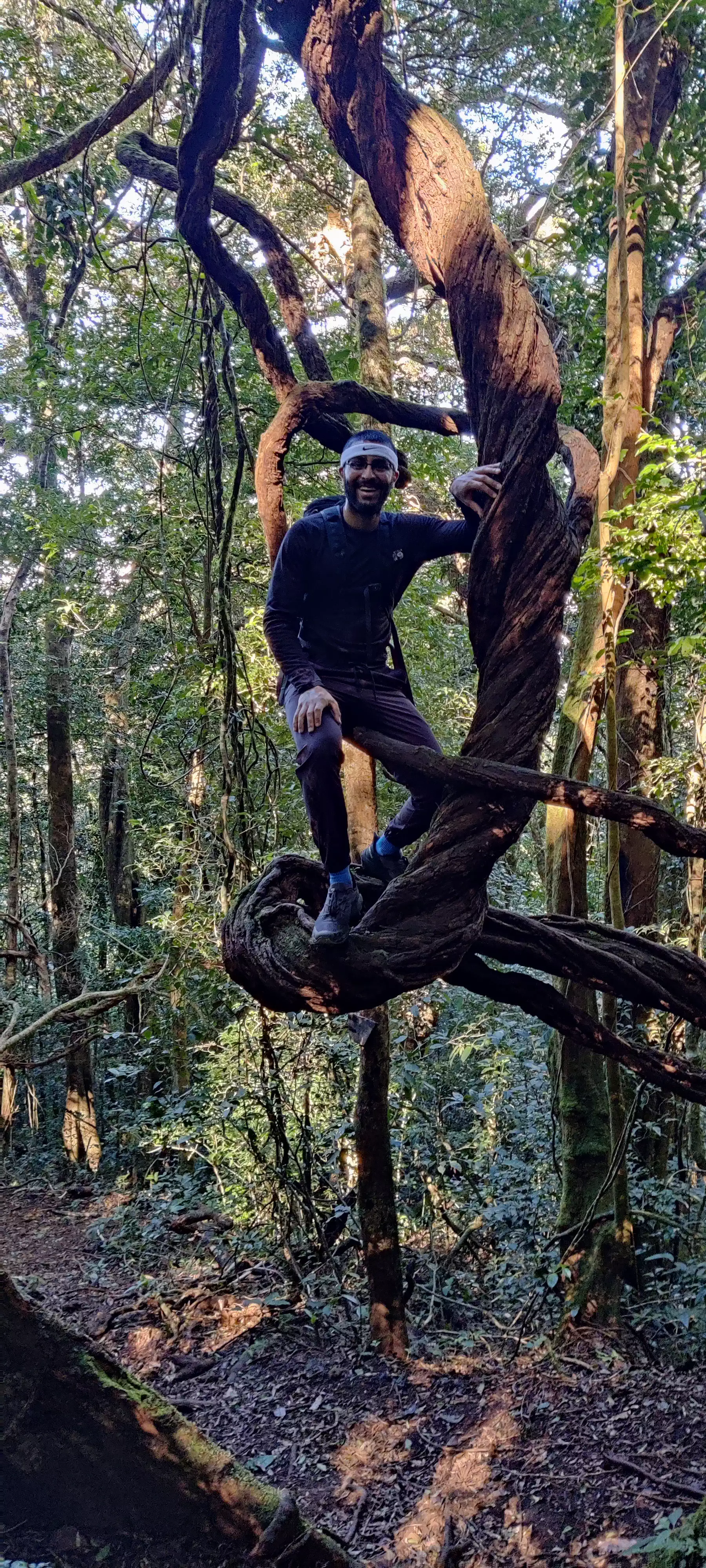
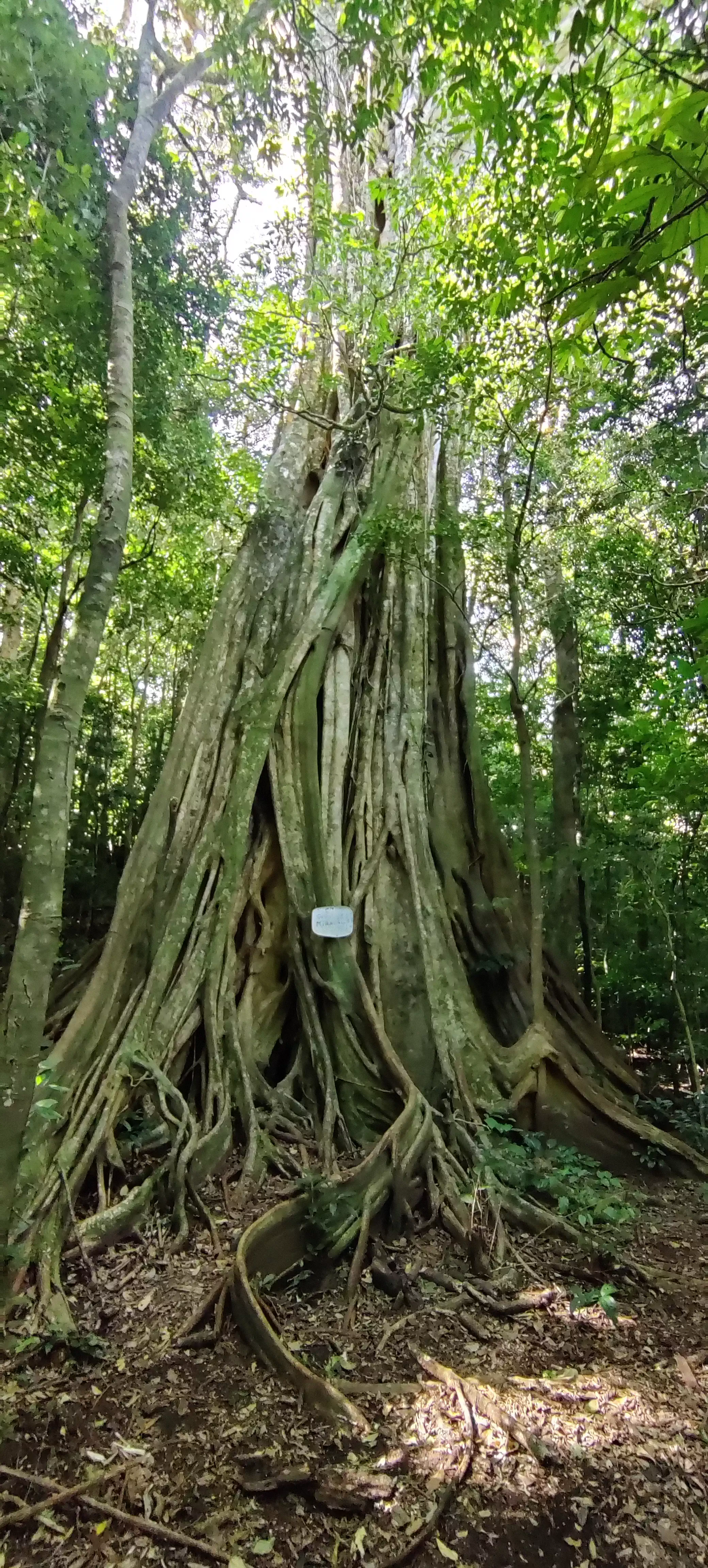
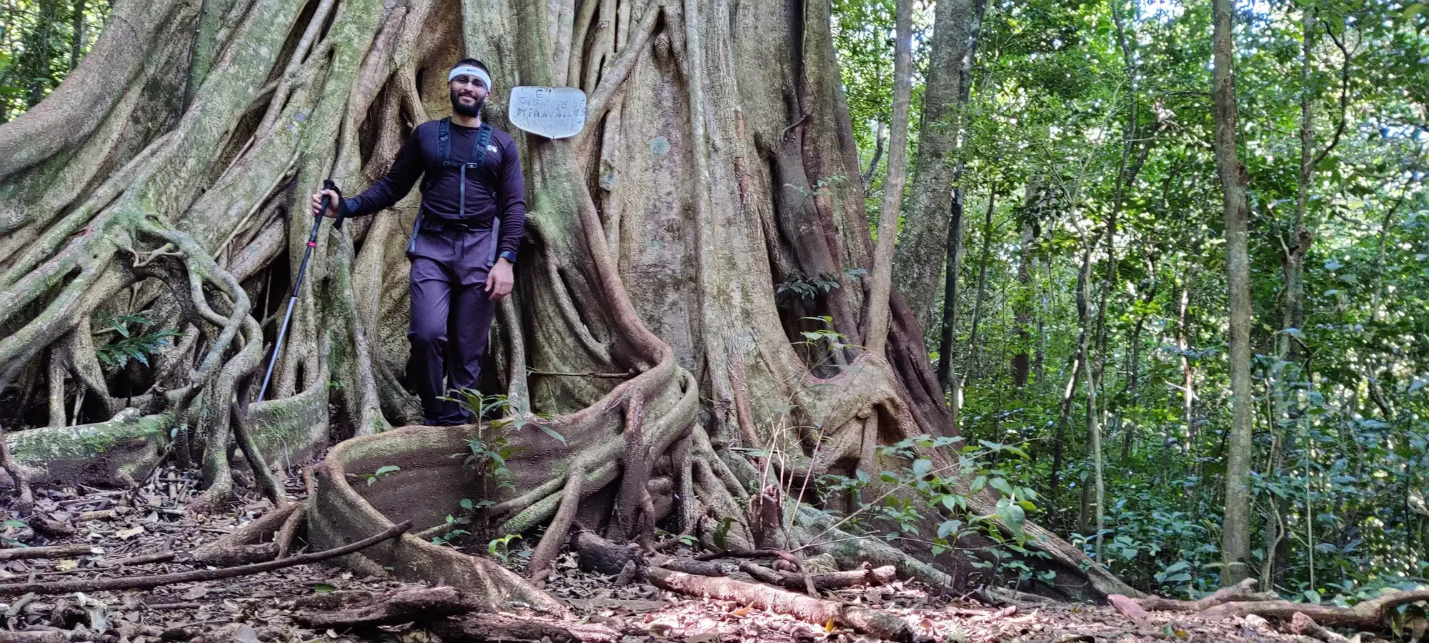
Around this point, or perhaps slightly before (hard to recall as the terrain is quite same-y for much of the trail), I saw my first fixed equipment (sorry Alan Blair). Good news is it's basically just plastic/hard rubber railings, so you can pretend they're just there to denote the side of the trail, and not for walking assistance. In happier news, a few minutes past the previous cool tree, we saw another cool tree. This one was an absolutely enormous tree, presumably the largest tree in the park, at the very least along the trail. Coming from SWBC I've seen some big trees, but this was in fact notably wide. I can only imagine the old growth protests if this boi got cut down... Thankfully I don't think that's a problem in Costa Rica, as they have quite a progressive reforestation program to protect their forests.
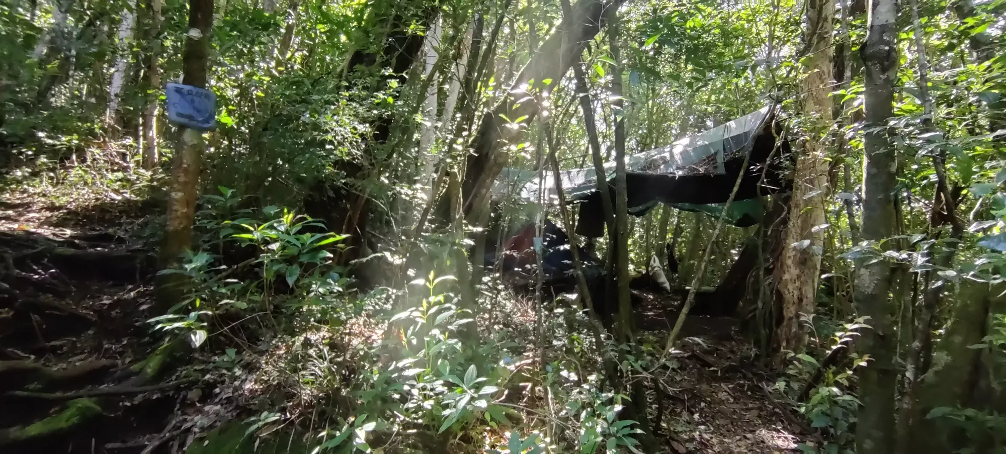
I think it was sometime around here where the trail really stopped feeling like walking up a hill and more like stepping up rooty steps which just so happened to be in a forest; pretty similar to Wedgemount Lake's trail. In about 20 more minutes, we hit a camp located at about 1450m, so if you aren't one for the heat, this could be an option for you to split the hike over a couple days. Despite the night being nice for moving in cooler temperatures, I have also heard many of the animals you may wish not to encounter are nocturnal, so cool hours in which to hike are sparse. I, however, was only granted 1 day, and specifically daylight only to get my bagging fix, so I was not camping. I snapped a hasty picture as we slowed down, and continued on.
Another 15 or so minutes from there, or a bit under 2 hours from the start of the hike, we arrived at a junction which denoted where a separate descent trail existed (1570m). I was surprised that such a complex trail network had been created, as the ascent trail seemed perfectly usable in both directions, even if not wide enough for 2-way traffic. Props to Freddy and Julian for putting in that kind of work. We took another break for some water here, after Julian confirmed I was still feeling good and wanted to continue (so for those wondering about what "style" of guide he is, I'm sure it's vastly different if you can communicate better, but even with the barriers we had, he pushed me well without making me exhausted or needing to call for unnatural breaks, and did check in at each turnaround point to ensure I wanted to keep going up).
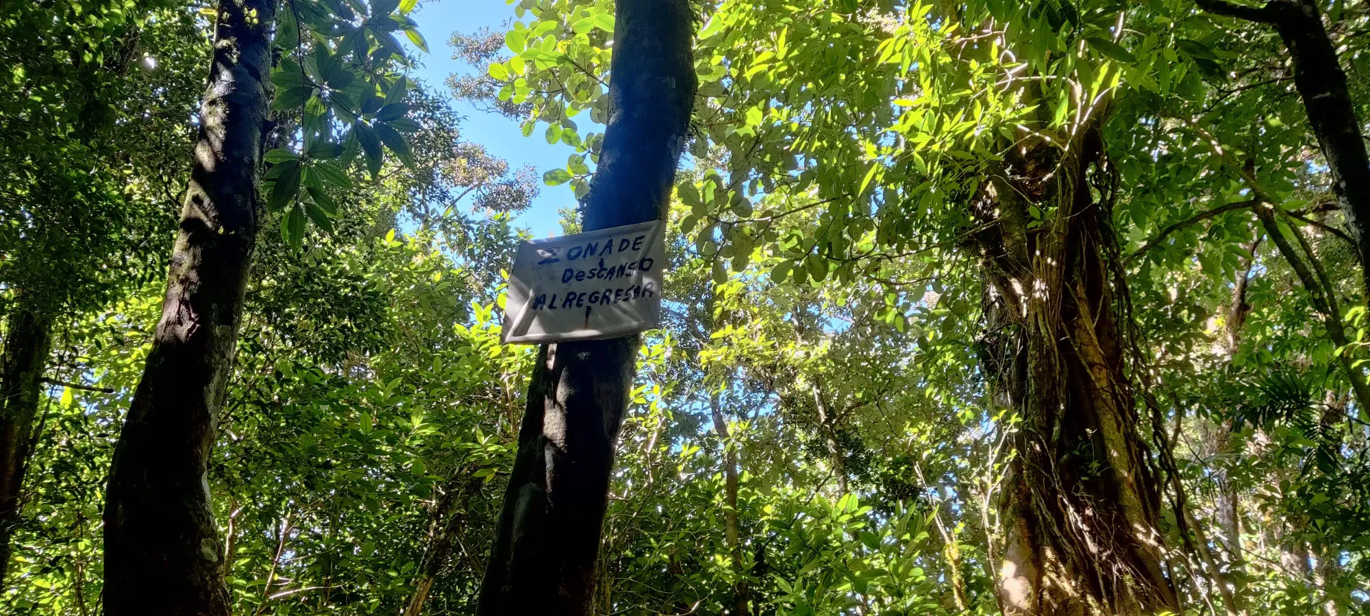
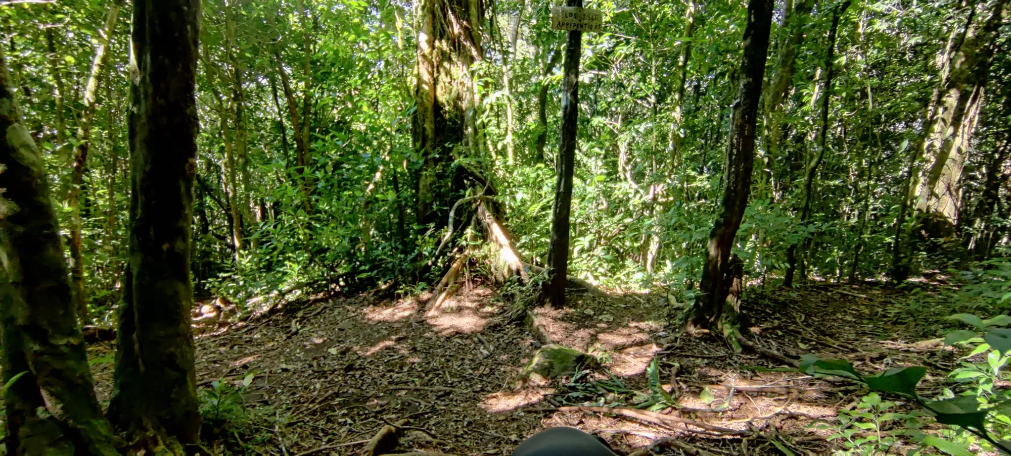
The next hour, basically, was just a grind up to the viewpoint at 1954m. The first half-hour was pretty efficient, getting up over 200m to 1800m. However, after that, things slowed down a lot. Not because it got even steeper, or technical. Instead, it was because this is apparently where the clouds start hugging the mountain, and things got WET. Since I was packing for over a week of vacation with just carry-on baggage, I had just hiking shoes. This posed a problem with the very frequent calf-deep mud from this point on. If you can bring boots and don't mind doing the approach in them, or maybe some rubber overboots, DO IT. Julian was rocking rubber boots the whole time, so he had 0 fucks to give about the mud, and just charged through. I, meanwhile, was playing hopscotch on roots and the edges of the trail trying my best to avoid soaking myself in the muck. While slower, it was at least fairly effective. In just under 3 hours, we got ourselves to the viewpoint, where we had some lunch.
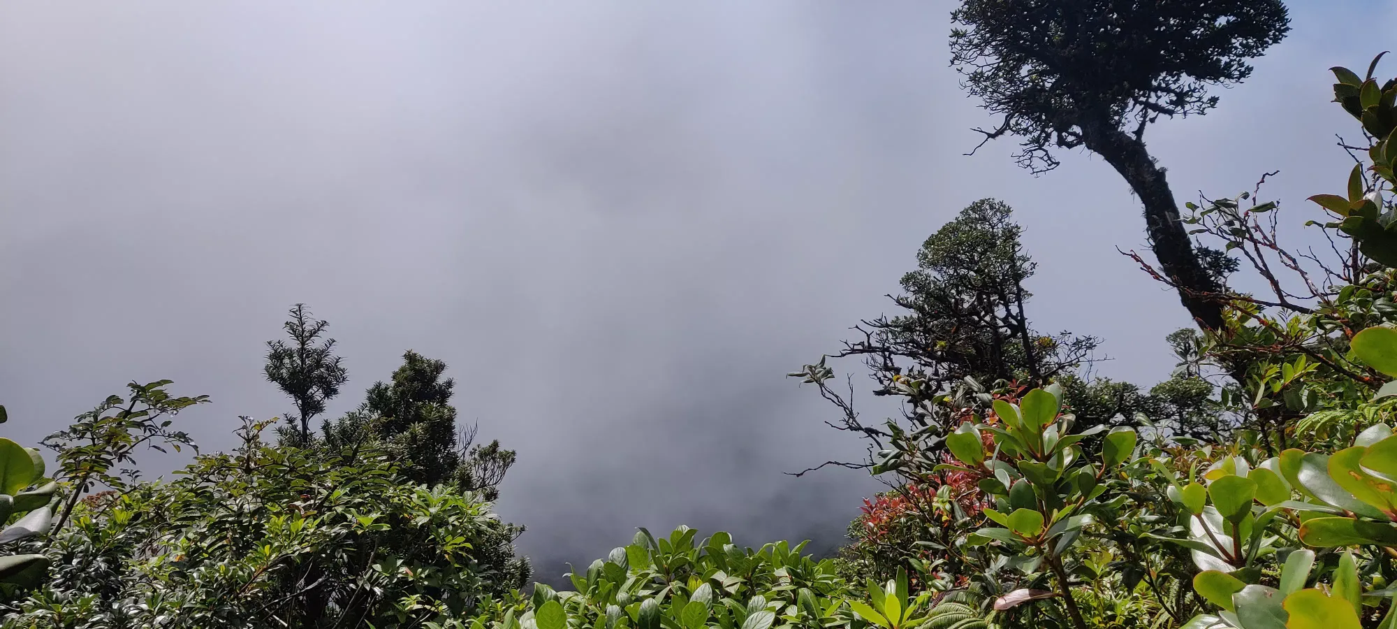
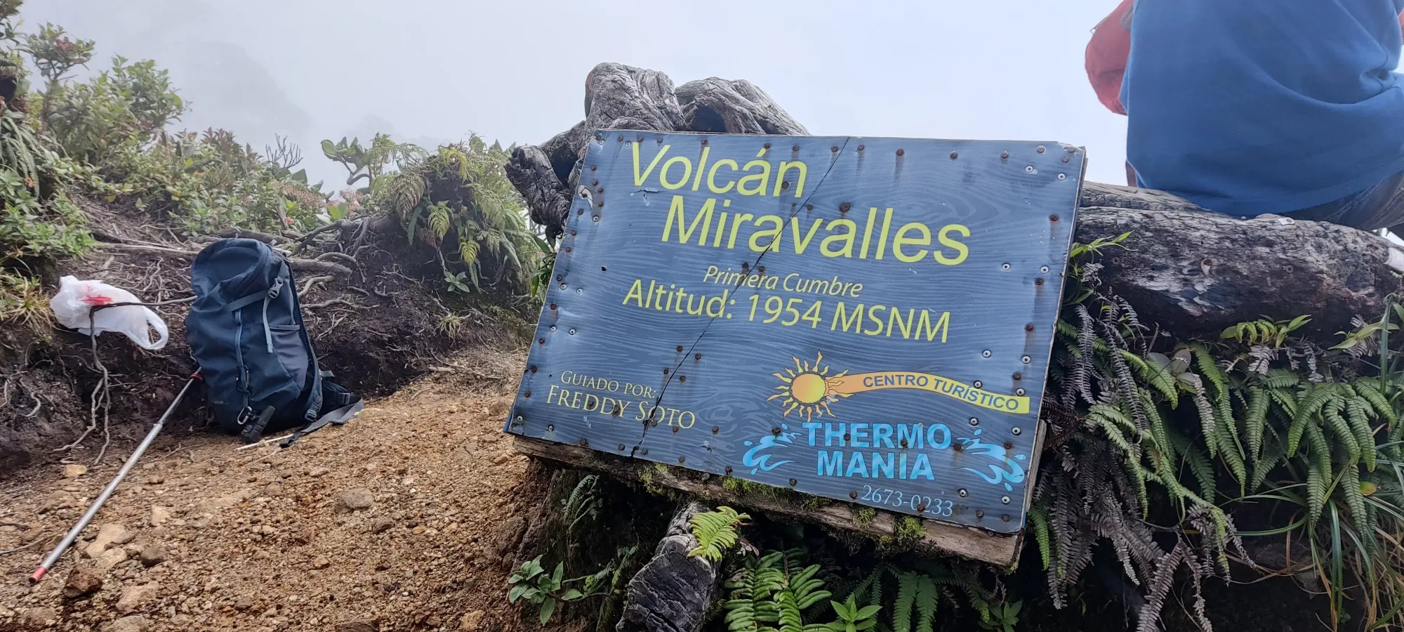
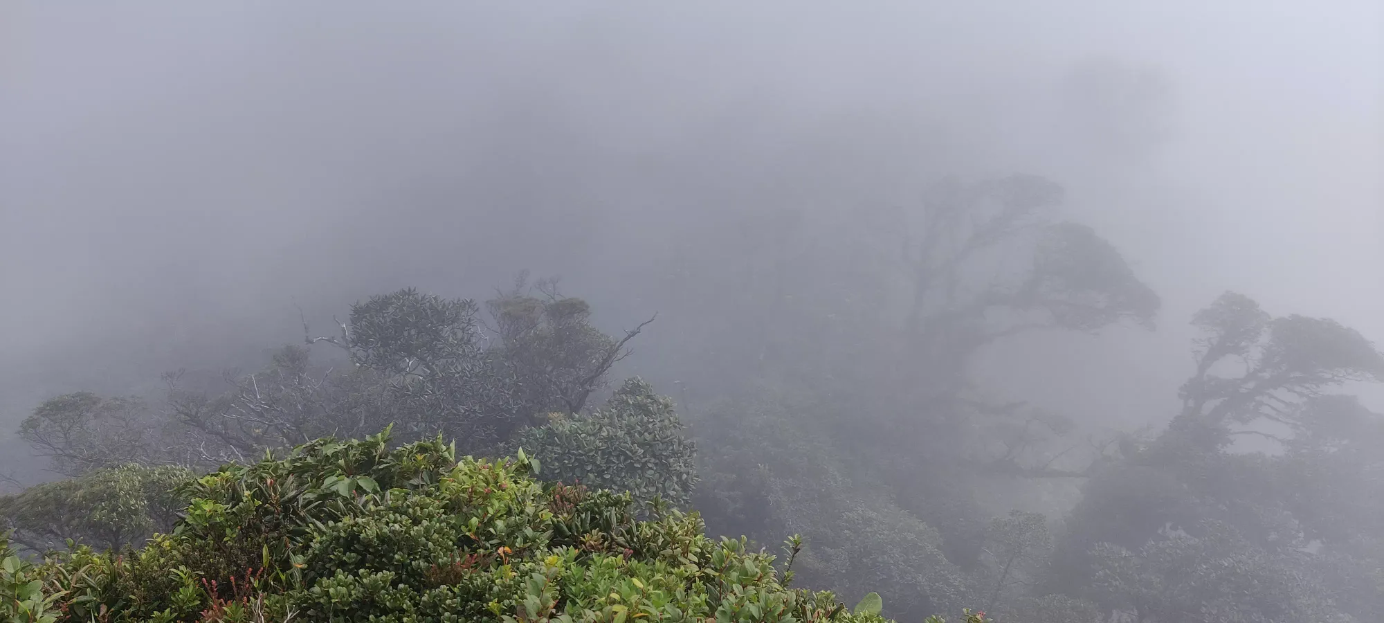
Despite my explicit request to the somewhat mediocre room service where I was staying for some bread so I could make a sandwich for lunch, all I received was a little container of peanut butter. Thankfully, I expected as much, and stashed a couple rolls from dinner, of which I had one, just dipped like breadsticks. A bit crude, but along with a pack of Oreos from the "room snacks", it was enough to keep me going (I wasn't about to call for a break if Julian didn't, but I could feel my sparse breakfast calories waning six hours later, so it wasn't entirely unwelcome). After 15 minutes, we headed out. I could've eaten my second roll, but I was still unsure about if I'd need to use the bathroom or not, and was playing it safe. I didn't particularly fancy the idea of a mid-jungle bathroom break, especially since I didn't have any Restop bags packed with me.
I was also a bit worried that Julian might want to stop at the viewpoint rather than push for the summit, and we did have a stunted conversation after packing up our food, but we managed to agree on going up further, which turned out to be a real trail, if less travelled, so no problems there (unlike many other mountains in Costa Rica which seem to have their summits off-limits). The trail descends a small amount from the viewpoint, but then goes back up pretty quickly. It is, however, a bit less maintained/clean than the viewpoint trail, so expect more ducking around branches, etc. It is also much cooler up past the viewpoint, so given the wind, coolness, and wetness of the surroundings, we donned our shells before stashing our packs and moving onward.
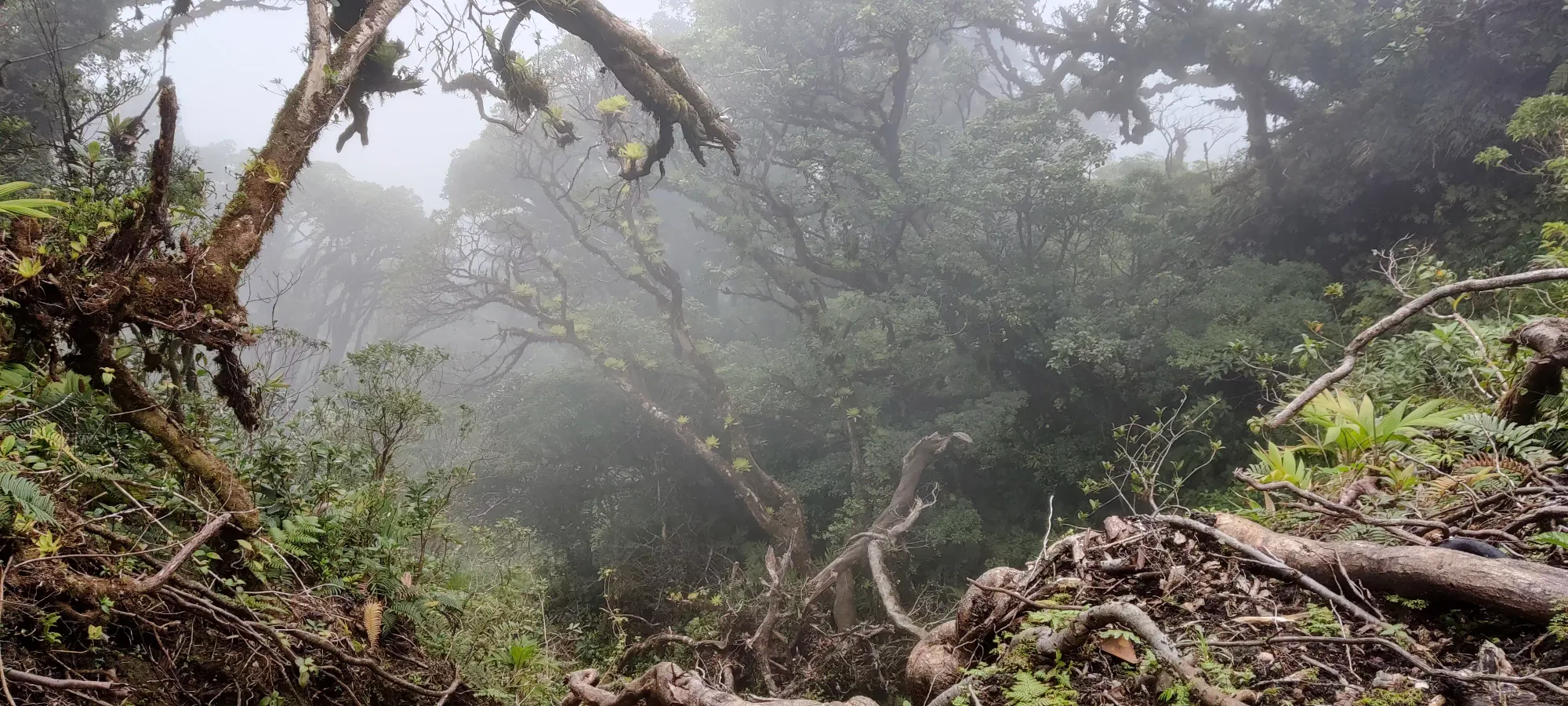
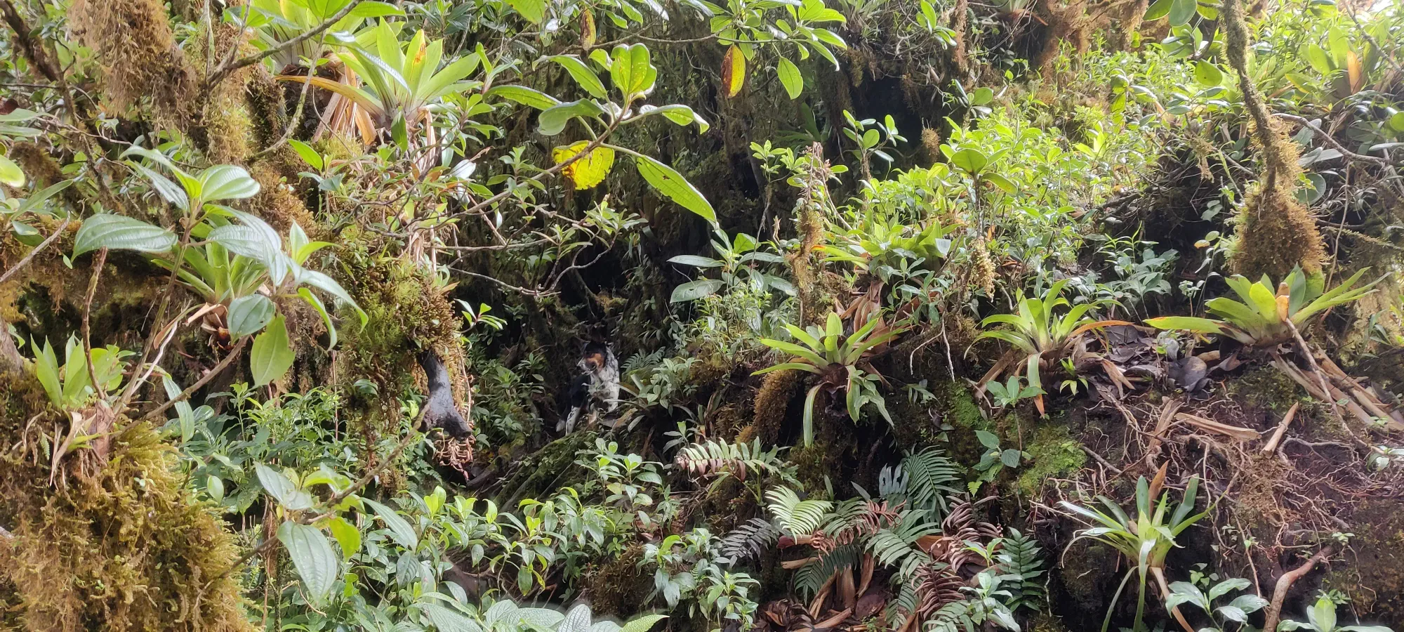
A few minutes in to the summit bid, the dogs started running around and barking with notable fervor. I gave Julian a quizzical look, and his response was as usual partially discernible for my monolinguist self, but I did catch "tigre" and "puma", which were not exactly the words I wanted to hear. After maybe 30 seconds, though, the dogs calmed down and Julian seemed to be satisfied, as we then continued climbing. I am alive and intact, so it seems if there was such a cat, the dogs did an excellent job at driving them away. I'm not much of a dog person, but I was quite happy for their presence on this trip.
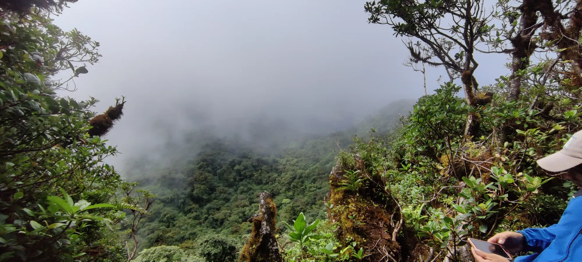
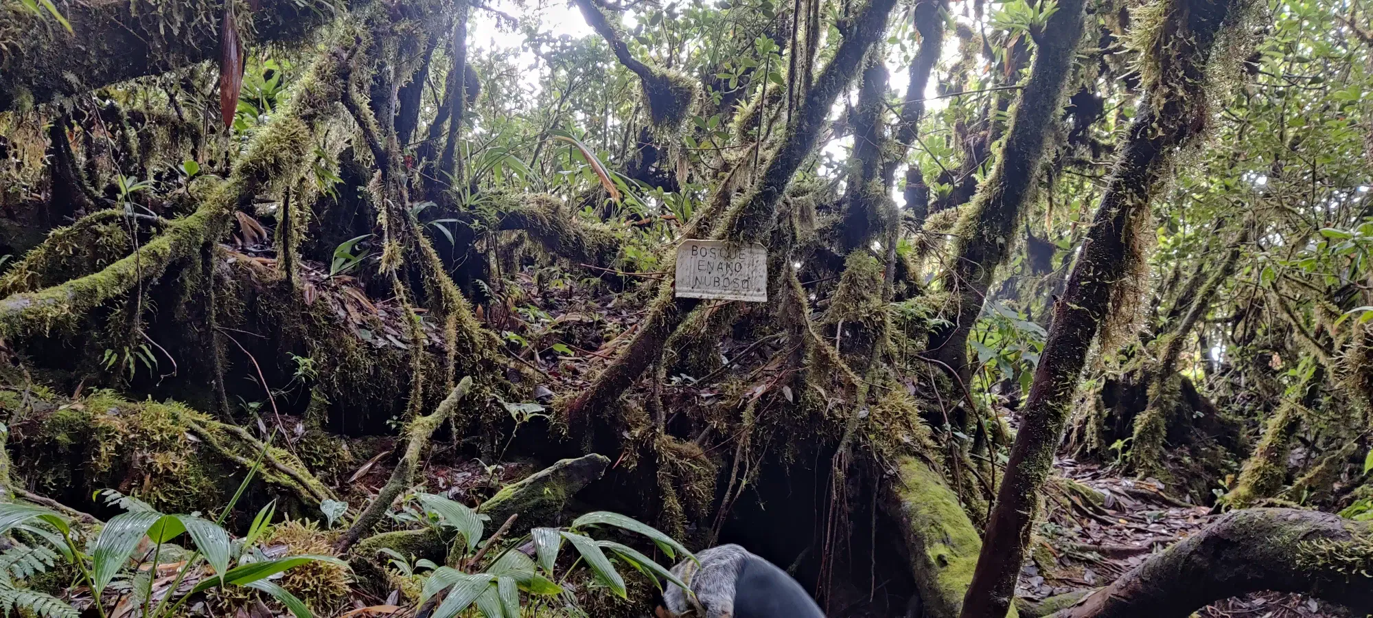
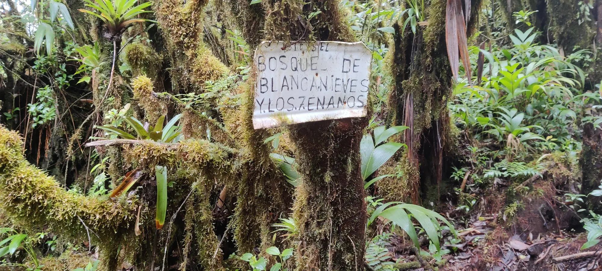
The total summit lasted for about 20 minutes, and we got to the top in just about 3.5 hours. With the 15-minute lunch break before, I was pretty happy, given both my conservative estimate and the guide's estimate were 4 hours up. For the elevation gain and heat, that's not terrible, I'd say. The summit itself was quite uninspiring, just a mound of vegetation and trees. I whacked my was as far as solid ground and "reasonable disturbance of the vegetation" would allow. Admittedly I might've been a foot or two below the "truly highest dirt", but given the care the country seems to take for their parks and forest, I felt bashing through the remaining plants would've been too much. Some may feel this discounts this as a summit attained, but I drew the line at "I did all the work, just didn't want to trample plants unnecessarily for 3 more metres".
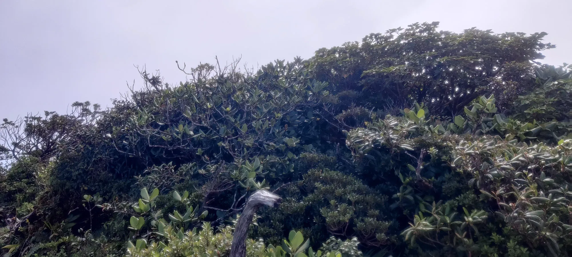
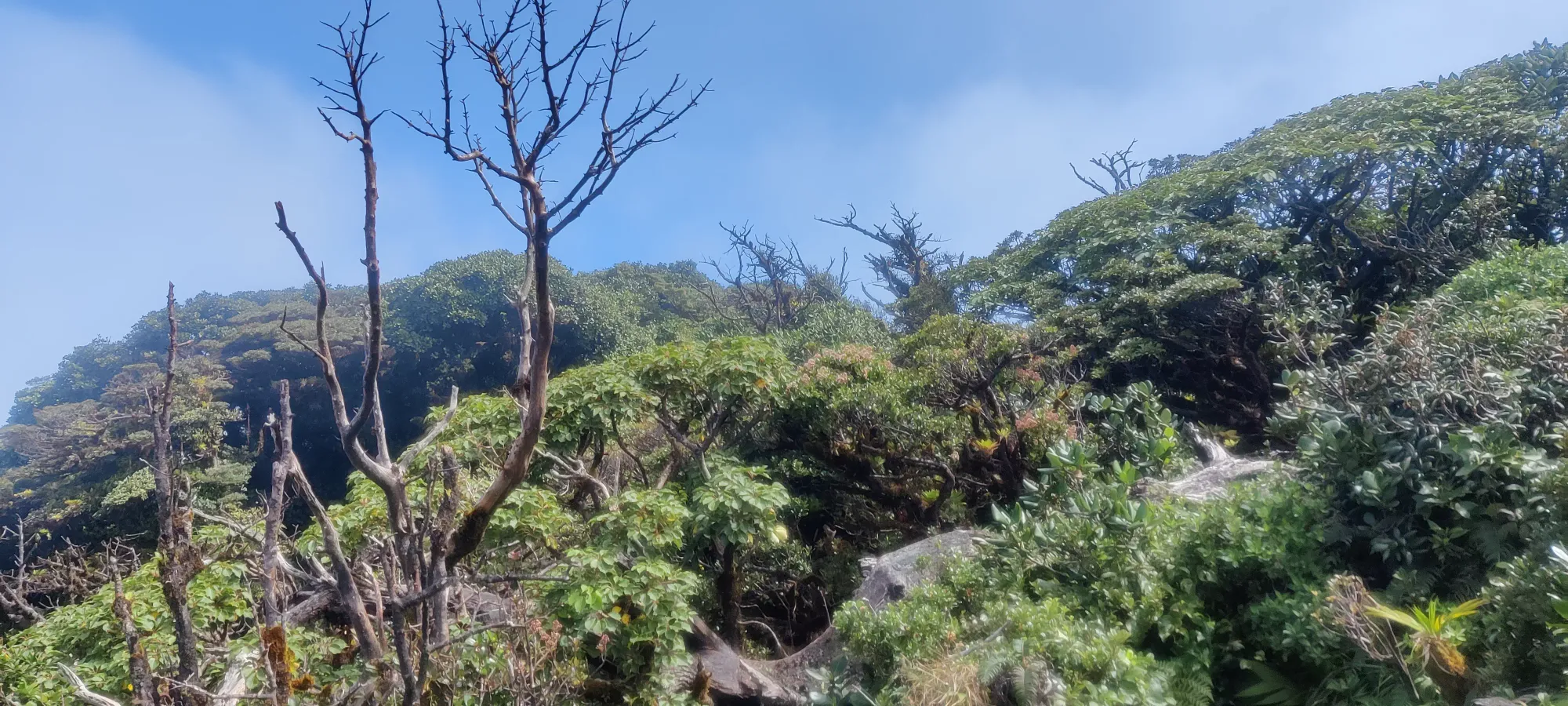
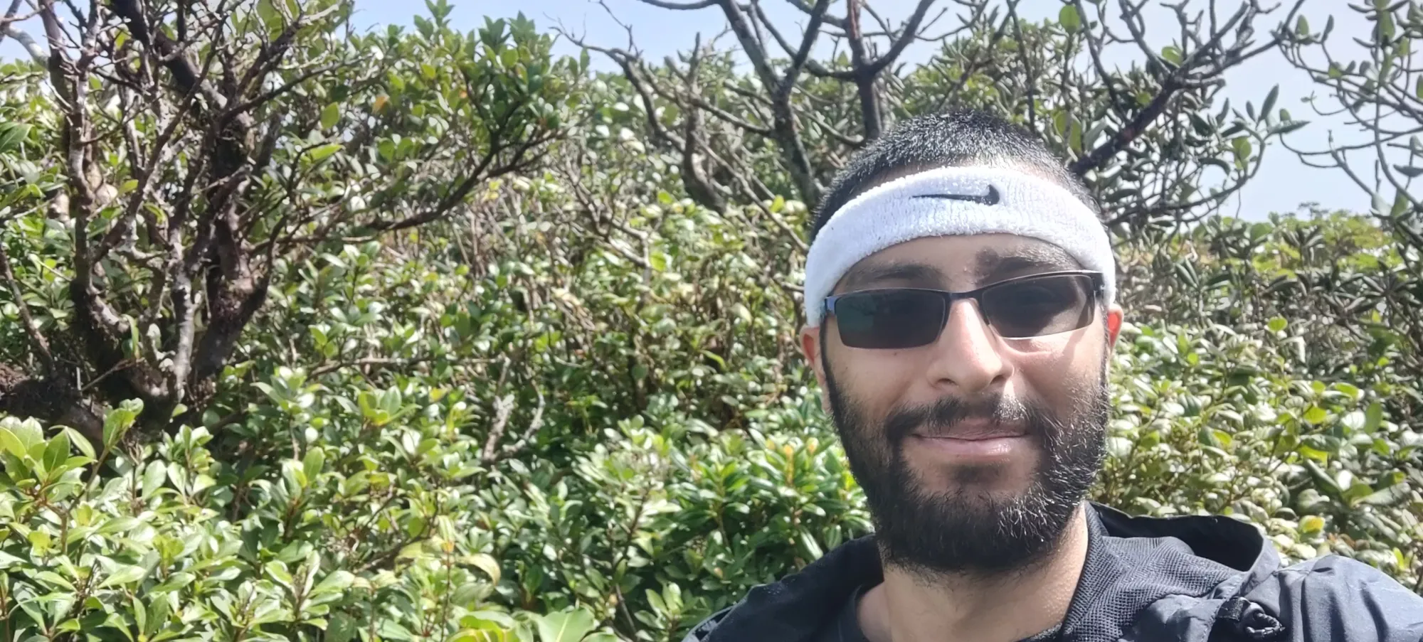
After getting my "top of the mountain" photos, we went a couple metres down to a tree that extended over the slopes of the peak, where we got some views and snapped some fun pictures before heading back.
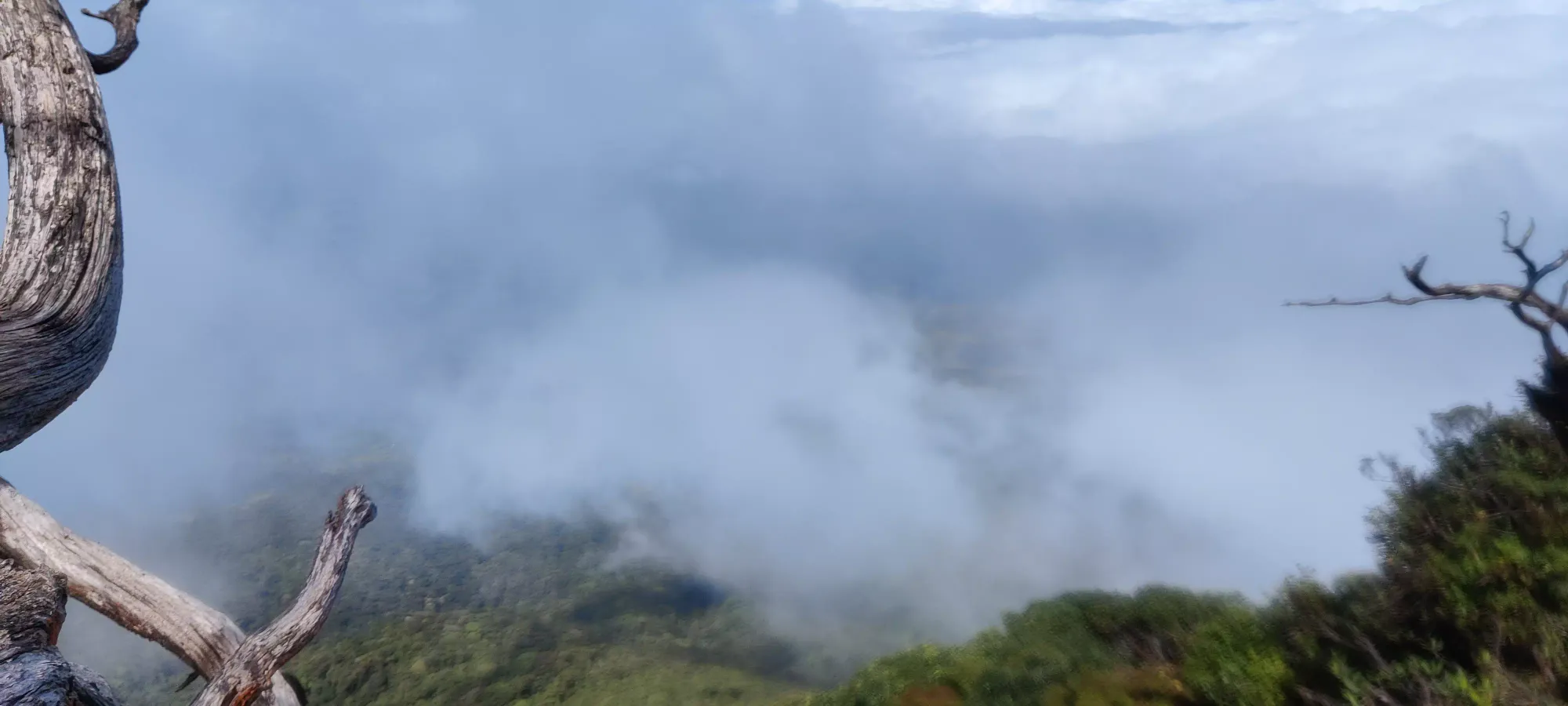
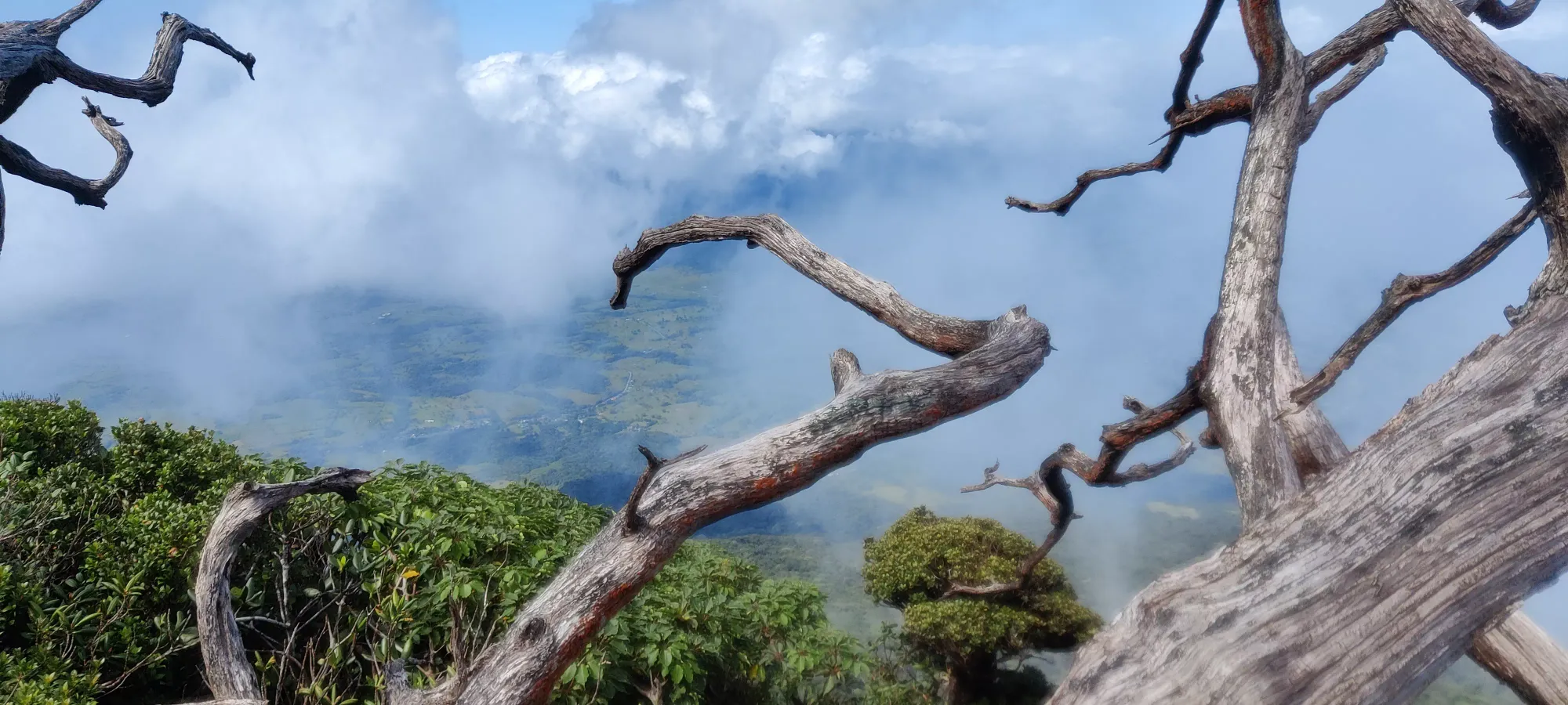
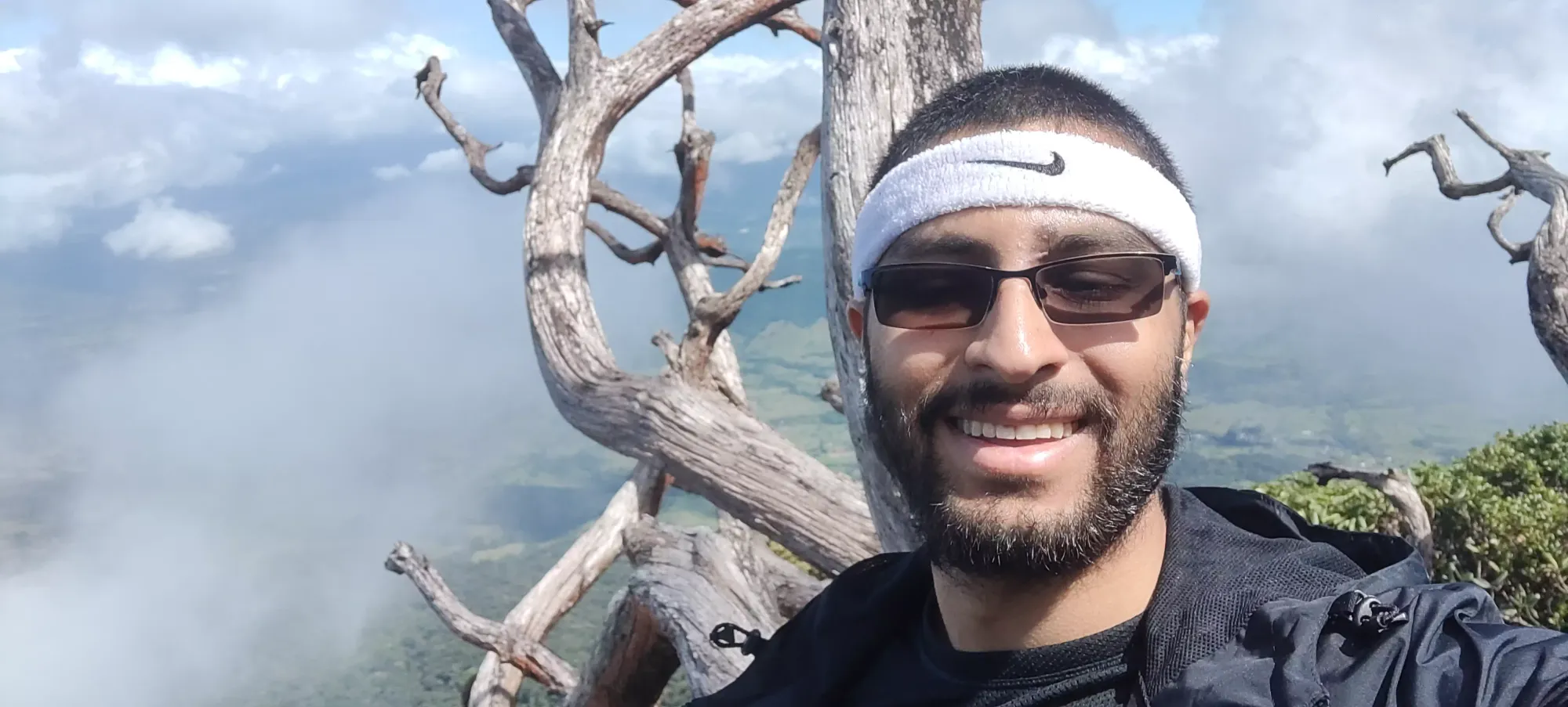
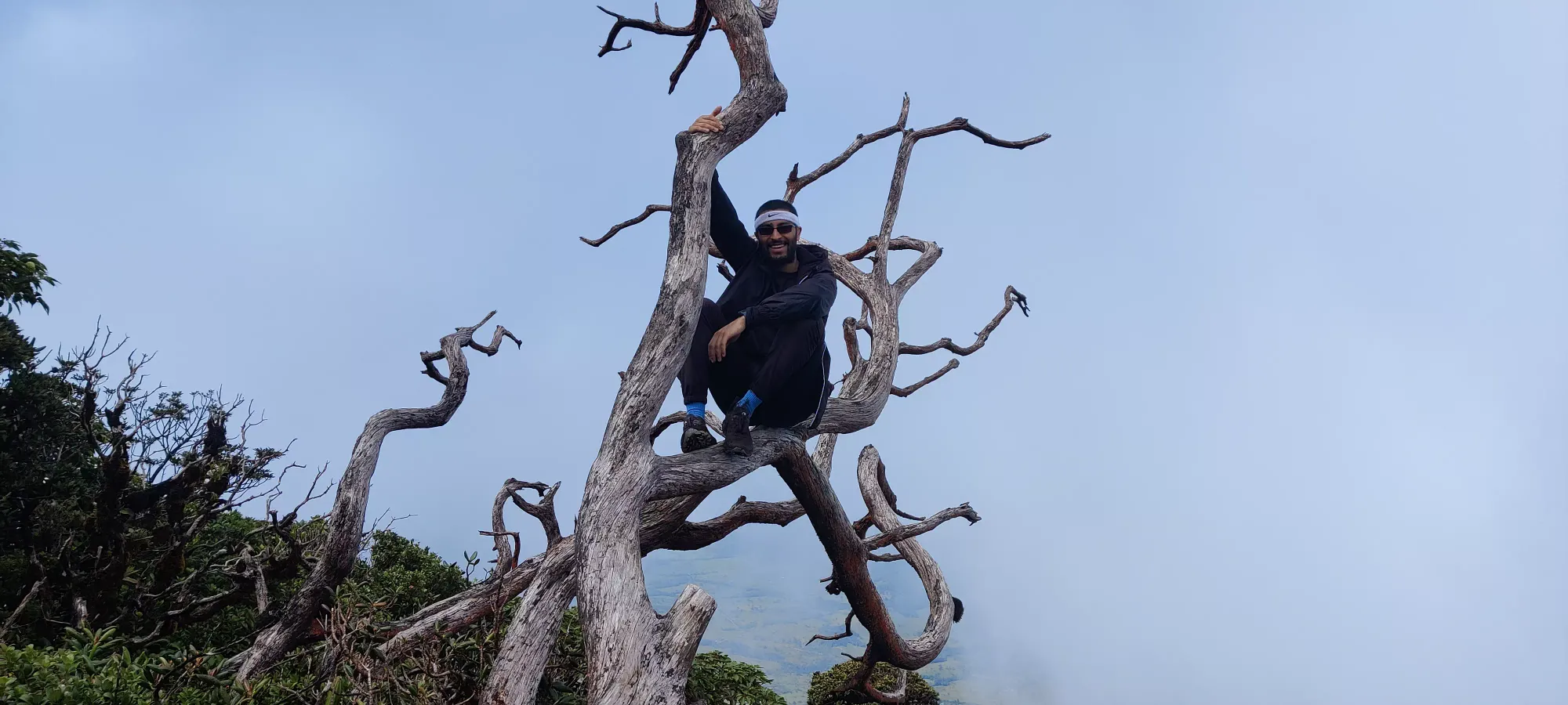
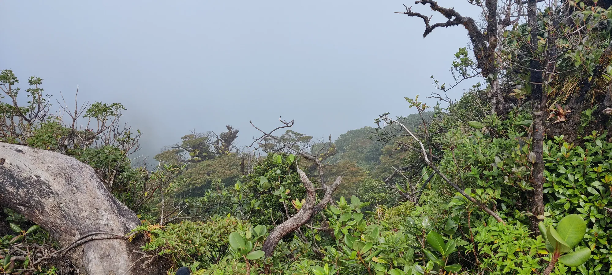
We spent about 10 minutes up top, but with a long descent, 2+ hour drive, and a 5:00 closing time for the rental place, which already seemed to be lax with their hours, I didn't want to hang around for too long. Especially with the steepness of the trail, the mud for the first part of the descent, and my still-present broken finger making me unwilling to push myself to the point of risking a fall, I didn't want to be pressed for time driving through a foreign country.
An hour's work brought us back down to the junction for the specific descent trail (1570m). Sadly the top half in the mud was less successful than on the ascent, and I did dunk my feet into the muck a couple of times. Thankfully I was able to extricate myself before it sank into the shoes, but I did get a bit dirtier than I had hoped to. I at least managed to avoid getting so dirty that the rental company would charge me for dirtying the car, so that's a win in a sense. Once we got below 1800m, though, I was able to pick the pace up a bit, and was no longer lagging behind.
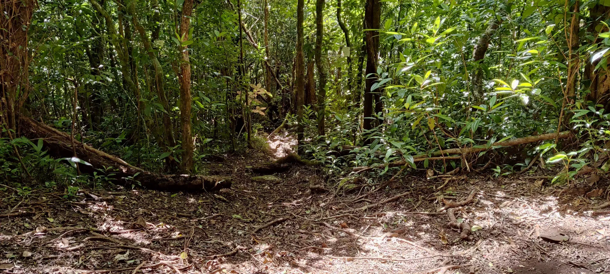
A couple minutes after getting onto the descent trail, I noticed we were going more skier's left than I had expected. It turns out that was "correct intuition", as we soon popped out of the forest, and onto the open, grassy slopes more toward the southern side of the volcano. It turns out there's a cool viewpoint on the edge of a cliff there we went to check out, along with a fun rock you can take pictures on.
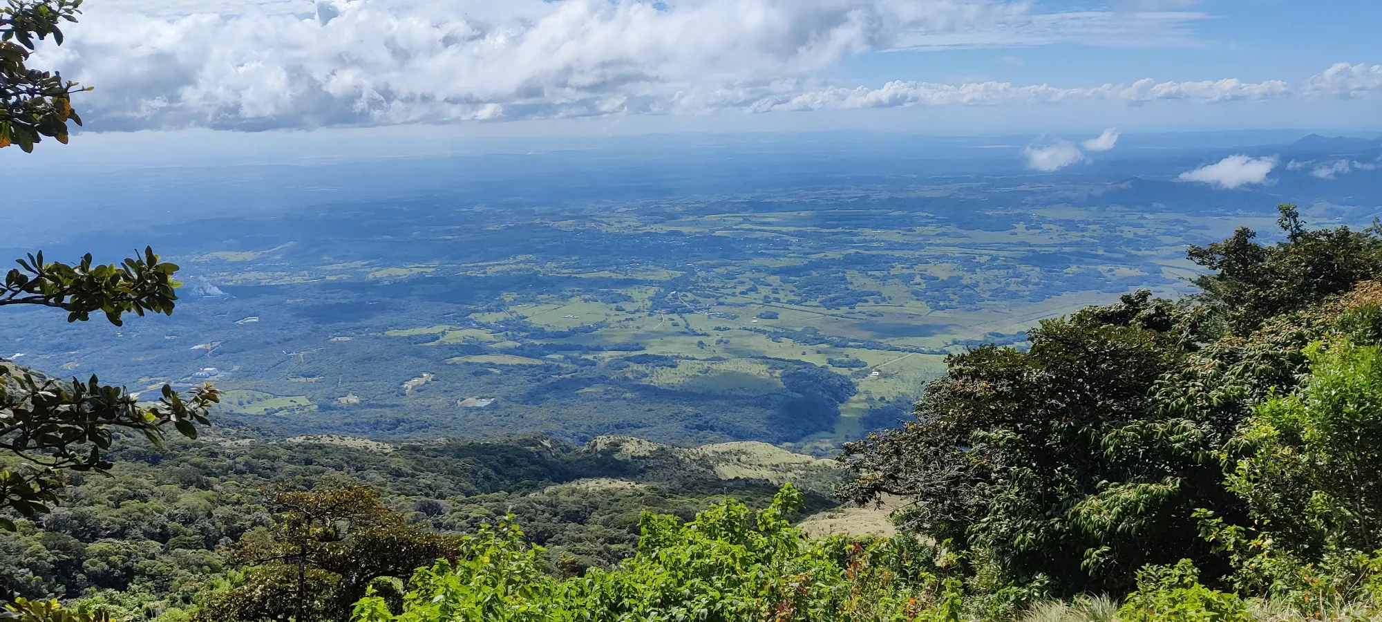
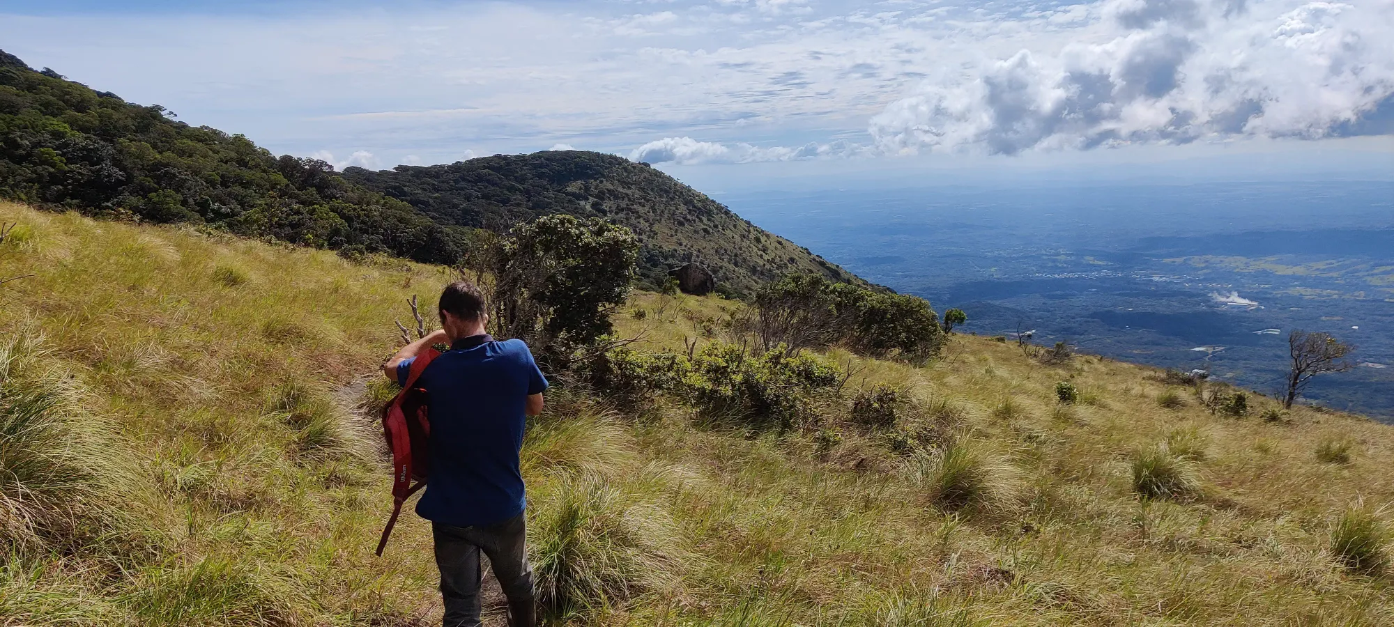
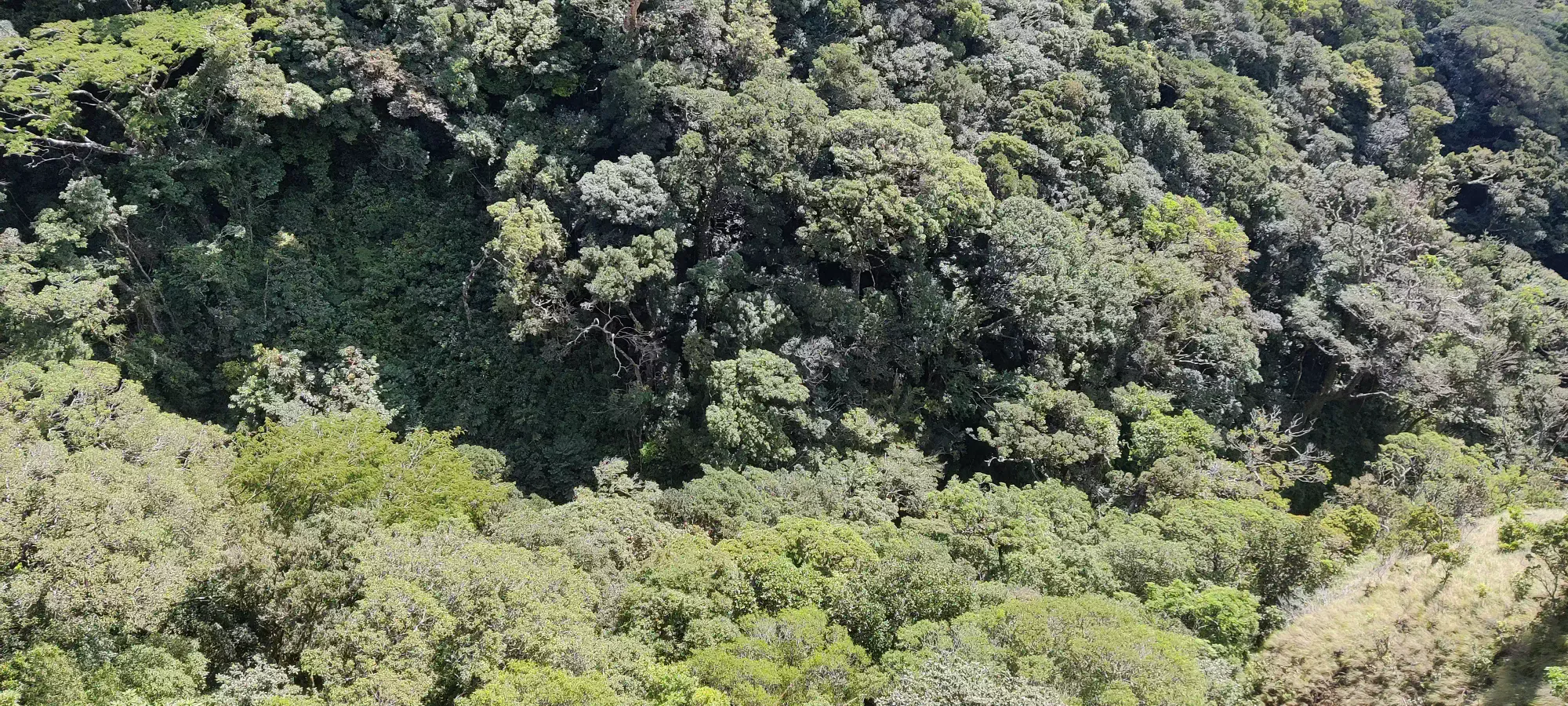
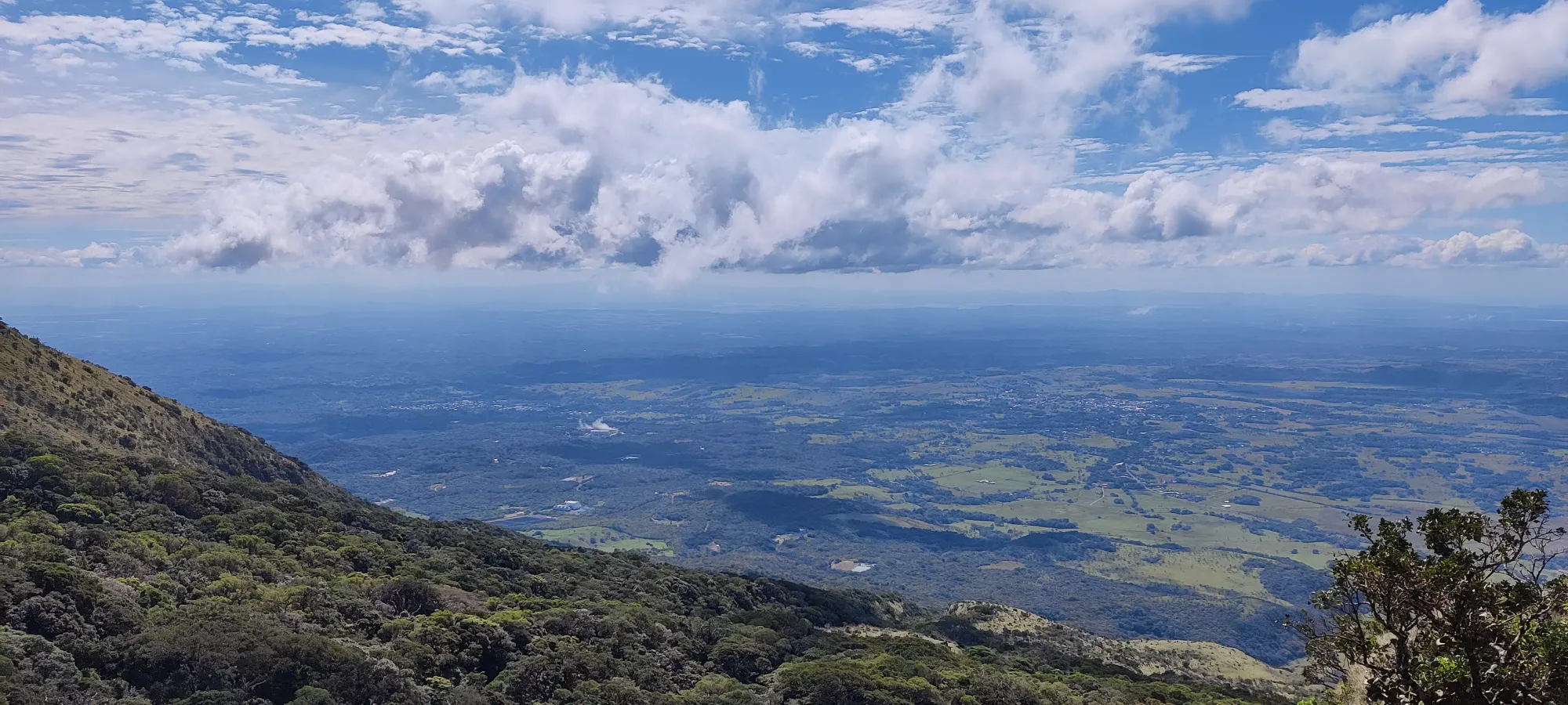
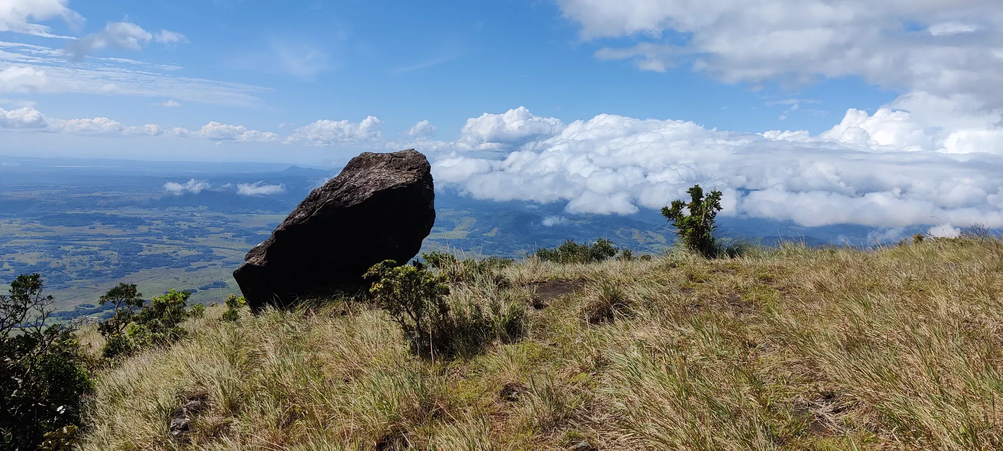
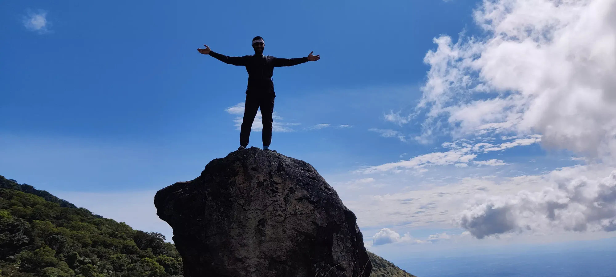
After our quick (worthwhile) detour, Julian gave me the option to head back into the forest (and the shade), or head down the grassy slopes instead. He said the grassy slopes were faster, and while I was definitely warm and sweating again, I knew I'd be alright, so I went with the faster method. Glad to see the option is present, though, if you're not feeling too hot (or rather, if you are).
We cut off about 170m of elevation more on the grassy slopes before cutting back into the forest at 1270m. The dirt was quite hard, and often downsloping, so with the grass often obscuring the path a bit, you couldn't quite run down with full confidence, but we were still going faster than a walk, so I think it was the efficient choice compared to the steep root-dodging you'd have to do in the forest.
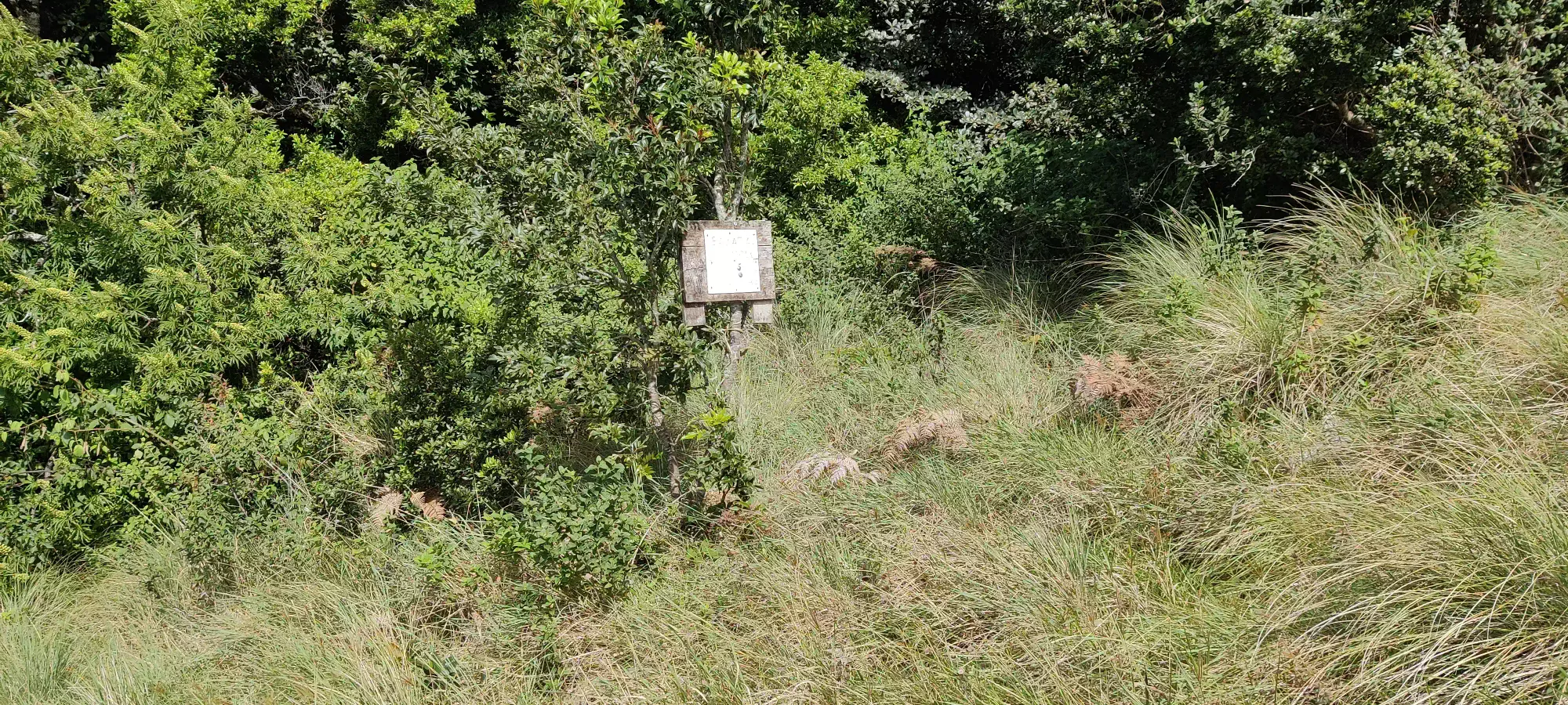
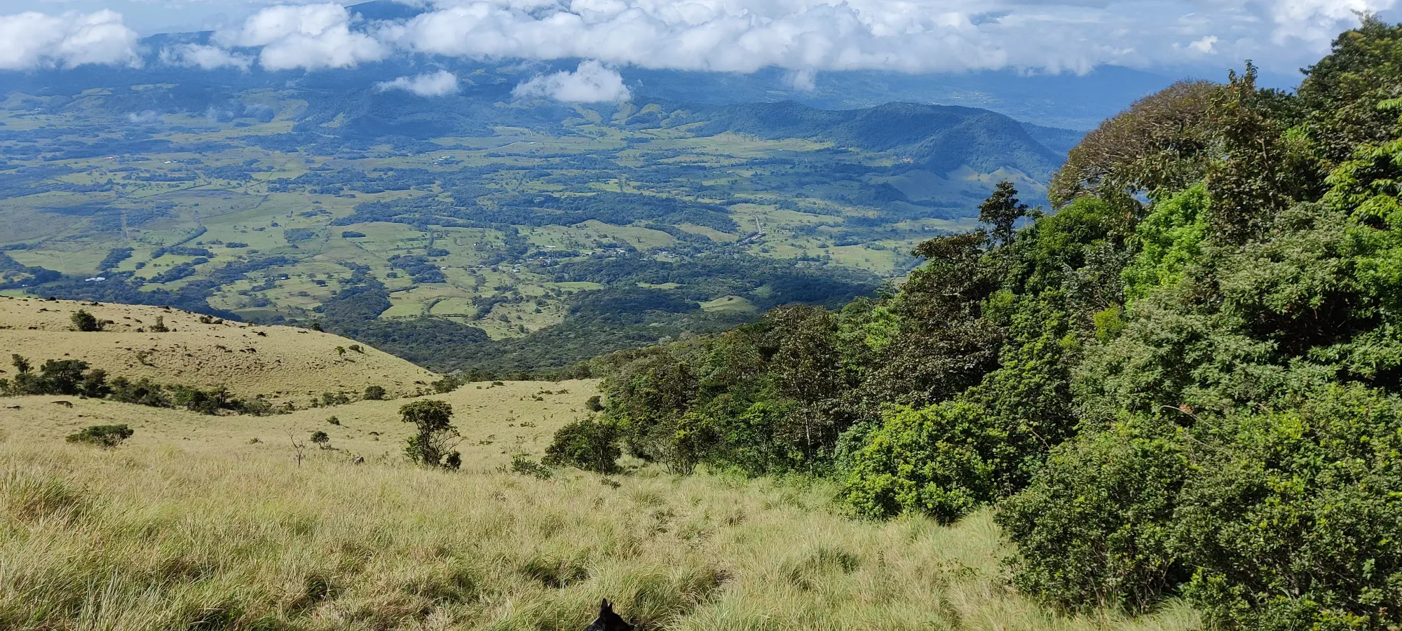
When we got back into the forest, it was at a low enough elevation that the grade had lessened a bit, and it wasn't quite as rooty, so we could continue at a fairly good clip. There was one section where we slowed down after hearing some fairly loud activity in the trees, but we didn't end up seeing any animals, just the shaking trees, and after we got a bit of clearance, we picked things up again. This leg took us about 35 minutes, and brought us to the exit of the forest, back to the cow pasture at 830m.
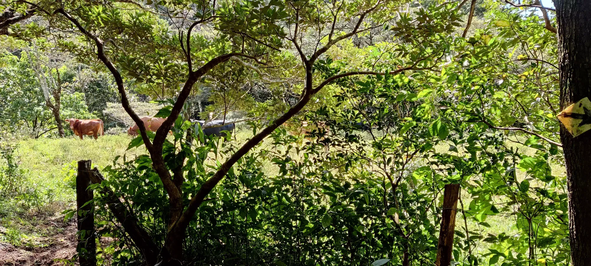
From there to the car was another 15 minutes of casual walking back down the farmland, nothing notable other than "we took more detours off the beaten trail, so if you want to follow that, then use the uptrack and/or your eyes". Upon returning, we spent a few minutes changing shoes and having some water. He may or may not have invited me to come inside, I think so, but I wasn't really sure. Since I also had a 2+ hour drive without traffic ahead, and didn't know how much time traffic might add on, I didn't want to dawdle. Hopefully I wasn't accidentally rude or anything (checking your offline translation apps are working before deciding they're ready is a good plan. Or just having someone along who speaks the local language, of course).
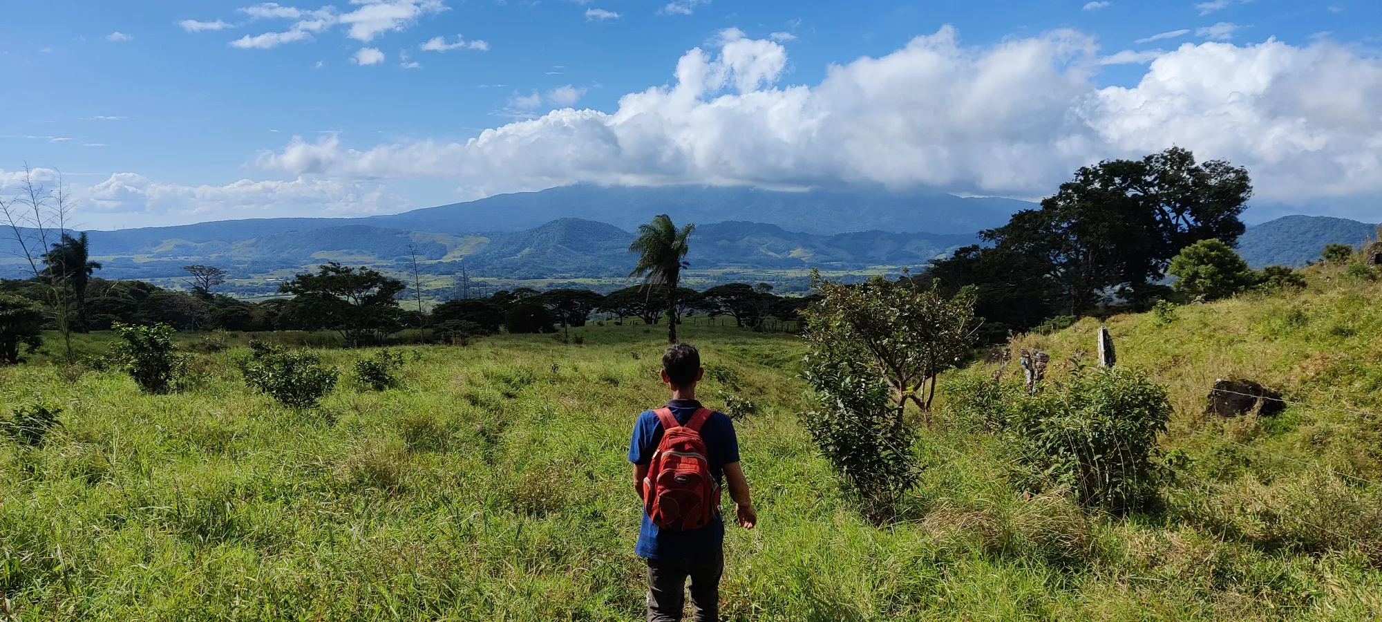
Overall, we managed to get done in under 6 hours, and I suspect with the right gear (boots) and fewer breaks for photos or food (especially if you don't eat then drive 2 hours before starting) you could do it in under 5 even with my middling fitness. It was definitely a fun trip; I was quite happy to continue the peak streak despite being on vacation (thanks to the family for accommodating my obsession), and an ultra no less! Special thanks to Logan for playing middle man, and Freddy + Julian for the excellent trail maintenance, allowing access through their property, and for the guiding.
GPX Track + Map
