Vogel Peak - June 14 2025
An often-overlooked summit north of Pemberton just north of Chain Lakes. There's no trail, but the terrain is simple, and if you go with a decent snowpack, that makes travel quite pleasant. Probably skiable on the north gully as well!

Tenquille Lake Area, Pemberton, BC
1966m
I wasn't sure what to do on this Saturday morning, so I messaged Kelly to see what he was up to. He was eager to get out, but had to get home early for some family stuff, so that conveniently reduced our options to not-huge peaks neither of us had bagged near his place. He threw Vogel Peak out there, and it seemed like it would fit the bill. Plus, despite the dearth of ascents on Peakbagger, it has over 400m of prominence, so it's very much a real mountain worth ascending. So, I drove up Friday night to Kelly's place to make the alpine start a bit more tolerable, and we set out at way-too-early A.M. 😅
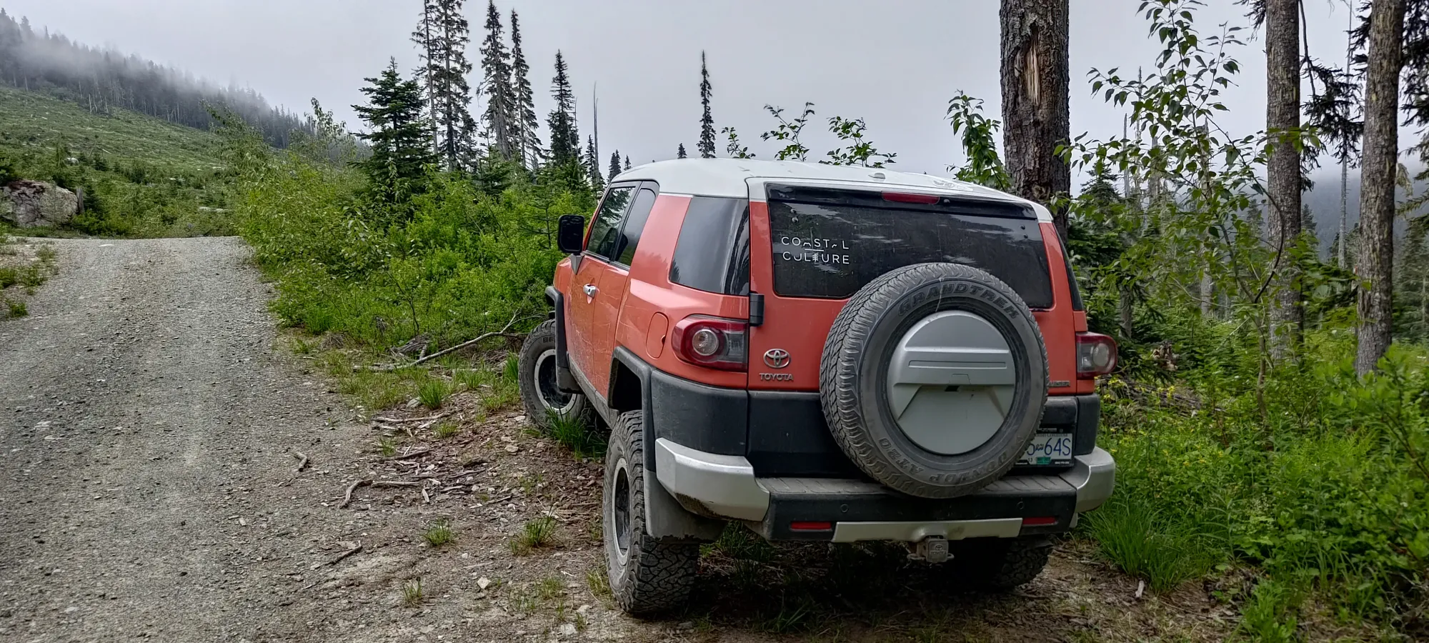
The drive up was pretty easy, the Owl Creek FSR is in good shape, with only moderate water bars to contend with. We got geared up and moving by 6:36am, ensuring we'd have ample time to get up and down and get Kelly home for his 1:00pm deadline.
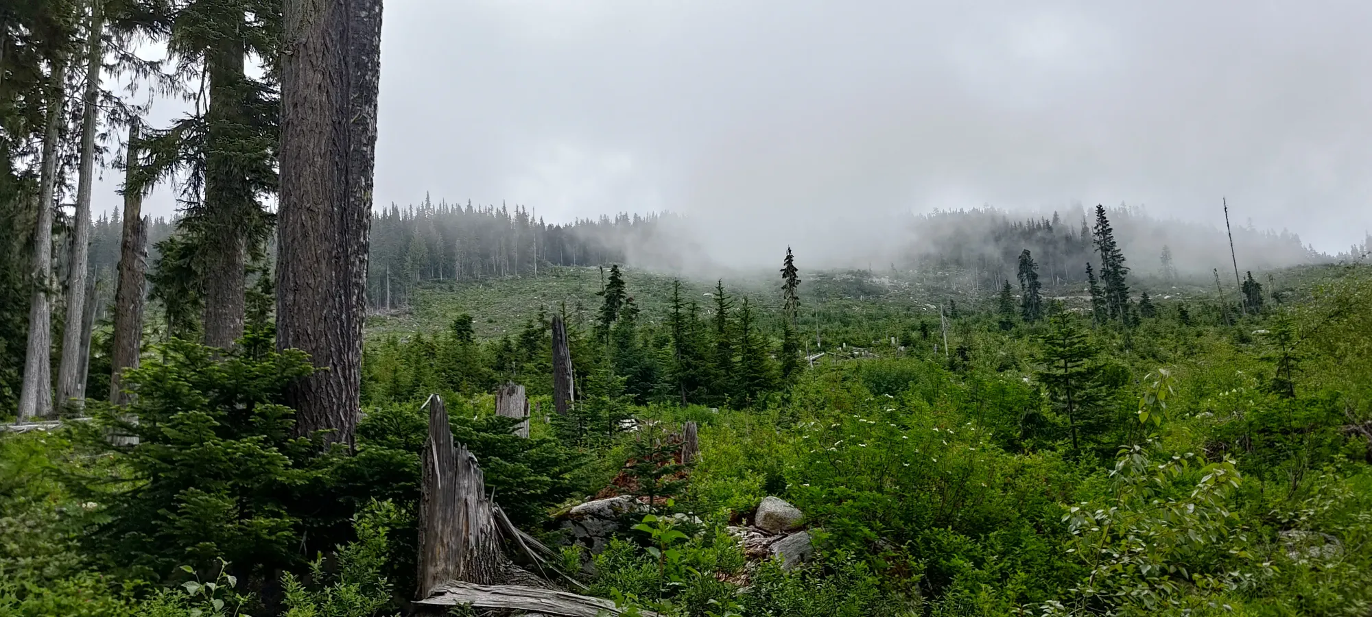
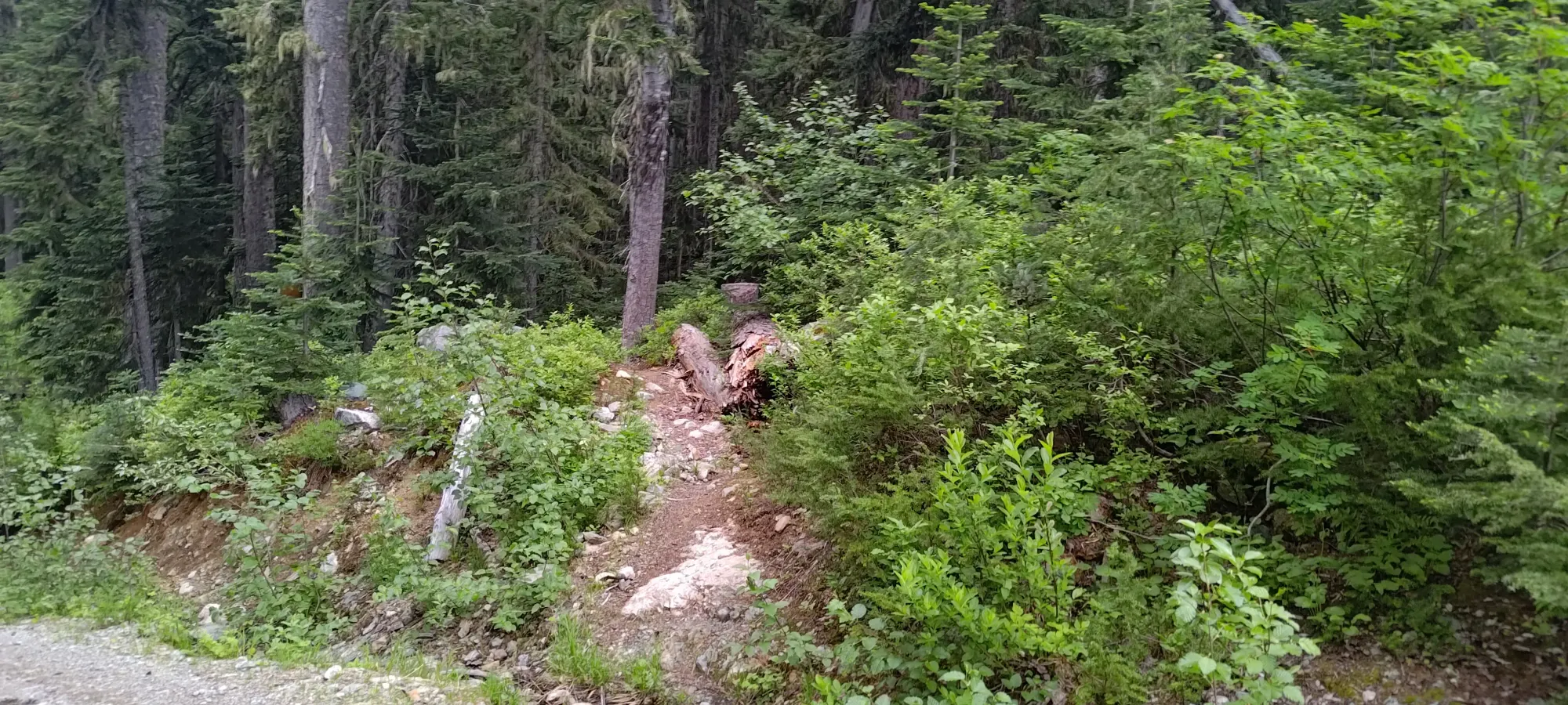
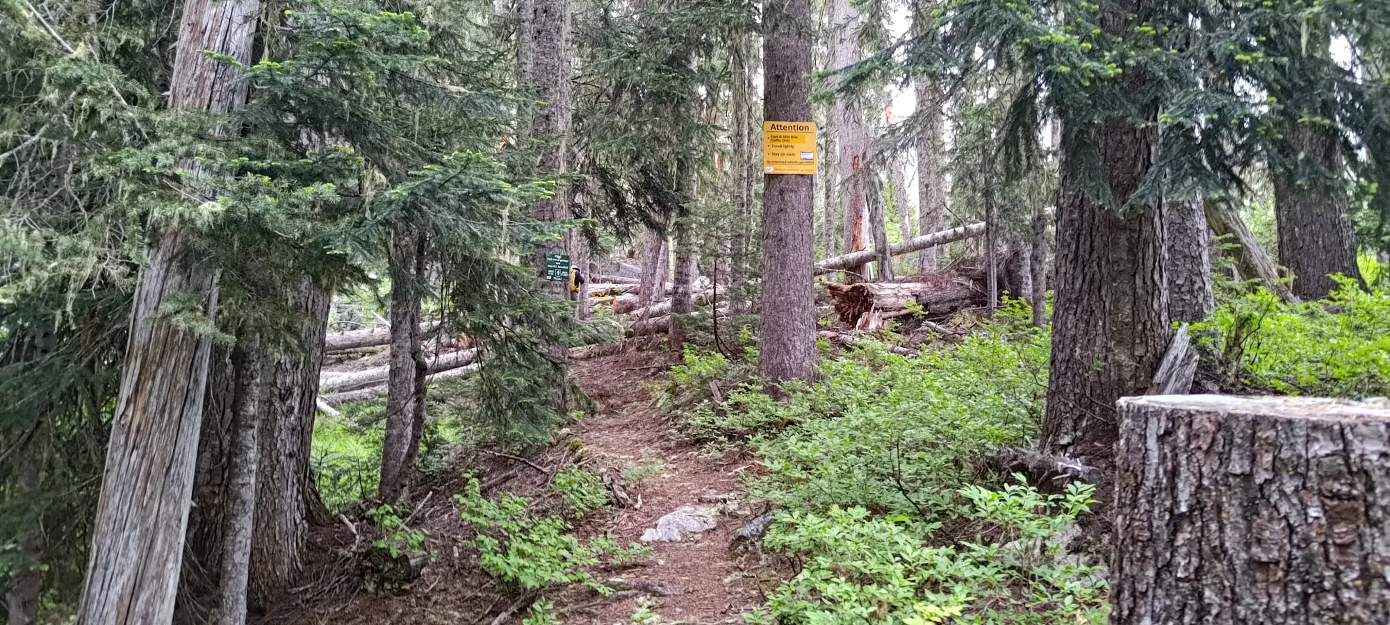
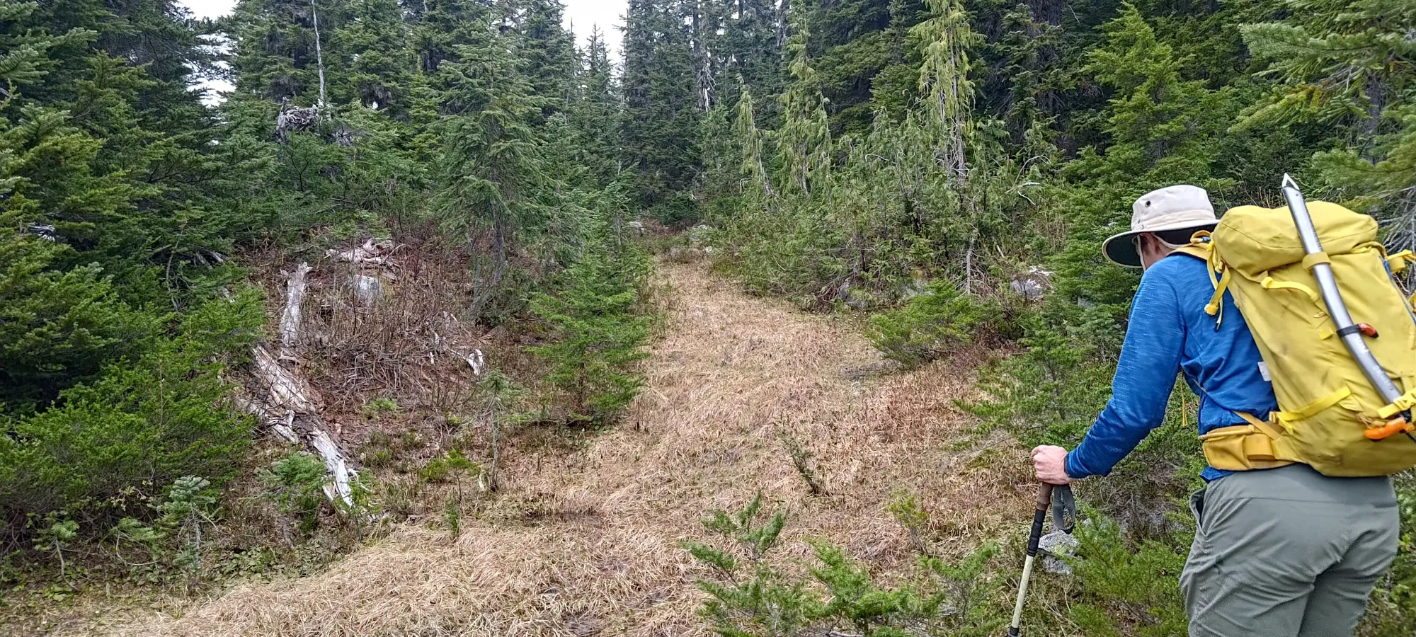
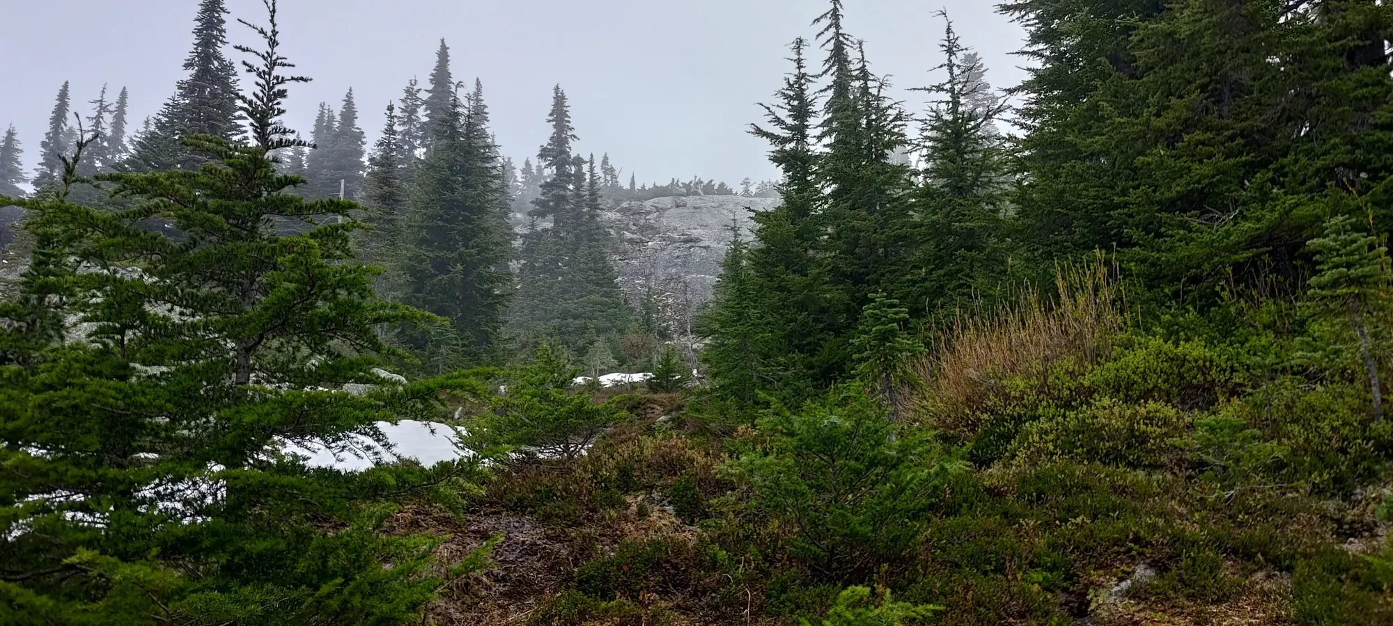
Other than a few deadfall, and some muddy sections probably to be blamed on the ongoing melting of snow, the trail is in pretty great shape. Kelly wasn't pushing us super hard, so we actually only gained about 300-350m of elevation over about 3.5km in the first hour. That's, like, a normal pace 😄
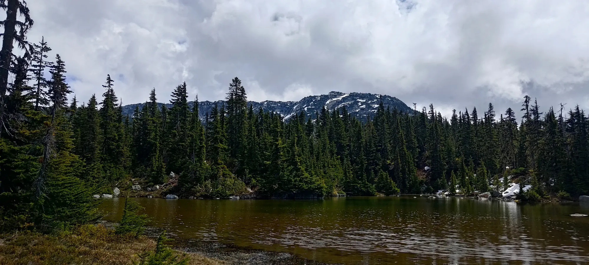
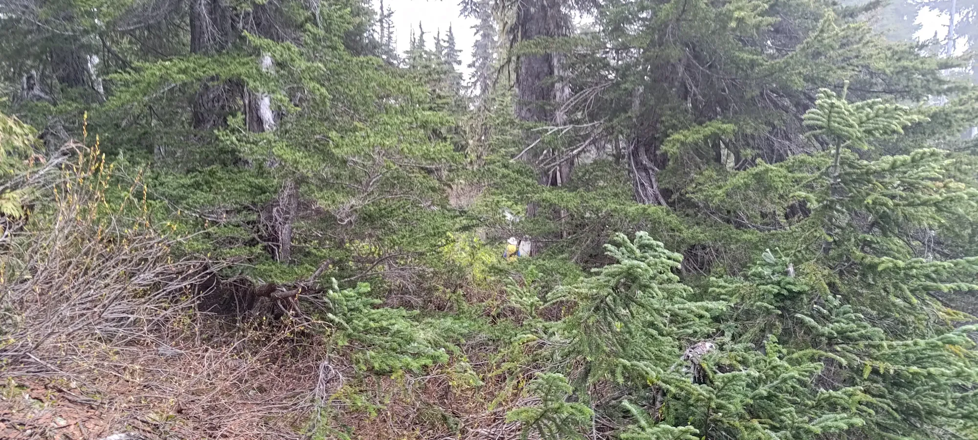
Once we got to 1550m (the hour-in point), I actually had a 10-minute bathroom break (alpine starts really aren't my best friend), but after that, we started wandering to the east to try and get across the maze of ponds, bushes, and swamps to start ascending the mountain proper. This was quite the process, taking us over half an hour to gain basically zero elevation, just winding our way through sometimes snow, sometimes bush, sometimes open grass, and sometimes mud/swamp. Eventually, without too much bushwhacking, we found our way to the east side of those flats, and started gaining elevation towards our summit.
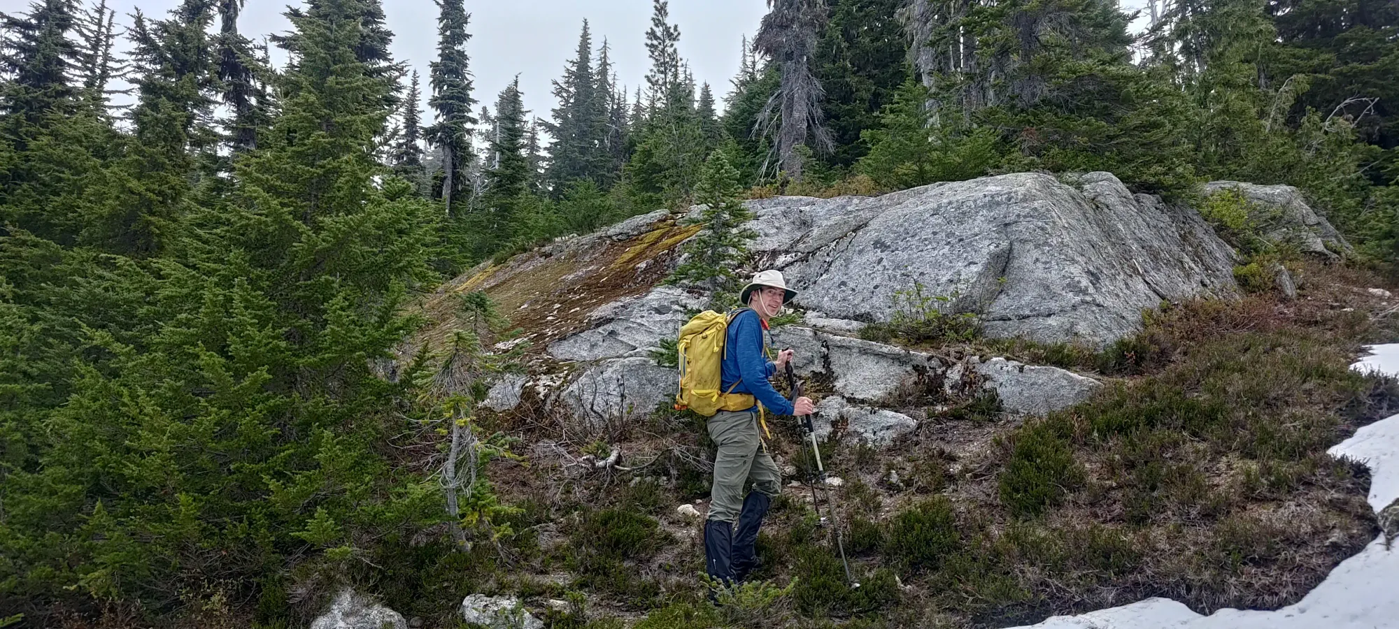
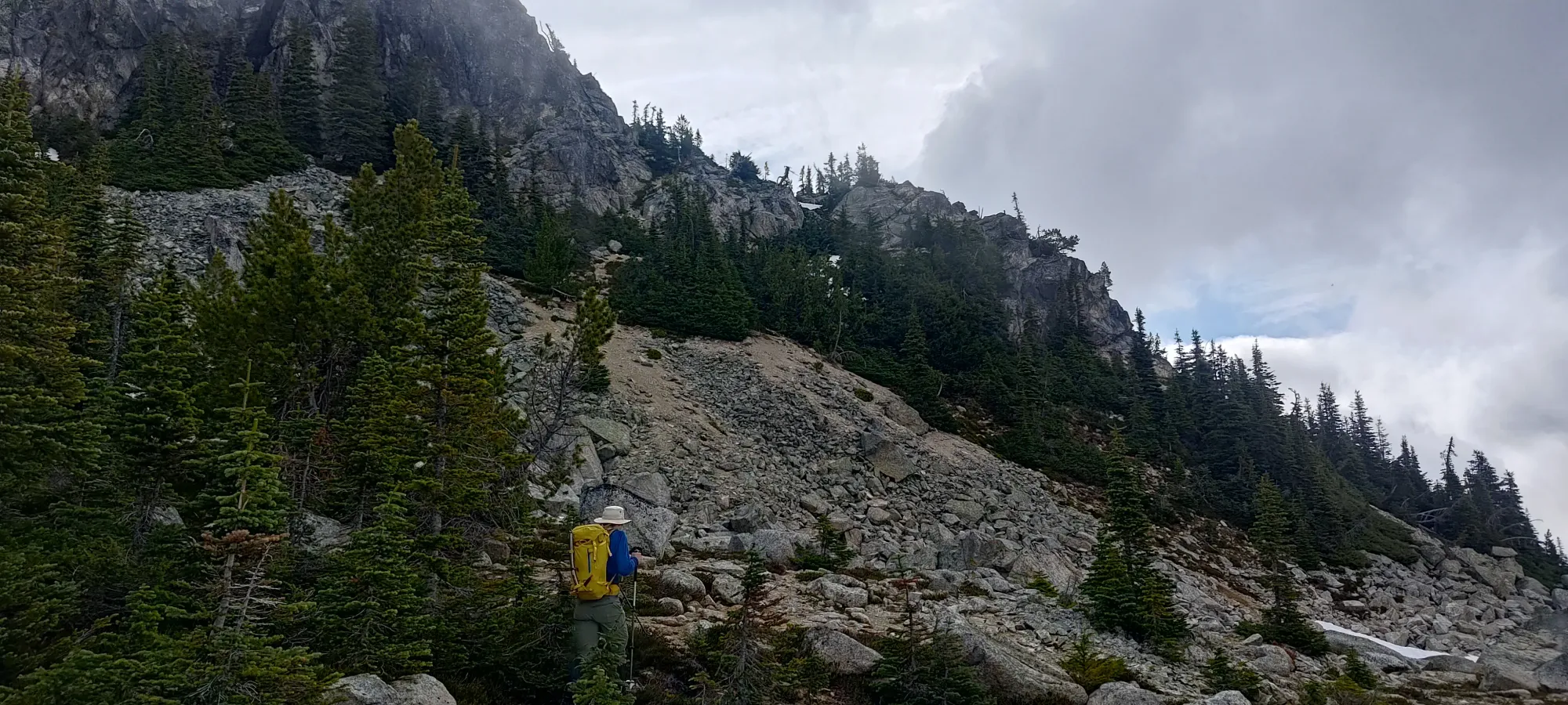
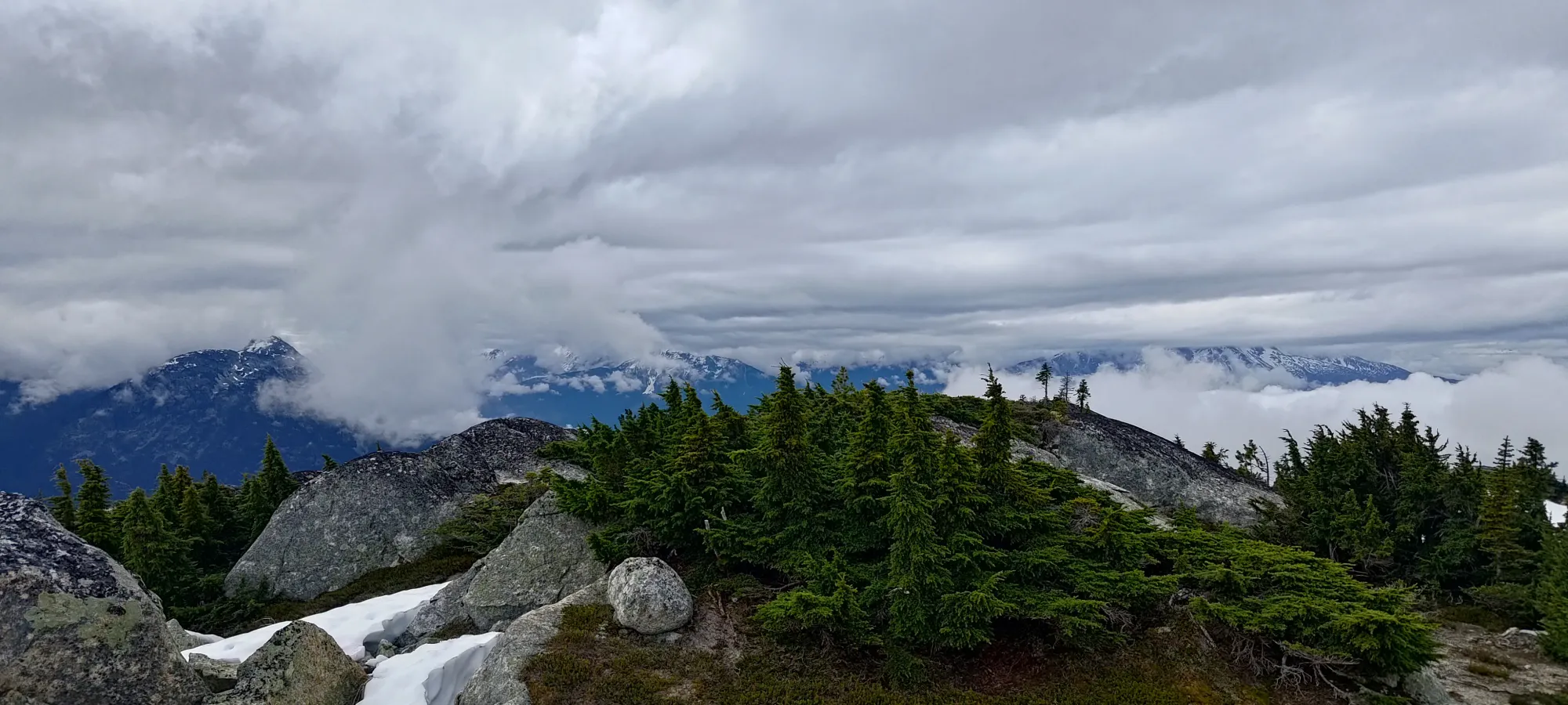
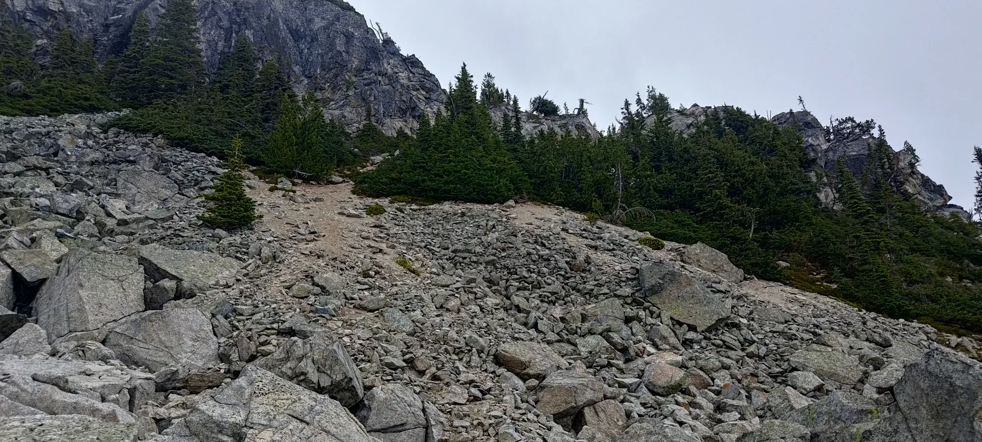
We did our best to keep to drainage paths and game trails, and this worked out fairly well, with only occasional bushwhacking moves through the forested western slopes of the mountain. Within half an hour, we made our way up high enough to break out of the forest, and into the treeline, with more slabby/bluffy terrain and sparser trees, which was quite nice. Starting above 1000m really does cut down on the forested suffering 🙂
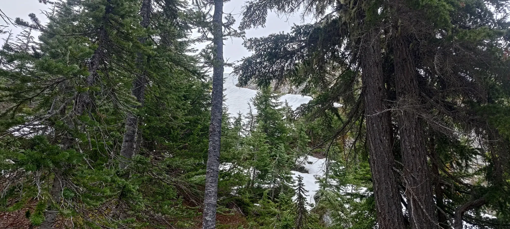
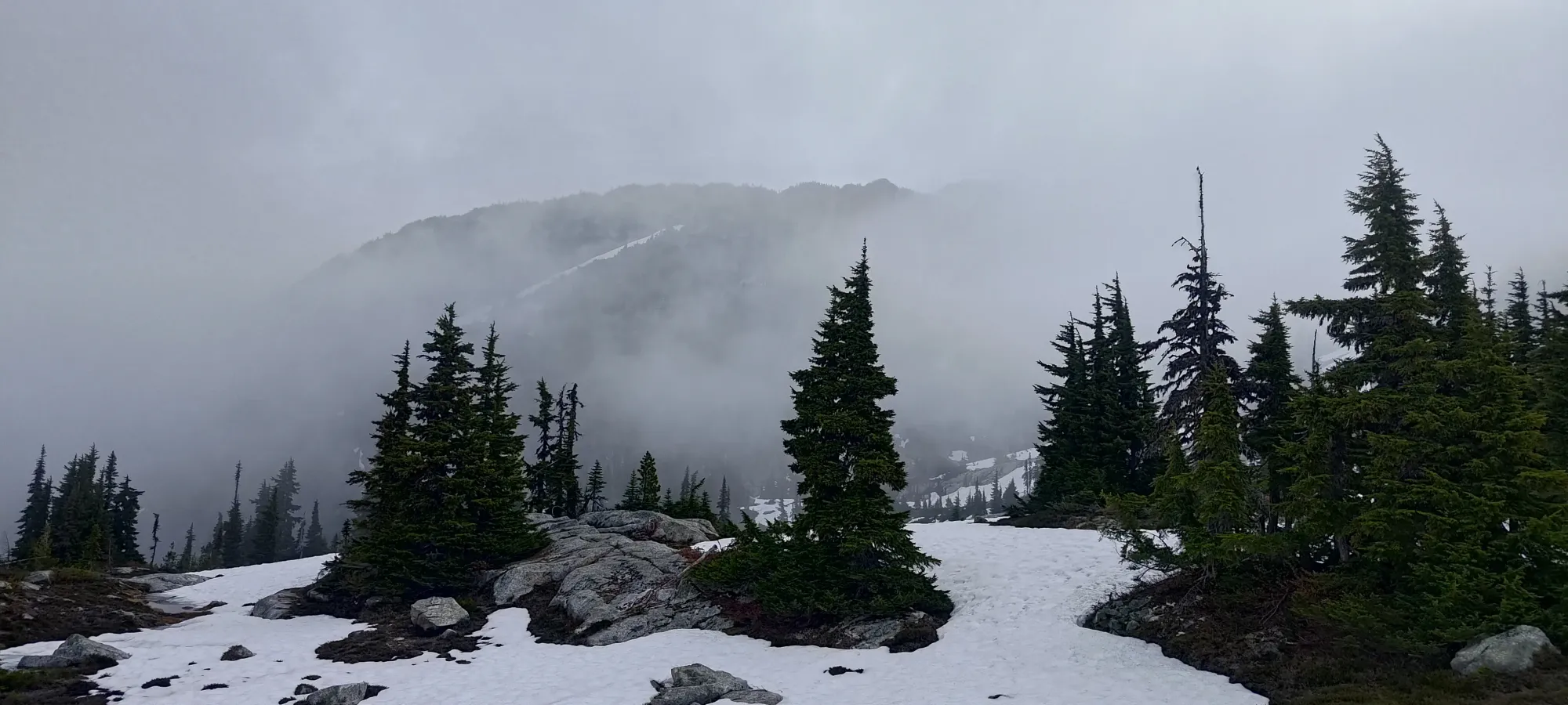
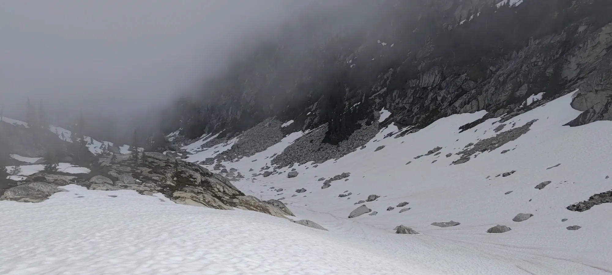
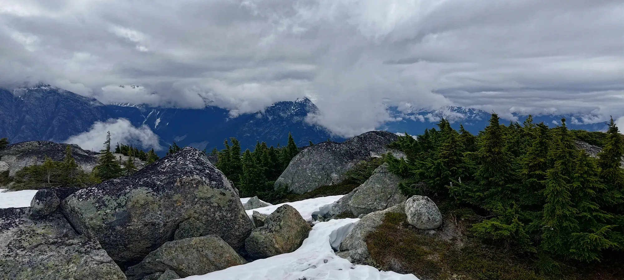
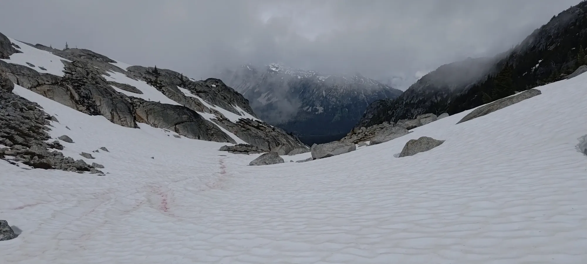
That took us above 1700m, at which point we started to curve a bit southeast towards the col between the false and true summits, changing it up from our previous northeast direction, which was just "where the easiest terrain was". We also knew the north face got sparser faster based on satellite, so once we got to easier terrain, there was no further need to go even further north when the col was south of us. There, we also started noticing the snow patches increasing in frequency, which was unsurprising given the more northern aspect, and the higher elevation.
There, I mostly followed natural drainages towards the col, whereas Kelly went off on a high traverse on some slabby rock, but we both ended up in the same place eventually. The travel was fairly easy regardless, and I expect this would remain true with no snow, some snow, or total coverage.

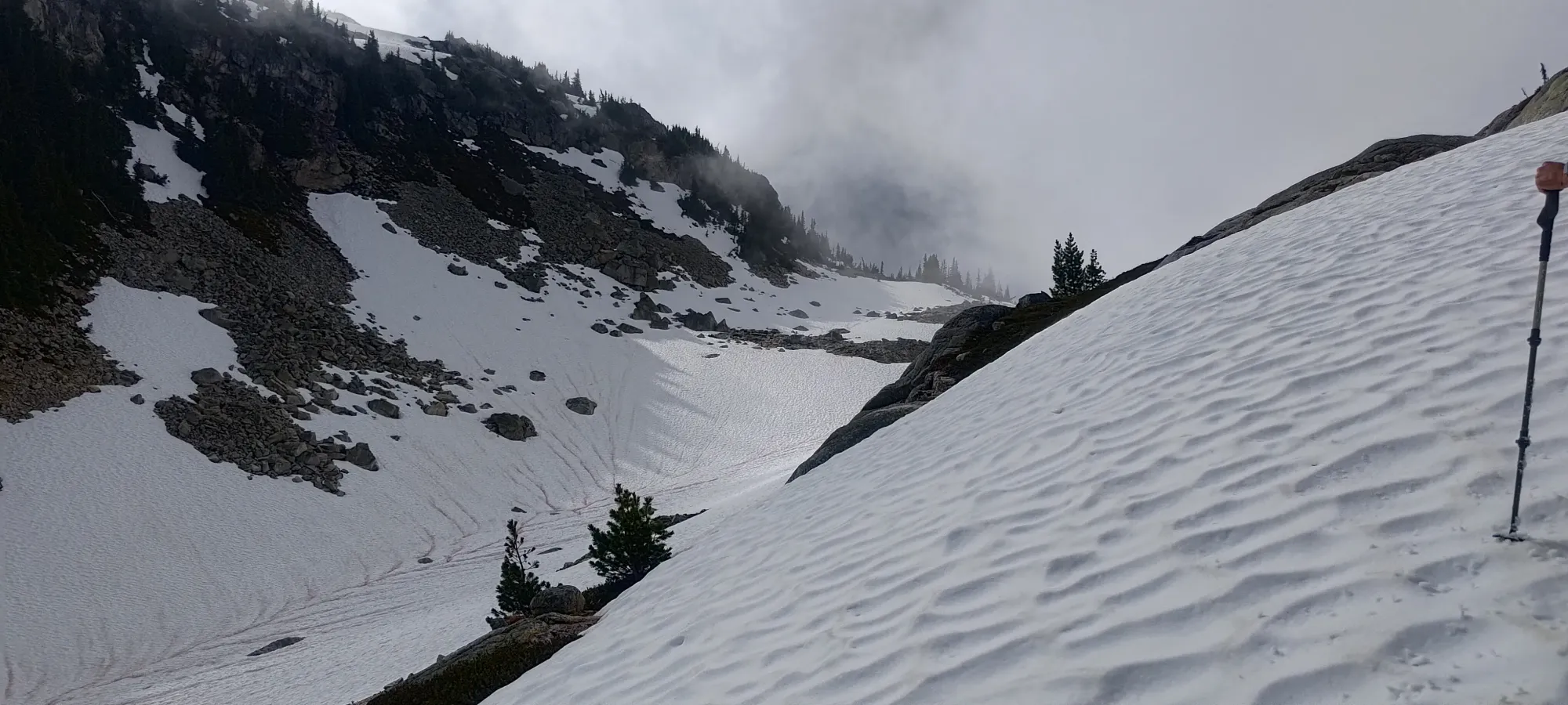
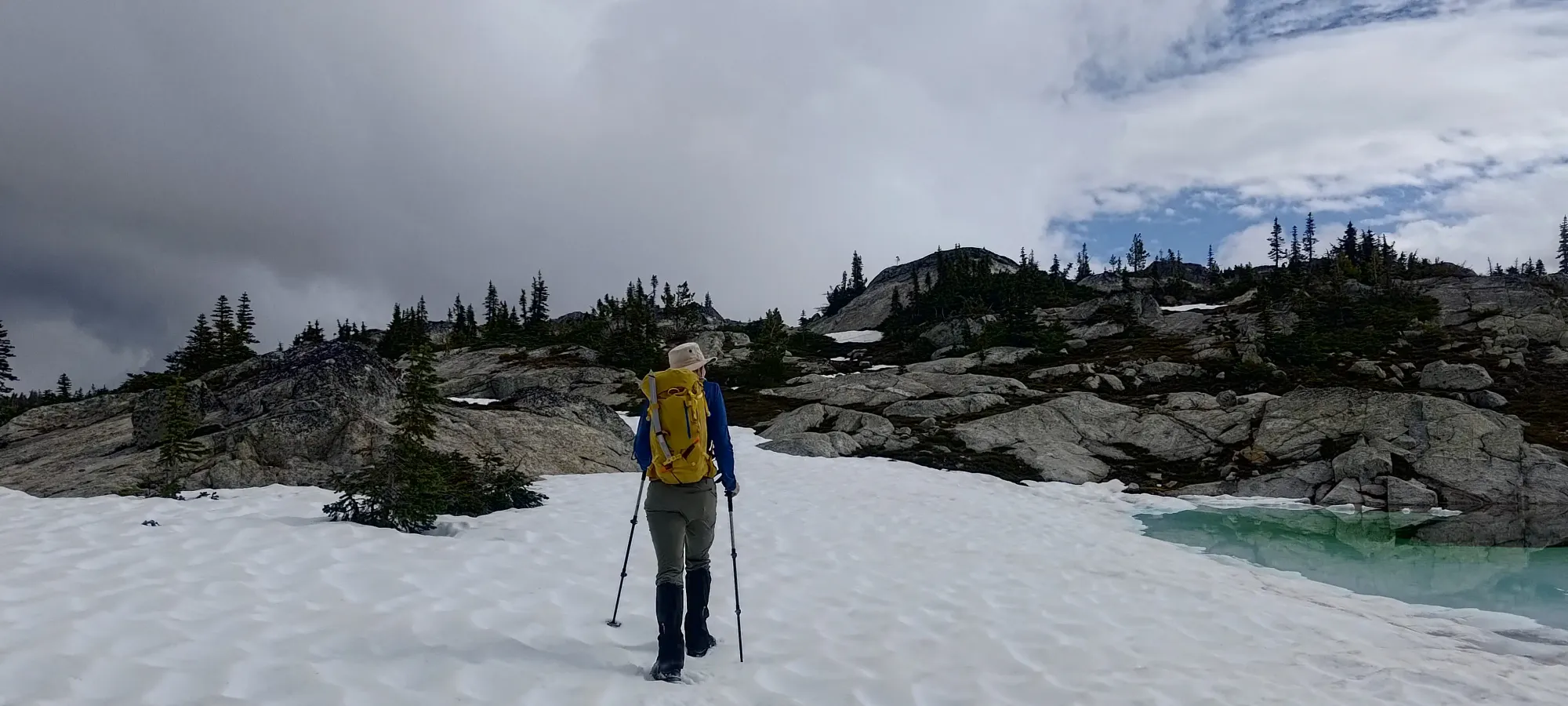
Soon enough, we found our way to the "north ridge" of the false summit, where we made a short sidehilling traverse over, and found ourselves staring at a beautiful drainage coming down from the col! We both kinda looked at each other and said "maybe we should've brought our skis after all" 😅. It did look pretty nice, and I bet locals with sleds ski that line in winter! If you come in early season or time it right in the spring, I bet that would make for a pleasurable way up/down the mountain, and still let you drive most of the road. Oh well, live and learn.
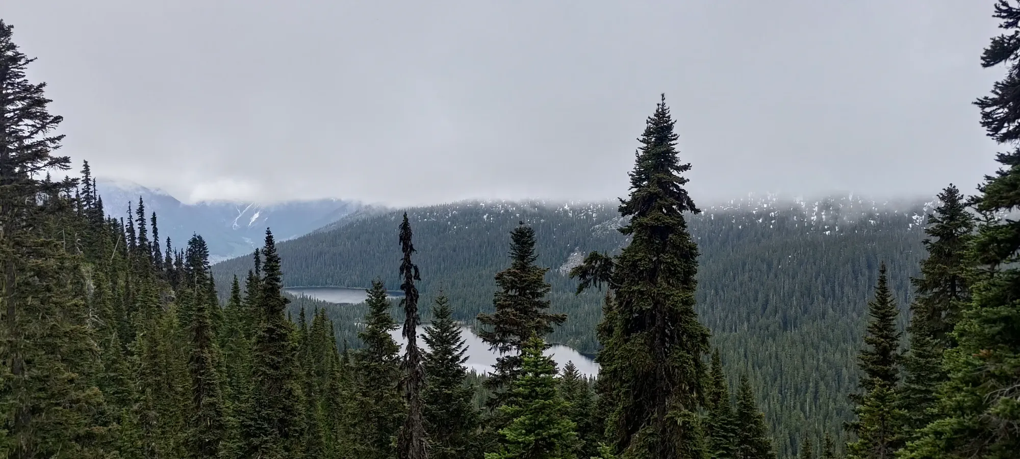
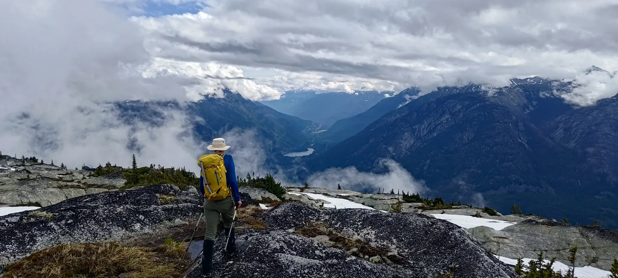
On the plus side, the clouds were finally starting to slowly break, and we managed to barely see the actual top of the mountain, which is always nice for morale 🙂
While we didn't get the pleasure of skiing that run, after a bit of tricky sidehilling along the edge of it, we at least got to walk up the simple terrain following it right up to the col, which made travel very smooth. We did stop for a short break before dropping in, since Kelly is weird and, like, eats when he goes hiking. Can't imagine why anyone would do that 😄
By 9:25am, or a bit under 3 hours in, we made it to the col, and started figuring out our way up from there. The climber's left side had a couple hard-scramble-looking routes that seemed like they might go, but I was having some wrist pain issues (randomly showed up during the week with my doctor having no clue as to why), so I was keeping my activity to as hands-free as possible, so we went with the simple "steep dirt and a couple rock moves" route that went up a weakness in the cliff band to the climber's right side of the face.
That worked out pretty well, as the dirt was moist enough to provide decent grip even though it was decently steep, and there were only one or two easy scramble moves to make to get above the small cliff band, and we were back onto easy terrain. Once we were above that, it was an easy walk through gentle, slabby terrain, on a mix of said slabs and snow patches, until we got to the summit!
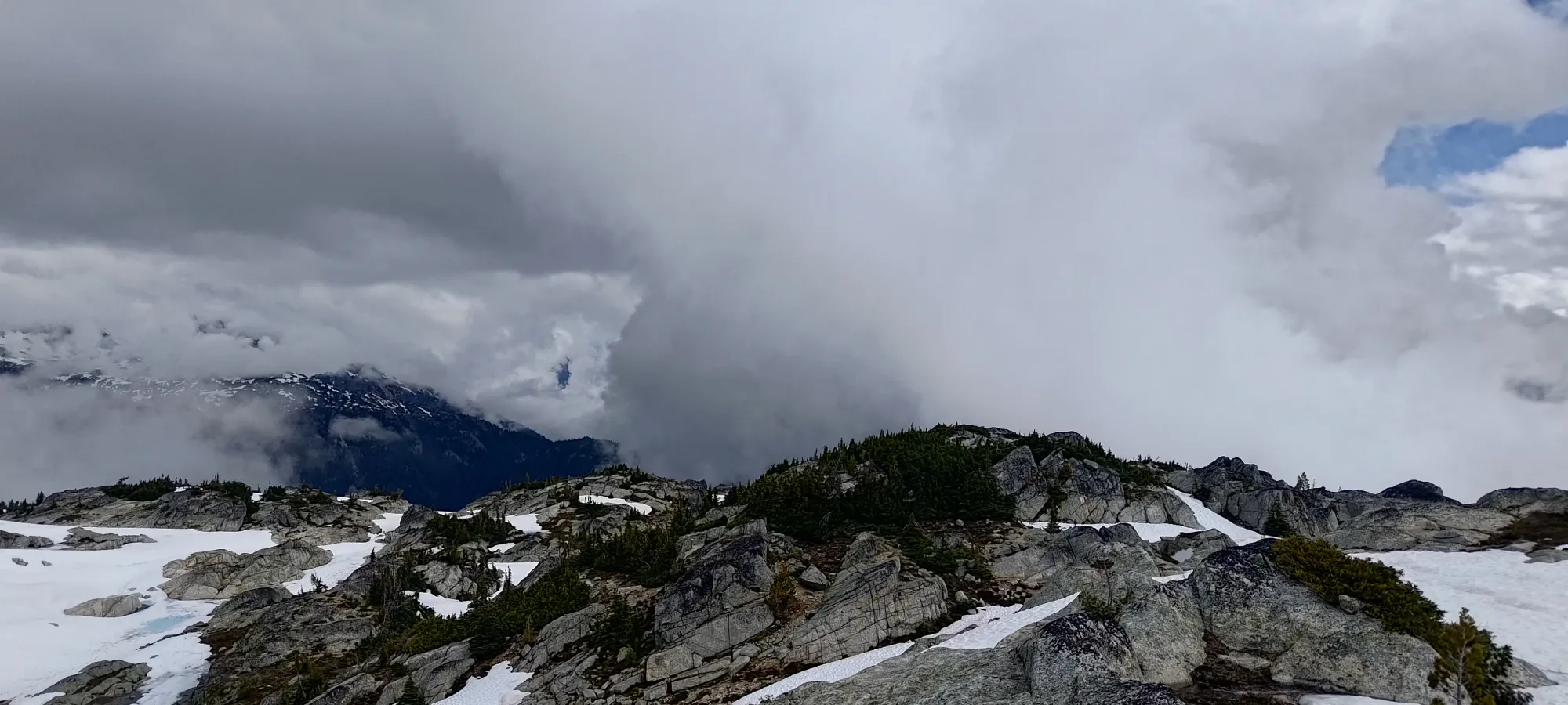
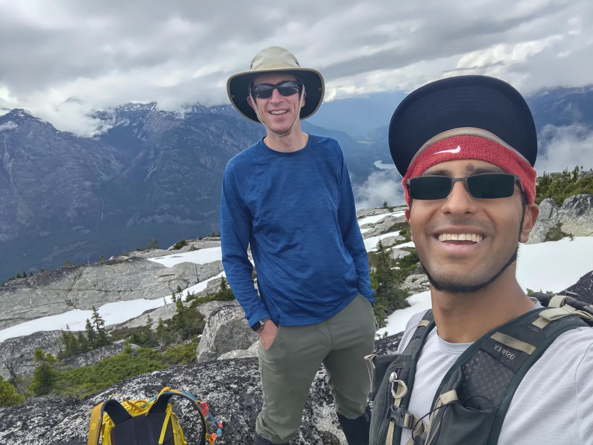
Well, there were really a good few rocks that looked like they might be the high points, so we wandered around to all of them, until we got to the easternmost one, where we rested for about 10 minutes before starting to make our way down. We both kinda expected that the clouds, which were still only starting to break, would continue to do so, but we didn't have time to wait around for that to happen, so down we went!
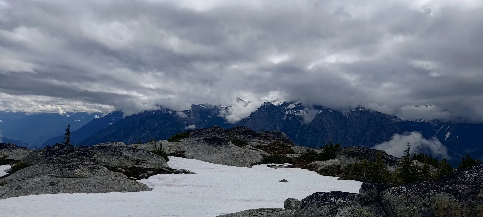
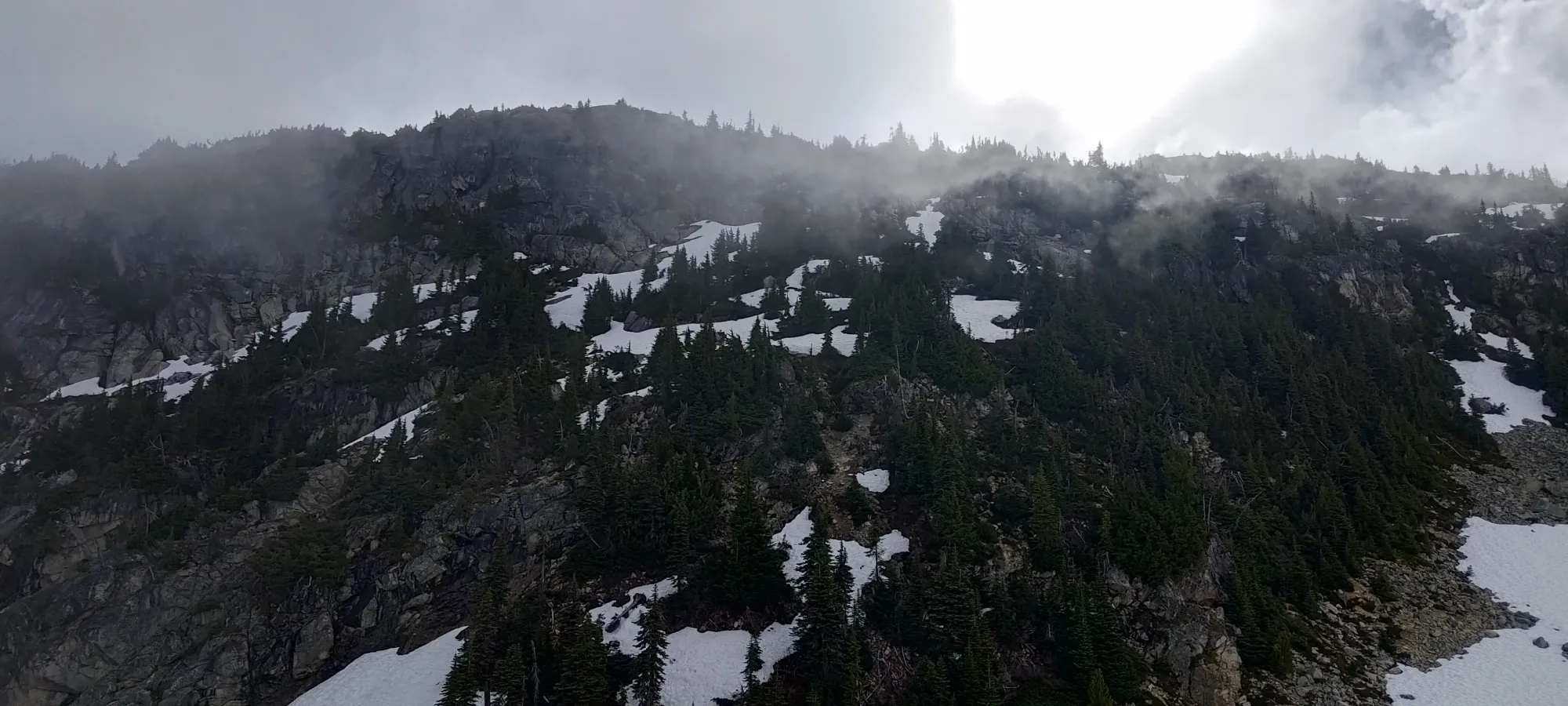
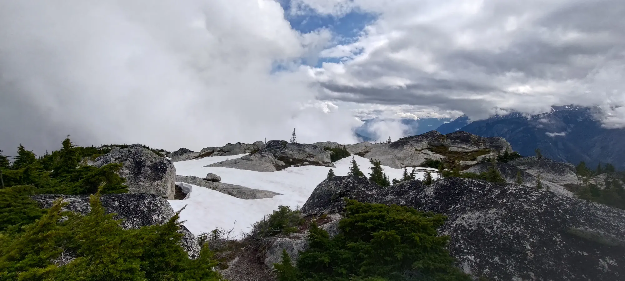
Some partly-cloudy summit views
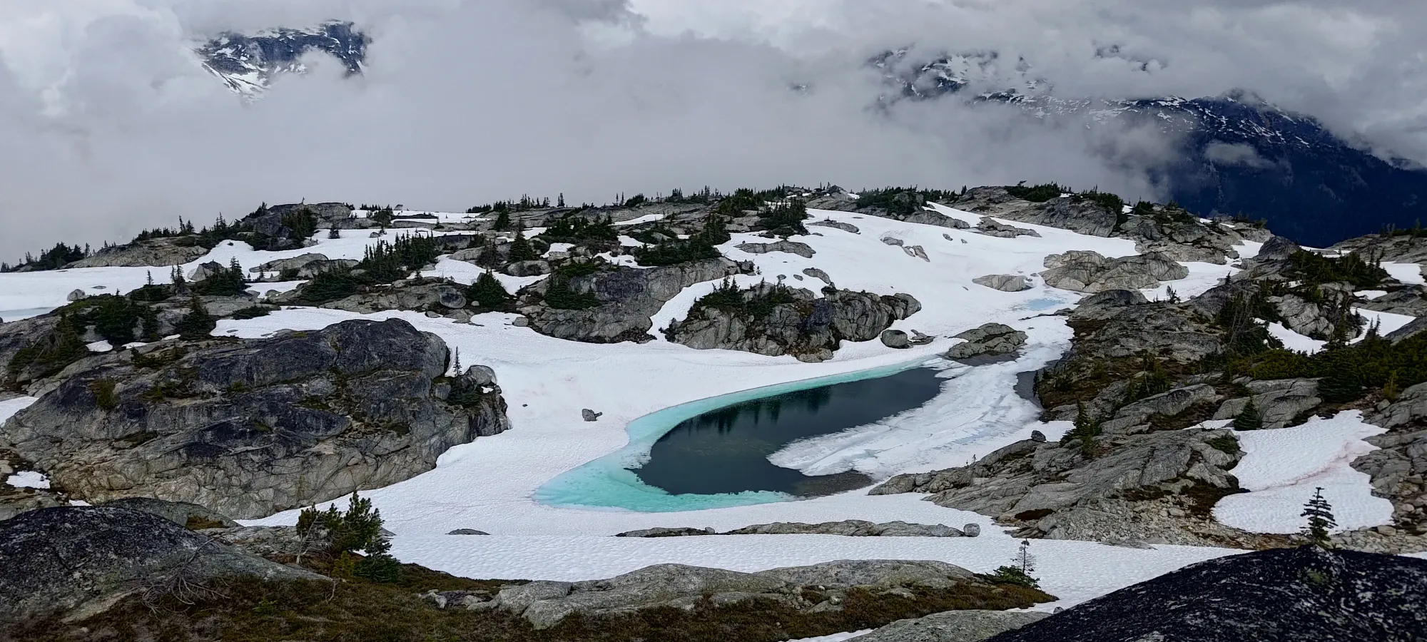
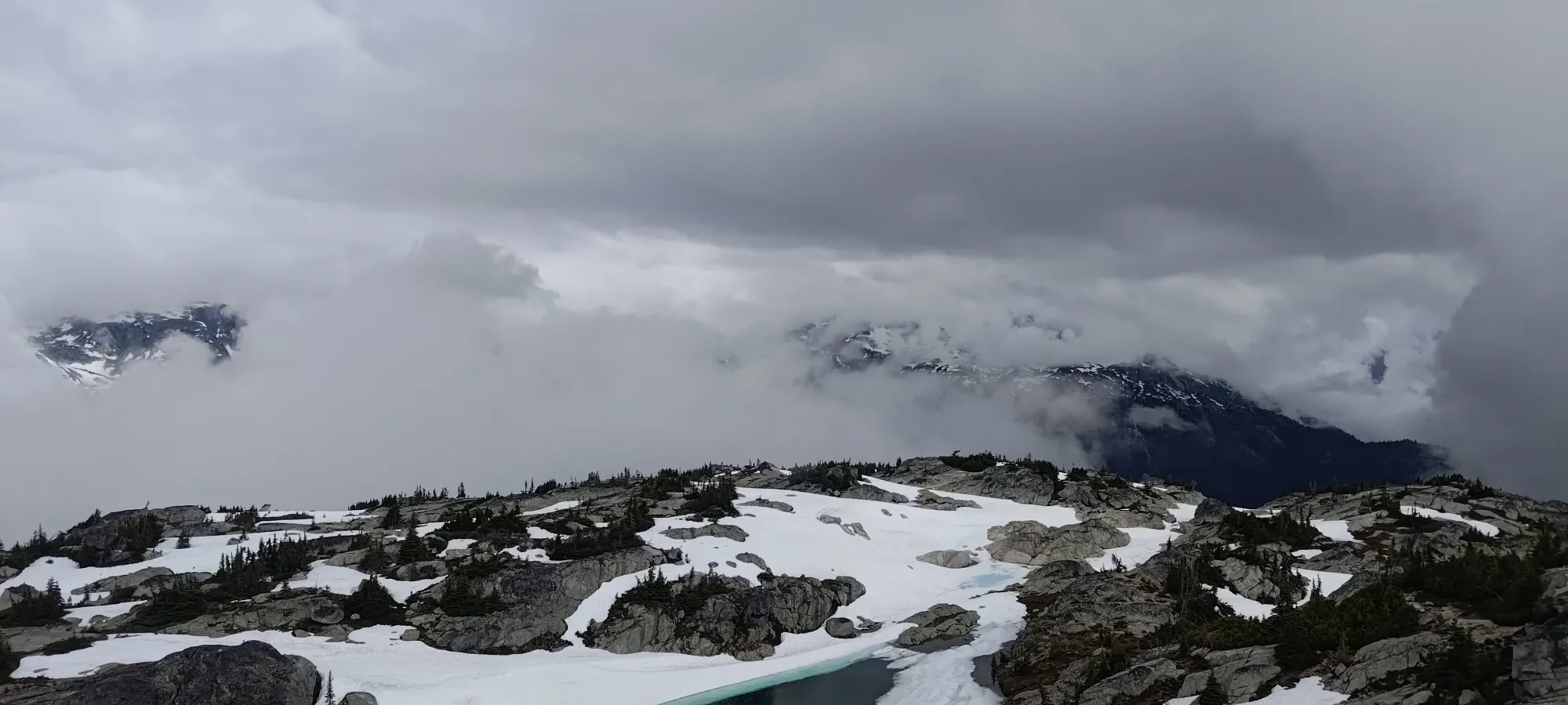
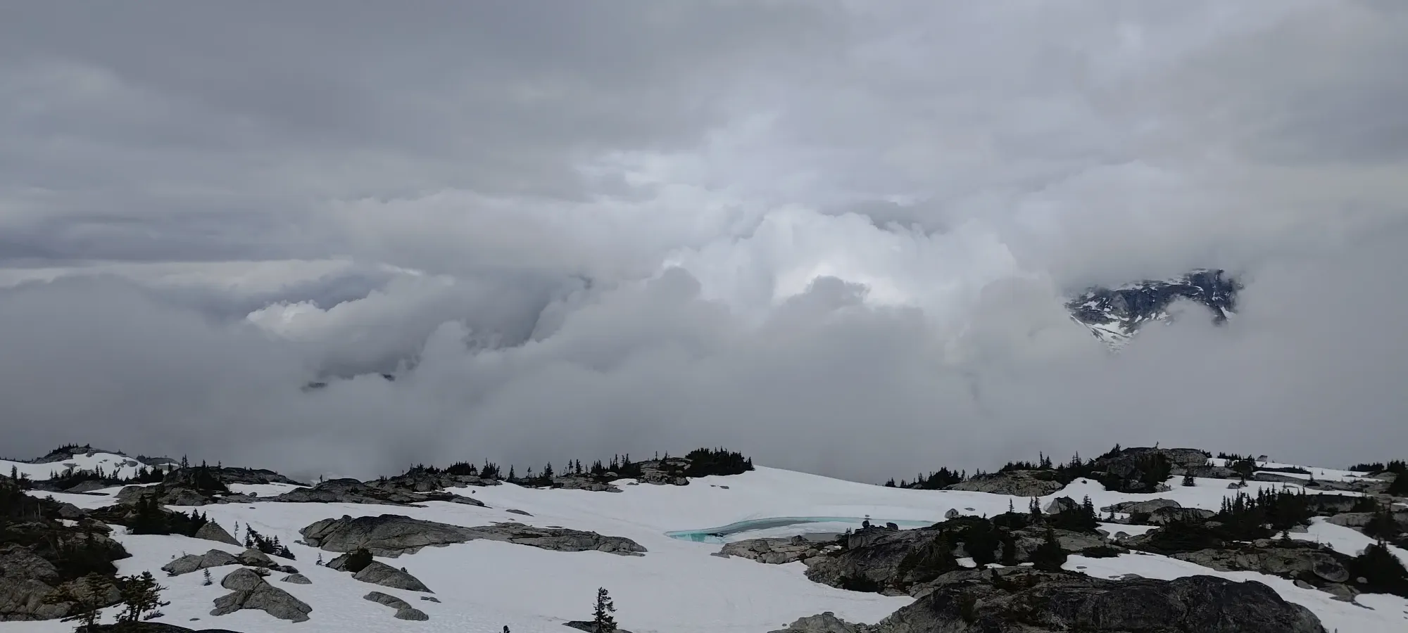
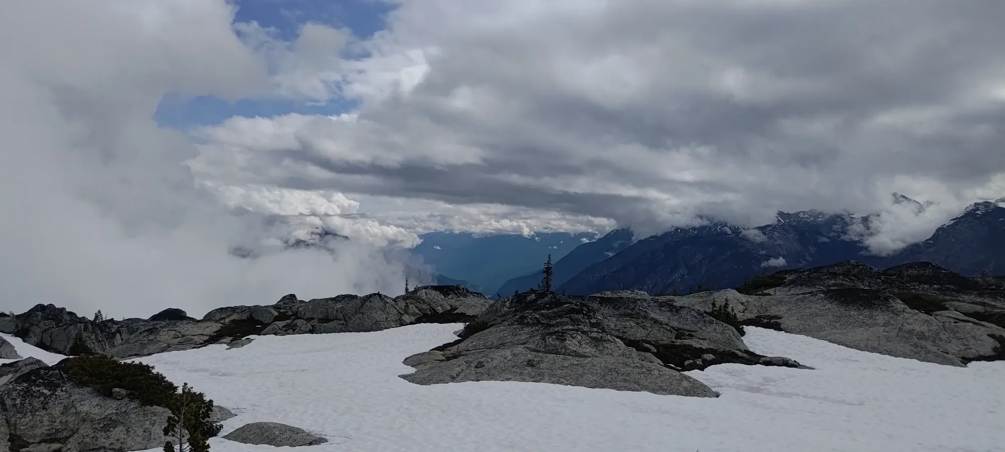
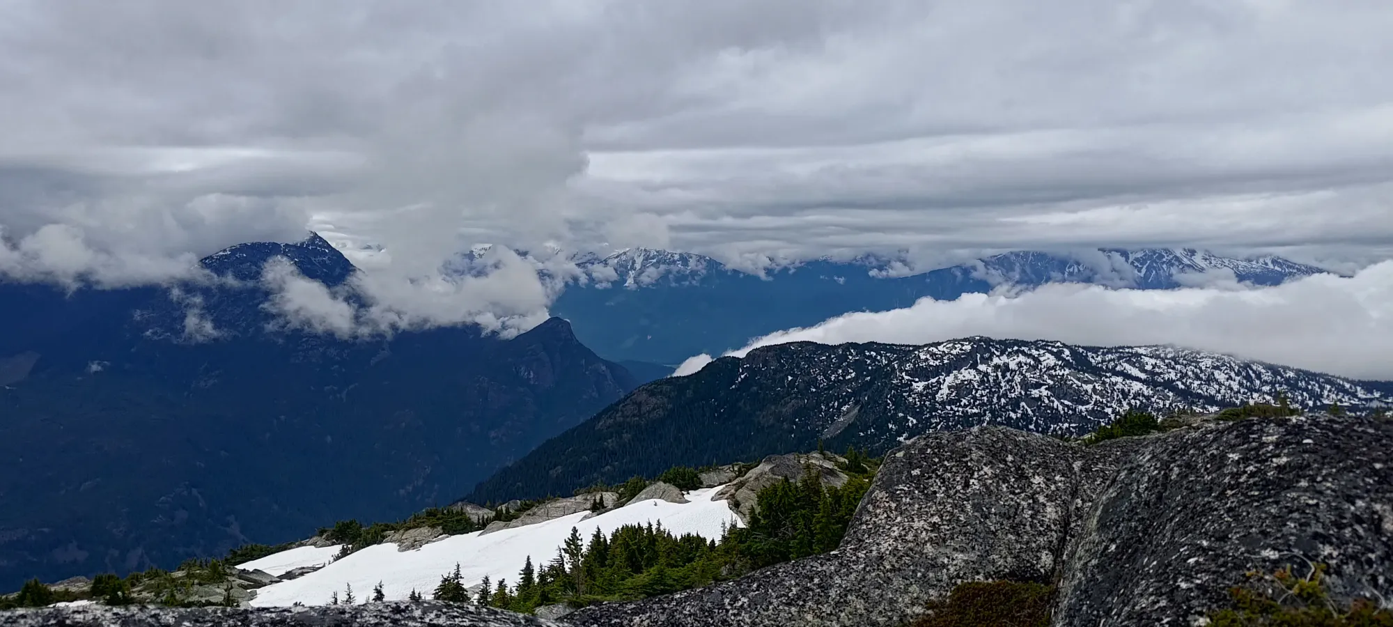
Some more clouds with a side of view
We retraced our steps about as easily as we made them on the way up, making our way back to the col in about 15 minutes, just a hair faster than the way up. The downclimb was a bit interesting without using my wrist at all, but I managed to finagle my way down without incident 😄
From there, we descended a bit further on the snow than where we entered it on our way up, but that didn't pose a problem, and allowed us to enjoy skid-stepping down the snow for a bit longer 🙂. Another 15 minutes of travel got us back to our spot where we broke out of the trees and changed our course from northeast to southeast on the way up, and we similarly reversed that half of our bearing once again to head back towards the flats between the peak and the main trail.
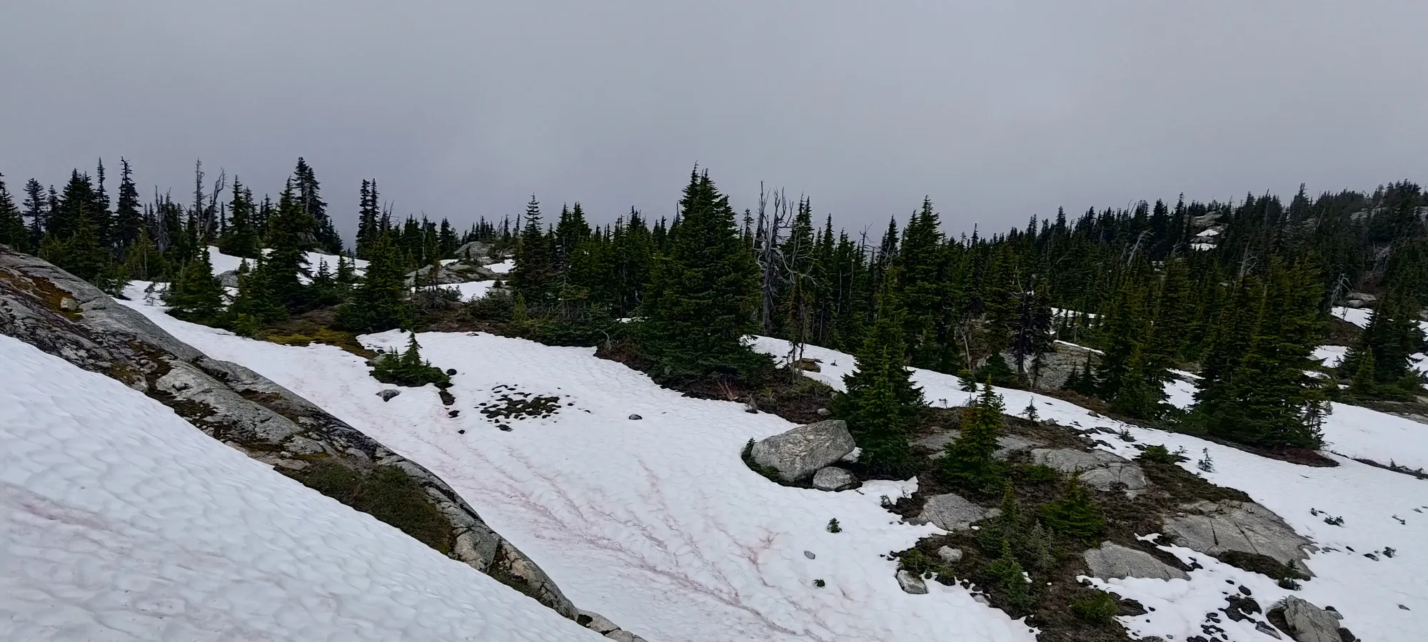
According to GPS, we more or less stayed on the same course as our uptrack through the forest, which I'll take as a testament to our navigation skills, since we didn't intend to do that, and instead just followed the path of least resistance. I guess we managed to agree without ourselves from a few hours prior on what that was, so that's cool 😄. 25 minutes of descending with a sprinkle of bushwhacking, and we were back in marshy-pond land 😅
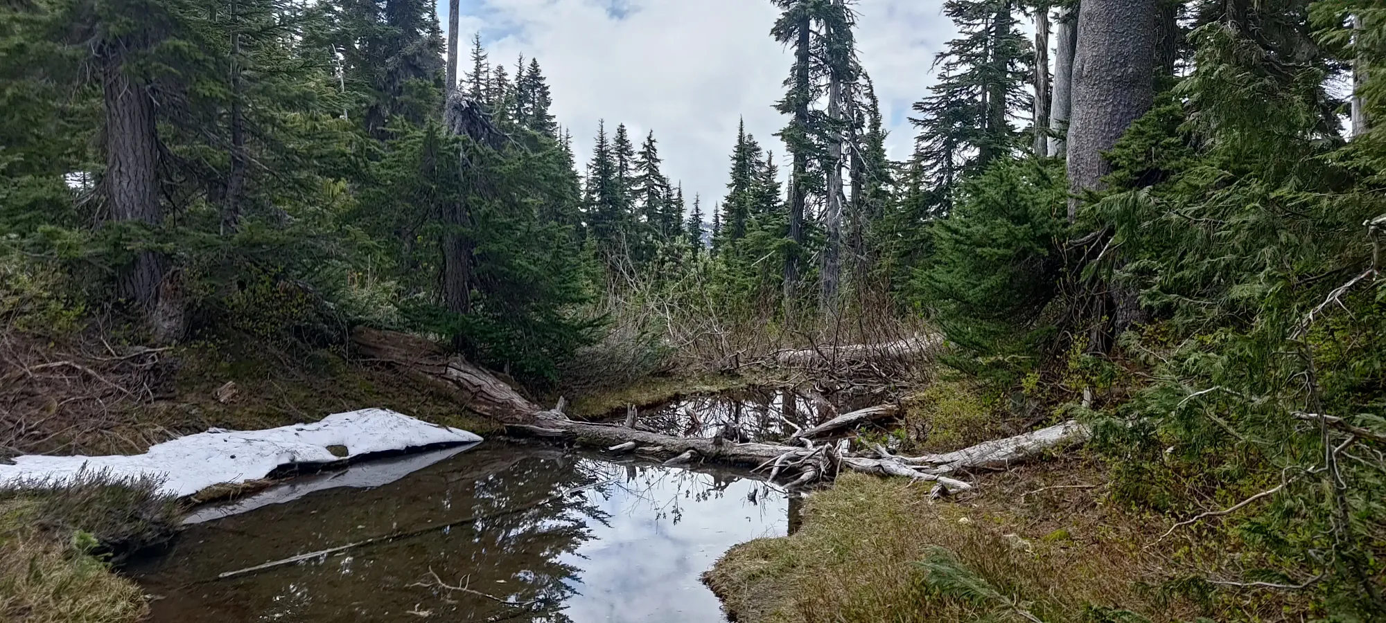
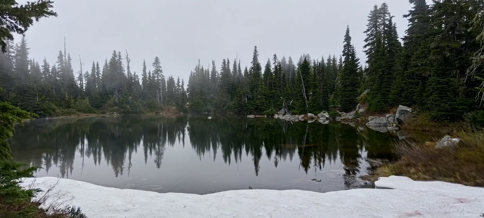
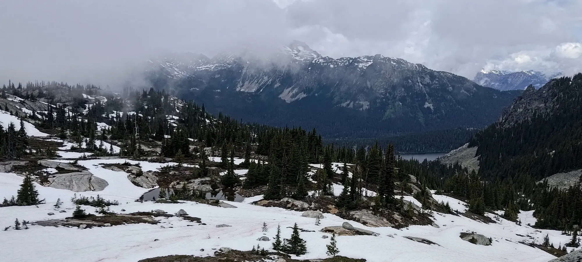
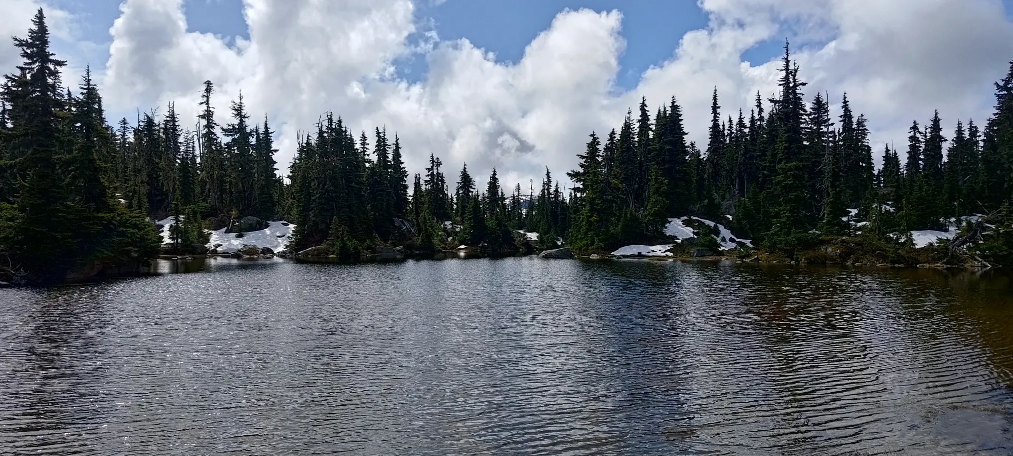
We took another 20 minutes trying to find our way back to the trail. We managed to make a more direct route on the way back, at least, though I'm not sure if it was explicitly better or not. It's all kinda the same in this spot to be honest. The final lake was at least big enough to be pretty, and we even got to sneak in a fun bit of rock-hopping to get back to the trail right at the end. There is a huge boulder blocking the spot where we crossed over the water to the trail, but just enough rocks to hop around it, but you can't see them all until you're partway through, so it was kinda neat to try it and discover that it went 🙂

From there, it was a simple walk down the trail back to the car. It's honestly good enough that you could run it, but I was still feeling slight digestive uneasiness, so we just walked down at a decent, but still measured pace. We almost made it the whole day without seeing anyone (which I was super not expecting), but a few minutes before hitting the car, we saw a couple coming up with their dog. I was shocked that on a rain-less day, with such a great trail, this place was so empty, but I guess maybe there's still too much snow for average hikers to start swarming the place?
Anyways, that brought the day to 5 hours and 20 minutes, at a pretty casual pace. Not too bad for a quick morning out! Kelly managed to get himself home in time, and I had the afternoon to relax and binge anime, so overall a pretty great day. We did both kinda wish we had skis for that drainage off the col, but oh well, I already have a couple days of June turns in for the year, so I'm not too upset. We got a peak with over 400m of prominence, and I actually got home at a reasonable hour! That can't be a bad day.
Oh yeah; and of course, once we were back at the car, the sun did indeed come out 😅. Because of course it did 😄
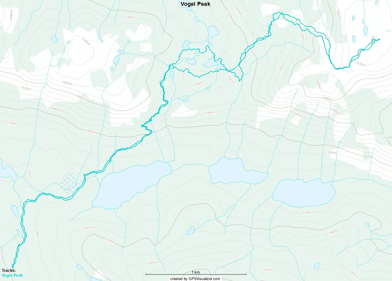
GPX Track + Map