Victoria Peak - June 21 2025
An excellent ultra-prominent peak on Vancouver Island, this peak offers good scrambling, arguably rock climbing (low 5th class crux), some snow climbing, and good hiking. All the things! 10/10 adventure

Sutton Range, Vancouver Island, BC
2159m
While preparing this June weekend, I was looking for places to escape the poor weather that looked to be plaguing my immediate surroundings. I eventually realised that the Island was looking pretty good, and after some panicked refreshing of the BC Ferries website, managed to snag a ferry over after work on Friday evening, and a return late Sunday night (sadly while I got a reasonable fare for the way over, I got hosed on the return to the tune of 90 dollars! And people wonder why I haven't done much on the Island...). With that out of the way, I started to figure out my logistics. With all the travel I'd done lately, I figured I'd try to car camp, so I didn't book anywhere to stay. As for what to bag, I'd had my eyes on Victoria for a while as one of the 4 island ultras. I already bagged Hkusam the year prior, and the other 2 are much more involved, usually multi-day adventures, so Victoria made sense to go for.
I got across on the Ferry without much fuss, waited around a bit for the happy-hour clock to roll around at the Cactus Club in Nanaimo for a decent meal, then headed out to Gold River to find a place to sleep for the night. I originally wanted to go in from the north on the White River side, but I decided on Gold River since there were more places to eat in the morning if I felt so inclined. So, I drove in fairly late, snagged a spot on a forest road to fall asleep, and did my usual "better than staying fully awake, but still kinda crap" car-camping ritual. My car isn't set up for car camping, and to be fair, I didn't do any more than bring a blanket+pillow and lay across the backseat, so I can't exactly say it's entirely the fault of the car or camping in general. But it was good enough, so happy that I managed to save on a night's accommodations, I went into town, got gas, used the bathroom, and decided the food I brought would be enough after all, and just got moving after some breakfast 🙂
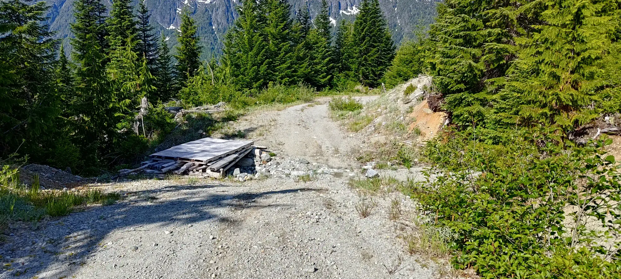
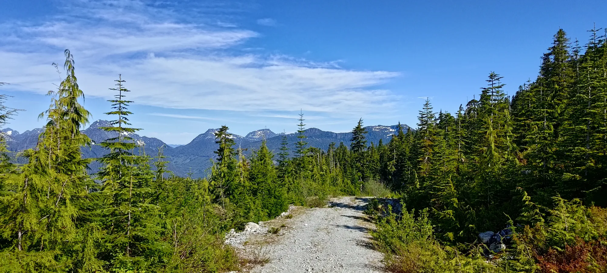
I drove up the West Road from Gold River all the way to Twaddle Lake (Google knows about the roads to that point), then crossed the creek heading east, and took branches up to where I started (there is only one way from there to where my track starts, so you can figure that out, and if you can't, you probably shouldn't be hiking in the backcountry 😅). The road was super smooth to that point, and from there, still quite driveable in nearly any rig, just a bit rougher. At 900m, the road forked again, and there were moderately deep cross-ditches going all the way up to the trailhead, but the roadbed was in good shape (confirmed by the RAV4 I spotted at the trailhead!). I got up to the top, found a spot to tuck the car out of the way, got changed+geared up, and started moving right around 10am. This isn't a huge day stats-wise, and the snow was already sun-cupped and plenty firm 24/7, so I wasn't in a rush.
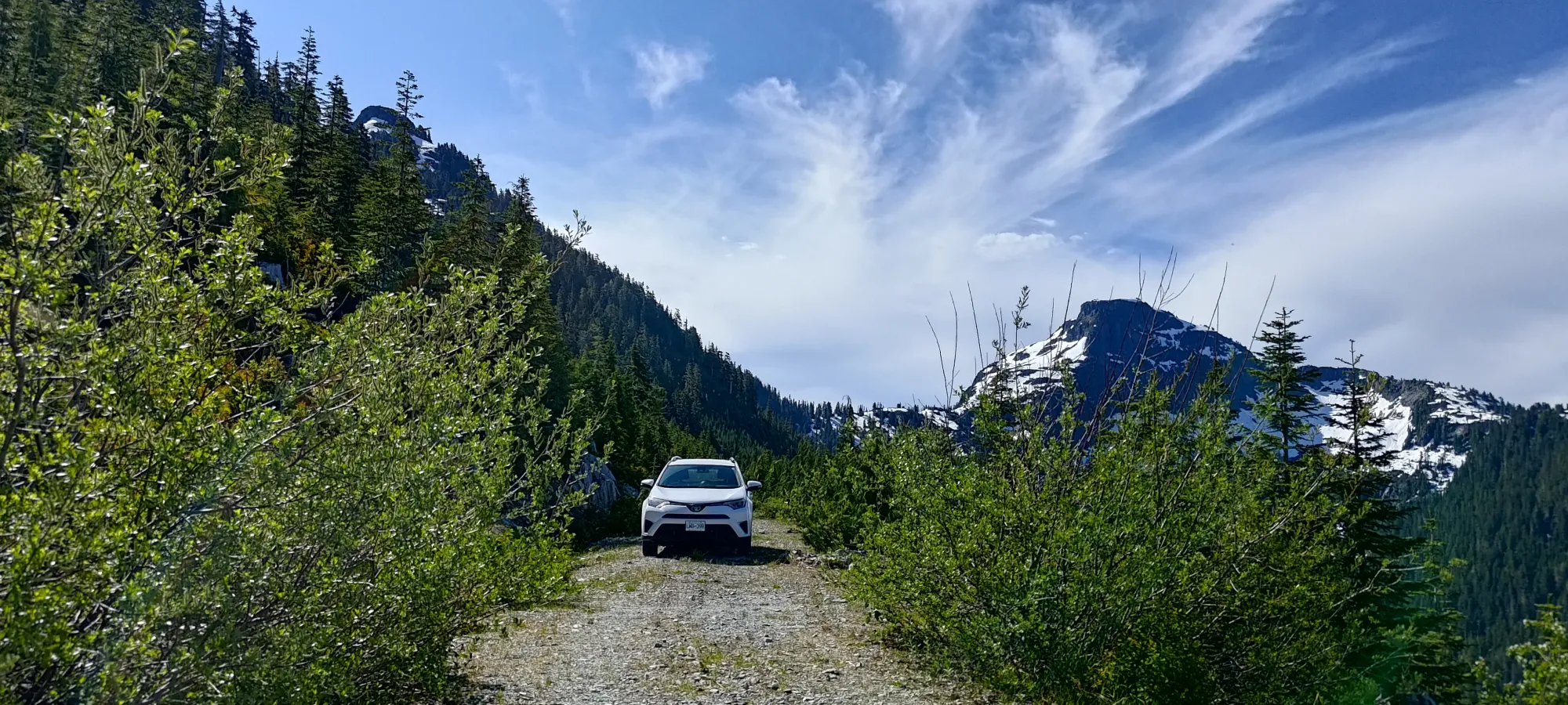
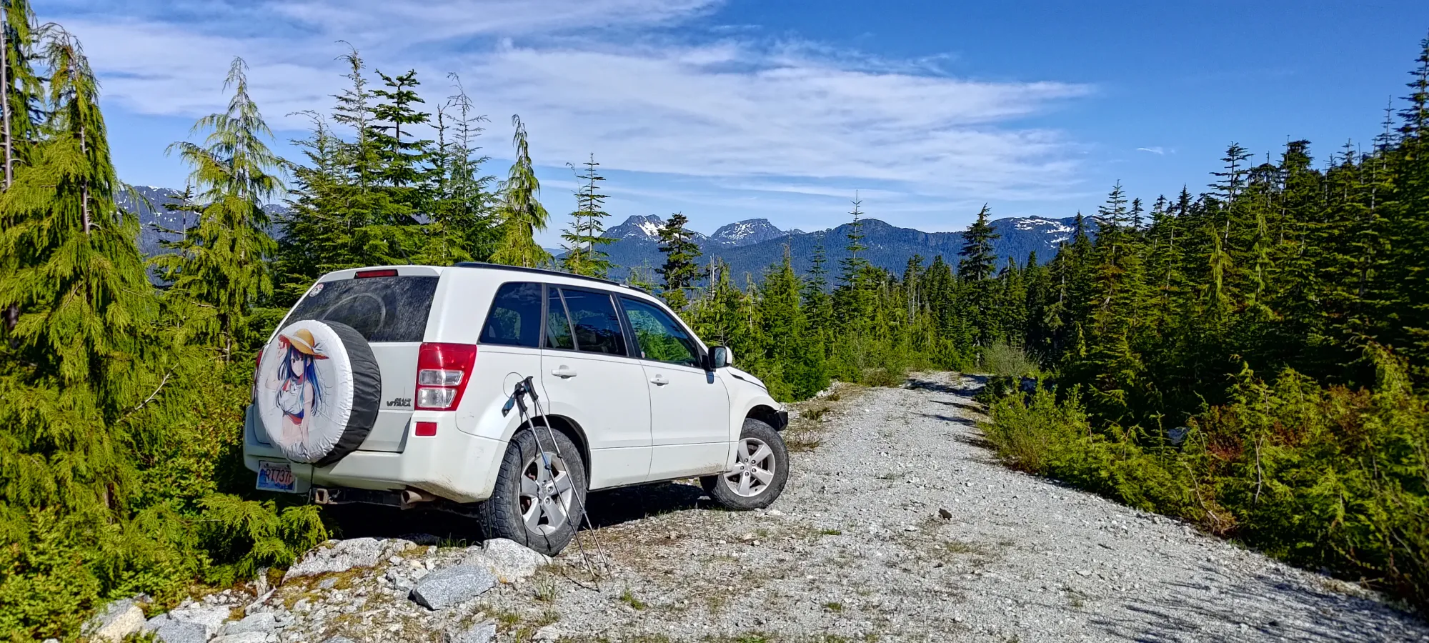
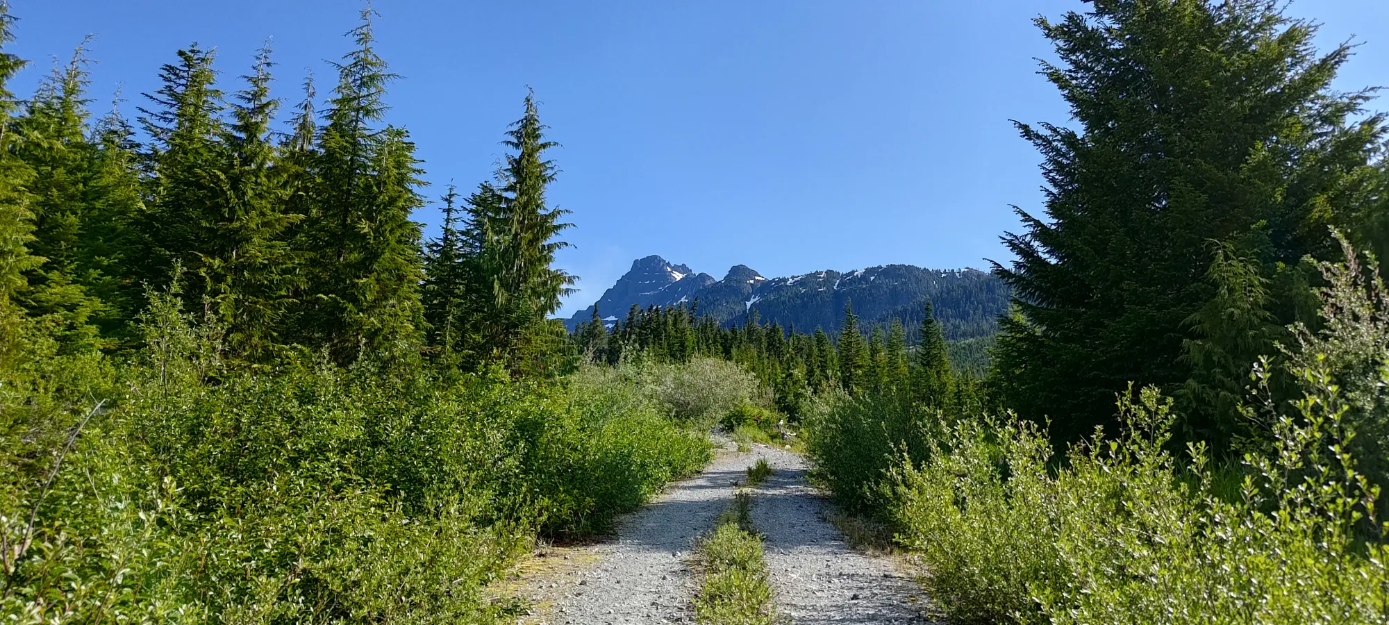
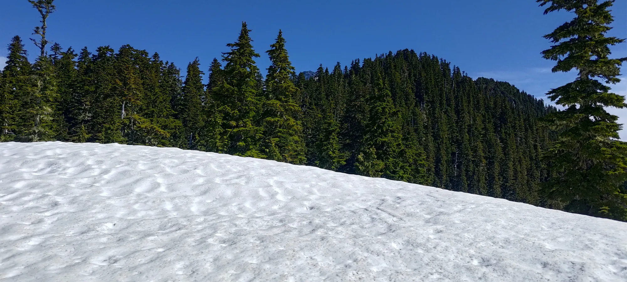
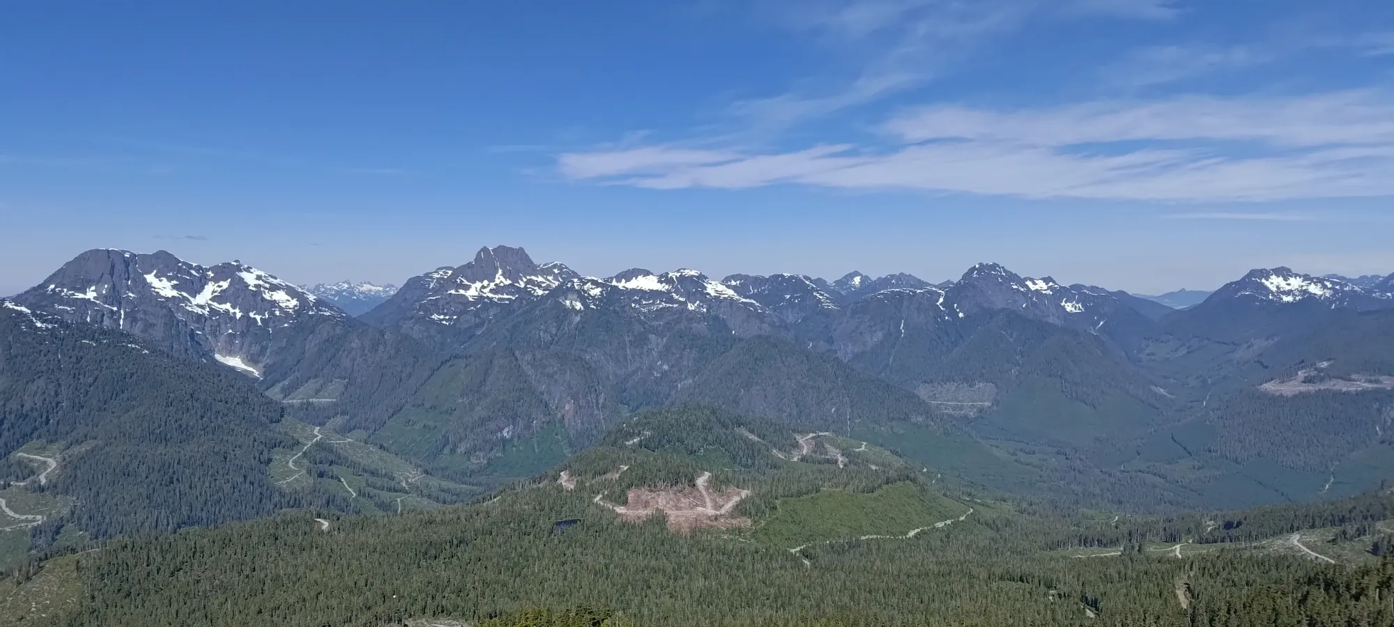
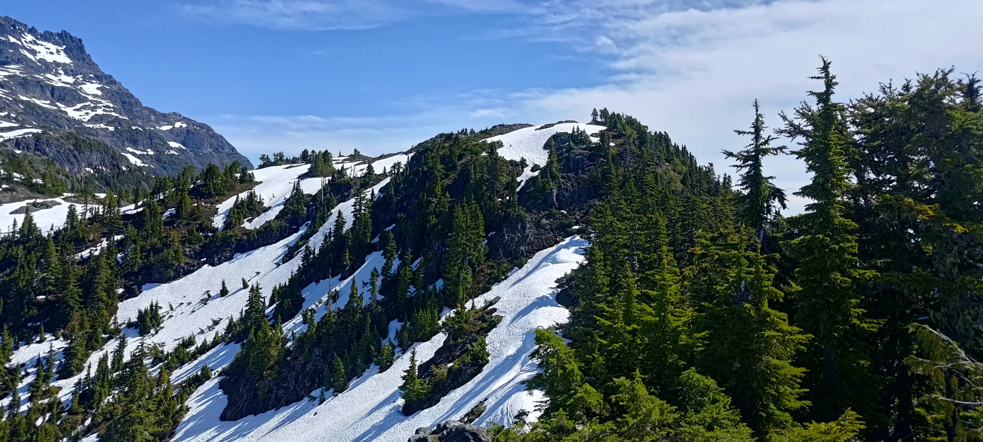
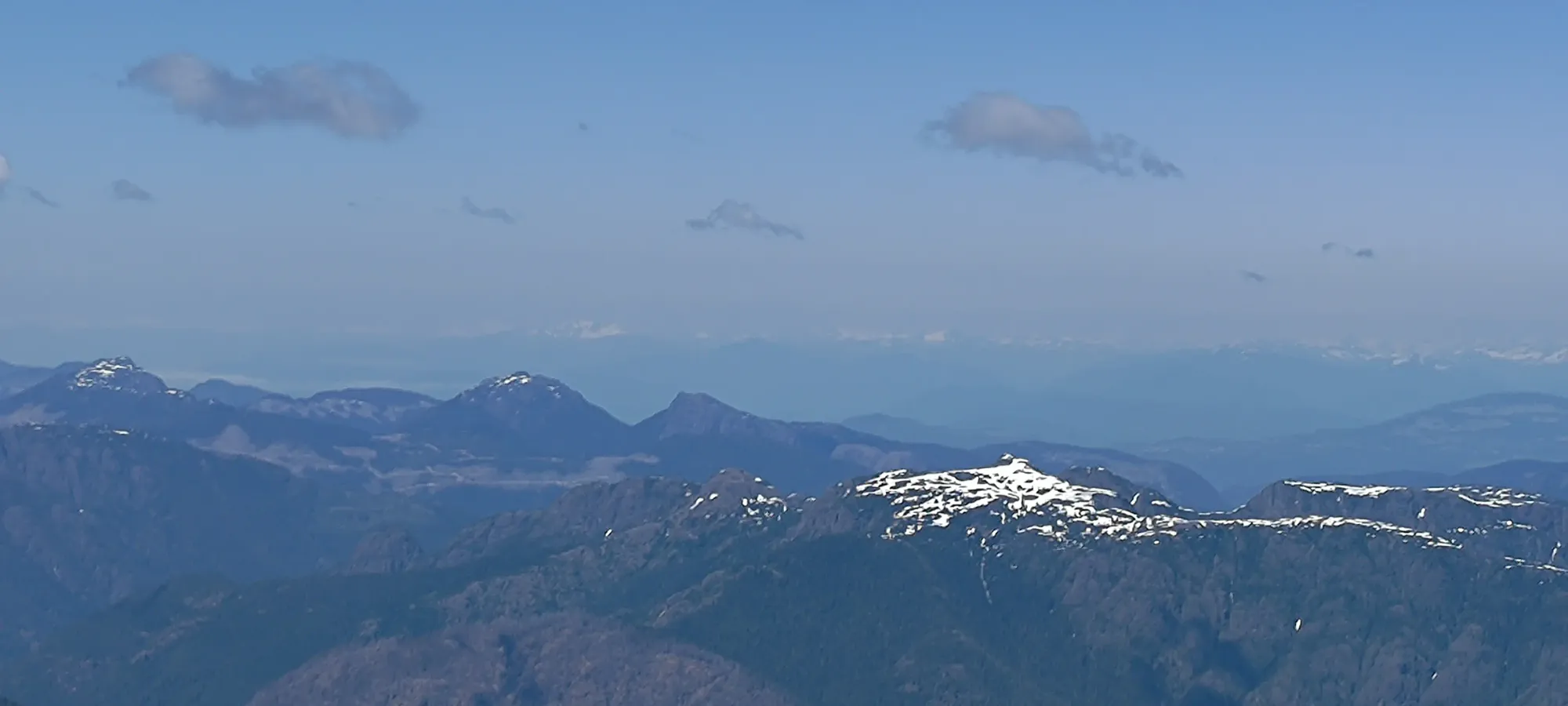
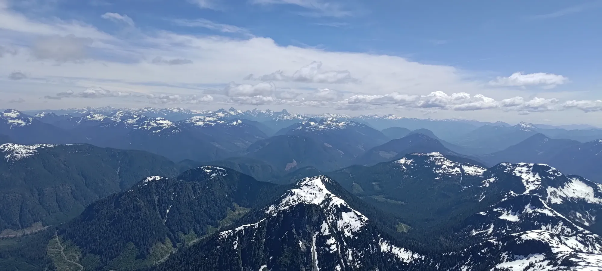
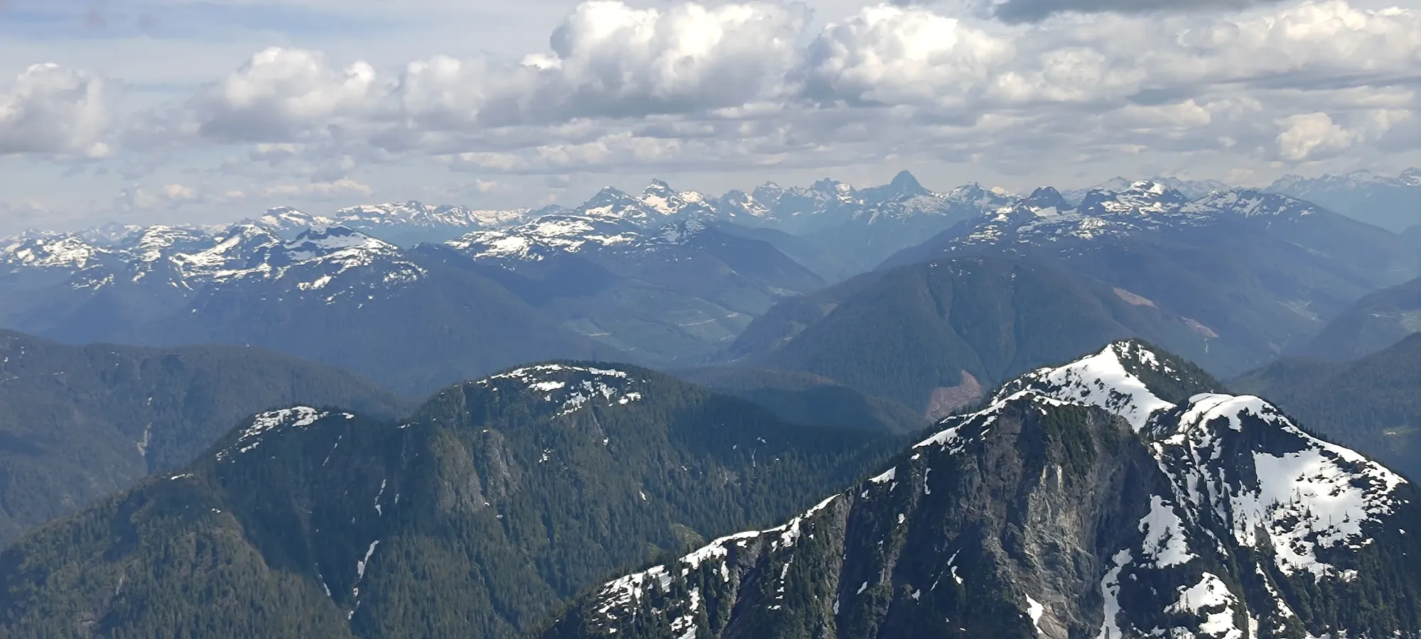
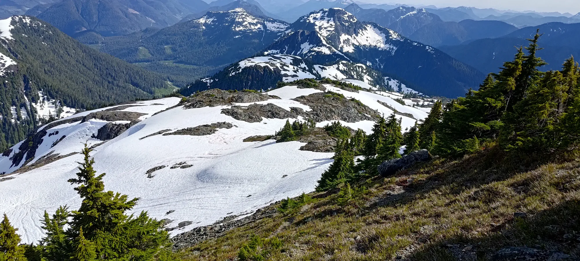
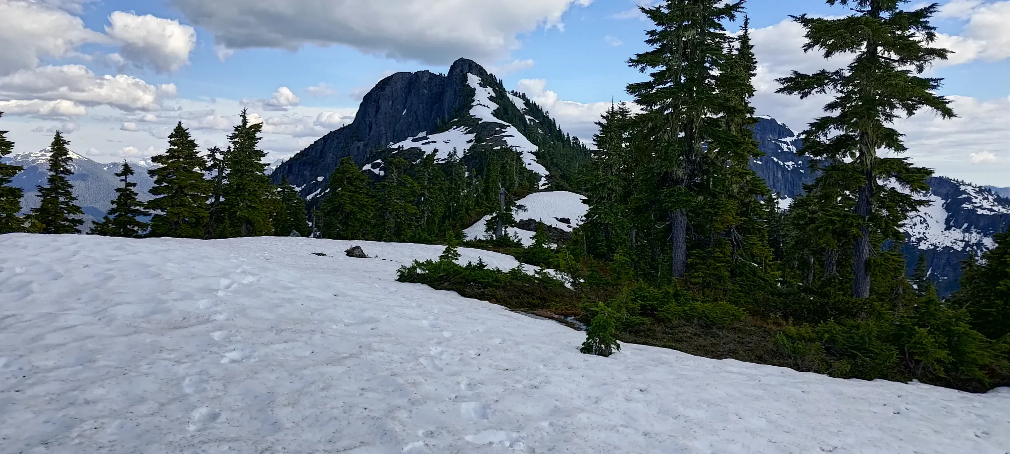
Trailhead views. Twaddle Peak is what's behind the Rav4
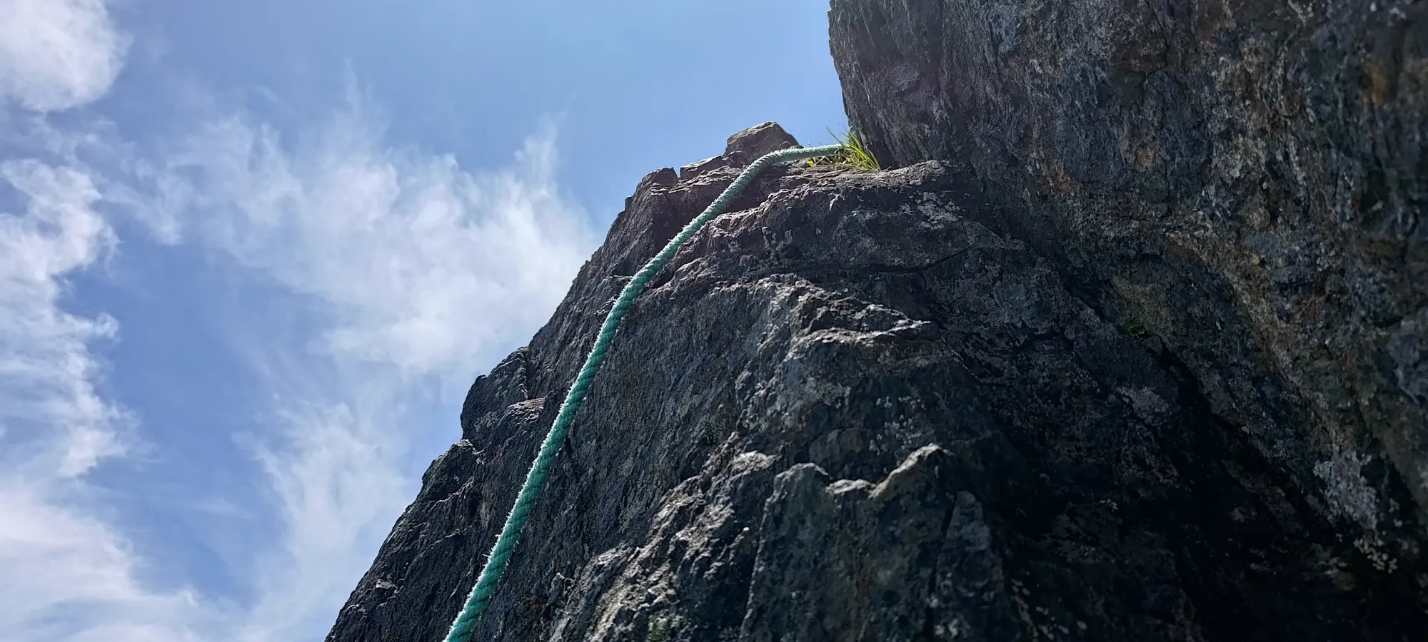
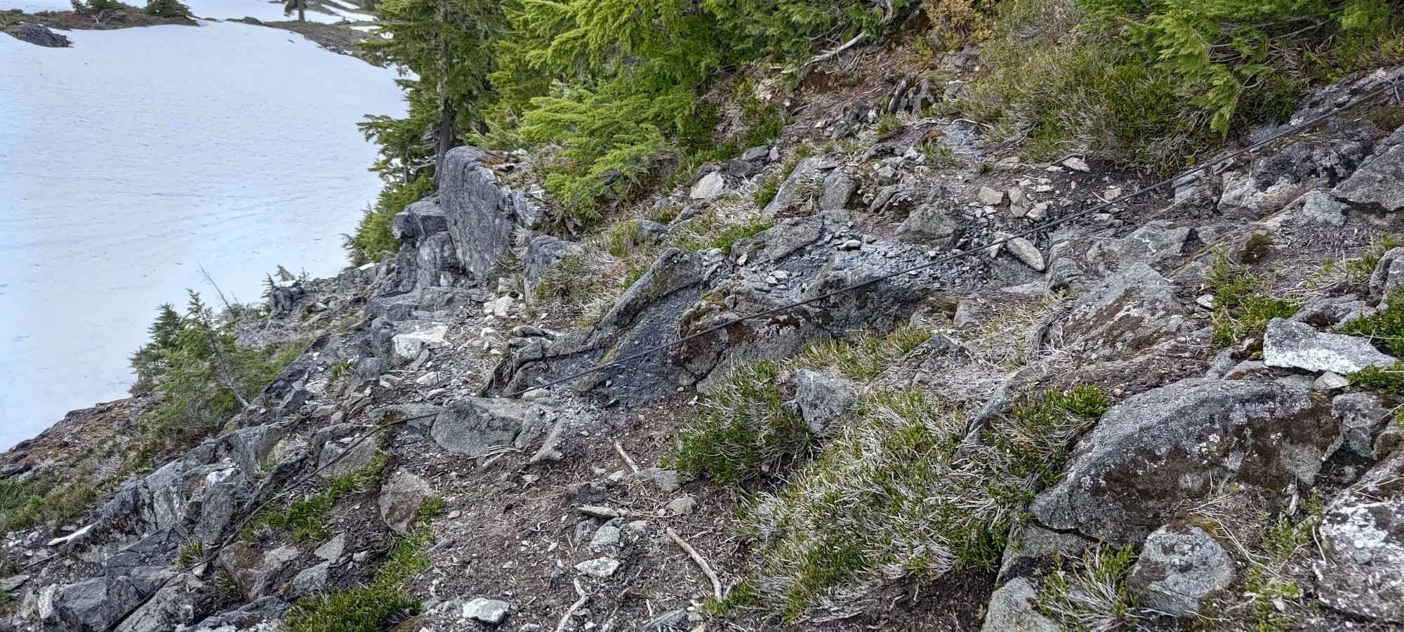
It took a minute to find the "proper trailhead", as while there were flags, they didn't seem to go anywhere in particular. I decided to trust them and after a couple steps that went vaguely up the bank of the road, that indeed got me into the rough, but usable trail going up the cutblock. This trail is steep, and there is definitely overgrowth coming in from the side, but it is more or less inconsequential, and you can just brush past it. I was a bit sad, and honestly confused to see a fixed rope partway through this section, given the low-fifth crux that one has to navigate later, a fixed rope to aid in a steep trail without exposure seemed... odd.
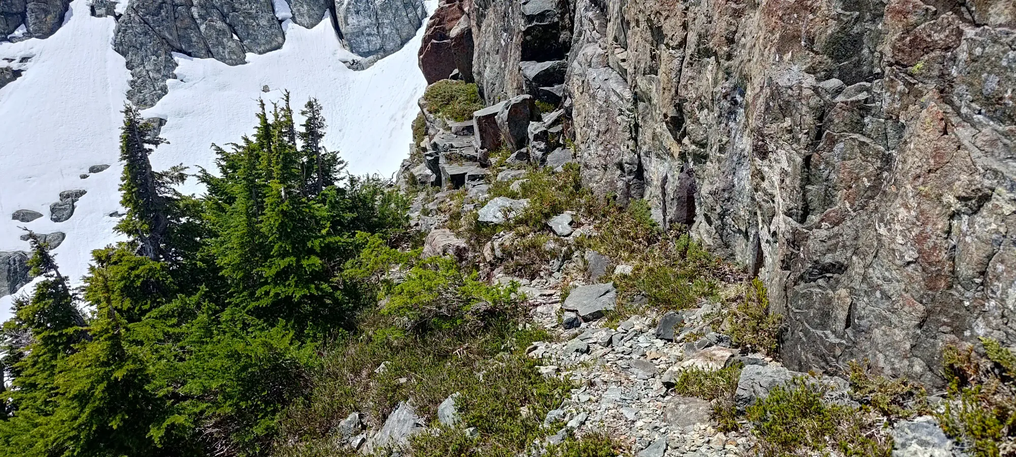
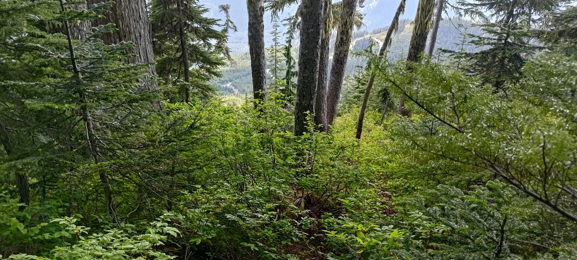
The cutblock lasted for about 5 minutes, and I spent the next 15-ish minutes heading up the trail (much better in the forest where low bushes don't grow as aggressively) onto the extended S ridge of Victoria. The trail was a bit variable, with some spots being good, some covered in snow patches, and some muddy from the ongoing snowmelt. Overall, though, travel was surprisingly smooth for a peak so deep in the backcountry! Someone clearly cares about the trail here 🙂
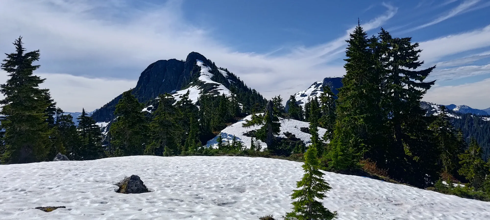
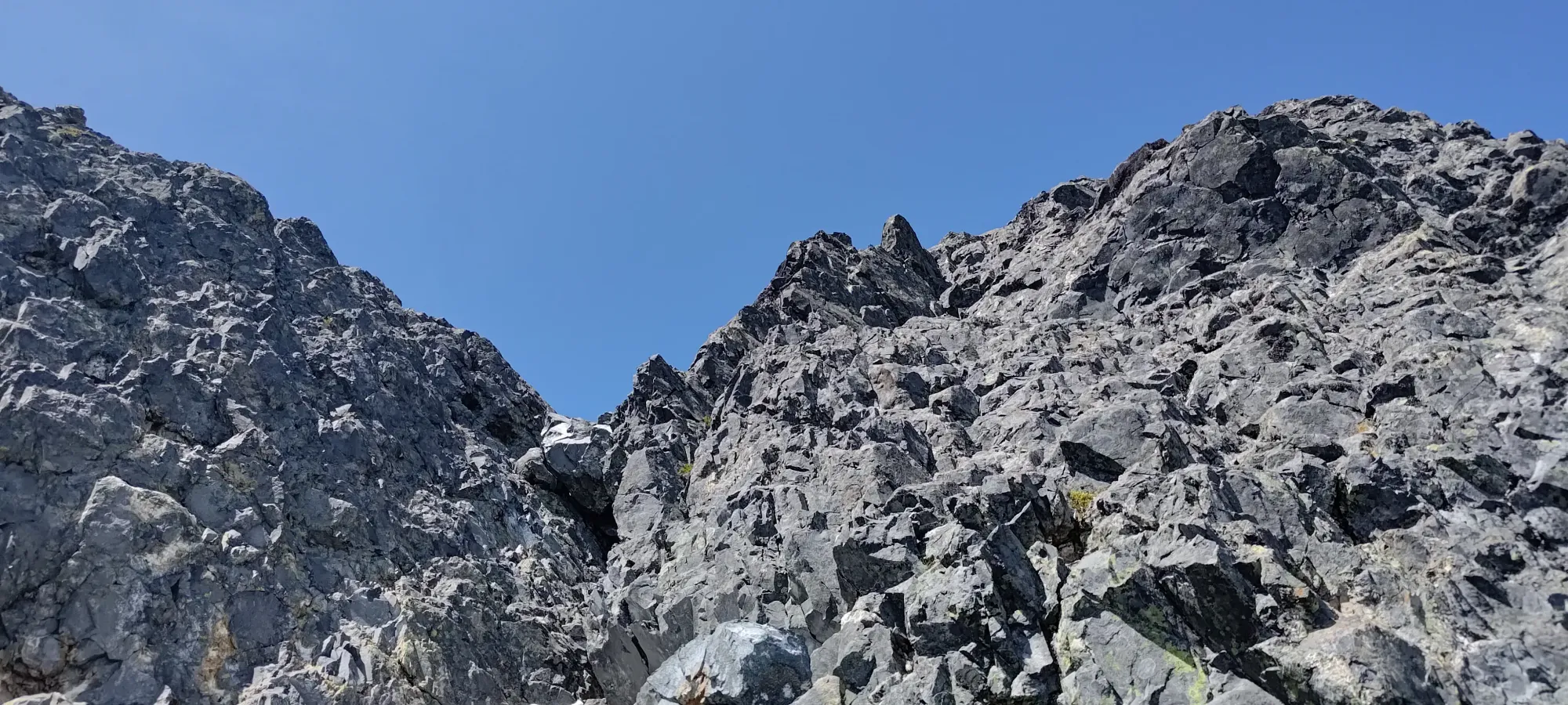
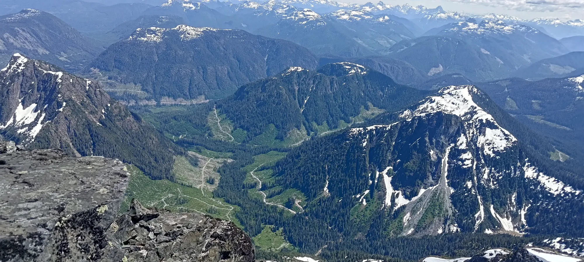
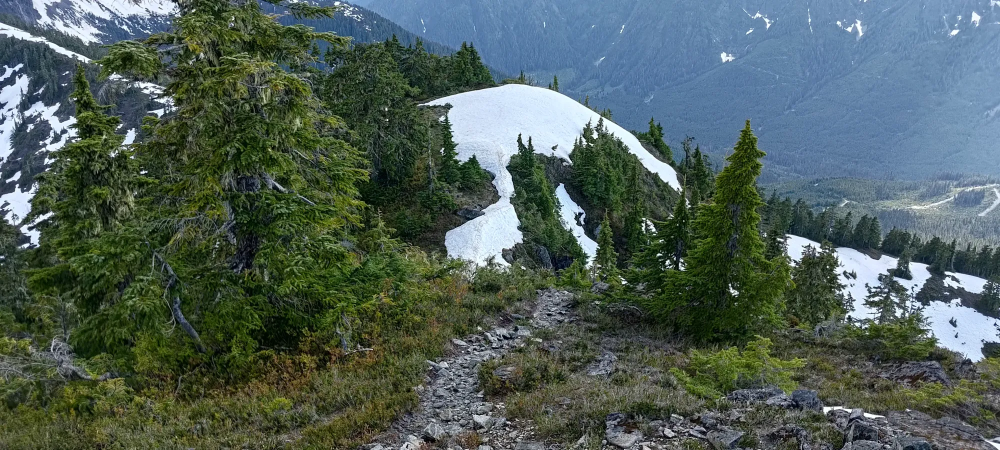
From there, there's another short bit of forest, then you start getting into treeline, and having more open terrain along the ridge, with snow on the flatter parts, and rock on the steeper parts. Travel was overall quite easy, and while there is a decent amount of up-and-down along the bumps of the ridge, since the day is overall just not that big, it isn't a big deal.
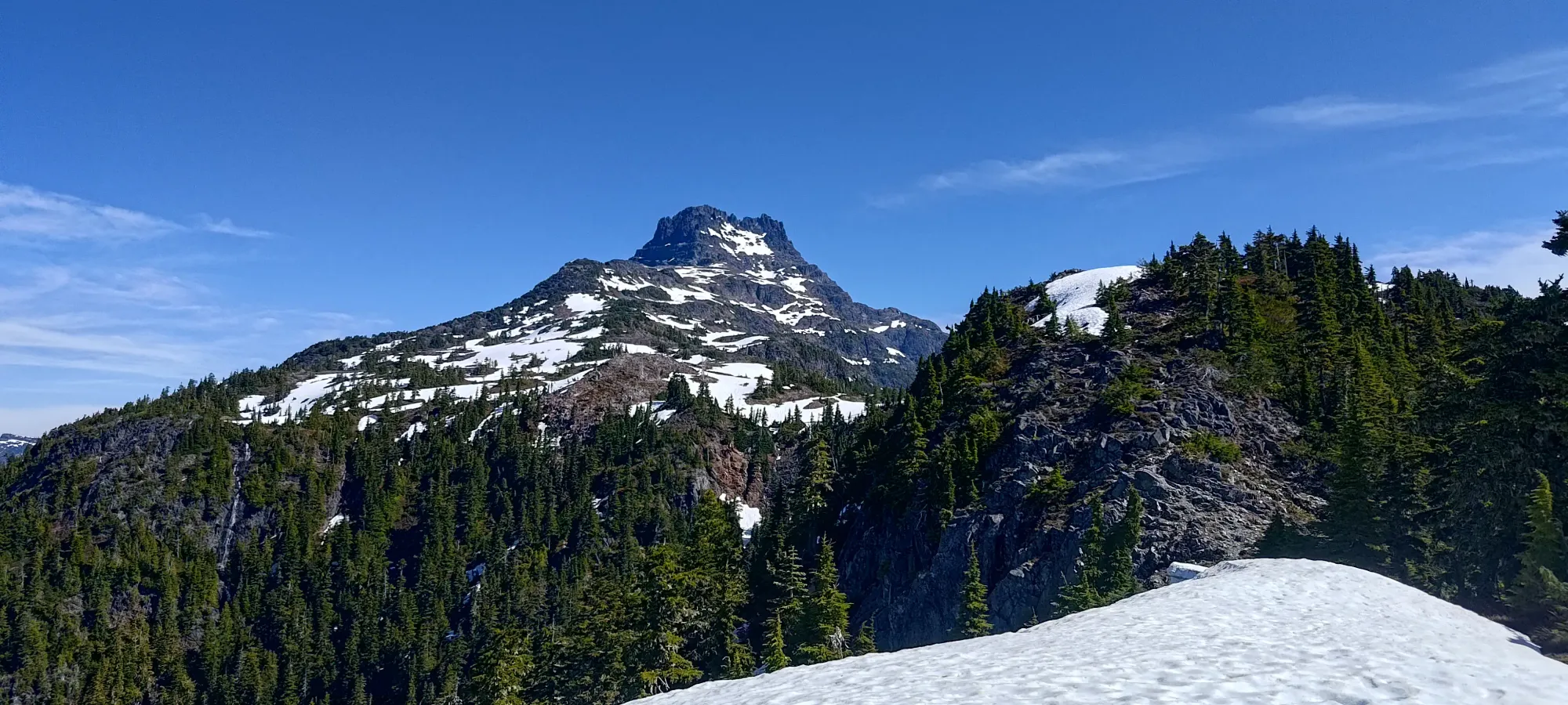
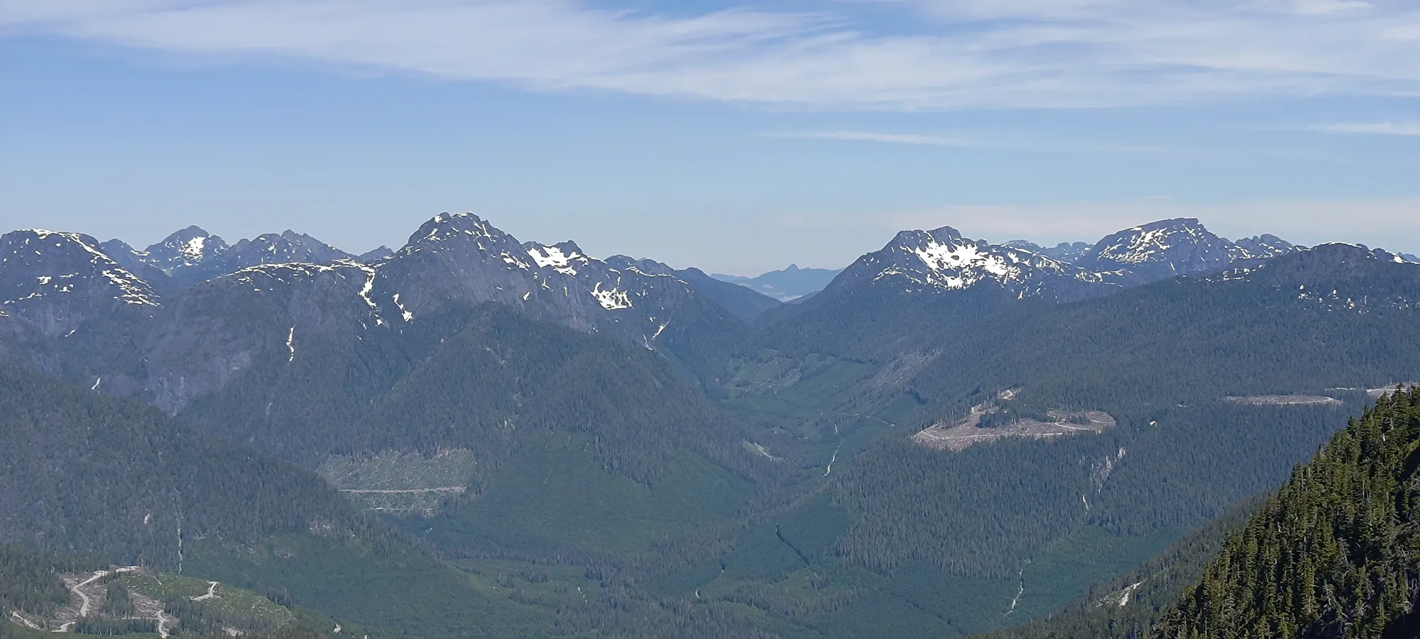
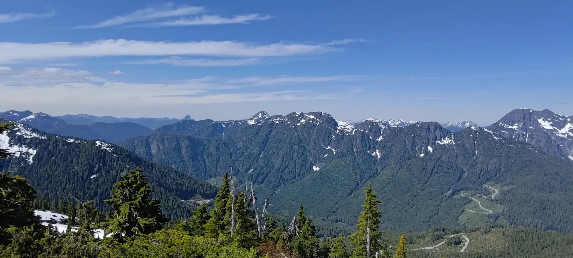
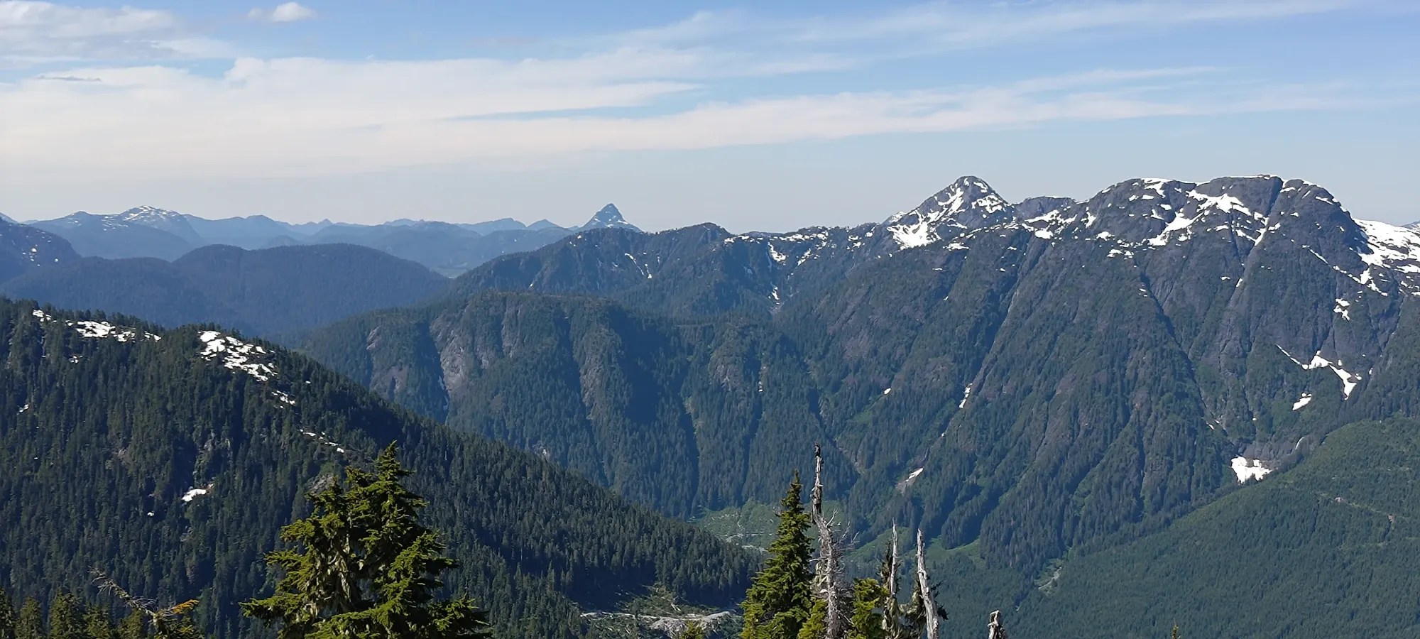
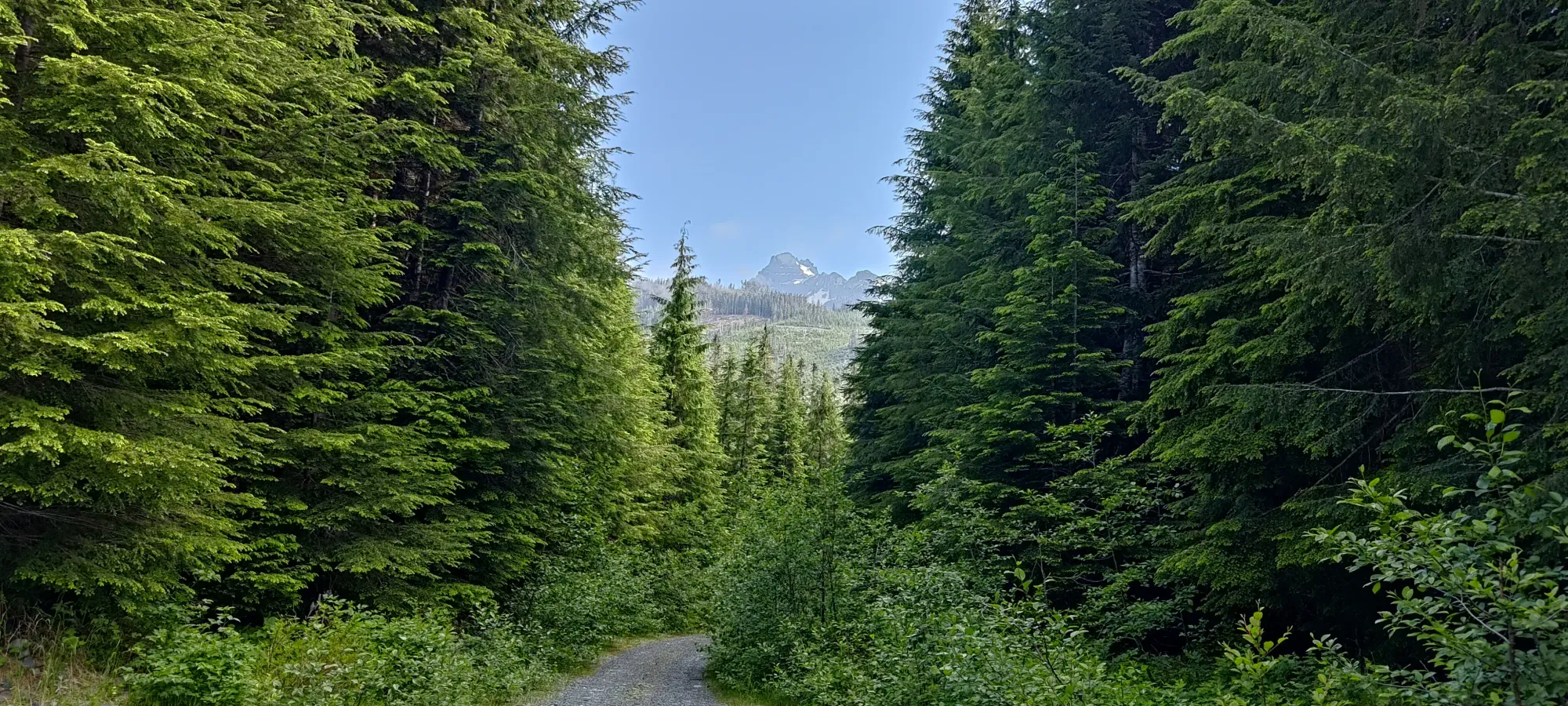
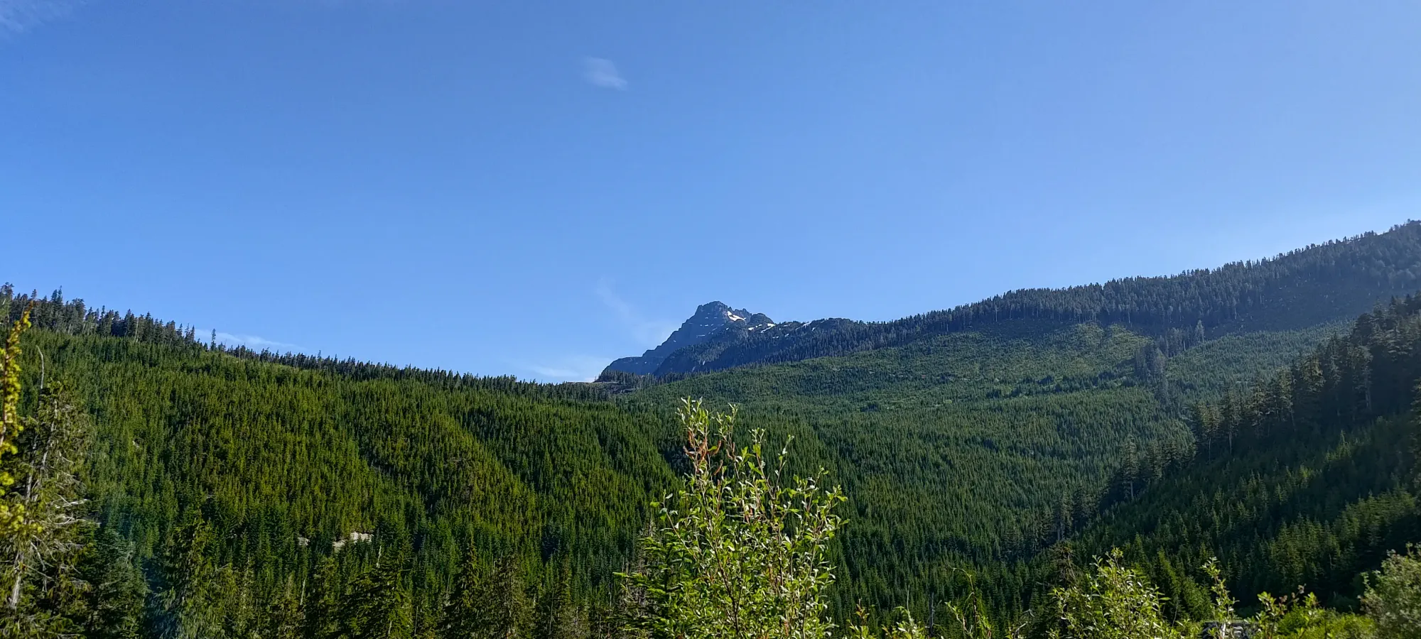
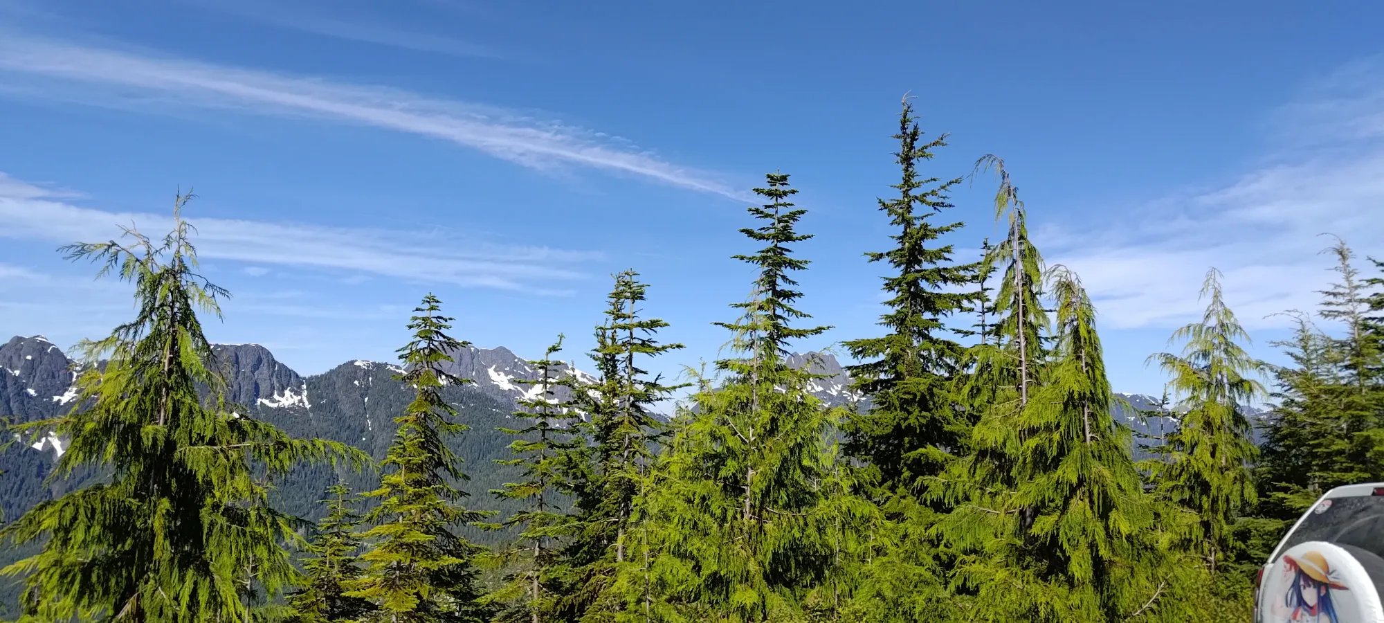
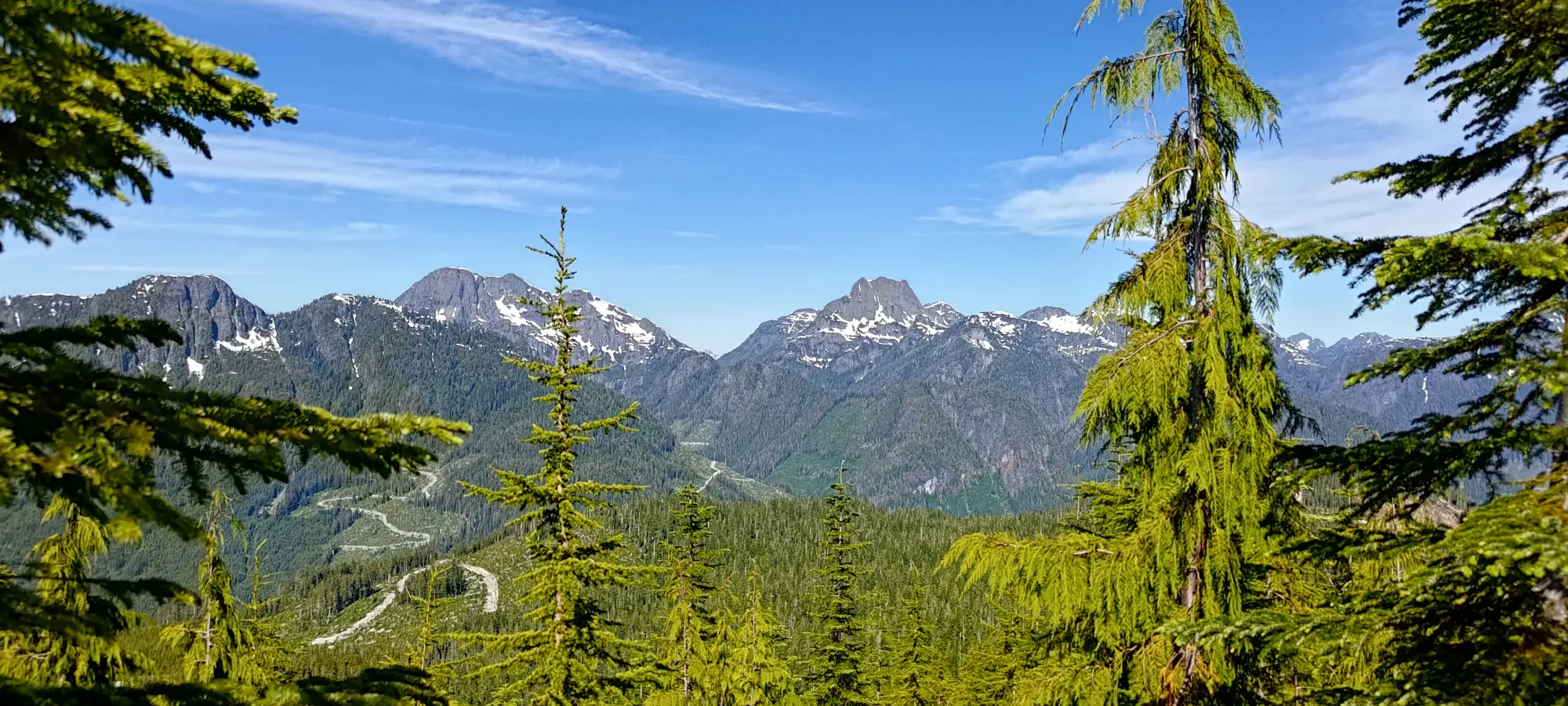
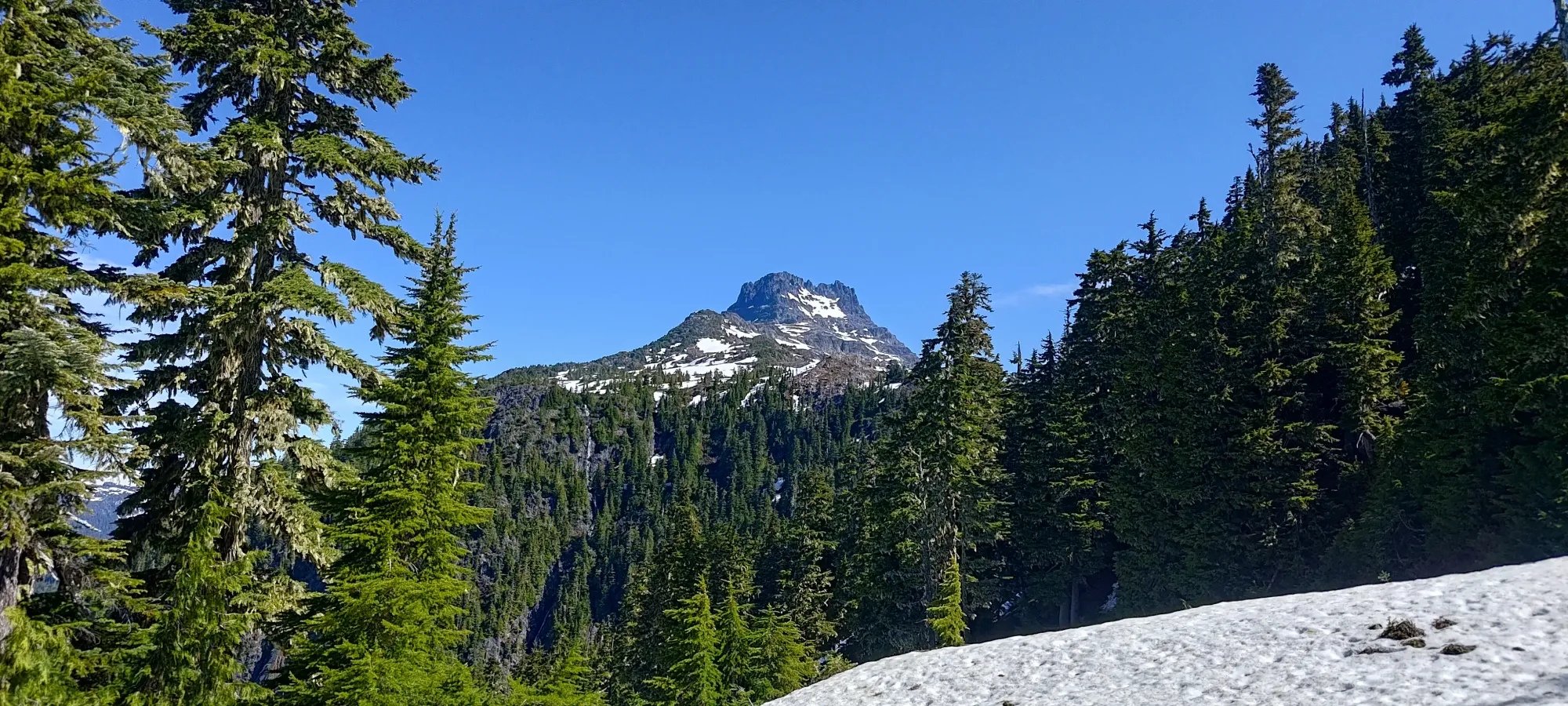
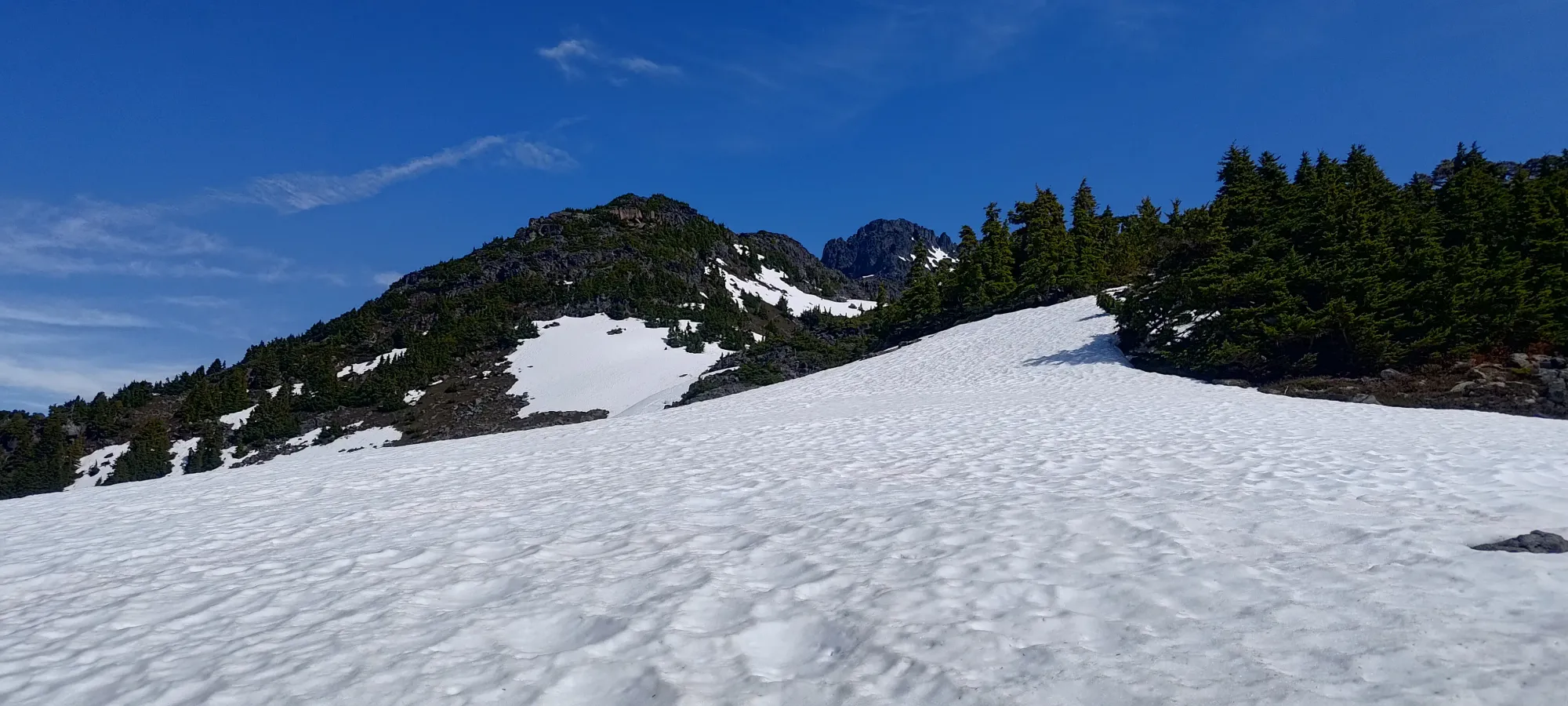
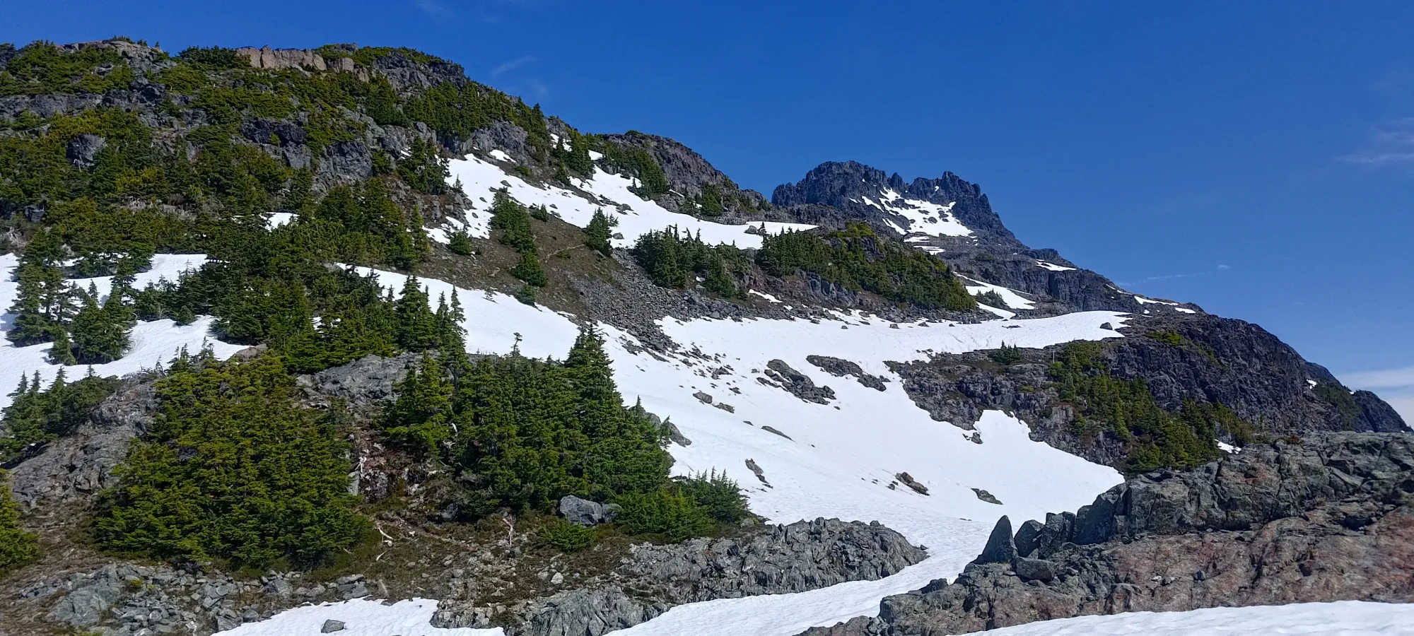
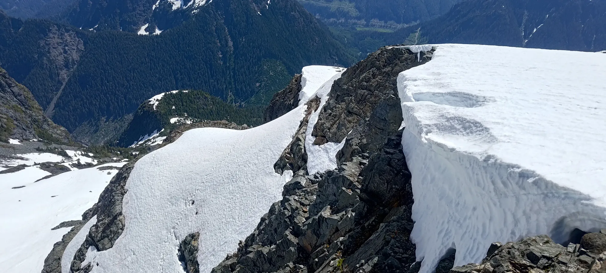
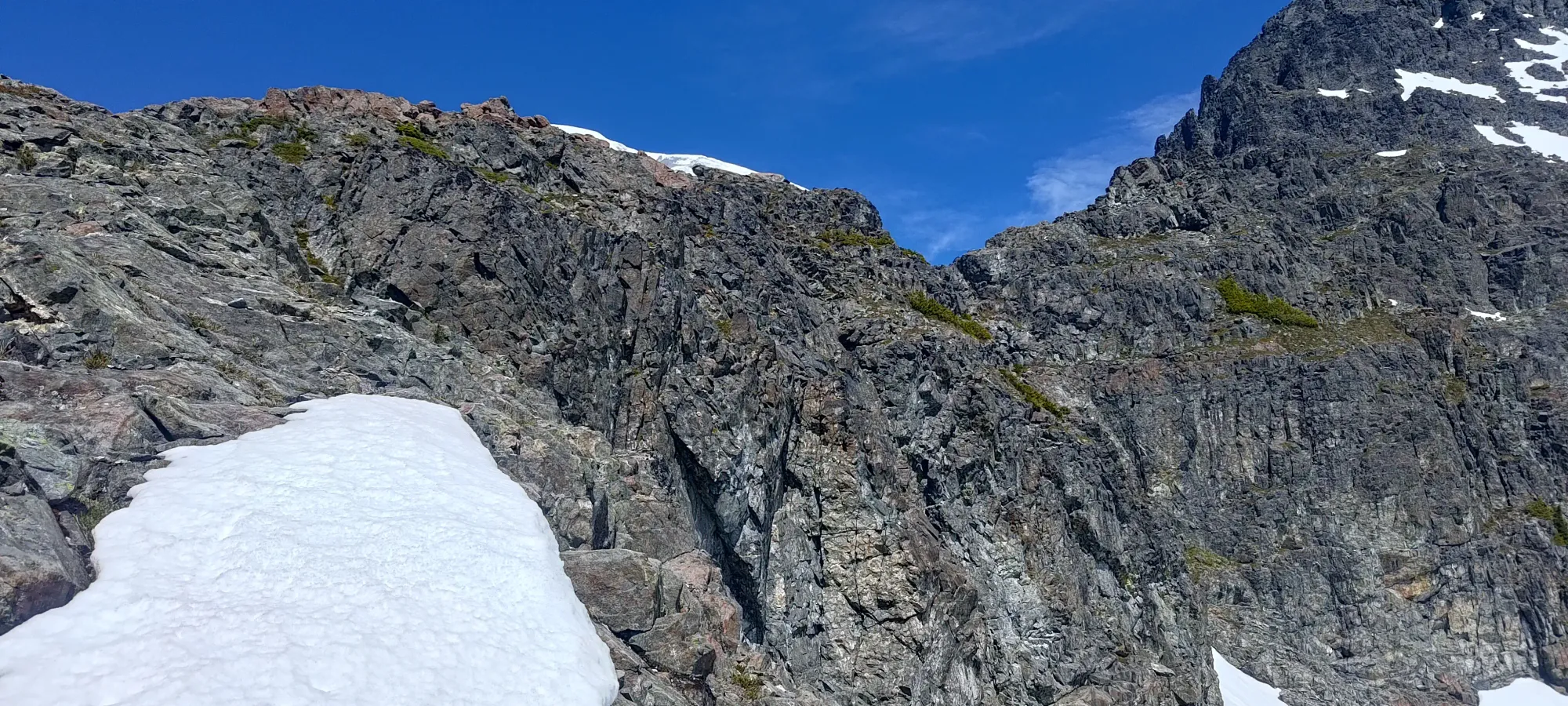
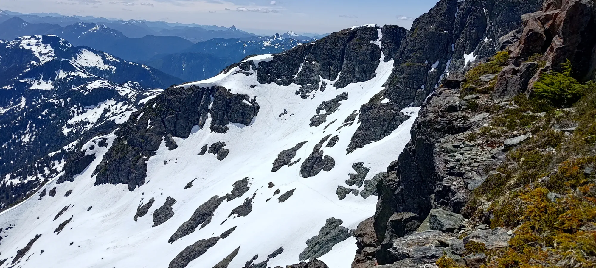
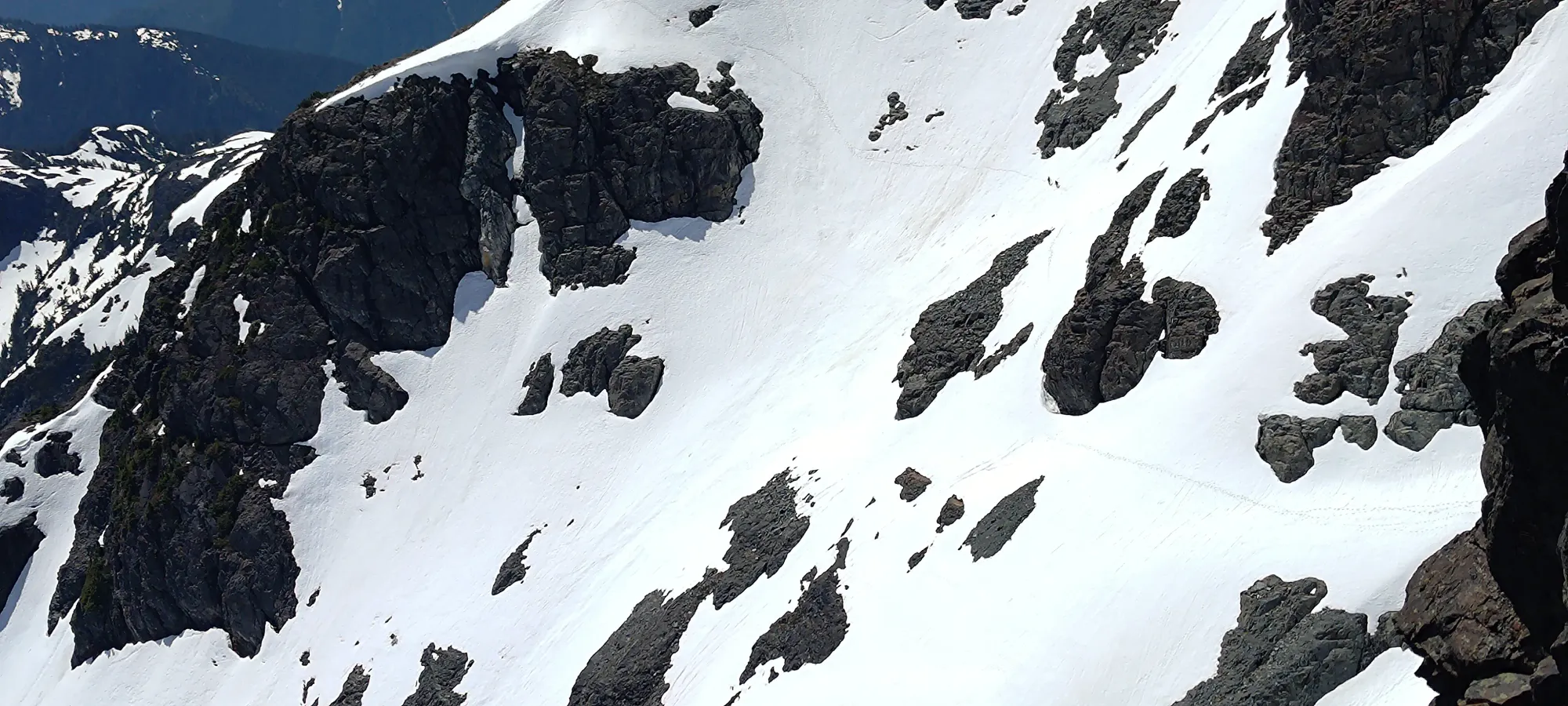
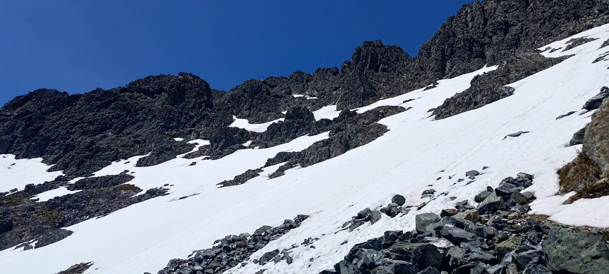
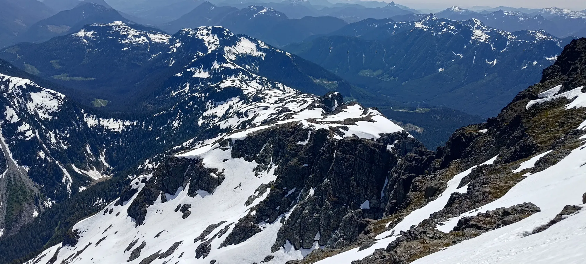
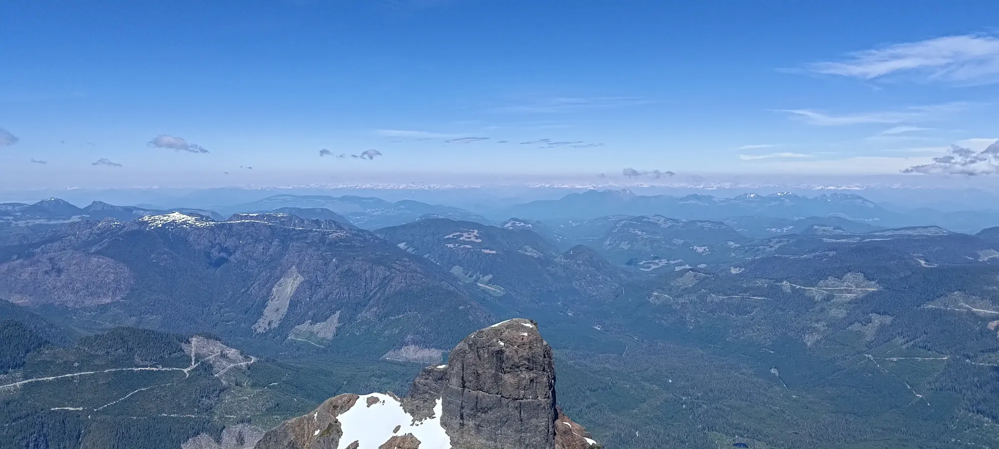
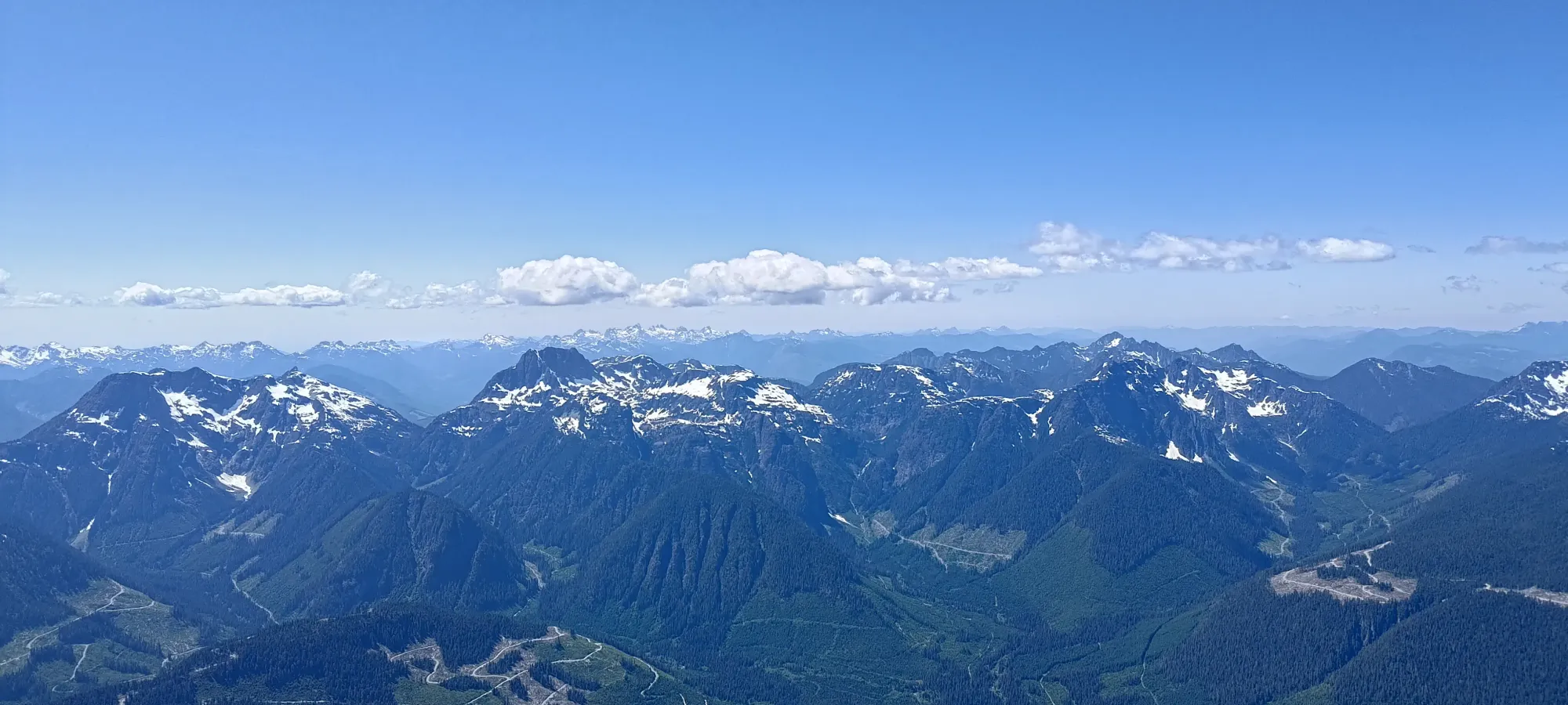
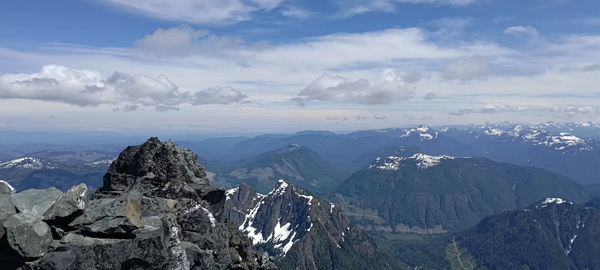
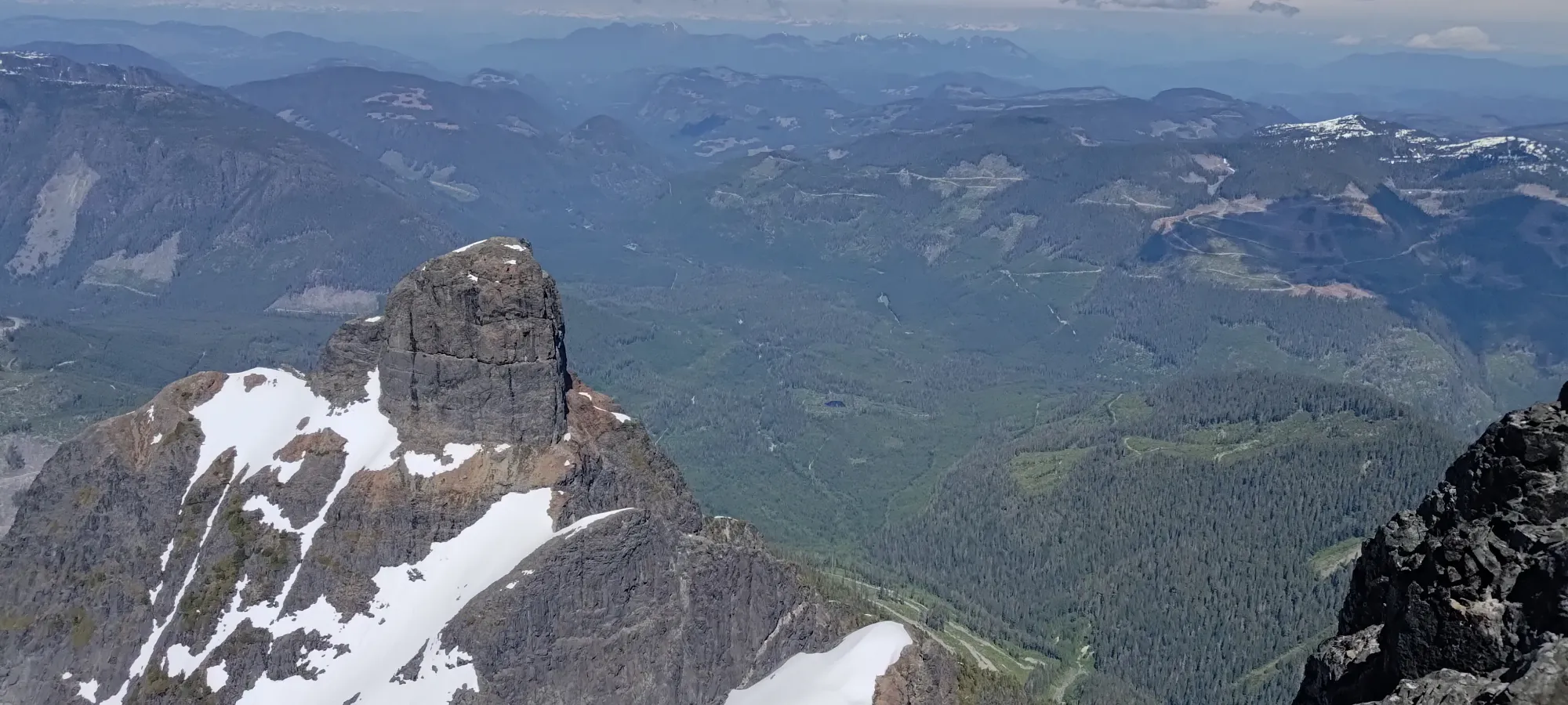
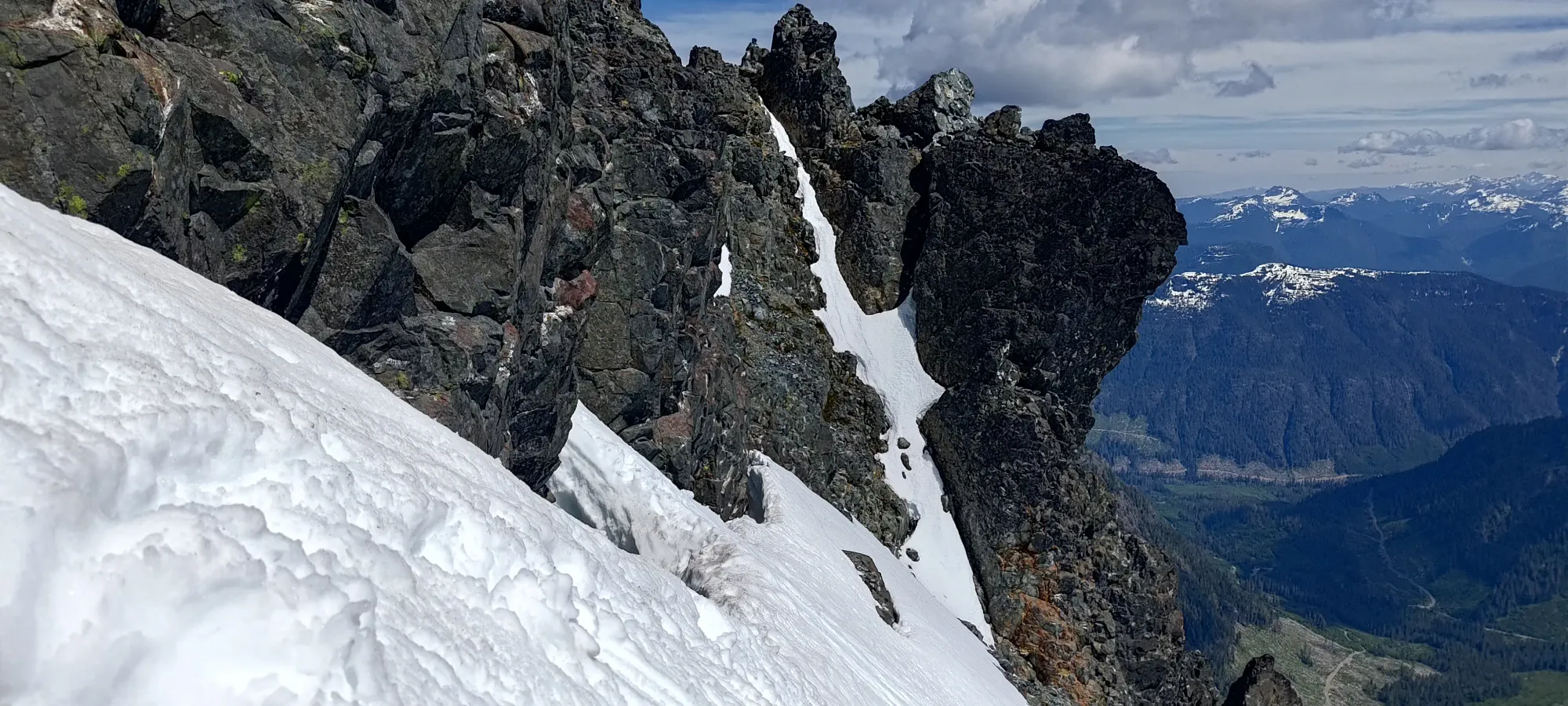
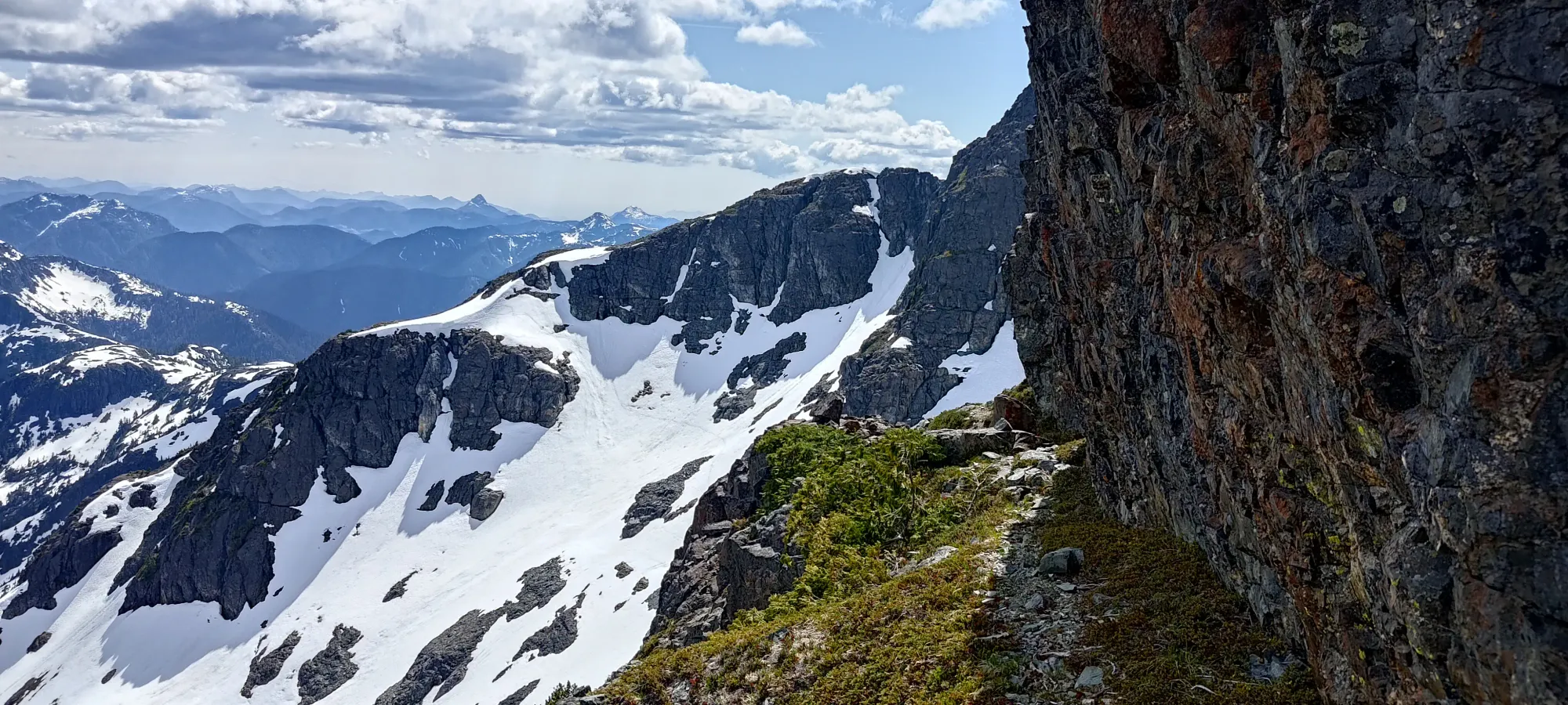
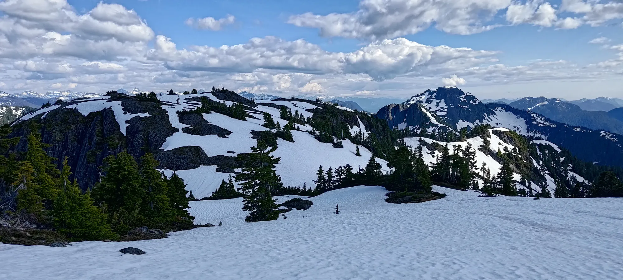
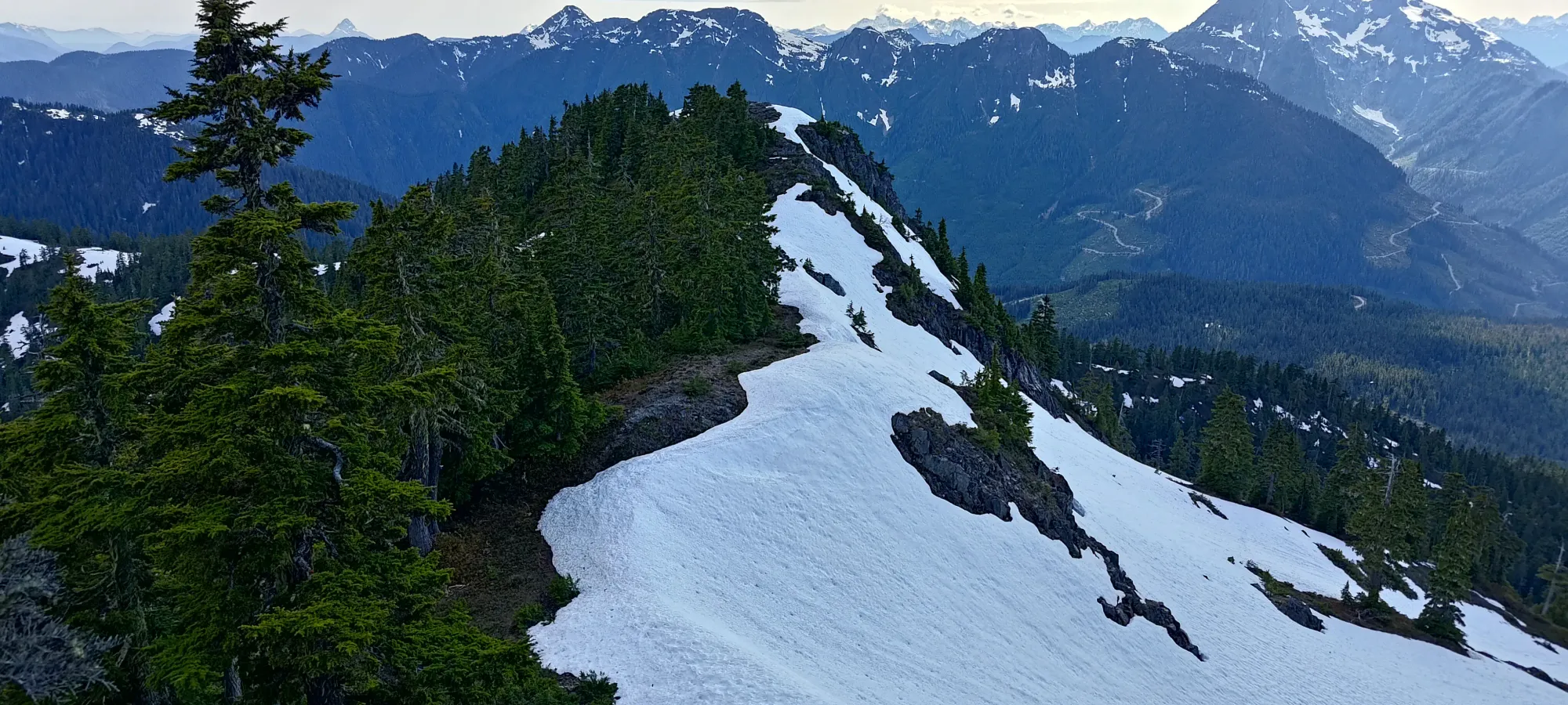
Views from along the ridge, pretty spectacular already
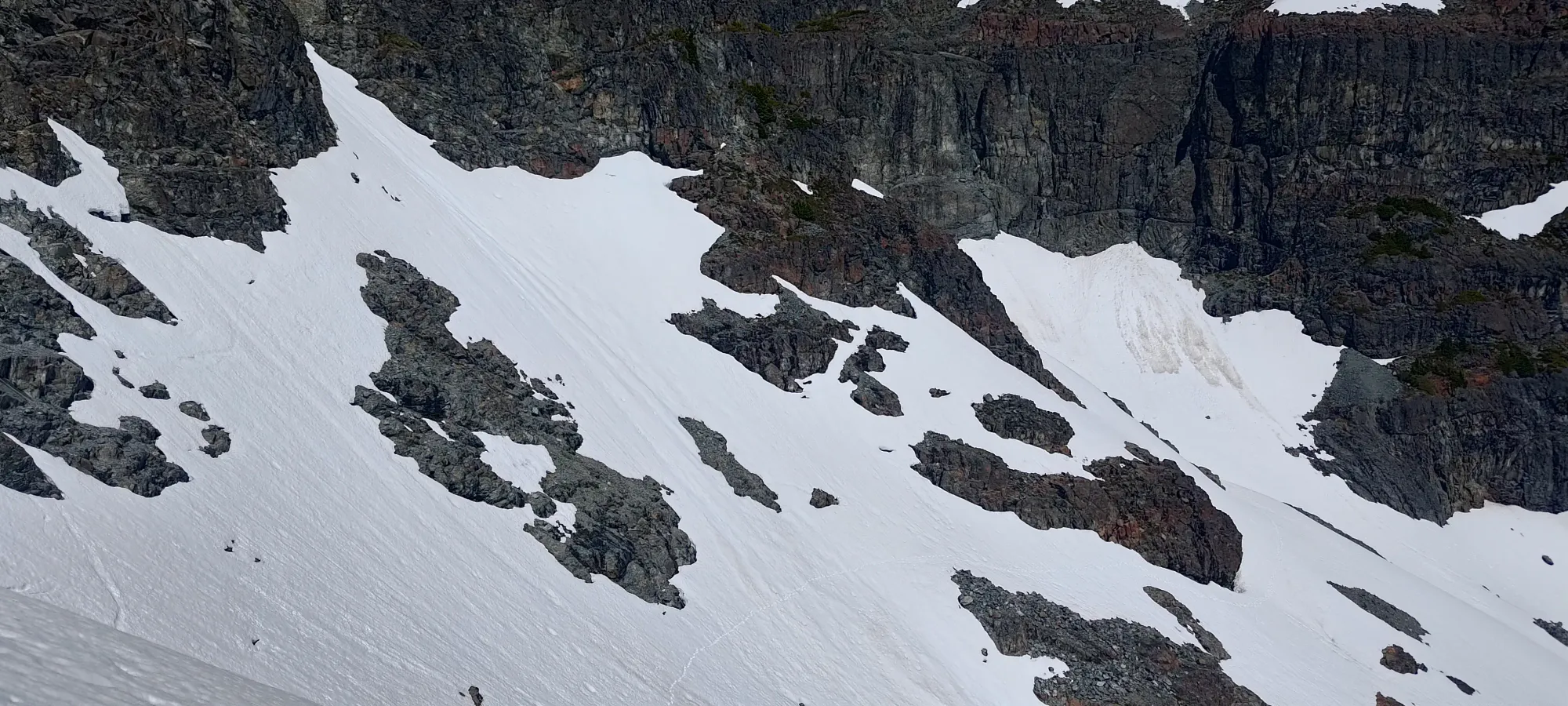
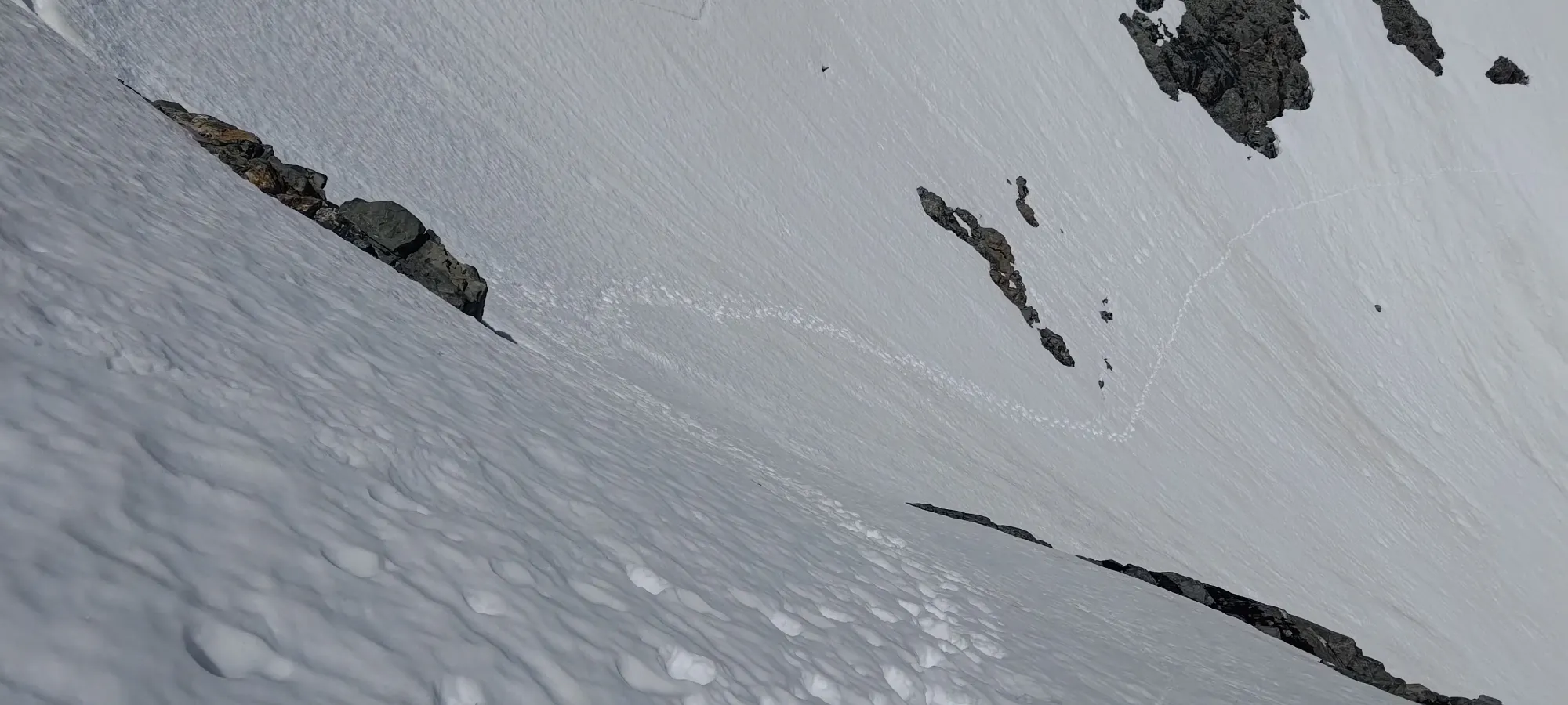
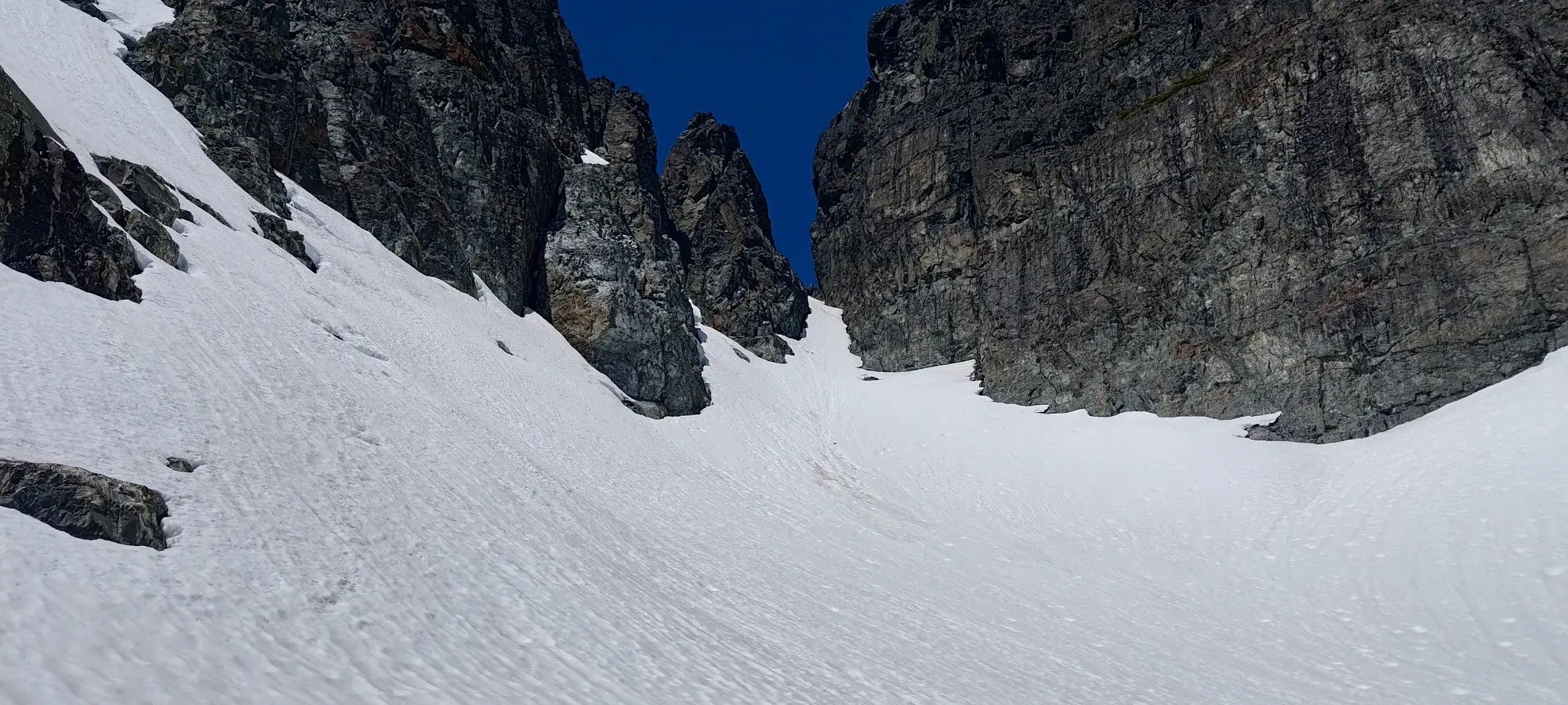
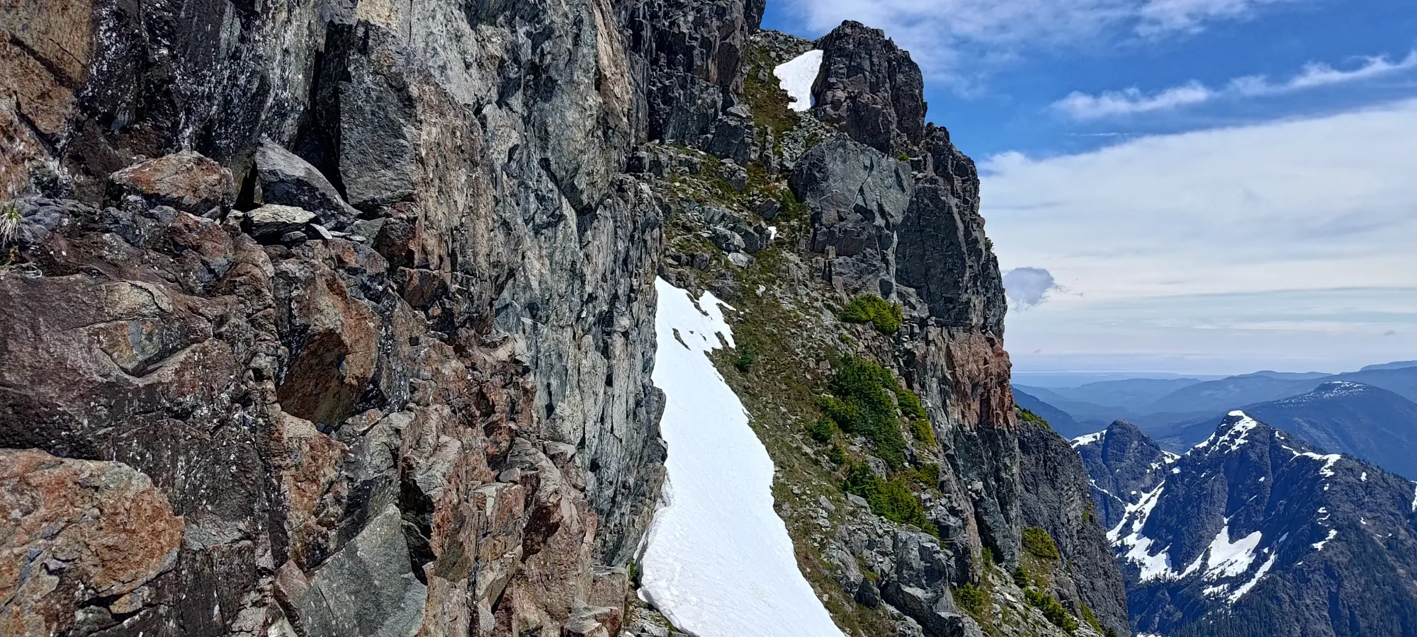
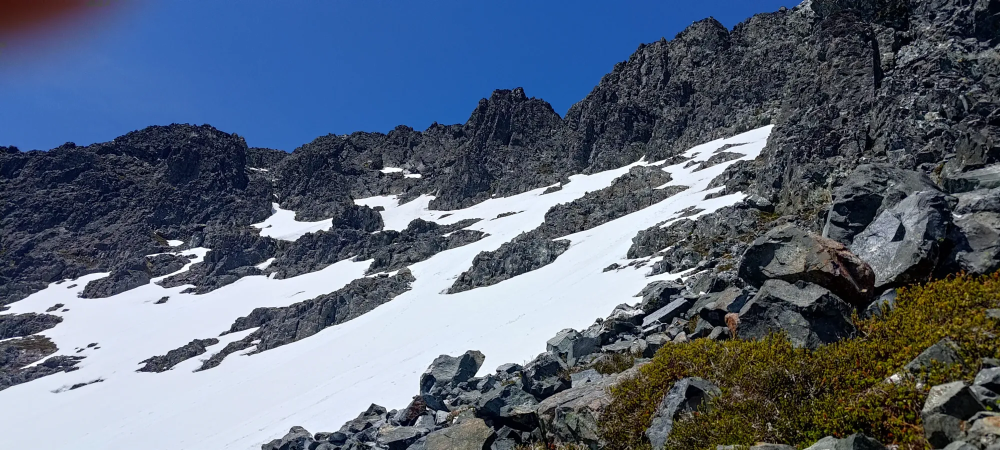
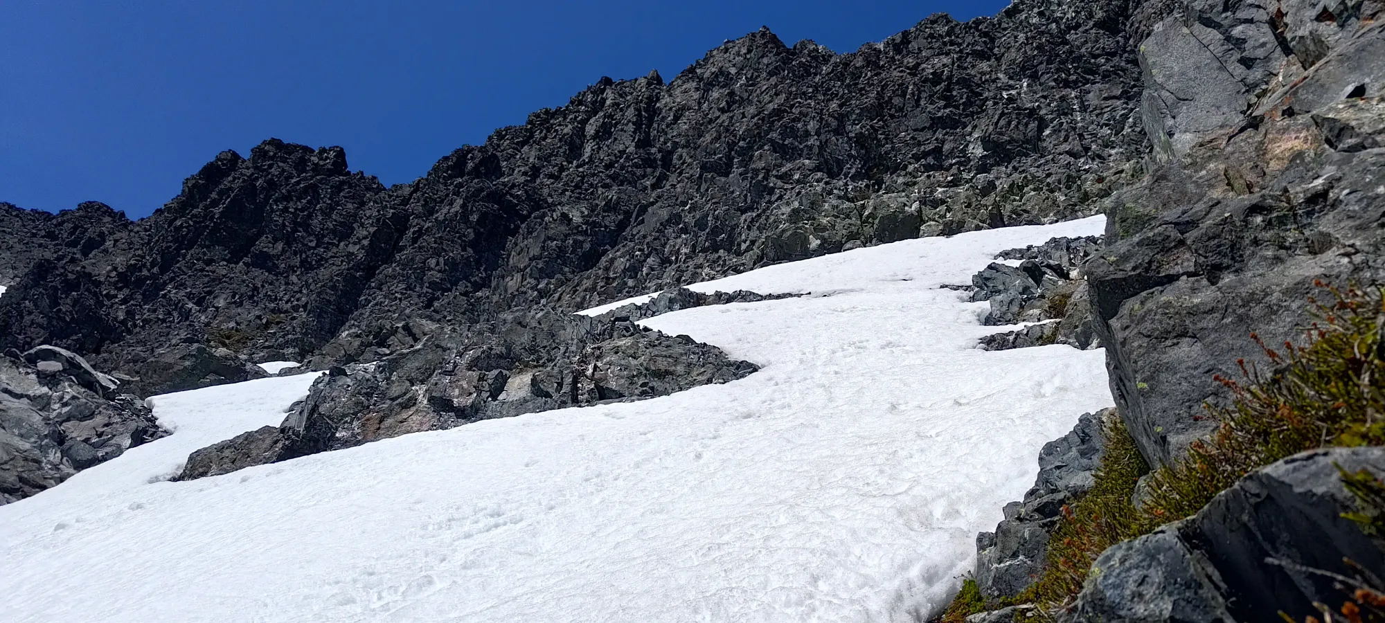
I rambled along the ridge for another 20–30 minutes, going over bumps, one of which had another random fixed rope I couldn't really figure out, the terrain was wet from snowmelt and was still quite easy. Oh well, it was at least not anywhere that it'd be a tripping hazard, so it wasn't in the way either. In less than an hour from the car, I got over most of the mandatory bumps, and now had a long, wide ridge ahead of me to walk across (largely on snow) and gain another 300m or so, until the steep snow descent that many had noted in previous trip reports.
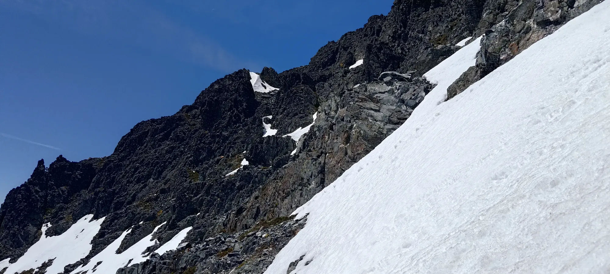
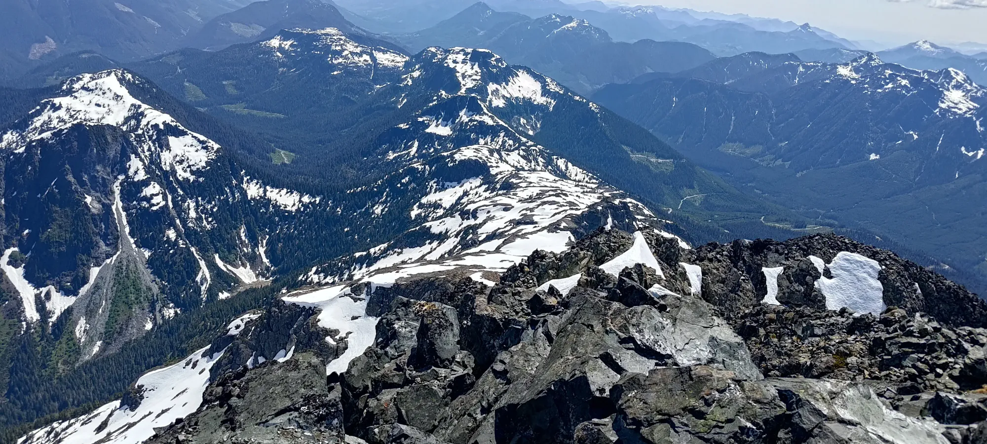
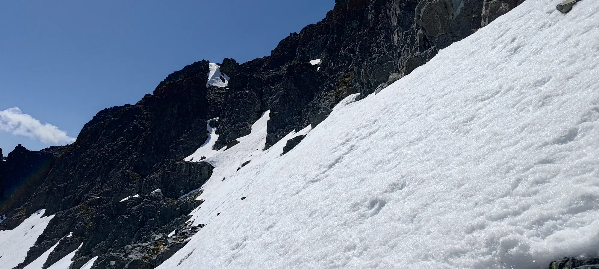
This next section of the ascent was quite pleasant. I could tell, in the few spots where it was uncovered, that the trail is pretty well-defined here, but with the snow coverage being pretty good still, I just went up the route that seemed like it would minimize undulation and sidehilling the most, and that worked out fairly well without randomly getting cliffed out or forced into bushwhacking.
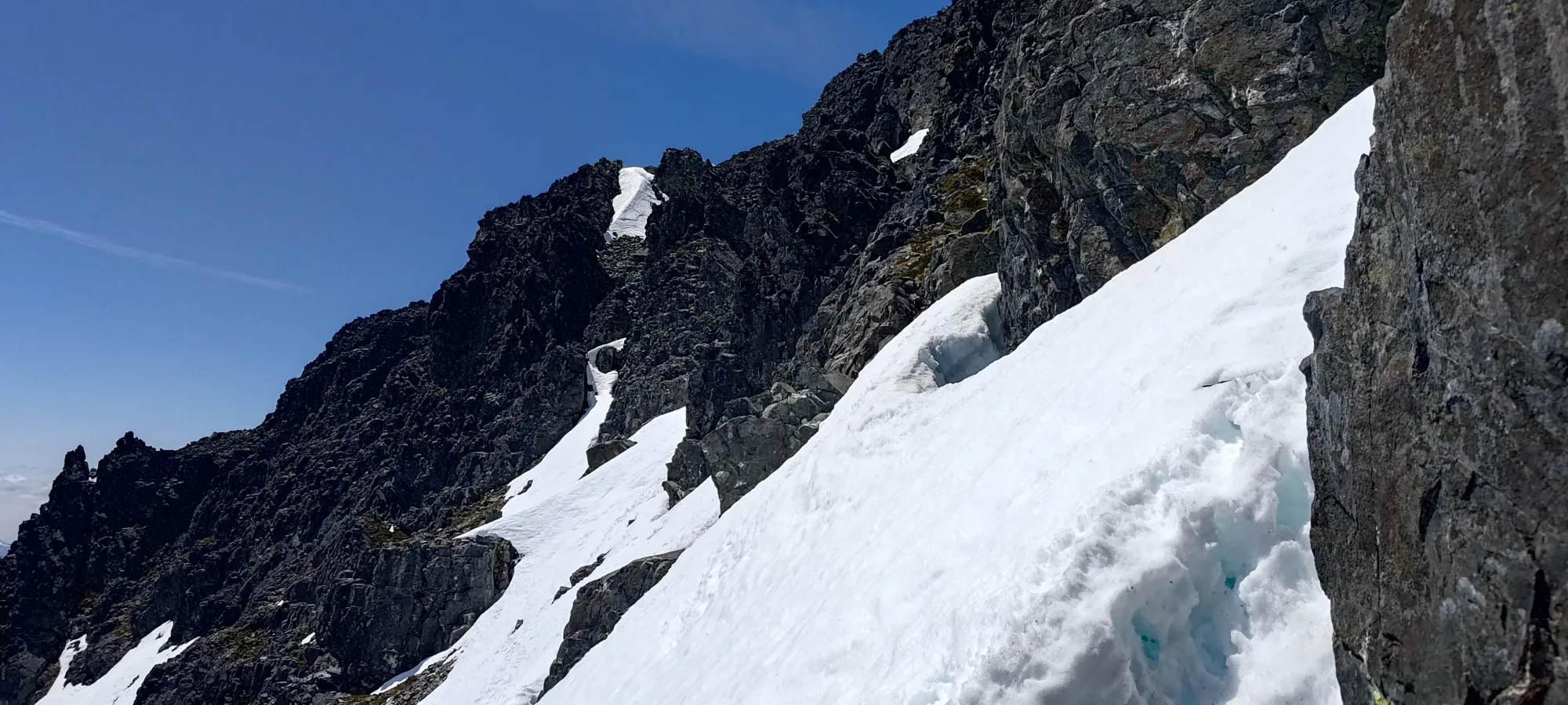
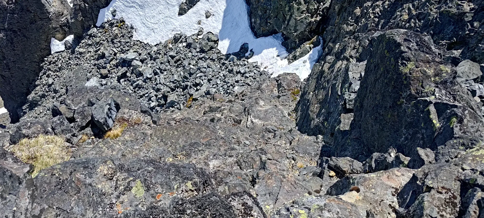
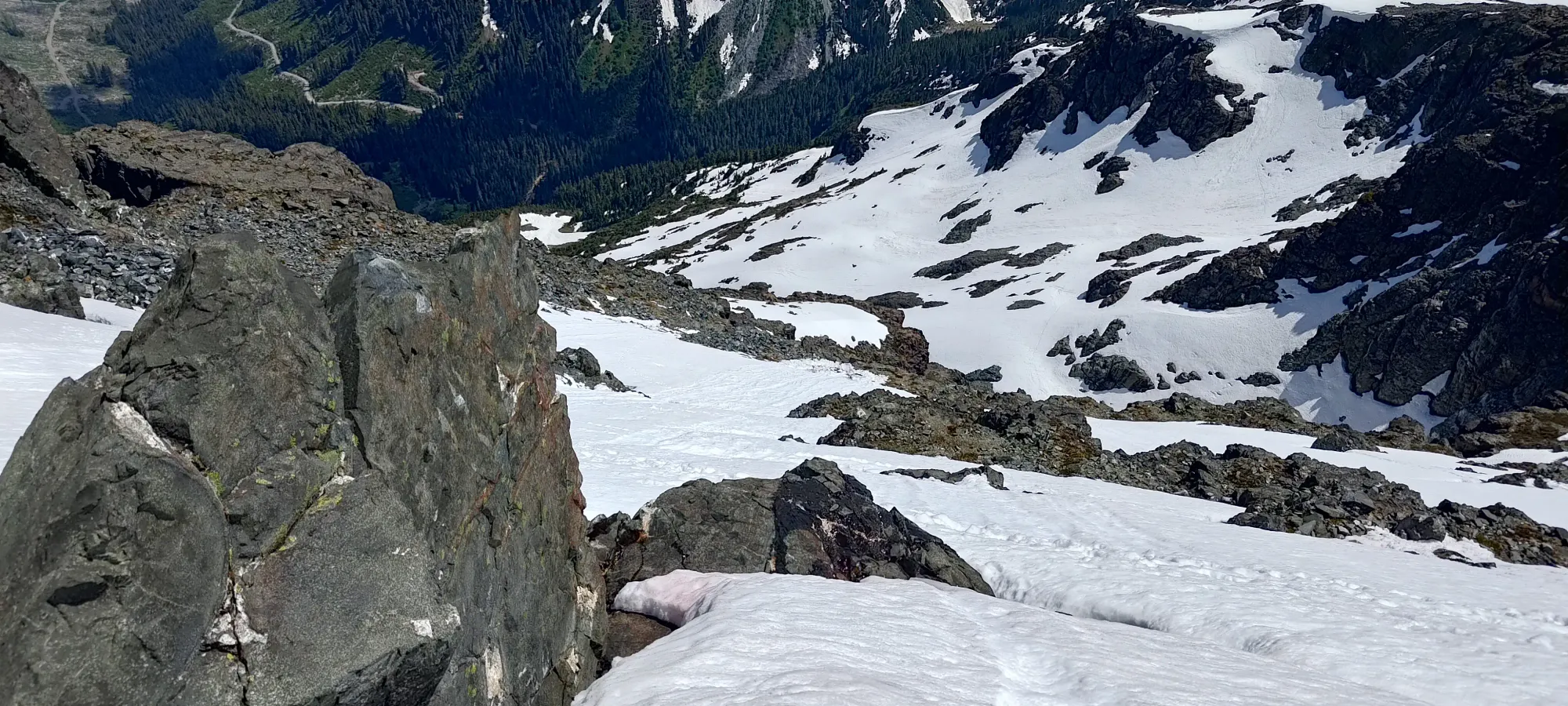
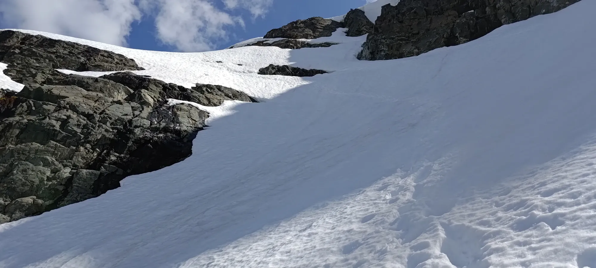
I spent the following hour in that terrain, with the only real events of note being me deciding to follow some tracks that sidehilled a bit more to the east side of the ridge than I'd otherwise have chosen without seeing them, which was fine, but definitely more annoying than it had to be. That, and me kinda getting into the groove of just walking up the mountain, and overshooting the descent point a bit, gaining up to 1870m before realising "oh wait, I'm not supposed to take the ridge directly to the summit, I should probably get into the bowl", and retreating to ~1820m, where I had to get off the easy terrain of the S ridge, and make the downclimb into and across a steep bowl to access the scrambly part of the route.
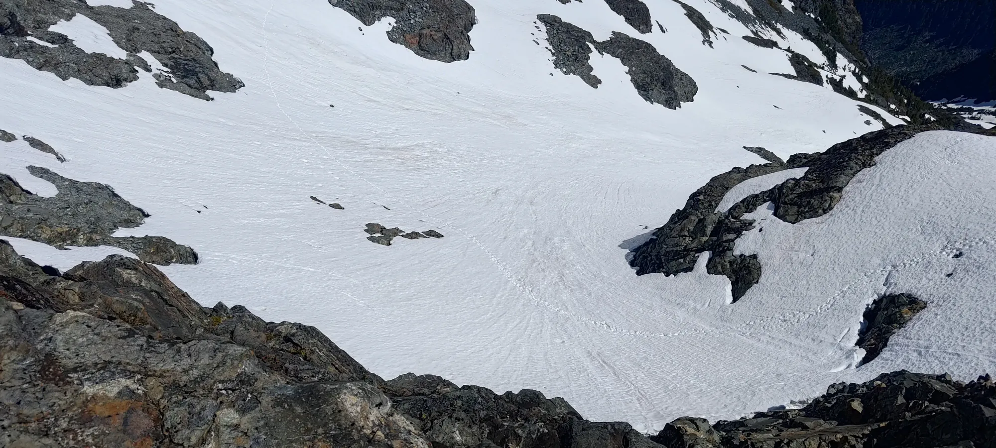
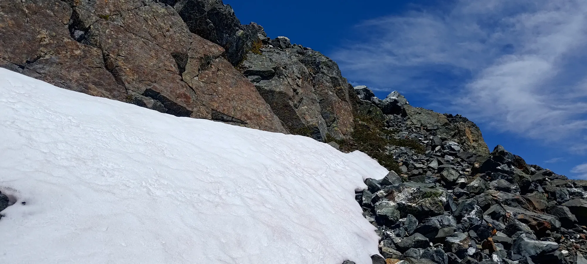
After walking down the ridge to the entrance, I finally got my super spikes on (a kinda half-spikes, half-crampons, good for easy snow in shoulder season and walkable bare glaciers in summer), took my axe out, and started the careful descent. This was, by far, the most annoying part of the trip for me, as I absolutely hate face-in downclimbing, and it was very much necessary in this terrain. That was made much worse by the fact that I recently decided to get some new "scrambling gloves" to wear in shoulder season or in summer when it's warm but one must touch snow. I went with some random work gloves from Canadian Tire, and boy, was that a mistake. They wet out in approximately 10 seconds, and I had to stop constantly to wring them out and warm my hands up to get through this section. Not fun, 10/10 do not recommend.
Mostly because of the whole glove situation, I took a solid half-hour to drop the ~70m to the bottom of the traverse, which was most certainly the least-fun part of the day. Definitely gonna need a new solution for breathable but still waterproof gloves. Feel free to comment with any recs if you have some 😅.
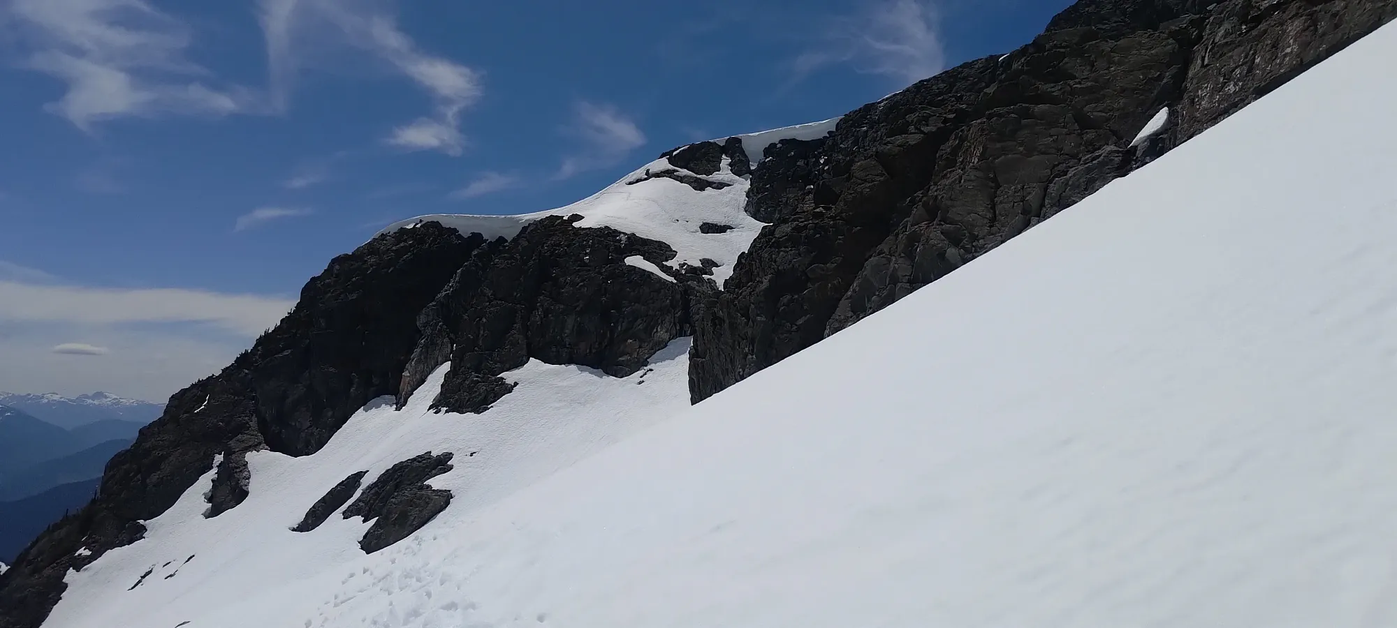
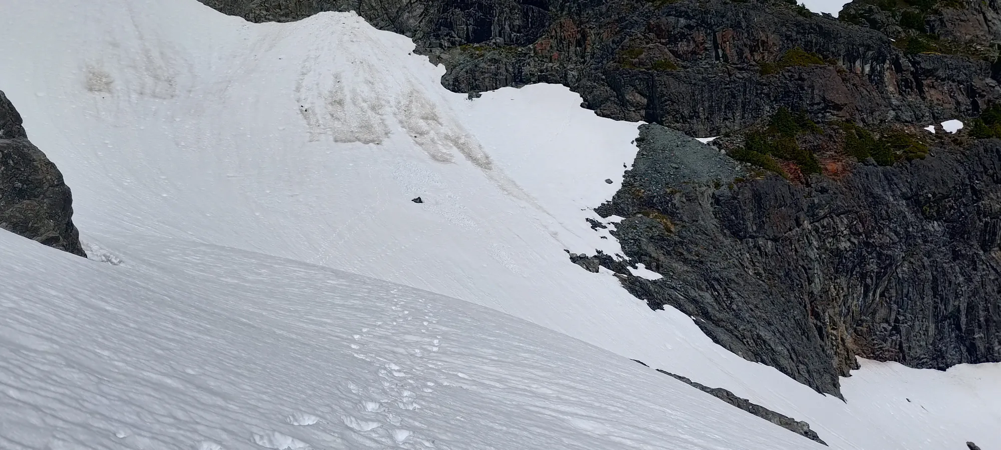
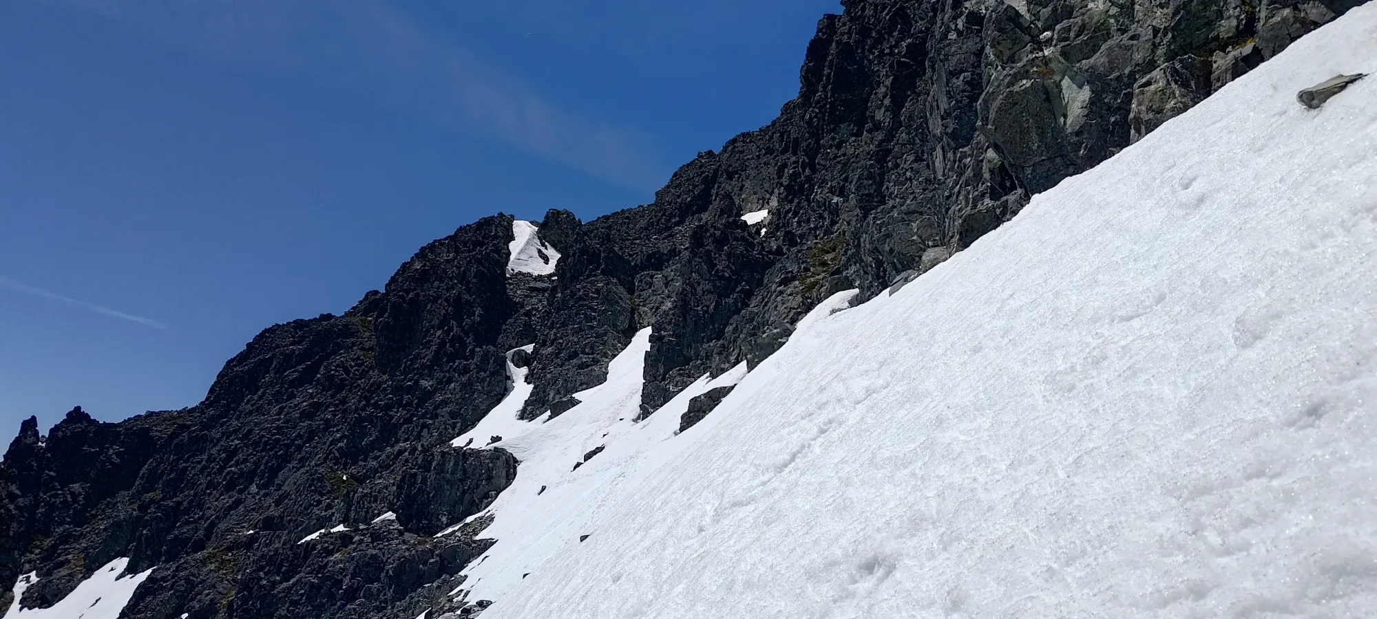
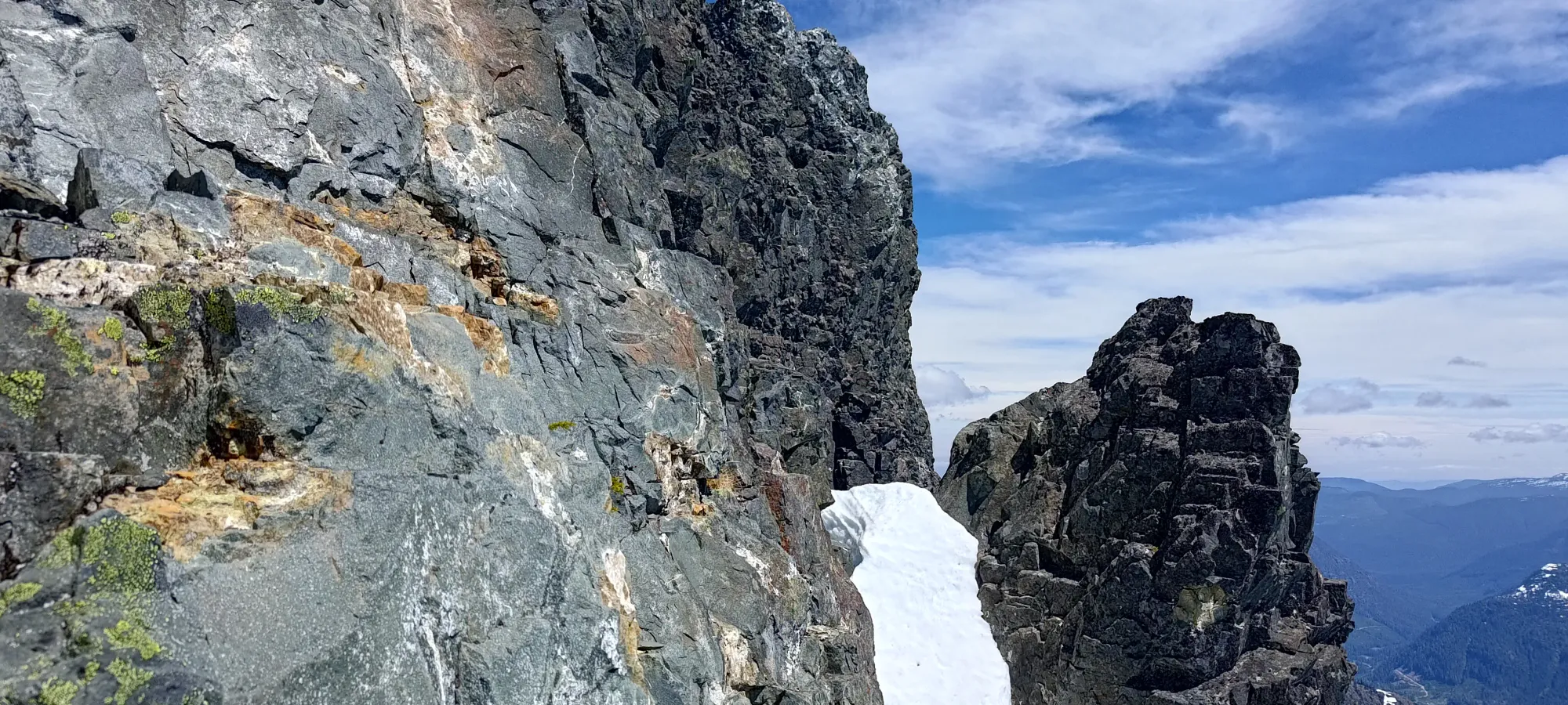
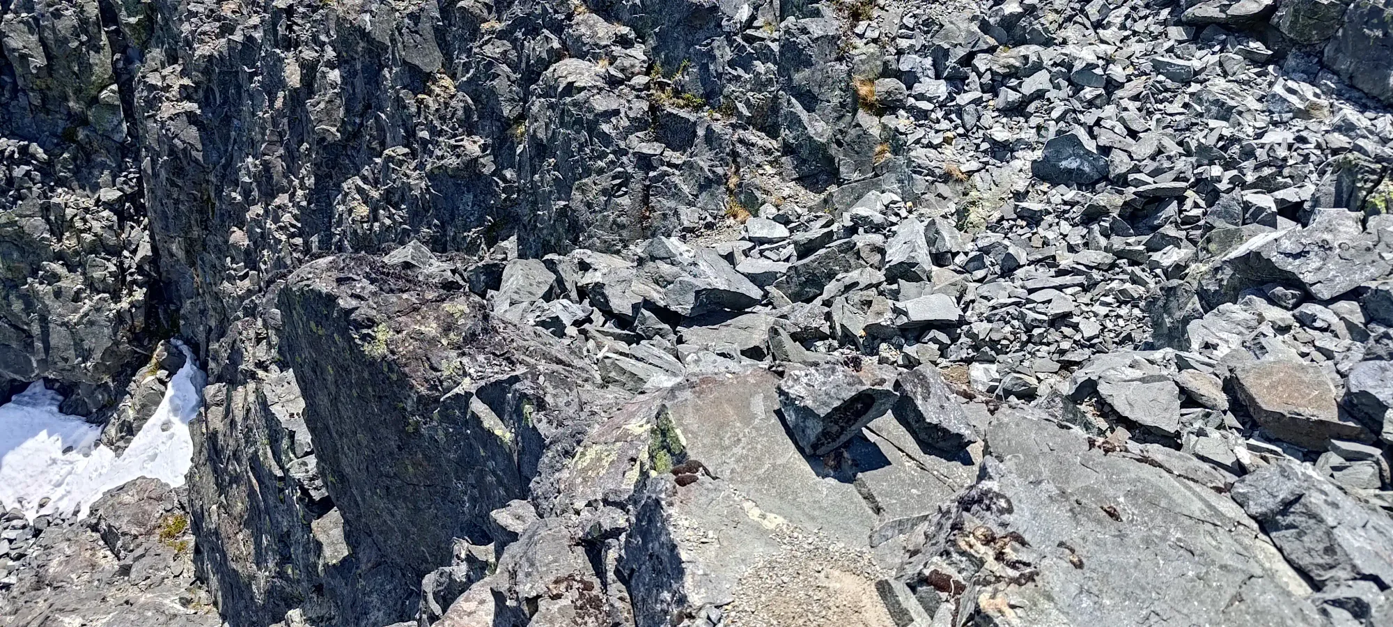
Once the terrain evened out, though, I was able to make much faster progress, and finished my traverse in about 10 minutes. I would've liked to take an extended break after it, but the snow ended right below a large cliff face which was slowly shedding water, and I didn't want to be exposed to rockfall longer than necessary, so I just took the spikes off, got my helmet on, and got moving as soon as I was there (though I did take my time in the safer snow before getting off to compensate a little).
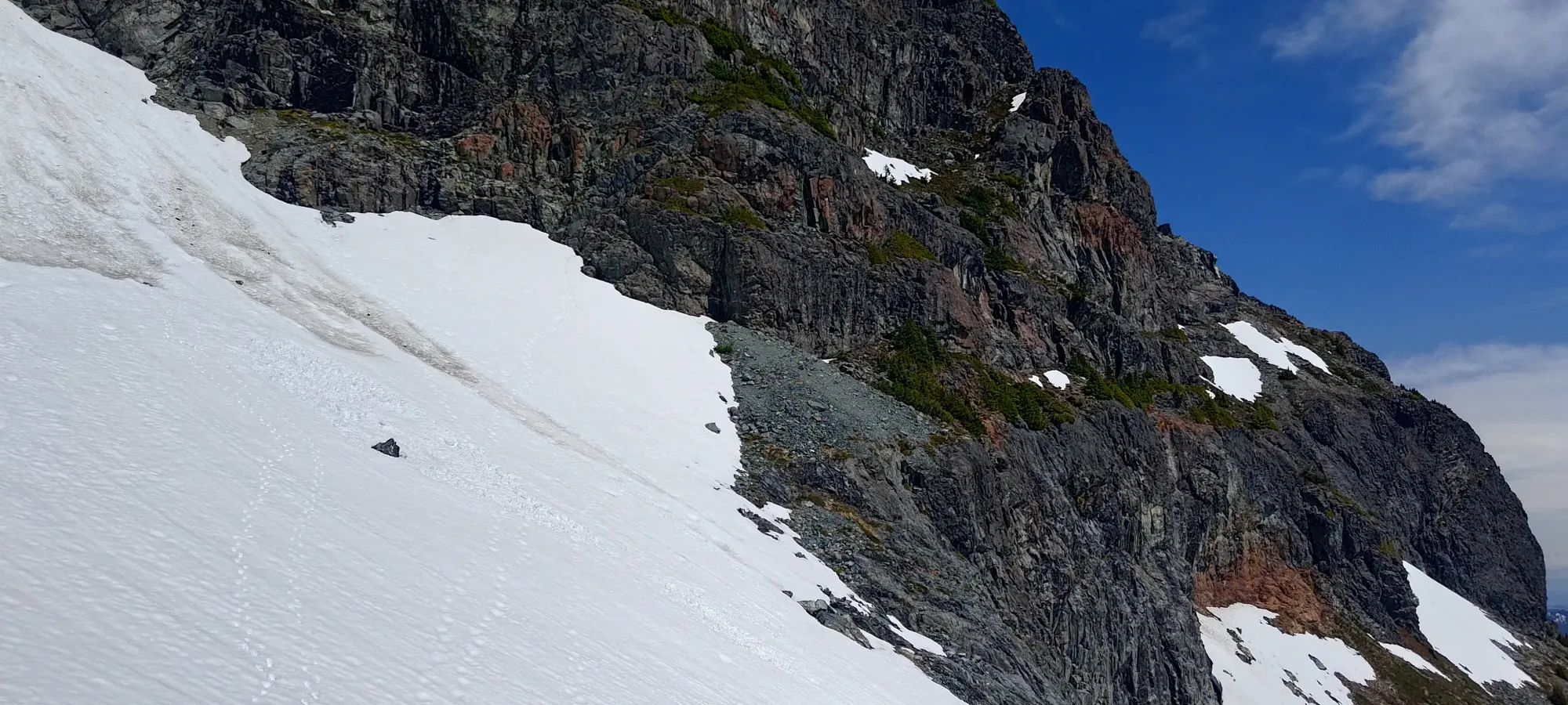
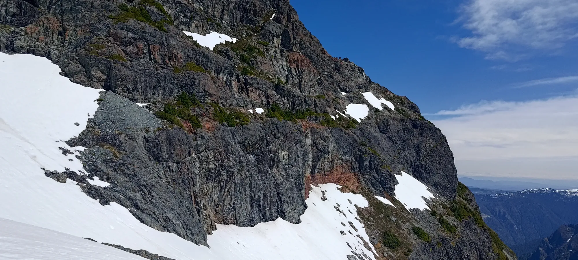
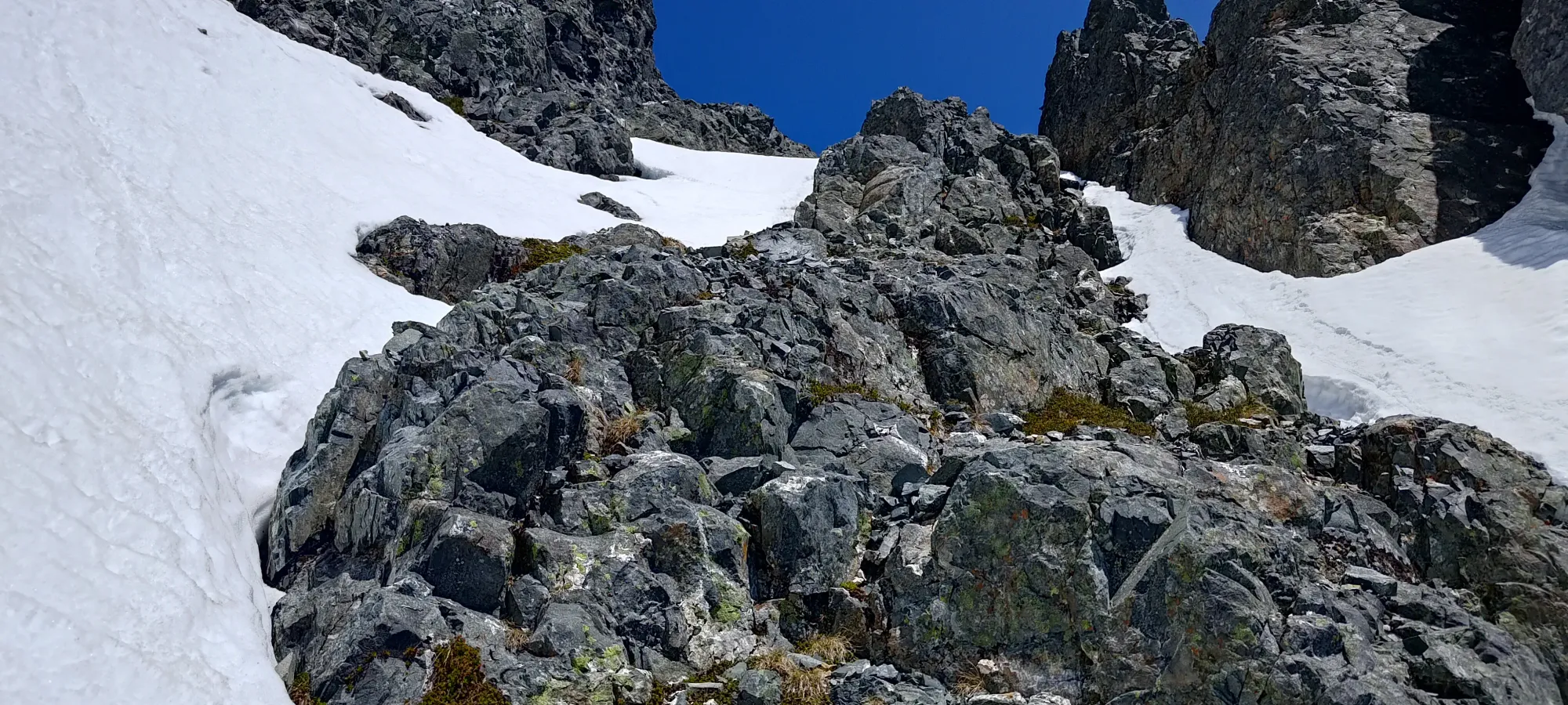
Once I got back on dry(ish) ground, I walked through a small debris field where rockfall deposits from above, then climbed a narrow gully leading to a ledge system that would extend to the eastern edge of the face, then offer a route back towards the summit. Some reports mention this being difficult, but I tend to enjoy tight scrambling terrain like that, so even with some wetness, I found it quite pleasant terrain. The snowmelt from above was dripping onto me a bit in places, but on a warm day, since my hat protected my glasses from being wet, I didn't really mind the cooling 😄
As I was making the traverse across (easy, just walk across, and even with the snow, I was able to stay uphill of it, with just enough space between it and the rock wall), I ran into the other party, who was already on their way down. We had a quick chat, where I totally forgot to ask about the questions I'd only realise would've been smart to ask later, namely if snow gear would be useful above the crux 😅. Instead, I just asked if they rapped, which they did. That didn't surprise me, since every trip report I'd read before had done the same. I was banking on the fact that I am usually comfortable scrambling on the high end of the difficulty spectrum, and that most people solo up, so it would probably be fine. Anyways, slightly concerned but not surprised, I continued on after that quick chat.
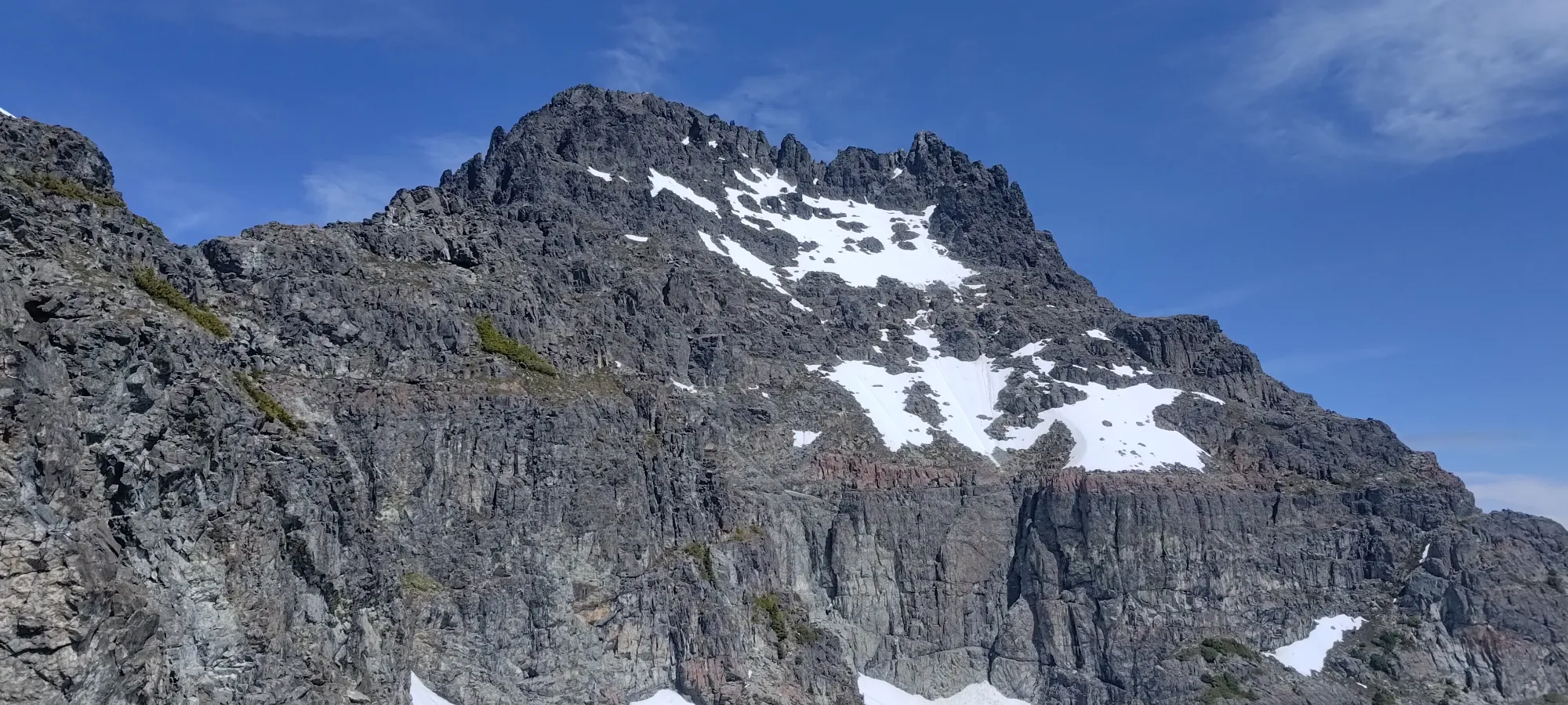
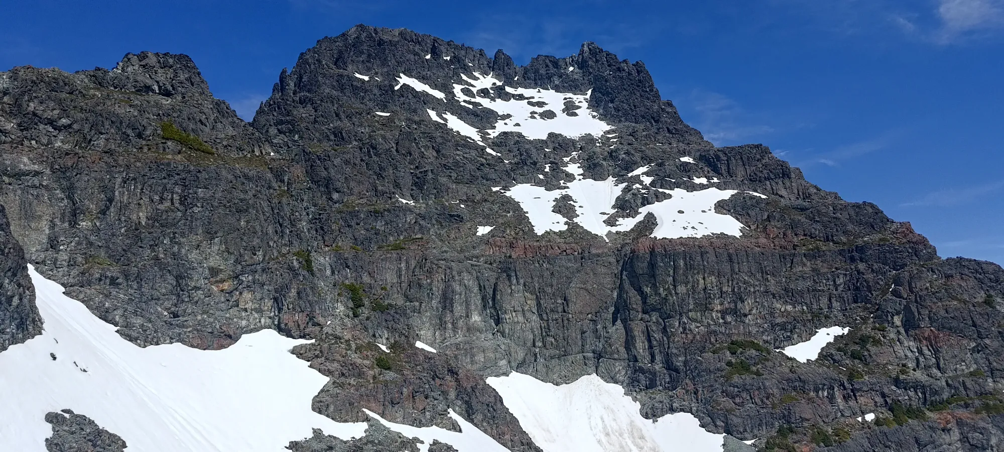
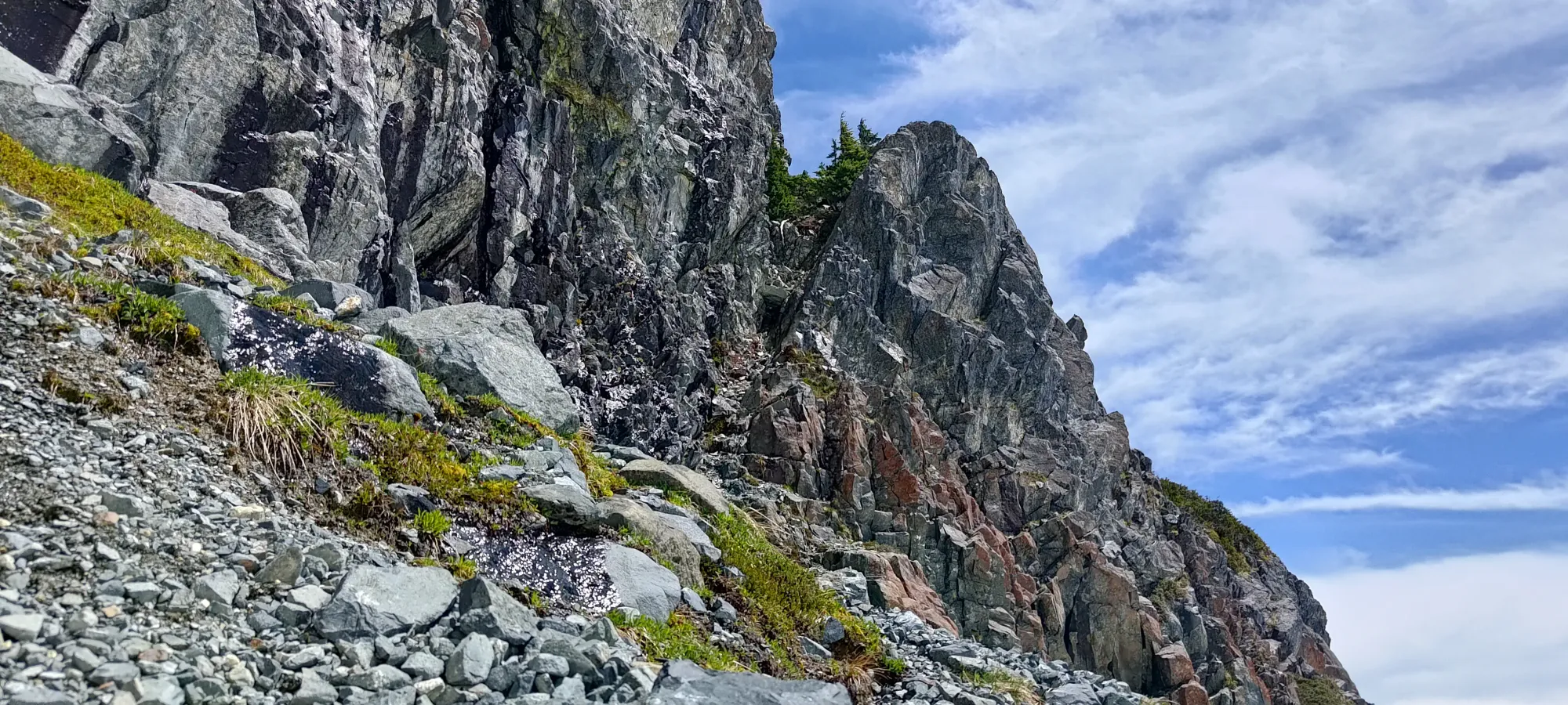
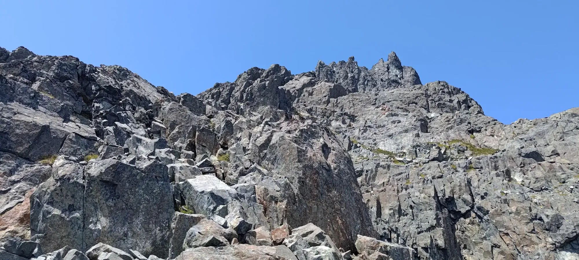
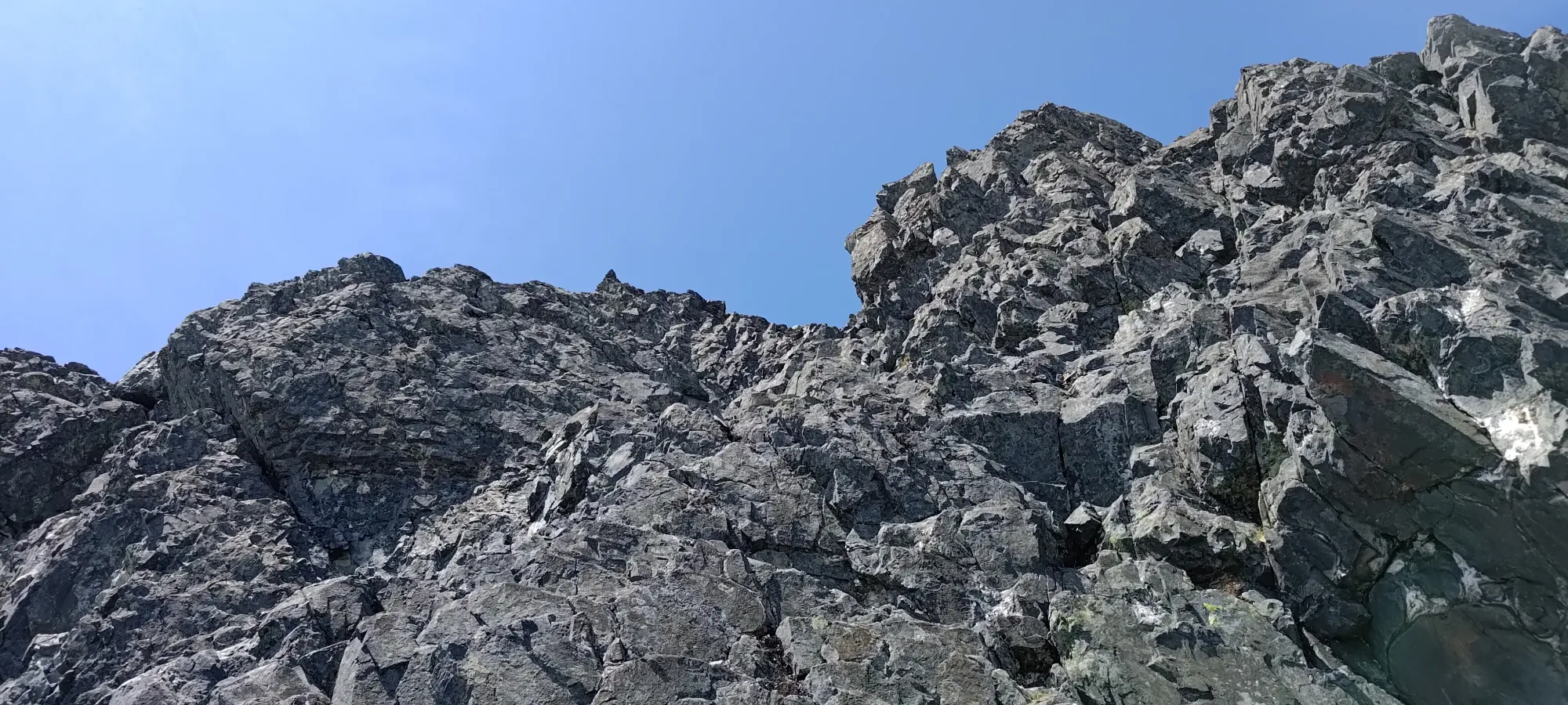
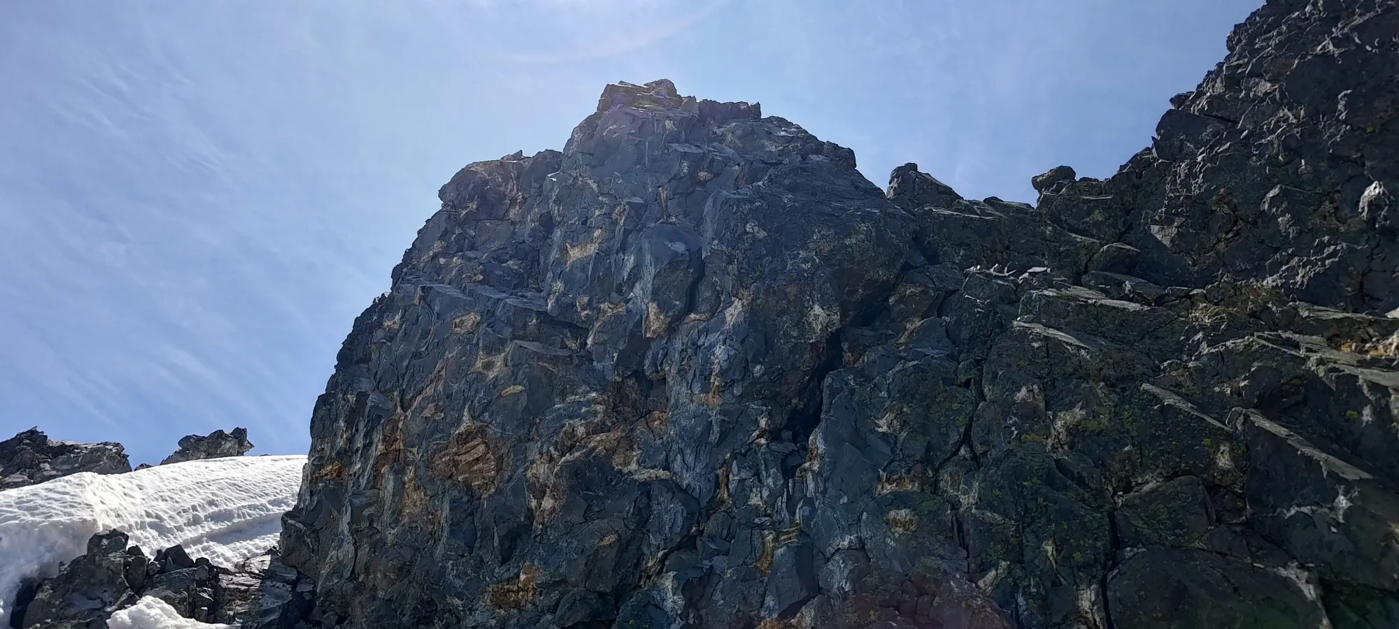
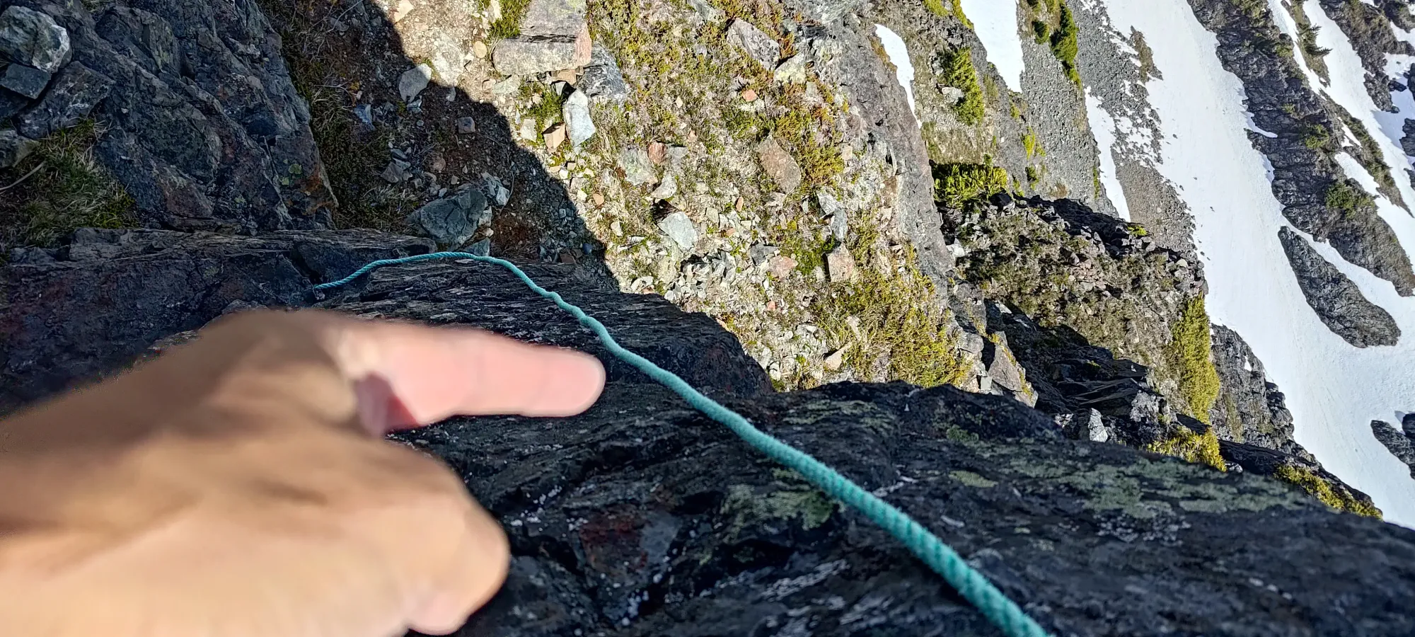
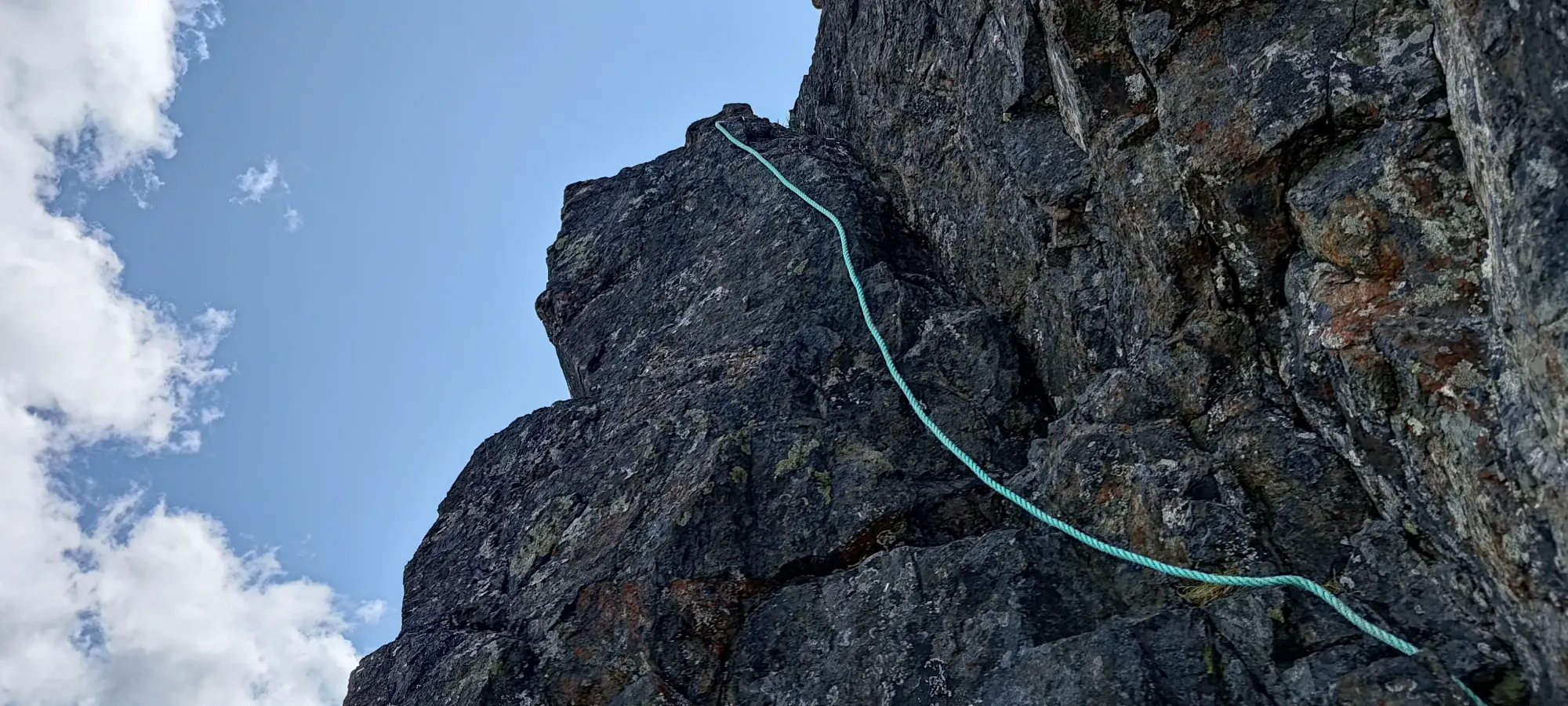
Once I reached the eastern extent of the ledge system, I turned up and back to the west, and soon found the crux staring me in the face. Honestly, it did not look super encouraging. It is not large, and at a glance (especially in photos), it looks like you can just get into the crack that goes up to the top on the climber's right side, staying largely into the mountain. However, that crack is super thin (probably usable by a climber, but still, climbers are also usually on belay), and the footholds kinda stink. At least with trail runners, which is what I was wearing (and usually am, even for other low-fifth routes). On the contrary, the holds on the climber's left side, way out over the exposure (basically death terrain) were actually pretty good, though it's hard to get a good sense of that until you're on the rock.
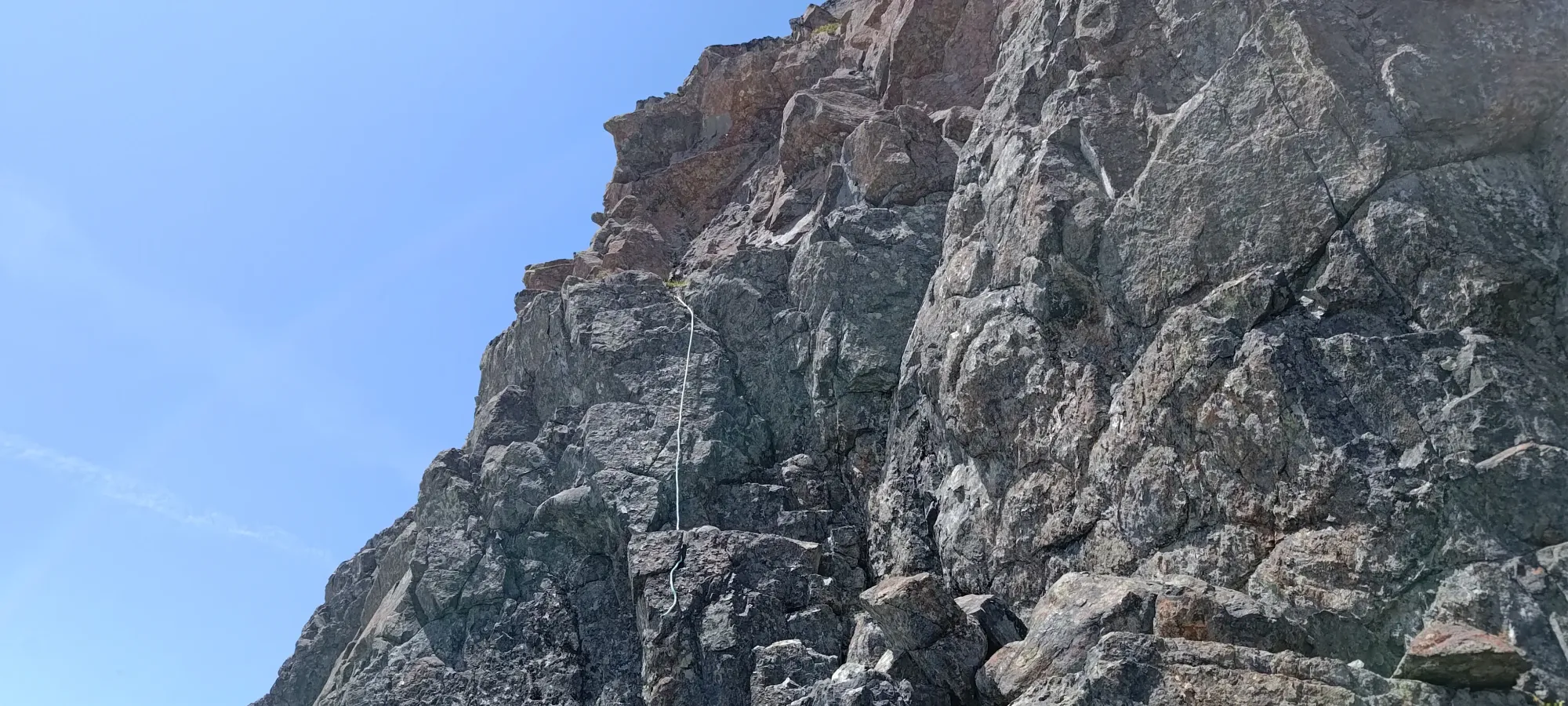
I initially tried to use the crack and get up, but sadly with my pack on, I just couldn't fit at all. Since this was only 300m or so from the summit, I figured I could just stash my pack and do the rest of the climb without it, so I stashed it and my poles (this will become relevant later) and tried again. That helped, but the lack of good footholds and the tenuous crack made me still not willing to commit to the moves to get up. I imagine rock shoes would probably change that decision, but I did not have those, and I never considered going barefoot, though writing this trip report now, I realise that is totally an option. Oh well.
Instead, I explored the holds on the climber's left side, with the fixed rope wrapped around my wrist as a backup, though of course, I refused to actually use it for aid unless I was about to fall 😄. As noted earlier, it turned out that the holds on this side are actually great, notably with a great foothold on the far left, which was the key to making the route work. Once I stretched over to that, I was able to get my hands in good places, and getting up wasn't too bad. The moves aren't difficult here, just a bit hard to piece together from below, and if you go left, super exposed.
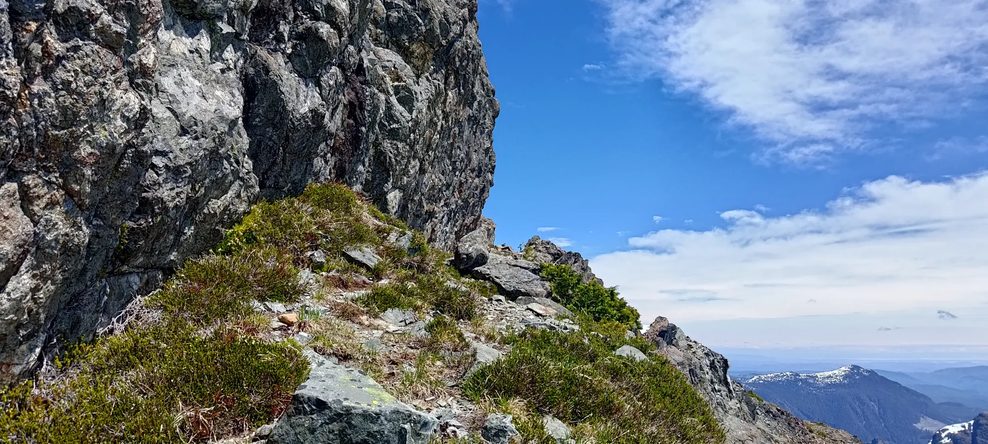
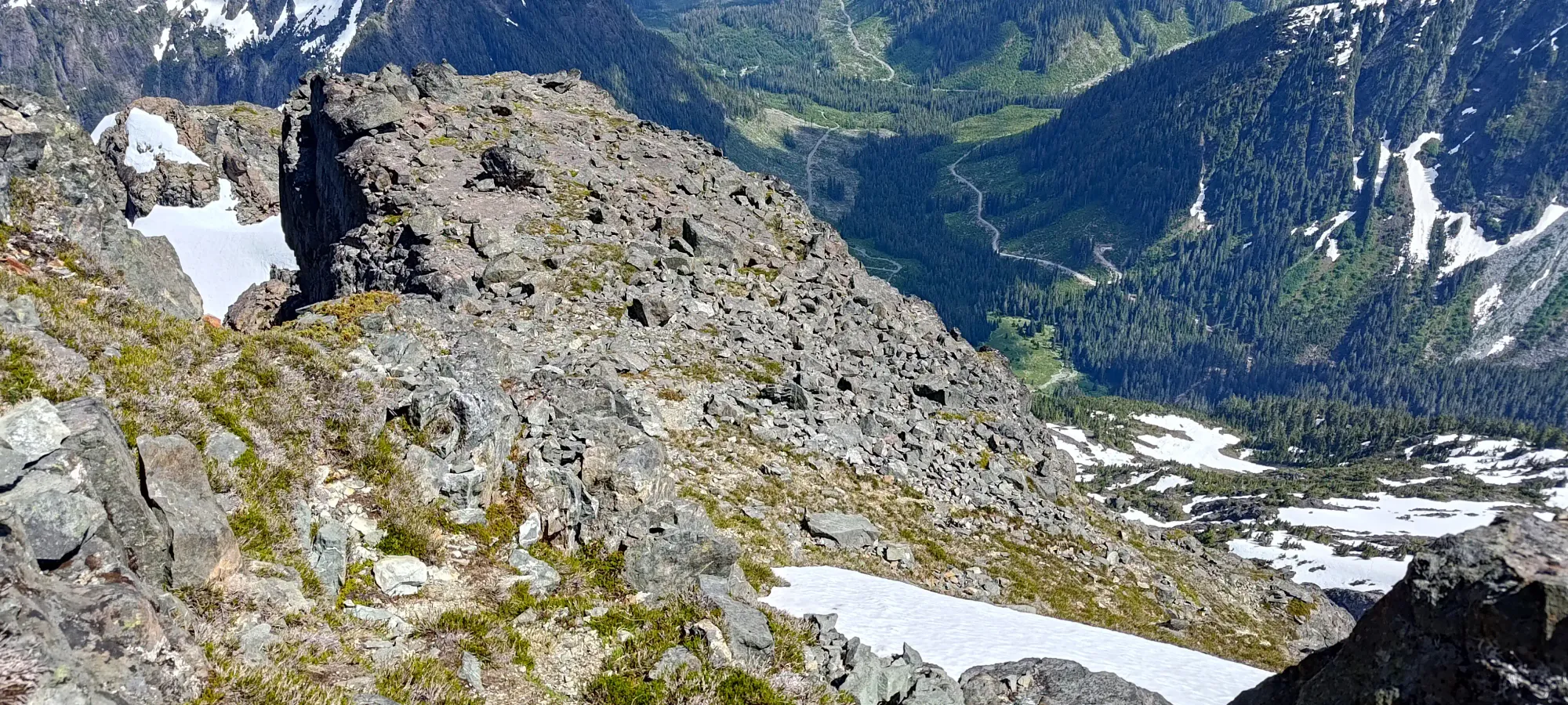
From there, it was mostly walking for the next little while. I headed a bit west, then turned back east to the edge of the face again on another ledge system, then turned back west and made my way towards the summit, staying under cliffs and sticking to easy terrain, with largely no hands-on in this section.
I chose to take a more direct, more scrambly line once I got around the larger cliffs to climber's right, though it looked like one could stay shallower on the face further west if that's more your cup of tea. That brought me past a couple snow patches, staying on dry rock instead, which without my poles or spikes, was preferable (plus scrambling is fun!)
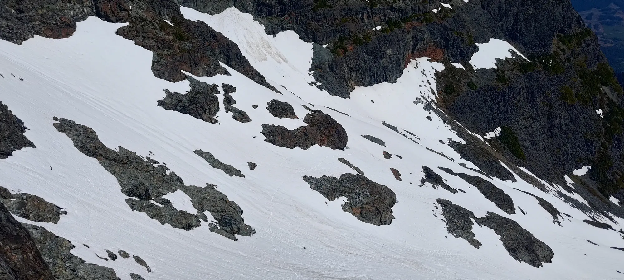
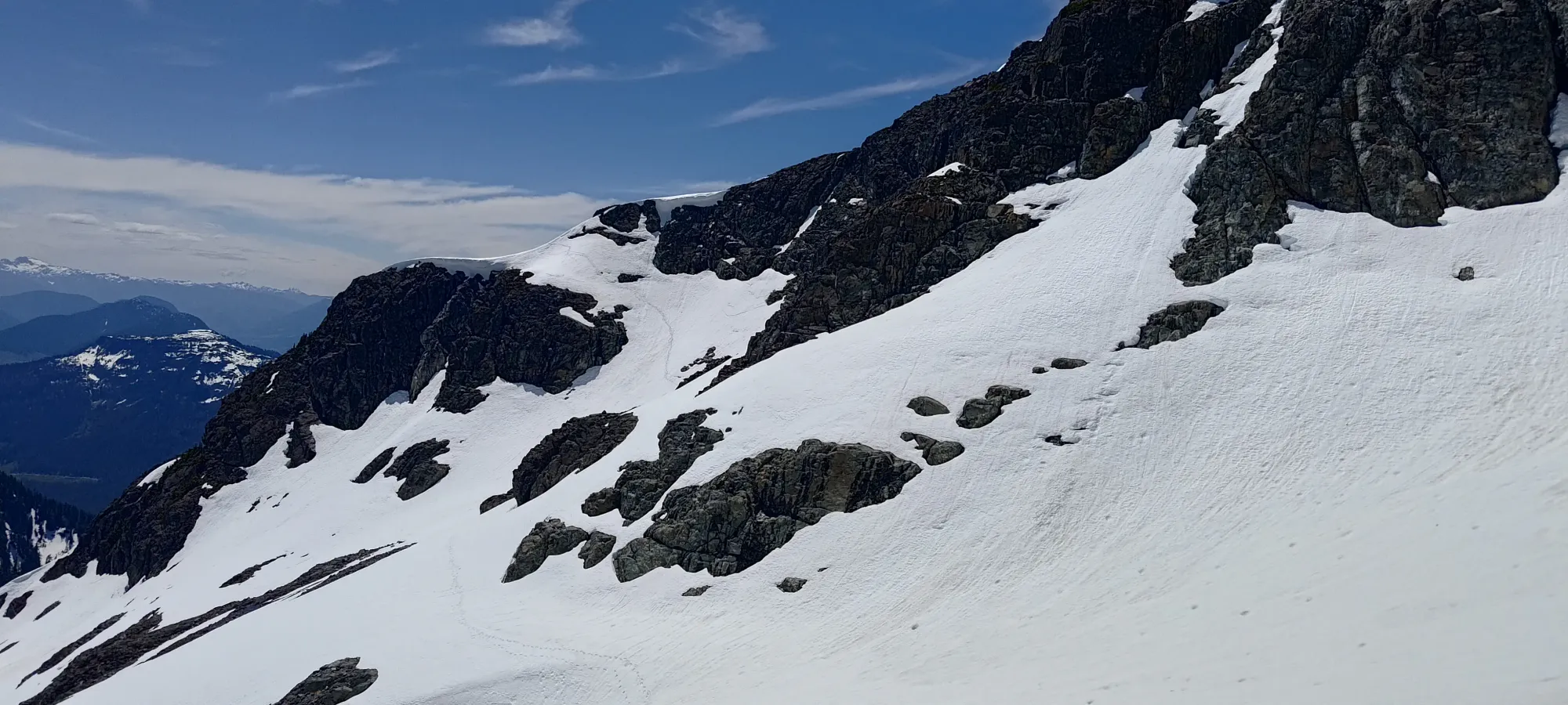
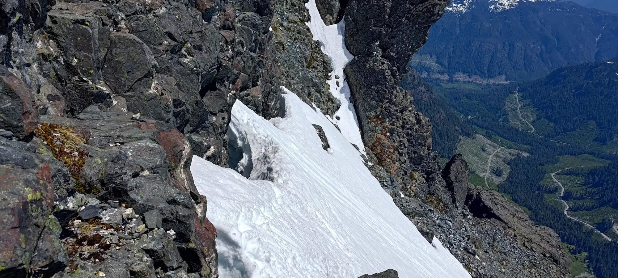
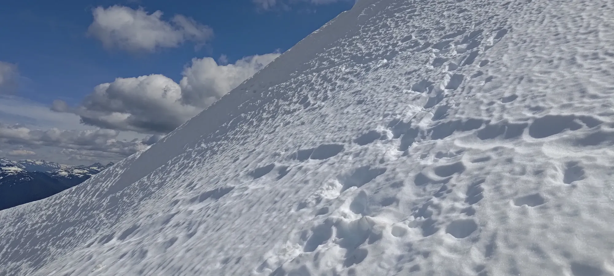
At around 2000m, I got to the point where snow was getting quite difficult to avoid. The other party clearly had their snow gear still, and just went up+across the snow to position themselves right below the peak. Sadly, with all my stuff below the crux, that didn't look super fun (going up would be okay, but traversing steep snow in just runners without poles is pretty not fun), so I stayed to climber's right on the rocks, and did my best to gain up to the rocky ridge, hoping I could find a way to either get on the crest of the snowpatch, or onto the rock itself to climb over to the peak.
In a few minutes, my patch of dry ground ran out, and I was forced onto the snow after 20-30m of elevation gained. I briefly considered going up a gully to climber's right, and trying the ridge traverse, but it looked jagged, and seemed unlikely to go, so I gave up on that, and instead aimed to take the snow vertically up to the end (which is easier than traversing), and hoped to stay on the top of the moat, or on the ledges above, which would hopefully offer easier travel.
The snow traversing was indeed quite slow/tedious, with a lot of step-kicking and more cold/soaked hands thanks to my inadequate gloves 😅. The first bit of the traverse forced me to walk on the moat, or sometimes just kick steps into the steep slope, which was definitely not enjoyable. Sometimes the moat was close enough to use the rock face to stabilise myself, but it was detached enough that I had no hands for balance in parts as well 😞. I was definitely ruing my decision not to bring a pole up with me.
The going was pretty slow, but as I went further, I was able to more confidently get onto the ledges above instead, and that helped a lot. Some moves were tricky, but within my comfort, and much nicer than the steep snow sans-gear. It took about 20 minutes for me to get across with my limited ability to navigate the terrain, and when I reached the end of the snow, I was most pleased 🙂
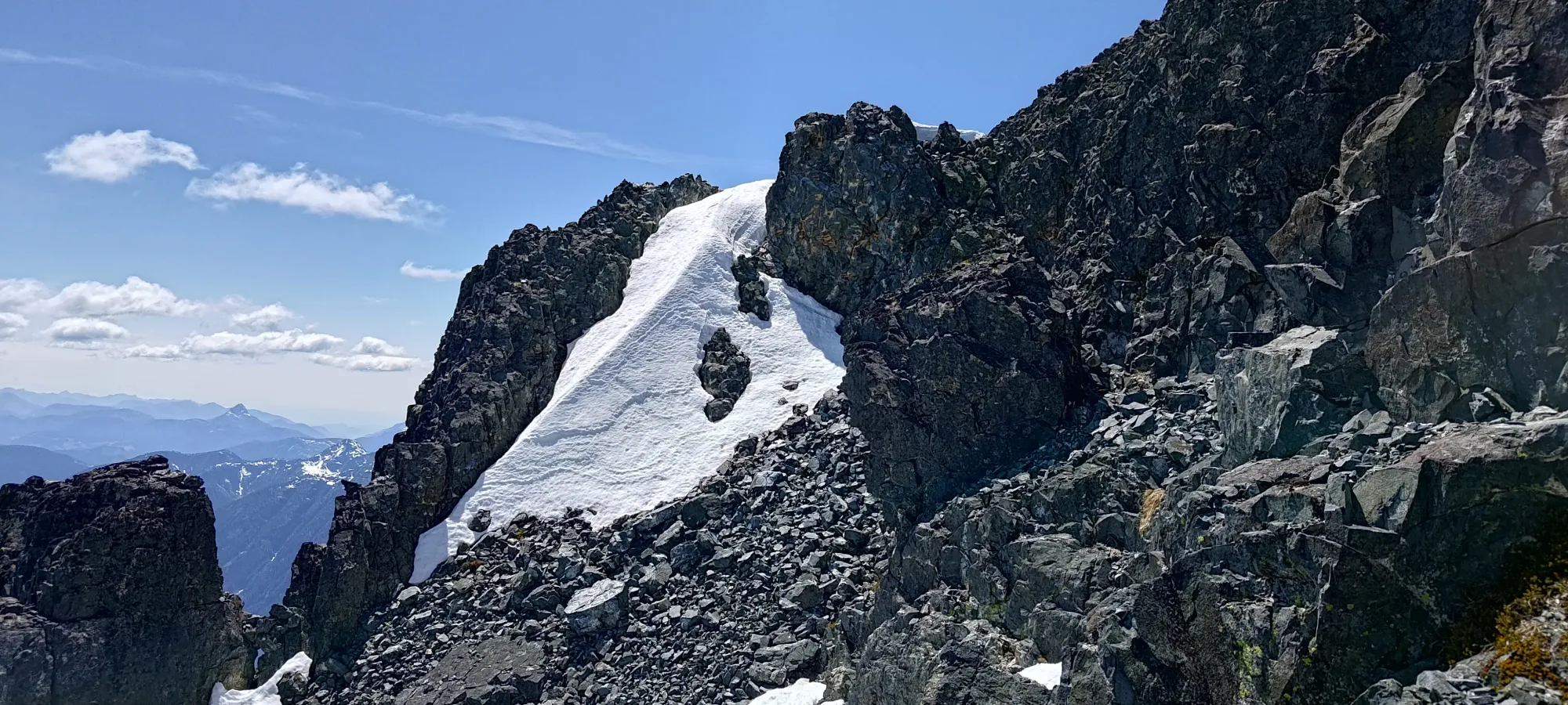
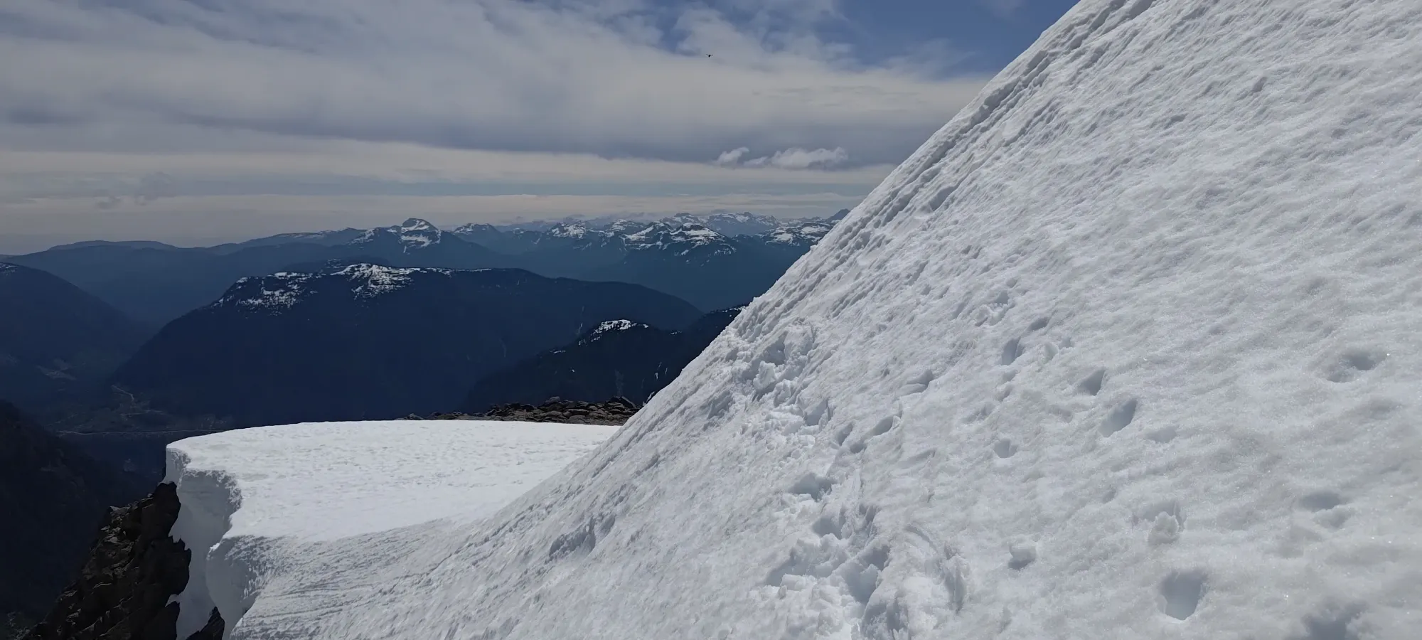
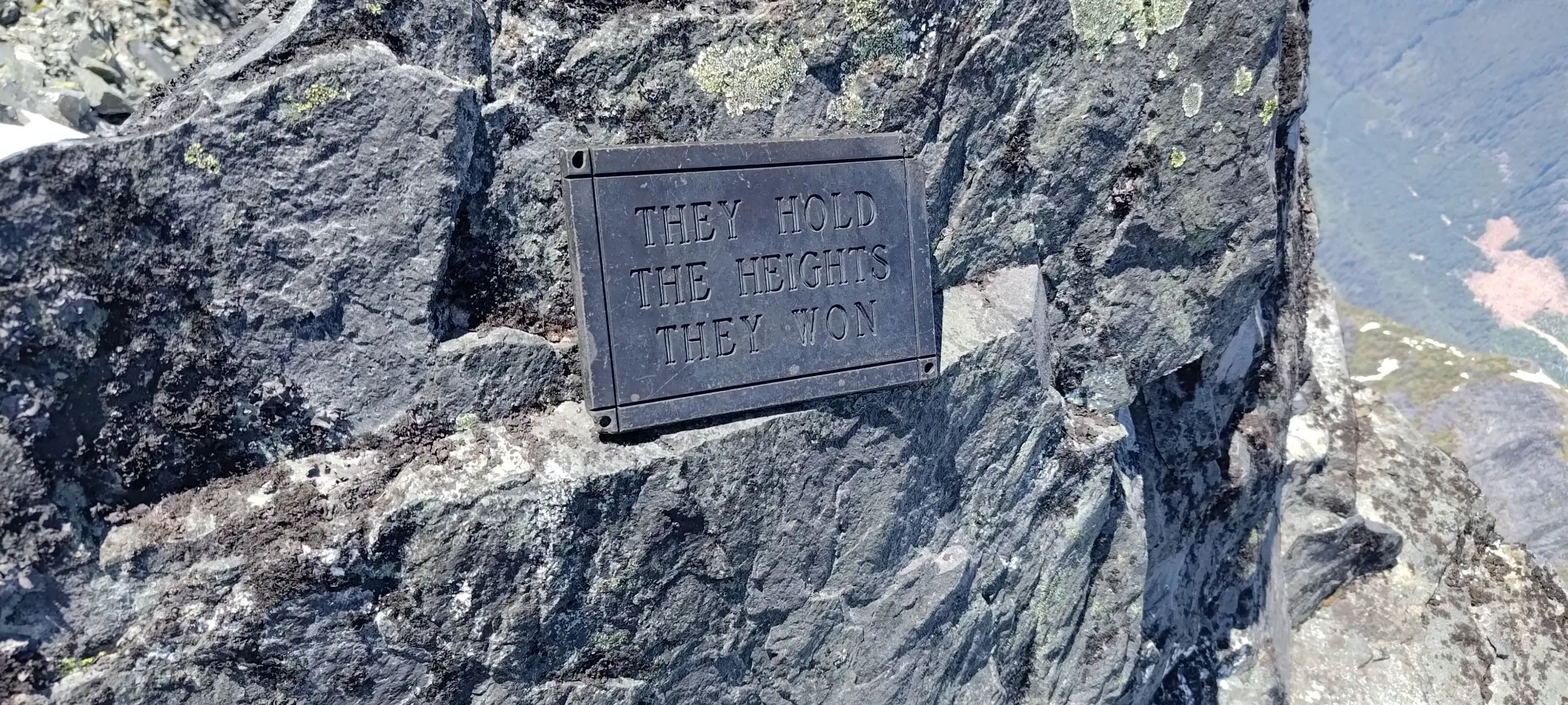
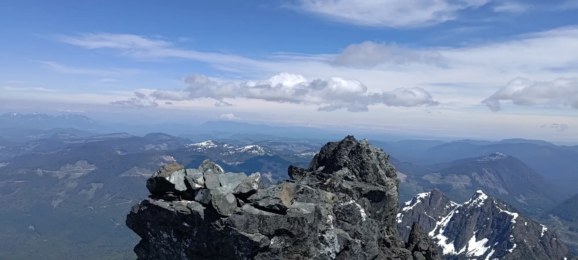
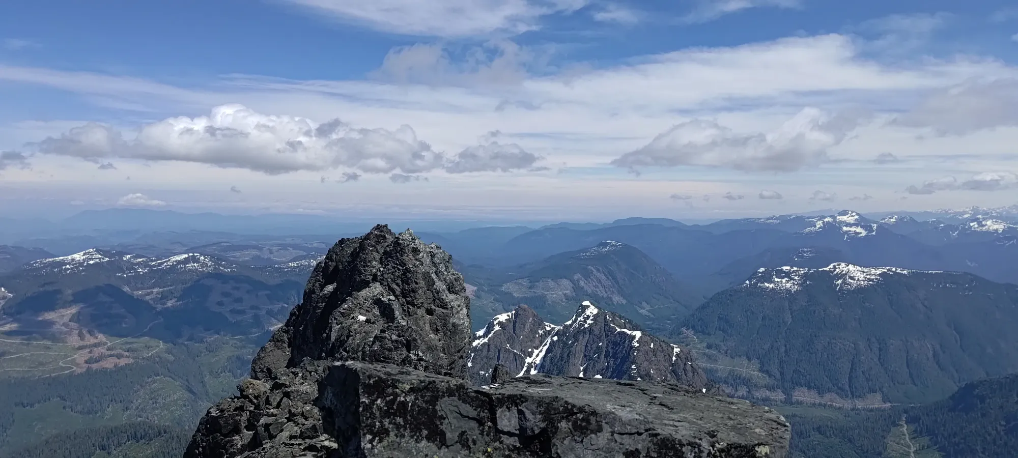
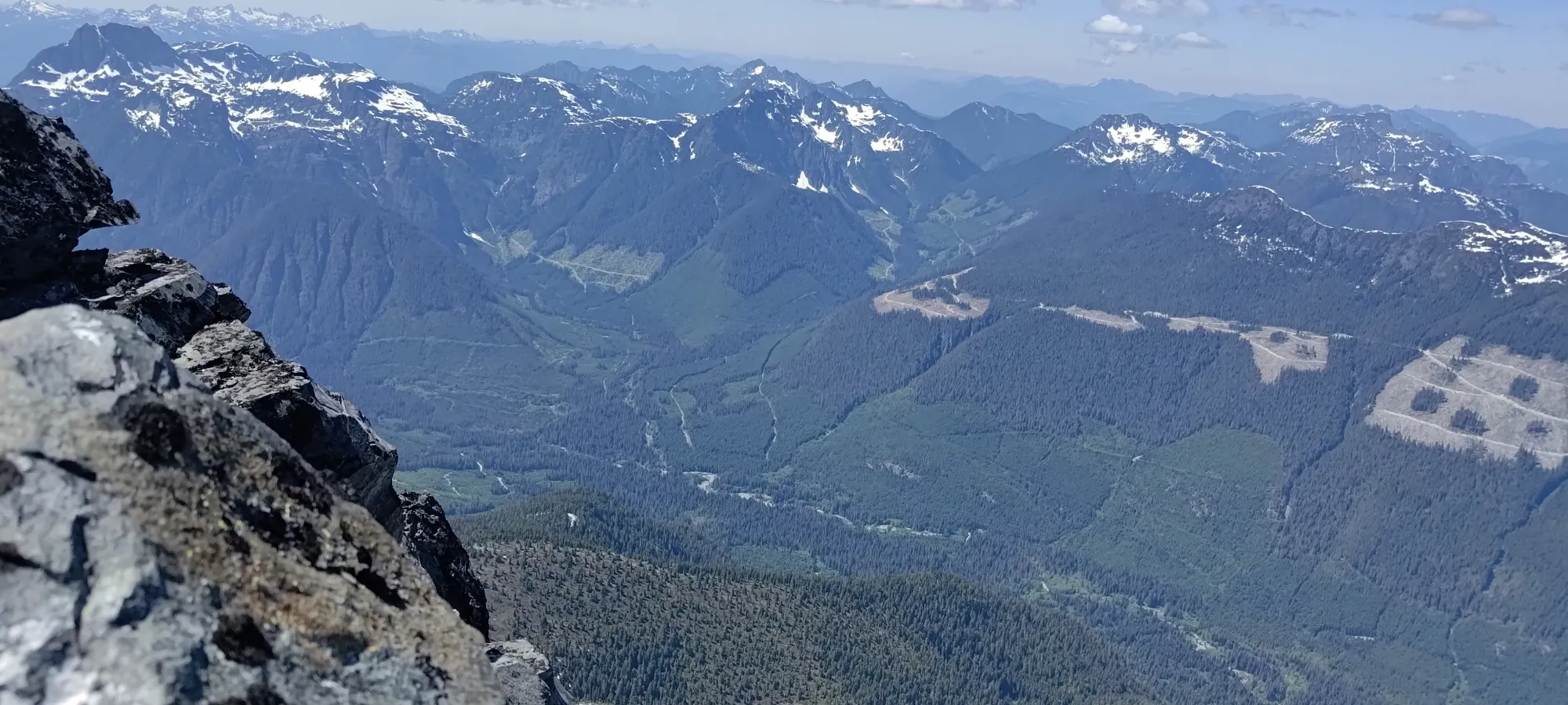
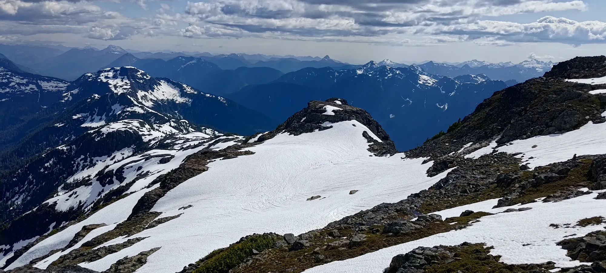
Once I got to the end of my western traverse, I had a few options to get up to the top. Basically, the further west you go, the easier it is. I chose a medium-difficulty line up to balance the fun and my tiredness of BS after the traverse 😅. A couple minutes later, and I was at the top! The summit is one of two outcroppings, the western of which has a plaque on it. I clambered onto both for safety, of course 🙂
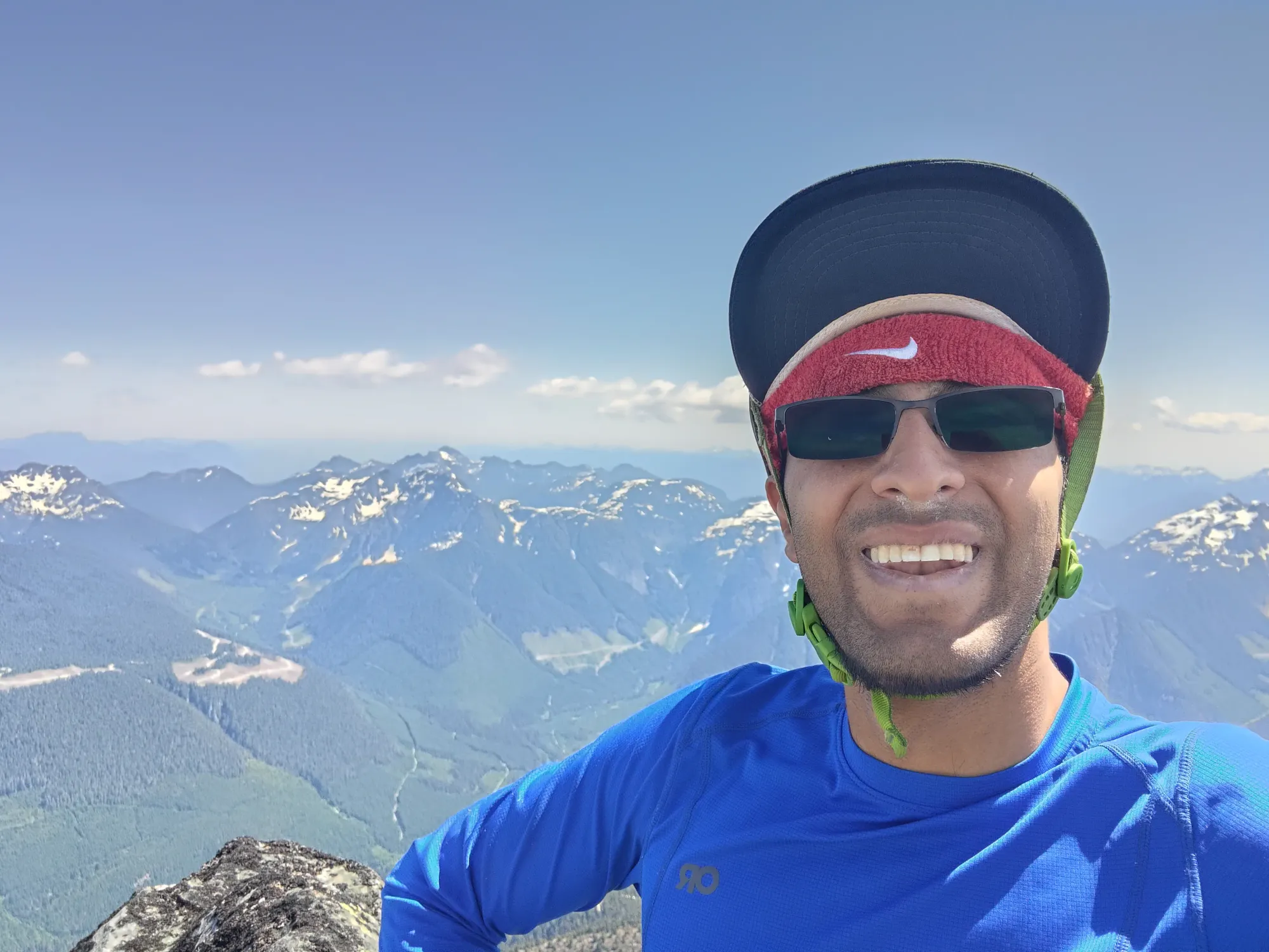
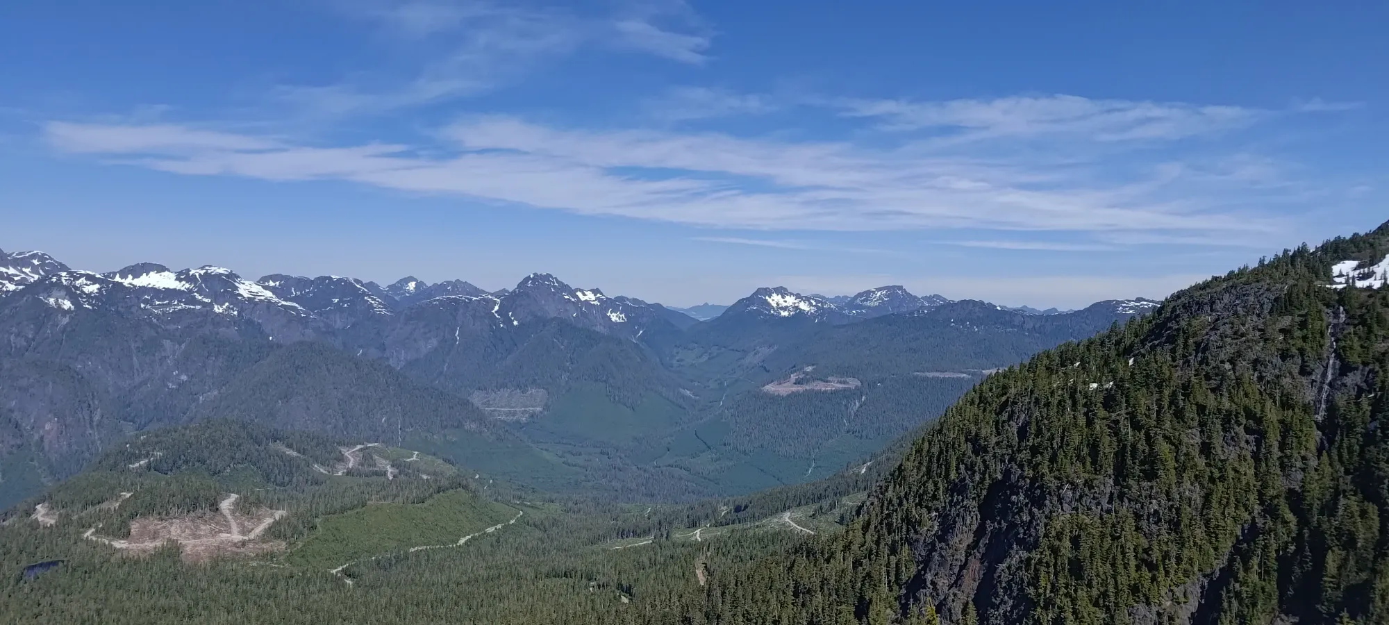
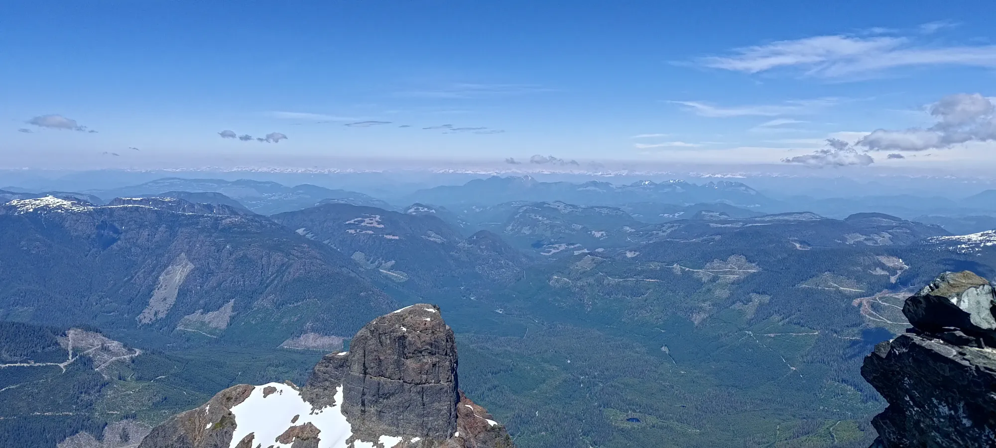
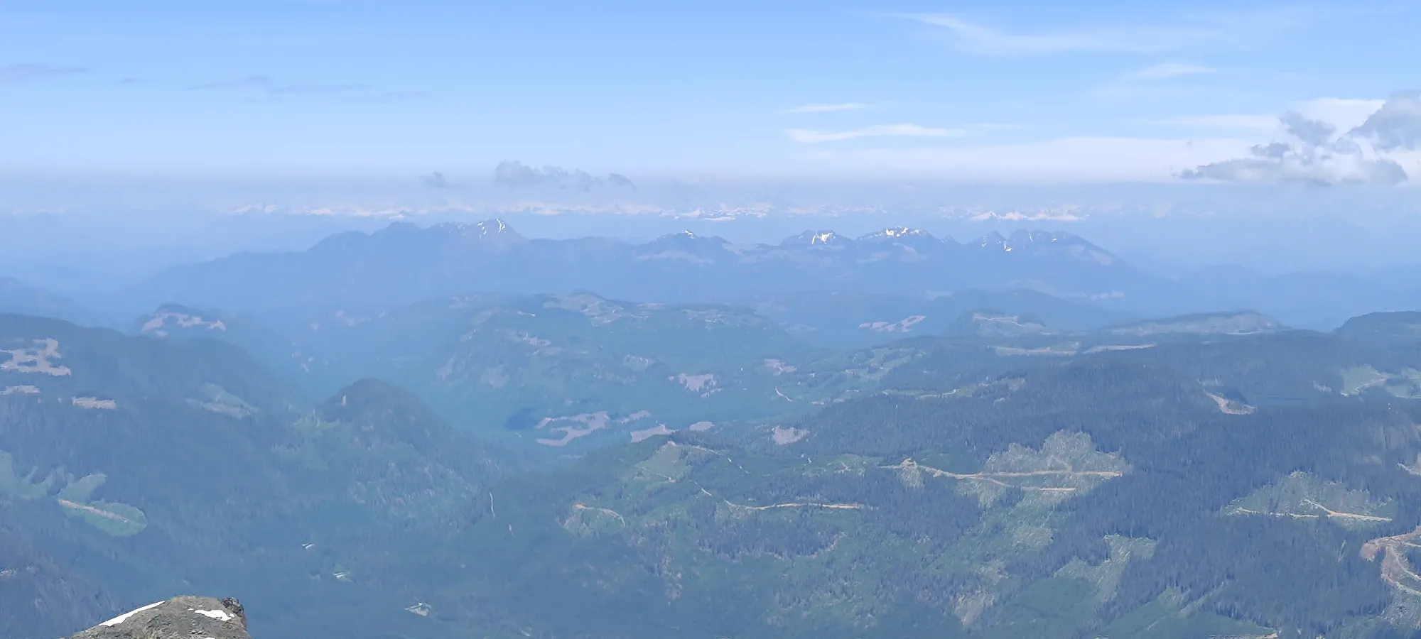
I hung out on the summit for a few minutes, but not too long. The views were great, and the weather was comfortable, but I wanted to get out and down before it got too late, as I was hoping to make it to town and grab a meal before restaurants closed. Given my poor sleep the night before, I'd also resolved to say screw it and book a place to stay for the night, as my ferry home wasn't until Sunday evening.
After that barrage of photos, I started to retrace my steps. Downclimbing to the snow was pretty easy. From there, I didn't exactly retrace my steps, but I think my route avoided a bit more snow than on the way up, which was a big W. Overall, it took 25-30 minutes to retrace my steps back to dry land, so not really any time savings vs the ascent. The trickiness of handling the steep snow without gear did not get easier on the way down, honestly it was probably more challenging.
Once I finally got out of the snow at 3:15pm (5 hours and 15 minutes into the day), I was quite pleased to be done with that. There was still the snow climb up to the south ridge across+up the bowl below the scramble, but in comparison to the traverse I had just completed, that was a cakewalk.
From there, I was able to move a little faster, as the terrain got easier and easier the lower I went. I dropped about 100m in the first 15 minutes, and about the same in the 10 after that, in the winding traversal across the ledgy terrain above the crux, which I reached at 3:40pm.
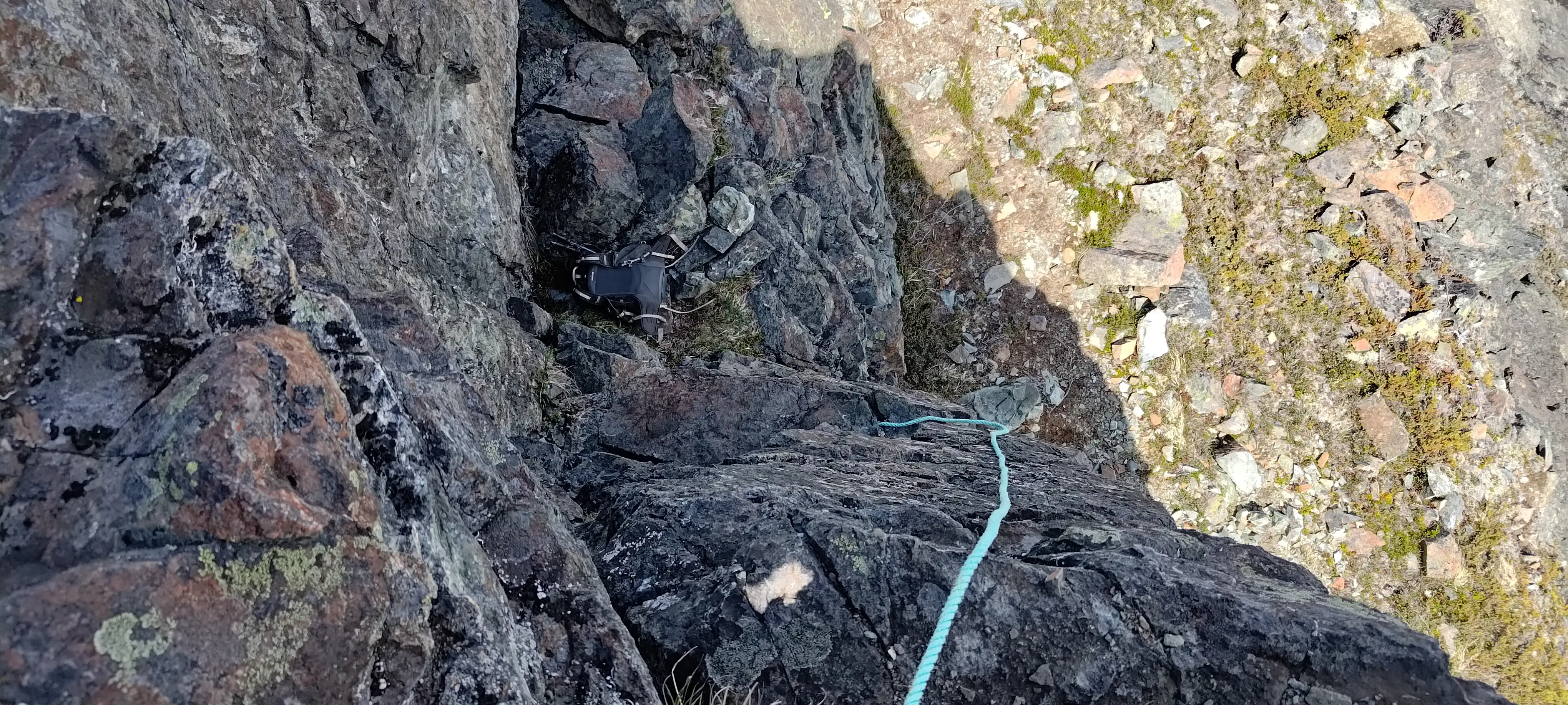
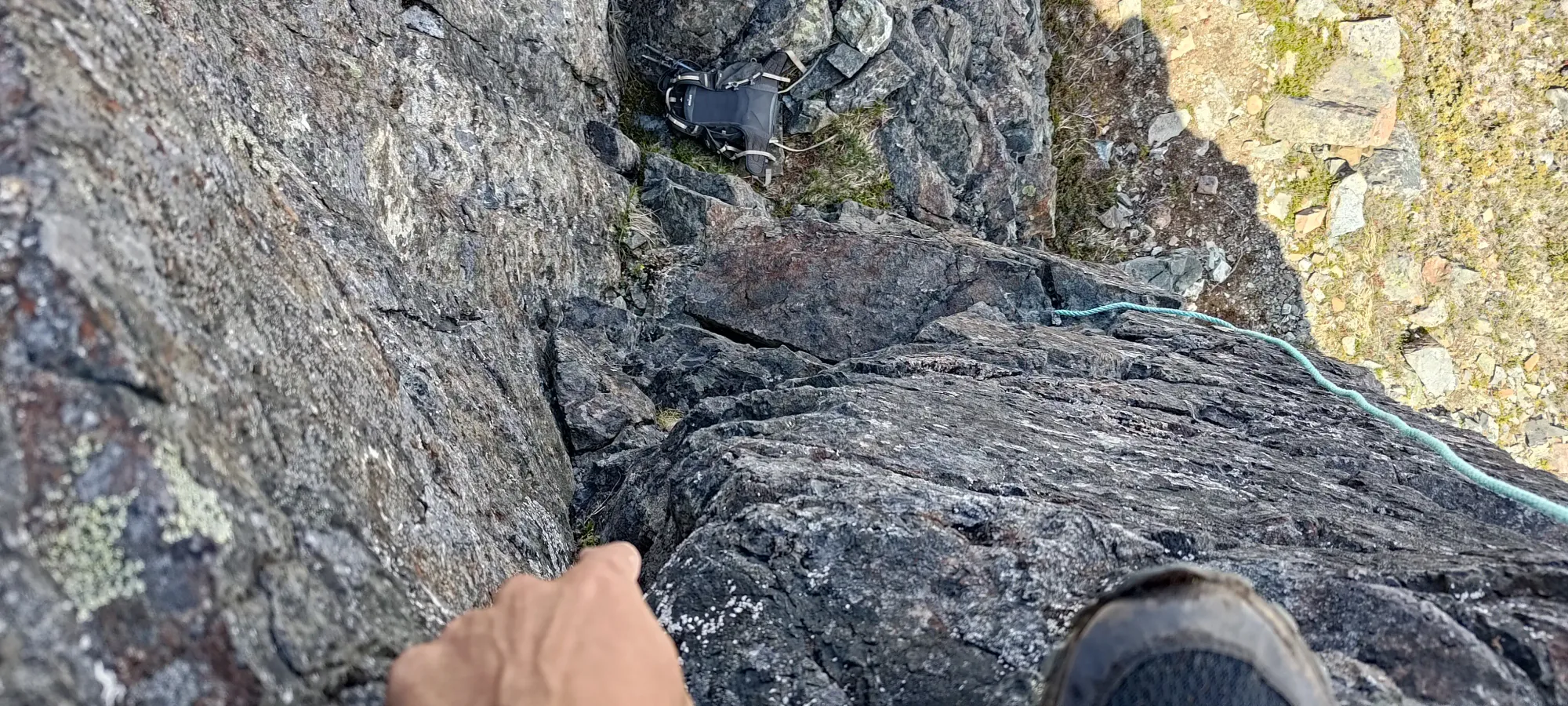
I once again went with the "keep the rope available, but don't use it unless necessary" approach, and despite psyching myself out a bit, it was actually not too bad of a downclimb. The exposure is, of course, still extreme, but with the knowledge of the correct holds to leverage from the way up, it was actually pretty smooth to get down, and I did not need the rope after all 🙂. I was super happy to be reunited with my pack, and before moving on, I grabbed a swig of water, and stashed my shell back in the backpack.
From there, it was an easy ~10-minute traverse across the ledges and down the couple gullies back to the bowl traverse. I wasted little time getting my crampons on and getting onto the snow, as the afternoon heat had definitely increased the amount of water dripping off the cliffs, and it was in my best interests to get out of the potential rockfall zone (even though I didn't observe any active rockfall, it was definitely still possible).
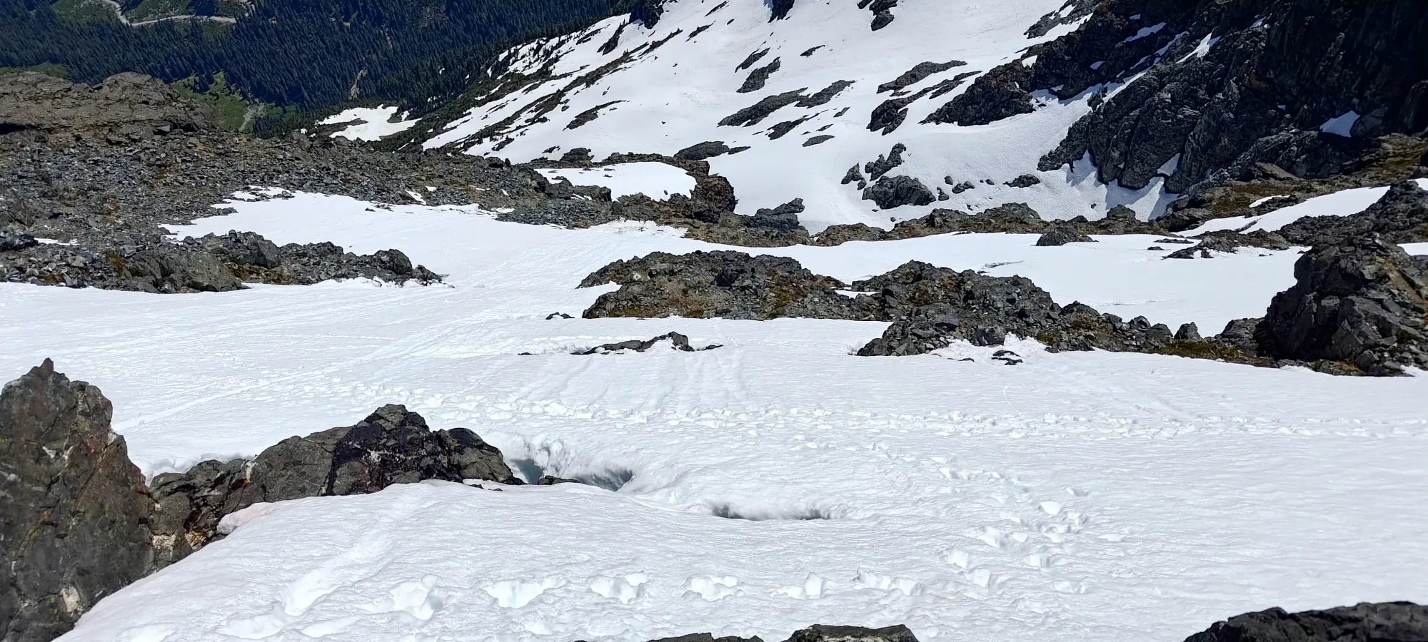
The climb back across and up the snow bowl took about 20 minutes. Going uphill, while more physically tiring, was much easier from a technical perspective. Combined with it also not requiring hand-to-snow contact with the axe, unlike the descent, it was much more pleasant 😄. I climbed up to a spot just below where I originally hit the snow on the way in (since I came a bit high on the S ridge before dropping into the bowl), and stashed my gear there. One can largely stay on snow for a while longer if desired, so you could keep gear on, but the terrain is easy enough you don't need it, and having it off offers flexibility in route choice without having to transition a bunch, so it made sense to stash my stuff.
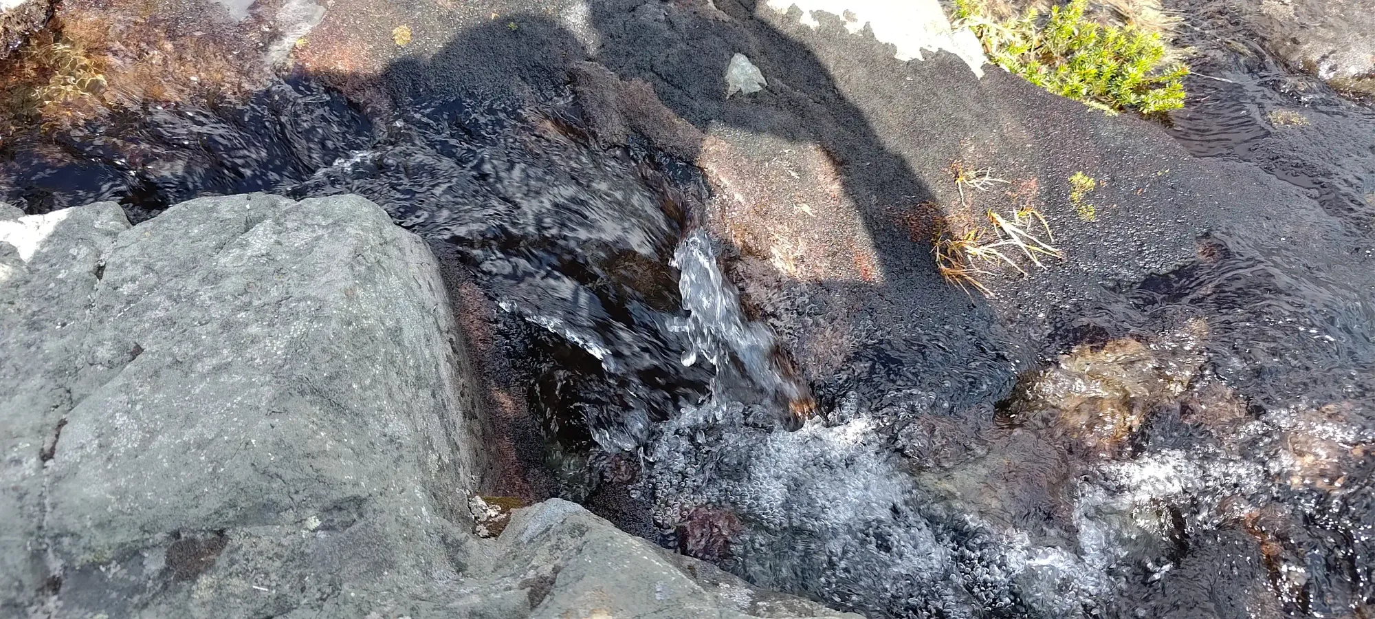
I paid less attention to the existing tracks on my way down, and overall enjoyed the results of that decision, with an easier and more direct route back. I stopped a few minutes into the descent at a nice stream to refill my water, not because I'd used a ton of water thus far (quite the opposite, I actually didn't have anything to drink after that point), but to refill in preparation for the following day, just to ensure my bottle was fresh and full. It was nice to finally have my filter on-hand again (with all my ski trips lately, despite it being late spring/summer, since I had my ski pack, my filter wasn't in it 😅).
The descent of the south ridge took about 50 minutes overall, with most of it being on snow, and just a few sections on dry bits interspersed in the route. With the slope being relatively gentle, and the snowpack well-consolidated, snow was actually faster, so trying to stay on it was worthwhile.
After that, I reached the 1500m mark, where I had to get through a few undulations before truly exiting the ridge onto the trail towards the road on the east side of it. They made that kilometre a bit longer than average, taking half an hour to get up and down the various bumps and down to ~1370m, leaving about half a click and 200m of descent to the car.
The final short bit of trail to the car went by pretty fast. The trail wasn't perfect, with a decent amount of mud due to the snowmelt making things slippery (more so than in the morning), but overall it was still pretty good, and in 15 minutes, I emerged from the cutblock and was back at the car! My round-trip time was 8 hours and 15 minutes, not bad for an ultra! Given the stats, it wasn't super fast, but I also spent a lot of time on the snow below the summit dealing with my lack of snow gear, and a lot of time on the first downclimb trying to keep my hands warm after my failed experiment with new gloves 🙃. You should be able to easily shave half an hour off of that time without breaking a big sweat.
Since I had car-camped the day before, I got to enjoy changing into dry clothes (notably dry socks, as my feet were thoroughly soaked from all the snow), which was pretty nice. After a slow pack-up, I drove myself out, this time taking the White River Mainline out towards Sayward, with the goal of spending the night in Campbell River, closer to the peaks I was thinking about for the following day. I managed to get into town with plenty of places to eat and sleep still open, which was definitely nice. Plus, I got to confirm that either route to the mountain goes, so pick your poison if you're planning a trip, as of June 2025, both approaches work just fine.
All in all, this was a pretty excellent day. A very reasonable approach (on foot, at least, it is a big drive from the mainland), a fun bit of scrambling, and an ultra, of course with great views as a result. 10/10 would recommend (though I'd also recommend bringing a rope for the crux, or at least rock shoes, you never know how bad fixed gear might be, and it's not a huge burden given the short approach).
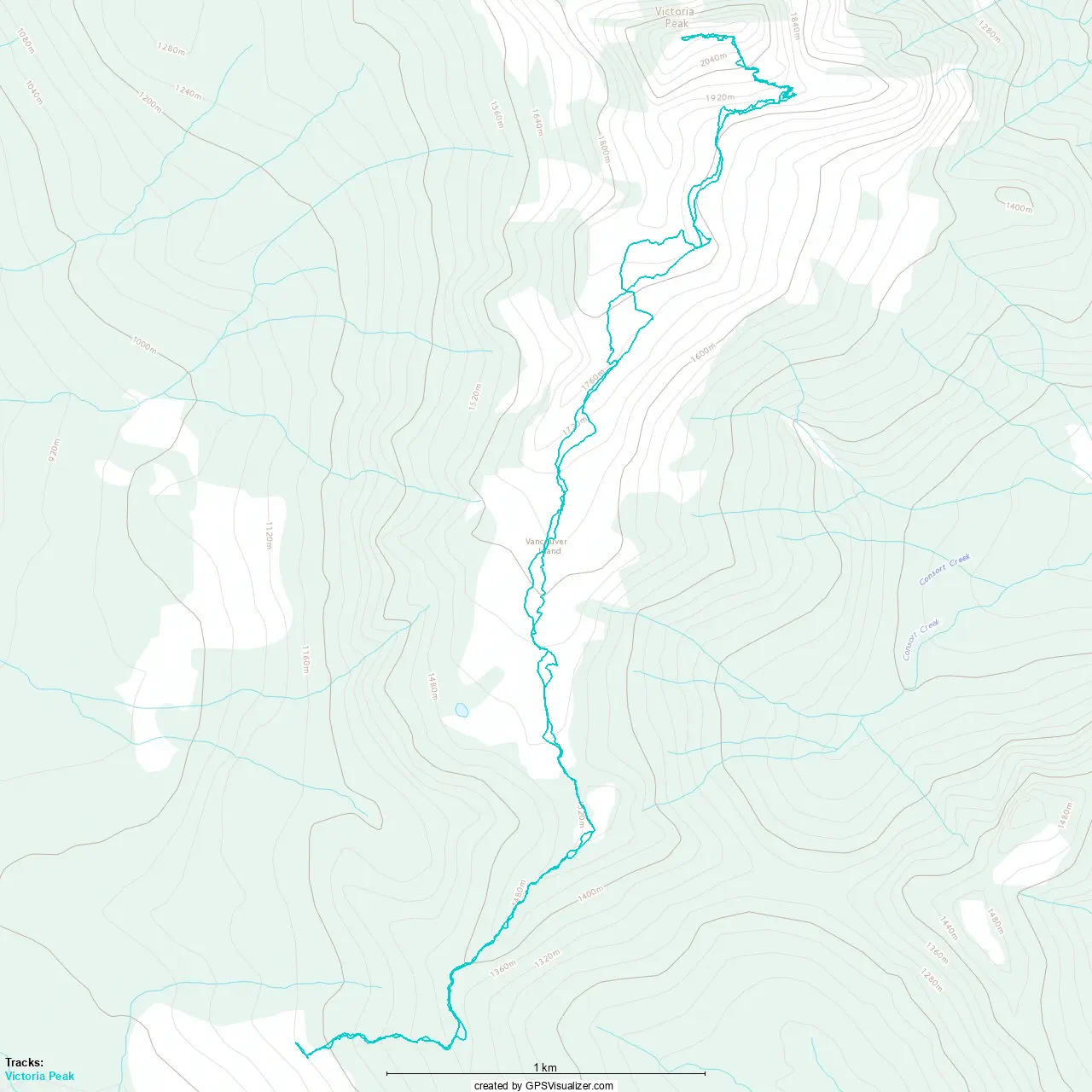
GPX Track + Map