Twelve Mile Creek Peak - August 28 2024
A super pleasant hike close to Golden with good views, an easy trail, and a short+simple scramble for the true summit. Seemingly popular with mountain bikers as well


Dogtooth Range, Golden, British Columbia
2662m
After a couple days (attempting to) rest and waiting out some weather, it was time for peak #2 of the Rockies trip, 2024! Or Rockies-adjacent, anyways, since Michael and I set our sights on a relatively obscure peak in the northern Purcells instead, that being Twelve Mile Creek Peak. We wanted something that was mostly a hike, given the recent, low-elevation snow, and not too long to leave room for bigger peaks to come as the weather improved. So, with a casual wake-up, we set off from our temporary home in Golden in the late morning.
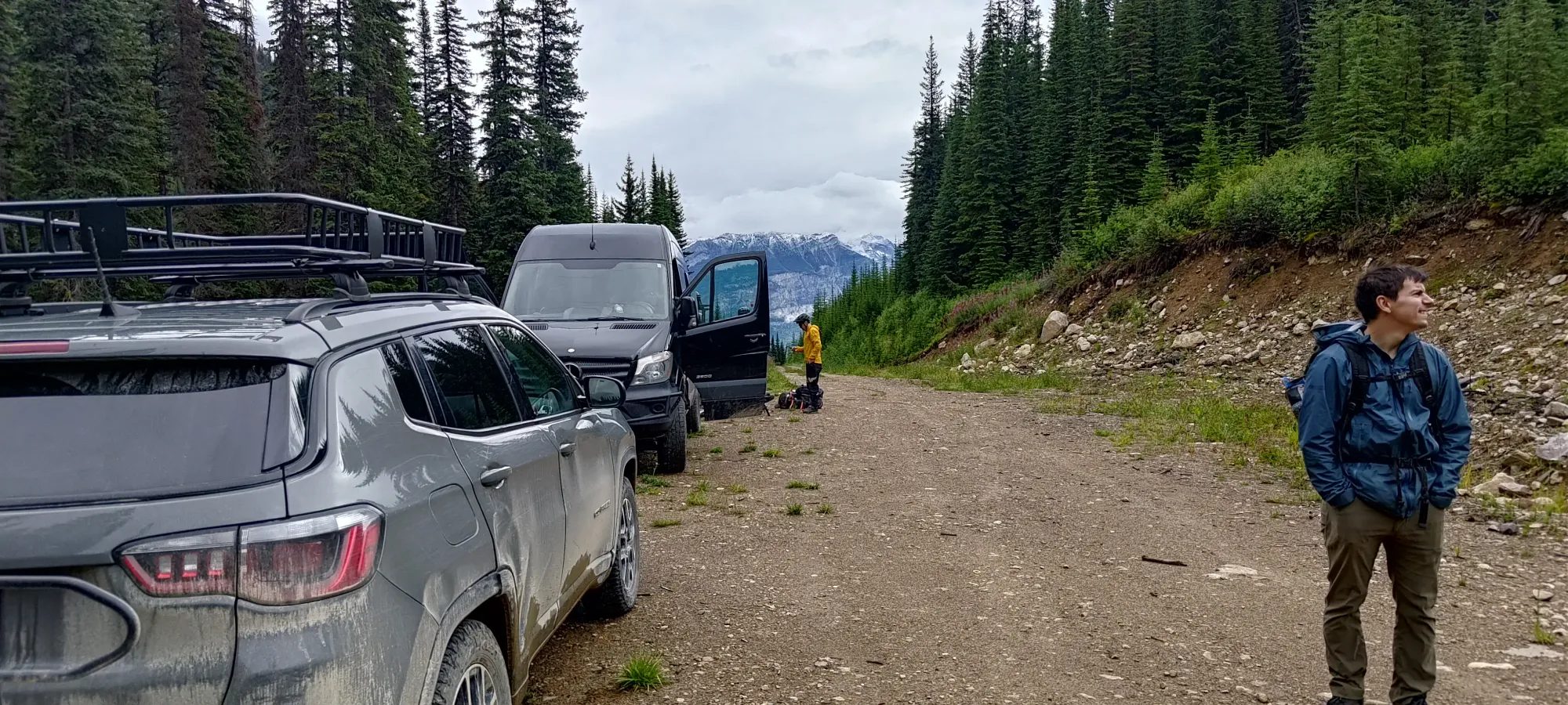
The drive was pretty chill, 2wd-able until the final couple kilometres of the Twelve Mile Creek FSR, which had some smaller water bars that may trip up low clearance vehicles. As we pulled in to the trailhead, we found some mountain bikers prepping for an overnight exploration of the area, enlightening us to the possibility of decently maintained trails and open alpine areas nearby. After gearing up, we got moving just after 11:30am.
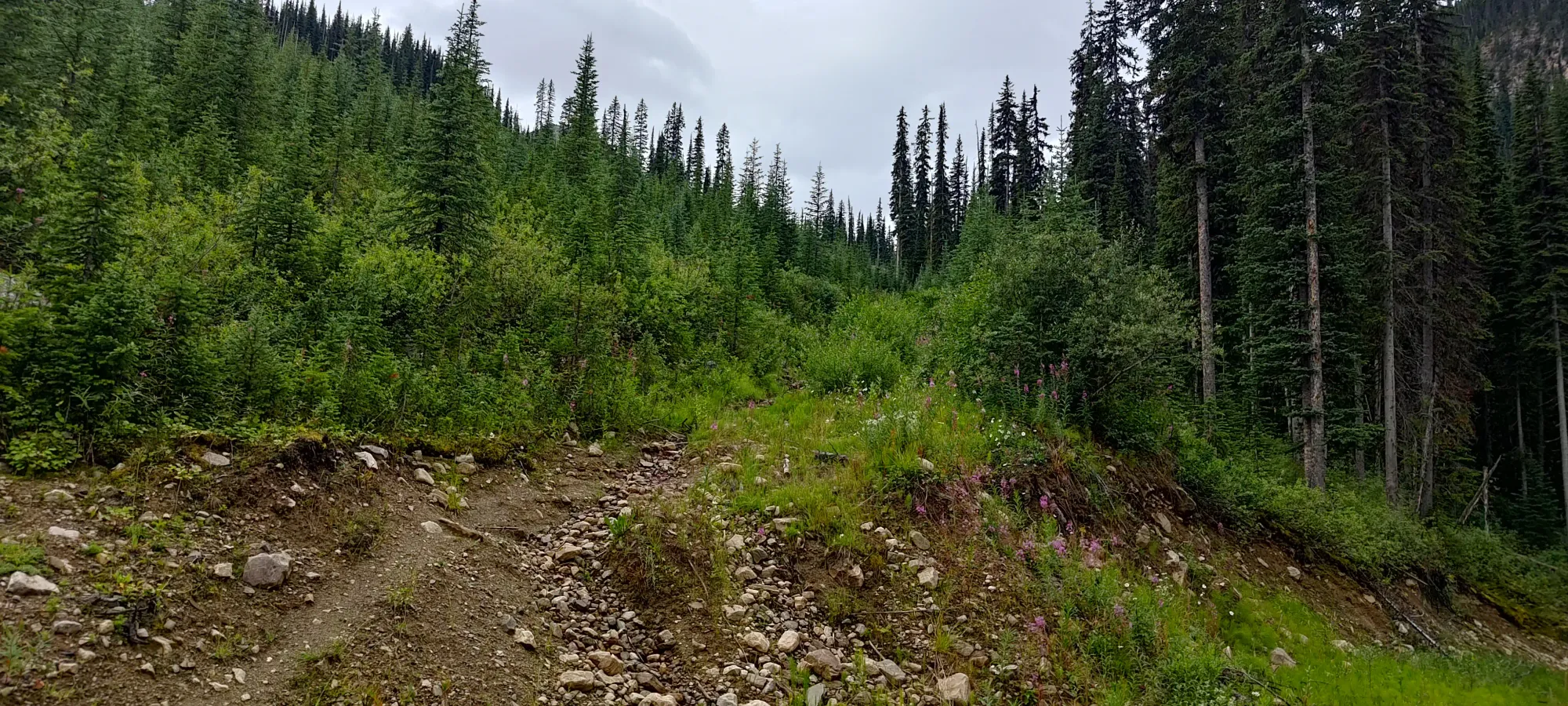
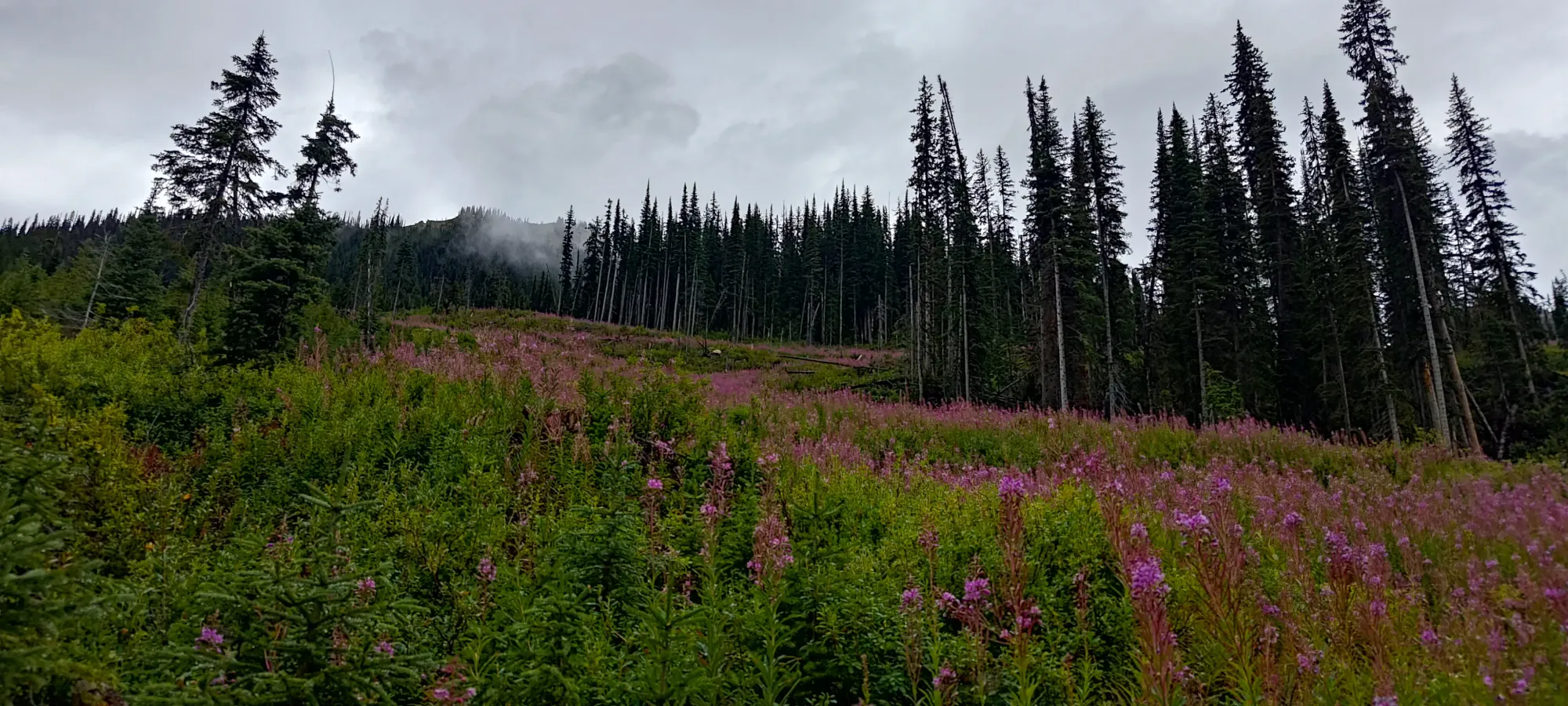
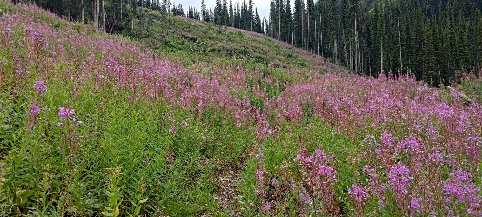
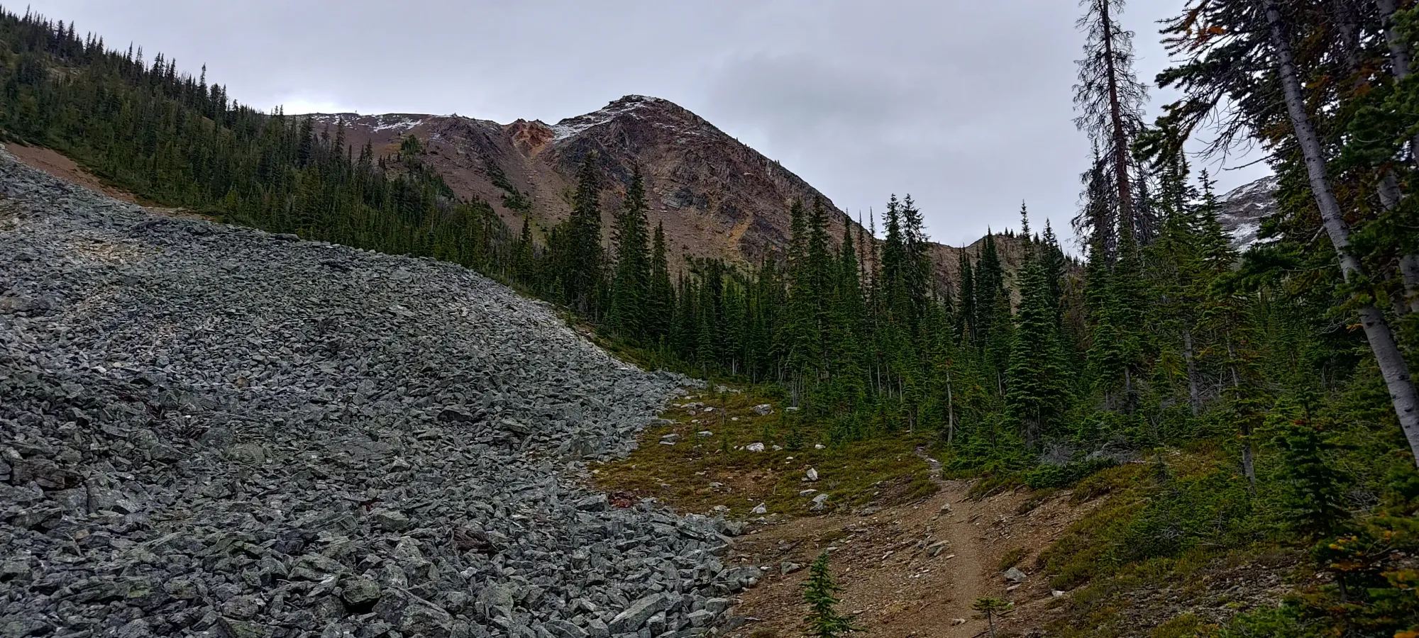
The start of the trail was fairly damp, with slight overgrowth encroaching on the singletrack trail through the old road (only the most confident 4x4s could drive up, for little benefit). The barely-ended rainfall from the last couple days left all the plants (and ground, for that matter) quite wet, so that quickly made its way to my pants and shoes 🙁 On the plus side, after the first hill, we got nice views of flower growing in the old cutblock as we got through that first area and found our way into the forest proper.
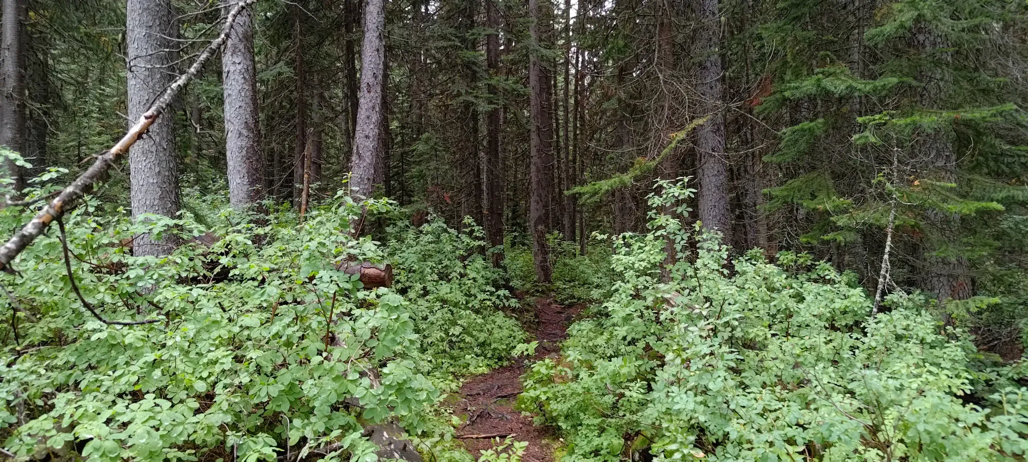
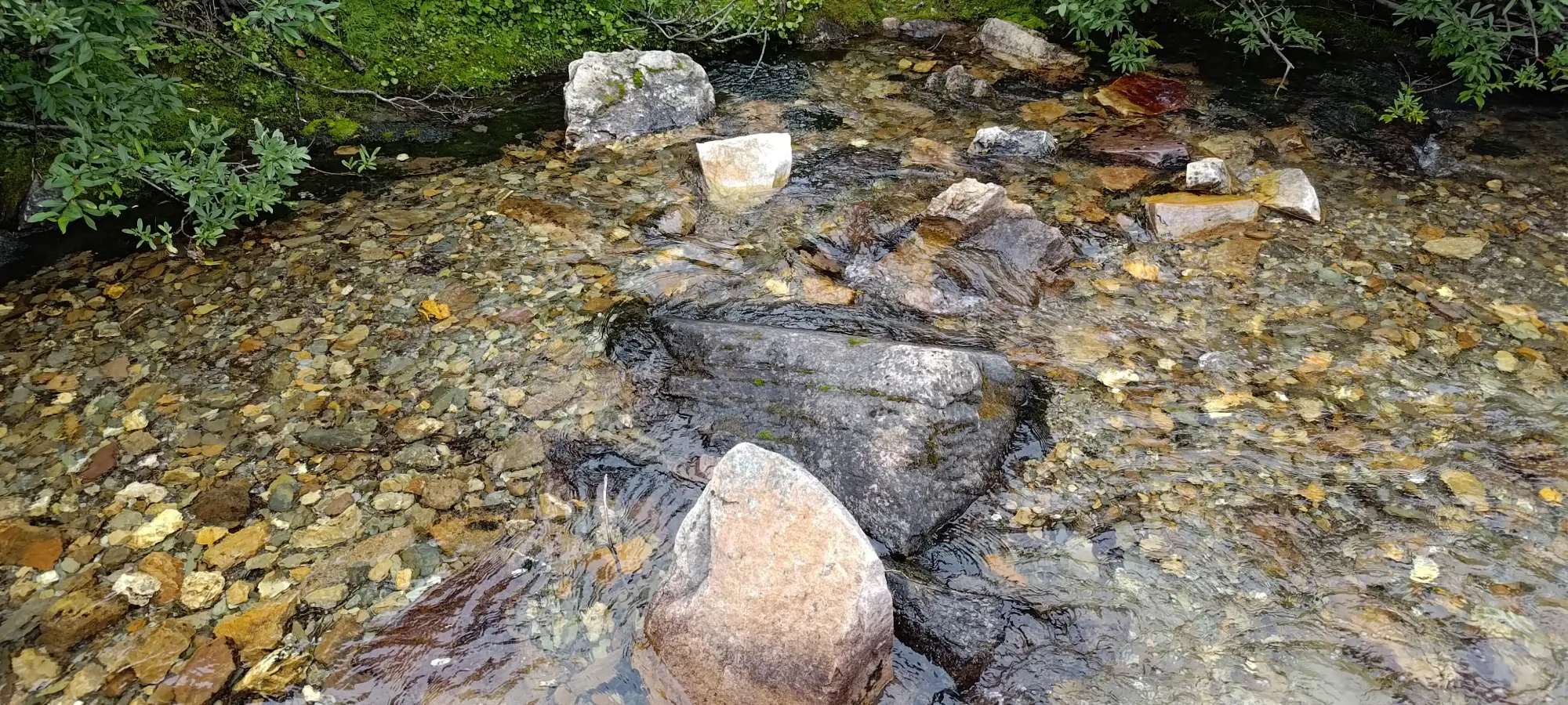
Once we got into the forest, the overgrowth went away, and the only obstacle to walking was muddy sections on the trail. I can't really blame poor drainage given the recent and intense rainfall. After maybe 15–20 minutes in the forest, we popped out in an open valley to cross Twelve Mile Creek. After initially overshooting it, we quickly found a rock-hoppable spot to the trail on the north side 🙂
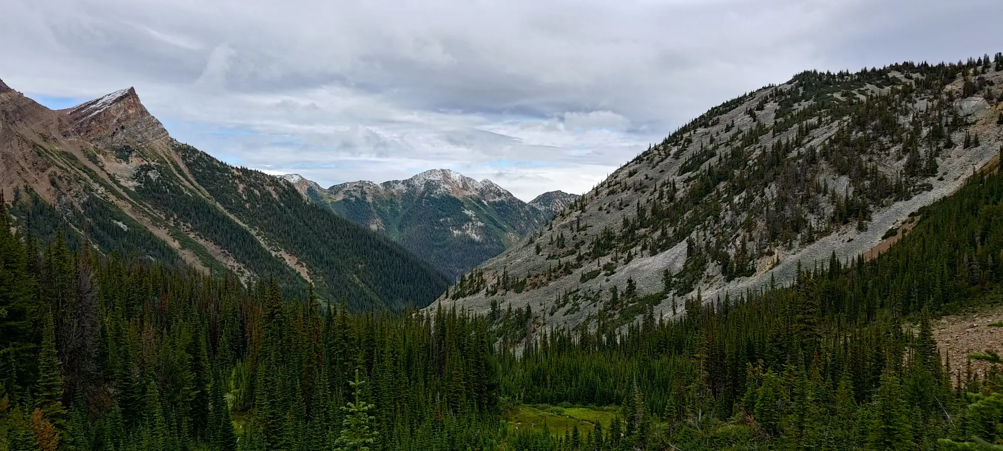
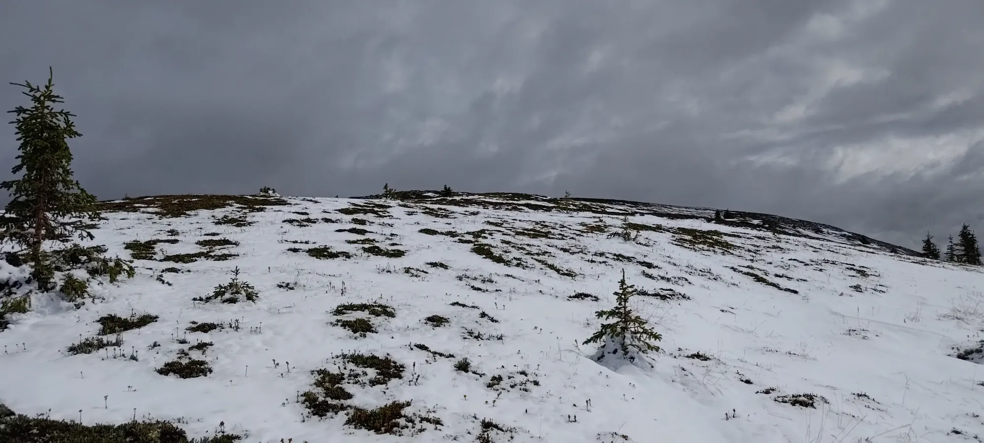
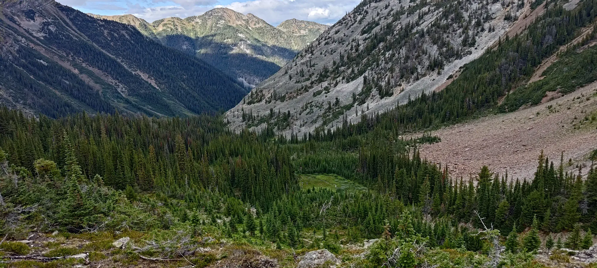
The trail continued through some more meadowy terrain and a bit of tree cover as well for the next kilometre or so, and then breaks out of the trees for the last time below 2100m. We reached this point at about an hour into the day.
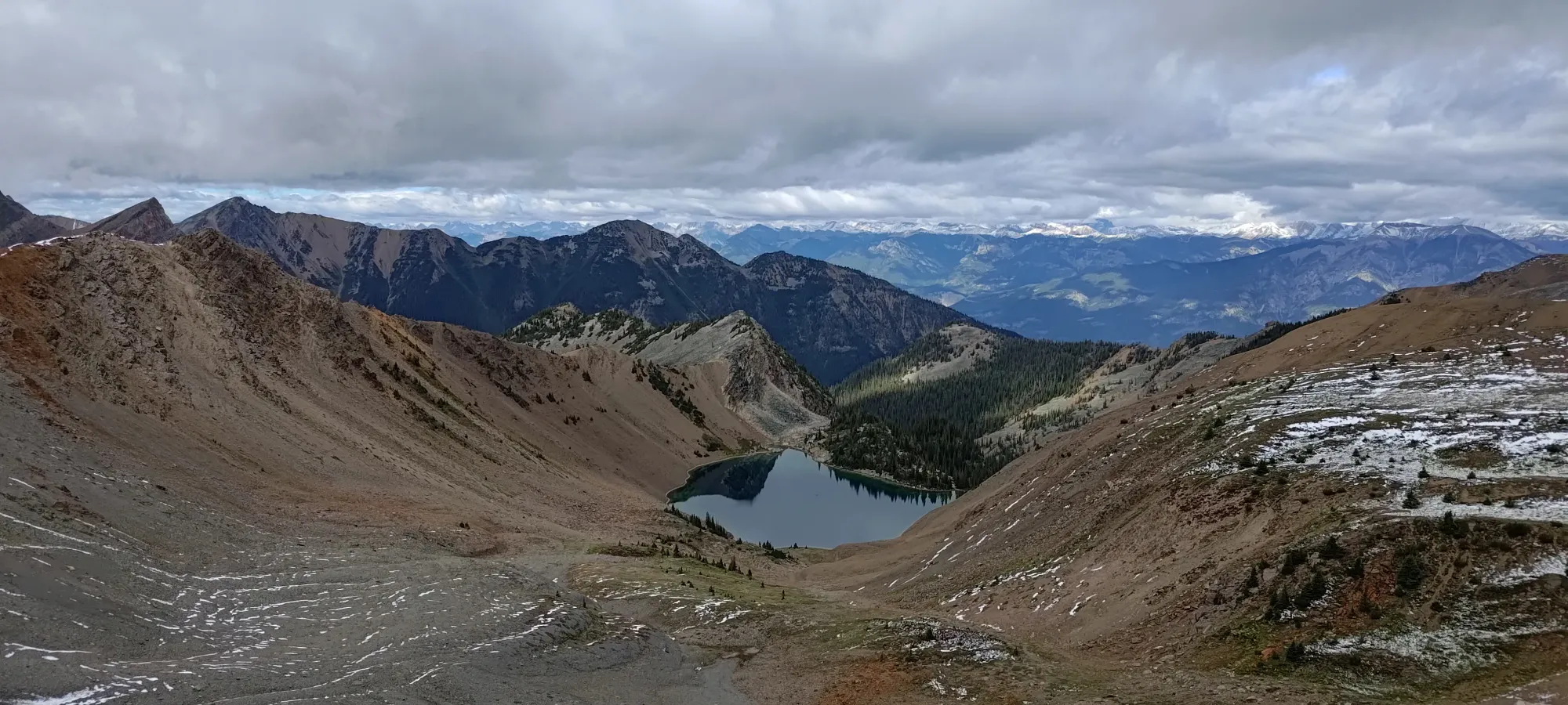
The final climb up to the lakes is fairly steep, and with the recent rainfall, the mud was a bit slippery in places, but we managed up without too much trouble. We noted the likely camping spots people might use, then continued our hike up, following the general direction of our planned GPX route (the mapped trail ended there, basically), and the still-easily-followed path in the dirt.
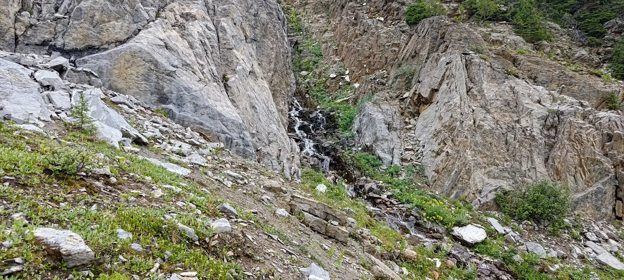
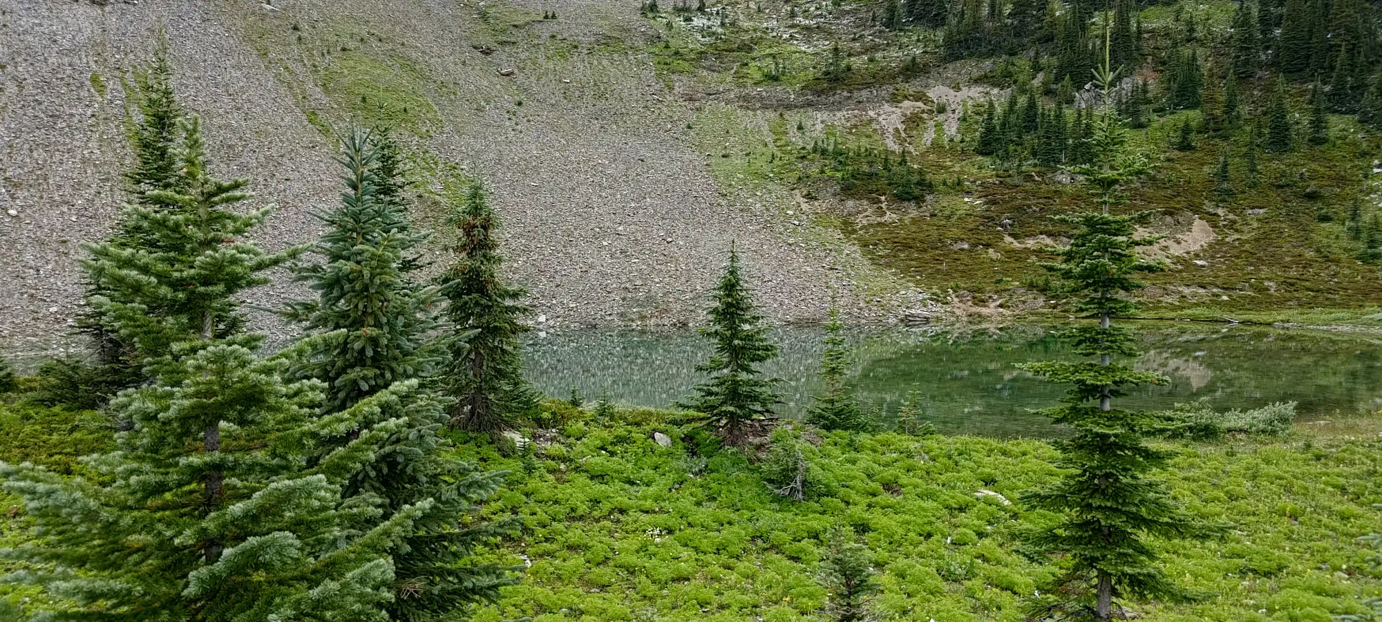
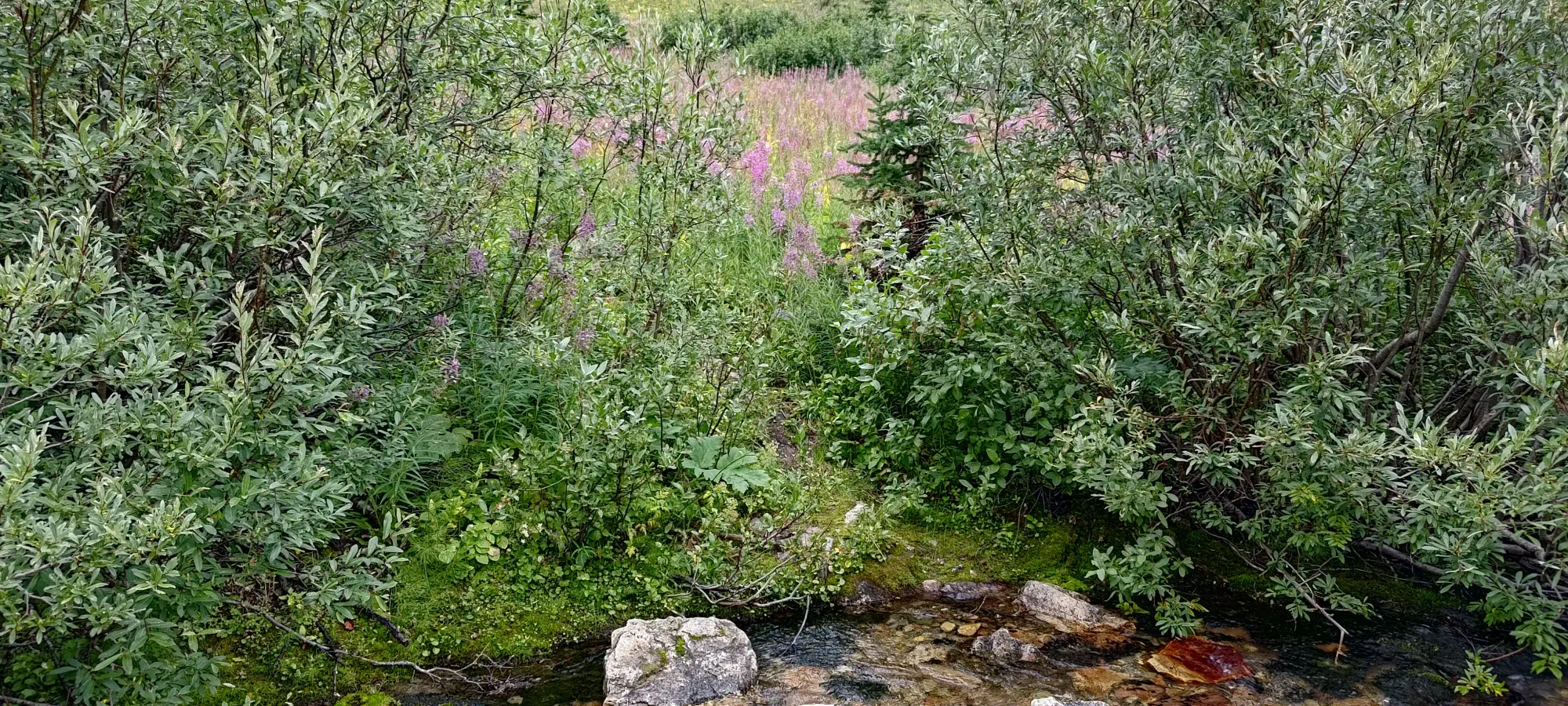
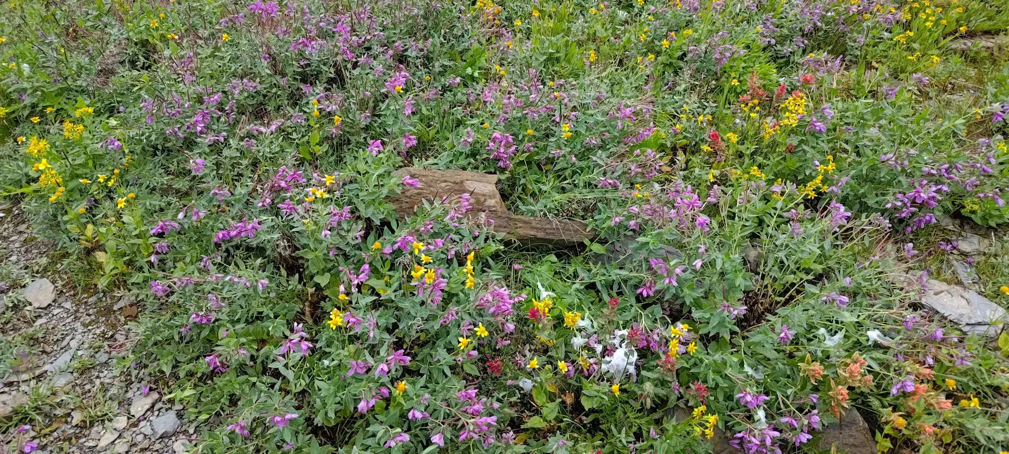
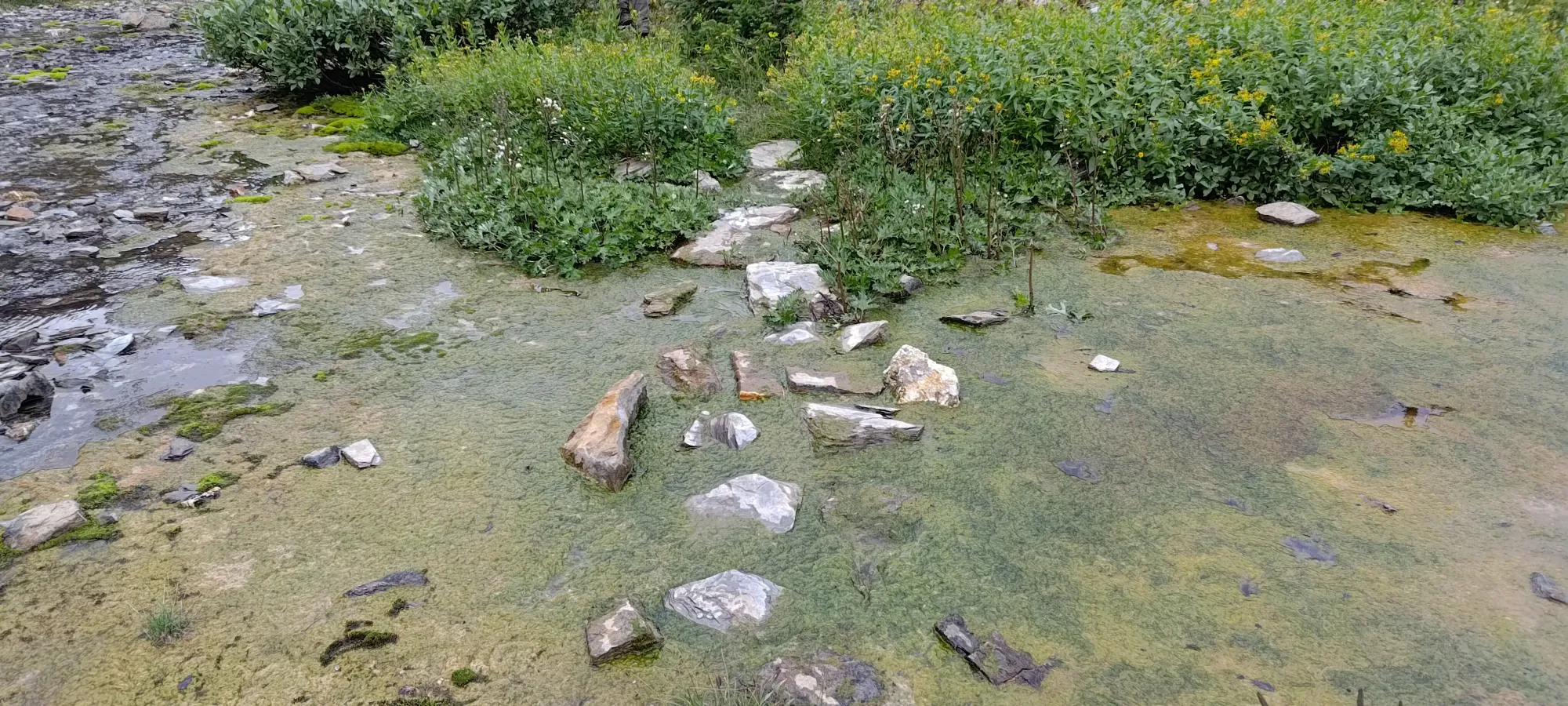
Getting past the lakes brought us through a somewhat marshy/swampy section, which thankfully did have enough rocks just high enough to keep us dry, so ensure to stay on-trail here to take advantage of those. We also got some nice wildflowers in the same area to distract us from the potential unpleasantness, though, so that balanced things out nicely.
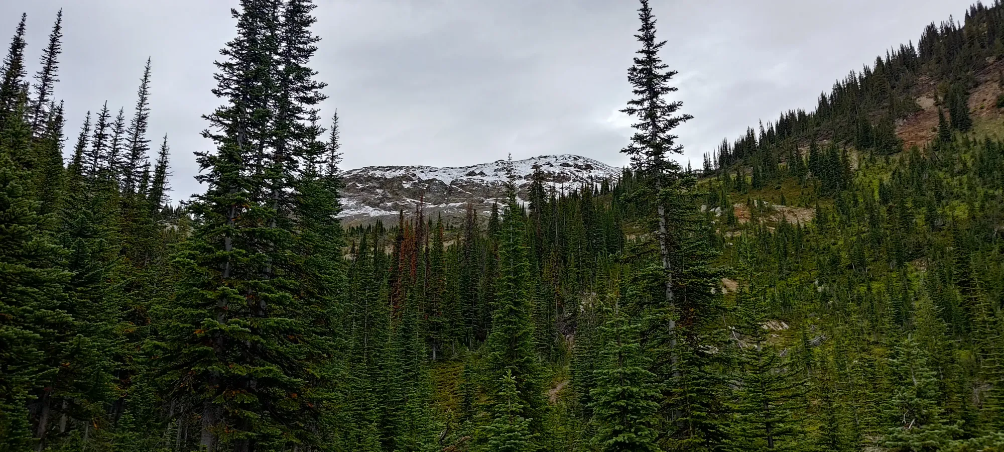
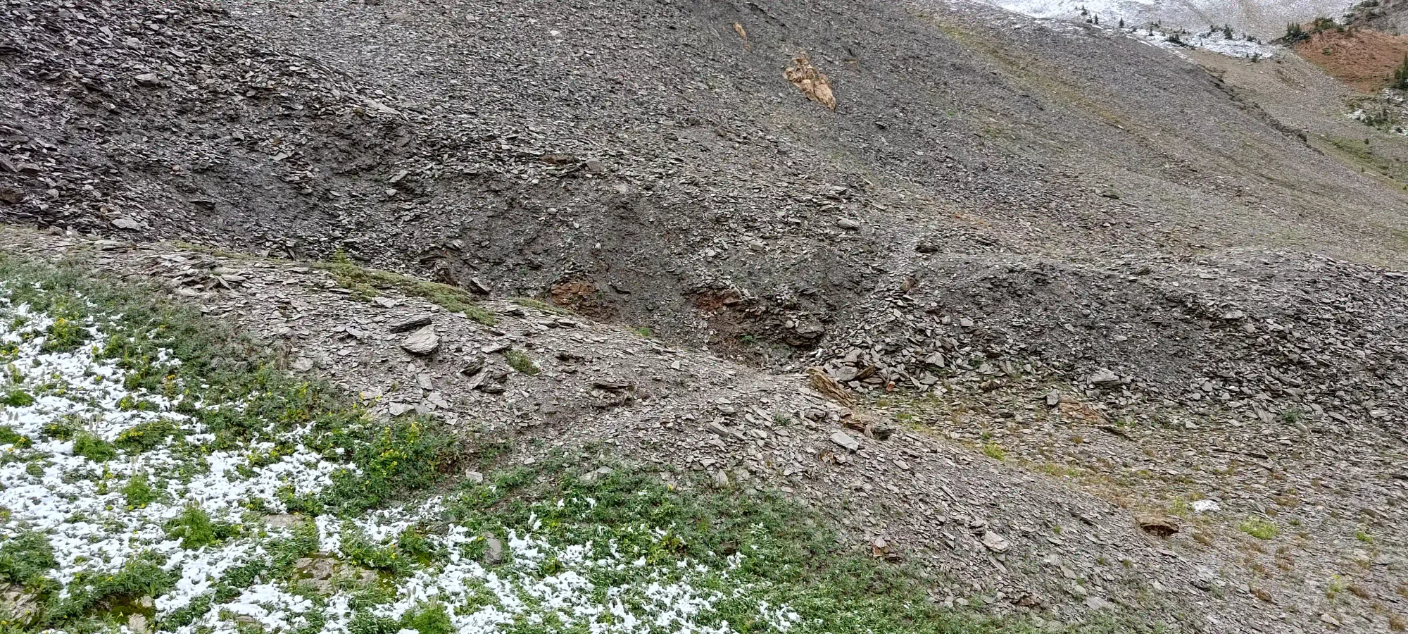
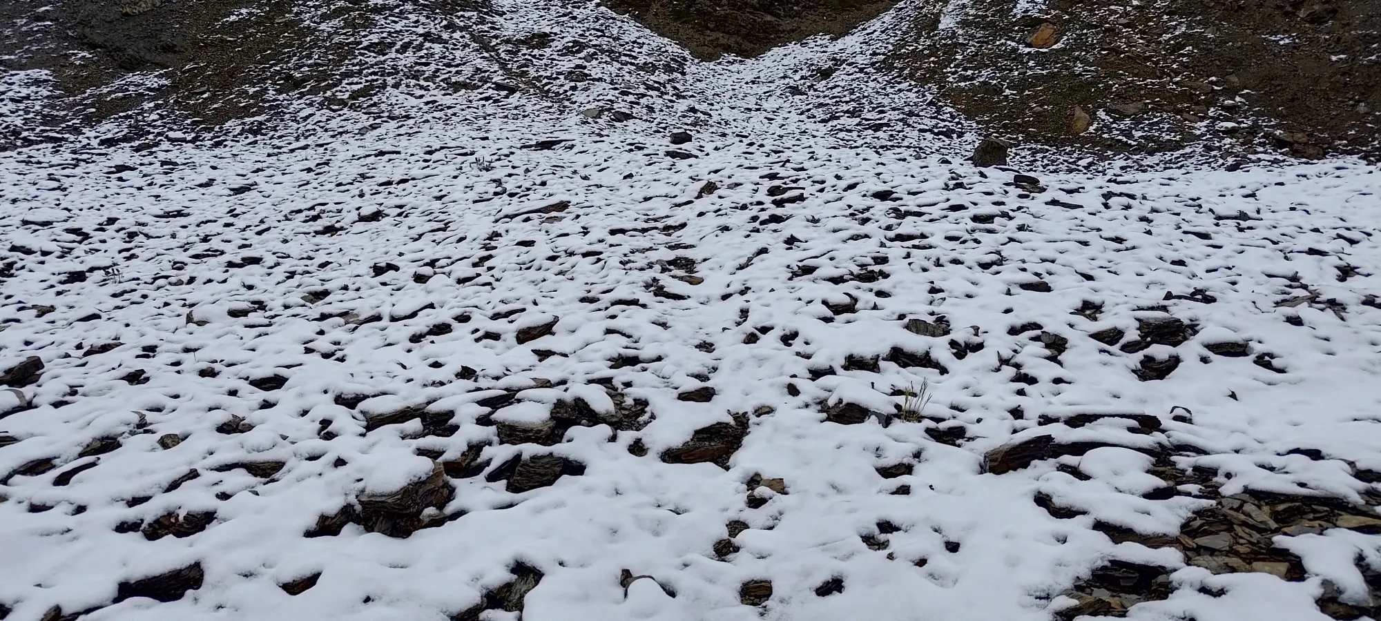
Aside from that, it was a simple grunt up a defined trail in the scree, and we got up to the ridge without much drama. In the last 100m of elevation or so, we did get a decent (if thin) blanket of snow on the rocks, but it wasn't enough to do more than "keep my already damp feet damp", and traction remained perfectly fine. We hit the ridge in about 20 minutes from the lake, or 100 minutes into the day.
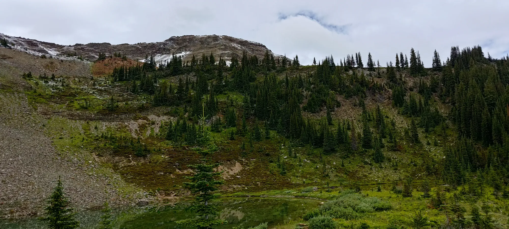
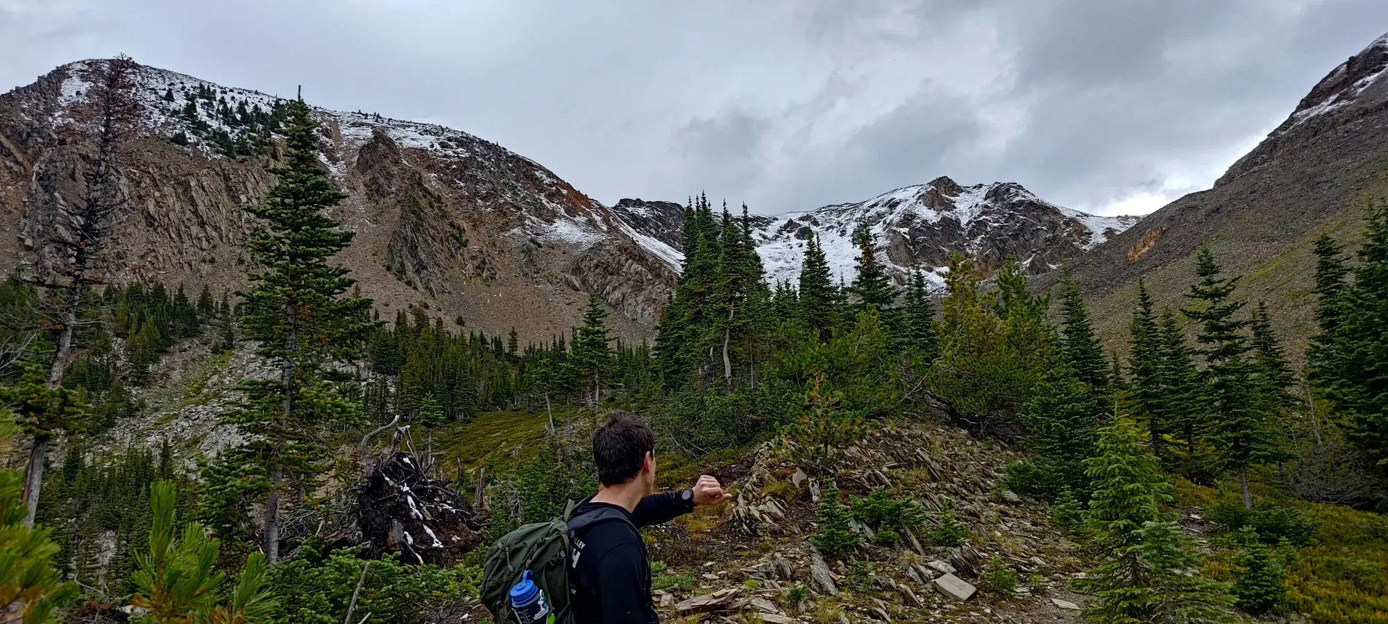
Once we gained the ridge, we took a short break, and each busted a thin layer out to protect ourselves from the wind. Then, we decided to contour around to the south side of the first false summit along the ridge, as opposed to walking straight up to the top. This felt like a good idea, and may have been one, but it still wasn't perfectly pleasant, as the ground was loose+soft with the moisture, and making the eventual steep steps needed to get up onto the ridgetop (definitely where you want to be as soon as possible) did require a bit of patience, as some of those steps sank back a good percentage of what you put into them. In an absolute sense, though, this still was only a few minutes of suffering, and we got onto the ridge fairly easily.
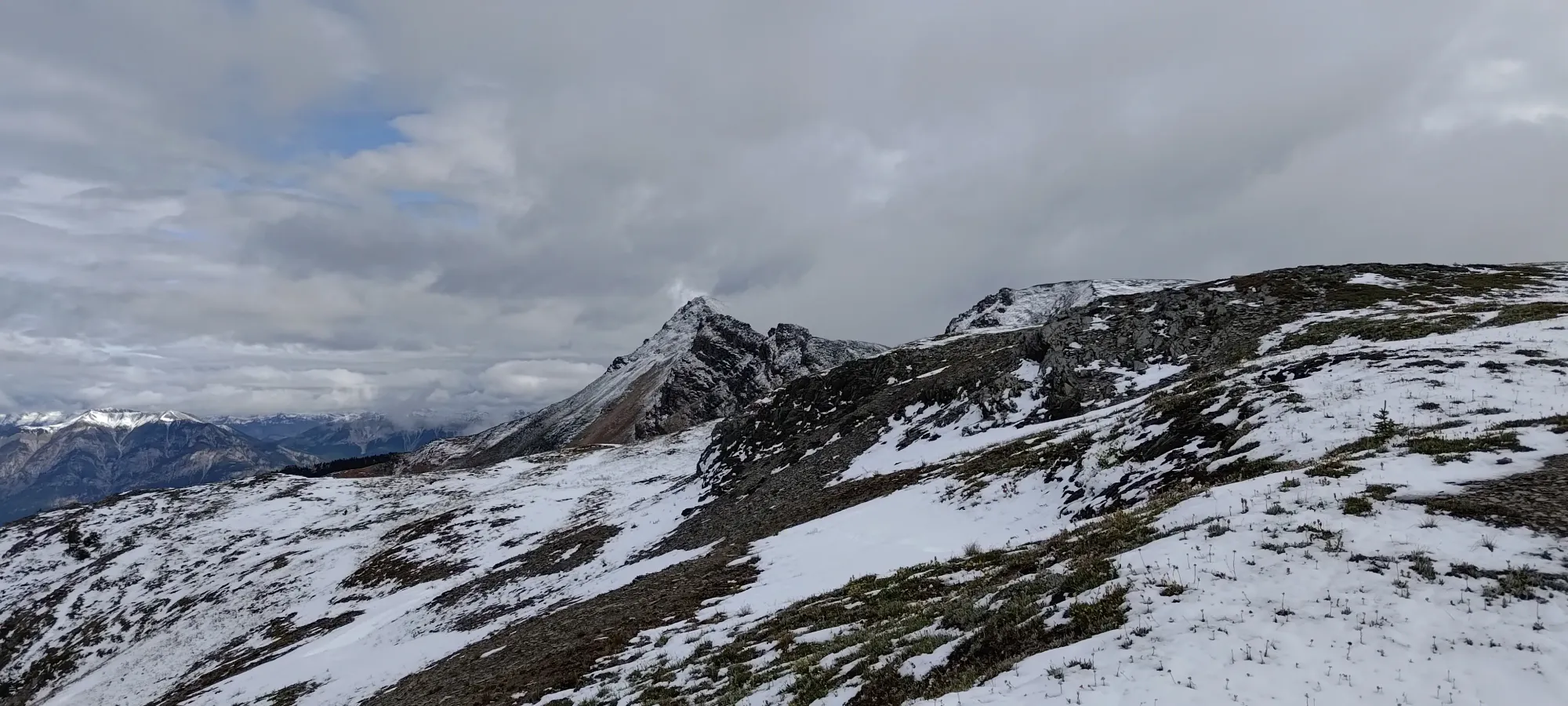
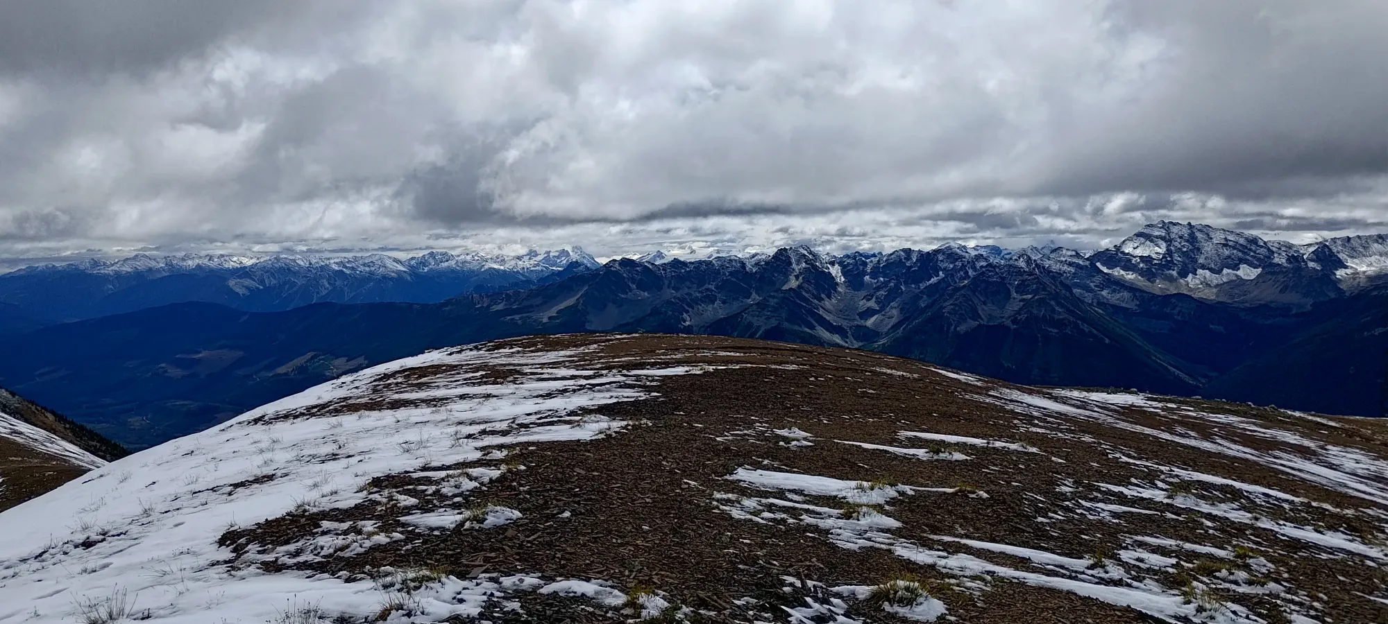
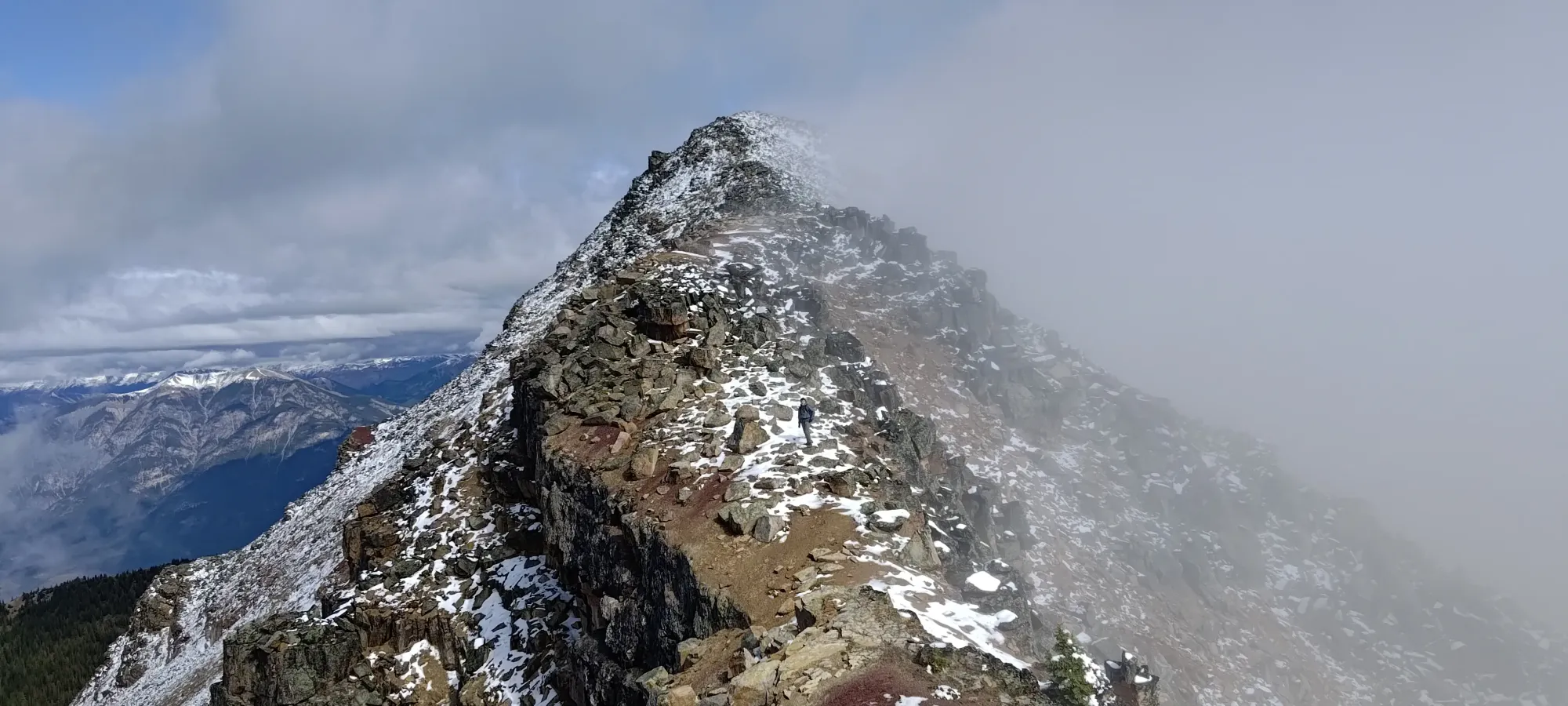
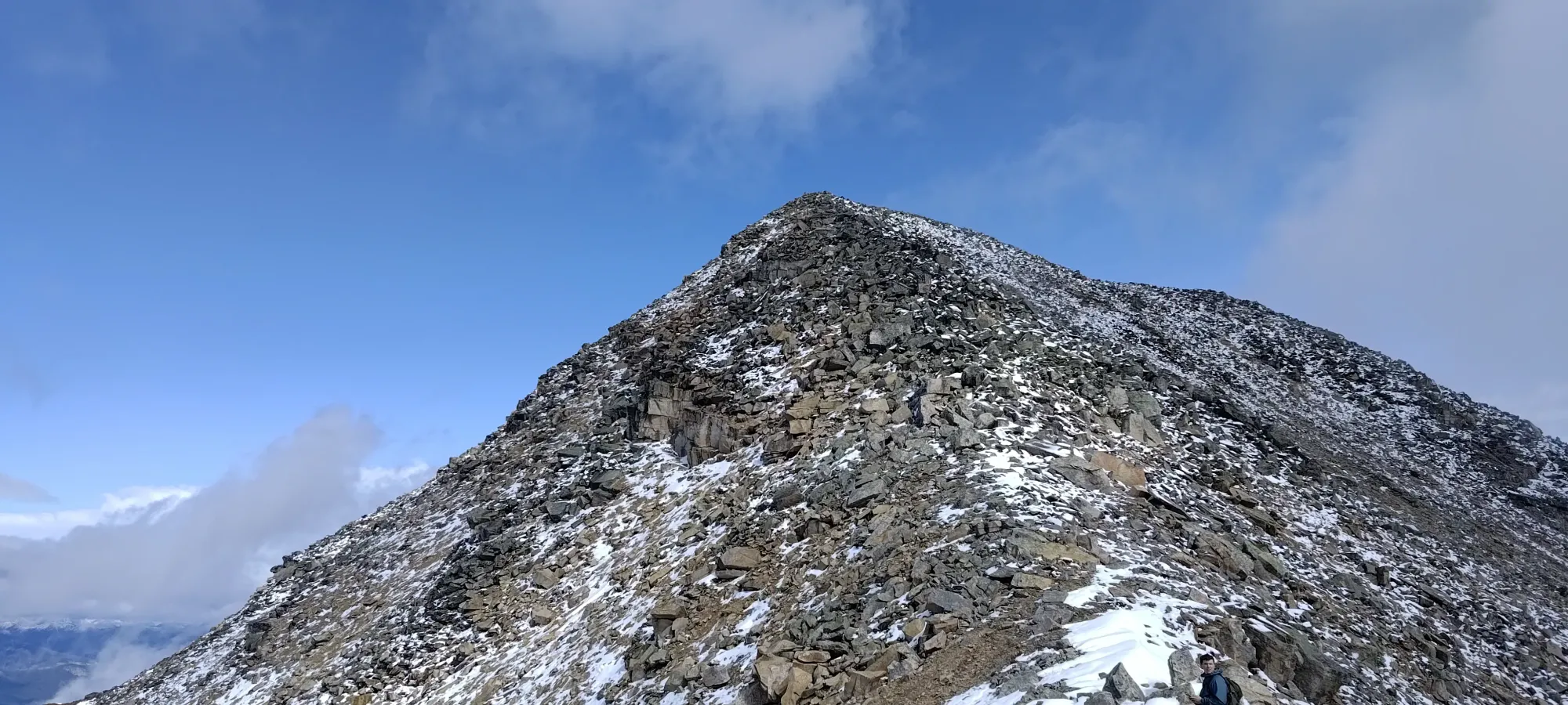
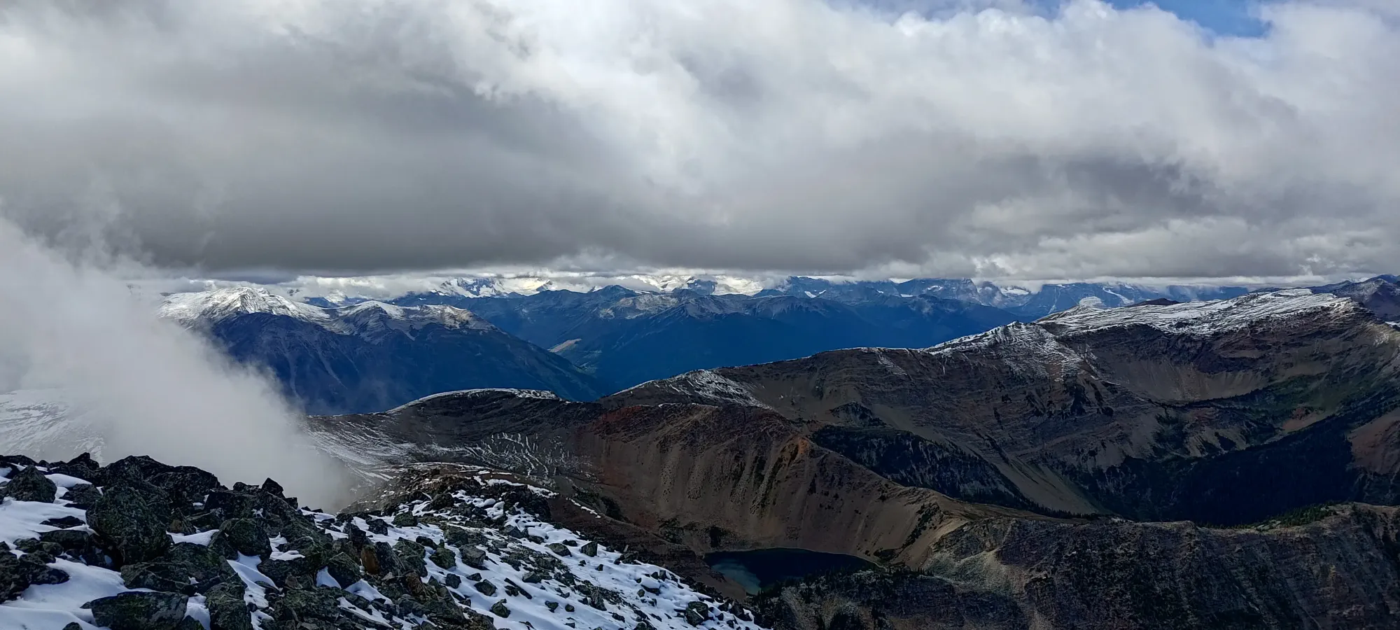
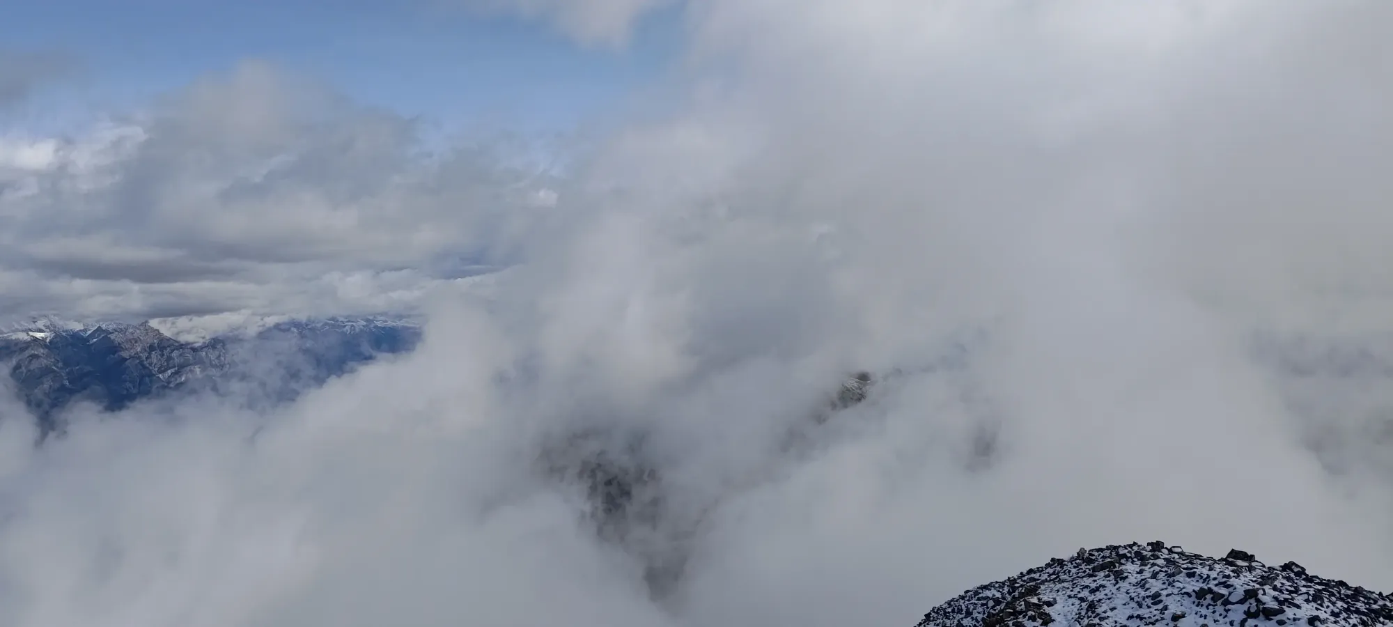
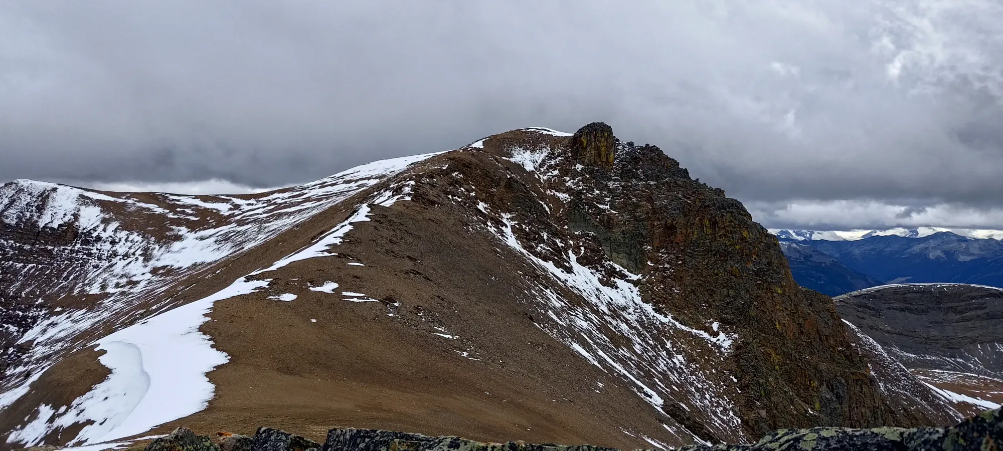
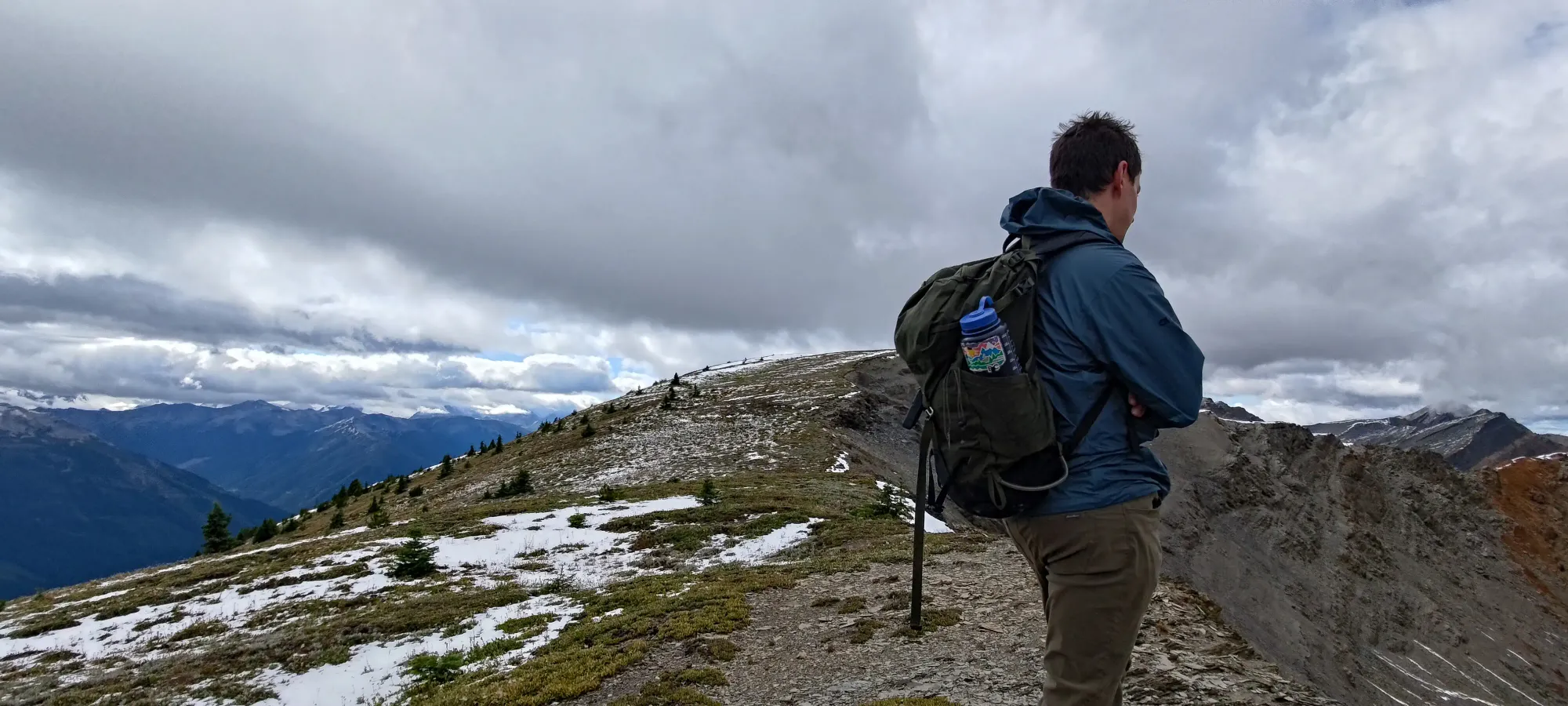
Once we were on the ridge, we just had an easy walk along towards the 2579m false summit, with minimal undulation and the snow only being a minor annoyance at its deepest, largely a n0n-factor. This ridge was so gentle I'd not be surprised if people freeride biked even up to that false summit (though we didn't see bike tracks to be able to confirm if this happens with regularity). This ridge ramble took us another half hour, and for the most part denotes the end of the hike and start of the scramble. It was also the final point we'd found GPX tracks going to, so we were just "hoping" the terrain kept working out beyond this false summit. Time to explore!
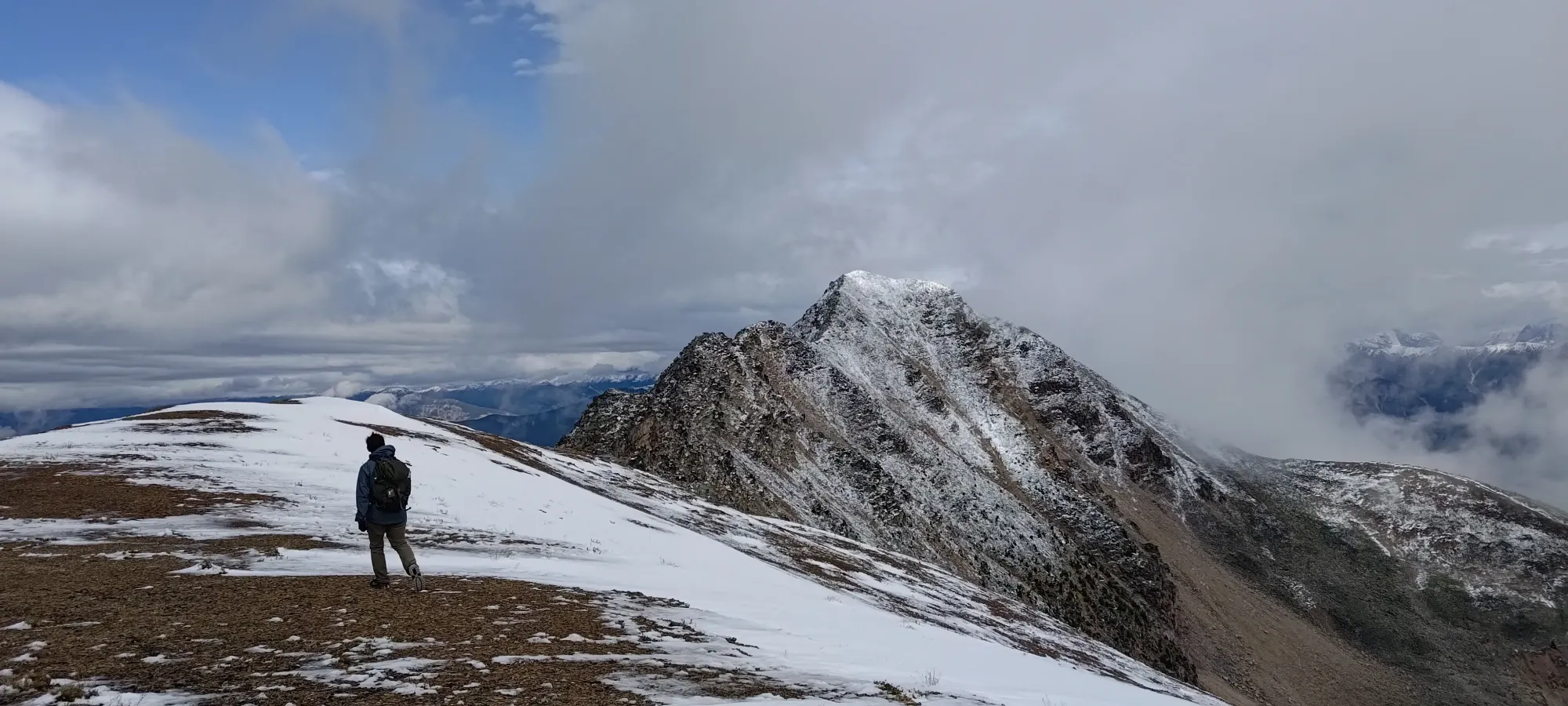
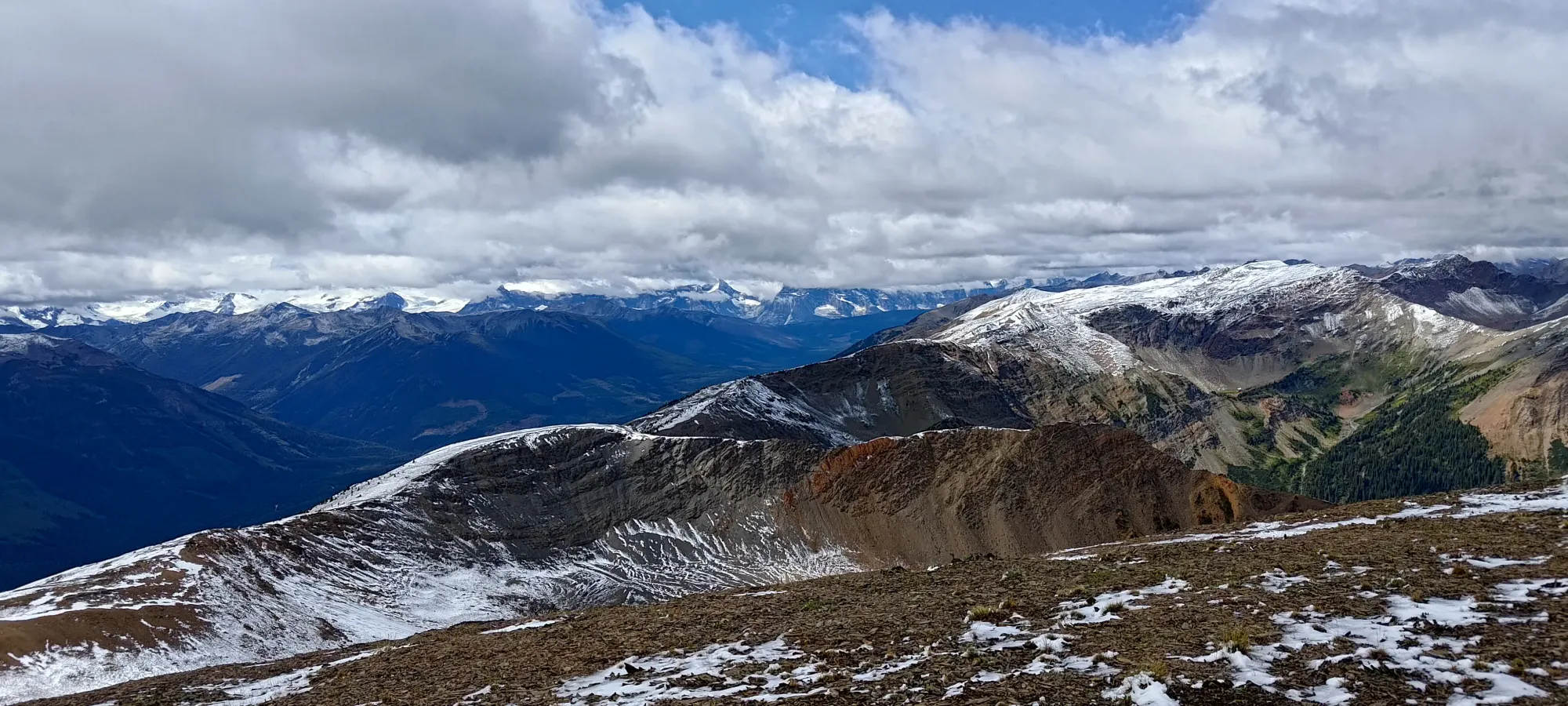
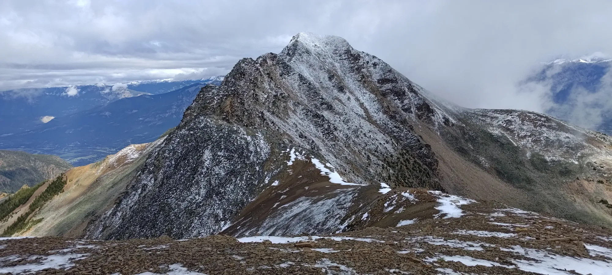
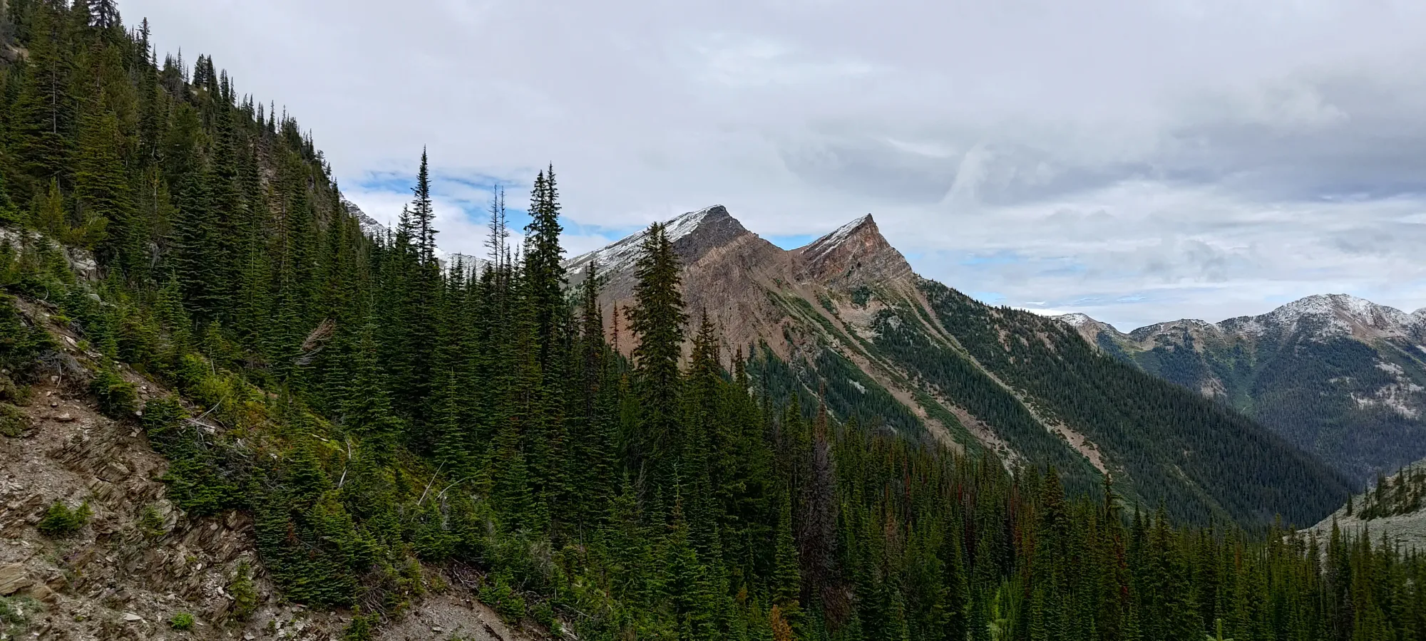
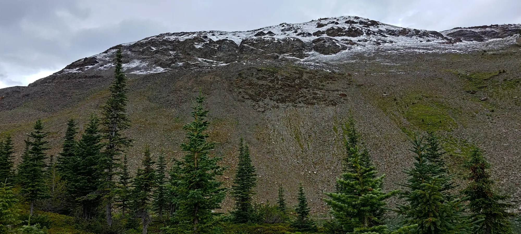
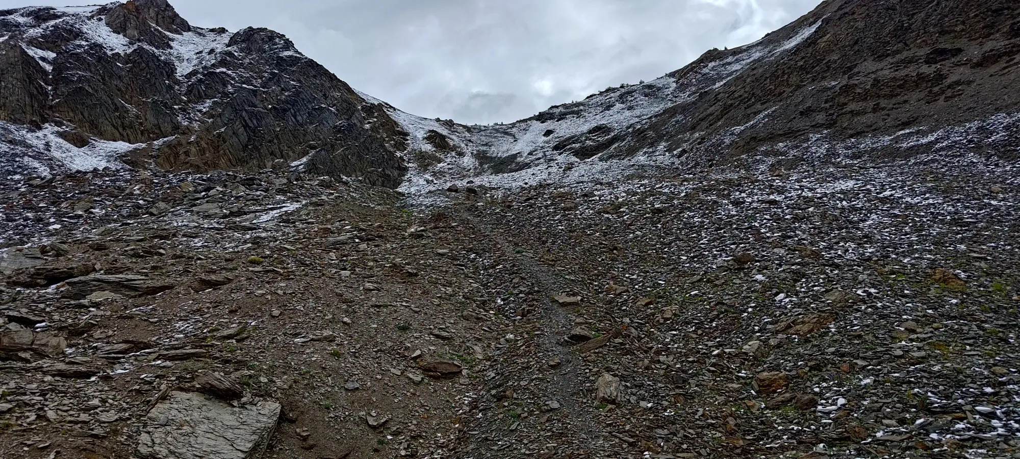
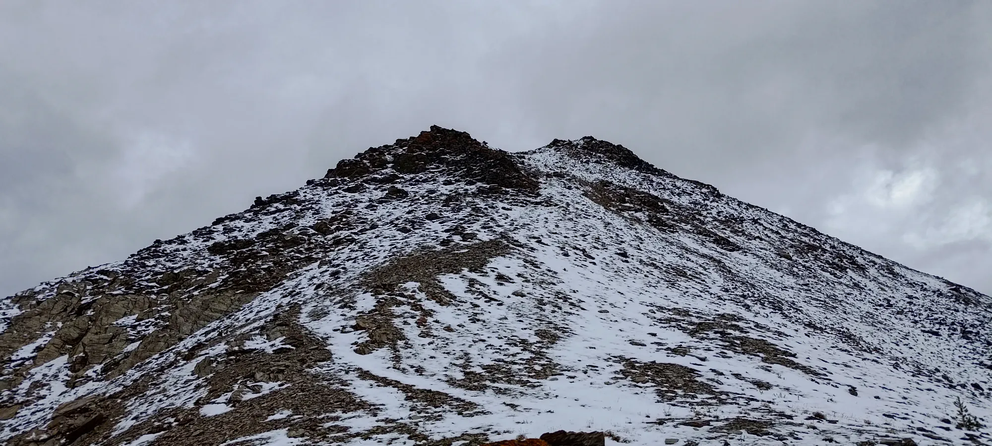
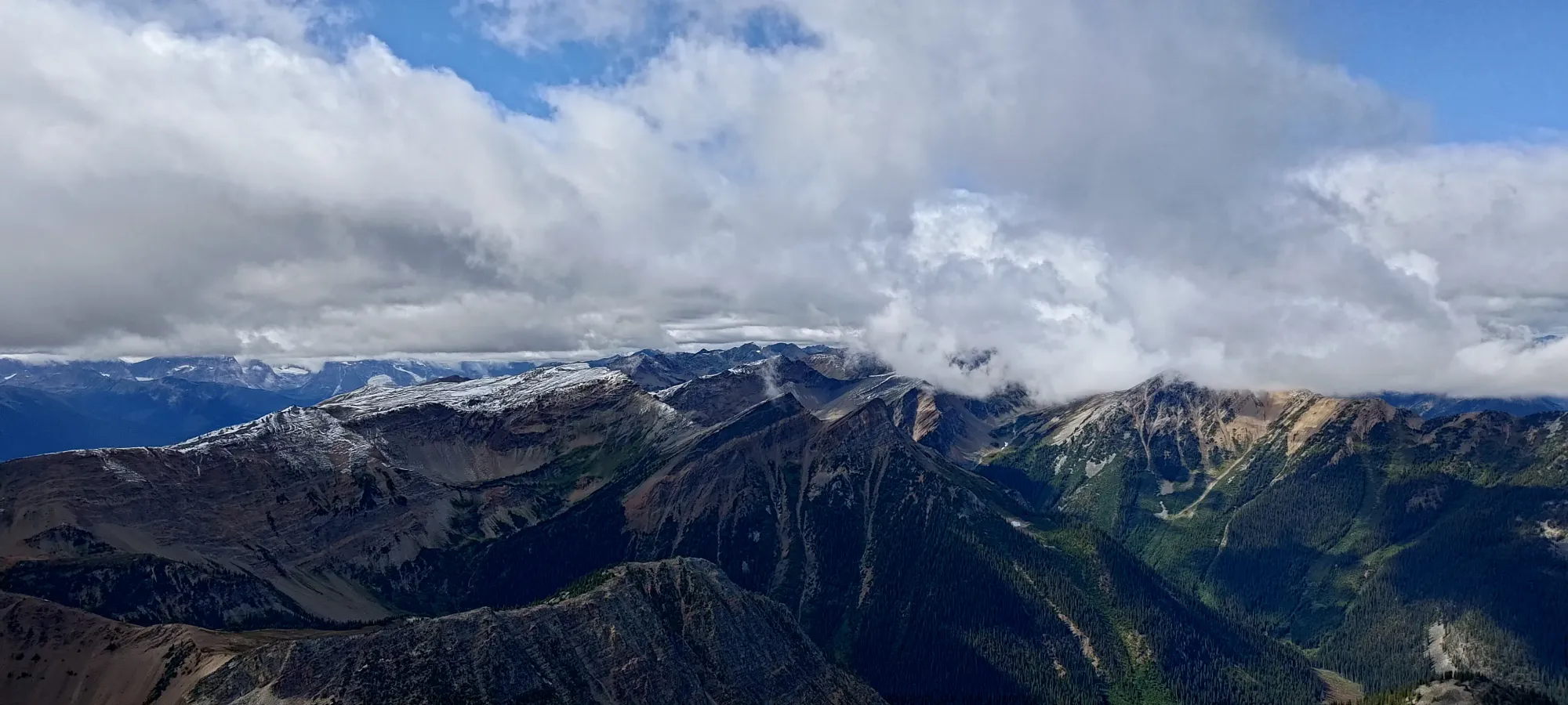
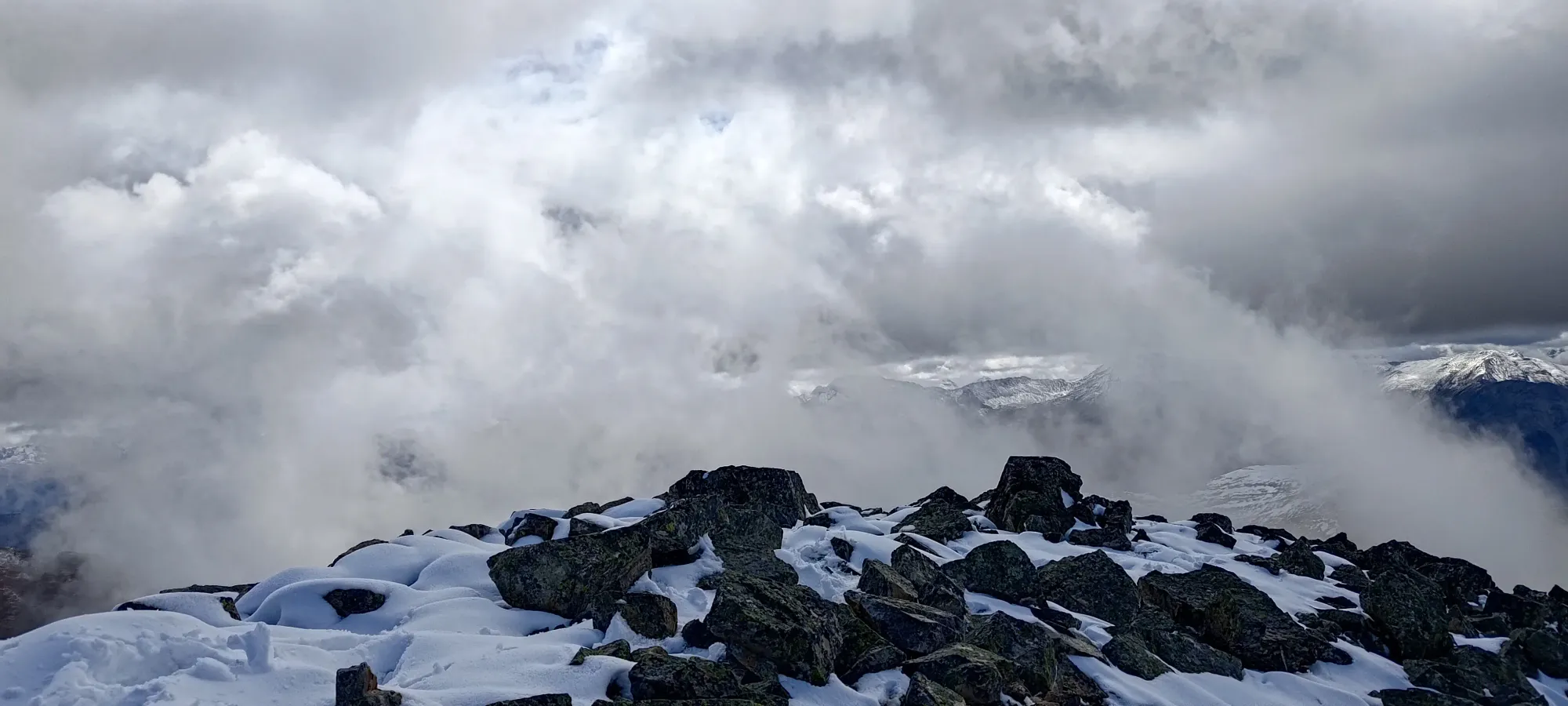
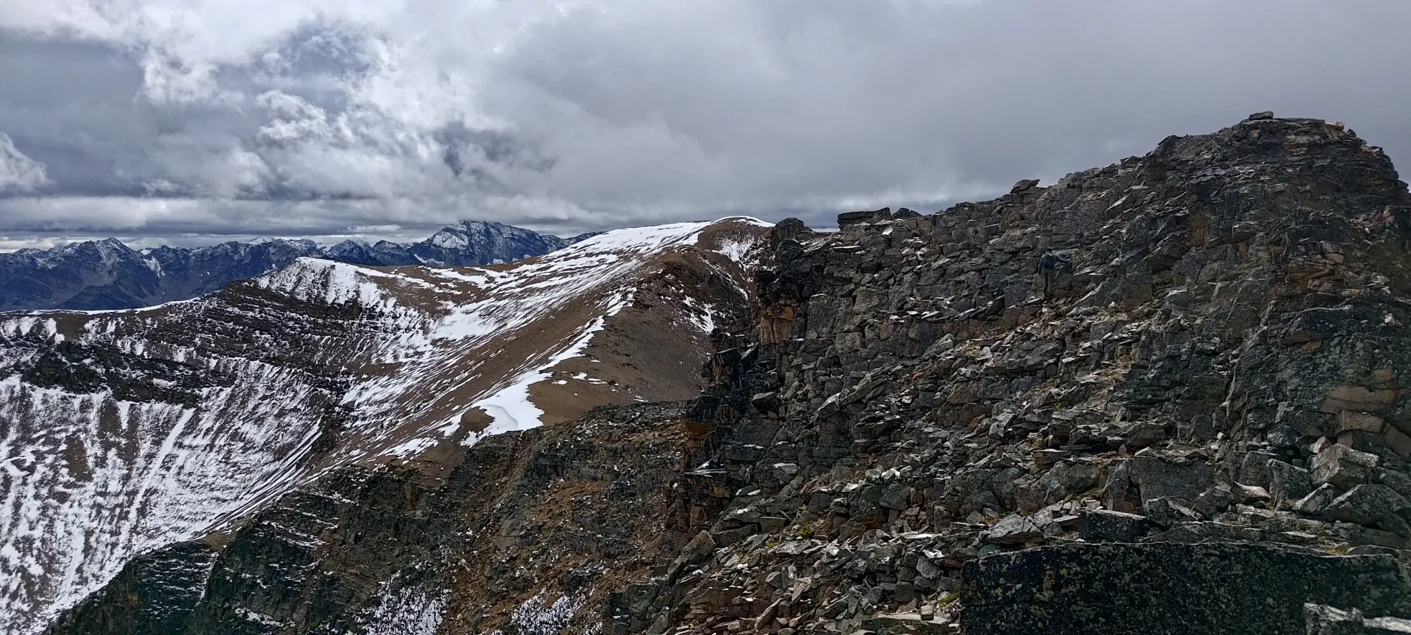
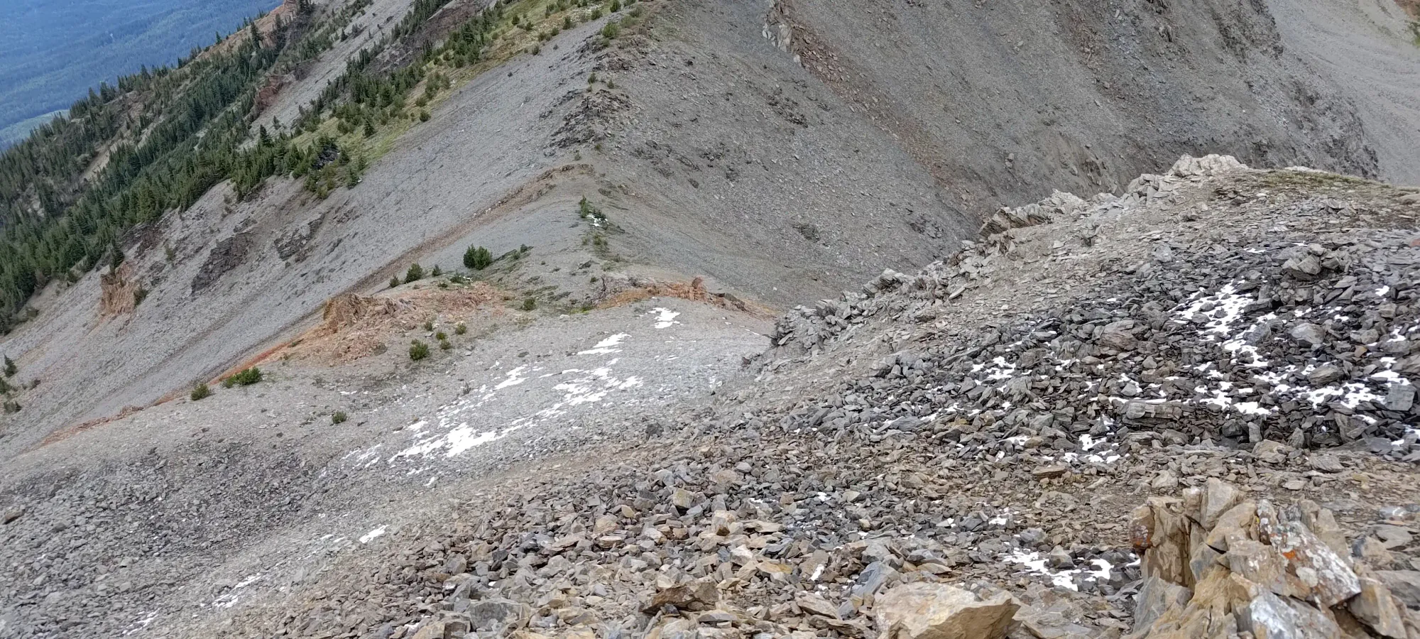
While the peak's final slopes looked steep from afar, as per usual, once we got close, they started looking a lot more reasonable. The walk down to the col from the false summit was easy enough, then the scramble started fairly quickly. It was by no means a difficult scramble, but we definitely did use our hands. For the most part, we just hiked up and down the bumps, and used our hands to navigate up and around the large boulders that made up the terrain here, a stark difference from the wide ridges of dirt and scree that we'd been on previously. Thankfully, these were at least fairly stable boulders, so the biggest challenge was just dealing with the smattering of snow making things a bit more slippery than usual. Since exposure was minimal, though, this wasn't a big deal.
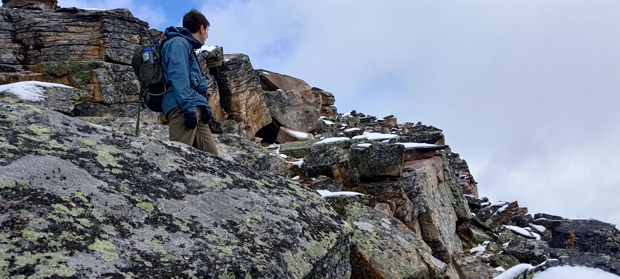
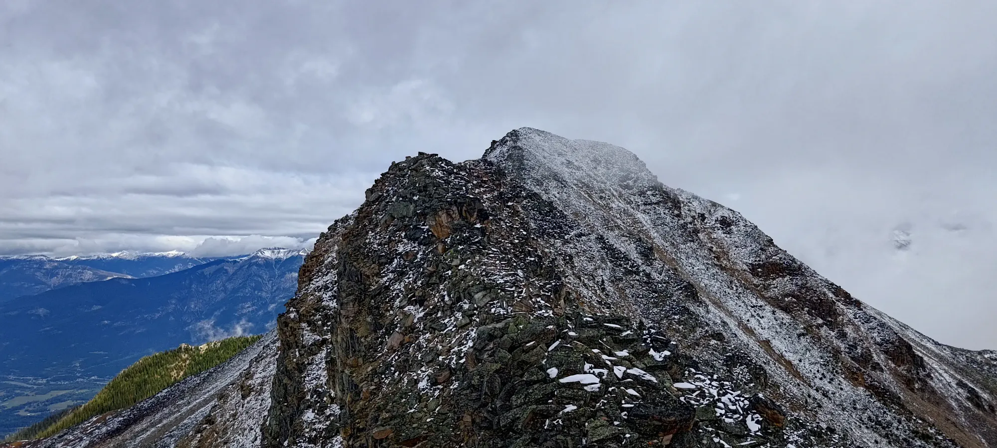
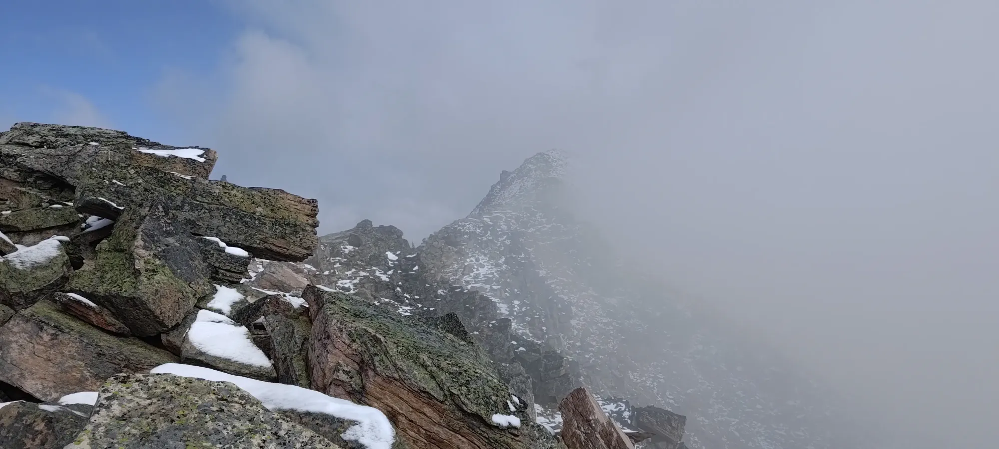
As we got closer to the summit, we realised just how many ups and downs were in this last section, that being quite a few. We also noted more frequent snow cover as we got higher (not that surprising). The more notable change came at the final ascent to the summit, where the rocks became notably looser and more slippery, which made travel actively frustrating. We'd be moving slow+steady but happily to that point, but the final slope proved annoying for us both, and by the time we got to the top, a few curses had been uttered in the process 😅
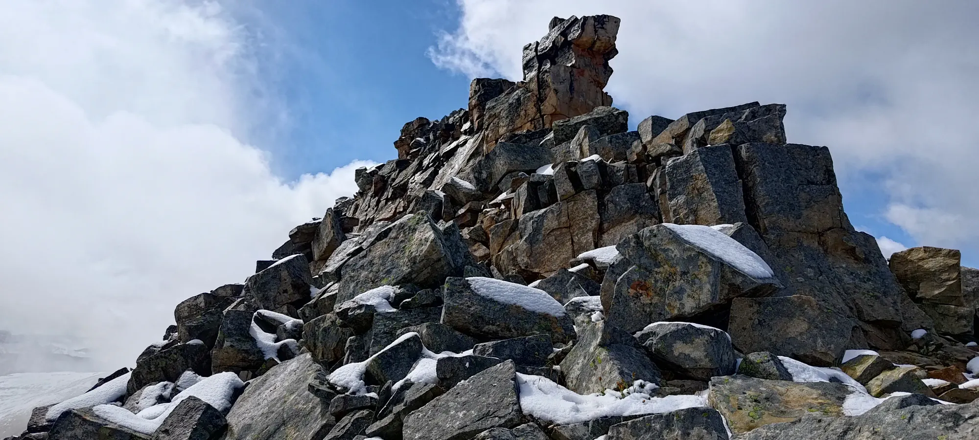
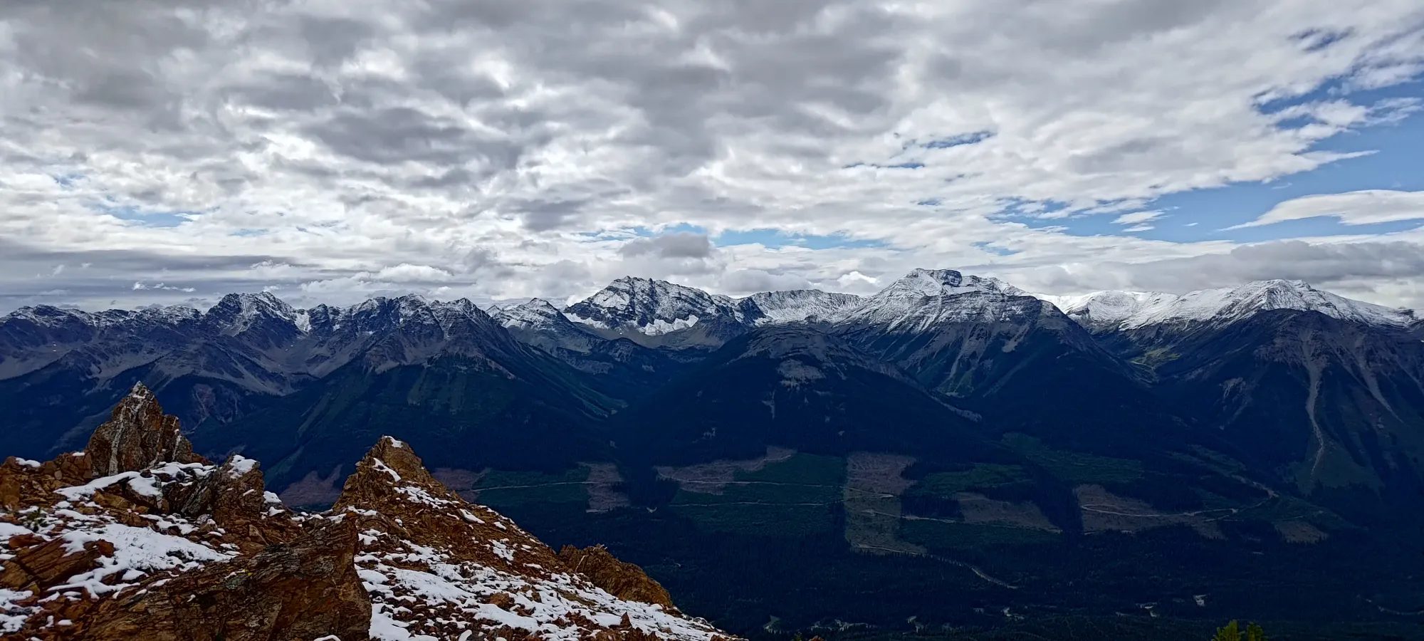
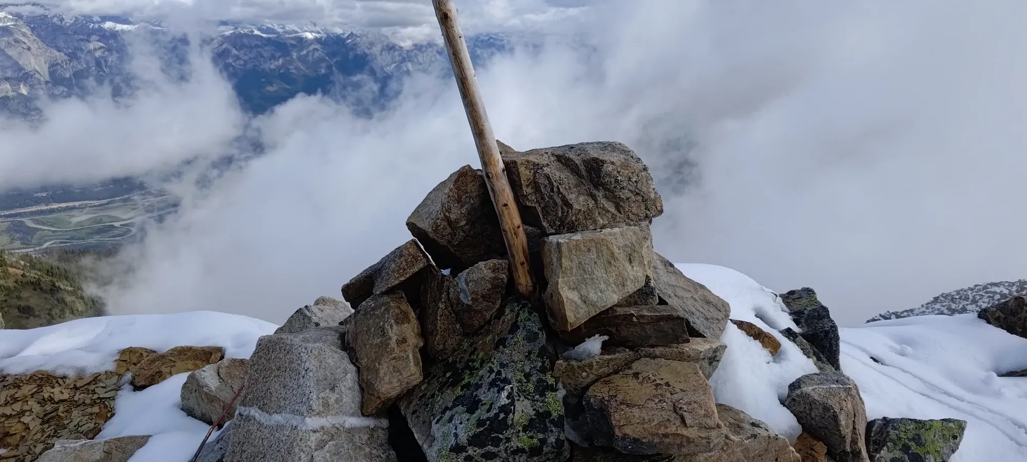
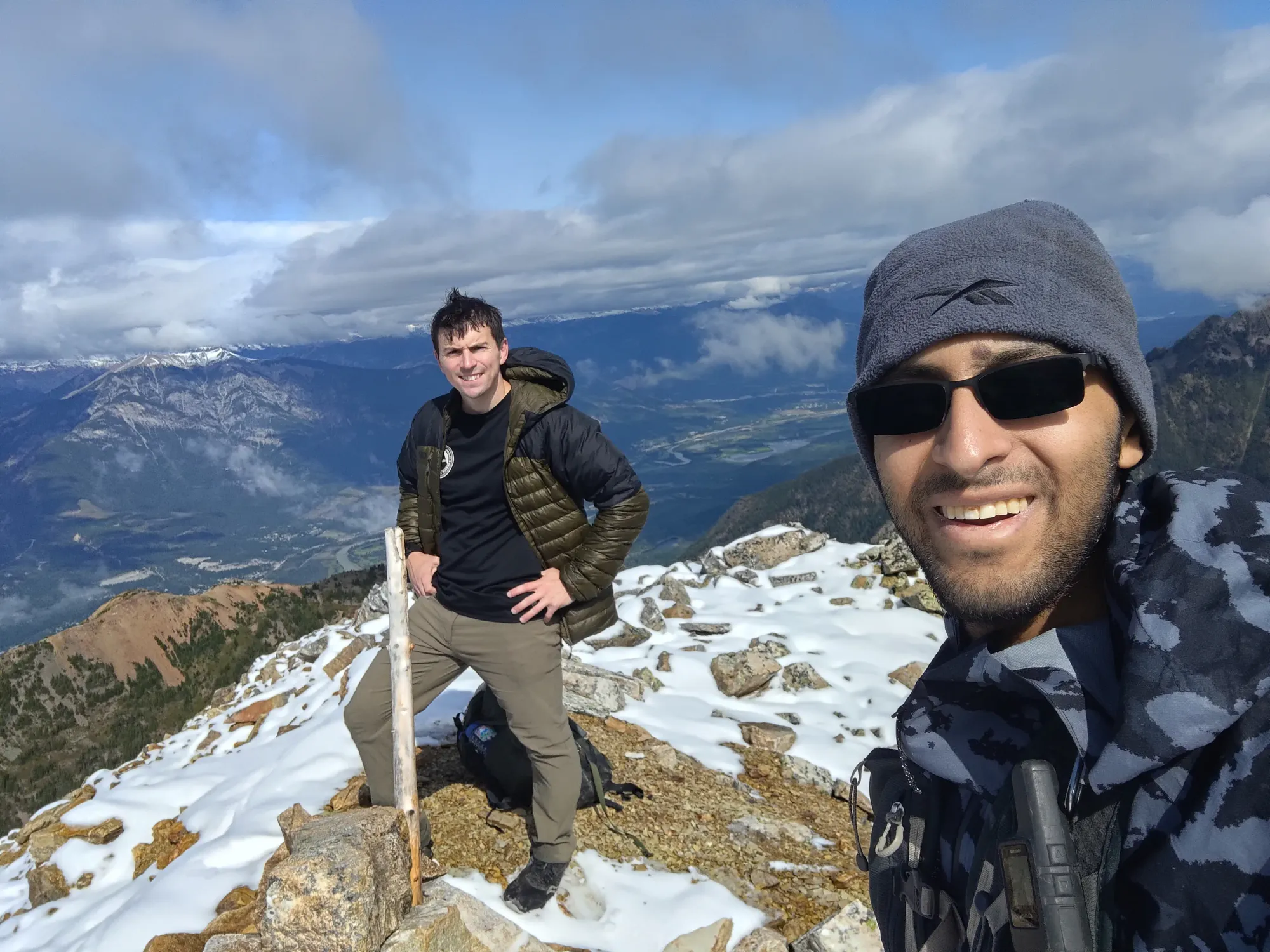
After quite a good amount of very pleasant hiking, and a short but memorable amount of annoying, loose, snowy boulders, we clambered onto the summit just after 3pm, or about 3.5 hours after leaving the car. Not too bad for a peakbagging day, I'd say! We didn't linger on the summit for too long, though, since we were both more interested in getting back home for a reasonable dinnertime, and to allow ourselves to rest up for the next day.
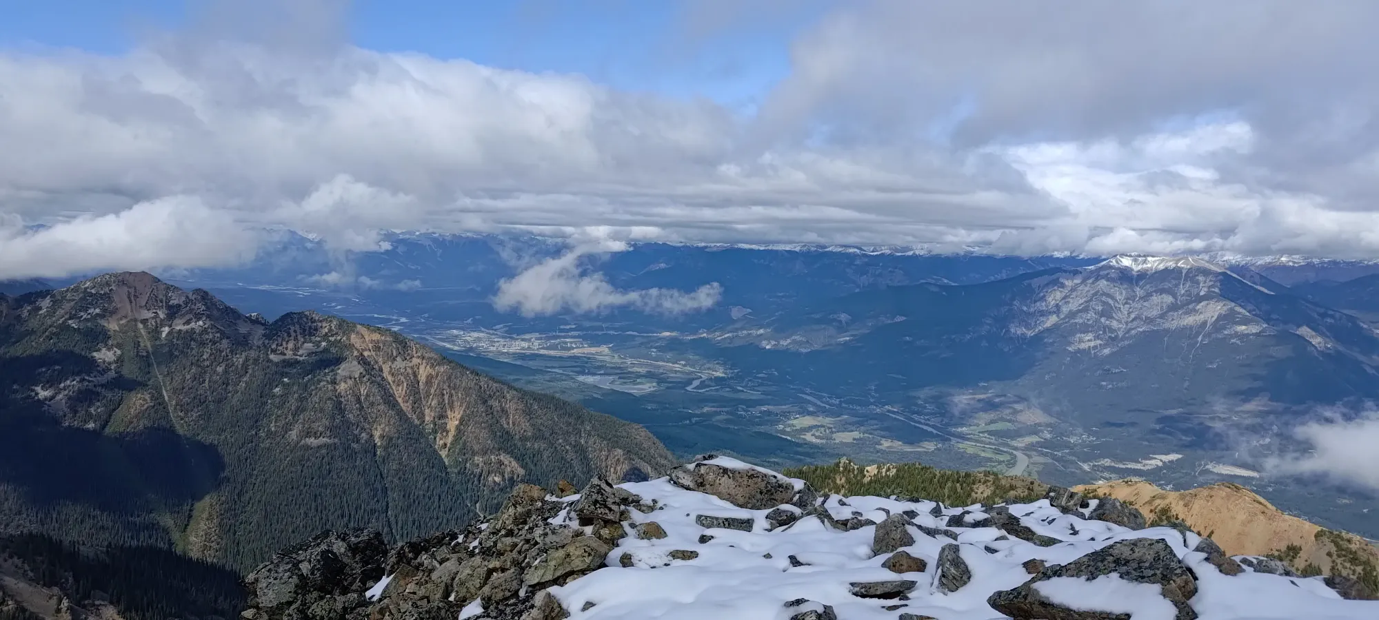
The descent was sadly not much, if at all faster than the ascent, as the rocks were still just as loose and slippery as on the way up. The stats for the whole day were quite tame, under 15km and not much over 1000m gain, so that wasn't the problem either, the loose+snowy rocks simply required patience+care. Once we got off the final slope off of the summit, we were quite happy, and the travel got a bit easier. I was even excited when we got off the scramble entirely, despite that meaning a meaningful elevation regain to the false summit, just because that meant no more snowy boulders, and just easy hiking back to the car 🙂
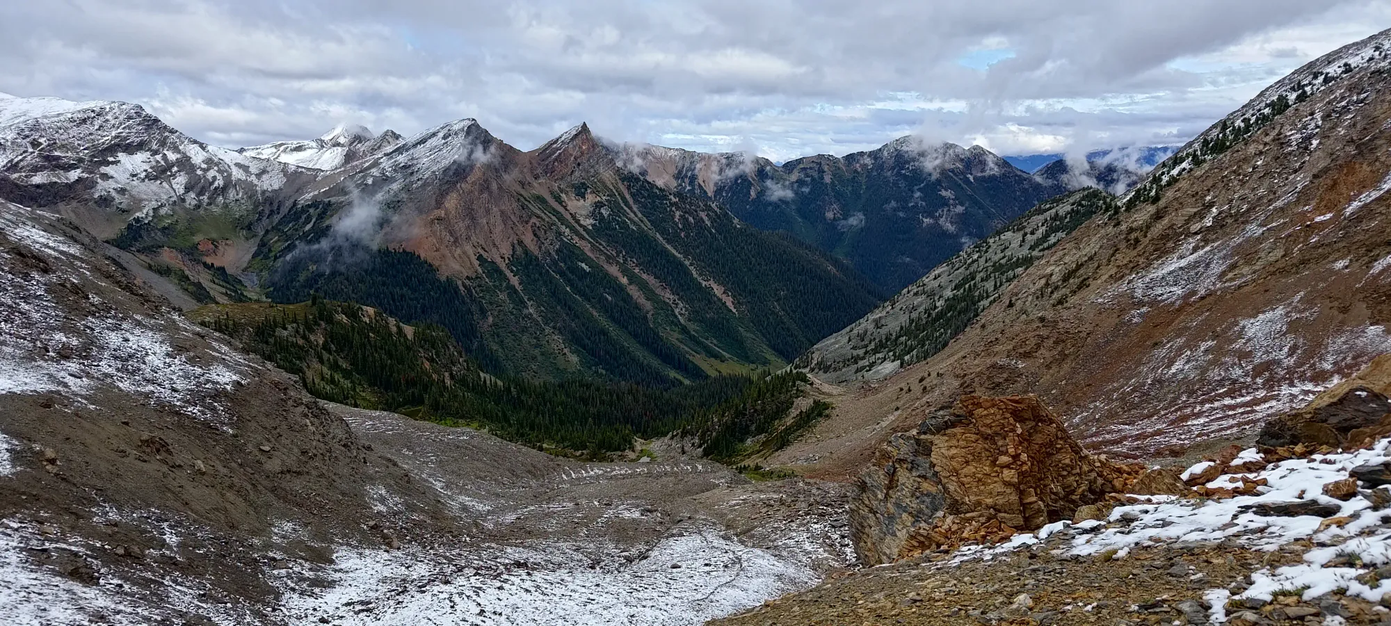
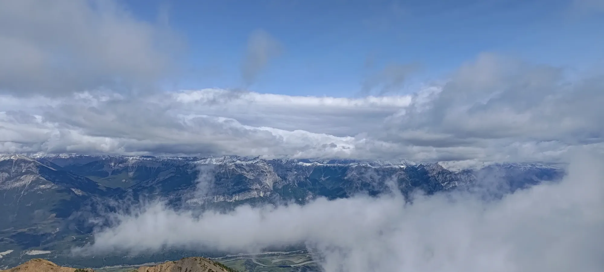
Once we got onto the main ridge once again, we were teased by the large lake below us, which SEEMED like it should end up where we started, but was actually another lake which I guess could've had a trail down to the road from it, but we had no way of confirming that, and it would be a huge gamble with a large bushwhack if we were wrong, so we simply had to stare at that potential shortcut for a while as we traversed the ridge back to our original ascent col.
Once we hit the ridge, we were very happy to just have an easy hike out, and from there, we basically hightailed it out in an hour, able to scree-ski fairly well down to the lake. We took a break for some snacking and layer removal once we got below the windy ridge, and one brief one for a false alarm on my end thinking I needed to use the bathroom, but otherwise just hightailed it out of there.
After getting back to the car, it was a short drive back to town, and we indeed made it back in time for a good dinner 🙂 Quite a short+sweet day out, and if you don't have snowy boulders, perhaps even totally enjoyable. I know I have at least one bike-forward friend who would enjoy the 2-tire access all the way to the ridge. Definitely worth an afternoon if you're in the area.
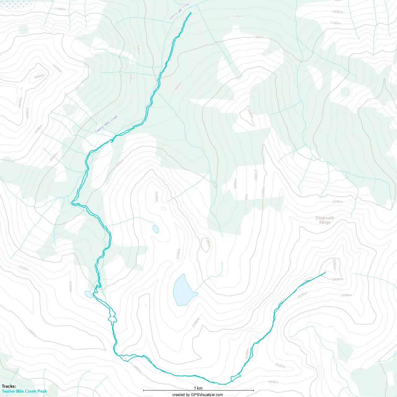
GPX Track + Map