Train Glacier Traverse - July 21 2024
A fun little traverse with quick alpine access and good scrambling in Pemberton above the popular Semaphore Lakes area, popular amongst hikers and campers


After being restricted to peaks with cell service the previous weekend (as a result of being on-call), I was quite glad to have more options back on the table. The heat might've been brutal in the last couple weeks, but on the flipside, more scrambles and climbs had finally opened up with snowpacks melting, so that was exciting. Sadly, with my health still being rather poor, I didn't get to take advantage on the Saturday, as I had to take that time to just recoup lost sleep. With that in mind, I wanted to do something on Sunday that would get be a few peaks to compensate for that 🤣 The Train Glacier traverse is a great place for such things, with a fairly short approach, and quite a few peaks in the area which one can add on or ignore to make the trip productive. Plus, it was purported to have some fun scrambling, which sounded pretty great to me. Shayan, who I'd not been able to get out with in a while, was down to join, so I got to hang out with a friend I'd not seen in a bit too, which made for a great plan 🙂
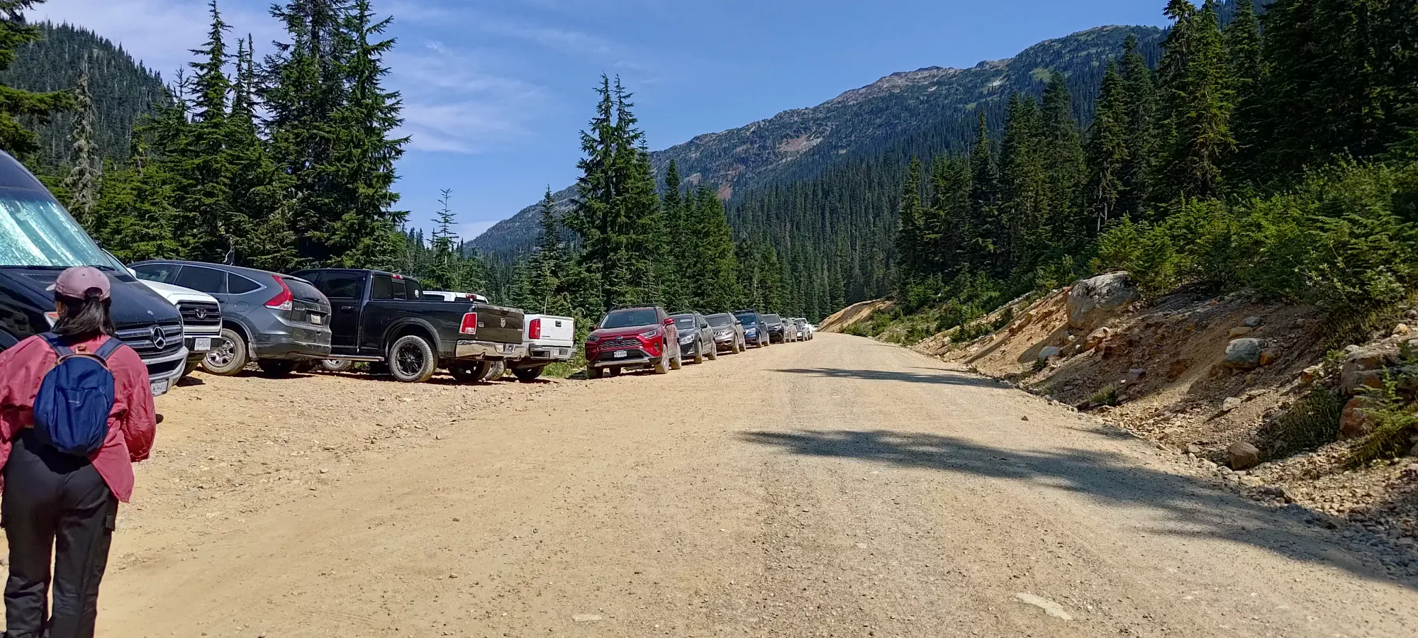
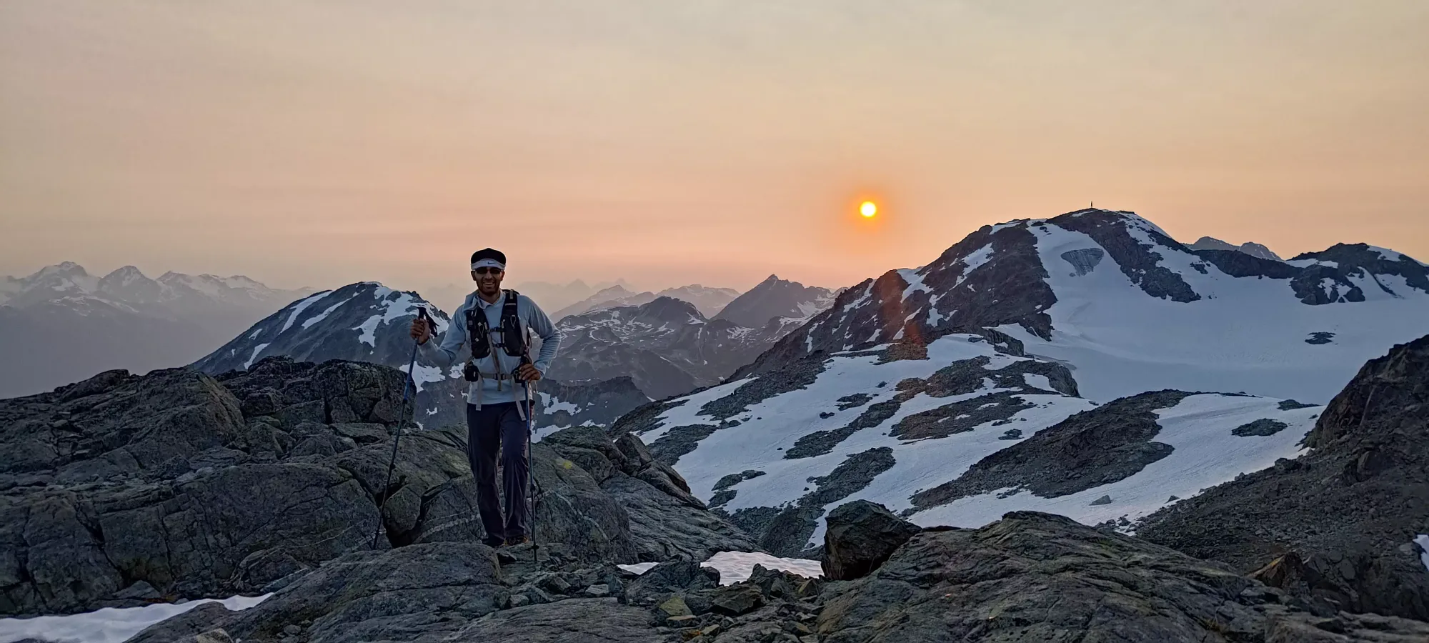
After a couple delays from the originally-planned 8am departure from Squamish, we got driving north a bit after 9am. There was no meaningful traffic, and even with a short stop at the Pemberton McDonald's for a bathroom check, we got to the trailhead in about 2 hours. The Hurley was in great shape, driveable in even a low-clearance 2wd vehicle. Shayan decided to pack ultralight for this trip, bringing just some water/snacks and not much else, so I lent him my "emergency pole" I keep in the car, and then we set out from the very-busy parking lot at 11:20am. Since it was his decision not to bring a bag, I made him carry the backpack with his extra water weight in it 🤣
Faceless Mountain
Thiassi Range, Pemberton, British Columbia
2463m
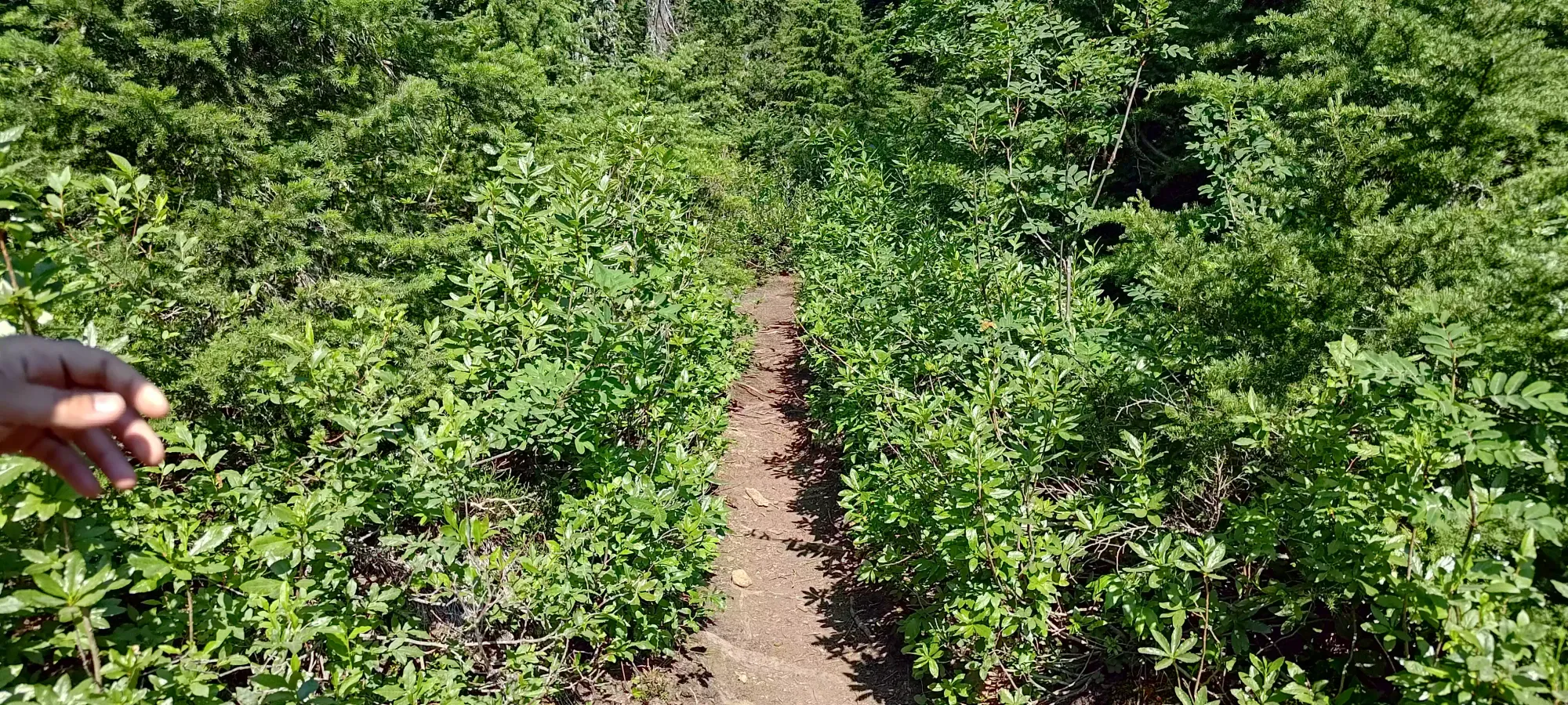
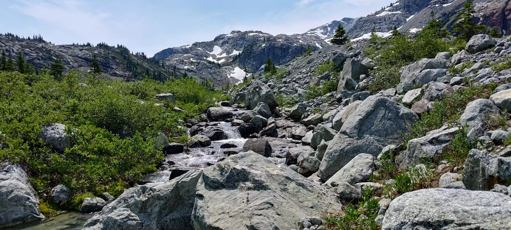
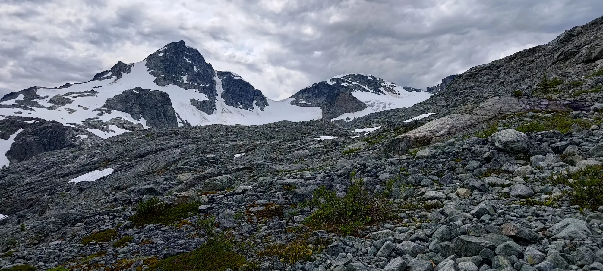
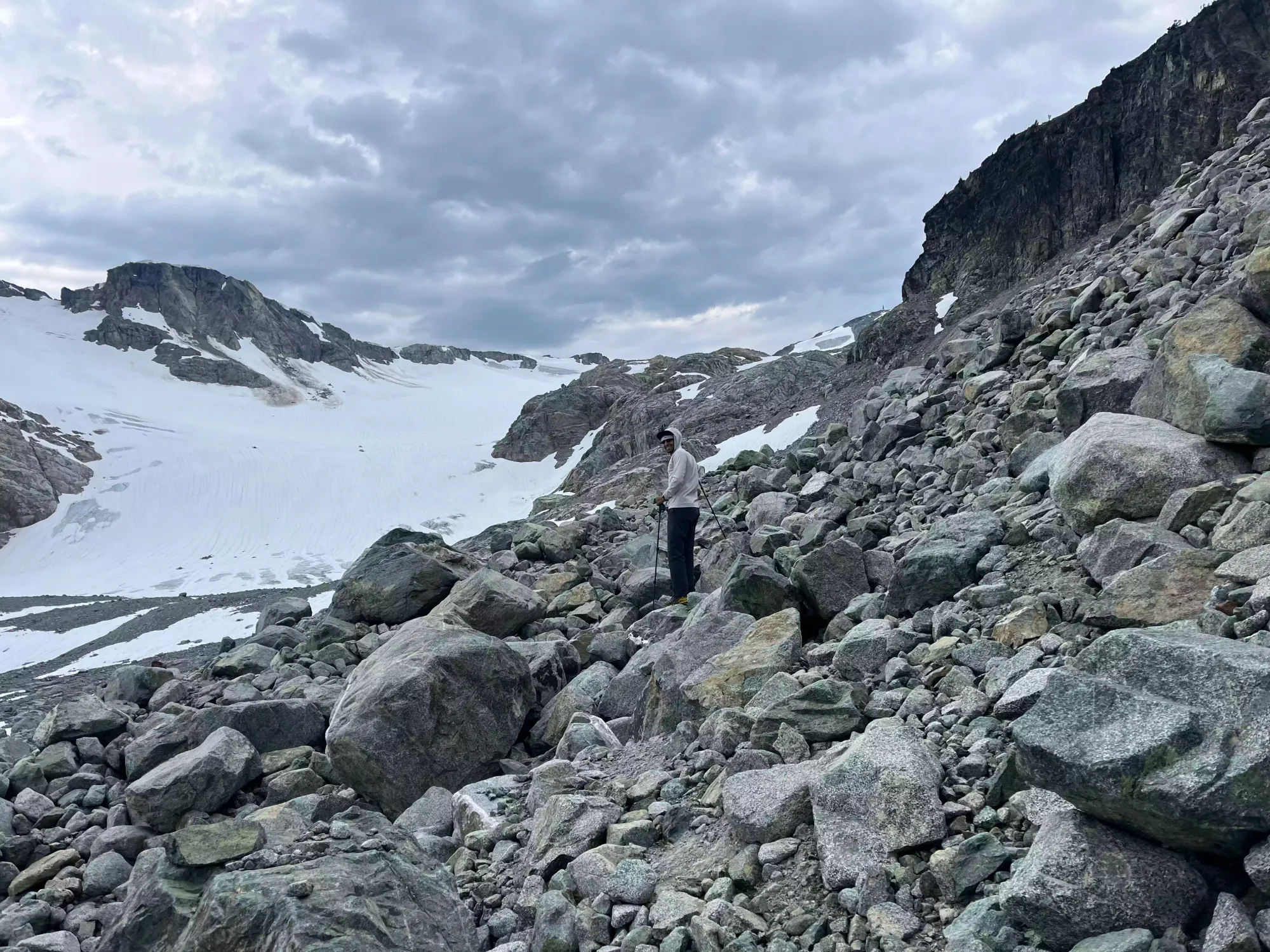
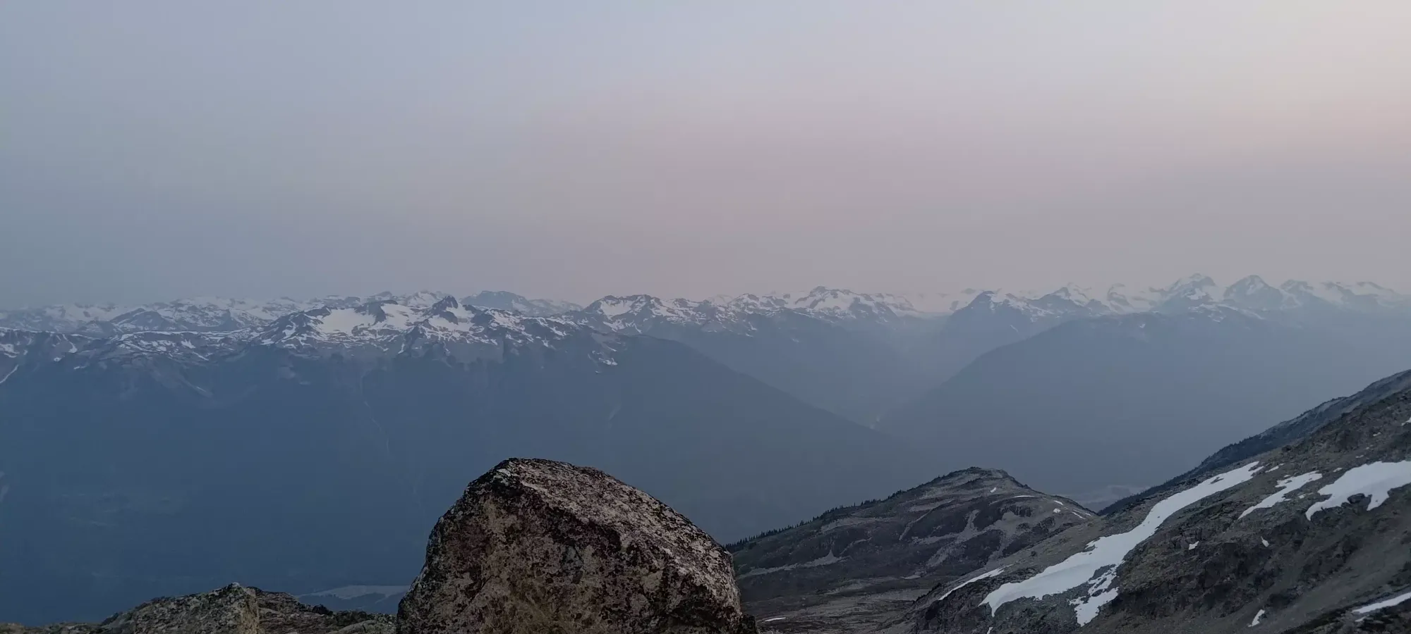
At the start, we took turns walking down very well-beaten trails that led to nowhere useful (there are quite a few misleading forks near the trailhead), then did a short bushwhack and creek-hop to get back on the real trail. After that few minutes of time-wasting, Shayan set us a trademark "quite fast" pace up the approach trail, whose stats are quite tame, around 300m of elevation gain and 2.5km. However, he was quickly reminded that heat is his nemesis, and we had to slow down and take a few breaks to get his heart rate+breathing down to a more reasonable level (it felt good for me to not be the struggling one for once, he's normally faster than me 😄). After a cycle or two of this, we decided I should just set the pace, and things went a bit more smoothly. In about an hour, we made it to the high point above the Semaphore Lakes, which offered some very nice views of the area, with fairly little hiking investment. I can understand the popularity, with that kind of effort:reward ratio.
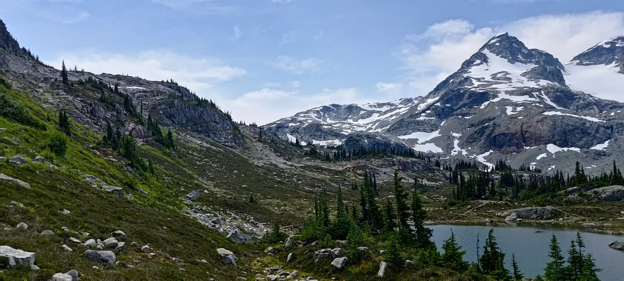
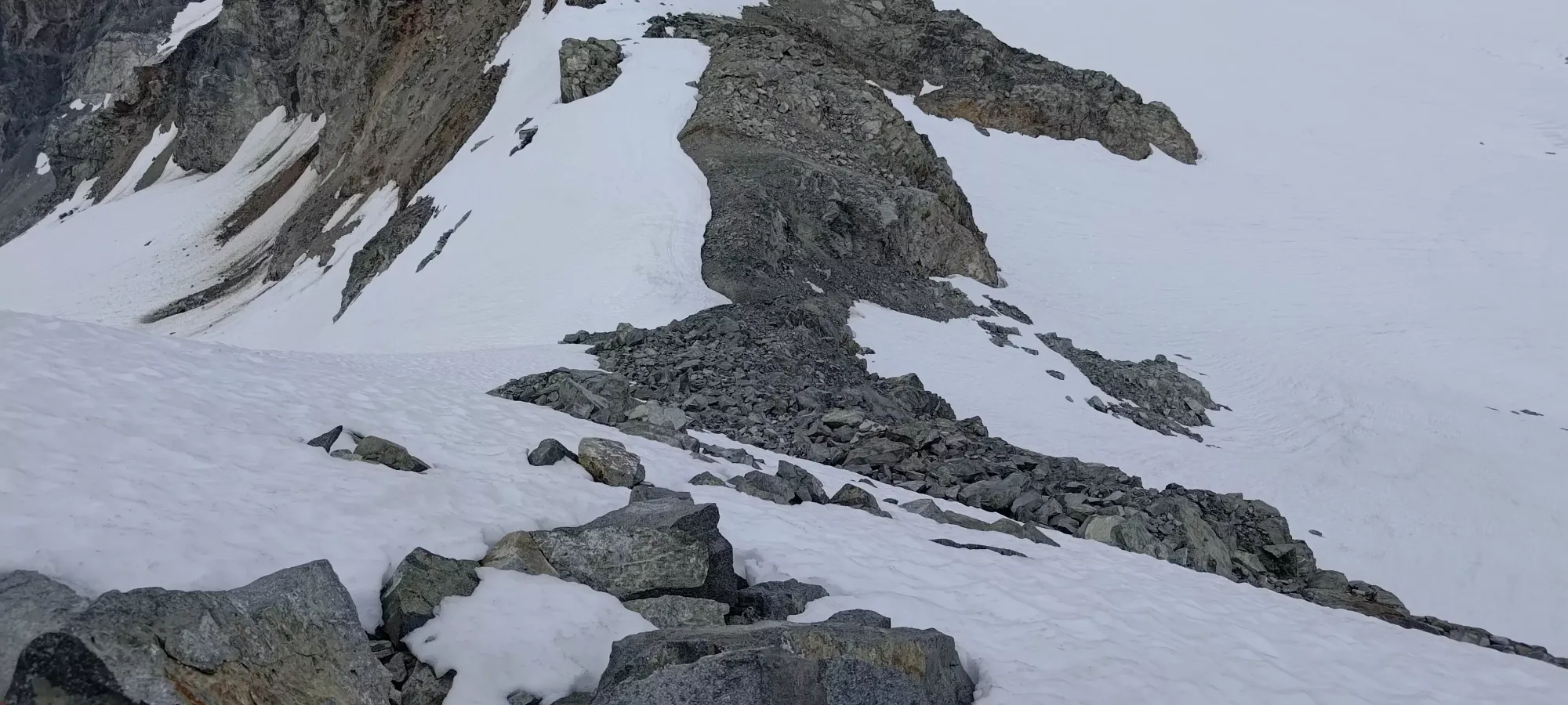
Winding our way through the lakes and camping areas was pretty straightforward. After that, we descended a bit more to where the drainage creeks from the alpine merged into Donelly Creek, which drains northward into the Hurley River. The terrain here was already easy alpine travel in ancient moraine (thankfully ancient enough to be stable ground, with solid footing). The first couple creeks were easy to hop across on boulders, but the final one gave us quite the headache, taking about 15-20 minutes to navigate across, with a lot of rock-piling, a pretty big leap-of-faith, and necessitating some backpack-tossing to give us maximum mobility 😅
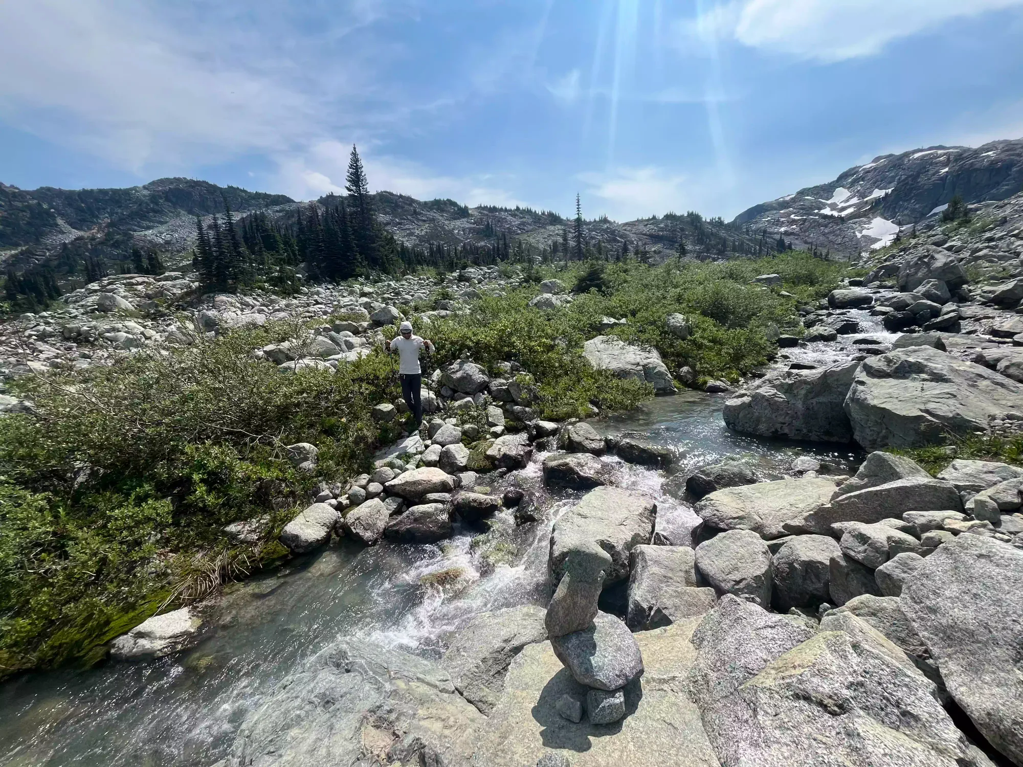
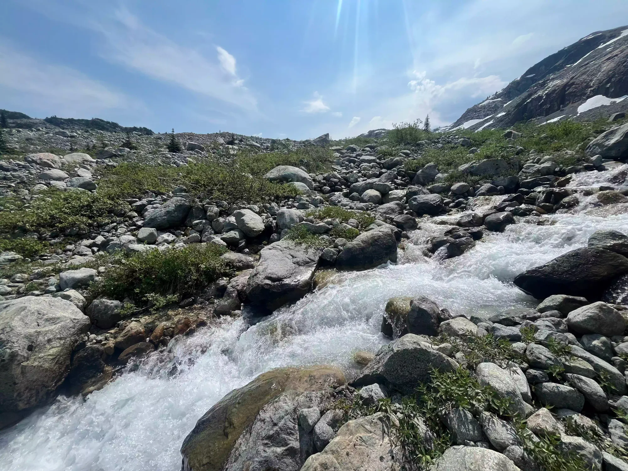
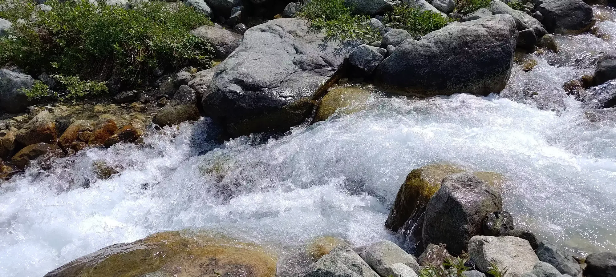
The raging creek, and our way across
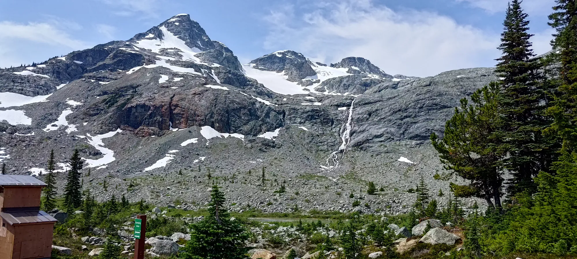
After getting across, we had a tedious moraine-crossing to deal with, which was just a long walk across the thankfully-still-stable rock, adorned with sparse bushes and not much silt or loose talus that you might find from younger moraines, or ones that probably get less water flow to carry the debris away. We wound our way up, largely just following our own instincts to do the routefinding until about 1750m, where we finally got above the height we'd reached at the lakes, and we could exit the moraine and get onto some more solid rock. This was about the 2-hour mark.
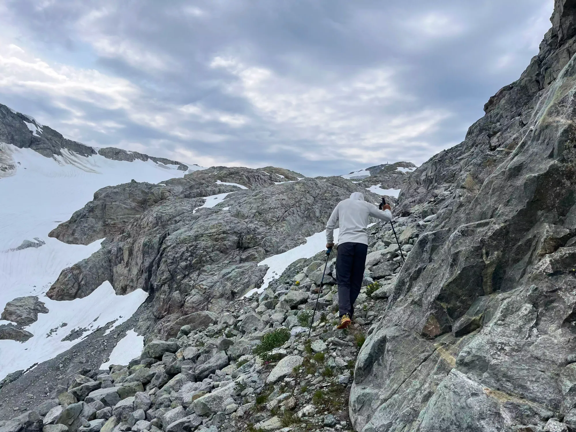
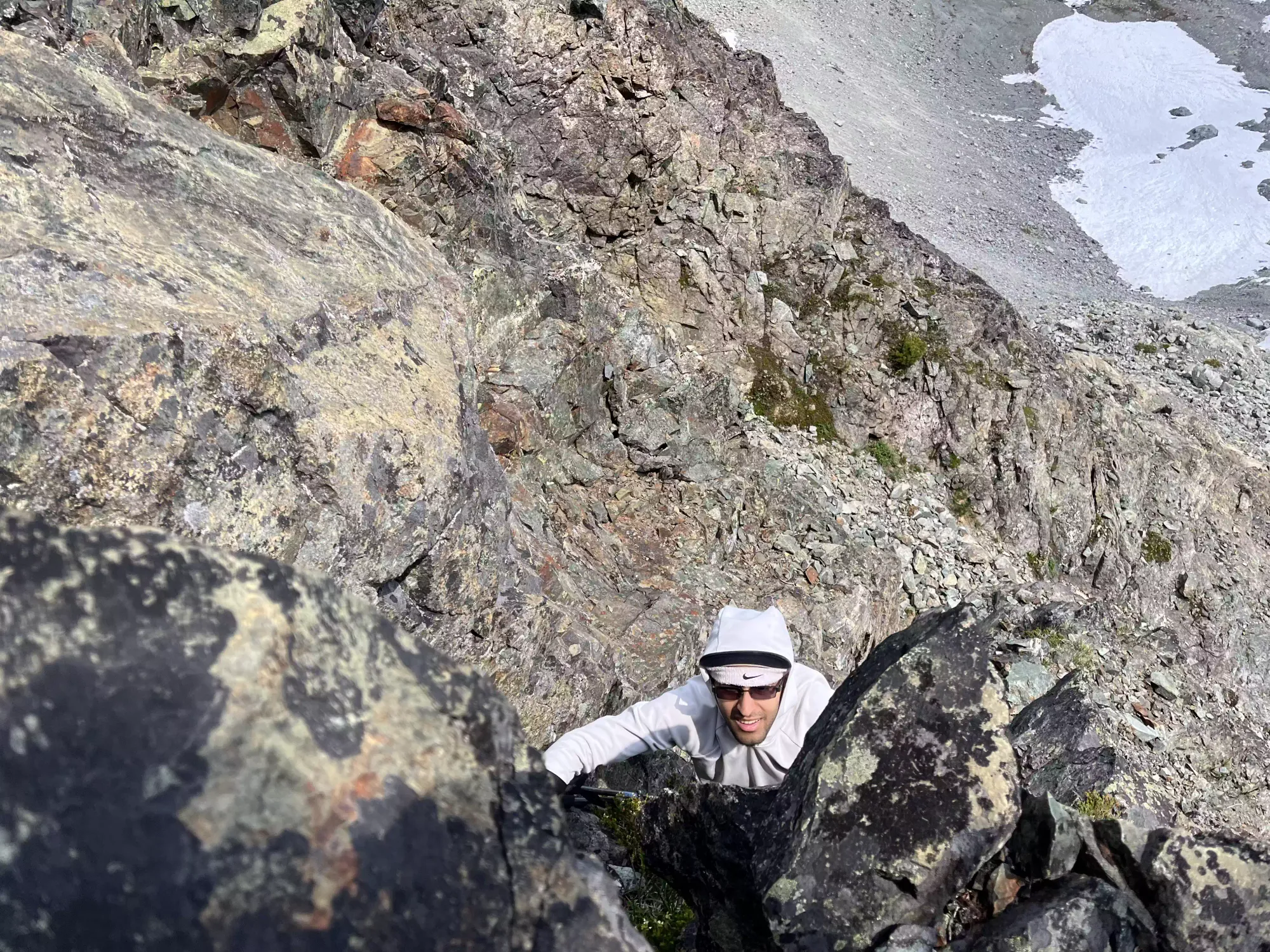
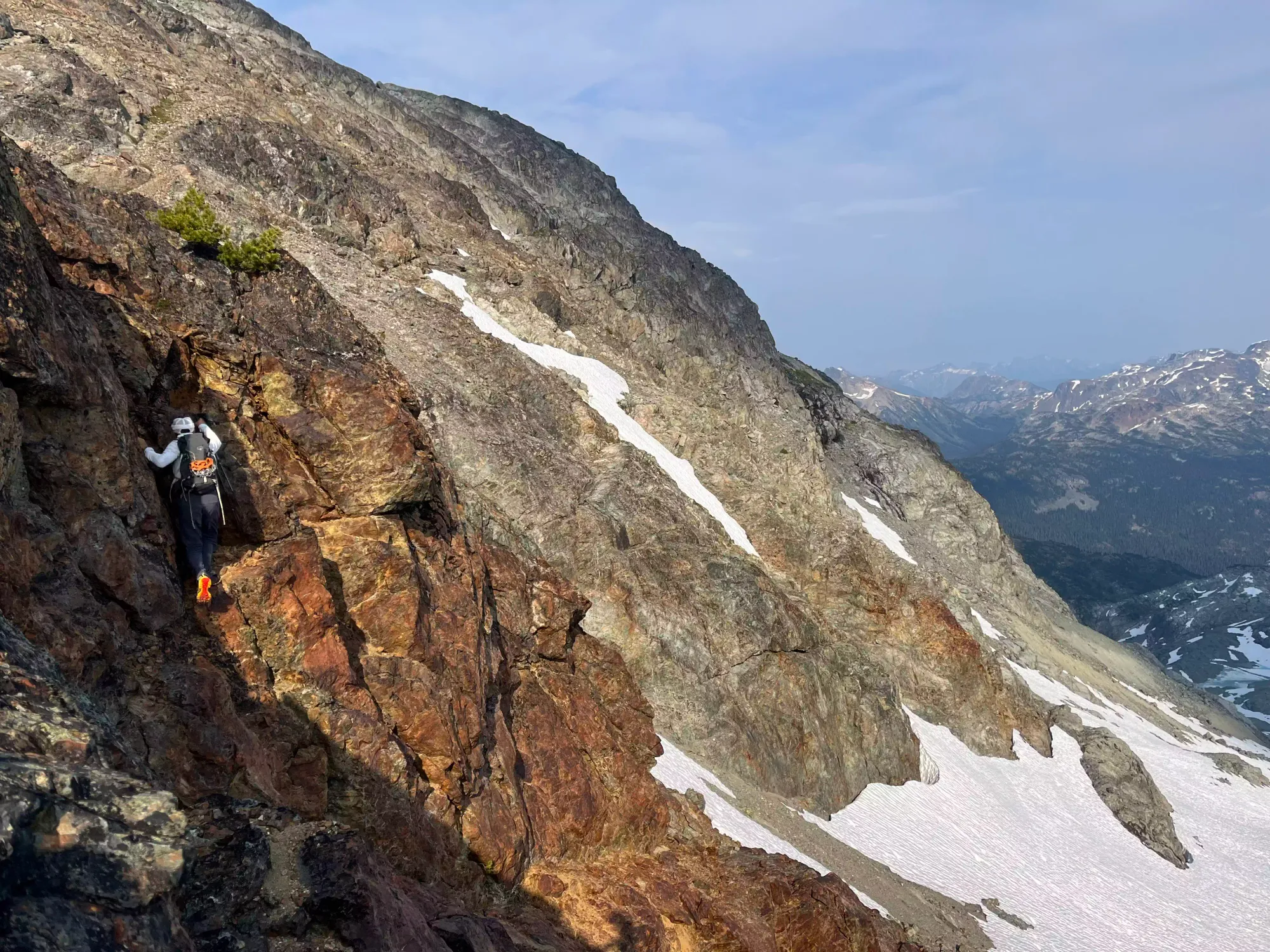
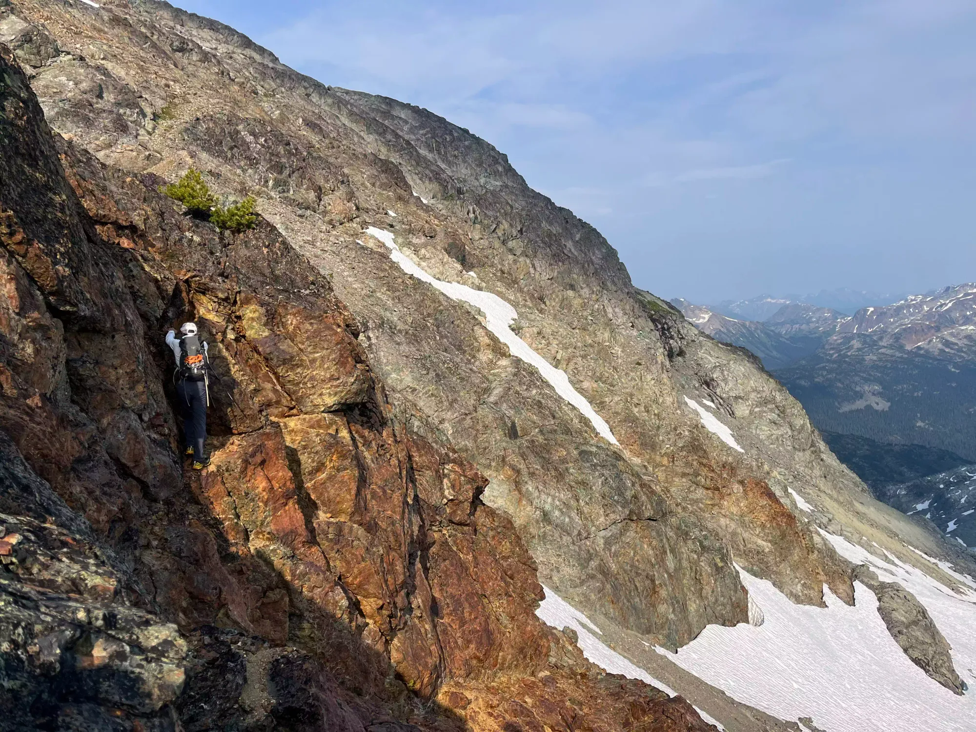
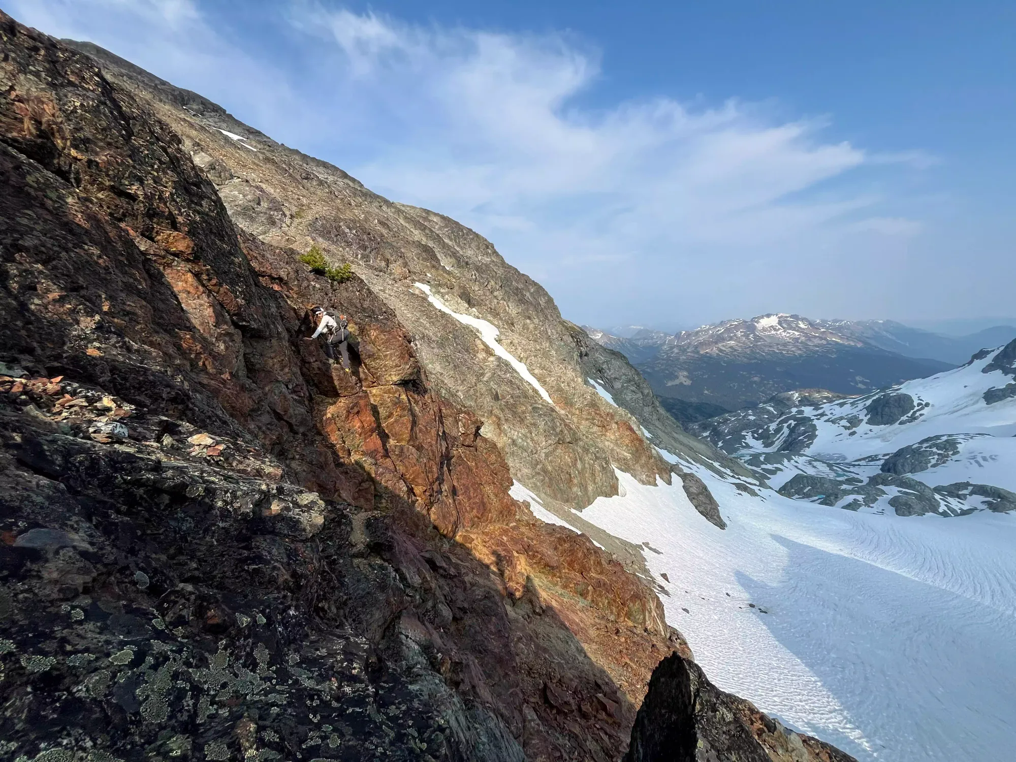
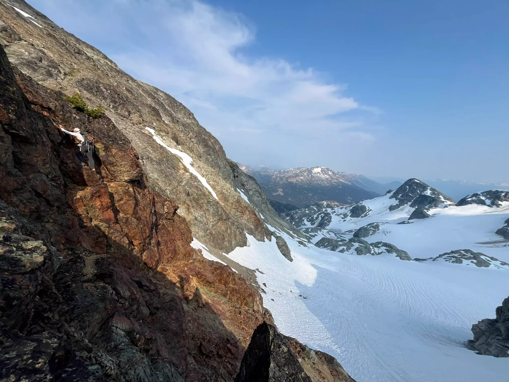
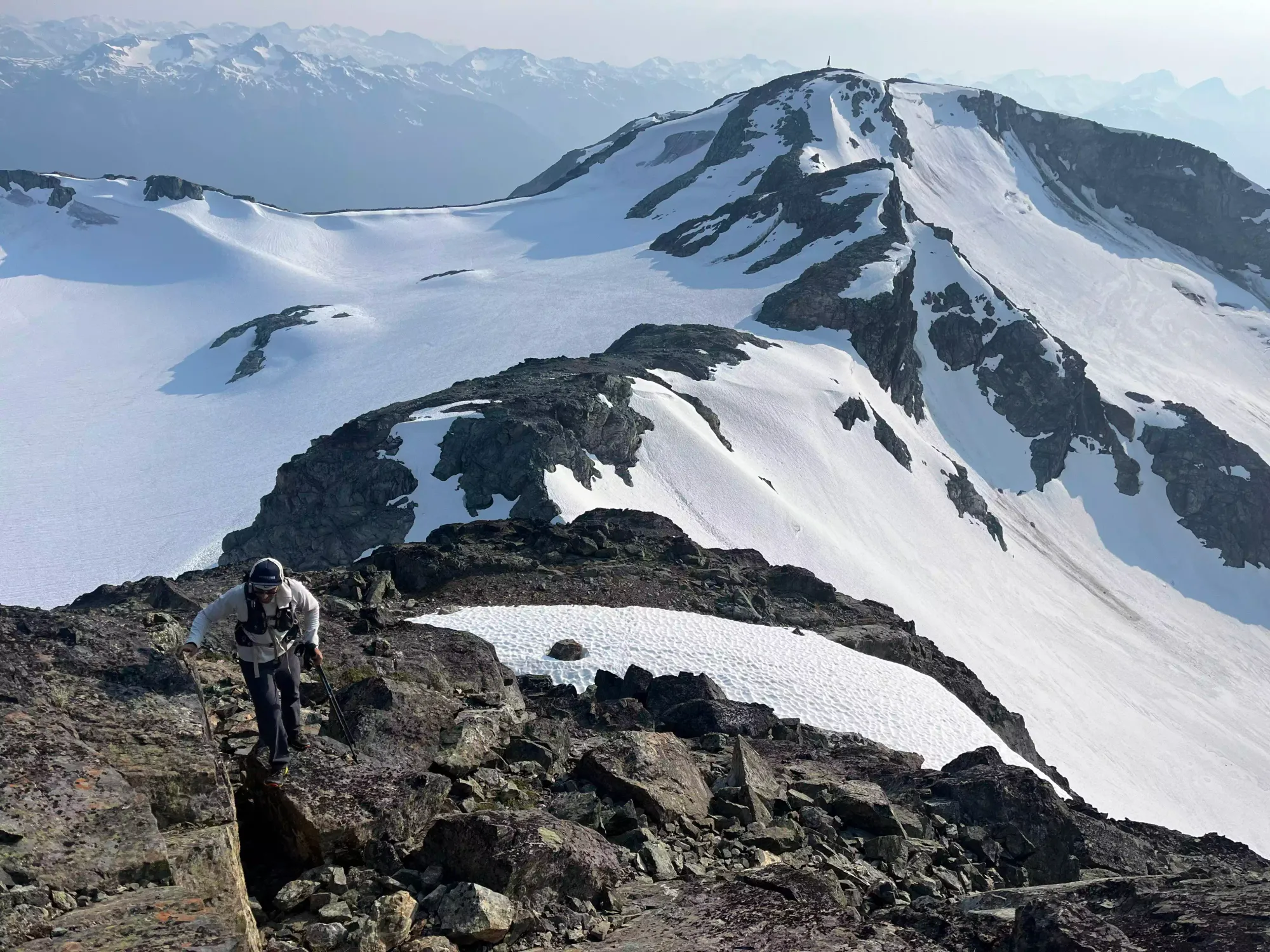
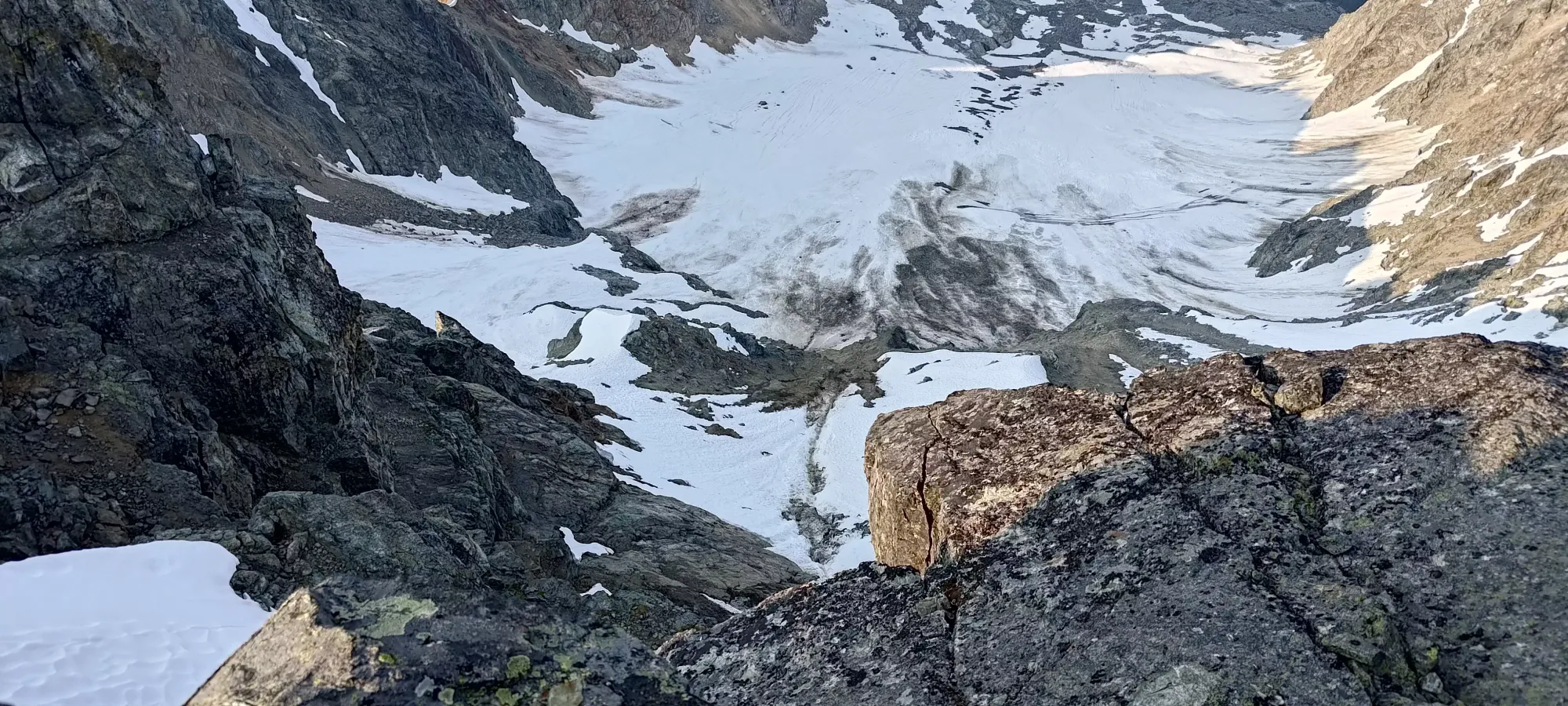
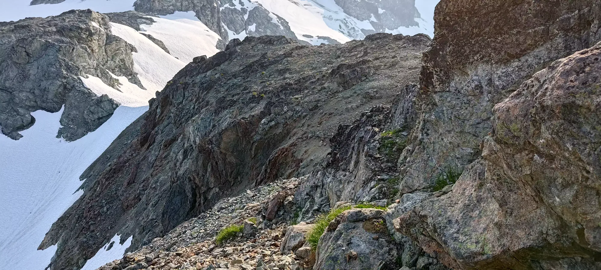
Here, we got to scramble up the slabby rock to climber's right of the large waterfall seen from the lakes, also a bit right of a smaller one you can only see from up-close. We didn't choose the easiest route up, on purpose, as we both enjoy a good scramble. The rock was quite good here, though with a bit of surface debris in places. That lasted us about 15-20 minutes, until we got above the small face we were ascending, and got into some more old-moraine hiking above 1800m, where we started making progress up beside the glacier on our left.
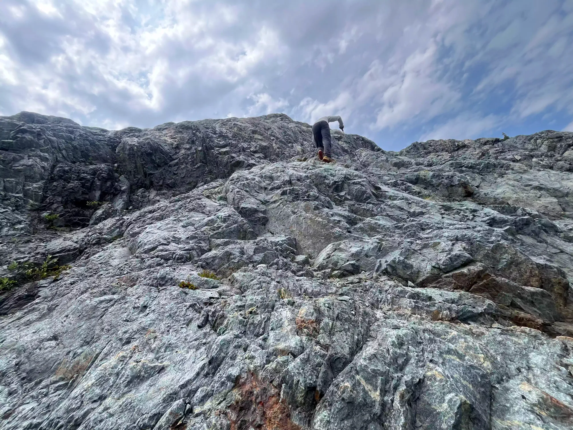
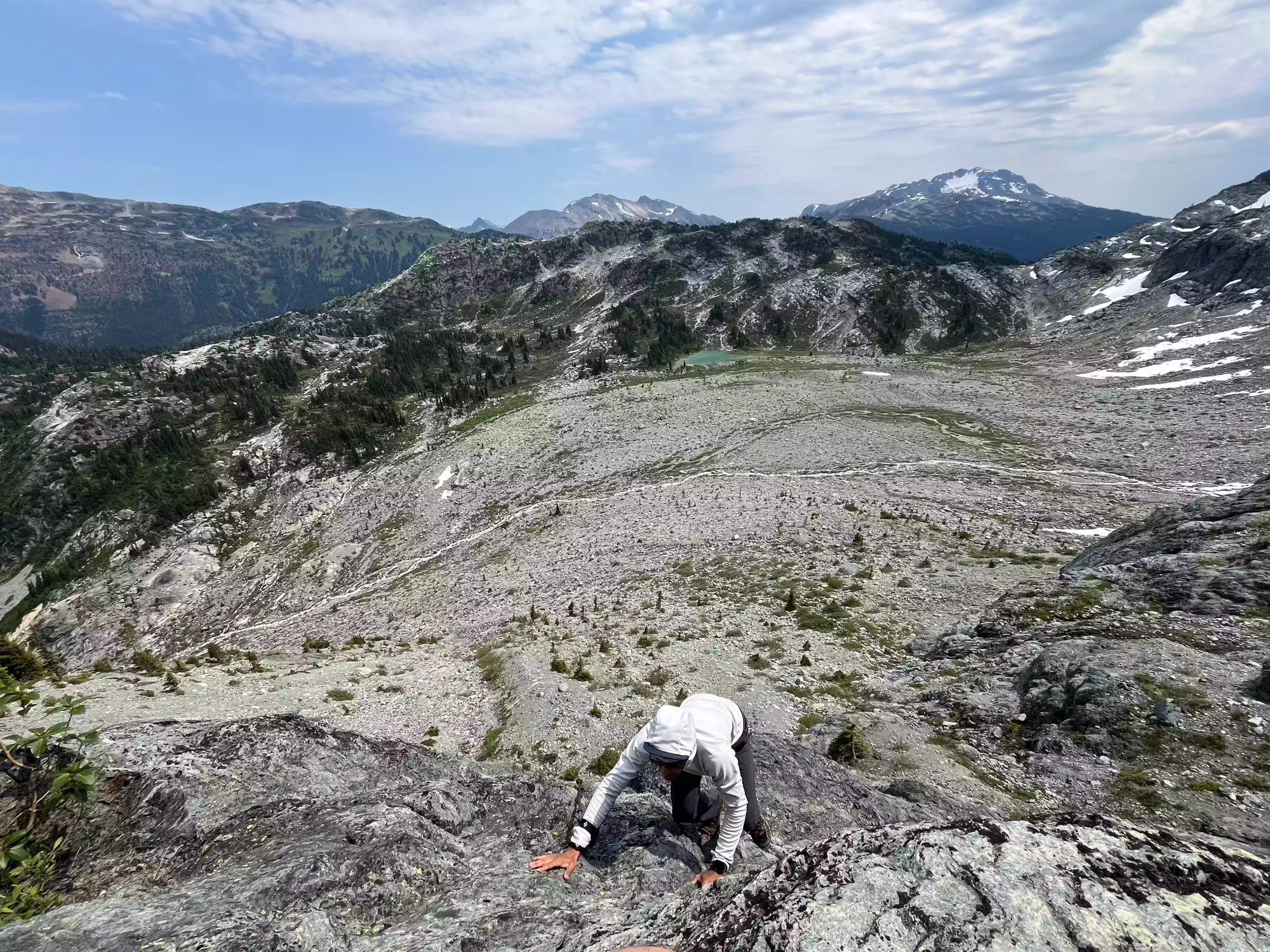
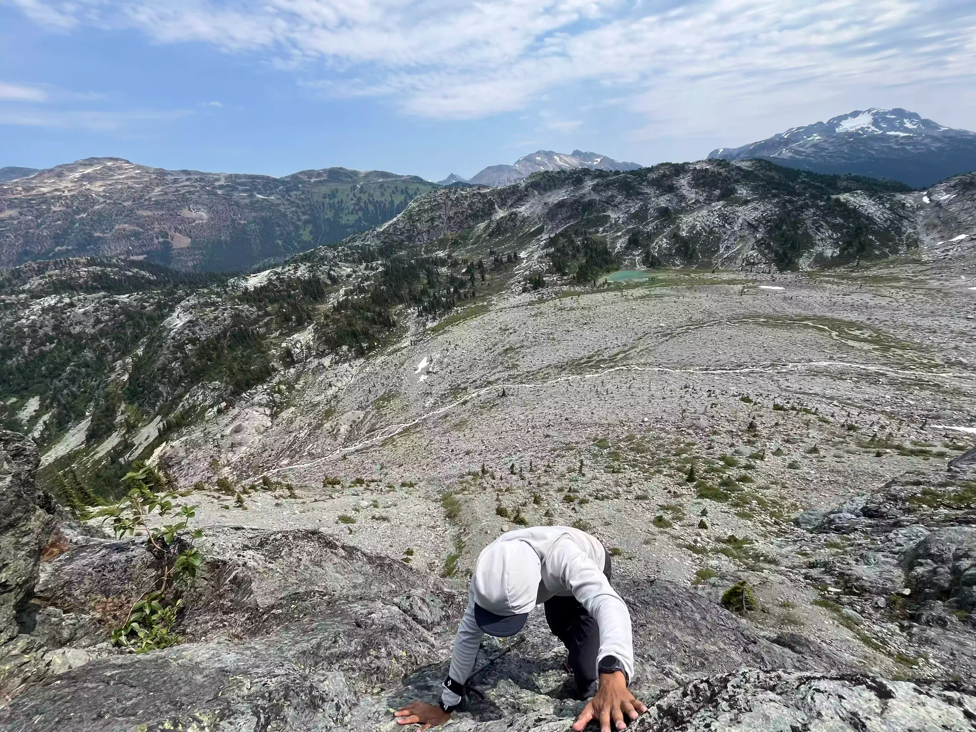
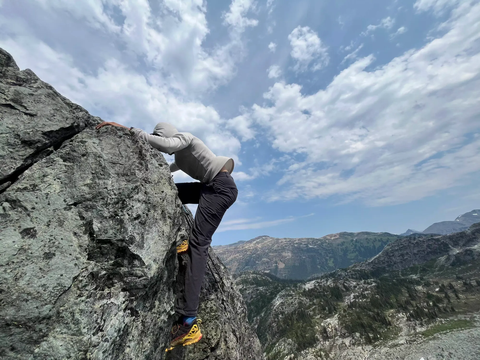
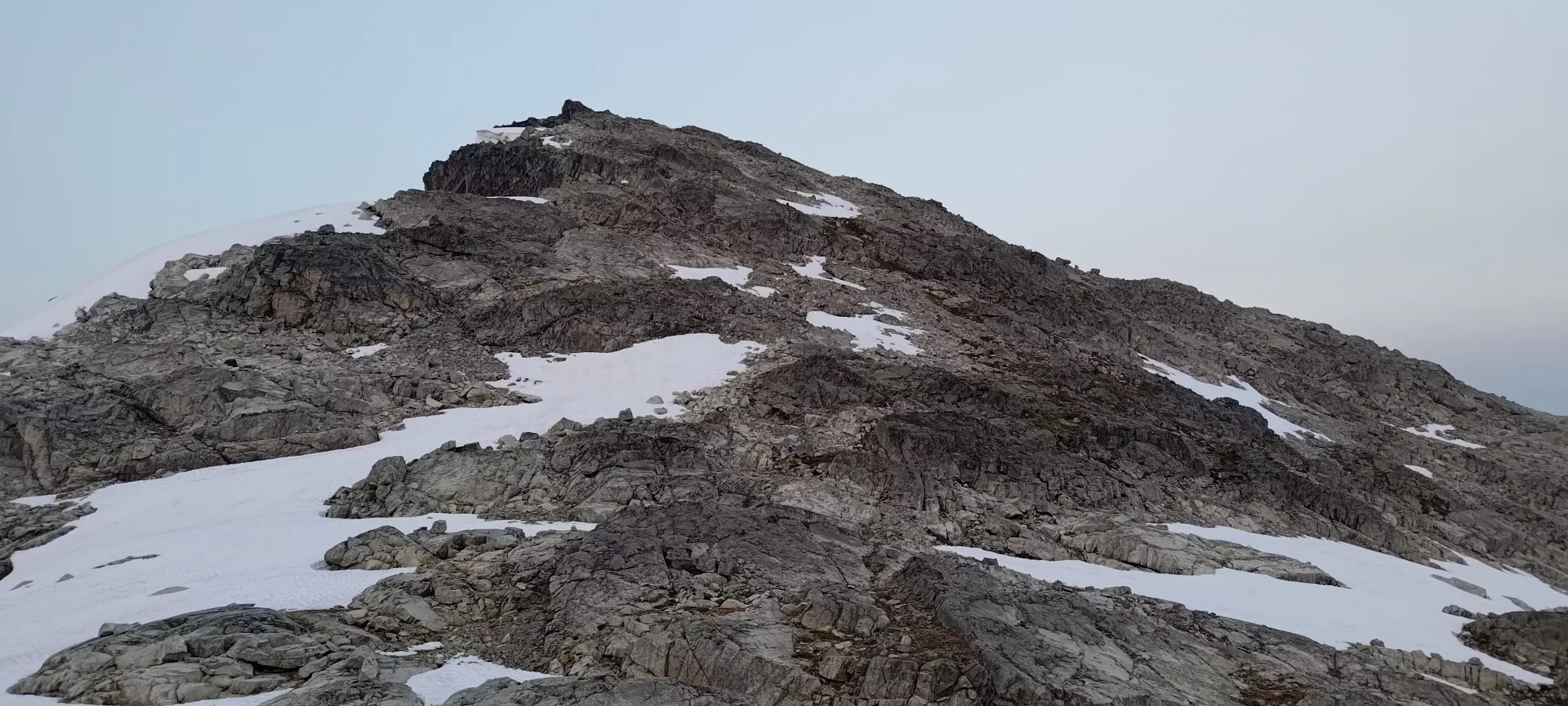
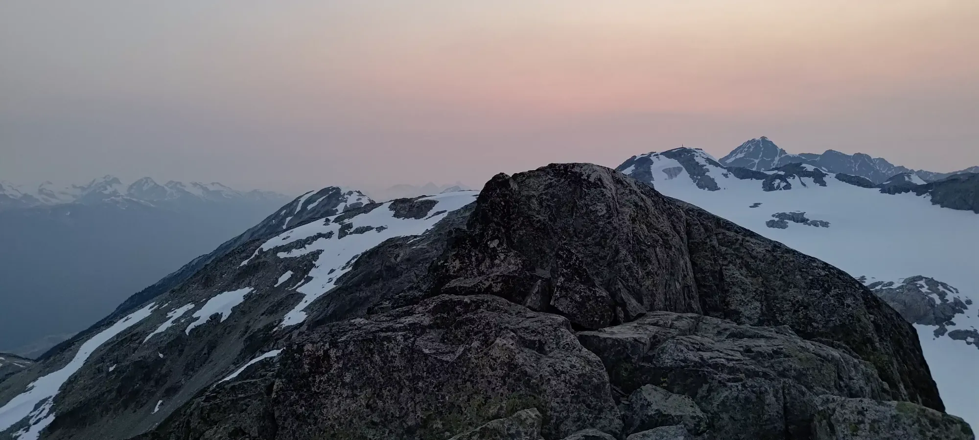
A collection of scrambling shots. Photo creds: Shayan
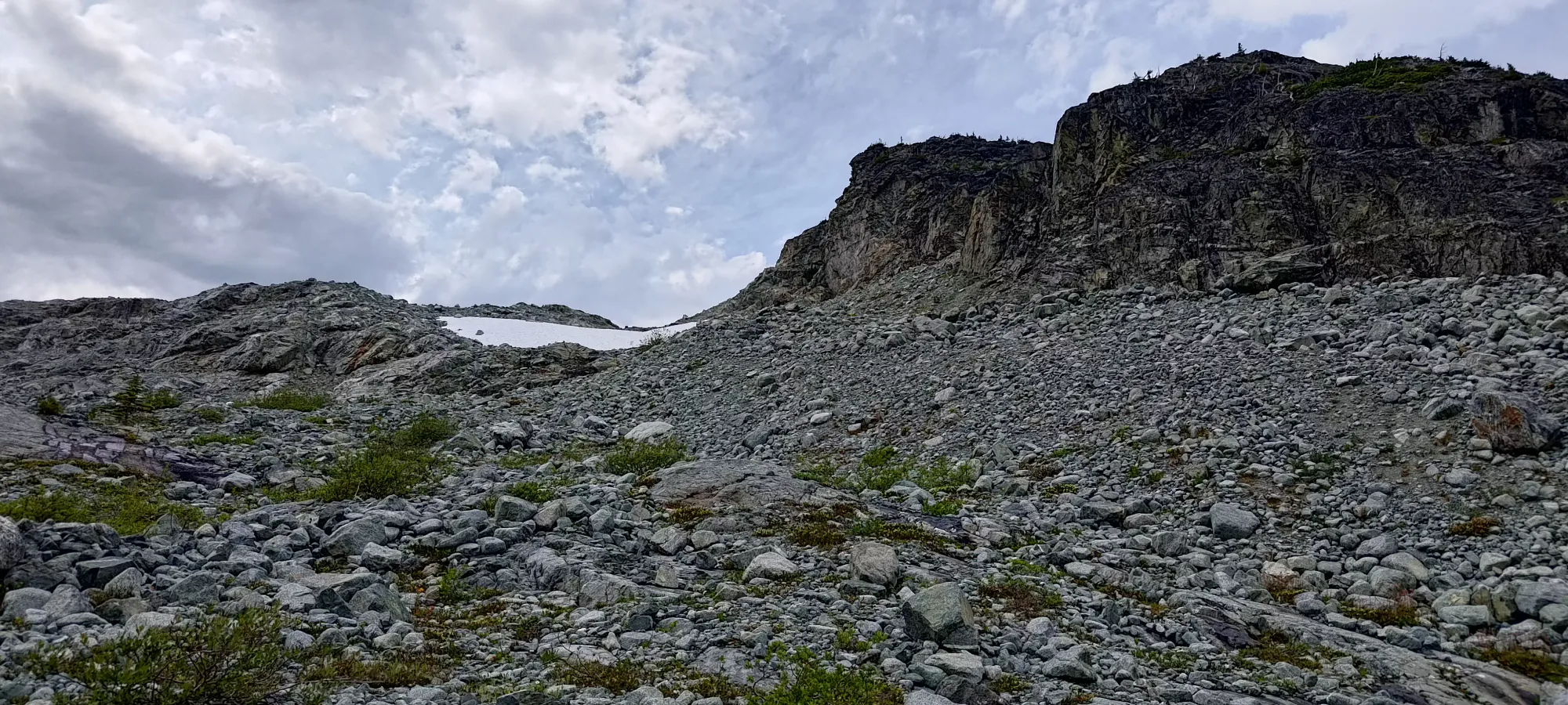
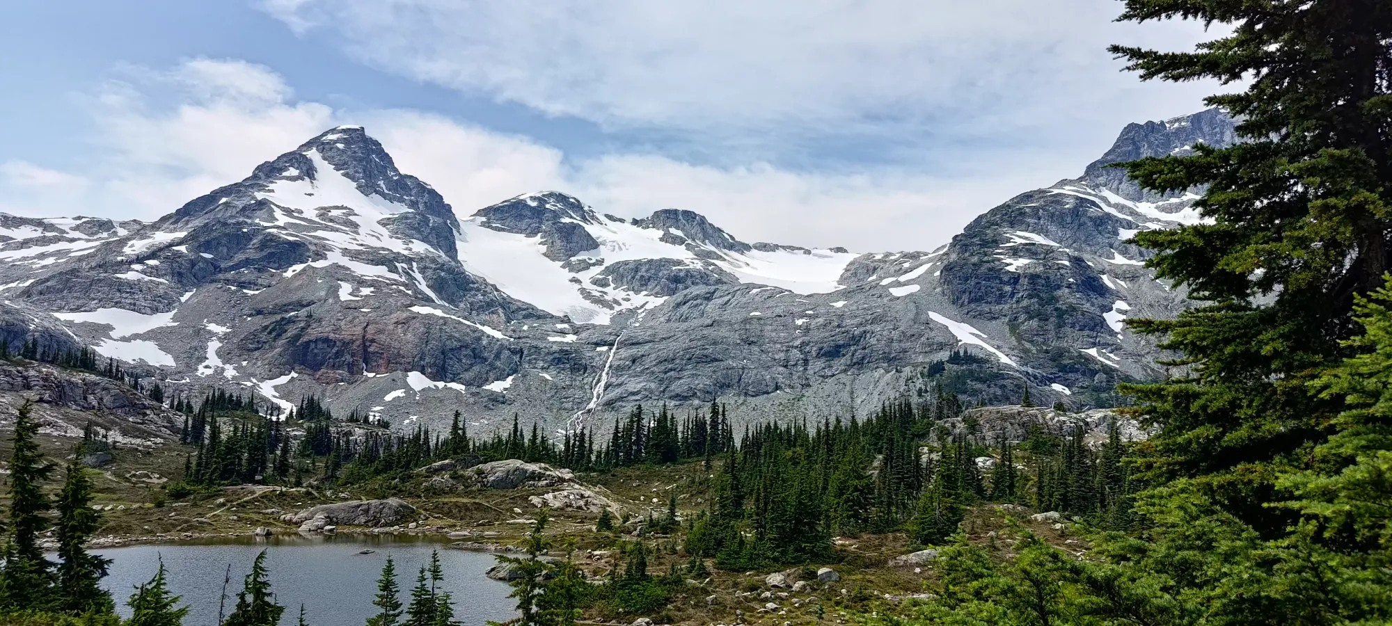
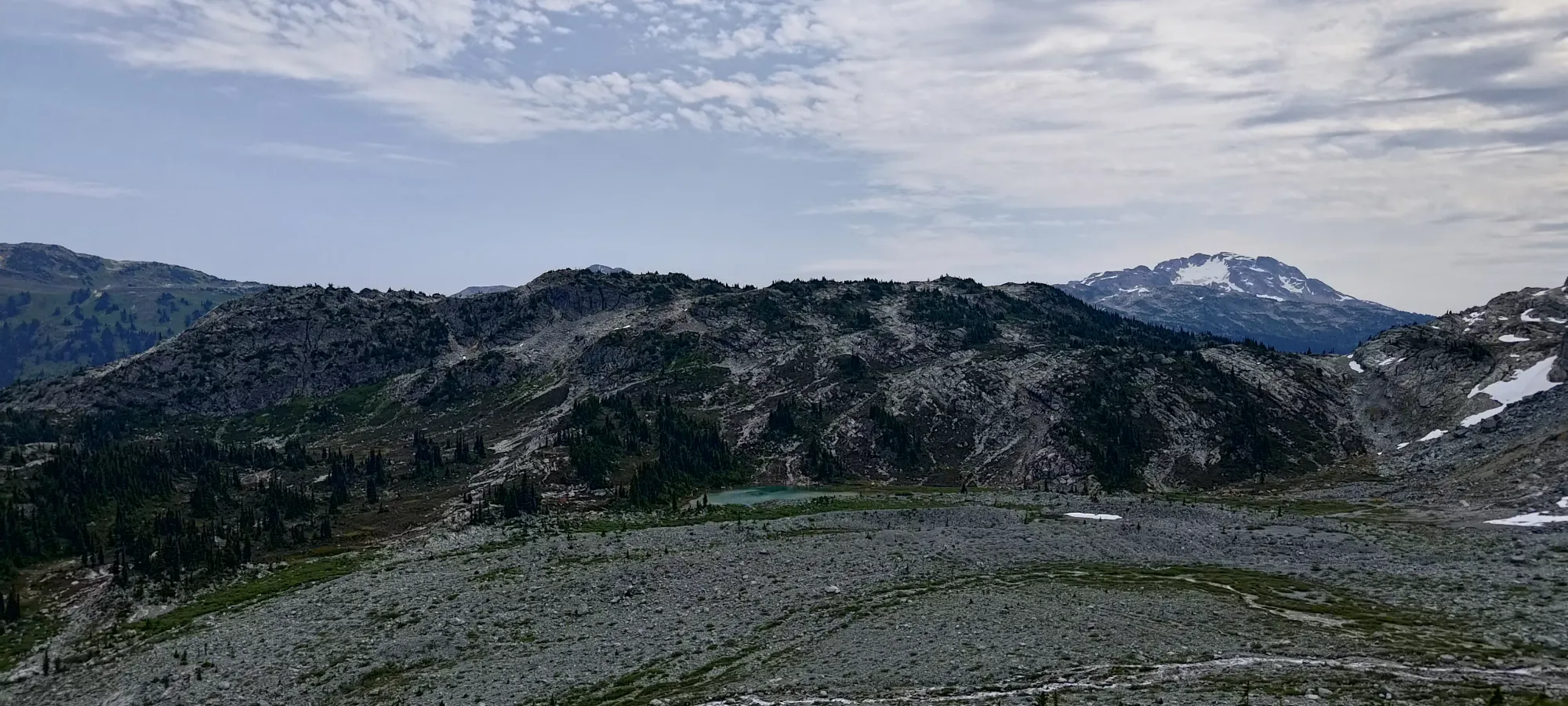
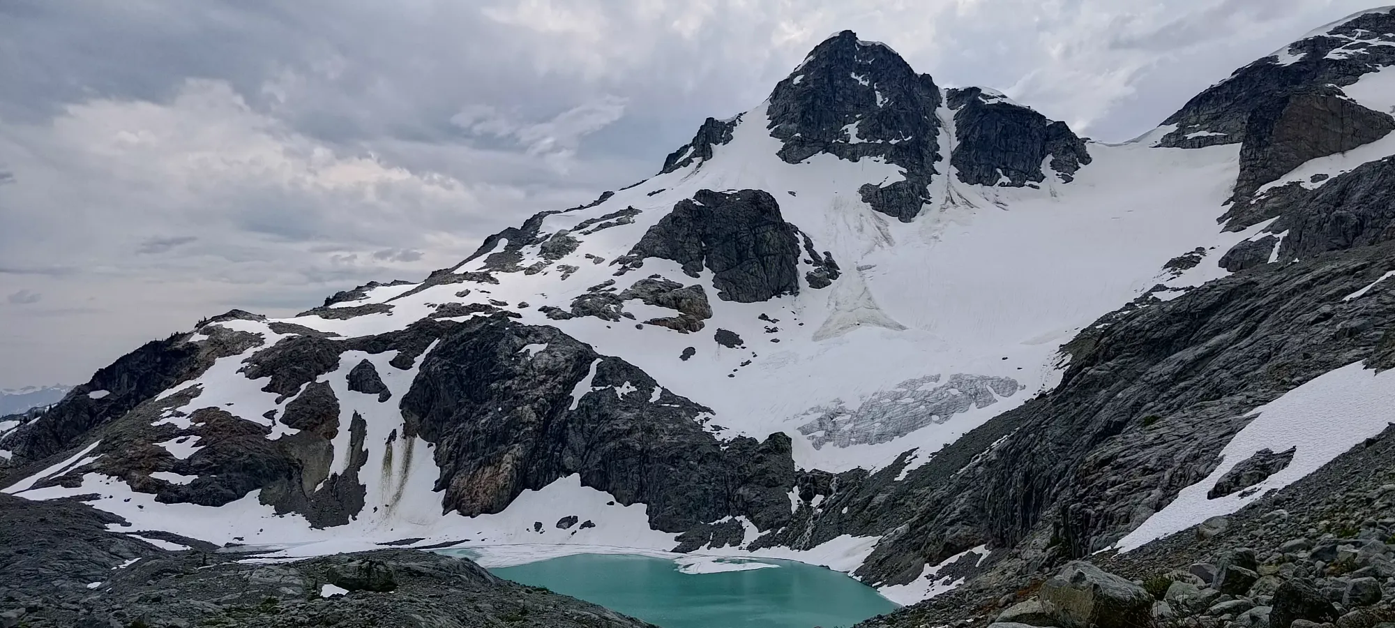
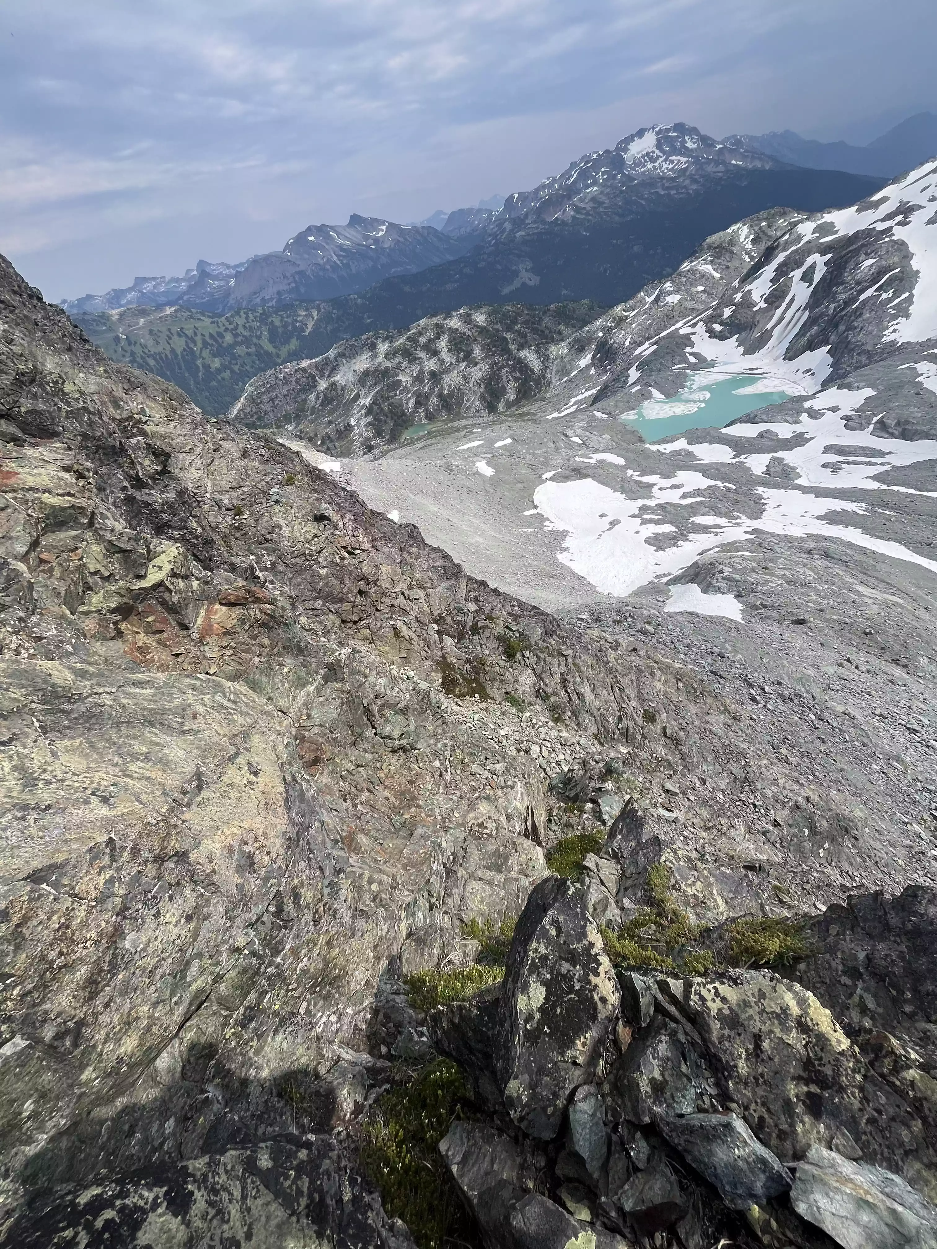
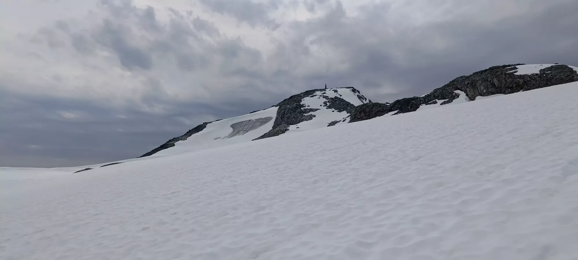
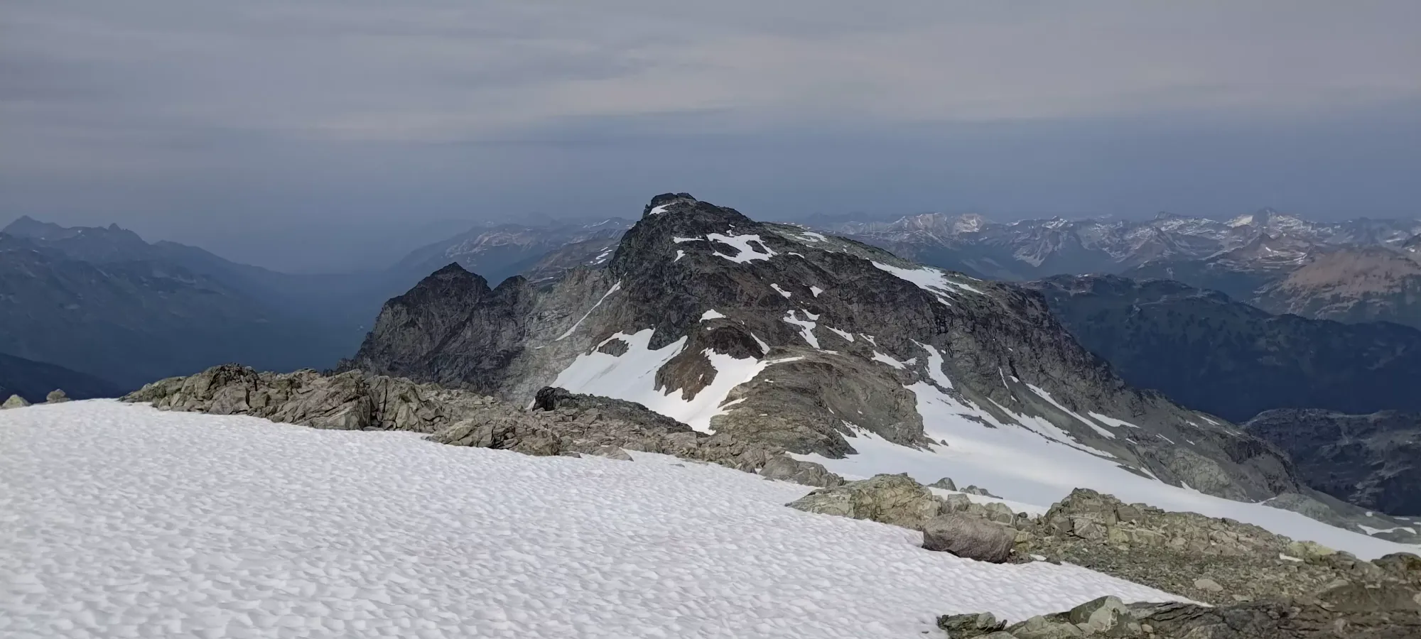
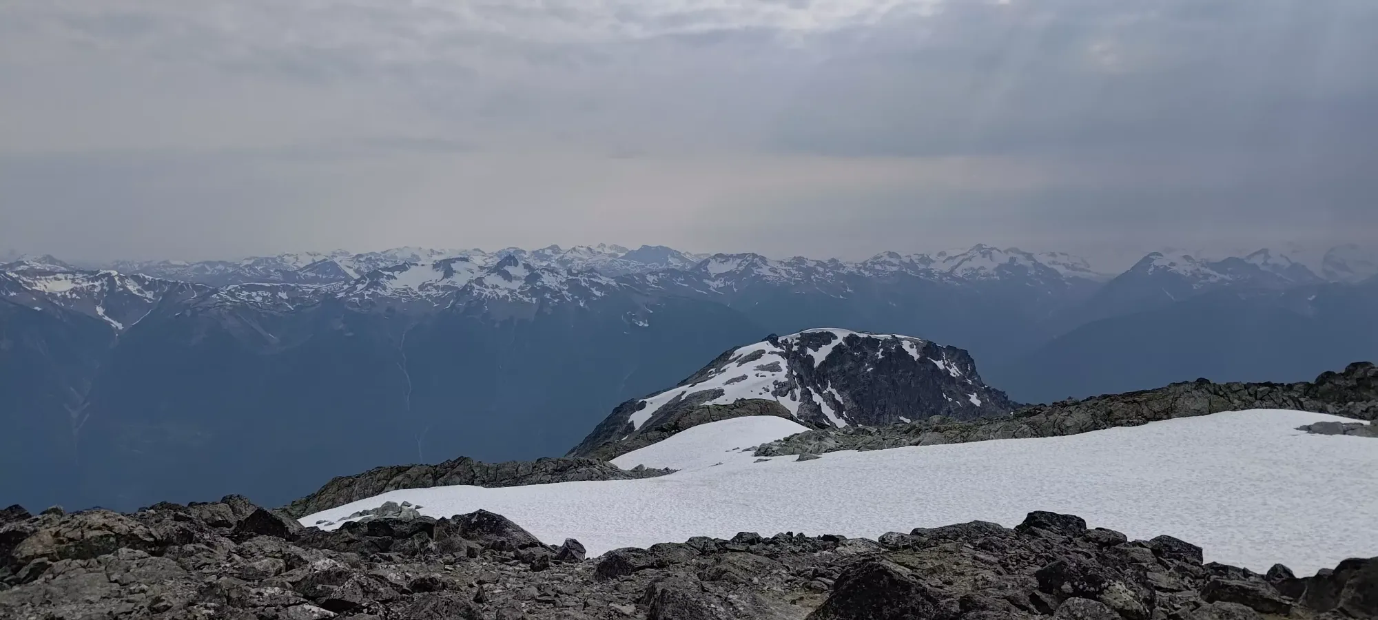
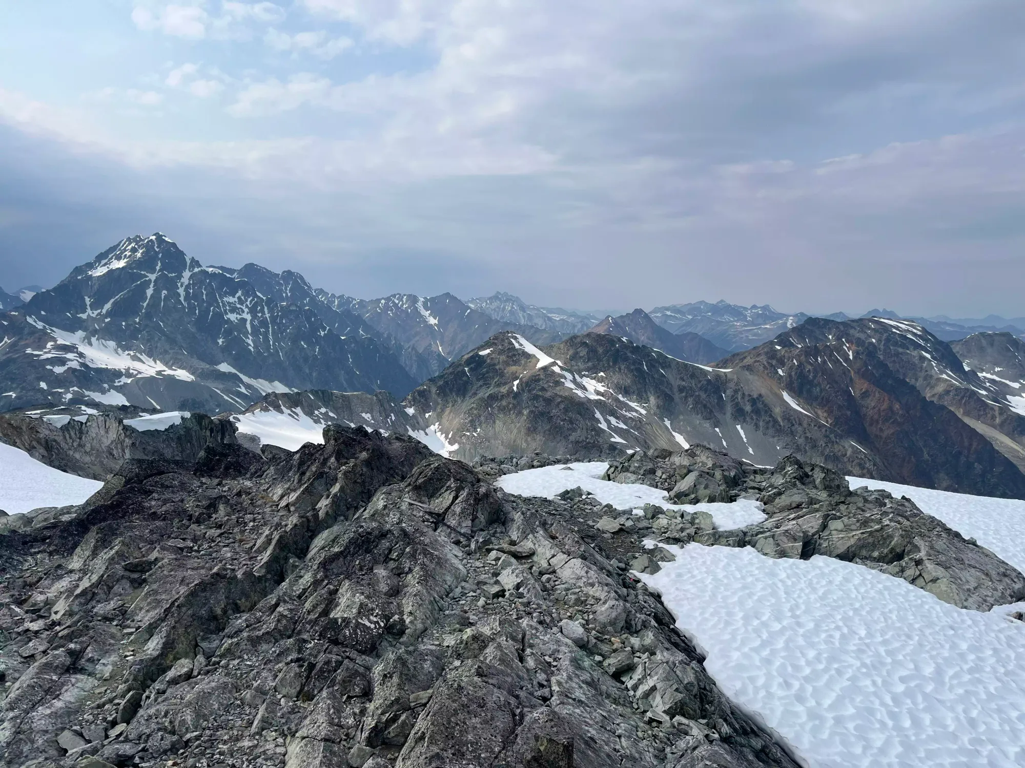
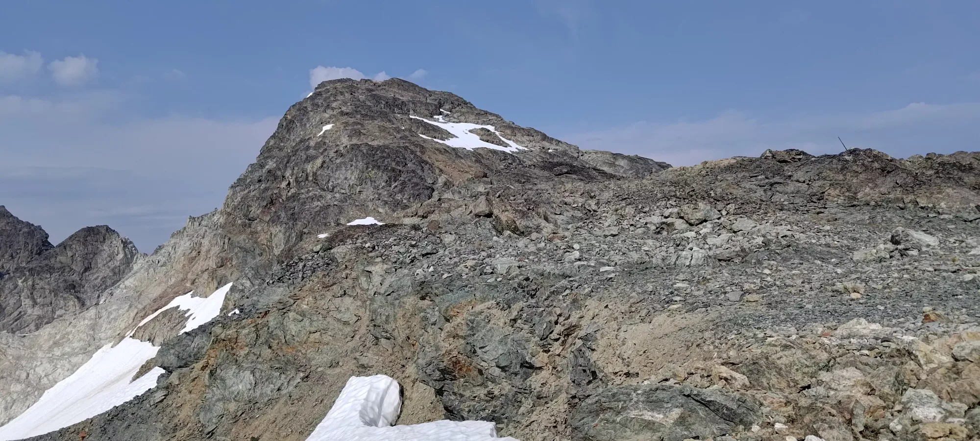
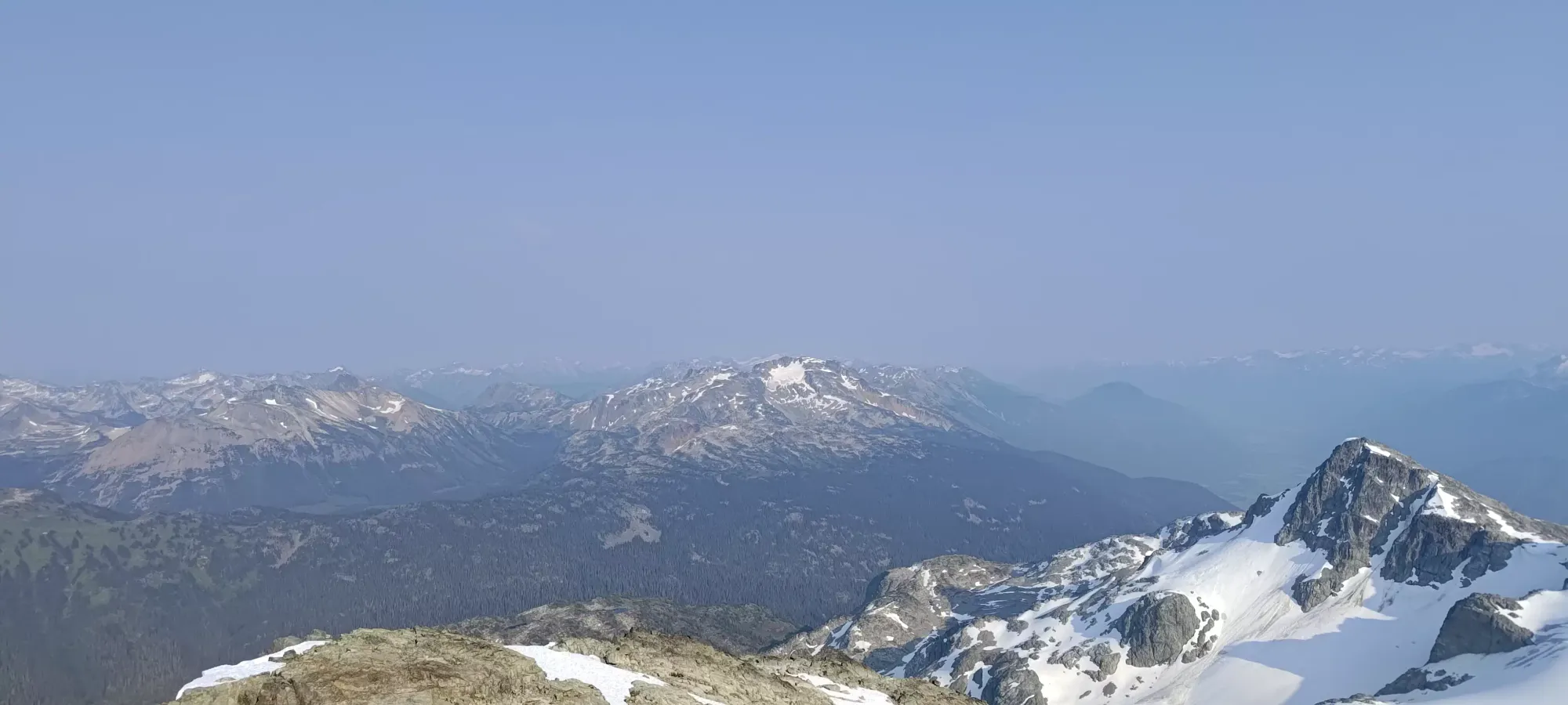
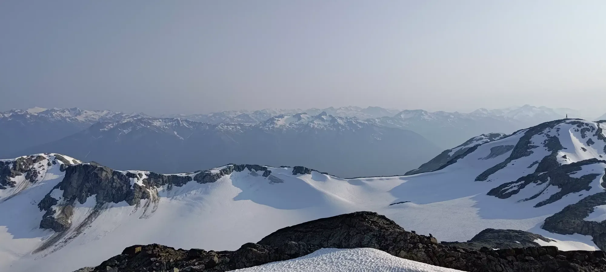
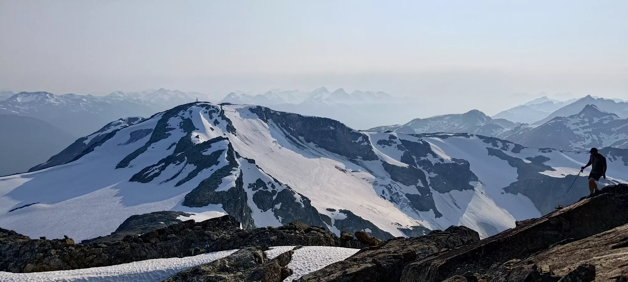
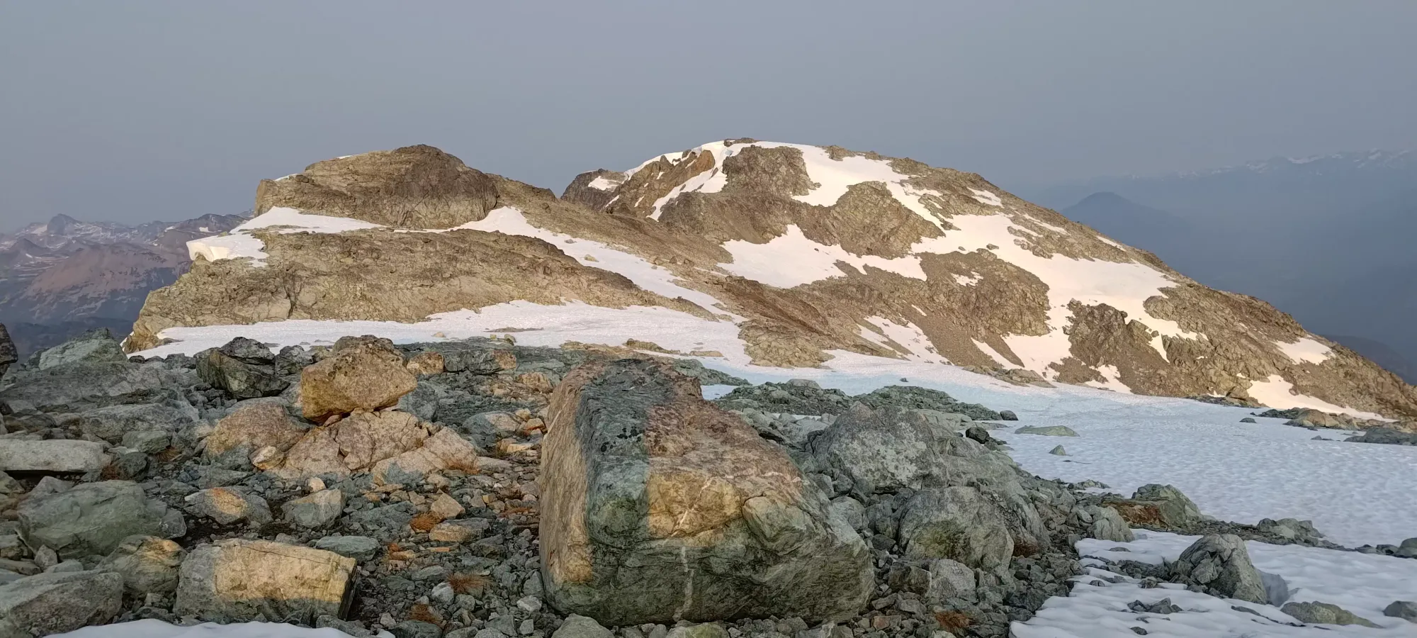
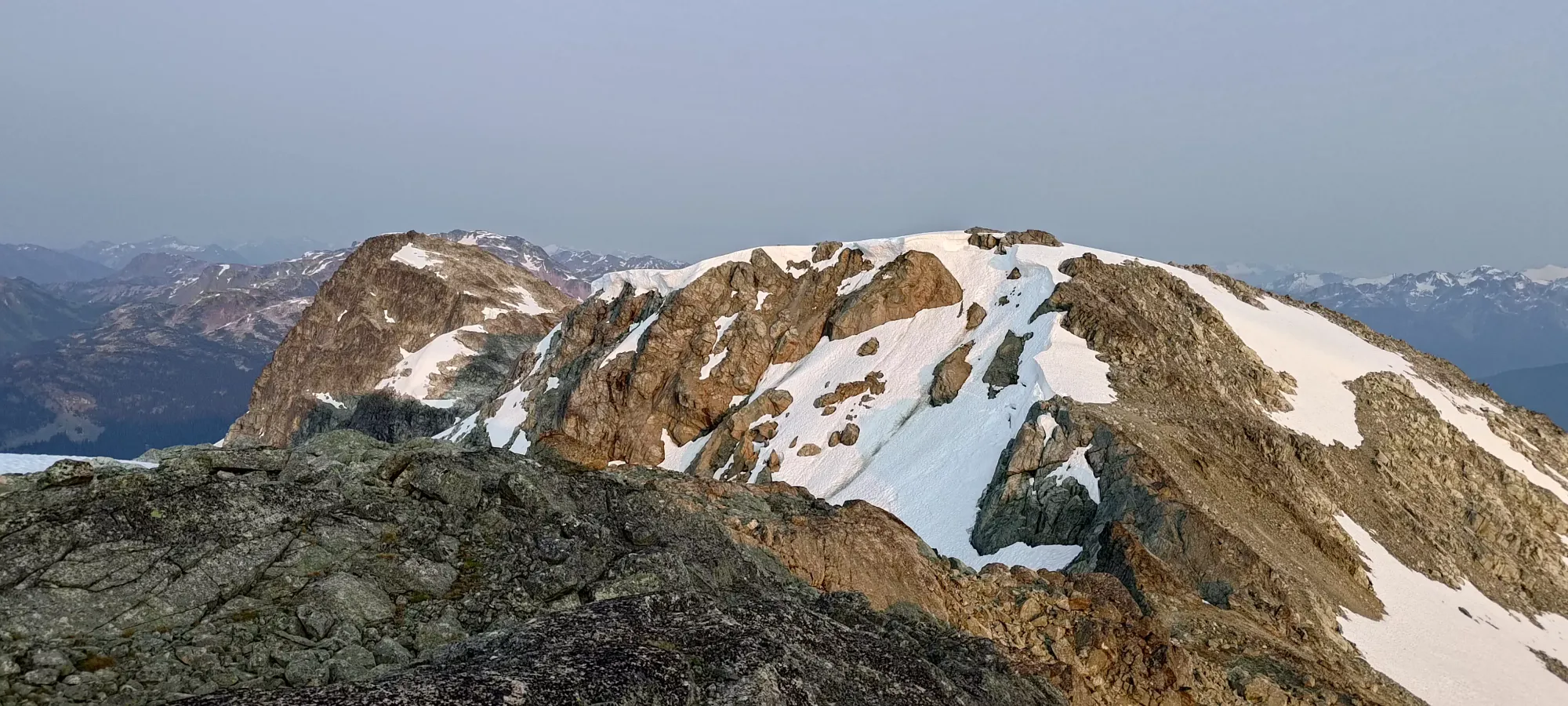
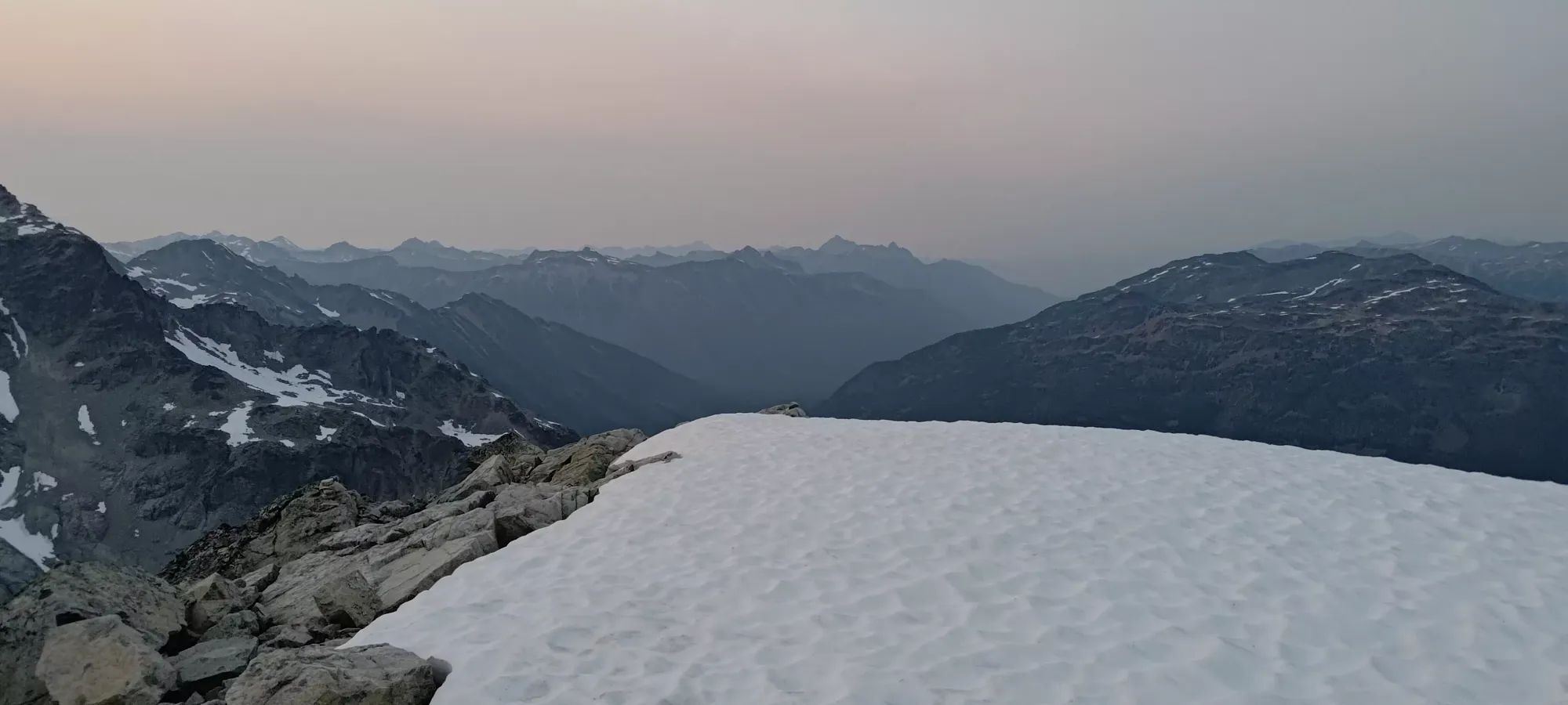
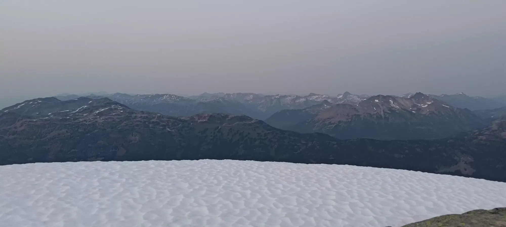
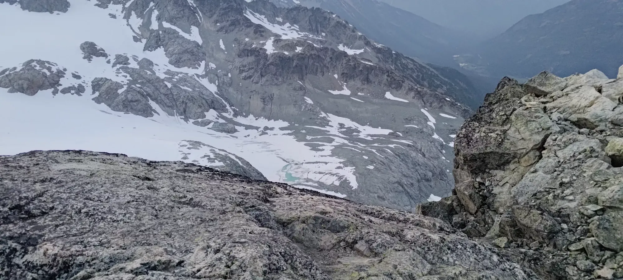
At the 2.5 hour mark we made it to ~1900m, where we got some great views of the largest lake, below Locomotive Mountain, where the glacier just barely terminates above it. This made me rue my lack of skis, given the fairly doable approach to this point (especially if we didn't take the harder scrambling lines to get up there), and the nice-looking pitch of the snow from the peaks all the way down to the lake, basically. We also remarked about how sad it was that most campers probably wouldn't get to see the prettiest lake, as it was higher than the campsites. In this area, we also started to encounter occasional snowpatches, which we used for some fairly efficient travel up the rocky terrain. We decided not to go onto the glacier proper at this point since snow bridges were probably weak in the heat, and the GPXes we had to reference used the scramble route. Plus, scrambling is fun, and the days are long in July.
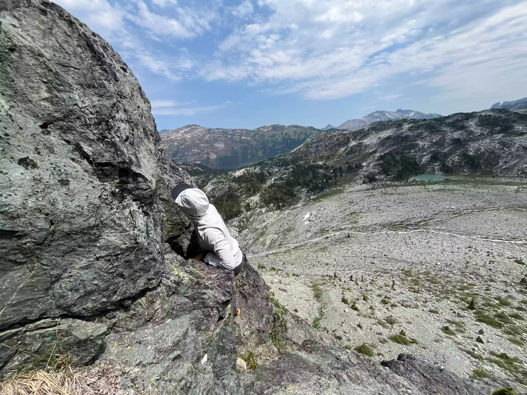
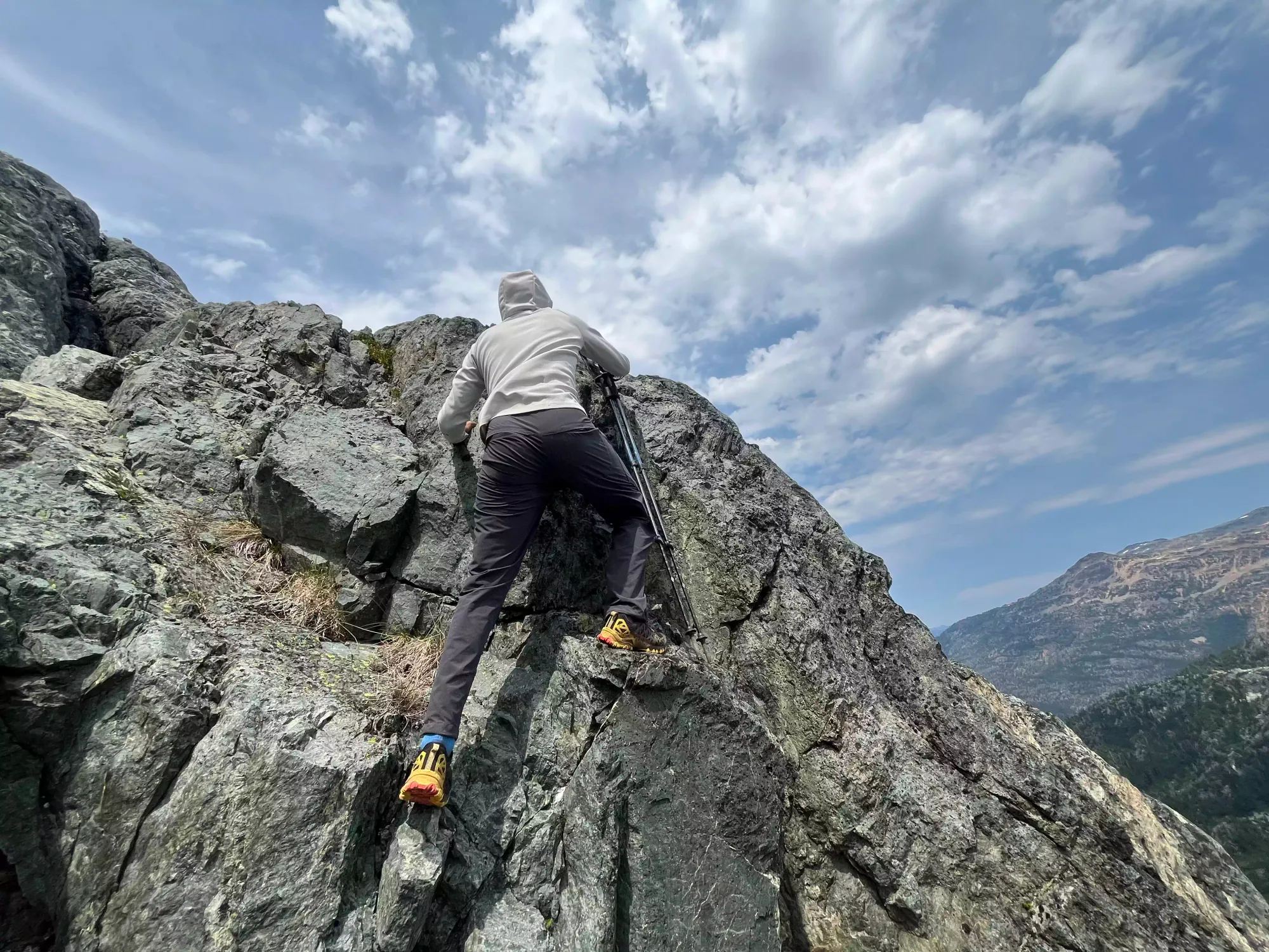
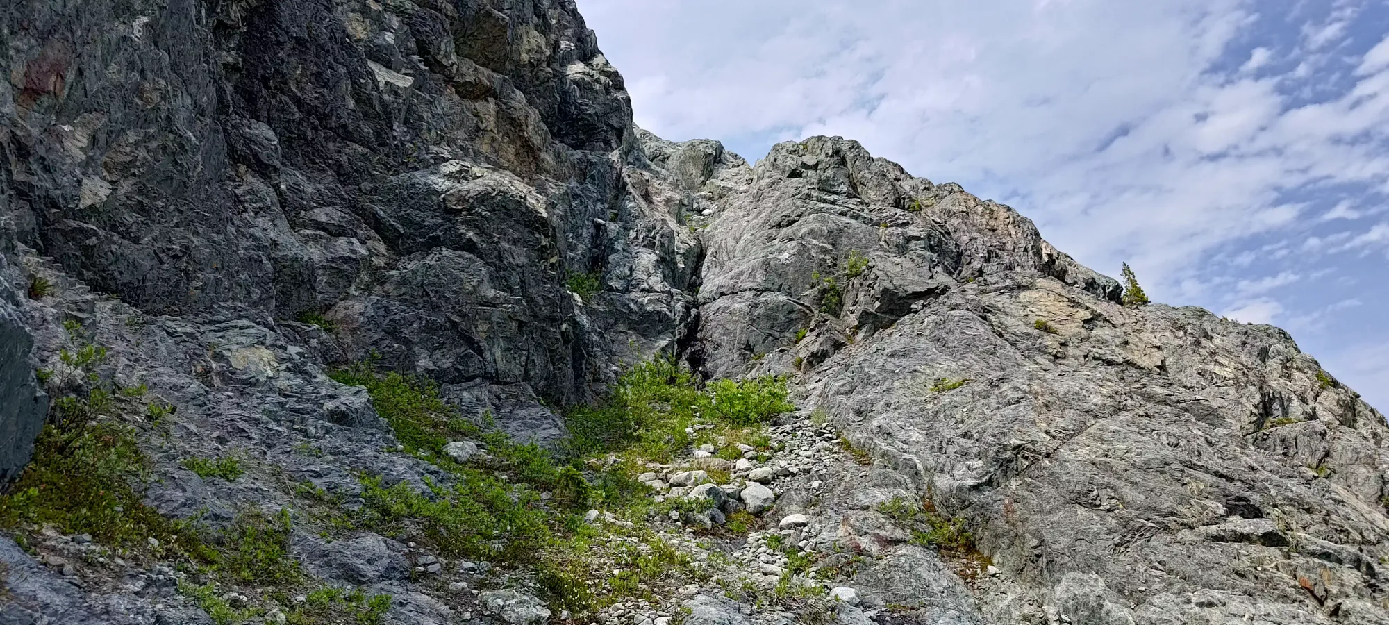
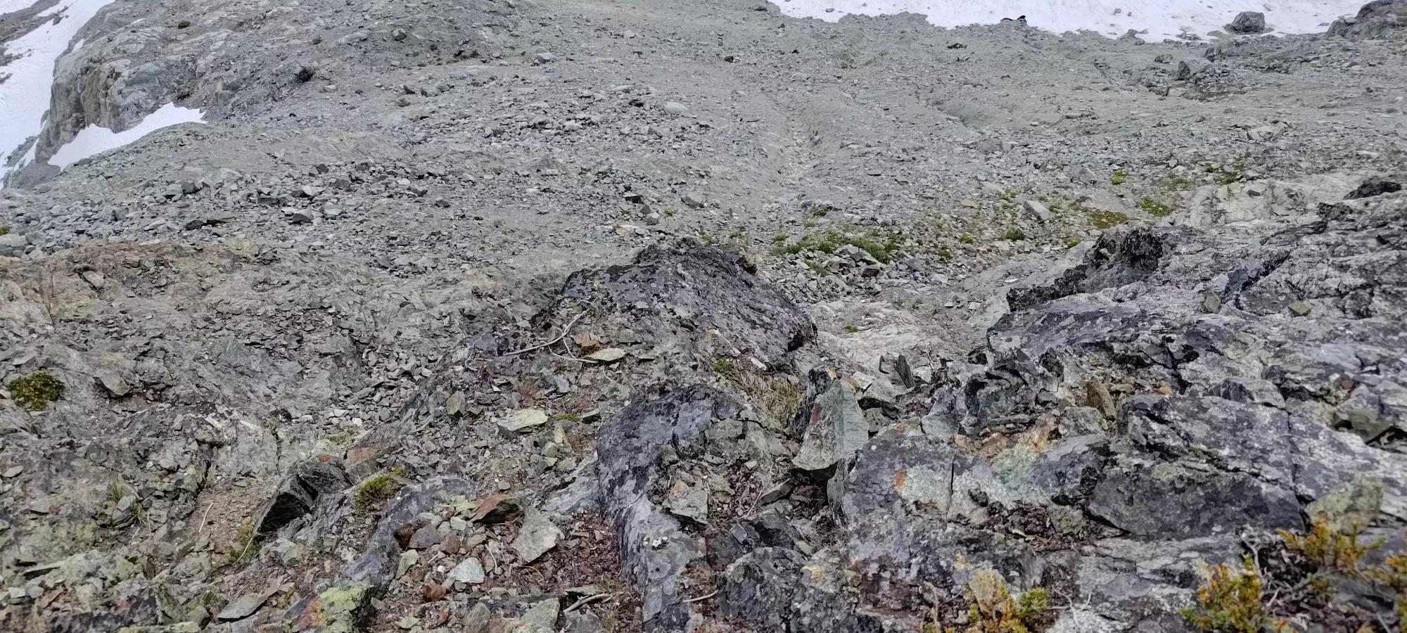
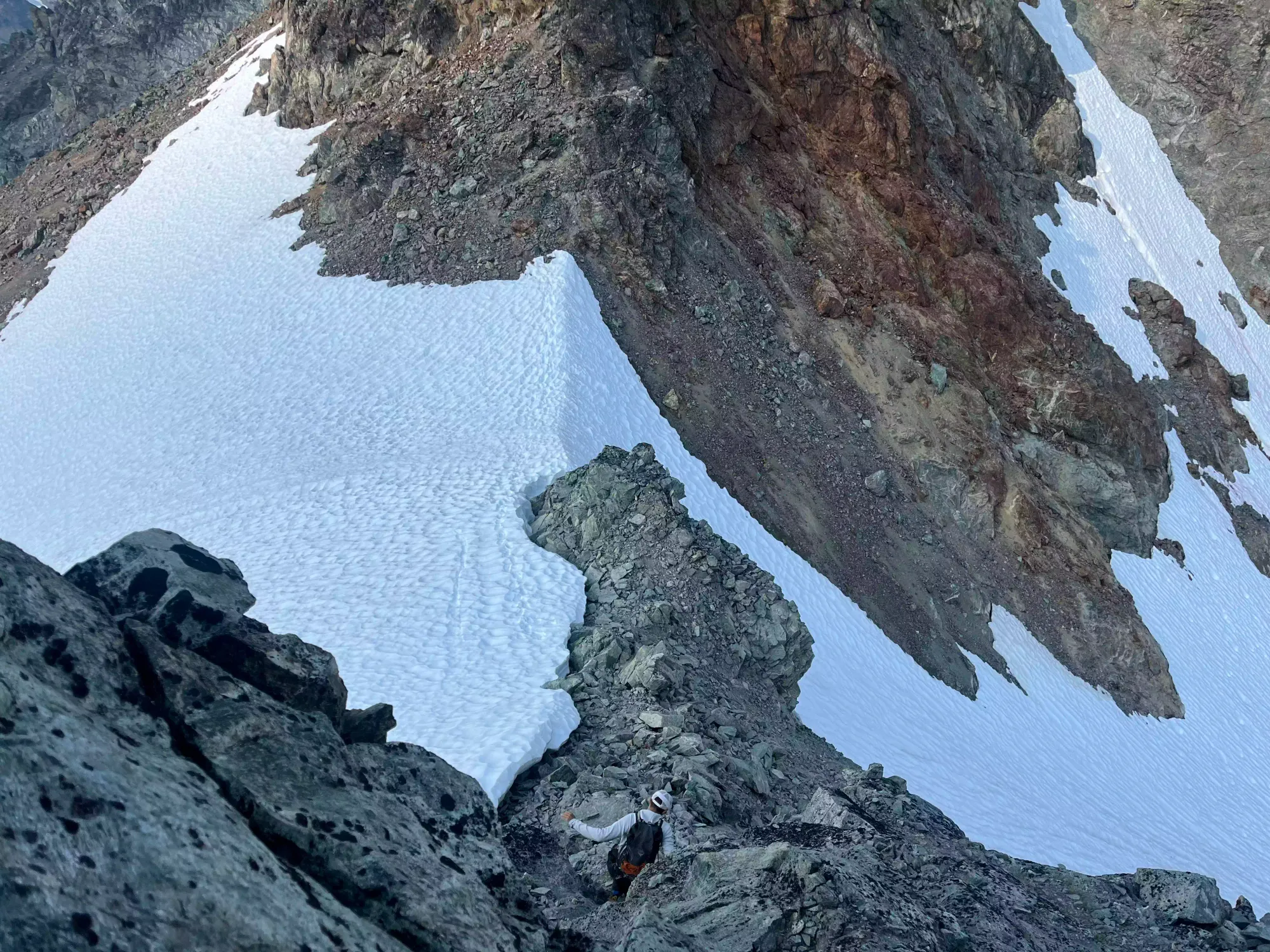
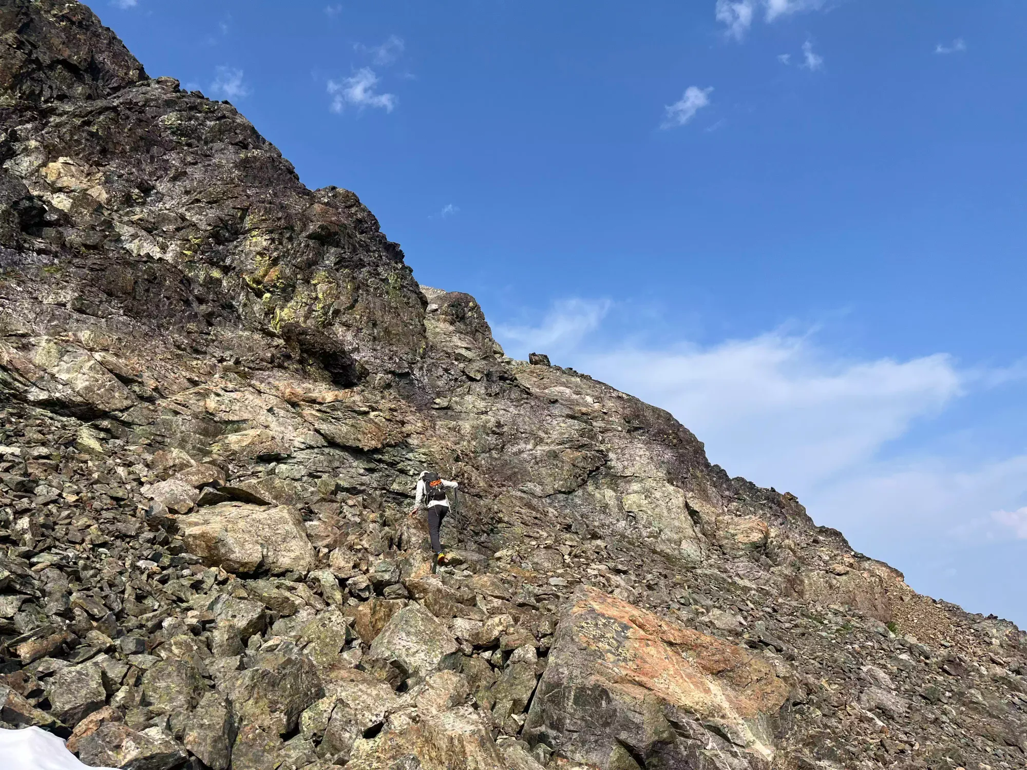
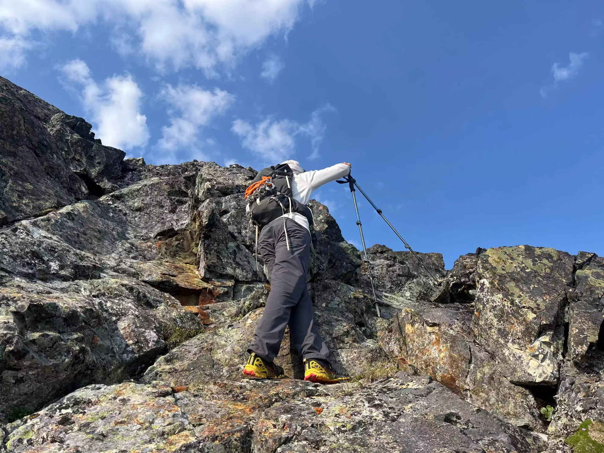
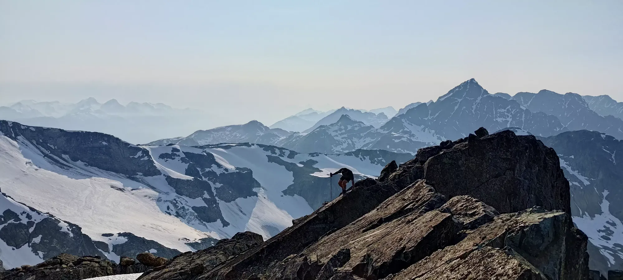
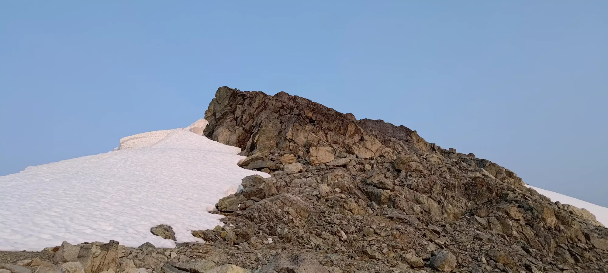
The next half hour brought us up above 2000m, where we were faced with an increasingly annoying sidehill across the steep, rocky face beside the glacier, or a fun-looking scramble up onto the wall to our right. At least one of our GPXes went up this way, as did a couple cairns, so we decided the fun and non-annoying way was the best way! After a couple easy moves leading us towards a fairly straightforward-looking gully that went directly up to the top of the ridge, we saw some more interesting and challenging routes to climber's left, before you got deep into that gully, which we detoured to for some extracurricular fun.
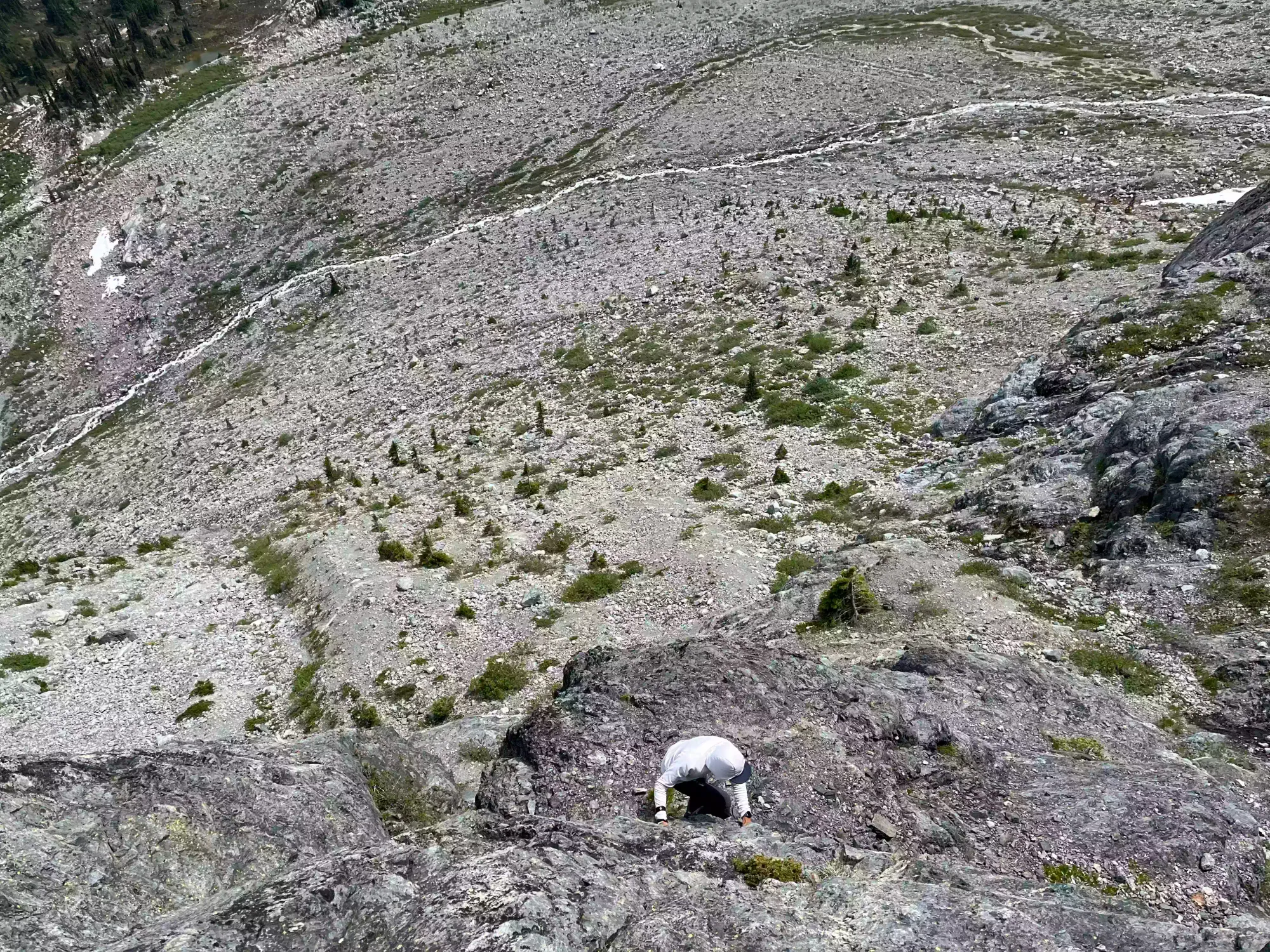
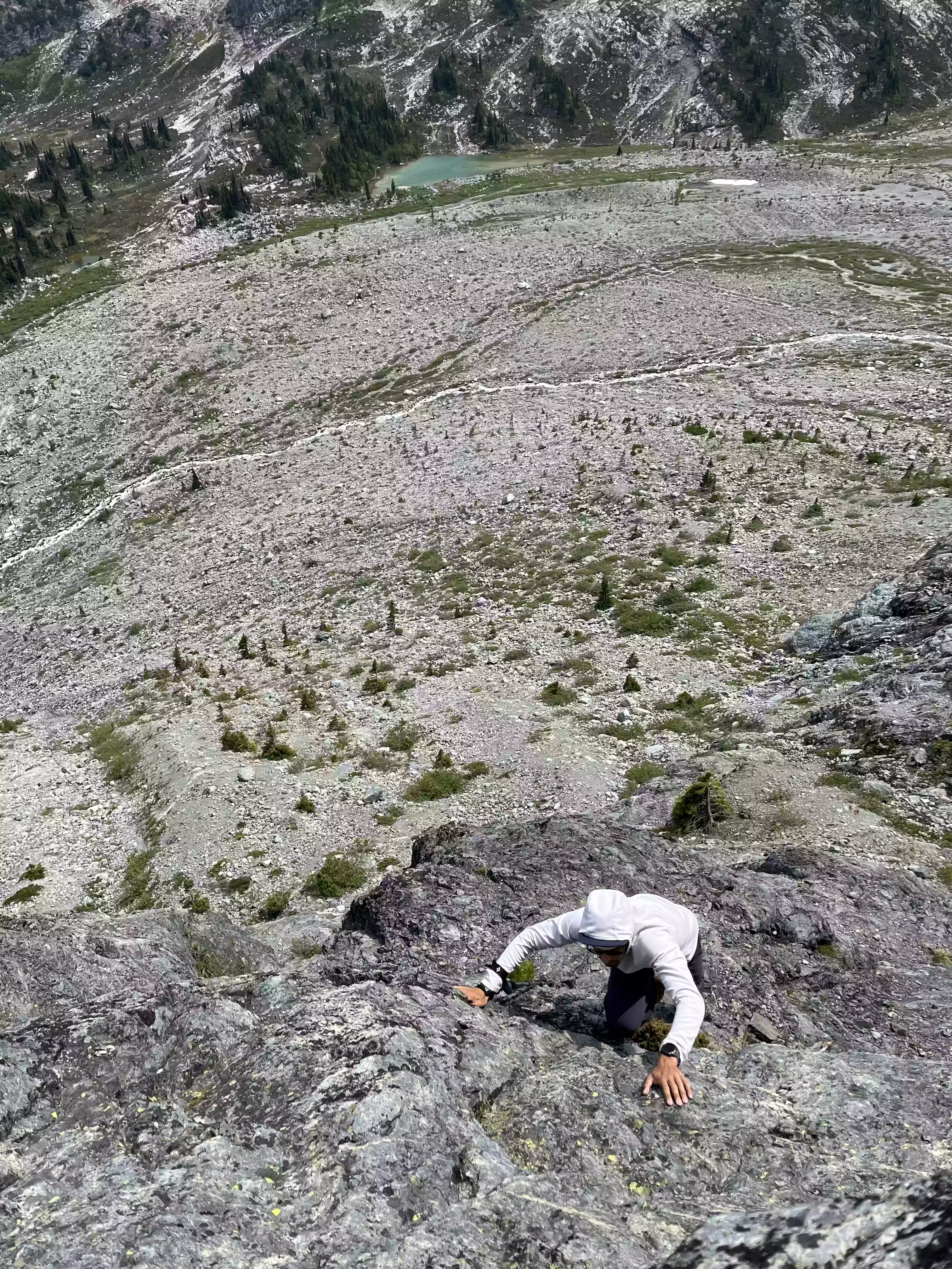
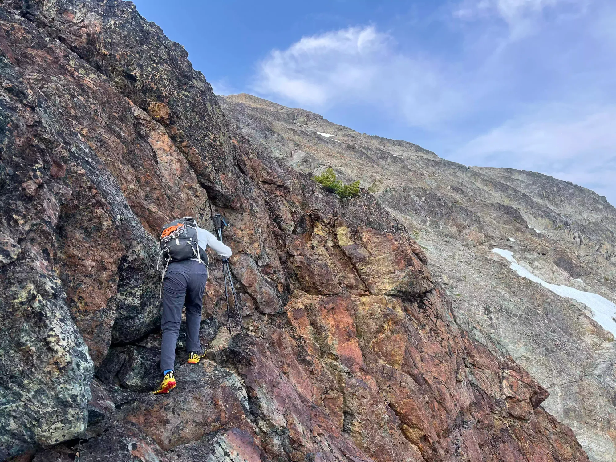
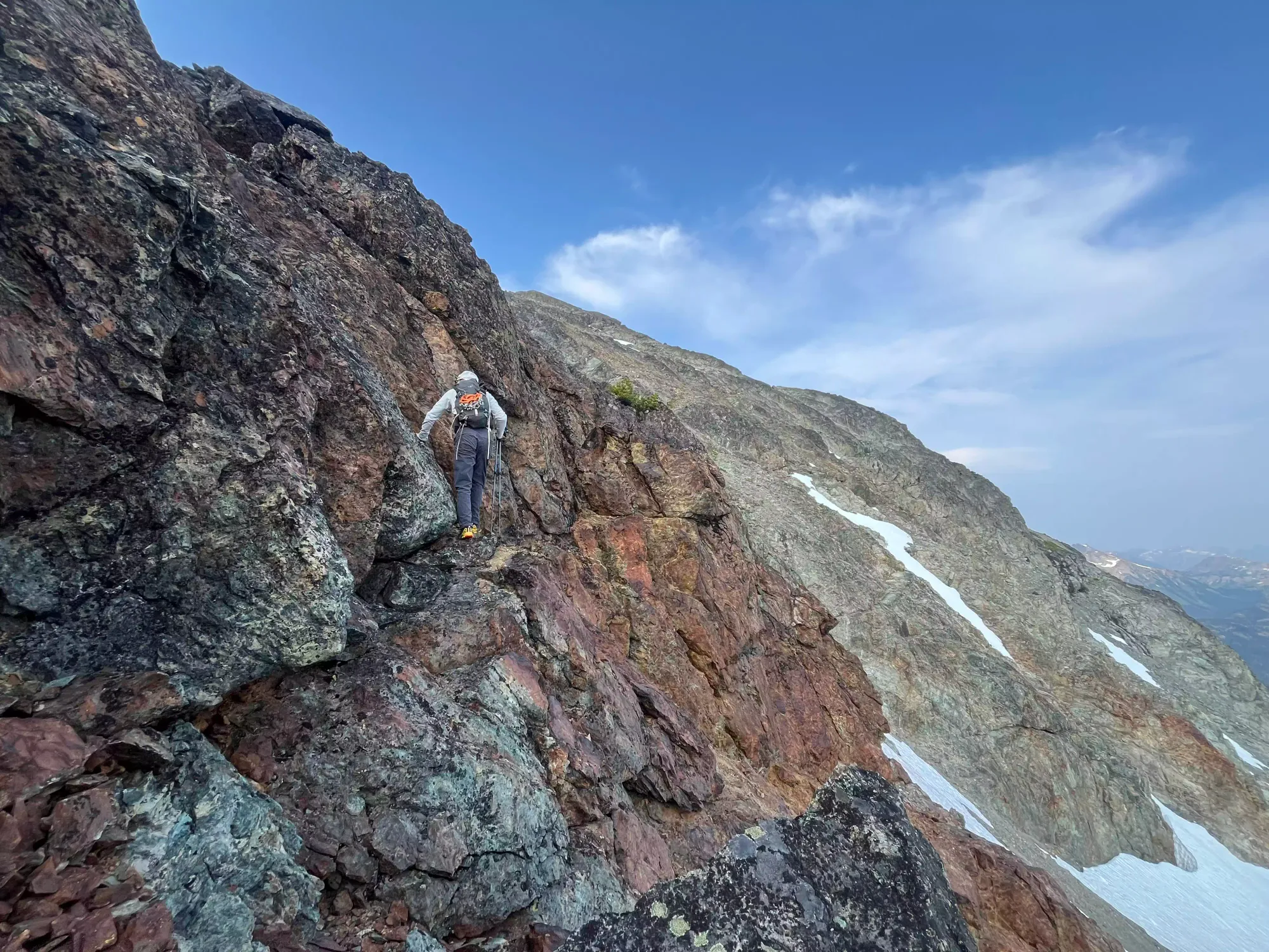
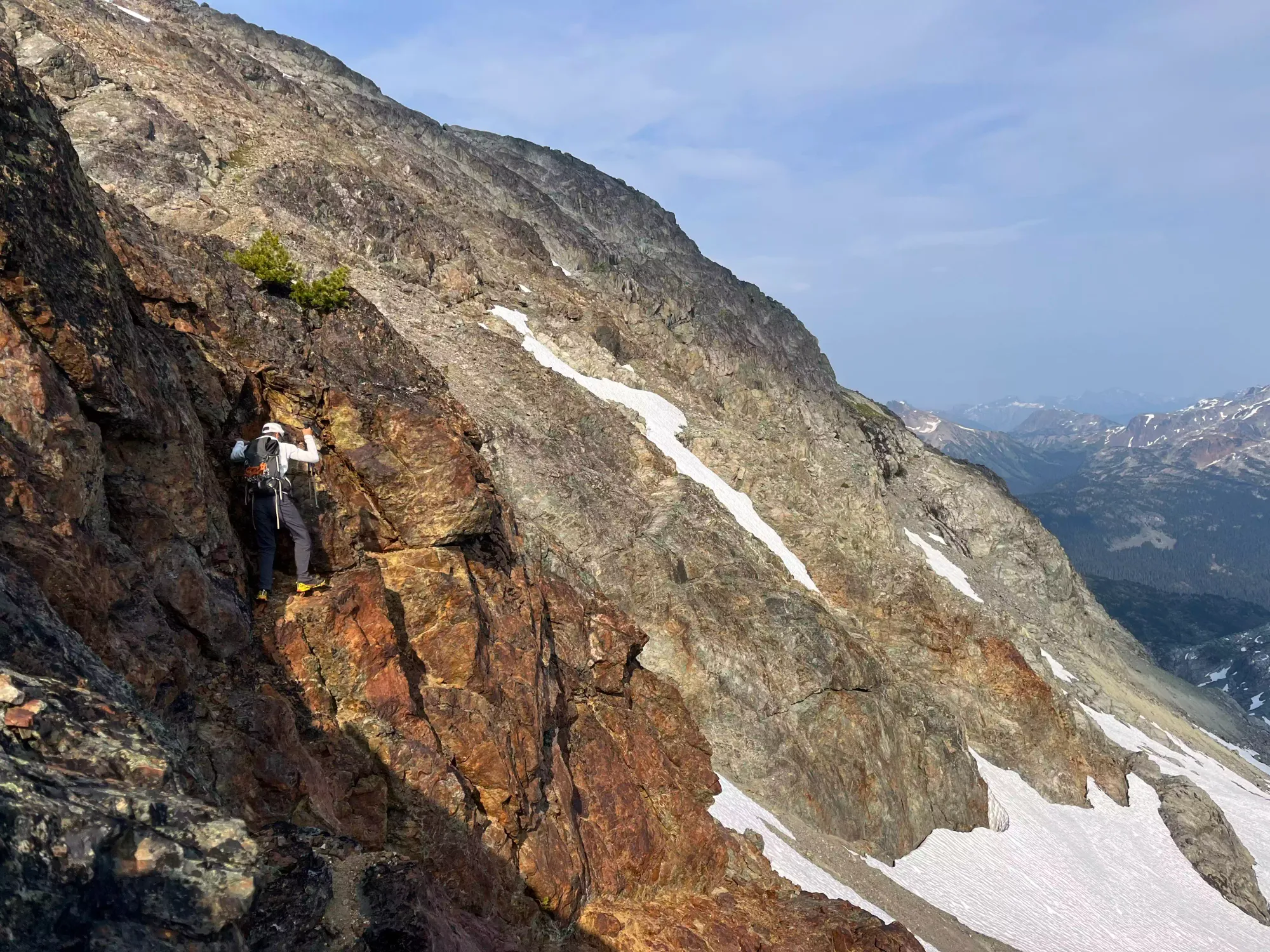
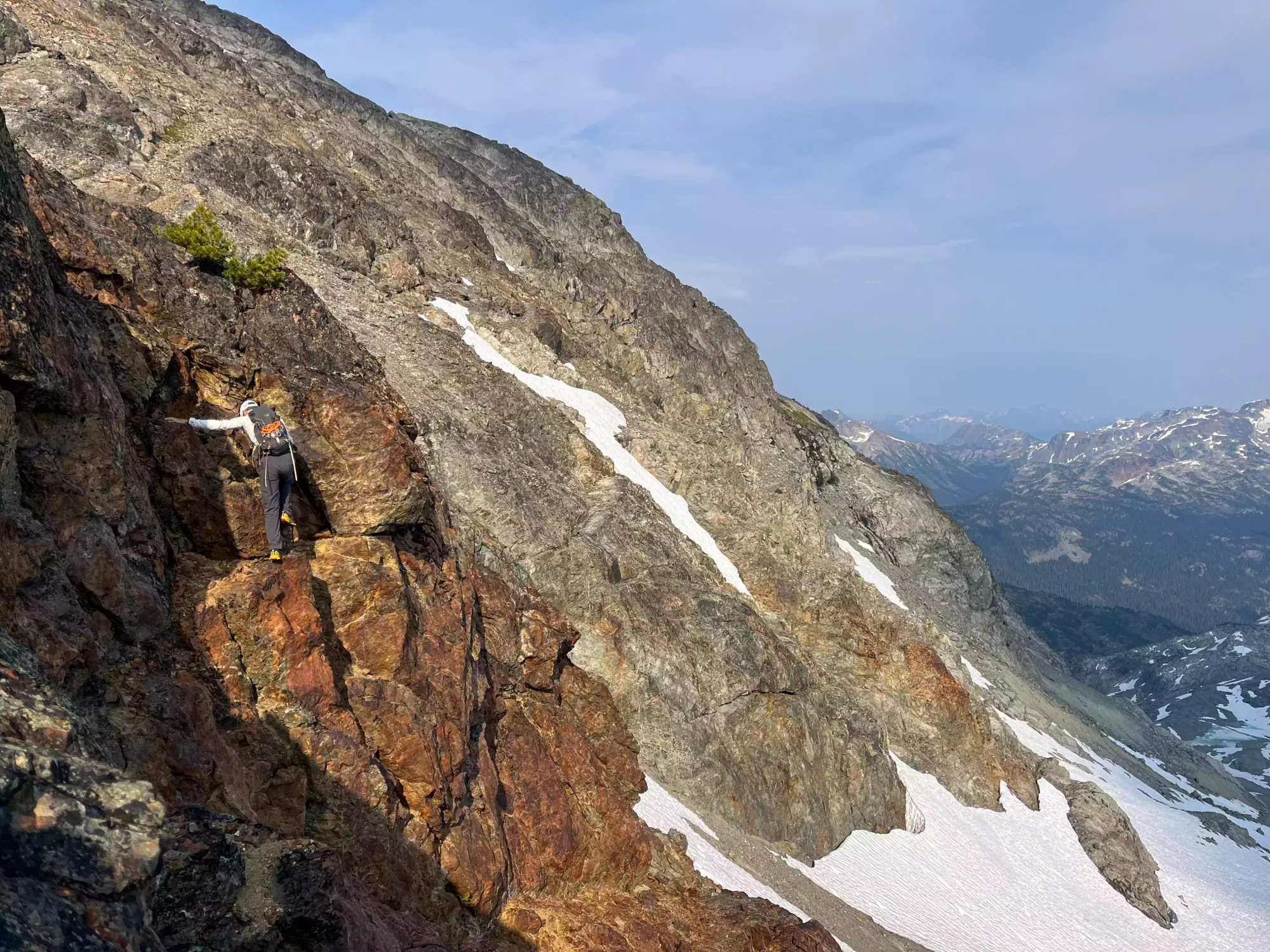
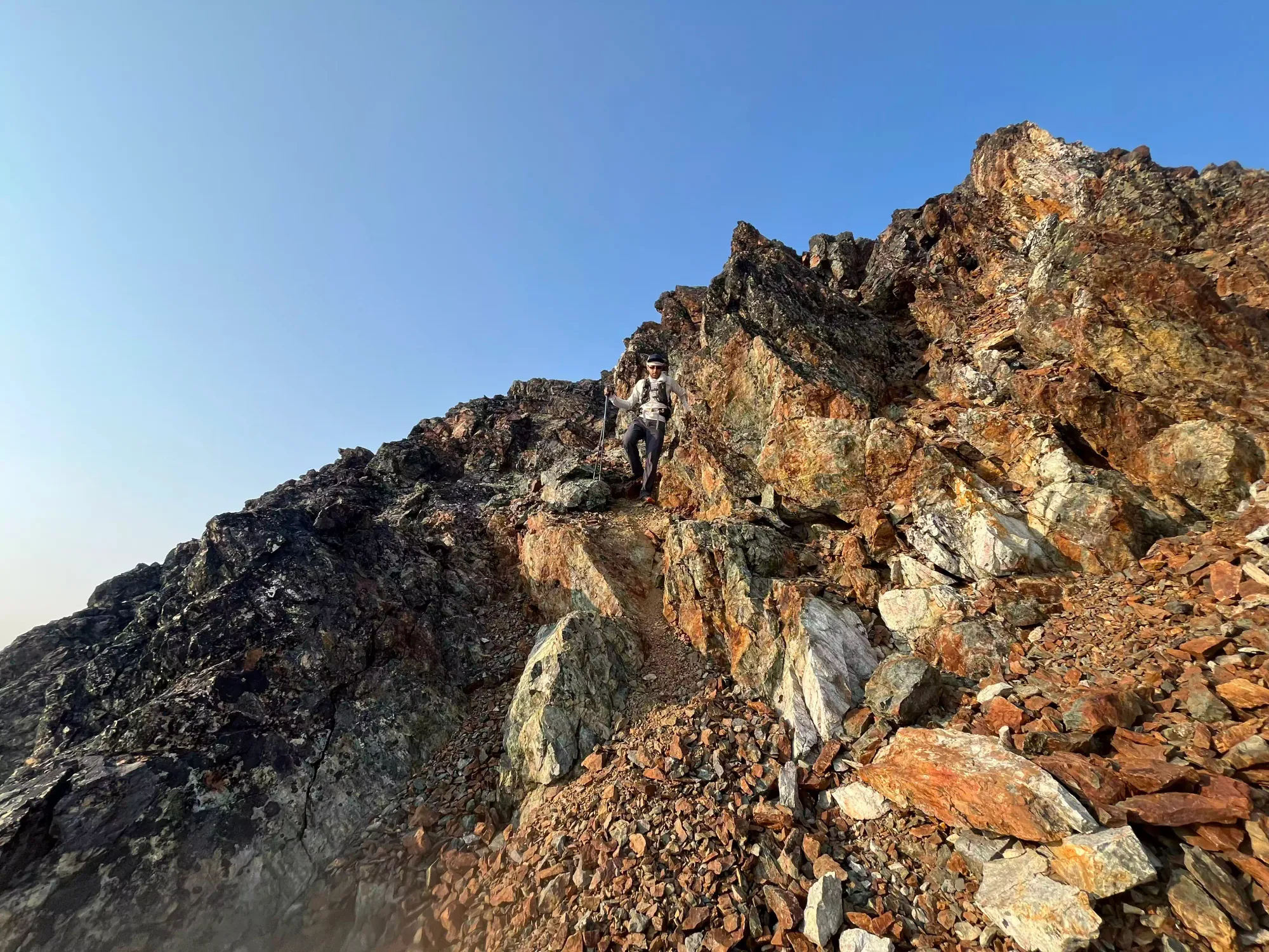
The scrambling was quite fun in this section, with some challenging moves in tight chimneys, which is a type of scrambling I enjoy quite a bit. Shayan started having slightly less fun in this section, as his trust in his footwear wasn't as strong, and he's not quite as scrawny as I 😅 I actually took possession of the backpack after the first pitch to help with that, which did seem to make things a bit easier for him.
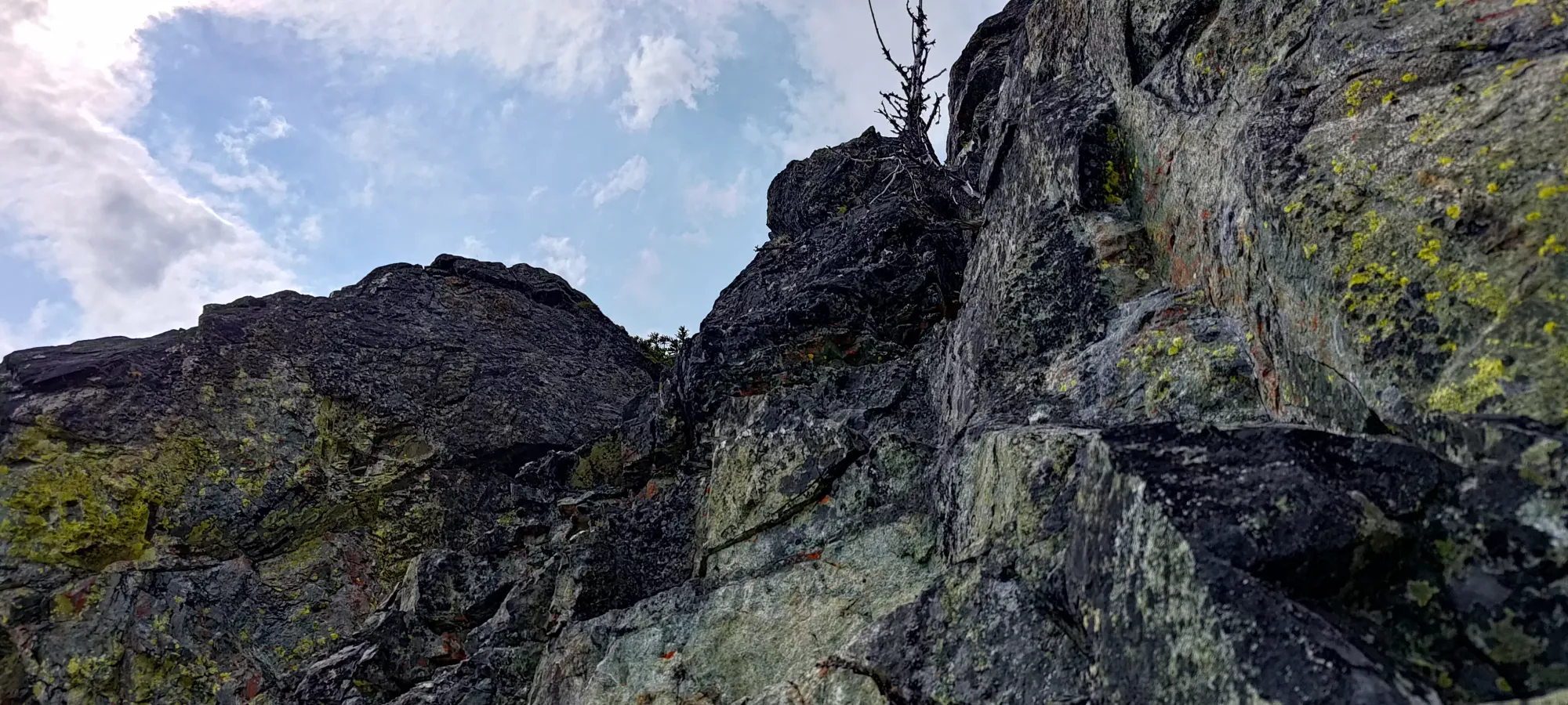
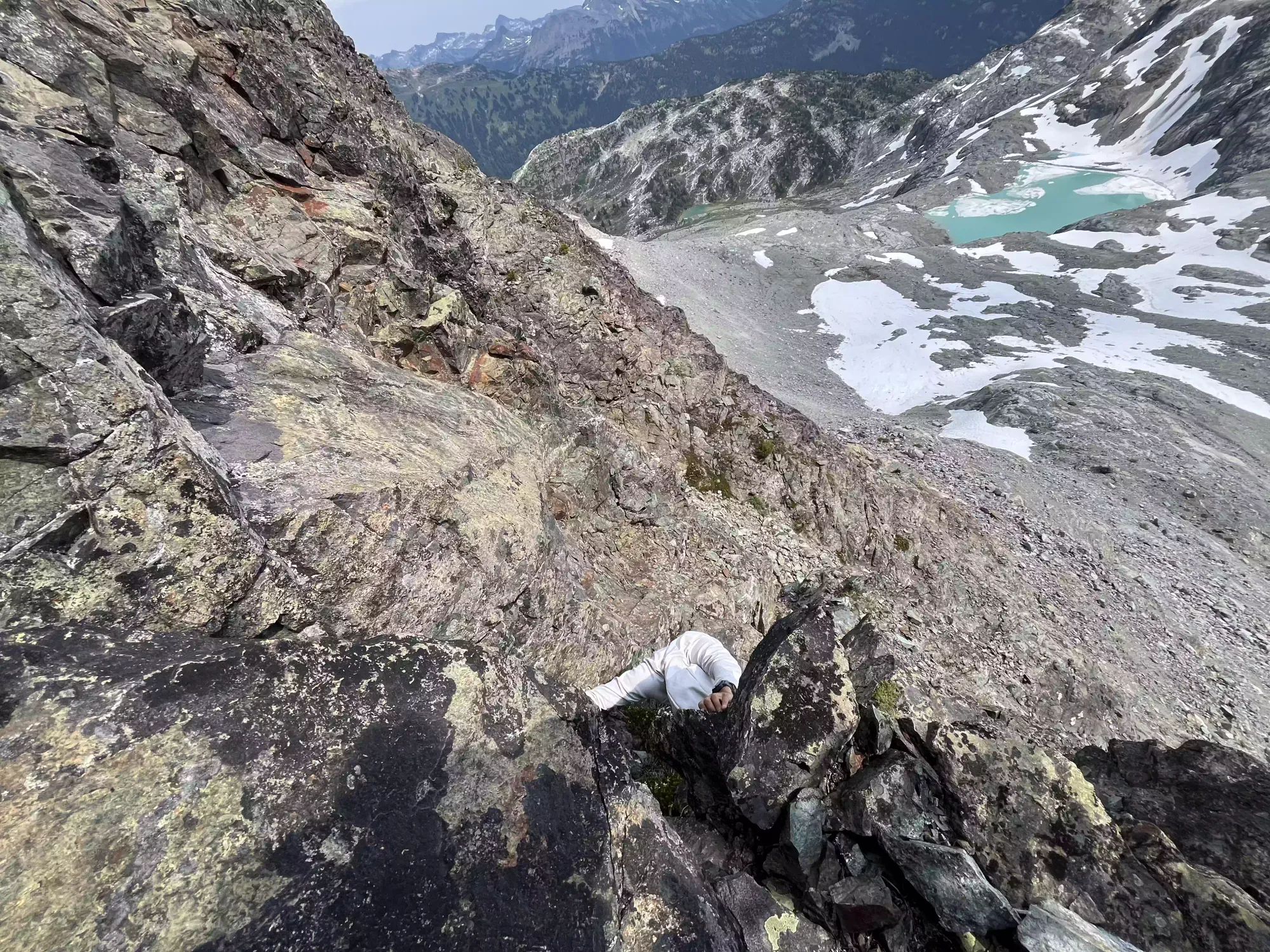
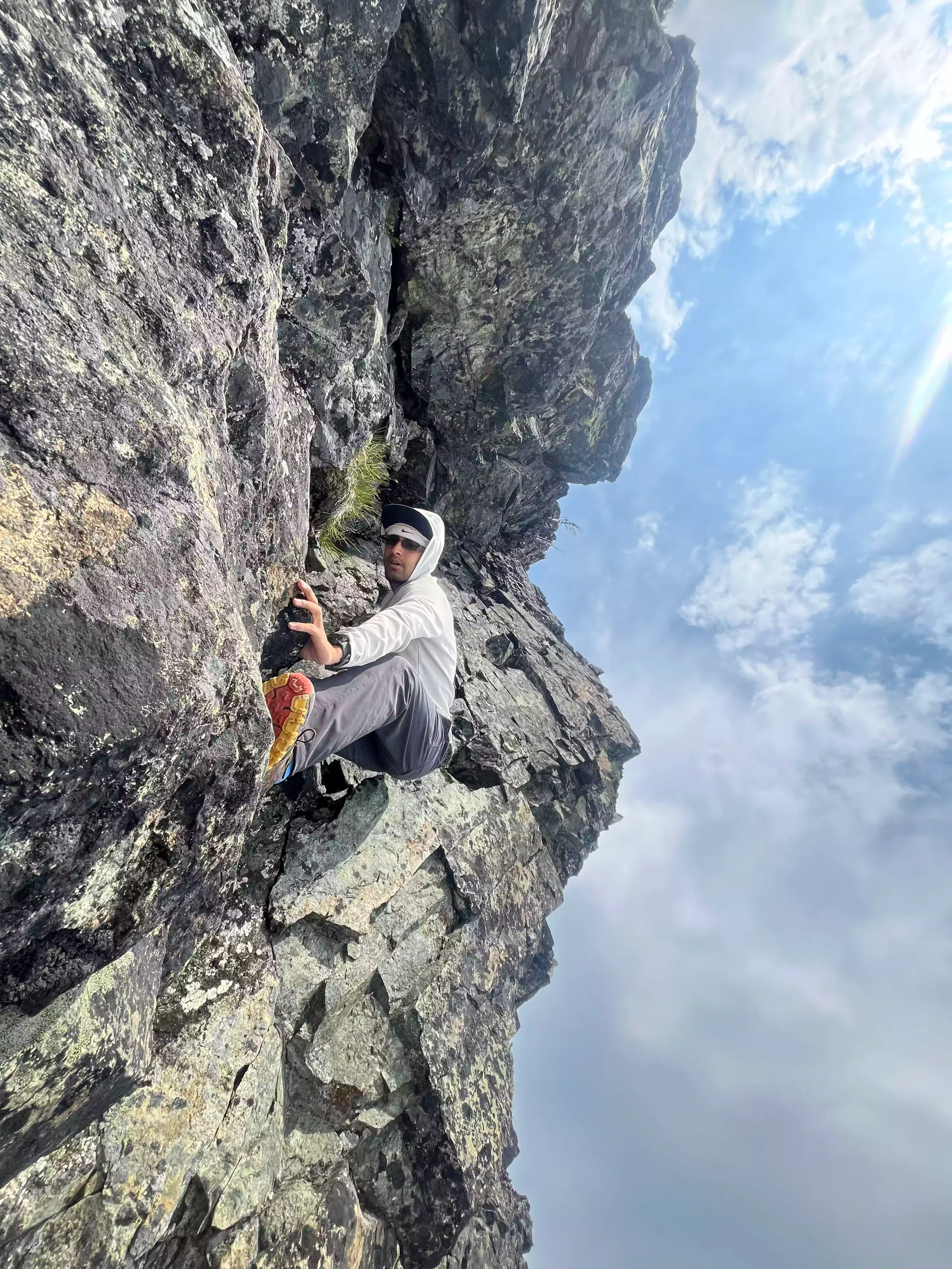
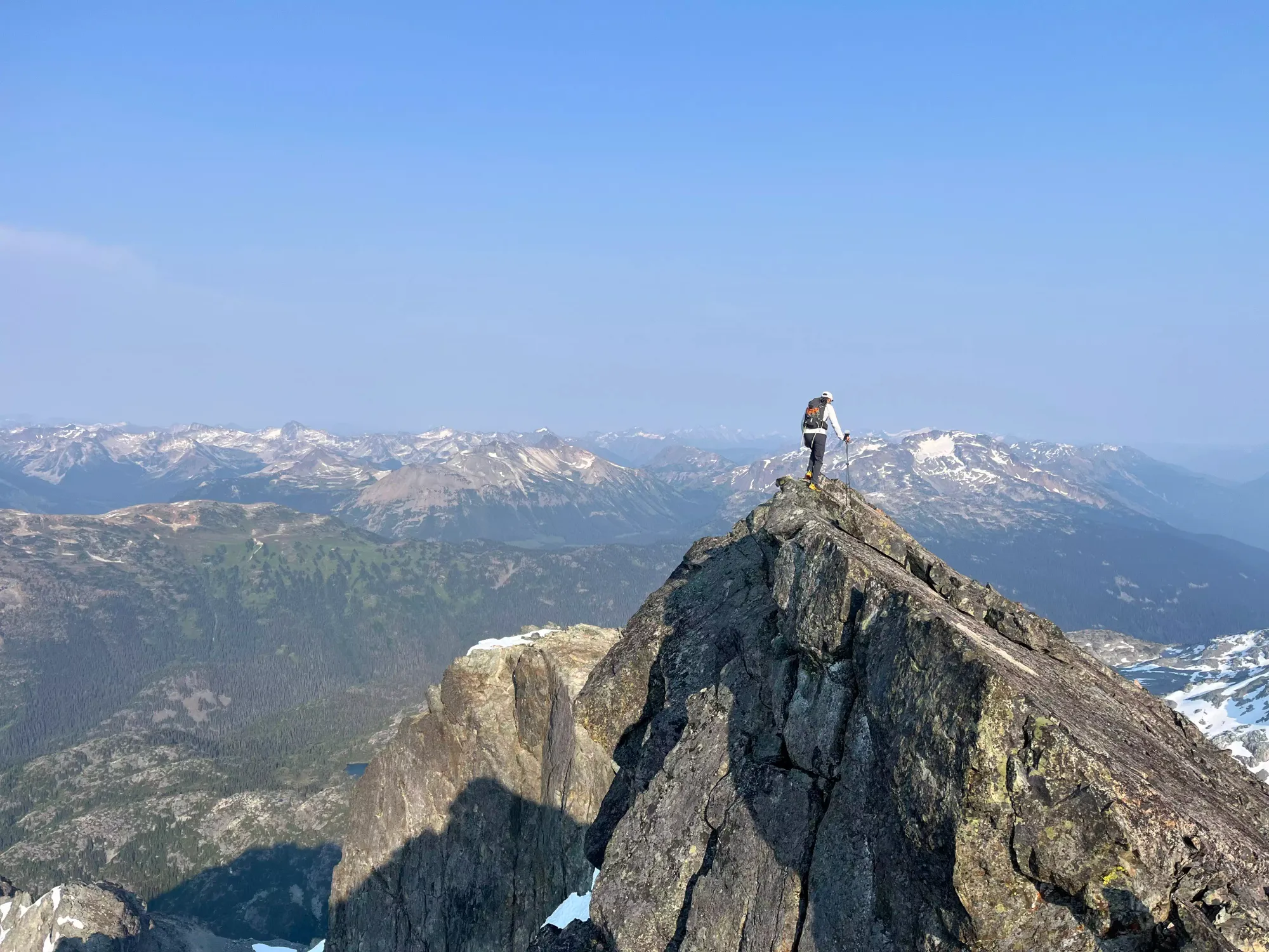
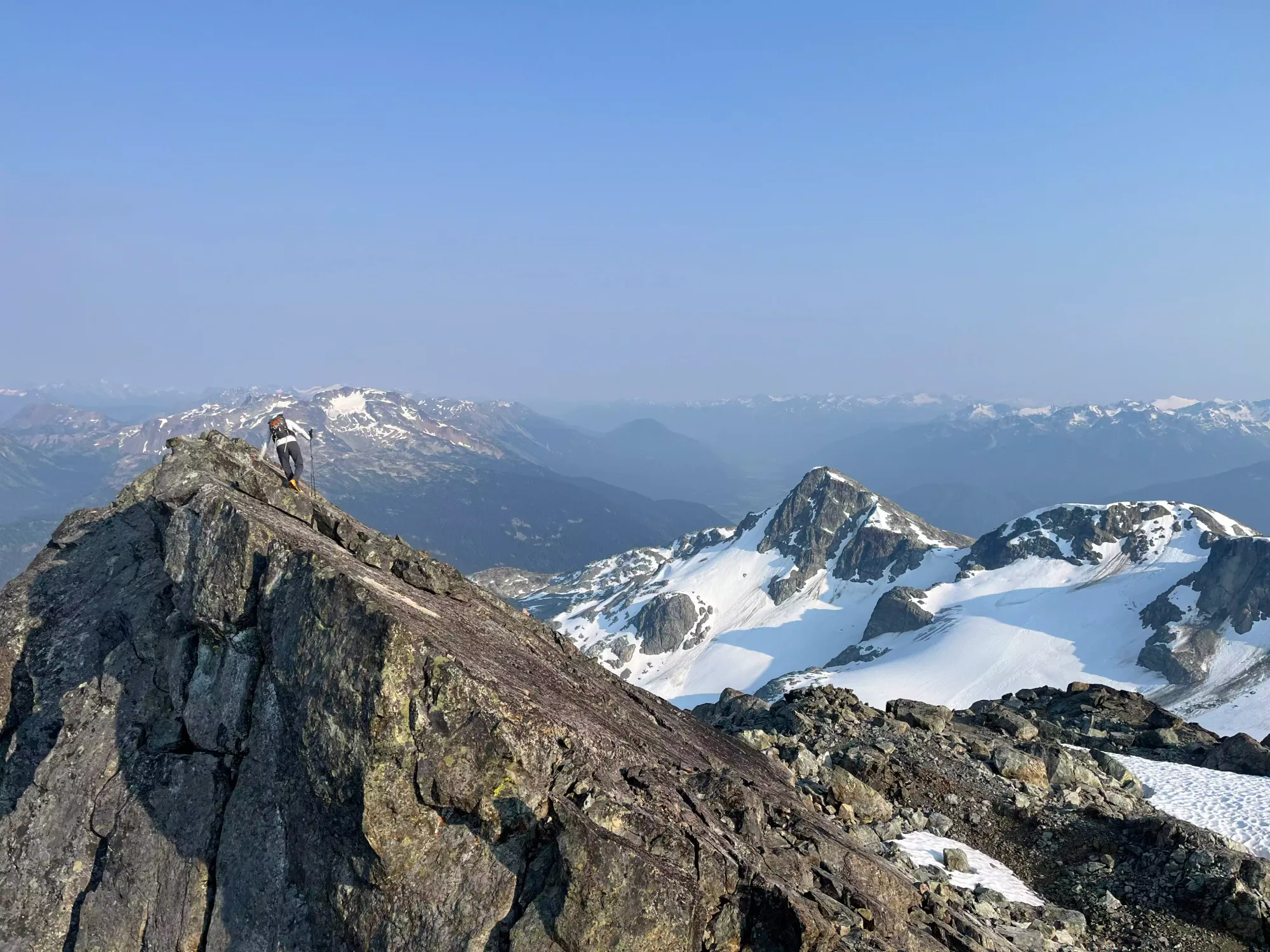
Some scrambling shots from the way up. Photo creds: Shayan
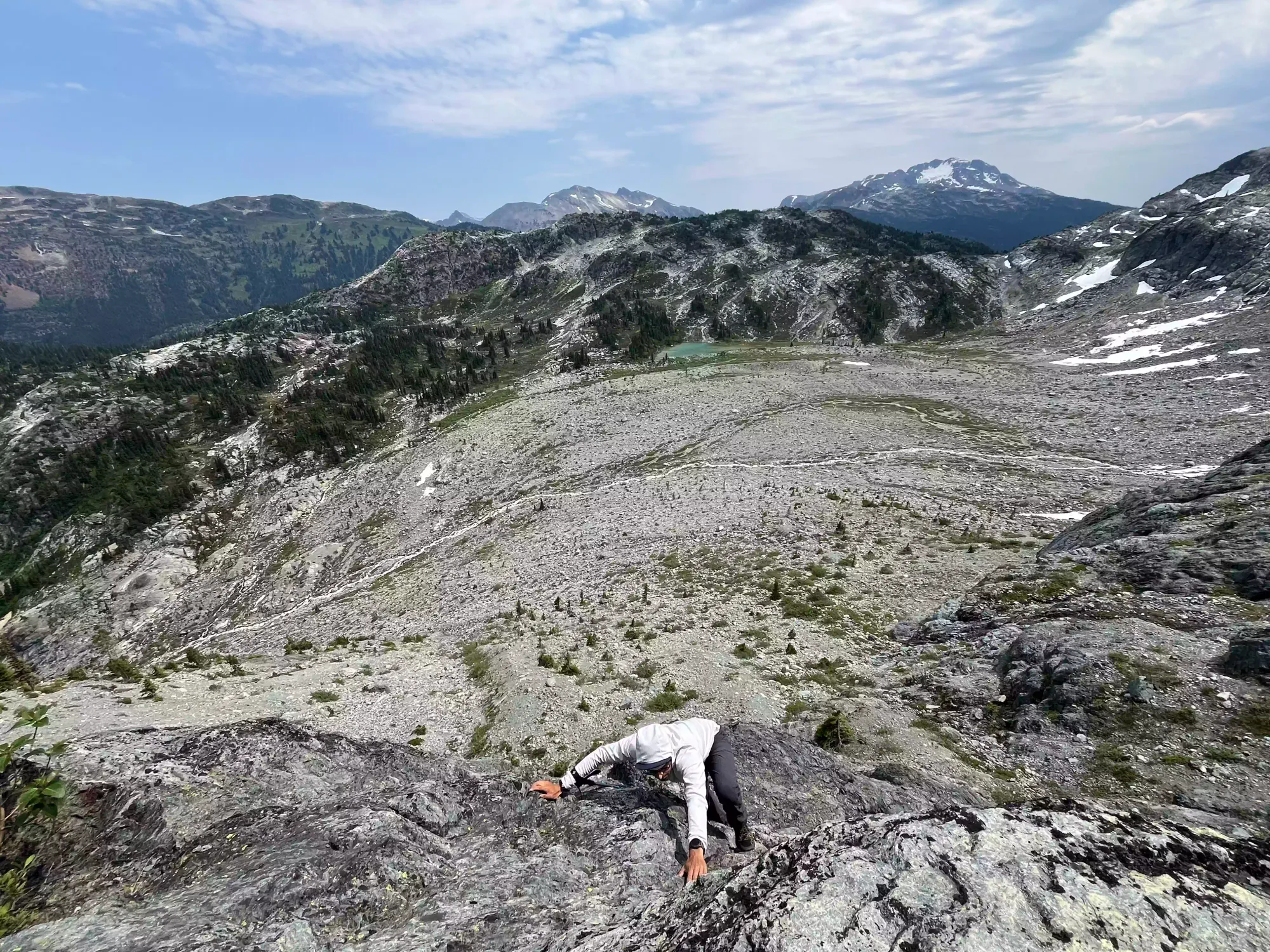
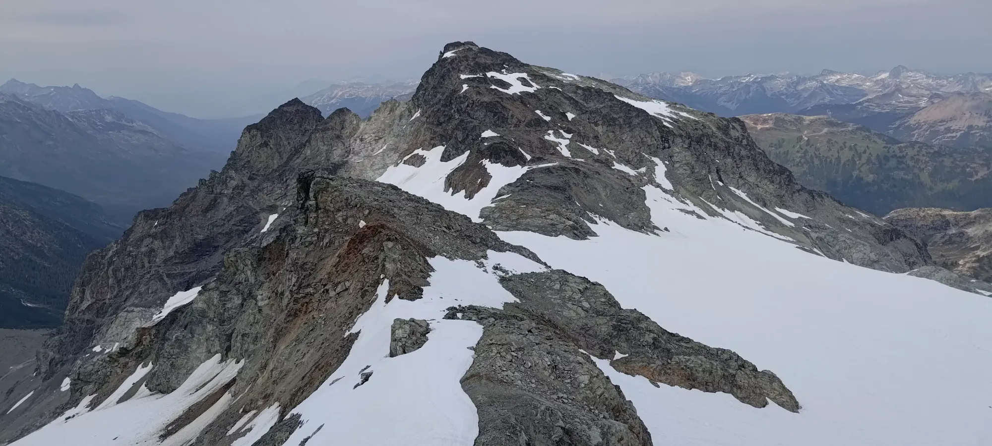
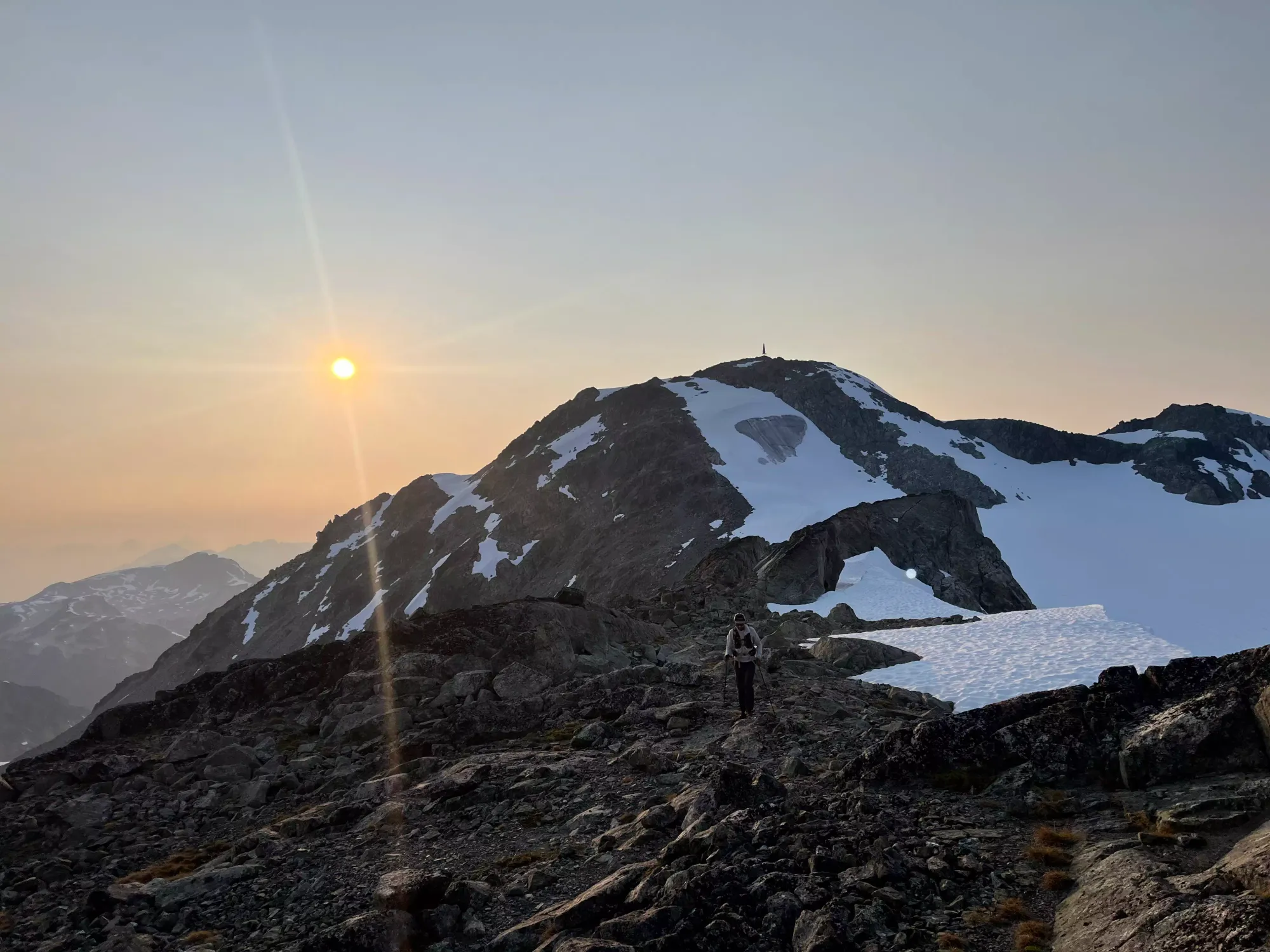
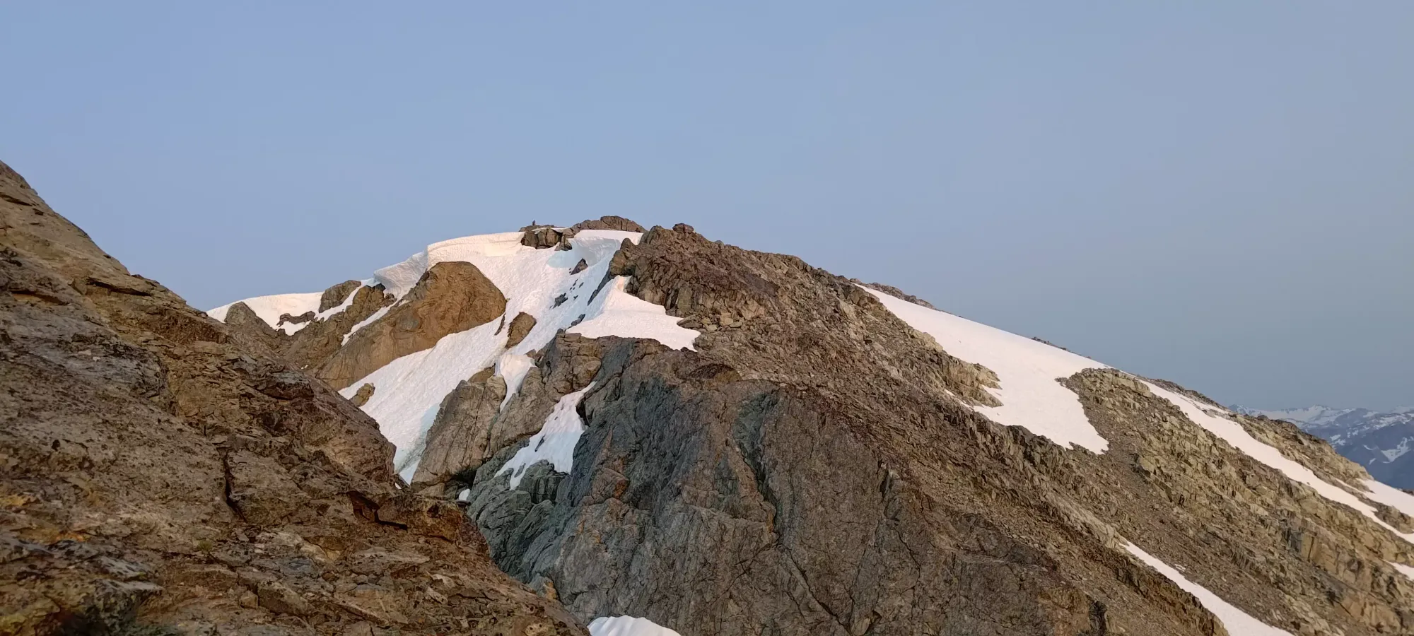
We scrambled for about half an hour, which was definitely longer than necessary; a more confident party, or one taking the easiest route would top out faster. After a few difficult pitches, we eased into some easier scrambling, then a short and bushy ramp which brought us onto the next ridge, at about 2130m. Here, we were just off of the east ridge, and quickly intersected with the "official" route up to Face Mountain.
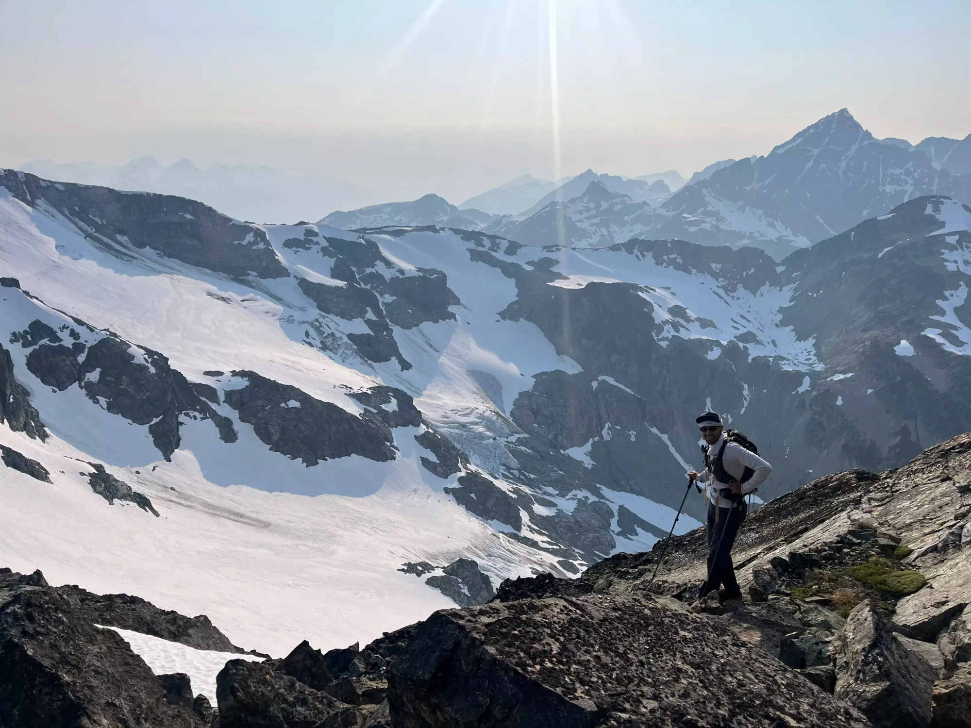
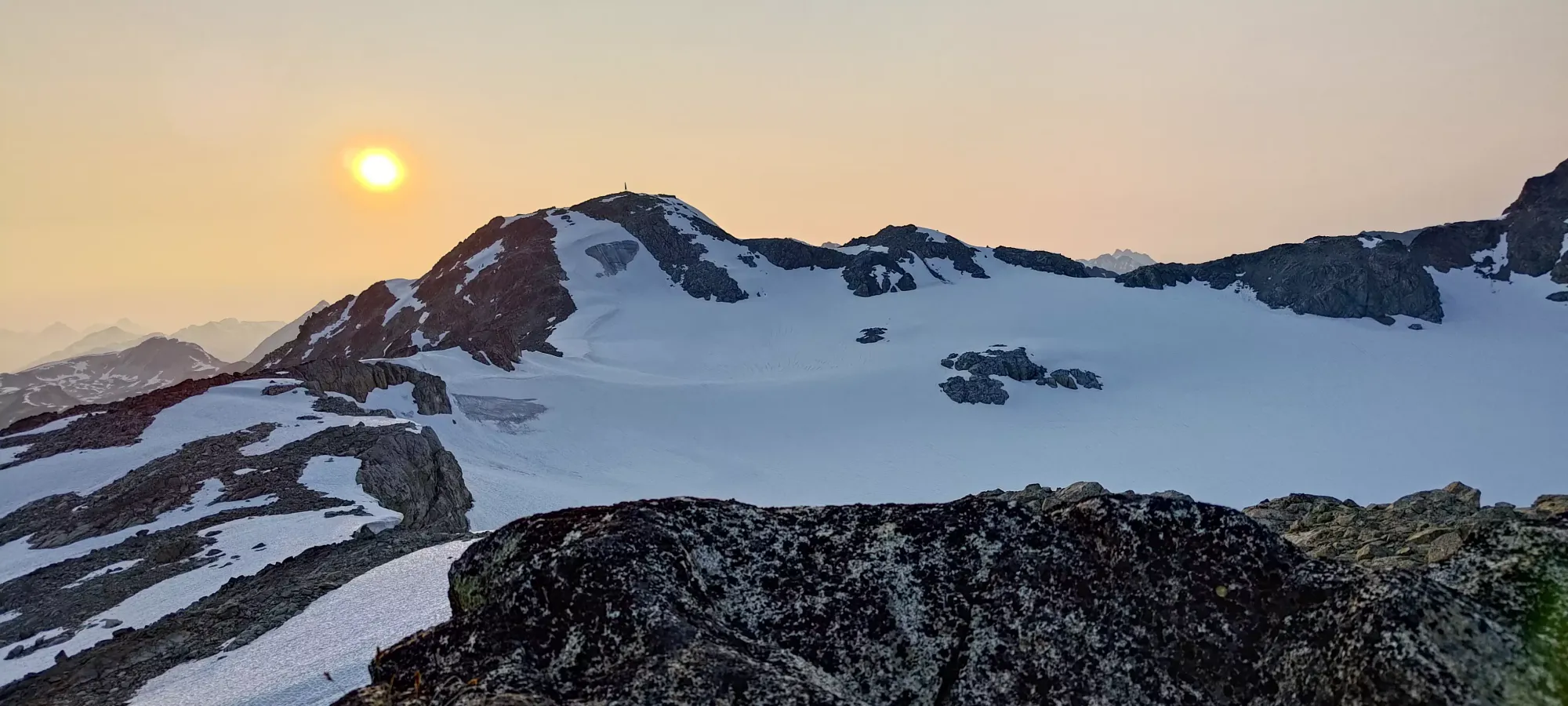
That being said, we didn't pay enough attention to the actual route at all, because while our plan was to ascend Face Mountain first, we instead became fixated on the idea of getting onto the upper glacier and achieve the easier snow travel that would allow for. We (primarily myself, admittedly) were also convinced that the radio repeater was the highest thing around, and therefore must be the summit, so we were looking to head in that direction. That meant after a few minutes walking on some steep, rocky sidehills, we started aiming for where the snow got closer to the rocks, and then dipped over the "edge" where the slope became much looser, and rushed over to the snow.
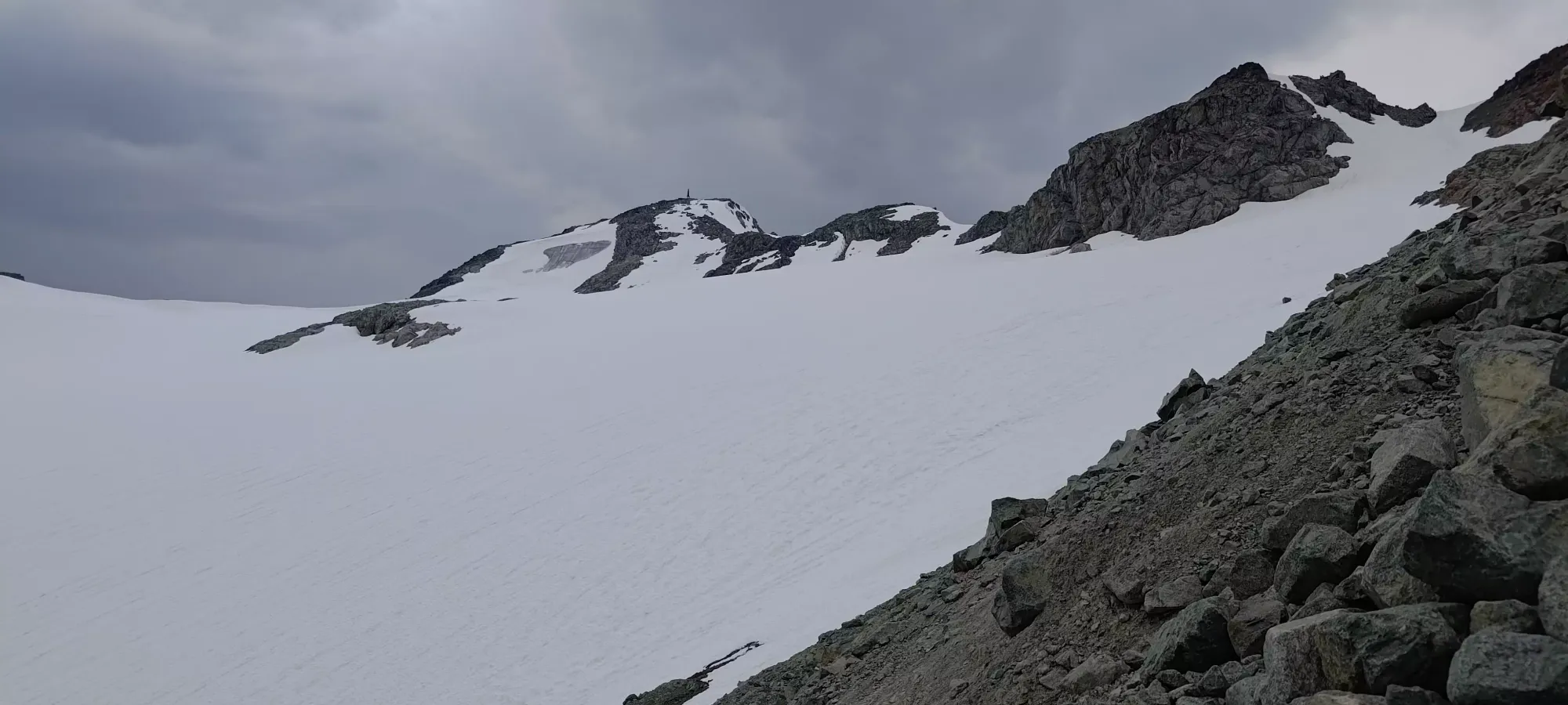
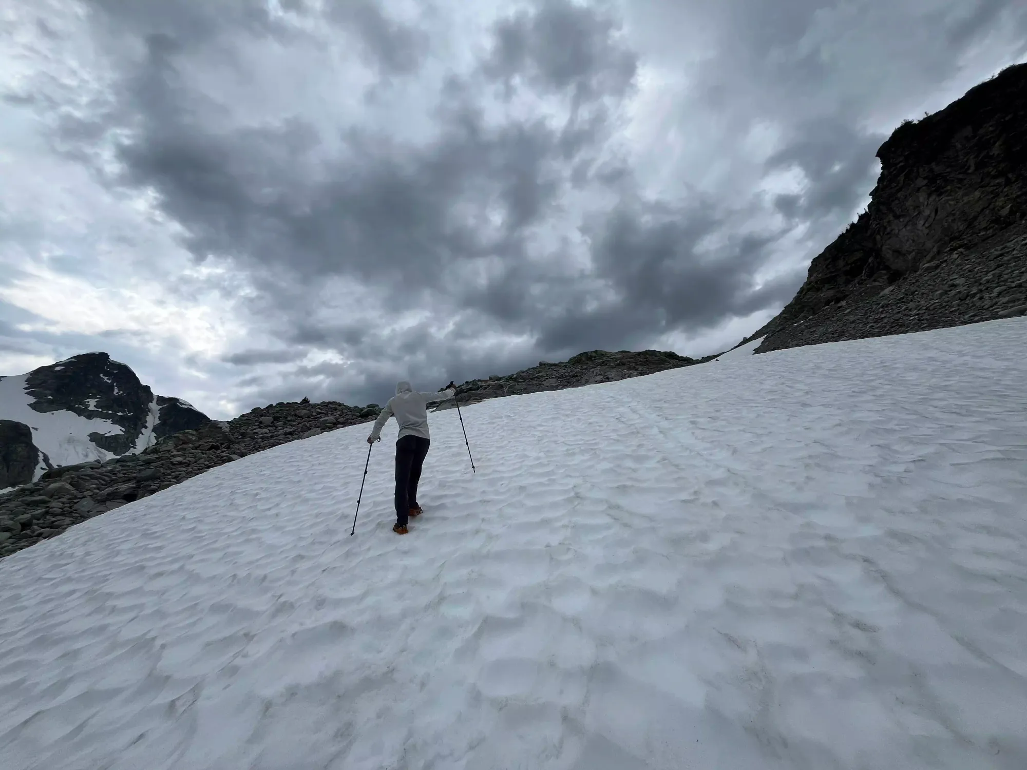
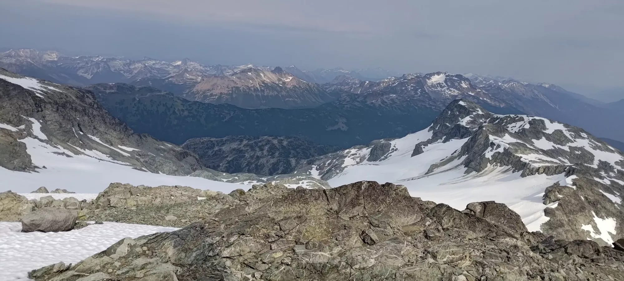
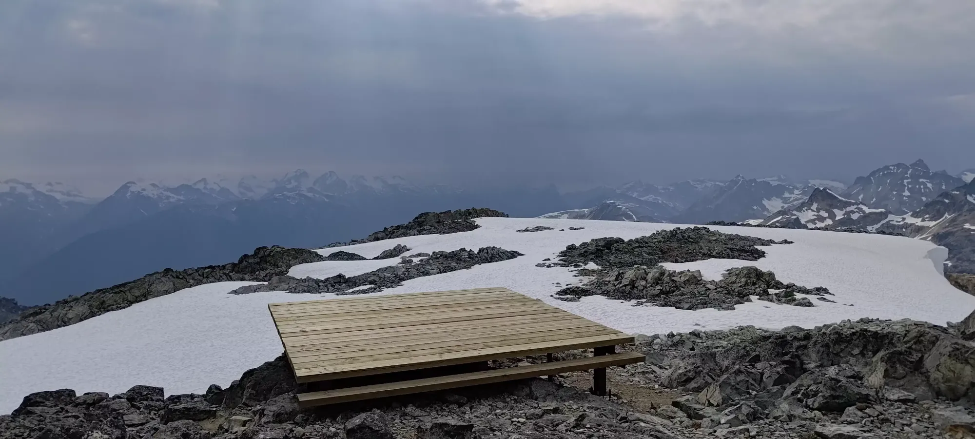
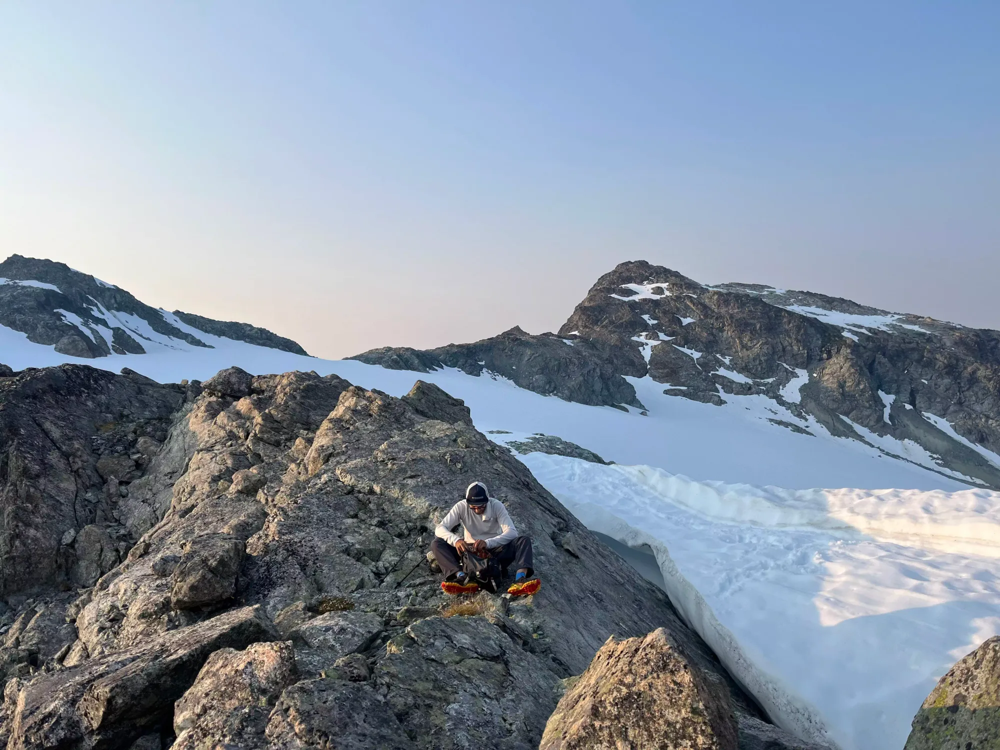
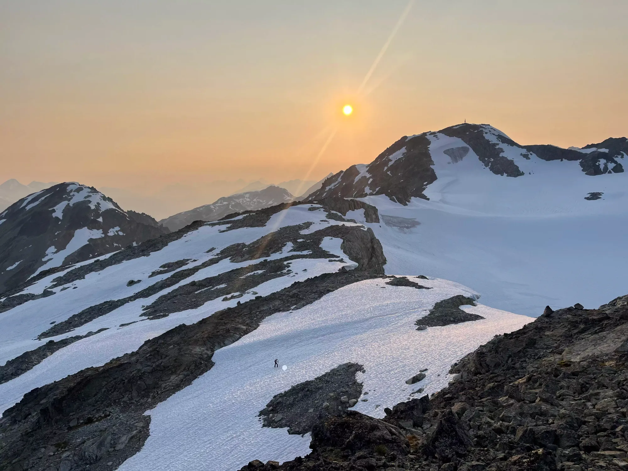
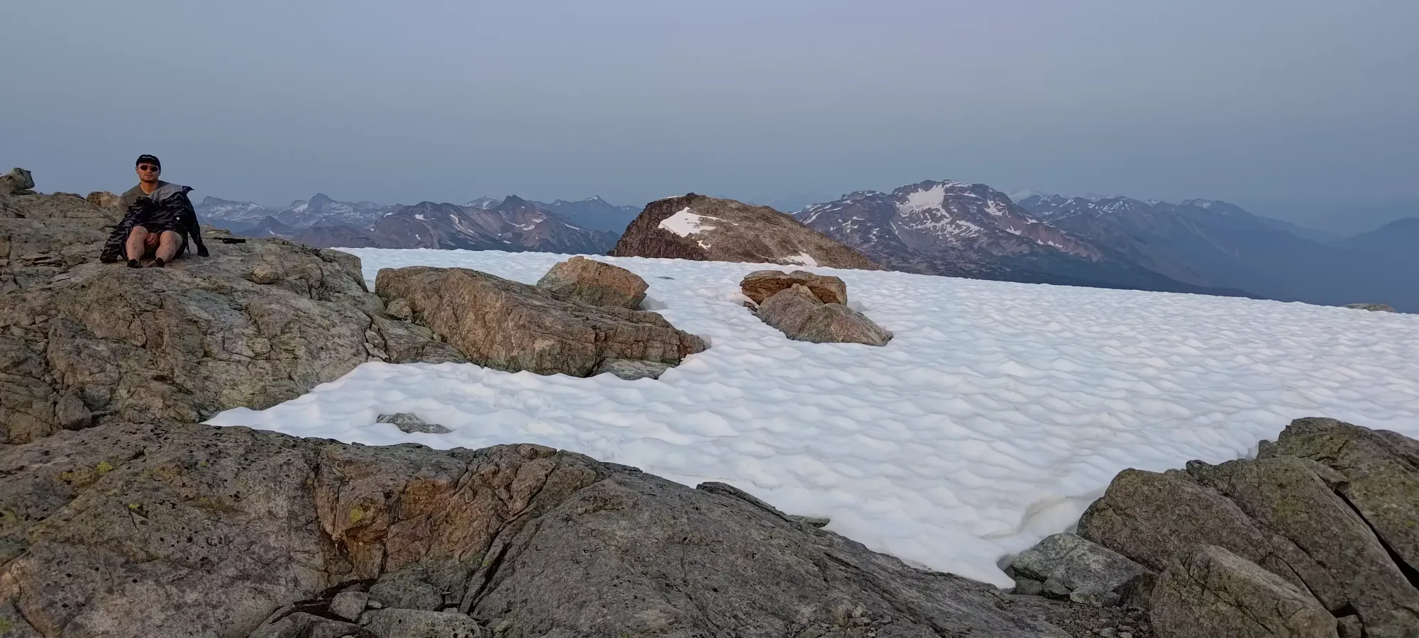
Once we were on the snow, travel became much easier, and we quickly made our way to the Faceless/Caboose col, where I removed my spikes (not necessary, but handy if you have 'em), and we made the short+easy scramble to the top. It was at the col where we finally checked our maps and realised that we were about to summit Faceless and not Face 🙃 At least we could say that the extra elevation loss/regain was at most 50m or so, and the extra distance could be walked on snow, so it wasn't THAT much extra 😅
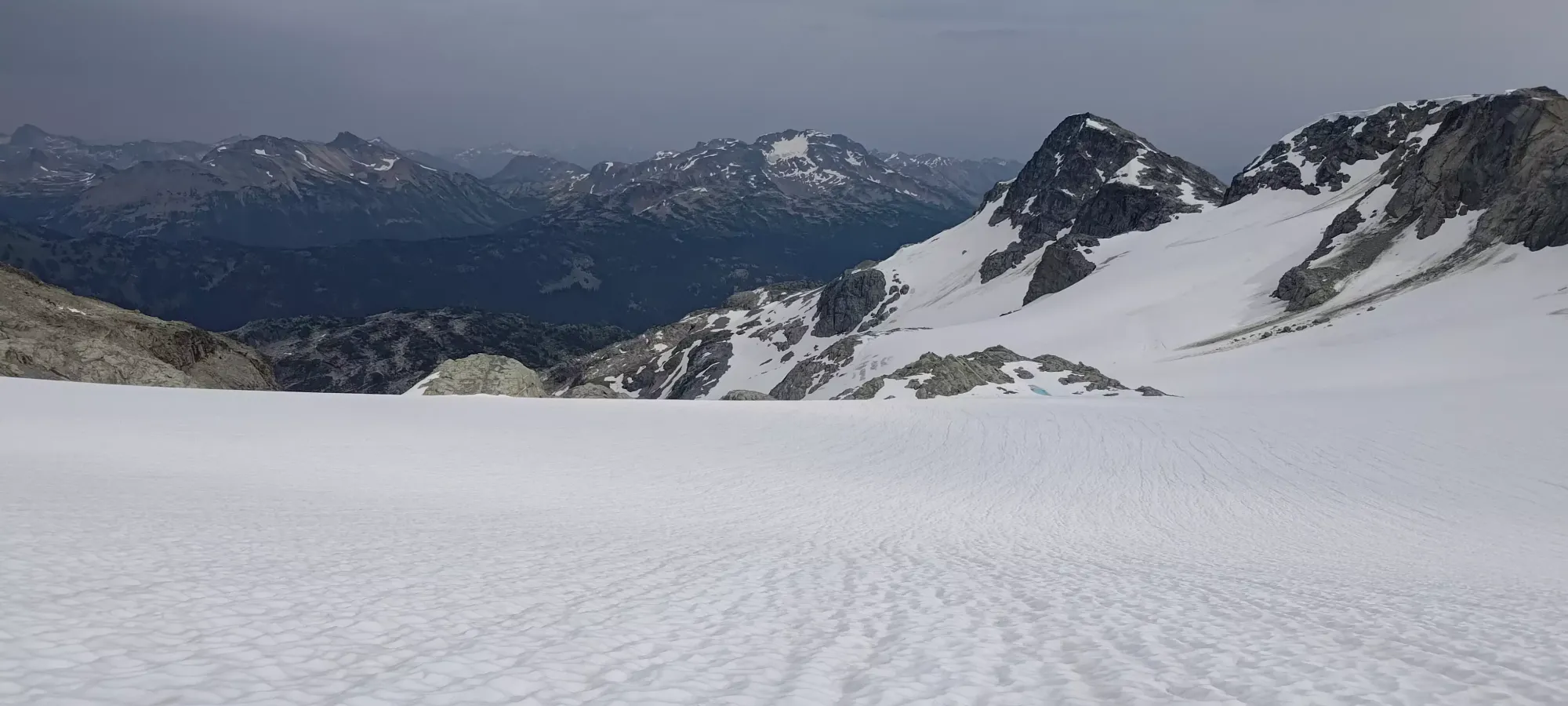
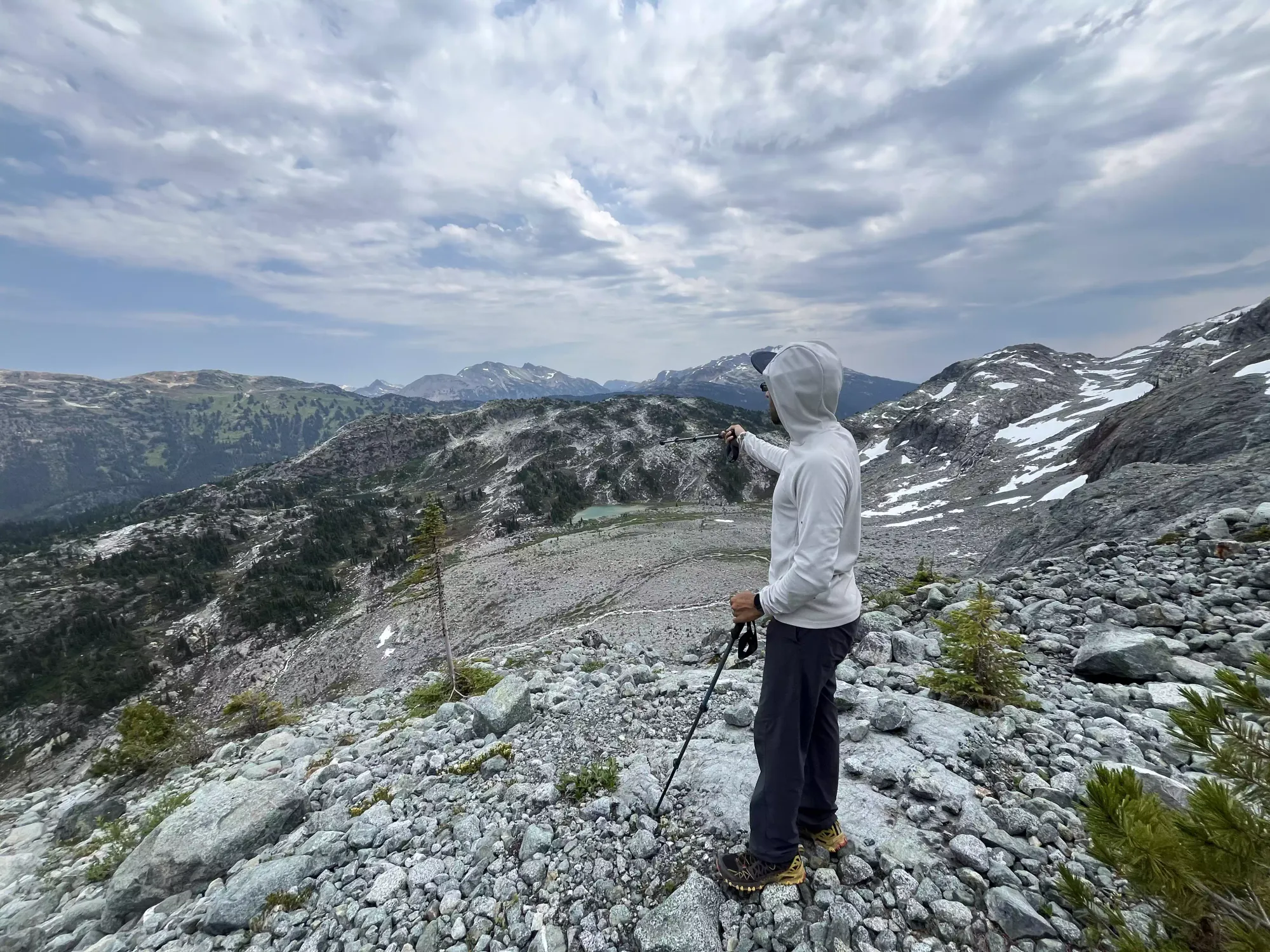
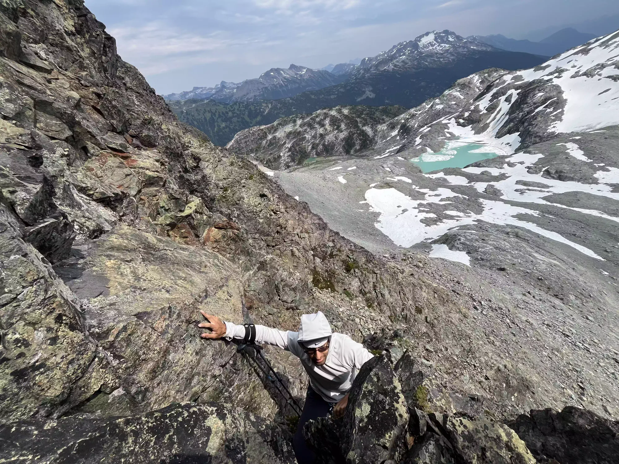
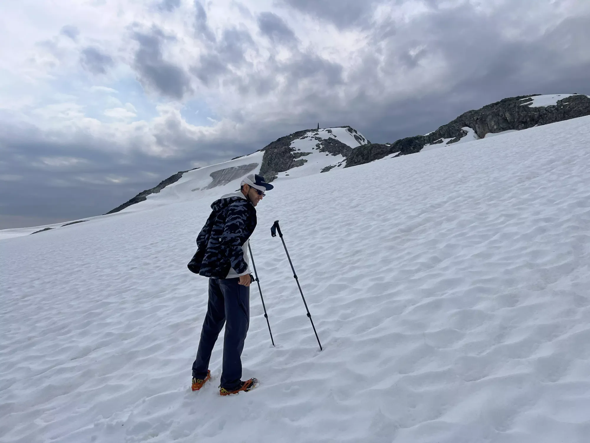
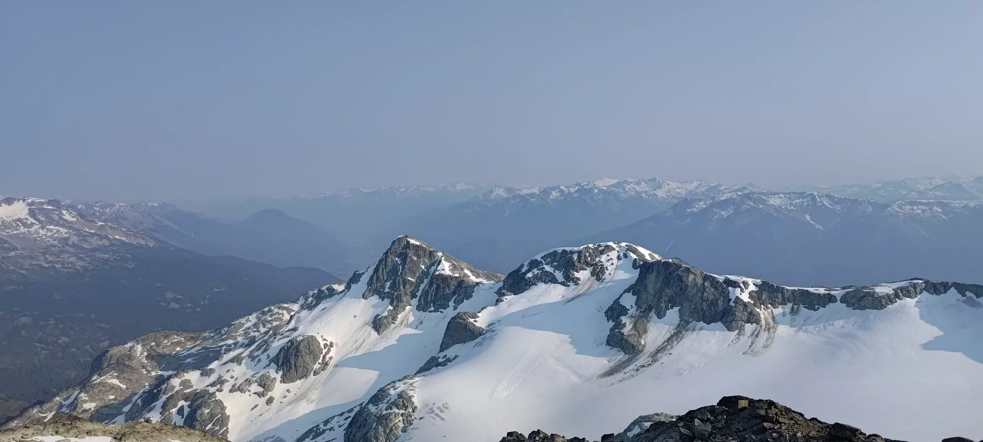
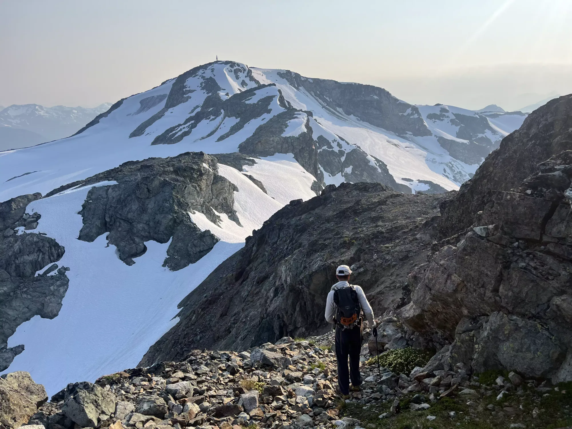
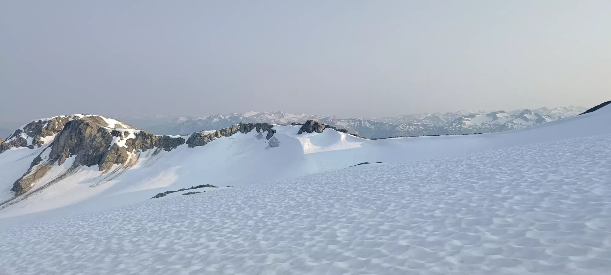
On the upper glacier, wishing I had my skis
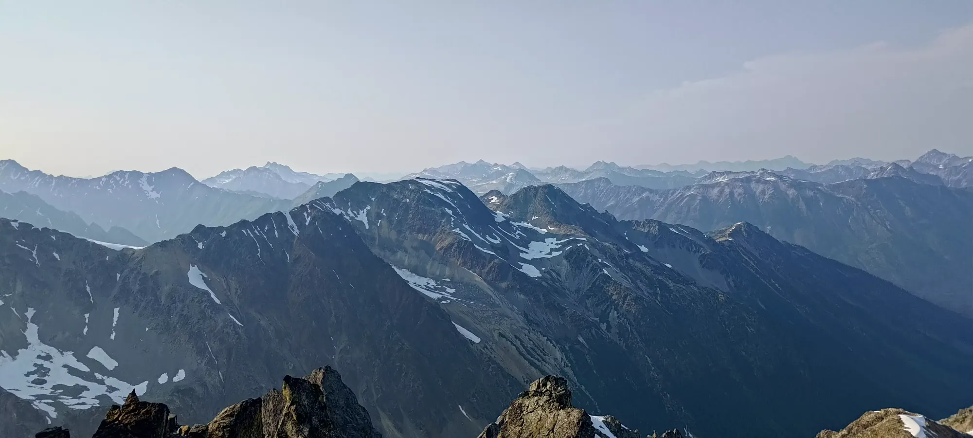
After all that fuss, we summited Faceless a rather slow 5.5 hours after leaving the car. One definitely can do this faster by selecting easier terrain, planning more intensively (we both definitely did the "well the stats are easy and it's popular, it can't be that complicated/difficult" thing and planned rather casually), and taking the glacier for more of the way up. We had tons of fun on the optional scrambling though, so it was still pretty great for us, and we did still have 5-ish hours before dark to get out of any intense terrain.
Face Mountain
Thiassi Range, Pemberton, British Columbia
2485m
With Faceless now done (even if it wasn't supposed to come first), we turned our attention to Face. The route was basically just "take the col northeast to the peak", so that's what we started doing. Our first few steps were pretty straightforward, but we soon came to a steep descent towards the first flat bench, which had intermittent rocks in the steep snowy face. For the most part, we descended using the rocks with great trepidation, but near the end, we had to use some snow, and it turned out once I got into it, I could heel-step well-enough to stay stable, so it looked worse than it ended up being.
After that, it was some simpler scrambling and walking (with as many snow bypasses as we could find) to get up and over the middle bump on the ridge before we started the final ~150m ascent up to the peak.
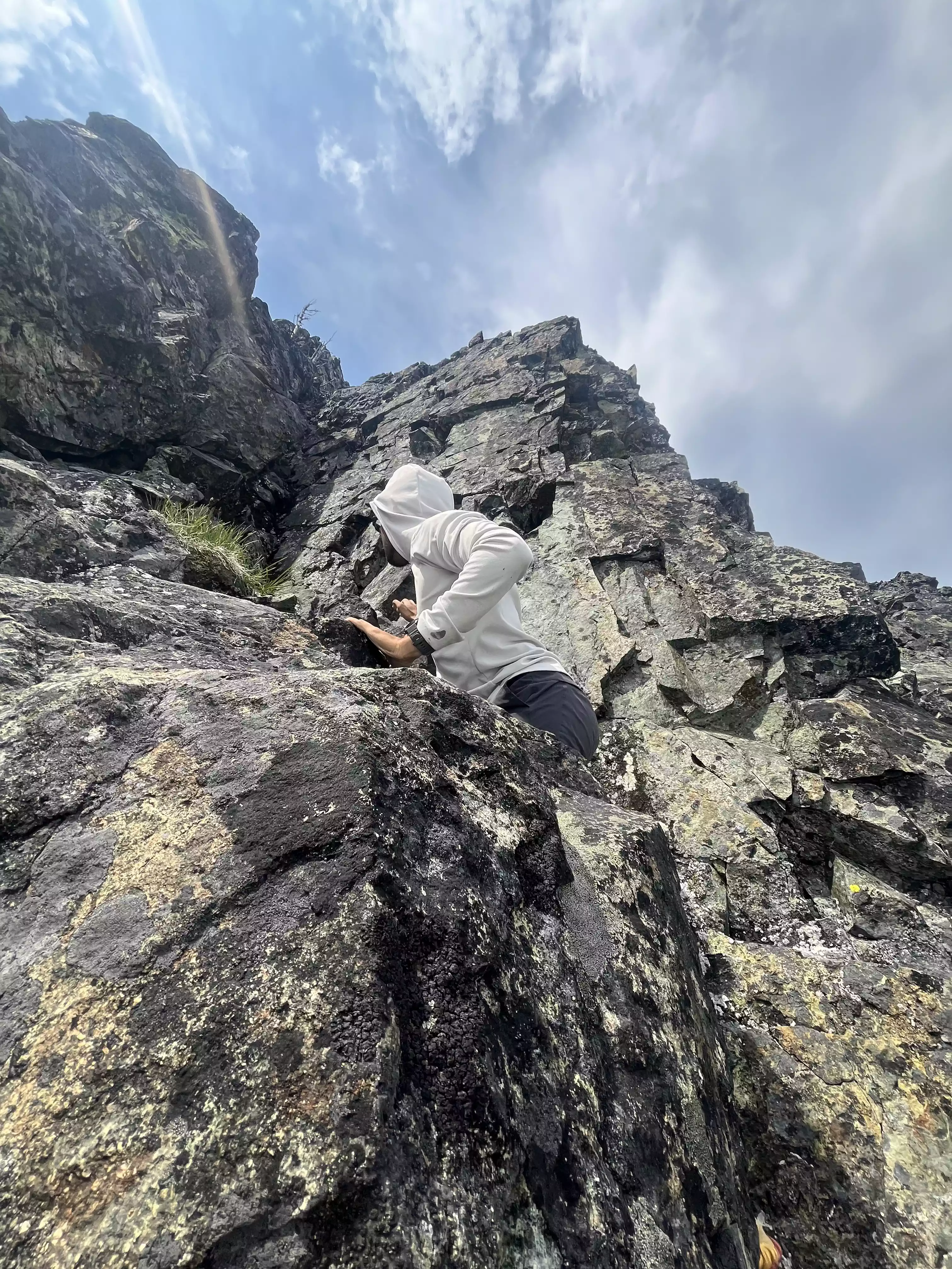
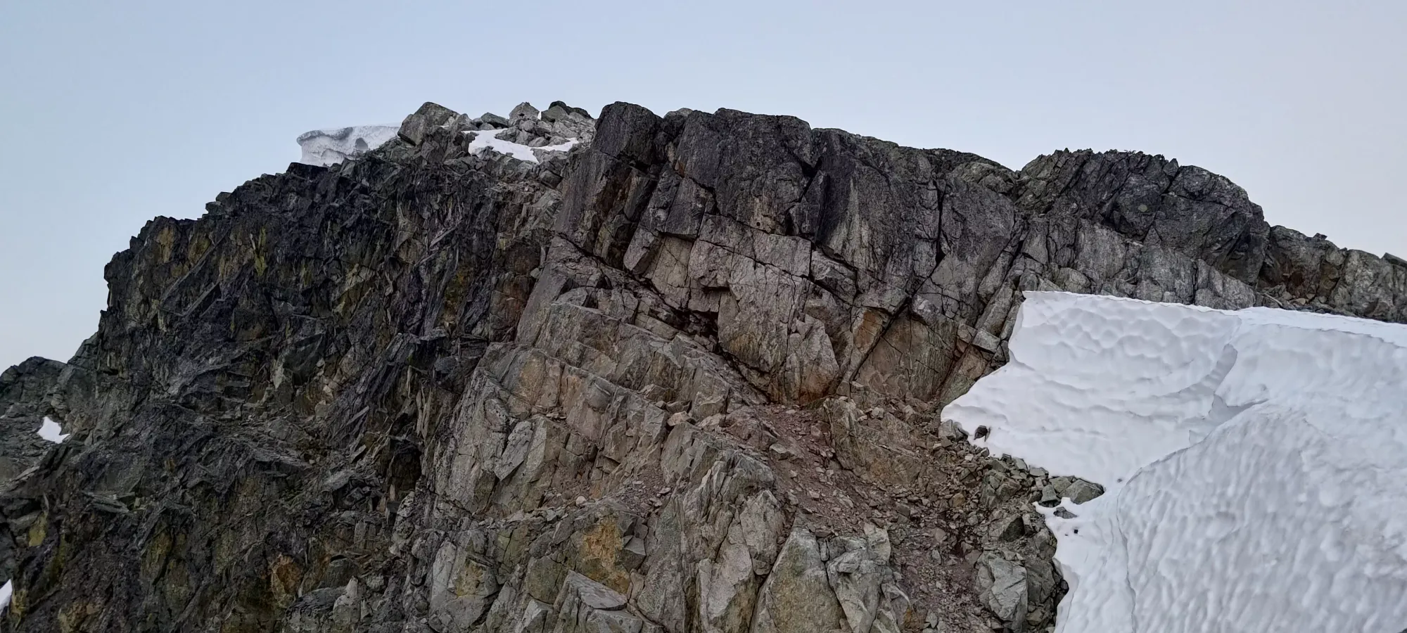
Once we started going back up, we encountered a fun little band of red rock. The easiest way up was, well, up and over it, but I saw a fun little ledge traverse on the climber's right side, so I went up that way while Shayan decided to get some photos before saying "screw that noise" and taking the more obvious route.
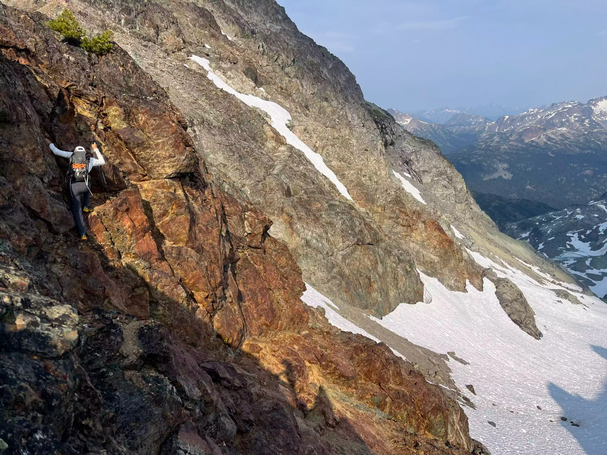
Getting through the red band. Photo creds: Shayan
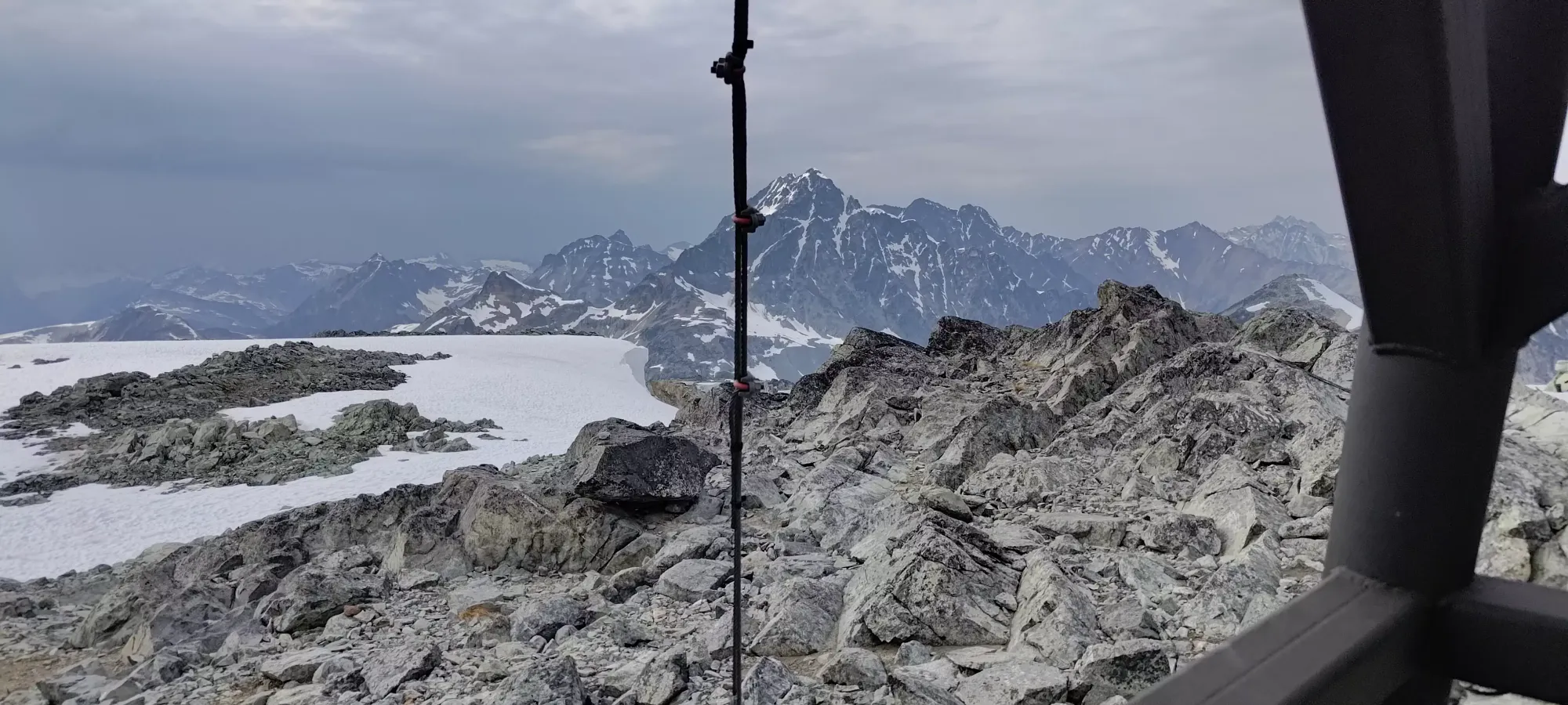
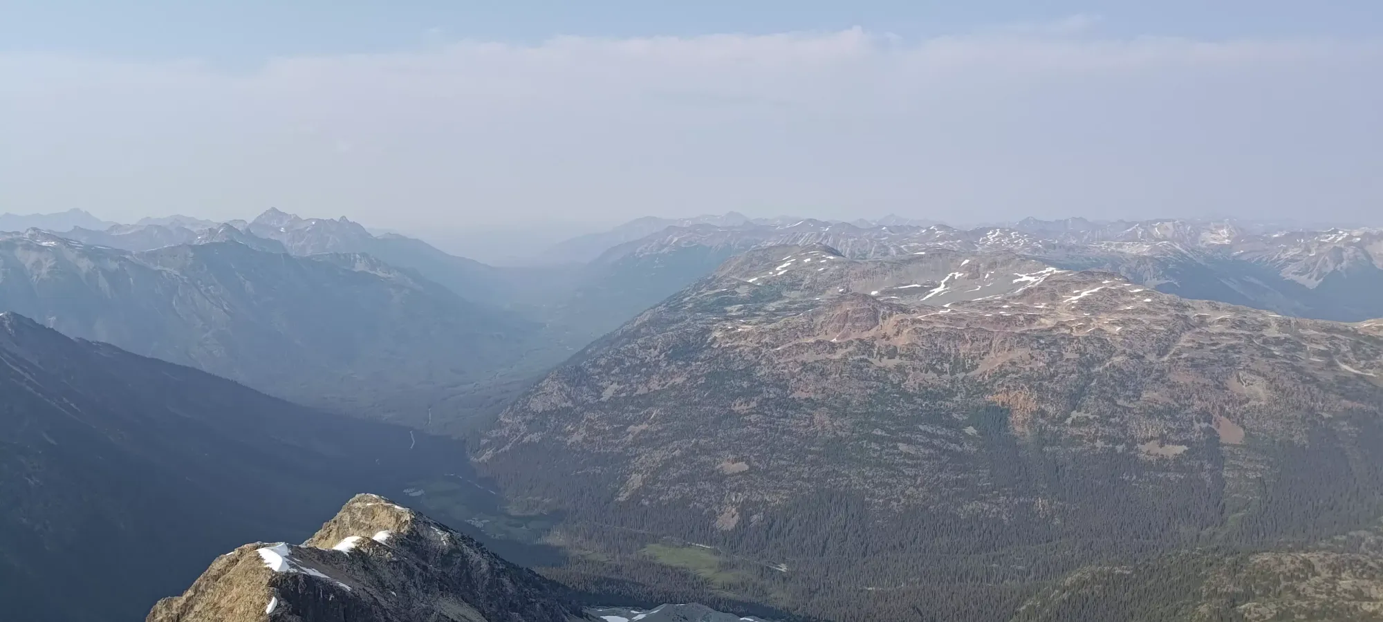
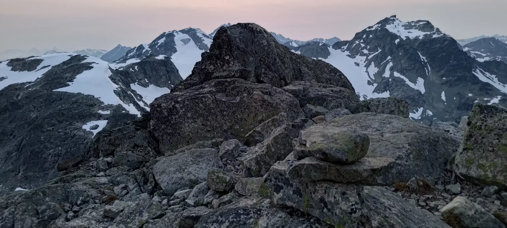
After the red band, we had some easy walking+scrambling up to a point where the final big rise of the ridge started up towards the summit area. Here, we saw a potential hard route to climber's left around the side of the peak and up from the west, but it was clearly not the route, and not guaranteed to work out. To climber's right, it was an easy walk up some moderately loose rock slopes. Directly ahead was some steeper scrambling comprised mostly of ledges with some harder sections tossed in for the fun. As with most of the day to this point, we decided to have some fun and go up directly. We'd discussed the possibility of turning back on Face due to the lateness of the hour already, and both expected that to be the decision once we summited, so we were happy to enjoy the way up more at the expense of a little efficiency.
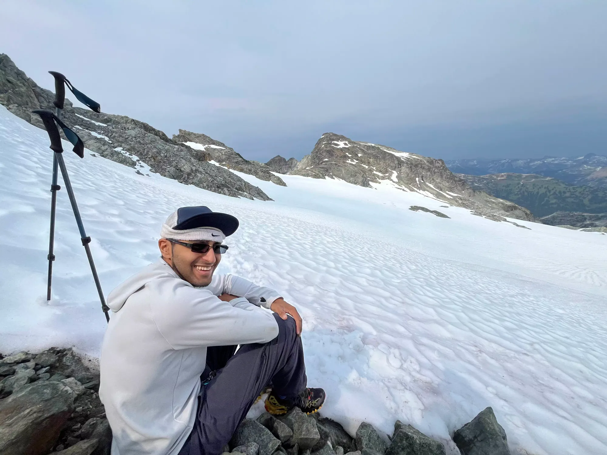
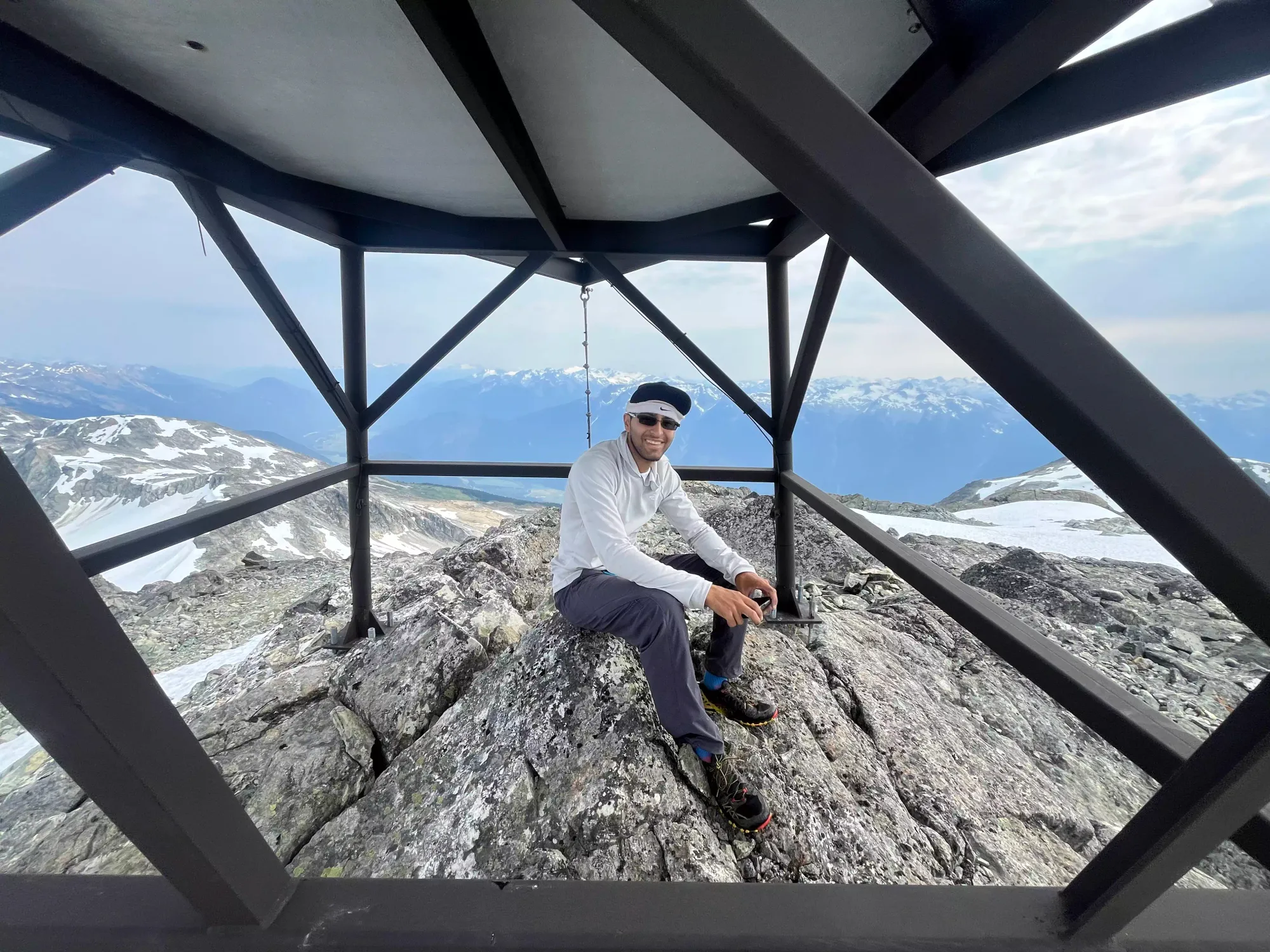
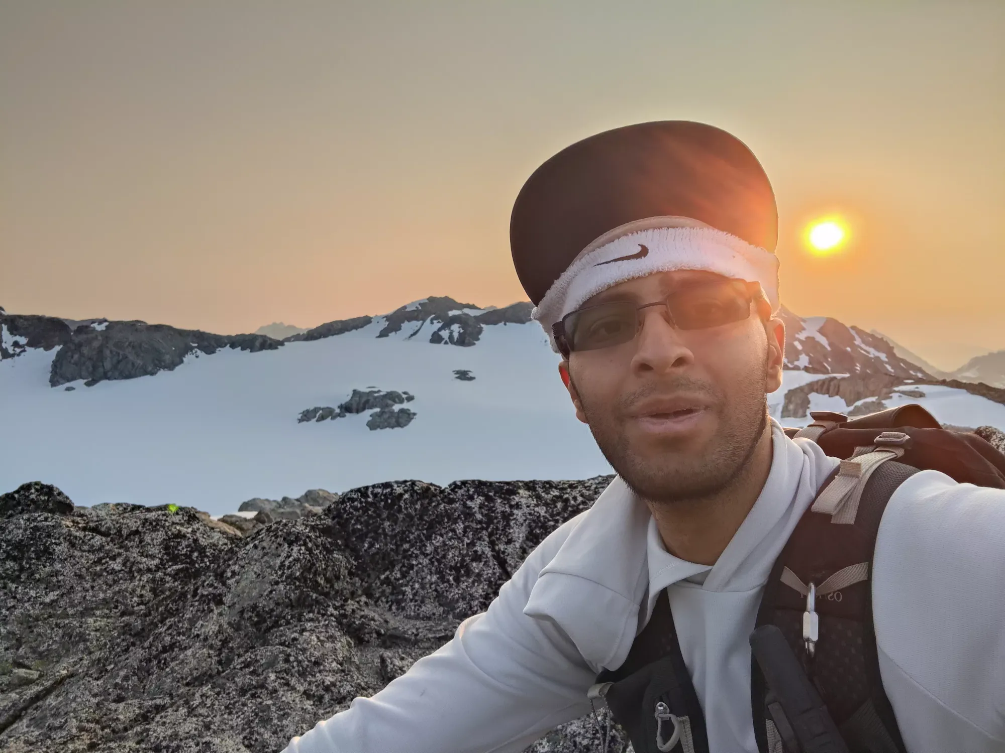
Just below the top, I had to stop for a bathroom break. Shayan was feeling particularly generous so he constructed me a fancy seat out of some rocks for me to do my thing while he waited up top, which made for quite a luxurious backcountry bathroom experience 🤣 Once I was done, I joined him up at the top, making our total traverse time a bit over 1.5 hours, definitely not the most expedient, but fun! At the summit area, there are 2 potential high points. Shayan stood on the first one we got to, and I went to the next, which was at the top of some large slabby rocks, and it turned out that mine was the higher of the two. We took a few pictures, enjoyed the views for about 10 minutes, then started making our way down.
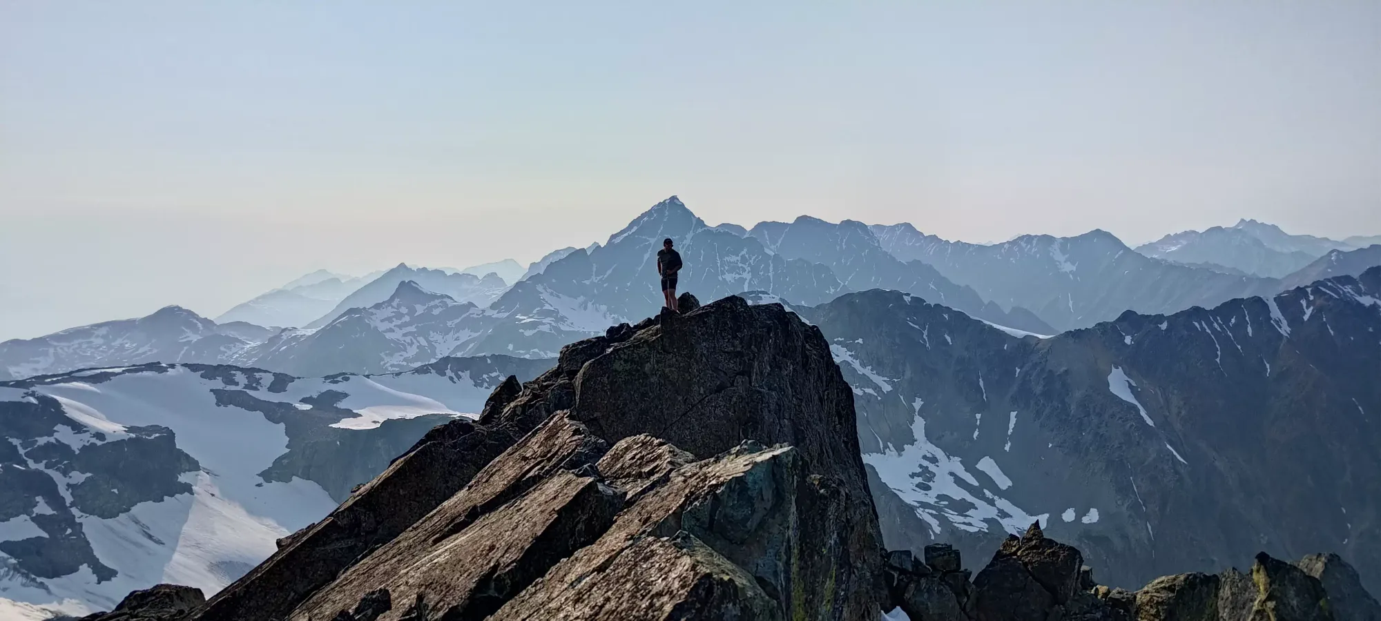
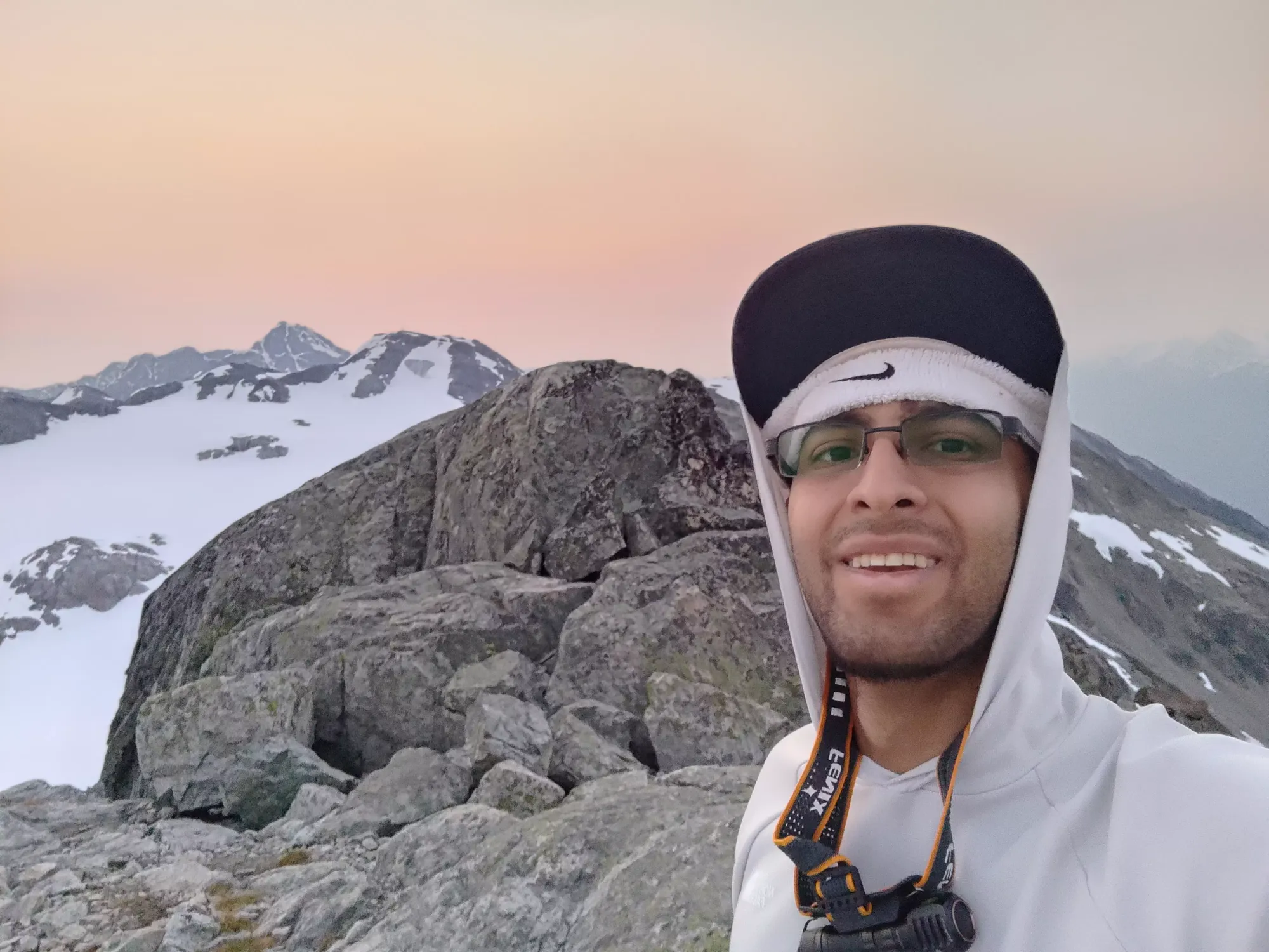
Me on the summit. Photo creds: Shayan
Initially, we had both thought we were going to descend from this point, as it was past 6:30pm by the time we got moving off the summit of Face Mountain. However, as we were chatting, I brought up the fact that Shayan was still in a respectable place on the Front-Runners List for the Gunn Scrambles, and that got him motivated to go and clean up Tender Mountain, as that is on the list, and unlike Locomotive, he didn't already have it 😅 So, we set out, accepting a long day in our near futures, as I was also willing to make it a long one if I could get some extra peaks out of the deal.
Caboose Mountain
Thiassi Range, Pemberton, British Columbia
2323m
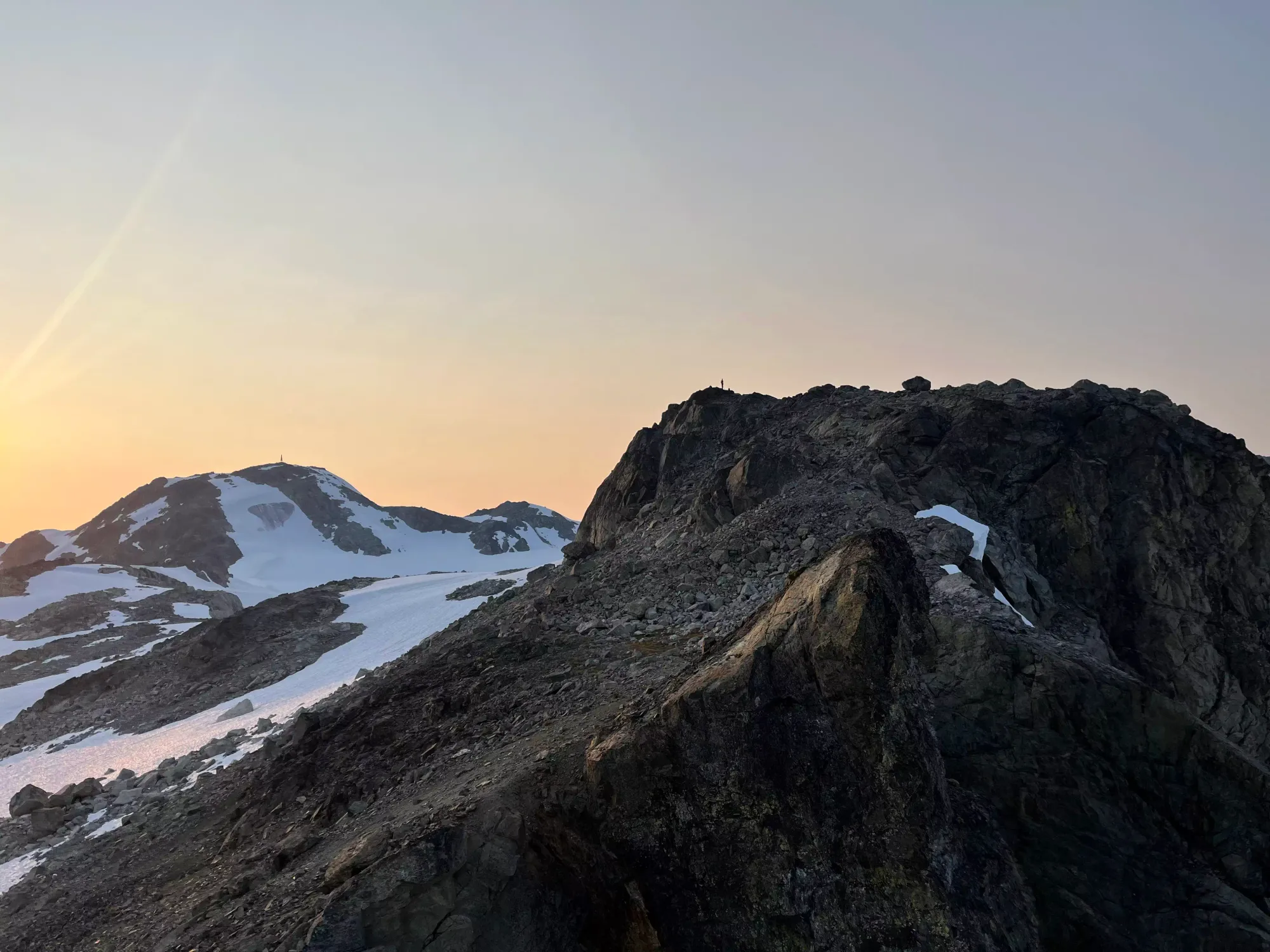
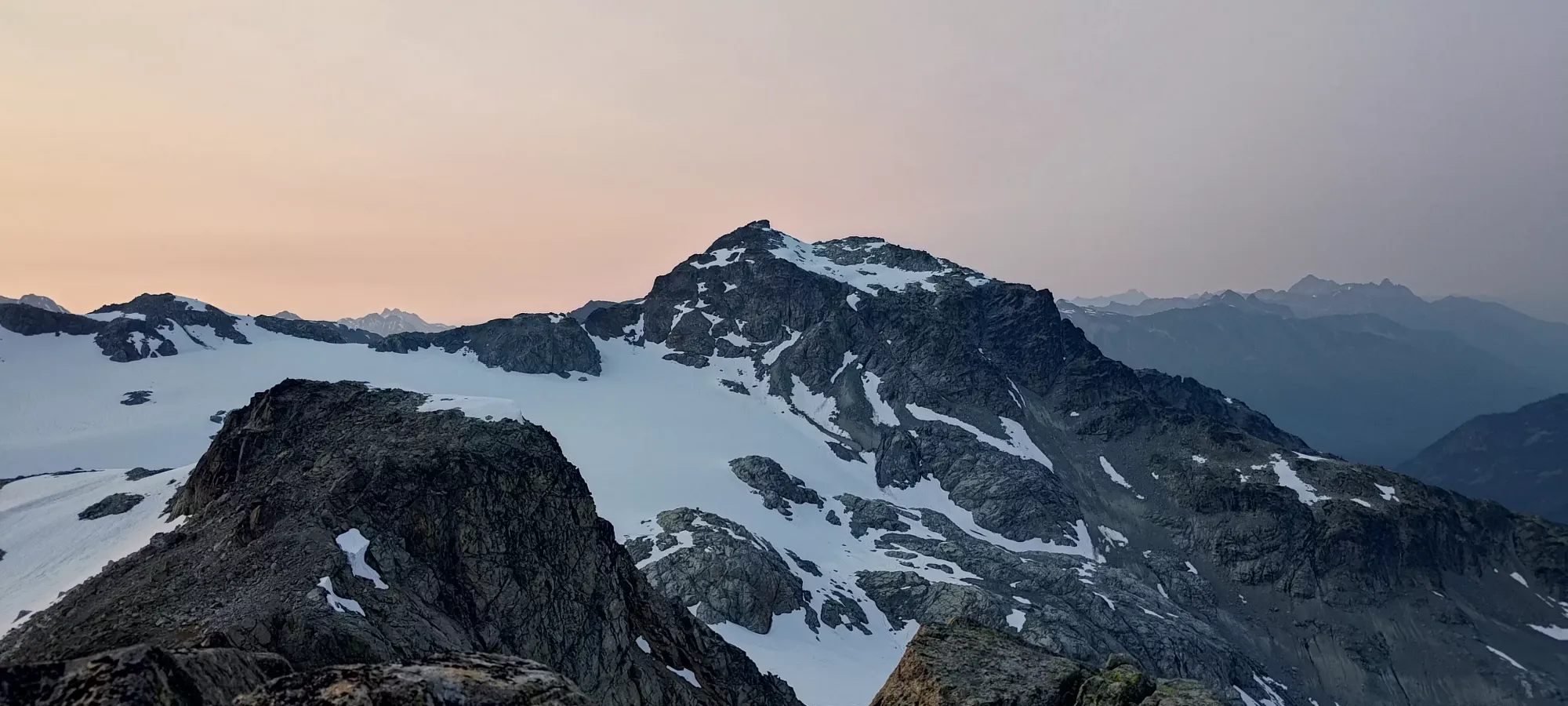
Retracing our steps back down and up to the bump between Face and Faceless was fairly straightforward, taking about 45 minutes. At this point, since I'd still eaten nothing and had only about 600mL of water (my health still had me on the nothing-in, minimal things out policy), I was looking for water sources, but upon seeing the shallow and still pond we'd noted on the way up, I resolved myself to tough it out with what remained until we could get down from Locomotive and find some proper creeks to use instead. My energy was waning, but I knew I still had a good amount of energy left in my reserves. I've never been amazingly fast or had the best endurance to stay fresh, but rather just a large capacity for suffering, and I knew that would carry me through the honestly fairly middling stats of the day.

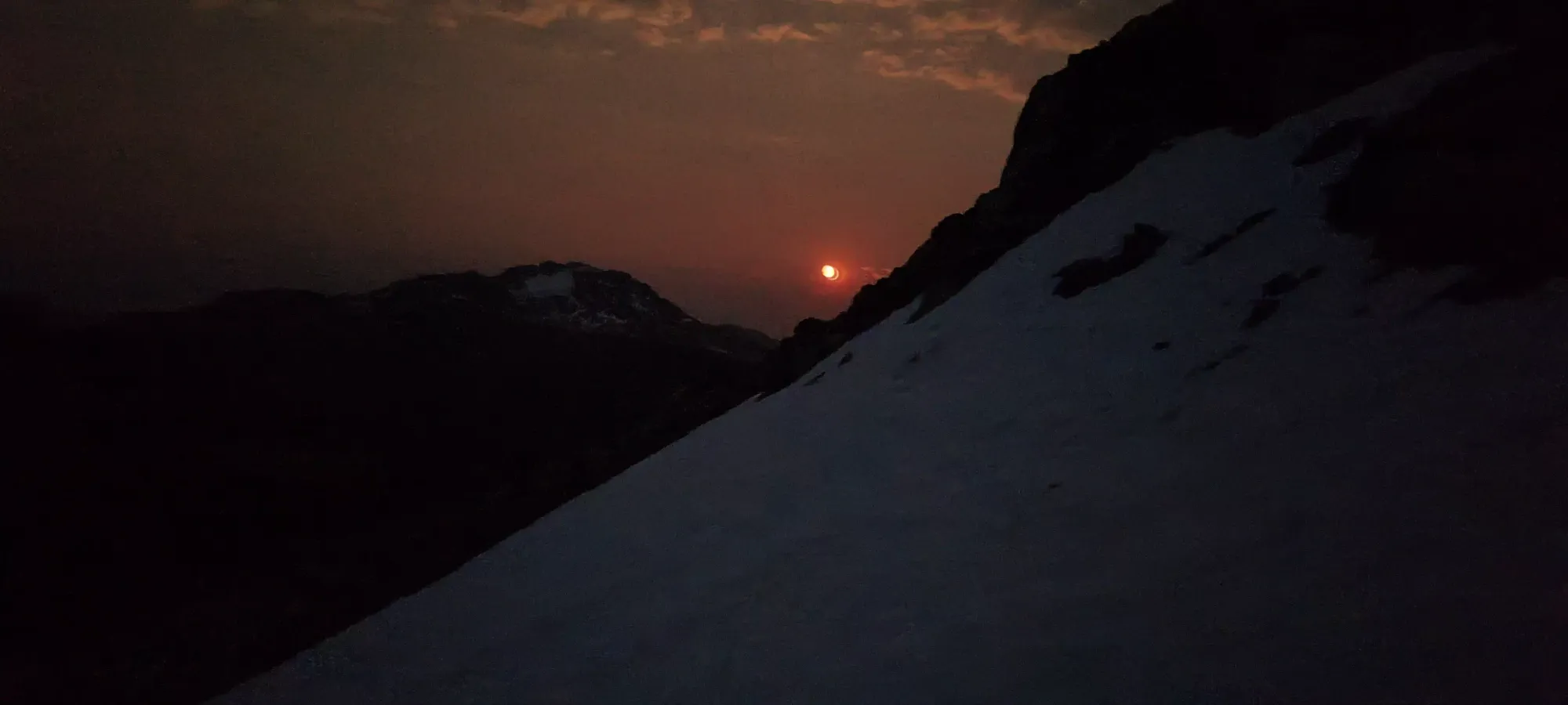
Once we got beside the snow at about 2330m, I slapped my spikes back on, and led us across the snowpack to the Faceless-Caboose col. We started to get some nice views in the sky as the sun darkened and lowered down towards the horizon, which was nice (if a bit of a warning of the tedium to come). Crossing the snow itself was quite simple, as the slope is broad enough to easily walk along the same contour, and we got across in 10 minutes without issue.
The walk up to Caboose was pretty simple. Getting across and to the low point of the col was all easy walking. The way up saw us diverge, as Shayan took the shorter, more direct line up the rocks. I thought I would enjoy the snow to the south more, but it ended up being a bigger detour than I first thought, and I had to lose an extra ~30m along with the extra distance, so I fell a bit behind. It was still only 25 minutes from when I took my spikes off to the "summit", though.
Tender Mountain
Thiassi Range, Pemberton, British Columbia
2329m
From the top of Tender, it was again fairly easy travel to get over to Tender Mountain. These are both quite small "peaks", not even exceeding 50m of prominence, but they are named, and one is on a list, so we bothered with them anyways... There's not much to say about the 15-minute walk over to Tender. I walked for a bit, and met Shayan at the top.
Locomotive Mountain
Thiassi Range, Pemberton, British Columbia
2340m
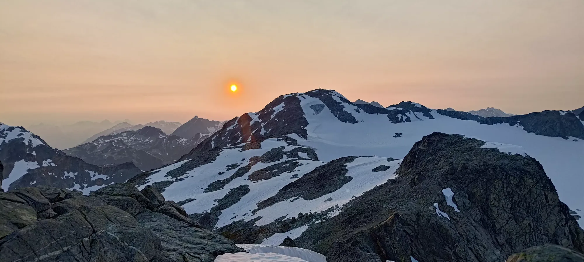
With that out of the way, it was time for the last peak of the loop (technically there is a <p100 called Railroad Mountain over the lakes, but I've decided not to care about it 😅). We descended together for about 25 minutes until we hit the bottom of the col between Tender and Locomotive, where we split up. Shayan already bagged Locomotive back in 2021, so he decided to go wait at 2200m (our approximate elevation) on the descent route from Locomotive, by just traversing over at-elevation. Meanwhile, I'd take my essentials out of the pack (letting me move faster to get the extra summit without the pack weight, as I had to go uphill ~150m still), tag the summit, and meet him on the other side. This was at about 9:00pm, for reference.
Getting up to the summit of Locomotive was pretty simple. Just following the obvious/most straightforward route I could see worked very well, and with only some simple class 2 moves (and a couple class 3 moves one could avoid if so inclined, which I didn't bother to), I made my way up to the summit in about 25 minutes. That would've been 15 if I didn't need a 10-minute bathroom break most of the way up, but "them's the beans" with me as of late 😞. At least I did have the forethought to take my bathroom supplies as part of my essentials from the backpack.
Once on the summit, I snapped a few pictures in the waning light, then quickly made my way down the south ridge, eager to meet up with Shayan (who also didn't have a headlamp, and was low on phone battery) before things got dark.
The descent down to Shayan was fairly easy walking, though there were many trails, and 2 cairns systems going at once, so make sure to check your maps as you go to avoid getting sucked somewhere you don't want to go.
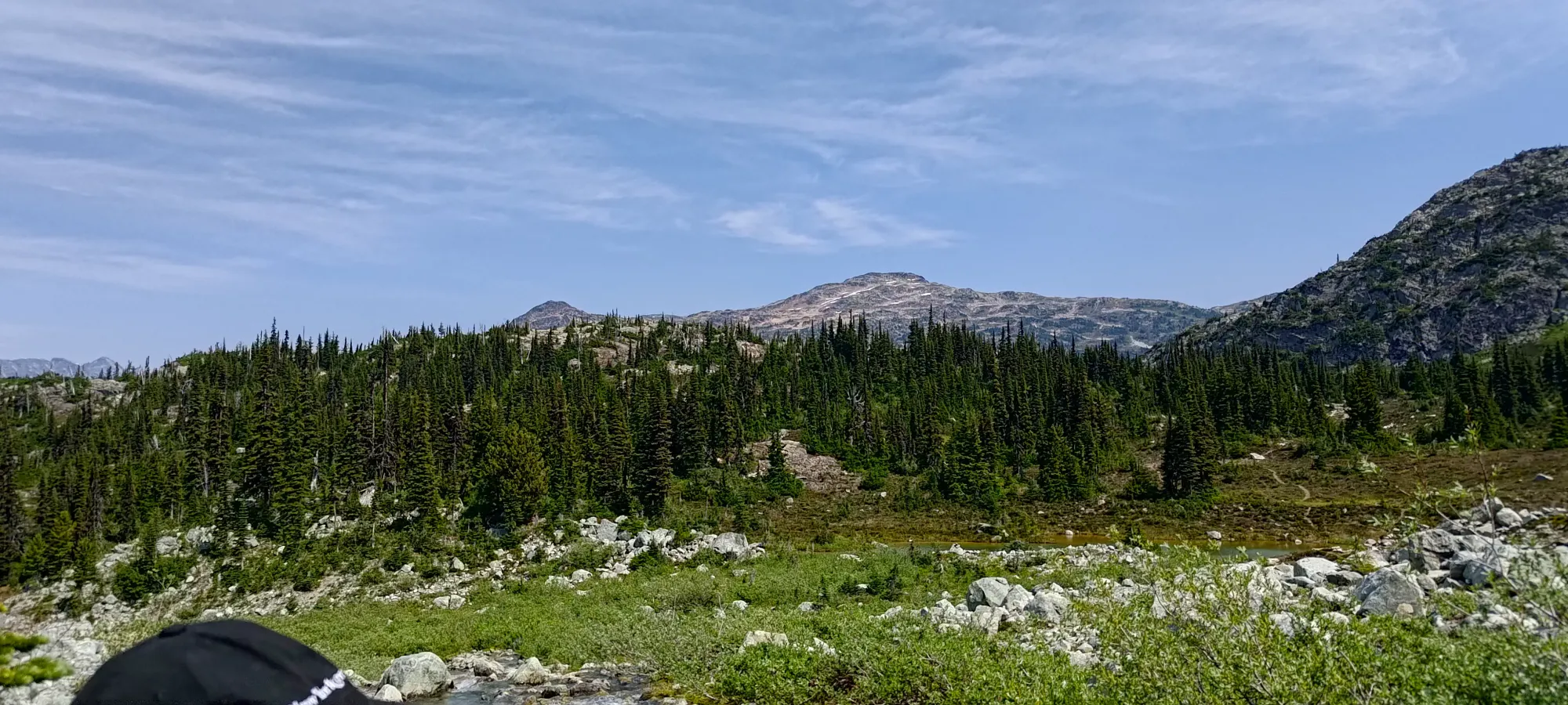
The terrain was largely just rocky, but not super steep, and fairly ledgy when it was, so there wasn't much scrambling to do. We mostly just went down where the terrain was easiest, and made sure we checked maps and/or saw cairns in the last minute or so, and stayed on track fairly well doing so. We made sure to use snow patches as much as possible once we got below 2000m and were making our way north towards the lakes, as travel on snow was much faster in the dark than routefinding through rocks in the alpine. The ridge south from the peak had a nice trail, but that was largely gone until we got down to nearly 1700m, when things picked up near the more-trafficked campsites.
Getting down to the lakes took a bit over 2 hours in this manner, though I expect daylight would make the process a lot easier. I was not a big fan of the few undulations over rocky ridges as we got closer to the lakes, and probably lost a couple minutes stubbornly trying to contour around one of them 😅 At least we didn't need to cross any creeks, though, that would've sucked in the dark.
We were very happy to have well-defined trails once we were back at the lakes, though the large number of them, combined with a good few being closed to protect the ecosystem made routefinding more annoying than ideal. I took far too long to finally get my watch to route us back to the trailhead (to this point we'd just had phones for reference, but no track we were explicitly following loaded to navigate turn-by-turn), but once I did that, we no longer had to think, and could just walk out, which definitely made life easier.
With the pathing simplified, and the lakes behind us, it was only an hour to walk back to the car, and we could finally start the drive home at a casual 1:15am 😅 It's been a while since I've had a trip that long, probably since Mount Baker, but at least we got 5 peaks out of it. 10/10 would adventure again 🙂
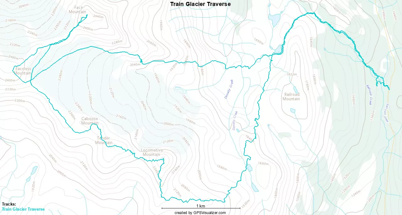
GPX Track + Map