Thunderbird Ridge - July 29 2023
The third stop on my bike+hike day around Grouse Mountain

North Vancouver Area, North Vancouver, BC
1249m
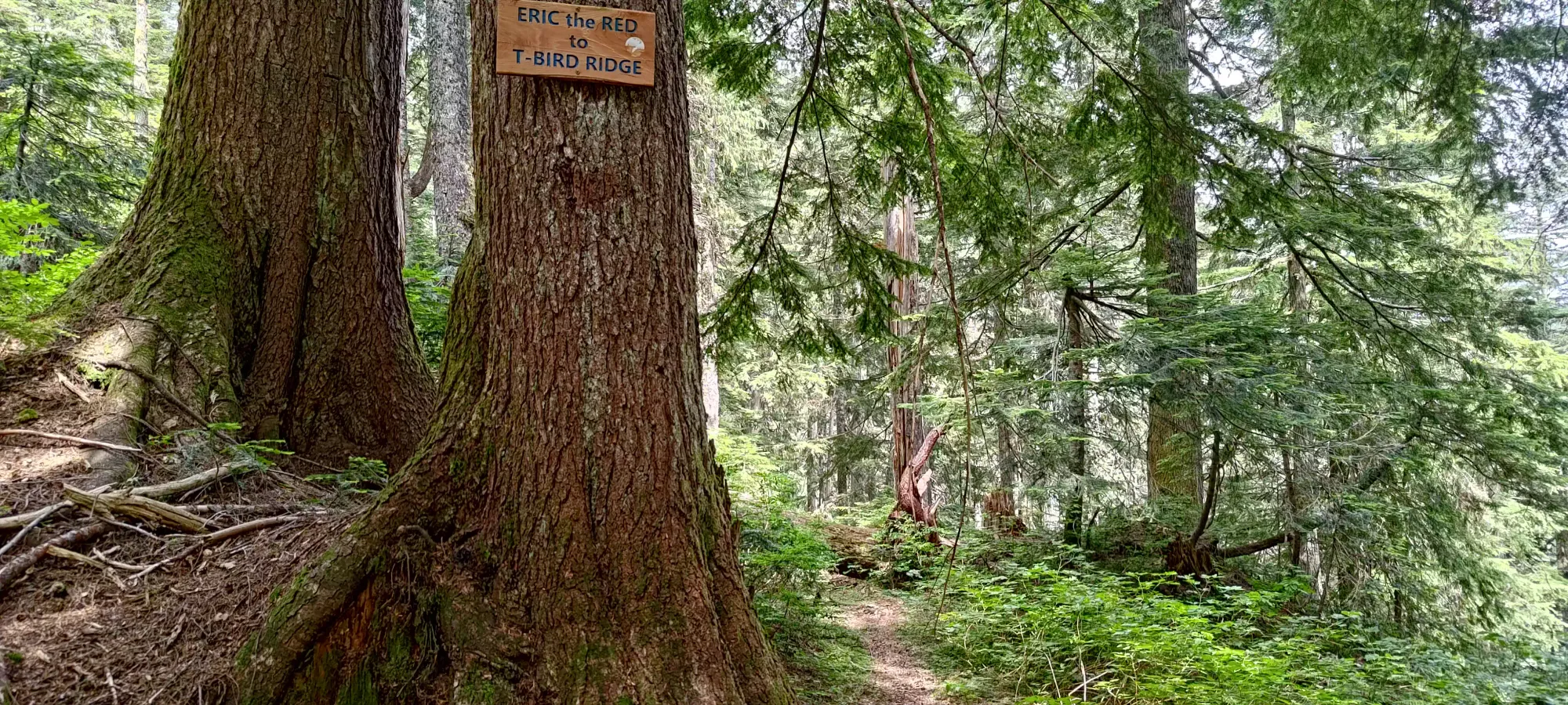
After starting the day with Fromme and Senate peaks, the next step was to traverse over to Thunderbird Ridge, via the "Eric the Red" trail (check out the Fromme TR to see how to get to Pipeline Pass where this trail starts)
Having done little research into the specific trails in the area, blindly trusting that in Grouse they're all "probably fine", and worst case there's a second option for almost everything, I didn't look into the conditions of this trail. In retrospect, for a few reasons, it probably would've been faster/easier/smarter to just get back down to my bike, and get up to the resort instead of taking this trail, but oh well, this is at least a more "interesting" option.
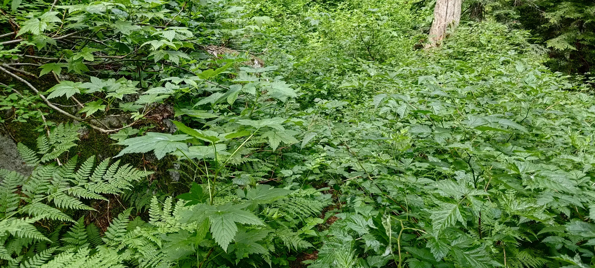
The trail starts out okay, but quickly gets busy and overgrown. There are a few spots where you have to actually whack some bush, but most of it is just slapping and pushing through leaves rather than sturdy branches that require some work to get around. Still not quite as bad as I was expecting. I figured this would be a less popular trail than others in the park, but I'd say this definitely is in "needs some machete love" territory. Only take this if you want to, not because it's a pleasant hike, as it honestly just isn't.
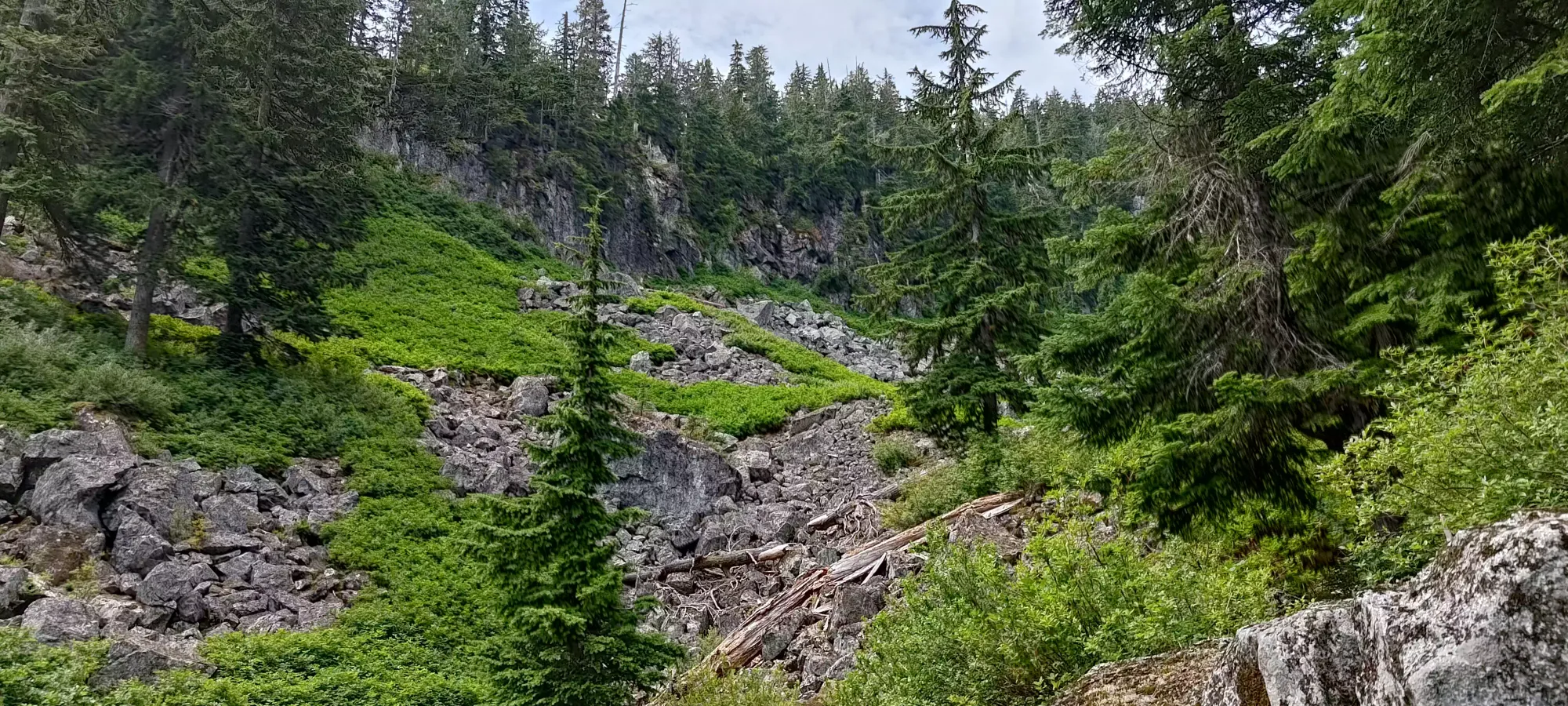
The bush-slap continued for about 10 minutes on some undulating but mostly downhill terrain to Thrasher Creek (aptly named). There's 2 turns off of the trail to cross the creek, I took the further one, but you should not do that, as this will put you beyond the crossing point. I walked up the creek for a couple minutes before getting suspicious and turning back to find the crossing directly across from where the first turnoff is located. When I was there, the stream had perfect flow, not enough to make crossing difficult, but plenty for refilling confident that your filter wouldn't die. Since I wasn't sure how much water I'd have the opportunity to scavenge, or how long I'd be out, though, I brought plenty from home.
Getting up from the creekbed to the ridge was a bit tiring for me, I suspect due to lack of calories, as my breakfast wasn't big in my rush to get parking, and I didn't have a ton of food for the same reason, just snacks enough to "keep me going". Partway through the ~300m gain to the ridge, I stopped for a snack. Thankfully, with the low traffic on this trail (saw one other group coming the opposite direction), I was not in the way when doing so. In total, it took about 40 minutes to the fork up to the ridge (this is a shortcut, the formal trail goes further west on the ridge, which you can take if you don't plan to visit the ridge's high point).
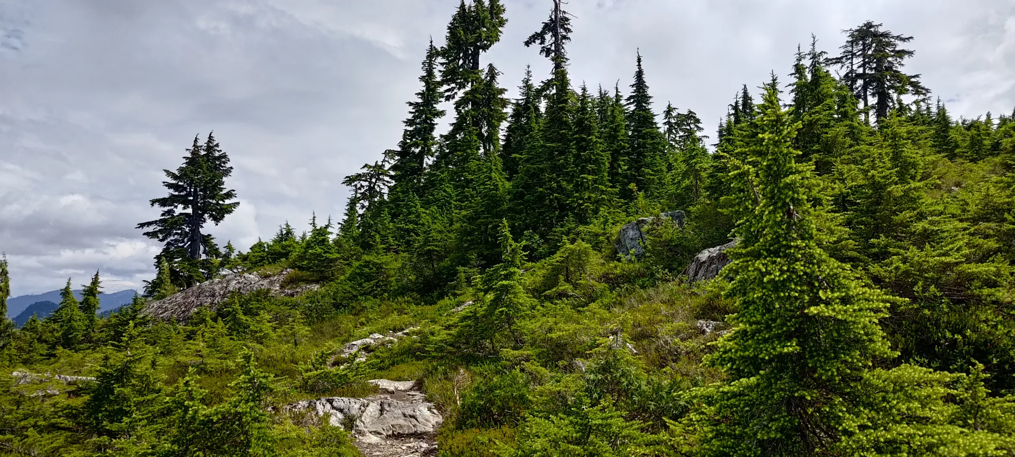
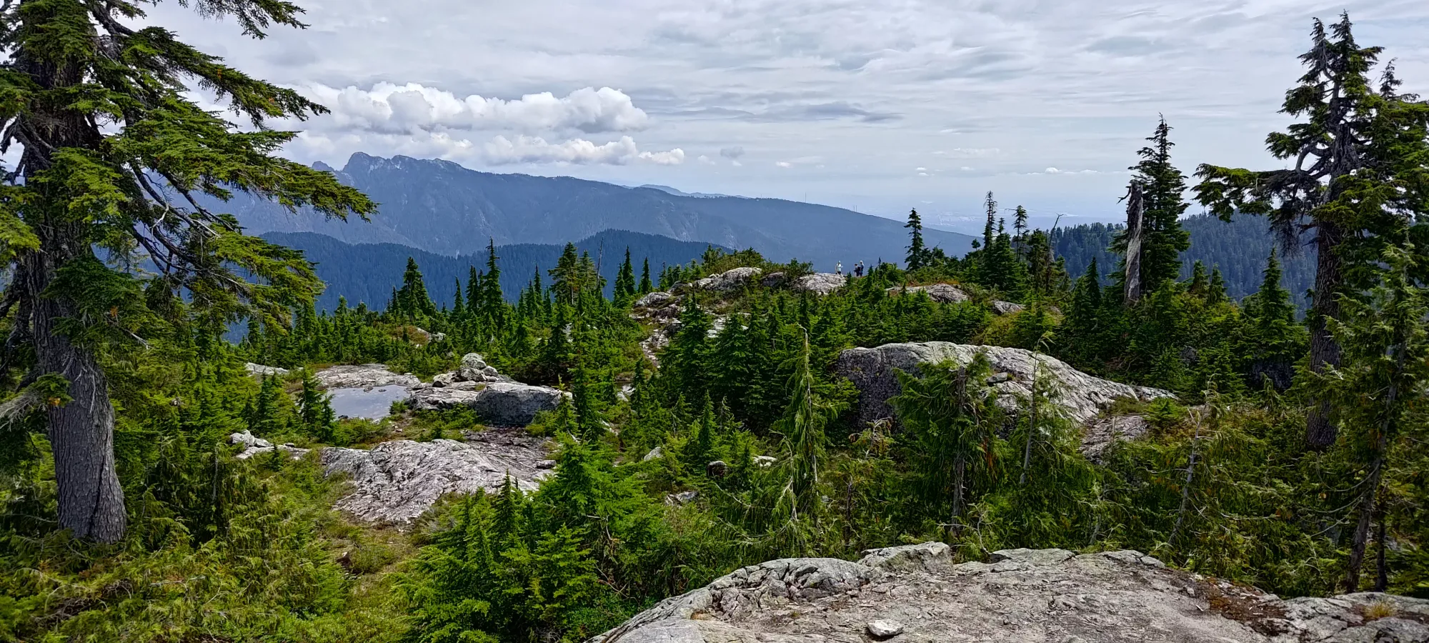
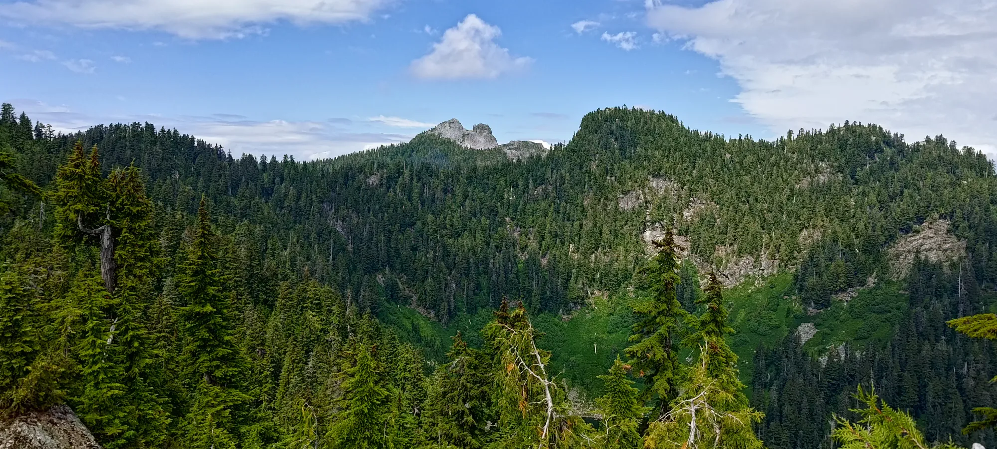
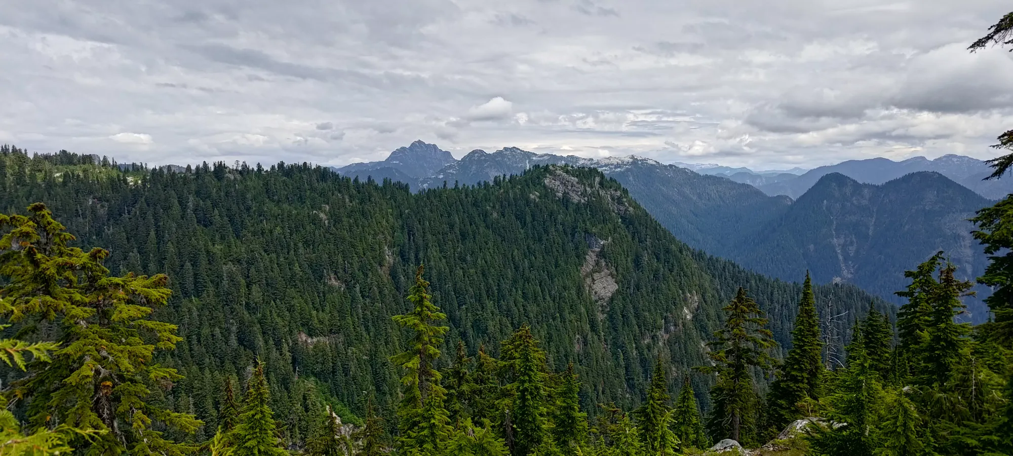
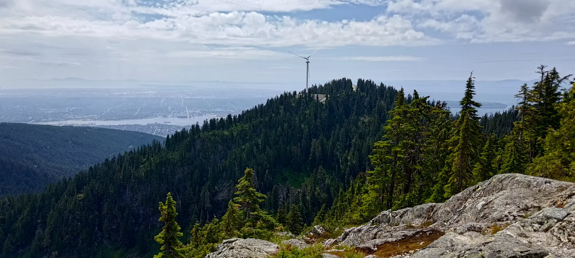
From the start of this fork to the ridge proper, and then the high point was around a 10 minute walk at a leisurely pace. The true summit is a bit before the viewpoint most people stop at. I met a couple of ladies there I chatted with for a few minutes, and took some photos for before I headed on. I was trying to reach the "extra peak" listed on Peakbagger, but after bushwhacking and following the ridge down for a while, I was convinced that Sean's TR is right, and this is just an error, there's nothing of note down that way. I turned back and had a snack up on the ridge after that 15 minute detour.
This is where I made (or rather, realised) my second mistake of the day: while hiking with fruit is usually totally fine, ripe blackberries combined with the turbulence of biking up a forest road is a recipe for blackberry puree. Add a dollar-store container on top of that, and you get a messy bag and messier hands 🙃. I had a few and had to stash my container on the outside of my pack to prevent further "contamination" of my bag. For the future, I'll have to be more careful about the food and containers I use when biking, I guess.
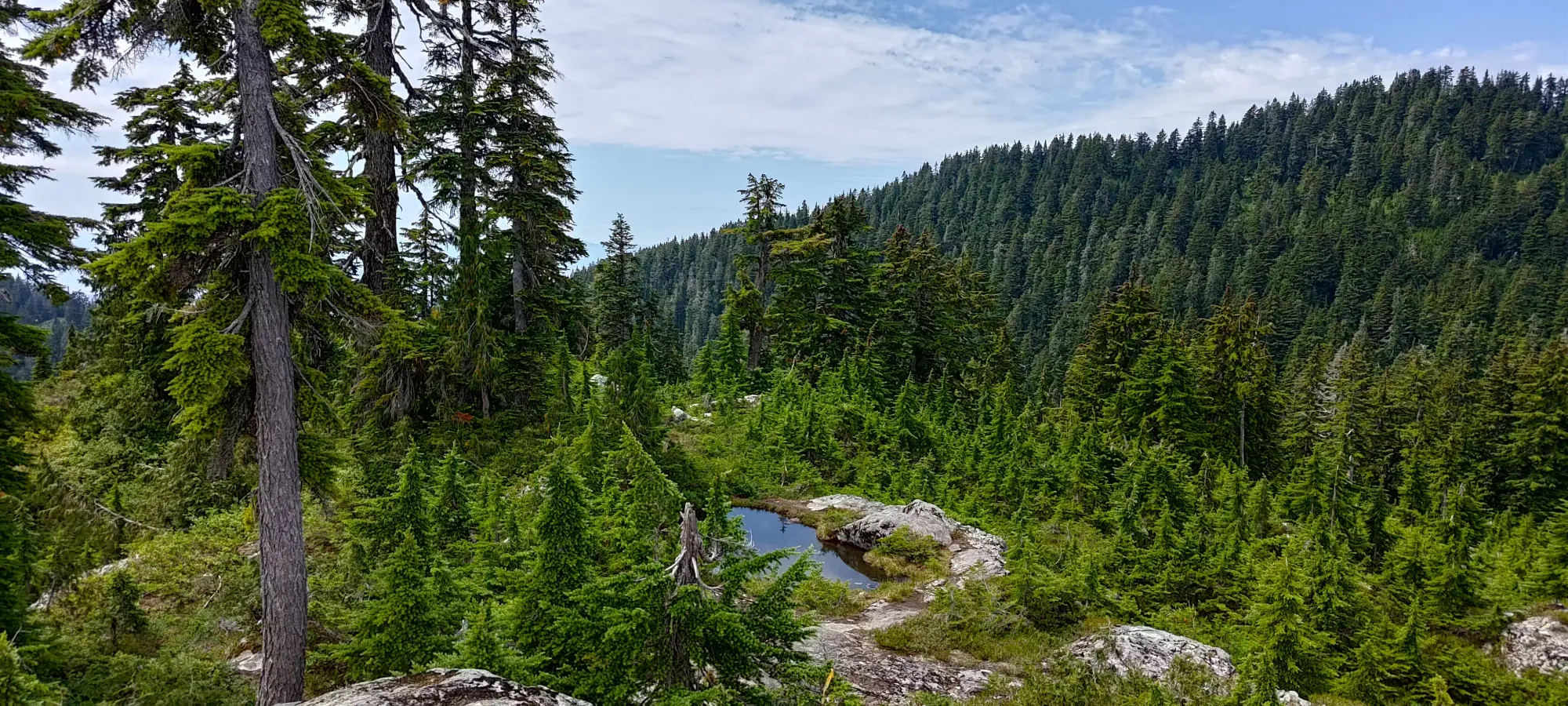
After my snack break, and a short hand-washing session in one of the ponds on the ridge, I headed on to my next objective for the day, Goat Mountain.
GPX Track + Map