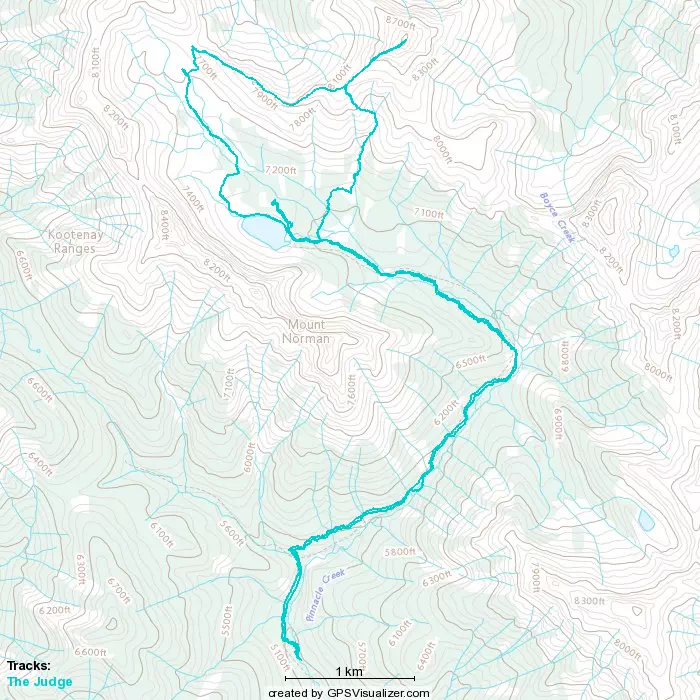
The Judge - July 30 2022
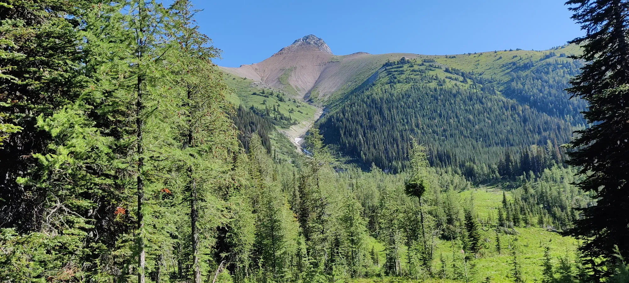
Brisco Range, Radium Hot Springs, British Columbia
2739m
For our civic holiday weekend, we knew there had to be a couple peaks bagged, at least. So, Saturday+Monday made the most sense, since rest is somewhat useful. As for what to do, since the 4th member of our group was going to join for their last hike before leaving, we needed something that wasn't too technical or long/difficult. We originally looked at a few options in/around our Rockies base (Canmore), but thunderstorm warnings had other plans, so we made a late-night decision to head out to the Kootenays instead where the weather looked nice and clear. We managed to find The Judge, a not-easy but also not-difficult peak with a consistent and moderate slope, a lake and teahouse partway up, and seemingly not much scrambling, exposure or other difficult terrain. Not enough hours of sleep later and someone's late alarm later, we left Canmore at about 5:20.
The drive was pretty fun, it started out in the dark but quickly brightened up. Saw a lot of crows on the highway, and even a deer. Once we got to Radium and headed north, though, Google Maps decided to fail us and instead of bringing us to the trailhead, brought us to a random person's house maybe 10 minutes north on the highway. I recommend reviewing your navigation before trusting it if driving there. After some frustrating signal-less re-orienting, we got ourselves to the right turnoff and drove down maybe 25km of unpaved forest road. This was actually the nicest forest road I've driven, super well-graded; anything could get up there, really. The last couple hundred metres to the trailhead have three large cross-ditches you'll need decent clearance and angles for, but otherwise a very accessible drive. After those navigational shenanigans, we headed out on the trail at 8:15.
The trailhead starts off right beside Pinnacle Creek, and heads through the forest to the right on a narrow path up a small dirt slope, and through the forest for a couple minutes. Me and Logan found this pretty uneventful, but our fourth group member (not much of an outdoor person, really) didn't quite enjoy the narrow path or steeper dirt to their side, so that took a little time. After the 10 steps or so taken with great trepidation, the forest walking was fine, and it soon rejoined the creek, and over a metal bridge. From there, you walk the rest of the initial kilometre until you hit the official "trailhead", where it turns off what looks like an old logging or ATV road. There might be a way to drive this road, but it's not worth it, as I suspect an ATV/dirtbike or a modded Wrangler/Bronco would be necessary to try it, and it's only a kilometre. We also gained about 100m of elevation in that time, which gives an idea of the general slope grade, as this was quite representative.
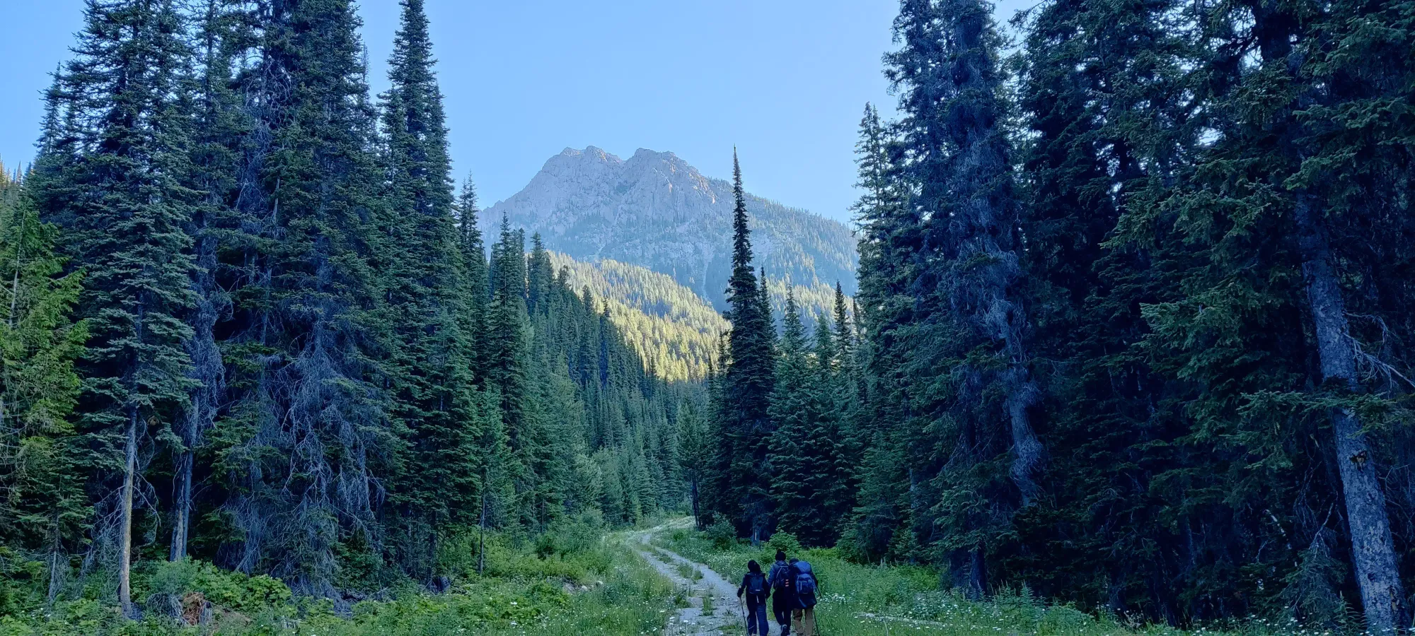
With the full "vacation group" party we had, progress was not super fast (averaged about 23 minutes/100m of gain on the way up), but on the plus side it wasn't very sweaty and I managed to avoid any unpleasant injuries, so it wasn't the worst thing ever. In about 45 minutes, we got halfway between the "real" trailhead and the big turn climber's left around Mount Norman. I grabbed a quick picture of an unnamed peak opposite the trail from Mount Normal I felt was equally deserving of a name, and perhaps is one I'll have to go back and give one. Shortly thereafter, the trail went from open air back into the forest, where we saw a seemingly very random sign about the history 1791, possibly the birth date of the tree it was on???
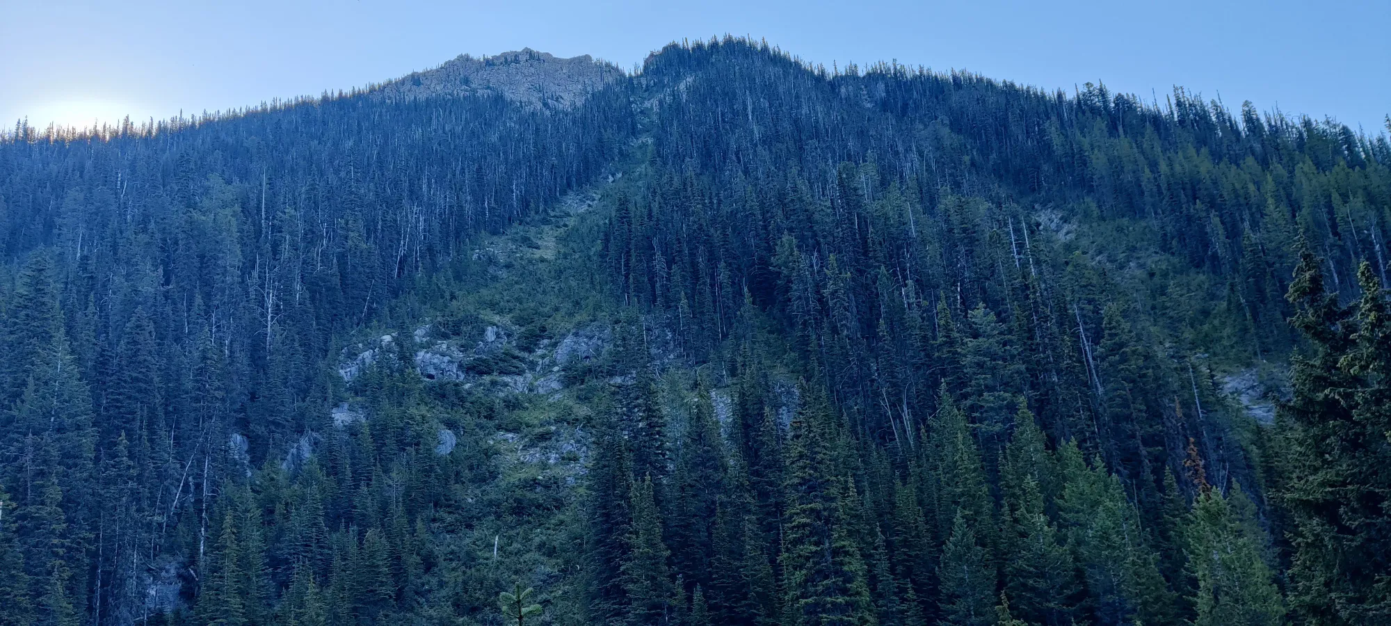
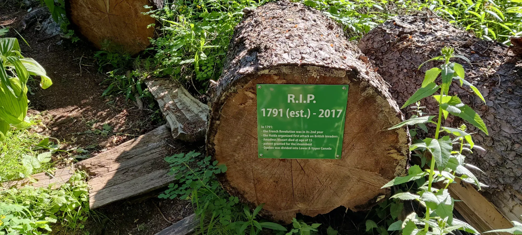
The trail is very well-made here, and cuts between more open areas near the creek, and a bit further into the forest. The views were pretty nice when it opened up, though the forest was, well, a forest and not particularly special. Though we did note an abundance of spider webs on the trail for whatever reason (which was not exactly a positive feature).
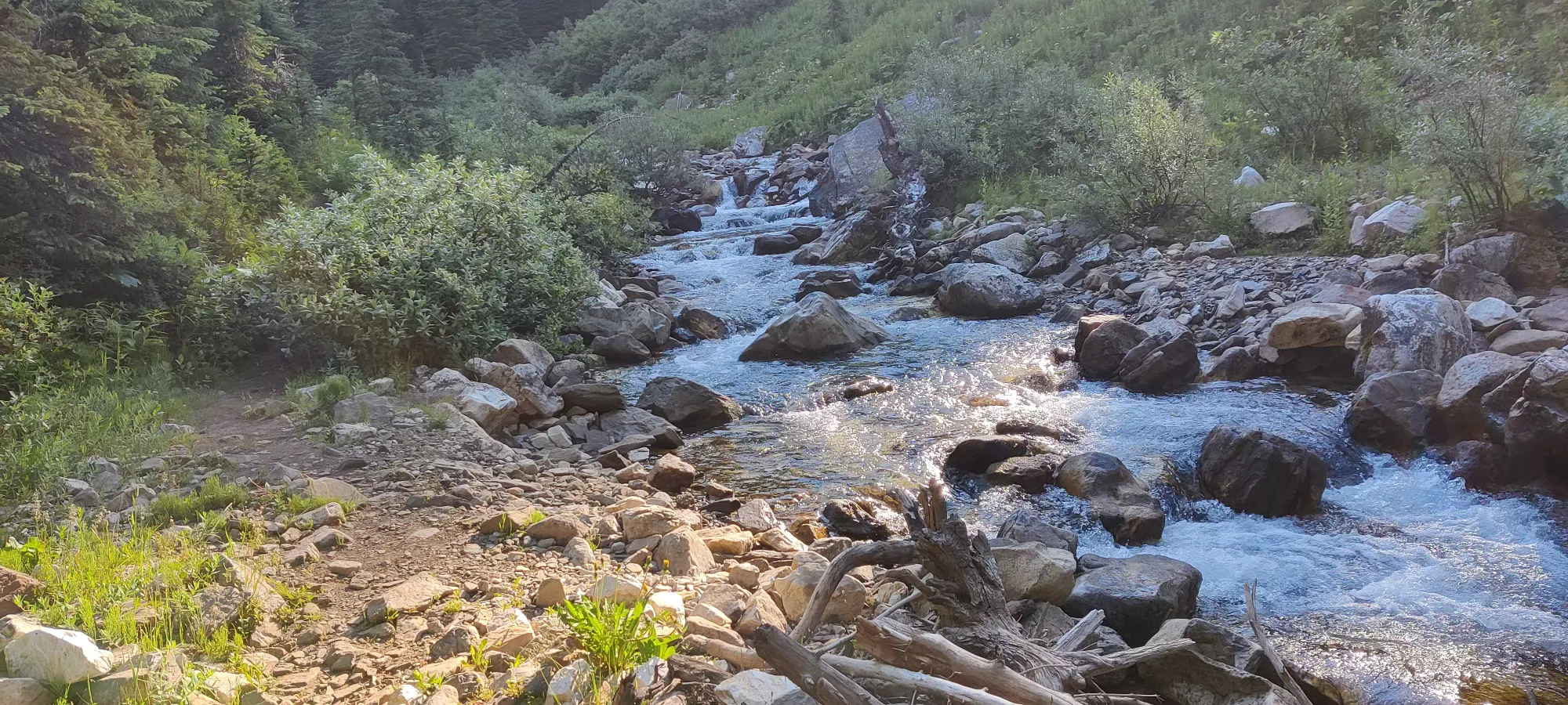
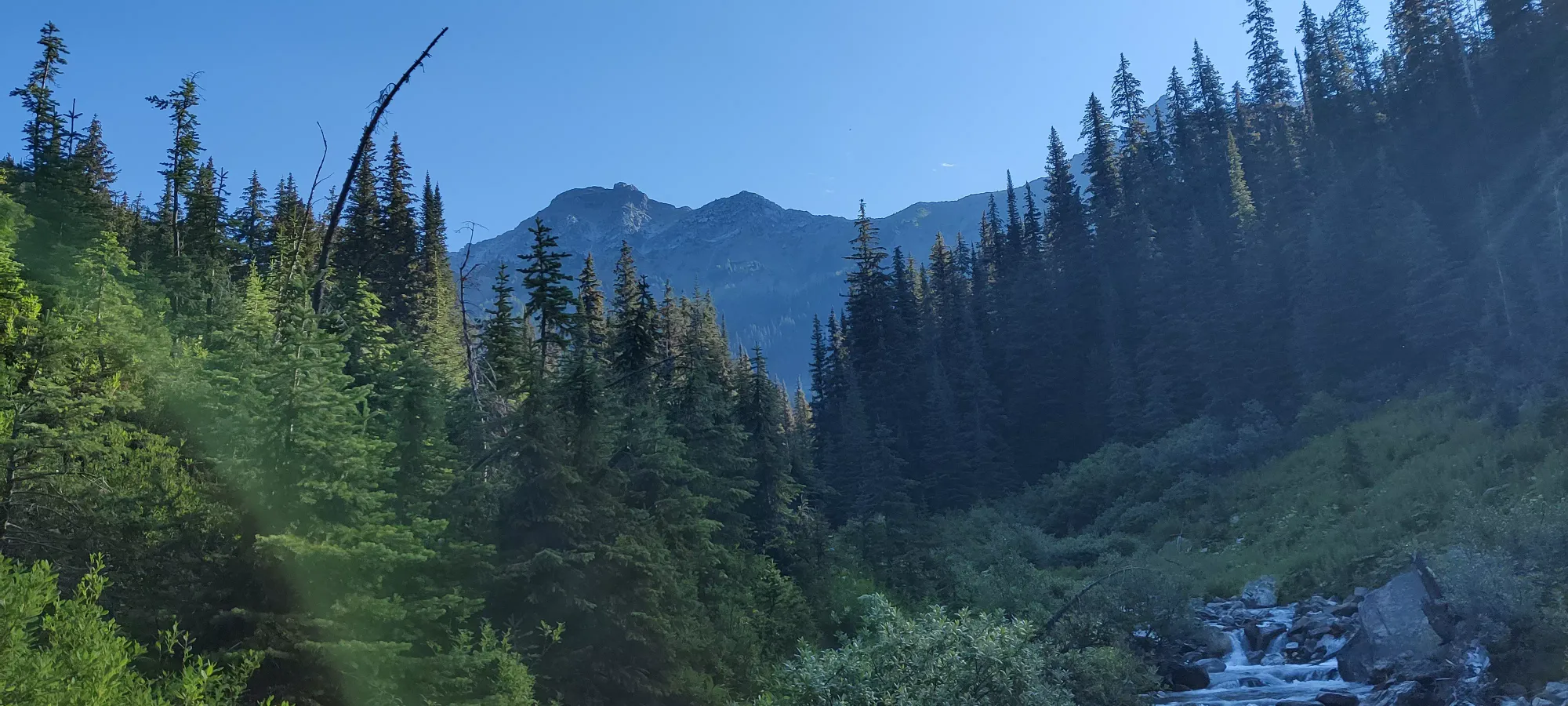
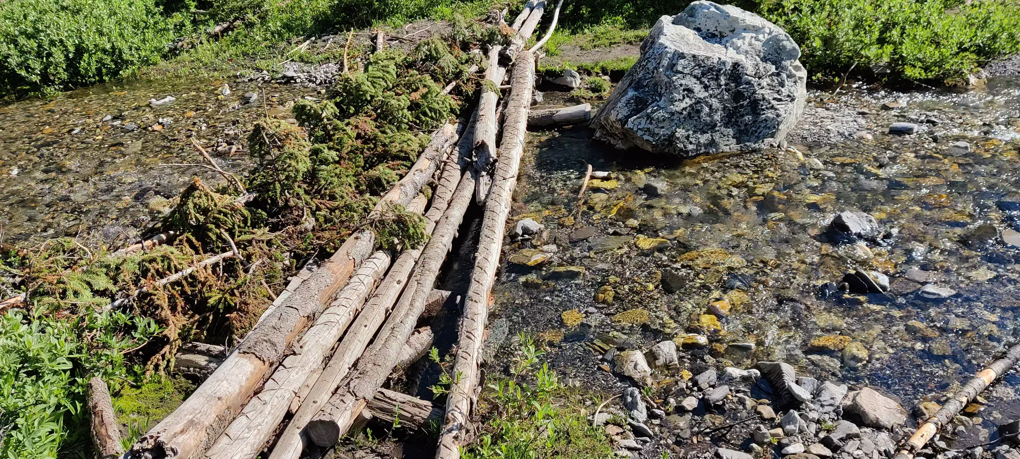
After 1³/⁴ hours, at 2000m, we made a crossing across the creek again, this time instead of a steel bridge on some well-laid logs. I imagine they might be insufficient earlier in the season when the melt is more intense, though. We got a good view of the NE face(s) of Norman here, which looked steeper, snowier, and more difficult than the SE face, which I'd recommend if tacking that onto your trip (we probably would've done so if we were in a more intense party).
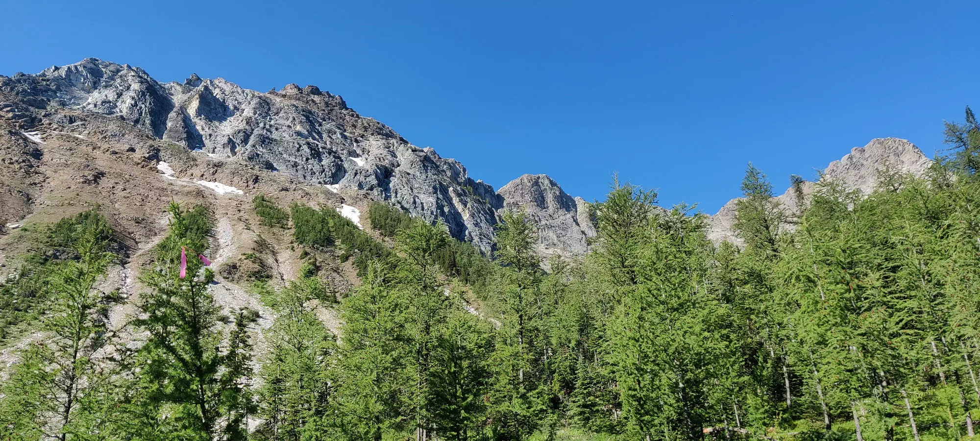
From this point, you start exiting the denser forest and the trail goes through a couple alpine meadows. This is quite the gorgeous area, I haven't seen this much green on the sides of the slopes of a mountain other than driving through the hills of Northern California. Here you also get the first good view of the peak.
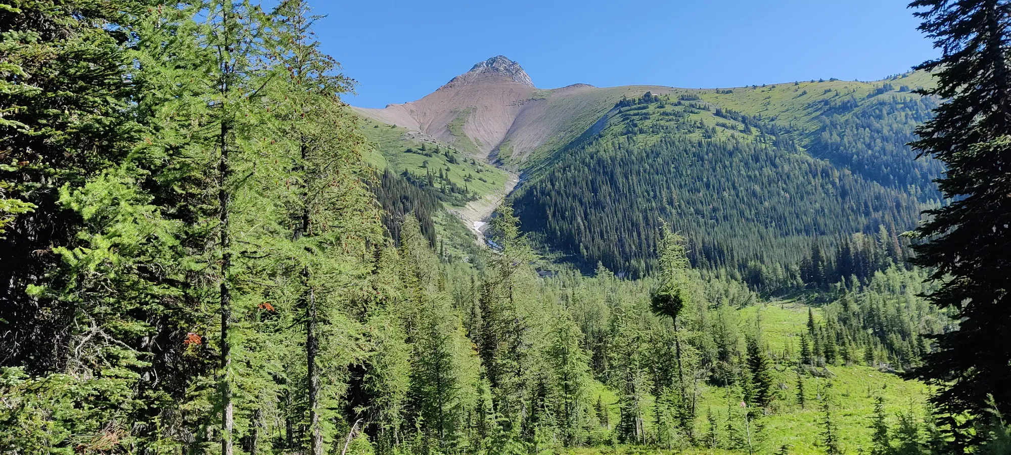
At this point you're quite close to the tip of Diana Lake. After a couple plank-bridges to traverse some wetter grassland, you gain up a small hill and get the first view of the lake. With the late melt of 2022, we actually still saw snow on the far side of it, at the base of Mount Norman's slopes. From the first spot where you see the water (and the adjacent creek), you have a couple minutes until the real viewpoint, where the trail forks up to the teahouse, and there's a bench to appreciate the view. Which is quite the view, definitely one of the prettier areas I've had the pleasure of visiting.
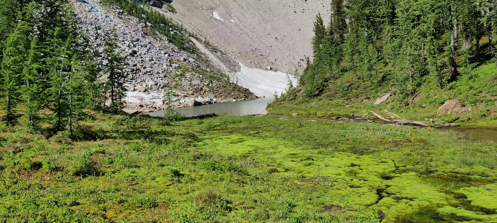
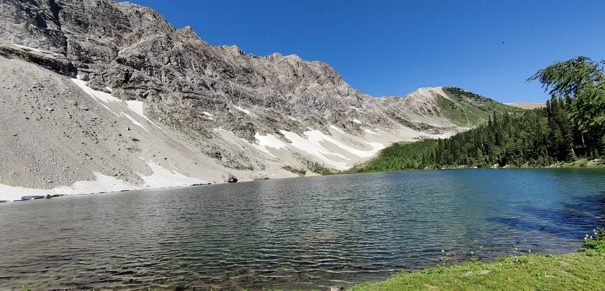
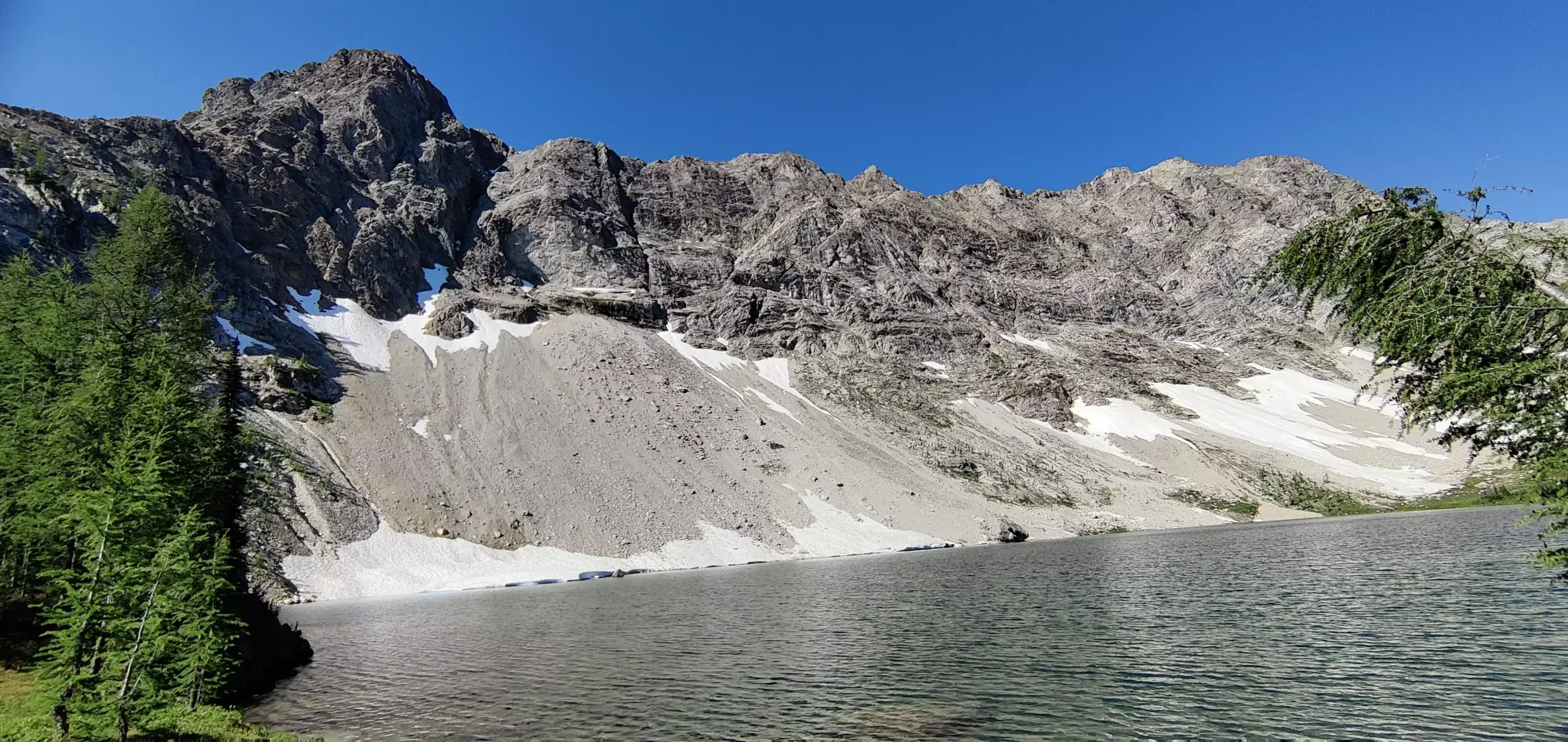
From the lake, we decided to press straight on along the path to the summit. The teahouse (if open), opens at 11am until 4pm, and it was a bit early. Plus, I am a proponent of "summit first, rest later", so I didn't want to risk a summit by dilly-dallying at the teahouse too much first. At this point, you're out of the forest, and just walking through the meadows. The path is probably "unnecessarily long" here, but it does make for gentle walking and gives you a lot of time to appreciate the view. There are signs put up by the (very nice) caretaker of the teahouse asking people to stay on the path to preserve the meadows, so we'd have felt bad disobeying.
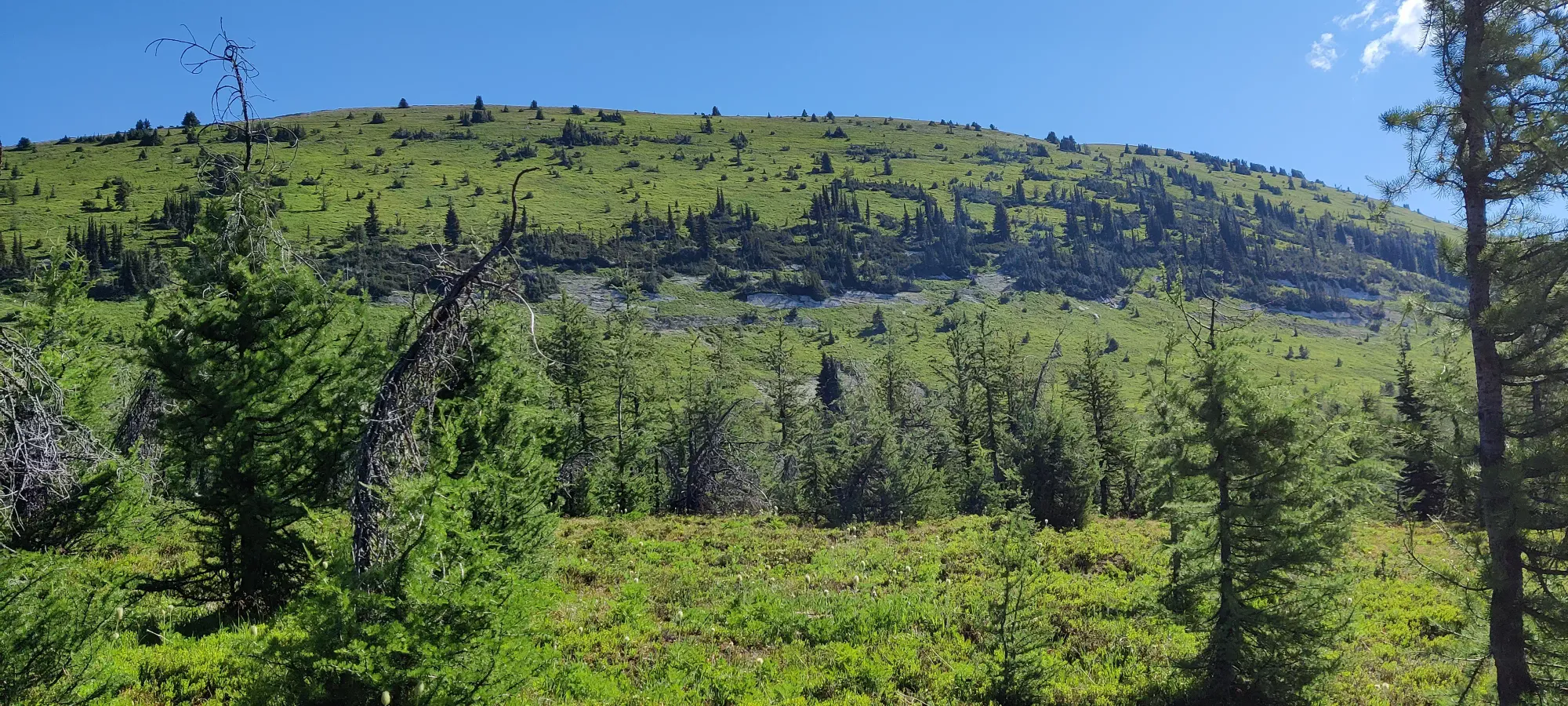
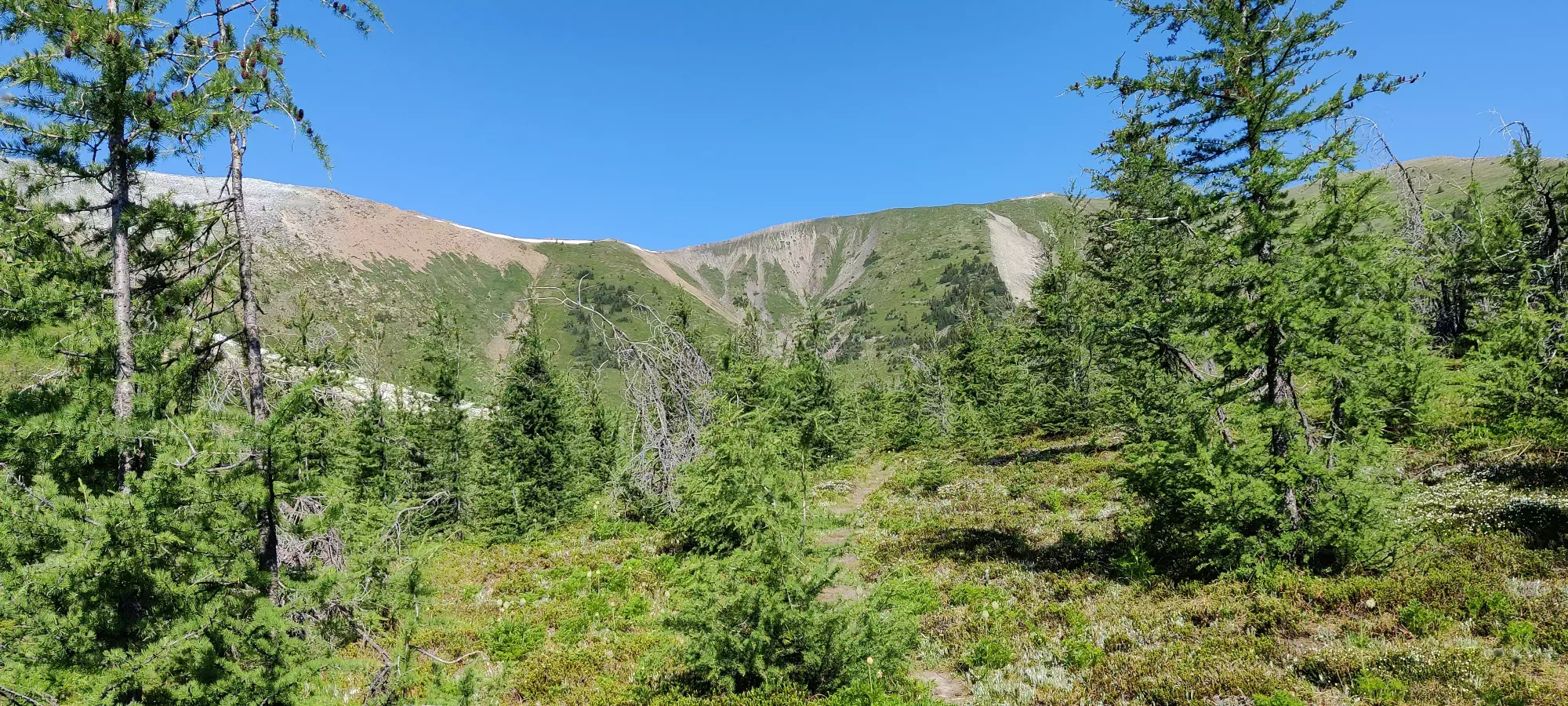
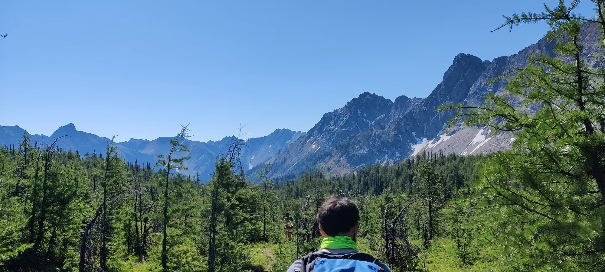
You might notice at about 2250m elevation, we made a little excursion from the path and had to short-cut up the steep hill. The path apparently forks some time before this, and there's an unmapped (but very well defined) trail leading futher out into the meadows. We took the latter, and cut up the hill to regain the path, you probably don't want to do the same. Once back on, we quickly made our way to the big switchback marking the beginning of the long ridgewalk up towards the summit scramble.
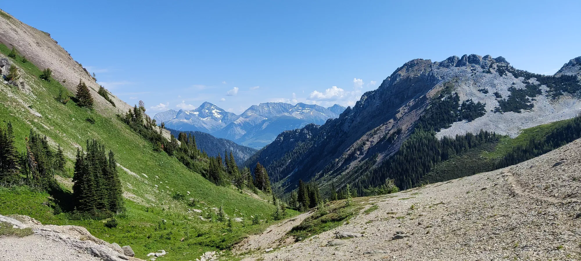
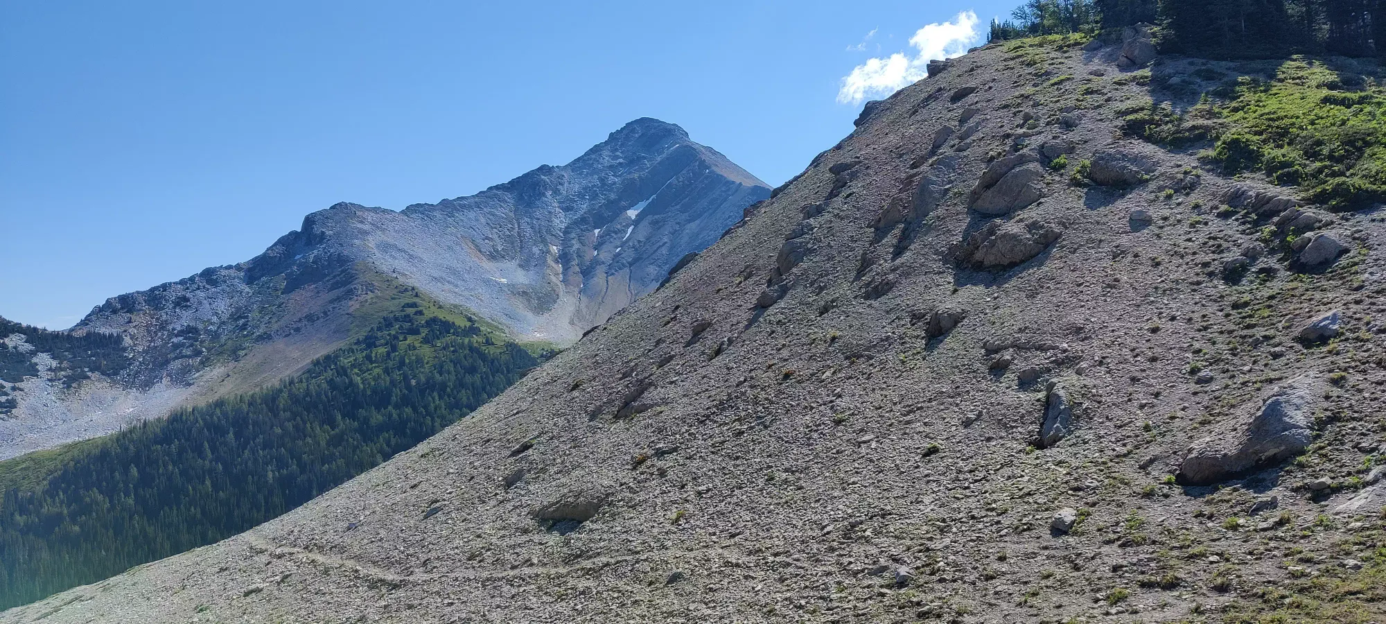
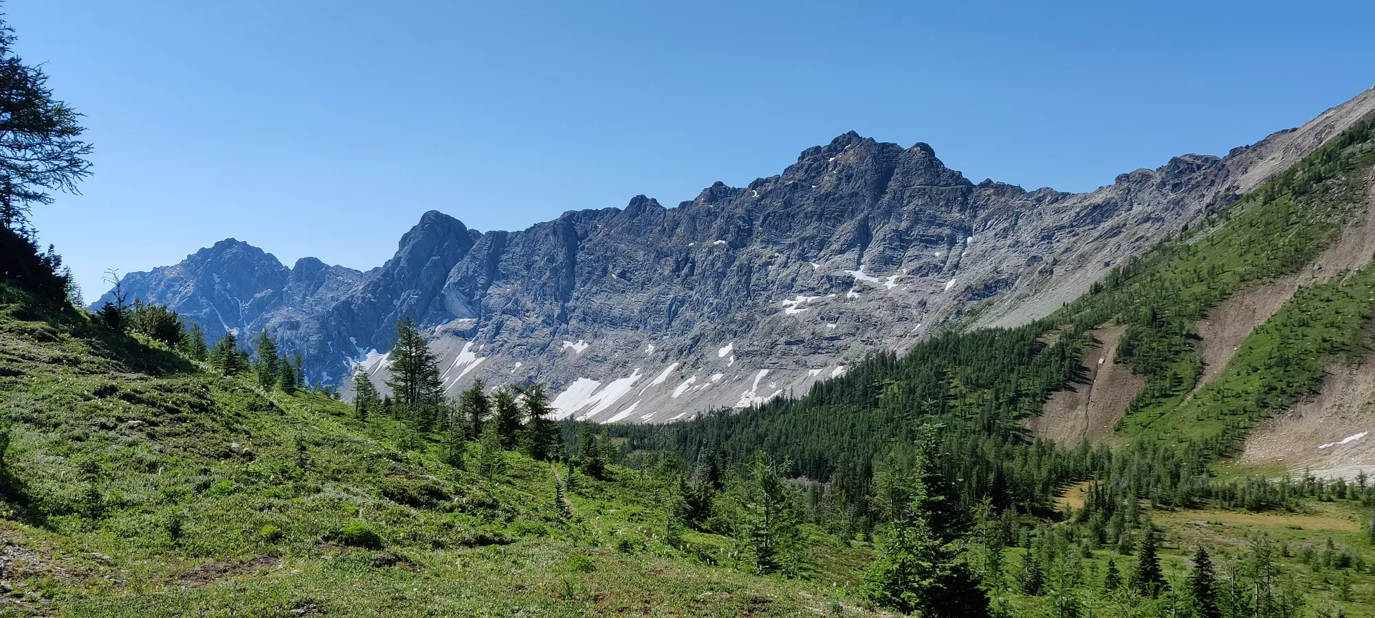
As we started the plod up the ridge, our last group member was feeling the distance+heat a bit, so things slowed down. The terrain isn't notably steeper for most of the ridge, but if you're uncomfortable with having a sheer cliff to one side, you might not enjoy it too much. Once the ridge curves to climber's left over a bump or two it gets a bit steeper, and another bump will bring you into some light scree.
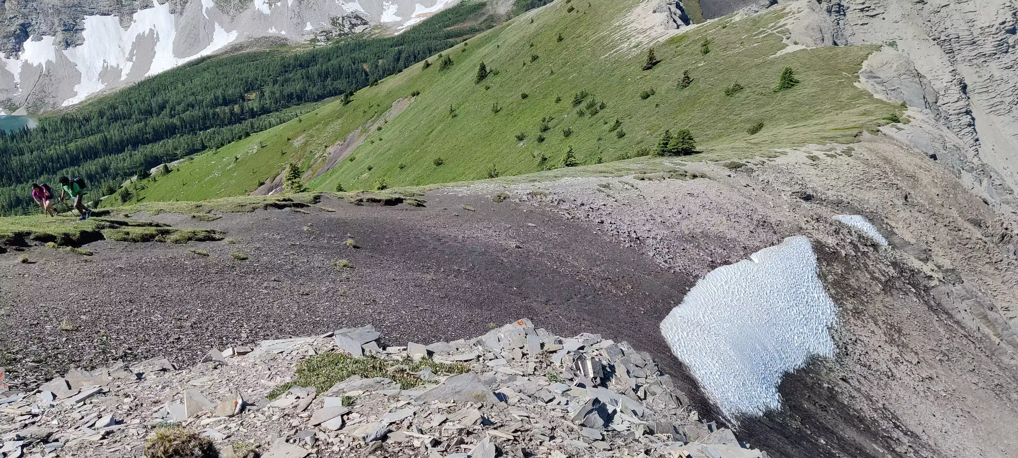
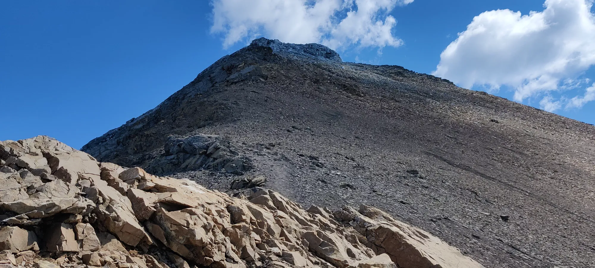
Not long after the above steeper section begins, the scree starts creeping onto the path a bit more, and our 2 Ontarian friends weren't having the easiest of times, so they decided to wait things out on the ridge and let us scramble up for the summit. From here, we picked things up a bit until we got clear of the steep dirt+scree, and entered the boulder field making up the final summit push.
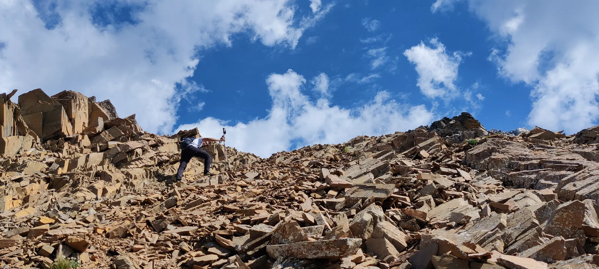
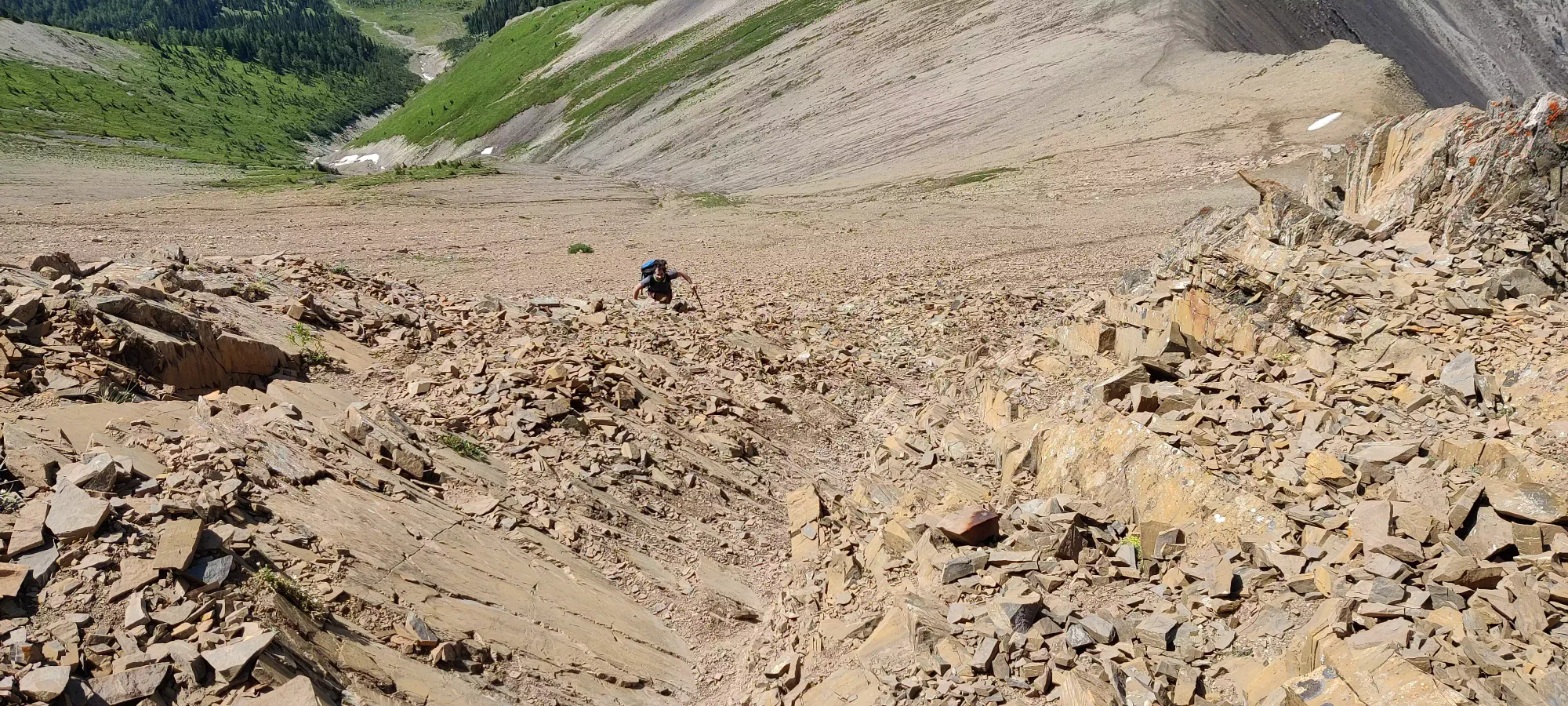
This continues for most of the way up, until the last 25-50m of elevation where the light grey band at the top starts, where the rocks are bigger, more solid, and easier to clamber up (and down). After the light walking up, and the chossy scramble, our time was nothing impressive, but we made the summit at about 12:45, or 4.5 hours in. So even a leisurely group can make this summit as long as you can handle some choss, and the distance if spread out over the day.
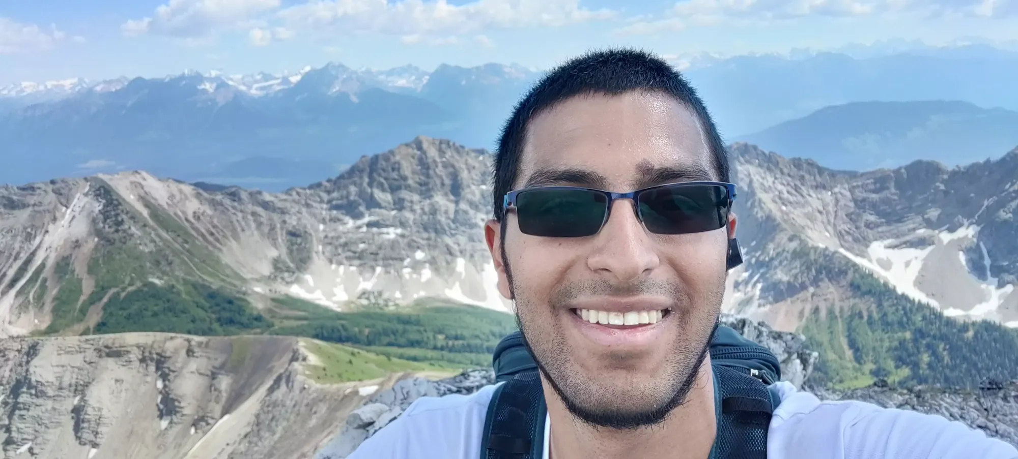
Sadly, we didn't get to enjoy the summit much as lots of flies, including black and/or horse flies had decided this was their home now, so we took a few pictures, I gave in to my masochism and drank some water, and we started making our way back down.
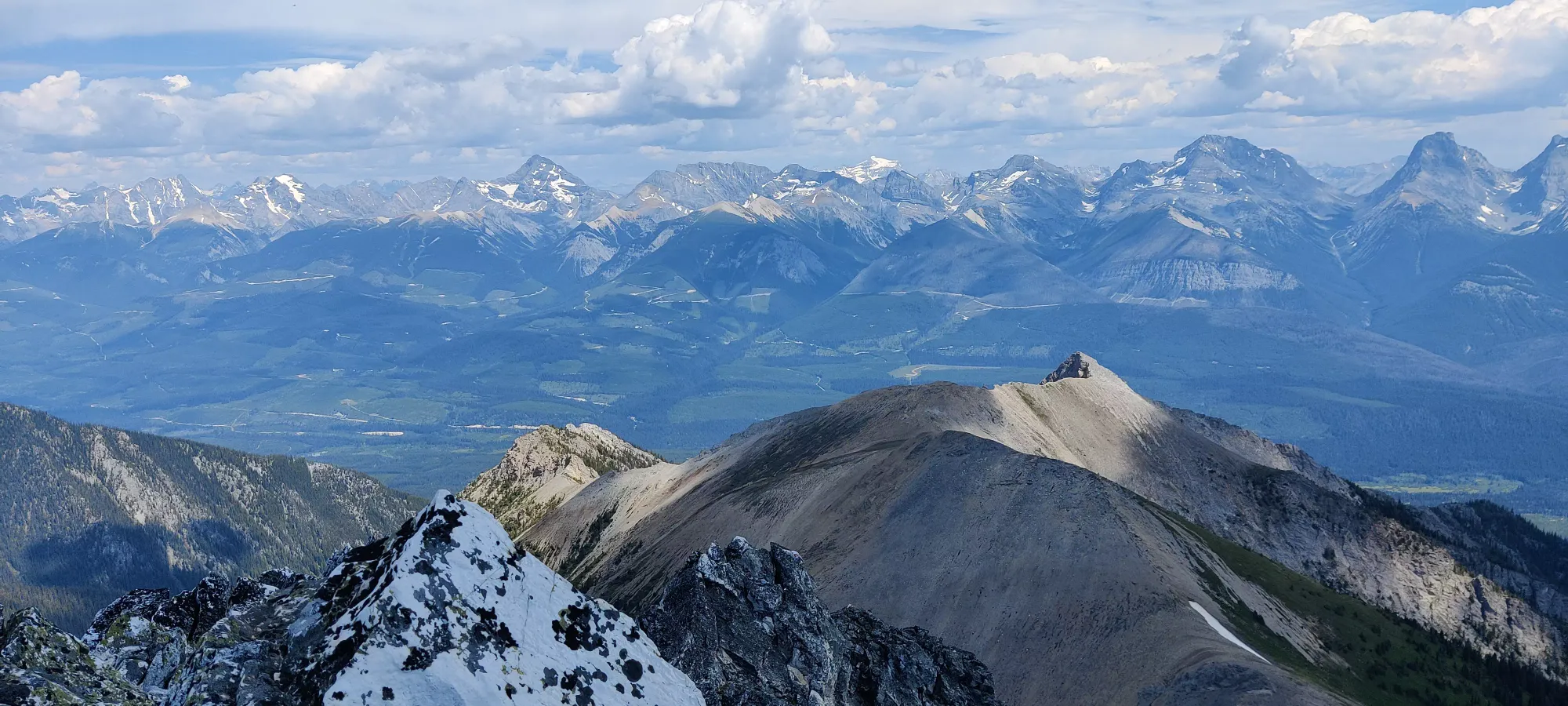
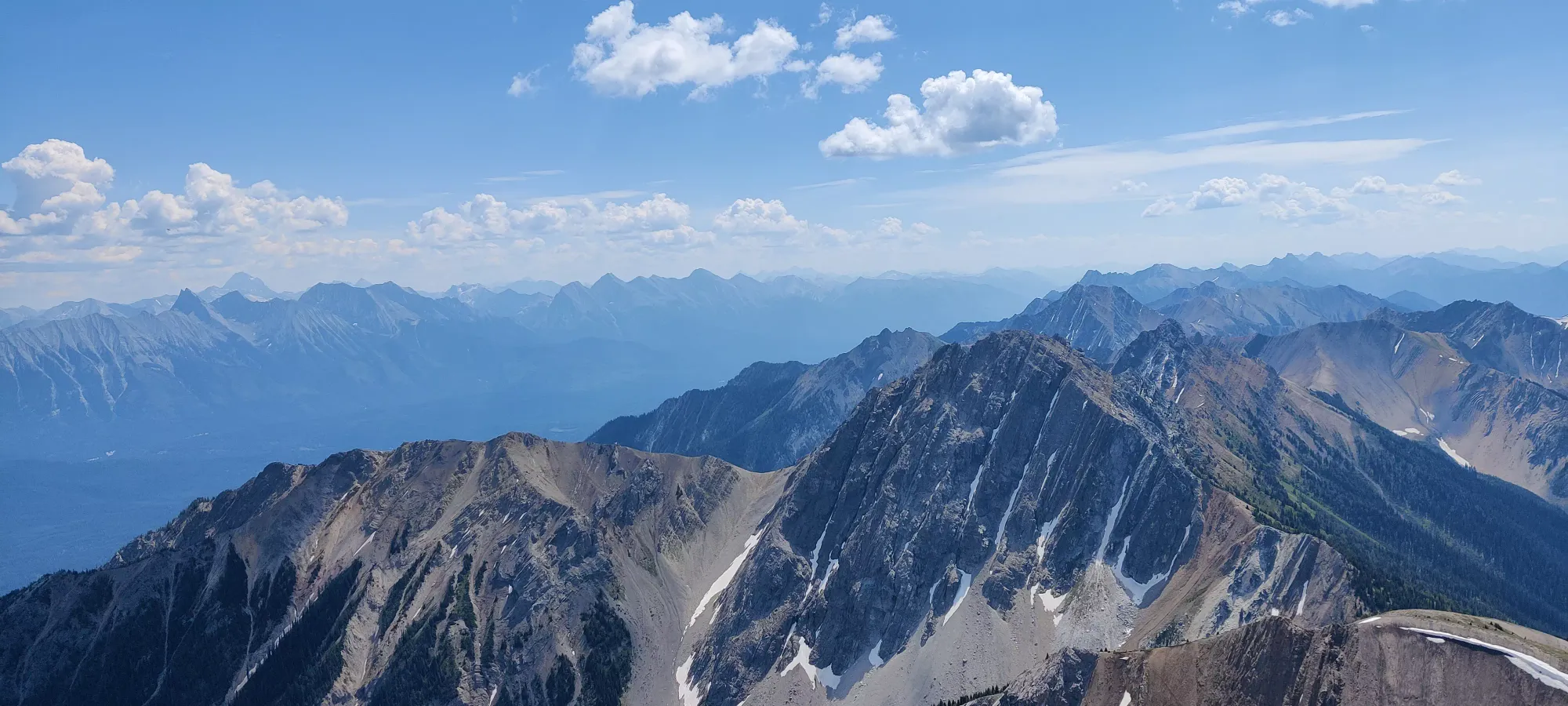
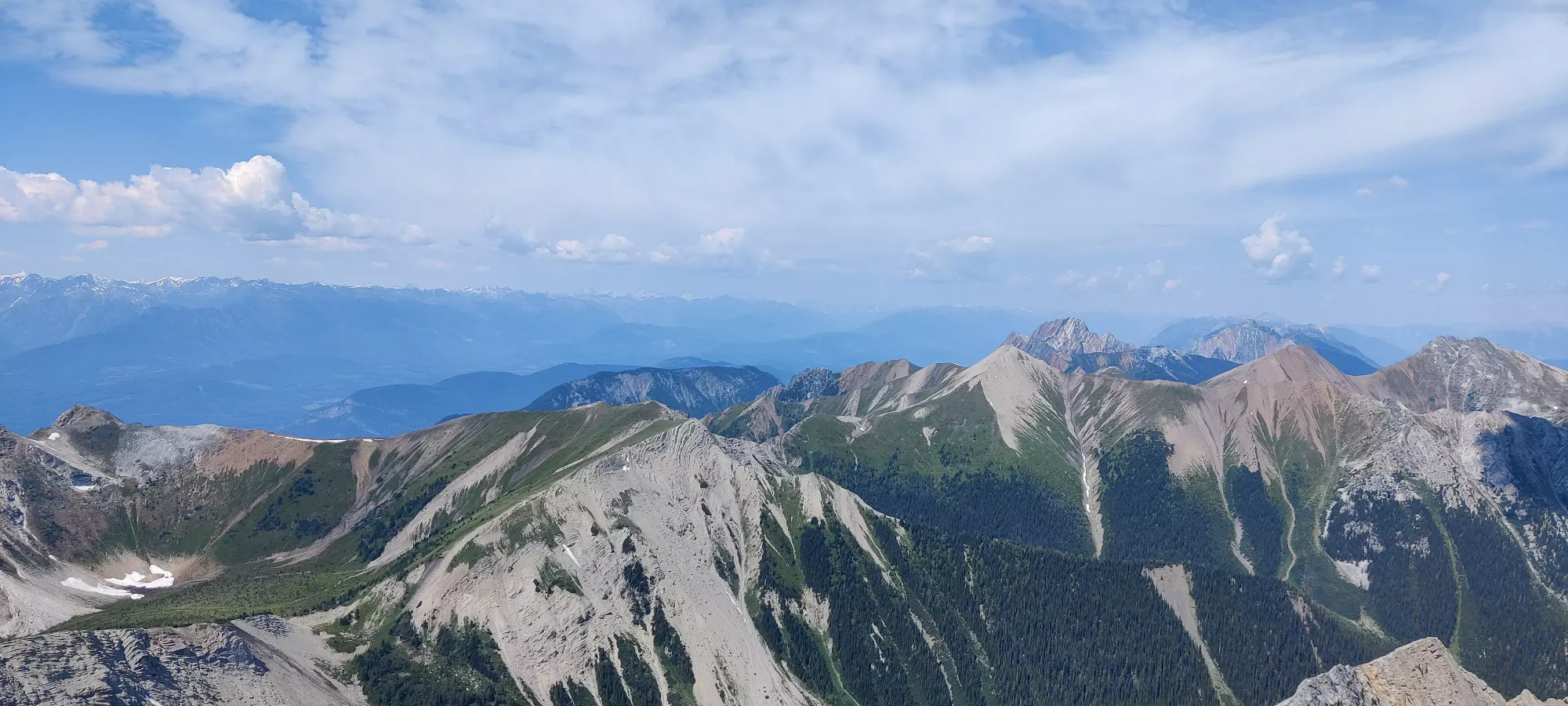
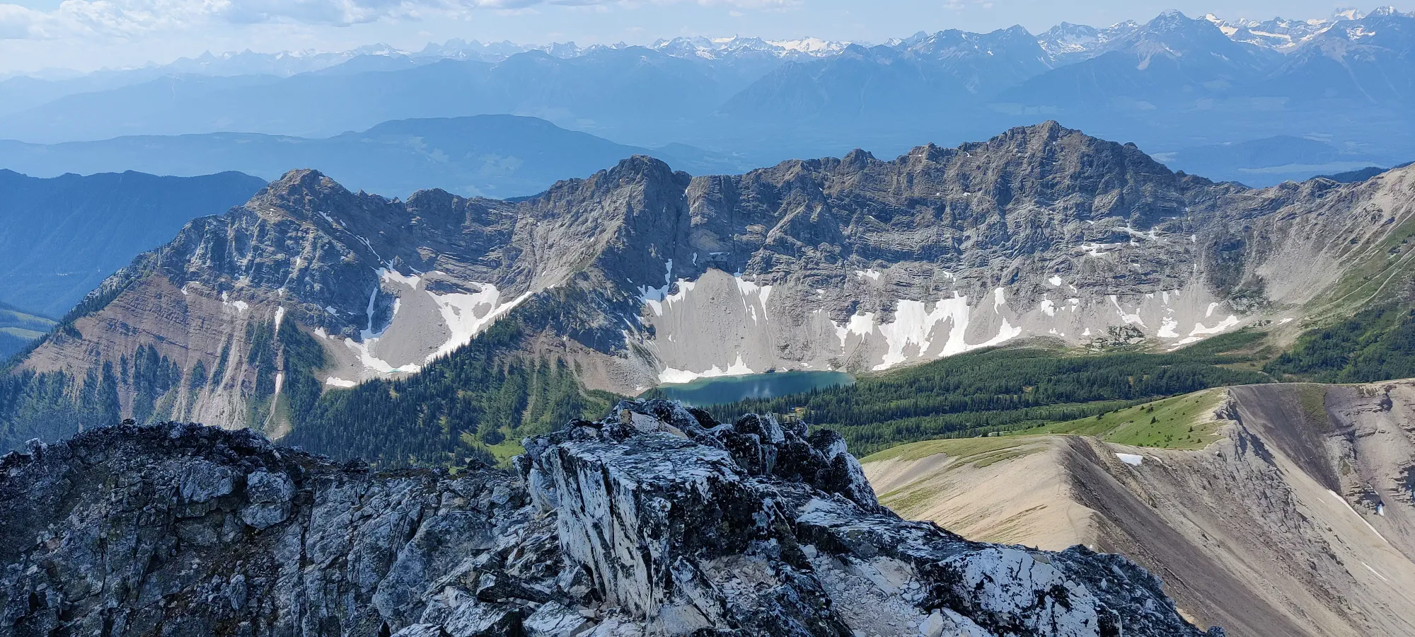
On the way down, we decided to head skier's left to what looked like a better beaten path than our way up, since the way up wasn't exactly top-tier rock, and we were hoping for some better terrain for the descent. This was... a mistake. It is just about as bad, until it is worse when the path abruptly ends in the chossfield and you have to cut across the slope back to the trail. Just retrace your steps, it'll be easier.
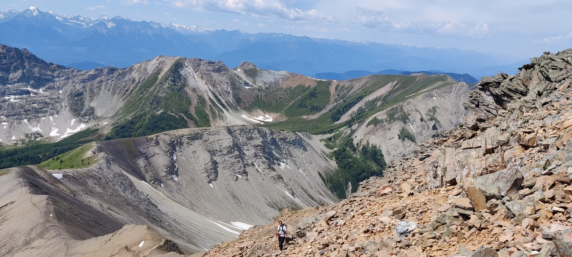
After that small poor decision, though, we got through the steep section pretty easily, and met back with the other half of the group, who were (very) slowly making their way back down the ridge. Seems the looseness of the slope, and unfriendly-looking slide down the bowl toward the creek on skier's left weren't features they enjoyed. Meanwhile, Logan and I were looking at the terrain and came up with the brilliant plan of "well why would you make such a long trail when this creekbed seems to go basically right back to the lake, and is so much shorter"? We did not manage to sell this plan to the other group members, but we decided to meet back up at the teahouse, and we figured we could get a faster descent and longer lunch (with a more certain pre-closing arrival) if we split up, so into the unknown we plunged!
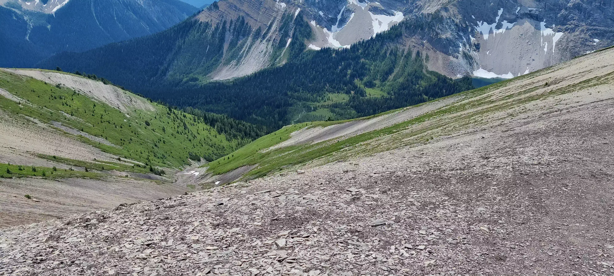
We started our descent down the bowl pretty quickly. If we had snowpants, snow cover, and axes (or just skis) this would be VERY short work, but it was still pretty fast "careful walking" down the grassy side of the slope. Once we got through this initial section, we more or less just followed the creek, since the lack of snow meant not very high flow, and we could avoid most sidehilling this way.
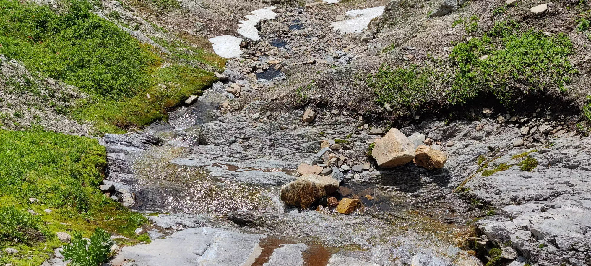
There were a few sections where you had to jump across the creek, or take a few steep steps down a sharper drop, but nothing really difficult for the most part. There was one section where we hit some rather suspect snow (snow on top of flowing water in July is not generally a stable place to be) we had to sidehill beside, but it wasn't very long-lived, thankfully.
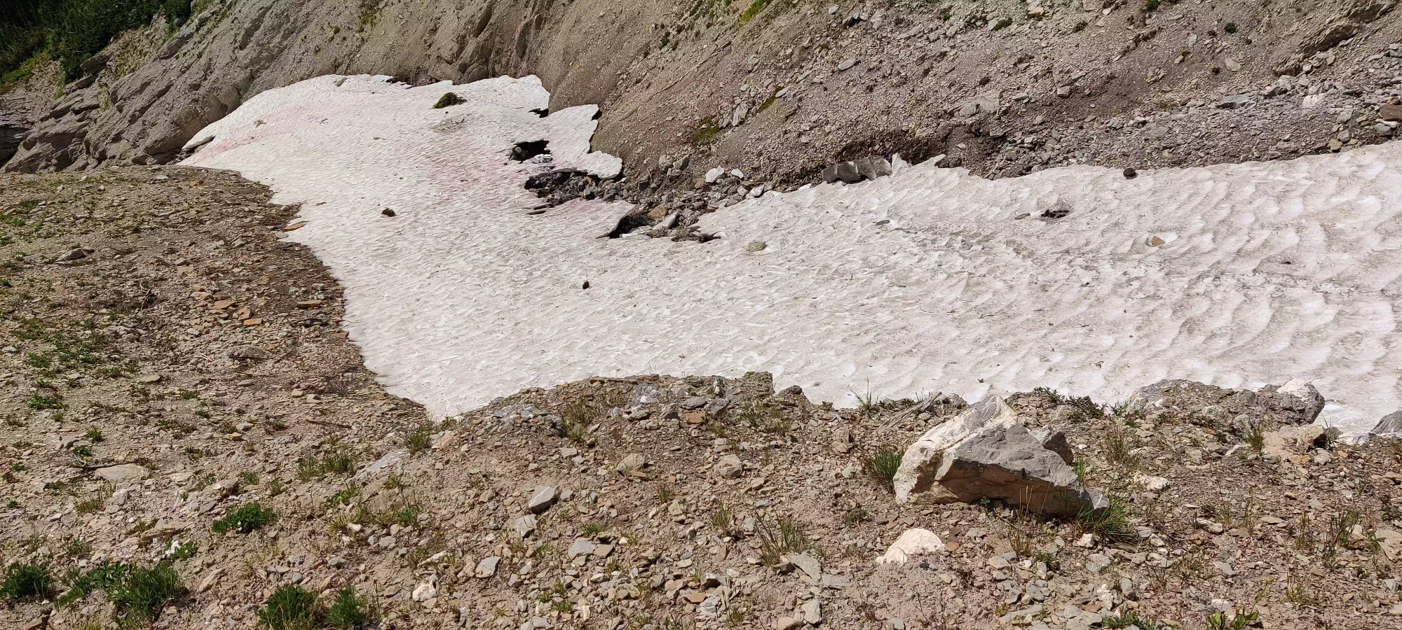
There were a couple more spots where the creek jumped down that required a little "downclimb-scrambling" which were a bit tricky, but the fall risk is mostly "you'll get a little wet or nicked" and they last for a minute or two so it's more fun than concerning, really. Near the end of this section, we found a little slide we decided to go down for fun (there's a bypass to skier's left if you don't like the idea). It was pretty fun though, so if you have the opportunity, I figure you may as well enjoy yourself.
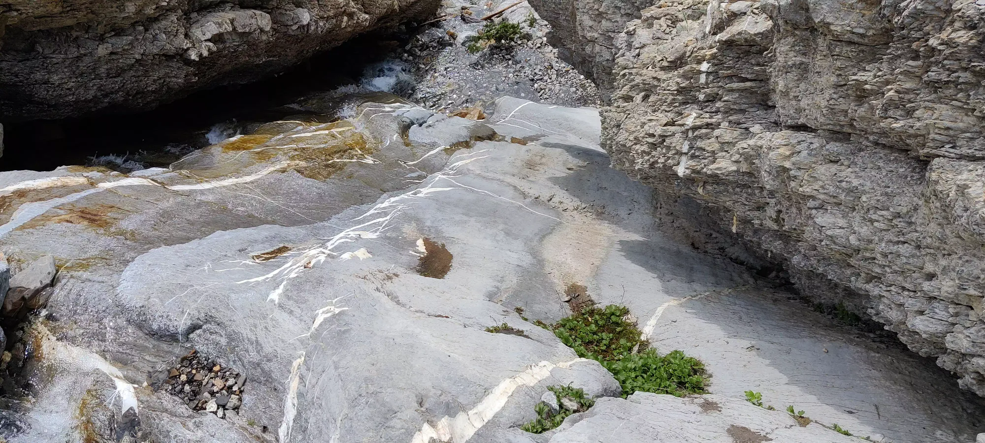
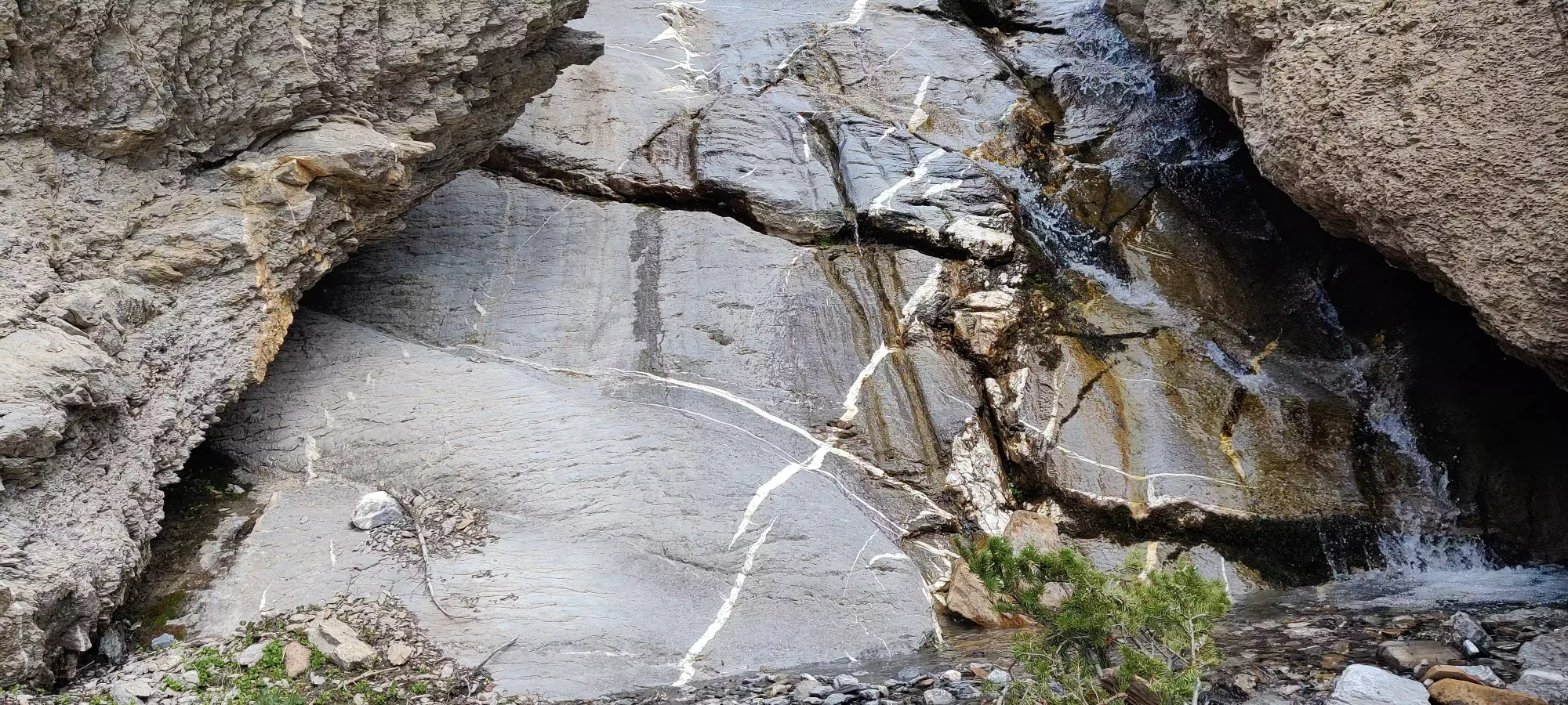
Once you get down this part, the creek flows into a larger clearing (about 2150m elevation). Here, we could've seen where the creek met back up with the main creek (unknown), or turned skier's right into the forest toward the teahouse. We chose the latter. This was effective, though not exactly simple. It was fairly dense bushwhacking through a bunch of largely dead forest, with a couple creek crossings to boot. In earlier months this might be a bit difficult since the creeks would be higher, and there might be more snow (some patches still remained in highly shaded areas). We encountered a sign for an old trail partway through, but it clearly led nowhere so we just made our way "toward the lake". We ended up exiting a bit too far down the trail, so we had to hike back up for 10 minutes, but we still made good time, getting to the teahouse at about 2:50pm, with plenty of time to wind down and enjoy before closing. Our descent from where we forked took an hour and ten minutes, and possibly could be even faster if you follow the creek further (or not, if it goes parallel to the main Pinnacle Creek).
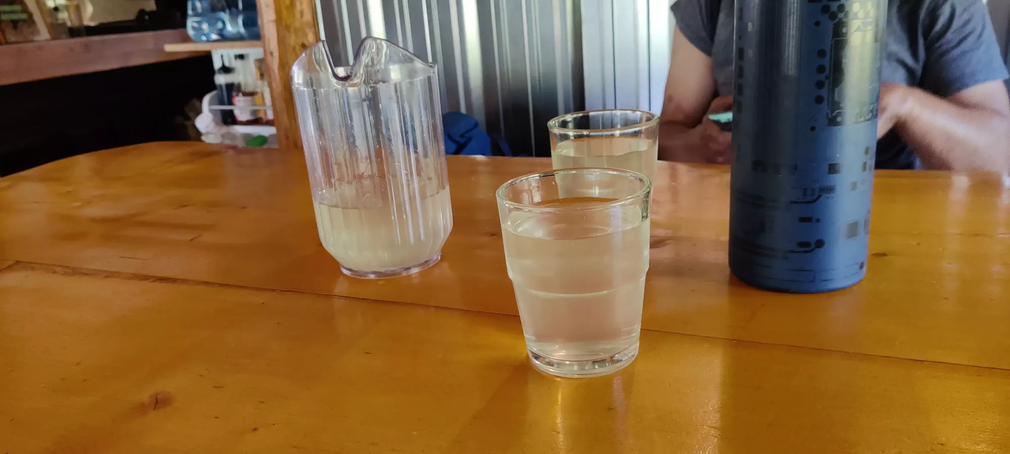
We stayed at the teahouse until about 4:30pm or so, enjoyed some lemonade, fresh sandwiches, and relaxed waiting for our friends. Turns out they got down to the lake some time closer to 4pm, but missed the first turnoff so they had to walk down to the tip of the lake and come back up to meet us. This ended up working well for me though, since I had lots of time to digest my meal, which is always nice.
The descent was very much uneventful, we just walked down at a not-super-fast, but respectable pace; I was actually impressed for the most part given the uphill and initial downhill pace of the group. We stopped once or twice for water or shoe-tying/gear adjustments. Some of the steeper downhills gave our new hikers pause, and were approached with greater trepidation than I'd have personally found necessary, but the overall clip was still pretty good. We got back to the trailhead in just about an hour and a half, and about 10 minutes of that was our newest hiker navigating those ten narrow/steep steps right at the beginning.
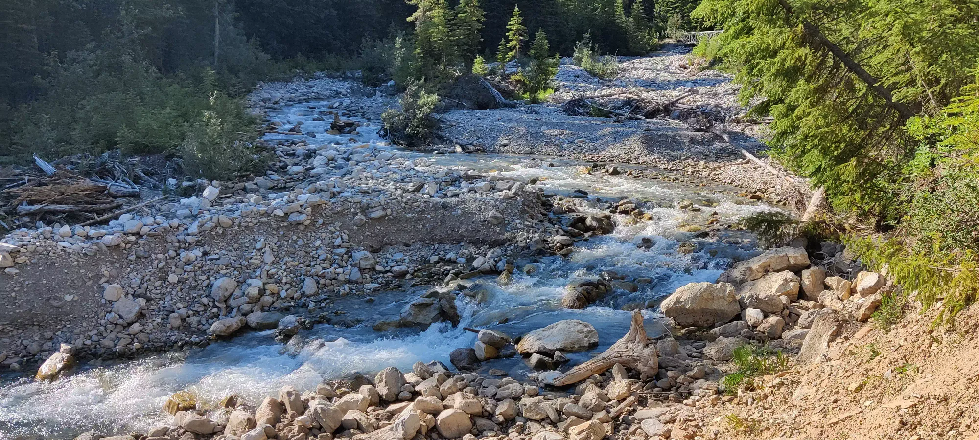
This is quite an excellent hike, and area overall. The access is very easy, the trail excellently maintained, and the views are spectacular. The teahouse exists to provide comfortable food+accommodations (with a new building coming up now, which incidentally needs some staff if anyone in the Radium area wants a fun, easygoing job), there's a nice prominent peak in The Judge, a good scrambling objective in Norman, tons of unnamed peaks around if you're into routefinding, what looks like great ski terrain for the winter, and water source galore for the cautious. 10/10 would recommend, and I'm sure I'll return to bag Norman and maybe some of those unnamed peaks in the process.
GPX Track + Map
