The Camels Back - October 26 2024
A less-frequented summit above Pemberton Meadows, but (for now) it has a fairly high access road that makes the hike short, if a bit wild with no trail and lots of deadfall
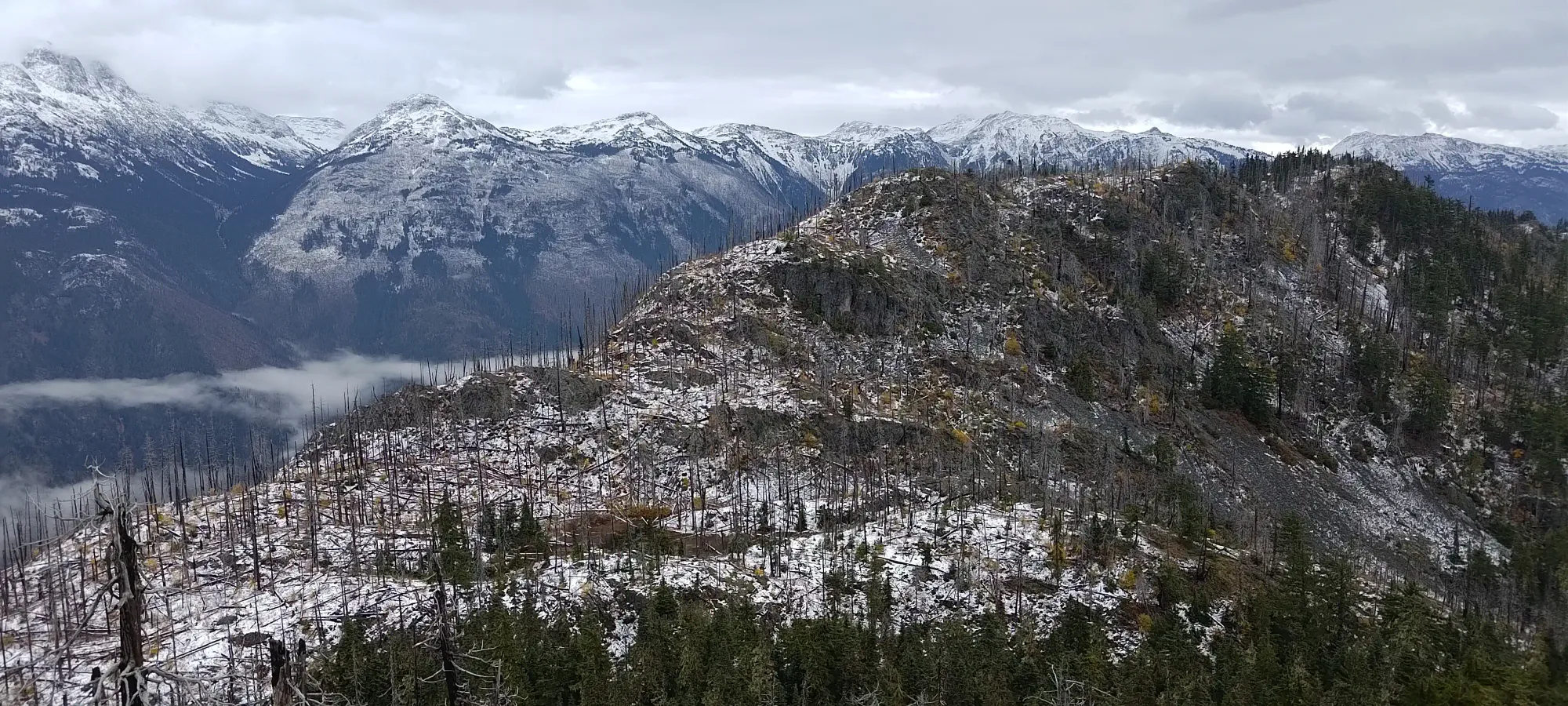
Pemberton Icefield, Pemberton, BC
1338m
I discovered this peak literally the night before, as it isn't listed on most topographic maps as a summit, despite being fairly close to a "major town" (if that's a thing), and having about 200m of prominence. But, once I did notice it, I also noticed a road going from the base all the way to about 1200m, getting rid of most of the hard work and leaving a hopefully easy ridgewalk to the summit. With the abysmal shoulder-season weather forecast, that seemed like a good thing to do, so I hit up Kelly to see if he was down, and he was! This time, we decided to take his "real 4wd" for the unknown road (no beta on its condition or accessibility), and since it was going to be a fairly short outing, we got to start lake, leaving his place in Whistler a bit after 11am.
We were pleasantly surprised that the forecast downpour wasn't really materializing, with just a small drizzling on the drive up. Once we got to the base of the FSR off of Pemberton Meadows Road, we were disappointed to find a gate right there (which we didn't see on Google Street View when researching). However, we did spot some potential bypasses just to the east, and thankfully we found just that, making the gate totally pointless. We drove south across Salmon Creek, and then turned west towards the Camels Back Spur Road.
At first, we were wondering if my "well used" car was the better choice, as the road was very narrow, meaning lots of pinstriping, and it was largely in good shape with deep water bars, something my car is well-equipped to handle. However, about halfway up, there's a switchback just above 700m, where we had to get out and move some boulders which had come onto the road (we moved some deadfall and a couple smaller rocks already). These were BIG though, and needed both of our strength to slowly roll out of the way. As we did, we realised the ground was fairly soft, offering little traction, and at that point, we were both glad to have a proper 4x4. After moving some rocks, we squeezed through the tight section (spotting reocmmended) before turning, then had to move some more, and engage the rear locker to comfortably get up the short rocky section on the other side of the switchback. From there, we got around the next hairpin, had another rocky section which required some love to make passable, then it was back to "standard tight FSR" to the top. Above about 800m, we started driving on snow, up to a few centimetres deep by the top, but nothing that would bother anyone with decent tires.
Given the tightness of the road, as well as the few rockfall-prone areas that might get quite difficult to pass at any point in time, I'd recommend doing this sooner rather than later if you want to avoid hiking a long forest road. We were both glad to have reached the top, and to find a large area to turn around/park. We got there at about quarter to one, and started hiking about 5 minutes later.
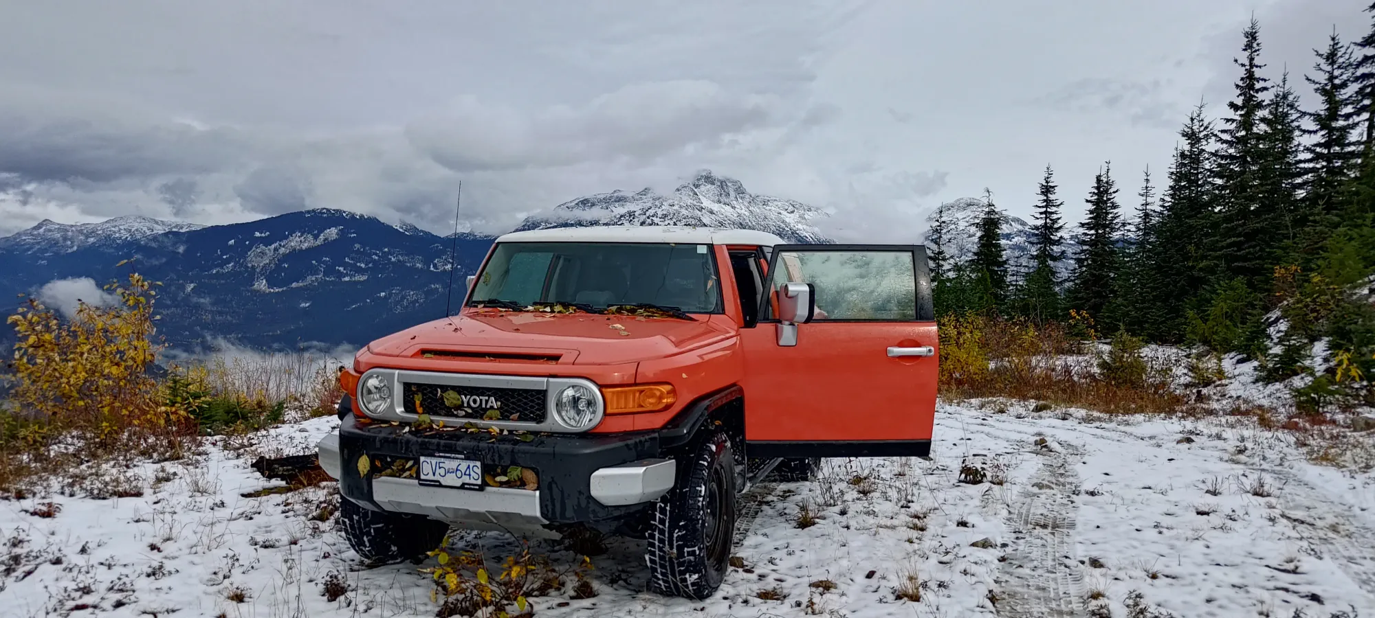
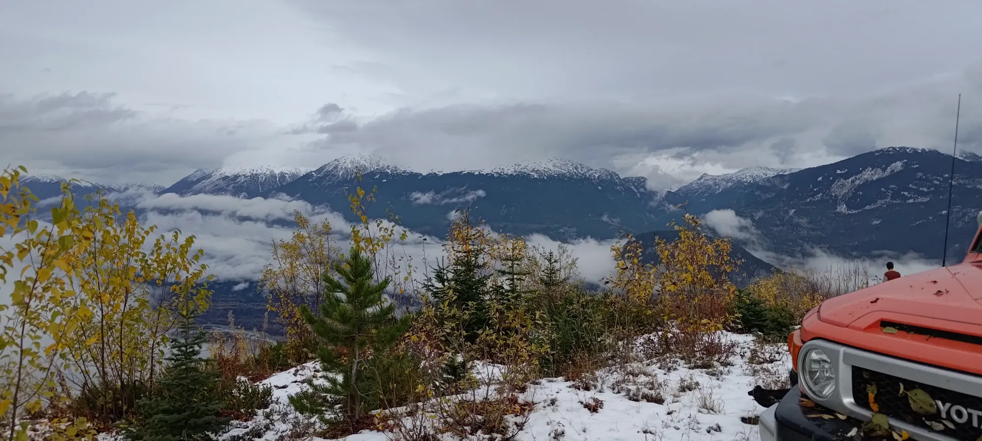
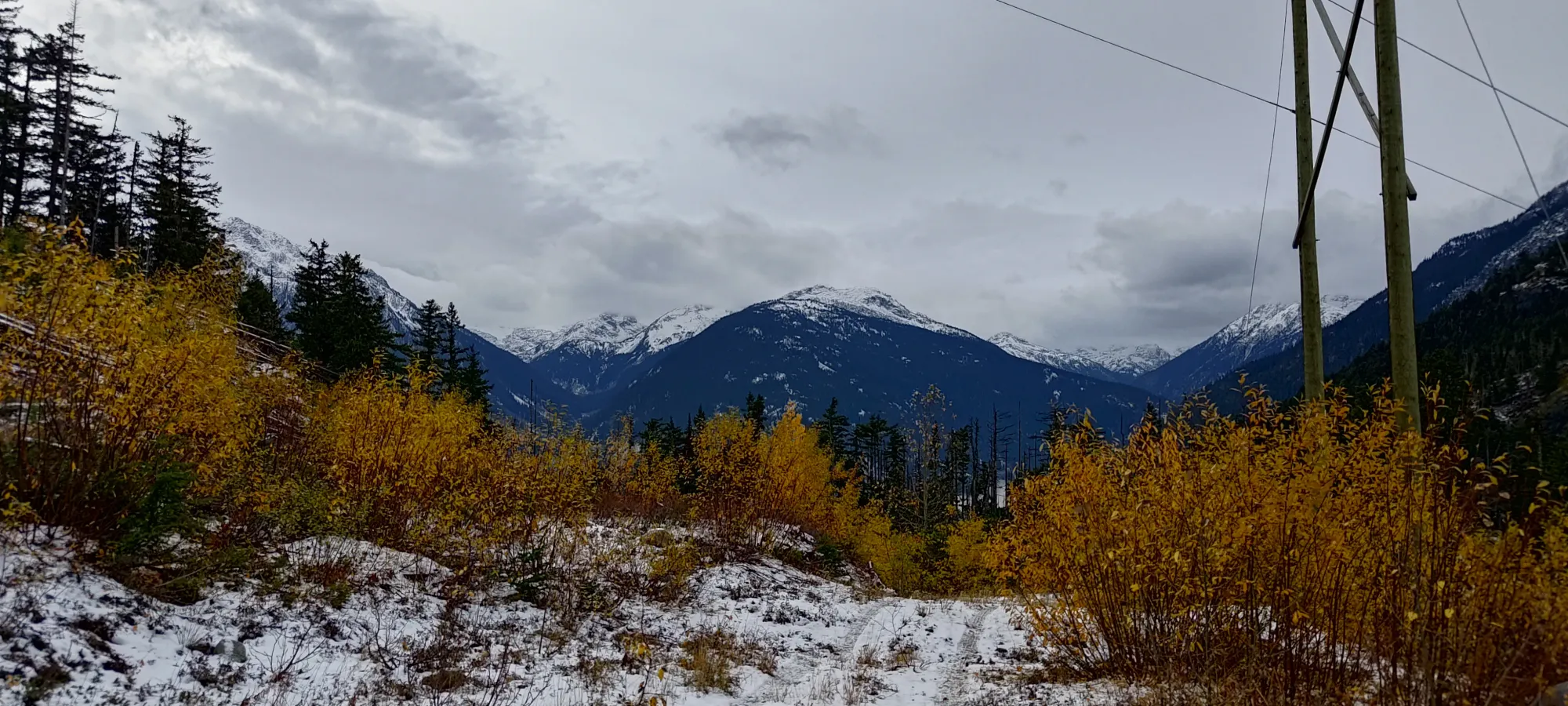
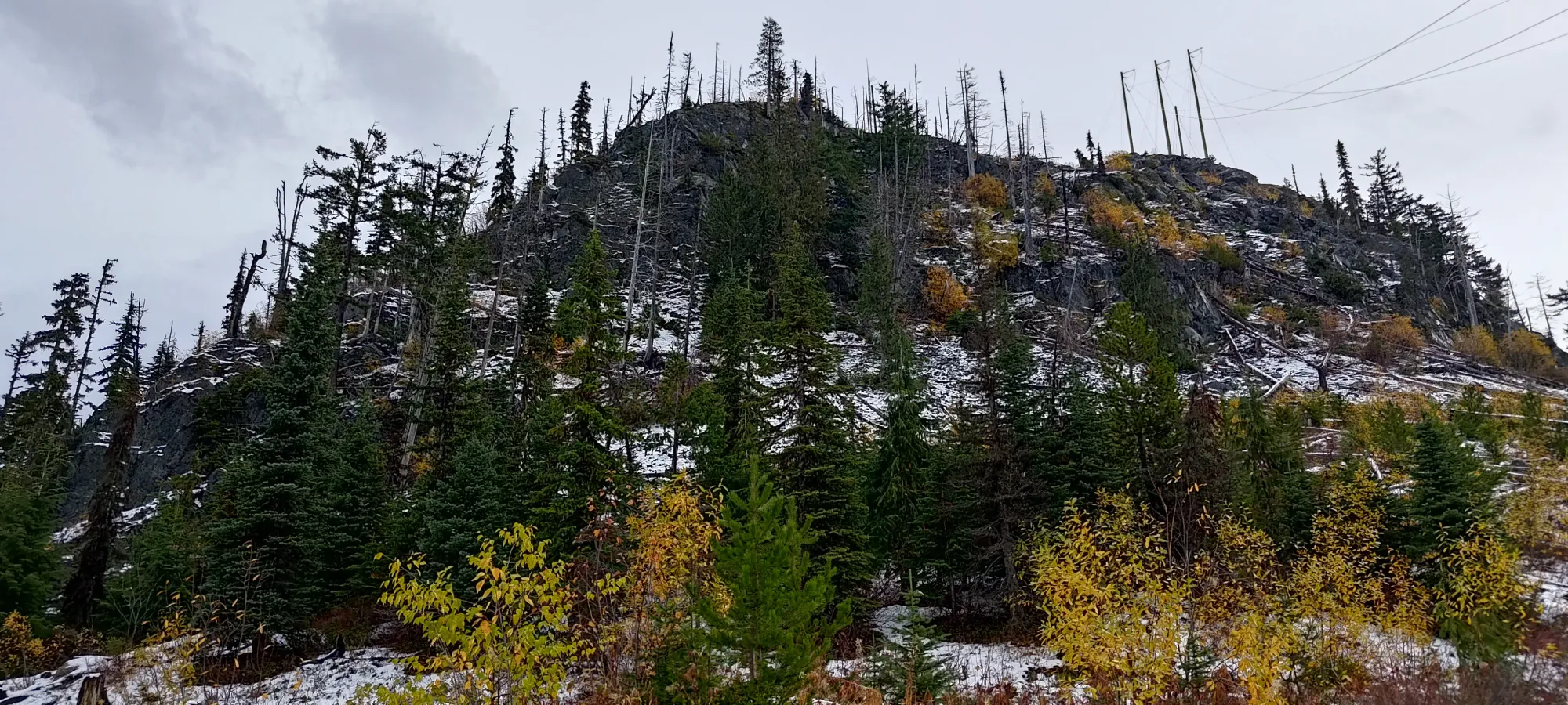
While it kind of looked like we could bypass the sub-summit directly above the road by curling around to the north, it wasn't a sure bet, and we figured it wouldn't be that much work to summit that first, as it was more straightforward, and hey, maybe someone will submit it as a provisional peak someday 😅 So, we started our hike up the slightly-snowy slopes below the power lines.
The terrain was not too bad at first, though deadfall quickly made it a bit tedious, and as we got closer to the top, it got quite steep and slippery. We were surprised to discover a few fixed ropes going up to the top! Given the total lack of trail, that was quite unexpected, but with the slippery conditions due to snow, we didn't mind their presence (except for one that was quite superfluous, and a bit of a tripping hazard when not in use). Once we got past those, there were a few steep steps before things levelled off. After we were on the ridge, we just had to walk over a couple minor bumps, and we got our first "peak" of the day, with under 20 minutes elapsed from the car. Not bad value!
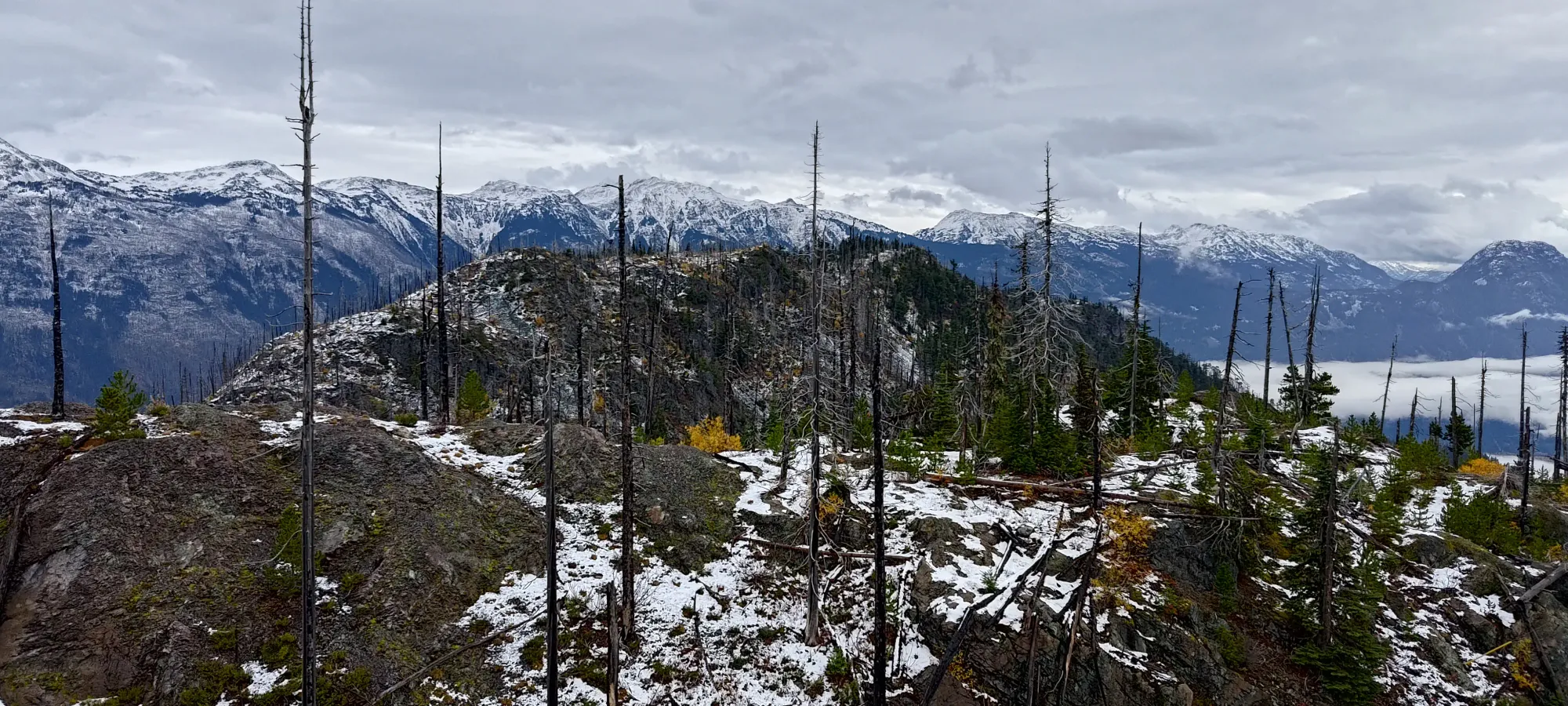
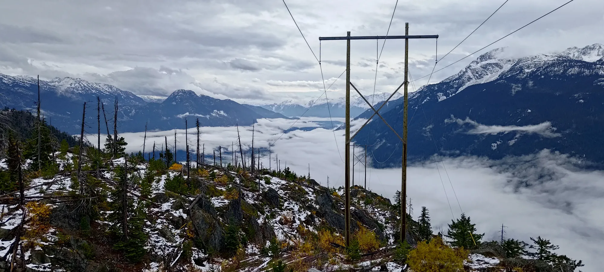
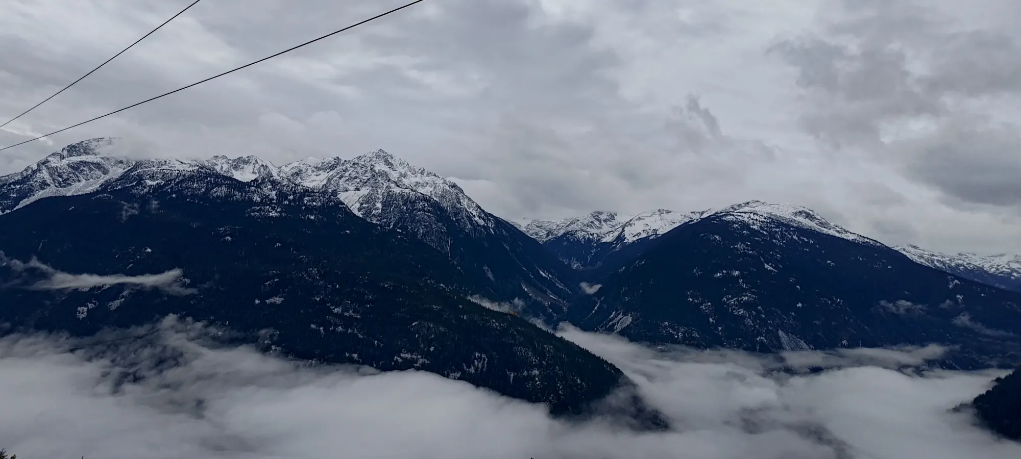
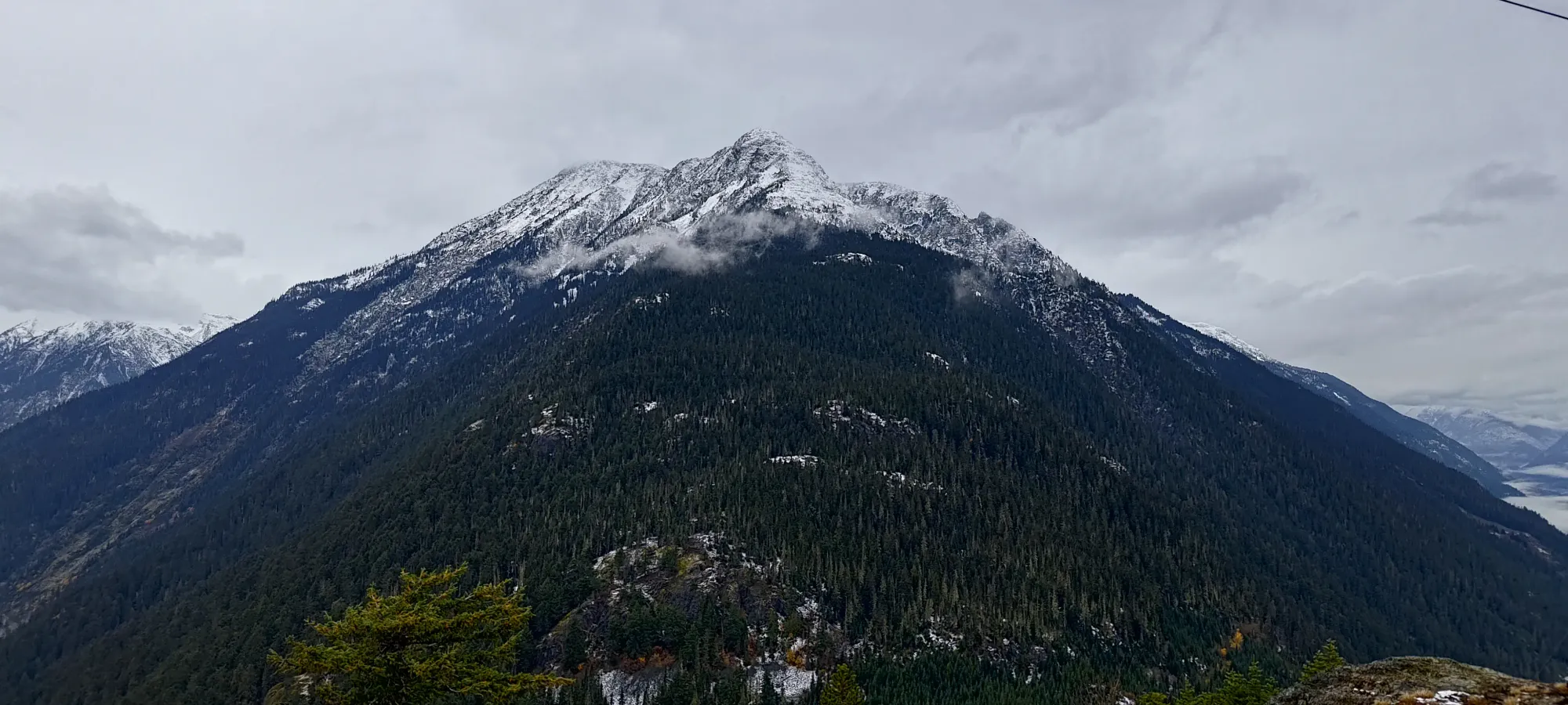
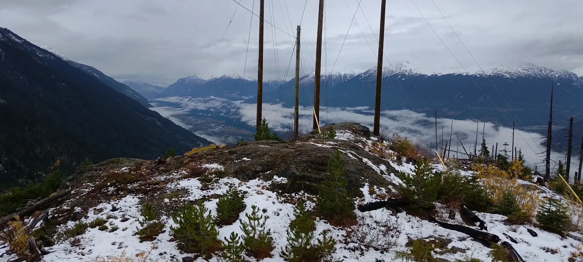
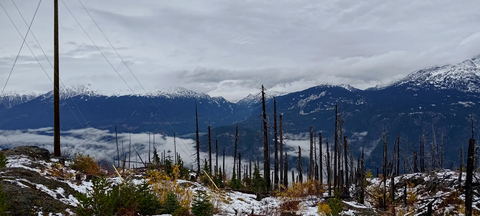
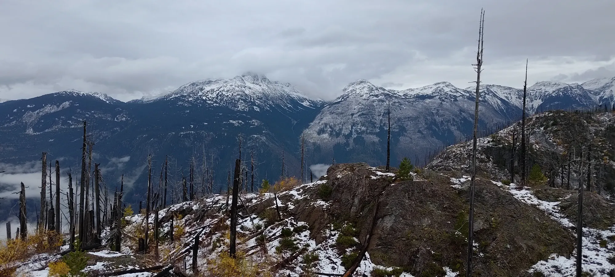
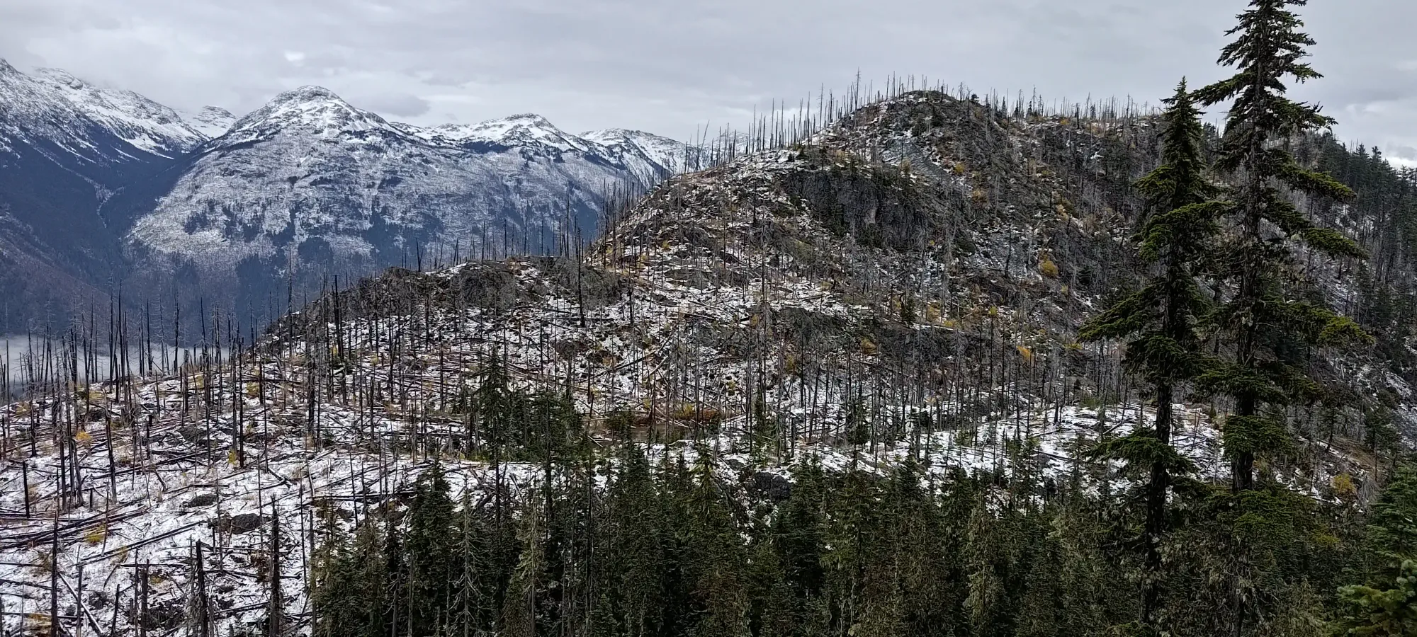
From that local summit, we had a small descent+regain to get onto the bump that guarded the larger dip between this smaller summit, and the main peak of The Camels Back. That took a few minutes, and we then could see how we might make our way to the col. While we couldn't see the entire traverse, it looked mostly fine, though still deadfall-ridden from the burn that came through some time ago.
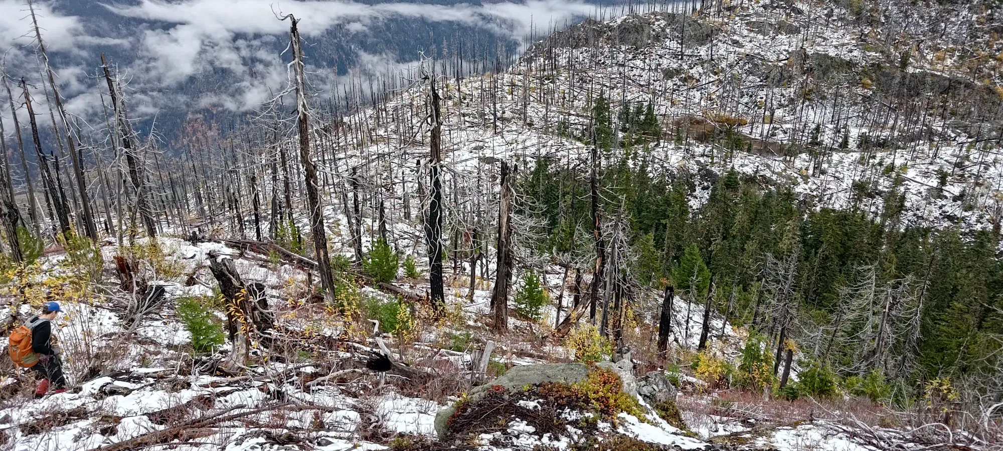
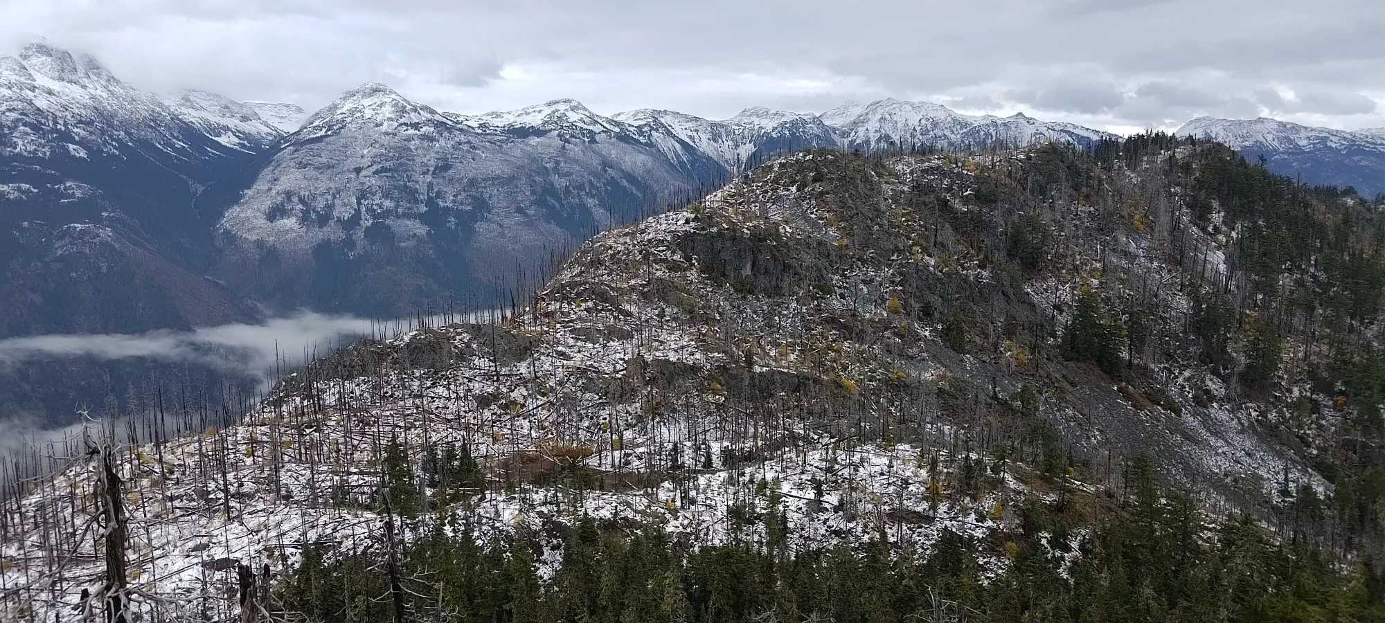
We picked our way through the deadfall for 5–10 minutes until we hit a fairly decent cliff band which guarded the bottom of the col. We looked at the option to traverse to skier's left, since that would put us at the highest point of the col, but from the vantage point we had, it looked fairly tricky, so we instead looked to our right at the still-alive part of the forest, where we could see some steep but still manageable terrain, and started heading a bit lower.
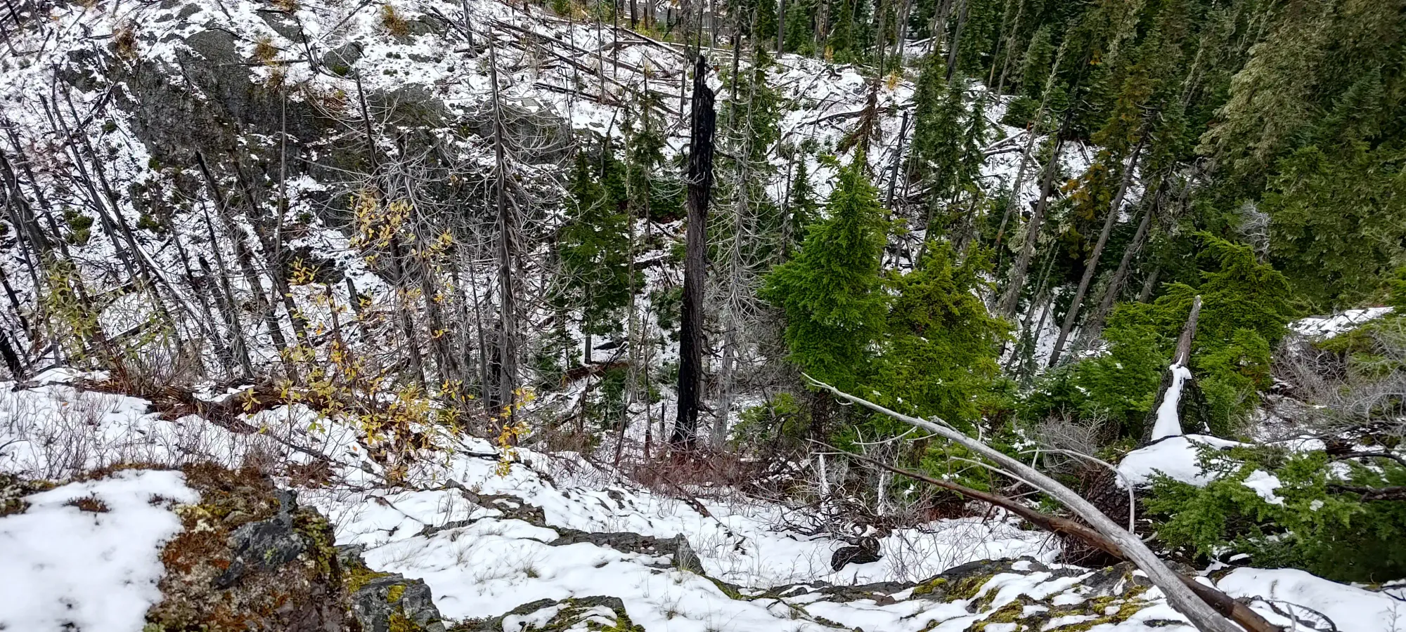
The forest offered a bit less snow cover, which made the ground slightly less slippery. There was sadly still the same amount of deadfall even in this living portion of the forest, but at least the amount of smaller sticks and branches on the ground was a bit lower. That brought us a bit lower than if we had managed to stay on the highest ground, and took us about 10 minutes to bottom out, but we managed to stay hiking as opposed to scrambling or falling, so I'd consider that a win. Strangely, we also saw some flagging and the faintest hints of a "trail" at the bottom, which was interesting, given we saw nothing of the sort leaving the initial summit.
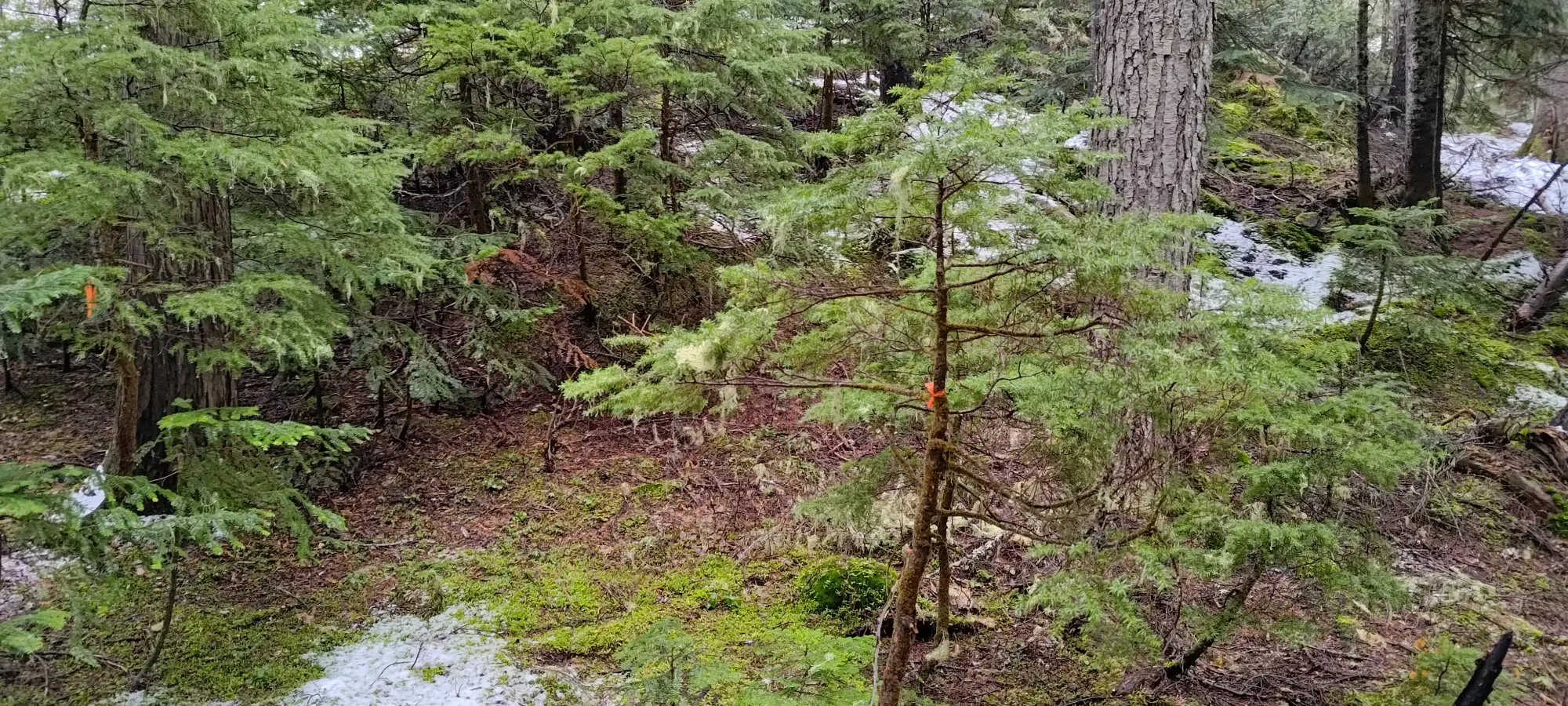
We followed the faint path and flags for a minute or two, but they quickly disappeared. Once that happened, we followed a drainage path to climber's left towards the actual low point of the col (since we were downhill of it a bit), hoping to hit the ridge and get walking on top of things as soon as possible. This worked out well for us, and after a couple steep steps on the other side of that channel, we got our eyes back on the prize.
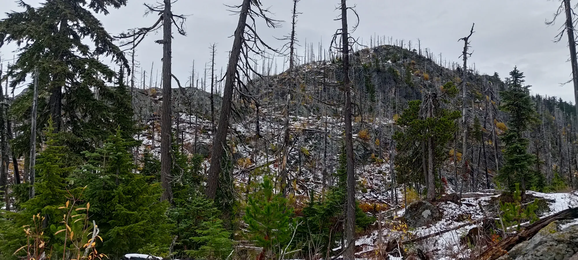
From that spot, it took another 15 minutes or so of hiking to get to the next high point. We had pretty good luck staying left, on top of the ridge, but staying right of (below) any small cliff bands when we encountered them. At times, we even picked up old footpaths of previous adventurers, but still nothing that could really be called a trail. When we got close to the next high point, we considered skirting around it, but since it looked close in elevation to the suspected true summit, we figured we'd top it out just in case, and to get some more eyes on the terrain.
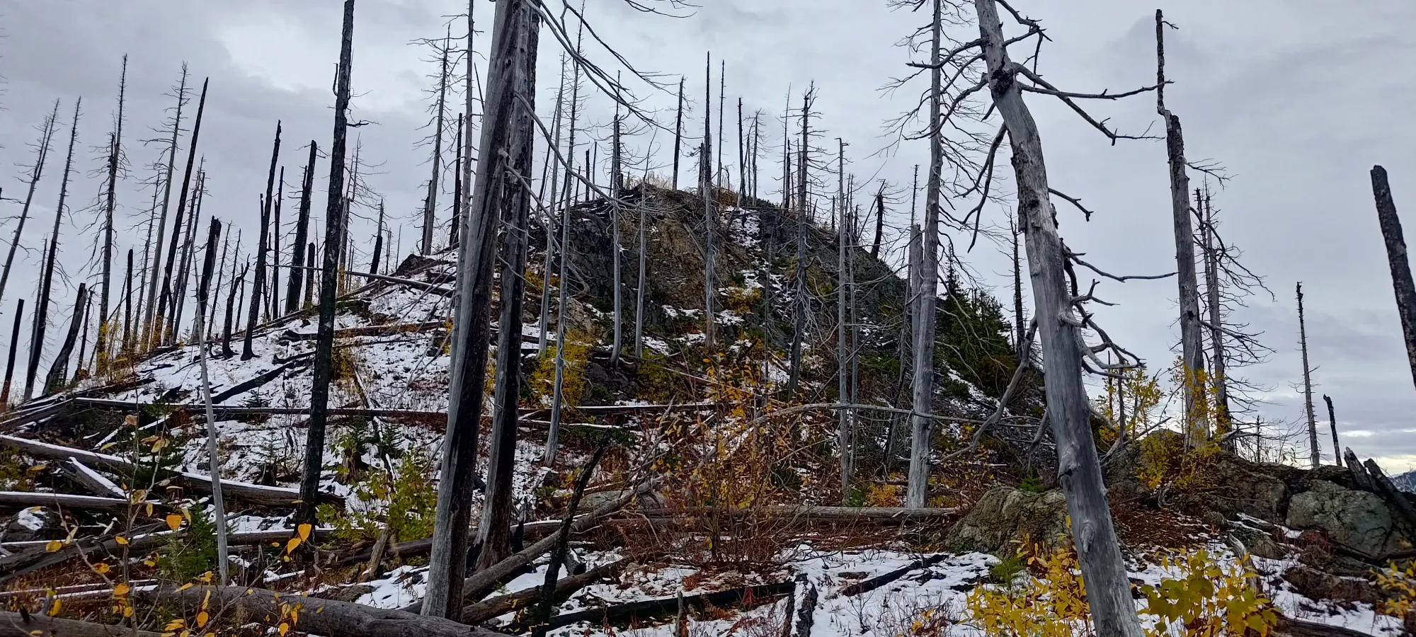
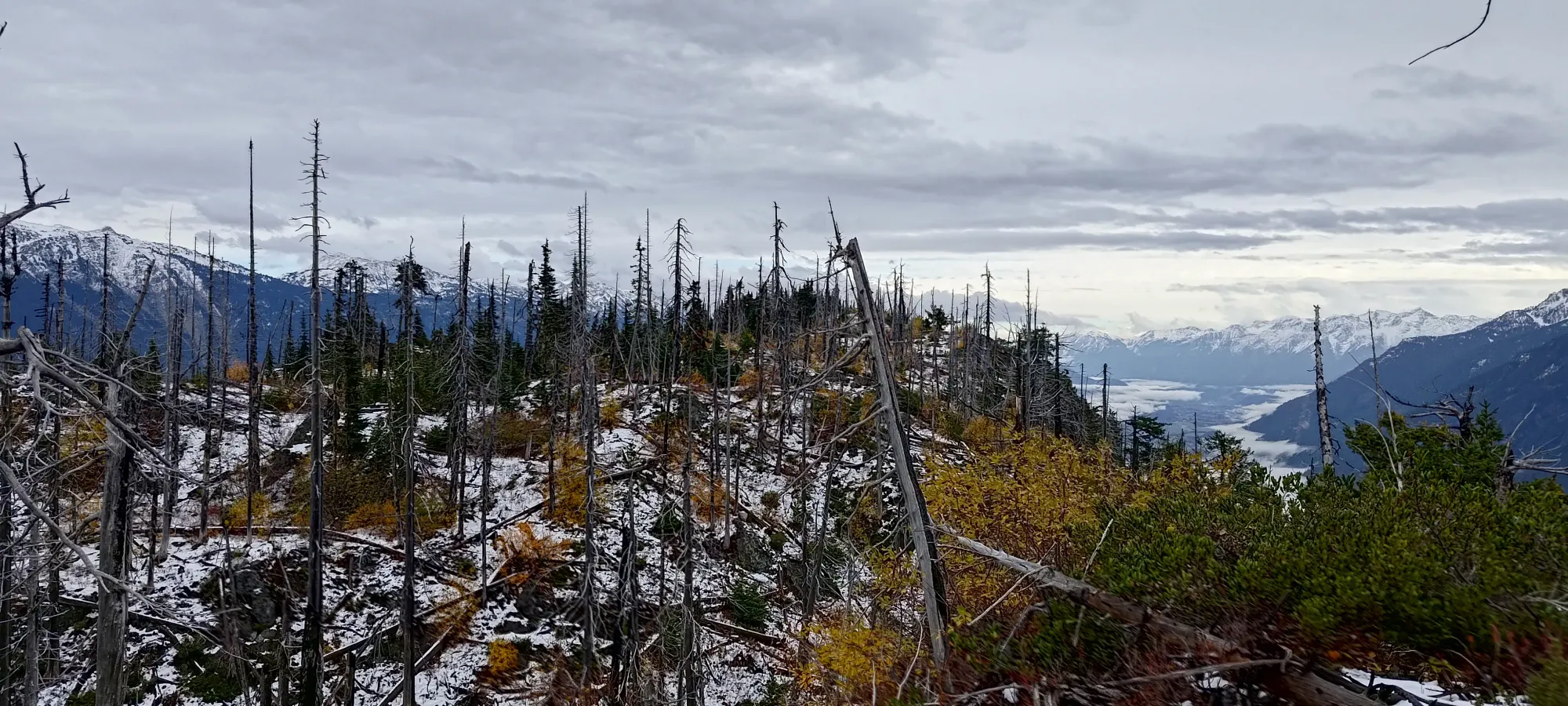
Since we weren't on the surveyed high point, and both suspected the true summit lied beyond, we went down the other side of our high point, and continued on the high ridge. The walking here was a bit easier, with less deadfall, and we made good time to the final dip, which was a fairly steep-looking chasm that formed the top of a creek marked on our maps that drained off the steep north face of the mountain.
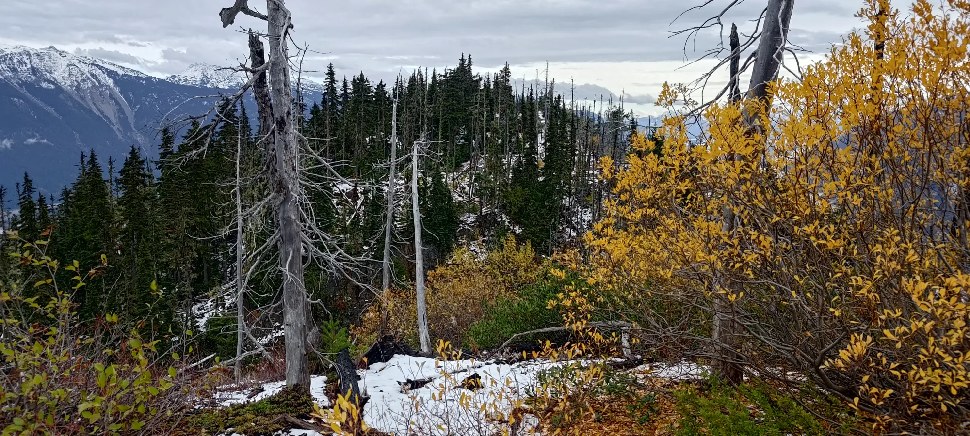
Thankfully, as we descended the ridge, we found that there was a fairly minimal-loss connection to the other side, just requiring some careful hiking on a thin strip of rock/dirt that connected, with a steep drop-off to either side (especially the north). That saved us some effort, and after regaining our elevation in typical terrain for the day, we found ourselves at the summit in about 10 minutes or a bit under 1.5 hours from the car. A bit sad when you consider we'd only gained maybe a couple hundred metres and walked a couple kilometres, but that's what happens when you're in totally random forests 😅
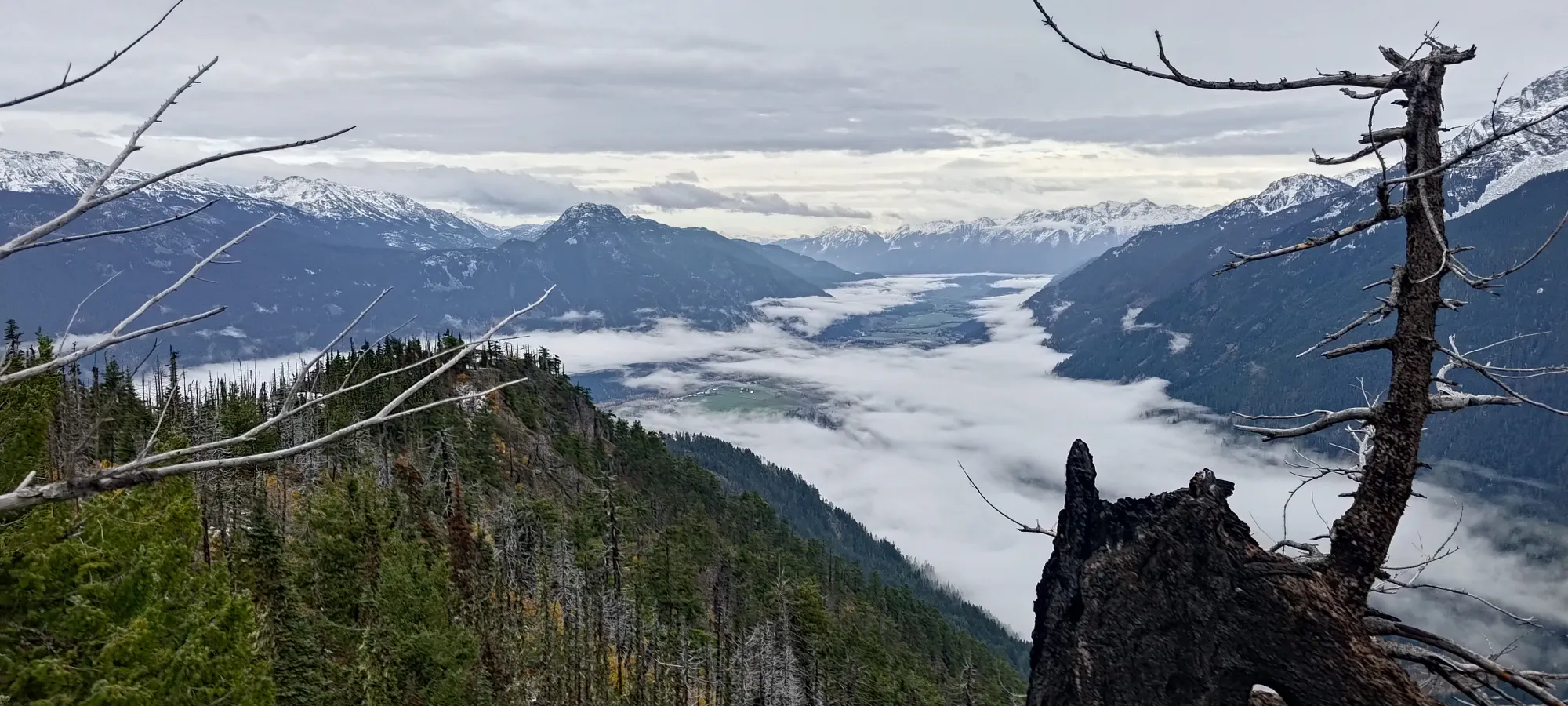
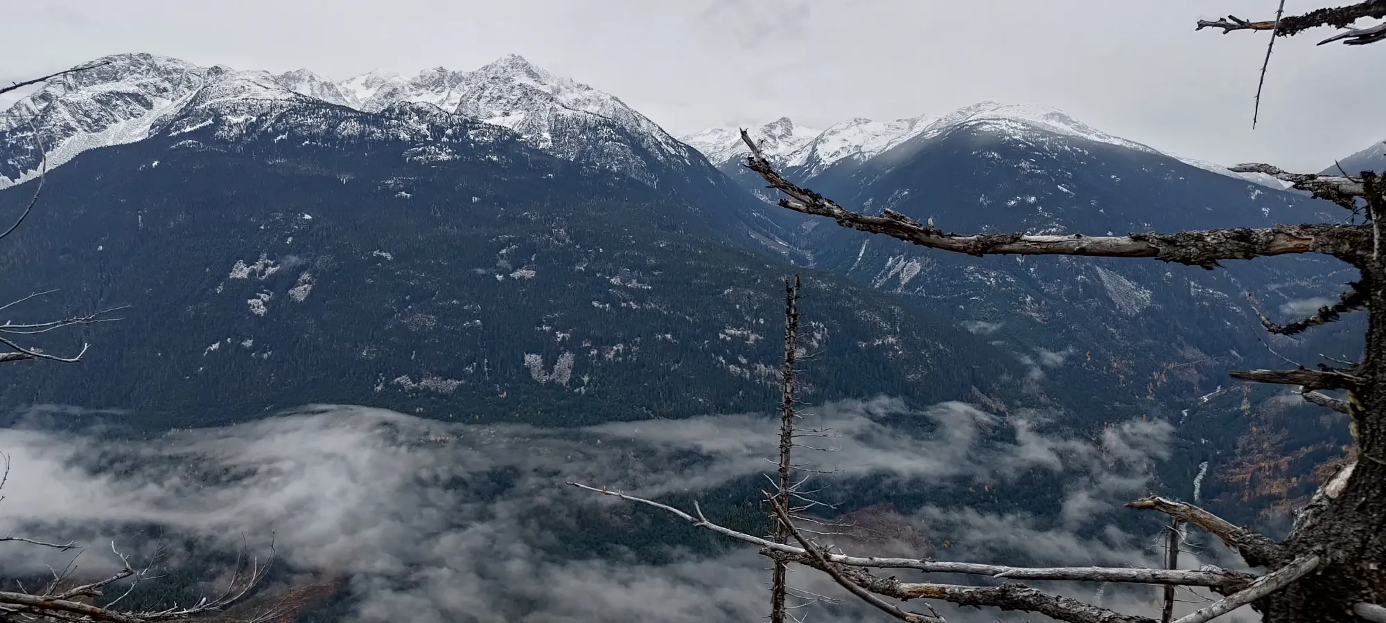
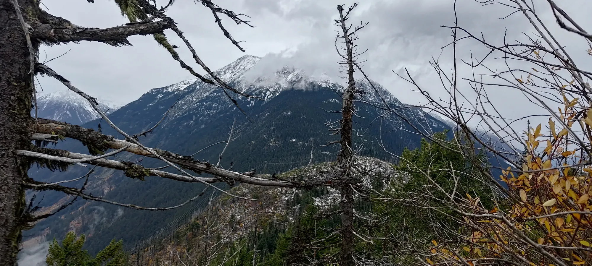
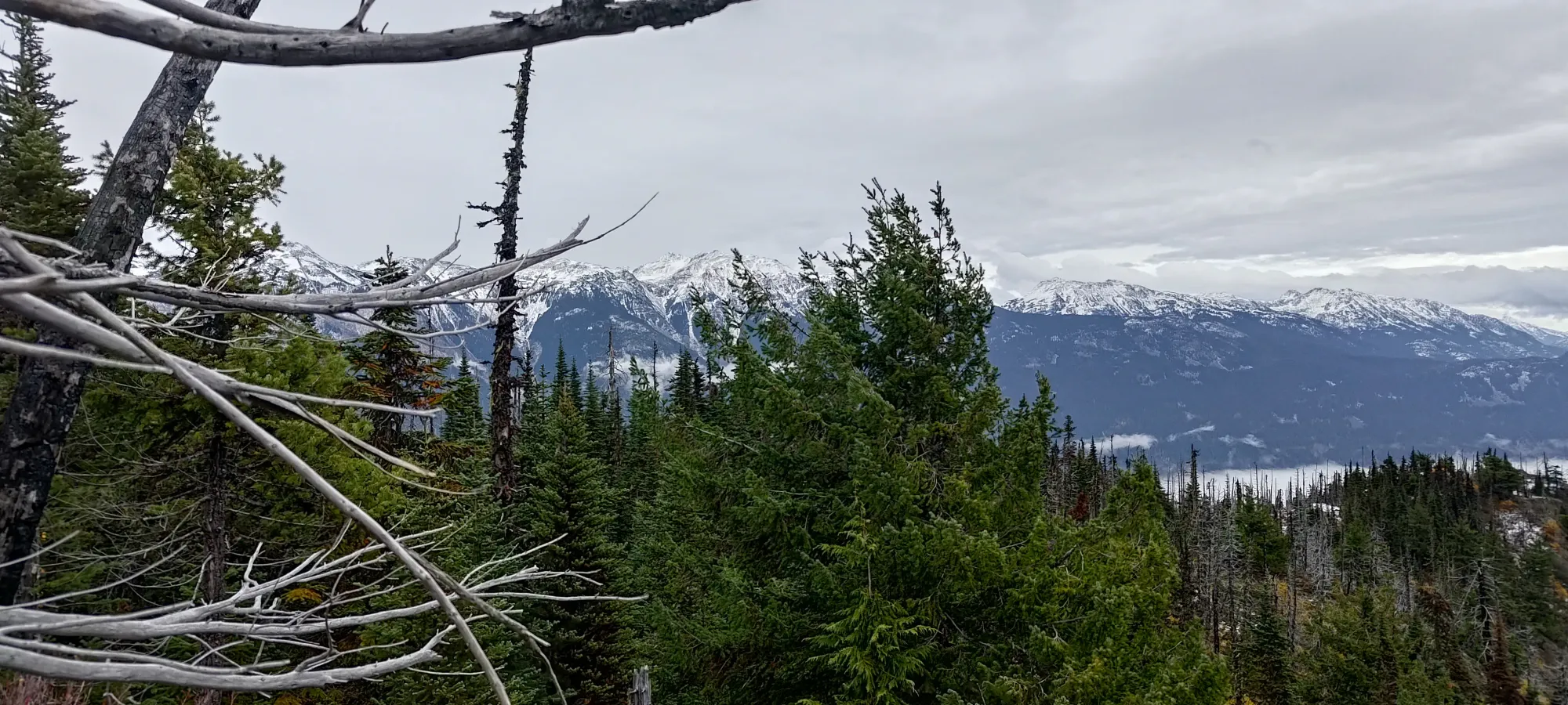
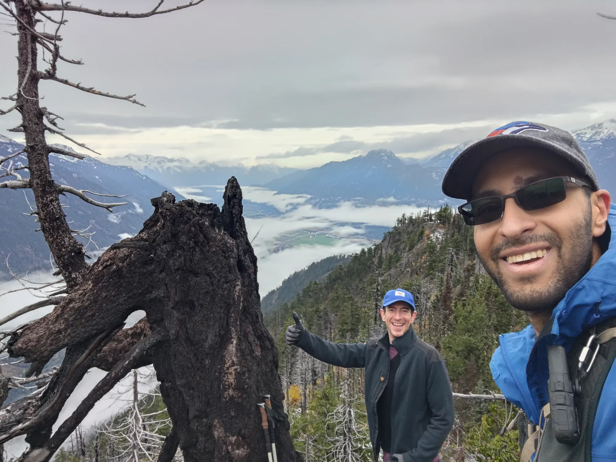
After a small summit-adjacent break, we wandered back up into the forest to tag the various potential high points (the true summit is just in the trees, we took our photos a bit to the east and below the highest spot), then started our descent.
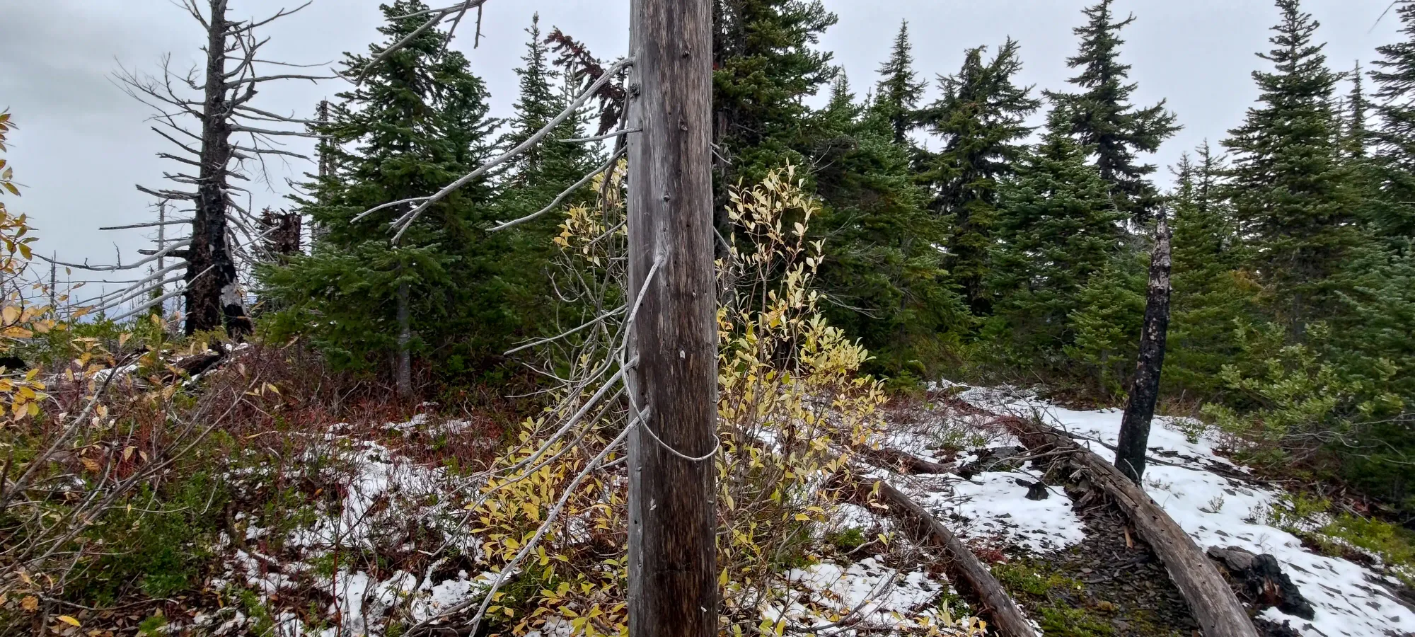
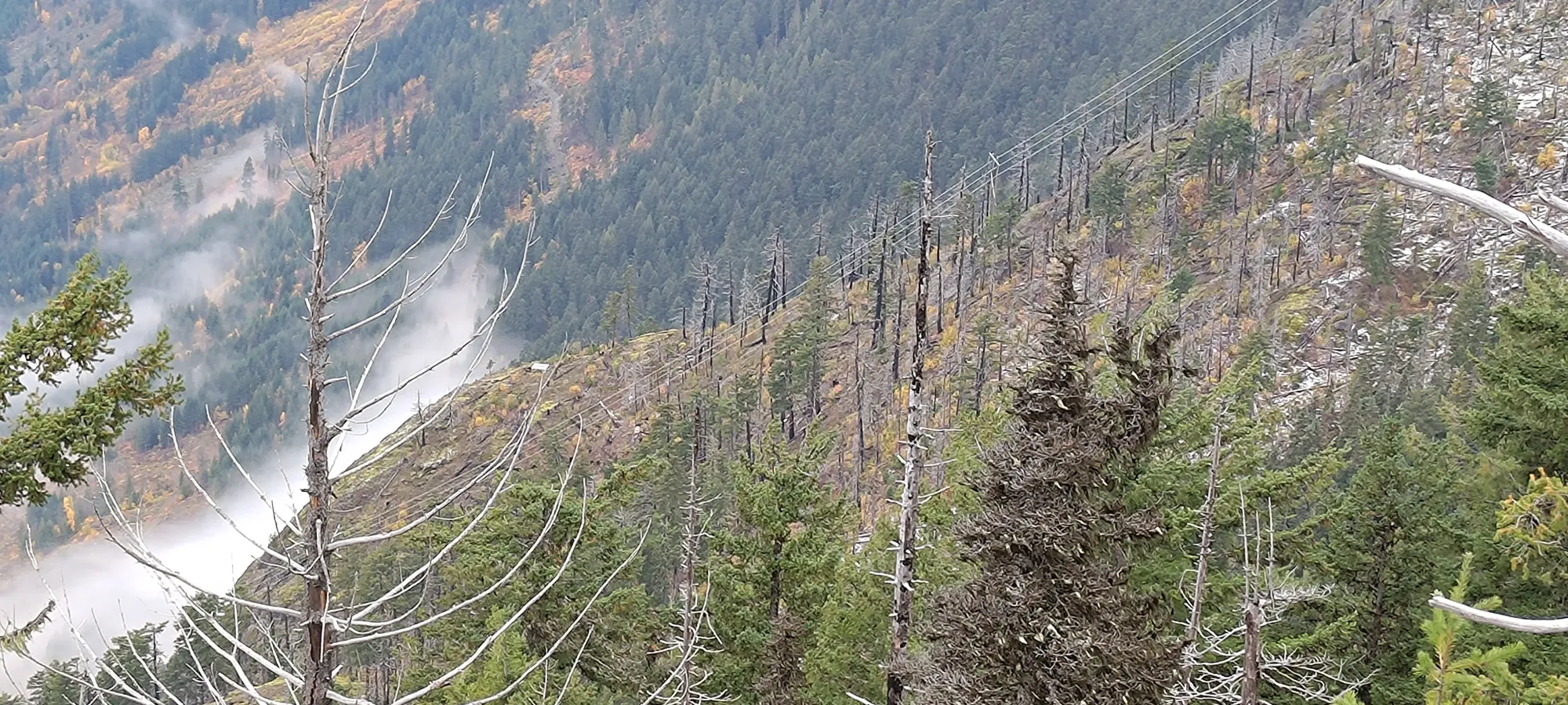
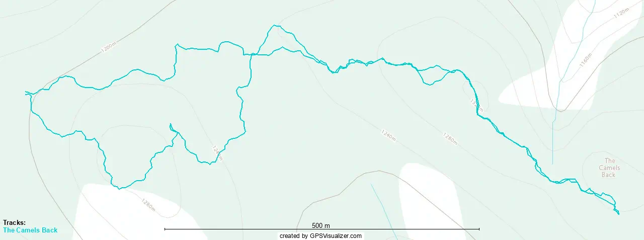
The way back wasn't super eventful, at least until we got to the final hill before crossing the col. There, we decided to attempt the route I'd hypothesized in the morning, and trying to curve around the initial sub-summit to the north side, around the rock bands, and avoiding having to gain up to that peak and come down the steep route we'd taken at the start of the day with the fixed ropes and loose ground. This worked fairly well at the start, though with a decent amount of manoeuvring over and around the increasingly worse deadfall (as it was on a steeper sideslope). Sadly, at around 1210m, we were forced uphill by some deadfall, and at the final bail-out spot where we could've gone up a gully towards the sub-summit, we were back above the car by a couple dozen metres. That was still much less than what we'd have to go up by just to go back down if we bailed up, though, and the terrain was still okay, so we continued on.
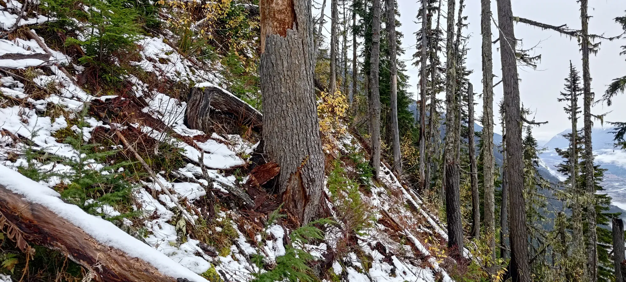
We had about 30 metres of horizontal travel or so that got pretty careful, to put it one way 😅 We often had one or both hands grabbing branches to keep us on the mountain, but we eventually got ourselves to a point where we could start descending safely, and once we started getting below 1230m, things got easier, and we could hike as opposed to carefully slide and grapple our way across the mountain.
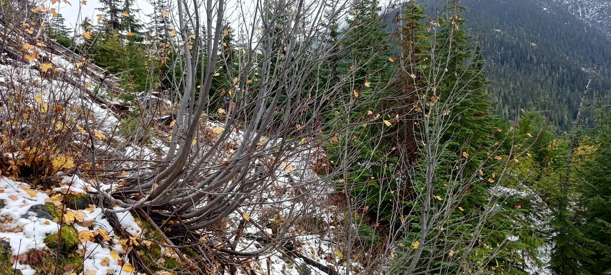
Once we were on flat-ish ground, it was only 5–10 minutes back to the car, bringing the round-trip time to just under 3 hours! Quite an efficient day, I'd say! It could've been shorter if we just sucked it up and went back over the first peak, given the ascent took basically as long as the descent, but hey, it technically saved us some elevation gain, so totally worth it! The drive was pretty fun too, even if I was the passenger for a change. Given the poor weather (though it didn't rain on us all day, which was WAY better than we'd expected), conditions on the ground (those did kinda suck), and the state of the road (I have no idea how long it'll be driveable), I think it was a perfect match for the day that we had to work with 🙂 The only snag was that I accidentally paused my watch like 5 minutes into the day 🙃, so I had to steal Kelly's GPX (thankfully we took almost exactly the same route for the whole day, so it's pretty accurate, other than his way-lower-than-my-unfit-ass heart rate).
GPX Track + Map
