Sumas Mountain Peaks (Abbotsford) - May 25 2024
There are 6 peaks with 100m of prominence in the Sumas Mountain massif in Abbotsford, BC. Sumas Peak is the highest, but if you're going there, you may as well catch em all!


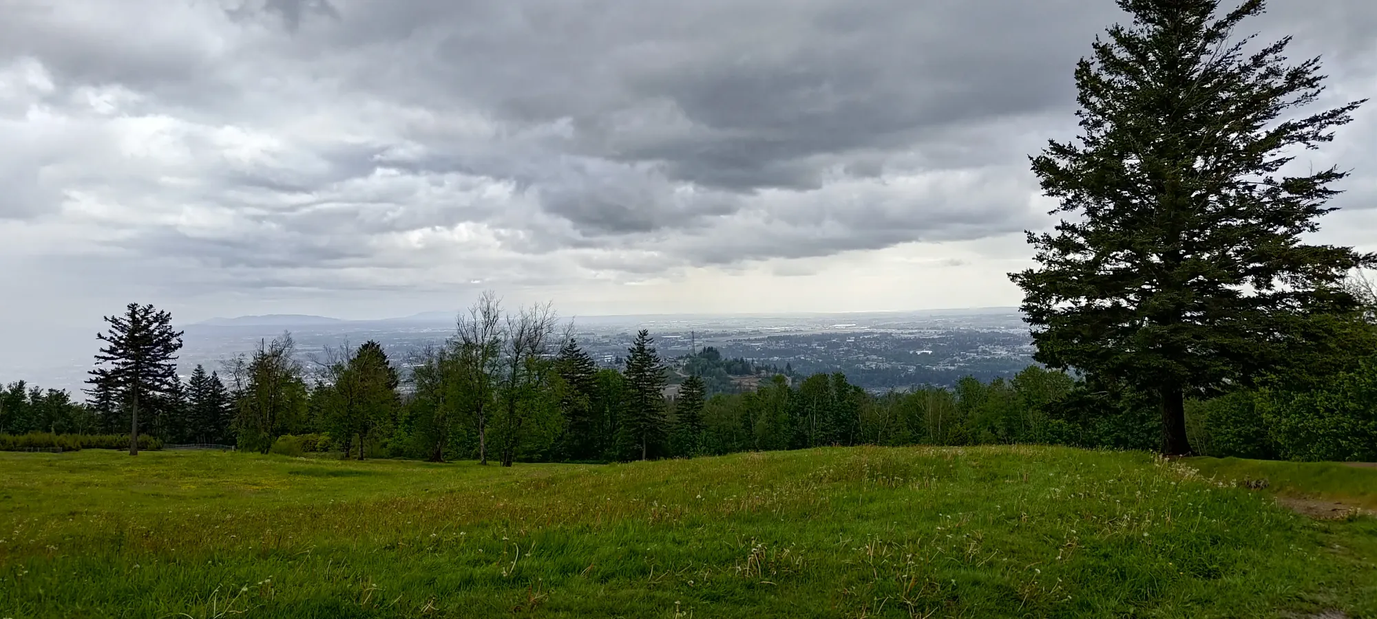
The weather on this weekend was pretty wet and miserable. I had plans to drive far to escape it on Sunday, but for Saturday, I needed something to do. I decided it was a good time to get the Sumas Mountain area cleaned up, since the highest point (Sumas Peak) was below the snowline, and there were a bunch of otherwise not-that-interesting (at least to me, who is not a mountain biker) peaks which I could clean up in one go. So, this trip goes over the 6 peaks with over 100m of prominence in the Sumas Mountain area. I'd definitely recommend trying this sort of approach to the locale, especially if it's a decent drive away from you like it is for me. If you're a mountain biker, most of these can also be biked!
Sumas Peak
Border Ranges, Abbotsford, British Columbia
910m
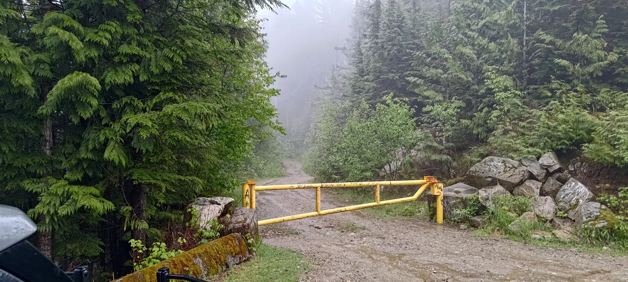
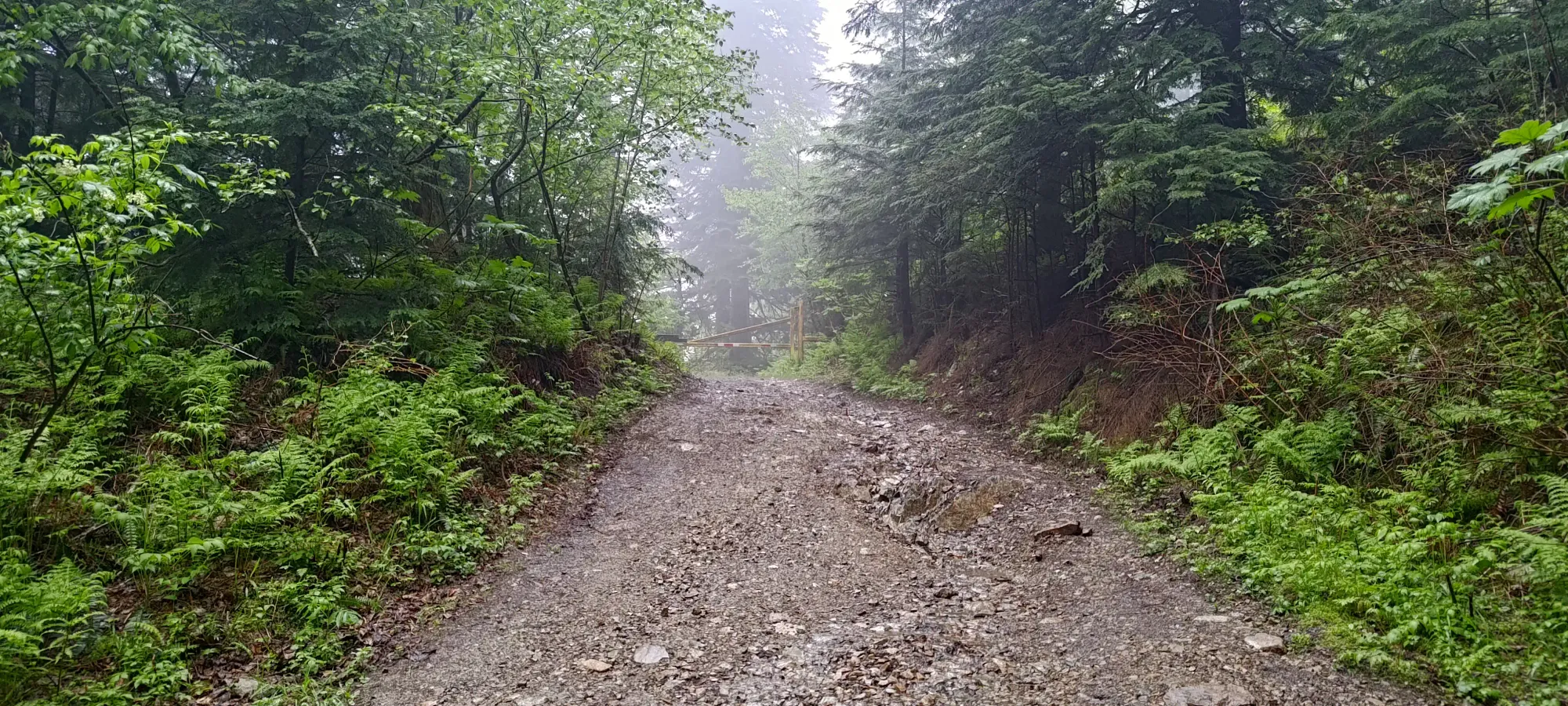
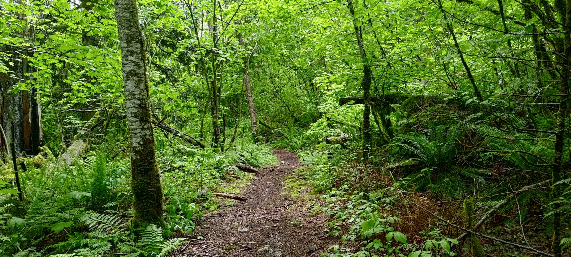
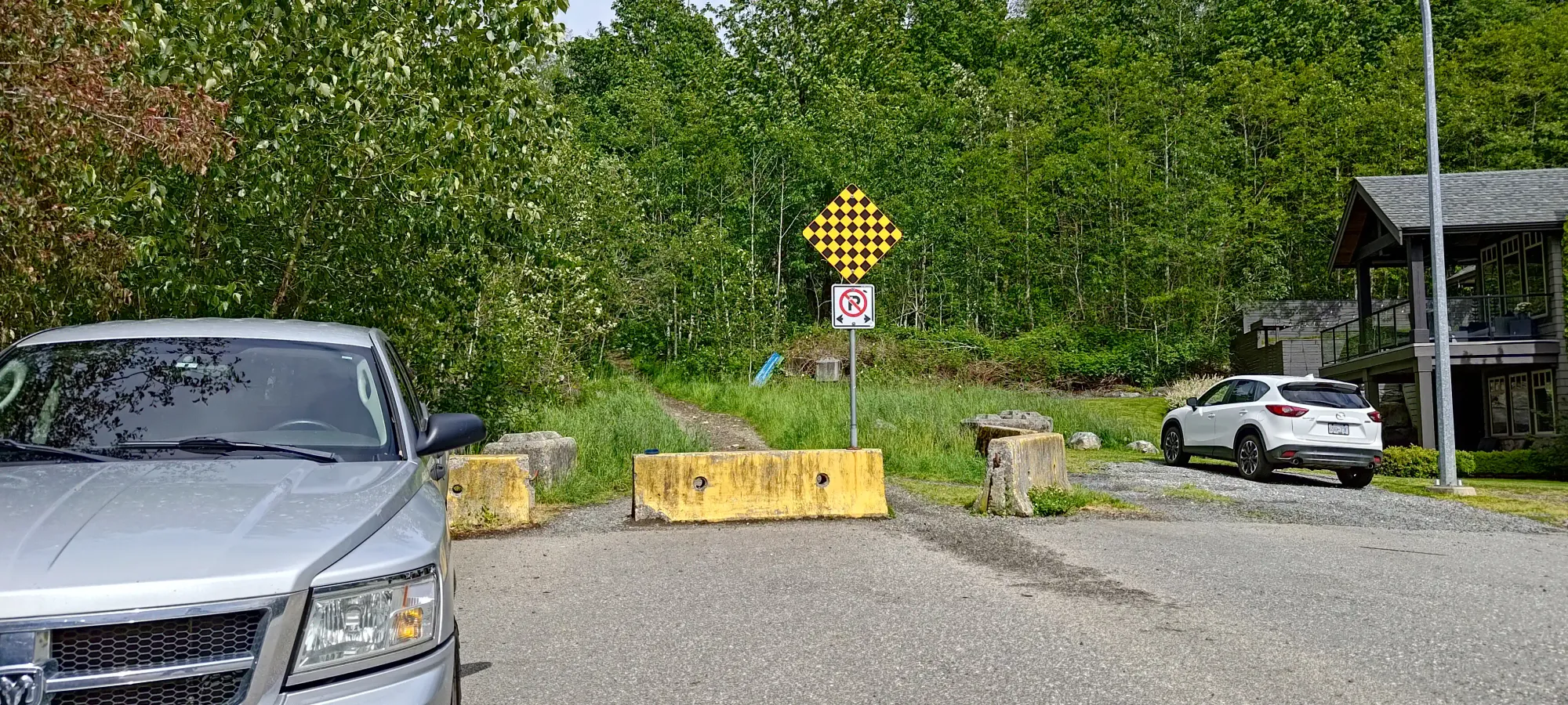
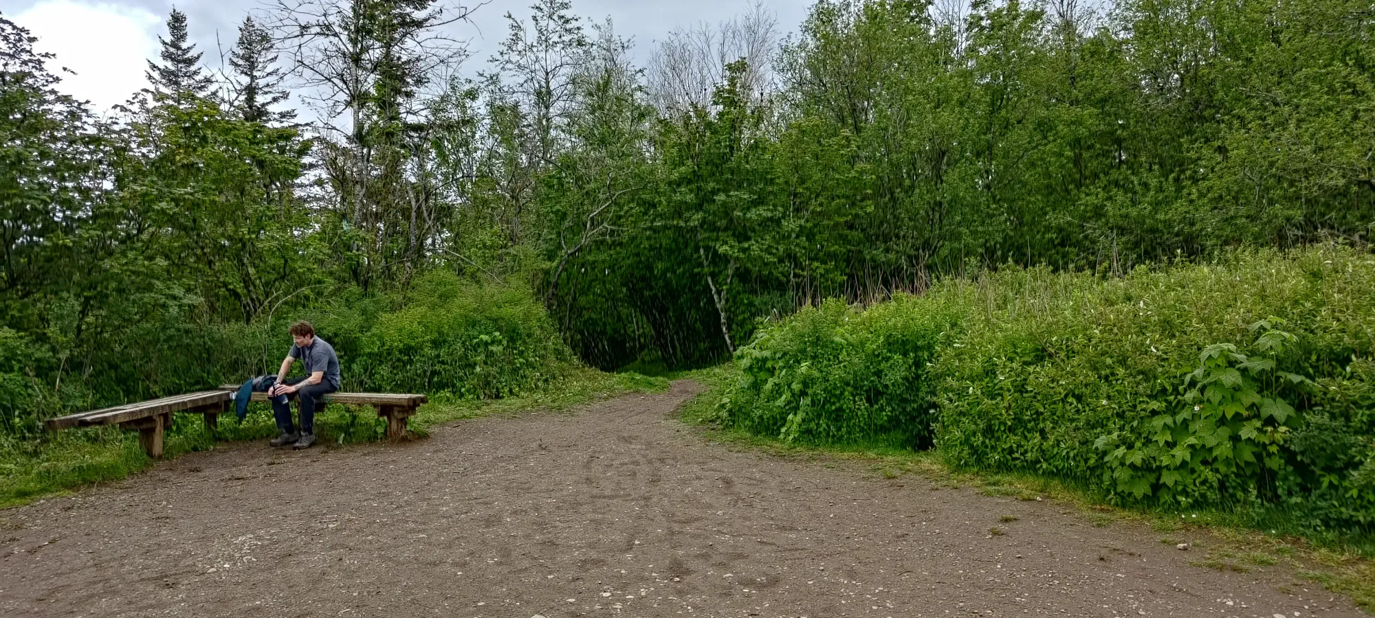
The day started off, after packing my car for the trip I'd be embarking on after this one, fairly late, with me arriving at the base of Sumas Mountain Forest Service Road a bit after noon. I encountered the first gate where the pavement turns to dirt, near 400m. This was explicitly noted to be left open all the time, so no worries there. Past that, I drove up to just above 760m, where the road forks, with an undeveloped/overgrown road to the left, and the main gated road to the right. I've heard at times this can be open, but it was not for me. So, I parked my car out of the way of the gate, got my rain gear on, and set out at 12:34pm.
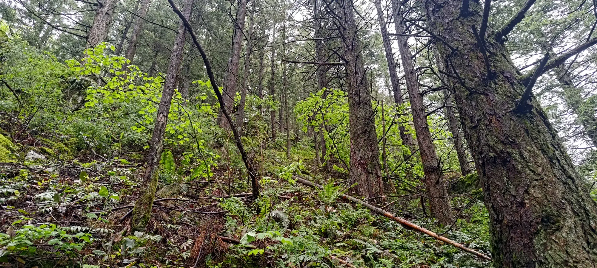
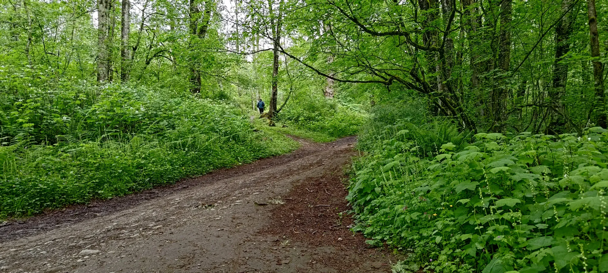
There's not too much to talk about here, really. The road is in great shape, so it was just a boring road walk til the first switchback above 800m. Here, I noticed on my watch that the MTB trail was a bit shorter than the road. Given the wet and miserable weather, I took the gamble that encountering a biker would be unlikely, so I probably wouldn't have to make a last-second dive to avoid one coming down, and took the shortcut. I spent about 9 minutes on this trail, gaining about 60m, so it was neither fast nor slow, really. It saves a few hundred metres of walking vs the main road, though, so "pick your poison". It felt like a somewhat steep hiking trail for the most part, so nothing difficult about the route, for what that's worth.
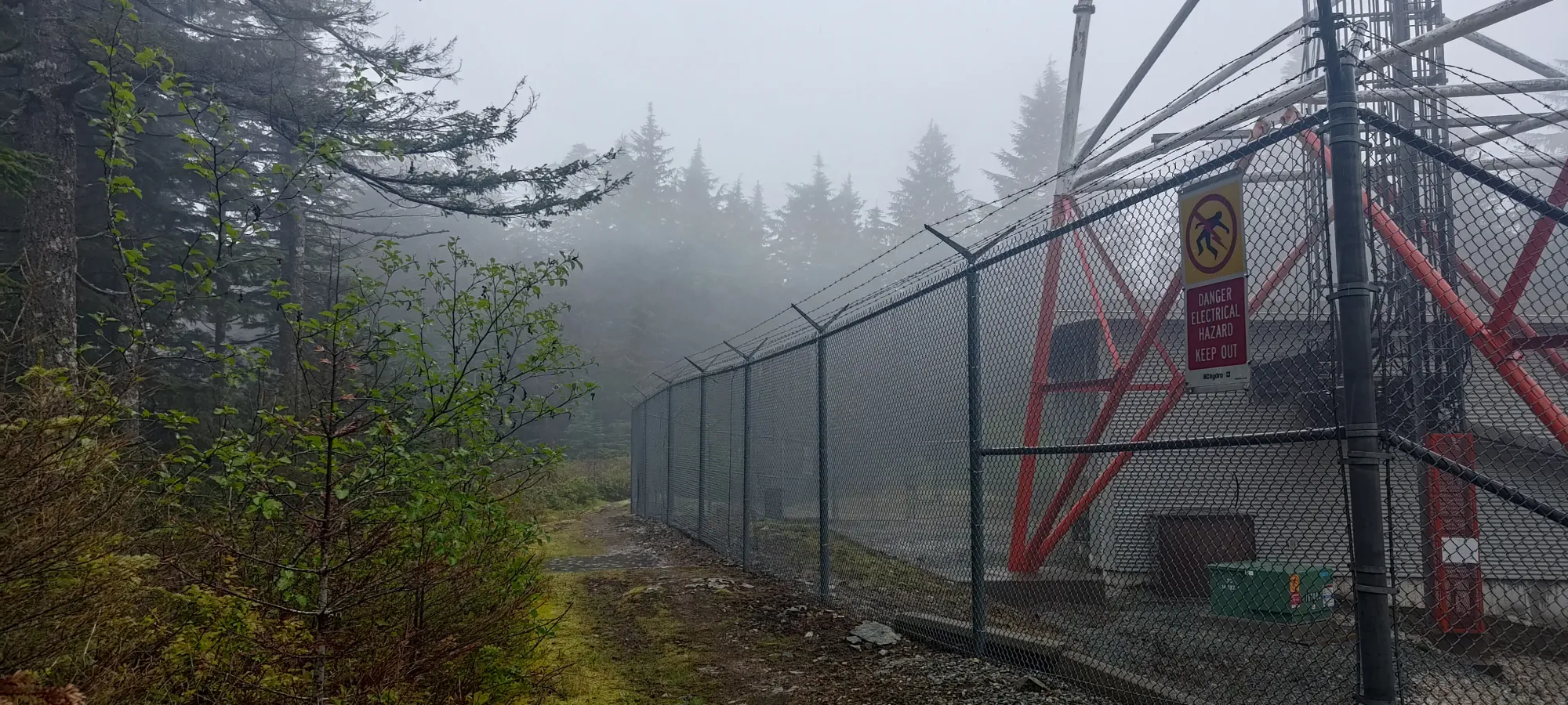
Once I got to that point where the trail converged with the road near 870m, I dipped back onto the road, as the trail basically paralleled the road past that, and I figured there's no way it would be more efficient at that point. That brought me to a right fork which led to a couple comms towers, which after confirming they were not the high point, I skirted around the fencing of to hit the road once again.
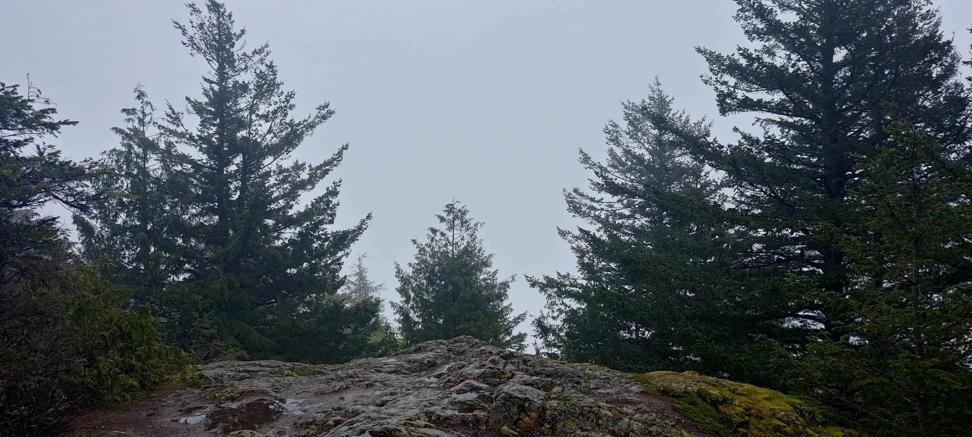
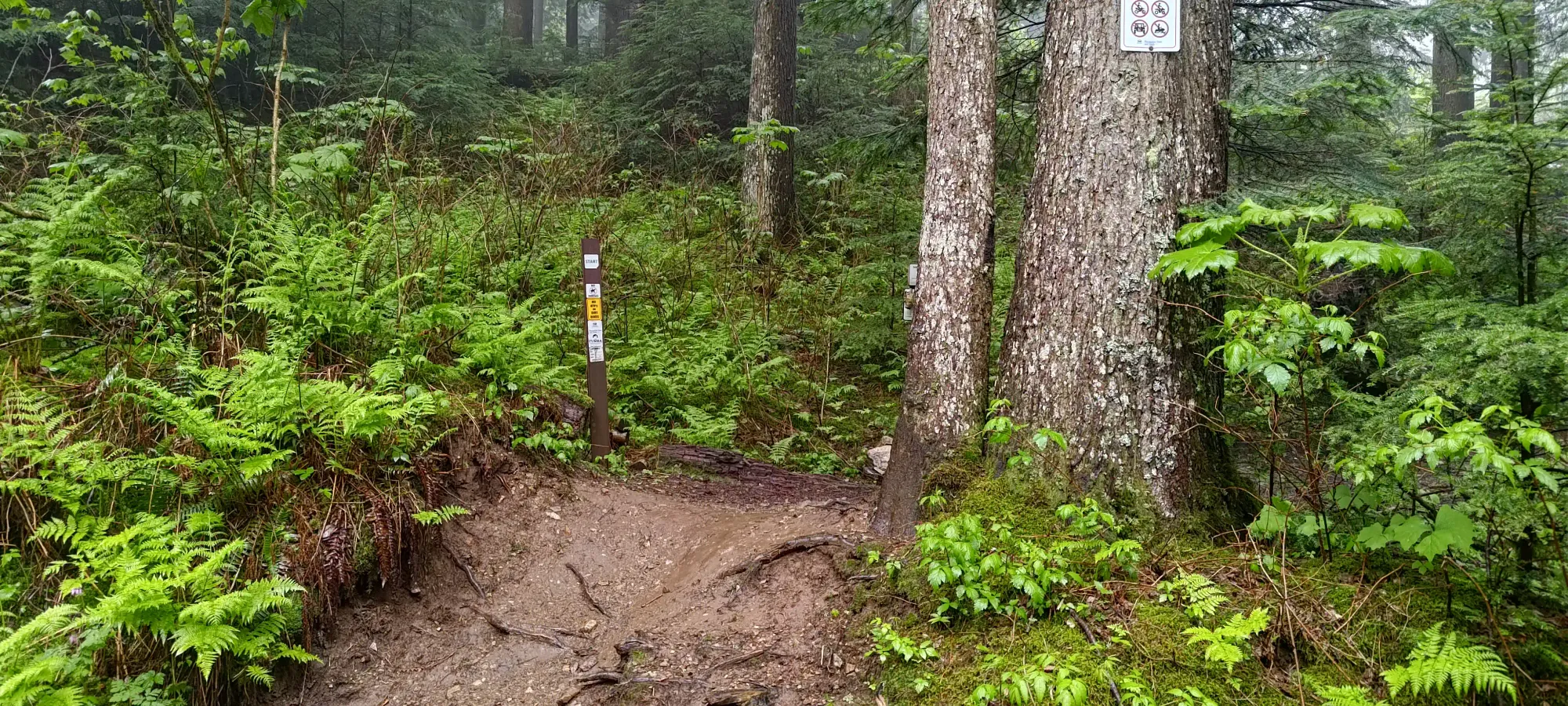
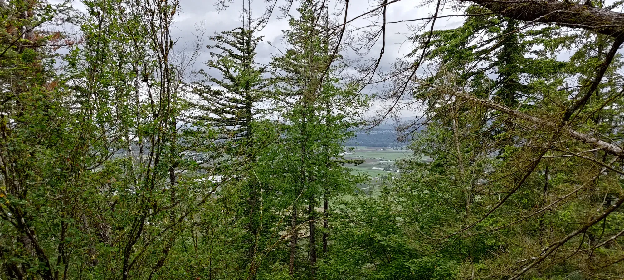
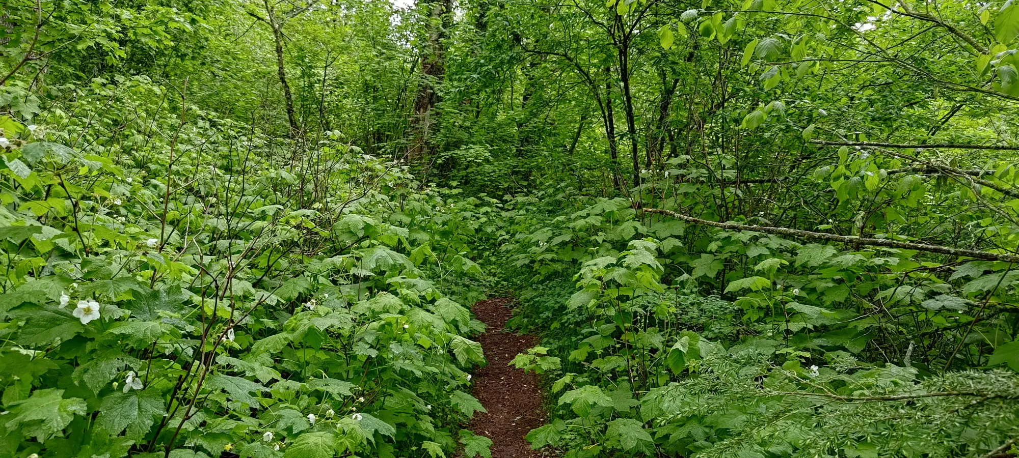
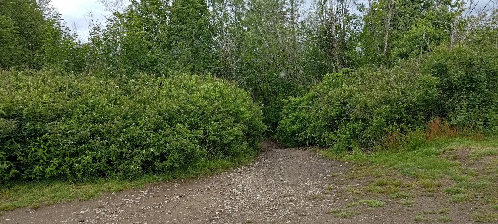
After getting back onto the road, I found that it led to a couple trails that descended into the forest, and while you can't tell at the start, do lead to the high point. I took the right-side trail, and took right forks as I went, and this led me to the summit a cool 27 minutes after I started, quite efficient for a p600m peak. I snapped a couple pictures then moved on, as the views were nonexistent in the bad weather, and I had 5 more peaks to bag!
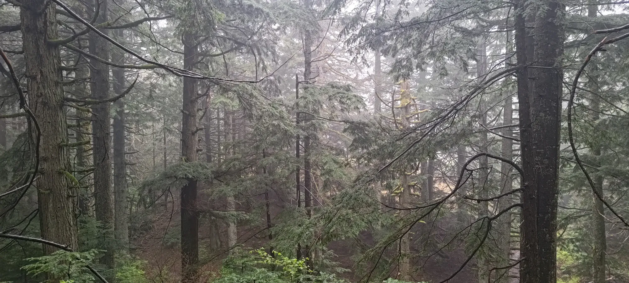
The way back was equally uninteresting. I took the MTB trail for a couple minutes after returning from the forest at the top, but that a bit muddy/had some puddles that slowed things down, so I dipped back on the road for the rest of the walk down. That was barely faster, taking me about 23 minutes. If you bike up the road and take the trail down (or the road, if you're not very sporty about your biking), you can certainly be much faster. Same with if you run, but my ankle probably wouldn't appreciate that with all the starting+stopping I had in store for the day, plus bigger objective plans for the following days, so I just took it easy.
Once I got to the car, I tossed my gear inside, and set off towards the next objective, nice and simple.
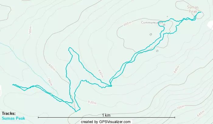
GPX Track + Map
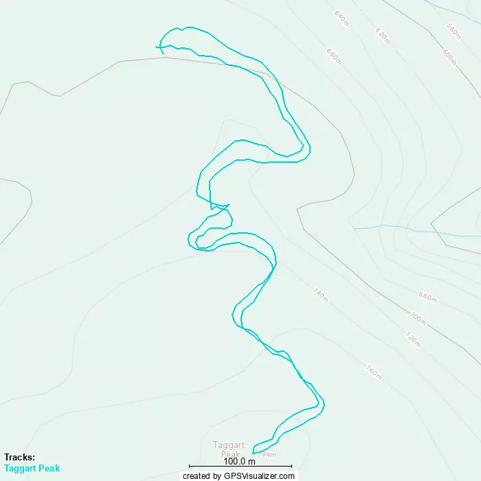
Taggart Peak
Border Ranges, Abbotsford, British Columbia
796m
The next-closest peak of the day was Taggart Peak. This is also along the Sumas Mountain FSR, so it makes sense to go for it next. I drove down to the ~700m switchback, where the spur road leading up to Taggart Peak starts. The road here is probably AWD high-clearance, as there's a decent ditch to get onto the spur, and a partially-washed-out section that will get at least one or two tires to lose traction on the way up. This shouldn't deter you, though, as the road is quite short (or rather, the driveable portion). This is because of a gate maybe a couple hundred metres up the road, which kinda makes this driveable section more "optional fun driving" than "real time-savings".
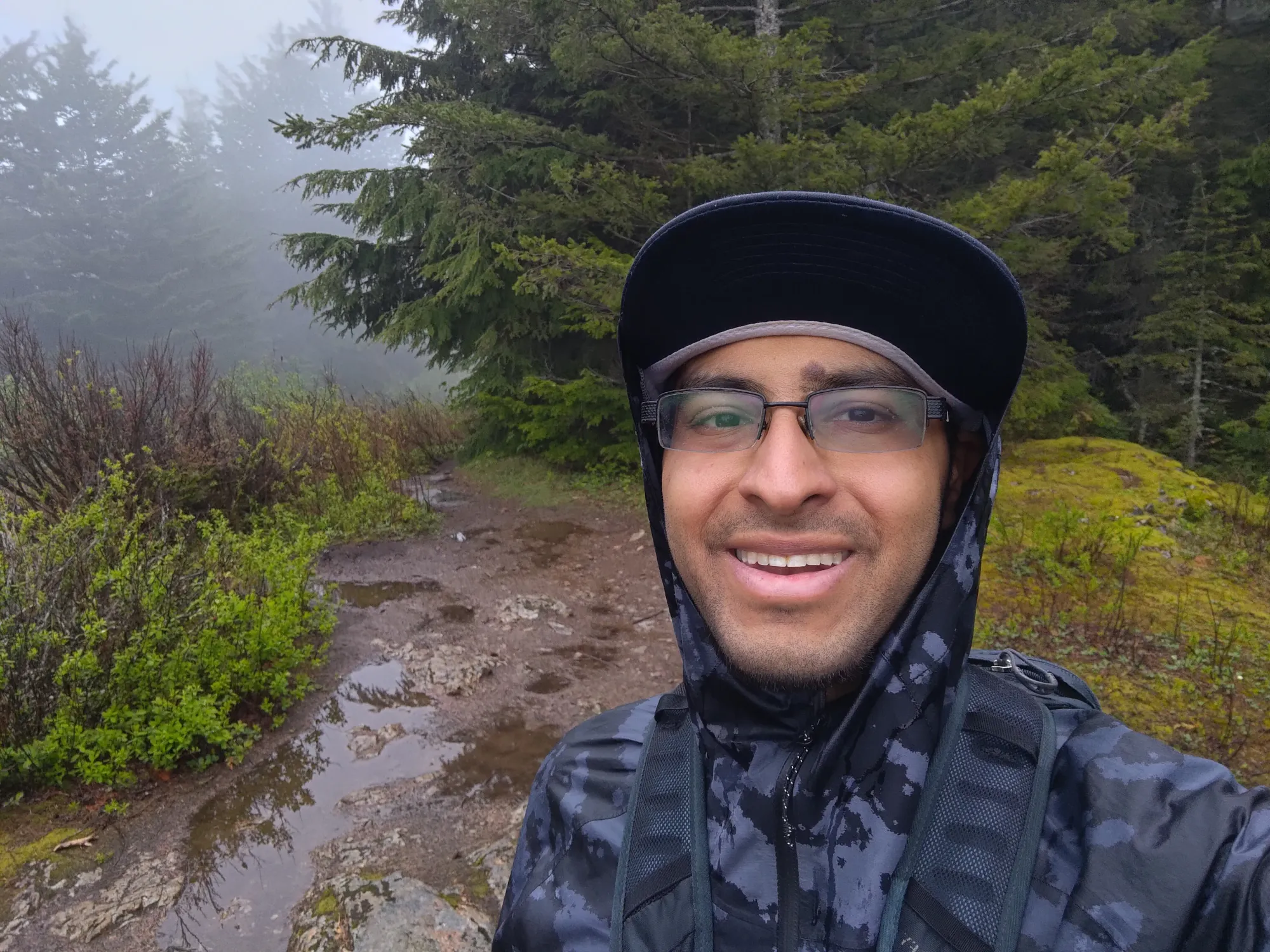
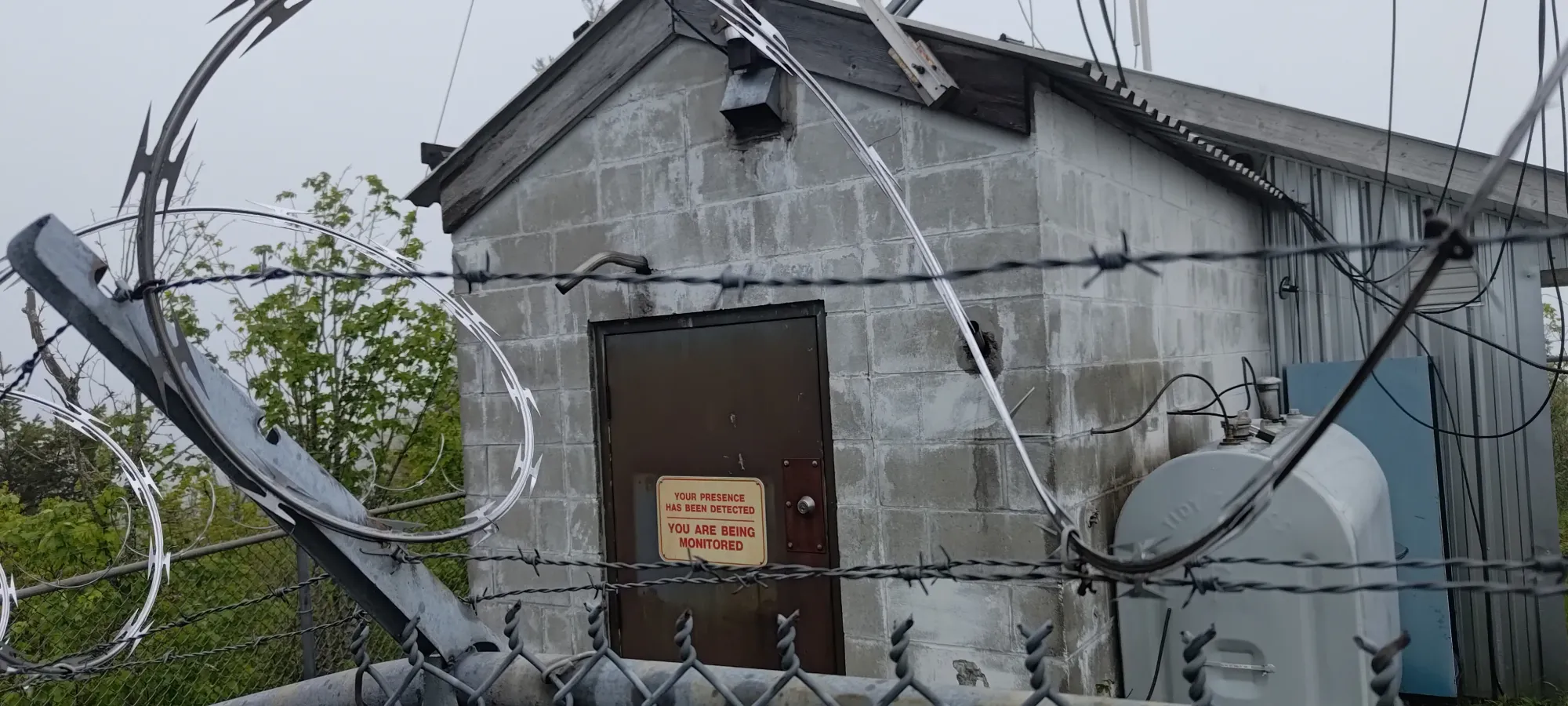
After parking my car on the wide corner of the road to not be in the way of any potential traffic, I noted the couple bike trails that started here (but went down, not up, so not useful for me). I also checked out the sign at the gate which simply noted that one was being monitored, but did not say "no trespassing", "private property", or anything else of that nature, so I felt justified in pressing on, and so started my walk up at 1:34pm.
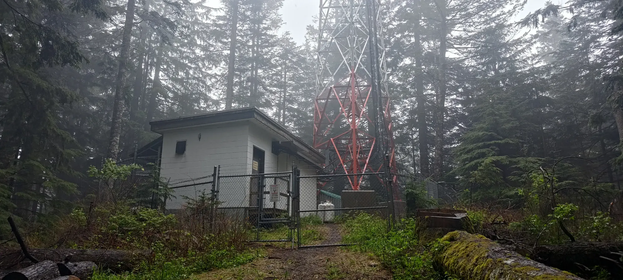
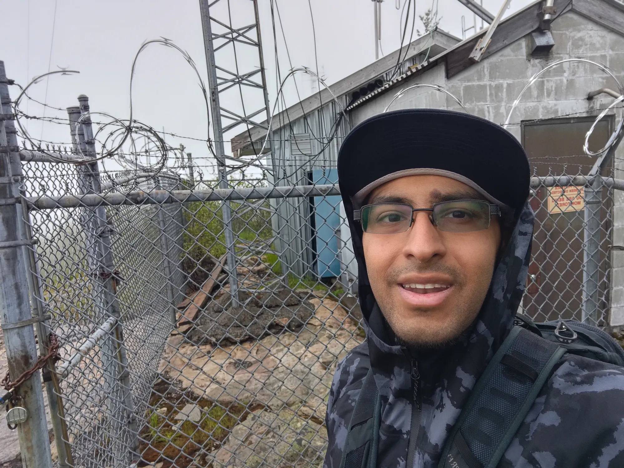
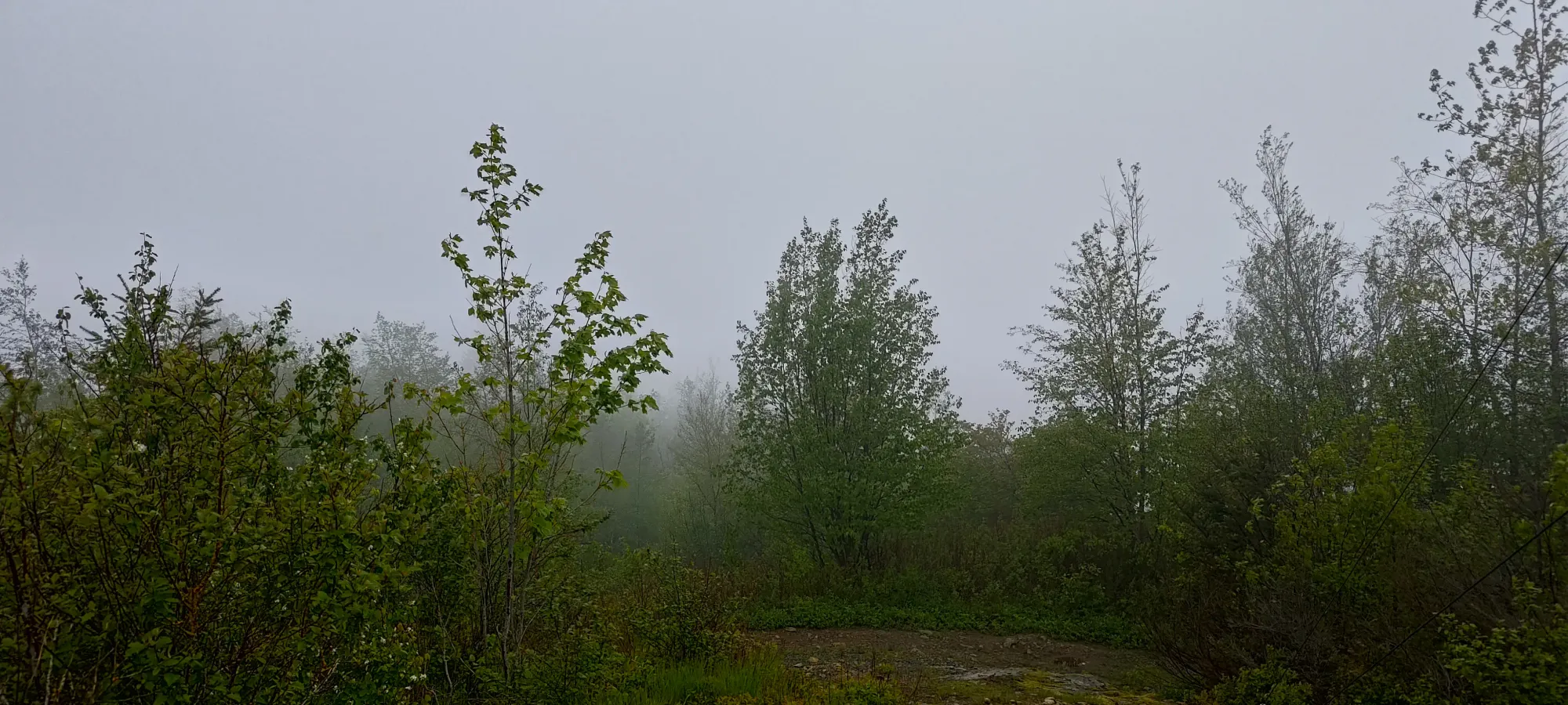
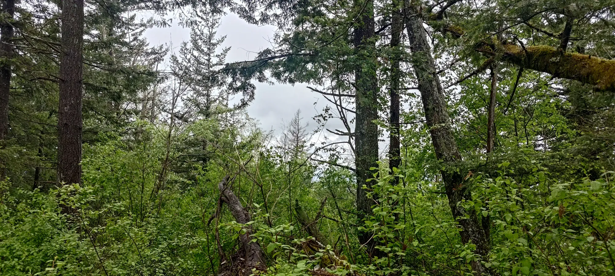
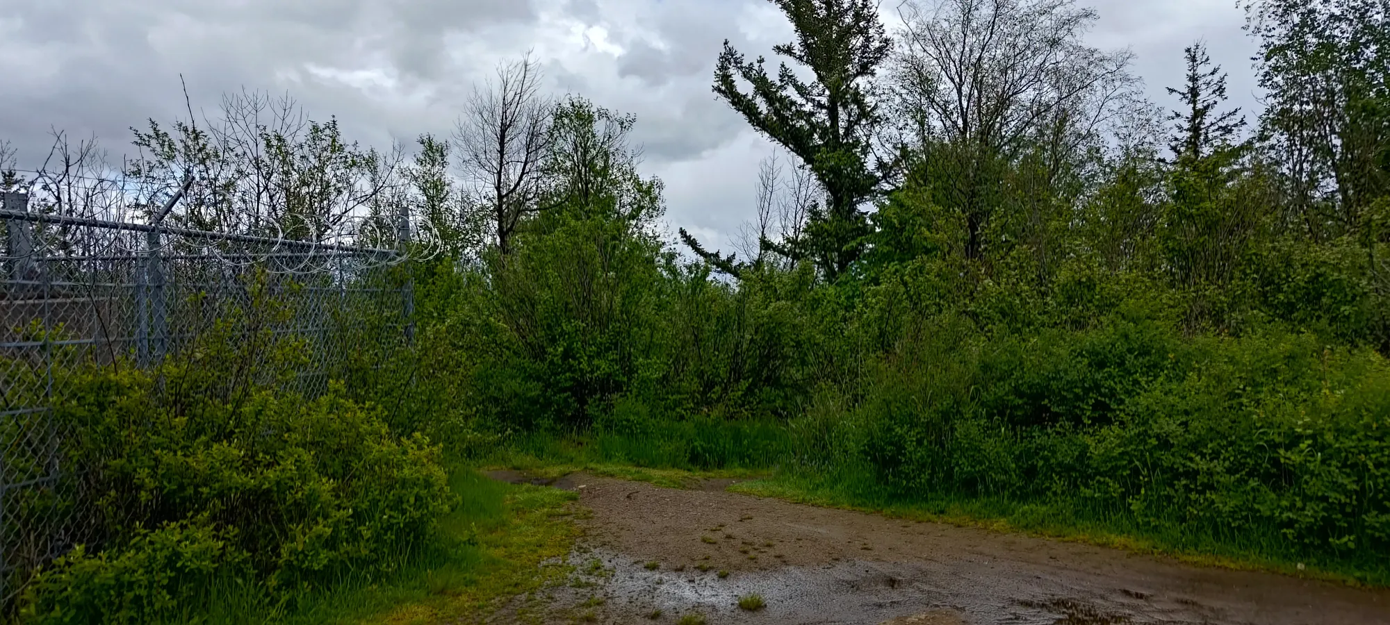
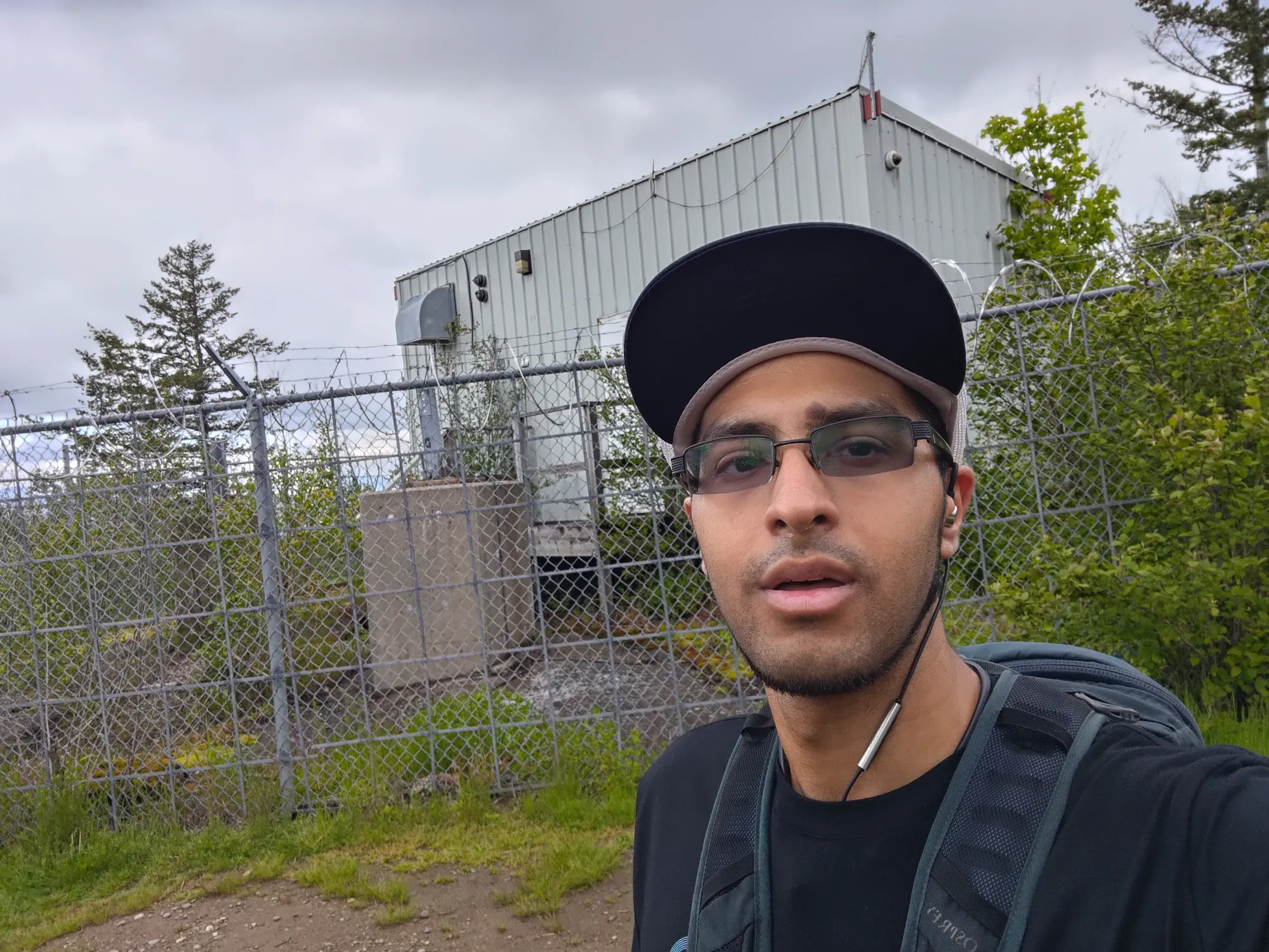
The walk up was 99% road, with about 10 steps to get up to the rocky outcropping beside a hut and comms tower which marked the summit, and took a bit under 10 minutes for me. Once there, I noted once again that the signage indicated that one was being watched, but not necessarily forbidden from being nearby, then headed down, as the rain+clouds meant there was no view to appreciate, but just "more time to get wet" if I lingered.
The walk down was just as uneventful, if perhaps a bit shorter. After which, I packed back into the car and headed towards my third objective, making somewhat of an east-west traverse through this little mountain "range".
GPX Track + Map
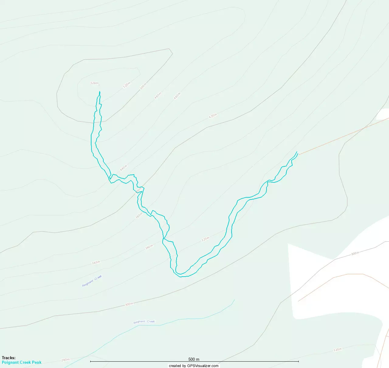
Poignant Creek Peak
Border Ranges, Abbotsford, British Columbia
542m
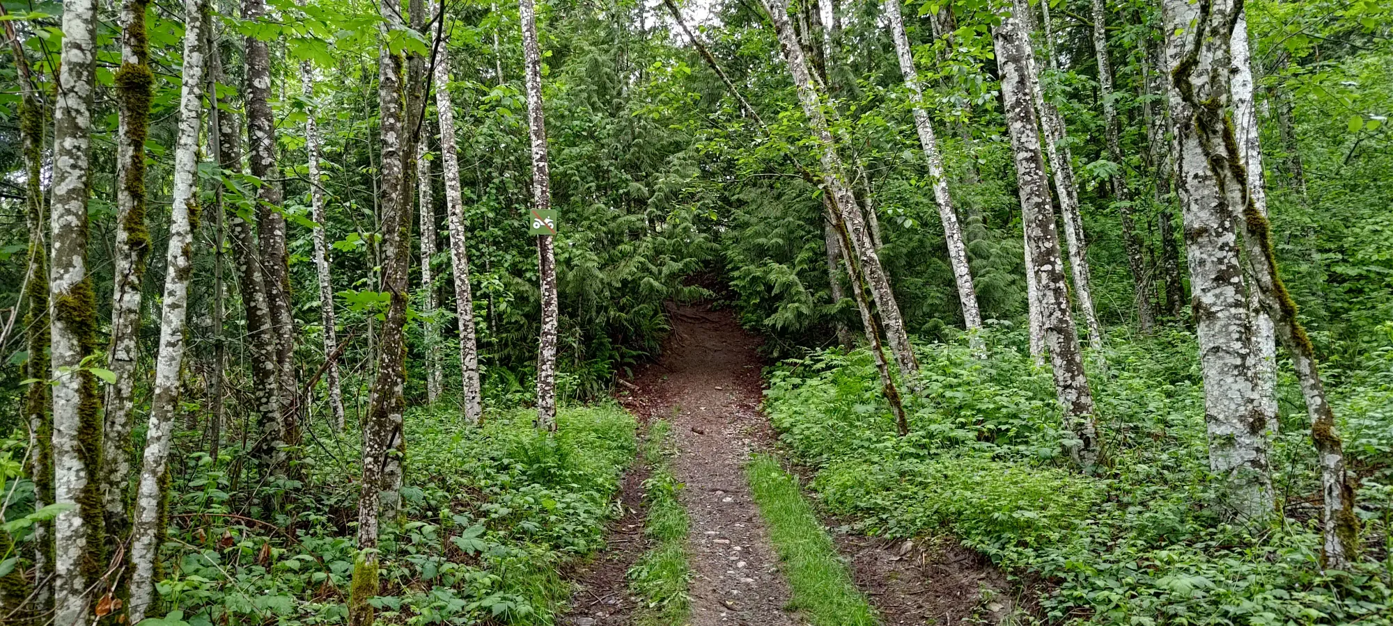
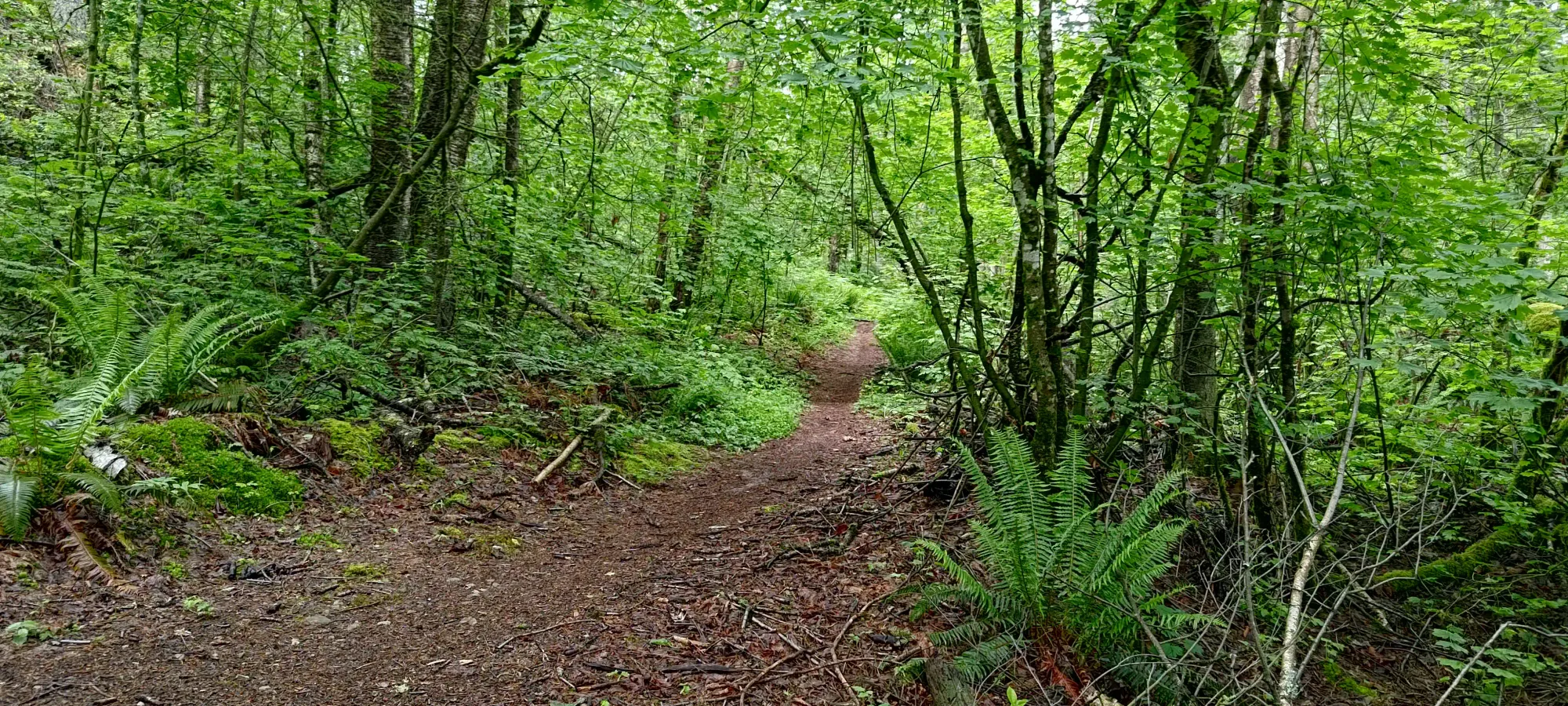
The next peak on the list is known as Poignant by most maps, seemingly a reference to Poignant Creek nearby. It is the peak closest to where Batt Road (the road used to access Sumas and Taggart) hits the main Sumas Mountain Road, so that's what made it number 3 for me. I chose the trail+trailhead that got the highest and had the shortest trail, which meant the end of Glen Neish Road, and the trail going up the south side of Poignant, in this case.
The first 500m were basically flat, just traversing over to the start of the actual uphill trail. The only things of note were one fork where I went to the right, and being charged by an aggressive off-leash dog, which thankfully stopped short of pawing at me. Dog people, I know y'all think your dog is perfect and special, but please don't let this happen... (yes yes I know this isn't all dog owners, but you get the idea. This is not a rare occurence, people have to bring this up on the regular in the Lower Mainland).
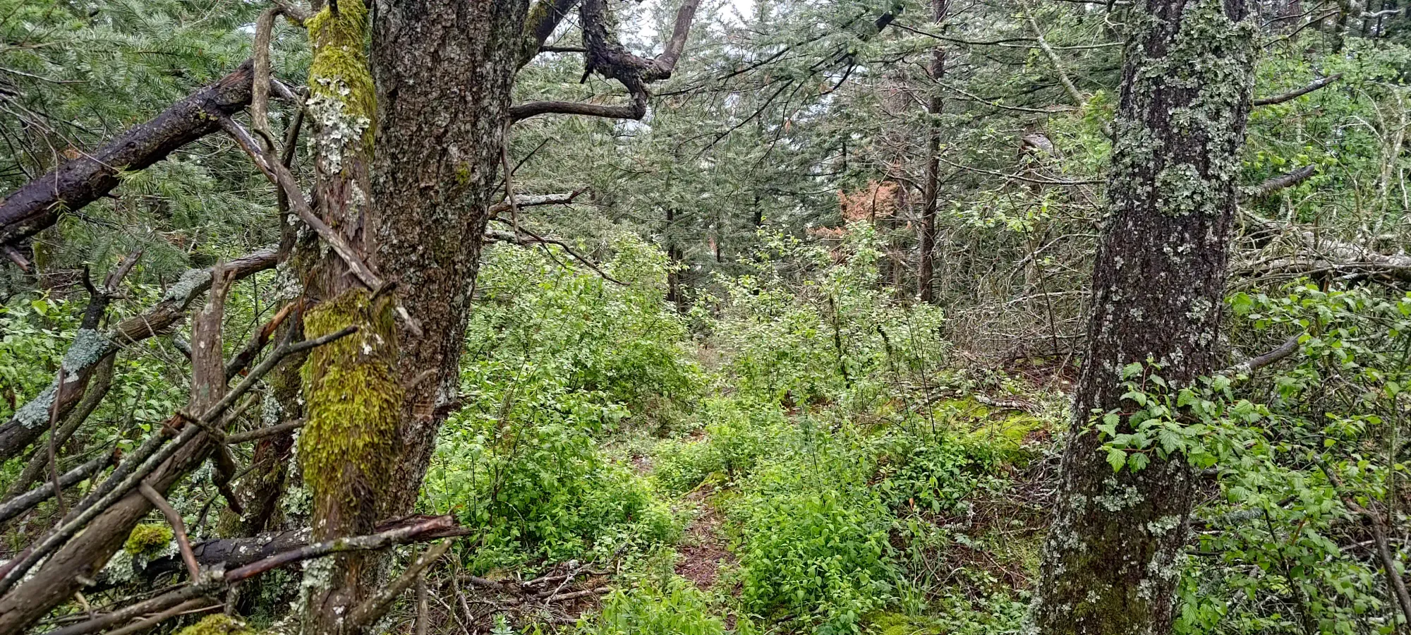
Once I got onto the south-face trail, things got steep pretty fast, and my heart rate started getting into high gear for the first time that day. There were quite a few sections which were nearly just steps up, and I even used my hands once to assist myself on a particularly steep and slippery section (since it was still drizzling, though thankfully much less than before).
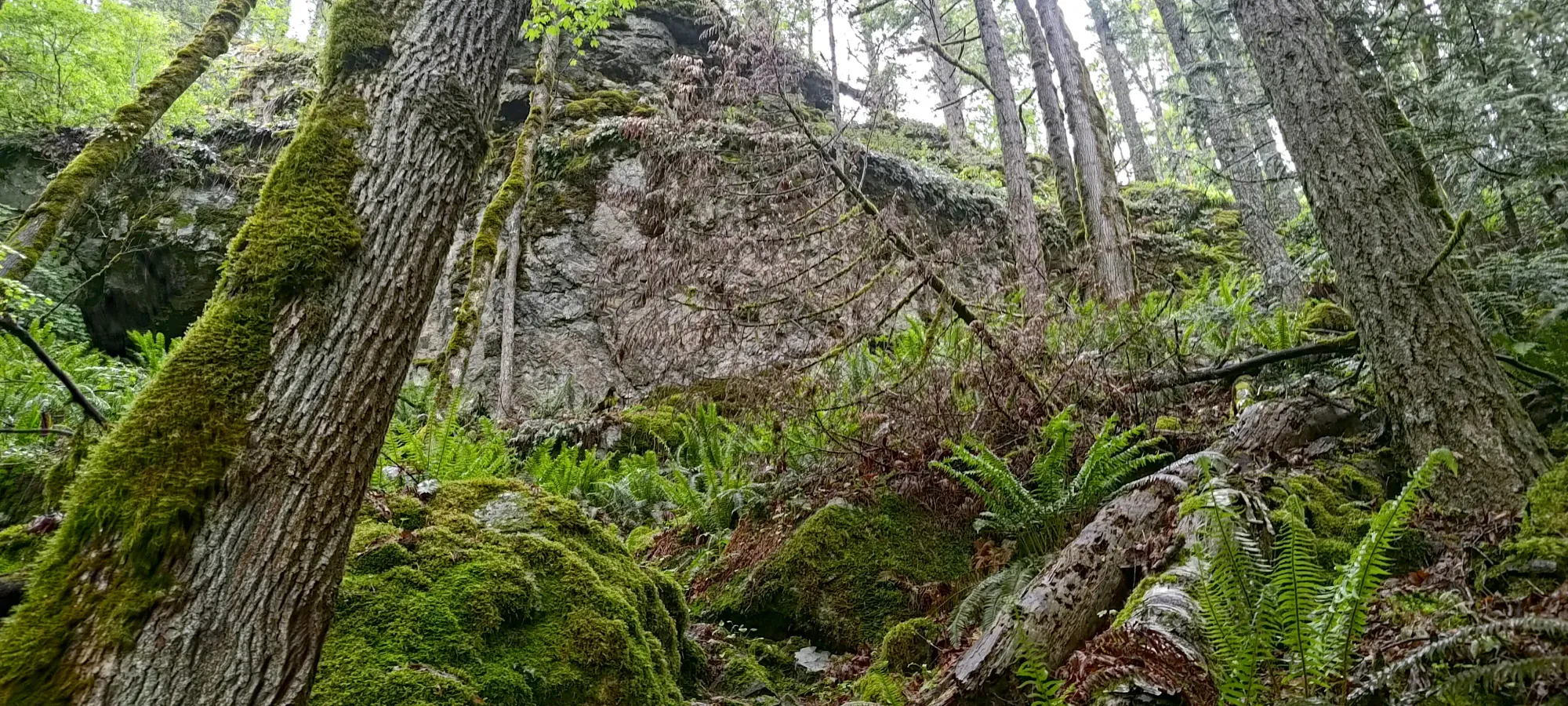
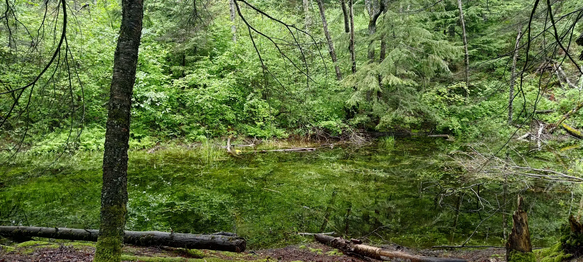
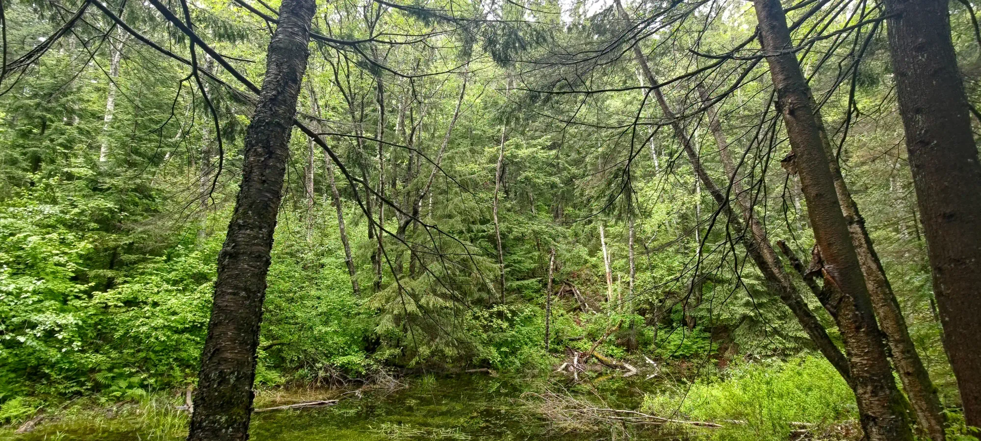
At about 435m, there's a small pond the trail contours around that I bothered to stop and take a picture or two of. Otherwise, it's just a steep walk up a narrow forest trail, not much else about it. This was not a day destined for fascinating hikes on grand peaks, after all.
All-in-all, it took just under 25 minutes to reach the top, where I once again enjoyed nothing views (this time largely due to the forest instead of cloud cover), then quickly ducked back down.
Other than the one time I slipped on the way down, dirtying my rain pants I had been trying so hard to keep clean (they seem to attract mud like there's no tomorrow, unfortunately), the descent was fairly uneventful. With the steepness and rain it was decidedly not-very-runnable, and so I shaved only about 5 minutes off of my ascent time. I encountered another off-leash dog on the way out (again on the flat approach trail), but this time, at least, they were well-behaved. Pretty sure the park bylaw states off-leash is only allowed where explicitly signed, which this area was not 😞. Not surprising given the general Metro Vancouver dog owner mindset.
On the plus side, I was now halfway done with my peaks for the day, and it wasn't even 3pm, so I still had time to get everything done and make it back to North Van for a reasonable dinnertime, where I was going to meet some family 🙂.
GPX Track + Map
Pilgrim's Knob
Border Ranges, Abbotsford, British Columbia
305m
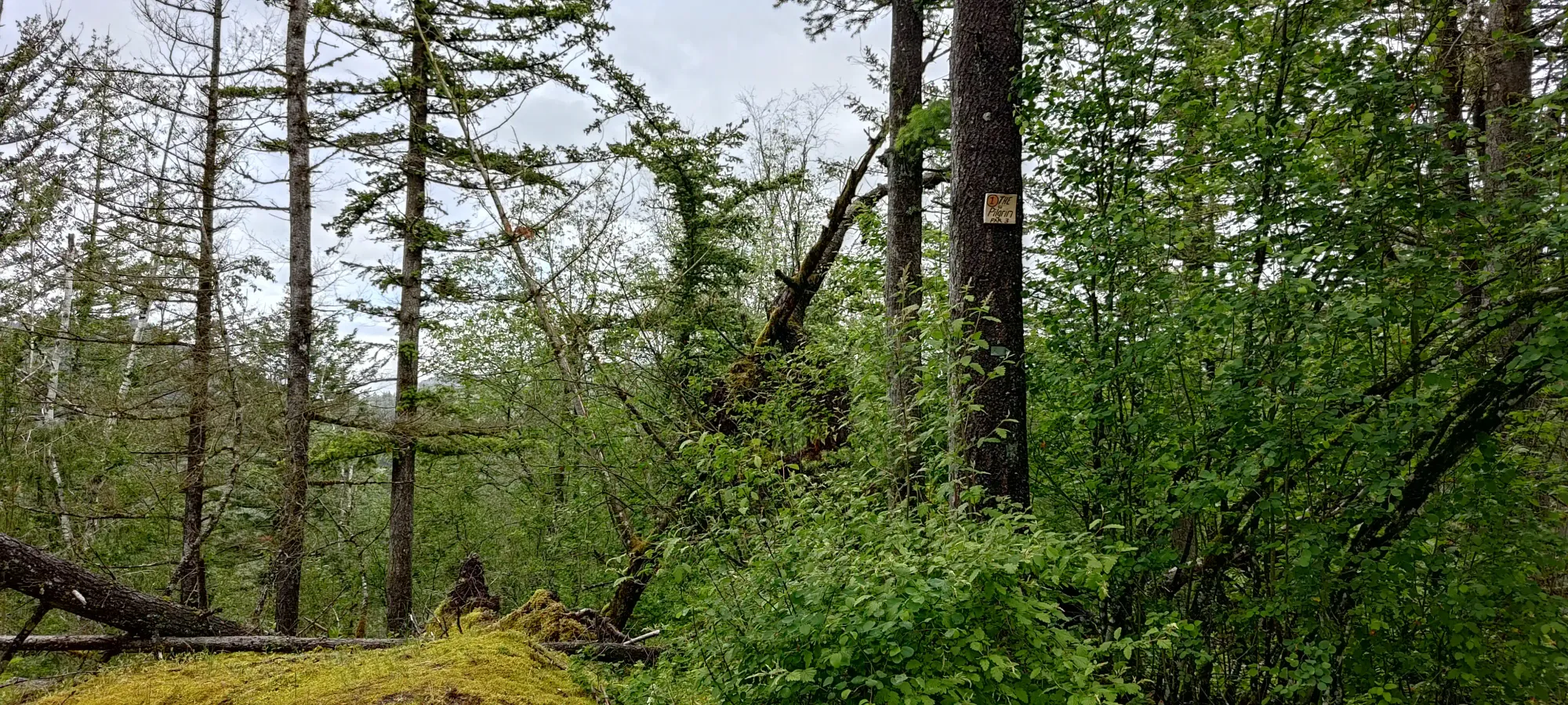
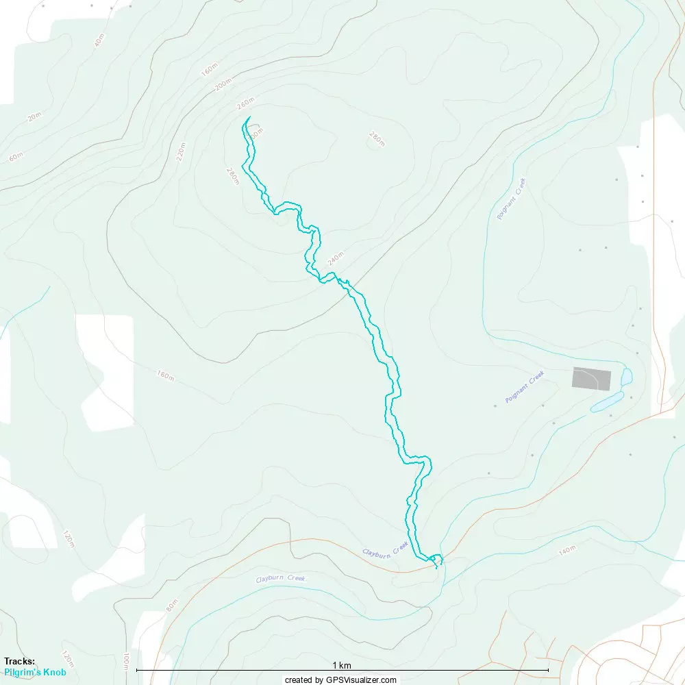
Next up was "Pilgrim's Knob", an unofficial name given to a bump with just over 100m of prominence to the west of Poignant. One can connect the two via trail, but unless you've got a MTB, not super efficiently. Since I was on a time crunch, I decided to drive to a closer starting point. I tried to drive to and start from a point off of Willet Road, which by most maps should've had a road up above 250m. However, unless the narrow driveway-looking thing I originally pulled off into was actually it, it appeared to be a gated property, so I had to go to my backup option, the southern approach off of Straiton Road. My maps showed a road to the west and a trail to the east, largely paralleling each other. In reality, the west appeared to be at best a trail, certainly not a road. The east was a road very briefly, but a sign a few metres in indicated no motorized traffic was welcome, and it ended within 20 metres or so. As a result, I reversed out and parked on the large shoulder of the road, and started hiking up at about 3:15pm.
The trail was quite well-maintained, and fairly easy to keep walking up at a good pace. Near 250m, it got a bit steeper, but still firmly in the realm of hiking, and about 15 minutes after starting I popped out at the intersection of the trail I was on (Long Way Home) and a shortcut which bypasses the summit, and heads east towards Poignant, which the bike trail goes a bit more than halfway to before heading towards the road. I wasn't biking, though, so I crossed the trail (there's a short jog to climber's right you gotta take on the shortcut trail to continue) and continued up.
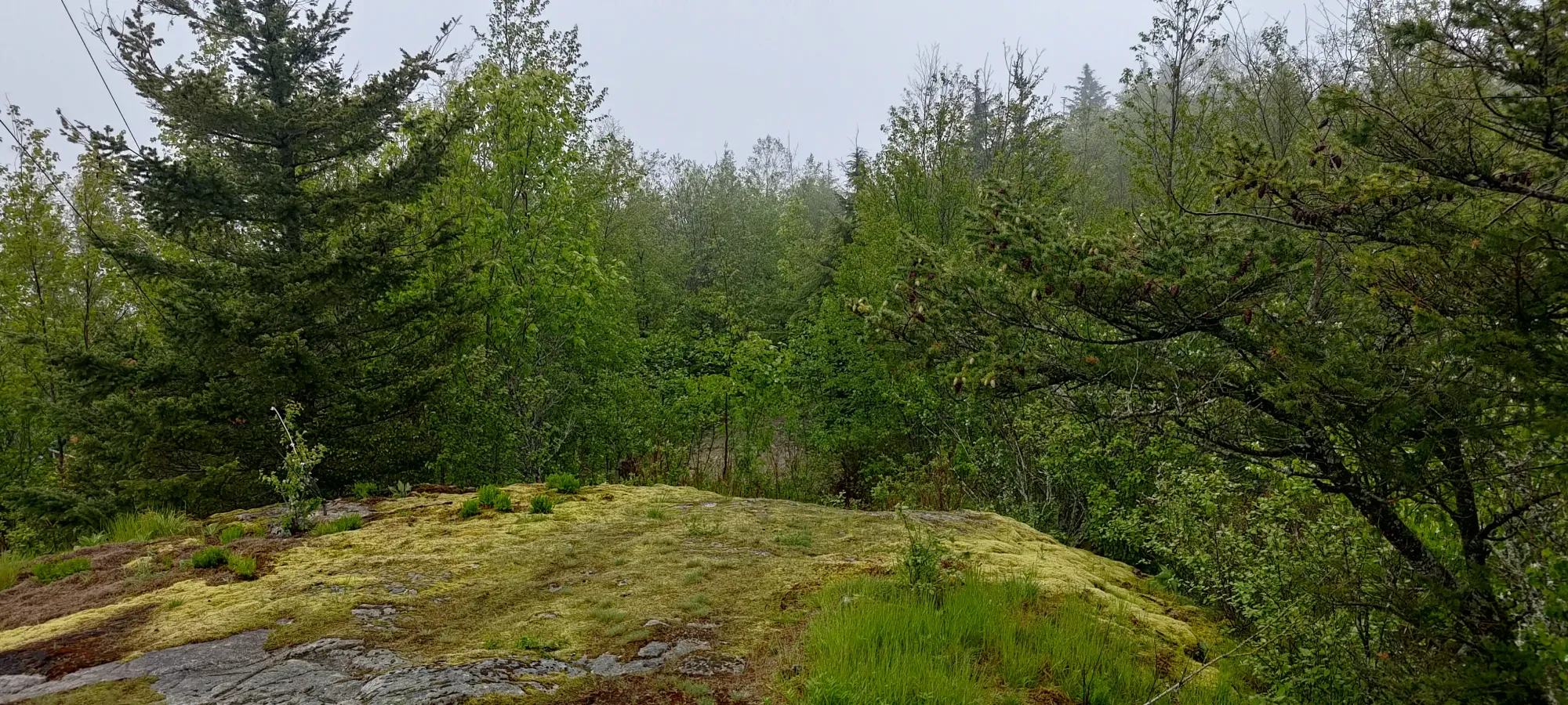
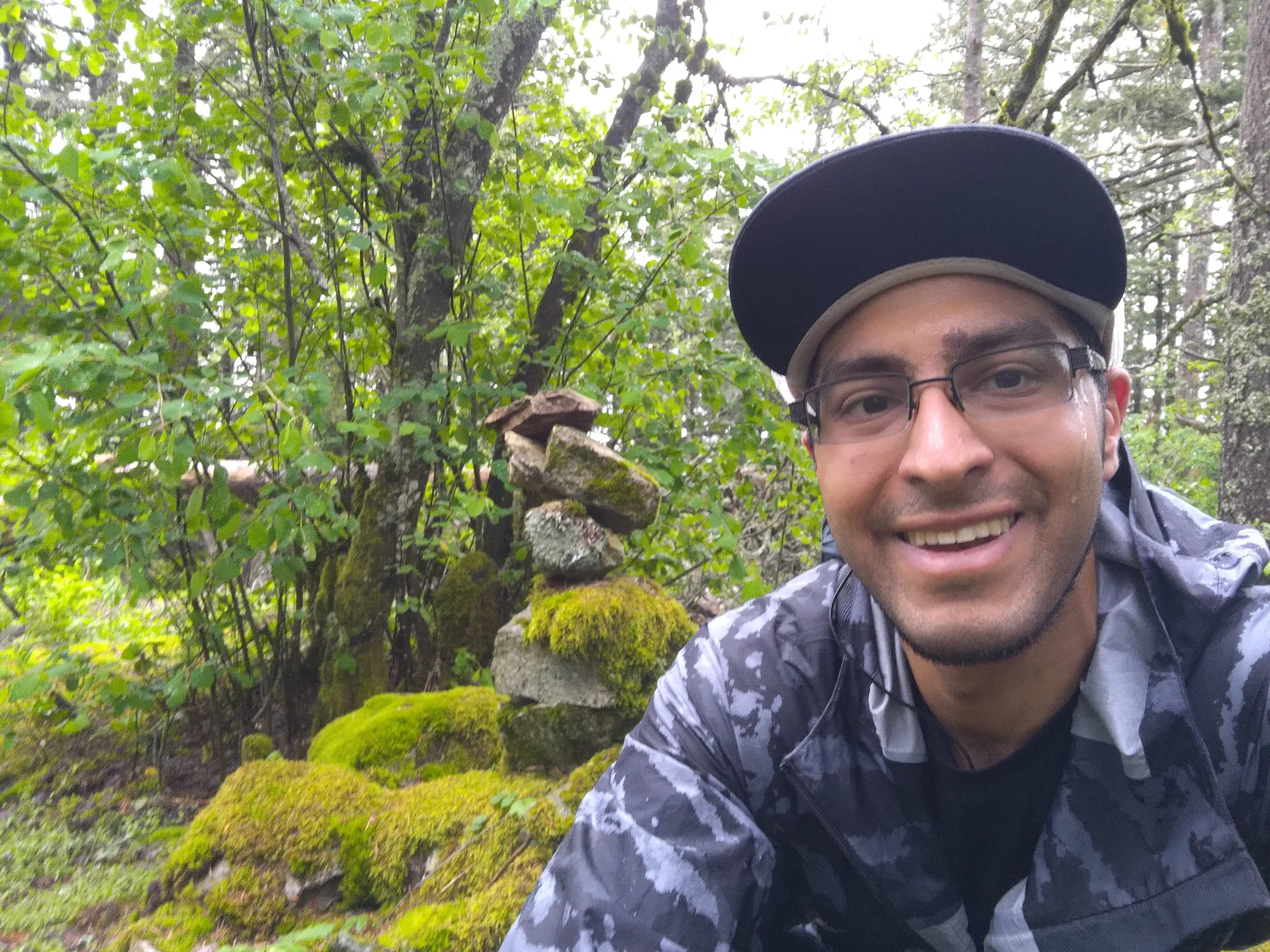
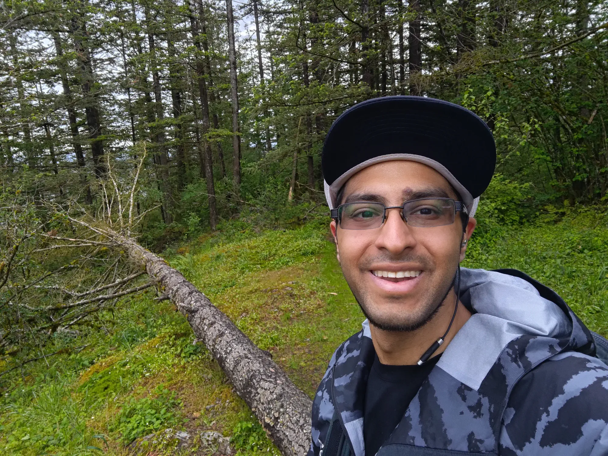
About 7 minutes more of hiking and I was on top, graced with light enough (or none at all, hard to tell) rain that I took my rain shell off before heading down, and grabbed a couple summit pictures. While the views weren't amazing, I could at least see "something". One thing to note is I did hear gunshots in the distance, so make sure to take trails not going near them, I guess (think they were on the north side). After a couple minutes, back down it was, as I did not have much time to waste.
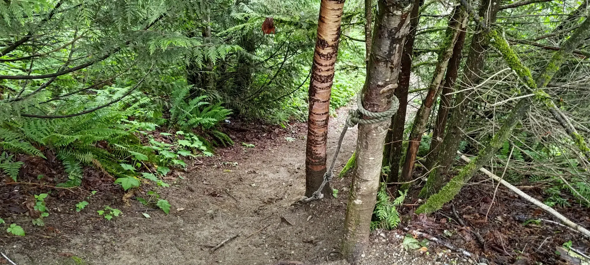
The descent was nice and smooth, and much more pleasant in just my t-shirt. I noticed a ton of disc golf signage along the way, but couldn't figure out how they would play in such a dense forest. Maybe I just suck at disc golf (considering I've never played it, I'm okay taking that L). 20 minutes from the top, and I was back at the bottom. I did notice a fixed rope I'd ignored on the way up hanging at the end of the short approach road, unfortunately. This might be one of the most egregious ropes I've seen yet, it's "just a trail" in this spot, really. Oh well. Onto the next one...
GPX Track + Map
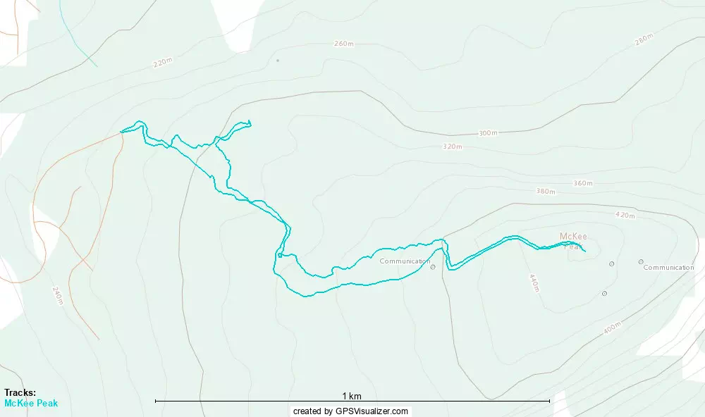
McKee Peak
Border Ranges, Abbotsford, British Columbia
468m
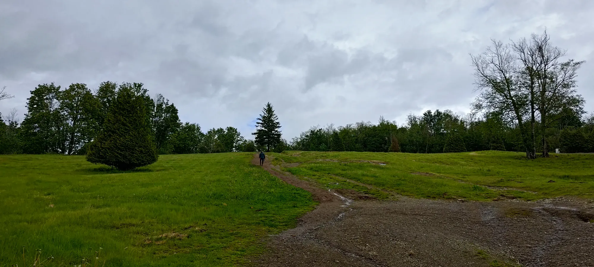
Peak number 5 brings us back to formally named peaks. This is a popular MTB destination, with dozens of trails flanking the mountain. There is a forest road to the top, but it is gated by construction (and probably will remain gated for the rest of time given the closeness to the city). So, I drove to the highest point that was actually paved, and parked along the road at the end of Westview Boulevard. There was a no parking sign at the trailhead itself, but plenty of street parking. One could argue I was violating it, but I was so "not in anyone's way" I didn't feel the need to adjust, and nobody ticketed me, so take that for what it's worth. I got started at 4:15pm, with another hiker no more than a minute ahead who'd parked across the street from me leading the way.
I took the Nu Speed and OG Speedway trails, both nicely-maintained and easily-walked bike trails up towards the old FSR. I didn't really plan my route out much, and was just scrolling around on my phone as I walked, trying to pick out a reasonable path as I went. As I was walking through the bike trails, I encountered a few people doing maintenance, likely preparing for summer biking season. Glad to see trails getting work 🙂. Once I got onto the road, my "friend" who was keeping quite a good pace, actually, had crossed the FSR and moved onto Paper Route to try and make a more efficient path up than the FSR. That motivated me to try my hand at Da Plow, a double-black vs his blue-rated trail. That made the terrain a bit more difficult, but I was at least more confident I'd not be encountering anyone on it, especially after seeing how overgrown it was.
Higher up on Da Plow, I saw tons of jumps, which made it look like quite an exciting trail for the adventurous biker. Since I was not one of those, I just kept my ears peeled for the sound of anyone barrelling down towards me, which thankfully nobody did. Once I regained the road at 400m, the most straightforward route to the top was the road, so I kept on it the rest of the way. It seems our routes were about equally effective, as my buddy was back about as far ahead of me as he was at the start 😅.
About 5 minutes of walking along the road later, and I reached the top. I didn't manage to catch the guy who was ahead of me, but we had a nice chat for a minute about how we didn't let each other rest or slow down 😄. He got to relax up there for a while, but I had to move on, as it was past 4:30 and I still had to descend and get one last peak before driving back to the North Shore, so off I went without much delay.
On the way down, I actually took slightly longer than my way up. I'd like to blame the 5 seconds I used to snap one nice view picture, but in reality it was me second-guessing my routefinding, and getting a bit northeast as I approached the car 😅, so my up and down times were both around 20 minutes. Oh well. With 5 peaks down, I only had one left, and I had saved the easiest for last...
GPX Track + Map
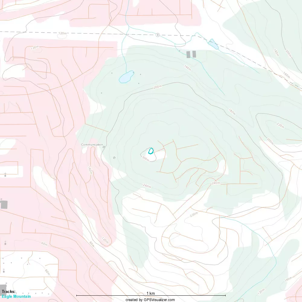
Eagle Mountain
Border Ranges, Abbotsford, British Columbia
300m
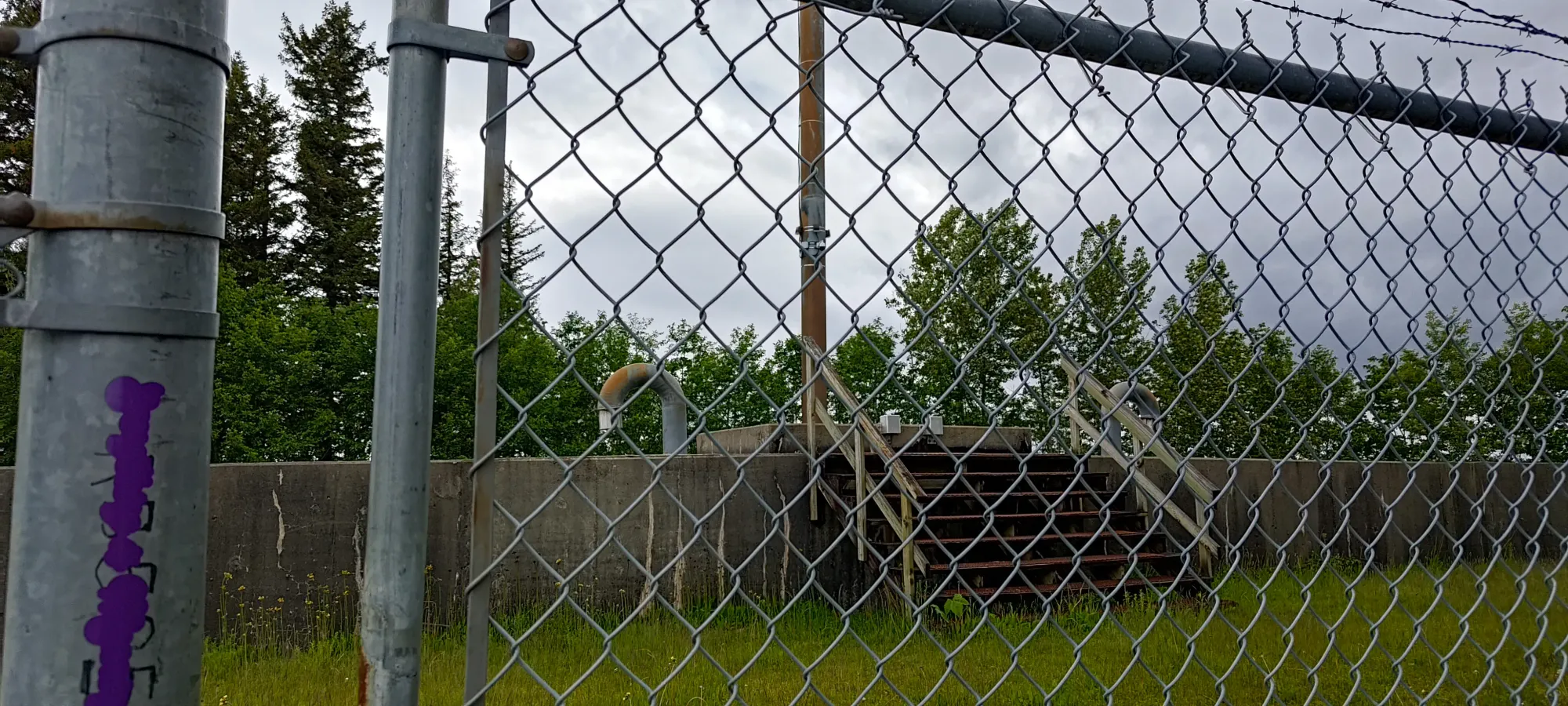
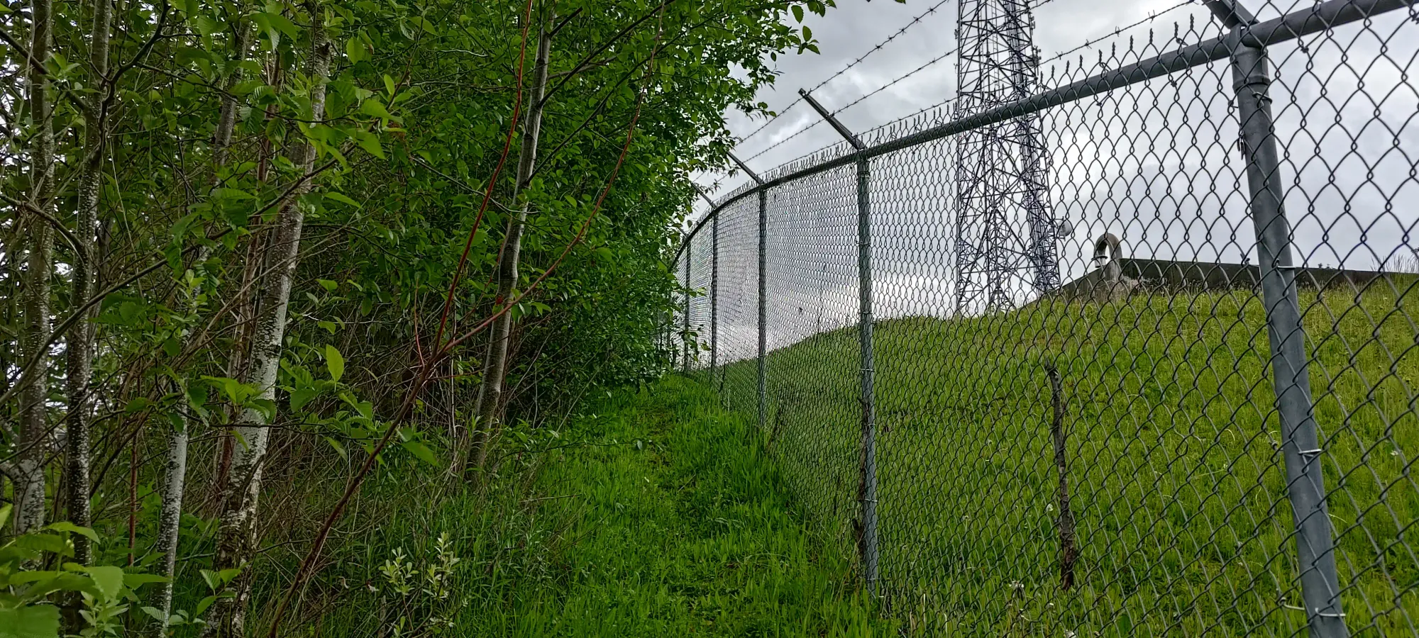
The last peak of the day was not only the easiest, but in fact, basically just a drive up paved roads. Eagle Mountain is both a small peak and a residential development, and one can drive to the top of Raven Court, where the summit tower is a mere dozen steps or so from the end of the cul-de-sac.
Technically if I drove around the parked truck I could've driven up to the base of the tower too, but that seemed like more effort than walking, so I just walked up the arduous 30m or so to the top. There is a large reservoir fenced off which feels like the highest point, unfortunately.
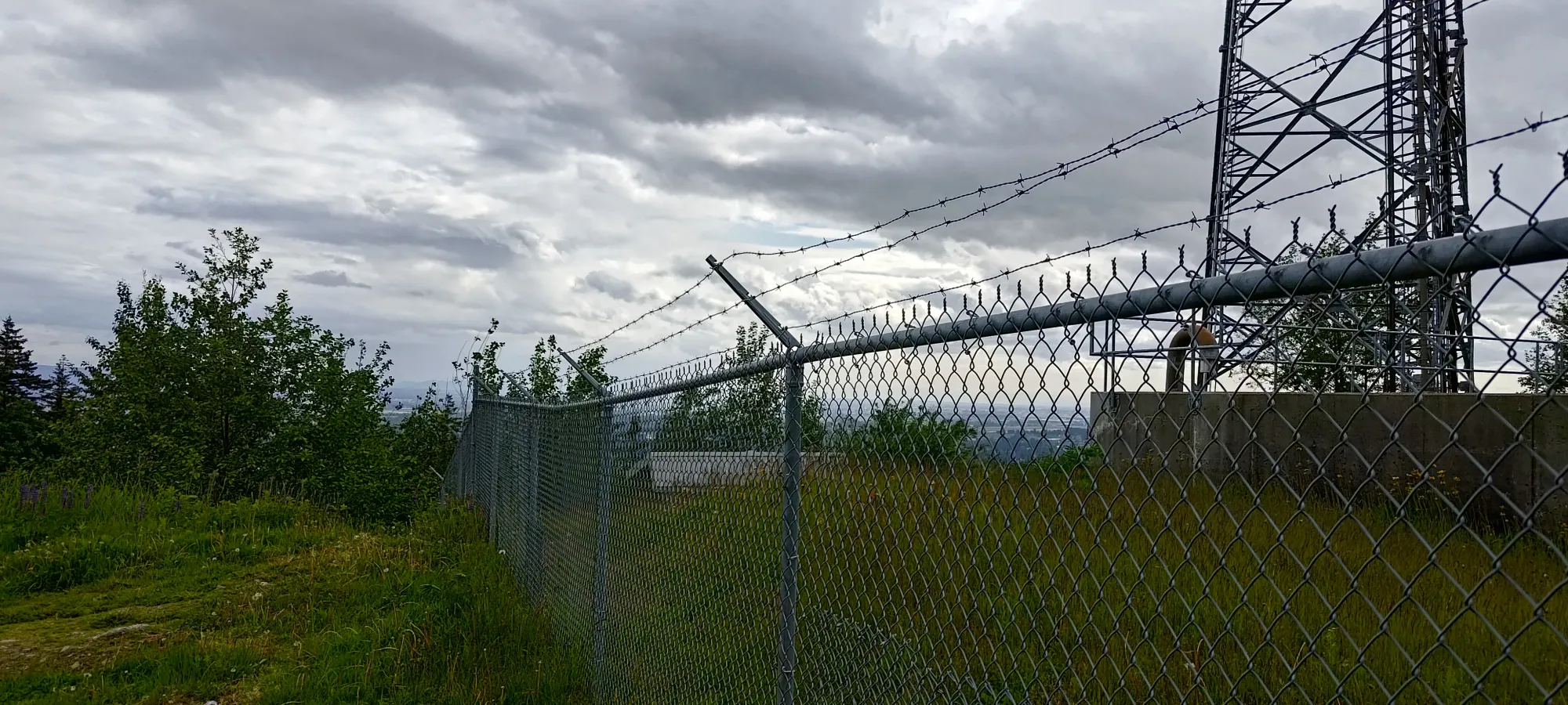
So, I walked around to the other side of this length of fence, and walked along it, which brought me to... a few steps away from where I stopped before 😅. It was actually higher, though, and from there, I couldn't see any higher ground, so I called that summit enough, and made my way back to the car with the 6th, if least impressive p100 peak done for the day.
With that, my day of trashbagging was over, and all the p100s in the area were checked off in one efficient day 🙂. Can't say it's a particularly exciting way to spend your day, but if you bring a bike, do a long trail/road run, or "just really like peaks", it can be a decent enough way to spend your time. Here's to hoping for some more productive weather for more impressive peaks soon, though.
GPX Track + Map