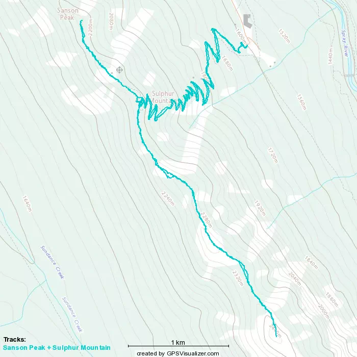
Sulphur Mountain - July 21 2022
South Banff Ranges, Banff, Alberta
2440m
This report is a continuation of Sanson Peak, which we bagged prior to Sulphur. We departed the gondola top-station at about 7pm, around an hour after our 2 friends who got a head start by choosing to forego Sanson. We didn't know where they were, but since this is such a popular mountain/trail, and they already sent a picture of a rocky outcropping (seemingly above treeline) to scramble up, we assumed they were quite far ahead, so we pushed ahead with some urgency (also noting the time, since we had over 11km and some decent elevation gain left).
However, this was not necessary, as we found them in about 10 minutes. The trail opened up here from forest-walking to a small rocky face, which they were sitting on (8.84 km in for those referencing our GPX track). They said it was their turnaround time and didn't feel comfortable pressing on, so they'd probably head back down and take the bus to Banff, and grab some dinner while we pressed on, since we still had so much ground to cover. They also (definitely not throwing any shade here) noted how narrow the path was and told us to be careful.
Of course, I blindly trusted this statement as correct, and pressed on along this admittedly quite narrow and slightly exposed path, until it got to "straddling a rock face on a tiny ledge", where I checked my GPS and realized that sure enough, we were a decent way's off to climber's right of the path. Thankfully, the rock face we were leaning against was actually pretty nice, and we got a fun little scramble to regain the trail. It cost us about maybe 5 minutes of time, but we got to do some climbing serious enough to stash our poles, at least, so overall maybe even worth it?
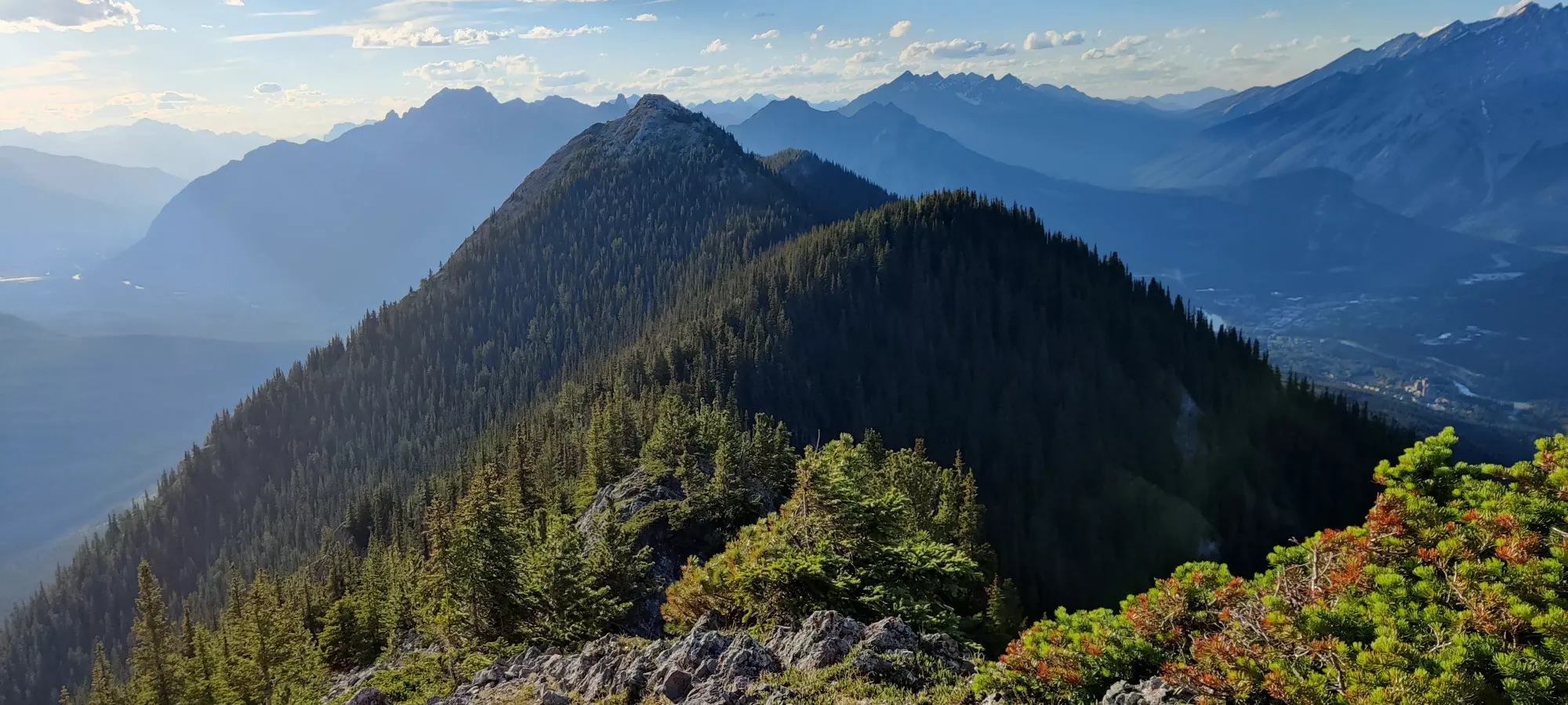
About 20 minutes after regaining the path, we hit the first false summit of the way up (turns out there was one more people consider meaningful enough to build a cairn for we saw later, but it was the first we saw on the way out). Peakbagger lists a whole bunch of these false summits separately, but we didn't really care much about that, more so we were just spiteful about the constant elevation loss and gain. But we did take a rest here, snapped a picture showing us more false summits, and the true summit's massif in the back before heading out.
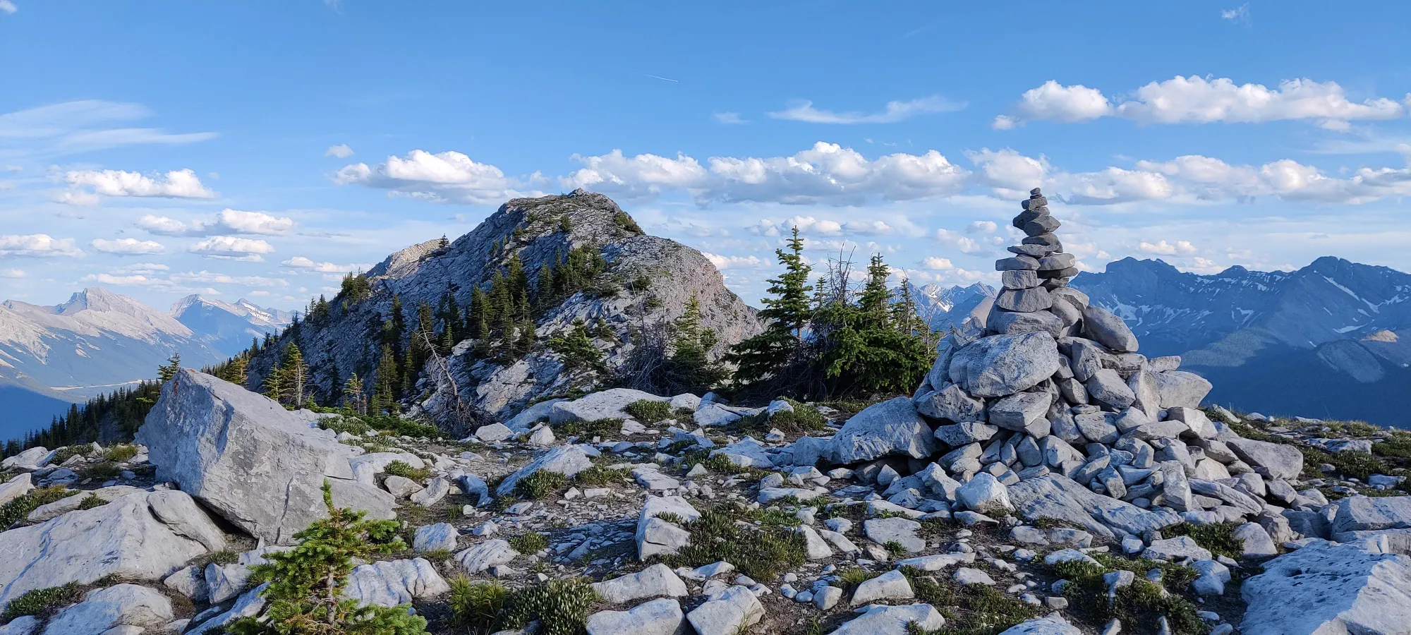
From here, we undulated a few times, trying our best to follow the trail in the process. Turns out this isn't as popular as we expected, and the path is pretty difficult to follow. There's a lot of "probably human-carved" ways across the ridge, and most are acceptable ways to get there. Sometimes you might take a bad line and end up at a cliff and need to backtrack or climb back up the ridge, but nothing terrible. The mapped trail we were following was certainly not perfect, though. We were glad our friends (sans-GPS) didn't push this far, as it'd be much more difficult to encounter them just relying on us crossing paths.
After a good amount of this, at around 8:20pm, we finally got to the final low-point before the summit push, which was very welcome, as we were carrying a lot of extra stuff for our friends we didn't end up needing, and had also walked a lot longer than we expected 😅 It looked pretty good, mostly just steep walking but we were hoping for a little scrambling near the summit block.
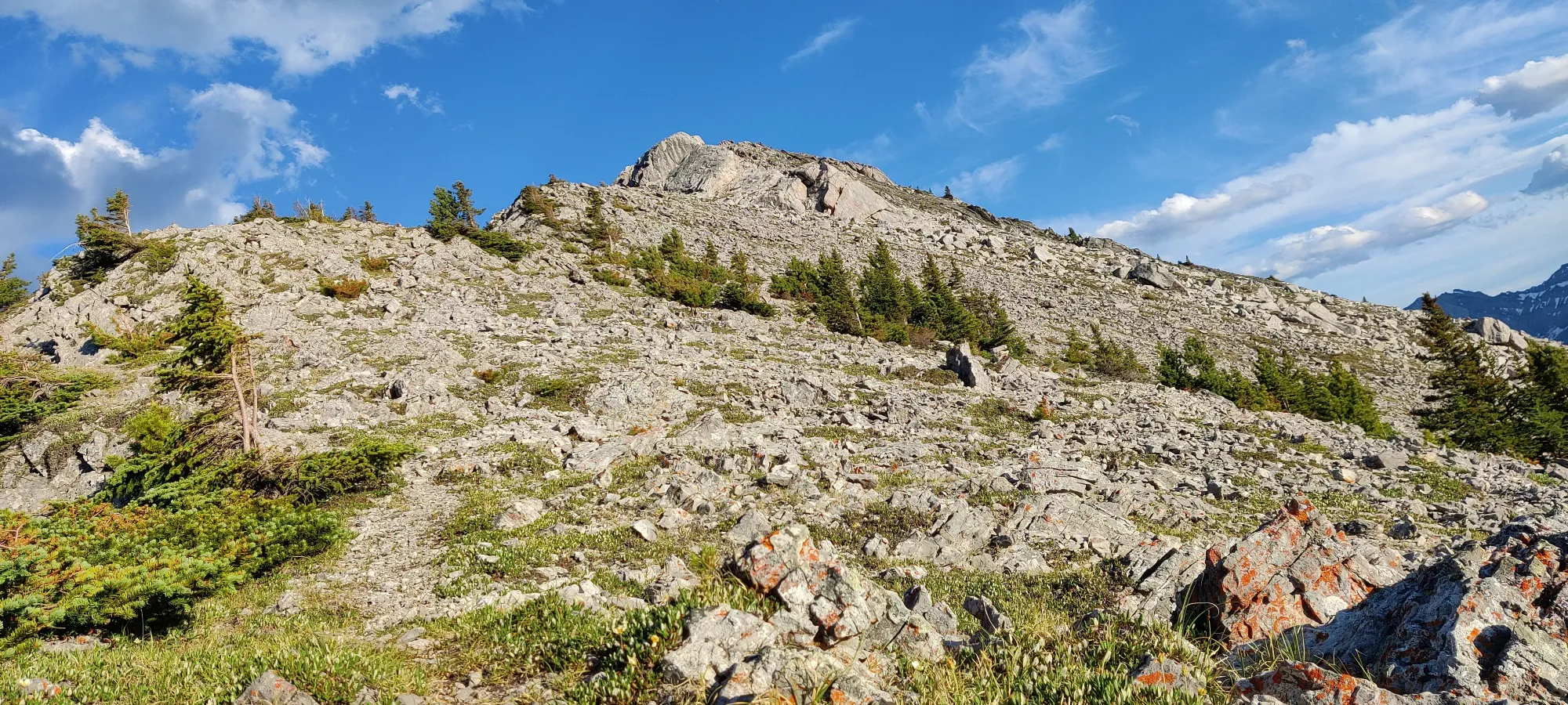
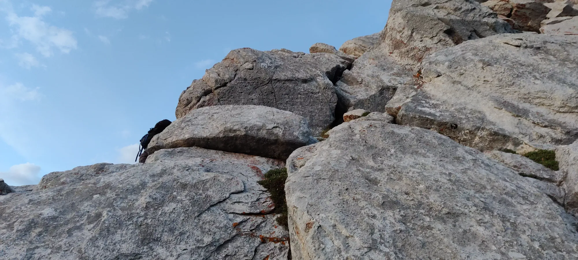
In about 10 minutes we got through most of the steep walking, and indeed found ourselves in a nice scramble. Most of it is pretty chill, nothing super exposed or difficult. The crux, pictured below, is fairly exposed, for sure (you'd fall onto the ground fast but won't be able to stop yourself despite that), and required arms for more than just stabilization. I'd say it was just enough to be fun without being very concerning w/ respect to taking a fall.
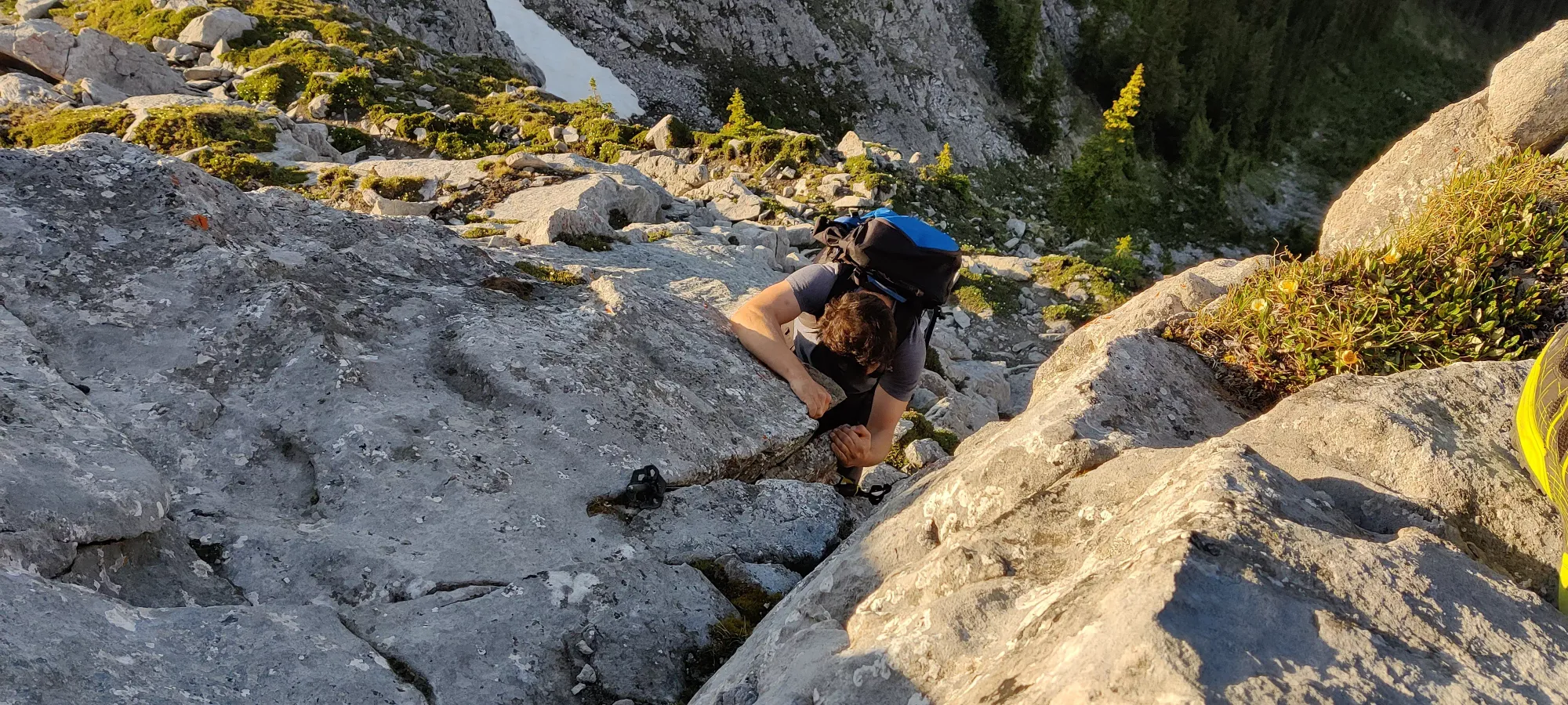
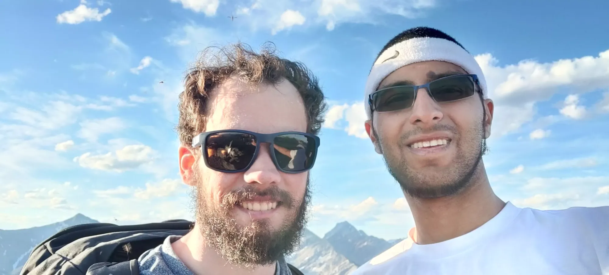
From there, it's back to a bit of light scrambling, and a short walk to the summit. We made it there at 8:37pm, which was still surprisingly bright. Unfortunately, it was annoyingly buggy, so we only took a short water break before heading out, as sitting still was a recipe for being bitten. I decided to slap a sweater on for bug protection, which was warm, but overall given how my arms looked at the end vs Logan's, I'd say was the right call.
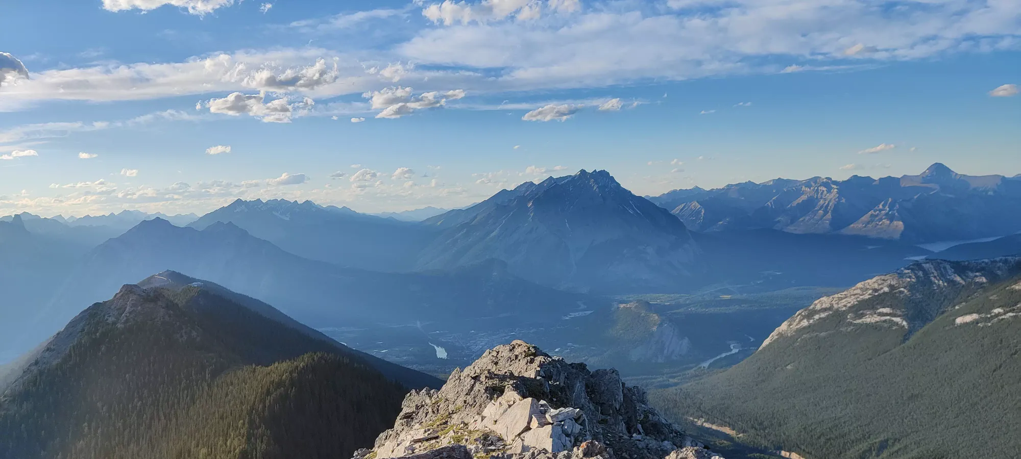
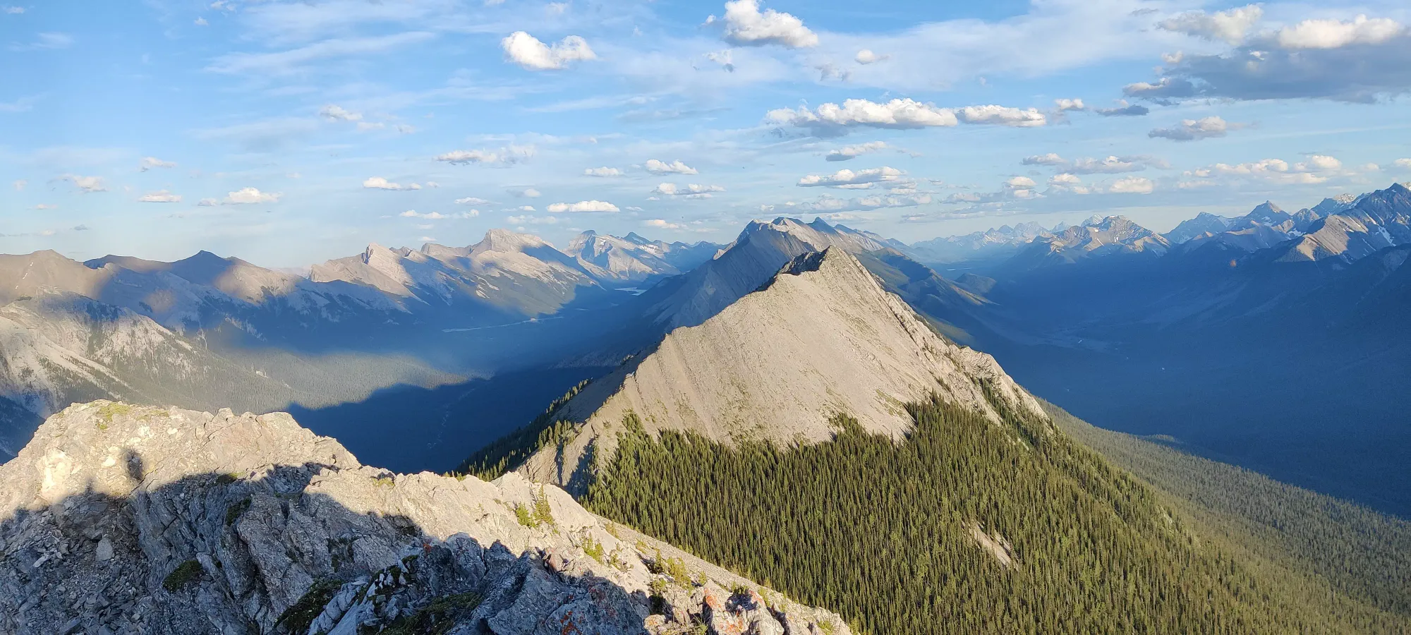
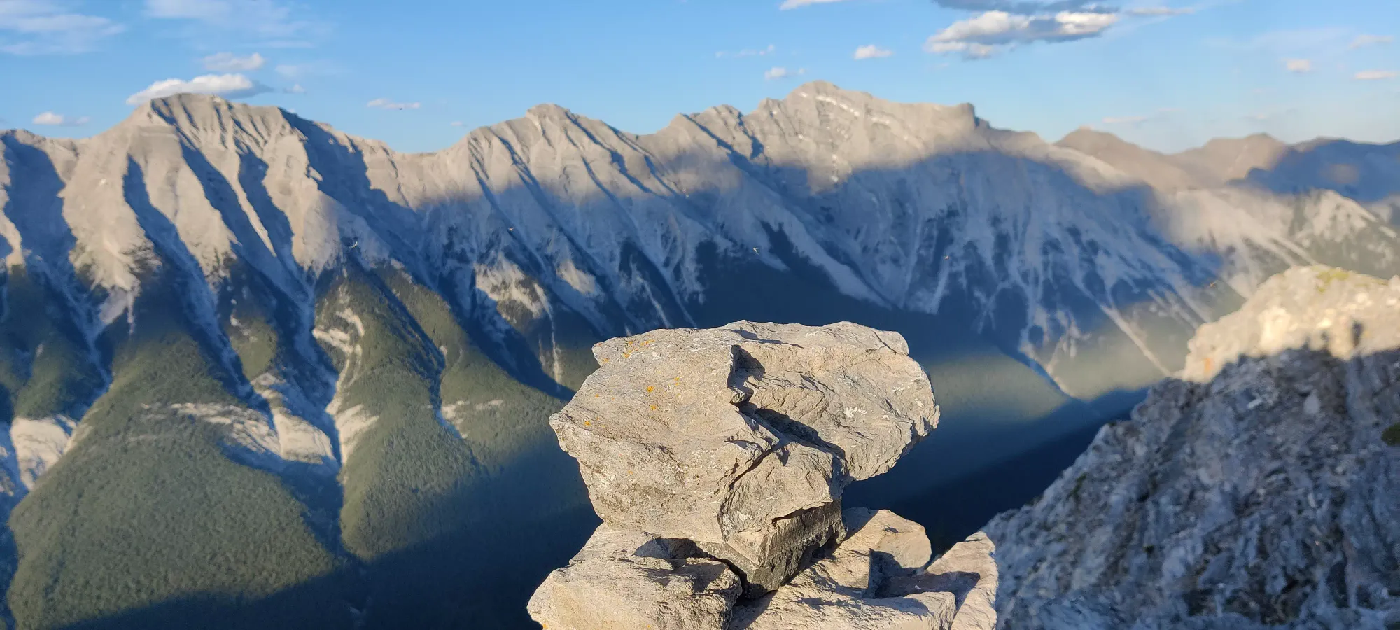
The "descent" back across the ridge wasn't too notable. We did our best to try and get back without making our friends wait too long, or requiring headlamps, but with Logan's ankle, some of the steeper+rockier terrain wasn't the easiest to get through quickly. We made decent progress back to the "middle false summit" in about 50 minutes, though the sun had set considerably in that time.
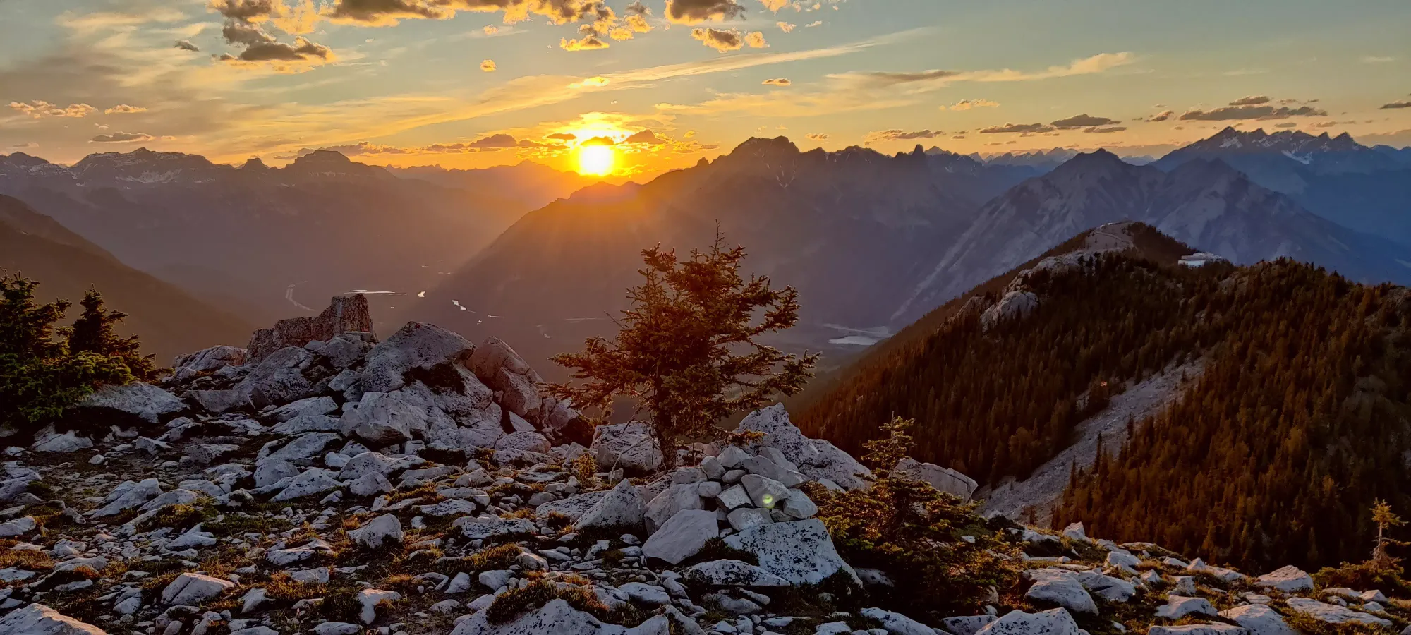
After this, we had one more big undulation and false summit to deal with before the trail became easy again, which is where we originally met our friends as they turned back. Despite our attempt to follow the official trail more closely on the way back having worked out well so far, it somewhat failed us here, and we had to do some slightly-intensive downclimbing to regain the trail, which conveniently meandered around the rock we chose to scale down instead.
Once we got down from here, the path got a lot better, but Logan was also starting to feel pretty gassed, so our progress was not quick despite the ground becoming easier. It took about another 20 minutes to get back to the gondola, at about 10:25pm, with headlamps becoming pretty necessary past this time.
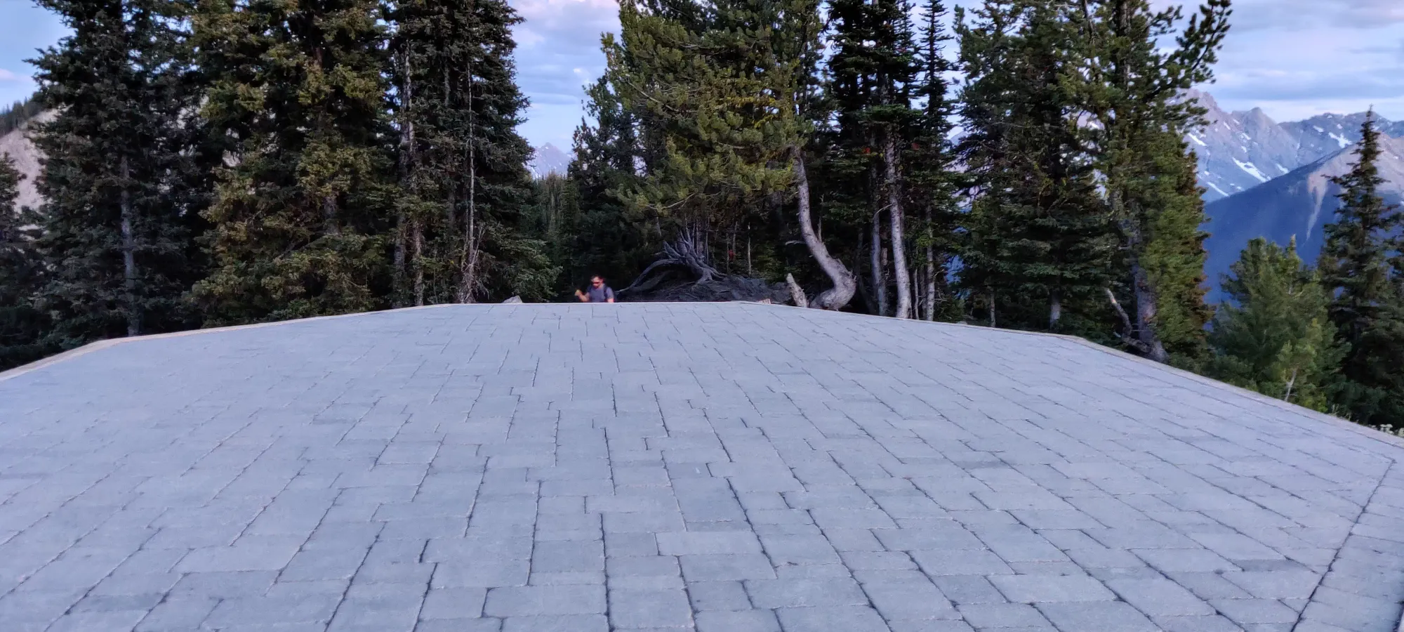
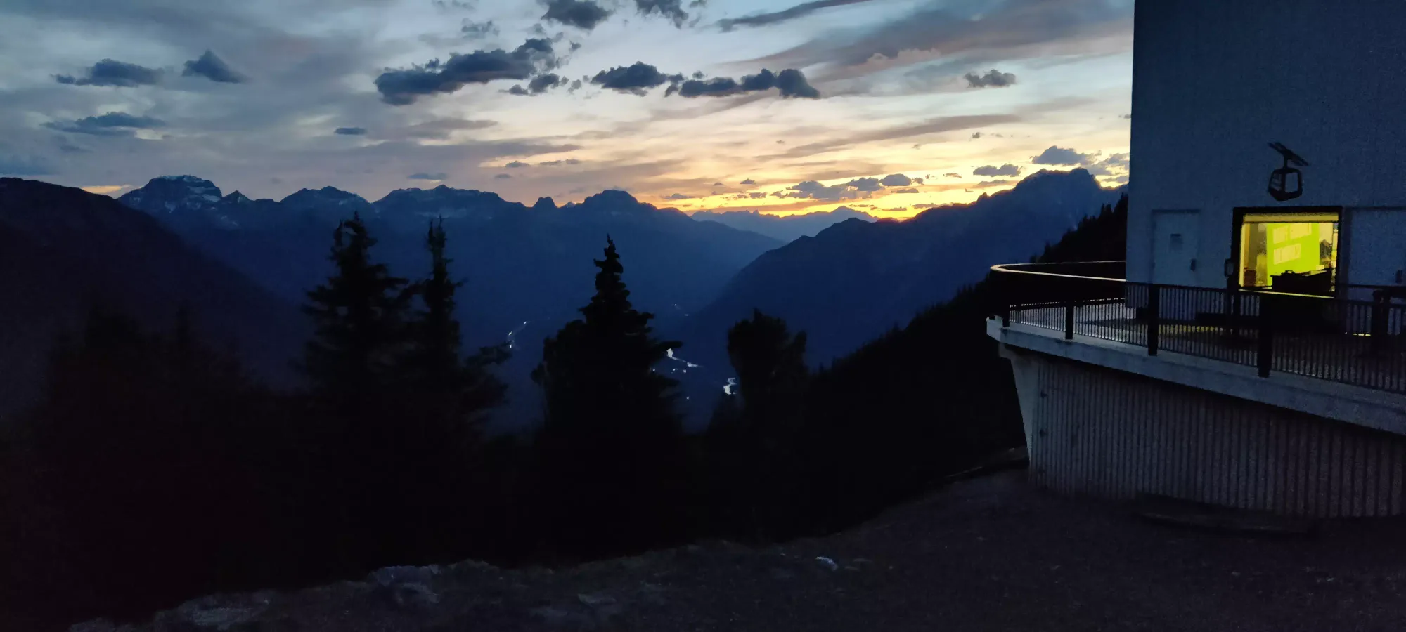
Given the pace we were moving at, I encouraged Logan to knock on the glass of the gondola station and see if they'd give him a ride down (the cars were moving but the doors were locked). Thankfully, they did. I was offered a ride as well, but I was feeling masochistic, and wanted to finish the hike "properly", so I decided I would make my way down the old-fashioned way. So, I strapped the headlamp on, and set out at 10:30, very much in the darkness.
I'm not sure if nighttime trail running is a thing, but if it is, I would recommend coming to the gondola trail for it, as the terrain is quite even and easy to navigate with a headlamp. I jogged for probably 80% of the way down, and made it out in just over 35 minutes, just after 11pm. Thankfully there actually weren't many bugs at the parking lot, so I got to take the pack off, have some water, and figure out logistics in relative peace (unlike the onslaught we'd experienced from basically the summit onward).
We got on a call as I made my way out of the parking lot. Turned out Logan wasn't feeling too well, and actually threw up while we were on the phone as I drove to pick him up (explains the pace a bit). Hopefully he recovers soon, as we still have 3 weeks of peakbagging left in Canmore. Our friends were just waiting at a cafe in the town, sadly without any dinner for us (I only saw their text 10 minutes before the restaurant closed, so I missed last call), so I picked em up, and we headed home.
Definitely a fun trip, although not quite what we bargained for in a few ways. Having to deal with the closed trail to Sanson, the harder-than-expected Sulphur ridge (turns out when our friend said he did it last year, he actually went to the observatory, not Sulphur), and Logan's apparent illness definitely threw some wrenches into things, but thankfully we all made it out in one piece. As an added bonus, my heels (which I thought would be the biggest problem to deal with) seem to have held up fine. My new trail runners did not destroy them further, and the bandaid+gauze padding for the less-healed right foot worked out surprisingly well!
Overall, would recommend, but I would say don't start at 4:20pm, especially if you are going slow. Definitely recommend bagging Sanson at the same time though, it's a small and not-very-tiring excursion and saves a trip, unless you live locally of course.
GPX Track + Map
