Stawamus Chief - September 20 2021
Old hike but finally getting around to posting about it

Sky Pilot Group, Squamish, British Columbia
702m
This is a peak I've done a few times, in many trips. Sadly, none of them were well-documented for a trip report, so this will be fairly brief, and skip most of the terrain descriptions as that wasn't the point of the outing for which I have a GPX log. The TL;DR of this hike (which is well-documented elsewhere) is: "first peak is just a grind for the first 3/4, the last 1/4 is a couple chains you should avoid using for masochism, and a slabby walk to the top. Traversing from peaks 1->2 and 2->3 has some fun via ferrata which is the best part. Going down from peak 3 is nothing special".
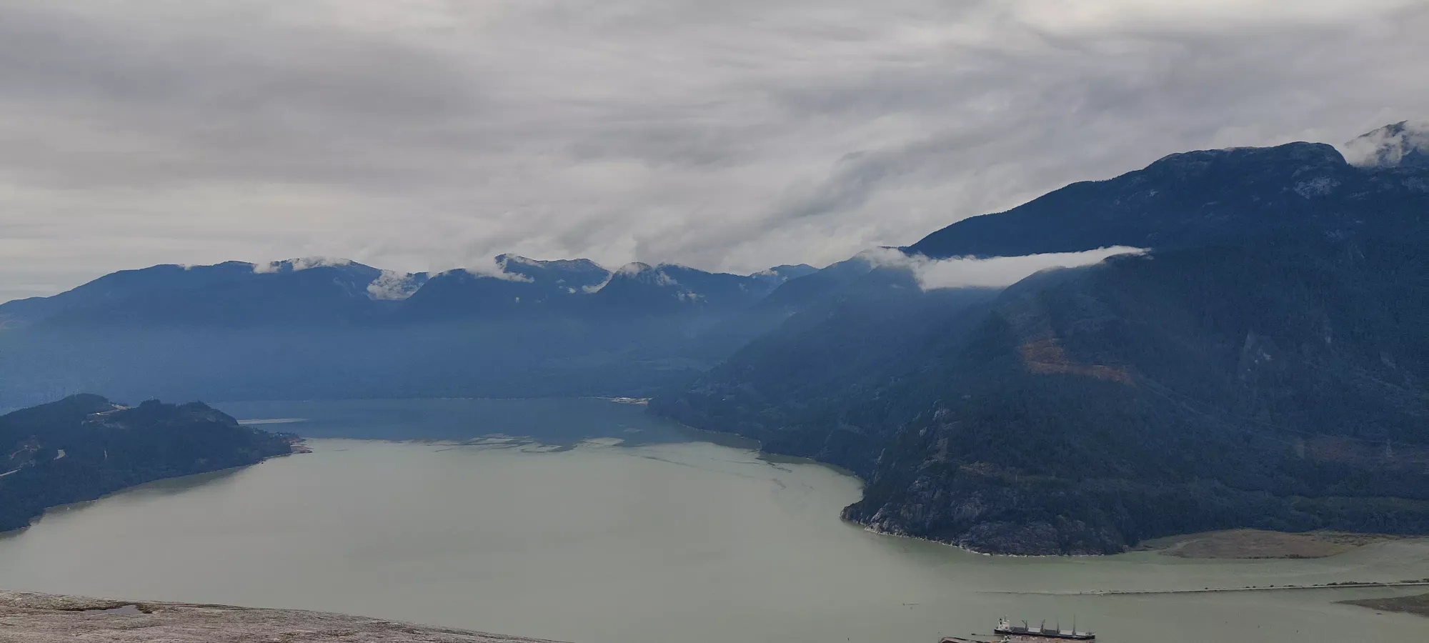
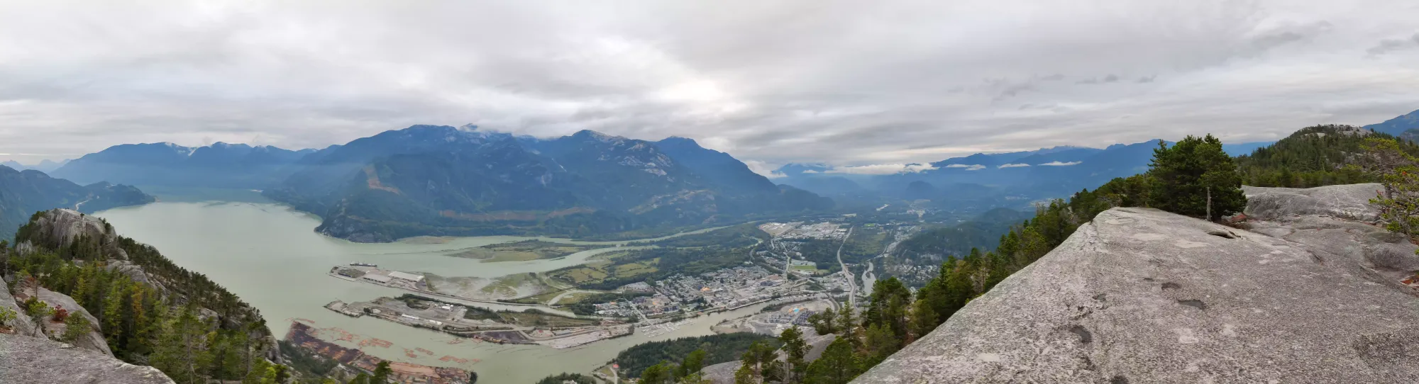
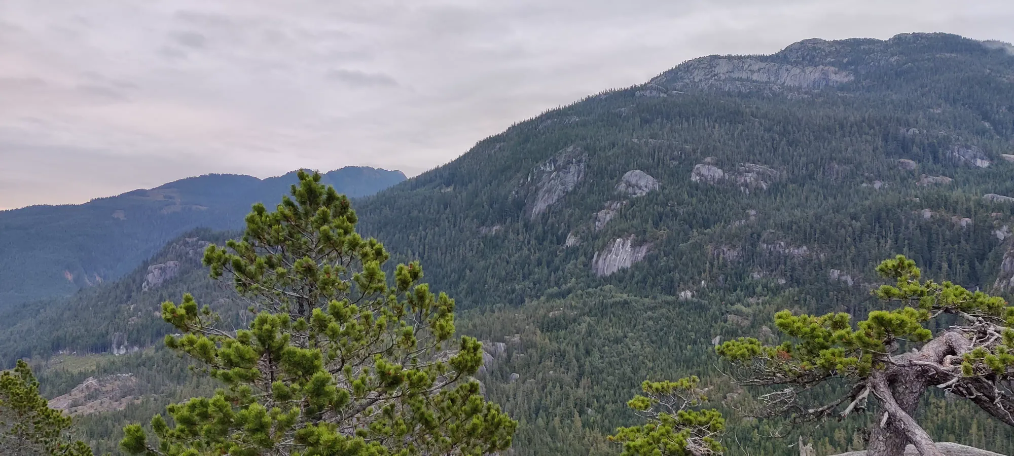
Now, for the actual trip at hand. This particular version of the Chief was "I was in Squamish after work to view a home, and wanted to do something afterward". Since it was September, I figured even starting at 5-something, I would be able to mostly avoid the dark. The stairs were the usual grind of nothing-noteworthy. I took a quick picture at the little viewpoint after the major uphill just before the trail forks to the 2nd peak shortcut you should never take, and continued up.
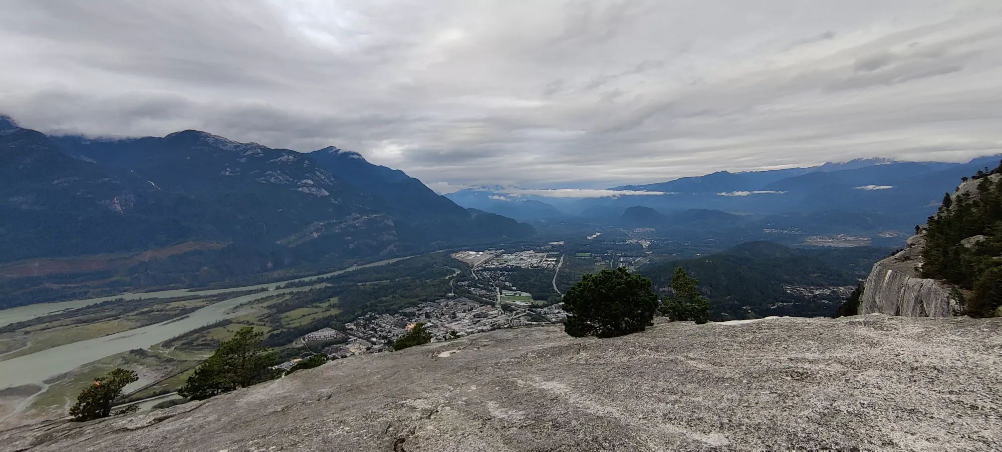
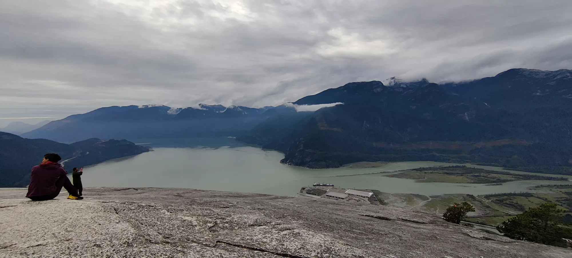
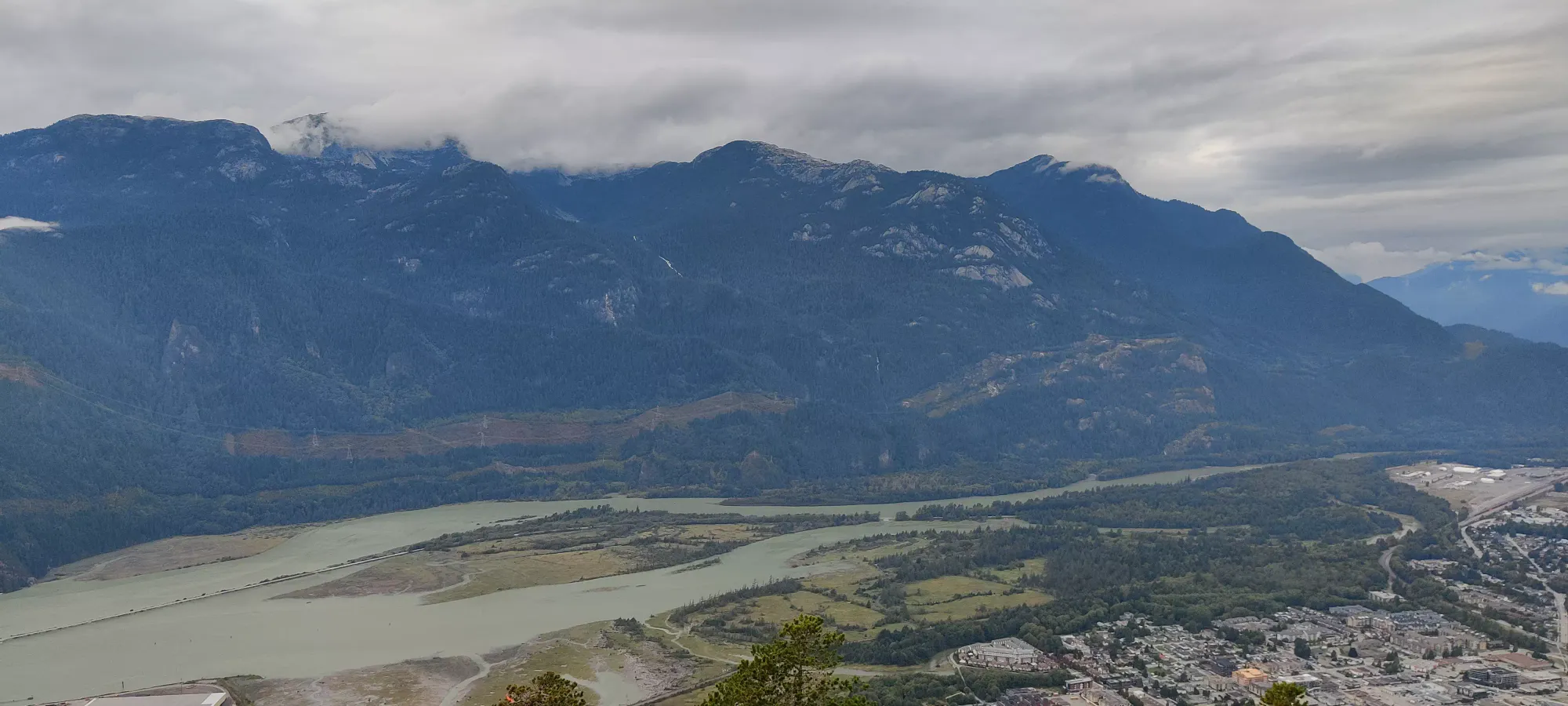
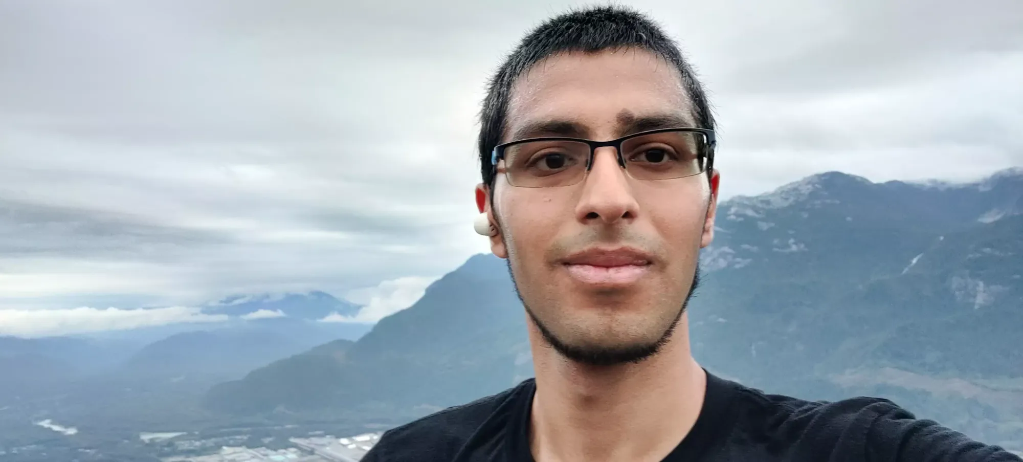
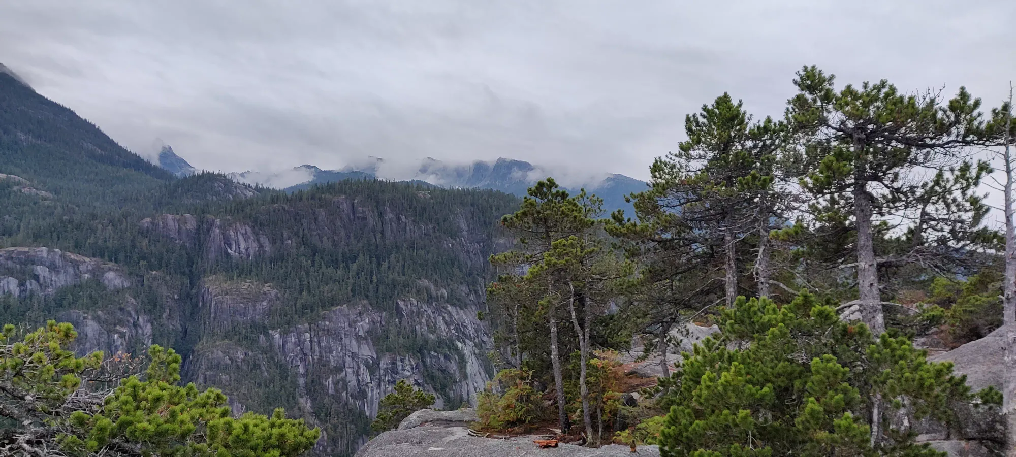
After that, there's a short uphill, some stairs I enjoy scrambling up beside instead, a short walk to the chain section (you can go right or left of the chained crack if you want to go aidless), then a short slabby walk to the top. I got there at 6:20pm. Given sunset was about an hour away, I didn't dawdle very long.
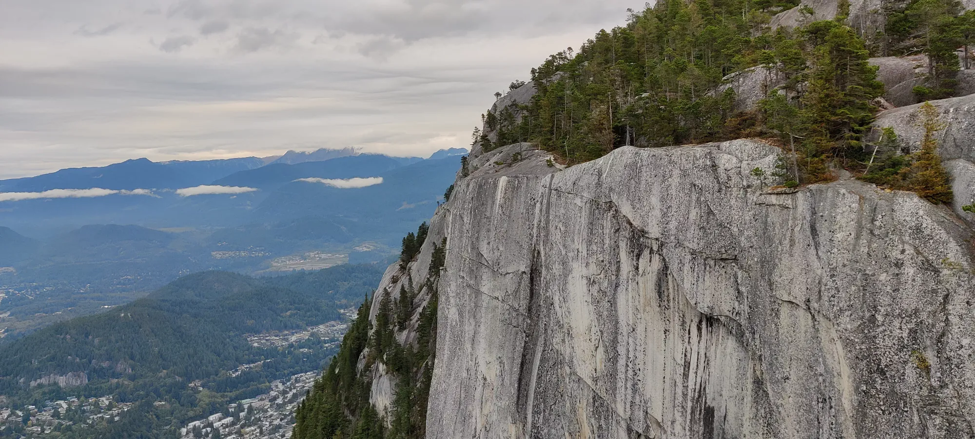
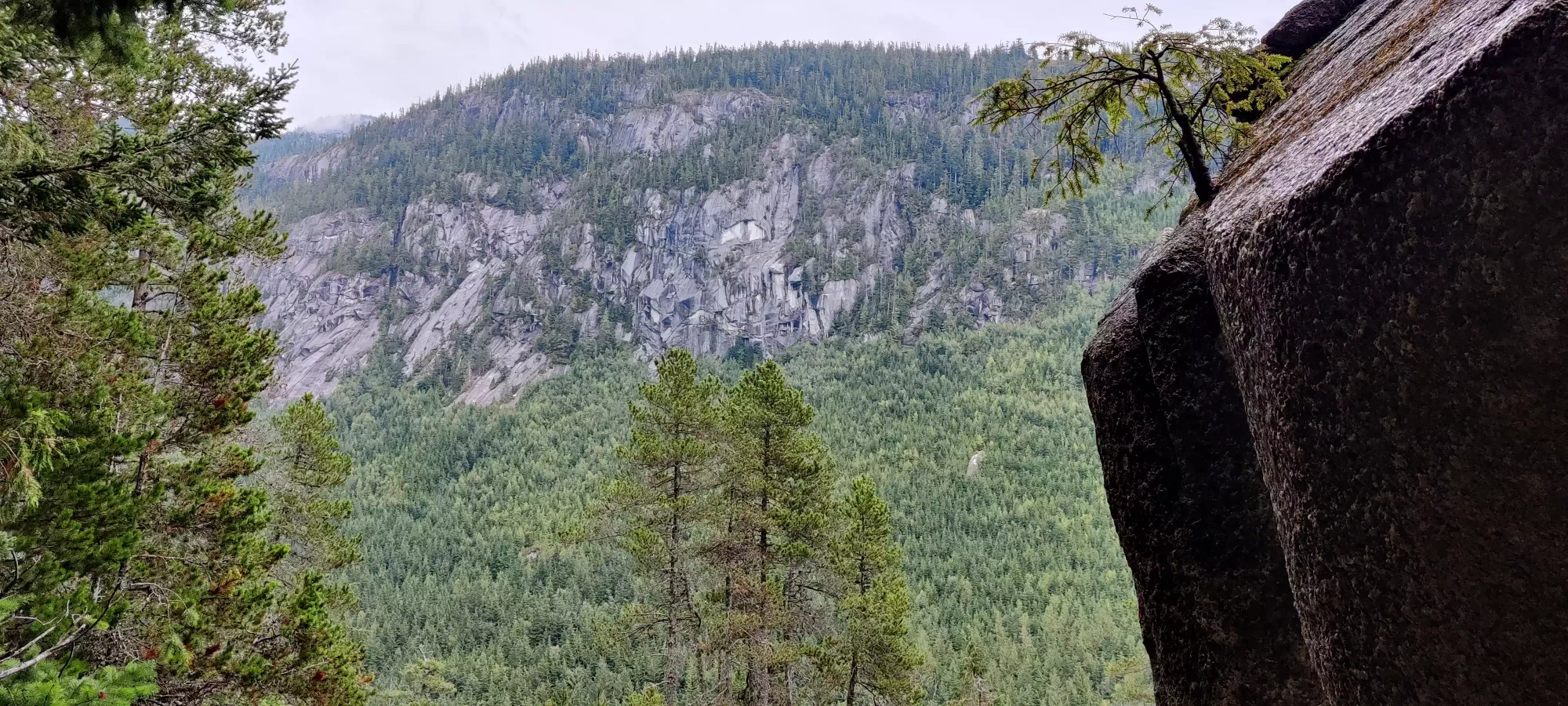
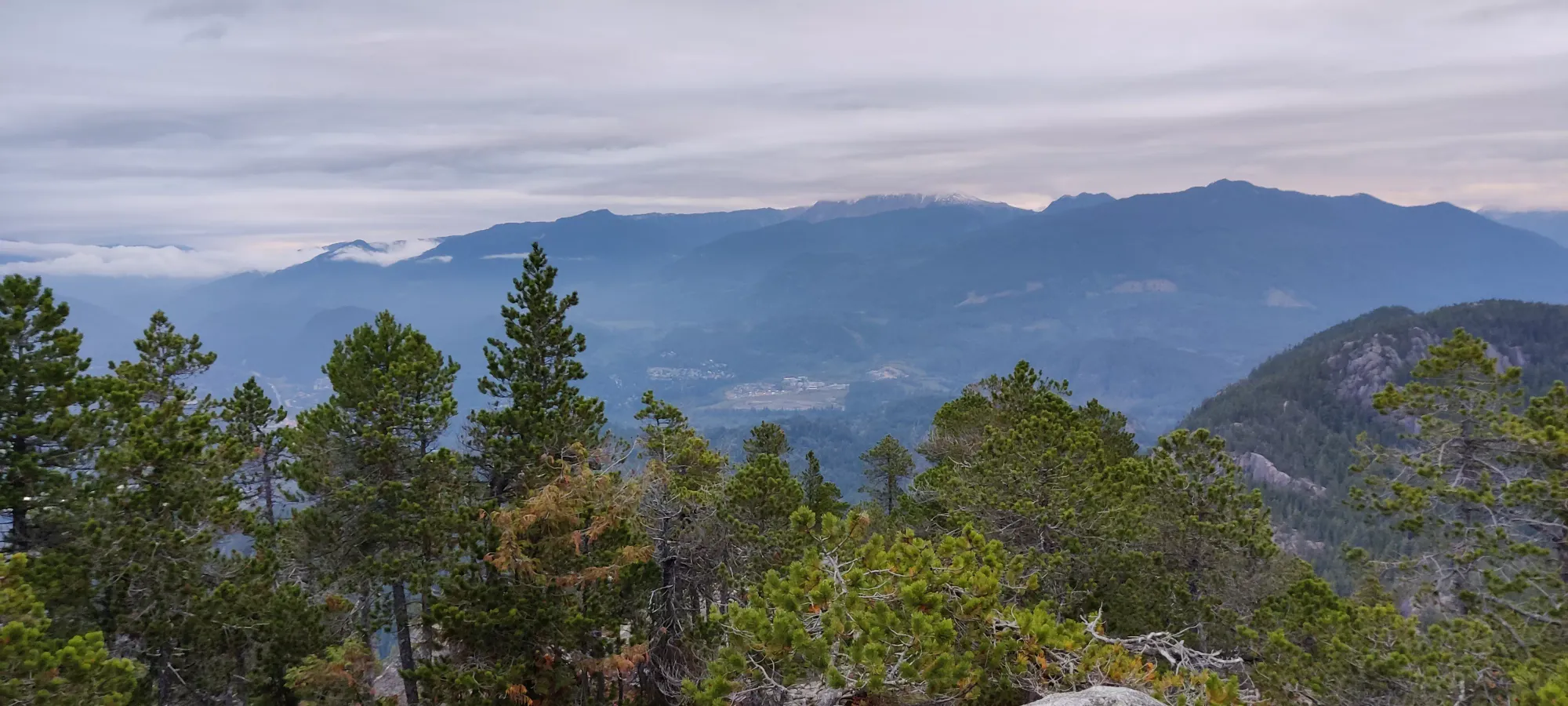
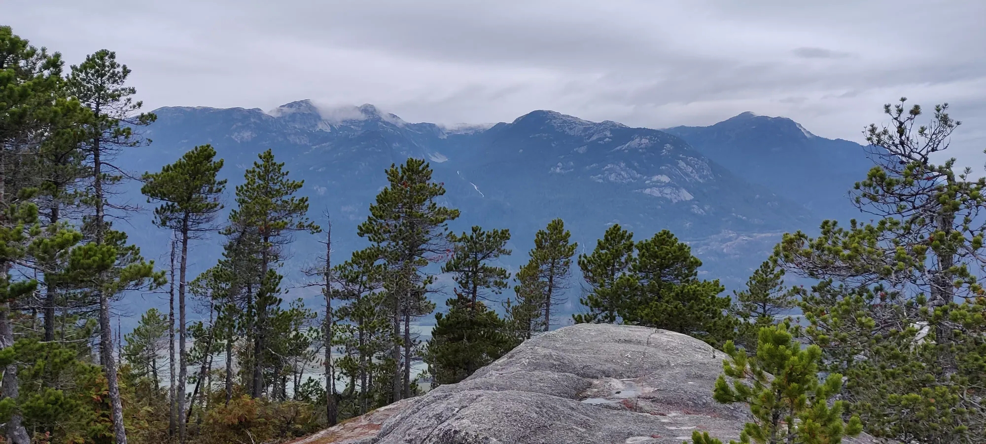
From the first peak to the second, you have to backtrack a bit then turn skier's left at an unassuming part of the summit area, then descend on the back side of the peak down a little crack to the col. From there, I think there's rungs in the rock face to get you to the botttom of the col (might be on the next traverse, I honestly can't remember). Getting up to the next peak there's some laddered/chained parts that are fun to try and bypass, and then you're basically to the top. I got there in about 25 minutes.
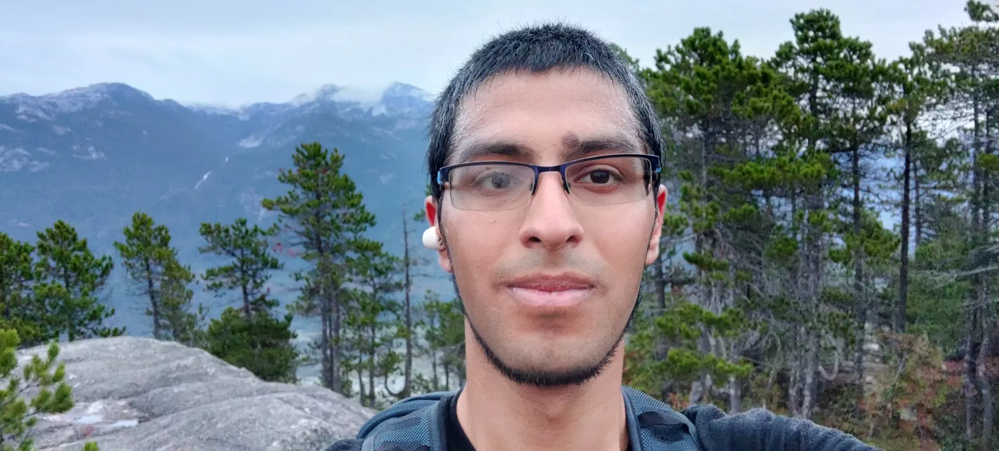
From the second peak the way to the third is pretty simple, I think it's just a quick hike down from the 2nd peak's bump to the third. This was another 20 minutes, thankfully still in the daylight!
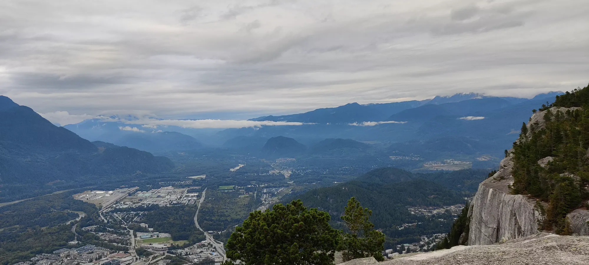
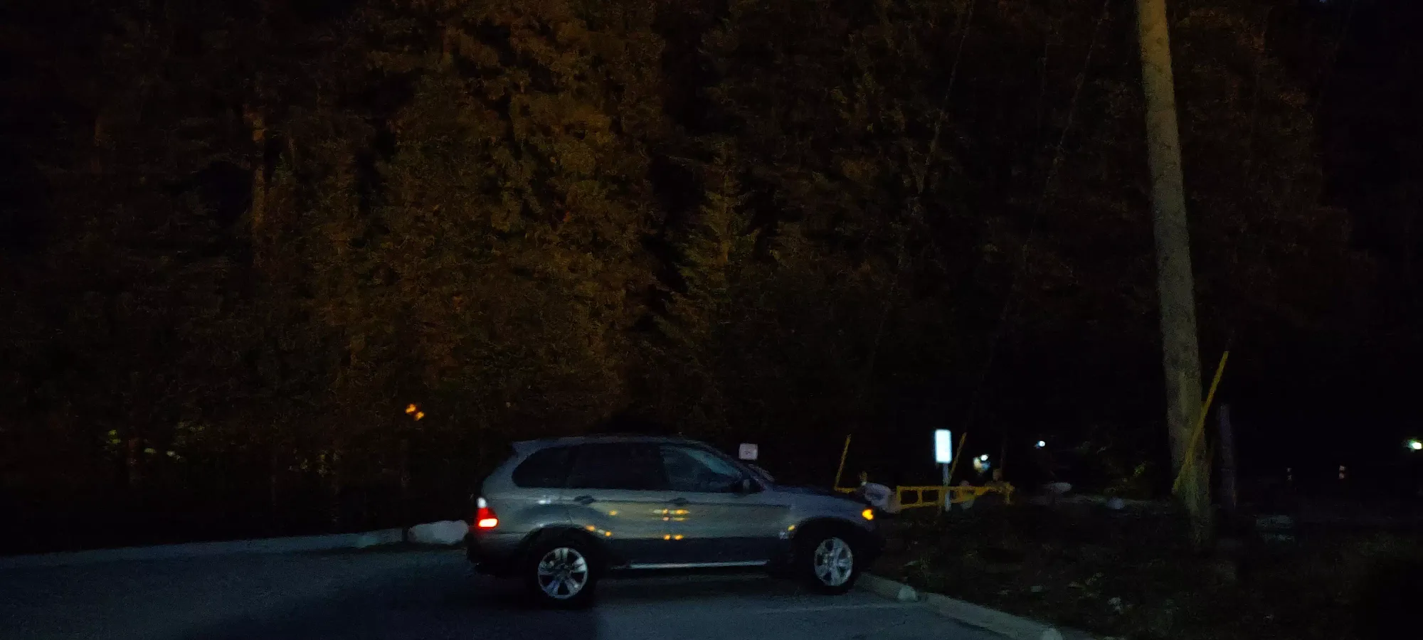
From the peak, it still looked pretty bright so I had hope I could make it back before dark. Then I got off the top and into the forest, and those hopes were quickly dashed, and the headlamp came out. Thankfully for my first headlamp hike the trail is super-well marked with reflective markers, so navigating out was not a difficult endeavour. I eventually sauntered out to the parking lot 2:43 after setting out, which I was pretty happy with.
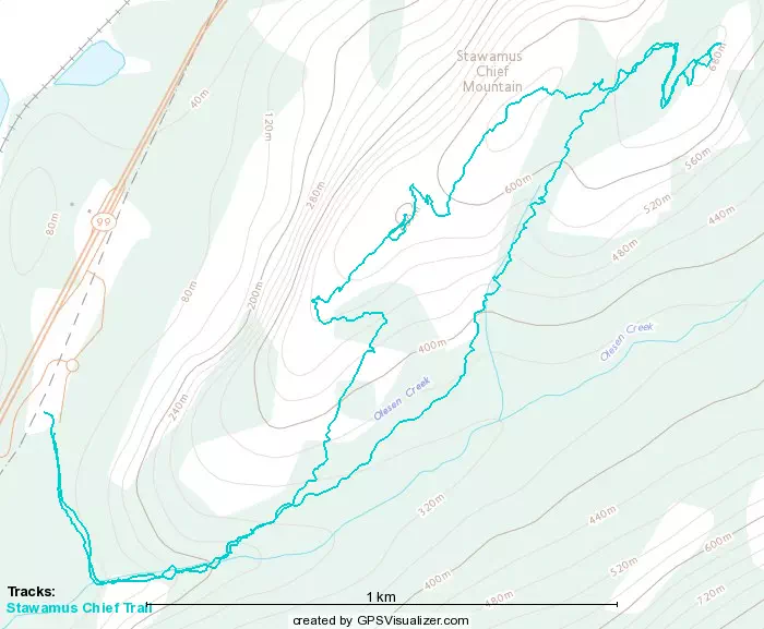
GPX Track + Map