South and Middle Needles (North Vancouver) - June 16 2024
2/3 of the needles (ran out of time), a classic ridge hike+scramble in North Vancouver, commonly chained with Lynn Peak in a long hike, or done as a bike+hike by approaching on the Seymour Valley Bike Trail


North Vancouver Area, North Vancouver, British Columbia
1258m
On this (yet again) dreary weekend, I actually took a rare weekend day off Saturday to catch up on some life stuff. Sunday was Father's Day, though, so I had limited time to make up for that, and with wet snow up high and rain all around, those options shrank even further. Thankfully, part of that Saturday to-do list was to fix up my bike rack after leaving it on my car all winter (don't do that, by the way 😅), so I had the option of biking an approach (as long as it wasn't too big, as my e-bike was sadly stolen a while ago, and my other bike is a crappy Canadian Tire special that's older than me). That left The Needles as an option, which worked for a couple key reasons:
- They should have been largely dry (or at least not snowy) being under 1300m
- They're in North Van, which was important since I was meeting my dad for a movie at 6pm
So, after sleeping in a bit too long (didn't sleep all that well the night of), I loaded my bike onto the car and set out to the Lower Seymour Conservation Reserve, snagged a parking spot in the closest lot to the trailhead, and unloaded. It was raining lightly at the time, so I went rain shell on, but rain pants off, and set out just after noon.
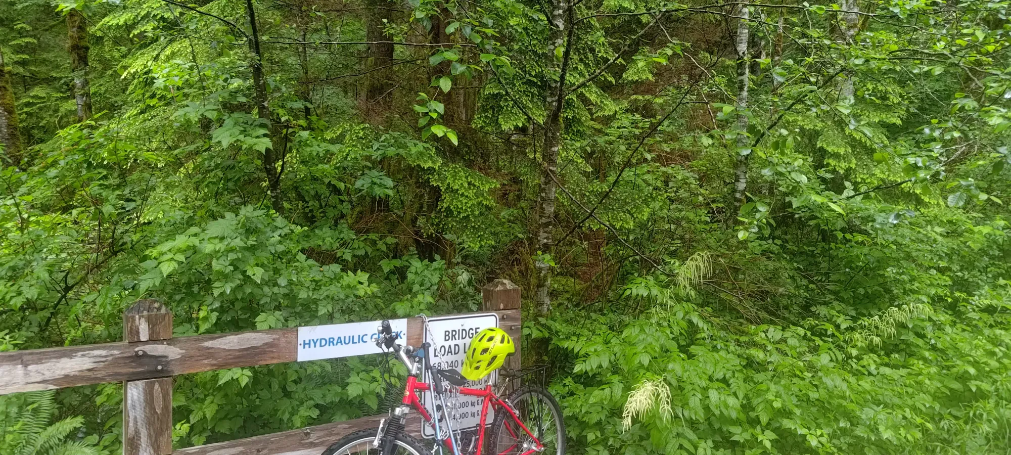
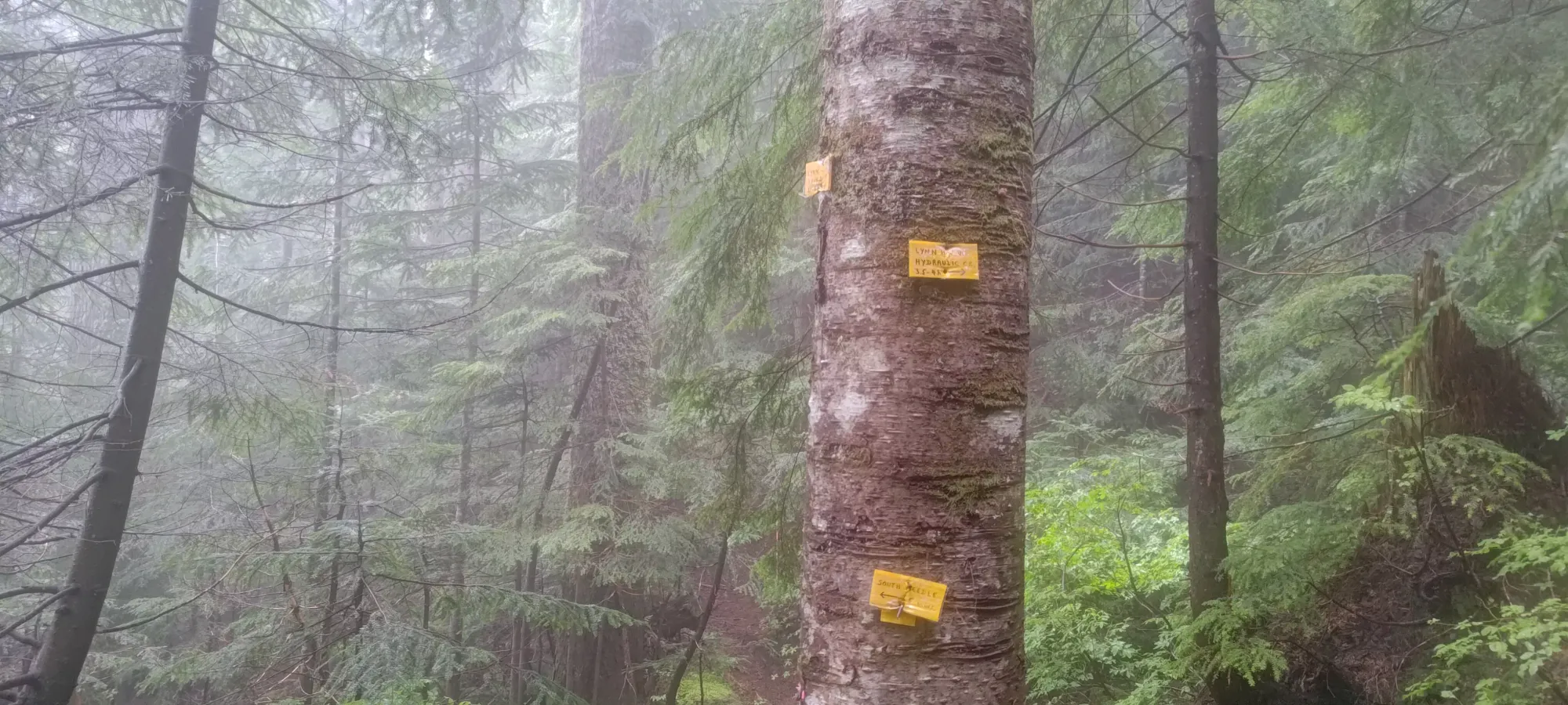
The bike in was fairly uneventful. The Seymour Valley Trail is, after all, a paved road that's been converted into a biking/walking only trail, so the going is fairly easy. There are some hills, so the gross gain was a bit over 100m, and the net gain about 60m, but nothing so bad I had to walk my bike even with my rather basic bicycle. I got through the 5.75km ride in just over 20 minutes, after which I spent a couple minutes looking for the trail (it starts right beside the far side of the bridge over Hydraulic Creek, FYI), then locked my bike up and got hiking.
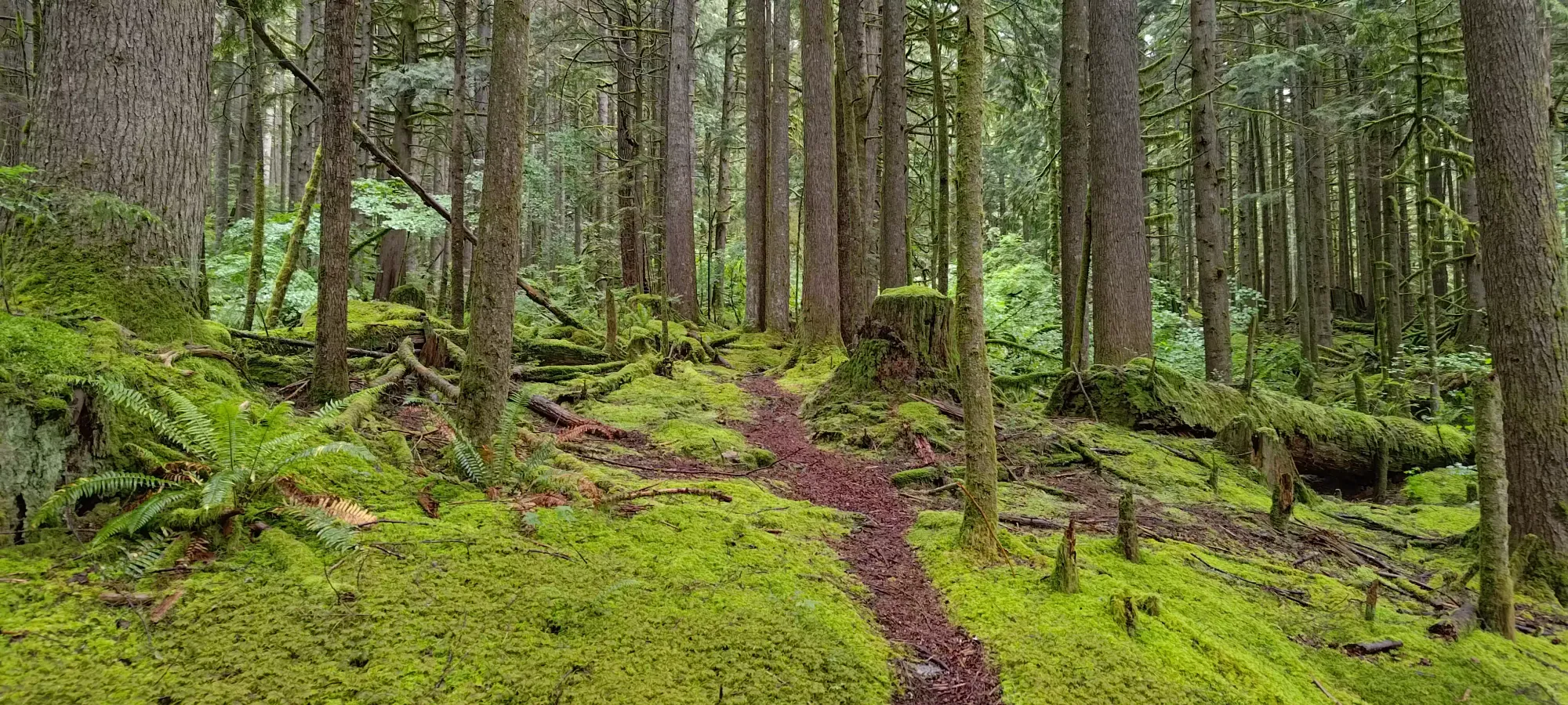
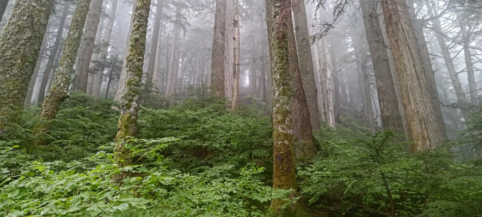
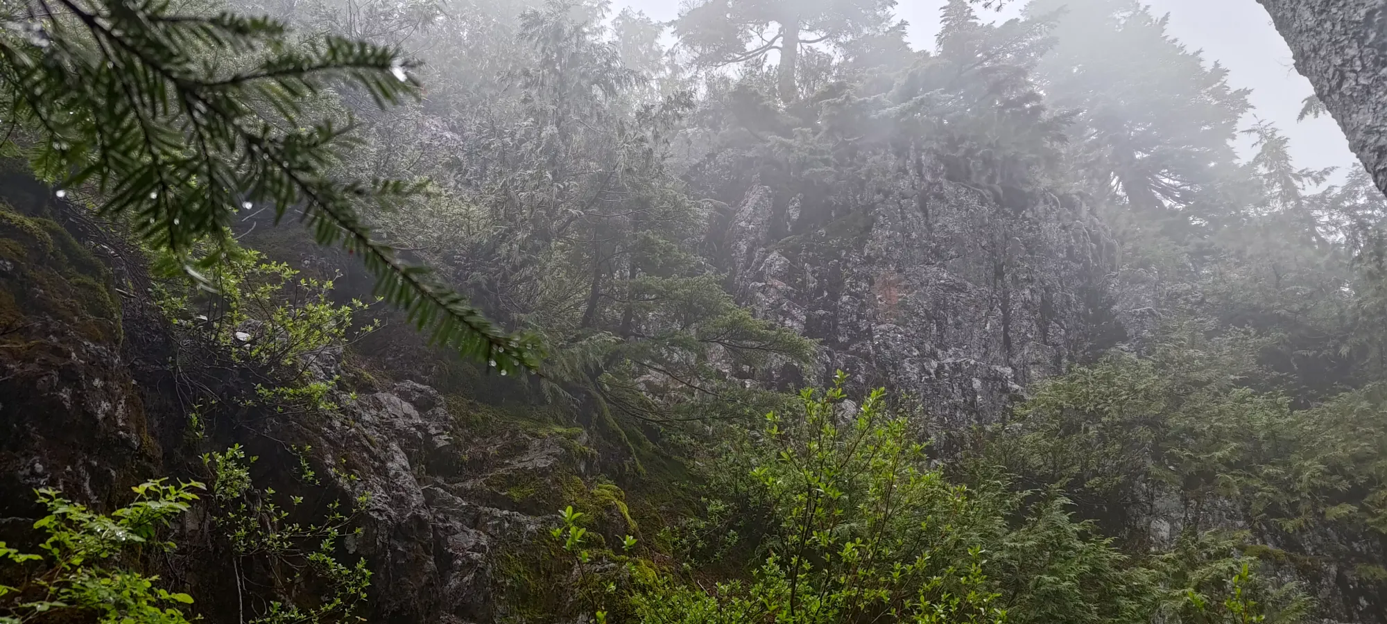
The trail started off quite nice, with a reasonable grade, a well-defined trail, and nice lush rainforest views (plus the tall tree cover kept the rain at a level of annoyance rather than anything more intense). However, as with most North Shore trails, that did not last very long, and it quickly steepened to the typical "if it was any steeper, it'd just be a staircase" grade one often sees in this area. It's not my preference, but at least in the North Shore mountains, they're not so high that you'll burn yourself out on the steep trails, since they tend not to last more than 1000m, given most mountains top out before 1500m.
Once you get onto the steeper part of the trail, it's a fairly straightforward grind up to the ridge where the trail ends and merges with the north/south one coming from Lynn Peak to the south and extending past the Needles towards Burwell. There are a few spots where you can lose the trail, namely around deadfall where you have to curve around it, and might lose the trodden path, or if you have to make strange weaves/bobs around rooty terrain, but there's enough flagging+markers that you shouldn't lose your way for long. If it feels wrong after a few steps, it probably is. I took about 70 minutes to get myself up to the ridge, gaining about 660m up to 930m.
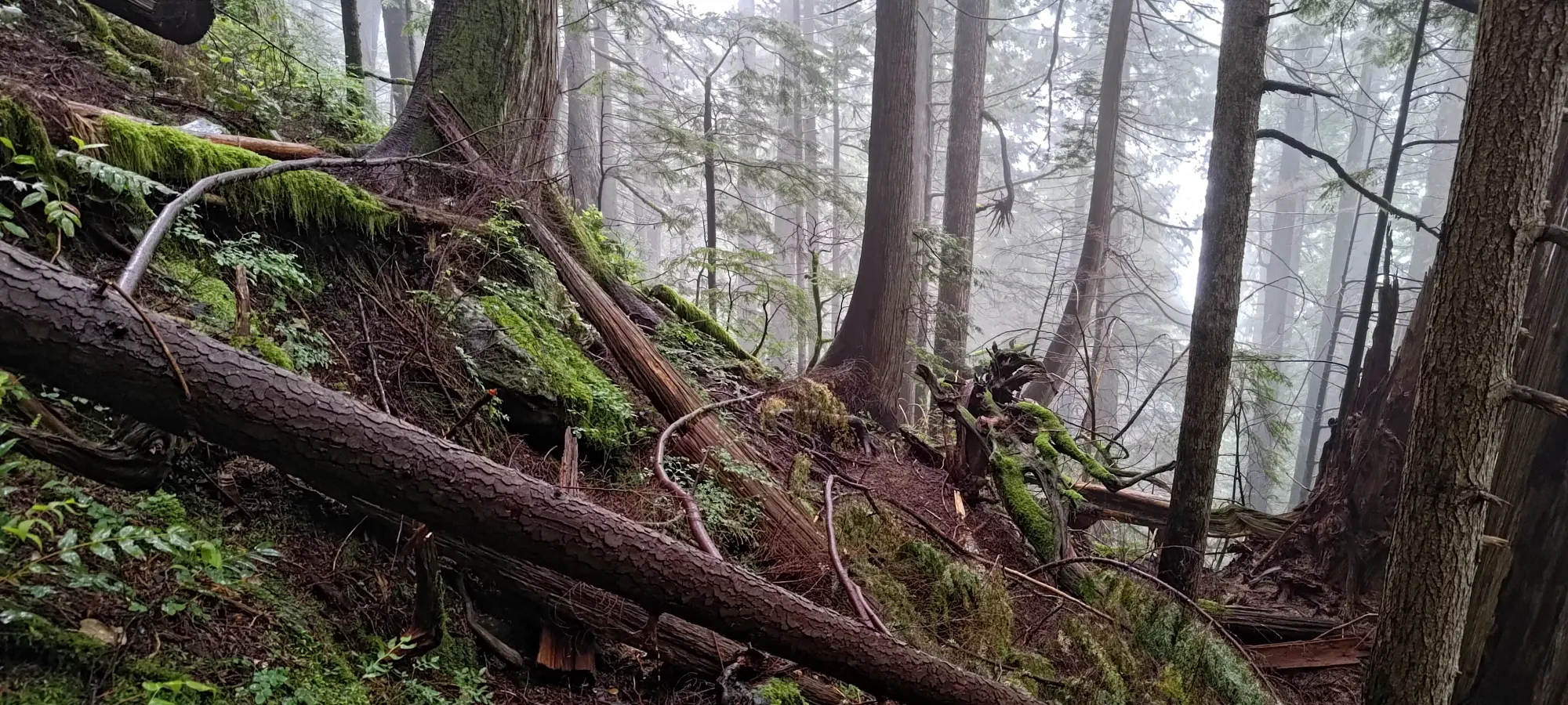
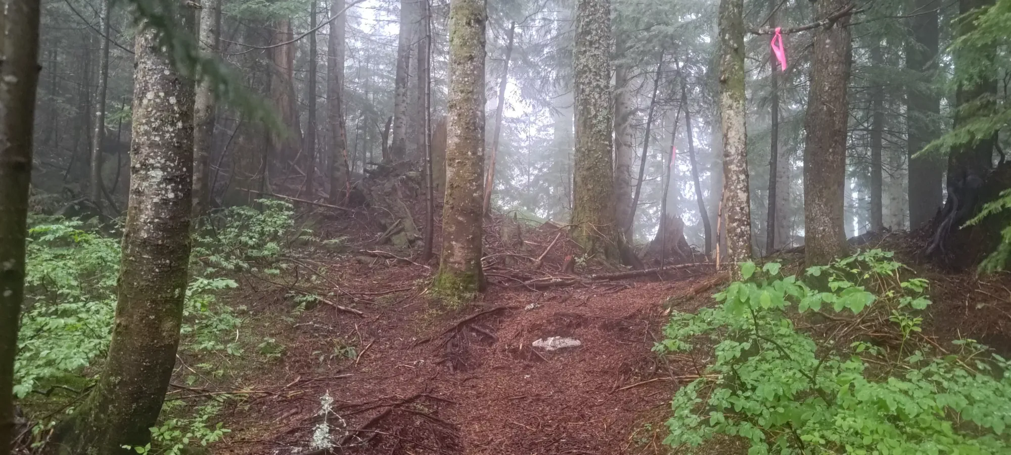
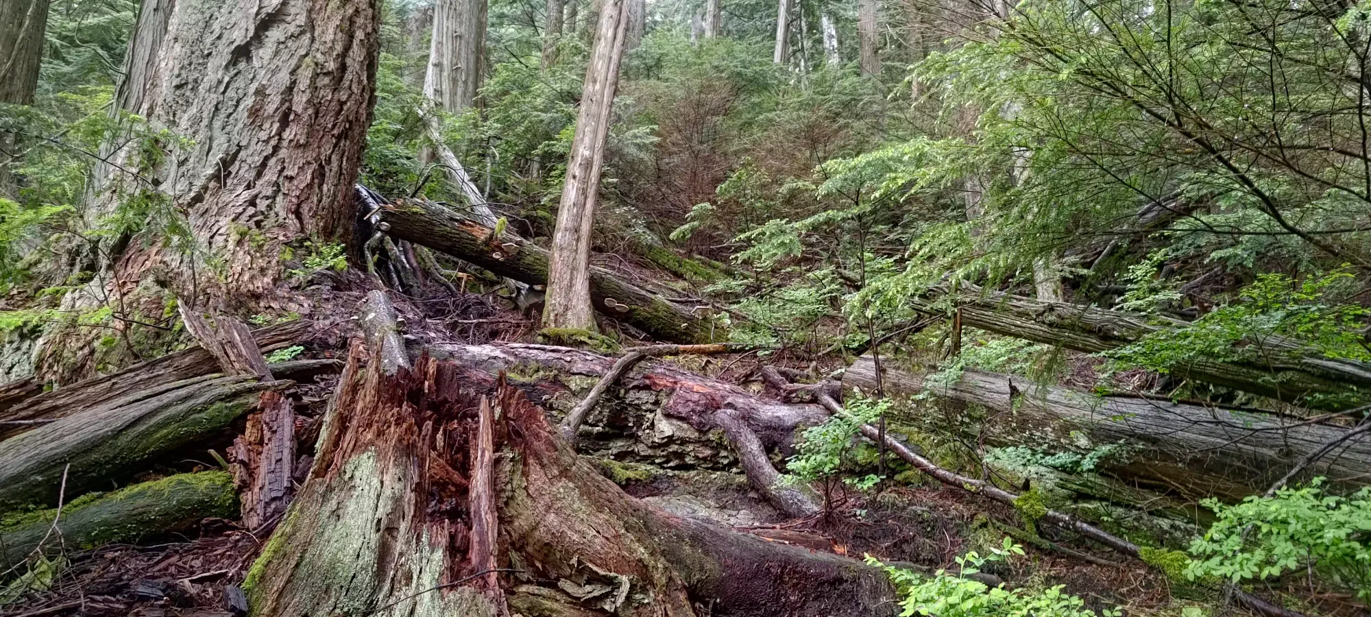
After turning off the Hydraulic Creek trail, things get a little bit narrower and less well-maintained. The trail is definitely still walkable, but you just end up brushing against a few more bushes than before. I actually got off-trail once following an old trail that appeared at a point where the main trail diverted around some deadfall, and ended up having to bushwhack back once it died, which made me go from "wet" to "soaked" as I waded through the young trees' leaves to get back on track. That was unfortunate, but I was still feeling good due to the body heat generated by grinding uphill at a steady pace.
As I got closer to the top, the trail got a bit more scrambly, with a few sections where I had to grab roots to get up, and a couple large logs that one had to carefully find a place to hop over, or give up and just bear hug and try not to slide down 😅. Once I got near 1100m I actually got to touch rock for the first time all day, and while there wasn't really any proper scrambling needed, in the very wet conditions, I had to step carefully to ensure my feet were on flat spots on the rocks to avoid sliding, as the ground was quite slick.
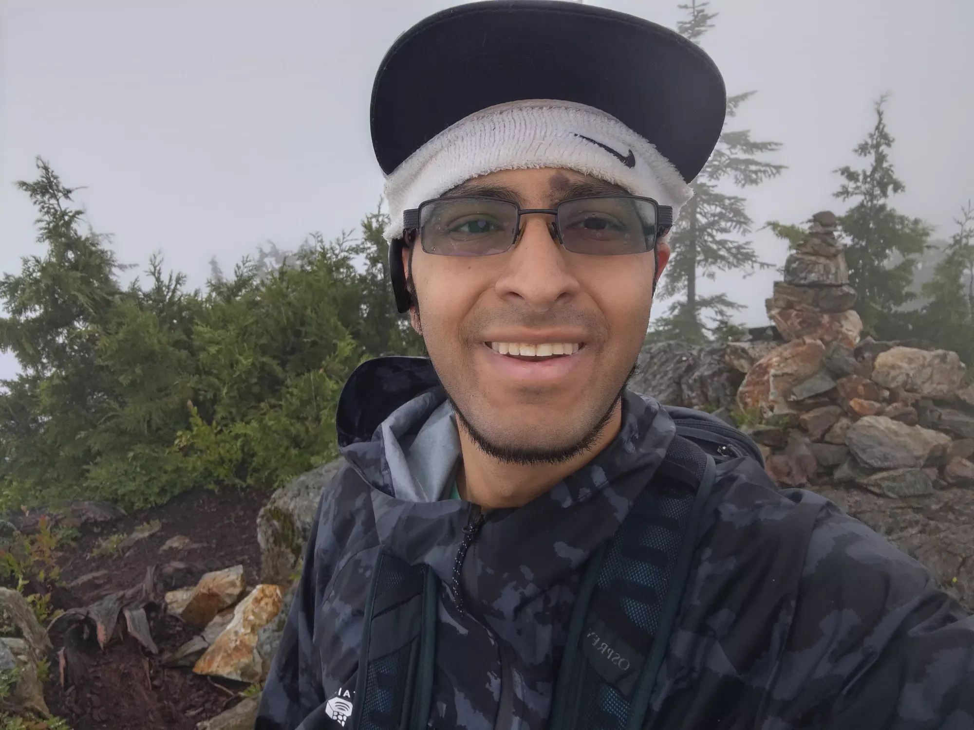
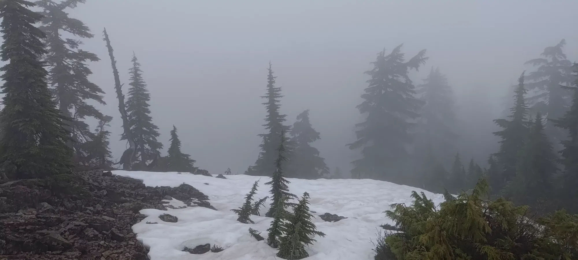
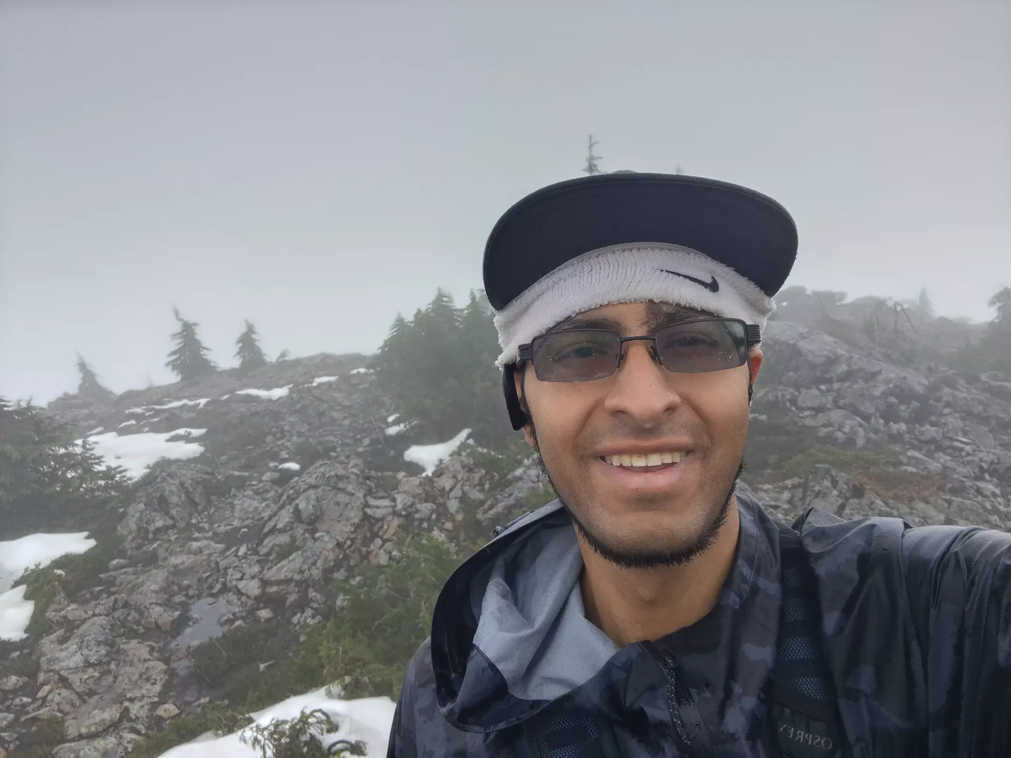
The walk up from the col to the summit was about 30 minutes for me, making the total hike to the top an even 100 minutes. There were, of course, no views in the middle of the rainstorm, so I took some hasty photos (my phone was soaked by this point as well, so using it was both difficult and somewhat risky), and continued on to the "Middle Needle" (the true summit).
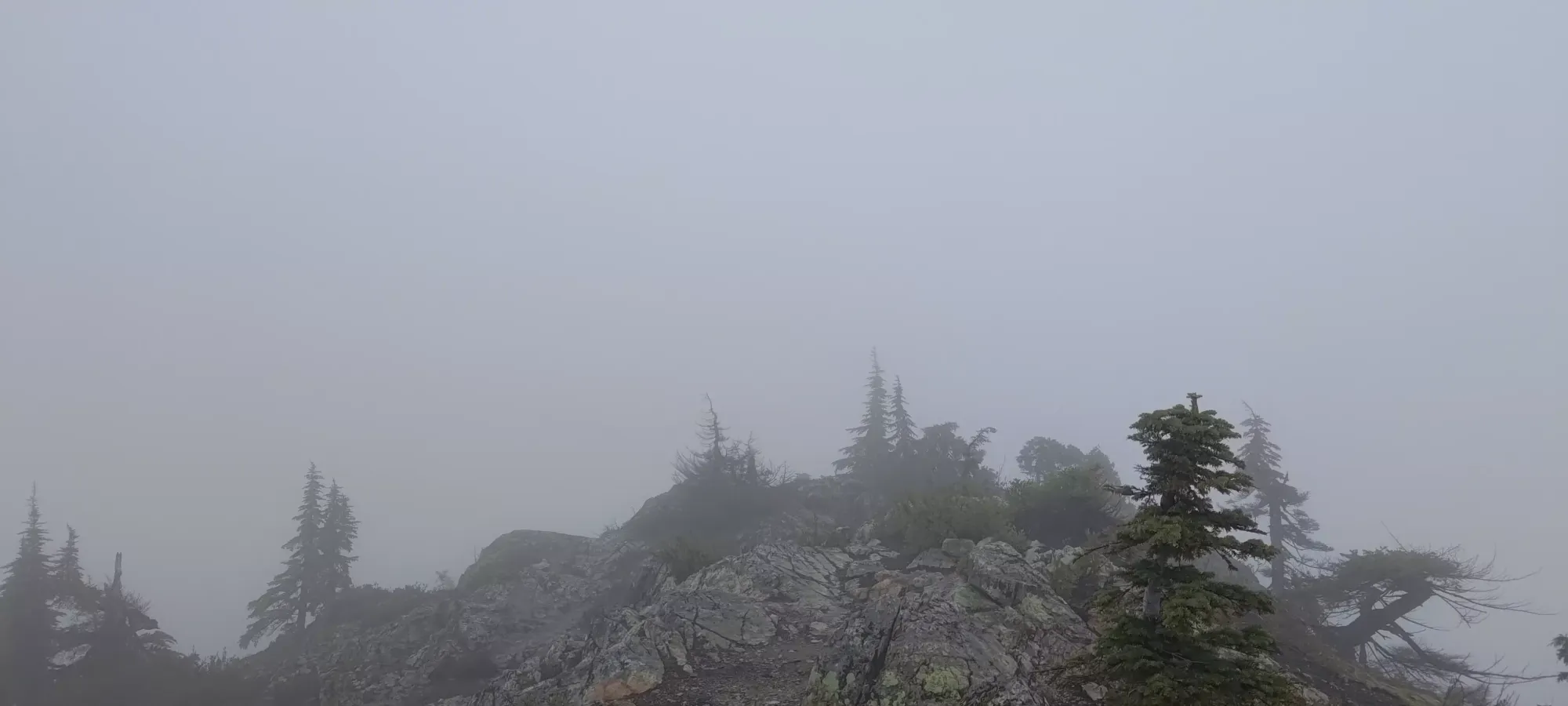
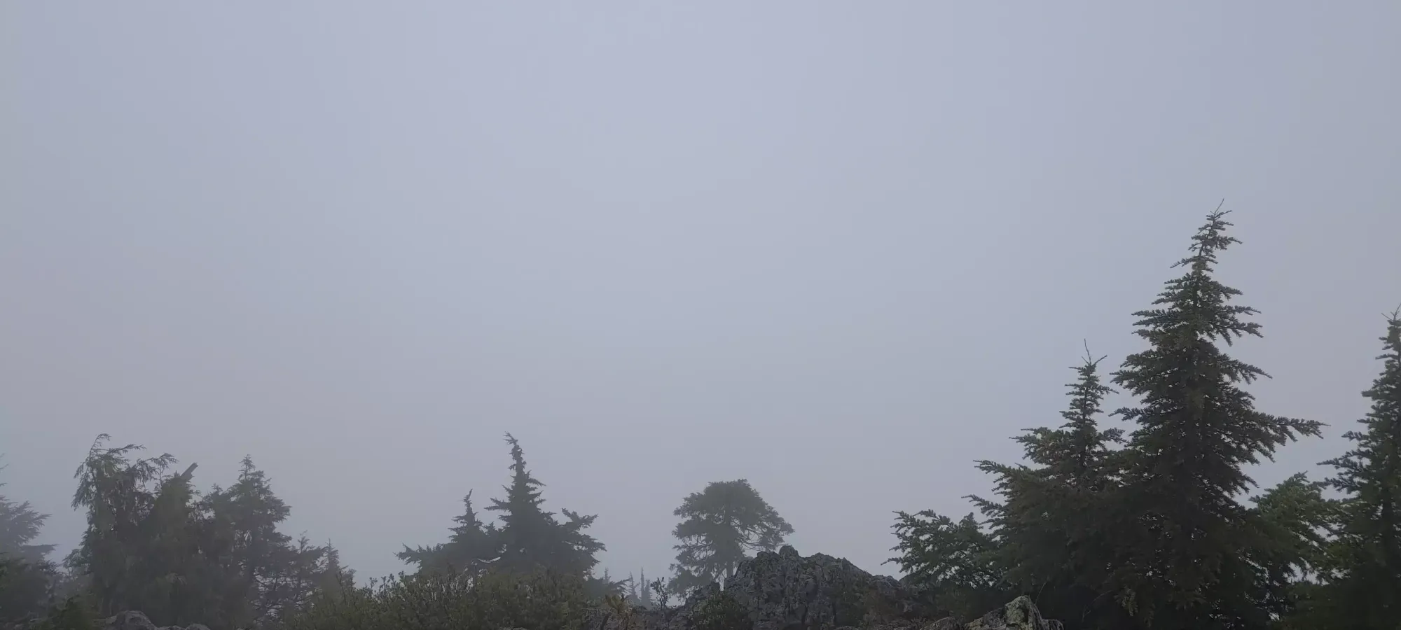
Summit not-so-views
After the first summit, one has to descend back to below 1100m before starting the climb up to the Middle Needle. The first part of this seems to officially be to go down the left side of the peak's north end when facing that way, but I didn't see anything in that direction, but I did notice a series of ledges further to the right that seemed downclimbable, and could discern a trail below, so I climbed my way down those. This was probably class 3, with one or two difficult moves, but the ledges offered good, flat footholds in the rain, so I was pretty comfortable, aside from the cold+wet, which was now starting to bother me as I'd stopped my relentless upward movement, and my heart rate had slowed a bit.
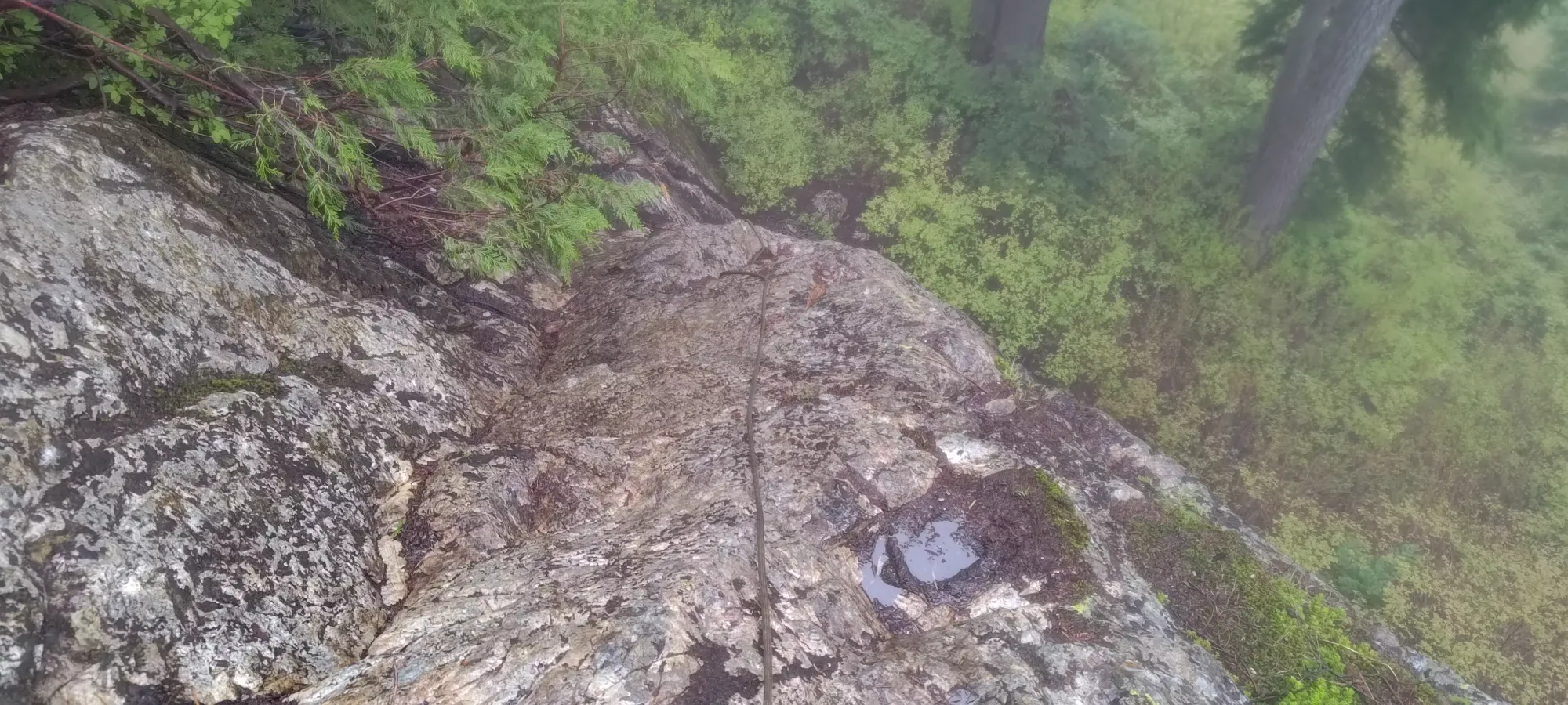
After that, it was a few steps and a corner until the crux, a super-wet slabby bit of rock with a couple fixed ropes above. I generally despise fixed ropes and avoid them out of principle. However, in the heavy rain, I had 0 chance of gripping the rock with just what I had, and the terrain was big enough that one could fall and get injured if just sliding down, or falling. So, I swallowed my pride, tested the ropes, and used them to aid the crux of my descent. The larger rope that goes the full length is a very stretchy dynamic rope (or the tree it is anchored to is way flimsier than it appears), so keep that in mind if using it (and of course, inspect for yourself on the day of). The lower one was thinner, but static and with knots to grip, which was much nicer. With their aid (yeah, I know, I wasn't happy either), I got down safely, and continued the descent on a decent trail once more.
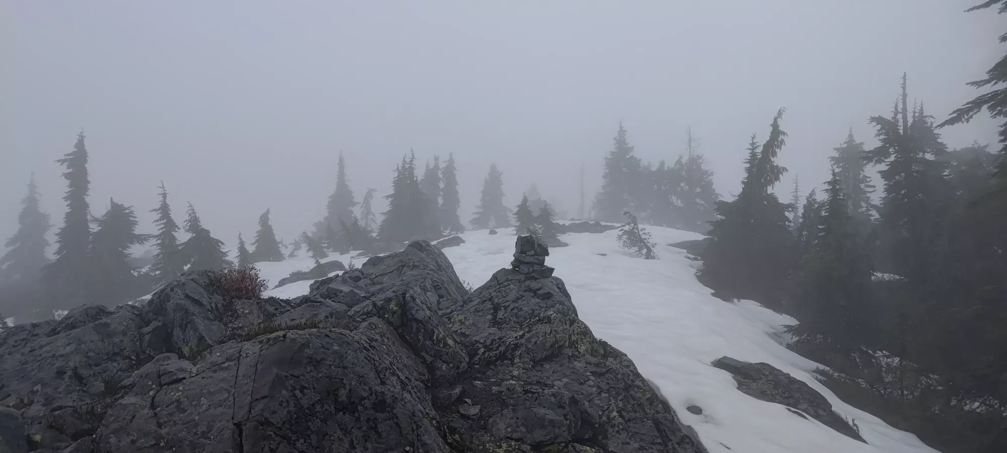
The trail from the col to the top of the middle needle was pretty good, and easy to follow. There were a couple more root-scramble sections, but nothing more than "a small hand assist". Once again, near the top, there were a couple rocky sections, but all hikeable, actually easier than the lower southern summit. This ascent took me about 20 minutes, at least to the point slightly below the true summit I thought was the top, which was where I took almost all my photos before realising it was actually ahead in the fog 😅
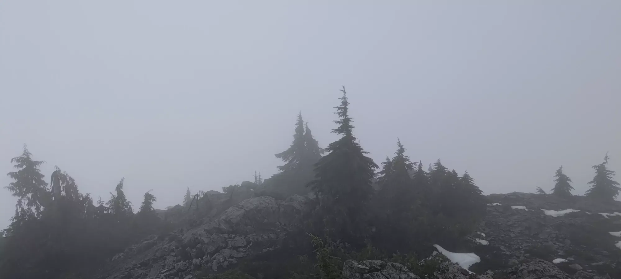
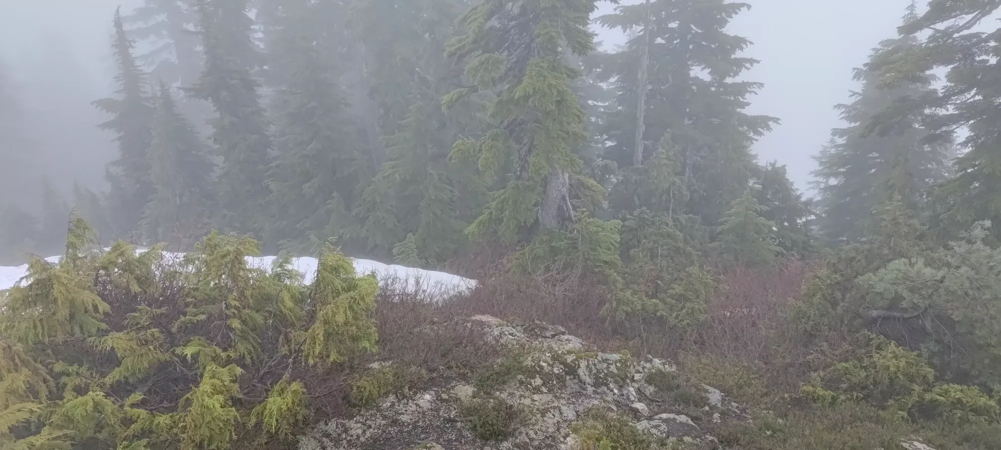
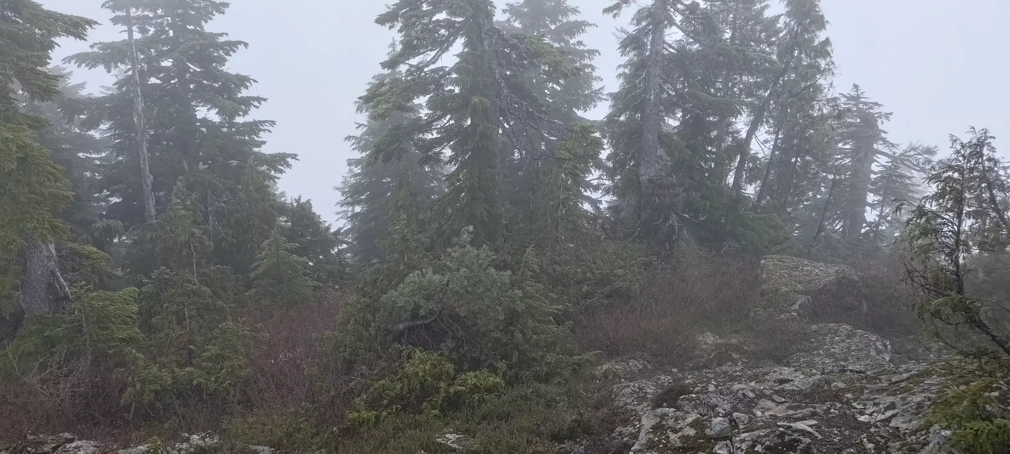
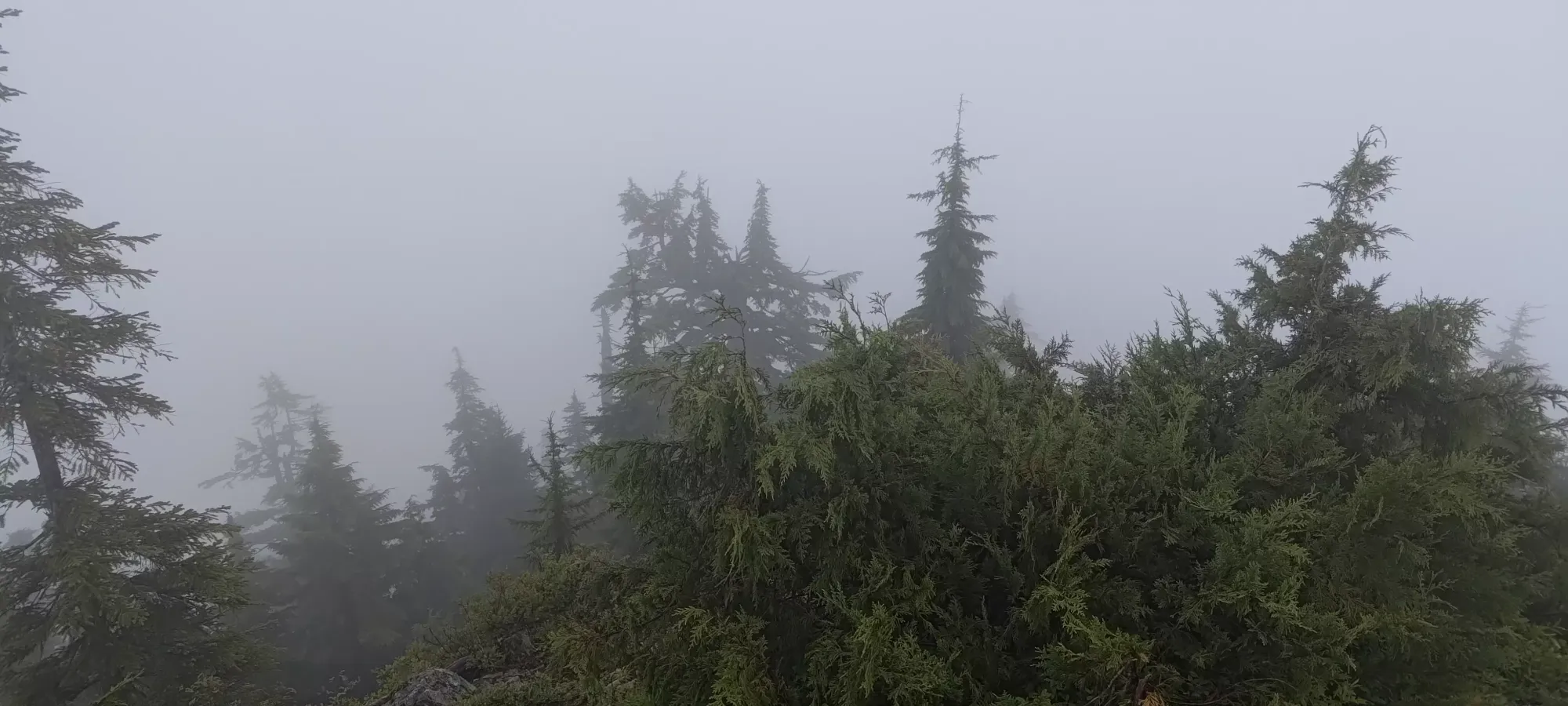
"Summit" views (not very different from the true summit anyways
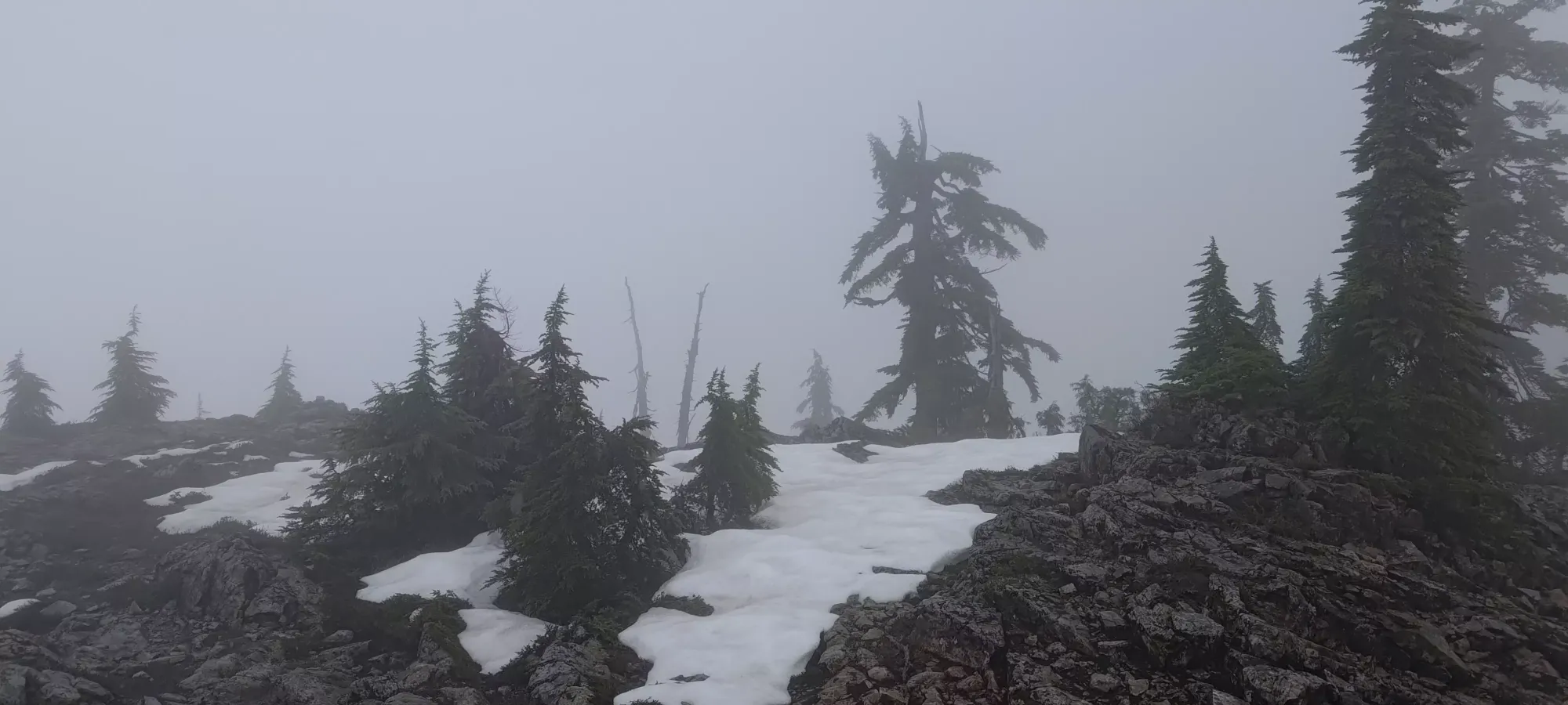
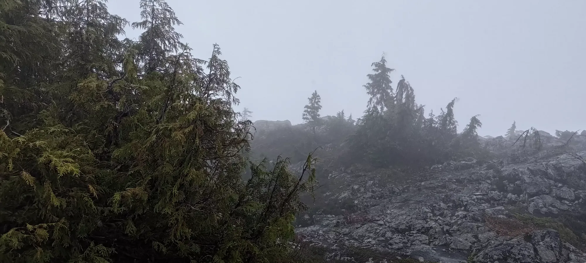
To reach the true summit, I had to actually walk on snow for the first time, though there were some faint tracks, and it was only intermittent, and not very deep. A couple minutes brought me to the actual summit, where I snagged a cairn photo before deciding on my next course of action.
It was nearly 3pm, and I had to be at Park Royal and ideally not covered in rain in soaking wet hiking gear by 6, so it would be a very tight schedule to try and get the last needle. I followed some faint tracks down the snow for a few minutes, but after squeezing past one tree, and seeing quite a bit more down-walking to do, also in snow (which would be annoyingly slippery in the steeper parts with how the rain was soaking the snowpack), plus my now "definitely actively cold" self not really enjoying the rain, I decided pushing it was not the call, and turned around, justifying it as "being a good son and ensuring I showed up on time for Father's Day". If you come here, honestly I'd not do it in the rain, and I'd probably give yourself a little more time than I did (or just be fast I guess).
And so, I retraced my steps, and started the walk back down. It wasn't super eventful, as even miserable, cold, and wet, it was still 99% just hiking. Some spots required careful stepping, for sure, but especially with hiking poles it wasn't anything terrible. The climb back up the rock slab was definitely not happening without the rope though (there's a possible alternate route up the side of it, but I wasn't in the mood for random yeeting solo, cold, in the rain, and on a timeline), so I was glad for their existence on the climb back up. As for the ledges afterwards, I instead followed the marked trail to climber's right, where easy scrambling (even wet) brought me back to the South Needle.
On the way down the South Needle, I actually ran into a couple of hikers coming up, who I gave some beta to, and got to commiserate about the conditions with before going our separate ways. Staying on-trail the whole way made things simple and from the spot I turned back after the Middle Needle, I took about an hour. I was getting a bit tired, but also just "being in the same careful terrain in the wet" required more care than walking uphill.
After that, though, it was a very straightforward walk down. Still fairly steep and requiring some care, so coupling that, the wetness, and my tiredness having not stopped for food/water at all (I was too wet, too in a rush, and too concerned about my digestive state given I didn't do so hot in the previous week, so I just soldiered on), I took the same amount of time going down as up! Although, now studying my track closer after having just written that, I realise that I probably could've shaved 10 minutes off if I didn't follow false and/or game trails near the end, and spent some time wandering the forest to get back to my bike, plus needing a couple minutes to get myself geared up to bike out.
The bike back was a bit faster than the bike in, which makes sense given it still net-loses elevation, even if there was still about 60m of elevation gain during the ride. This time, though, I cut through the area near the parking more efficiently, and shaved 100m of parking-area-meandering out to get back to the car more directly. That resulted in a bike back closer to 15 minutes instead of 20. I'm sure actual cyclists, better bikes, or powered bikes could all wipe the floor with that time, though.
Once back, I got my bike back on the rack, and tossed my gear into the car after a short wipe-down session. I didn't have time to shower before meeting my dad, unfortunately, but I did at least have a towel and change of clothes, so I figured I'd change once I got to Park Royal and had somewhere not "actively in more rain" to do so. Thankfully that timing worked out well, and I had a couple minutes before we had to meet up, just enough to get cleaned up before my dad showed up and we had to do normal people things 😄.
So overall I'd say this was a quasi-success. I got 2 peaks, one of which was the important one of the trio, but I also missed the last one, which isn't really a great addition to any other trips nearby, got totally soaked, and had to use a fixed rope 🙃. Ah well, better than sitting at home all weekend and getting nothing done, I say. And it was capped off with a nice time hanging out with my dad on Father's Day, so can't be too disappointed with that.
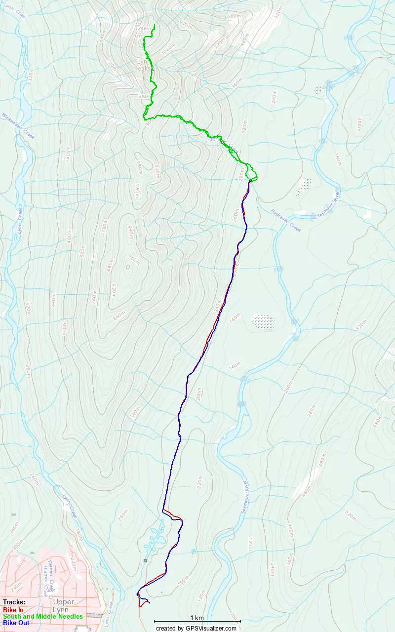
GPX Track + Map