Slhanay Mountain - November 19 2022
A small casual bag while I nurse my busted hand
Sky Pilot Group, Squamish, British Columbia
665m
After breaking my hand at the beginning of the week (bike accident, amusingly not while bagging a peak), I am no longer in prime bagging shape. Specifically, things involving using my right hand are basically a non-starter, so skimo, using an axe, strapping up crampons, etc were all off the table. I also wanted to test how much getting my blood pumping would impact swelling, so I decided it was time for Slhanay, a short+local peak I'd been saving for such occasions. I got my non-hiker friend Amour to join me for the outing, and a trip was born. I refuse to lose weeks to injury!
We parked along the Mamquam FSR at around 10:30, and after walking around a rocky parking lot for a few minutes before realizing the trailhead was a bit further along the road, we set off. The first few minutes of the trail are pretty mellow walkng through the forested trail, at this time of year with lots of leaves on the ground. However, it doesn't take long for the trail to open up into an older growth area, whose openness is exaggerated by the steep slope that makes density hard to come by. It isn't quite the Chief's stairs, but this isn't much longer and ends up at a similar elevation, so a workout should be expected. It's a lot more stepping up roots and rocks than walking along a dirt path.
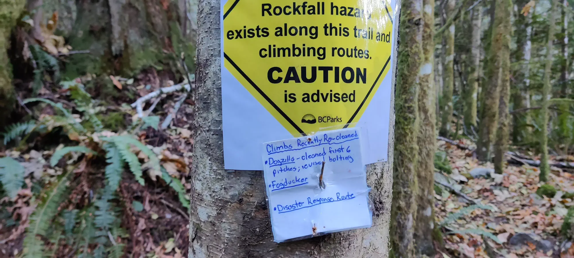
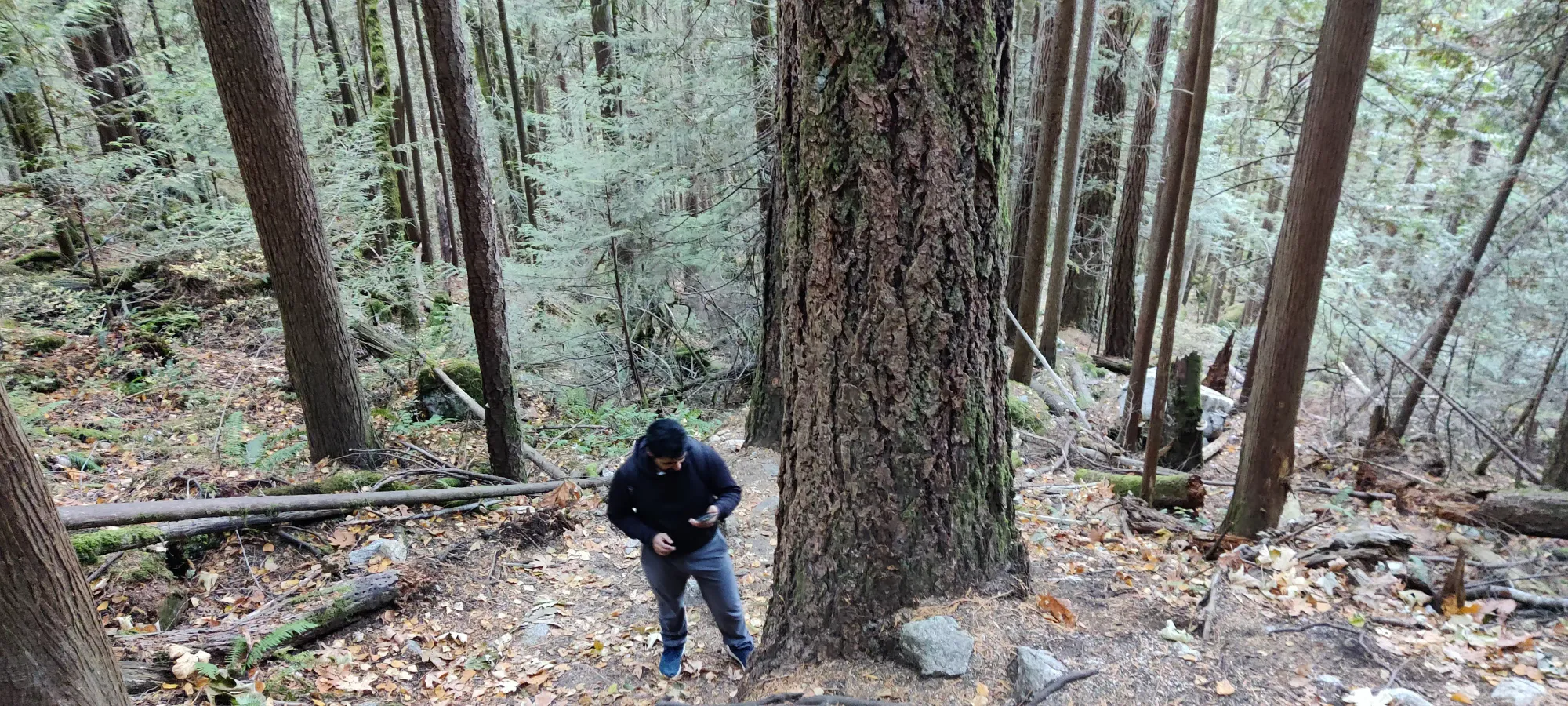
Thankfully (for me), my injuries are mostly face/hand related, so my performance wasn't very limited for this kind of hiking. However, Amour hadn't exercised since we were in Canmore, so we took our time getting up, with lots of breaks. The terrain gave us lots of opportunities to be distracted from that and not get bored, changing from dense deciduous to sparse mixed, to more evergreen, with lots of rock bands where climbers would be putting up routes, etc. keeping things interesting.
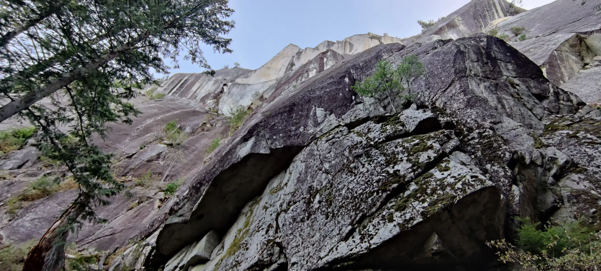
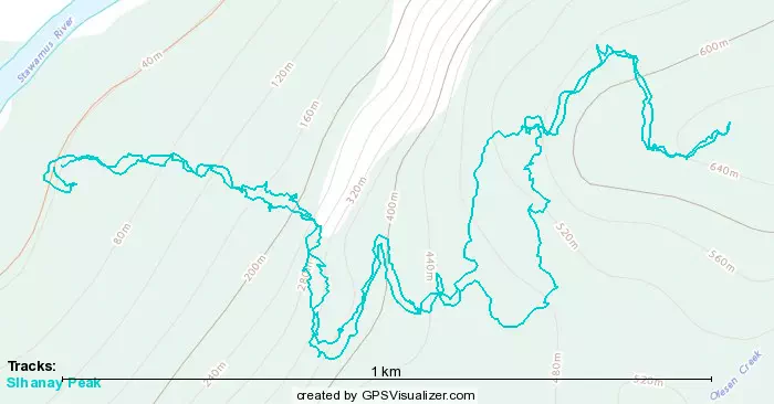
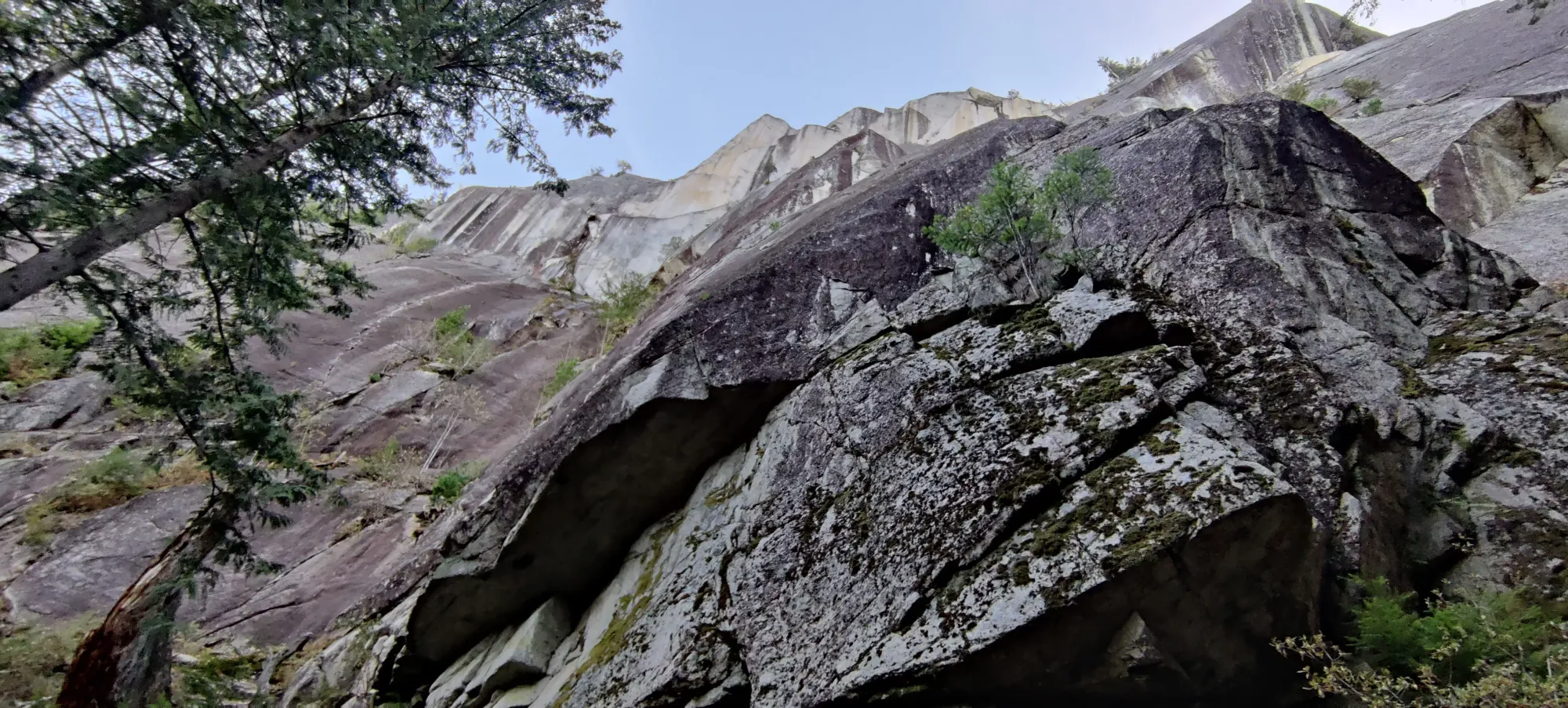
We spent about 20 minutes heading up before we hit the first impressive rock face, where we cut climber's right to traverse the bottom of it on the hiker's route. From there, we started hitting forks in the trail. We mostly tried to keep to the most direct route up, with a few variations when we saw trails that weren't on our maps to explore for the sake of it. A couple of forks brought us up to around 500m or so where we got to a very pine needle-y forest along with our first snow patch sightings.
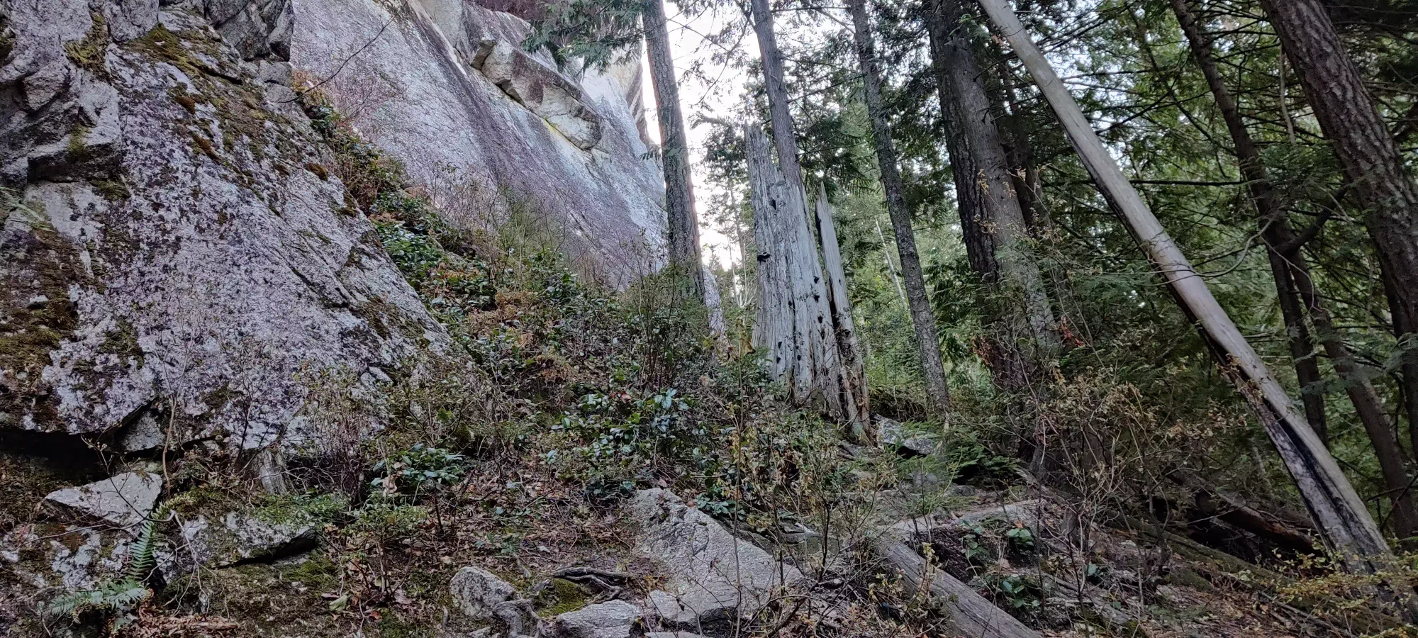
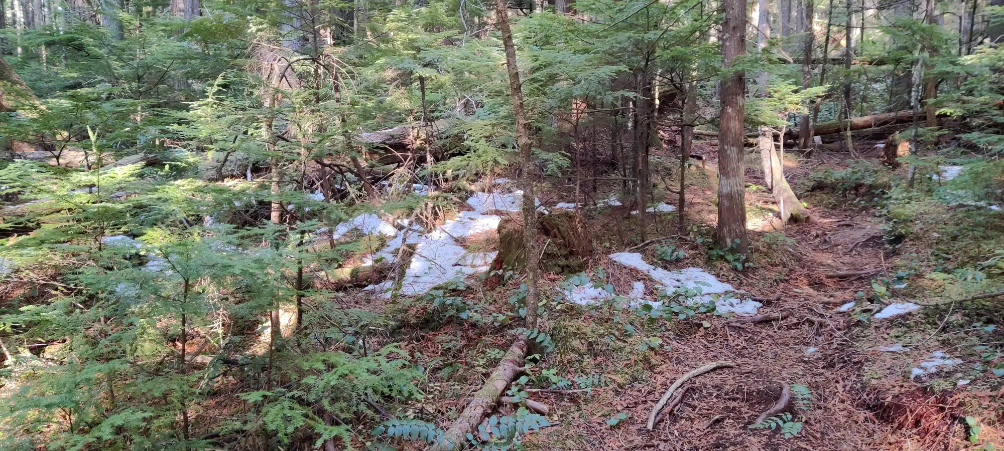
We took a trail that didn't appear on the maps up past 500m elevation that seemed to be more directed that the mapped options, which worked out rather nicely. Things opened up pretty consistently after this. We saw a few more rock faces, though probably more bouldering-sized than climbing routes. At a bit below 600m we hit a viewpoint peeking out of the forest (also our first icy patch, so watch your step). Thankfully no more limbs were broken :)
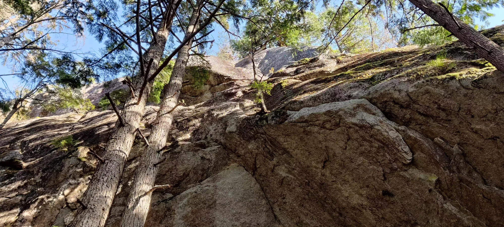
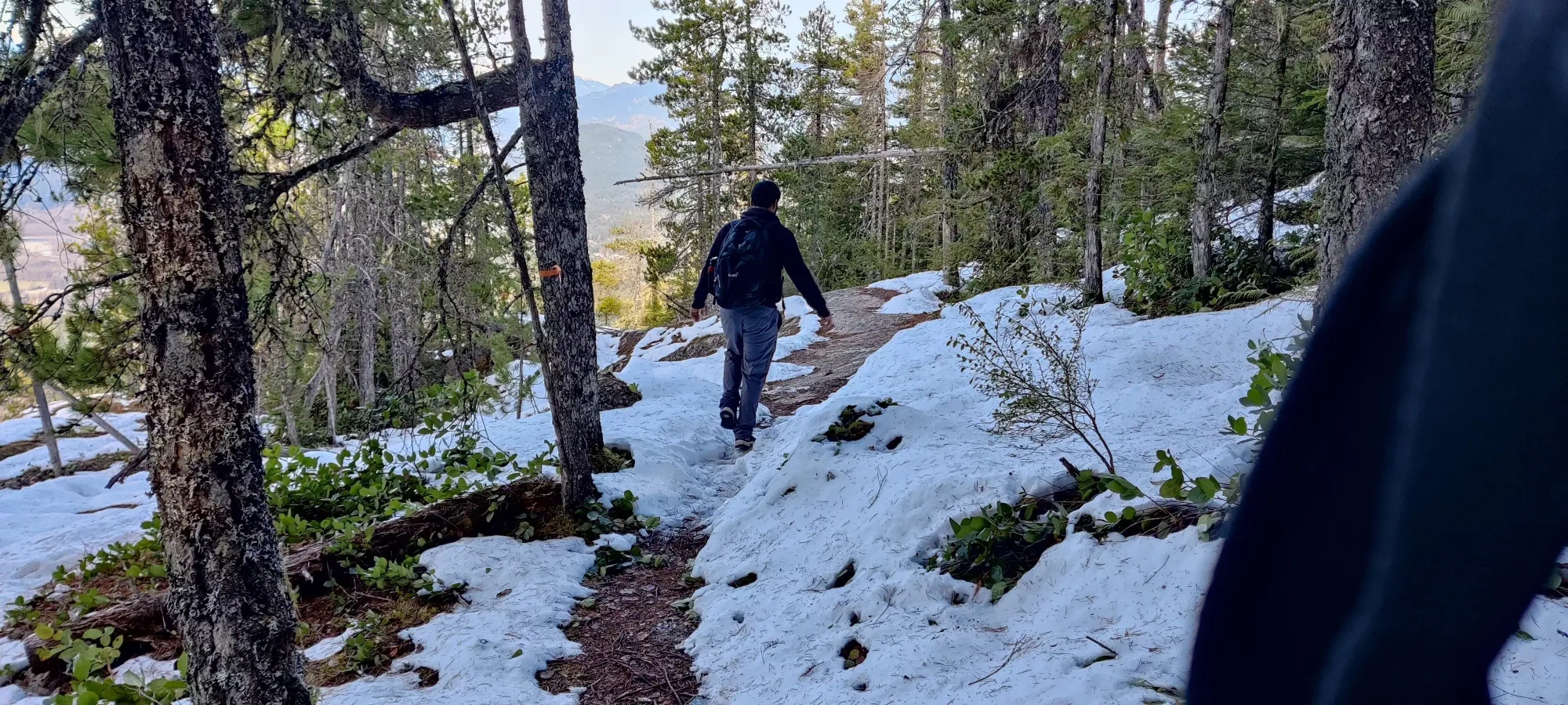
A few minutes of steeper dirt later, we arrived at the summit area. There were a few well-rounded granite outcroppings to walk over, and a couple metres of easy scramble to get across, but nothing challenging, even for this one-handed author. Once we topped out, we enjoyed the sunny skies for a while before heading back to meet up with some others back in town.
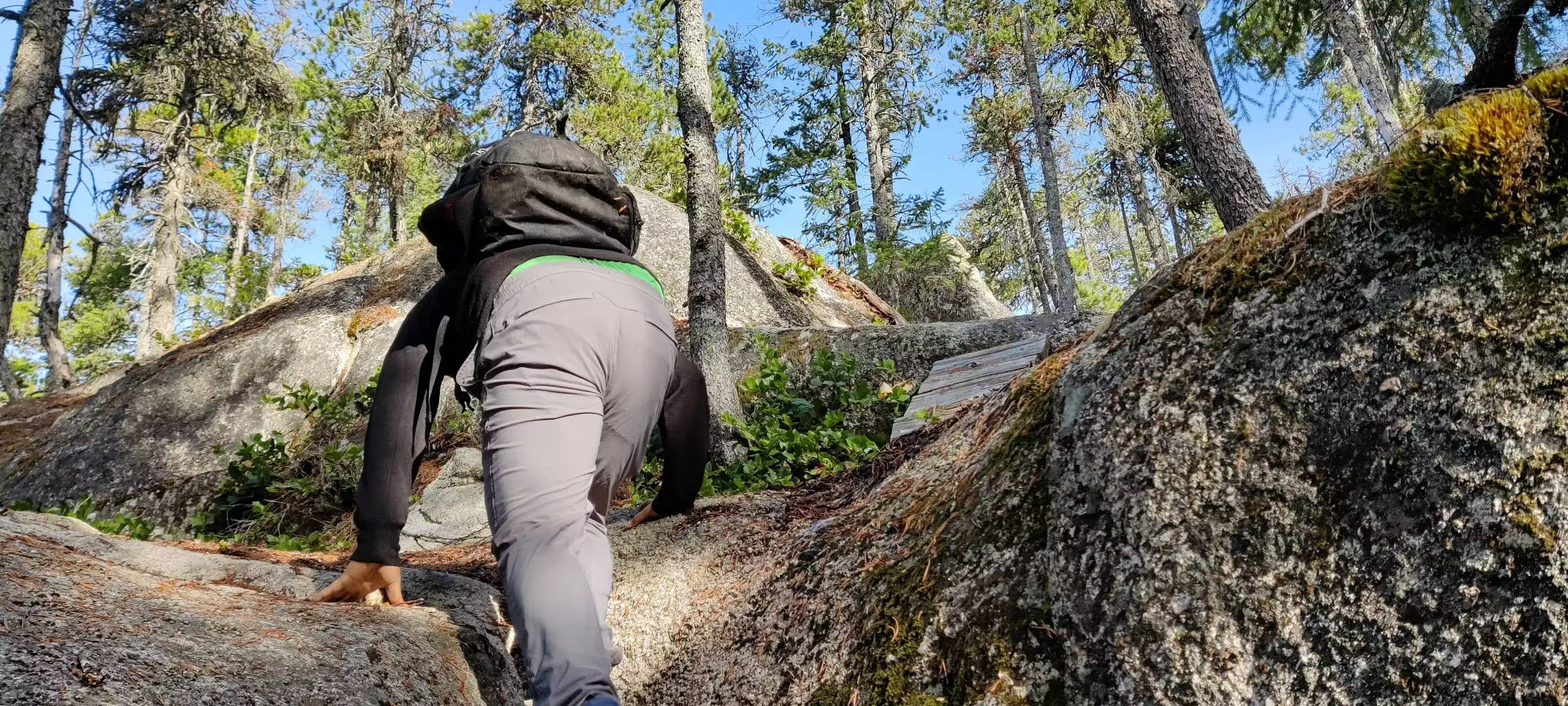
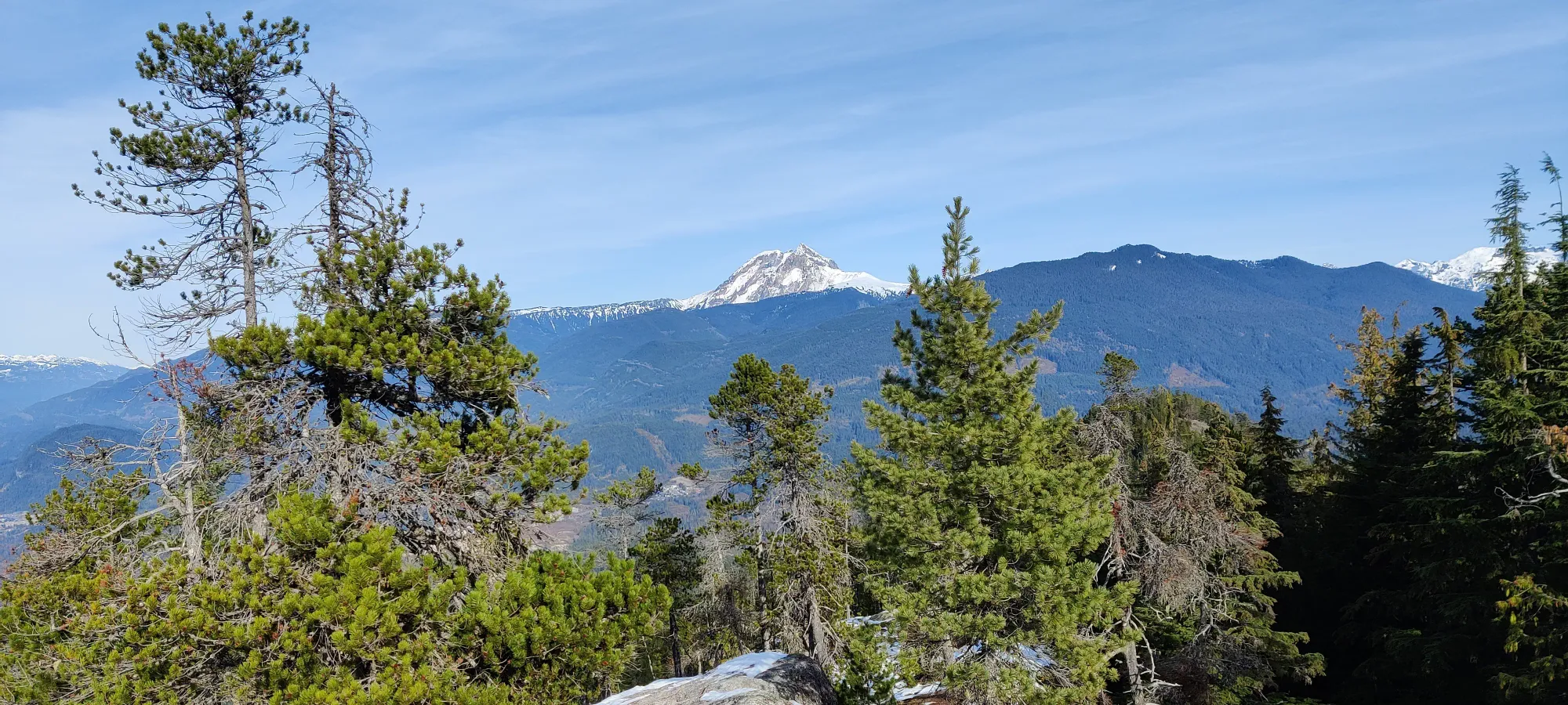
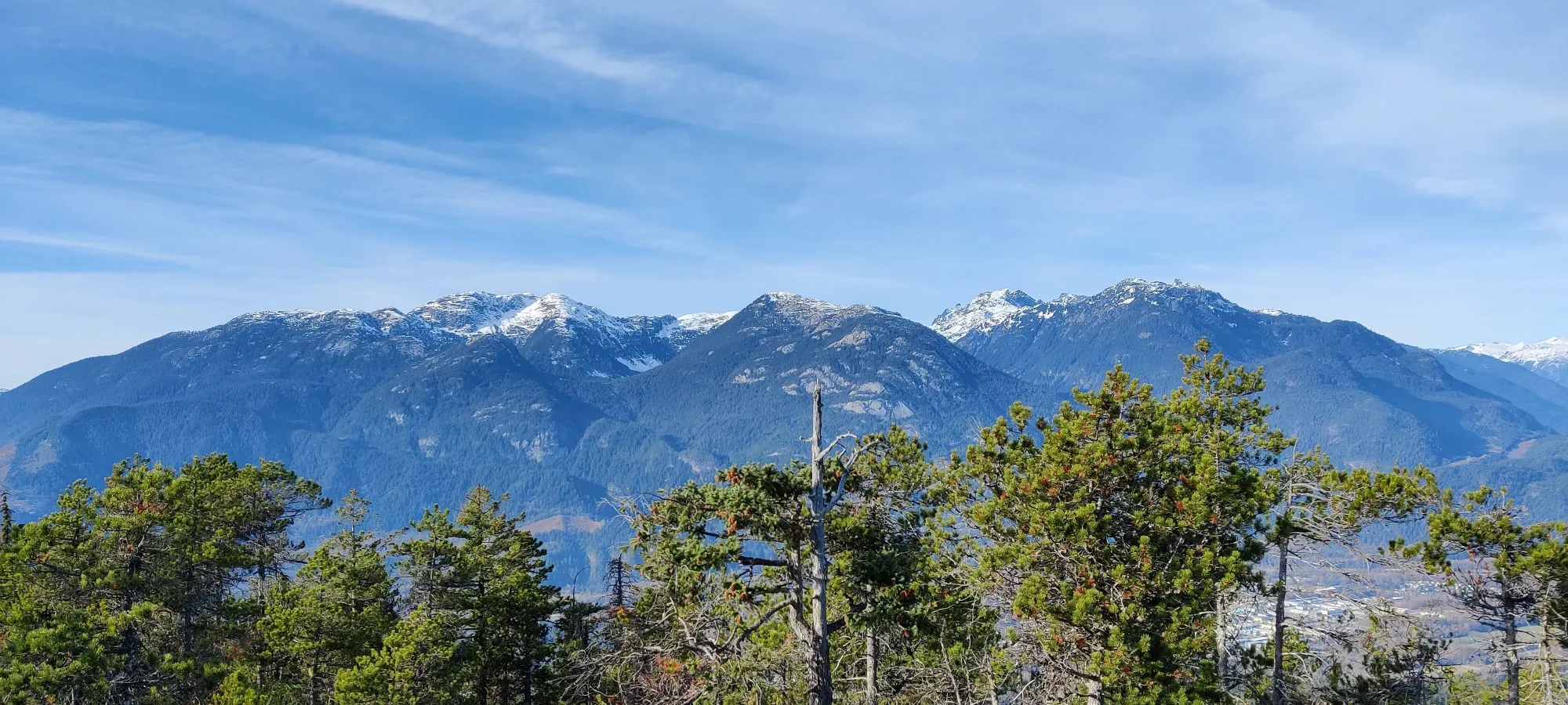
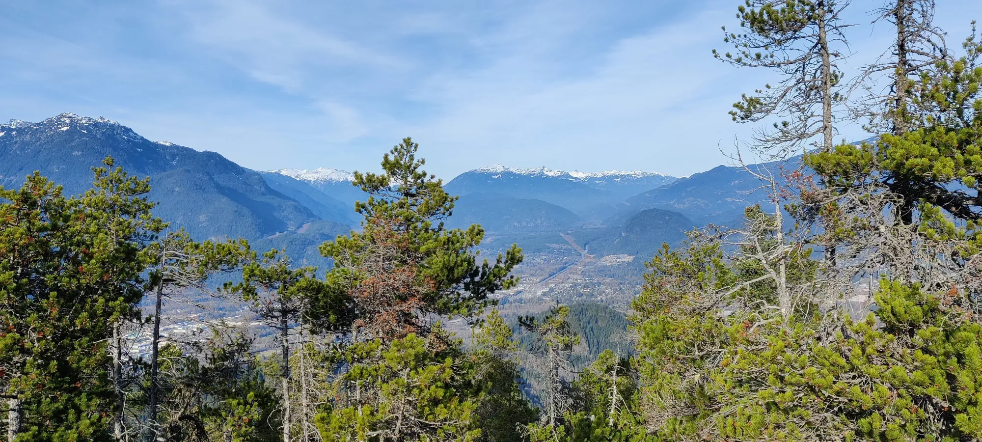
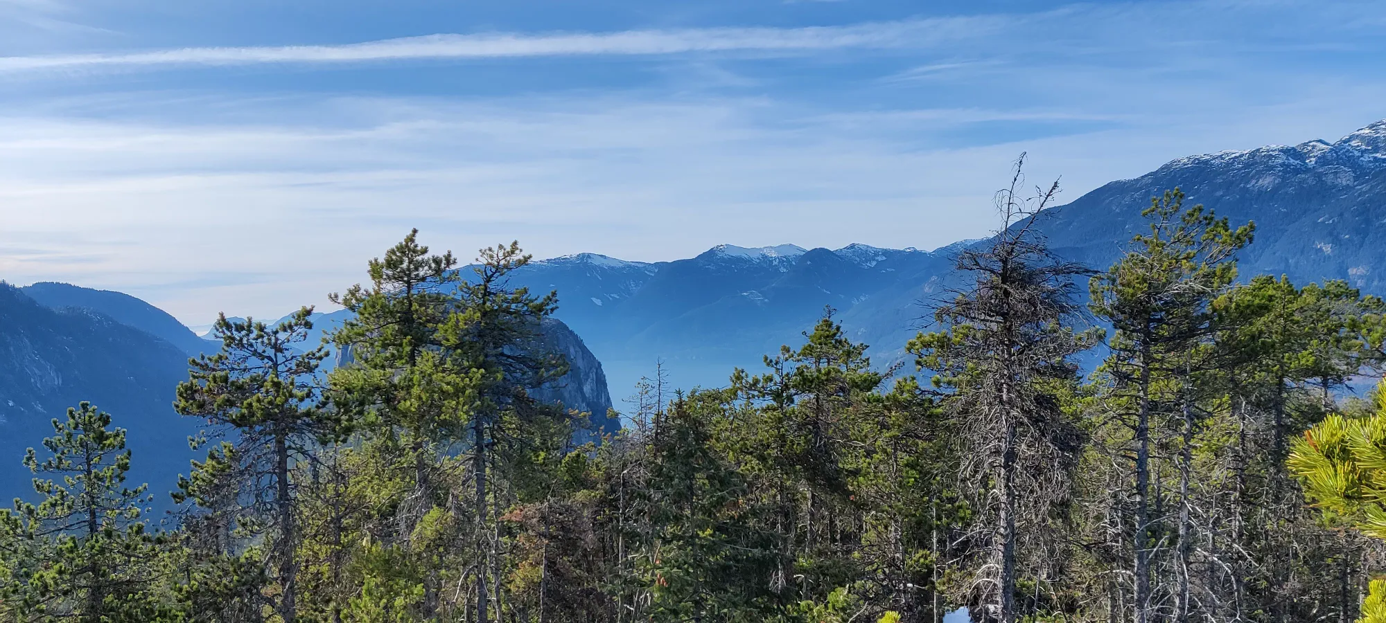
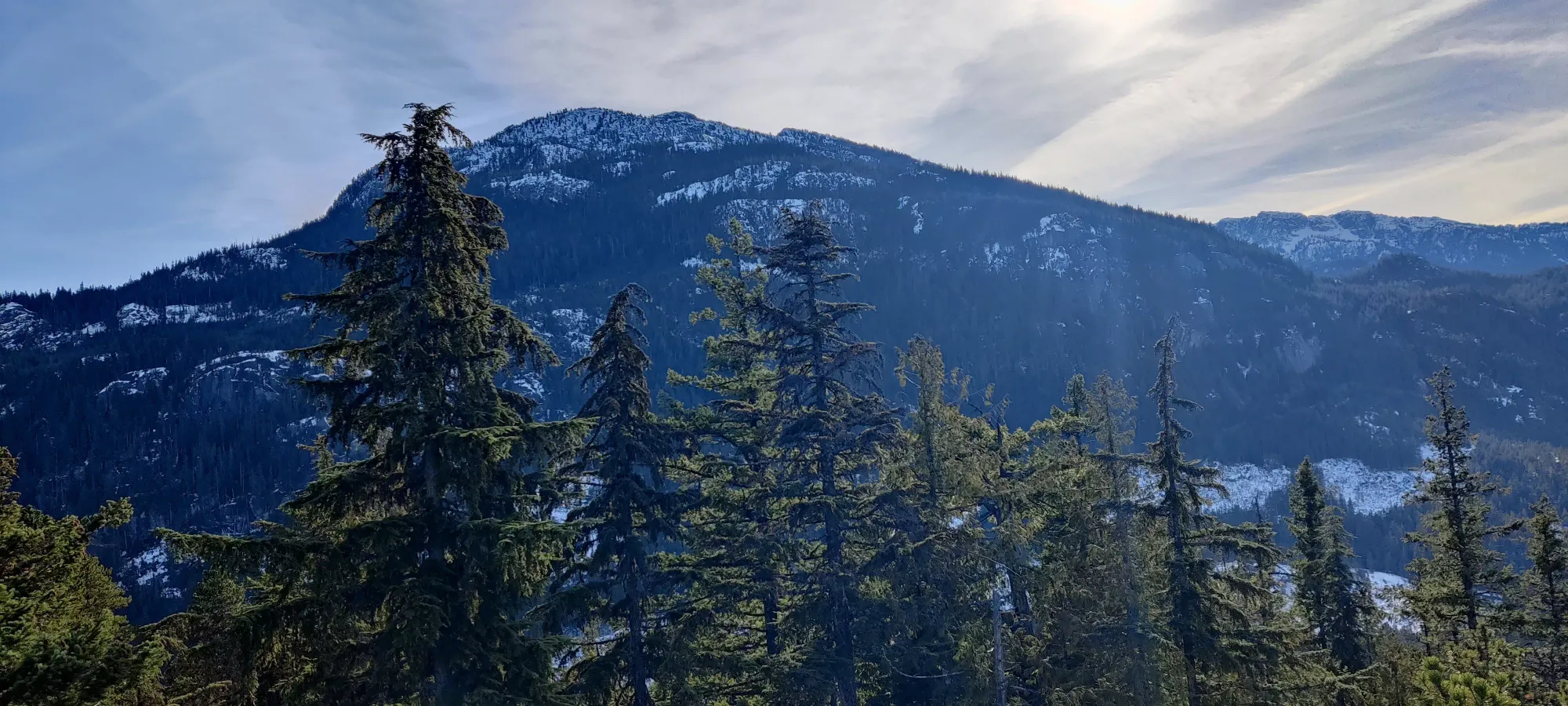
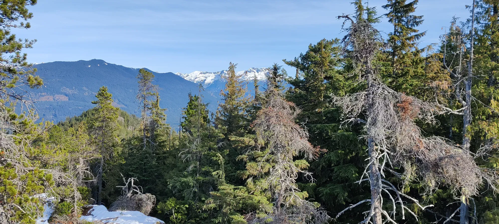
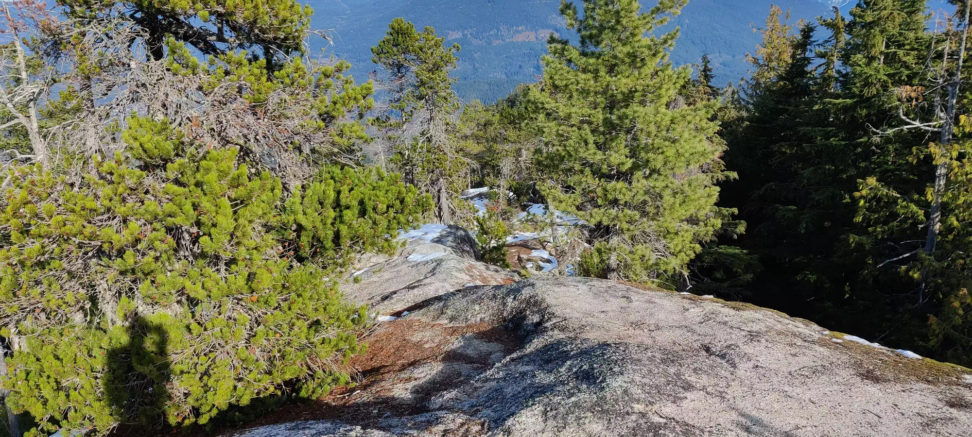
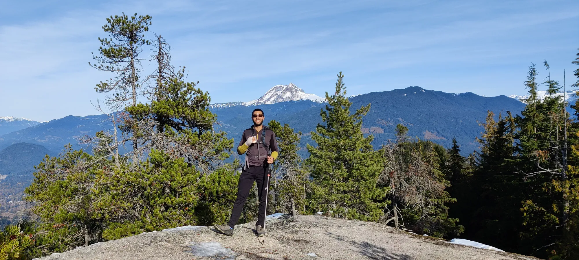
After about 20 minutes of photos and a small meal for Amour, we started heading back down. The way down from the top was just as easy as the way up, except for that one scramble step, which made for an amusing montage of 1-handed awkwardness.
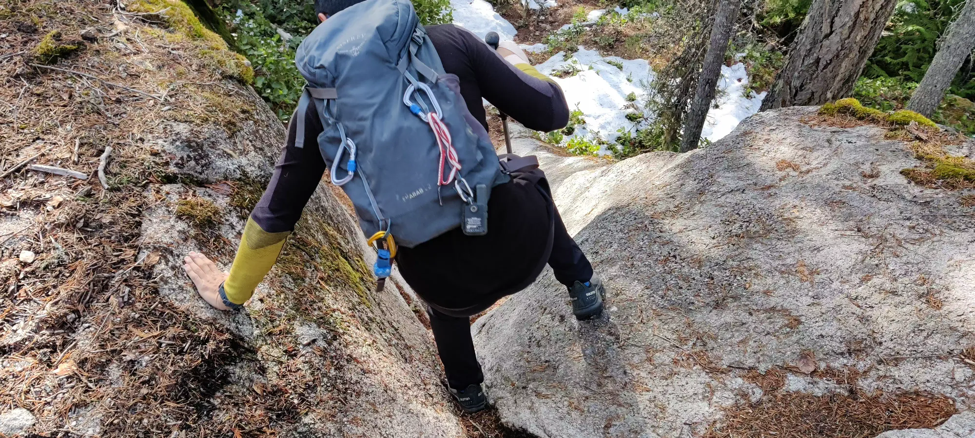
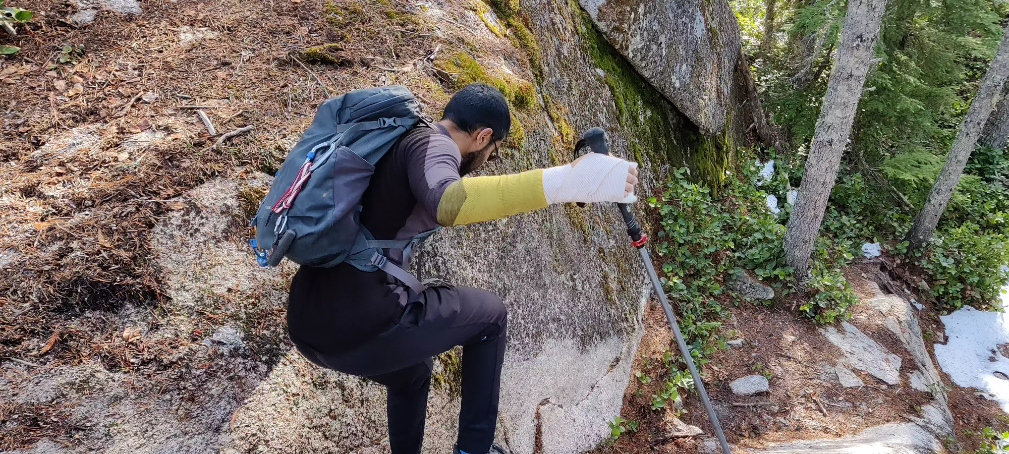
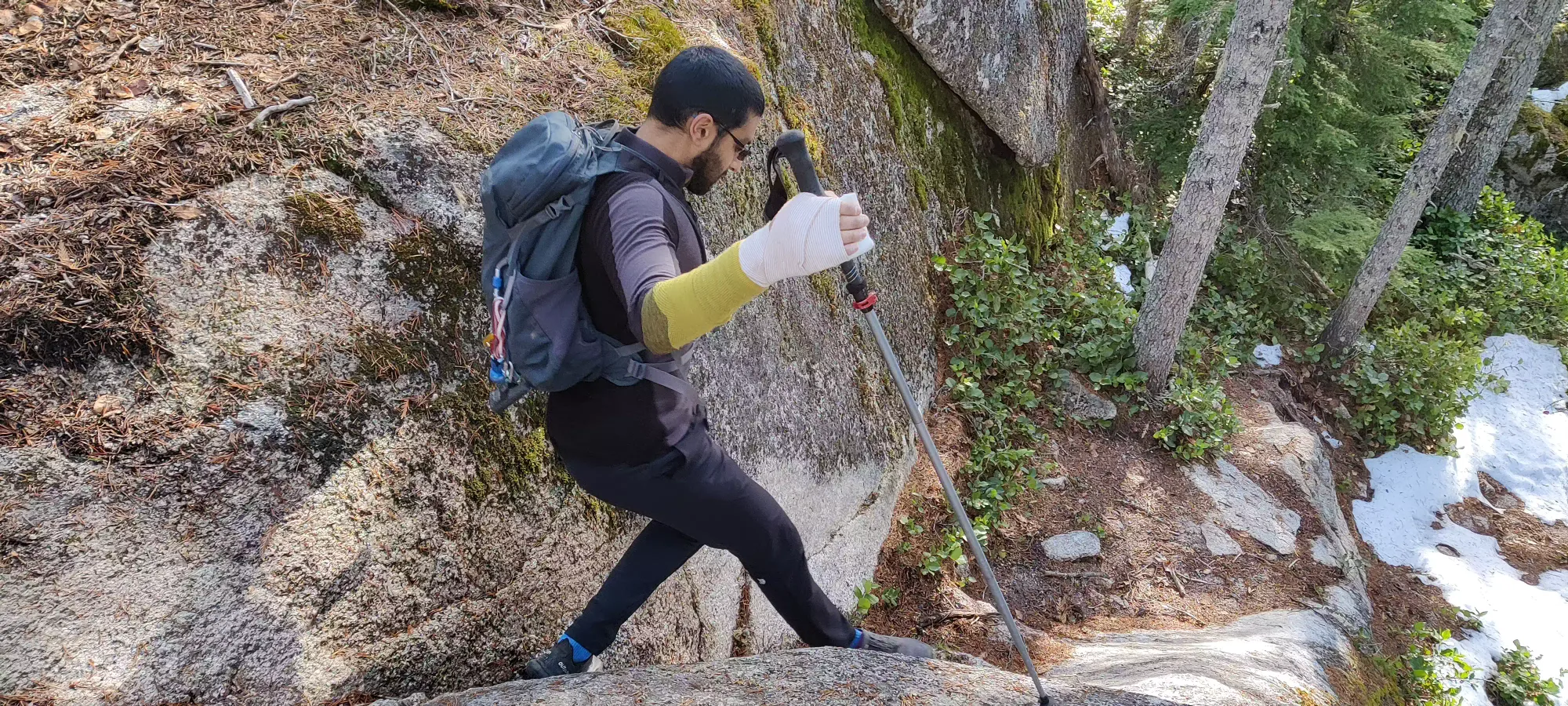
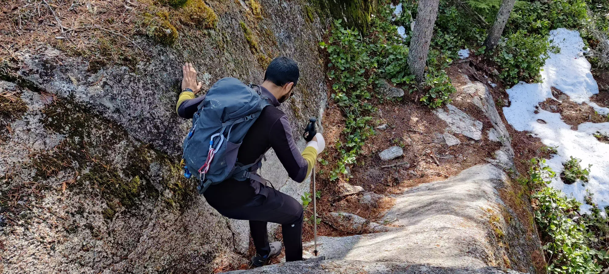
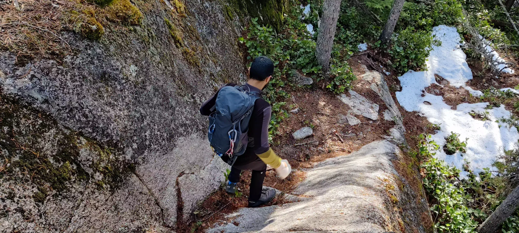
The rest of the descent was fairly uneventful. We took the path of least resistance down, following more obviosuly marked/used paths, which brought us on a longer loop down the upper half of the mountain, but there was no really concerning terrain throughout. Partway down I saw a skier walking down, so I pushed a bit faster to try and catch him to see what the heck he skied given the snow conditions. Turns out it was a bit snowier on the north face, enough to find turns. Definitely didn't expect that.
We ended up back at the car just about when our other friends were ready to meet, which was fortuitous. We took 3 hours round-trip, but this can probably be halved by a healthy party trying to go fast and not taking random trails for the fun of it. A good rainy-day peak, for shoulder season, or a pre/post-work outing.
GPX Track + Map
