Silver Hill - September 14 2024
A small neighbourhood "peak" in western Mission, perfect for some rainy day trashbagging

Chehalis Range, Mission, BC
370m
On this rainy Saturday, I had a morning/afternoon to kill before meeting up with my family for dinner. Since that meant I couldn't out-drive the rain, I decided to take it easy and clean up some small trashbags in/around the Burnaby->Mission corridor. I drove to the eastern end first and worked my way back, making Silver Hill the first one on the list.
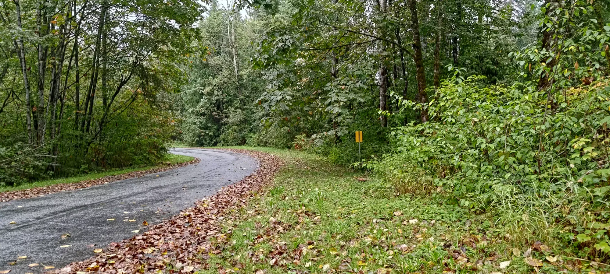
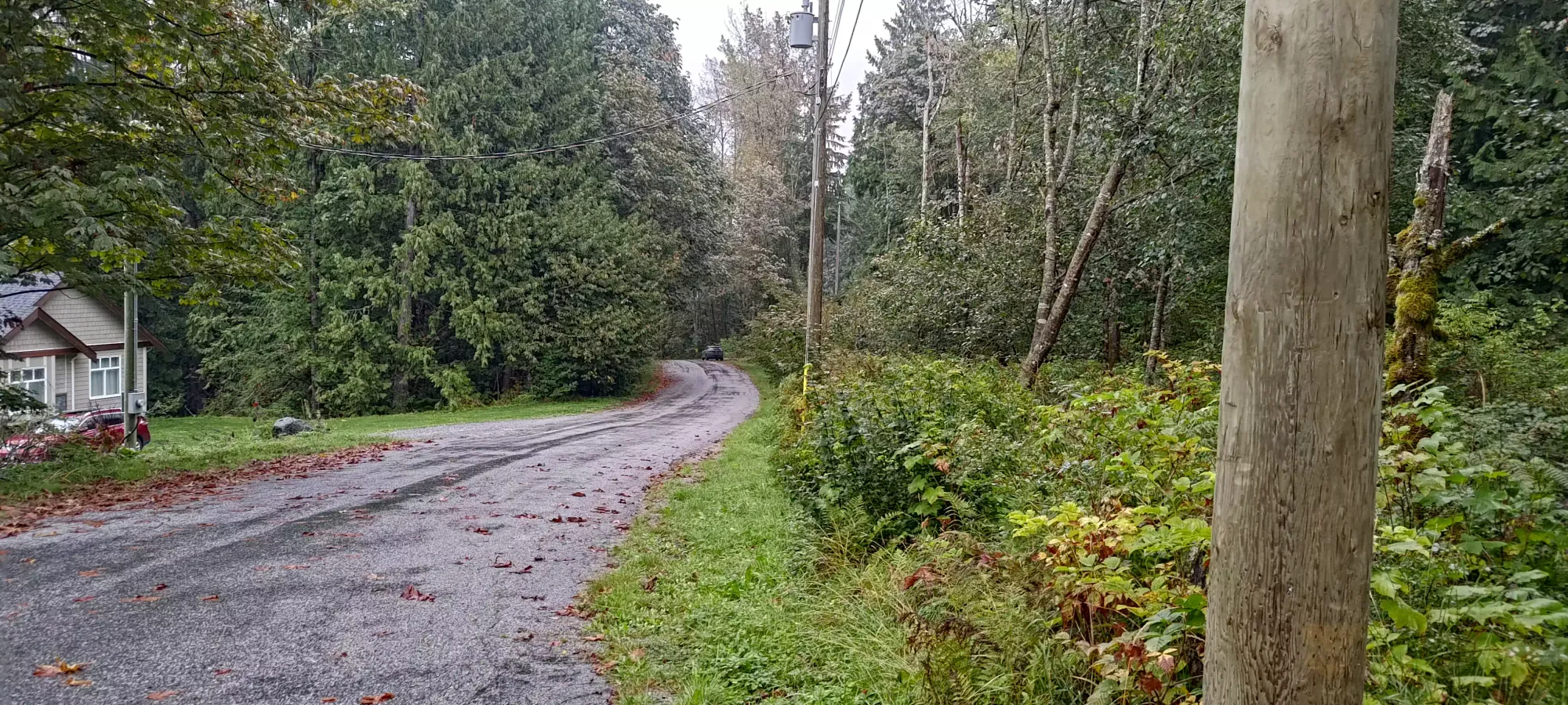
This peak is a pretty trashy trashbag, but I managed to get at least some intrigue going by finding a "new" route up (at least new to the internet). Most people seem to take a road network on the south/west side of the mountain, but I'm lazy, so I decided that I'd try my hand on the north side, since public/paved roads go all the way up to 300m, making the total ascent under 100m of gain. It's also the shortest point from the peak as the crow flies, so I figured even if it was a bushwhack, it wouldn't be that bad/long. So, after noticing the truly highest point (the intersection of Stephen and Slater) was a house, I drove a bit down Slater, where I noticed a gated road, and a wide shoulder to park on. After donning my rain jacket, I set off just after noon.

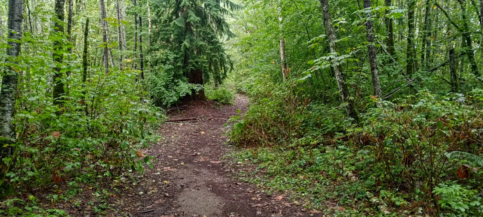
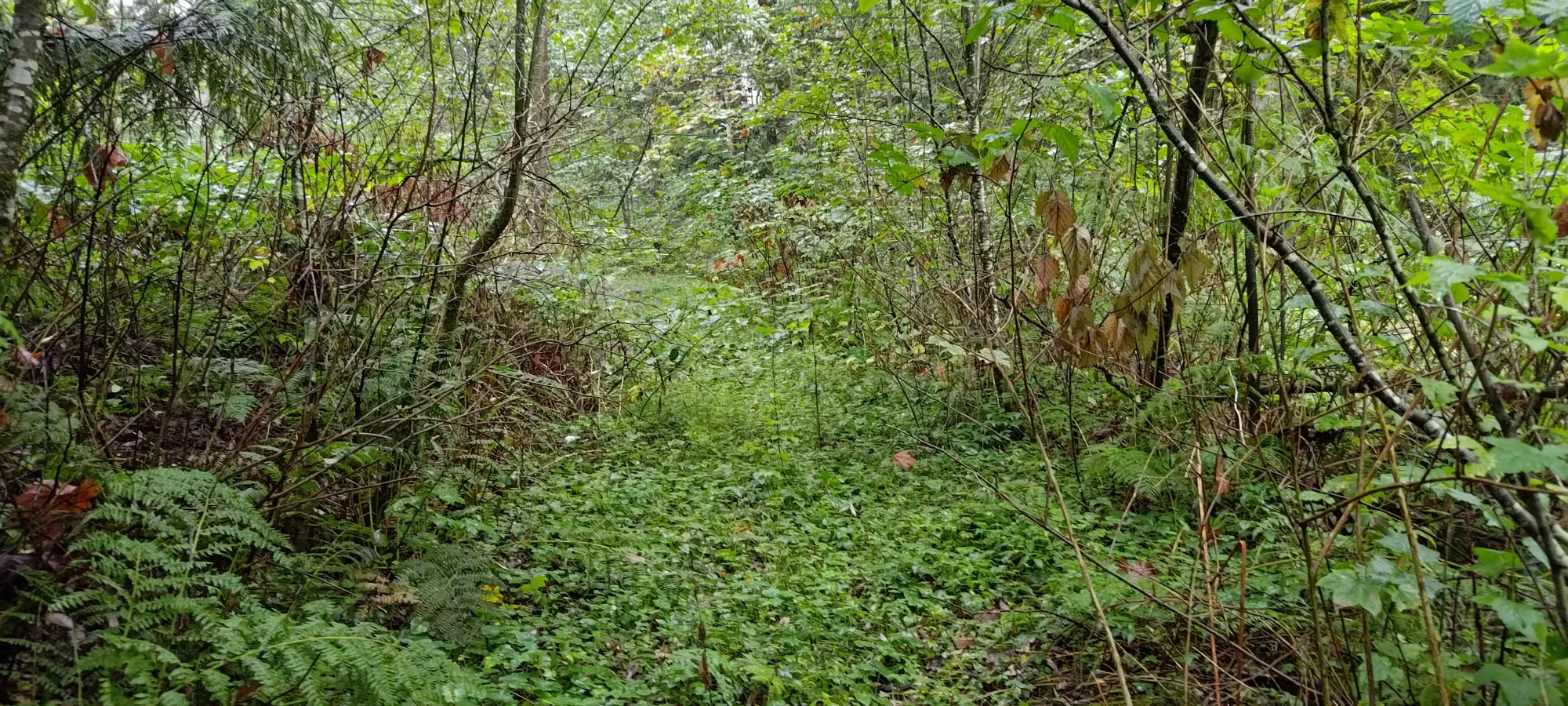
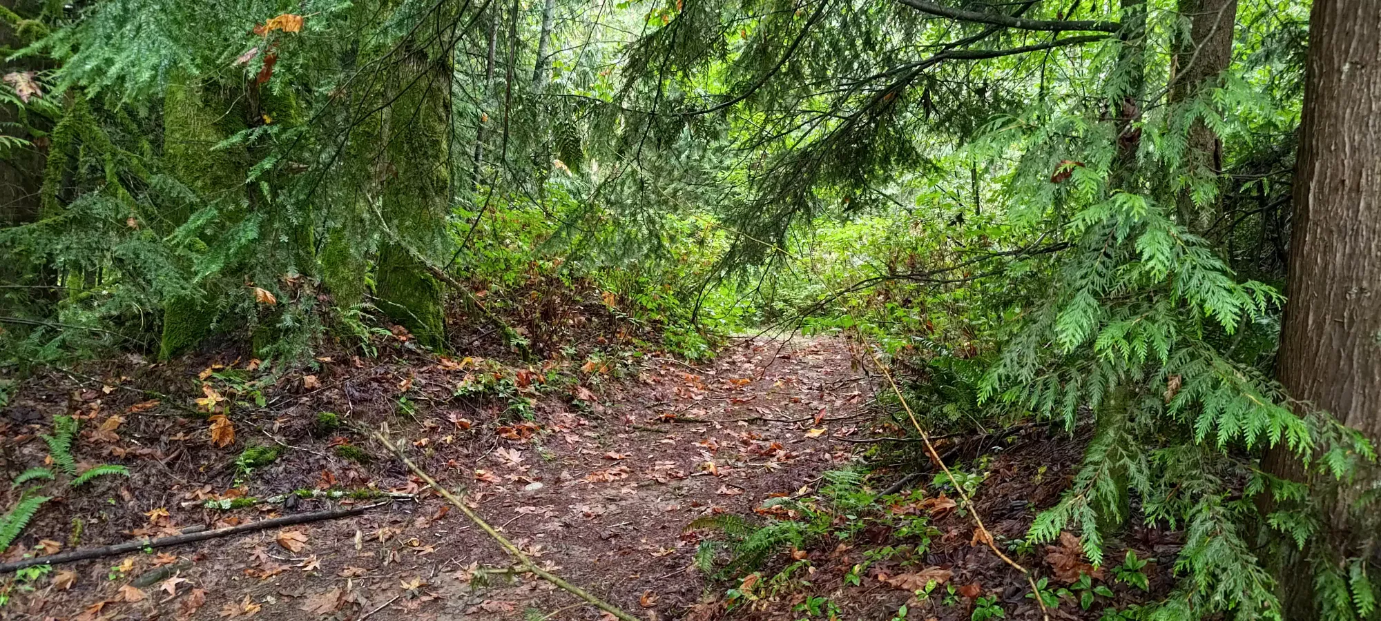
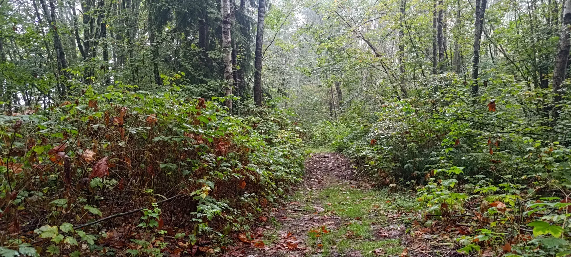
The first 5 minutes were rather unpleasant, as this road was very overgrown, specifically with lots of Devil's Club, which was making quite the annoying habit of stabbing and snagging me at every opportunity. Thankfully, after going through one old ditch, and a couple hundred metres of overgrowth, I joined a more intact-looking road/trail, and the going eased significantly.
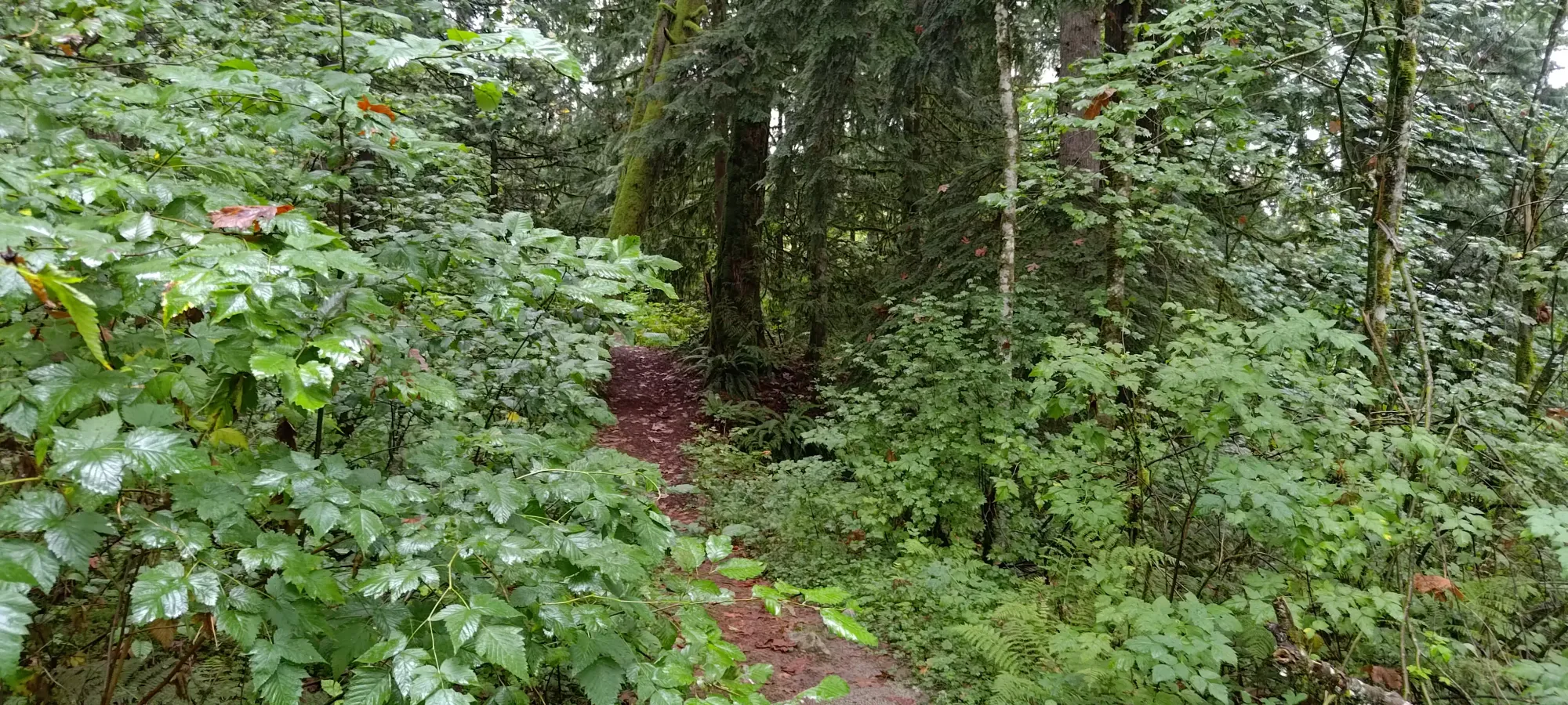
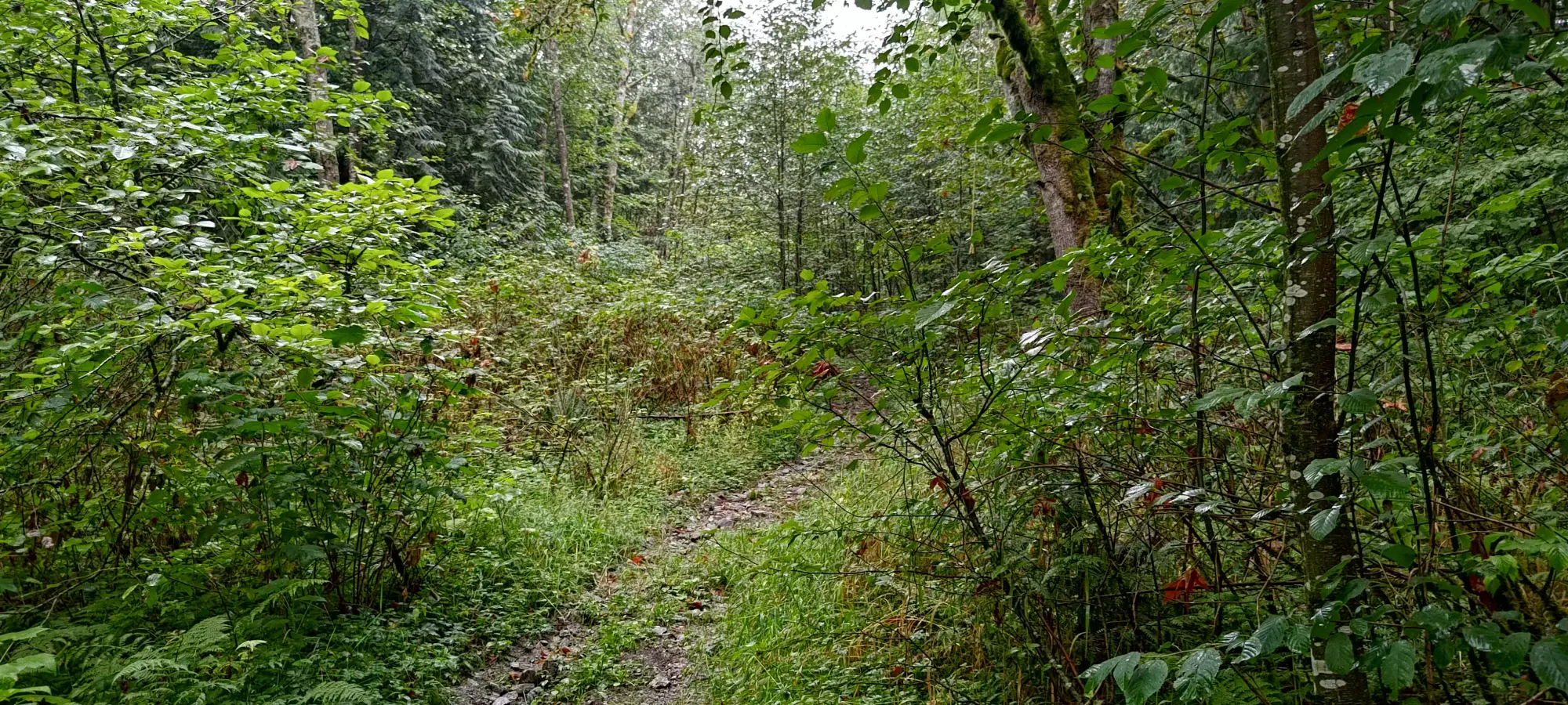
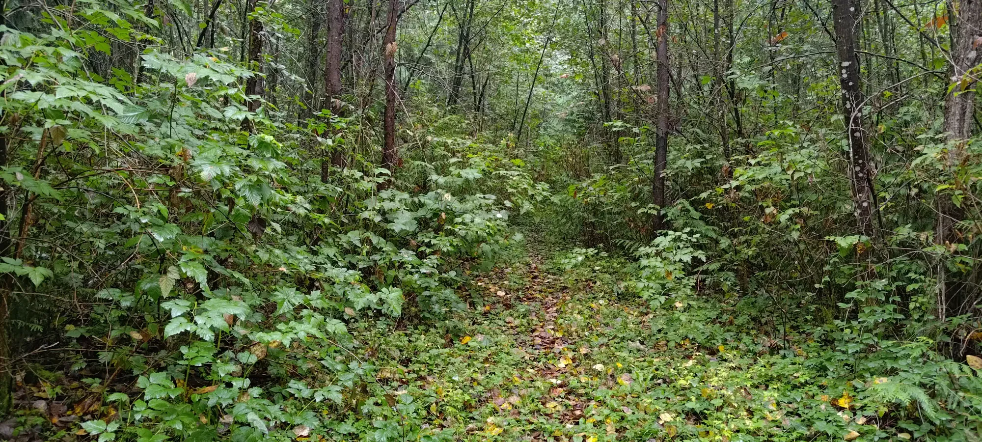
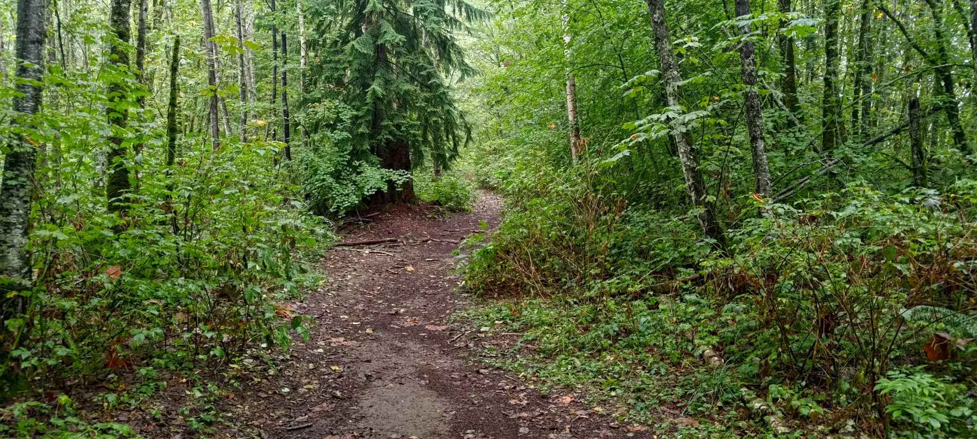
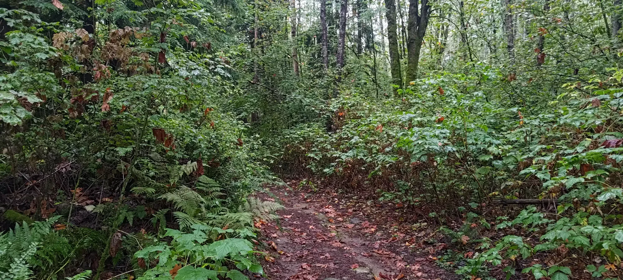
As I kept moving over the next few minutes, I encountered a good few forks in the trail, but keeping my bearings aimed towards the peak was a fairly effective strategy. In about 10 minutes, I found myself at a more major-looking branch, which is what I suspect most other summiters used to access the peak from the other side.
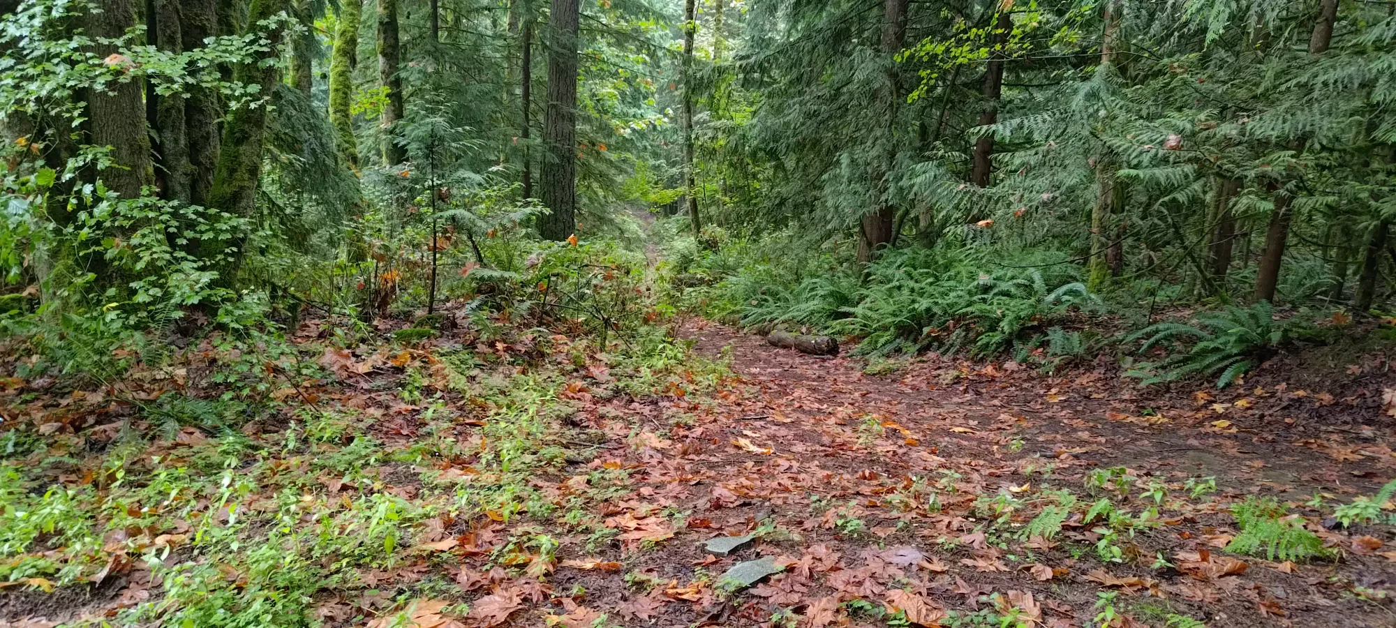
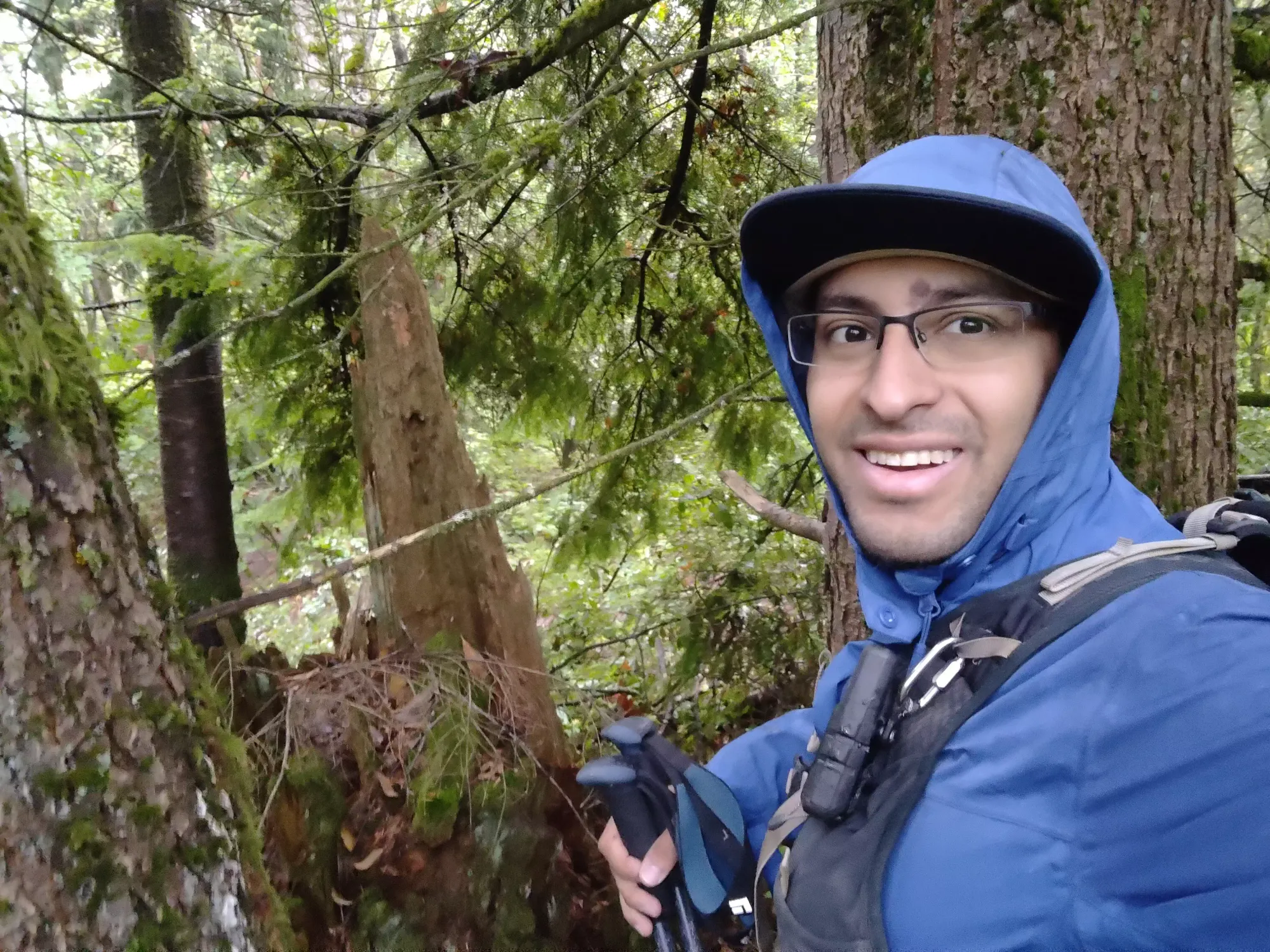
The road went up for a minute or two towards the marked high point on the map, where I stopped to take a probable summit photo. Since it wasn't visually clear if it was the top, and the road kinda looked like it kept going up from the small fork for this area, I decided to also follow it for a bit to make sure the highest ground was stood upon.
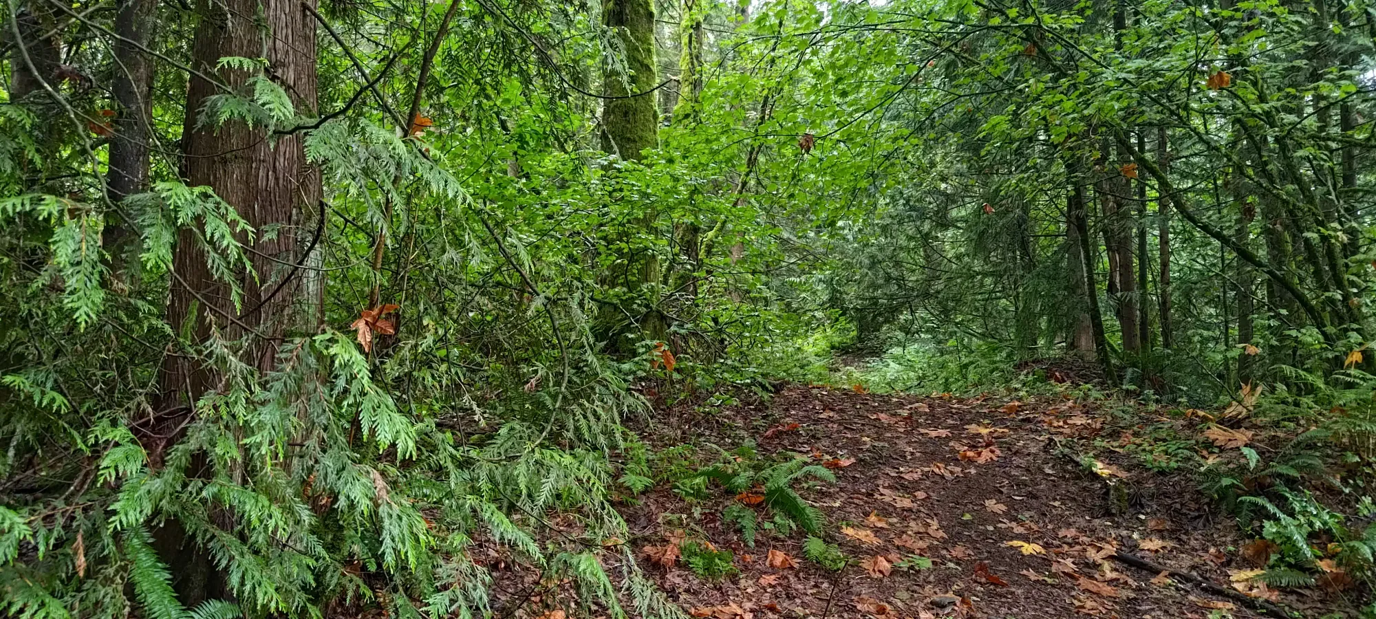
I ventured about another 150m or so before the road started to go back down, and called that thorough enough before I started to retrace my steps.
I mostly just retraced my steps for the way down, except for where I first hit the trail from my overgrown entrance. The trail kept going to skier's left, so I followed it for a minute... and got spat out just in front of the private property I tried to avoid with my bushwhack approach 🙃
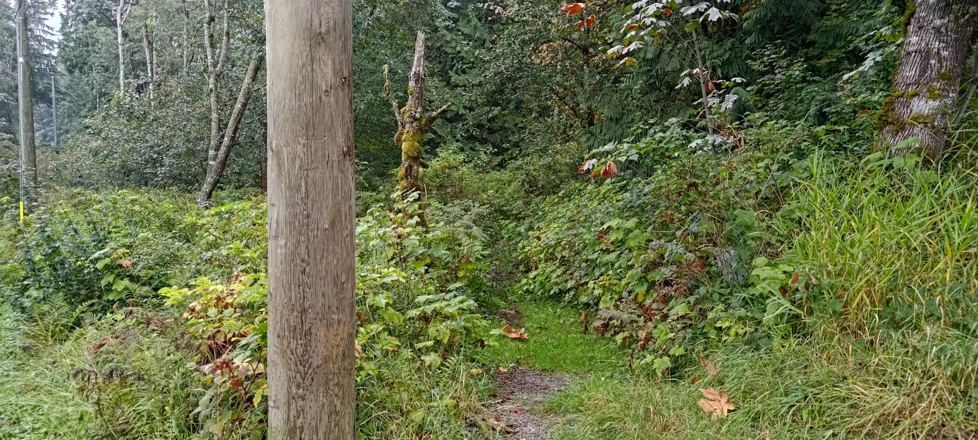
It turns out despite turning my car around basically right in that spot, I was just totally blind and missed the trail that would've made this an almost-pleasant hike. Oh well, it only cost me a few extra minutes of spiky bushwhacking. If I think about it as "making me earn the otherwise nothing peak", it feels a bit better 😅
If you find yourself bored with nothing else to do on a rainy day, this is an easy peak to pick up, so go for it. Just learn from my mistake and take the non-thorny approach. If you do, the north side of the mountain proved to be quite an efficient way up after all. As for me on that day, it was time to move on to the next trashbag.
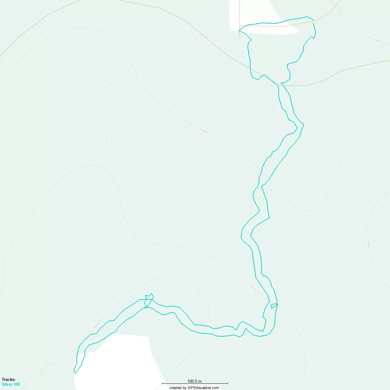
GPX Track + Map