Seed Peak - September 17 2022
First peak out of a pair (three if you're peakbagger.com) on Saturday
Mamquam Icefield, Squamish, British Columbia
2010m
This being a weekend that exists, naturally, I wanted to get out and bag some peaks. I had some issues planning, though, and ended up making a bunch of very last-minute plans with a couple people in the SWBC Peakbaggers group. This one I did with Shayan. He got off work late Friday, so we ended up meeting up at the base of Mamquam FSR to take my crossover up to the trailhead well after noon, and parked 1:45pm. I ALMOST made the trailhead, but the last switchback was a super loose, rocky mess that was also quite steep, and I just ran out of traction. Thankfully, though, I pulled off only 500m down, not too painful.
After a short hike up the road, we got to the trailhead, otherwise known as a collection of deadfalls loosely resembling a trailhead. Thankfully this was not Shayan's first time here, so he knew this was, in fact, the trailhead, so we went in. A couple log-walks and ducks later, and we arrived on a well-maintained dirt trail up the forest, complete with plaques as markers on the trees and everything!
For some reason, not more than a few steps into the hike, my calves were angry at me. Not just angry, but furious. I have no idea why, I'd not done anything to merit that, but they were sore as heck, and eventually painful, to the point that I was definitely slowing things down, something I don't generally do, especially right off the bat. I did my best to ignore it, and we gained 175m in about 25 minutes, and got out of the thicker forest to an open plain, where we got our first views of the day. I was happy to get any, given the forecast previously was overcast, and clouds had been hanging around the peaks for the last few days.
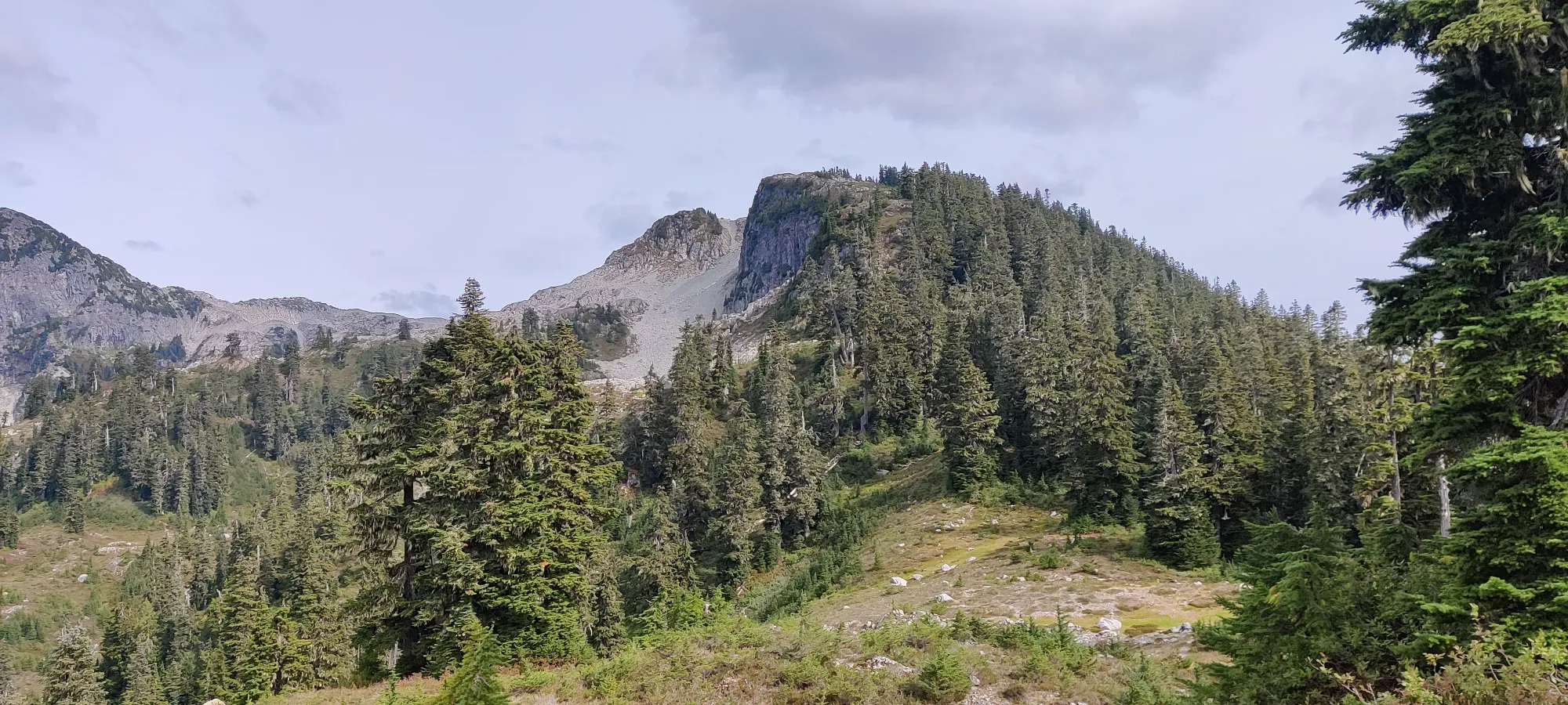
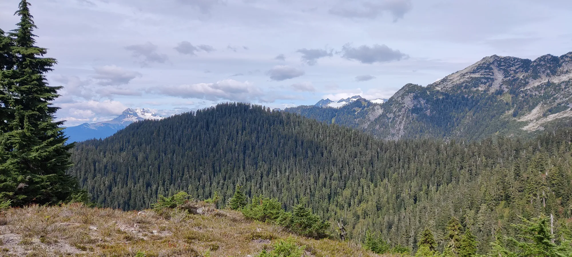
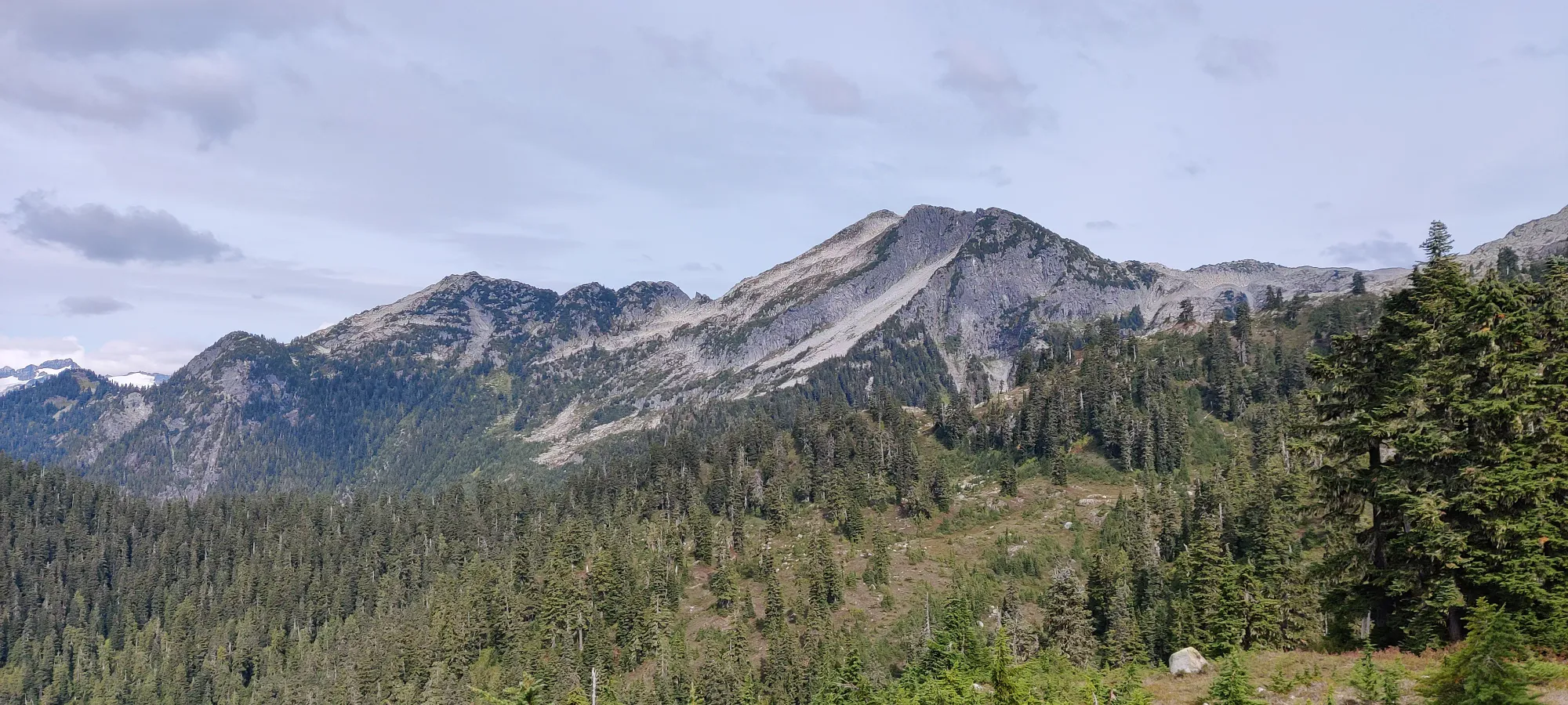
Just over an hour in, we topped out on the ridge, and I went to tag November peak, since Shayan already bagged that on his previous trip. It was not very eventful, but hey, a peak's a peak.
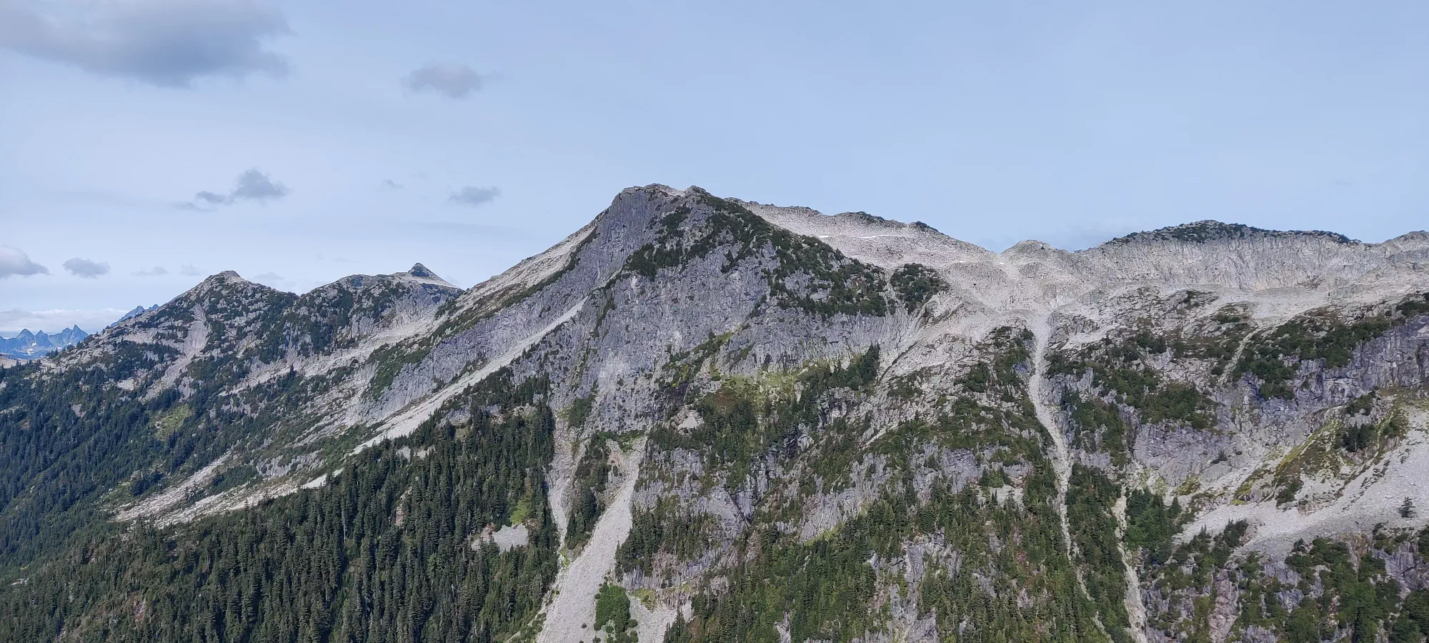
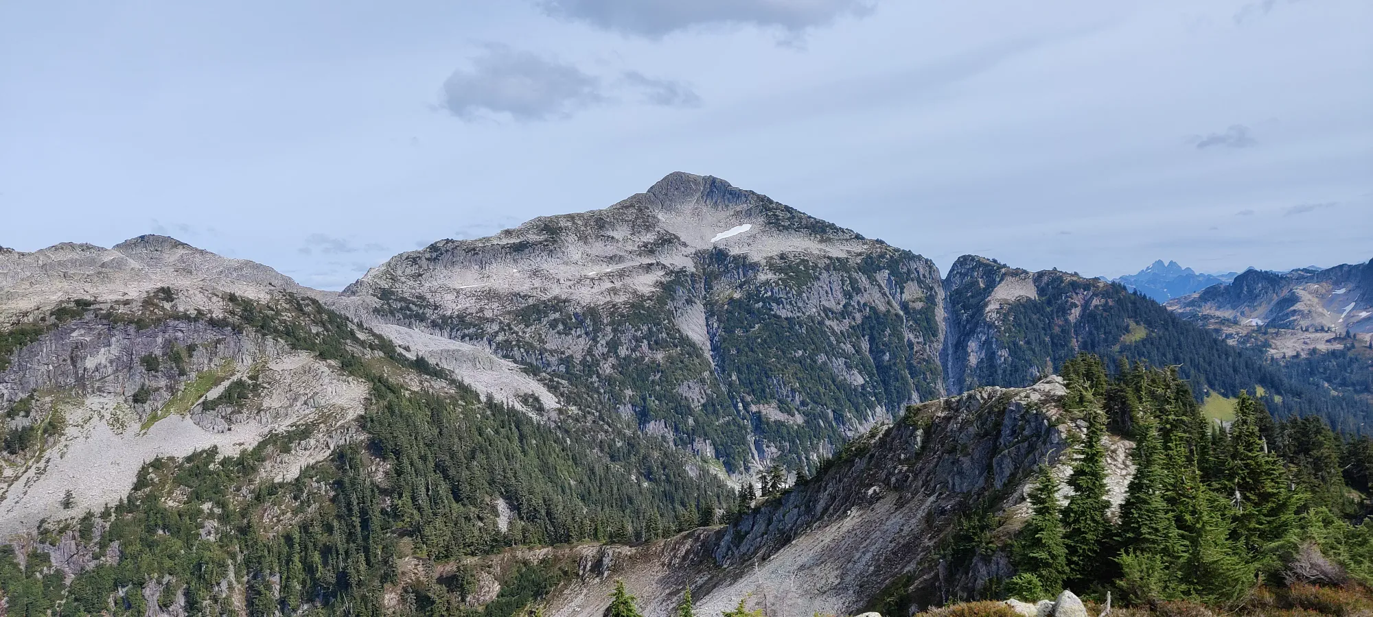
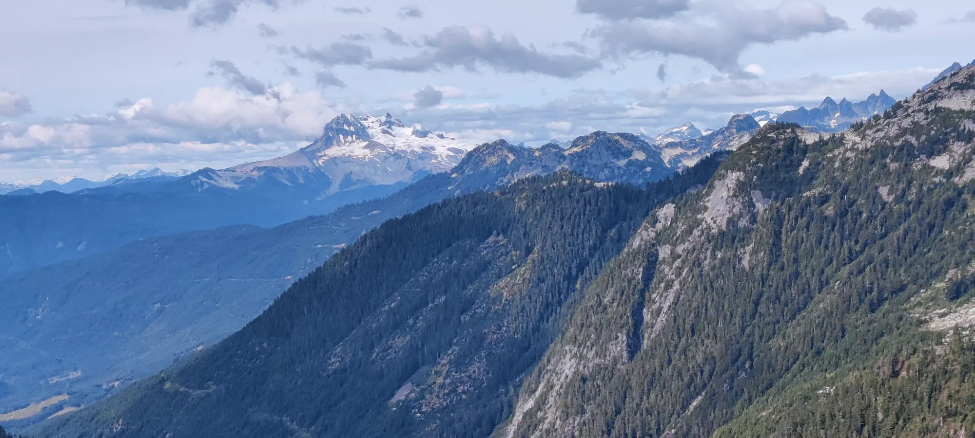
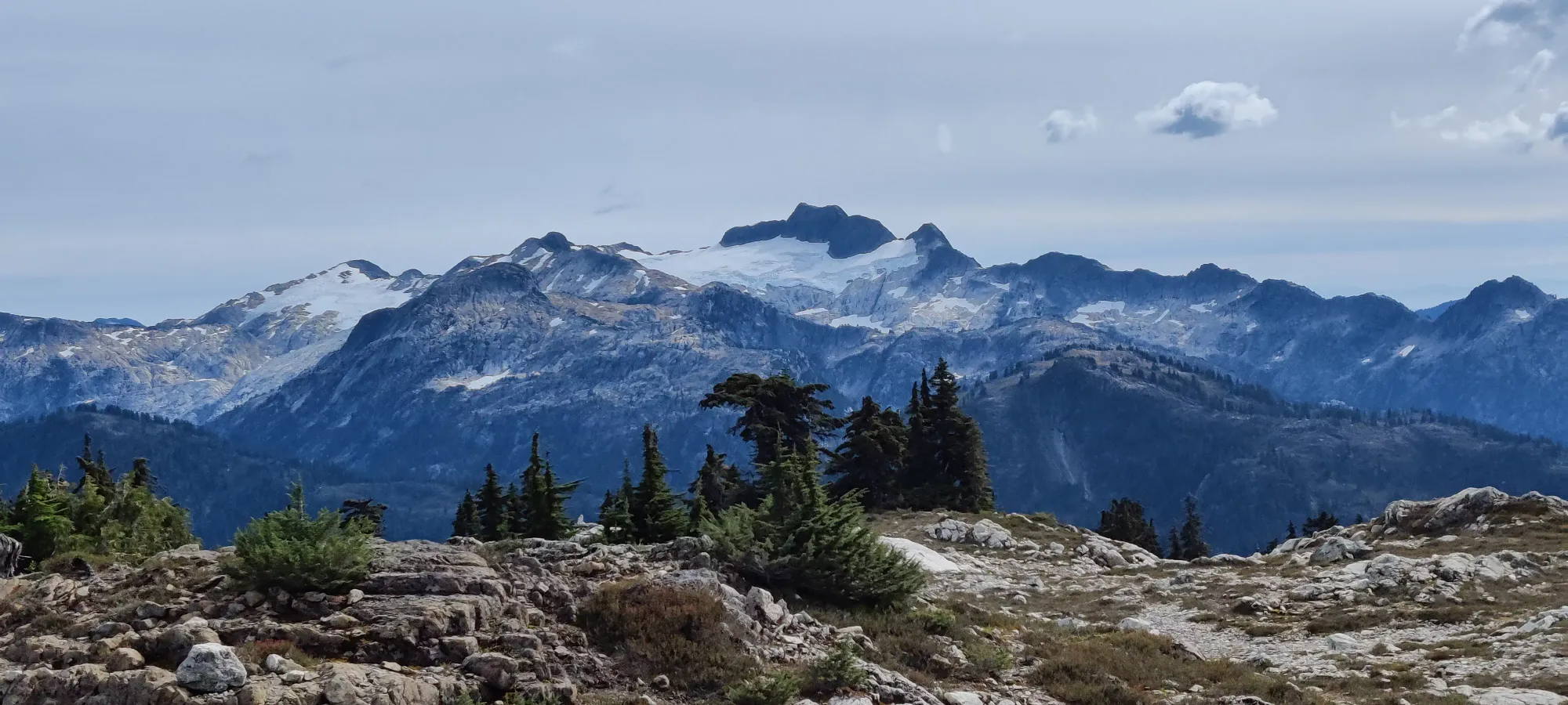
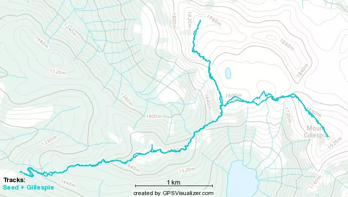
After tagging that, we continued on up to the ridge between Seed and Gillespie (1760m). Sadly, this meant losing just under 150m first before we could climb back up toward said ridge. Since the trees were fairly sparse at this point, no more fancy plaque markers, but the trail was easy enough to follow, even if I didn't have my GPS. We gained this ridge in about 35 minutes, making the total time to the ridge about 1:45. There were a couple parties camping here, and it had some decent-sized boulders to shelter oneself from the wind, which was picking up throughout the day. Here, I saw how close the peaks were, and affirmed my decision to bag both Seed and Gillespie. Shayan decided to nap while I bagged Seed, since he was still tired from working until 2am, so I ditched my pack, and soldiered on.
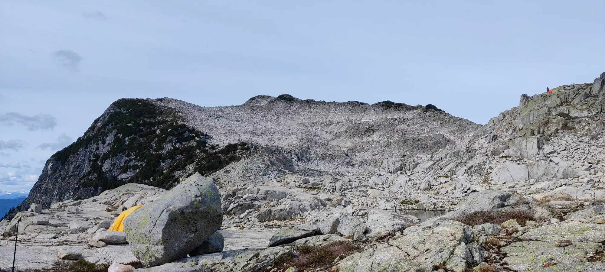
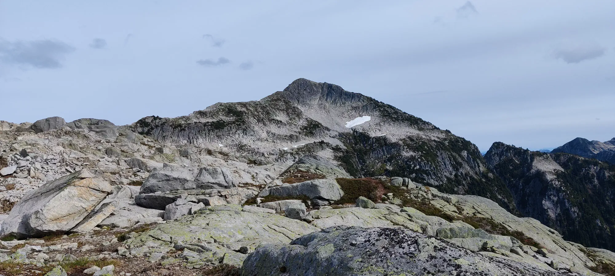
I left the campground at about 3:40, and started plodding my way up. Unlike the fairly easy, if occasionally steep dirt trail to this point, my path forward was now basically just a bunch of boulder-hopping. Somewhat annoying, but they were at least mostly-stable, so it wasn't too bad, there's worse terrain to be had, for sure. I uneventfully moseyed up for the next forty minutes until I hit the ridge which headed north right to the summit, and entered more trail-like terrain for a bit.
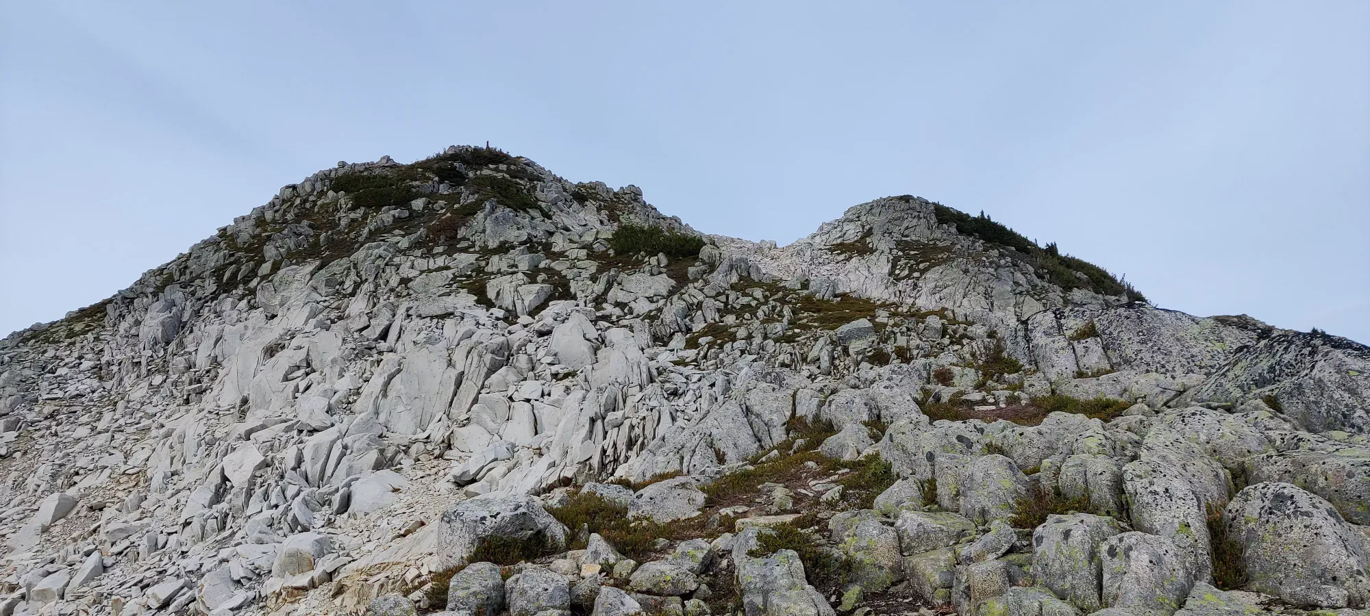
Another six minutes of walking up, and I hit the peak. Thankfully, at this point, I was just my usual amount of tired and my calves had given up at making me stop, so that was nice. However, the wind had decided to punish me for being nice and lending my shell to Shayan while he napped, and picked up a ton. As a result, I snapped a few quick pics, scribbled my name into the register, and headed down with little delay.
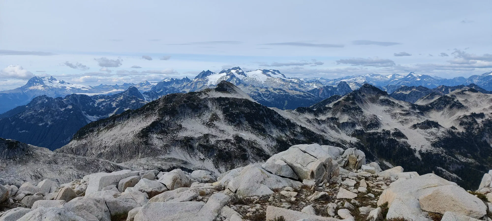
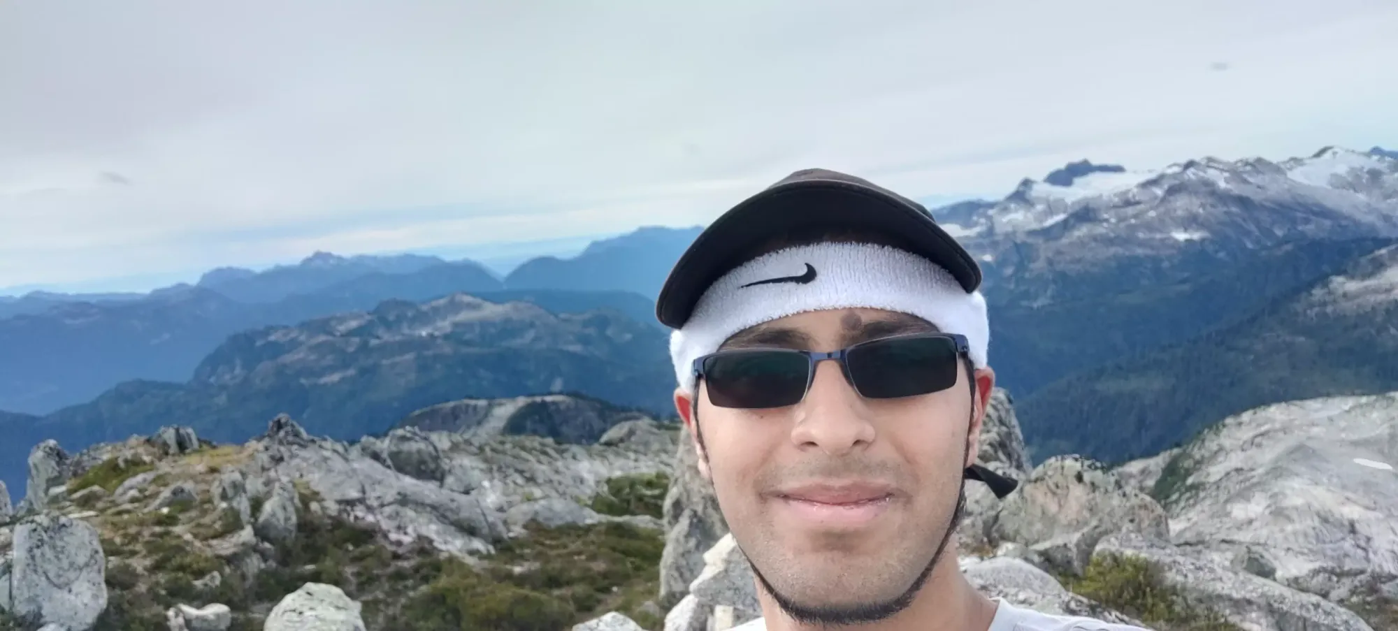
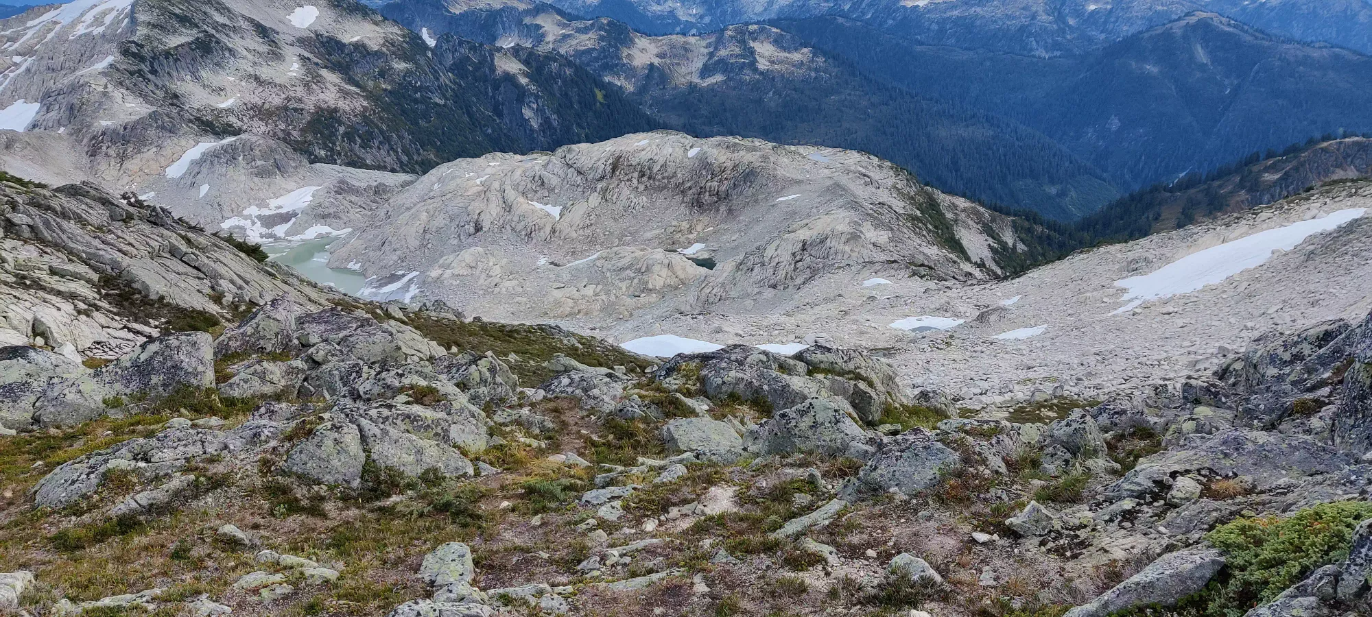
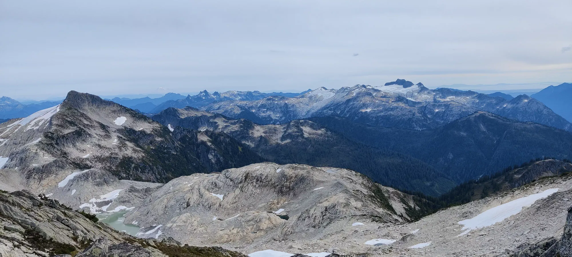
The descent from Seed was uneventful, if slow. The boulders and a couple of steep dirt sections slowed be down a good amount, and I barely made it down in under 40 minutes, which was not significantly faster than the way up. When I got down, the campers informed me Shayan left a few minutes earlier, and I had some catching up to do to catch him on the way to Mount Gillespie. If only I knew this would happen beforehand I could've taken the ridge traverse there instead of losing and regaining the elevation all the way to the camp area, but oh well.
For those interested in this as a standalone objective, it's a pretty casual hike (in terms of technicality and length, it is still a bit steep in places and can tire you out if you push fast), there's a register, and it is way less busy than more popular hikes, so I'd say it's totally worthwhile.
GPX Track + Map
