Sacajawea Peak - September 23 2023
A scenic hike to an ultra-prominent mountain, perfect for your shoulder-season needs
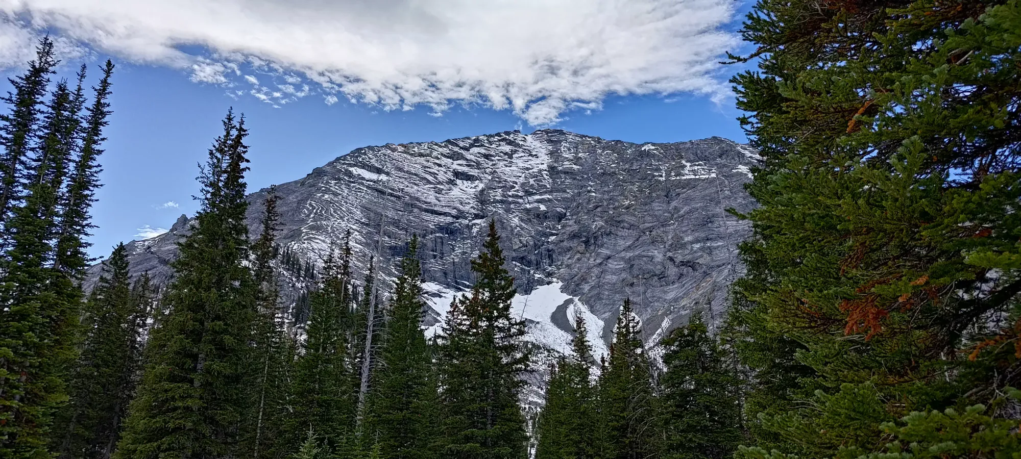
West Wallowa Mountains, Joseph, Oregon
3000m
As the weekend of the 23rd was coming up, temperatures had been falling and rain was forecast for much of BC and Washington. With the prospect of miserable wet hiking of uninteresting peaks locally, I turned my sights a bit further than usual. After quite some time playing around with prominence filters on peakbagger.com, I found myself an objective: Sacajawea Peak. A mere 10 hours/900km from home, it was basically in my backyard, an ultra, and appeared to be largely just hiking a small amount of class 2! Since it was around 3000m, and the forecast for the following week had some snow, I was hoping to avoid getting into too much spicy terrain in case there was any already present (did not have any beta for a couple weeks), and this fit the bill well.
And so, after having some back-forth with a friend who ended up needing to bail for work last minute, I set out at about 3:30pm Friday afternoon from Squamish, after a curtailed day of work. The drive through Vancouver was complete trash, as per Vancouver standards, and it took me until about 6pm to get across the border. From there, it was simpler driving through Washington, though it got dark pretty quickly around 7:30 or so. Not much of note happened until I got off of Hwy 12, where Google decided I should take random side-roads through farmland until Hwy 204. This was of note because after a few kilometres of twisty, rolling roads, I encountered a couple of guys who'd flipped their car coming down from a hill and seemed to be (understandably) in distress. Without Logan to provide empathetic support or language assistance (they spoke almost entirely Spanish, while I speak none of it), I was limited to offering some basic first aid supplies and providing "a car with hazards on to warn traffic", and waited for about 15 minutes until official help arrived. I didn't really enjoy the idea of delaying my already-late arrival, but it was hard enough to see that it really was necessary to avoid cascading failures.
After that short interruption, and once I got back onto more highway, it was more twisty mountain roads more similar to the Sea-to-Sky highway I'm most familiar with, and soon enough I was deposited into the town of Enterprise at around 1am. I didn't know where I could or could not park, so I just continued to the trailhead until I hit the Hurricane Creek Campground, which I knew was a thing, and rolled into a spot at about 1:15am. I quickly folded my seats down, took out the sleeping back from my pack, and went to bed. Unfortunately, my camping experience is minimal, and car-camping even more so, which resulted in not the best sleep as I determined that my seats don't fold flat enough to really make sense for sleeping, and my sleeping pad was not enough to be soft (though I was also unwilling to get the thicker one I had in my backpack out to fix this). But it was enough, and at about 8am I decided it was time to get up.
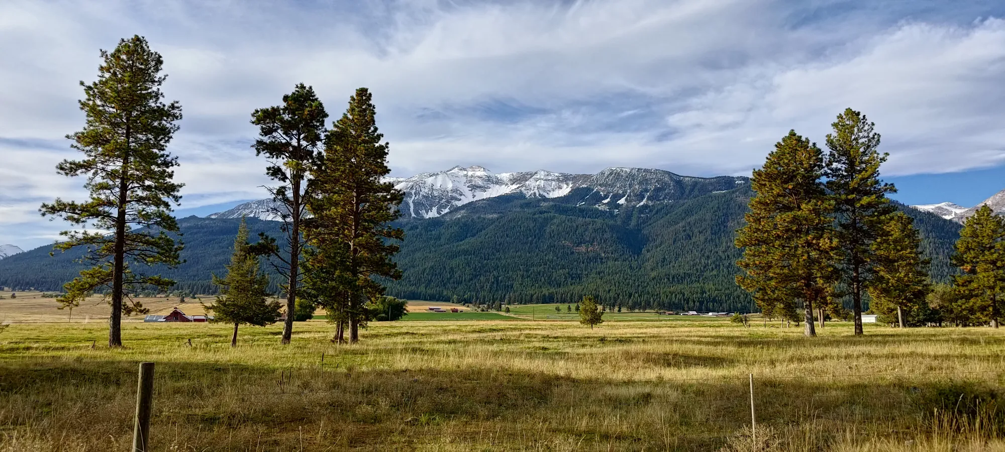
Breakfast and my usual bathroom shenanigans took quite a while, so in the end, I got myself to the trailhead and moving at a rather non-alpine 10:42am (for those who stumbled across this looking for beta and displeased at the time it took to start hiking, welcome to my site! Here you will find about 70% rambling, 30% beta; enjoy). I was able to get a closer look at the road in the daylight and can confirm that the warning on the park site is total nonsense (says the road is quite rough). I'd take my grandma's sedan up there without worry, just don't drive right into the few potholes and you'll be fine in most anything.
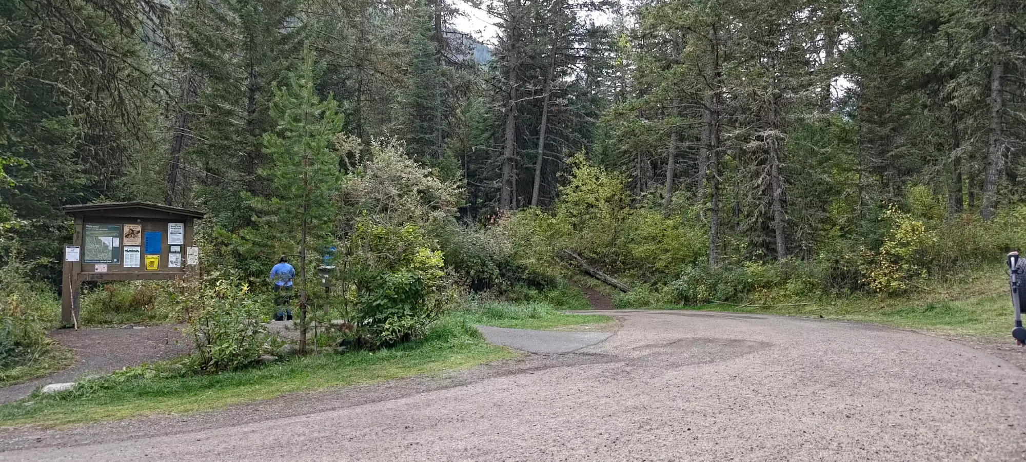
The first ~3km are pretty breezy, as you gain just over 100m in that long of a distance, so that went pretty fast. I met 2 parties on the way, one woman coming back from an alternate trail that stayed low (and therefore had no useful beta), and a group of 3 older gentlemen who were going "somewhere", hopefully not to the peak as I didn't see them again for the rest of the day. The trail was in great shape aside from a couple spots where one has to cross drainages or creeks where it gets rocky, but those are brief. I kept about a 10 minute/km pace for this section without tiring myself much at all.
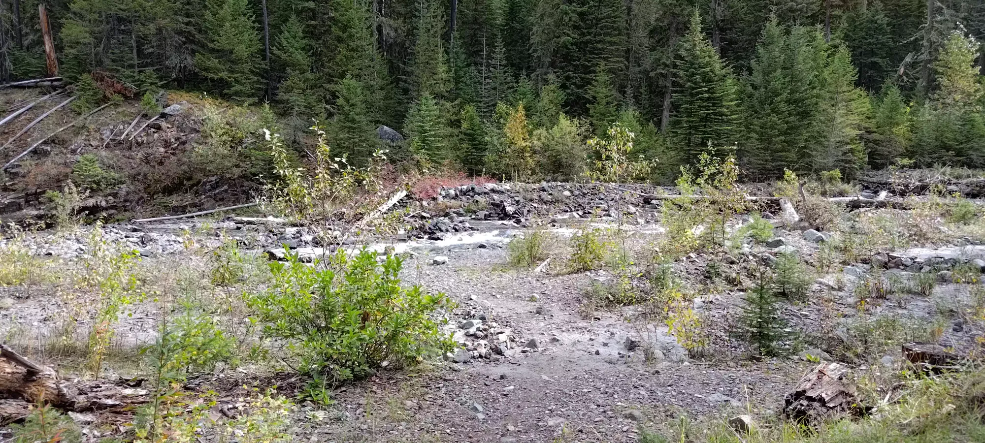
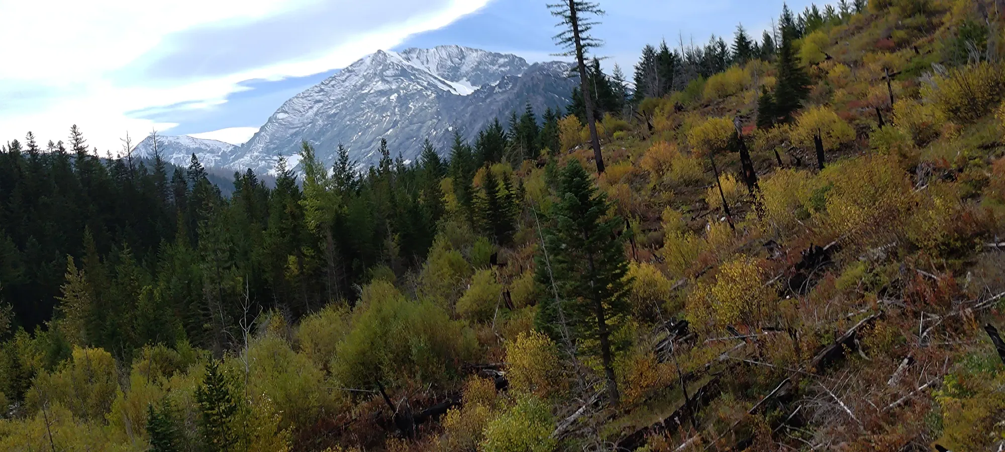
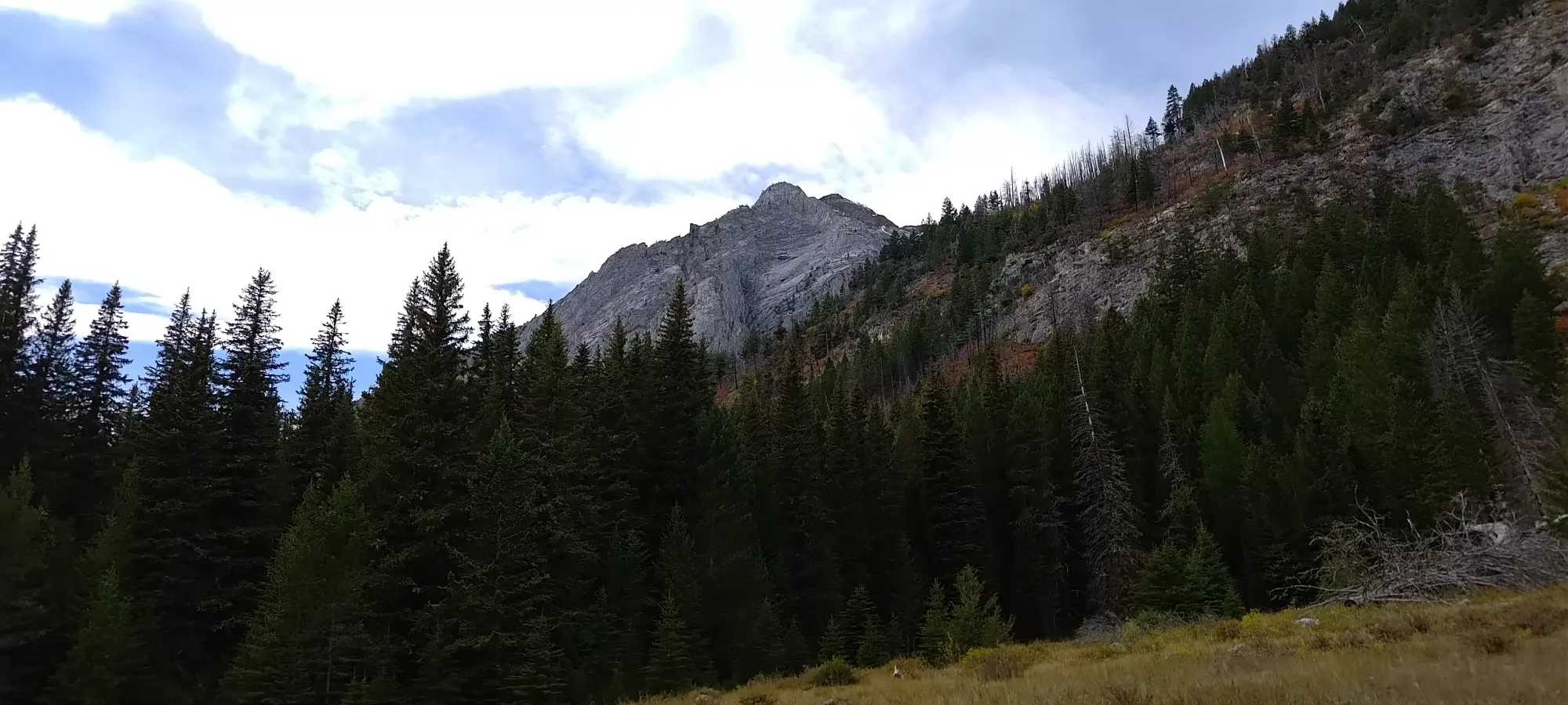
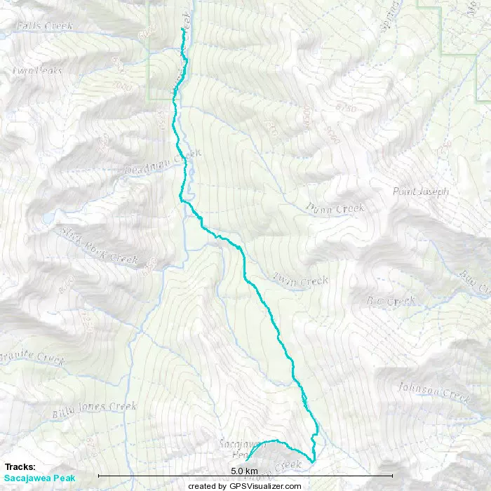
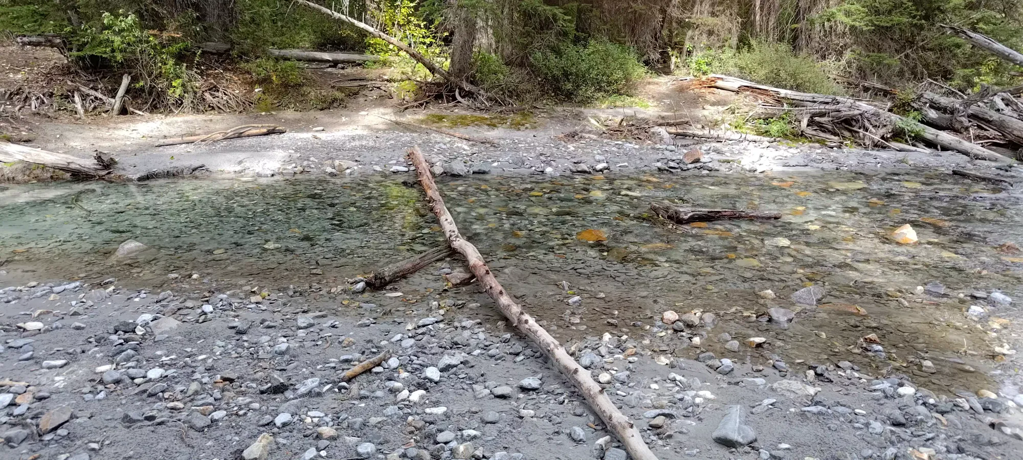
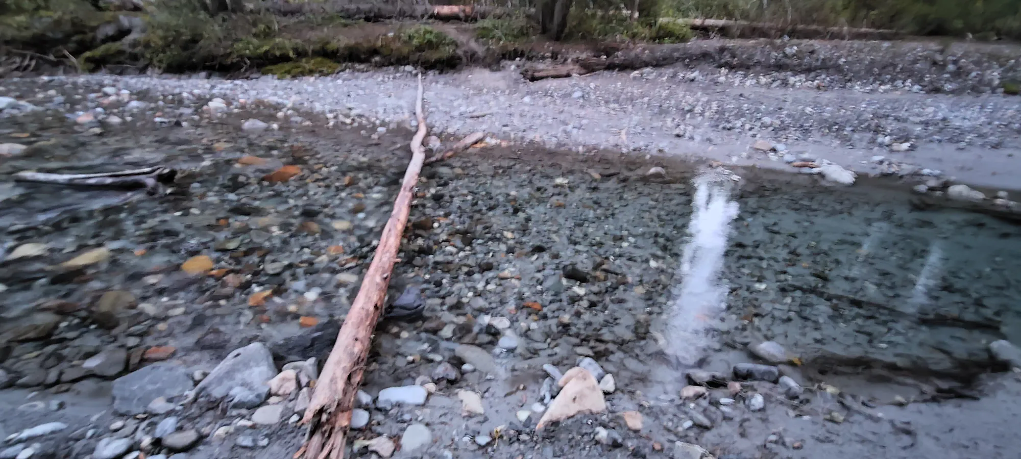
Once you get past the first ~3.3km, you have to cross the creek to get to the Eagle Cap Trail. I found a nice, if thin, log to cross without much drama. After that, it was a few short minutes to get through an open plain, a few more minutes of forest trail, and another unmarked creek (walkable across with just careful footing). Then the real work began.
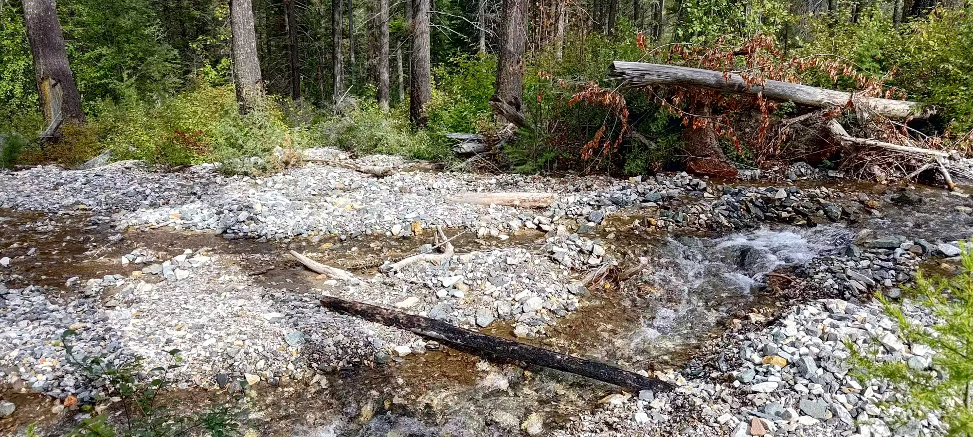
The 1km of trail between 4km and 5km is... different. Here, you gain about 275m in that 1km, a stark contrast to the too-mellow beginnings. Since I was cruising so fast before, this hit me like a brick. The next half hour was comprised of some rather slow trudging up steep switchbacks until I finally got onto the ridge at around 2000m. Upon reaching this point, I pulled out my phone and checked the elevation profile of the hike, and realised that it was basically flat, then steep as balls, then flat again, then steep as balls again til the top. So efficient xD.
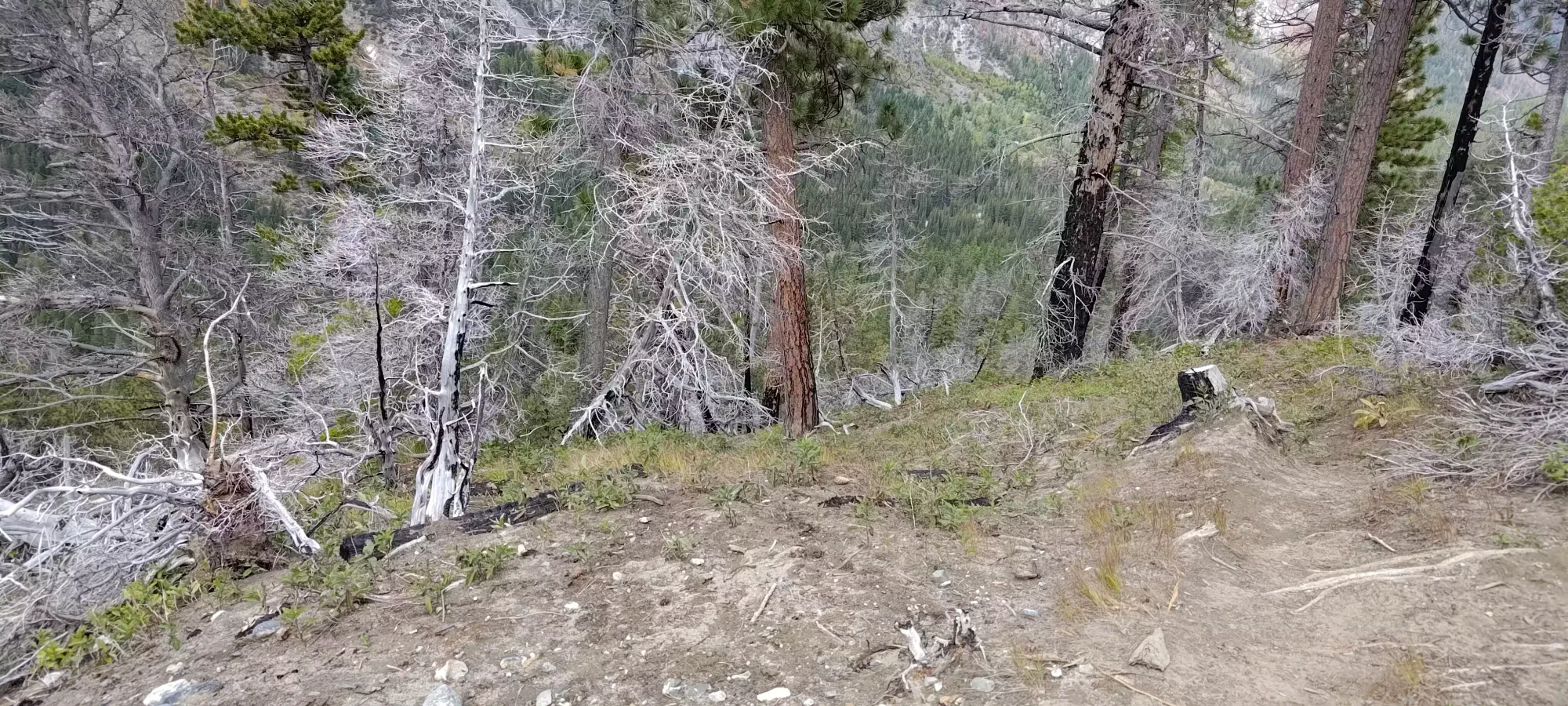
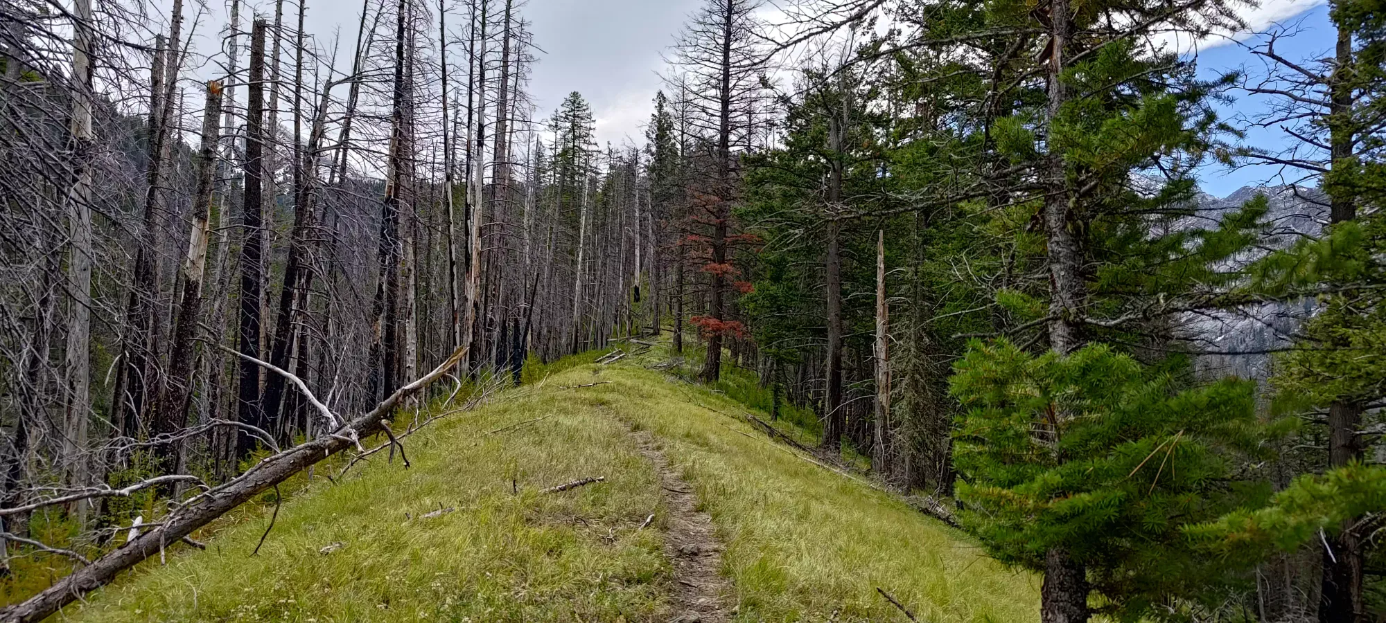
The ridge, while less steep than the section before, was actually not as flat as the picture above would lead you to believe, and gained at a steady pace until about 2280m of elevation. In isolation, this would be efficient terrain, but I was still pretty tired from the previous section, and it made my travel here feel quite slow. I did, at least, find another person here who was also feeling tired, and I managed to pass her, so that validated my tiredness a bit. Once you climb up to this height, the trail tapers off and becomes mildly undulating in the forest until you get into the open plains to follow. This same area is also where I started seeing snow in patches enough to be notable, and by the time I got into the undulating stuff, it was deep enough that I'd have busted out my spikes if I had faith it would be consistent. Since it wasn't, though, I didn't bother.
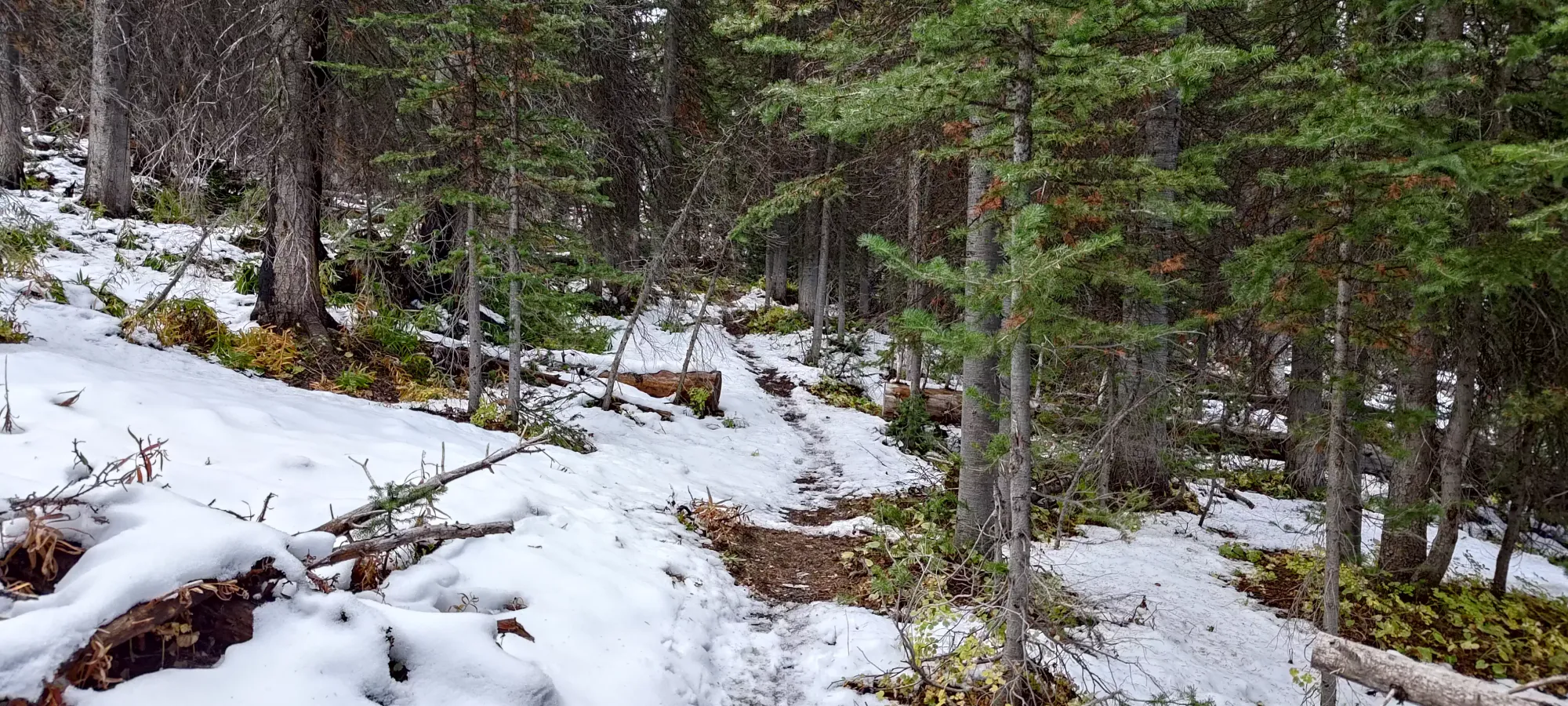
The undulating terrain starts at maybe the 7km mark, and is fairly brief. In addition to the woman I met just before it started, I also met a pair of guys heading down in this section who mentioned they got most of the way to the summit, stopping just before the top due to getting sketched out due to snowy scrambling. I was a bit worried by that report, but figured there's no point in giving up before I could assess the sketch factor myself, and continued on. I also found a party member of the woman I'd passed about 5 minutes ahead of her heading back in her direction, so I can say by my standards it was positively busy here! The undulating section ends at around the 7.5km mark as you break out into open terrain, where you follow Thorp Creek up the valley until you hit a point in the basin where you can turn onto the east ridge of Sacajawea Peak. Right at the start of this area, I met a couple who were hiking up that seemed friendly, so we joined forces and started hiking this section together.
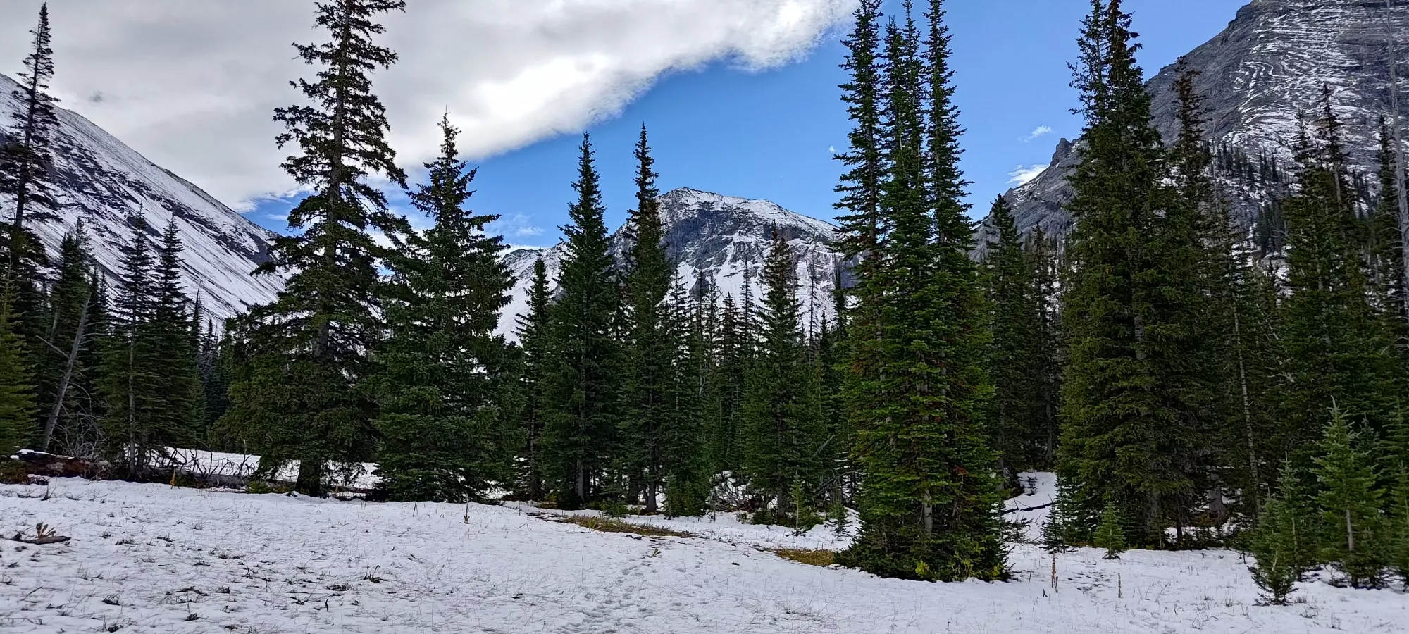
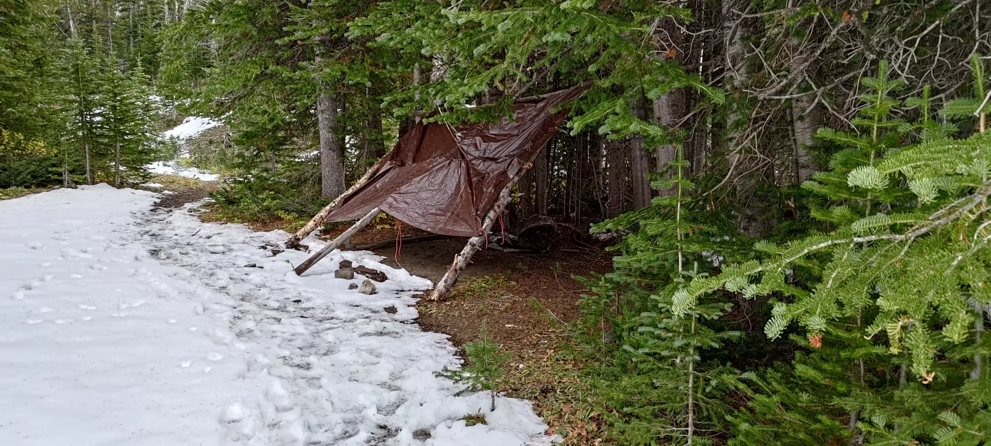
Hiking up the creek drainage was very easy, flat terrain at the start, made easier by good conversation. We quickly passed a small shelter to the side of the trail made of fallen logs and tarps that seemed to be some sort of emergency hideout left for people to use, then followed the creek until we hit the 9km mark. Here, the trail diverts to climber's left over a small hill, and starts gaining elevation once more, heading to the aforementioned spot to turn onto the east ridge. This took us less than 20 minutes, as the distance is really the obstacle more than elevation, which was not even noticeable.
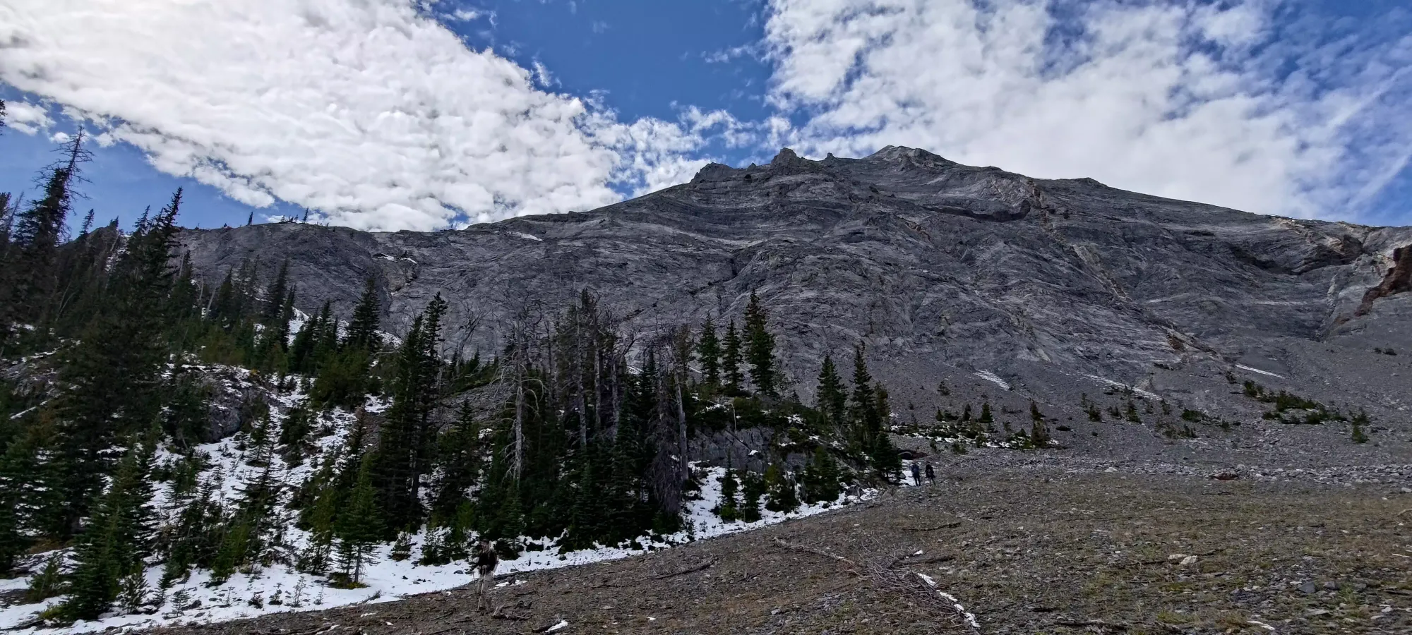
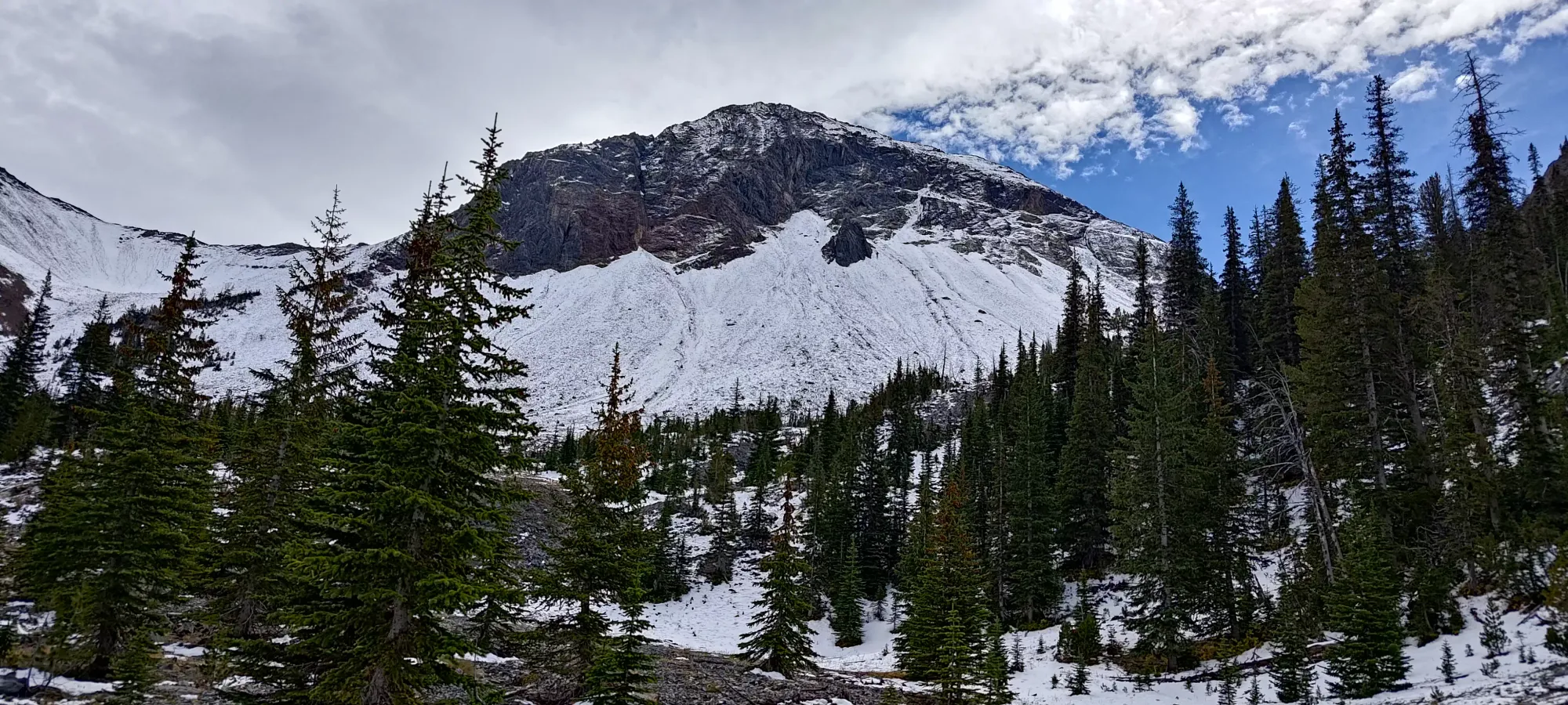
The trek up to the turning point onto the ridge was steeper, but not enough to be tiring, especially with the snow making steps a bit more careful. We gained up to 2450m (about 135m of gain from the start of the open valley) in maybe 600m of distance, catching up with but not passing another group of 3 who were headed up above us. Once we got onto the ridge, though, things changed rather substantially.
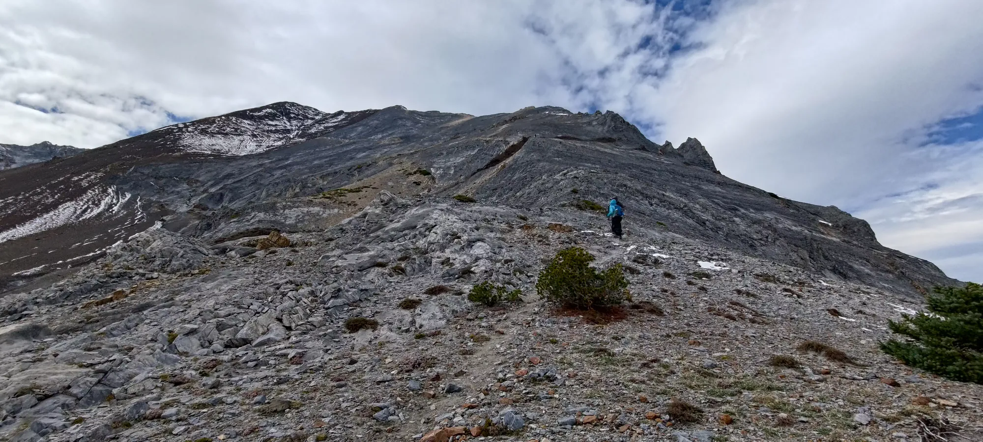
First, once you turn onto the ridge, it gets steep again. Although this didn't feel or look as bad as the forest section below, the maps show it as even steeper. Perhaps this was due to the distraction of the next, and far more important difference: THE WIND. It was ridiculously windy, to the point that if you weren't bracing yourself when standing up, you'd be buffeted and moved by the wind. It was brutal. Needless to say, we had to layer up almost immediately. On the plus side, the beta I had from the 2 guys who were descending was good, the ridge was looking quite dry until the very top.
We started going up pretty slow, gaining about 125m in 30 minutes, but as we got closer to that point, I started feeling pretty weak/tired, and I had to tell my partners to carry on with me, and I found myself the best of the scant shelter I could find on the ridge behind some rocks, and took a proper break for some snacks and water. I did note that once again, they DID have hydration bladders, and once again pondered the value of not bothering to use mine and having to stop and get bottles out, though I've done that many times and not changed, so I doubt it'll actually amount to anything. I took a 20-30 minute break here mostly for rest and gear management, as I only had a little package of Ritz Bits and water for nourishment (I carried more, but didn't bother trying to eat my sandwich or brownies just yet). I also busted the hat and gloves out, since the wind was just ridiculously biting.
While I was snacking, the party of 3 that was ahead of us passed me on the way down, apparently having turned back due to the wind freaking them out as the ridge narrowed. At this point, I really started wondering about my chances of summiting, but figured I wasn't so dead or out of my element that I should just go home without getting sketched out myself first, and just resolved to maintain 3 points of contact when heading up, and at least come to my own conclusions. Once I started moving, however, the couple I'd been hiking with until just before my break also came by, turning back for the same reasons. That wasn't the best feeling, as now I'd met at least 3 parties who'd all turned back, but still, I pressed on, knowing that at least to that point, I'd felt totally safe, even if surprisingly cold (the forecasts I checked did not warn me about ridiculous winds).
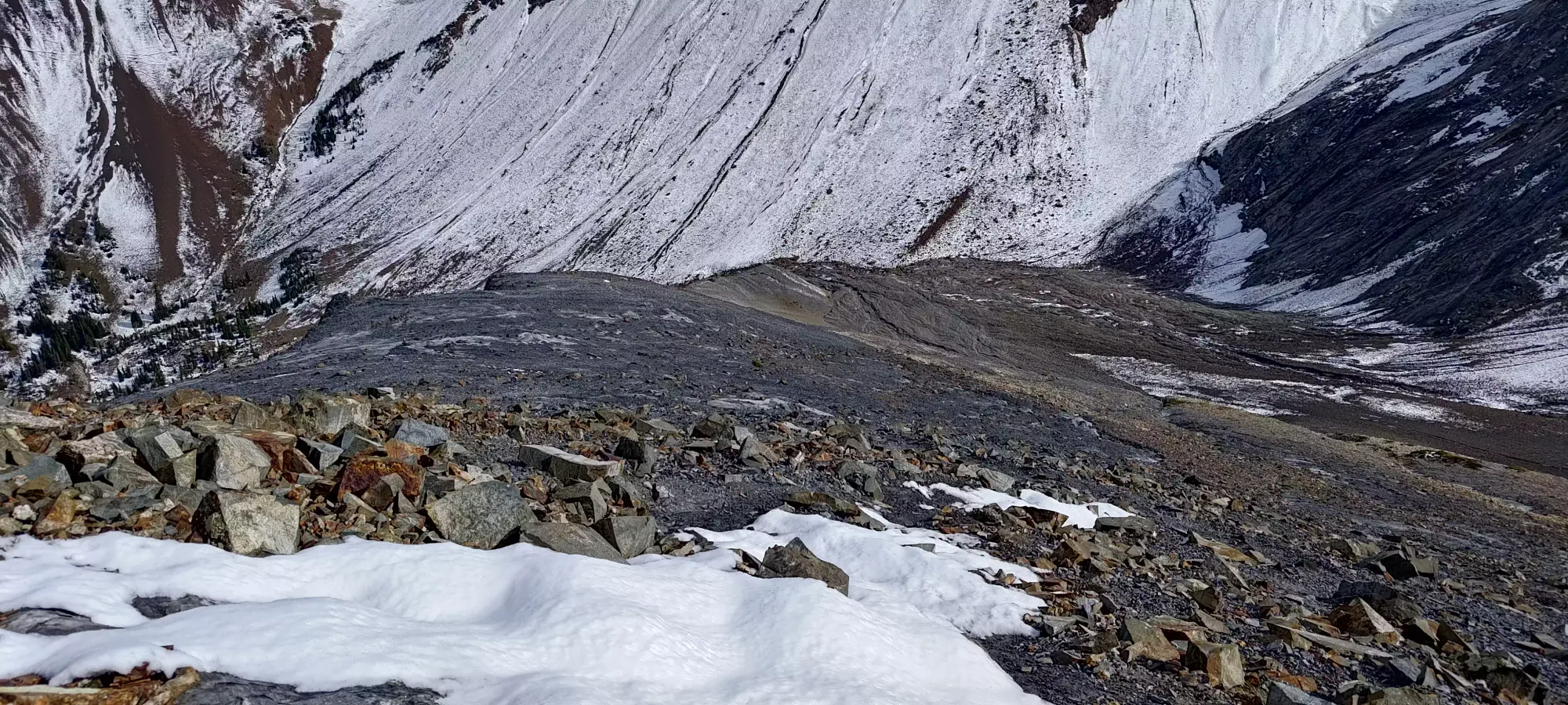
Once I started moving again, I was feeling much better than before my break, and started making steady progress once again, and fell into a solid rhythm. Getting from around 2600m to 2850m, where the ridge changed from "just walking up a relatively beaten path on terrain that was neither scree nor slabs, but something in-between" to "okay now it's actually more of a ridge, and has some snow you gotta walk on" took about 45 minutes.
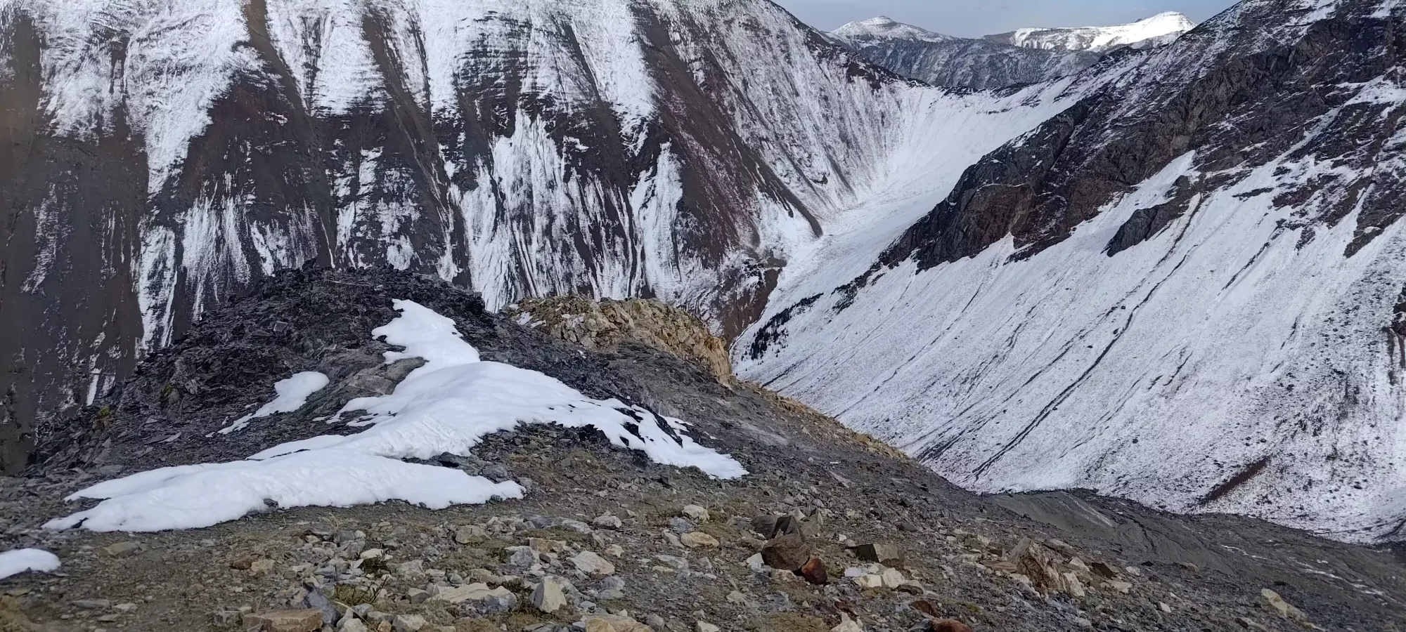
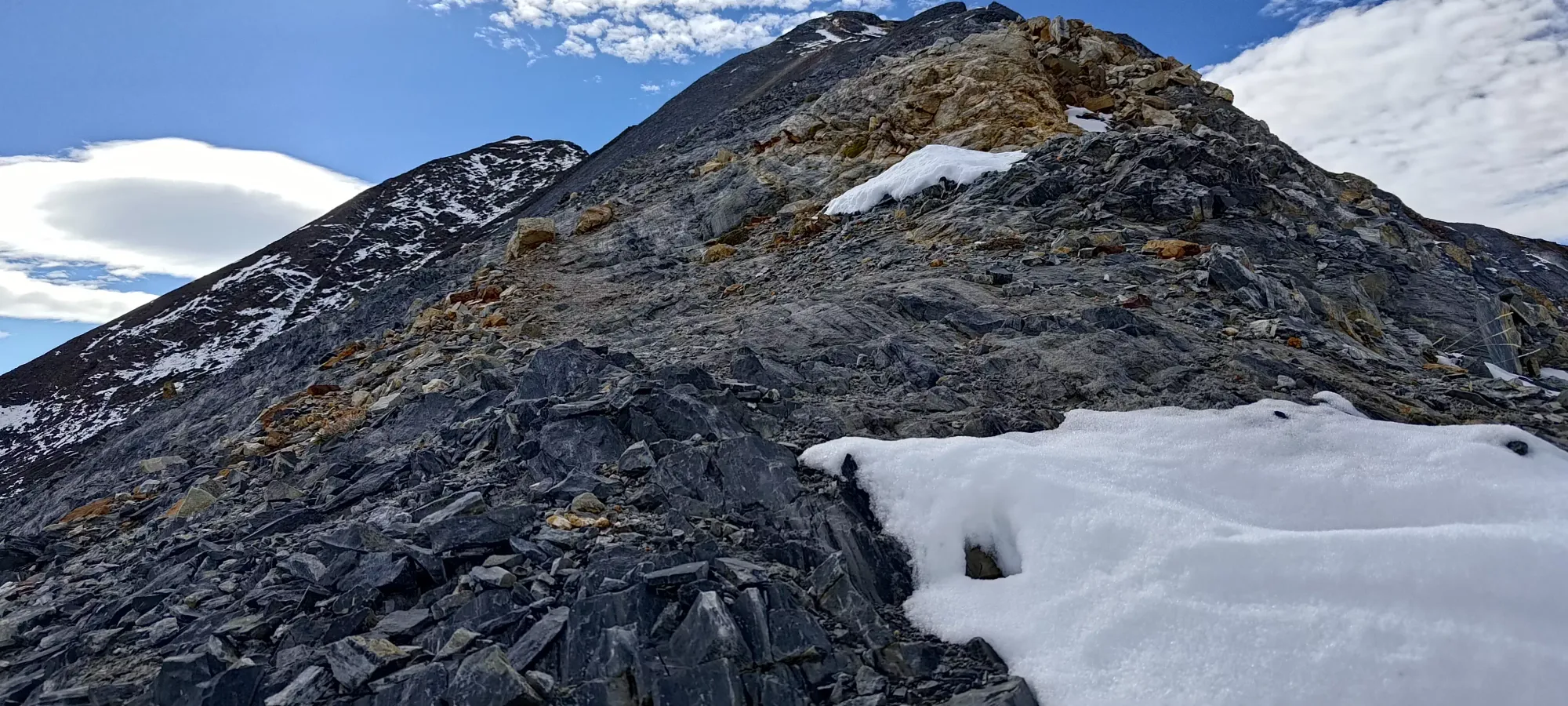
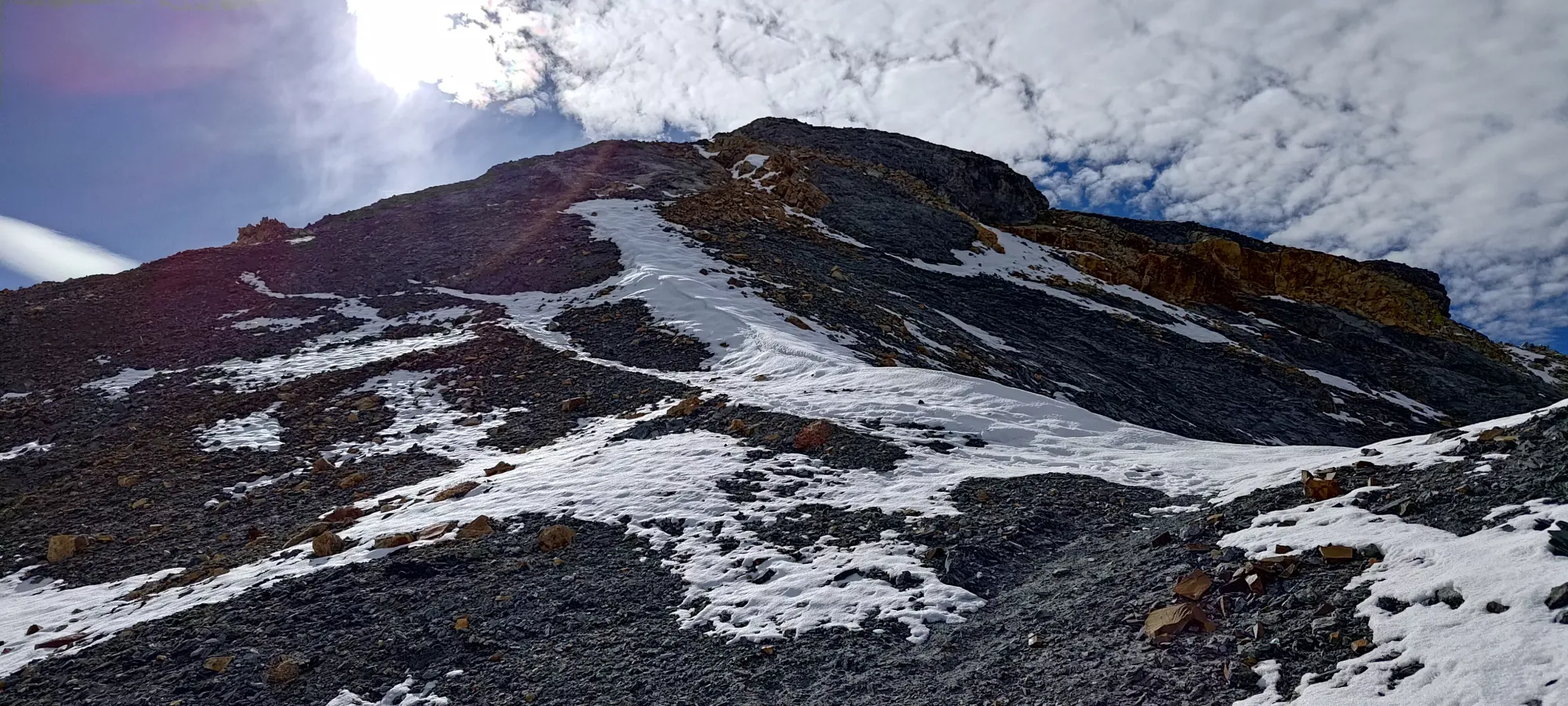
This section of snow was pretty trivial, as it was not exposed or very deep, and brought me to the false summit seen above, where you can finally see the true summit, and could also see the terrain that the 2 guys who attempted the summit turned back on, as it was much narrower and high-consequence than the simple hiking beforehand. Still, though, it was "just hiking", as I'd not had to put my hands on any rock yet, and I was happy to keep walking until I actually felt like the exposure was considerable or I had to do any sketchy scrambling on bad rock/snow.
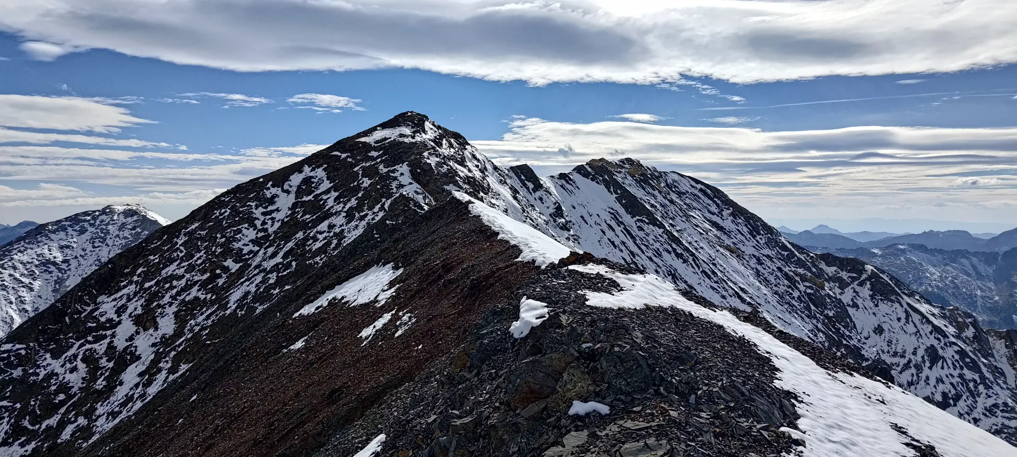
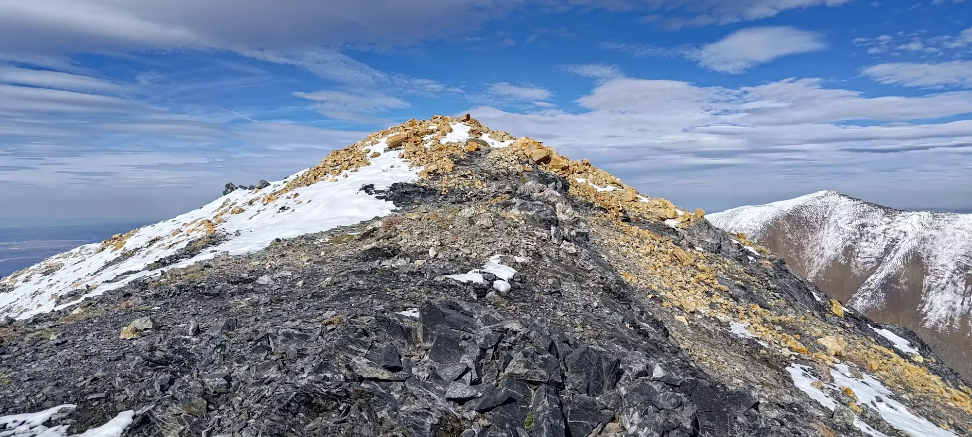
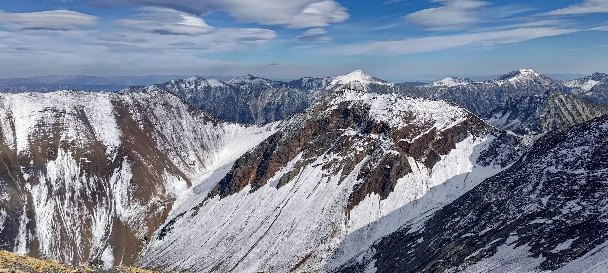
The first half of the ridge was pretty simple, largely just stepping with your left foot on the rock, and your right into the snow, and there was enough space to be confident that foot placement was supported snow and not sloping down into oblivion. The tracks ended at this halfway point, though, as the terrain got a little bit steeper and more jagged, and that seemingly was a bit too much for the previous party. I, however, had felt totally fine so far, and was perfectly comfortable pressing on, so I did.
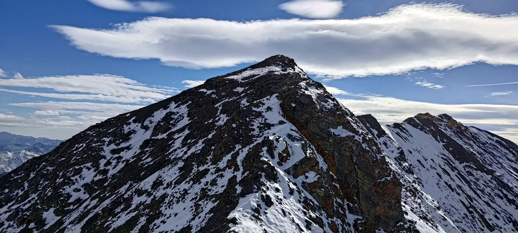
I took this section, like the one before it, quite carefully. The wind was still pretty absurd, and snow isn't knowing for amazing grip when it isn't deep enough for kicking steps or using crampons, but it really wasn't that bad either. The snow you could always stay stable while you plunged your foot to see if the rock below was good or not, and the terrain never got hard enough to be scrambling instead of just "careful hiking", so within ten minutes, I found myself on top of the Columbia Plateau! My summit visit was brief, as I just took a few minutes to fire off a text as I finally had some signal, take some pictures, and wander along the ridge far enough to confirm I was on the summit, and none of the following bumps were higher than me. I considered traversing to Matterhorn and/or Hurwal Divide SW, but decided I didn't care enough about them to subject myself to potentially sketchier ridges, or more of that disgusting wind. The approach was nice enough, the camping options good, and my desire to try and ski some of the lines high enough that I think I can justify returning for those at some point in the future instead.
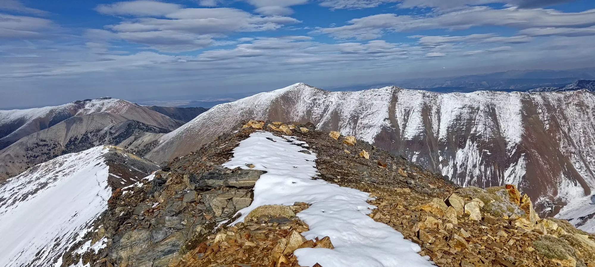
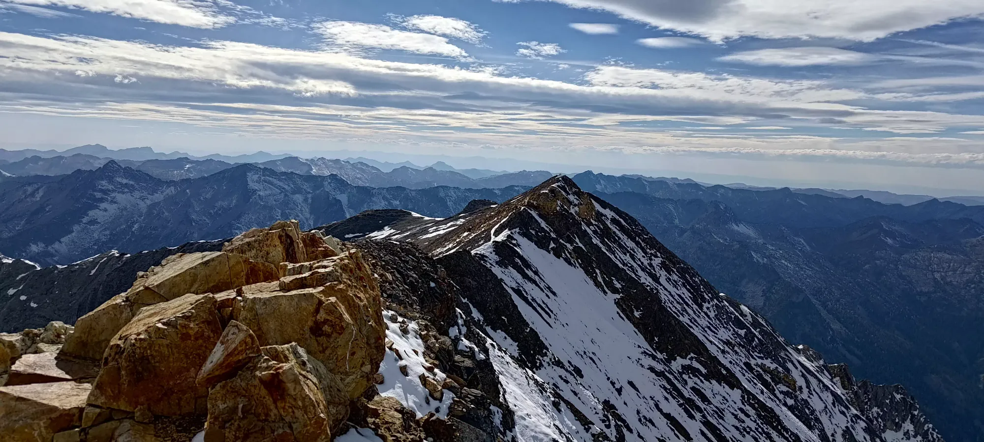
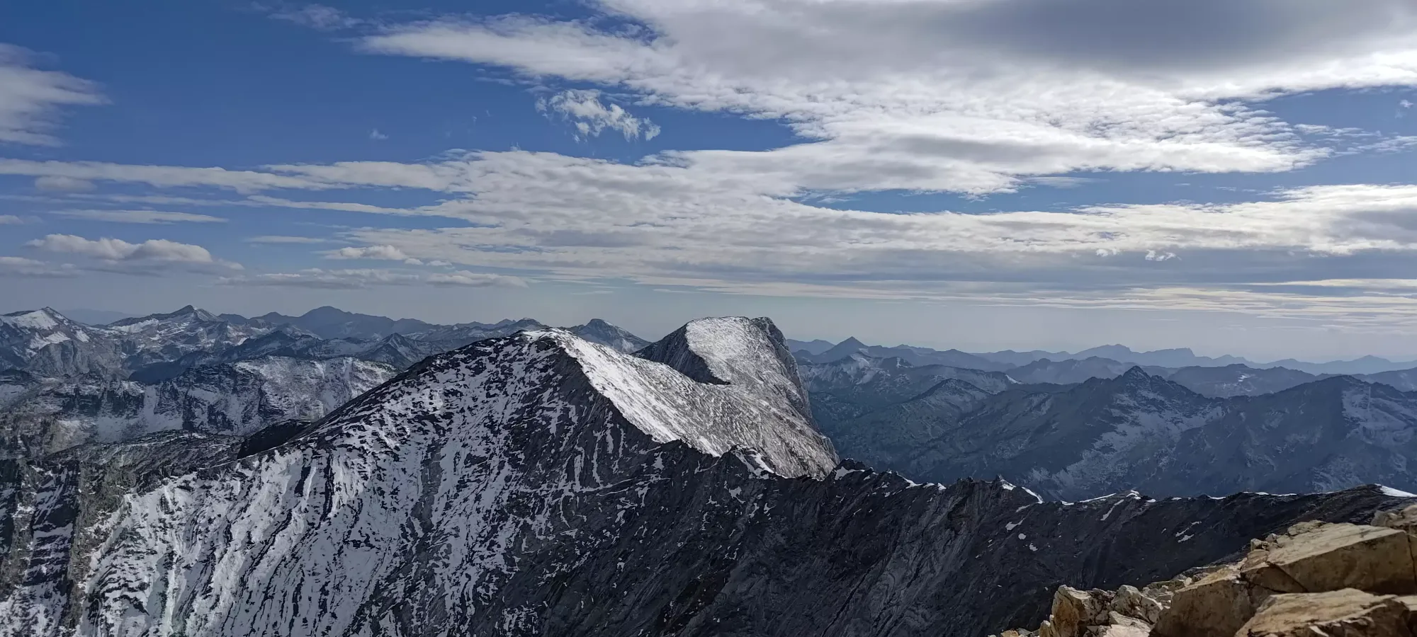
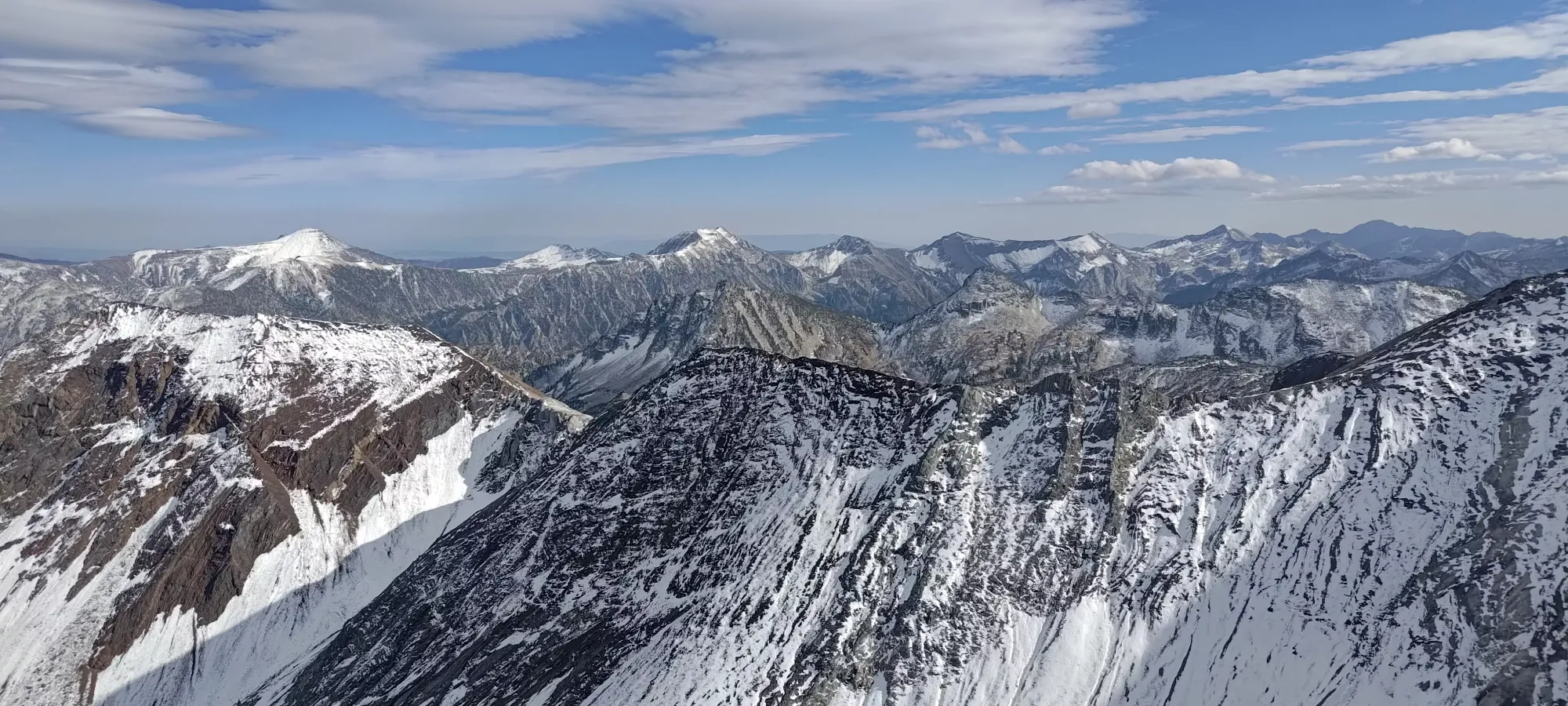
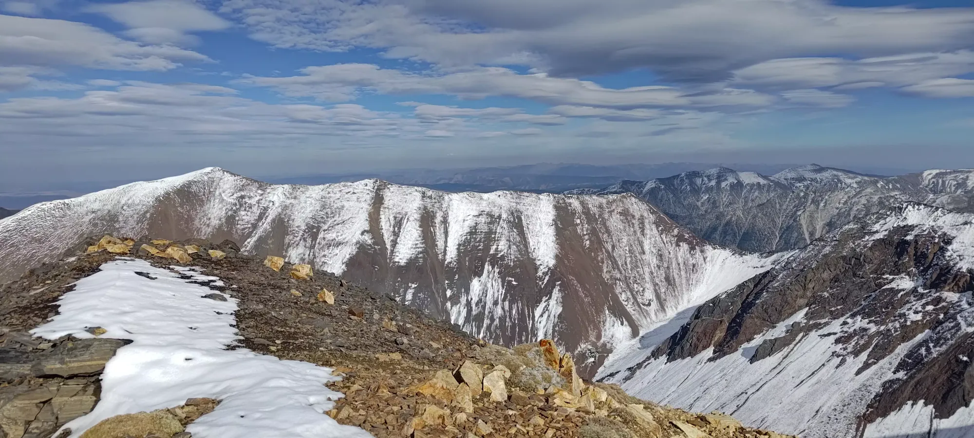
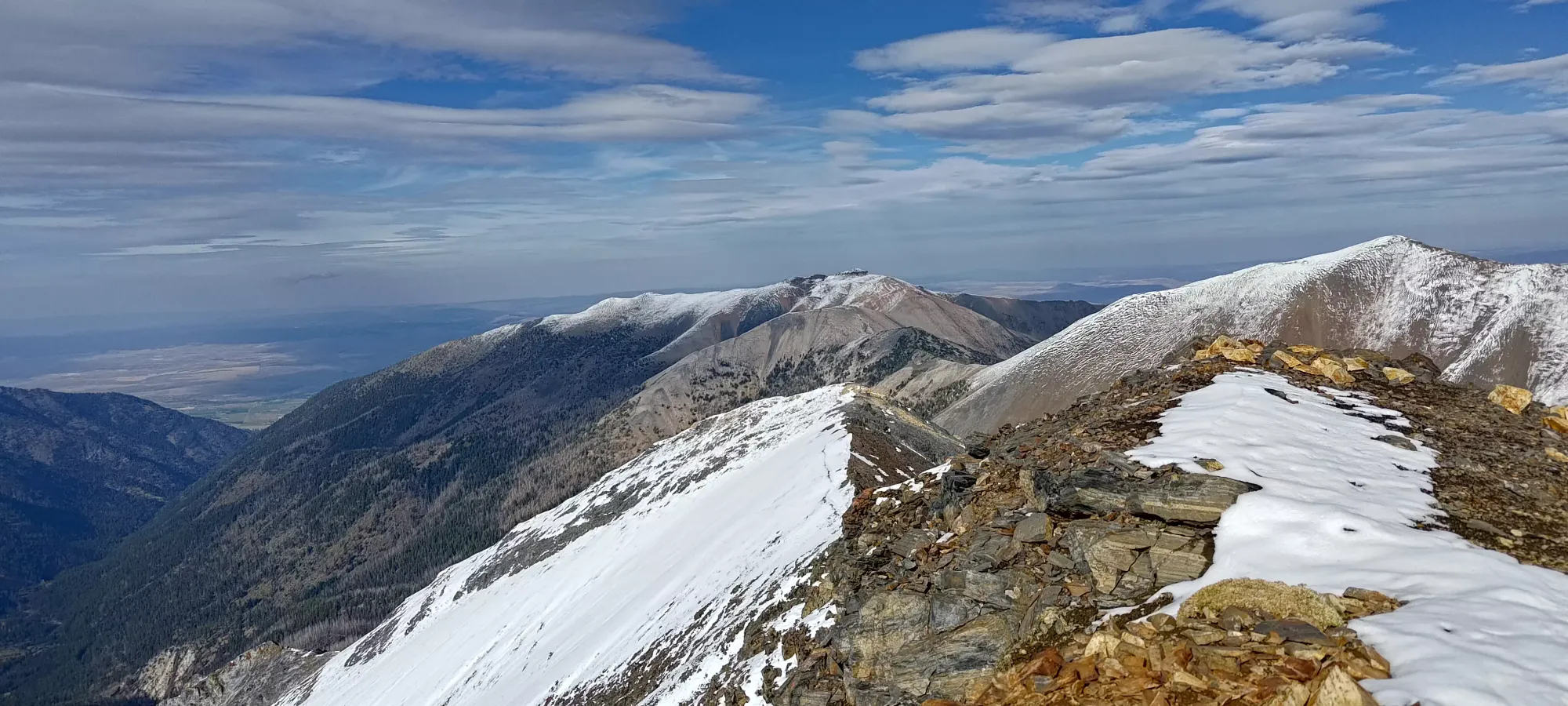
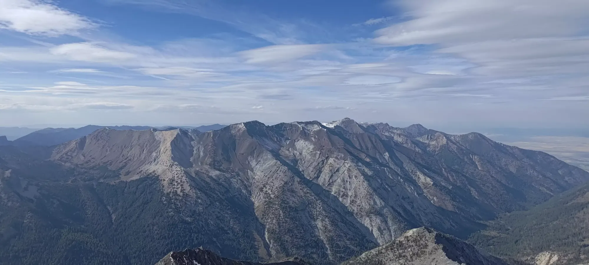
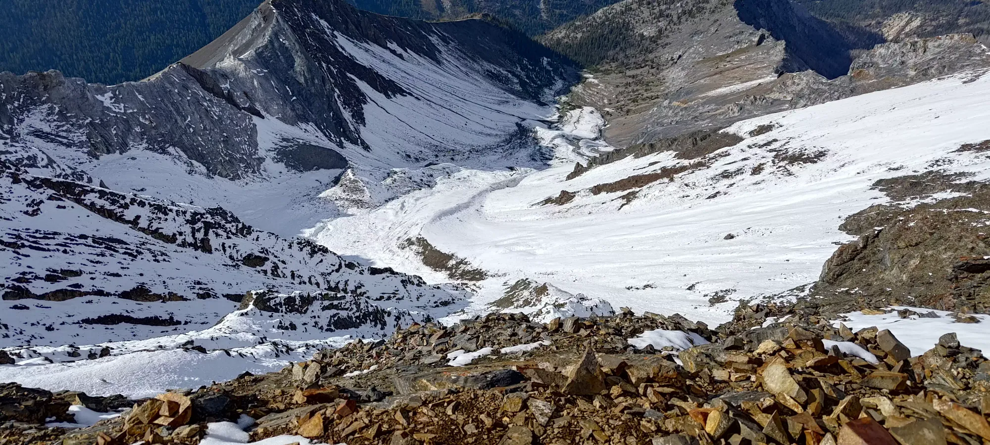
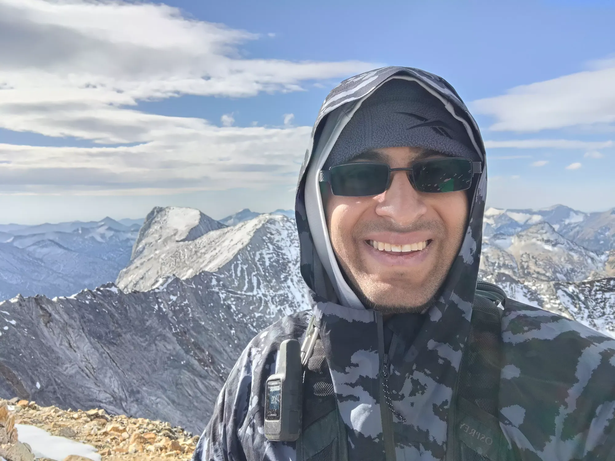
I made the top in just under 5 hours, which is not the best pace for the stats, but also not terrible, and left me plenty of time to get into the easy terrain before dark, even with my rather late start to the day. That left me lots of time to carefully re-navigate the sketchier top ridge, and take my time making sure to mitigate the wind on the descent of the east ridge, which was appreciated. The rock quality was great for walking up, but on the way down I found myself wishing it was either actually solid+flat slabs, or just skiable scree instead of "small rocks seemingly glued into the mountain enough to be mostly stable, but steep enough and loose enough I felt it necessary to still step carefully". It took me eighty minutes to pick my way down the ridge and get out of the wind, where I promptly celebrated and shed my layers.
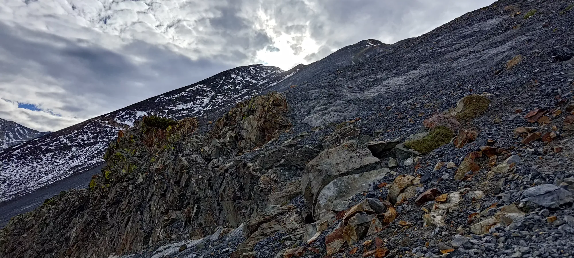
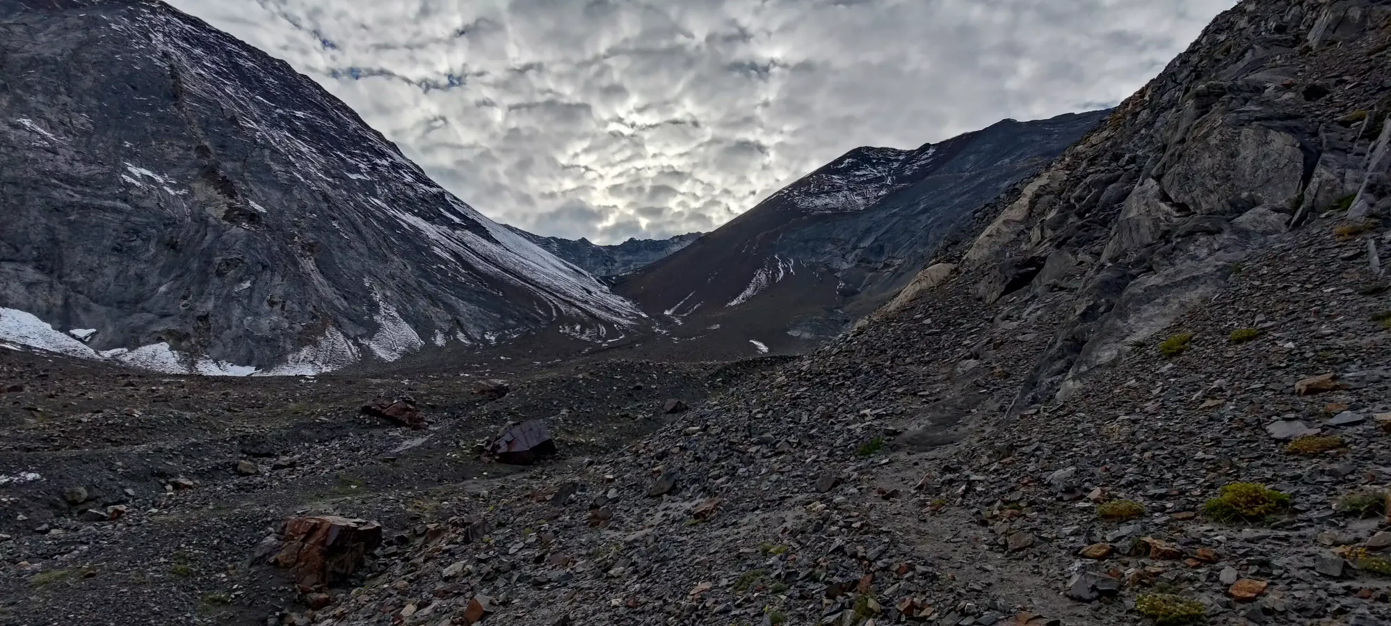
I walked down until I found a nice spot to relax, where I had some more water and about half a sandwich, though I wasn't feeling tired or hungry enough to justify sitting around for longer to eat more, so I just packed up and started heading down after only about 5 minutes. Another 10 of walking past that point, and I got out of the steeper terrain, and back to following the creek in the open valley.
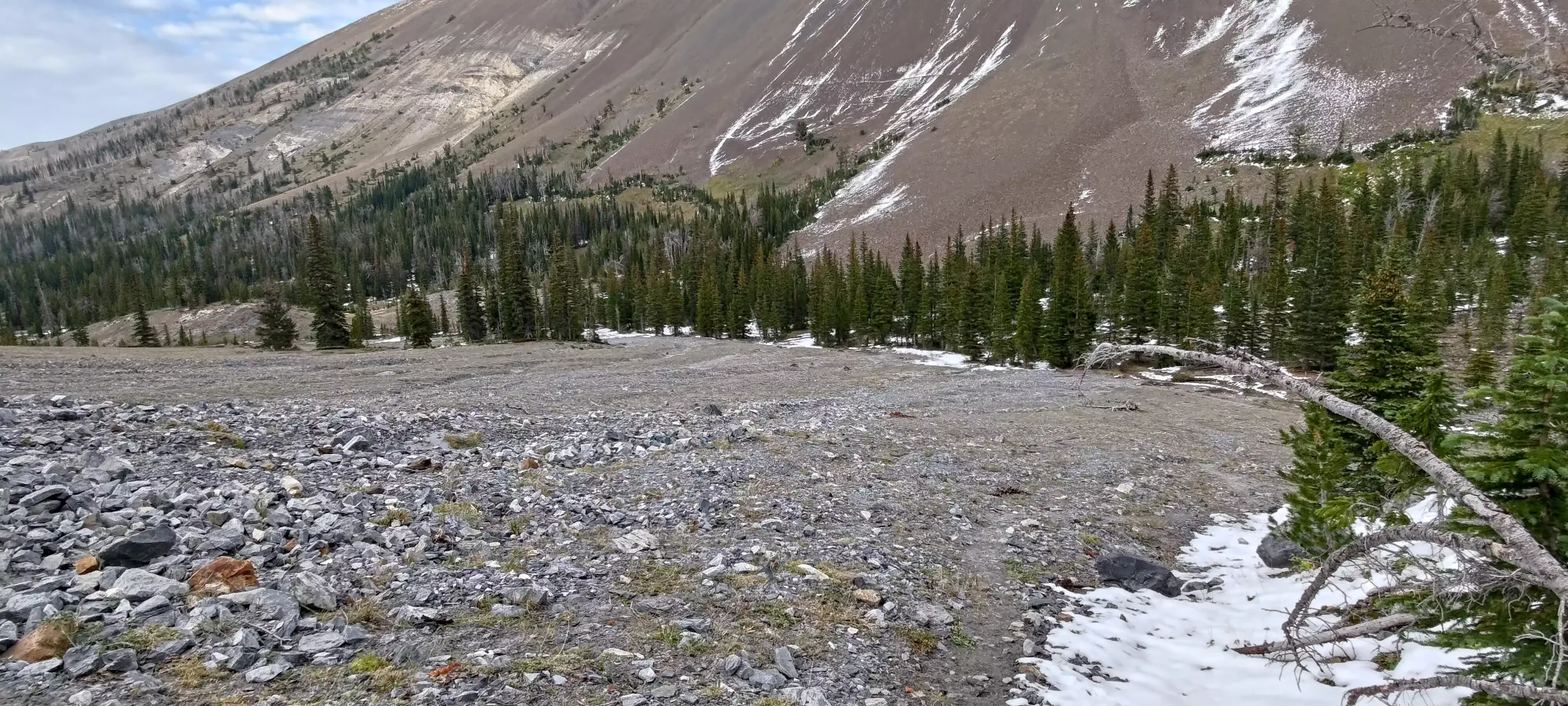
I got out of the valley and back into the trees at about 5:30pm, and from there it took me just under an hour and a half to get through the snowy section, the ridge, and the big steep hill (I took another break for the last half of my sandwich at the top of that), and the short approach back to Hurricane Creek, where I took my last hasty picture of the log crossing before I got back on the Hurricane Creek Trail.
The last 3.3km took me about 40 minutes to get done, somehow slower than the morning. I guess the pitiful downhill grade wasn't enough to compensate for the difference between fresh and tired legs. I almost made that stretch without needing to bust out my headlamp, but about halfway through it got too dark, and I had to add some light for the last 1.5km.
After I got back to the car, the trip wasn't yet over though, since I had to get back to Canada for work on Monday. I debated the merits of eating in town and just sleeping there, then driving all of Sunday, eating then driving til I got tired and sleeping wherever I could pull off, and just driving and eating the food I had with the same strategy, and settled on the latter, wanting to cut off as much distance as I could whilst still awake on the Saturday night. My sandwiches and brownies did me well, keeping me awake all the way to Seattle, where my tiredness was approaching "more than just hard to keep my eyes open, but impacting my focus", so I knew I had to pull off shortly. Sadly, this was in the single stretch of interstate without rest stops, since they'd rather get people to pay for accommodations in the city, I guess. Being far too cheap for that, I found a random suburban community centre parking lot, and went to bed, hoping no NIMBYers would get upset that I was sleeping in their empty parking lot.
Thankfully, I was awoken not by a bylaw officer, but the sound of kids playing basketball in the morning. I went to Starbucks for some breakfast and a bathroom to use, watched some YouTube, failed at streaming the first bits of the morning football games, then headed back home in time for a late lunch with my family before I got back to Squamish. This was definitely the right call, as I had time to meet up with my family, and even to unpack and do some chores around home before I crashed for the night, which would not have been possible if I stayed in town after I finished hiking. There are lots of spots to hang around, and the town is seemingly nice if you do have the time, though, I just did not, as my trip was very peak-0riented with not much room for anything else.
Overall, I'd say this was quite a fun trip. The driving was a bit brutal, and I probably spent far too much on gas, but I DID avoid the rain, and I got another ultra! Somehow, this was also my first peak in the US, as I just haven't had the right chance to head down for the sake of peakbagging after my failed attempt at Mt Whitney so long ago. I'd definitely recommend this as a fairly non-technical objective that can be linked with other peaks, include a bunch of nice camping areas, and seemingly with the right snowpack, be a great steep alpine ski paradise.
GPX Track + Map
