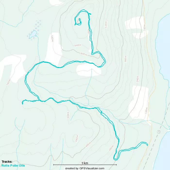
Rolie Polie Olie (Rolley Peak) - December 4, 2022
Not the peak we planned, but the peak we deserved?
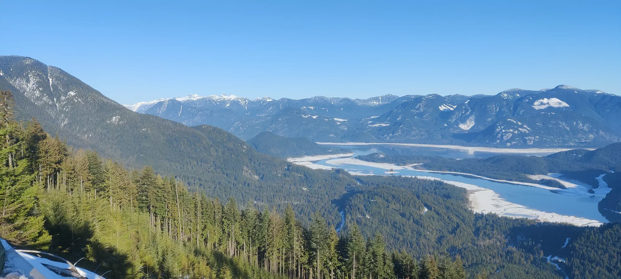
Golden Ears Ranges, Maple Ridge, BC
728m
After a wasteful prior weekend filled with failures due to icy boulders on Brew Mountain and underestimating our ability to descend quickly on Mount Archibald, I was really intent on getting a peak done this weekend. I did, however, frivilously spend the Saturday skiing with my cousin, so that meant Sunday was go-time. I'd been trying to get Lee, who doesn't have much winter experience, out to get used to the gear, and getting familiar with routefinding in the snow, etc. Logan was also around for the fun, so a party was formed. I wanted something with minimal avy risk, that wasn't too hard for a first outing, and was closer to Lee to make it easier with his evening obligations. We eventually decided on Mt Crickmer (you'll notice that doesn't match the title, we'll get there). We decided to all drive to the trailhead, as Lee needed to go home right after, but I had some lofty goals of bagging more of the peaks around (Blue Mountain, sub-summits of Crickmer, something at the end of the road northward, and Rolley, ofc). Logan also wanted more driving experience in winter conditions, so he wanted to drive separately as well.
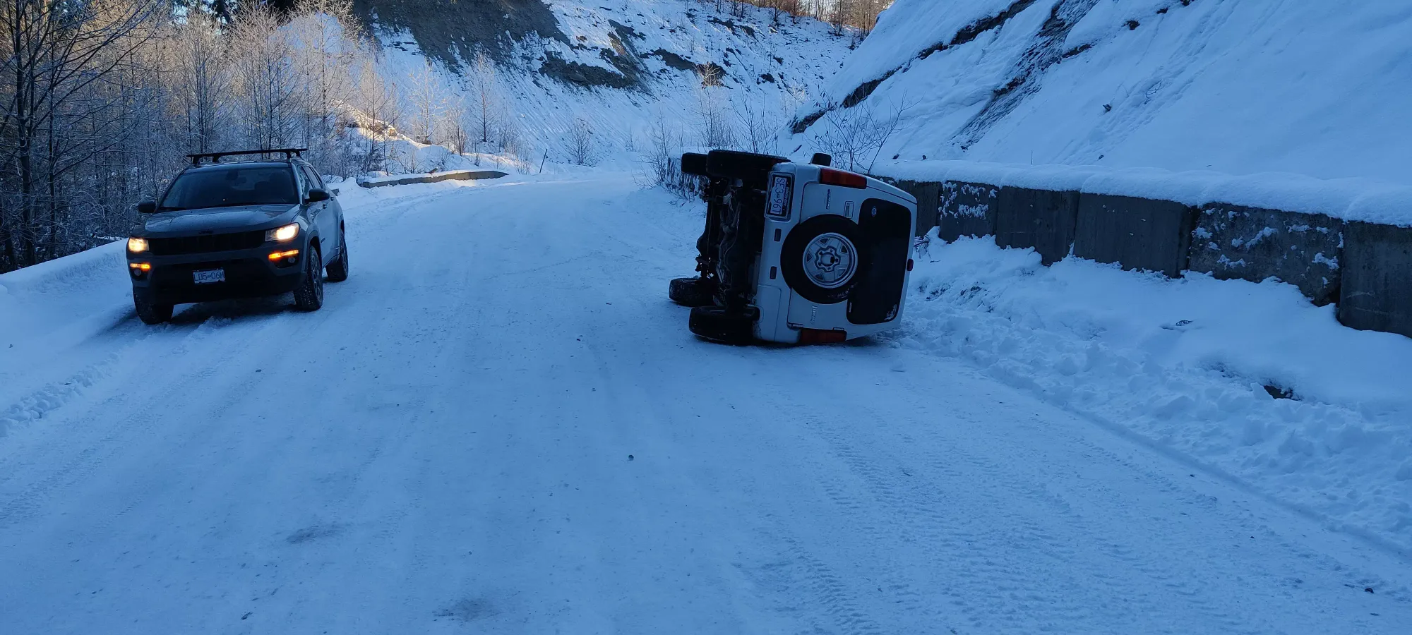
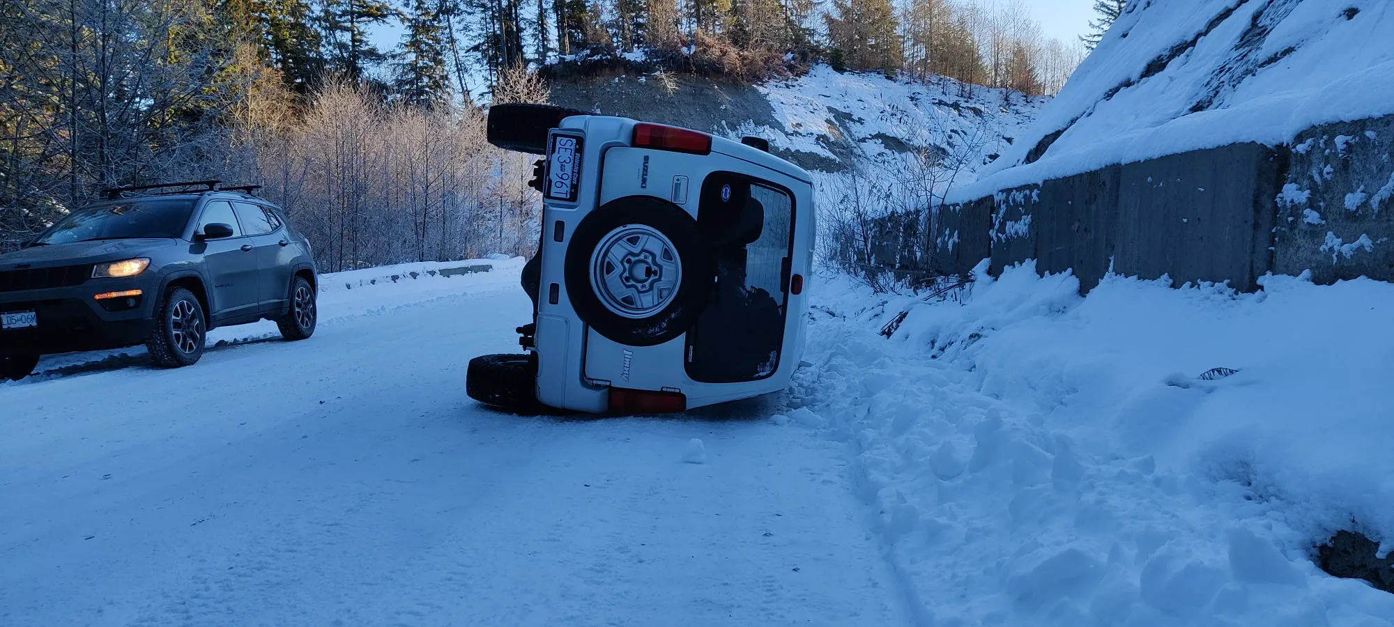
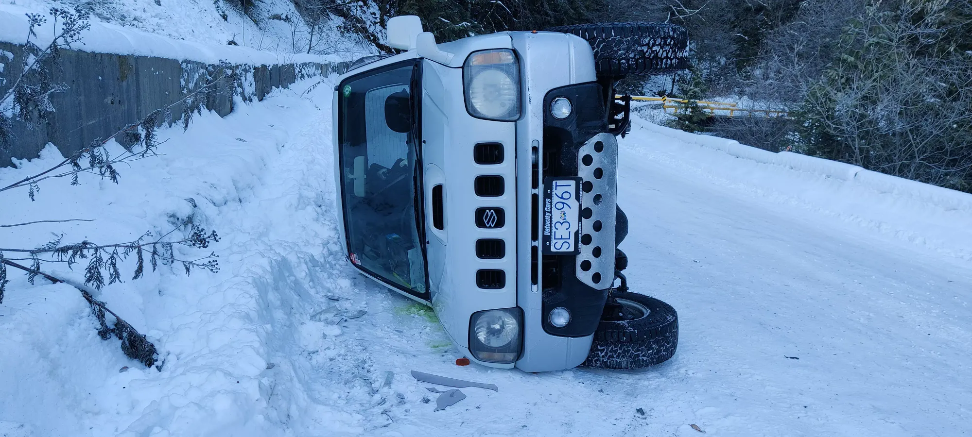
After some excellent hypermiling, if I do say so myself, I filled up in Maple Ridge with <2L in the tank (it was a LOT cheaper than Squamish), and met the guys at 8am, just at the base of Florence Lake FSR. The road was pretty well-driven, and since there was sea-level snow, that meant it was basically hard-packed and heated/cooled by tires into a slick funfest of hardpack and ice. With that, and Lee's M+S tires, he decided to go only as far as he needed to get a safe+legal parking spot, and then he hopped into my car. About 2.5km from the start of the FSR, there's an s-bend as you get to and cross the first bridge of the road. Logan was leading, and disappeared around the corner a few seconds ahead of me. Once we turned around it, though, we got quite a shock: he was facing us, on his side, in the oncoming lane!
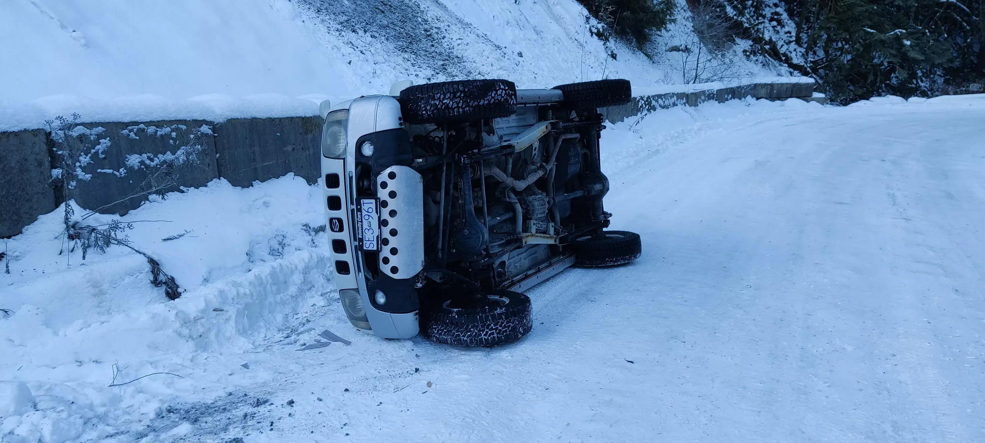
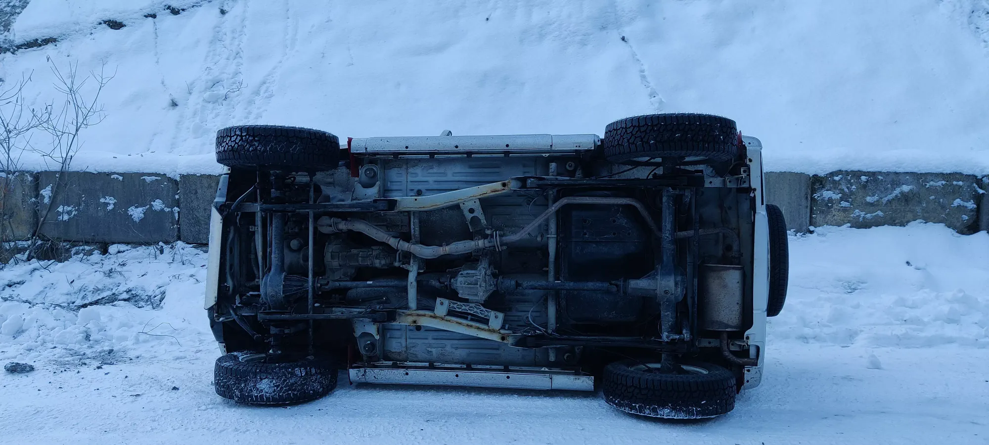
We drove far enough to be safely parked so that anyone coming from either direction would be able to not hit us, and rushed over. Miraculously, he was uninjured. We spent the next few hours getting back to the base of the FSR for signal, arranging a recovery (shoutout to the 4WDABC Recovery Facebook page, those people are amazing), getting him flipped back over, getting his engine flushed of oil, etc. Eventually, we got back to the base of the FSR, and got ourselves sorted. Logan's vehicle was running fine, so we decided we should still do something with the day, even if we'd used too much time for a Crickmer attempt. Lee suggested Rolley, so that's where we went.
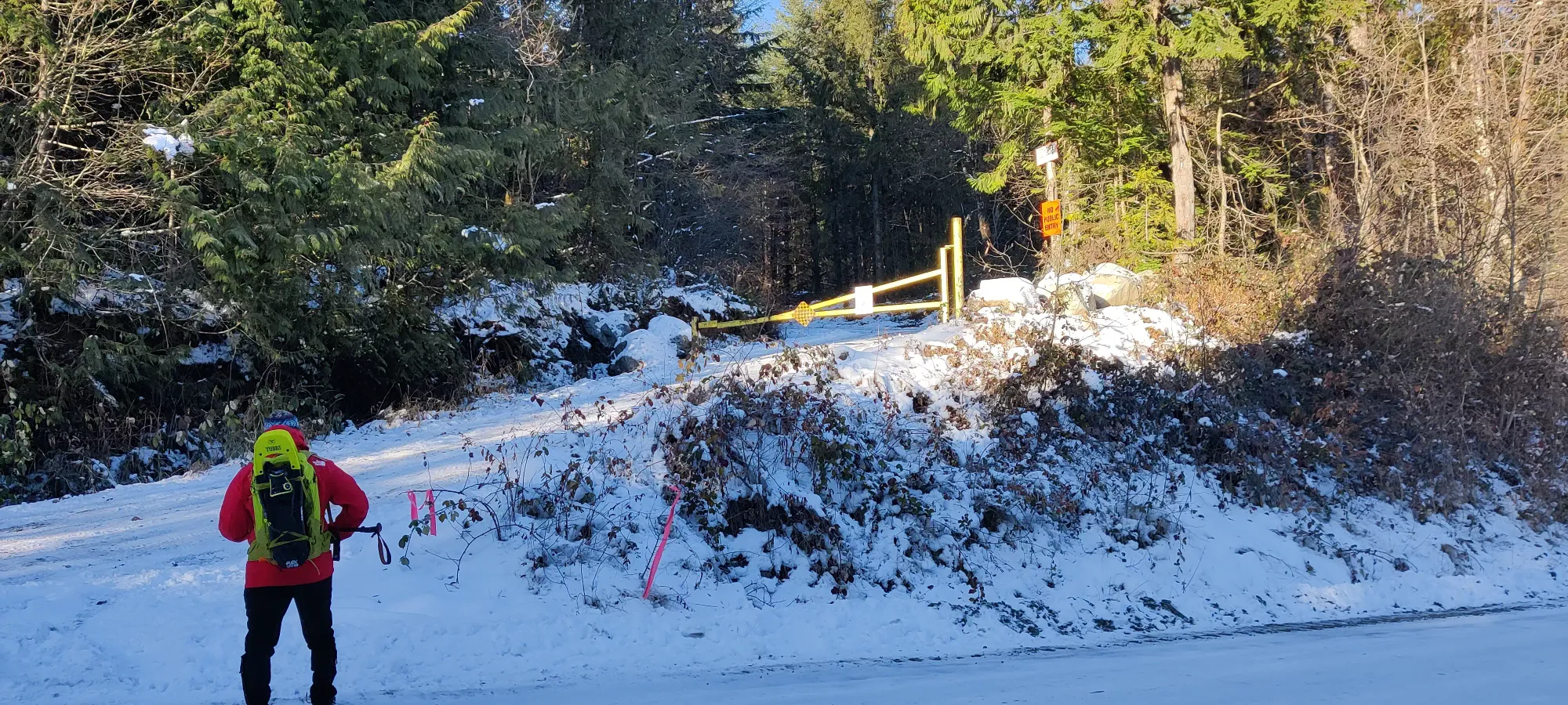
I drove us to the Rolley Trailhead, which unfortunately was gated, so we had to walk the entire thing (if it was open, you could drive 90% of it). Apparently there were 2 ways up, a steep trail and a tedious FSR slog. As someone who generally finds shallower grades more efficient, and also not wanting to risk a fall on steep, icy slopes, I lobbied for the latter. Thankfully, the others humoured me, and we set off at 11:50am.
And so the slog began. Not much to note for the way up, it was basically "walk up the FSR, check the map (or ask Lee since he said he'd been there many times and you had tons of time to explore anyway), take the (hopefully) correct fork, repeat". We had spikes on from the beginning, but you could get by without. Snowshoes would work, but probably wouldn't be happy with you given the variable snow coverage.
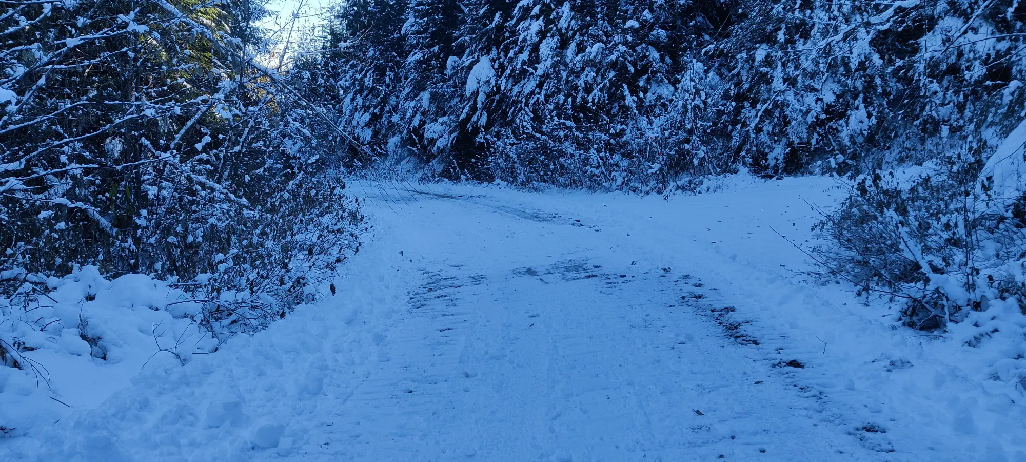
We went up for about 45 minutes until we hit a fork, took the wrong way, then happened to find a couple coming down who pointed out that it didn't go to the top, and we turned back down after gaining about 40m of elevation extra. However, that did mean we got from a well-broken vehicle trail to a narrower foot trail in maybe 15-20cm deep snow instead. At this point there was technically some "trail breaking effort", but nothing meaningful, at least a couple people had broken this before we got there.
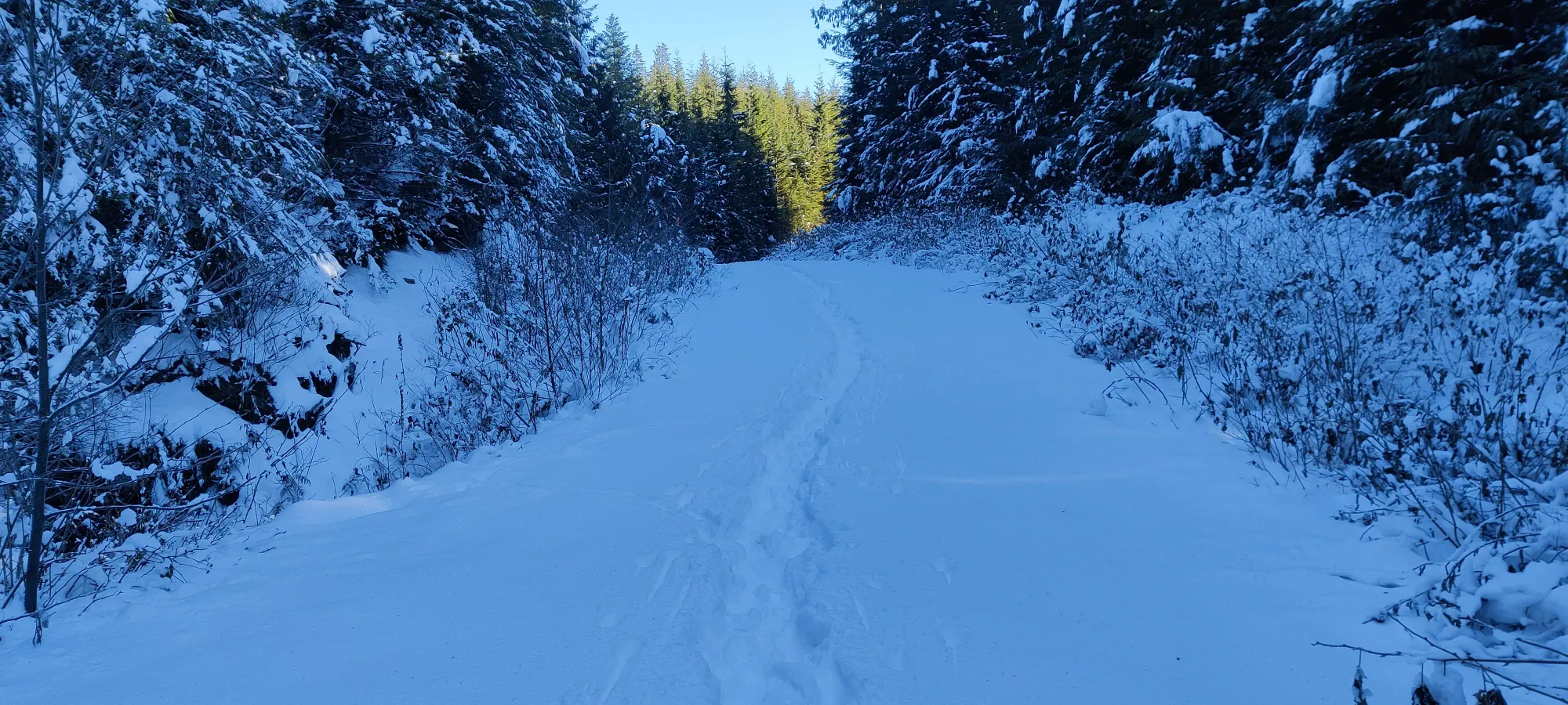
At about 1:25 into the hike, we got to a large u-shaped turn around a small bump, and as we turned around that, we got to first see the summit area. It didn't look mighty impressive, but hey, we were happy to get any summit action after the previous events of the day.
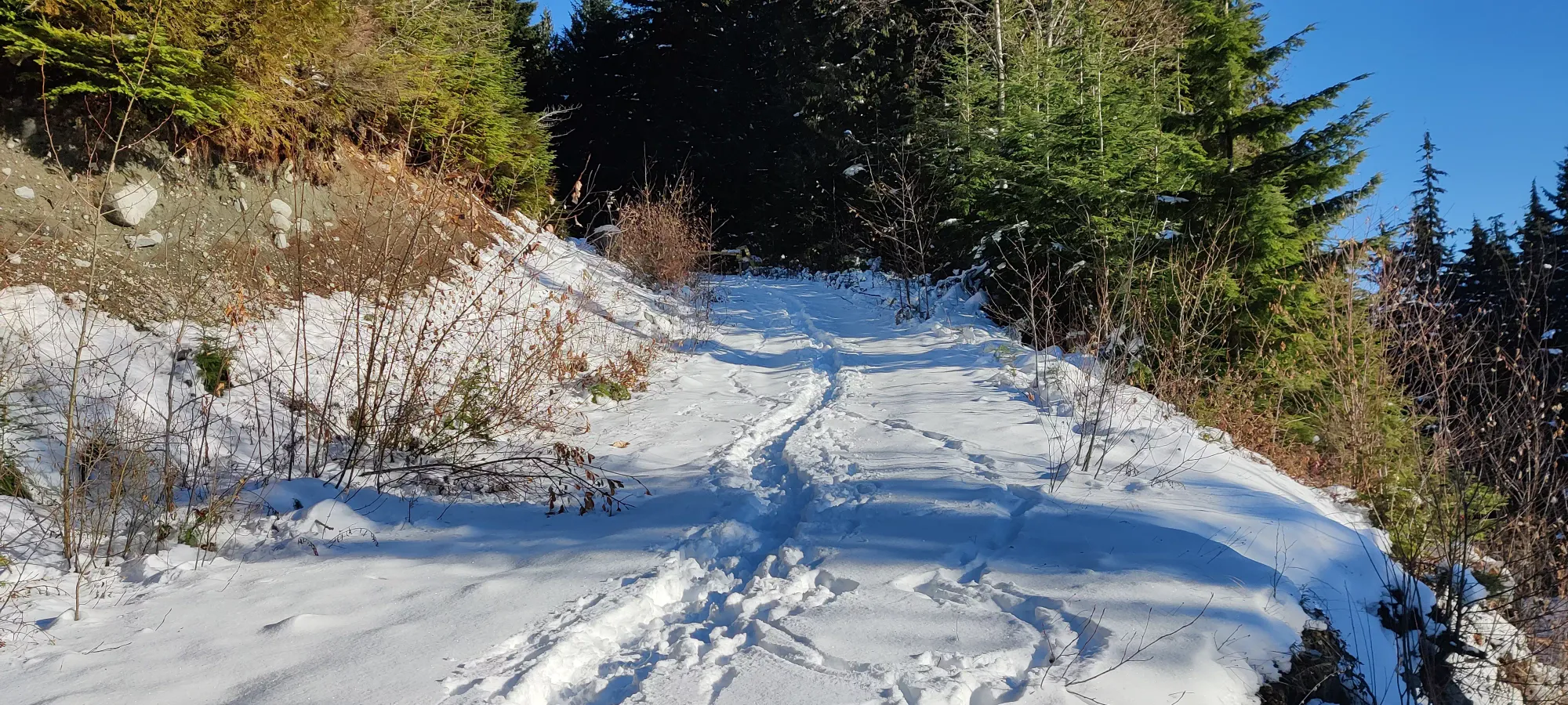
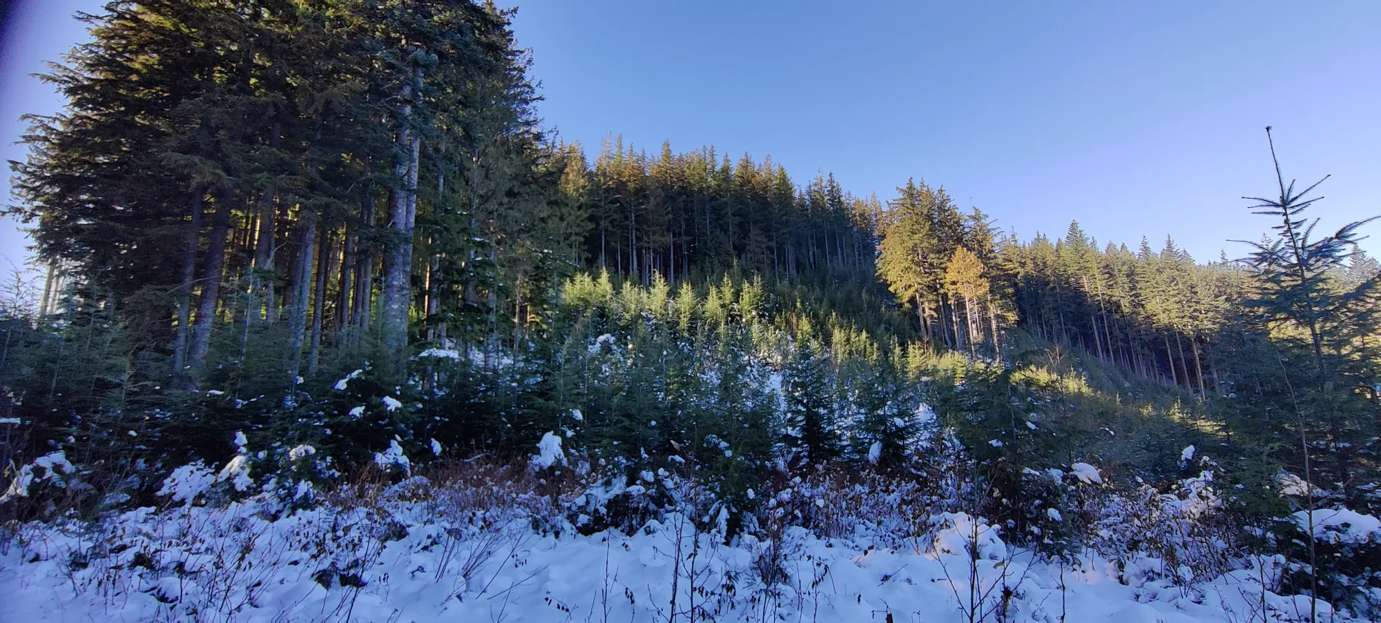
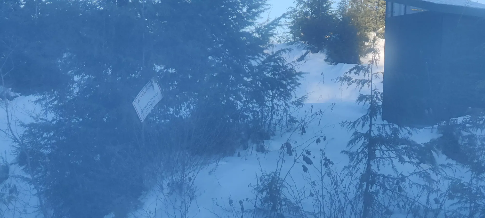
We hit the lookout in a bit under 2 hours, where we promptly ignored a "Recreation Site Closed" sign. Lee decided he wasn't going to fully embrace the peakbagger life and suffer through the summit bushwhack, and would wait at the viewpoint while Logan and I put ourselves through the strife of fighting the forest for the top. After a couple pictures, we set out to get that over with.
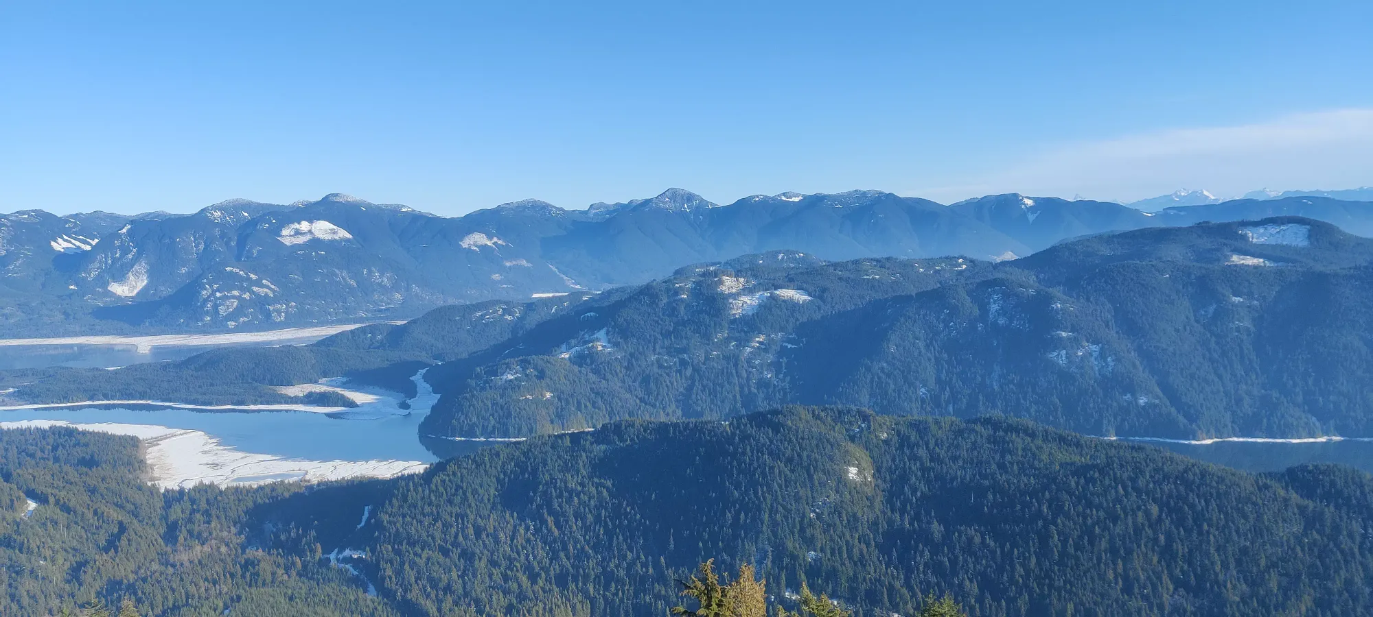
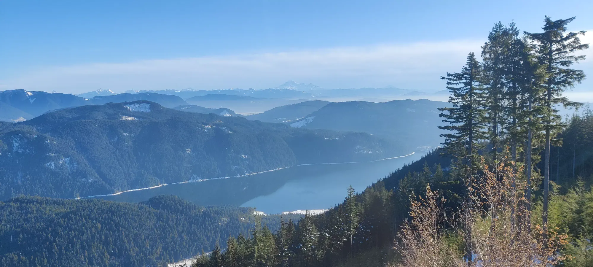
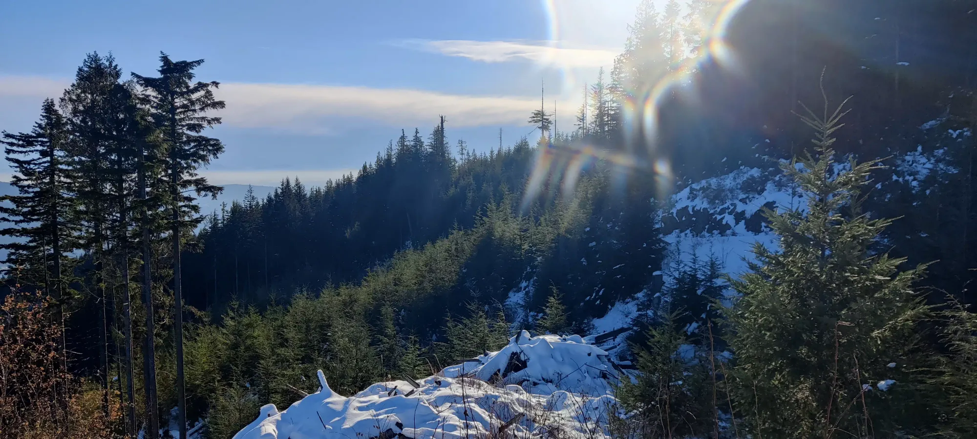
Me and Logan proceeded to take the road almost to its end, going around to the opposite side of the peak in about 5 minutes, thankfully gaining about 20m without having to bushwhack. We did get some extra views off the west side, although they were admittedly not quite as good.
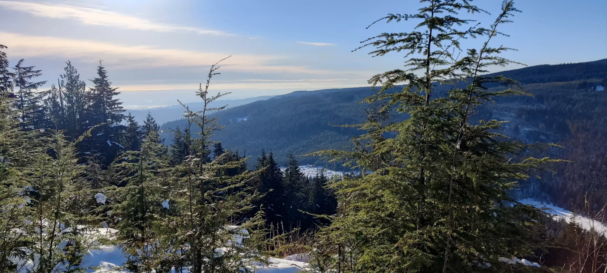
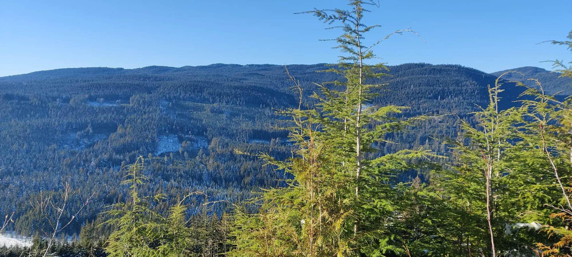
From our 730m spot on the road (as per my GPS), we found the least difficult entry into the forest, and started the tedious process of compressing, testing, and stepping into the snow, as there were tons of holes below from branches barely covered in snow. Or, perhaps, I found the least difficult entry. Logan decided to enter a bit further north, and ended up traversing through the trees to me.
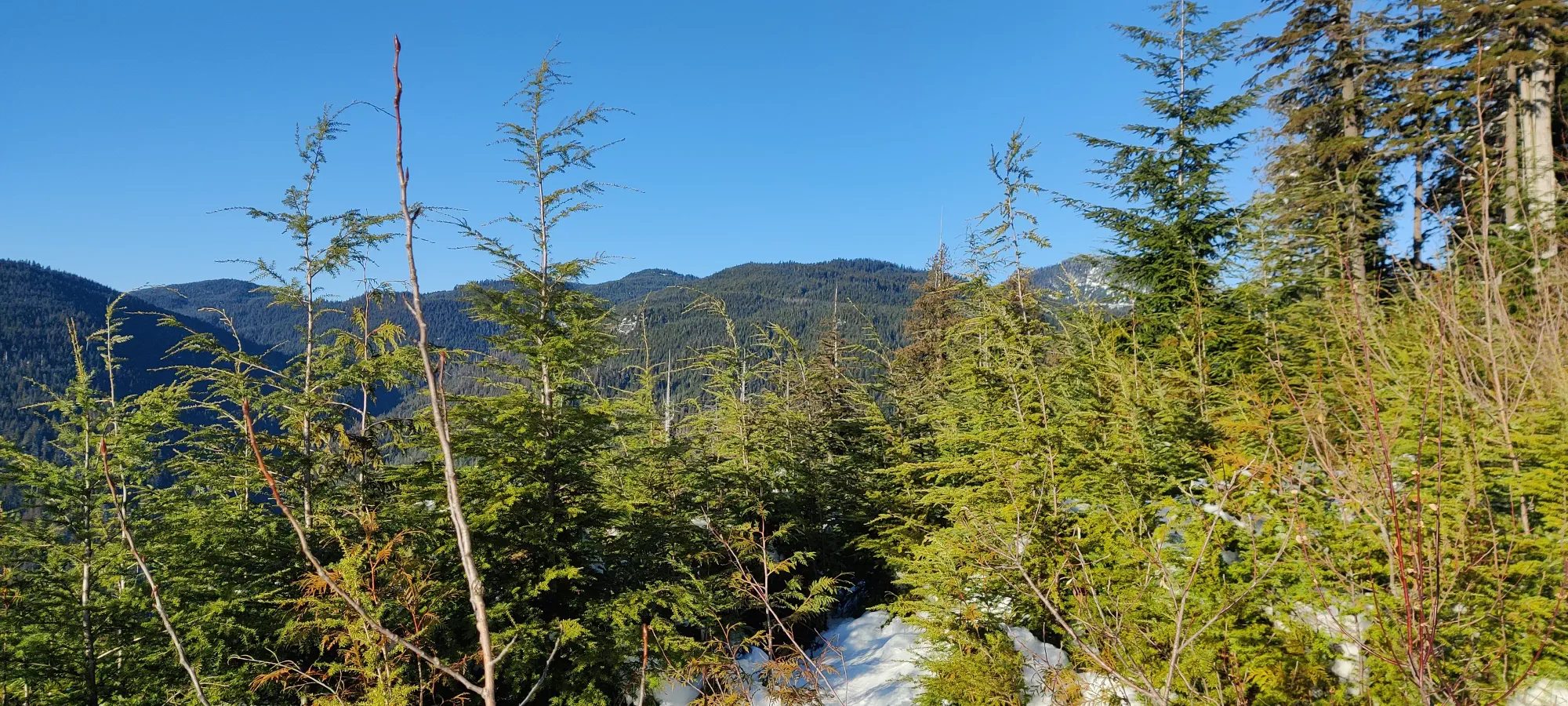

The first few steps in the forest were pretty easy, though I did quickly take my shell out to protect from snow sloughing off of the trees we disturbed. Once we got over the initial slopes from the road, it leveled off and got thick for a few steps, and opened up a little bit again after that. We picked our way through the forest for about 10 minutes, gaining a false bump before spying a slightly higher one closer to the side we entered on (west), and gaining the summit just under 2.5 hours in, or at 2:15pm. Unfortunately, there wasn't much to look at, so we took our token pictures and made our way down with haste, not wanting to keep Lee waiting.
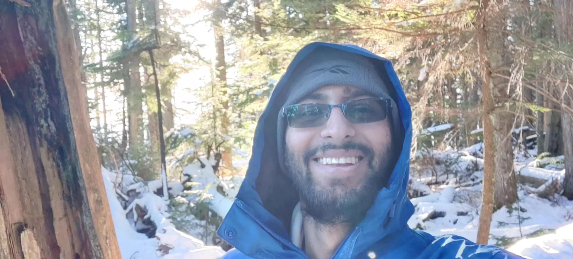
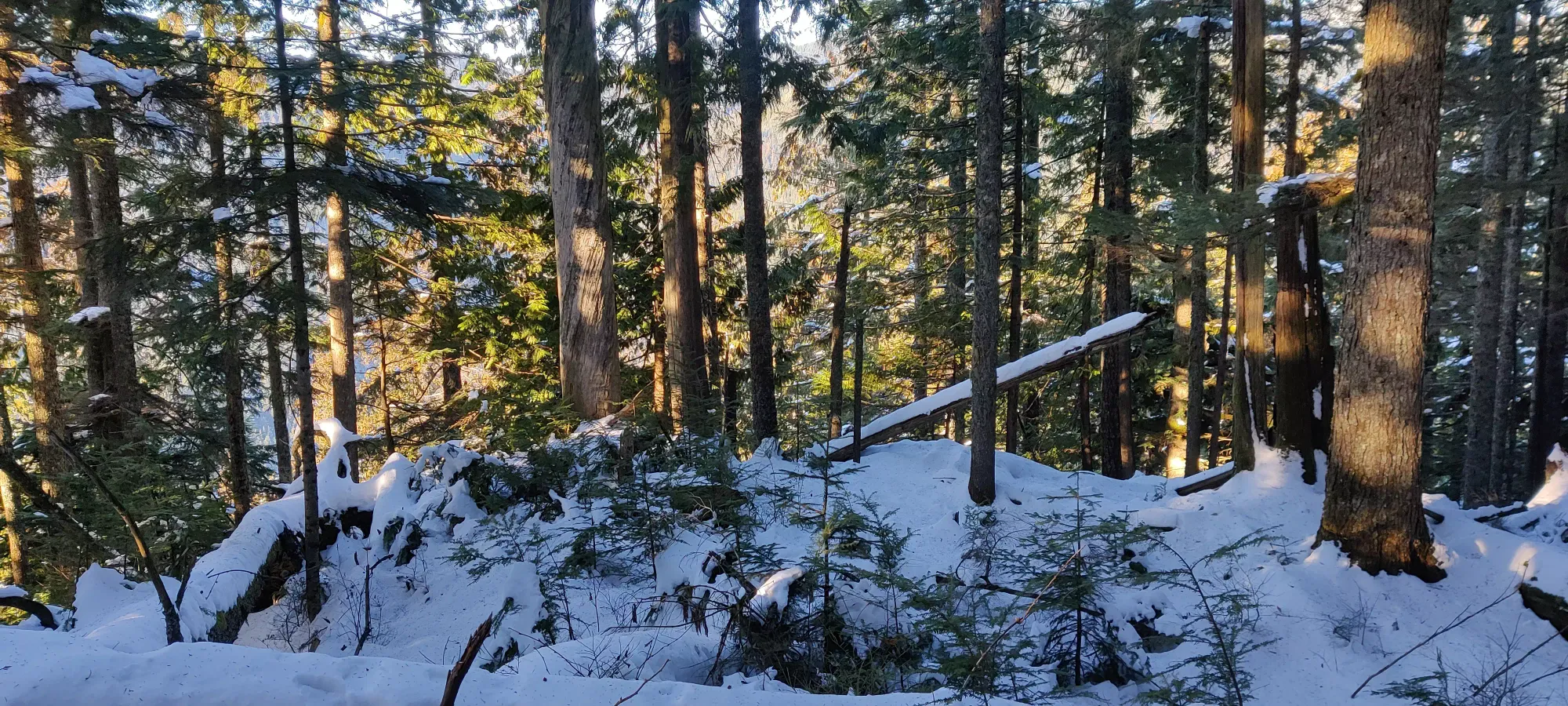
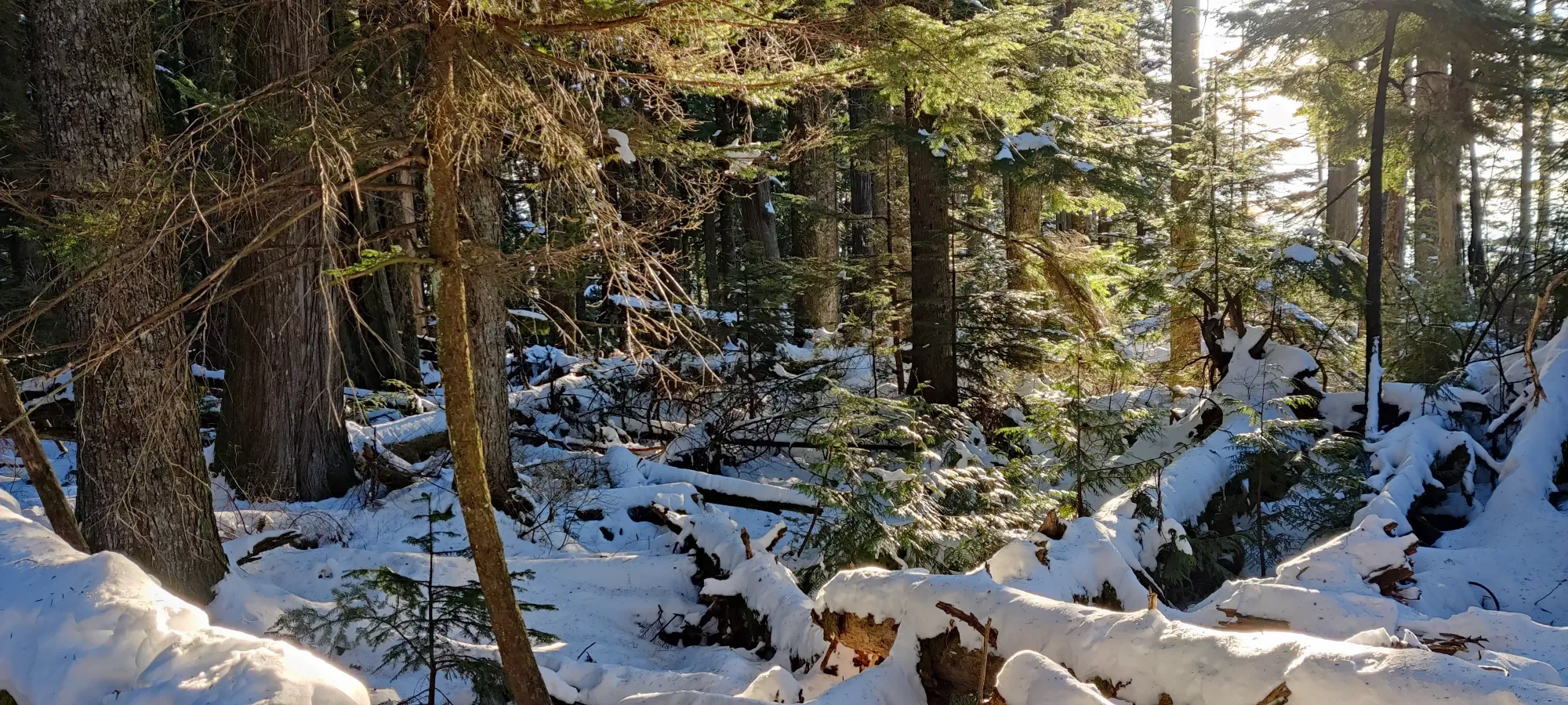
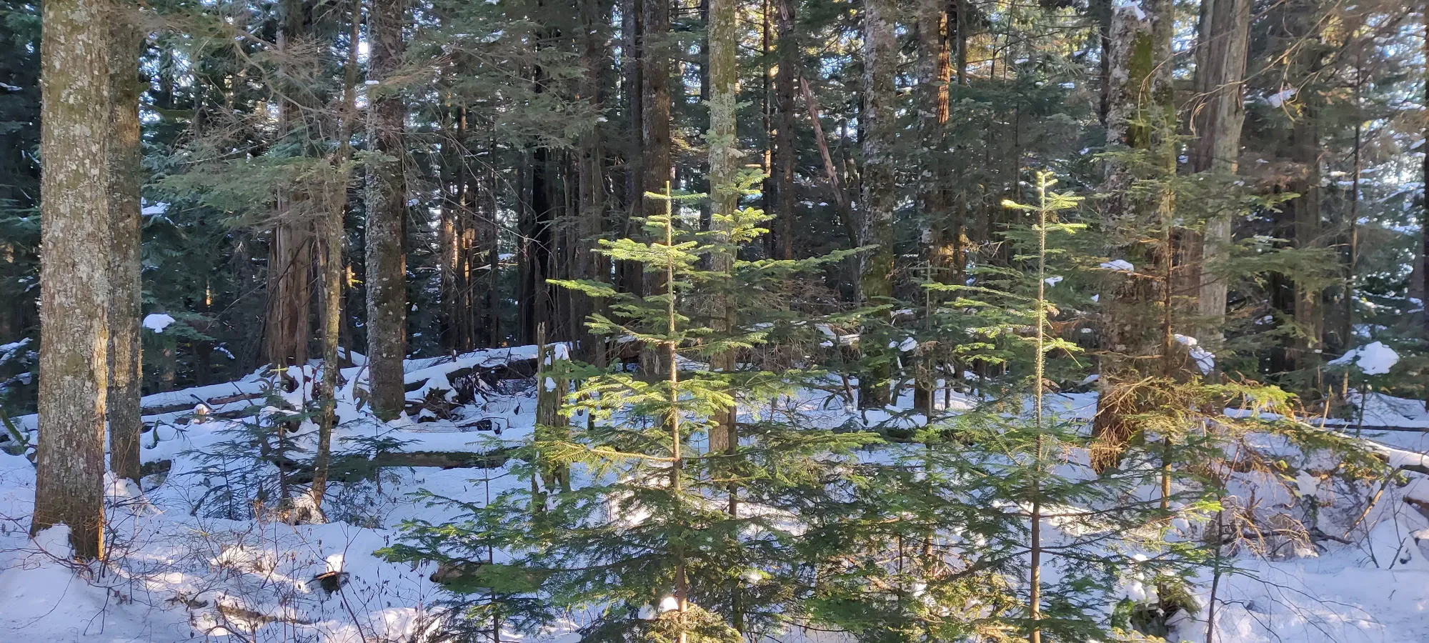
The way back was at least easier with our tracks to follow. We got back to Lee about 45 minutes after departing, hung out for about 25 minutes, then started heading back down the road.
Lee snowshoed down the pedestrian-only part to get used to them, as it was their maiden voyage. Logan and I bootpacked it down. Once we hit the main FSR, I stripped my spikes, not wanting to hurt them on the variable/thin snow, but that's a personal decision. Logan agreed with my logic, but second-guessed it a couple times on the icier sections of the trail down when he slipped (nothing big, though, we weren't going fast, and it was low-consequence terrain). We walked down for 1:20, and got to the car at about 4:20pm.
I considered going out to another peak, but the driving ones would either be boring solo with how slow I'd have to go on the icy road, or too dangerous to drive solo (Blue Mountain, specifically). So I decided to instead just head back with Logan to get some extra coolant for him to top up with, grab some dinner, and headed home for an early bedtime.
Despite the day starting off with a rather unexpected surprise, I still got a peak done, and that's always a win in my book. This is a great mountain for a quick pre/post work thing if you're local, so I would recommend saving it for that. As for the season, it pretty much goes in any. Do ensure you have good tires going on the road in winter, though, as it is trafficked enough to turn to ice pretty fast. Plus I got to make double-pun with the title, and I couldn't pass that up (Rolley Peak + Rolling vehicles = 90s kids TV show).
GPX Track + Map
