Red & Red Steelhead Mountains - June 11 2023

Red Mountain
Chehalis, Mission, British Columbia
541m
After a "regular" trashbag for me yesterday, and for every peak since I started hiking again, I wanted to level things up just a smidge. The original plan was to start at a "proper" time and stay out til the sun set or I ran out of steam, but due to logistical challenges, we ended up with about 5 hours for the daily activities. Not quite a whole day, but still longer than my previous trips, so still helpful for benchmarking. We, in this case, was me and my non-bagging friend Amour. Normally, I'm dragging him up mountains by the collar, but this time we got to swap roles as he slowed down for my decrepit self 😅
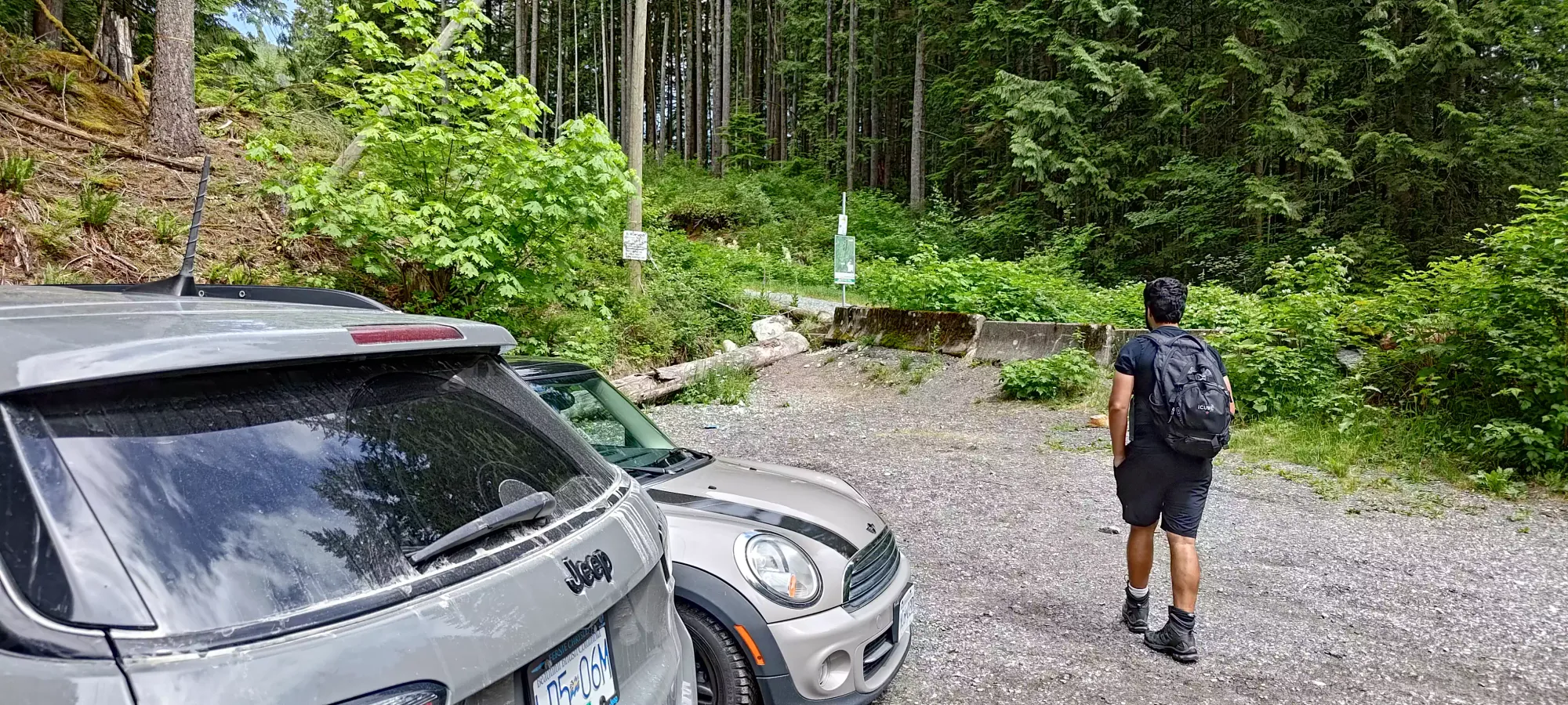
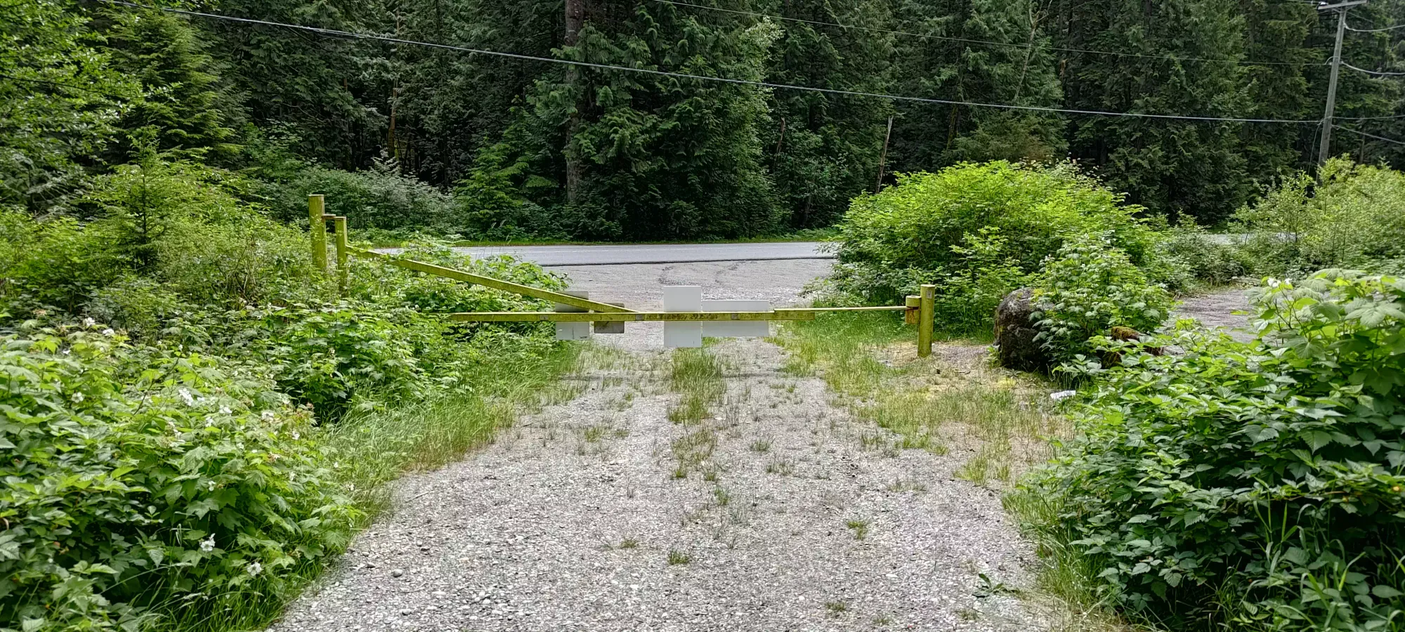
The first stop on our journey (after picking him up from the bus stop in North Van) was Red Mountain. I decided this area just north of Mission would be ideal because we could try to go for more elevation/distance than I'd done before without committing to a larger objective and failing to achieve anything, as there's a ton of smaller peaks here. We parked, sighed at the gated road which would've otherwise been in excellent shape, sighed more at the trash collected at the trailhead, and set out at 11:42am.


There were a couple of immediate things to take note of. First was the sign right at the front indicating trial closures due to construction/logging. However, those apparently started the next day, so good timing by us! Do your research if you're reading this planning to repeat our exploits, getting crushed by logging trucks is bad. The second was the signs along climber's left of the road noting the boundary of a shooting range. Definitely don't wander into there, gunshots were going off constantly, and it didn't sound like paintballs.
About 6 minutes after we left the car, we hit the decision point where my GPS' hasty routing (did not plan the routes in detail) said to go up a side trail instead of FSR. There was another trail closure sign for the same reasons as at the trailhead, but we figured they probably don't put these all up on the day of, so it was probably just a sign placed in advance of the coming closures. So, we decided to go for it and ascend this trail, as it looked maintained enough to be okay for my injured ankle (not too rocky/rooty) and more interesting than walking up a road.
Went spent the next 35 minutes getting up through this forested trail to the exit at the road above, gaining about 250m of elevation in the process and working up a good sweat. The trail was mostly dirt, with occasional rocks or roots. It was seemingly primarily a bike trail, so there were ramps and such throughout the trail; this probably explains the lack of obstacles that would make for hazardous downhill biking. There was one short section of steep dirt without anywhere to step flat with my injured foot that made for slow, difficult going, but I made it up unscathed. The final few metres were a bushwhack because we were following a trail from our maps which no longer existed, but it wasn't that dense or long, so we didn't worry much about it.
Once we broke onto the road, we stopped for a few minutes to plan our route now that we were off the bike trail, and lament how much the sun made it feel hotter now that we were out of the trees. Once we got going, we made our way onto RE120, and took that past a small chain blocking the road (ignored for the same reasons as before), and to the beginning/end of the Crazy 8 biking trail, where we found a biker who we chatted with for a minute or two before we continued back into the forest on that trail. This was conveniently right at the 1 hour mark.
We spent another 1o minutes getting through this trail to the top. Once again, it was a simple dirt trail, though this time fairly flat. We bushwhacked on a bump or two before arriving at what we could determine as the most likely summit candidate, then took a few pictures before turning back around.
The walk back down to the intersection of RE100 and RE120 took about 20 minutes, and there we split off to the second objective of the day, Red Steelhead Mountain.
Red Steelhead Mountain
Chehalis, Mission, British Columbia
580m
Picking up from RE100, we branched quickly onto RE140, which goes to the top of Red Steelhead. It is also in excellent condition, which makes sense since this is an active worksite, and the location of the comms tower being built. The road goes to the top, though on maps you'll see it as bypassing east of the summit and turning into the Mastodon trail. We took about 15 minutes from RE120/RE100 to the top. There, we were greeted with a couple outhouses, some trailers/containers, and a roped off worksite containing an in-progress tower. Thankfully, this was the top, so we could still feel satisfied having bagged the peak, so we managed not to aggravate any site staff watching on the cameras (I hope) as we took a few pictures before heading down.
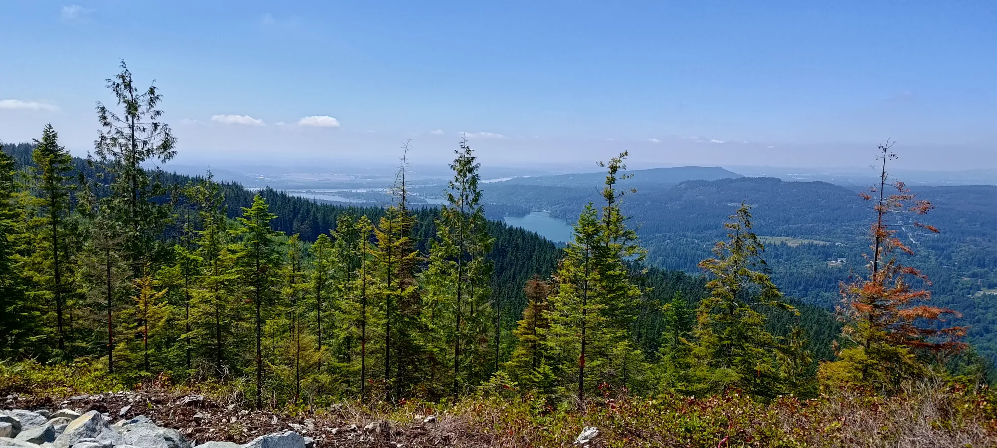
For the first time in a while, at least, we had some good views from here, which was nice given I dragged my city-dwelling friend along to tediously slog on logging roads with me. At least I can say he got some views for it.
Once we finished enjoying the top, we spent a few minutes figuring out where to go, since maps said we were supposed to backtrack a bit and the road would magically continue into the forest. After a little bit, we figured out they were just old, and the Mastodon Trail is actually an old road that's been overgrown substantially, and that was where we were supposed to descend. We could've done down the mountain bike trail, but it's good to avoid those if possible for collisions, and my ankle prefers shallow descents, so the easier Mastodon Trail was chosen.
The descent was quite boring, just walking down a pretty evenly-graded walking trail. At a couple spots there were steeper sections that required careful stepping for me, but otherwise we just slowly walked down til we hit the car. As usual these days, it took just as long to go down as it took for us to get both of the summits, but oh well, not much to be done about that. After we got to the car, we had some lunch and planned out the next peak of the day, as we had a couple hours before Amour needed to be home.