Phalanx Mountain - April 19 2025
A short and sweet peak, accessed from the top of the Showcase T-Bar at Whistler/Blackcomb, this summit is a pretty accessible one, with a fun bootpack (the Stairmaster) to the top, and some pretty nice ski lines down further into the backcountry, or directly back inbounds

Spearhead Range, Whistler, BC
2441m
After a big day on Mamquam the day prior, I was planning to just take it easy on this Saturday, as the forecast was for some weather to come in, and I'd just done a pretty big day. However, I noticed that the weather was not too bad before I went to bed the night before, so I figured I couldn't let that go to waste, and pulled this out of my back pocket. Kelly agreed it made sense for a last-minute "may as well get something" day, and agreed. He had to be home by 5pm, so something bite-sized made sense. So, I set out at the agreed-upon "whenever I naturally woke up and was ready", picked Kelly up, and we made our way up the lifts.
Thankfully, the T-Bar was running, so after riding up to the top of that, we got off right at noon, made the short boot up to the glacier's entrance, navigated the sharky entrance, rode the long, curling traverse over to the backcountry gate, got our skins on, and started making our way up the upper glacier. It's rare to get to start this late, but I was very happy to do so after such a large day on Friday.
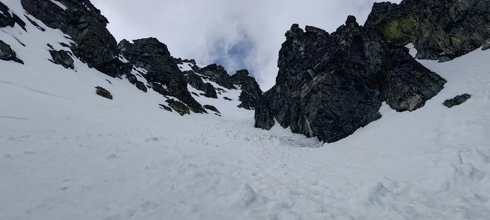
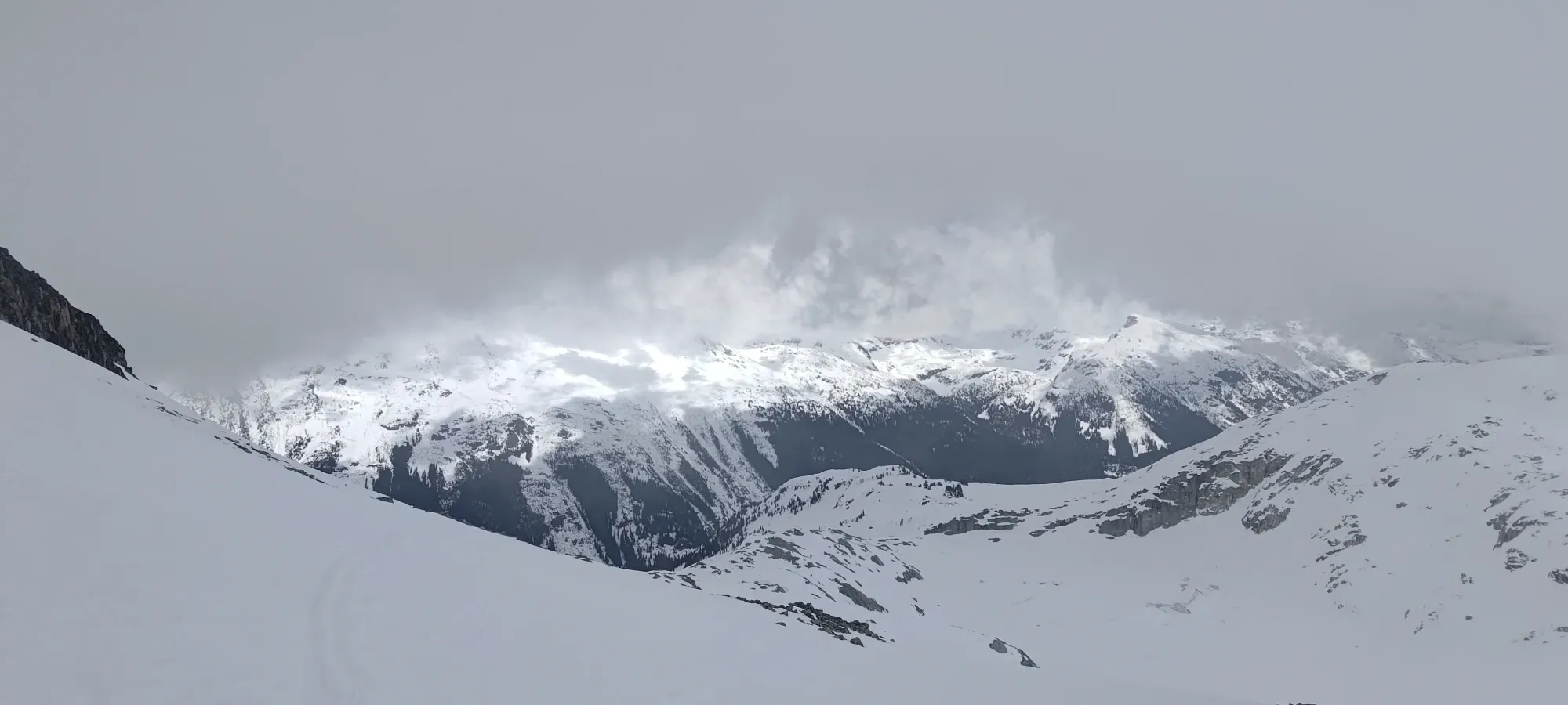
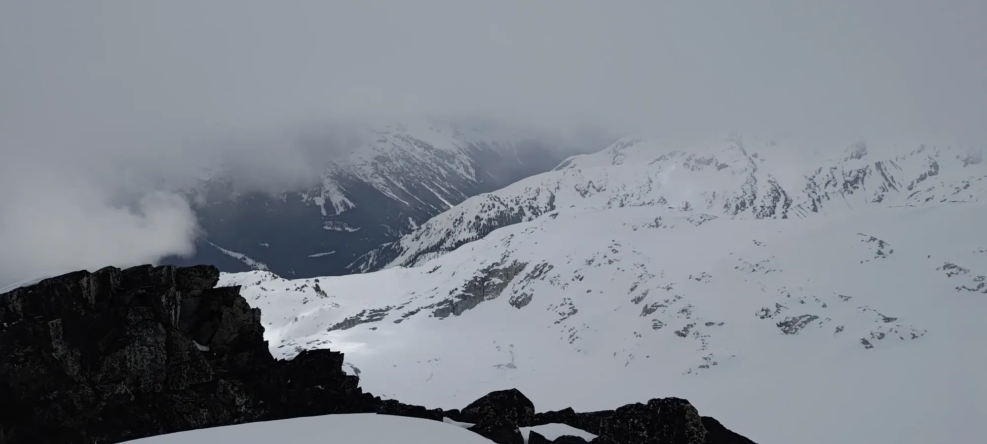
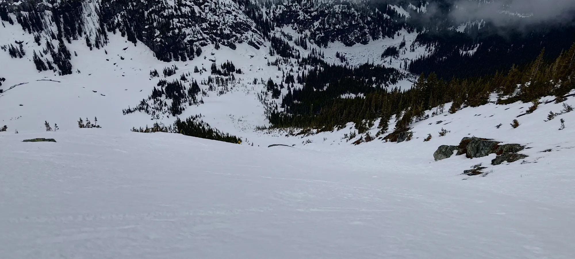
Being a bit tired from the day prior, we didn't push too hard on the skin up, but just took it slow and steady. The clouds were in and out for basically the whole day, but thankfully we'd both been up at least to The Spearhead, so this part was easy to navigate ("just follow the fattest skin track"). The skin up to the entrance to the Spearhead Glacier took us about 25 minutes, so along with the traverse over to start the skinning, it took about 45 minutes to get there from the top of the t-bar.
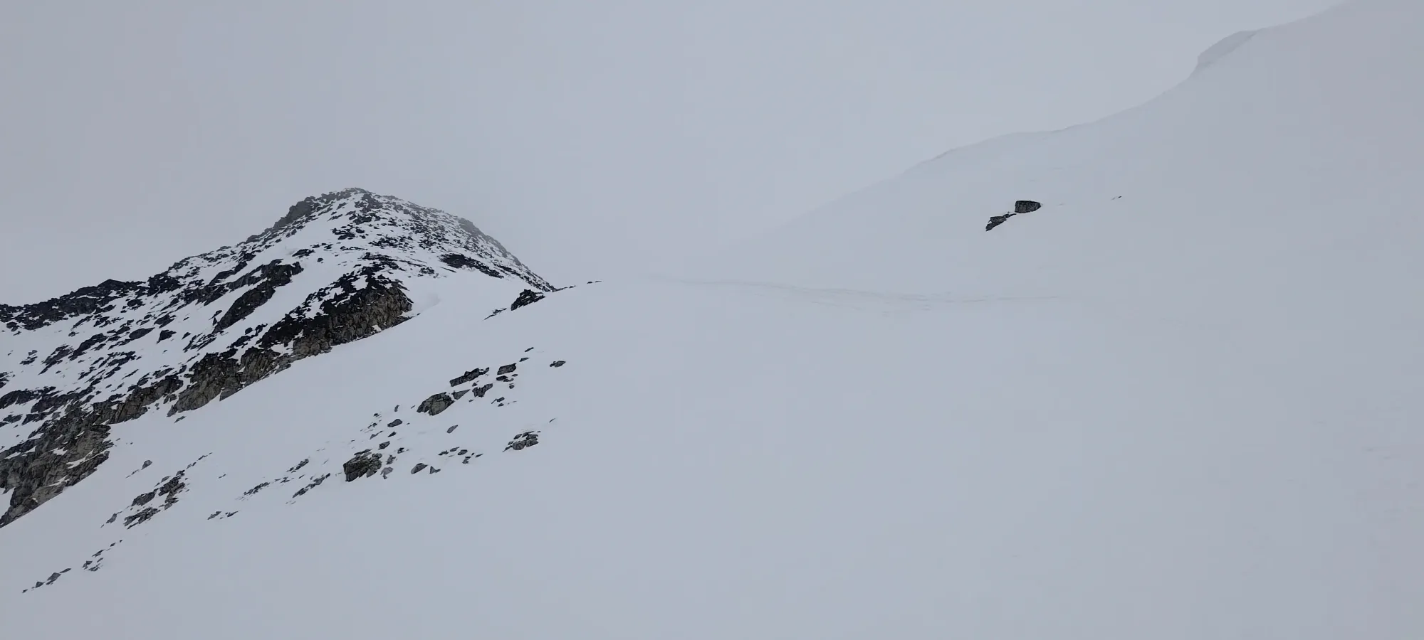
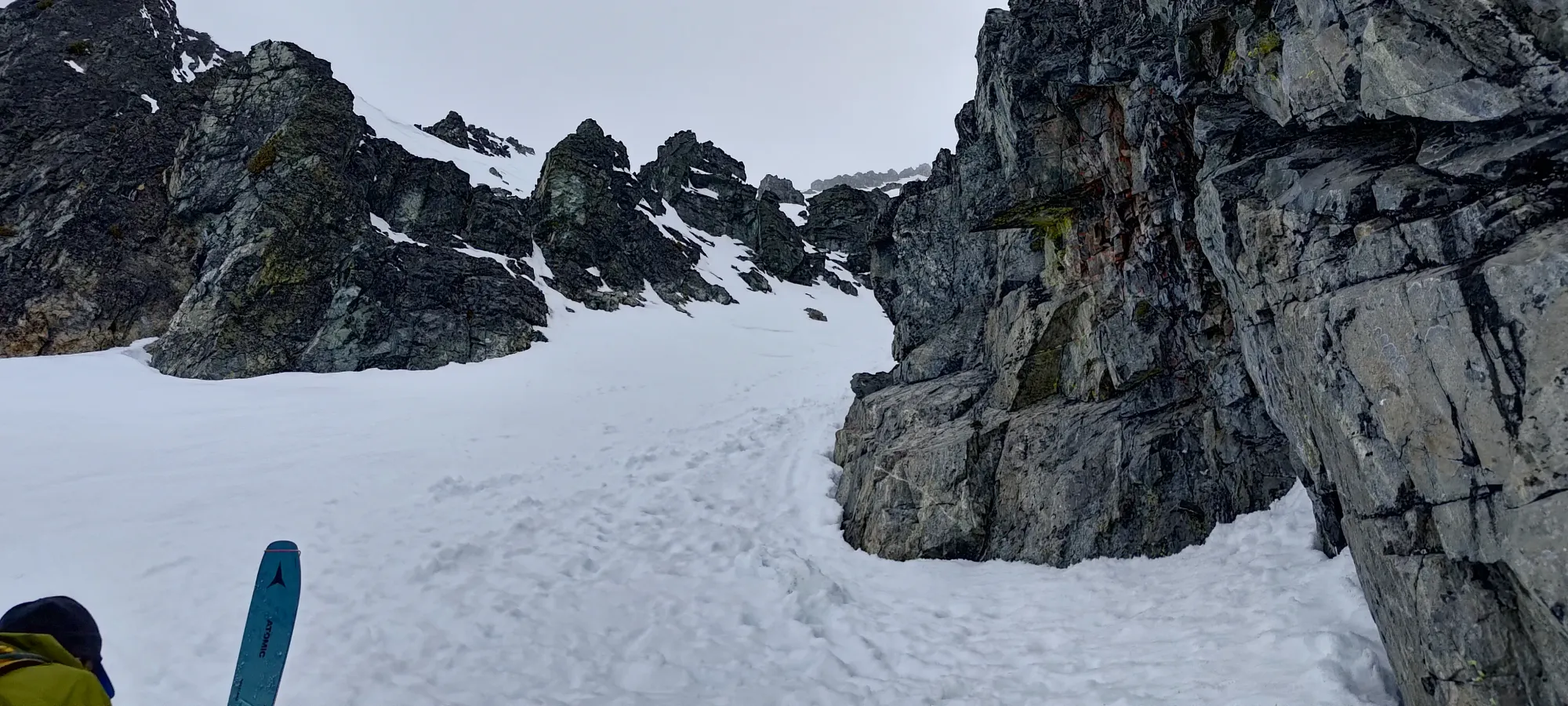
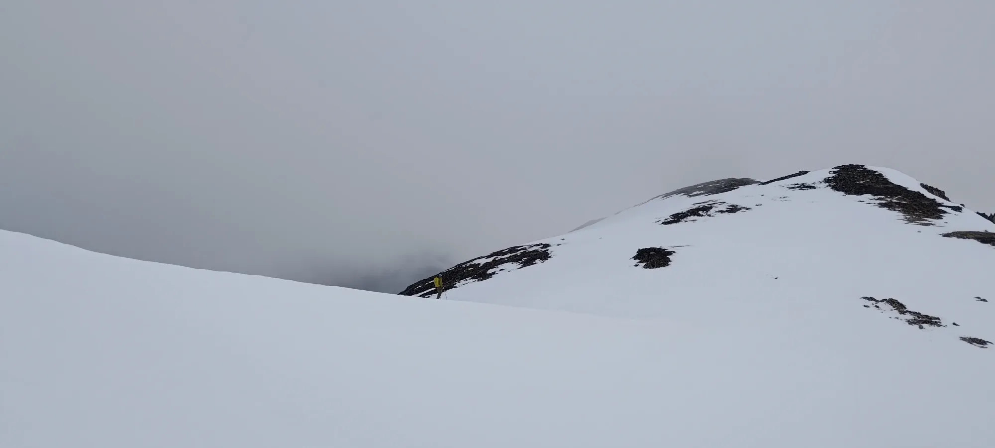
We first tried the highest traverse, but we weren't sure how it would go on the other side. Given the amount of tracks, I was pretty sure it wasn't anything gnarly, but since we had time, and Kelly was pretty sure he'd done the lower route before and it worked out, we retraced our steps, and took the lower route over. This put us at a short bootpack (maybe 20 steps) to get over the small ridge between us and the bottom of the Stairmaster couloir. So, we popped our skis off and clambered over, hoping for straightforward terrain ahead.
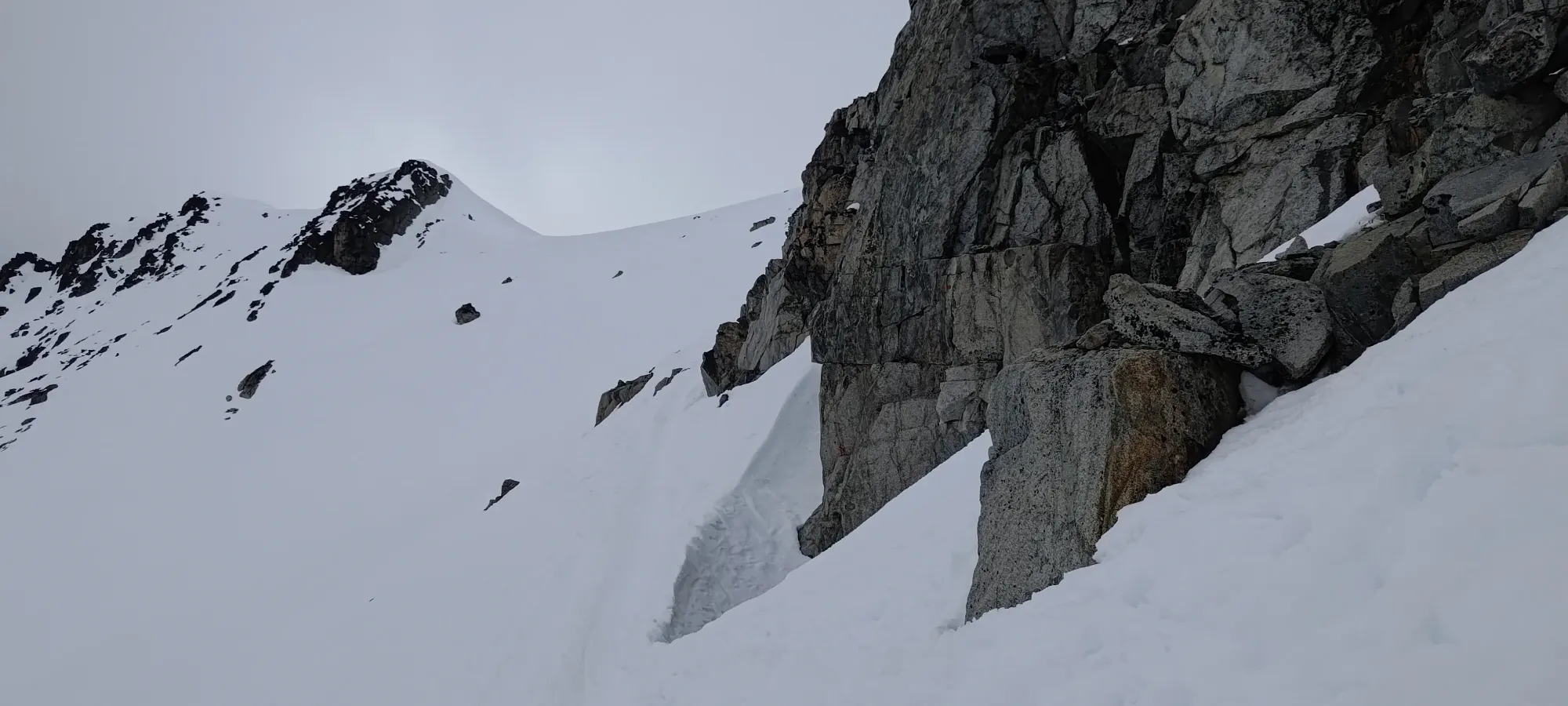
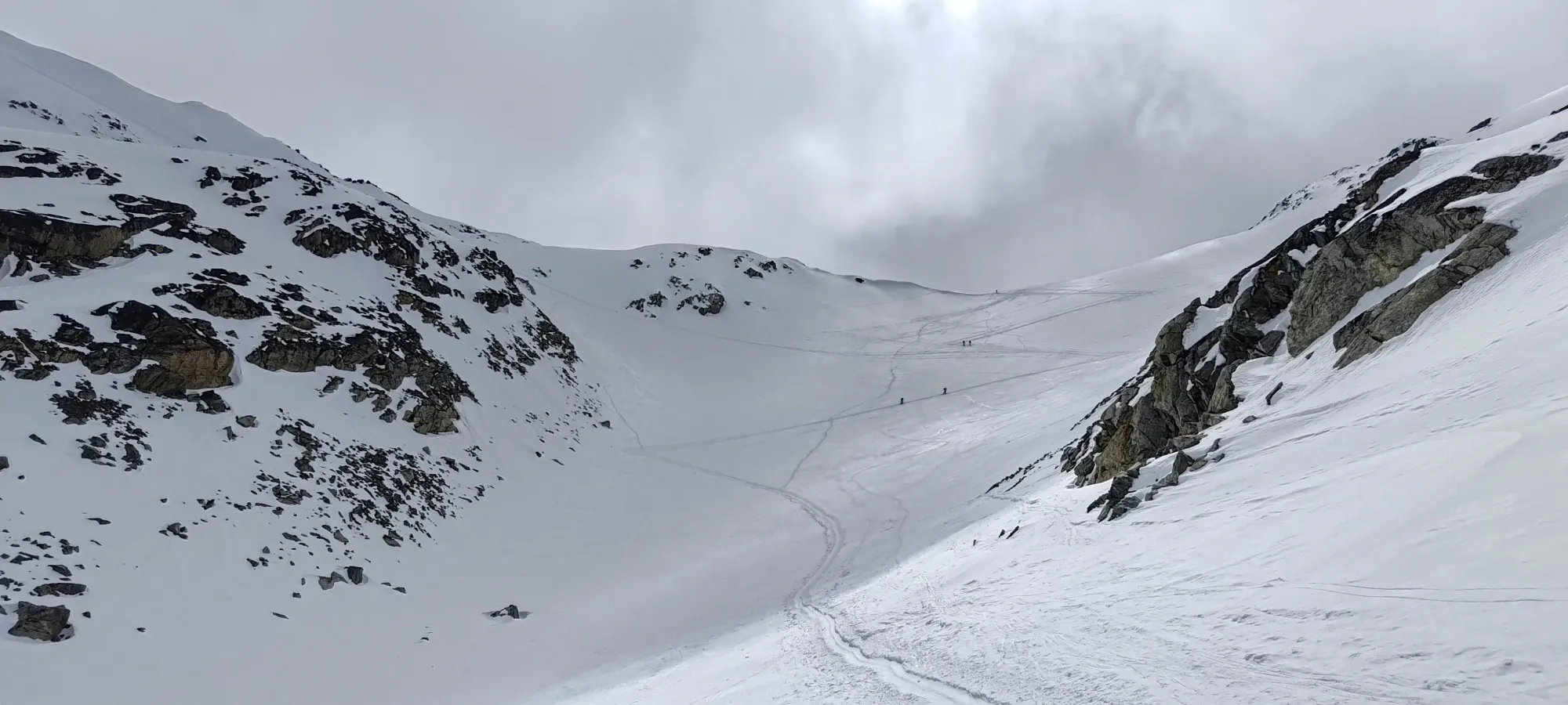
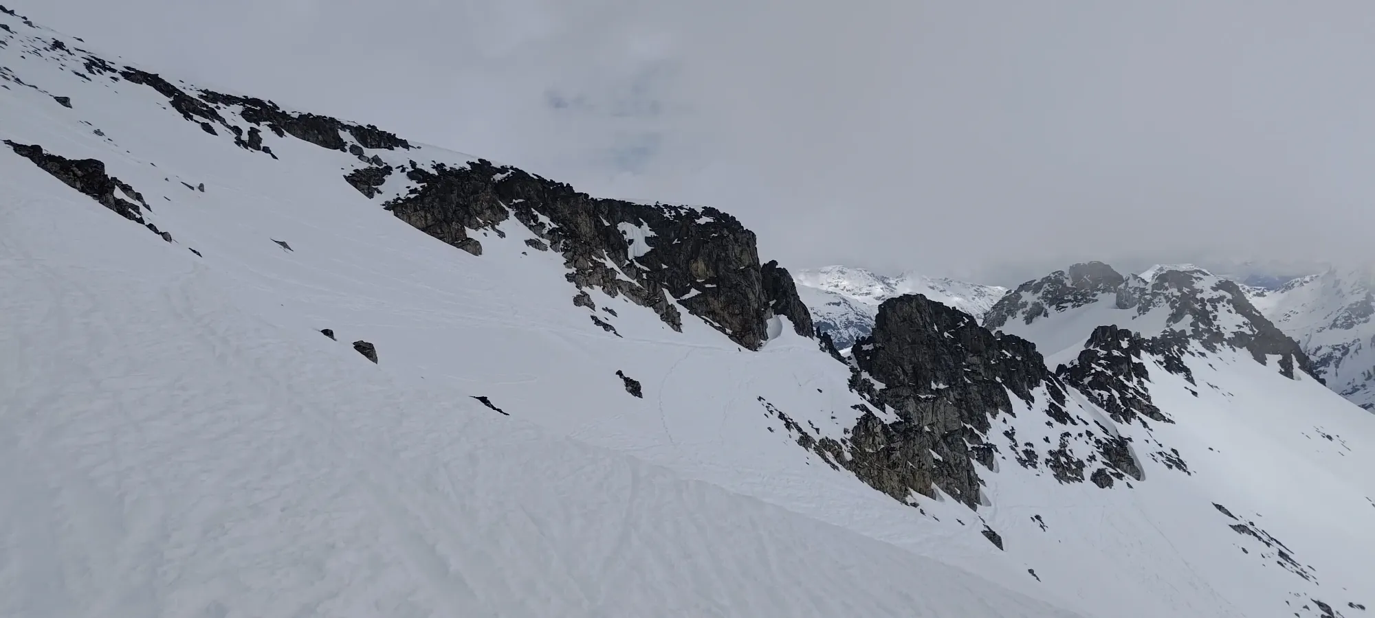
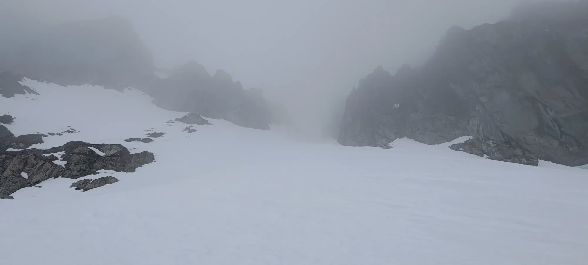
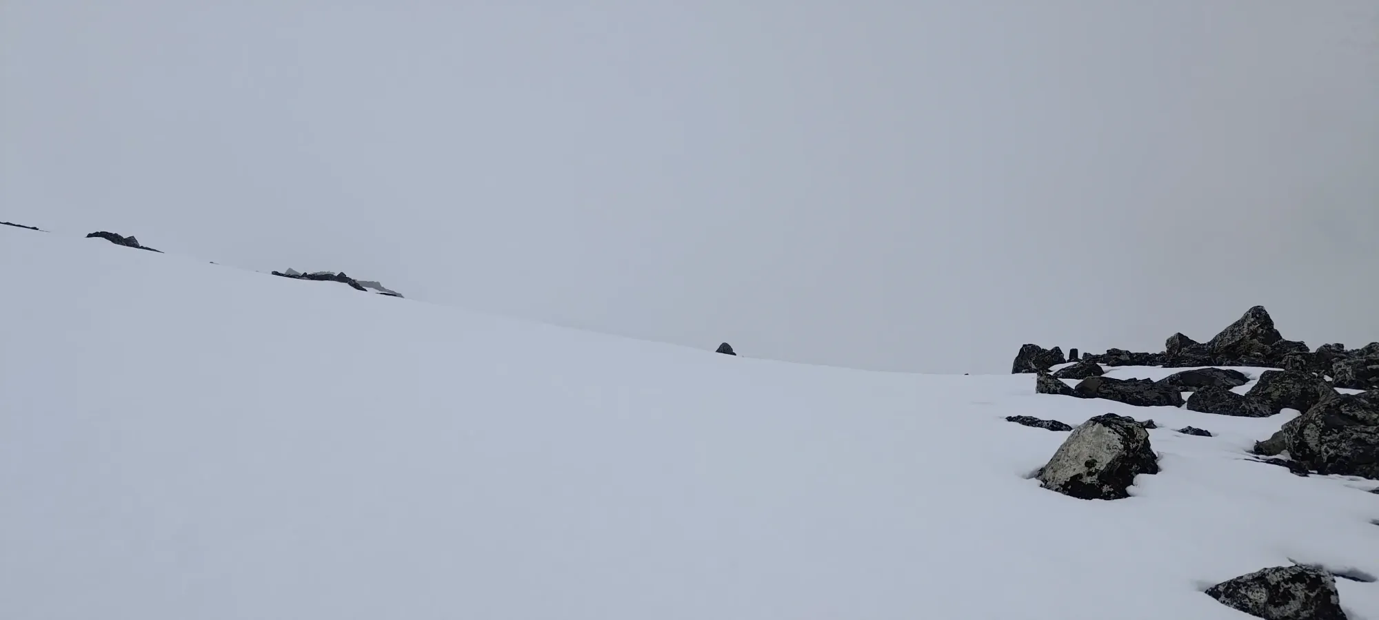
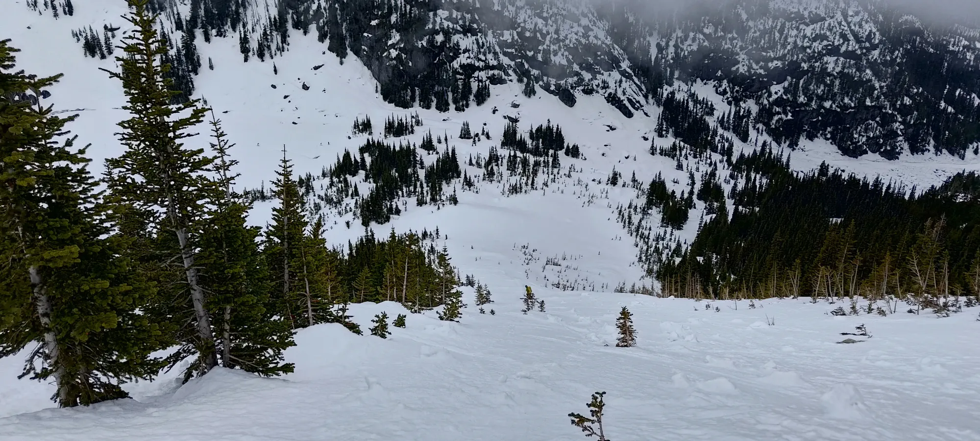
Once we got onto the ridge, we sadly still couldn't see all too far, but the route was pretty straightforward, just sidehill along the east side of the Phalanx-Spearhead col until we got past enough subpeaks that we could start skinning up to the couloir. So, we tediously traversed on some subpar, icy snow for 5-10 minutes until we reached that point, at about 2230m. Then, we slapped our skins back on, and started walking.
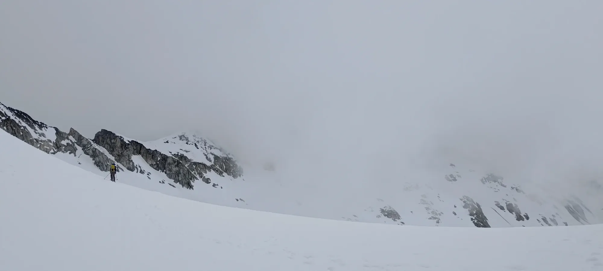
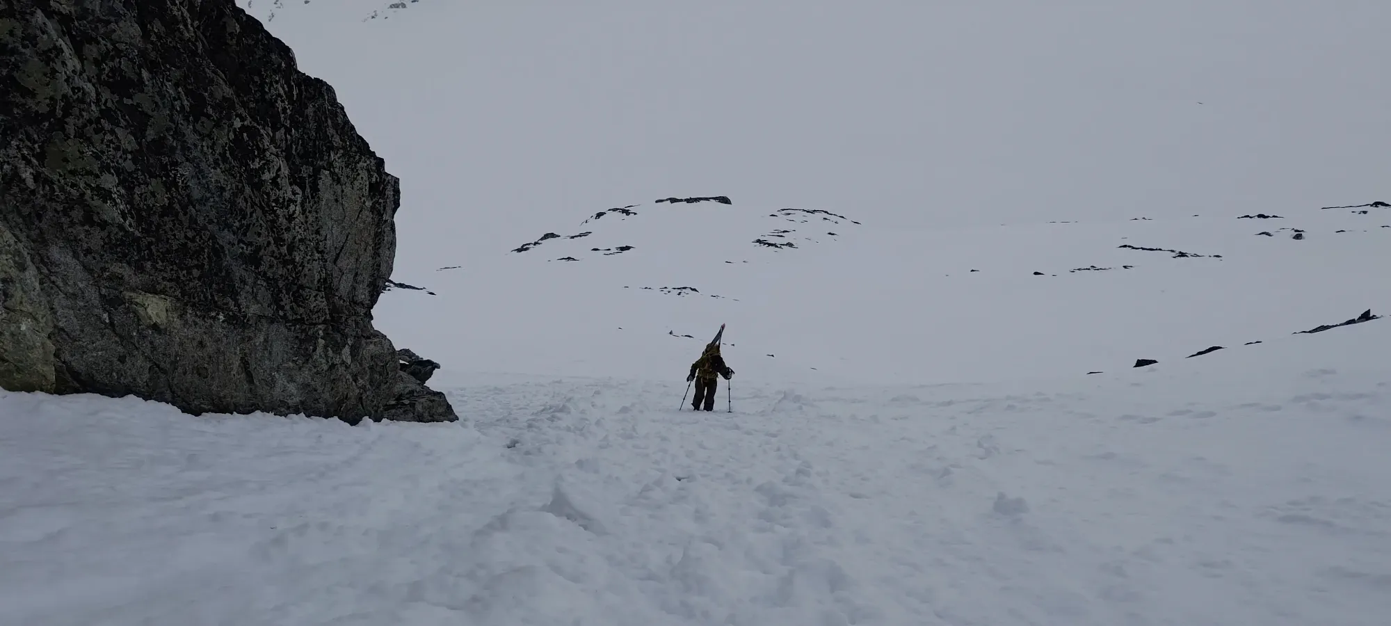
We got a bit too high too fast at first, and ended up gaining, then losing 25m of elevation or so, but after about 10 minutes, the clouds started to clear again, and we finally traversed enough to get to the base of the main climb. There were some switchbacks cut in with skis for a bit, so we kept on skinning for a couple minutes while we had a nice track set for us.
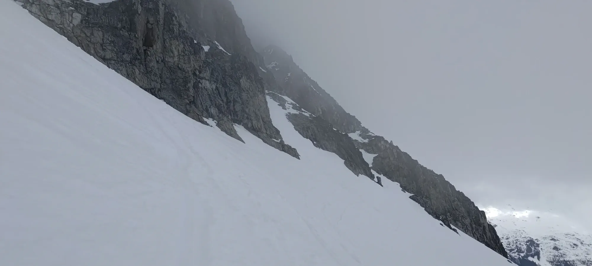
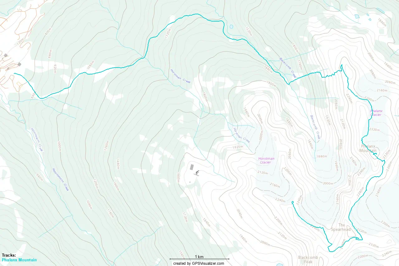
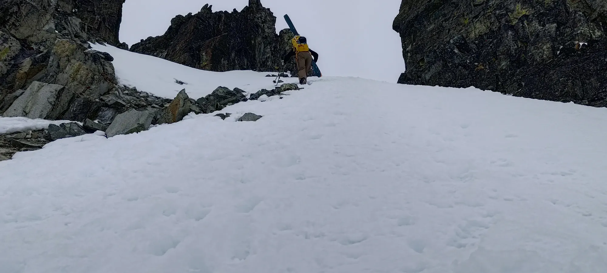
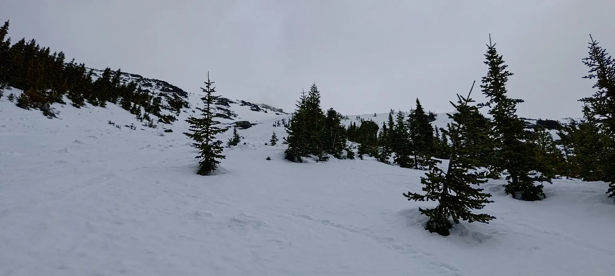
We skinned to just above 2300m, then decided to start booting once a decent bootpack was set, as steep skinning is a bit tedious, and if you don't have to cut deep tracks into a ski run, why do so?
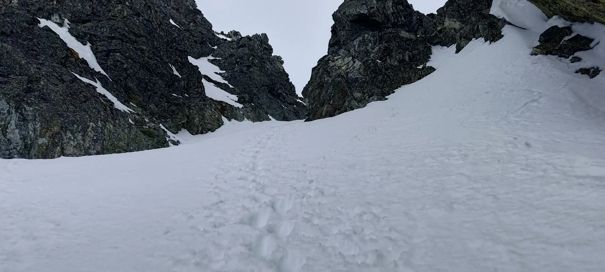
The bootpack was quite the rare experience for me, as I took the lead, and Kelly didn't immediately catch up and push me to start sweating buckets to keep up! I guess the previous day was finally big enough to catch up to him a bit 😄. With a nice track set, we took about 20 minutes to get up ~140m of elevation, not too bad if I may say so myself! The couloir was quite easy to boot up with a good track set, and it was even skiable down if one found unfavourable conditions on the other aspects (though this isn't that common, it is sometimes done).

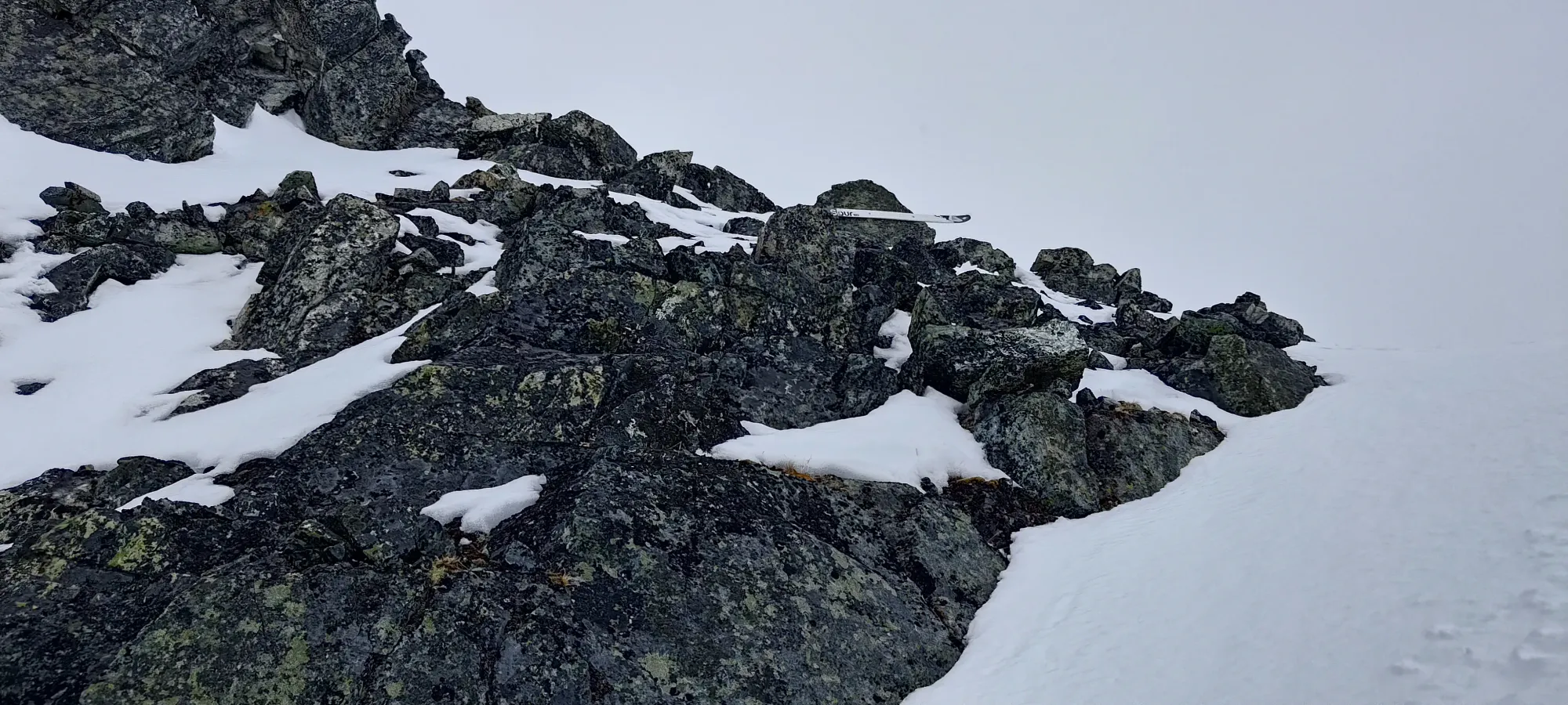
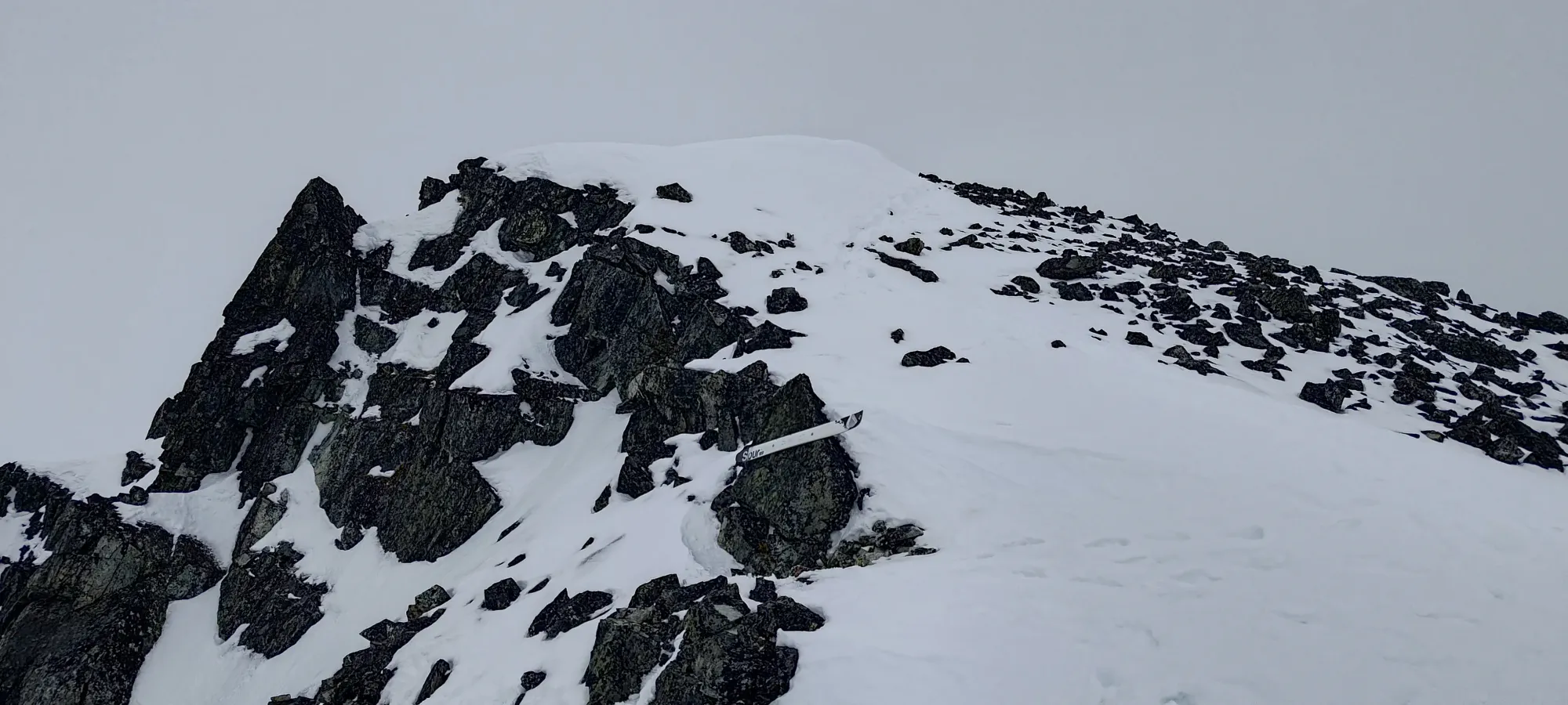
Near the top of the col, we found a random ski nailed to the rocks on climber's left. I wonder if that was a marketing ploy by the manufacturer, or if it has some other meaning I'm not aware of...
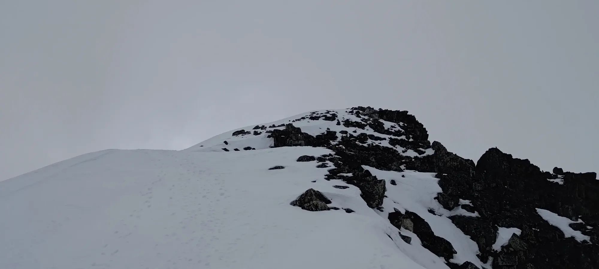
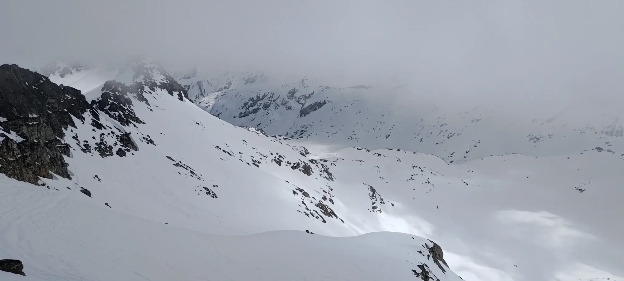
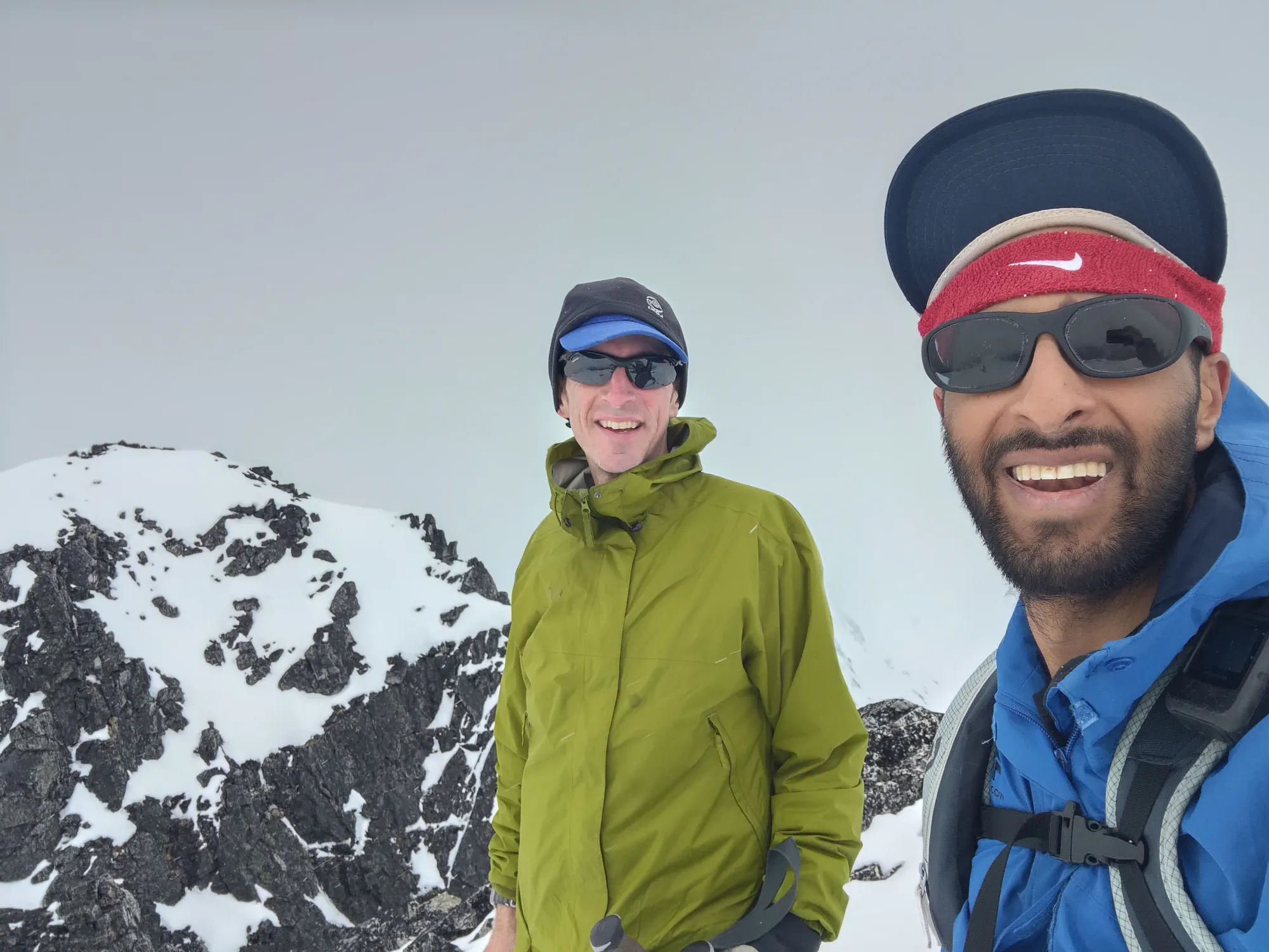
Once we topped the col out, it was a short walk over to the top. Kelly dropped his pack like a loser, but I was determined to ski off the summit for the excellent, mellow, icy turns back to the col 😄. As we topped out at about 2:10pm, Kelly realised that he forgot he'd booked a dentist's appointment at 3:30 in Whistler Village, so we hurried our summit celebration a bit, spent a minute studying the Spearhead Backcountry Atlas I'd brought with me to try and suss out the most logical descent route, and we started to make our way down 10 minutes later.
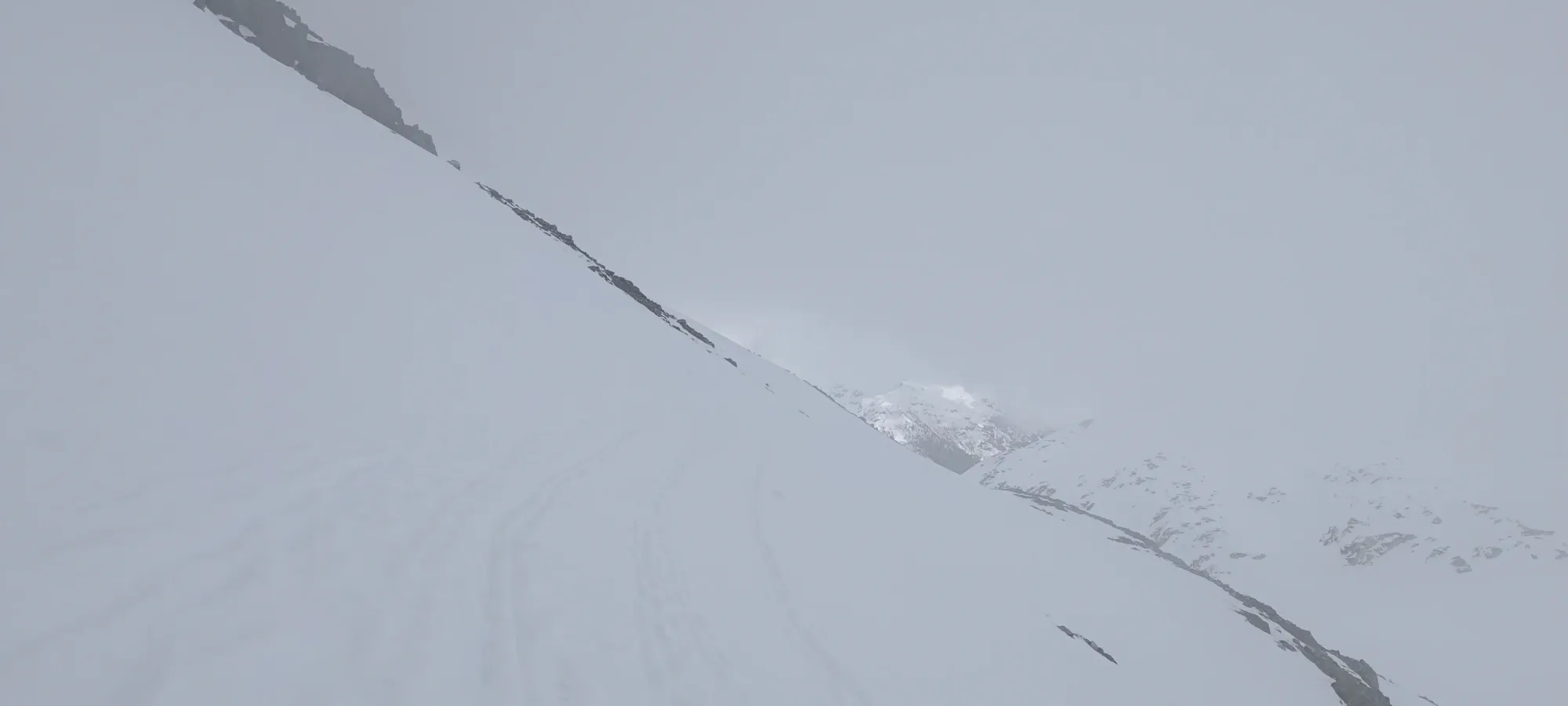
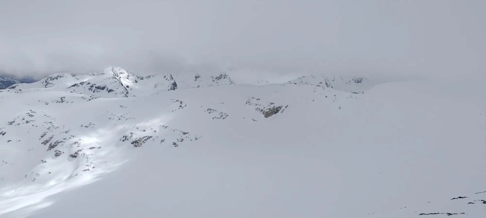
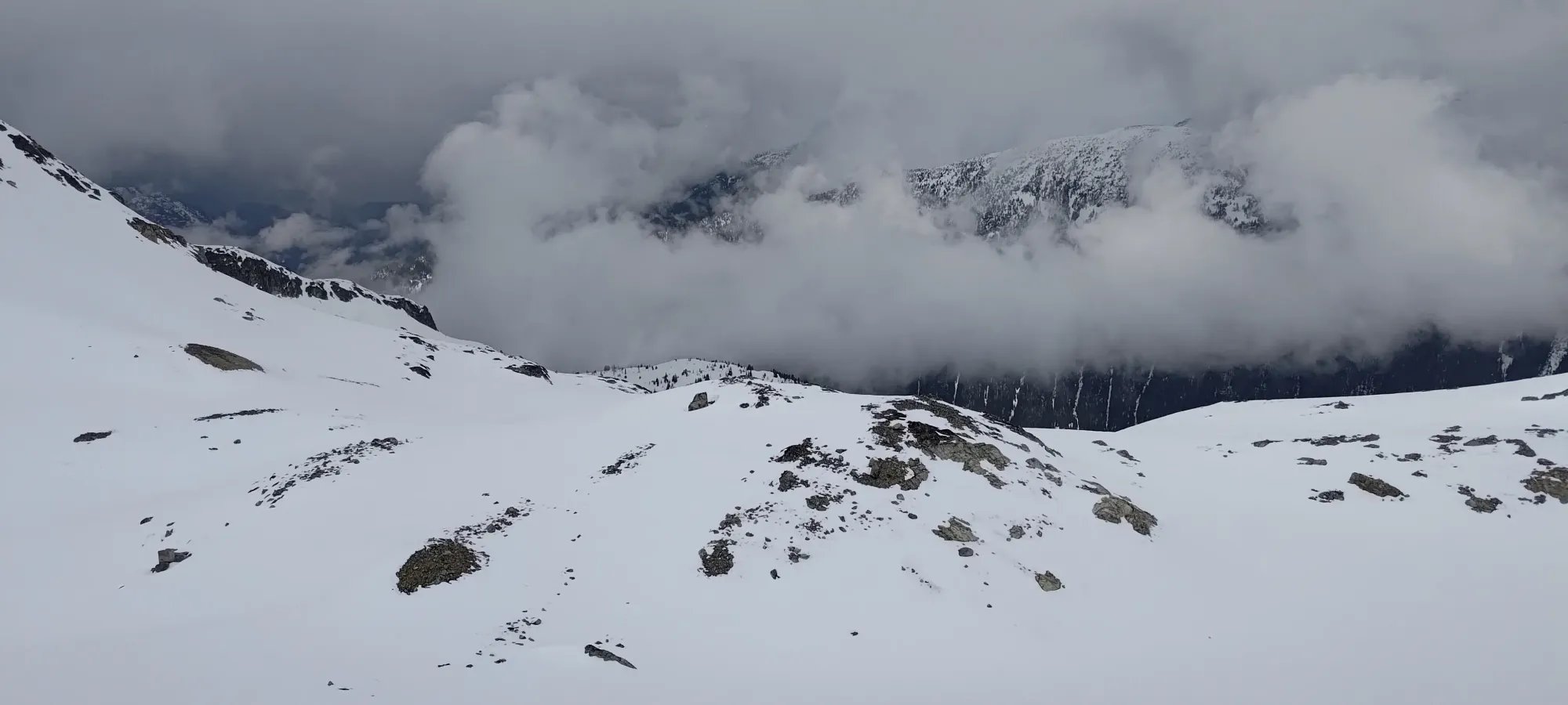
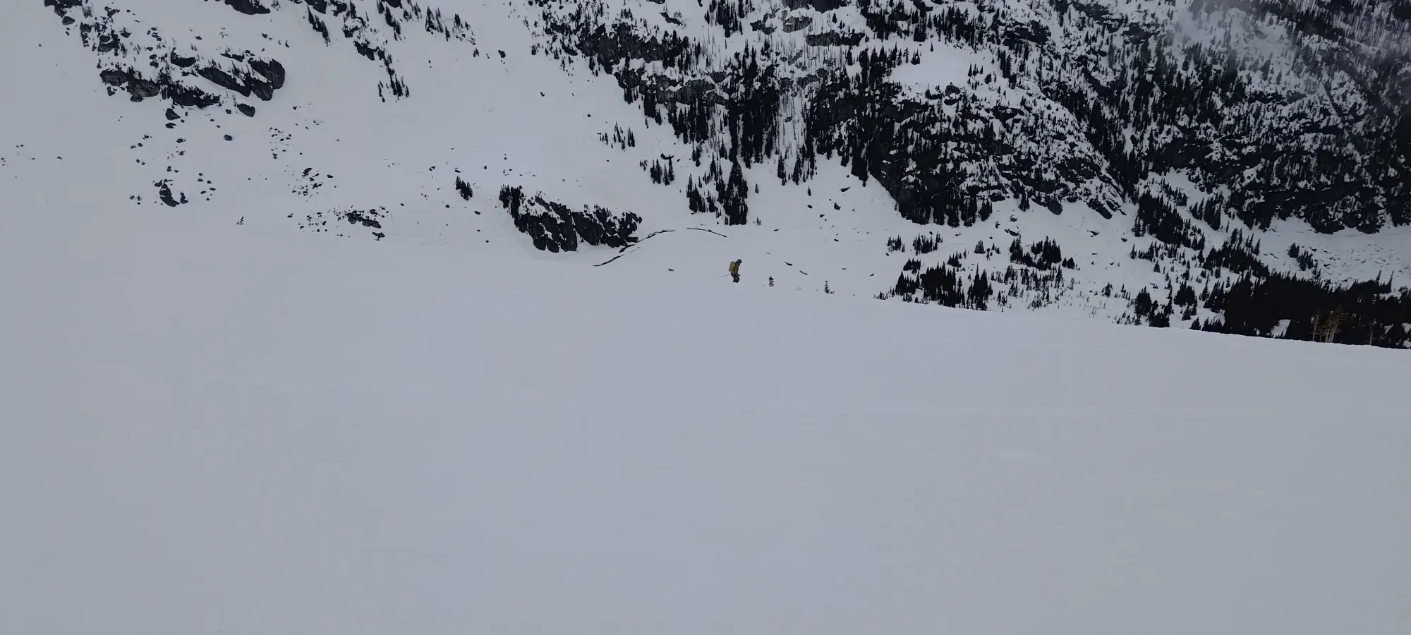
We saw some skiers who seemed like they knew what was up as we were getting ready to ski down, so we tried to follow them, hoping they'd be taking the fairly-direct S-turn route down to the Blackcomb Glacier. The guidebook notes that critical routefinding was required to avoid large cliff bands, and given the vis, we didn't plan on trying to pick our way down correctly without having studied the route better. We chased the across the upper Phalanx Glacier, but they didn't seem 100% confident either, so we decided to take the safe/long way further down the Phalanx Glacier, then make the short ascent up to get into the Poop Chutes, which promised to be a simpler routefinding exercise.
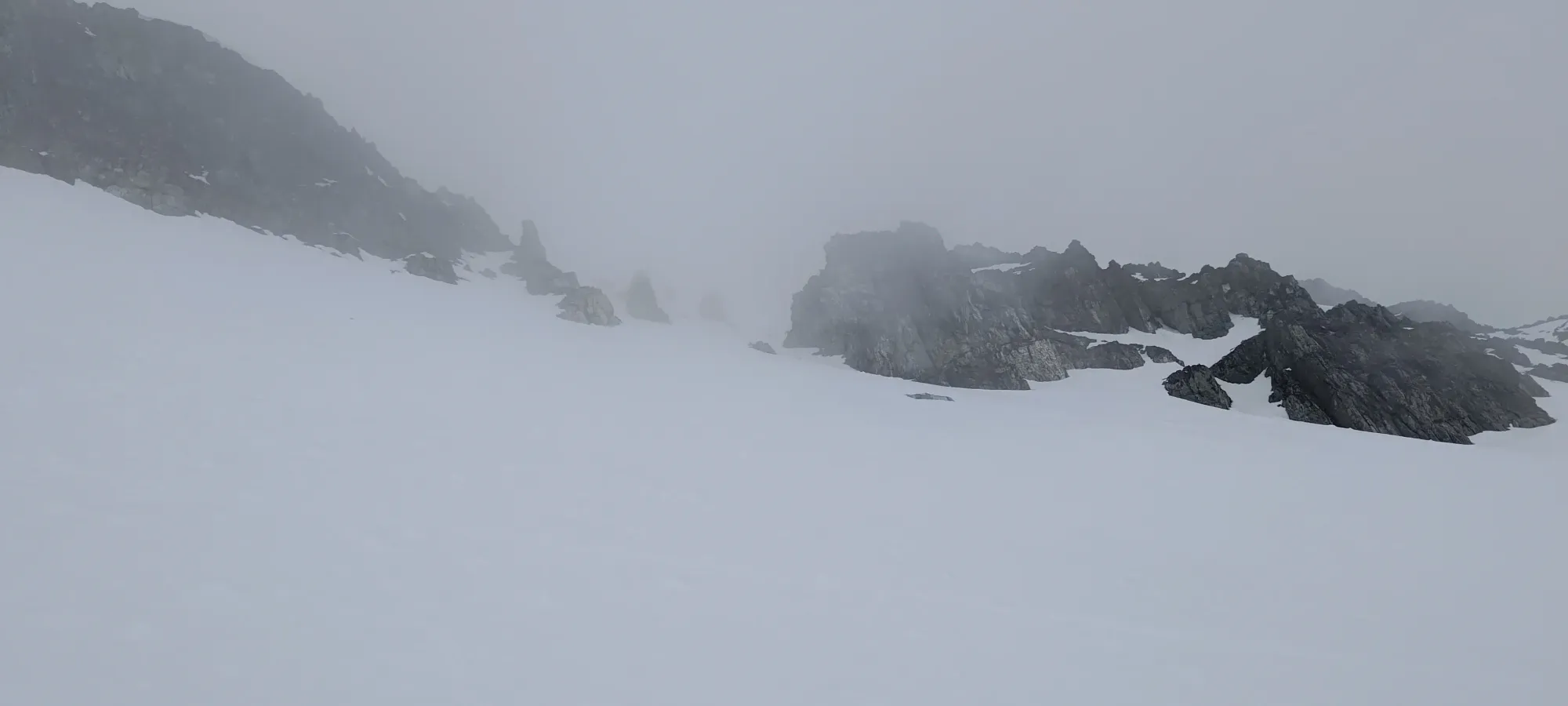
The snow was a bit firm and frozen, but it wasn't terrible, and we made our way over to the bottom of the access to Poop Chutes in about 10 minutes, then decided to bootpack over instead of spending time putting skins back on, hoping to come out net-positive vs transitioning twice.
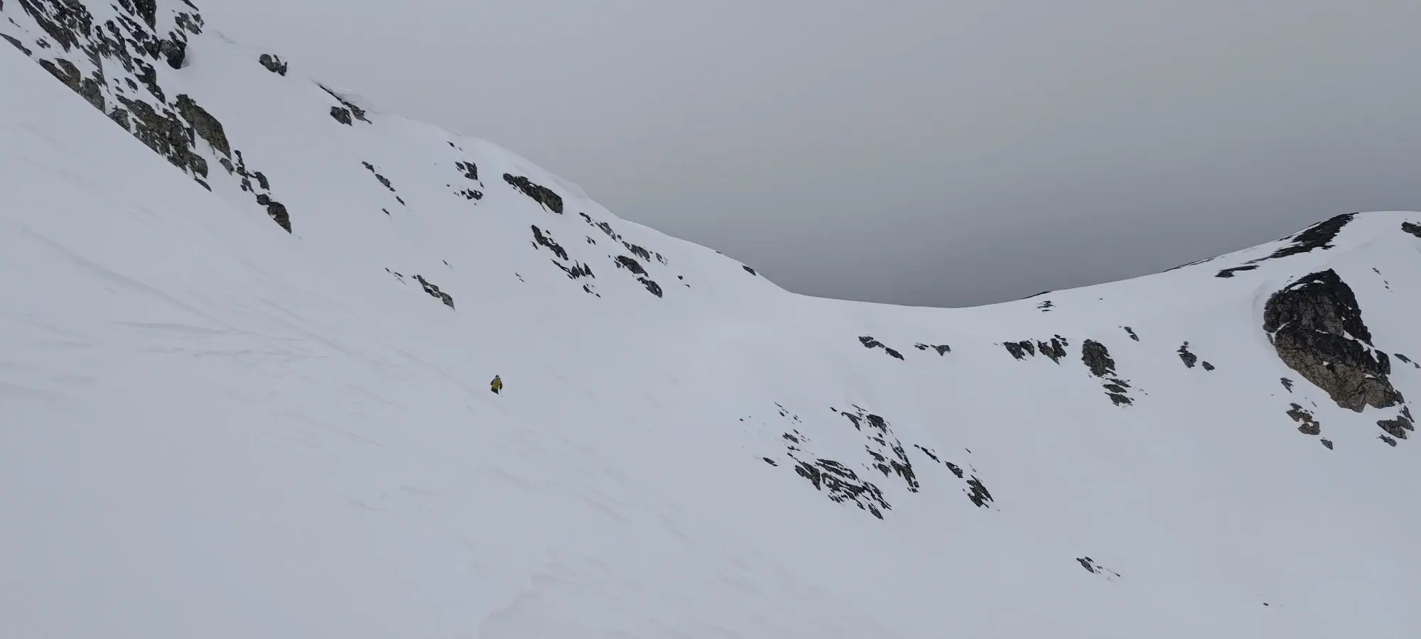
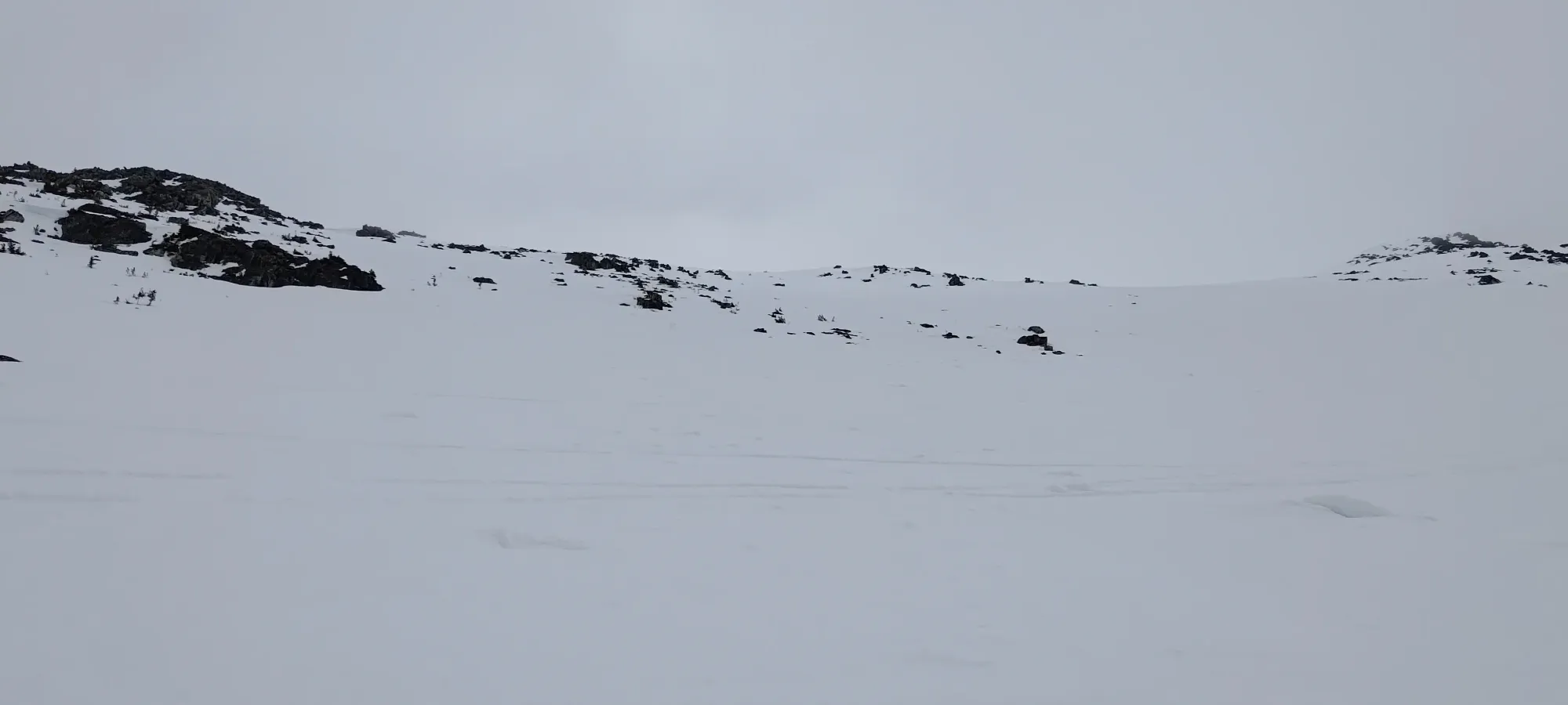
Getting onto the ridge wasn't too bad, and we were able to put our skis on in under 10 minutes. However, without knowing the terrain super-well, we ended up side-stepping higher and a bit further than we needed to, and ended up having to circle back a little bit after going too far north in our attempt to get to the line. The upper mountain here is actually pretty open, and you can ski down pretty broad slopes and just bear towards your line, and it should work out okay.
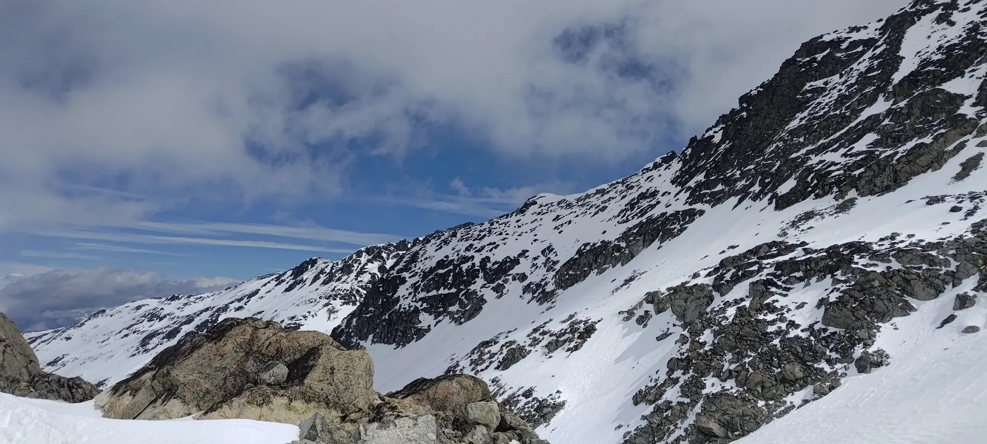
Once we got to the point where we wanted to start skiing, the terrain actually ended up being pretty great! Open, steep slopes, and plenty of snow to go around. Sadly, while all those stars lined up, the snow quality wasn't quite there, as the clouds prevented the sun from corning things up over 2000m, and the snow was quite icy and chattery. We survived the first 1/3 of the run in those conditions before it started to soften a bit.
In the next third, things went from honestly kinda bad to decent. At around 1950m, we spotted the proper run over to skier's right, and traversed over to it. By this elevation, the snow finally transformed into some pretty sweet, soft corn, and we ripped down the rest of the run in one go, and made the very-short skate over to the "gathering point" at the sign before the glacier road ski run goes downhill back towards the Crystal Chair. We were getting a bit pessimistic at the start of the ski down, but this totally redeemed it. At least half the run was actively fun, and now we knew the terrain better, so we could come skiing here in search of powder on resort days in the future. Never sucks to have more knowledge about the terrain surrounding your home resort, after all.
Even with a little navigation to do, and some bad snow at the top, the run to the cat track took less than 10 minutes, and from there we just straightlined it back to the car at Lot 7, doing our best to get Kelly to his appointment on time 😅.
We made it to the car a touch over 3 hours after we started the walk up past the t-bar, or at about 10-past-3. That gave us just enough time to gear down and get Kelly to his appointment right on schedule. I took the opportunity to order some pizza from Handlebar Pizza at Blackcomb Base, and dropped his stuff of while they cooked it, which worked out nicely 🙂. For a last-minute plan on a day where I expected to just rest and hide out from weather, not too bad!
I'm sure I'll be back to Phalanx again for "just skiing", but this was a good way to get familiar with the terrain, get a summit in, and make sure I didn't let a decent day go to waste 🙂
GPX Track + Map