Olivine Mountain - June 24 2023
The first and last "real hike" of our peak-hunting day in Tulameen
Mount Thynne Area, Tulameen, BC
1803m
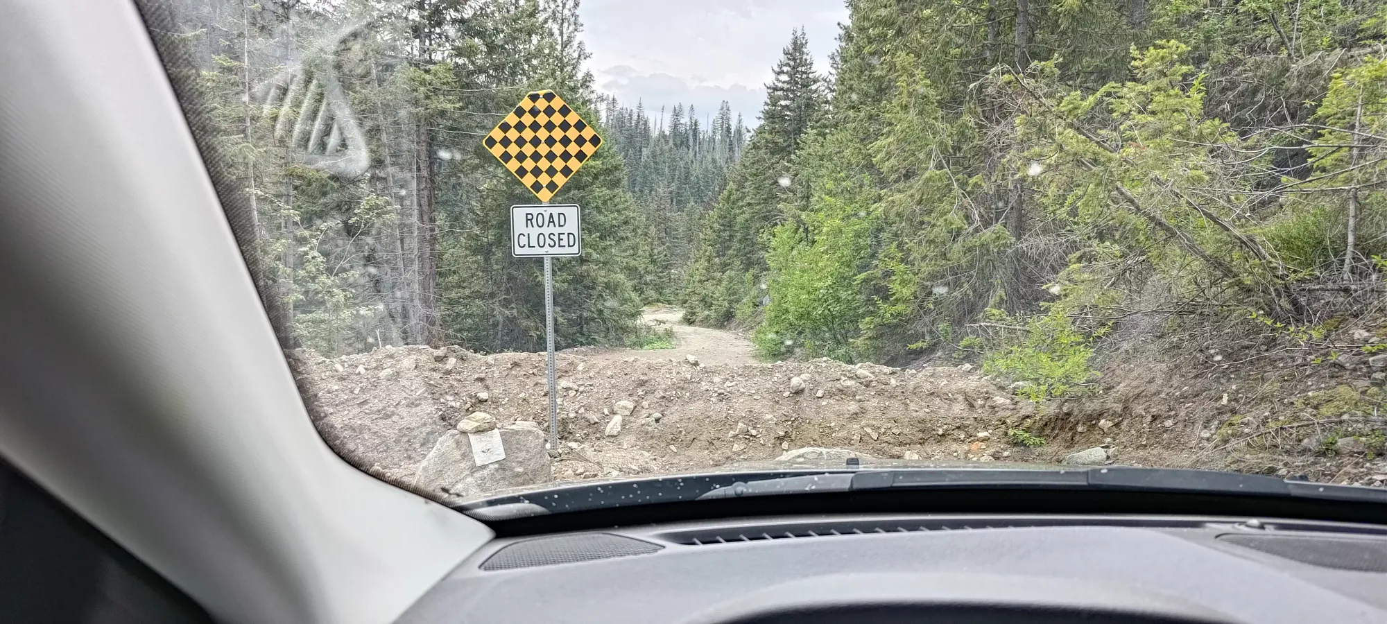
After getting 2 peaks down earlier in the day, Ling and I decided we wanted to go for the bigger, more meaningful Olivine Mountain. We already tried and failed to drive up via the HBC trail, which we'd heard was driveable (it is not, and also needs you to get across the Tulameen River). Then, after a distraction with the above, we tried to go down and drive up the road shown as being on the north side of the mountain. We got across the river on an old bridge, but were stopped at the second bridge later on by a "bridge closed" sign that looked very trustworthy (there were just straight-up holes before and on the bridge).
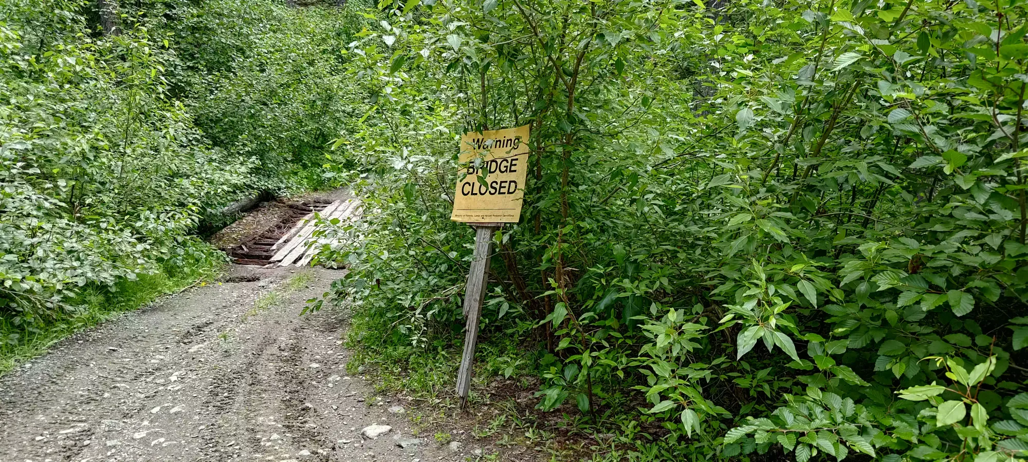
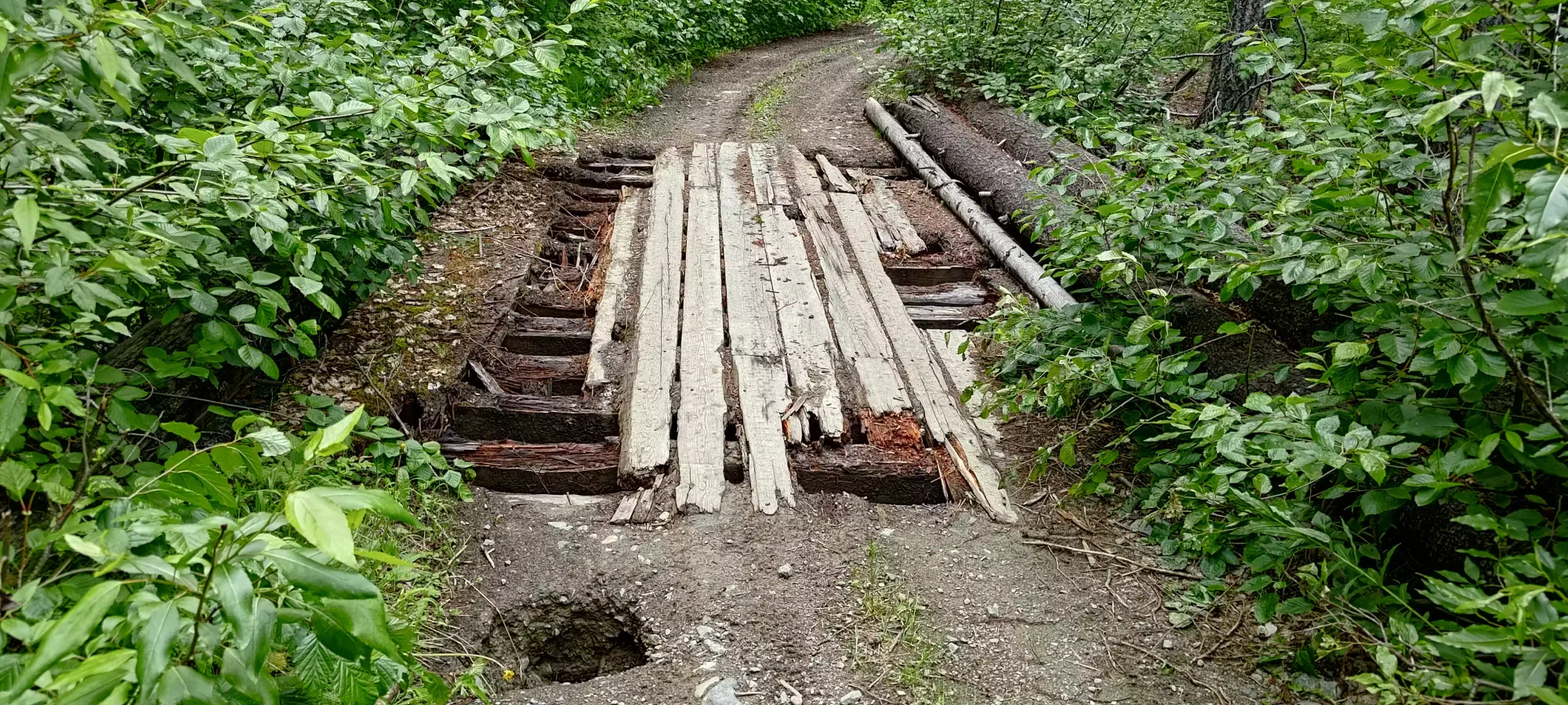
On the way back to the main road, we considered trying the ATV road that looks like it was created to bypass this closure, but decided it was not worth the risk as we had other peaks/routes that were at least mapped, and as such I can't say where that road ends up, it may be useful, or not. What I can say, though, is "use it at your own risk" because we saw another bridge closed sign on the way back over the first bridge. That was a bit scary, they should really put that BEFORE you get onto it...
After that we headed further down to see if we could get Mt Britton or Grasshopper Mountain, but were blocked by a road closure, though it seemed temporary, so that may not last forever. It did, however, force us to come up with yet another plan (thankfully this was somewhat expected, so we were not out of ideas just yet).
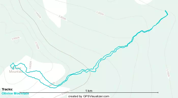
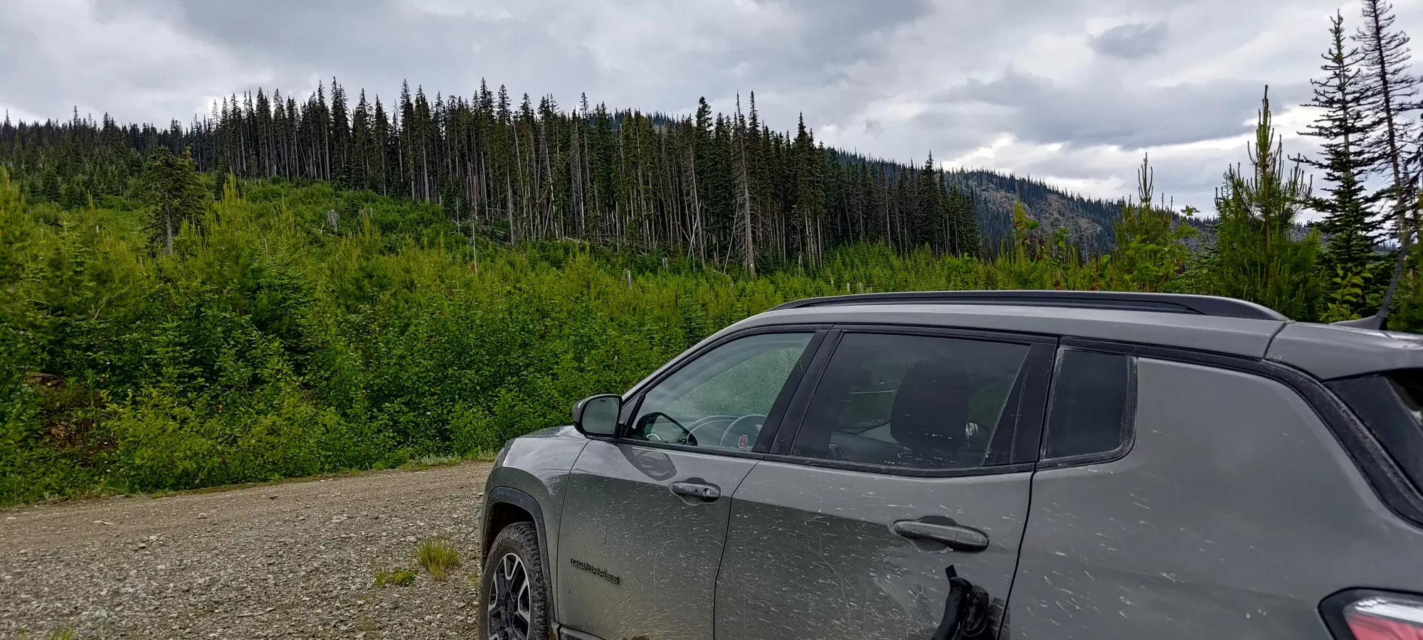
Our next plan was to drive all the way back to Coalmont (east of Tulameen, on the way in from Princeton), and cross the river there, and then traverse west on forest roads to access Olivine from the far side. This turned out to be an effective plan. It took a lot of kilometres on forest roads, but they were all in 2wd/low clearance shape, and we found ourselves all the way up at 1550m on the NE side of the mountain, right at the HBC trail which goes most of the way up. And so, now at 4:41pm after all that driving around, we set off for peak #3 of the day.
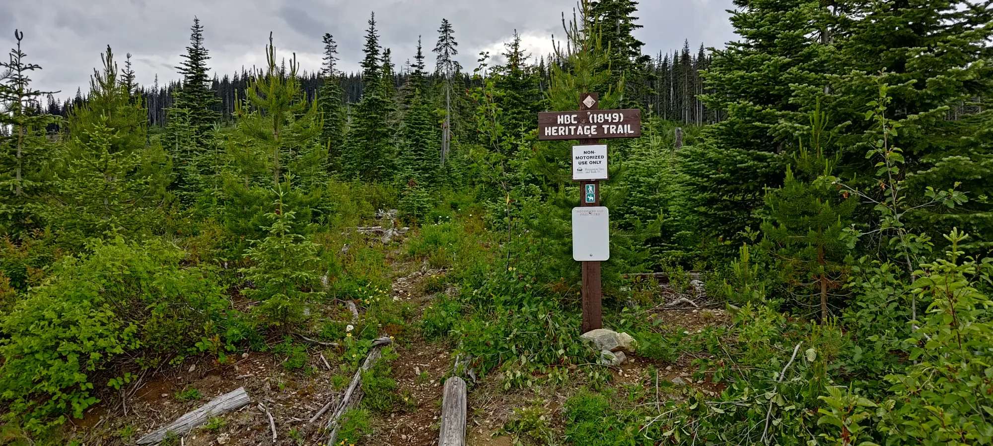
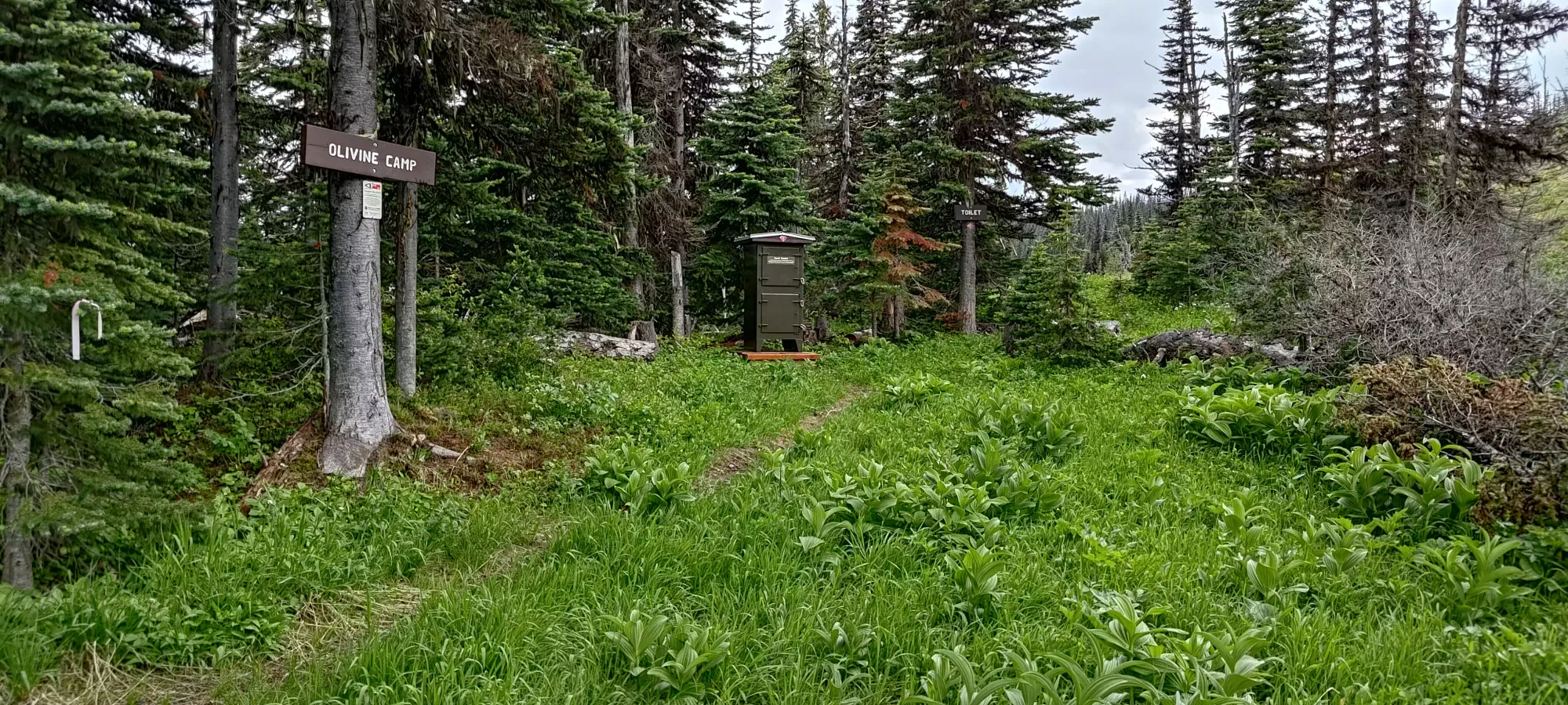
The HBC trail is pretty good, although it's a bit overgrown. The growth is just small plants with weak structure so they don't trip you up or anything. It looks like an old road for the most part, there's 2 clear tire ruts for the majority of the distance. We finally got to get ourselves (or at least my unconditioned self) sweating, and gained up to Olivine Camp in about 15 minutes, gaining 150m in the process. The camp itself seems nice, there's cell signal, a toilet, a water source, and even a food locker. We, however, were not camping, so we didn't linger.
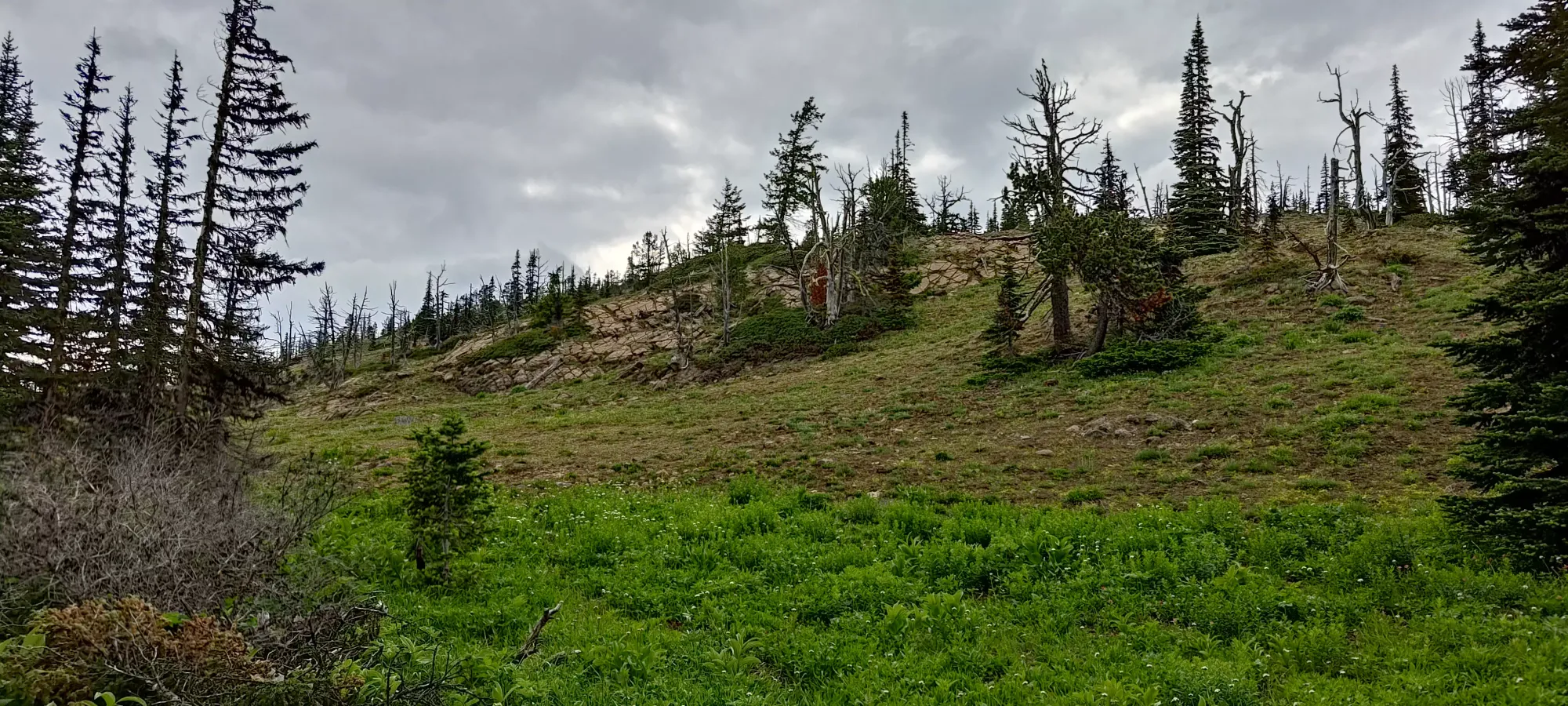
After leaving camp, we walked for a short while across the slope before deviating at a "seasonal creekbed", which roughly lined up with the trail our maps showed, but did not manifest on the ground. From there, we just walked up open country, mostly dirt and some grippy rock until the top (about 20 minutes). We stopped for 10 minutes just below the top to talk with a prospector we saw near the top, which in retrospect may have been a mistake as bugs started swarming us around this time, and that probably resulted in a few of the bites now ravaging both of our bodies 😅.
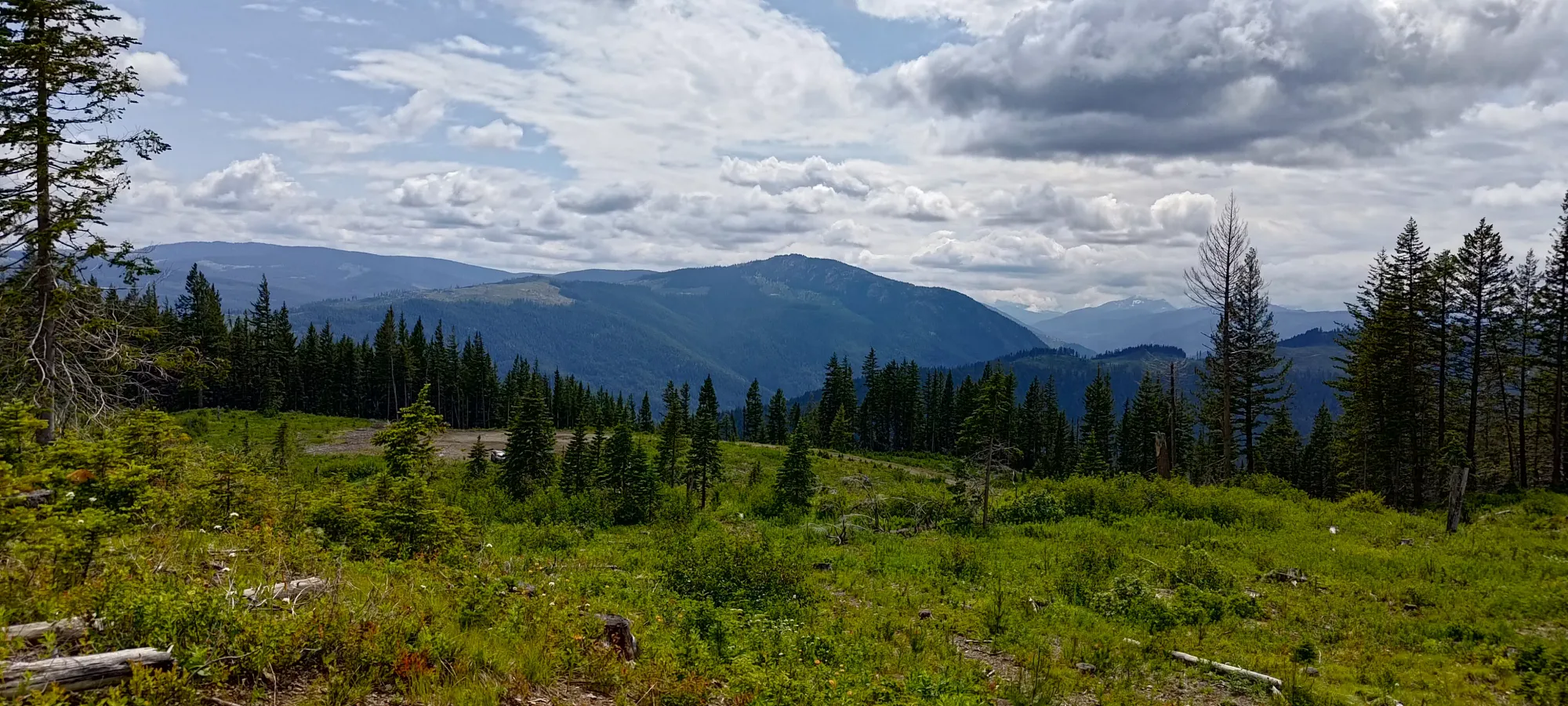
The summit itself has okay views, but different spots on the plateau have some more uninterrupted views, which were actually pretty nice. We took some photos for a bit before heading out.
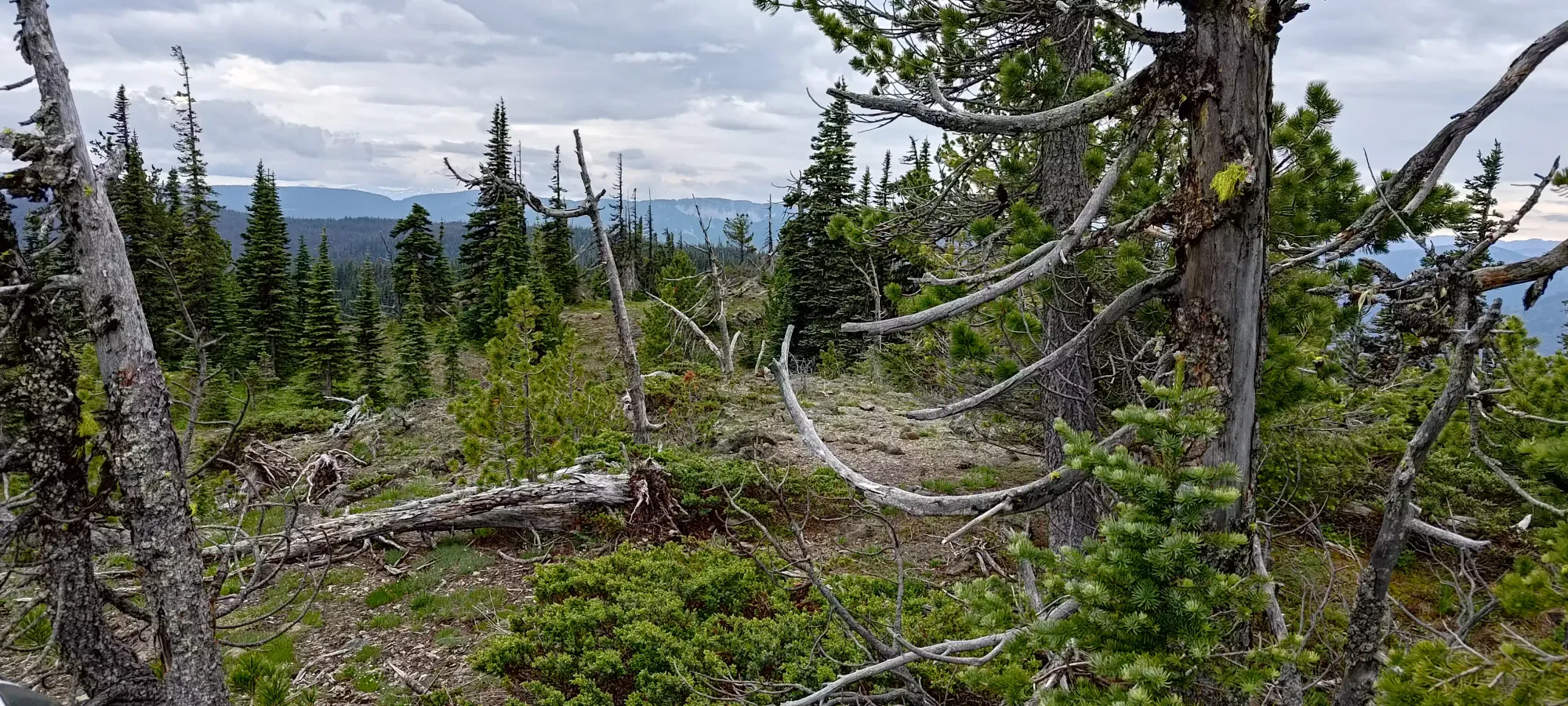
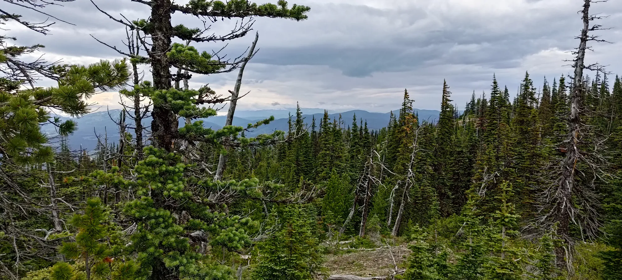
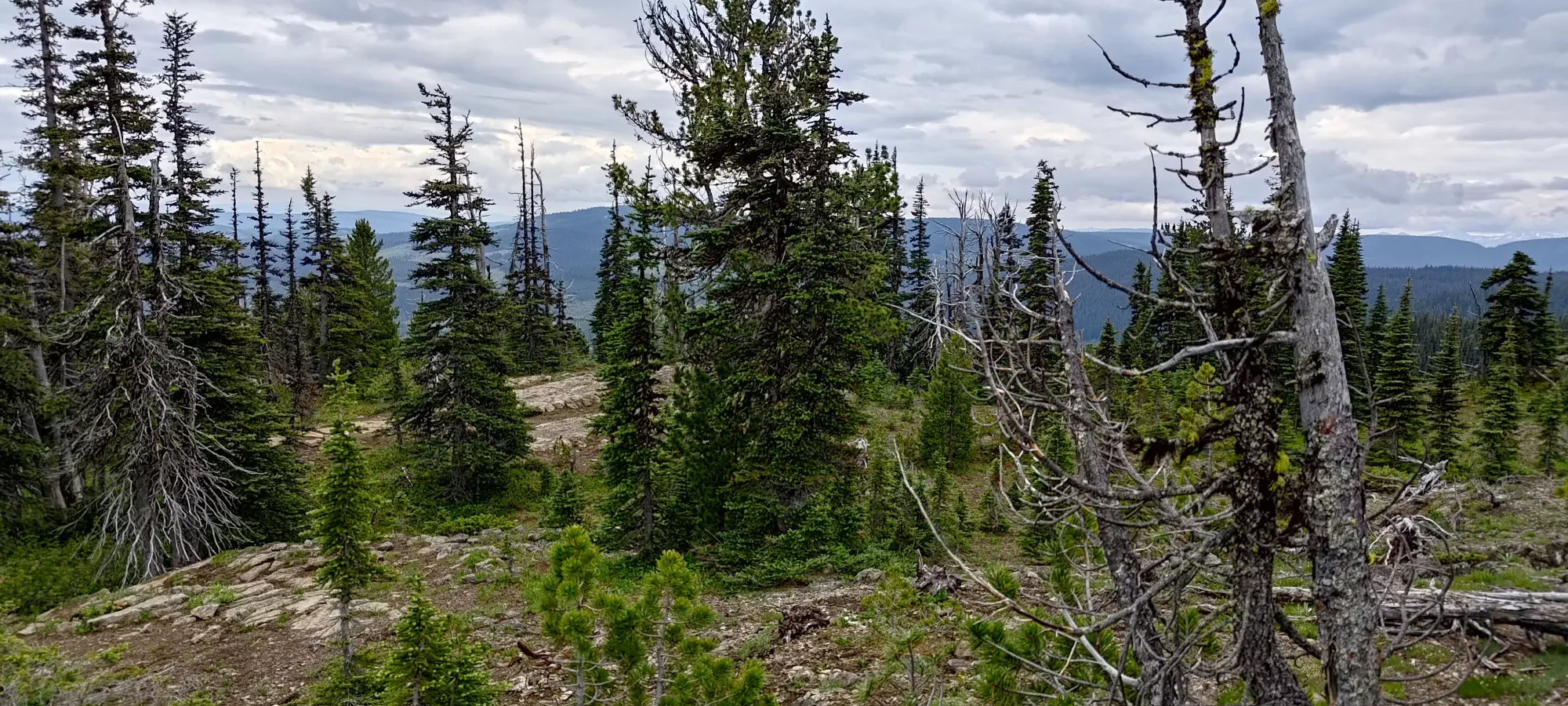
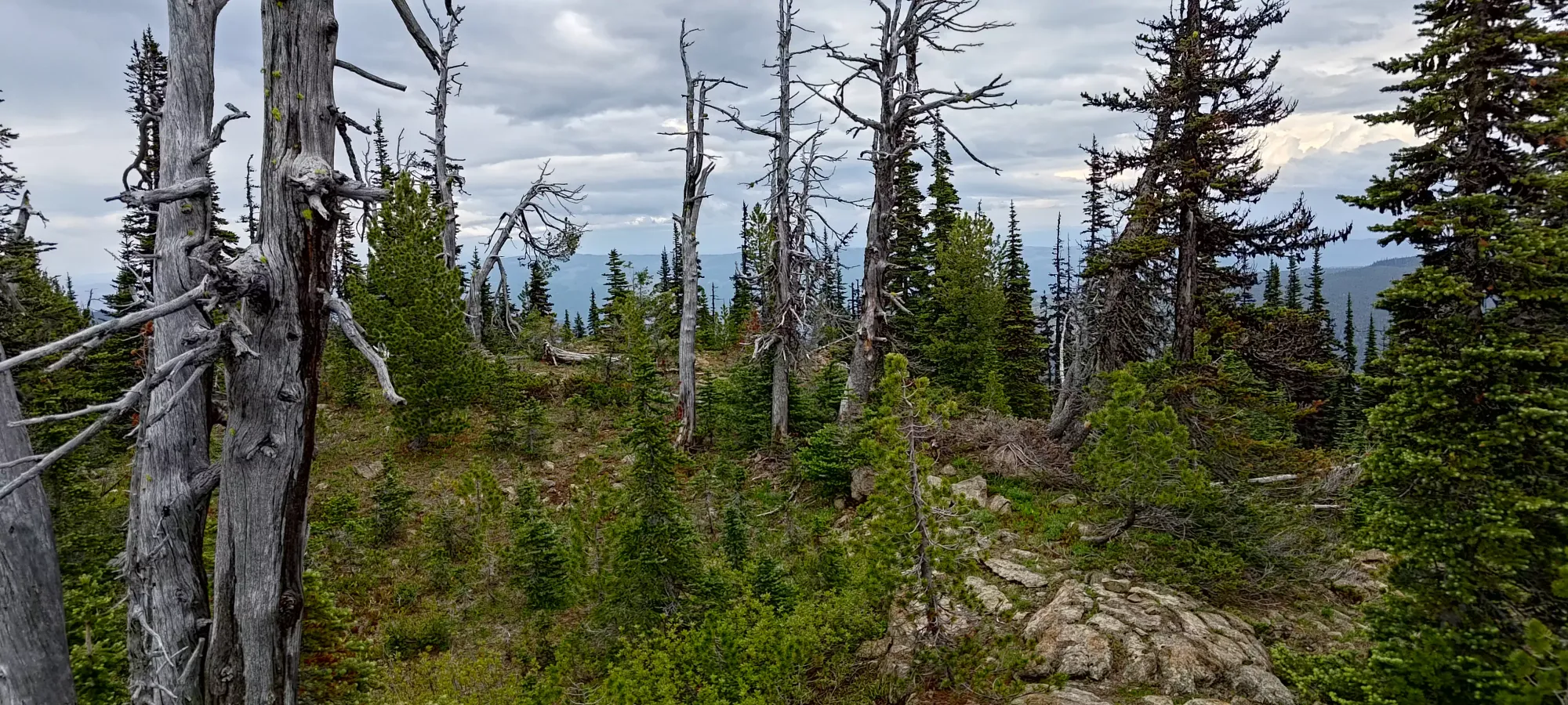
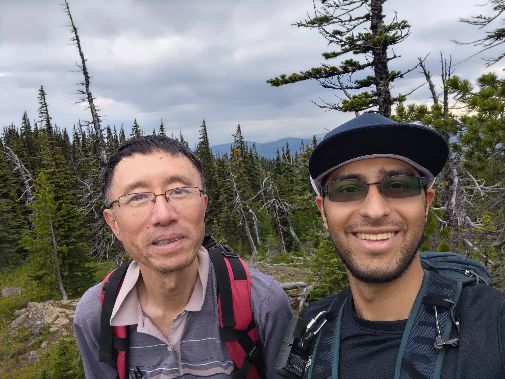
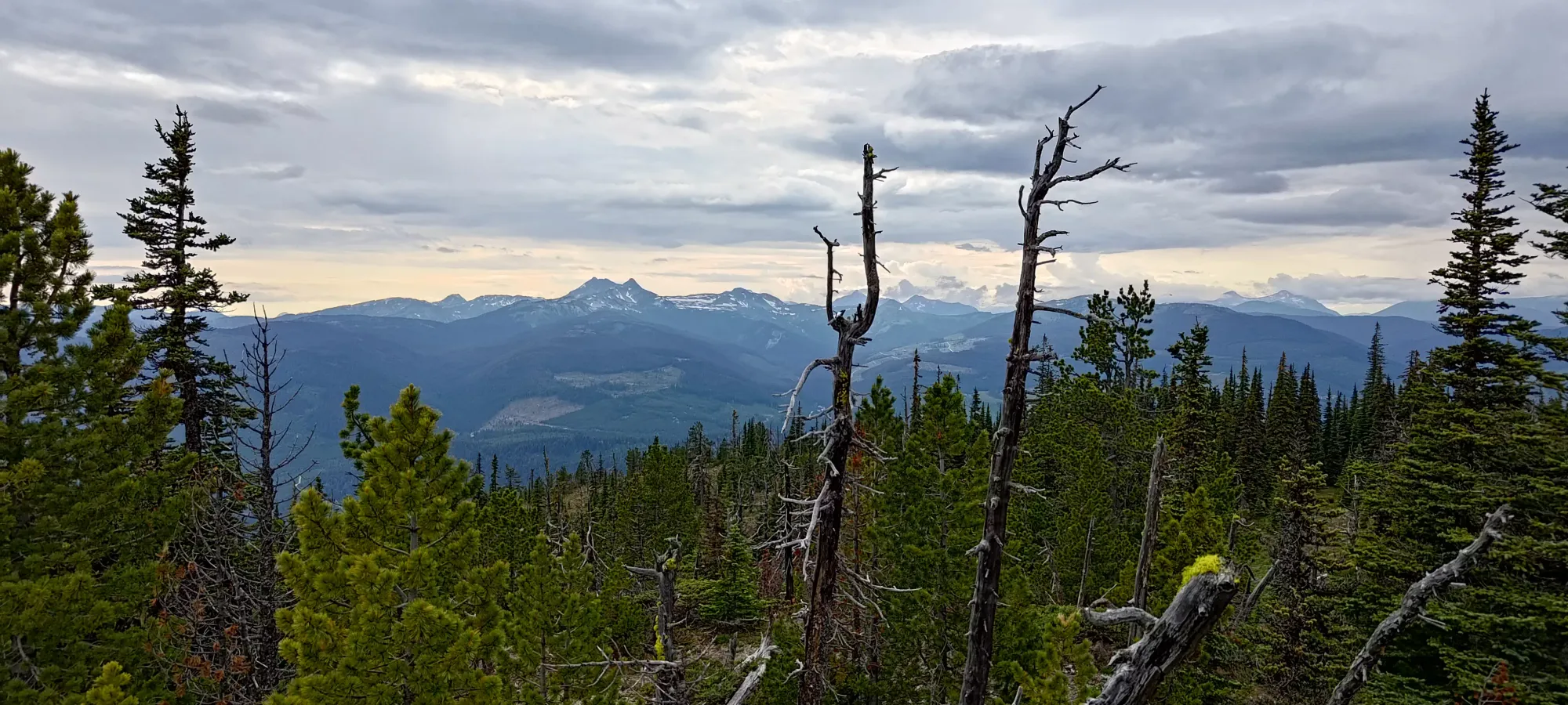
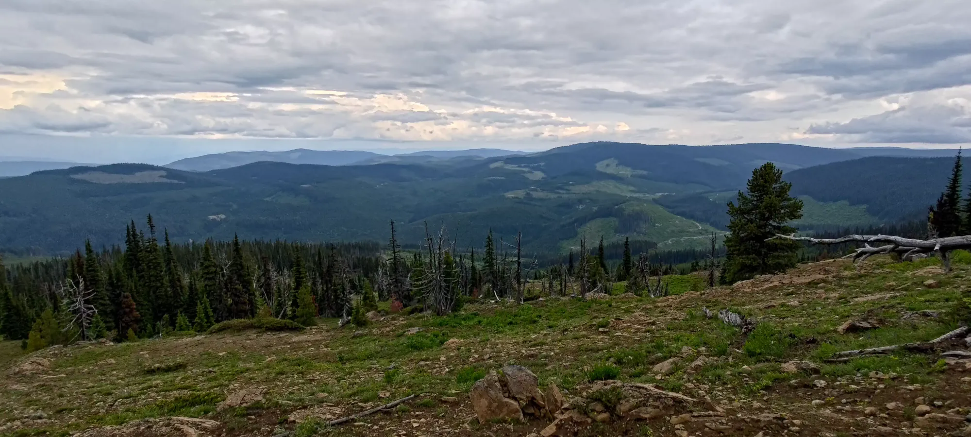
On the way down, we stopped for some views of more gentle hills looking further east into the interior, but otherwise just trekked down to move on to the next peak as efficiently as possible. In the end, the whole trip was 1:20, so we finally got to say we at least got somewhat of a "real hike" in our day of dumpster diving. It's a pretty nice peak and easy to get, so I'd definitely put this on the list if you're in the area.
GPX Track + Map
