North Schell Peak - April 6 2025
A rarely-skied ultra in eastern Nevada, this one's a gem! I scoped a unique uptrack for our approach, but it turned out to be a ski run too good to resist! You'll want a 4x4 to get there, but if you do, I can't recommend this one enough. An easy approach, amazing skiing, and an ultra to boot!

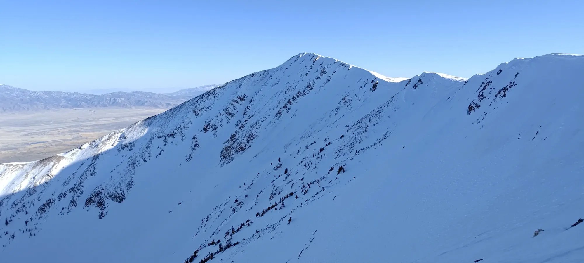
Schell Creek Range, Ely, Nevada
3624m
After actually failing to sleep in all that much after Mount Whitney on the Friday before this, we made the ~550km (relatively short compared to the drive to get from Squamish to California) drive out to Ely, Nevada, to set ourselves up for the next ultra to tackle, North Schell. Kelly only had time to join for the big prize, so now it was just Eric and myself. We had a nice, big lunner, got some gear/groceries, and went to bed for a slightly-less-alpine start for this smaller peak (at least comparatively, it's still an ultra, after all).
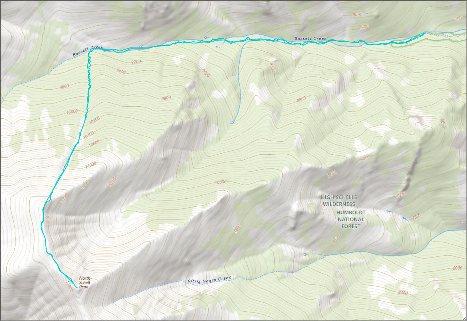
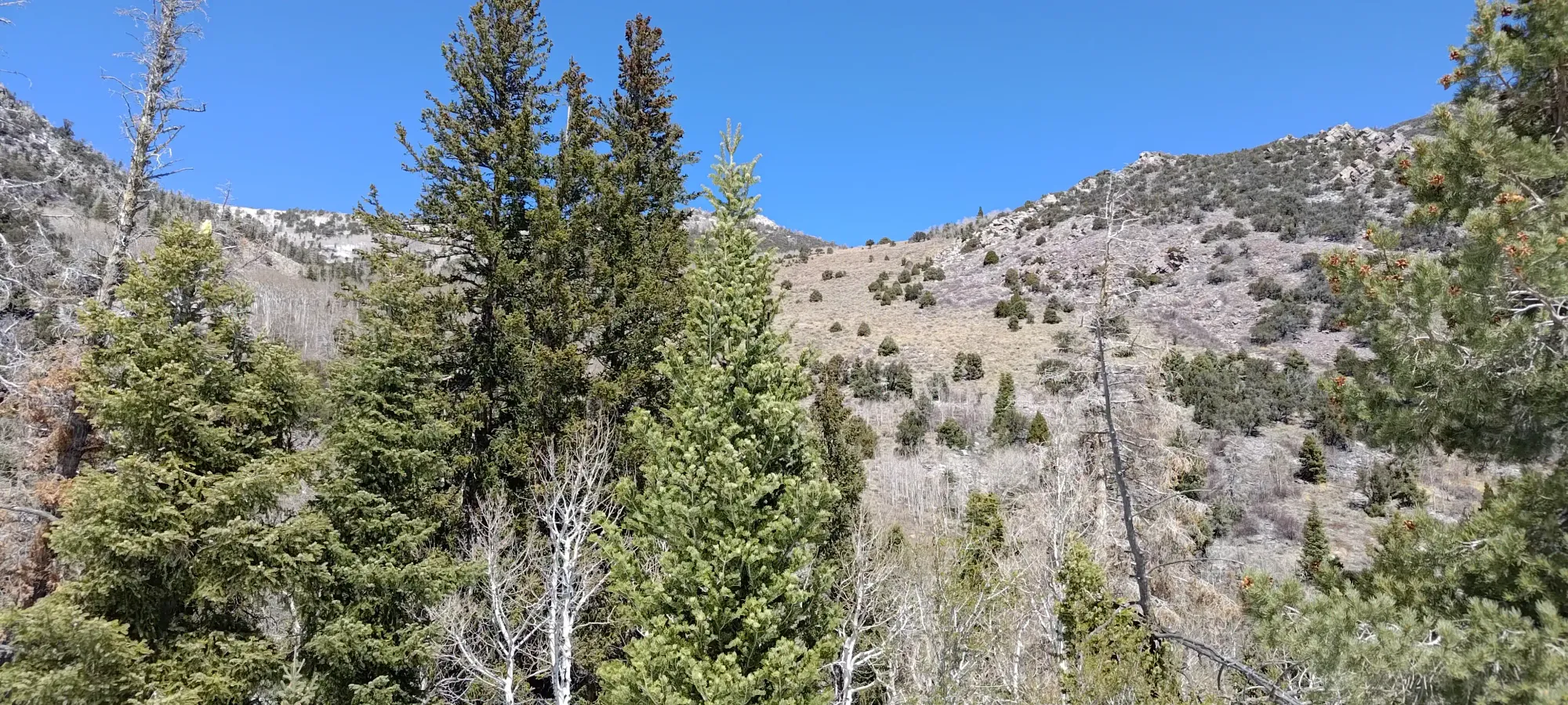
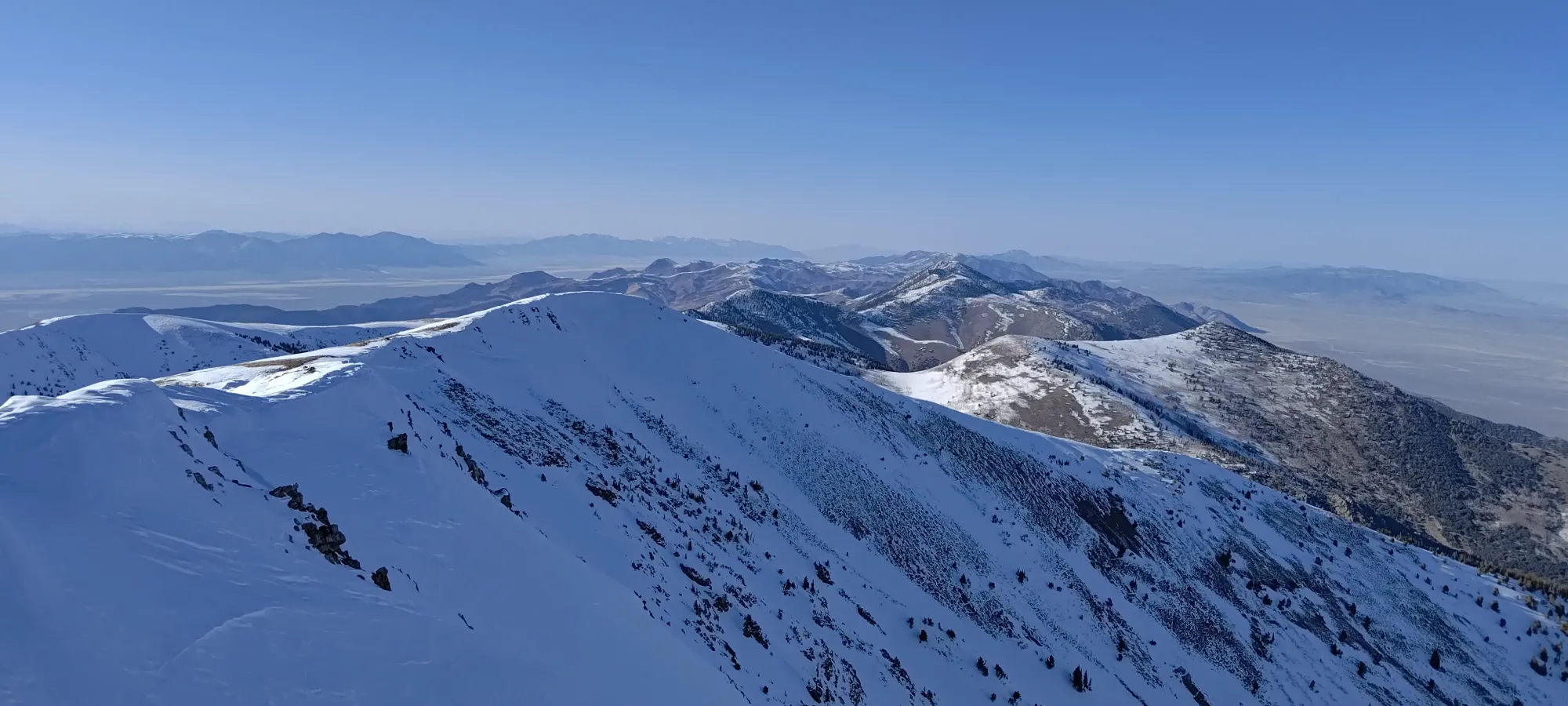
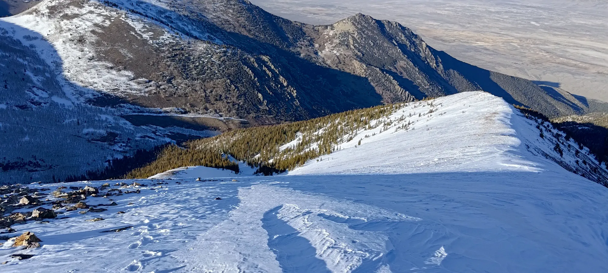
The common trail is up the west side on a high road, then a fairly easy walk up from there, but the east side seemed snowier on satellite, so that was our goal as skiers. However, the only beta I really had was a single trip report going up the bowl, but that seemed kinda annoying based on what I read, so I scoped out the existence of a trail following Bassett Creek past the end of the road, and saw a thick band of snow following a natural gully up to the north ridge, so that was our planned route. The goal was still to ski the bowl, though, as it had the steepest and sickest-looking terrain.
We got to the supposed turnoff from the highway onto Bassett Creek Road, but it was a faint road through a ranch, at best. We followed it for a while, having to guess through a couple forks in the road, until eventually we figured out that Eric's maps didn't actually have all the roads we needed, and had led us astray a decent bit 😅. So, I handed him my phone, and we spent some time backtracking and getting across the creek at the correct spot, as where we ended up before was quite gnarly, with some pretty large boulders to crawl over. The "correct" road wasn't in good shape, but in a good crossover or proper 4x4, it was passable. We made decent progress on the proper road, though with a few creek crossings and large boulder sections where I needed a spot to ensure I wouldn't run out of clearance (I haven't offroaded this new rig a ton yet). I was very happy to have upgraded from an AWD crossover to a proper 4WD (though a quasi-crossover given the lower height and semi-unibody construction), the control of low gearing was quite helpful to crawl as opposed to go full send over everything.
We cleared a few deadfall, but eventually stopped at just over 2200m, as there was a chainsaw-requiring deadfall block the road there, which we did not have. So, I turned us around, parked, and we geared up for a later-than-planned 10:45am start (but at least we drove more or less as far as we planned to, so the day wasn't supposed to be huge from that point).
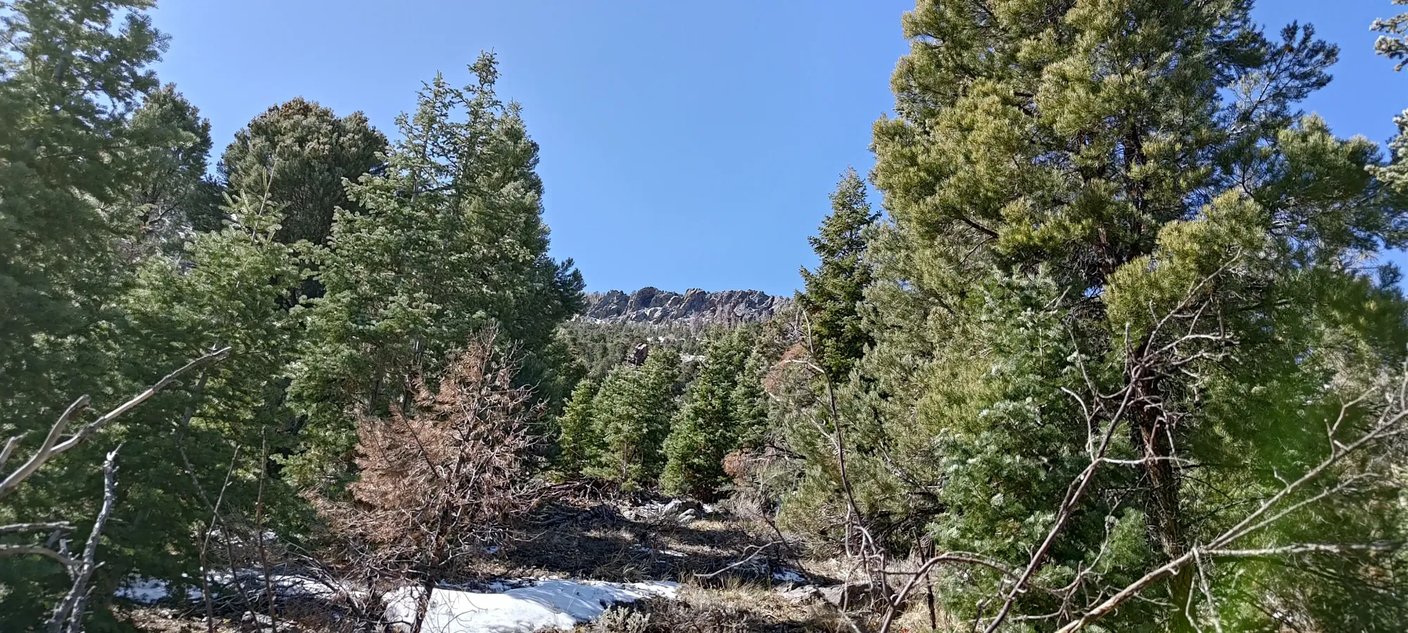
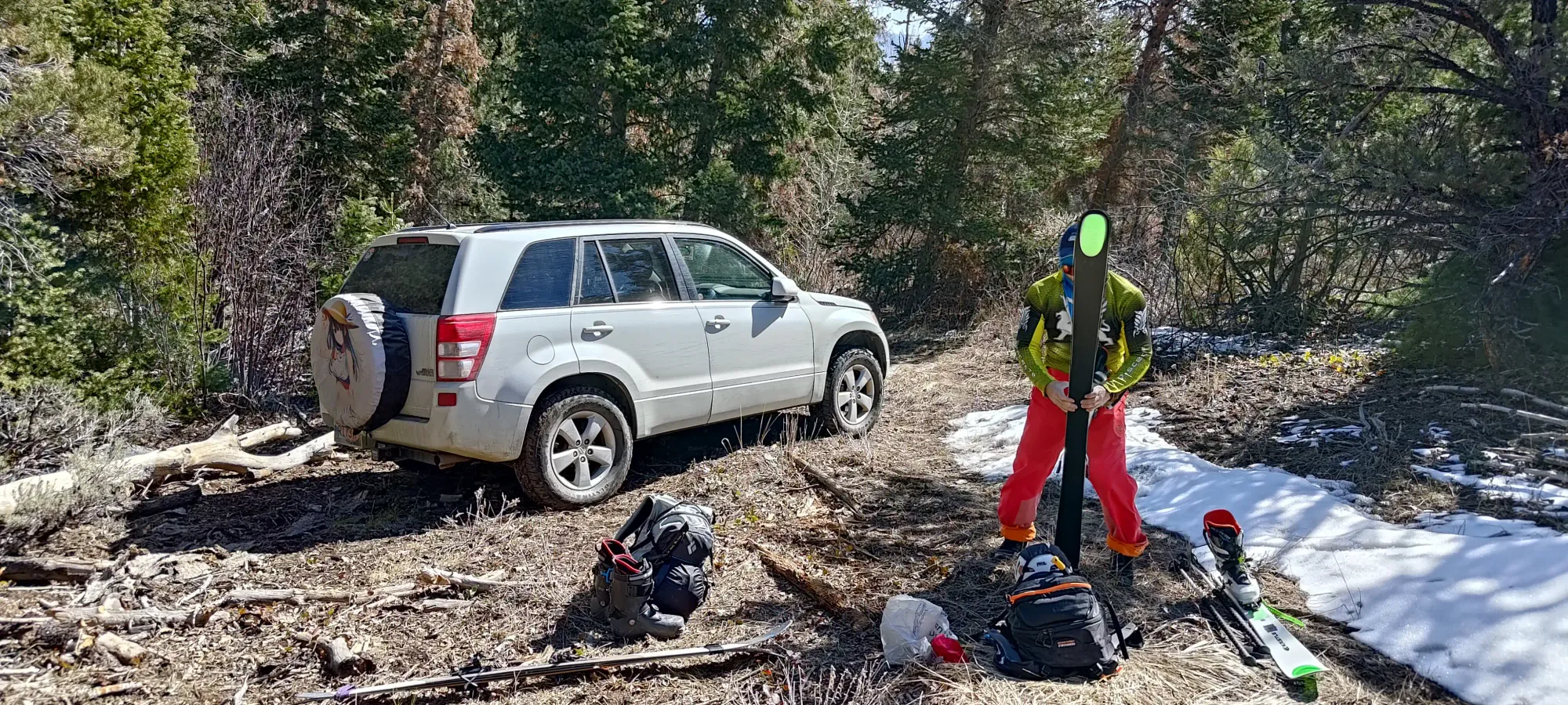
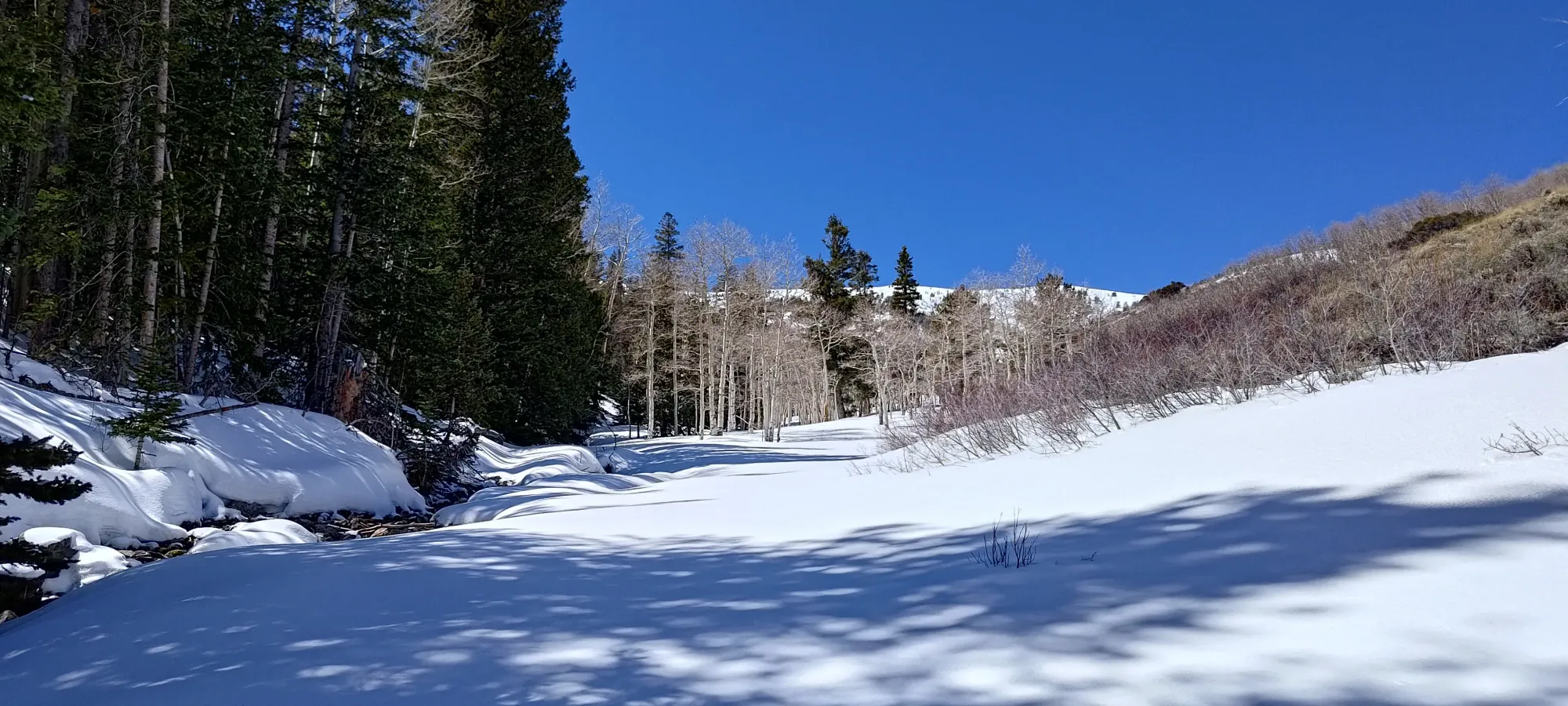
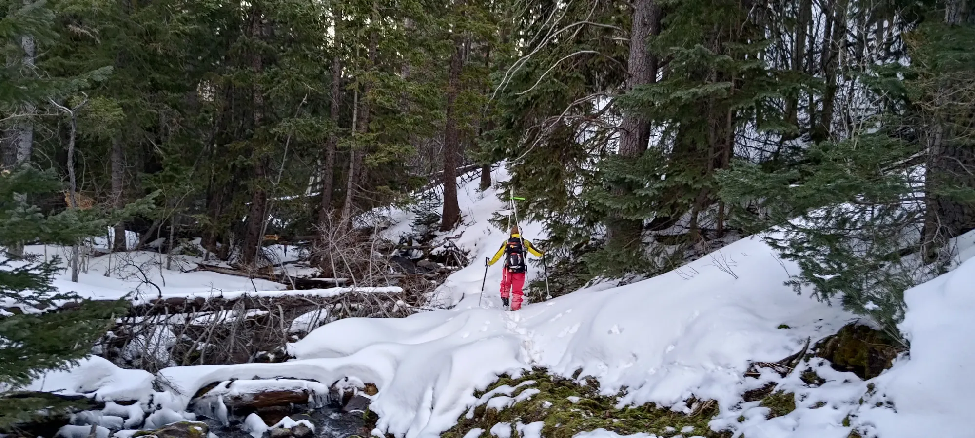
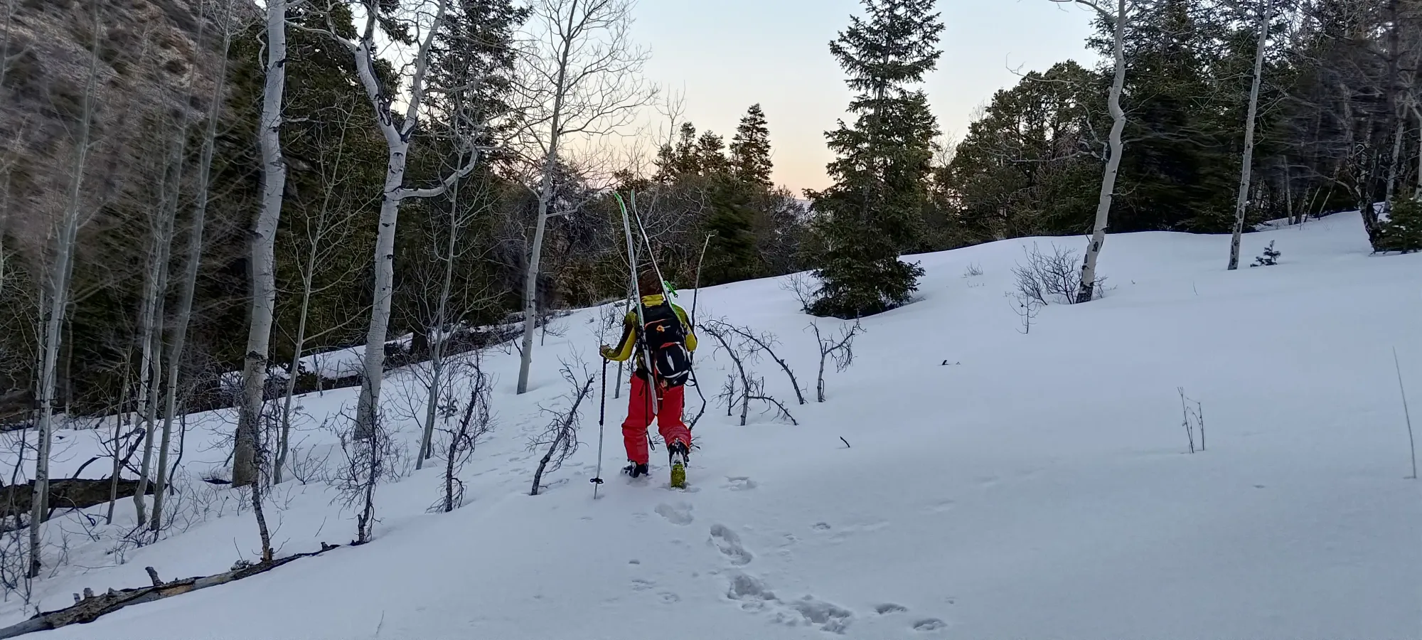
We did have some snow patches along the road at this elevation, but nothing consistent, so we kept runners on for the start of the day, once again, with skis on our packs. The trail was in largely good shape. At the start, it was just road, so no real issues, but once it got down to a hiking trail, it got a little overgrown at times. Nothing problematic, just slightly annoying, and it could make navigation more difficult if one was in low light.
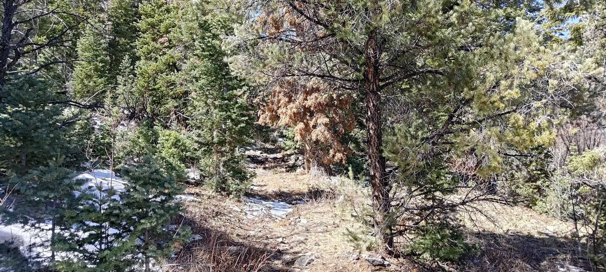
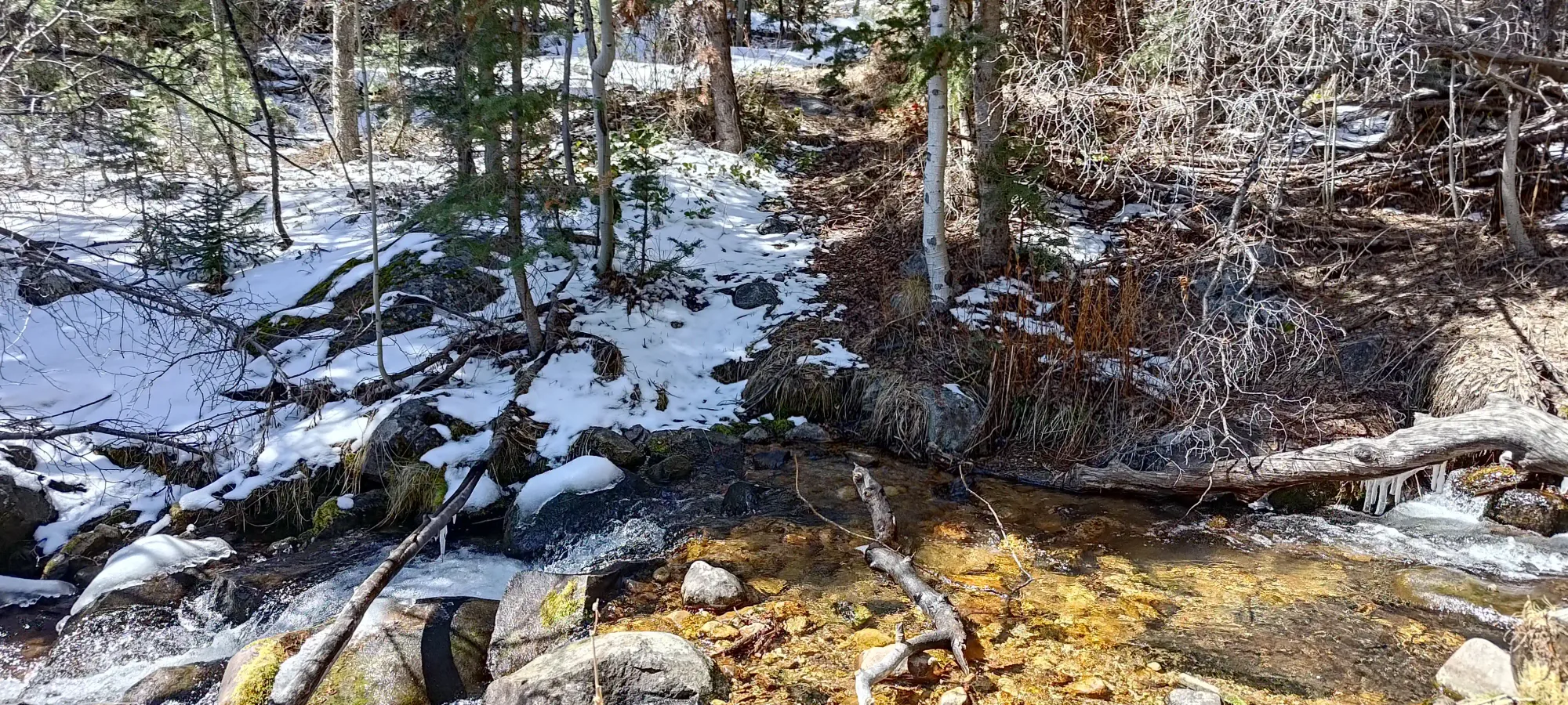
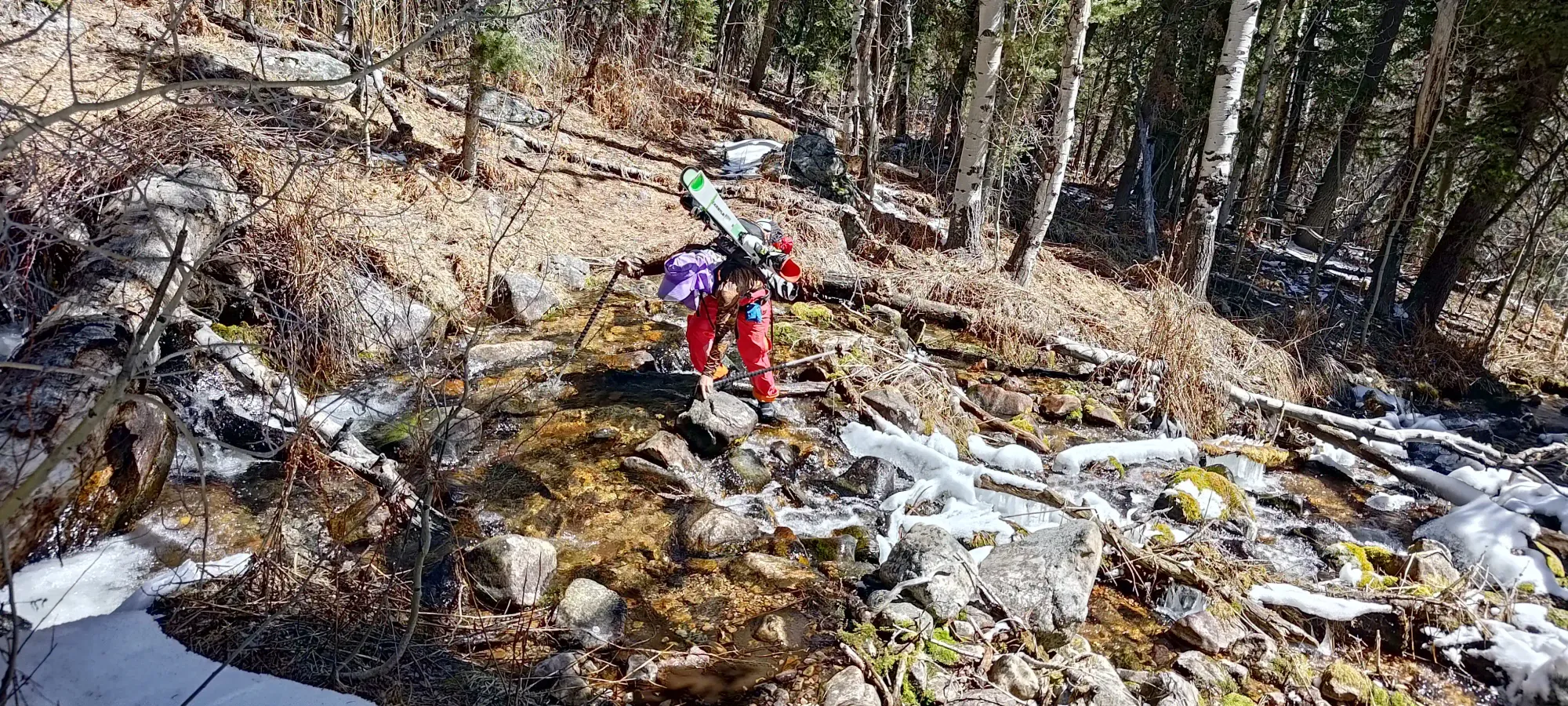
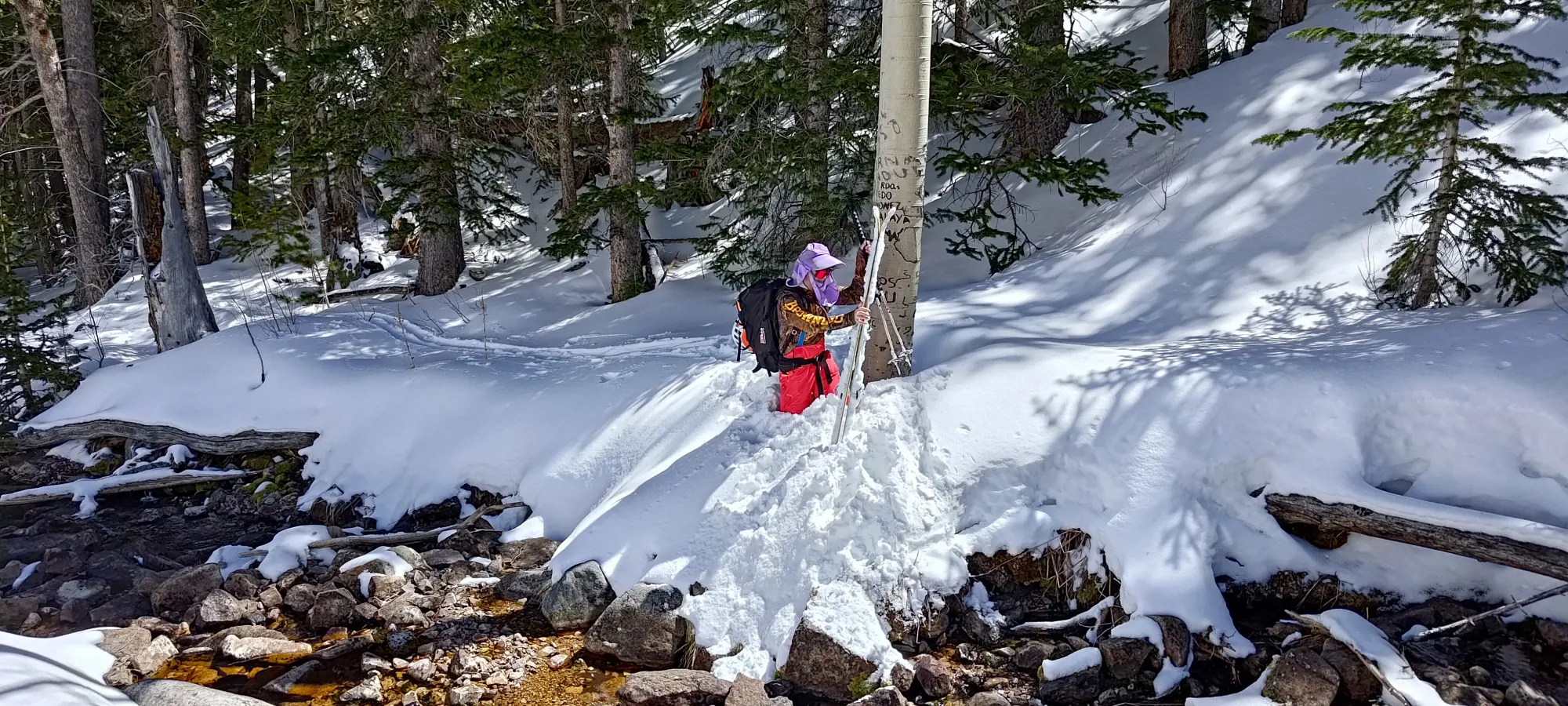
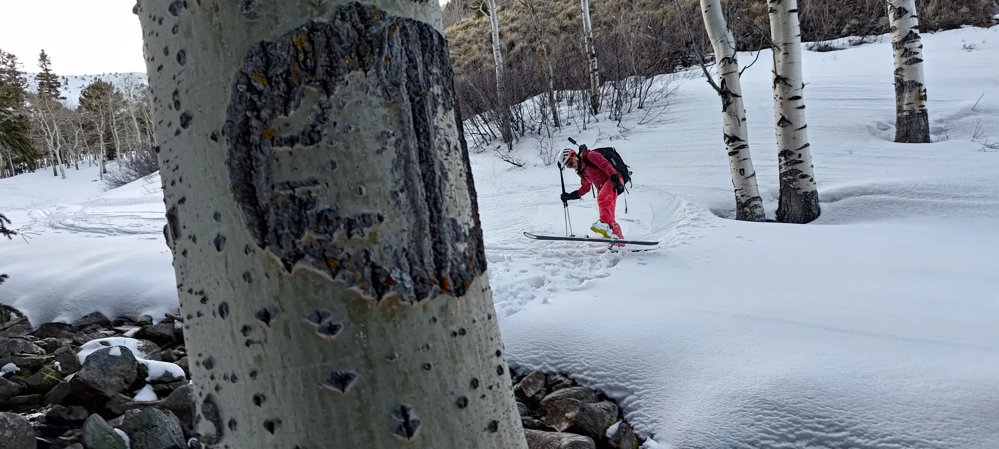
The walking was rather uneventful, except for the creek crossings, which were various levels of easy to "we tossed a few rocks in to get a better bridge across". I managed to stay dry, though Eric got a little wet on one of them. Thankfully, it was a warm and sunny day, so he'd be able to get dry without too much risk of getting wet and blistered.
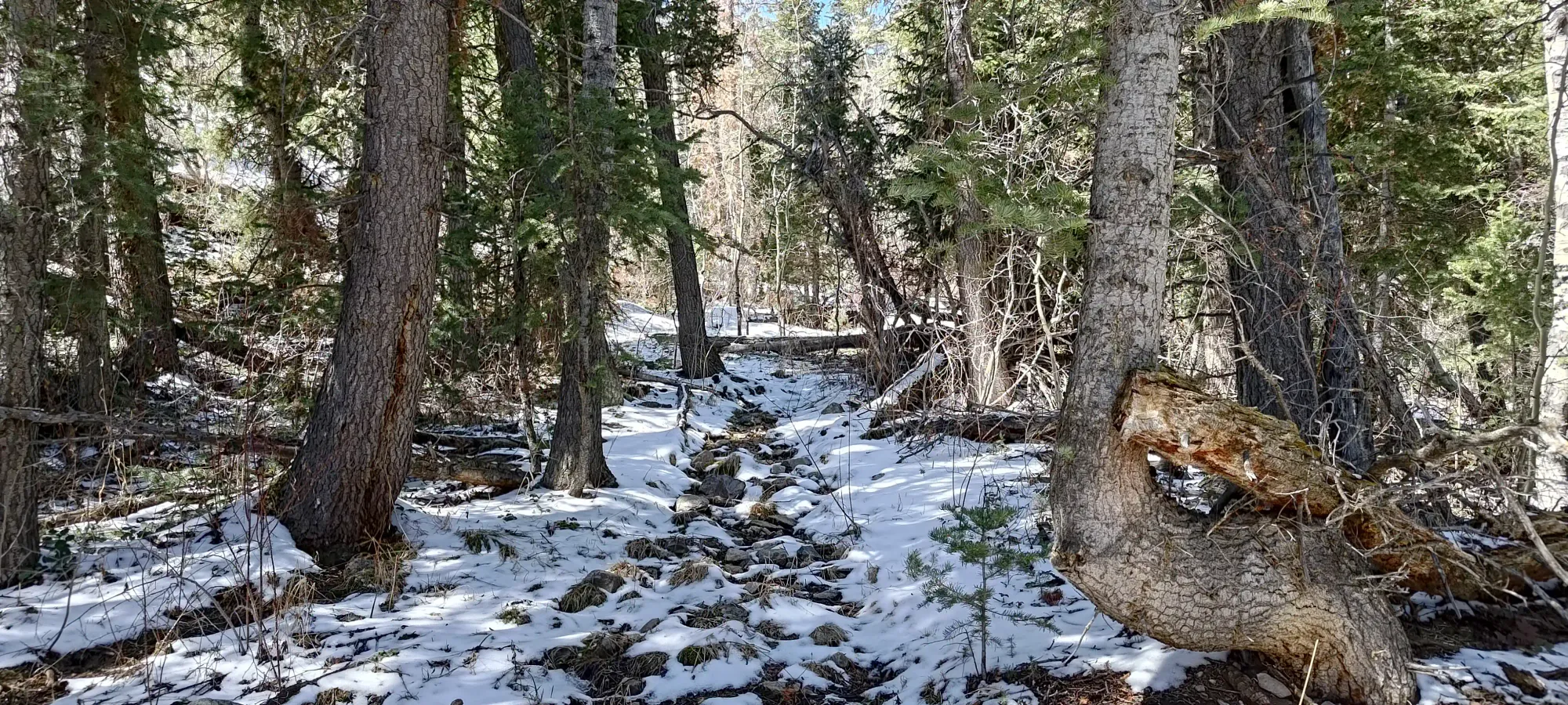
After about 45 minutes, we had a consistent snowpack, but we didn't quite have enough faith it'd stay that way, or that the creek crossings were over, so we kept going in our runners, as the snowpack was still quite firm and supportive.
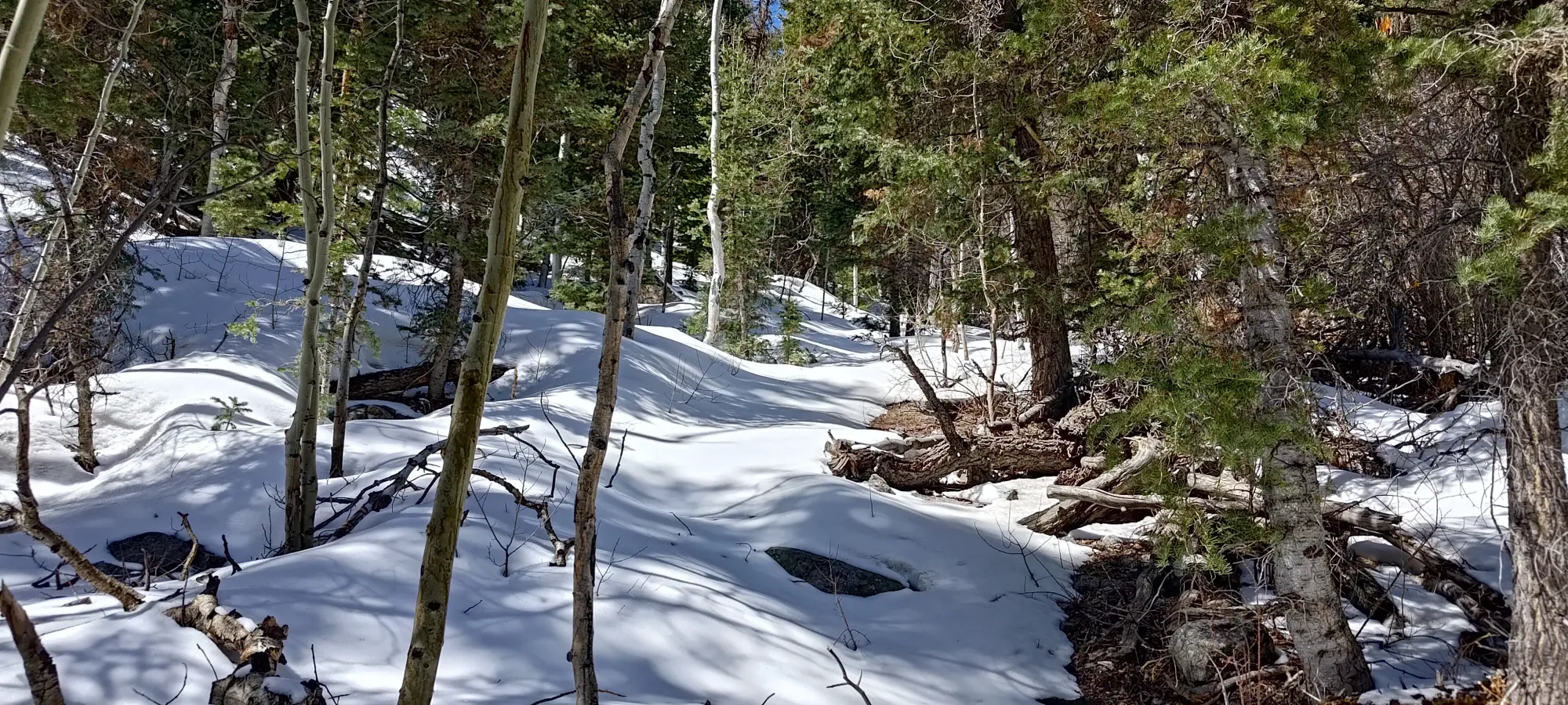
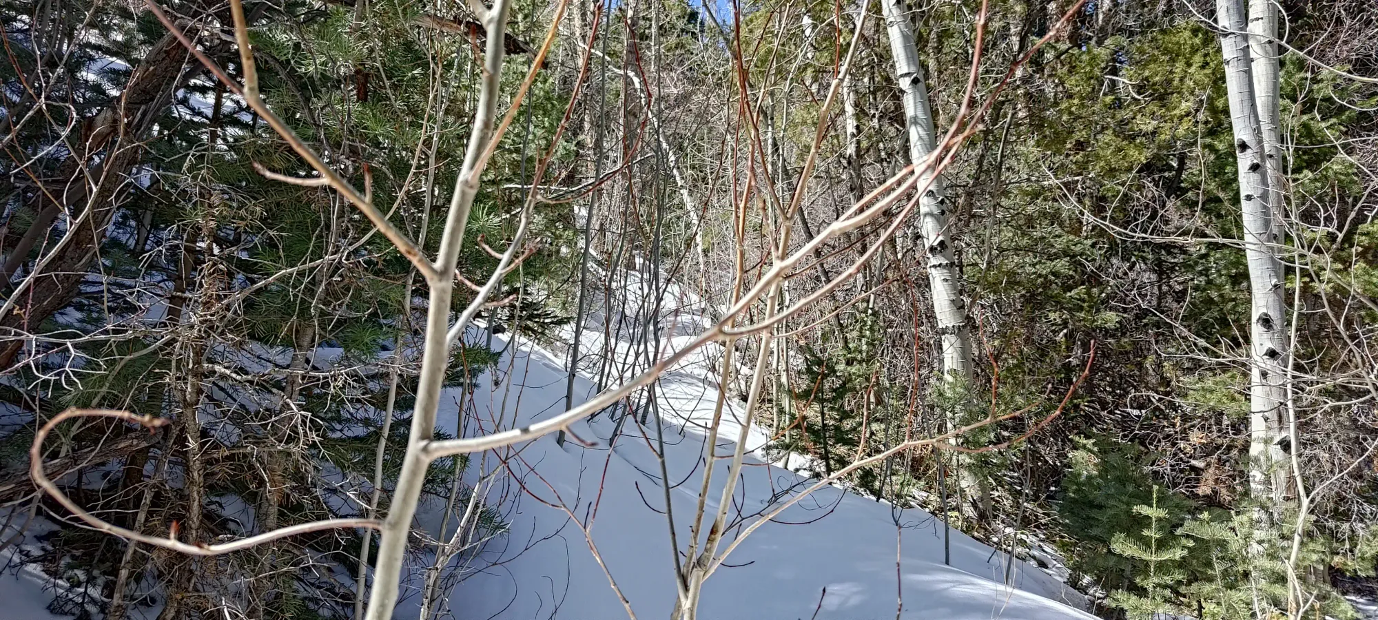
About an hour in, we got to an open area in the forest, and sadly we did not quite enjoy it, as we started to posthole. We were probably ever so slightly off the trail, and that meant bushes beneath the snow, and that plus the sunlight meant punching through 🙁. I let Eric take the lead after a couple dozen of those events 🤣
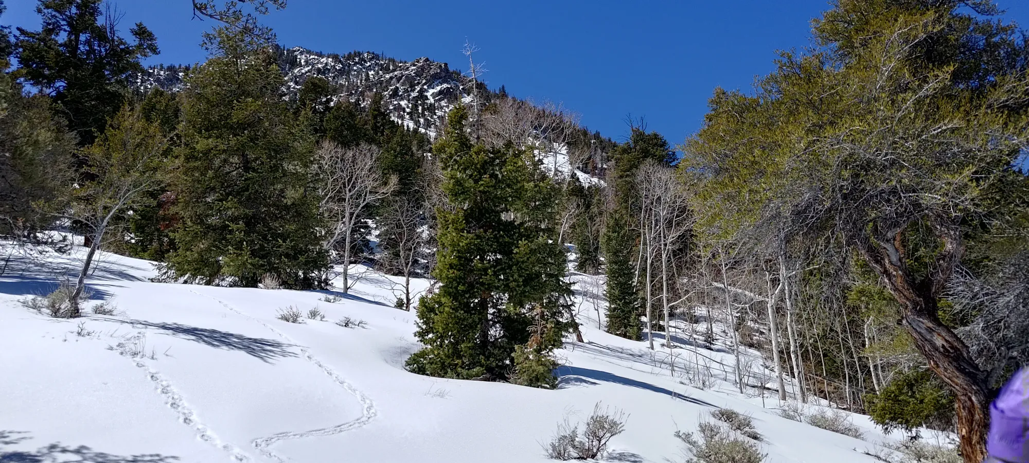
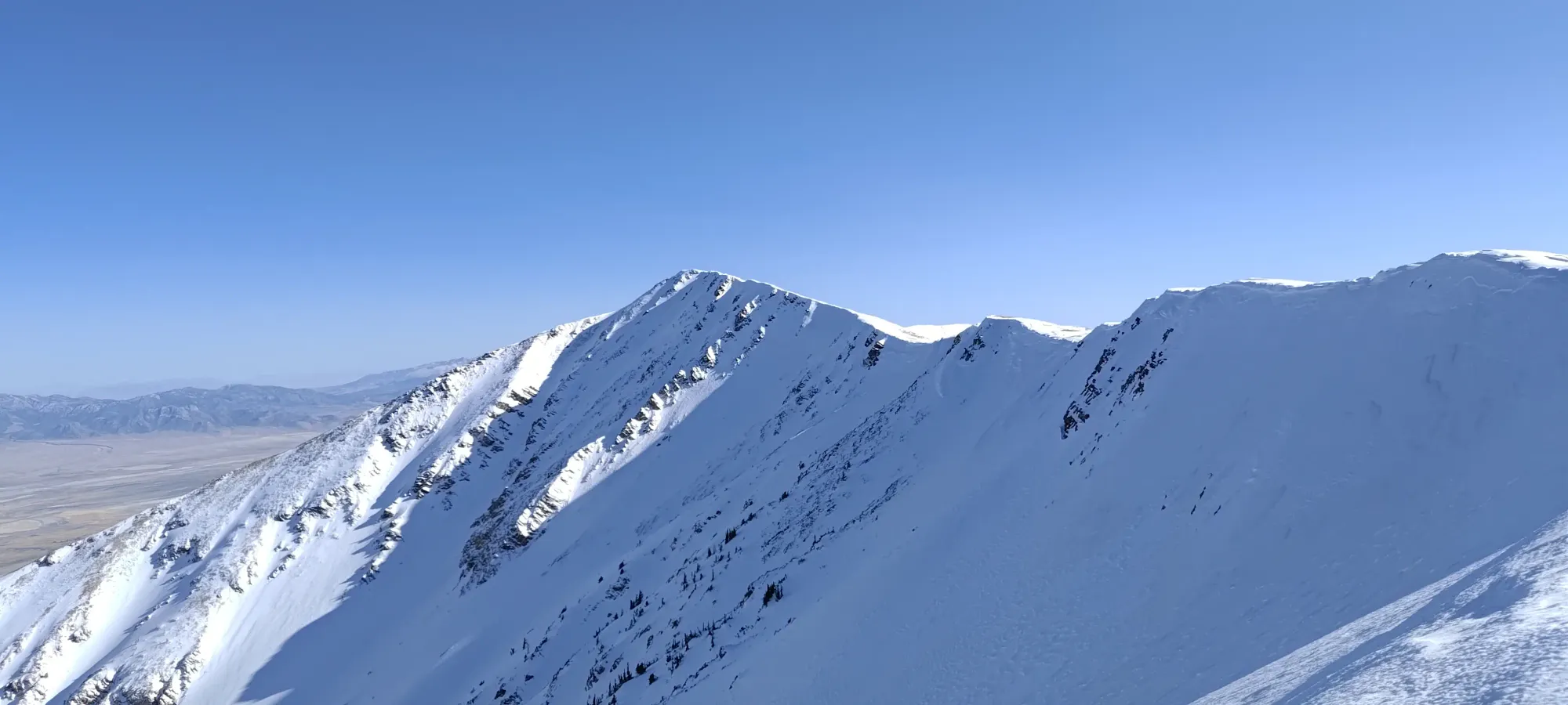
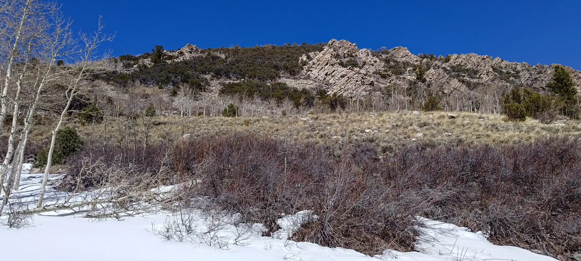
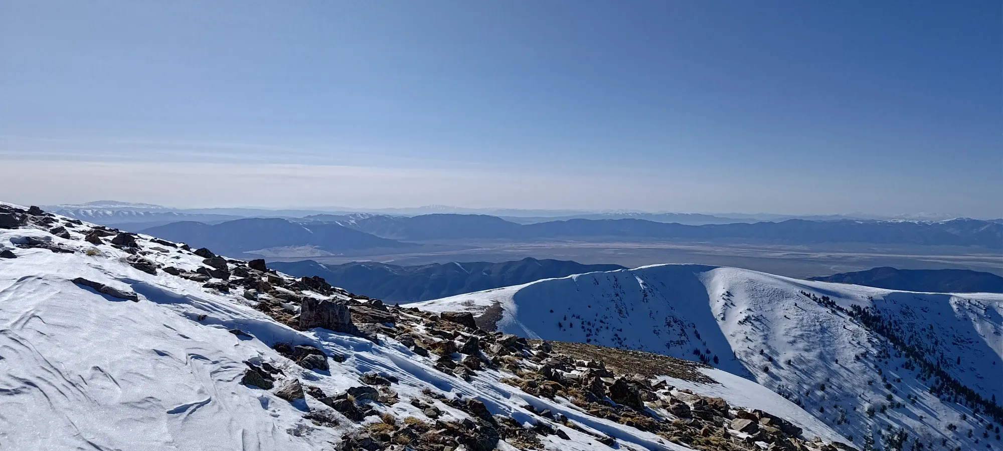
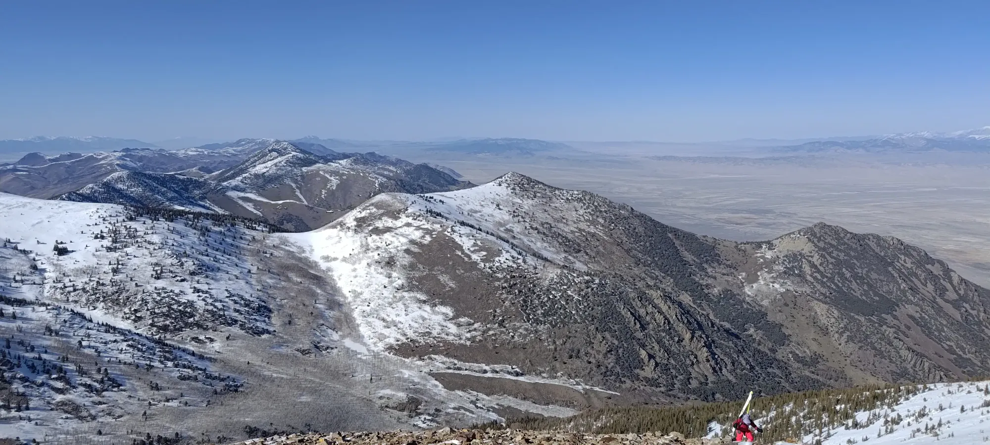
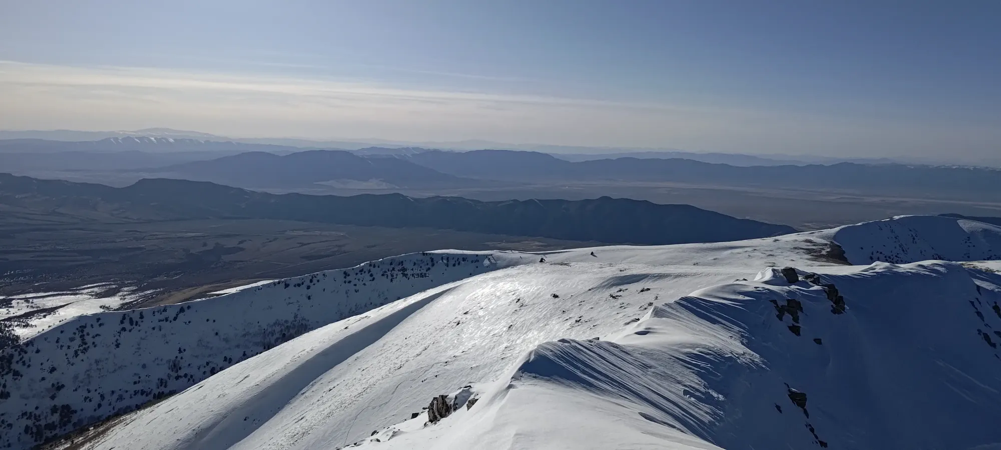
As we got higher, we started being able to see the slopes above us a little. I caught a glimpse of a southern aspect on this eastern side of the range and dang, was it bare! The Nevada sun is no joke.
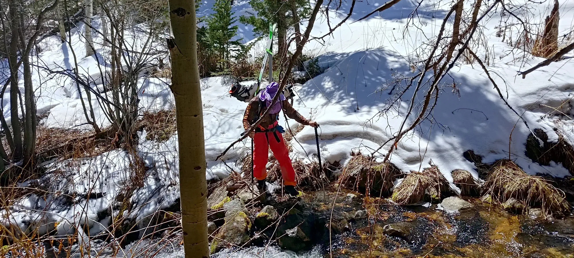
After about 90 minutes of walking, around 3km, and 400-450m of gain, we finally felt confident enough in skinning to stop and get our skis off our backs, and back onto our feet. We decided to keep our runners on our packs like on Whitney. This time not for fear of needing them to scramble, but more so in case the exit from the bowl didn't line us up with this part of our approach. A minor downside to going up a different way than you're planning to come down.
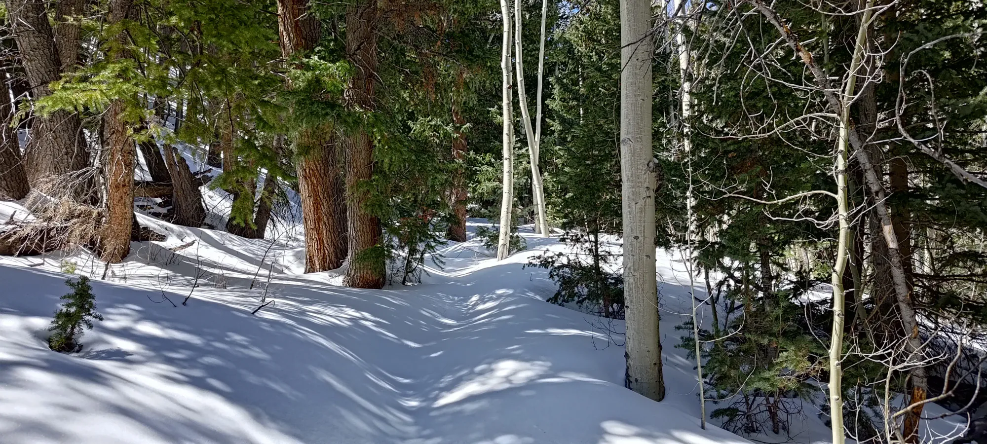
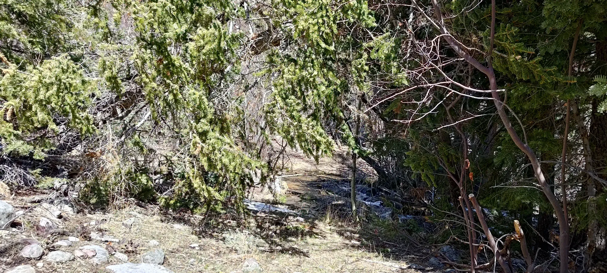
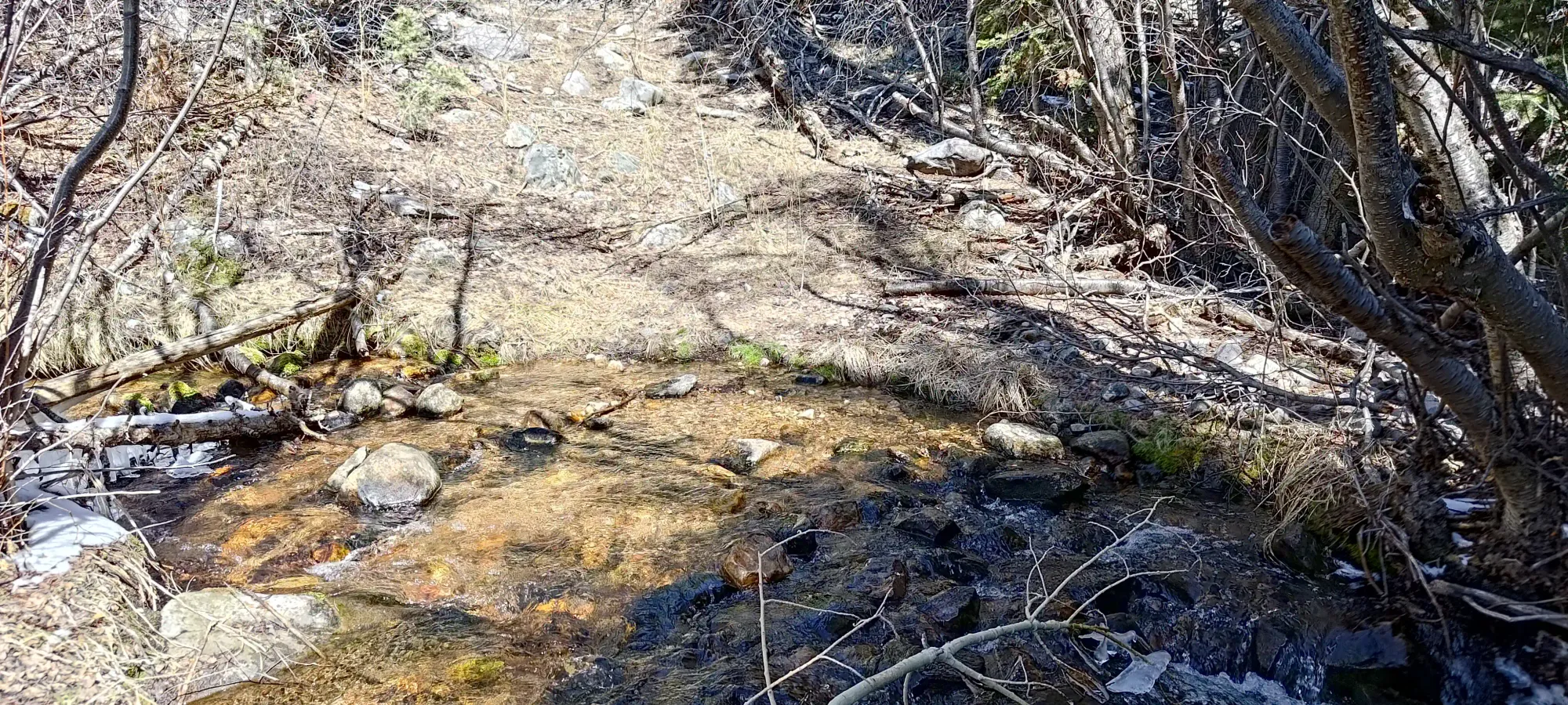
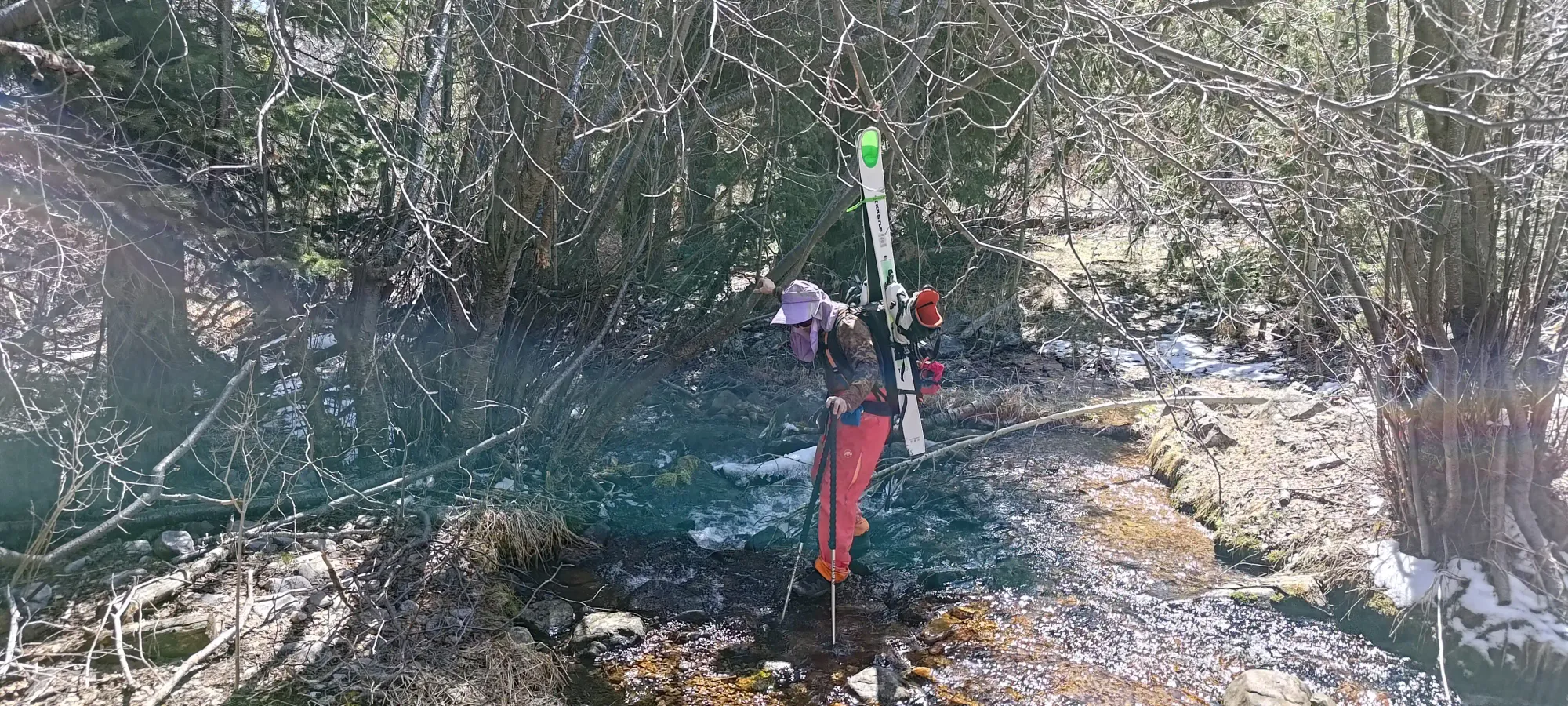
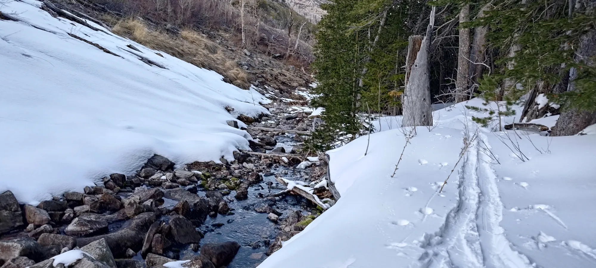
The skinning from this point was quite easy and pleasant, and we went for about 20 minutes until our final creek crossing, which necessitated taking our skis off, though by this point, it was dry enough that we could just walk across without fear of getting wet.
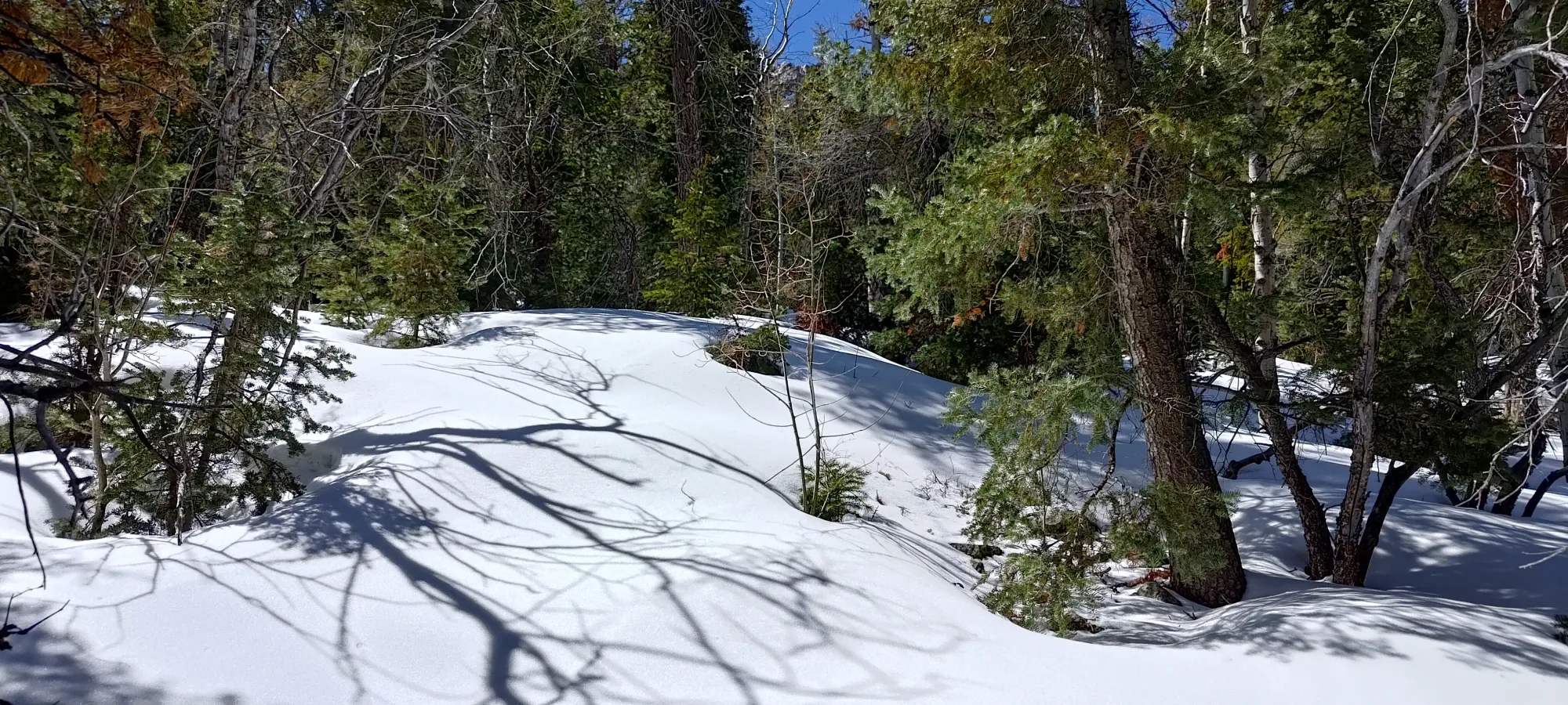
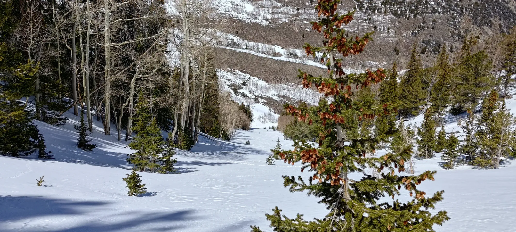
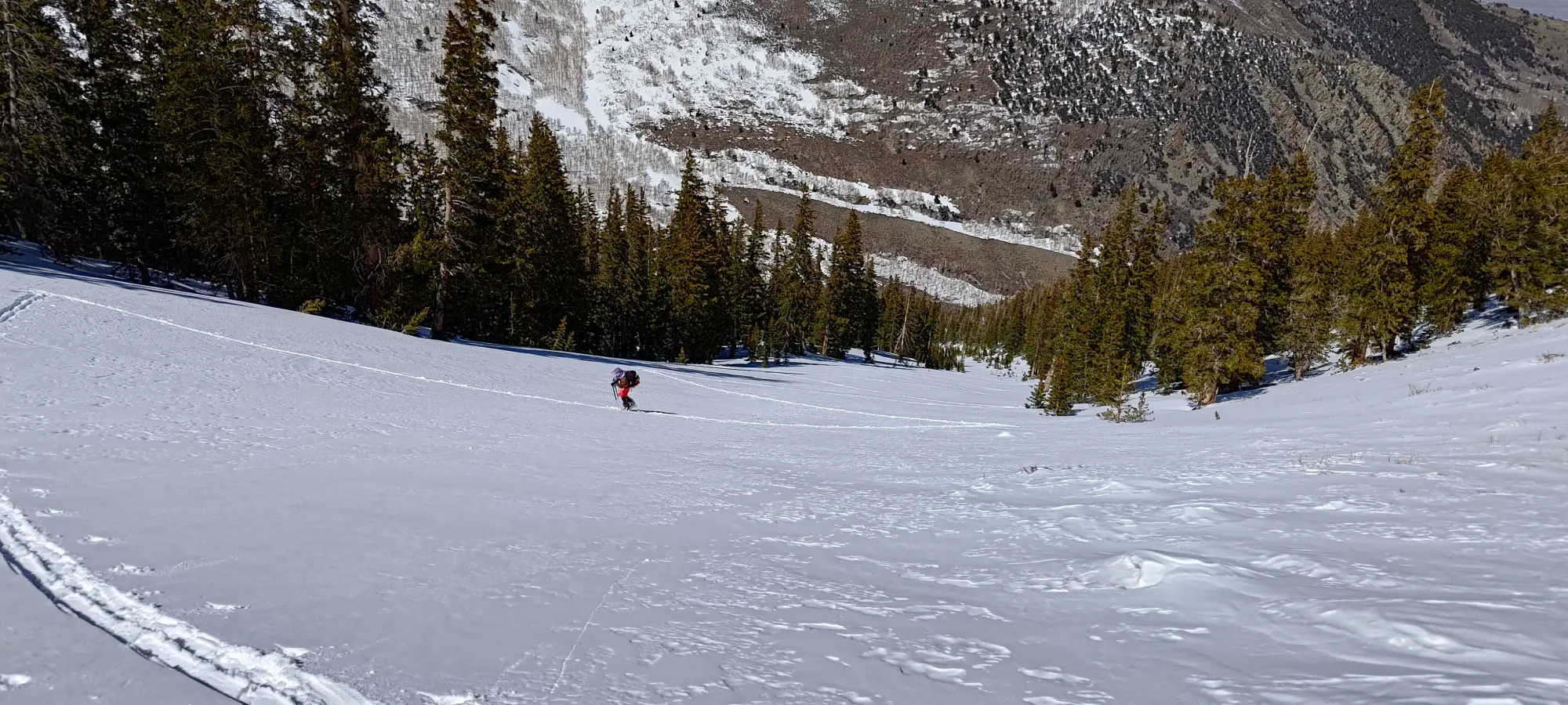
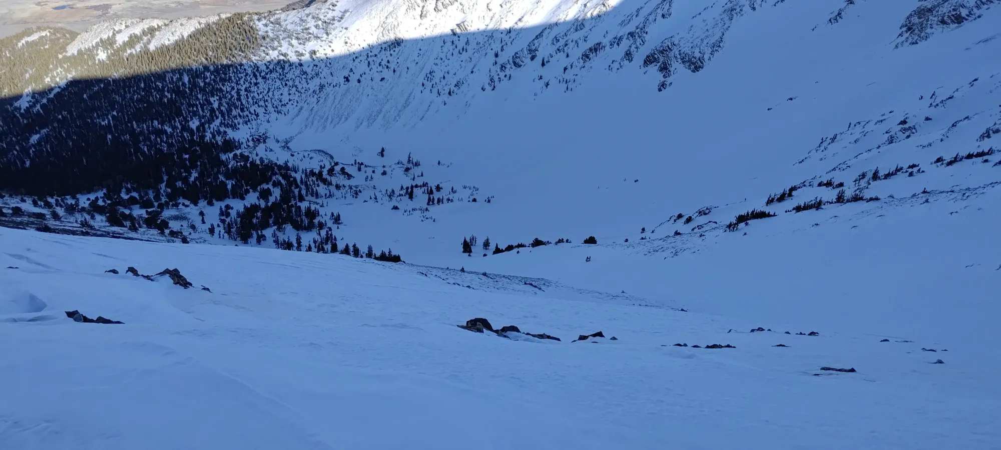
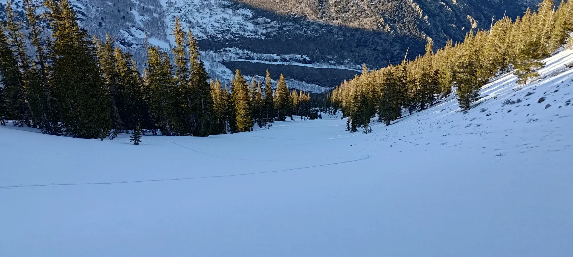
From there, it was a short 10-minute walk up to the point where we'd planned to head up towards the ridge. All we know about it was that it looked vaguely gully-like, and was snowy on satellite. So, once we arrived, our stoke levels immediately shot through the roof, as we stumbled upon what looked basically like someone logged out a ski run in the middle of the mountain and just left it there!

It was wide, steep enough to be fun, but also still be skinnable, and the snow was soft. We excitedly took our packs off, had a snack break, and started talking about how great of a decision we made coming up here 😃 Now, all that was left was 800 metres of grunting up to the top, and we had a guarantee of at least that much pretty great terrain for our way down. No matter what, today was gonna be a W.
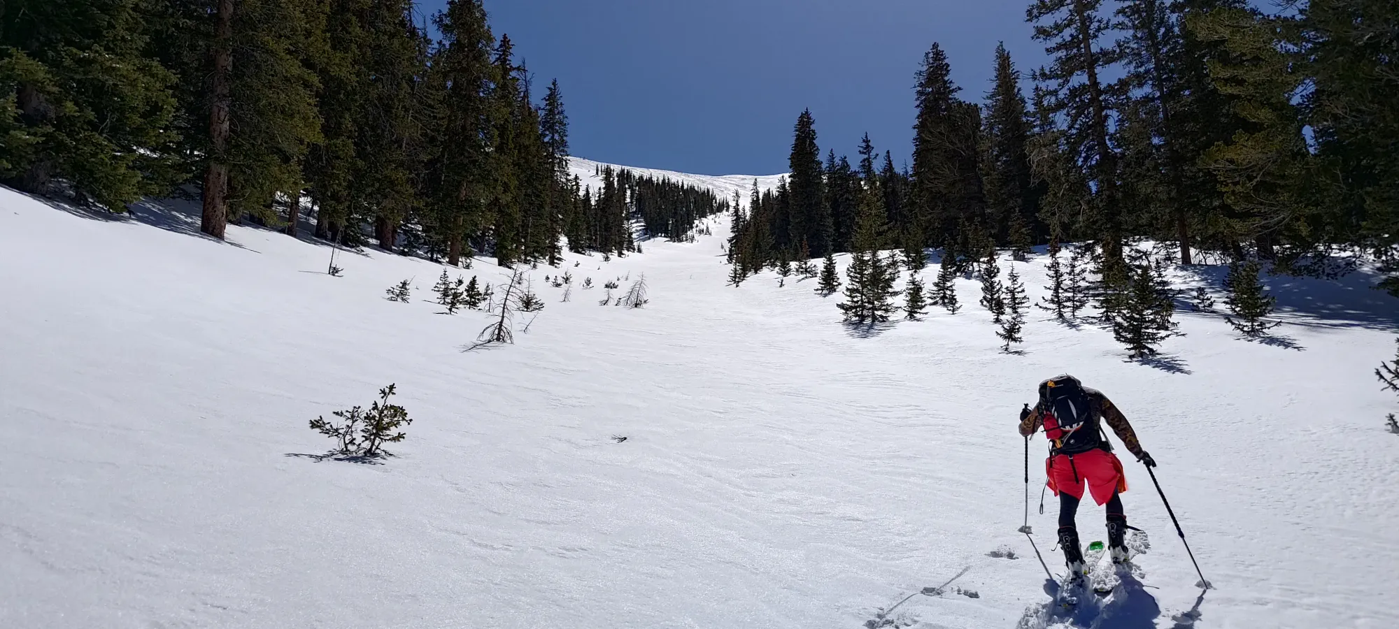
I started out pretty motivated, and cranked out 150m of elevation in about 20 minutes 😅. Something about seeing my "that looks like it probably goes" ascent line turn into something so beautiful just got the juices flowing, and I kinda sent it uphill a bit 😄
After that, I slowed down a bit, and sadly, the constant swapping between sun and shade caught up to us, and the glopping started 😞 I was getting hit harder than Eric as the trail breaker, so after a few more switchbacks, he caught up, so I stopped to try and scrape the snow off, and he swapped off for me for a bit. Once I got clear, I unfortunately accumulated new snow pretty quickly, and it looked like Eric did too, so we swapped again, and I suffered up until the natural y-split in the gully at about 3150m, where we stopped to more thoroughly clean our skis, and apply some skin wax (glad I always carry that).
Eric seemed to fare better post-wax than me, so after a short stint of breaking after we set out, we swapped again, and he did the next couple hundred metres, which were quite the struggle for me. Every switchback I would catch up, think "oh I can get ahead and start breaking again", and then I'd realise I was panting and not be able to do it, and we'd just continue 😅
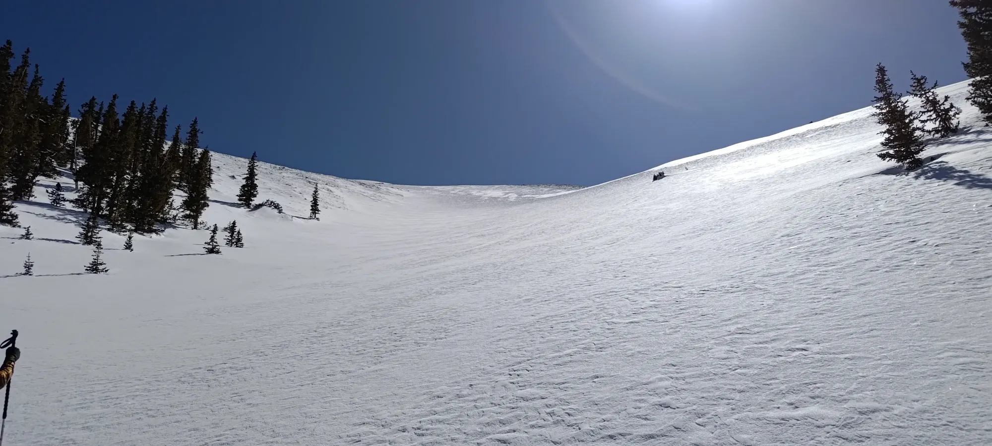
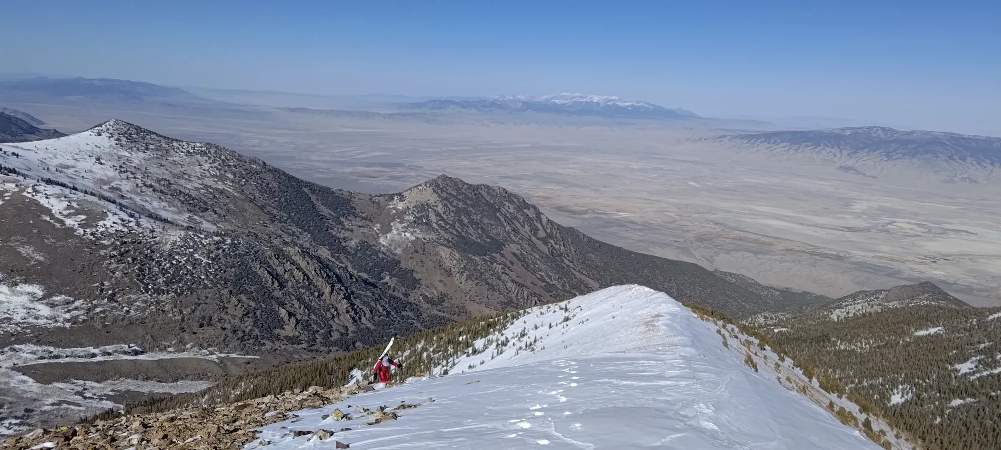
At around 3350m, we found that the climber's left side had some shallower snow, and the snowpack above us was getting firm as well, so we decided to cut over and boot the rest of the way onto the ridge. This worked out really well for me, actually, since boots don't glop, after all 🤣
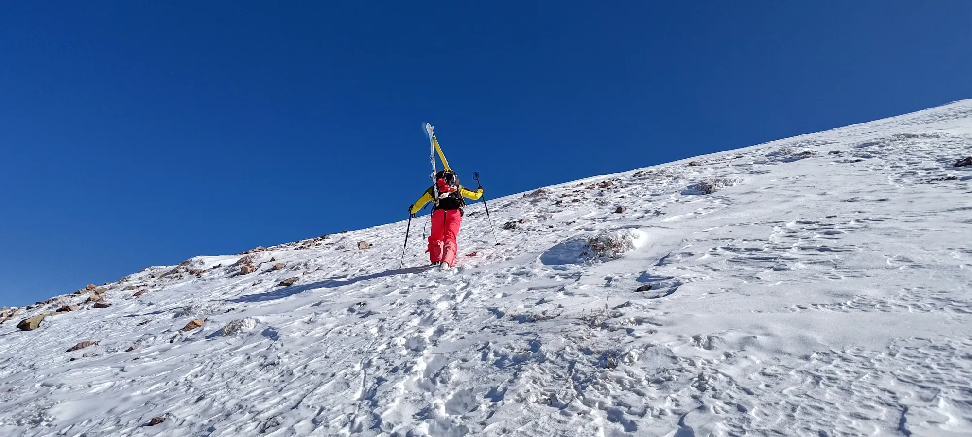
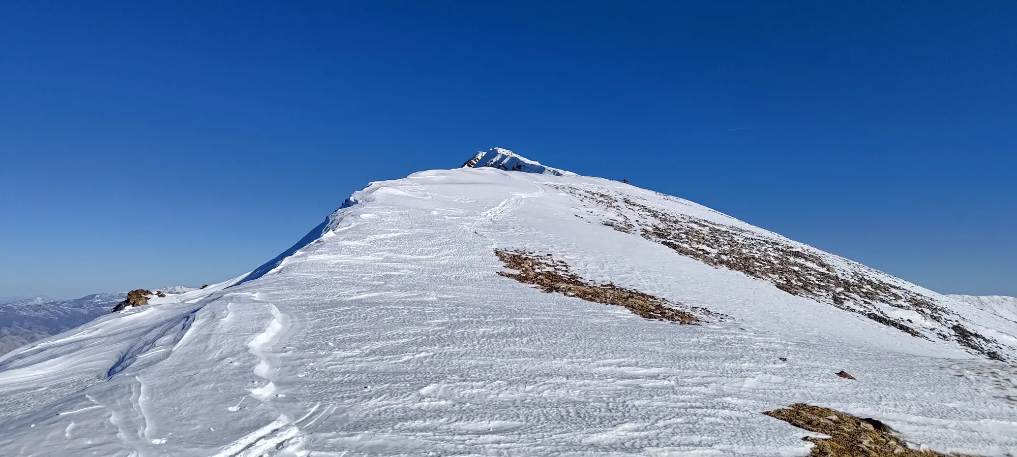
After a few steps, the difference was immense, and I instantly felt way faster. Since Eric just did a decent chunk of work, and I was feeling great, I rushed past and set a good pace up to the ridge. The next couple hundred metres went by pretty fast, and before 4:30, we were on the ridge with just a short walk left to the summit!

I booted until just after the first bump on the ridge, where the ridge widened, the snow softened, and it made sense to put skins back on. I also took a bathroom break (first one of the day, so better than on Whitney) while Eric caught up.
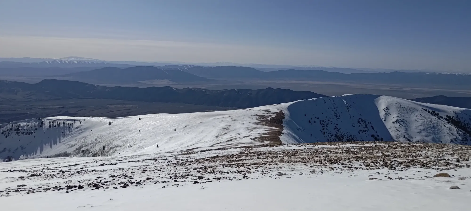
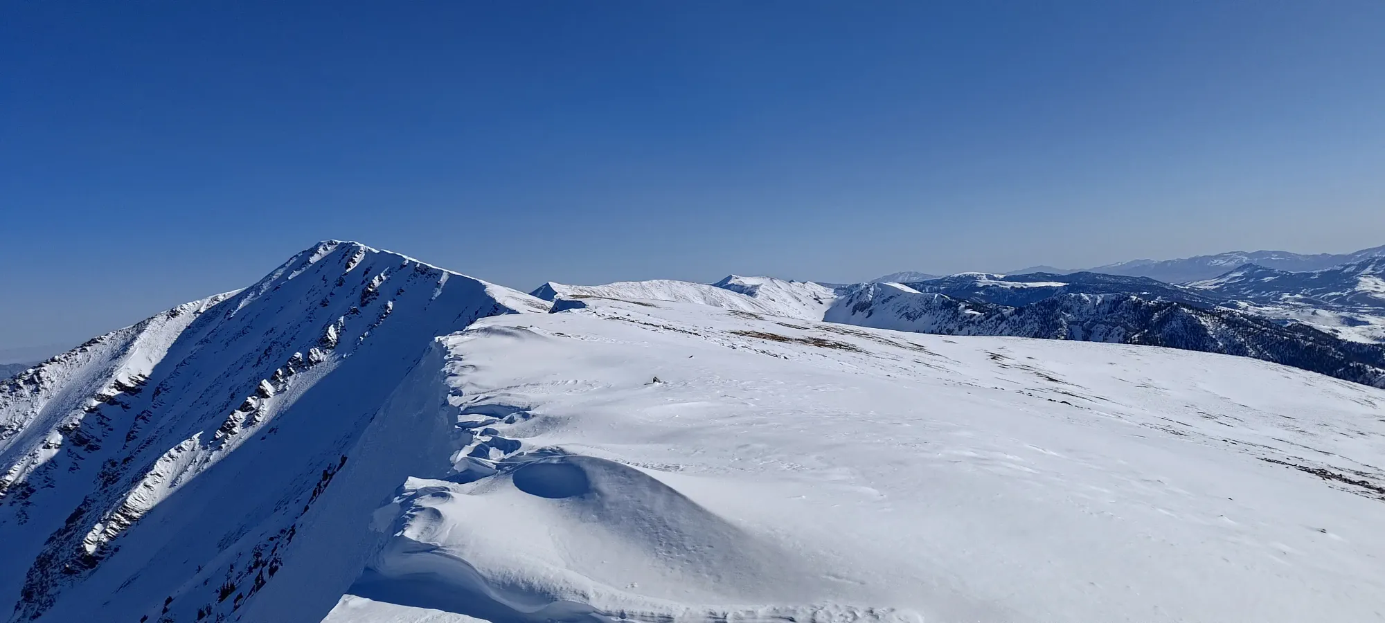
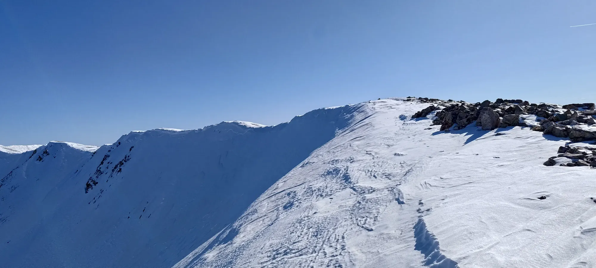
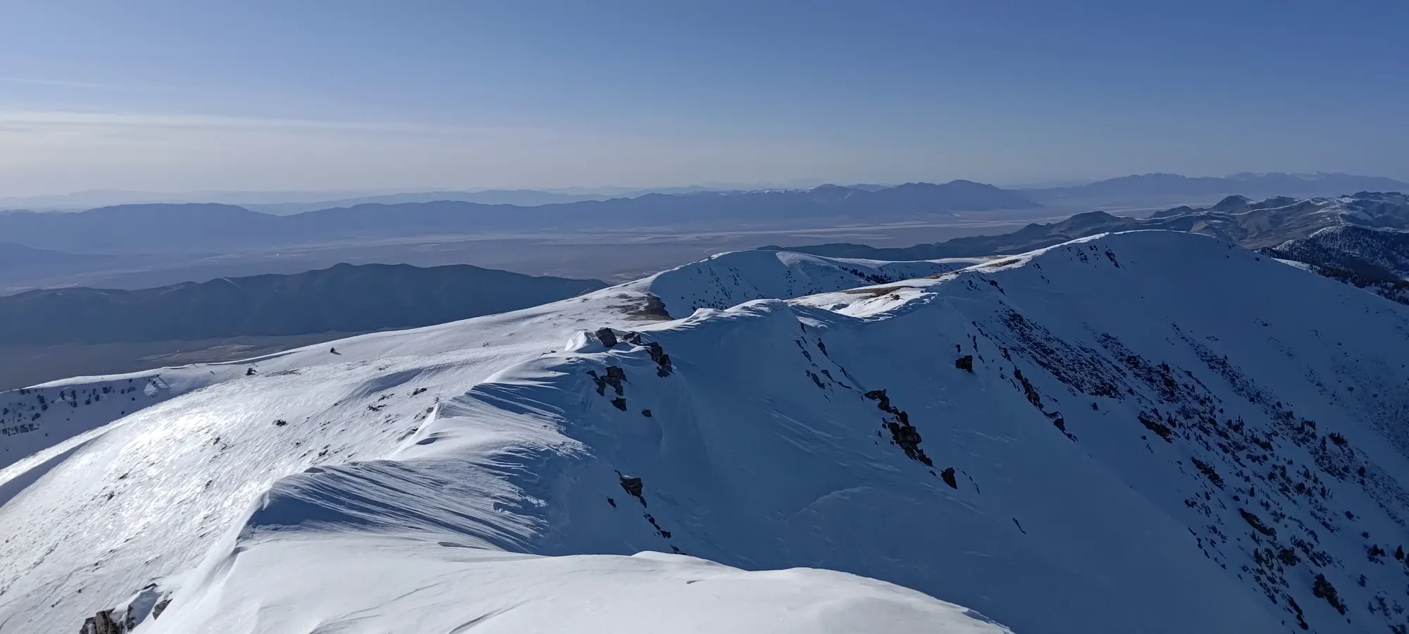
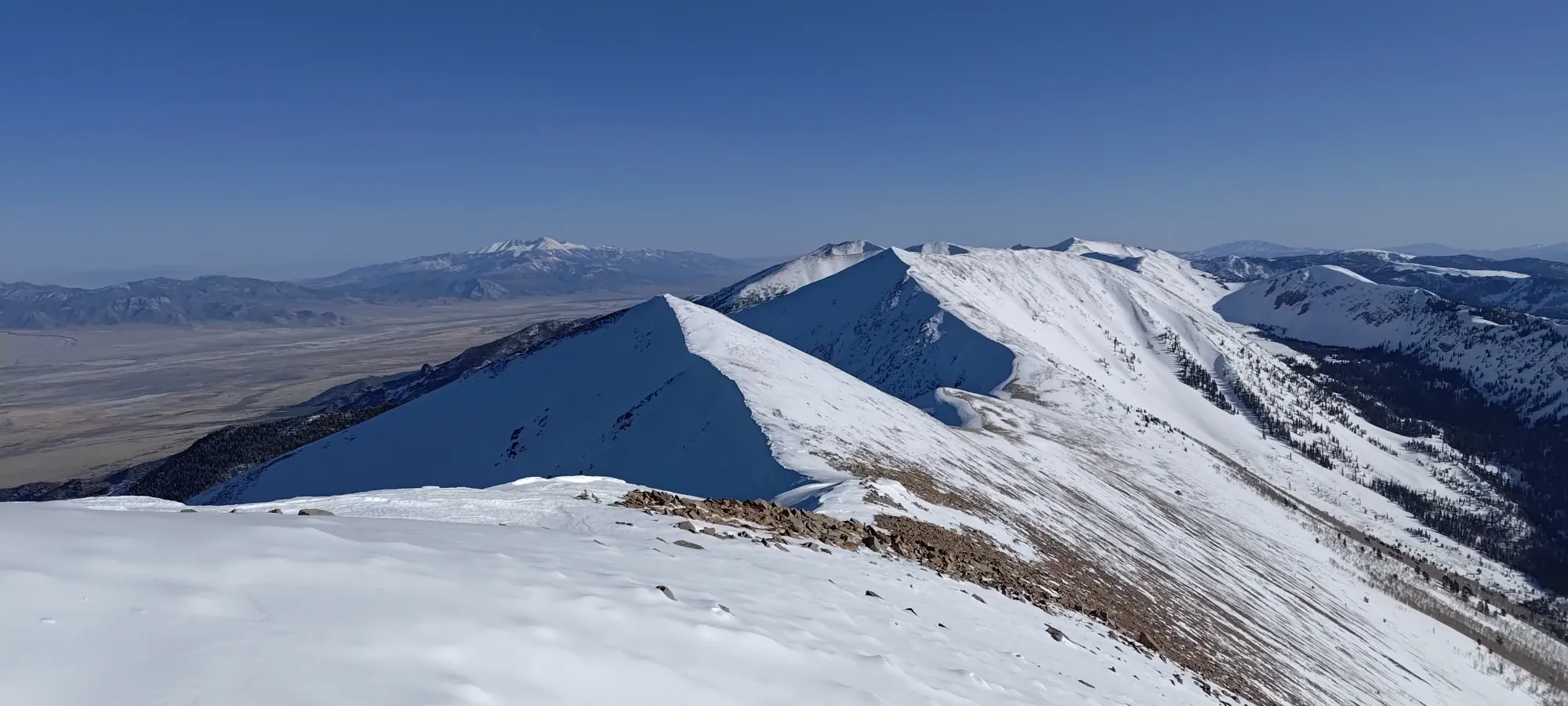
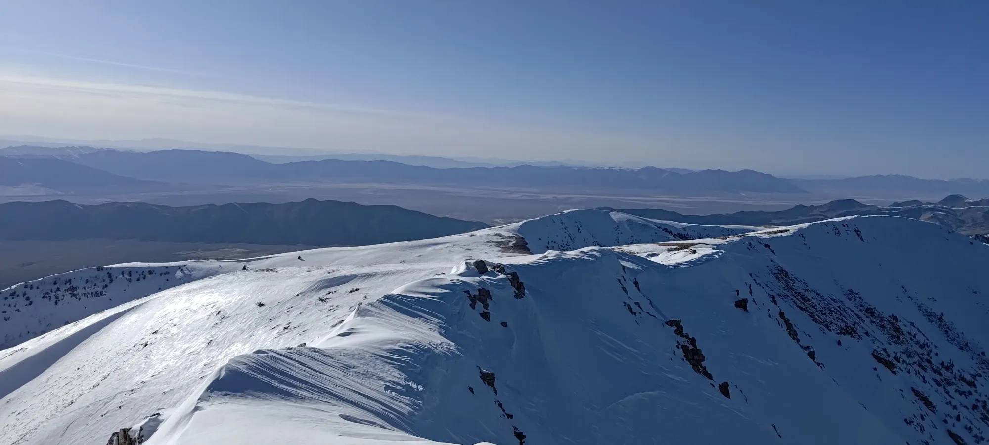
After 5-10 minutes to handle my business, we pressed on for the summit push. The skinning was pretty simple, though this area clearly was more windswept (we put our shells on before gaining the ridge for the same reason), and we had to avoid some lurking sharks. We made a short descent down one minor local high point, then it was more or less up to the true summit.
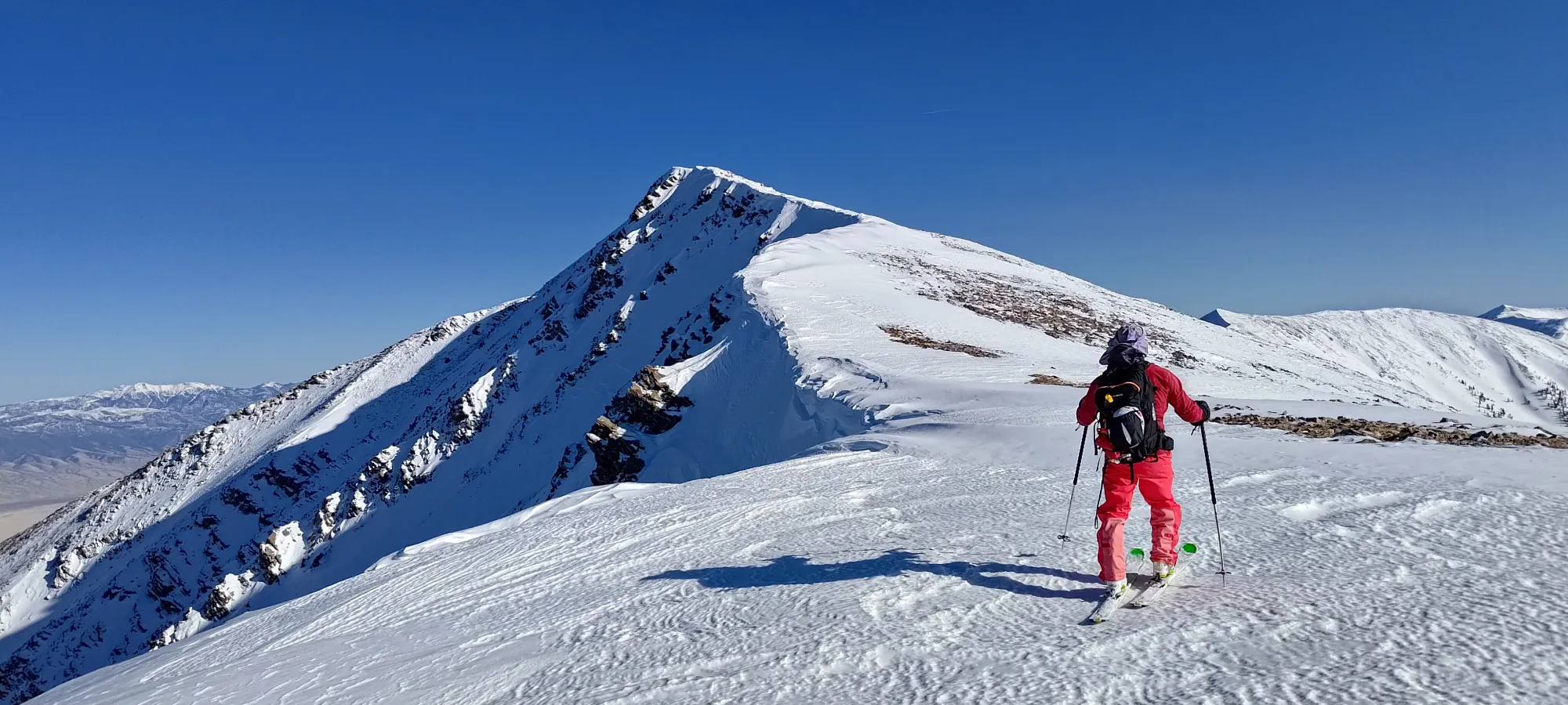
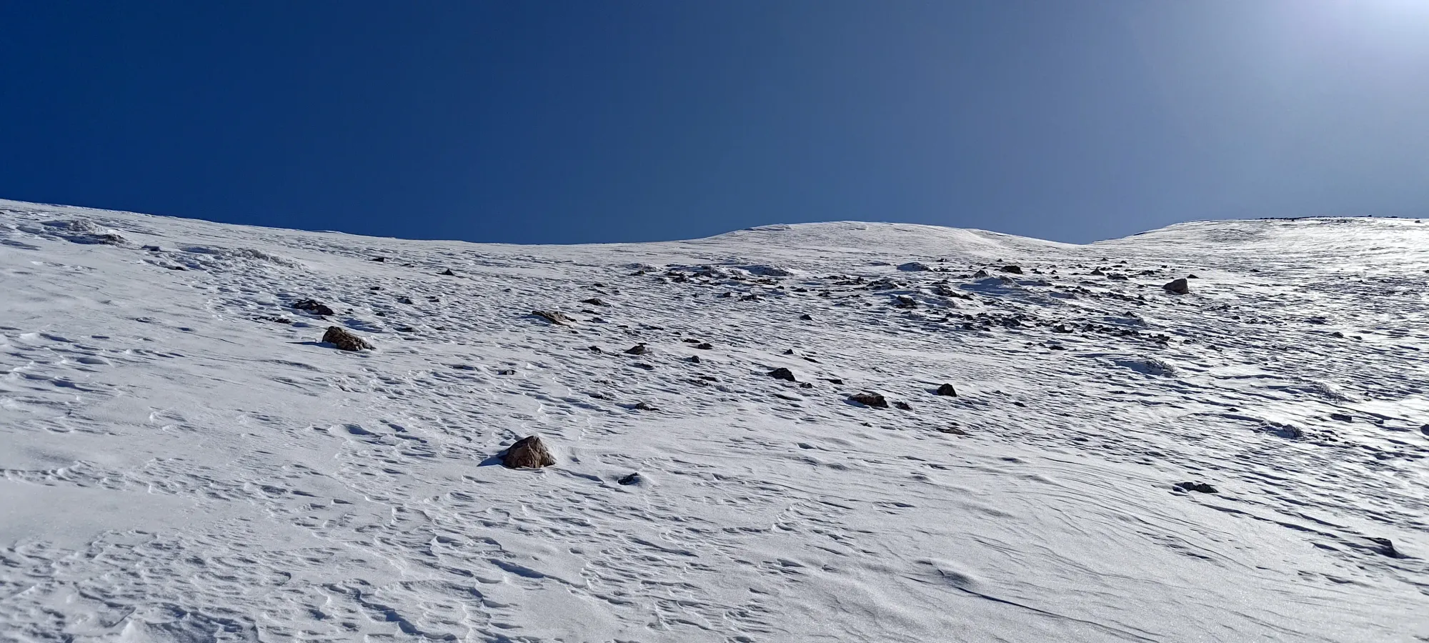
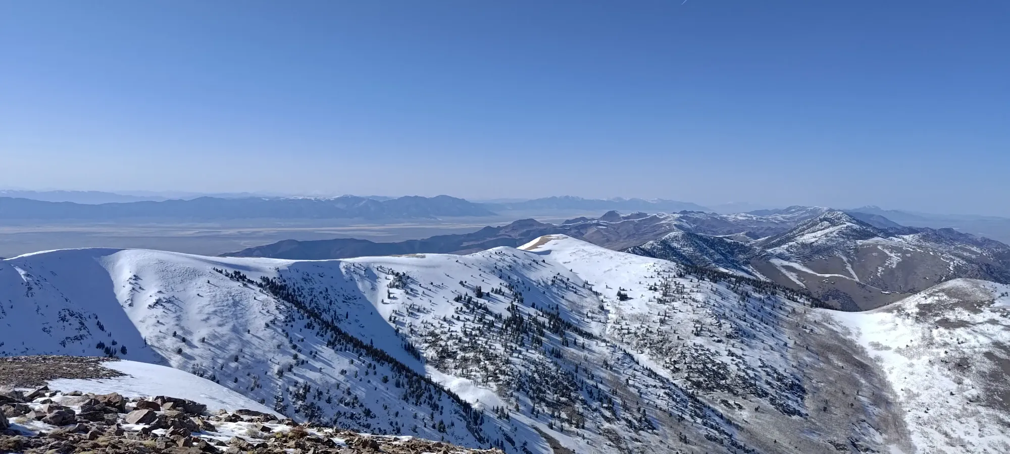
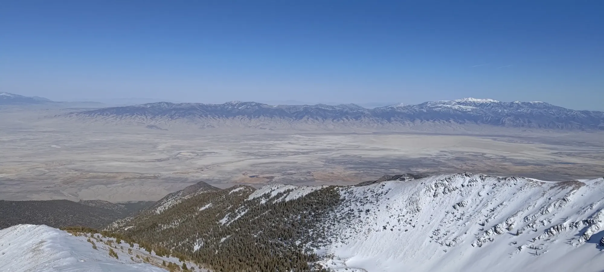
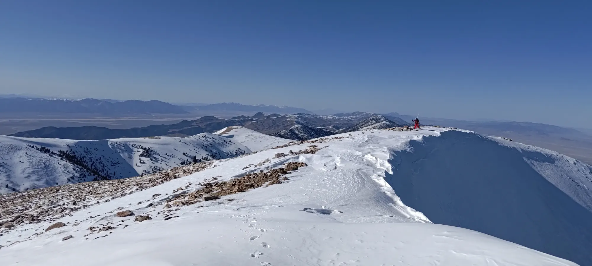
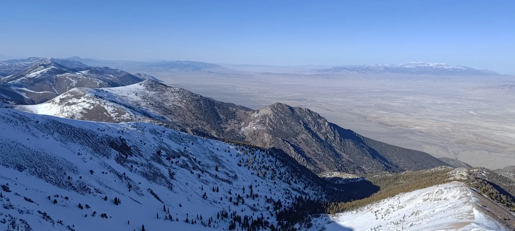
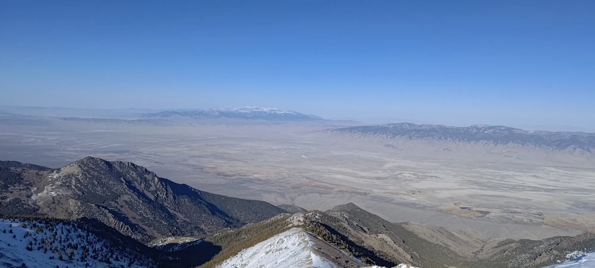
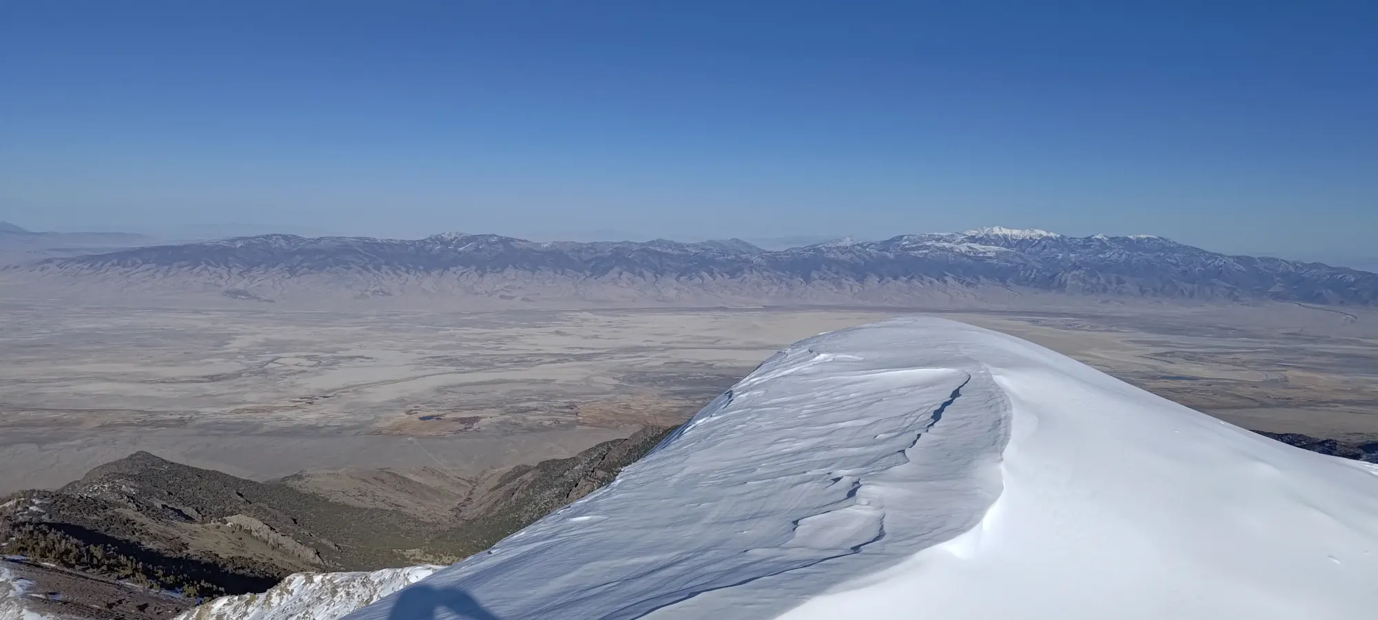
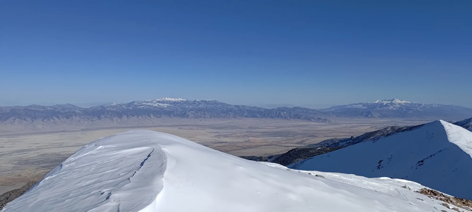
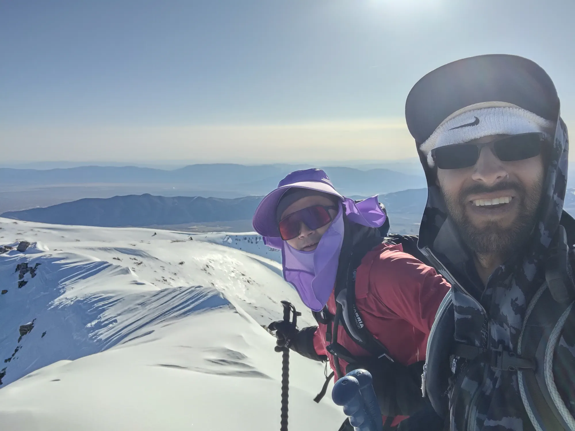
The ridge walk was deceptively long, actually about a kilometre. With the careful skinning around rocks and wind lips, it took us another half hour to top out. We were able to skin right onto the summit, at least. We topped out just after 5pm, and enjoyed the views for a bit before discussing the descent plan.
While I definitely wanted to ski the bowl leading up to then, on the way up, I noticed how firm the ridge was, and how shady the bowl was (it is a NW aspect, after all). I told Eric as much, and floated the idea that "well, our uptrack turned out to be basically a ski run, was soft, and the way out is all known and easy terrain". Eric, it turns out, was really hoping I'd say that, as he wasn't confident he could ski the bowl in firm conditions. I love it when you're on the same wavelength! With that plan solidified, we took our final pictures, then decided to keep our skins on until we got off the ridge, where we'd rip and start skiing down.
Given the hour, we didn't linger on the summit, and started our skin back promptly. We got to the end of the ridge in about 20 minutes, transitioned for a few, and got ready to drop.
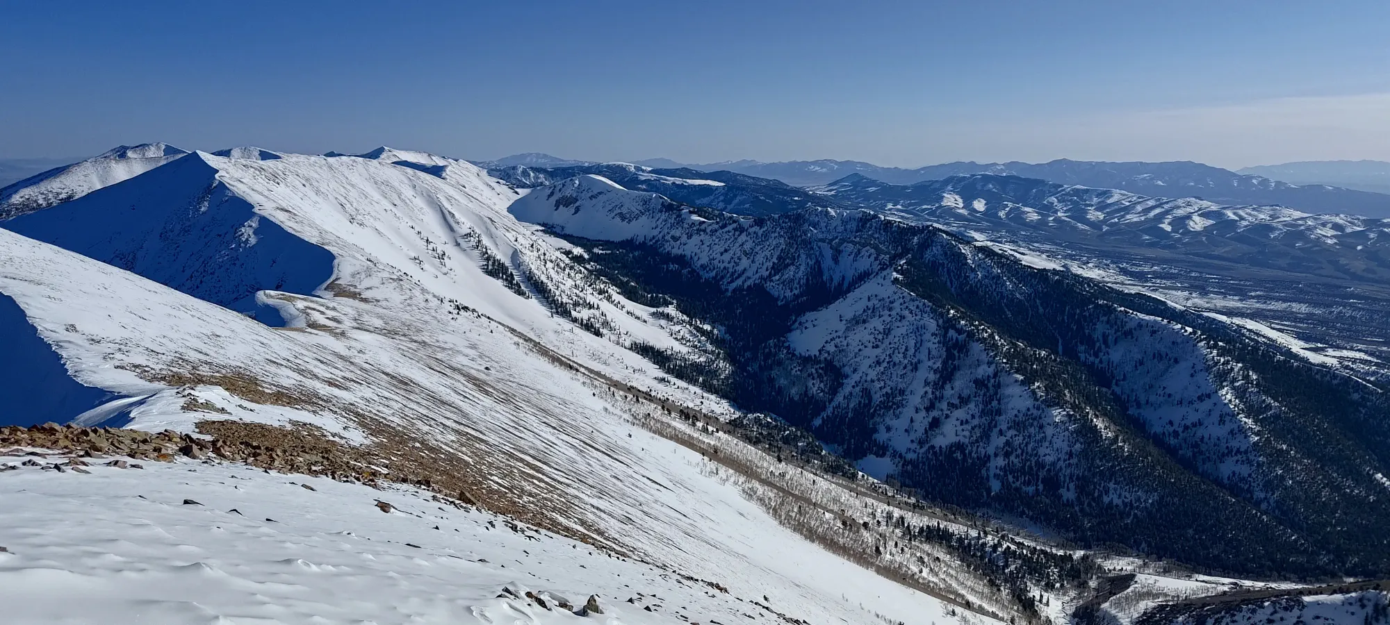
The top few turns were a bit wind-buffed and stiff, but soon after we hit the jackpot: soft, smooth, surprisingly dry powder and open slopes. Compared to Whitney, where Eric was basically just getting down, he actually skied, and I linked tens of turns together instead of just a handful. It was pretty awesome. Sorry Nick and Kelly (my main ski touring buddies), that's what you get for having lives 😄
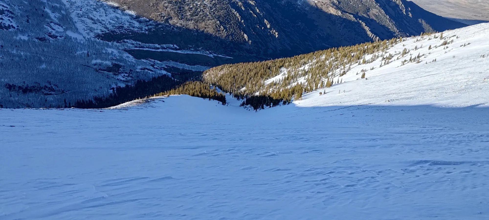
We descended about 800m in 15 minutes, and it would've been faster if the bottom hundred or two didn't end up getting sticky and crusty in the late evening. Thankfully, the trees here are nowhere near as dense as back home in BC, so we just dipped into the forest once we clued in, and the good snow returned 🙂. Once we got down to the creek, we made sure to get to skier's left before it opened up, and it was a straight shot back to the dry crossing we used in the morning.
Once we got to the forest, I let Eric take the lead, since he's a bit less of a confident skier, and I didn't want to lose him in the forest where it's a lot harder to find your partners if they go somewhere you don't expect, or fall behind out of your vision.
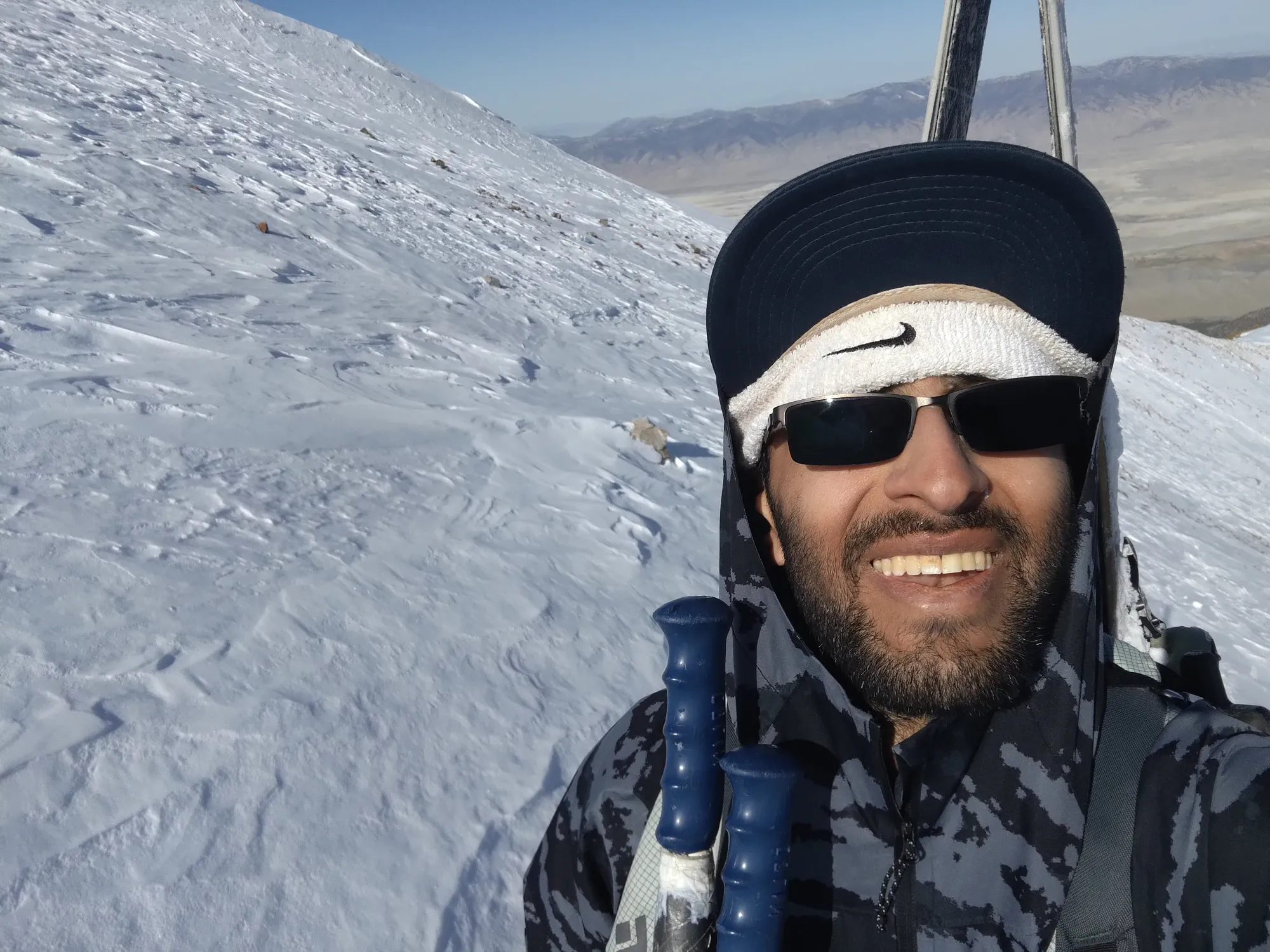
Lol not used to having a camera on my head 😅
After a sporty ski through the trees for a bit over 100m of extra vert, we hit the next open spot on the trail, and decided to pack it up there, as the snow wasn't super continuous beyond that point, and constant transitions get fairly tedious. Still, 1000/1400m skiing ain't bad for April, especially that far south.
Thankfully the boot down was actually pretty efficient. 400m to lose, about 2km, and it took around an hour with a bathroom break, some postholing, and a good few creek crossings.
The daylight was pretty much gone in the last few minutes of the hike out, but I decided to be a dumb Tareef and refuse to take my headlamp out just because, so I had a fun time trying to get by just with moonlight to avoid obstacles on the walk out, but it worked well enough. We got back to the car before 8, but not that much before 😅
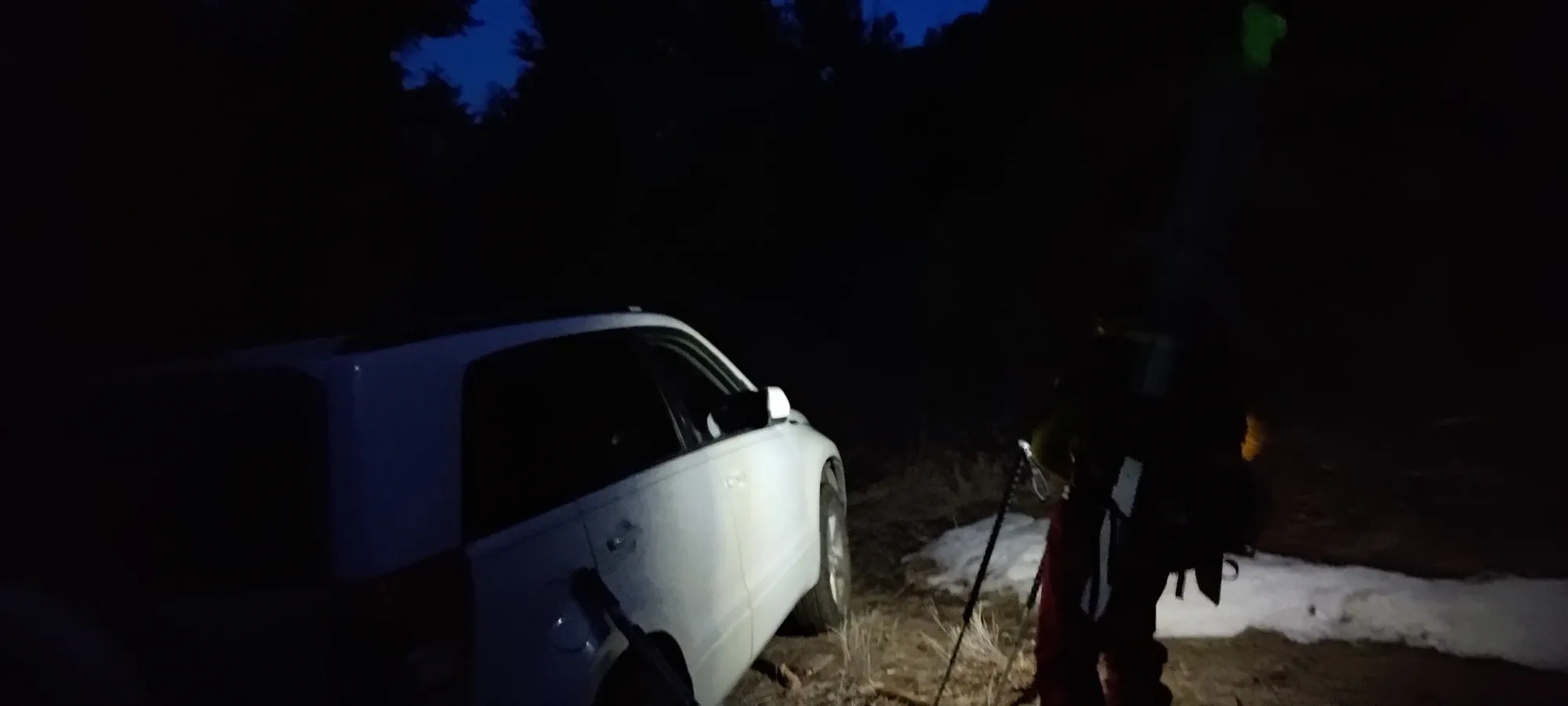
The drive back out was actually more chill than it felt on the way up (which was a relief, cause it was pretty intense on the way up for a crossover++ type of vehicle). We did at least get back to Ely in time to grab some dinner. Getting from there to Tahoe, though, was a slog after a long day, I definitely needed a couple bits of shut-eye at rest stops on the drive over.
Overall, though, I am pretty stoked about this mountain. Access is pretty good, the travel quite straightforward, and the random approach route I scoped out with contours and satellite turned out to be an awesome run, and bailed us out from probably very firm and unpleasant skiing on the intended bowl route. 10/10 would recommend!
GPX Track + Map