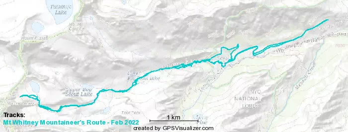
Mt Whitney Mountaineer's Route - February 2022 (Unsuccessful)
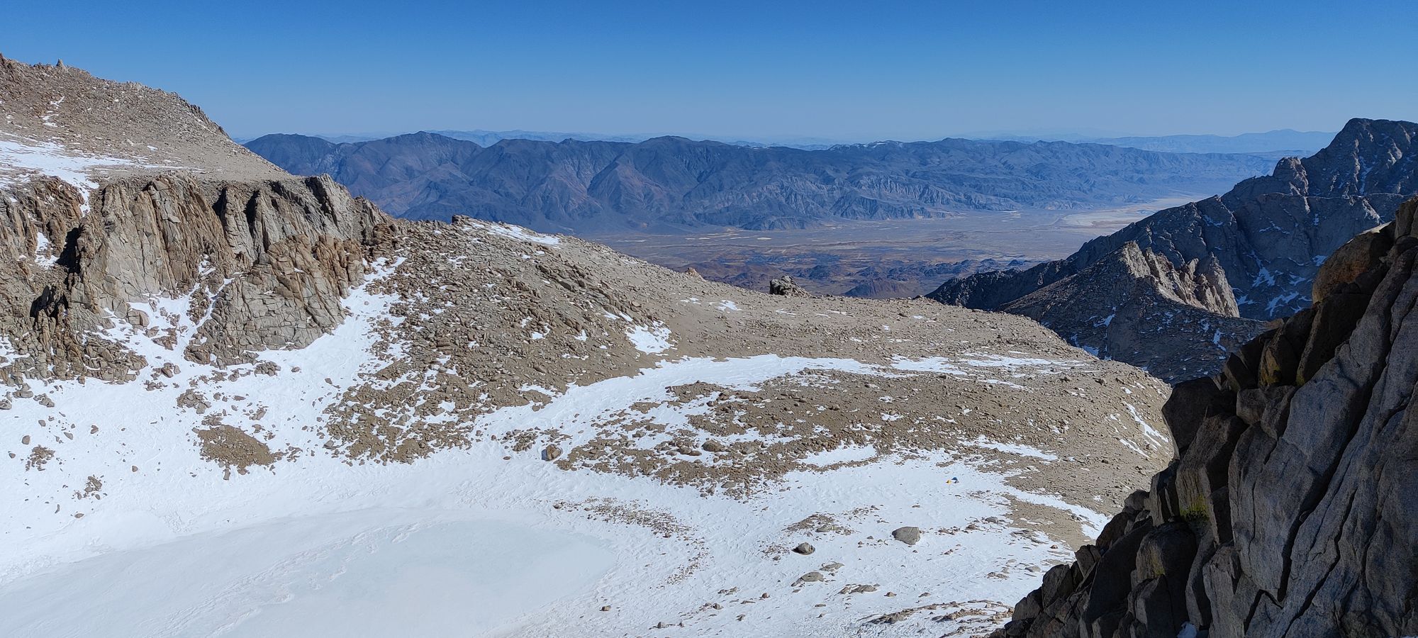
Sierra Nevadas, Lone Pine, California
4000m
Wow, can't believe I'm dumb enough to make my first blog post an unsuccessful one, but hey, I was dumb enough to attempt this in the first place, so I guess I shouldn't be surprised.
So, how did this trip come to be? Well, last year we hit 3500m at Mt Temple (possible follow-up post coming if I remember it well enough?), and decided (foolishly) we should try to go up 500m every year. Problem is, being based in Vancouver, our national options to do that are Mt Robson (technically not even 4000, and a devilishly difficult climb), or up in the St. Elias Mountains, which are remote and cold as can be. However, in late January, my work said "let's have an offsite in California!", so I immediately hit alltrails, and found out that I could feasibly get work to pay me to drive to/from the highest mountain in the contiguous US. So, a few persuasive messages later, and me+my climbing buddy had a plan.
The problem comes when you hear the plan. I drove down from Vancouver to San Francisco over Saturday+Sunday, spent the next 2 days waking up early to train since my hotel gym closed at 2pm, working, and being out with coworkers, then Wednesday drove down to Santa Cruz, Thursday after work went to Mojave, and we set out Friday morning at about 7am after some breakfast. So at this point, I'm already tired 😅. No matter though, because mountain fever is upon us! After a brief stop for some last-minute equipment in Lone Pine, CA, we head up the trailhead road. After a small amount of boulder-dodging on the unmaintained winter Whitney Portal Rd, we get to the closed gate after the large switchback on the road, and park. After gearing up, we set out in a beautiful ~20 degree (celsius) day at just about 10am.
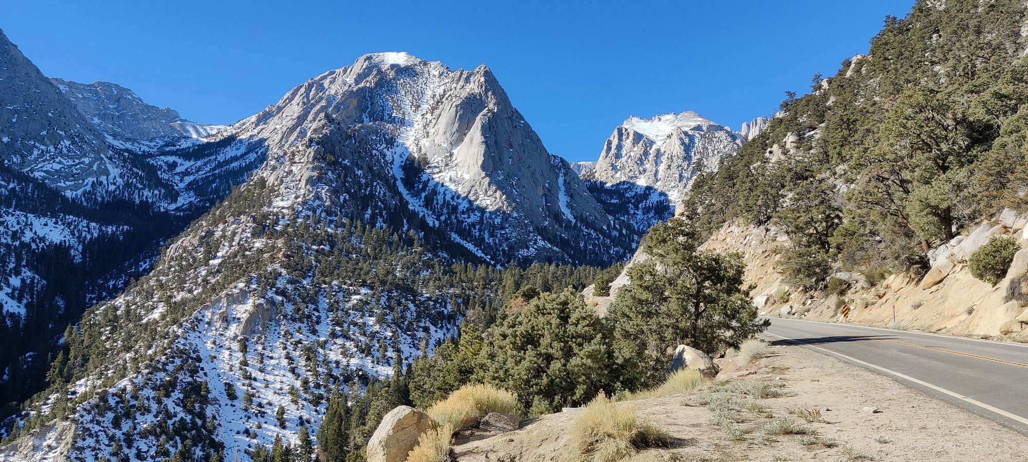
The road to the trailhead feels pretty short, and we get there in about half an hour. After weighing in our packs at between 40-45lbs each, and taking an obligatory sign-selfie, we set out in the snow.
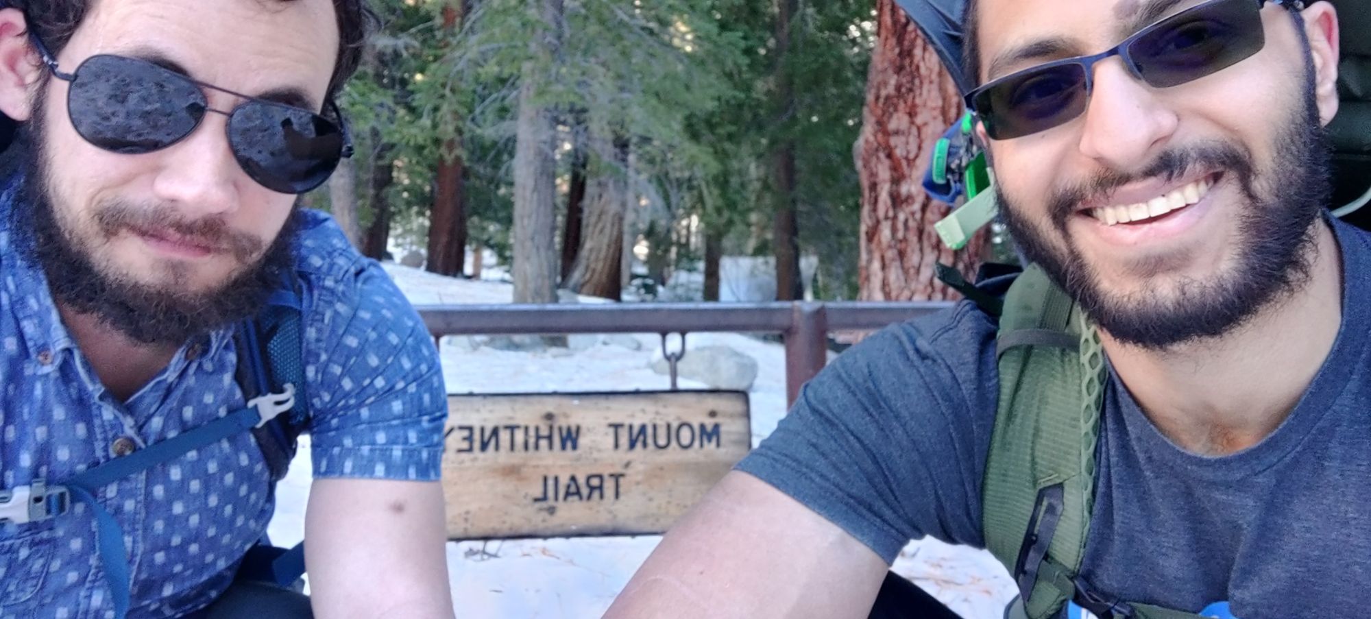
After about 2 minutes, we give up on boot-walking and figure snowshoes will make our lives easier, so we strap up. As we're doing that, a group of guys who don't seem to have any knowledge of the trails ask us if we're doing the mountaineer's route or the main trail, and indicate they're trying to do the former (like us). But they're not referencing a map, or heading in the right direction. We set em' on the right path, but never saw them again, hopefully they got out safe. For those wondering, at least in winter, there's basically no trail markers or anything of the like, you need to have maps/GPS or you will be lost.
The next couple hours were pretty uneventful, just walking up through the forest. It took about half an hour before the snow was consistently covering the ground, but after that we were quite happy with our choice of traction aid. Nothing much to speak of here, got past the fork for the main trail, and went up towards the infamous E-ledges.
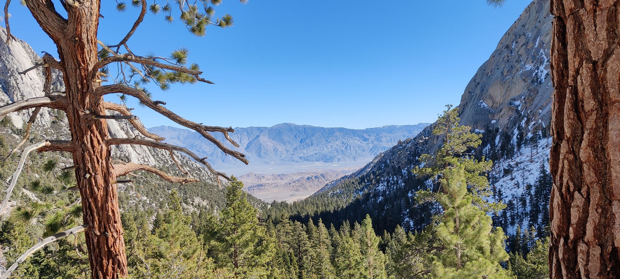
After you emerge from the heavy forest, you can see the E-ledges are to your right, there's a fairly steep face to your left, and Lone Pine Creek goes through the middle, from Lower Boy Scout Lake. Typically, the ledges are your path, and a pretty challenging scramble (esp with a big pack), but in the snow, we just kinda went up the broken path up the gully and along the creek. This was pretty tight with our big packs, and took some manoeuvring, but about 4 hours into the journey (about 2pm), we emerged atop the ridge, just before the lake, and had some combination of snacks you might call lunch for an hour.
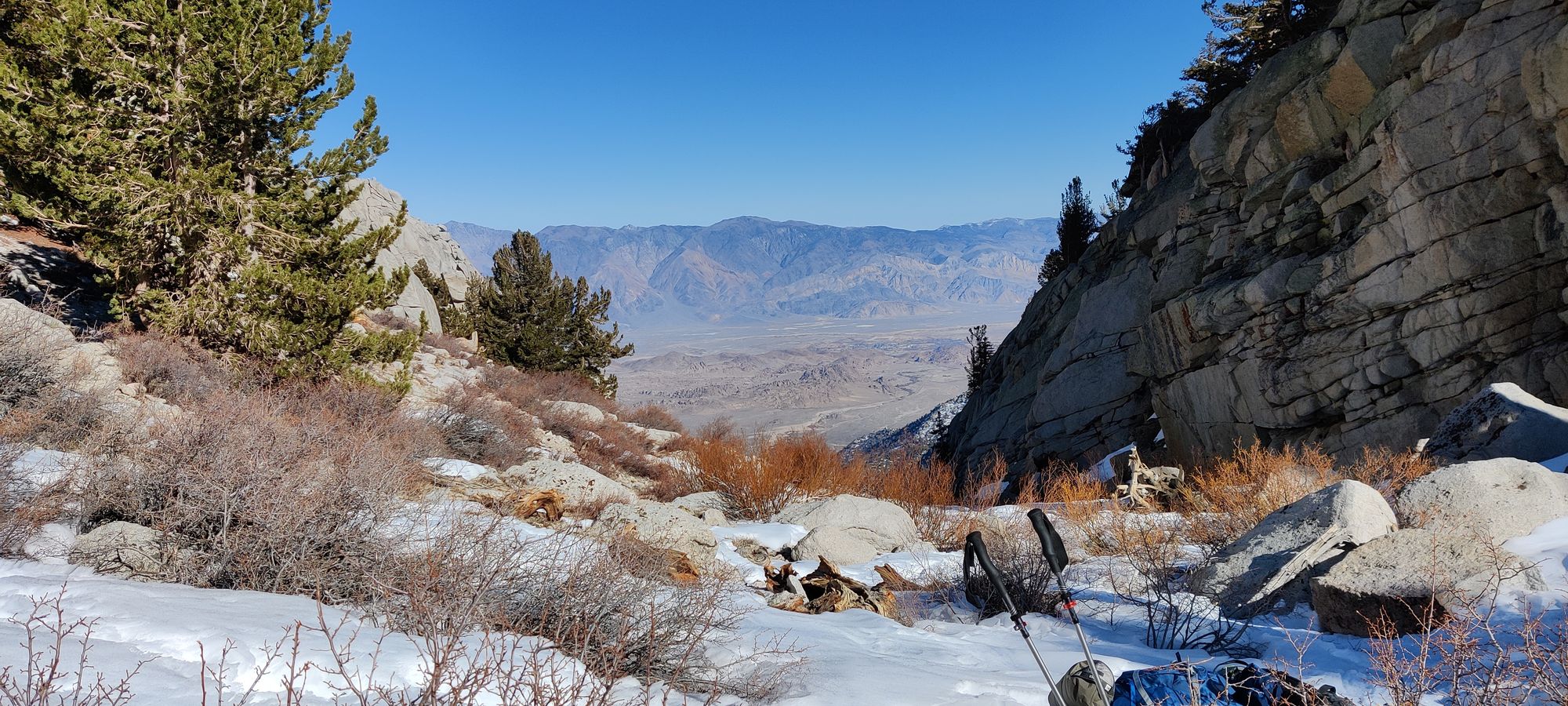
After that, we set out again, hoping to reach Iceberg Lake before it got too late/dark. About 2 hours later, we somehow got to Upper Boy Scout Lake without noticing. It was totally frozen, and the path is not quite beside it, so in our tired states, we didn't even notice til we got past it. After the first lake, the elevation and exhuastion really started to set in, so we were picking outcroppings as rest points and making short bursts, and not so focused on our scenery. We definitely wanted to get past here, so we didn't linger for long.
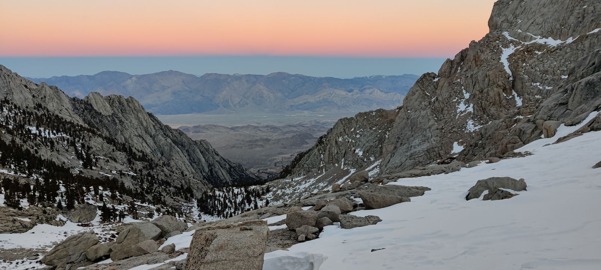
We continued plodding for about another 2 hours, very exhuasted. The sun set not long after we passed Upper Boy Scout, and at about 8pm, we called it a night, and settled on a nice rocky outcropping that was fairly wind+snow sheltered at about 3750m. We cooked up some dinner, set up our bivies, and conked out.
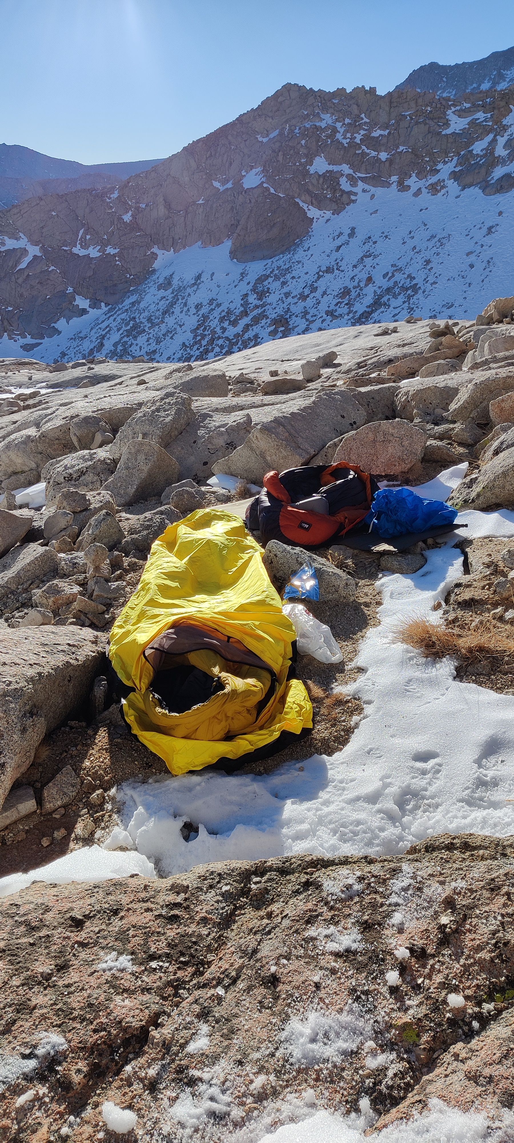
After a somewhat sleepless night for me (guess who forgot to LOCK the valve on his inflatable pad...), we got up around 6, and started prepping breakfast, our summit packs, and melting water. We had one guy pass us on the way down around then saying he got a successful summit in, that felt good. After breakfast, we had a couple pass us saying they lost their crampons in waist-deep powder past Iceberg Lake. That felt less good. Then we waited... and waited... and waited. Turns out boiling water at this altitude is dumb, and we should've just melted and purified. We didn't set out til almost 9am. This was the first big blunder of day 2.
Eventually, though, we set out, and started plodding towards iceberg lake. Despite our summit packs feeling gloriously light, it was not easy going. Altitude (and lack of sleep+food on my part) was definitely hitting us. We hit the lake in about 2 hours. Given our plan was "get down by 4-5, and drive to Reno for the night", I was very low in faith for our ability to summit. About 45 minutes later, we hit 4000m, and it's about noon. Sadly, it's time for us to turn around. We hit our annual altitude, but the summit will elude us for another day. There's no way we're getting up and down with enough time to get to Reno if we push on, despite the snow not being nearly as deep as reported, crampons were doing fine.
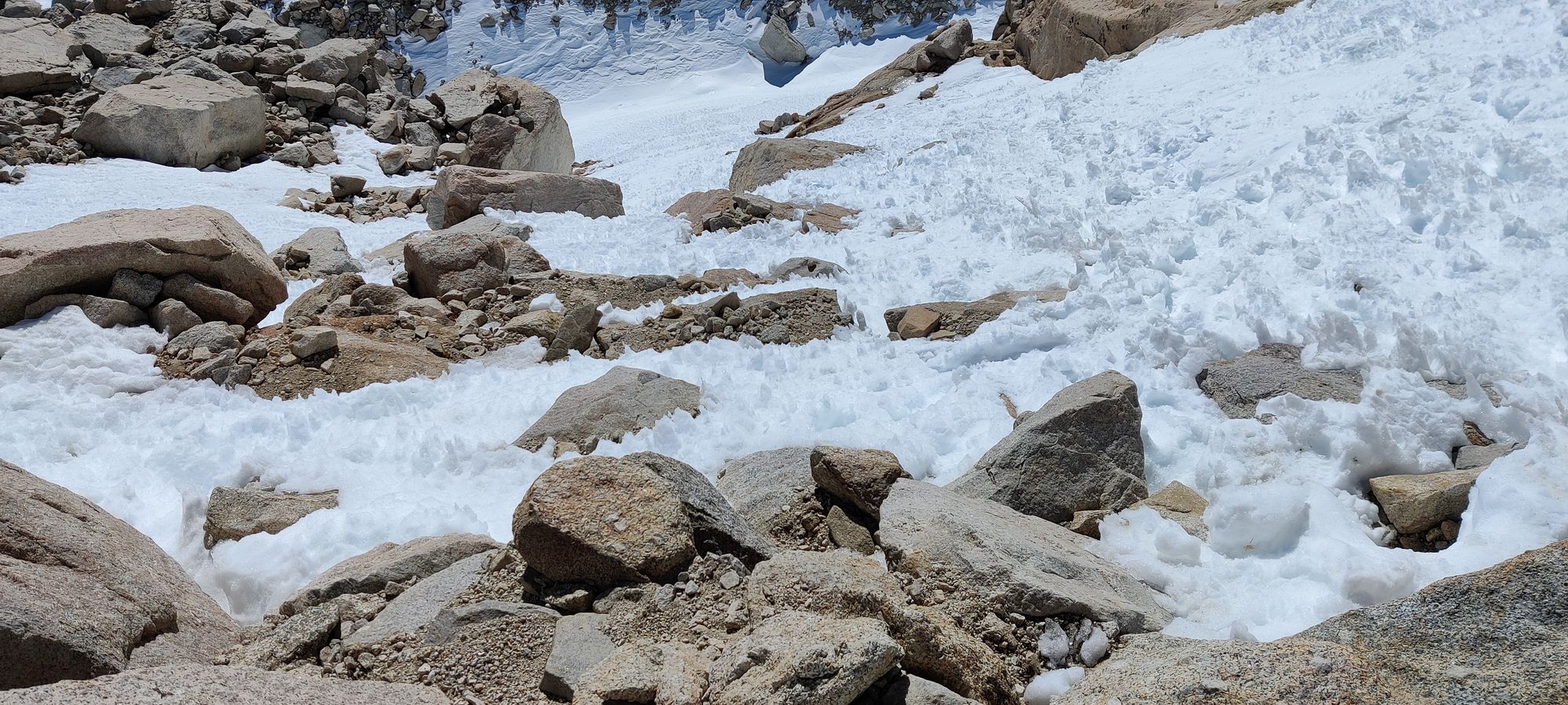
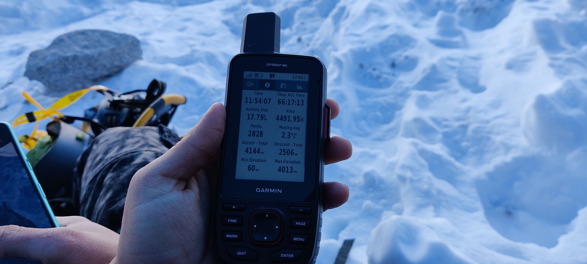
As we turn around, we realize a small problem: going down isn't easier. It took about 2 hours to get back to camp, not a great start. It also takes about an hour to pack up, eat some "lunch", go to the bathroom a couple more times (mountaineering and colitis aren't the best match in the stars), and set out, with the full packs once again.
An hour and a half of "tactical sliding" and careful snowshoe-ing downhill later, we get to Lower Boy Scout Lake, Logan refills his water, and I catch some breath, finally starting to feel a little more substance in the air again. Things are starting to look up, even if it's past 4pm and the day is getting darker once again. Then... mistake #2 happens. We decide some more "tactical sliding" would be useful, but also decide that our axes are too annoying to reach, so we'll just fly down and not aim for the rocks. Logan goes down, and with a bit of gear-splosion near the end, makes it out. I decide it looked fun, and follow. With my axe and helmet both uselessly on my back, I slide down. Right into a giant rock, face-first. Not a great plan. Thankfully, after a few seconds I regain my focus, find my glasses, and nobody's permanently harmed. But a lesson in laziness gained the hard way, that's for sure.
Mistake #3 isn't far away though, sadly. Just as we're descending into the gully to avoid the e-ledges again, a couple of guys pass us, and as Logan sits up, I ask "what's that orange spot behind you, that wasn't there before?" The answer: bear spray. Which seemingly had the safety dislodge during mistake #2, and is now all over his hands.
This makes the descent a bit (read: a lot) more difficult. We're stopping about every minute or two for some good ol-fashioned hand-dunking into the snow to prevent his hands from burning up. It takes about 2 hours to get through the gully, longer than the way up. The forest+road are a bit better, only about an hour. Once we saw the road, we almost shouted in relief. We got to the car at about 8pm, geared down, and drove to the town. Of course, no pharmacy or anything open so some gas, gatorade, and lots of hand-washing later, we decide how we're getting home.
I have a covid test in Reno at 9AM, and neither of us have Monday off, so we decide to push on. Every few minutes as I'm driving Logan's gotta stick his hands out the window for some cooling. An hour later, we stop at a Denny's in Bishop, have some real food, and I say "screw it, I'm making it there, one way or another". Logan falls asleep after this (better than having to feel the bear spray pain anyway), and I pull out every trick in the book to stay awake, and somehow we make it there at 3am without an incident. So we crash.
Sunday I wake up, have my test, somehow am not dead, and drive til the tank is empty in Eugene, fill up, have lunch, do it again til the border, fill up, have some dinner, thank the universe the truck protests closed a different crossing than the one we used, and get back to Vancouver around 11pm. I to this day, have no idea how I stayed awake for that entire drive.
So, some lessons learned, namely "plan an extra day for a serious ascent", "don't slide helmet and axe-less into giant rocks", and "don't slide with your bear spray dangling on your bag", some milestones hit, others missed, but our first "real" expedition in the books. We did see plenty of peaks on the way there/back, plus we can't let Whitney win, so I'm sure this won't be the last road trip down the west coast for us...
GPX Track + Map
