Mount Thielsen - May 20 2024
Quite an excellent ski mountaineering objective. Parking right off the highway, pretty short approach which should be skiable as long as there is snow, fun skiing, and a cool summit scramble. Plus over 1000m of prominence for the stat nerds :)


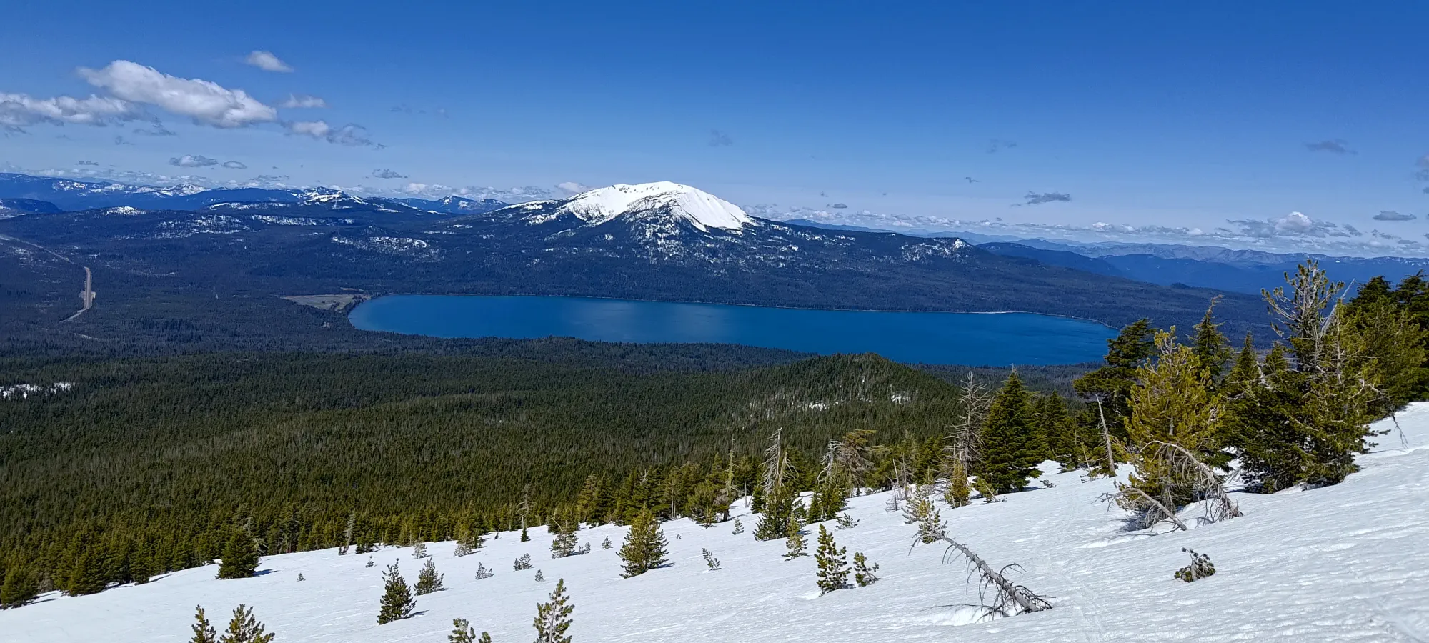
Crater Lake Area, Diamond Lake, Oregon
2799m
Now on day 3 of my long weekend in Oregon, with Mount Eddy and Mount McLoughlin bagged the previous 2 days, it was time to head home. Being about a 10-hour drive back to Squamish from Klamath Falls, most people would just, you know, drive home. I say that's a waste of a great weather window and opportunity to bag peaks in a place not-really-day-trippable for me, so instead I looked for peaks "north of Klamath Falls" I could get on the way back, at least kinda. Thielsen fit the bill as a peak with over 1000m of prominence, being one of the Cascade Volcanoes, and generally being a good ski with some fun scrambling at the top, which are all great things!
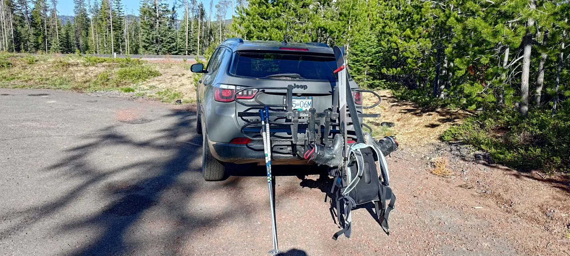
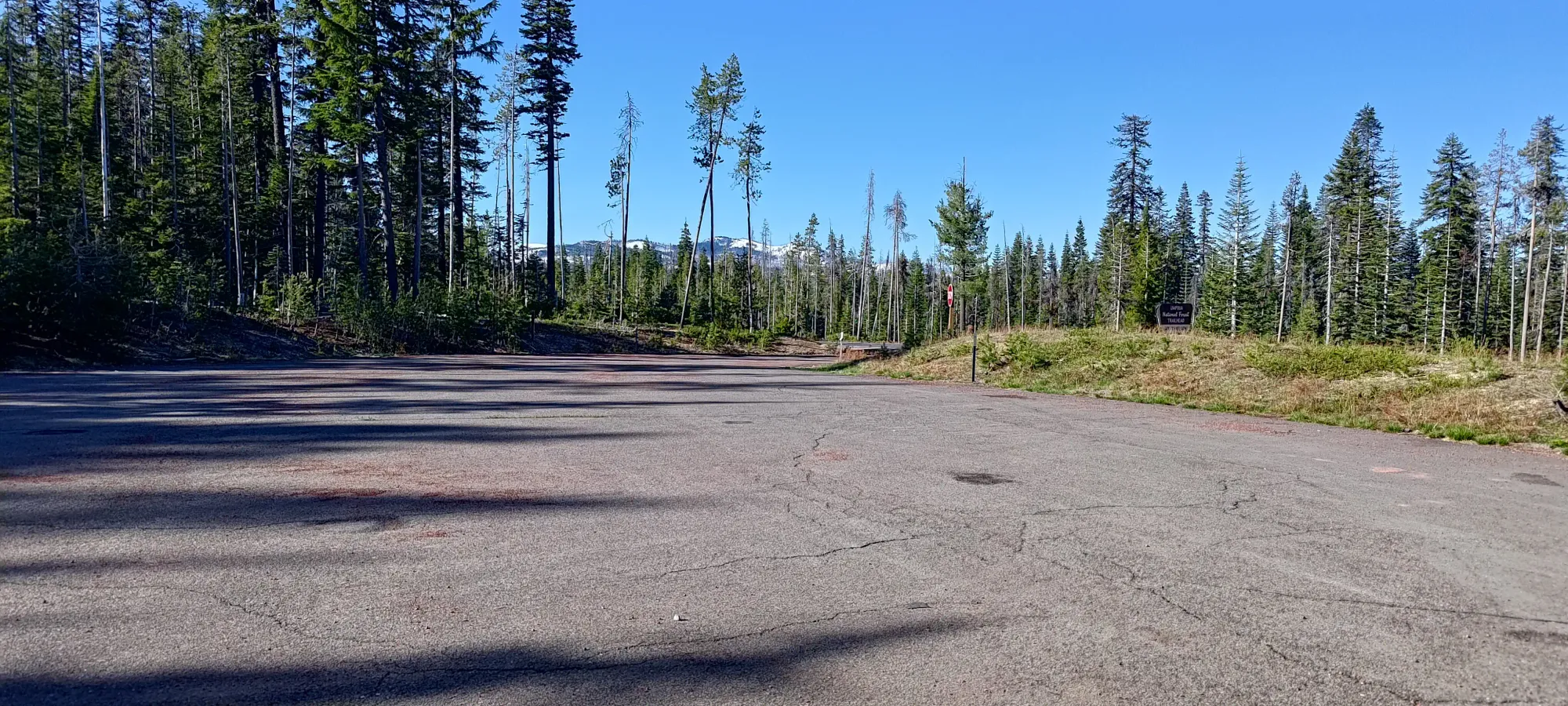
I did my best to eat enough the night before after McLoughlin and get packed so I'd be able to do this and still make it home for work on Tuesday, and after trying to strike a decent balance between sleep and giving myself time, I got to the trailhead and started moving yet again at 8:40am (the last 2 days I started at 8:39am). I swear I never planned/tried to start all these at the same time, but it just kinda worked out. I was the only one in the parking lot, and I didn't have any beta for recent ascents, so I packed the skins and mountaineering gear just in case trail-breaking or technical snow was in my future. I wore trail runners from the car, though, as it was bare dirt at the trailhead.
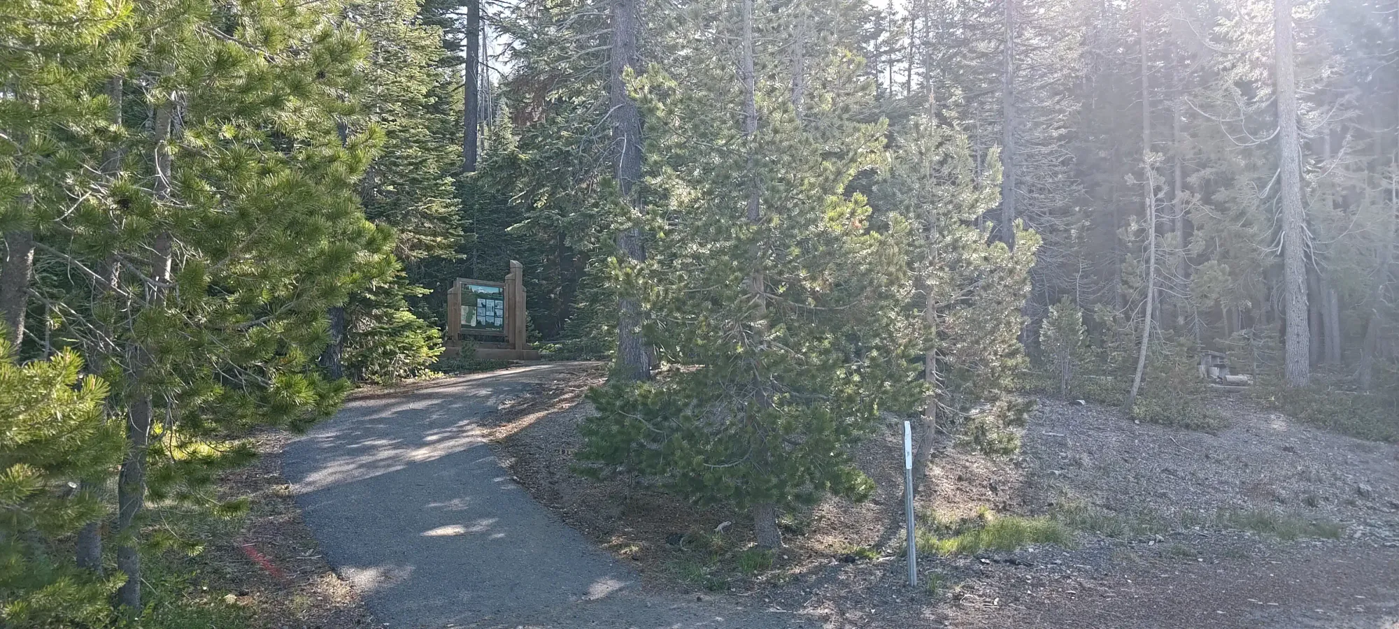
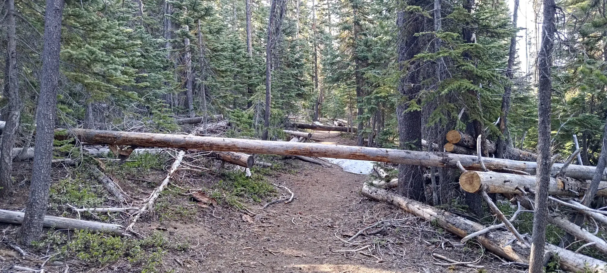
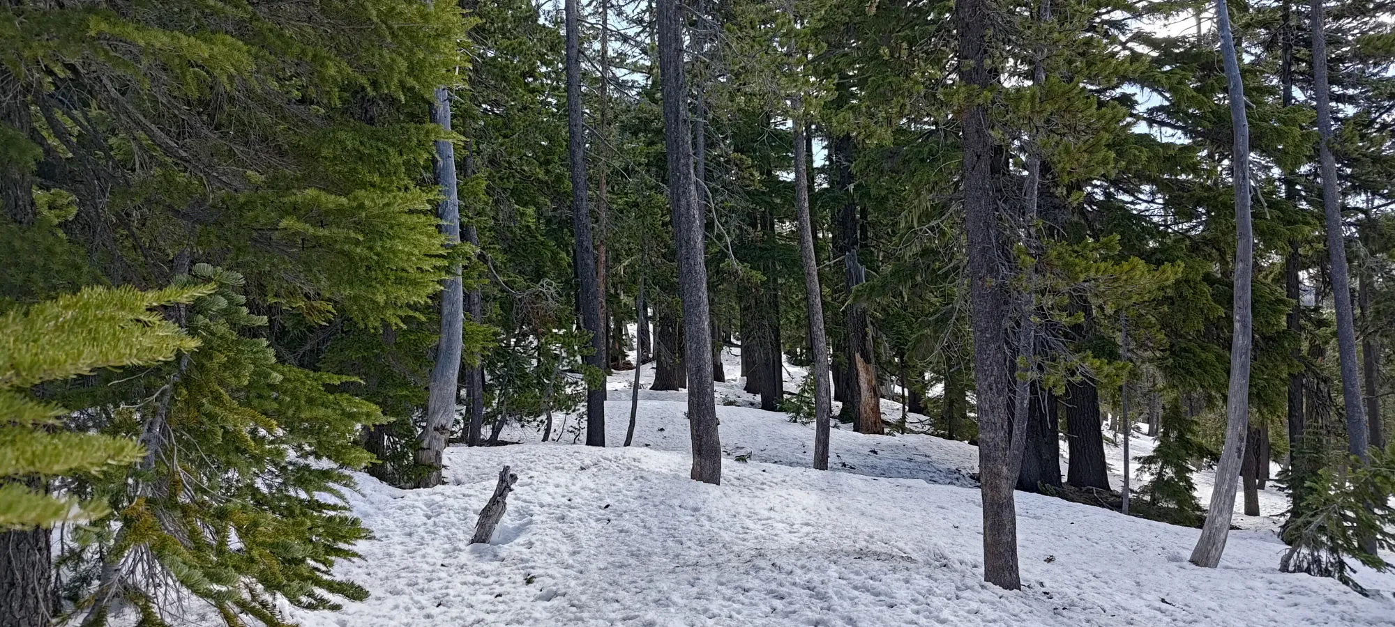
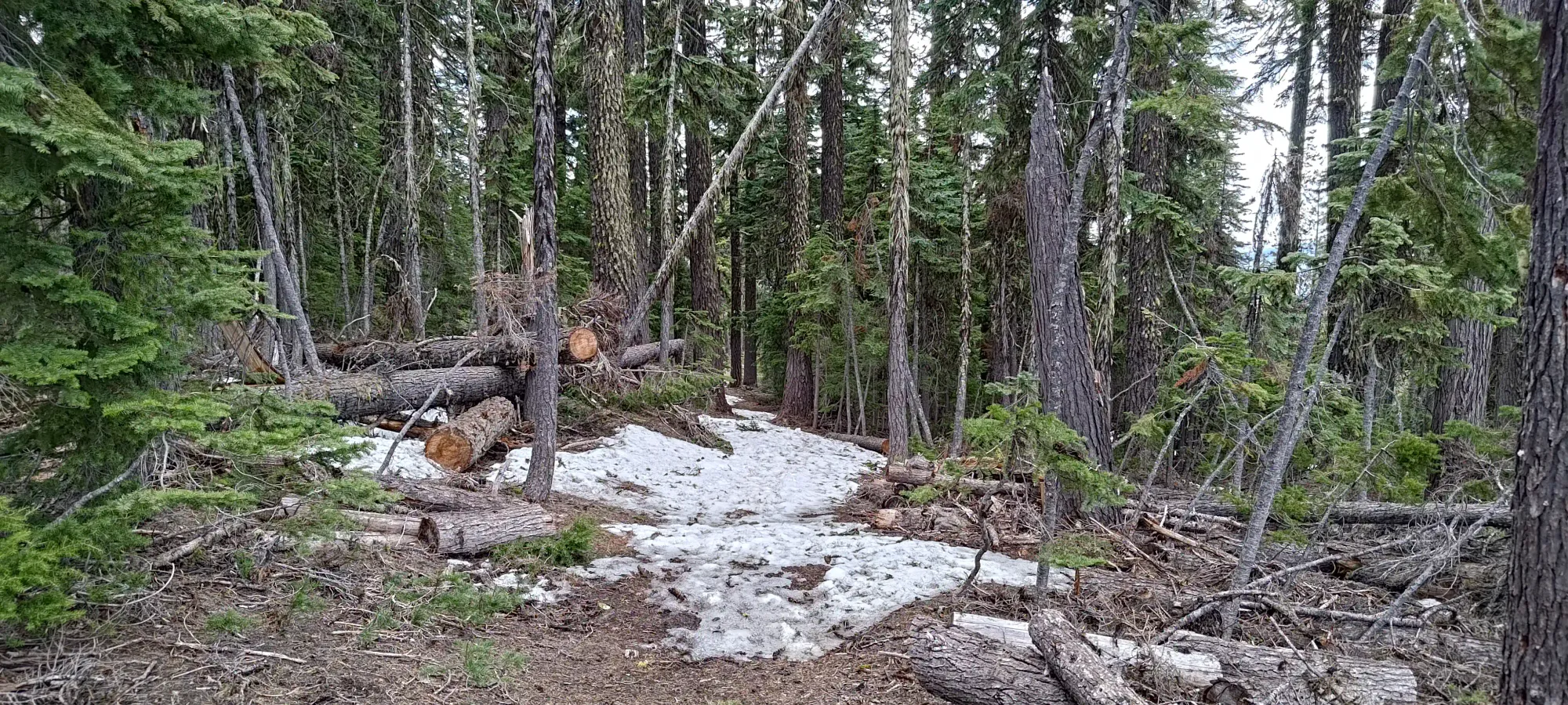
The first 2.5km were pretty much just a walk along a nice forest trail, with a couple caveats. First, there were maybe a dozen or so deadfall one had to navigate over or around (maybe 3 that required going around vs over). Some reviews of the trail (people who had gone up only partway) had mentioned as much, but made it sound way worse than it was, they added only a few minutes to the day at most. The second factor was snow. Which... wasn't much of a factor. It was patchy but thin, and present for less than 20% of the trail for this first, more forested stretch. The rest of the trail wasn't muddy or anything, so it was pretty cruisy. I got through this section in 40 minutes, which took me from the 1650m trailhead to just under 1900m.
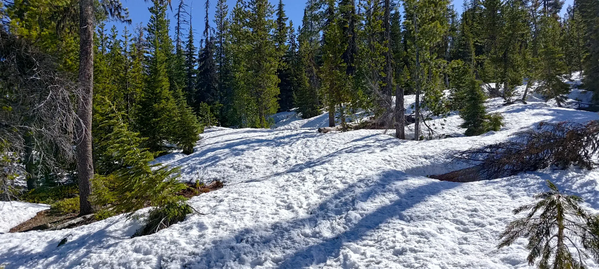
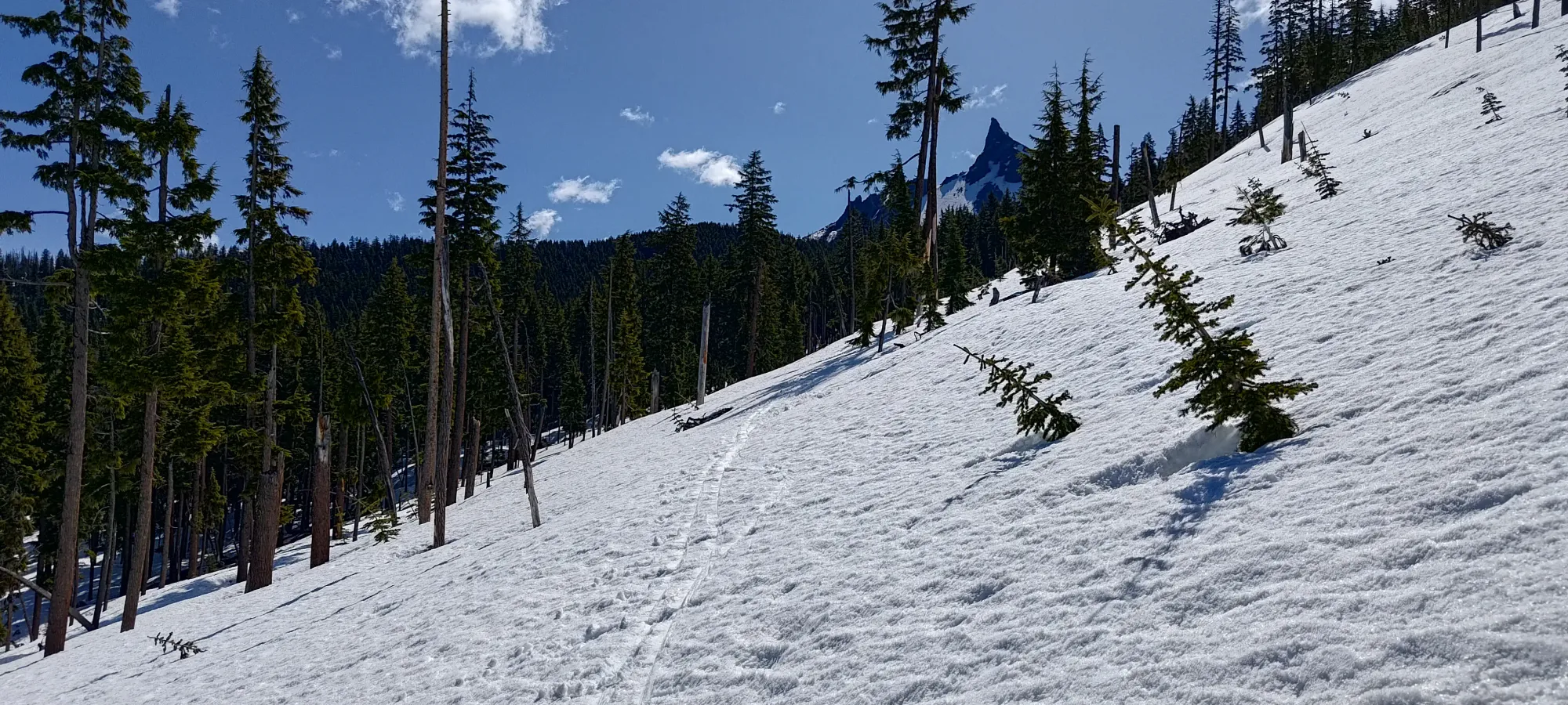
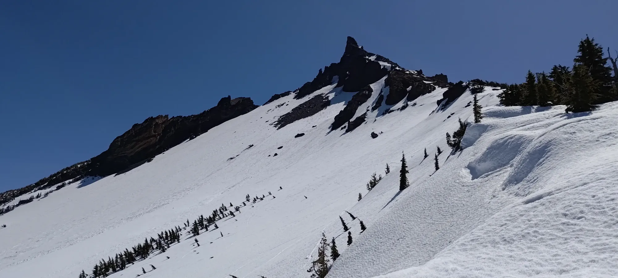
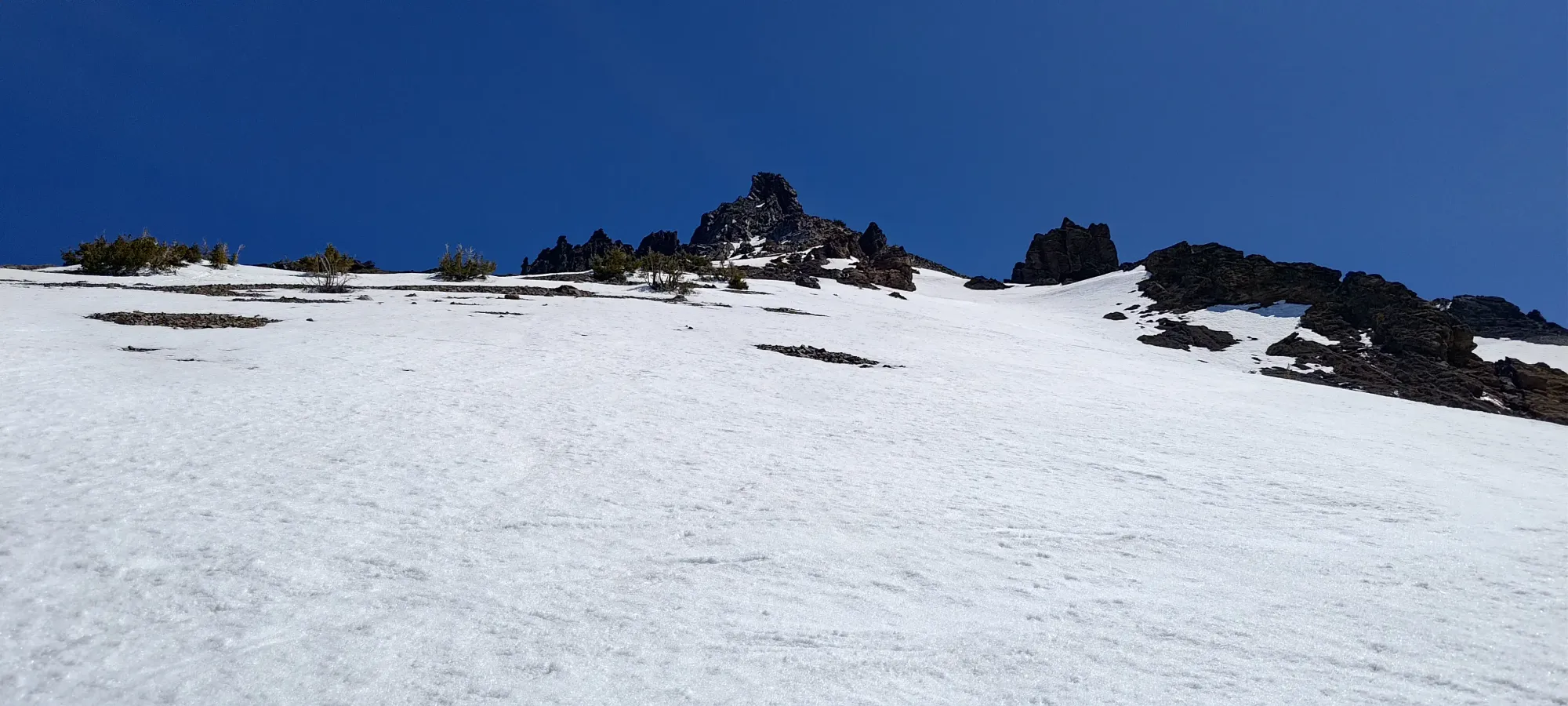
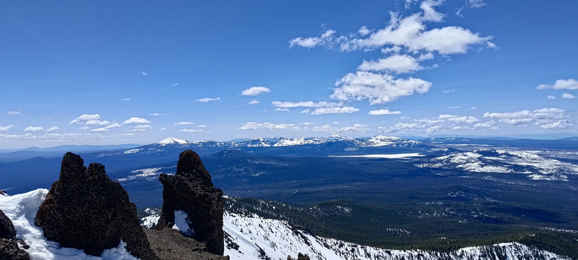
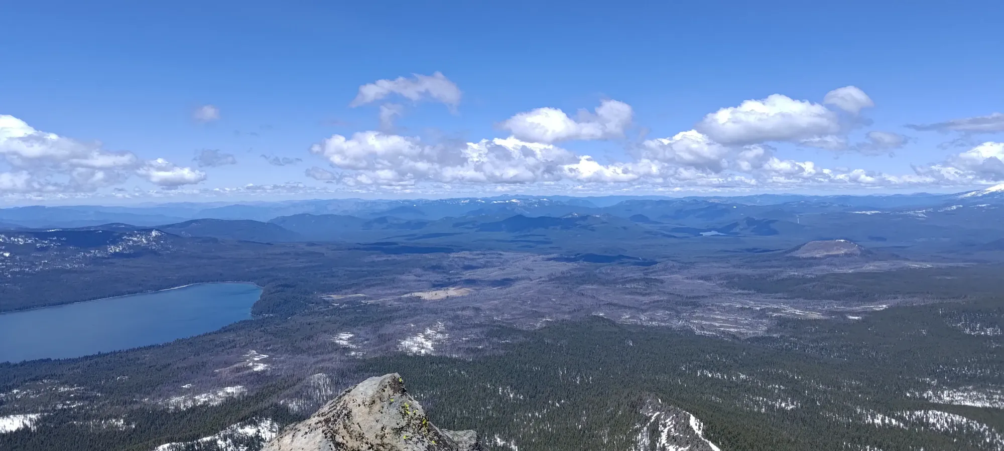
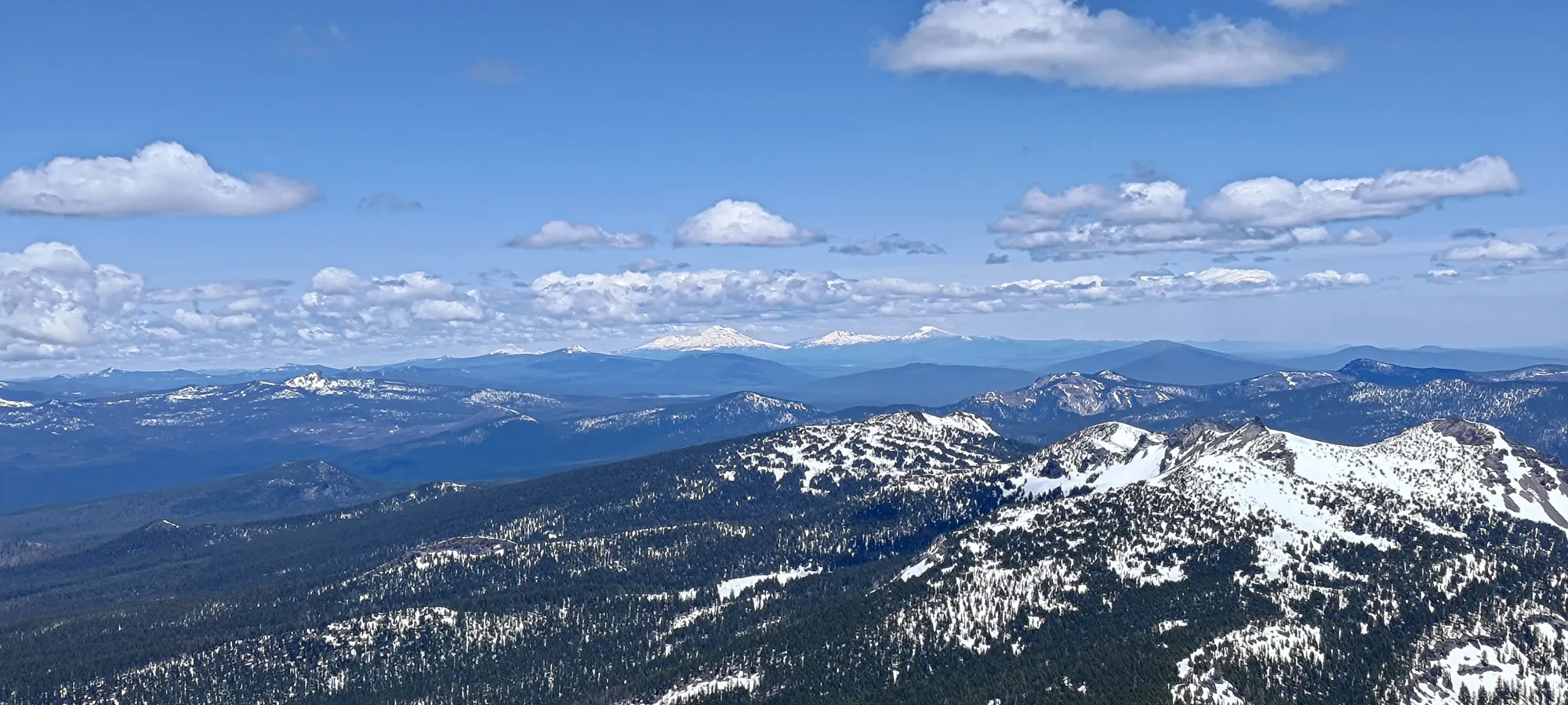
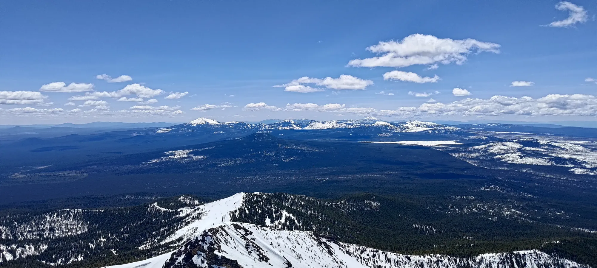
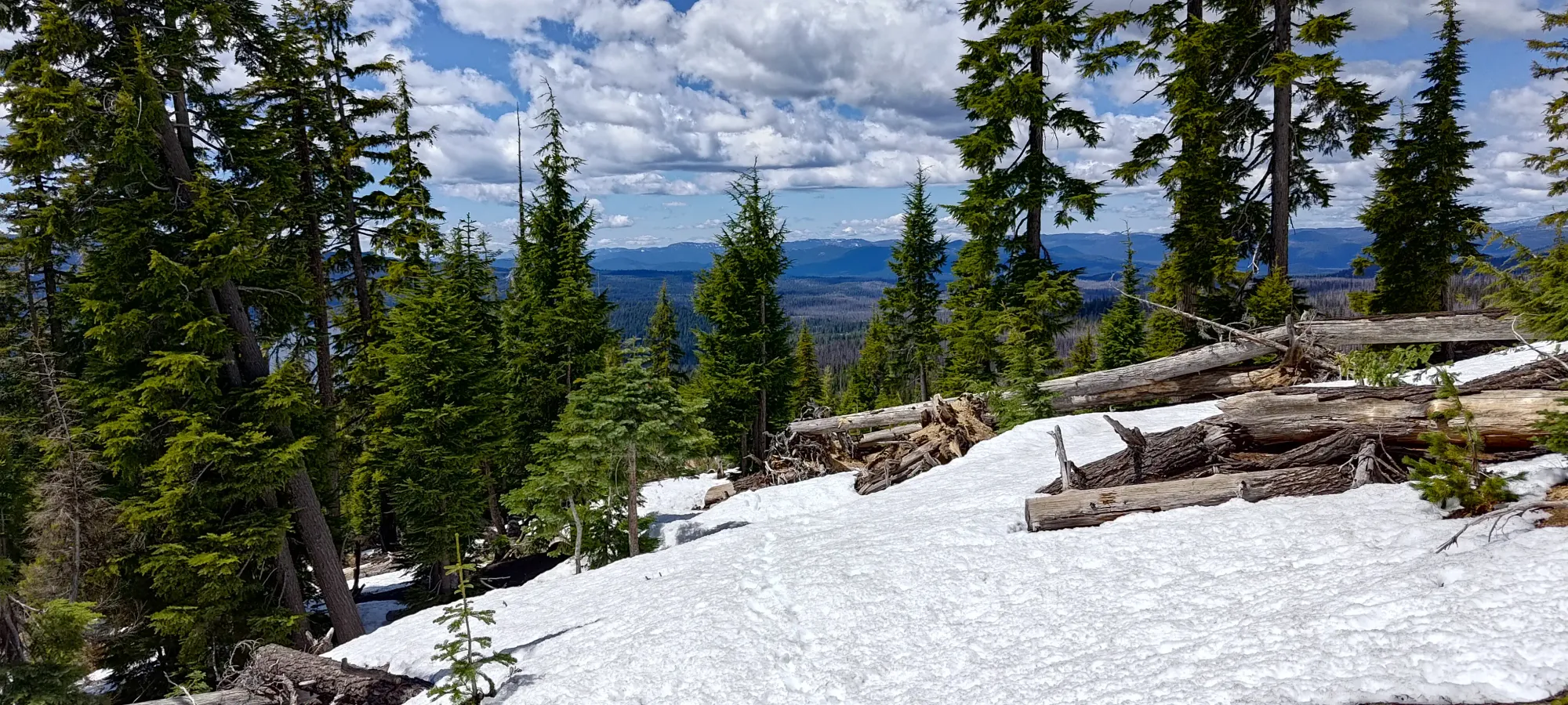
As seen above, once you exit the forest at this point (just before the Spruce Ridge Trail junction), the snow gets pretty dang consistent, and the sky opens up. There were one or two small dry patches just beyond, but pretty much right after the junction the snow was consistent for the rest of my ascent. The trail continues until a sharp switchback that takes you on the north side of a western ridge feature that the official trail stays on the south side of. I followed tracks going up the northern side for a bit before I decided they were dumb and just started forging my own path. I took a quick break to put my microspikes on at this point, since I had them, and sidehilling on firm snow is nicer with than without. You could get by if you really hate them, though.
After a couple switchbacks, I planted myself directly on top of the ridge, which was a sparse forest that had good snow coverage still. I could see thinner snow coverage on the southern slopes to my right, so I was glad I stayed on top for the simpler travel now that I had spikes on. The ridge feels pretty flat, and I walked along it for about 25 minutes before rejoining the official trail just above 2100m, where there is another large switchback that places you on a NW ridge that turns into a more directly western ridge as it climbs all the way to the top of the mountain. Getting onto the second ridge I just wandered up the forest at whatever angle felt right, since the density allowed for DIY-routefinding without much trouble.
I walked along this ridge for 20-25 minutes before deciding "I brought skins and skis, I may as well use them", and then finally stopped for a break, and to transition. Since the snow was getting a bit soft, I figured skins might be more energy-efficient, and if nothing else, my shoulders would appreciate "not having to carry skis anymore". This was just about 2 hours into the day, with basically half the elevation and more than half the distance done, and more notably "me still feeling good", which was a nice change from the previous 2 days where my initial rush had come back to bite me a couple hours in. After 10 minutes, a transition into my boots+skis, and a couple sips of water, I continued on along the ridge.
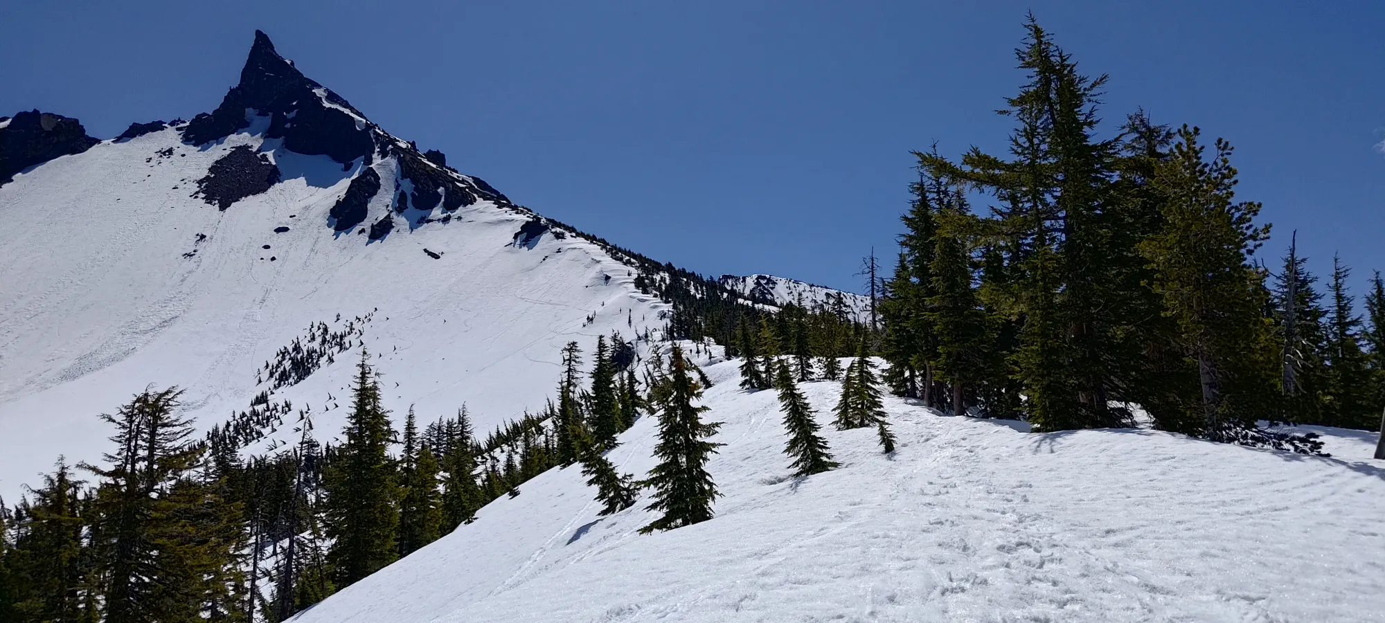
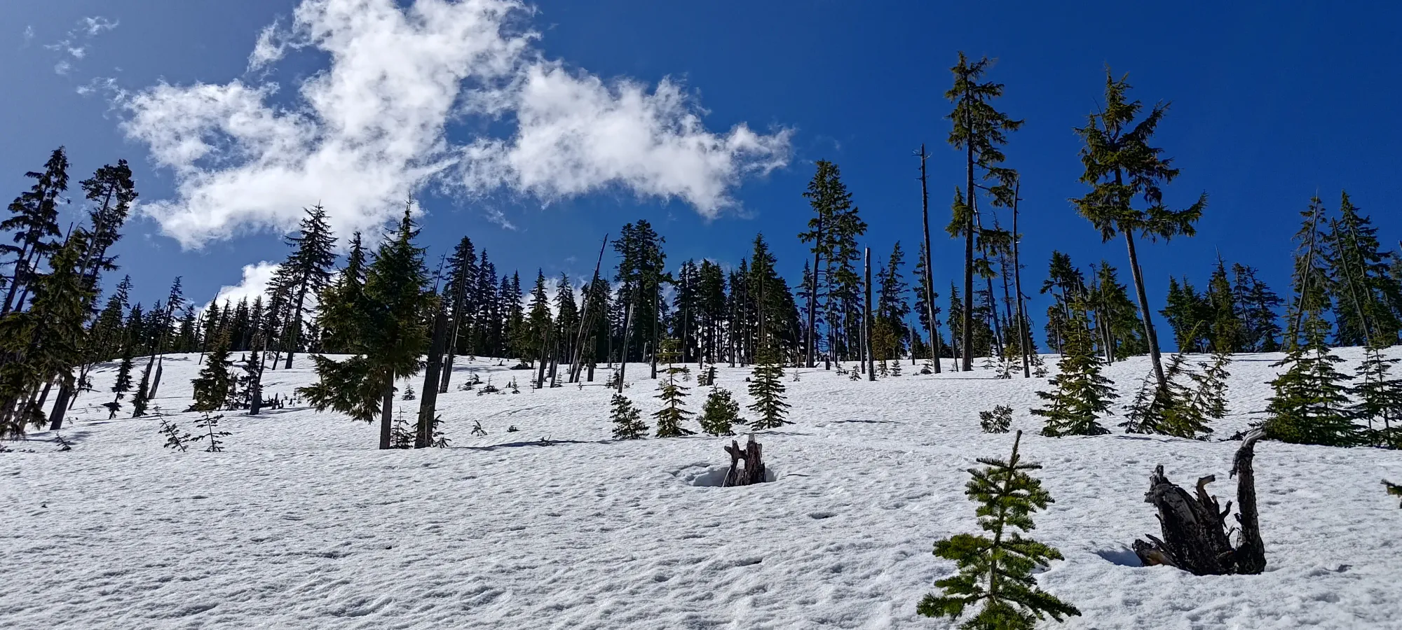
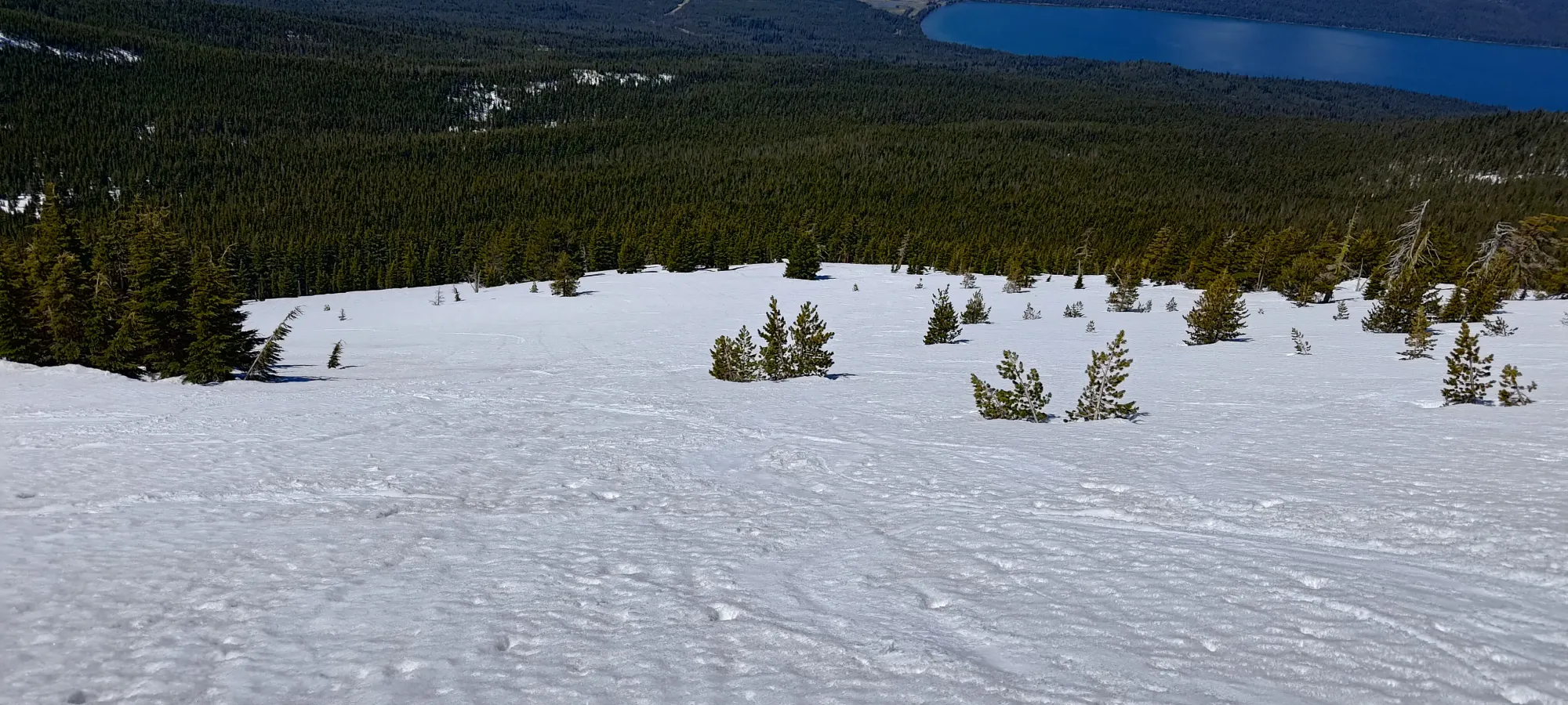
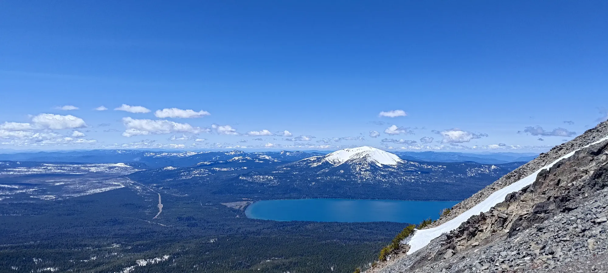
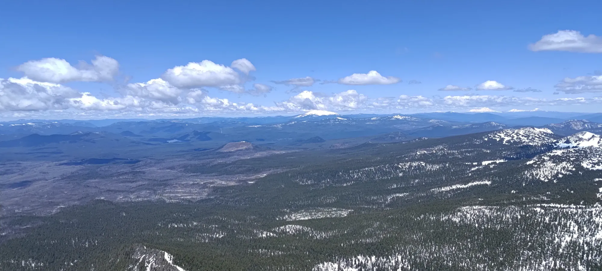
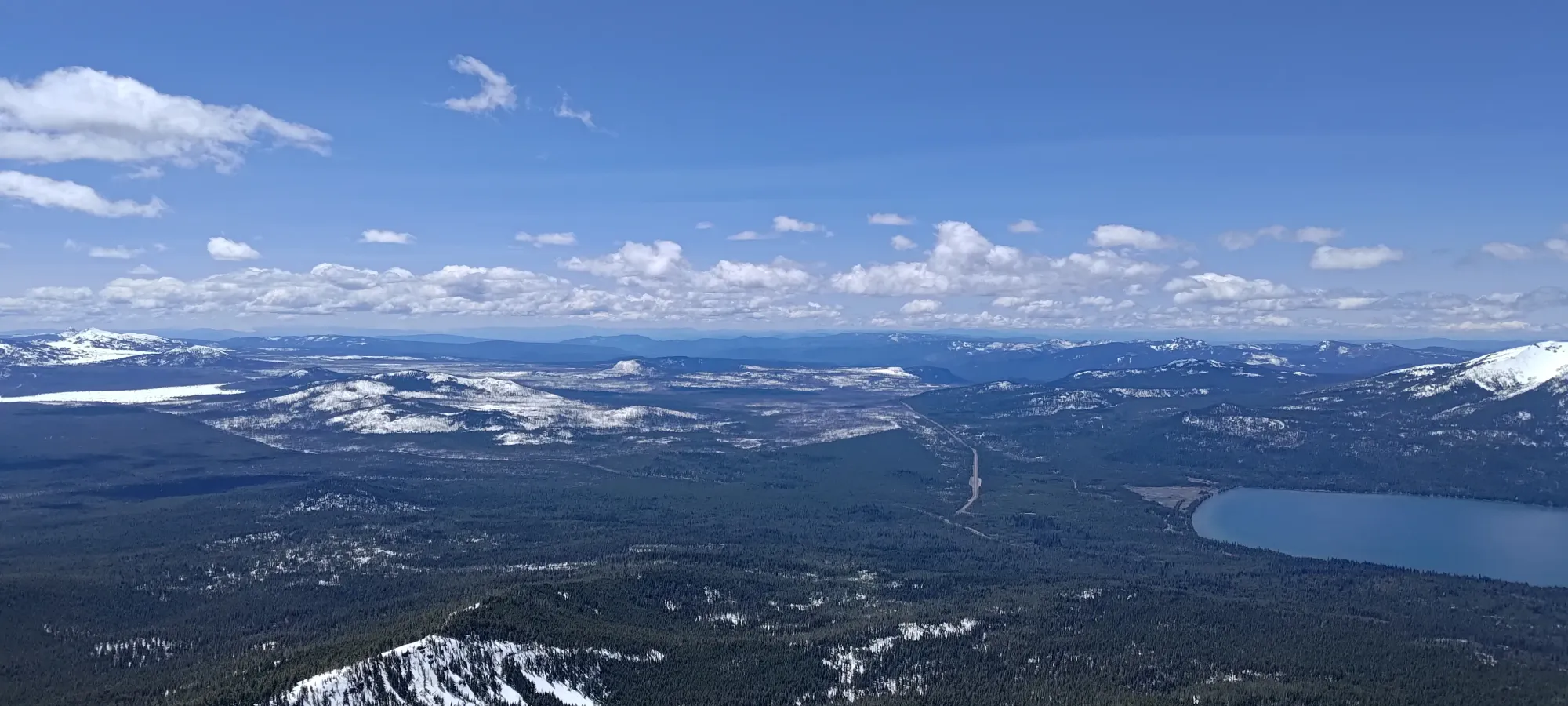
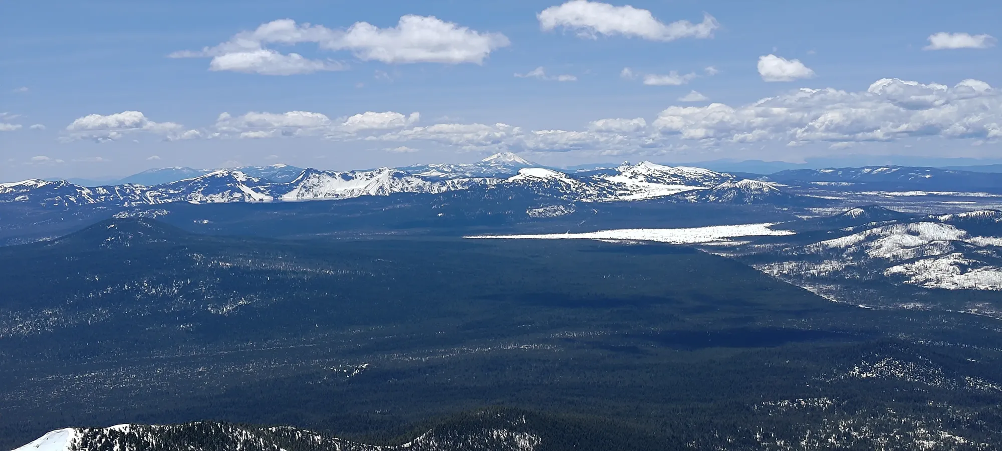
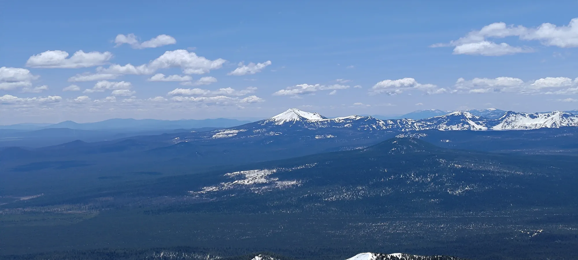
I tried staying on the ridge for a little while, but soon realised that I would have a far easier time skinning if I went onto the south side of the ridge and switchbacked up the SW face, which had far fewer steep bumps/rolls like the true ridge, and instead was a big open face with tons of space to wind my way up with skis. This worked quite well, and I went from 2350m to 2560m in about 35 minutes, knocking out a good chunk of the remaining elevation, and finding some great terrain I would enjoy for the way down as well. I also saw that the snow on this side goes a lot higher than on the north side of the ridge, which would mean more skiing vert and less booting for me, which was definitely a win.
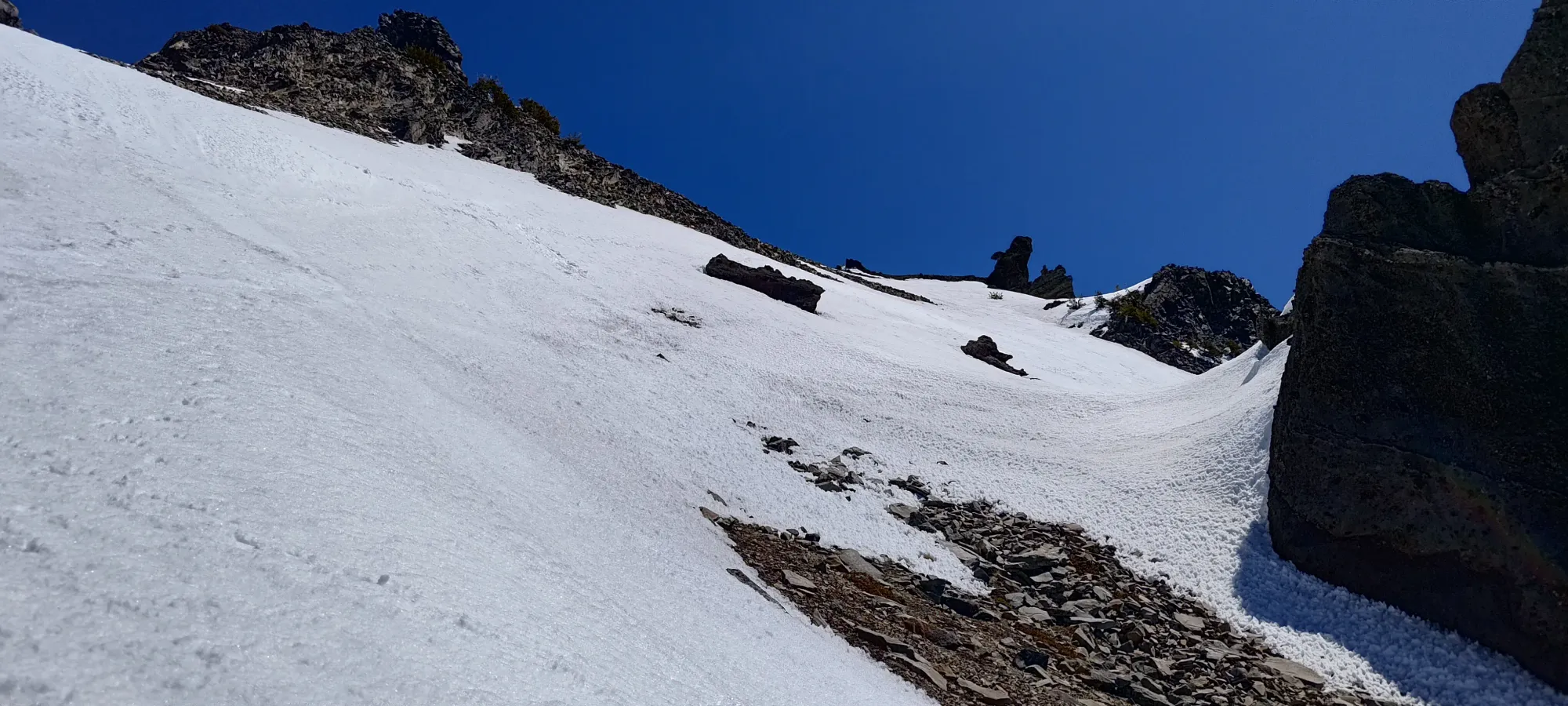
Just below 2600m, things got narrower and steeper, and after a few very tight switchbacks trying to stay in the thin band of skinnable snow, I decided to call it and boot up the short slope to climber's left and either skin again from there or just keep booting.
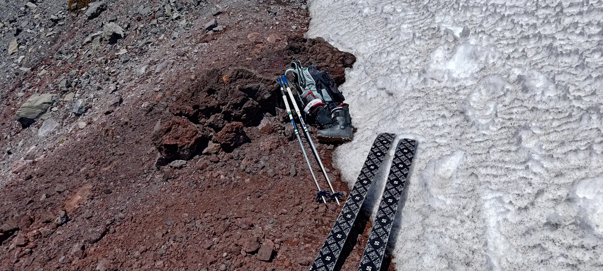
The next 20–25 minutes were spent definitely not booting in the most efficient manner. Getting up that small slope was easy enough just carrying my skis in-hand, but once I got on top, and realised the traverse was also steep enough skinning would be a bad idea, I didn't put my skis on my back, and just kept holding on to them with one hand, and my poles in the other. This was "fine", but definitely not ideal, as it was more cumbersome and tiring than if I had just slapped them on my pack. Nevertheless, I got to a small col at 2700m where I took a lunch break and stashed some gear at 12:23pm, or 3 hours and 43 minutes into the day. This tired me out a bit, and if I had made more efficient choices, I could've likely shaved 15 minutes off, even in my imperfect physical condition.
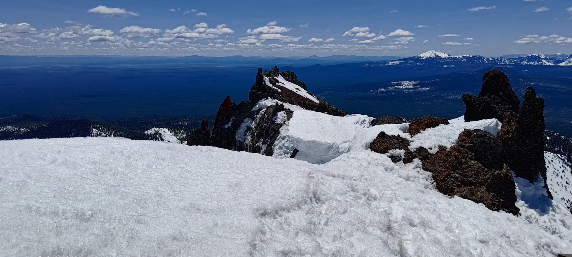
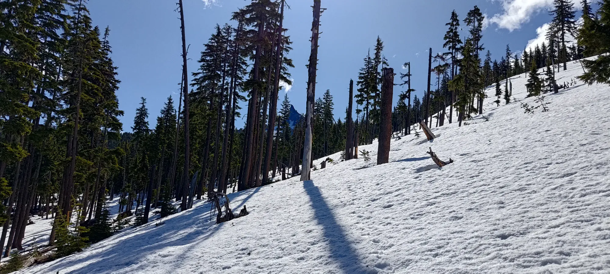
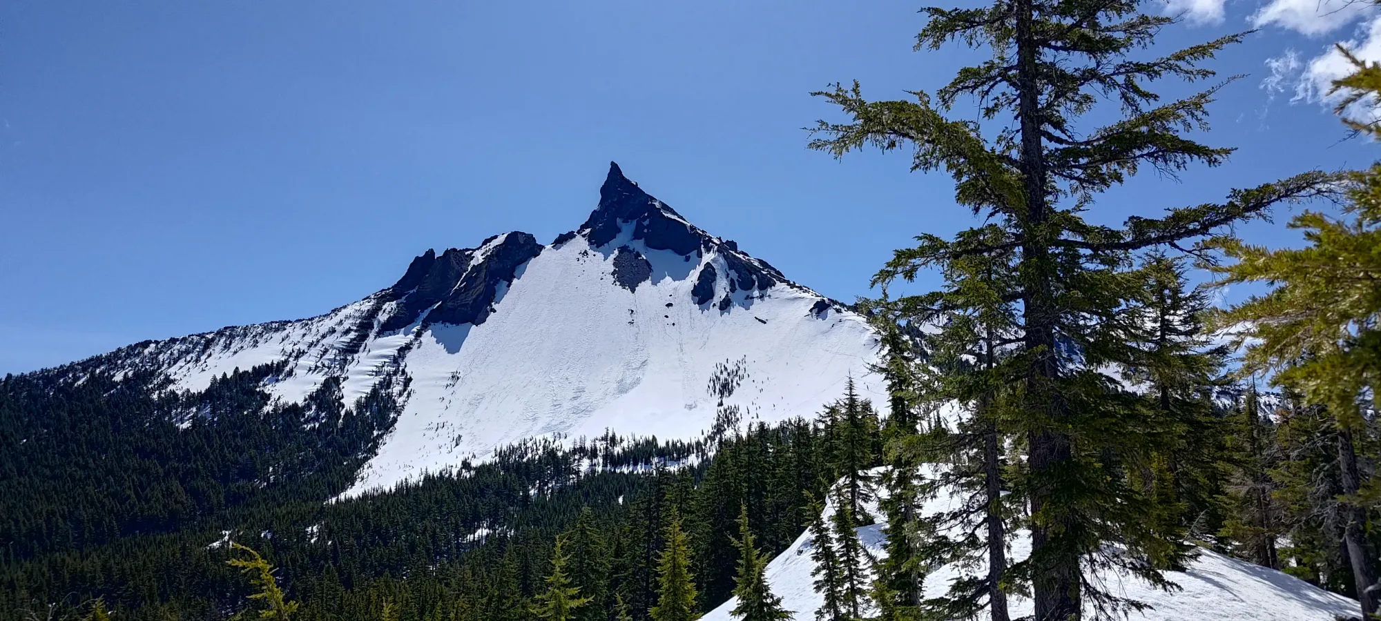
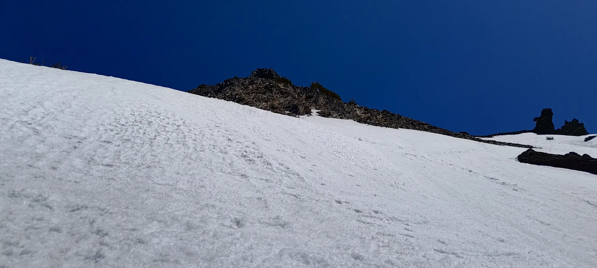
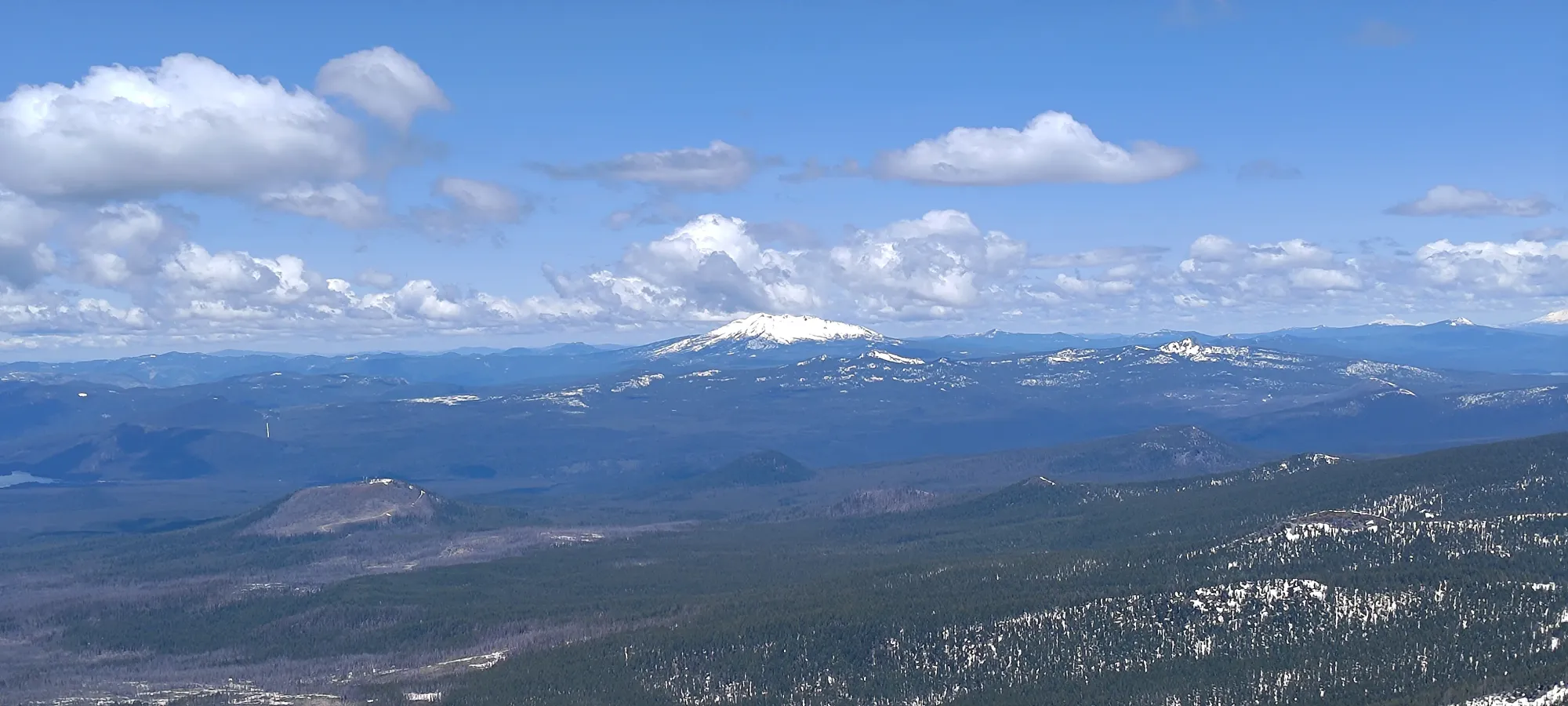
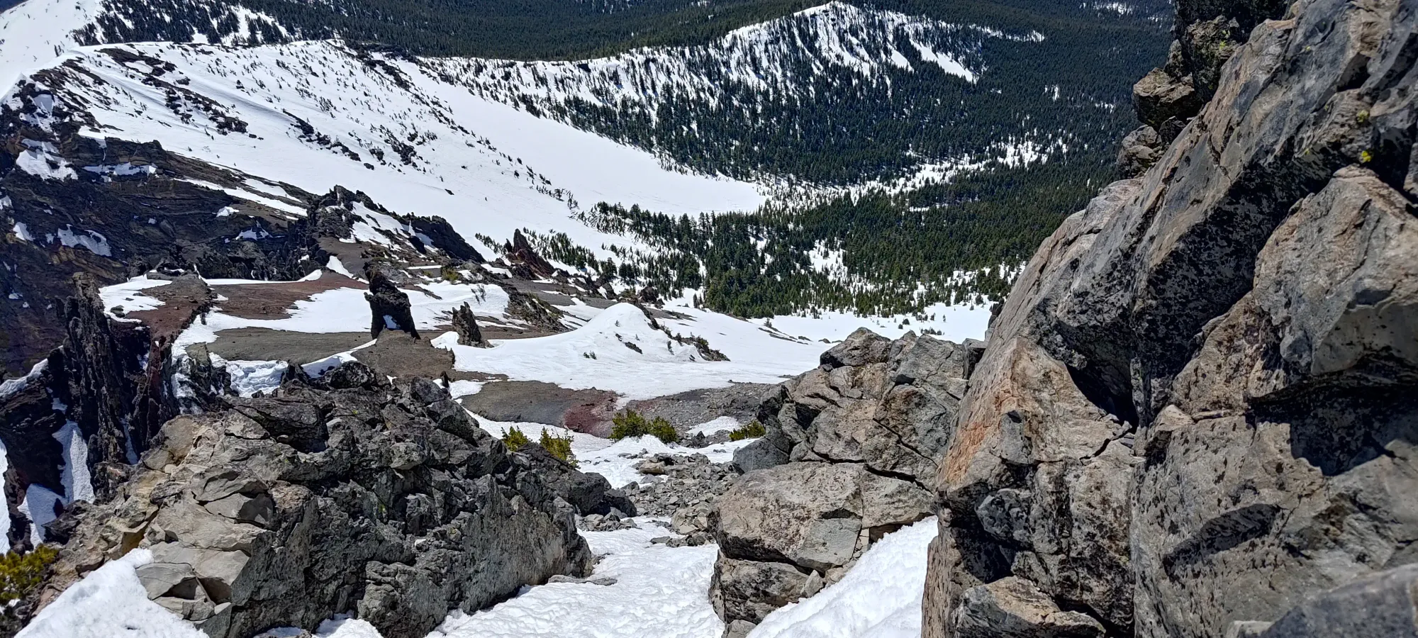
I spent 20–30 minutes chilling and eating lunch before starting up to the summit. I went back into my trail runners here, and brought some thin gloves, my microspikes, and my small ice axe just in case. First was simple hiking up the rocky section seen above, then since I had the spikes, I tossed them on for the snow slope leading towards the summit block. This was probably not necessary, but since I was wearing shoes and not boots, it was definitely helpful for the somewhat steep and slippery snow, especially on the way down. I didn't use my axe at all, though.
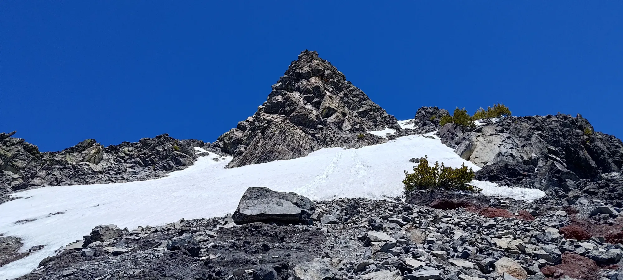
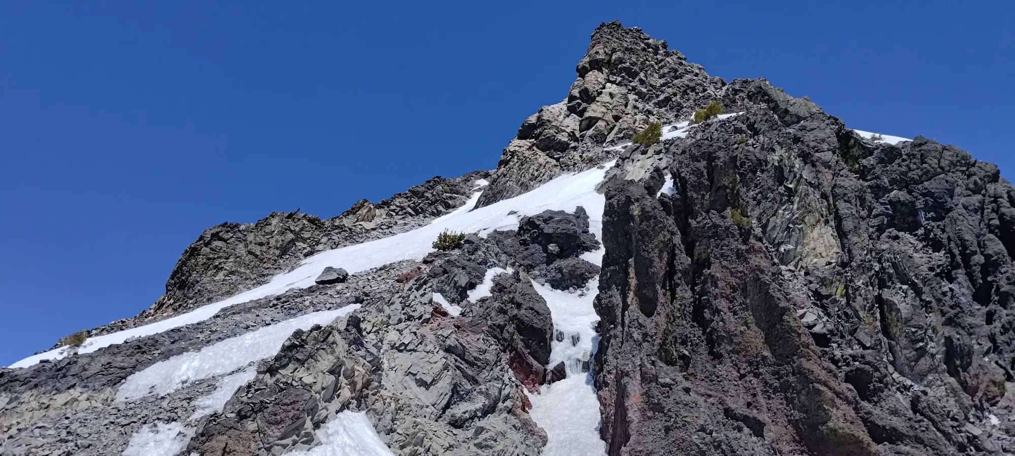
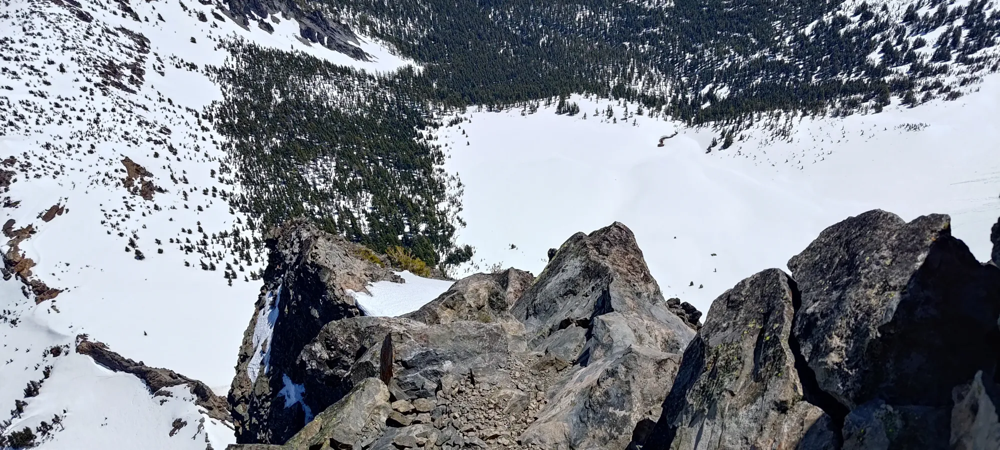
A few minutes of just walking up a snowy staircase, and I got to the base of the summit scramble. I had seen reports that it was as easy as a class 3 scramble or as hard as an alpine climb requiring protection and rappelling, so I wasn't sure what to expect. Since I generally am comfortable on the more difficult end of scrambles, though, I had every expectation I would succeed. Upon seeing how totally dry it was, I ditched the axe and spikes before I started up on the rock.
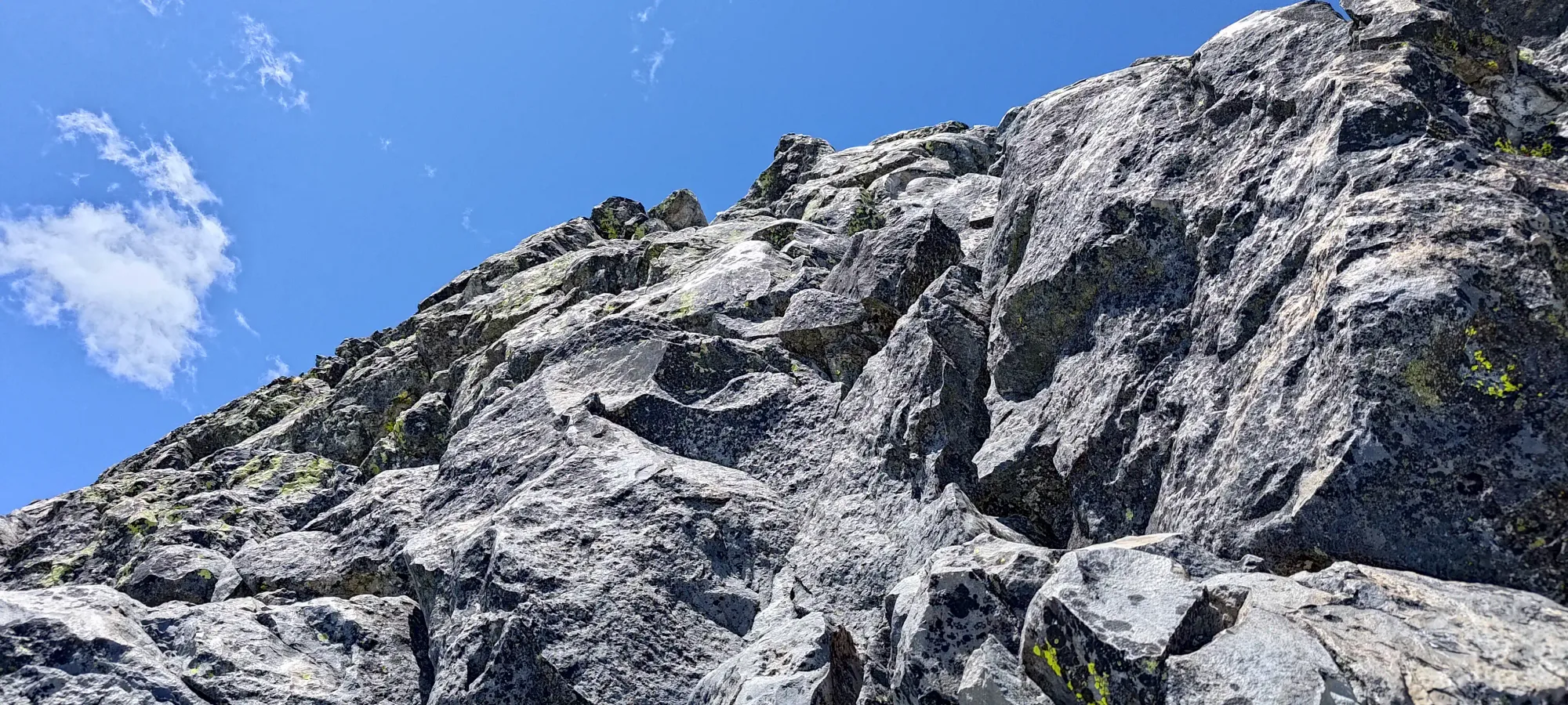
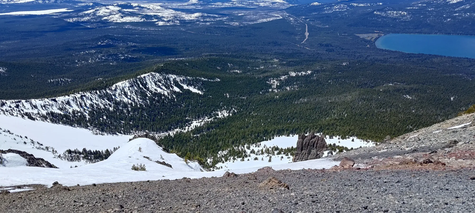
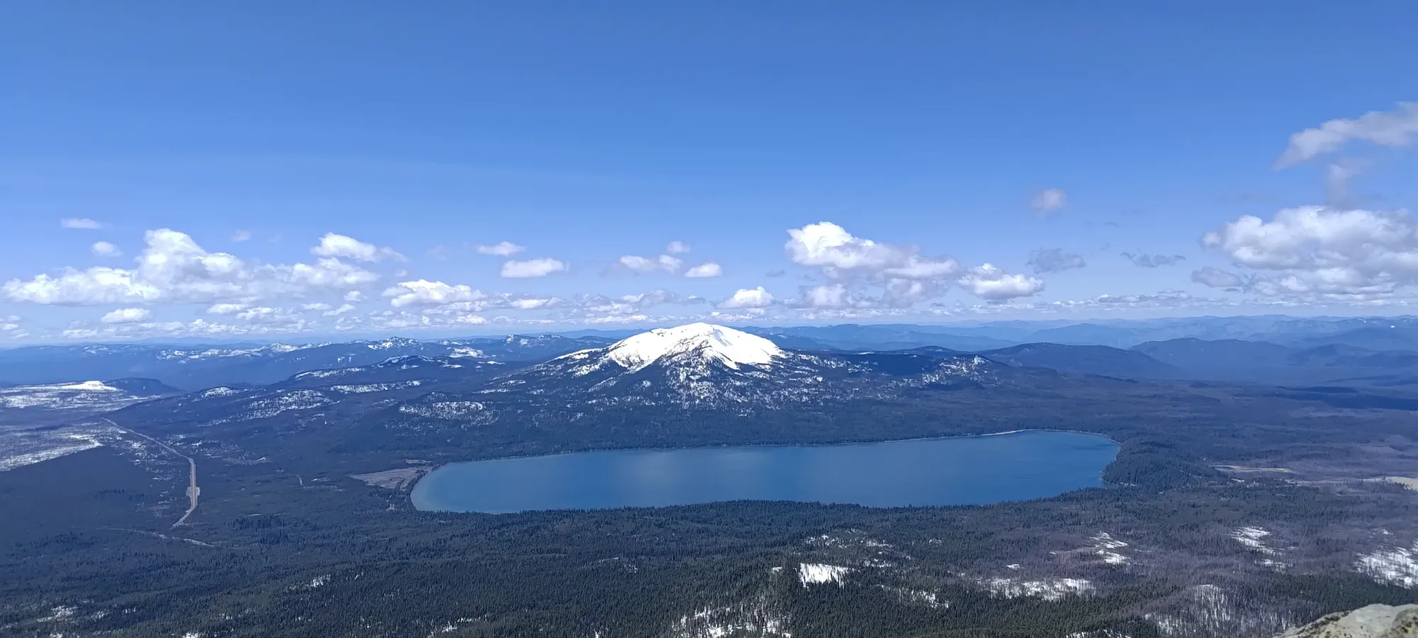
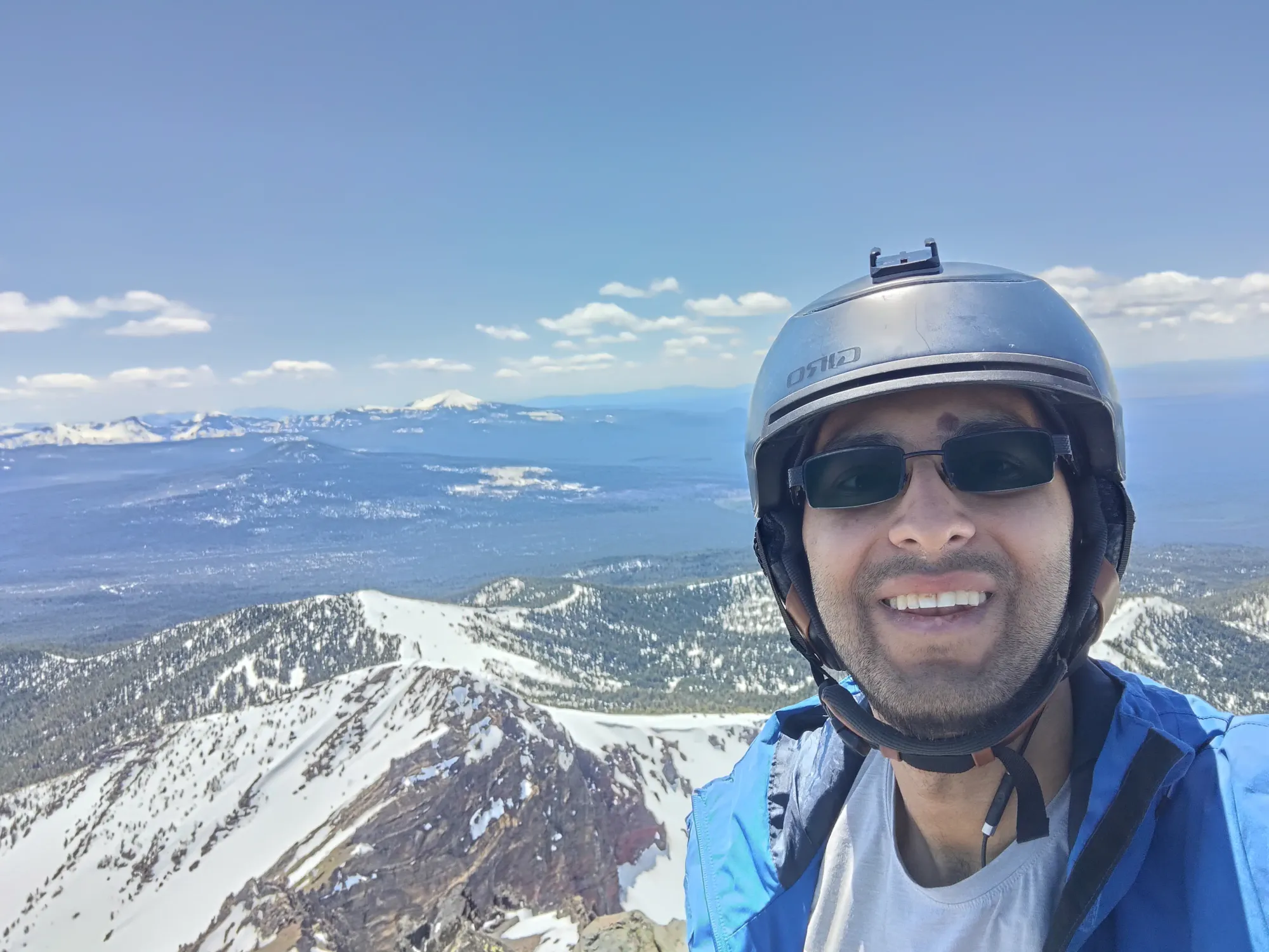
The scramble itself was quite straightforward. The advice of "when in doubt, go to climber's right" is quite good, and kept me from having to do anything I'd call class 5. Five minutes of scrambling with excellent quality rock and good holds, and I was on top! I lingered for a few minutes to soak the views in and enjoy the total lack of wind (I put my shell on when I left my pack just in case, but it was not necessary in the slightest), then started my way back down, as I didn't have time to waste, given my 10-hour drive home that was waiting at the bottom 😅
The downclimb was fairly simple. I did go a bit more to skier's right (climber's left) than I did on the way up. On the plus side, I got to discover the existence of a rap anchor which seemed to have some fairly fresh tat, for those interested in using it. On the downside, I ended up needing to make one move that forced me to face in while downclimbing, which is always a great travesty for my scrambling style 😄. Nevertheless, in about as much time as I spent getting up, I was back down at my spikes, where I slapped 'em on to head down. I also found a lost sunglasses lens there, which I packed out (if you are reading this and that's yours, let me know, I guess).
It took about 10 minutes to get back to my gear. The steps in the snow weren't super flat, so it was bit slippery, so I was quite glad to have my spikes. The axe was also good peace-of-mind, but never got used. If you wear boots instead of shoes, you will likely have enough of a solid sole to just heel-step down without it getting too slippery, for what that's worth. Once at my gear, I finished my lunch, and got geared up for the descent. After walking to the top of the skiable snow and clicking in, it was about quarter to two.
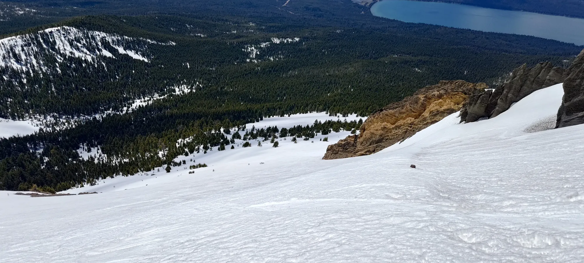
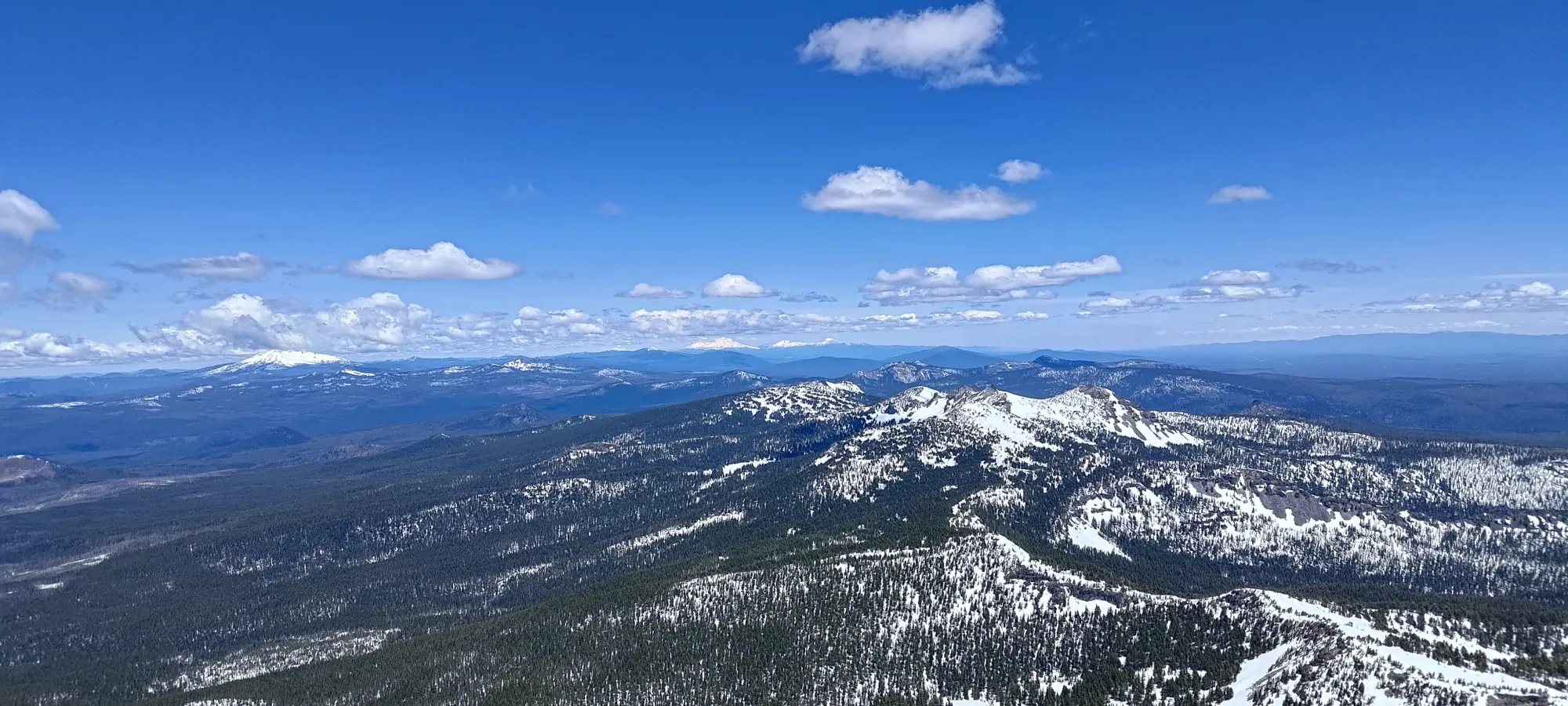
Skiing was great on the SW face, and I skied it down to about 2450m. Then, I decided to be an idiot and try to ski the north side of the ridge instead, since it had some steeper looking lines, and I figured on such a hot day, it would be soft by nearly 2pm.
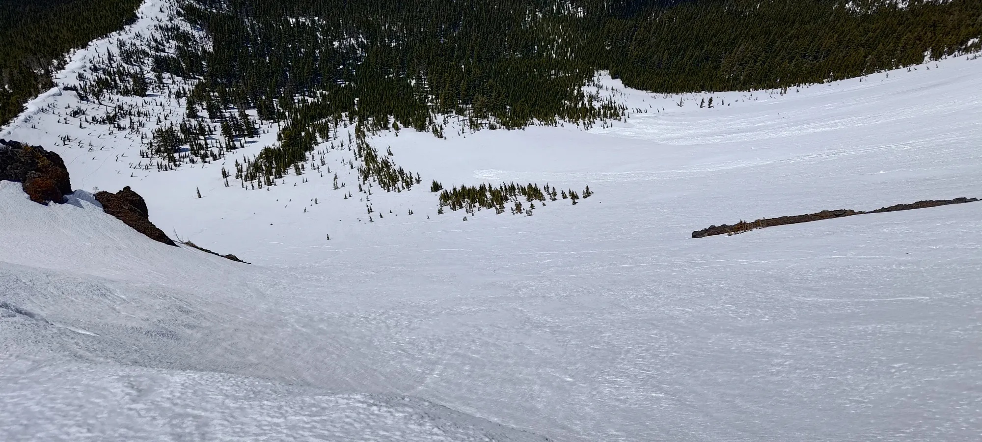
That was a mistake, it was quite firm and chattery, and I swapped back over at 2300m (you can't get back to the trailhead from that side of the ridge anyways). Once back on the good side, I skied some trees until around 2100m, where I rejoined the trail. From there, I just followed the trail for another 50m of elevation, where the fact that it lies on the south side of the ridge came to bite me, and I ran out of continuous snow. I took my skis off and carried them by hand from this point, since I knew once I got back to the north side of the ridge I'd have good snow for a little while once again.
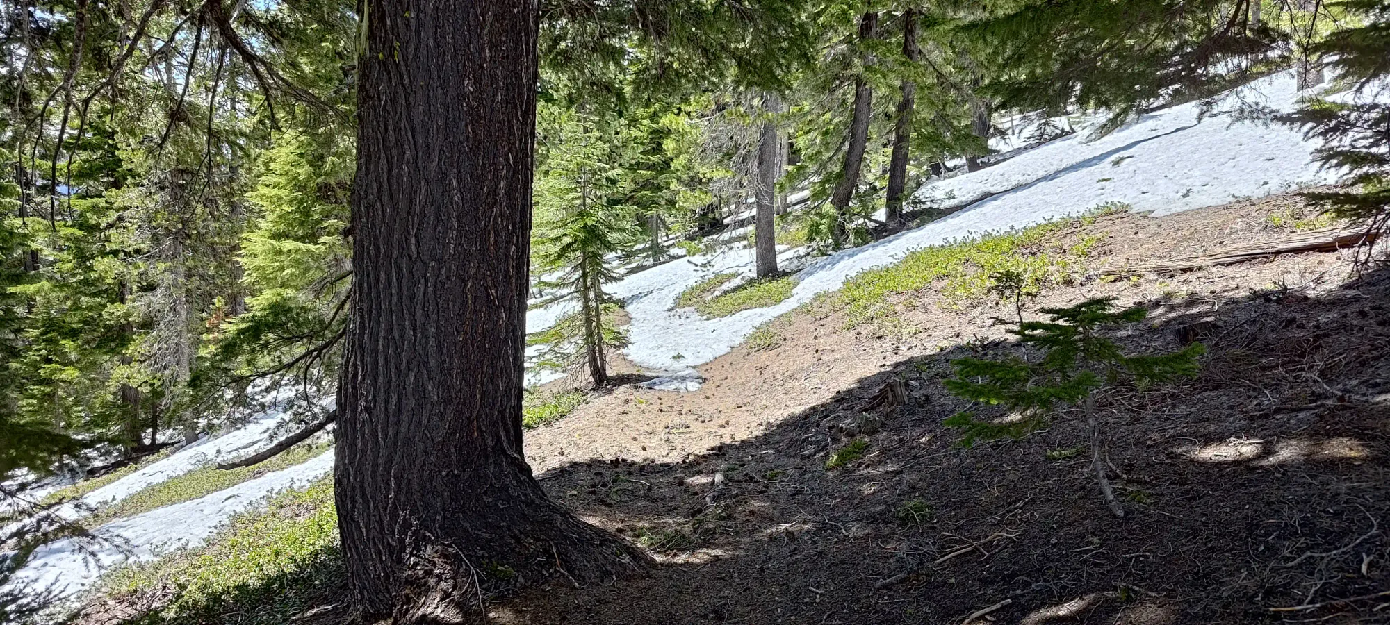
A bit over 15 minutes later, I started turning around the edge of the ridge and onto the north side of it, just below 2000m. There, I slapped the skis back on, and got a few more minutes of skiing, down to just above 1900m. There I walked across the small dirt patch uphill of the Spruce Ridge Trail, then skied to the edge of the forest, where I actually took boots off and strapped the skis onto my pack for the final walk out.
I got to that point at about 6 hours in to the day, and after a 10-ish minute transition, I had 2.5km to knock out, which I did in a bit under half an hour, as uneventfully as on the way up. Car to car was 6 hours and 35 minutes, not great, but not terrible. Most notably for me, I wasn't super exhausted, which was key, given my 10-hour drive home that was to follow 😅.
For the first time in ages, I actually got to enjoy getting changed at the car since I had all my clothes for the trip already packed up, so while I did have to live with my sweaty self for 10 hours, at least the clothes were fresh. After packing the car up, I drove up to Bend (I didn't want to chance Portland traffic), got some driving-friendly takeout, then continued on up all the way to the border, where I bought my obligatory overpriced Cinnabons, and found my way home at a casual 1am 😅. A pretty successful weekend (3 peaks, 1 ultra, and 2 p1000 cascade volcanoes), if I may say so myself.
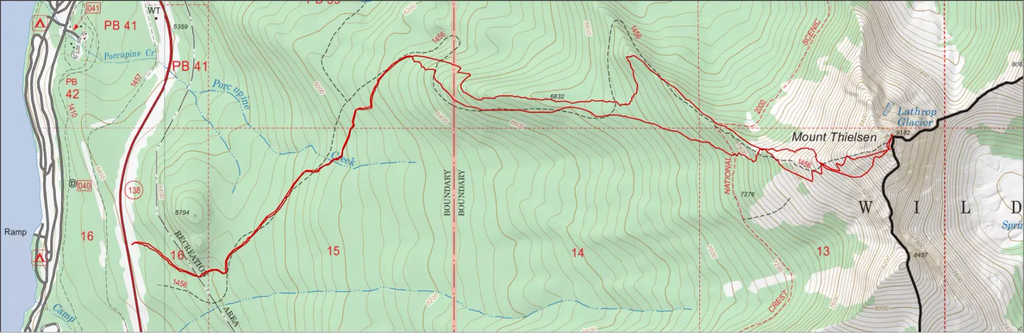
GPX Track + Map