Mount Taylor (Attempt) - January 8 2022
A failed summit but a fun outing with at least a few decent powder turns
Joffre Group, Pemberton, British Columbia
After some excellent skiing at Whistler on Saturday, I figured I should at least be somewhat productive and try to summit something on Sunday. The forecast was rainy as heck Squamish and south, so Logan and I figured getting a bit further inland and higher up on the Duffey would be a good way to avoid that. After some deliberation, we decided to give Mt Taylor a try, to the southwest of Joffre Lakes.
I had experienced some nasty traffic in Whistler the day prior, so we decided to try and get past Whistler before first chair, so we left Squamish at around 7:15am to get through by 8:00. Sadly, we did still hit some traffic, but not nearly as bad as the day prior. We ended up getting to the parking a bit after 9:00. After gearing up and a last-minute bathroom visit for myself, we set out on the skin track at 9:45 (a bit later than we'd hoped, but such is life when you place that much value on sleep, and when not everyone lives in Squamish already to make the drive shorter).

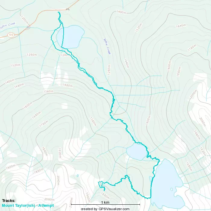
I hadn't been to Joffre Lakes since 2018, so I forgot basically everything about the terrain, including just how quickly one gets to the lower lake from the parking. It took us a whole 3 minutes. That explains why this is such a popular destination for view-seeking hikers, the effort/reward ratio is pretty favourable.
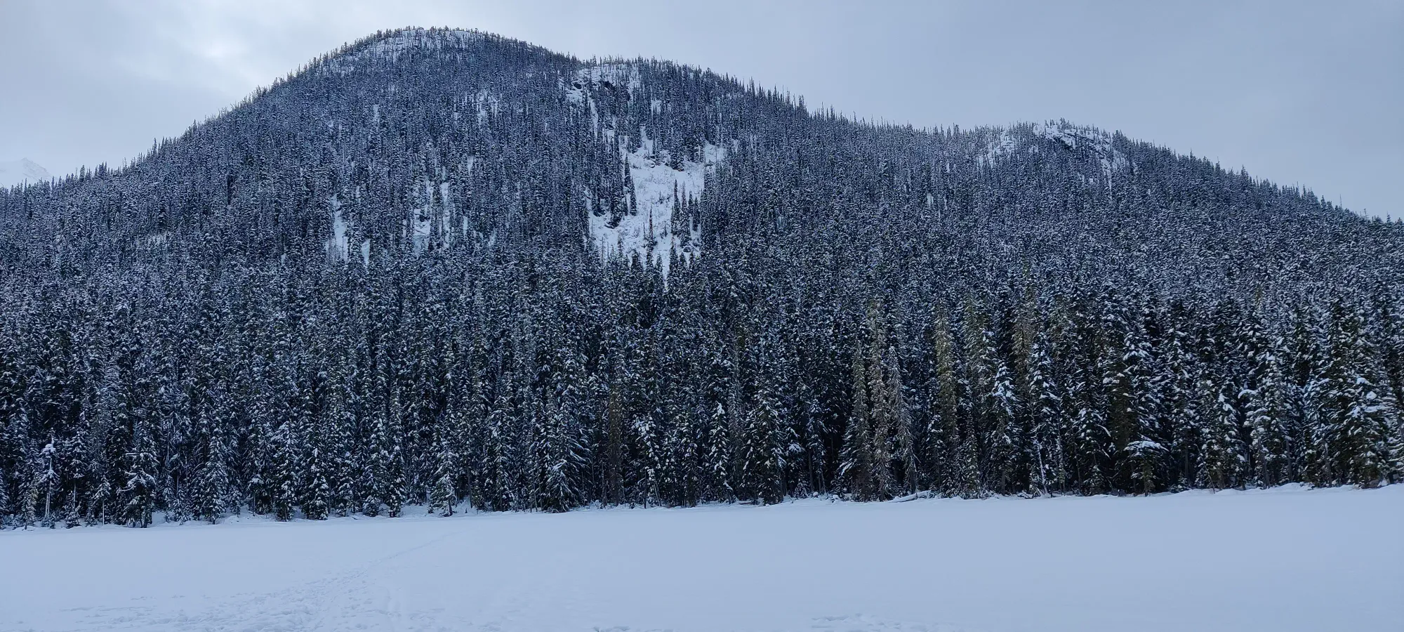
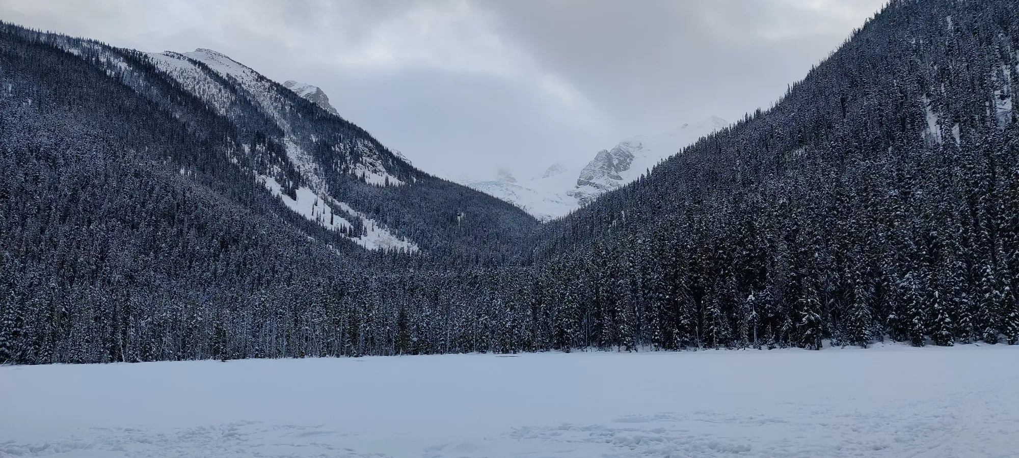
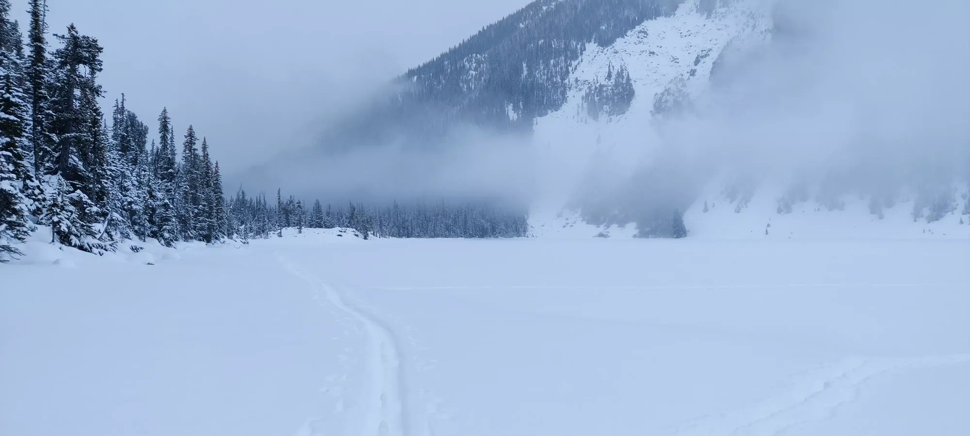
We saw some tracks across the lake, the air was still pretty cold, and there was up to a foot of snow coverage on the lake, along with fairly solid-feeling ice near the shore, so I decided to cross instead of circumnavigate. This was aided by the fact that we went right to the lake instead of forking right at the sign just before it, where the trail around was, in fact, broken. Once I got a little further in, though, the snow was under a foot deep, and I even saw some holes that were probably pole-holes that had punched through. I felt okay on skis, but I was worried about Logan, who was bootpacking. With hindsight, I should've vocalized my desire for him to at least put his snowshoes on, and we both agreed to avoid crossing later in the day when things would be warmer, as seeing the weakness in the ice wasn't encouraging.
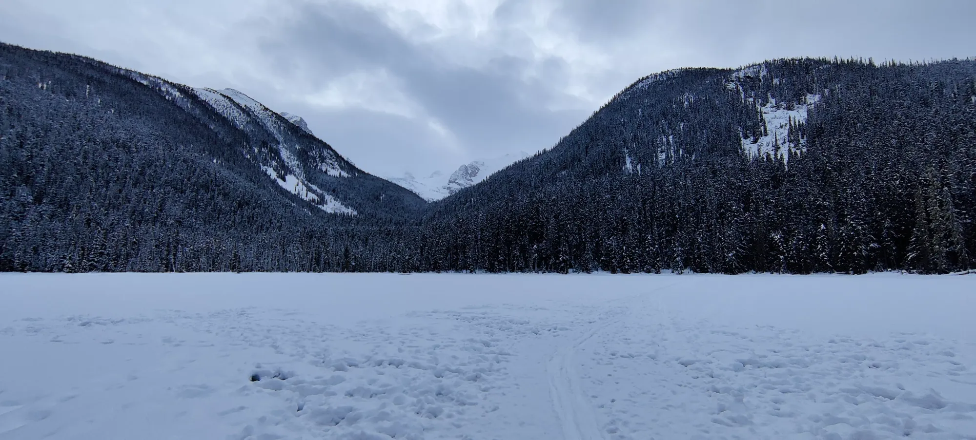
After crossing, the skin track continued through the forest on the main trail, which was actually quite icy. There is a set of stairs on the trail between the lower and middle lakes, and that whole section of the trail had large patches of exposed ice, so buyer beware. I'm not sure if it was ice like that under thin snow or what, but I also had a lot of issues with my skins not gripping well during the lake-section of this trip. I actually put my ski crampons on for one of those sections, which was really weird considering I've previously skinned steeper hills without. Hopefully that doesn't happen again, though I can't really say I know exactly what happened there.
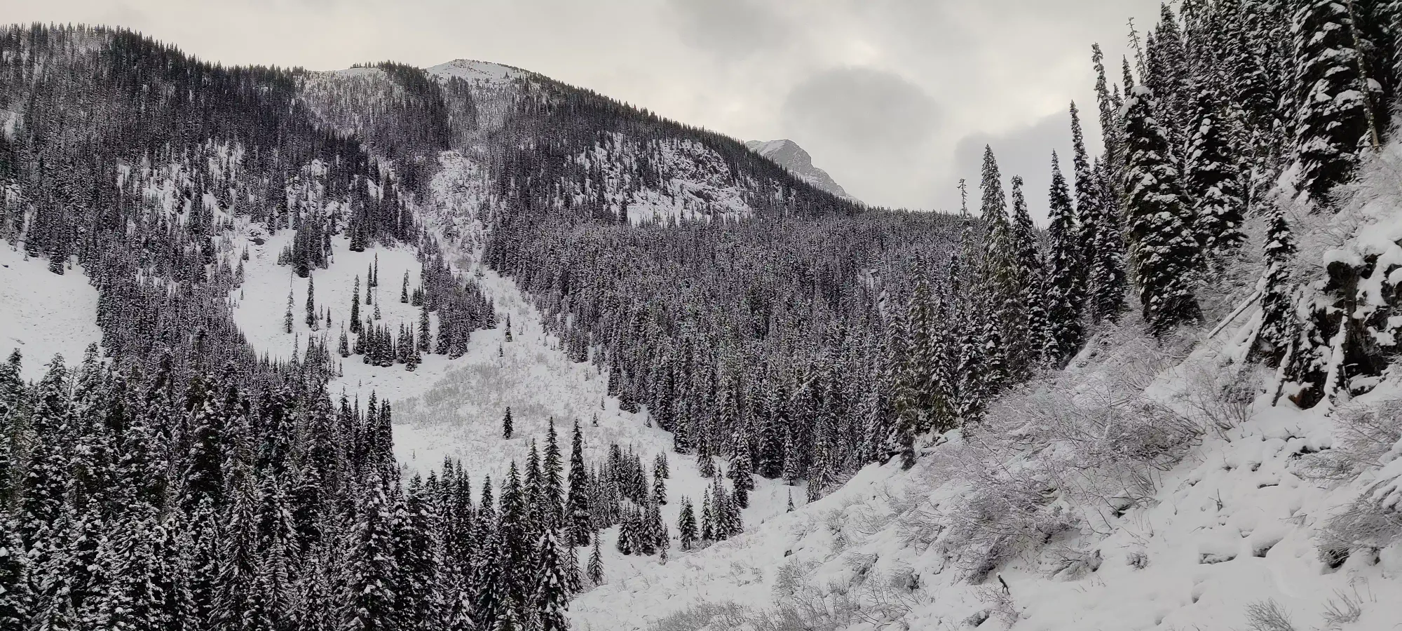
Those issues delayed our travel a bit, unfortunately. We got halfway between the lower and upper lakes in about half an hour, where we paused for some photos, as the forest opened up to a small valley area.
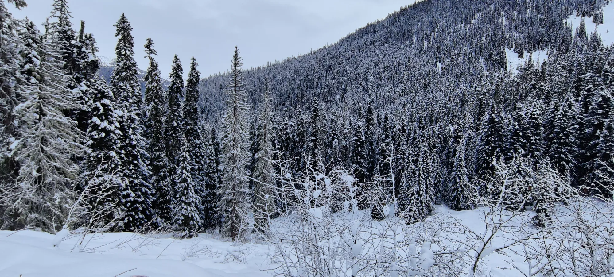

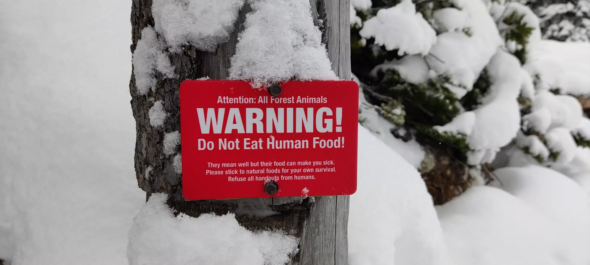
When we got to the middle lake, it was about an hour-twenty after we'd set out. We saw an amusing sign, Logan had a snack break, and we decided given the previous conditions at the lower lake plus the lack of a broken track across the lake to just go around.
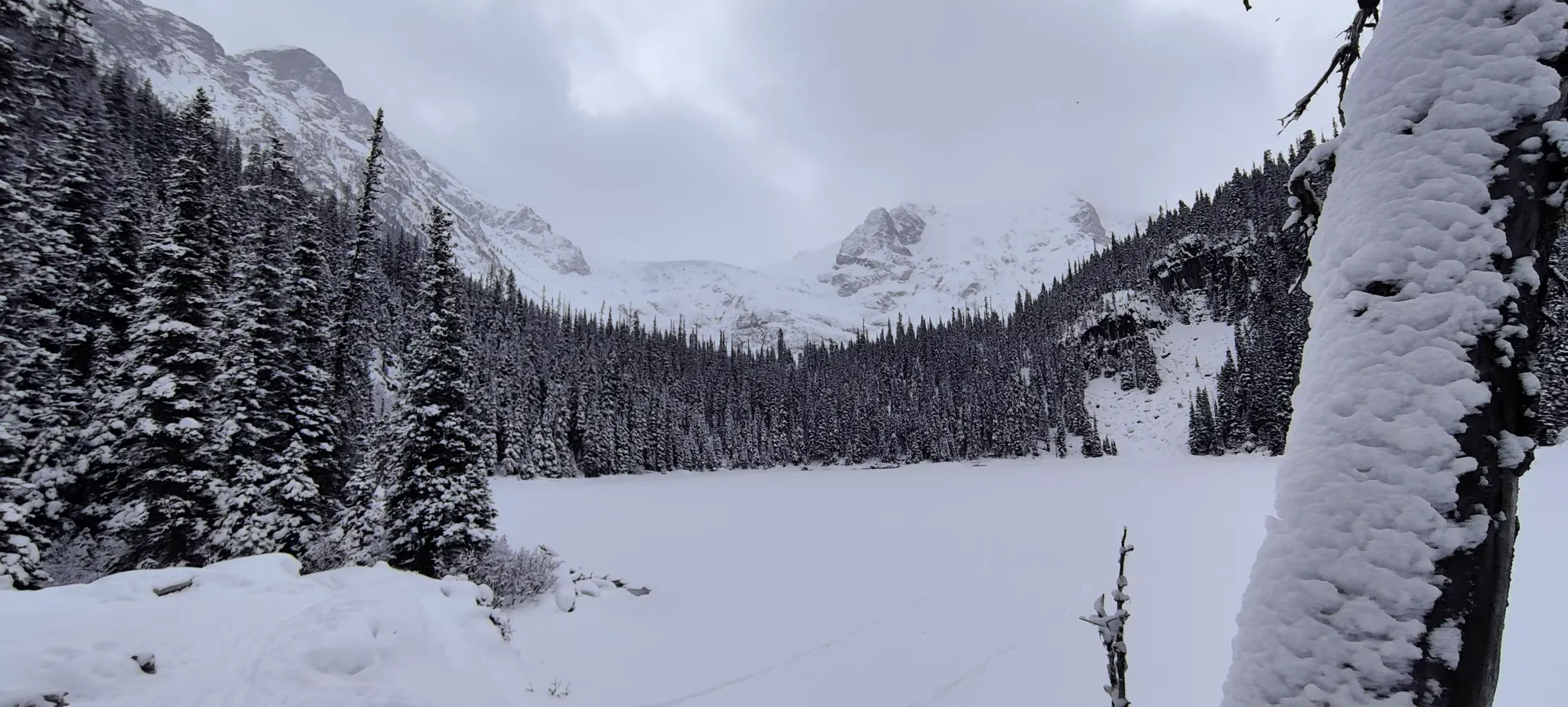
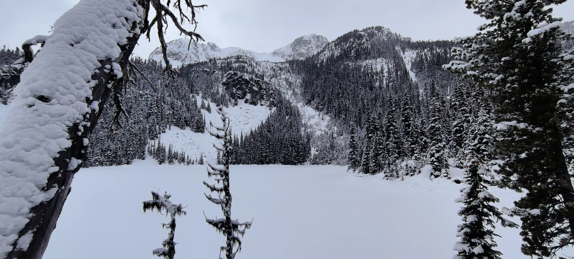
In the 20-ish minutes that it took us to get from the second to third lake, we found alive+flying bugs (in January!), a very pretty waterfall, more terrain to give my skins fits, and eventually arrived at the third (upper) lake at about 11:30.
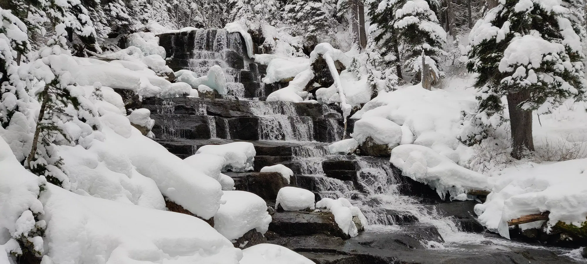


Thankfully this lake crossing was much better, with more snow and thicker ice, so we went across with little issue. Logan decided to follow a snowshoe route that went closer to the bathrooms on the far side of the lake, whereas I followed a skin track instead, as even if I had to take a less direct route, the speed would be worth it. When I got to the other side, though, my track didn't go toward the bathrooms, but instead cut up a boulder field further west. Given the time (almost noon), and that Logan was in snowshoes, we figured if we were breaking trail all the way to Taylor, we'd not get back in time, so we decided to follow the skin track and hope it went up an alternate route, or at least to somewhere we could submit a provisional peak for. For those thinking "but it's only noon, there's so much time left in the day", we had a few reasons not to stay out late. I am not a great skier, so I didn't want to be heading down to the lakes in the dark on skis. There were clouds forecast all day in "varying" elevations, so we didn't want to be stuck without visibility in unfamiliar terrain and just walk into terrain traps. Last, especially as a 2-man team, with conditions unknown up in the alpine (lots of wind in the last week, if not much snowfall), we didn't want to be navigating large avy slopes where risk might've been elevated in the dark, as the risk of accidents would be higher, and perhaps more notably, the difficulty of extraction would be very high.
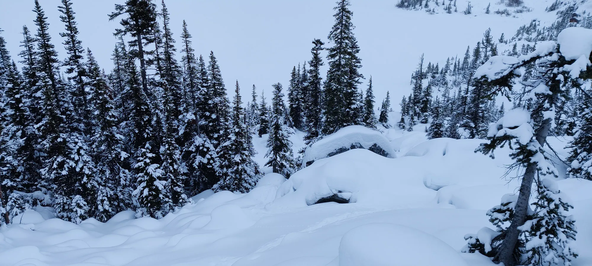

The next hour and a half were a slow, tedious slog through the forest. I'm not sure who set this skin track, but it was... a choice. There were a good amount of small branches/bushes poking through the ground, lots of slapping around trees, and careful avoidance of wells to get through. One particular section was seemingly bad enough that people had taken their skis off and just bootpacked, though I managed to fight my way through it. It's hard to say if this ended up being faster than if we broke trail on our originally planned route, but oh well, we knew what we could be getting into. There was a prominent-looking peak at the end of the ridge going north of Taylor, which we felt looked interesting enough.

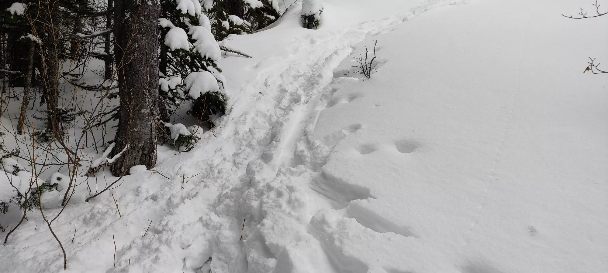
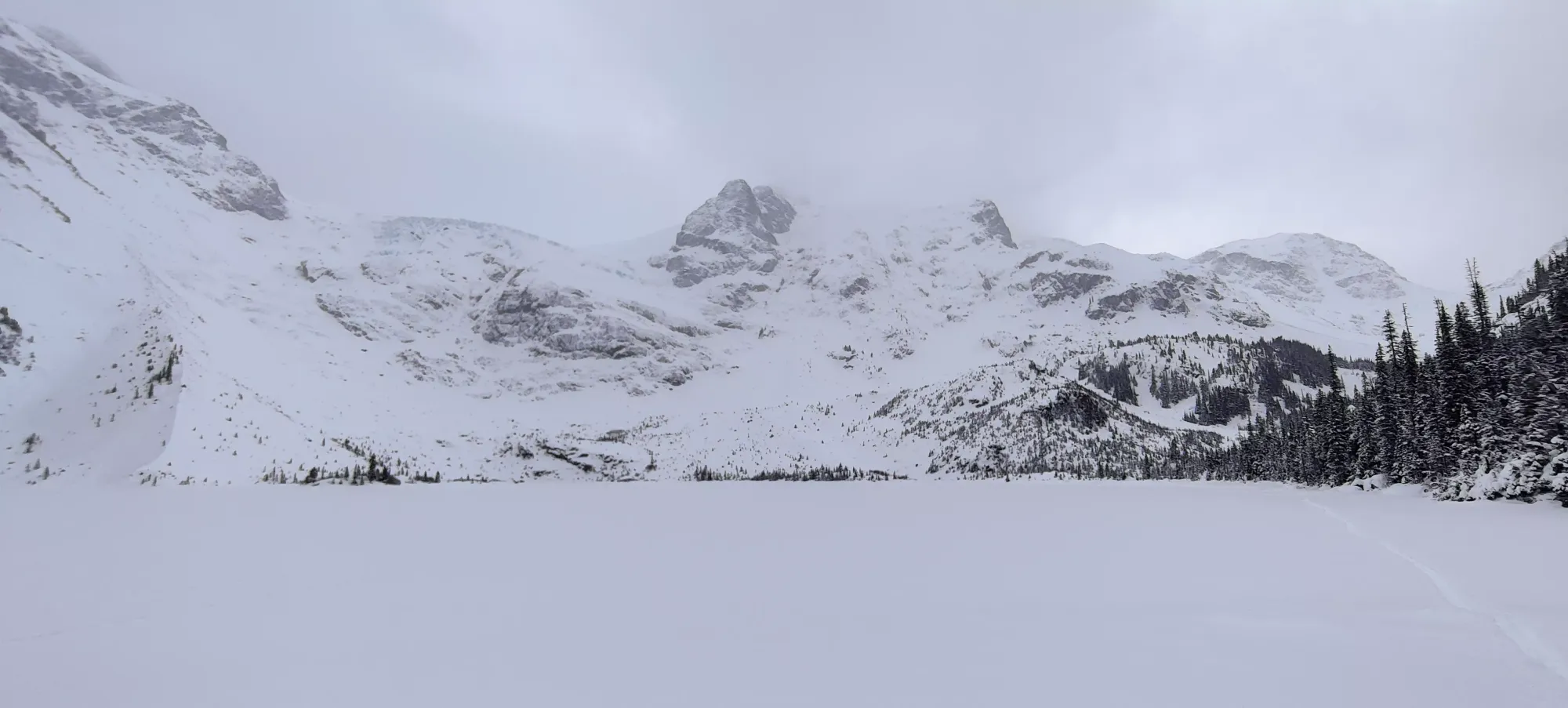
After that slog, we finally got out of the trees and into more open terrain at about 1750m. The vis had been pretty good to us to that point, but there were still clouds up at the summits, so we were not super optimistic about our ability to progress. After my experience recently on the Musical Bumps at Whistler, I was sufficiently frightened of unfamiliar terrain in the clouds, as there I literally couldn't see more than 1 or 2 metres in the worst of it, and depth perception basically did not exist. We saw a cool-looking couloir up to what looked like "a summit" (hard to tell what was higher), but didn't want to go up the dangerous terrain in the uncertain conditions, so we continued following the skin track, which cut across the ridge forming the right of this little valley, and into the next.

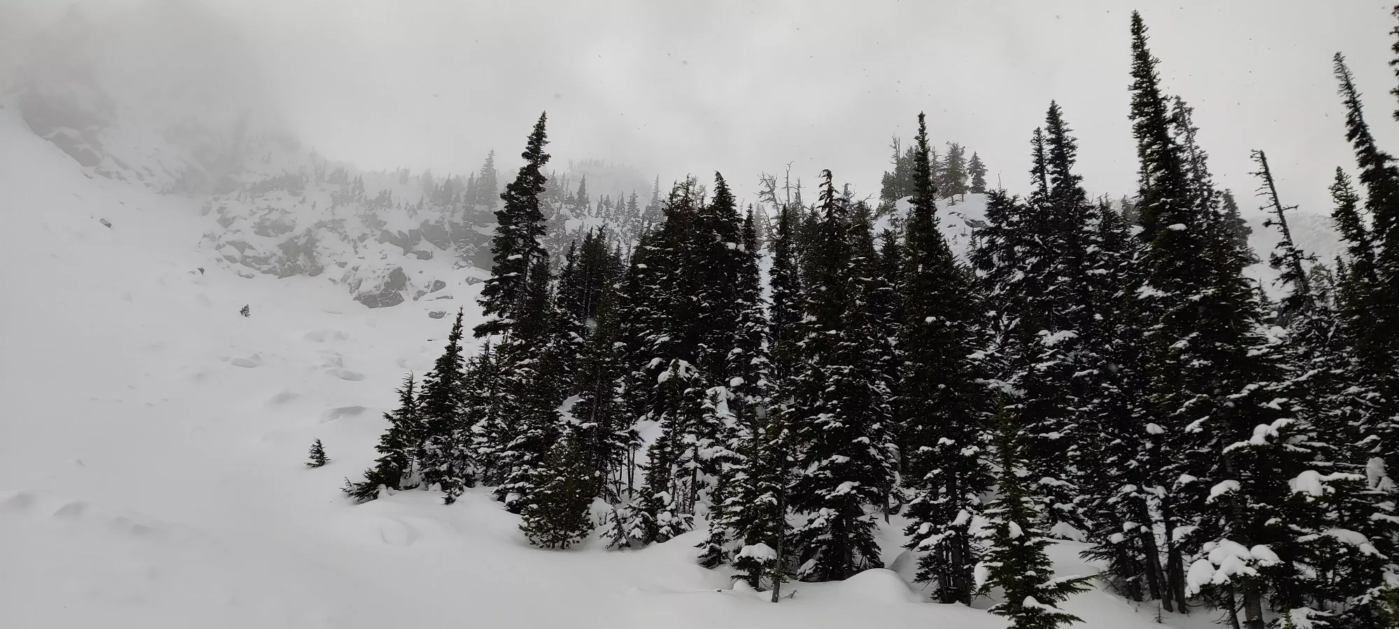

Once we got into the next valley, the skin track continued heading north (right) toward some stuff that was decidedly not summit-like, so we had to give up and diverge. This also meant crossing a meaningfully-sized avalanche slope, and this time in the treeline/alpine where risk was higher. Thankfully, the snow felt great, we saw no signs of the cautioned wind slabs or large rocks creating natural crowns, wasn't moving all day even with our hardest stomps, and we found a reasonable line across, so I broke a trail across, and Logan followed once I got to safer ground.
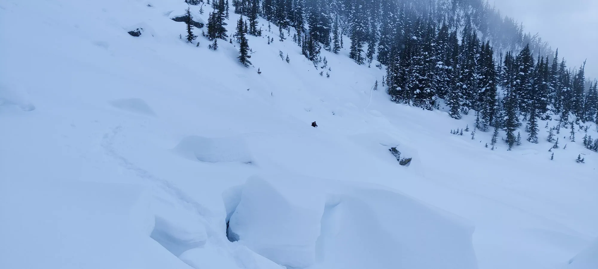
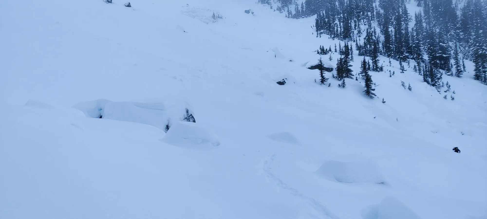
Once we got across that slope, we started heading up the safer-looking ridge which separated our two gullies. Unfortunately, it quickly became steep enough to be terrain in and of itself, so back to safe-travel we went, which also meant slower travel. It was also slower because the snow was deep, and Logan especially was having a "fun" time getting through it, even with my skin track helping compress things a bit. Switching back on steep slopes really isn't great for snowshoes, as you need to pack things down enough to step fairly flat, or you'll just roll your ankles and fall.
This plus a lunch break for myself brought us to about 2:30, with clouds descending and the sunset looming. With the concerns we had about being above the trees in the dark mentioned before, we decided to call it and turn around. We could've pushed further, but probably not to the top, so we decided not to get into more risky terrain without a purpose.
Skiing down the open slopes back to the trees was pretty fun. Fresh tracks wherever you want them are pretty great. I didn't do any hard charging or anything, as I was sticking close to Logan and linking a couple turns before waiting to ensure we never got far from each other getting through the risky sections of terrain. For those reading in the near-term, even skiing down, barely any snow moved, I didn't observe any bonding/clumping in meaningful quantities, no whumpfing or cracking sounds... snow held up excellently. It was a bit heavy given the warmth/wetness of it, but still plenty of fun to ride.
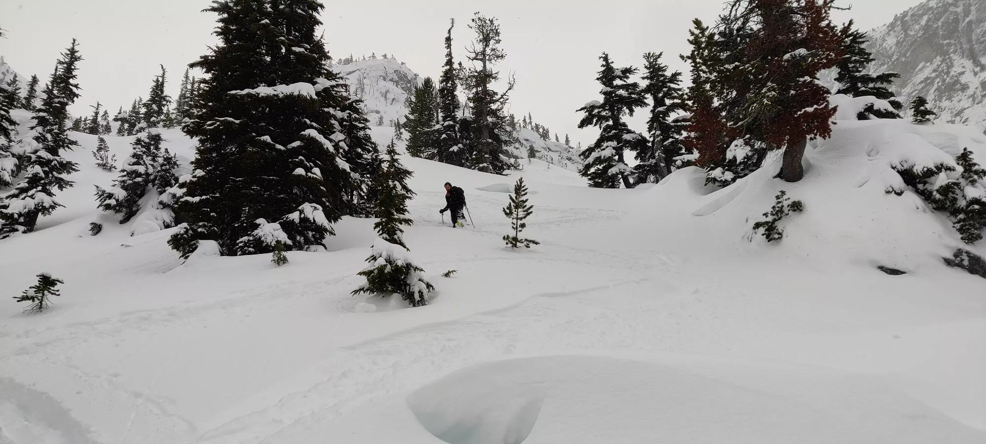
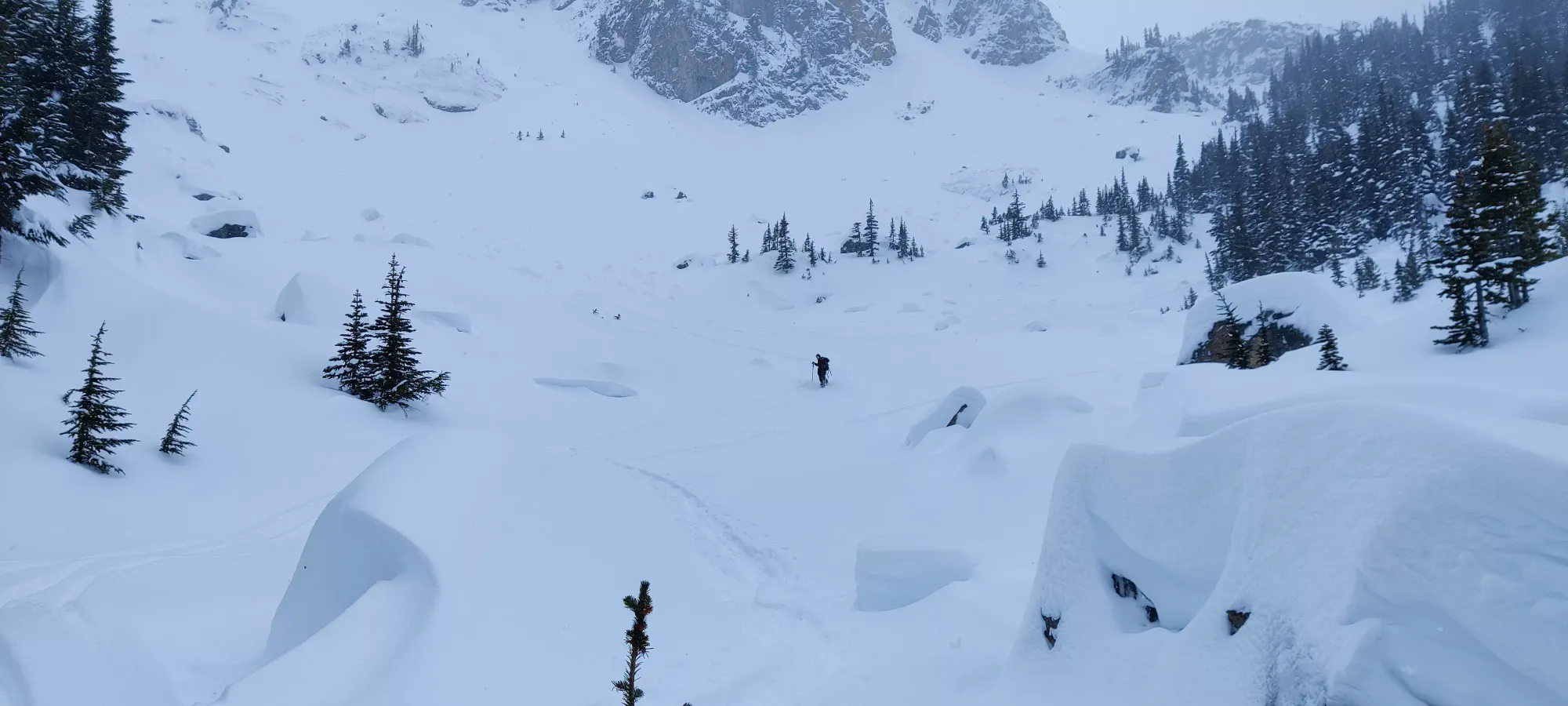
The "descent" once back in the trees was... crap, to put it mildly. The trees were very tight, the ground was not well-covered consistently, and there were WAY more undulations than I remembered. I made the mistake of not just putting the skins back on until it was (seemingly) "too late", and we were about to descend "for real". Of course, this was false, and clearly I need to be more gung-ho about skinning back up in such terrain. Instead, I ended up having to take the skis off multiple times and posthole up to my knees or even waist at time to get through to the end of the forest, where it was actually downhill consistently. This took nearly an hour and a half, so we got back to the boulders at about 4:00.

Crossing the lake was a simple endeavour, and once we got across, we had a break, and Logan stashed his snowshoes (he'd already bootpacked to the lake in the morning). I decided to just "make it easy" and walk myself until we got past the uphills right before the lake, so I just carried my skis in-hand.

Once we got to the bridge over Joffre Creek, I realised that my pace was totally in-sync with Logan despite being in my touring boots and carrying my skis, so I just decided to stick with it, and not bother trying to ski down the narrow and icy trail. That worked until my shoulder got mad at me for carrying my skis by hand, so I put them on just after the middle lake, and skied until things got really icy down by the stairs mentioned previously, and it just didn't seem worth the risk with places to turn becoming rarer. I a-framed my skis, busted the headlamp out, and we booted it to the car, getting back around quarter to 6 (for those interested in the weather, it was lightly snowing, even at the parking lot).
After we packed up, we drove to Whistler and had dinner, drove in a total blizzard with some of the worst visibility I've ever experienced coming out of Whistler, until we descended enough to have it be just rain, and parted ways once back in Squamish. We didn't get to summit, but we did still have fun, took a few lessons home, and got to practice not just "avoiding all avalanche terrain", but evaluating terrain, managing risk and practicing safe travel, which felt good, as it's easy to forget things and let skills slip if not practiced. Plus apparently Logan owed me dinner, so I got a free dinner, which is always excellent.
GPX Track + Map
