Mount Sampson - May 14 2025
An excellent, but strenuous summit in the Lillooet River area north of Pemberton, Mount Sampson makes for a pretty nice ski descent, though you do have a decent bootpack to do at the start if you wait for the road to melt out

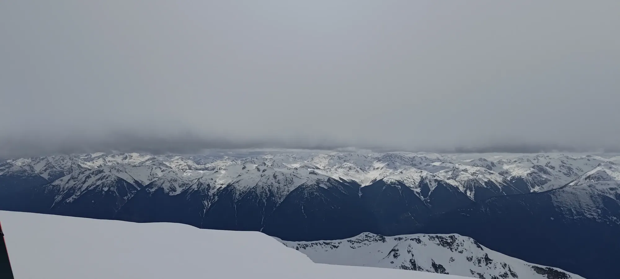
Thiassi Range, Pemberton, BC
2811m
Generally, a random Wednesday would mean a typical workday for me, rather than a trip out to a pretty big mountain. However, on this particular Wednesday, my building was to have the water shut off once again in our long sage of piping repairs 😅, so I had an excuse to not be home. The weather seemed decent, so I messaged Kelly, who also had the day off, and he mentioned he was interested in bagging Mount Sampson. I knew it was a prominent and high mountain for the area, and so had generic interest in it. Upon closer inspection, I saw it was mentioned in John Baldwin's book about touring in the area, convinced Kelly that meant it was a good idea to haul our skis out for, and a plan was made! He generously offered his spare bed to save me an hour of sleep in the morning, so we set out from Whistler a bit after 4am (try as I might, Kelly is unfortunately addicted to early starts).
The drive up and on to the Upper Lillooet FSR was pretty chill, but once we got onto the set of spur roads leading up to the "trailhead", things got a bit worse. The initial road was doable in most AWD crossovers, probably, though one washout might require a bit better-than-average approach angle. The greater concern is pinstriping. While it's not the most overgrown road I've ever been on, it's enough that an average person wouldn't put their car through it, so be prepared for that. We followed a set of forks (in Kelly's FJ, since we weren't sure of the condition of the road, we went with the more capable option) up to 1170m, where we saw an optional spur on our maps that looked promising. Upon visual inspection, it seemed walkable, but not driveable (new growth encroaching onto it). I figured it would go, but since we weren't sure, and we had beta on the other starting point, we continued to the typical starting point at around 1190m.
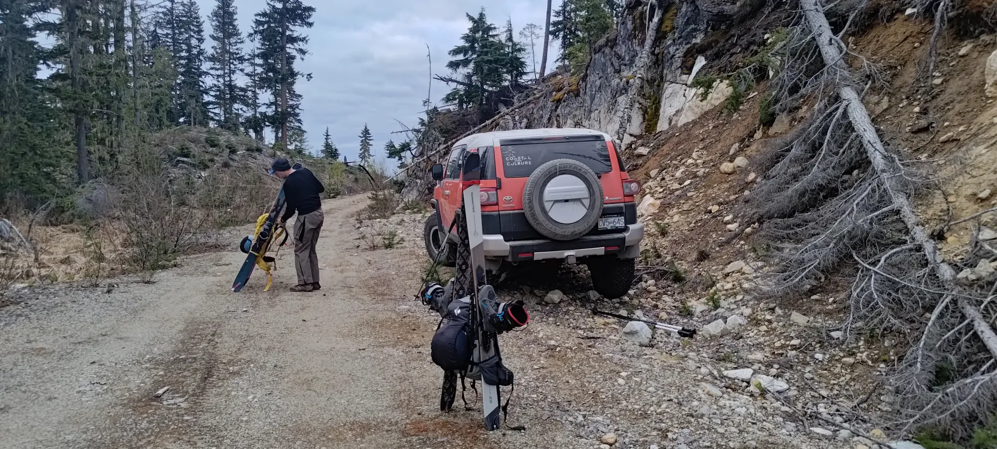
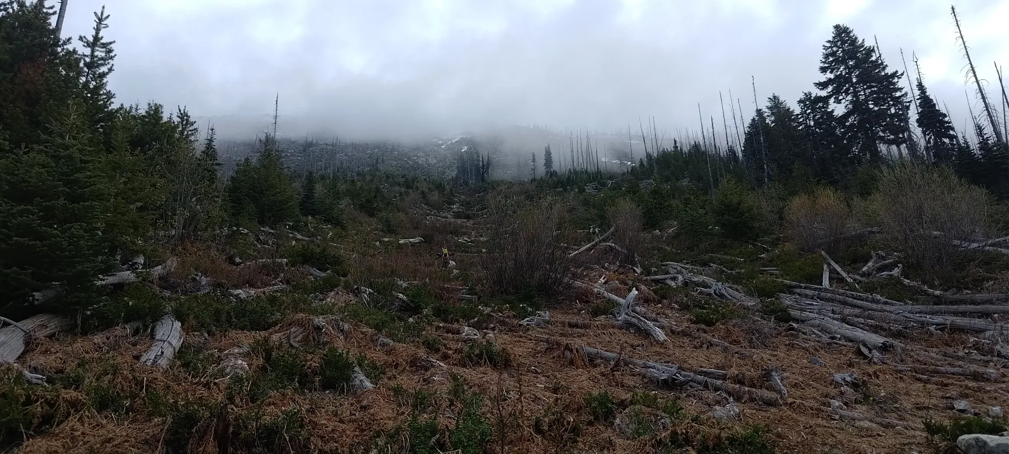
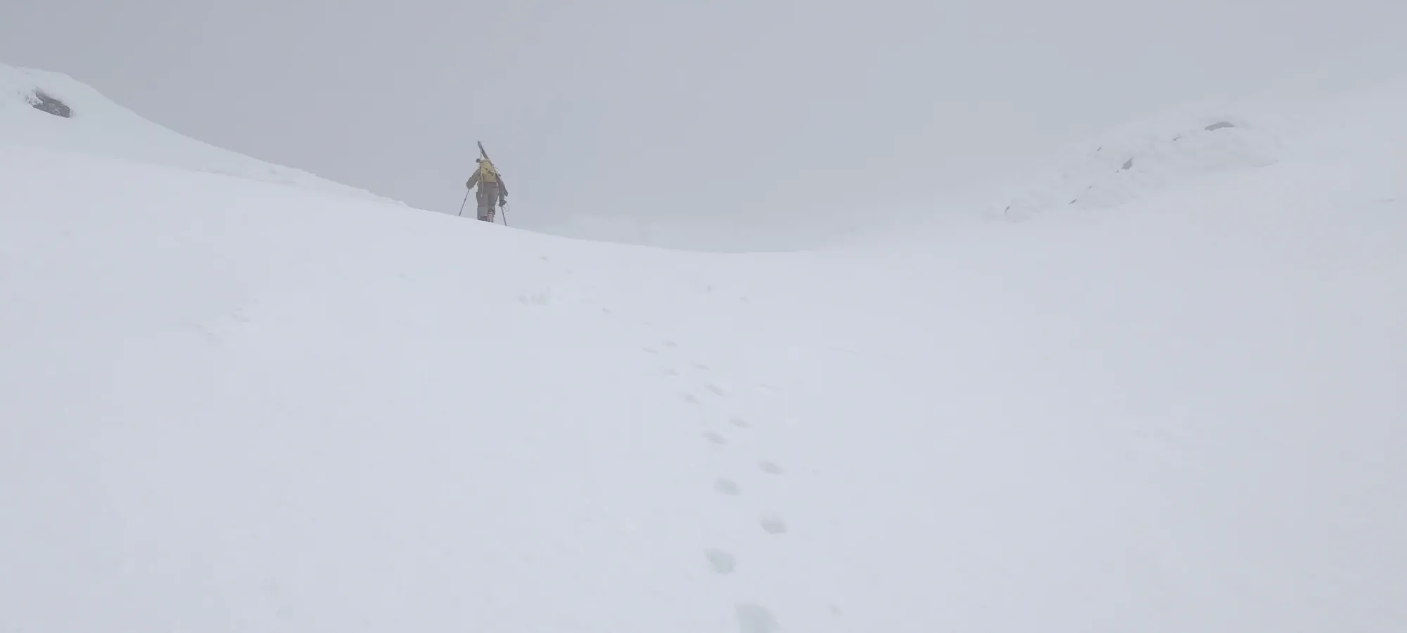
There, we saw a horrendous field of new-growth alder in front of us, but the beta we had did go through it, so we figured our fates were sealed, slapped our skis on our packs (we kept trail runners on for the approach, since it looked dry for a good while), and got ready to suffer, leaving right at 6am.
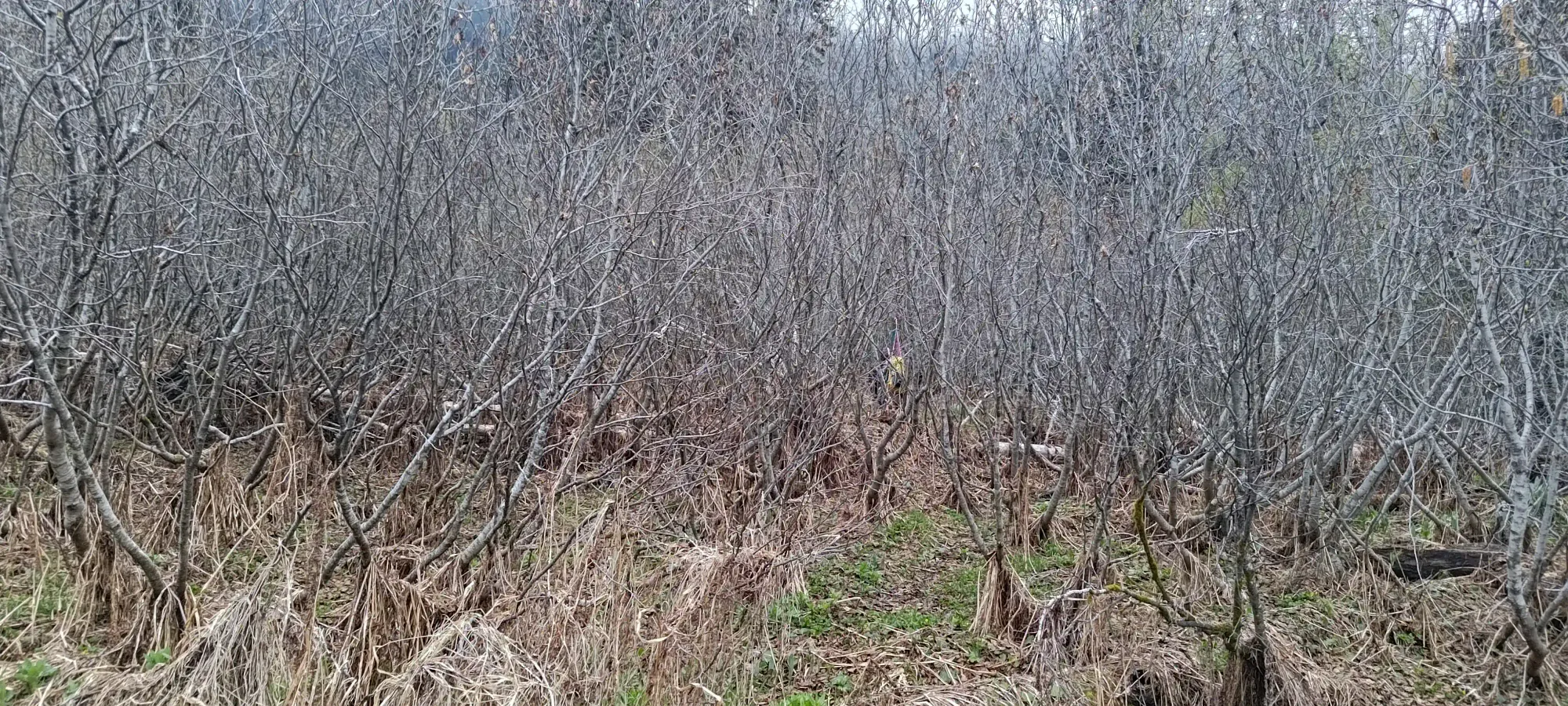
Following our existing beta, we entered the thrash of the new-growth alder, which was exactly as fun as it looks, plus the extra fun of skis on your back making you even less manoeuvrable than normal. We suffered through that for about 20 minutes, as we slowly made our way to climber's right towards some older-looking trees we hoped would offer some relief.
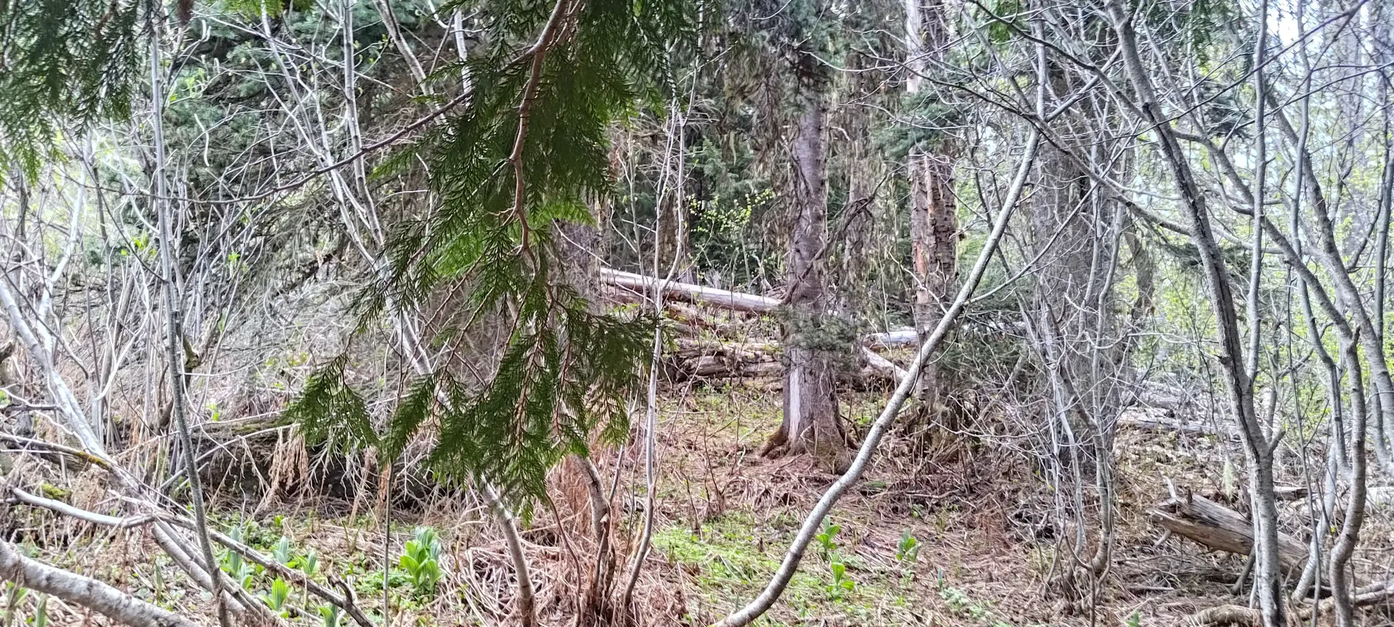
Once we got into the older forest, things improved, although not by a whole lot. We no longer were thrashing through 3 trees every step, but there were still some young alder in this forest, along with plenty of deadfall and branches that one had to whack through. We did make more efficient progress here, though, and even with a 10-minute bathroom break for myself (our start was a bit too alpine for me to get done with that at home), we gained about double the elevation as we did in the prior 20 minutes, and popped out of the forest and into the open slopes above. Specifically, we were in a gully which seemed to have a lot of decomposing deadfall which obscured the actual ground, but was largely supportive enough to step on without punching through. It took a while to trust that fact, but we eventually accepted it for the better.
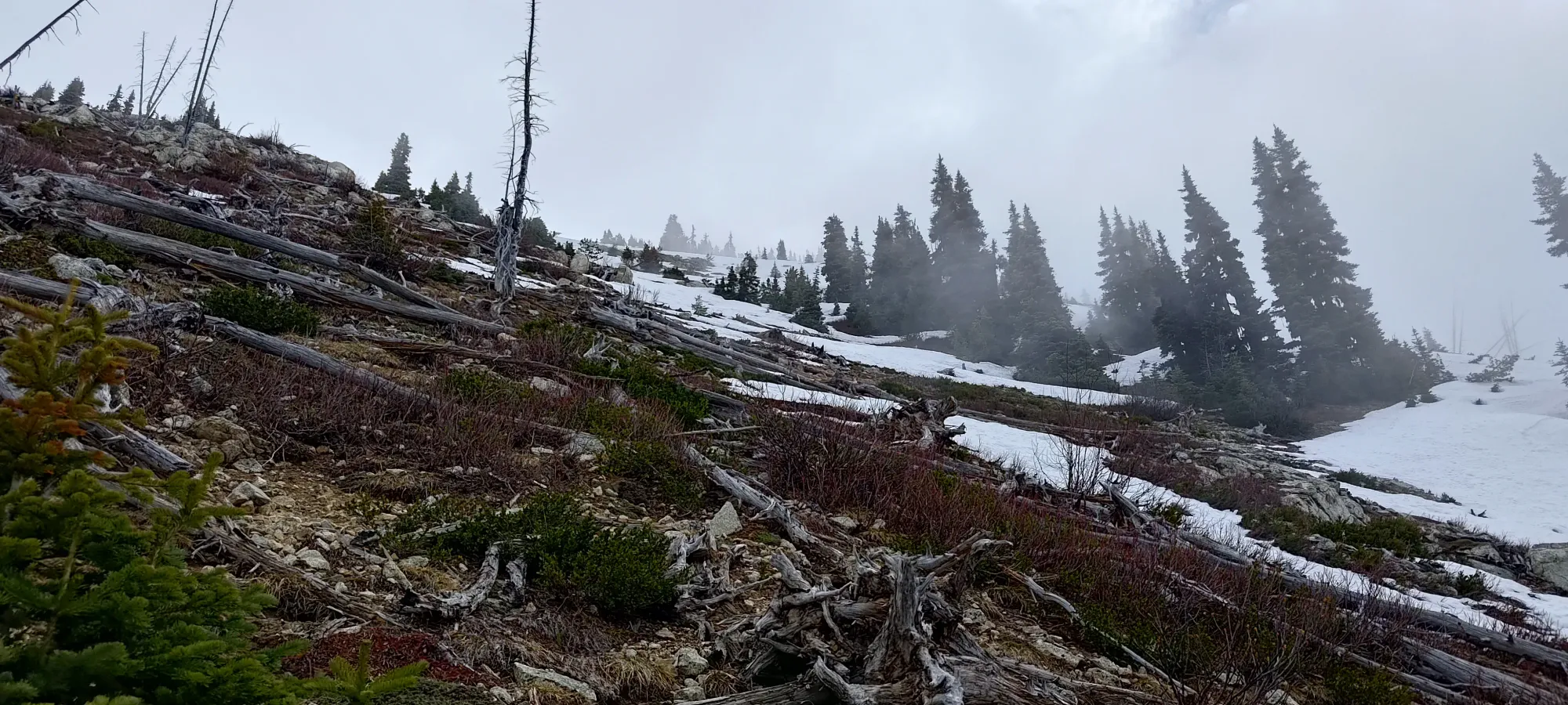
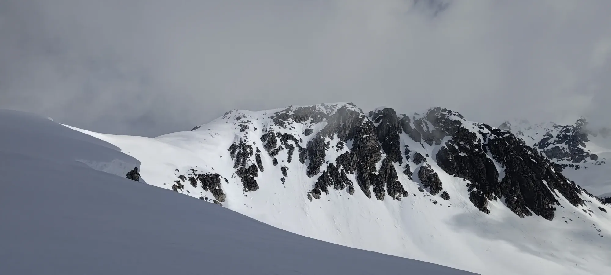
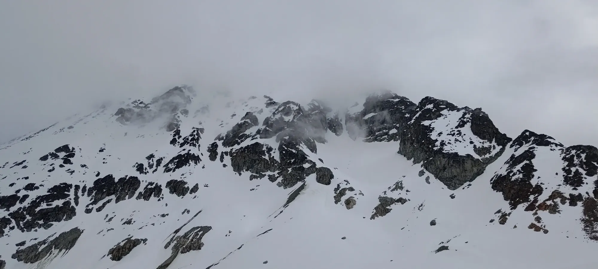
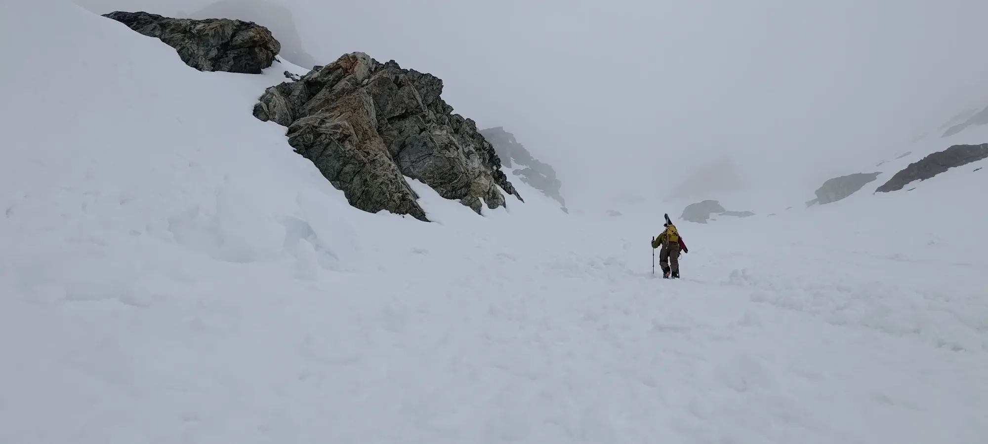
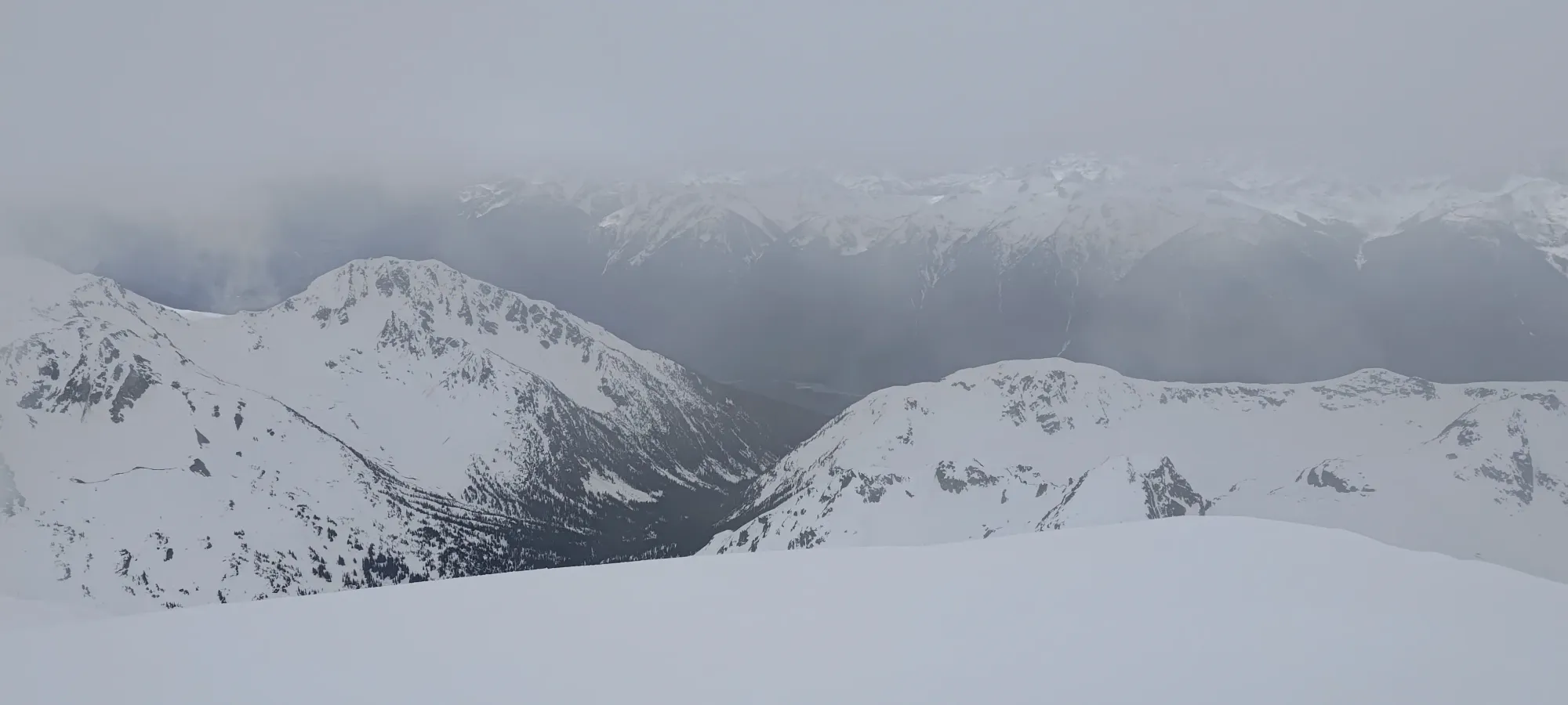
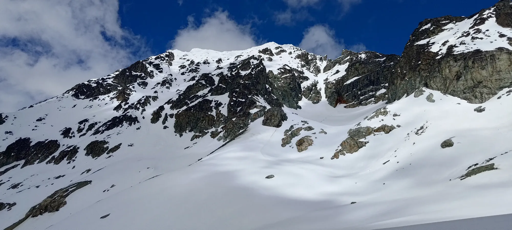
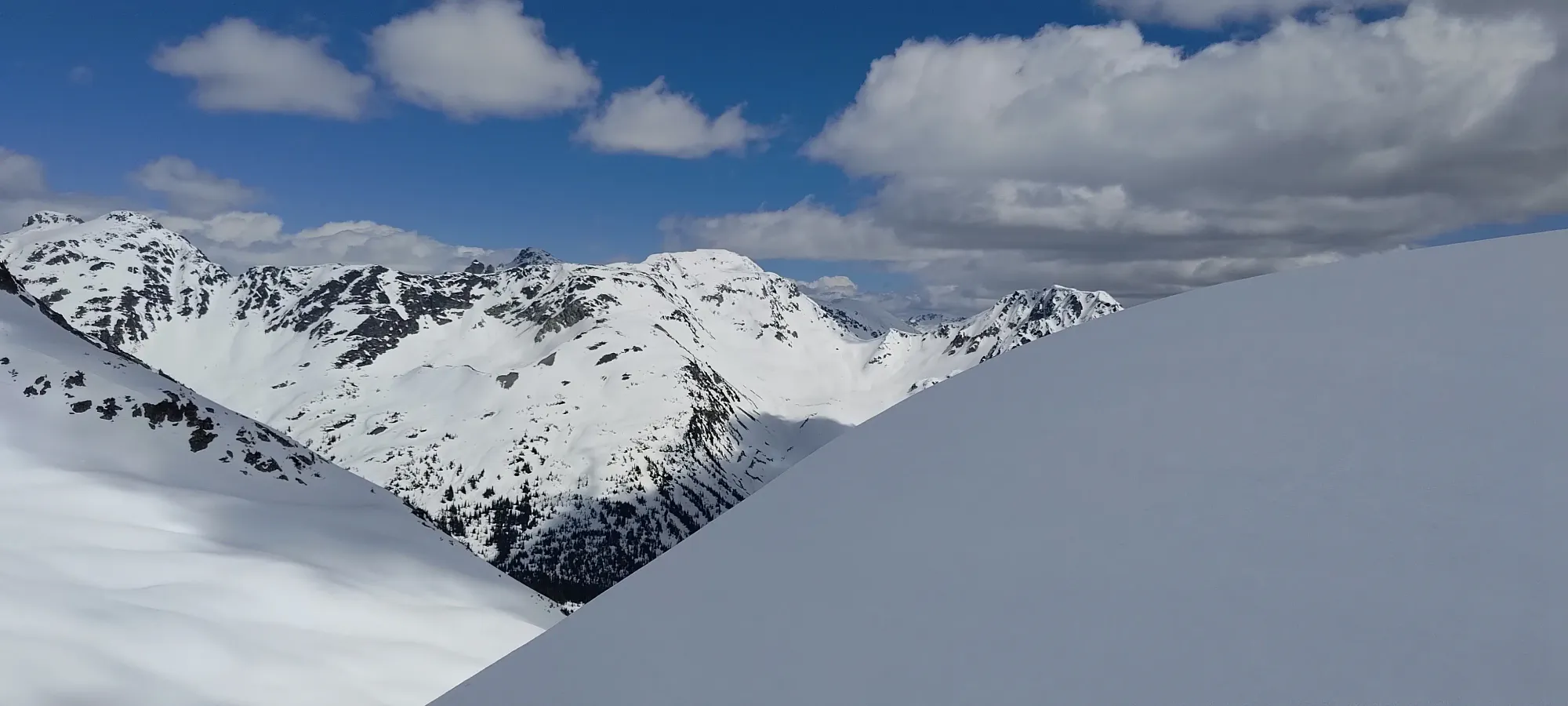
That section went by pretty quickly, and we were soon in the guts of one of the many gullies on the south face of Zorah Peak, slowly grinding our way up the face. The terrain was actually fairly grippy, without too much debris to make things slippery underfoot, which we were happy to discover. It would've made for good skiing terrain, but we wouldn't have been able to drive that high if the snow went that low, so that was a compromise we had to accept as non-sled-owners.
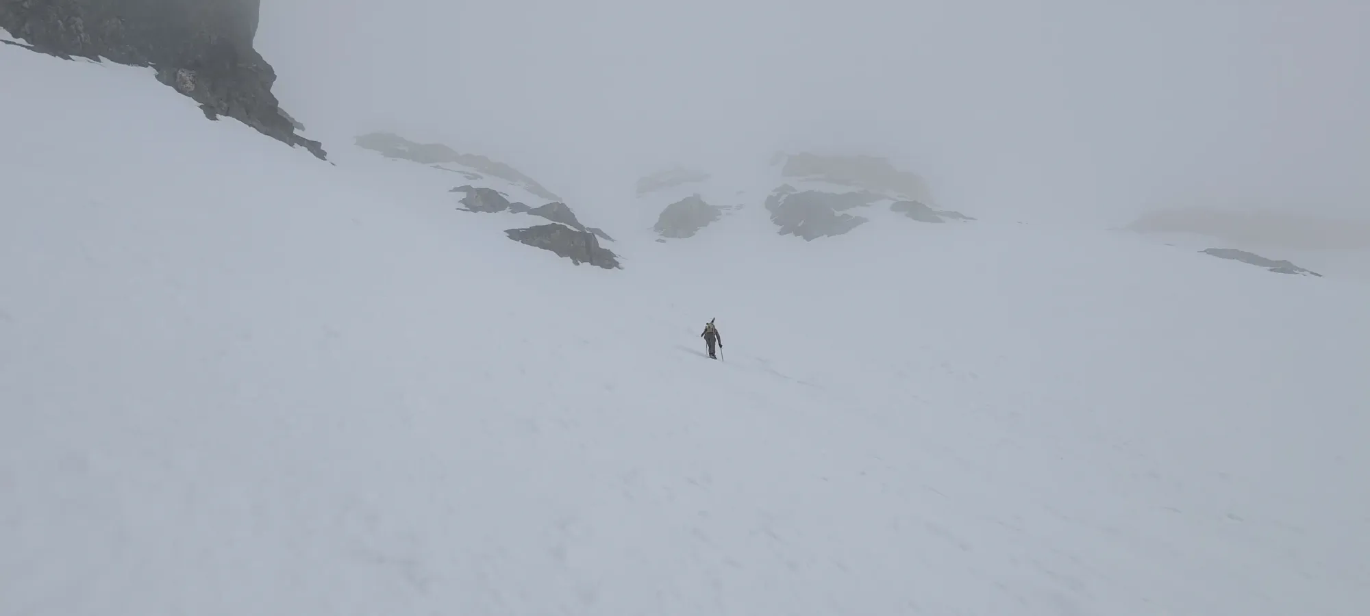
The next hour-and-a-bit were a pretty straightforward slog up 600m of south face. We did a bit less than half of that in the gully proper before eventually going up to the rib on climber's left to try and find the ideal footing, but really it was all just "go up". The ground was grippy enough, and while there is deadfall scattered about, and as we got higher, patches of snow, we were able to avoid bad footing and the crux was just the willpower to keep pushing up the relentless slope.
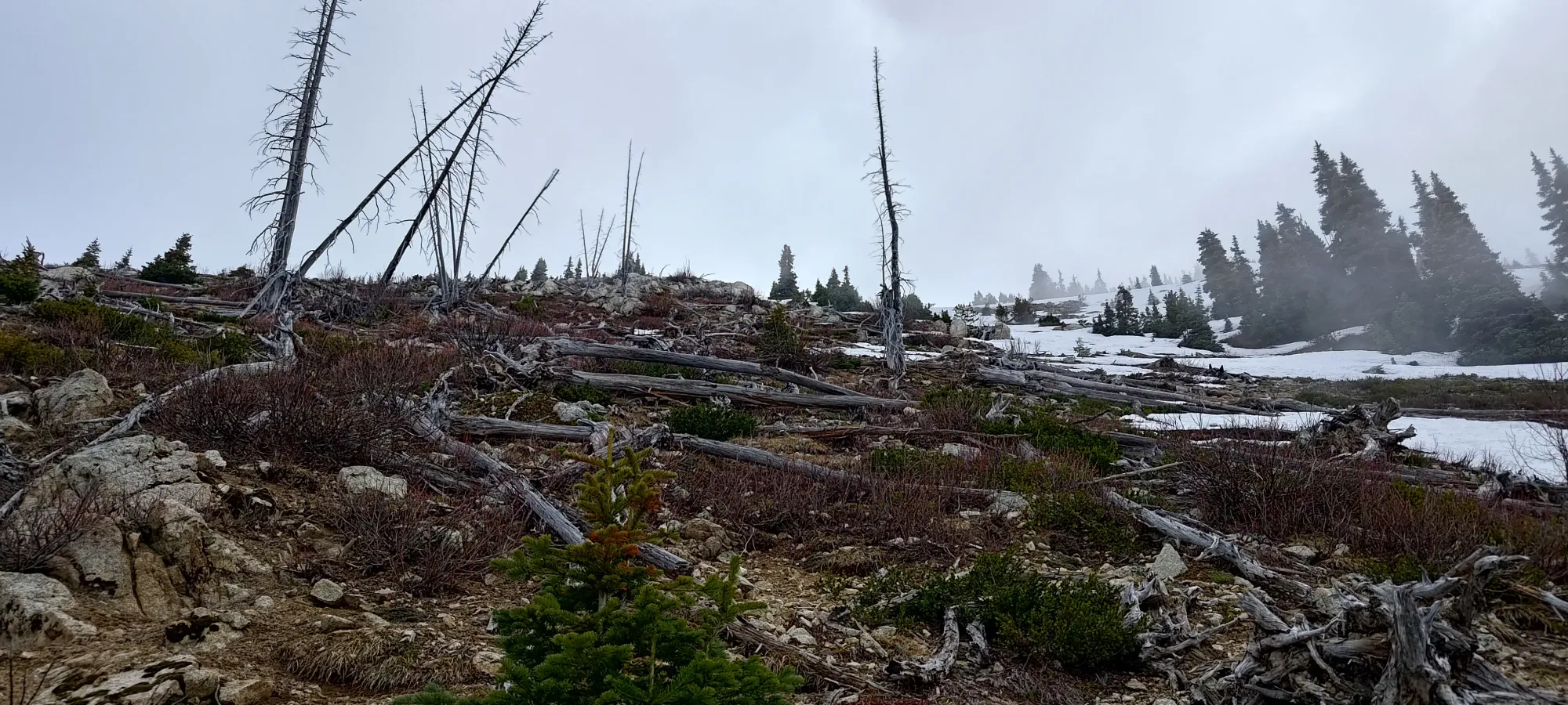
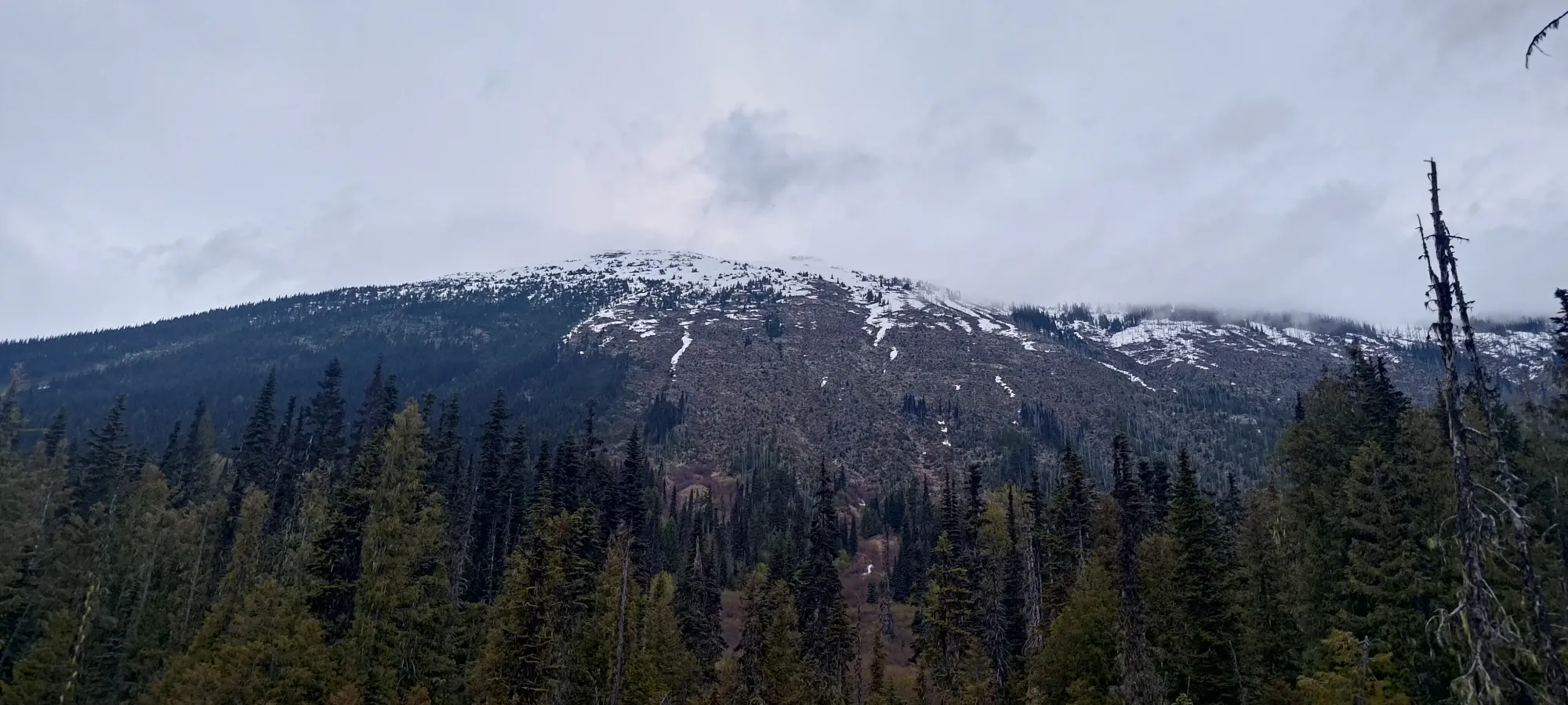
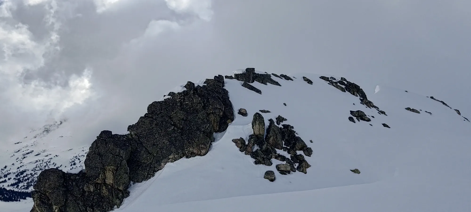
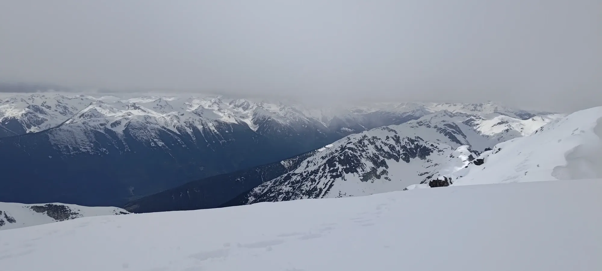
Most of the way up the face
We hit our transition point at just over 2 hours, near 1870m or so. Here, we took a well-earned bit of rest, stashed our runners, put our ski boots on, and started booting. Skinning would be possible depending on the snowpack (it's a bit steep), but Kelly was seemingly eager to start booting up, and I was eager to follow the path of least resistance, so I followed him up 🤣
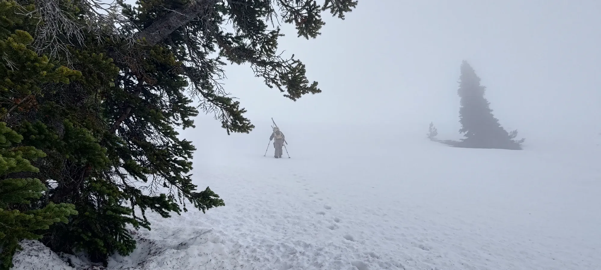
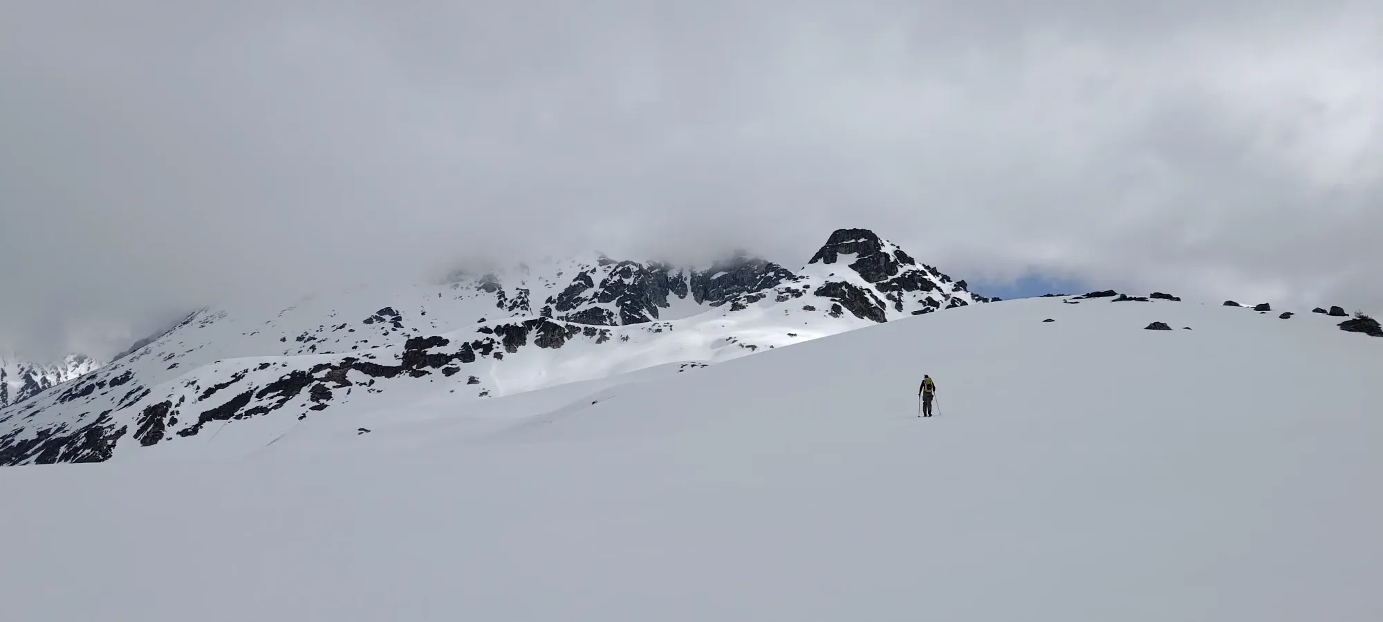
The next 40 minutes of booting were an absolute sufferfest 😅. Things started out pretty okay, since I was following a good bootpack courtesy of Kelly. However, after a few minutes, we found ourselves in some of the most annoying punch-crust I've had the displeasure of walking in. Even while following, more than half of my steps ended up punching through and down to knee-or-below depth, and it was generally just terrible for all involved. Once we reached the lip of the snow on that face, and found a shallow trench leading up to the line we'd take to contour around the summit of Zorah towards Trapeze Peak (the next subpeak we'd pass on the way to Sampson), we were glad to finally be able to start skinning, where ski penetration was nearly zero 🙂
We skinned up the E ridge for a few minutes, then found the easy entrance to the bowl on the NE side of Zorah which we'd have to contour around to get closer to Sampson. One could go up and over Zorah if one has unlimited time+energy, but we did not, and figured we could leave such exercises for the way back if we actually had Fs to give at that point in time, so the path of least resistance was our way forwards. Similarly, you could ski down the bowl and then skin back up more, but we decided to just boot down the short steep section, and skin across the west side, to minimize effort.
After a couple dozen steps down (I made sure to heel-step well to give us good steps on the way back out), we slapped our skis back on and started sidehilling. We lost and regained about 30m in the process, and popped out past the NE ridge of Zorah in about 20 minutes, right back at the same elevation we'd been at before we dropped into the bowl. Not too shabby, if a little annoying for the way out. Skis were definitely nice to have on the steeper parts of the sidehill.
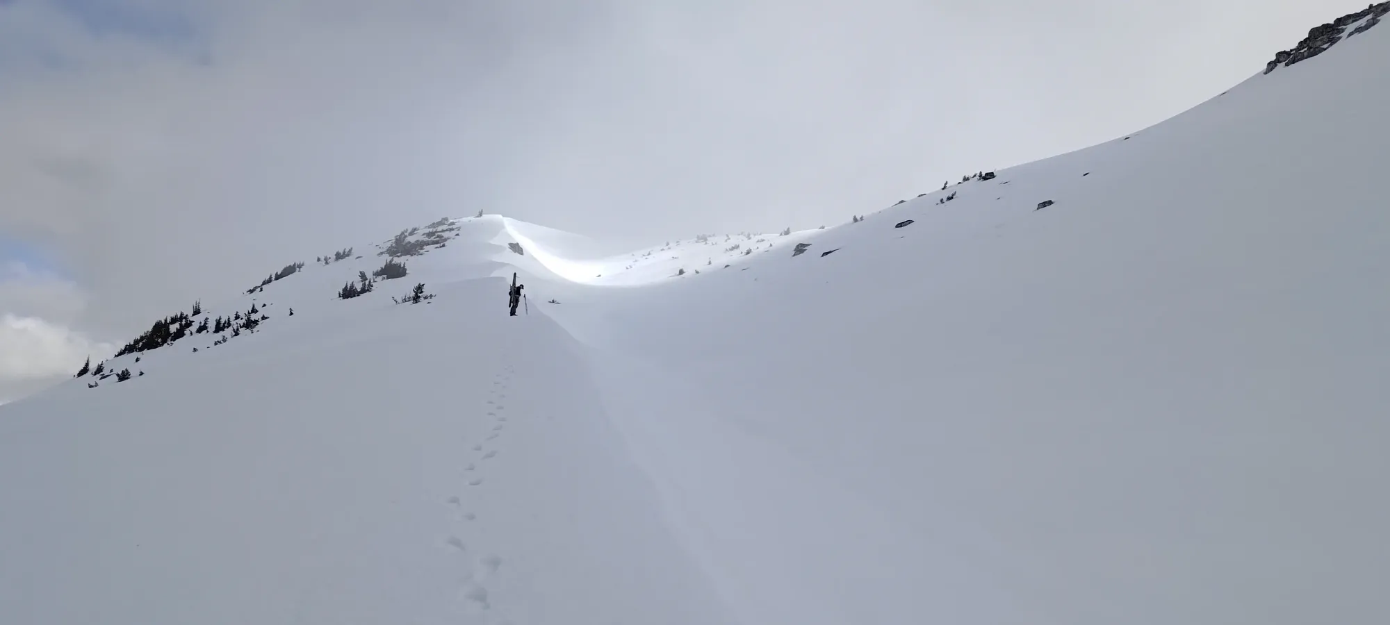
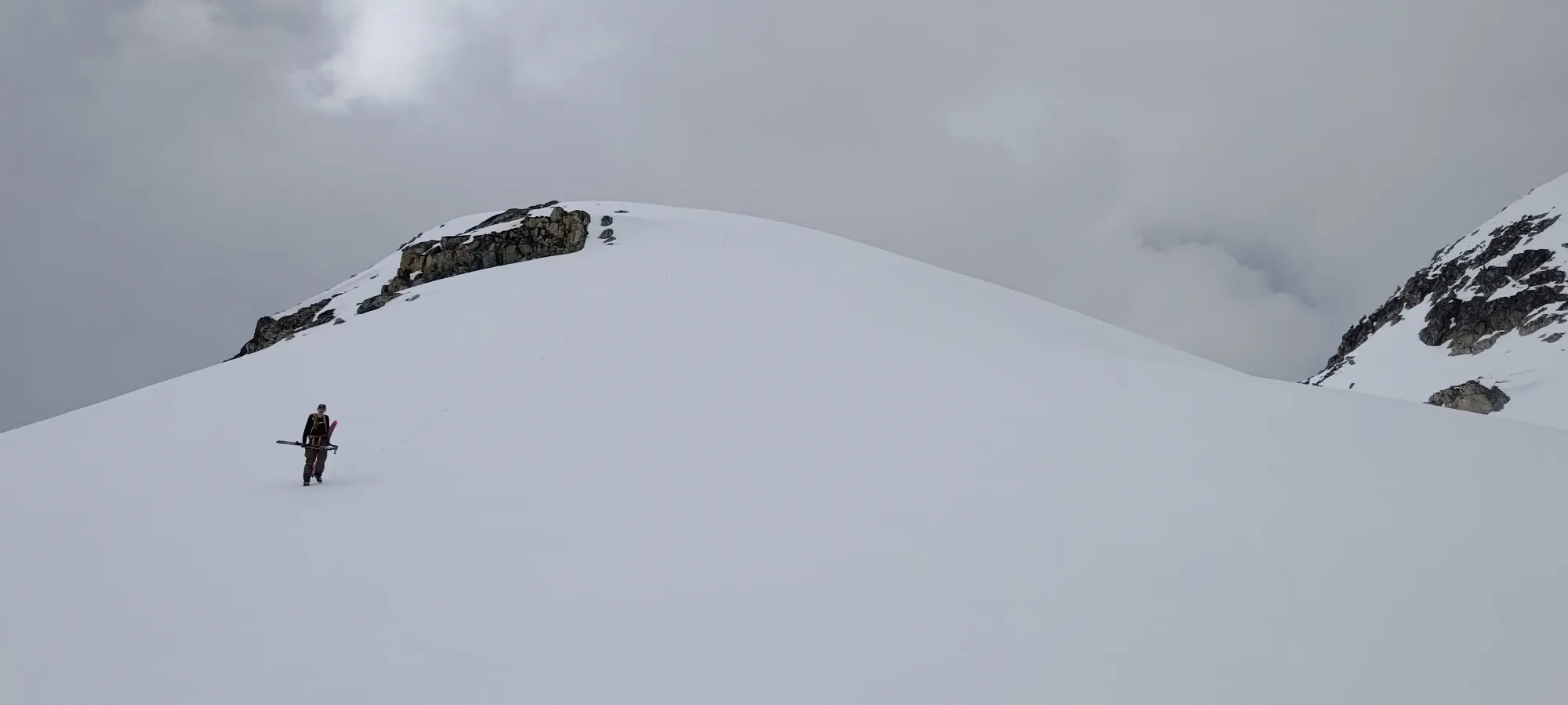
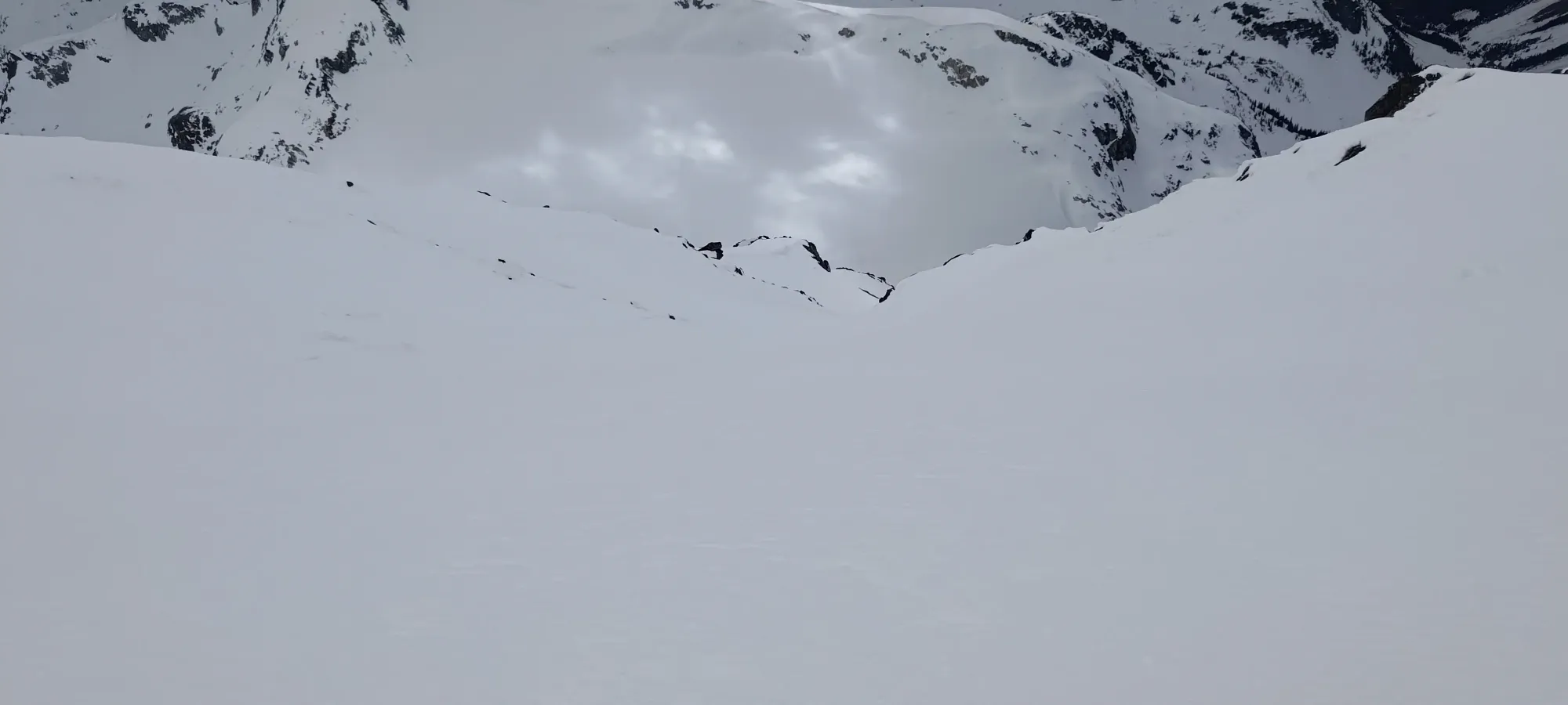
From a small high-point at the end of Zorah's NE ridge, we lost about 40m getting to another low-point (I skin-skied this, but Kelly booted down it due to poor vis and a lack of faith 🤣). From there, we skinned up about 200m of elevation towards Trapeze Peak, had a snack break for 10-15 minutes, then climbed another 100m to a mini-saddle west of Trapeze (we again decided to leave summiting that or not to our post-Sampson selves), and found ourselves with another bowl to contour around to get to the final ascent line.
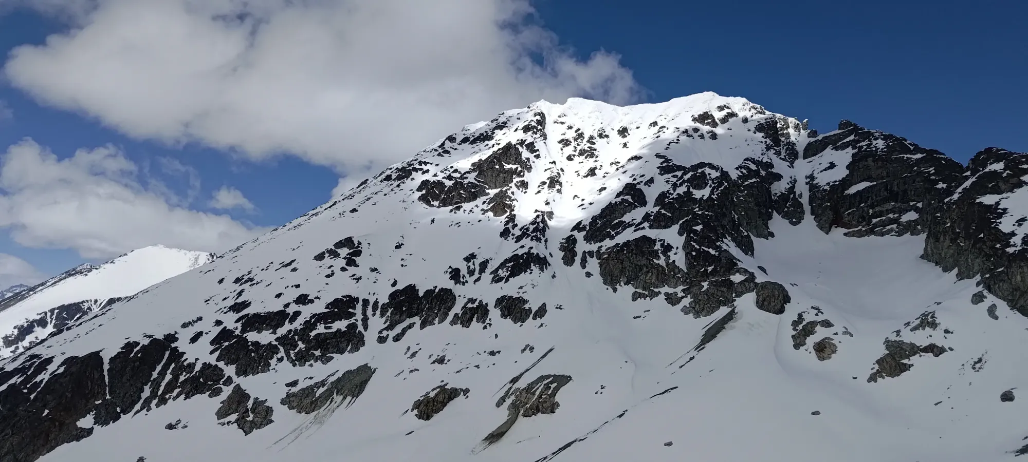
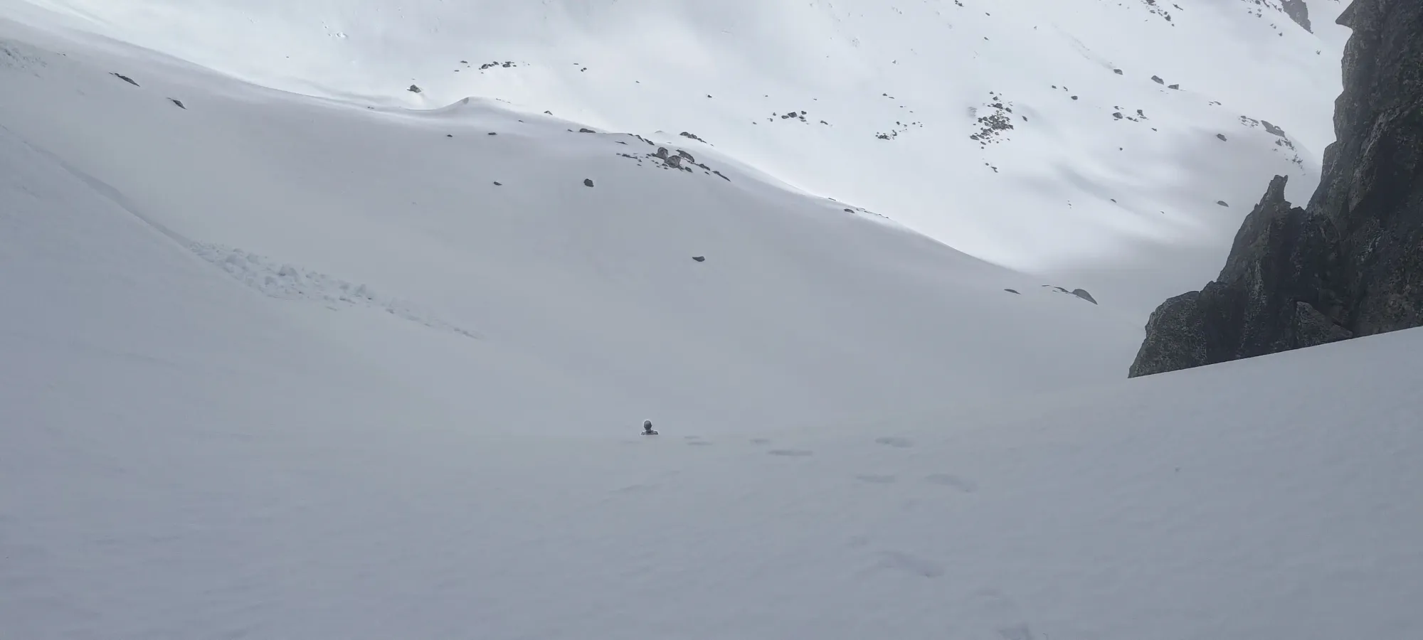
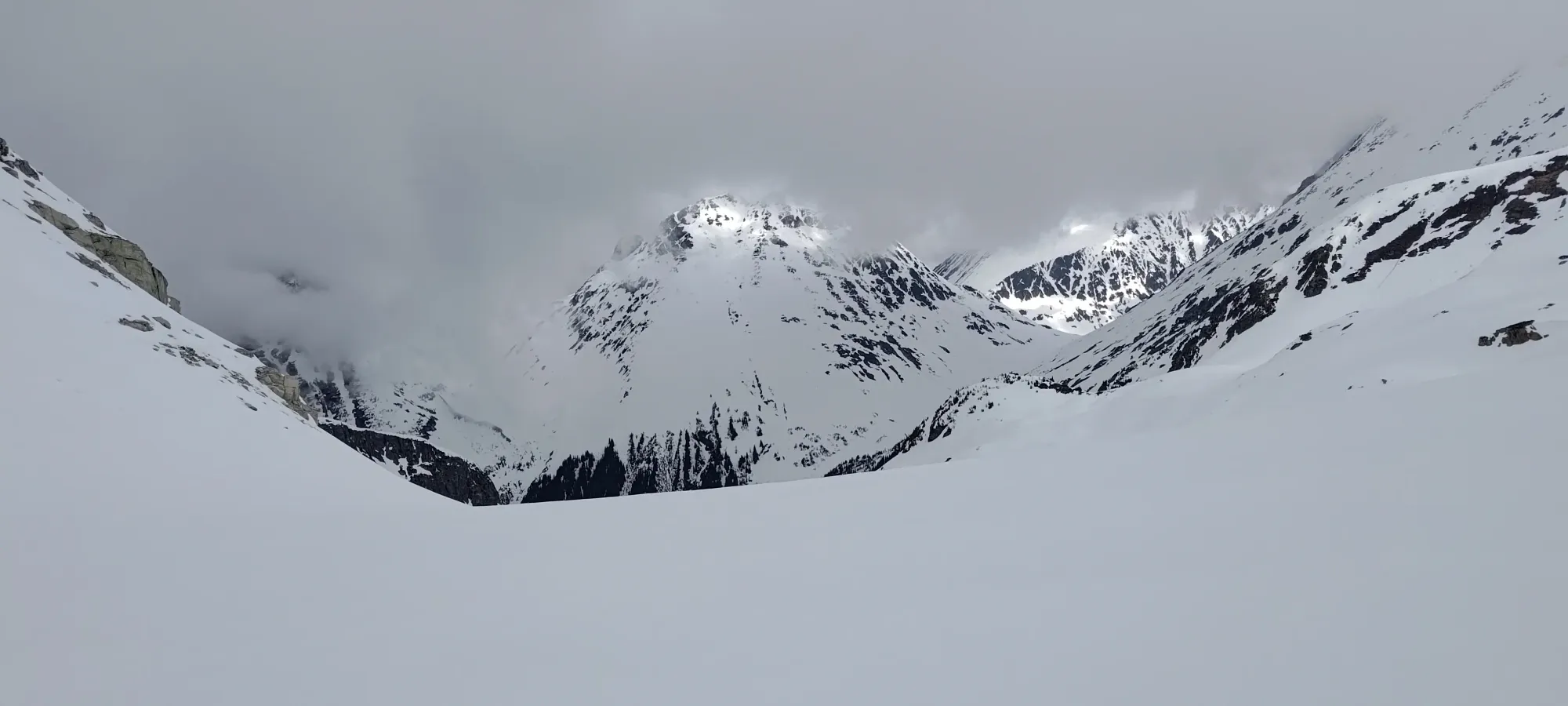
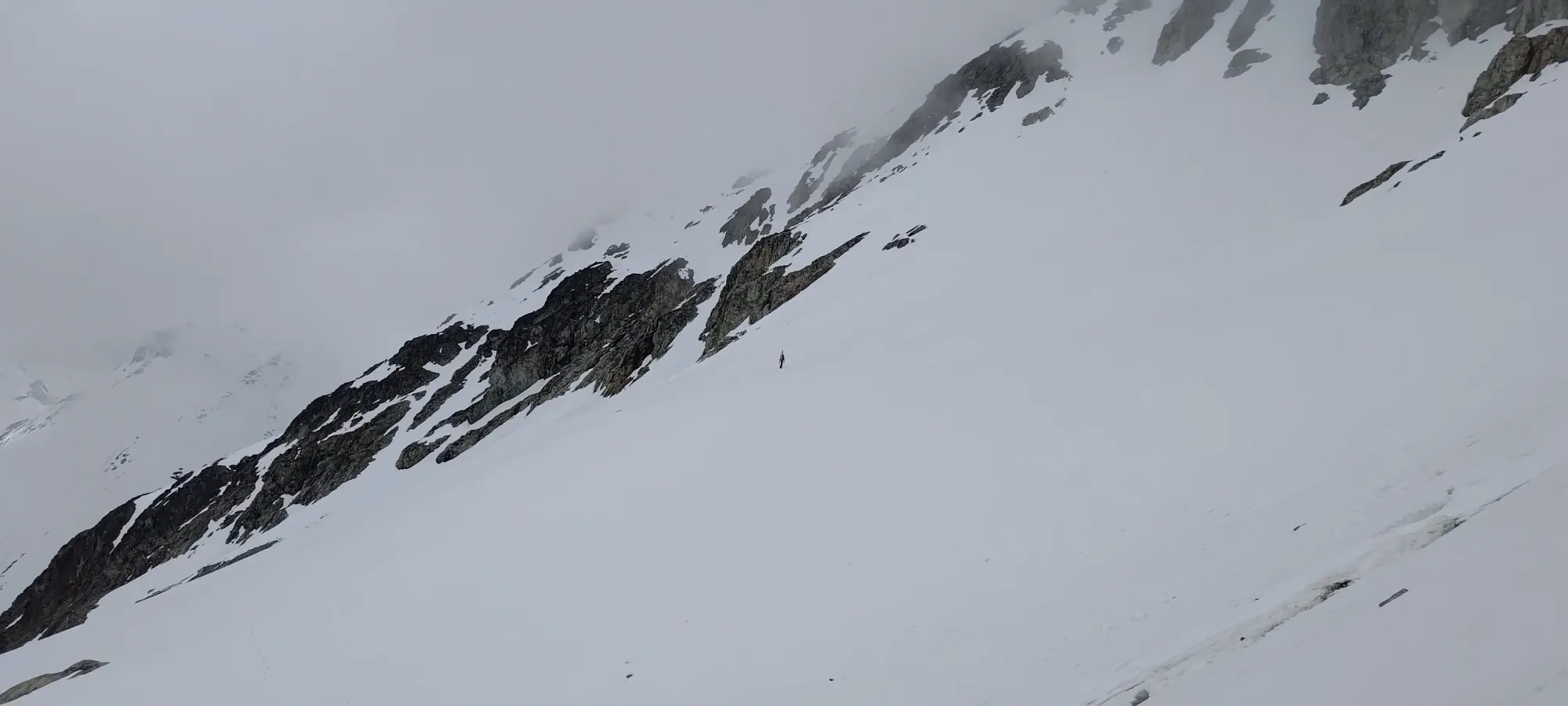
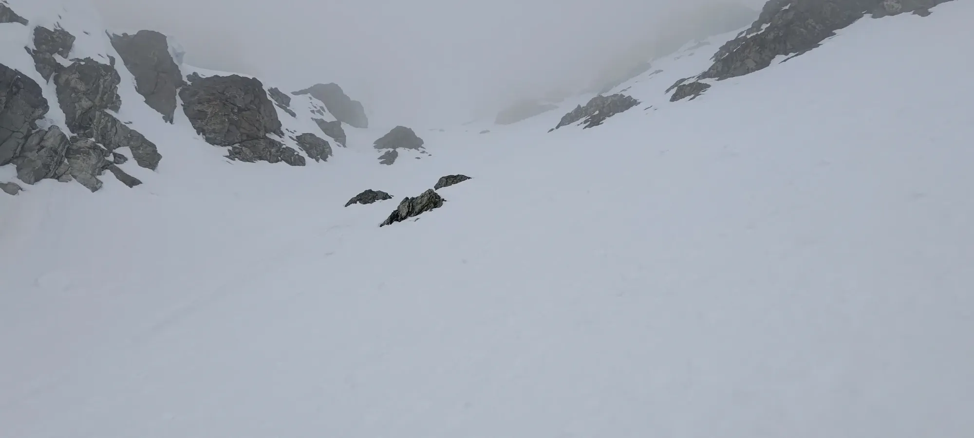
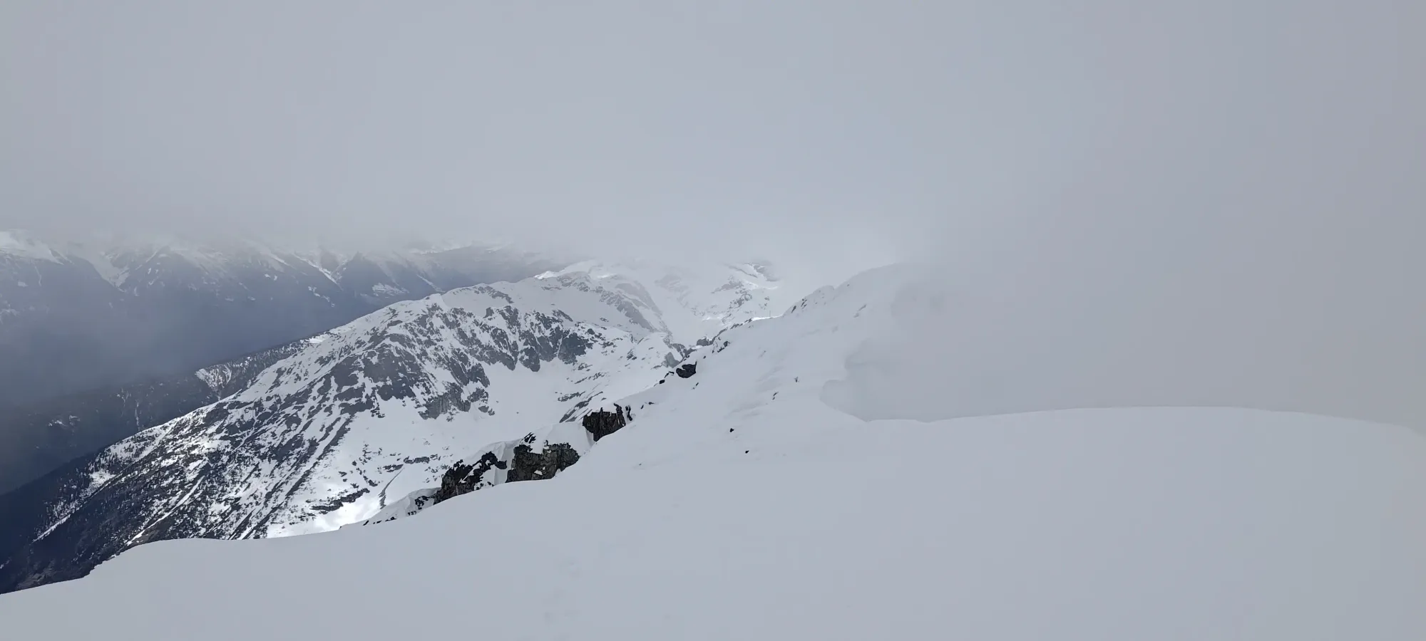
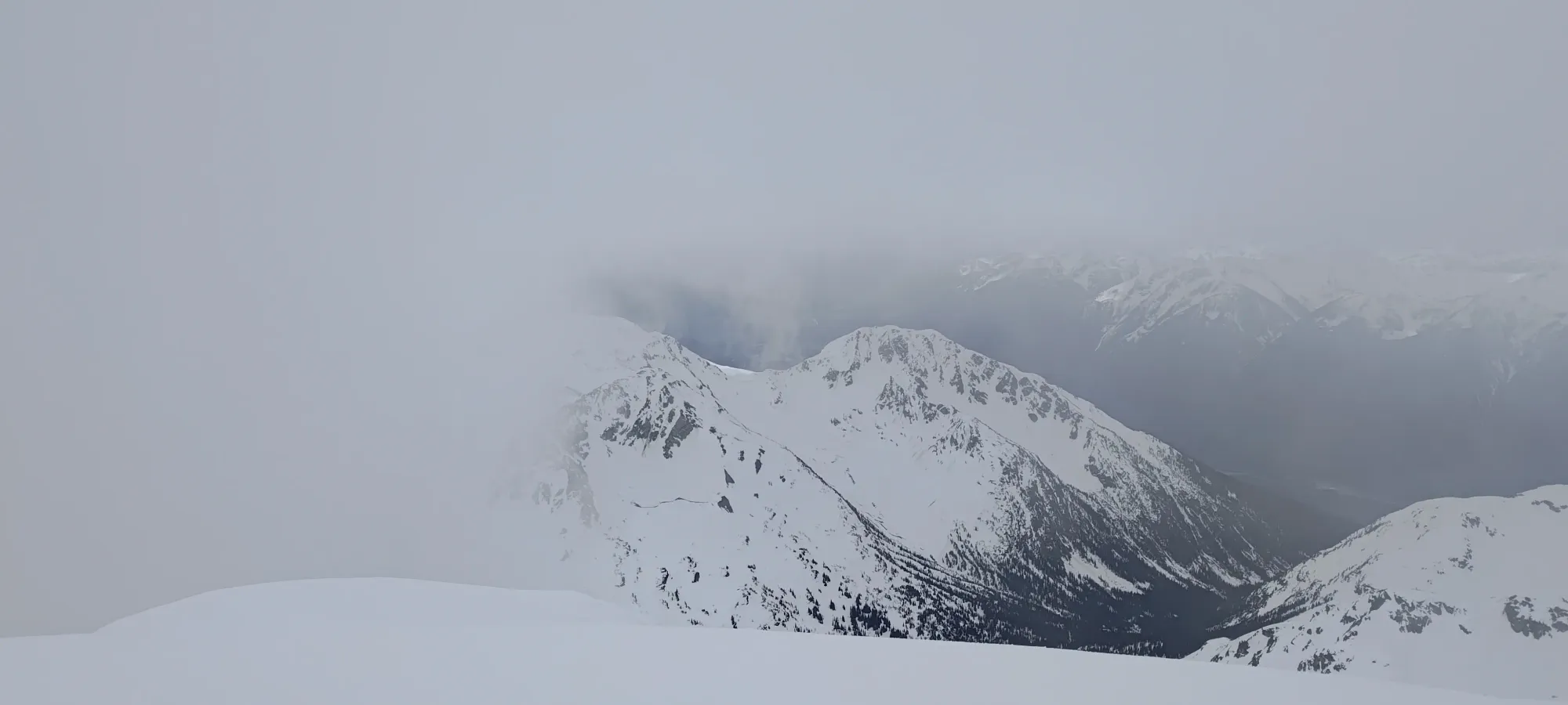
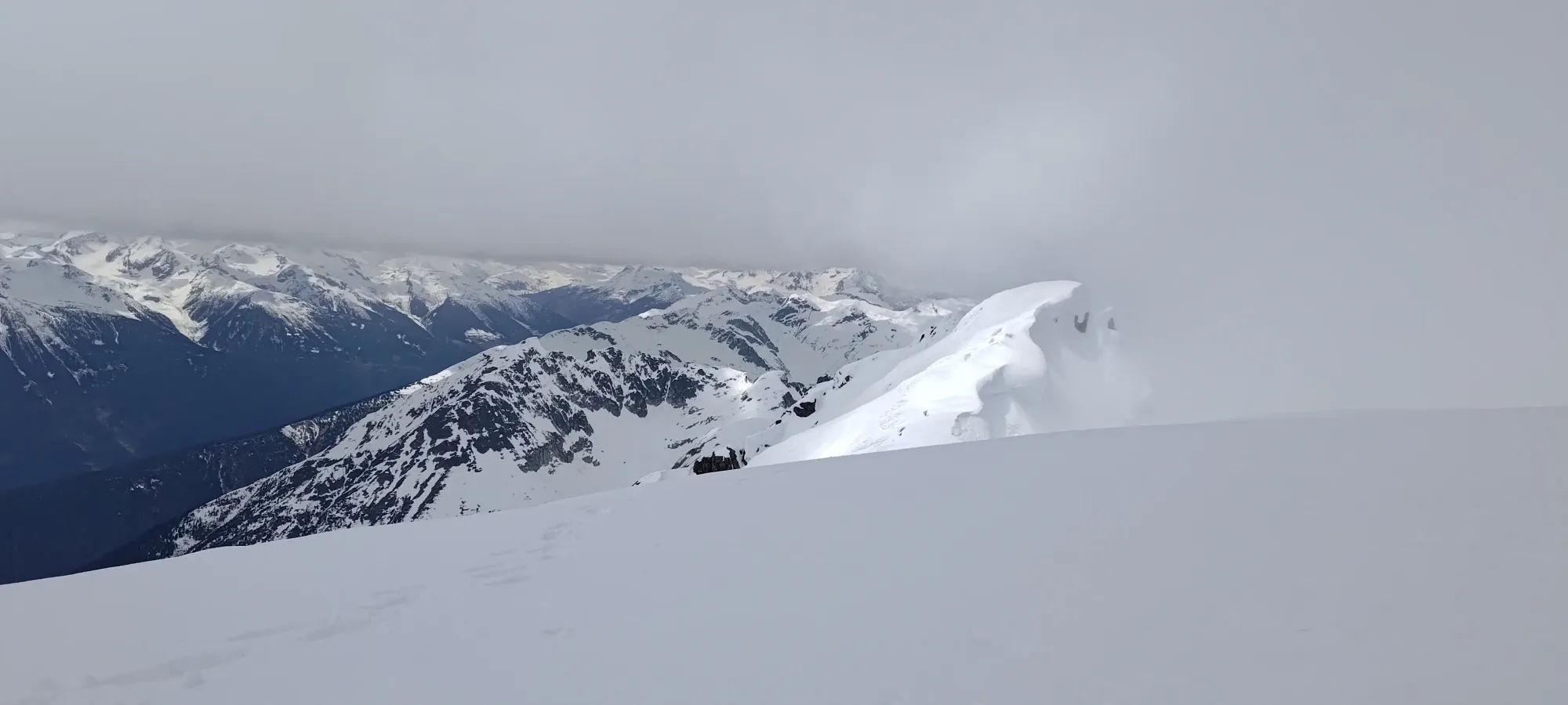
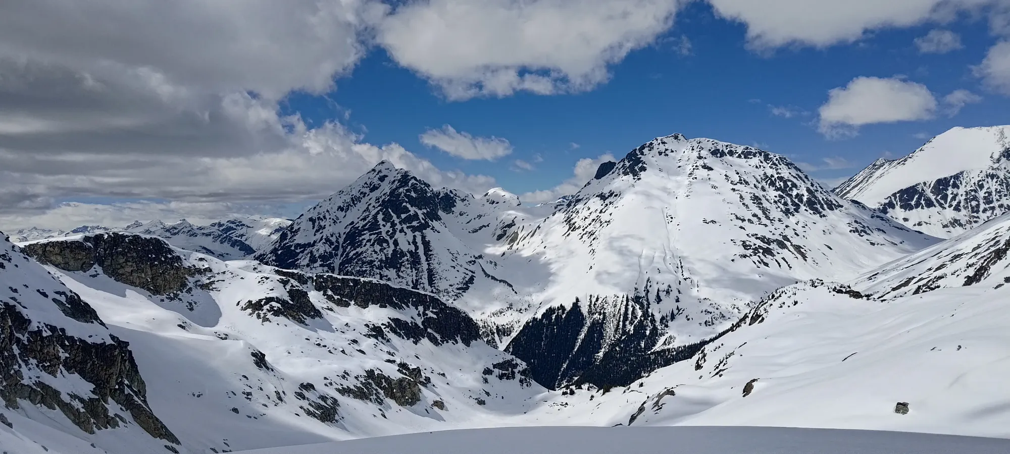
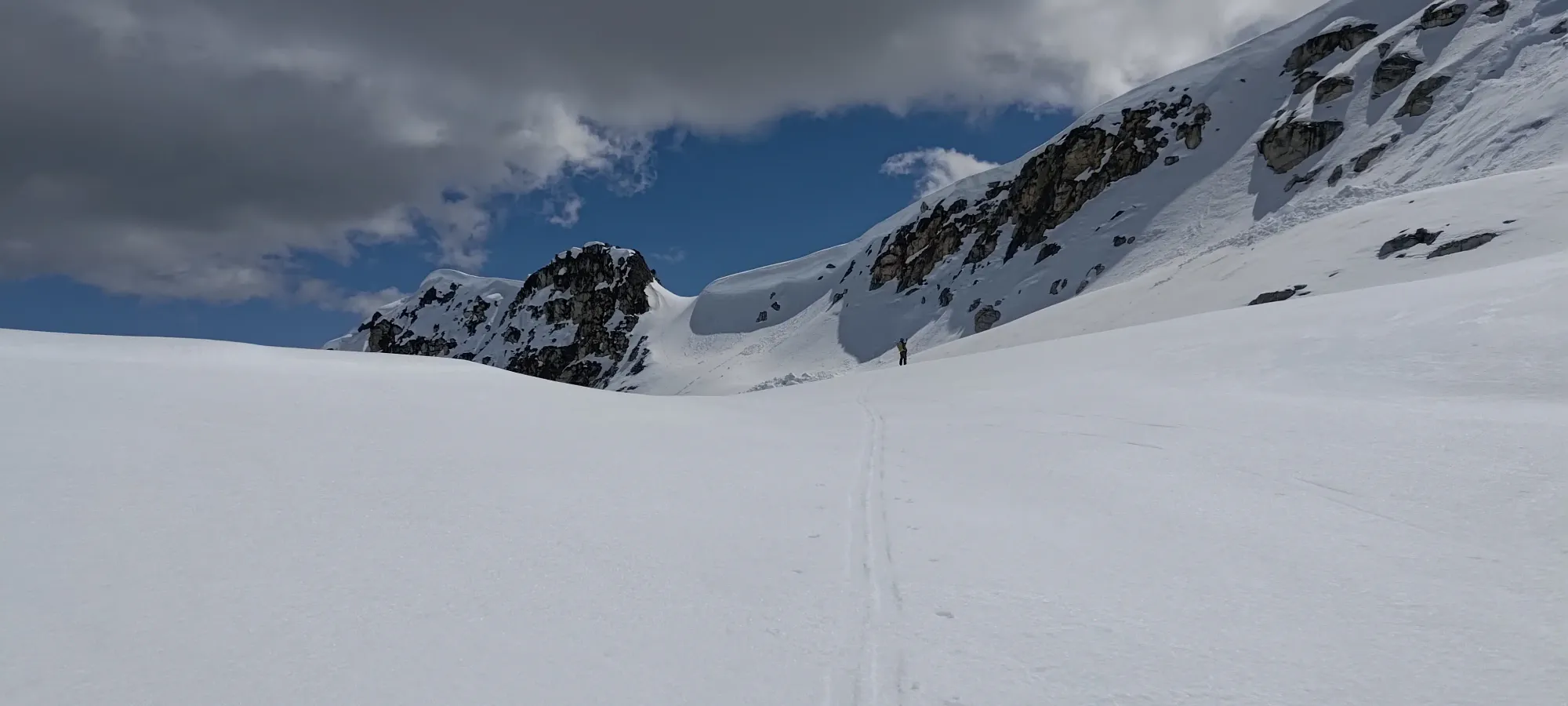
After our snack-break, Kelly decided to boot a small section of the hill up to that bowl which I skinned, and apparently it was the smarter choice because he pulled ahead a bit, so once I crested the bowl's edge, he was already down in it, making his way across to the ascent couloir (left of the narrow chute w/ the high bowl in the image above). The vis was not great at this time still, so I had a fun time trying to figure out the slope that I was on as I attempted to skin across and not lose too much elevation, which I think I was pretty successful at, though honestly skiing down and skinning up after enjoying the process a bit would've been a very reasonable choice as well 🤷.
I ended up losing 35-40m in the process, and contoured around most of the circumference of the bowl; managing to skin until a small bit of rockfall debris that offered a convenient transition point for me to swap to boots+crampons. Somehow I managed to pass a transitioning Kelly in the process, and was actually uphill of him when I stopped. That was convenient!
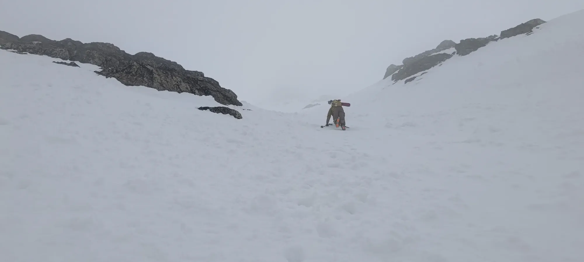
With cool overnight temps and clouds in the morning, the snow was still quite firm even at ~11am, so there wasn't much trail-breaking to do anymore, which was nice. We still had over 500m to gain, so having to posthole the whole way would've been rather unpleasant. I managed to catch up to Kelly as we stopped traversing and started just ascending, and from there, the final grind commenced 😅
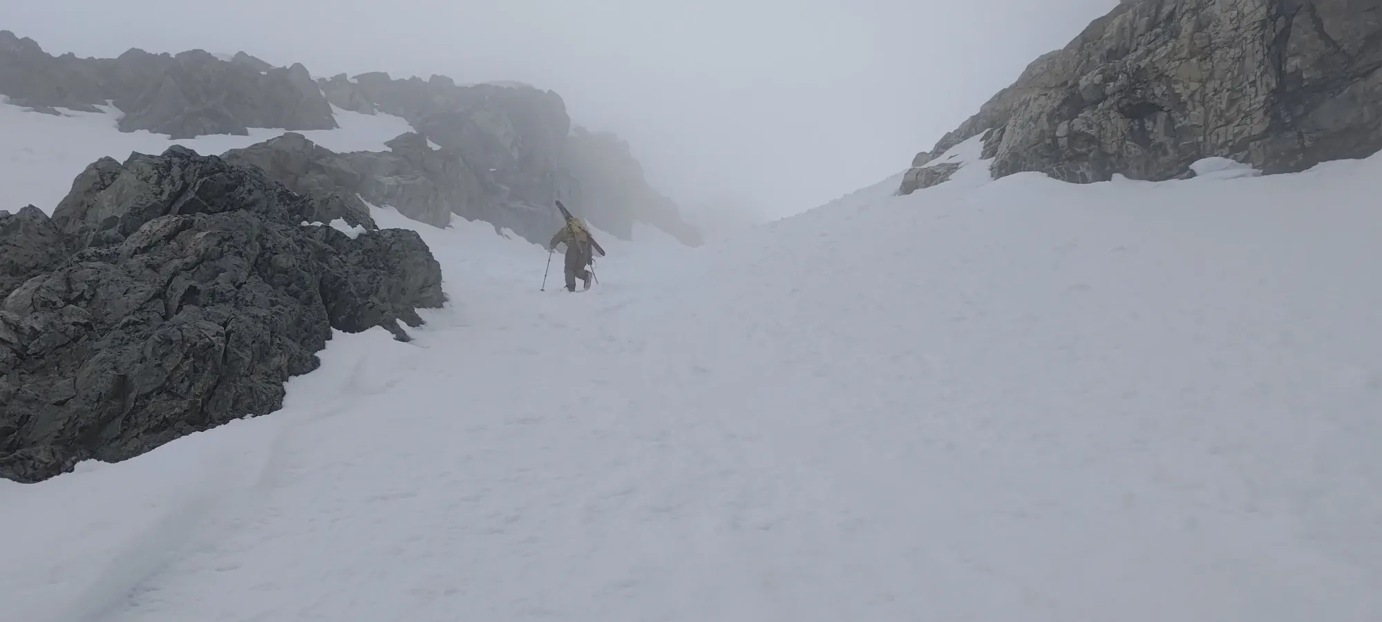
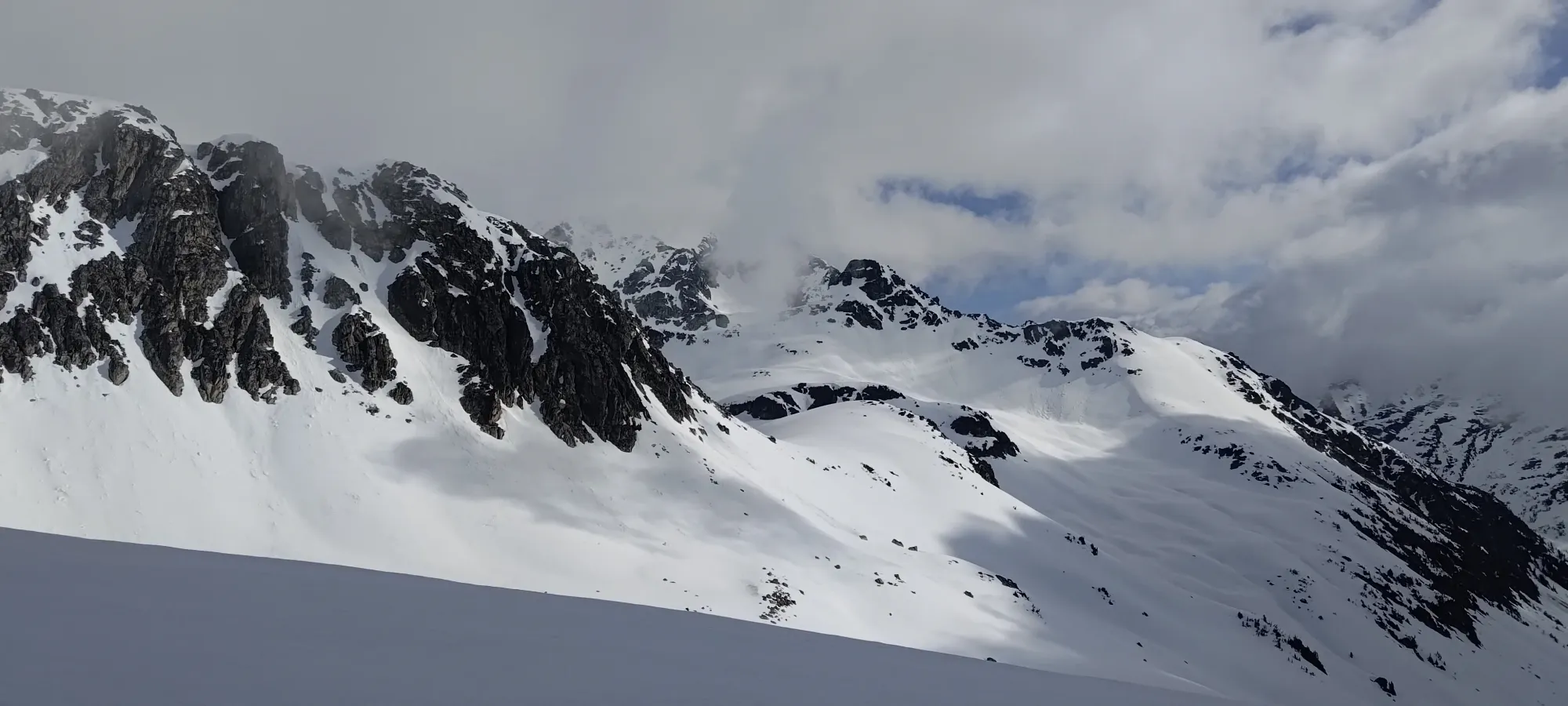
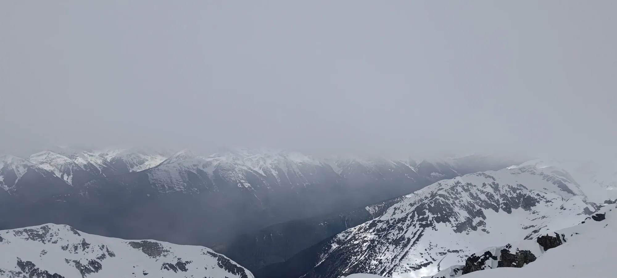
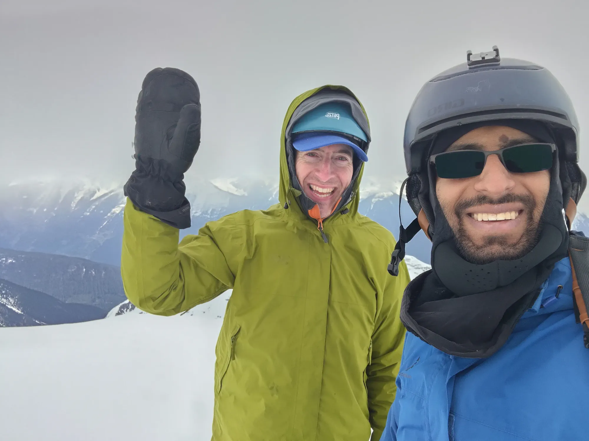
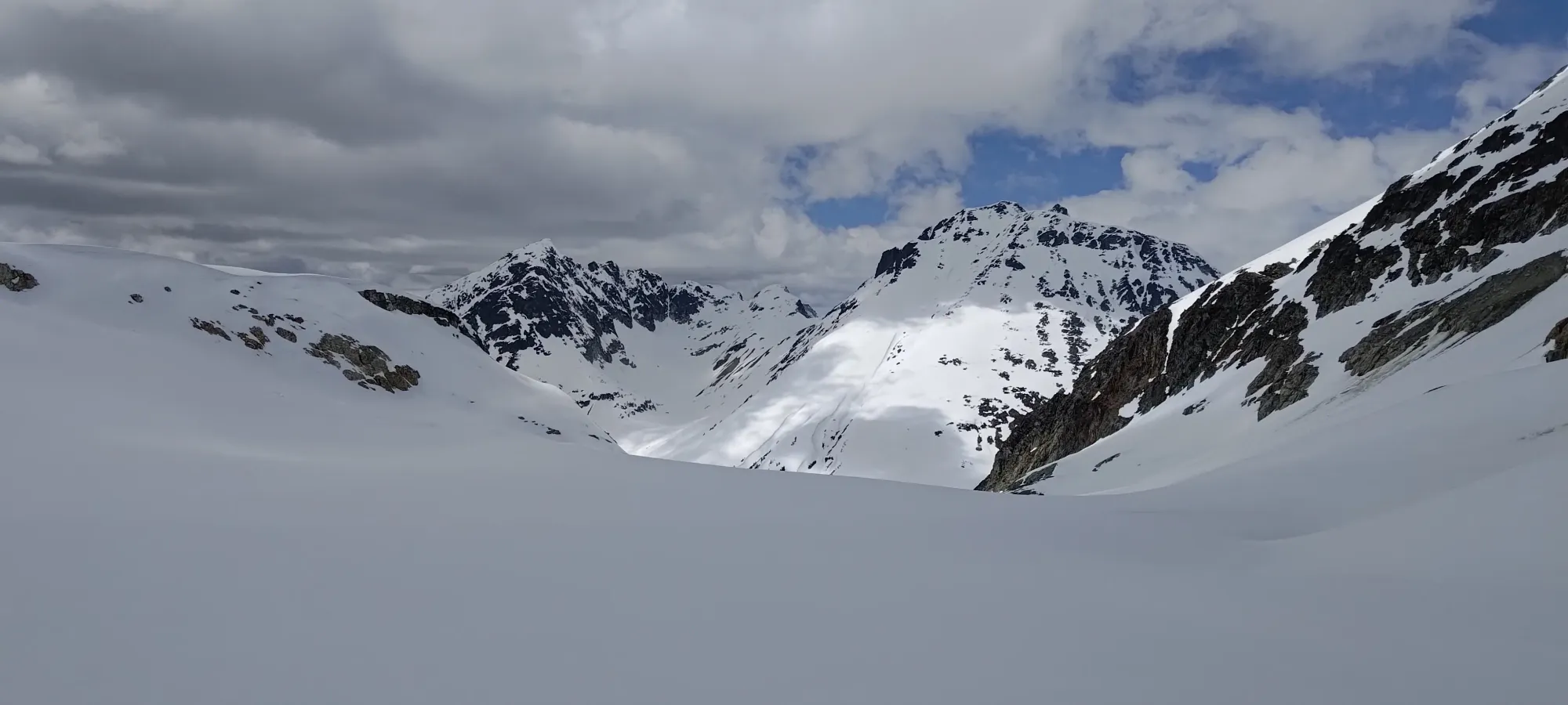
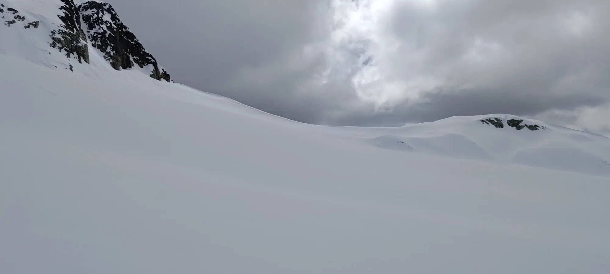
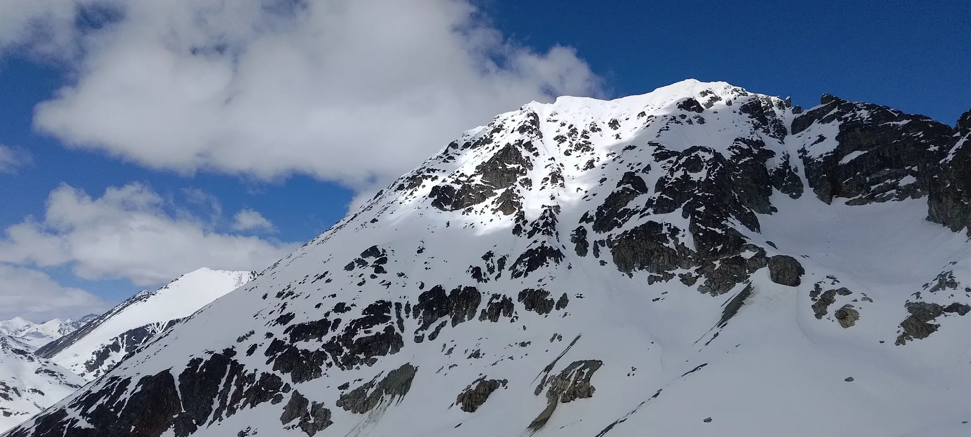
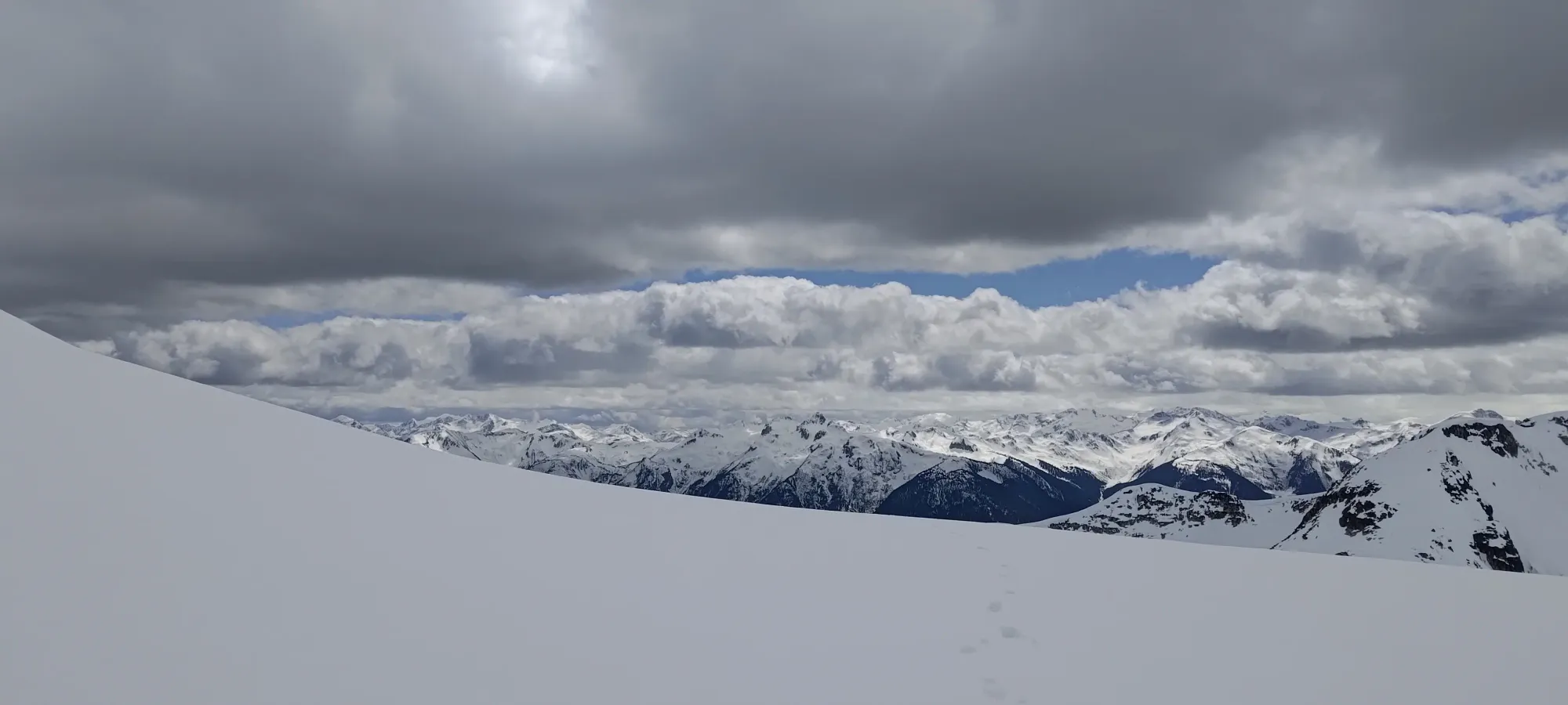
There's not much to say about the rest of the ascent to be honest, we just booted up endlessly for the next couple hours until we hit the summit, 6:41 into the day, or at around 12:40pm. The views weren't much at this time, we got a brief glimpse of the summit area in a short window where the clouds parted a bit, but the vis wasn't amazing. So, I had a bathroom break (a rare summit one for me), and we just sat around waiting for the clouds to hopefully clear a bit for quite a while.
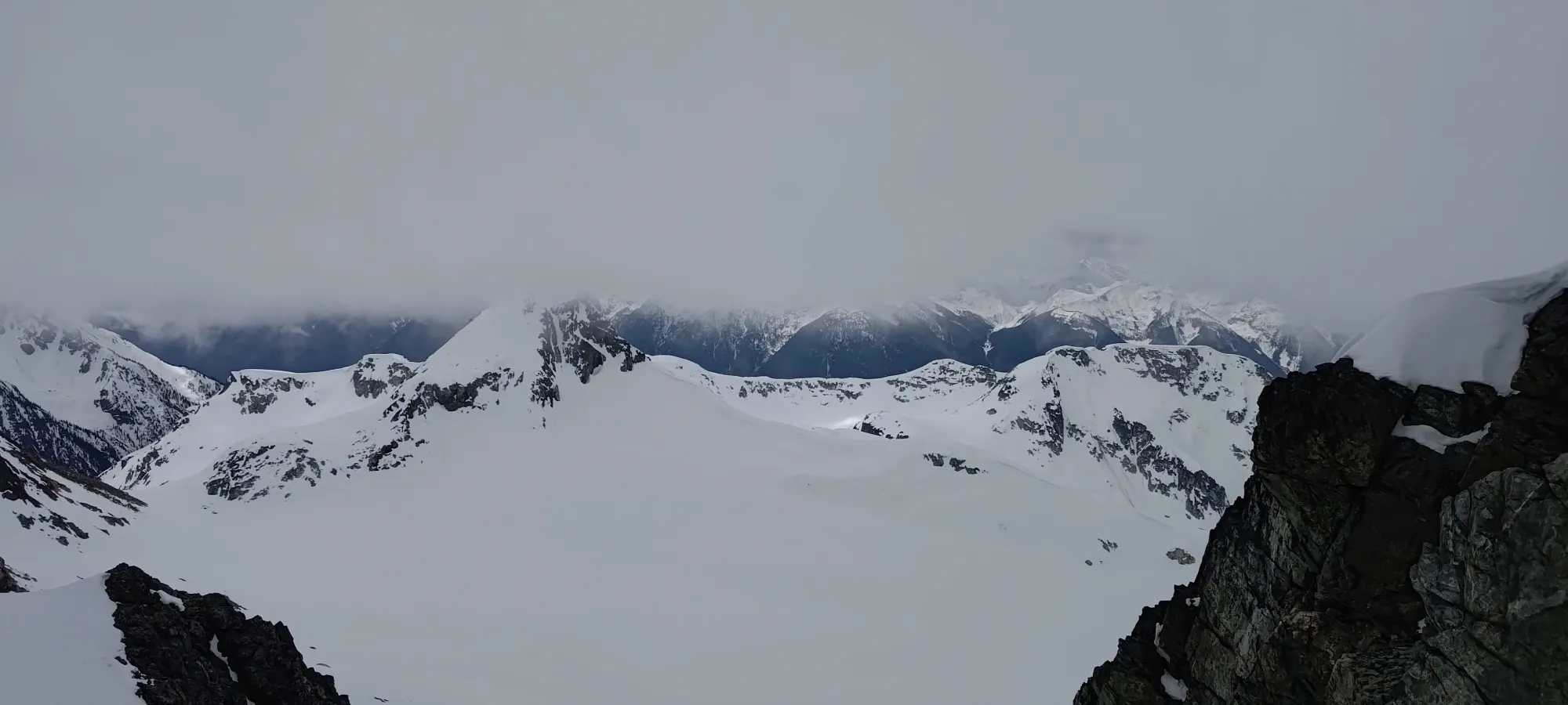
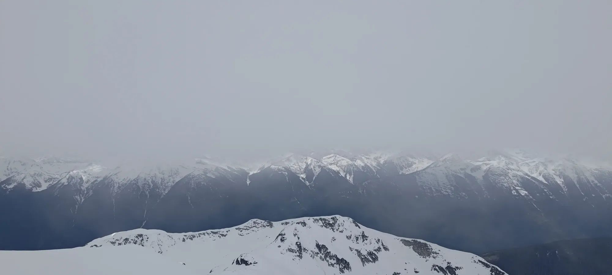
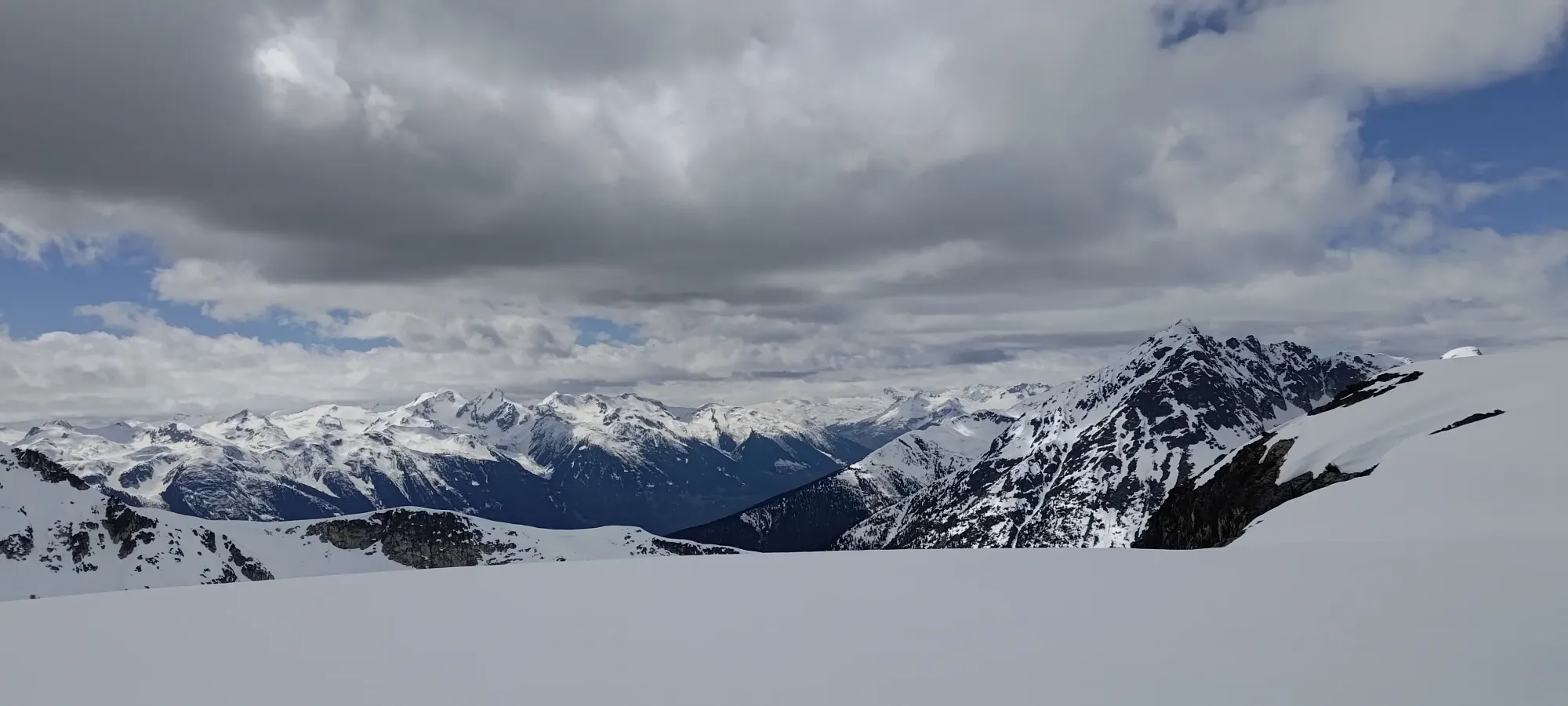
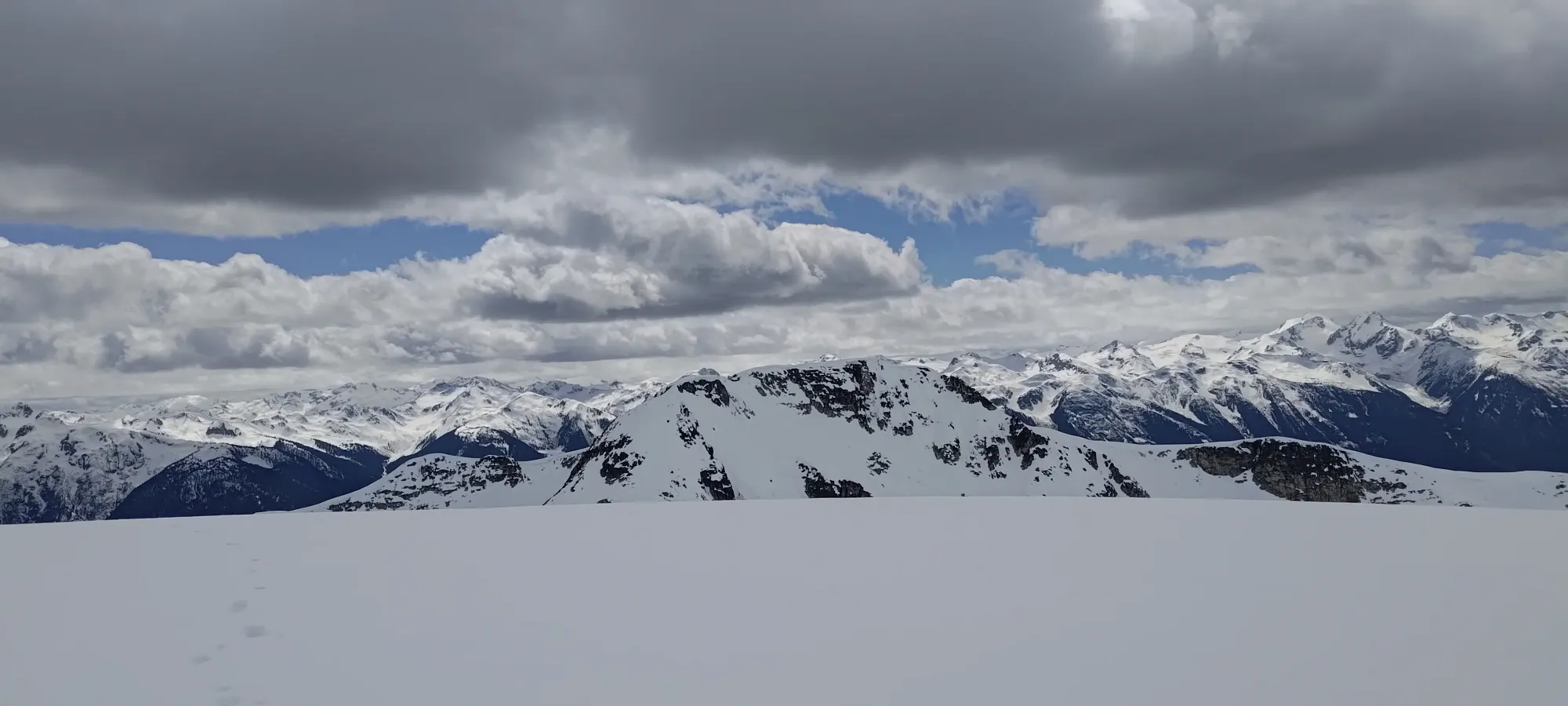
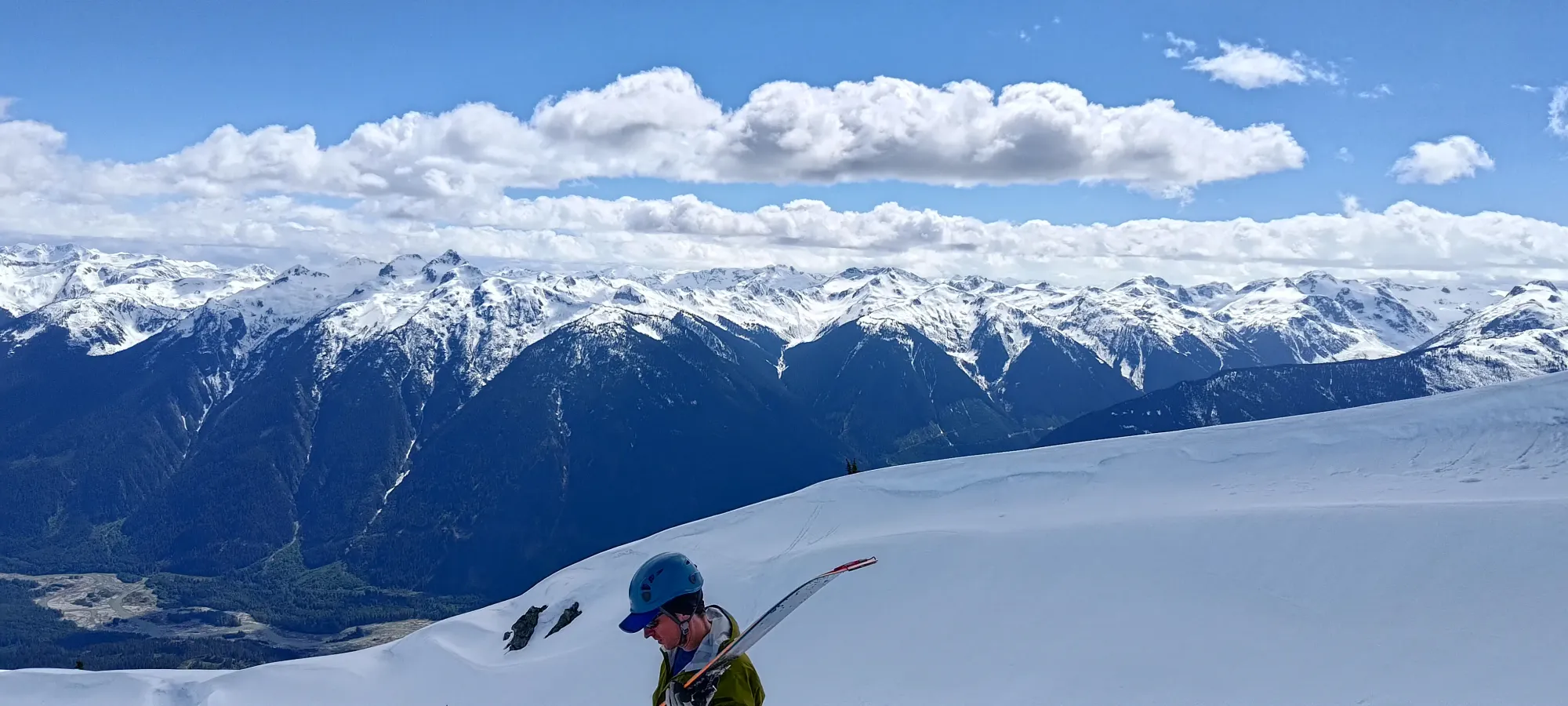
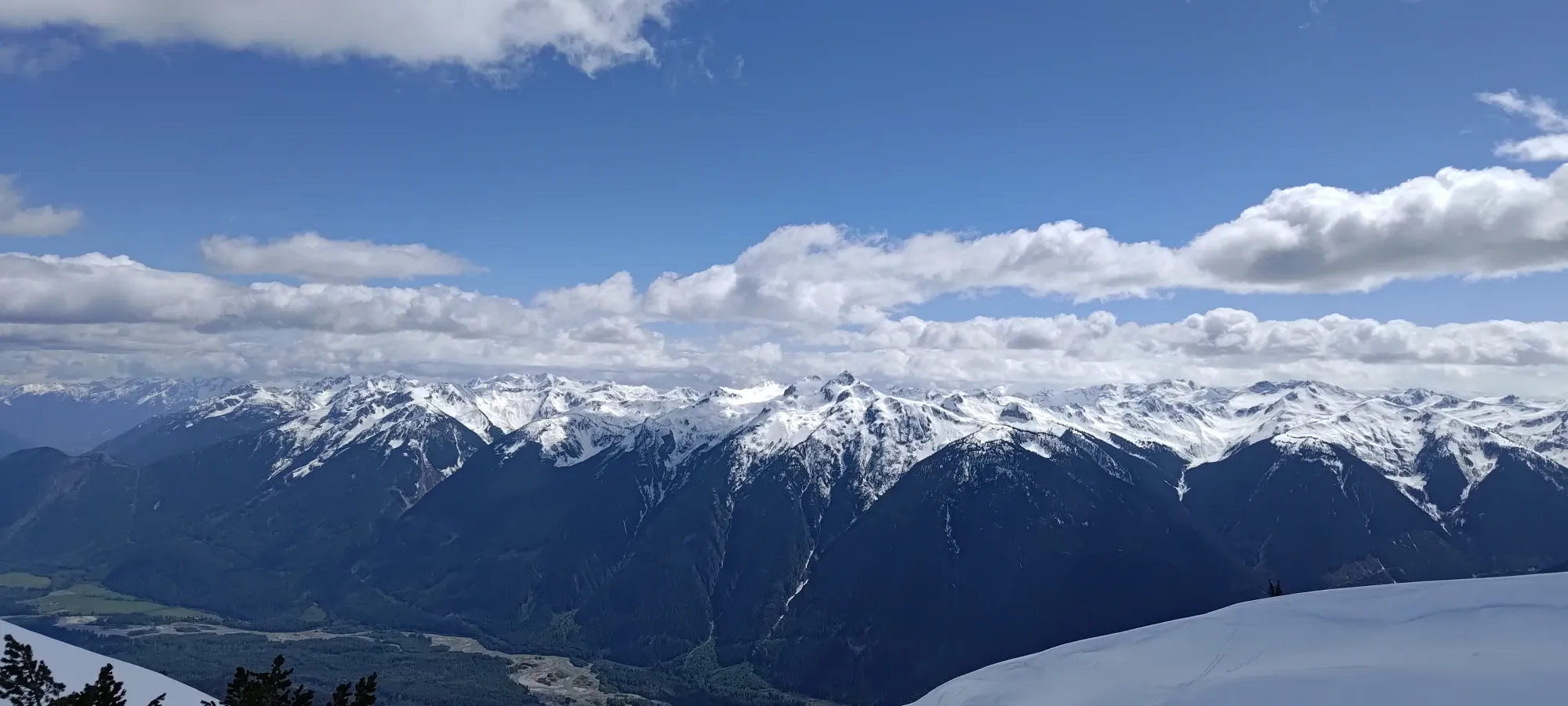
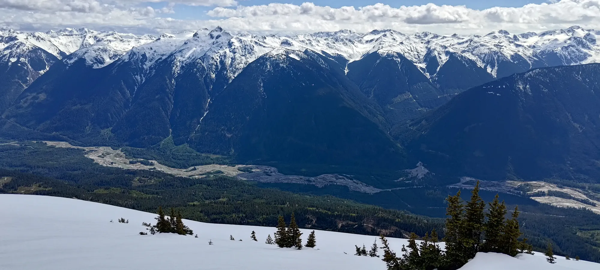
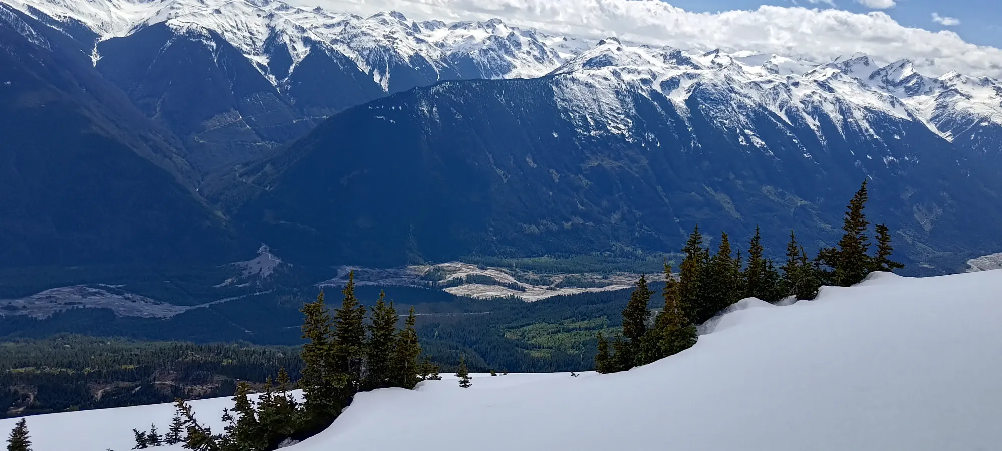
Things started to clear up at around 1:00, and by 1:15, the vis was downright good! I lobbied for us to wait a bit longer for the finally-present sun to soften things up a bit, but Kelly was getting a bit cold, so sadly that wasn't an option for us, so we started making our way down at around 1:15pm. With clear skies, this would probably be too late, but in our conditions, it was a bit early for the best snow. Oh well.

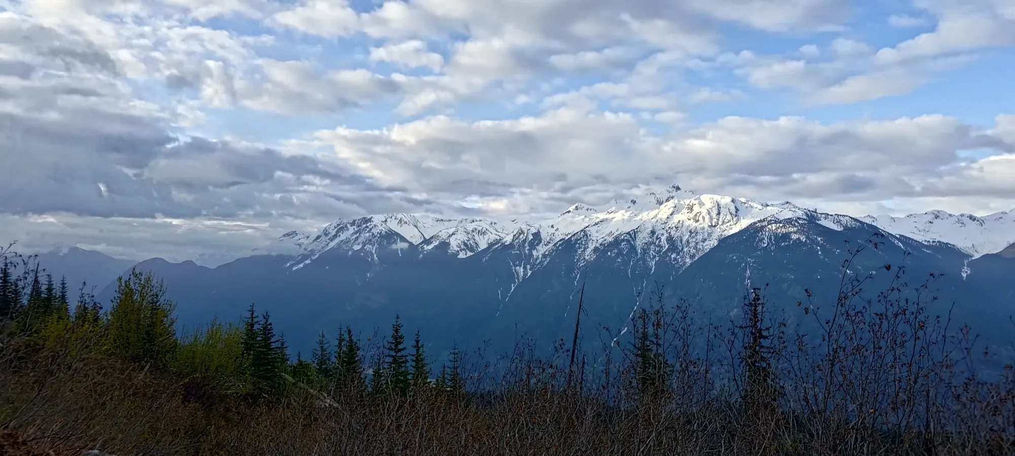
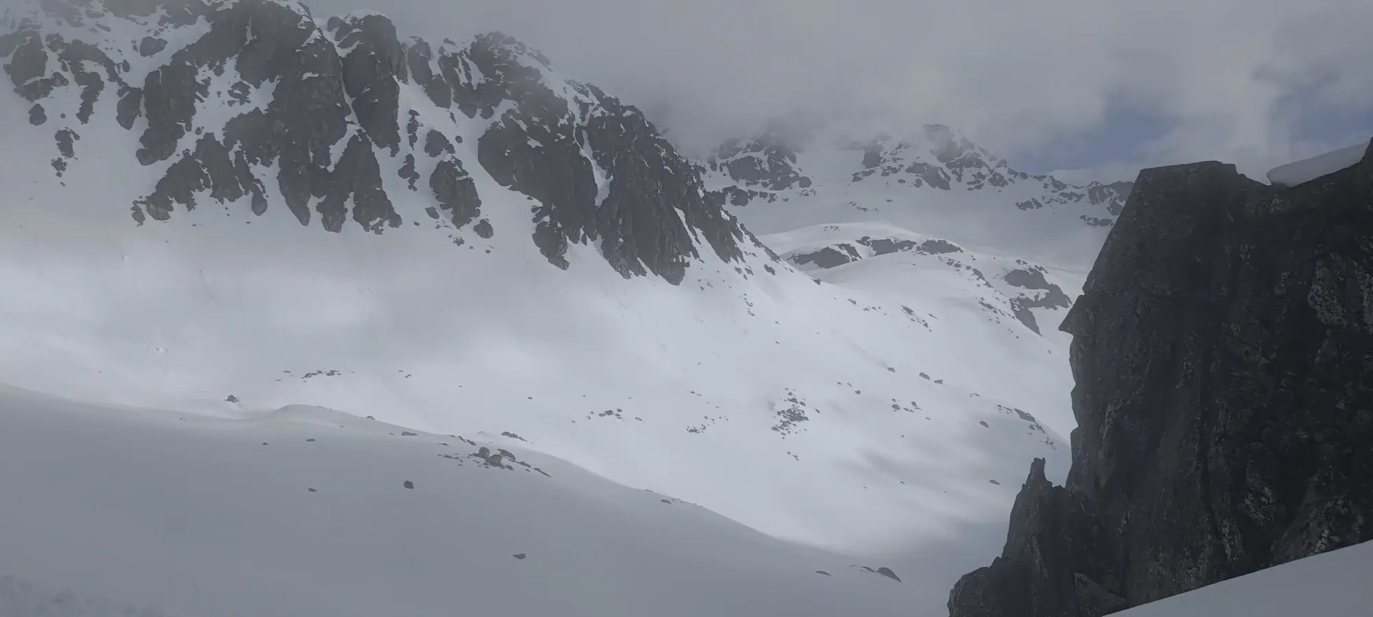
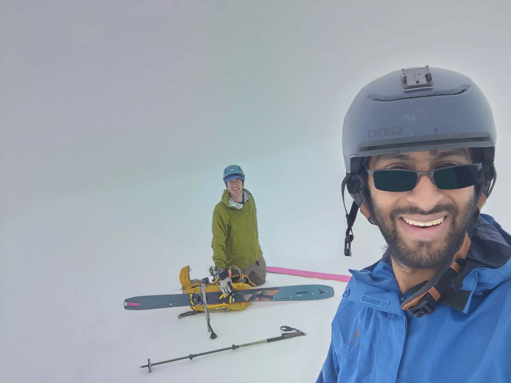
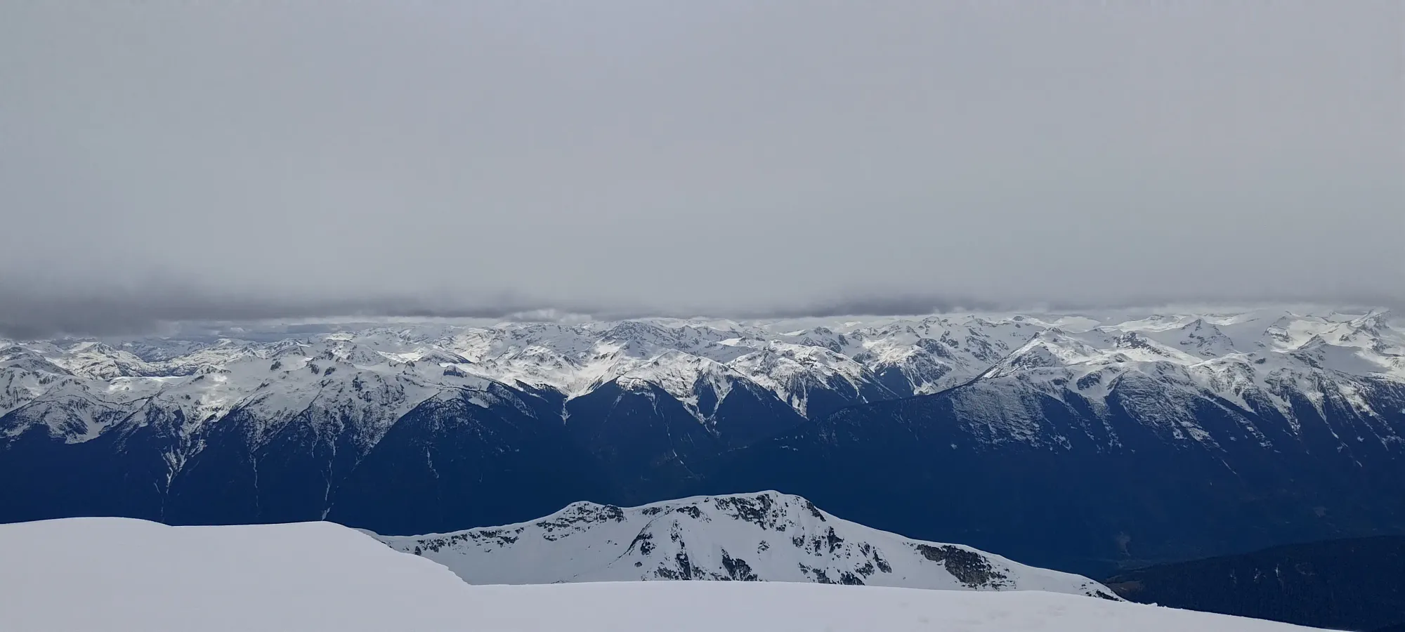
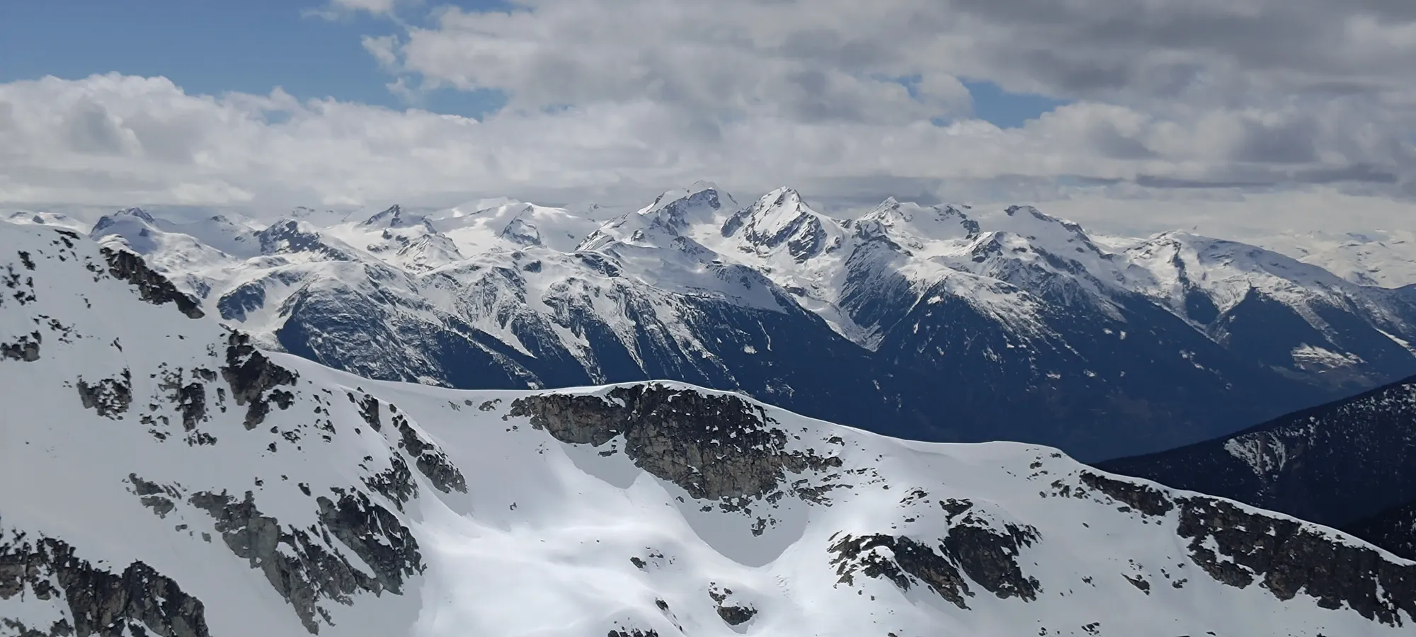
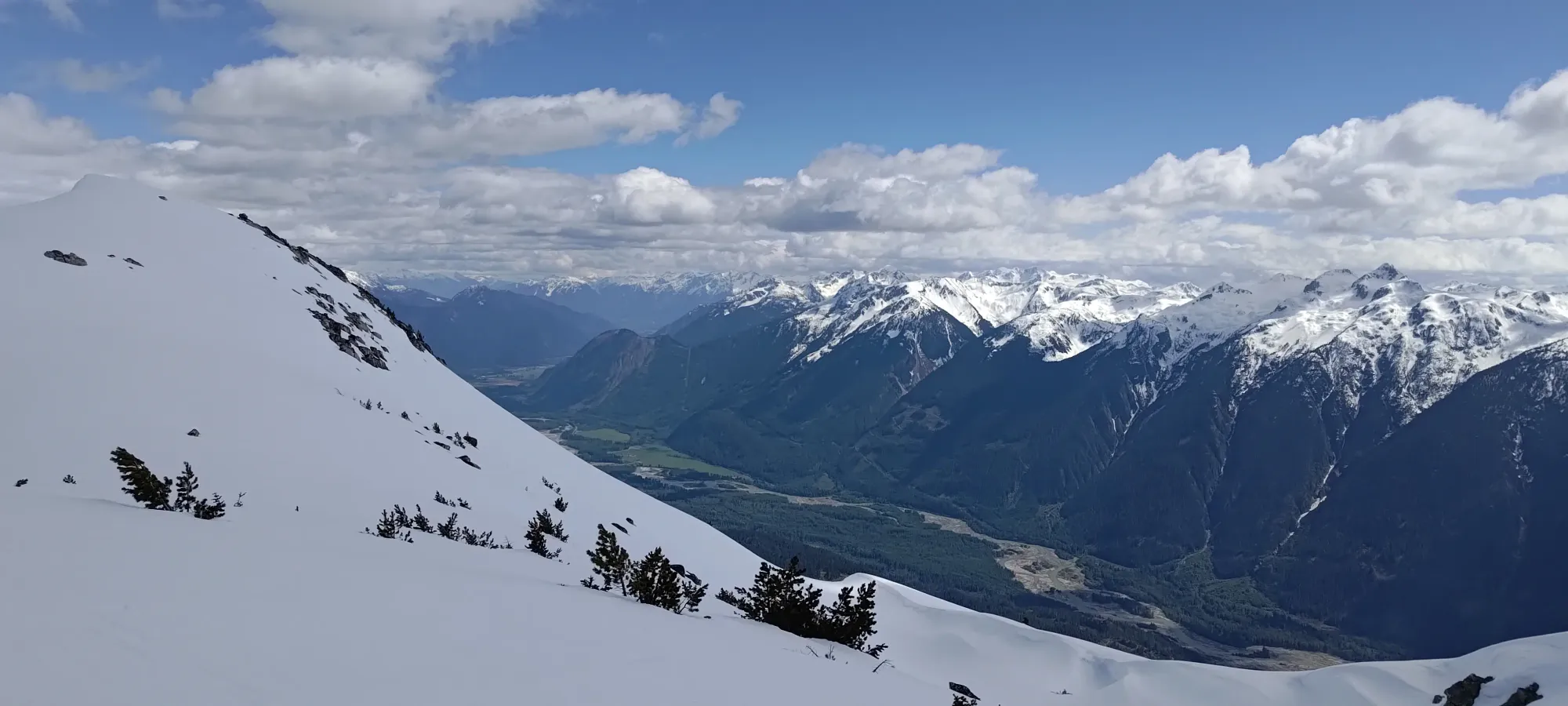
Our amazing initial summit views 😅
We picked our down the ridge carefully, looking for the best entrance. Just before where our tracks came up, I found a spot I could sneak in to the main guts, but Kelly had gone too far already and had some fun stepping down the few rocky bits to get in. There were some frozen/rime ice bits near the top which made it look interesting, but also made getting into the couloir a bit more of a careful operation. It was nice to be able to ski right from the top, even if it was rather held-back at the beginning!
We kinda just survived the descent on the main couloir off the top, which is a pity because the terrain is really nice! Sadly, since we were dropping only just after the sun came out, things were still pretty firm, and with all the wet slide debris that had frozen in-place within it, it wasn't really the best skiing we've ever had. When we found the smoother spots without debris, it was solidly alright, though.
As we got lower and the terrain opened up towards the glacier, the snow finally got good, and we enjoyed the last bit of terrain to the flat plateau at 2200m, where we slapped our skins back on for one of the few regains necessary to get out from Sampson, this one getting us past Trapeze Peak. We briefly considered bagging it as well, but ultimately decided we didn't have the Fs to give to gain 100+m of extra gain on an already-long day, so we just went back up towards the pass we'd dropped in the morning.
We gained about 75m in 10 minutes getting back onto the Trapeze pass, where we ripped skins and wandered our way down another couple hundred metres of elevation to ~2100m, where we had another short ascent to make to start the traverse below Zorah. This one we just booted, since Kelly had walked down that slope on our way in, and as a result, we had a bootpack set to make it easier to get up without a full transition.

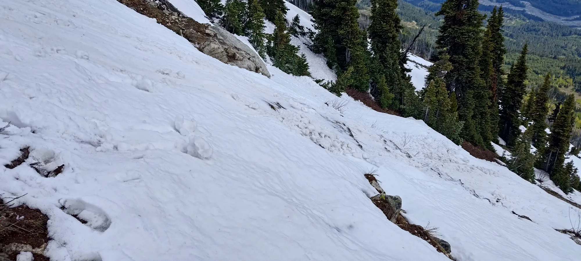
From there, we skied to just below 2100m in the bowl below Zorah, where we put our skins back on, hurried past the cornices on that ridge (one of which had already failed), then made the short booter back onto the ridge. There, we skinned for another minute to get high enough to find the ideal exit point onto the S face, and it was time to head downhill for real.
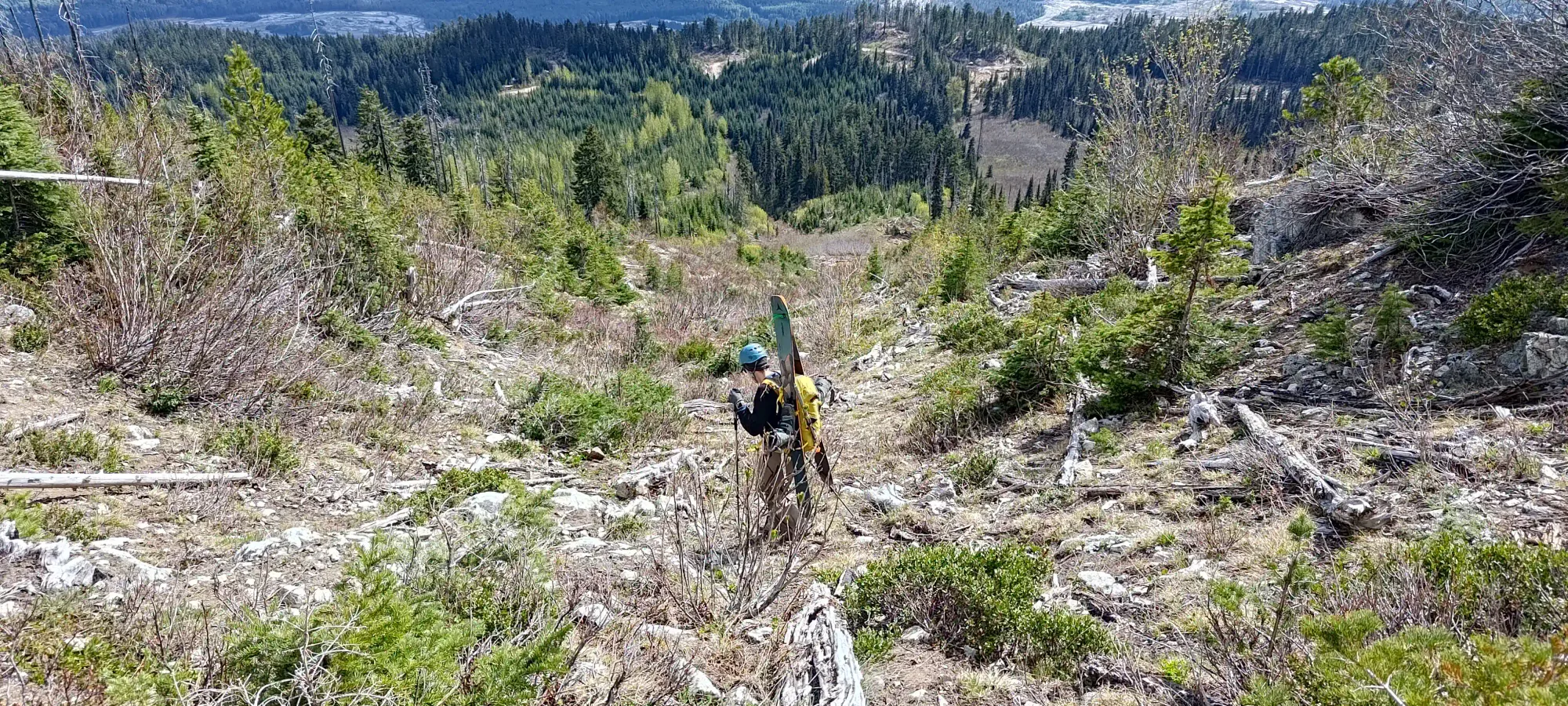
We had some decent snow from the ridge down to the spot where we'd stashed our shoes, though the snow did get a bit slushy below 1900m 😅. We stopped to pick our shoes up, then tried our hand at skiing down the finger of snow that extended down on skier's left of our ascent route to cut down on our hiking. We got a few turns in, but things were quite loose, and those wet slides were uncovering a decent few rocks and such. Kelly was the adult of the group and proclaimed his distaste for such things, and it didn't take much convincing for me to agree to just hike the rest out and keep our legs intact.
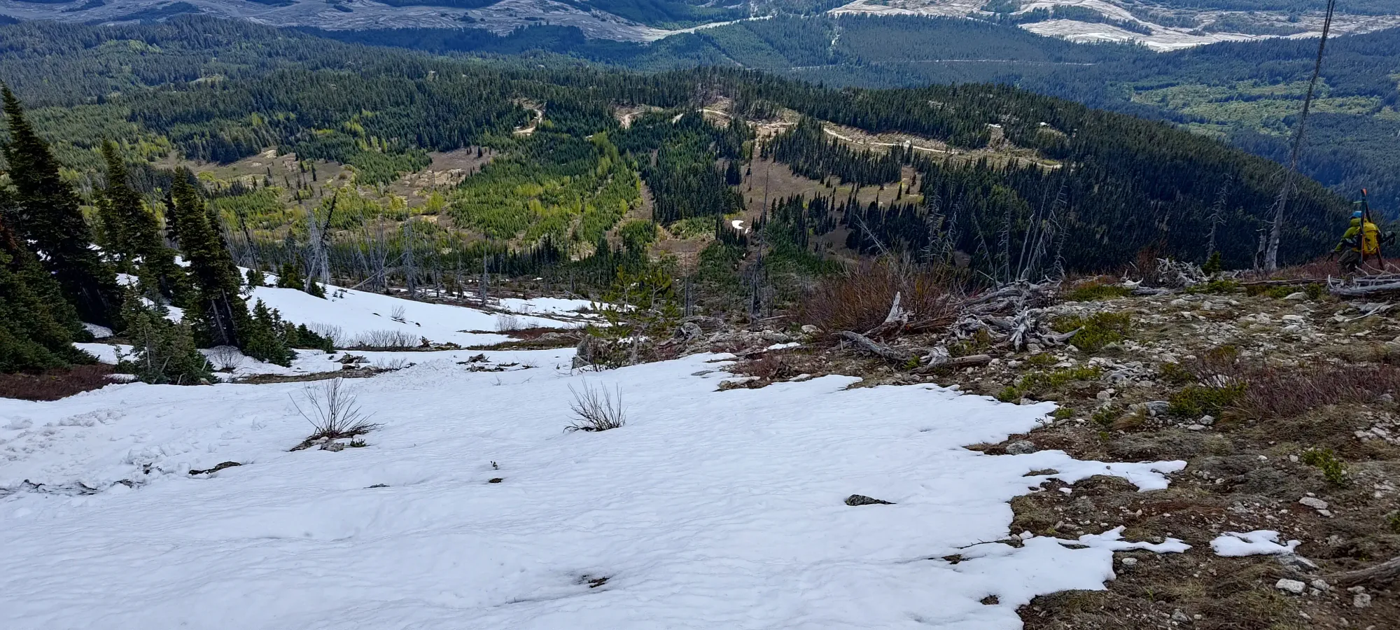
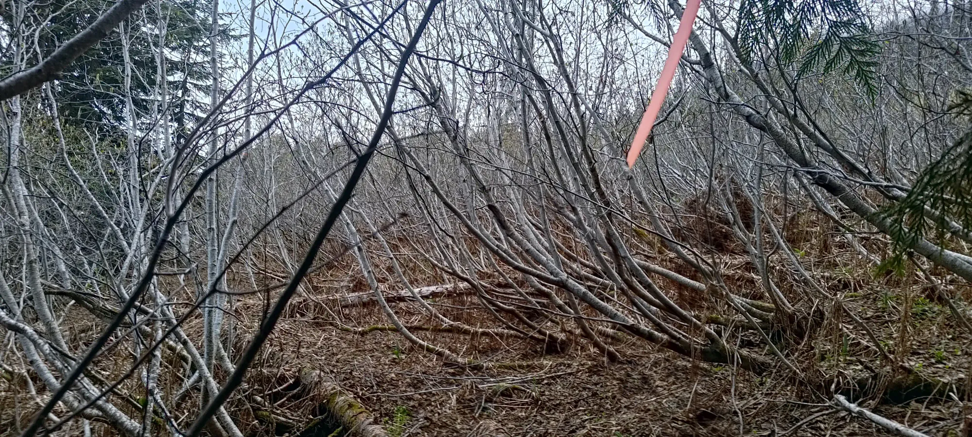
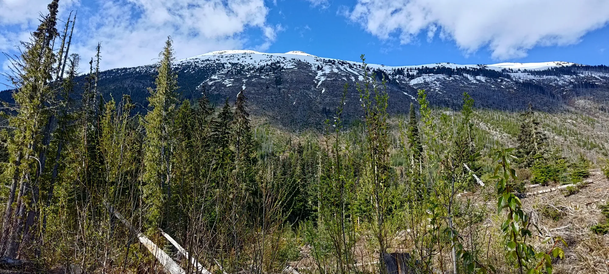
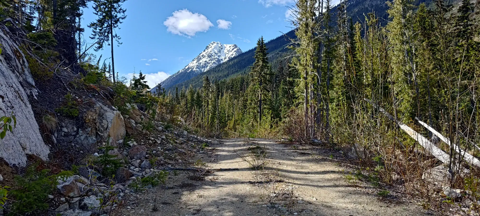
Hiking down was quite efficient, at least, and we dropped that 600m in just about an hour. When we hit the forest at 1250m, though, we decided to try another exit, the route we'd theorised might go in the morning. I'd spotted the probable remains of the old spur road we saw on our maps leading to that point, so we tried to follow that out, hoping it would provide us with easier travel than the crappy forest and alder-fest we'd trudged through at the start of the day.
That plan turned out to be a great one! While the road wasn't followable for that long, we found some faint trails through the forest on this side that just kept on going, and we soon found ourselves at the start of that spur, which was only a little overgrown. It was so good, in fact, that we saw a (damaged, if you're the owner) trail camera that was either for hunting, or to count traffic on the "trail" (hard to say, neither of us are experts on those). It only took us 10 minutes to lose the 100m in this last section, and if we parked there, we'd have been done. Since we didn't, though, we had another 300-400m to walk along the road back to the car, but even with that, this route was WAY better. If you come to Sampson, follow our descent track in this section, it's downright pleasant, I'd even hesitate to call it bushwhacking!
All in all we made it back to the car in just under 11 hours, which given the size of the day, really isn't all that bad. That left us plenty of time for a hearty dinner in Pemberton before we made our way back to Whistler and I drove back home, thankfully to the water in my building being fully on and operational! This is a beast of a day, but it's a great mountain (p1000, good skiing, Gunn Scramble, a Baldwin descent...), and I'd definitely recommend checking it out. Bonus points if you can get up the road while snow is still present, as the full descent of Zorah's S face would be awesome, if you can get up, and get it stable.
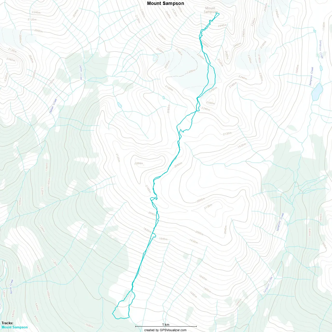
GPX Track + Map