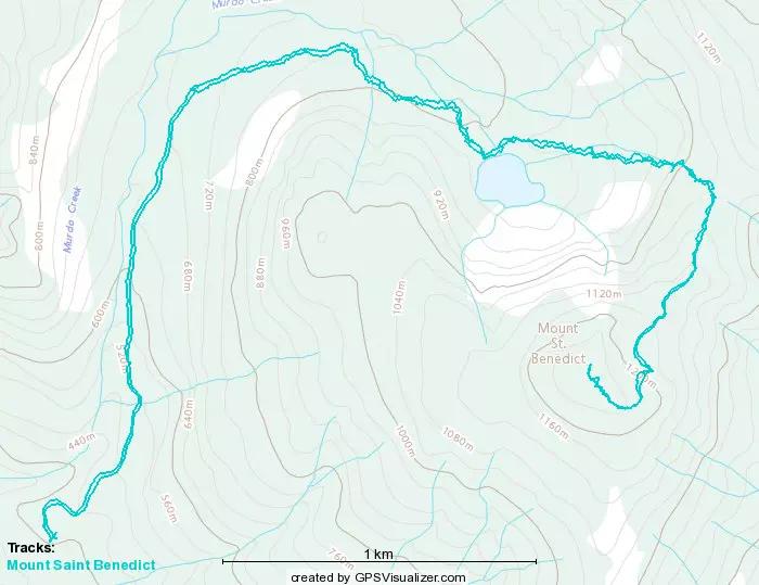
Mount Saint Benedict - March 12 2023
A fun, easy peak with a couple of friends I hadn't got out with in a while. Could be linked w/ more peaks for a bigger day with time and the right party
Chehalis, Mission, British Columbia
1279m
On my way home from Mount Matier on the 11th, I got a message from Lee, which said he was aiming for Mount Saint Benedict and was hoping we could reconnect, as we'd not met up for a couple months. Since the former was such a big day, I was perfectly willing to do a smaller peak, and was happy to just be hanging out again, so I shot him a quick "sounds good" while I finished driving home (I got home at like 9pm), and then we slapped a plan together. It turned out Jass was gonna come too, who I'd also not seen for a couple months, so it was turning into a nice little "reunion bag". I did some googling, figured out the route, figured out what "extra credit" peaks were around and made sure I had a GPX for em, then I had to decide what gear to bring before I went to bed. I struggled between skis and snowshoes, but since I didn't know anything about the Mission snowpack, I figured I'd be safe and bring the snowshoes, so back to suffer slippers for the first time since 2022 😞
Since this was a small peak, I was home late and tired from a big day, and had to drive 2+ hours to get there, the guys generously let us start late, (didn't start the watch til noon), so that was awesome. I left home at 9:20 (though I still woke up at about 7:30, thanks to the quirks of my health, gotta have lots of time before leaving in the morning), and got to the Tims we agreed to meet at in Mission right on time. We had some breakfast while catching up, and then drove 2 cars to the trailhead. Lee was originally going to try driving up the FSR as far as he could, but when we got there, he reconsidered how enjoyable that would be vs the risk+effort involved, and instead just parked, then we all took my Compass up as far as we could muster.
The Lost Creek FSR was just a dirt road, but Murdo Creek FSR was snow almost immediately. The grade is not super steep, but in snow (especially when you're too lazy to deflate, and have chains too small for your tires) it was still pretty hard driving. I made it to 430m elevation before I hit a wall. I could've maybe struggled to try a few lines, but I'd have had to back up a fair bit to build momentum, and it was an easy enough day it didn't seem worth the effort, we could just a little more and it'd be fine. Plus, we made it further than where there was a Wrangler Rubicon parked, so I think getting at least as far if not further than that counts as a win.
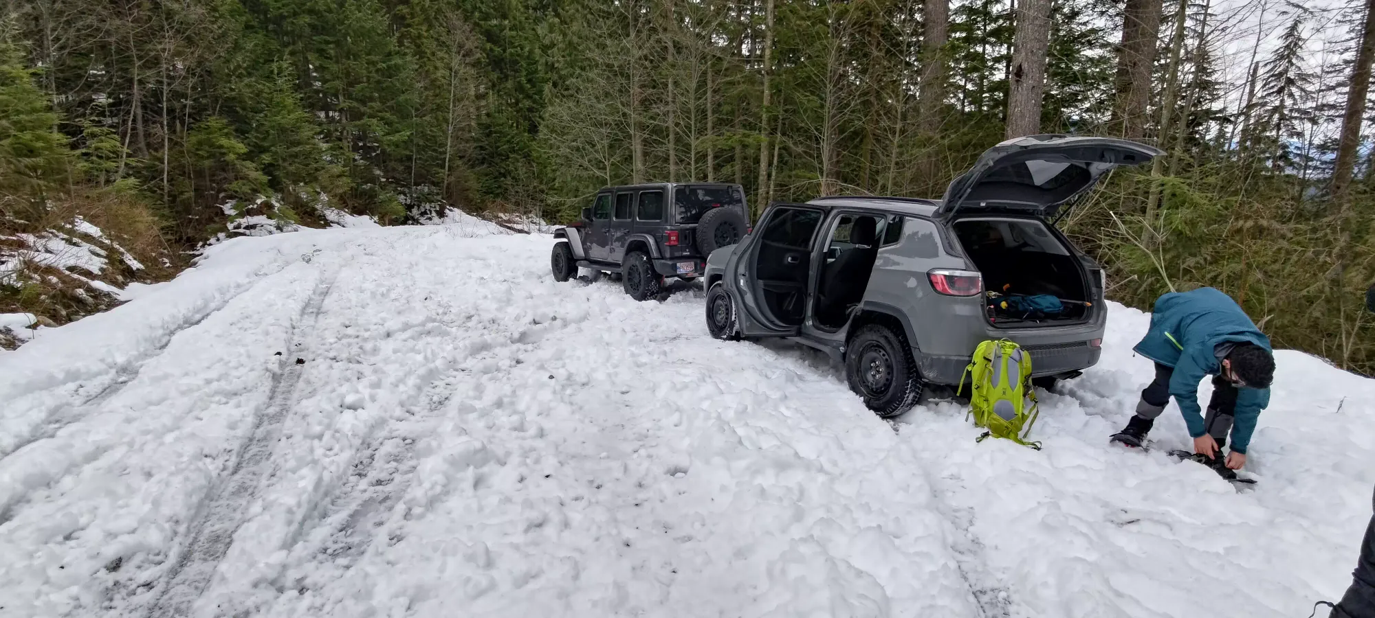
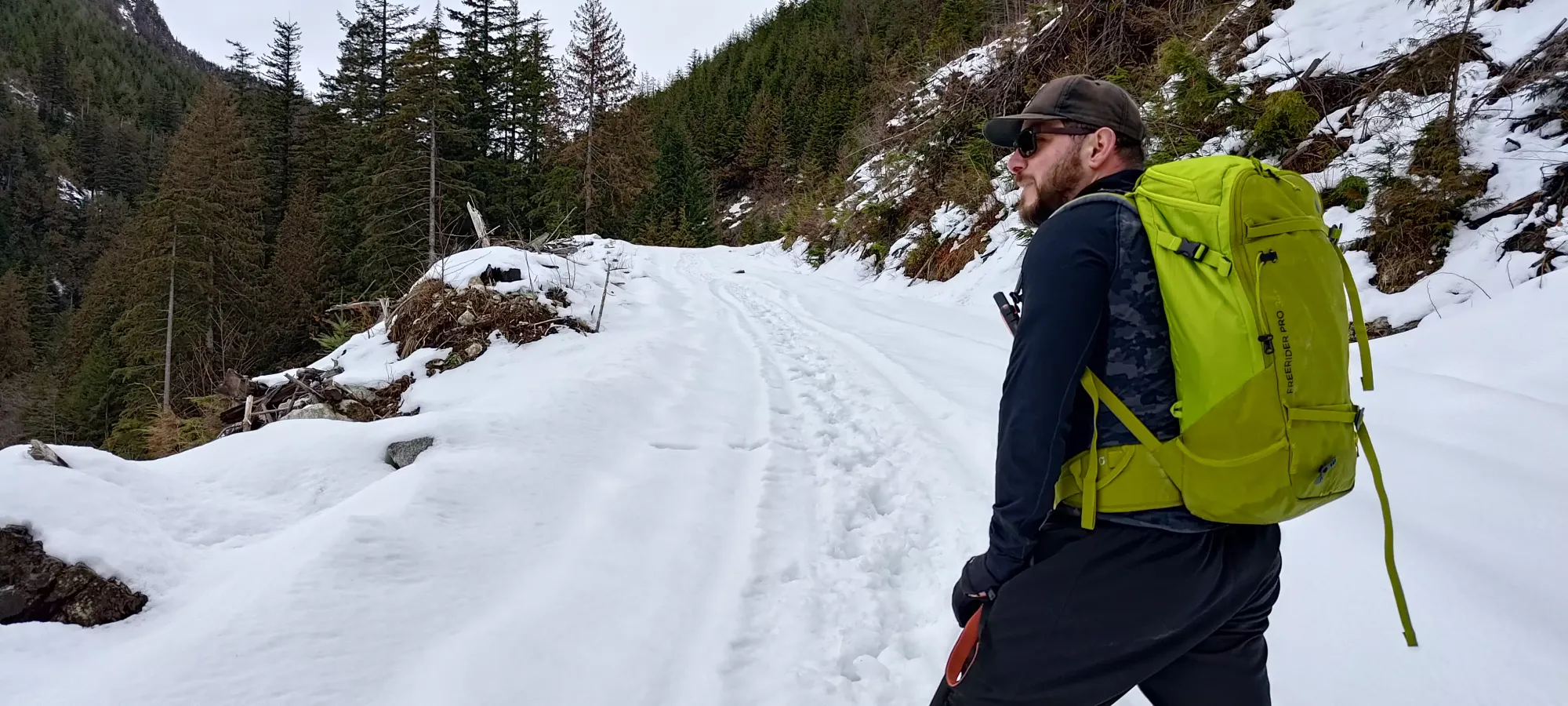
From the car, Lee led us up the trail at a pretty fast pace. The other 2 had snowshoes on from the car, but I resisted for about 2 minutes before giving up and accepting my fate (and withdrawal from skis), and slapped them on. We got up to the trailhead in about 45 minutes, gaining up to 715m. Until that point we'd been following a bootpacked trail, but that died a couple metres into the actual trail. I guess some people tried to go without floatation, realized it was terrible, and just went home???
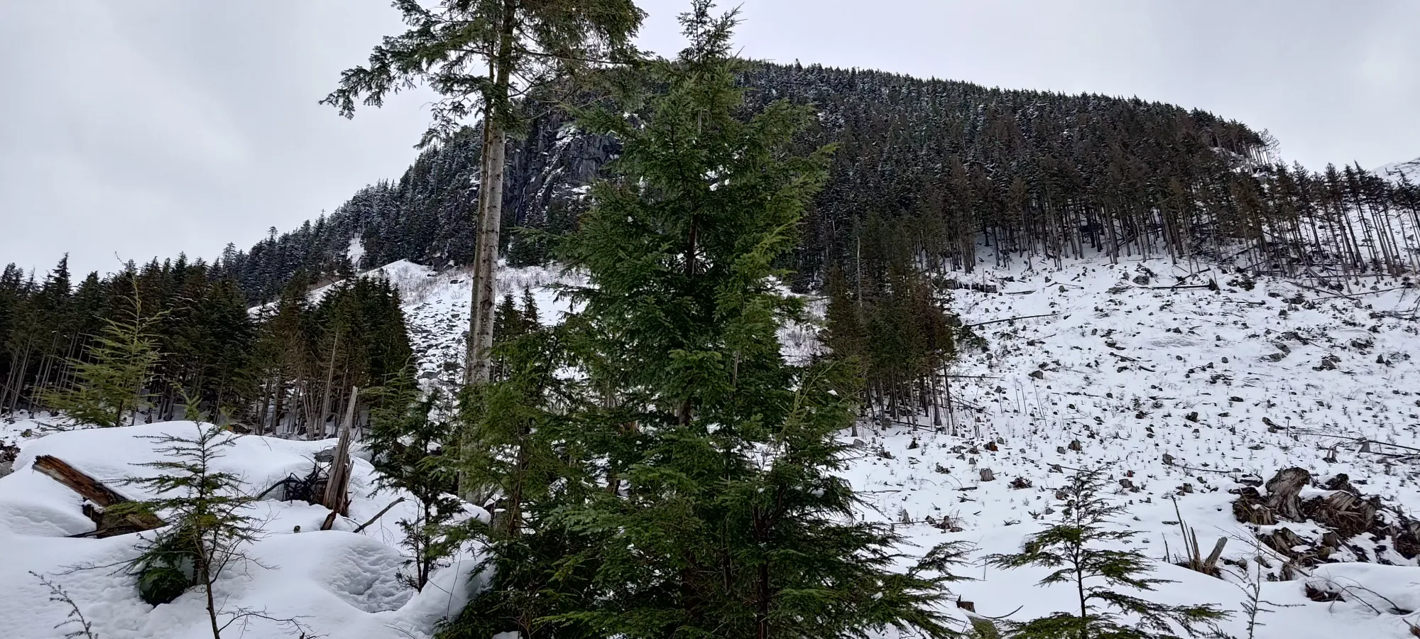
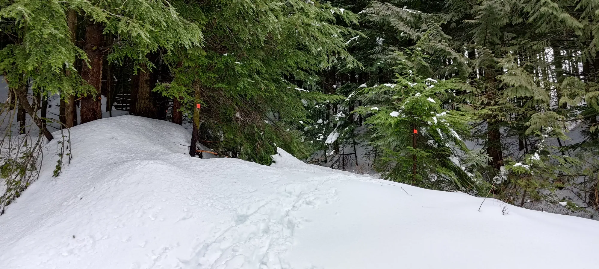
Once we got to the trailhead, we took it a lot slower, and I took over trailbreaking duty as "chief sufferer" of the group. The trail here seems to be well-marked, but less popular. What that results in (I speculate) is less tree clearing and more weaving around, meaning the summer-friendly trail goes through a lot more trees and branches that with snow under your feet, get in the way, and make the trail not very useful. We tried sticking to it more in the first half of the trail to the lake, but by the second half, we'd had enough annoying random rolls, branch slaps, and strange choices that we agreed to just yeet up in the most appealing way possible that was "still going up".
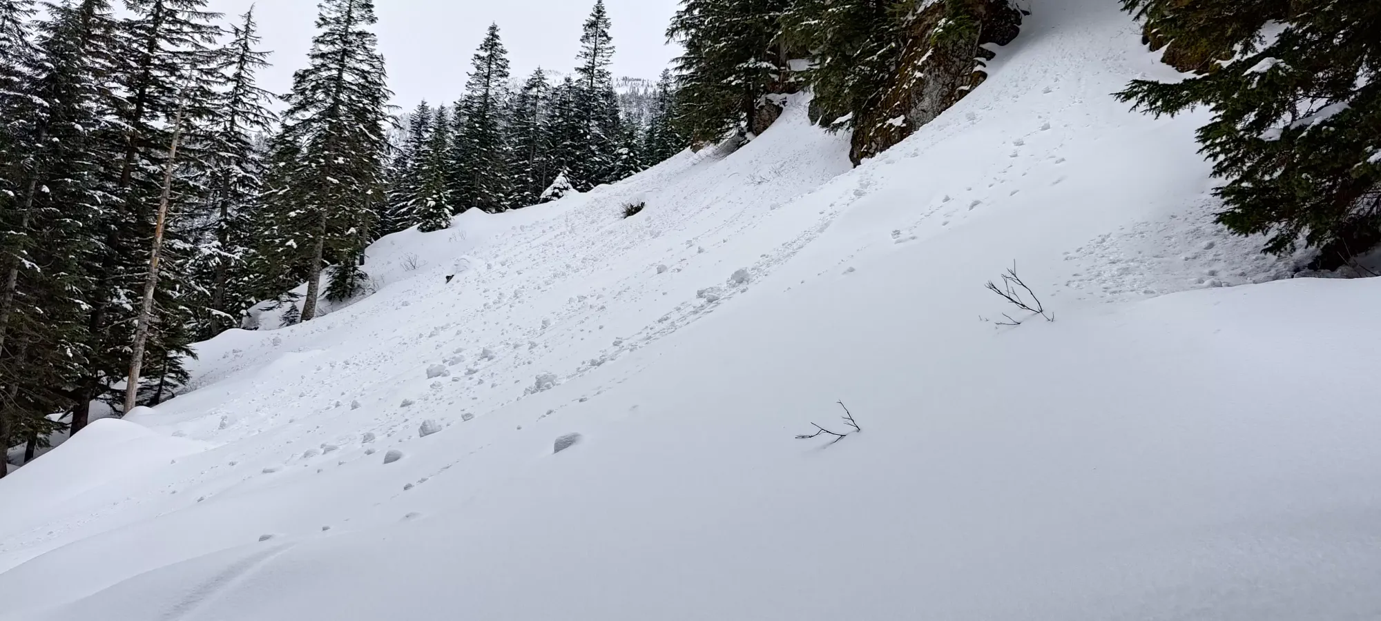
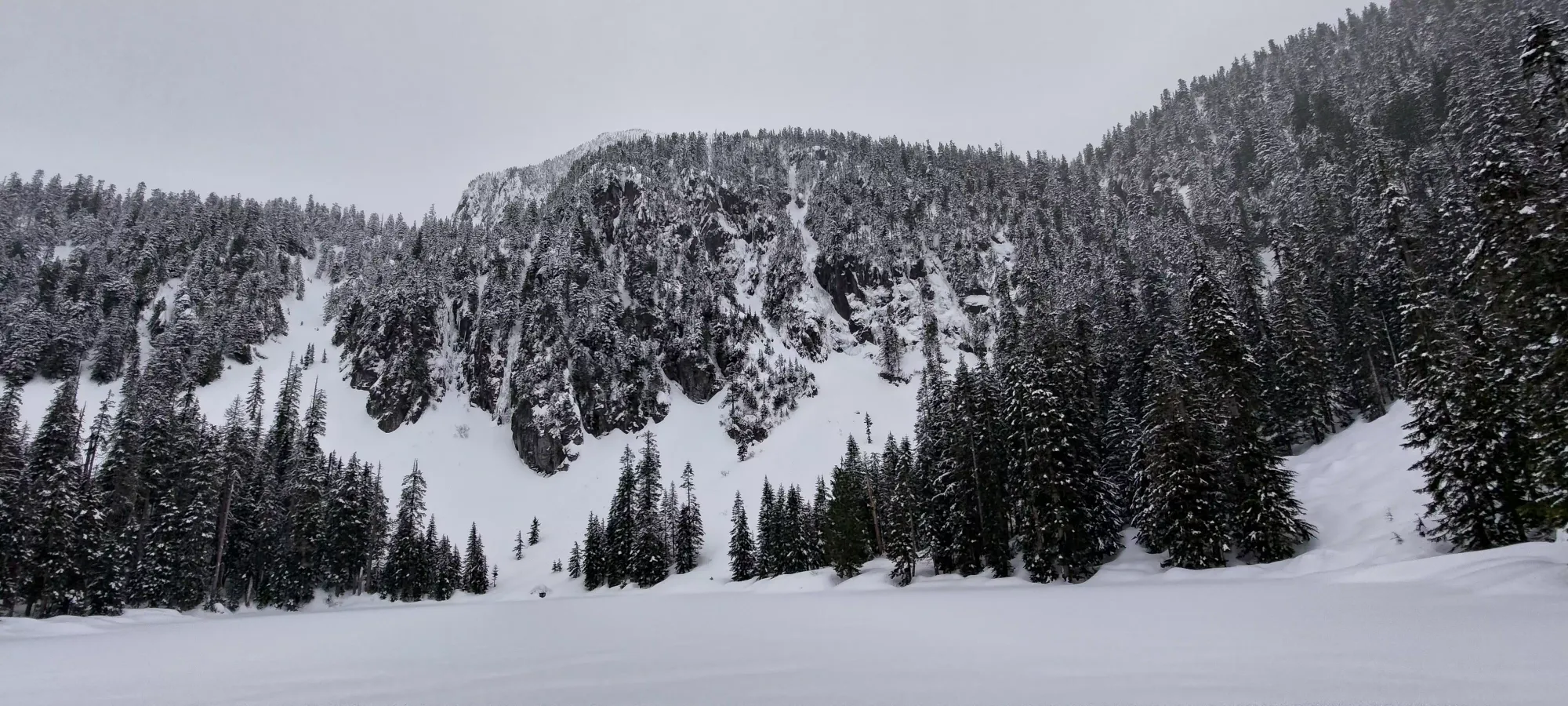
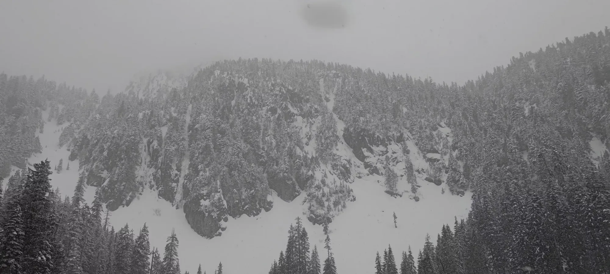
The terrain isn't very complex or interesting here, it's just a steady walk up a forest, fairly flat to the lake, and a bit steeper afterward, but all steadily in the realm of "hiking" terrain. We got to the slope above in about 1.5 hours, and the lake in 1.75 hours. We got to see our objective for the first time, but pretty quickly just kept on keeping on.
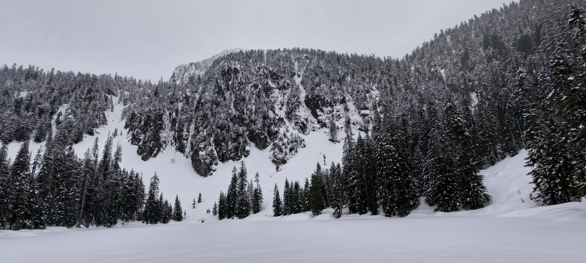
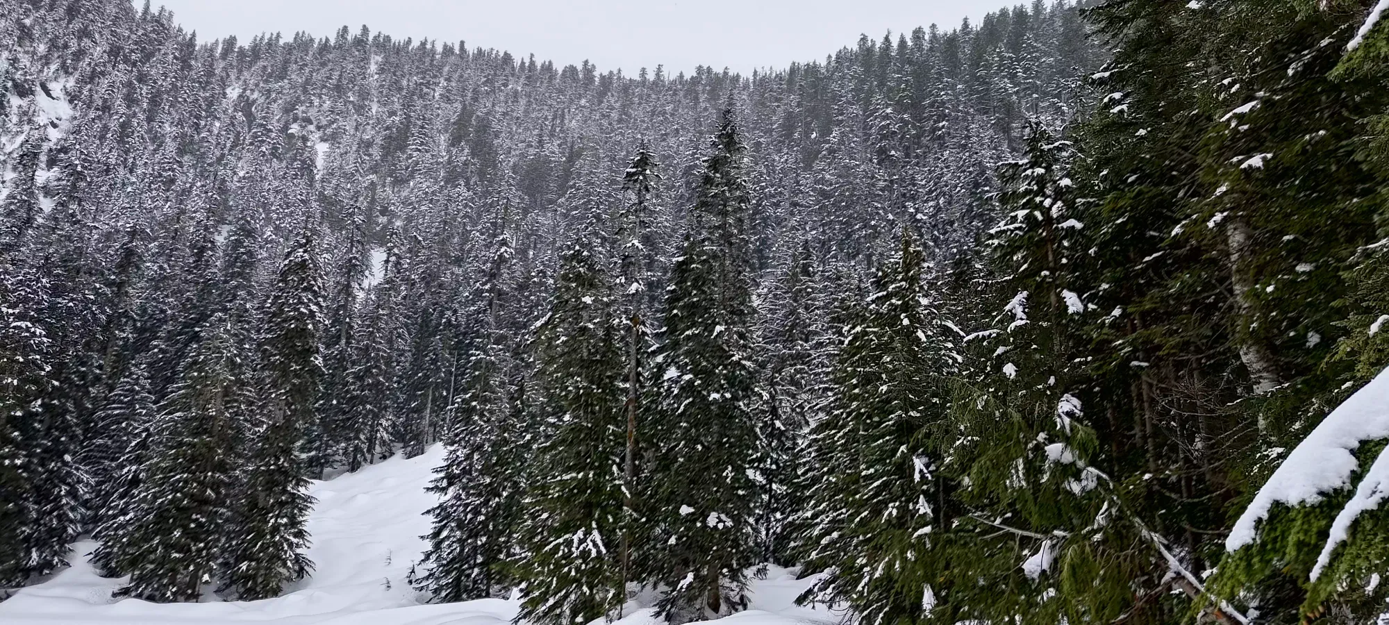
Lake views
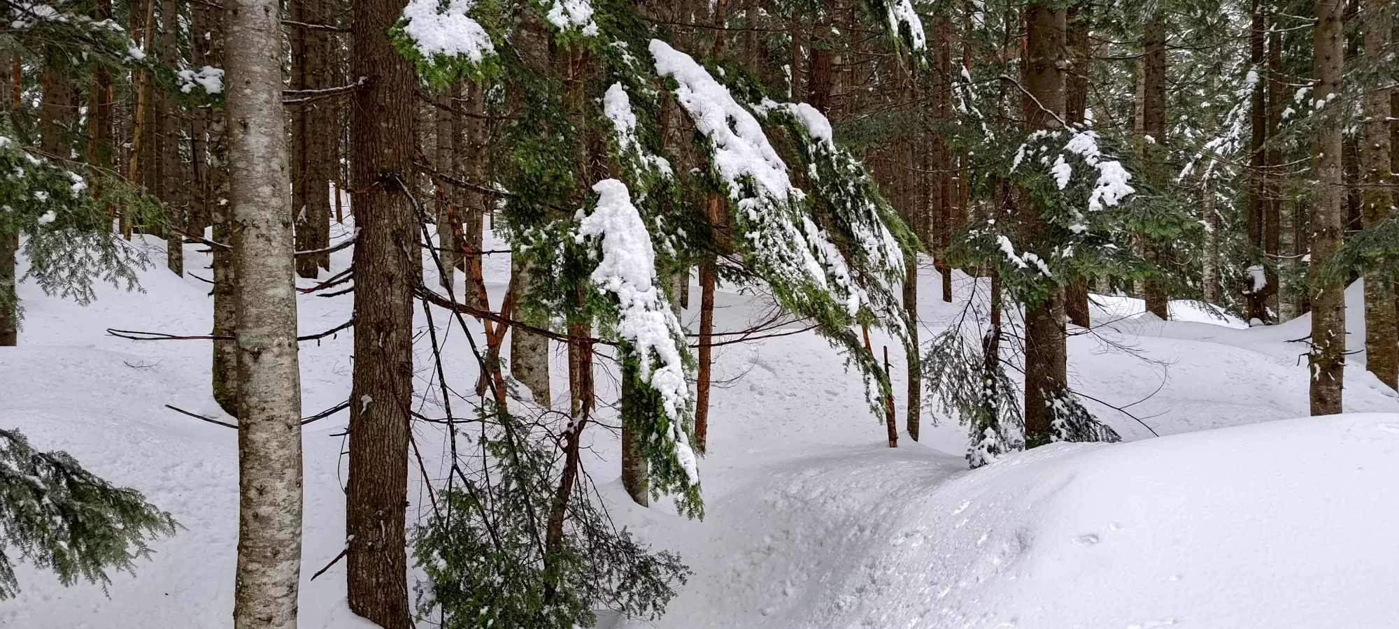
After the lake, we ignored the trail even more than before, as I was more concerned with finding routes with the least sidehilling (much more annoying in snowshoes than skis) and easiest-to-switchback terrain for when things got steeper. I'd like to think this was pretty successful, and we got up slowly but steadily without incident. We took about another 70 minutes from the lake to the ridge. One of my "extra value peaks" I'd planned was the sub-summit on the north end of the ridge, but we wanted to go for the main peak first, and I was more there to hang out than aggressively bag the most peaks per second, so I didn't bother suggesting a split at the col, which would've been the most efficient method if that was the priority.
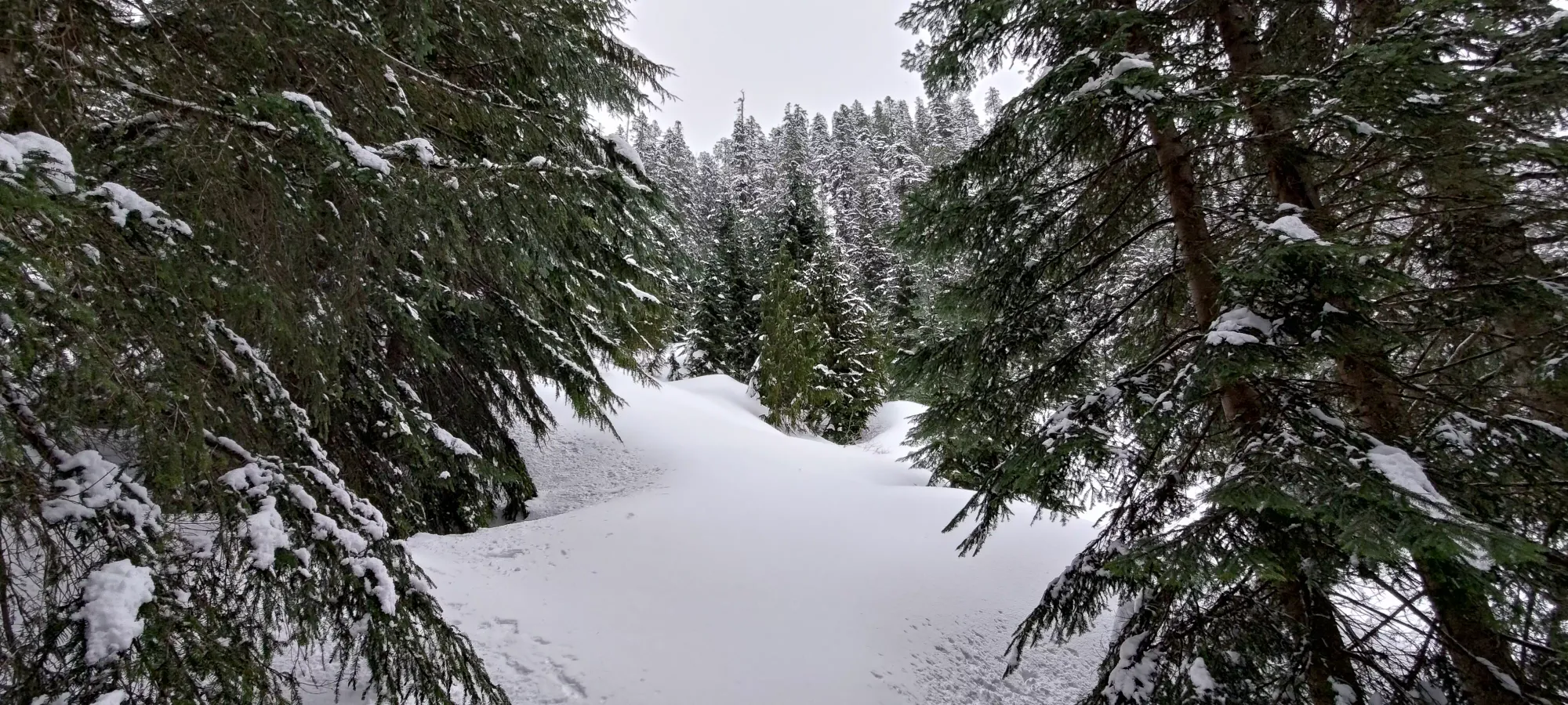
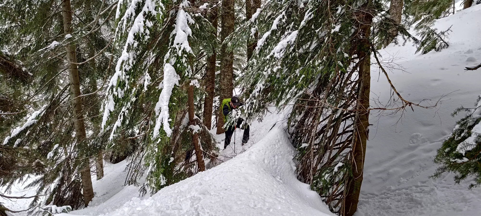
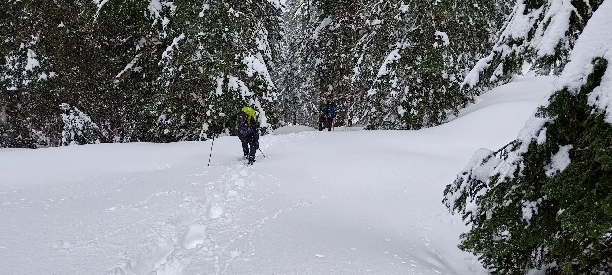
The boys coming up in a couple different spots
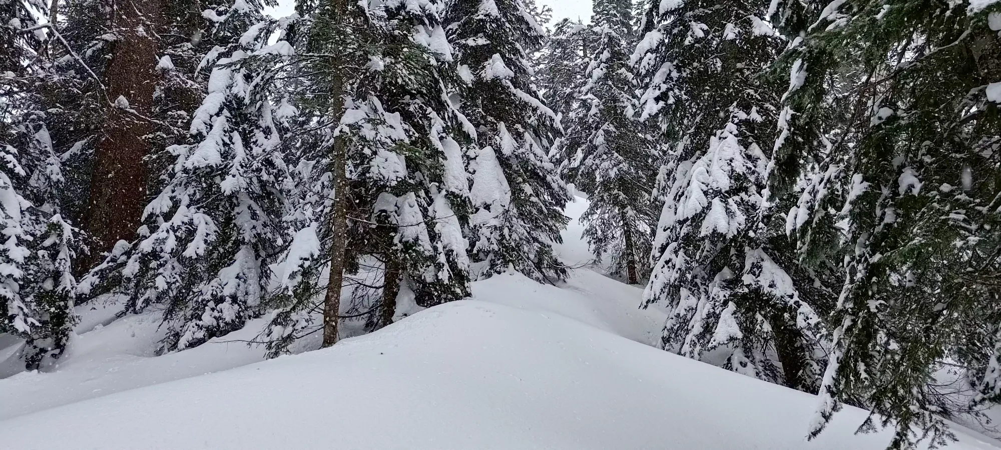
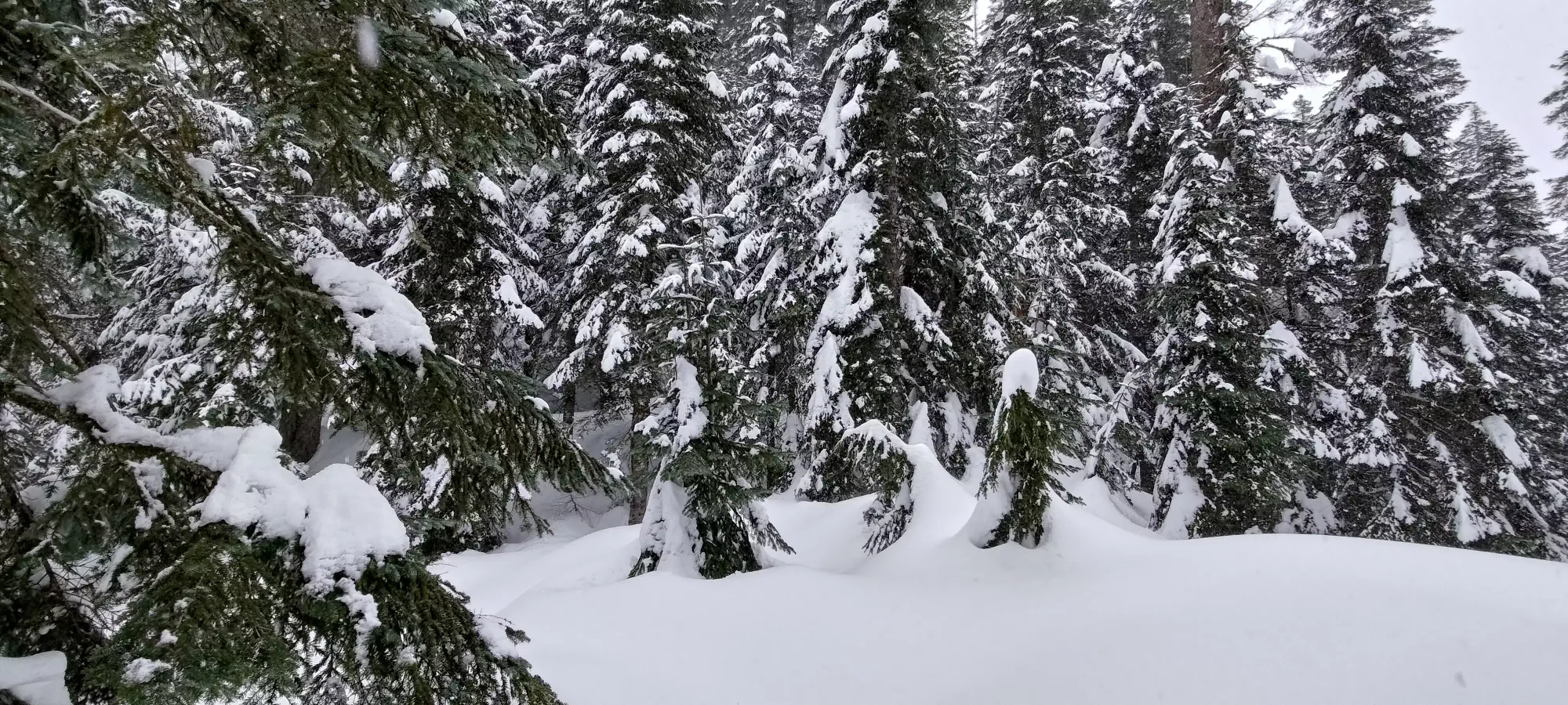
The ridge is pretty wide and still forested, so hard to tell it's a ridge
Once on the ridge, we had one short steep section before it mellowed out again, and we didn't have much elevation to gain before the small lake (can't really call it a tarn w/o a glacier around) around 1170m.
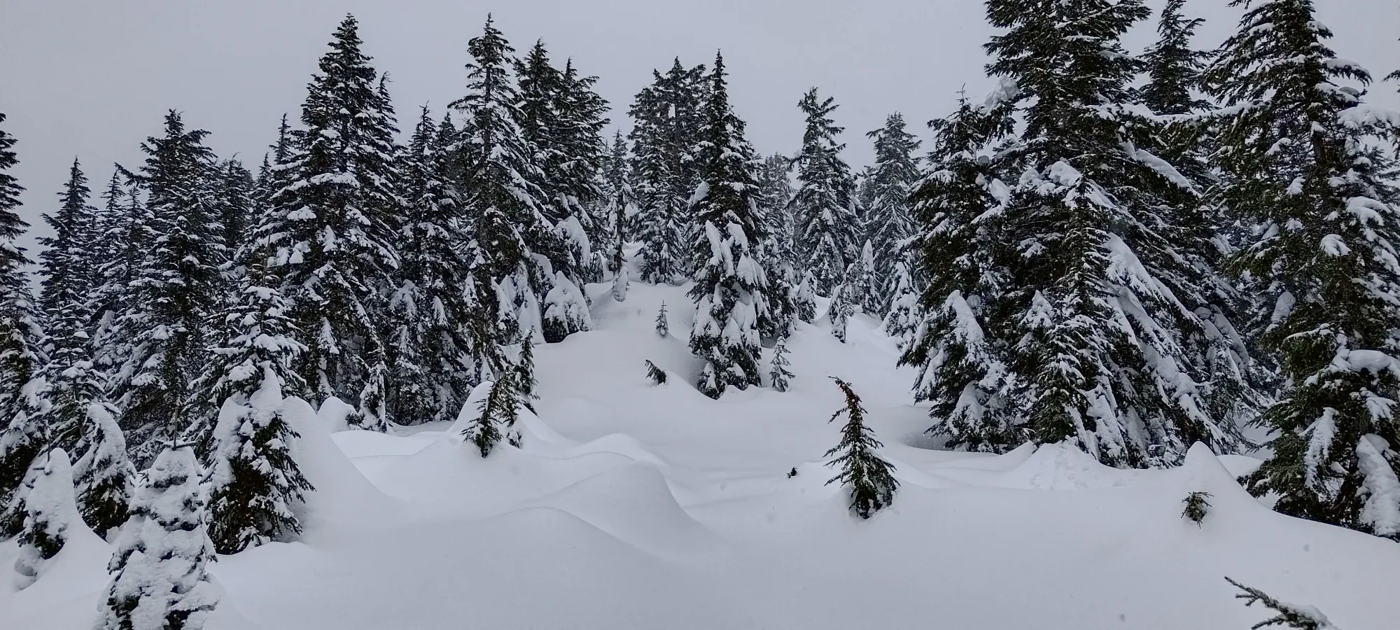
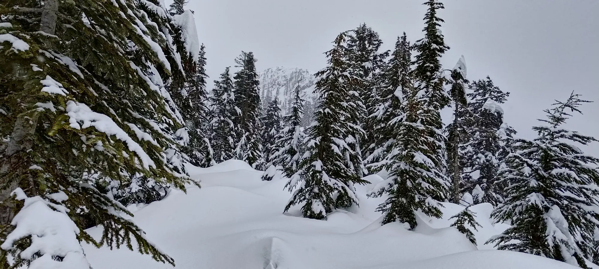
Rolling ridge terrain
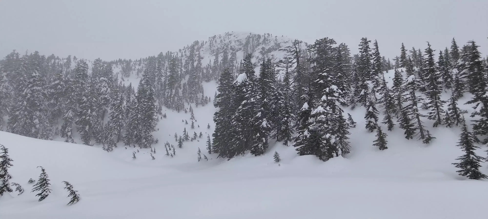
From the lake, we wove a course around the mapped trail, which seemed to choose terrain that just didn't make as much sense in winter, doing our best to avoid too-steep or off-kilter terrain. We were largely successful, although there was one "crux" I bothered putting my poles sideways to help me mantle over. Otherwise, the whole thing is just an uphill walk.
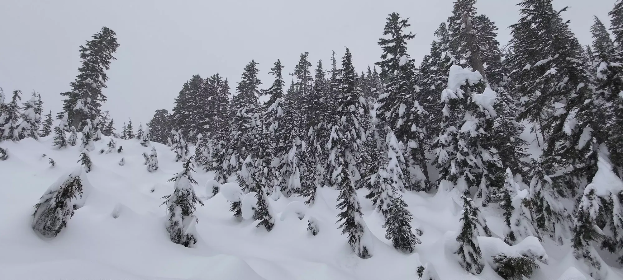
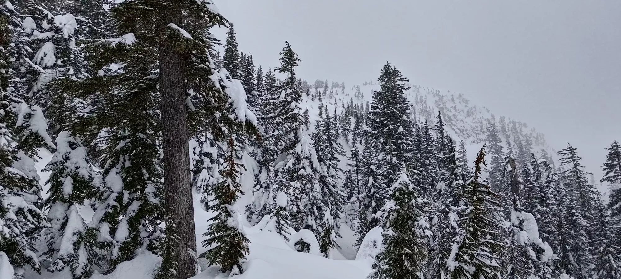
Wrapping around the summit ridge
We topped out at 4:30, got some pictures, and then headed back out of the wind, which had started picking up along with the snowfall in the later afternoon.
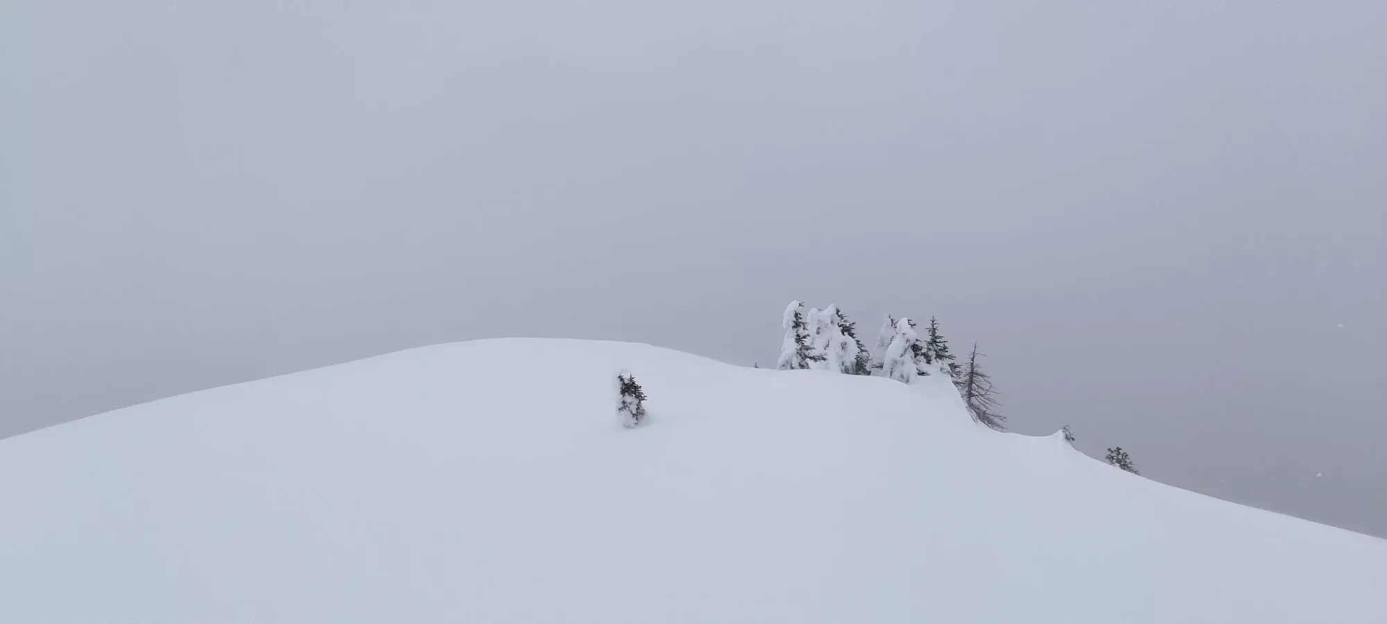
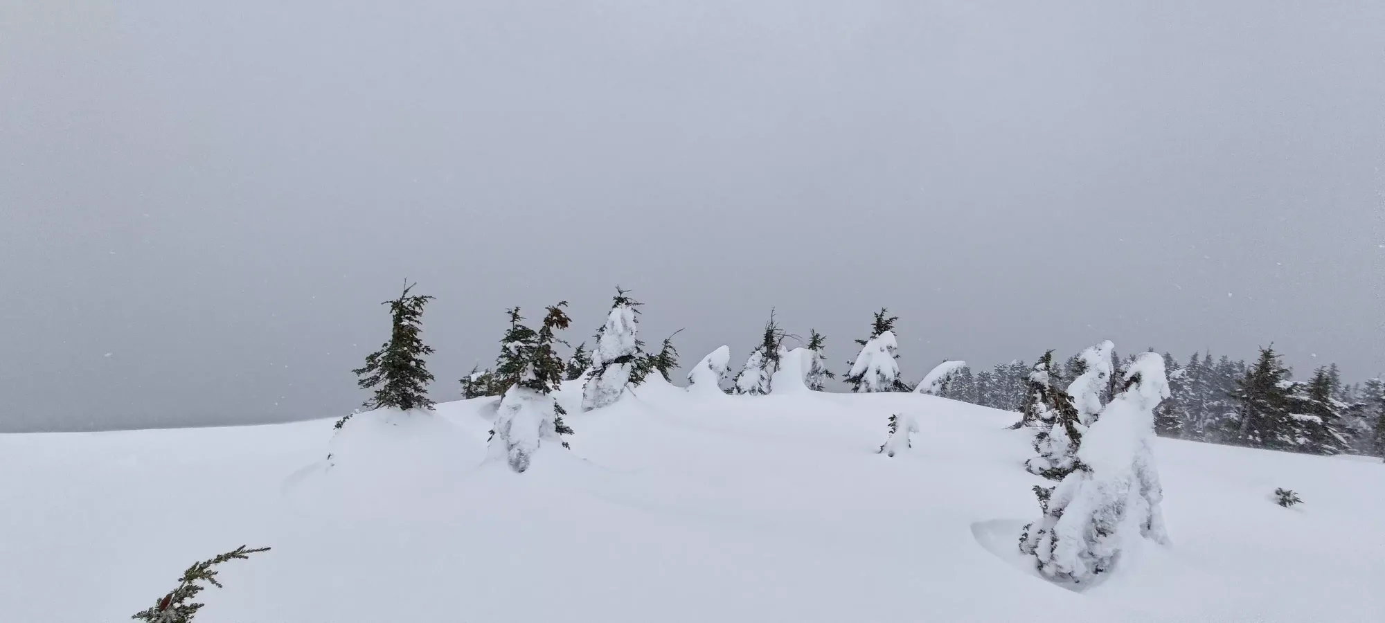
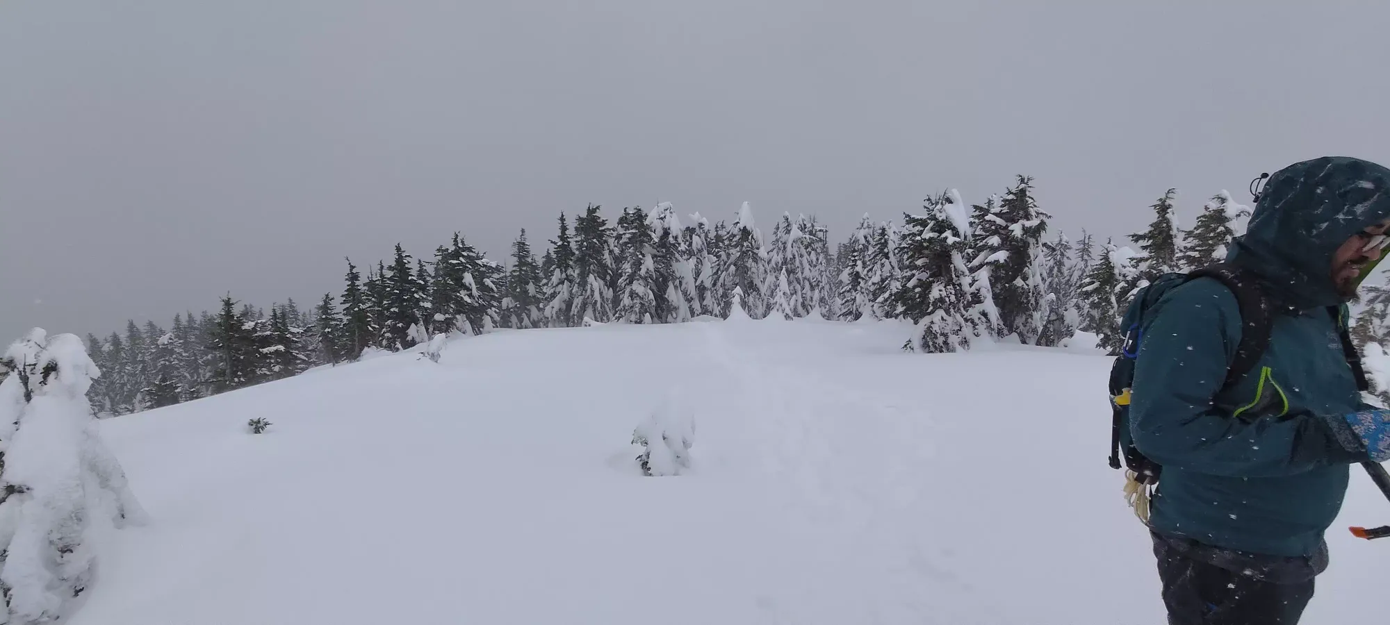
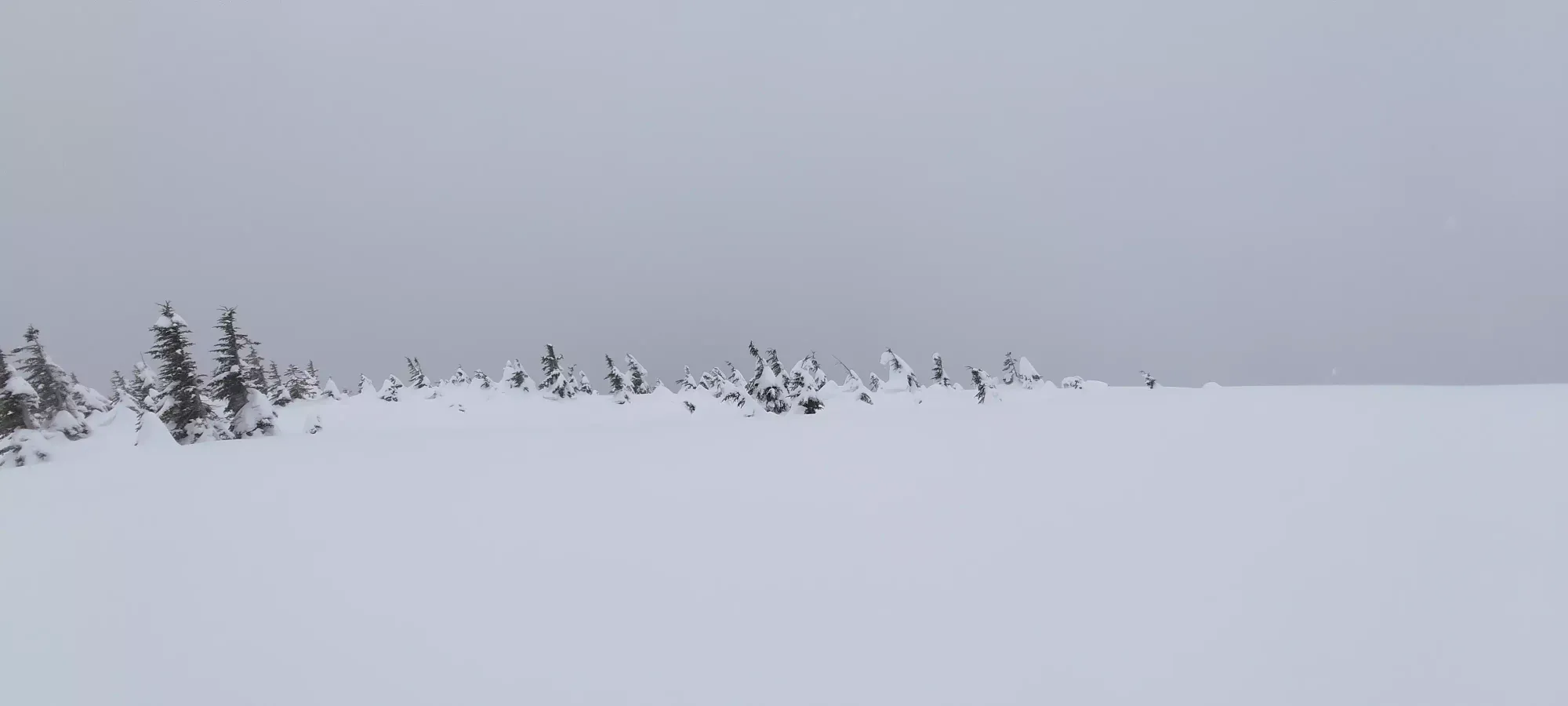
Summit views

The descent was even less eventful than the way up. I decided not to bother to try and get the extra peak (or any others), as the others wanted to be down by dark, and I was honestly just not feeling very motivated to suffer anymore, I was happy to just chill and hang out. We got down to the lake at quarter to 6, I got a picture or two to fill up the space that's usually just a wall of text in the descent part of my TRs, then we continued on down.
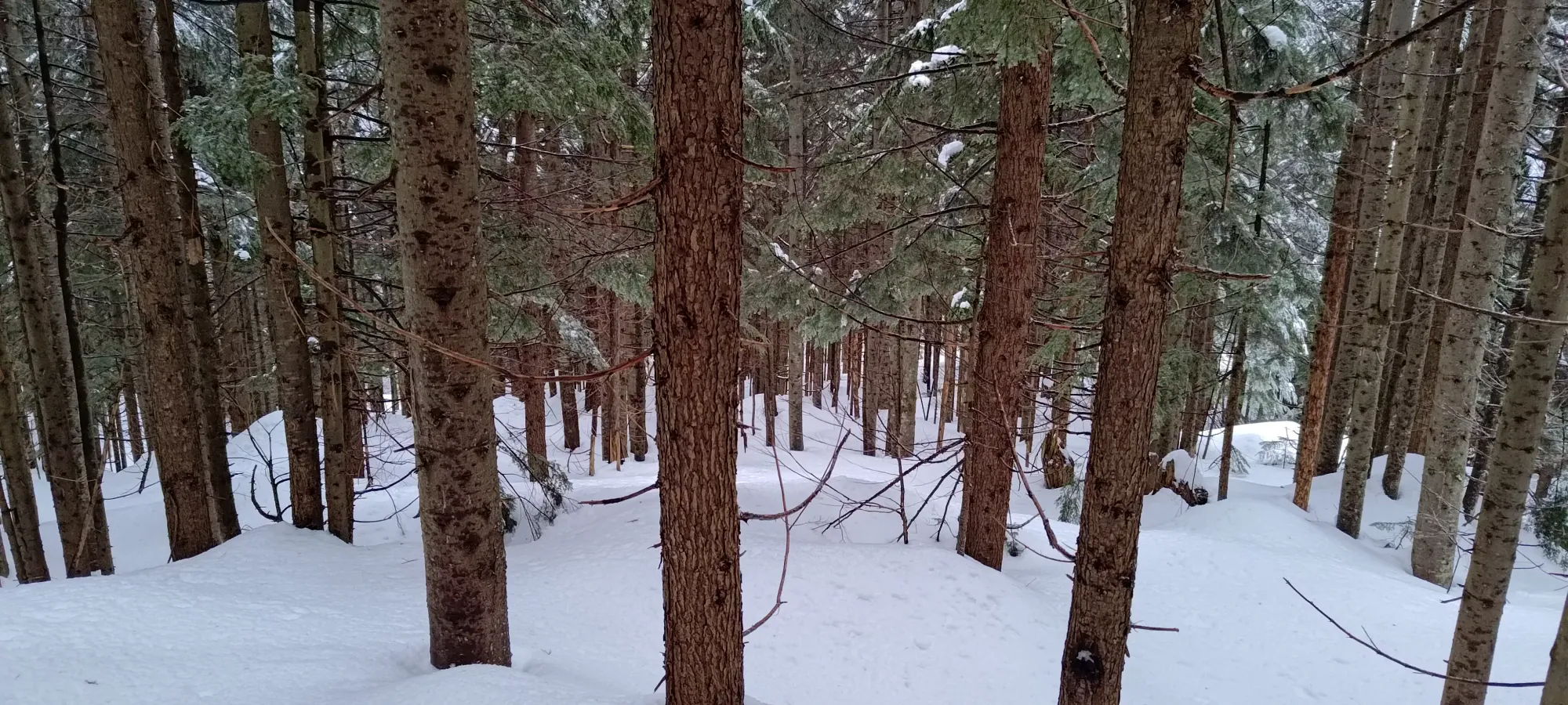
The descent did, if nothing else, really cement my regret for not bringing my skis, as it was, well, much less pleasant, and the snow while not excellent and obviously wet, was still good enough to enjoy. Oh well, lesson learned, and since I'll have to return, maybe I can correct that error for the other peaks there. We got to the road at about quarter after 5, then another half hour to the car. Eventually we even got dinner, which was nice, and I got home around 10:30pm, just in time to get my gear sorted and ready for a pow day at Whistler the next morning 😅. This was not a weekend for me to sleep, clearly. Did I mention I also lost an hour to Daylight Savings Time? Because that also happened 🙃
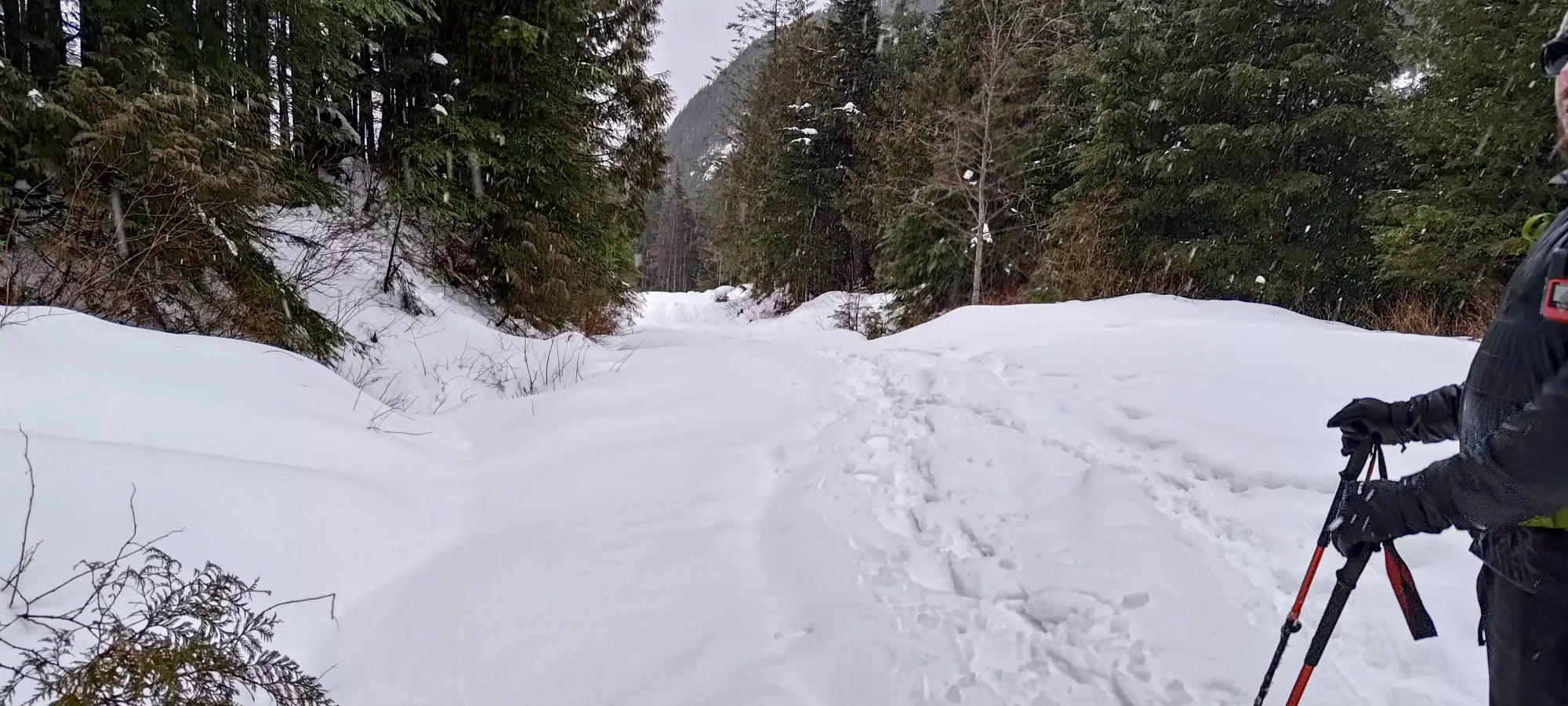
While not a big day, it was a fun day, and a peak was bagged, so can't be unhappy with that. Was great to get out with these guys again, it had been too long. As for this peak specifically, I recommend it as one of:
- a quick pre/post work peak
- a decent day if you link it up as part of the Murdo Creek Triple Crown (self-coined name)
- a maybe good ski if you go during a cold snap
GPX Track + Map
