Mount Ronayne (Y Couloir) - June 28 2024
A fun ski objective that holds snow quite late into the year, and is a p600 to boot for the prominence-oriented peakbagger with a penchant for skiing


Tenquille Lake Area, Pemberton, British Columbia
2290m
Despite a lacklustre winter in 2023-2024, Western Canada has "enjoyed" (depending on your perspective) a fairly drawn-out spring season. For many of my friends, this has meant a lot of sadness waiting for scrambling+climbing season to start. I, however, have been enjoying the novelty of skiing well into June. Consistent with that theme, one of the few people whose social media I follow, James of Rise and Alpine, uploaded a video skiing the Y Couloir in mid-June. Ronayne is a peak with pretty high prominence (600m), and this was a couloir with a short approach and snow to the top, in June! That was convincing enough for me, so I messaged my buddy Tanveer to see if that also interested him, and unsurprisingly, it did! So, when a weather window rolled around on Friday, we pulled the trigger, and went for it.
Since the previous day(s) were fairy warm and wet, the clouds weren't going to clear all morning, and sadly I am still suffering from fairly intense symptoms of my colitis, a super early start wasn't going to offer much benefit or be very easy for me, so we took a casual approach, leaving Squamish around 7am or so, and drove up Birkenhead Lake FSR from Pemberton Portage Road, then took the Tenas Creek spur to its end, getting us all the way to just over 1400m at the end of the road 🙂. I'd driven this road before, so I knew it would be fairly easy for my vehicle, and sure enough, the mainline was well-graded and easy to drive. Tenas Creek FSR requires "a crossover" (medium clearance), but no AWD or 4WD as the only real obstacles are cross-ditches and a couple small streams, and they weren't huge.
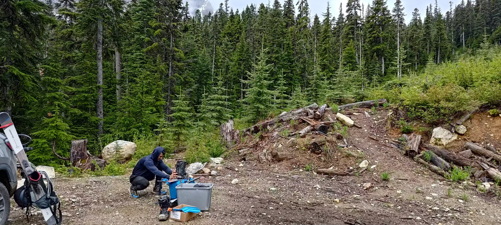
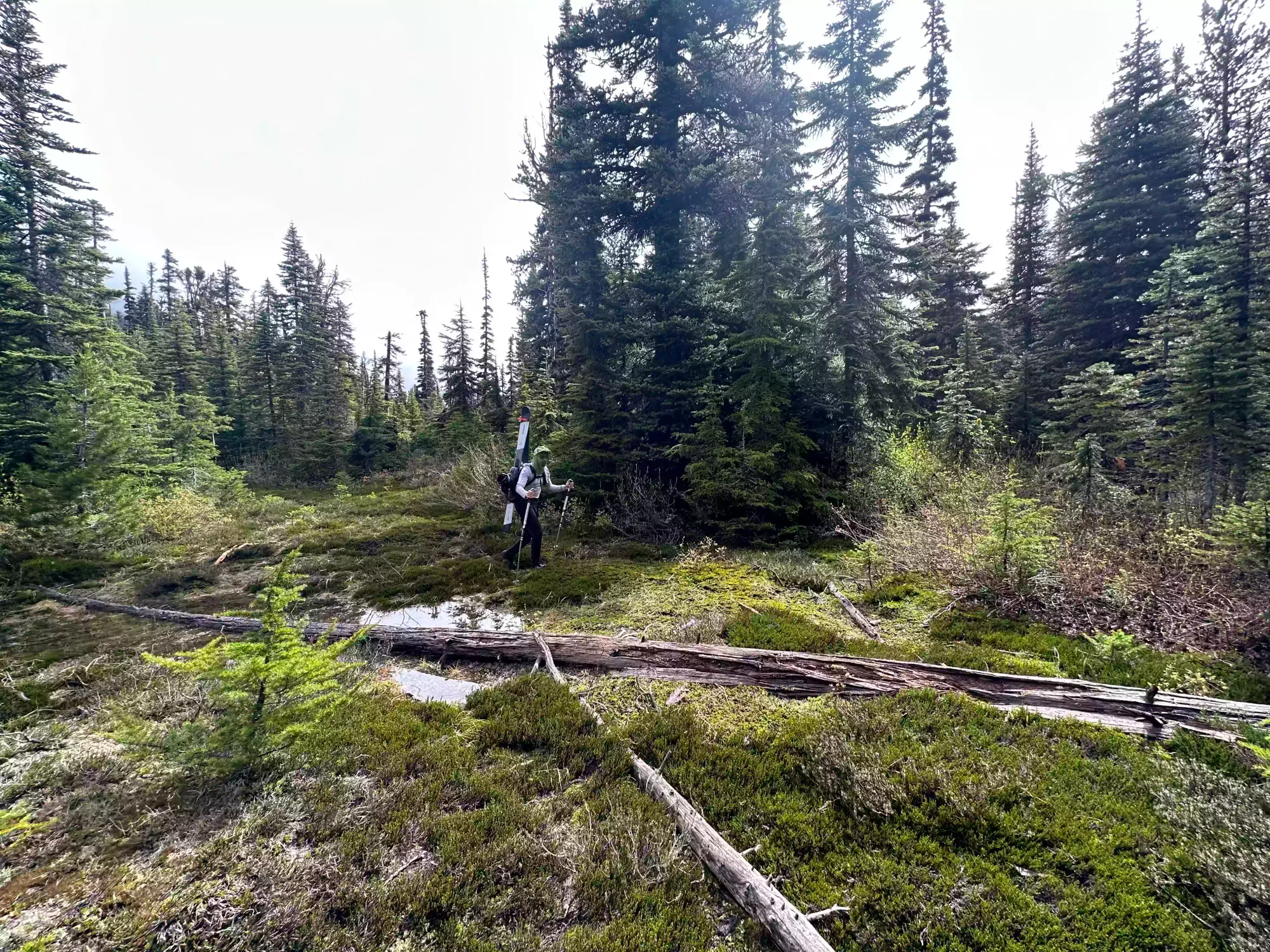
Once we parked (there's a large space to turn around and leave a few vehicles), we unfortunately discovered "a good few mosquitoes" lurking about. Thankfully, I had my bug net after the horrid experience I had without it last week, so I slapped that on. Tanveer wasn't so lucky, though at least this experience was short-lived. We got our gear slapped on our packs, and got hiking at 9:37am.
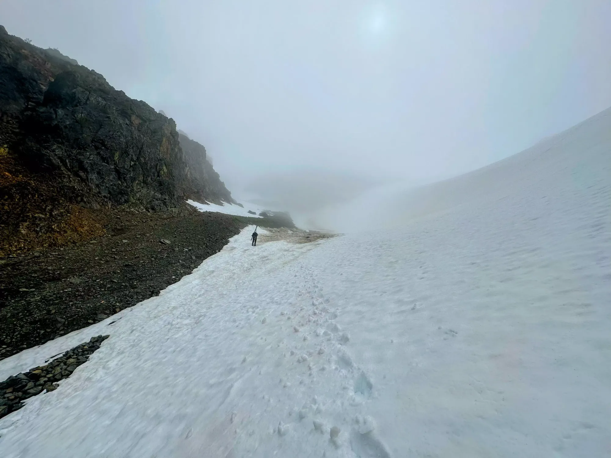
We didn't have a ton of beta on the approach, as most people seem to do this a bit earlier in the year with snow cover from the road. As such, we took a slightly inefficient route up, using the Ogre Lake Trail until we got "not too far" off the track(s) we had downloaded, then just bushwhacked over through the cutblock until we hit the mature forest, where we crossed a small creek (dry crossing), and were able to hit a flagged route in about 10 minutes. The bush wasn't very dense, but the wetness of the bushes was a bit annoying 😅
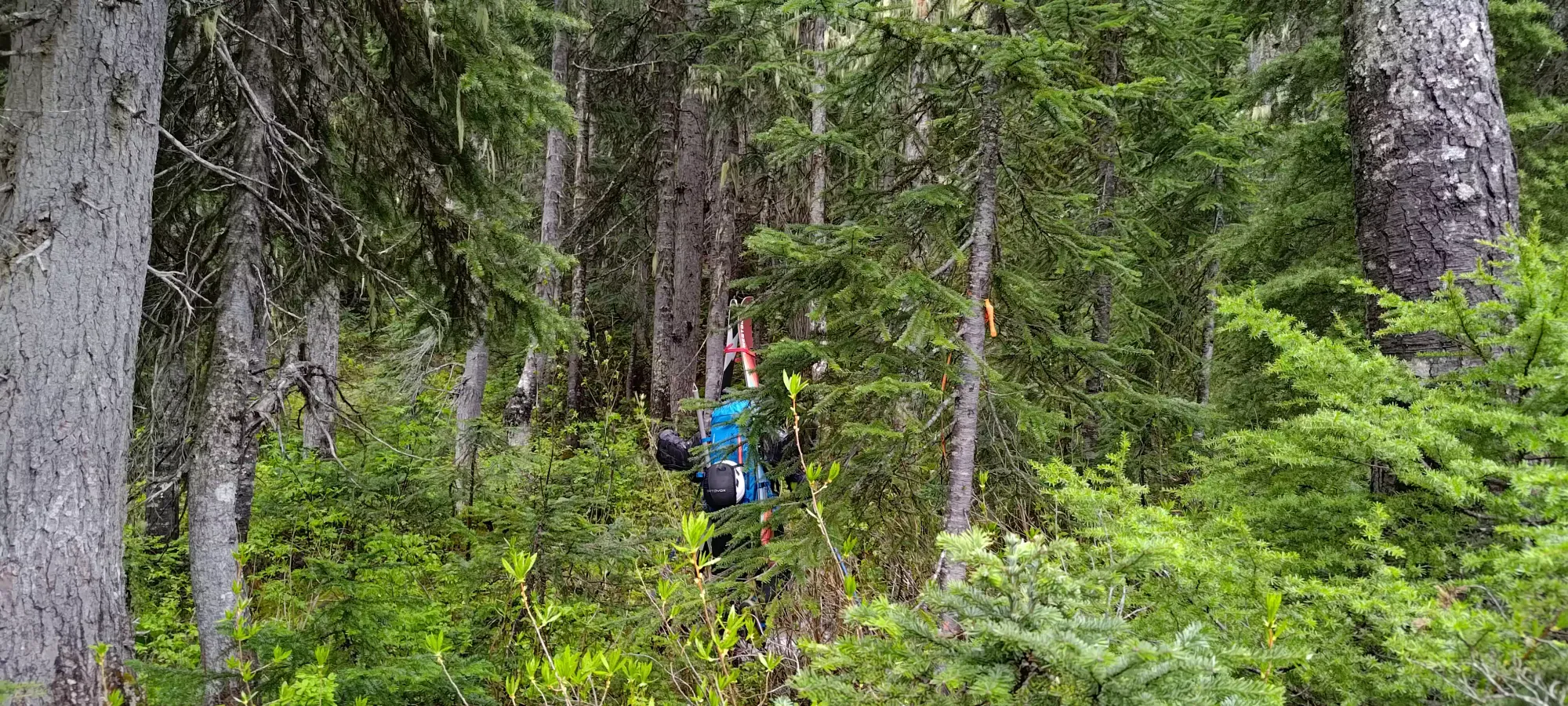
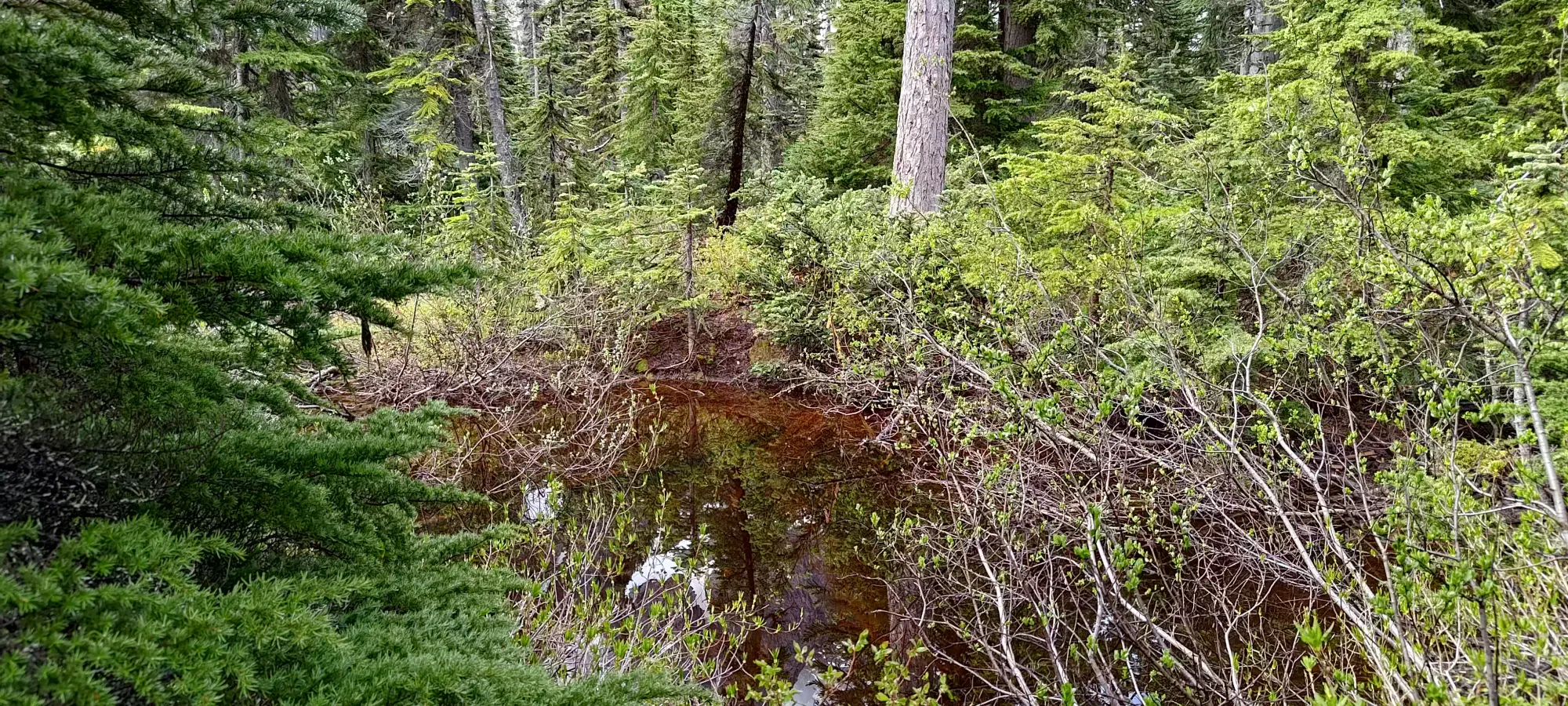
The flagged trail was decidedly "okay". It was definitely better than bushwhacking, but you did have to do that a little bit in places, and it was generally somewhat encroached upon by bushes, and more notably, got muddy somewhat often. I'd definitely categorize it as "an access trail" compared to a hiking trail you'd want to hike for the sake of it. In fact, about 25 minutes in (just below 1500m), we found the trail had just "turned into a pond". This required some fairly thick bushwhacking to bypass, costing us a few minutes and probably a few topsheet scratches on our skis 😄.
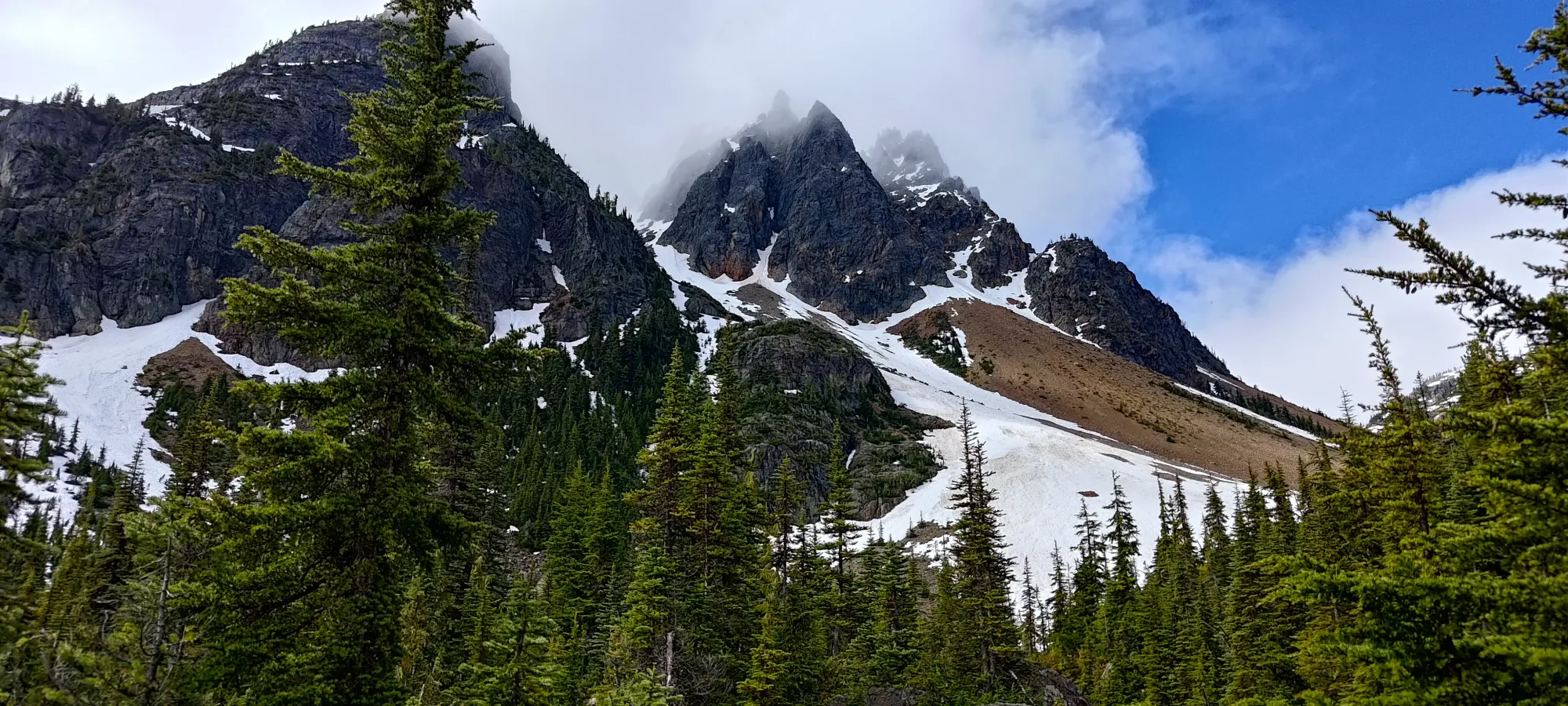
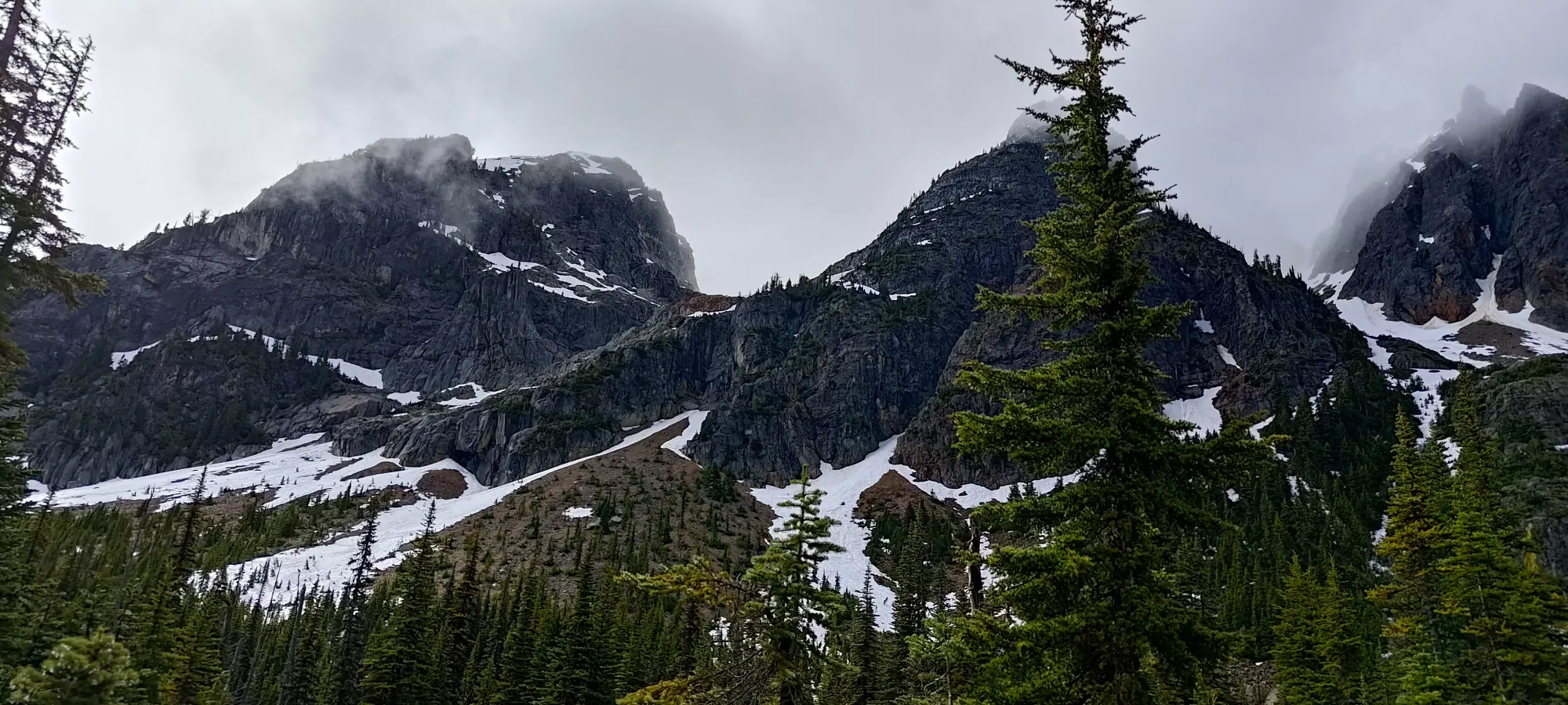
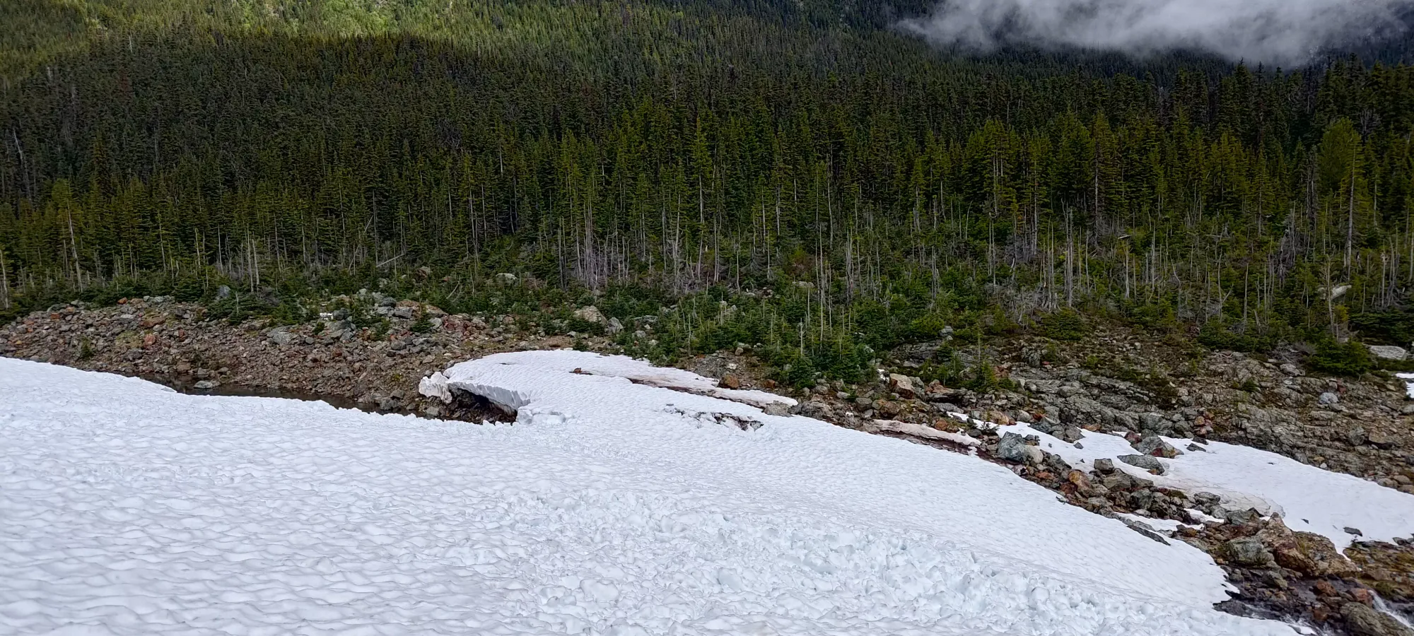
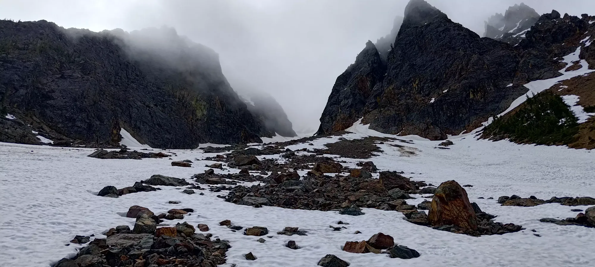
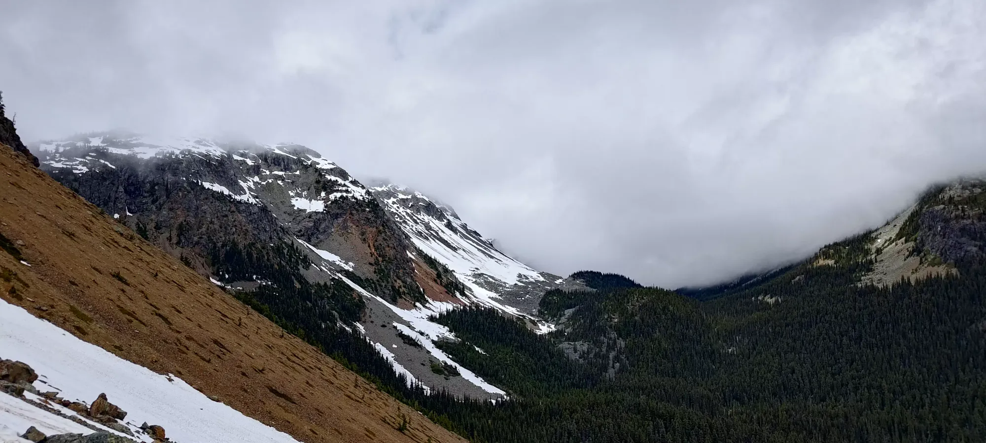
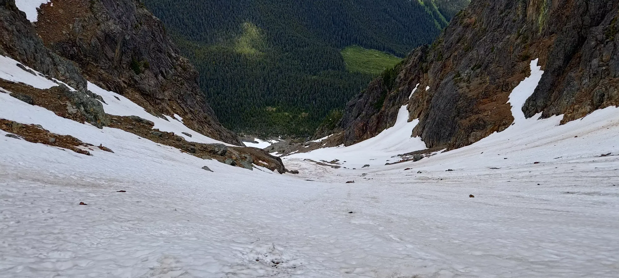
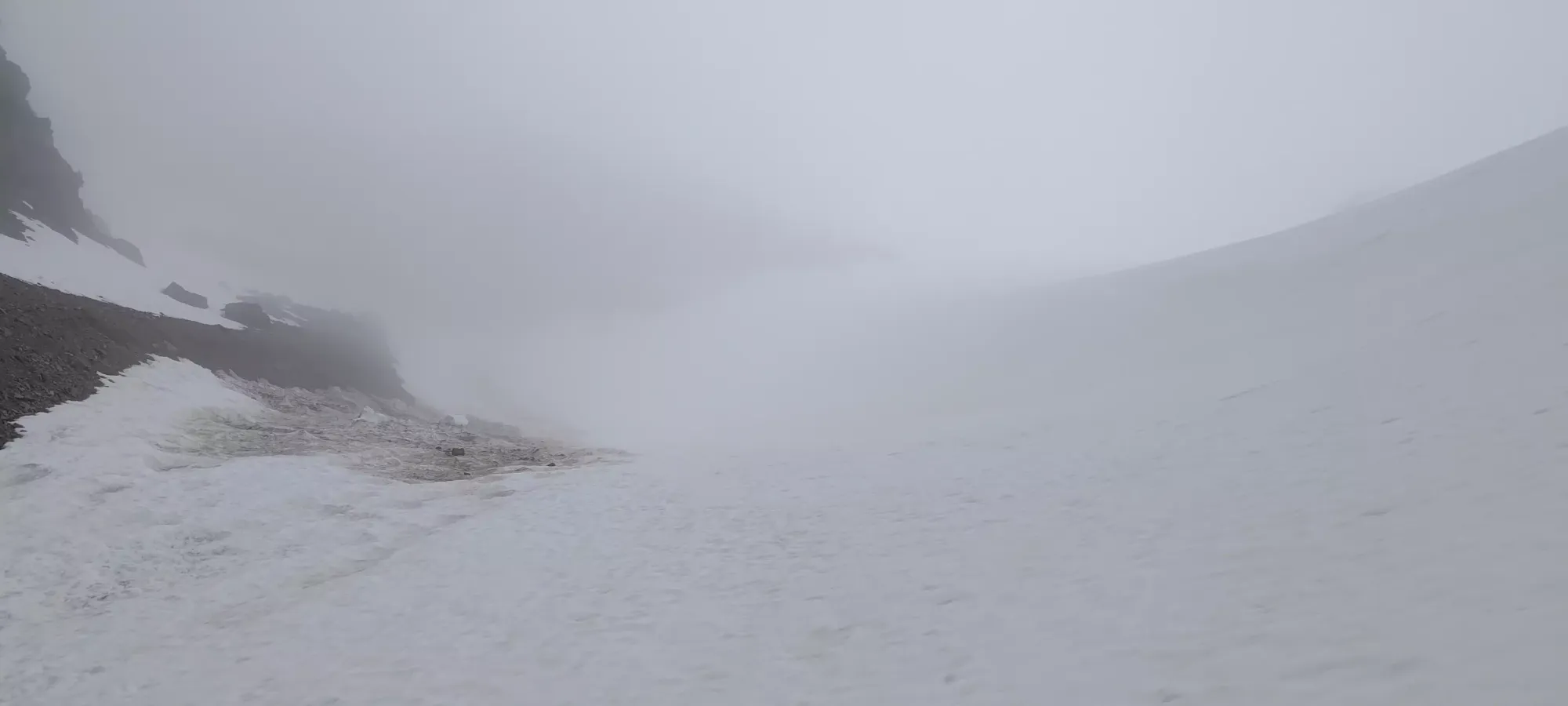
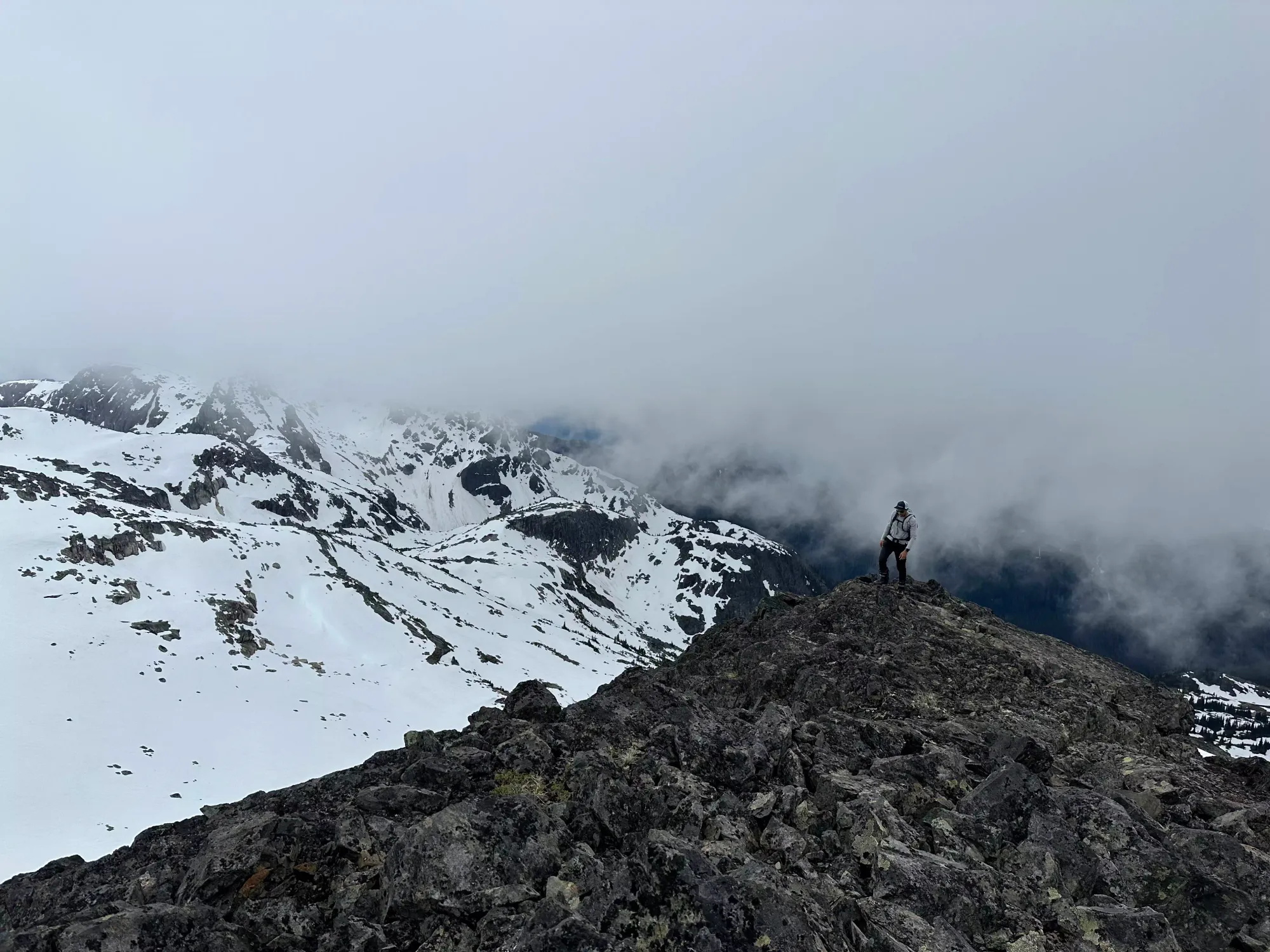
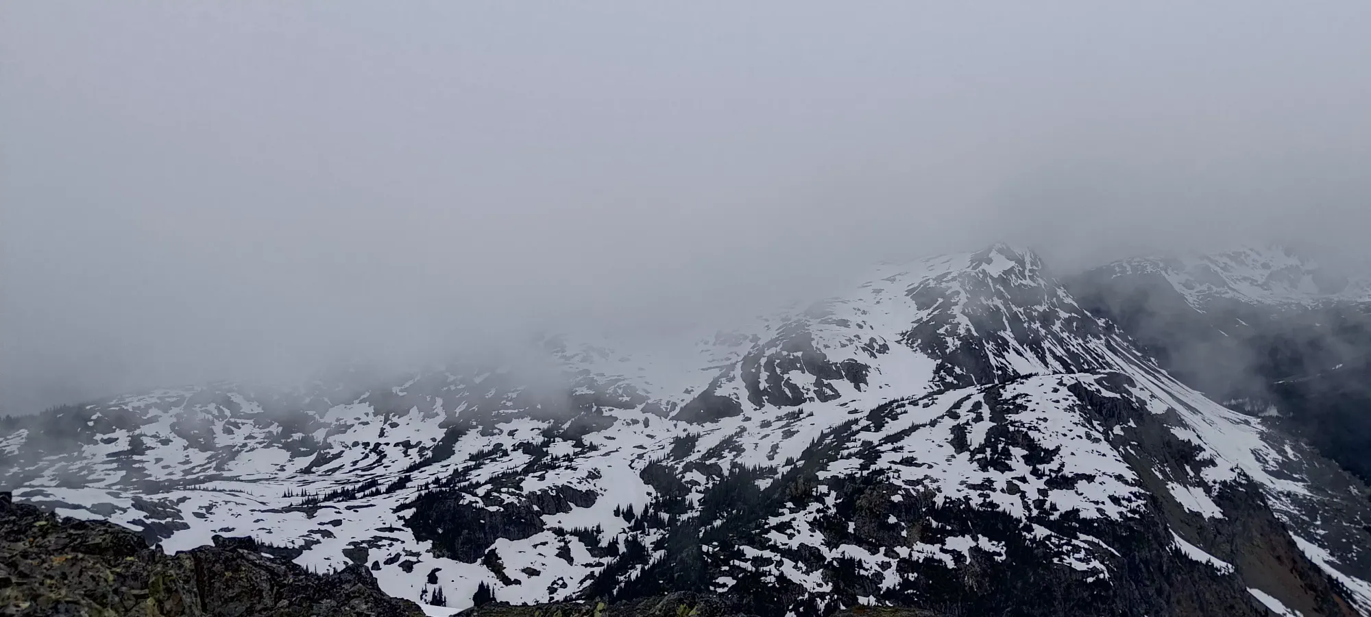
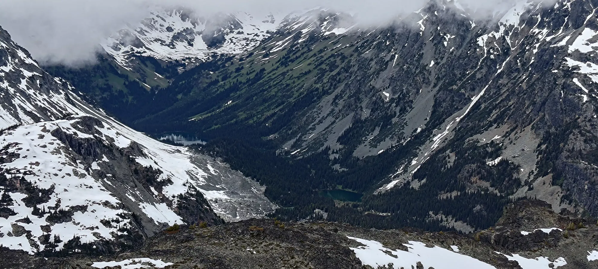
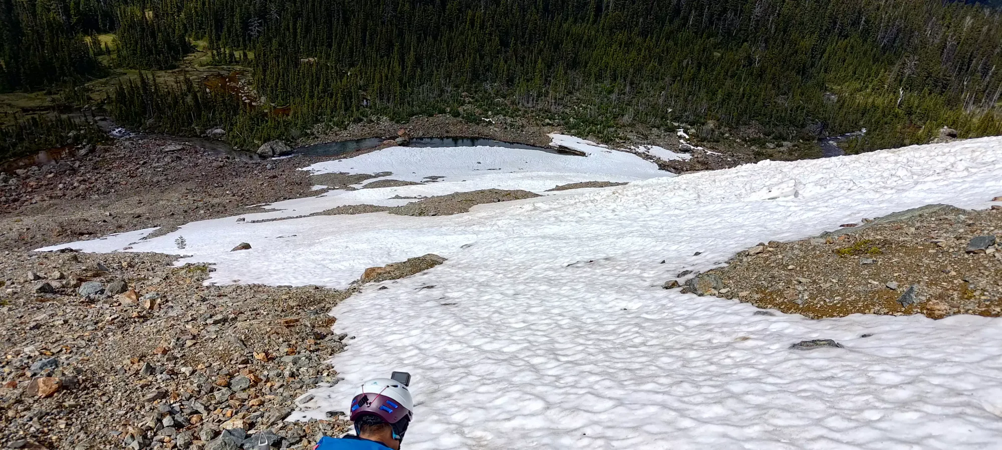
Not long after that, though, we were rewarded with eyes on our objective for the first time. Or, at least, the lower part of it, as the upper mountain was holding onto clouds, and would continue to do so for most of the day.
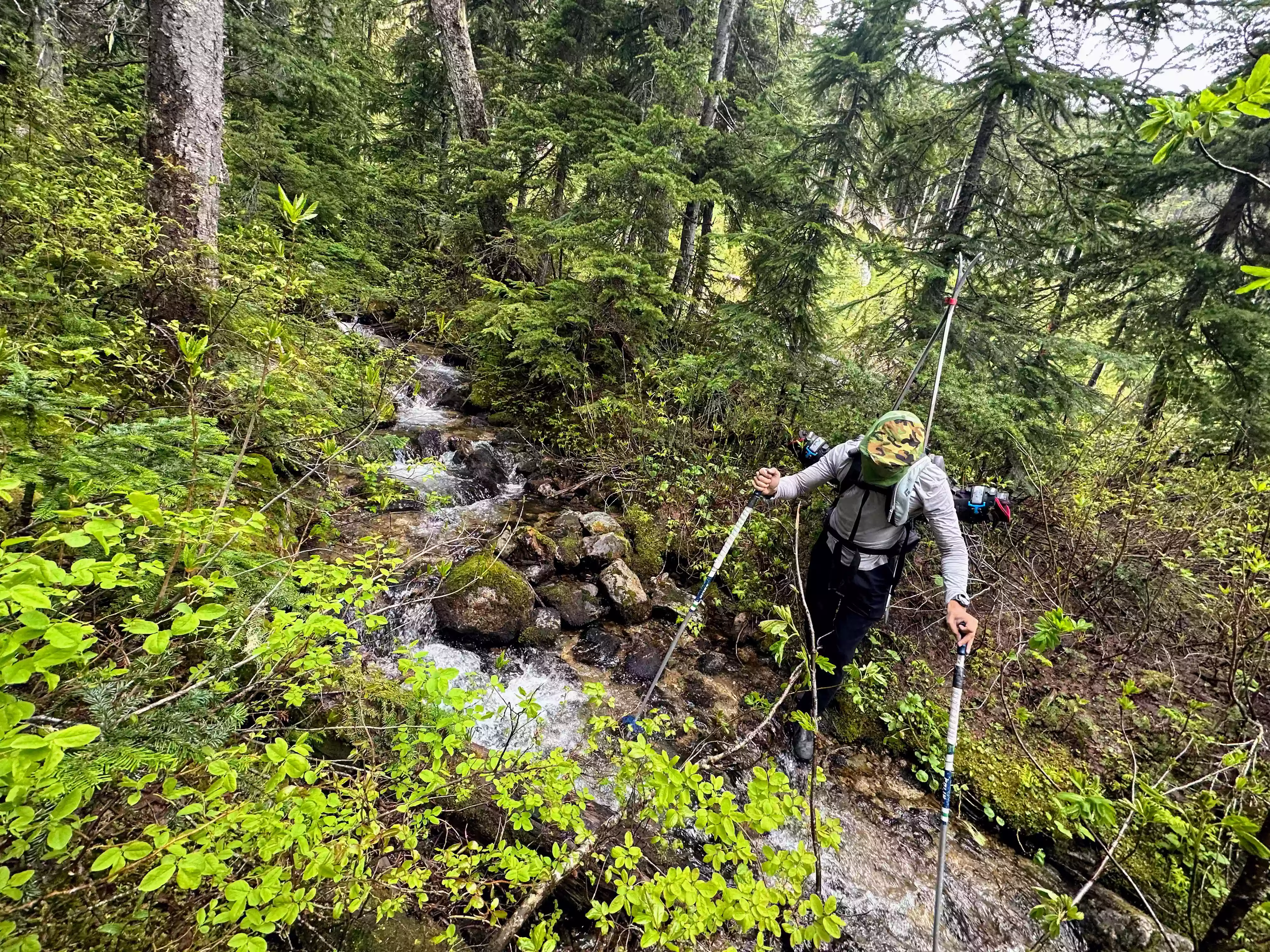
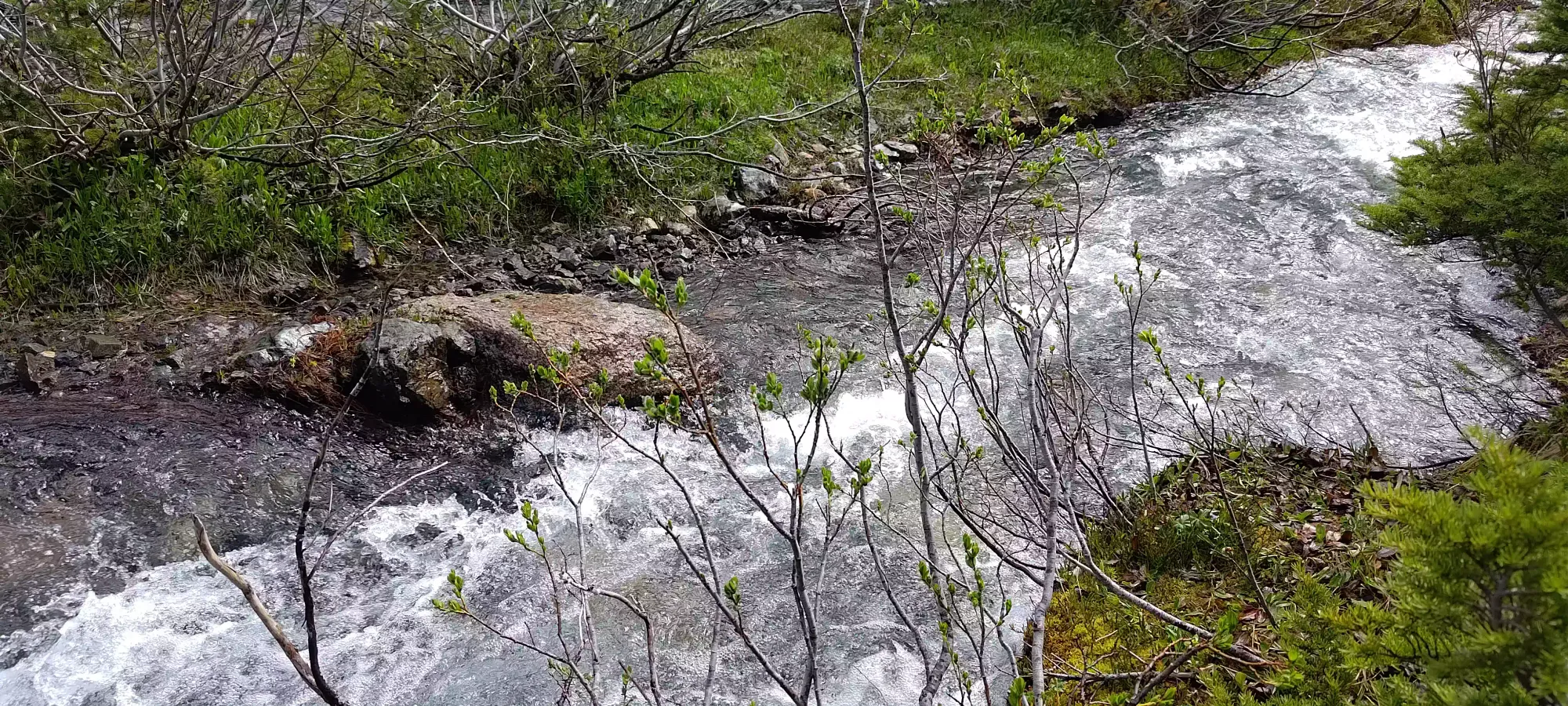
At some point, we managed to diverge from the "better" set of flagging to another, which led to a fairly intense crossing of Tenas Creek. The first half was easier, and was able to be completed with just rock hopping. The bigger half of the creek forced us to take our packs off and yeet them separately, and take some leaps of faith to get across. It was a bit exciting, but we managed to get ourselves over in a dry manner 😅
After that, we had a few more minutes of medium bushwhacking, then a couple more of making our way through some more marshy terrain and a few rocks before we met up with the snow forming the end of the ski run. All in all, getting to the bottom of the line took 50 minutes, and as we'd discover on the way back, that could be cut down with more informed routefinding.

We took our time gearing up and getting our skins on, and so didn't get skinning til about 10:40. Once we did, we got going for a few minutes, but Tanveer wasn't enjoying the uneven terrain (a large rockfall had released a bunch of snow some days prior and chewed a lot of the lower snow up), nor the somewhat steep angle without deep, soft powder to allow one's skis to remain flat on the snow, so he decided to pack back up and start booting fairly quickly. I was committed to skin for a bit longer, so I kept on going for about half an hour til just below 1700m. I could've skinned higher, but I didn't want to stay apart for the entire way up, and this was a nice place to transition, with a flat, rocky section to sit and gear up while I waited for Tanveer to catch up. So, I did that, and once I got my skis packed up and crampons on, I only had a short wait before he showed up behind me.
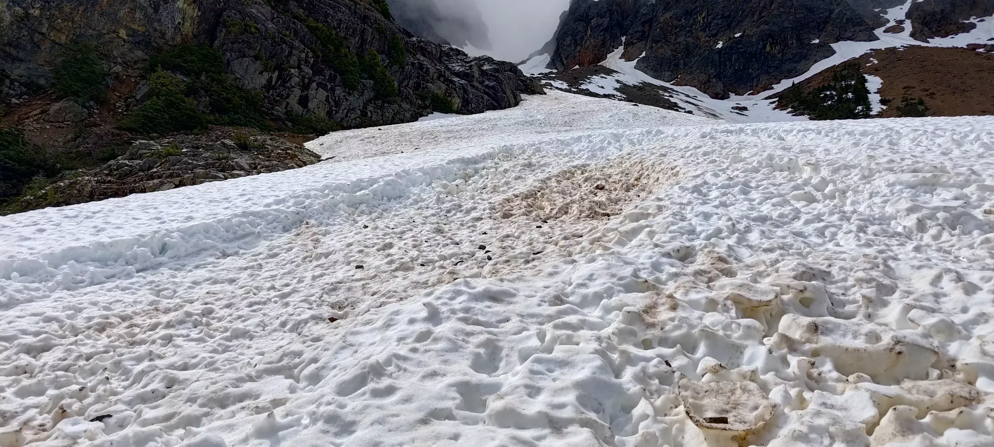
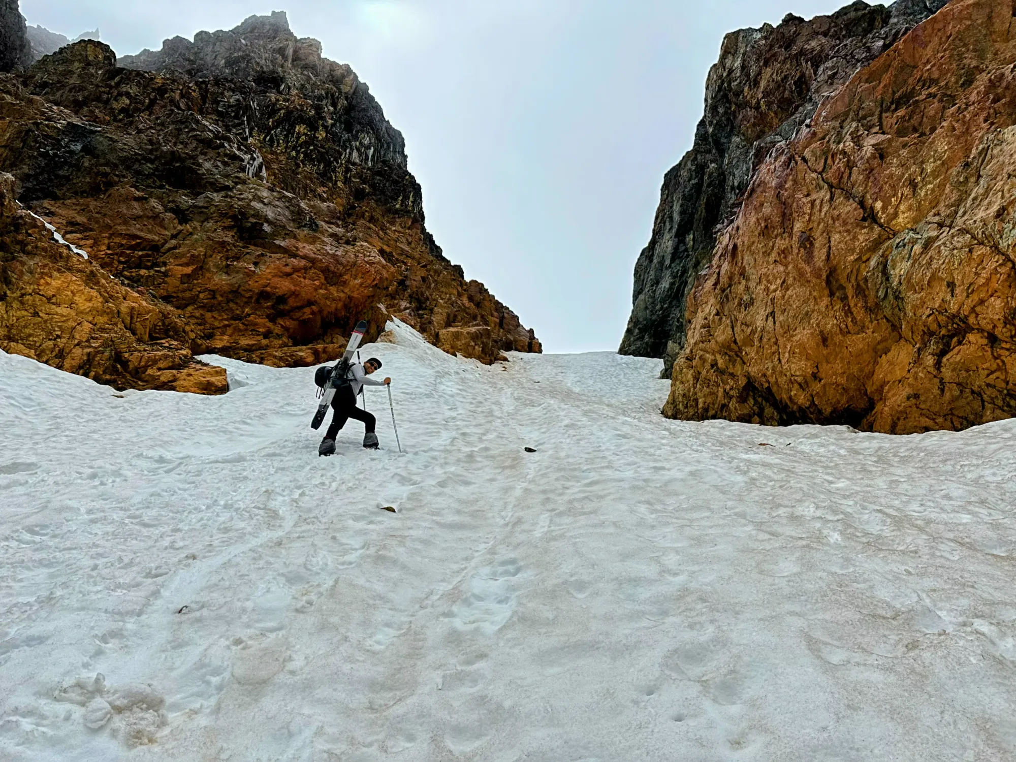
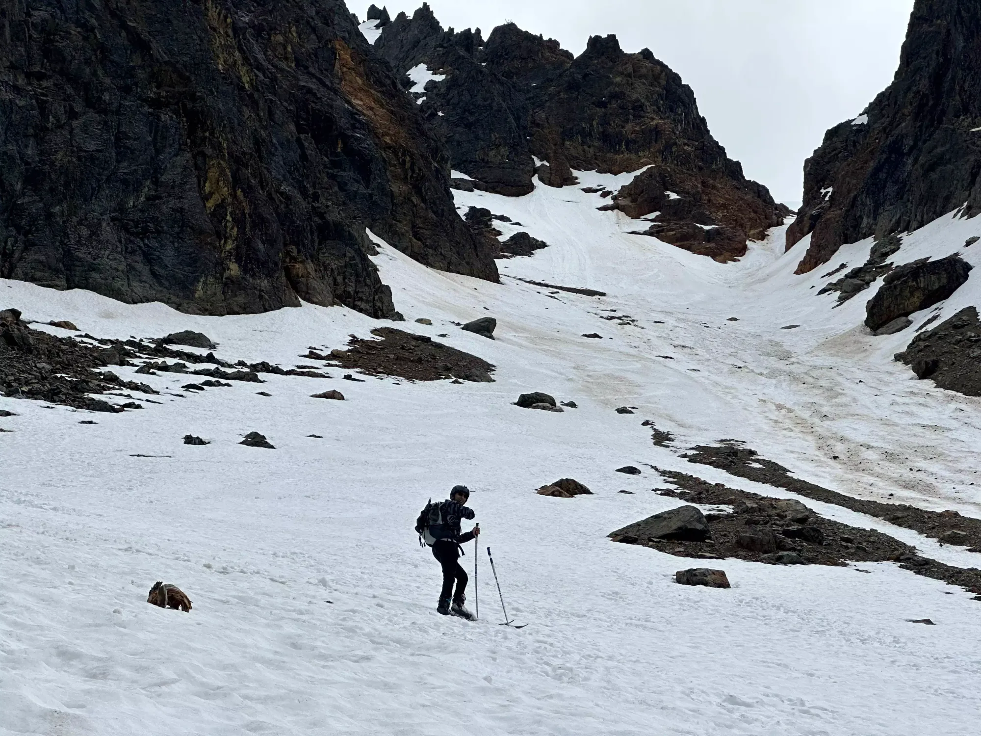
Tanveer led the first bit of the paired booting. The snow was fairly firm, with no postholing to speak of, honestly probably a bit too firm for the straight-up track we were beating up the couloir, as our steps didn't sink in enough to get flat footing, and our calves were getting used fairly heavily as we were almost frontpointing our way up (but not quite, it was still shallow enough your whole foot would make contact, just with a lot of flexion). After some time employing this strategy, Tanveer asked to swap leads, so I took over. My approach is generally the laziest possible, so I made more zigzaggy switchbacks to keep myself stepping French. That apparently also worked better for Tanveer, so I kept leading for the rest of the day, which wasn't a huge burden given I rarely went in more than ankle-deep, even in the softer spots that were more common up high.
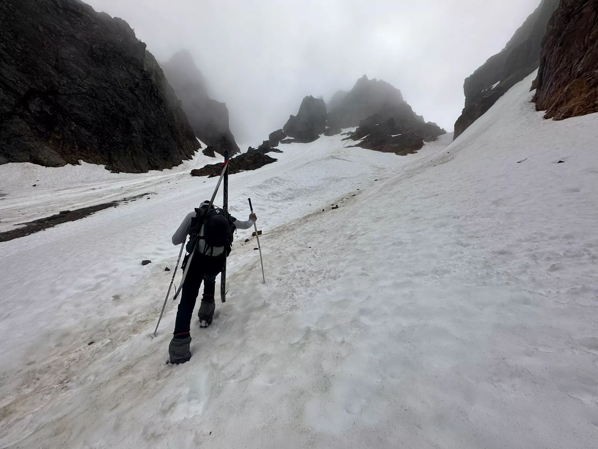
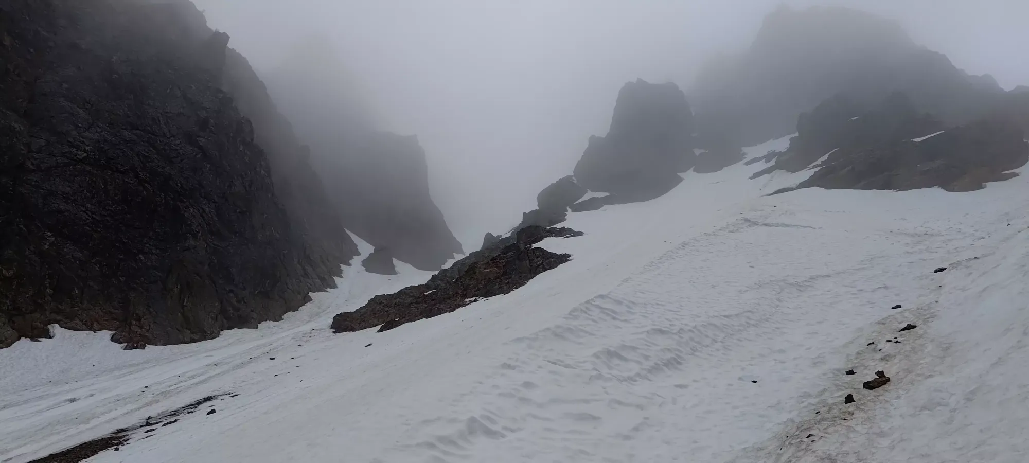
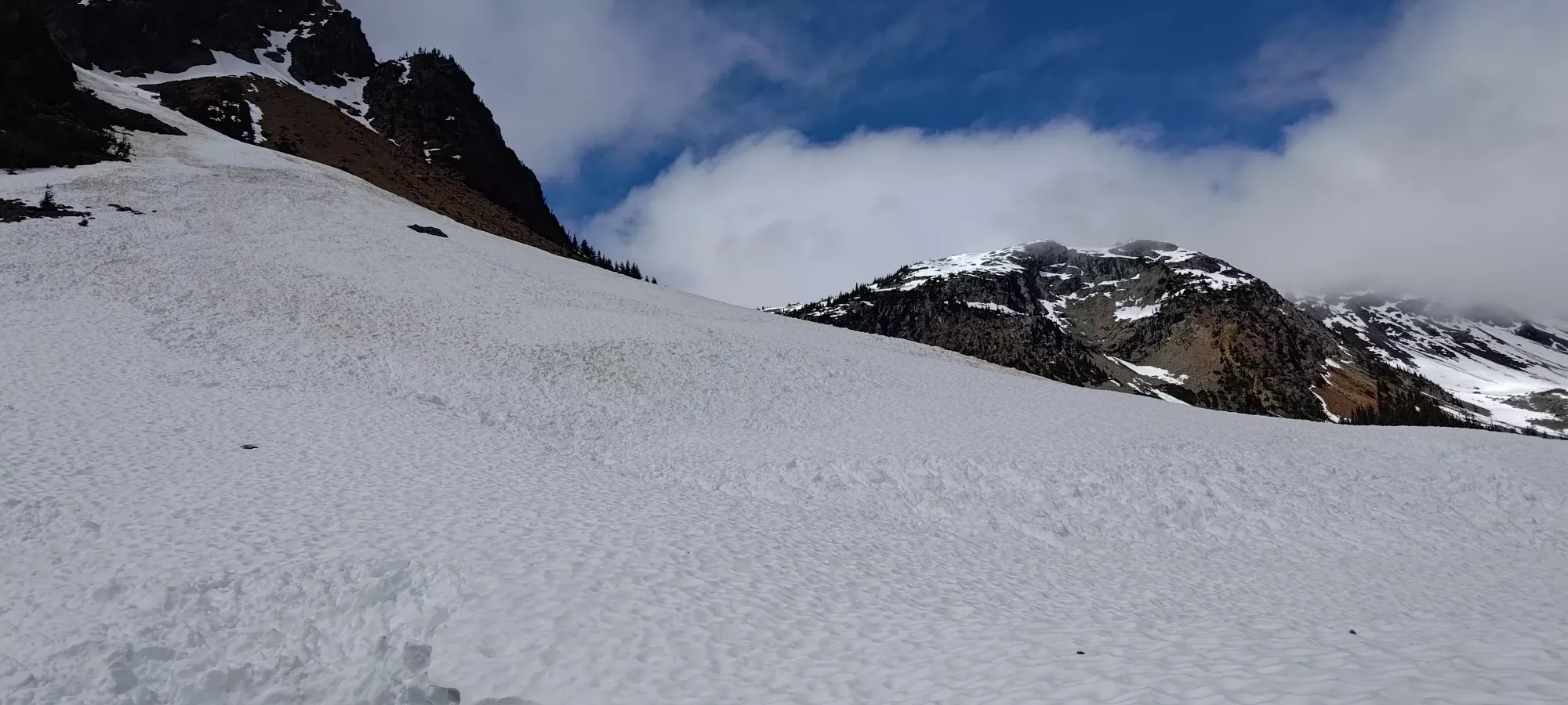
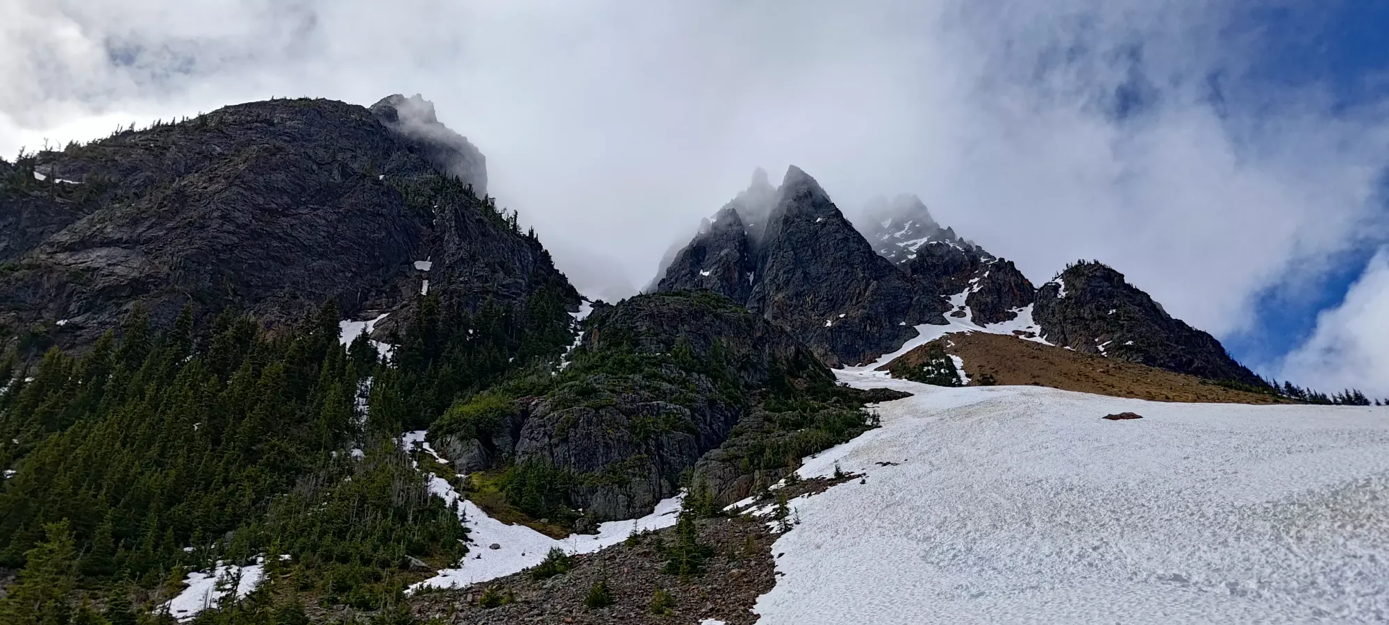
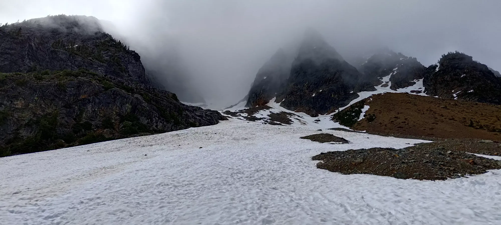
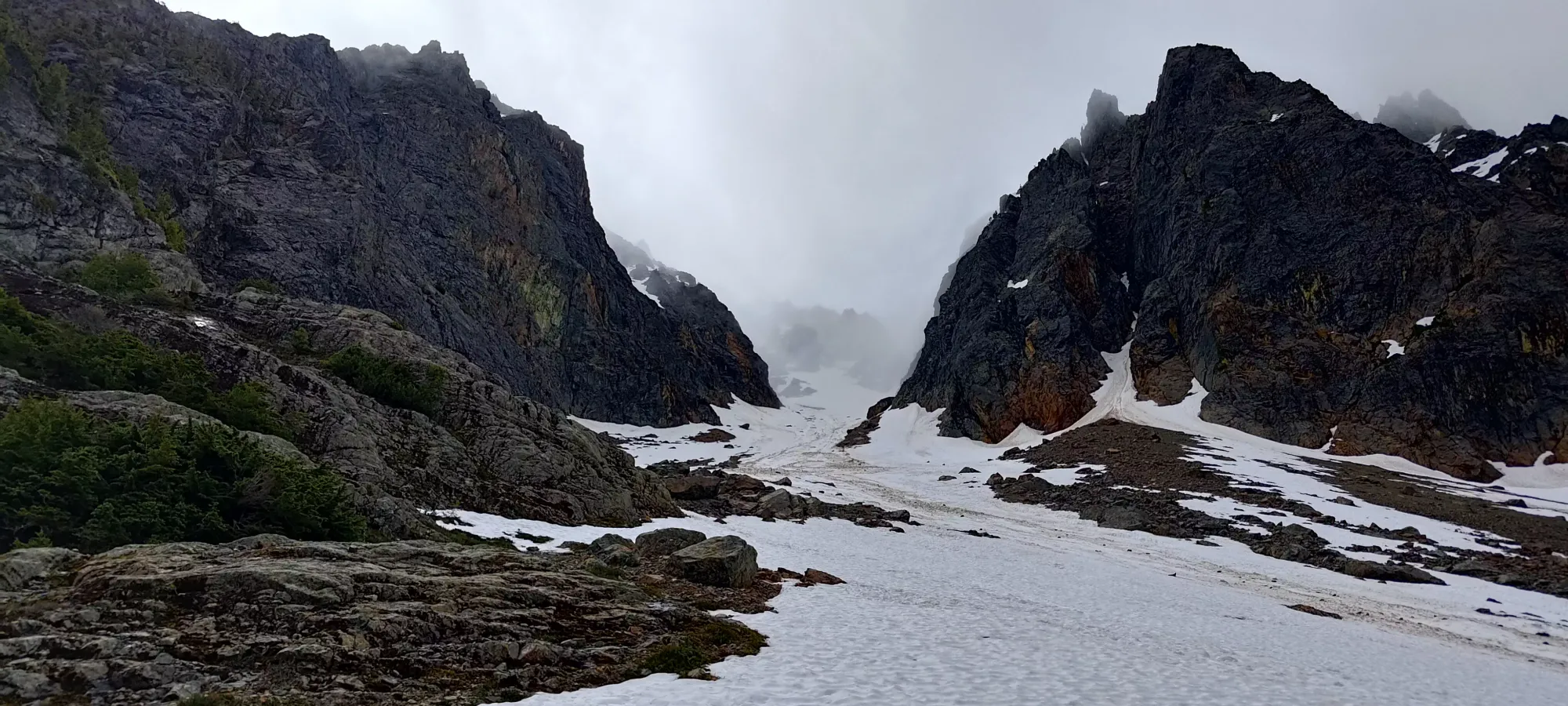
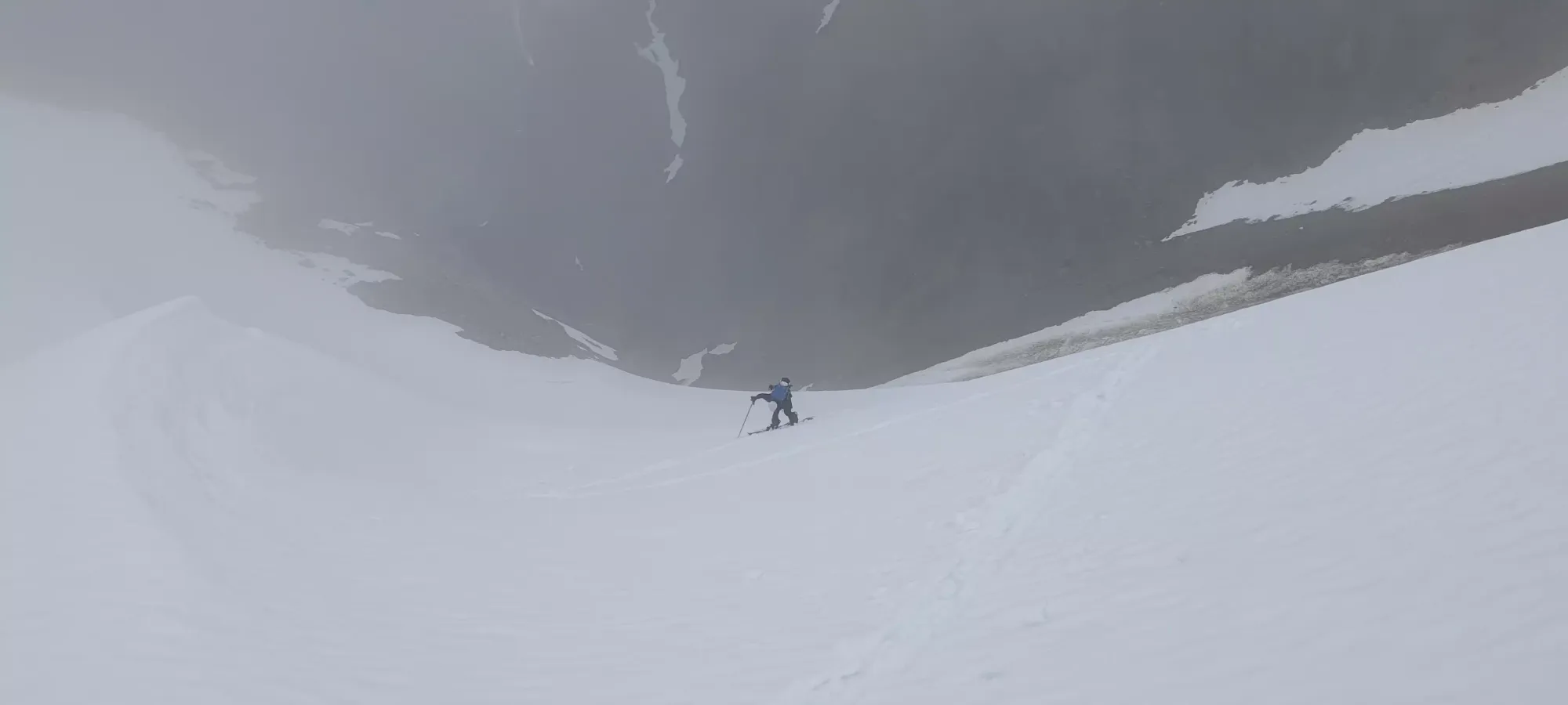
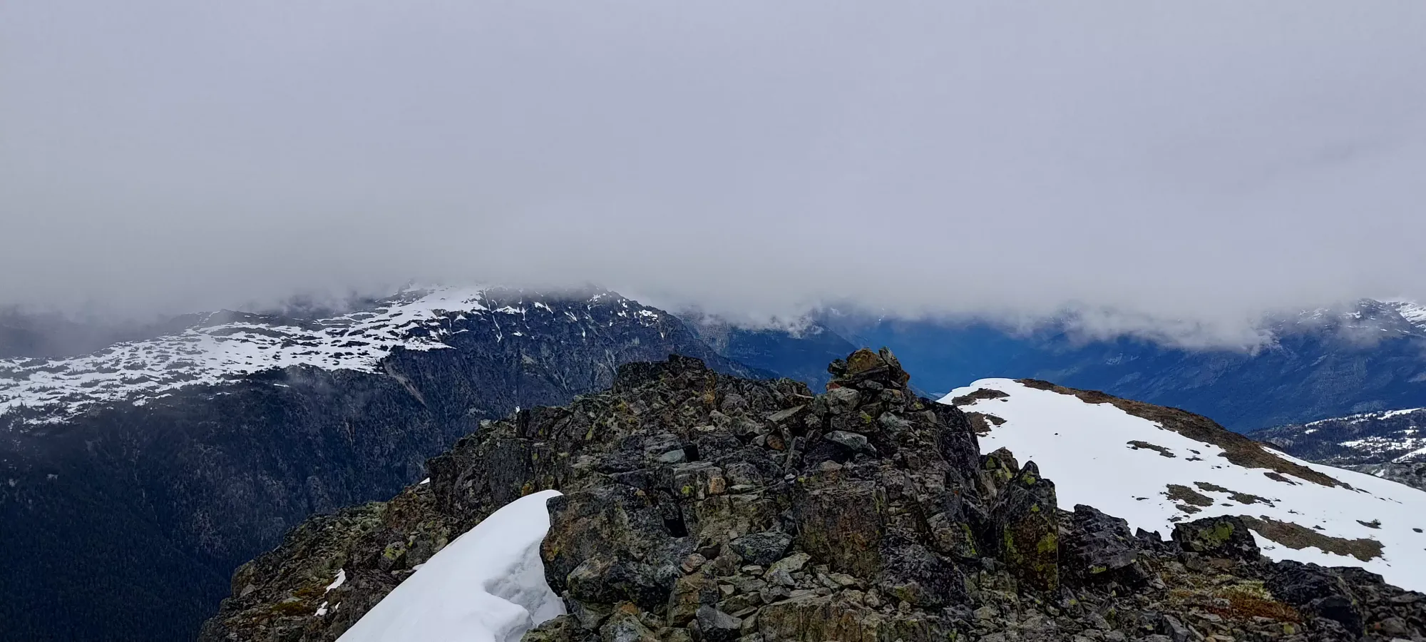
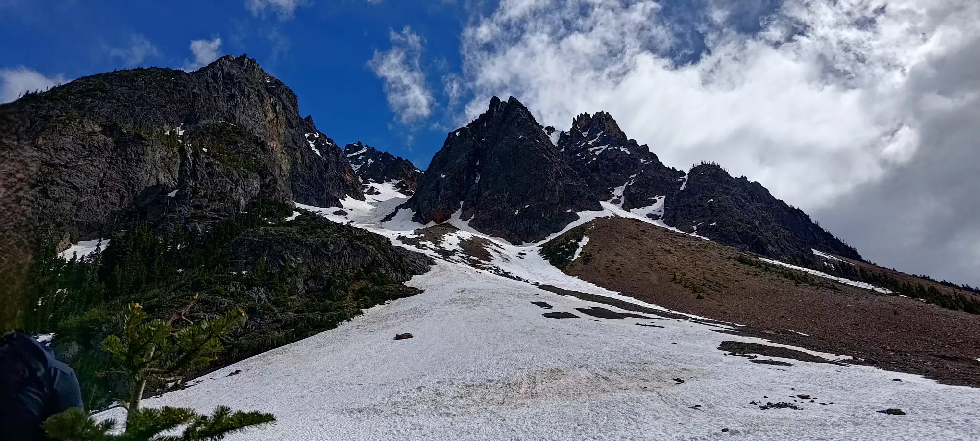
We hit 1900m at around 3 hours in to the day, which is where the trail forks and we had to pick which side of the "Y" to take. We decided on the climber's right side to avoid the large, overhanging cornice on the opposite side. Once we got into the narrower fork, things got a bit steeper, but still steppable (especially as the snow softened a bit in there) without frontpointing. This topped out into a mini-bowl with a few high ridges forming the borders of the large alpine area full of small peaks in the area.
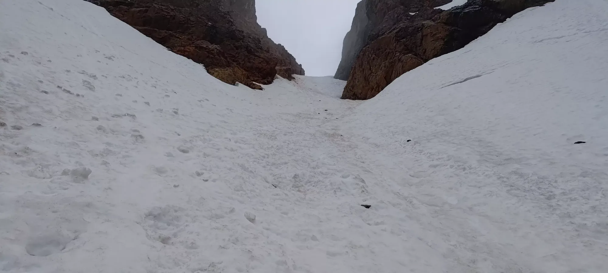
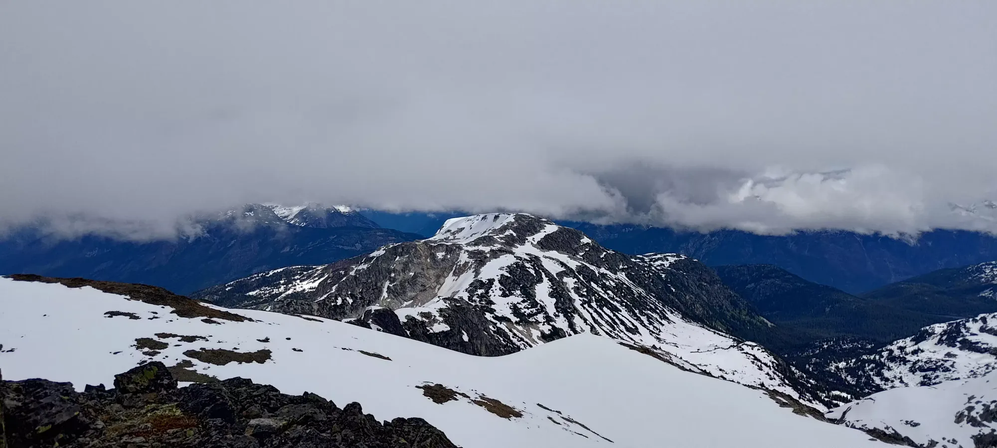
From the bowl, there is a steep snow climb up to the summit block to climber's left, but it also had an overhanging cornice. Given then warm conditions and recent rain, we figured that was a terrible idea, so we went up to climber's right instead, cresting over a snow ridge, which ended up being flat enough that I proposed we break the skis back out to skin up as far as we could get.
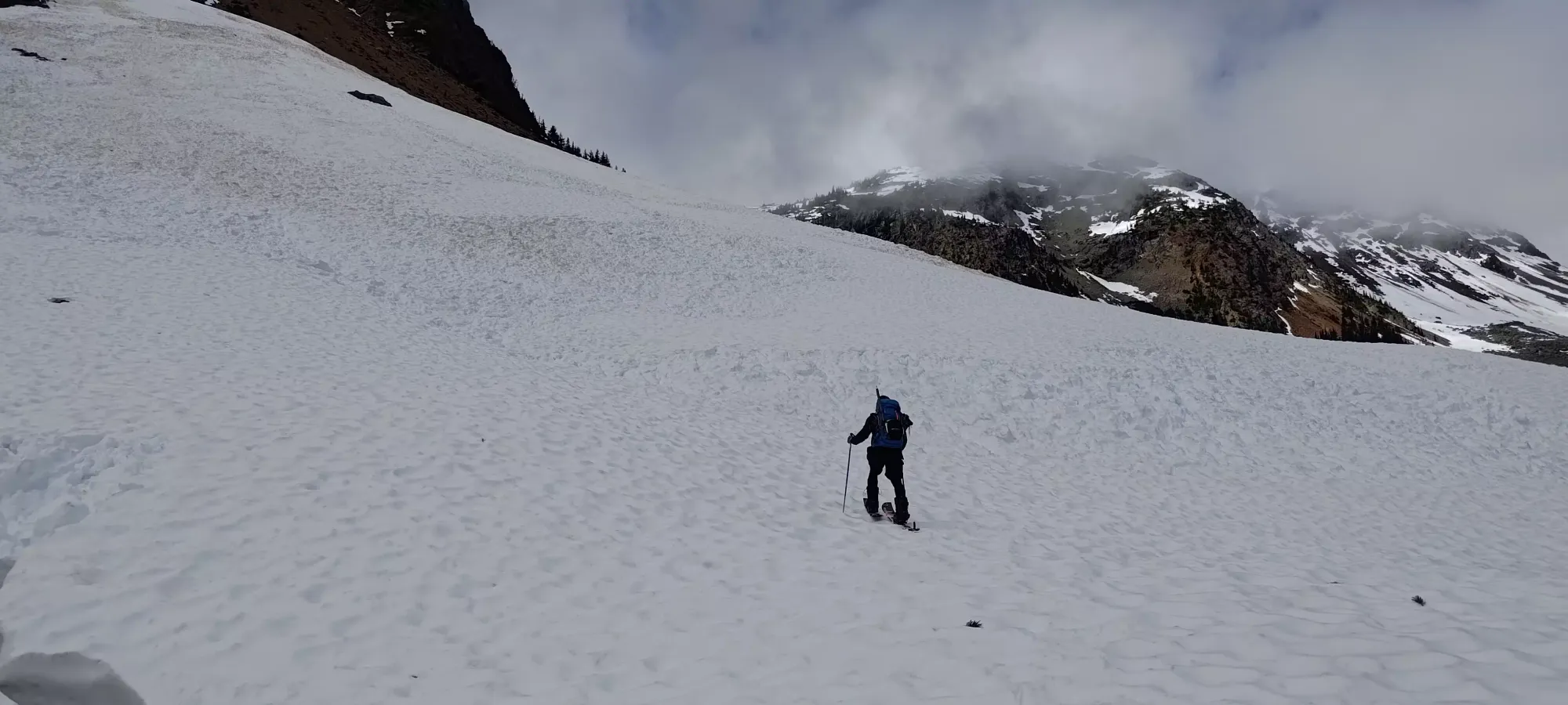
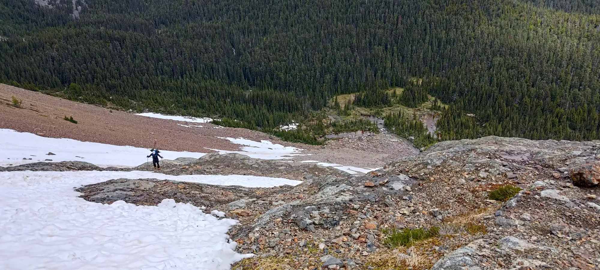
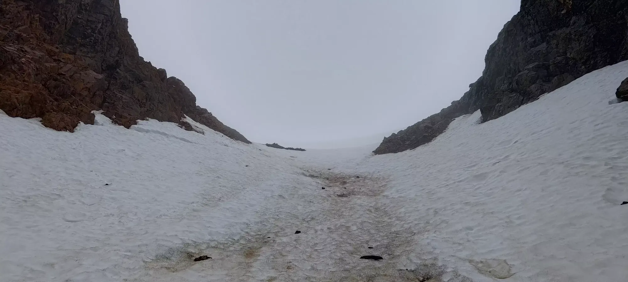
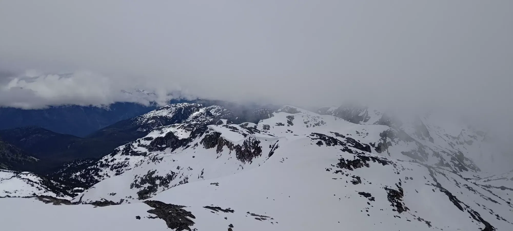
The skinning was steep but doable, though Tanveer did struggle a bit (he's still working out the kinks in steep and/or sidehill-y skinning, but that's what short days like this are for). We contoured up to climber's right, which got us to a small rocky outcropping which we scrambled over (just a couple metres), then put our skins back on to approach the summit block. If one is comfortable with steeper skinning, going directly up following the snowy ridge to the base of the summit block would work a bit better as you'd not have to remove skis at all.
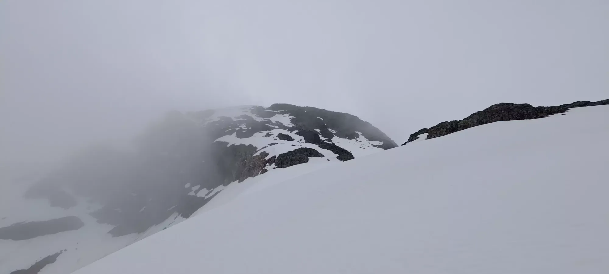
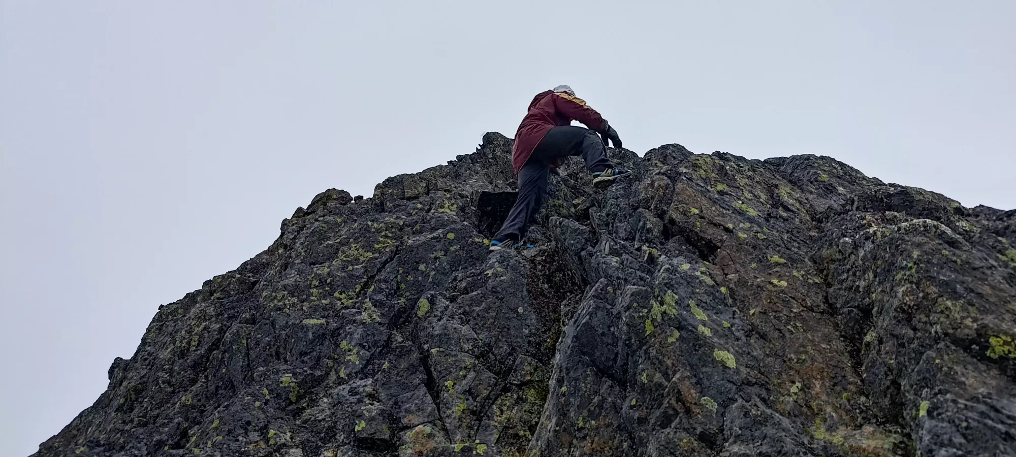
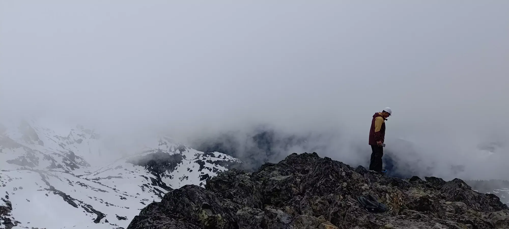
We skinned ahead towards the summit block and contoured up and to the right until we ran out of snow, which didn't happen until just a couple minutes below the summit 🙂 Tanveer swapped to his shoes here, among a few other things, so we took a decent break here before starting the short scramble to the top. I decided to keep my ski boots on for the challenge, but brought my pack just in case I'd need my trusty loafers I used for the approach.
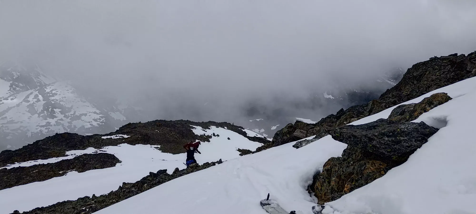
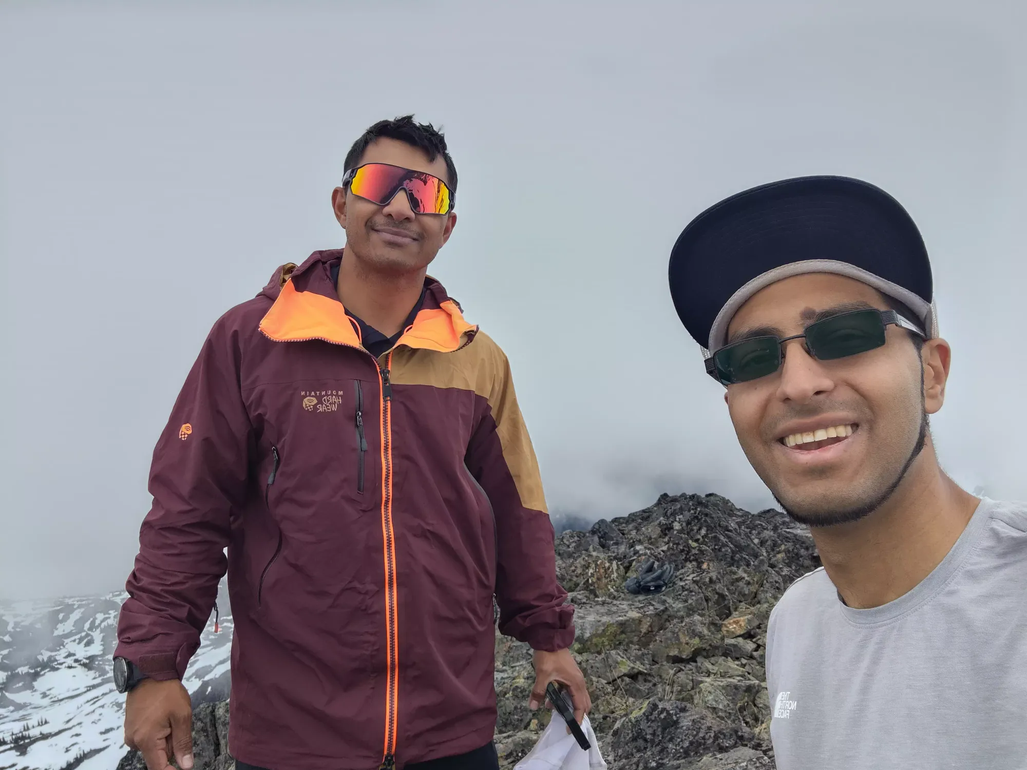
The scramble was quite simple, with good holds and especially good footholds, large enough to be comfortable in ski boots, I was never concerned about my footing. In a few short minutes, we were on top, soaking in the partially cloudy views 😅
After summiting, we scrambled back down and got ourselves geared up to ski/board down. Tanveer had some lunch and had to swap back into his boots so we didn't get moving until just after 3pm. Sadly my GoPro died in my bag, so I don't have any personal footage, but the benefit of going with friends is Tanveer got a clip or two of me!
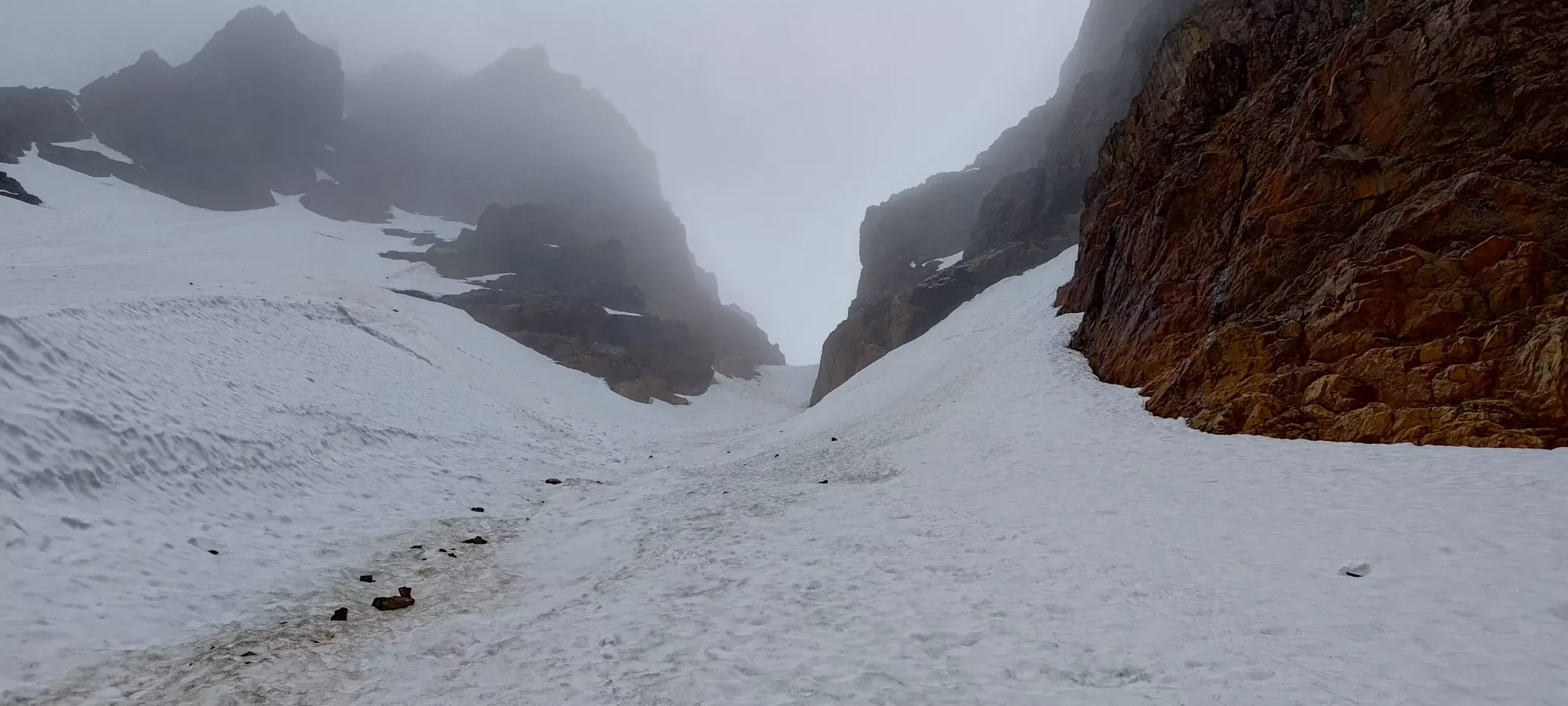
The skiing was quite wet and sloppy, as expected. It was, however, still skiing, and way more fun than walking down! We had enjoyable turns down to the choke of the couloir, where we had to go slow and 1-at-a-time to avoid sluffing into each other, and to ensure we could avoid all the rocks that had funnelled into it (or at least, avoid the big ones 🙃).
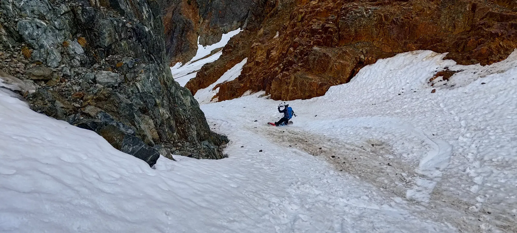
Tanveer's POV of part of the ski down towards the choke
Once we were out of the choke, we had a good balance of fun, easy turns, and rock-dodging as we had to cross the centre of the couloir to get to the cleaner patches. I'd say there was still more good than bad, and my skis managed to not get worse (not that I started with them in particularly good shape), so I count that as a win 😄
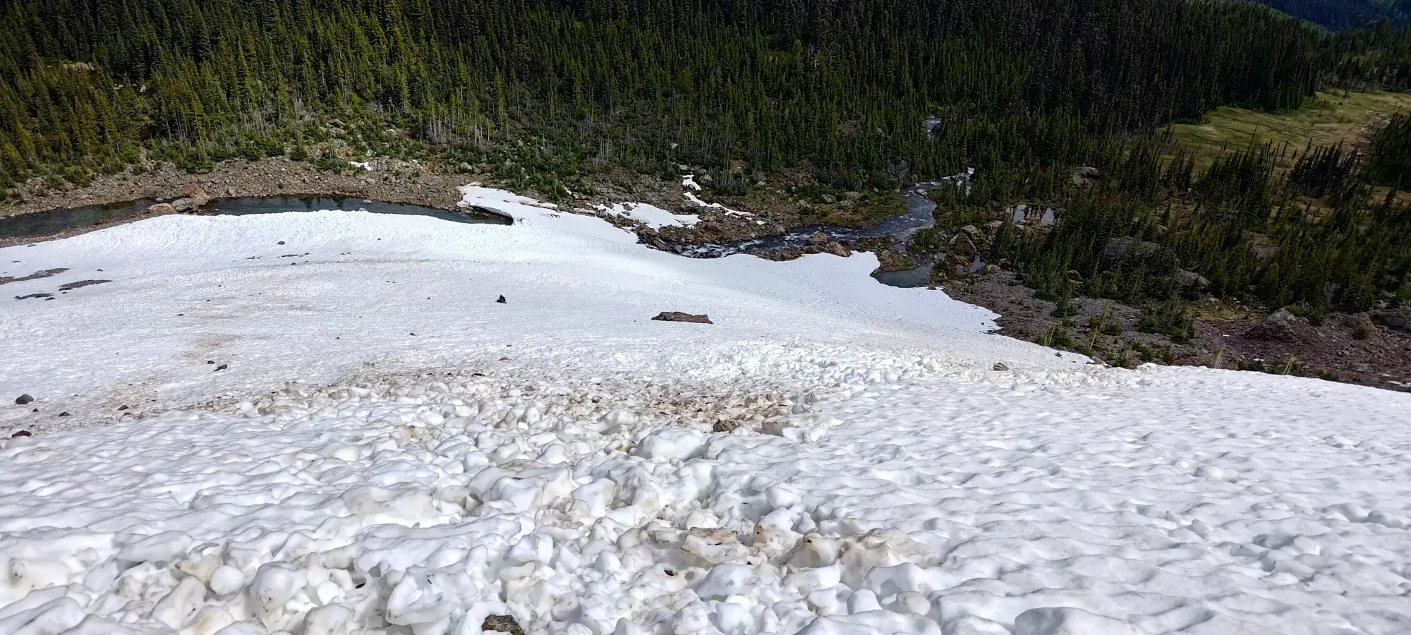
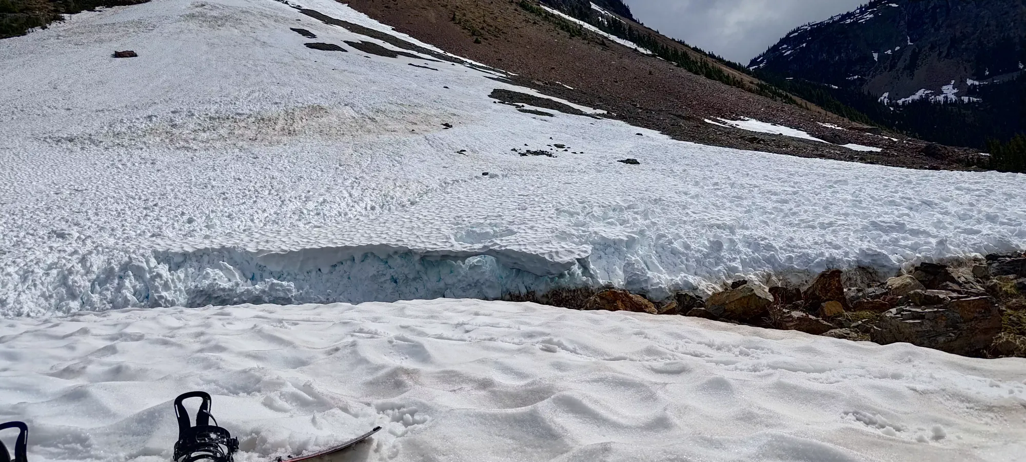
In the lower part of the run, we got a bit too far to skier's left chasing good snow, and had to take our skis off for a minute to get across some rocks so we could ski over to our planned exit. Since we had a bit of an interesting time getting to the base of the line on the way in, we planned to take the snow bridge we saw on our way up, so we oriented ourselves with that, then resumed our descent.
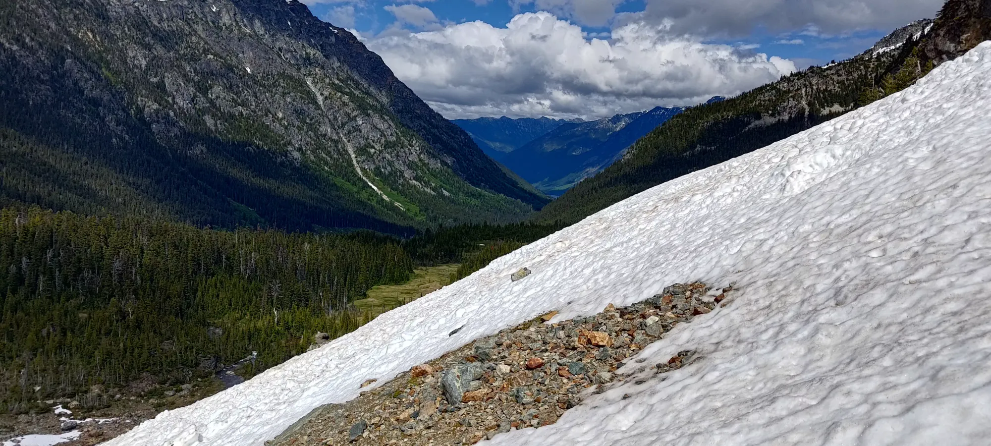
The lower part shown above wasn't quite as nice, with firmer sun cups and more debris from the big rockfall we saw on the way up, but it was still enjoyable enough. Plus, I got to send Tanveer across the bridge first to see how much speed would be needed, so I got to the end of the snow without walking 😆
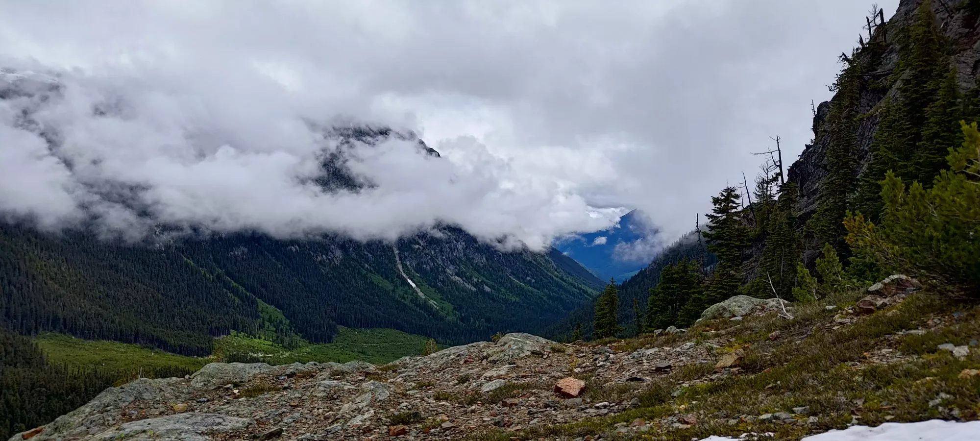
After the about half-hour descent taking things pretty slow+chill, we swapped back into our hiking gear. Sadly, the bugs also returned, which wasn't the most enjoyable thing, but at least we weren't far from the car, just over 1km. 10 minutes after taking our skis off, we were ready to hike out. We followed flagging for almost the entire way back, and that resulted in a much easier time getting back than getting to the line in the morning. We had 1 section near the creek where the flags disappeared, and we had to bushwhack, as well as losing the flags in the cutblock, but overall it was much easier travel, and I'd stick much closer to our downtrack if you're using our track as a reference. Interestingly, it took us longer than the way in, but that was probably just a factor of urgency.
Overall, I'd classify this as a pretty great day for a late June ski trip. Not too much approach, continuous snow, and a p600 to go with a fun little couloir! I would say this is a great trip once the road is melted enough for you to consider the stats reasonable (or I guess if you have a sled and don't care).
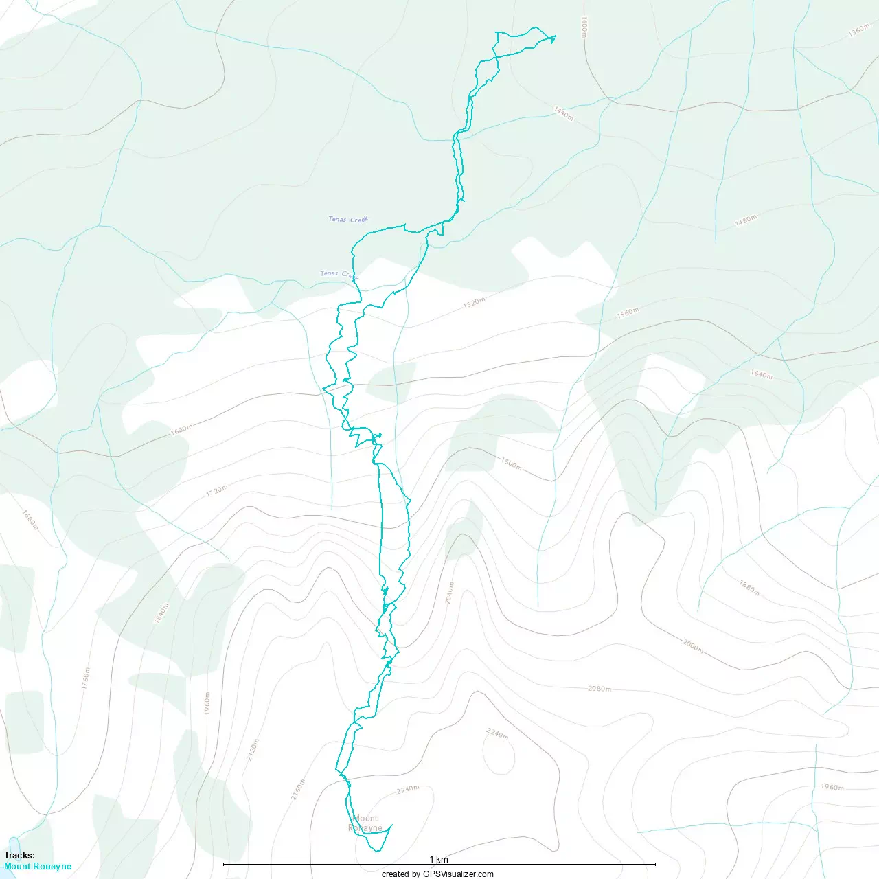
GPX Track + Map