Mount Riddell and Mount Rabbitt - June 24 2023
A couple trash peaks in Tulameen to start a day of dumpster diving
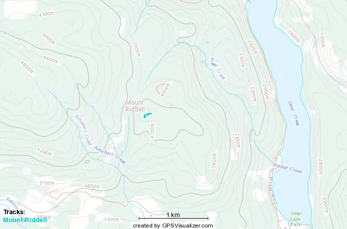
Mount Riddell
Mount Thynne Area, Tulameen, BC
1261m
With some bad weather systems coming into most of the lower mainland, I once again was forced to expand my search for dry peaks that were still injury-friendly, and after some scouring, I decided on the Tulameen area. There's a ton of peaks around, and many have forest roads/trails going up at least a lot of the way, so it seemed like a good place to get some "good value for the gas". I asked around if anyone wanted to join (and split the aforementioned gas costs), and Ling, a fellow peakbagger, joined the fun.
I drove down from Squamish and we met up at about 8:30, and carpooled out to Tulameen. We stopped for gas in Princeton en-route since, well, it's quite far, and we also planned to do a lot of driving. I just downloaded a bunch of data for half a dozen or so peaks in the area, as with the lack of recent beta, we figured it was inadvisable to bank on any given peak working out, so we should just have a ton of options and go wherever looked good at the time. The first place we wanted to go was Olivine Mountain, but the route we saw for it on Alltrails (which said one could drive within a few kilometres of the summt) involved driving across a river, which I was not equipped for, so we went to our next option, Riddell.
Once you drive up the mainline FSR (trivial, 2wd low clearance is enough for that), you can find the trailhead with a map for snowmobile trails in winter, and an innocuous-looking road up the mountain.
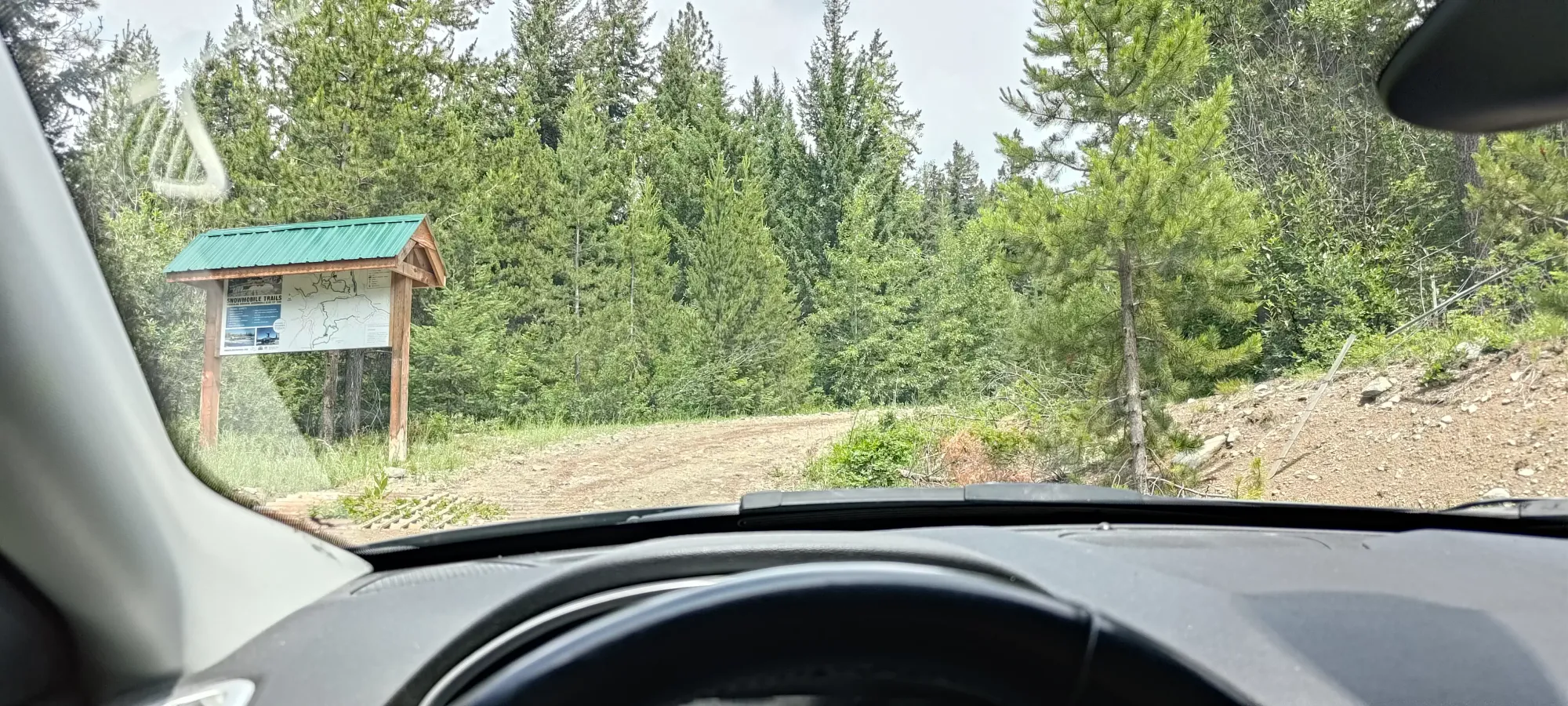
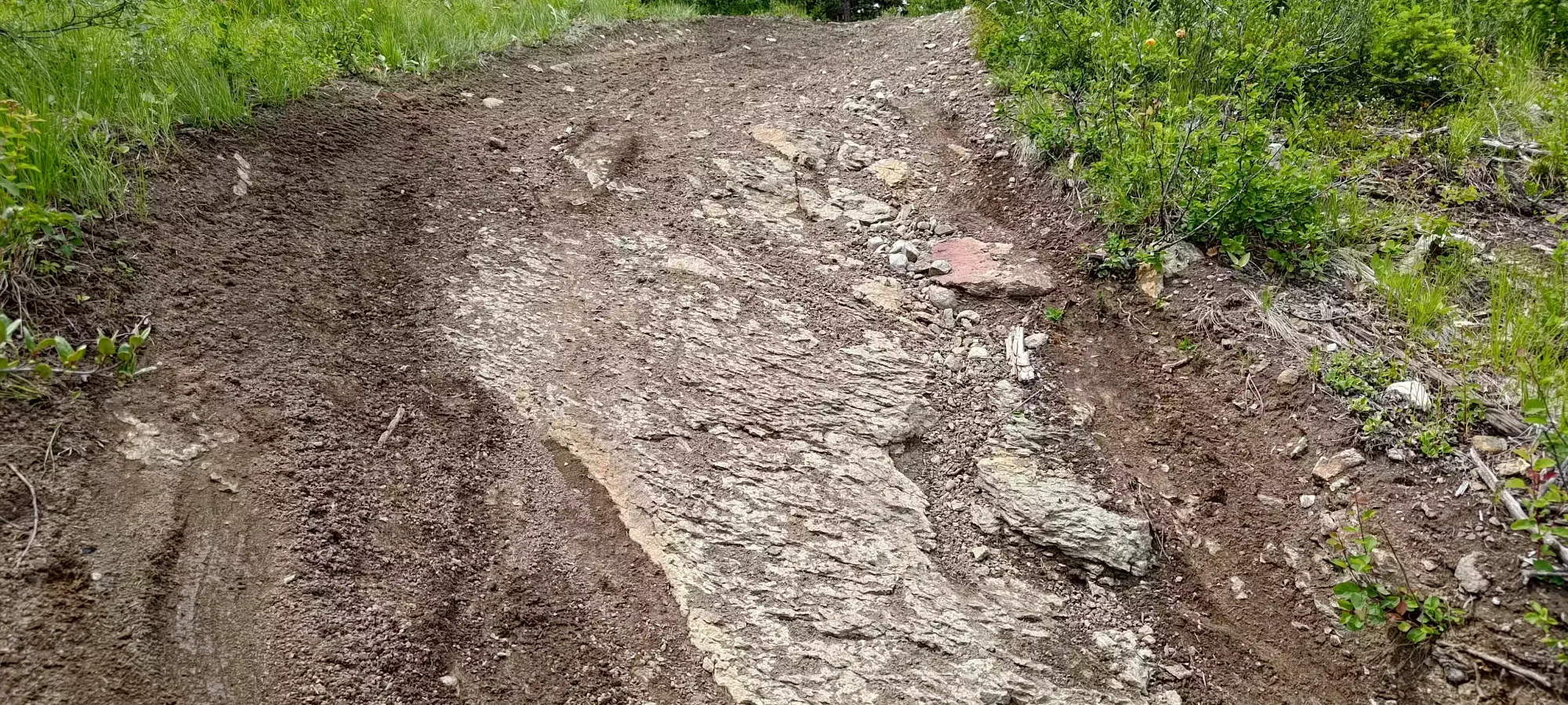
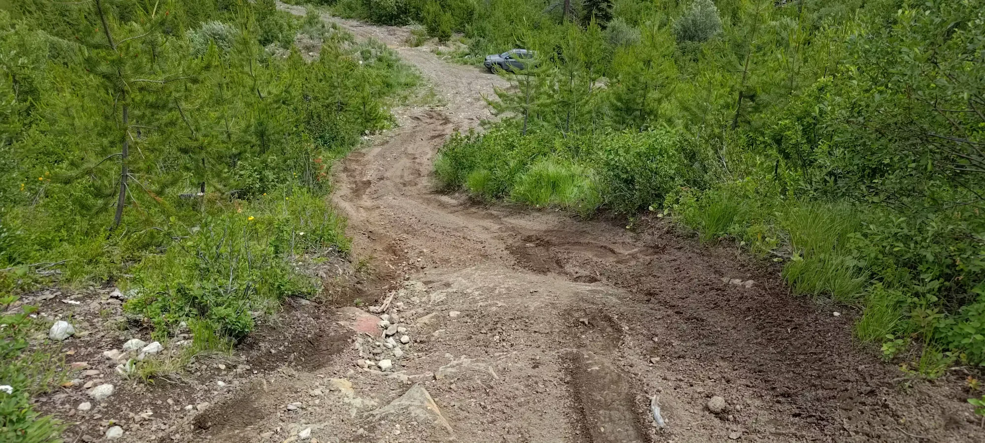
The drive up is pretty fun, with medium-sized ditches (big enough to stop a sedan, but not cheam-sized, most crossovers should be fine) and a few ruts but nothing horrible. You can tell that people like to bike here because many turns have the sides of the hill cleaned and full of tracks from people turning with speed. After about 3km of driving, we hit a fork just below the summit. The right side goes down and further north, and the left fork (seen below) goes to the top in a relatively steep manner.
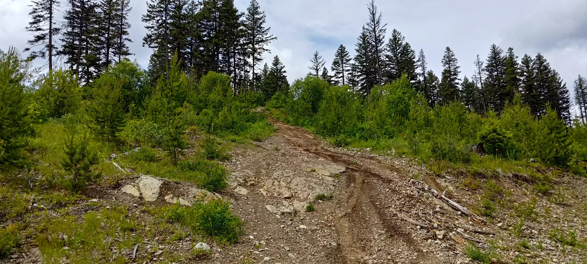
That last hill to the top is fairly difficult, though. Specifically, right before the top, there's a large exposed rock that you must drive over which while not a clearance challenge, is definitely a traction one. I tried a few times, and got my front tires over it, but just couldn't get the last couple feet to the finish line. I'm sure if I aired down I could've, but that was not worth the effort given we were basically at the summit already. So, I backed down, parked, and we walked the last stretch instead.
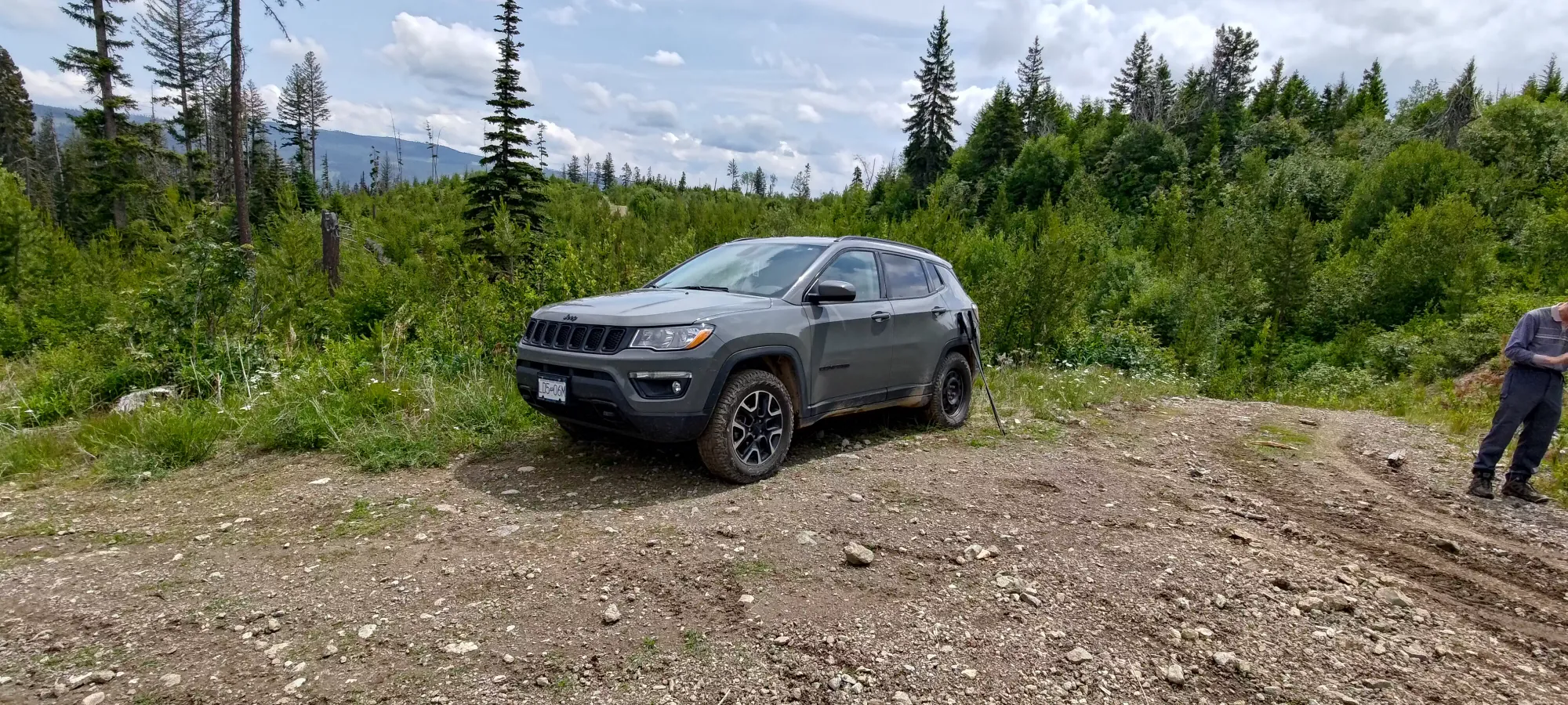
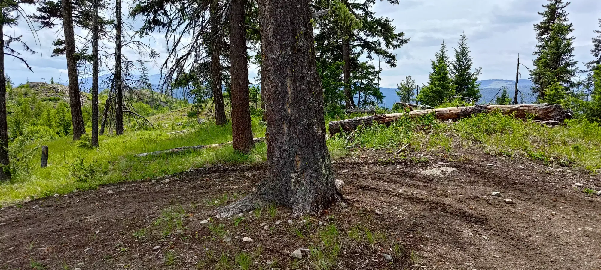
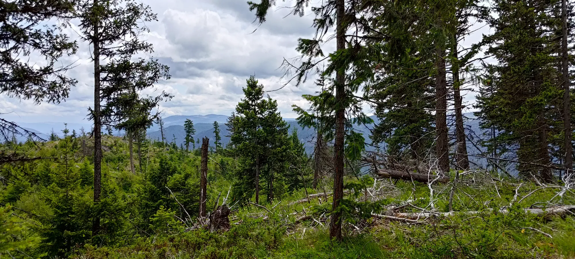
The walk up was about 2 minutes, and then another couple of light bushwhacking to get to the high point. The views were alright, but not totally uninterrupted due to trees nearby. Not a very exciting peak, but a peak nonetheless. A fun drive, if nothing else.
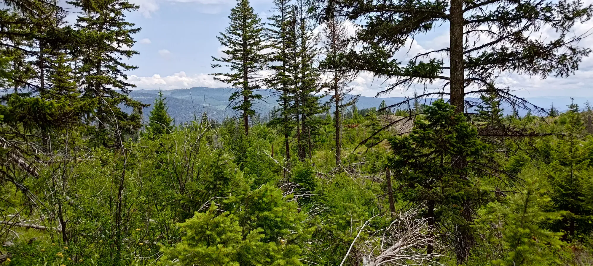
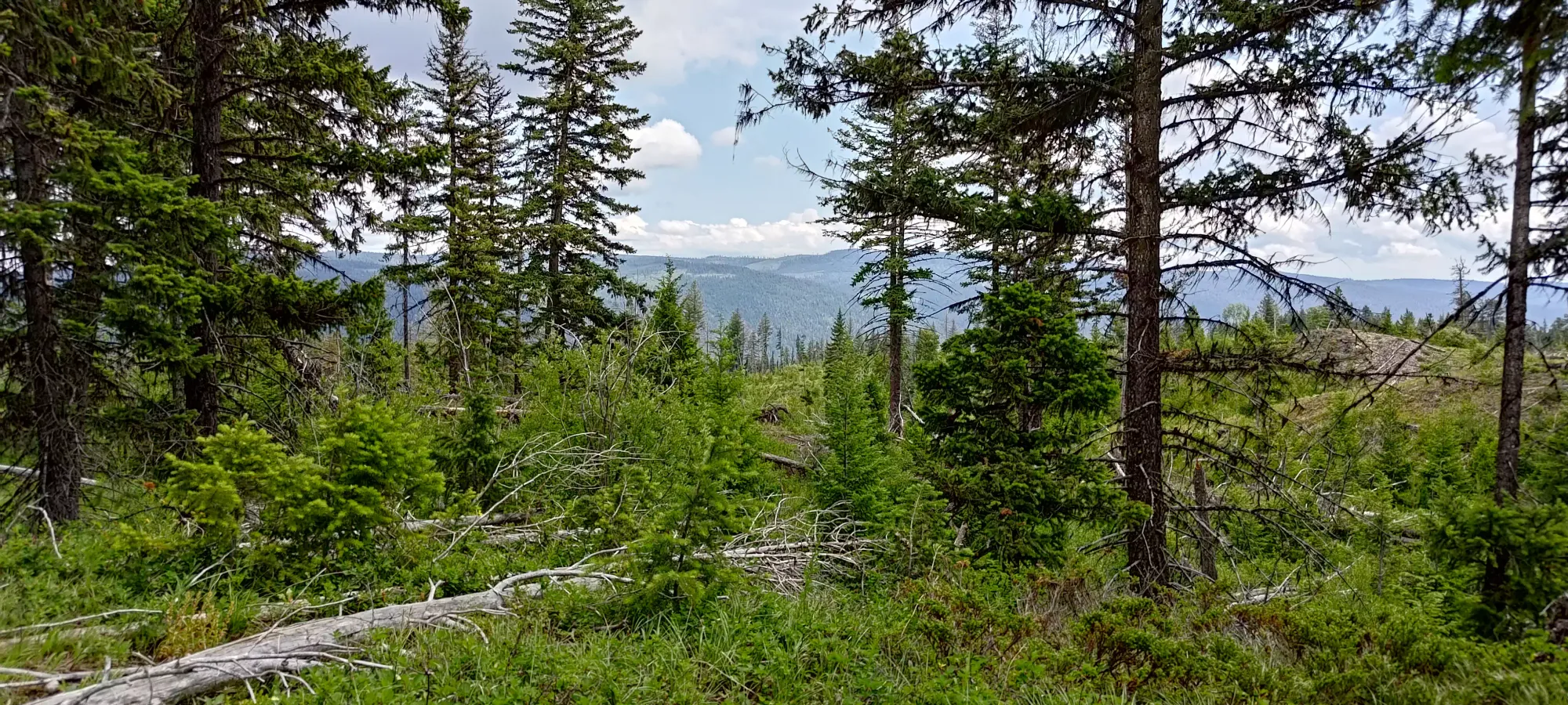
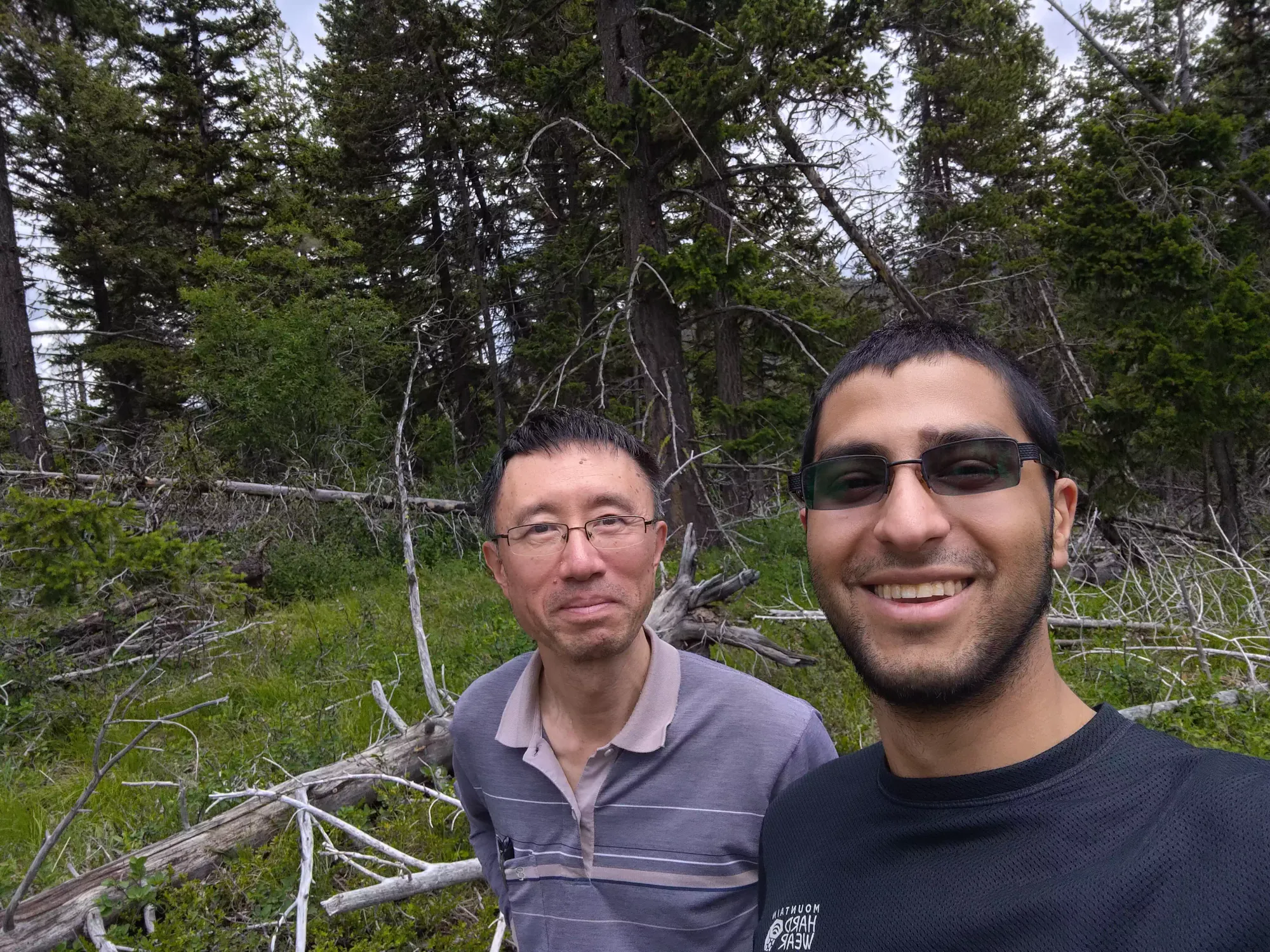
We attempted to drive the fork mentioned earlier to head north to Boulder Mountain, but unfortunately the road was more of the same slick rock, and I didn't have confidence that I could get back up if I went down, so we turned back instead, and headed to Mount Rabbitt.
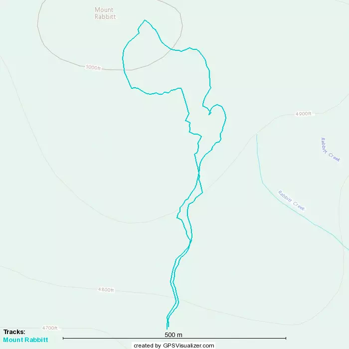
GPX Track + Map
Mount Rabbitt
Mount Thynne Area, Tulameen, BC
1530m
After leaving Riddell, we continued along the mainline road until we hit the fork we were aiming for at 1340m. However, that was basically immediately dashed by a no trespassing sign, which Ling (probably wisely) advised we heed, so we turned back onto the main road and continued up looking for another fork to follow. It wasn't going to go as high, but would hopefully not result in us getting shot, so was therefore the better choice.
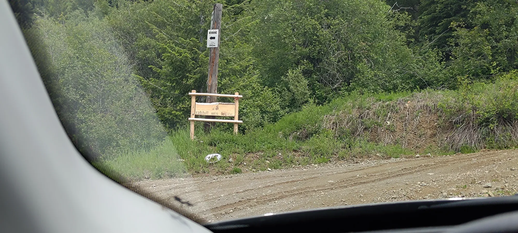
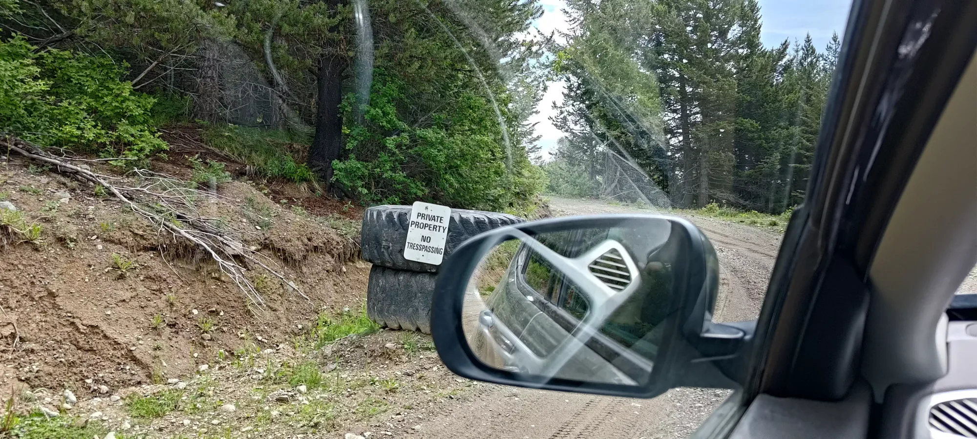
The next fork had no such signs, and brought us up to 1460m without any major obstacles (could get there with 2wd low clearance). We parked, I bothered putting my hiking shoes on this time, and we set out on the very rough-looking road ahead of us towards the top. I MAYBE could've driven it, but there were a ton of dead logs and such that'd probably need to be moved, and that would've been slower so it wasn't really worth trying.
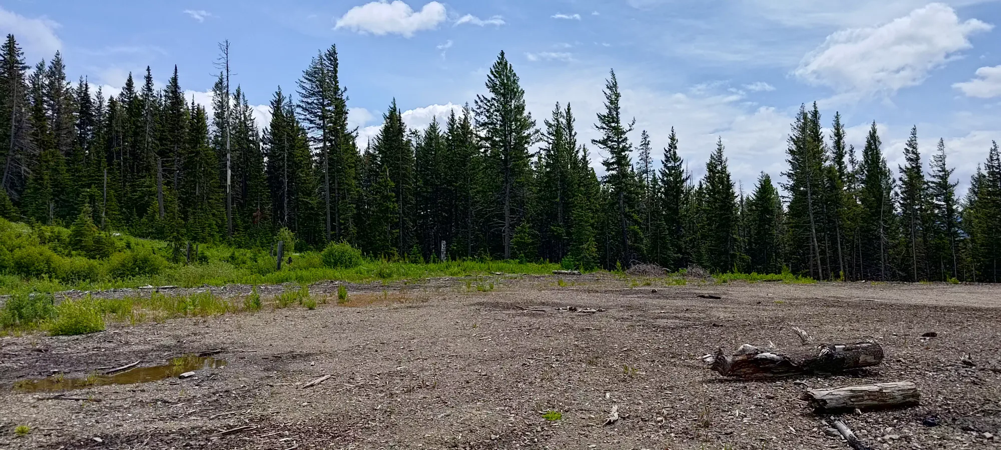
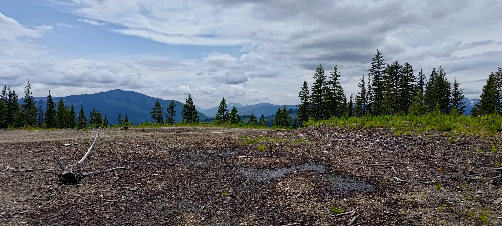
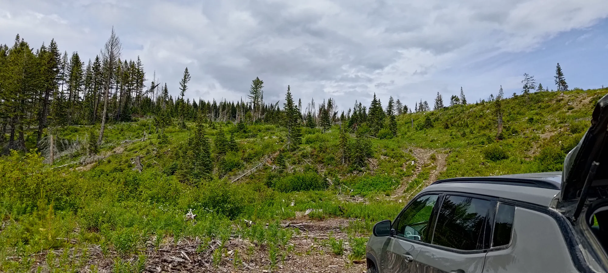
We gained about 55m in 9 minutes on this easy terrain, and then... it was no longer easy terrain. There was a long section with a ton of deadfall and dead branches to weave through before the still-alive forest, which itself had a ton of deadfall with dead branches, just with a few living ones too 🙃.
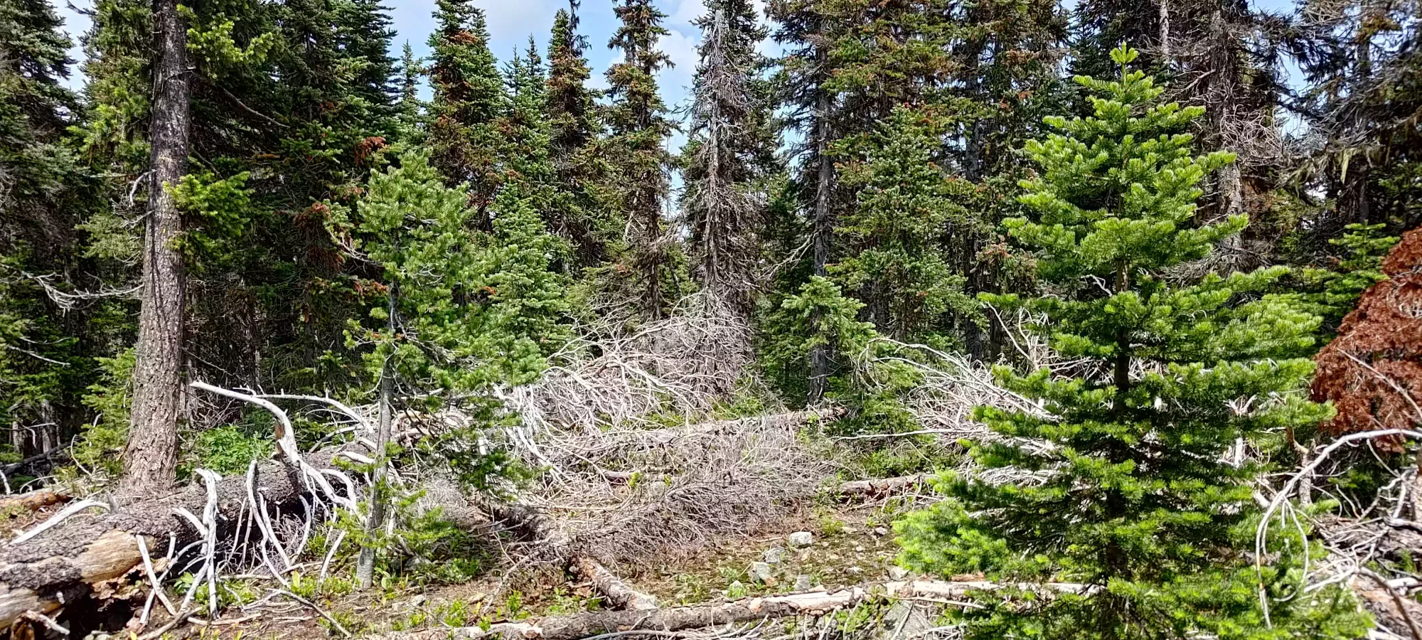
We fought through the forest for a bit over 20 minutes until we finally got to the summit. It was entirely forested, so we didn't linger much, and headed down quickly.
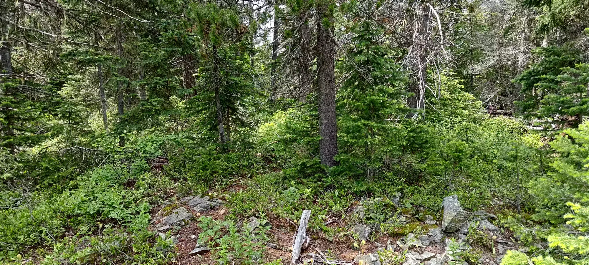
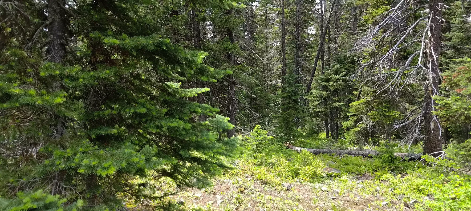
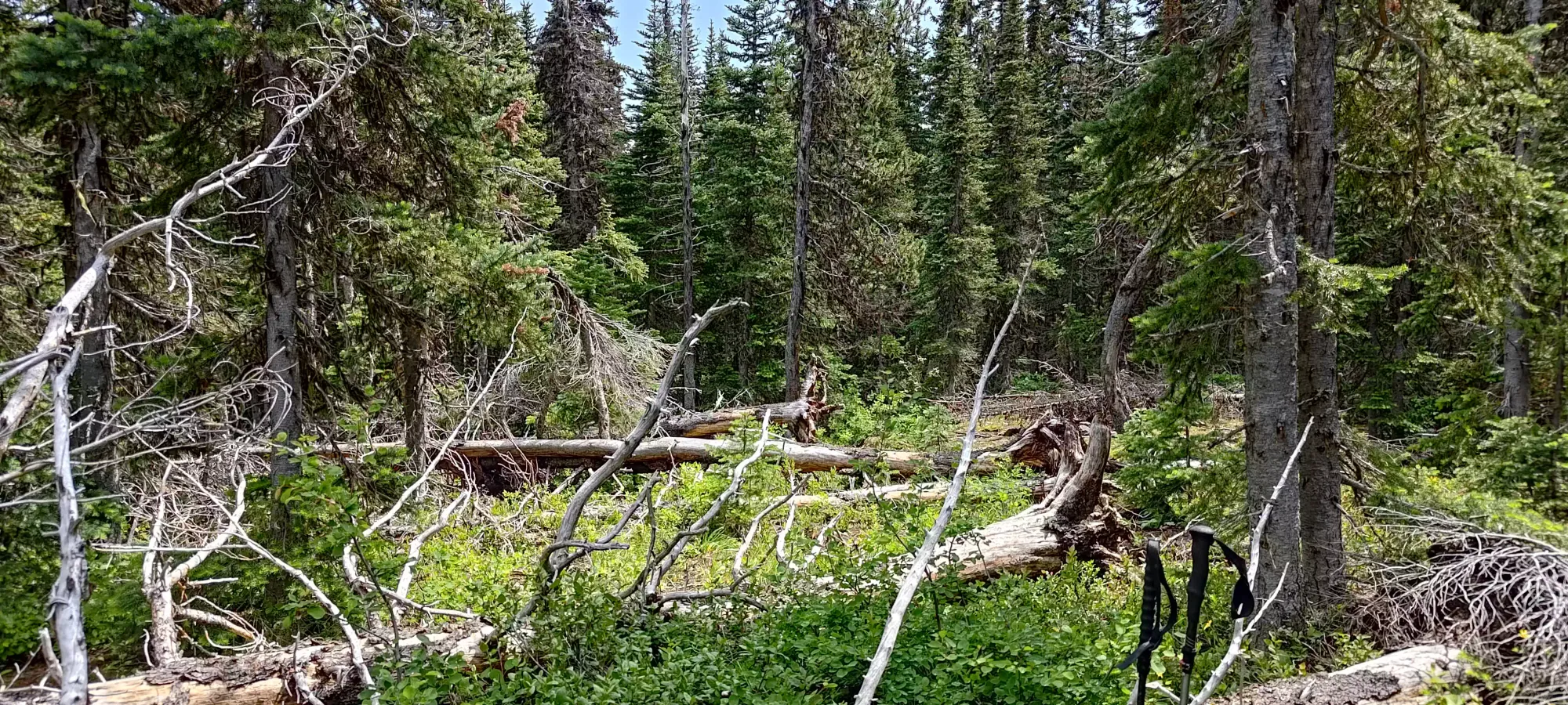
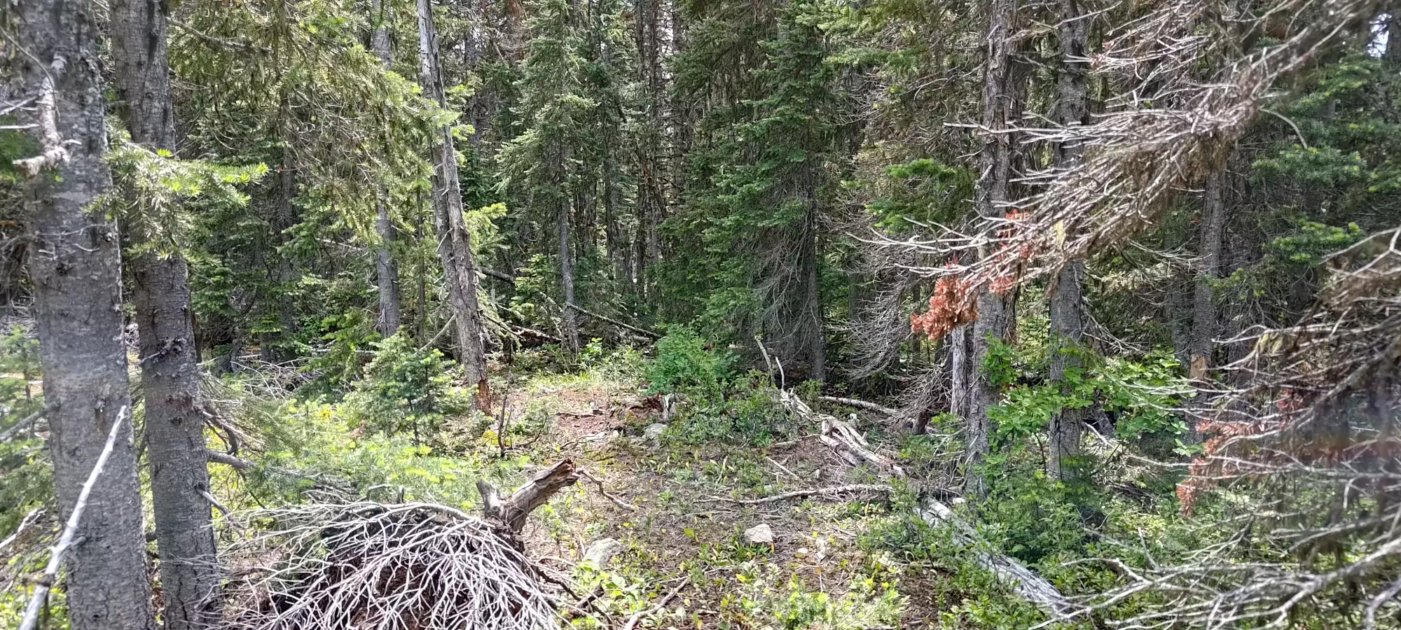
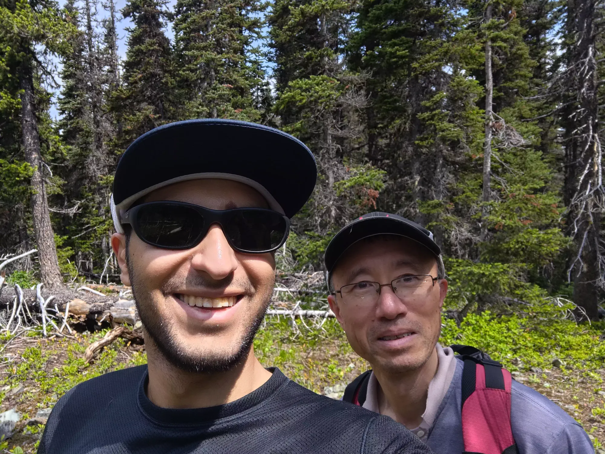
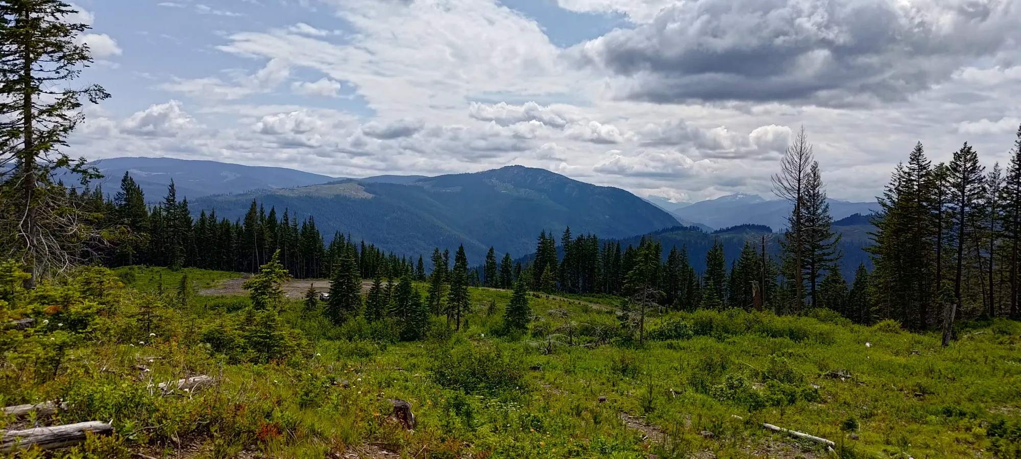
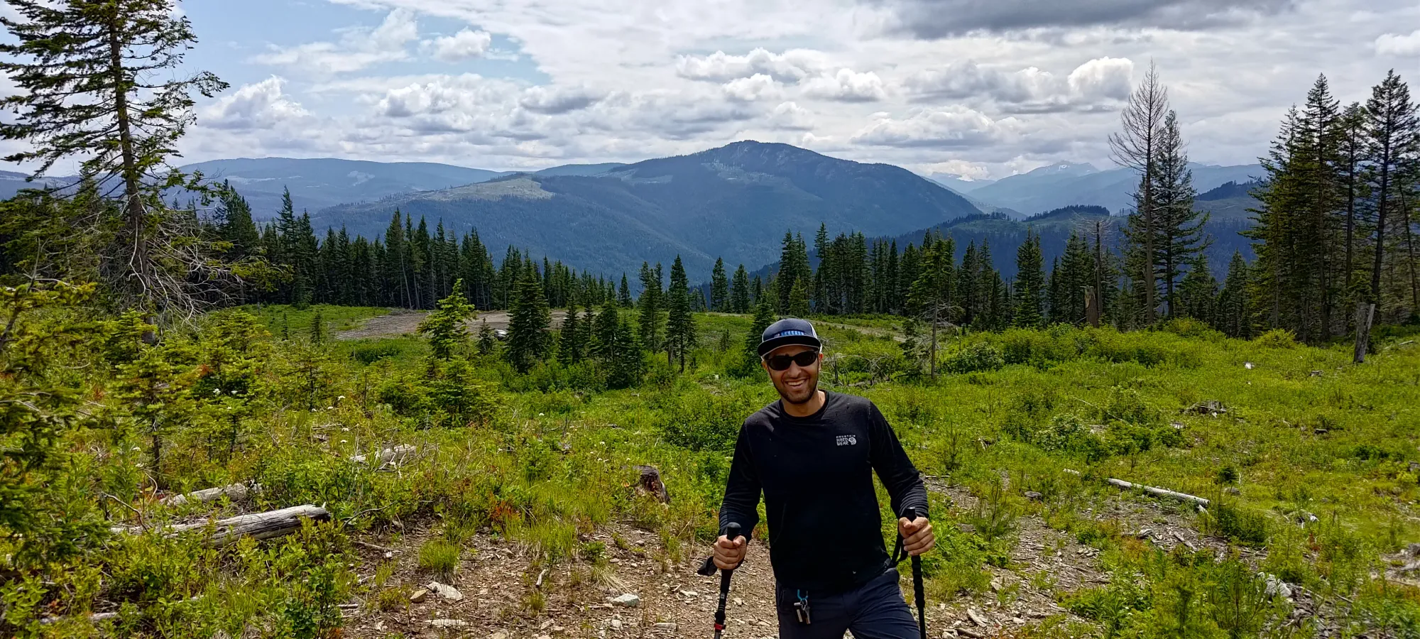
On the way down, we found a much better path, getting through the forest in about 10 minutes, and the rest in 10 more. If you plan to follow our tracks, follow the descent track, it's a far superior route. I got one photo of the view just above the car (it's always a bit sad when the views are better at the parking than the summit, but oh well), and then we headed out to do some more exploration.
GPX Track + Map
