Mount Outram - September 8 2024
A long but easy hike at the west end of Manning Park, just outside of Hope. Great views and a bite-sized scramble at the top for the (probable) true summit

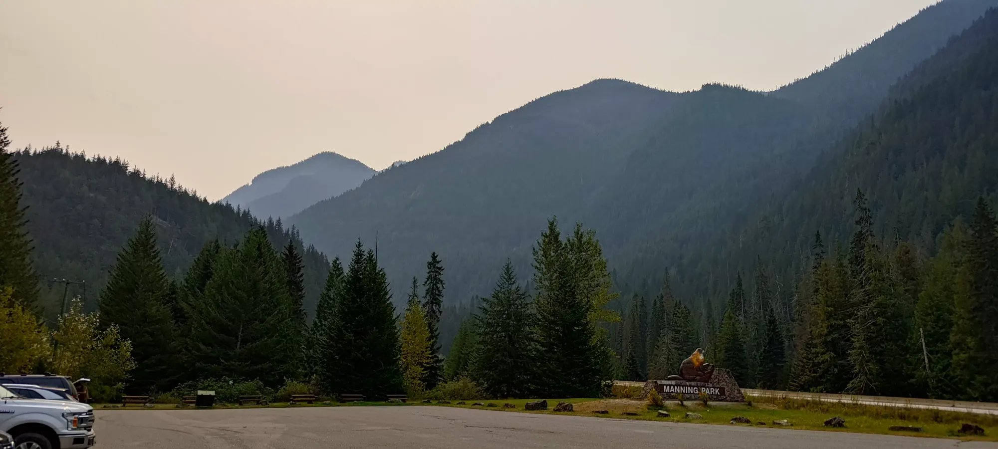
Manson Ridge, Hope, BC
2461m
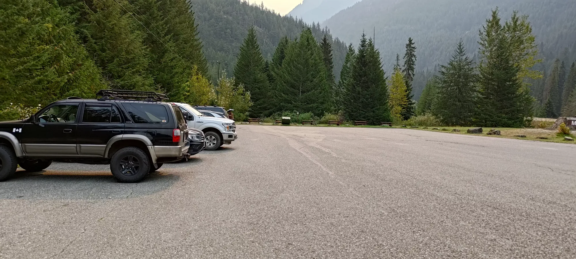
After basically spending an entire week sleeping after my Rockies trip for the Summer, which ended with a bang on Mount Cline, I took the next weekend easy. On the Saturday, I just went to hang out with family in North Van, and we were up fairly late chatting after dinner. I did crash with them, though, so I decided to take advantage on the following Sunday to get a bit further east than I normally do. Mount Outram felt like a good choice, since I was still recovering from my injured rib, so not having hard scrambling to make me reach/contort myself, or to make my heart race and breathe super hard, would be good. On the other hand, it's a pretty big day with over 1800m of elevation gain, so that was a bit of a choice 😅, but I trusted the reportedly super-good trail to help with that. So, after a late morning start, I drove myself over, and got parked for an 11:115am start.
I got hiking on what was indeed a VERY nice trail, but then quickly discovered I indeed would not be operating at 100% 😅 Breathing proved to be a bit of a challenge still, so I had to go slow enough that I wouldn't be forced to take full, laboured breaths, or my bruised rib would be quite upset. I ended up just dealing with shallow breaths, and every couple minutes hunching over to take a few deeper ones, as that position seemed to be less painful. This allowed me to move at a decent enough clip, if perhaps not quite as efficiently as when I am down to "my usual injuries".
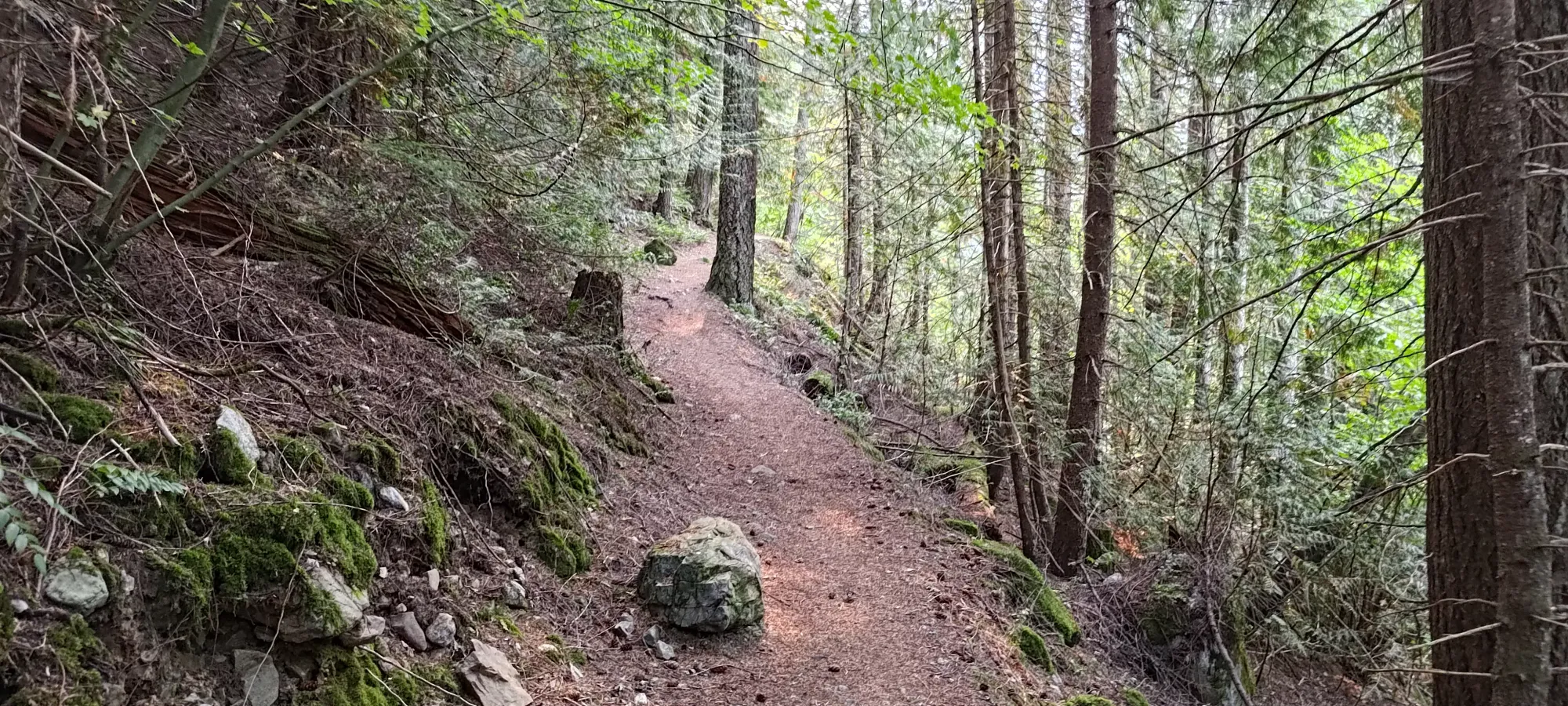
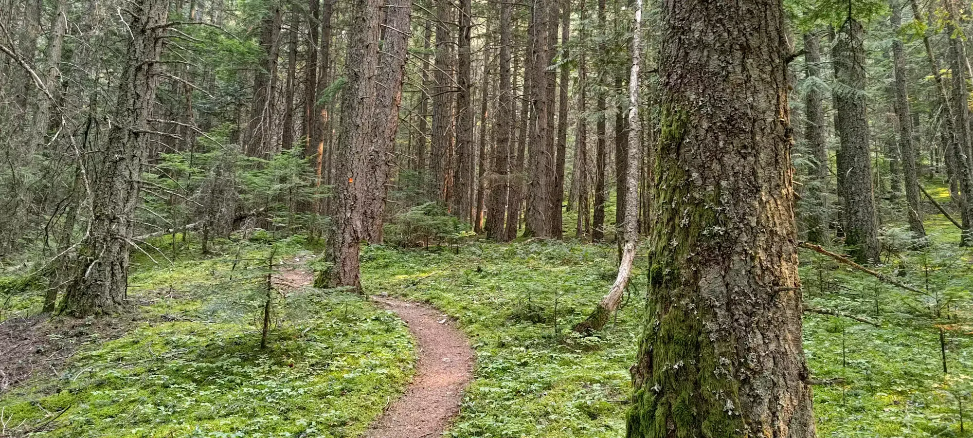
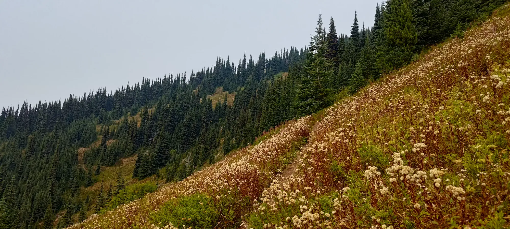
Honestly, the whole trail was just so good (super evenly graded, very few roots and rocks), if I was physically capable of running, I'd have tried it. As things stood, it just meant I got into the zone, cranked the music, and just ground out kilometres without stopping for much. I took my first break at 1:50 into the day, at what I estimated to be the halfway point, the crossing of Seventeen Mile Creek, at about 1540m elevation. That was just under 900m of gain into the day, so about half. A bit more than half the distance up, since the upper mountain is steeper, but I almost always measure completion using elevation.
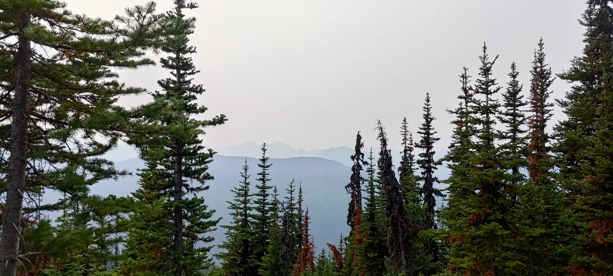
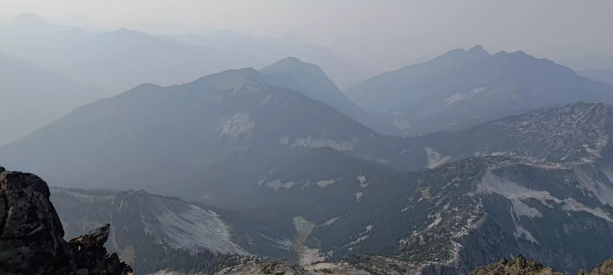
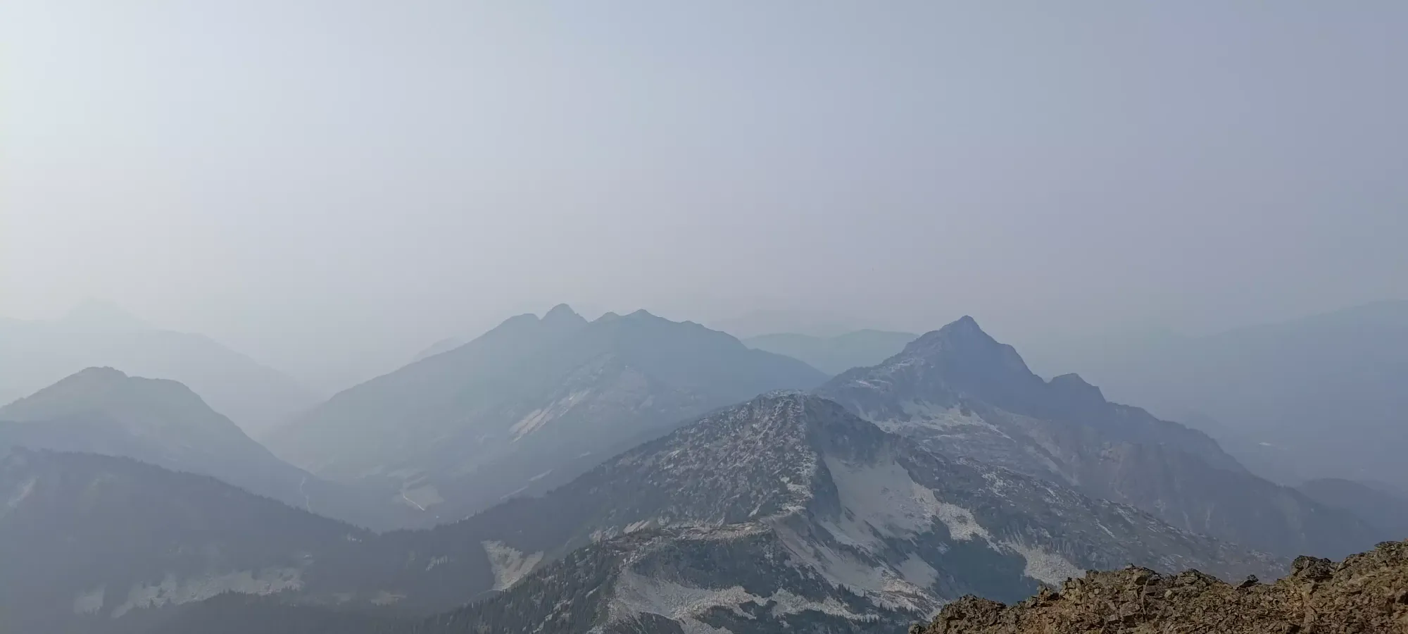
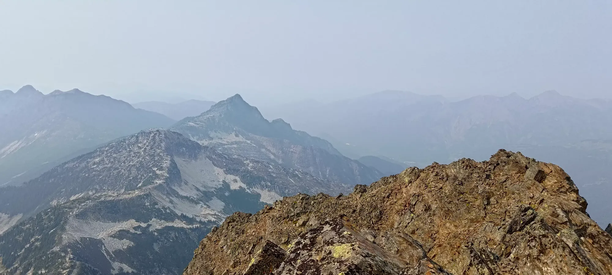
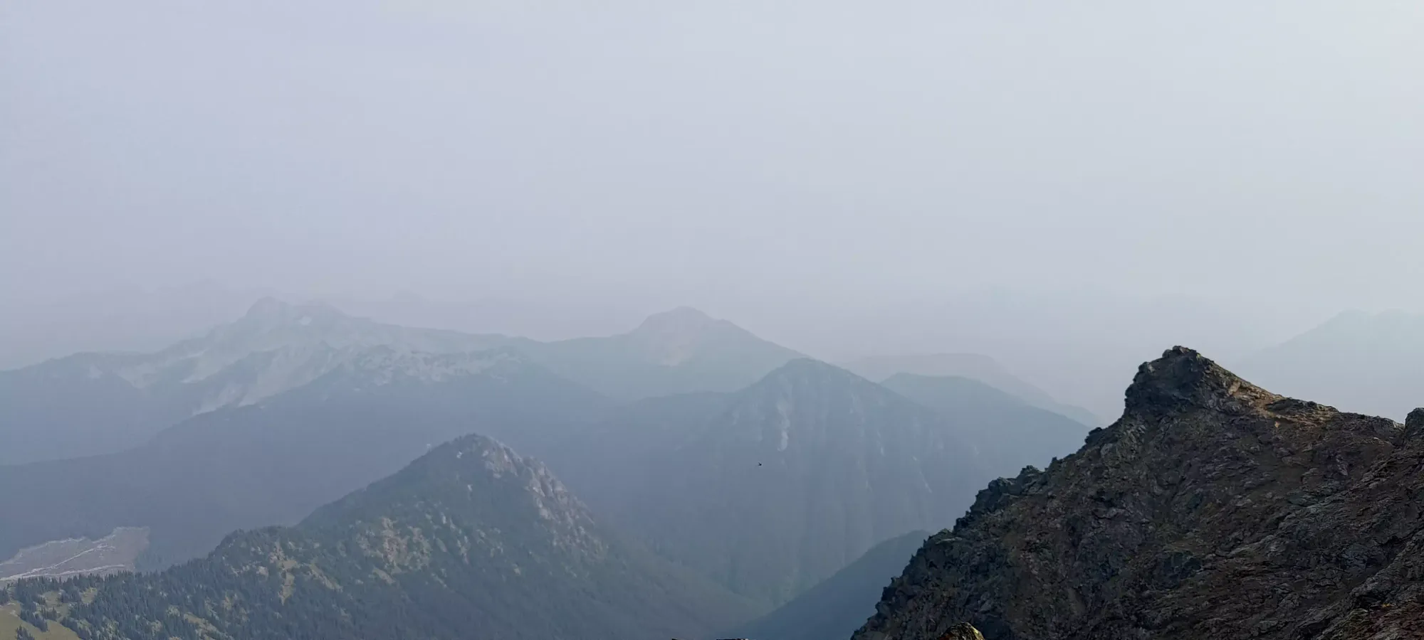
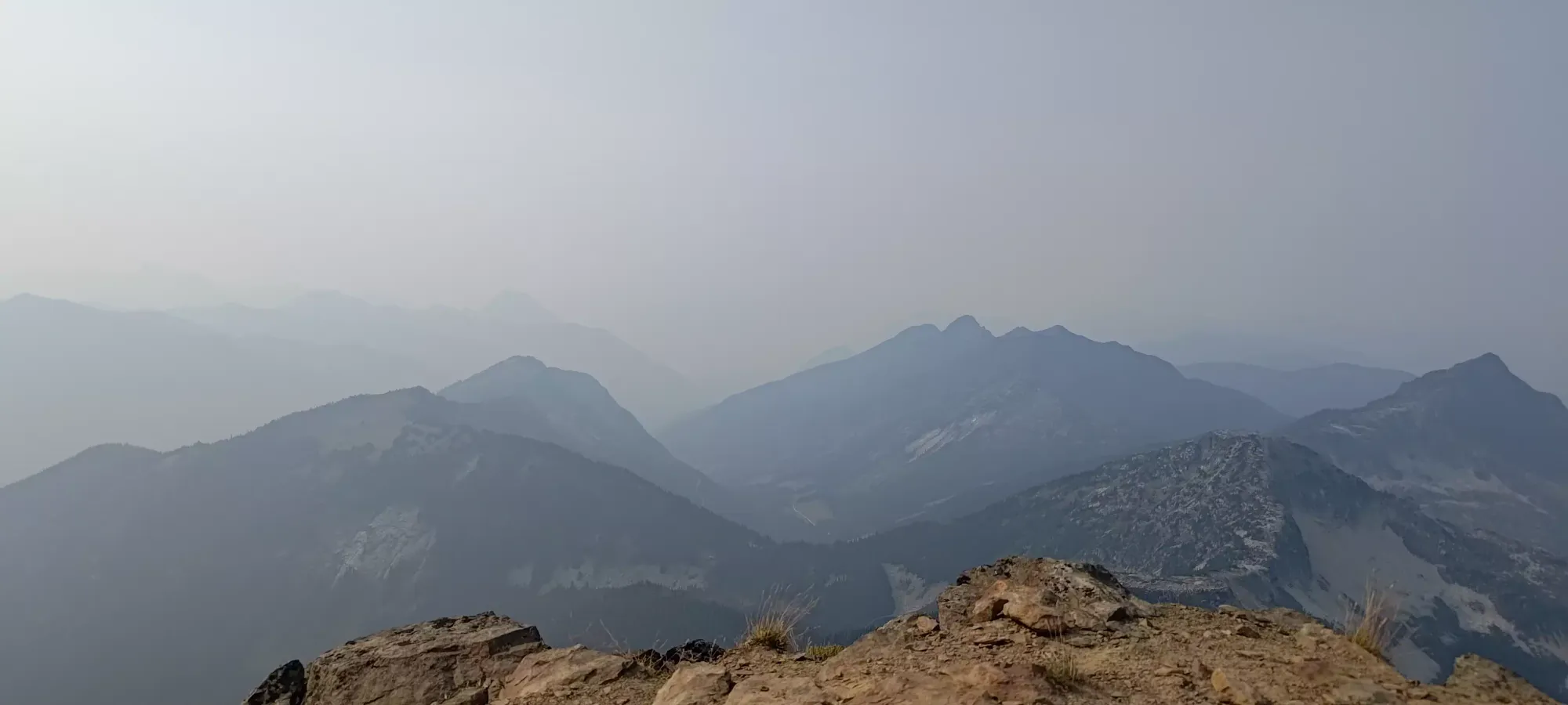
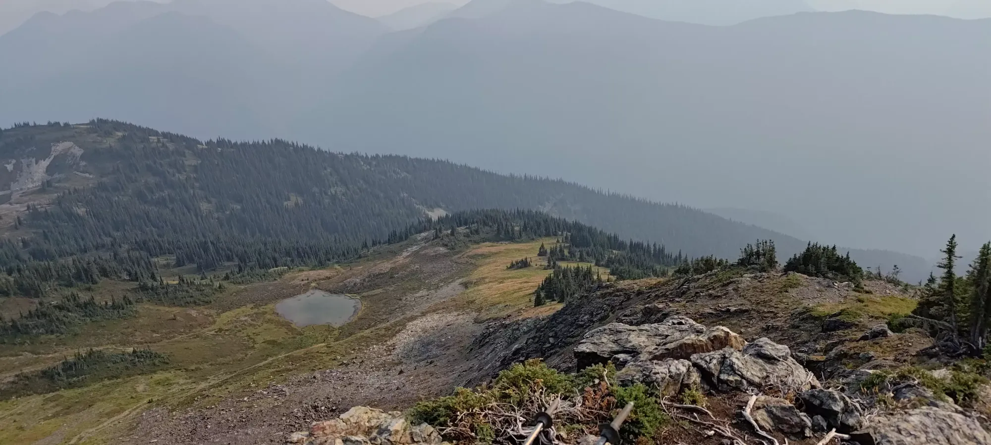
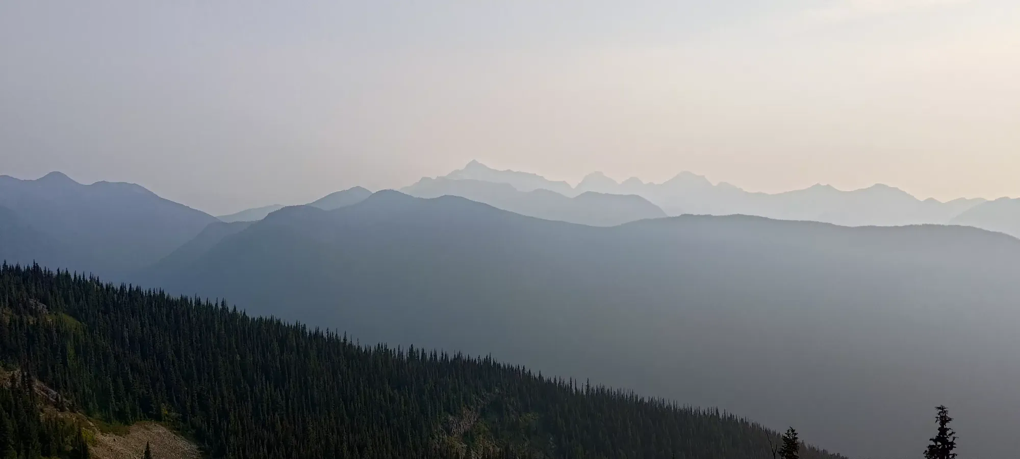
After a nice 10-minute break, I continued on, hoping to break out of the forest before my next one. I did not last nearly as long between rest periods after that big first push (not a surprise given my general stamina trends), and pushed for just over 25 minutes up to about 1750m, where I got my first "view" of the day. I'm sure without smoky skies (it was thick enough even I, a born-and-raised Torontonian, could smell it) it's quite pretty, but for me, it was just a vague skyline. Still, it was a sign of fewer trees and closer peaks, so I was happy enough. This time I only stopped for a couple minutes, since it hadn't been super long after the previous break.
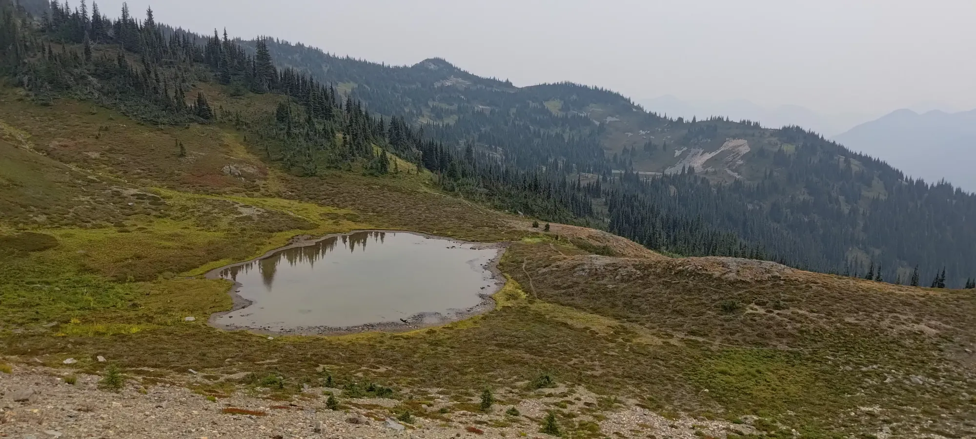
Another 20 minutes brought me through some meadows to a small camping site, right around 1900m. I took another decent break at this spot, since it was nice and flat, and, well, I was tired 😅 That brought me to 3 hours into the day, so not quite on pace to summit in 4 hours (which I'd seen some people have done), but still fast enough that I should've been able to get down in the daylight, which was a stretch goal of the day, given my late start and the decent amount of elevation gain to tackle.
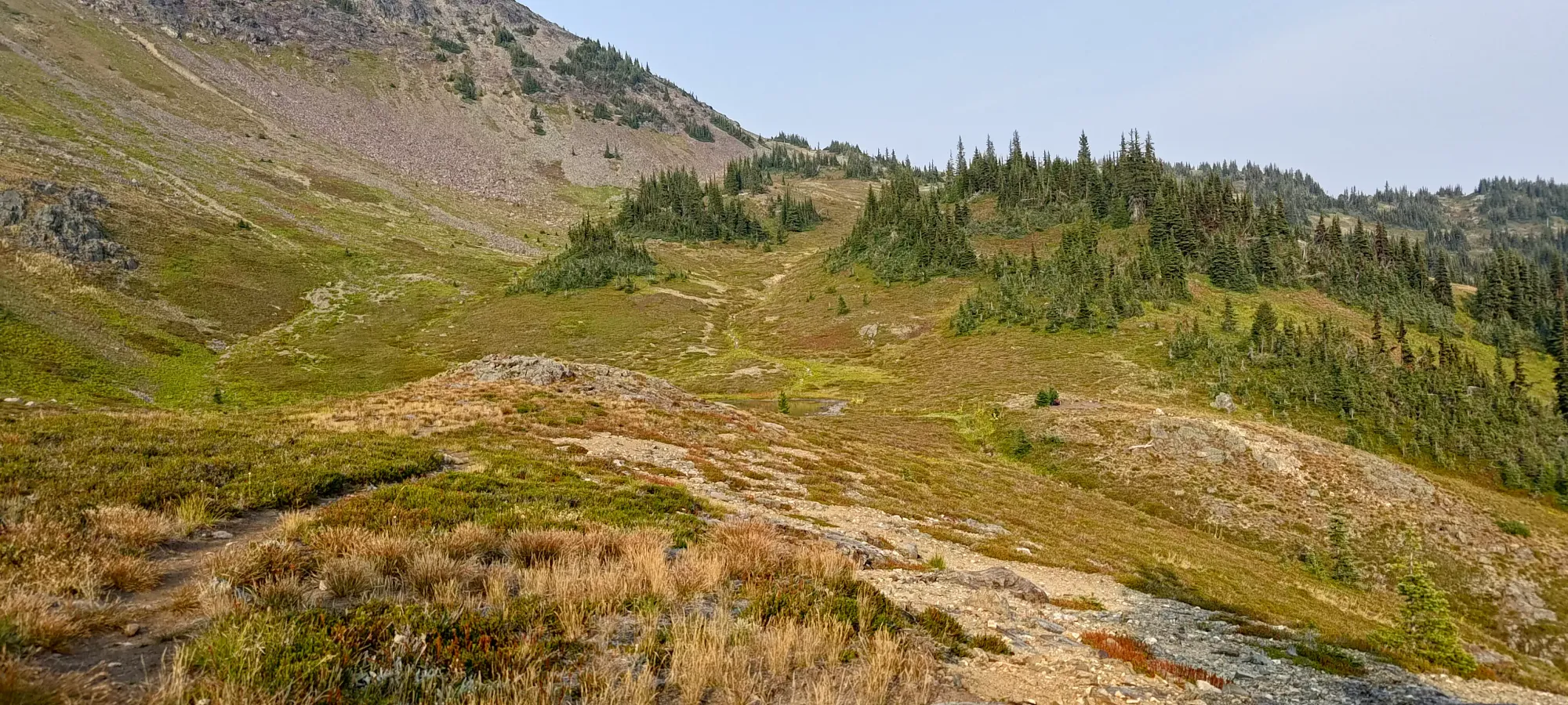
Not long after I got moving again, I finally got to the hill beside the small lake (it was dirty enough to be more of a pond, though), and encountered my first and only other people of the day on-trail, a party of 6 trail runners! I chatted with the 2 in the front of the group, who'd descended to that point ahead of the others, and we talked for about 5 minutes before the rest of their party joined up, and I got moving again. It was surprising that so few people were out, but I guess the smoke kept people away? Otherwise with such a good trail, easy access, and nice views, this should be way busier.
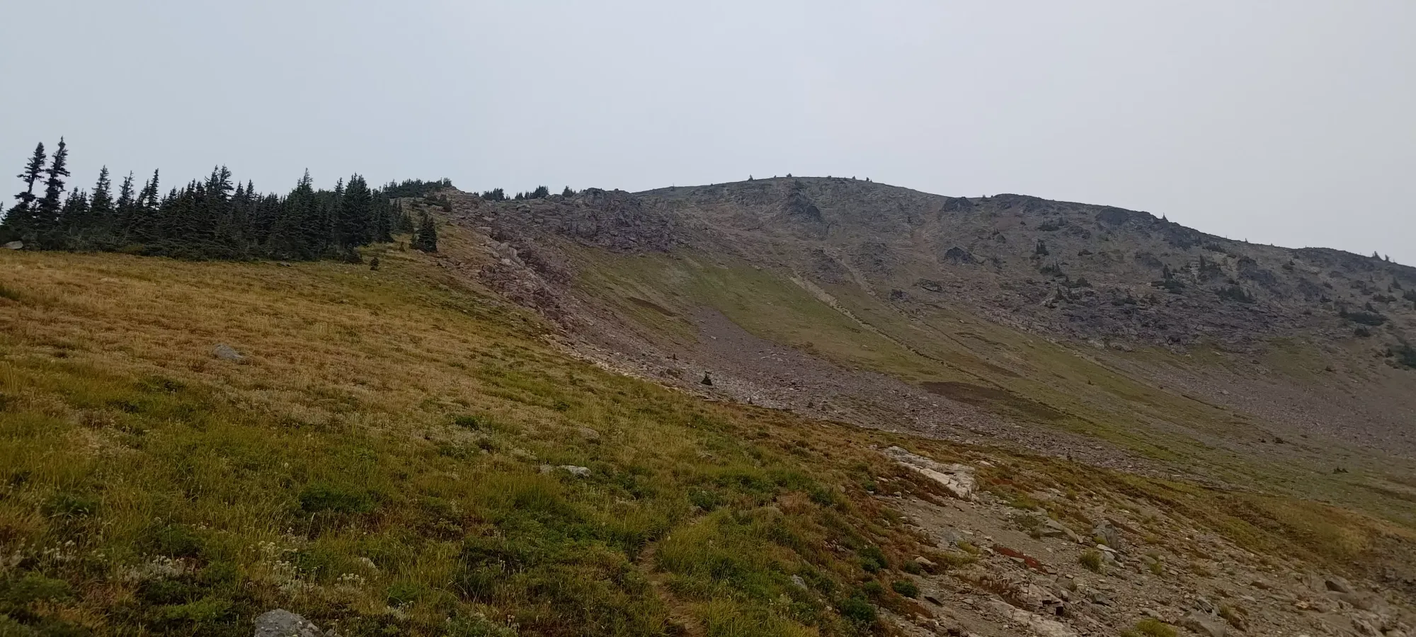
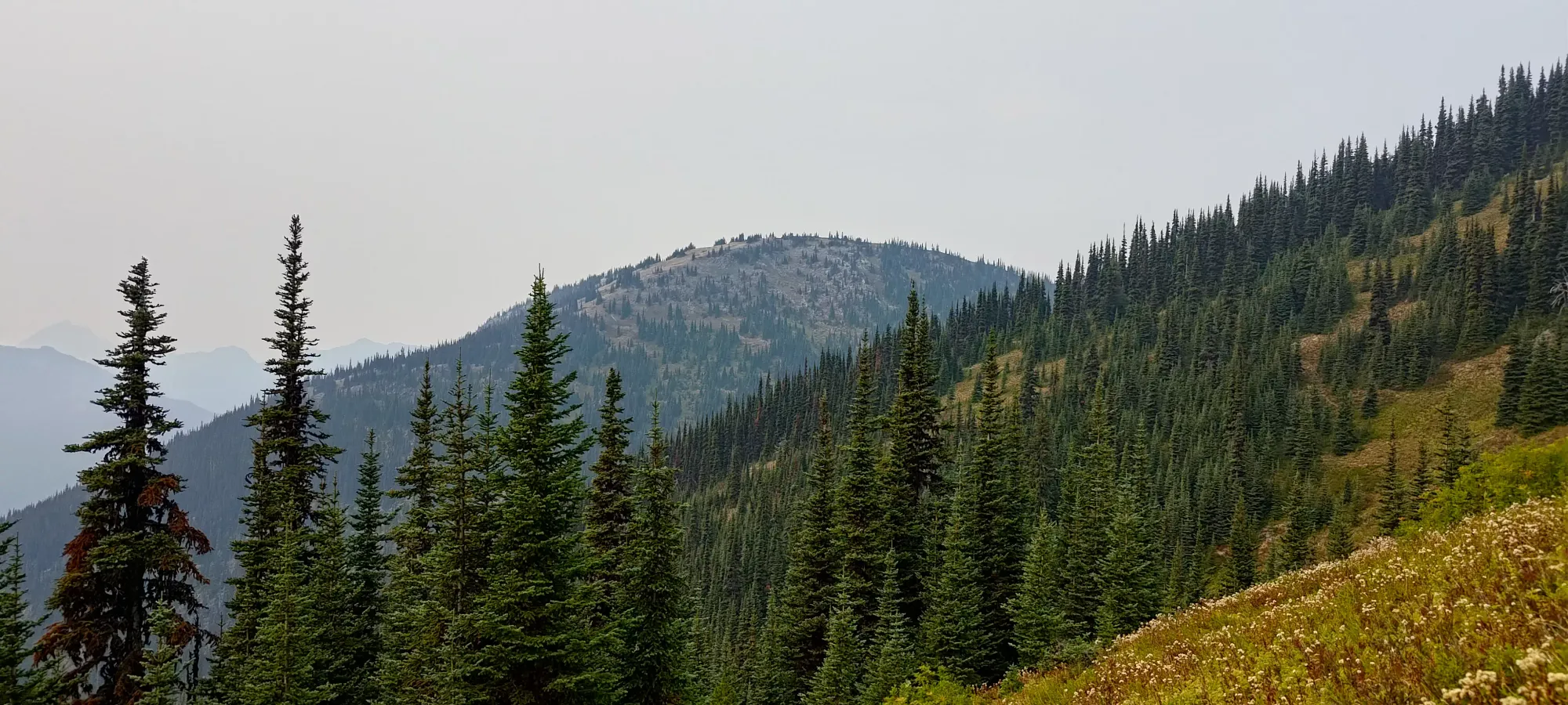
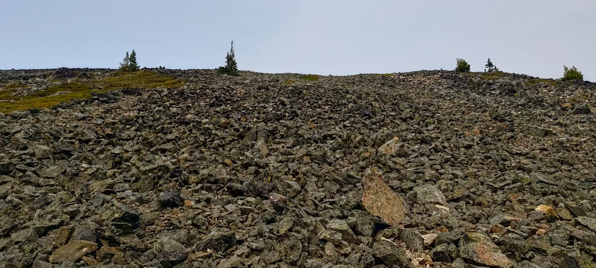
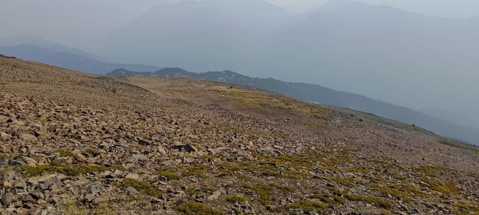
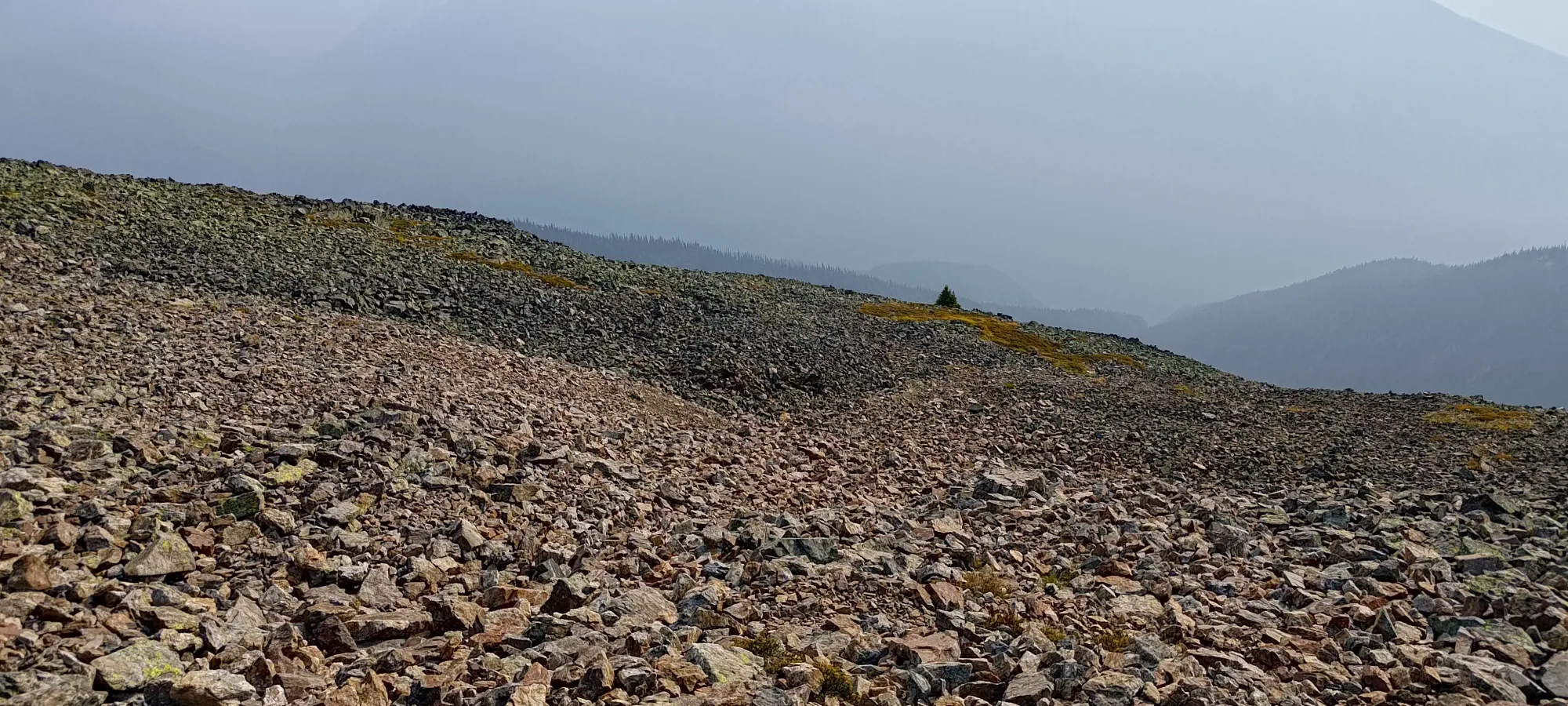
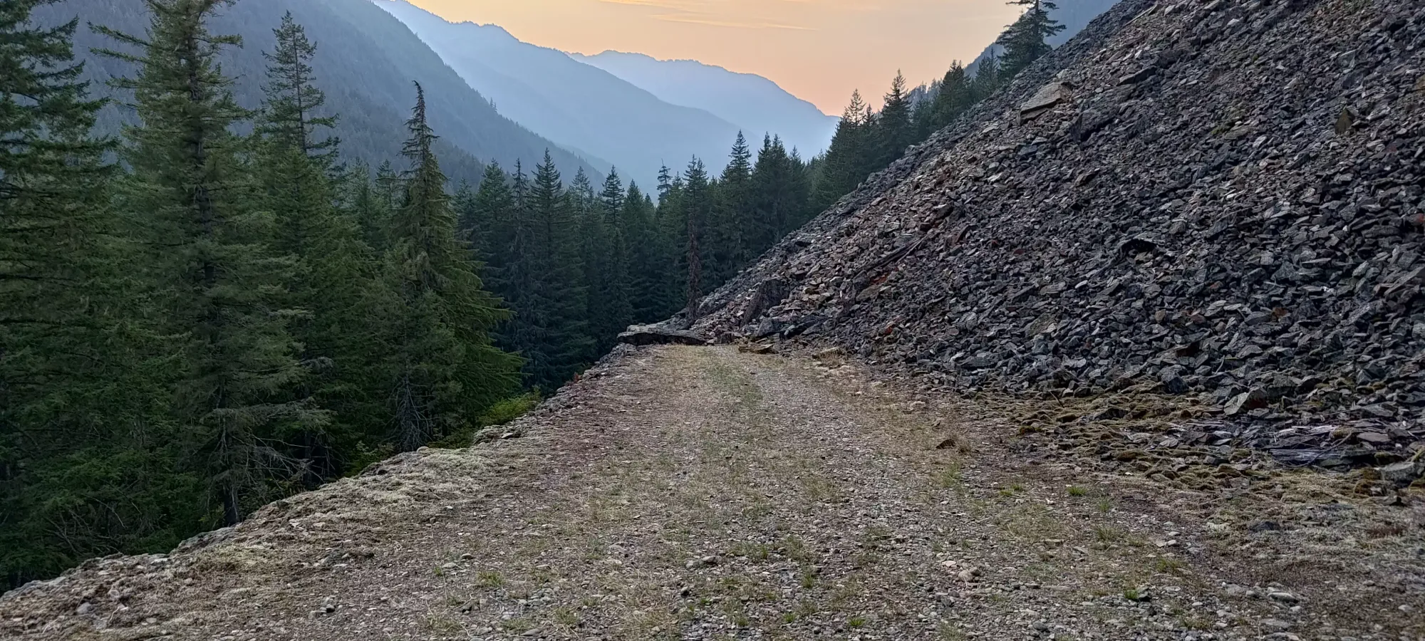
I was warned, both by trip reports and those trail runners, that the amazing trail would soon disappear and turn into a talus field of misery, so I was somewhat dreading getting to the end of the grass+trees, figuring that once I got into the darker, rocky area seen above, that the misery would start. At about 3pm, or 3:45 into the day, I topped the good trail out, and found myself looking at, indeed, a less-than-ideal bit of talus between me and the top. This was at around 2100m.
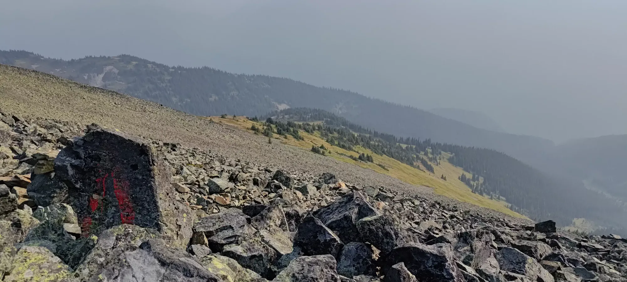
The next 45 minutes were not a 10/10 amazing trail, for sure, but weren't as bad as people made it sound. I stuck more to climber's right, aiming fort what seemed like less continuous talus, but instead more grass+dirt patches, and likely an easier traverse on top of the SE ridge, as opposed to the "official trail" that seemed to send you right into the heart of the talus field. The rocky sections were a bit annoying, but honestly not too bad/unstable, and I wasn't that bothered.
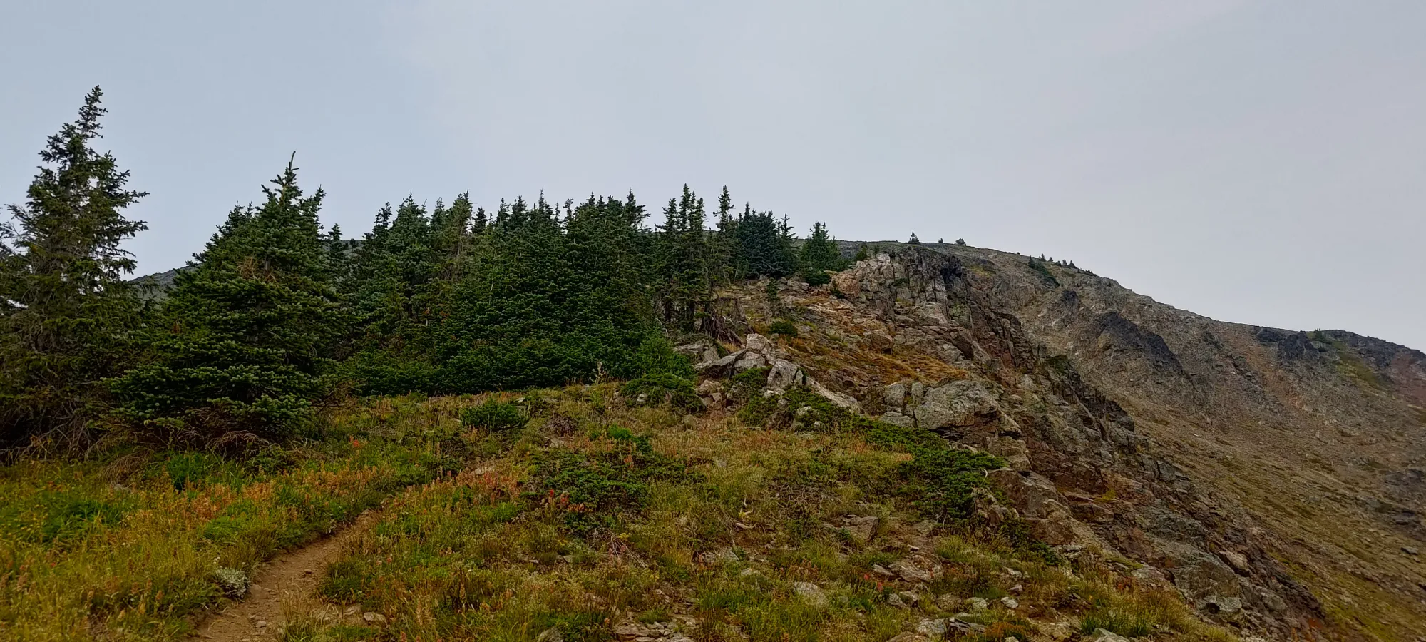
Once I got close to the top of the ridge, more peak-like formations showed up on the horizon, and I started to bear more to climber's left to get there. Doing more of the "up" first, then traversing was definitely the play, though, and it made things much more pleasant than they might otherwise have been.
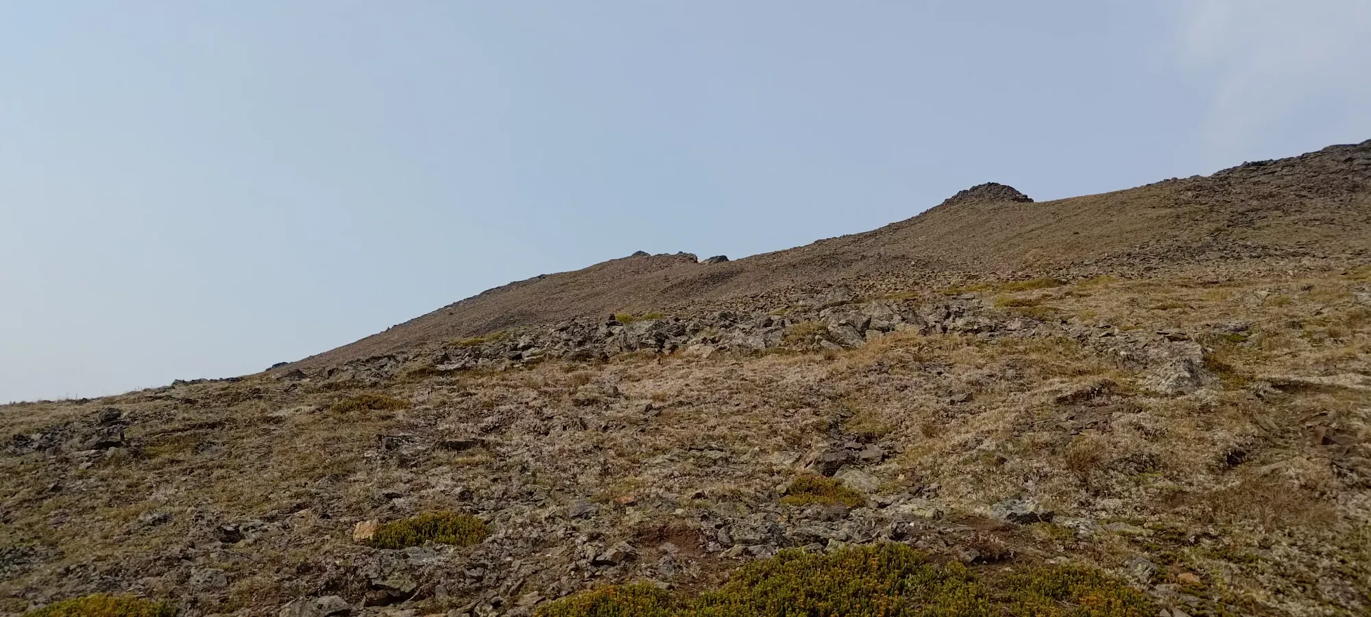
At the "summit", there's a large cairn, and a register in an ammo box, complete with some liquor and other typical accoutrements one might find in a summit register box. If you know, you know 😉
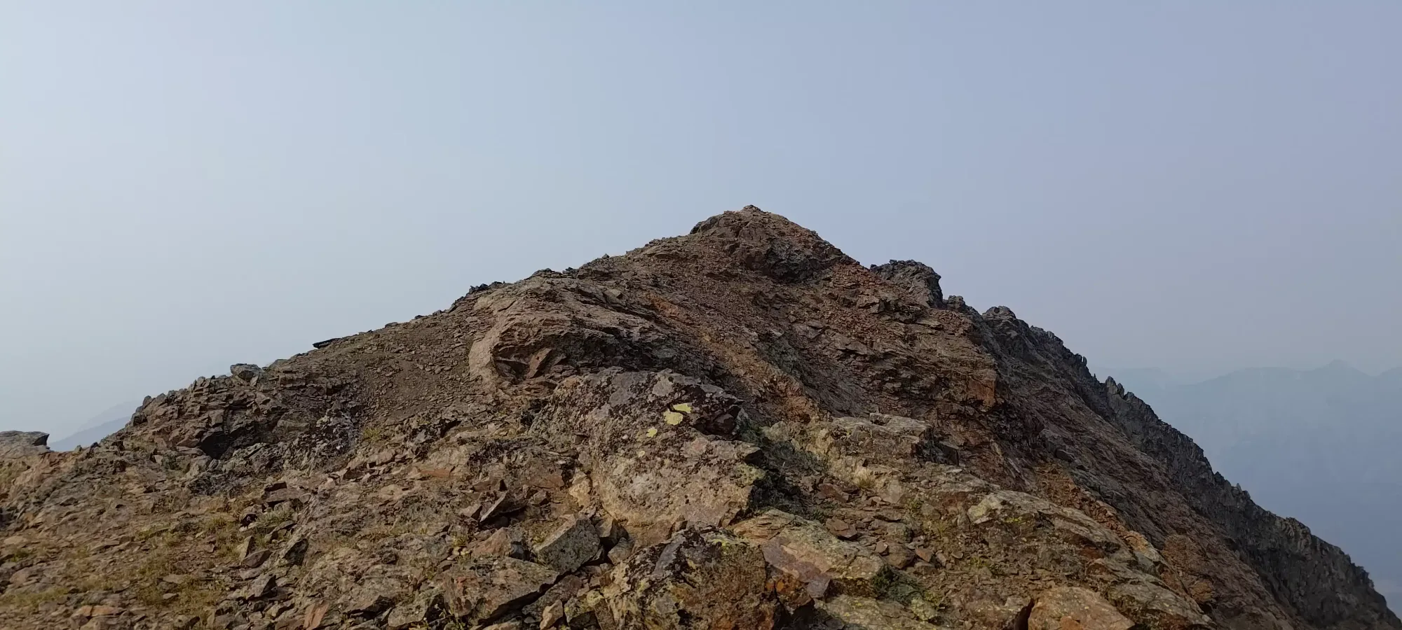
However, this was not the high point marked on most maps as the summit. That honour goes to a small bump just north of this one, which was difficult to tell the relative height of, so I figured it was worth going just to be safe. So, I left my bag at the implied false summit, and went for a short scramble.
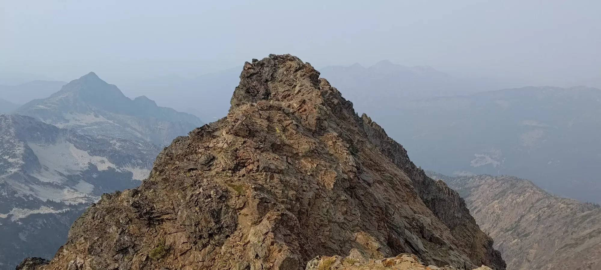
A few minutes and a couple class 2 moves later, and I was on the true summit. I took some photos, then went back over to my pack to actually have some water and enjoy my rest before starting my descent.
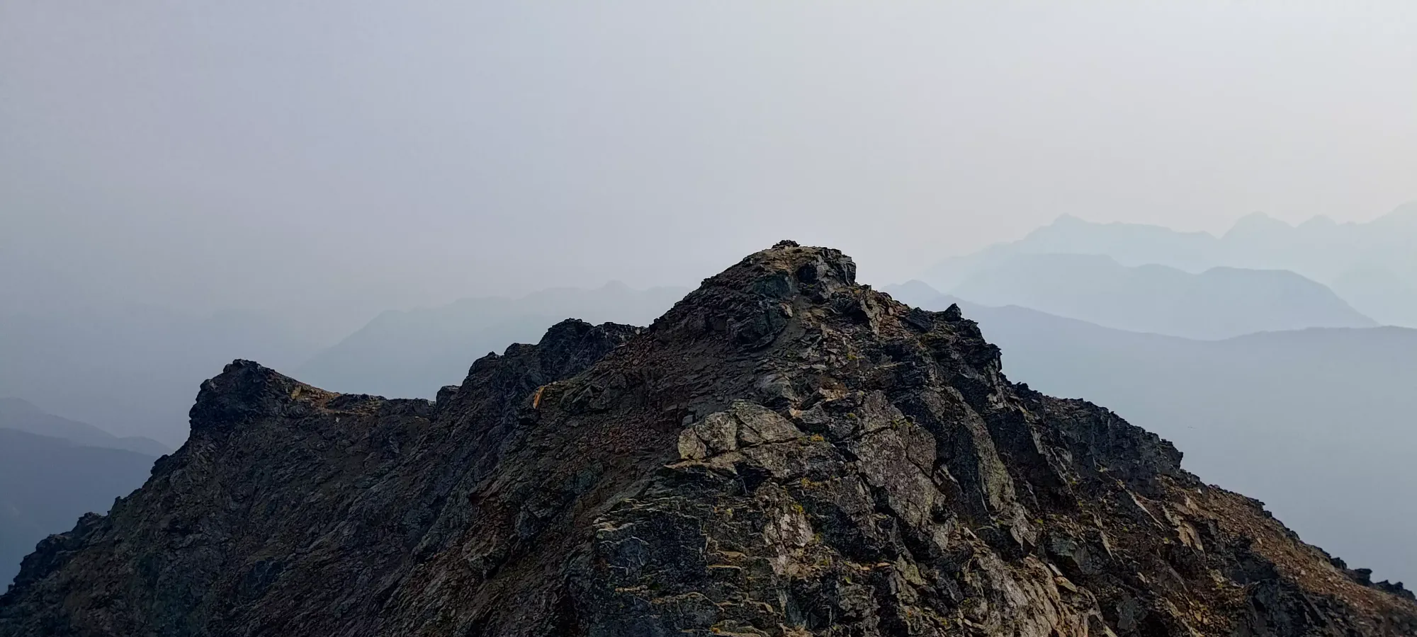
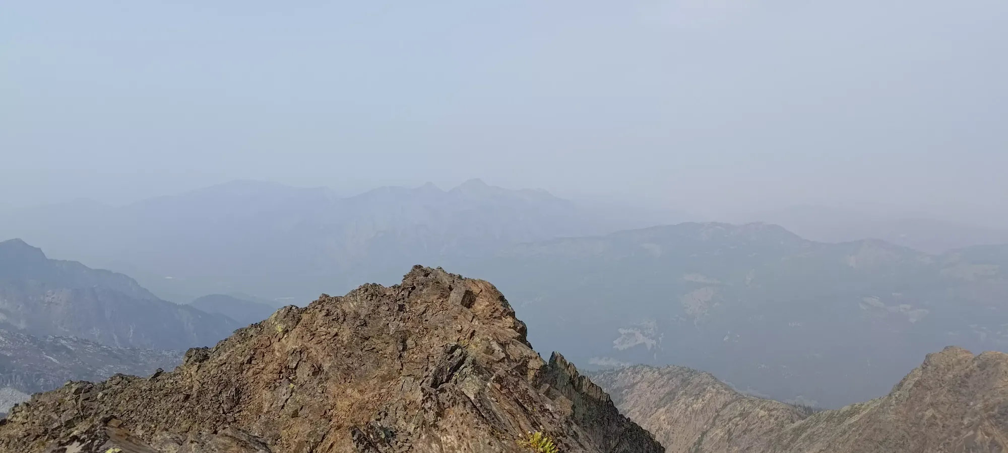
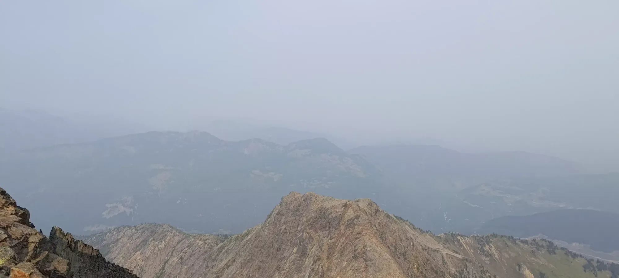
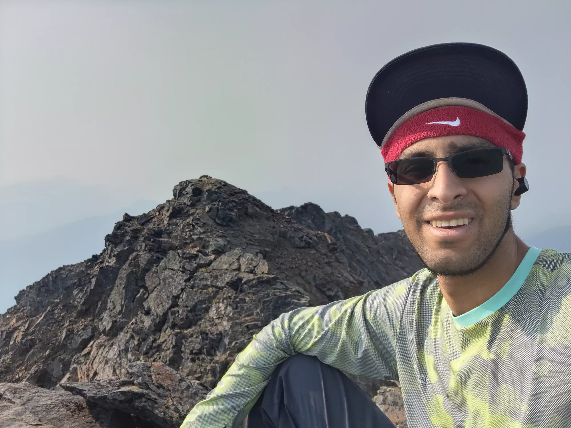
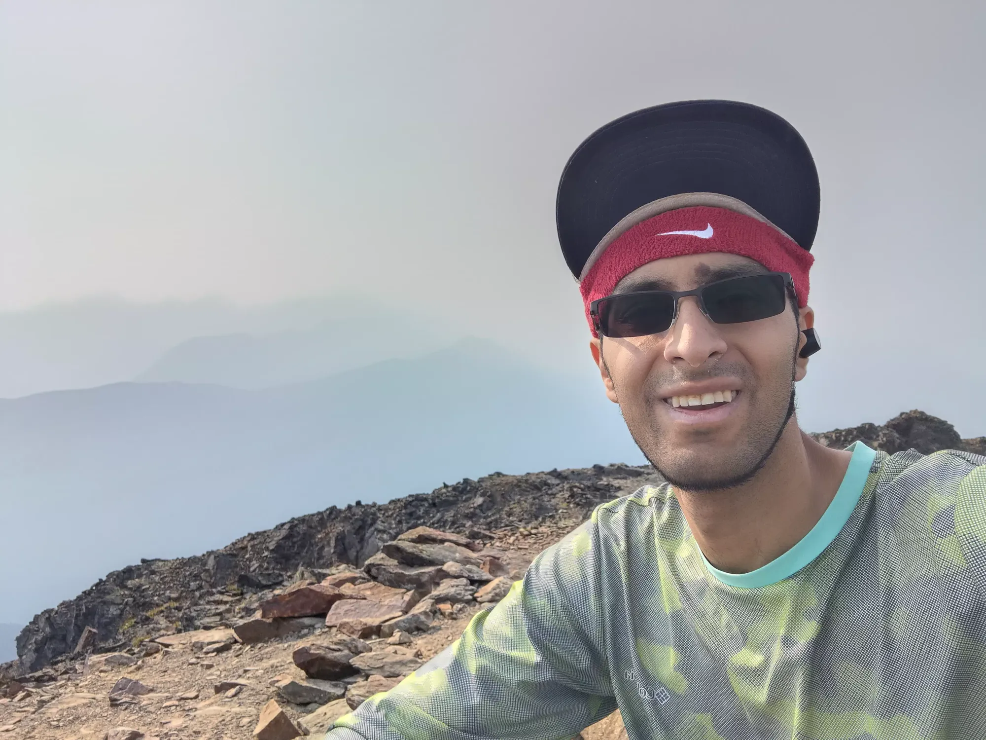
Back on the false summit, I took a few more pictures, hoping there'd be at least a few peaks visible, before heading out. I spent a total of about 25 minutes hanging around the summit area, but the scramble itself only takes a couple minutes, so no need to budget more than a few minutes for that, if you're trying to plan out a similar outing.


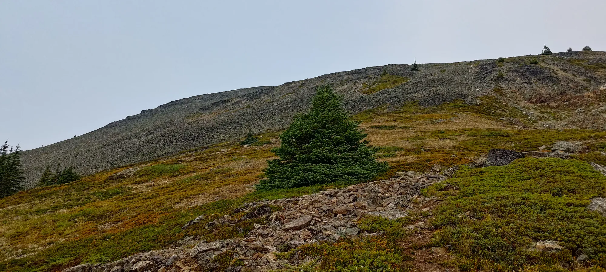
On the way down, for some reason, I decided not to trust my previous routefinding, but instead noted that there were flags marking a route down the talus sticking more to skier's right. Perhaps because dense flagging "feels official", or because most GPXes I'd seen used this route, I went full sheep and followed this route down.
That was definitely a mistake, as the talus was much more continuous, without any good paths getting down to the dirt or grass in the middle, and I swear the talus even felt looser (though that could've been a side effect of how going downhill applies force to the rocks vs walking up). In the end, the descent of this section ended up taking just as long as the way up! When I finally reached the end of that 50 minutes of misery, I was quite happy.
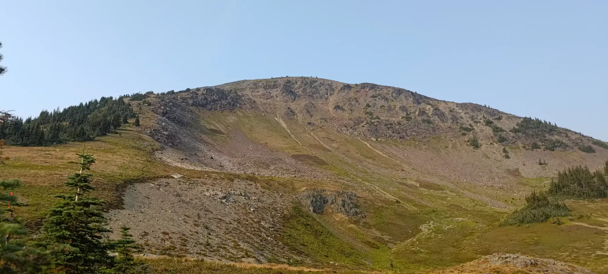
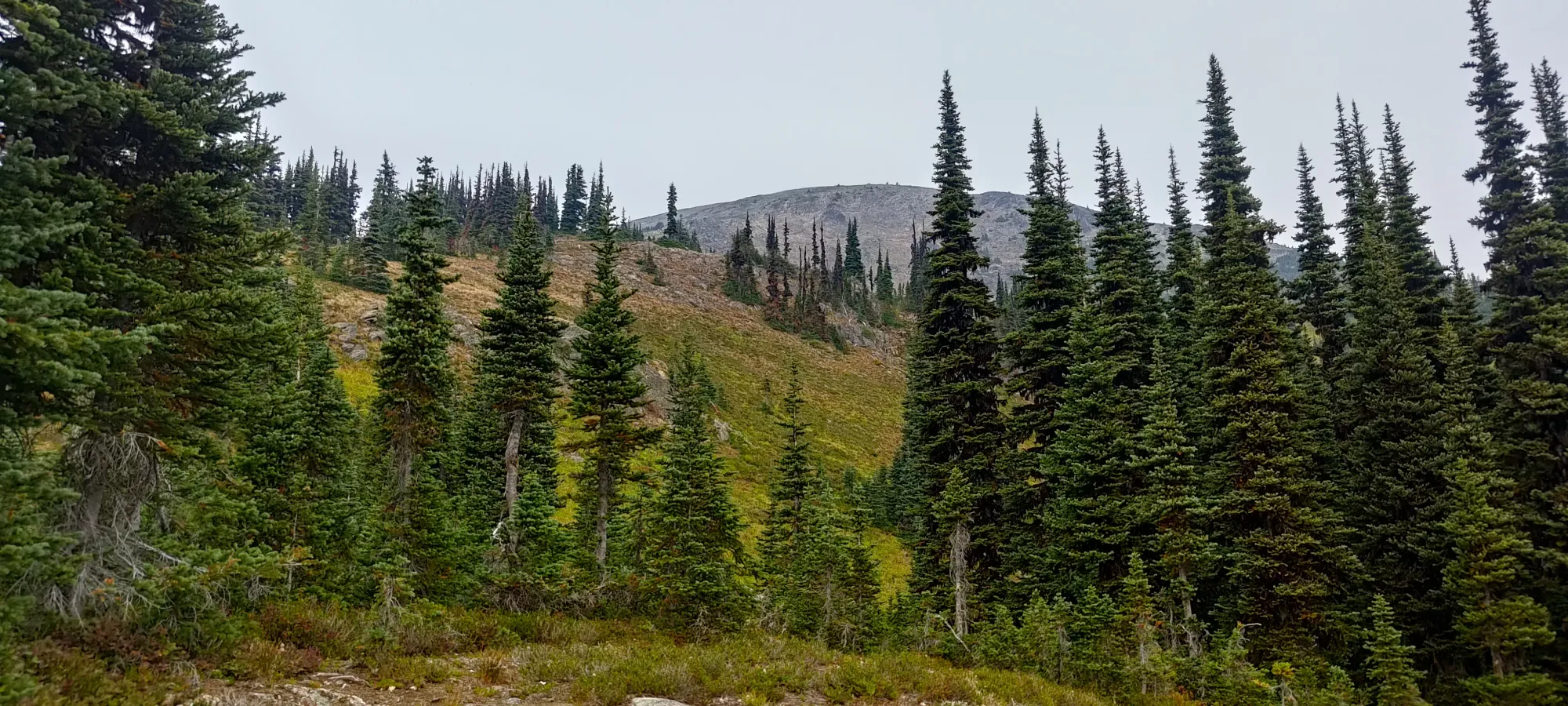
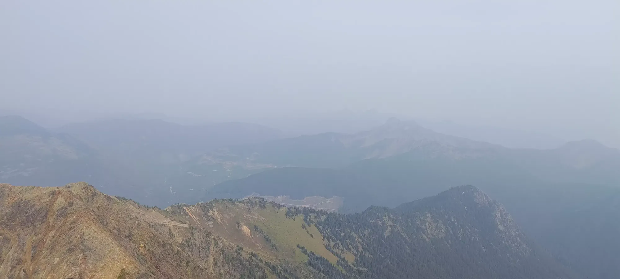
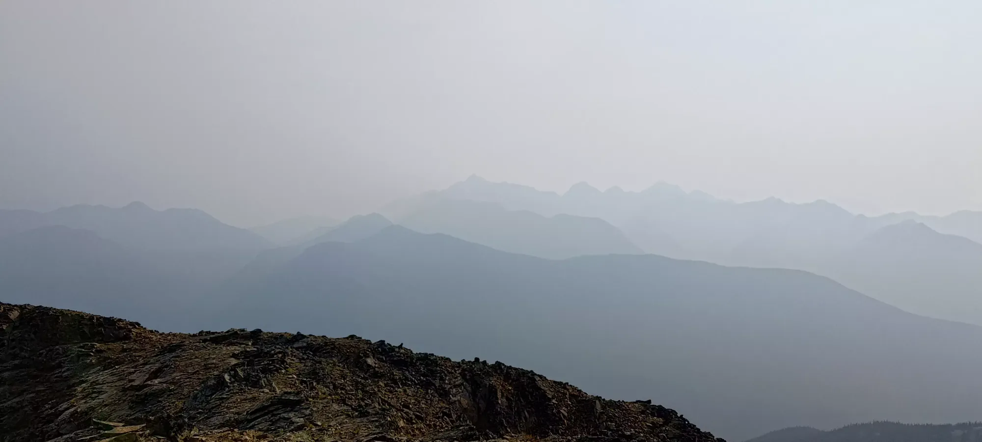
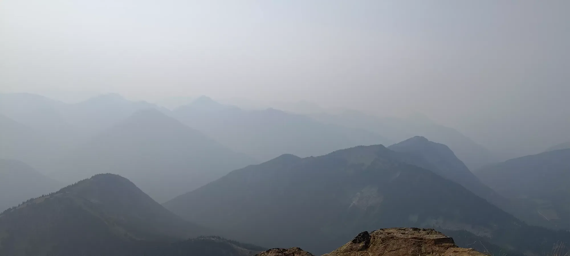
Upon returning to the dirt trail, both my happiness and speed went up substantially. I blasted down from the top of the dirt to a nice rest spot below the lake in about 15 minutes, where I took a couple more pictures of the mountain before starting the meat of the descent (the trail is a bit steeper above the lake, and not quite as easy to move fast on, at least with the fairly-worn shoes I was wearing).

From the lake (about 1970m, or 1300m above the trailhead), I yeeted down in just about 2 hours. I needed breaks every so often, mostly just for my legs to recover a bit from the constant use, but tried to get around 1.5-2km done between rests, which enabled some fairly expedient travel. I'd imagine those capable of actually running could dispatch with this section even faster, as the trail really is just perfect for it.
I arrived back at the car at a very nice "exactly 8 hours", which was right around my goal. I saw some TRs from people who were able to run some sections who did things in 7 hours, so given my gimpiness and inability to breathe fully, another hour felt about right. The trail quality really was the MVP, making 1800 gain feel quite reasonable. That allowed me to grab some food in Hope and do a decent chunk of the drive home in the daylight, a rare treat! Though, of course, I still hit stop+go traffic in Langley, due to construction bringing things to a single lane 🙃
10/10 would recommend this hike for a fit group, but that group need not be into technical scrambling or anything, as it is just a long trail, basically. Going with less smoke might be nice, though, so you can actually see around, and those sensitive to poor air quality can breathe properly.
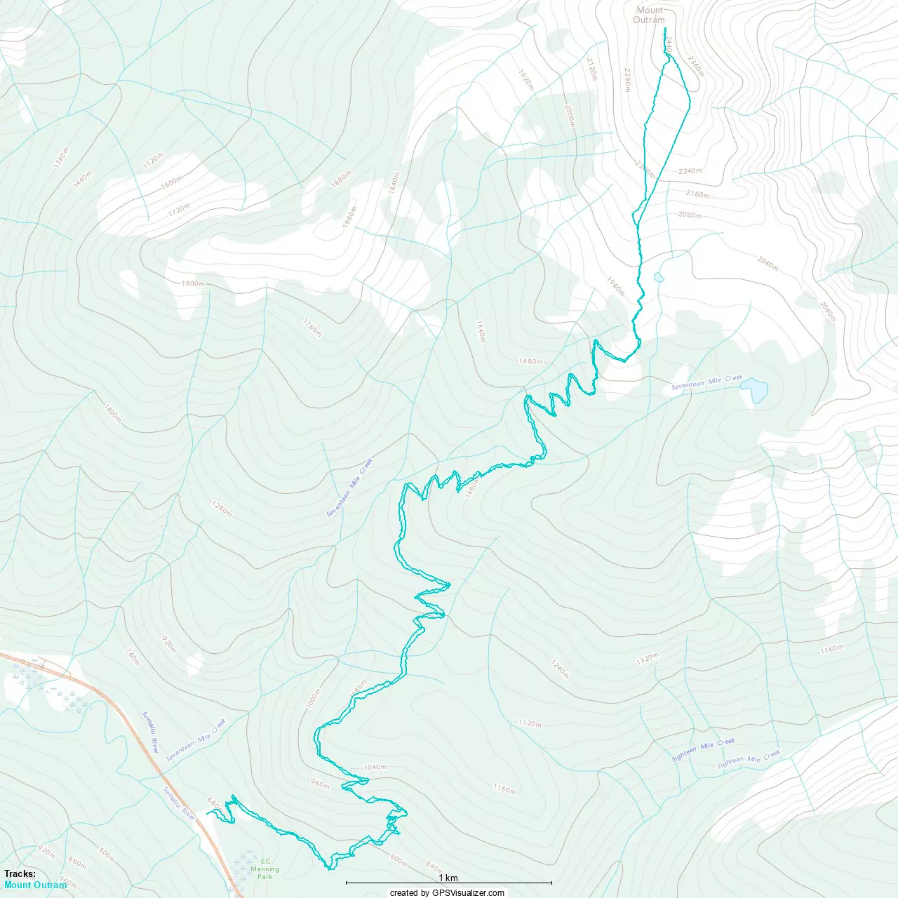
GPX Track + Map