Mount Niblock - July 24 2022
Bow Range, Lake Louise, Alberta
2976m
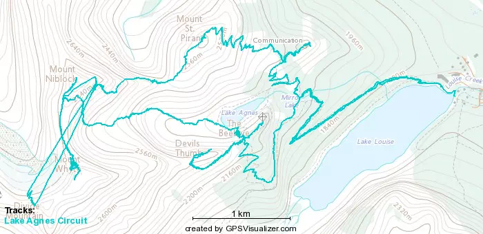
This being the third peak on my "Lake Agnes Circuit" challenge, this report continues from Mount St Piran. We left the summit at about 8:20am, and started our way down the scree/choss field on the west side of St Piran to the bottom of the Piran-Niblock col. It was steep in parts, and we also went a little too far skier's right at the beginning, but following the official path via GPS should keep you true, and the slightly broken trail in the choss definitely helps. In about half an hour, we got ourselves down to the bottom of the col.
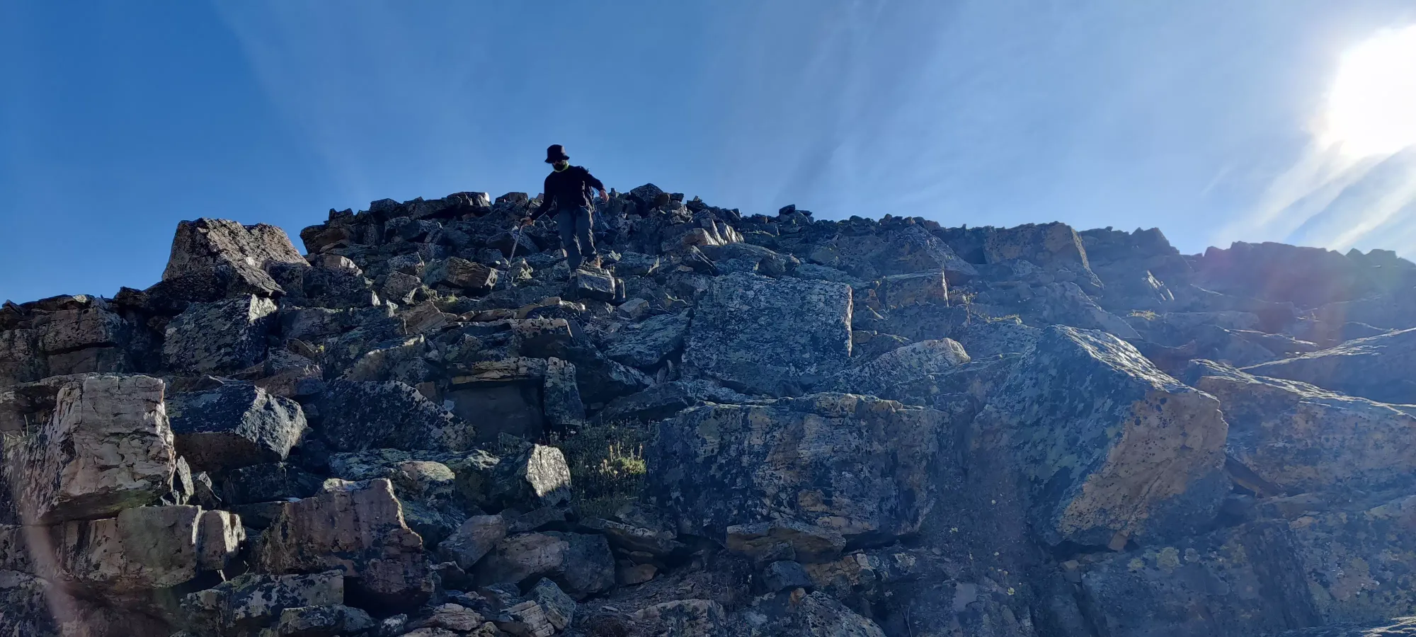
Now down at the col, we had a decision to make. Or rather, we thought we did. The official trail heads down into the bowl to skier's left, losing about 200m of elevation, then heads back up the middle of that bowl and crests the Whyte-Niblock col. However, I briefly scanned one sentence in Alan Kane's Scrambling in the Canadian Rockies which mentions going across the Piran-Niblock col to get from the former to the latter. So, naturally, we exhaustively researched, referenced, and prepared a route to match made bad assumptions and just figured "you can totally go up the col to the peak instead", and went that way instead.
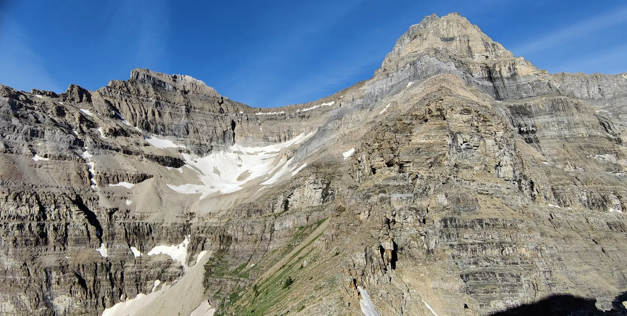
From this point, our progress was slow, as it was a constant battle of "check GPS/contours, look at rock quality, look at slope angle, guess what happens when you crest the next high point, repeat". We were basically just yeeting up the east/southeast face of Niblock, which it turns out I don't actually see any record of, which is perhaps a sign 😅.
It started off pretty well, as there were lots of short pitches of small spires/mounds without a ton of exposure and nice holds. The hardest part was just thinking "I wonder what's beyond this section? More of the same? A death-defying drop? Something else?"
Thankfully, that was not the case, and in the first 45 minutes of scrambling, we gained ourselves 75m up to 2500m, which was slow but at least only really moderate scrambling.
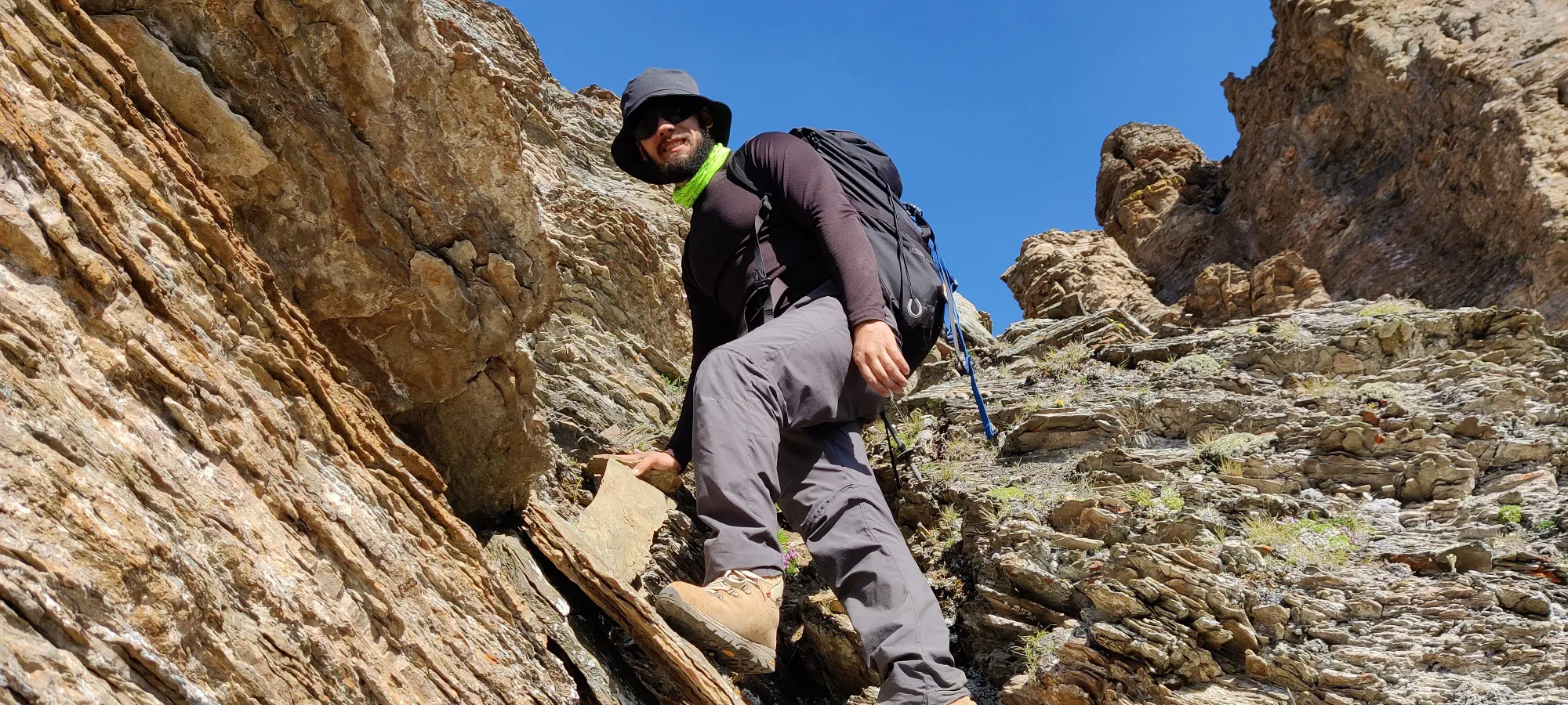
The holds for the first couple hundred metres of gain were pretty clean, and the sedimentary rock created tons of great holds, so even on fairly steep and occasionally exposed sections we never felt very uncomfortable, and felt confident we could downclimb whatever we just came up.
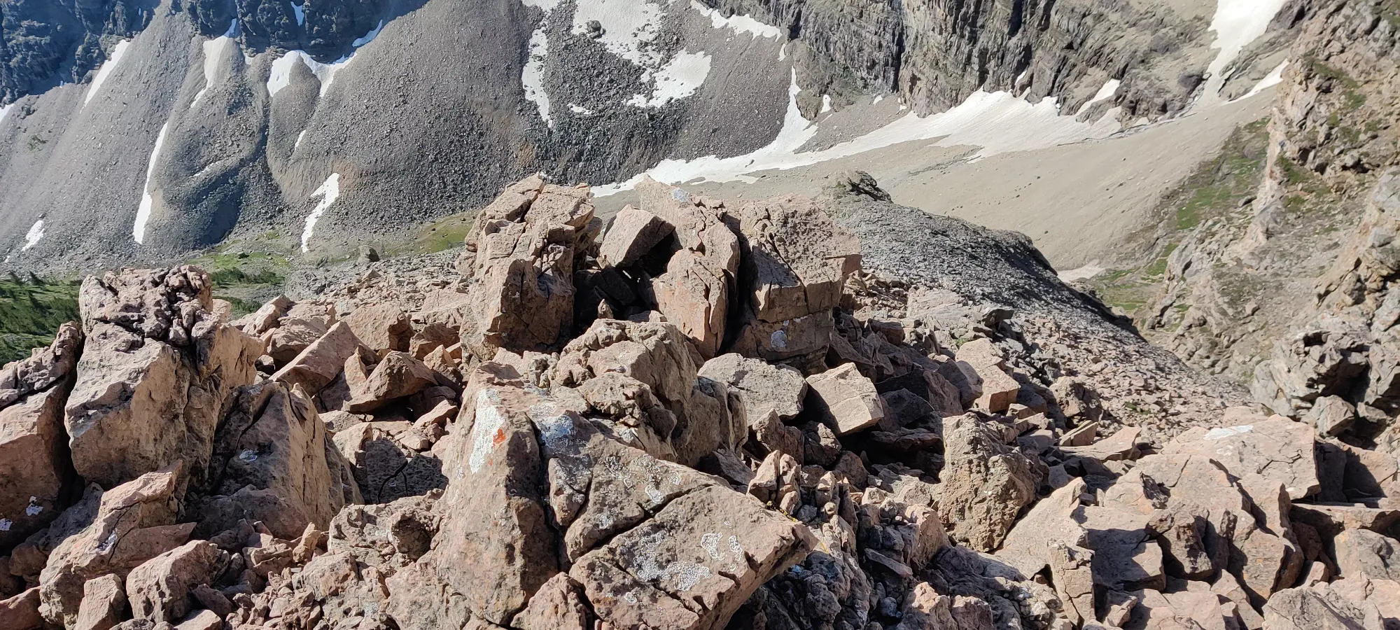
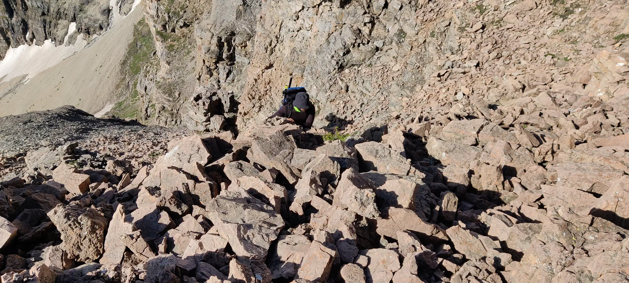
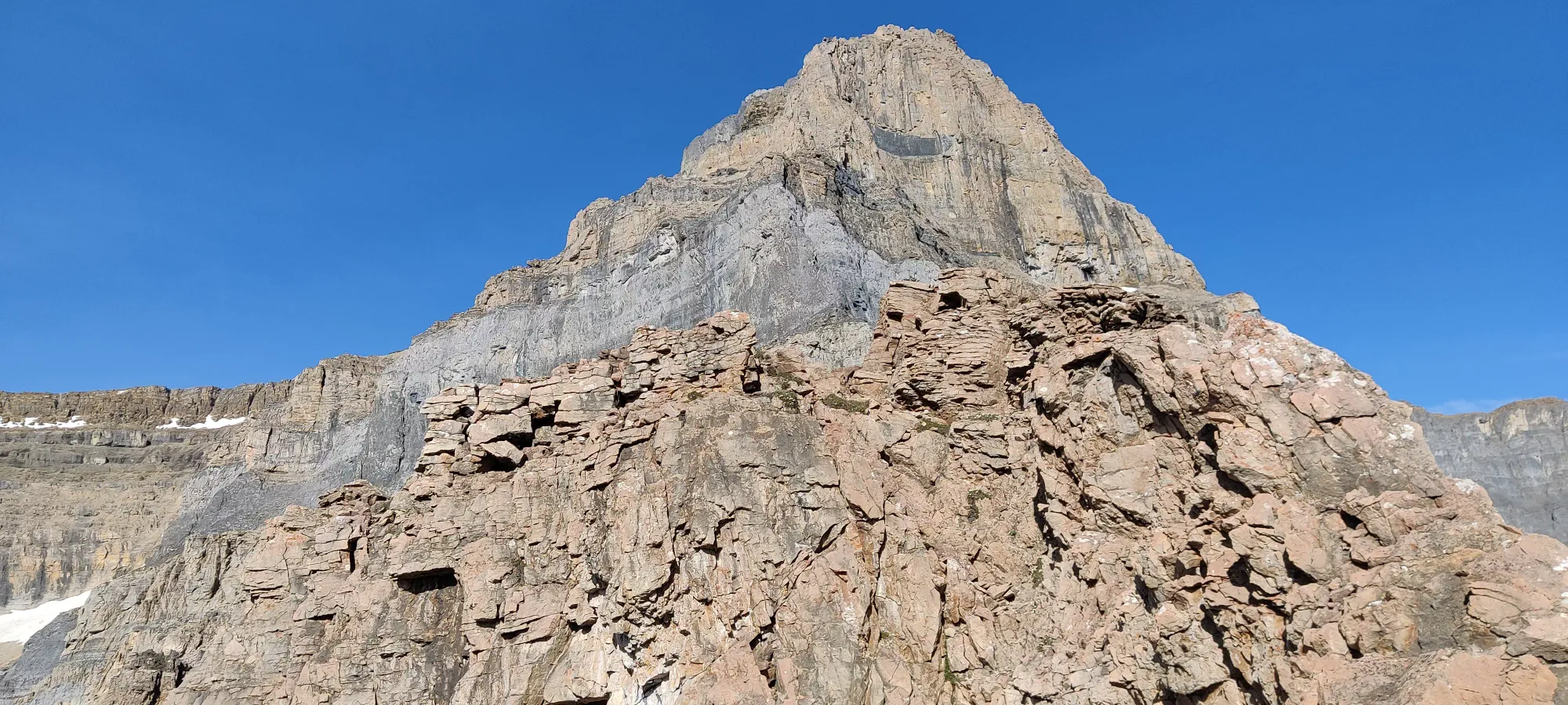
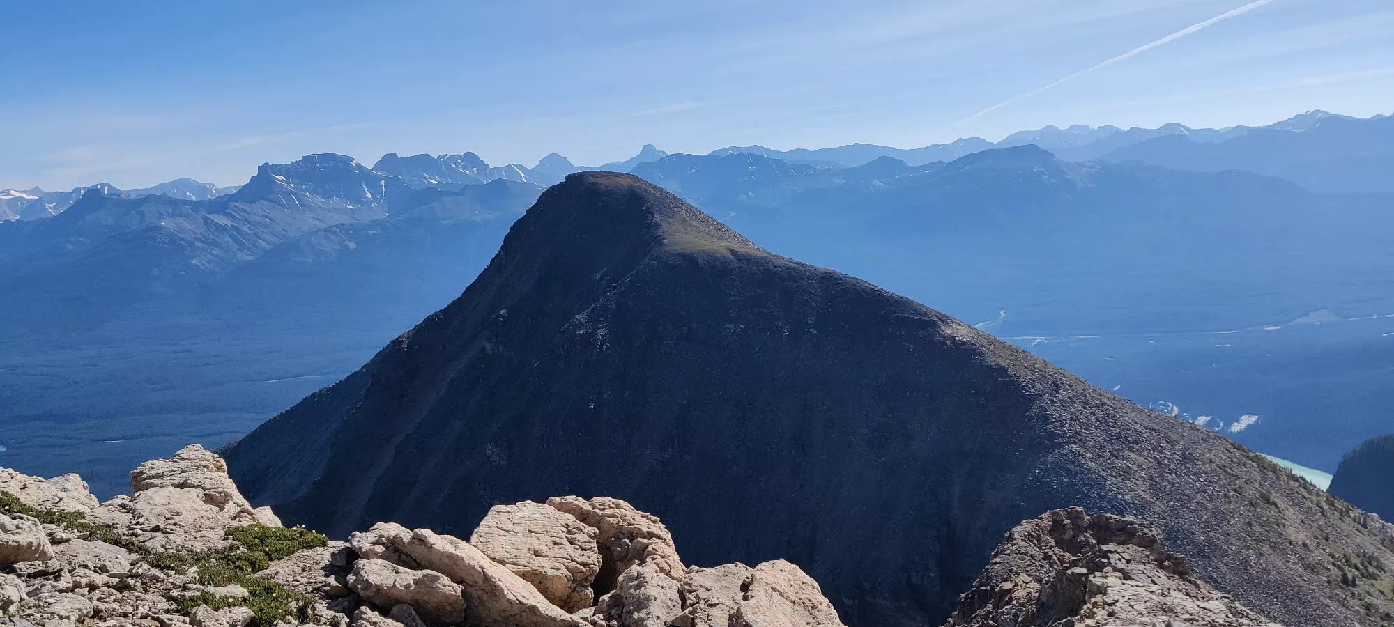
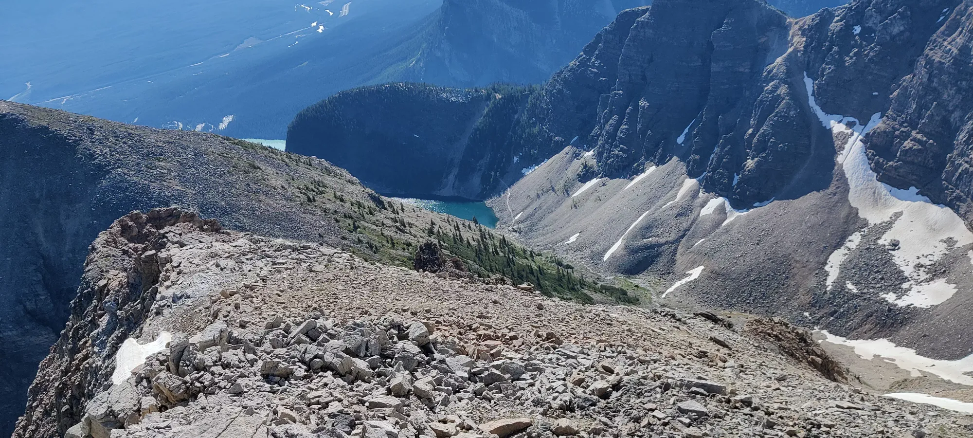
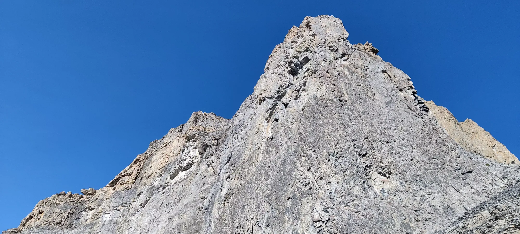
From the point above, well, that looks pretty damn impossible to just scramble up, so we got as high as we could for about half an hour, and made a traverse across the scree to climber's left to get a bit closer to the path, and further from the daunting spires and sheer faces of the northeast face. This wasn't the most fun, as loose scree and choss aren't exactly great for going up or across, but with 15 minutes that got a lot easier once we could hug the base of the cliffs, we got around and to a spot that was pretty safe and even had what seems to be a random, isolated cairn!
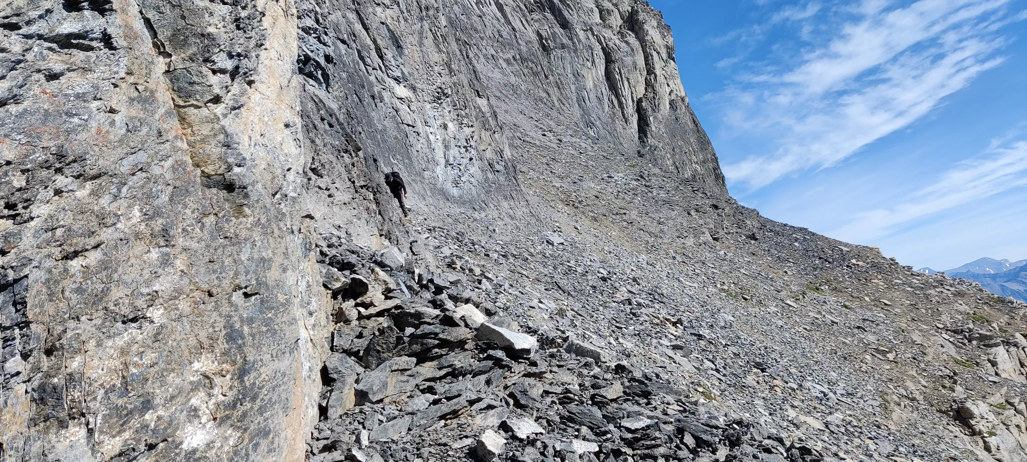
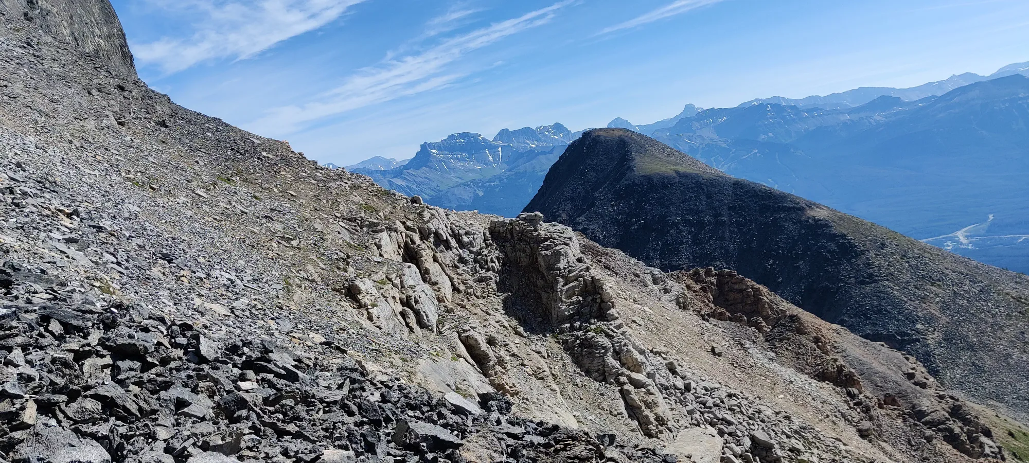
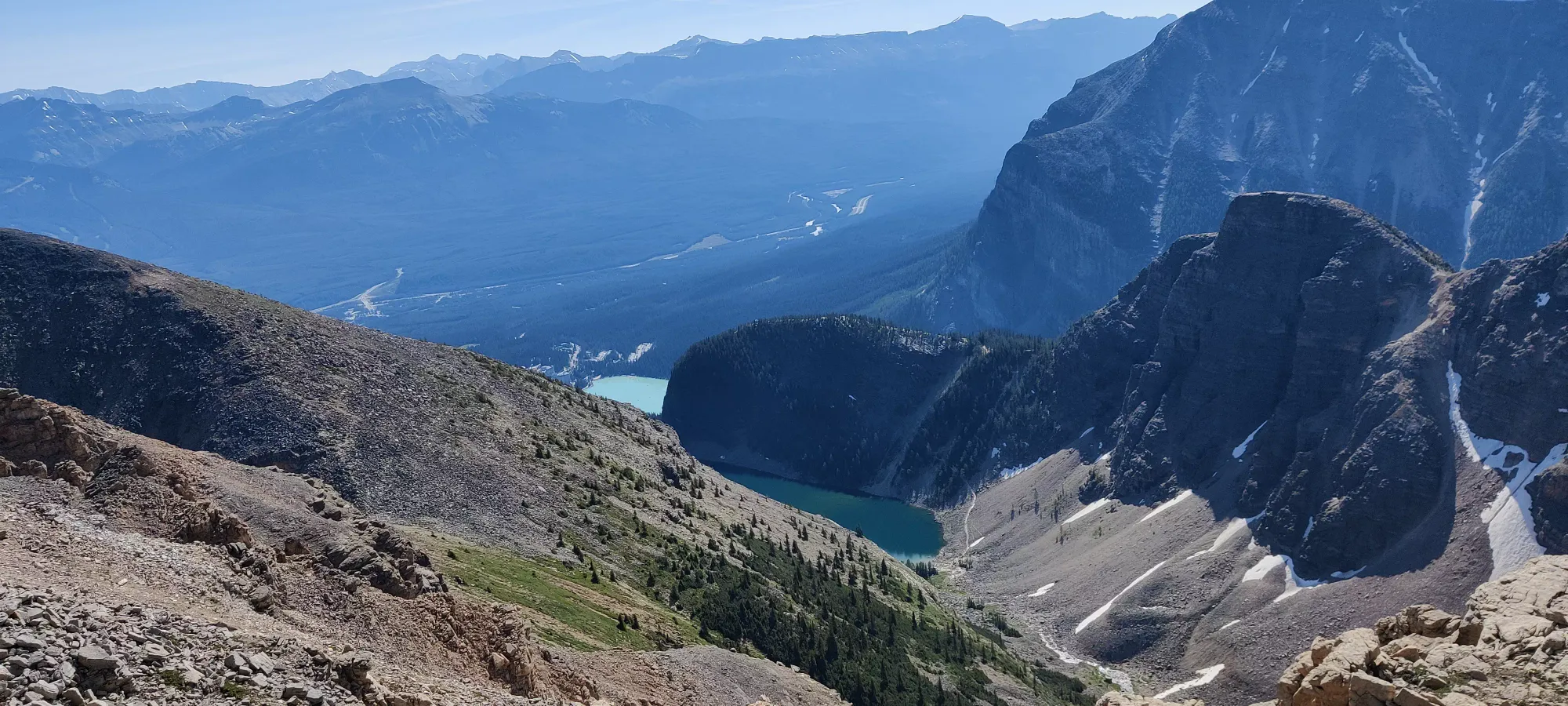
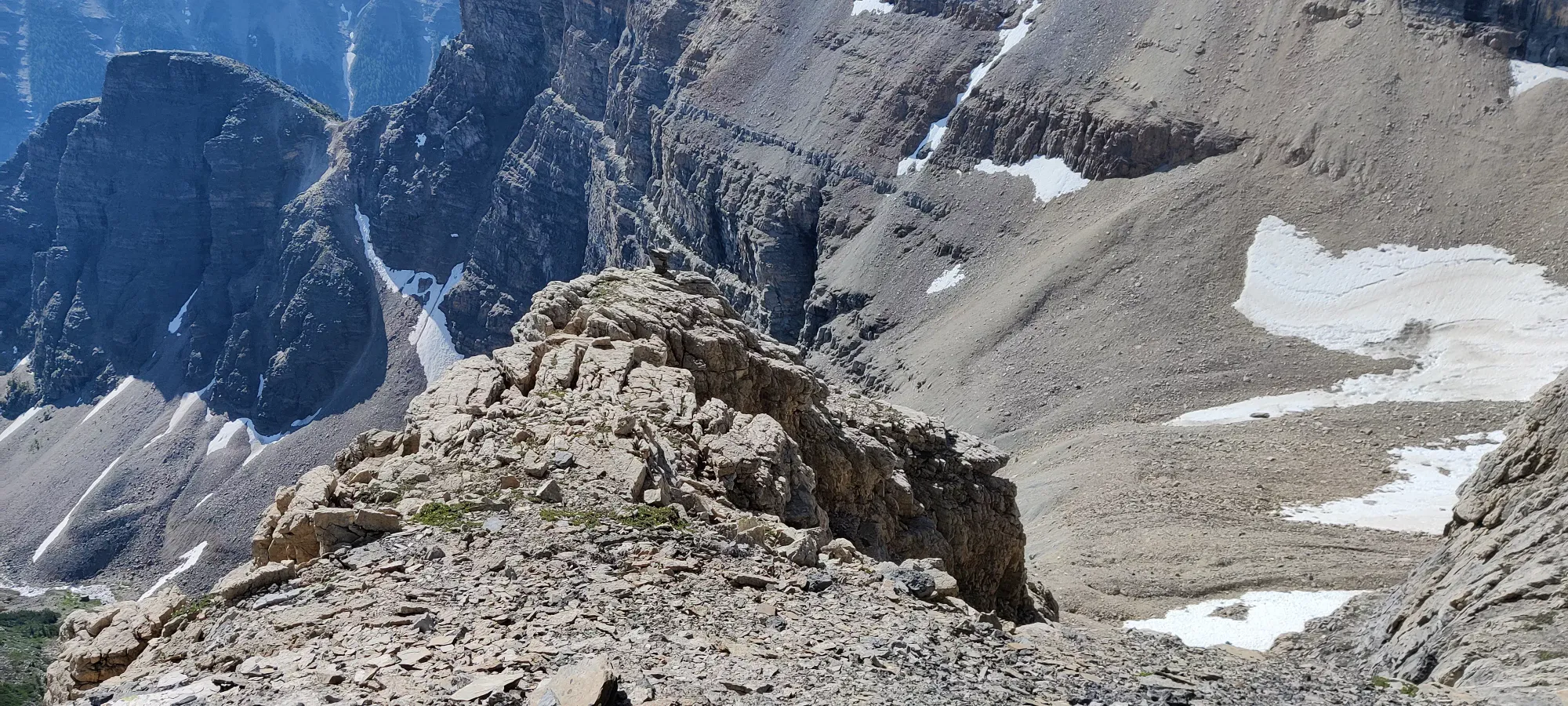
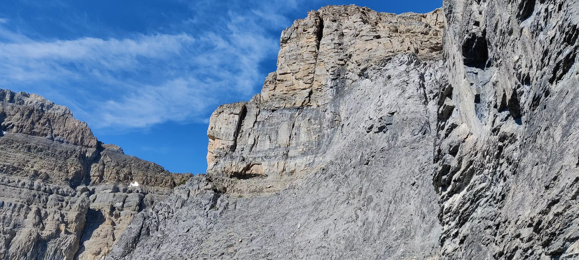
The next 50 minutes were spent scrambling up about 100m up or around (GPX will tell you which) this until we were able to see the Whyte-Niblock col in full again. At this point, rocks were getting looser, and a couple holds had given on us, shooting down and stirring up lots of rocks. You don't want to be up here near another party. Thankfully we had the mountain to ourselves, or we'd probably have been swept off by others, or have done the same to them. Helmets strongly encouraged, if nothing else.
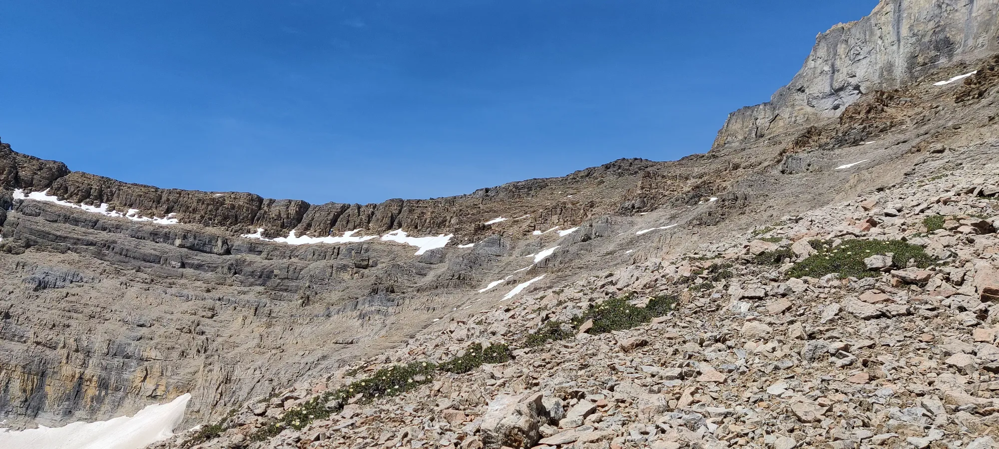
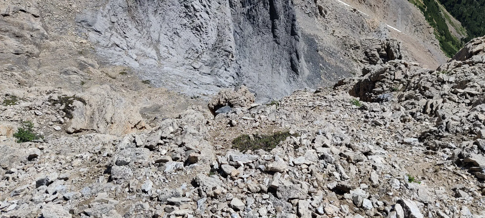
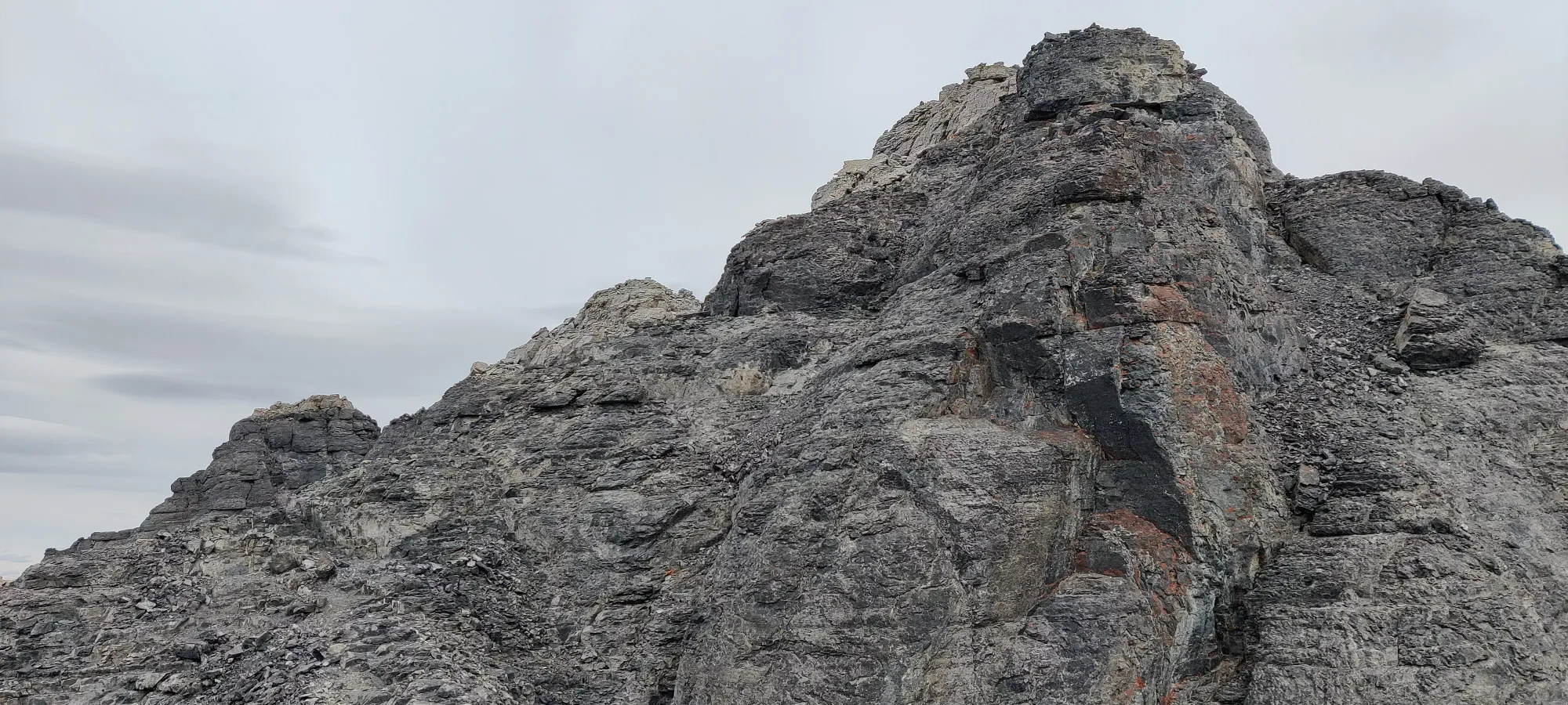
Another hour from here brought us another 100m of gain, and to 12:30pm, which is a stark contrast to the blistering pace with which we bagged the first 2 peaks. I think this started off with a traverse around a dark band of rocks on some rather narrow ledges to climber's right, to avoid some steep looking sections on the left side (also filled with scree), then probably the most technical scrambling of the day. A couple pitches here definitely felt like class 5. You'll want to clean your holds (get the scree off), test them, and select your routes carefully if for some reason you're possessed to follow this track. We sent a few more holds down the mountain in this section, which was pretty terrifying in those moments. Definitely don't go alone, having someone to spot you in those sketchy areas is a godsend. When we finally topped out to a ledge we could sit down and rest in, we were quite pleased.
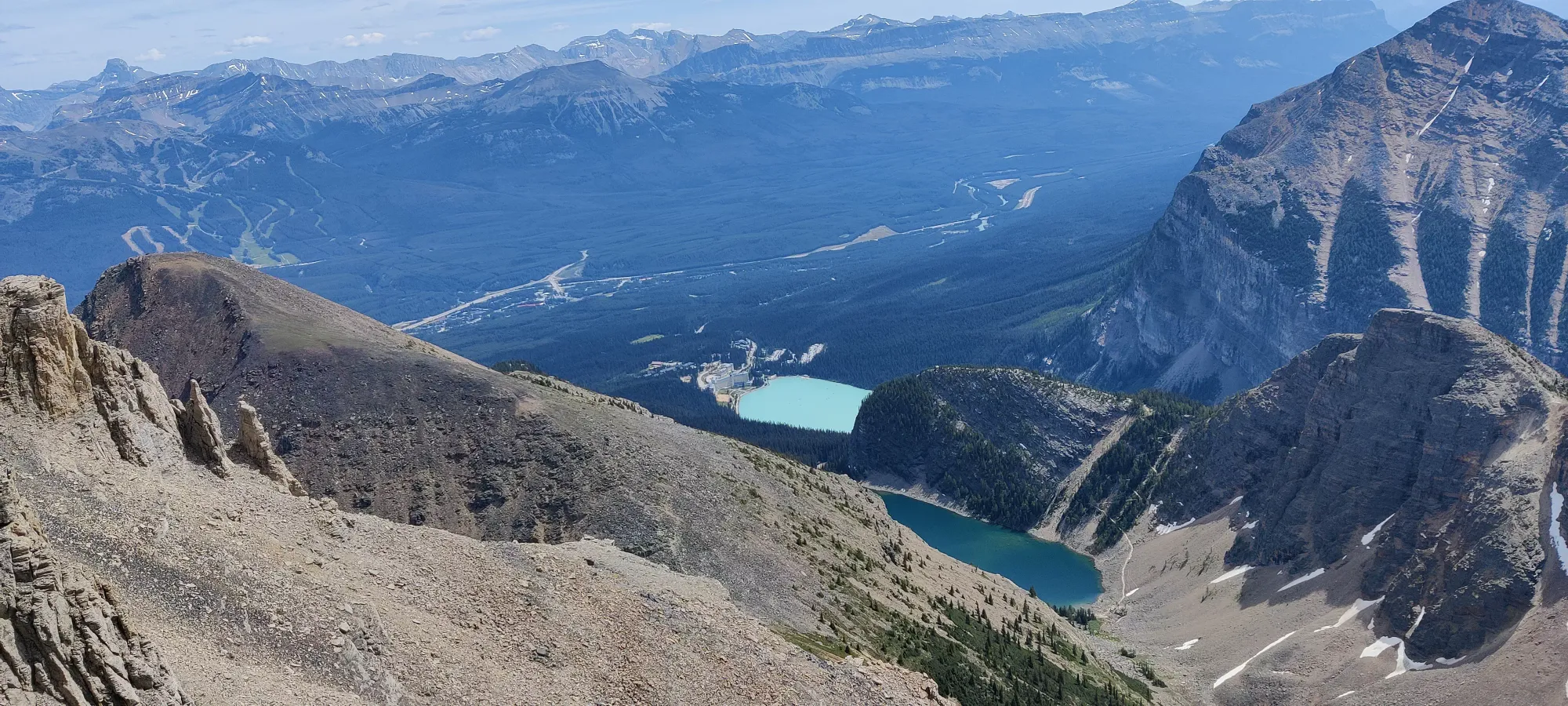
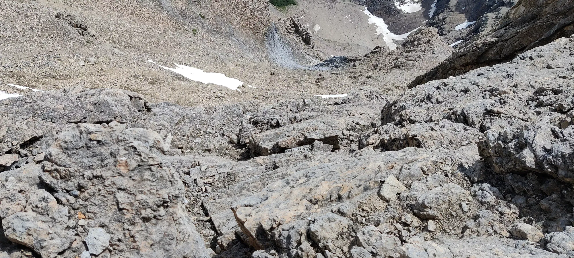
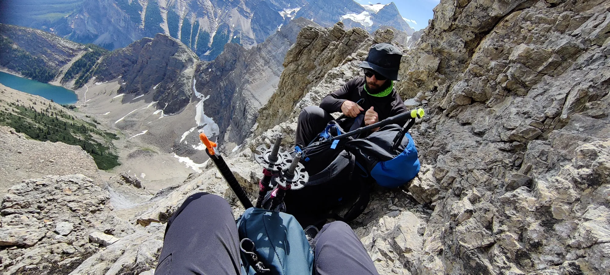
The ensuing hour(ish) felt even less progressive, with more difficult scrambling, followed by scree-covered outcroppings to get up and around until we made our way to the base of the summit block. We gained about 75m of elevation to about 2800m, where we stopped going up and started going sideways back to the trail to gain the col, as the faces directly up were trad-only, if that (some spots might have room for gear, others would need bolts put in). My GPS also decided to freak out and teleport us a few kilometres away for half an hour, which was lovely.
We got there at 1:20pm, and then basically just traversed across more lovely scree until we could find some larger rock bands to secure ourselves for faster travel, and with a combination of these strategies made our way (finally) to the col at about 2:15pm. There are few feelings as good as finally being on the path after scrambling and scree-bashing in the unknown for 5 and a half hours.
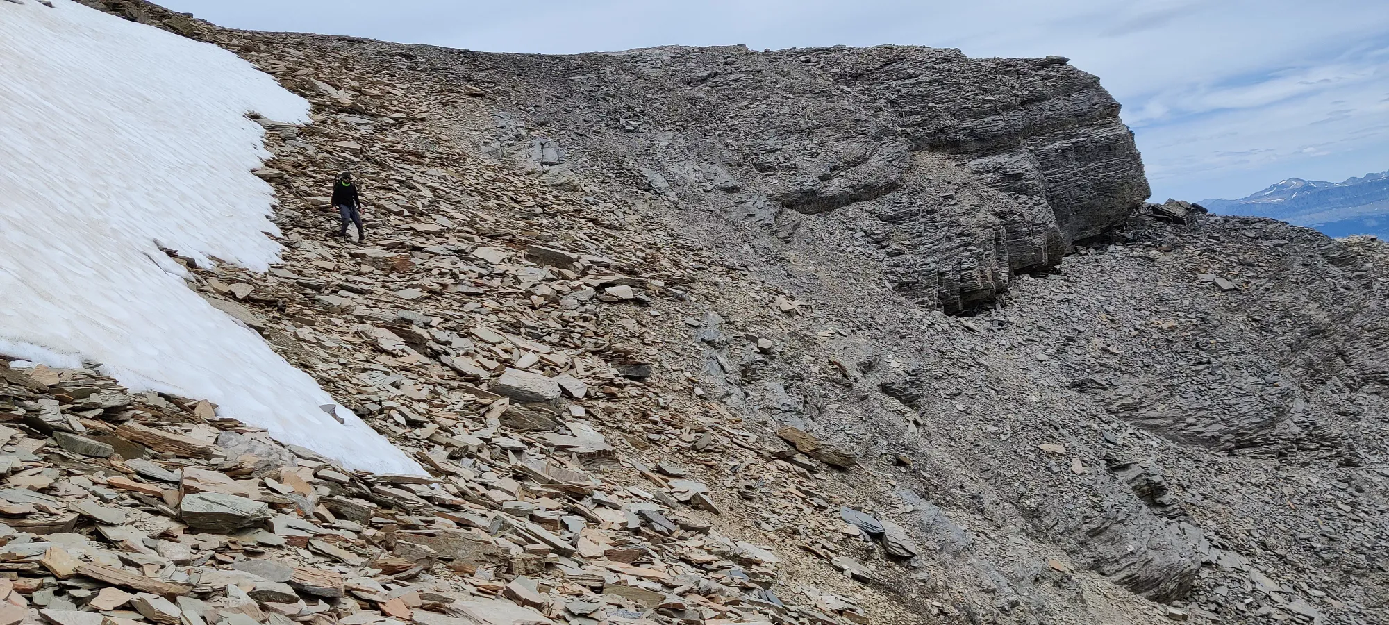
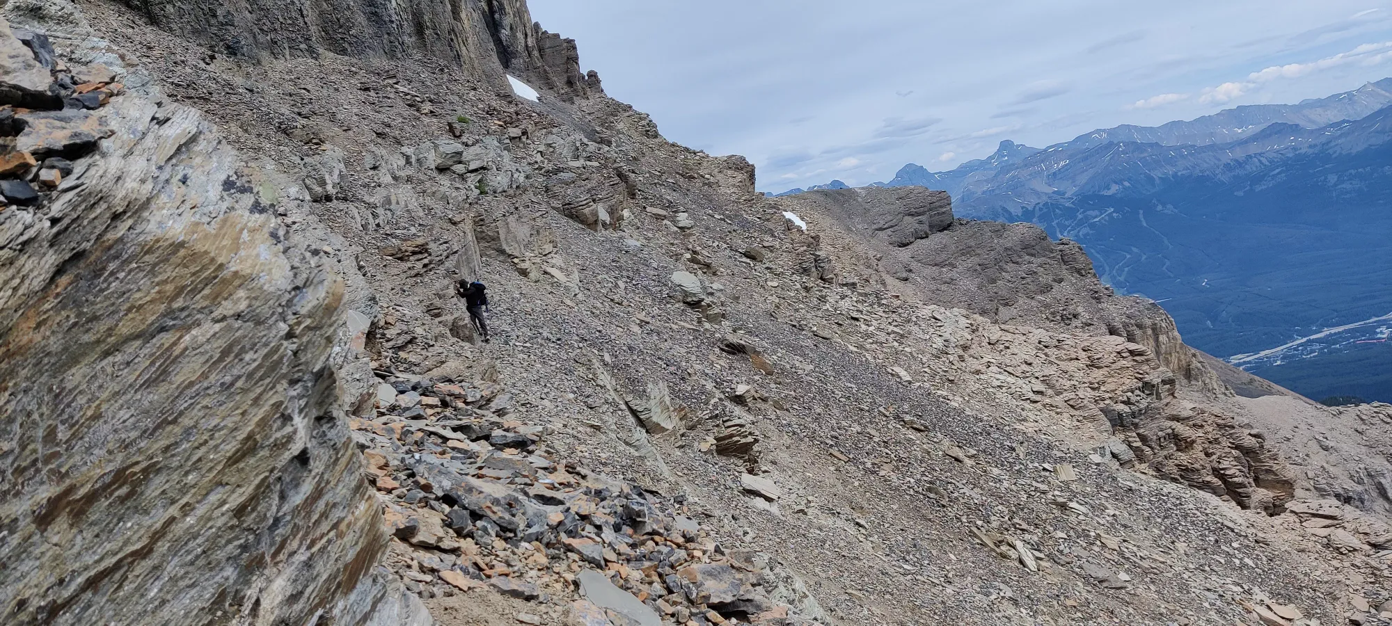
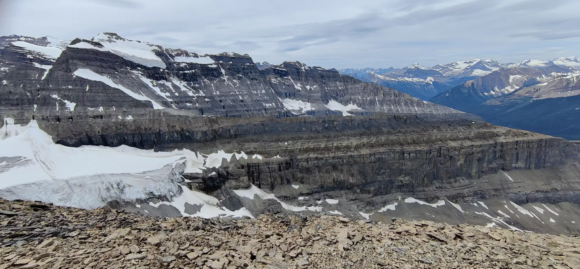
Finally on the ridge, now over 8 hours into our day, we made our way toward the summit. I expect this is the moderate scramble section Alan Kane intends for people to take on when bagging this peak. In my opinion, it's pretty easy scrambling. The holds are great, the exposure fairly limited (other than the ridge walking at the peak, but that's very easy so it balances it out), and the descent doesn't pose a challenge (whereas I would not want to come down the way we came up to the col). 15 minutes of this, and we were at the peak!
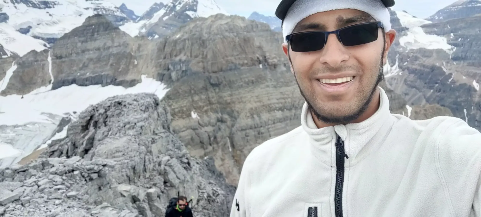
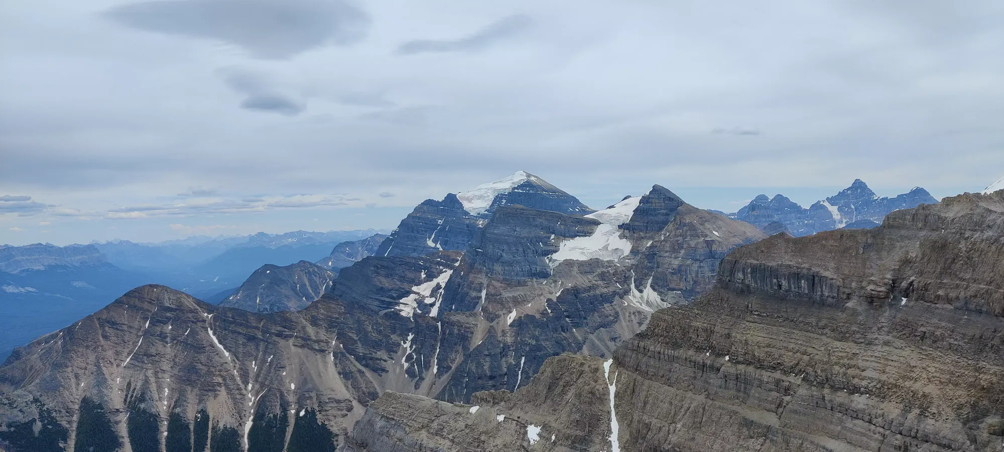
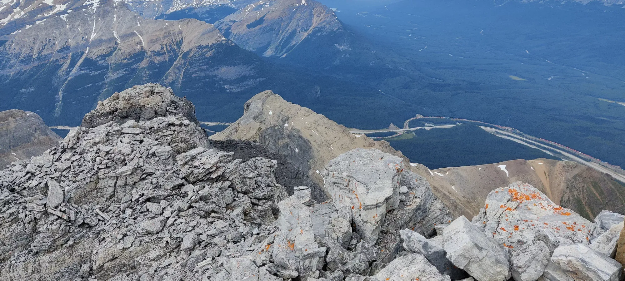
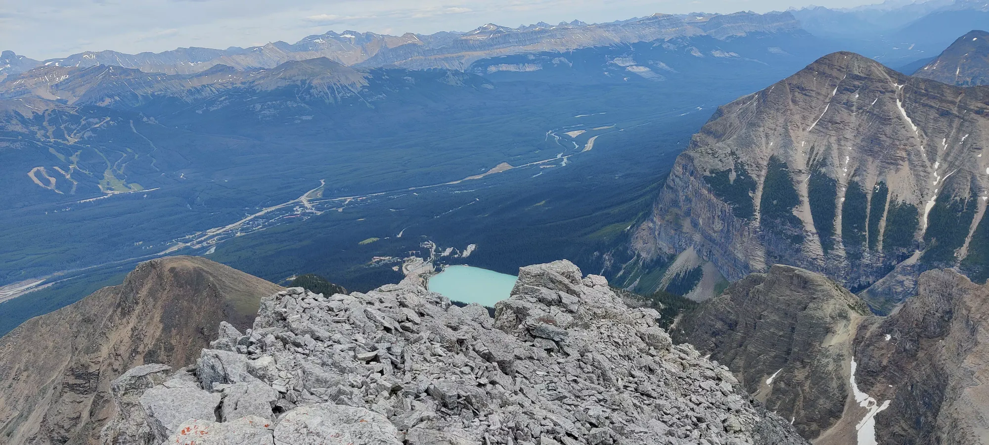
We took a well-earned 25 minute break at the top, but only had snacks since I was feeling kinda iffy with my stomach since the morning, and I didn't want to wait to digest and/or have to use the bathroom, and we had a lot of mountain left on the docket. From here, we headed back toward the other half of this col, Mount Whyte.
GPX Track + Map
