Mount Mulligan - May 22 2022
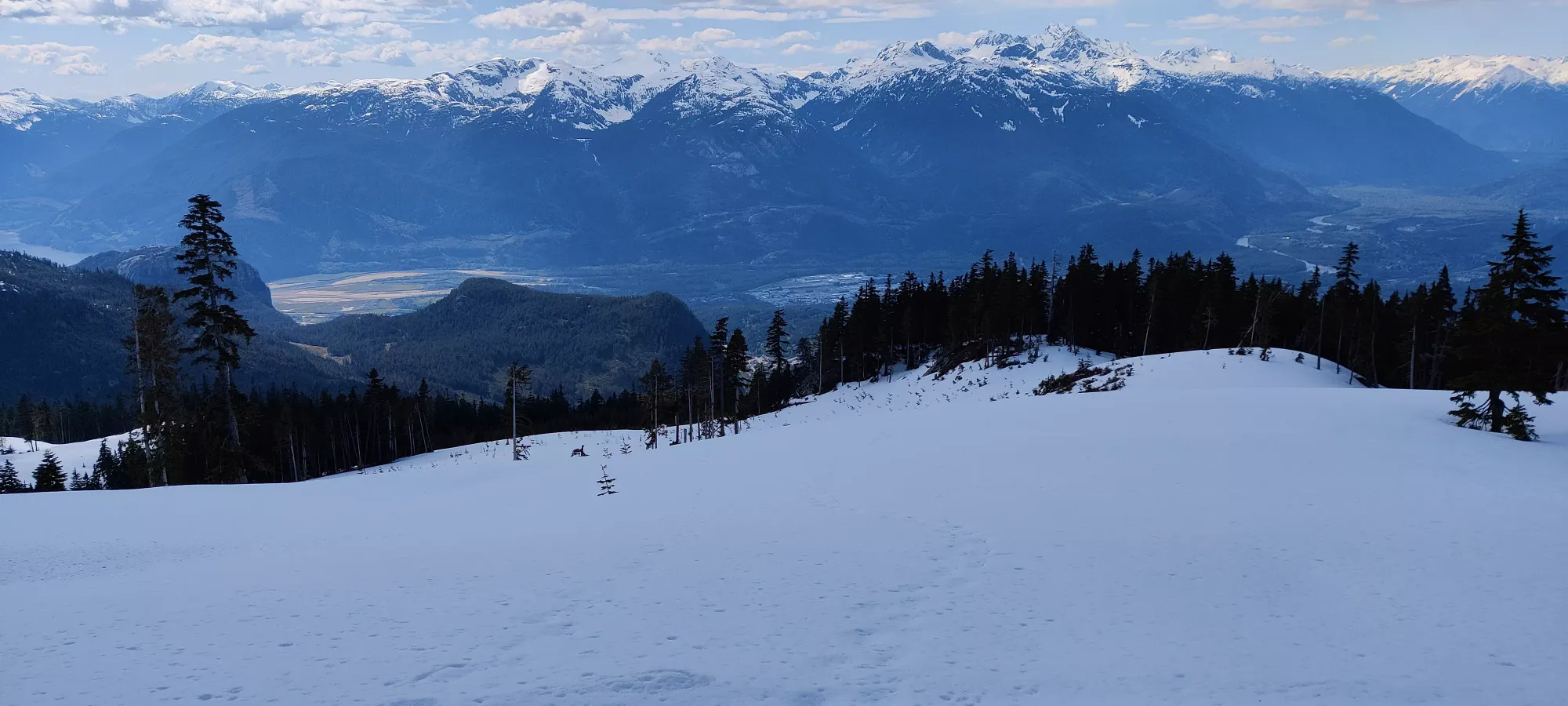
Coast Mountains, Squamish, British Columbia
1534m
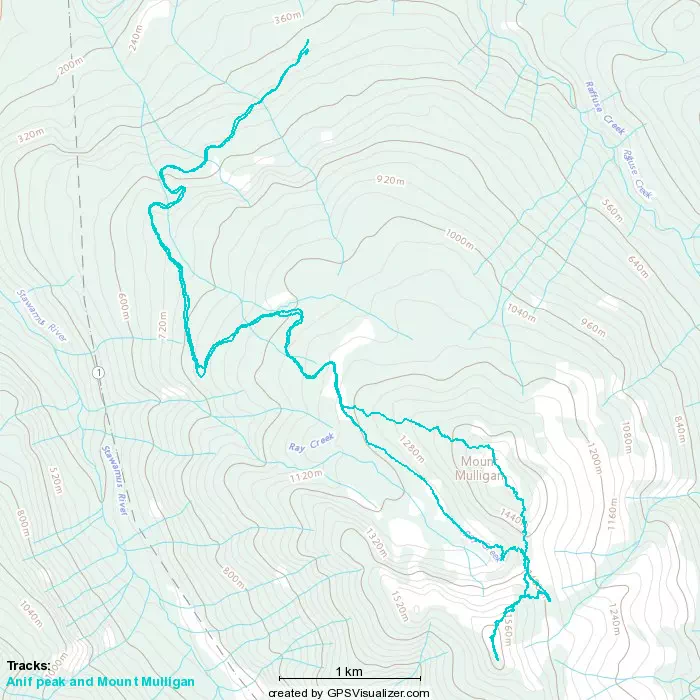
This peak was bagged as a second leg of Anif Peak, so check that out first to see how we got to the point where we started this ascent.
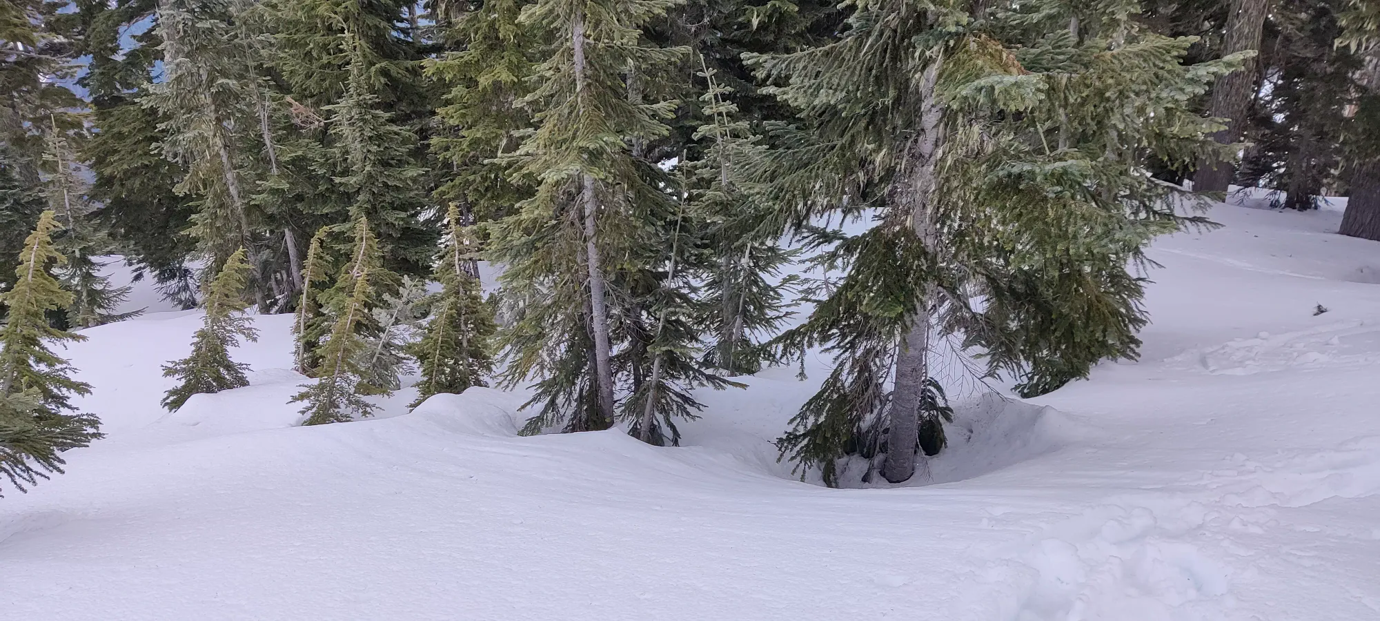
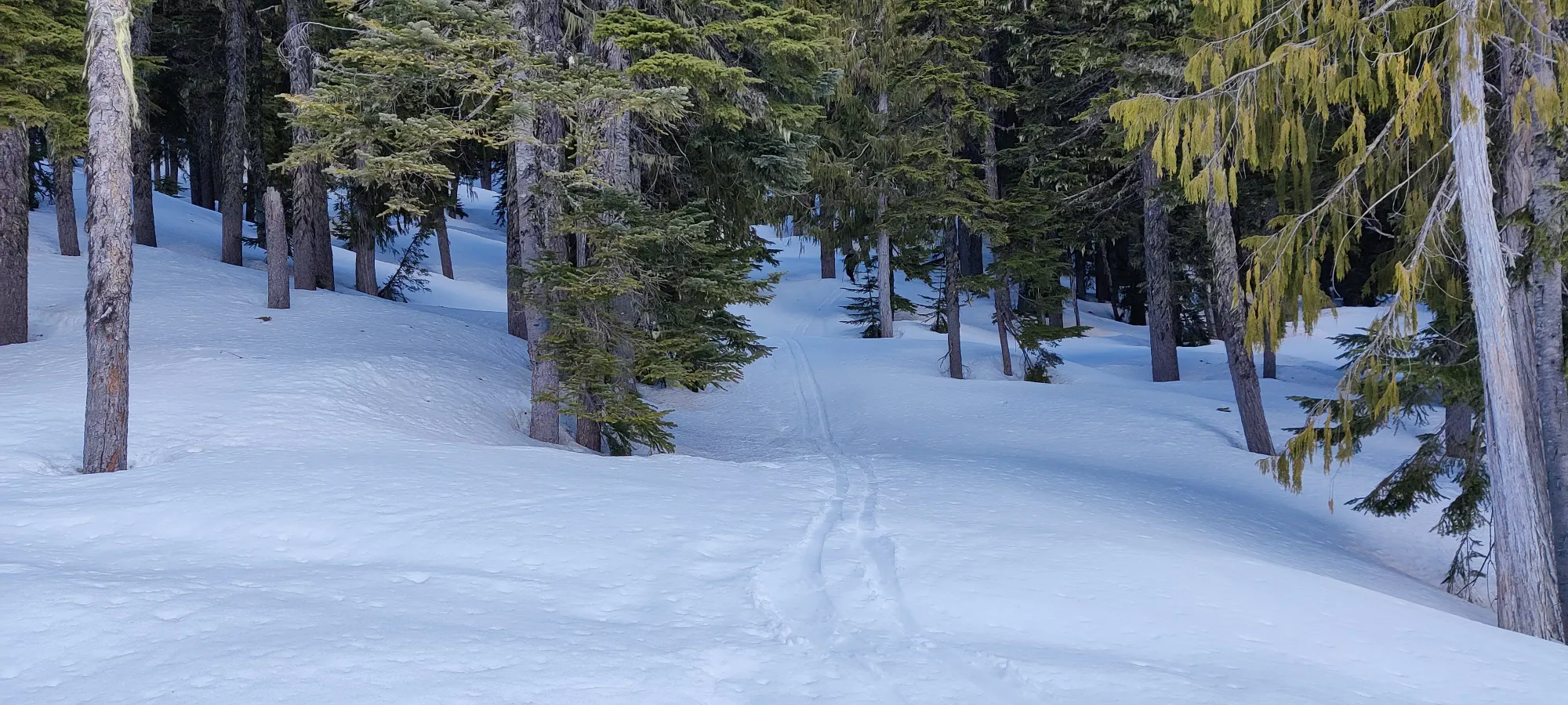
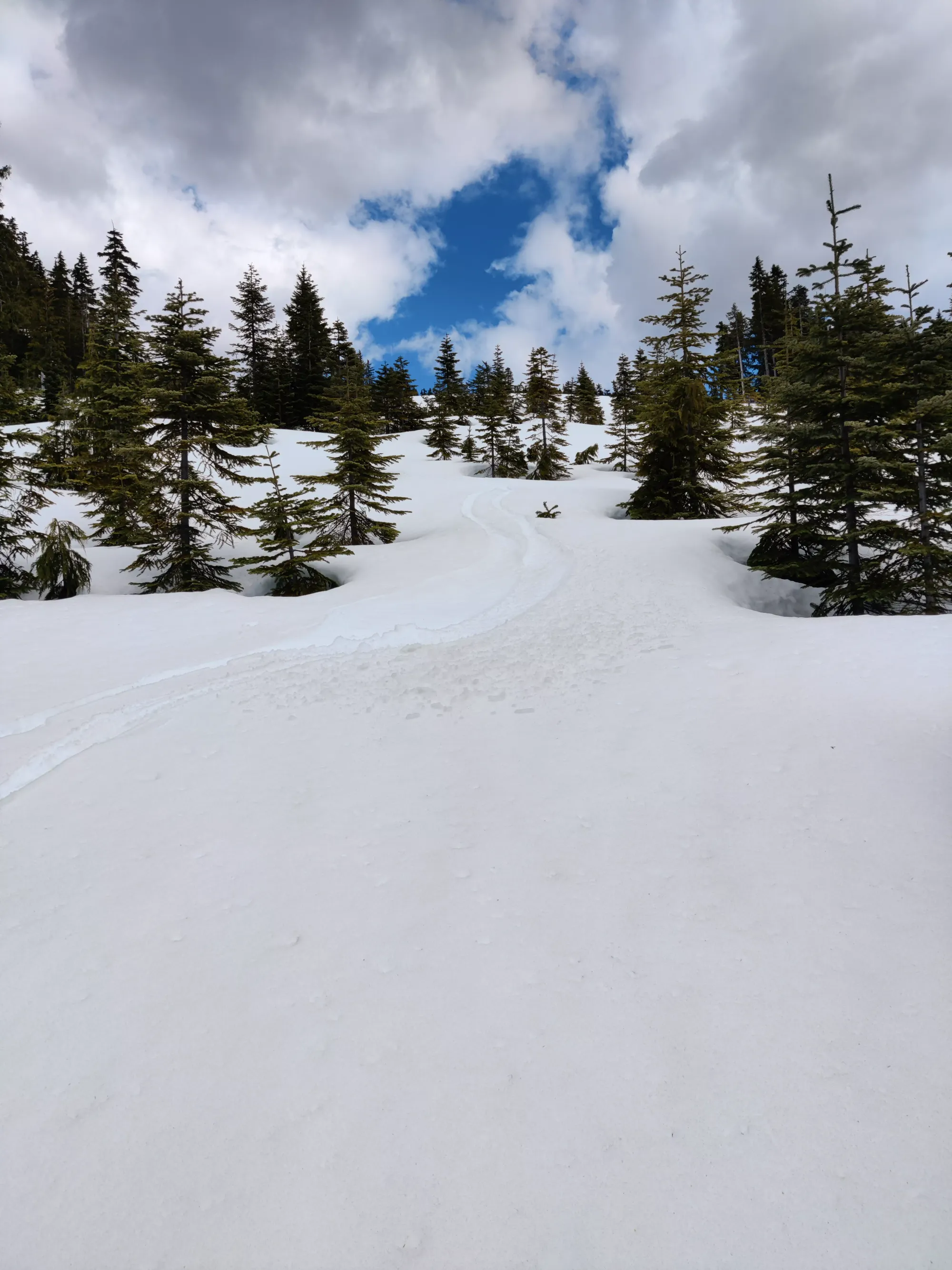
Setting out from that fork, we started plodding up the forest towards Mount Mulligan. Sadly, there were no tracks on this side of its slopes, so we were breaking trail and watching the GPS the whole way up. Although, on the plus side, the snow was so wet it didn't really matter if the trail was broken or not, each step was gonna slide whether you liked it or not. The plod through the forest was fairly uneventful, with most of the terrain looking like the below. It was, at least, shallow enough that skinning up wasn't much of a problem, on a couple sections I really wish I had crampons or more space.
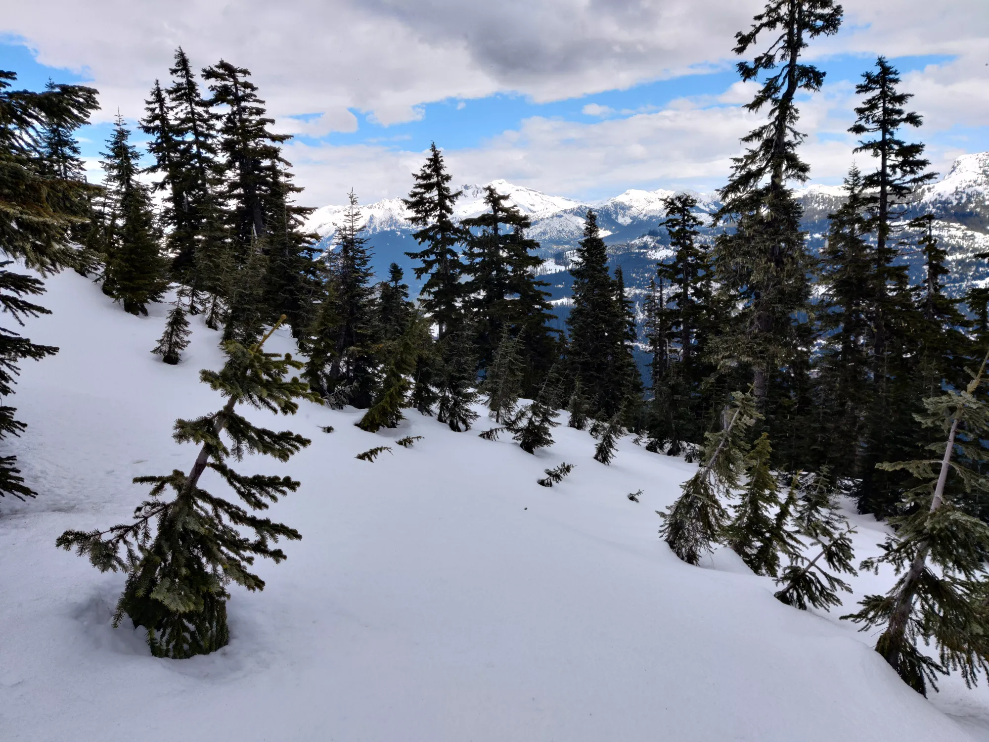
After about an hour, we made it up to the summit area, which is basically just a "follow the GPS and hope one of the bumps you went over is the summit" game. There's a bunch of false summits up here, at least in winter. 10 minutes of fumbling around a bunch of little bumps, we arrived at what looked like the highest of the lot.
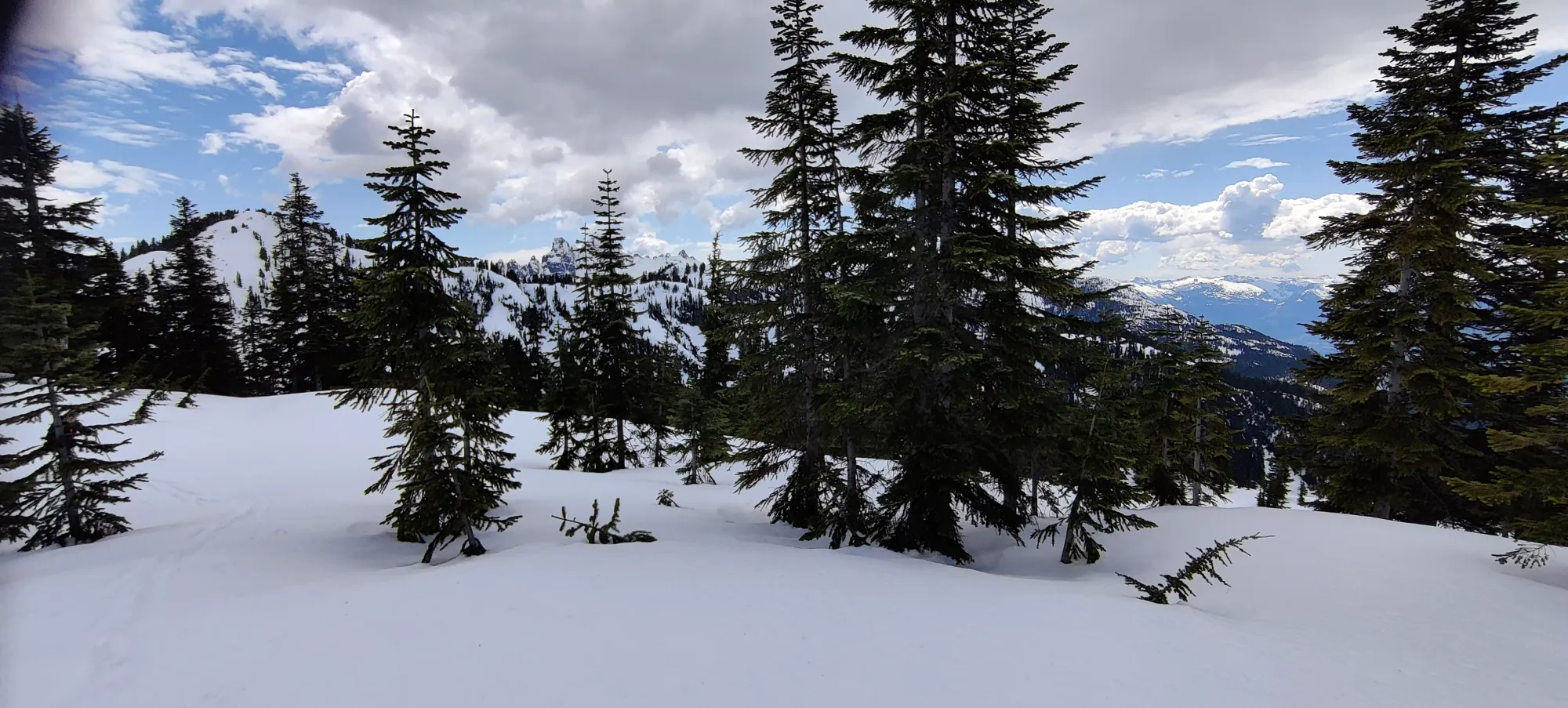
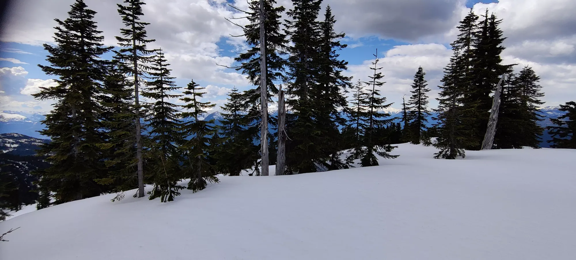
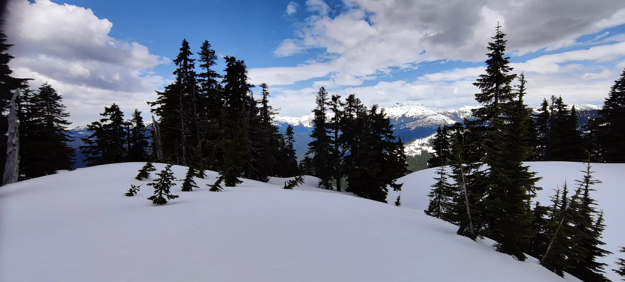
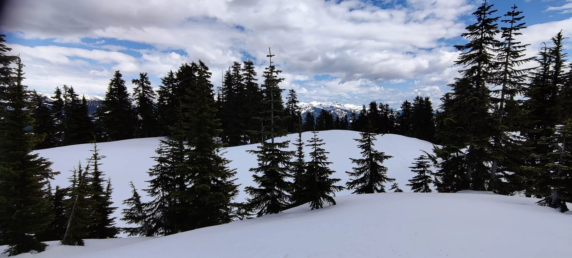
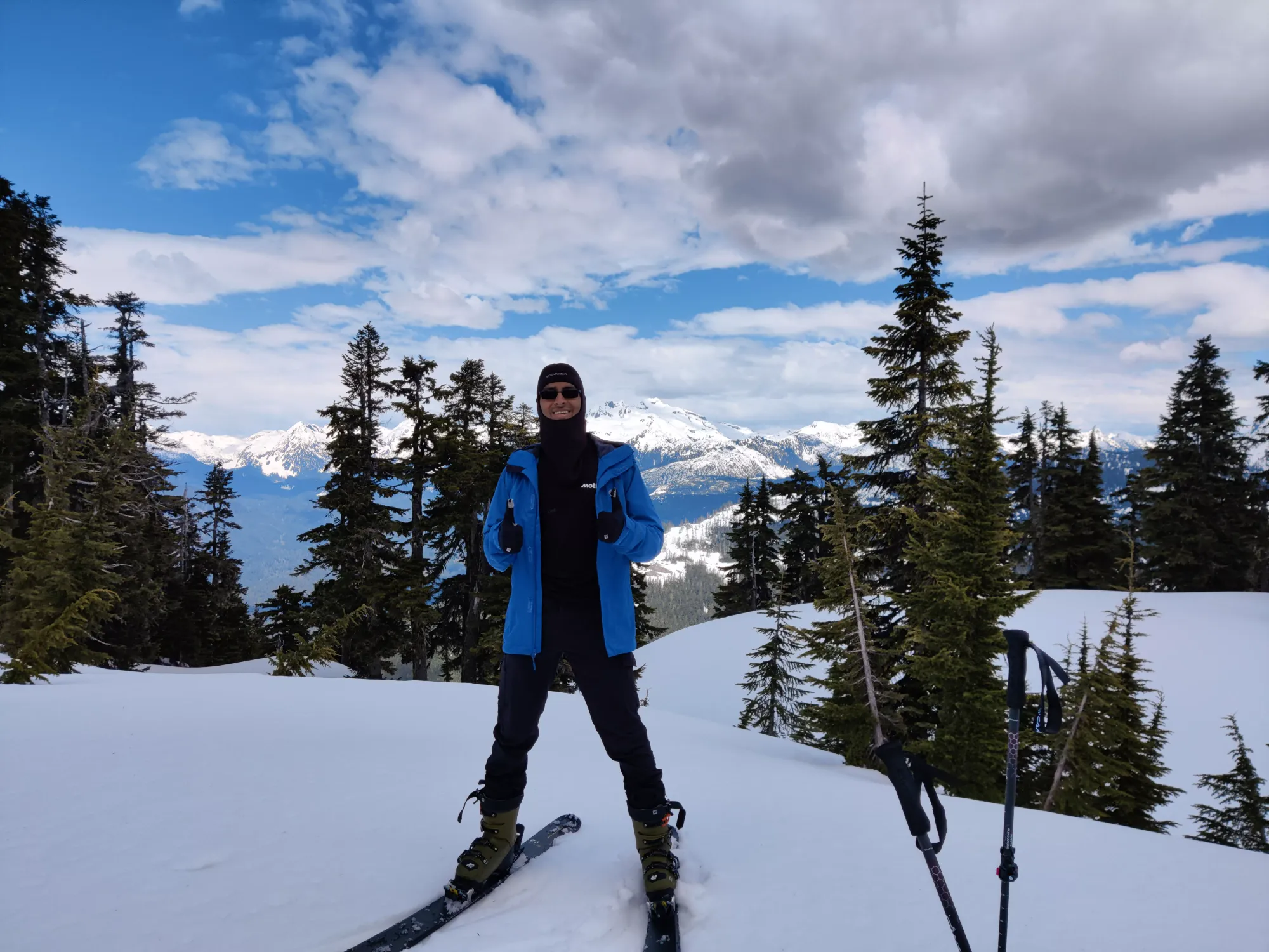
From here, it was a good 350m of skiing down to the original Mulligan/Anif fork from the way up. The peak led to a small bowl, but sadly that was too wet/sticky to be much fun, you just had to bomb it to get across without walking. The forest kept my brain engaged enough to not smack into trees to be fun, though. Plus I got to laugh at Logan slowly plodding down on snowshoes, which is always fun.
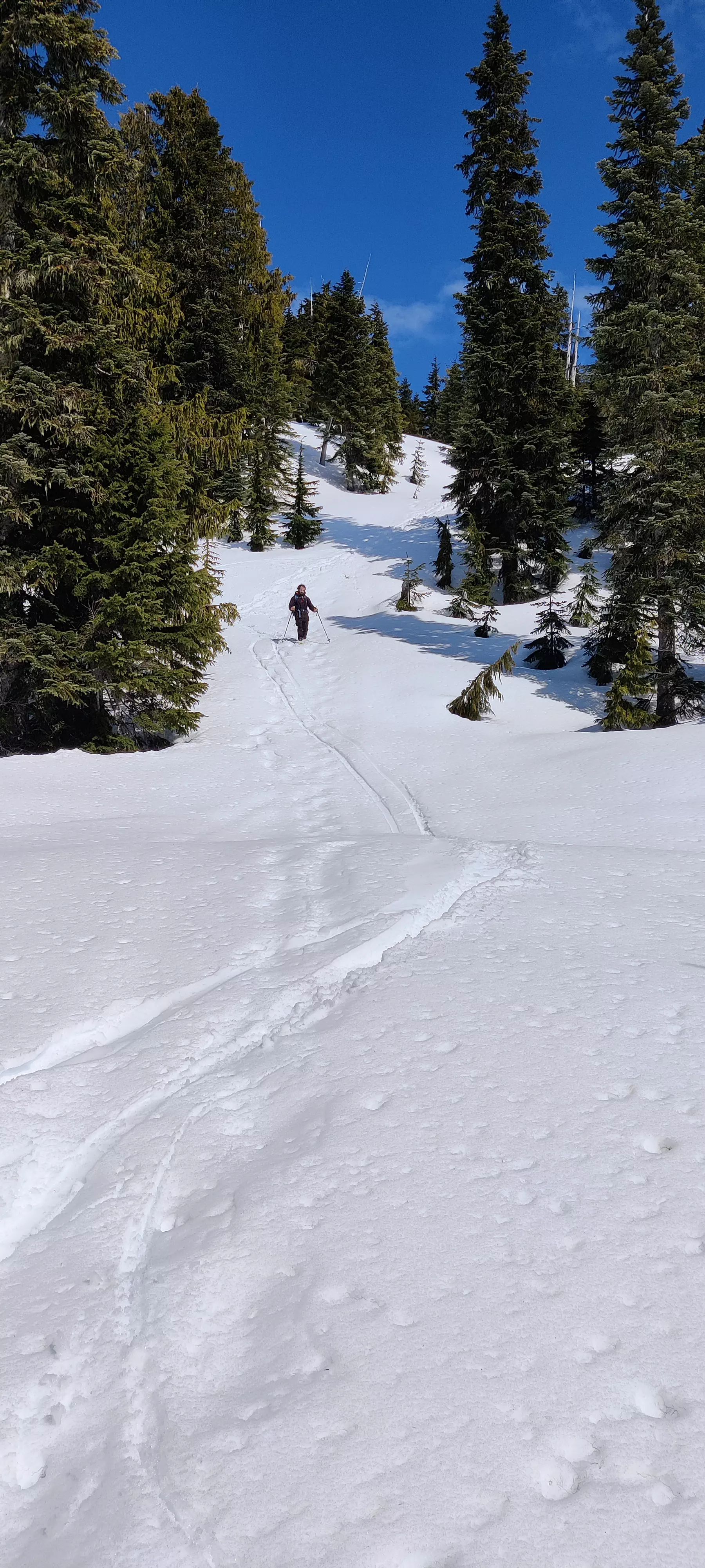
This forest continued for about half an hour (though much shorter if your whole party is skiing, of course). Then, the slope opens up into a fairly wide-open slope with no trees for the first half, and a few more in the second half. A competent skier could do the whole thing in one go, I had to stop a few times to both wait for Logan, and ensure I didn't faceplant into a tree. I got some good turns in on the open face, and even made some tighter turns than I expected to in the latter half.
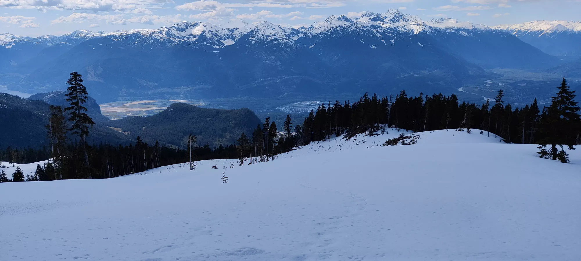
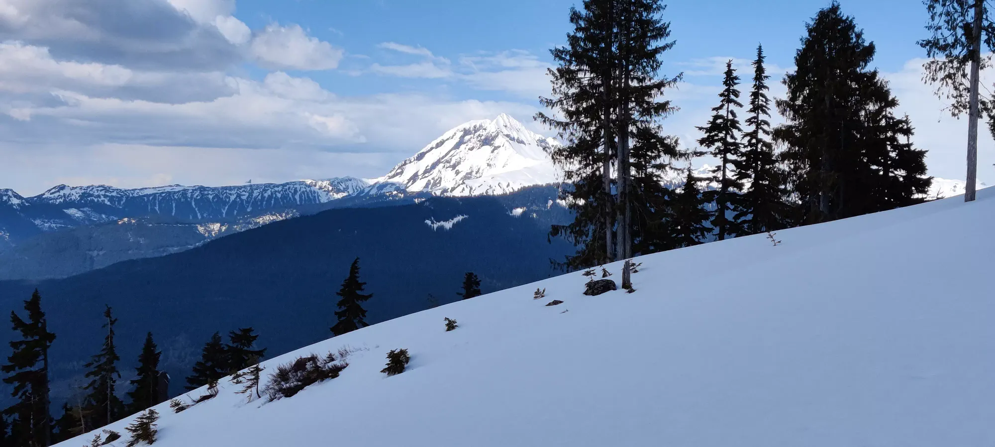
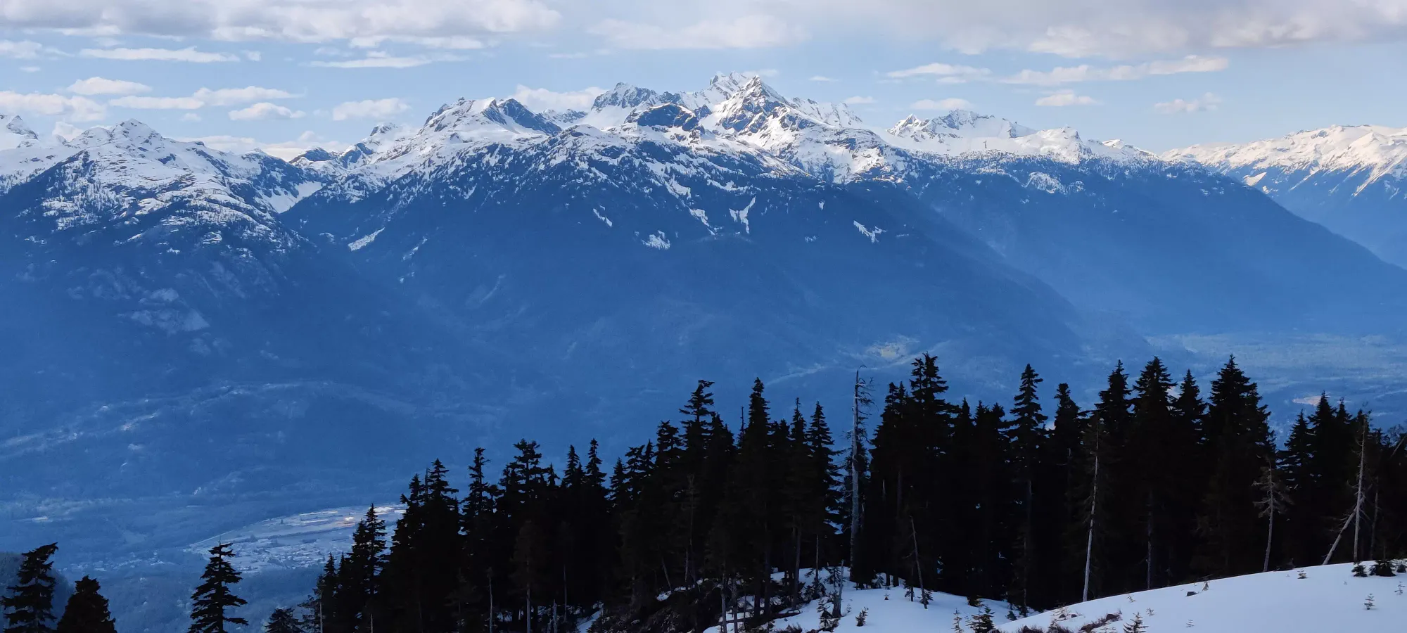
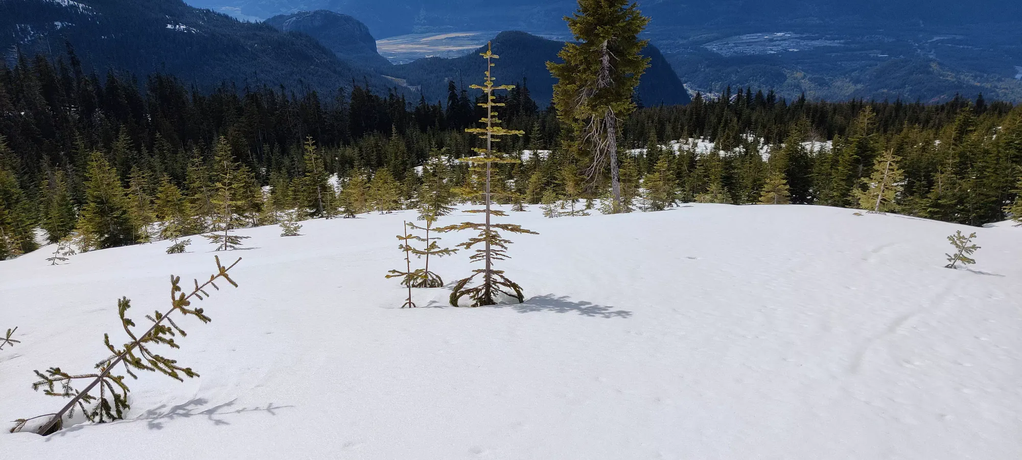
Once we got back to the fork, things were pretty uneventful. The first 1.5kms after we rejoined the forked trail I could still ski down and wait for Logan to catch up, after that it was so sticky he actually passed me. Once we got back to the snowline, I packed up the skis, and we walked back down the road. Sadly, I had not figured out a solution for carrying my boots nicely, so I ended up borrowing some cord from Logan and tying em around my neck so we could descend quickly without them clanging into my skis every step. This also meant I had to wear my jacket to prevent them from tearing+muddying up my shirt, so it was a sweaty walk down. Despite the snow, it was still about 20 degrees at lower elevations, so I definitely need to come up with a better solution for that, at least while my boots aren't suitable for walking.
All-in-all, this was about 9 hours car-to-car, though with a little more practice doing ski transitions, not fumbling with bindings, doing it with better snow, and having both party members on skis, this could be cut down by a good few hours.
GPX Track + Map
