Mount McLoughlin - May 19 2024
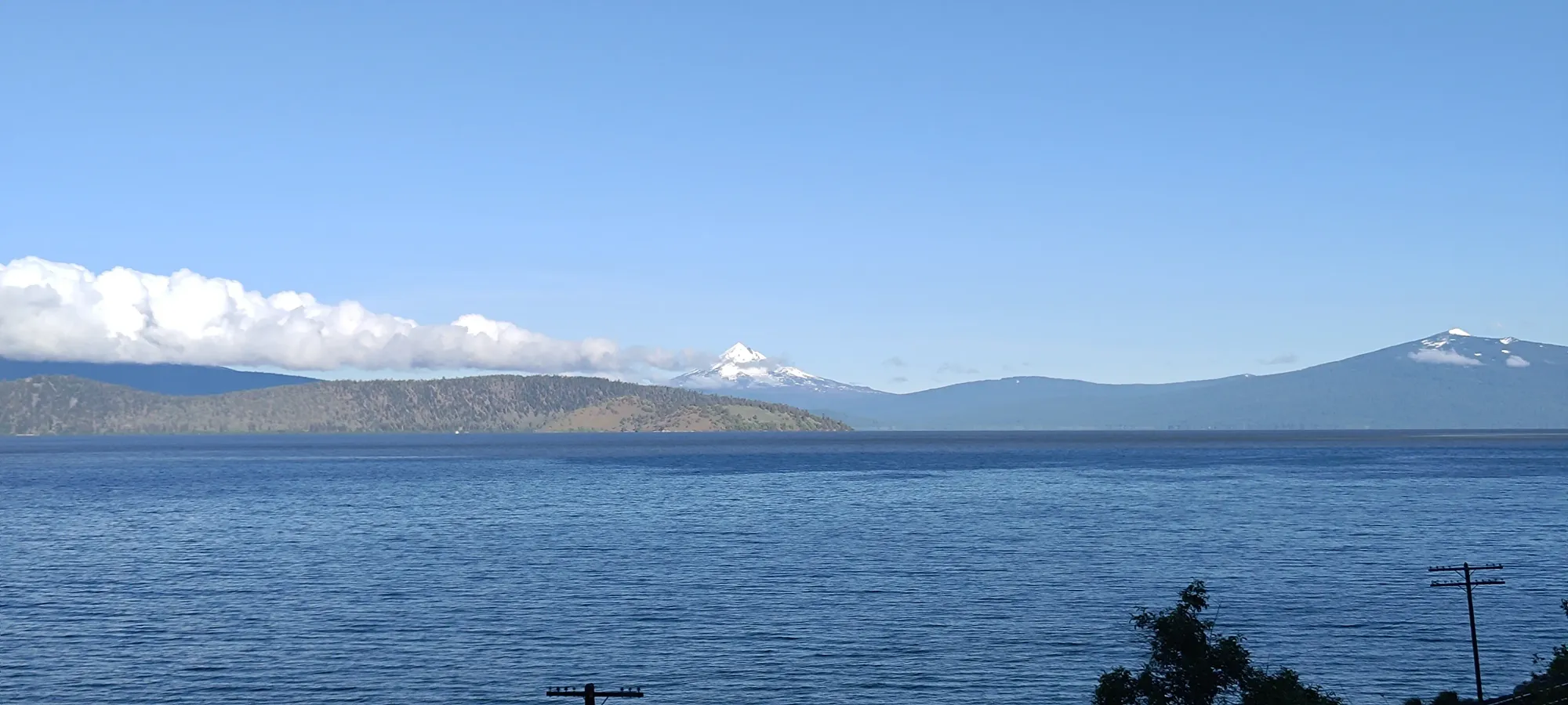
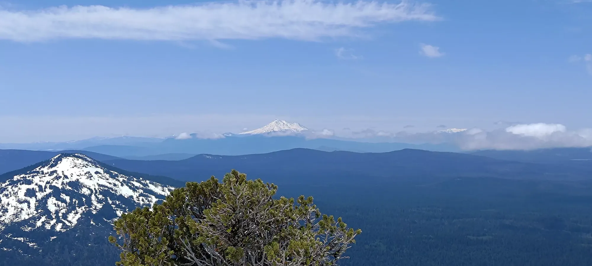
A peak I first saw driving home from California in 2022, a gorgeous triangular skier's paradise rising right over a beautiful lake, I knew I had to come and ski it. I was right, one definitely needs to ski this mountain at some point in their life

Southern Oregon Cascades, Klamath County, Oregon
2894m
Following peak #1 of my long weekend in Klamath Falls on Saturday (check out Mount Eddy's trip report for that), winds in Oregon calmed down a bit, and it was time to check off a bucketlist peak: McLoughlin. I first saw this peak driving past it in 2022 and knew I had to ski it, the view of it rising over Klamath Lake, looking like a gorgeous pyramid had me hooked. So, after getting back to my motel from Eddy, I tried to scarf down enough food to make up for the day's adventure, and did my best to get to bed to wake up at a reasonable time for spring skiing. I was marginally successful, and after a drive only slightly lengthened by trusting Google to get me to the trailhead (it took me to the still-snowed-in and very deadfall-laden NF-3650 road off the highway instead of the cleared NF-3661, use the latter in springtime, at least this season), I got to within 500m of the trail's official start.
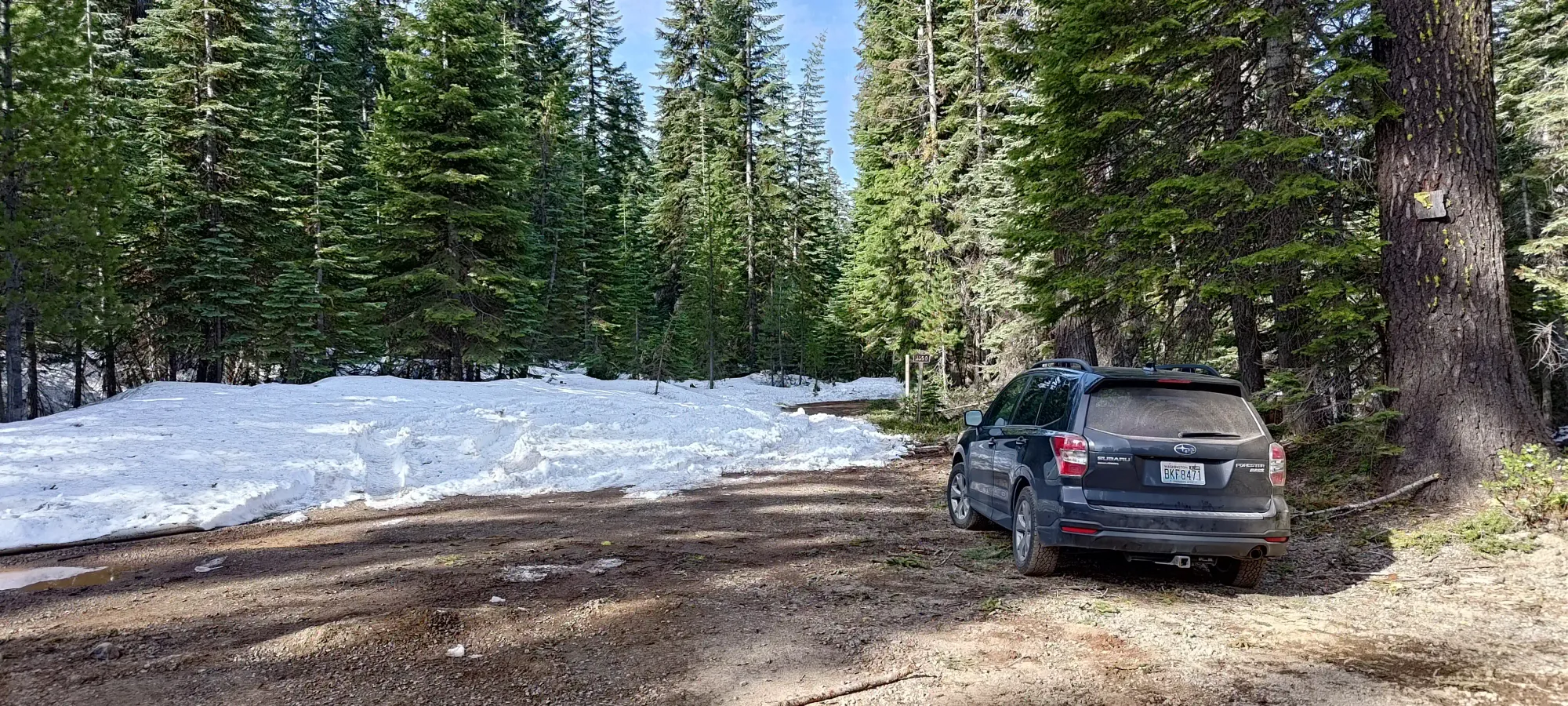
After parking and seeing the decent snow coverage beyond, I decided to stash my shoes and wear ski boots from the start this time around. I'd also decided after the previous day's unused gear to forgo skins and ski crampons to lighten the pack, as I had beta that the summit had been hiked recently. I still brought the crampons+axe just in case, since I also had seen some people mention wanting them for the summit, and I wouldn't want to have to turn back because I didn't bring em. So, with my slightly modified pack, I set off once again at 8:39am (exactly the same time 2 days in a row, what're the odds).
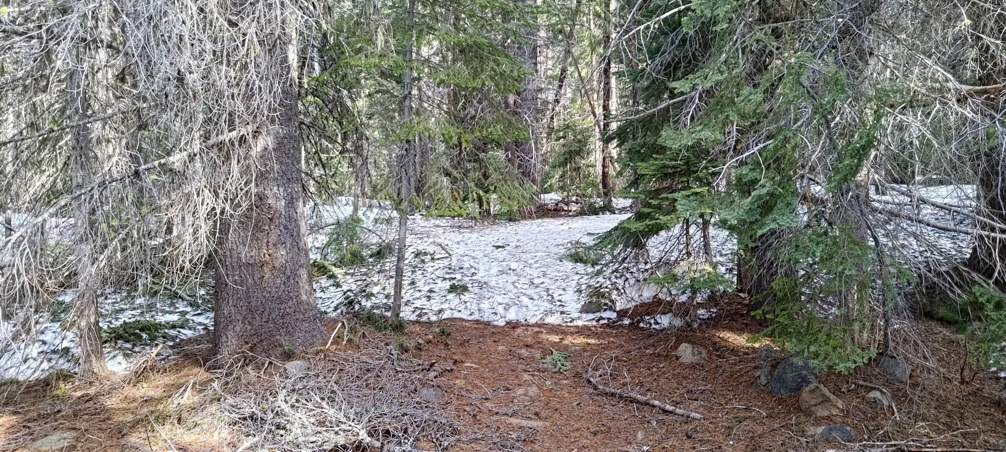
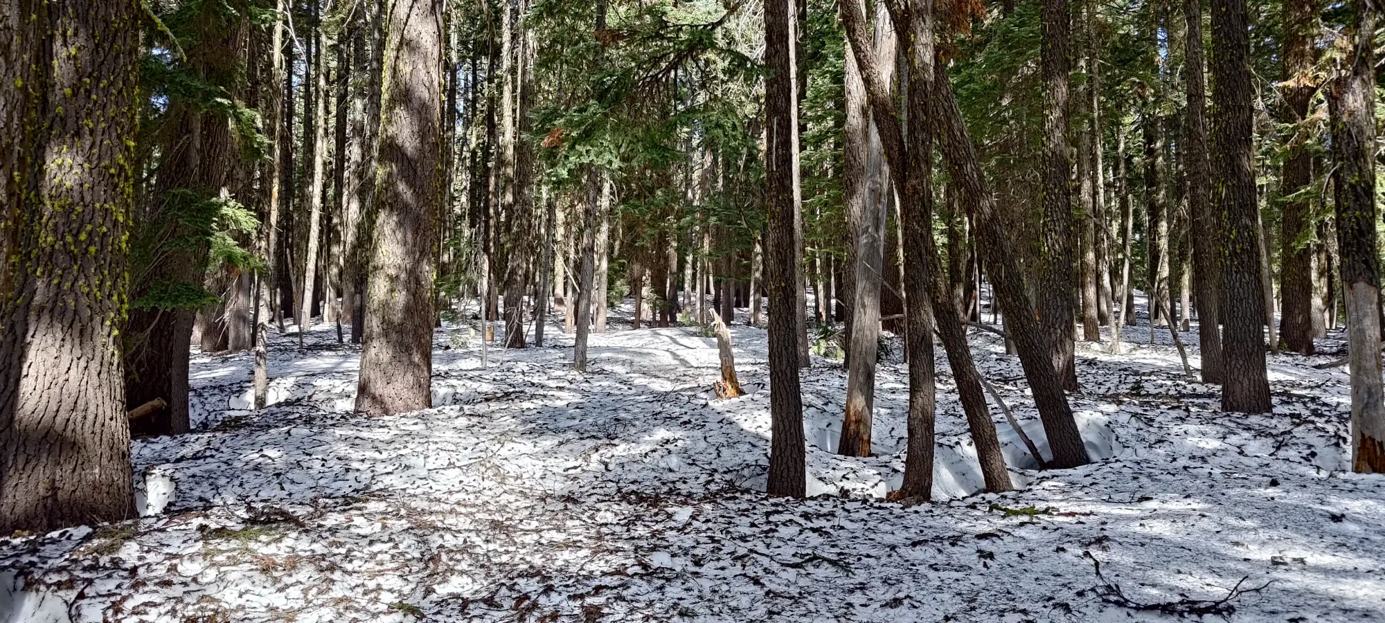
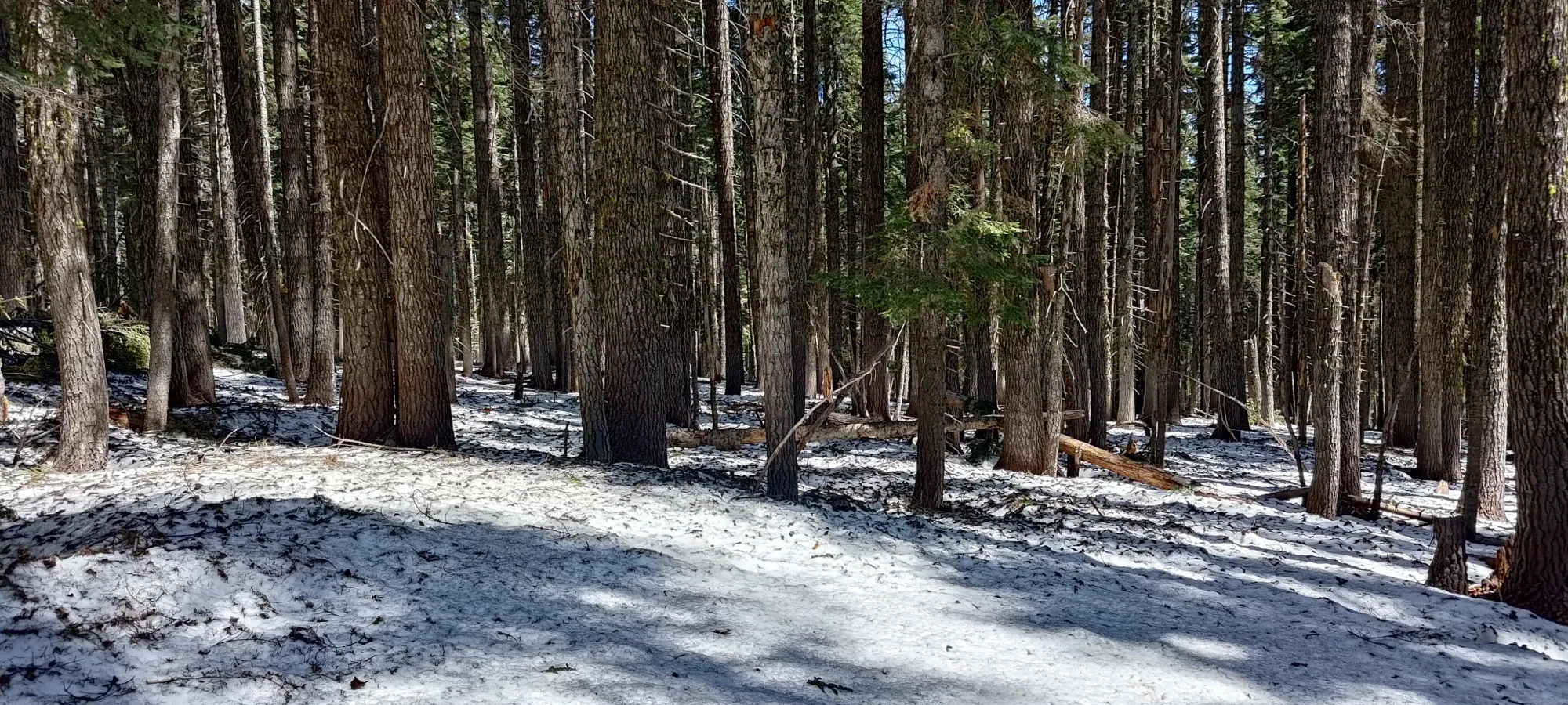
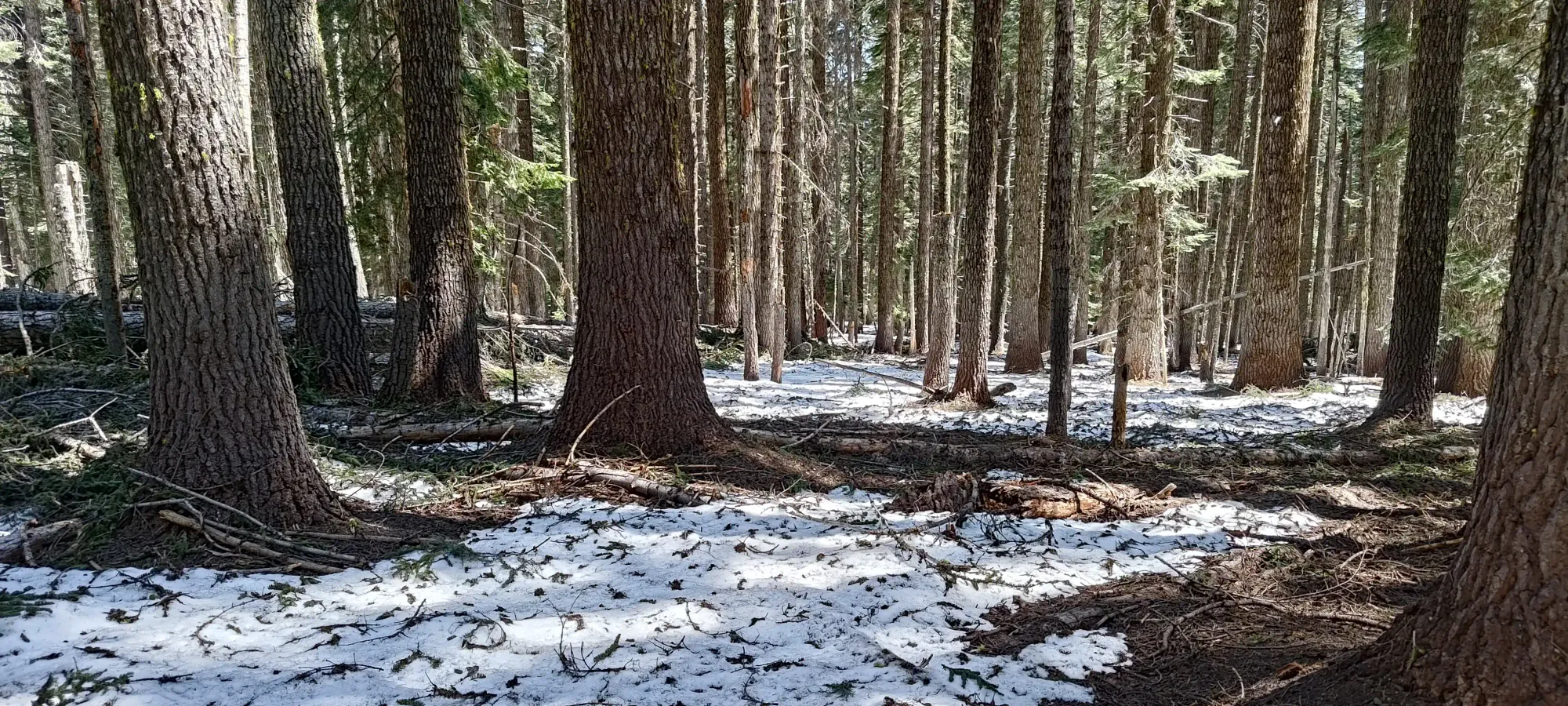
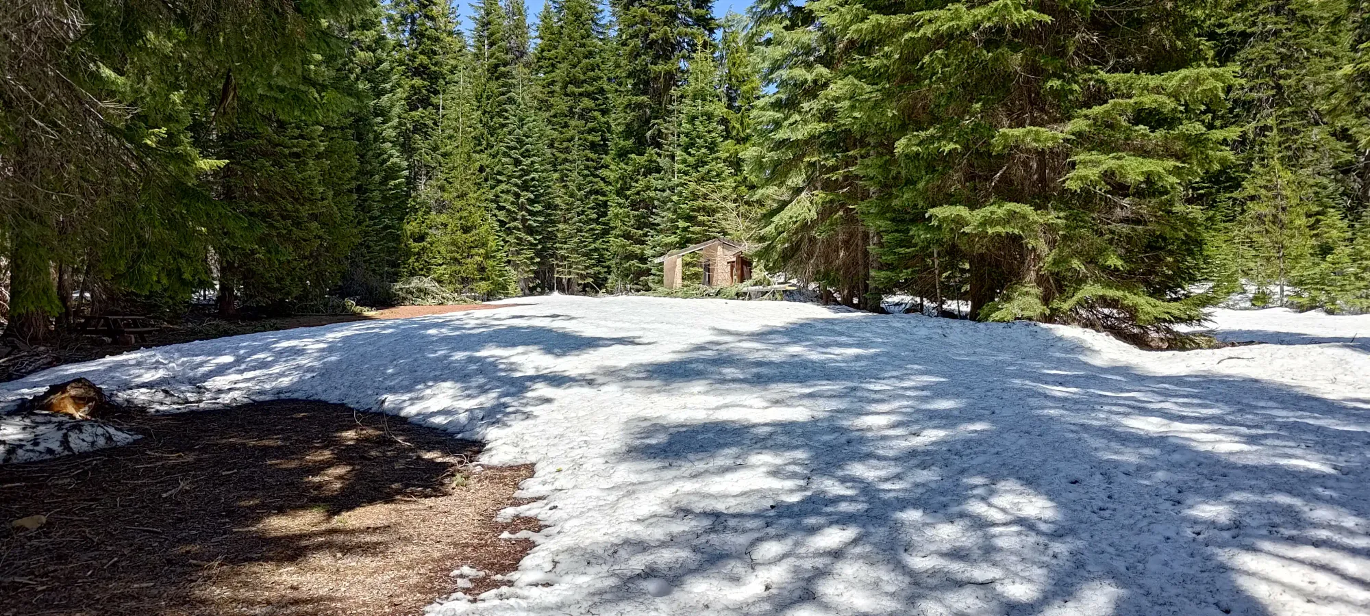
After a couple minutes of walking, I got to the trailhead, and started my way up. There was a creek crossing almost immediately, but it was still well-bridged by snow, and had a log crossing to climber's right if you didn't like that (or for once it melts out). Otherwise, the trail was on/off patchy snow for a kilometre or two, but before long it became continuous snow. The snow surface was quite dirty/covered in leaves/sticks/branches, though.
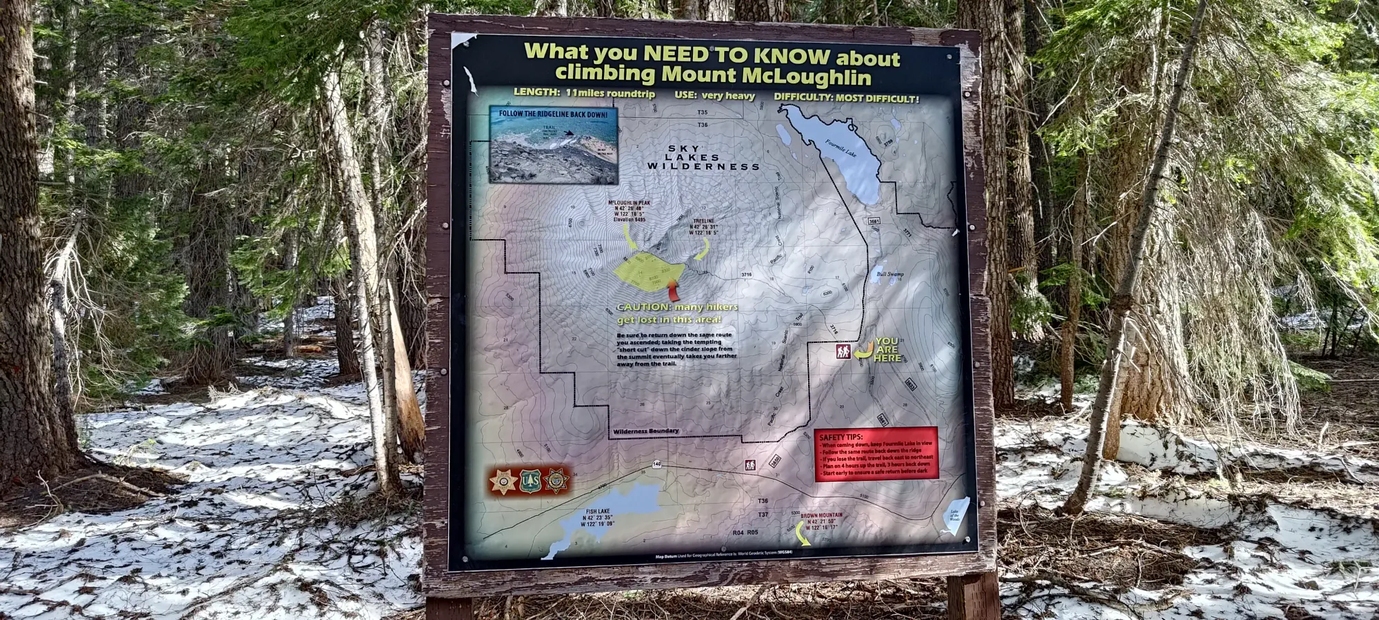
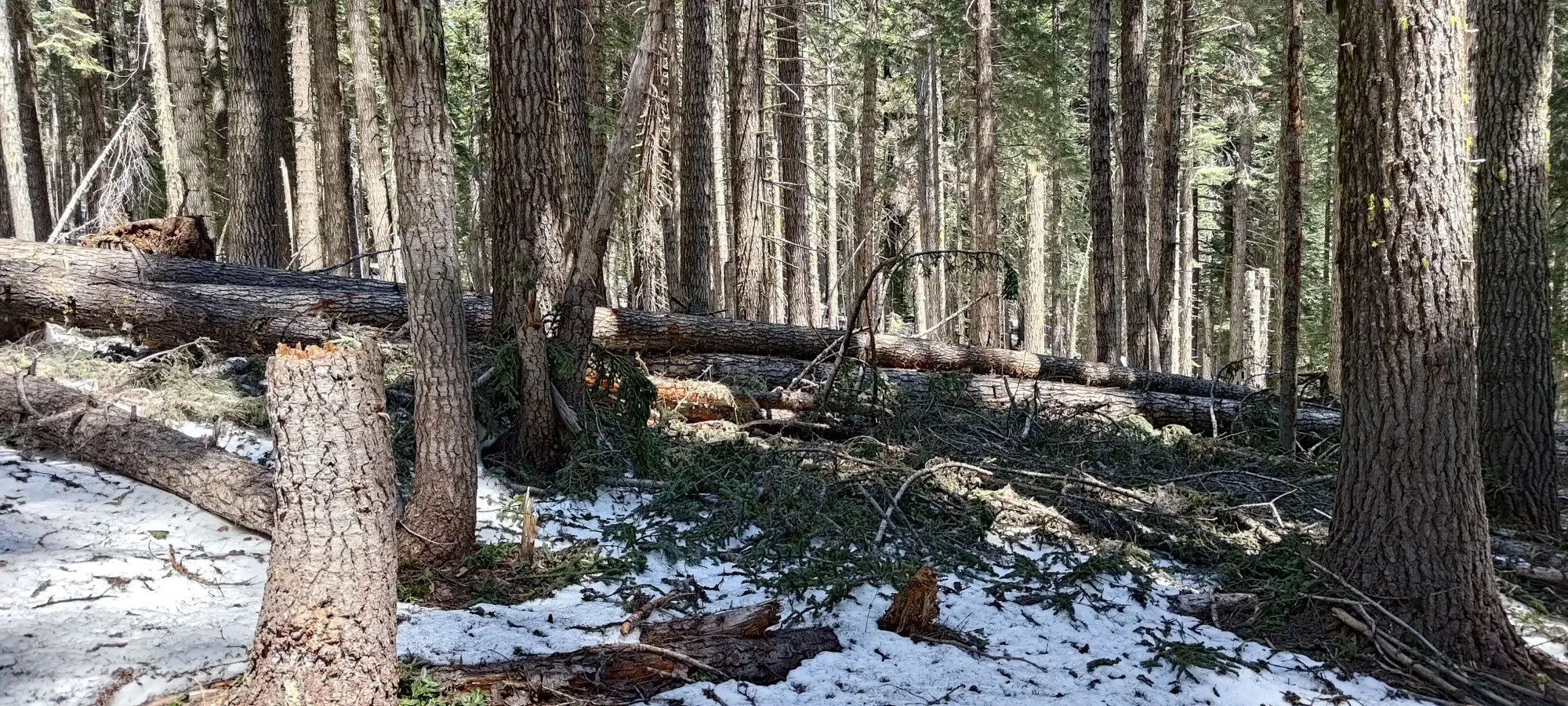
The trail goes a bit north then makes a westward traverse before it really starts to go up in elevation meaningfully at around 2000m. On the way up, at least, I dutifully followed the broken trail which followed the buried summer trail, and spent about an hour and a half getting to that elevation, covering about 5km, already 1/3 of the day's total distance. I'd say by about 1900m the snow was continuous and "just had light leaf coverage", whereas below the concentration of larger sticks, branches, deadfall, and dirt steadily increase until it became unskiable.
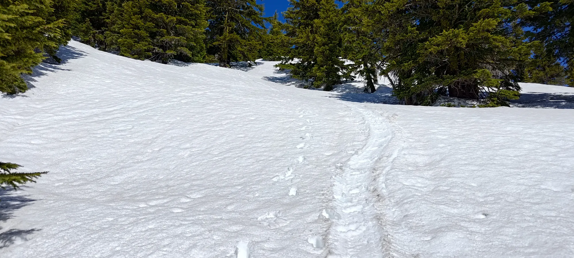
I started to slow down a bit once things started gaining more steadily, and by 2200m, where there started to be more sky than tree, I was already somewhat out of breath. I did realise, at least, that my tiredness, while also being a function of lost strength in the last 6 weeks, was also a function of poor pacing, so for the rest of the day I did my best to try and force myself to slow down and keep a measured cadence, which did help avoid the whole "rush, rest, repeat" cycle. One annoying thing to deal with was that I didn't bring my skins, so I couldn't leverage the set skin track (which ended up going all the way to the top!), but instead had to follow the boot path. That was mostly fine, except for the parts where people had clearly glissaded right down the trail that people had worked to break on the way up! If you're a hiker reading this, "please gliss to side of the trail so the bootpack isn't smoothed out for those coming up after you" 😅
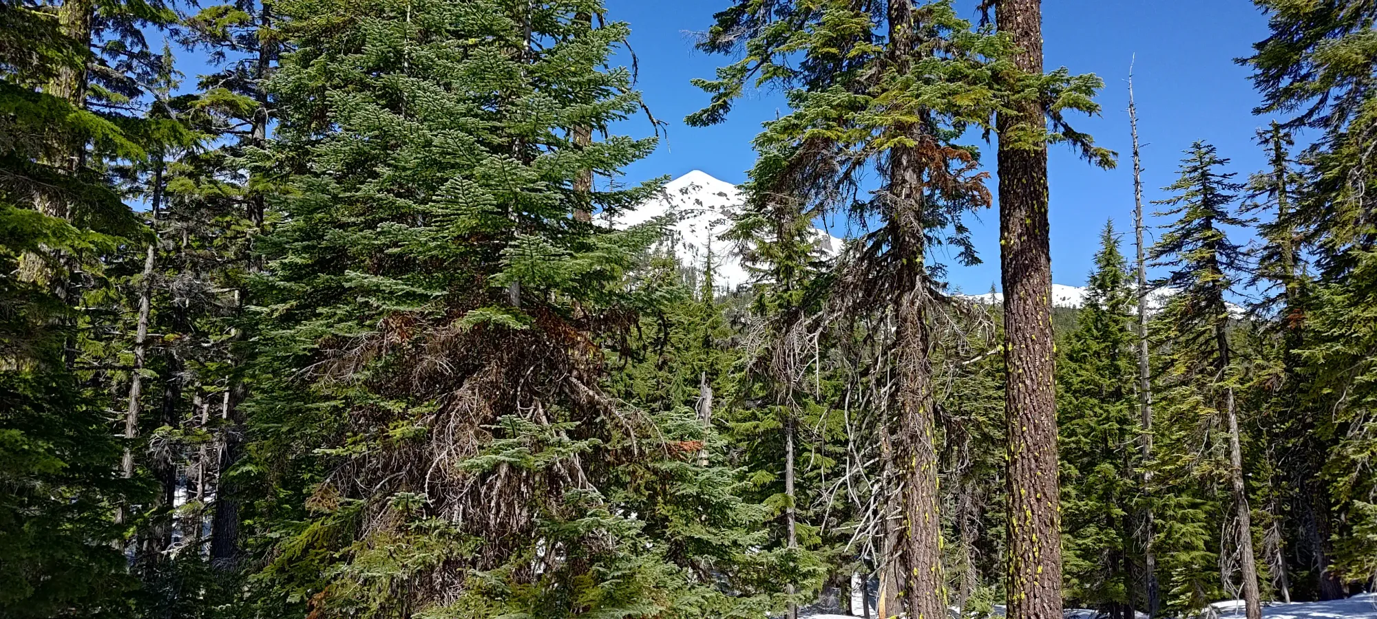
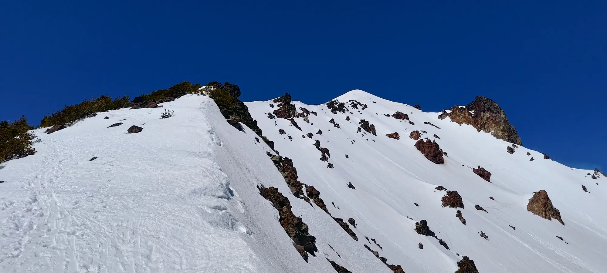
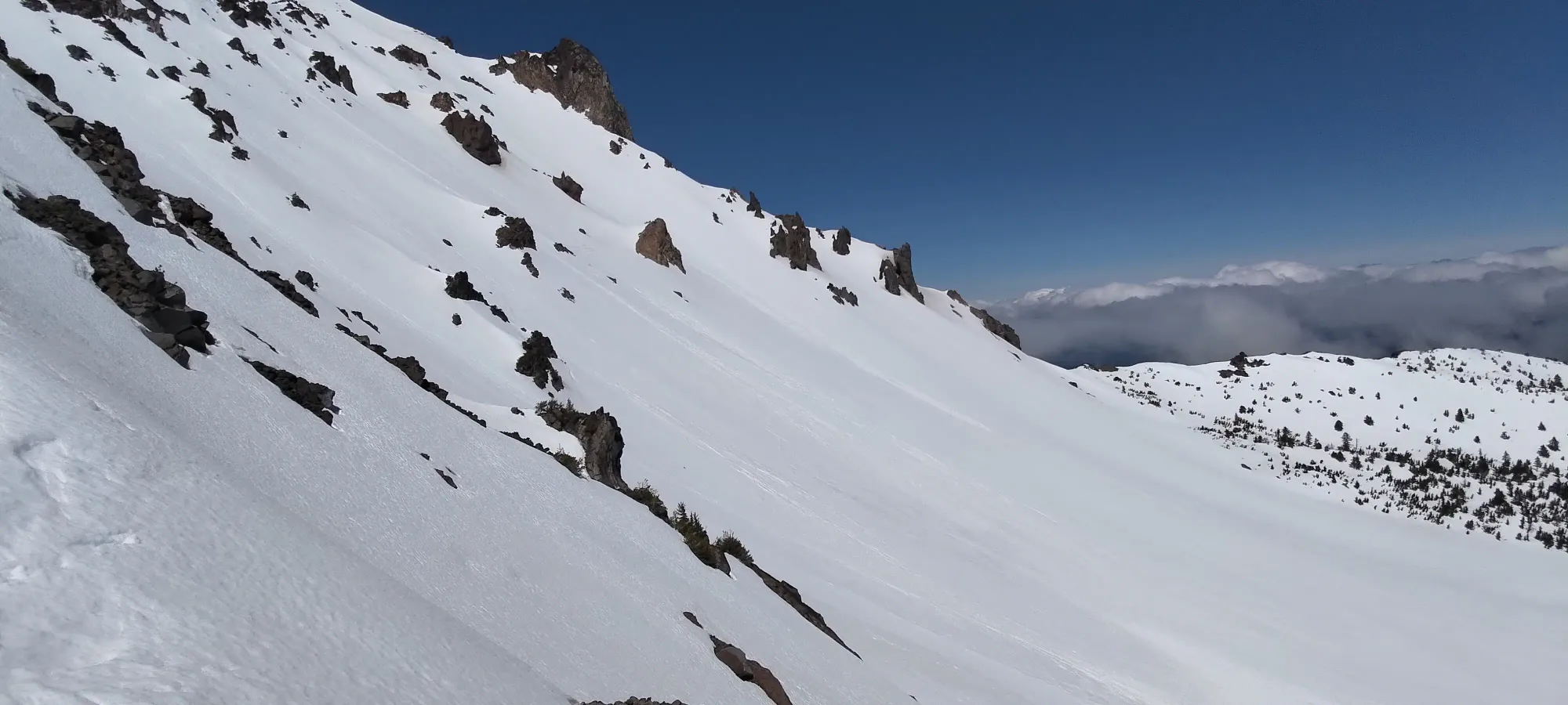
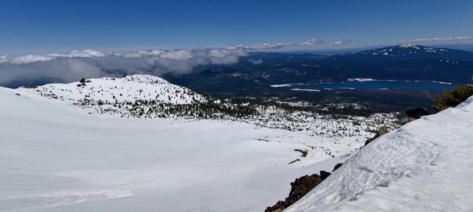
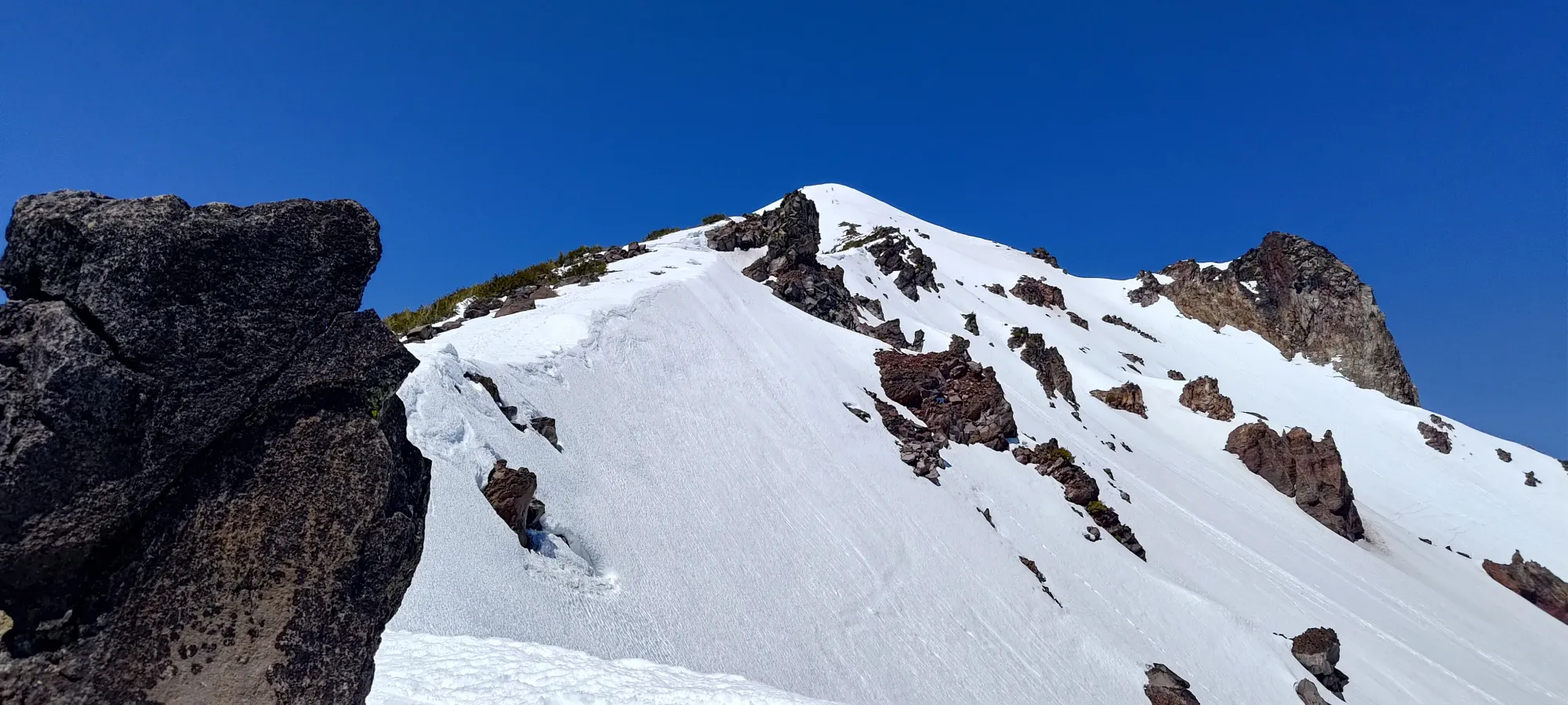
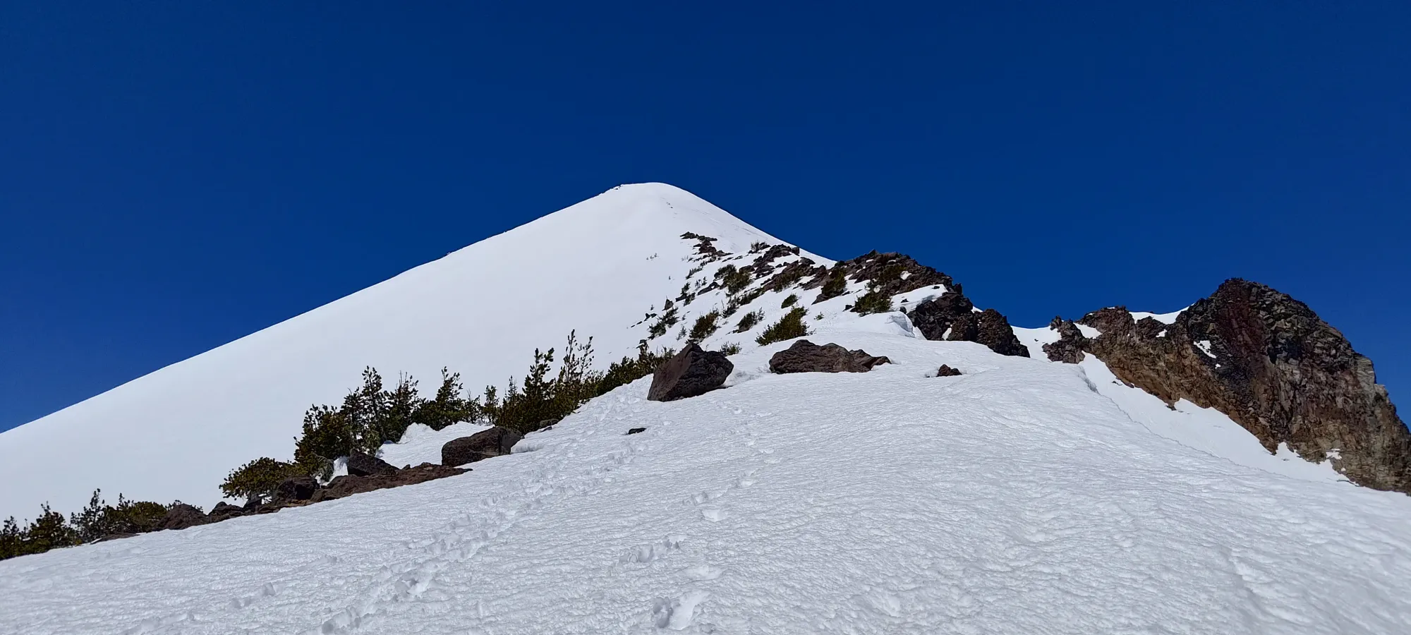
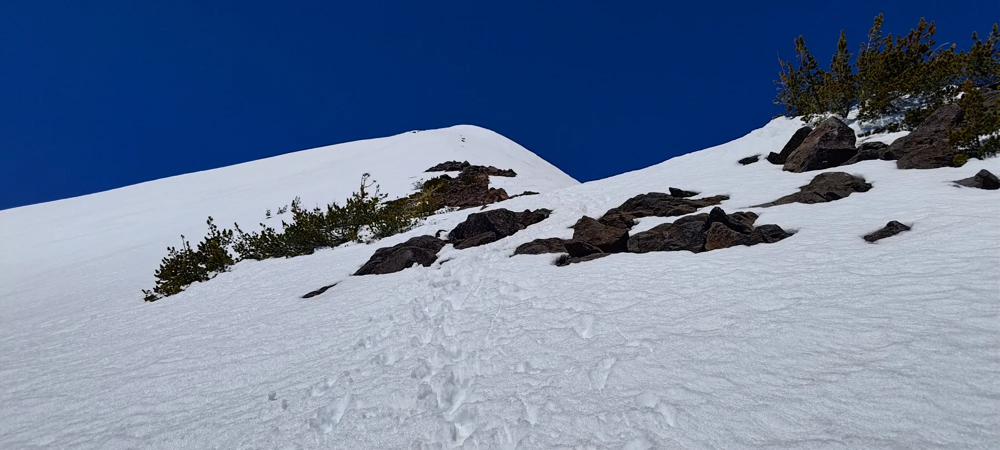
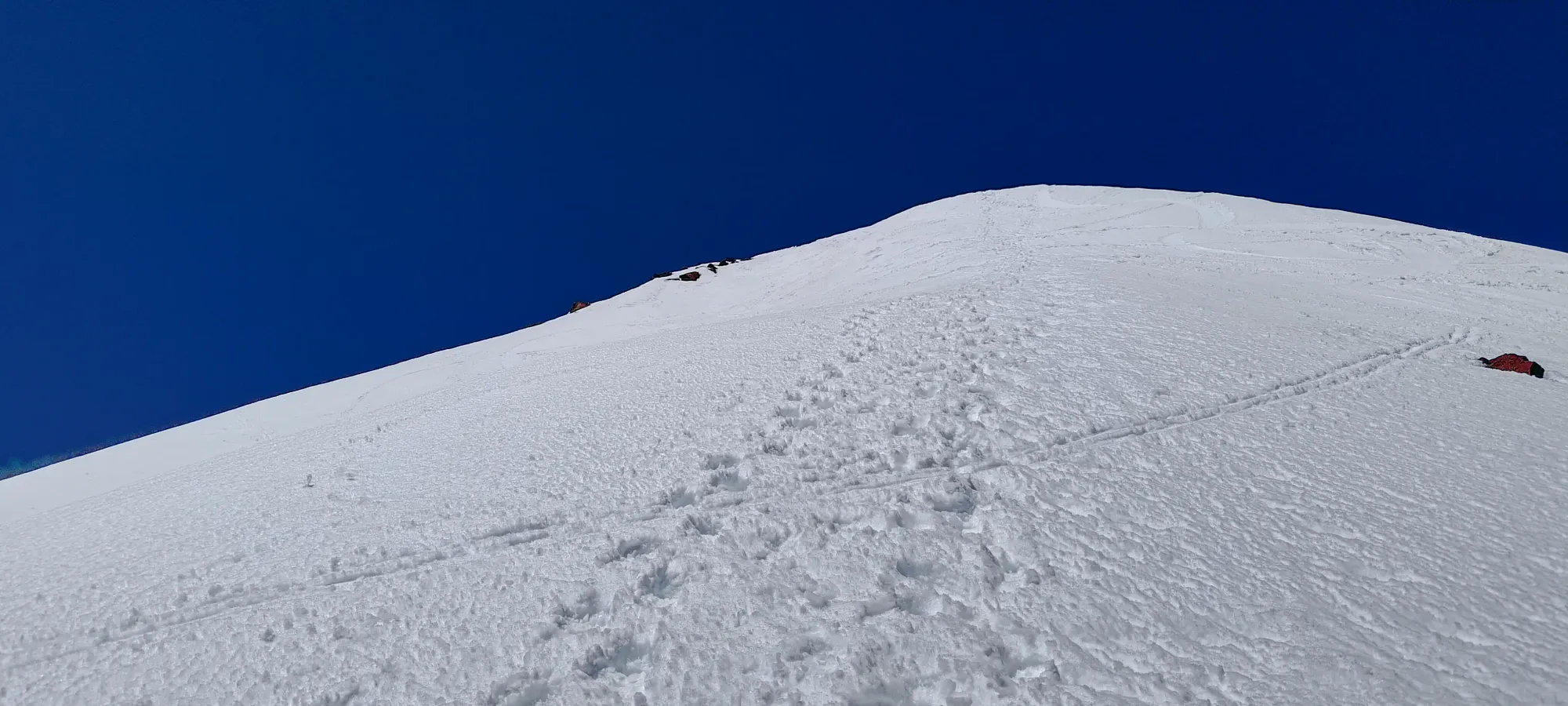
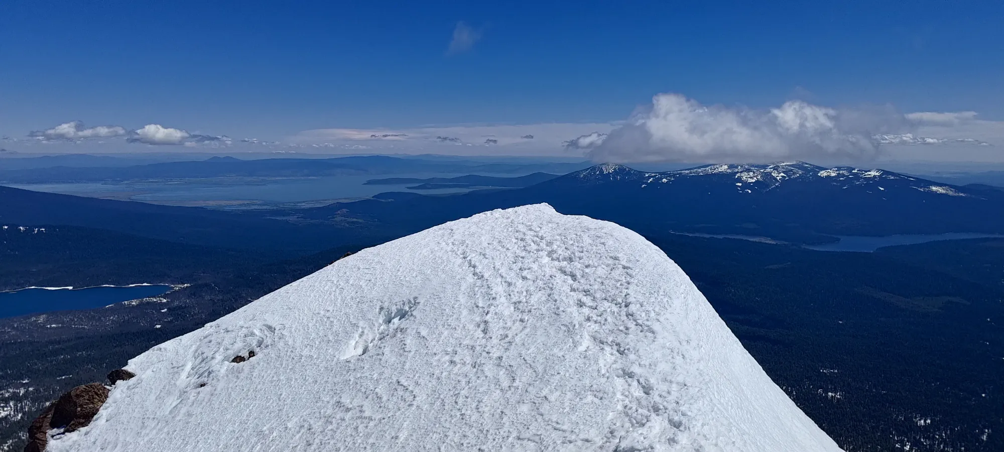
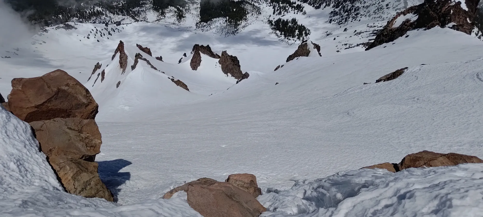
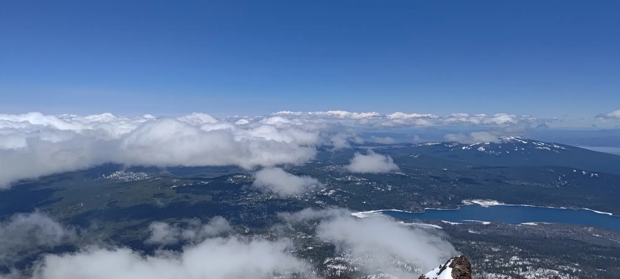
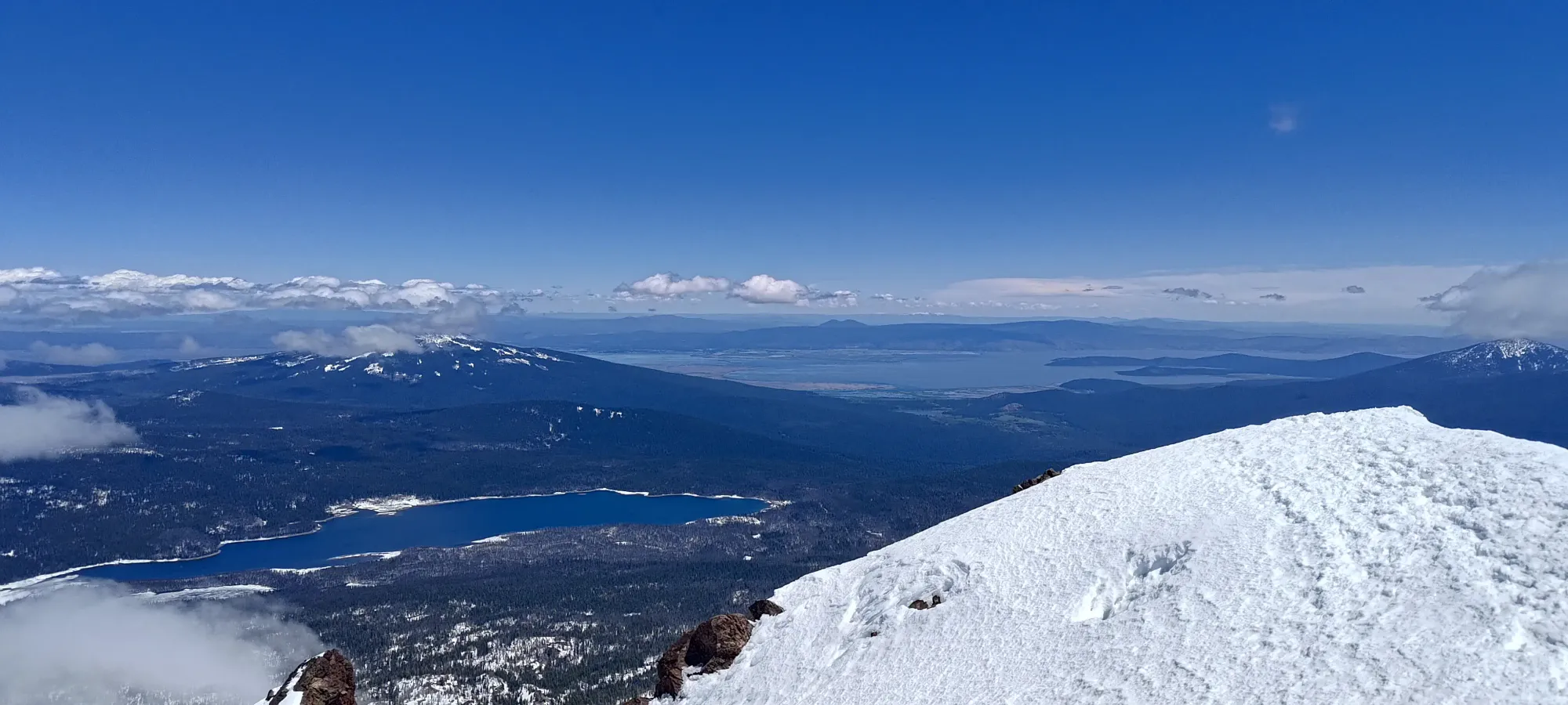
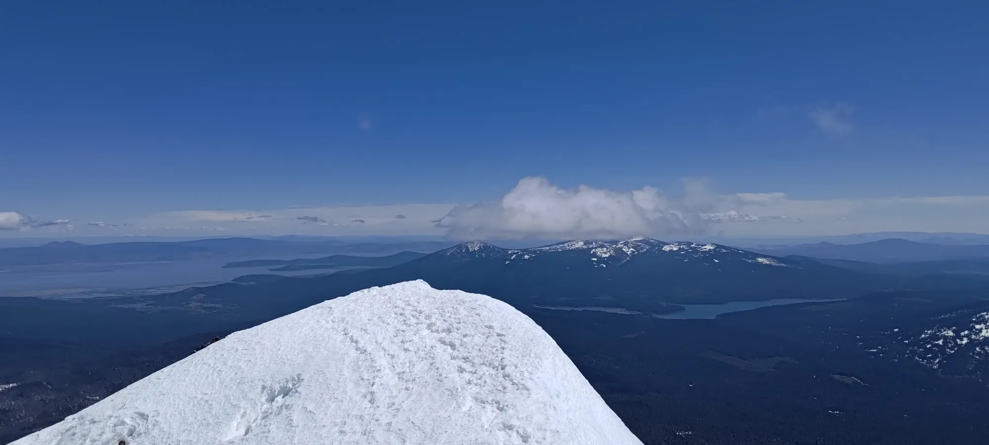
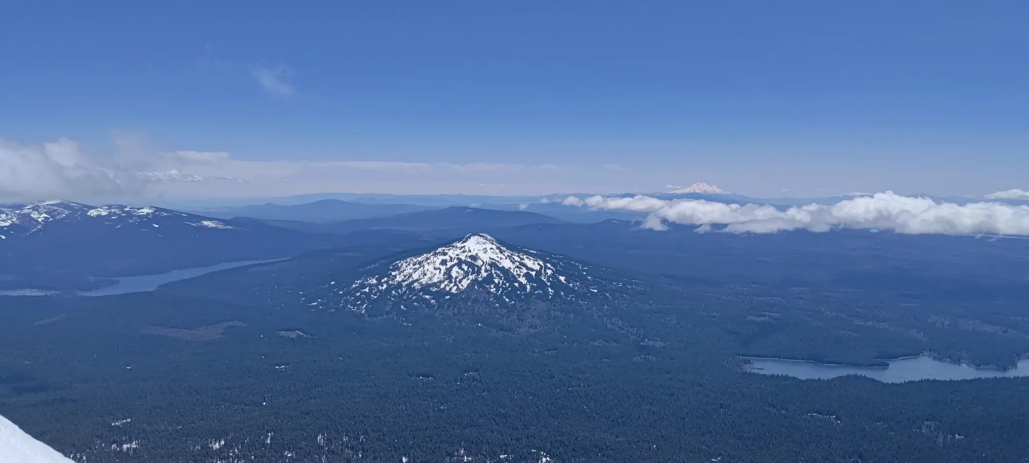
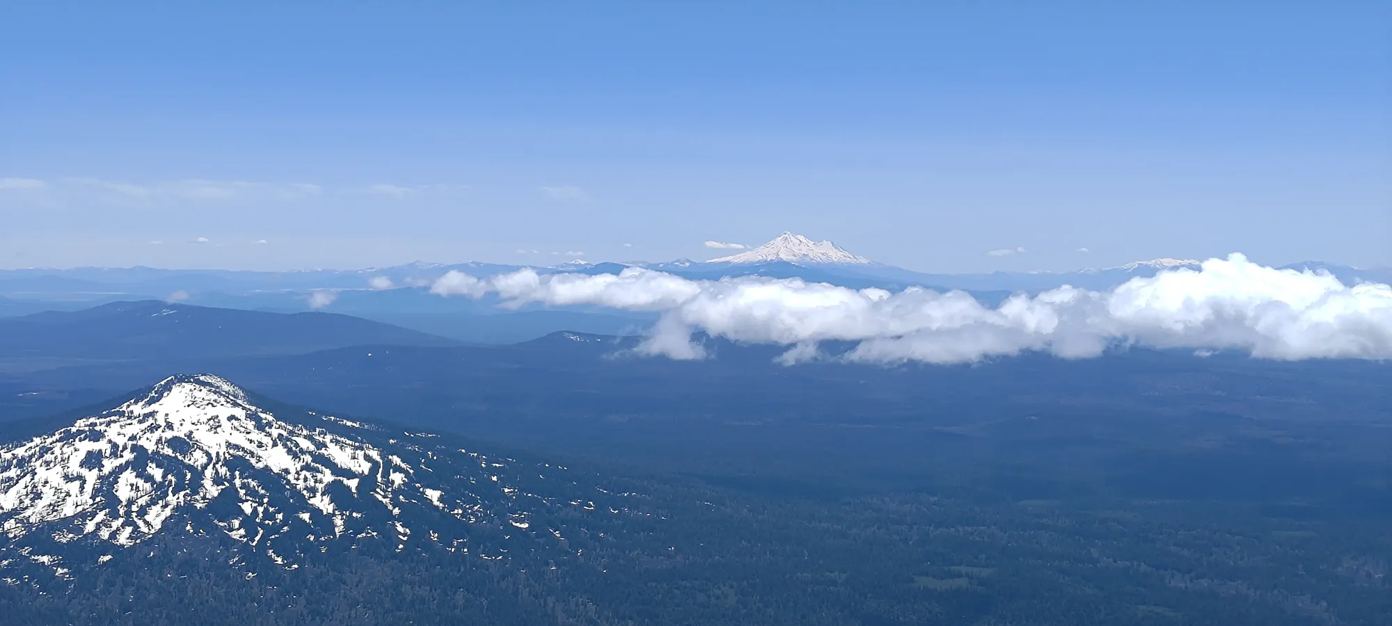
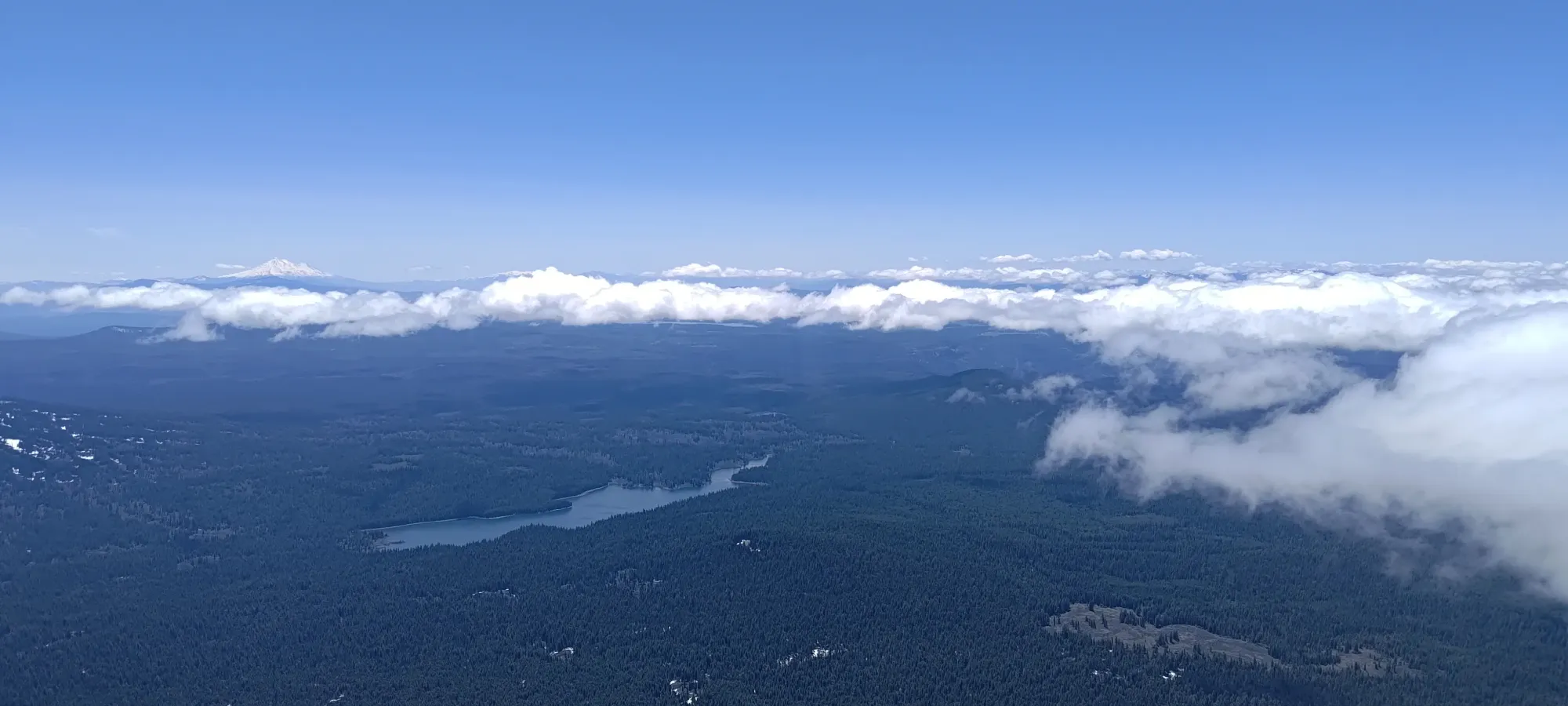
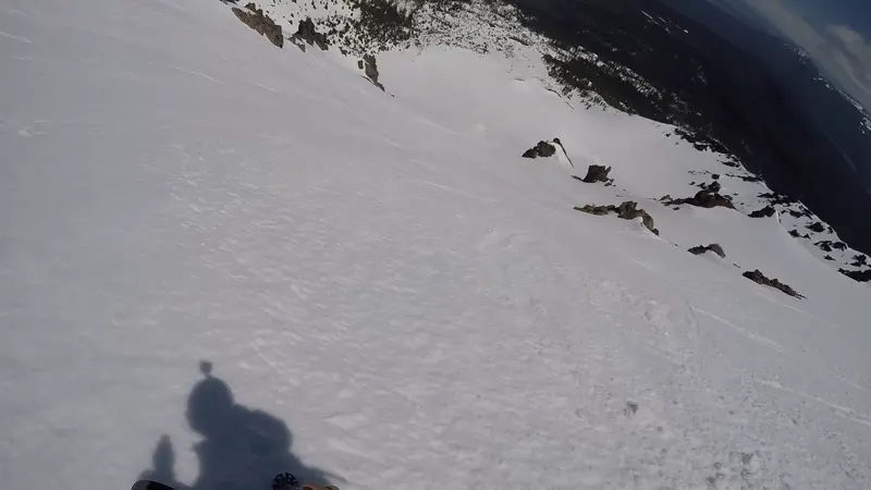
By 2300m, I was already getting treated to pretty good views of southern Oregon, and by 2400m, I could see the "false summit" that you hike up towards until 2600m, where it turns into a proper ridge climb up to the summit (at least if you're hiking, the slopes are gentle enough you can still skin/switchback up if on skis).
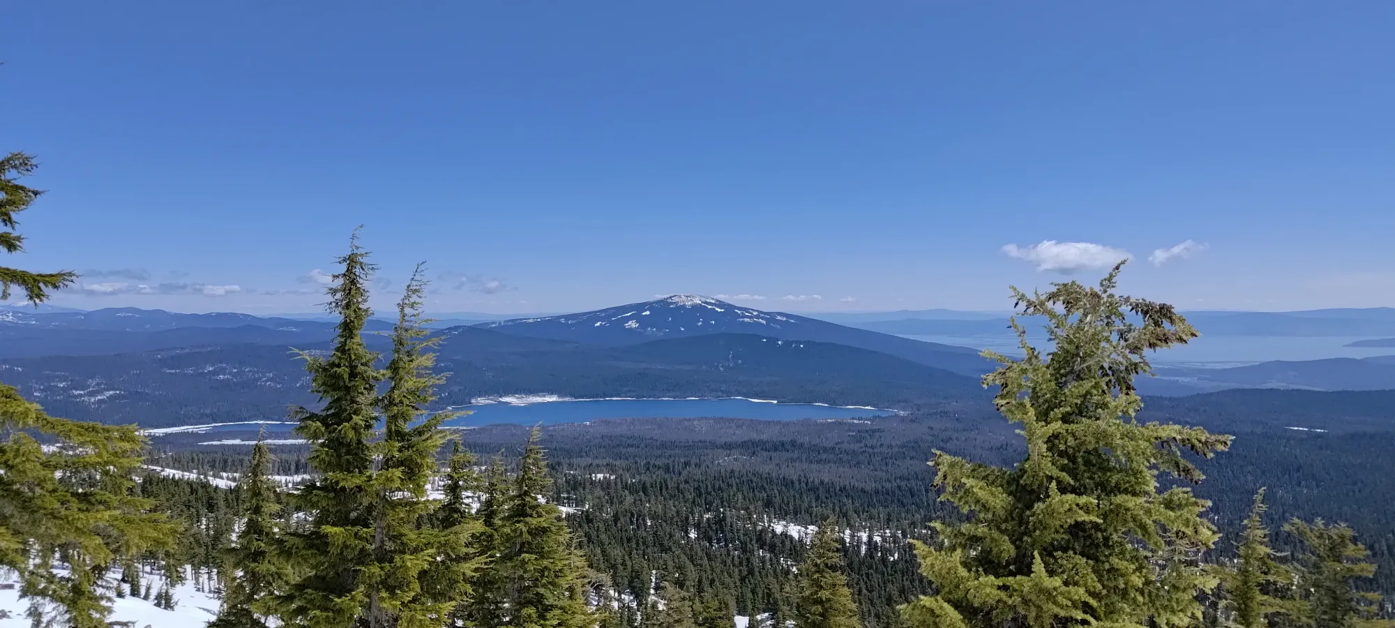
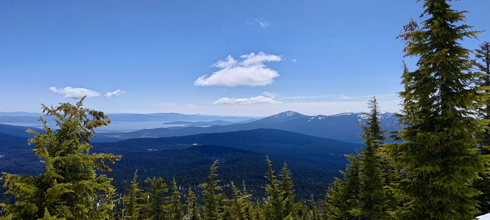
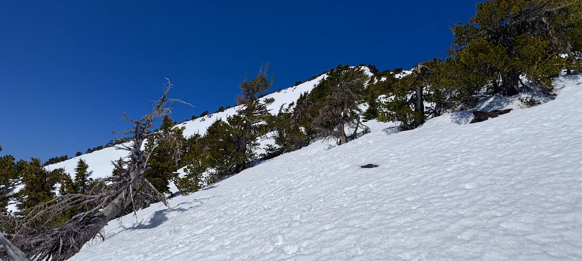
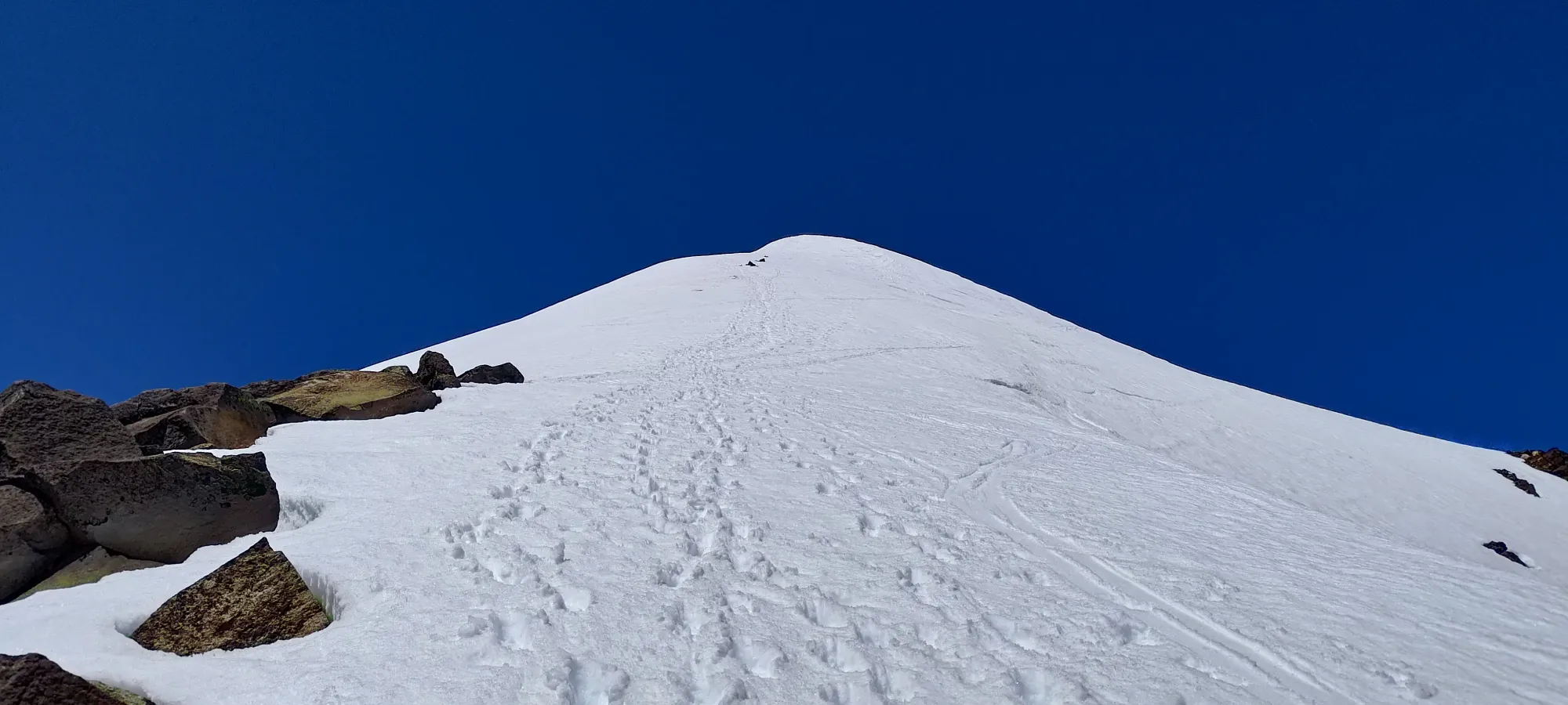
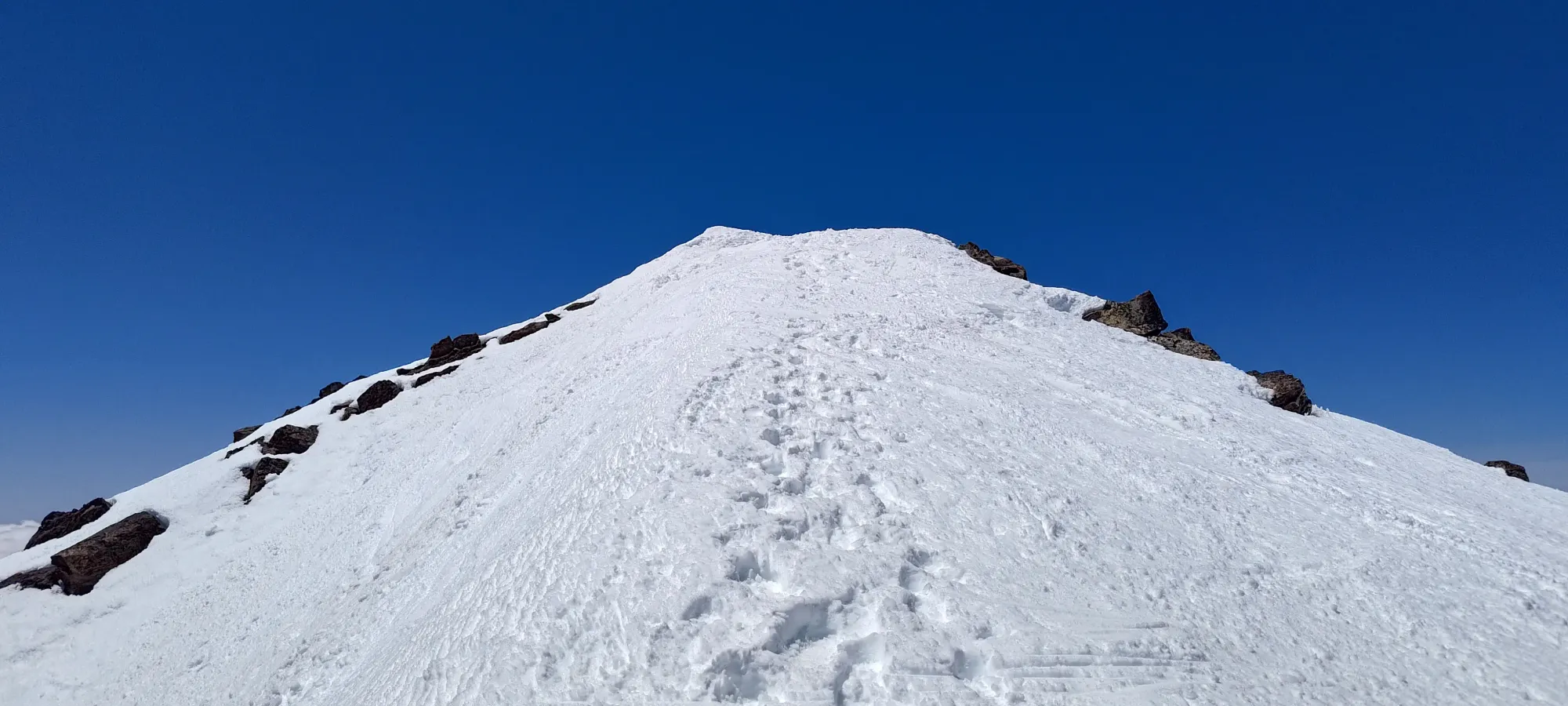
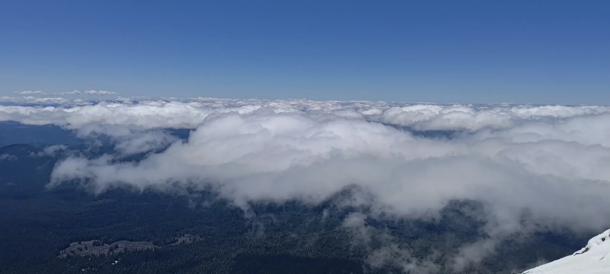
I got onto the ridge not too long after 2400m, though it wouldn't be until about 2600m before I'd really stay on it, the path often veered to climber's left to avoid rocks, cornices, or steeper sidehilling. My watch once again decided to glitch out, of course, so I'm not sure on the exact timing, but some time around noon I was at 2600m, and stopped for some lunch.
If I had to guess, it was around 12:30 that I got moving again, with the last of the skiers ahead of me about to descend from the top, and nobody behind, so I got the mountain all to myself. The ridge walk to the top was pretty uneventful. The ridge isn't super steep, super narrow, or very exposed, so I kinda just trudged up until I topped out, just after 1pm. There was a nice small flat spot dug out in the snow to stash gear and transition, which I took advantage of. I did put my crampons on after lunch, but they weren't needed. I just used them because "they were there, and I already stopped to eat anyways". In firmer conditions, of course, they may be needed, but 1pm in May? Not at all.
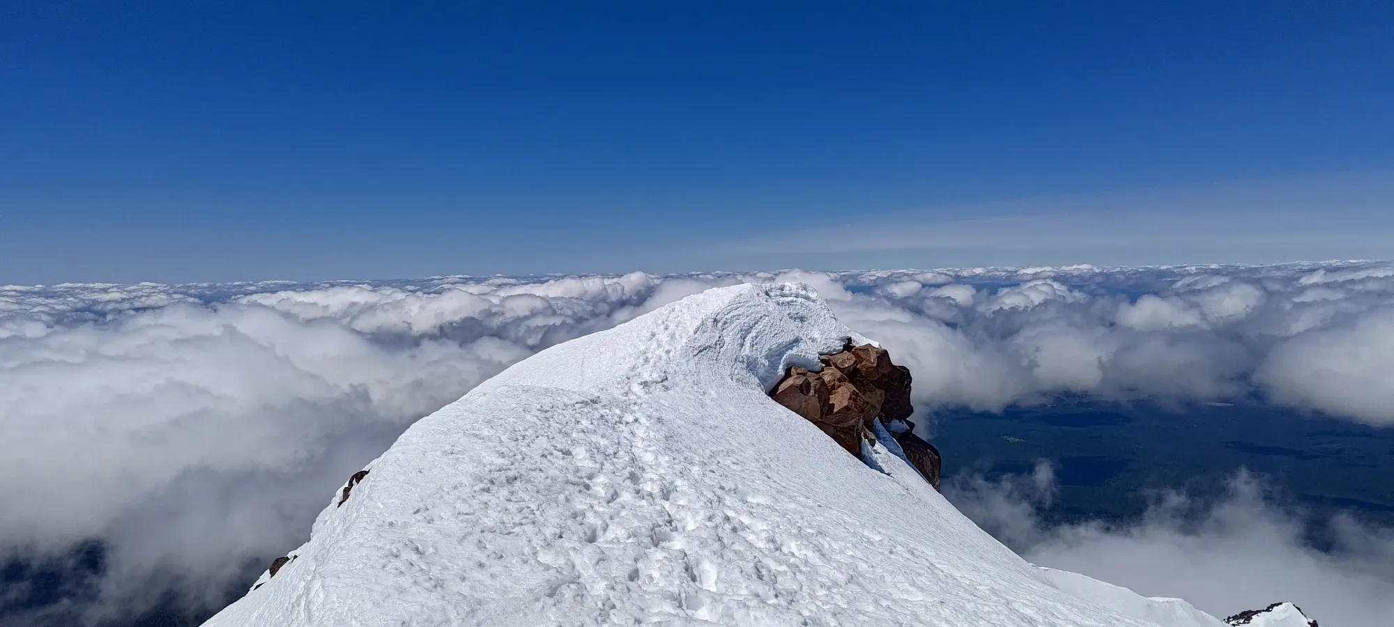
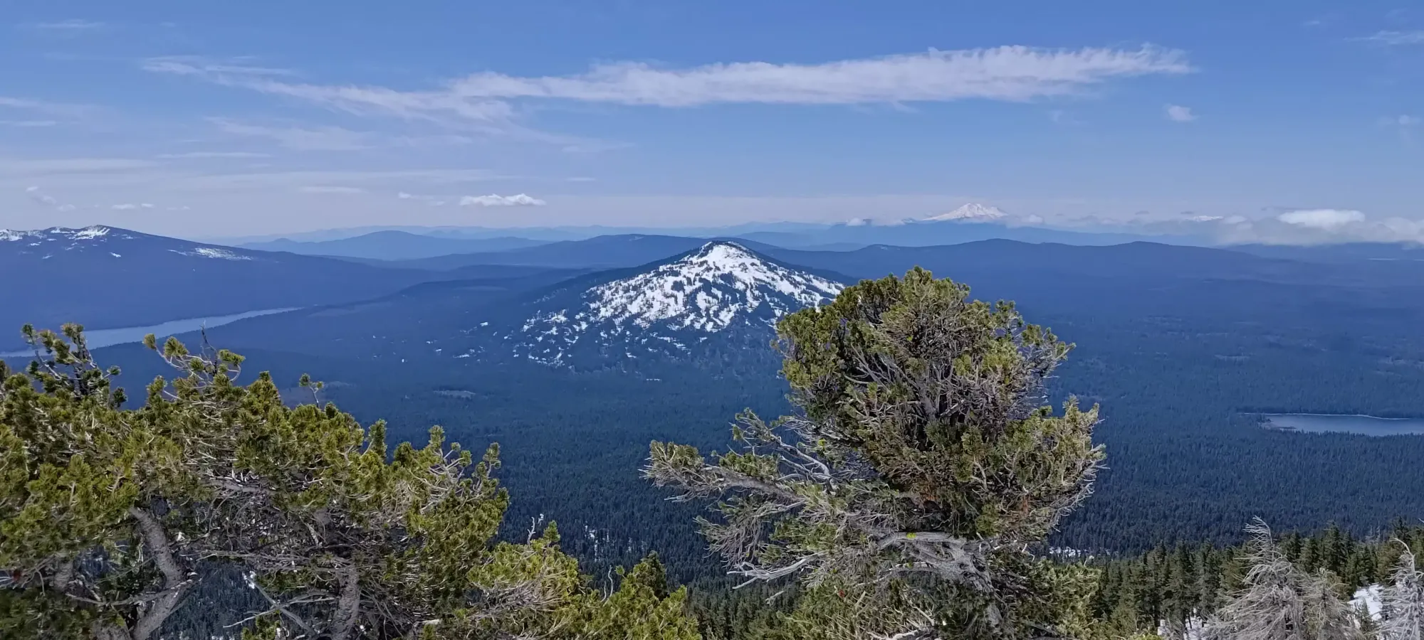
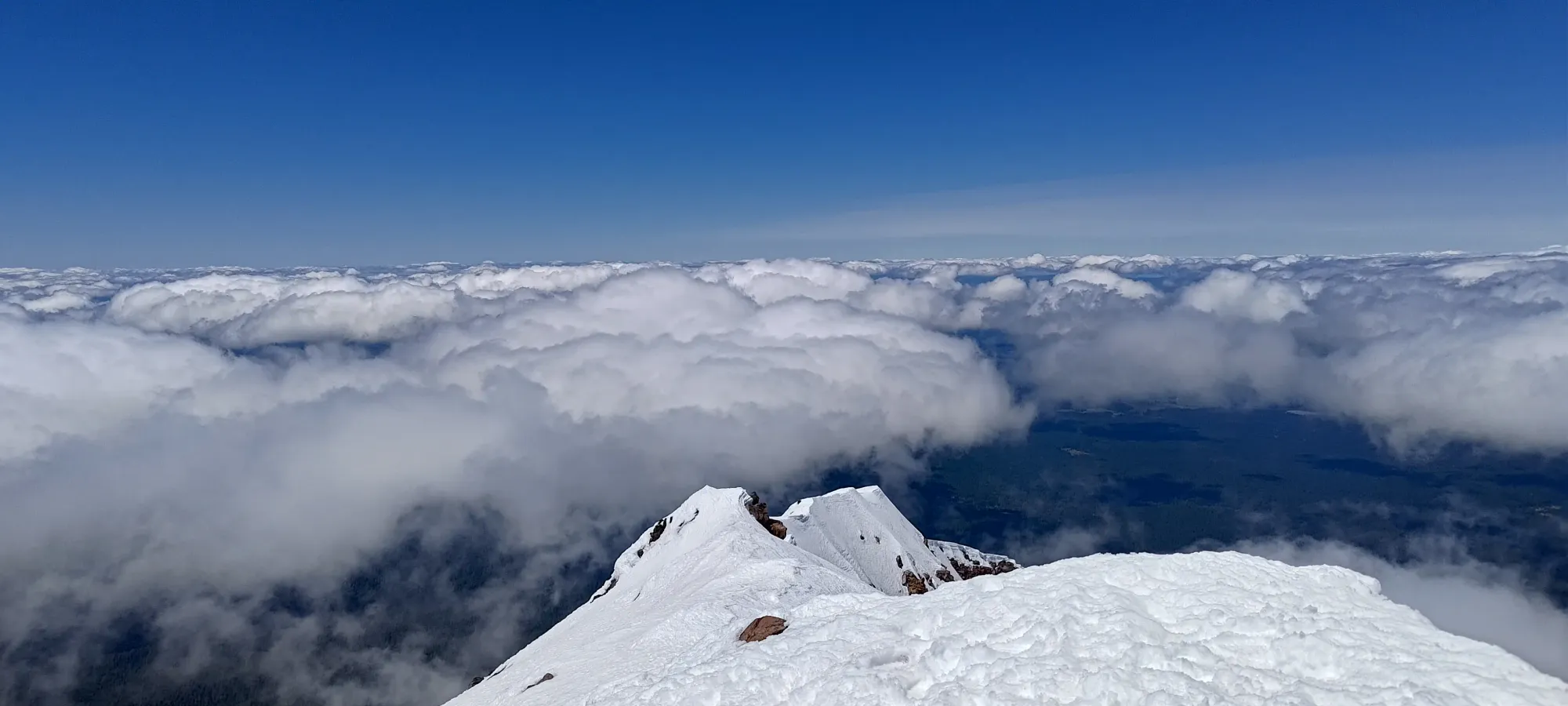
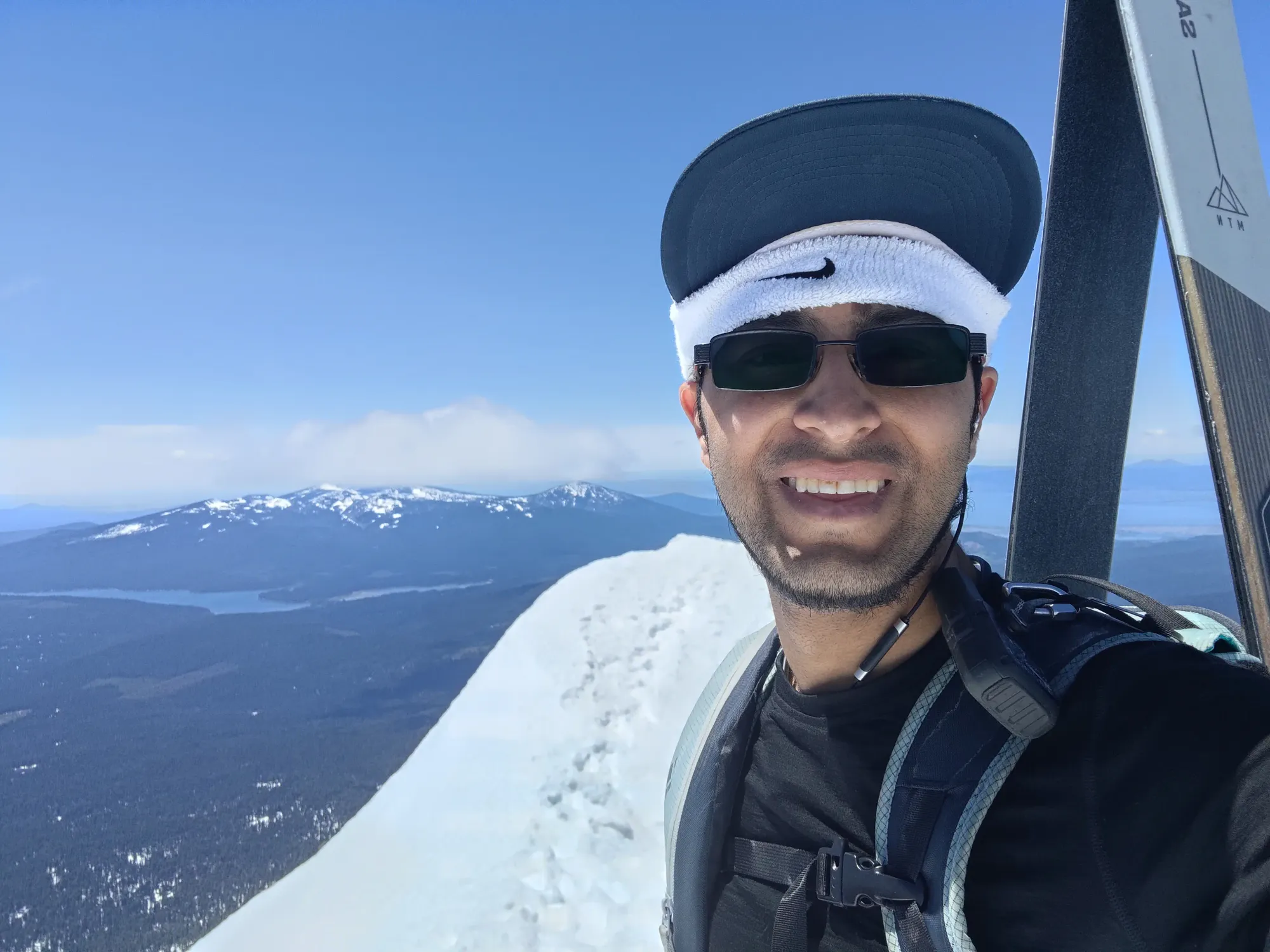
After dropping my pack in that little wind-shelter, I got to the top, took my pictures, then had another 10-15 minute break to have some water and transition before heading down. I could've skied the ridge the way I came up, but the steeper terrain in the bowl was too attractive, and I knew from other trip reports if I just cut hard skier's right once I was down the fun parts, I could still get back okay.
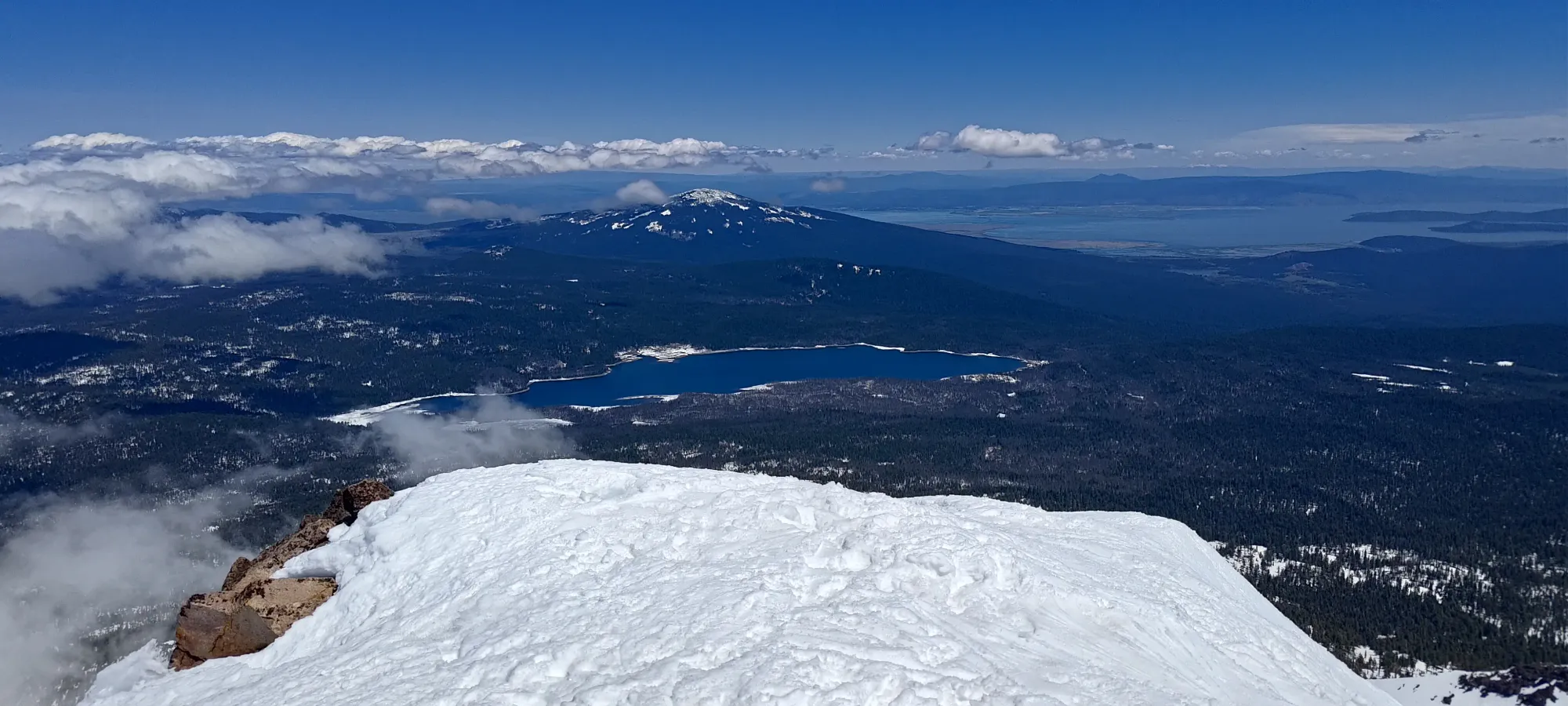
After getting all my gear sorted, I started skiing at about 1:25pm. I considered dropping right in from the summit, but since it was getting late in the day, I wanted to test the snow from a safer, shallower spot before committing to a steeper line, so I followed the others' tracks to an easier drop-in where I could feel the snow out. The ridge itself was a bit firm right on top, but almost as soon as I dropped onto the eastern face, it felt great, very edgeable and not sticky at all.
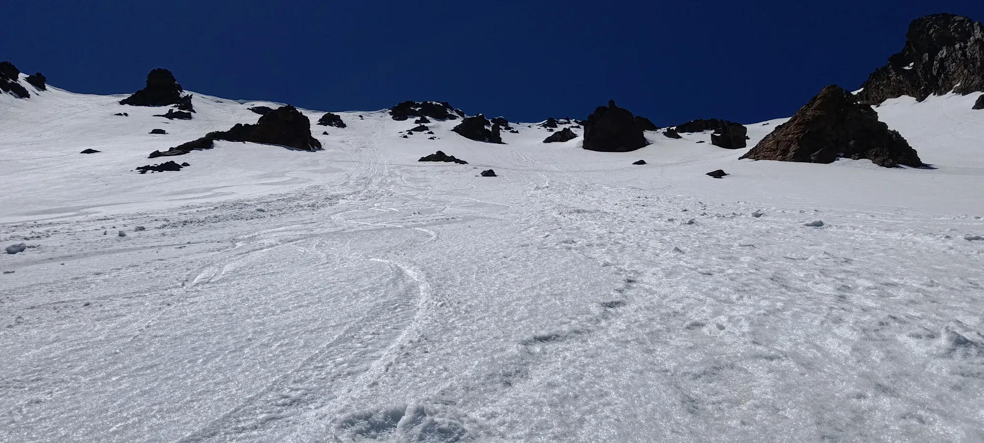
The great skiing lasted til about 2300m, where I had to start cutting to skier's right hard to get back over the ridge and towards the main trail. After that, there was still decent gladed skiing down to about 2000m, where things flattened out a bit, and especially with the wet snow down this low, I wasn't able to keep speed on the uphills, and I had to boot a bit.
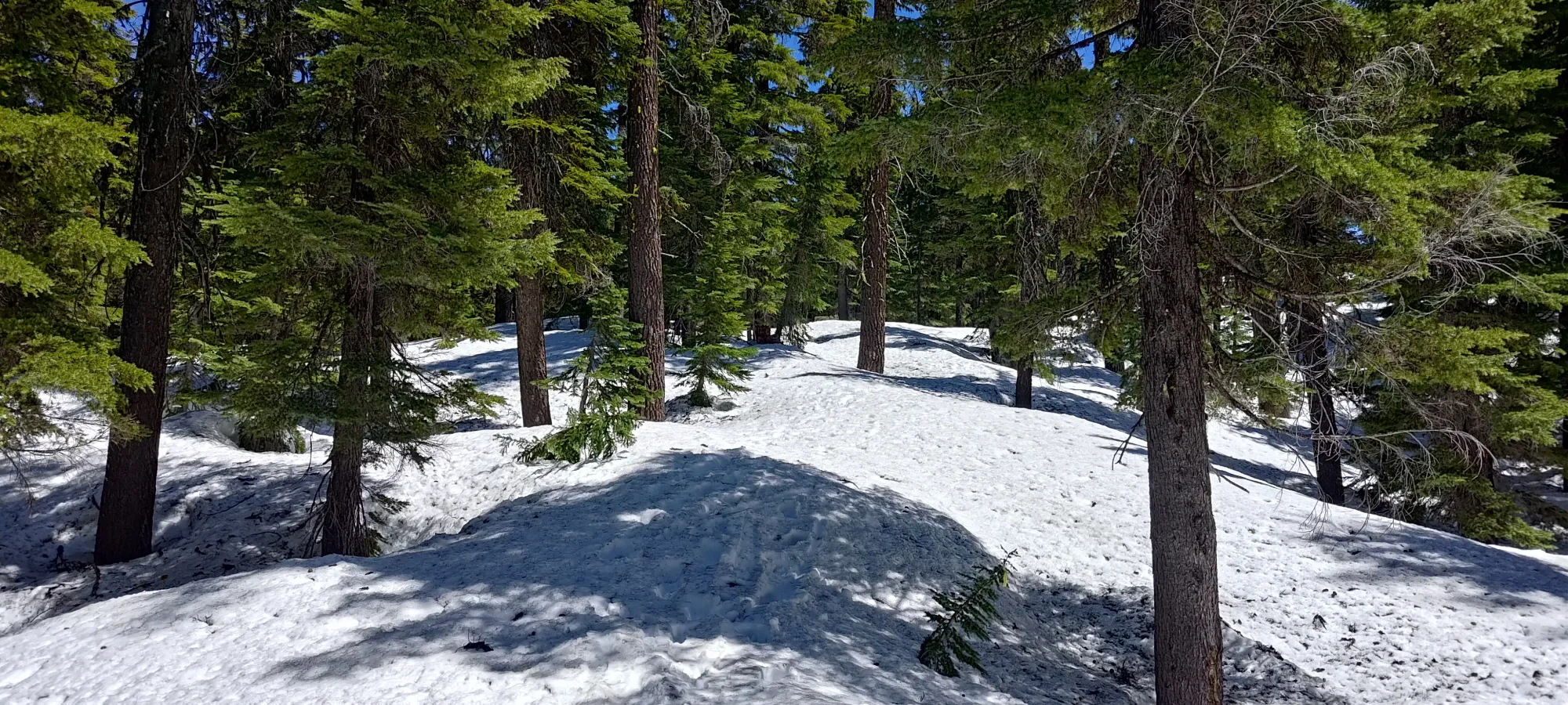
With transition time (just taking skis off and carrying them, no need to get skins on or put them on my back), I spent about 10 minutes booting up, skiing down, then booting up one more roll before I could start heading down once more. The snow was pretty sticky so I couldn't get very fast, but following a more direct line towards the trailhead vs the longer hiking trail helped me keep going down below 2000m. As I got lower and lower the conditions worsened, though, with more obstacles, exposed trees, and generally more gnar.
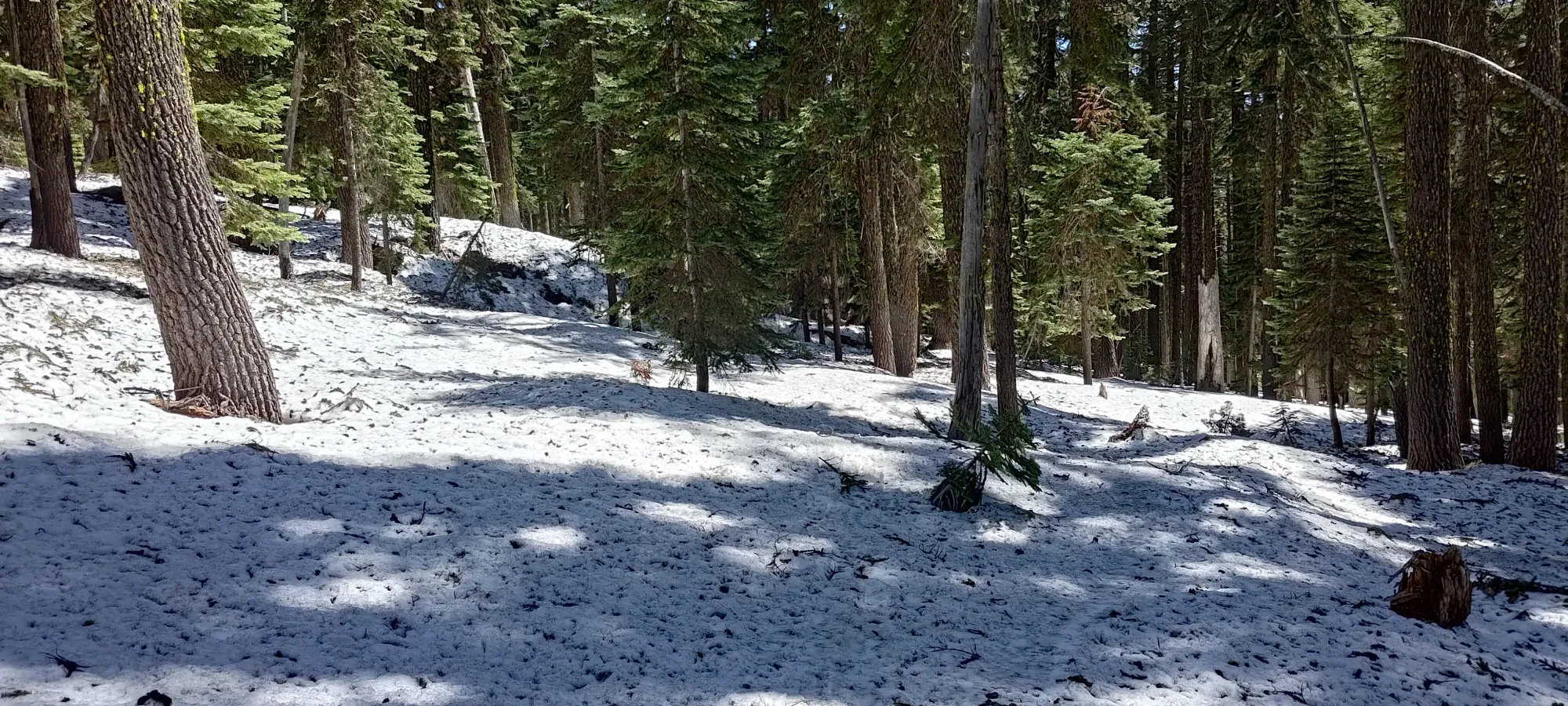
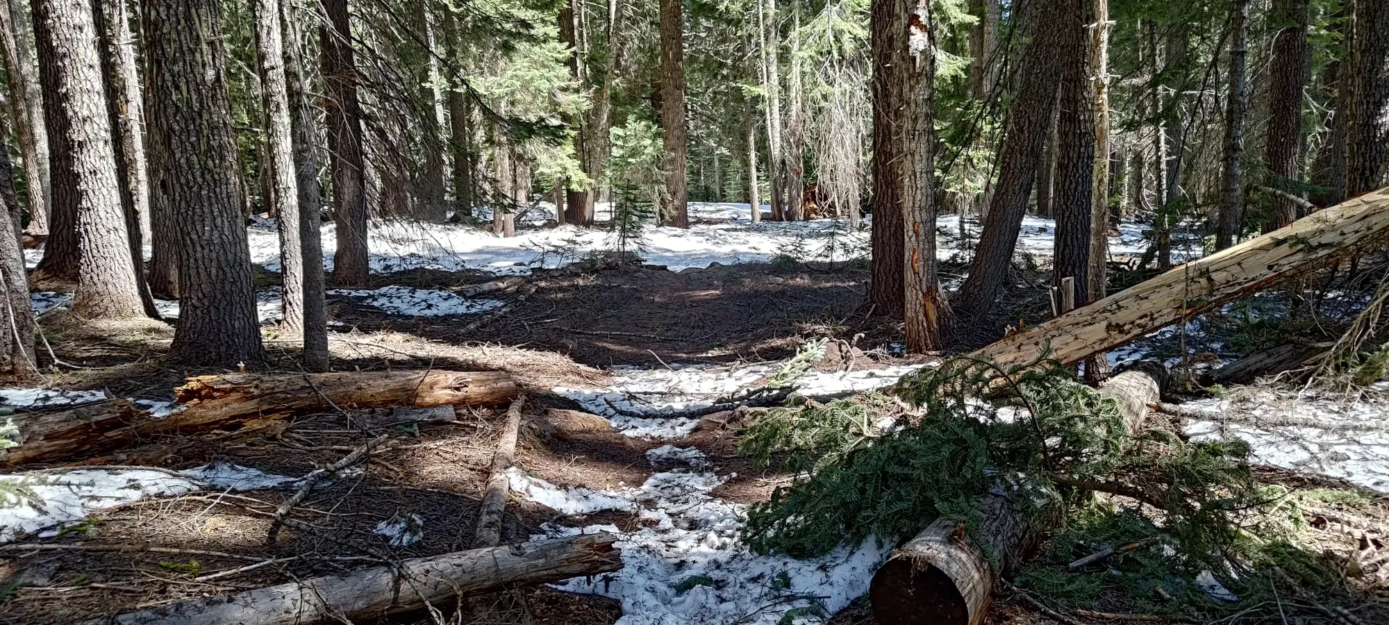
Below 1900m, I was slowing down a lot due to not being able to keep my speed and still keep heading towards the trail, which was on skier's left of my trajectory. At some point, though, I decided I would just keep skiing as far left as I could while still keeping speed, and that brought me down to about 1775m, where I had to call it, as the amount of large branches/wood on the snow was actually a problem (even if one ignored base damage, it just slowed you down too much), and I also was running into more deadfall and exposed dirt making skiing further a tedious endeavour of taking them on/off to get over sections one couldn't just hop or ski over.
Since this was so close to the end (only a bit over 1.5km to the car, as recorded), I decided to just pack my skis up onto my back and walk down the rest of the way. While I was skiing down, there were occasionally tracks from others who'd made similar decisions, but I never followed them religiously. I did end up finding them not too long after I started booting, though, and mostly followed them back to the trail. I postholed a few times, mostly when walking near buried deadfall, but largely got back to the trail without too much fuss in about 15 minutes.
It was a short 10-minute walk from that point back to the trailhead, then an annoying 5 more back to the car (the road actually gains 25-30m of elevation). Thanks to this being a more direct trail, even if more elevation gain, and my 2nd day in a row (third if you count driving all Friday as tiring), I saved some time compared to my climb of Eddy the day before, which was nice. 6.5 hours car-to-car with me still being slow, taking a proper lunch break, and not being able to ski out the whole way.
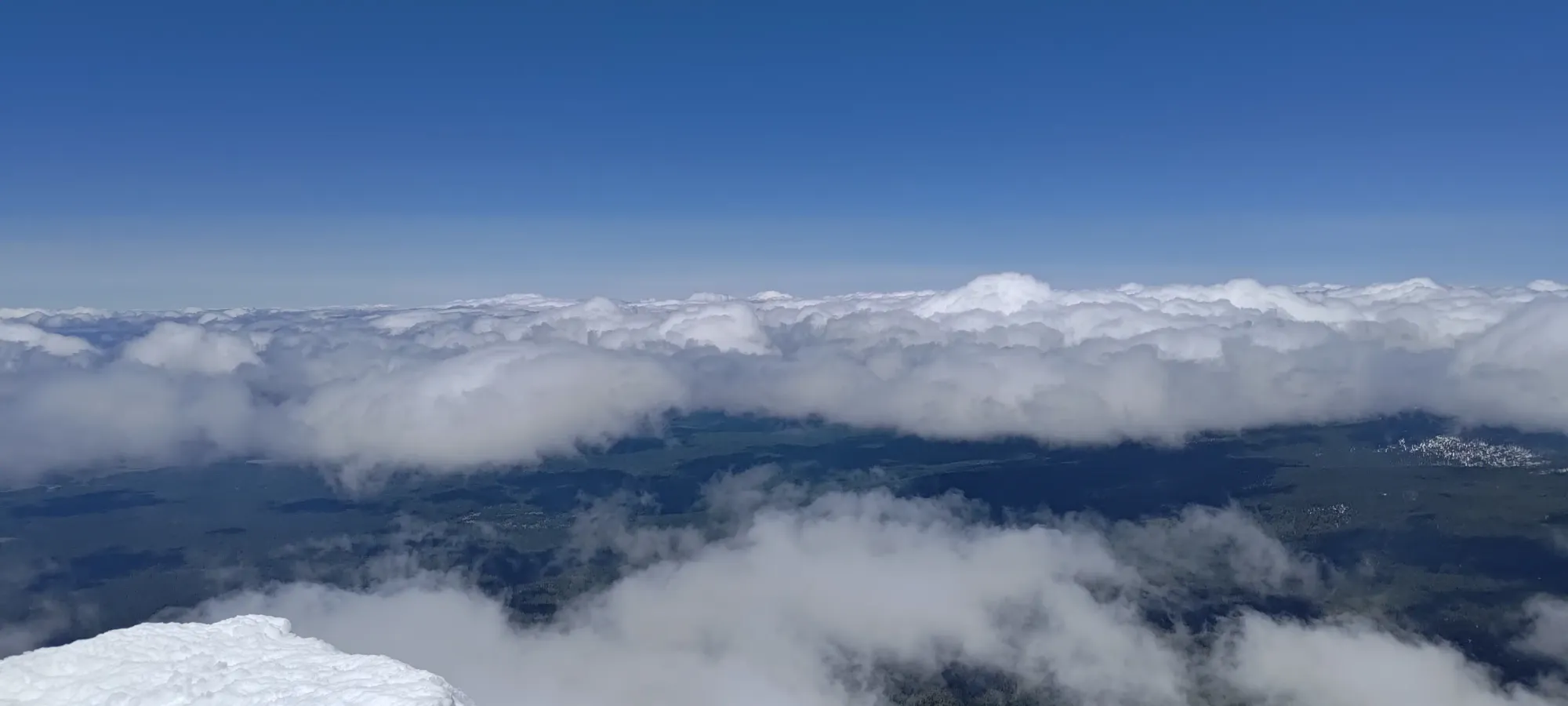
All in all, quite a nice day. Weather was again on-point, with very little wind, pleasant temps, and good snow. Plus, the terrain here is pretty great, and I got to knock a bucketlist peak off my list, which always feels good. 10/10 would recommend, and I really do think this mountain should be done as a ski, it's quite well-suited to it.
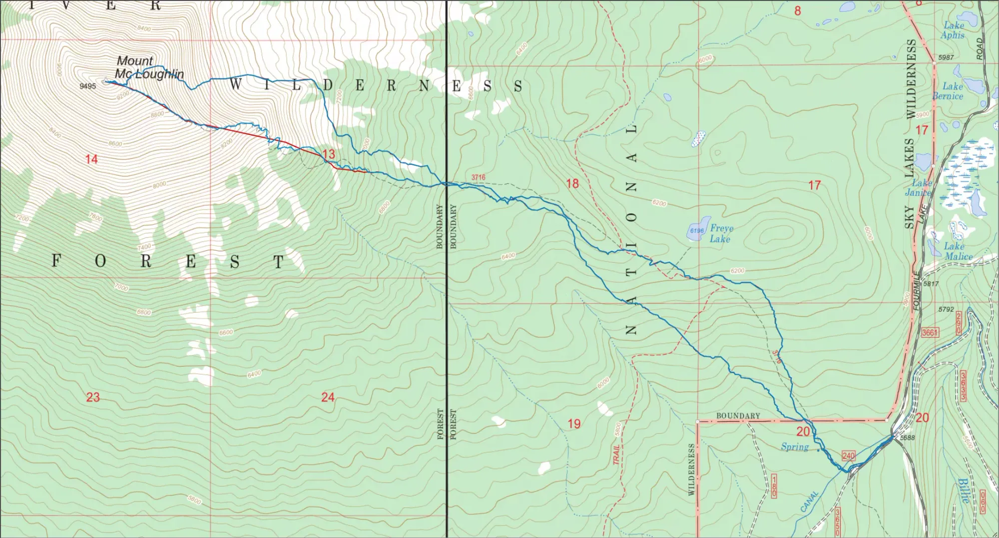
GPX Track + Map