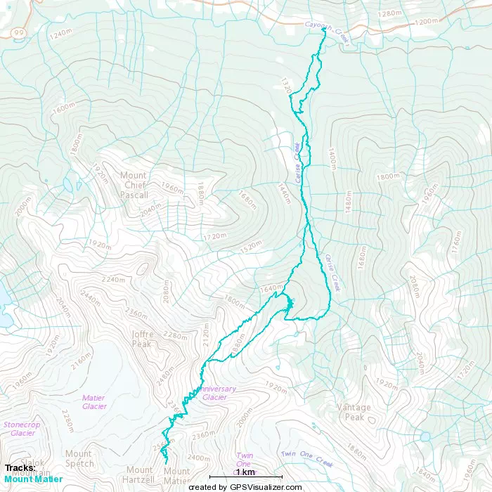
Mount Matier - March 11 2023
The system works! A couple awesome dudes saw some of my TRs and asked me to join them for Matier, and we had an awesome day.
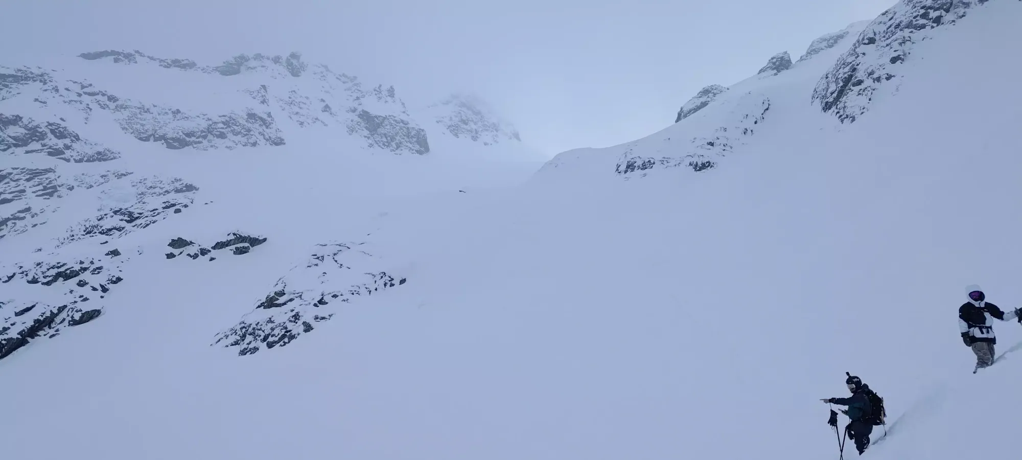
Joffre Group, Pemberton, British Columbia
2783m
After putting in some solid hours and doing my best to maximize on-the-mountain time with schedule manipulation, it seems my effort was finally rewarded, as before the weekend of this trip, I received a message from someone who had seen my recent TRs and wanted to go and try to climb+ski Mount Matier. Since it is a mountain I've yet to summit, I was broadly down. It being host to some excellent ski runs, being the highest peak in the Joffre area, and having over 1000m of prominence made me even more so. To top it off, on the Friday evening before, I got my newest touring skis back from the shop after weeks of waiting for a busted heel to be replaced, so I was super stoked for this trip. It was 3 of us, me on skis, and the 2 guys who reached out, Charles-Antoine and Ulric on splitboards.
We left Squamish at 5:30, drove up without any traffic (too early for Whistler traffic unless it's a pow day), got a little snow once we climbed up the highway past Pemberton, and parked+geared up in surprisingly consistent snowfall for the forecasted light flurries, and set out at 7:22 from the car.
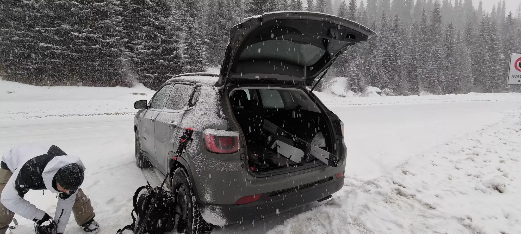
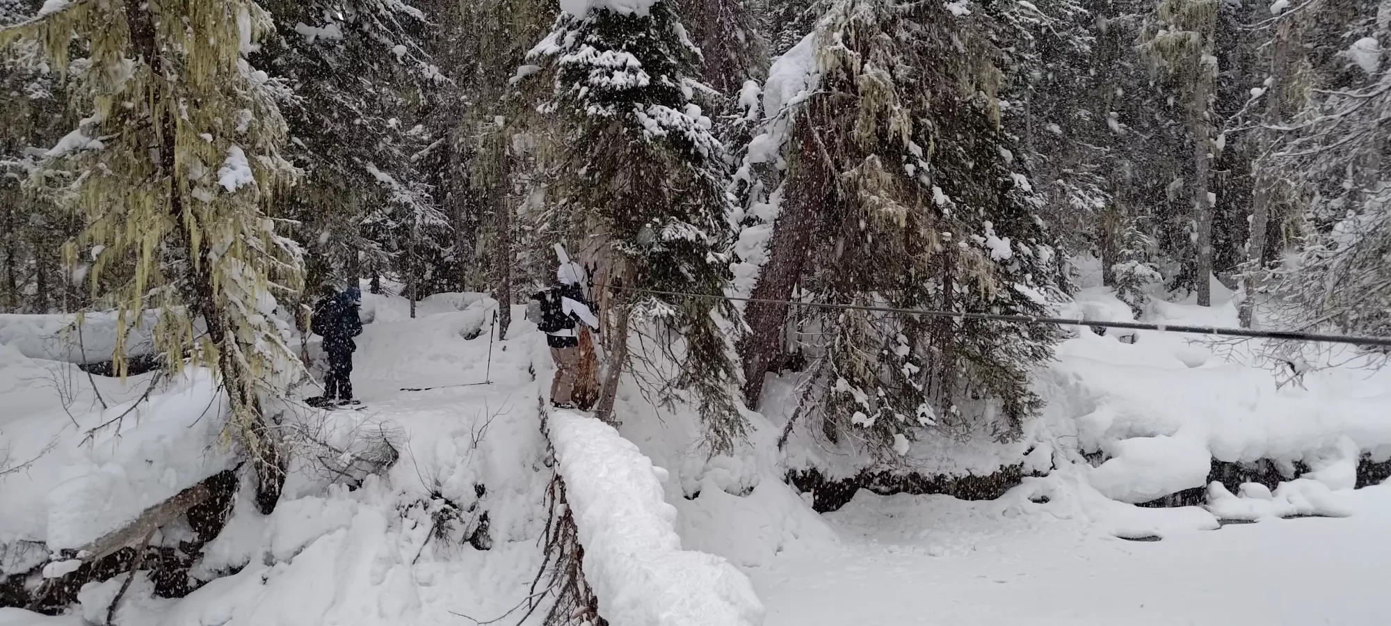
From the car, it's a short bootback down the snowbank to the trail, and then a couple minutes of walking until you get to "the crossing", which is a log across the creek with a sturdy cable for balancing. I've seen some people cross on skis, but we just booted across. The snow was soft and fairly flat-topped, so it was pretty trivial, especially with that cable, since it is totally taut and supportive. After crossing, we got our skis/boards on, and started skinning.
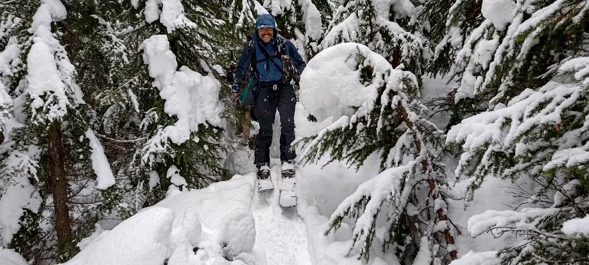
I started "breaking trail" (skinning on a few centimetres of fresh snow on an established track, not exactly a heroic act), and we made our way through the forest. We took the route of "where the trail was previously broken", which turned out to be probably not the most efficient route. It was kinda in-between the mapped winter route for Keith's hut and the summer hiking route, and while it wasn't on anything super steep or dangerous, it was just probably not the most efficient as the trees made for a lot of turns and difficult manoeuvres. We exited onto the main summer trail about 50 minutes but only 115m of elevation gain into the day, after the tracks we were following stopped going forward and also seemed to bail back to the main trail. Once we got there, it was a large relief, and we were all stoked to get through the tedious approach with some haste.
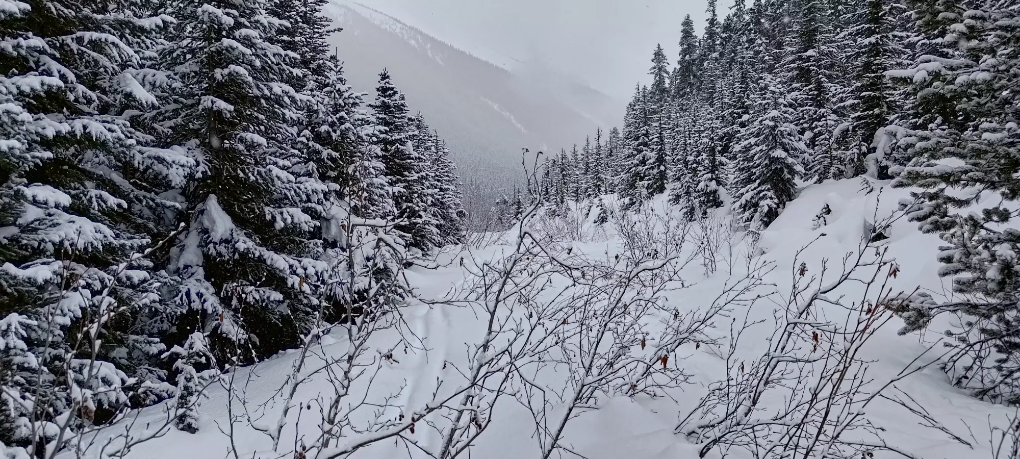
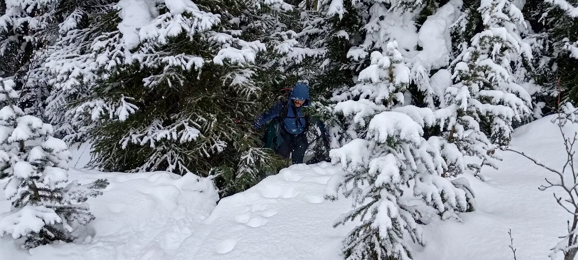
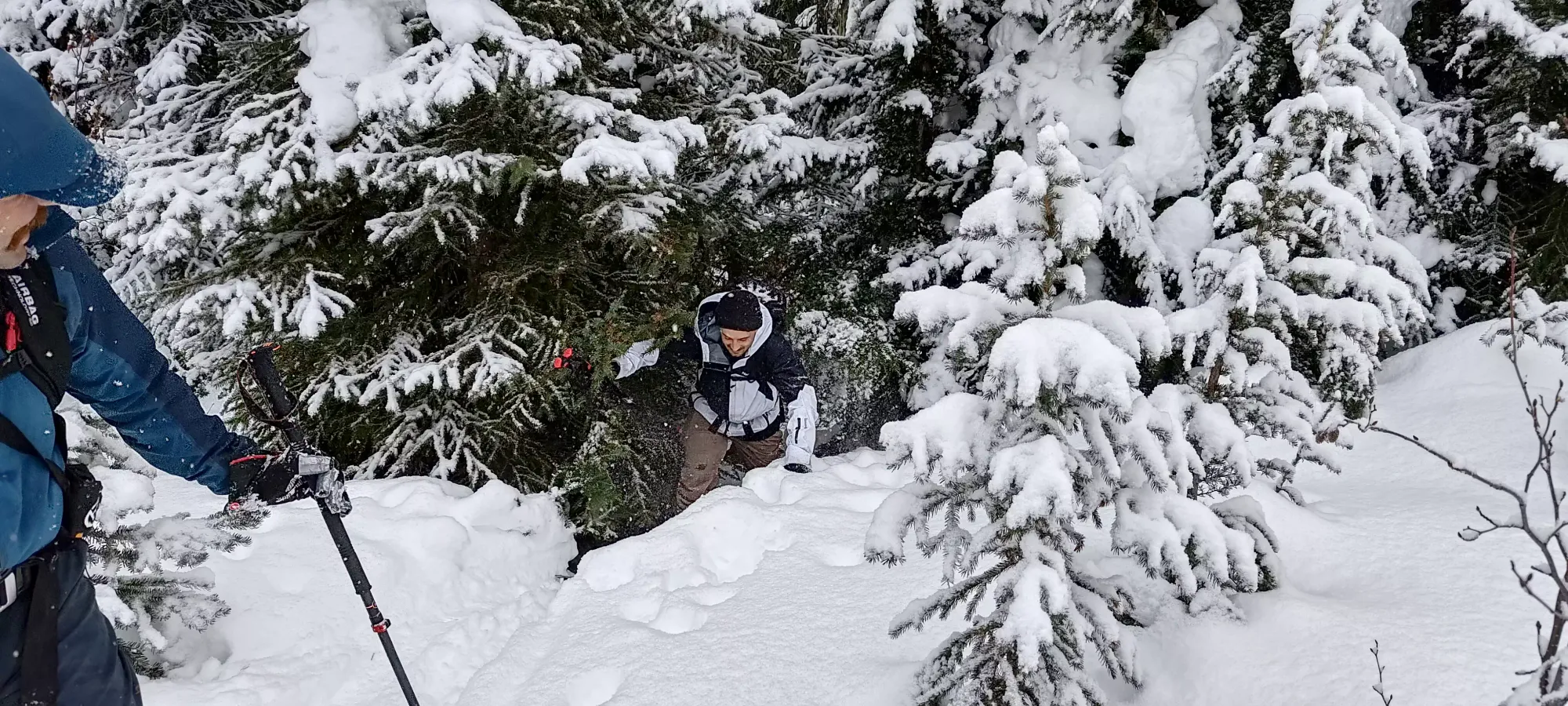
Within a couple minutes of nordically-efficient skinning along the trail, we arrived at the base of the infamous landslide debris. Getting through this terrain was pretty fast one again, though we all wished it was a bit less flat, as by the end we were at 4km in, but less than 200m of elevation had been knocked off the day. We were also a bit bummed by the lack of visibility we could see in the upper mountains, but not quite defeated yet, as the forecast was "cloudy with sunny breaks", and was supposed to get better into the afternoon. So, for the time being, we just slogged on up.
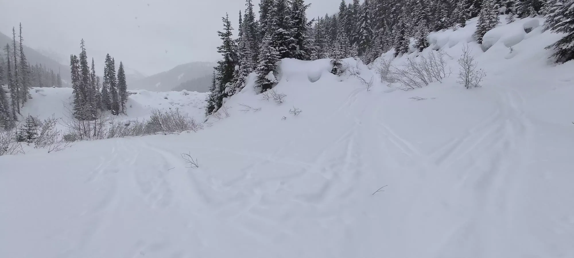
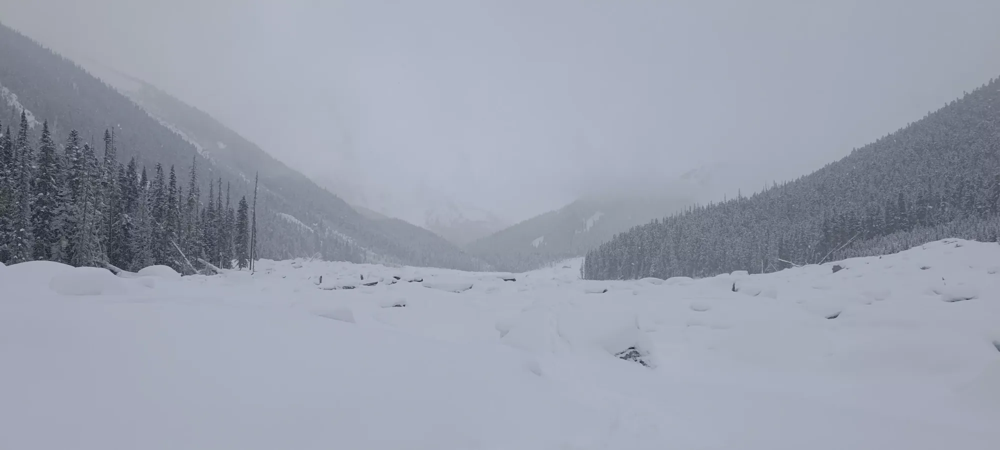
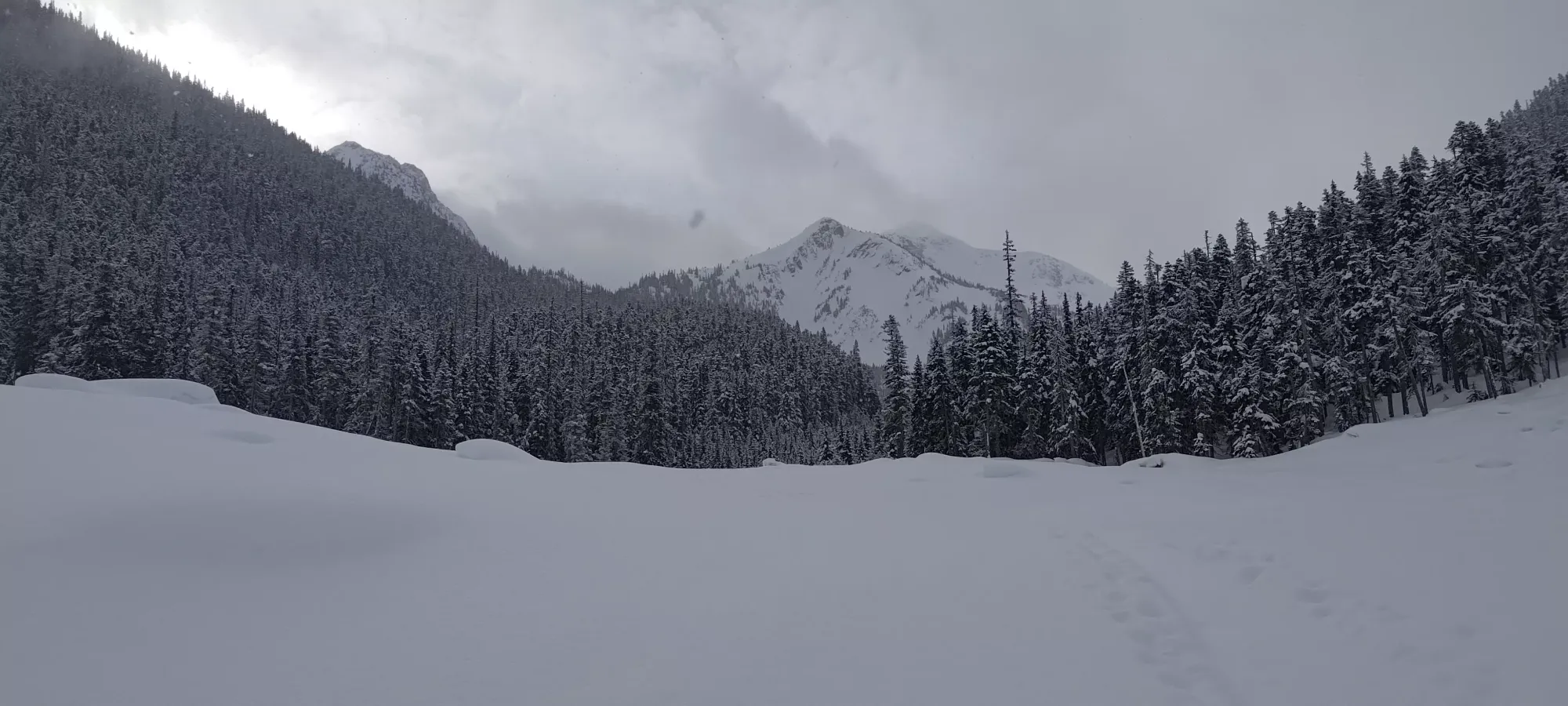
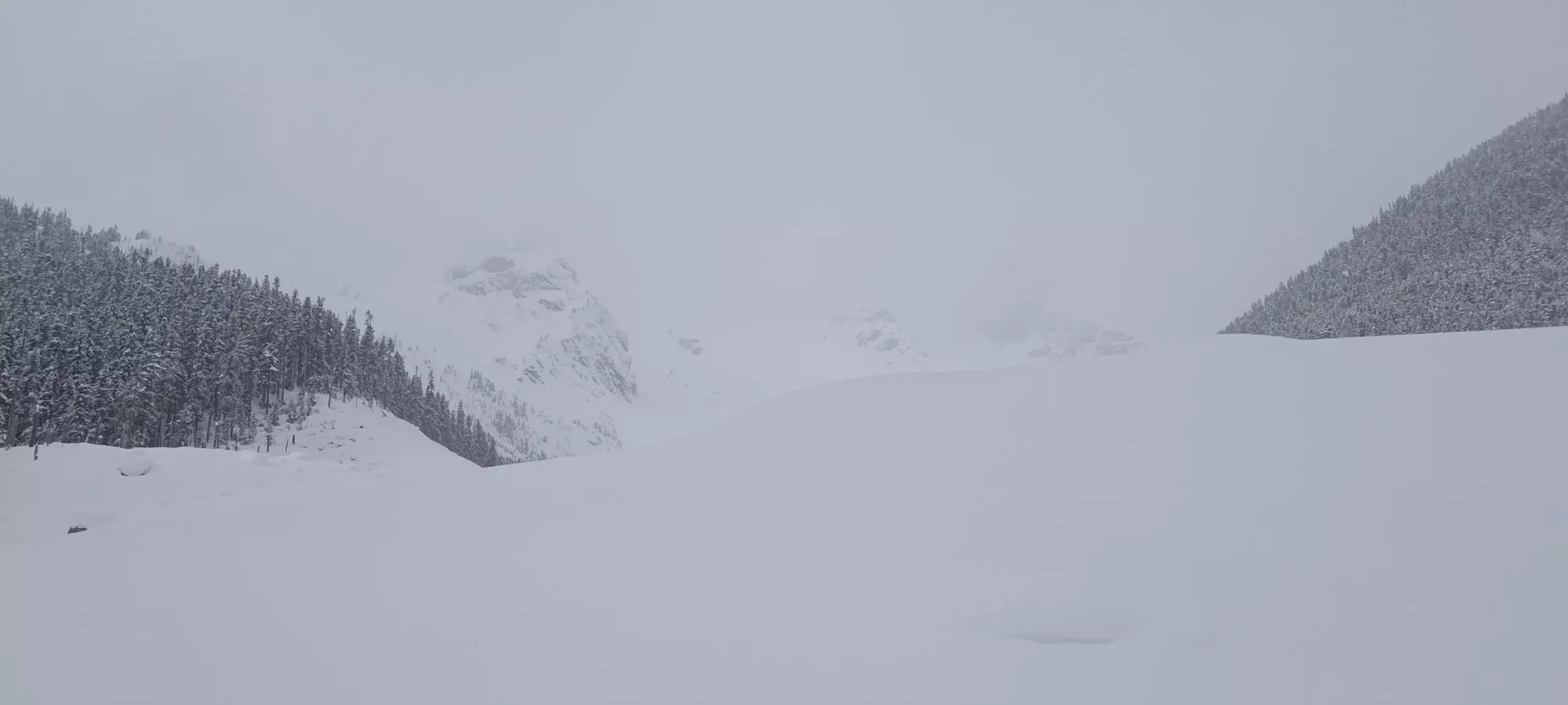
After winding through the debris field, we found ourselves at 1500m just under 2 hours into the day (also about 5km into the day). Here, we were winding around a little hill which Keith's Hut is on the opposite side of, and finally got around far enough to see the peaks we were heading toward (or at least try and see them). This is likely the more energy-efficient route, but especially after so much flat slogging beforehand, we were kinda annoyed at going so far with so little elevation, so there was some remorse about not just cutting up the hill to the hut directly instead.
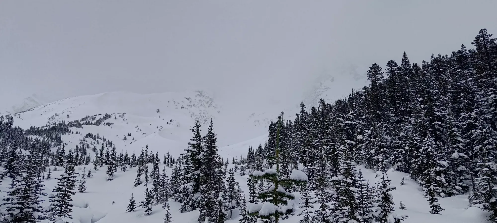
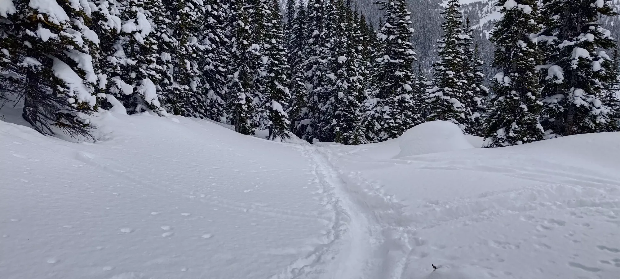
Another 25 minutes of circumnavigating that hill brought us to 2:15 into the day (therefore about just after 9:30am), and to the hut. We saw a couple people skiing out just as we got up there as the first signs of life for the day, but nobody was in the hut when we got there (although there was 1 or 2 people's worth of overnight gear stashed inside).
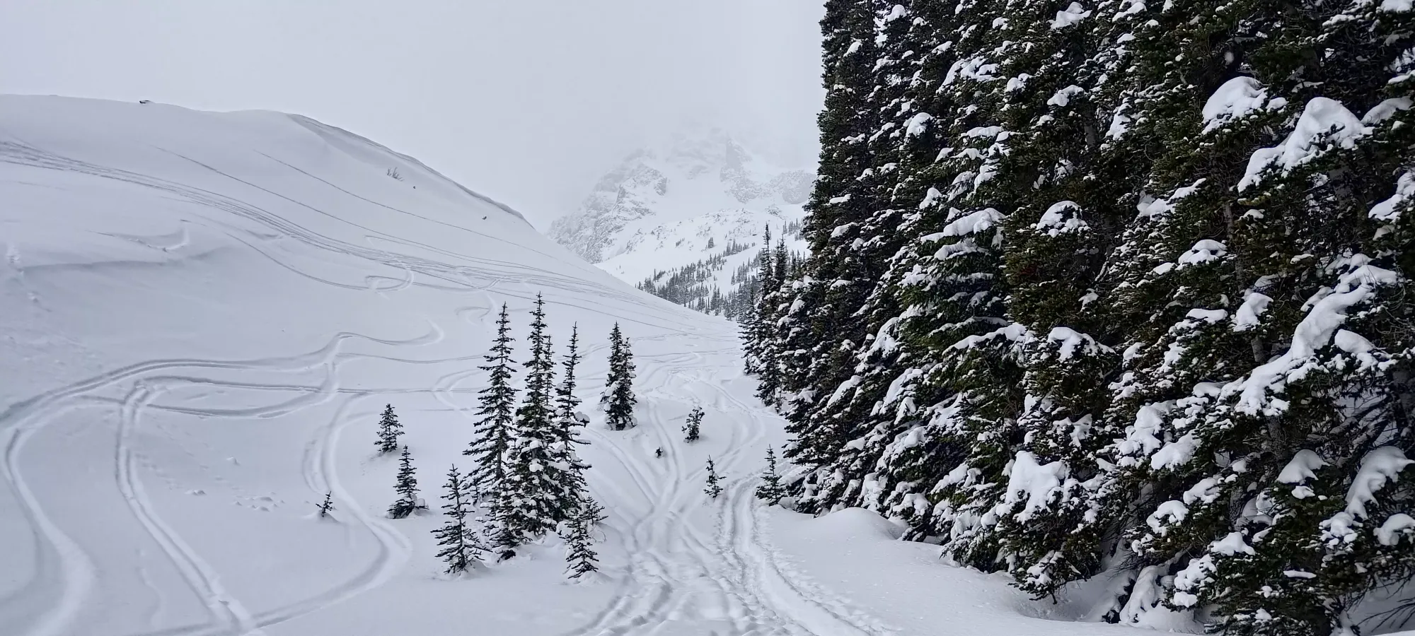
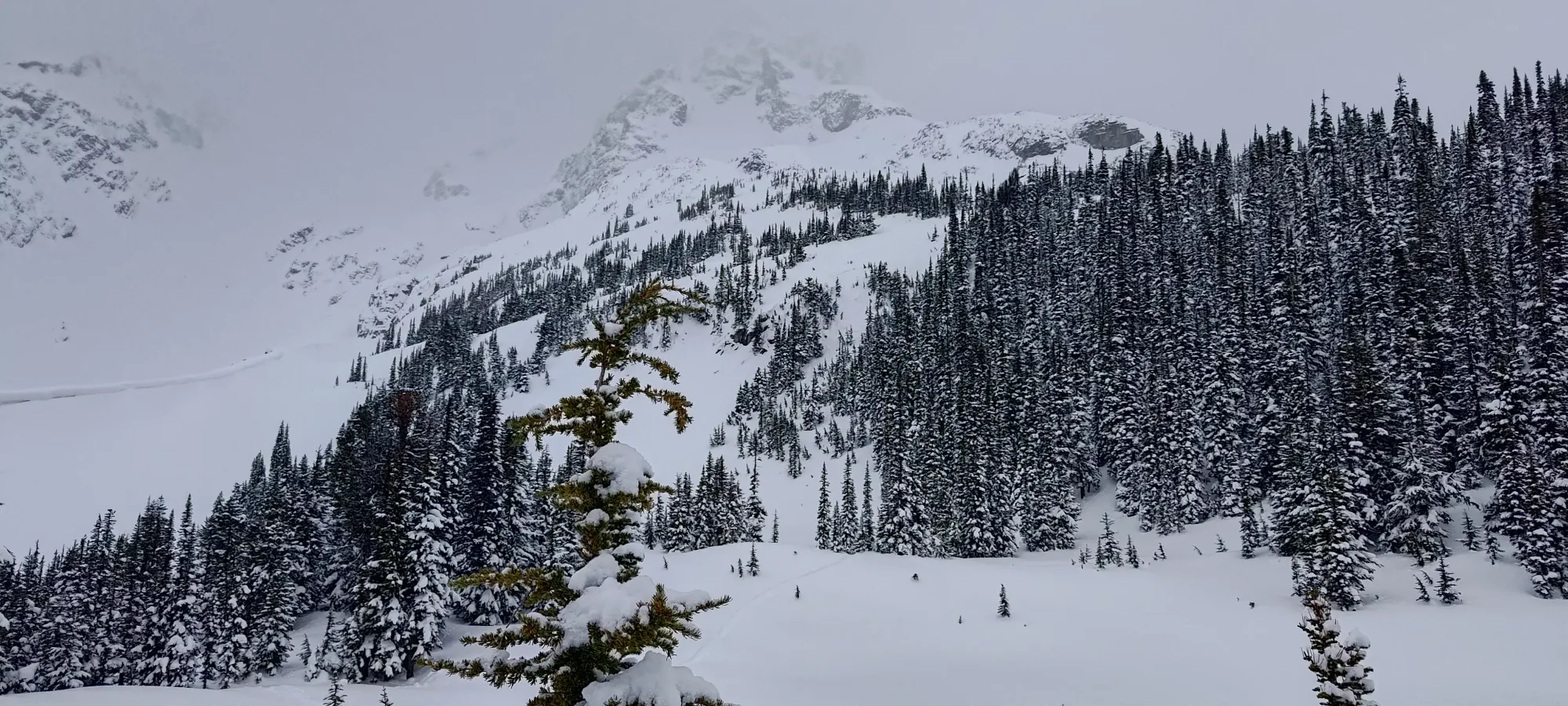
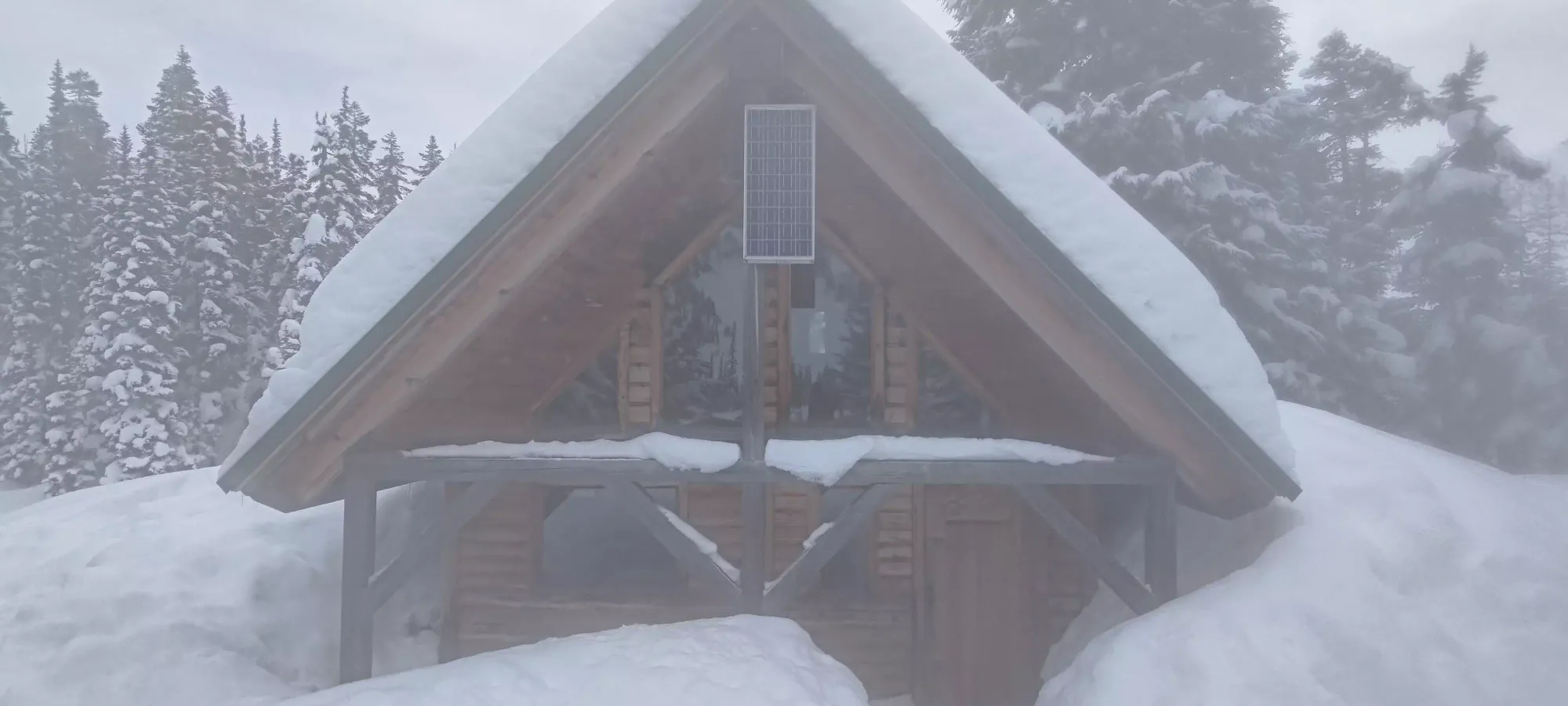
We took a pretty long break at the hut, about 45 minutes. I wanted to try and go to the bathroom, as I wasn't sure I was "done" in the morning before I left home (never got rid of that feeling, but also didn't actually have to go for the rest of the day, thankfully). The guys had some snacks and energy drinks, I had a couple sips of water and a granola bar (didn't want to eat too much given that aforementioned feeling), and we discussed our plan of attack. We didn't want to push super hard or fast since visibility was expected to improve in the later afternoon, and the approach was a bit sweaty, leaving us a bit cold, so we figured slow+steady would win the race this time. We also met a big group of people who arrived shortly after us, who were staying overnight. They weren't the only ones either, the hut got pretty full by the end, it seems without a reservation system in-place, one would want to arrive early to ensure a spot. After chatting with them for a bit, we left at about 10:20 to head up the mountain.
This was probably our most efficient segment of the entire day. It seemed as if another party came up shortly behind us, but didn't stop in the hut, but instead went straight up the mountain, as there was a nice skin track heading up to the glacier. We spent the first 50 minutes of the post-hut skin making steady progress, gaining up from 1650m to 2000m. A couple days later skiing at Blackcomb, I met a ski instructor who said her friends were skiing in a party of 5 this weekend up in the area, so hopefully my thanks are passed on, that was an excellently-set skin track, and it made a long day much more feasible.
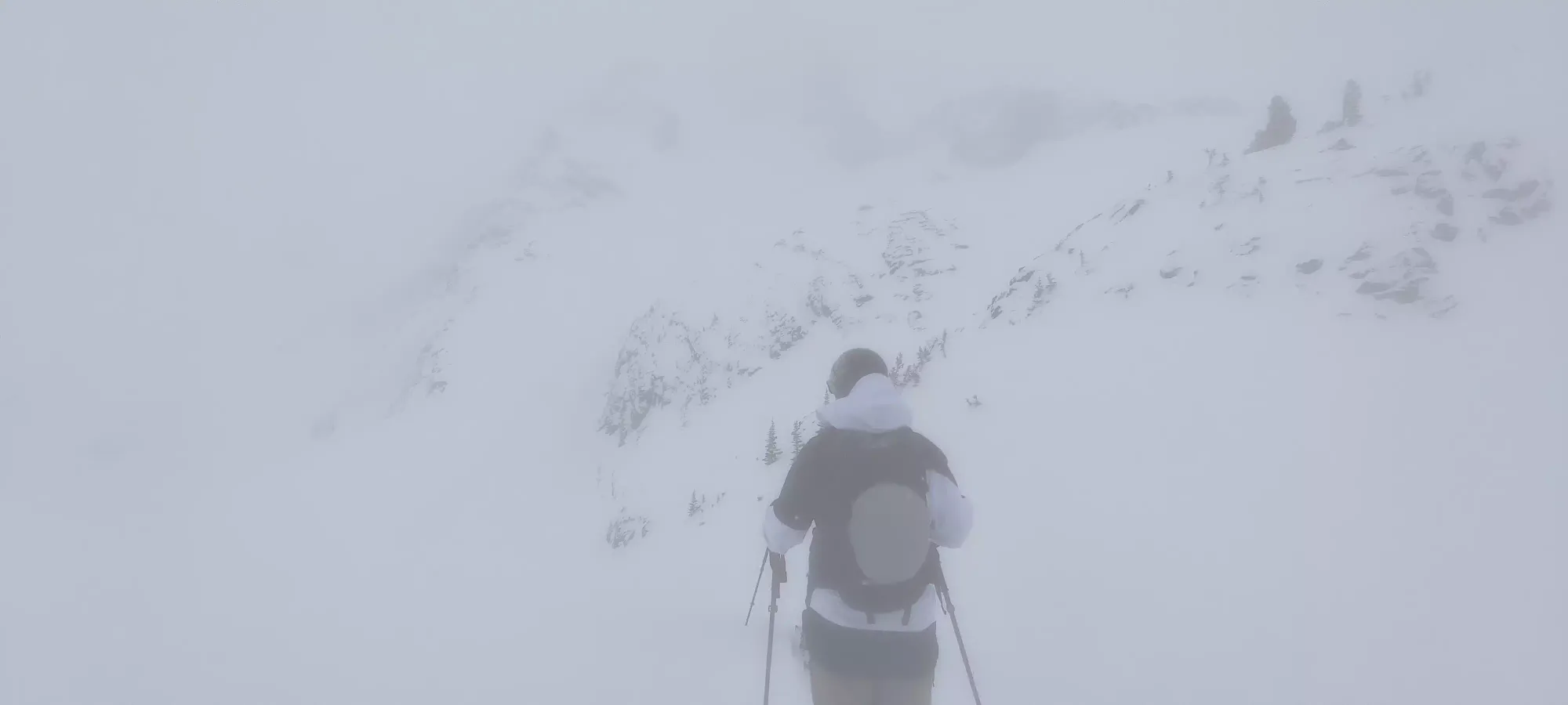
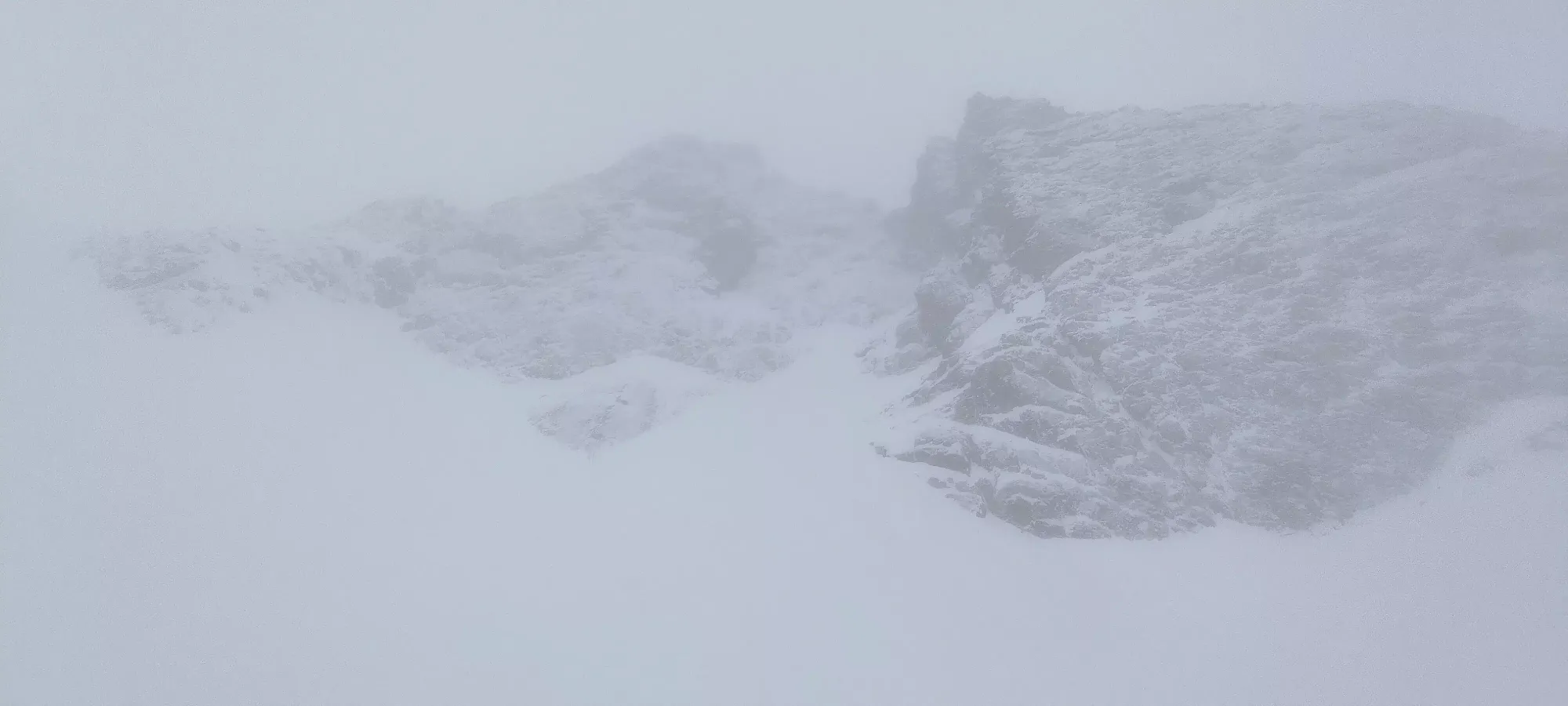
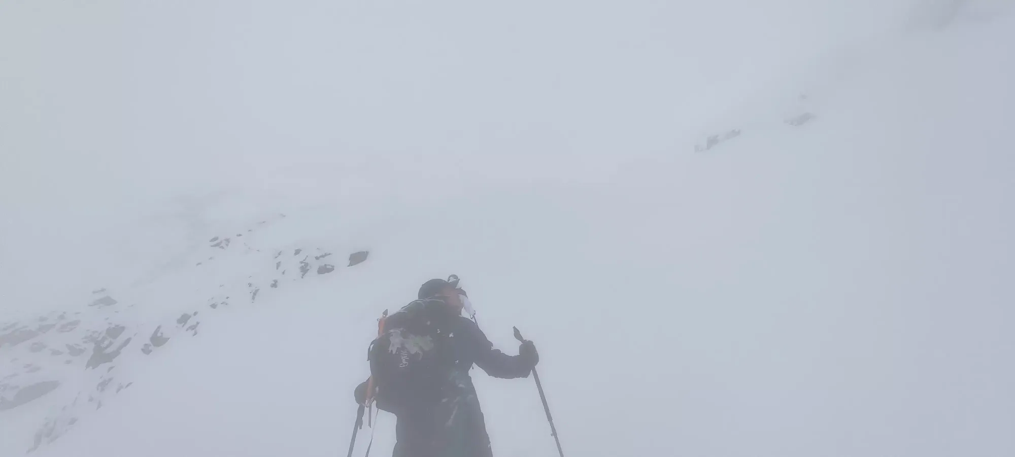
Another half hour of plodding up brought us to the col between Matier and Joffre, and also the point where the group of 5 that set the skin track stopped, and promptly skied down (we shouted a thank you at them as they dropped in, hopefully having some excellent turns. We couldn't even see them when we headed down later, wind+flurries totally covered them up). I was leading this section again (not that it was trail breaking as much as just being the arbiter of rest breaks), and had decided to only take breaks on switchbacks. This worked well, except for the one obviously longer-than-the-rest section which traversed across most of the glacier in one shot, that one was brutal... we all had a bit of a laugh after that, because we were all thinking the same thing.
Once we got to the col, we took a break where I had a few more sips of water, and the others had a more reasonable amount of food+water, and we waited out visibility and once again discussed our plans going forward without the skin track as an easy north star. The overall feeling was that the snow felt pretty good, while there was a lot of surface snow (up to 2 feet in places, and rarely less than 1), it was not moving, no cracking or whumpfing, etc. so we felt pretty happy with the snowpack not forming slabs and taking us anywhere unseemly. The big question was visibility. Off the big glacier face, we were happy to slowly make our way up as long as the vis wasn't worse than 5-10 metres, as we could conservatively follow our skin track out to the col, and then even down the glacier could do the same, though we planned to leave enough time to wait out a hopefully extant window to enjoy the glacier a little more. So, after 20 minutes, we got ourselves moving once we got a nice window to see our way up the first part of the summit push.
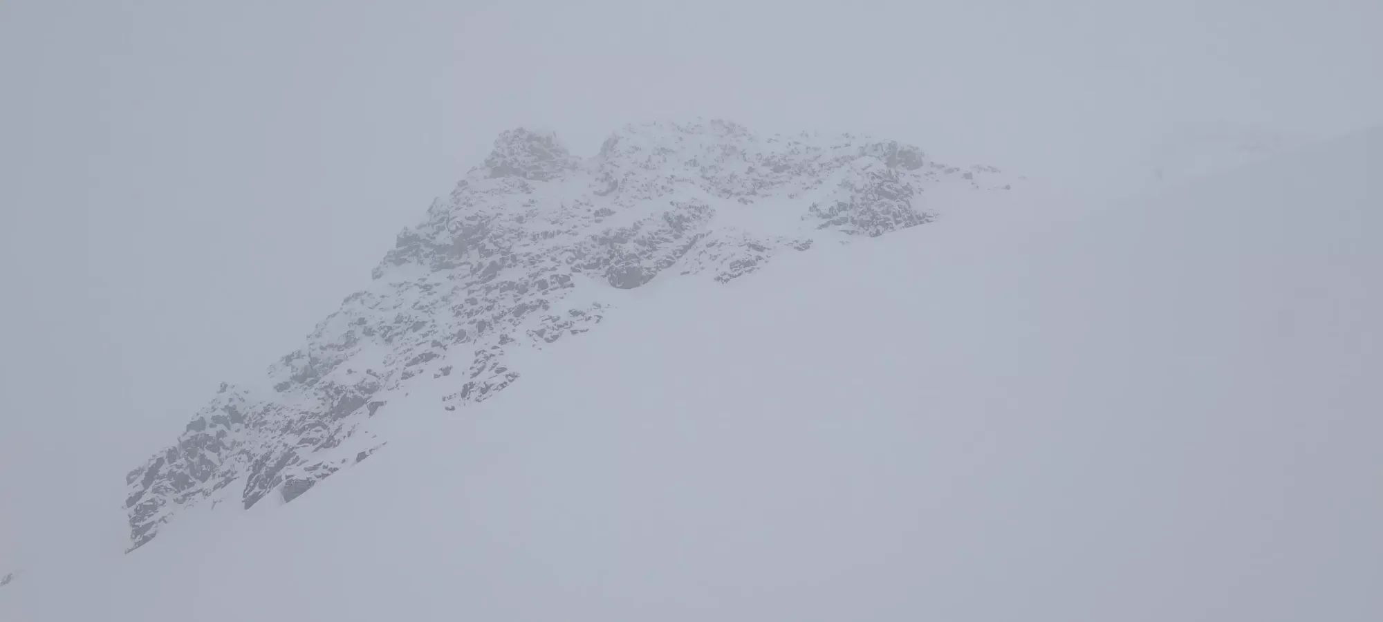
I broke trail for the first section of this part, though we handed that duty off fairly proactively throughout the plod. Going was definitely slower, due to all of the deep trailbreaking (the higher you got, the more soft wind deposits we found), the poor vis, and the need to be more careful with route selection in the more difficult terrain. In about 45 minutes, we managed to get from 2400m (the col elevation) to 2550m, so definitely much slower going. This was the first ridge we encountered, which was luckily the kind of ridge one can reasonably traverse and wasn't just a bunch of unsupported cornices, which was a good sign for later.
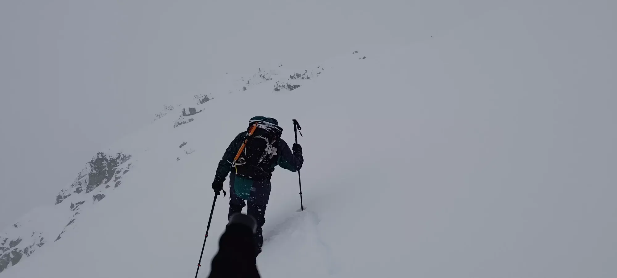
Our next point of interest was at ~2625m (GPS variance is a thing, after all). This was a spot along the steep slope near the end of the face that was protected from overhead hazard by rocks, and was a nice safe spot to take a break (as long as you didn't wander off the face too far, of course). Here, we talked out our feelings in-depth again (most of our discussion en-route was snowpack and vis related, so those thoughts were pretty continuously communicated). While we were making the crossing on the slope to get to this point, Ulric was feeling a bit psyched-out by the conditions, but he felt safe at the safe spot at least. He didn't want to bootpack up, though, as he's not exactly a peakbagger and suffering up steeper terrain for no views with extra risk wasn't his cup of tea. He was very graciously willing to wait for me and Charles-Antoine to continue up, though, so after making sure everyone was truly okay with it, we went up (staying back in winter conditions is always harder, so I annoyingly ask a few times to make sure nobody is just "being nice". It wasn't super windy or cold, though, so I suspect that helped in the decision-making). After about 20 minutes of that, putting skis on our packs, and waiting for some vis, we started the boot up.
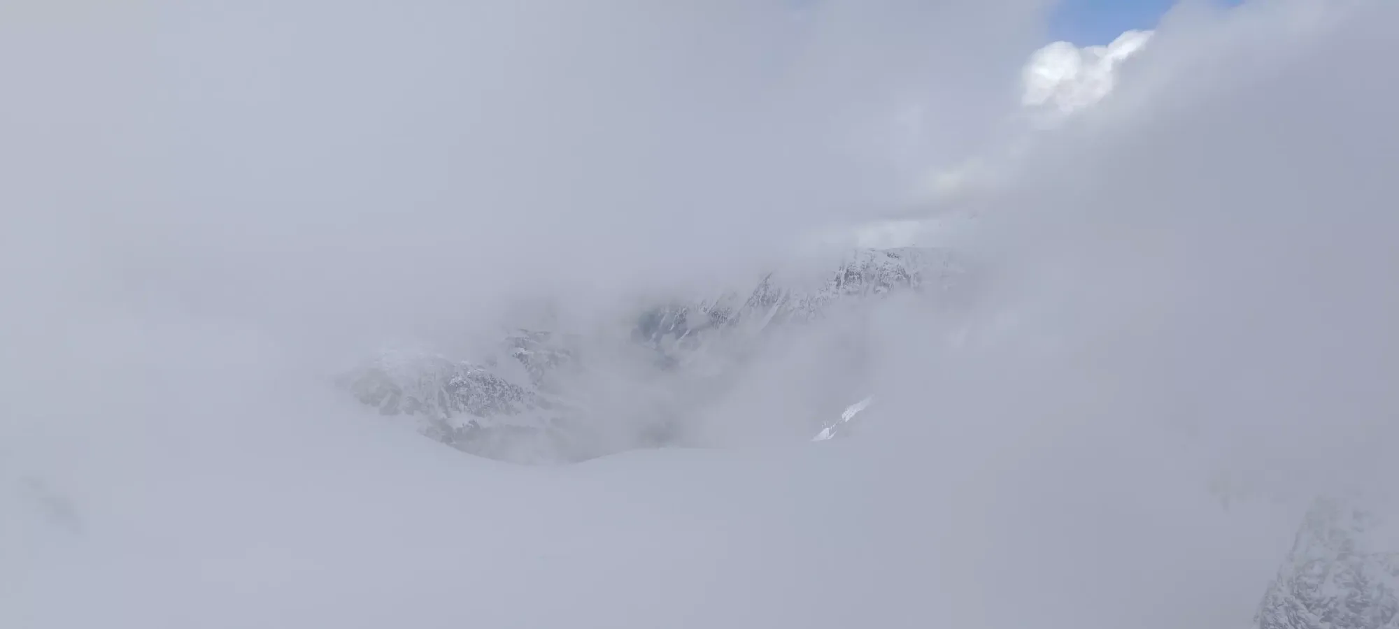
I was graciously offered, as the most summit-oriented individual, the honour of breaking trail once we got moving, which I was just oh-so-grateful for 😀. It was immediately obvious to me that this was going to be a slow, painful slog, as we were on a steep enough slope that it was more "push in with your knee, make space to step, then step, and hope your foot doesn't fall back to where you started" than "actually efficiently bootpack up". I would've skinned from this point, and at least for skiers I recommend doing so. But perhaps because of splitboards not edging as well, Charles-Antoine felt better in boots, and I felt better with company, so that's what we did.
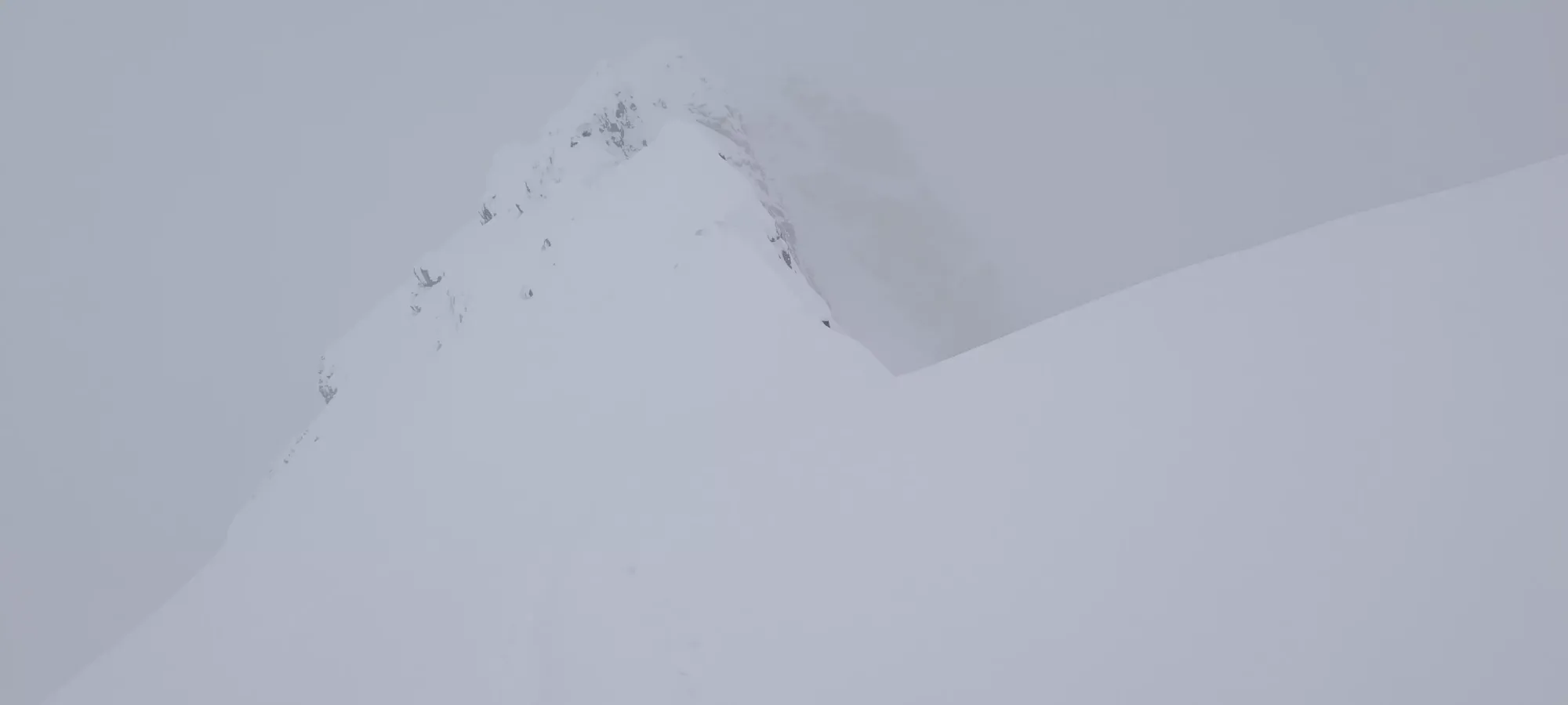
Despite my meming about the trail-breaking, we split that duty up over the course of the bootpack, you'd get exhausted after just a few steps, let alone trying the entire thing. We slowly trudged up from 3:00 for an hour, until we hit the summit ridge (~2715m) right around 4:00. Along the way, we had basically given up on the idea of summiting to some extent, as the vis wasn't really getting as good as it was when we started booting, and Charles-Antoine was pretty pooped as we got to the top, and only went that far because I encouraged him as it was a flatter+safer spot to transition than on the steep slope itself. Once we got up, though, he declared his intent to come back another day with good vis to summit, which is quite reasonable.
I wasn't so sure if I would continue or not, until I looked at both the map, and a brief glimpse of the summit ridge's entirety in a spell of visibility, and I asked if he'd be okay giving me 15 minutes to summit, as a hard stop. He said sure, so I dropped my pack, and made my way along the ridge, encouraged by how close it was, and the last 10 steps of good, firm snow.

The good snow didn't last too long, but once again, the ridge was at least traversable and not corniced-to-heck, so I count that as a win. It was also wide enough to be able to step on top of, or on each side of the snow's crest without immediately falling to your doom, which is always a nice thing. I made it to the top at 4:14, just in time. I was really lucky to have a couple of really awesome dudes with me, they didn't have to agree to wait around for me to push up, saying "I want to ski down in this vis window that just came up" or "the top of the mountain is cold, let's not be here any longer" would be very reasonable, but that was not said (other than by me, asking if they were sure they didn't feel that way). Major thanks to them for sticking it out with me, and sticking it out without me while I topped out. I took a hasty picture, touched the top snow, and turned back so we could get the heck out (the goal was to give ourselves time to ski down to the hut with vis, and enough time to wait for clouds to move through to attain that to enjoy the way down. We didn't care about leaving the hut in the dark if need be).
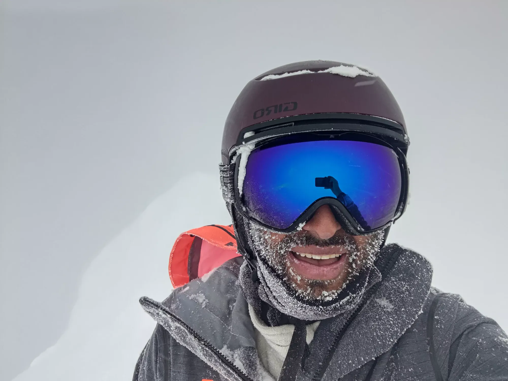
After topping out, I turned tail and got to my skis as fast as I could. Unfortunately, it took a few minutes longer than I wish it did to get into my skis, the slope wasn't exactly perfectly flat, as it was a ridge, and I definitely didn't want my skis sliding down either side of it. Charles-Antoine had already descended to Ulric, so I just did my best to ski down to them without sending snow piling onto their heads, yeeting off a ridge, or smashing into any rocks. I was not-quite, very, and moderately successful, respectively. I had a small point-release which apparently gave Charles-Antoine a rather unwelcome shower, but nothing consequential, didn't yeet of any ridges, and only got tripped by a shark once with no deep scratches, so overall fairly successful.
We quickly made our way to the col, where we could collect our thoughts, and plan a route down that was a bit more fun. The vis was much better here than at the top, but still was a bit flat, so we didn't want to just yeet down blindly, so we decided to stay near the skin track, so we always had familiar terrain we knew we didn't encounter crevasses on and could follow back if things got worse again. Not to worry, though, it was still AMAZING skiing, 30-60cm of maybe slightly heavy but deep and amazing powder, on a big open face with all the room and fresh tracks you could ever ask for. I managed to eat shit only once coming down that run, which was honestly a surprise for me, I still don't have a ton of powder experience, and I was opening up a bit more than I usually do in the backcountry because I knew I wouldn't often get such a good run presented in front of me.
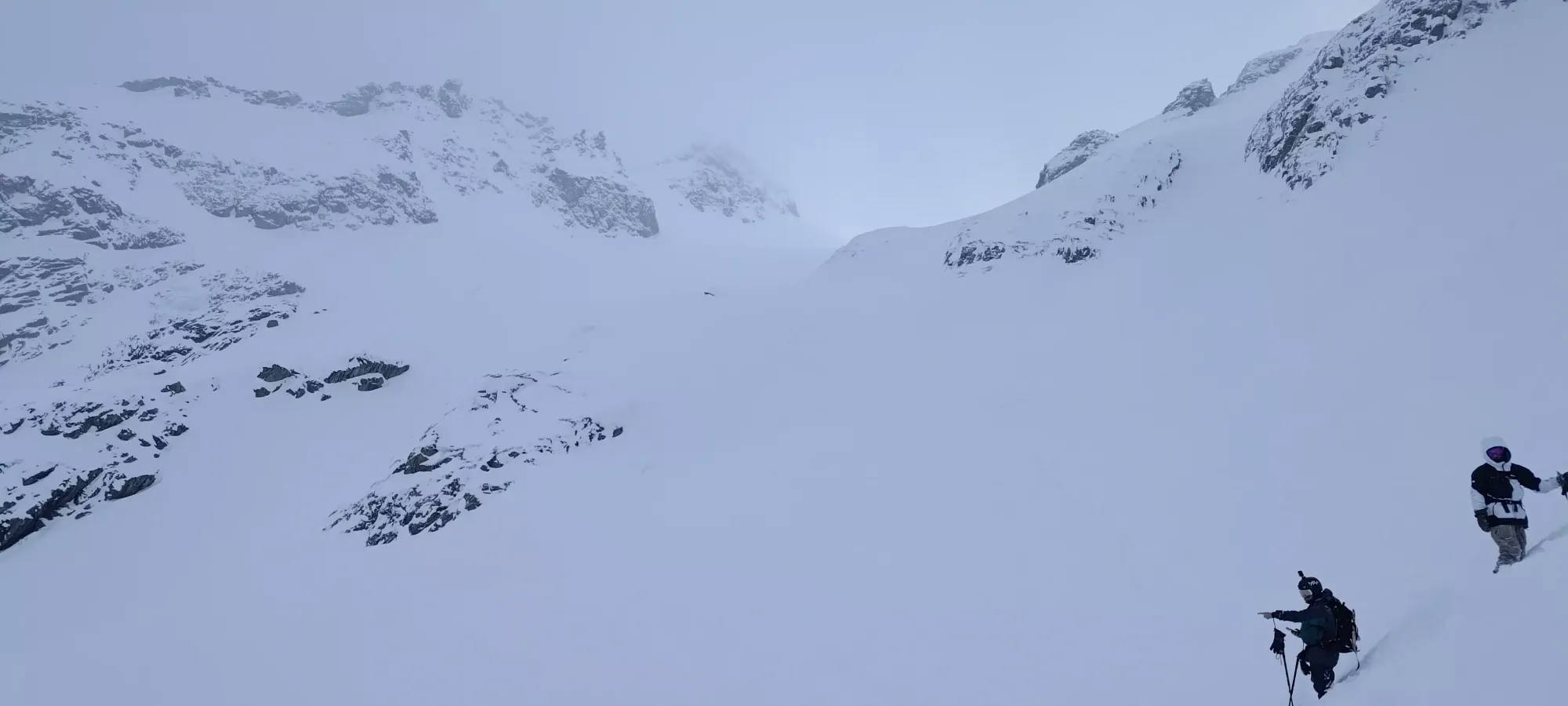
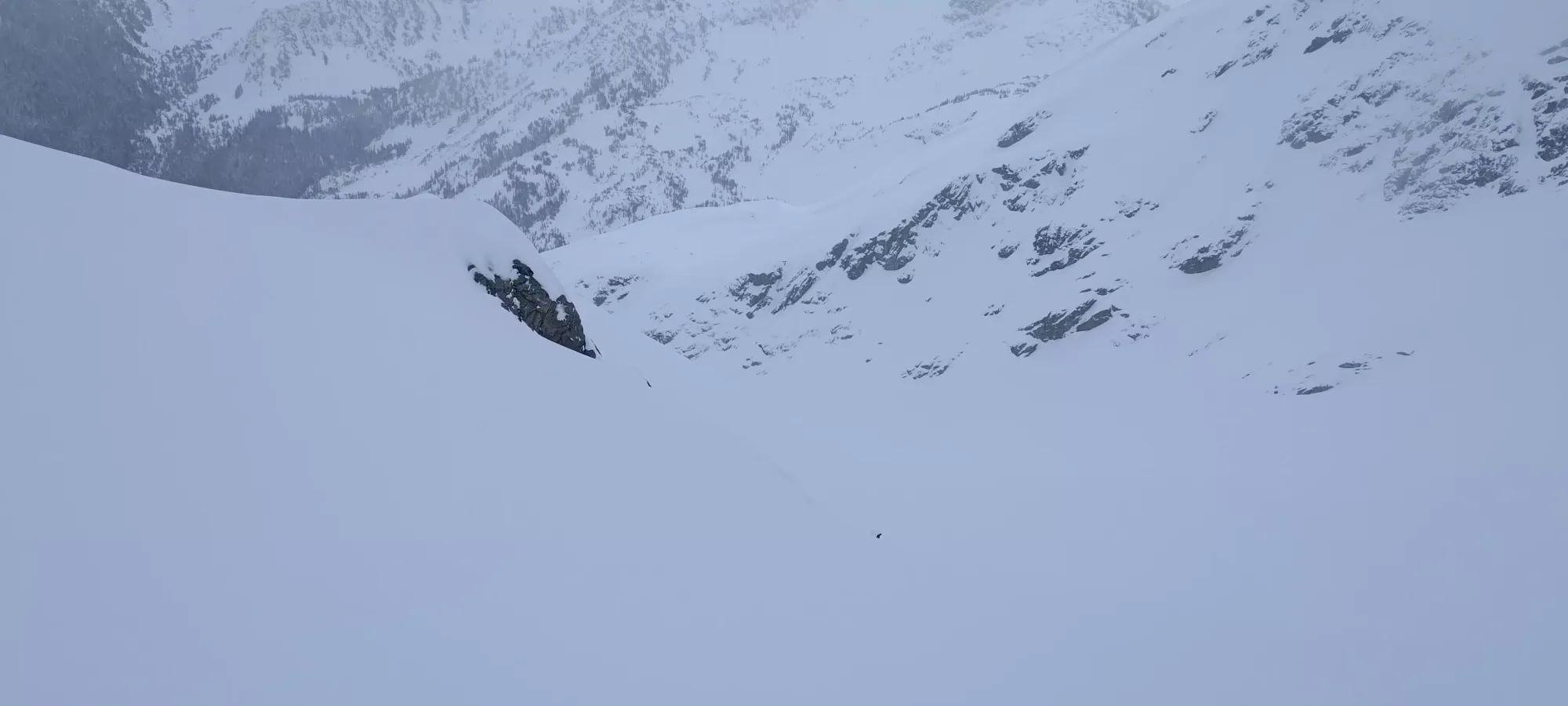
We skied a few pitches faster and more spaced-out, until we got to the decision point to follow the uptrack around skier's left, or to stay in the glacier bowl longer and exit to the hut another way. We studied our maps and memories, and decided that we should have an exit from lower in the bowl, so we continued down, staying skier's left though, to aim for a moraine-y headwall we figured would be our exit to the hut. On this traverse, on the steeper parts, we got a couple of surface wind-slabs to move, but they were thin and didn't propagate very far (sz .5-1 at most, and maybe 10cm deep), so nothing of great concern, and basically what we expected.
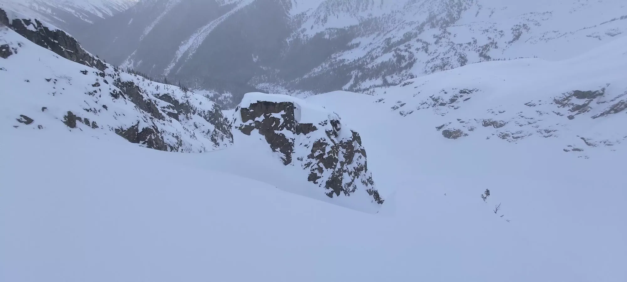
After some more great skiing, we skied over to the lip of the moraine, and exited the bowl, traversing into some open trees to skier's left, exiting at the lake across from the hut. Once we could see our path to the hut, we once again opened it up and skied freely, enjoying the run in to our destination, getting in at about 10 after 5.
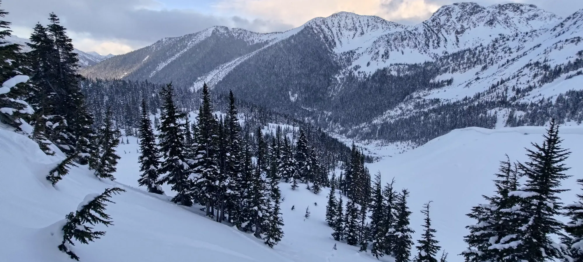
We chilled (well, actually warmed up) in the hut for about 25 minutes, revelling in our excitement, sharing beta and stories with the others in the hut, I finally ate my lunch, and generally we relaxed, now out of all the difficult terrain. Eventually, though, we had to leave, so we got back outside, and re-applied our skins for the short climb to the top of the forested bump we originally circumnavigated on the way up, to have a more fun and direct way down.
This was totally worth it, as there was some excellent tree skiing for nearly 300m of vertical before we got dumped out at the landslide debris field. Near the end, I tried to take a jump off a rock/bush/"thing", which was successful. Unfortunately, the jump right after it that I didn't see was less successful, and I ate some glorious snow. I always say "if you're not falling, you're not sending it hard enough" though, so all smiles from me. I mention it because once we exited the forest, I felt for the headlamp I put on my helmet before leaving the hut and did not find it, figuring it was lost in the snow "too many metres" uphill for me to go back to get it.
That was a bit disheartening, but short-lived, as when I next had to transition in the debris field (as it is quite flat), I felt around my neck for my balaclava to remove, and sure enough my headlamp fell down to my neck and not up+off the helmet! That was nice, and enabled a faster descent once it got dark.
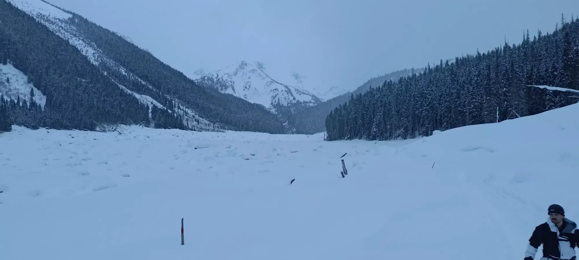
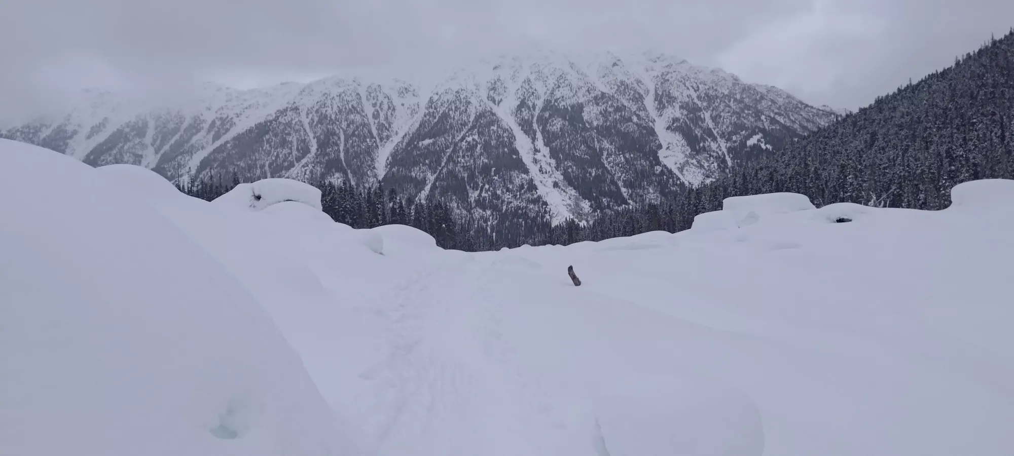
We skinned down the rest of the debris field and the summer trail, until it turned off the old road and into the forest, where we took the skins off and put the lamps on for a sunset ski through the skin track (not ours, but the "better" one that other parties must have set after us) and to the bridge. This was actually really fun skiing for me, the grade was perfect in the sense that you were never too slow and had to walk, but also it was never so steep you got too much speed for the density/tightness of the trail. Snowboards were not quite as nimble, but the others managed, if not enjoying it quite as much as I did. When we got back to the bridge, they just walked down and over the frozen-looking creek, but I had no issues getting over before, so just crossed it again on the log. It was a bit more slippery since the snow got quite rounded, but with a little balance and trust in the cable, I still walked at basically full-speed. I couldn't go all that way and stop sending it right at the end 🤣
A couple minutes of booting later, and we were at the car, 11 hours and 30 minutes after we left. A long, but very rewarding day. I got to meet some new awesome friends, bag an awesome, prominent peak, and have probably the best skiing I've had to date, so I couldn't be happier, 10/10 day.
GPX Track + Map
