Mount Lolo - June 10 2024
A p600 just northeast of Kamloops, but with a rather uninteresting ascent (it can be driven probably even in a 2WD vehicle, with a minute or two of tress-walking to get the true summit)

Thompson Plateau, Kamloops, British Columbia
1748m
After bagging McCrae Peak near Revelstoke the evening before, I drove out at nearly midnight from Revelstoke, and was far too tired after a long weekend, and car-camped on the side of the highway between Salmon Arm and Kamloops. I only slept as long as I needed, though, so I got up at first light and started making my way towards town. I got there around 5am, though, and was planning on breakfast+gas, so I killed some time getting the easiest p600 around, Mount Lolo. It was purported to be just a drive and short walk to get around a recently-fenced true summit, so that seemed like an appropriate way for a sleep-deprived peakbagger to kill an hour.
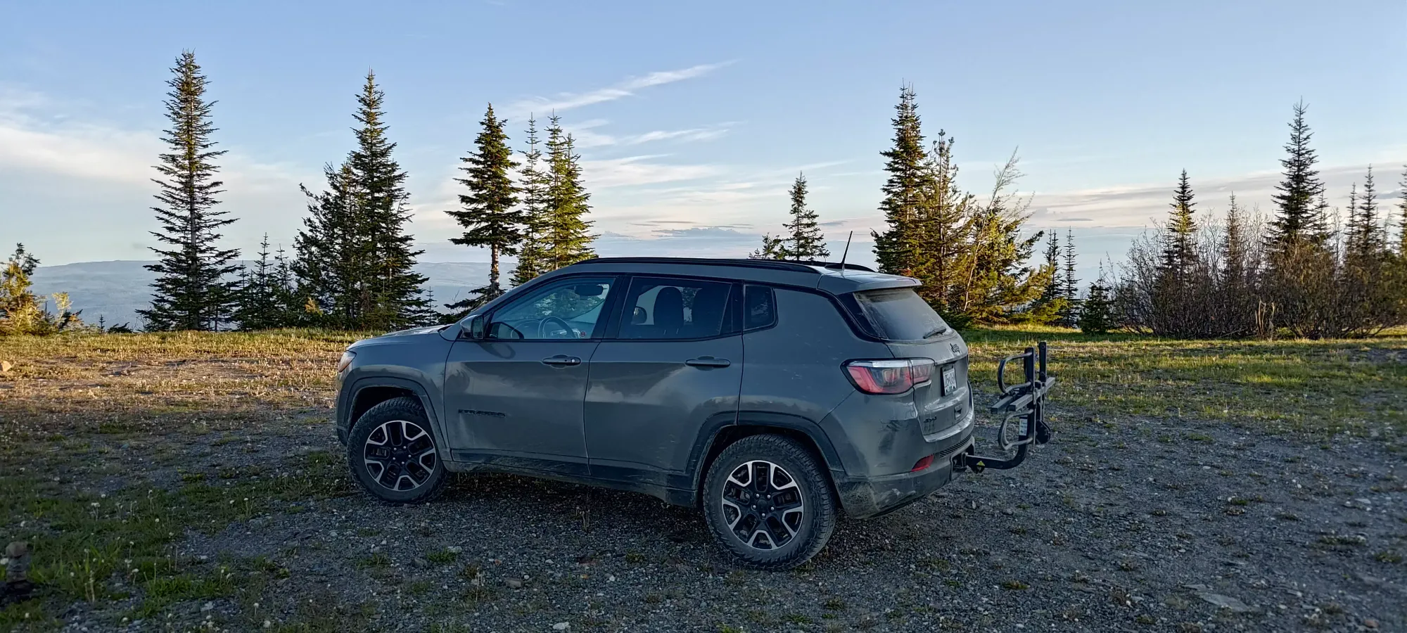
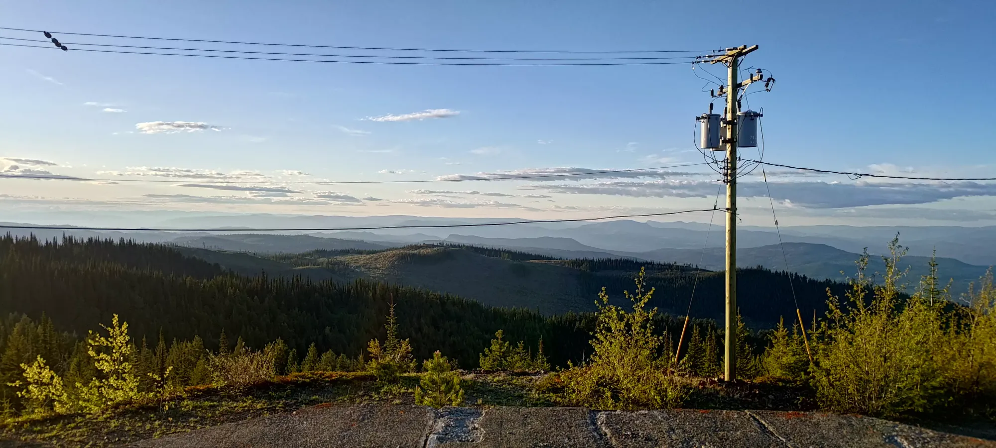
The Google Maps directions were accurate, and the road was paved until I believe around 8.5km from the top, where it became a well-graded FSR, and then a couple kilometres later the road was denoted as "unmaintained", but was still in good shape even for a 2WD, low-clearance vehicle, at least with an attentive driver. Note that Google's directions end at the final fork in the road, where you must fork to the left to get to the summit.
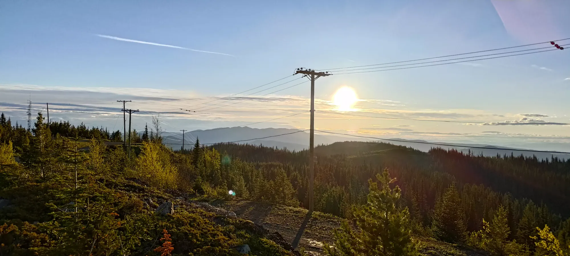
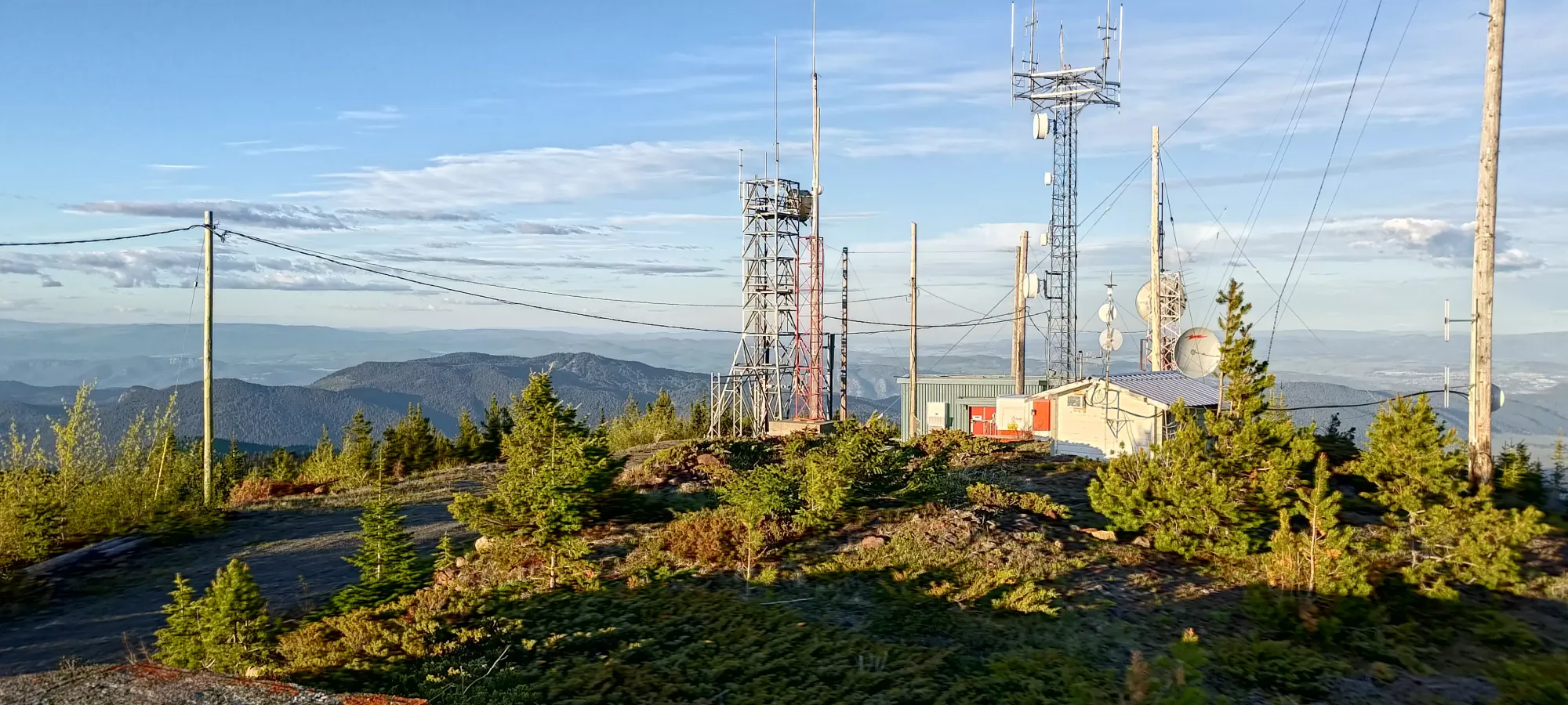
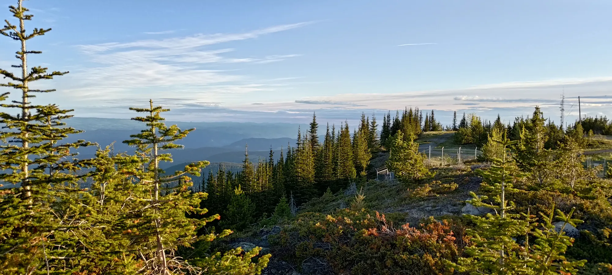
Once on the plateau, there are 2 surveyed summit candidates. I parked at the lower one by a metre, which I figured might be far enough such that any cameras wouldn't pick up my license plate 😅.
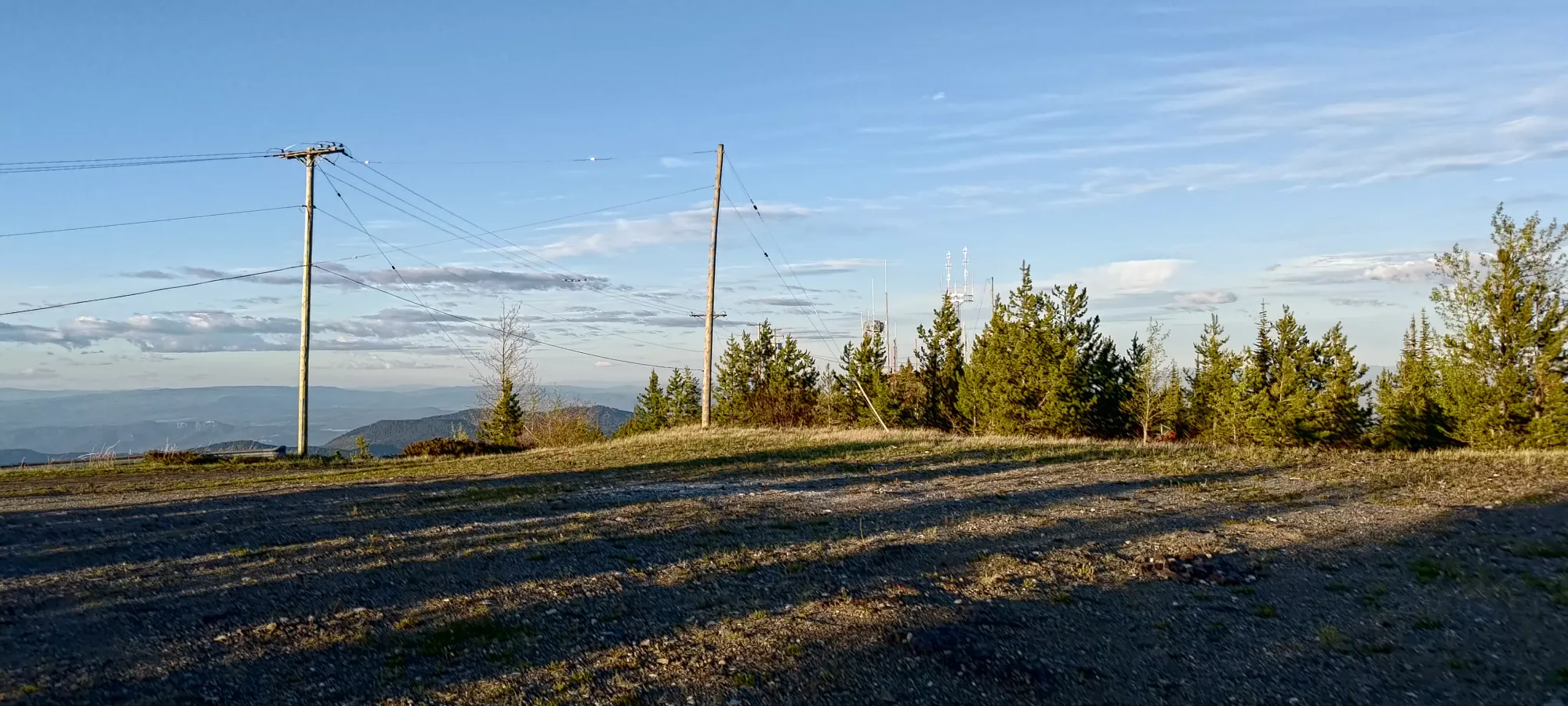
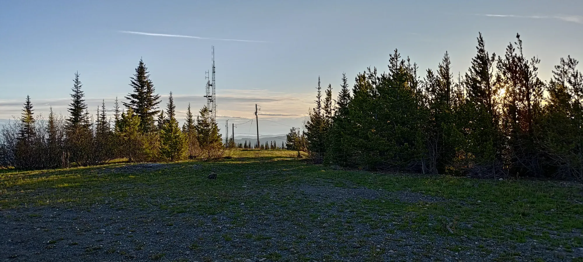
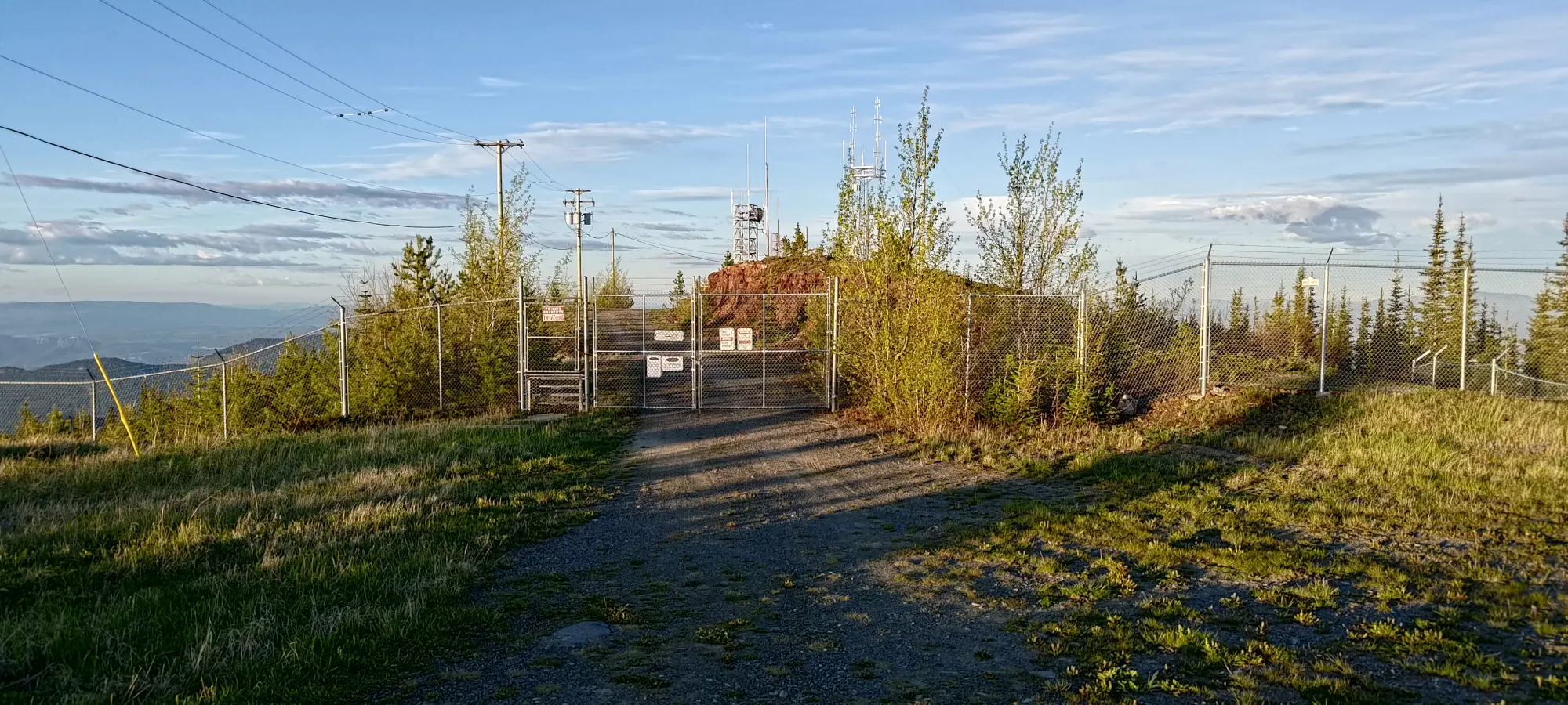
Once I walked over to the fenced area, the rocky outcropping of the true summit was clear. Sadly, so was the fence and closed gate blocking it. Thankfully, I had beta that the fence was downed on either side, so I decided to walk down and around the right side, which was fairly easy, even in my driving loafer shoes 🙂.
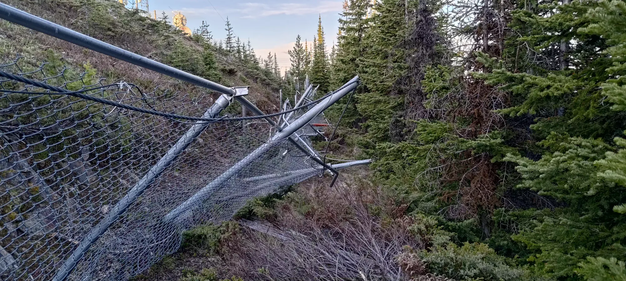
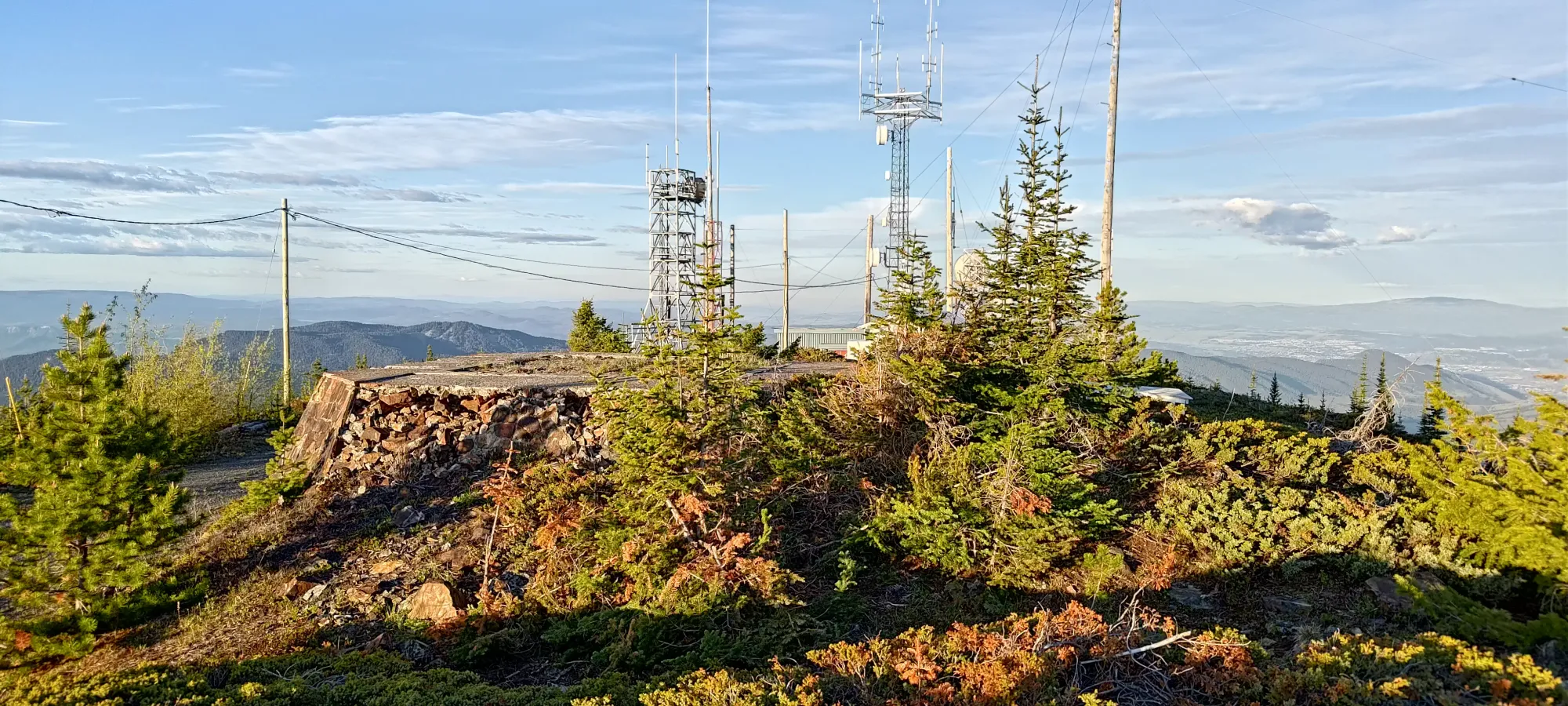
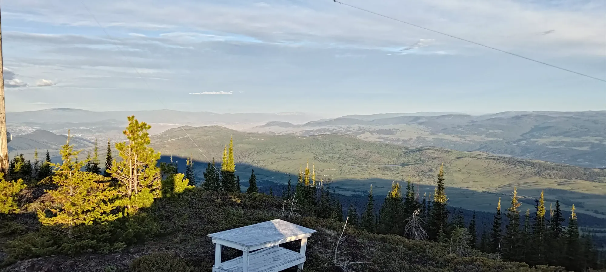
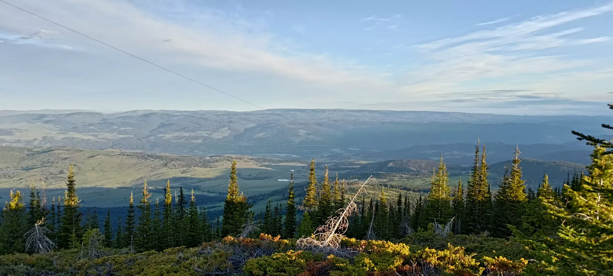
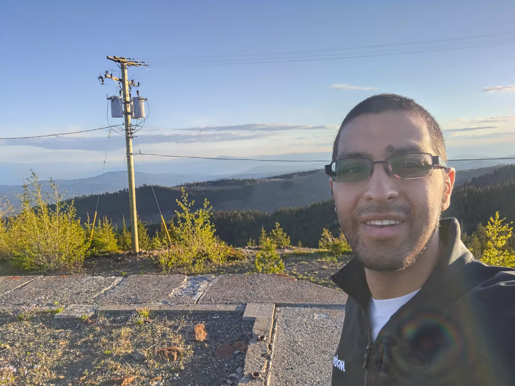
About halfway along the fence, it was knocked down. The fence is barbed wire, so take care stepping around this area to avoid the wire which is loose on the ground. From there, one simply walks up a few metres, and then you're on top! I took some more photos (figured nobody would come yelling given the lack of other cars nearby), then retraced my steps for a quick+easy p600.
With that done, I got myself back down just in time to fill up at the 6am-opening Shell, and grabbed some eggs at A&W before making my way back home for the workday. I'd definitely not come to Kamloops for this peak, but if you're around and have an hour to kill, you may as well make the drive and get it bagged.
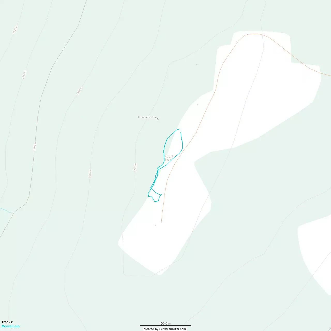
GPX Track + Map