Mount Kerr - June 2 2024
A scenic p1000 peak at the top of the Marble Range and the so-named Provincial Park. Or so I hear, we went up on a rather stormy day. A nice, straightforward hike for those seeking a pleasant day out, or something to do on a less-pleasant one that isn't technical

Marble Range, Jesmond, British Columbia
2260-2280m
The previous few weeks had been quite a stark mix of wet, low-elevation trashbagging and lengthy+expensive road-trips for bigger peaks. The former just feel kinda sad, and the latter make my wallet feel sad, so I was determined to stay somewhat local, but also not just go for small, below-snowline easy hikes. That was a bit difficult given that, once again, the weather was not especially promising in southwest BC. So, I had to dive into my bag of tricks and pull out "going north/east of Lillooet", the secret trick mother nature doesn't want to tell you about! This generally puts one in the rain shadow of the Coast Mountains, so even if the storm system giving Squamish a rainfall warning is present, it will be dramatically weakened by the time it gets up there, so hiking should be a "tolerably miserable" experience, if nothing else.
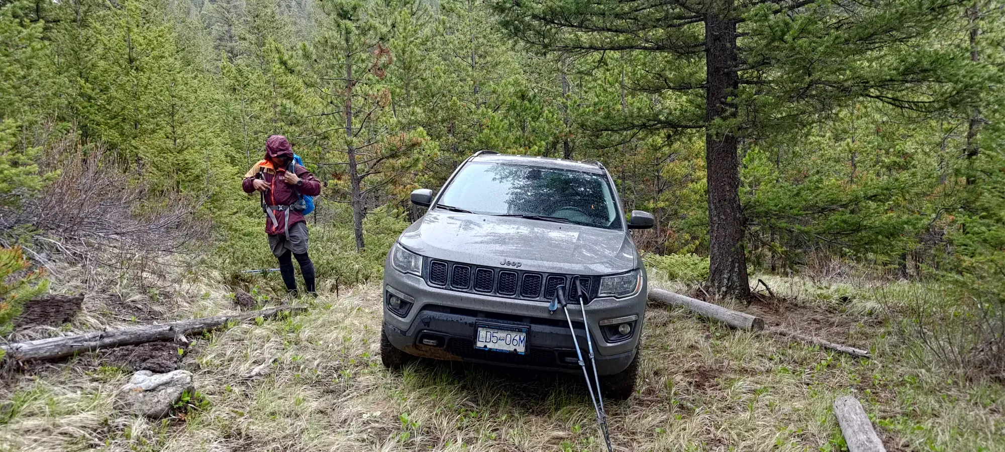
Apparently, that was an enticing-enough argument for Tanveer to come up from Washington (I won't argue), so we set out from Squamish at about 7:20am for the long drive to the trailhead. We took the Pavilion-Clinton Road off of the highway (there's a sign saying no visitors due to Covid that's still up, but we figured that was just old, and nobody bothered us about it), which is unpaved but easily driveable in most any vehicle. It does gain about 900m before descending another 500 or so down towards Kelly Lake, so be prepared for some extra gas usage 😅. From there, we forked onto Jesmond Road, which gained about 250m over quite a long distance (you can't really notice the grade). There are a few options here to get from Jesmond Road to the trailhead. On our way in, we took the side-road that starts at the first of 2 large curves in Jesmond Road near the same latitude as the trail, which goes southeast a bit before forking north towards the trailhead. This was fine and fairly accessible to most vehicles, though one or two ruts may pose difficulties for low-clearance vehicles. We eventually arrived at a creek crossing that was quite deep (the water itself wasn't, but the banks were high), and I barely made it across in my Jeep Compass. Most crossovers could not do this, as you need a very good approach angle. From there, we had a short drive on a half-grass half-road to the trailhead. We drove a bit further in on the trail not realising it was no-vehicles-allowed, so do respect the trail in our stead and park at the trailhead, it isn't a big difference, maybe 20m of elevation saved.
With all that, a bathroom break, and a stop for gas in Lillooet (unless you have a massive tank, do fill up there), we ended up starting to hike at the ripe hour of 11:26am 😄.
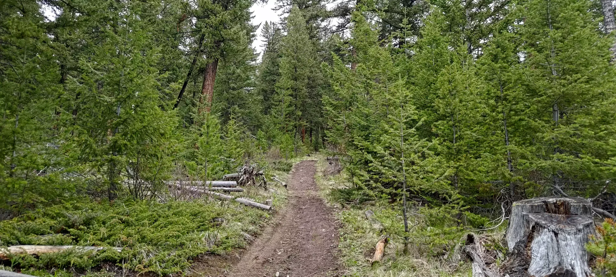
The trail is very well-maintained all the way up to the pass between Wild Horse Peak and Mount Kerr, and with Tanveer's trademarked willpower to just hike at a steady pace, we made good progress. The beginning is unfortunately flat, gaining only 250m over around 4.5km, so not much elevation was banged out initially, but we covered some good ground.
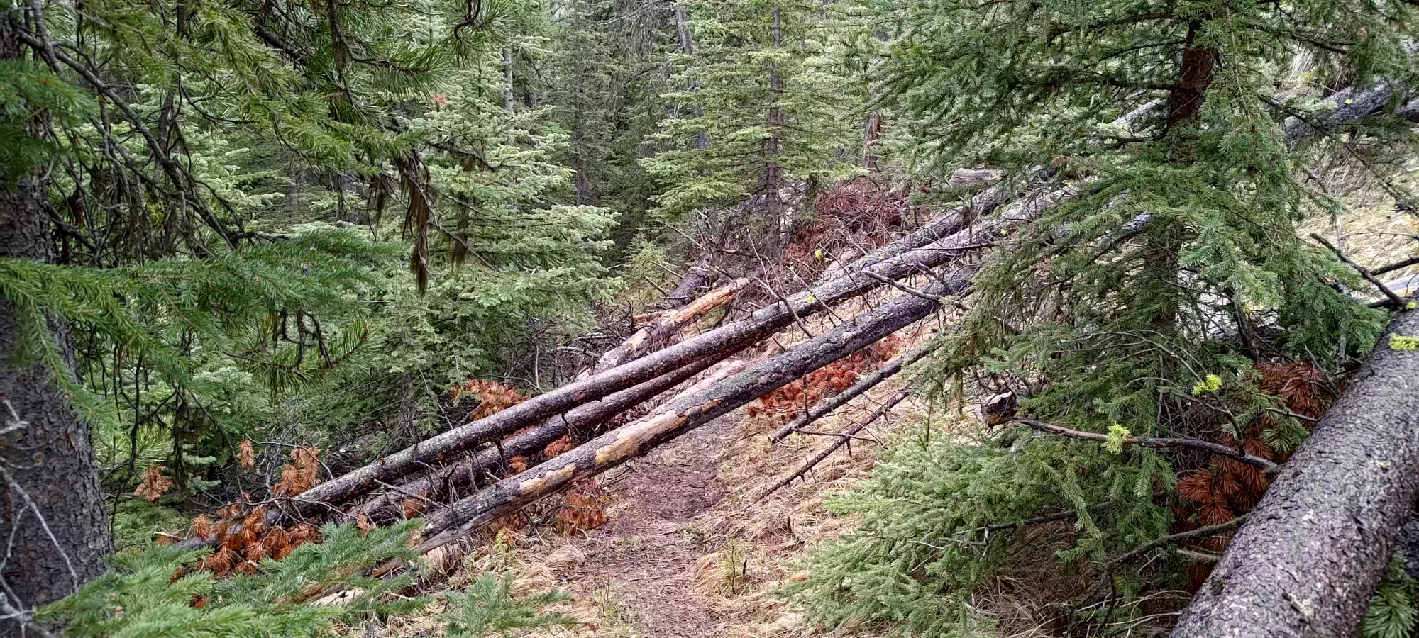
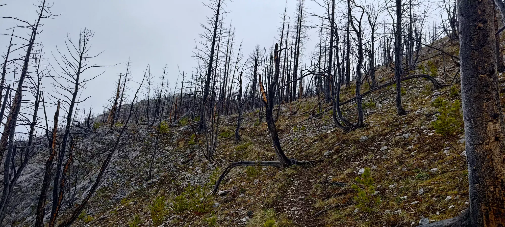
The one snag about the trail was, at least when we were there, that there was a ton of deadfall. The first couple kilometres weren't bad, just a handful before the turnoff for Mount Bowman (if you're heading there, pay attention to your maps, as it is easy to miss). After that, though, they became more and more frequent, eventually every minute or two you'd be walking over a fallen log. It still fell into "dozens" and not "hundreds" like a couple trails I've hiked, but it was enough to note, and probably lose "a good few minutes" to. Trail runners would probably be much more miffed than hikers.
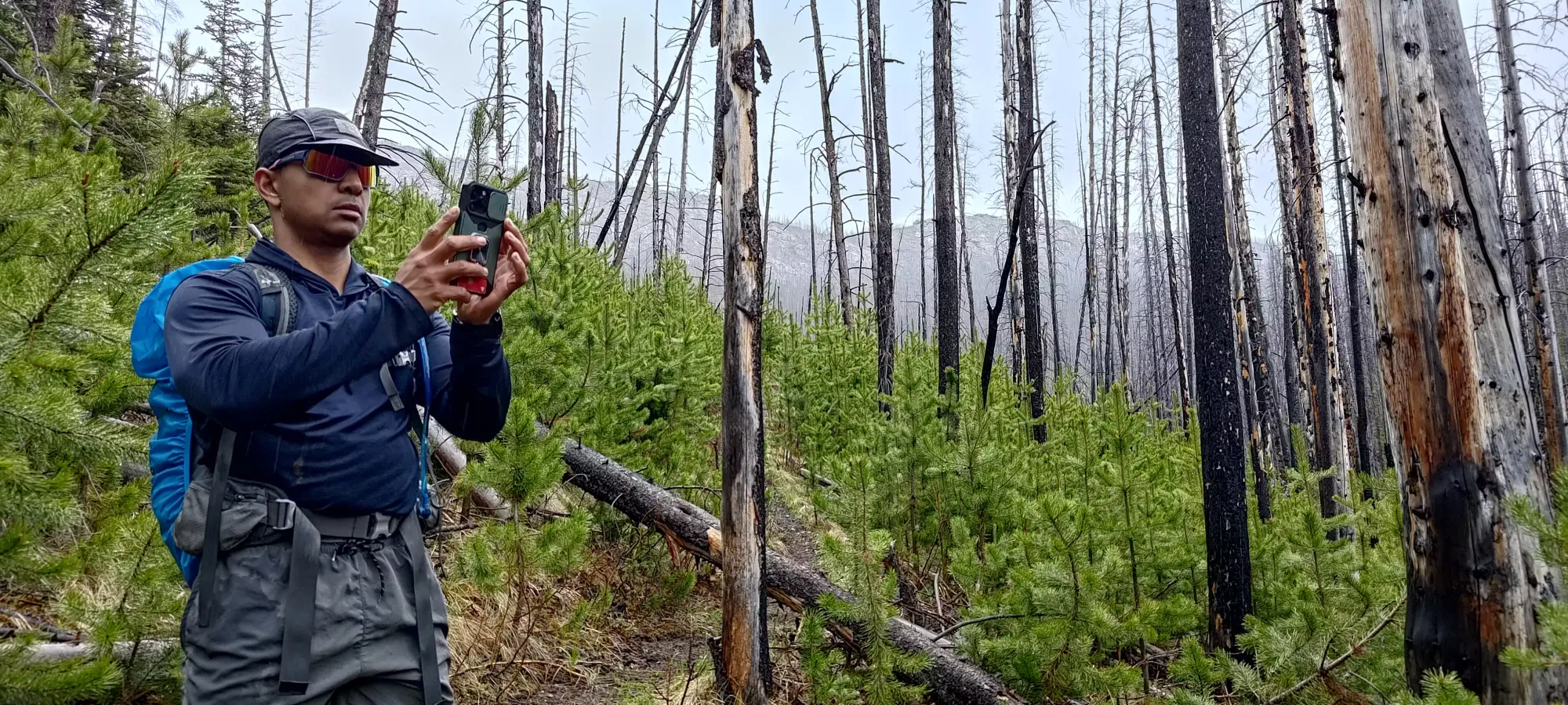
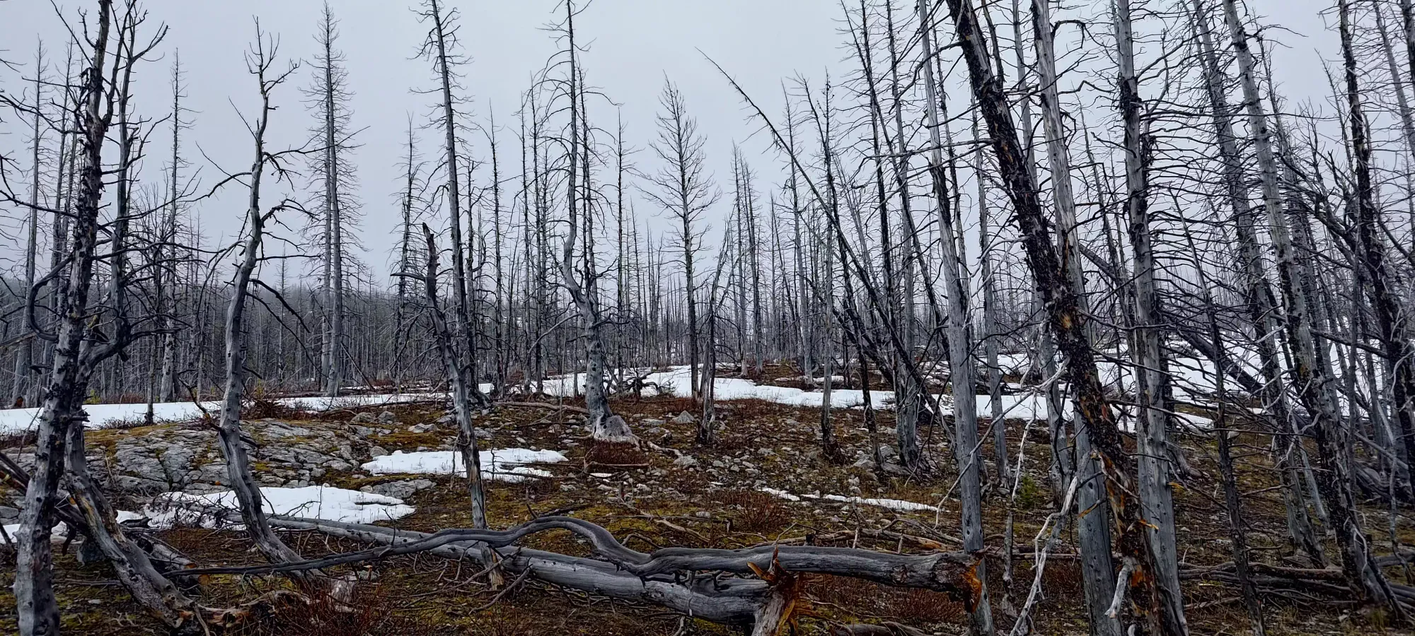
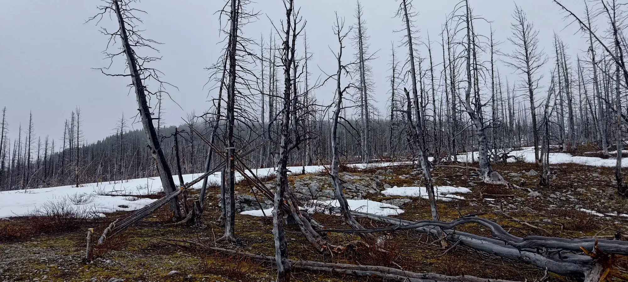
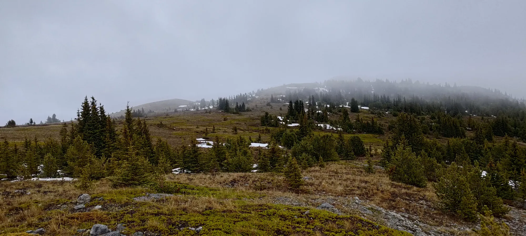
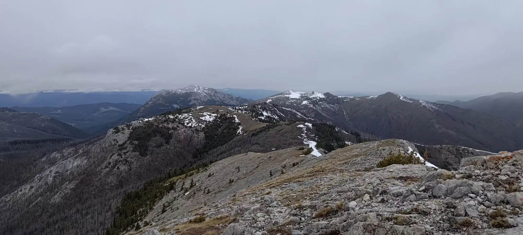
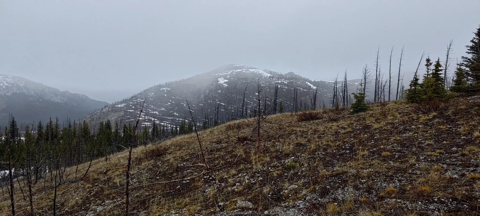
At around 1650m or so, the trail clearly changes from mature, healthy forest to an old burn area. There are still many burnt trees standing, but also quite a few short, young trees growing in-between. The lack of overhead branch cover is quite noticeable, so if there's going to be a lot of heat+sun, note that there's quite a bit of sun exposure here. For us, while a bit sad for the sake of the forest, it did allow for a wider view of the area, which was kinda nice. We got to this point in just over an hour at a very casual pace.
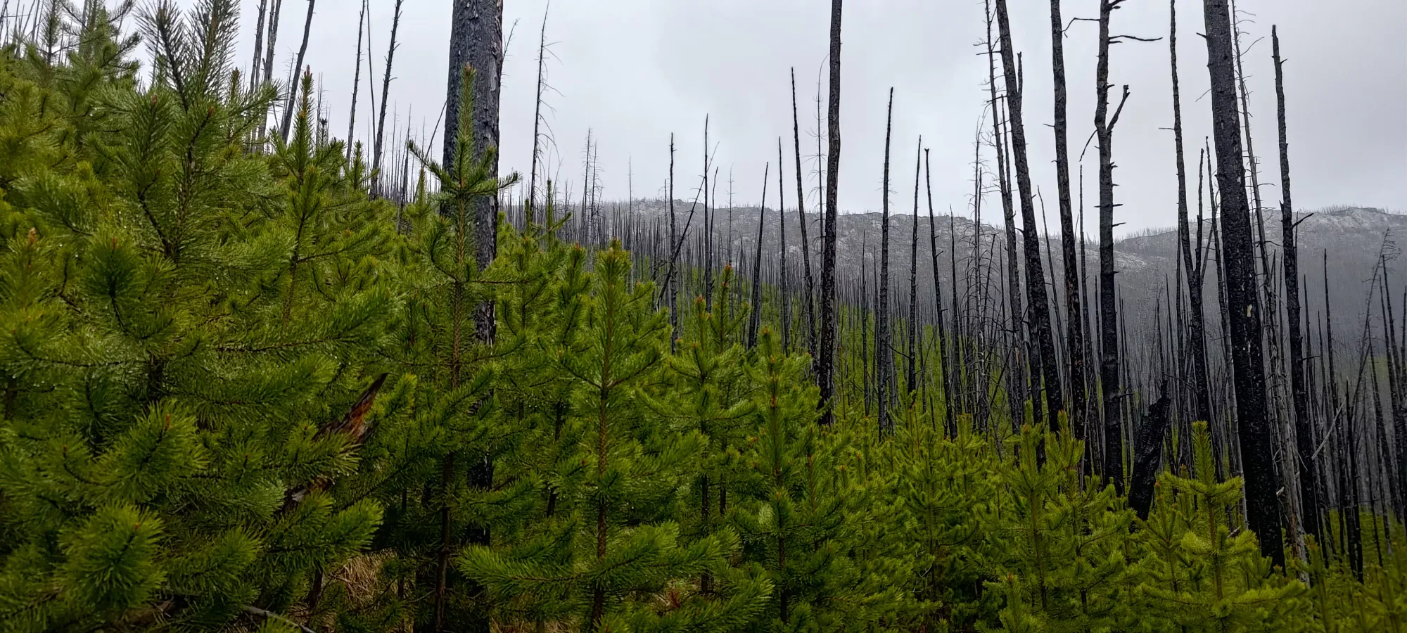
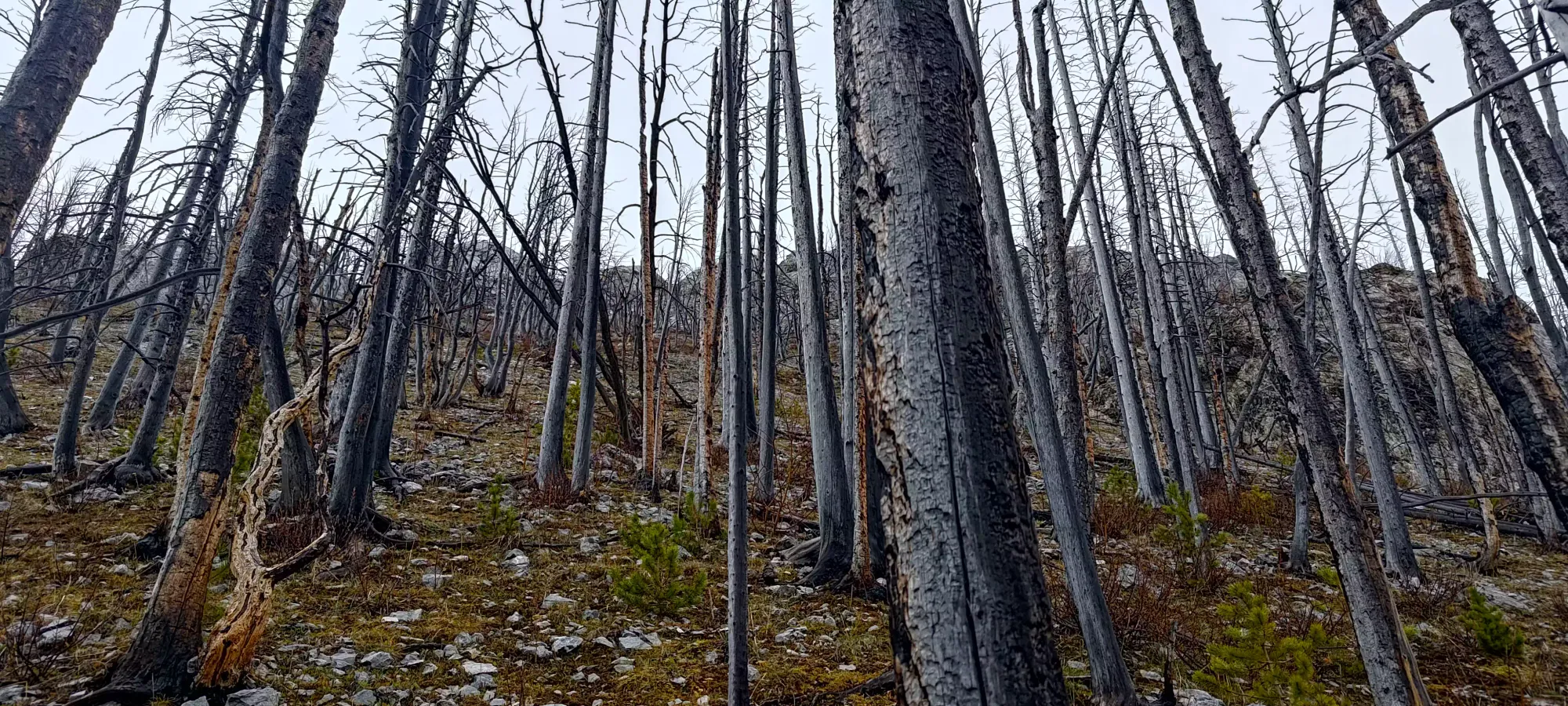
From this point, the trail also starts to gain elevation more seriously, getting up around 350m in a bit less than 2km, all the way to the col at a touch over 2000m. As we hiked up, we could feel the wind picking up, so we took a break just below the top for about 10 minutes to layer up and snack in the relative comfort of the SW slopes below the ridge proper. I'm not sure exactly when the transition happened, but by some point the new trees we saw lower down kinda went away, and the forest was fairly open in-between the dead trees. We hit the saddle in just about 2 hours.
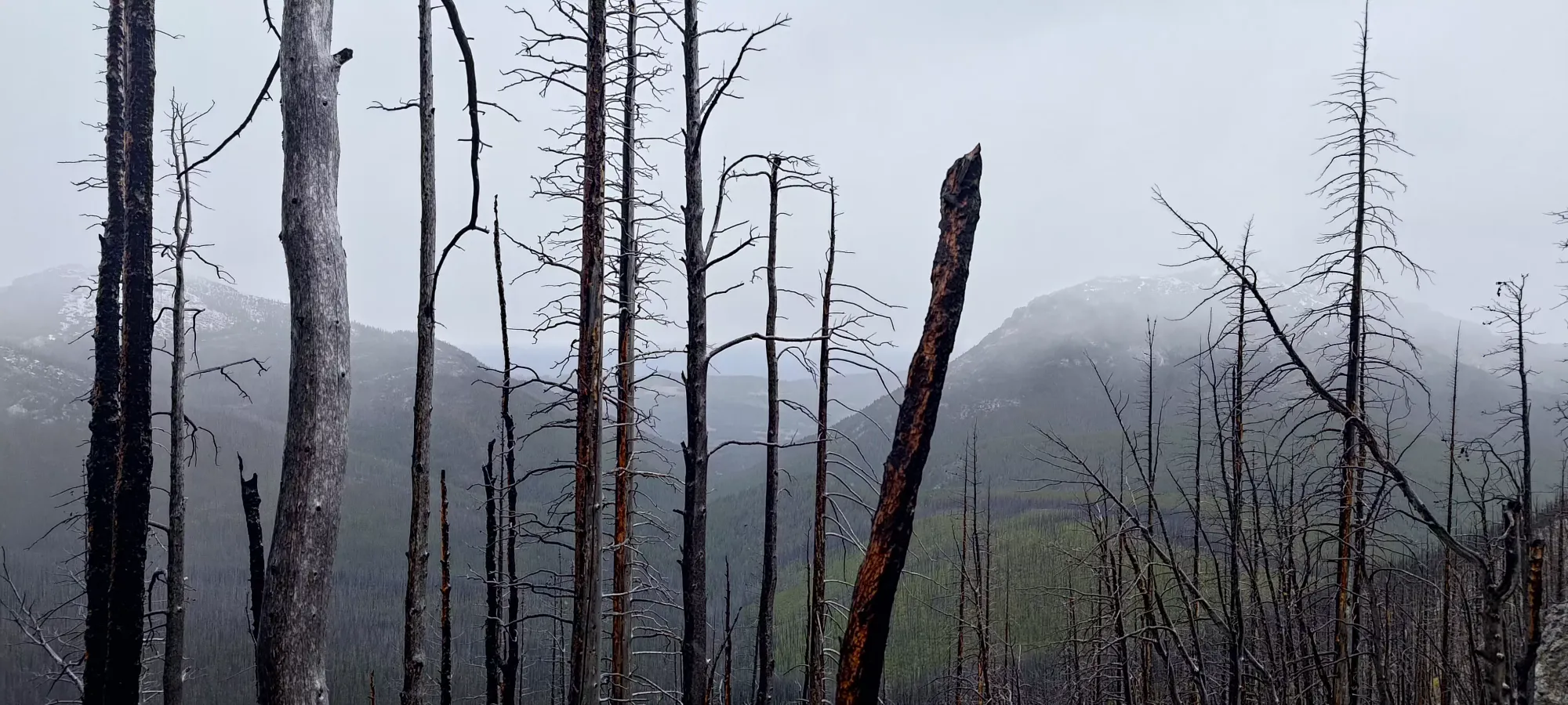
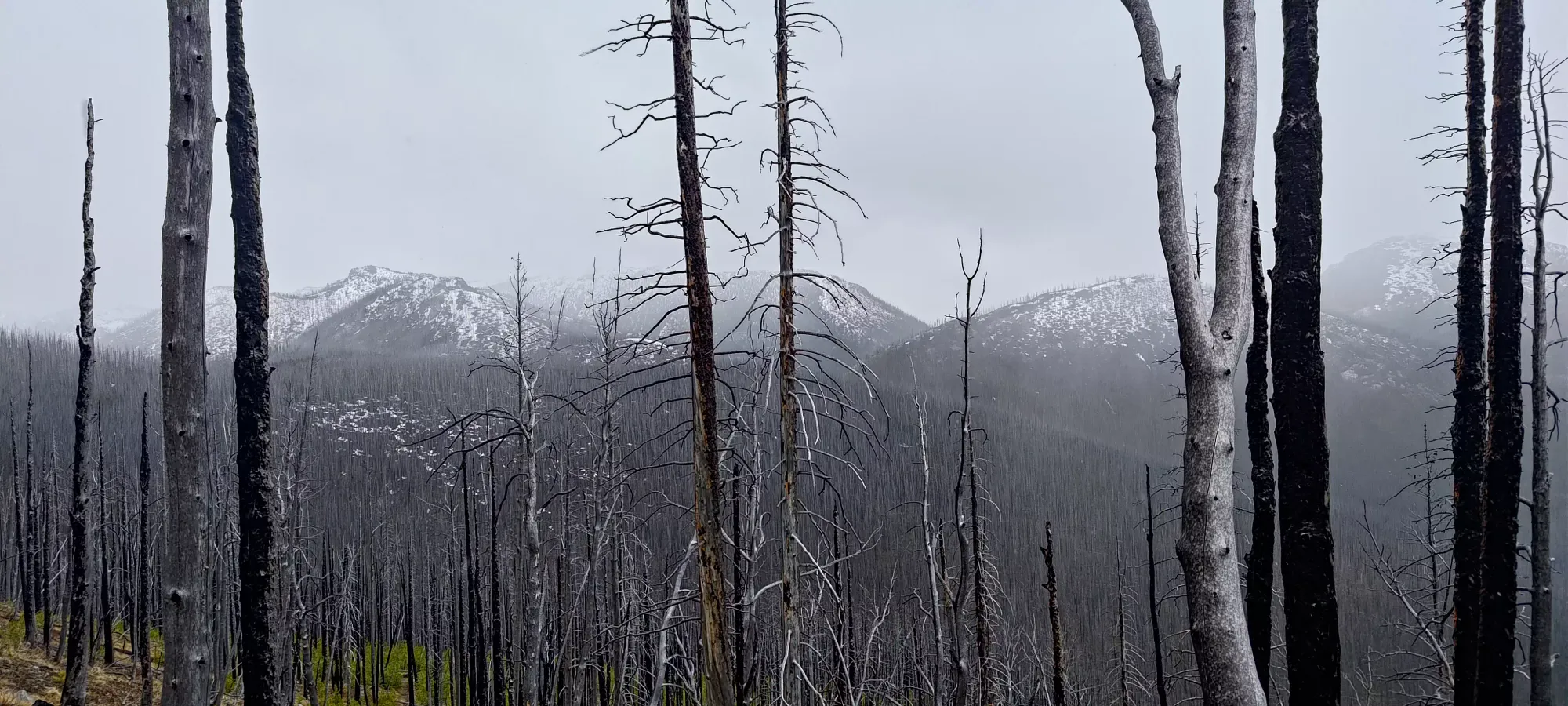
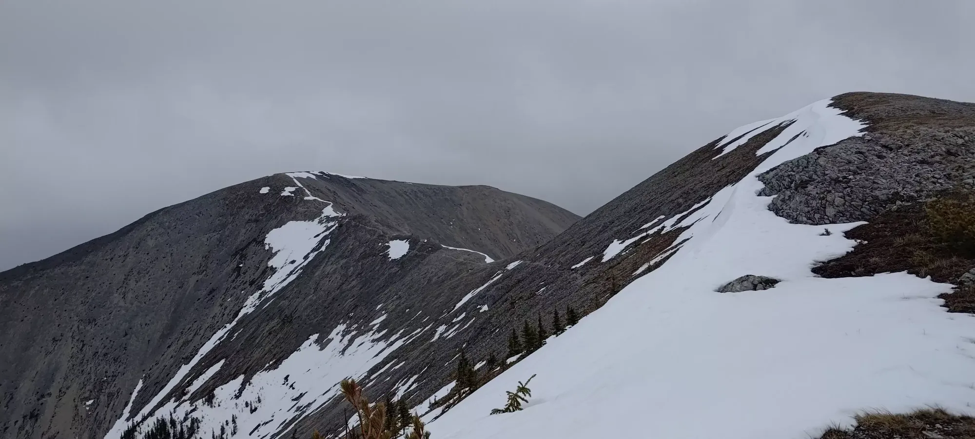
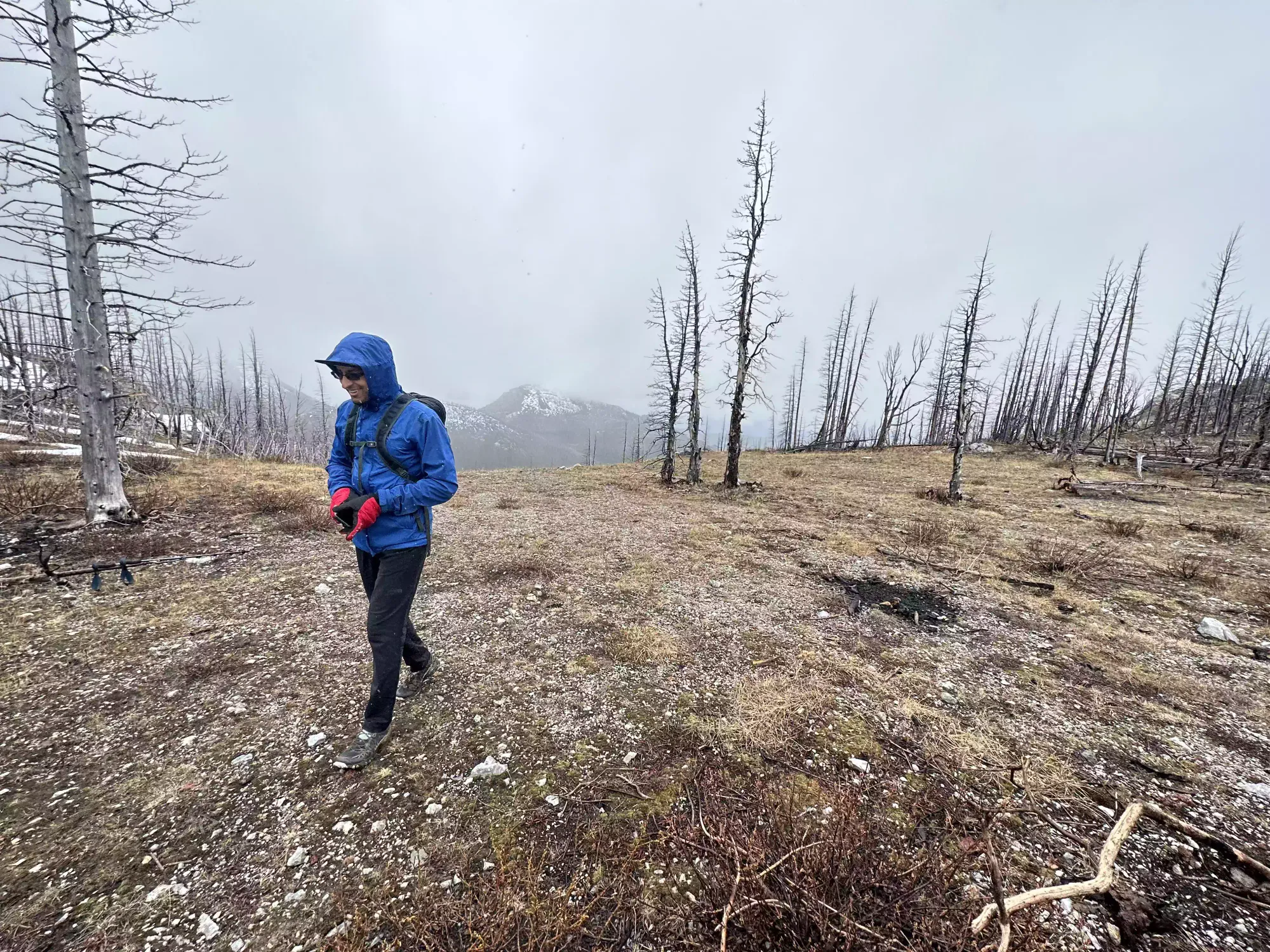
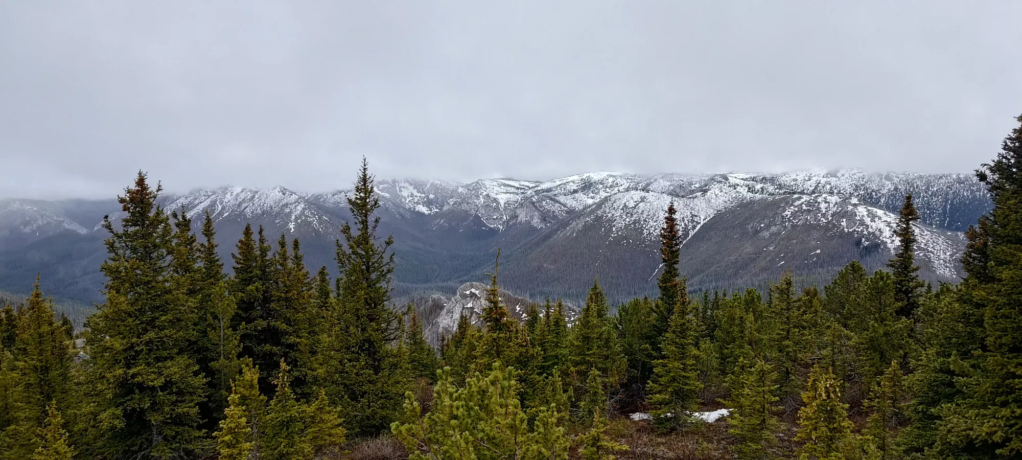
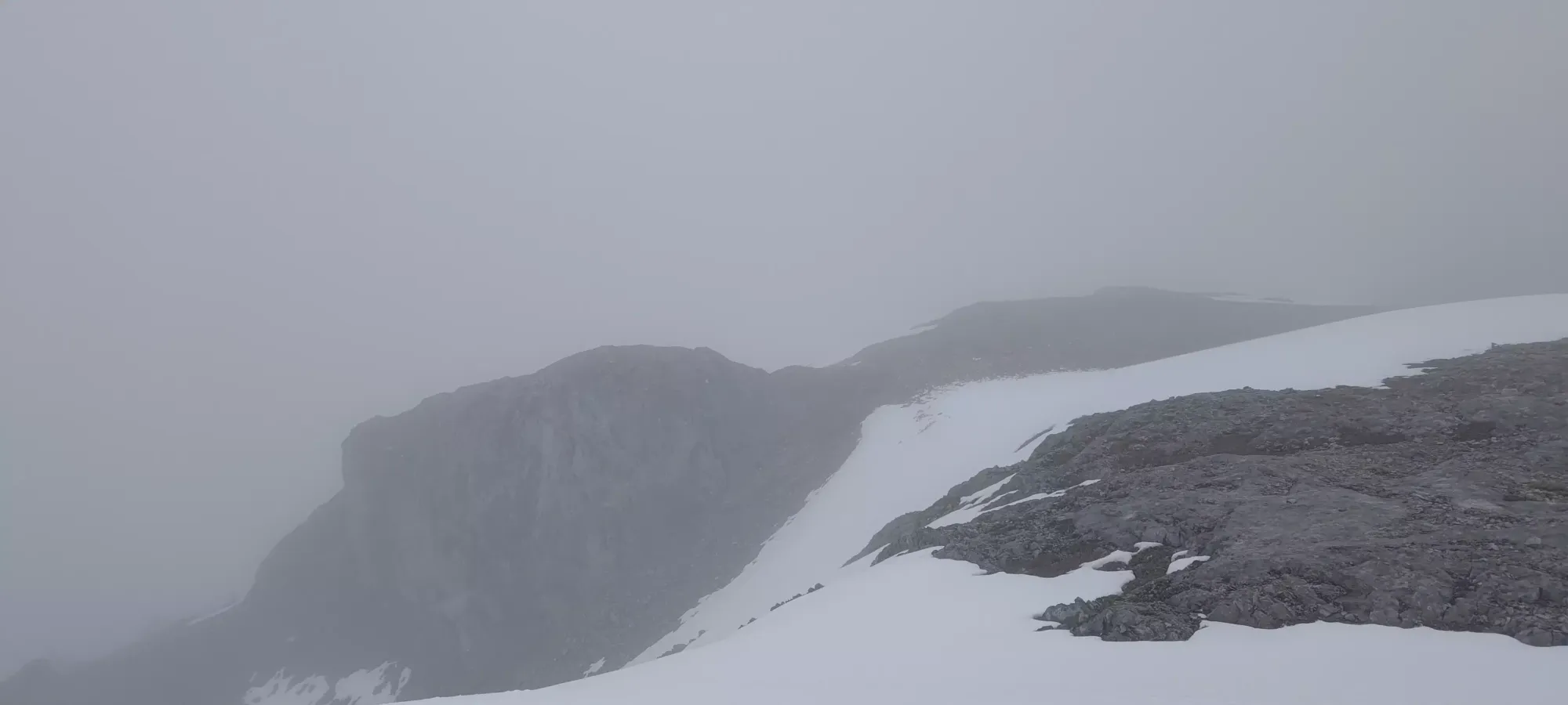
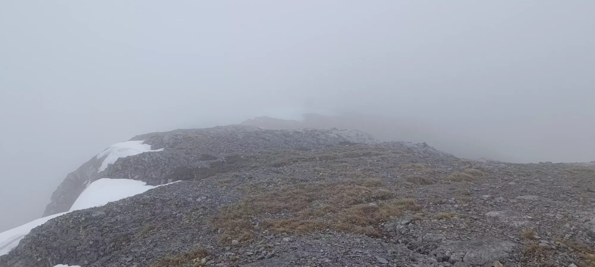
A couple mountains poked out from the clouds
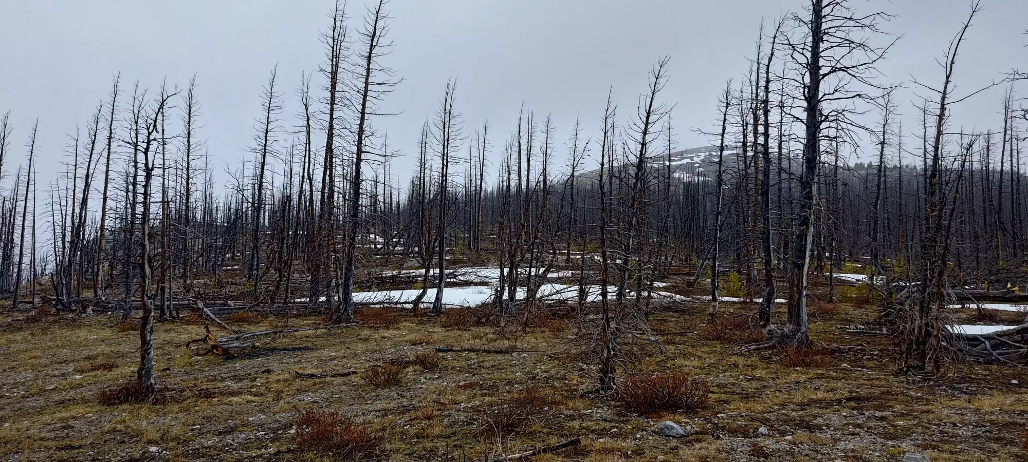
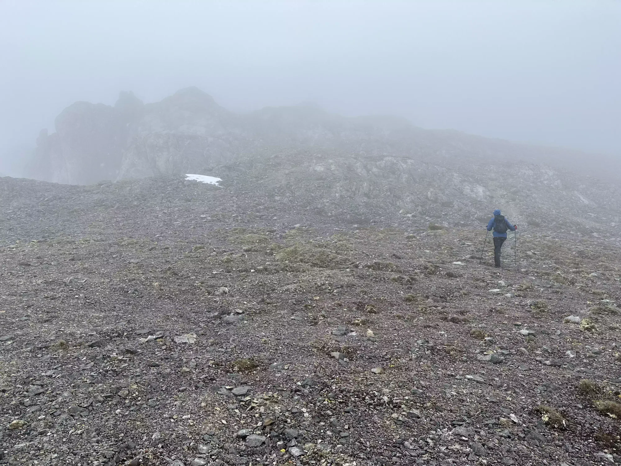
Once we got onto the ridge, we noticed that there was snow above 2000m, and even lower down on the northern aspects. For us, that meant the southern (climber's right) side of the ridge would be preferable, so after a couple steps in the soft, wet snow, we veered more to the southern side of the ridge to try and stay dry, as we had trail runners/hiking shoes on.
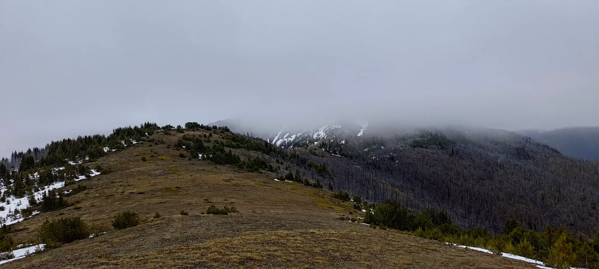
Once we figured out our general plan (stay on the solar aspect as much as possible, don't get too high onto the top of the ridge, and avoid the snow by sticking close to the edge of tree patches), we made decent progress, and gained about 100m in the next 20 minutes, reaching the first of many sub-summits along the ridge.
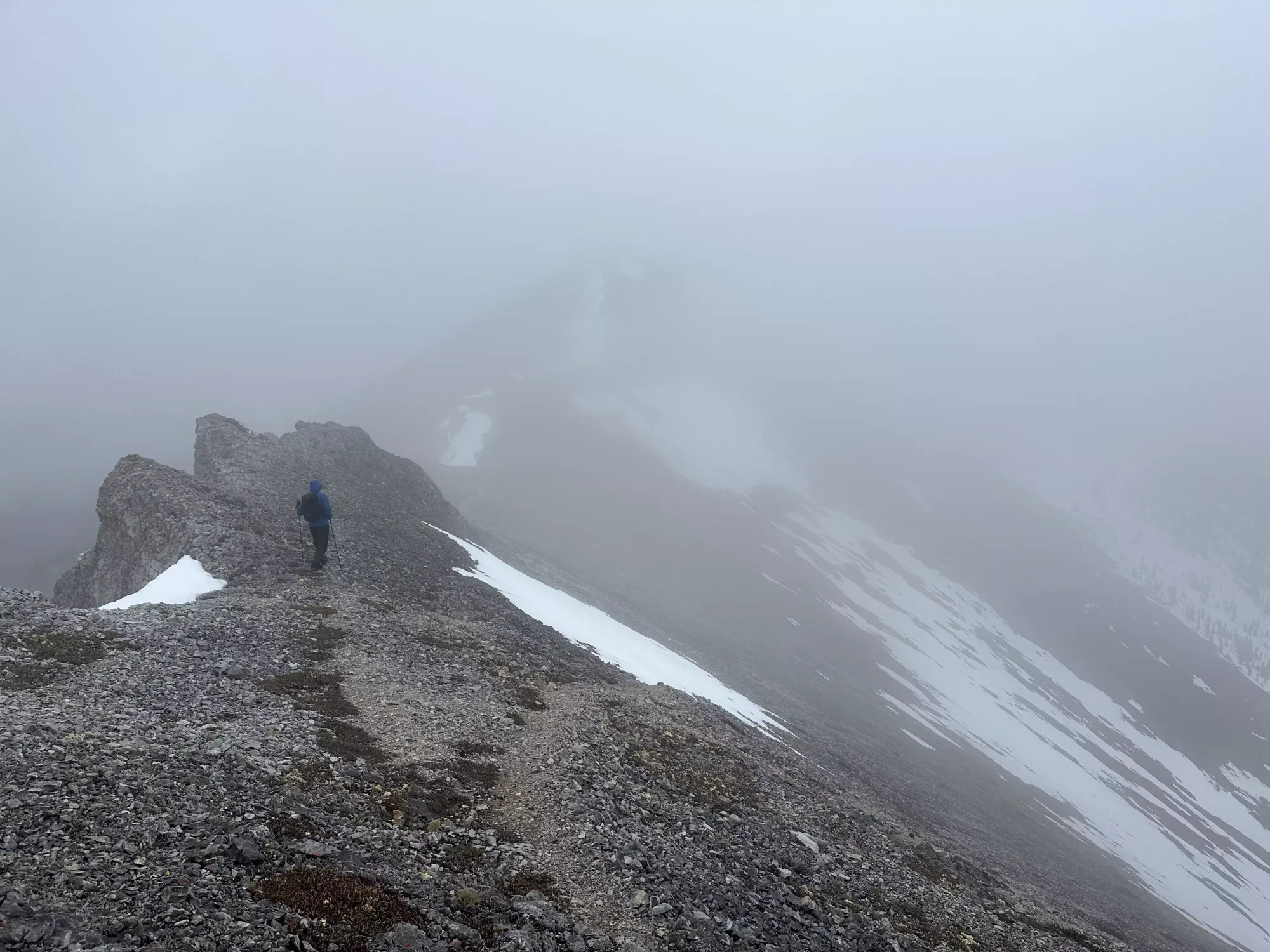
There were a couple minor bumps before we lost a couple dozen metres and made a larger climb up about 130m, getting us to the 2200m for the first time in the day. We saw some signs of a trail here on the climber's right side of the ridge, but kept on the climber's left side instead, since we got a better view of that terrain in a window of visibility, and it went snow-free to the top.
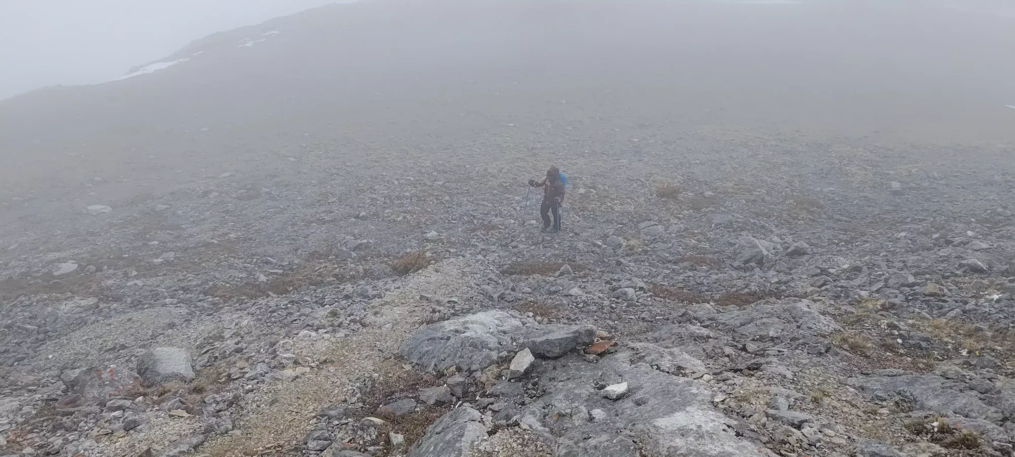
About 20 minutes more and we found ourselves atop the next sub-summit. The trail actually was quite visible here, and cut a bit below the sub-summit, but we would've had to sidehill on some fairly steep snow to follow it, so we just went over and down the simpler way.

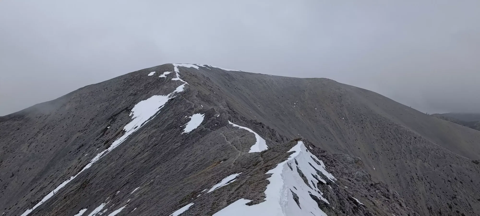
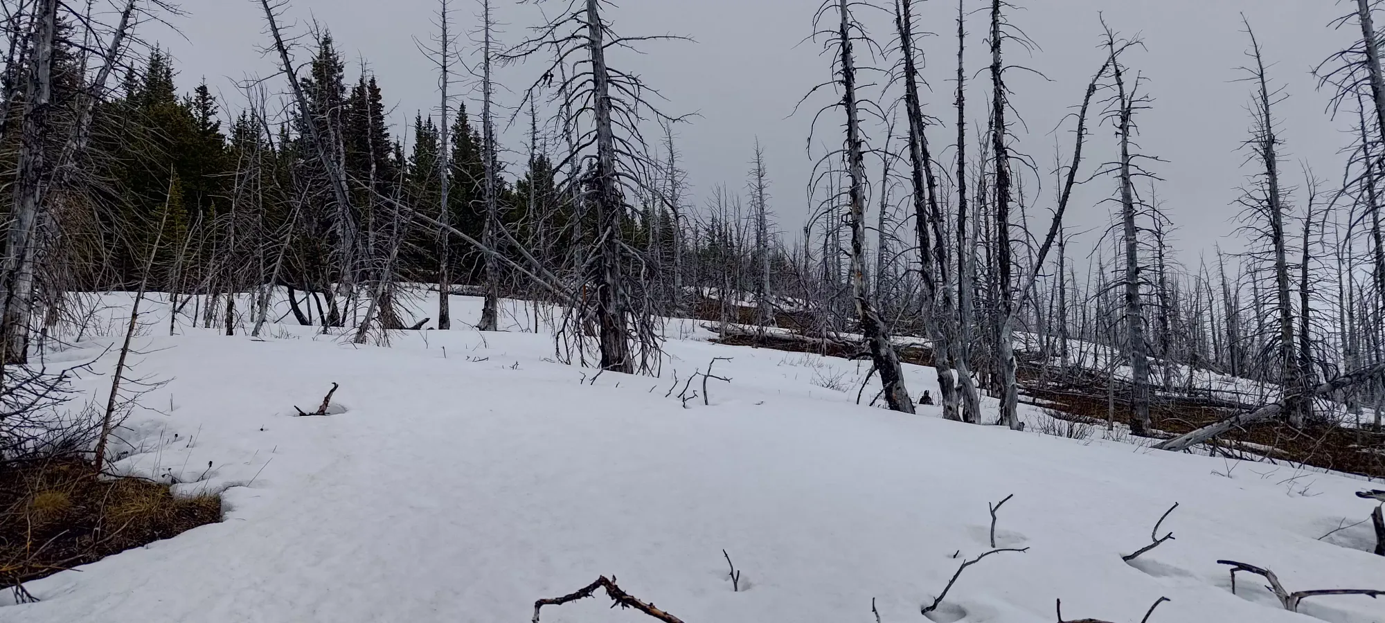
On this next ridge, we largely stuck to a decent trail on the north side of the ridge, but did have to skirt below it to avoid some snow patches in a couple places. I imagine a week or two will remove those from the picture, none were deeper than a foot, if that. Getting down (you lose about 50m) and back up to the top of the next sub-summit took about 20 minutes, which seemed to be our final false summit for the day (at least in this direction), according to our maps.
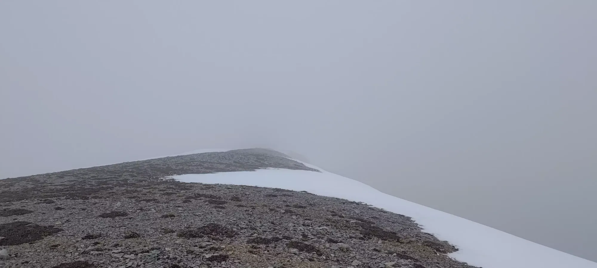
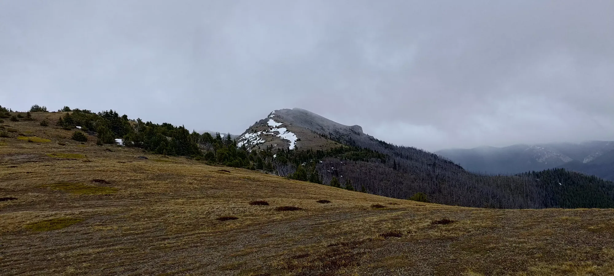
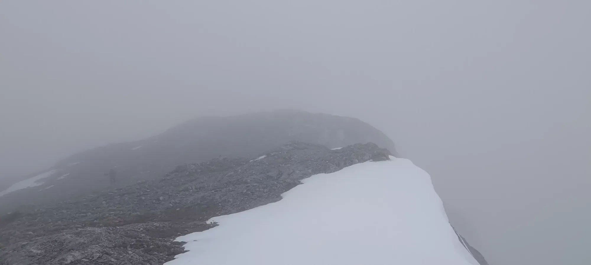
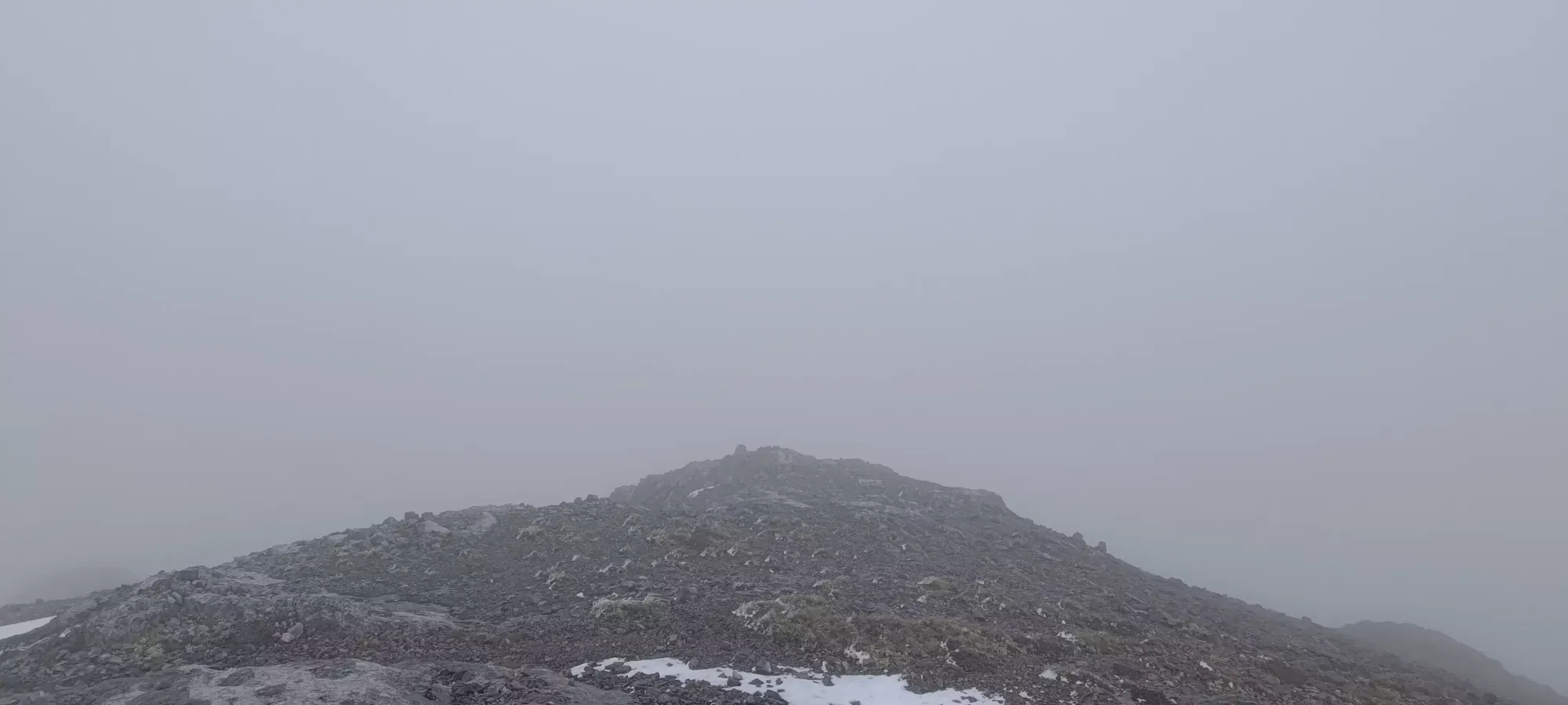
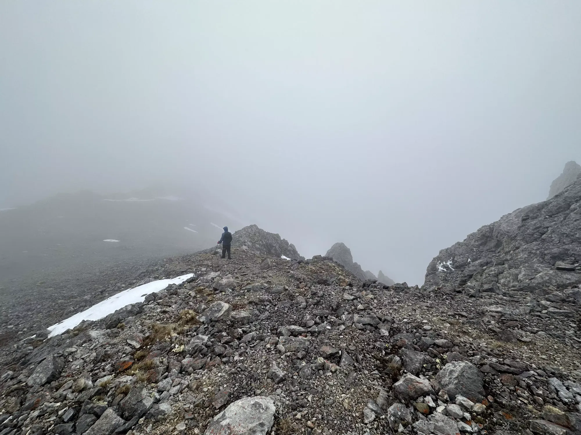
Once we got on top, it was a short walk along the flat ridge, about half of which was in the snow, until we could see through the clouds to the final descent (quite short) and even a sliver of what we had to walk up for the final ascent to the peak.
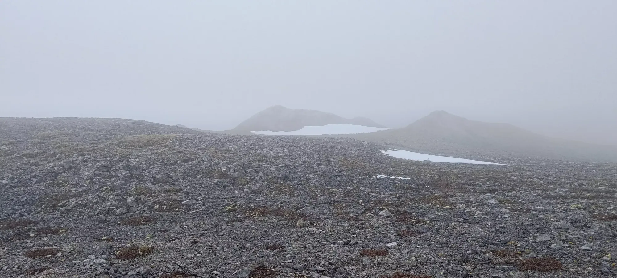
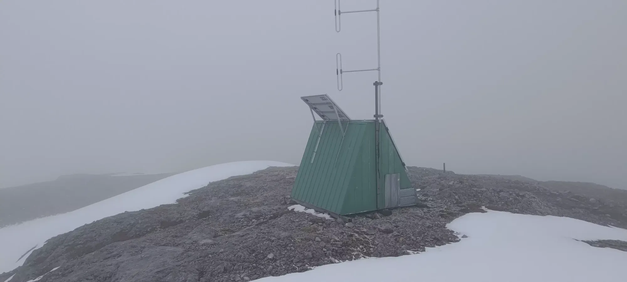
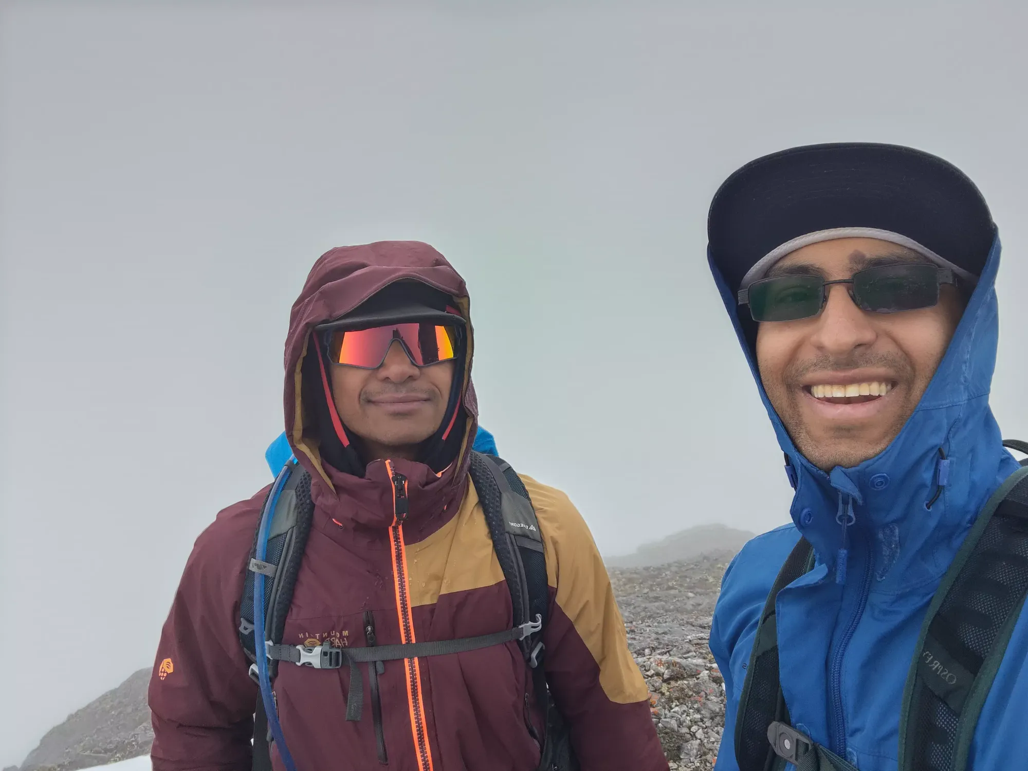
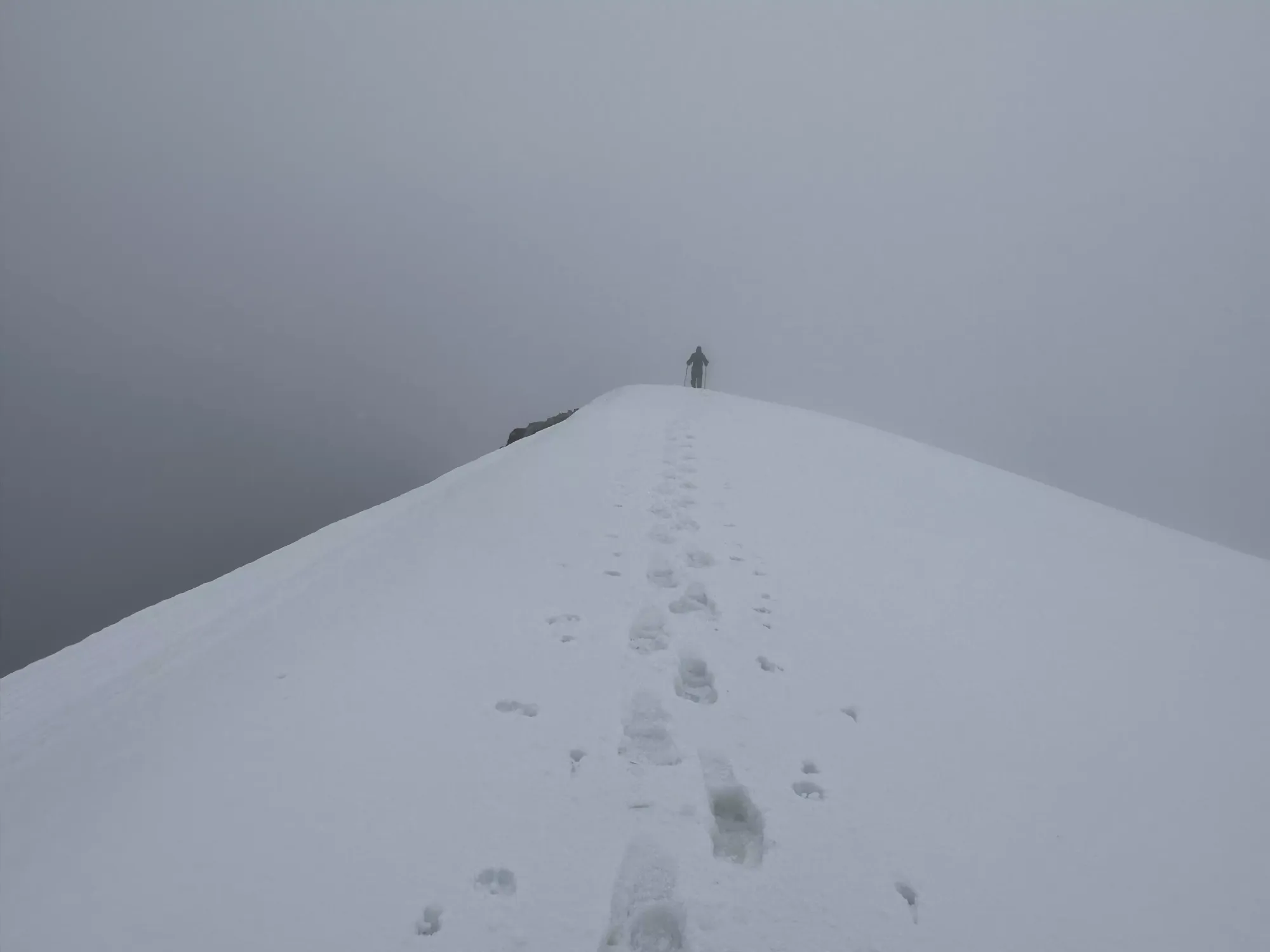
From that final descent, it was about 10 final minutes of walking to top out. There was a small hut/building a bit below the summit (to climber's right as you approach), where I hung out and waited for Tanveer to catch up, as I'd walked ahead to get some pictures of people for a change.
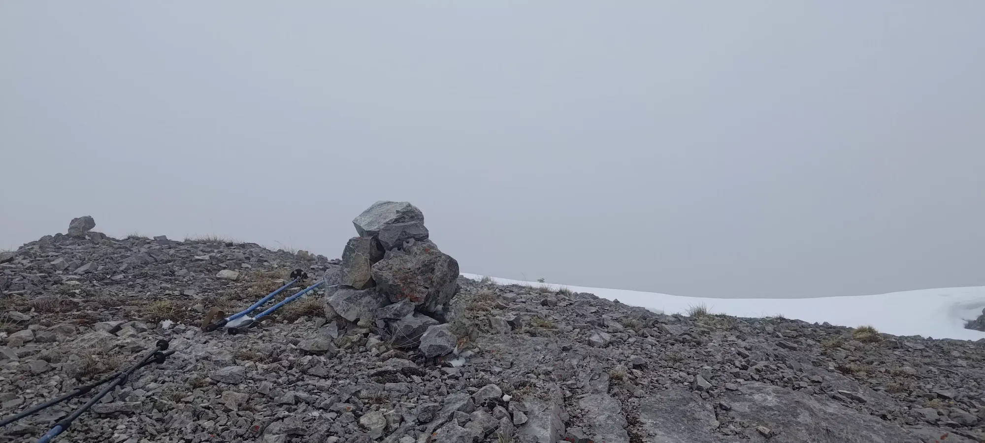
Once he caught up, we wandered over the couple dozen metres necessary to top out. It wasn't particularly exhausting, but it is a long ridge, and the mental drain of going up and down constantly was a bit tedious. Our overall summit time was a bit under 4.5 hours, which definitely can be improved with a bit of urgency in your step (and also better visibility, fewer deadfall, or no snow).
The way back was not very eventful, we largely just retraced our steps, with a few optimizations. We descended the first "big" bump from the way up (the 2200m subpeak) on skier's left of the snow instead of skier's right like our way up, and deviated from our track a bit on the final downhill back to the Wild Horse col, but otherwise we just retraced our steps. That took us about 2 hours, at which point I was ready to go and tag Wild Horse Peak on the other side of the col, but Tanveer was not feeling as motivated. He's not as much of a "gotta catch em all" kind of peakbagger, so he didn't find the "quality" of it to be worth the effort. He was kind enough to wait around for me while I suffered up to watch some numbers go up, though, so I had a sip or two of water and a brownie (I'd baked some the night before), and headed up for Wild Horse Peak, where this trip report continues.
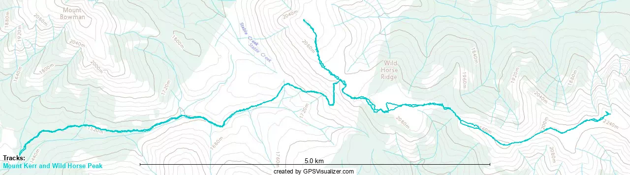
GPX Track + Map