Mount Joffre (attempt) (on skis) - April 26 2025
We didn't quite make the summit due to time, but nonetheless a fun trip, which hopefully can serve as good beta for those trying to replicate the experience. Mount Joffre is an ultra and 11000er, so it's worth the effort!


Joffre Group, Kananaskis, Alberta
3250m (we turned around there)
As the last weekend of April approached, I was doing my usual stalking of various forecasts, satellite photos, and beta from a variety of sources. I noticed that the Rockies had a weather window on Saturday, that Upper Kananaskis Lake appeared to be frozen still, and that their snowpack had largely settled down. So, it seemed like it might be time for Mount Joffre. This peak is both an ultra and 11,000er, so it has great importance to me. Moreover, while it can be done in summer, it's got a few lakes one has to cross or circumnavigate, and boasts over 1000m of continuous skiable vert right off the summit, and more further down, making it much more attractive (to me) as a ski descent than a summer mountaineering objective. So, with my work calendar being pretty open due to a "relax sprint" going on at the moment, I tried to throw a party together to knock this one out.
I was unable to wrangle any of my local friends, but I managed to convince my buddy Charles in Revelstoke to join, and through a Facebook group, a third party member who planned to meet us at the trailhead on the day of. So, I set out Friday after my morning meetings, and made my way to Revy to pick Charles up, with the plan to stay in Canmore the night before, and get an early start on Saturday, as the day promised to be over 30km and around 2000m of elevation gain, which generally takes a while 😅, especially with winter+mountaineering gear.
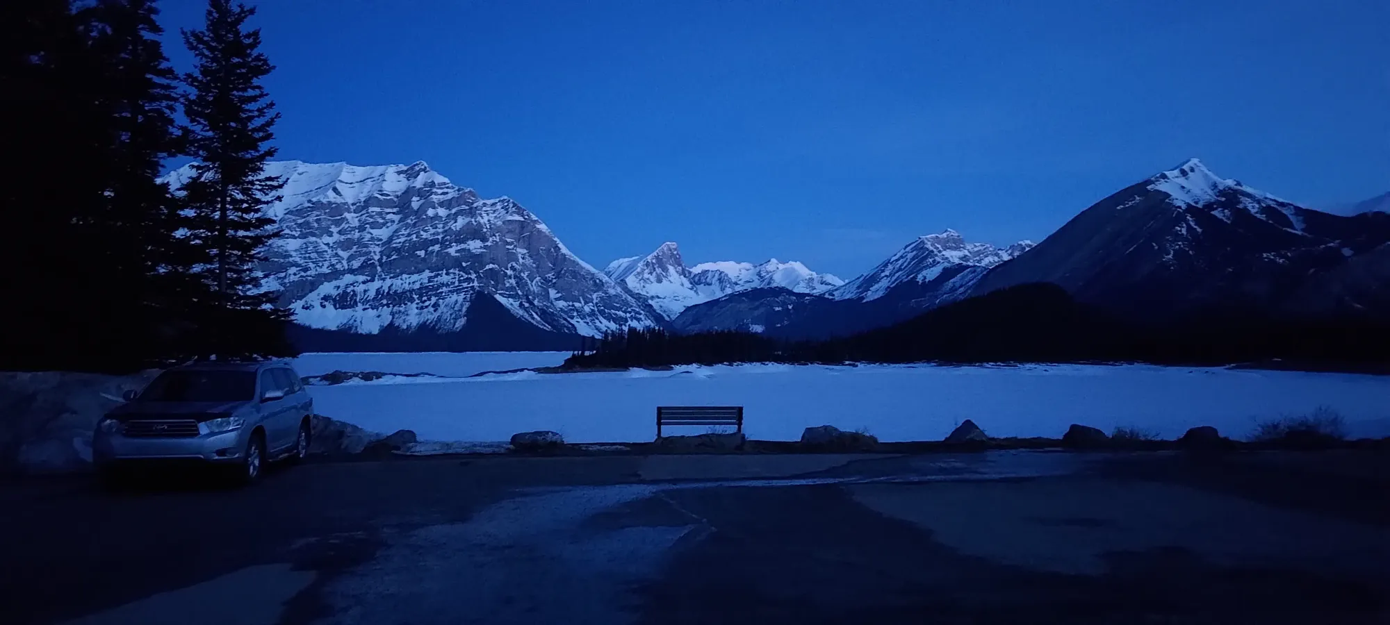
When I got to Revy, someone decided to go to the gym the day before, so I had a bit of a wait for Charles to get home+ready. We eventually left a bit after 6, got some basic groceries in Golden, some gas in Lake Louise, and rolled in to Canmore at quarter-past-10. We did our best to sleep a bit, then woke up for an early start on Sunday. Surprisingly, I wasn't the one delaying things with bathroom issues, though I also didn't go in the morning like I usually need to, which honestly had me on edge for the rest of the day, as my digestive schedule getting thrown off is always a bit scary w/ my colitis 😅. We made good time driving to the trailhead, though, and were there more or less right at our 5am meetup time.
Sadly, we failed to specify the exact trailhead, so we ended up having to hunt a bit for our third, who ended up being on the north end of the lake, whereas we expected to start on the south side (the former being good for crossing on ice, the latter being better for hiking around, which we expected to need to do). It turned out, however, that he had to bail on us, as his dog was not feeling too well, and he couldn't leave it alone for a full day to go peakbagging. I wish there was cell serive there so we could've known beforehand, but them's the beans sometimes 🤷. We then made our way back to the south side, geared up, and started heading out, later than expected, and a man down, just before 6am.
Charles decided to wear trail runners and boot the lake trail, and I decided to skin because I refused to admit spring was upon us 🤣. It was quite icy, but manageable. We would've loved to cross the lake, but some shiny spots and reports of cracking from a party that went there recently had us weary, so the long way was our way forward.
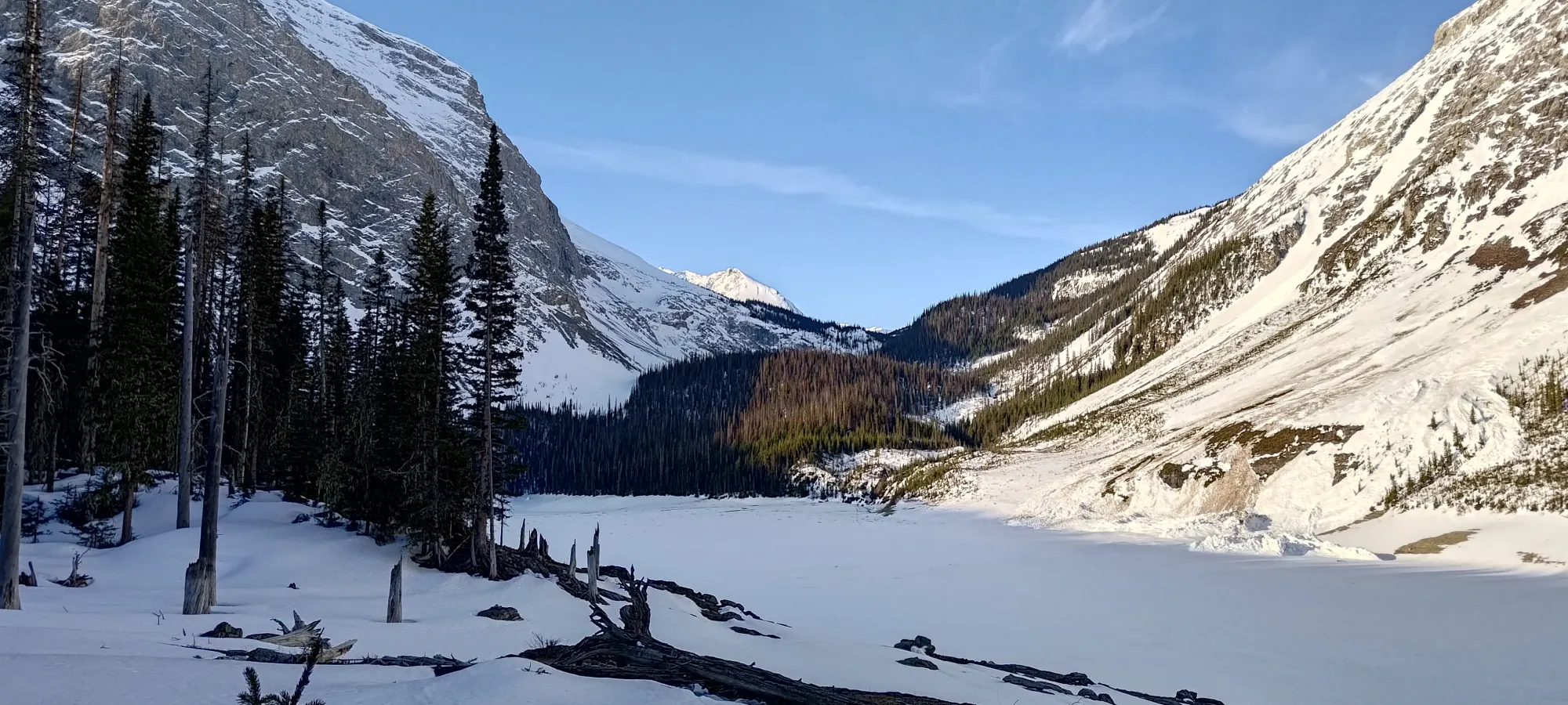
The sun was just starting to rise as we got moving, so thankfully we didn't need headlamps. Within a few minutes, we ended up getting off the trail, and following some old tracks along the side of the lake, which offered a slightly more direct, and less icy path towards the west side of the lake we were aiming for. Here, as the sun came up, we got a better look at the ice, and were also presented with a chance to test the ice from the shore, which we didn't get at the trailhead proper.
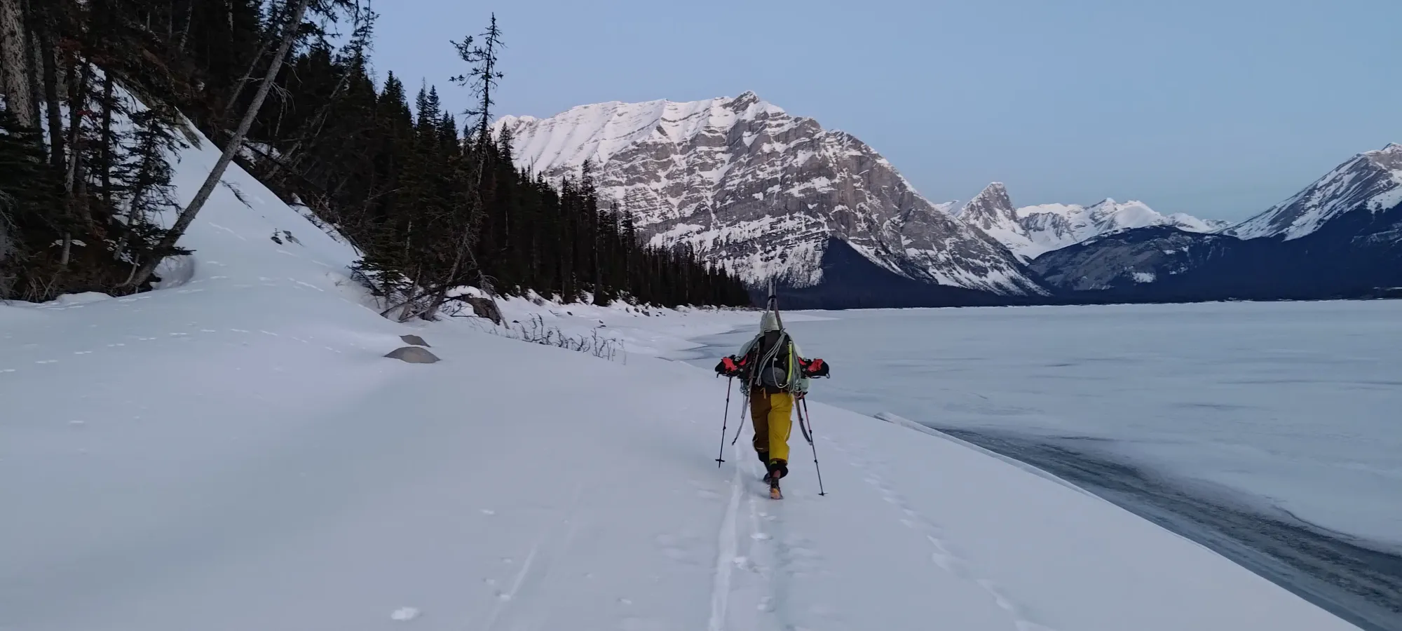

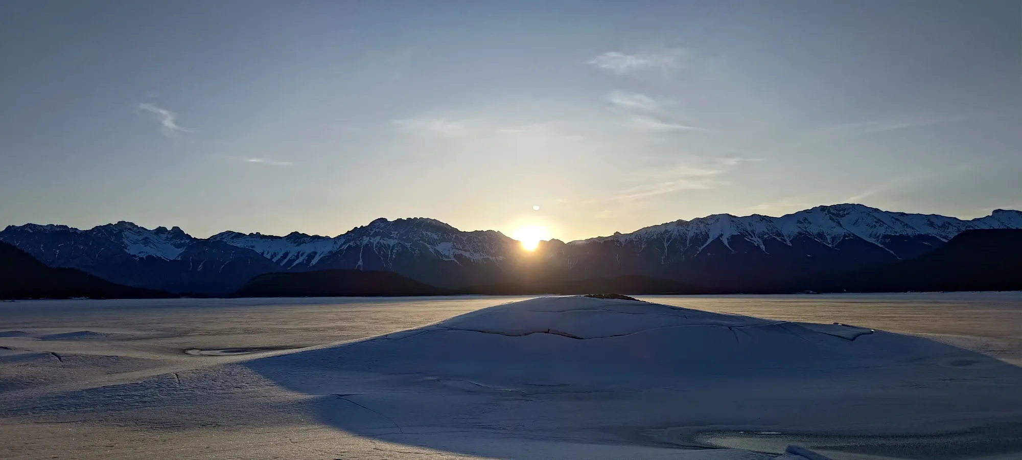
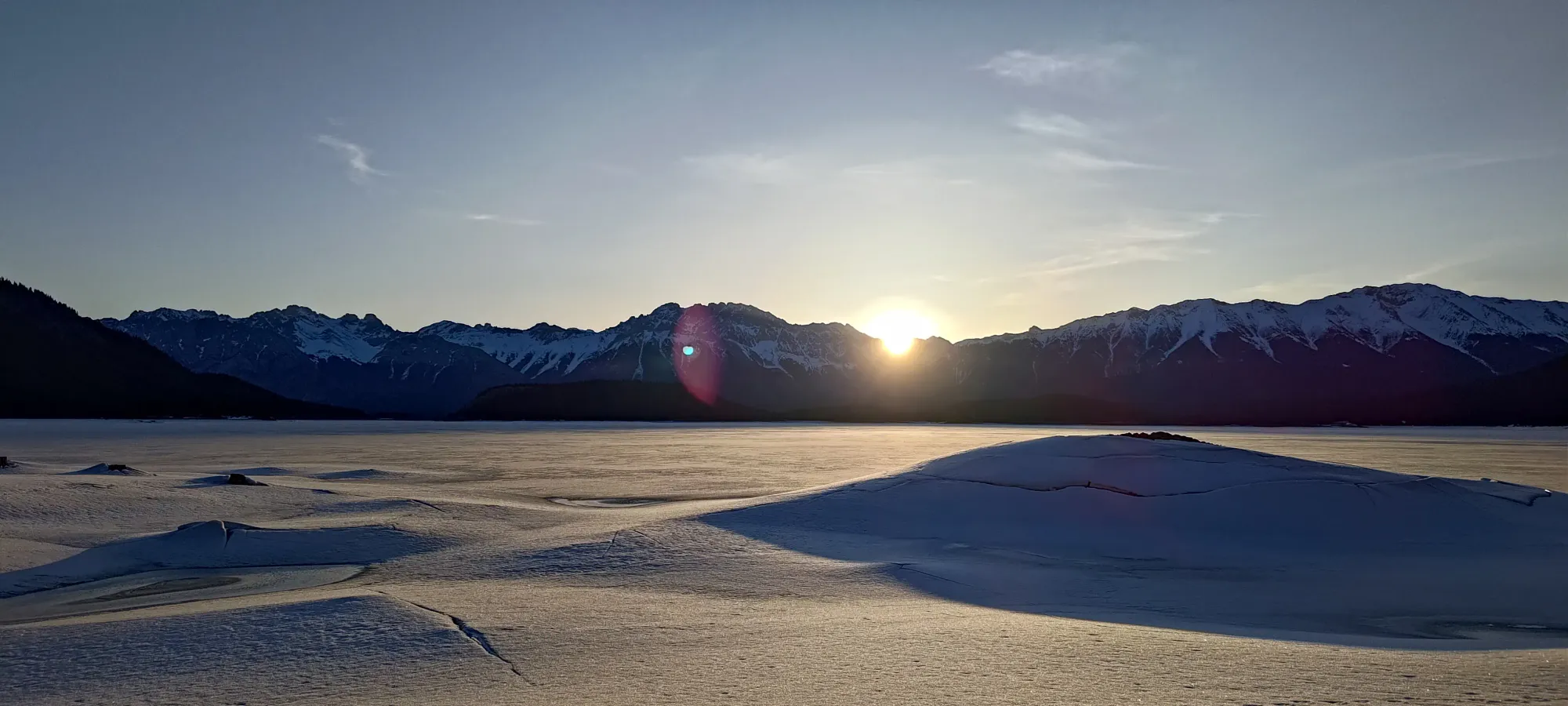
About halfway around the lake, I got curious enough, and took advantage of being right beside the lake to test the ice a bit. It didn't react to the hardest pole jabs I could muster, nor the heaviest stomps, so I decided to go for it, and take a more direct, less sidehilly, and less undulating path, and aim for the far side directly across the lake. Charles was hesitant at first, but eventually succumbed to the lure, swapped to his skis (splitboard), and we finished the walk across. In just about an hour, we were on the far side, just before the sun was fully above the mountains to the east, which we expected would ruin the relative safety in short order, so we were happy to have dispatched with the lake before that happened.
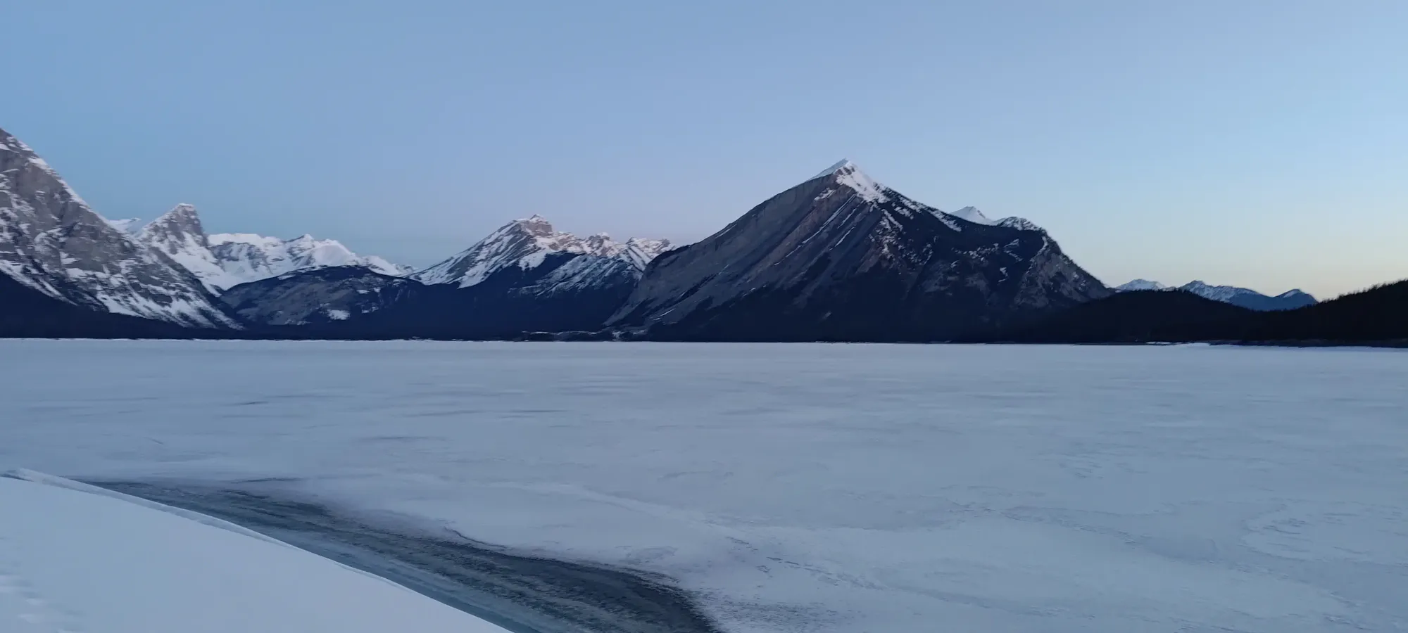
We bushwhacked for a couple steps, then got back onto the trail, and followed it to the junction between the Kananaskis Lakes trail and the old Aster Lake trail, which interestingly gets mentioned on the sign at this junction, even though the official trail, by all accounts, doesn't seem to actually be maintained by the park anymore.
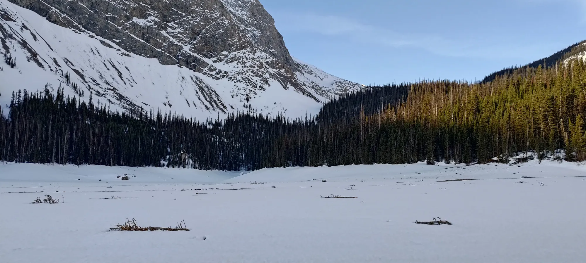
A couple minutes of skinning later (now, thankfully, a real skin track vs the icy booted path that went around the Upper Kananaskis Lake), and we found ourselves at the next big flat section 😅, Hidden Lake. This one, despite the name, seemed to not actually be much of a lake, as we saw dirt across pretty much the entire supposed bed of the lake, poking out from the snowpack. Maybe it's seasonal only once the mountains melt out enough? For us, that was convenient, as it meant even fewer worries as we knocked out another kilometre skinning right across it.
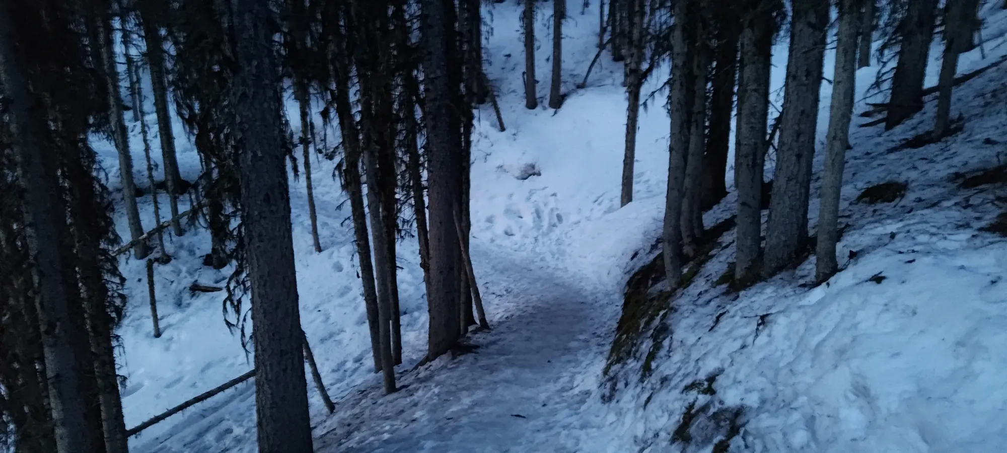
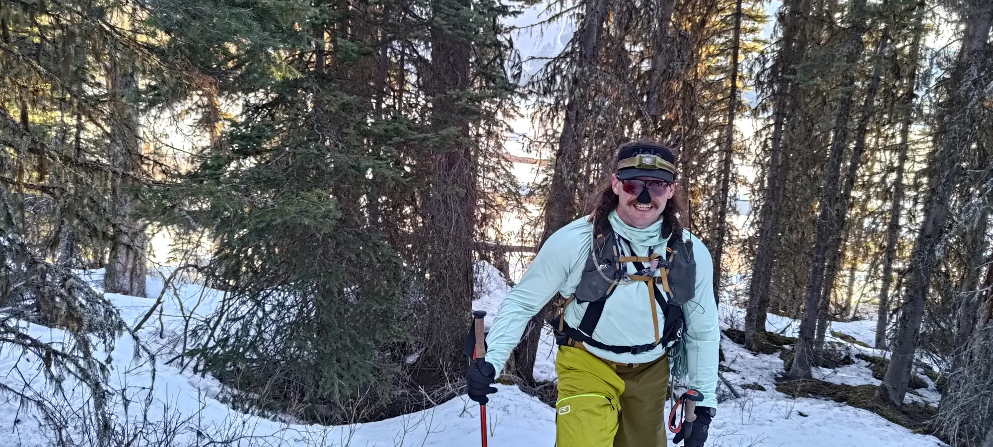
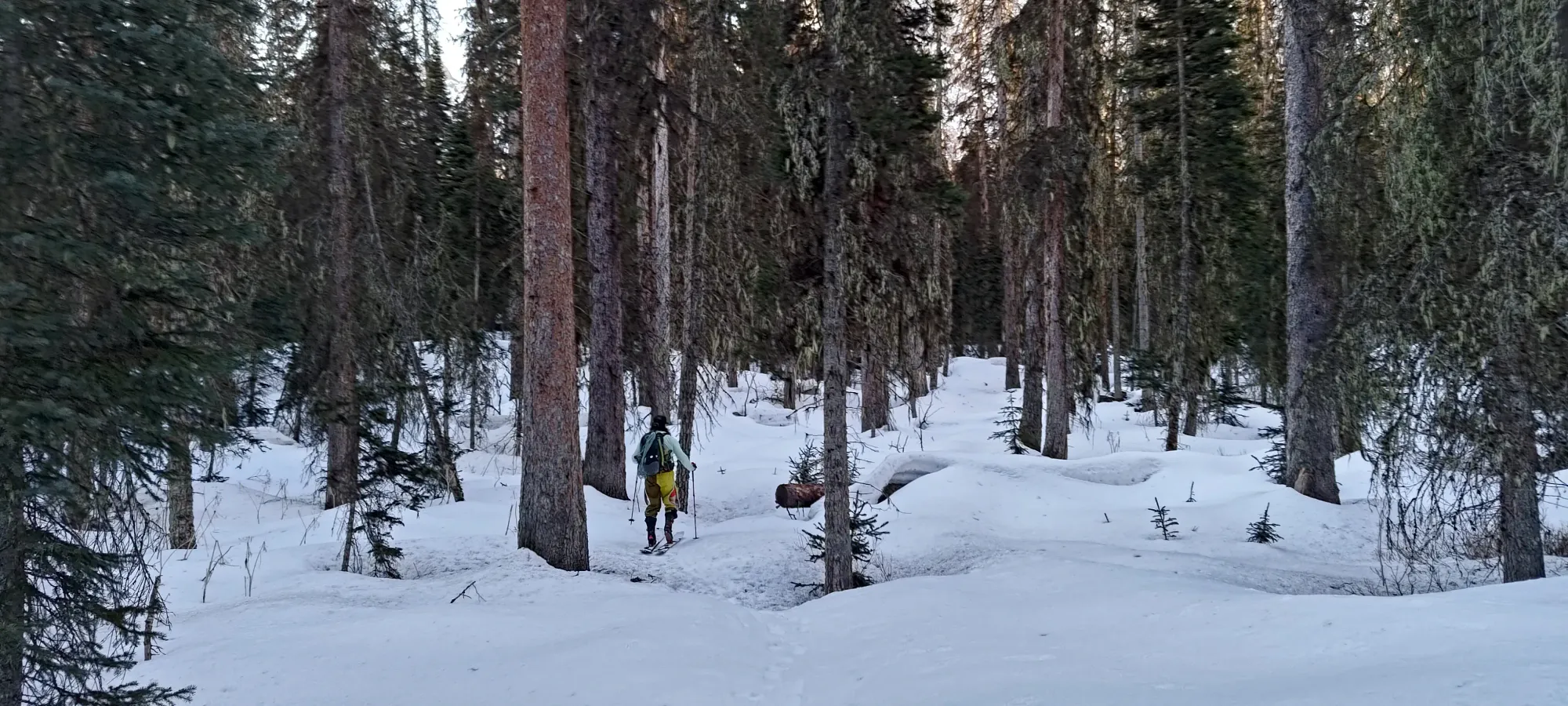
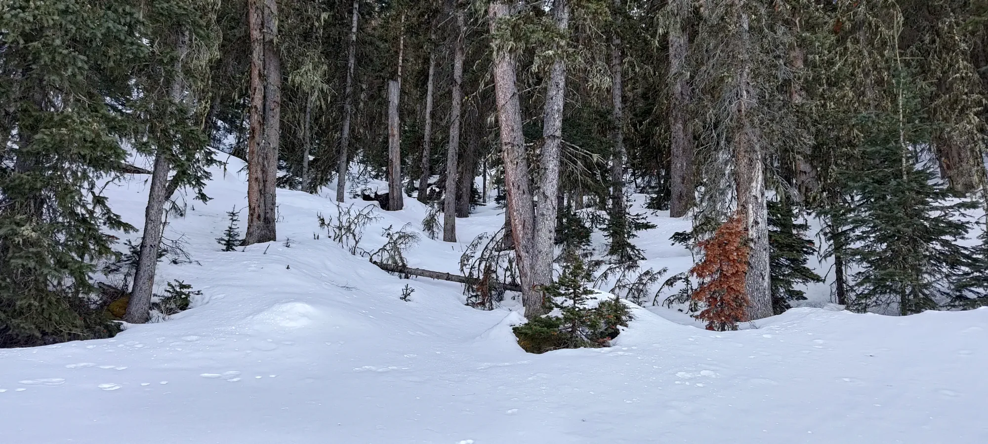
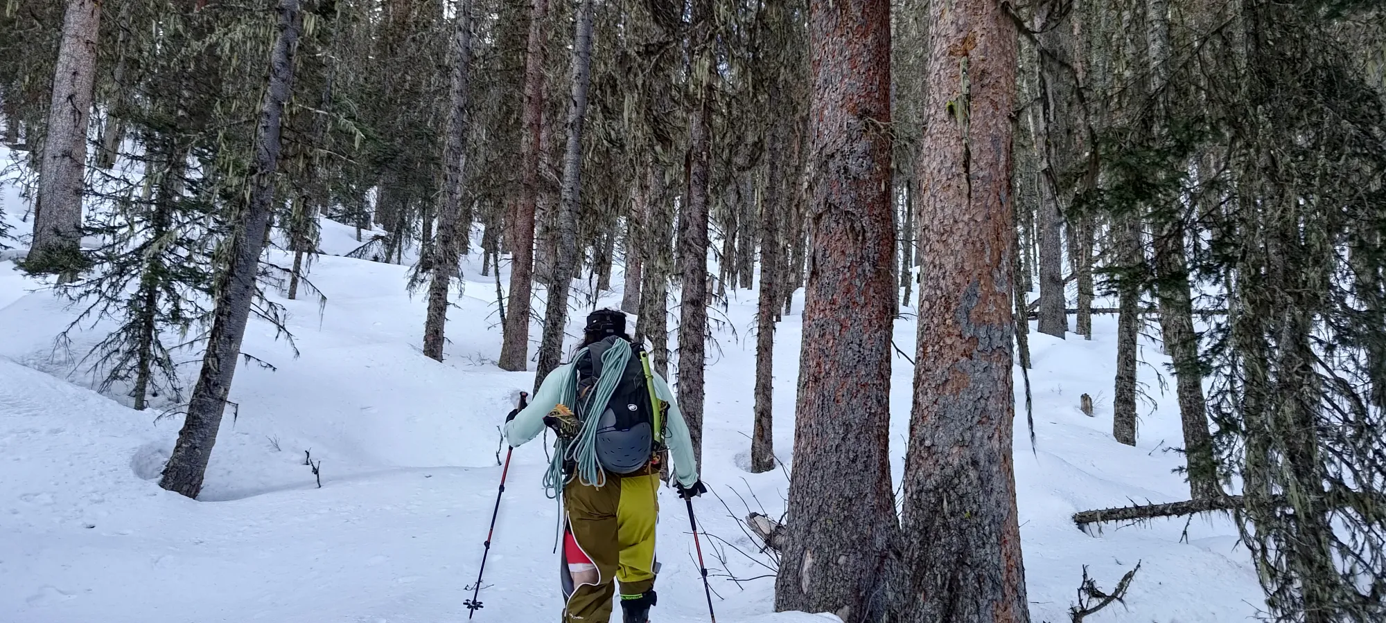
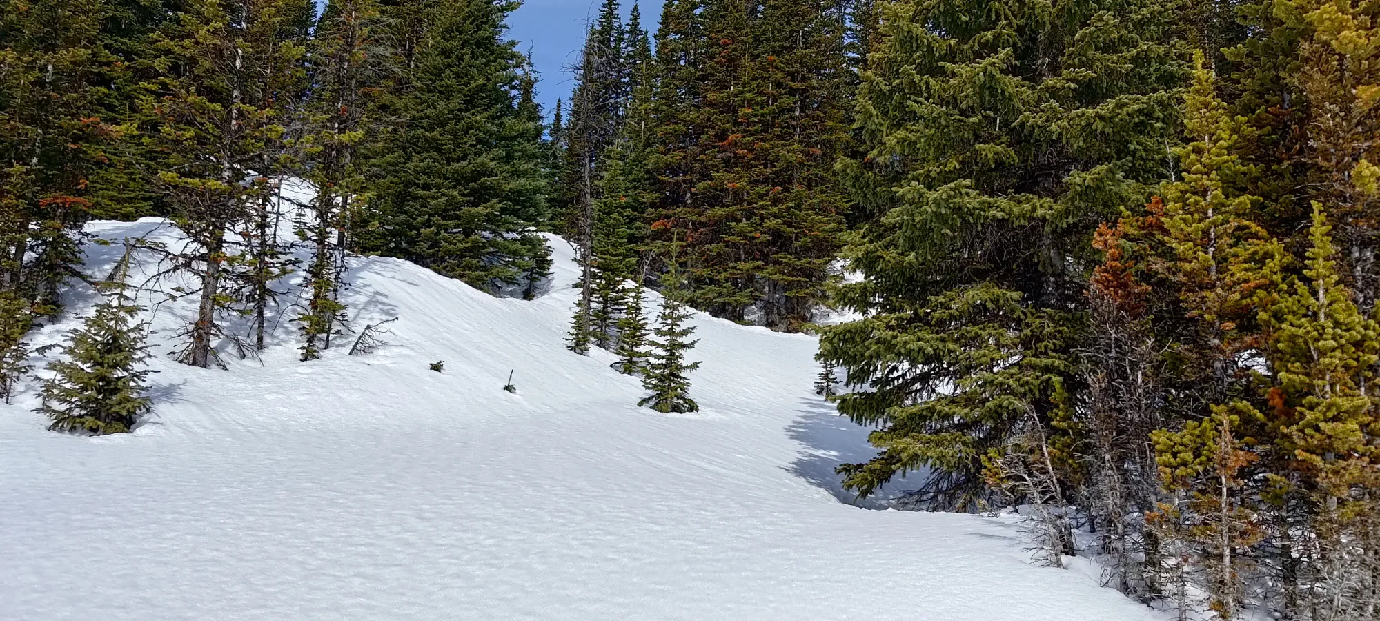
We considered going up some old tracks to climber's right as we neared the far side, but I vetoed the idea, as I knew that previous trip reports mentioned that going too far that way meant encountering Fossil Falls, which from all accounts, makes for a bad time 😅. So, we instead aimed for the forest on the south side, roughly following the summer trail that traverses the NW flanks of Mount Sarrail. Charles kindly broke the first 100m of elevation up this forested section, which was tight, but not super tight, and had some good snow within, which definitely helped get our excitement levels up a bit after all the icy lake-walking we'd done up to that point.

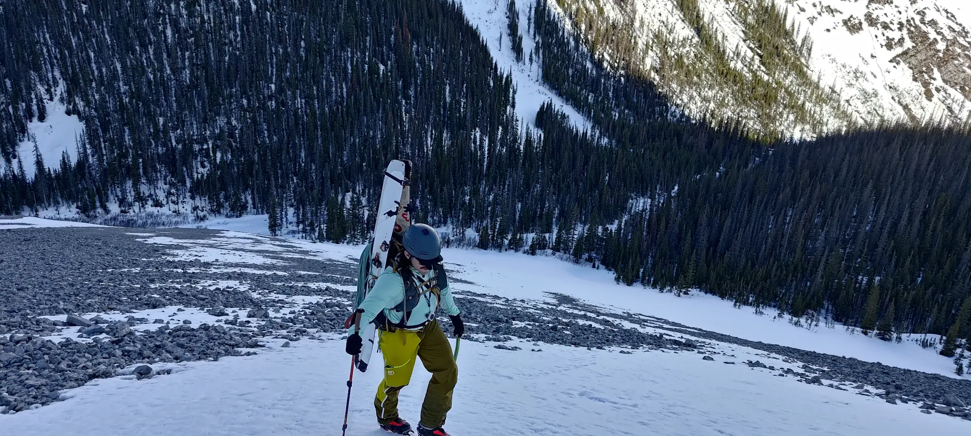
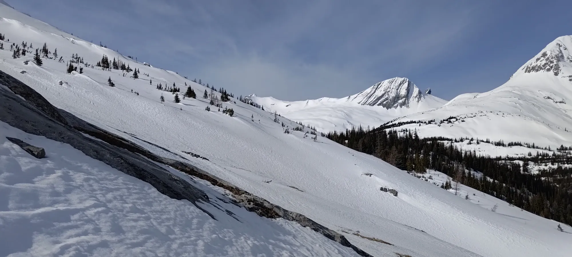
We popped out of the forest a bit early, and took some firm but easier-to-navigate snow to climber's left up to a flat spot just below 1900m, where the forest ended, and we found ourselves standing before the next, somewhat intimidating section. We had a long traverse that started up a steep, very firm side-slope (the aforementioned NW face of Sarrail), which turned into an exposed bootpack along that face until you get to around 2150m, where the exposure dials back, and you can skin on more open terrain again. In soft snow, you can skin up most of the elevation before the mandatory bootpack, but it seemed firm and steep enough that we decided to just boot it from the outset. So, the crampons came on, and we started walking. For some reason, I volunteered to start breaking trail here like an absolute masochist.

The first few steps worked out alright, but then I started breaking through the upper crust more often than not, which was not the most fun you could ever have. Things got a bit better once I found a rock debris field that went at least 50m uphill, which offered shallower snow (and less punching through as a result), and we used that to do most of the gaining before the long traverse.

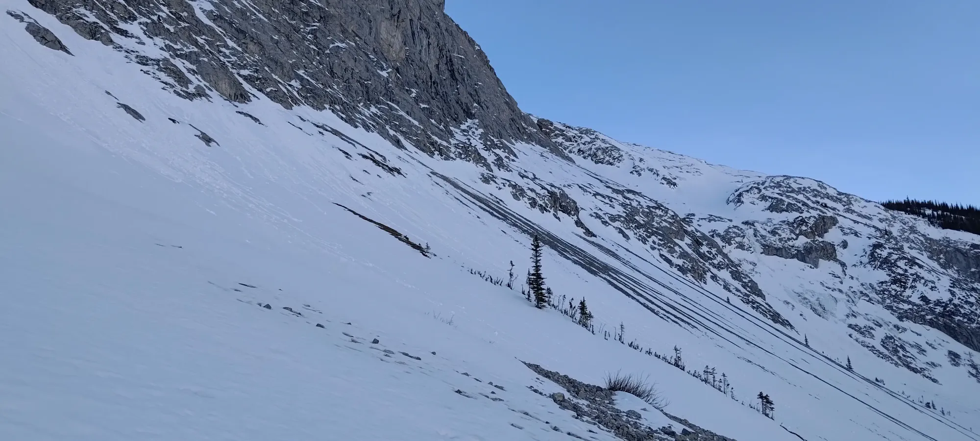
As we got closer to 2100m, we started making more of a diagonal traverse over to the band of snow that took us above the cliffs, and below the more vertical face of Sarrail. With the exposure, and clear evidence of snow+rockfall coming off of Sarrail, you definitely want to get through this before it bakes in the sun for too long, and probably want to wait for the sun to get off of it for the way back as well. Or just be there in colder/wintry conditions, but it was a warm day for us, so that was definitely on our minds. Thankfully, even at 9am, it was still in the shade, so we got through without incident.

The traverse proper took around half an hour, not helped by the fact that the snow was softer and more postholey in this section, making travel not so efficient. I was quite happy when we got into the snowfield we were aiming for, and I could stop wallowing in holes and let Charles break some skin track again 😀
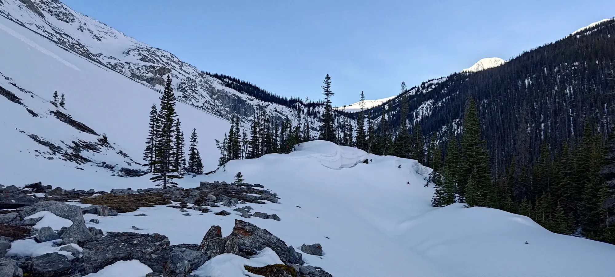
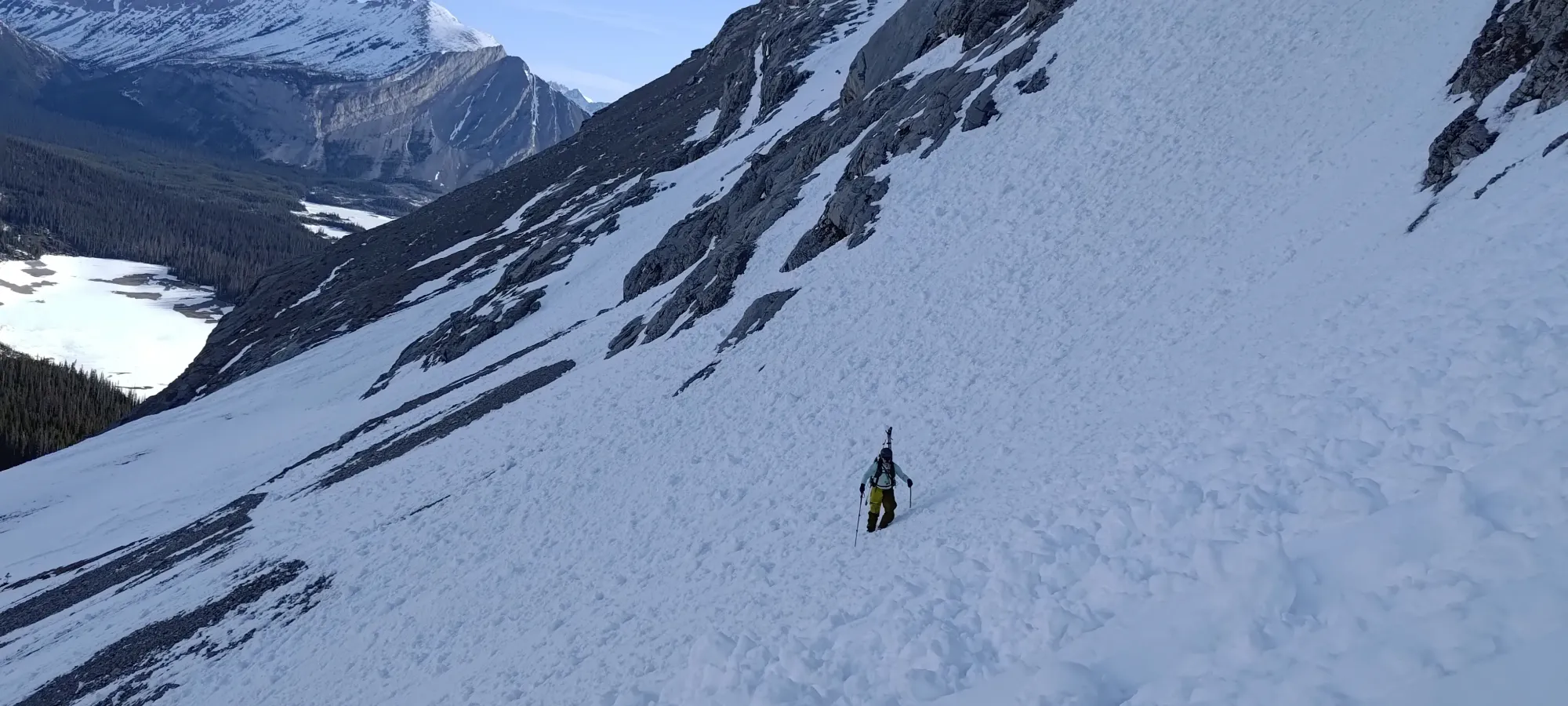
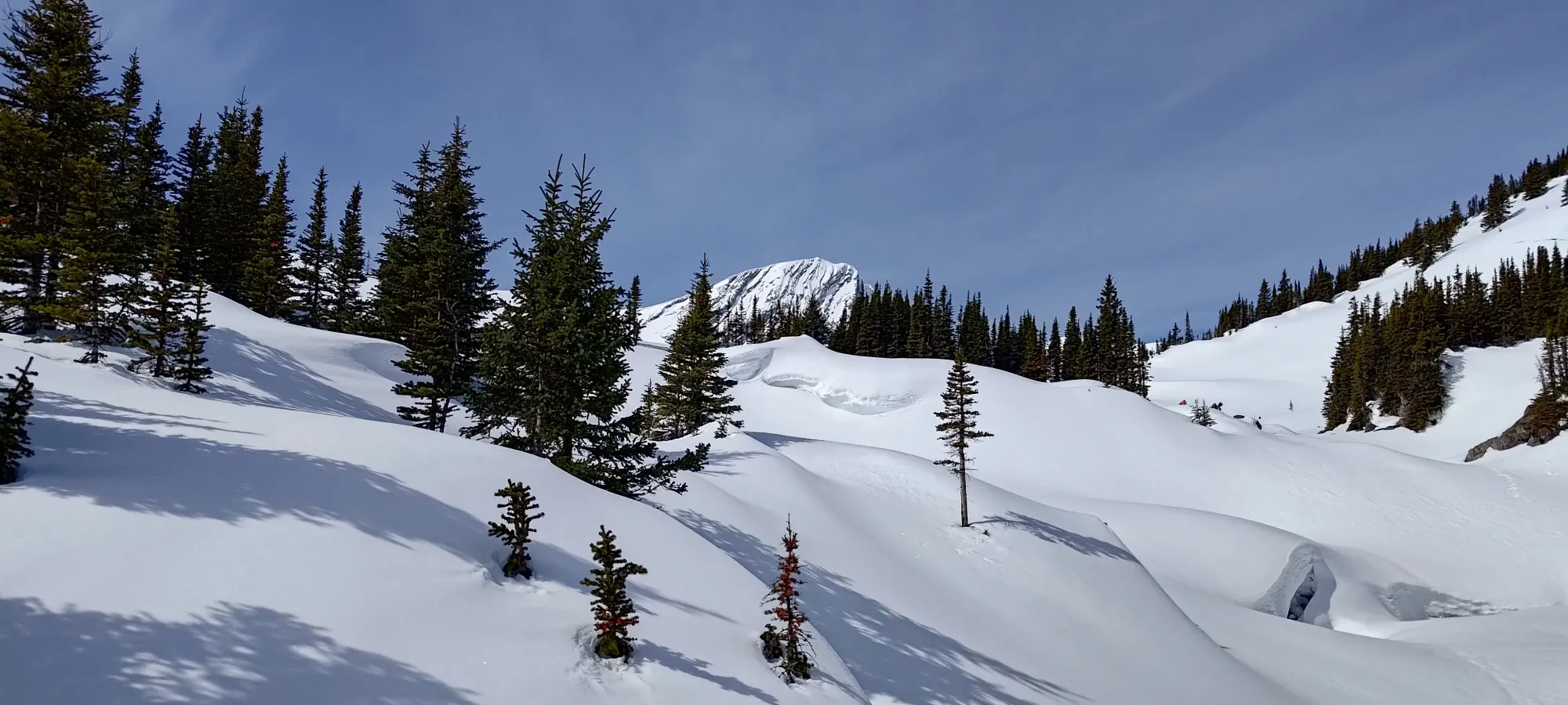
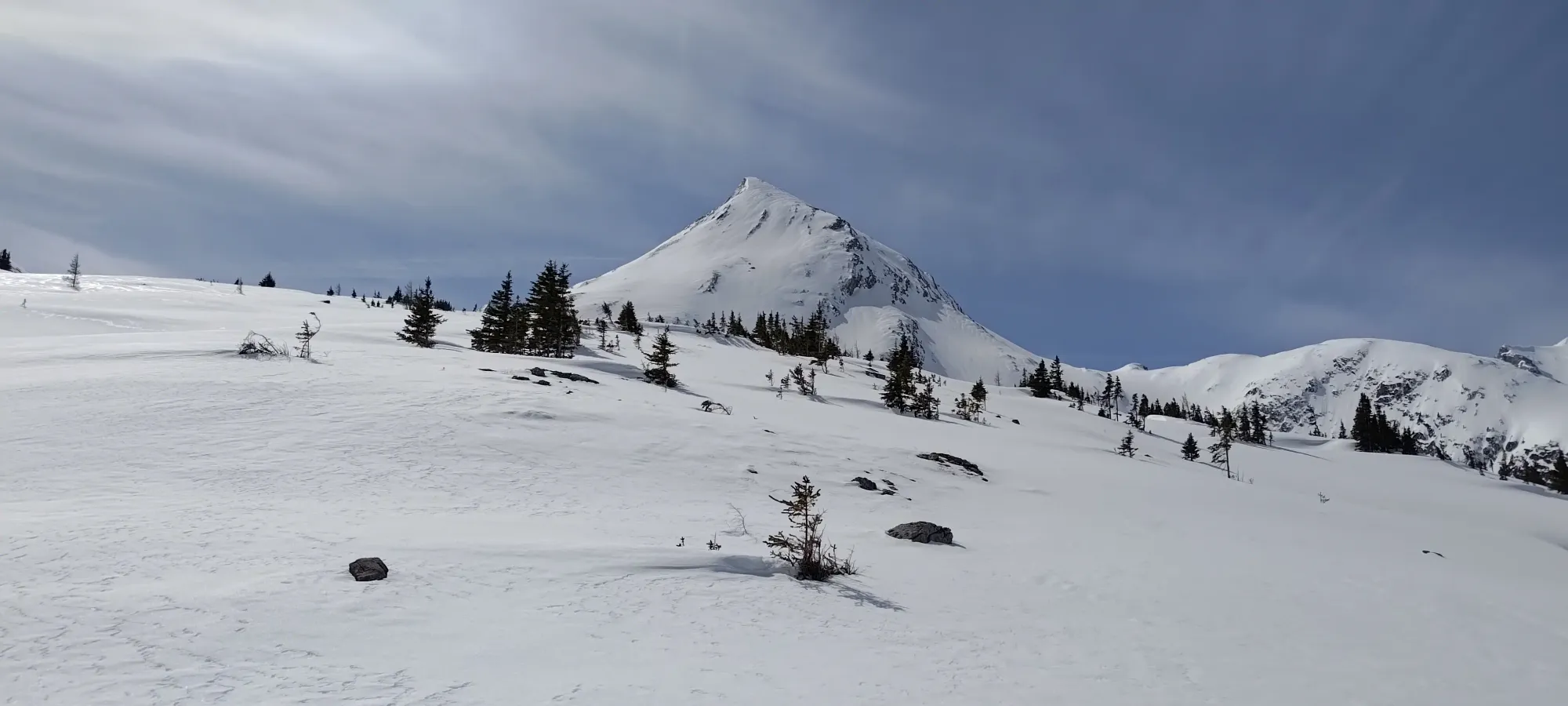
We skinned a little bit from that point, and by the 4-hour mark into our ascent, we hit 2200m, and found ourselves past the exposure, past the falls, and into some rather nice, open terrain. The snow was largely still firm on this northwest aspect, but that was better than being slush, and we knew it would soften as the day progressed, so that wasn't a big concern. The weather was pretty fantastic, after all.
From there, we traversed along the face, gaining about another 50m, until we realised that we were a bit too high, as we needed to end up at Aster Lake, which is at the same elevation, but it wasn't just a straightforward skin along this face to the lake, we'd have to drop into the creek valley below us and walk up it instead. I finally needed a bathroom break here as well, so Charles went ahead and started finding us a path through the trees in the drainage below, and I caught up a bit later after I finished my business.
After dropping down to the old trail (mostly identifiable by a least-resistance path through the trees, no real markers or evidence of maintenance), we had a fairly simple skin up to "Foch Pond", a mini-lake that sits below the larger Aster Lake. We decided to forgo the trail since it was kinda random anyways, and just crossed it, hoping that would be a bit more efficient.

After we crossed the lake, we made our way through some undulating terrain to get back to Aster Creek, then it was a short and decently steep skin to get to Aster Lake. As I was leading us up through the rolling hills on the climber's left side of the creek, I started to hear some voices, though I didn't see any tracks. We were hoping that meant someone had camped up there and maybe even were just returning from a summit bid, leaving us a broken trail 🤞
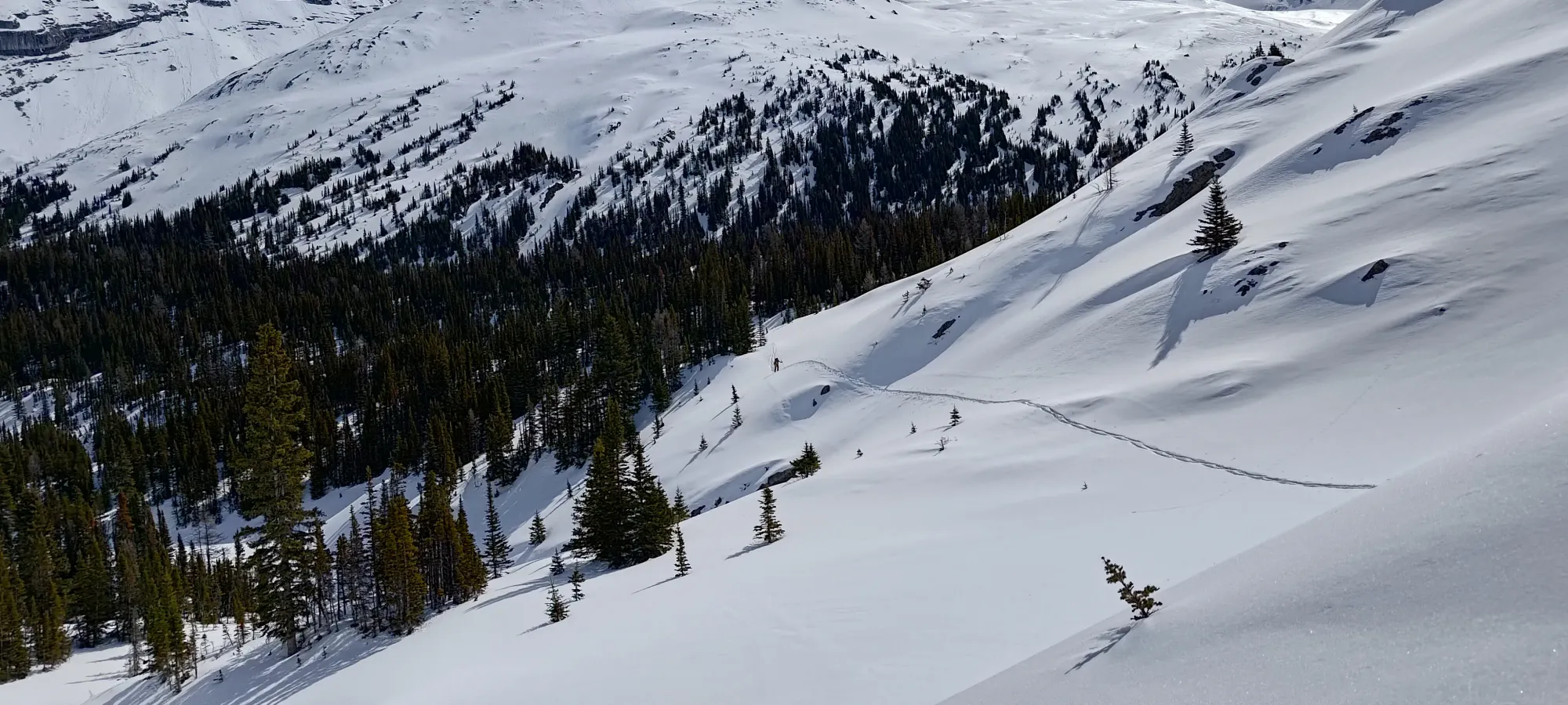
We popped up to the lake just before 11:20am, a bit slower than anticipated. We hoped the easier terrain past that point would help with that a bit, as well as the theoretically broken trail from those voices we heard. It turned out, though, that they did come up in the morning as well, but came up on the climber's right side of the falls, reportedly not a fun time, so they planned to follow our uptrack back down. Sadly, apparently they only made it to the toe of the glacier before having some injury issues and needing to head out, so no trail for us. We hoped it might, at least, get us enough of the way to expedite things for us, as nearly 6 hours to the lake was not what we'd hoped for, especially starting an hour past when we intended to.

We took a half-hour break just above the lake, and given the size of the day, I even dared to have a whole peanut butter sandwich! We did have to keep moving if we had a chance of summiting, though, so at quarter-to-noon we got moving once again.
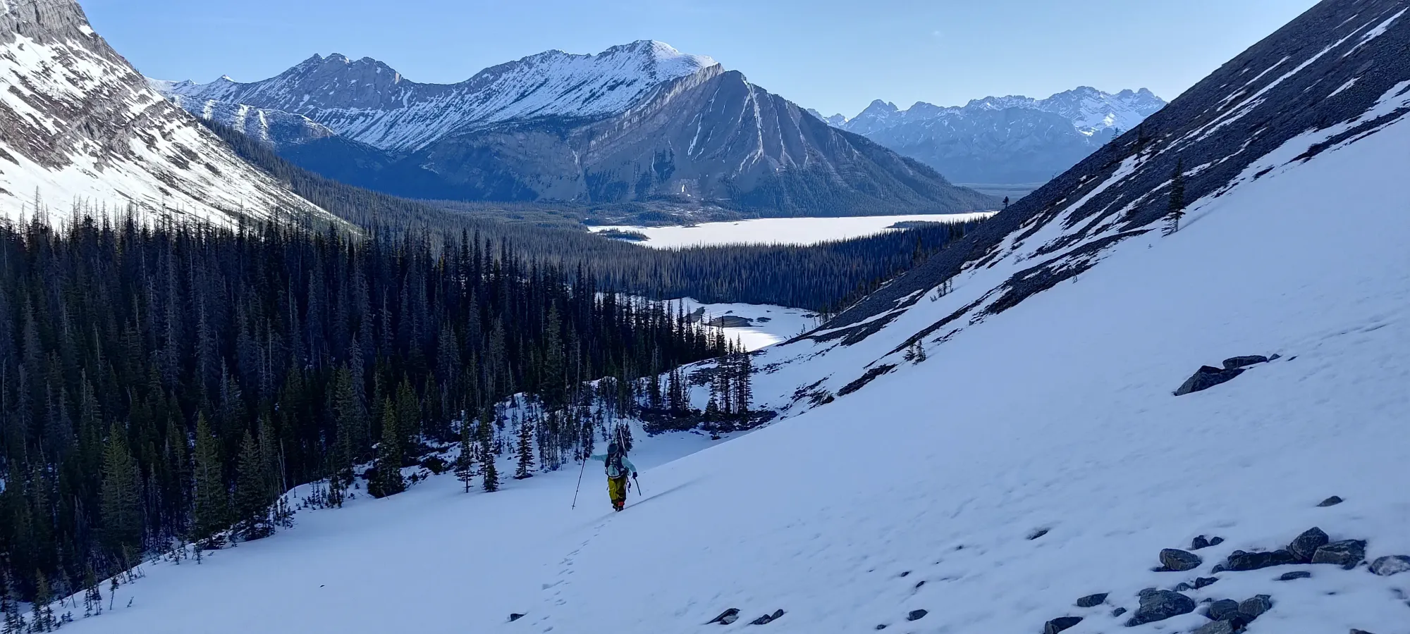
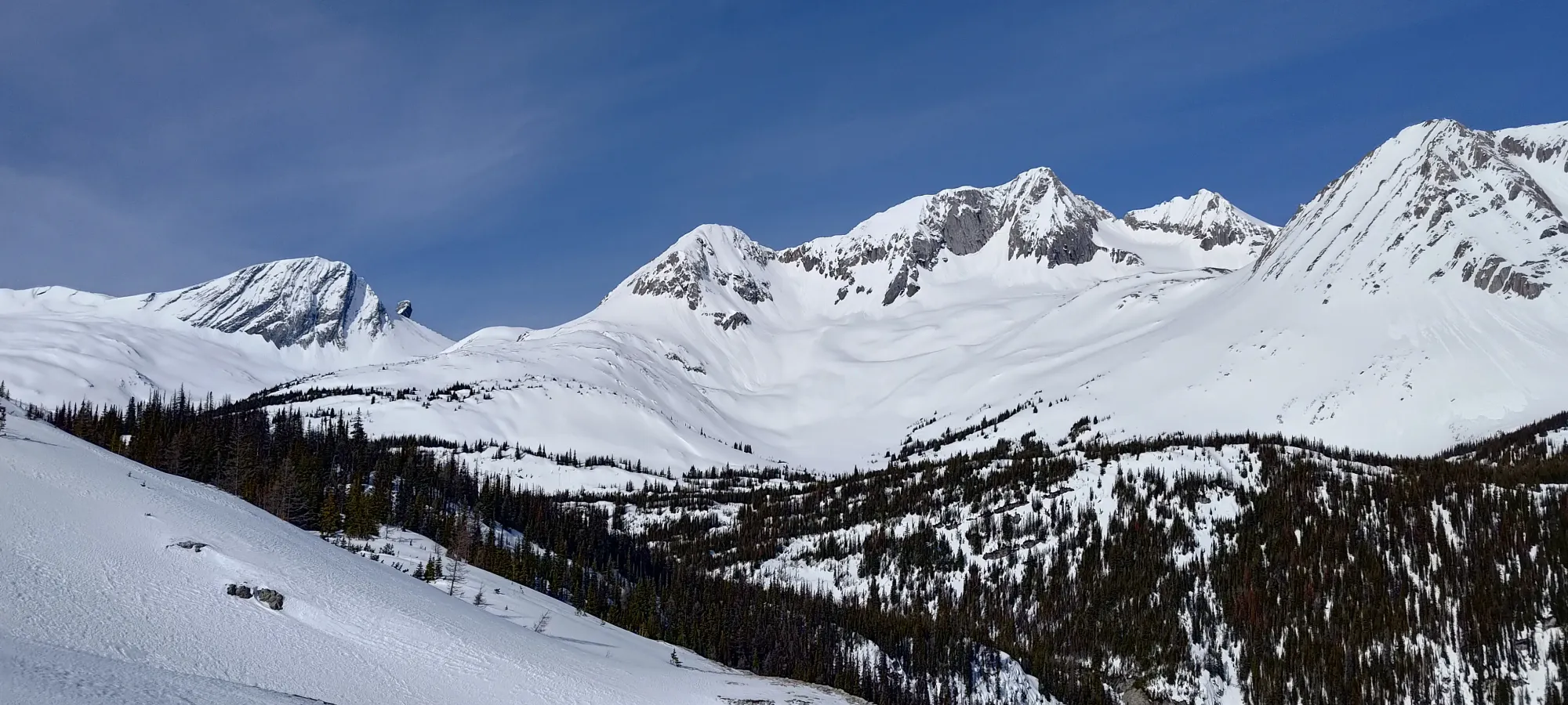
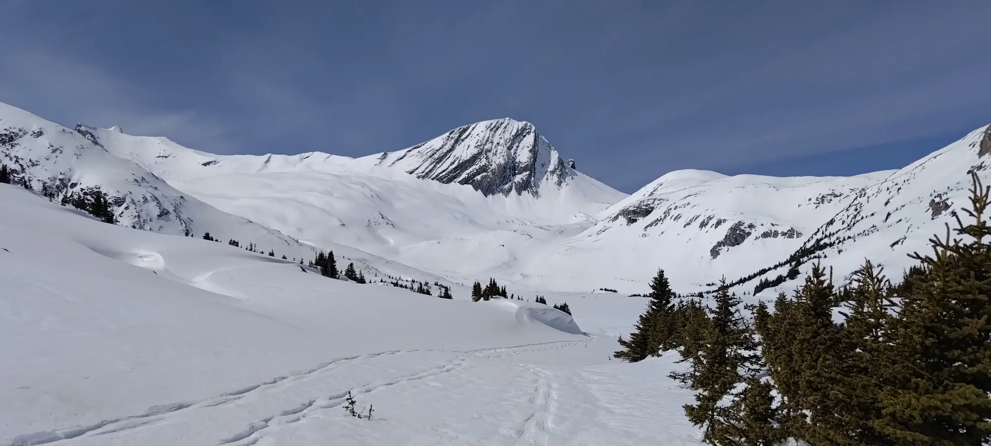
The snow on the lake was very compacted and thin, so the going was still quite easy, and we made it across in just a few minutes. On the far side of the lake, there is a long, flat drainage between the former Mount Pétain and Joffre, so we just continued walking up that in a seemingly unending straight line 😅. Including the lake, we walked a bit over 3km and gained a whole 50m. This trip really has an annoying amount of flats.
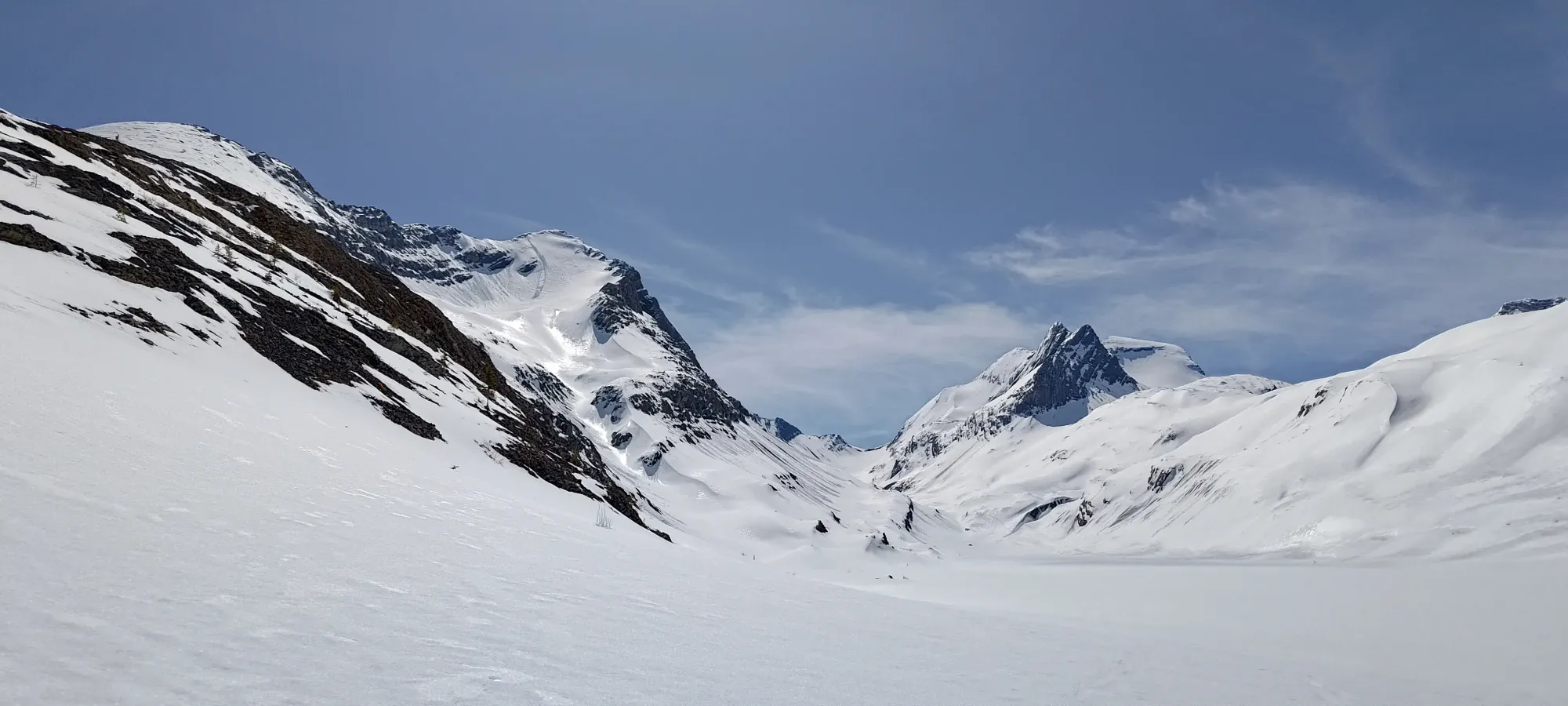
We were quite excited to reach the start of some actual elevation progress again, at the ripe hour of 12:30pm. 1100m to gain at that hour wasn't ideal, but was definitely still possible if things went well. Before we tackled that, we took another 15-minute break to gather our strength for what promised to be a pretty decent-sized push to the top.
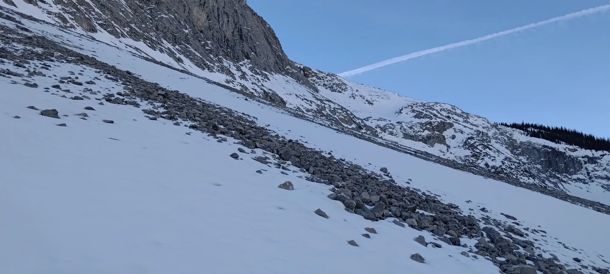
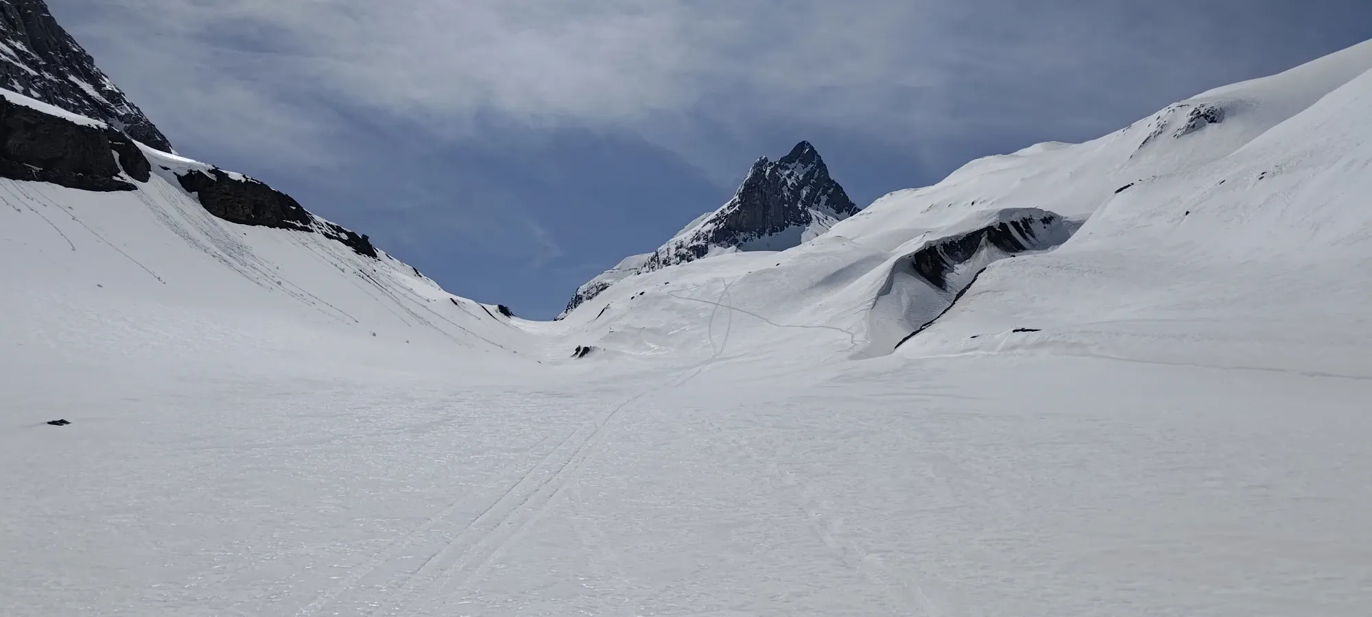
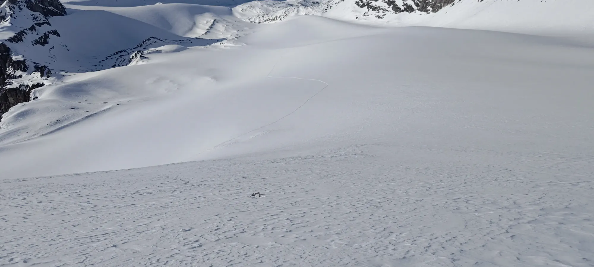
Sadly, the skin track we'd been told went to the toe of the glacier turned out to basically go "about 10 metres into the uphill section" then abruptly ended 🙃. Perhaps the glacier terminated there 20 years ago, but now, that was far from the actual terminus, which is closer to 2800m 😅. So, instead, I ended up with the glorious job of breaking the trail for us, which sadly was now a fairly meaningful endeavour, as the snow here was soft, and ski penetration was 10-20cm deep.
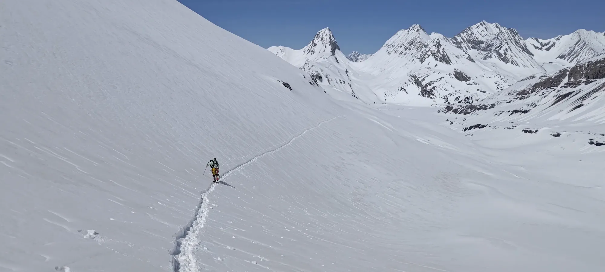
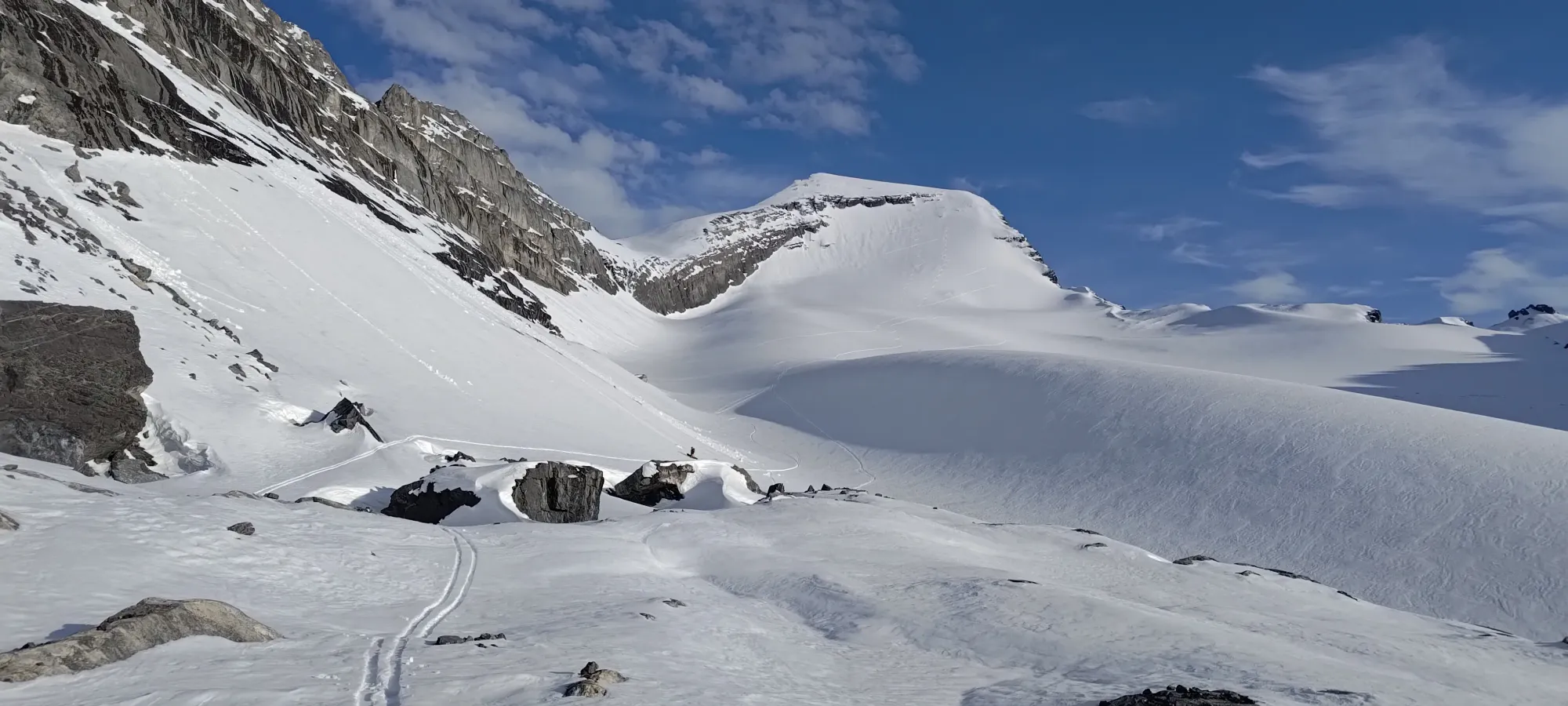
That section felt never-ending, though it was actually just 1-2km, and brought us up to around 2500m, where I finally tossed the towel in, and we started to trade off trail-breaking again 😅. That's the point where we stopped just traversing, and started heading SW up to the flat bench above 2650m, where we had a long break to dry our skins off (they had started to glop a bit). The great weather, and our more-tired-than-expected-ness contributed to that probably being longer than advisable, but sometimes that's just how the cookie crumbles. We also roped up at this point, although that wasn't actually necessary for a while longer.

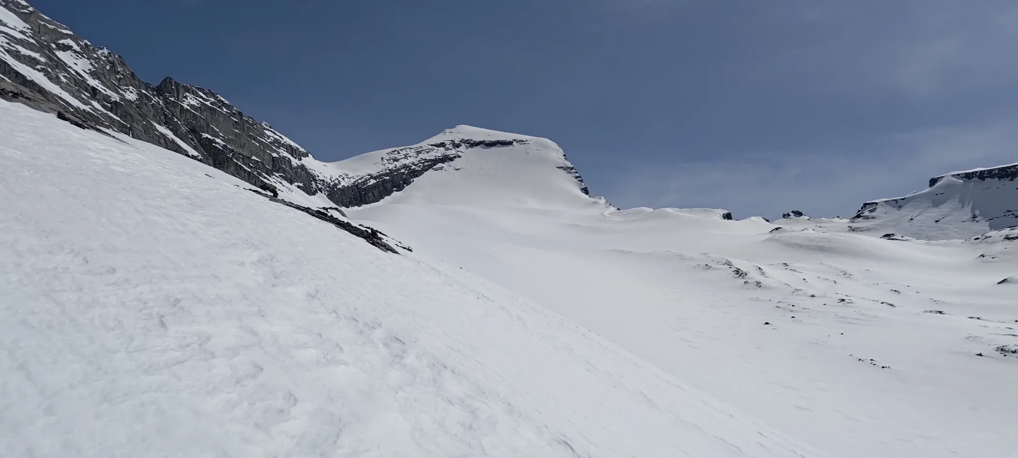

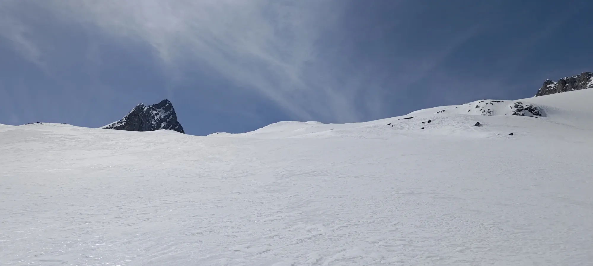
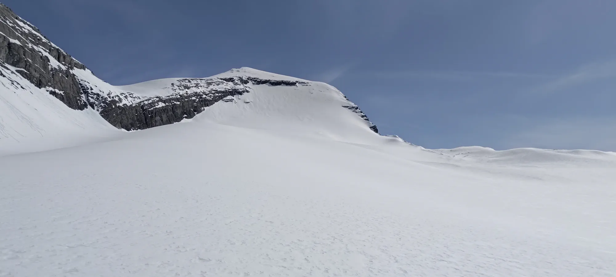
Now refreshed, and with a bit of urgency kicking in with the time-of-day being what it was (past 3pm), I led us up on the climber's left side of the glacier. One has to lose a bit of elevation to get on the climber's right side at the start (what maps call "the official route"), but we didn't want to do that, and staying in the moraine where we could see rocks felt like a safer bet, so we just did that instead. There was some sidehilling, but one of the benefits of the softer snow was making that easy, so we made decent progress up to 2900m, where we started swapping leads again, and also started to make our way to the climber's right side of the glacier, as that's where we'd need to be to actually get up the steep face and onto the summit.
Things slowed down a bit for us at this point, first with a 20-minute break during the crossing to the west side of the glacier, and then generally just as we got further, we slowed down more and more, likely due to the combination of elevation and "all the other stuff", in my case mostly sleep deprivation and doing a lot of trail-breaking to that point, and for Charles, taking a couple months off of bigger ski missions to focus on lifting, and deciding to go to the gym the day prior 🙃.
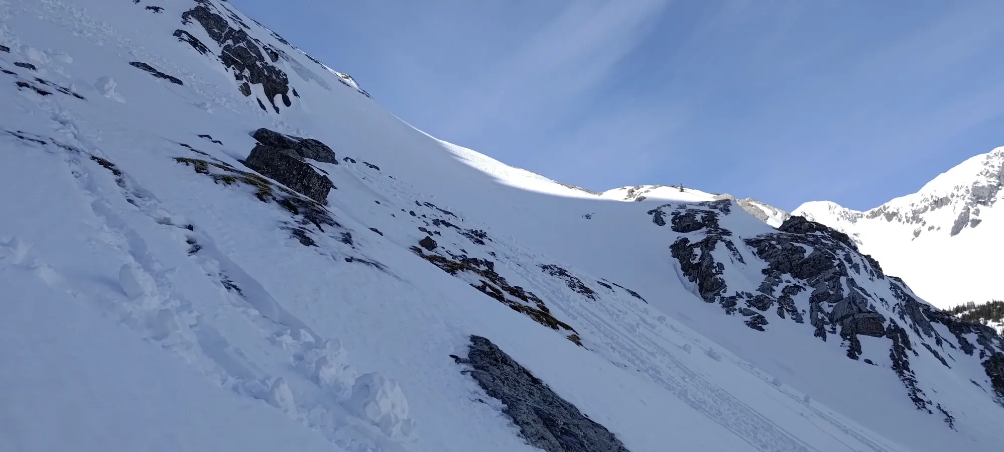
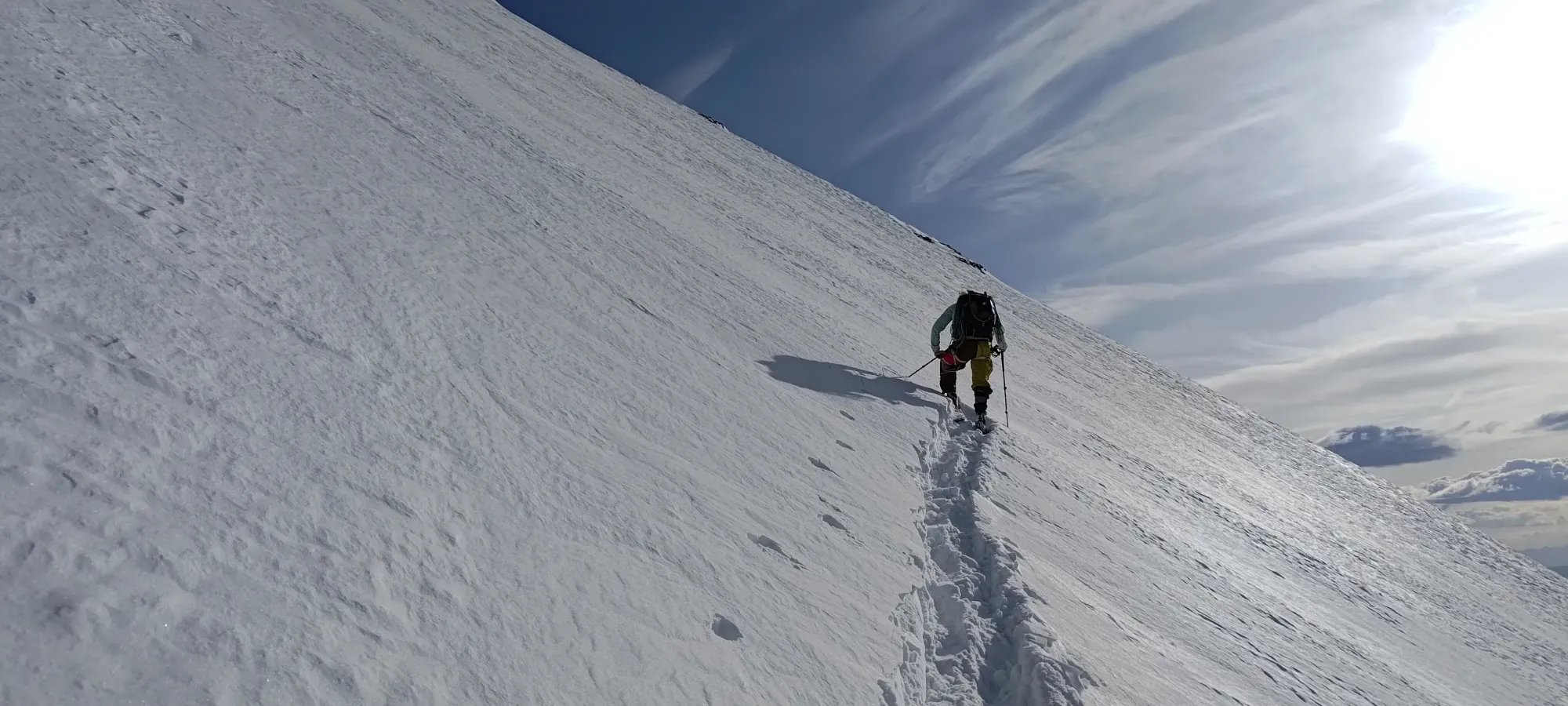
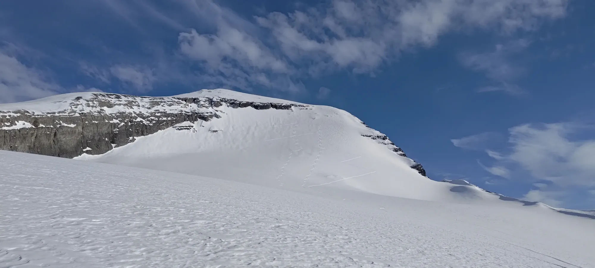
As we got closer to the steep face, Charles started to do more of the trail-breaking, and I started getting more and more tired. We were glad to discover that the face was actually skinnable, as booting up seemed like it would be too much for us this late, with as much energy as we had. It was still pretty hard, though, and especially once we got above 3100m, I was really feeling it pretty hard. Our progress slowed to be brutally slow, and time started to tick by pretty rapidly.

At 6:15, we were partially up the face, and I was just pooped from the elevation (which is weird, usually I don't feel it that bad that low, but I guess the couple days of bad sleep preceding this alpine start were too much to handle in combination with such a big day 😞). I dropped some gear in a hasty pile on the slope, marked a waypoint, and hoped that the weight reduction would be enough to get me back in a better fighting shape, as I was starting to fall behind, even just when following.
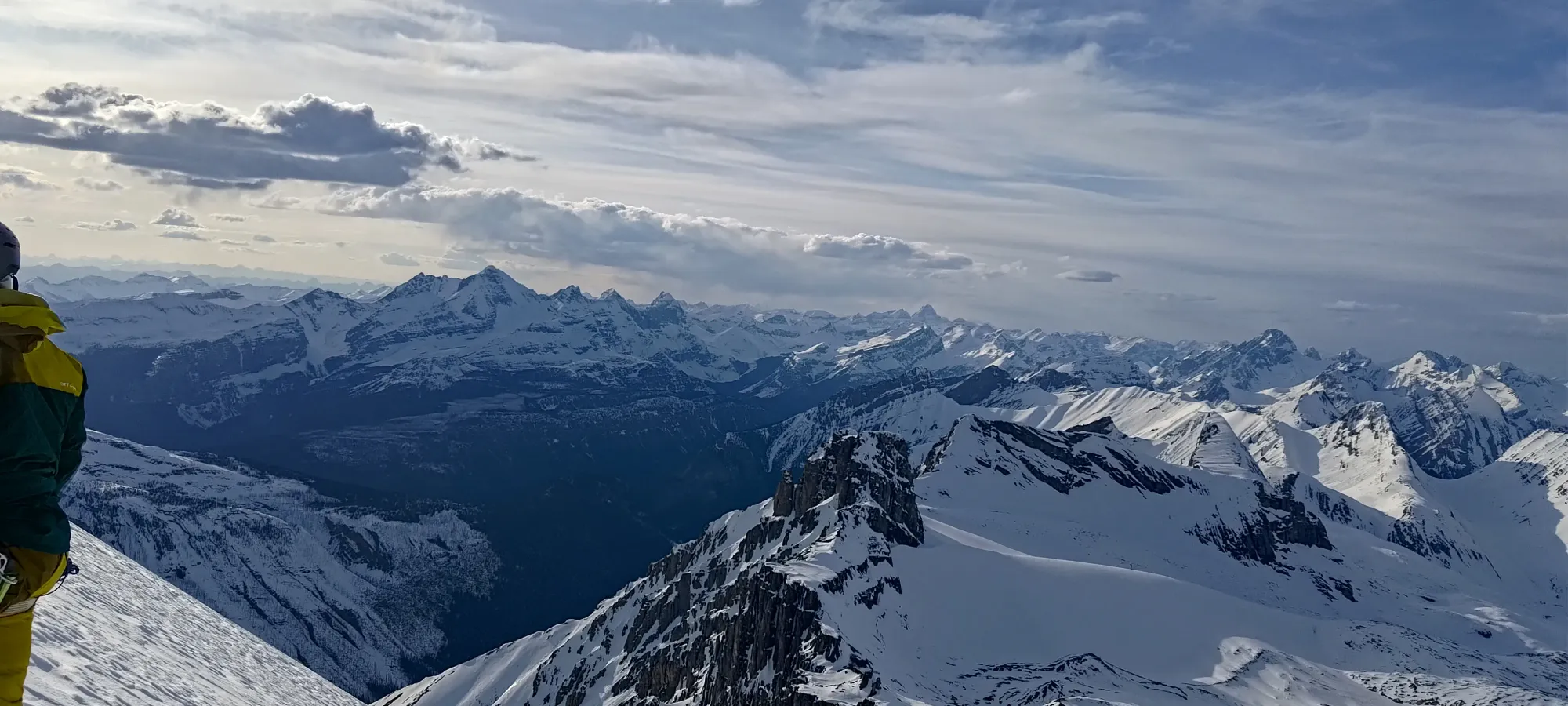
That did seem to help, but I was still only really able to keep up, not contribute more than one small section of trail-breaking after that point. In my defence, I think that still left me having done more than half of it for the day 😅, but I was definitely paying the price. Another half hour ticked by, and it was almost 7. With sunset not too far away, and our progress barely counting as progress, we decided to call it. The terrain isn't that challenging here, so we could ski out in the dark if we really wanted to, but it would make for a ridiculous day, and we weren't even sure that we'd get off the summit by dark, and we did want to at least get back to the lakes with daylight on our side, so we made the painful decision to turn around. It sucks getting so close and not making it, especially when you sink 10+ hours of driving each way, and an entire weekend into the process, but sometimes that's just how it is.

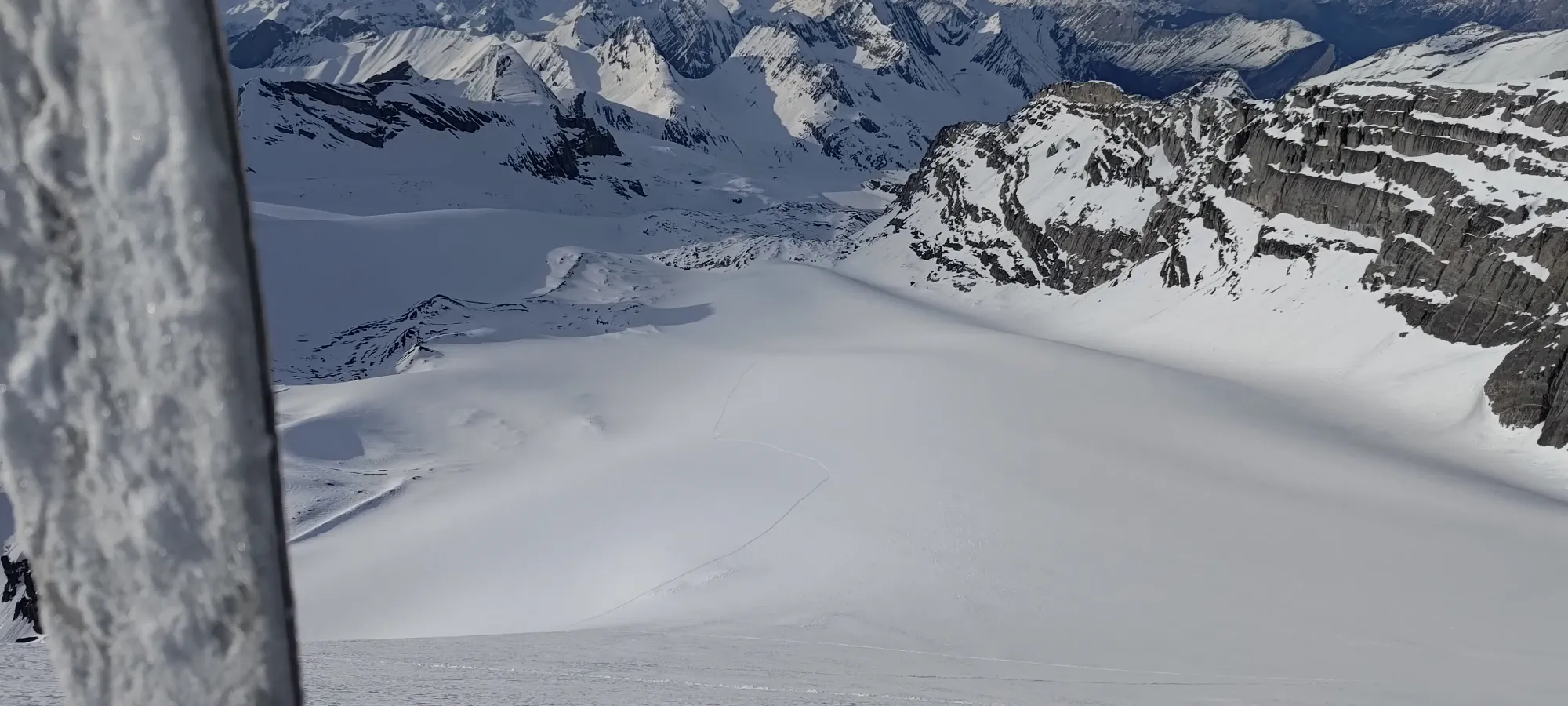

After getting our transitions completed and all that, we started skiing down a bit after 7:15pm. Sadly, my stashing of some gear on the way up meant my first turns were interrupted by retrieving that stuff, but otherwise, we got some pretty fantastic late April turns down the soft snow on the N face, which was a nice reward after all the suffering. That soft stuff lasted until around 2900m, where the solar cycles had then started to have their impact, and now-shaded aspects were getting crusty again.

After enjoying the good part, we just straightlined and survival-skied on the less-good snow on the skier's right side of the glacier+moraine. I got to enjoy the benefits of skis to get up a small hump at around 2850m, and just shuffled up without needing to transition. Charles had to boot up a few steps before making his way on top of the rocks which led us back to the flat bench we took our big break on on the way up. Skis:1, splitboarding:0 🤣
Getting back to the bench was not all that great, as the snow was crusting over at this late hour, but once we got over it, I got a few nice turns heading NW before they crusted over again below 2550m. From there, we just straightlined it to around 2400m. We had more survival skiing turns there to get back into the drainage, and then just pointed it to get as far along the flat as we could.
Once we ran out of momentum, I showed Charles the one good thing about sticky spring snow: being able to "skin without skins". Essentially, I just stayed in ski mode, unlocked by boots, and shuffled along to the far side of the lake without bothering to take my skins out. This works well on slight downhills and flats, and can function on gentle uphills too, though you do have to put a little more work in on those than flat ground, so it only makes sense for largely-flat sections which have some minor rolls that go up a bit. Charles separated his skis, but didn't bother with skins to try it out as well, to moderate success. We got back to the east side of the lake with about half an hour of said shuffling, had another break (still in the light), and got our last bit of skiing (not that it was anything more than survival skiing on a sticky crust) in below the lake before hitting the undulations between Aster Lake and Foch Pond, and slapping our skins back on.
As usual, I didn't really bother with descent photos, so enjoy the ensuing wall of text!
We wandered through the tracks (now comprised of our uptrack, and the downhill tracks of the party that turned back on our way up), getting back to Foch Pond in about 45 minutes, slapping headlamps on around that point, then skinned back up to our high traverse on Sarrail's western flank (that was some annoying elevation gain late at night). I had to have my second bathroom break there (interestingly nearly at the same place I had to on the way up), but caught up to Charles fairly easily, as my tiredness was seemingly very much linked to the altitude, as I was feeling relatively better than Charles again once we started heading downhill.
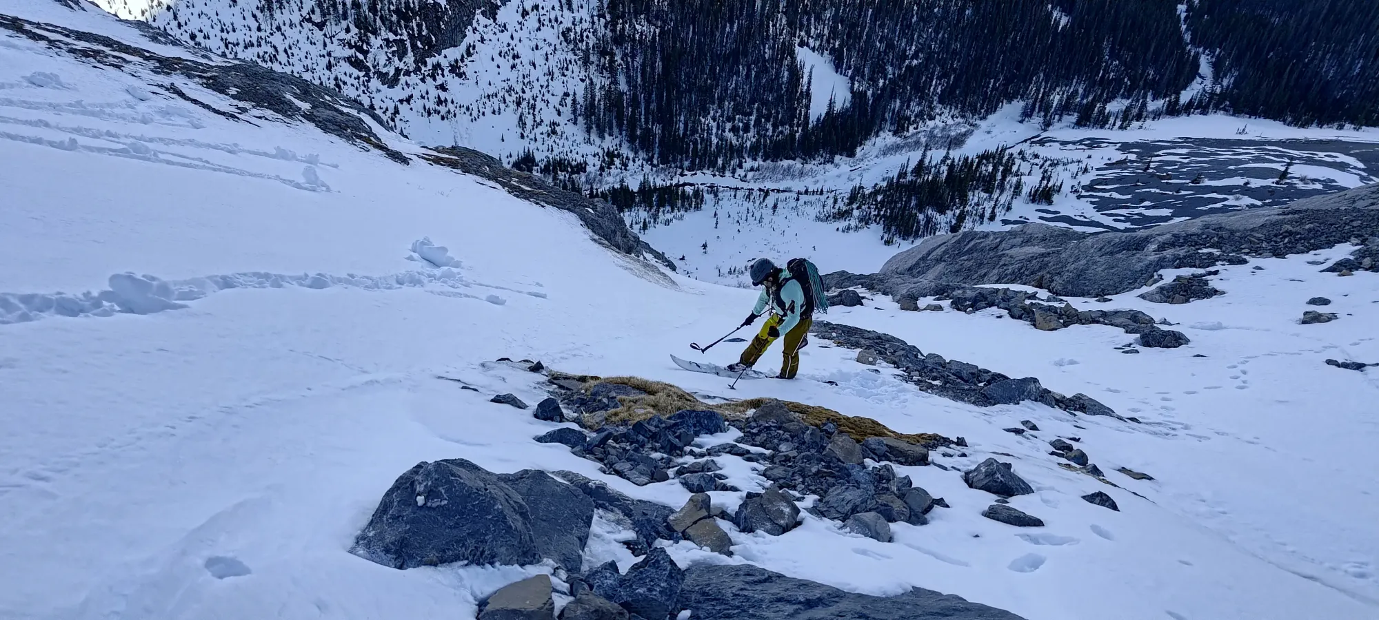
Getting to that point, then doing the bootpack traverse back above the exposure (one good thing about doing this post-sunset was that we weren't worried about overhead hazard off of Sarrail, which is something to consider for a Joffre ascent, honestly, as the hazard there is pretty strong with the sun beating on it), and getting far enough to slap skis on again took about 2 hours. That point was around 2100m, where I officially gave few enough Fs to put my skis on and give it a go.
That was mostly successful. I may have mistaken one pile of rocks for a pile of snow debris and skied right into it 🙃, but I managed not to core shot my skis, so no harm done 🤣. We took another 10 minutes to make it to the edge of the forest, then after a little wandering to find a good entrance, we dipped into the forest.
I was glad to find that the shade had protected that snow well, and it was still soft! I had some fun skiing the tight trees there, though Charles seemingly had less enthusiasm at 18 hours into the day (weird, that's when the fun starts, right? 😄), and was just getting down. ~10 more minutes, and we were back on the "shores" of "Hidden Lake" (still not convinced there was any water in it that wasn't just snow).
Wandering across that in the dark (I used a lot of my headlamp battery guiding Charles through the trees, since he doesn't have one as powerful as mine to enable good skiing at night, and as such I was on dim-mode from Hidden Lake on) took about 20 minutes. Once we got onto the trail network, we sadly found many boot holes ruining the skin track 😞. 10 minutes of wandering down that more, and we were at the sign indicating the fork between the trail to the north side of the lake, the one to the south, and the way back to Aster Lake. Here, Charles was considering just walking back on the trail the whole way, but I didn't want to do that, as the lake is so much more direct, and doesn't involve 100m+ of elevation gain. I eventually convinced him this was a better plan, so after I took my short break there, I went over to the spot we used to get off of the lake and onto the trail in the morning, and waited there for him (he had to undo his previously-started transition).
I managed to skin there, but Charles apparently as a snowboarder first didn't find that all that skinnable, so he had to transition, and that ended up resulting in an impromptu 20-minute nap for me while I waited 😅. Once I randomly woke up, he showed up a couple minutes later, and we got onto the lake. There, we found a couple guys walking up, one of whom I recognised from a failed trip to Victoria last spring (not eventful enough to merit a trip report here). The 11000er community is pretty small! They ended up being able to use our skin track, at least, so I'm glad someone got a summit out of that work!
The lake crossing was about 4.5km back to the car, which was elongated slightly by a few failings to walk in a straight line in pitch-darkness, and more so by us not knowing we'd be taking the lake both ways, and as such parking on the south side (where the trail is nicer, but the lake crossing is longer vs the north side). In our tired states, that took us a bit over 80 minutes. That brought us to a bit under 21.5 hours for the entire adventure (on foot), and meant we rolled into the parking lot at about 3:15am 🙃.
From there, we managed to get back to Canmore and get some food, and drove back to Revy with only a couple short roadside naps to keep my eyes open. There, I got to have a longer rest before driving the rest of the way back to Squamish, since I sadly had to be home to vote on the Monday!!!
Needless to say, this was quite the adventure. Some stuff was out of my control, but I do think that, especially since I ended up having to go to the bathroom on the trail anyways, I probably should've just started earlier. Sure, if we had 3 people, we'd probably have summited, and earlier than our turnaround on this trip, but we probably didn't need to be that close on our timing to begin with. That wouldn't have fixed the lack-of-sleep issue, though, and that's just some bad luck from earlier in the week mixed with not pre-planning a more specific schedule for the drive in to Canmore the day before resulting in not having as much sleep the night before as I otherwise could've. Oh well. At least I know the route well now, and can confidently organise a revenge match, hopefully next year. Ideally I'd say to do it a few weeks earlier, with a less sticky snowpack, and one more resistant to solar effect. You'll have to start earlier to account for an earlier sunset, but especially with a team of 3–5 people, it'll be easier to crank out, the lakes will be a surer bet, and I think it'll be a great time.
GPX Track + Map
