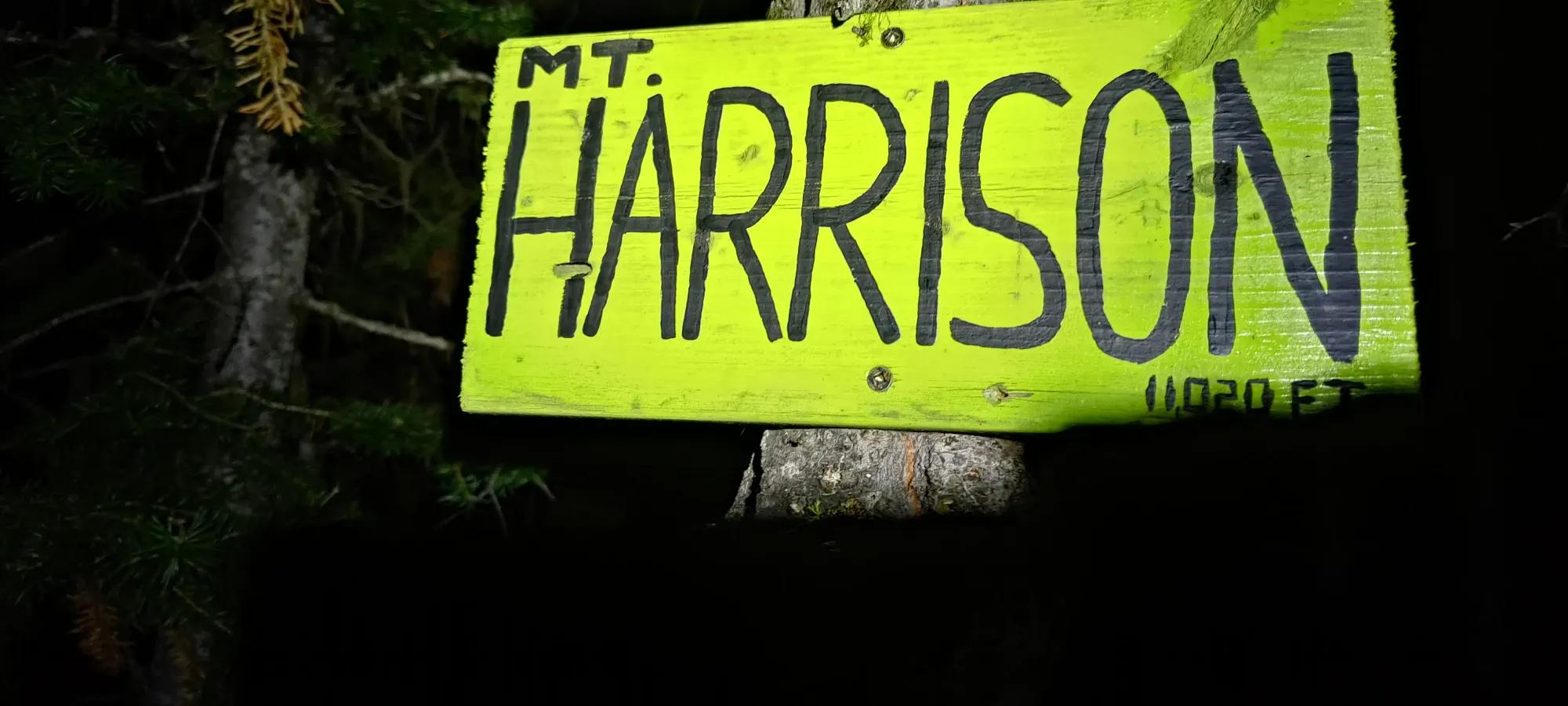
Mount Harrison - August 25 2024
One of the easier 11000ers in the Canadian Rockies, Mount Harrison is a good objective to those warming up to this list. Though, the lengthy drive could be considered a form of difficulty 😅


Harrison Group, Elkford, British Columbia
3353m
After a bit of a hiatus from peakbagging as my health hadn't been stellar, I did a very responsible thing, and took some time off to head to the Rockies despite not solving those underlying issues 😅 After work on Friday, myself, Logan + his wife Jessica, and Michael crammed into my little crossover, and we set ourselves on our way to Golden for some higher-altitude peakbagging (relative to our home turf coast mountains, at least).
Of course, some car issues (namely a bolt decided it was lacking in freedom and departing from the vehicle en-route) forced us to wait a night out in Kamloops to get a replacement part, but we eventually rolled in to Golden in the evening Saturday, with just enough time to get some staple groceries and get a small amount of shut-eye before waking up for a (planned) 6:30am departure. It took a bit longer for everyone to be ready, so we left closer to 6:50. The drive down 95 was uneventful. We made a bathroom stop at the Tim's in Invermere, and filled up gas in Canal Flats to ensure we were as equipped as possible for the ~75km FSR drive from there to the trailhead.
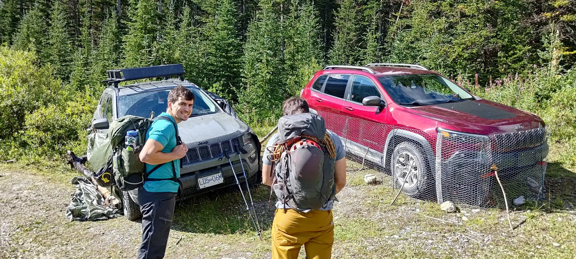
The FSR itself was in great shape. The first ~45km are on a well-graded mainline, where one can hit the 80km/h FSR speed limit in straight sections. Once it forks into the North, Middle, and East White River branches, the road is still "pretty good", but starts developing some potholes, especially near+past Monroe Lake. These won't stop anyone from going, but just mean you have to slow down a bit. This turns in to the Bull River FSR, and from there, you'll fork onto the Harrison Creek FSR, which looks notably less maintained. A 2wd/low clearance vehicle can get to about 1700m on this road, but a few medium-sized water bars/washouts exist that will require some clearance. In the last few kilometres, there are some moderately deep puddles, some off-camber sections where one tire track has eroded to a few inches below the other, and some washout which I'd say likely need AWD or enough clearance to send it fairly hard. My Jeep Compass was a great fit, I never slipped a tire for the whole drive. I've mapped the drive out here.
We parked beside another vehicle at an old trailhead or something, but ended up walking past there to the real trailhead. If you drive the whole way, you can skip an annoying creek crossing, so you should do that. We just didn't realise this wasn't the right trailhead until we'd already got ourselves ready, so it wasn't worth moving the car again. After getting ourselves geared up, and attempting a somewhat adequate anti-porcupine barrier for our brake lines, we got walking to the actual trailhead at about 10:50am.
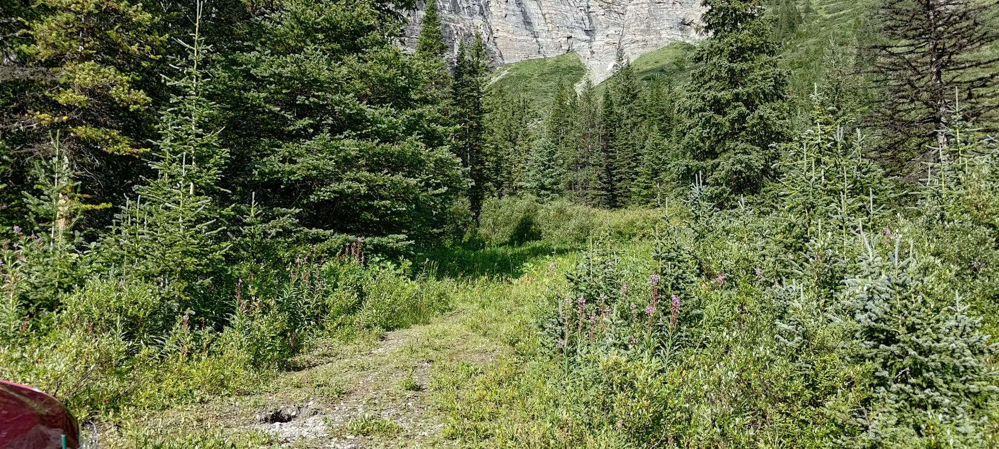
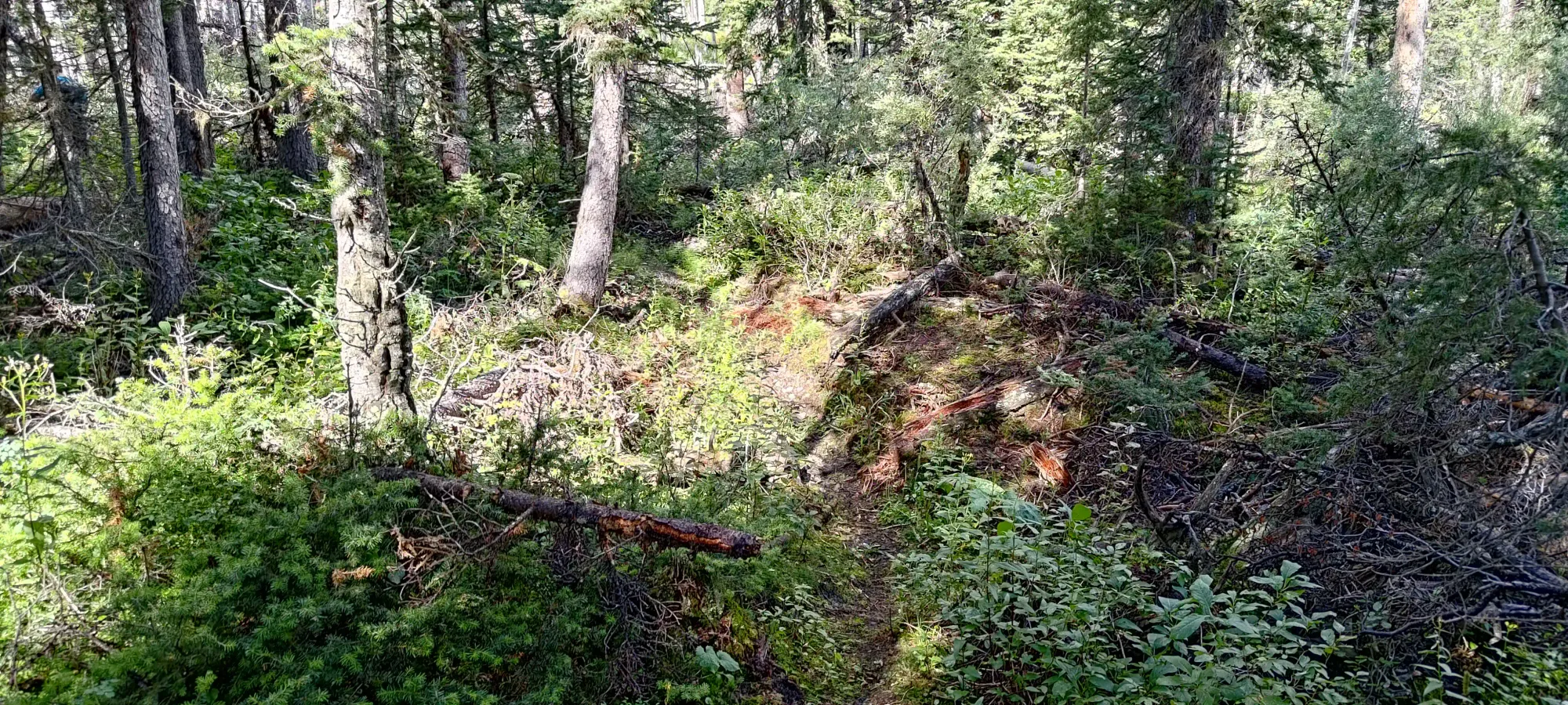
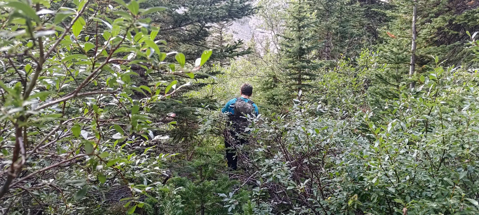
At the trailhead, there's a sign for the official trail, but a lot of beta we had claimed one shouldn't take it, and instead bushwhack until it starts heading south (this is for the easiest route, which we chose due to unknown snow conditions). We followed that beta to our own detriment, one should absolutely start at the sign and follow the obvious trail, it is a perfectly good trail and is quite efficient.
In our attempts to follow that beta, we ended up quite south quite early, and found ourselves much closer to the harder route that passes under the north face. Once we realised that, and also saw a large rock face in front of us, we started cutting hard towards the trail, as the large wall in front of us was not a reasonable ascent path. Given the bushwhacking, creek crossings, and general unpleasantness just to reach this impassable wall, I have no idea what the point of detouring at all here is supposed to accomplish.
Bushwhacking back to the trail was unpleasant sidehilling on some wet ground and very slippery trees, but after only wasting about half an hour, we ended up a whole 200m along the trail from the start 🙃 Of course, the trail looked like a perfect highway too, so there was no reason to have done so. I cannot stress enough how much there is no need to bushwhack around here.
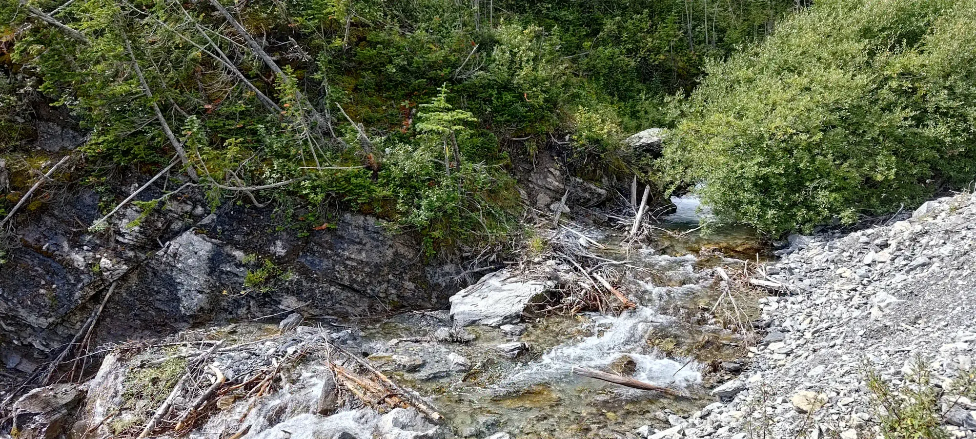
Once we were (happily) cruising along the trail, it took only a couple minutes to reach the biggest creek crossing. The water was fast but reasonably shallow, so the worst case scenario was just getting wet, not swept away. There wasn't a great dry path across, but with a couple rocks tossed in key places, we built a nice enough way to get across without swamping our shoes 🙂
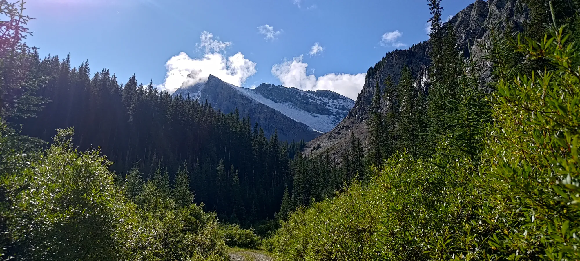
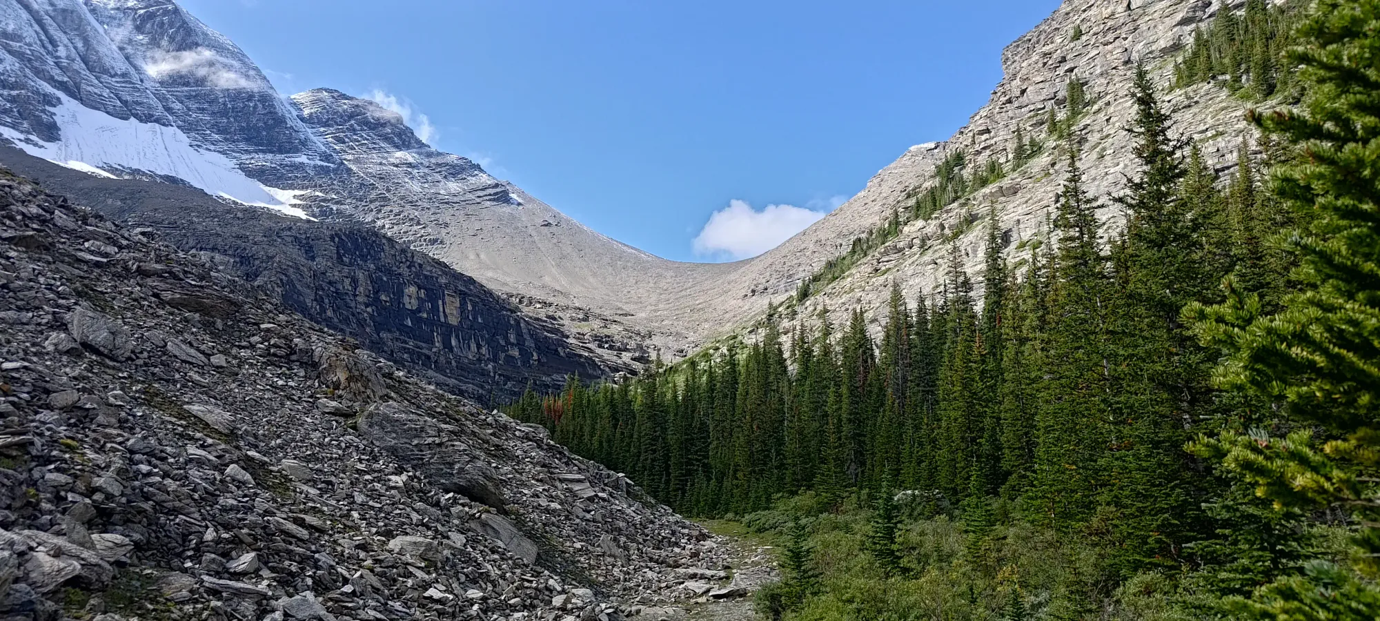
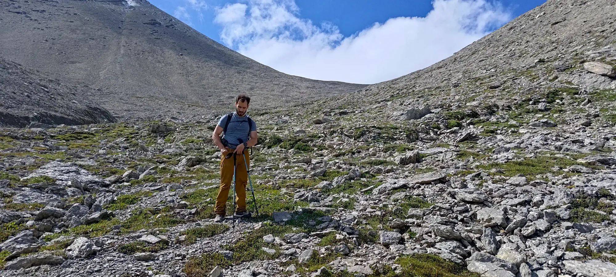
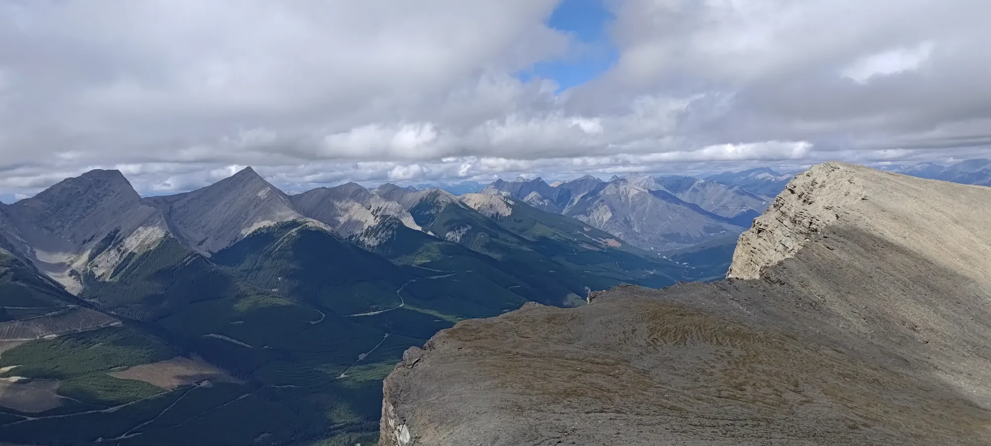
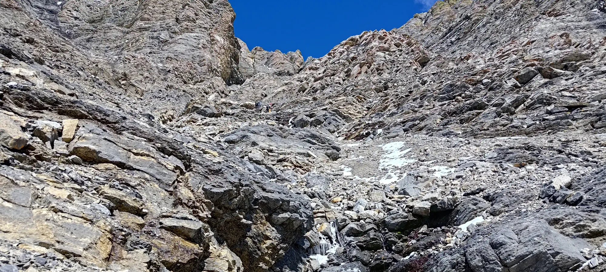
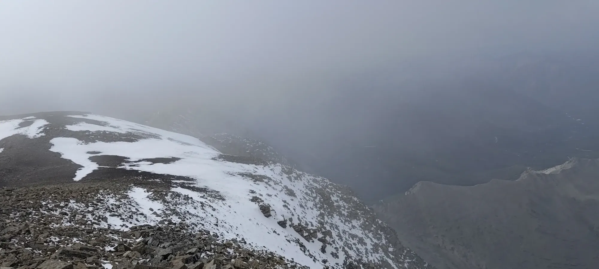
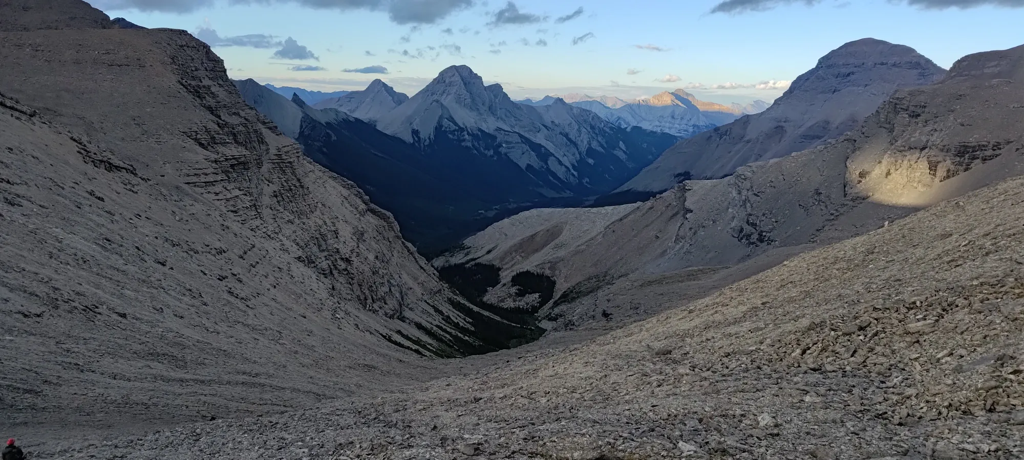
We followed the trail past that point until we got above about 2150m, where we got out of the forest cover and/or the protected valley, and got some eyes on the peak for the first time. It was a bit worrying to see snow well below the summit (the whole reason we chose Harrison specifically was that it was forecast not to get snowed on before we arrived, unlike most other 11000ers at the time), but it was supposed to be a fairly sunny day, and an easy route, so we remained hopeful.
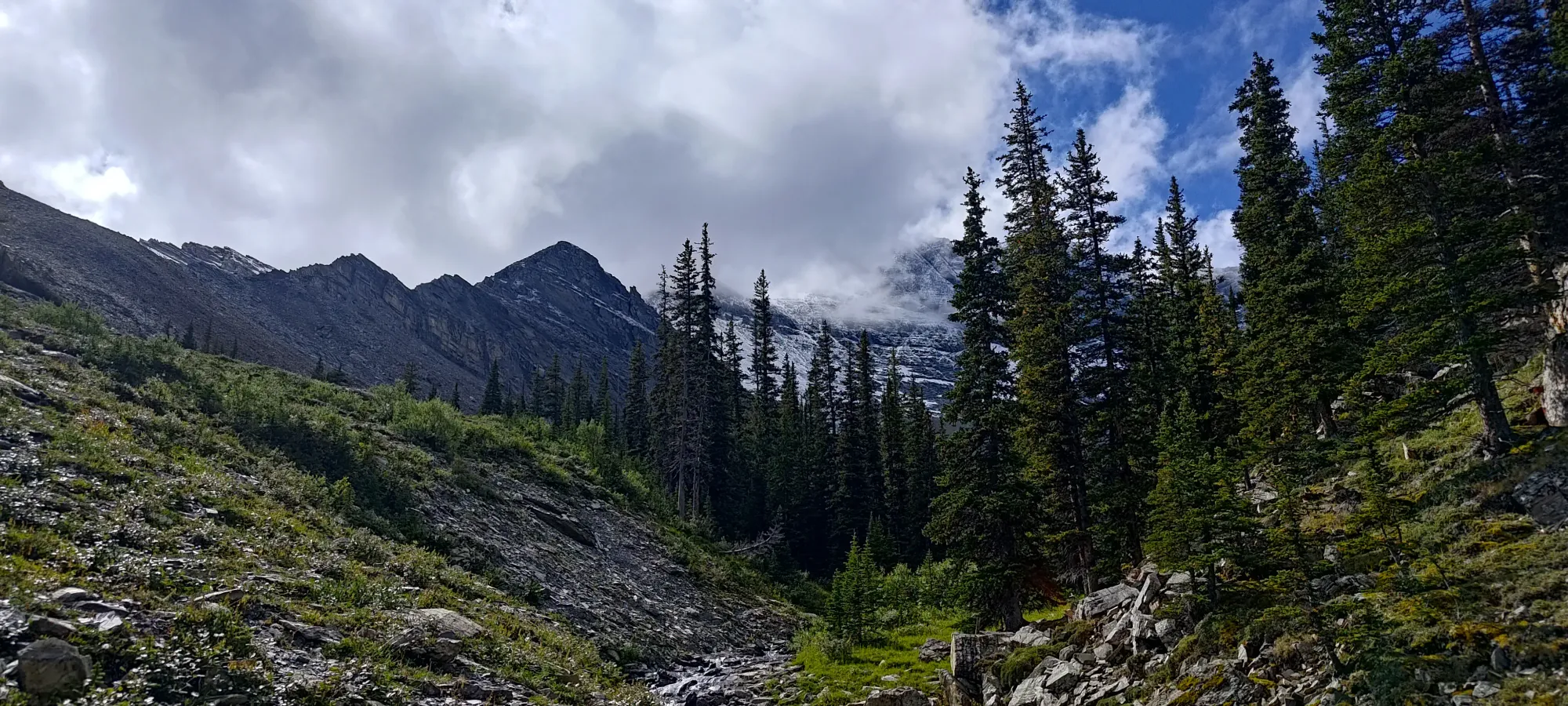
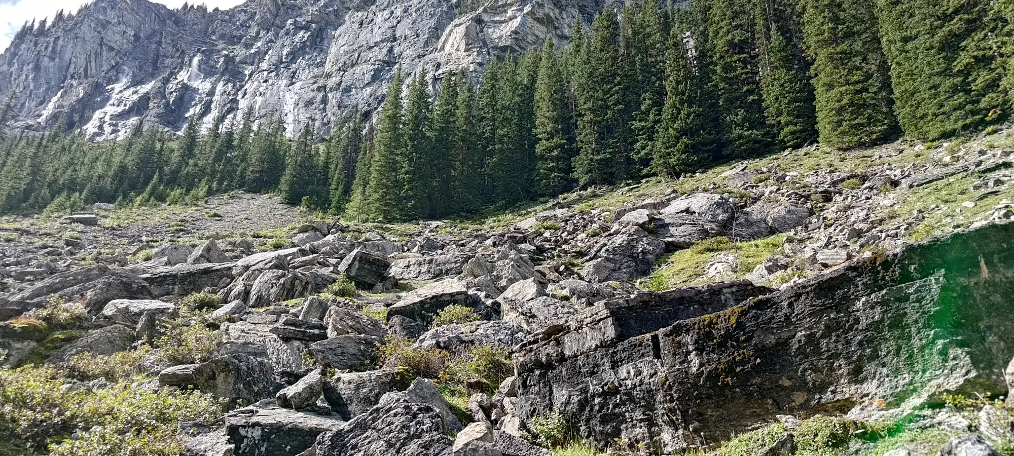
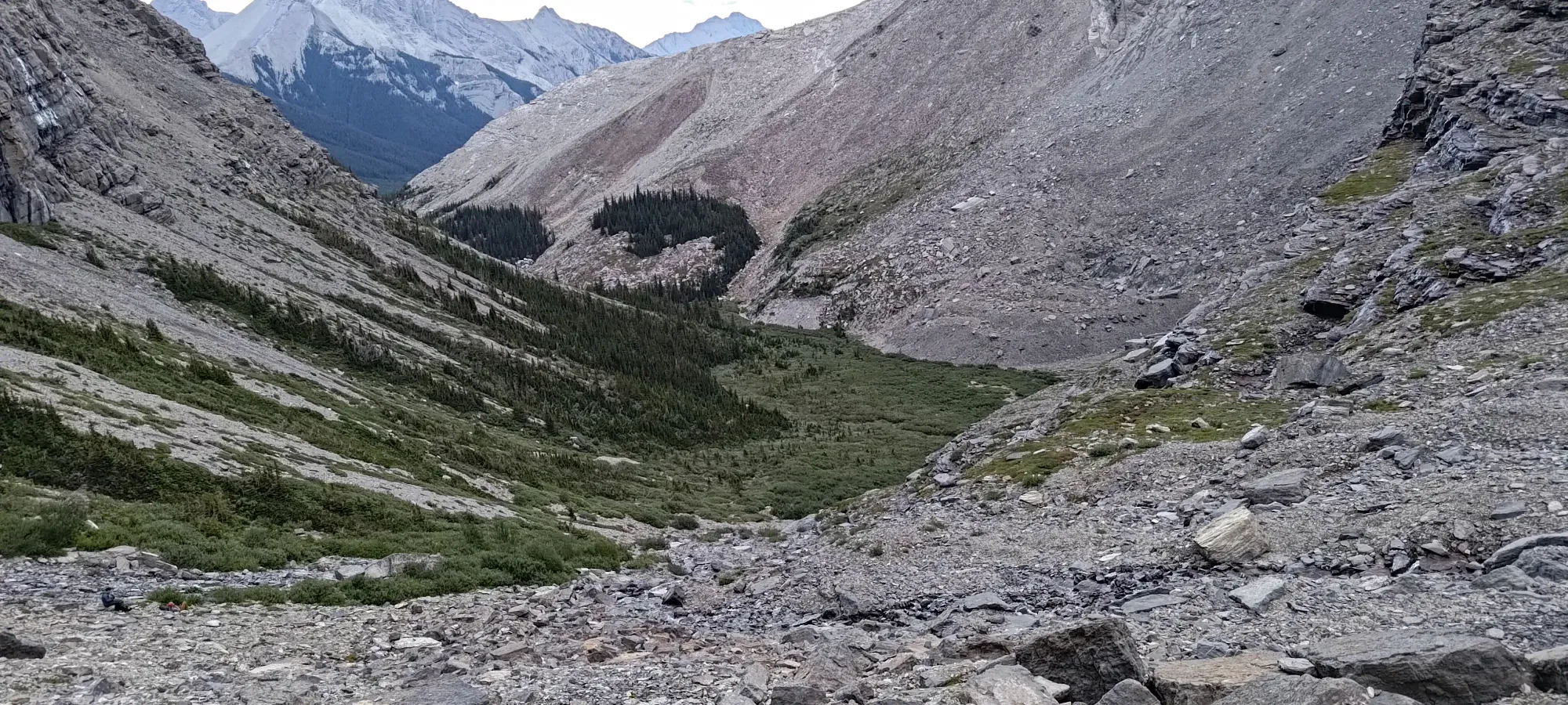
The trail continued for a bit along the creekbed, which when we lost it, got us to cross it a couple times (but this is not necessary if you keep the trail proper). A few creek hops and bushwhacks along with some "actually on trail" sections got us up above 2150m, when the creekbed got wider with less trees, and we more or less just walked along the edge of the creekbed to the base of the large slope up to the col between Harrison and Mount Folk.
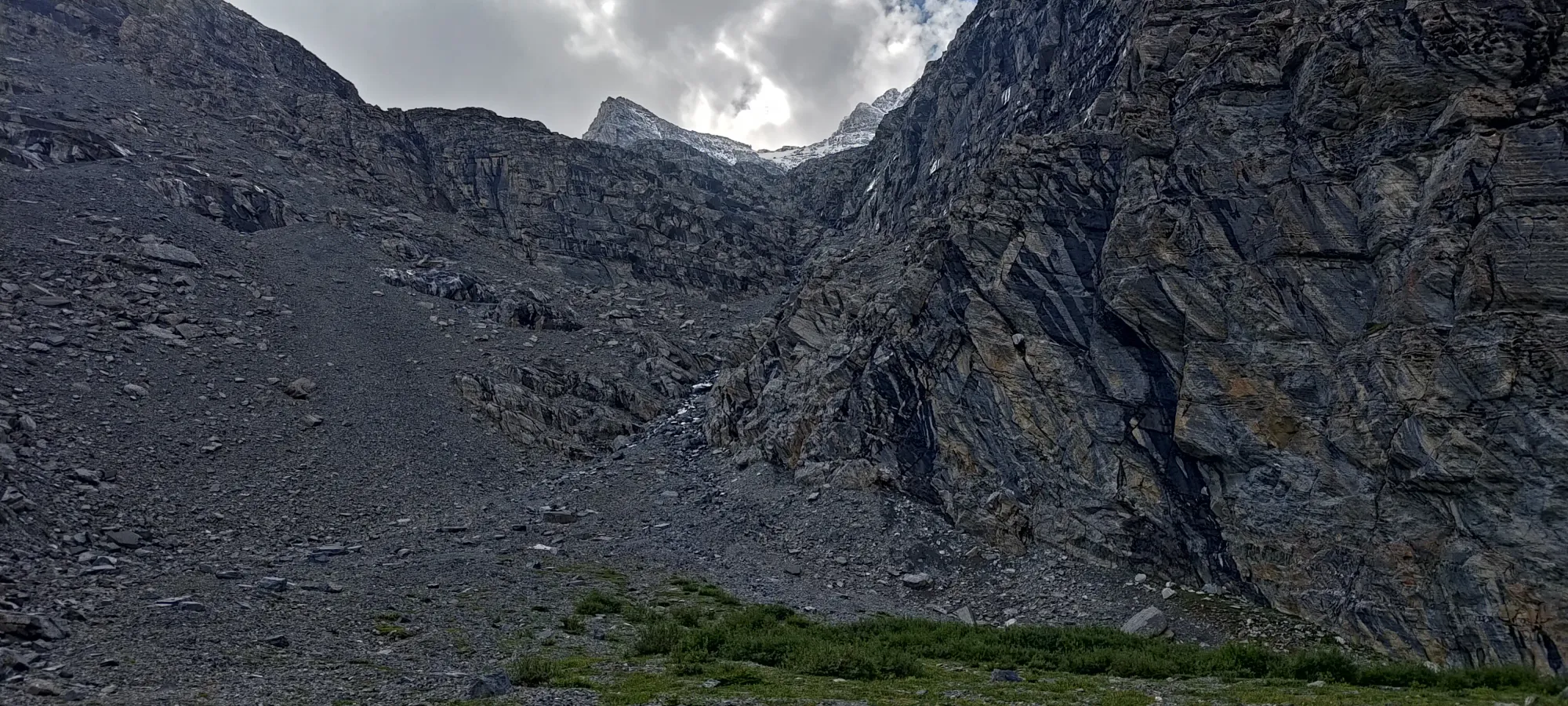
We started gaining elevation in earnest at around 12:15pm, or 80-ish minutes into the day, as the creek started turning more into "just waterfalls and streams of runoff", and we started the long slog up to the Harrison-Folk col.
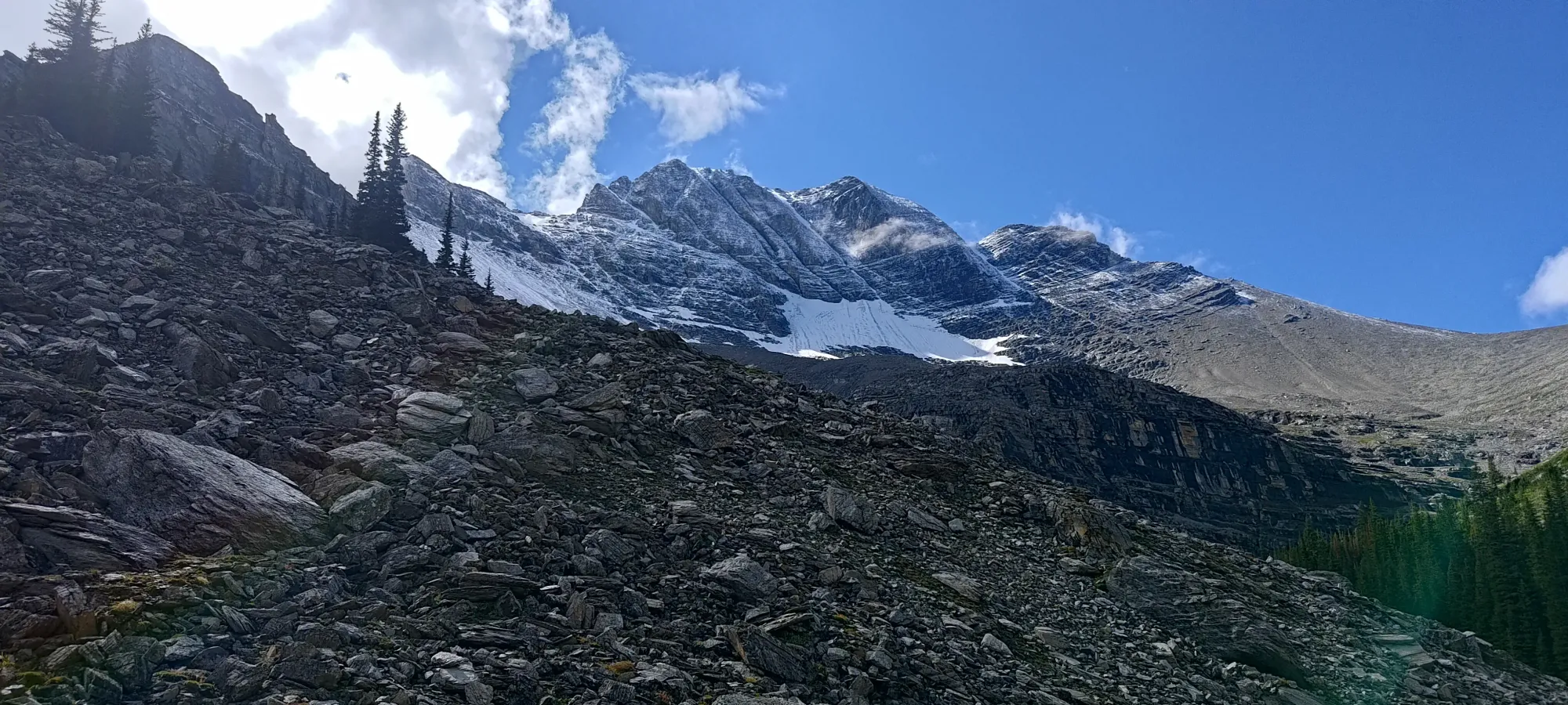
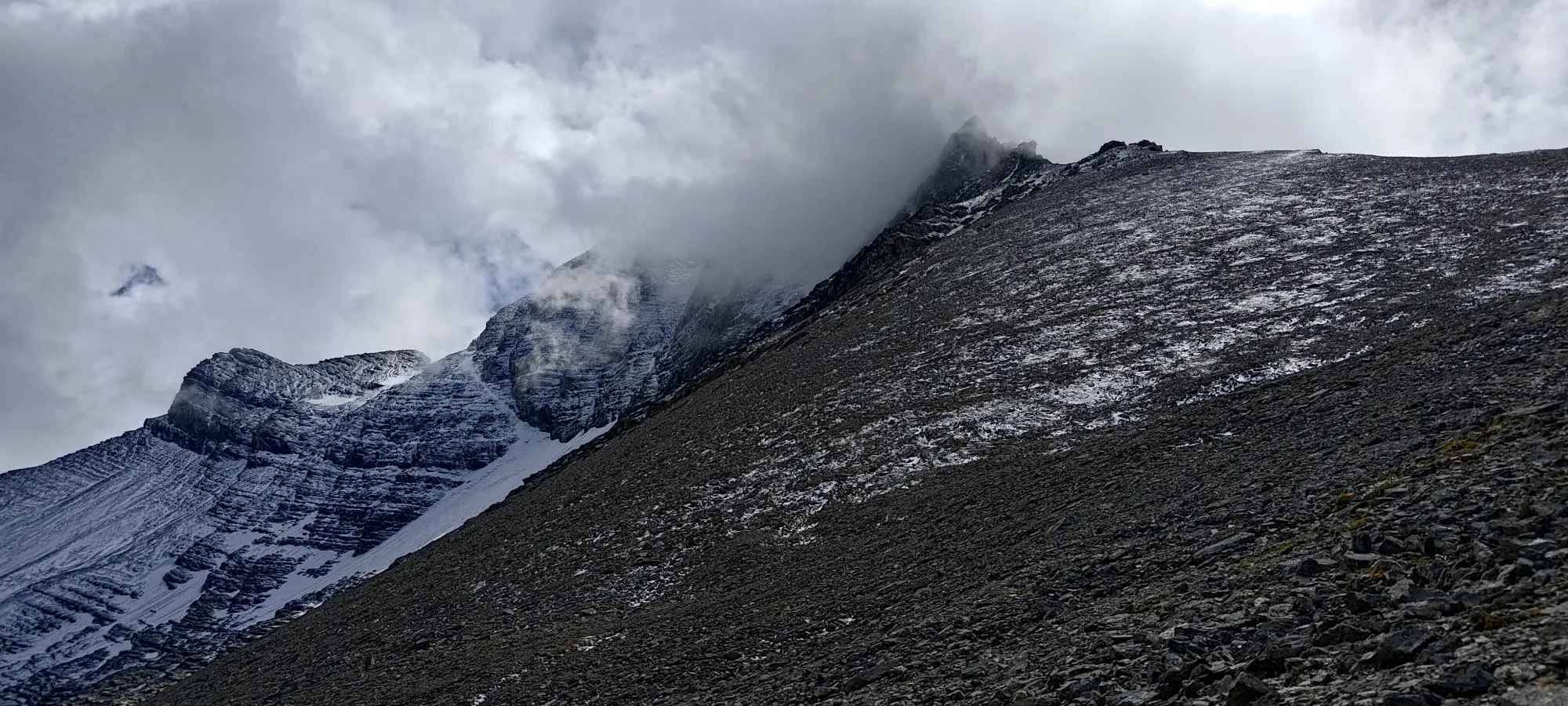
The next 1.5 hours were an uneventful, tedious grunt up about 500m+ of elevation to the col (or at least to the ridge a bit past/above the col, as we didn't need to hit it directly). Not much went on during that time, though at the end we saw a group of 4 coming down from the summit area. They reported 1"+ thick verglas (which I'd always considered a thin coating of transparent ice that you get when you have overnight freezes of water in the fall) in gullies and enough snow that they turned around, and only 1 person with crampons and tools summited. That wasn't encouraging, and we considered turning back to tag Folk and leave, but since we were there for 11000ers and drove 4 hours for that, we figured we'd see how things felt for ourselves, and pressed on. The pictures didn't seem as bad as the descriptions, and we'd have the benefit of some more hours of melting, so we hoped that'd play in our favour.
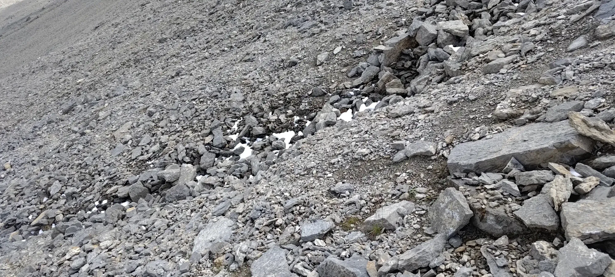

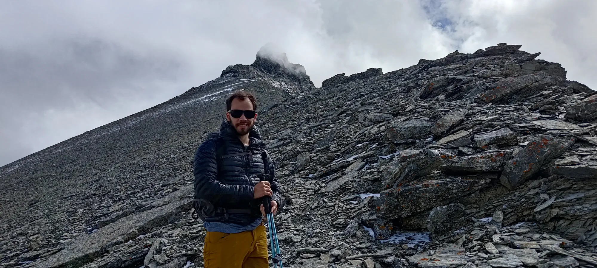
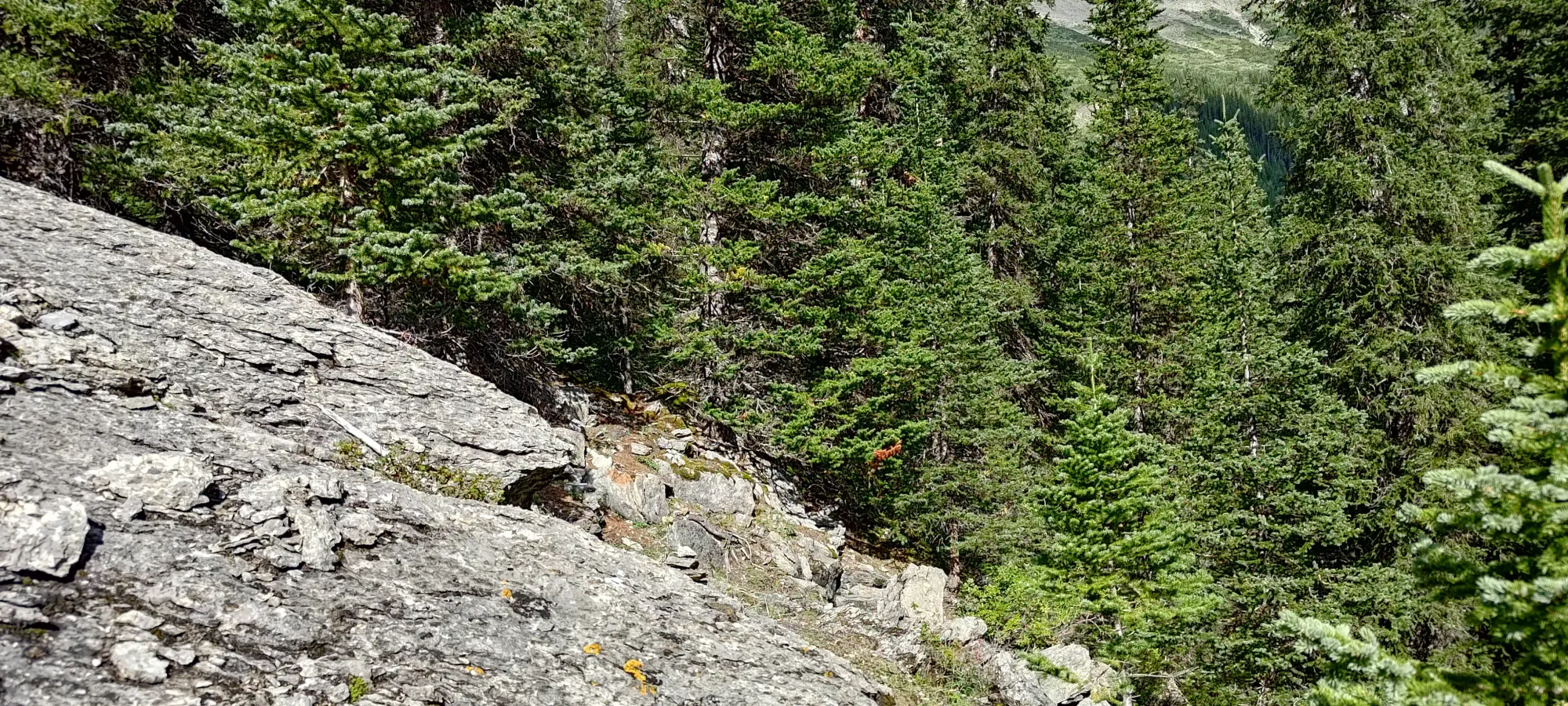
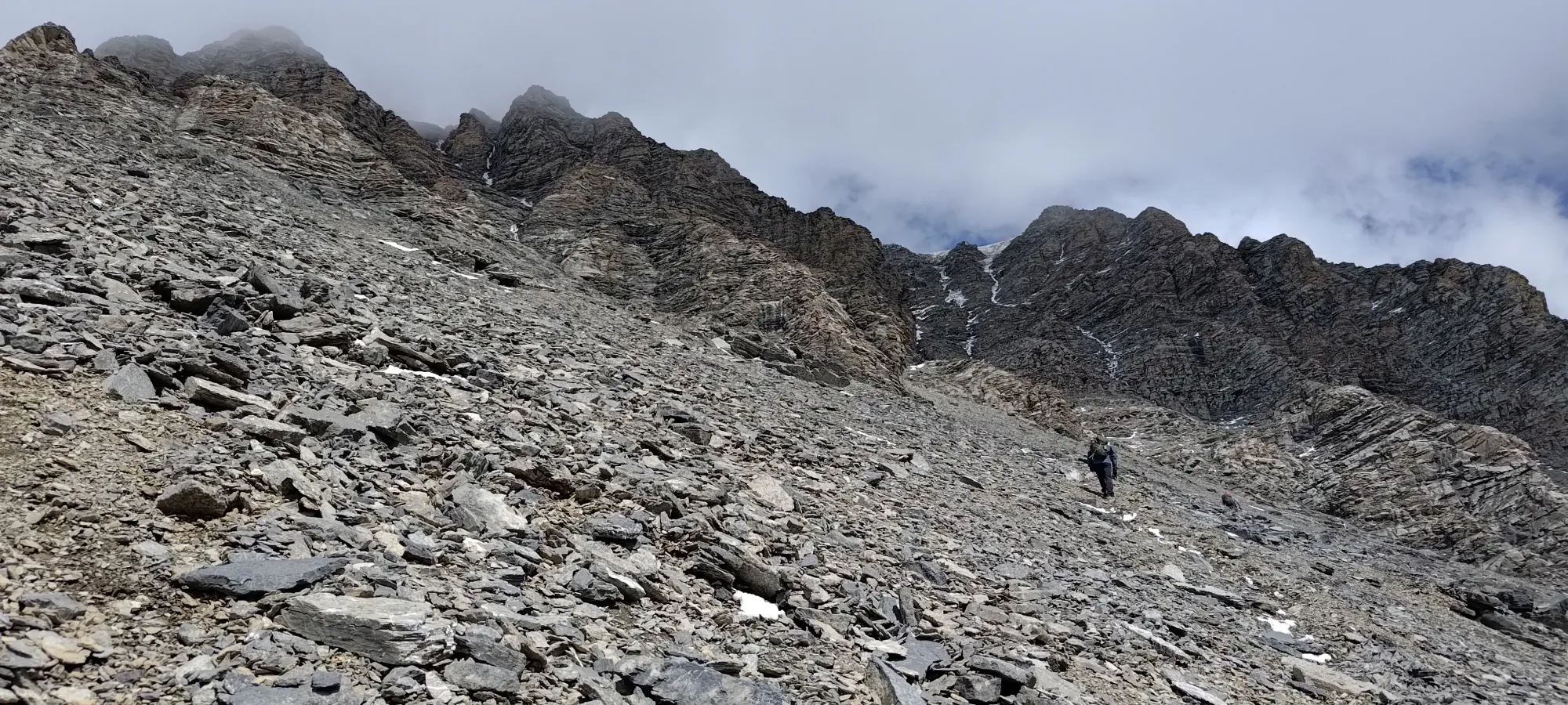
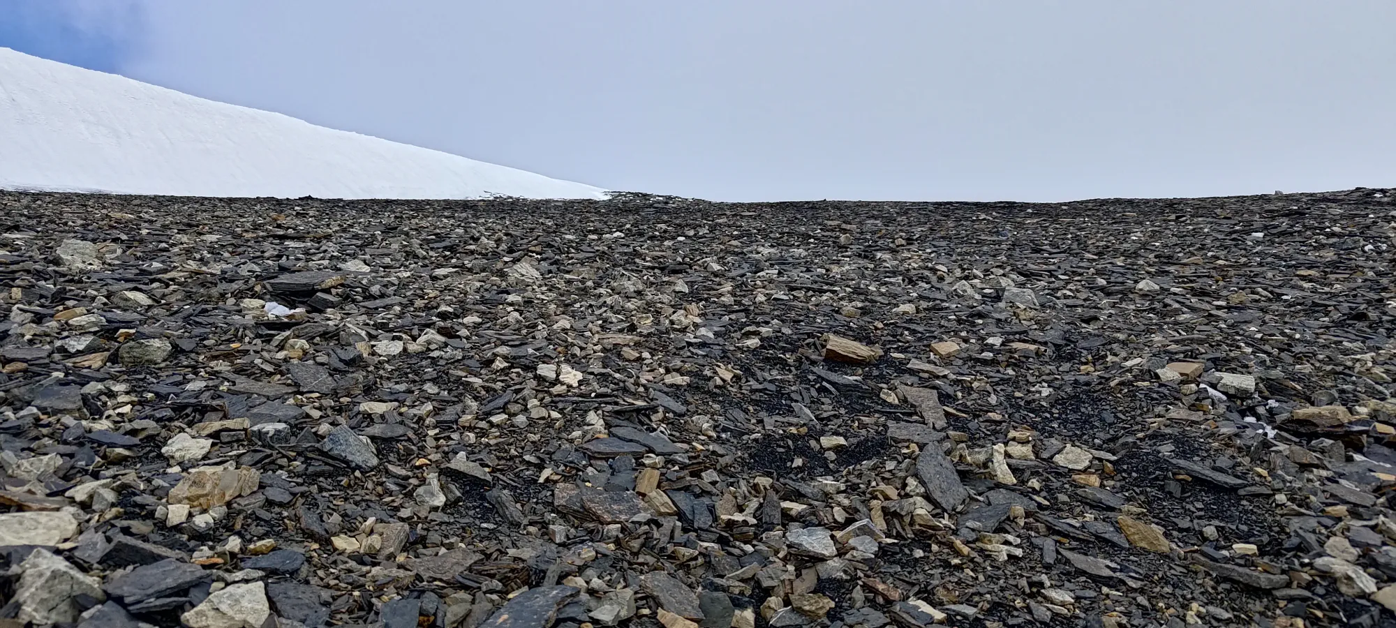
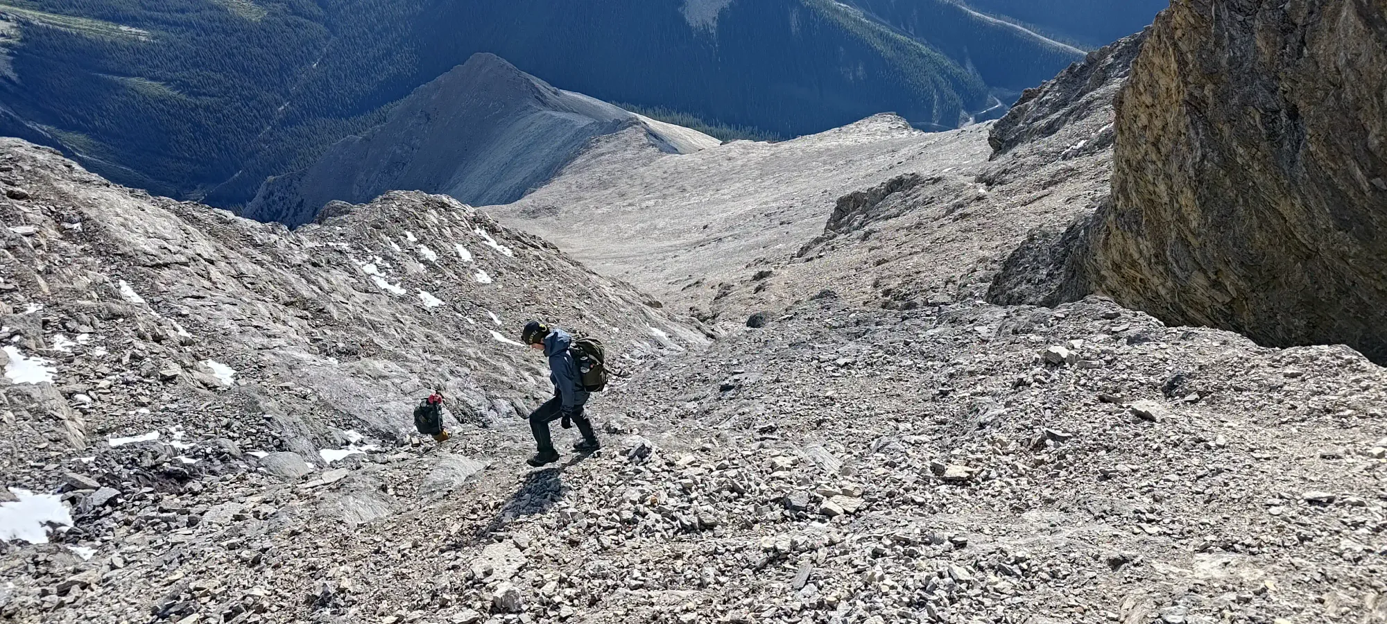
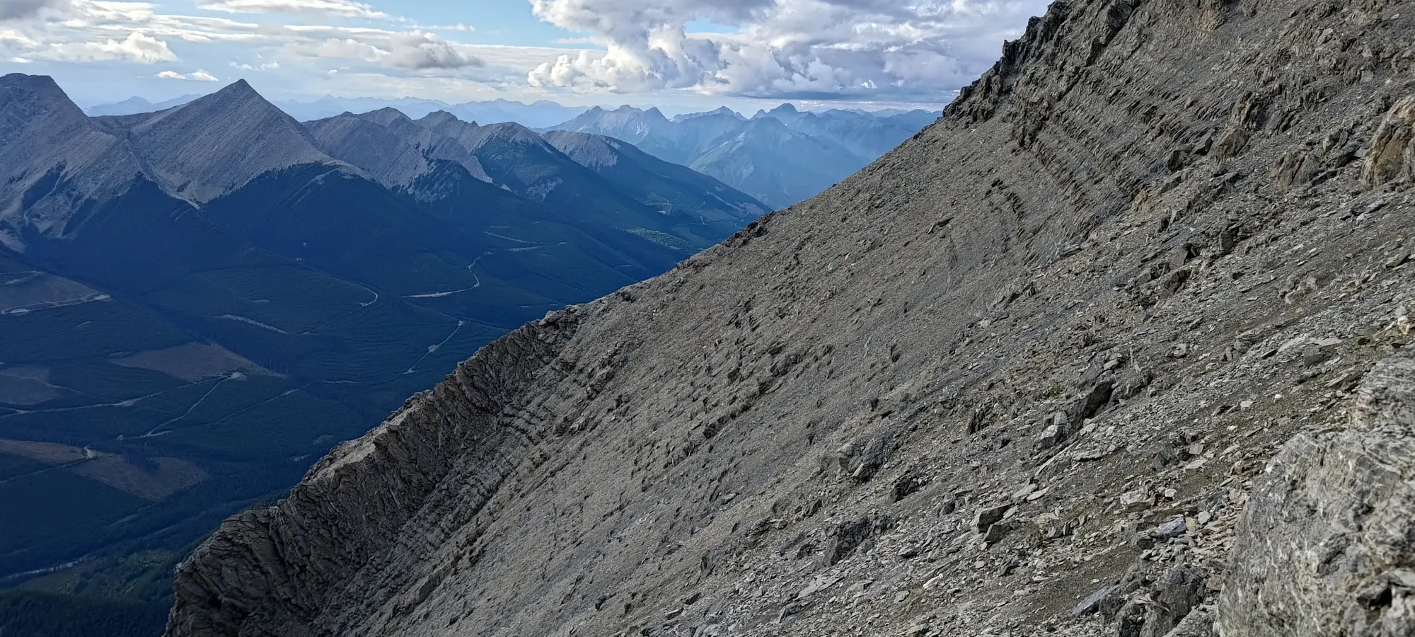
A few short minutes after we hit the ridge, we cut over onto the west side of it, and started following an established track through the scree, with intermittent snow, but never enough to really impact traction or make our feet wet, even in shoes. If anything, the snow kinda helped us routefind, as it stuck to the divoted hiker's path well.
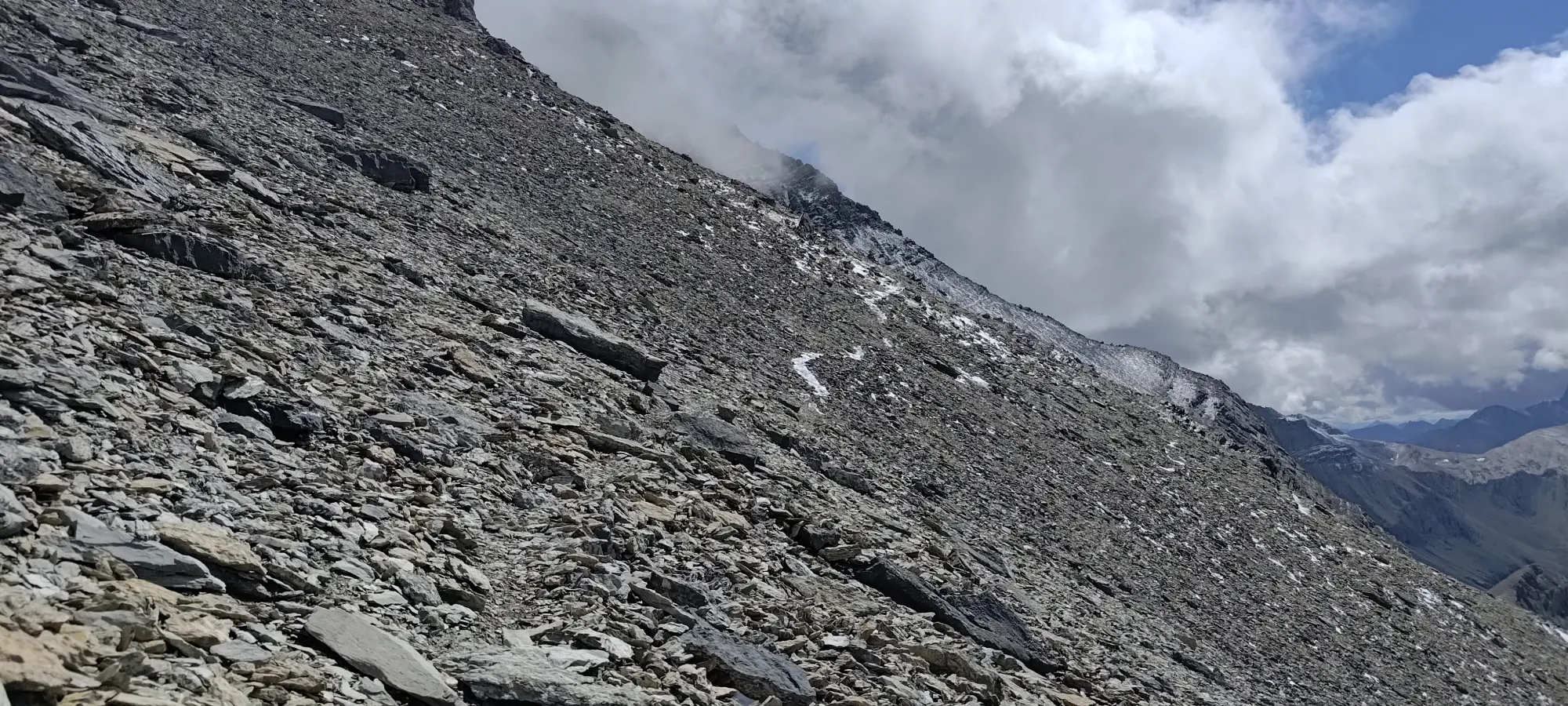
This sidehilling traverse took us about another hour. There wasn't much to it other than "just keep walking" until we eventually got close enough to the ascent route that we started scrambling up (though we did that a bit early, it turns out. This wasn't a big deal, though, as none of the scrambling was notably difficult on this mountain).
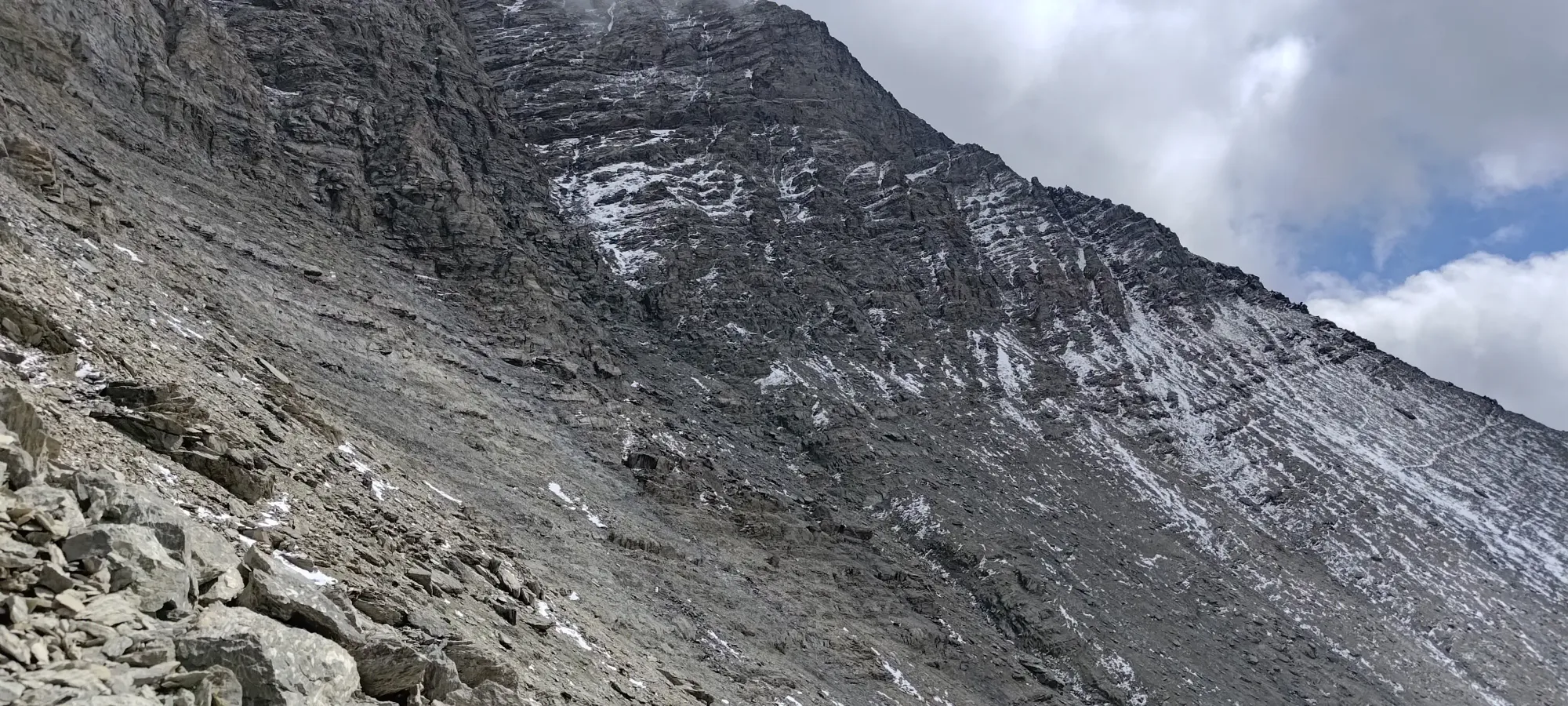
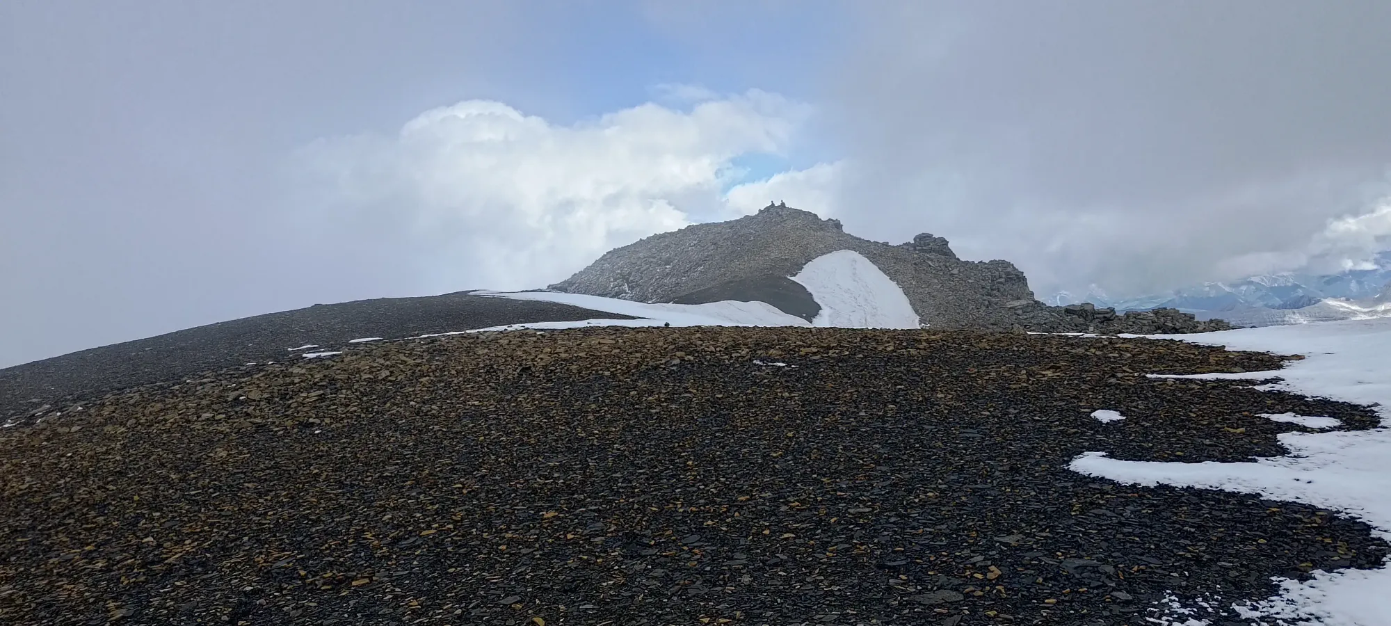
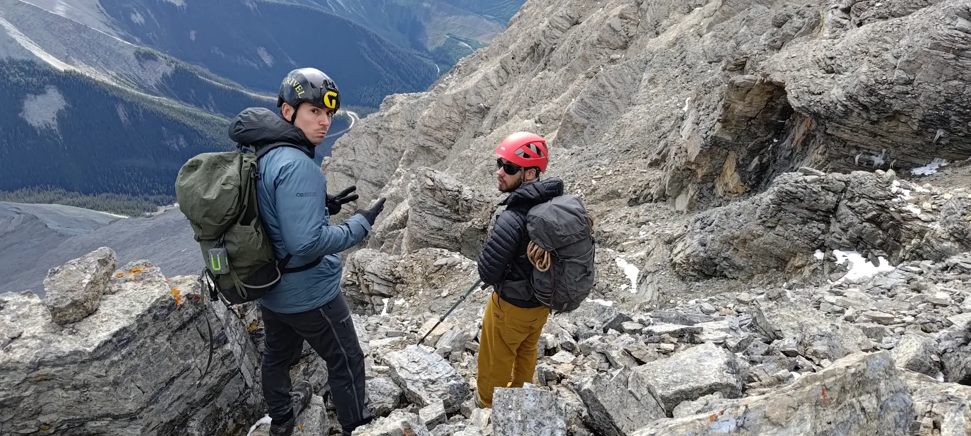
At around 3:30pm, or a bit past 4.5 hours into the day, we finally finished slogging up scree trails, and got to start scrambling. We saw some ice in the larger gullies, but not much on the rocks between them, and those all looked scrambleable, so we weren't too worried about the feasibility of climbing up. We were more concerned with avoiding snow/icefall as things melted out, which we did by just "not staying in the gullies", and time, as we didn't want to be in technical or hard-to-navigate terrain in the dark, as that would compound the time to get out substantially. We agreed to keep going if we could keep a pace of 300m/hour of vertical, and to check in every 15m to ensure we could keep that (we in this case was mostly me, having been running on mere vestiges of sleep and scant calories).
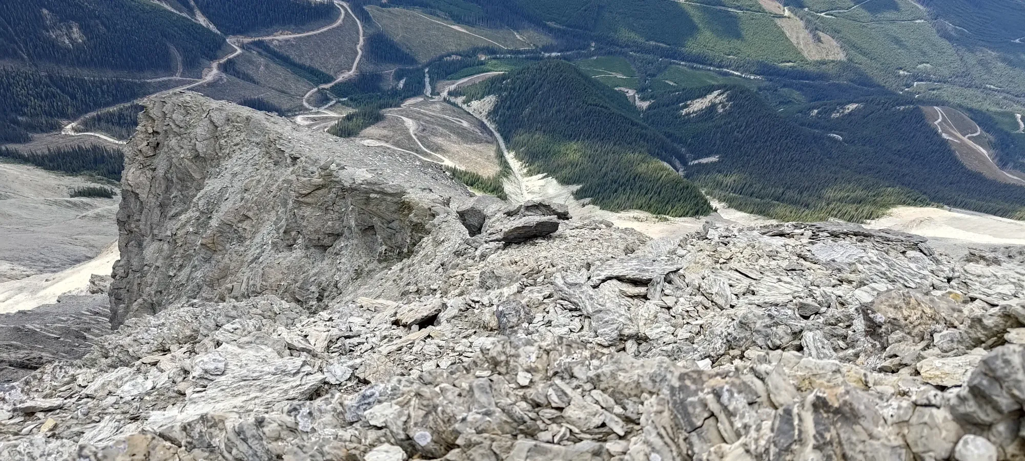
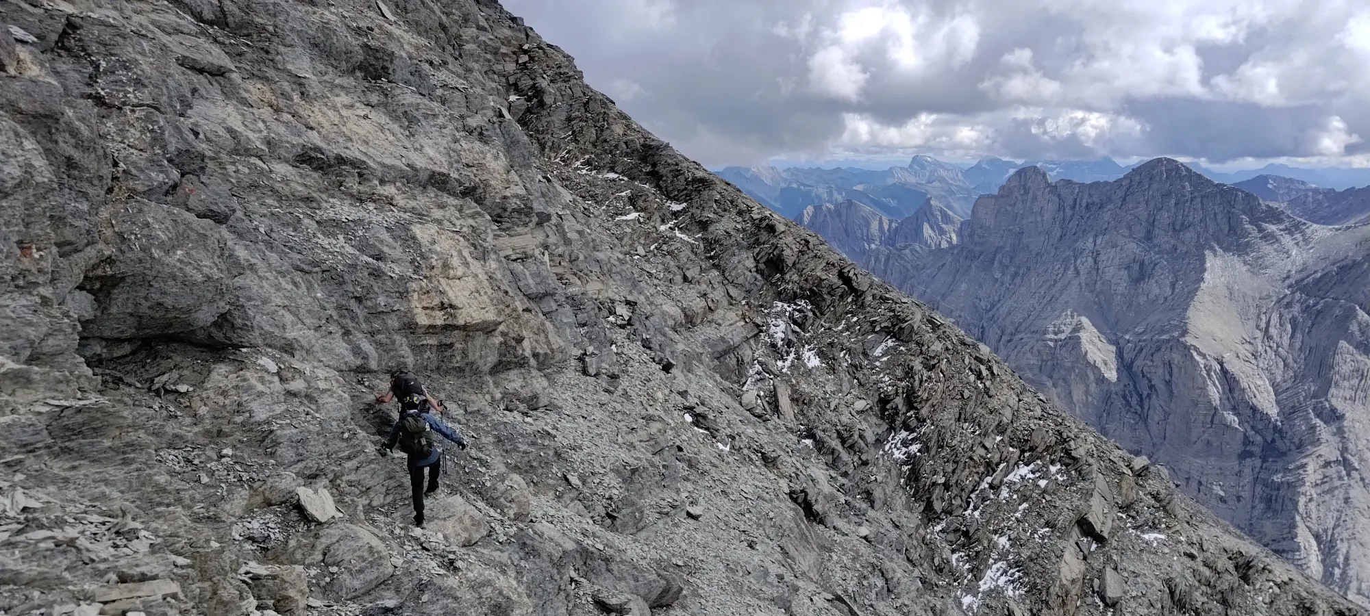
We, for the most part, went up towards climber's right when we had a fork between gullies, but did largely try to stay out of them and instead on the ribs between, to avoid overhead hazard. This was quite easy, and was more often just stepping up ledges than actually scrambling with our hands. When we were scrambling, it was easy class 2 with hands for support. There were class 3 spots here and there, but largely avoidable with more conservative routefinding if you wanted to avoid them, I bet.
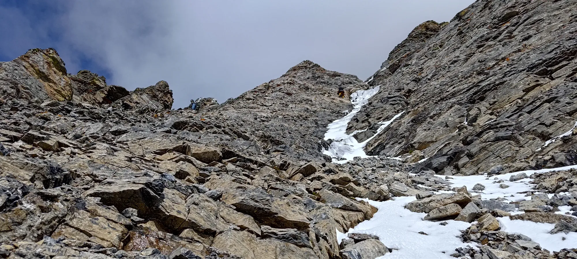
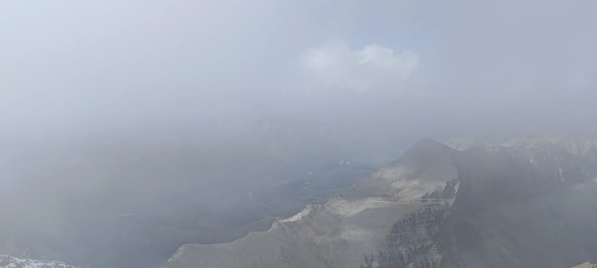
We more or less kept right on our target pace, though it was hard to measure at times, as our GPSes weren't that accurate in the steeper rock, and we sometimes had 100m of variance between our measurements. As we got closer to the top, we were more confident in how far away we were, but did have one lingering concern: the terrain involved to top out.
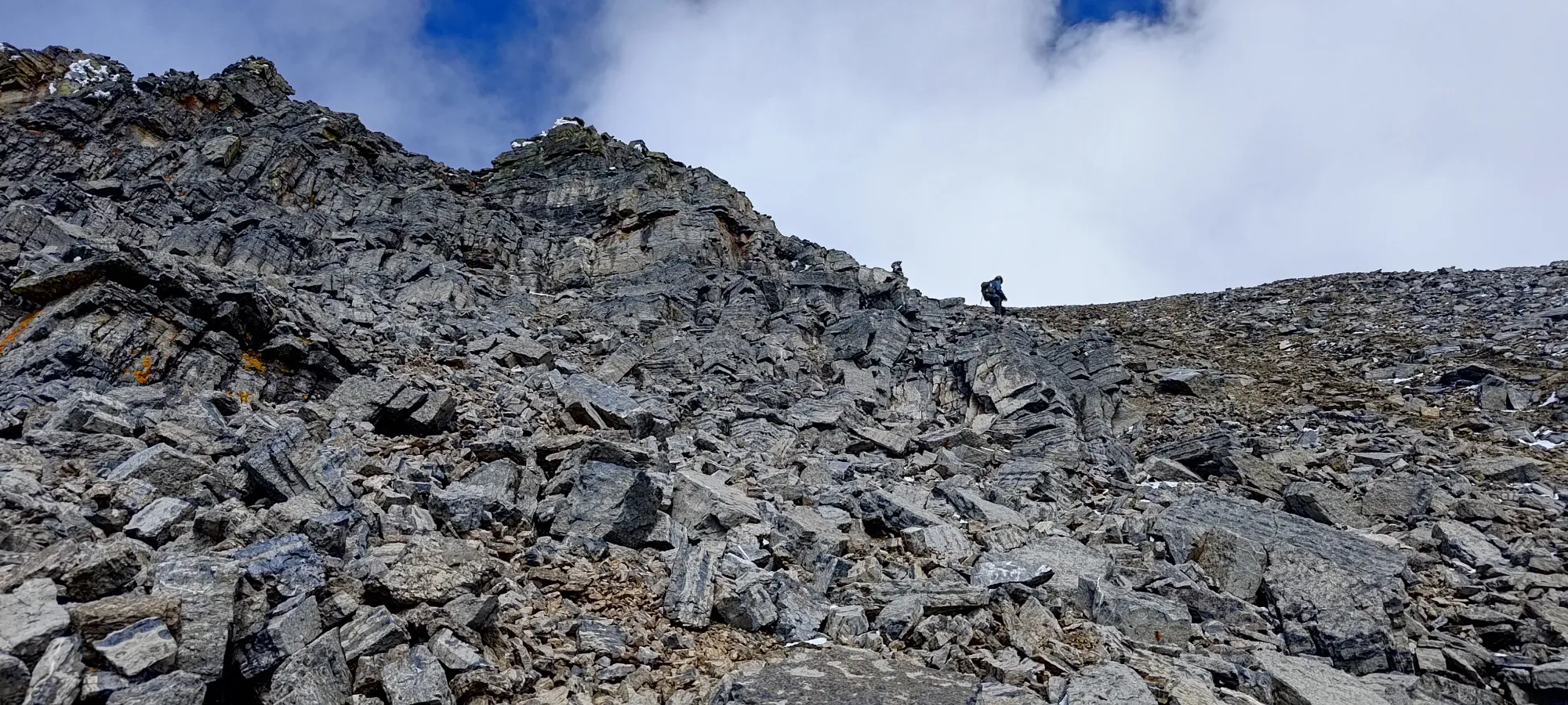
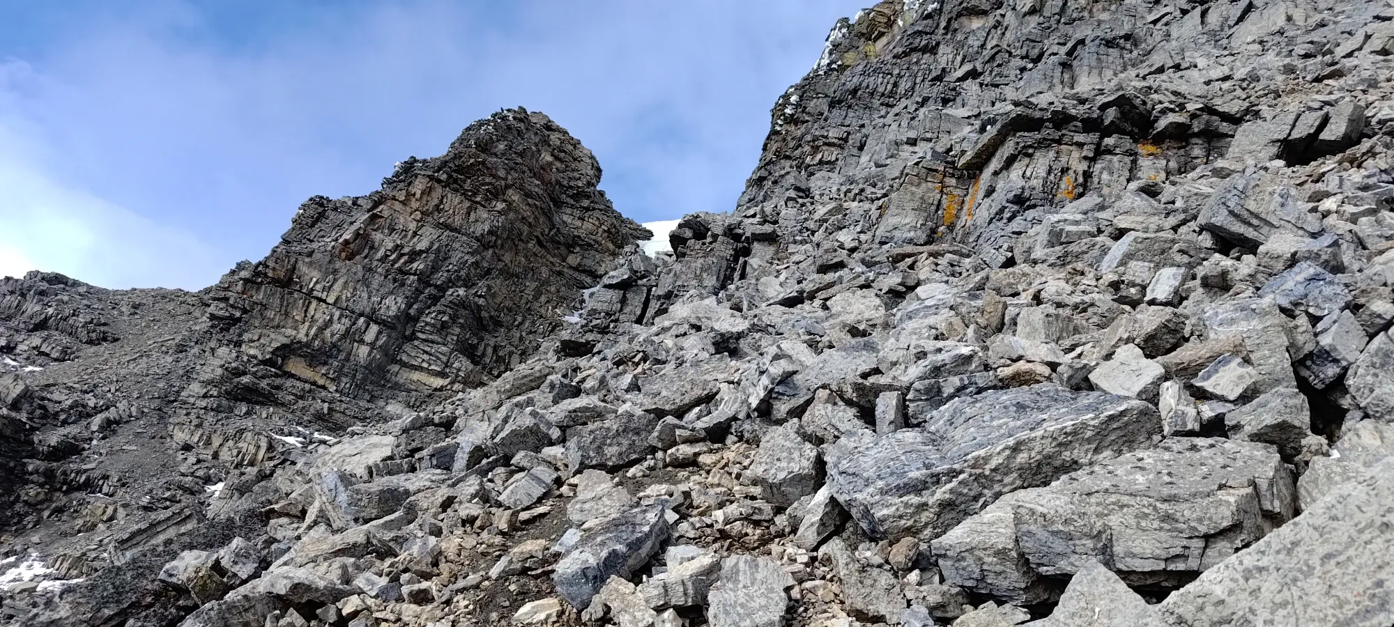
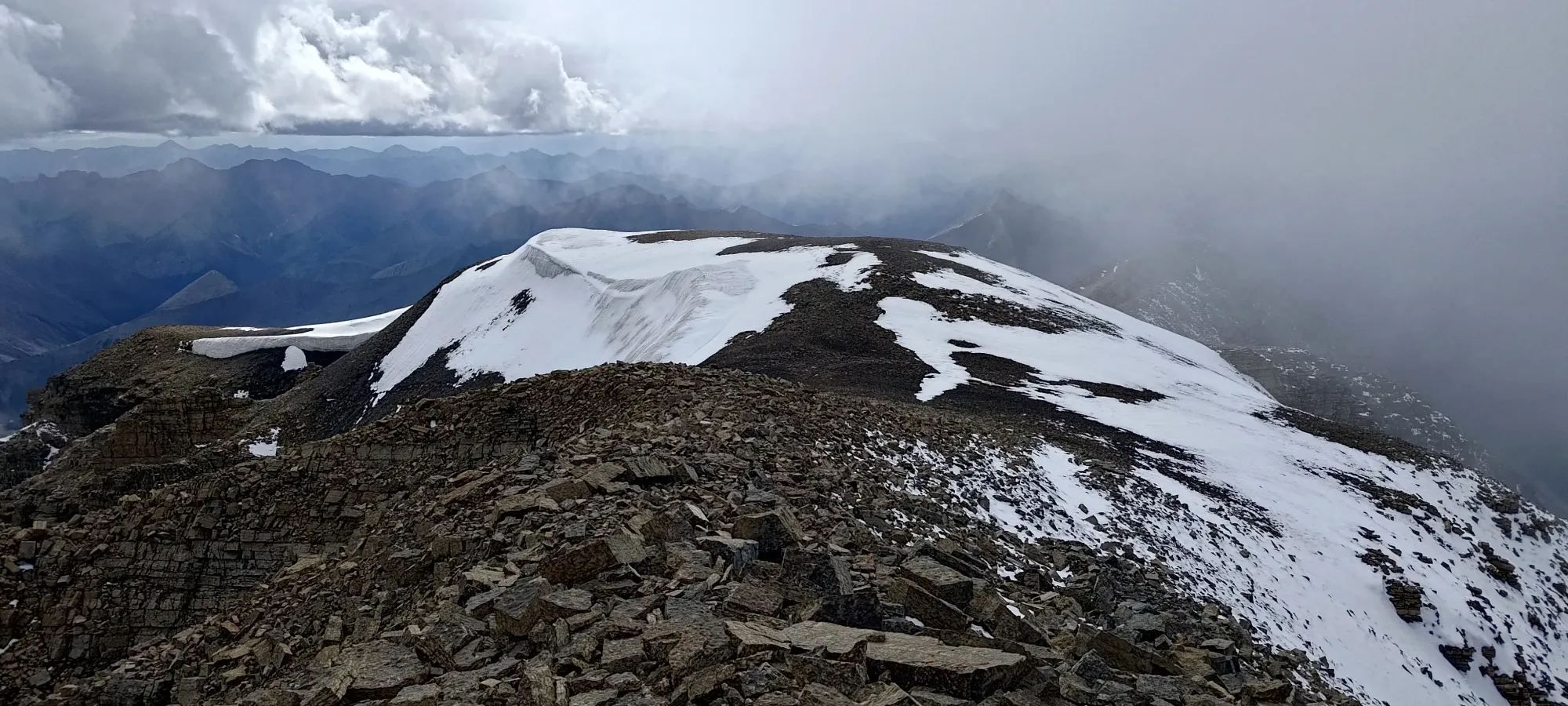
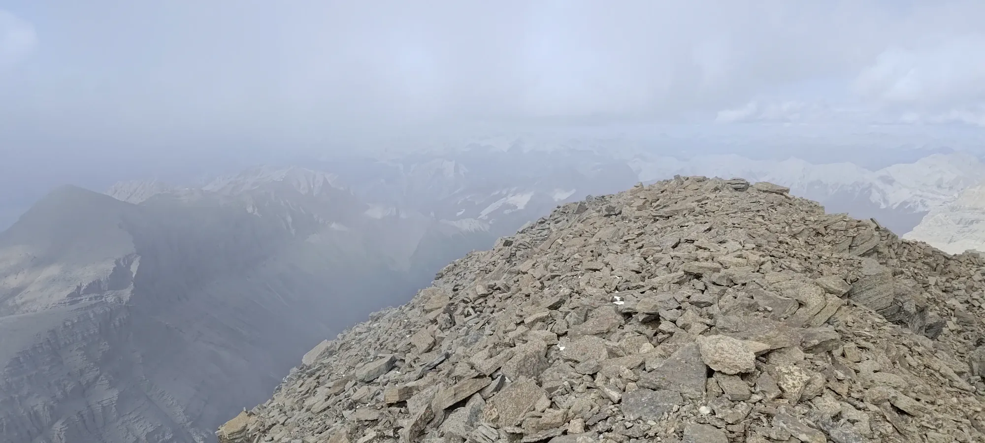
The big concern was the fact that all the routes we'd read about/studied went from the false summit (on the west side), then traversed over to the true summit. So far, the terrain had been quite easy, and as we got closer, it was leveling off, so we weren't too worried, but it was still on our minds as an "it would be really annoying to get that close and have there be an unclimbable wall or something this way". Despite that pessimistic thought, though, our "direct route" towards the true summit paid off, and as the rocky protrusions disappeared, a short scree slope presented itself and rolled off onto the horizon. With scant energy and time left to make the summit, I pushed on up to see where Logan+Michael were waiting.
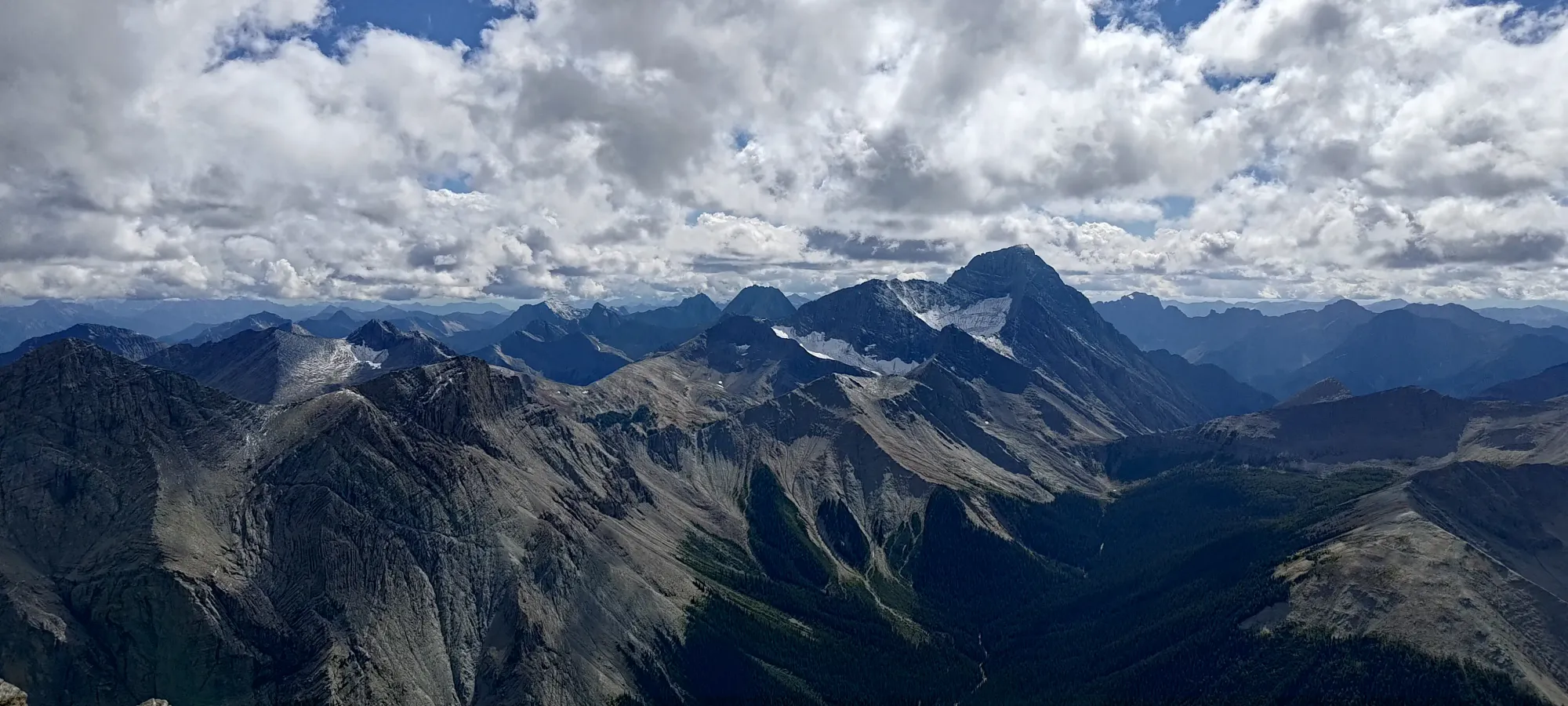
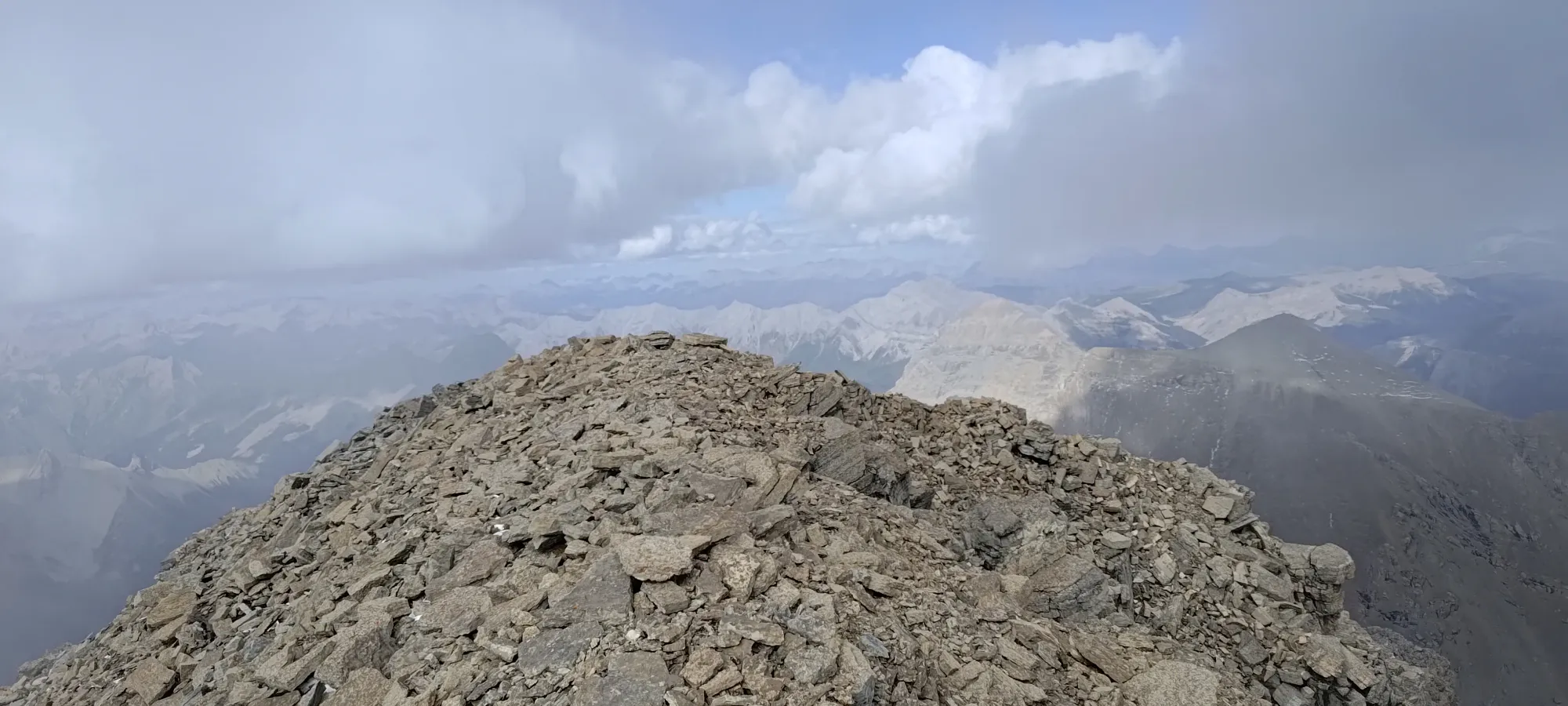
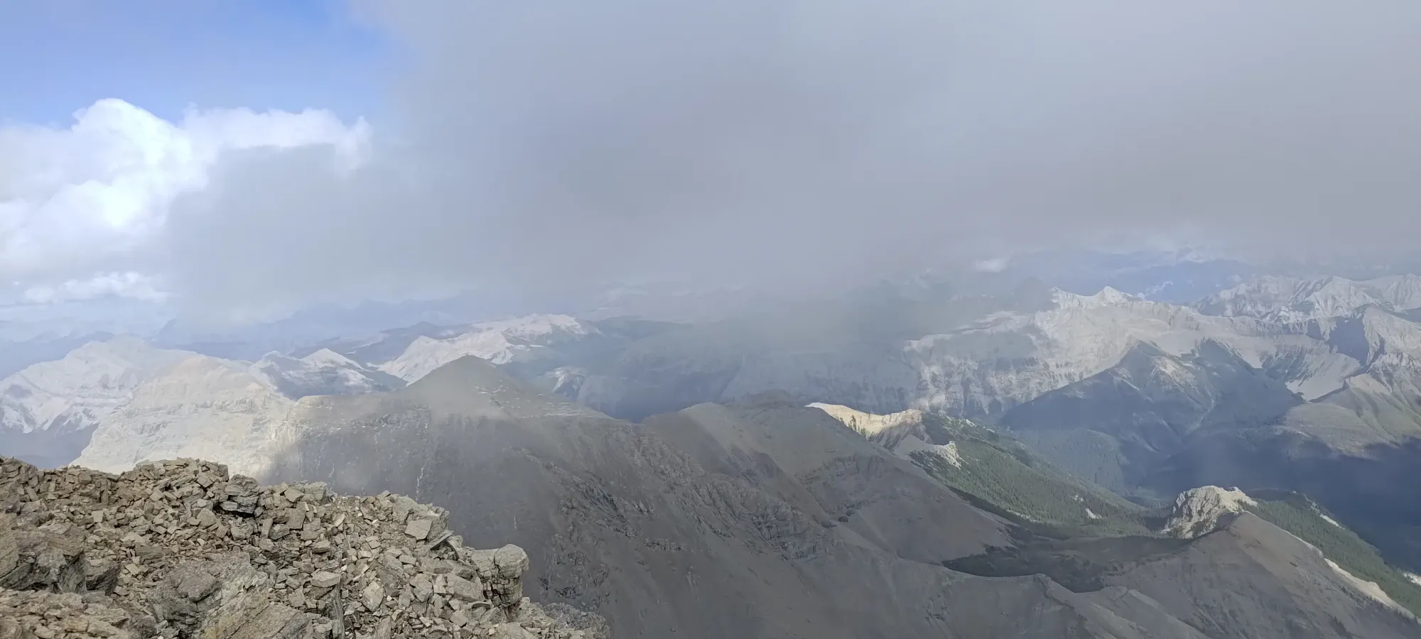
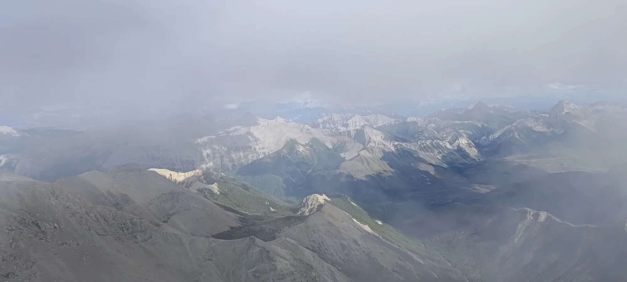
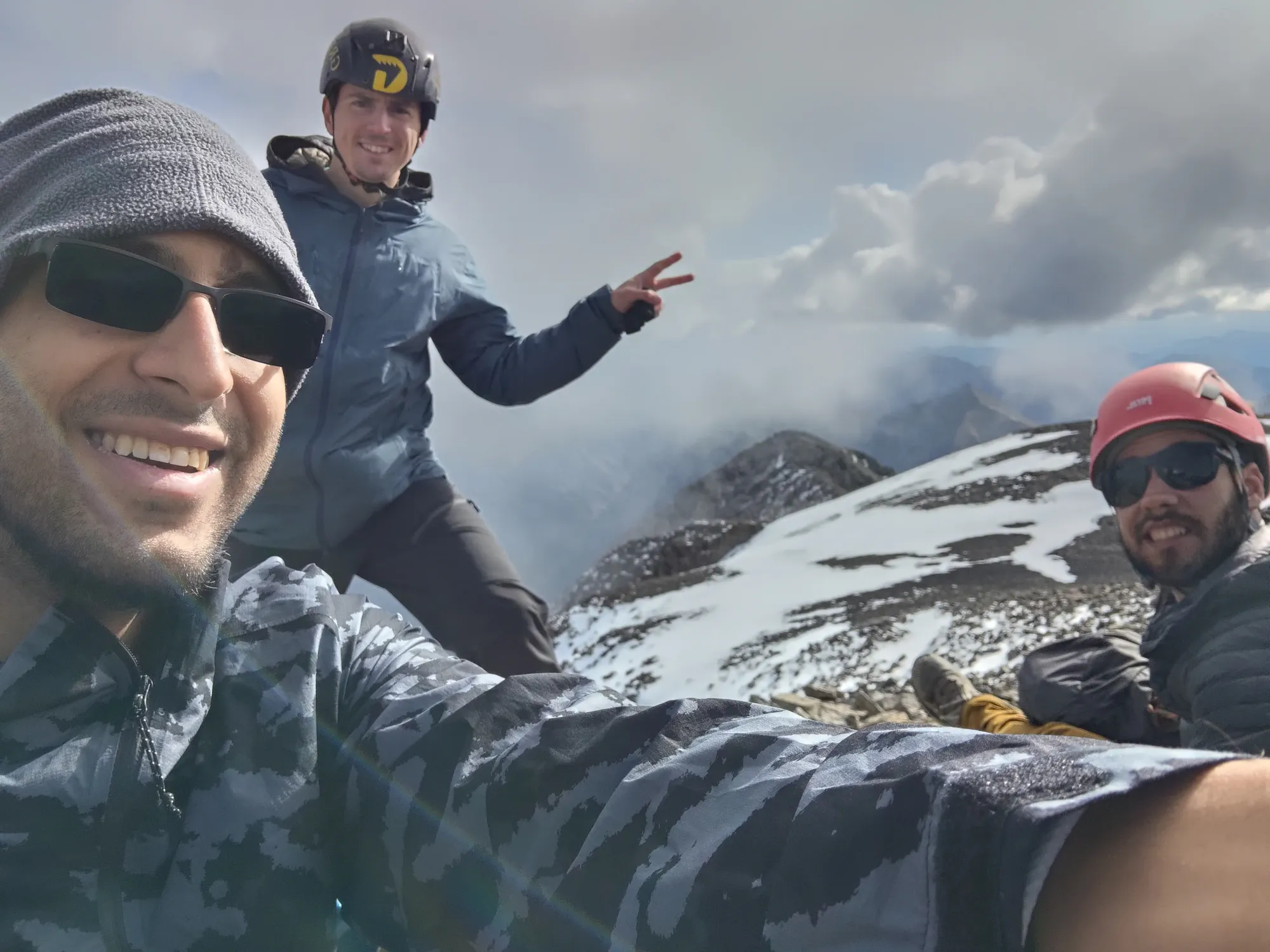
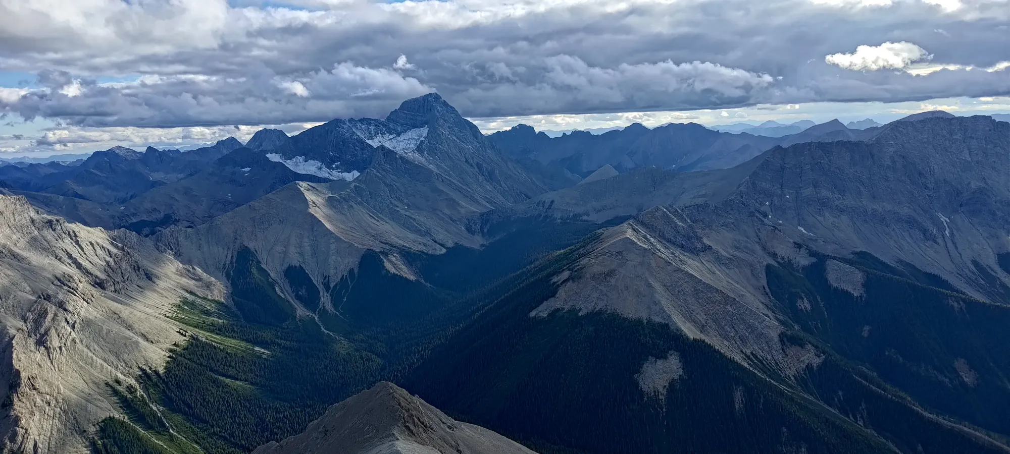
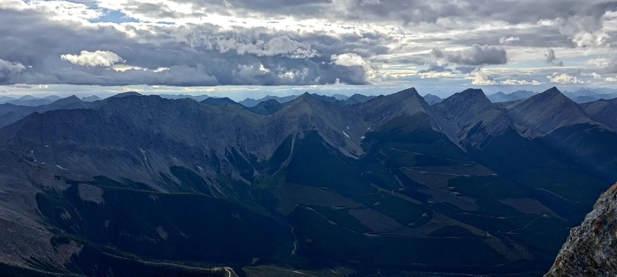
With seconds to spare for our 5:00pm hard limit, I crawled onto the summit and basked in the glory of getting another 11000er and ultra on the first peak of the trip 🙂 We didn't stay much longer than was necessary to take photos and have a small snack, though, as the reason for the time pressure (having light to navigate) was still very much a thing. It was surprisingly not that cold, though, for a high summit where snow had fallen just the day prior.
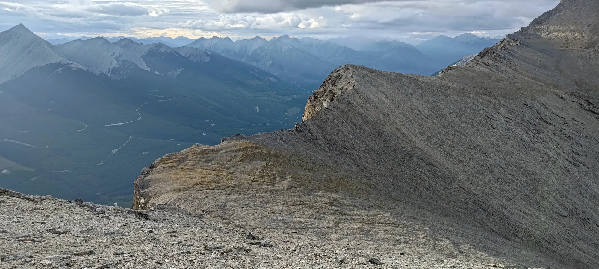
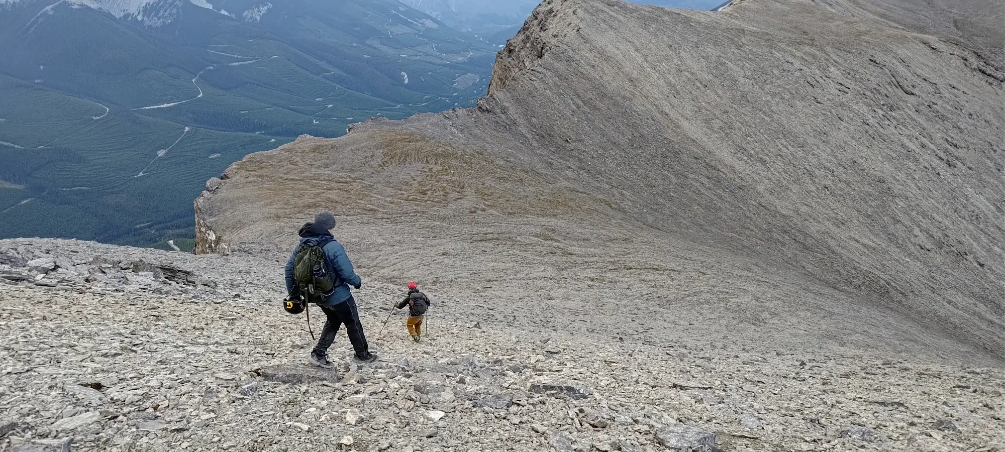
The way down was, unsurprisingly, a lot faster than our a-bit-over-six-hour ascent. The downclimb of the scramble section to the long scree traverse took us just over an hour, with little difficulty encountered, as we mostly just wandered around looking for easy ledges and spots we could either avoid rockfall entirely, or climb down separate areas simultaneously to expedite our progress. This worked well, and we found ourselves starting our traverse with plenty of time to spare before sundown.
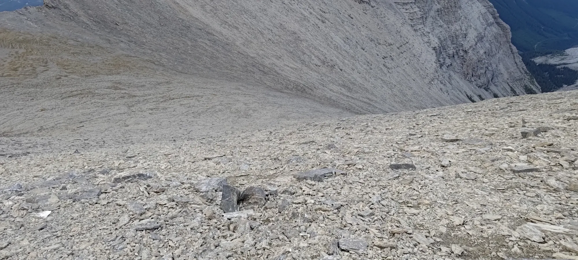
The traverse took us longer than expected, about an hour. We tried to stay higher/more on the mapped trail this time, to avoid needing to do any hiking up to stay above the eventual wall we'd need to pass above to get to the Harrison-Folk col. This worked well at first as we had a good trail, but as we got further along, the sidehilling was more just "in random scree terrain", which Logan seemed to not be enjoying all that much. Much cursing and frustration were had as we curved across 😅
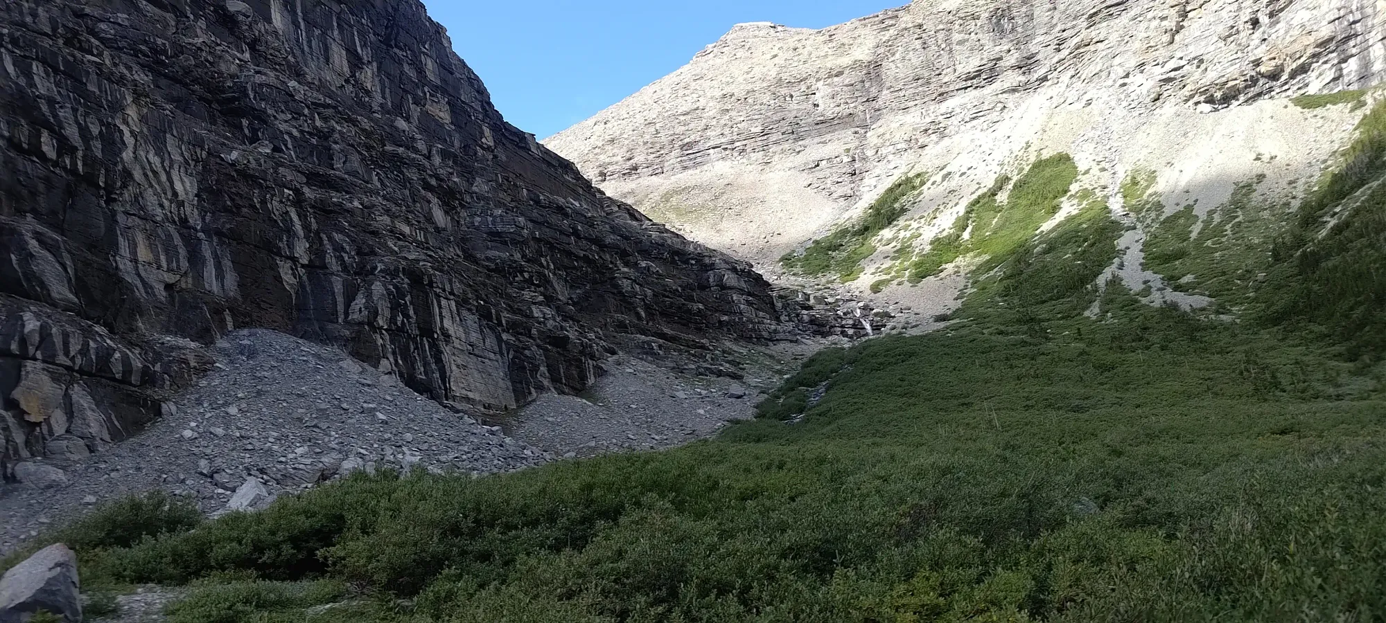
Once we got past that wall, things sped up, and we finished the traverse above the large bowl above the creek basin, taking a short break there before starting the big descent that would lose most of the elevation remaining.
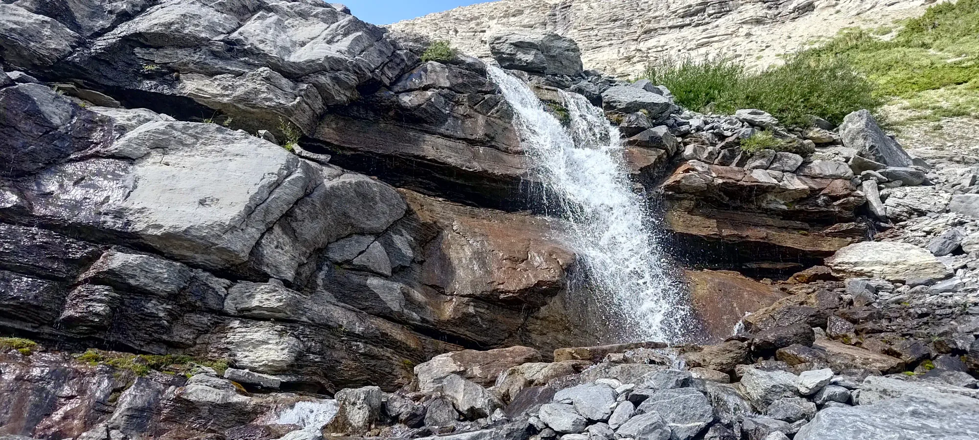
The descent was pretty efficient, losing us over 500m in about 50 minutes, and getting low enough that we had to strip layers, despite the late hour. We did our best to just grind out the whole thing in one shot, and took only a short break as we curved around the waterfall at the bottom of the bowl before starting the walk out by the creek.
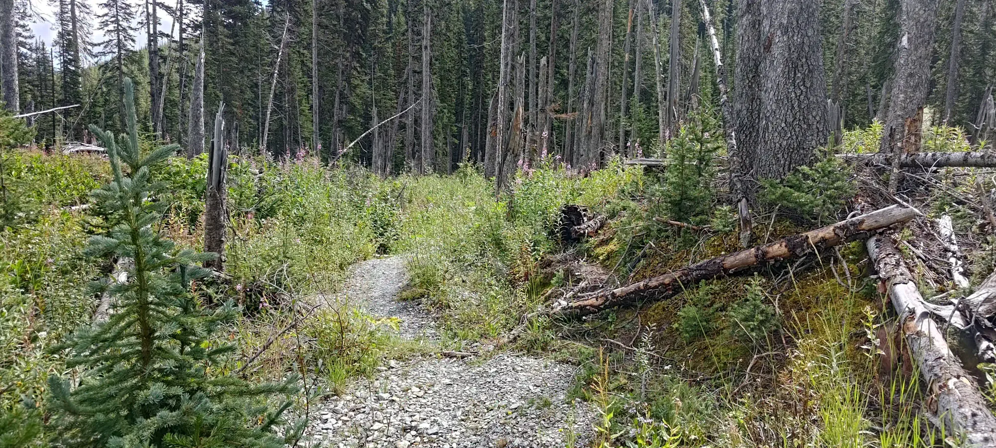
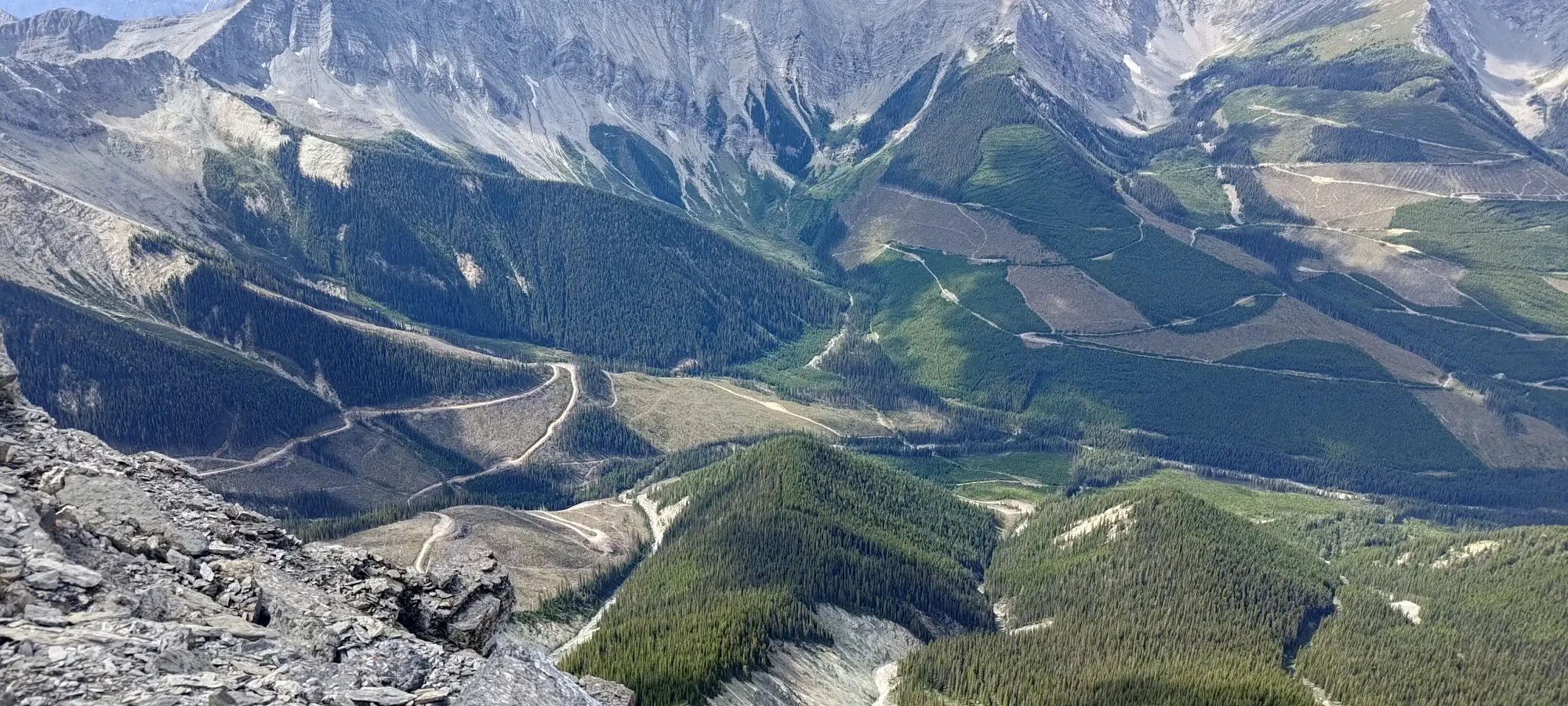
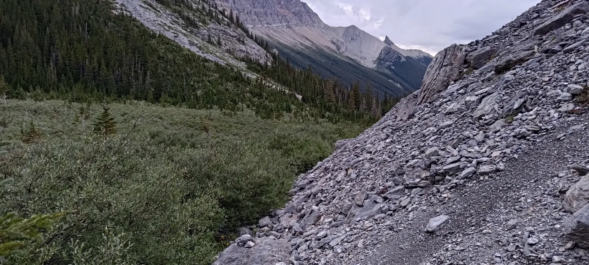
From the bottom of the bowl, we followed the trail fairly well out to the car, taking an hour nearly on the dot to get back. That's definitely one of the shorter approaches for a big peak like this I've had! We skirted a bit high on the open slopes after getting around the southward bend, but eventually dropped down to the valley where the trail actually was, and from that point, only had mild bushwhacking in a few spots before getting+staying on the trail all the way to the end.
This time, we took the trail the whole way back, and it was perfectly fine, so ignore any beta saying to intentionally leave it and bushwhack, this is not needed. The only thing to really change vs our downtrack is to park at the real trailhead and spare a somewhat challenging creek-hopping. Logan just gave up and got wet, Michael managed to speedily hop across, and I used some looong veggie-belays to get myself across dry.
Once we got to the car, only just having put our headlamps on, we geared down and started the long drive back home. Of course, we couldn't "just go home", and stopped for a probably-too-long stop at the Lussier Creek Hot Springs along the FSR 😅 (they were pretty nice though). As others have mentioned, we'd agree the crux of the trip is just the long drive, for us nearly 4 hours each way from Golden. Still worth it, though!
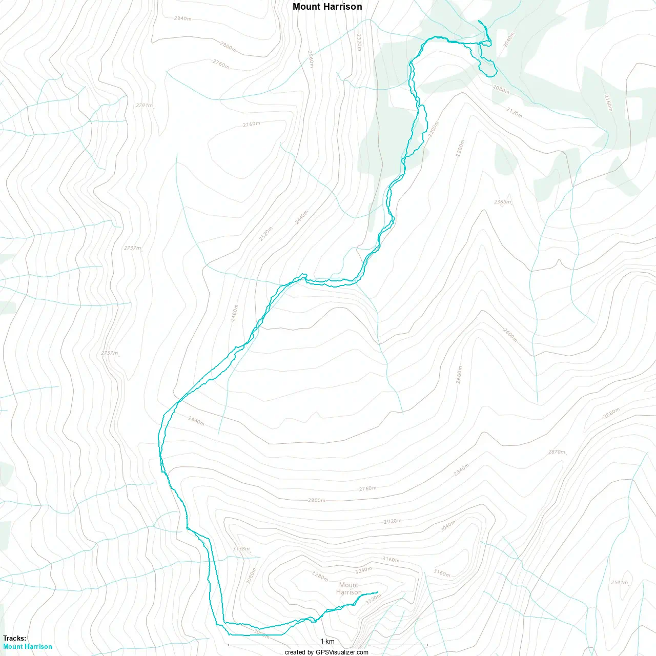
GPX Track + Map