Mount Gardner - August 10 2024
The high point of Bowen Island, this makes for a quick trip on a nice trail. The north summit is where the views are, but the south is higher. Both are worth visiting.

Georgia Strait Islands, Bowen Island, BC
727m
This particular weekend was one fraught with lightning and resultant wildfire risk. As such, I kiboshed my hopes/plans of high-altitude adventures, and instead focused my attention on some lower-hanging fruit. Specifically, I decided now was a good time to go and grab all the small peaks on Bowen Island I'd been ignoring. Ferries there aren't reserved, so I could make a last-minute plan, and the cost isn't too high, so it was okay even if I didn't have anyone tagging along. So, I woke up, slowly made my way down, and ended up catching a ferry at around 1:00 or so. After disembarking, I drove down to the far side of the mountain, aiming to get the furthest from the harbour and highest peak done first, Mount Gardner.
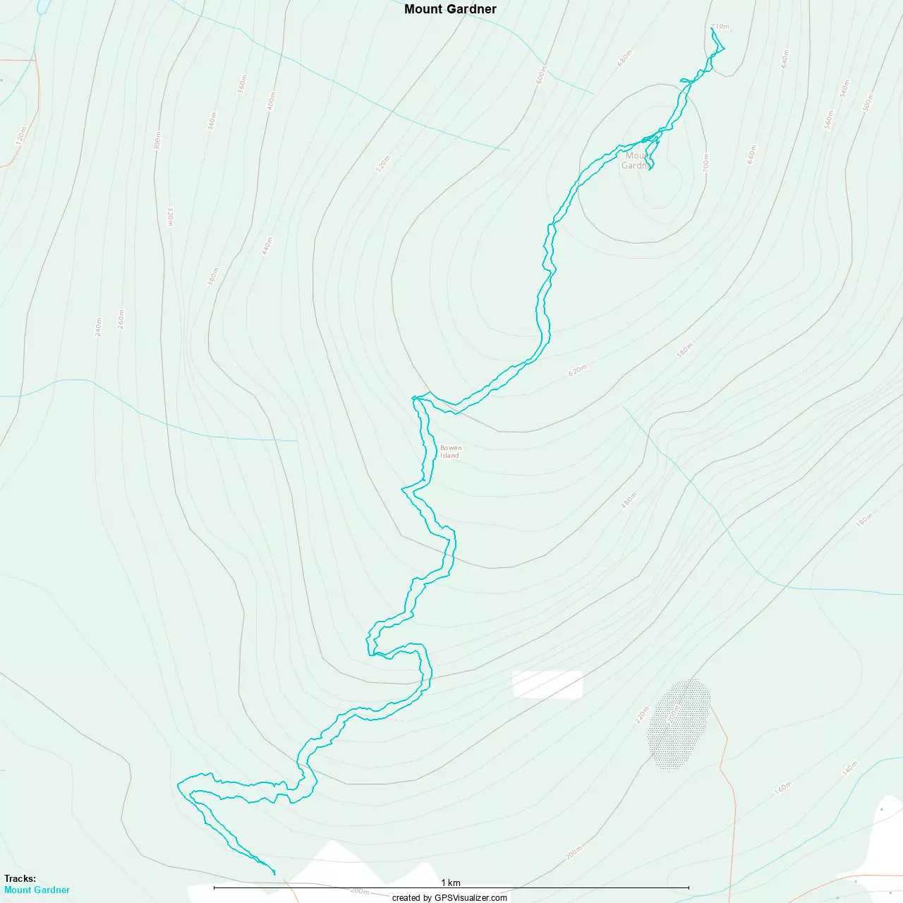
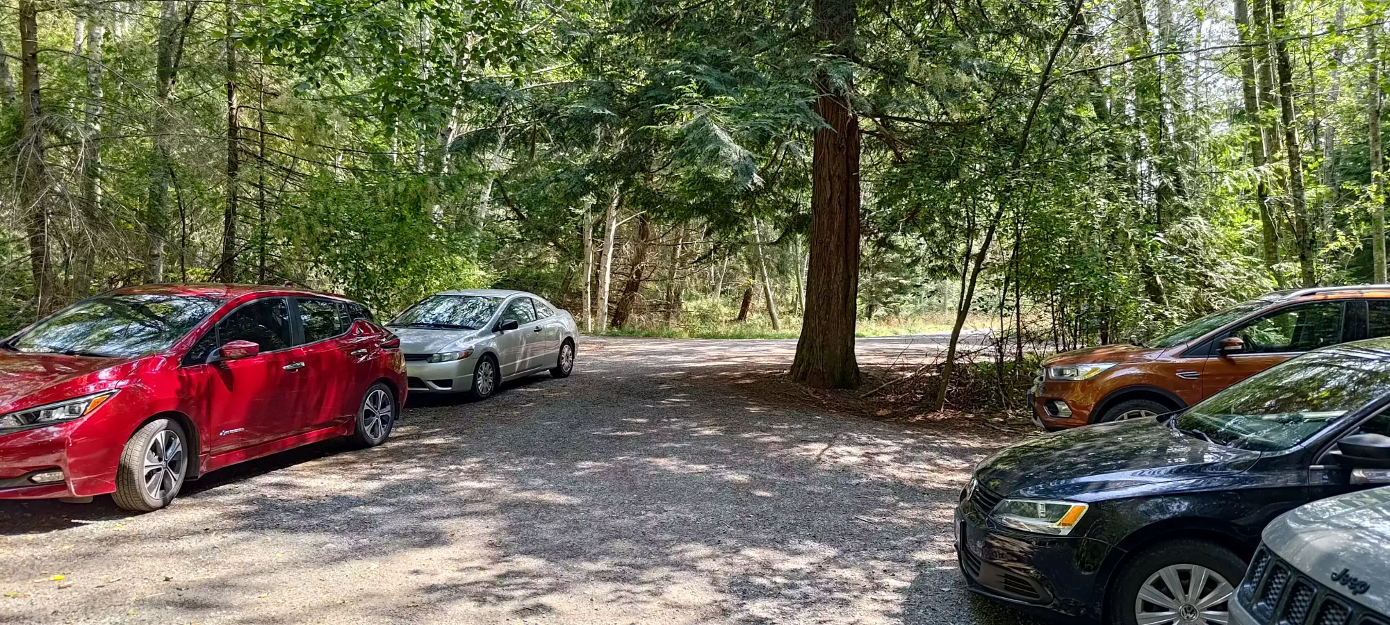
There are two main routes up this peak. I chose the SW approach as it starts higher, is shorter, and also reportedly less popular. All things I enjoy. Sure enough, the parking was plentiful, and I was able to get walking at a very casual 1:42pm.
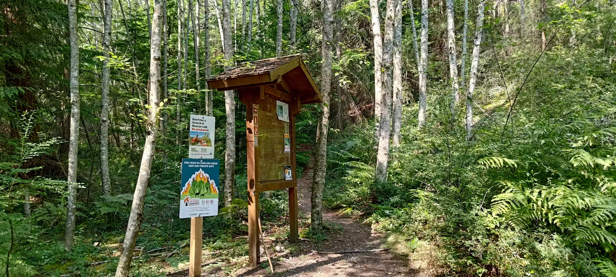
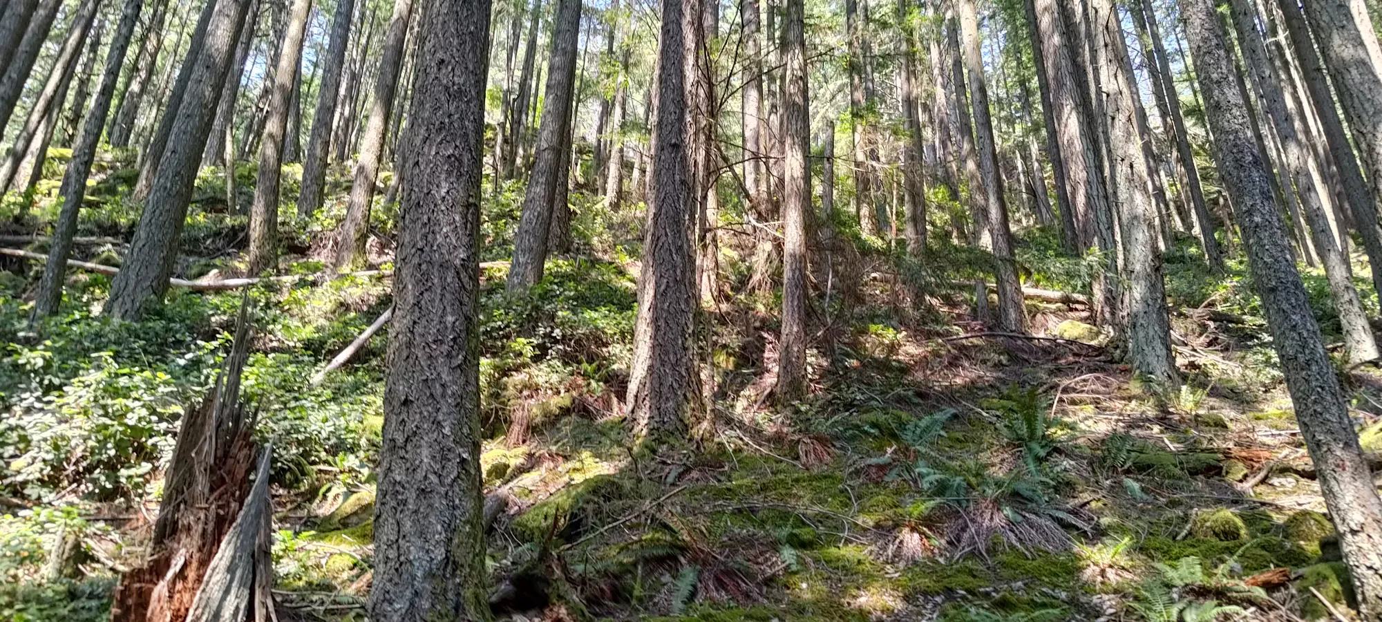
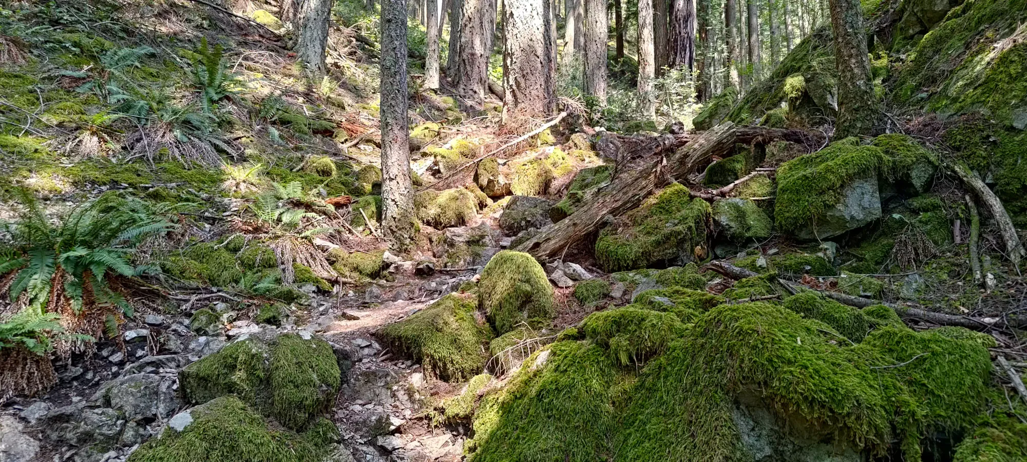
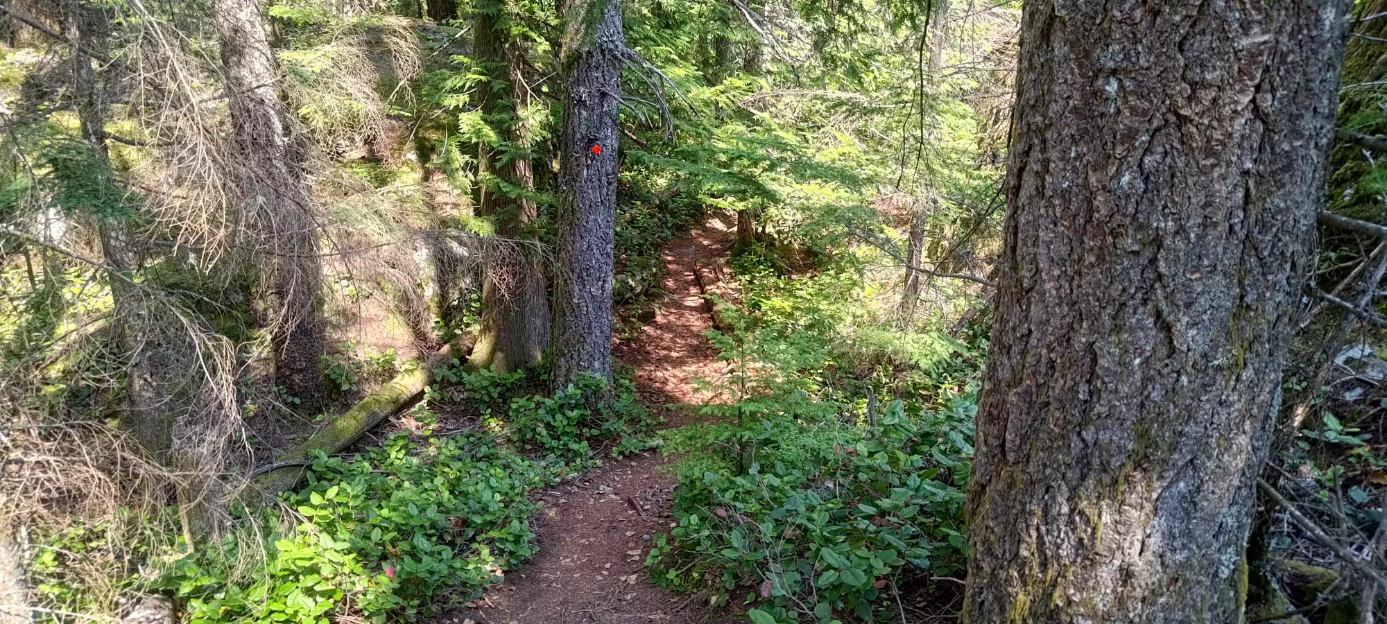
The trail (which starts at 210m elevation) starts off fairly flat, and goes for about 300m until you hit a junction to start going up a bit more steeply, which is the way to go for the South Ridge Express. From that point on, the trail varies a bit from just a well-made dirt trail to some more creekbed-y sections with small rocks, and a few sections with some root-like steps, but it is largely very walkable and even runnable for those so inclined.
I decided to ignore the rather hot weather (think there might've even been a heat warning 😅) and try to push myself to go for a decent time up to the top. As such, I didn't take any breaks on my way up, pushing past a few groups of more chill hikers and reaching the apex of the Skid Trail, which is what the South Ridge Express turns into near the top in about 55 minutes, gaining a bit over 500m in that time, over around 3km.
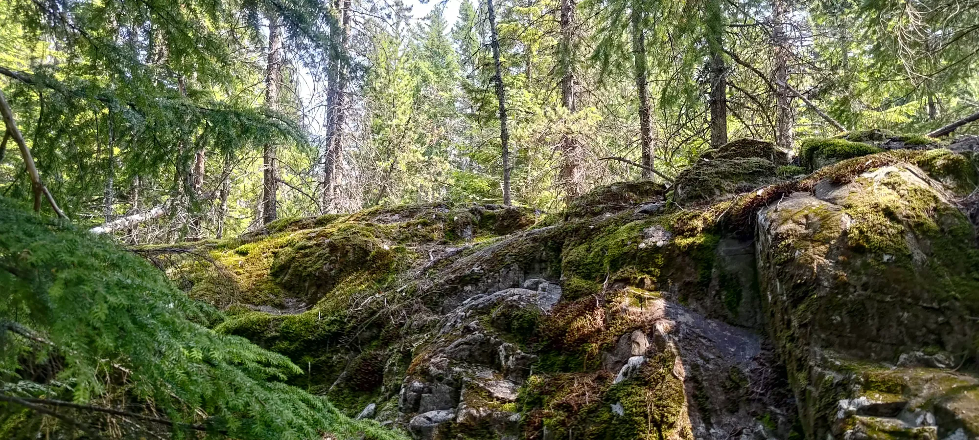
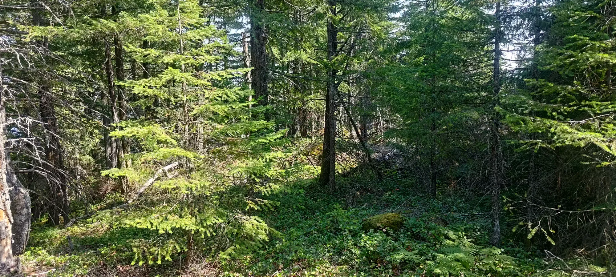
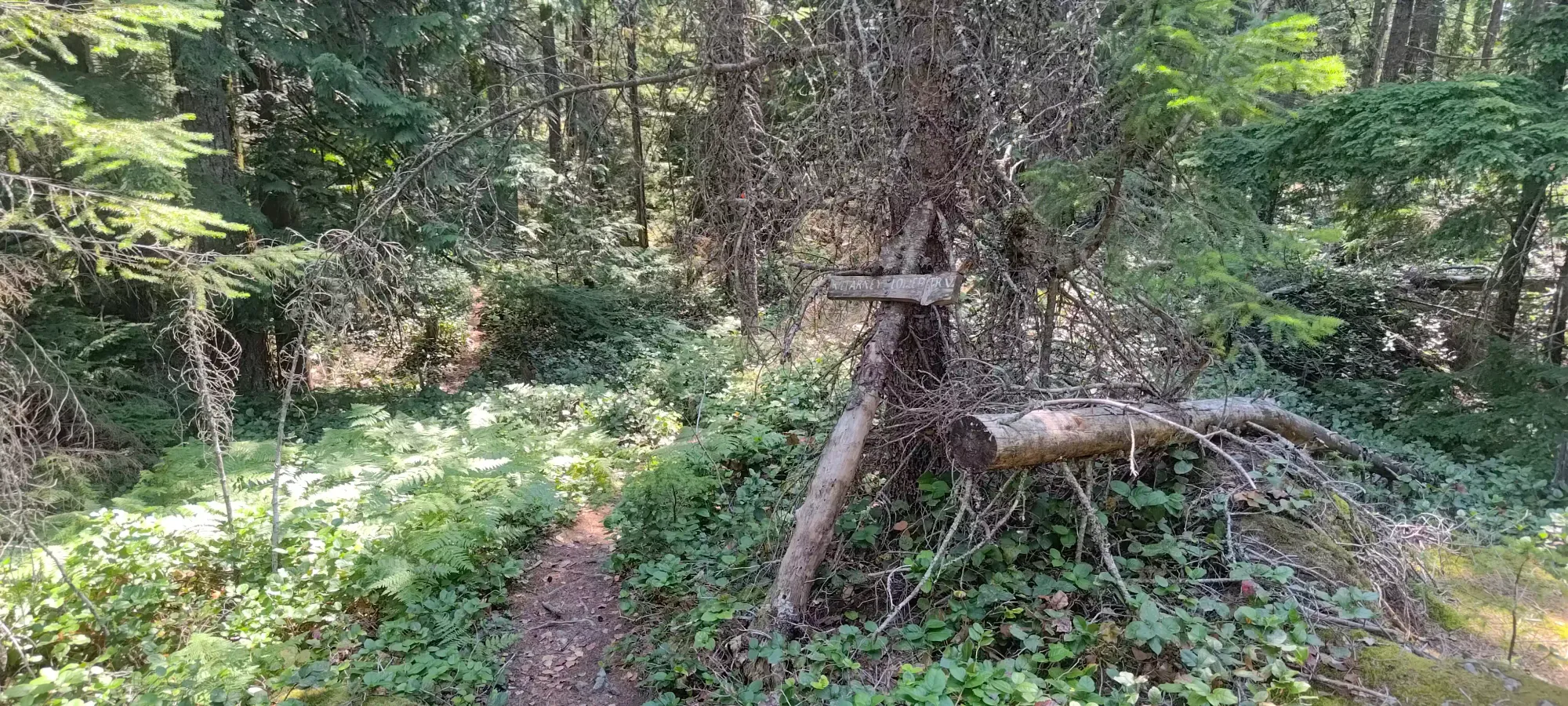
I recalled from some previous trip reports I'd skimmed that the true summit needed some bushwhacking, so given my position at the highest point of the trail, which seemed quite close to the summit on my GPS, I just dove into the forest here to go high-point-hunting. I first got to the top of the bluffs, then realised that the high point was further ahead, and actually intersected with a wide, muddy patch of open terrain that I'd later determine to be part of a new trail directly to the true summit 😅
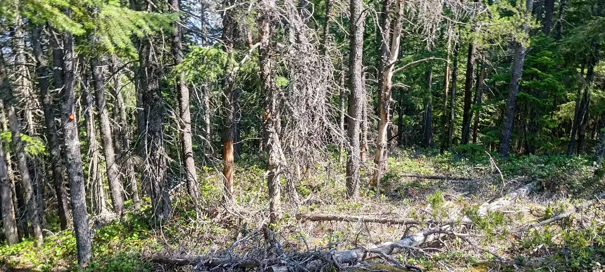
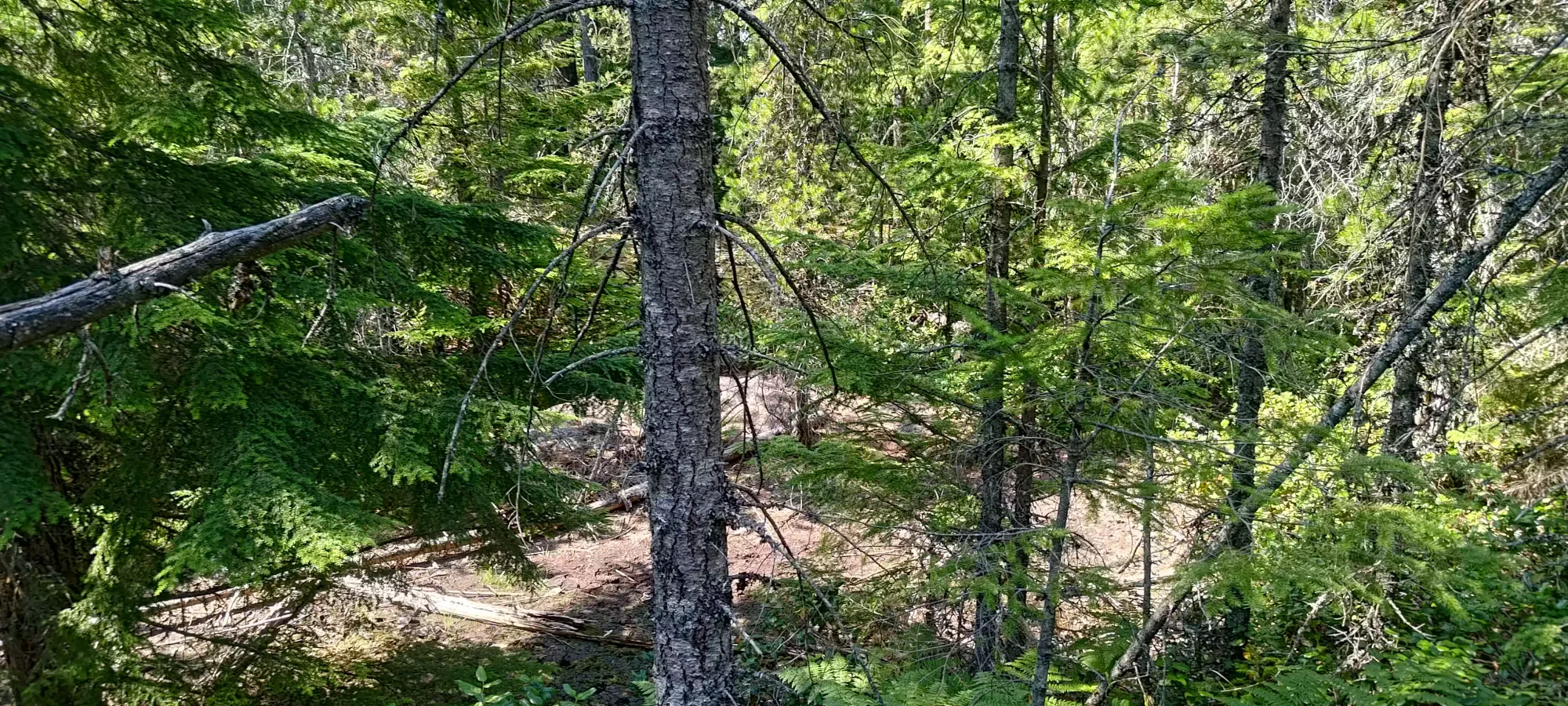
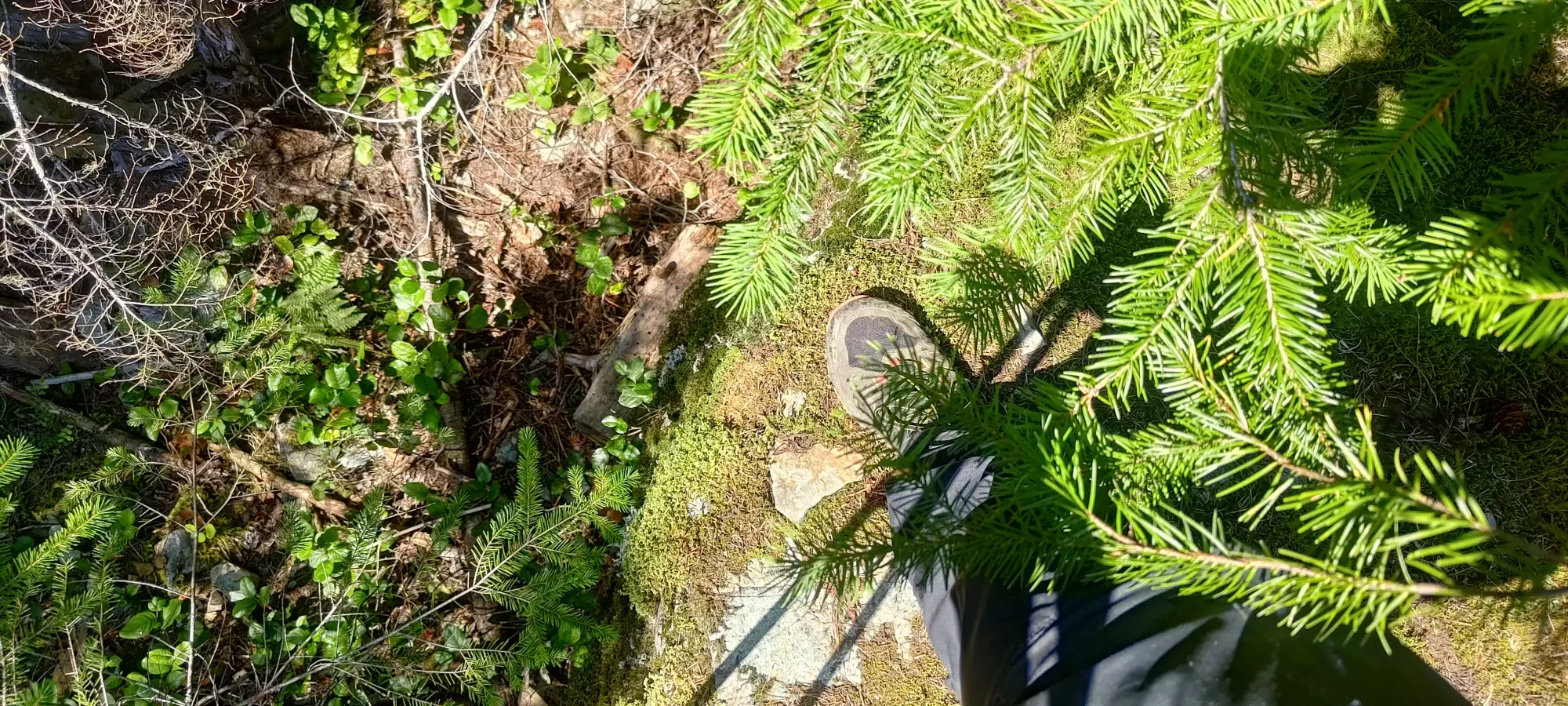
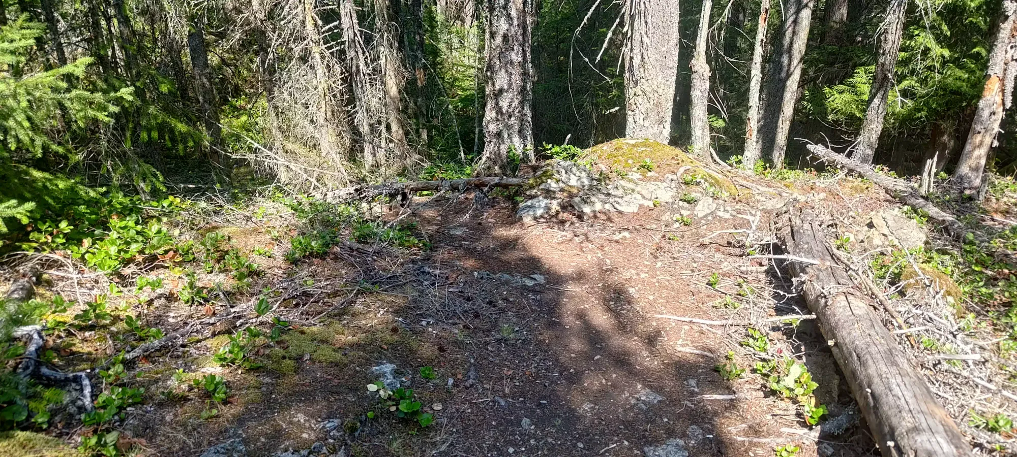
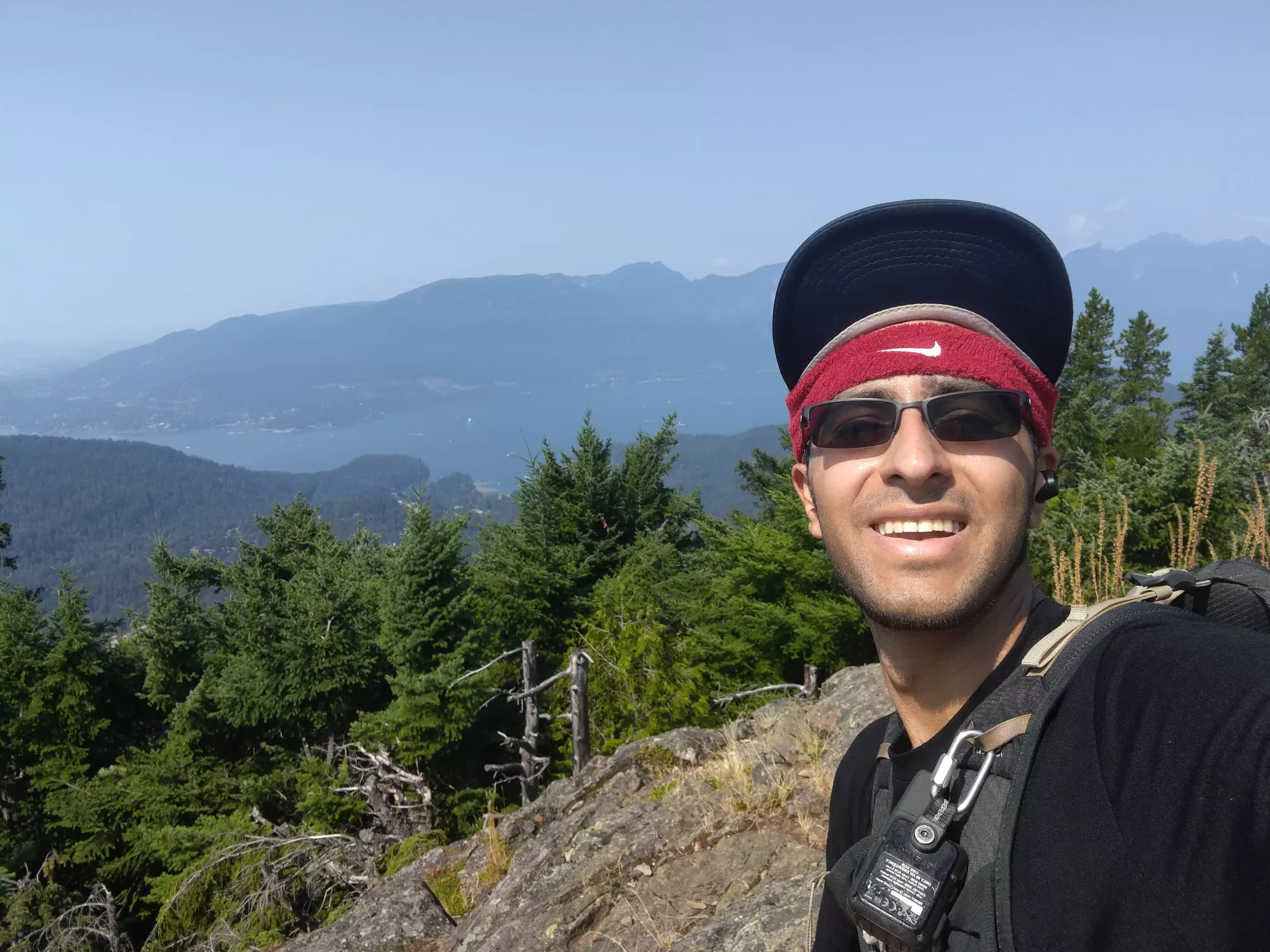
After schwacking over to the far side of that dirt and realising the high point there still didn't match up with my GPS, I wandered towards the marked dot on my map, and shortly discovered there was a trail in there! Once I got on that, I easily made my way to the summit, an uninteresting rock with basically 0 views.
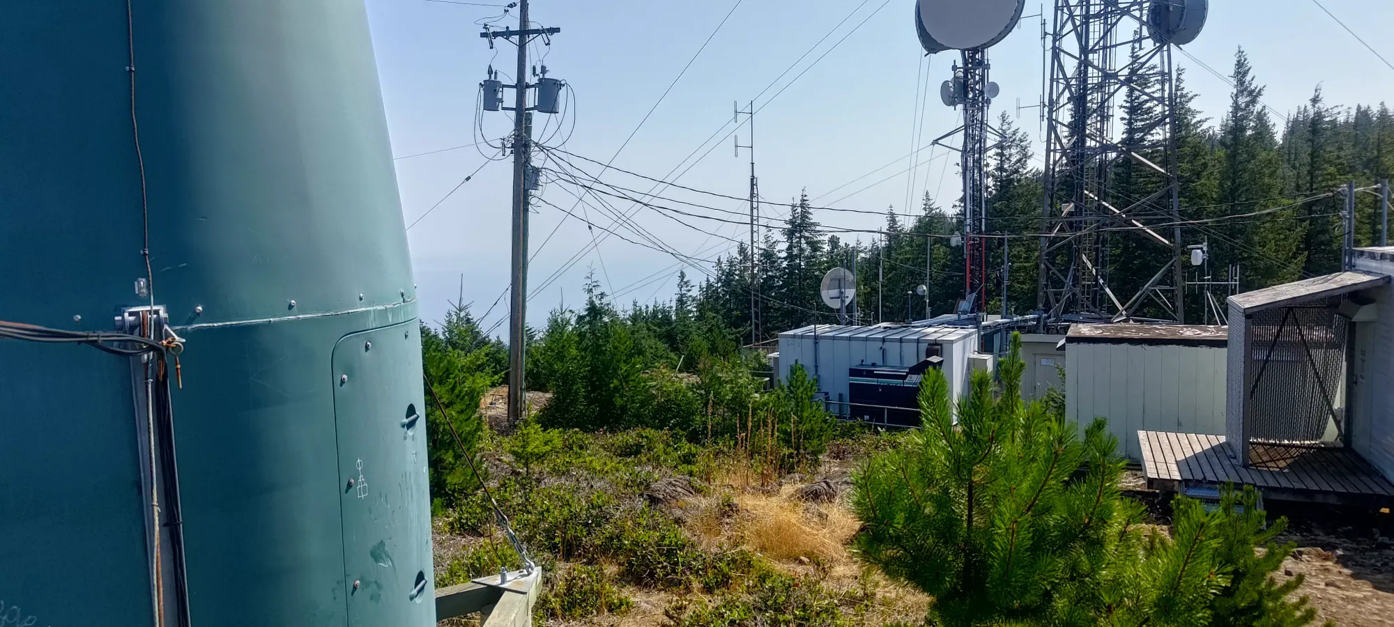
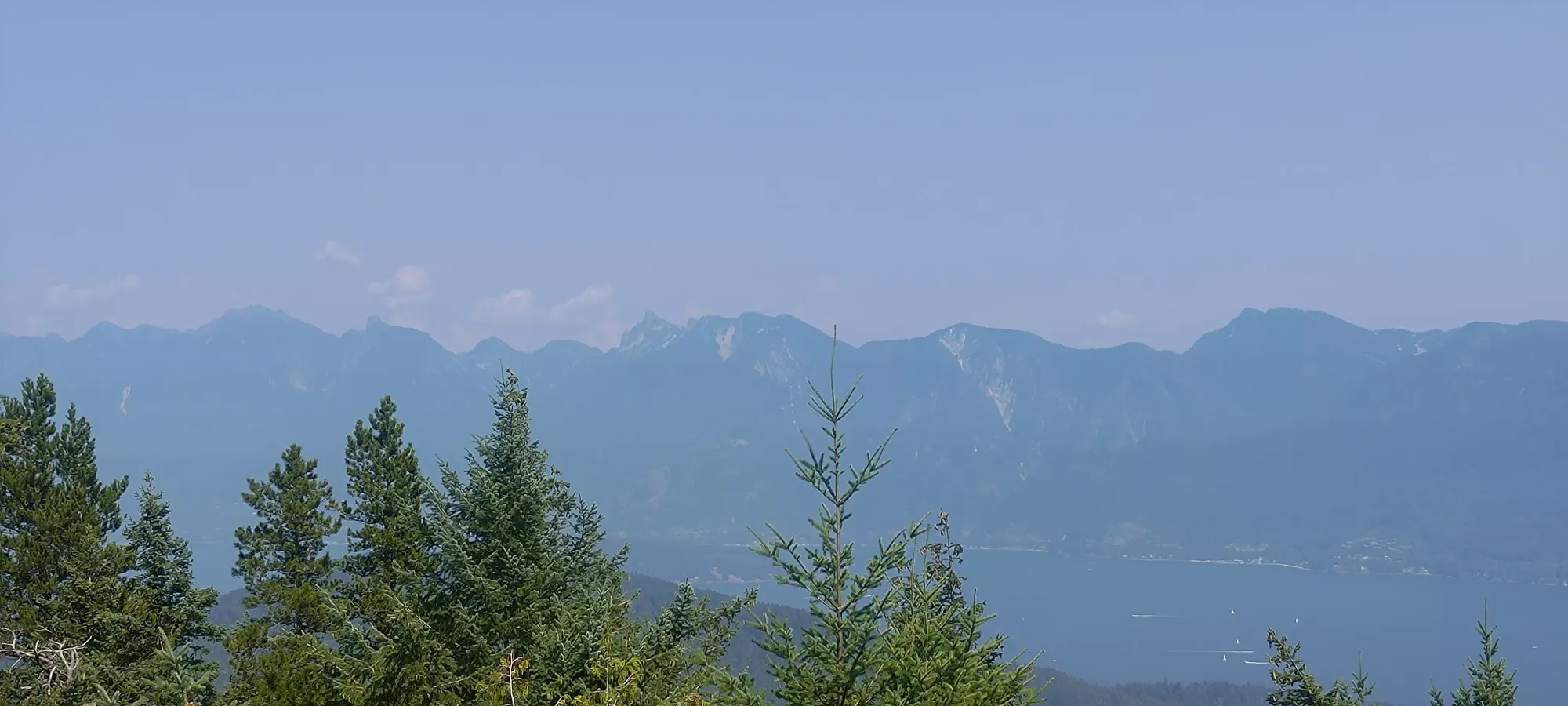
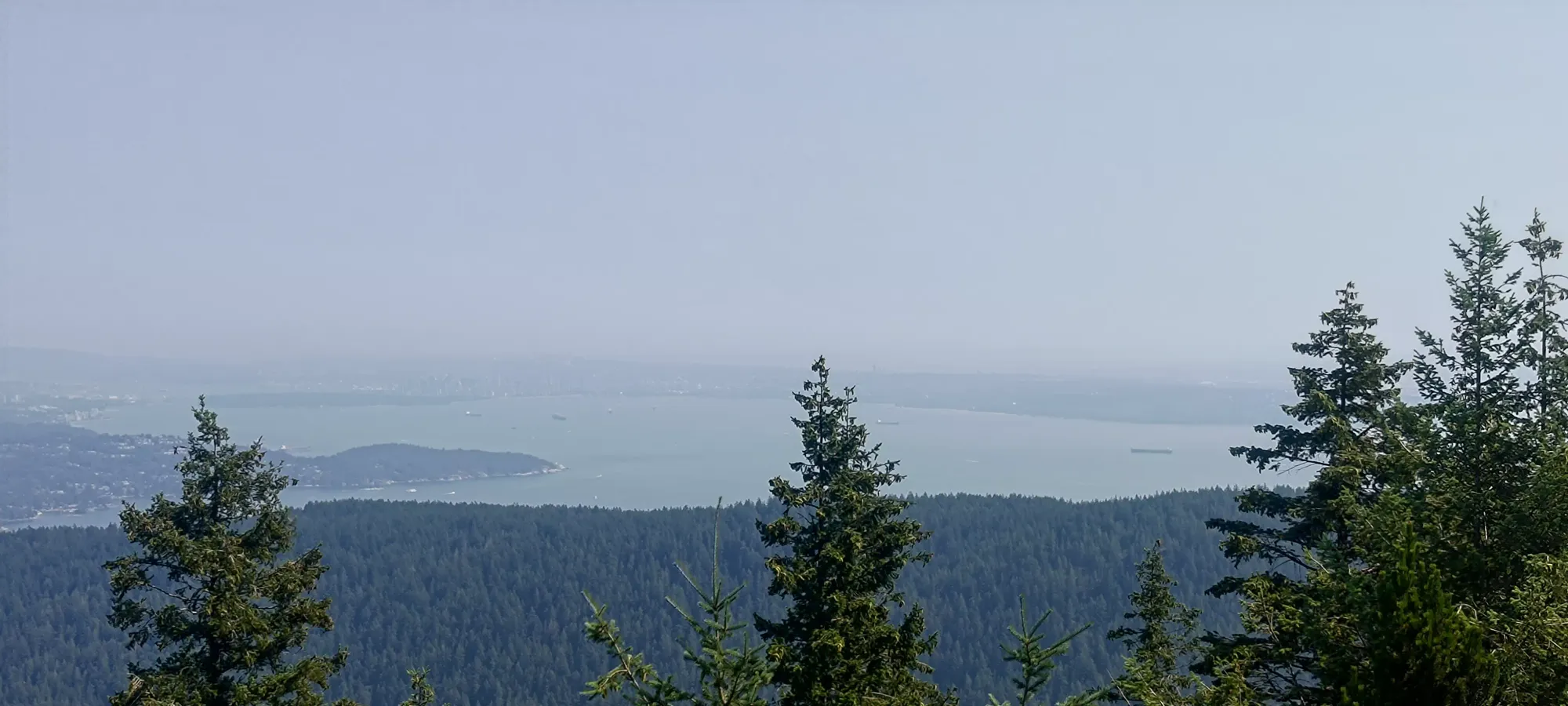
Once I was done with that, I took the trail I eschewed earlier, which brought me back to the Skid Trail, which I then followed to the North Summit, as I'd heard it had real views, and I figured it was close enough I could bother with it, even though it was lower. Despite the many buildings at the top, it did indeed have some decent views. I had a few sips of water while chilling on a helipad up there before heading down.
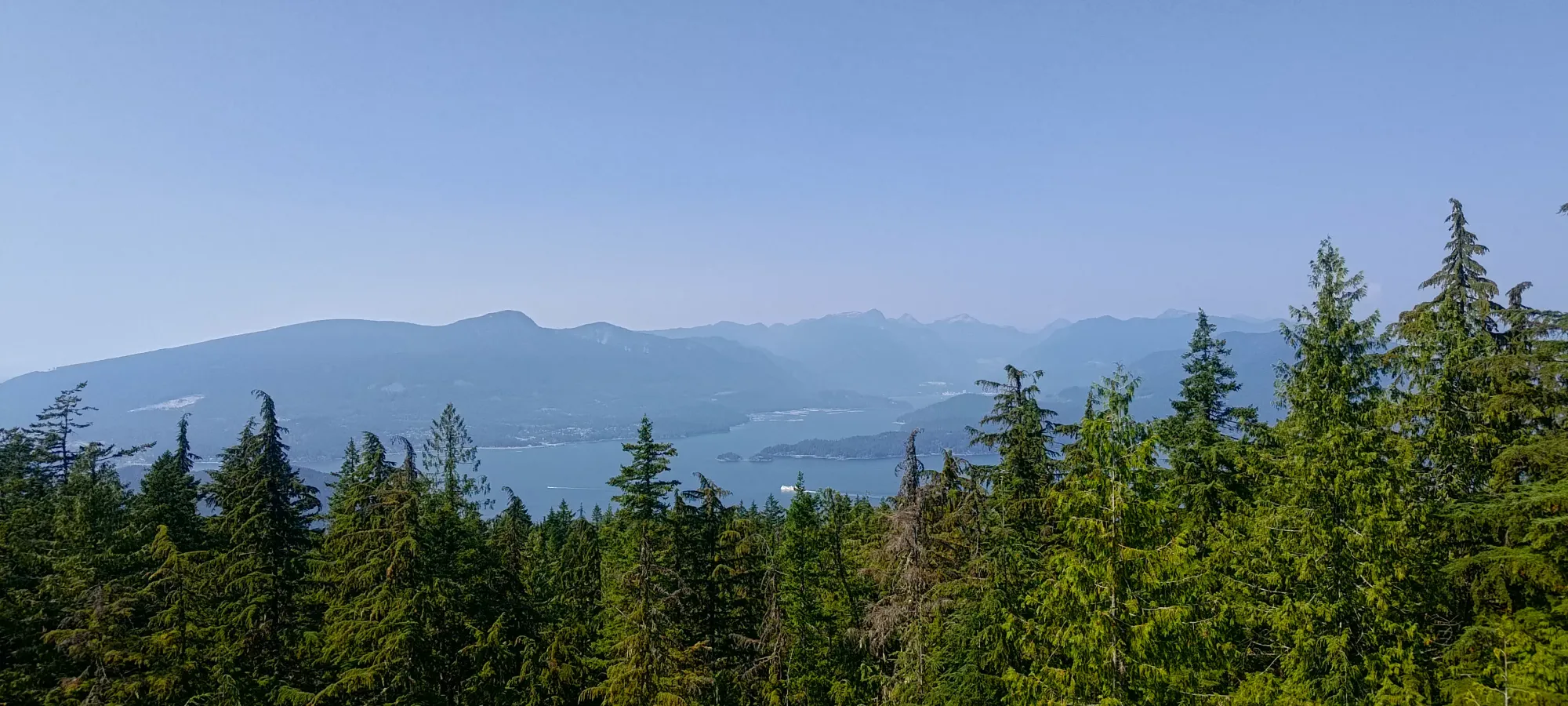
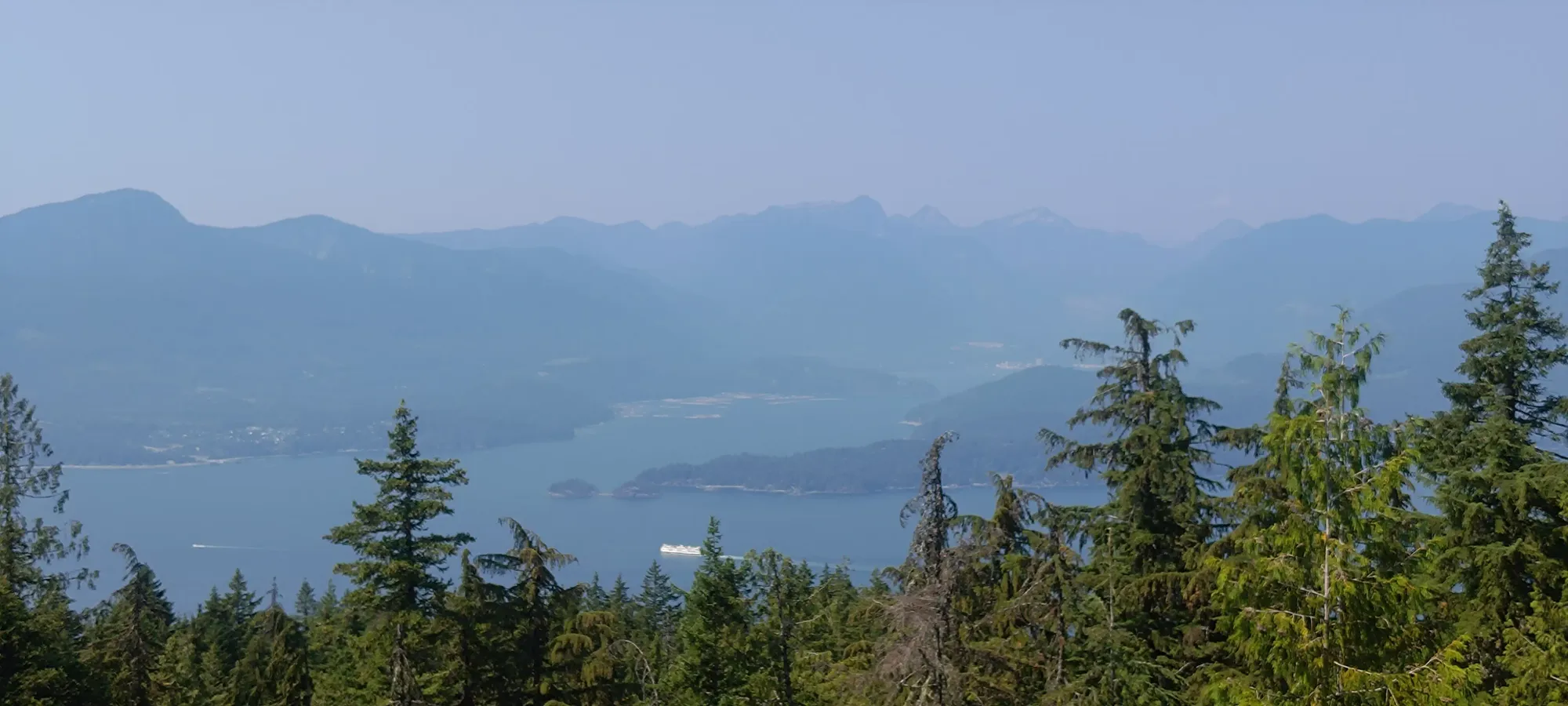
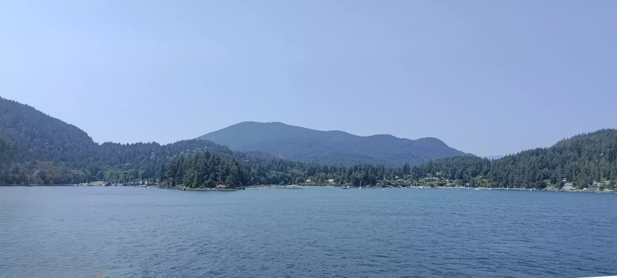
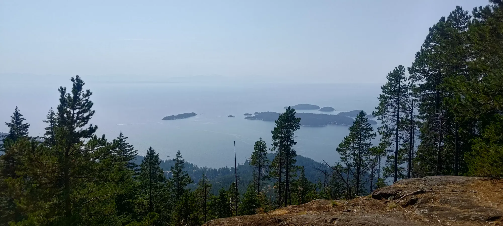
From the time I got just below the true summit to when I returned to that spot on the way down, I'd spent nearly half an hour either gallivanting around looking for the summit(s) or enjoying the views. From there, though, it was a fairly easy descent, taking me just 40 minutes to return, with a quick stop at the 600m viewpoint which looks west over the Pasley Island group.
With that, I wrapped up the high point of Bowen Island, which is also a p600 (islands are great for prominence-hunting), in just a couple hours! Since that would make for a pretty pathetic day, I continued on to my next destination of the day, Apodaca Peak (actually it was Radar Hill, but that doesn't merit a blog post, you can literally drive up it on basic dirt roads).
GPX Track + Map