Mount Fromme - July 29 2023
Stops 1+2 on a bike+hike loop around the Grouse Mountain Area

North Vancouver Area, North Vancouver, BC
1178m
After a good streak of getting out with people for most of the month, I decided (read: I was too lazy to actively coordinate plans with people) to head out for a solo trip again. I decided to keep it not too far from home, and planned to have dinner w/ my family, so I wanted something that I could finish up without stretching the day too late. I have been up to the Grouse area a couple times, but I haven't recorded anything on GPX, so those times don't count 🙃. So, I figured this would be a good opportunity to go and knock some of those peaks off the to-do list.
While I was planning the night before, I stumbled across "Grouse Mountain Highway" on Trailforks, seemingly the road the resort uses for vehicle traffic, and a host to many downhill biking trails. Reviews indicated it was a decent forest road, and the grade was shallow enough I figured my heavy-ass e-bike could make it up. So, I planned out a rough route to bike up (thereby avoiding the parking fees and tedium of the Grouse Grind) to Pipeline Pass, tag Fromme+Senate, then traverse over to the main Grouse area, then loop back down to my bike from the resort. I didn't know how fast, tired, or motivated I would be, so I didn't commit myself to more than Fromme+Senate and Grouse, but I figured there were a few extras I could add on if I felt like it, so I just got all the data I needed downloaded and headed out.
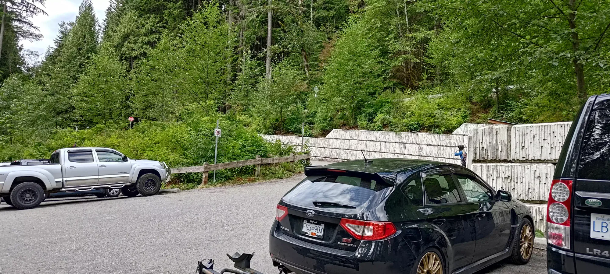
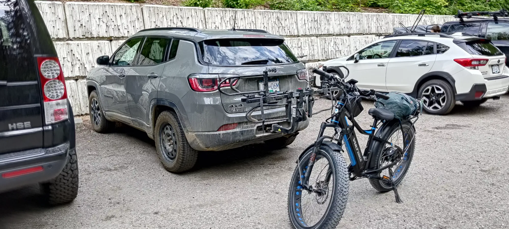
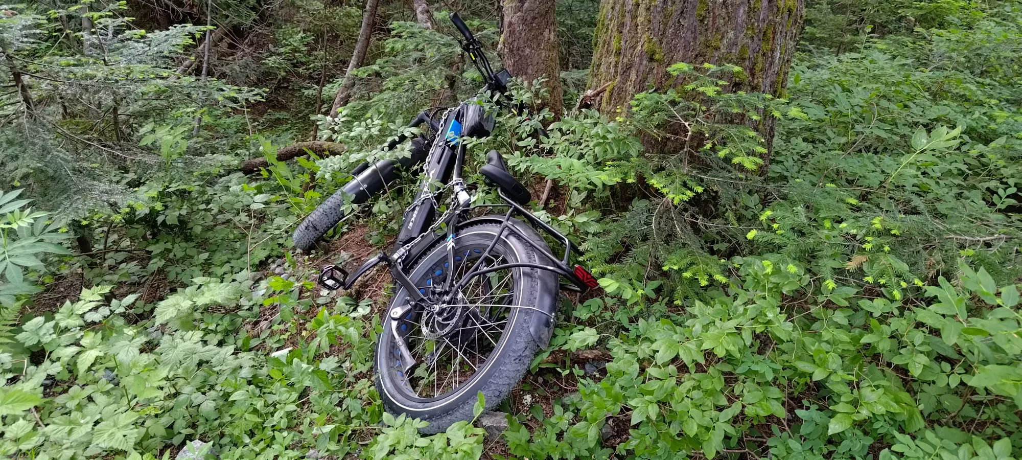
I had a bit of fun in the morning with some damage to my bike rack, but it seems that it worked fine regardless, and I managed to hammer in the piece of metal that was not quite in the right spot enough to make me feel better, so no problem there. I snagged a parking spot without issue, and set out at 10am. The bike up was pretty easy, and my bike did an excellent job getting up. However, I did discover that my attempt to use my longer gear straps (as last time it was very hard to get them to wrap around my pack), while easier to rig up, resulted in my pack getting very askew on the back of the bike. These ones weren't up to the task, so back to the drawing board for me there. I also had the fun discovery of my transmission shifter being broken, and only being able to be in the lower couple gears or the highest gear. Everything in-between would just immediately move into the highest gear. So I had to hold the shifter in-place with my thumb the whole way up to keep it in a reasonable gear, which wasn't the most comfortable. Aside from that, though, it was smooth sailing, and it only took just over half an hour to get up to Pipeline Pass, where I stashed my bike in the trees and set out on foot.
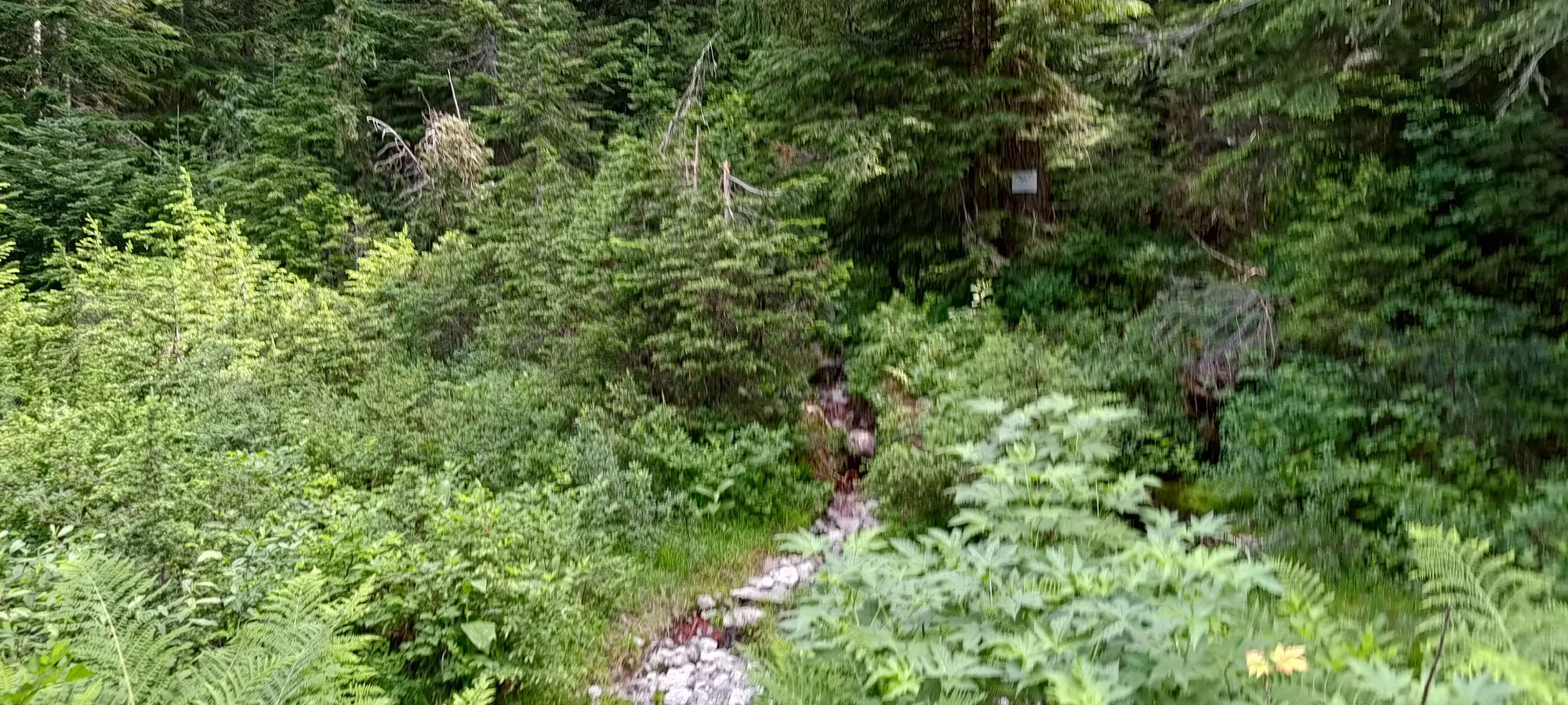
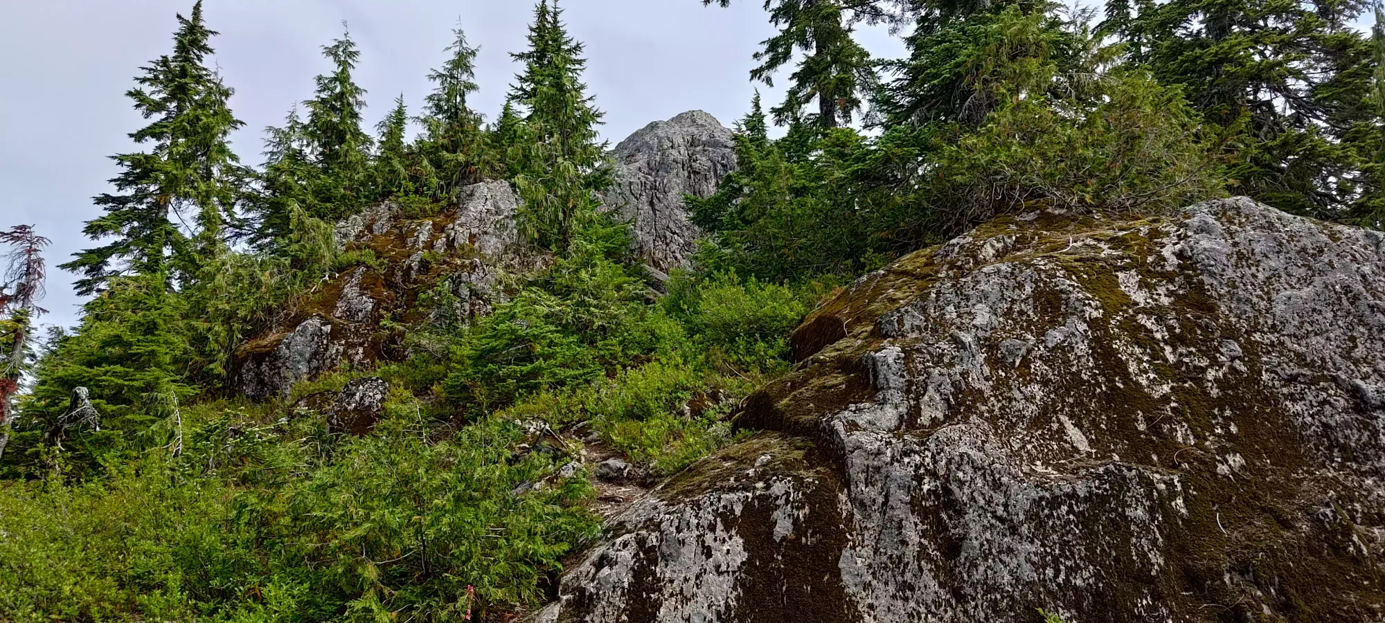
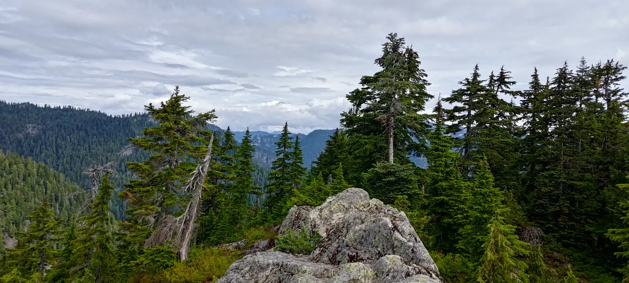
The trail up Pipeline Pass is short and somewhat steep. The biggest annoyances were the pipe going down the middle getting in the way of your footing, and the slipperiness of the rocks+roots, as the recent rain was keeping things quite moist. It's only about 50m of gain, though, so in a few minutes I was on top, where there's a fork to go west towards Thunderbird Ridge, or east to Fromme. I chose the latter.
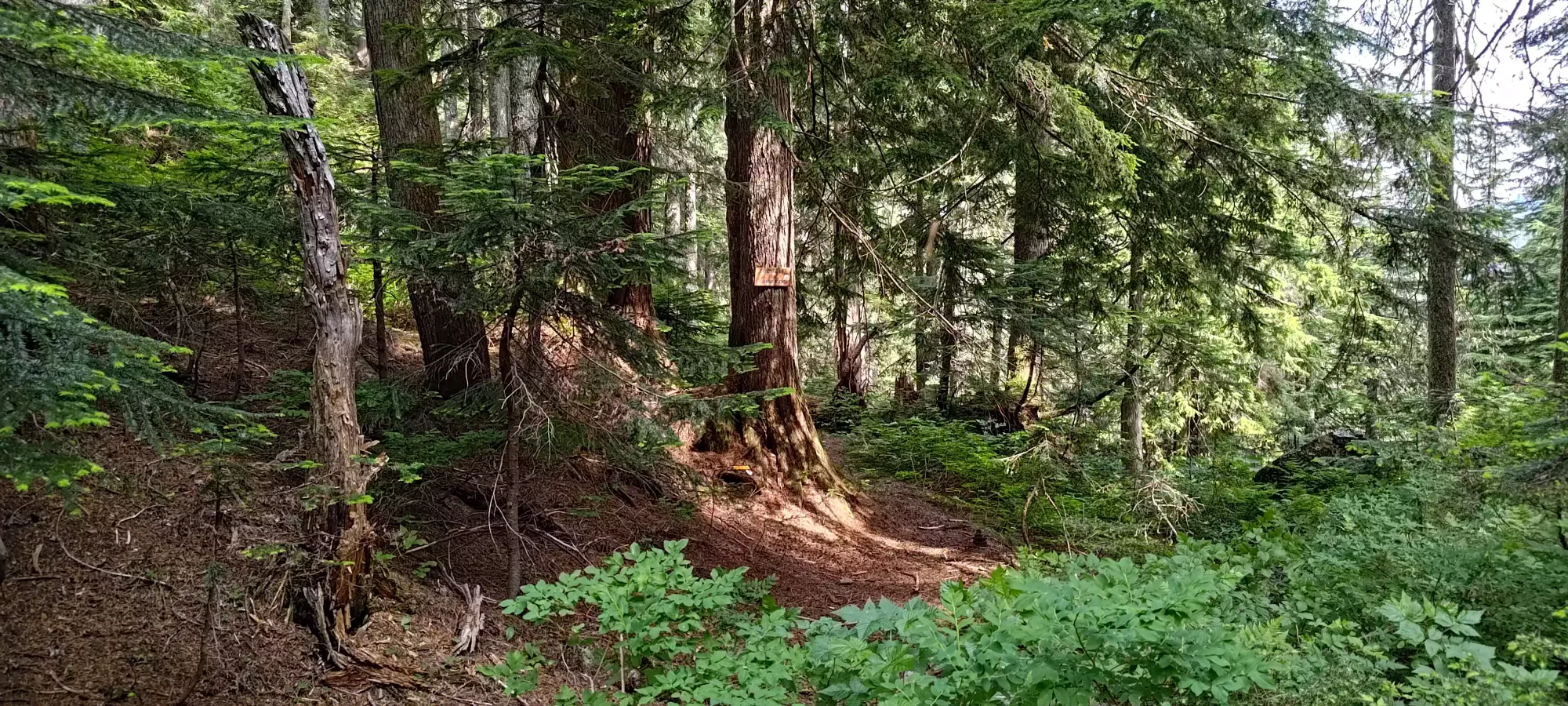
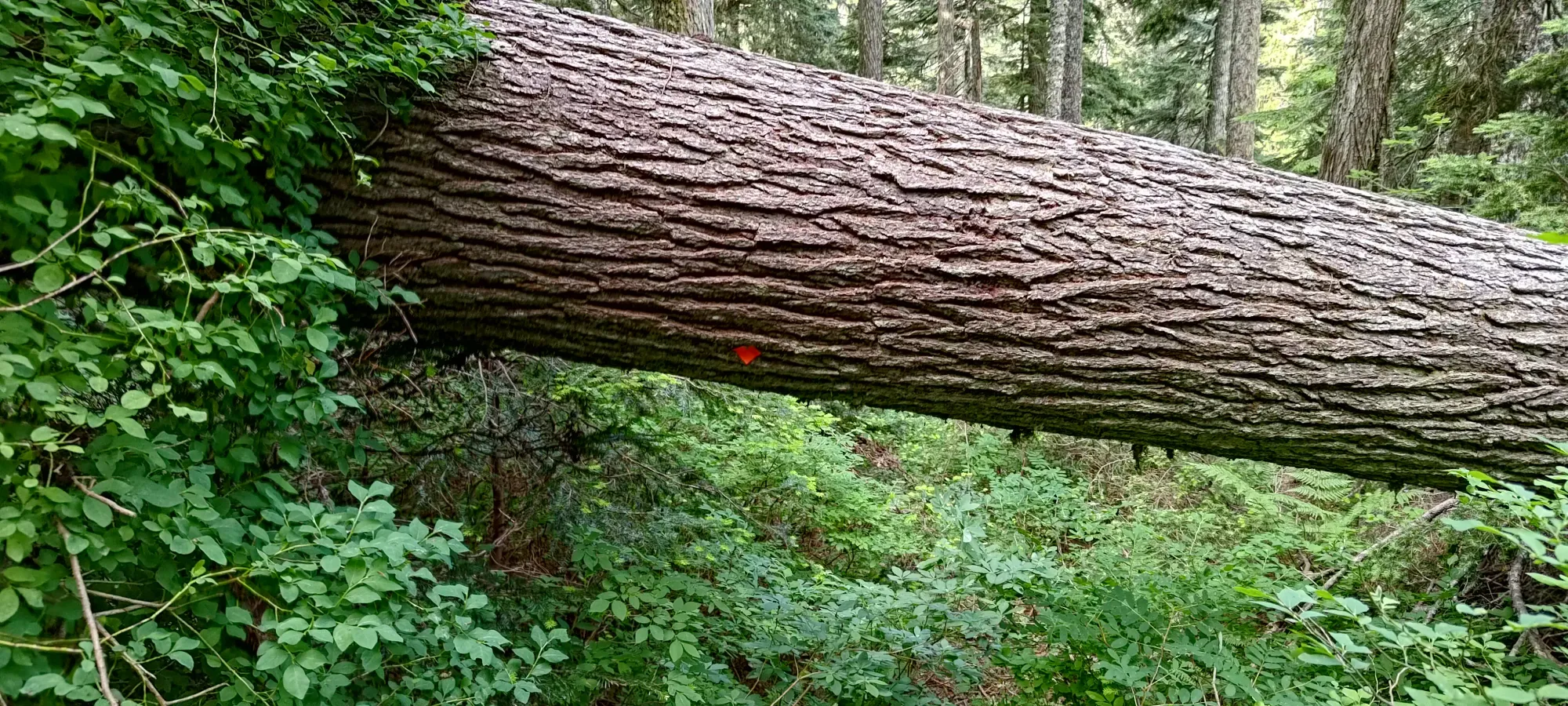
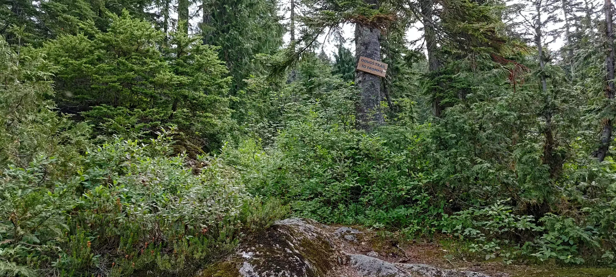
Once on the Fromme trail, things steepened a bit more, although there was at least no annoying pipe in the middle of the trail. This is a very typical North Shore trail, steep with lots of rocks+roots. There's not a ton to note about it, as it's pretty straightforward to navigate. One thing that threw me off was around 1015m, where there's a large, busted tree in the middle of the trail. My instinct was to go left, uphill and around it, but there was a downed tree (possibly the same one) to the right (downhill) with a trail marker on it, so I wasted a couple minutes following that red herring. Not the best marker placement, IMO. Don't waste your time here, the intuitive direction is the right one.
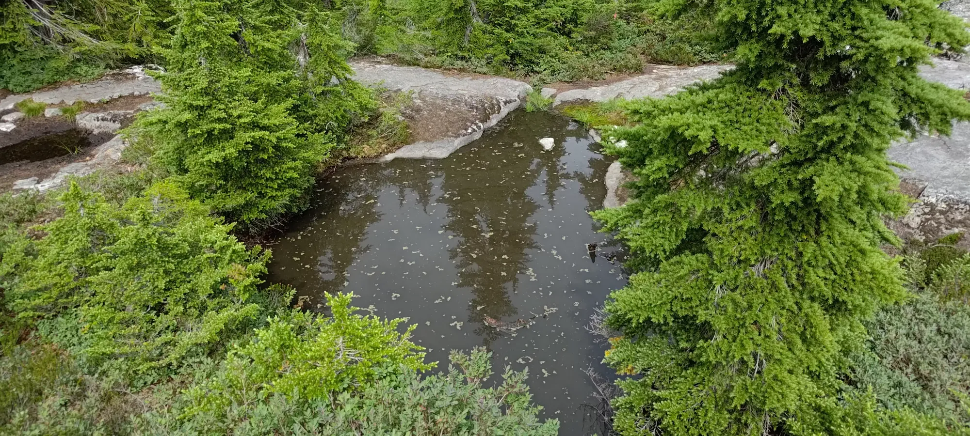
A bit later just after 1110m there's a fork to go climber's left up to the peaks, or right to head to Meech Lake and loop around that way to Fromme. Since I'm not a lakebagger, I chose the former. Given the elevation+terrain, I doubt it's a very impressive lake anyways.

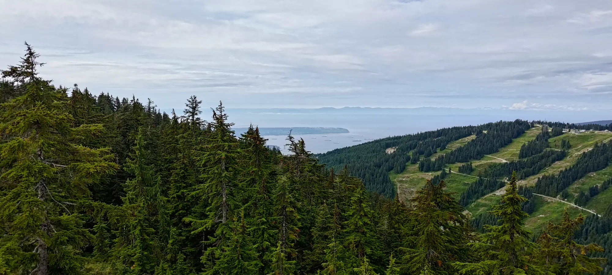
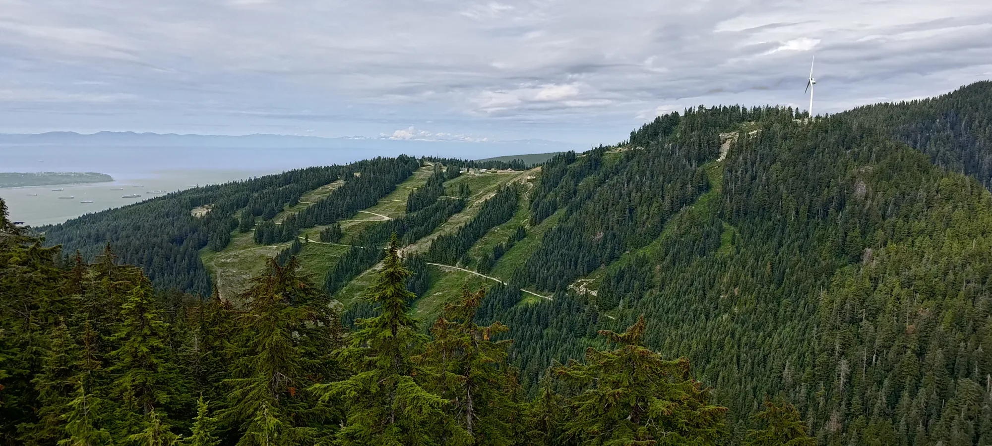
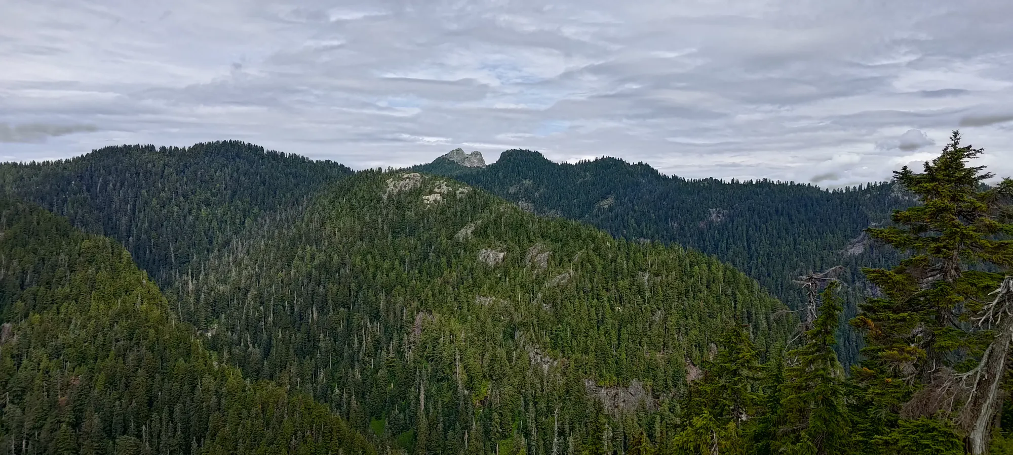
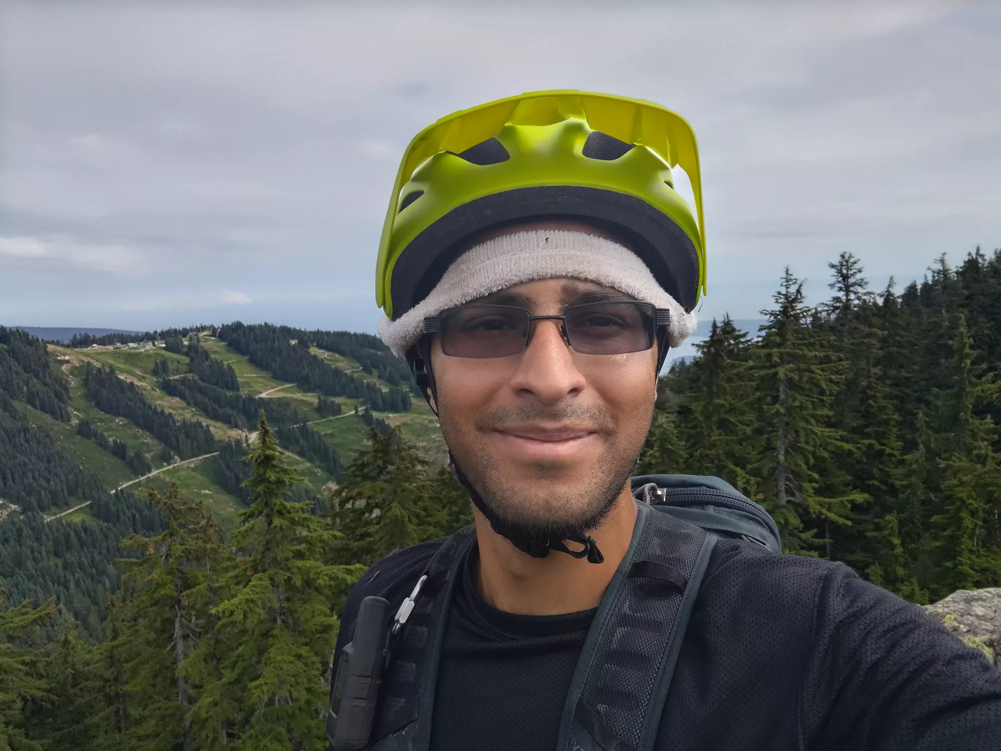
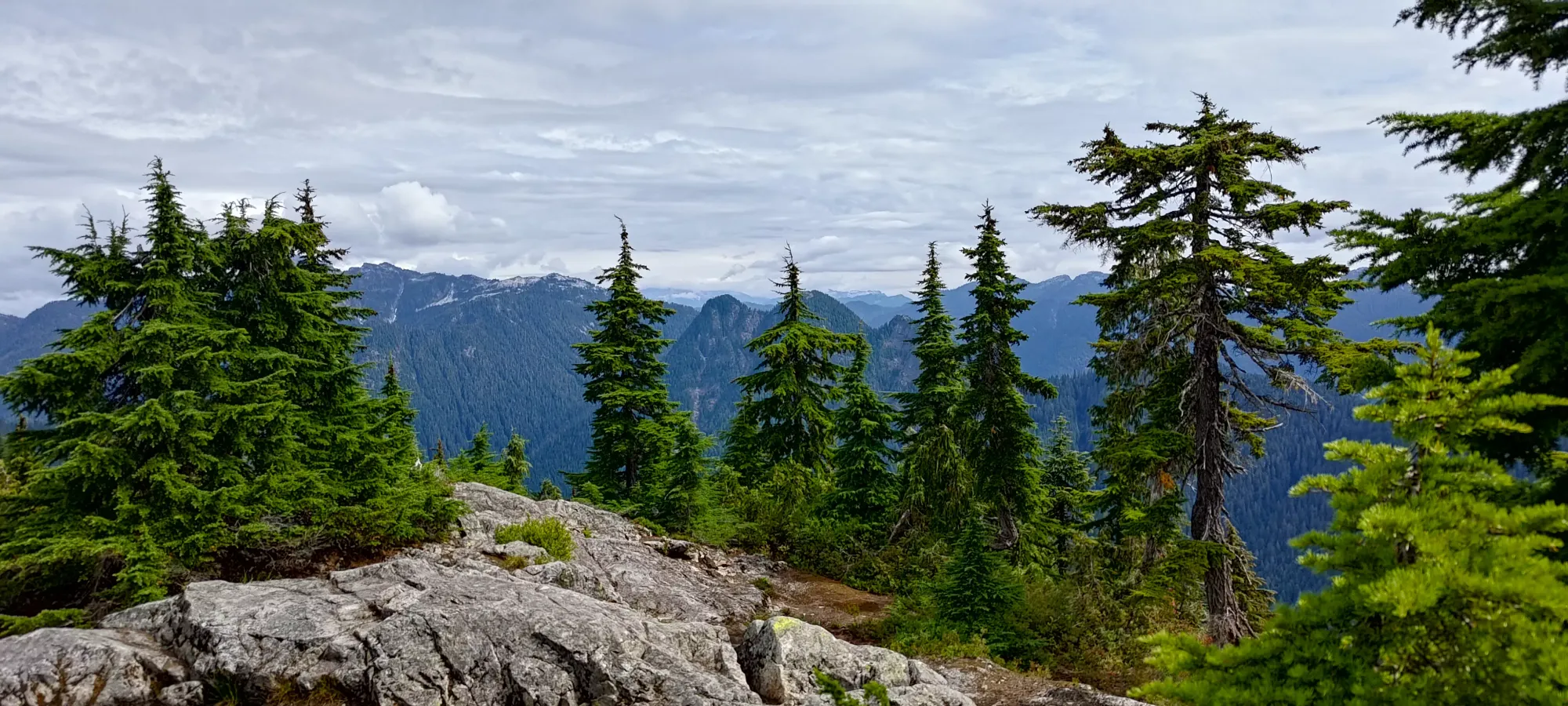
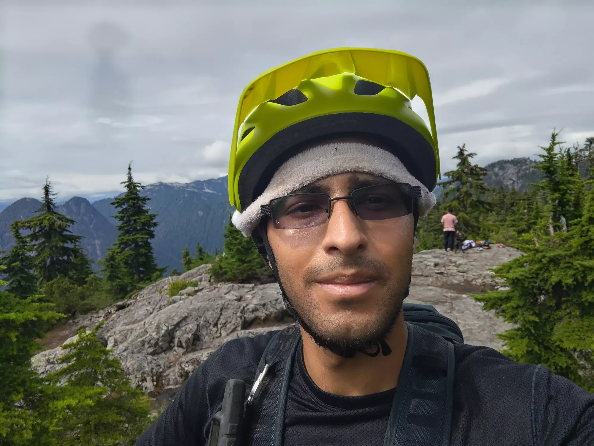
From the fork, it was about a 15 minute hike up to the top for me, where I was greeted with some partially clouded, but nice views. The top is rocky but not really a scramble, you can hike up without hands. The weather this day was actually quite pleasant for hiking, nice and cool, but with good visibility still, and pokes of sunshine every so often. I didn't stay for long on top, though, since I wanted to get Fromme before I took my first real break.
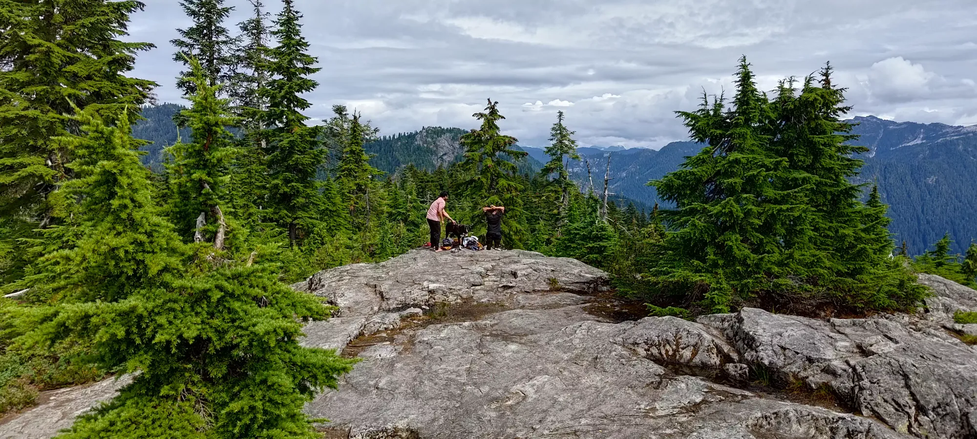
From Senate, it's a quick retracing of steps until you hit the fork to traverse over to Fromme. I think it took less than 10 minutes to get over. Part of that was wasted on some geniuses with an aggressive, 0ff-leash dog that was barking rather aggressively and ran up to block my entry to the summit area. It took the owners a solid minute to actually take a hold of it and get it to stop obstructing the trail (it didn't seem like a good plan to walk into its snout given the snarling/barking it was giving me). While I'm not a dog person, I generally don't mind most dogs on trails, but keep 'em on a leash please, and if they charge up to someone, don't just stand there making excuses and doing nothing, control your pets dammit!
I didn't really want to deal with those guys again so I didn't bother visiting the viewpoint, I just tagged the high spot, took a couple pictures, and moved on.
The descent back down to the pass was pretty uneventful, and I got back to that point at noon, basically exactly. 2 hours in and 2 peaks done, including the approach, wasn't a bad pace. After that, it was on to Thunderbird Ridge.
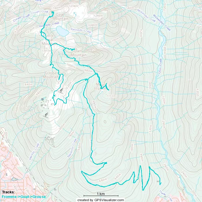
GPX Track + Map