Mount Eddy - May 18 2024
An ultra and the highest mountain west of I-5 in the US. Sadly overshadowed by the near Mount Shasta, still a pretty nice mountain, with good access on high forest roads (if you go at the right time of year)

Trinity Mountains, Siskiyou County, California
2751m
Ah, it's good to be back. After quite a hiatus due to my deteriorating health, the week prior to this outing, I got back into things with a bang on Mount Baker. Since then, while I hadn't had much time to deal with my limited strength/endurance yet, my health continued to improve, so I felt ready to go out and tackle some more objectives. The Victoria Day long weekend was upon us, so I was hoping to get either some bigger or further-away objectives (perhaps both). Weather wasn't co-operating near home, though, so I made a last-minute call to drive down to Klamath Falls on Friday and set up shop there for the weekend, with good weather and prominent peaks nearby to keep me entertained. Sadly I was too last-second to rope anyone else into the fun, so this was the start of a few solo missions for me.
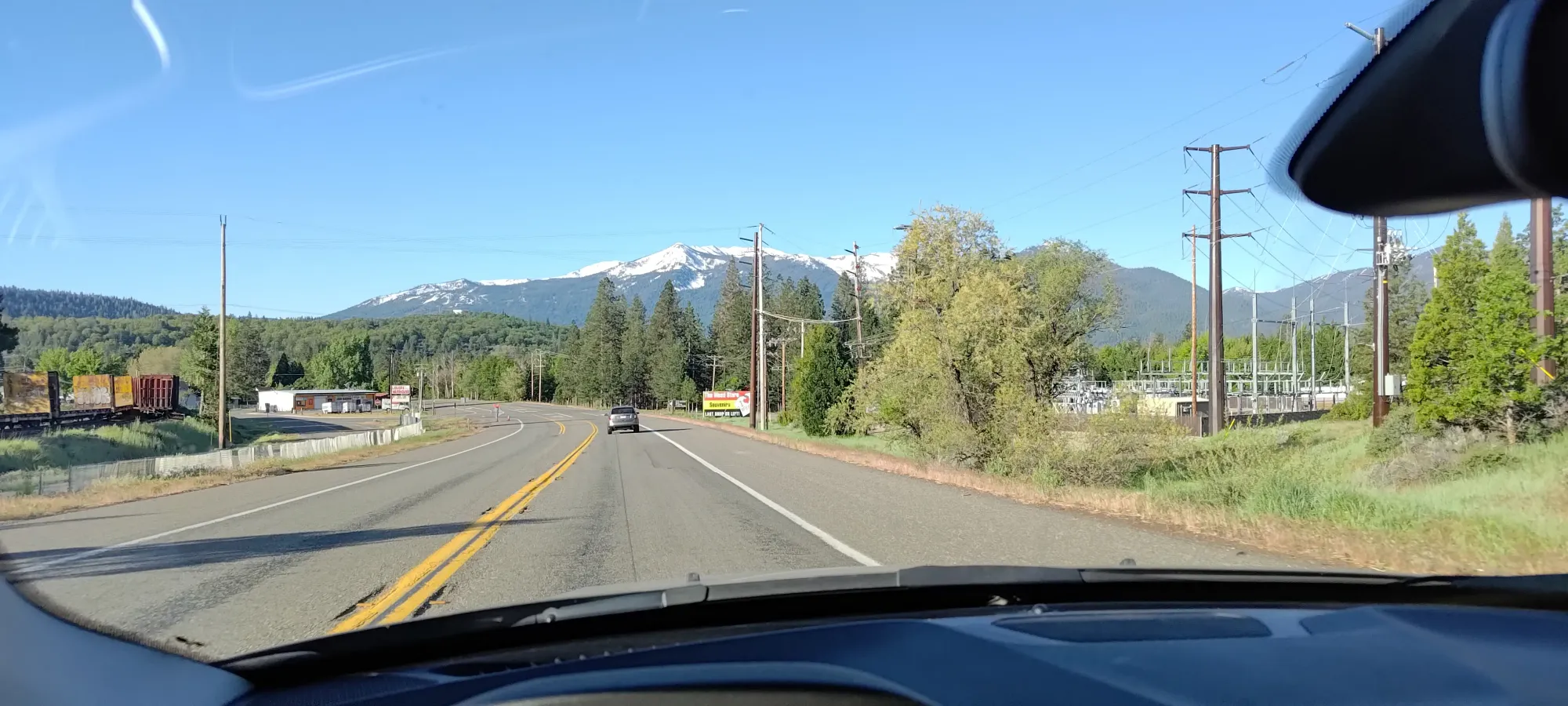
The drive down was absolutely horrid, as I got stuck in both Seattle and Portland traffic, but eventually I rolled in to Klamath Falls, found a cheap motel, and passed out, with objective #1 being Eddy, as it is about a 2 hour drive away, was an ultra, and promised not-terrible winds on Saturday. I considered trying Shasta in the same weather window, but with how slow I was on Baker, I wanted some smaller peaks first to build back up.
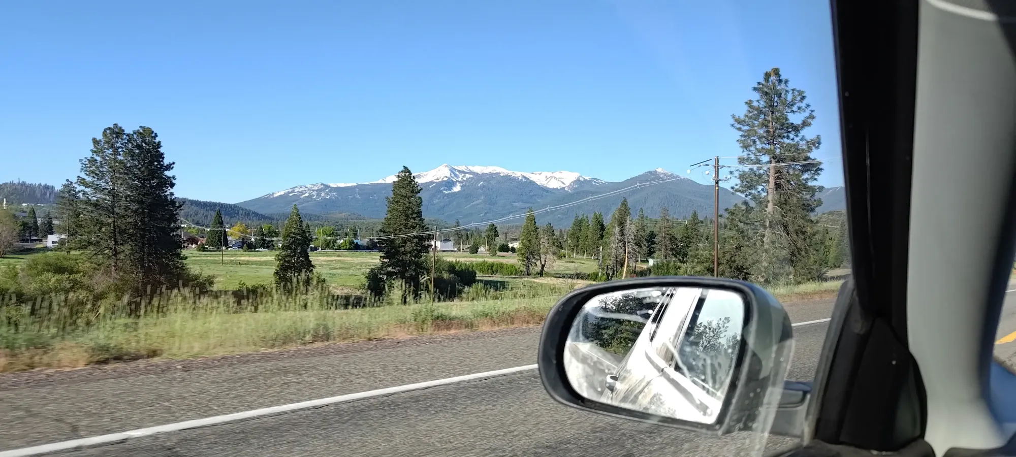
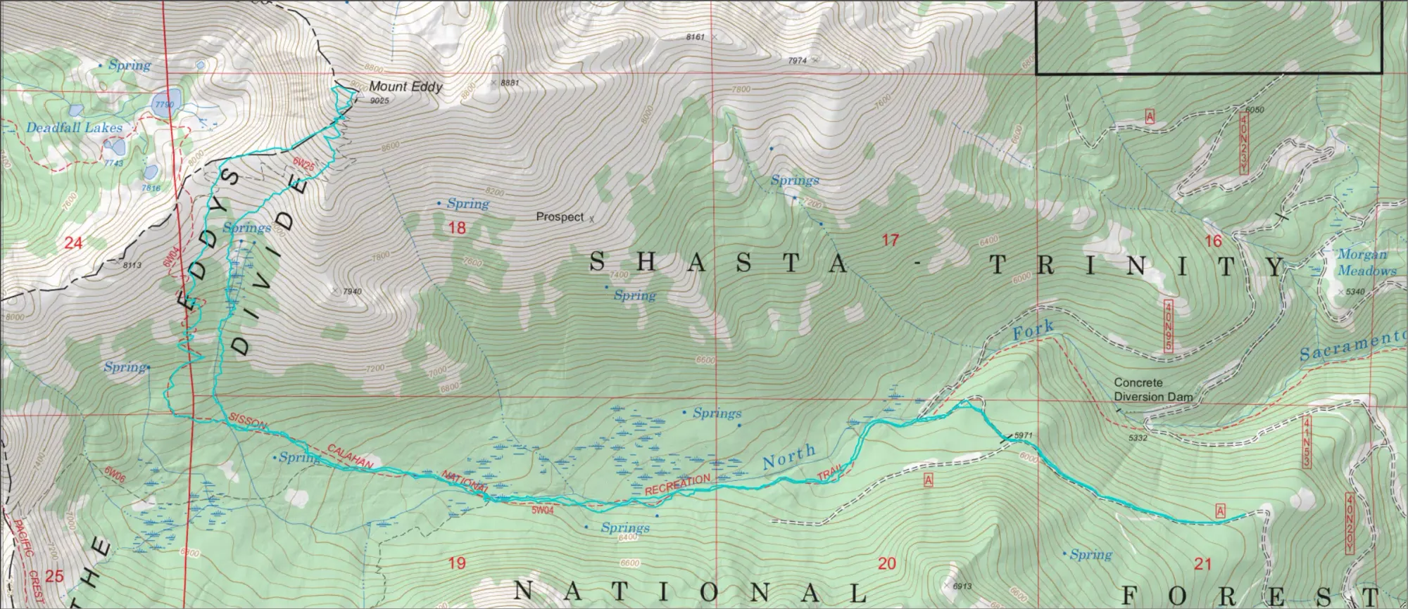
I called in on the drive down Friday to get some road beta from the super-helpful rangers in the National Forest. I was told the ideal road (NF-17) was snowed in about 4.5 miles from the trailhead on the north side, which was of course doable, but a lot of annoying road walking. That would've been the nicer trail, I think, as it starts at almost 2000m elevation, and doesn't have too many flats. Plus, it would've put me on a mostly NW aspect, ideal for the hot days of California in May. Since that was snowed-in quite a ways away, and the approach to hit that trailhead from the south involved a lot more driving time, I instead aimed for the 41N53 road which comes from the south (should have more melt), and would allow me to use the Sisson-Callahan trail to hit Eddy from the south.
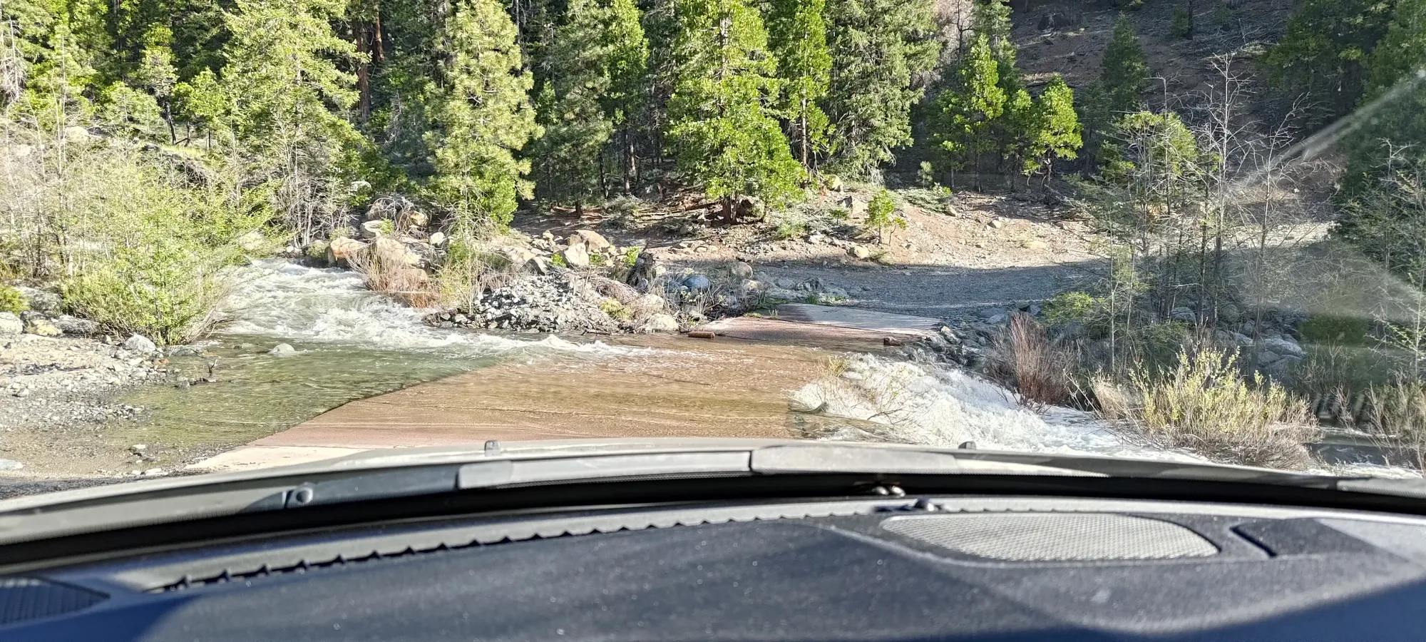
I got in on paved roads all the way until the start of this branch/fork, as FS/NF-26 is apparently a paved road right through the forest (not something I'm used to from British Columbia). The 41N53 fork, though, is not paved, and I would say it is 2wd, medium clearance required (most crossovers). You might be able to fight a low-clearance sedan through, but one or two spots, even with careful line choice might kiss your bumpers a bit. If you have an old beater, though, go for it! There's a fun water crossing over the Middle Fork of the Sacramento River pretty early on, then just a lot of driving up a forest road.
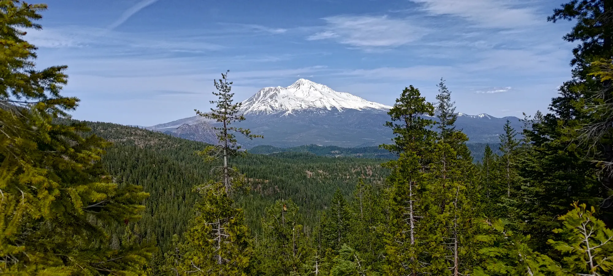
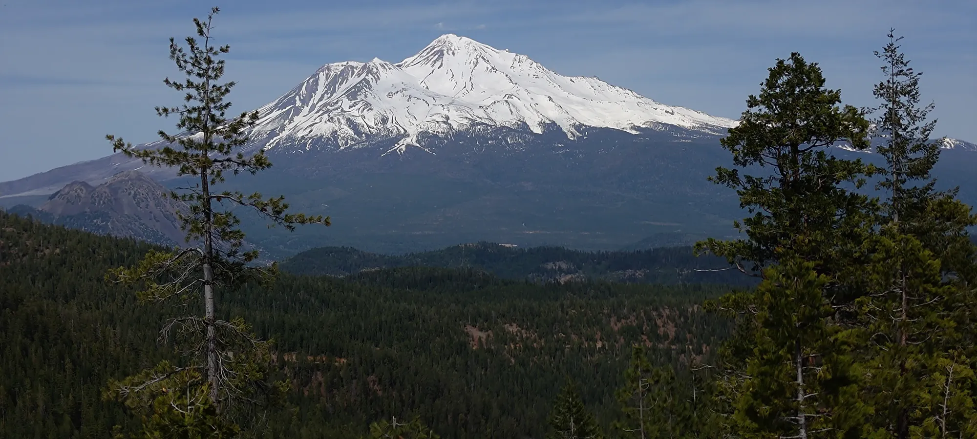
I got to a fork at 1580m where the road continues to the "official trailhead" at 1630m, but I saw more roads on the maps which one could access at this fork which would get as high as nearly 1900m, and could easily connect to the trail either directly, or via sparse forest. So, I decided to risk it for the biscuit and try the unnamed forks that go south then back north from that point. These were definitely less maintained, though still probably doable with the same class of vehicle. I did have to remove one (thankfully not too heavy) deadfall and a large boulder to clear my way, though. I got up to just above 1750m, conveniently just past a very nice viewpoint of Mount Shasta, where I hit snow patches large enough to not just plow through, at least in a non-built 4x4 rig. I did get higher and "not farther away" than the official trailhead, at least, so I consider that a win. After gearing up (putting the skis on my back and slapping my trail runners on), I got moving at 8:40am.
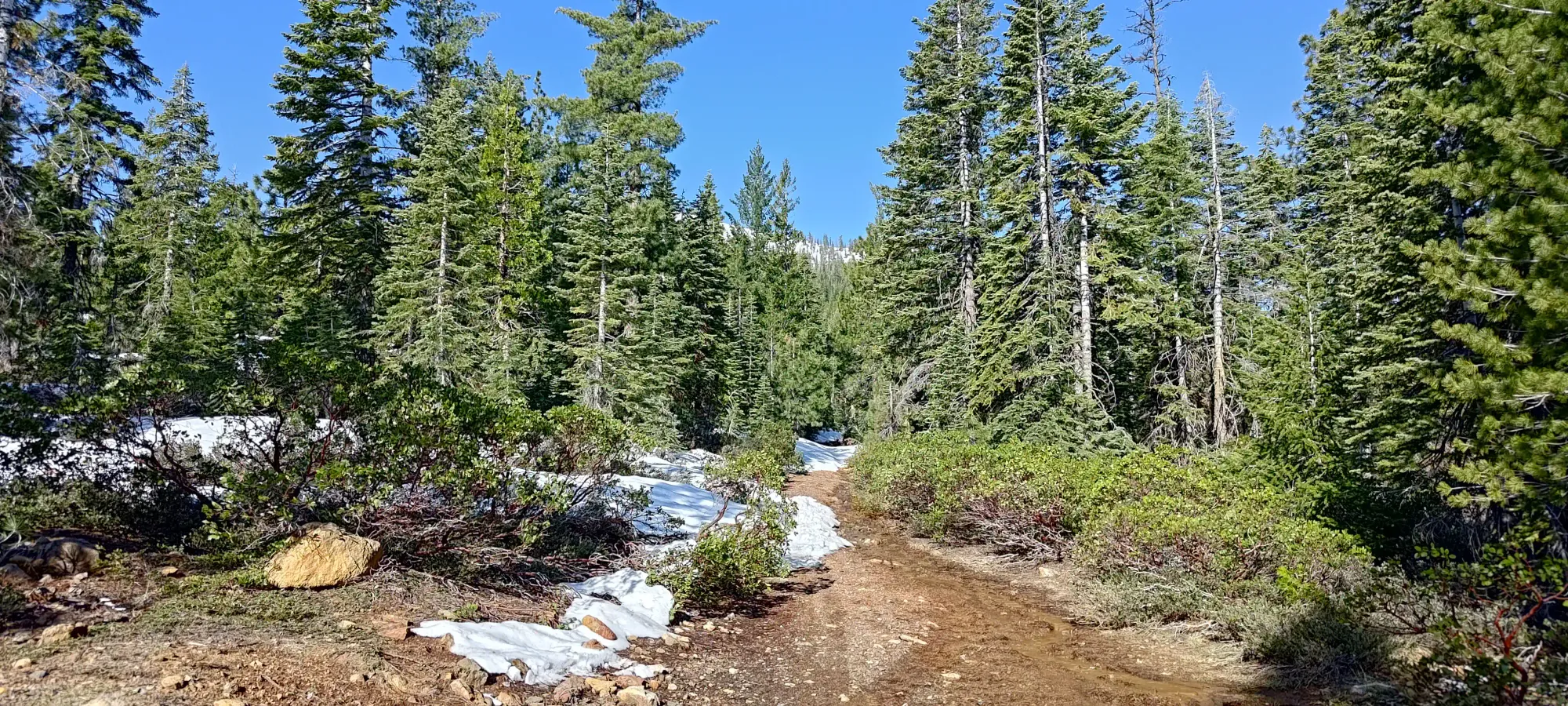
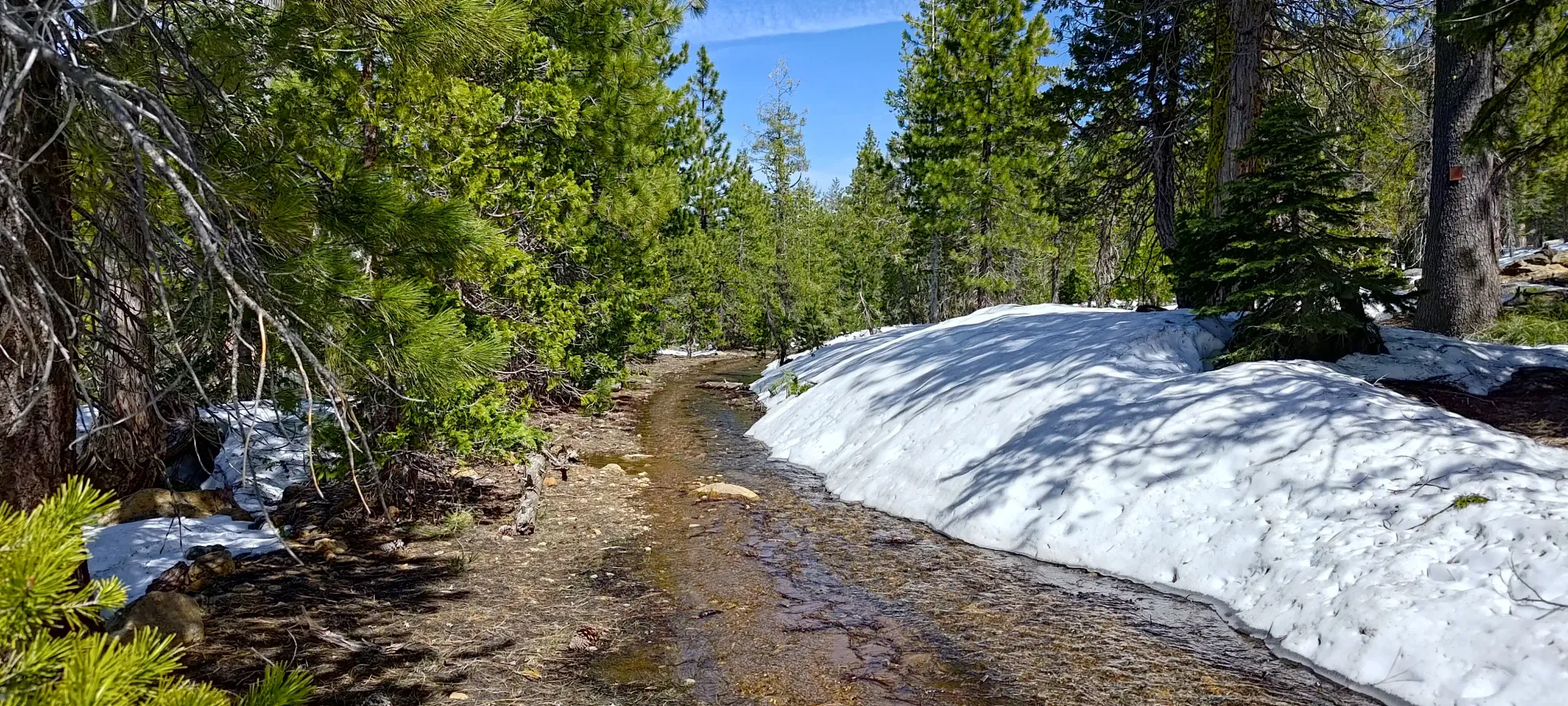
The road walk to join the trail was fairly uneventful. Unsurprisingly (I found no accounts online of this being skied, at least to the summit, and not many winter/snowy ascents in general), there were no tracks to follow, but the route was obvious, as the road was never fully buried, and the snow patches were not more than a couple minutes long at their longest. Travel wasn't trivial, though, mainly due to the fact that the road isn't well-drained, and many large puddles and creeks formed in low spots. It took about half an hour to walk the ~2km to the trail (where there was at least a nice view of the "real creek", the North Fork of the Sacramento River).
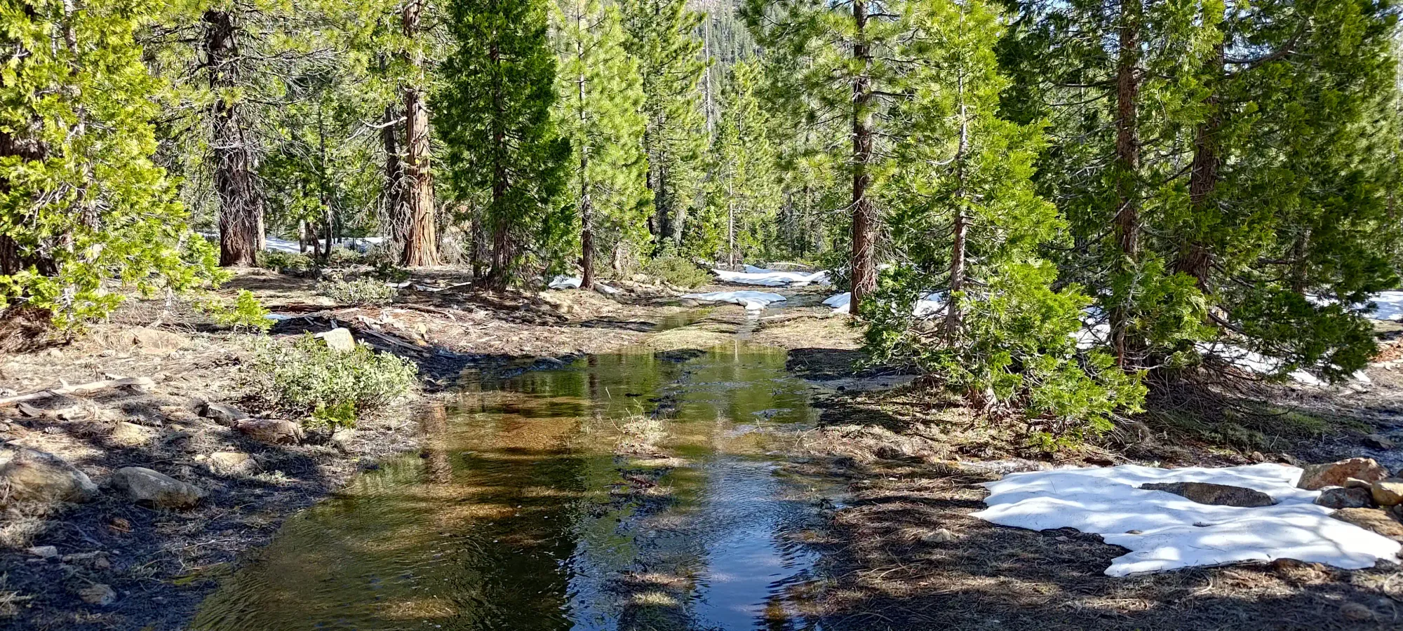
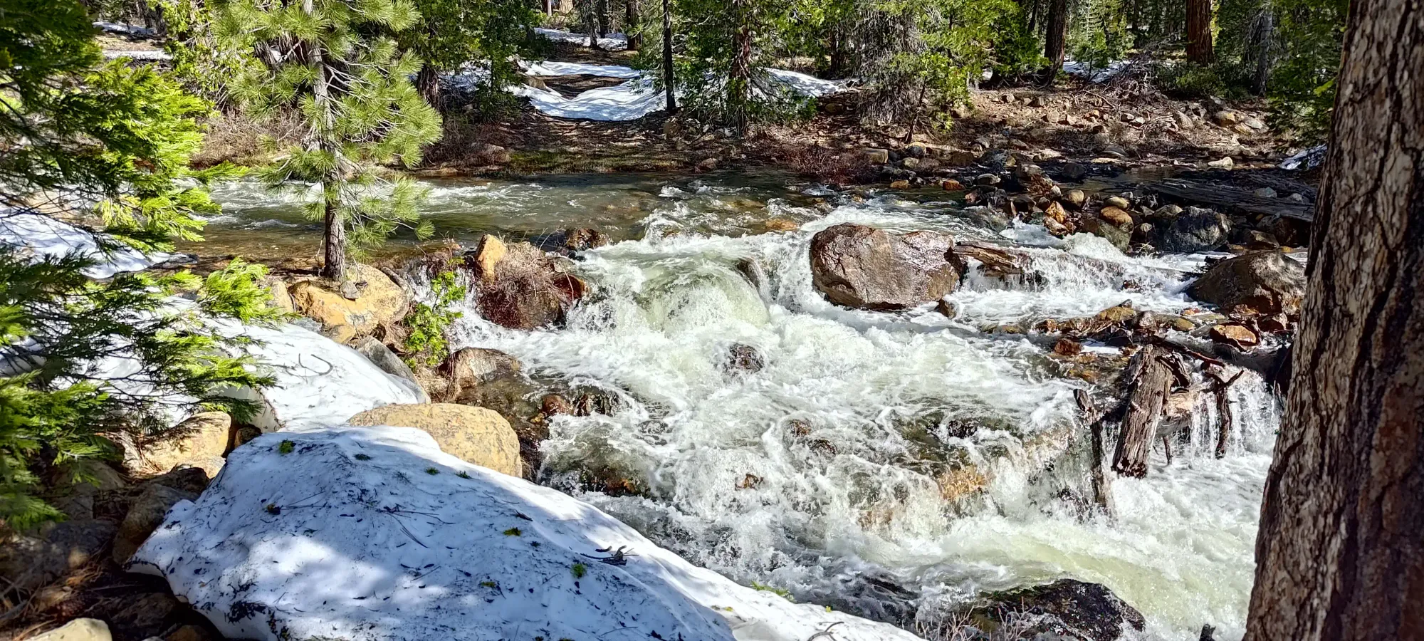
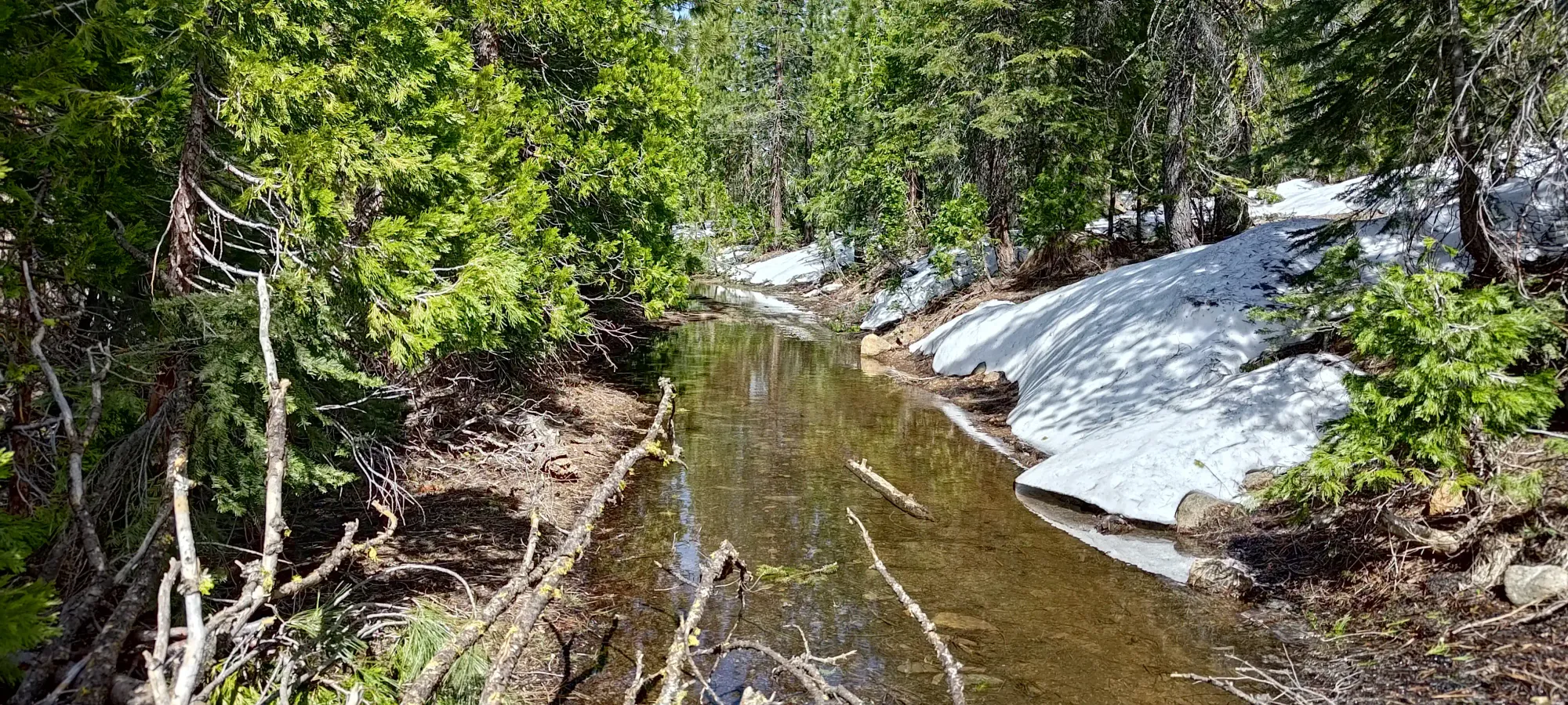
From there, it was a very tedious 45 minute walk along about 2.5km of absolutely terrible trail to get to the official crossing of the aforementioned creek. For one, it only gains about 150m, meaning it is very tediously flat. Beyond that, it was more like a road than a creek most of the time. That sounds like a good thing, but sadly the road was more of a creek than a road. I'd say the split was about 15% road, 40% creek, 20% mud, and 25% snow. This made travel super annoying and not that efficient. I think in winter, one really should get a sled and go from deadfall lakes, and in summer, "just wait for real summer", and let the road dry out (or still go to deadfall lakes, even). Oh well... at least it did work, if not being super fun.
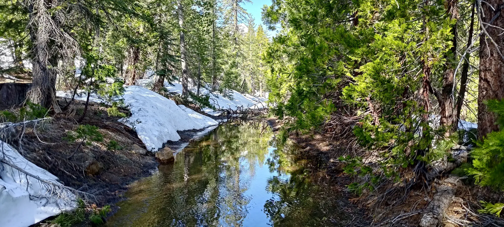
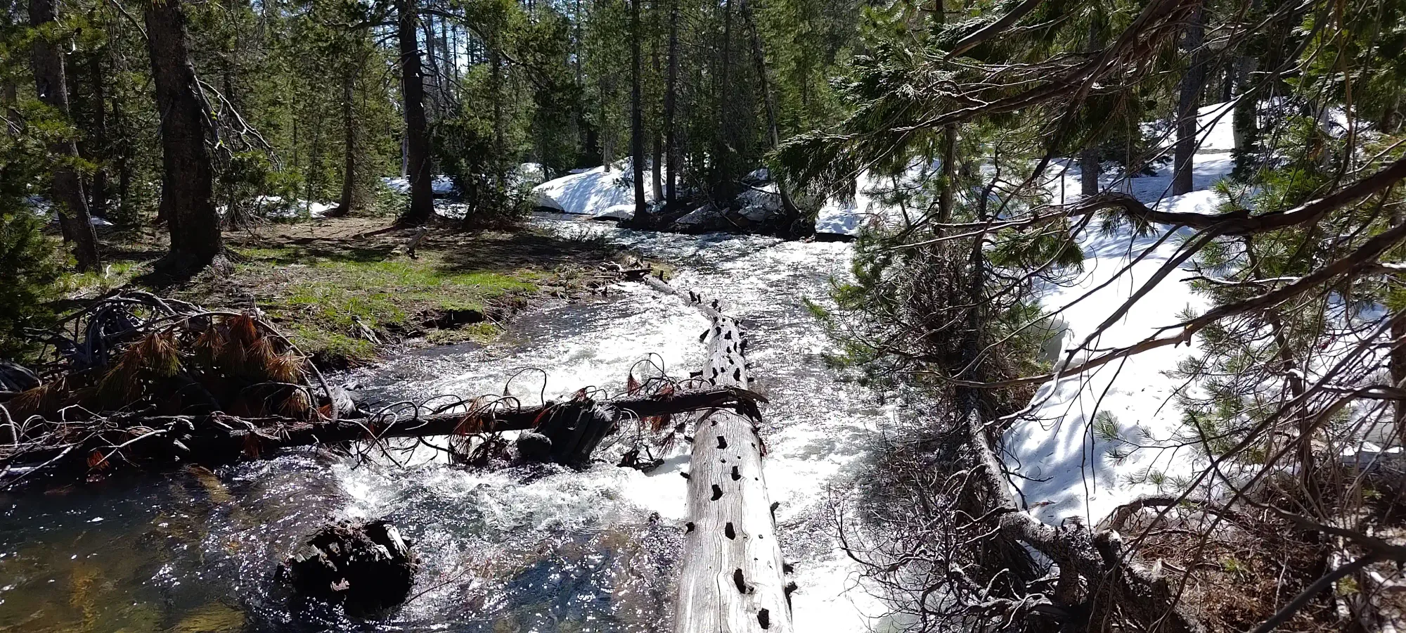
There was no bridge across the creek, but there was a log, so I managed across without too much hassle in my trail runners. The creek was moving fast enough in the deeper spots to yank my poles as I plunged them in, so hold on tight, and don't let that force knock you off!
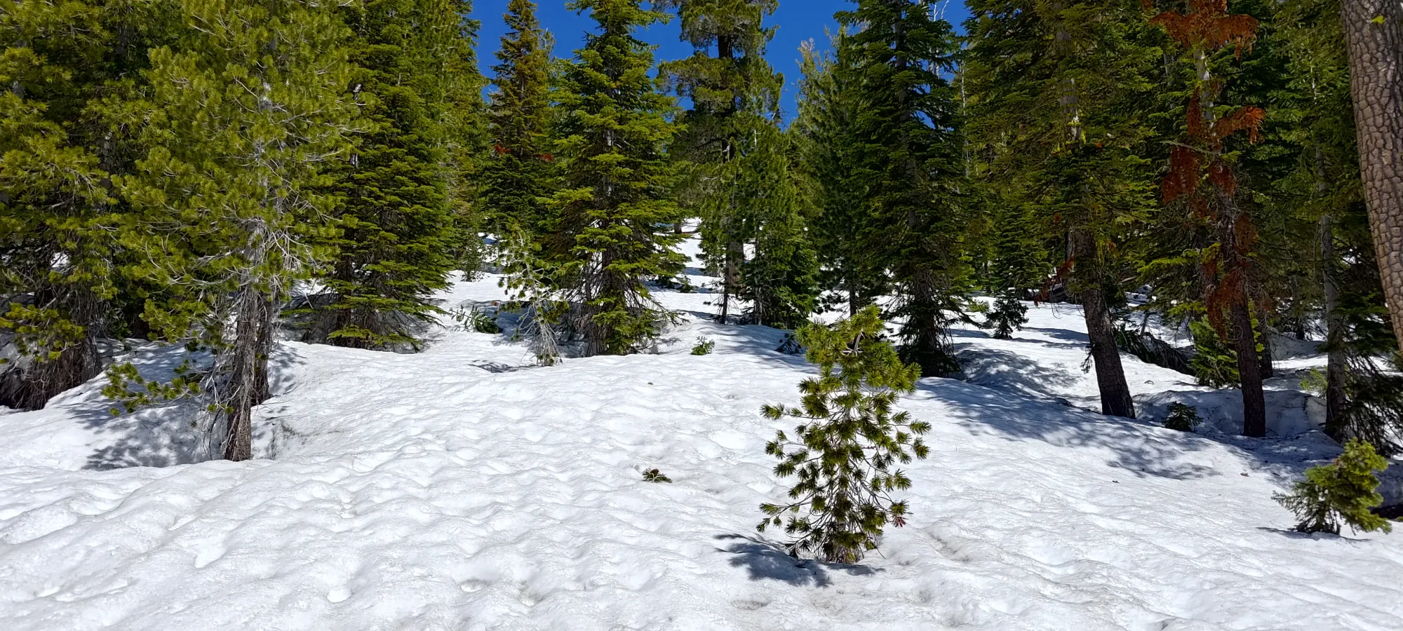
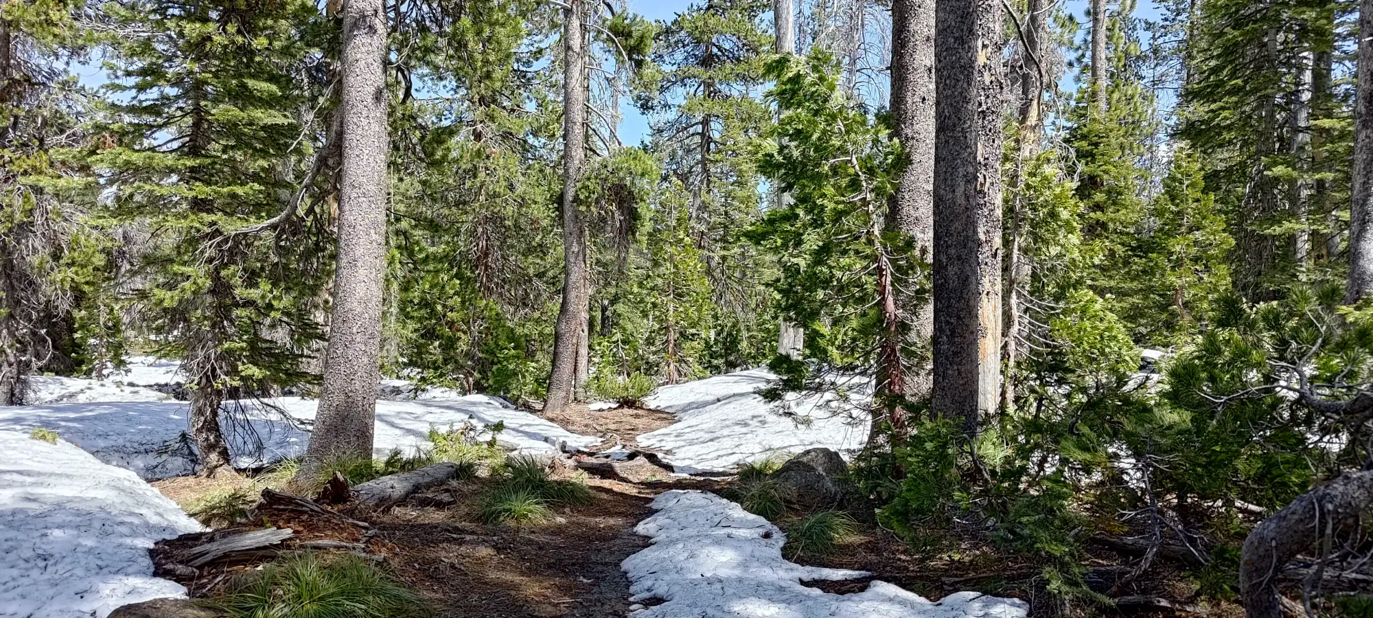
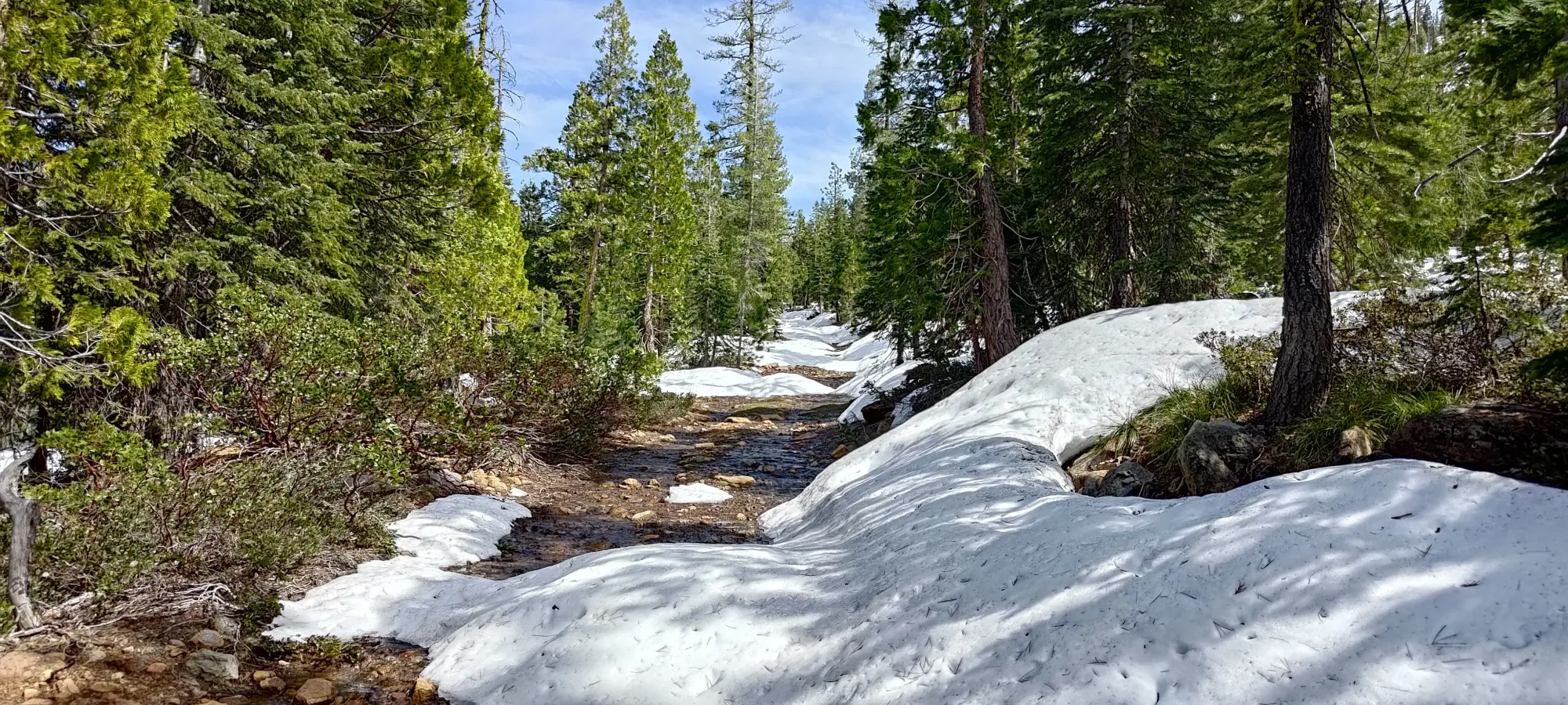
Once across the creek, the trail was a bit hard to follow, and I intermittently swapped between being on-trail (easily identified by the deep groove carved by mountain bikers, at least when not covered by snow), on-snow, or just on open dirt. A big difference between here and my home turf in BC is how easily one can just wander up the forest, even without metres of snow coverage. The sparseness is quite helpful for backcountry travel.
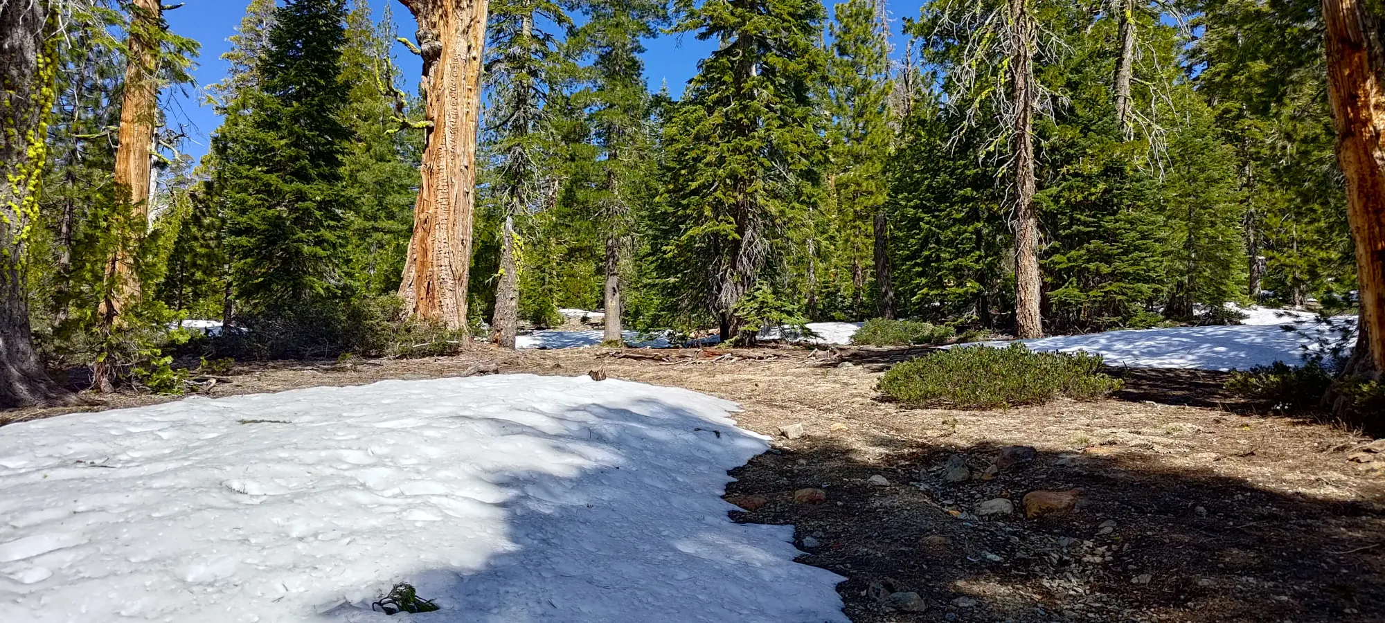
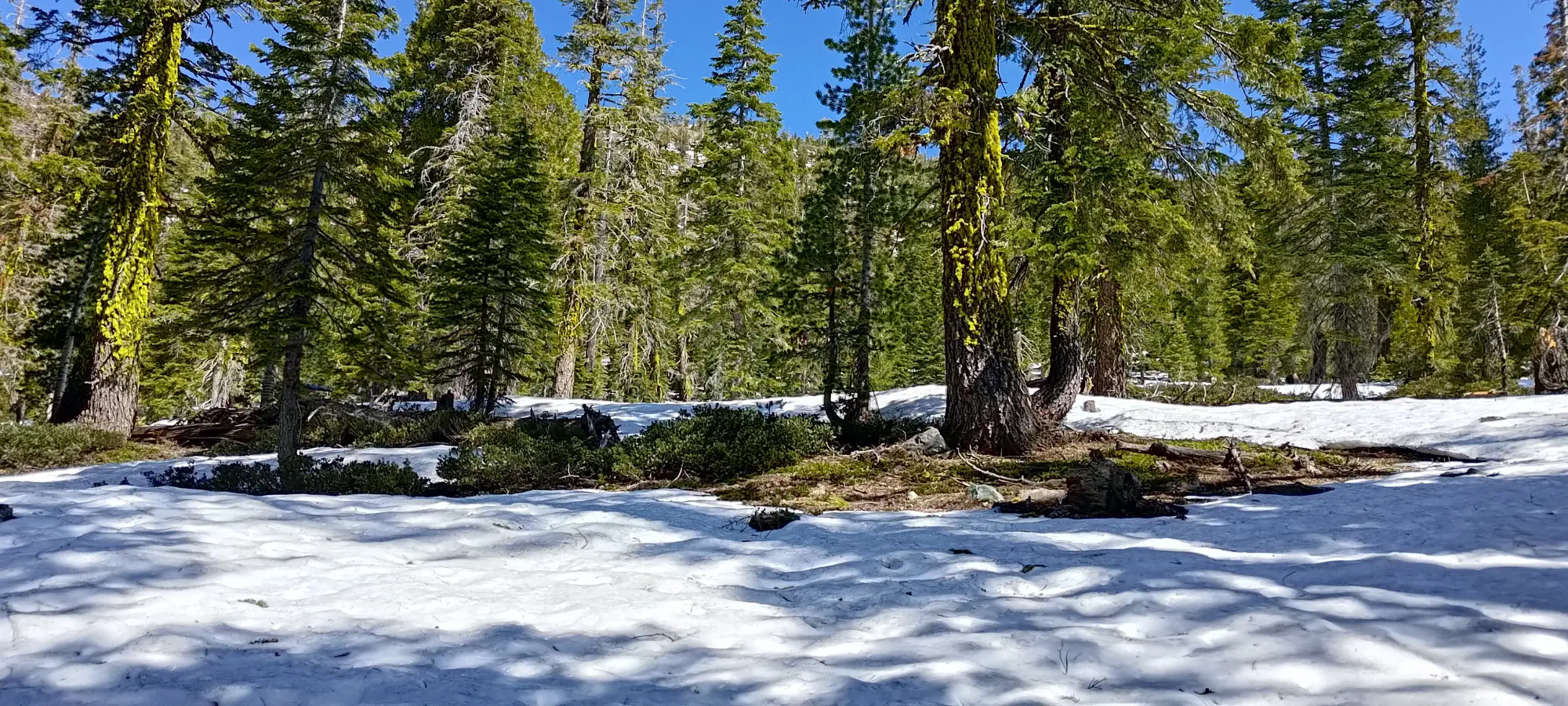
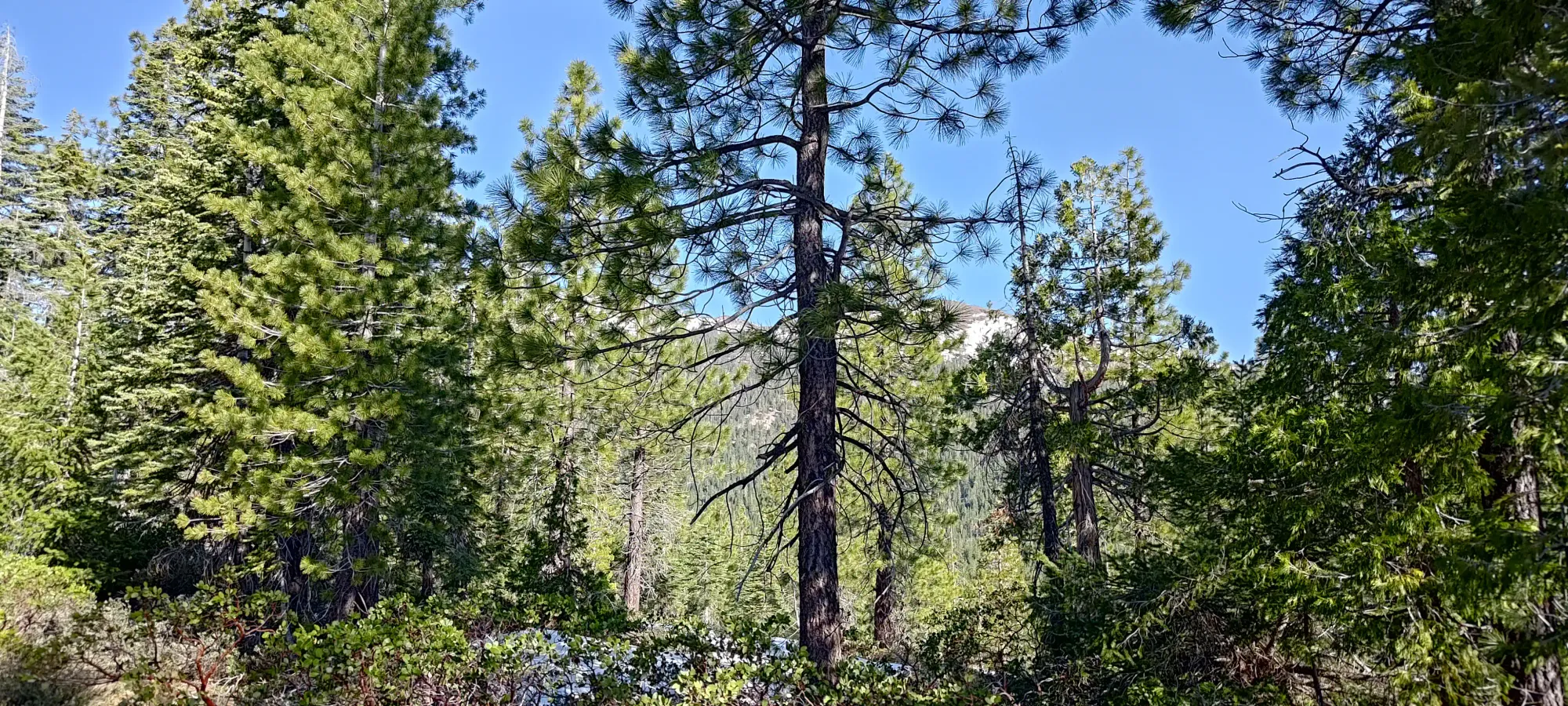
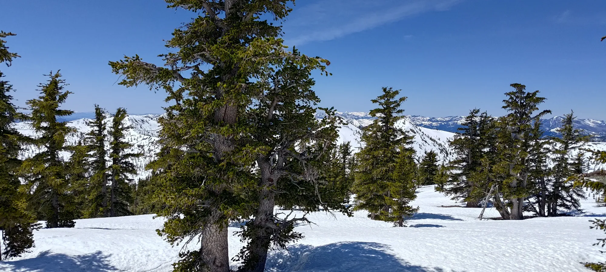
By the 2 hour mark, I was about 6.5km of rather tedious walking in to the day, surprisingly tired from it (and the heat, it was WARM), but I'd only gained a bit over 350m from the car... I can't say this is my favourite approach, especially since the trail conditions were so poor. I started to meander up the snow/dirt (still patchy even here) at a pretty slow pace (though more of a fast pace followed by breaks on repeat). At 2170m I found the trail, and stayed on it for a few switchbacks, as it was a sunny section which had fully melted out, but I left it again at around 2300m, where the snow got continuous and I could just walk up in the general direction of Deadfall Pass.
I reached Deadfall Pass at 3h15m into the day, though I pushed a couple minutes longer up just above 2500m before I stopped to have some lunch and rest my tired body prior to the summit push. Despite the day not being all that long from an elevation/distance perspective, I was really feeling tired, so I knew I needed the calories. My time showed as much, taking that long for what amount to about 8.5km and maybe 800m of elevation gain. Oh well, at least the winds were fairly calm and the views were nice.
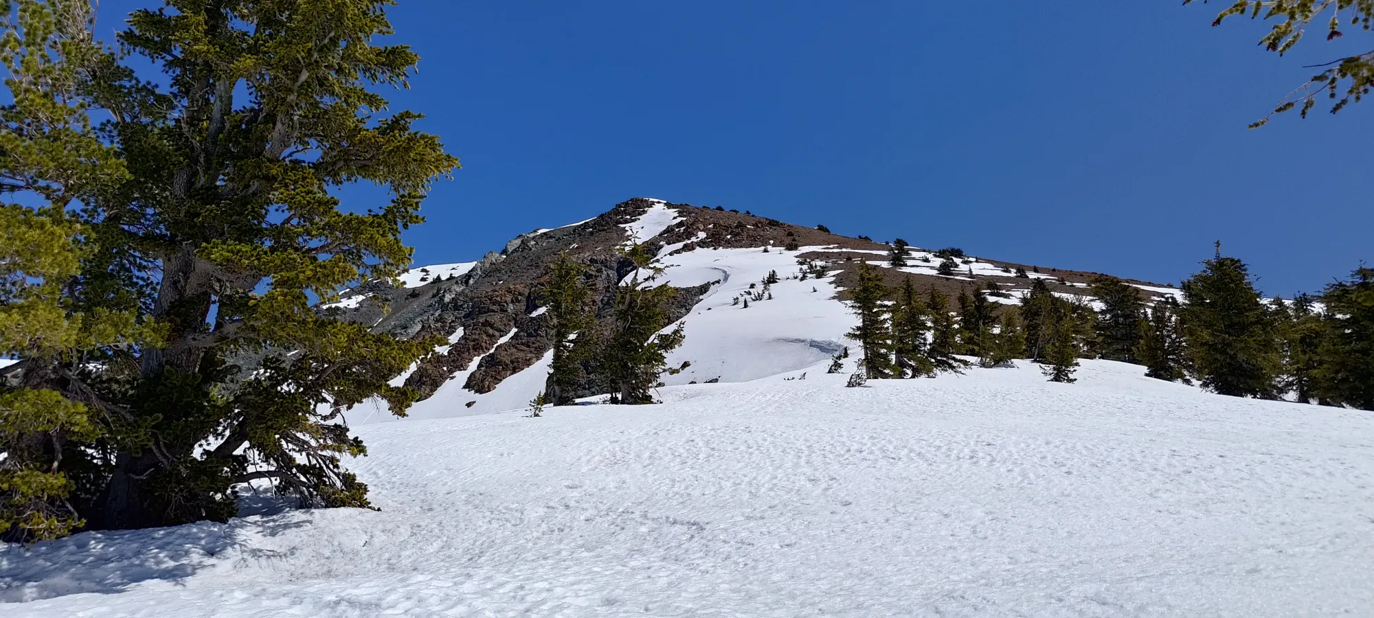
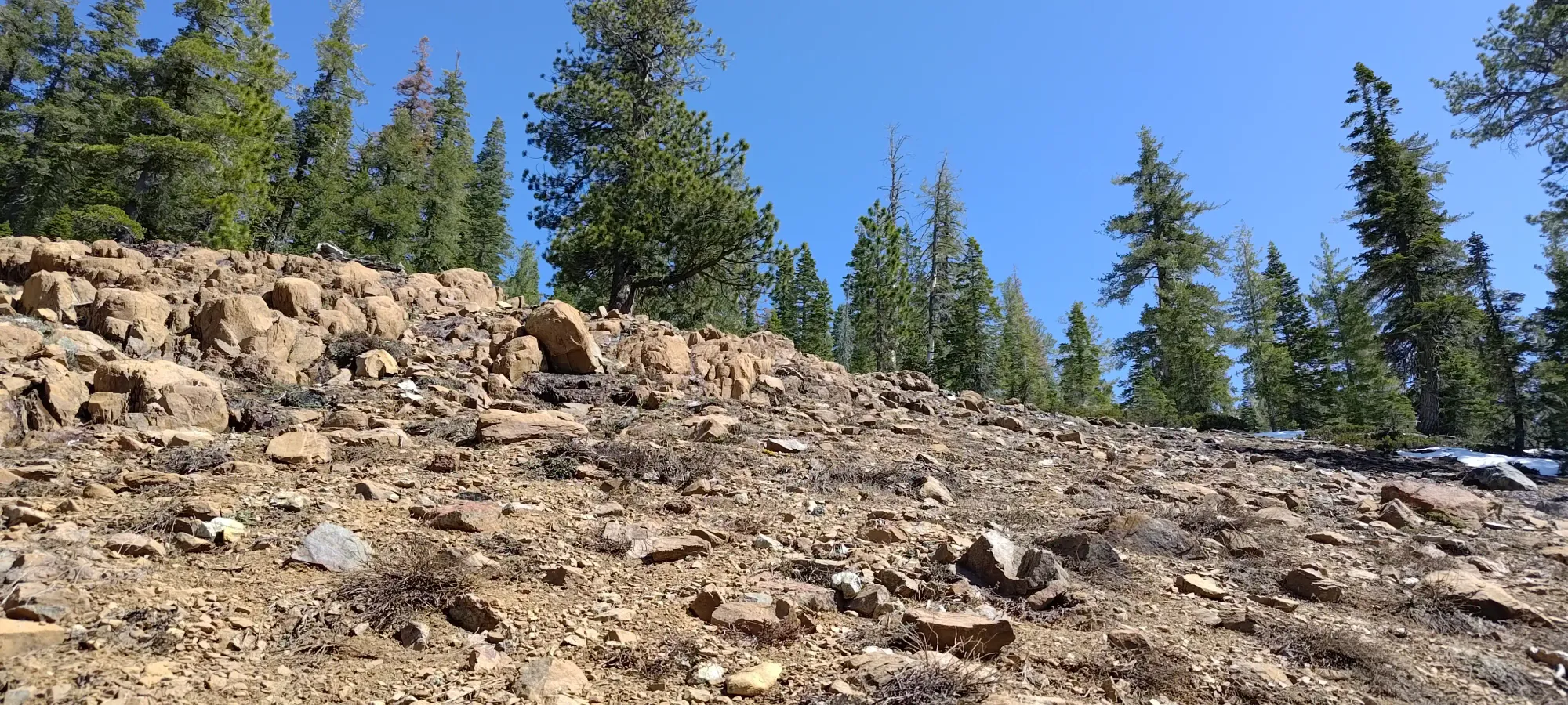
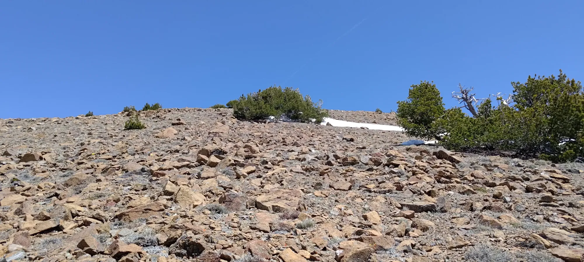
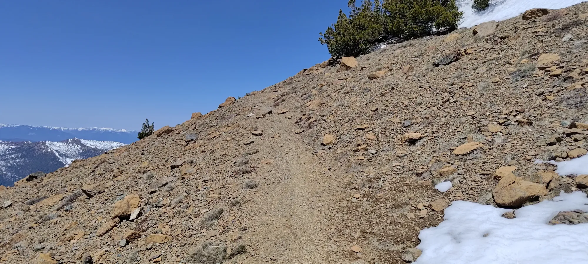
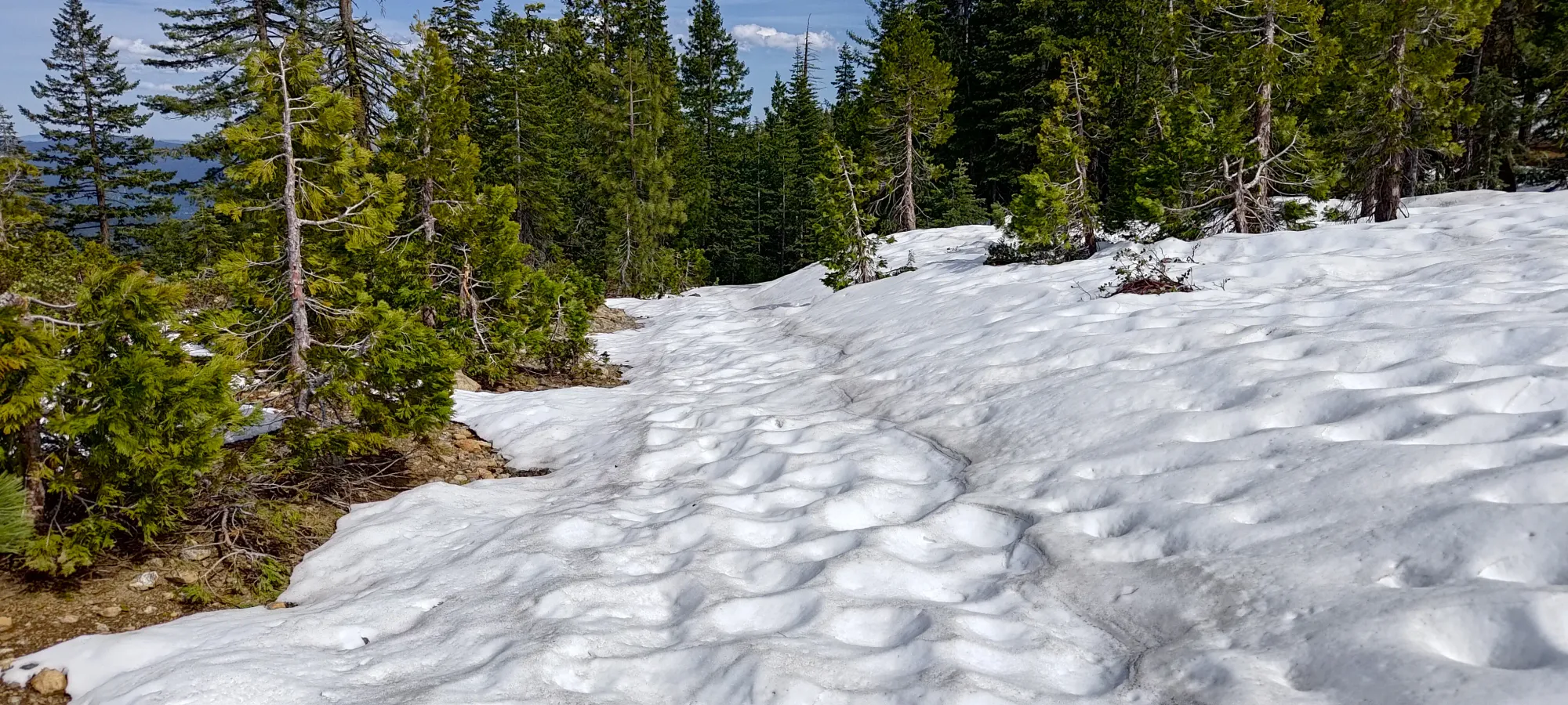
After 10-15 minutes of rest and snacking, I got back up to crank out the final 250m of elevation to the top. I didn't stay on snow for long, since it was getting warmer and softer, and I didn't bring my spikes (I did have crampons for my ski boots, but those felt very overkill). It wasn't postholing or anything, nor was it steep enough to be dangerous, just "not as efficient as dry ground". Once I hit the dry ground, it was a fairly stable rock slope, with a few snow patches along the way. Of course, my watch decided to glitch out and lose signal for about 100m of elevation on this stretch (in addition to just totally failing on heart rate, my happiness with Garmin has really dived in the last 6 months). I eventually hit some switchbacks at around 2700m, which were mostly, but not entirely melted out.
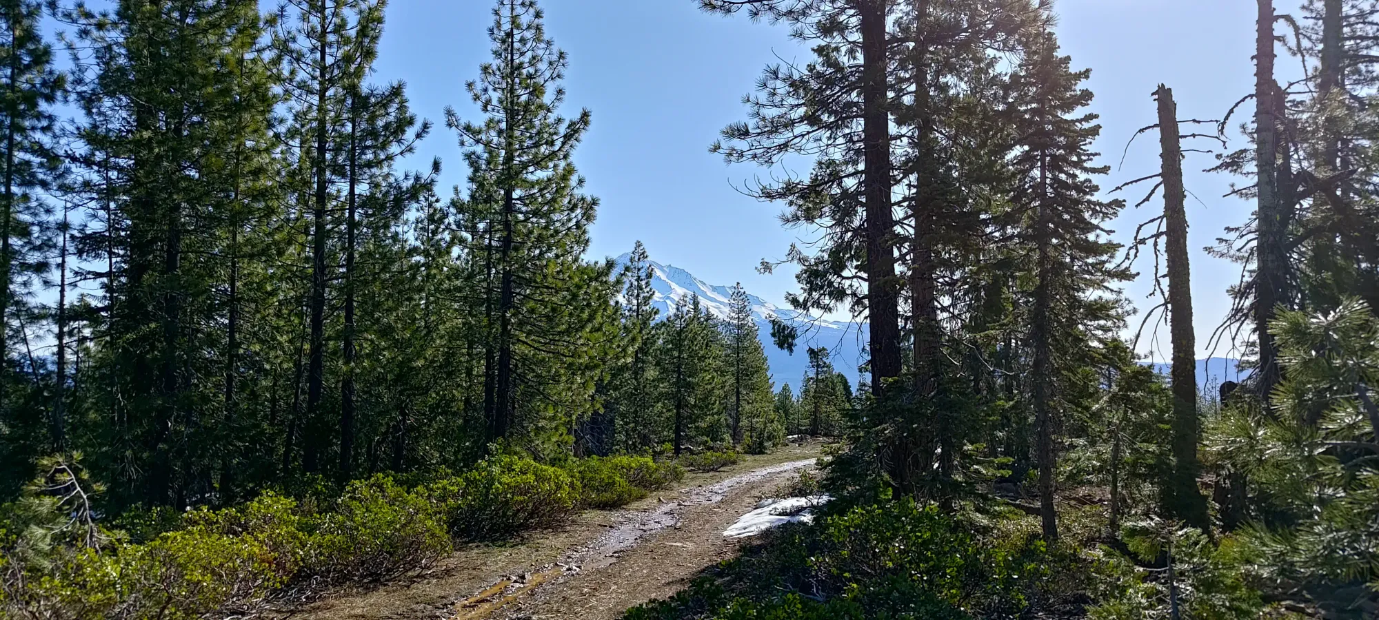
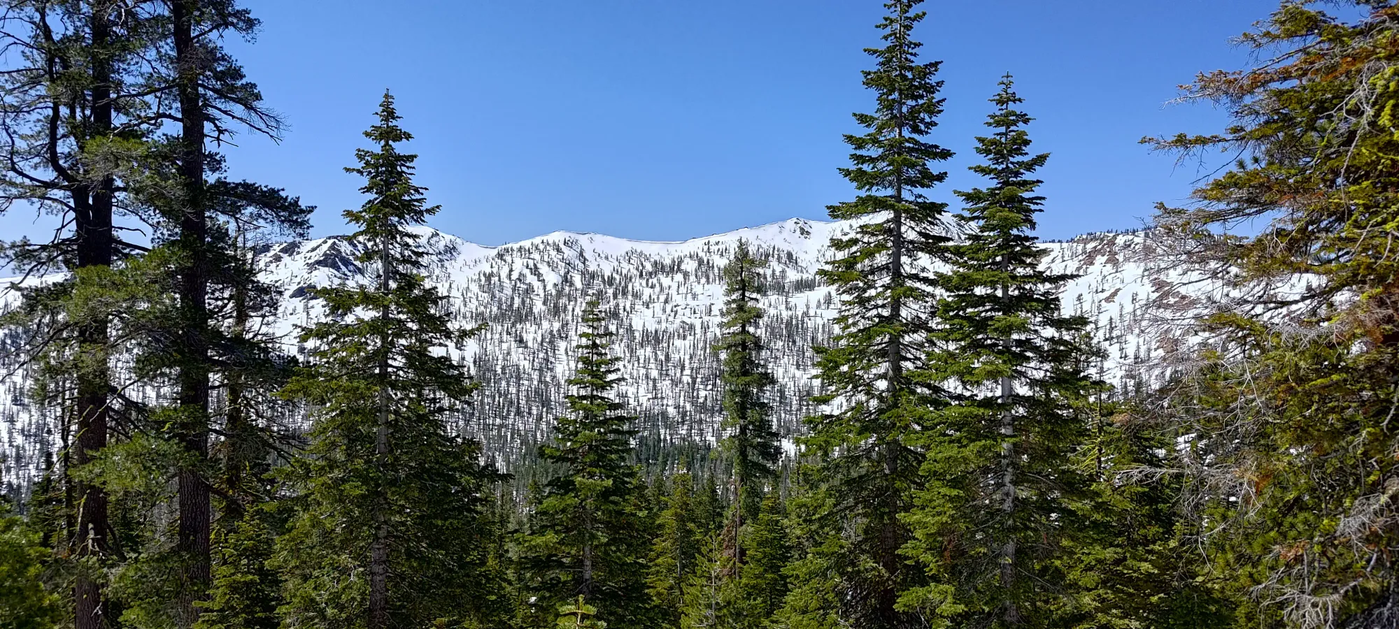
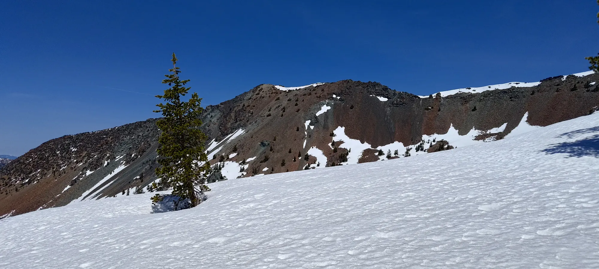
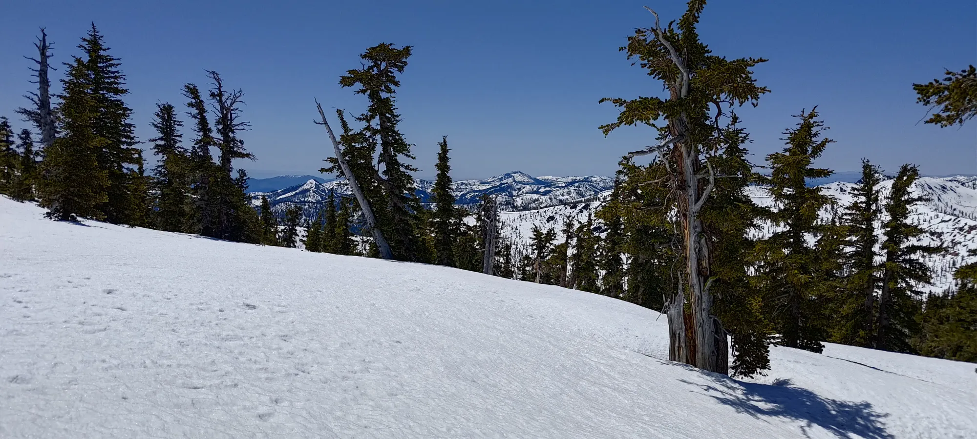
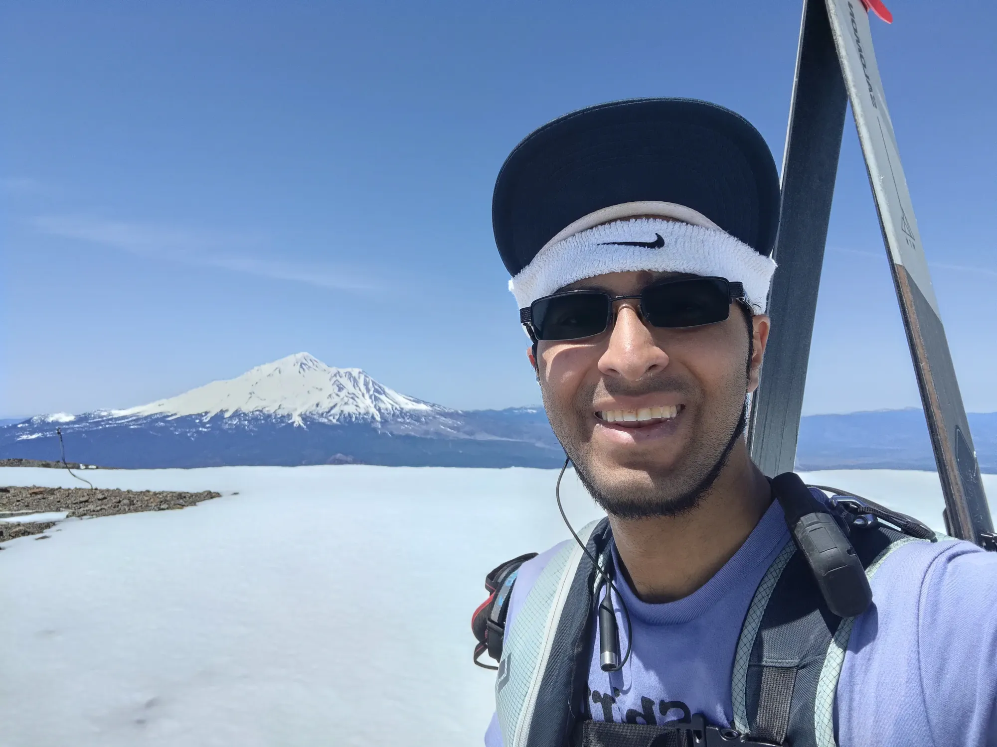
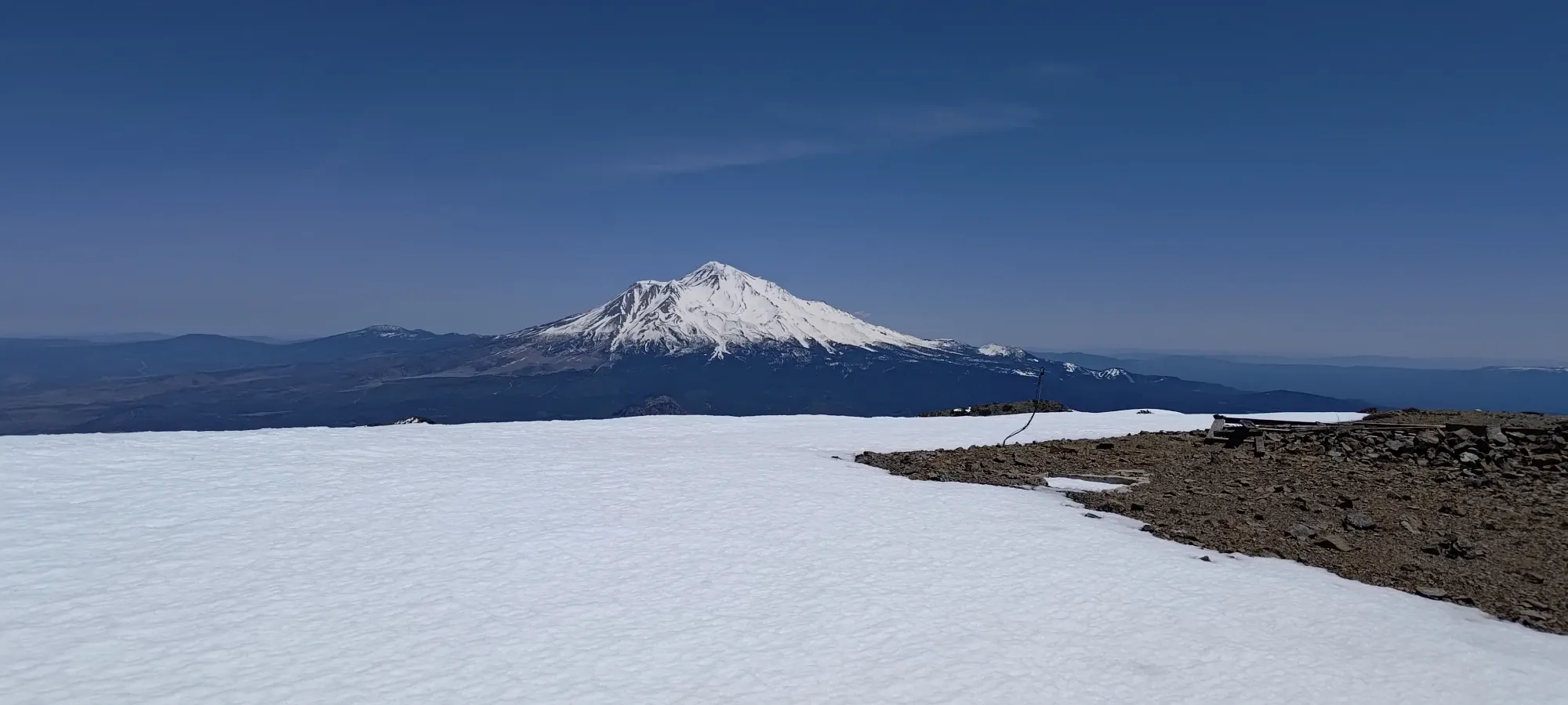
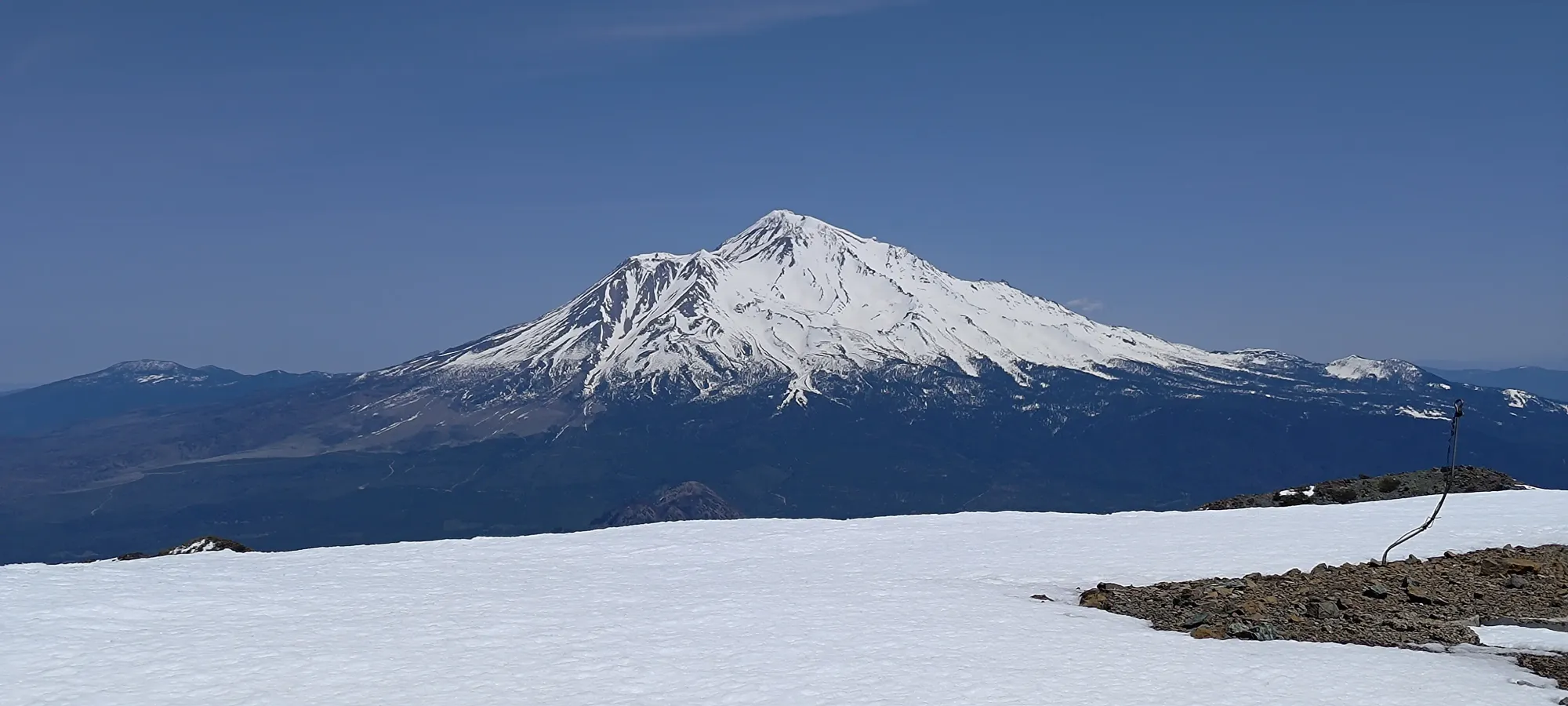
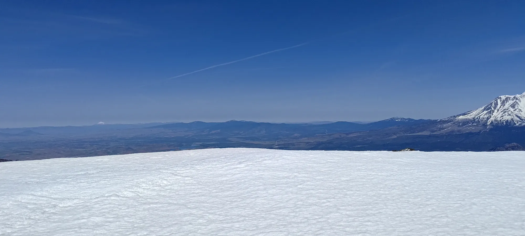
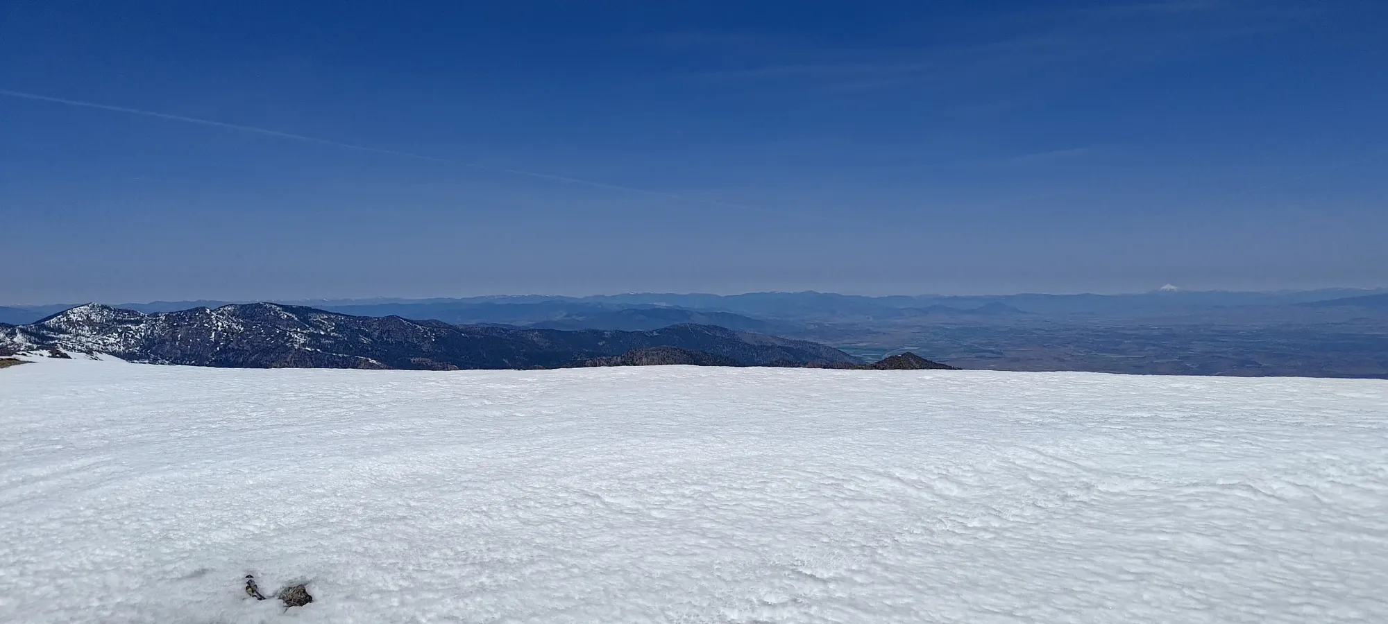
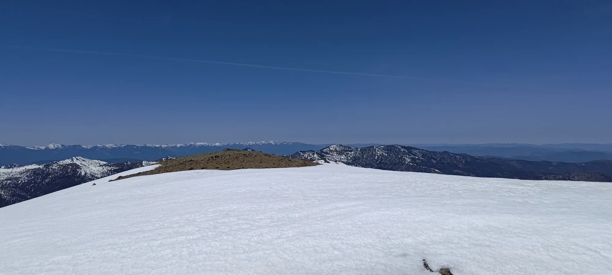
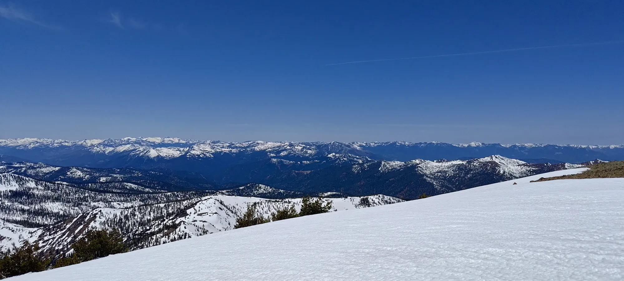
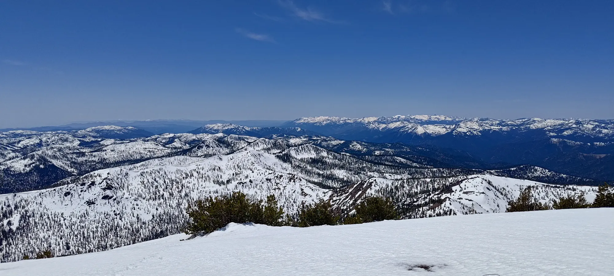
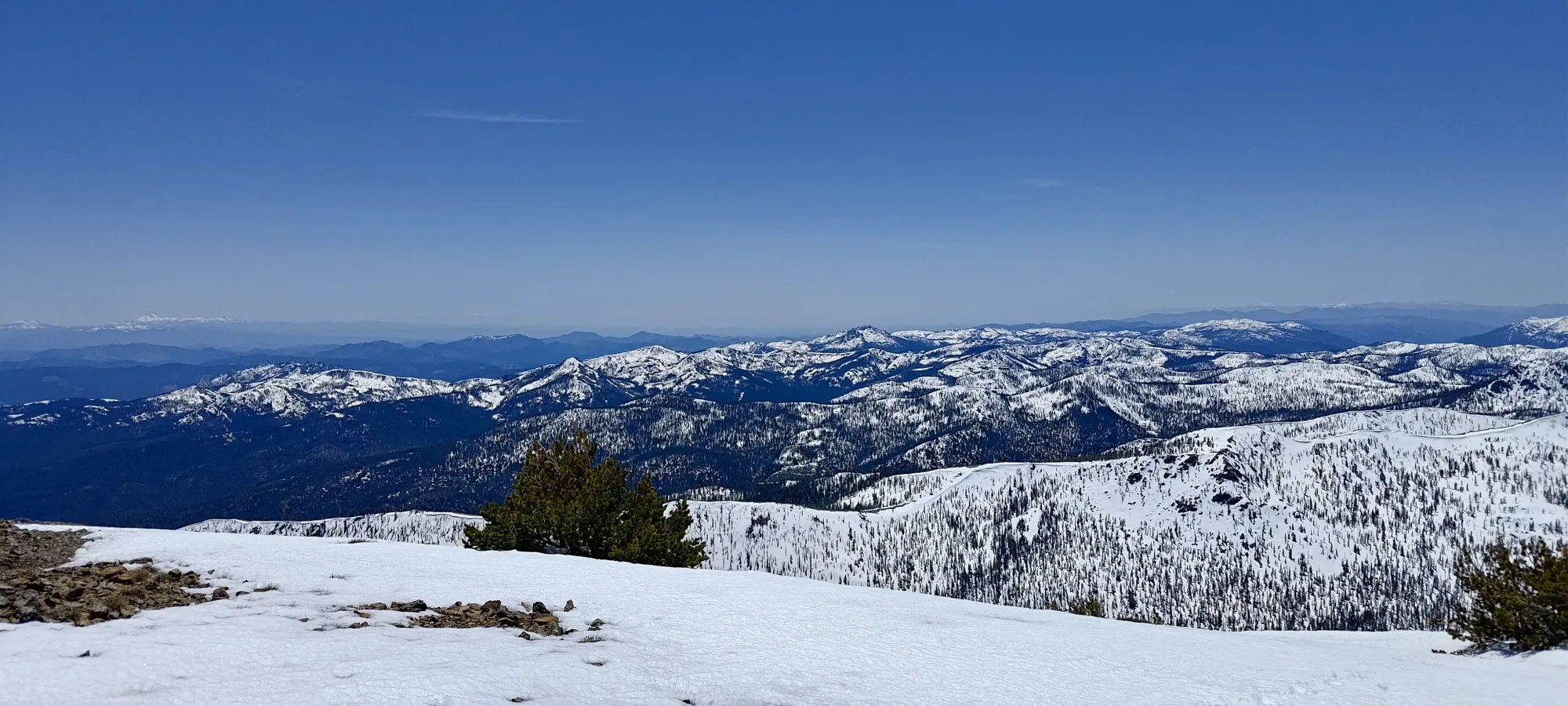
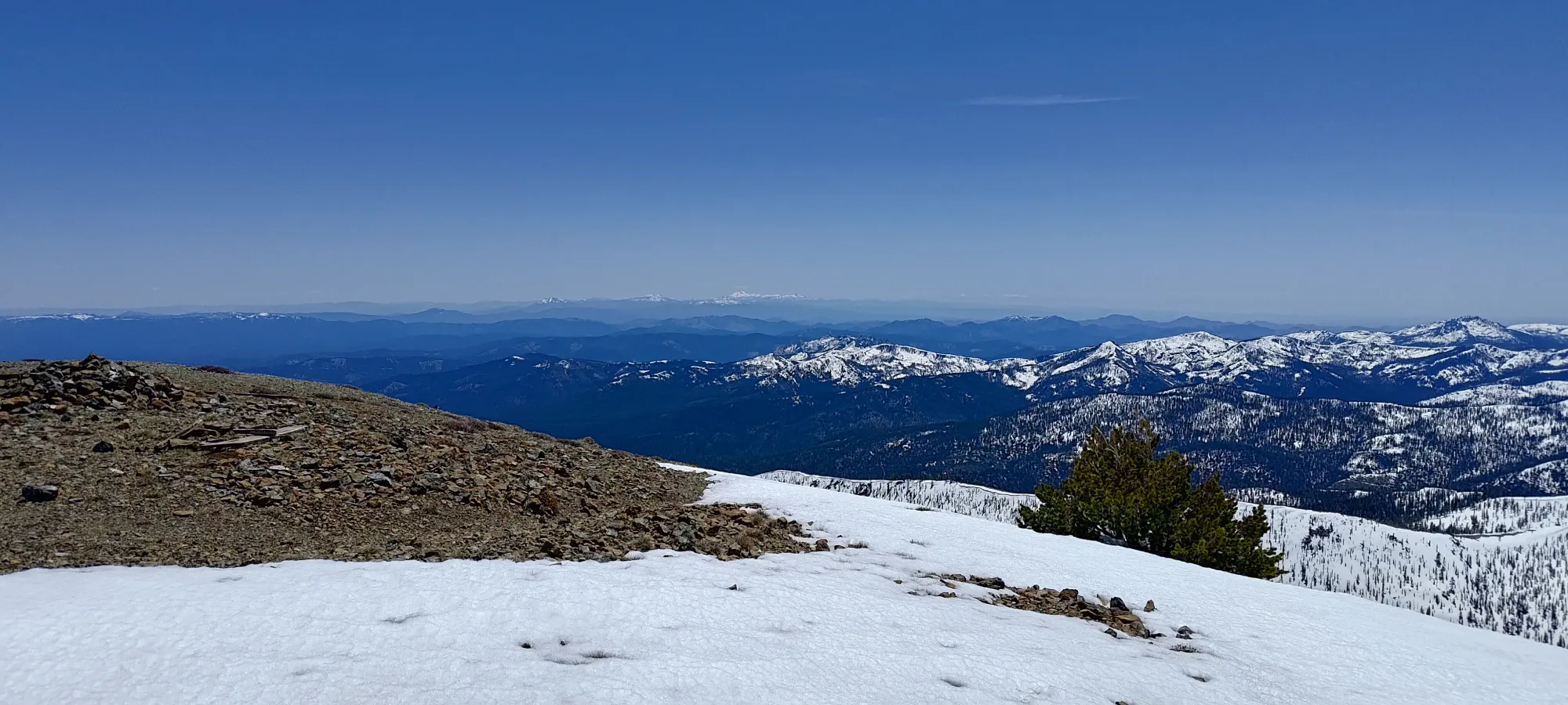
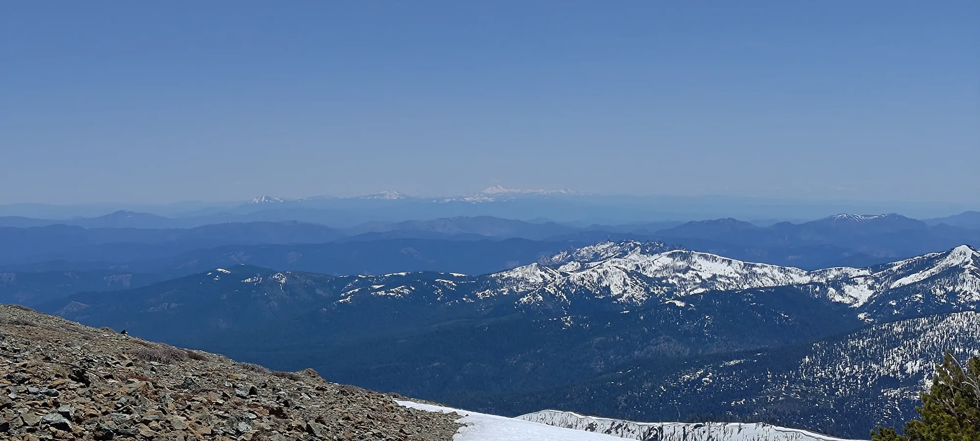
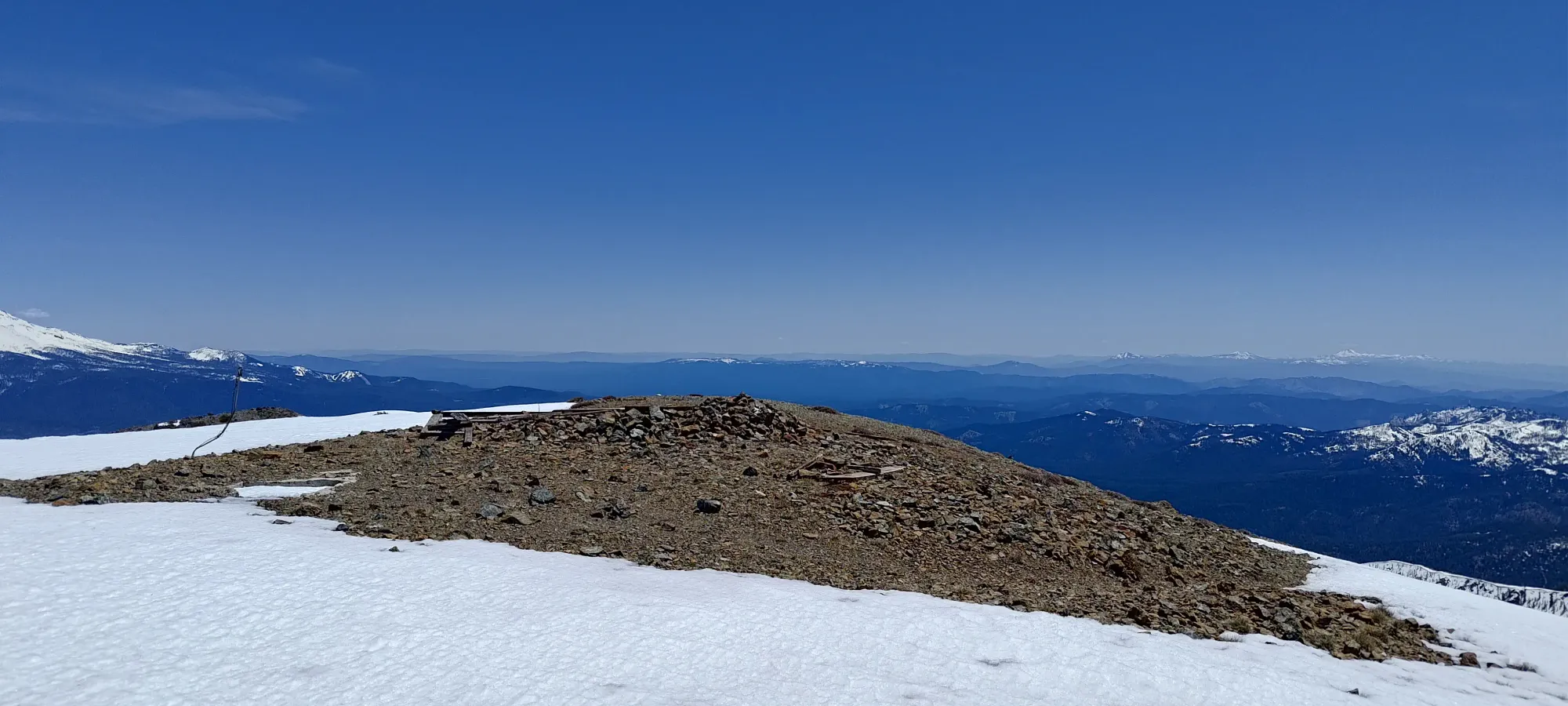
I needed quite a few breaks between "walking pushes" to top out, but I eventually got there at around quarter to 1:00, or just over 4 hours into the day. The breeze was a bit cool, but with my body heat from working hard, I didn't mind much. The views are quite great (as ultras tend to provide, at least on clear days like this one), so I spent a few minutes taking photos and walking to various spots along the ridge (there were a couple cairns and rock wind-buffers, along with the remains of a fire lookout) before I started my walk down to where I could transition and start skiing.
After all that photo-taking, I walked down for a bit over 10 minutes, largely following the trail this time, until I found myself a nice flat spot at 2600m where I could sit, finish my sandwich, and transition before starting the ski down. I took a leisurely 25 minutes to do so before I finally got all my gear sorted, food eaten, and was ready to go, at just about 1:30pm.
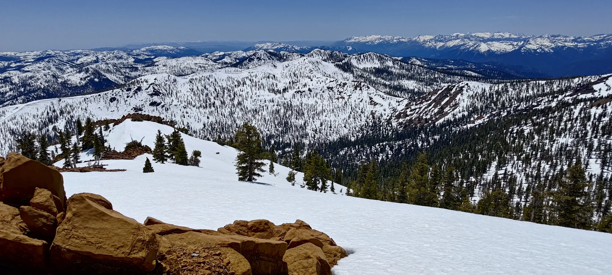
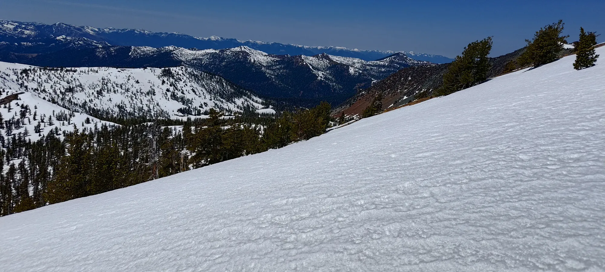
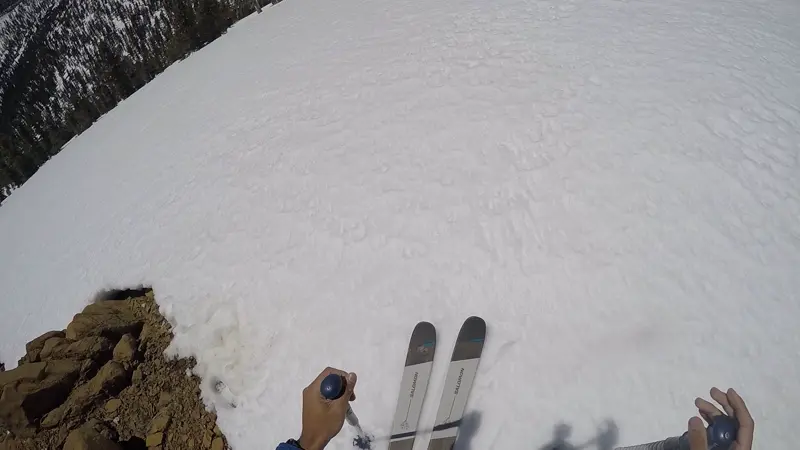
The skiing was pretty fun, with the snow being plenty soft for easy turns but not yet sticky or too loose to edge effectively. I got down to about 2400-2350m before things got patchy, then managed to picky my way down to about 2240m or so before running out of continuous snow and having to call it.
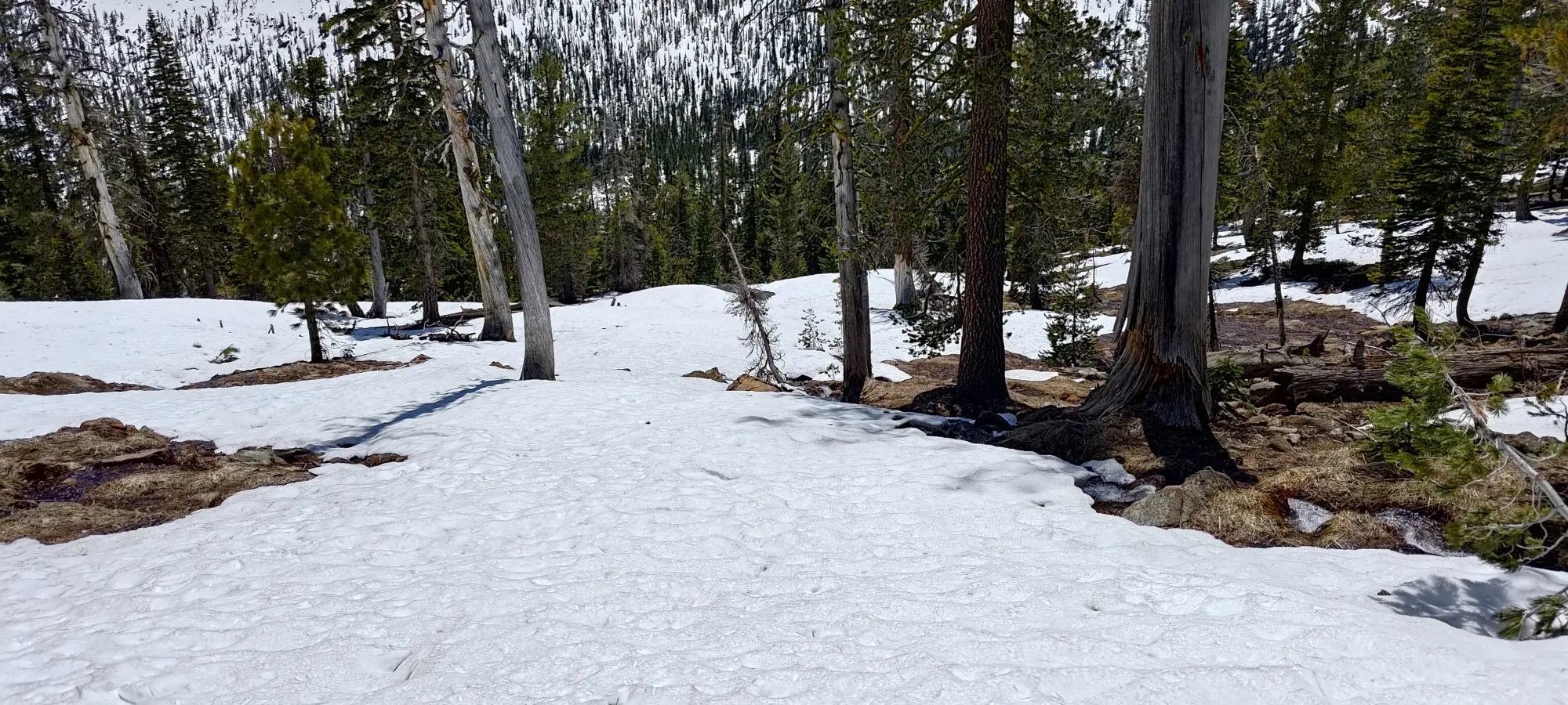
After packing things up (I kept my ski boots on due to the poor state of the trail, figuring I'd benefit from the water/mud resistance more so than from the lightness of my trail runners), I started the long walk back. The first 10 minutes were just following game trails down the sparse forest until I hit the flat section of trail on the north side of the creek, then half an hour of that "trail" to get back to the creek itself. I managed to stick to it a bit more than on the way up, but it was still a lot of random wandering around in the snow. I tried to keep skiing small sections, but I think I mostly just wasted time and energy by carrying my skis in-hand than I benefitted from those small sections. This trail is just too flat once it starts heading east-west, especially in patchier and wetter snow.
The creek crossing with skis in-hand and boots on-feet was a bit more challenging than on the way up, but I managed without taking a dip 😅. After that, I continued with my fruitless attempts to ski down more of the trail, but eventually caved and packed the skis up onto my pack, though I kept my boots on for the same reasons as before (the trail conditions sucked the whole way back). As I kept on going, I started to get fairly thirsty. There was plenty of water available, as the trail itself was a creek half the time, and the real creek was always right beside it, but I decided it was more worth it to just keep hiking and deal with it instead of drinking unfiltered water, or "wasting" a filtration tab on the water (I haven't yet swapped to "summer mode" and starting packing my hand-pump filter in my pack every trip). Probably not the most efficient choice, but eh, at least I didn't have to spend a few cents, I guess?
It took just under an hour to get from that creek crossing to the fork off from the official trail to my alternative forest road. That was where trail conditions changed from "flowing, downhill creek" to "stagnant, pooling water" (as above), and then "flowing, uphill creek". Just the best. The 20+m of elevation gain to get back to the car were also not my favourite.
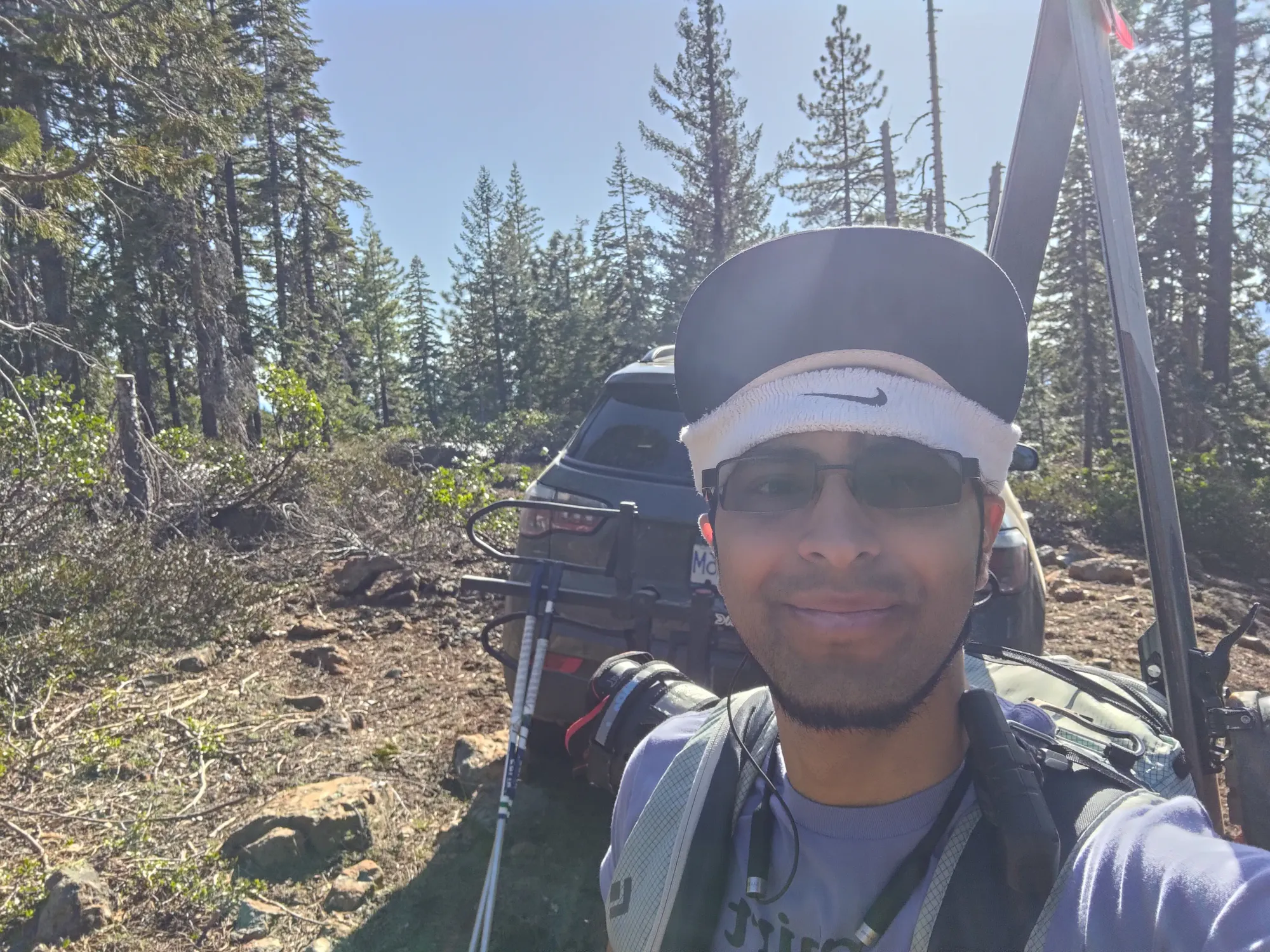
At the apex of the road, I decided to try and ski the last stretches that I could, and busted the skis out for one or two last stretches. This was almost definitely not time-efficient, but it was satisfying to justify the hauling of that gear for so long (I already wasted pack space+weight on ski crampons, skins, crampons, and an axe I never used). Sadly it was only a few seconds before the patchiness started again, and I just ended up carrying my skis for all but one more little bit of snow before I was back at the car, 7.5 hours after I started. Somehow I manage to make even the easy ultras hard for myself...
Overall, while not a typical way to tackle this mountain, and I still clearly was not in peak physical condition, and the trail conditions weren't that great, I'm still happy with the end result. I'm always happy to get an ultra, I enjoy skiing things people normally don't, and it was even fun until it got flat. I would recommend getting a sled and go the deadfall lakes method in the winter, though, as the bowl off the summit that drains that way looks like even more fun. Alternatively, the summer probably is also still better there, unless you mountain bike, then this approach makes sense. Totally worth a visit, though, Shasta isn't the only big mountain in this area!
GPX Track + Map