Mount Collins (Bowen Island) - March 25 2025
A small and straightforward hike on Bowen Island, this is a bite-sized hike that's easy to do in almost any weather all year long


Georgia Strait Islands, Bowen Island, BC
413m
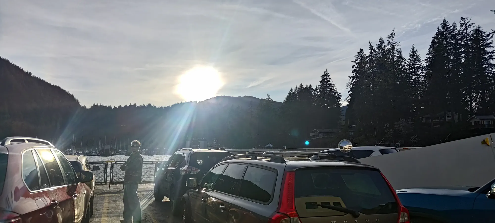
On this random Tuesday, I both had a hankering for a burger, and discovered a decent weather window in the afternoon. Living in BC, finding a good burger (IMO, I'm not a smash burger kind of guy) is surprisingly challenging, but I knew the pub on Bowen Island was one of the few places I was quite pleased with the offerings. I also had one peak left to get there, so I texted Logan and asked if he wanted a little exercise and some good food, and he was down. Sadly, both of us struggled to leave work early, so we caught a ferry scheduled for 5:35, which was also delayed, so we didn't get off the ferry until 6:31pm 😅. The sun, by late March, does set relatively late, but that was definitely going to push our limits if we wanted to avoid headlamps (not that we didn't have them, but it just feels wrong to pull them out for something so trivial). So, once we disembarked, we got moving with a little haste, hoping to summit and get out of the forest before dark.
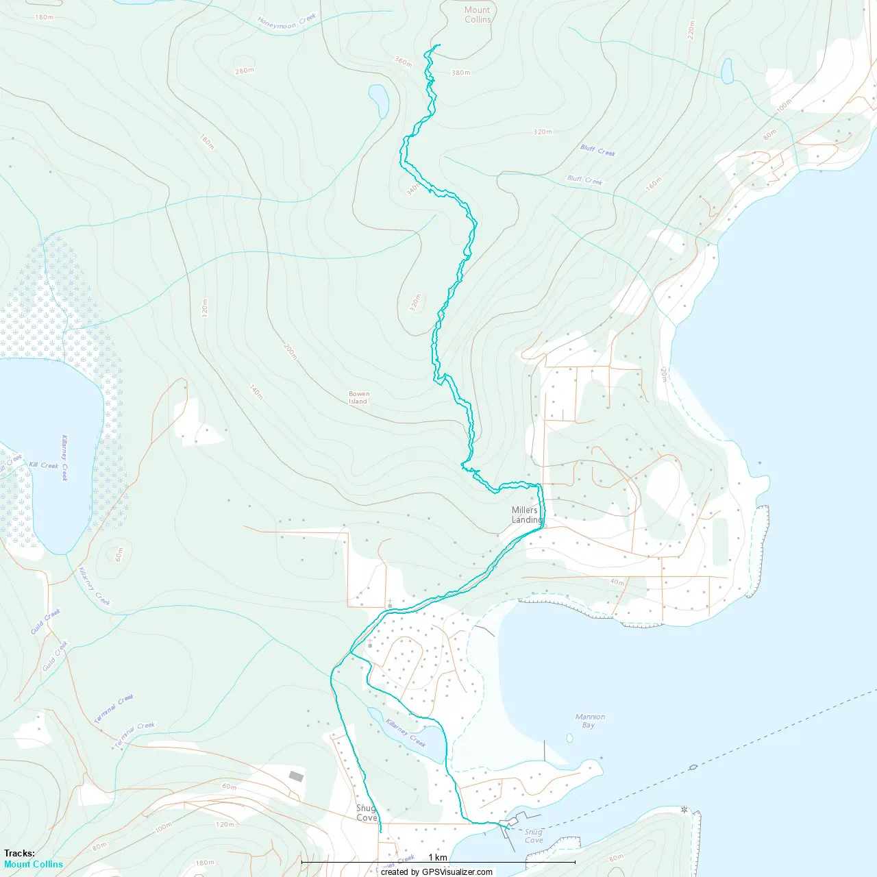
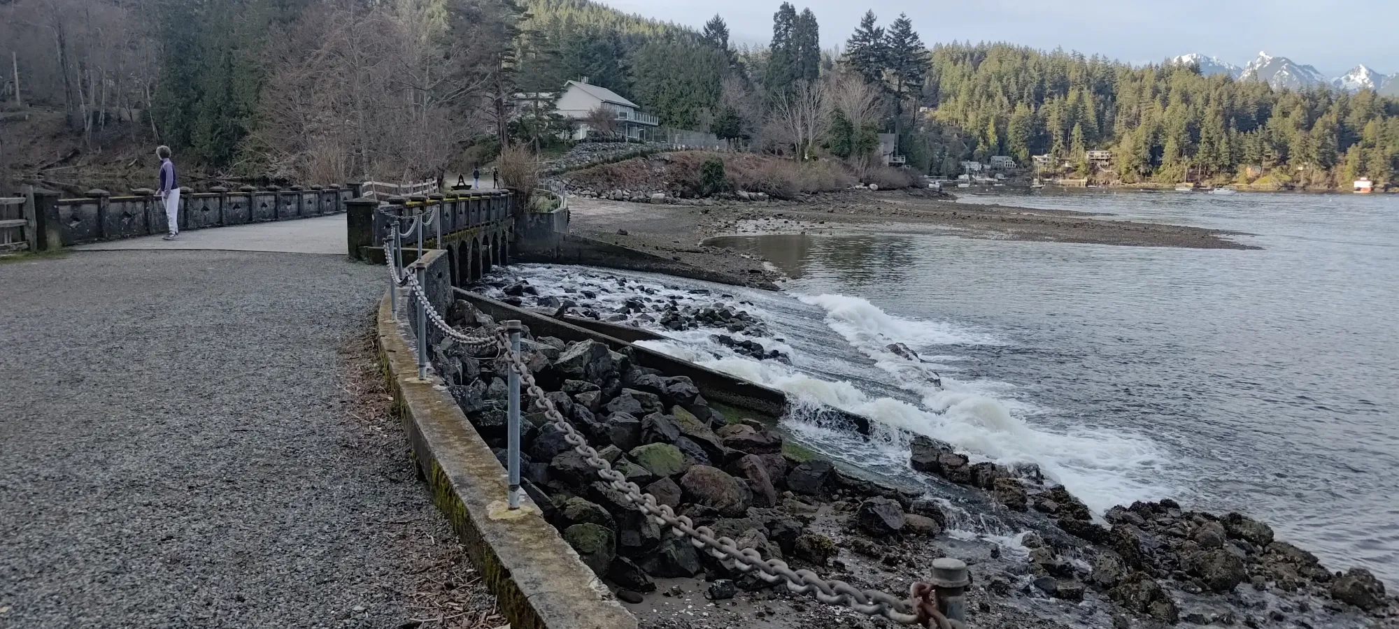
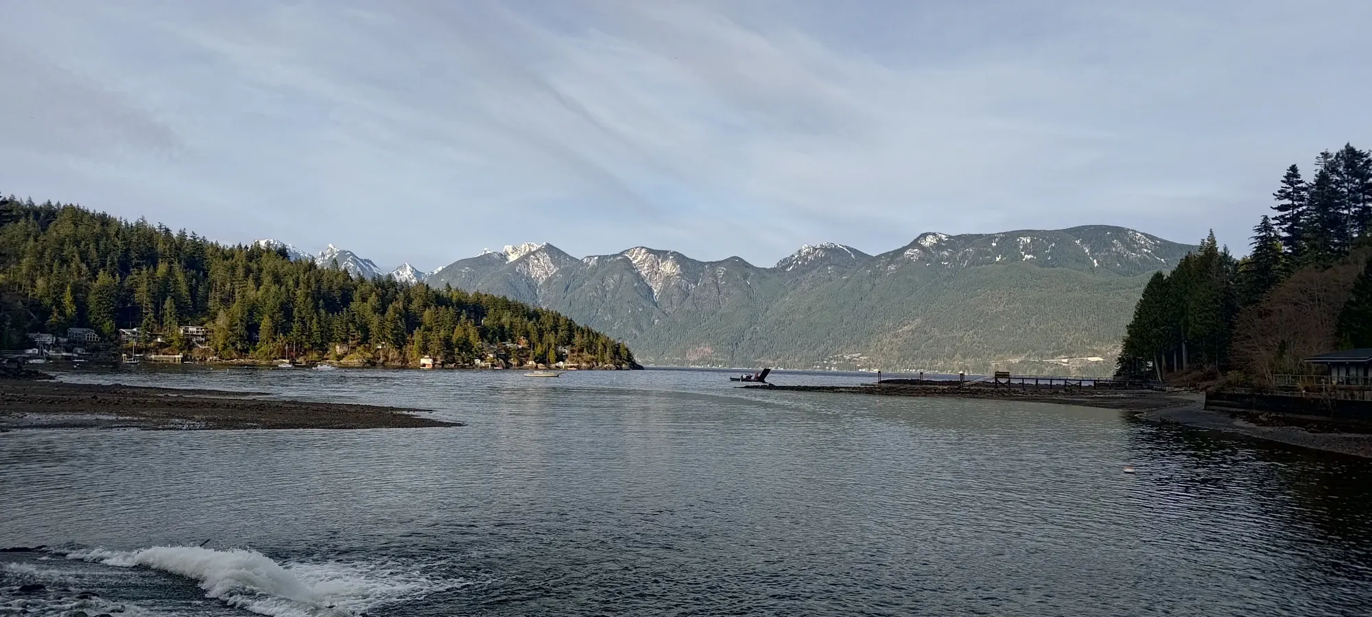
From the port, we took a short trail along the coast, walking over a nice bridge emptying Killarney Creek into Howe Sound, then taking a side road to join Miller Road, which heads up towards the trailhead. Interestingly, the road-walking actually eats up 2km and like 100m of gain just by itself, so the peak itself was even smaller than we expected based on looking at the stats. Convenient, given our tight timeline.
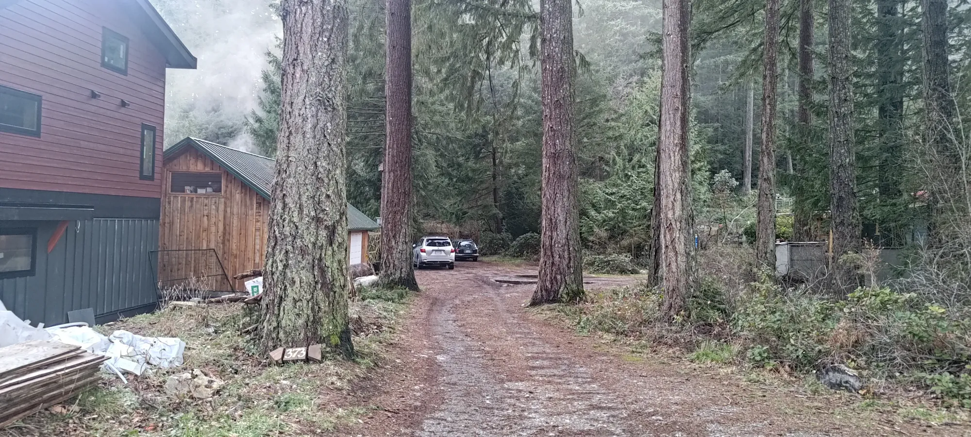
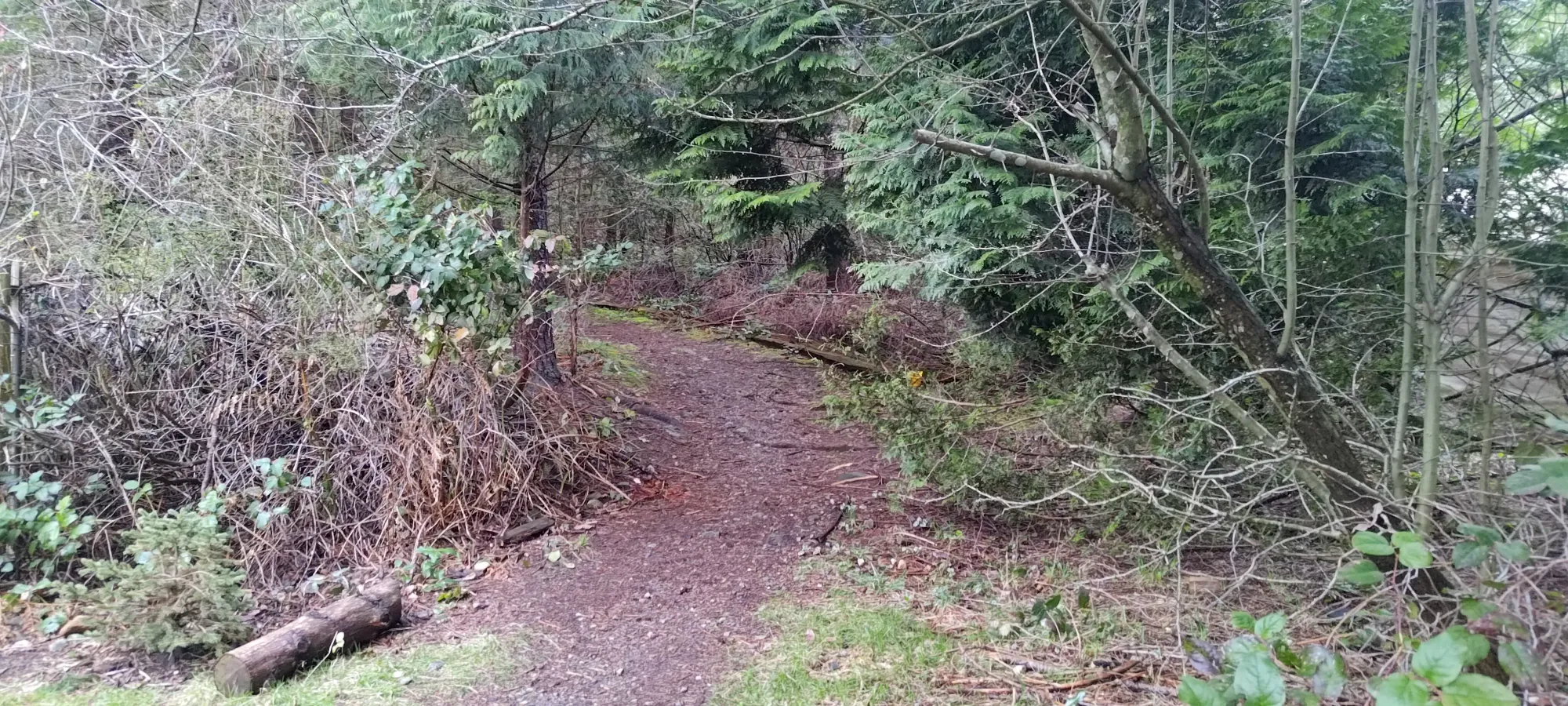
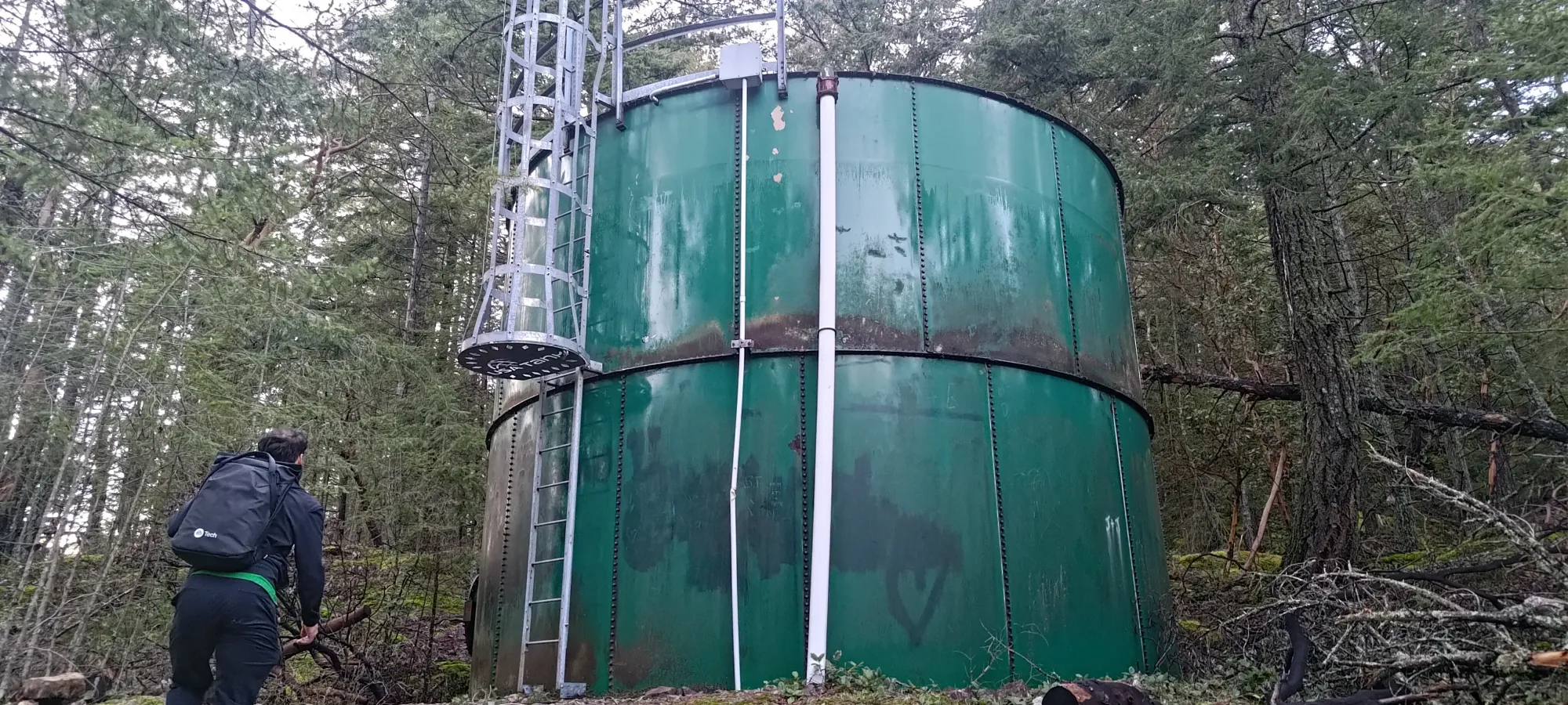
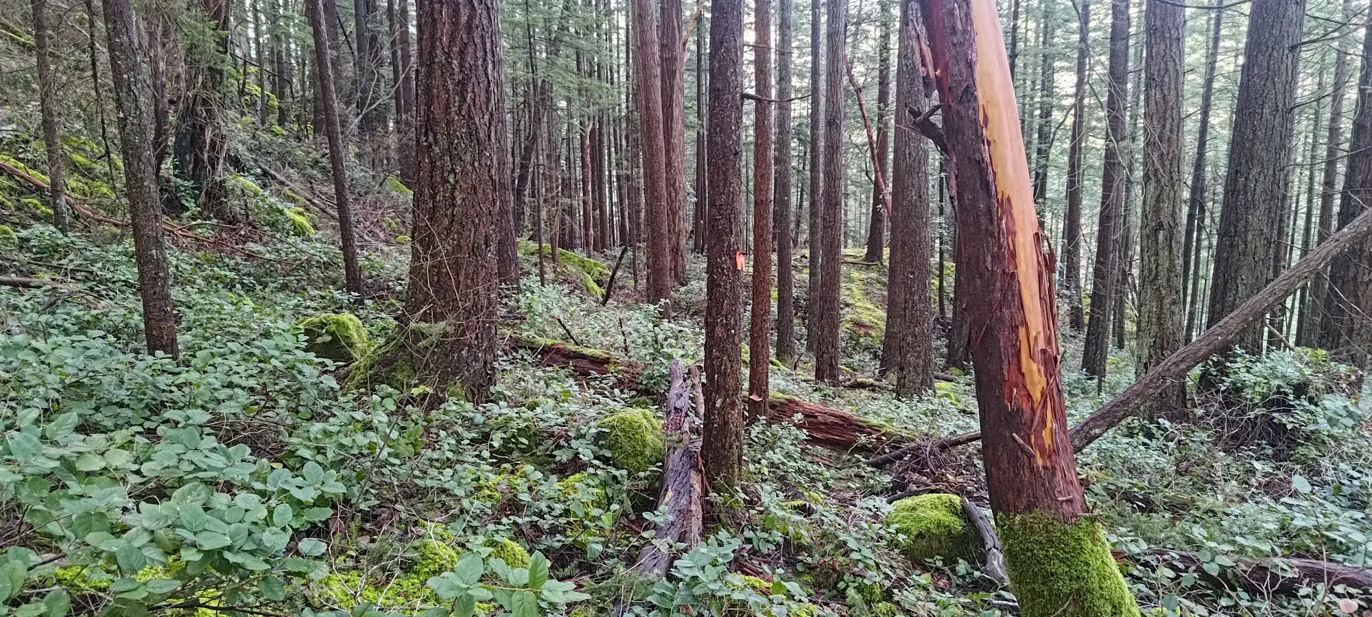
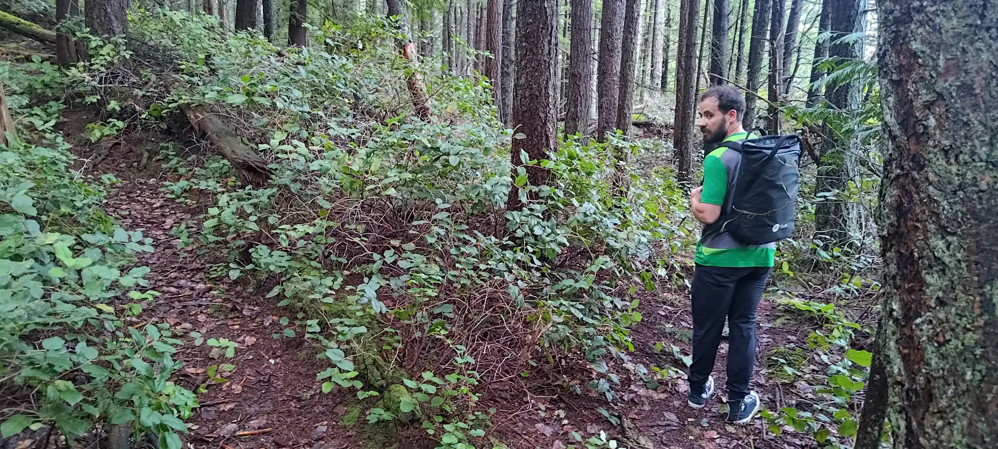
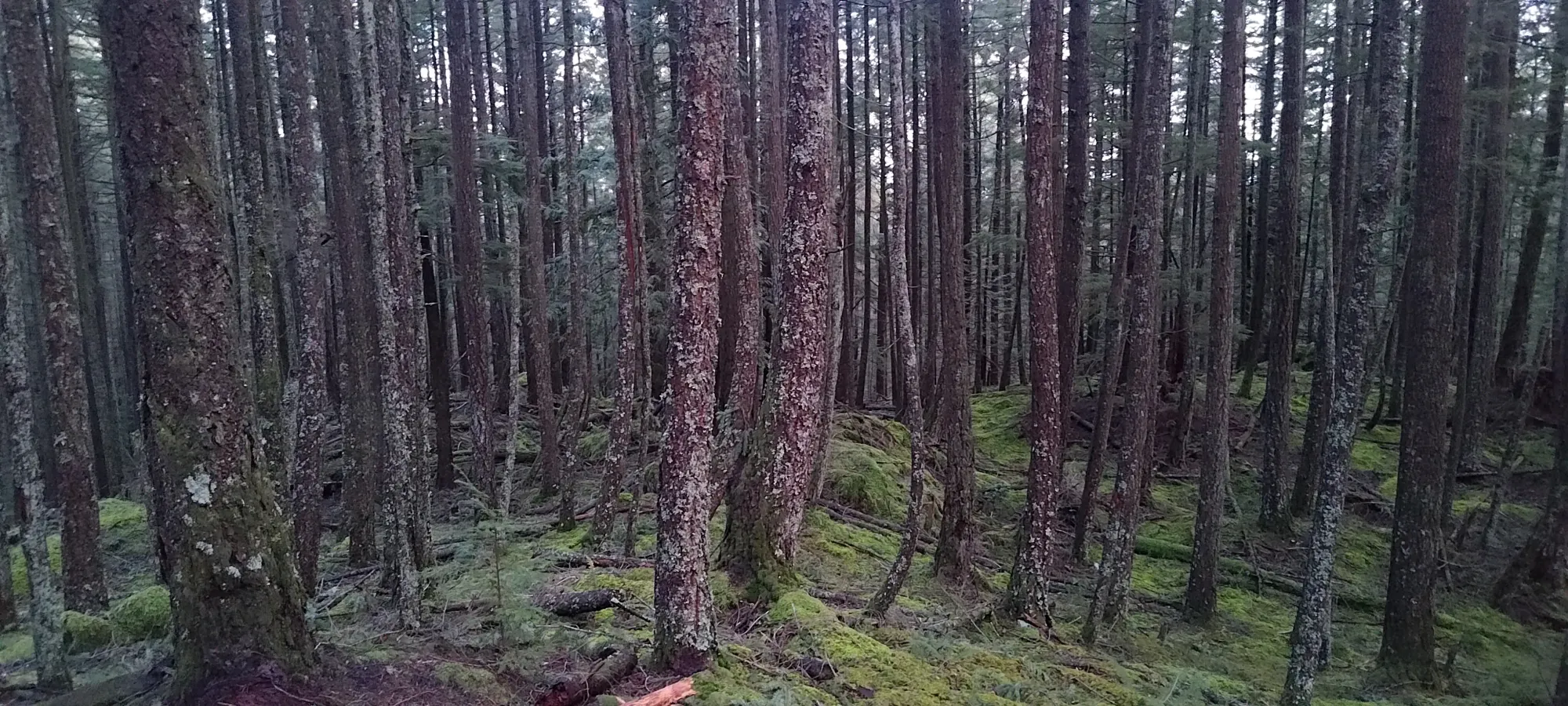
After that 20-minute walk to get to the trailhead, it was time to do some classic BC hiking. The trail starts fairly steep, climbing up an old road and possible bike trail up to a water tower. From there, things level off fairly quickly into "relatively standard BC coastal forest hiking".
Before long, we encountered a set of bluffs, which along with the recent rain, were a bit slippery-looking. It seemed like there was a trail to bypass them on the climber's right side, but that's not what our maps said, and we didn't really have time to go exploring, so we just stepped carefully and it was pretty chill. No scrambling required or anything. Just not the fast, easy trail we would've preferred.
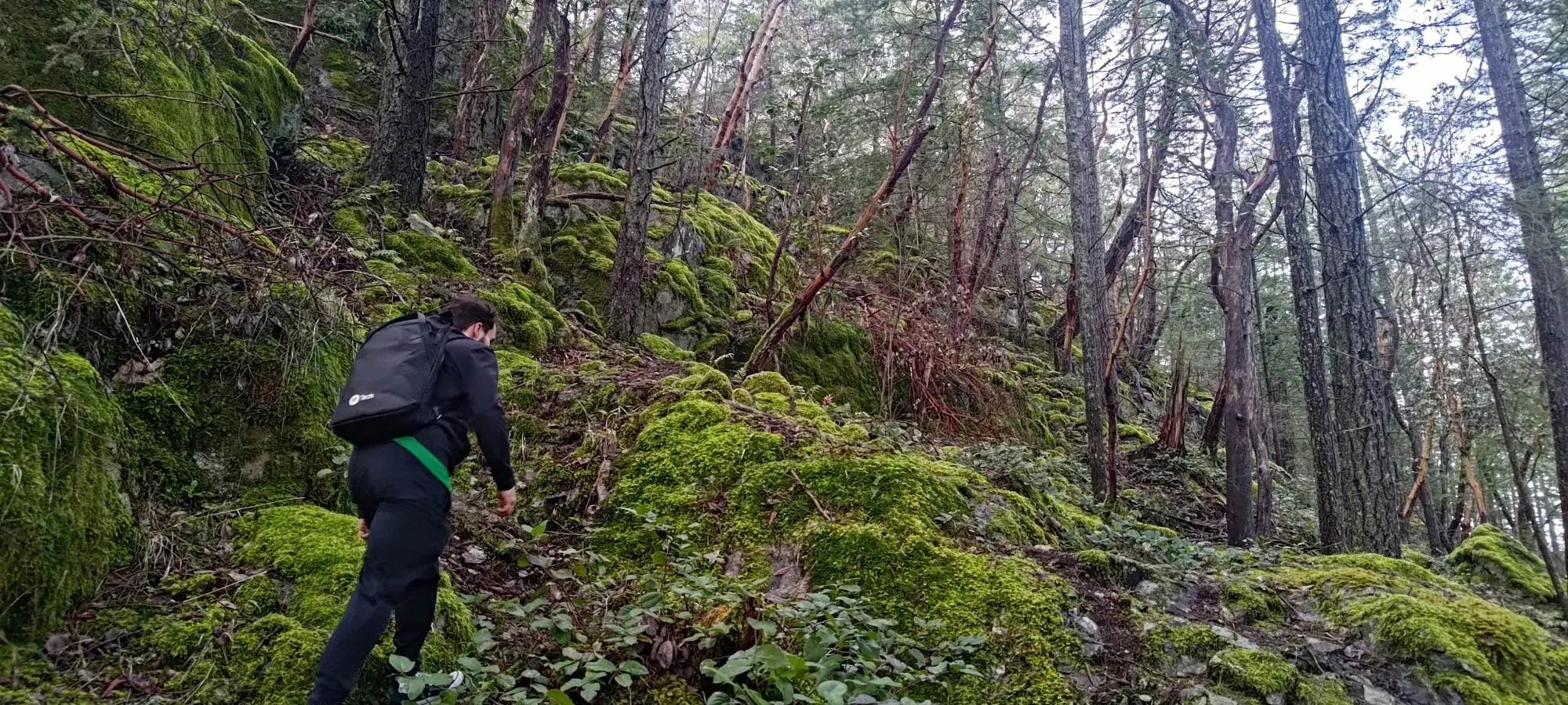
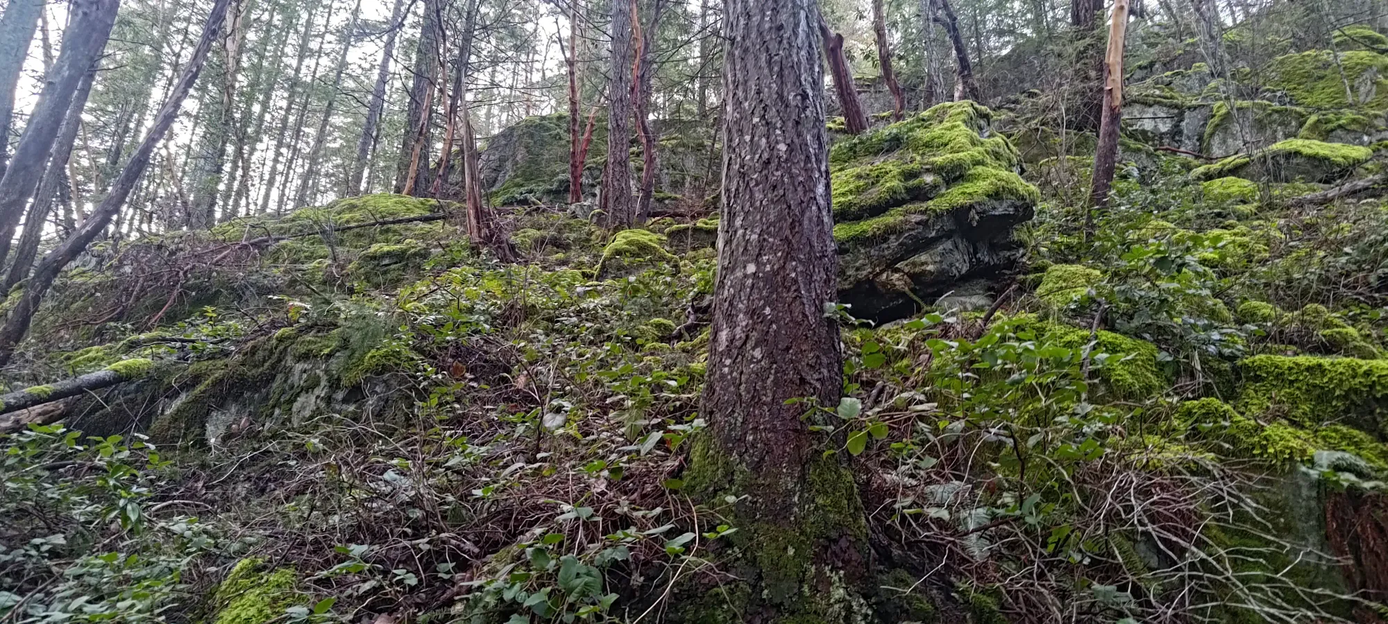
This bluffy section doesn't last long, and within a couple minutes, we got ourselves on top, which is around 200m, so already basically halfway! At least, in net elevation. As we'd soon discover, there's more undulation to this trail than a cursory glance at a map may indicate 😄
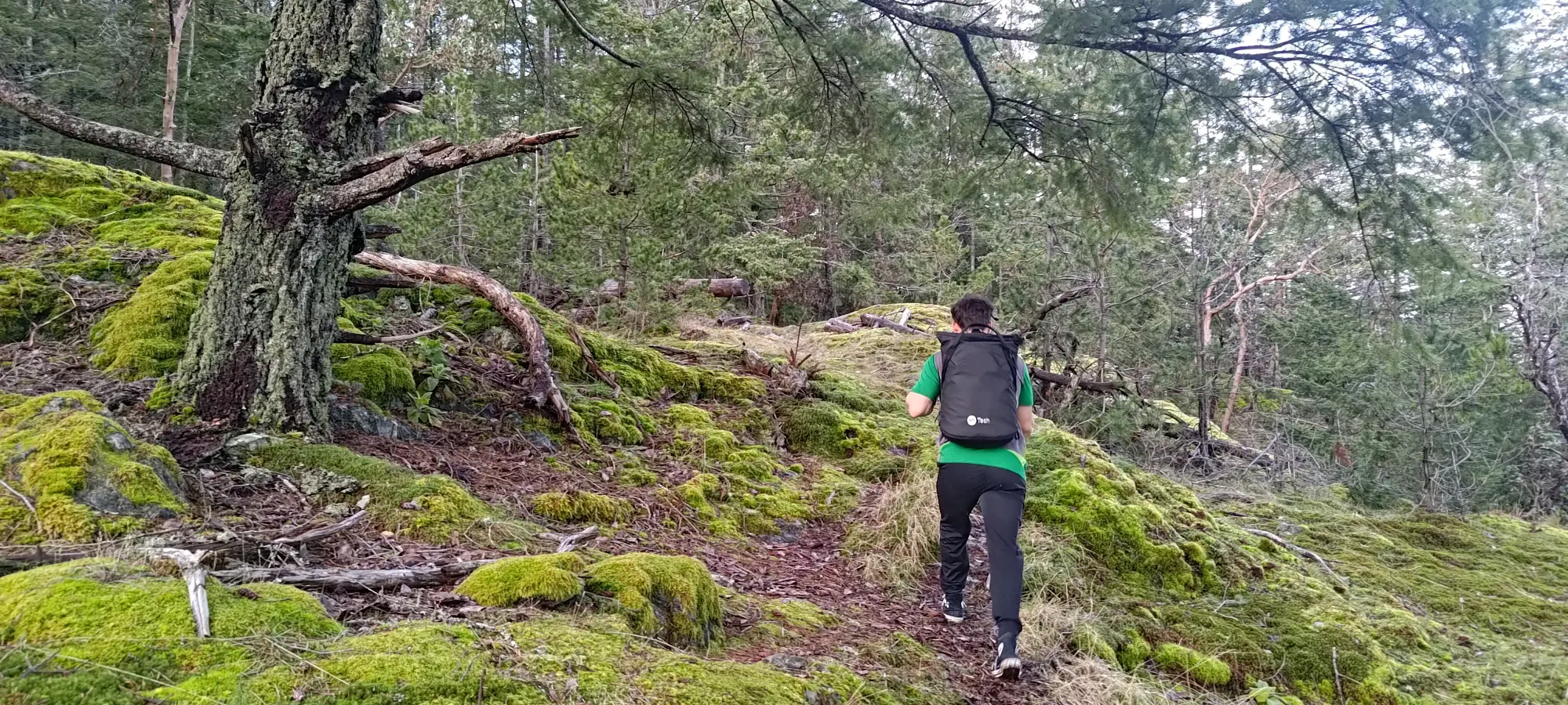
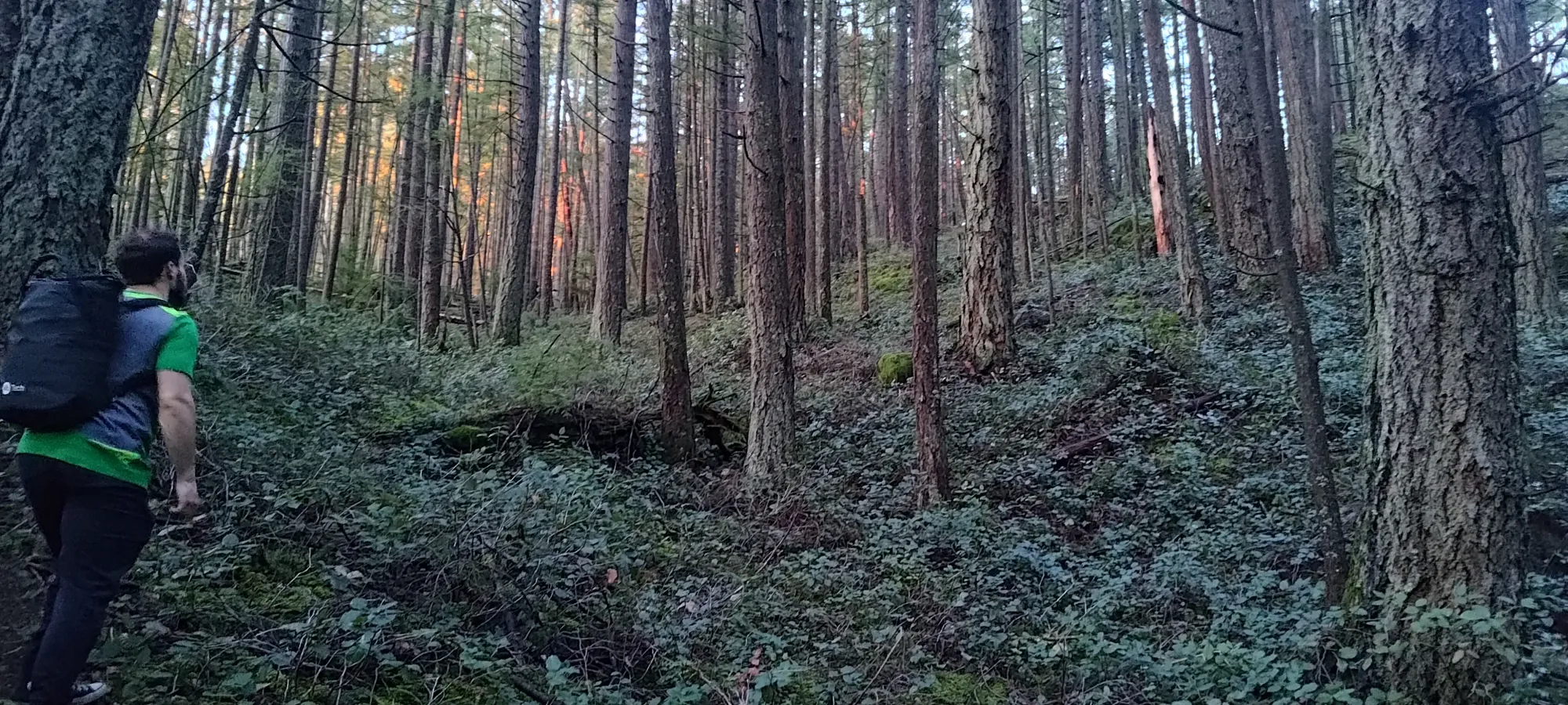
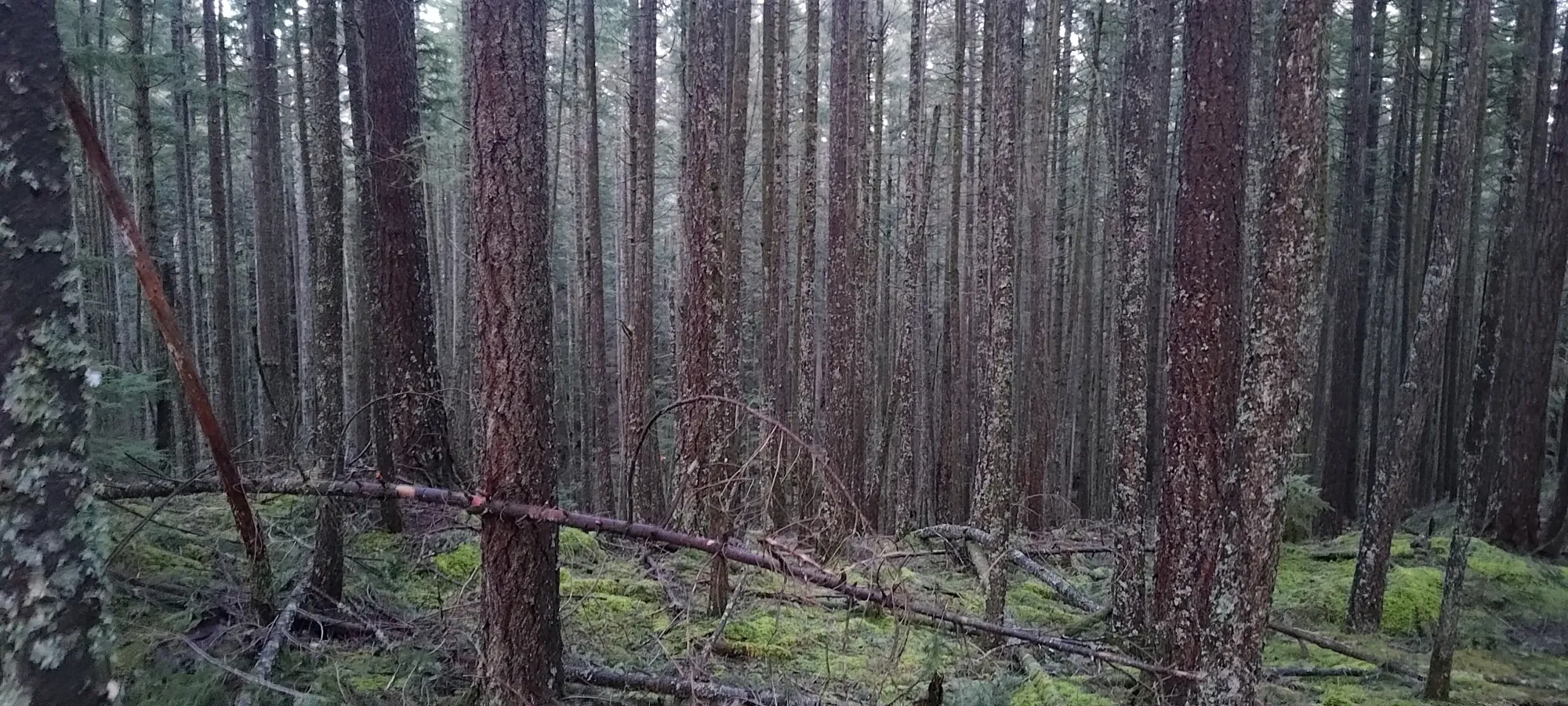
After this, the trail is pretty simple. There are a couple rocky spots that were slippery with recent rain, but otherwise, this is a well-maintained trail that's good for quick travel, so we did our best to do just that.
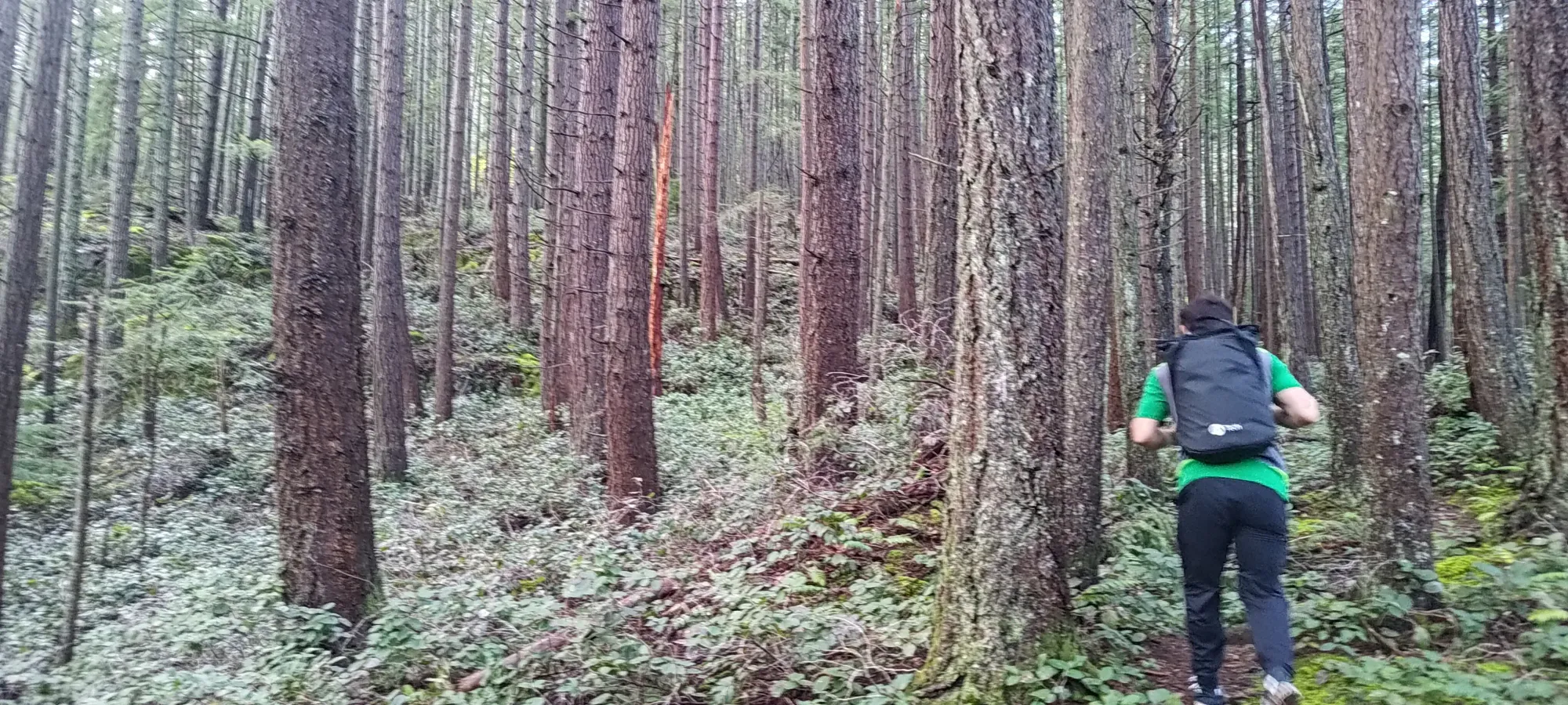
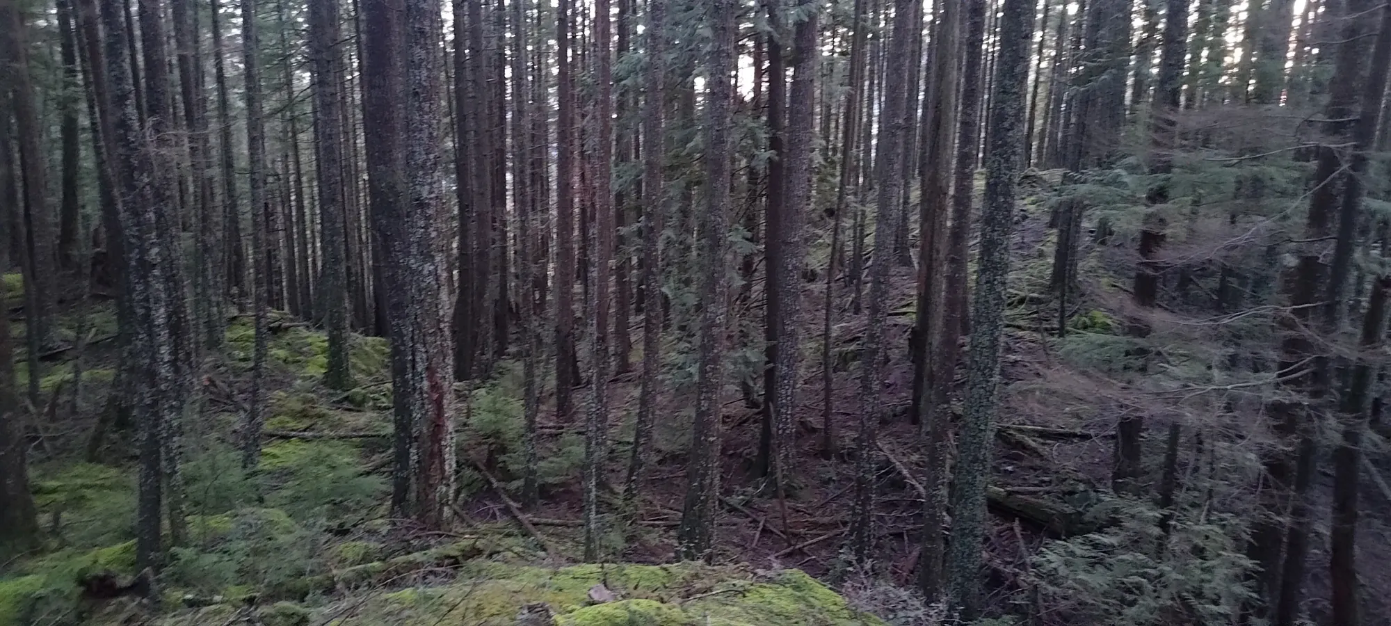
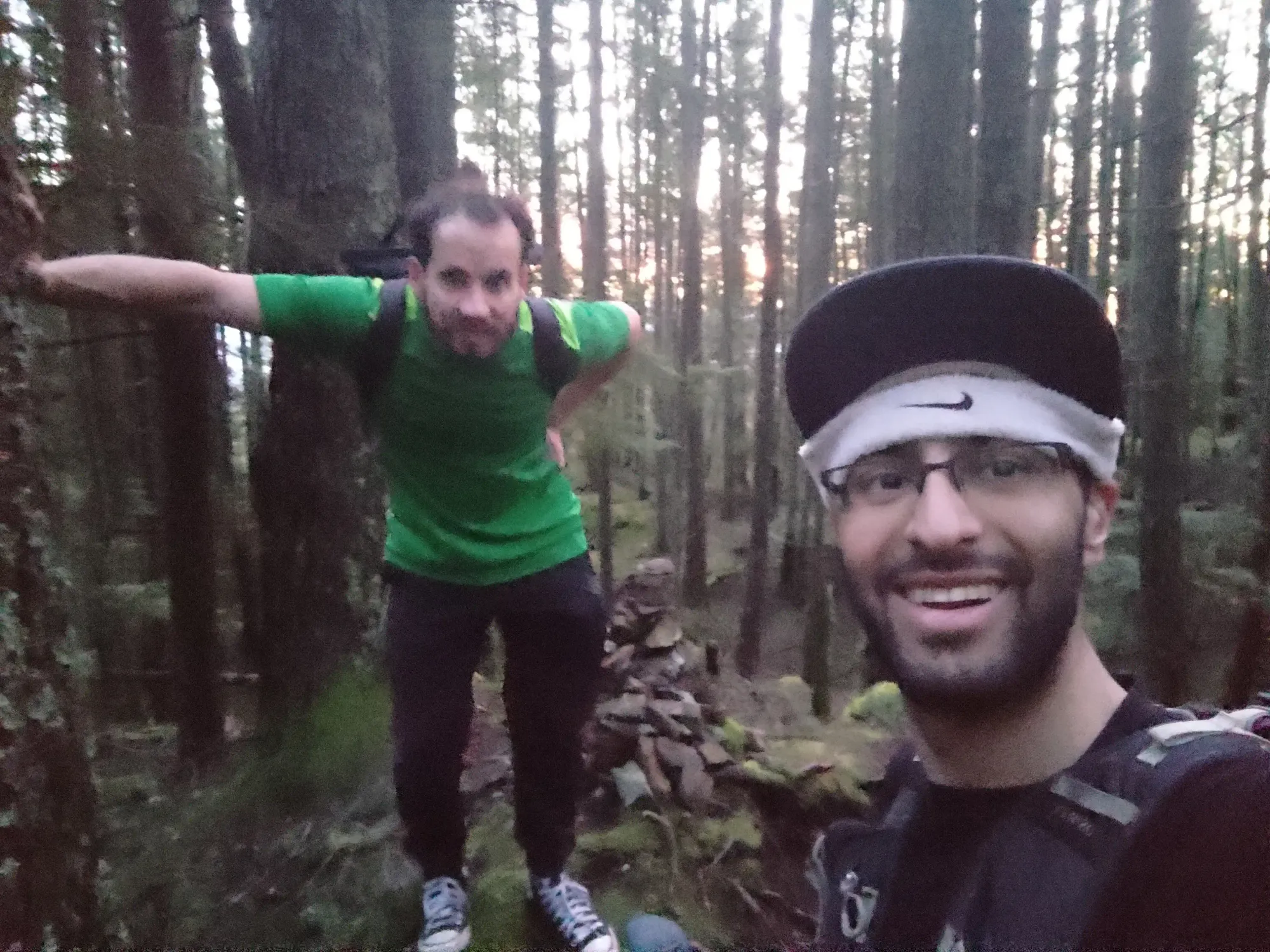
As we got higher, the denser sections of forest got a bit darker, and the undulation was surprising, but we managed to push through fairly efficiently. At one spot I didn't think to take a photo of, the trail turned into a creek for a few metres, so that threw our navigation off for a couple minutes, but other than that and the junction above, it was pretty turn-your-brain-off terrain. We hit the uninteresting summit at about 70 minutes in, took a few photos, and then turned back without dawdling for too long, as we were in a bit of a race against the sunset.
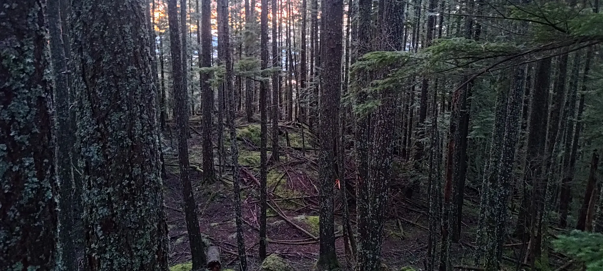
Awe-inspiring views on the summit
Given we summited at 7:40, we didn't have much time to get down with light, given "that was already past the official sunset time". The first half of the trail was relatively easy to get down without light, but as time progressed, the darker sections of the trail got pretty hard to see. We could stay on trail fine, but seeing the roots/rocks/mud was fairly difficult. We were fortunate that the couple muddy spots were closer to the summit, so we managed fairly well, all things considered.
The bluffs were a bit of a concern, as those were quite slippery, and as fun as it is to refuse to use your light out of masochism, falling is not fun, so that might've forced us to give up. However, they are also fairly open to the air, so we had just enough light to get by. What came after, though, was less convenient. The steep slope to the trailhead had relatively dense overhead tree coverage, so we were forced to slowly walk down step-by-step, but with the power of stubbornness, we managed to get out by 8:20pm, and while it was solidly nighttime by then, we met our arbitrary goal of no headlamps!
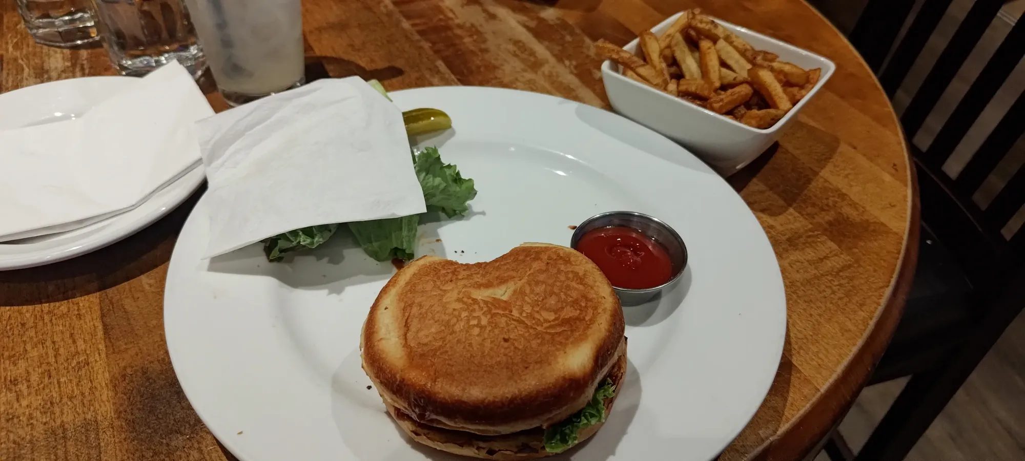
From there, it was a simple 20-minute walk back to the Bowen Island Trunk Road, where we were happy to find the pub still open (we failed to actually check their hours, which was probably not the best play, but it worked out), and we got to eat the food we'd been waiting for all afternoon, which did not disappoint 🙂
All in all, 10/10 recommend this, and many other peaks on Bowen Island for a little after-work activity, with a nice place for you to eat afterwards. The ferries run surprisingly late, so you can get home even well after dark.
GPX Track + Map