Mount Cheam - August 20 2022
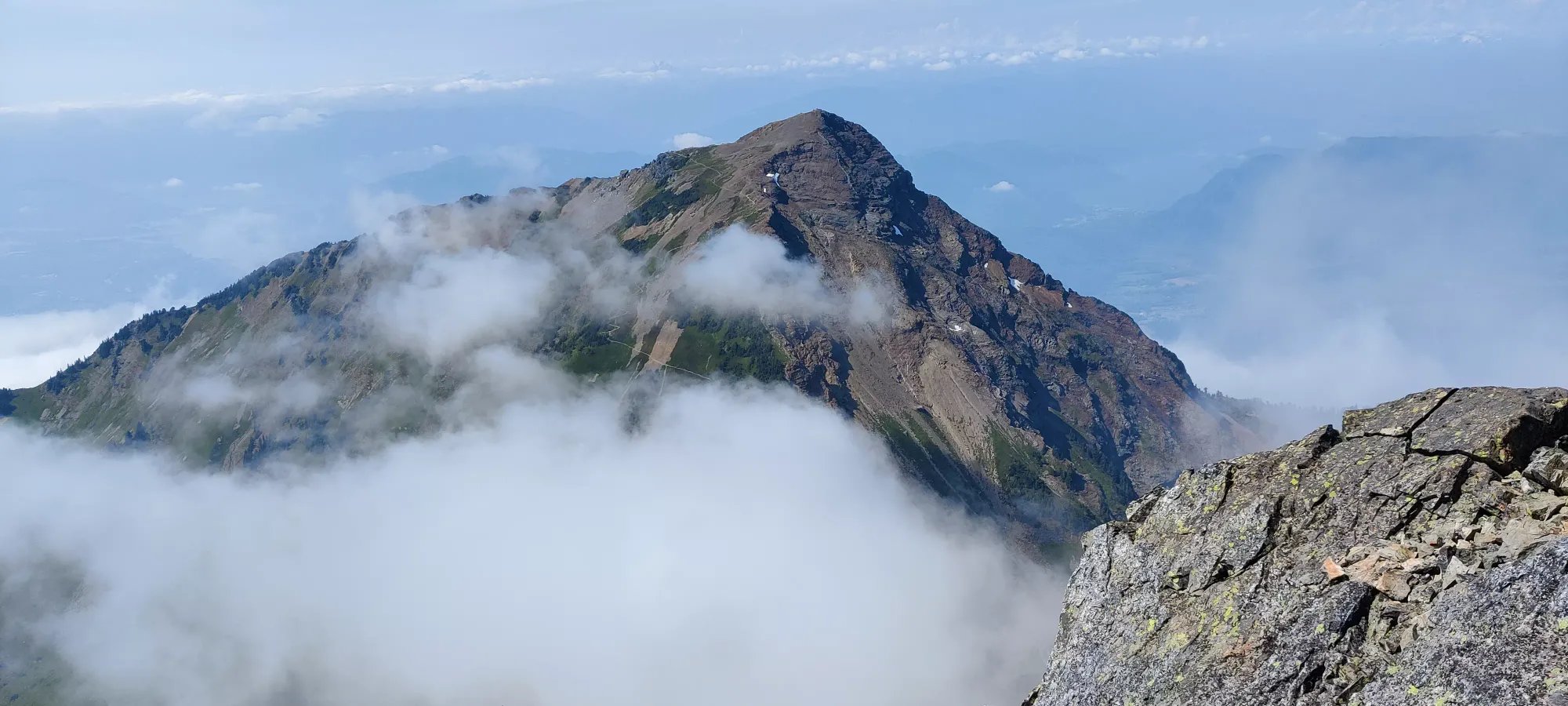
Cheam Range, Chilliwack, BC
2104m
After the previous weekend's "incident", I needed a more relaxed objective I could do without risking any high-impact events that'd get my family/doctors even more mad at me w/ my rib injury. I also got into a thread on Facebook not-too-long ago where someone challenged me to try and drive up the FSR to Cheam in my new Jeep Compass, and I just couldn't let that slide, so I sold my friends from Toronto on the "easy peak" of Cheam, and the plan was made.
I crashed at a family member's place Friday night to make the drive less long than from Squamish, picked up those friends from the SkyTrain just after 8am, and we started the drive out to Chilliwack. The highway is pretty boring, and sadly slower than just a few years ago when they let the limit go up to 110 once you got outside of the city area🙁. The roads are paved all the way to Foley Creek FSR, which you only take for a minute or two before turning onto Chipmunk Creek FSR. The former is trivial, at least for the section you drive to get to Cheam. The latter is... not. The Cheam approach is somewhat infamous, even having a dedicated Facebook group for condition reports. I've seen pictures of toppled Wranglers, trucks getting winched, etc. Definitely not something taken lightly.
Thankfully, the first maybe 1/3-1/2 aren't that bad, just being careful and not driving right into potholes will get even sedans up. There's no official parking, though, so turnoff spots are pretty limited. I can't recall exactly where it gets rough, but needless to be said "this is quite a long hike if you don't have at least high clearance and AWD", and I'd not recommend it. Coming from a glutton for punishment like myself, that's saying something.
Once you start the more gnarly section, the road doesn't hold back. There are some rough cross-ditches right off the bat, I would bet most subcompact crossovers would be in a pinch pretty fast off the bat. You'll certainly want good approach angles, I'd say at minimum 21 degrees, ideally more, and departure to match. Shorter wheelbases help for minimizing the need for better angles. There aren't many traction hazards right off the bat, just these ditches. Some are also a bit off-kilter and/or wet, so a spot or front camera are probably needed, even "proper" offroaders with solid axles and the whole nine yards take it slow and steady here.
There's also a good amount of rocks all over the road, some of which are meaningful hazards for puncturing tires outright or hitting your sidewall. I am a confident driver and know my limits, so I didn't bring a full-size spare (just my dealer-standard donut) or a compressor to air down, but both are good ideas, honestly. The conditions as described continue for the next half of the road. We had a few parties in front of us, a Wrangler that eventually scooted well ahead once conditions got worse, and a Mazda CX-50 that seemed to have some struggles, including a few scrapes, but got up. There were a few parties behind us as well that let us pass on the way up, and probably more that accumulated as things got slower and hairier.
About 70% of the way up the hard section, there's a steep hill with a good amount of loose dirt+rock, and a few ruts, but no huge ditches anyone who got through the previous sections would need to worry about impacting on. However, the CX-50 party seemed to not be the best drivers in the world, because they though stopping in the middle of that hill would be a good idea. They could not start again, had to reverse to a slightly flatter spot to get traction to start, and tried to get through a moderately rutted section, but didn't make it through despite a few attempts. So, I got out, hiked up, and helped em out. They actually offered to let me drive, which is responsibility I do NOT want, but after getting them to understand "not dipping into ruts lets you go faster", "stopping on uphills is harder for your vehicle" and "avoiding loose dirt+rocks gives you more traction", they managed to get themselves out, and the traffic jack started to disperse.
After that, there were no incidents until about 1.5km from the trailhead, where there was quite the obstacle. There were a few ruts clustered just past a small area it seems many had parked, which were quite the obstacle. The Mazda from earlier just parked here immediately, they didn't bother trying. The Wrangler we saw from earlier took 5-10 minutes to get through, but eventually solid axles and some gas got them through, but the ditches were pretty torn up at that point. I decided to try, because half the reason I wanted to do this was to have fun driving and seeing what my new wheels could do. I tried a few lines, but in the end, I'd either have to go really hard straight-on to a ditch, which would be risky for clearance and also having to make a very sharp turn right after without swerving off the cliff, which didn't sound fun for a new offroad driver (even if overconfident), especially in a month-old car (at least to me). The other was trying to find traction to take lines through the ditches without risking cliffs or rollover, but after about 15 minutes of trying and failing, I had to give up and park down there. If I had offroad tires and not crappy dealer-installed summers, I might've got it, but especially with others in the car I'd be risking, not to mention my ribs, it wasn't the day to push things. I didn't see any other crossovers going up, just trucks/SUVs.
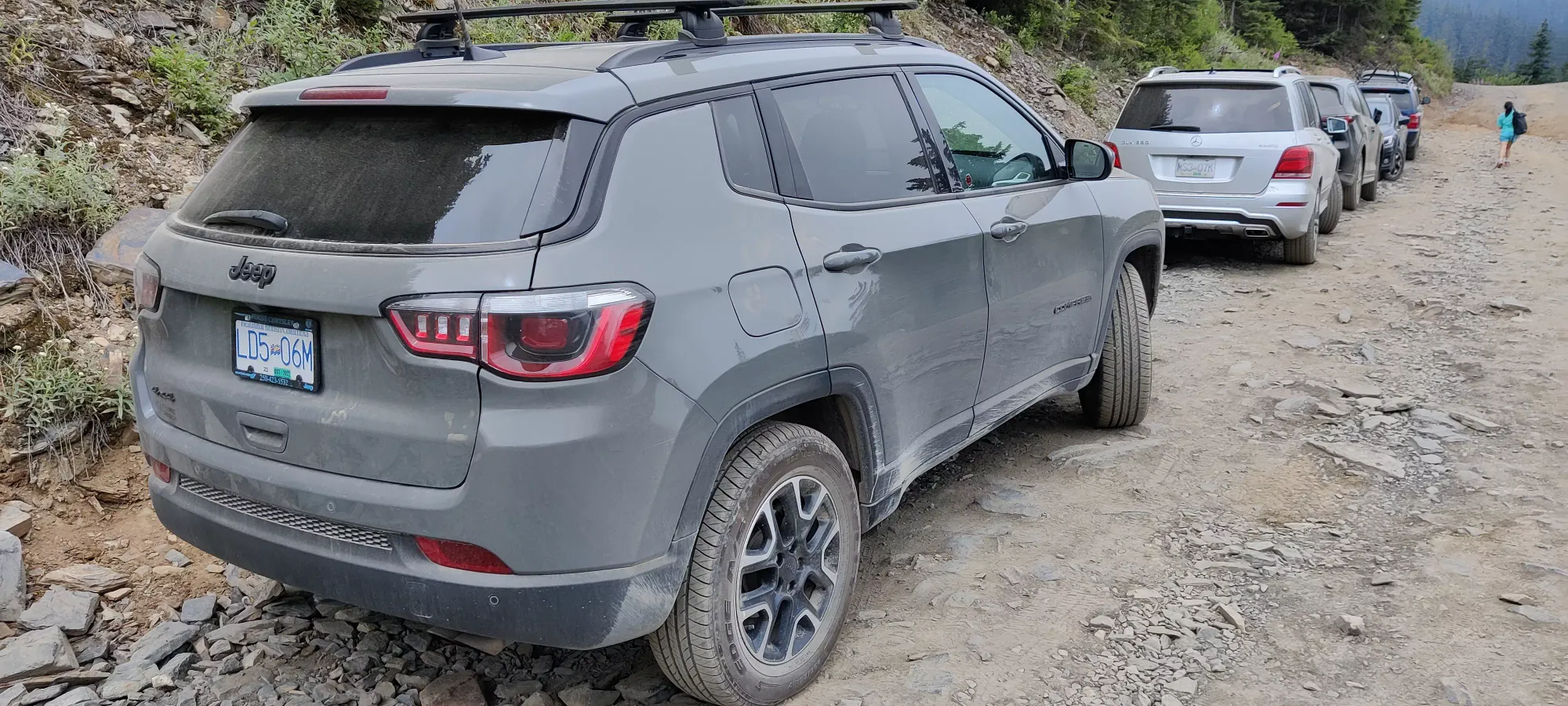
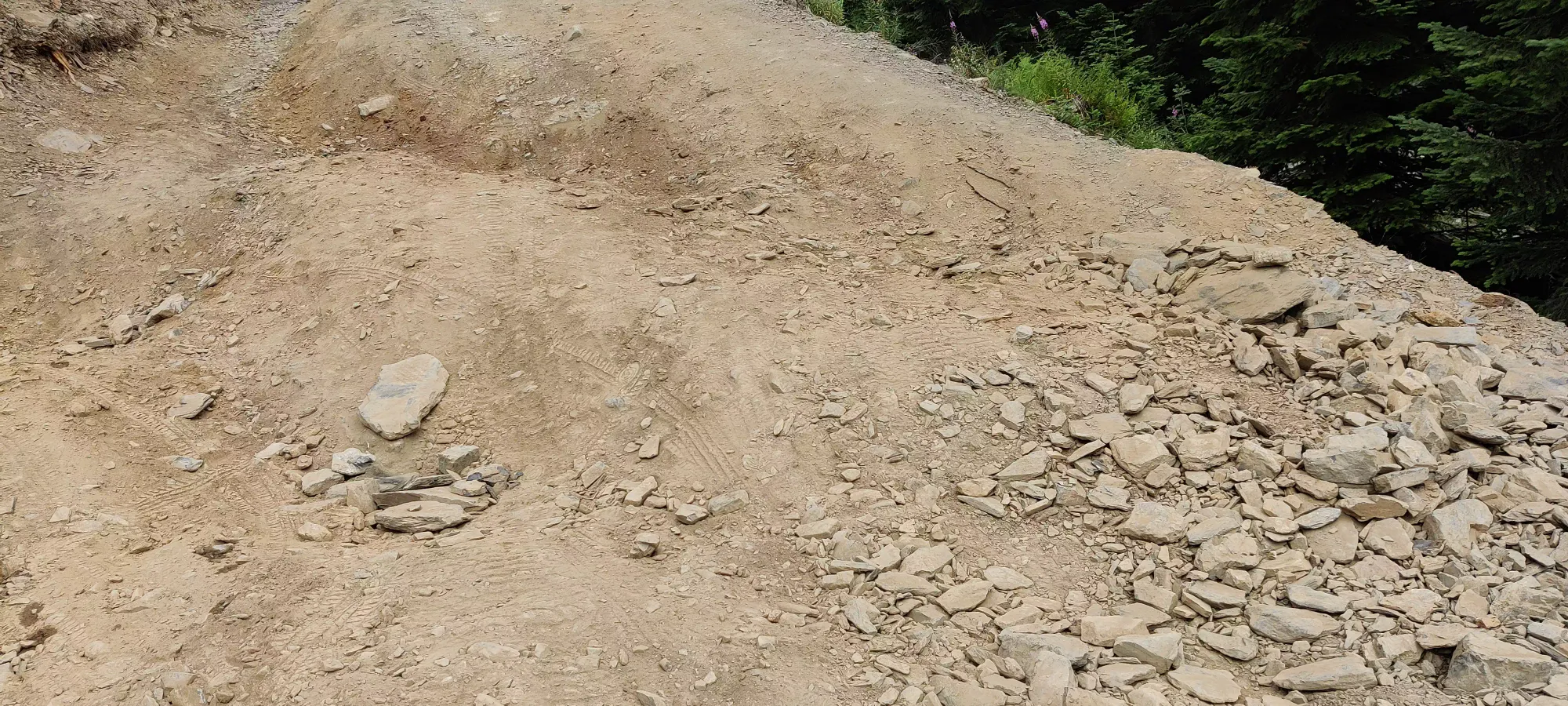
So, with a lot of time spent driving, we finally got hiking at noon. The rest of the FSR past this ditch is actually "fine" (relative to the previous obstacles), so if you clear this part (conveniently where my GPX begins), you can get to the parking proper. Since I was with my friends from Toronto, we didn't go fast, but as we let the slowest party member start while I parked, got my gear ready, etc. we did make faster time on the beginning of the FSR-walk vs the rest of the trail. We made the 1.5kms to the official trailhead in about 20 minutes, and started off from there. Despite the forecast being "partly cloudy", we'd seen 0 sun so far, but given the heat, we were okay with that. I was sweating far too much this hike since I needed to do laundry and the only long-sleeve I had was a hoodie (had enough bug bites in Canmore for the summer, trying to avoid more), so less sun was a good thing in my books.
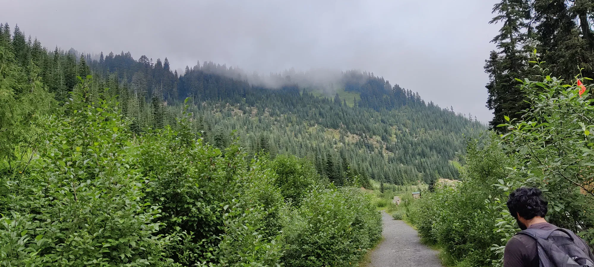
The trail quickly opens up into a fairly lush alpine meadow, with lots of views I imagine are even better without clouds, but I was happy even without. The last month was spent mostly looking at crumbly choss-piles in the Rockies, so "the presence of grass" was pretty nice in and of itself. Progress up to Spoon Lake was pretty rapid (for our group), although I have to say, it was a disappointing lake. The water was almost gone, and it was full of piles of mud. The surroundings, at least, were quite pretty.
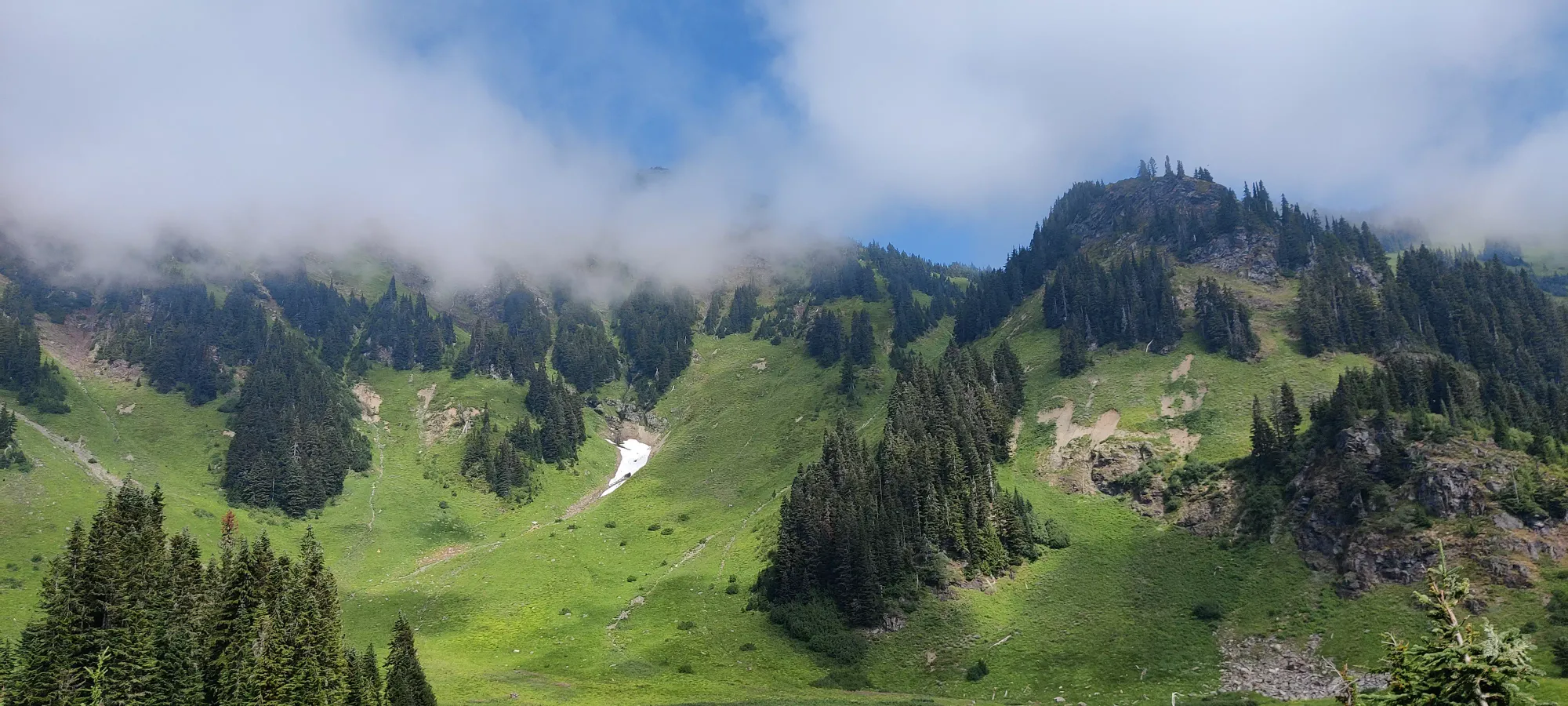
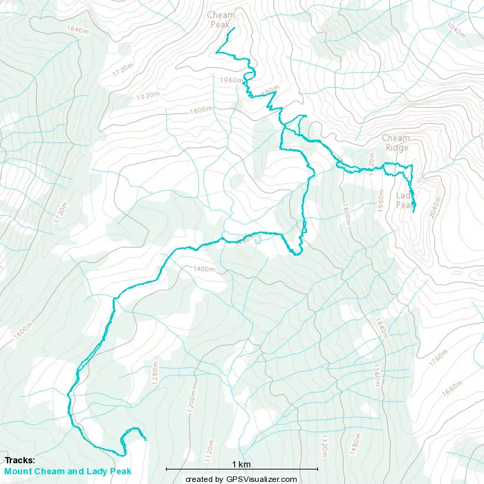
From there, we continued on to a fork at about 1750m, where the trail diverges to Lady Peak or Mount Cheam. There's another fork earlier on, but this is the one Steven Song took, and was the GPX I was following, so that's where I planned to split off and bag the second peakbagger's objective. I originally planned to get Cheam first and save Lady Peak for later, but we were moving quite slow, so I figured it made sense to do the solo objective first and try to catch the others on their way up or down the first peak to save time. We got to the fork at 1:20; for under 4.5km and 450m of elevation, that's not amazing time, so I decided to Lady Peak I should go.
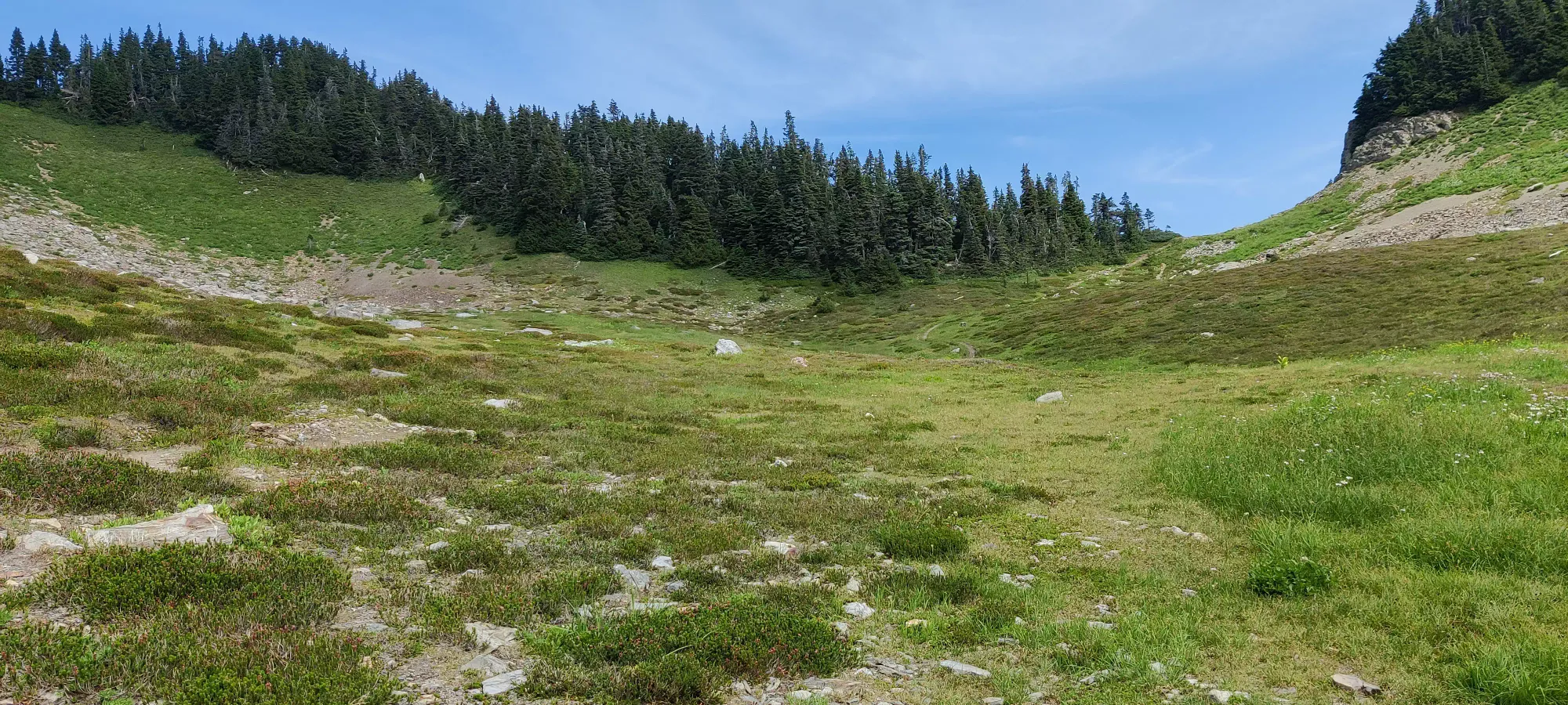
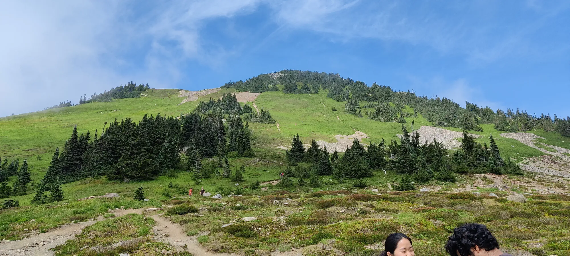
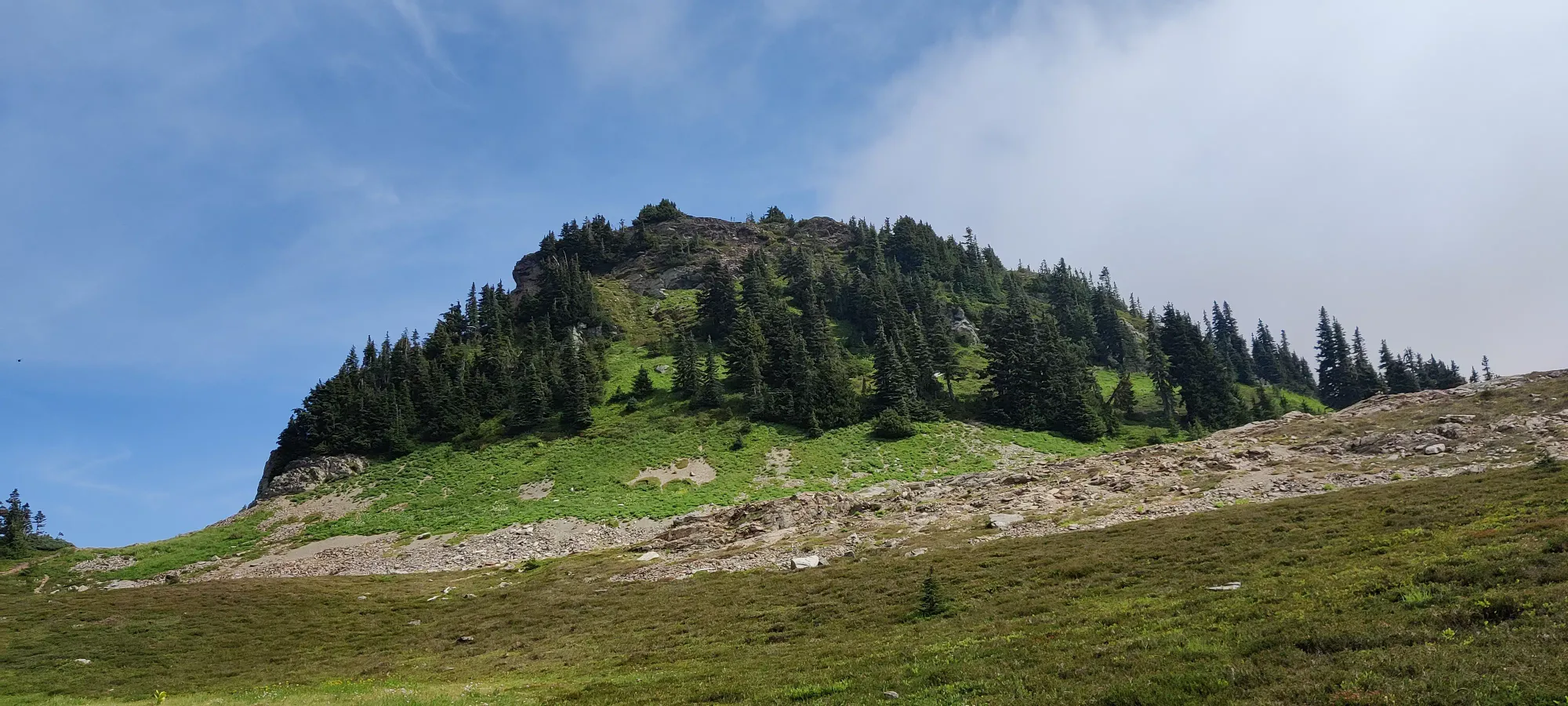
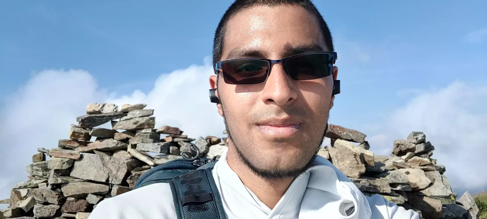
After coming down from Lady Peak, it was just before 4pm, and my friends weren't there, so I started up toward the peak expecting to see them shortly, as I took quite a while scrambling up+down on Lady Peak, not to mention had a long phonecall on the summit. Indeed, not even 10 minutes into the hike up, I ran into my friends on their descent. We chatted for a bit, and they decided to wait at the viewpoint just above the fork and eat while I went up and down the peak. I continued on, and made the false summit where there's a very large rock wall made presumably to buffer winds in about 40 minutes. I took a short break, grabbed a selfie, trying to be conscious of the apparently changing-for-some-photos group on the ridge with me, and made the last 5-minute push up past a random bench to the true summit.
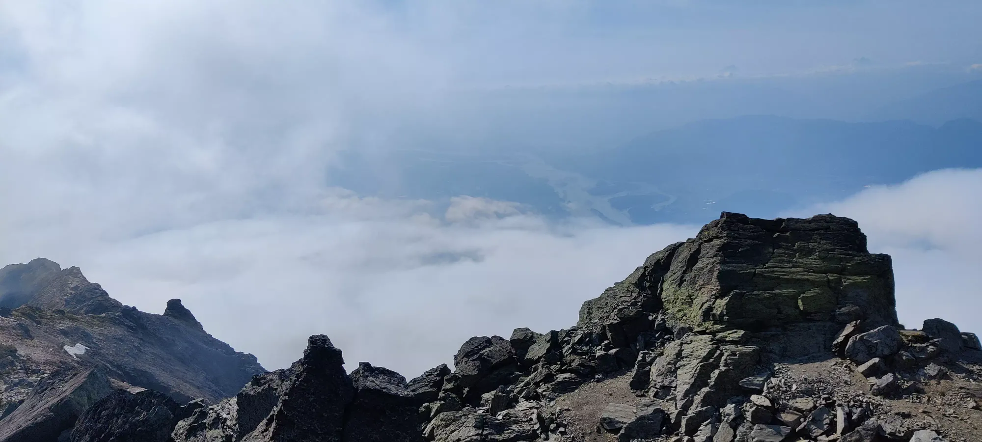
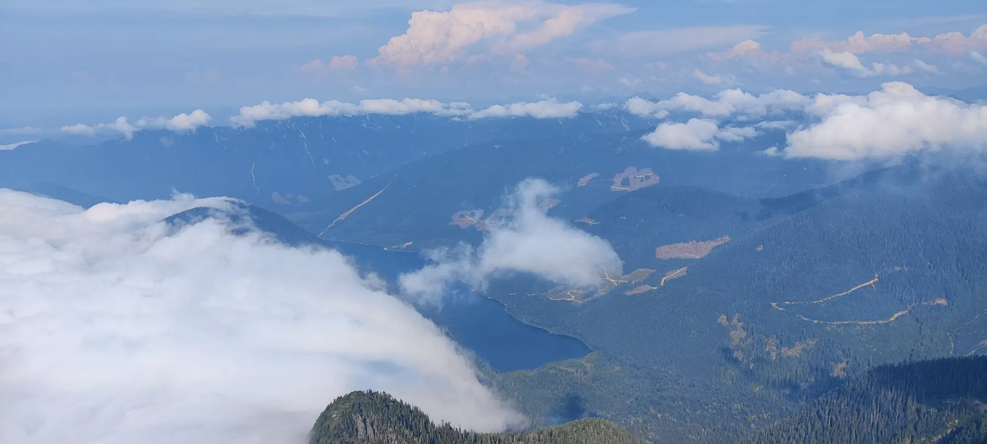
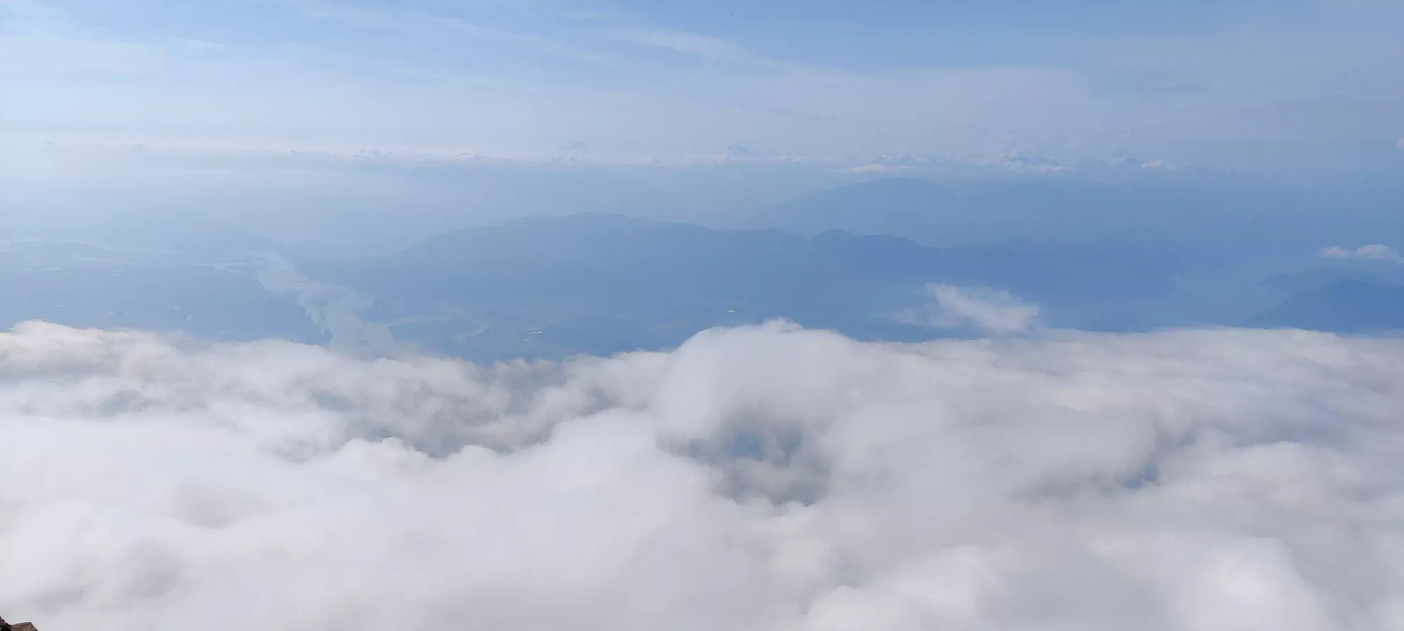
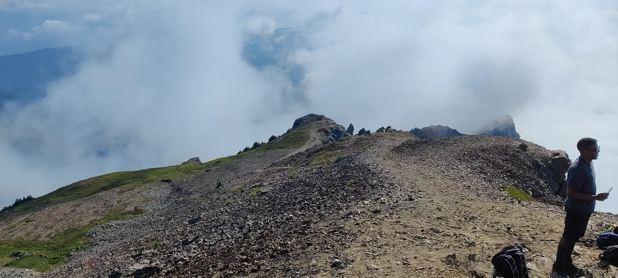
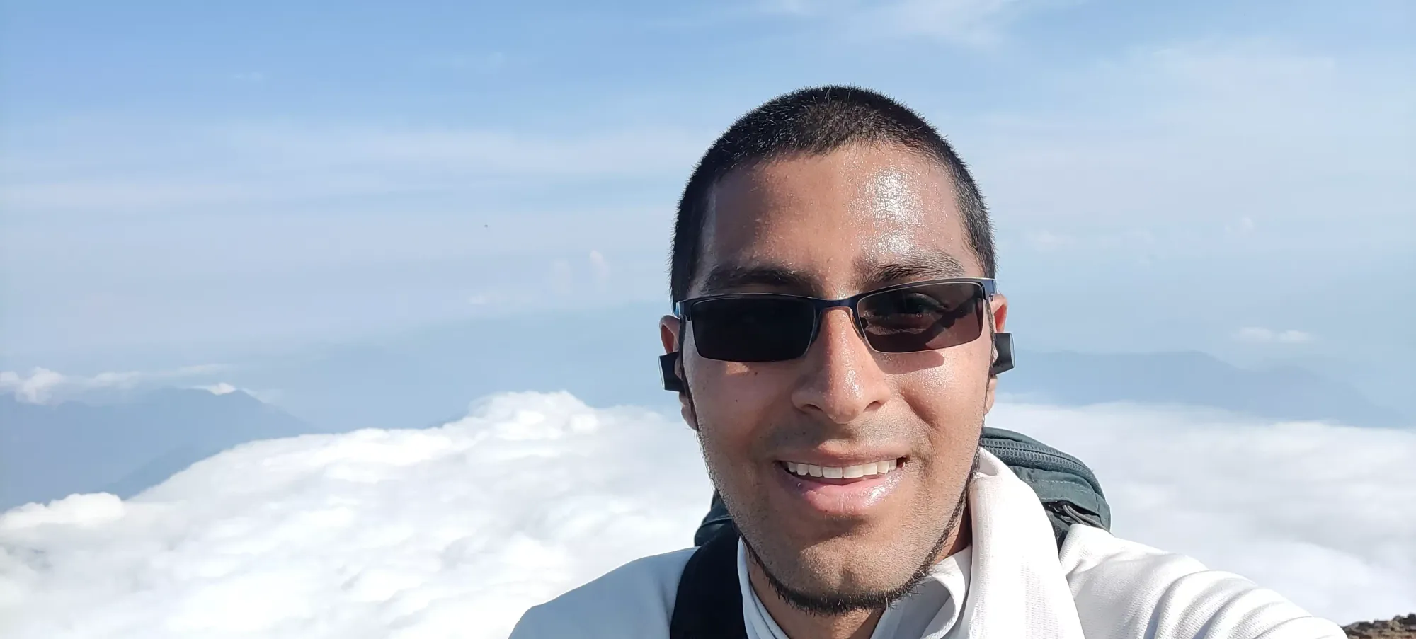
I didn't linger long on the summit, despite my hunger as it had now been quite a few hours since breakfast, as my friends were already waiting and I didn't want to keep them. I met back up with them in about 20 minutes. Honestly, you could trail run the whole way up/down, but with my ribs I decided to avoid the high-impact that results from just letting gravity carry you down quickly. Thankfully, they weren't waiting too long, and seemed to be in good spirits, so no harm done. Much better than the obscene wait I put Amour through on Big Sister, although that's a low bar to clear (sorry!).
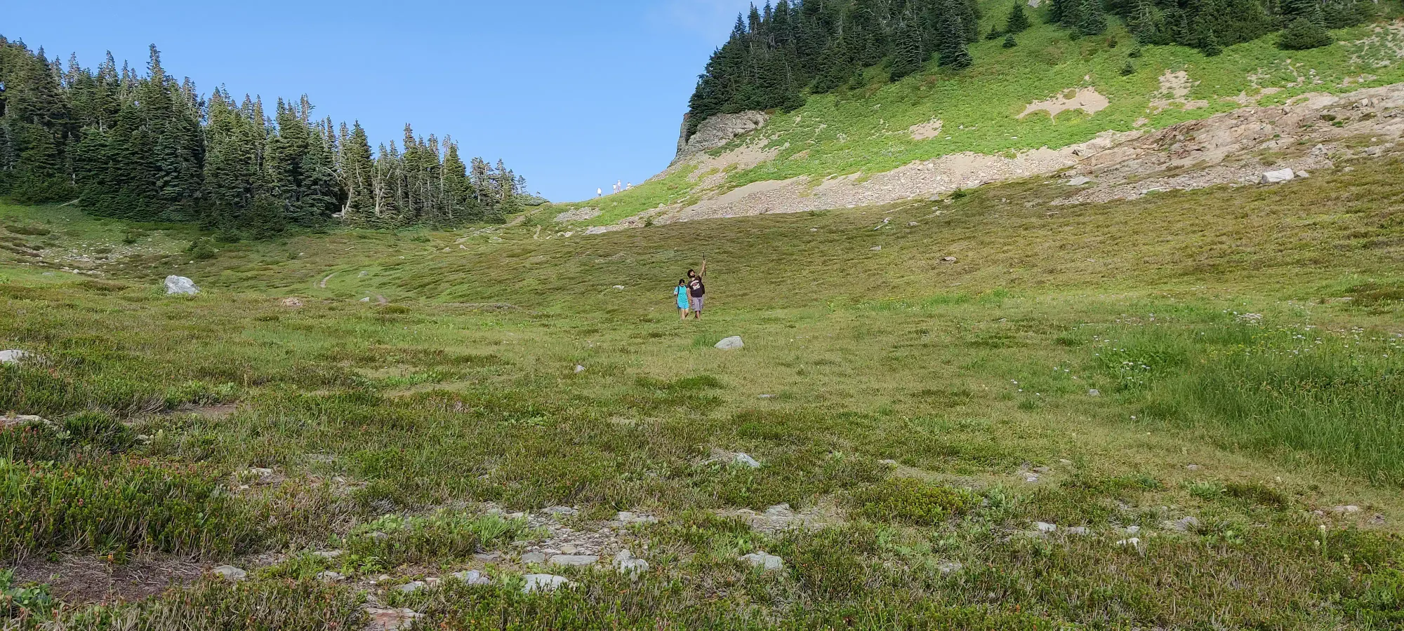
We took the way down pretty slow as our third party member was feeling pretty gassed, so the walk back to the car took us another hour and twenty minutes. It was a very easy walk down, though, not to steep and the Cheam trail is quite impeccably maintained so no tricky terrain or anything. Once we got to the car, it took about a 5 or 7-point to turn to get out of my parking spot on the side of the road, but once I got oriented downhill, the descent was pretty uneventful. I think Amour got out to spot me once, but largely since you have a much better vantage point heading down, despite the ditches being higher, I got down without much trouble. We filled up with some (relatively) cheap gas in Chilliwack before heading to grab dinner, then I dropped my friends back in Vancouver before heading back to Squamish. Despite the hike itself being short, the day was rather long, and I got home pretty late. If you life closer to the Fraser Valley though (and own a 4x4), there's a lot of peaks in the Cheam Range that could make for excellent day or even after-work trips. I'd recommend Cheam as a fun drive, honestly, and a good hike to bring family/friends on. Baggers will probably want to add Lady Peak, and maybe even Archibald if you're feeling bold.
GPX Track + Map
