Mount Brew - August 5 2023
A tedious hike best saved for winter, which we discovered the hard way
Squamish-Cheakamus Divide, Squamish, BC
1757m
After failing this peak in early season last winter, me+Logan both had an interest in "fixing" that. A weekend with no plans came up, and we made a decision the night before that it was as good a time as any to try this once more. We got a fairly early start by summer standards, as I had to make a dinner in the North Shore, so we hit the trail at 9:12am. The drive there was uneventful. Brew Creek FSR is pretty easy to drive until "Branch 100D" at 565m (I'd probably bring my sedan if I still had it). Past that, it is deactivated, and is overgrown, so you gotta be okay pinstriping. There's also a few more holes/ruts that require higher clearance and likely AWD, but most crossovers should be fine. We parked just before the deactivated bridge around 700m elevation, as it wasn't far enough from the trailhead to justify risking being the ones to find out why it was condemned. I've heard of people doing it though, so a bold driver could try it and save a kilometre and 75m of elevation each way.
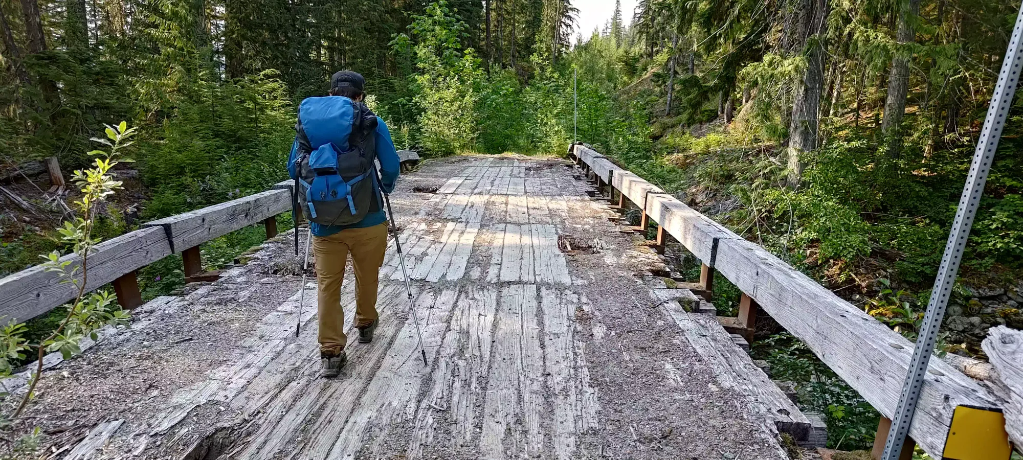
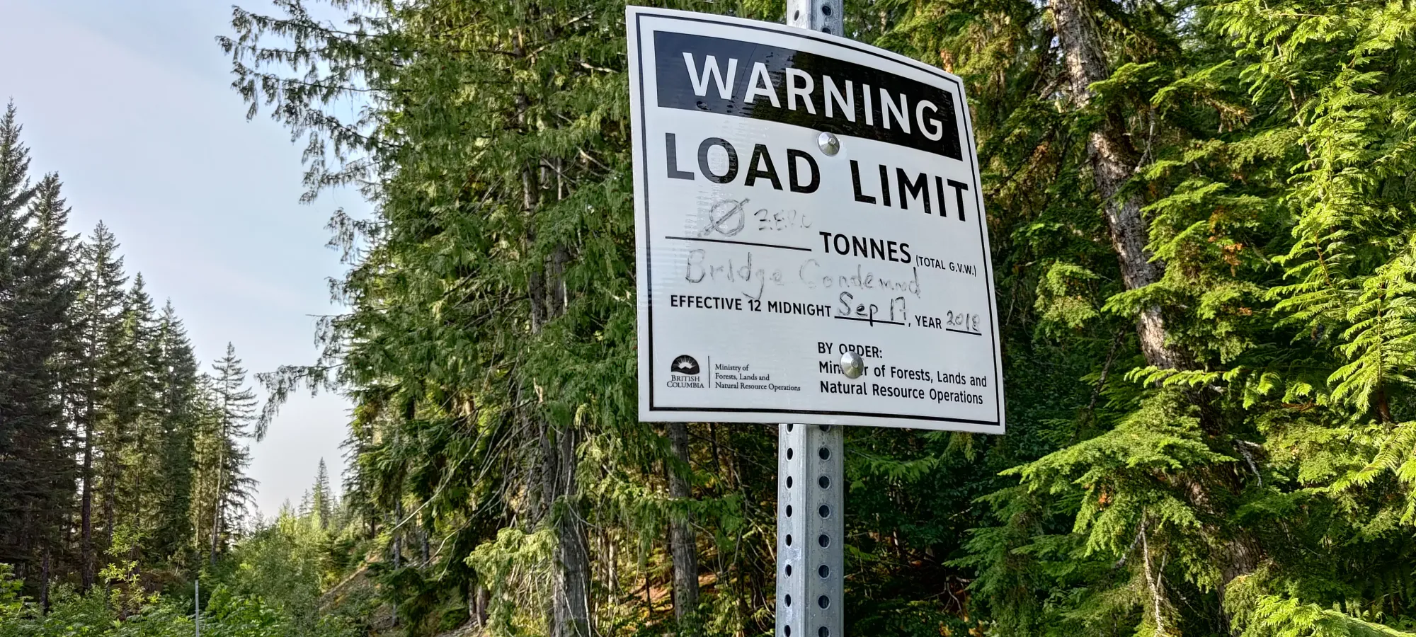
The road hike was as any other, uneventful and boring, but fairly efficient. We burned through that kilometre and 75m of gain in 15 minutes, and entered the forested trail. The initial entrance is honestly not that well-marked, but excessively well-marked shortly thereafter, for whatever reason.
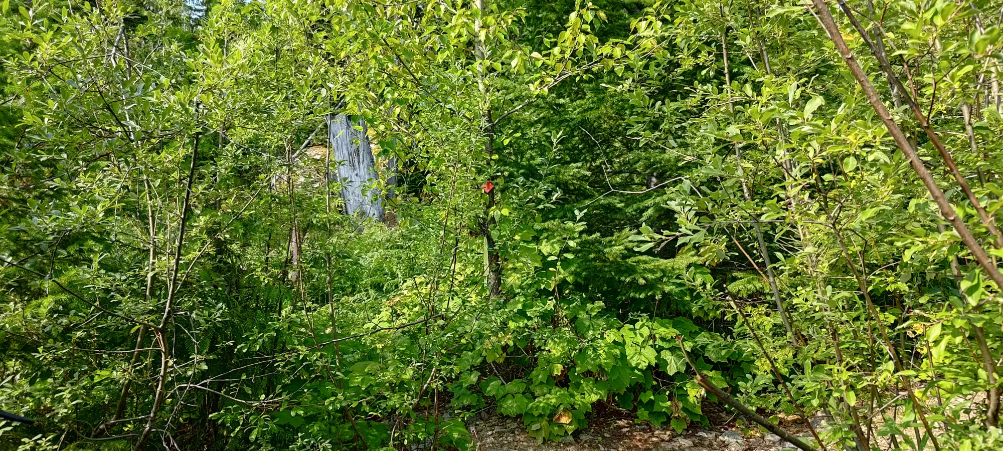
As we'd done this hike before, we didn't do much in the way of stopping for pictures or sightseeing. We noted and snapped a picture of an interesting campsite just below 1000m, which seemed odd to us since it was so low-elevation and just "in the forest" instead of near a lake or staging area for the summits. We took our first break at the base of the boulder field, just about an hour after starting the trail. The trail to that point is easy to follow in summer, although annoyingly flat/undulating in places, making it take longer than you might expect based on elevation alone.
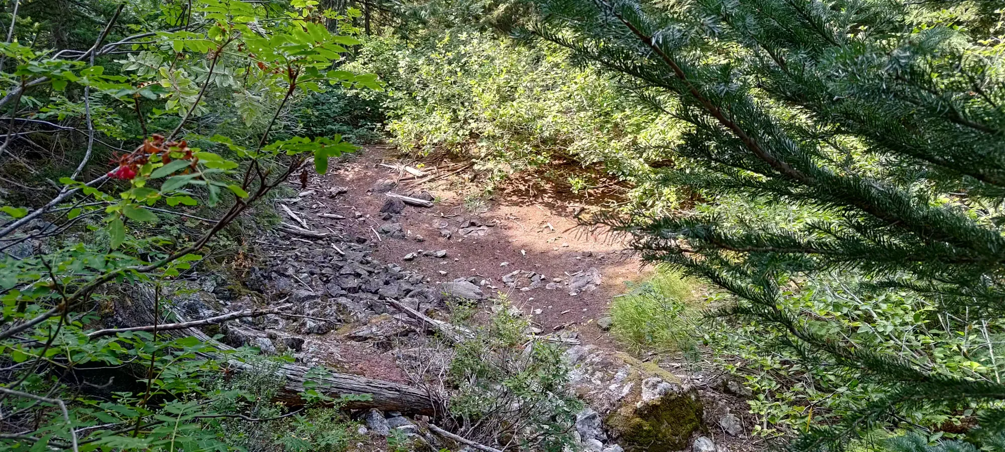
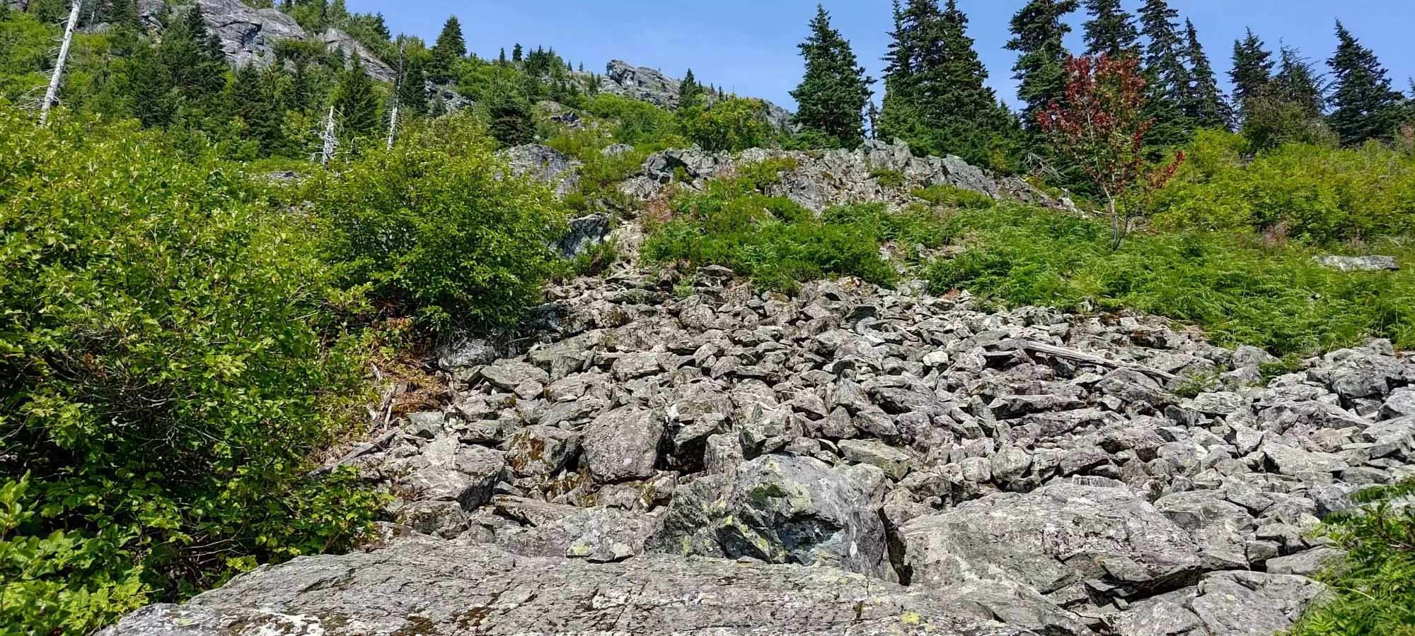
After a 15-minute break and small snack, we headed on up. The boulder field is about as annoying as any other, especially for me with my still-recovering ankle. Thankfully it only goes for about 150m of elevation, far less than some comments led me to believe. There are many paths people have made in the rocks, so follow carefully to get the terrain you'd like. We split off to climber's right partway up and had some class 3 scramble moves to get up and over a small cliff and back into boulders, but we preferred that to tediously boulder-hopping, so it was a good thing for us. The final stretch of "pure boulder field" has a dirt "trail" on climber's left that is easier walking, at least on the way up.
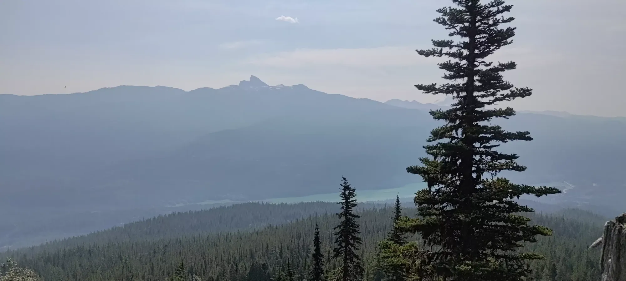
Near the end of the boulder section, the trail gets out of open slopes and into a narrower trail with rocks and steep+loose dirt before levelling off at around 1200m. I can't escape fixed ropes, it seems, so of course there was one here. We naturally avoided using it, and honestly I'd recommend everyone to do the same. While this is annoyingly steep+loose dirt, the rope is very thin, and I'd not trust it with my weight (we were unable to inspect the anchor point).
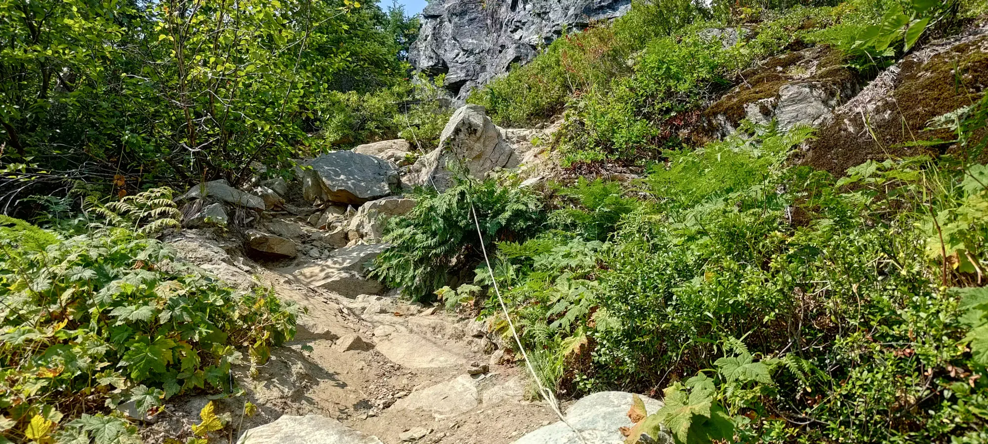
After this point, the trail becomes rather poor to be honest, rather grown over (though at least still bush-slapping vs whacking), and also a bit too flat to be efficient, resulting in it taking 2.5 hours from the car to reach 1325m, a small break in the denser part of the trail where the terrain opens up a bit to a small meadow/plains area before the forest resumes (although less dense past this point). We took another break here, although it was a bit less pleasant than the last due to increased fly/mosquito presence, which had been a thing since the boulder field.
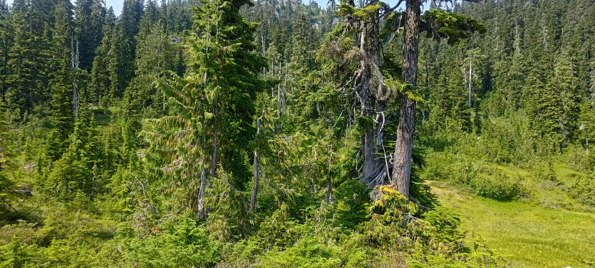
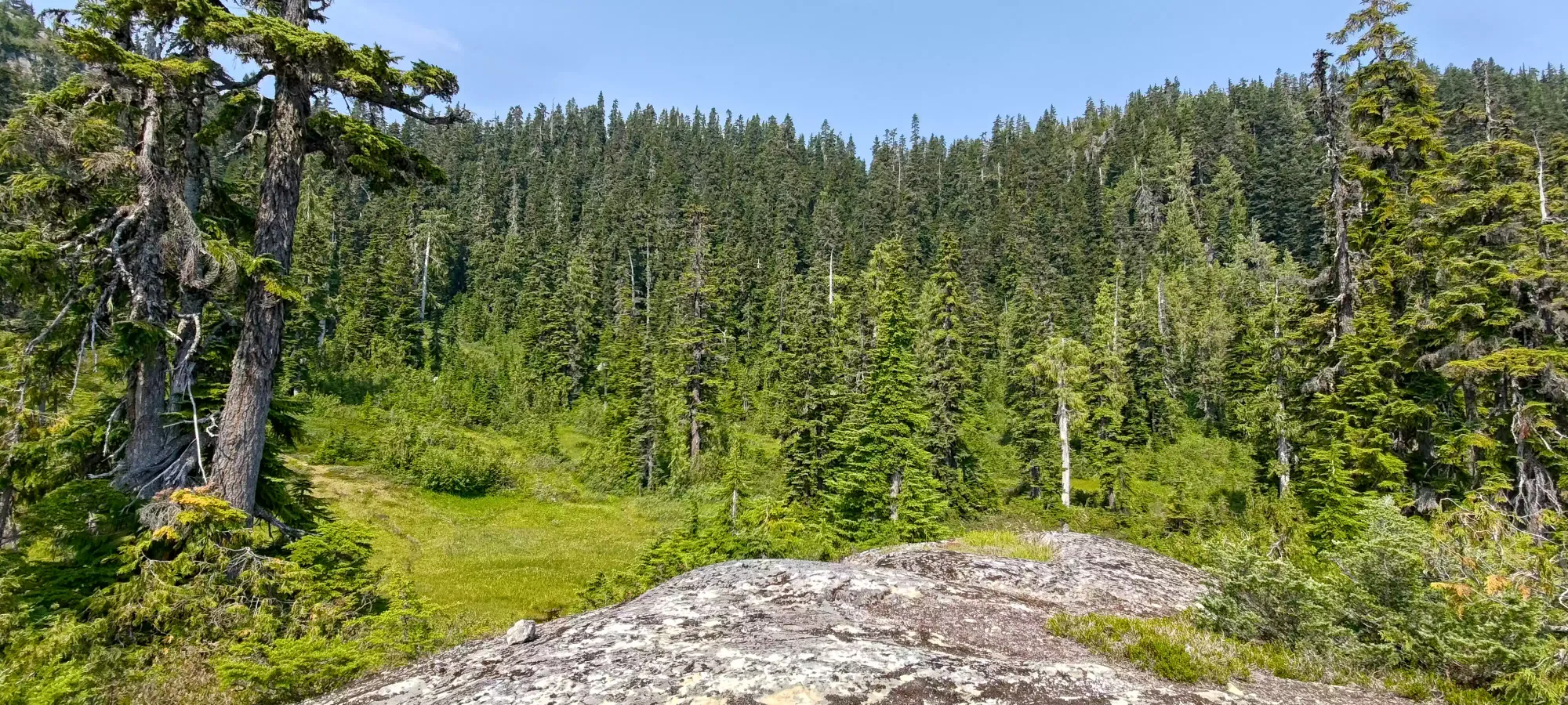
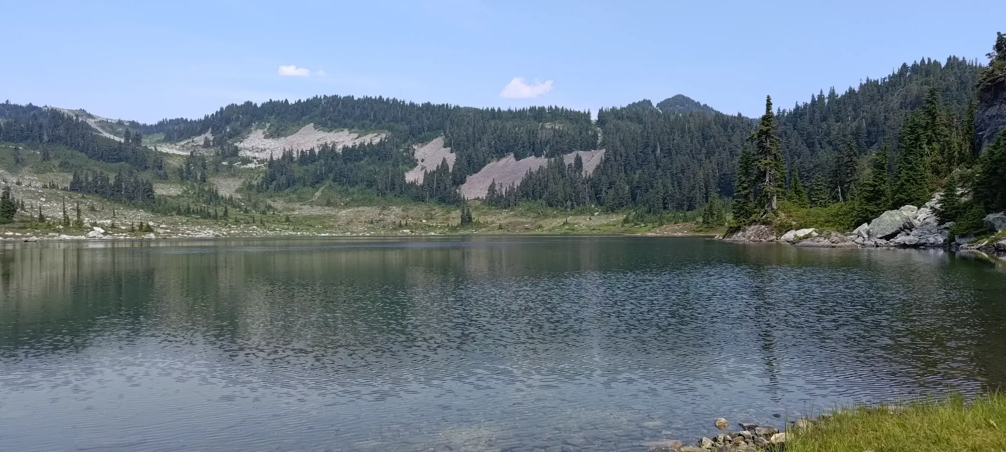
Past here, there was about 15–20 minutes of steeper walking up a rather rooty trail with a good few mud sections (thankfully one can avoid sinking in with shoes, although it takes some careful stepping to achieve this), and we arrived at the lower (and largest) Brew Lake. The views were pretty, and we were happy to be on what looked like nicer ground, but didn't linger due to bugs, figuring a better break spot might be slightly further from the breeding grounds we could literally see in the water.
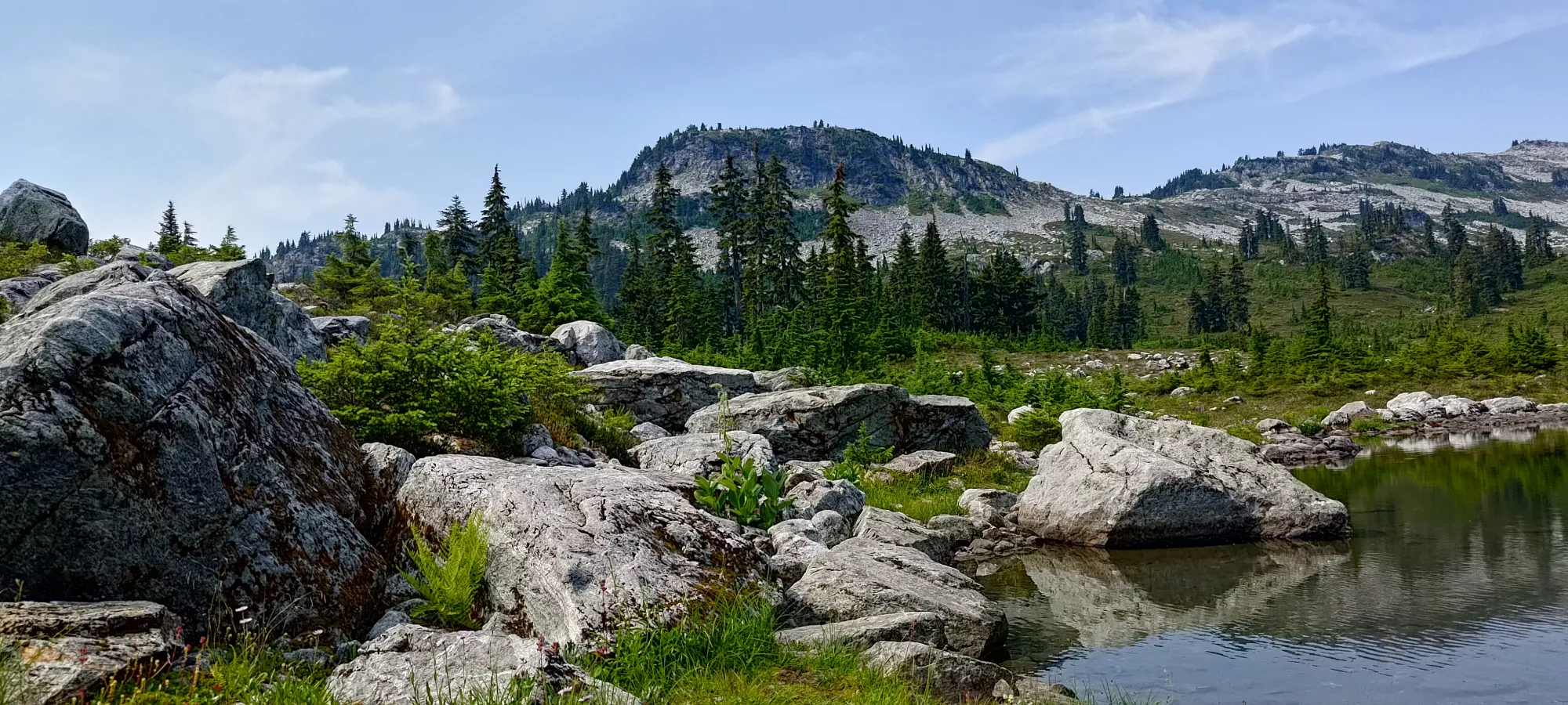
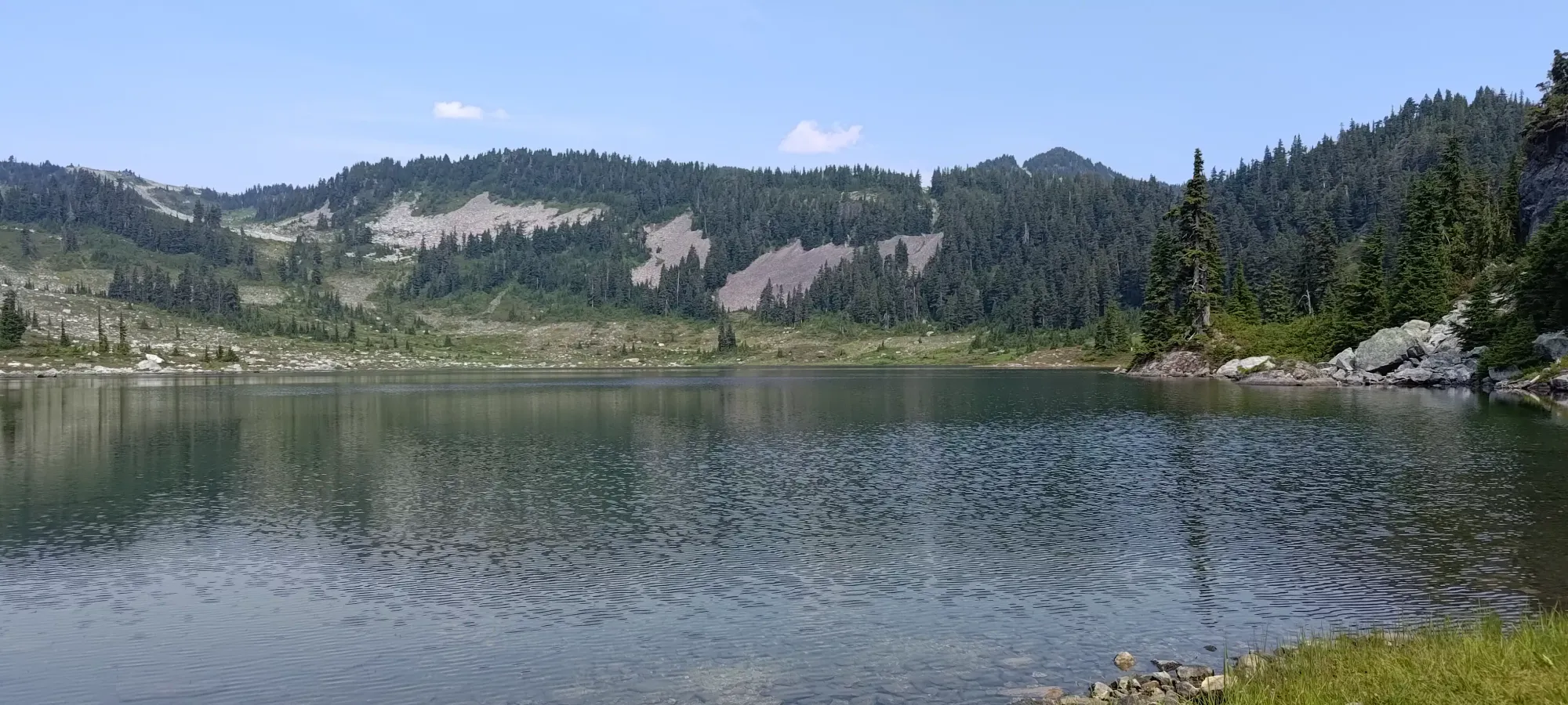
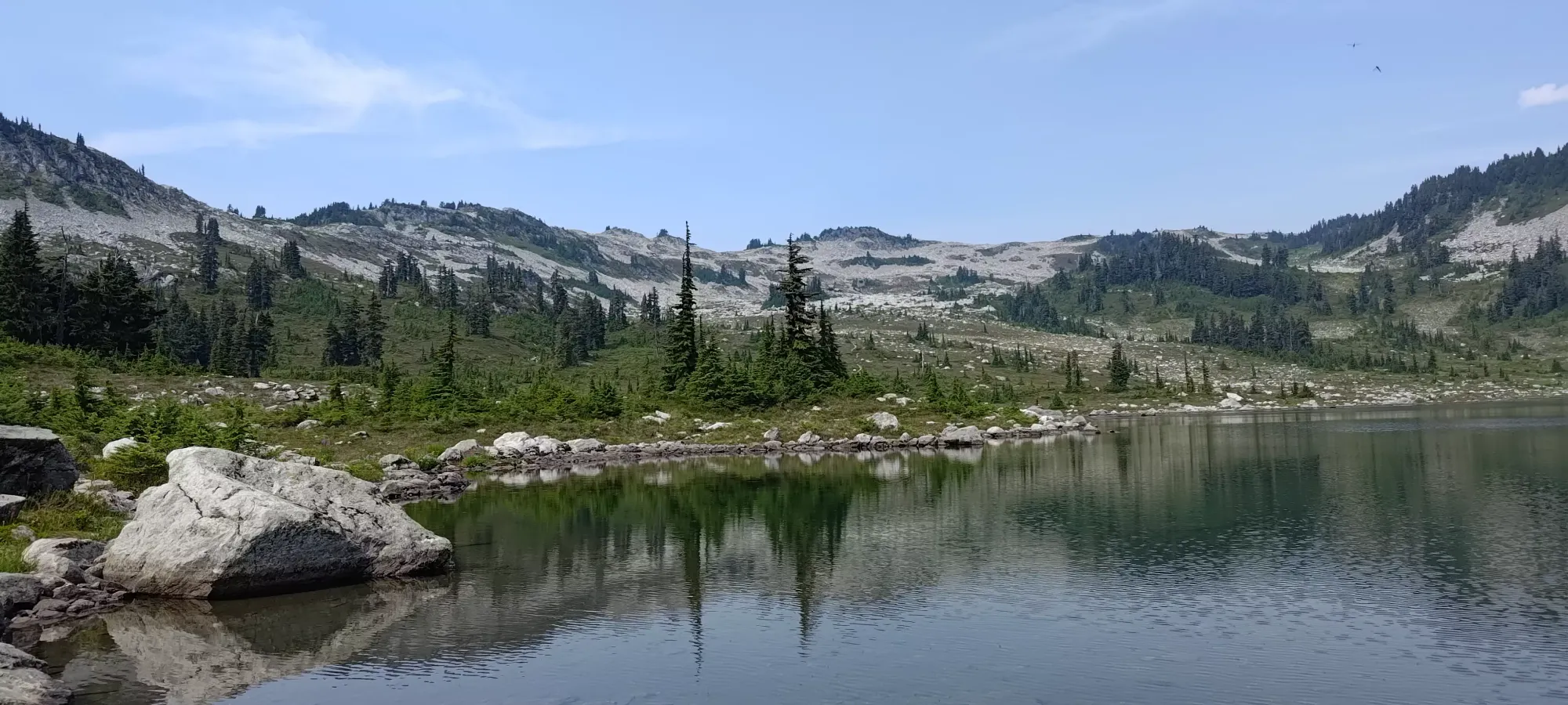
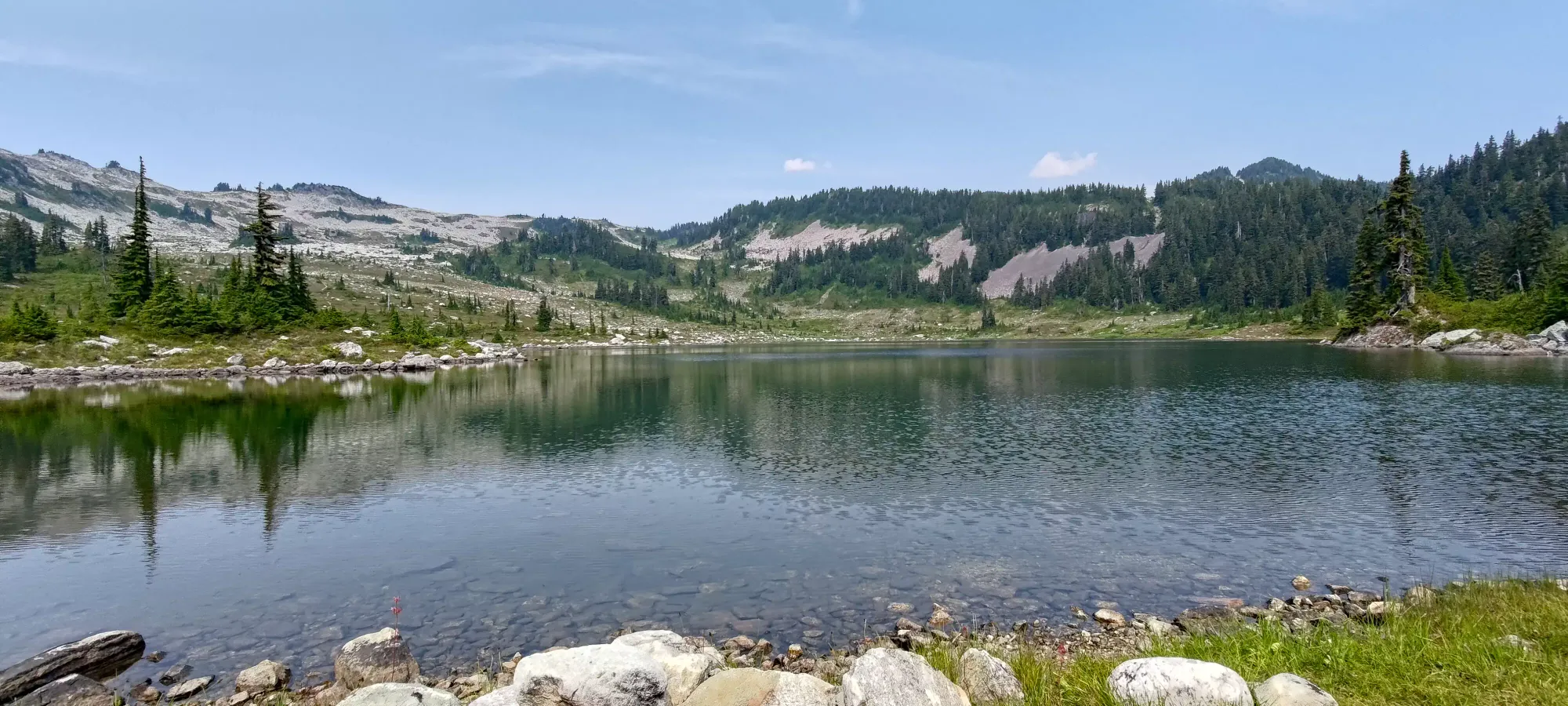
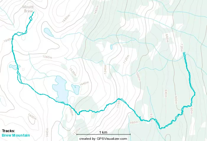
The next hour was spent traversing the very gentle alpine terrain near Brew Lake, going through a rocky alpine bowl surrounding the lake, with some smaller ones thrown in the area for variety. The trail varied from "obvious and well-defined" to "just boulders" with lots of room in-between as well. The rocks definitely made for slower-than-ideal travel, and we got from 1430m to 1680m in an hour, covering only about 2km in the process. This brought us up over the ridge seen circling the lake, into a short boulder field (again), and finally to the VOC hut below Brew's summit.
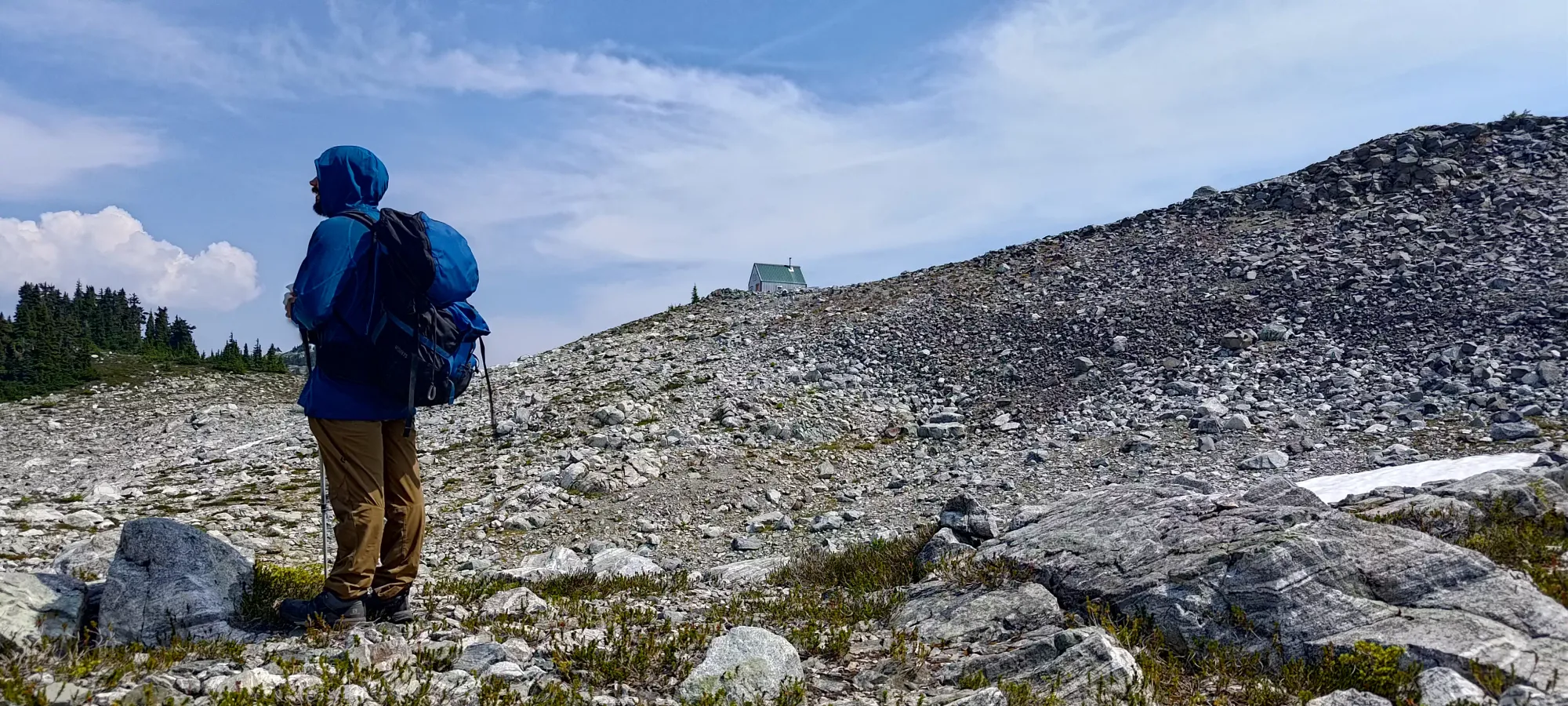
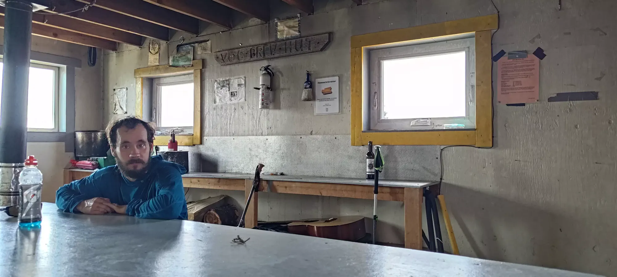
We took another break in the hut, killing about 10 minutes looking around the very well-maintained building and just relaxing. Logan had some lunch, but I refrained since I had a feeling like I may not have fully "finished" going to the bathroom in the morning (though this didn't end up being an issue for the rest of the day, I'll say it was a result of this choice to make myself feel better). We headed out without sitting around for TOO long, since we had minimal time to bag the peak(s) and get out if I was to avoid being late for dinner.
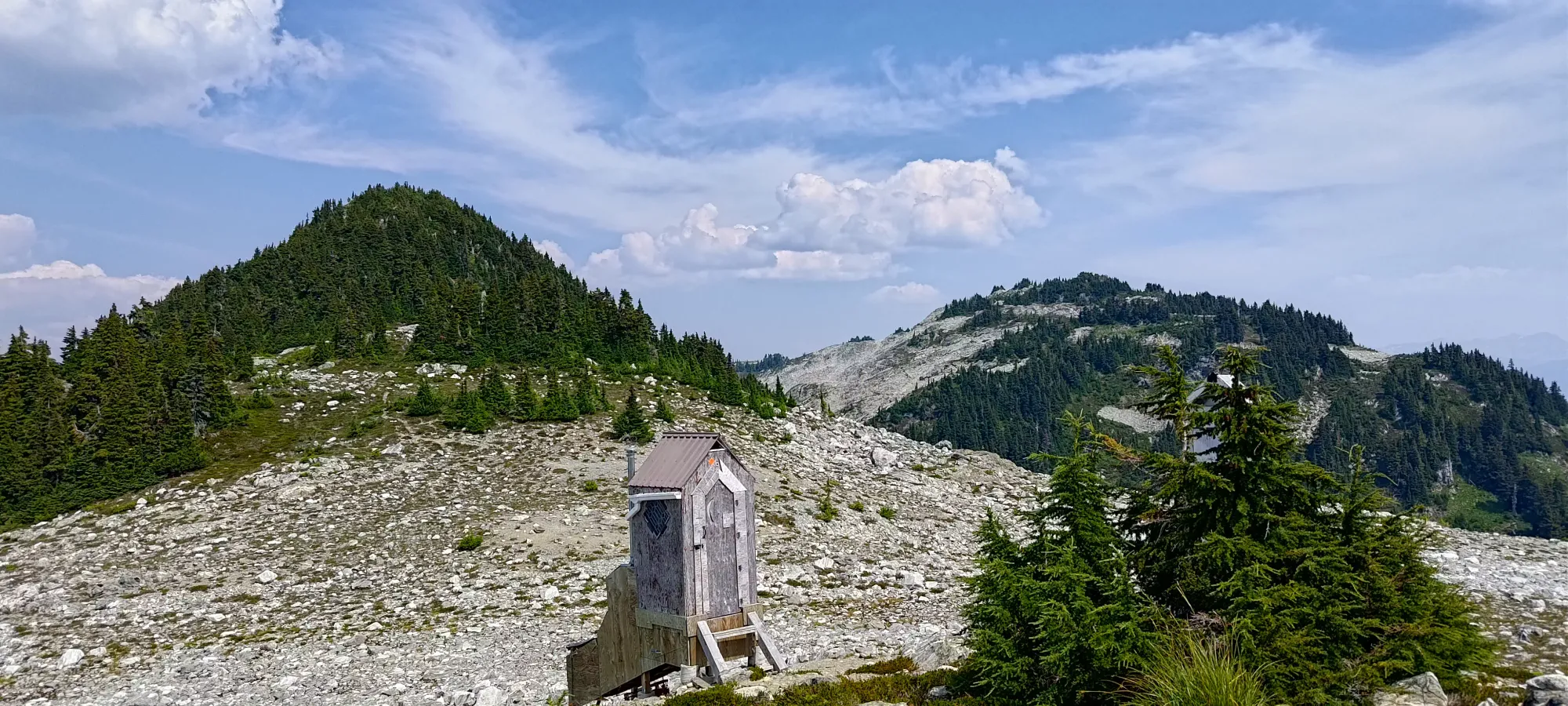
The hike to the summit was just over 15 minutes for us. It is pretty straightforwards, with only 1 section of surprisingly tight scrambling in tight trees. We left our packs in the hut and only brought water, giving us enough to get Malt if we felt we had the time and a good route (had minimal beta on the best ways to access each summit). Once on the top, we saw the direct route over the col between the two was pretty cliffy, and decided the best route would be to retrace towards the hut and descend down to and around the small lake between the two peaks and just south of each. We expected to run out of time, but said we'd double-check our feelings once we got back to the hut just in case we were feeling it and things went fast. Brew's summit itself was uneventful.
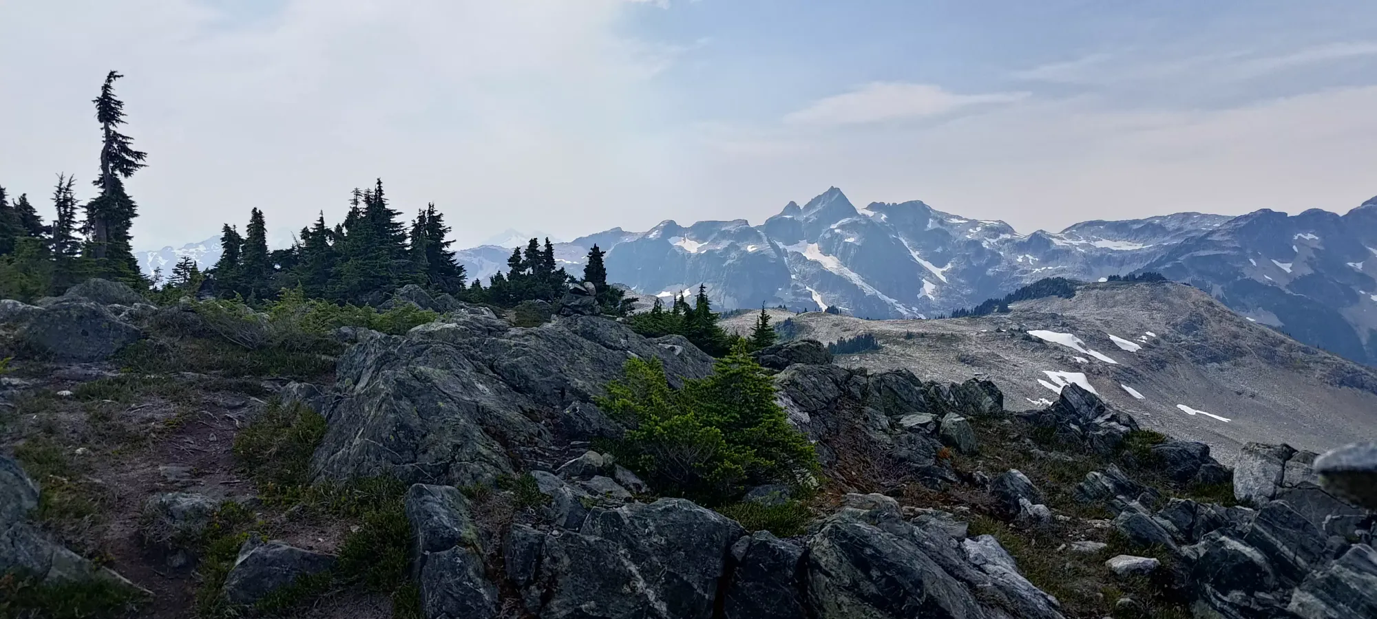
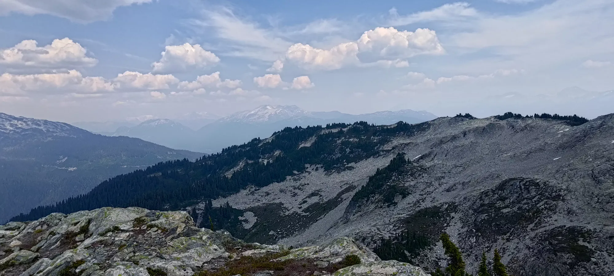
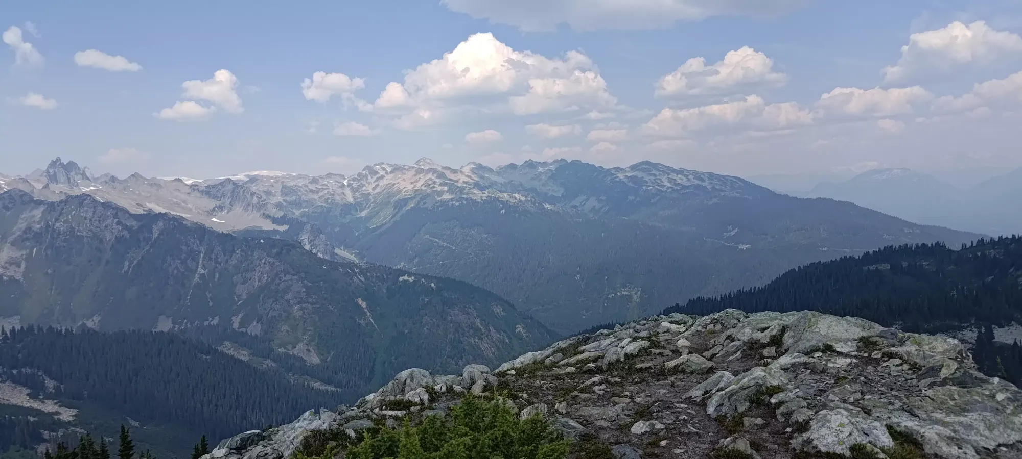
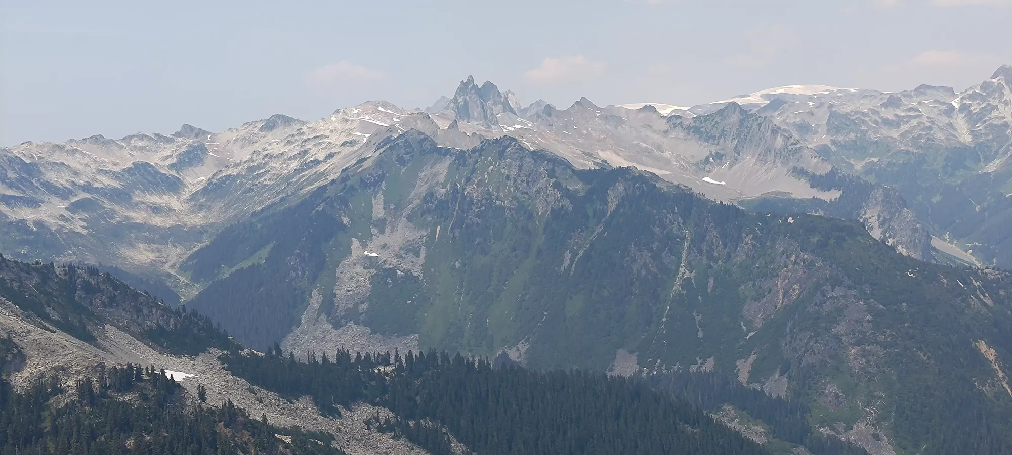
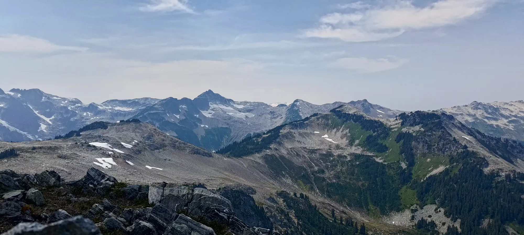
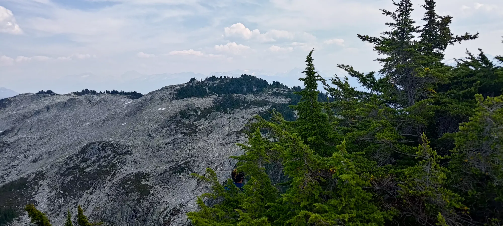
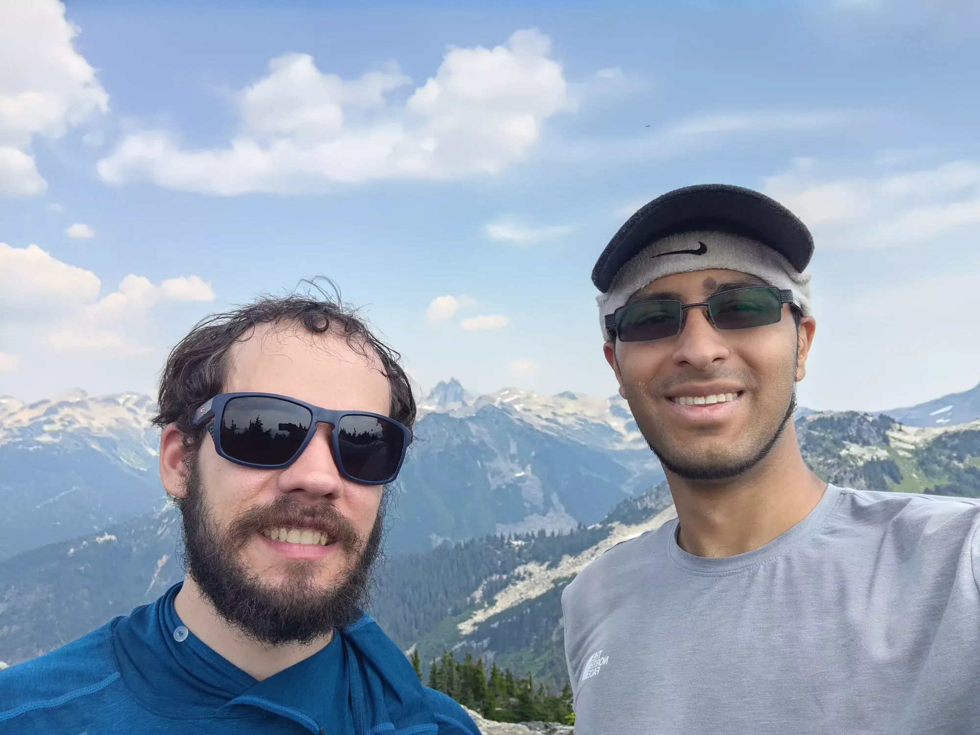
Once we got back to the hut, we decided we didn't have time to make the extra peak(s), and that it's probably better to come back in winter anyways, as this was just "one of those trails" that was kinda annoying and felt slower than the stats make it seem like it should. We encountered a group of 4 people who were coming up to camp, and chatted with them for about 20 minutes before heading out. On the way out, we saw another large group and 2 or 3 smaller ones, so it seems like quite the popular overnight destination, come early or bring tents to avoid getting crowded out.
The descent was about as annoying as the ascent, and took us about 3.5 hours from the hut down to the car. I'd probably have done a bit better with more calories, but the larger factor was just the annoying terrain, I'm quite looking forward to making this trip in the winter with snow, and the Roe Creek approach which we avoided due to length (as we don't have vehicles capable of getting past the bridge), but others said was more pleasant by a country mile.
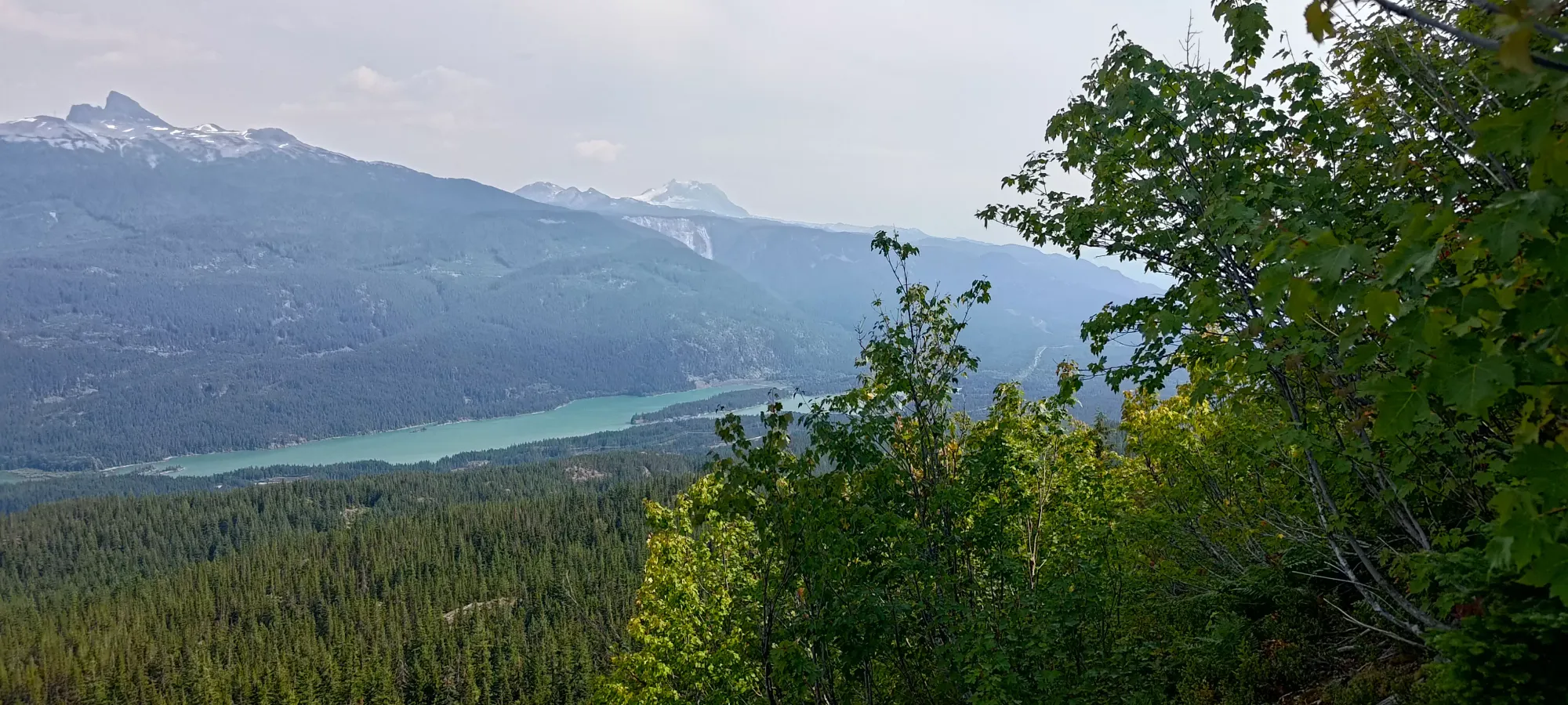
We took a simpler descent, not doing any scrambling in the big boulder field, and just grinded the way down, though the forest definitely felt longer and more undulating than we recalled from the ascent. The steep dirt at the top of the boulder field was annoying and required some care, and was the final nail in the coffin for my hiking shoes. I slipped a few too many times for comfort, so the next day I went shopping for replacements, which will hopefully rectify that.
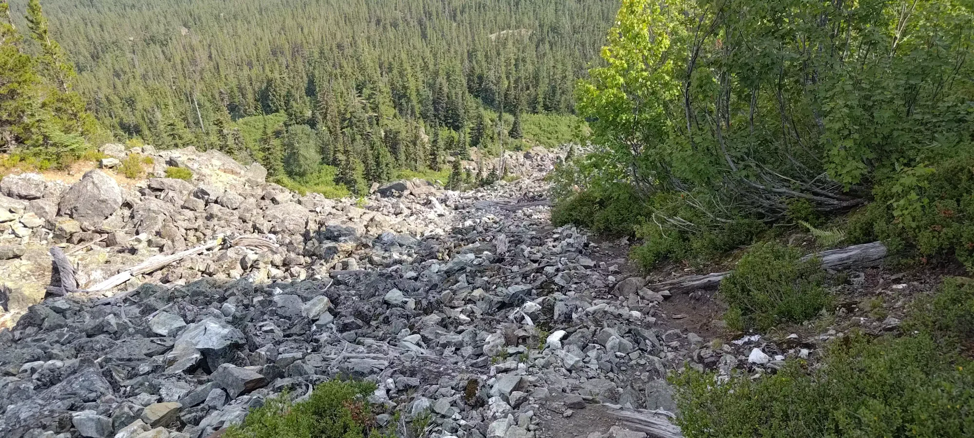
The drive out was uneventful, and I managed to get back just as dinner was being taken out of the oven, which was pretty good timing if I do say so myself. I did take the next couple days off of peakbagging though, doing some family stuff and random chores I've been putting off for a while. I'm catching up to the "100 peaks in 2023" goal, but still have some room to go to get back on-pace. I was hoping this trip might be an efficient 4-in-a-day way to help towards that goal, but that didn't quite work out. I'd definitely recommend using Roe Creek to approach, though, if not Roe Creek in winter should you have a proclivity for ski touring or snowshoeing.
GPX Track + Map
