Mount Bonaparte - November 9 2024

South Okanagan Highlands, Havillah, Washington
2212m
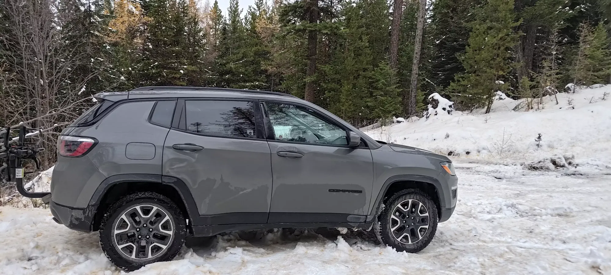
After a week and a half of early-season ski touring without bagging any peaks, on the Remembrance Day long weekend, I was feeling motivated to try and compensate for that a bit. The weather at home was warm and wet, so skiing wouldn't be very fun anyways, so I looked east to the much-drier Okanagan, and found myself a cluster of Ribus near the town of Osoyoos. Sadly, I didn't get planning fast enough to get there after work on Friday, but I did manage to figure out that my buddy Tanveer was already there getting some end-of-season mountain biking in, so we planned to meet up Saturday afternoon to hike Bonaparte, and hopefully Aeneas as well. Due to some logistical challenges, we didn't end up meeting up until about noon, but once we did, we easily drove up well-maintained dirt roads to the trailhead, though the last kilometre or so was in snow.


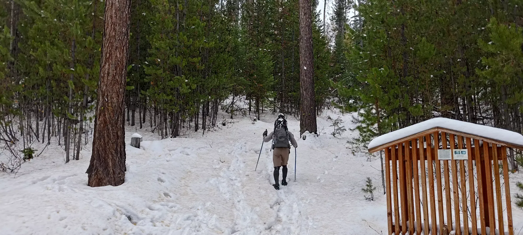
The trail was snowy from the start, and I briefly considered bringing my skis, but the coverage was thin, the snow a bit moist, and the slope of the trail quite mellow, so I decided against it. We packed our snowshoes just in case, and otherwise set out with spikes at 12:50pm from the 1540m trailhead.
Tanveer, as always, led us up at a super-measured pace, going at about 300m/hour. With the easy terrain and good weather, this meant we had lots of time and energy to soak in the views. To my surprise, near the bottom of the mountain, we actually got a pretty decent amount of larches that still had some golden needles, which was pretty cool. Though it did give the snow a bit of a suspect colour...
As we continued up, we saw the trees get more barren, but the snowpack didn't really change all that much, to be honest. The only real change of note, other than passing a couple forks in the trail, was at around 2000m, where the trail started to switchback a bit more vs just going straight up the north face, ensuring the gentle angle was maintained (just over 8 degrees). The snow was whiter since the trees were in "winter mode", but the depth remained firmly in hiking territory, no use for snowshoes.
If nothing else, seeing how little the snowpack changed made me feel good about leaving the skis in the car. I'm sure I could have descended in a technical sense on skis, but it'd be pointed straight down with no turning on the gentle slope with wet snow, and avoiding rocks+deadfall would not make for the most enjoyable of experiences. With colder snow, though, I'm sure this would be a great area to get some mellow turns in.
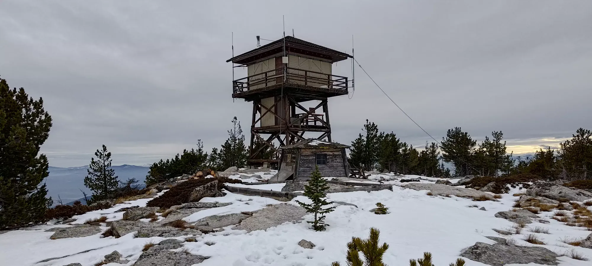
At just about 3pm, we crested onto the summit plateau, and found ourselves looking at the fairly impressive lookout tower. While the ascent was pretty relaxed and the weather compliant, the summit was fairly windy, so we were happy to clamber up and find a spot sheltered from the wind to relax and take some pictures.
After 10–15 minutes of chilling behind the wind-buffer of the lookout, we headed down for a couple more photos, then started making our way down.
The way down was fairly uneventful, just being a hike down the same easy trail we had just come up. The one amusing thing was that Tanveer apparently enjoys yeeting down snowy trails a bit more than dry ones, so he led a much faster pace downhill than usual, to the point that my legs actually worked harder going down than up! We got down in about 75 minutes, shaving almost an hour off the ascent time! That brought us to the car before sundown, giving us just enough time to pack up and get out before dark.
Sadly, I did get a flat on the way out, which wasted a bit of time swapping onto my spare, and with the dark, I didn't really feel like heading up to Aeneas (a peak known for gun-happy people getting mad at people for "trespassing" on the public road to the summit) solo at night, so I just headed back to Canada for the night to grab dinner, watch the Raptors game, and get some rest before the next day. This was a pretty nice hike, though, and makes for a good use of a couple hours if you're looking to escape worse weather to either side, or for some reason are just nearby with time to spare. The Okanagan offers pretty good value hikes like that, with big hills over the expansive flats around them.