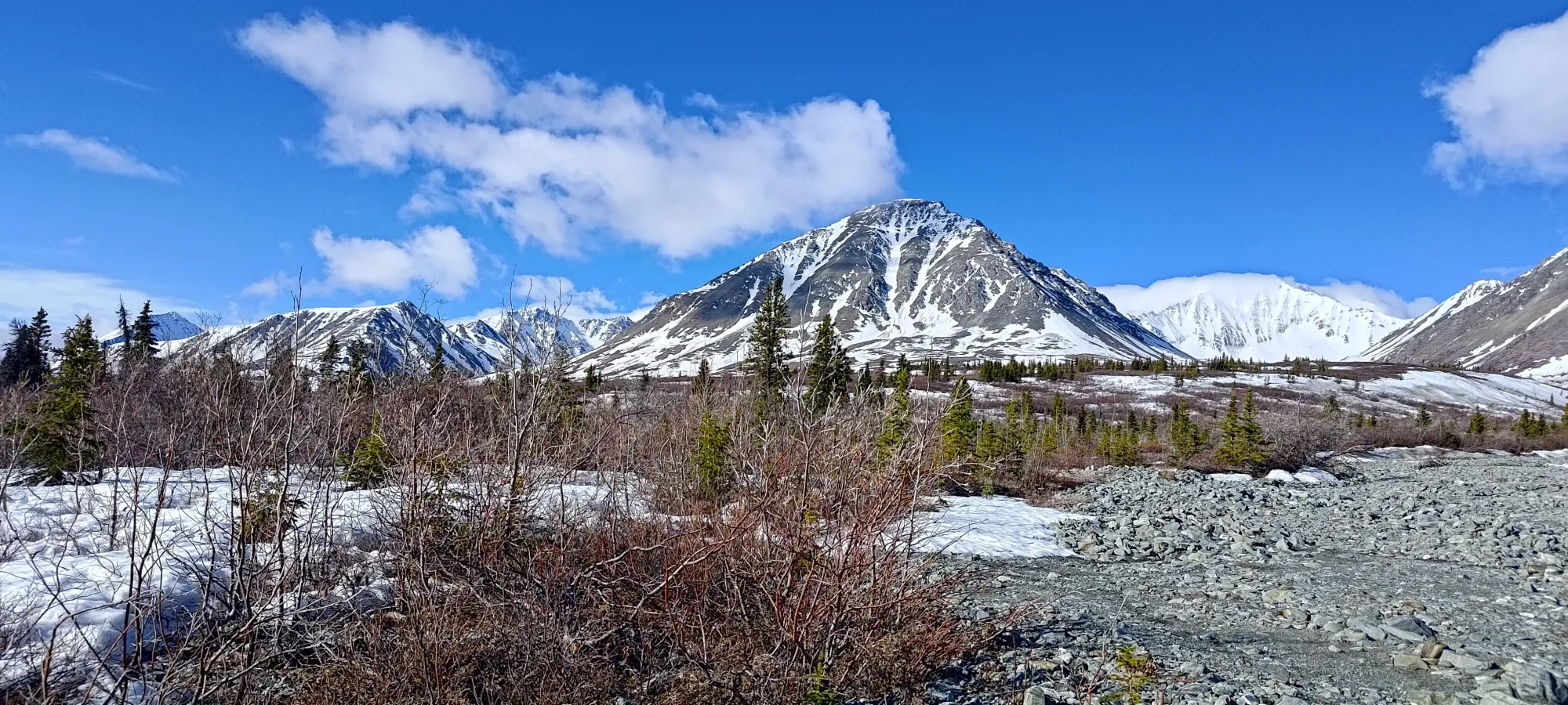
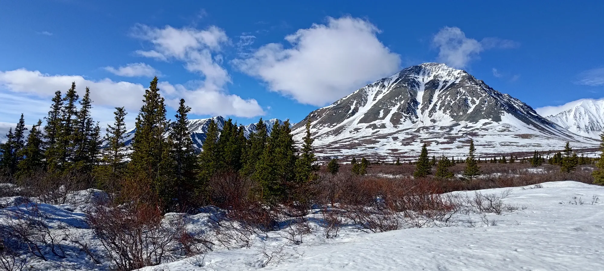
Mount Archibald (Yukon) - Ski Descent (N Glacier) - May 17 2025
An excellent mountain and ski near Haines Junction, Mount Archibald (when it has a proper snowpack) offers a simple approach, great skiing, and an ultra-prominent peak. What's not to love?

Kluane Ranges, Haines Junction, YT
2588m
With weather at home being less-than-optimal for Victoria Day weekend, I was forced to broaden my horizons. Not wanting to waste a prime ski mountaineering long-weekend to bad weather, I looked around at the various areas I have skiable ultras noted down, and I saw that Haines Junction actually had some pretty nice weather! I made sure my peak plans made sense, and managed to convince Logan that this was a good time to get our toes wet in the Yukon. So, we grabbed some flights (pretty affordable on Air North, who also give you 2 free checked bags and food!), a place to stay (the Raven's Rest in Haines Junction were awesome hosts), a rental vehicle, and we were set!
After touching down on Friday afternoon, we got some food in Whitehorse, then made the easy drive over to Haines Junction. The sun sets at, like, 11pm, so we had lots of time to settle in, see that "the mountains are indeed awesome and right there in Haines Junction", and toss a plan together for the first day. The weather looked decent, if not perfect vis-wise on Saturday, so we figured we'd tick off the seemingly-easiest of the local ultras, Mount Archibald.
The standard route is on the S side, coming up from Thunderegg Creek. However, recent washouts had theoretically made the road impassable by vehicle, and starting at the base is certainly doable, but makes it a pretty monstrous day stats-wise. It also puts you onto a scrambly ridge rather than a skiable face, so that didn't seem quite ideal. So, I took to my maps, and theorised a route up Summit Creek, on the north, then traversing south underneath the unnamed ~2100m peak into the drainage of the Archibald's N glacier, then up that and along the W ridge to the summit. So, with that in mind, we woke up not-too-early on Saturday, made the short drive to a pull-off on the highway, and geared up for a start just before 8:40am.
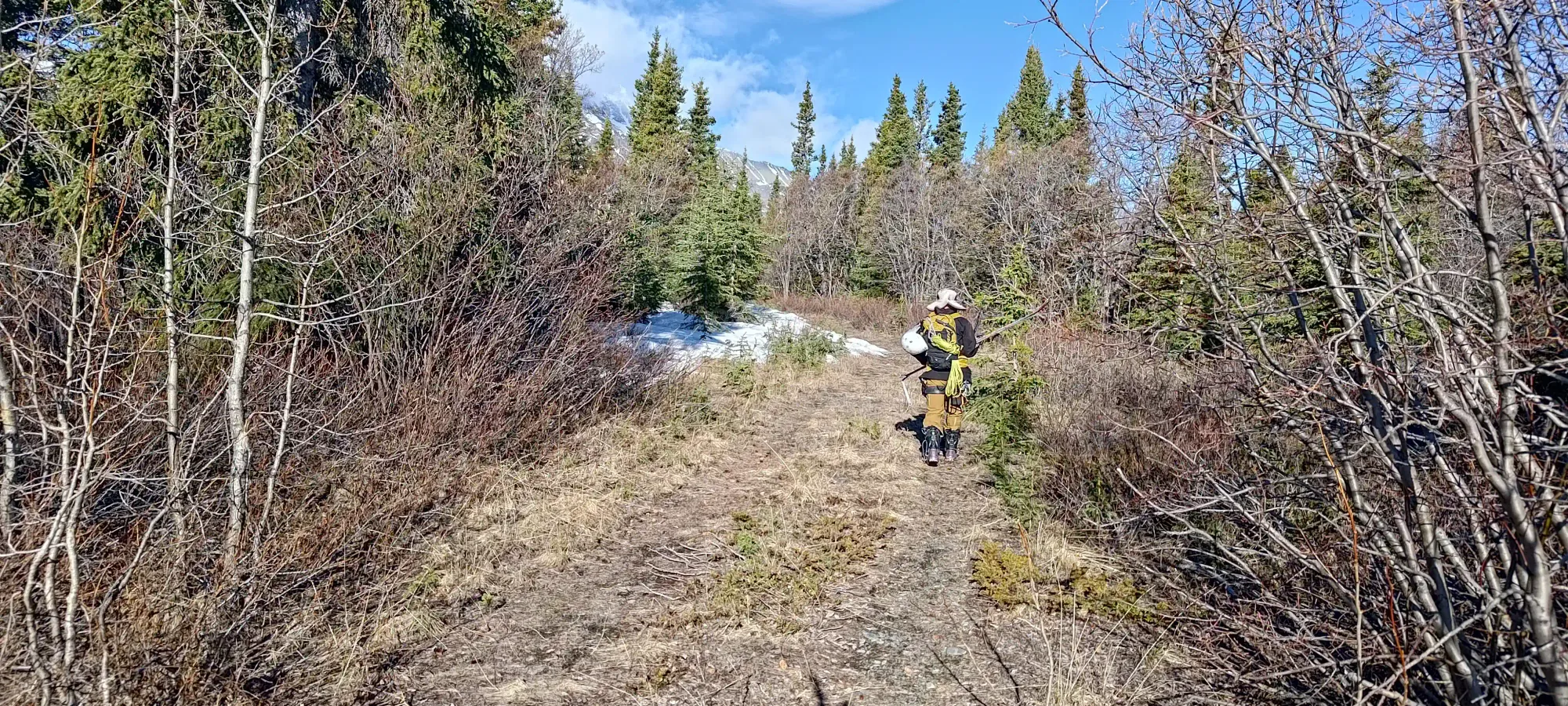
Since I only had a rental, we parked right off the highway. In the summer, you can drive a decent ways up this creek area, and in the winter, you can sled pretty much "as far as you're willing", we saw sled tracks going well up Summit Creek later in the day. For us, though, a full hike it was, which at least should've been closer to 20km than the 30+km from the other starting point.
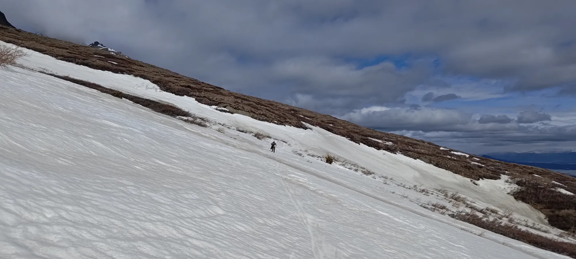
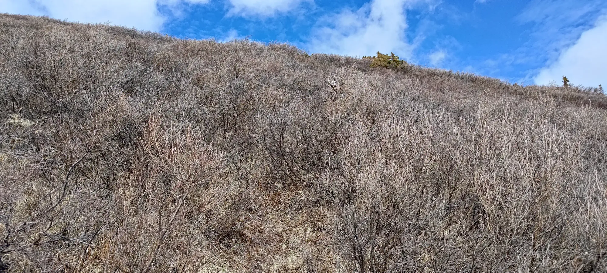
We booted up the road, carrying skis for a few minutes, but putting them on once the snow was continuous (or so we thought), which didn't take long. However, after a couple minutes in good spirits, we found the snowpack a bit more variable than anticipated, and we often had very thin spindles of snow to connect, and in less than 10 minutes, we were stymied by a full-on absence of snow, so we gave up and slapped the skis on our packs, waiting until we had more confidence in a "real snowline" 😅
In a bit under half an hour (after passing the lone person we'd encounter for the rest of the day who was camping off the road), we found the road's end, and were staring at the vast creekbed for Summit Creek. It was mostly dry, so we had easy hiking up the creekbed for a few minutes, until we saw some flagging on the left side, which we followed, hoping it would provide some semblance of a trail for us (this is the route for Mount Decoeli, so there was a reason to believe this).
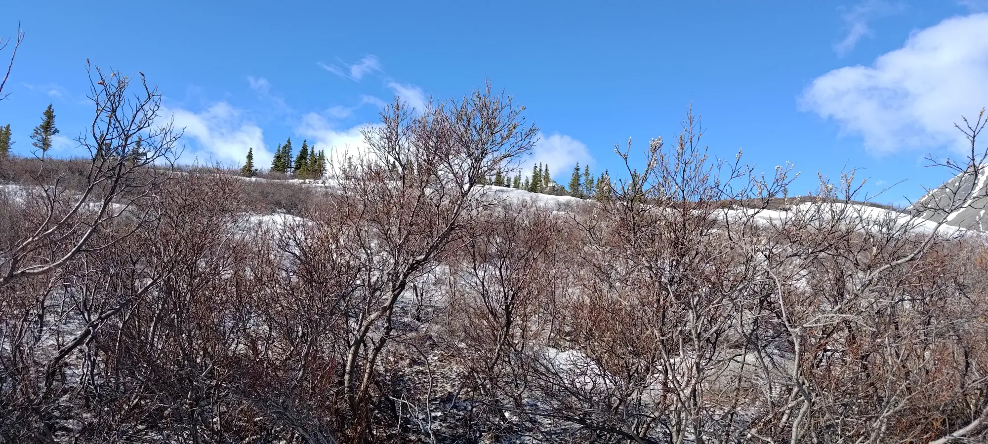
That trail turned out not to be so great, at least in the partial snowpack we had at the time. We followed the old road for a few minutes, making slow progress as we postholed in the snow, until we figured it might just be easier to get over the hill on our left and out of the creek's canyon, so we put skis back on, and started to skin-bushwhack our way out. This worked okay for a bit, but after a few minutes of decent progress in open fields with small bushes, we ended up with a decent amount of alder in front of us. We figured at that point, it would be easier to just return to the creek, and walk up it until we could get higher, where the alder seemed not to grow as much (that was harder to make out on satellite while planning), so we made our way back. That side-excursion wasted about half an hour, but them's the beans when just inventing a route with maps and prayers 🤷♀️
Once we were back at the creek, we had continuous snow, which made progress on skins a lot easier. We walked up a bit less than 1.5km for half an hour until we felt confident that we were high enough, and exited the creek to start cutting south, right around 1300m. There, the plains were much easier to cross, little more than grass.
We started out sidehilling pretty easily, though I let Logan get in front for a bit, and his in-built need to go up as fast as possible got the better of us, and we ended up gaining about 50m that we didn't really want/need to 😅. That didn't cause an immediate problem, but as we got further south, we saw that the entrance into the drainage we were aiming for would only be more difficult the higher we were, and we ended up losing about 50m in order to make that work. Oh well, it wasn't a huge loss, that early in the day, we still had pretty good energy.
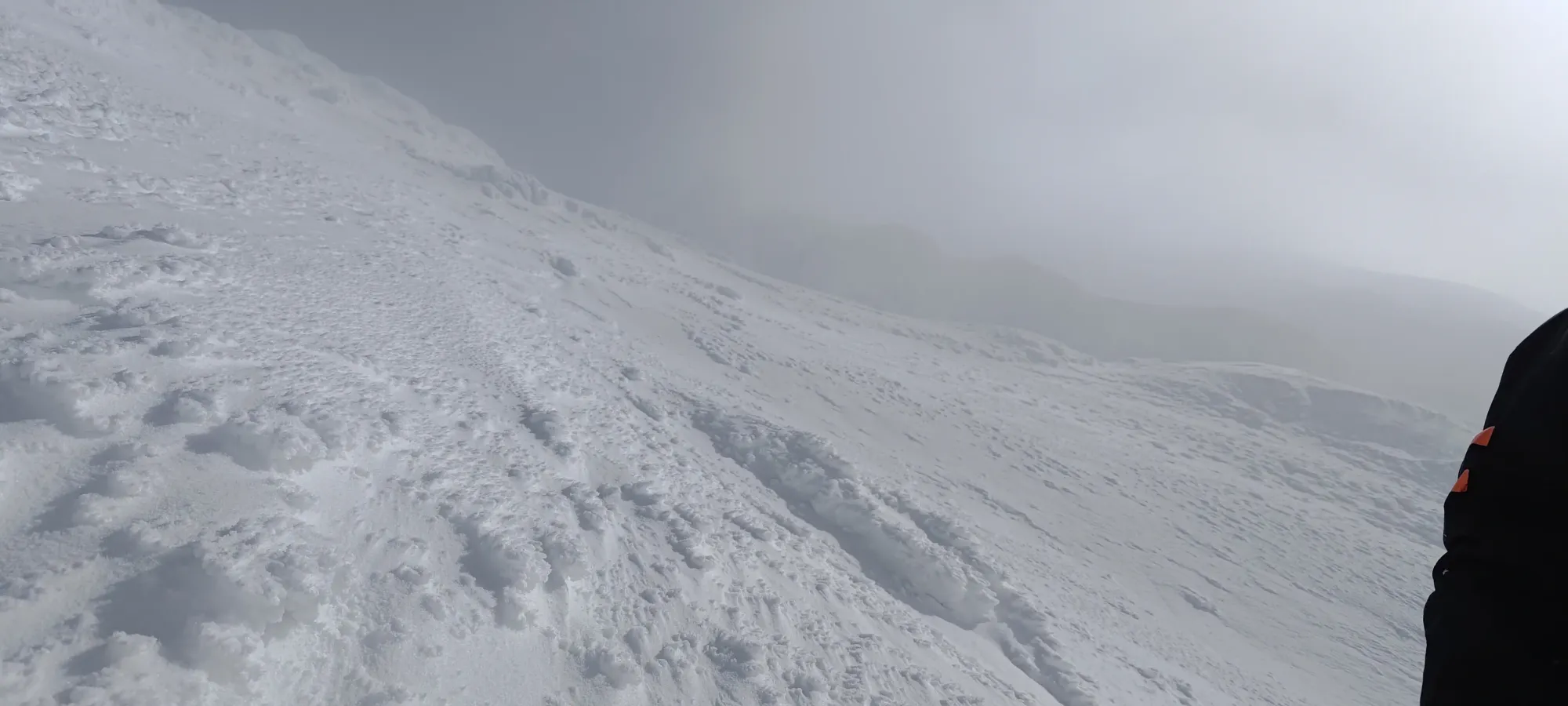
Aside from that, it was simple walking, and within 20 minutes, we hit our first large snow patch, and started a series of transitions from walking to skinning (we just carried skis between skinning bouts) that last for about an hour, until we were almost at the target creek.
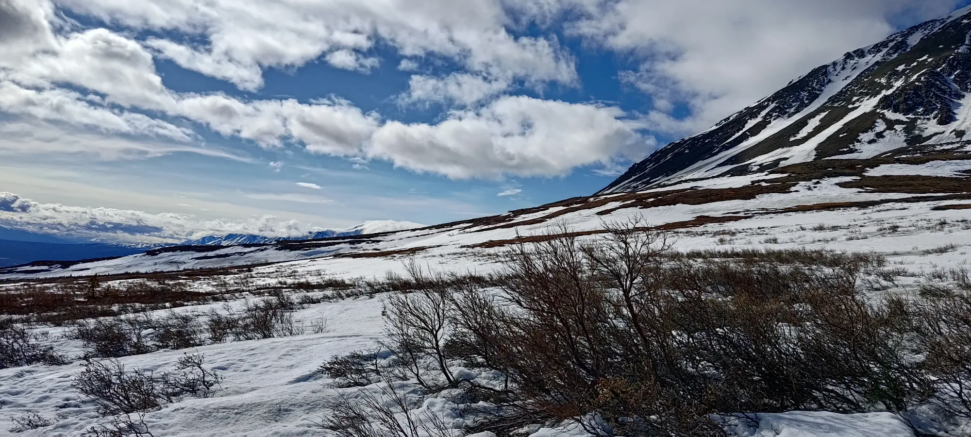
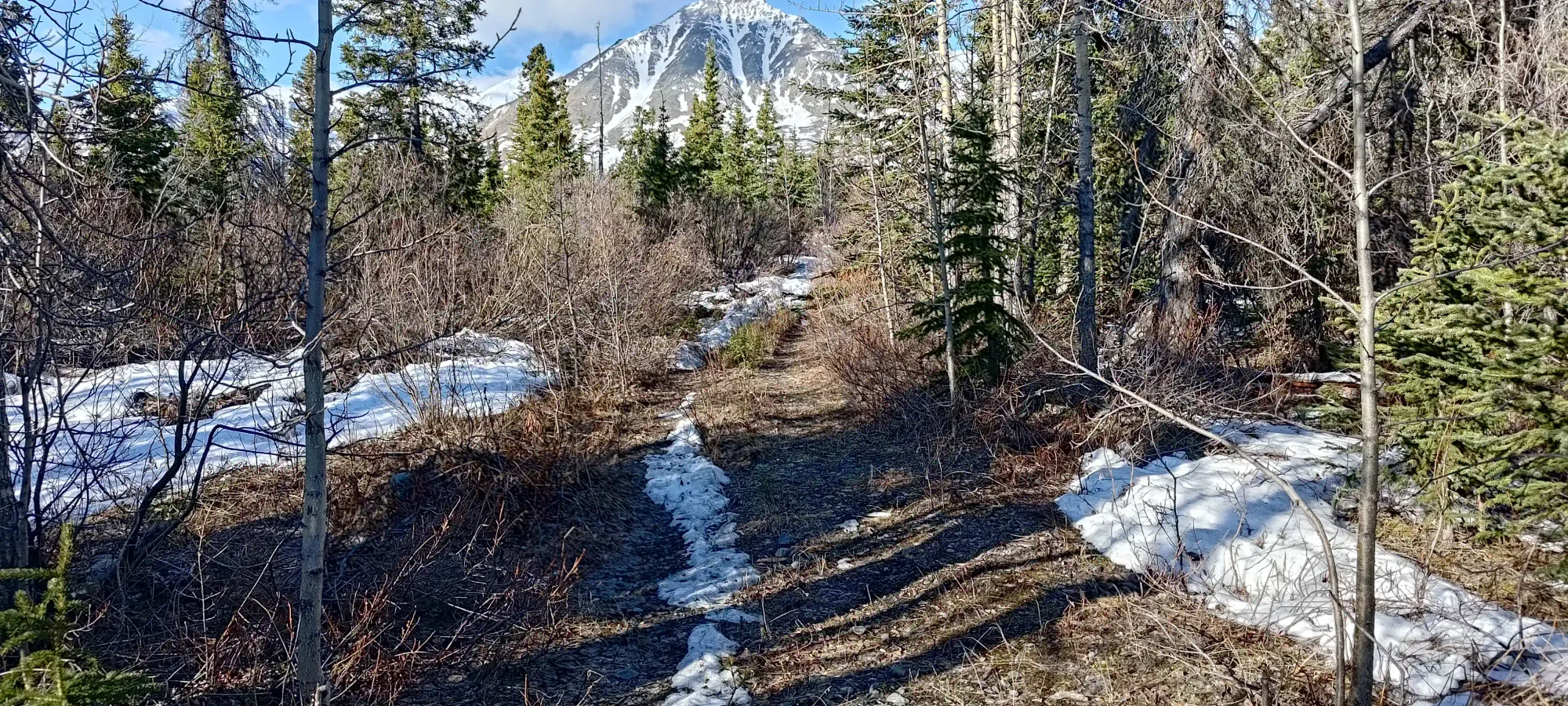
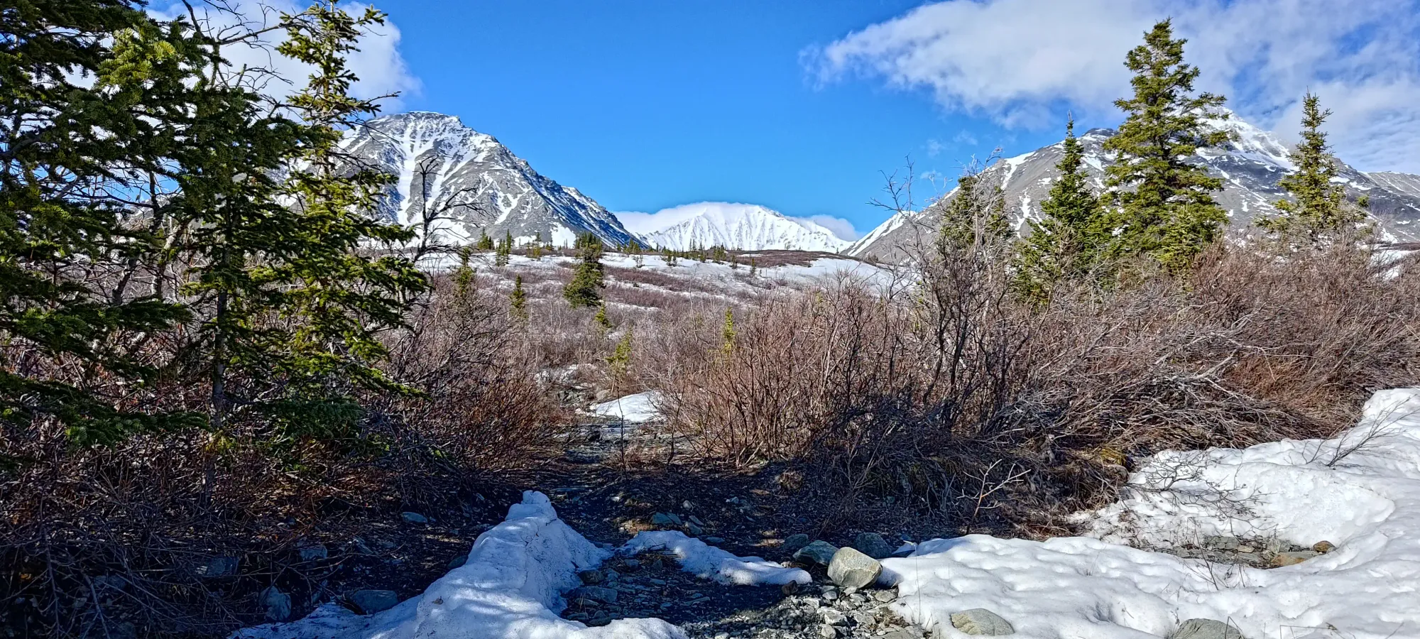
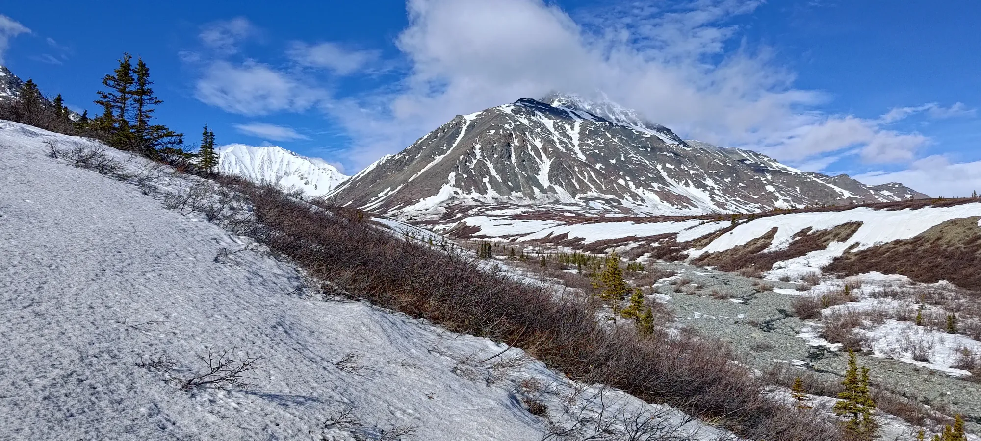
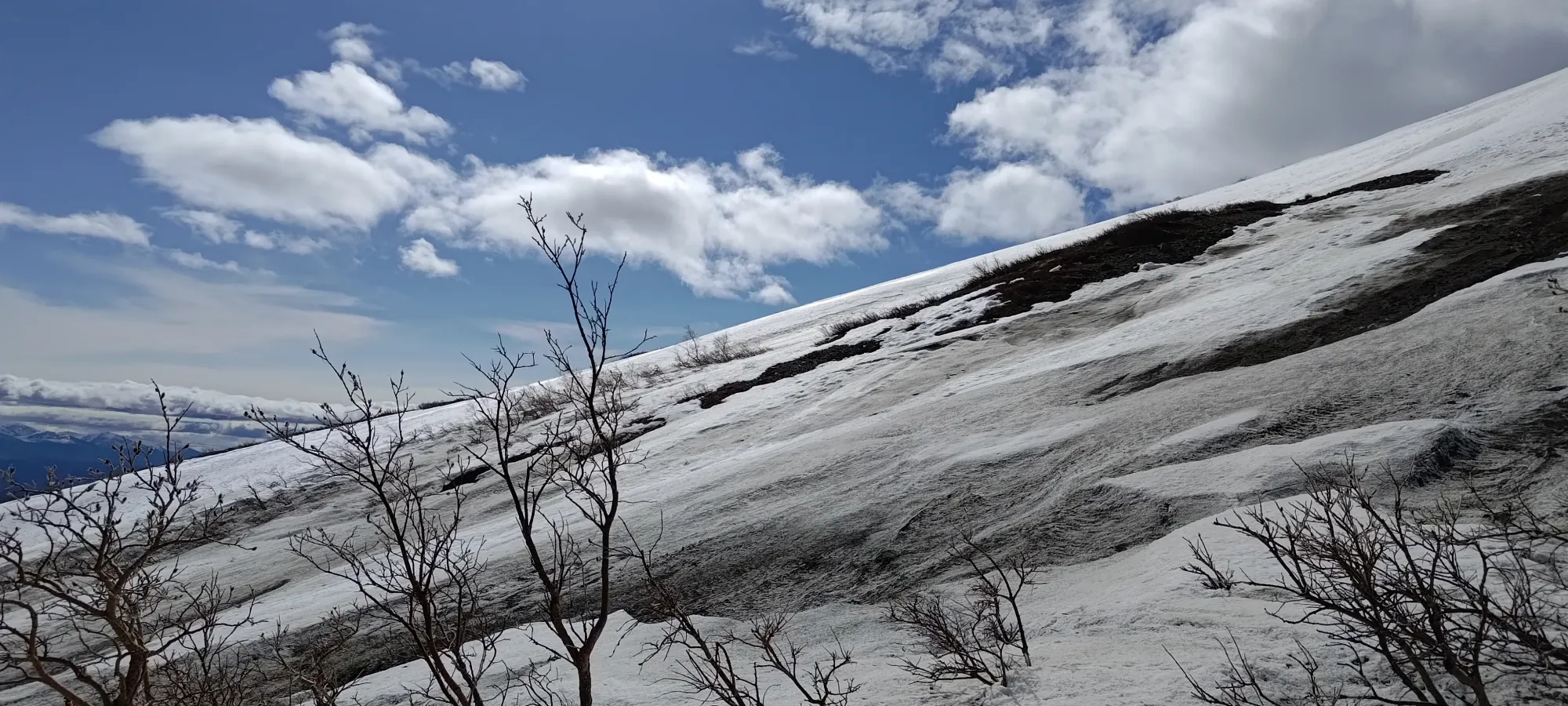
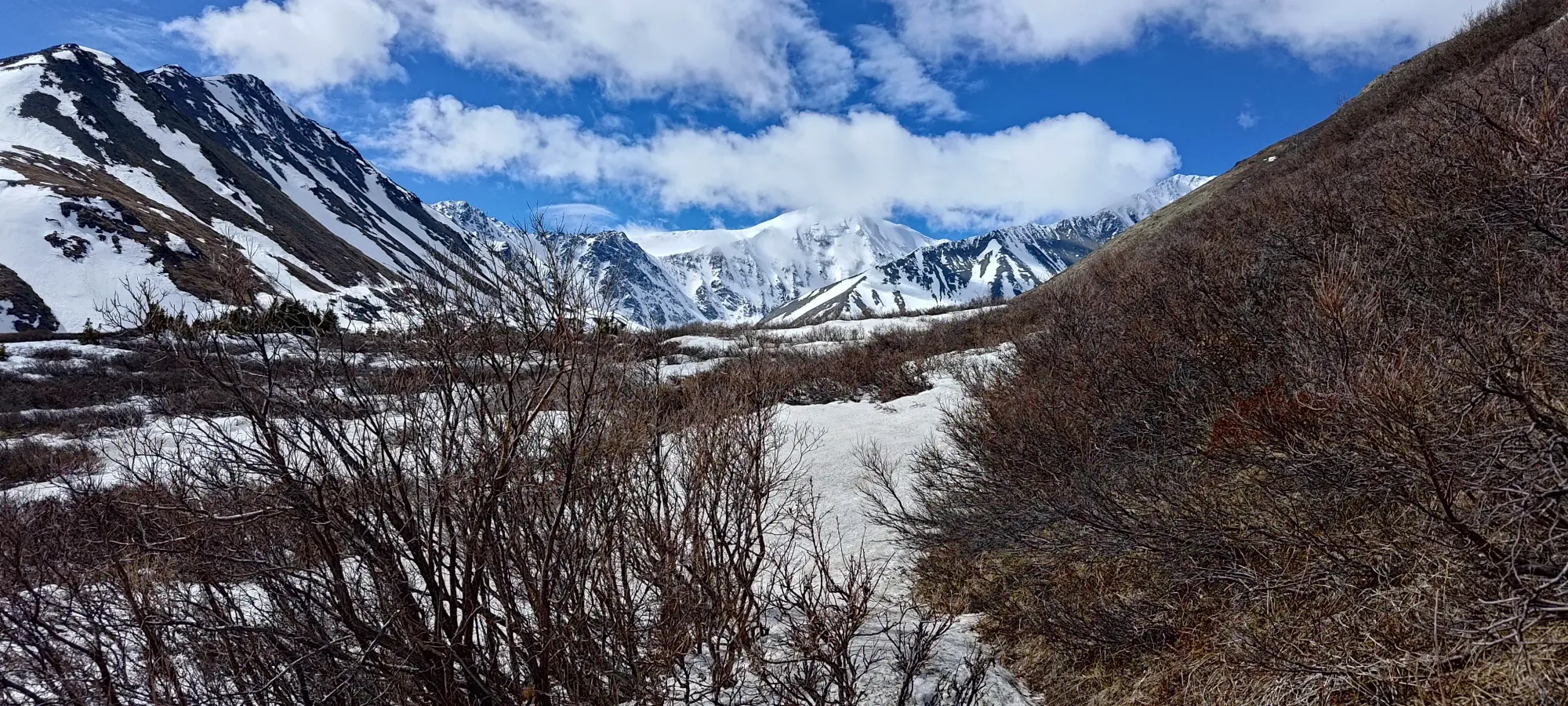
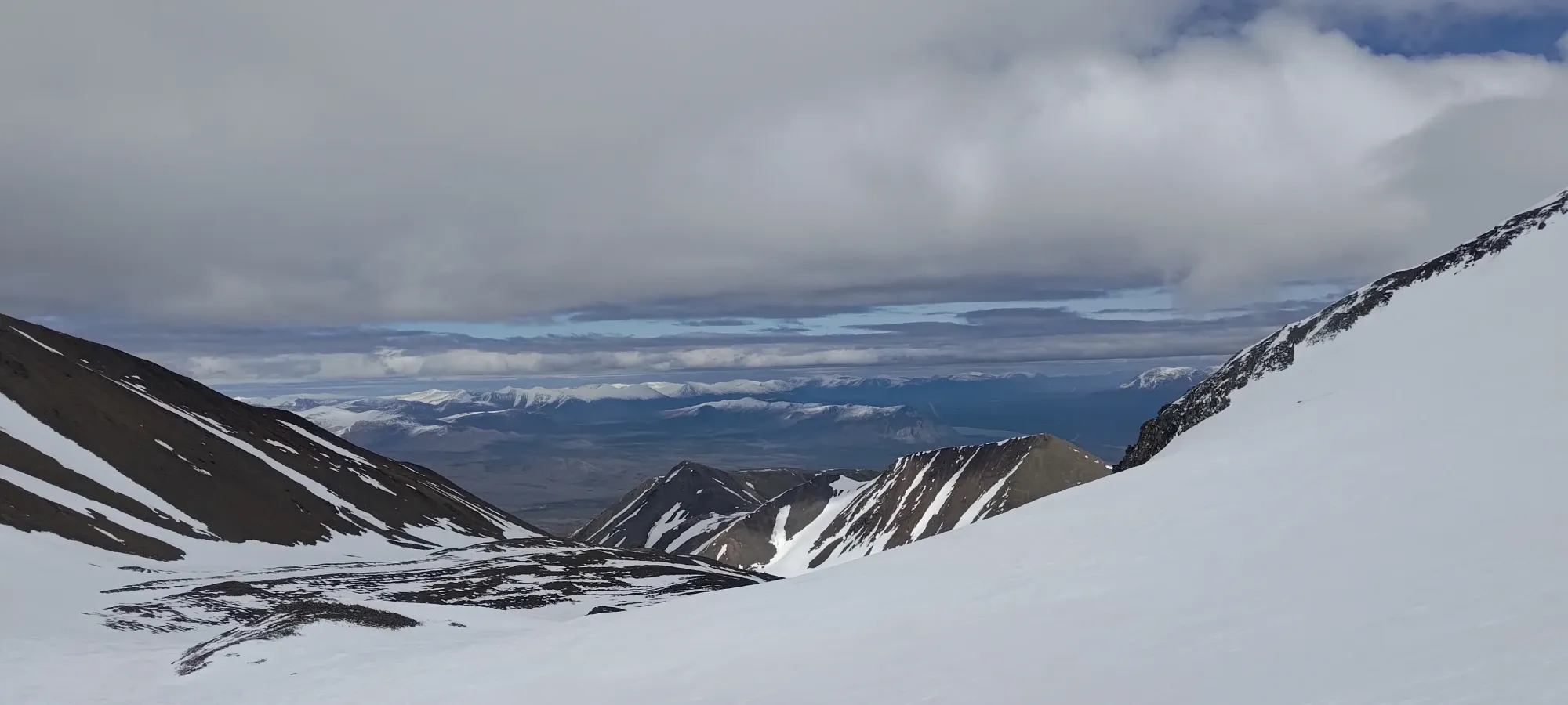
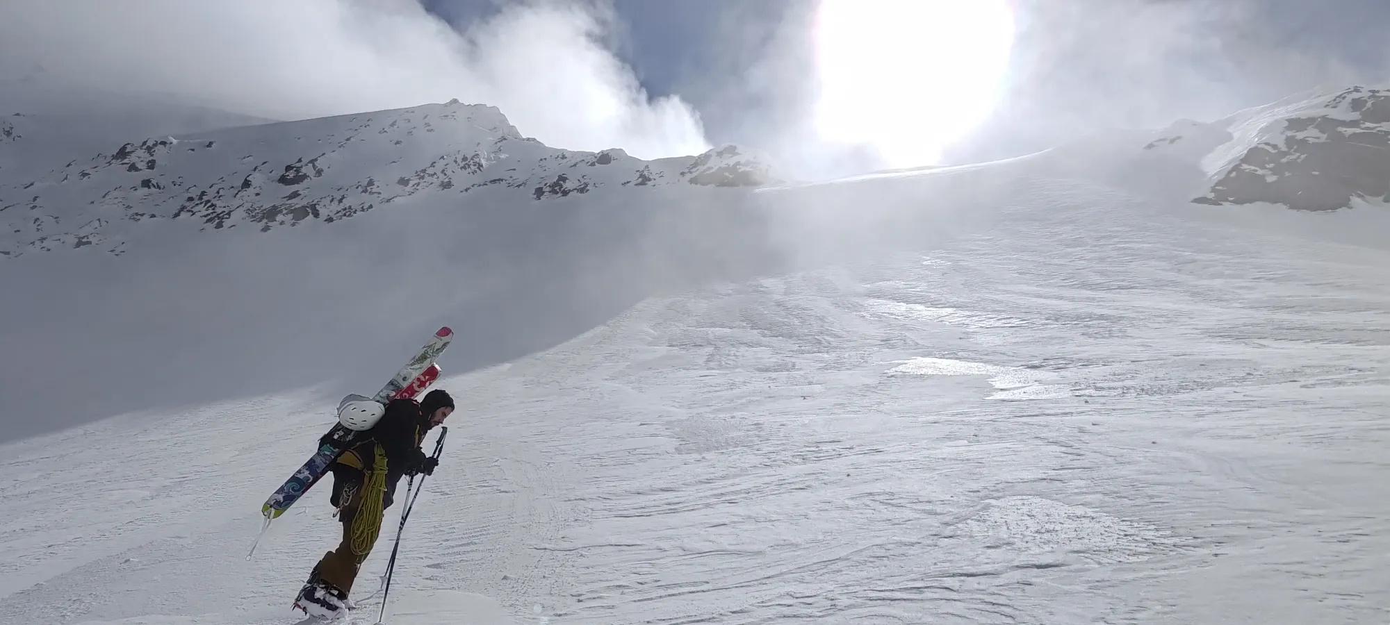
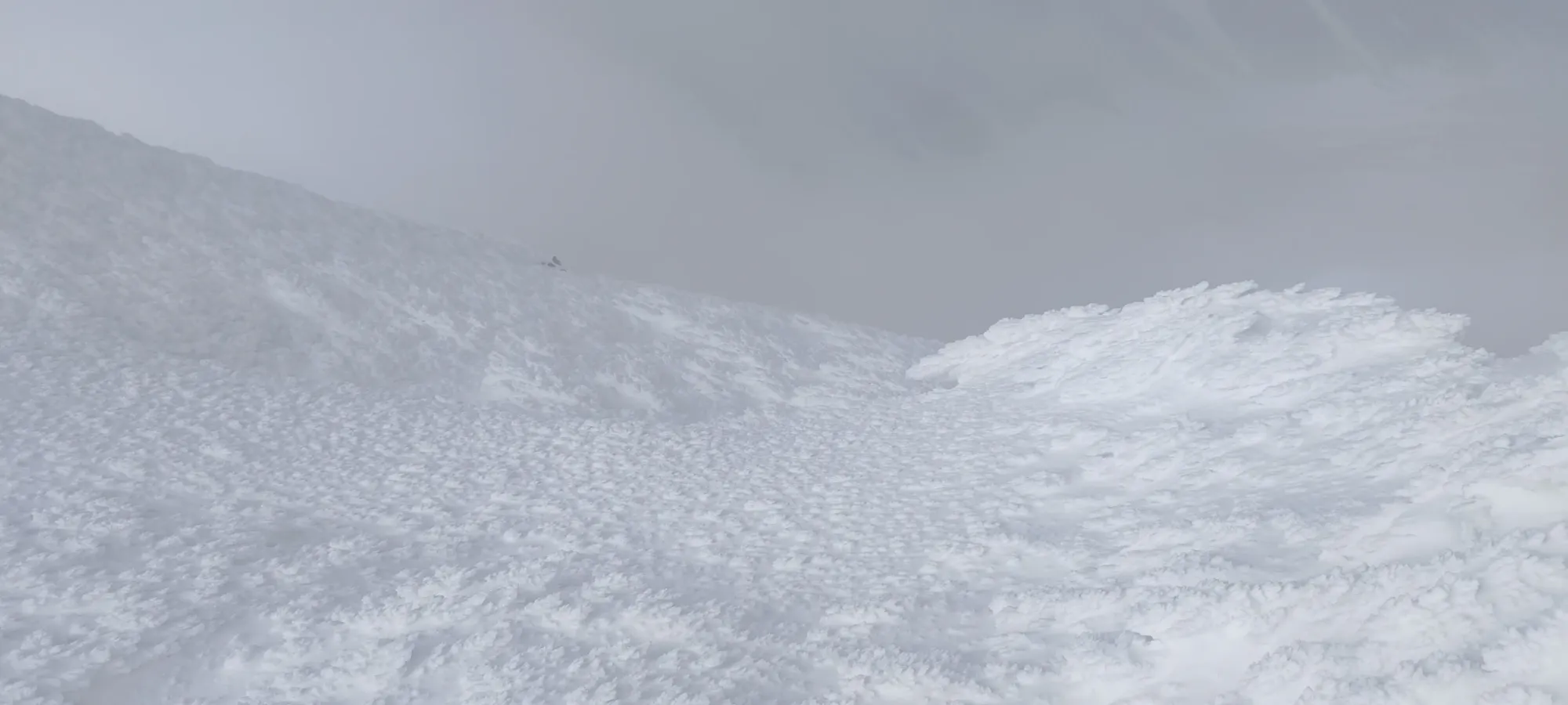
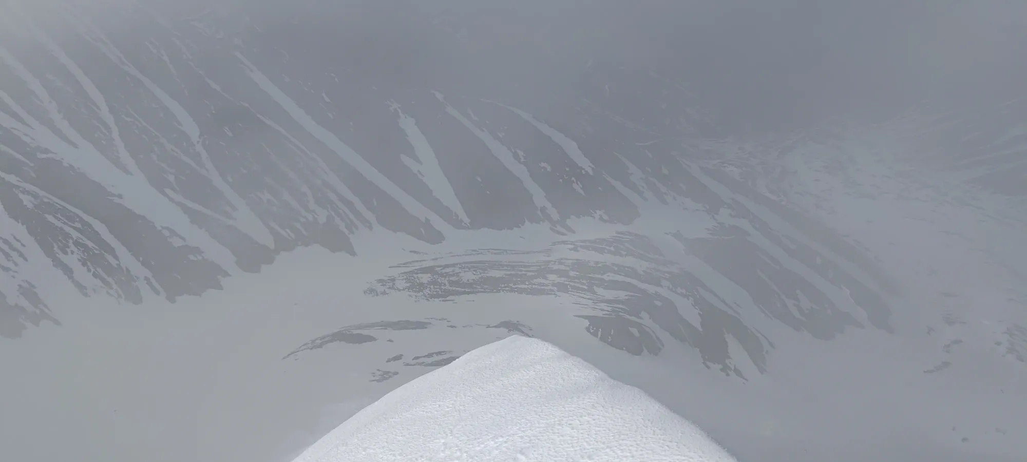
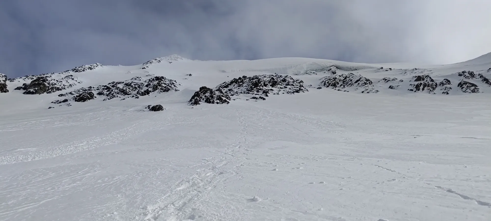
Making our way across the slopes to the next creek
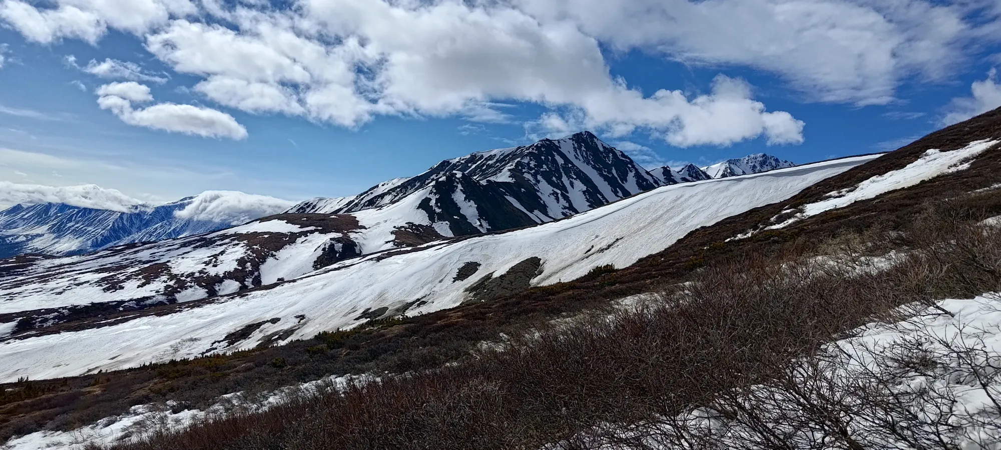
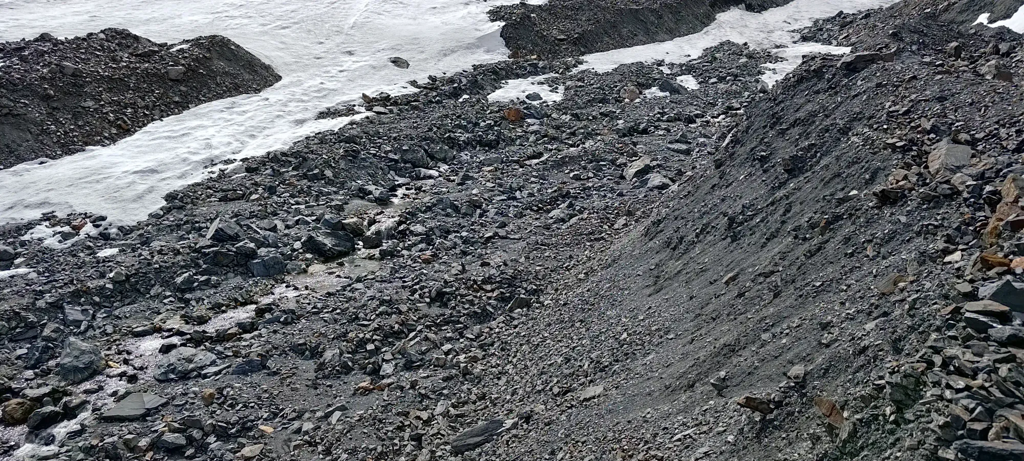
Near the end of this traverse, we had a few sections of bushwhacking to get from "over the first moraine" to "actually in the drainage proper", which were thick but thankfully short, so that was over in about 20 minutes, which was only maybe half bushwhacking. This route would be great in winter, but in the spring, it's solidly fine.
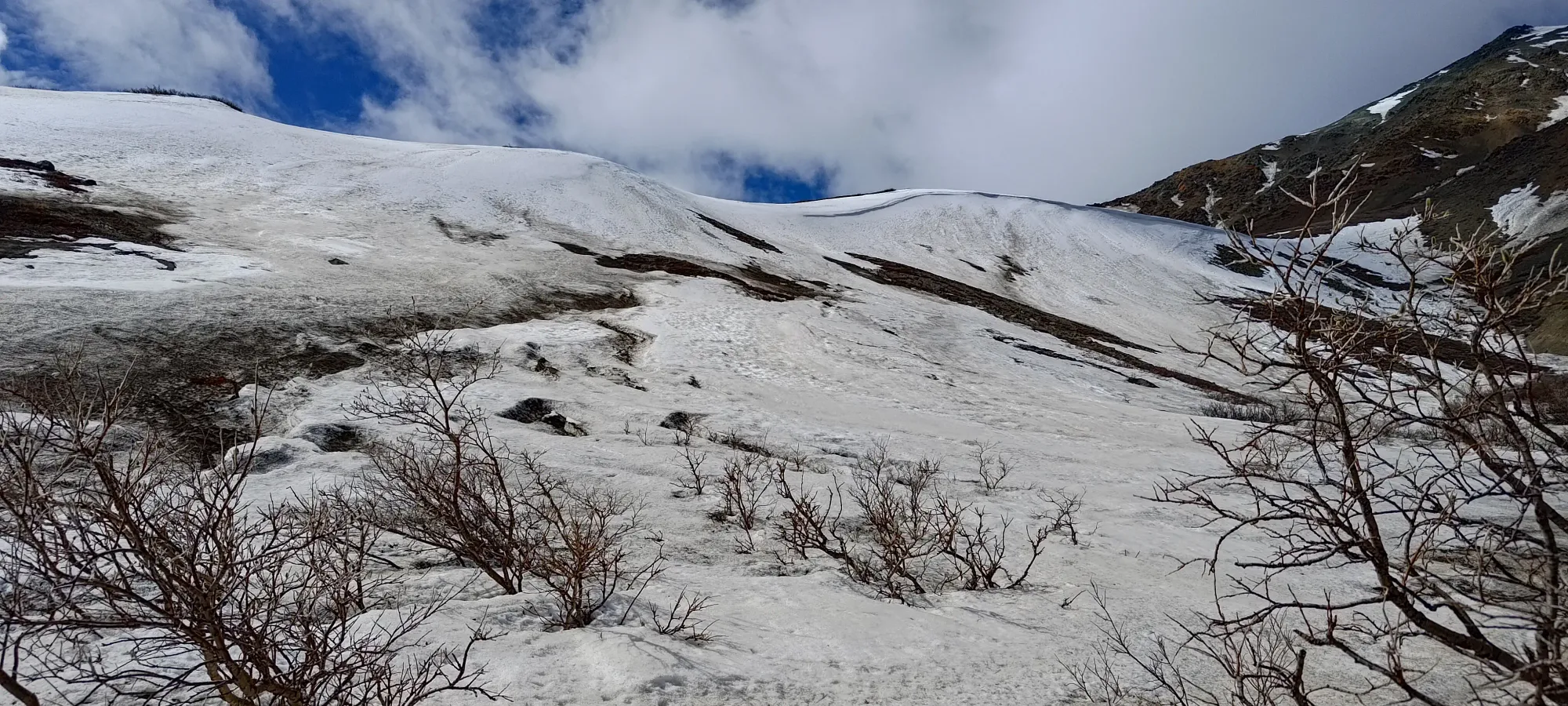

Fighting through the trees/bushes was not particularly enjoyable, and it was a bit sad to lose elevation, but we'd have wasted way more time trying to sidehill across these bushes to avoid it, so just sucking it up and dropping in made the most sense. A couple sessions of bashing through the thick sections combined with some easier traversing between deposited us into a promising section just north of the true creekbed, which we walked up, following the mostly-snow sections as much as possible, until we finally got ourselves out of vegetation and into the proper rocky creekbed, and had ourselves a well-earned break. That brought us to just over 3.5 hours into the day, a whole 250m (net) of elevation progress, and about 7.5km travelled. That should take closer to 2 hours if you have more snow, so adjust your plans accordingly (or even less if you sled up the creek like we saw others had done before, heck you could sled quite a ways in if you were so inclined, the park boundary is very close to the summit).
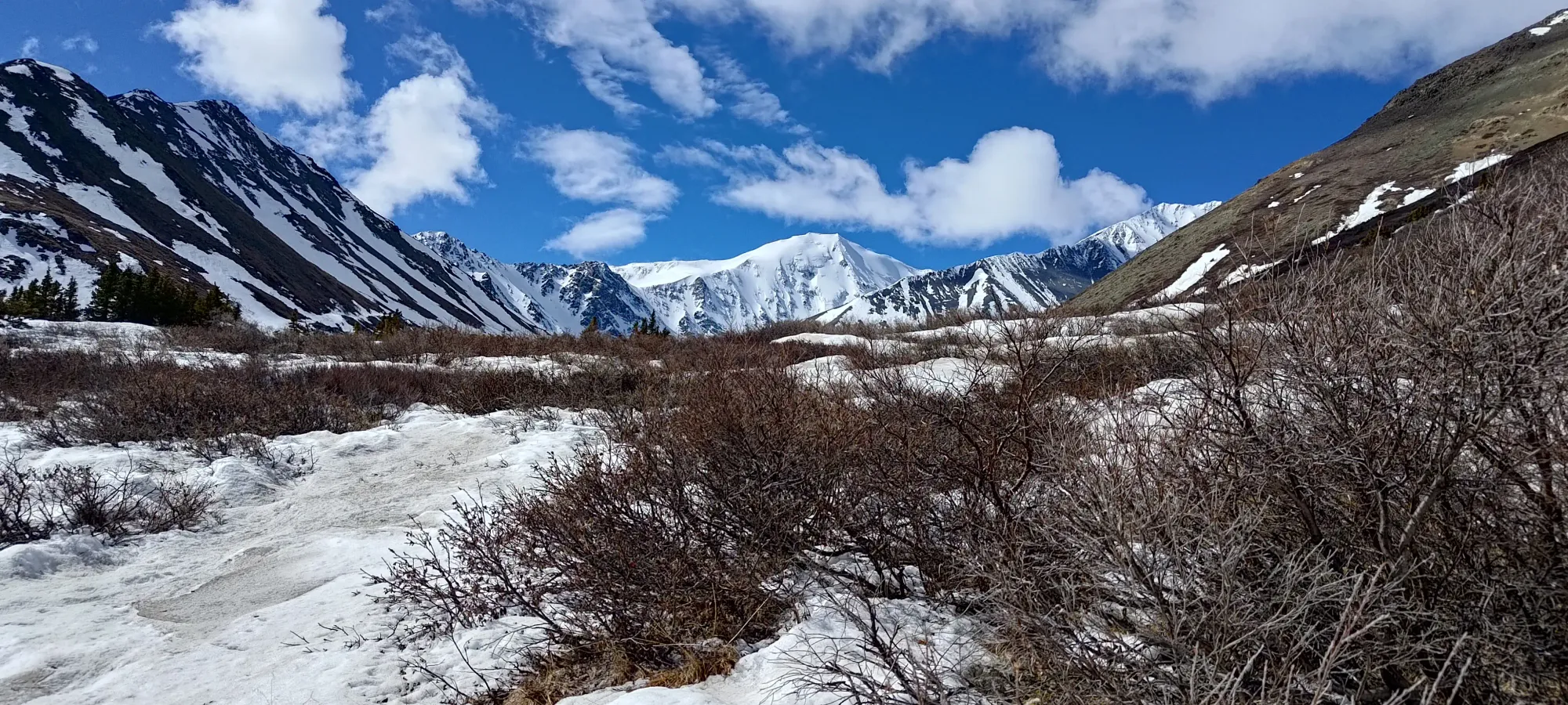
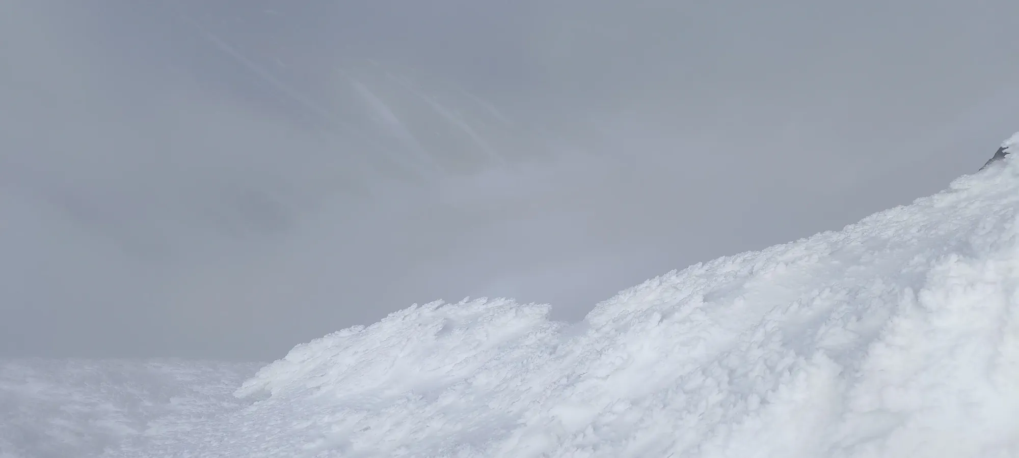
We took about 15 minutes to rest and enjoy not having to bushwhack any longer at this spot before we started moving again. We were both happy to see the peak looking quite snowy, though we couldn't yet make out a great route down the face. There were a couple things that might've gone, but with the peak in the foreground to the right of Archibald blocking our view, we couldn't tell how they got into the valley, so we had to maintain cautious optimism that the route plan would work out.
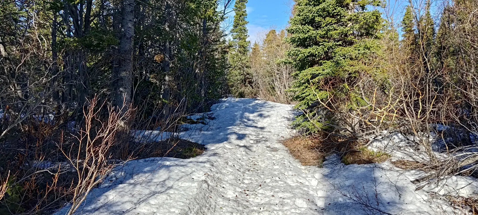
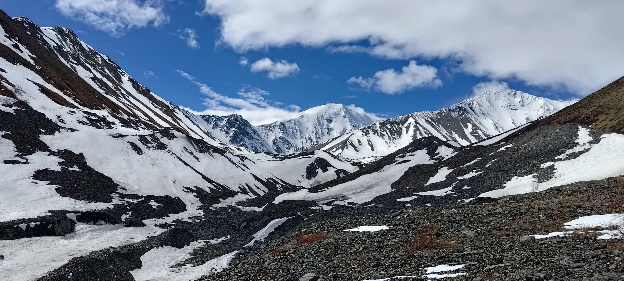
Once we got moving again, things were much nicer. The rocks were fairly stable and the ground firm, for a moraine/creek, and we could make easy progress up the drainage. The creek's flow was also pretty weak, so walking right down by the water was quite feasible, and allowed us to avoid undulations and any parts of the wide valley that had steeper walls. I was cautious of the seemingly-popular "just walk up the creek" mindset that seemed prevalent in the Yukon, but given this experience, that seems to be a pretty effective strategy, honestly. Within 20 minutes, we got ourselves up to continuous snow (about 150m of elevation to do so), and were able to start skinning for real.

From 1400m (approximately where we started skinning in earnest), we had an easy cruise up the drainage all the way to the flats at around 1700m, which we cranked out in about 50 minutes, which was an amazing contrast to the tedious travel in the morning. There, we found ourselves a nice outcropping with some dry rocks to sit on, and had a nice long snack, for about 20 minutes.
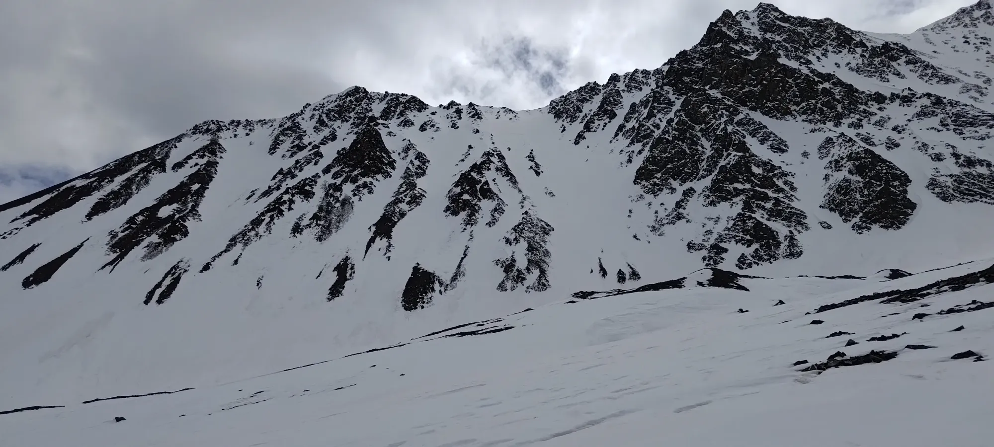
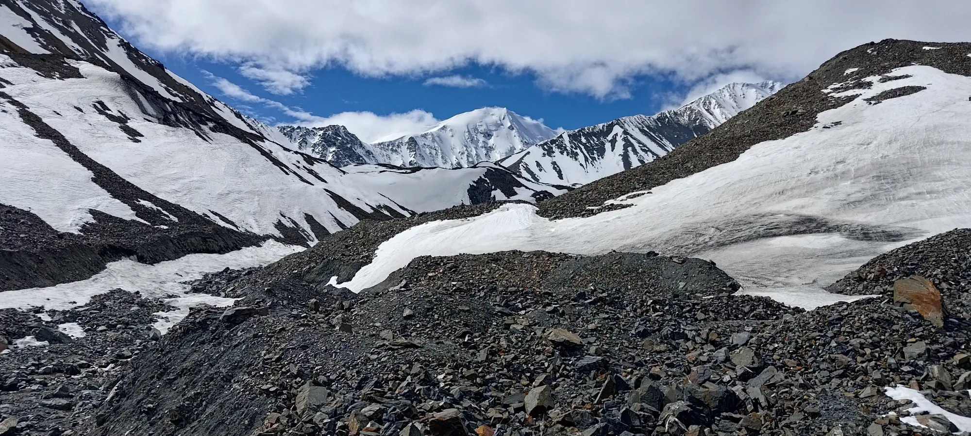
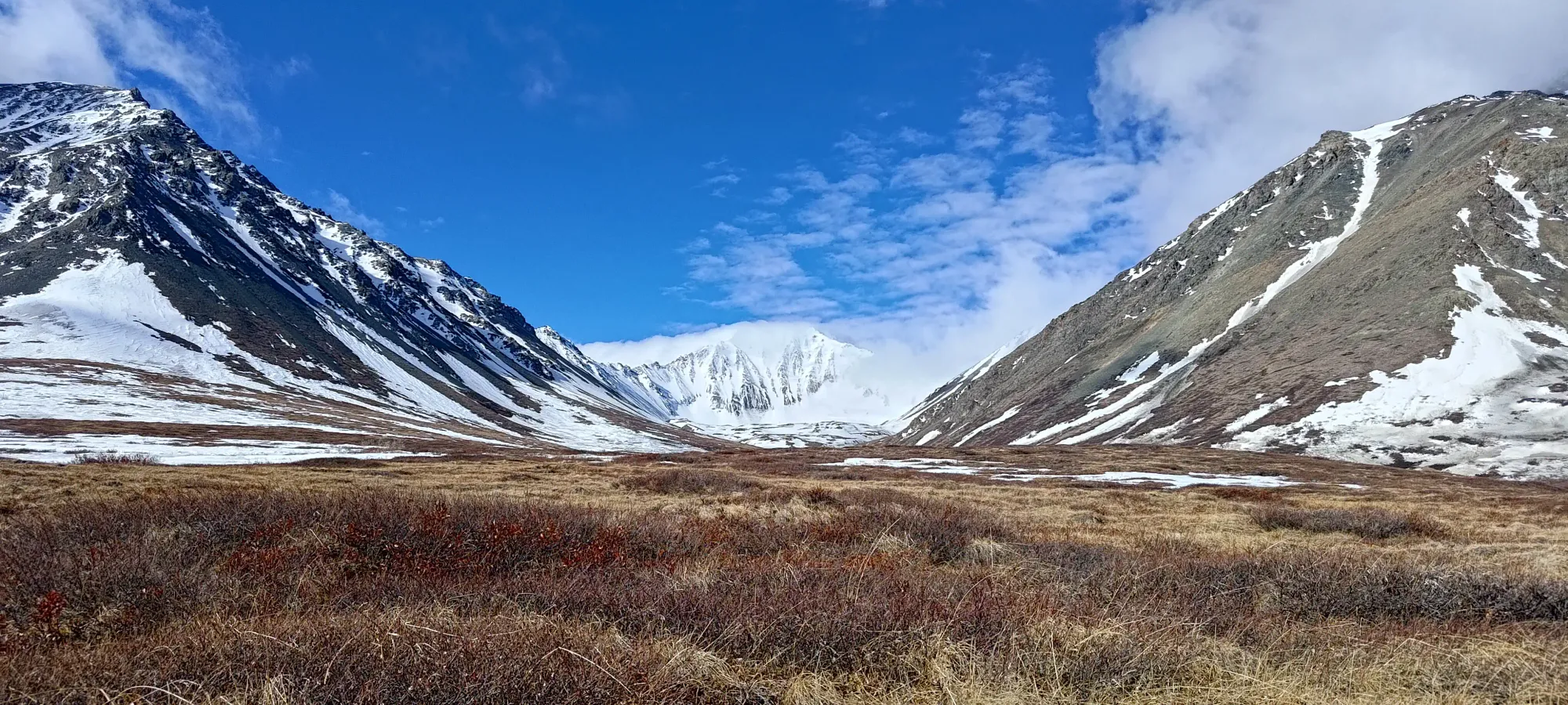
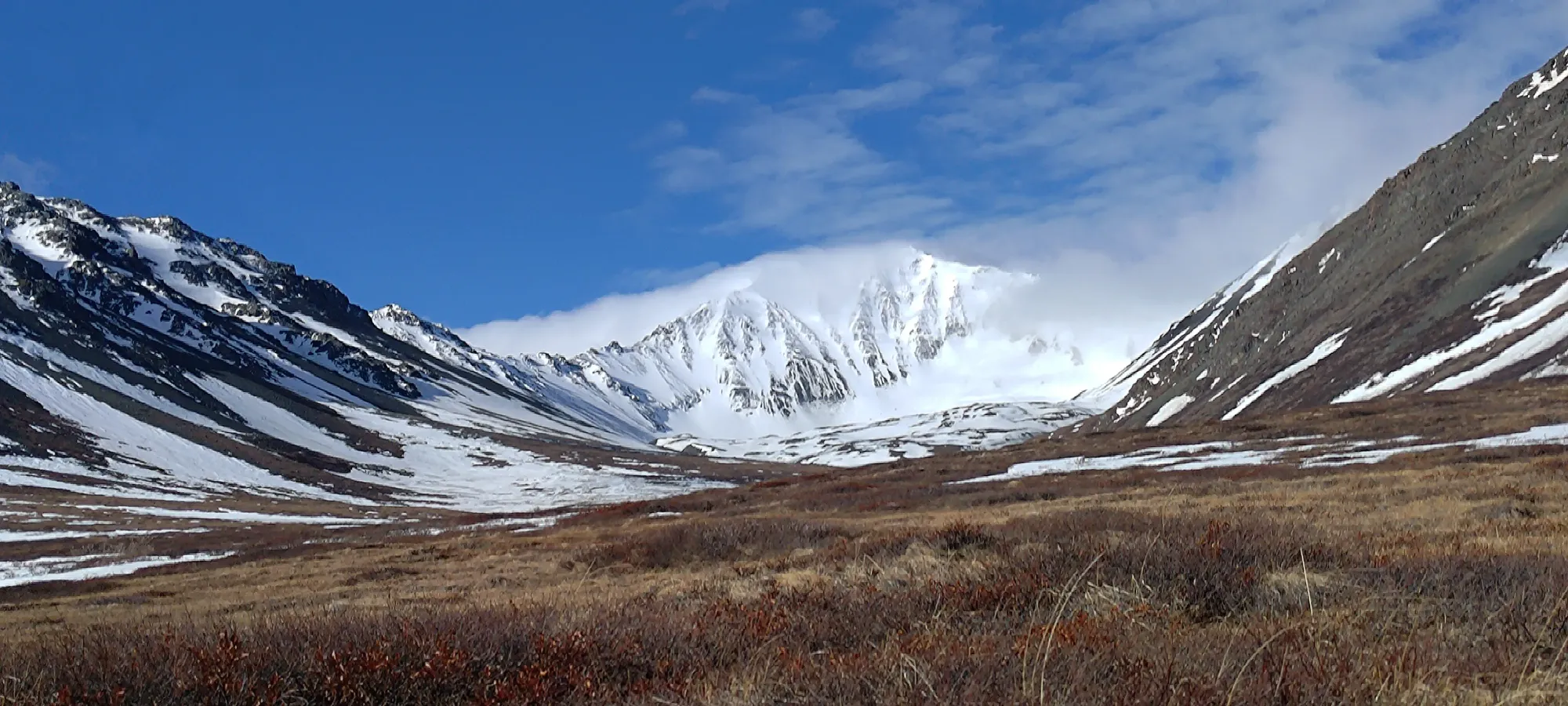
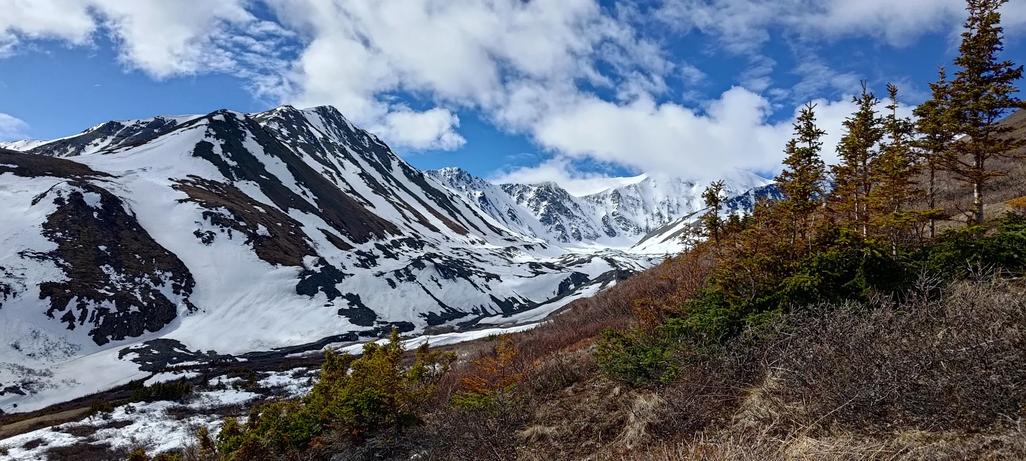
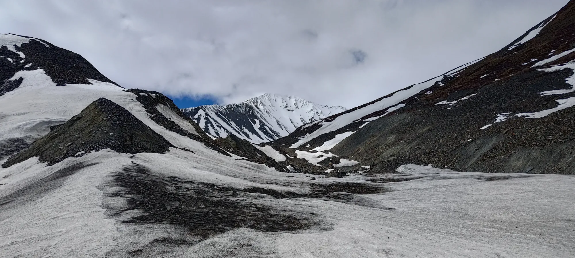
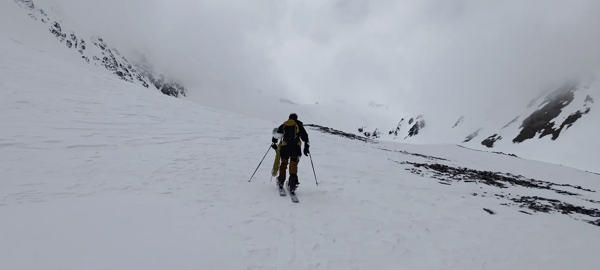
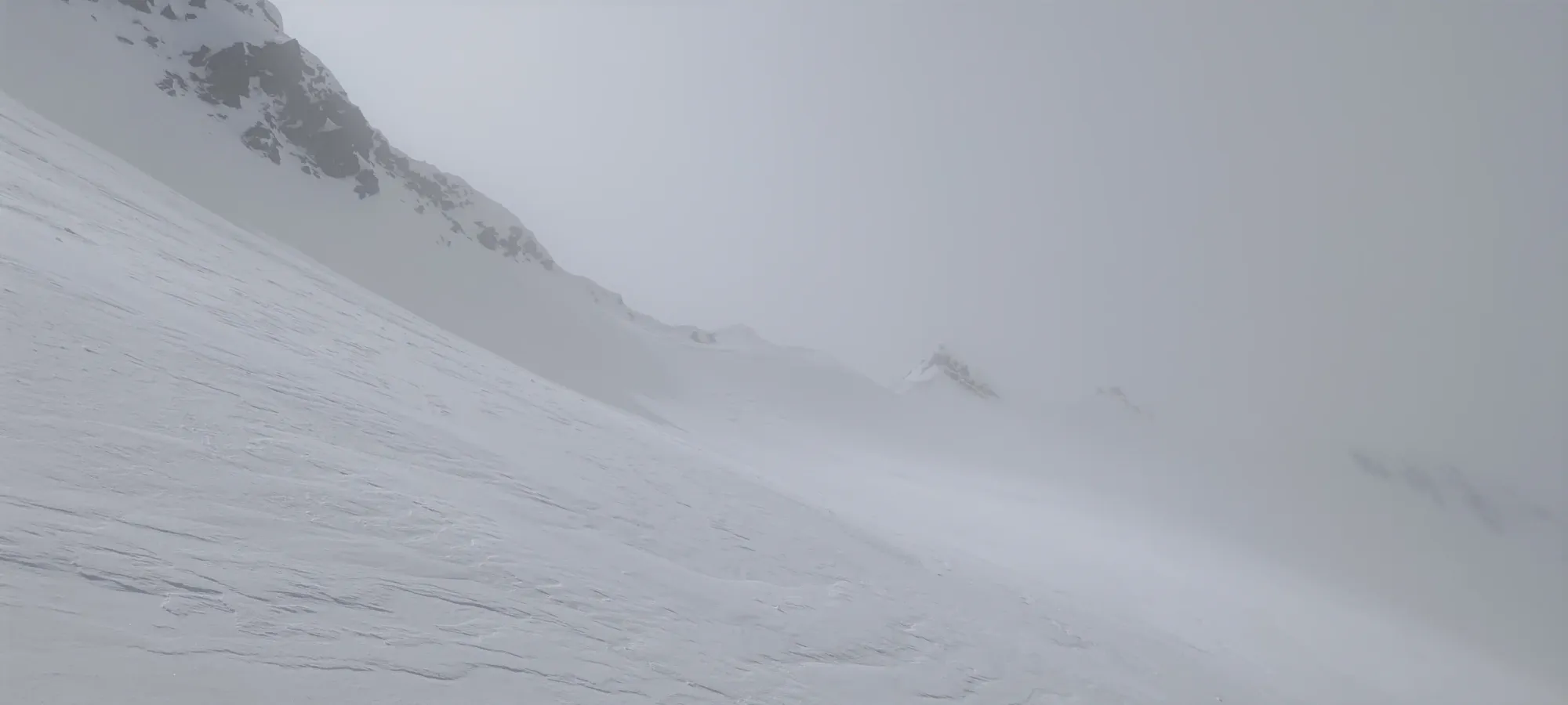
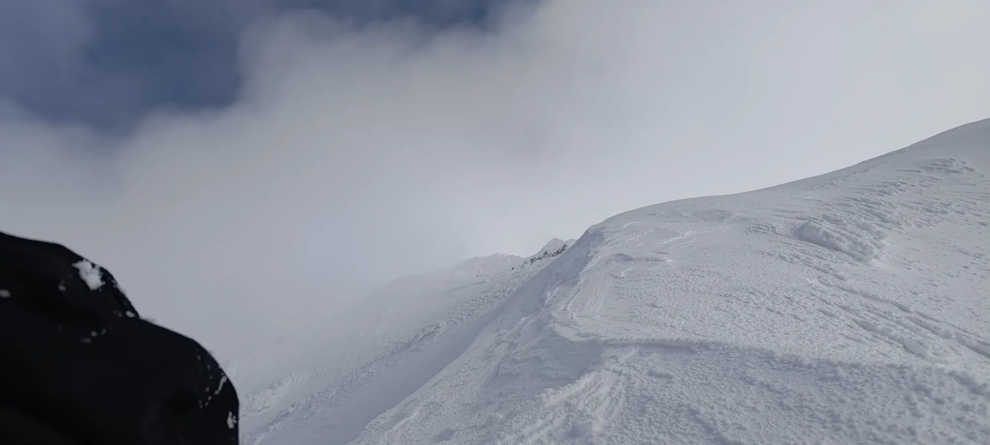
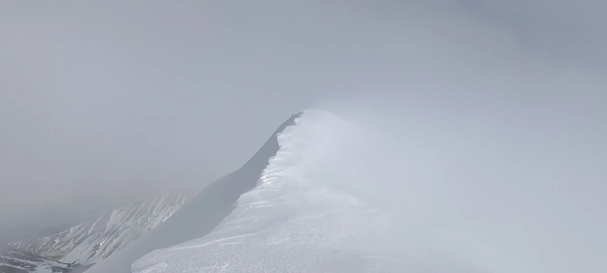
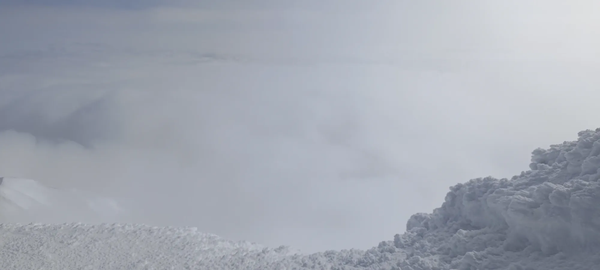
Eventually we did have to move on, though, as we still had 900m to gain! We resumed the simple skinning, just following natural path of the drainage. As we progressed, we got some good eyes on the potential lines down the mountain as the clouds came in and out (as they had been throughout the day). We scoped a potential line down the east side of the north rib of the mountain, just between it and the hanging glacier we definitely wanted to avoid. That was a decent option, but we had hopes that the west side would offer something with more room for navigational error, as making the wrong turn there would put you in some serious trouble, with crevasses visible, hanging glaciers, and large cliffs if you deviated at all.
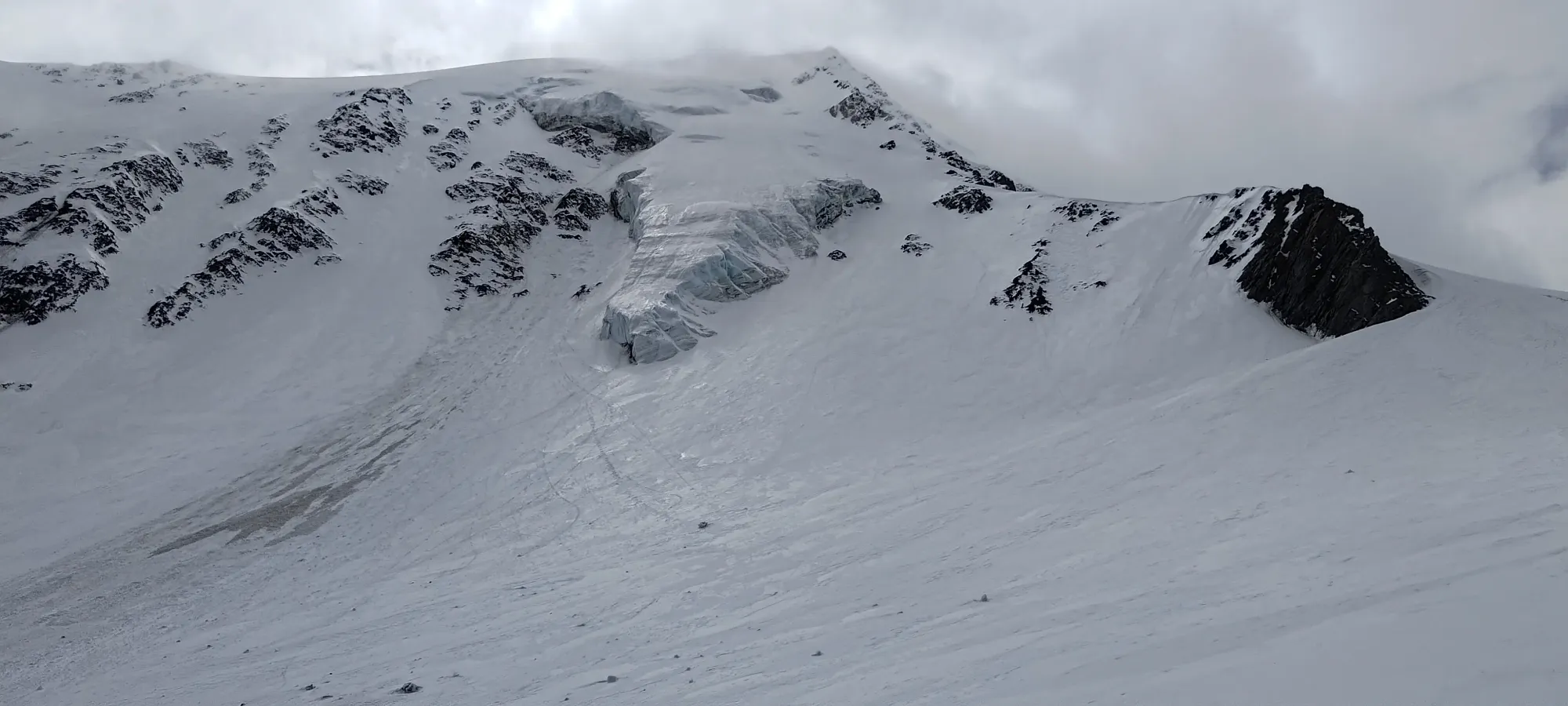
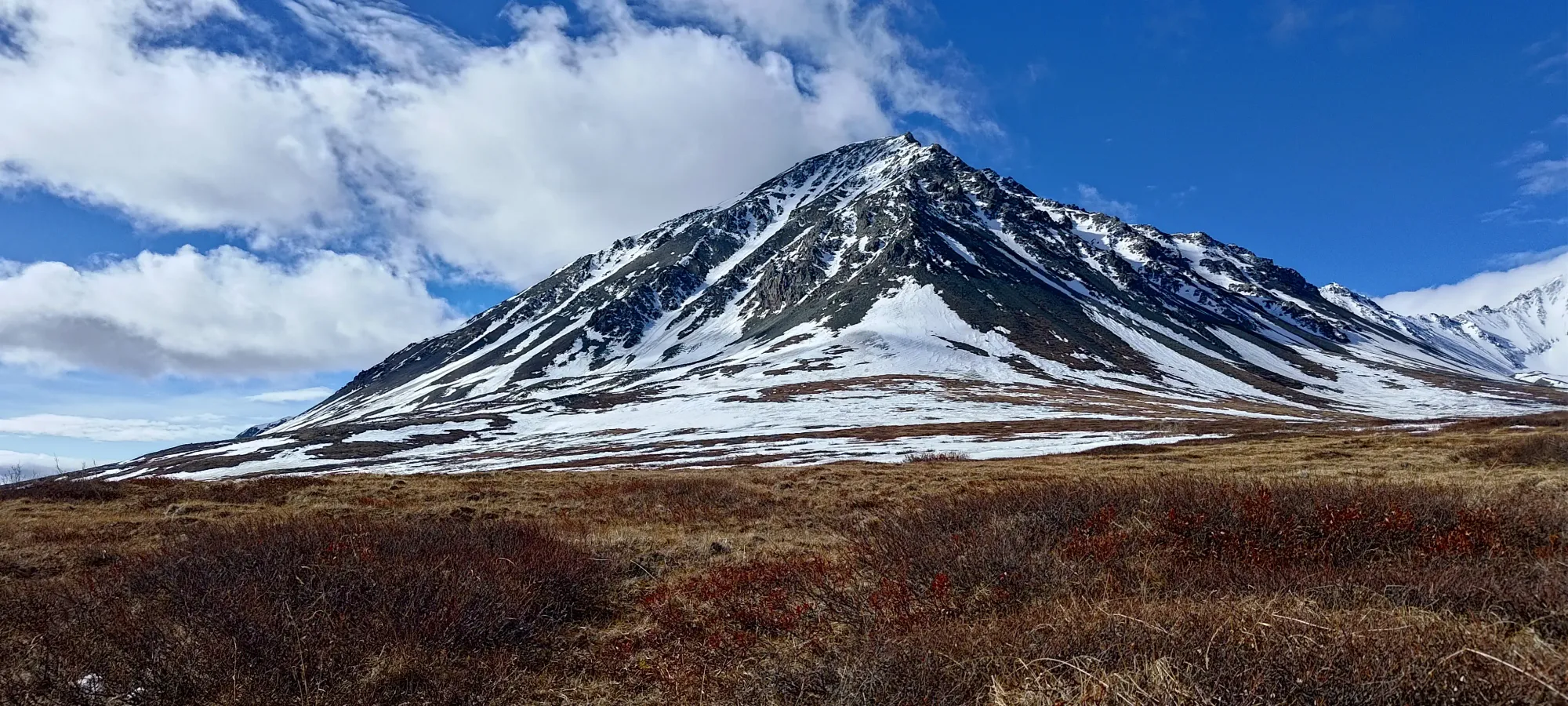
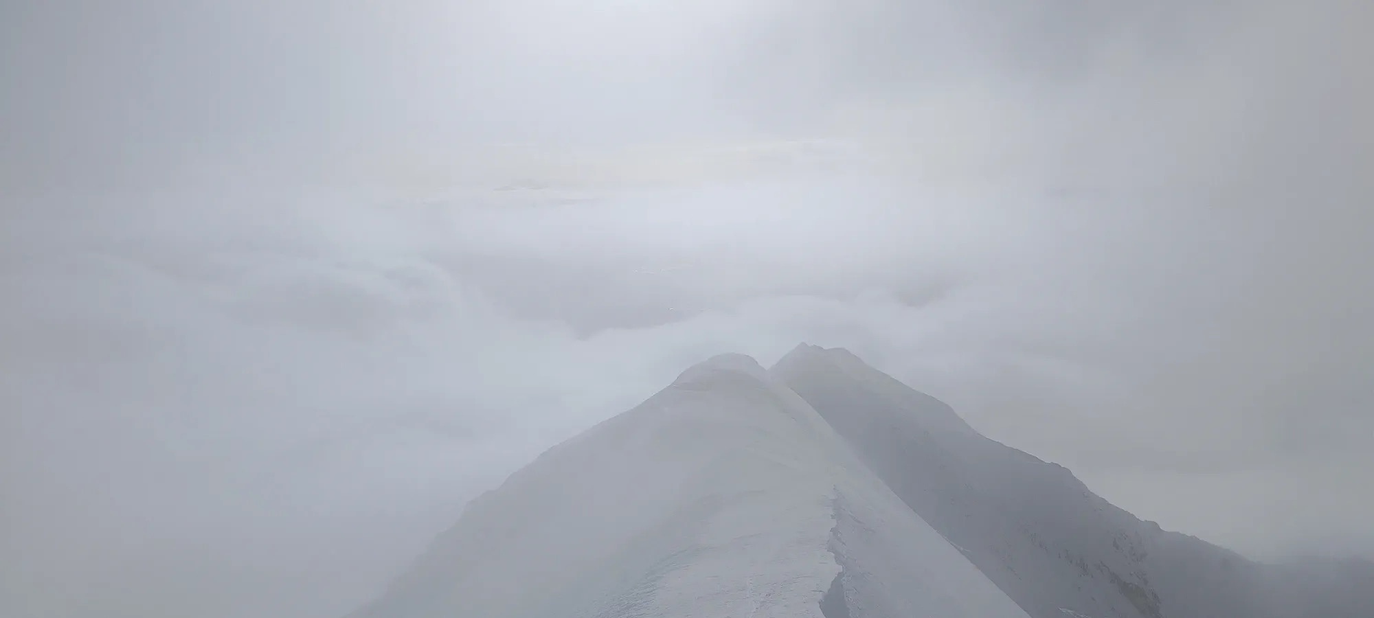
We crossed past that north rib at about 3pm, and found ourselves looking at a nice bowl with Archibald on the south side, an unnamed peak on the north, and the col between them on the west side, which was our theoretical goal, from which we would attempt to follow the NW ridge to summit Archibald. We couldn't see the entire N face of Archibald yet, but we did our best to steal glances at terrain as it got out of the clouds, building our mental maps of the potential routes we could take down.
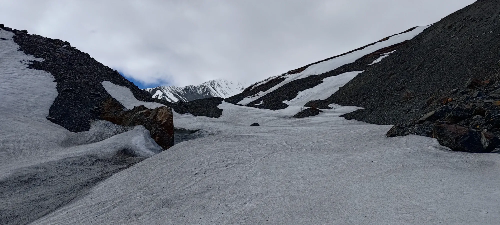
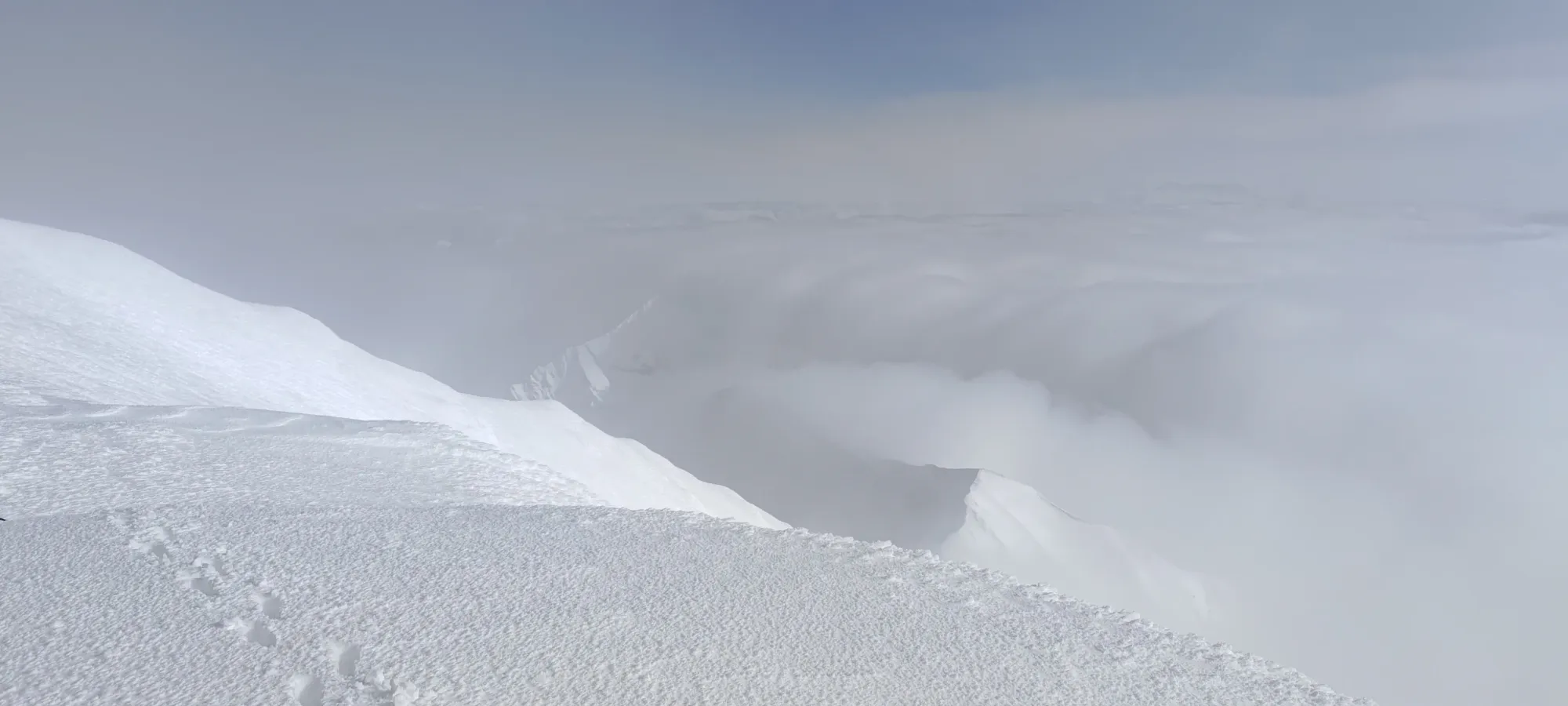
We walked a bit further into the bowl before taking another break at ~2170m, taking another 20 minutes to rest and try and get some eyes on the face to plan our route, as we planned to get on top of the ridge soon thereafter, and would no longer be able to scope the line, which is not necessarily always something one can determine from the summit. Thankfully, the weather gods were on our side, and we saw the clouds part enough to find a wide-open upper mountain, with the narrowest bits being 10m+ wide at the bottom between rock bands, with a manageable slope angle, so we were in business! Once we got our allotted rest in, it was time to walk once more.
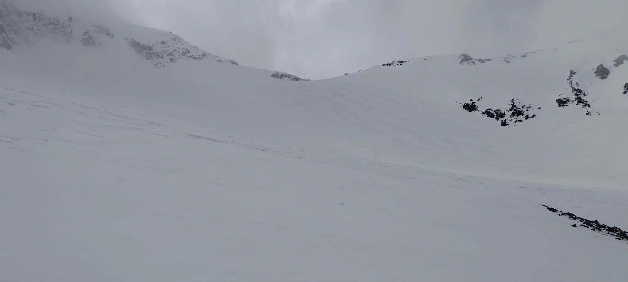
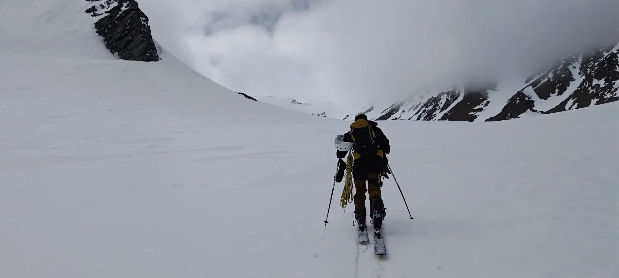
As we skinned above this point, the snow was starting to get a bit softer, though still not dry powder. It was, at least, looking like it might be more than just firm, damp snow, which was most of what we had experienced to that point. We skinned up the bowl for a bit longer, until probably somewhere around 2200-2250m, things got steep (influenced by the in+out visibility, staying more to climber's left may help), and with the firm snow, skinning was getting challenging, so we swapped to boots, and started our way up to the col more directly.
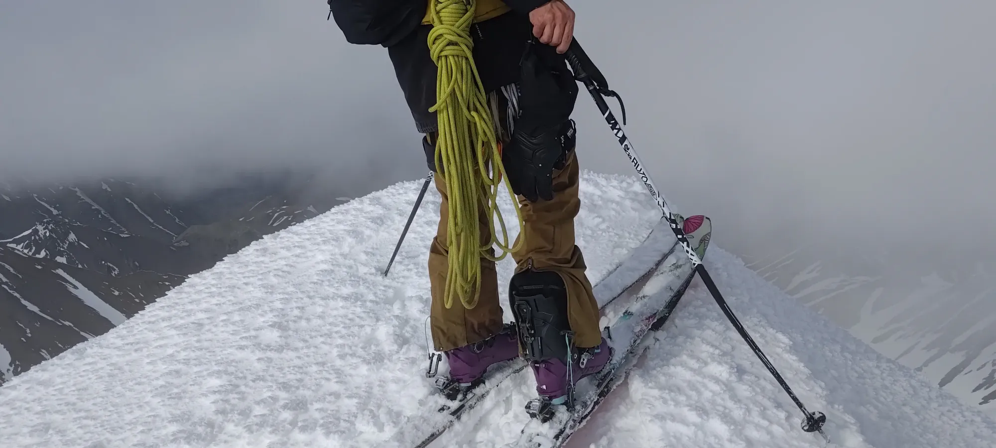
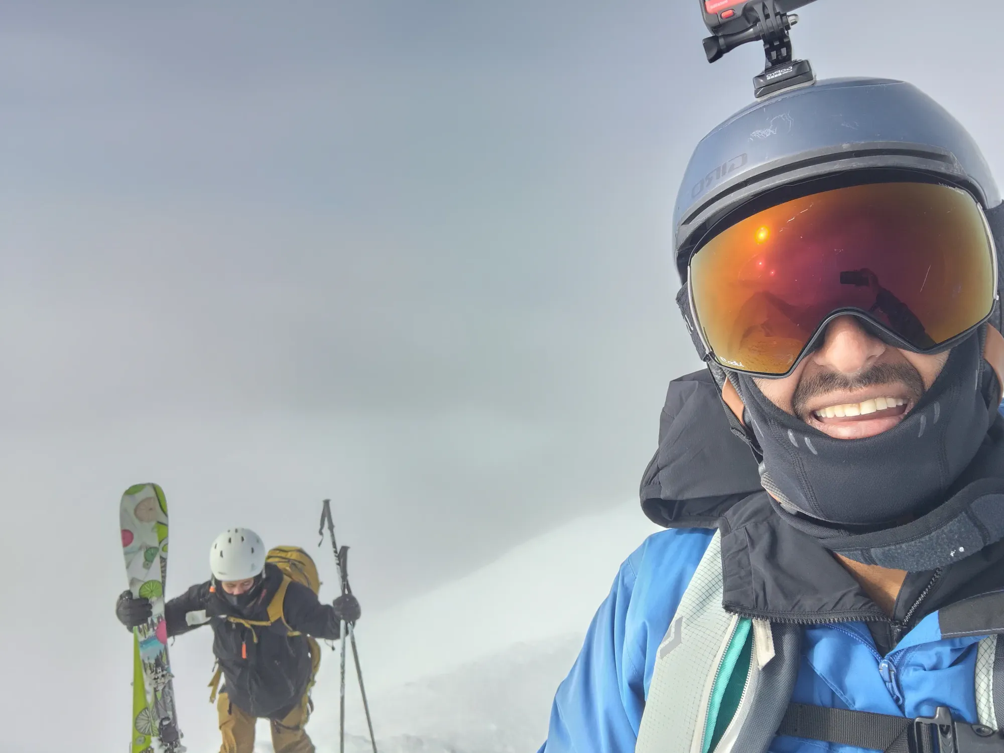
I did most of the leading on skins, so I was glad to let Logan take the lead and boot us up to the ridge 🙂. It wasn't too far, so in about 10 minutes, we found ourselves on the ridge! While that was exciting, what was less exciting was the definitely-not-trivial terrain in front of us 😅. We saw a rocky, steep chunk of terrain with rime on top directly on the ridge, which while possibly surmountable, did not look easy or particularly safe without roping up, which we'd have rather avoided. So, we took a look around the corner at the west side of the ridge, and determined that while there would be a few tricky traverses, and the fall exposure would be bad, the terrain looked manageable, and with crampons, we could boot ourselves up it without too much fuss. So, I took my axe out (Logan did not bring one up on the flight, so he made do with poles and grit), and we started making our way over onto the west side.
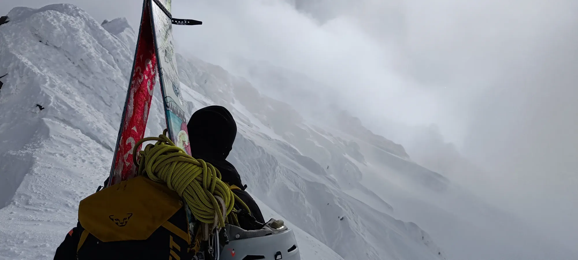
Now 8 hours in (nearly 5pm), we set off from ~2350m, thankfully not too far below the summit in pure elevation, with hope in our hearts, very appreciative of the long days up north at this time of year. Logan graciously offered to continue leading in this section, with his ice-climbing experience, he was more comfortable finding good routes through steeper snow and finding good crampon placements, so I was happy to let him find out if our plans worked out as we wound our way up the face.
The first bit of this terrain was spent traversing across runnels, trying to find softer snow to give us purchase as we made our way towards the meat of the face that led up to more gentle parts of the NW ridge, and eventually it turned more into just going up, until we ended up back on the ridge with easier terrain leading us towards the summit.
I didn't manage to snag a photo of it, but when we looked back down from this point (which took us nearly an hour to reach, despite only being ~100m of gain), the ridge didn't seem nearly as bad, so perhaps just aiming a bit higher coming out of the bowl would get you somewhere you can just boot up the ridge from instead of needing to swing around onto the more exposed face, which would be better, if that works out. We were happy enough to just have made it through what seemed like the technical crux, so after a little more rest, we got moving, with me now having some trail-breaking debt to try to clear 🤣
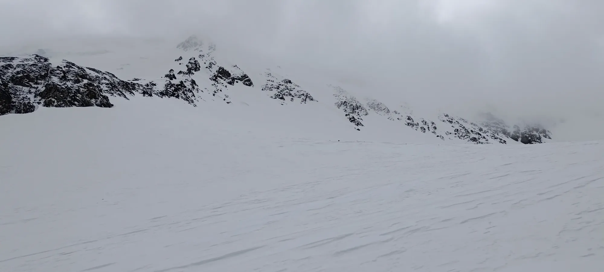
The terrain on the ridge was imperfect, with some snow being rimey, and there being a bunch of small bumps to go up and over, but despite Logan losing some faith as we started having to deal with them, I found us a way over the hardest obstacles to skin over at the start, and then we had smoother sailing along the ridge up and beyond 2500m. The snow here was a mix of firm from wind-scouring (though not icy even at its worst) and actually a bit of powder! I was quite happy to see that there was some cold snow left, since we'd come all the way up to the Yukon to find it!
The ridge flattens a bit at around 2500m, before making a final rise up to the summit. Here, we noted a good entry point into the face we wanted to ski, and so noted that, then continued suffering up the ridge that now officially seemed like it never wanted to end 😅. At least the skinning was more straightforward here.
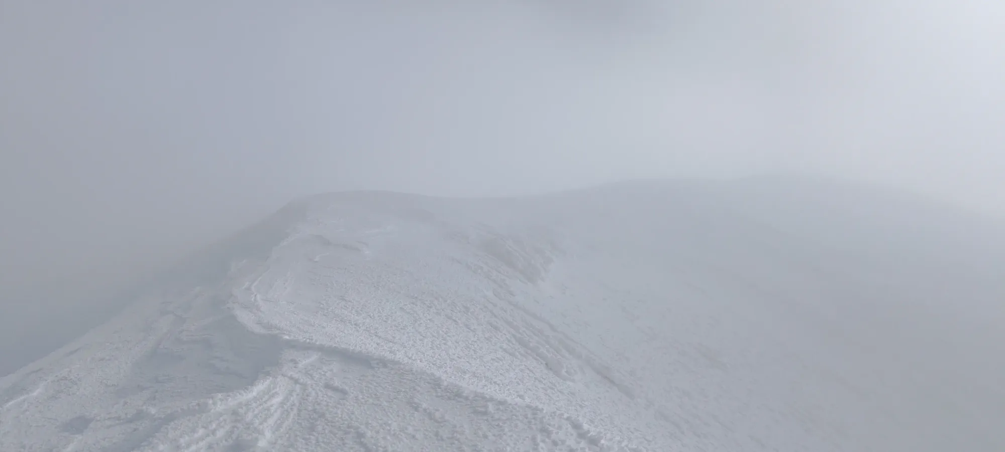
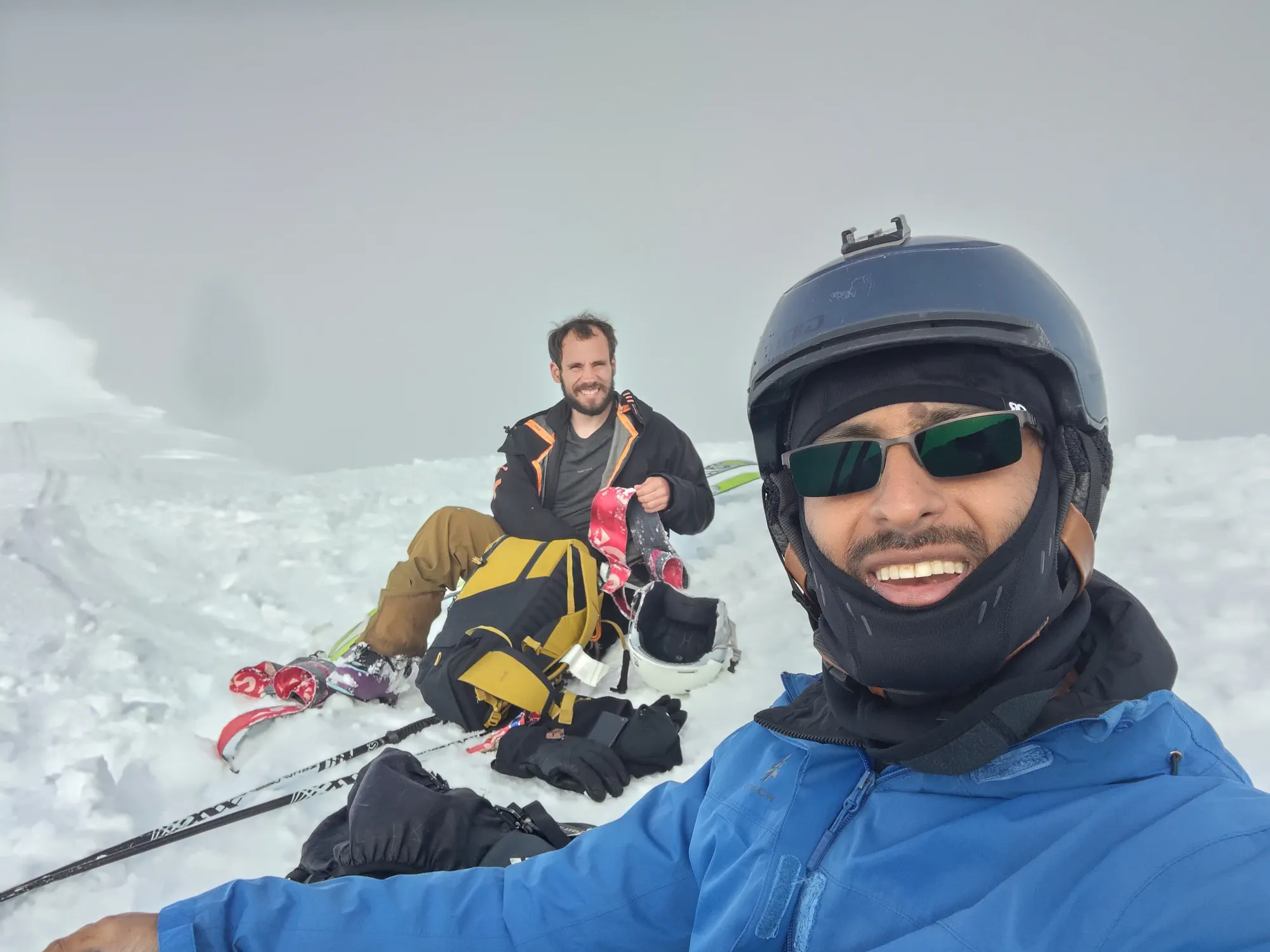
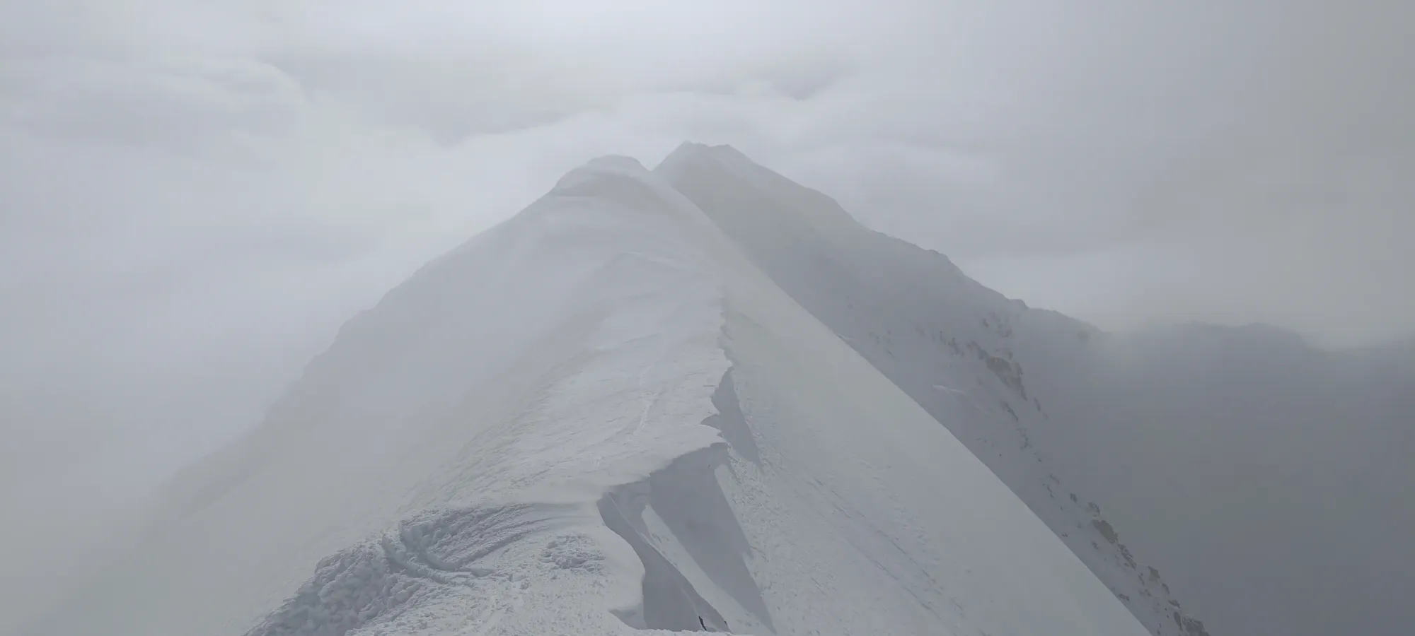
It took us another 10 minutes to suffer up that final ~90m of elevation, but upon doing so, we were blessed with a summit! Probably! Annoyingly, there are 2 candidate high points, which we heard mentioned in other trip reports from the summer. We were pretty sure this first one was the high point, both from "seeing it", and from the surveyed point on our maps, but just in case, we decided to go tag the other spot. We had come too far not to be sure.
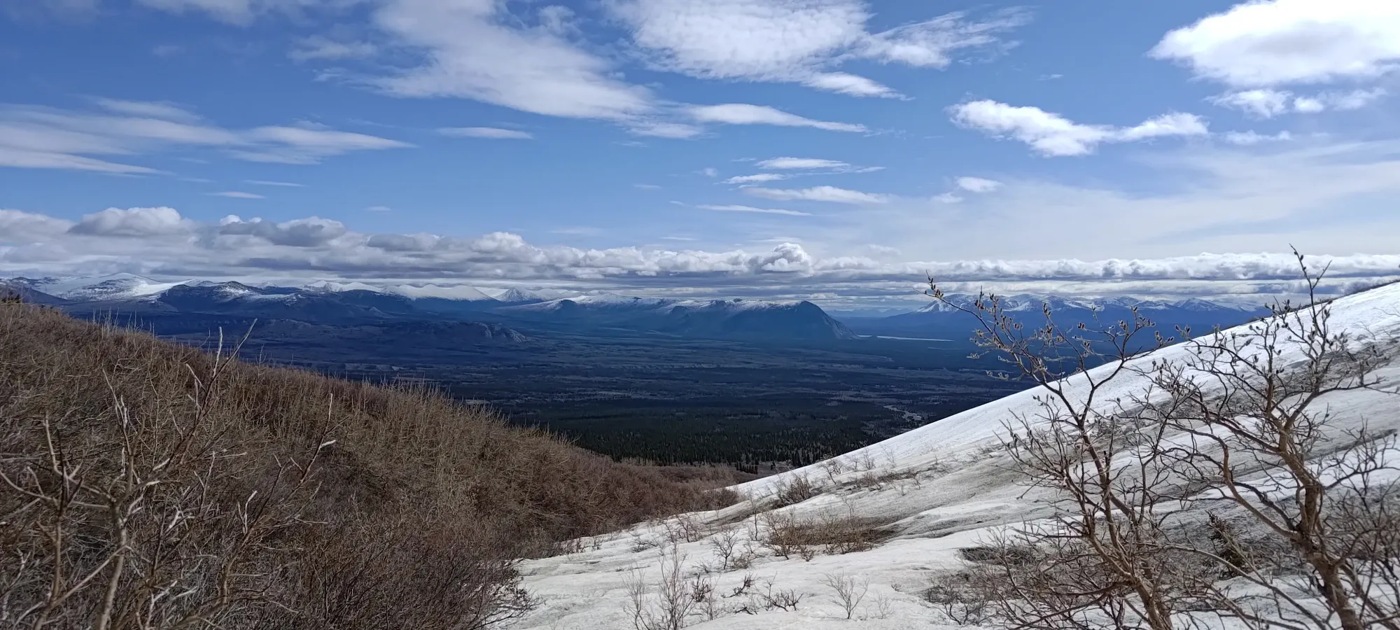
The clouds rolled in on top of the other bump, but while it seemed possible to be higher from the first point, it felt lower when we were on top, so that was probably a waste of 5 minutes, but at that point in the day (about 6:40pm), that was far from being the reason the day was long, so it was worth making sure. After tagging it, we walked back to the col, and sat just below the summit, as it was fairly sheltered from the wind, and enjoyed the feeling of getting our first peak in the territories, and soaked in the intermittent views.
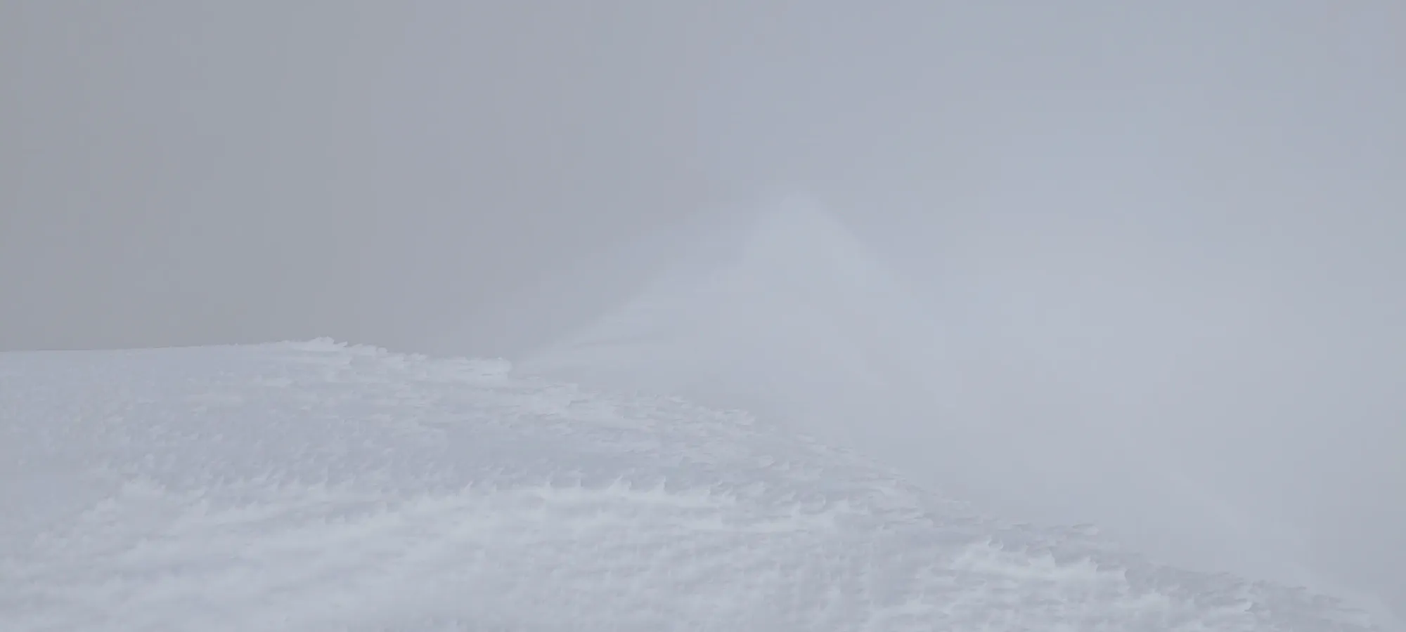
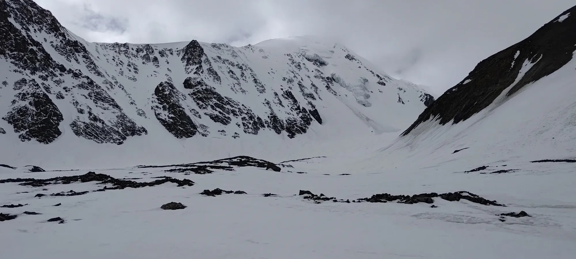
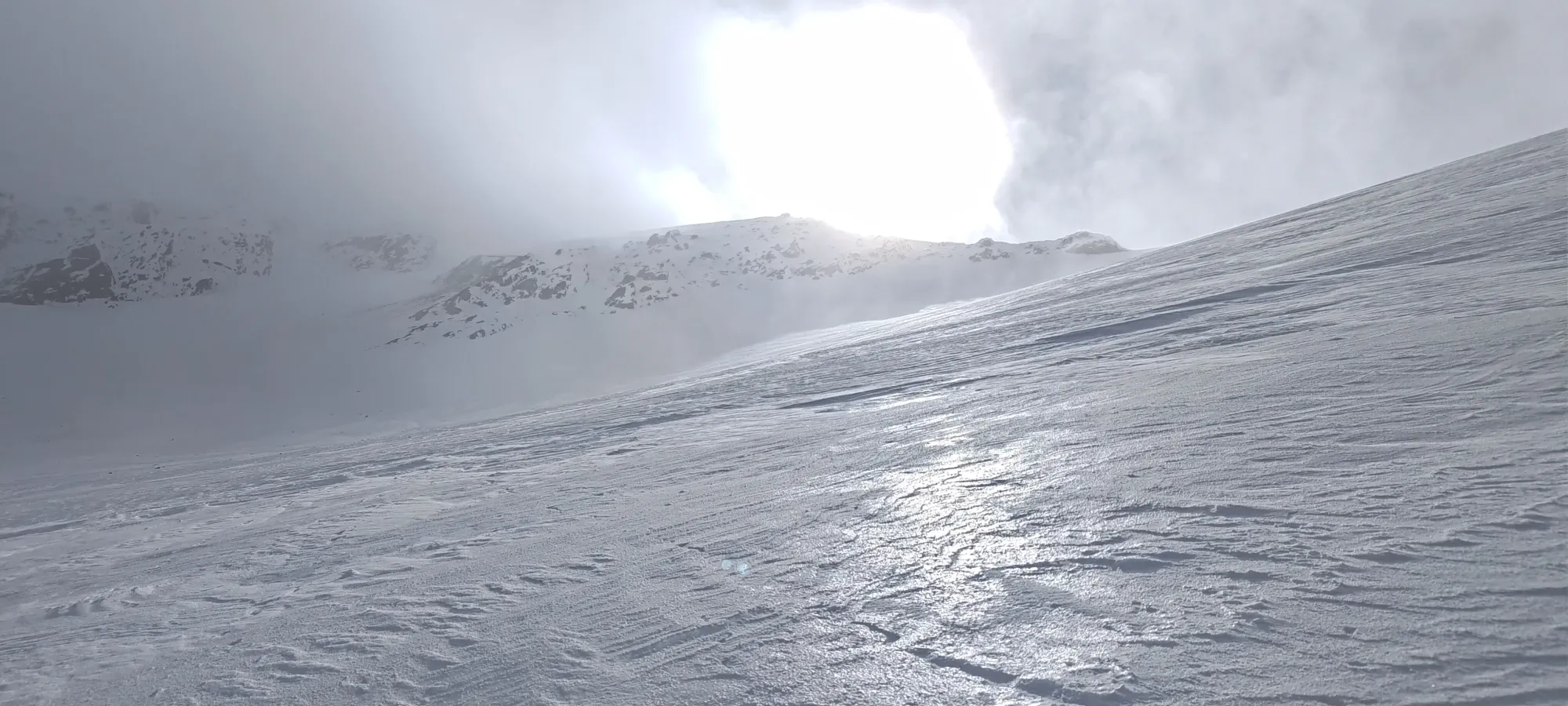
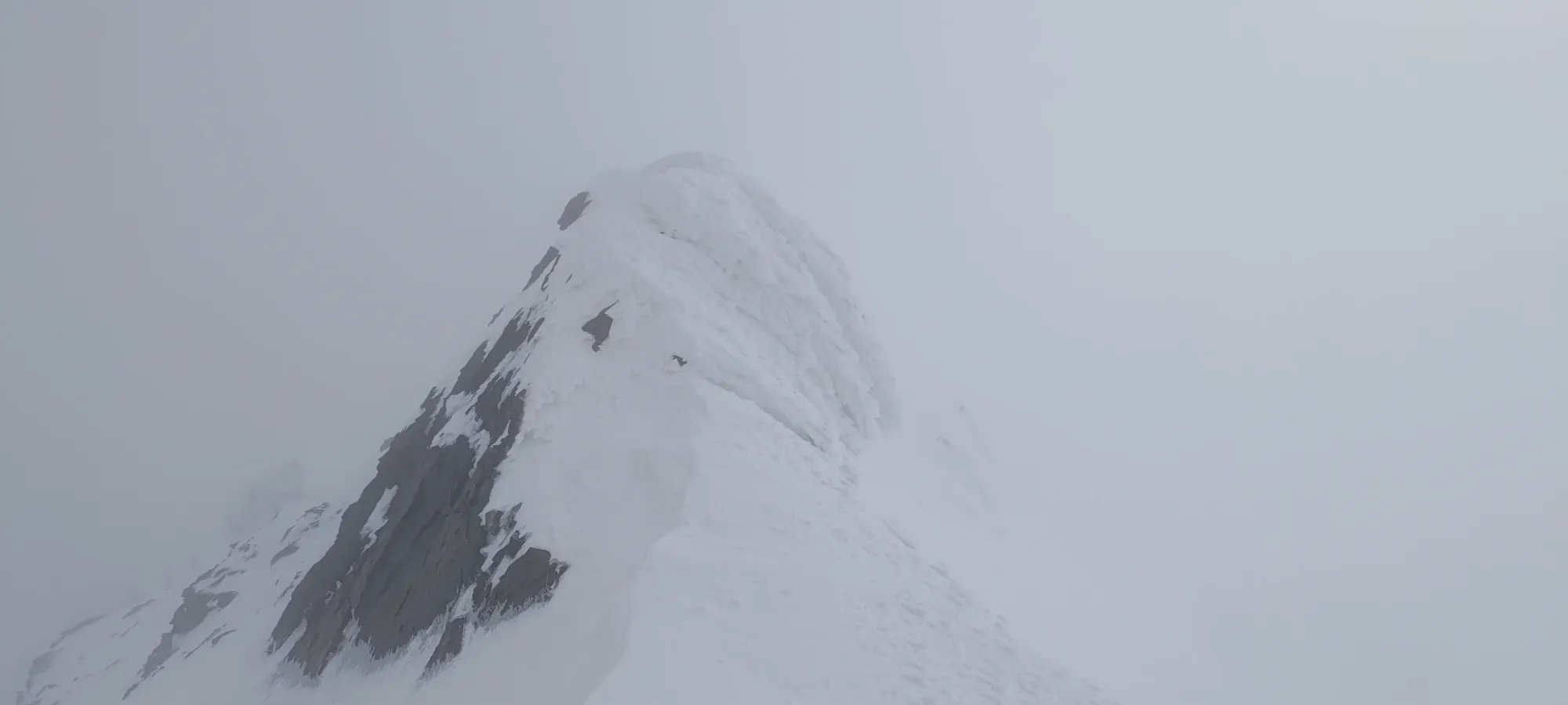
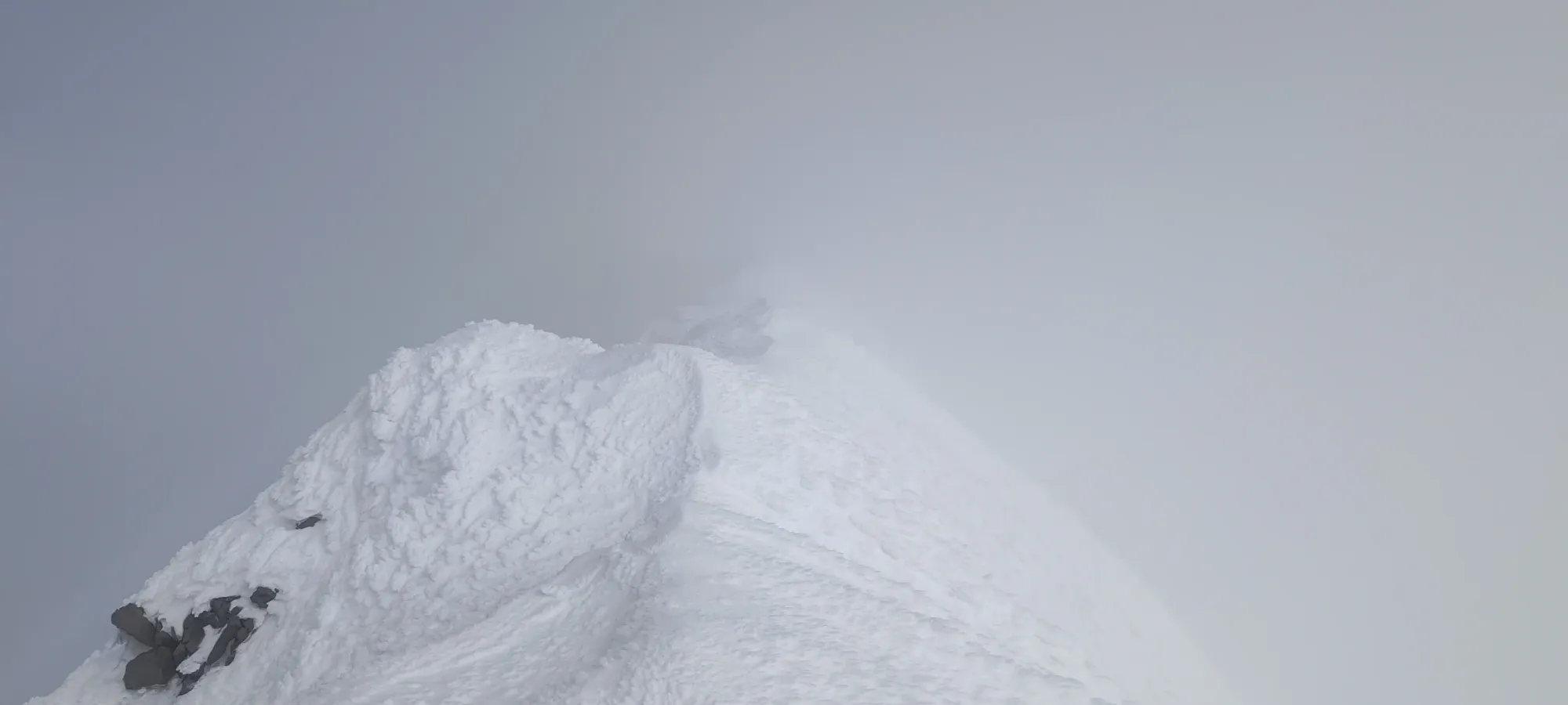
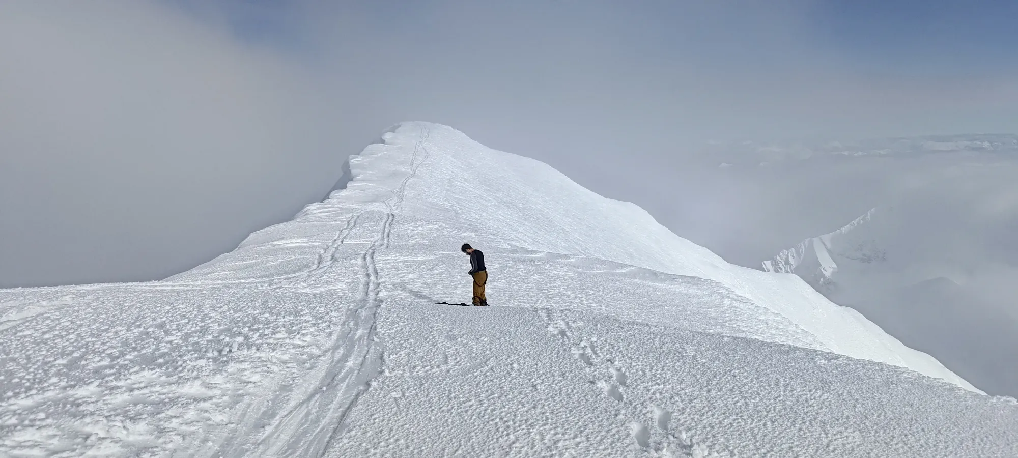
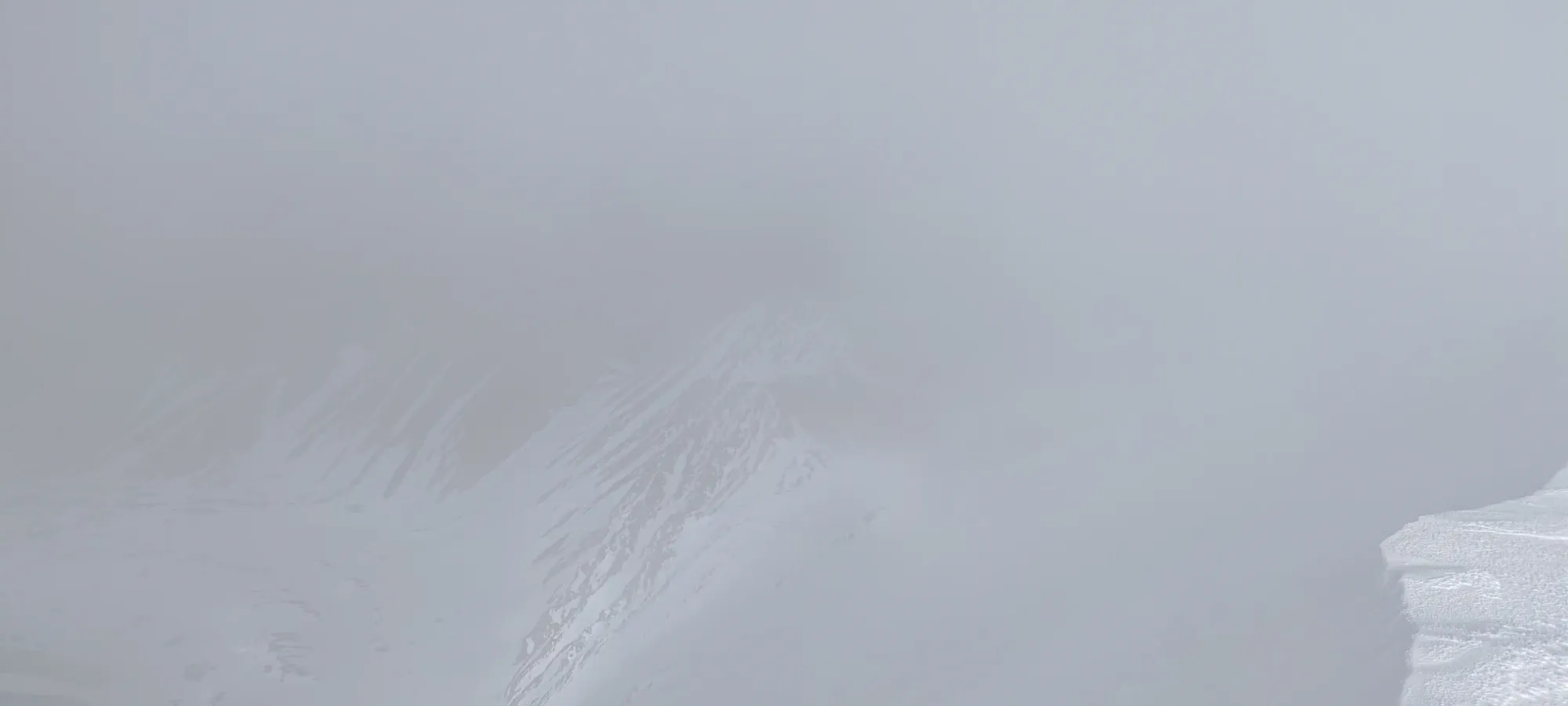
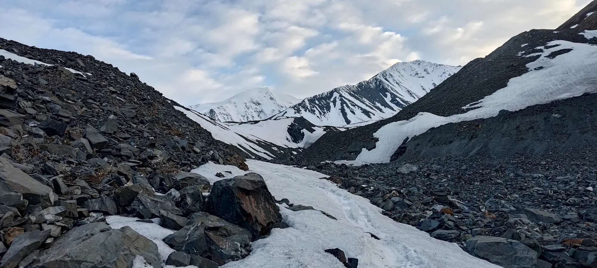
"views" on the false (probably) summit
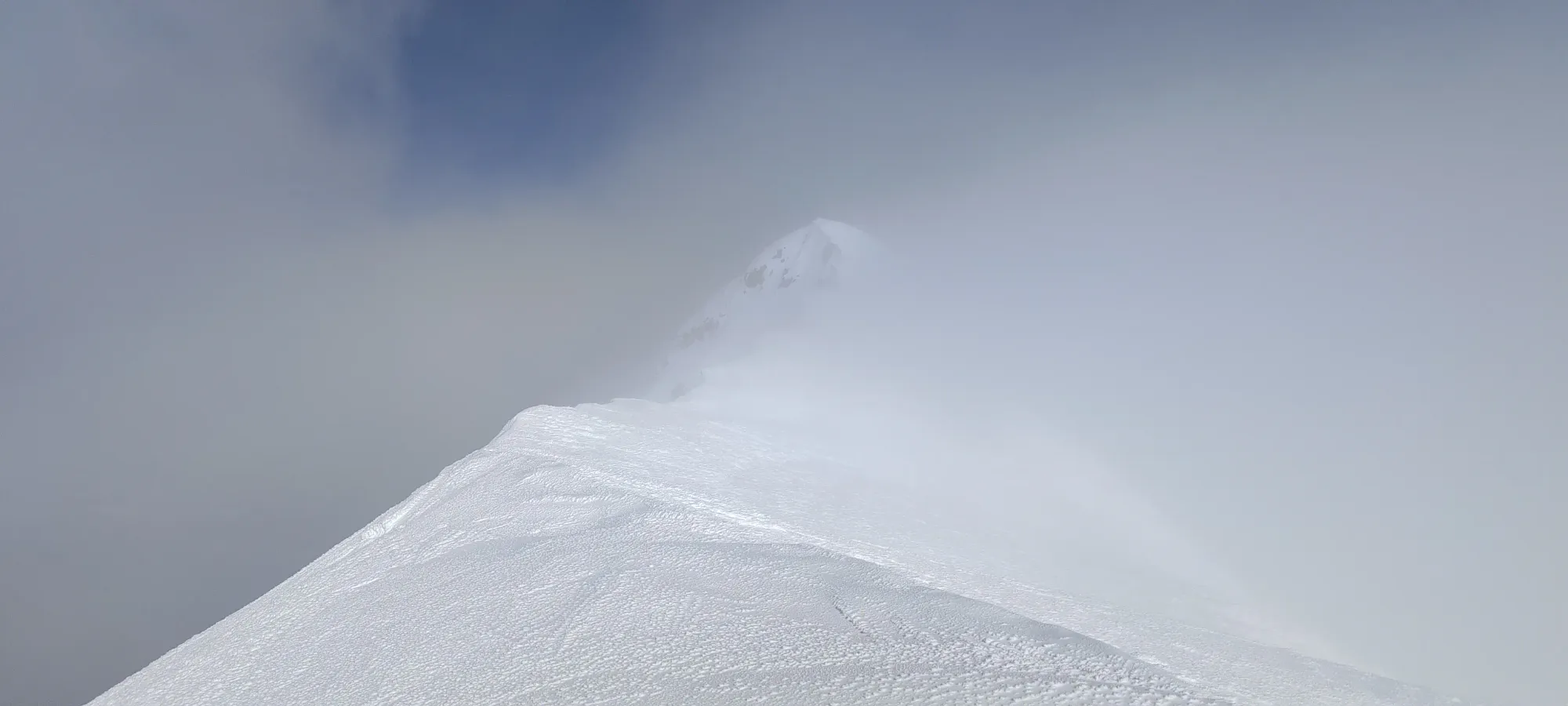
We spent like 45 minutes on the top before finally getting around to getting down. We never got full panoramic views, but right as we were about to drop, I finally snagged a view of what was probably Mount Logan. Sadly the camera didn't cut through the clouds well enough to make it out, and Logan was too slow turning around to catch it, but I was happy to have at least (probably) glanced at it 🤣.
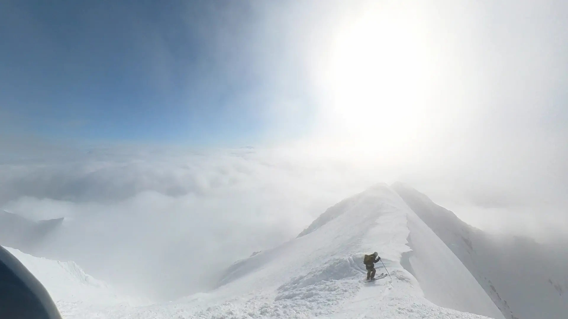
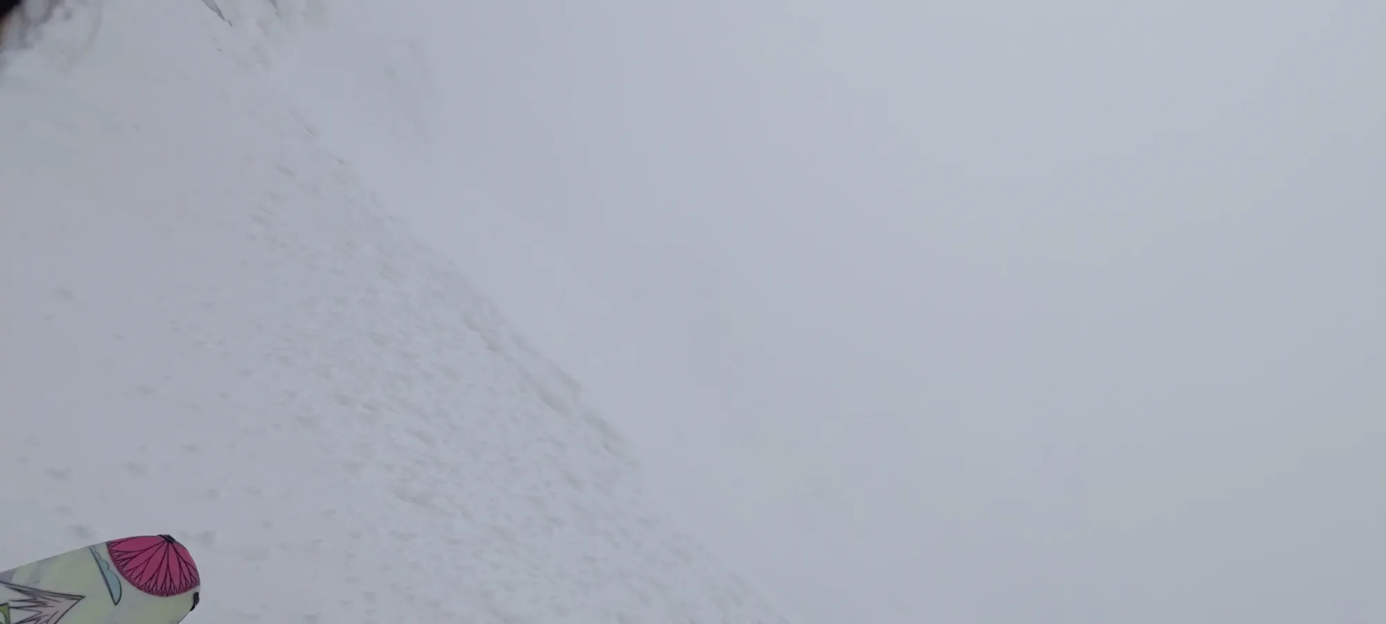
We dropped at around 7:20pm, first just skiing gently down the ridge to our drop-in, then entering the north face proper right around 2500m (though it didn't feel that much lower than the summit, that's what the maps say 🤷). From there, the terrain opened up, and we had some good skiing ahead!
Logan went ahead, more to skier's right, and started making his way down. I waited for a bit, then started arcing some turns, enjoying the actually-kinda-powdery snow left on the north face. Things were pretty great, until I suddenly caught an edge on a shark in the middle of the glacier (of course I would, why wouldn't I), and got flipped over. That sadly got me tumbling down a pretty steep face with not-super-soft snow, making stopping myself quite difficult. I had a very panicked next 30 seconds trying to get my feet under my body to stop myself, but I wasn't able to get them under control enough to slow me down, and they eventually ejected. I couldn't get my poles into the ground hard enough to arrest with them (though I tried well enough to bend one something special), so it was just up to my arms and legs. I almost got myself to a stop before going over a small rock band, but couldn't quite make it happen, so I tumbled all the way down to about 2200m, where I finally got myself stopped, most of the way down the best part of the face.
After gathering myself, I shouted back at Logan that I fell, but was feeling overall intact, and that I required some gear collection services 😅. Overall, I'd lost my skis, poles, my probe had somehow ejected out of my closed avy pocket (but was close enough I could see it), and my goggles had come off of my helmet. Thankfully, I did a good enough job slowing myself down that I was mostly just annoyed, and had a scraped up knee and bruised rib, but otherwise was okay, so I just had to keep myself moving to avoid stiffening up, cleaned myself up, and communicating with Logan to get all my crap collected as he came down.
That whole process took quite a while, as he had some trouble locating everything, but he managed to find both my skis+poles, and after about an hour of shenanigans, we were back on our way. I even found my goggles at the bottom of the bowl! That was both lucky and unlucky. Finding the one shark on that glacier was quite the stroke of bad luck, but avoiding anything bad given how far I fell was quite good. Anyways, we were now on a mission to get as far down as we could before things got dark, so off we went.
Getting down the drainage below the bowl was pretty simple, make some turns where it was steep enough, and just point it where it wasn't, and largely just follow our tracks. This was the plan, at least, until at one point, I let Logan go ahead (since he's the slower who normally is more liable to fall and need help 🙃), and he forked off to skier's left, which was the wrong side of the drainage. I managed to ski down to about 1200m by following the skier's right side of it, but I couldn't find Logan during the process, so he was somewhere off in "not the optimal location" 😞. I got a hold of him (actually great cell service on this hike, though this was basically the end of my battery, hence the coming lack of photos) and told him how to get to me, and waited for the next 20 minutes or so for him to catch up. Turns out he ran out of snow way earlier, and was hiking down the creek for a while to get to me.
That brought us to around 10:30pm 😅, so we were running low on time before the sun went down, but weren't totally out of it yet. Here, the correct decision would have been to climb up the side of the valley, and make our way back to the drainage we came up, as the terrain was pretty easy minus a short bushwhack at the start. However, we decided not to be correct, and instead think "maybe the forest isn't that bad, and if we fight through the alder between us and it, we'll have an easier route back to the road, and can just go up there instead". This was... extremely incorrect.
In the morning, it took us about 3 hours, with some extra routefinding and backtracking, as well as "going uphill", to get to the main drainage. We spent 2.5 hours getting from the drainage into forest through the sea of alder, and another hour of suffering through the forest (less alder, but not zero, and still plenty of snow that was an annoying, postholey mess) before we eventually stopped for a break at ~1050m to have a nap and just a break from the suffering. This was... not an optimal route. Maybe on snowshoes it'd be okay, or with a foot or two more of snow, you could just ski it. In these conditions, though, not so much. What made it worse was that Logan was having gear issues, and so wasn't able to skin (while it wasn't ideal terrain, it was snowy enough that you could skin through faster than postholing, but that wasn't an option for him, his skins were barely hanging on with ski straps, and he couldn't get into the toes of his bindings).
We spent about 2 hours there just resting in the forest (now properly nighttime) before moving on. We got another kilometre and about 50m of descent in as we angled towards the Spruce Beetle Trail, which we hoped to pick up and use to hit the road with somewhat less suffering. That spent another hour, in which I started to skin again, which made things much better for me, though Logan was not enjoying his inability to do the same. As the time came around to 5am, he was apparently done with life, and decided he wanted to stop, and call SAR to come and bring some supplies, get some rest, and walk us out. I was happy to continue, being only 1-1.5km from the trail, but of course, if he needed that, then that's what we'd have to do. So, I curled up in my emergency bivy and waited out their arrival (not much sleep was had, but it was rest, at least).
We chilled there for about 3.5 hours, until we got the instruction to head down a bit towards the bearing the RCMP members (who handle SAR things in the area) were coming from (basically where we were aiming anyways). We moved for about 45 minutes, amusingly with the snow cover decreasing significantly, so I actually took my skis off after the first maybe 10 minutes of travel, and that got us down to 960m, and only a click from the trail 🤣. Turns out the worst of things was behind us, and a little more suffering would've got us out after all. There, we were greeted by some lovely people who brought some snowshoes we'd end up not needing at all, and some food and water, which while I didn't need, I certainly was happy to take my share of. Logan's spirits were definitely raised upon getting some fuel in him, he was clearly hit harder than me in that regard. Maybe he needs to go on the colitis hiking diet more often 😄, get used to being hungry.
After about 40 minutes just getting fuelled up and chatting, we finally got moving for the final walk back to the car. It took us another hour to hit the trail (turns out our pace wasn't even that bad before, that's just how long it takes to get through that terrain, hungry/tired or not), at which point we were quite elated to have a much easier final 600m walk back down the trail to the Spruce Beetle Trailhead, which took all of under 10 minutes to get done. We got a ride back to our car up the highway, and were finally able to get back to our inn and collapse, which was quite the good feeling at the end of being out for over 26 hours 😅.
Overall, this was quite the adventure. I think my theoretical route plan actually worked quite well. If we stuck to it on the way down, we could've had a pretty reasonable day. Of course, not taking a tumble on the face would've been nice too, but it's hard to predict random sharks in the middle of what should just be snow+ice like that, but I can probably also dial the speed back a bit so if that happens, arresting myself is easier, at least in terrain where I'm not 100% sure of the exact runout below me, that's a learning to take away. I do think we'll be back for the other 3 ultras in the Haines Junction area, but maybe a month earlier, with a snowpack that's skiable right from the highway without any fuss. That would make things quite a bit more pleasant.
Sadly, with Logan's gear issues, we couldn't get out for another peak for the rest of the trip, which was a bit of a downer, but "not being able to actually rely on staying in your skis" is a pretty big problem, so we left Martha Black (our other theoretical objective) for a return trip, hopefully with the other two we were leaving for the future anyways. Despite the curveballs, I'm still happy to have got up north for our first peak (and ultra) up in the territories, and I'm excited for the next time we can make our way there. Shoutout to the RCMP who came out early in their morning to just walk us out, and the Raven's Rest Inn, who were great hosts, and even contacted the RCMP as well when they noticed we weren't there for breakfast for the day after our hike. The people in Haines Junction seem great, and we'll be glad to return!
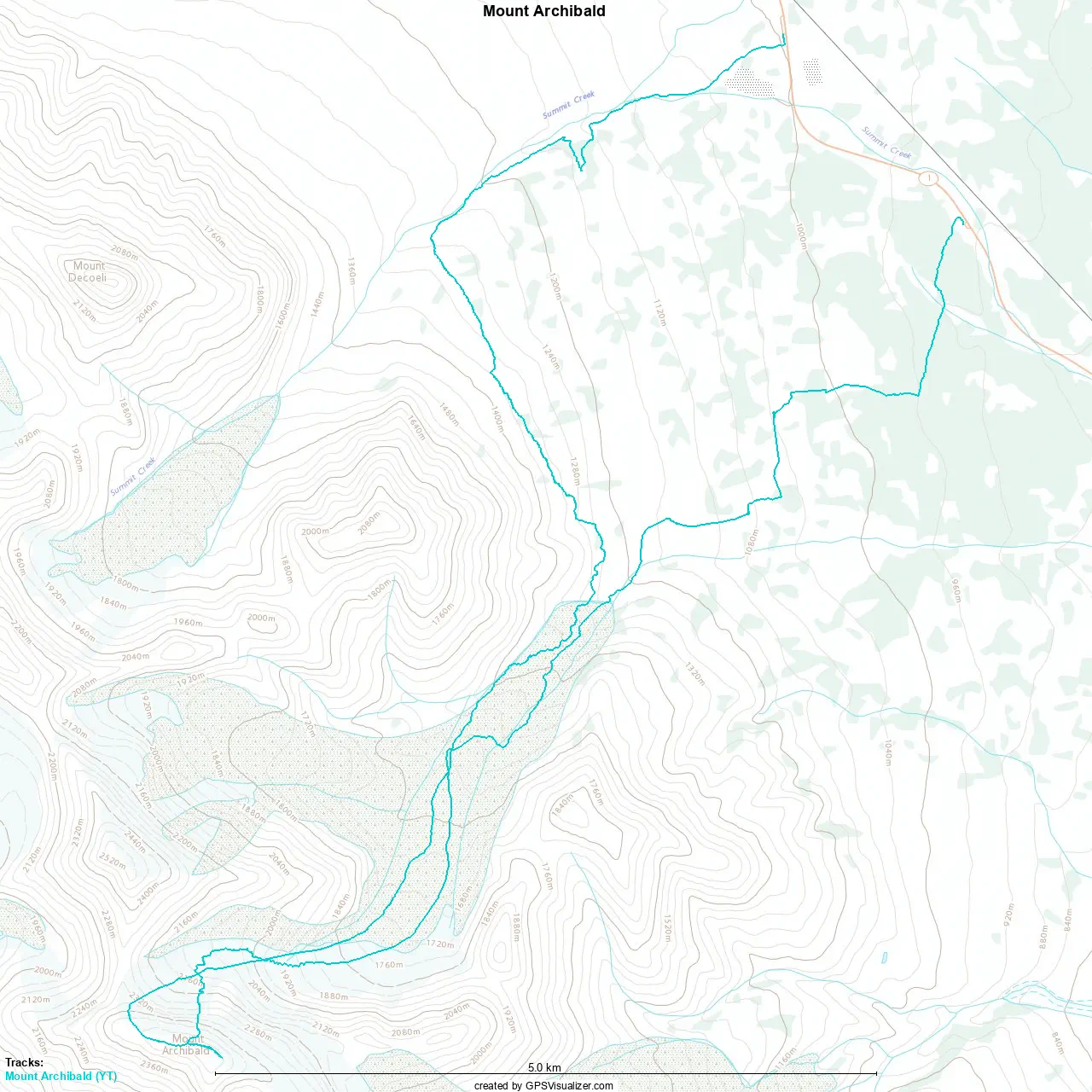
GPX Track + Map