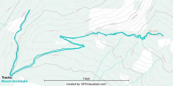
Mount Archibald - July 22 2023
A simple hike, a fun drive, and our first intentional "trail maintenance" day
Cheam Range, Chilliwack, BC
1725m
After failing this peak last winter, me+Logan have been meaning to come back and complete it. It is a fun drive, and honestly not a very hard day (we just hit bad conditions, and were operating on a very tight schedule). Moreover, we wanted to give a little back to the community and help maintain the trails we use, as we encountered very thick bush when we were here last November, and had reports earlier in the summer that it was still in need of some TLC. So, when we had a concert to go to on a Saturday evening in Abbotsford, we decided it'd be a perfect time for a shorter hike out east, picked up a couple folding saws and hedge trimmers, and set out for Archibald.
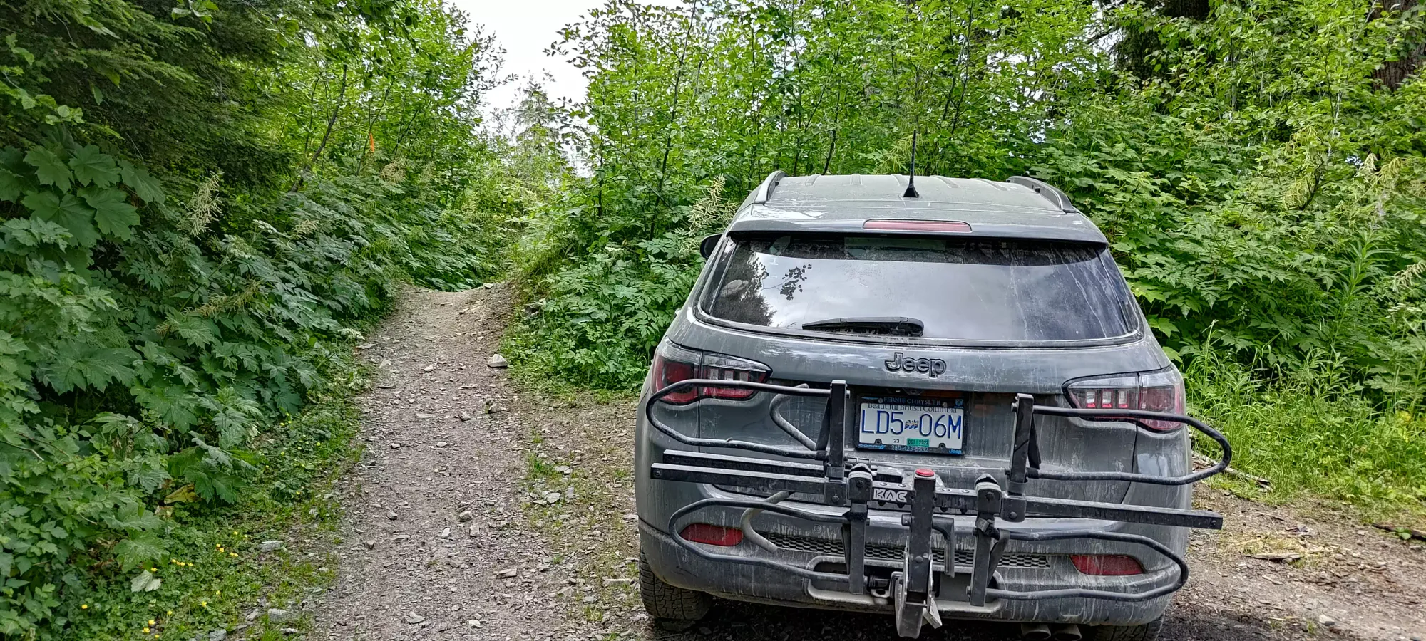
The drive was pretty similar to the last time, although the ditches felt just a little bit deeper, and there were more "holes" in the road than before. I was still fine in my AWD crossover (Jeep Compass), but given the sign at the beginning saying it's closed at kilometre 0 (no gate closure, even though it has one further up), I doubt it is going to be regraded. In fact, as I'm writing this, I found this notice saying it is closed due to "unstable terrain". If you choose to go up this way or not is up to you. There is another way up, which actually gets you further, so even if this remains closed, it may be a bit longer of a drive, but access will not go away.
We considered a couple of alternate approaches, but discarded them. The Cheam approach (trail goes from Cheam parking to the summit from the east instead of the west) would involve some fun driving, but wouldn't let us do the maintenance we wanted to do, so we discarded that idea. The approach taking Chipmunk Creek FSR and/or Bridal Veil FSR from Chilliwack Lake Road would've got us higher, but we discarded that due to unknown conditions (though we had reason to suspect they were good) and the drive taking longer than the expected time for us to hike from our trailhead. If you respect the closure above, I'd recommend the former for fun driving, and the latter for "getting as high as fast as you can".
After we parked, we set out just after noon.
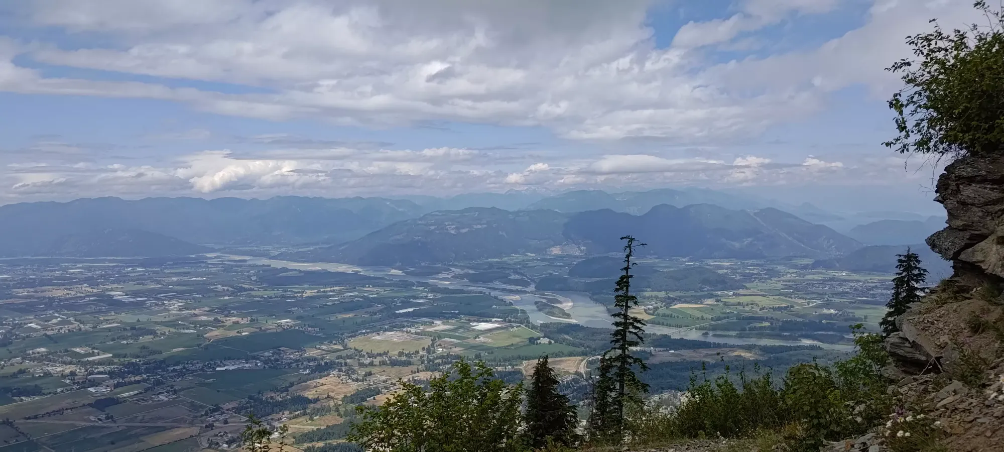
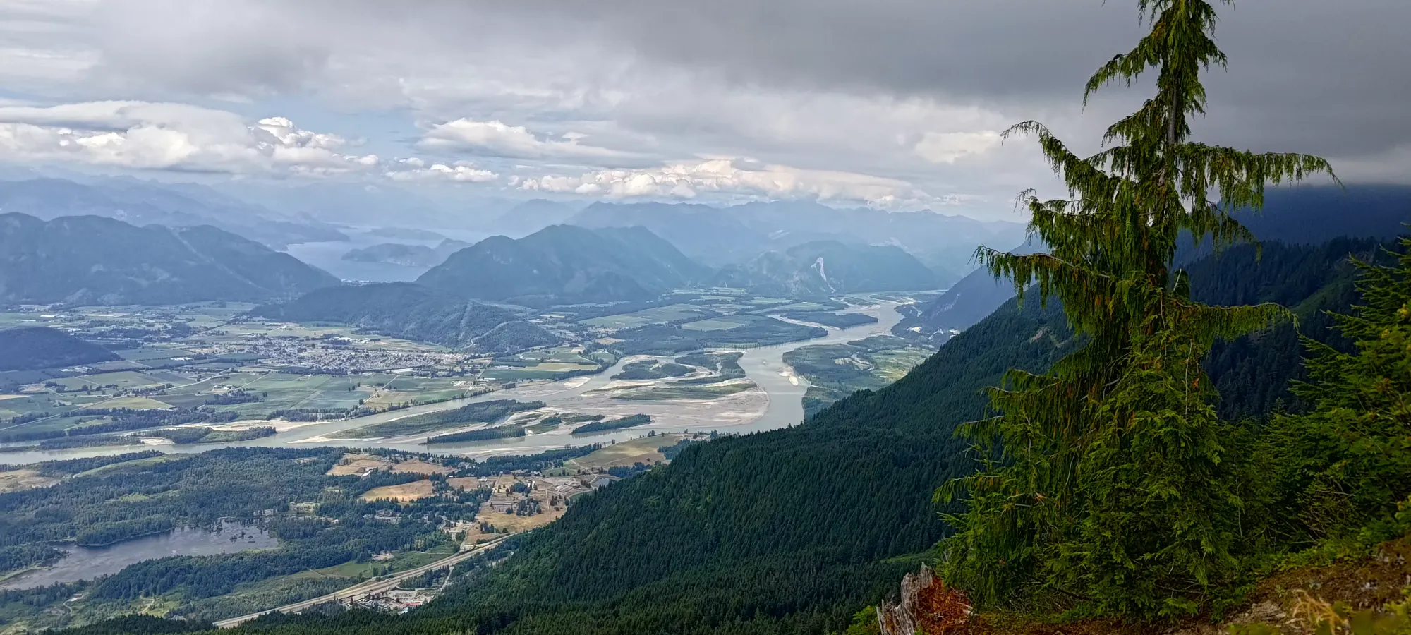
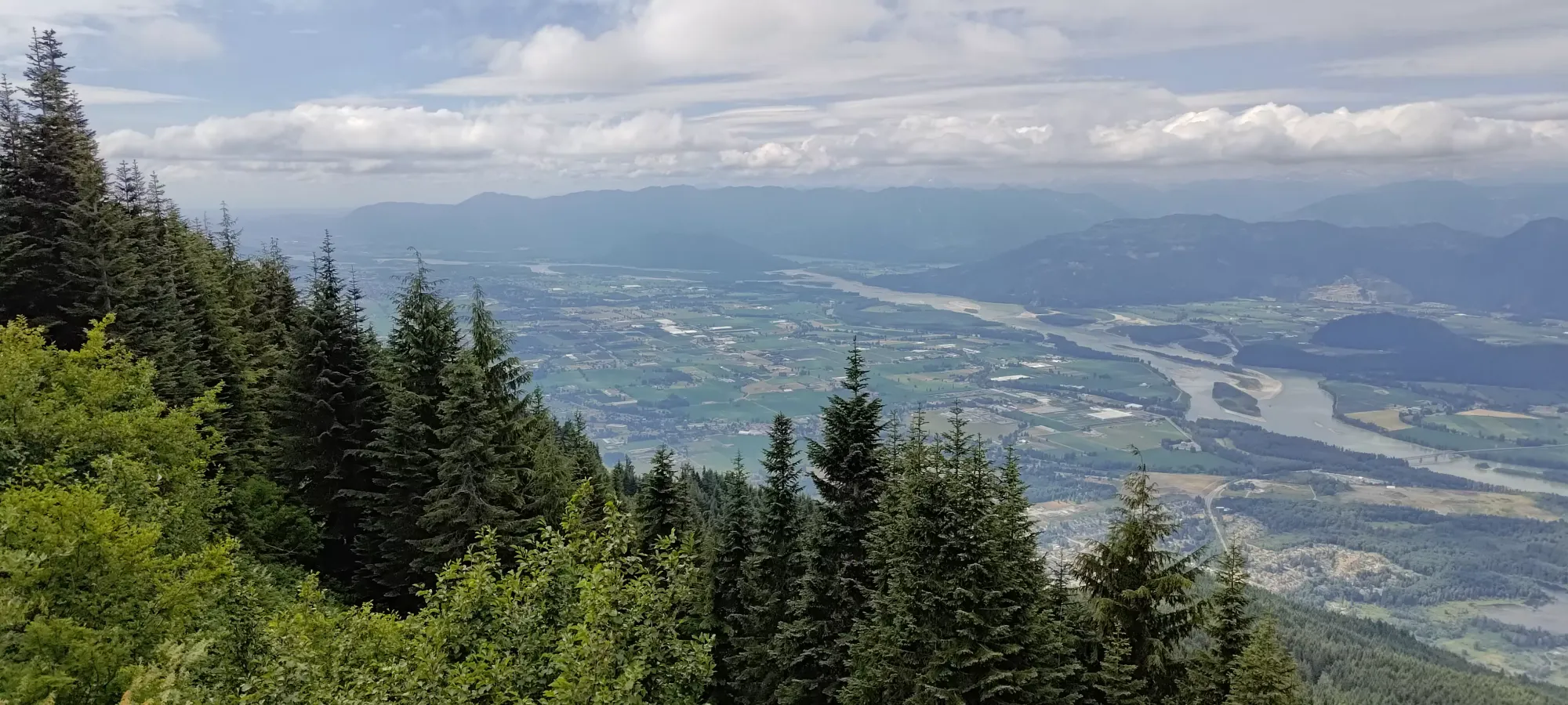
The trail to the junction where the Bridal Veil FSR connects from the other side of the mountain is pretty short, just about 1km and 80m of elevation gain. The terrain is quite trivial, but one benefit of hiking from this side is you get nice views, it has a few sections with open views down into the Fraser Valley, some of the best of the day, even.
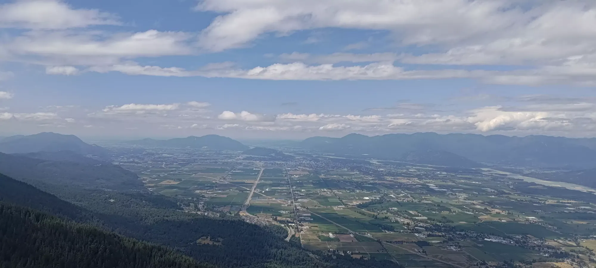
Once we got to the fork where the other FSR joins the trail, we briefly looked down and saw driveable conditions (can't speak for the rest of the road below, but we did see a truck make it up in winter, so it's probably good). We continued on, expecting to find some bush in need of trimming shortly up the hill based on November's conditions.
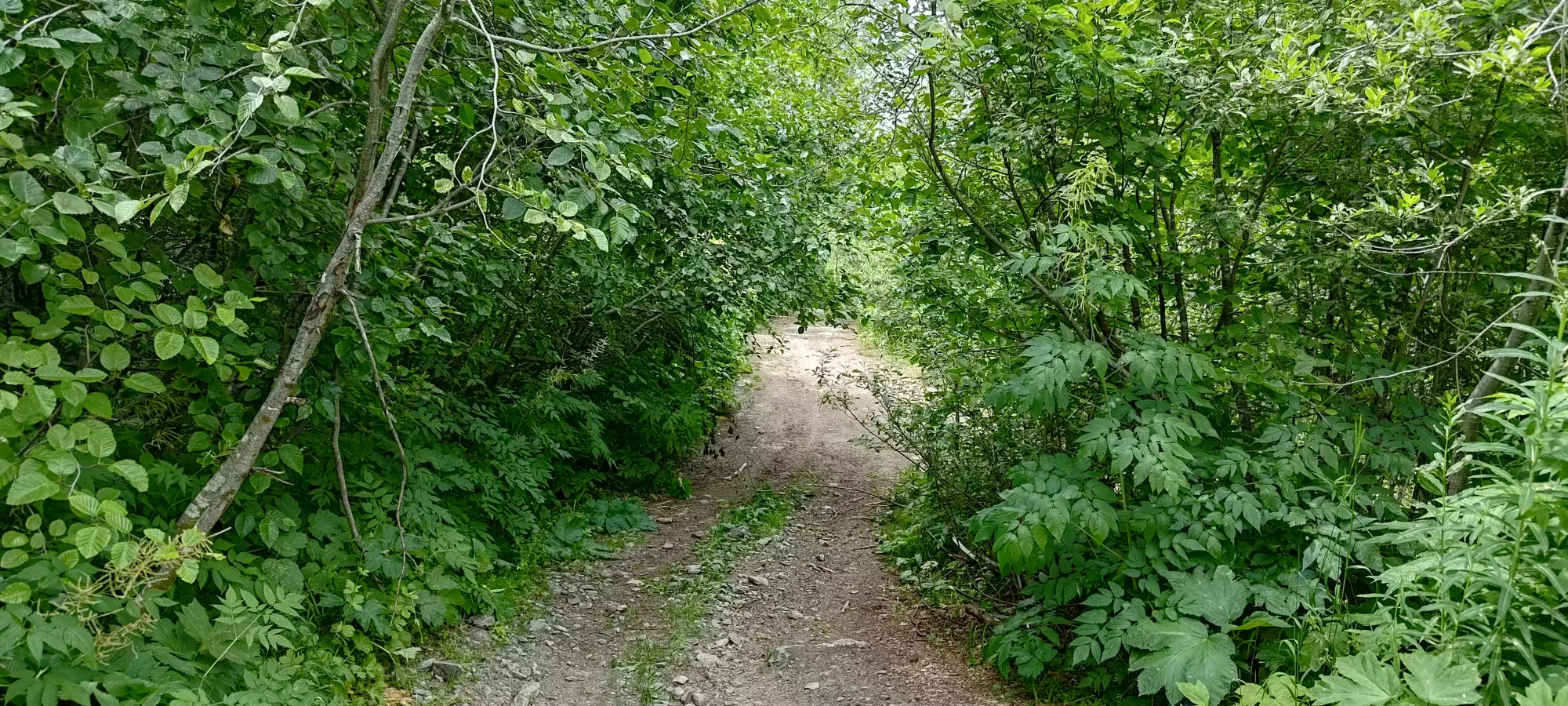
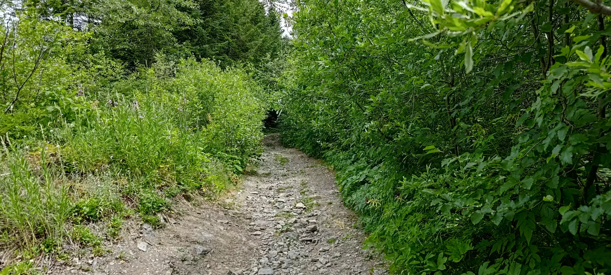
The next kilometre brings you up 130m more, and is also the end of any road, informal or otherwise. The road is "quite driveable" at the beginning, but has some degradation from water running through the centre higher up. An AWD crossover might be able to drive it if the line choice works out with one's track width. A proper 4x4 can get all the way up to the end. We didn't run into any of the bush we were expecting along the road, and saw some fresh cuts along the side, so it seems someone came up recently to do some work. Thanks!
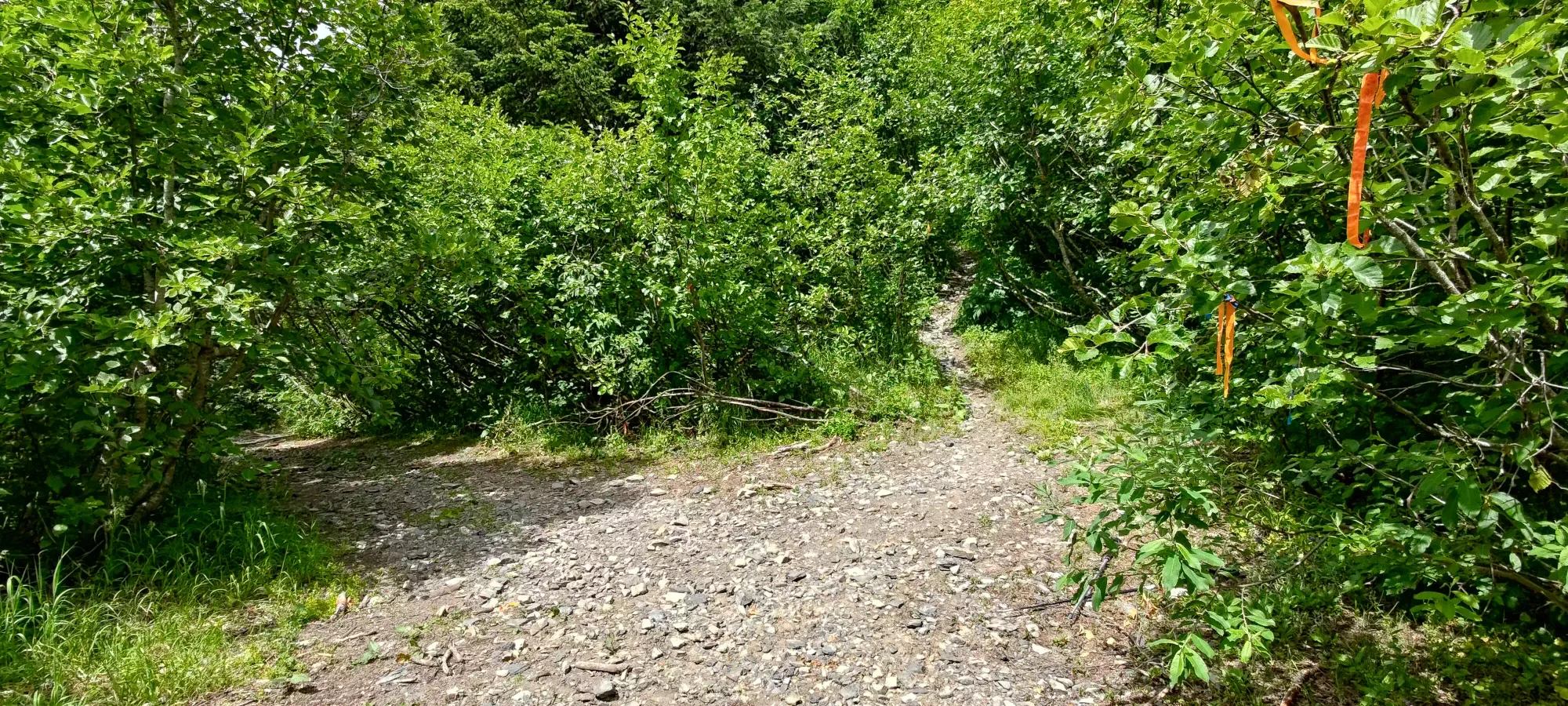
There's one more big switchback on the trail, ending the "next section" of the trail. Here, it was again way less dense than when we first went through, though we found a few places that could use a bit of cleaning up for the way down. We decided to only stop for "big stuff" on the way up, in case things took longer than planned, and we didn't have time to get every last branch in the way, so we didn't bother with anything for most of the way up. We made it to the big switchback that turns back onto the ridge at 1360m in 40 minutes, which isn't bad for 2.3k and 260m of gain (though also not stellar, admittedly. I'm getting back into things still xD).
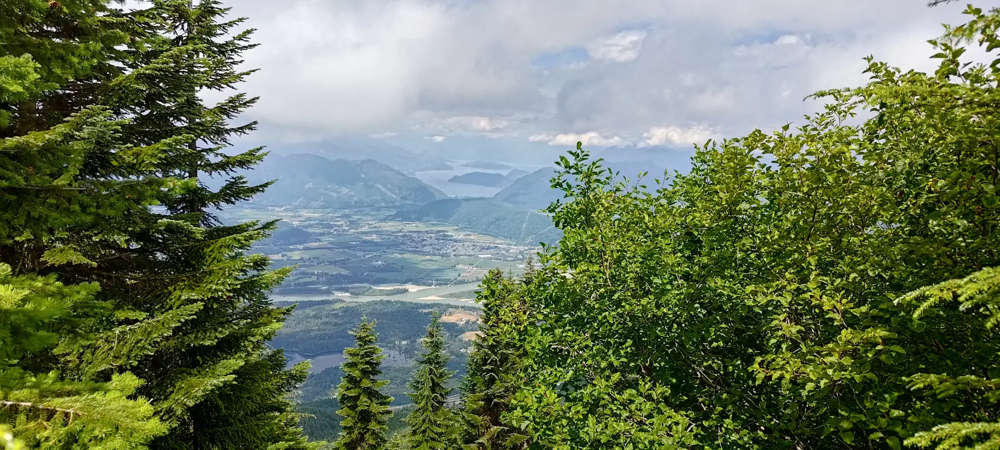
The ridge is a bit annoying after this point, as there's a few steep sections with loose dirt, and a lot of sidehilling, which was particularly annoying for me with my weak left ankle. However, we pushed through, and got to the boulder field that we turned around at in winter in under an hour. Back then, we thought we had to cross it, but it turns out that the trail actually goes up the side for a few metres, then dips into the forest back to climber's left and winds up then across the top of it. Given boulder fields and creekbeds are basically the two worst things for me, I was very glad to make this discovery.
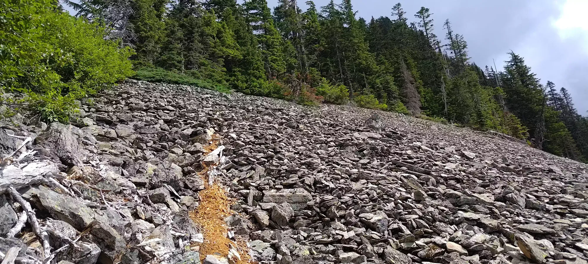
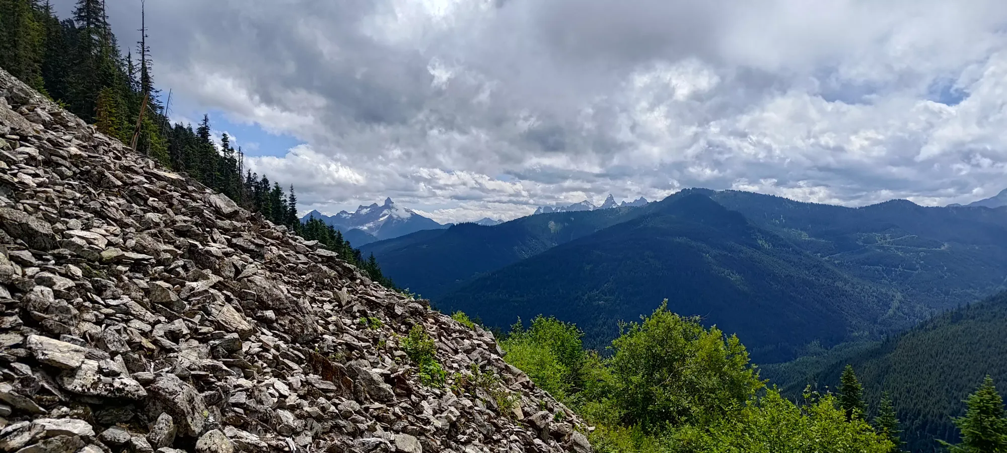
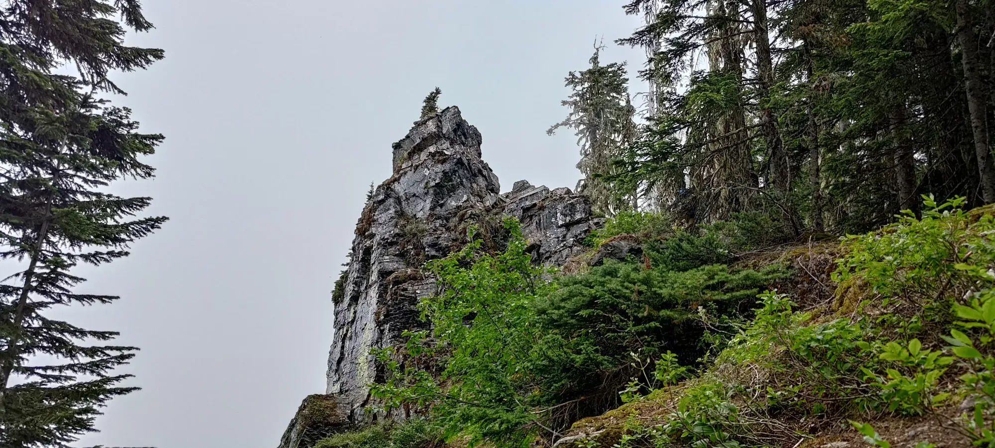
After this point, the trail steepened, and more or less didn't let up until the summit. The dirt was a bit softer/more moist, though, so it wasn't very slippery or anything, and it wasn't crazy steep by any means either, just "more so than before". We continued on until around 1500m, when we broke out of the forest and cast our eyes on "Archibald Pinnacle", a cool-looking rock protrusion that looked like a fun scramble (or maybe even climb if you descended from the ridge a bit and went up the face). We scrambled that for fun, then continued on to the "real" summit.
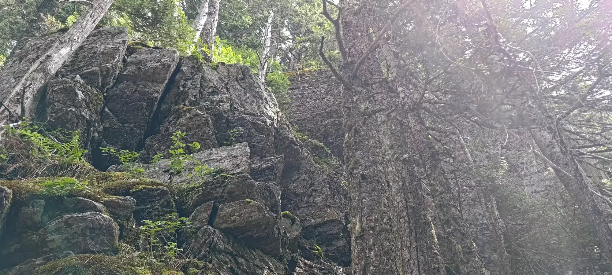
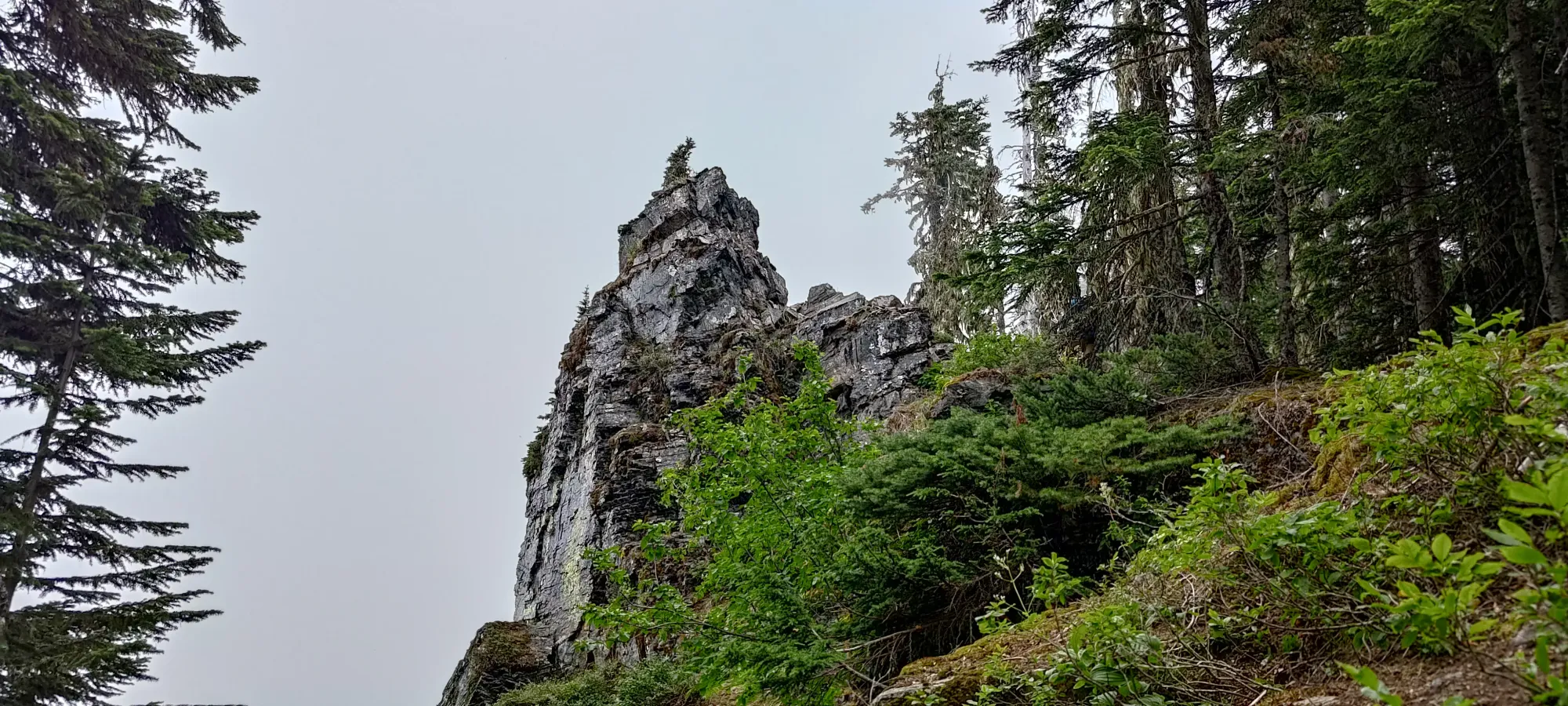
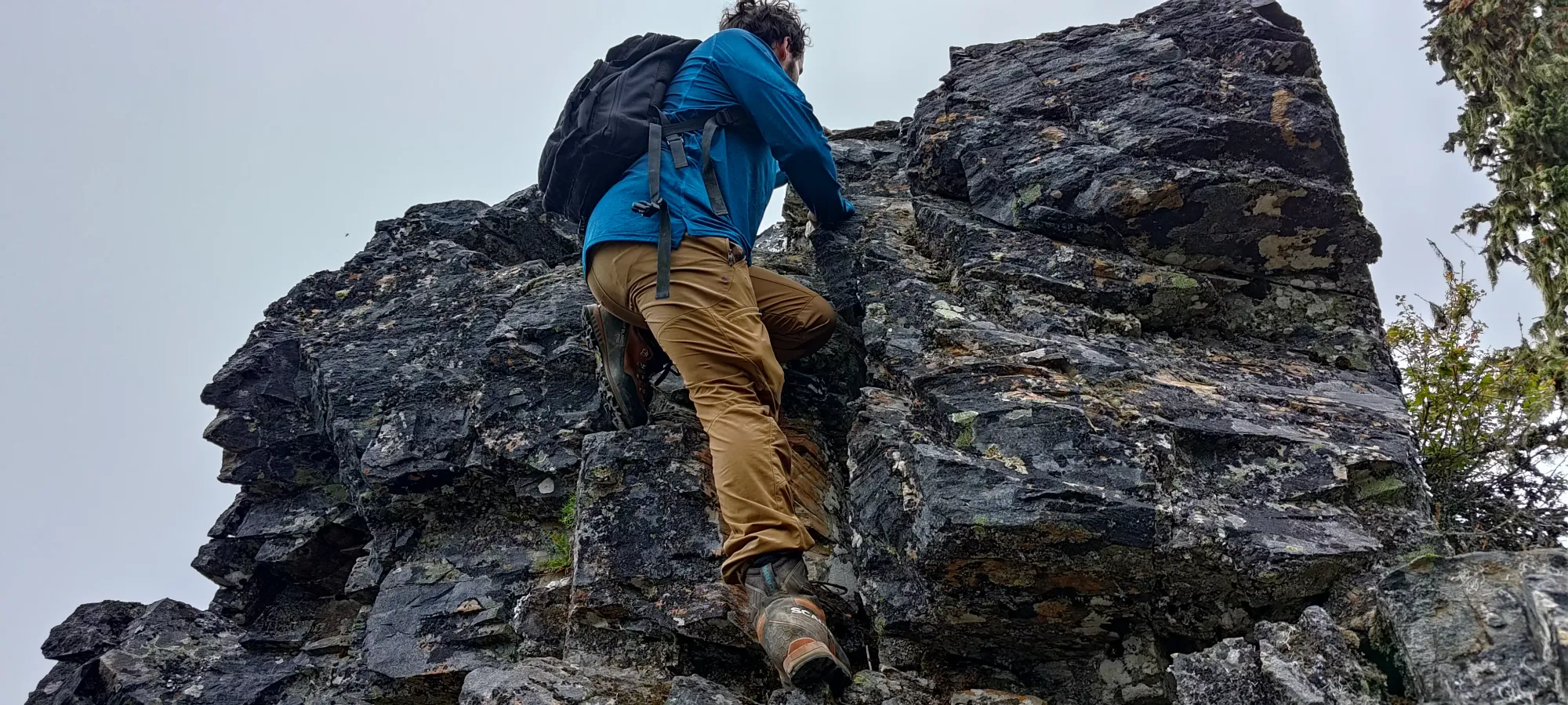
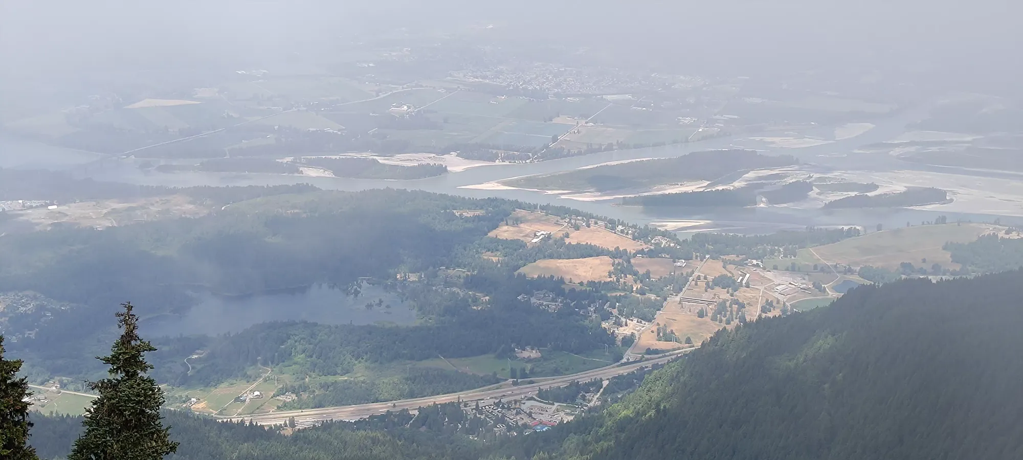
The hike to the top took us about 40 more minutes, though we were limited by my general slowness (I recently discovered in my latest physio appointment just how much muscle loss I have in my left leg vs my right, that explains a lot) and one or two stops for cutting some deadfall. The summit is quite boring, it's just a forested bump. There were a couple of candidates that looked about the same in elevation, so we did some light bushwhacking to the top of each just to be on the safe side. It was a bit foggy, and we had to do our trail maintenance, drive down, get dinner, and get to our concert for 7:00, so we didn't linger on top.
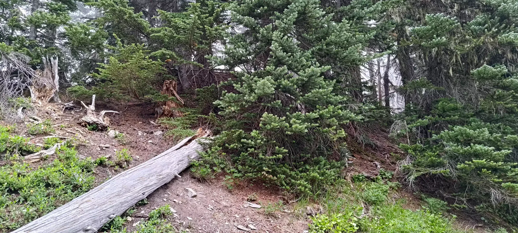
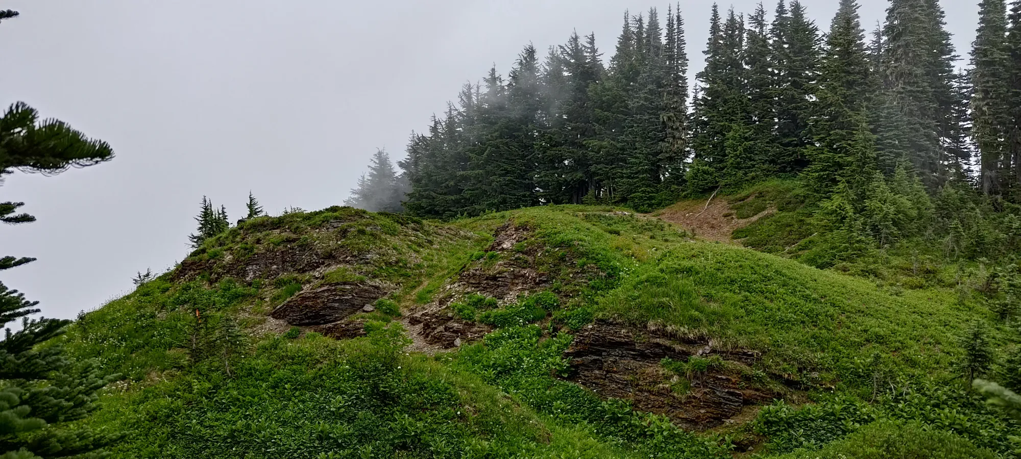
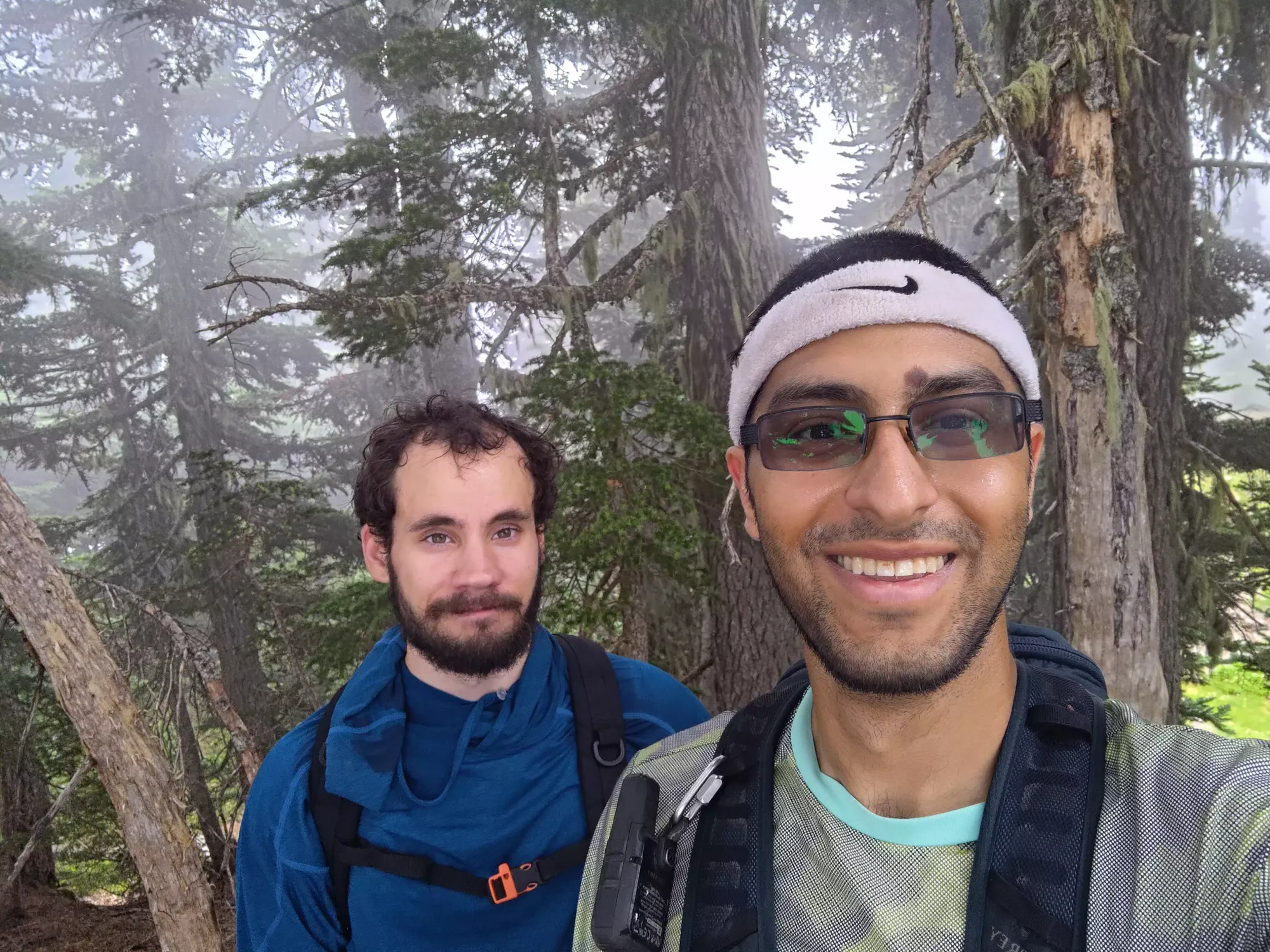
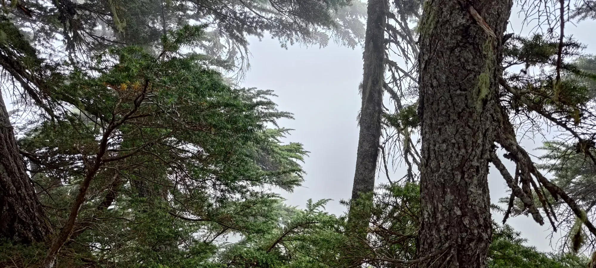
The way down was just about as long as the way up for us, around 2 hours. While I'm definitely slower on the downhill due to my injuries still (need to make sure I have solid, even footing for my left foot), the majority of the reason for this was cleaning the trail up. We had a few many-inch logs to cut through, which takes time with small folding hand-saws operated by novices. Aside from that, we trimmed the stabbier bushes in the way as well, and generally applied the rule of "if it stabbed you or brushed to the point of hindering your speed instead of just being there, we should clean it up". We didn't bring machetes, or try to fulfill the role of one by whacking away all the bushes growing on the sides of the trail that brush you as you walk by. I feel like that's probably a topic environmentalists might debate, and it'd also be tedious without a blade meant for hacking away at brush, so we were happy to leave that as-is. At least now, you can drive all the way to the end of the road, and hike without having to get smacked by logs or dodge, duck, dip, dive, and dodge around branches in your face.
Once we got down, it was an uneventful drive down+back into town. We got some nice food before meeting another friend, enjoyed our concert (Volbeat + Halestorm), and then headed out after a dinner we decided to get while traffic dispersed. This meant I got home quite late, but on the plus side I got 3 meals in before the following day, which ended up proving to be quite useful.
Now that the trail is cleaned up, and especially with how driveable the road is, I'd definitely recommend this hike. I'll note that peakbaggers can link it up as a loop with Lady+Cheam for efficiency, or it can just be done standalone as a hike with casuals.
GPX Track + Map
